Oxfordshire vector map Cut Out Stock Images
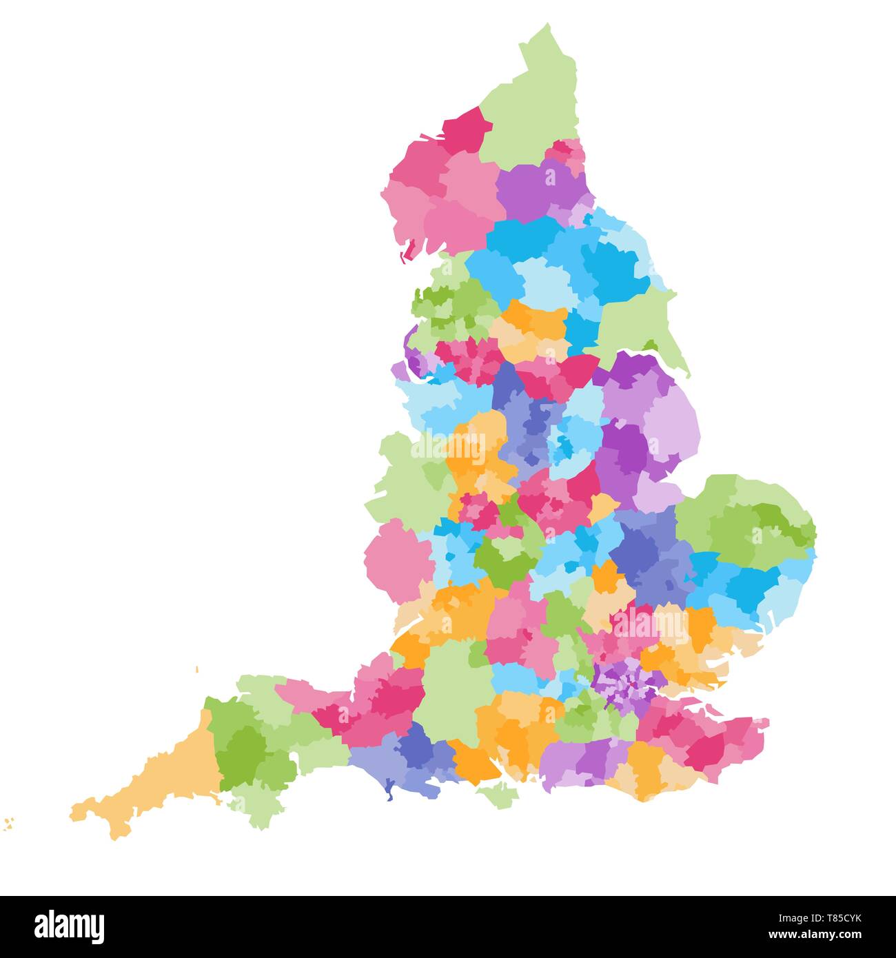 England ceremonial counties vector map Stock Vectorhttps://www.alamy.com/image-license-details/?v=1https://www.alamy.com/england-ceremonial-counties-vector-map-image245982343.html
RFT85CYK–England ceremonial counties vector map
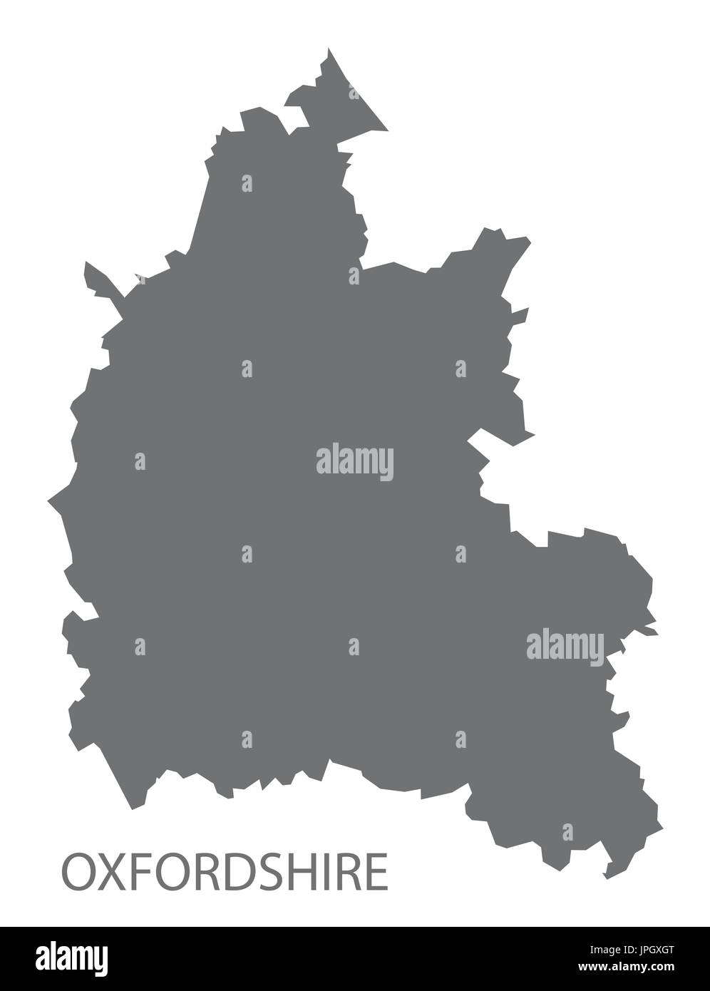 Oxfordshire county map England UK grey illustration silhouette shape Stock Vectorhttps://www.alamy.com/image-license-details/?v=1https://www.alamy.com/oxfordshire-county-map-england-uk-grey-illustration-silhouette-shape-image151577464.html
RFJPGXGT–Oxfordshire county map England UK grey illustration silhouette shape
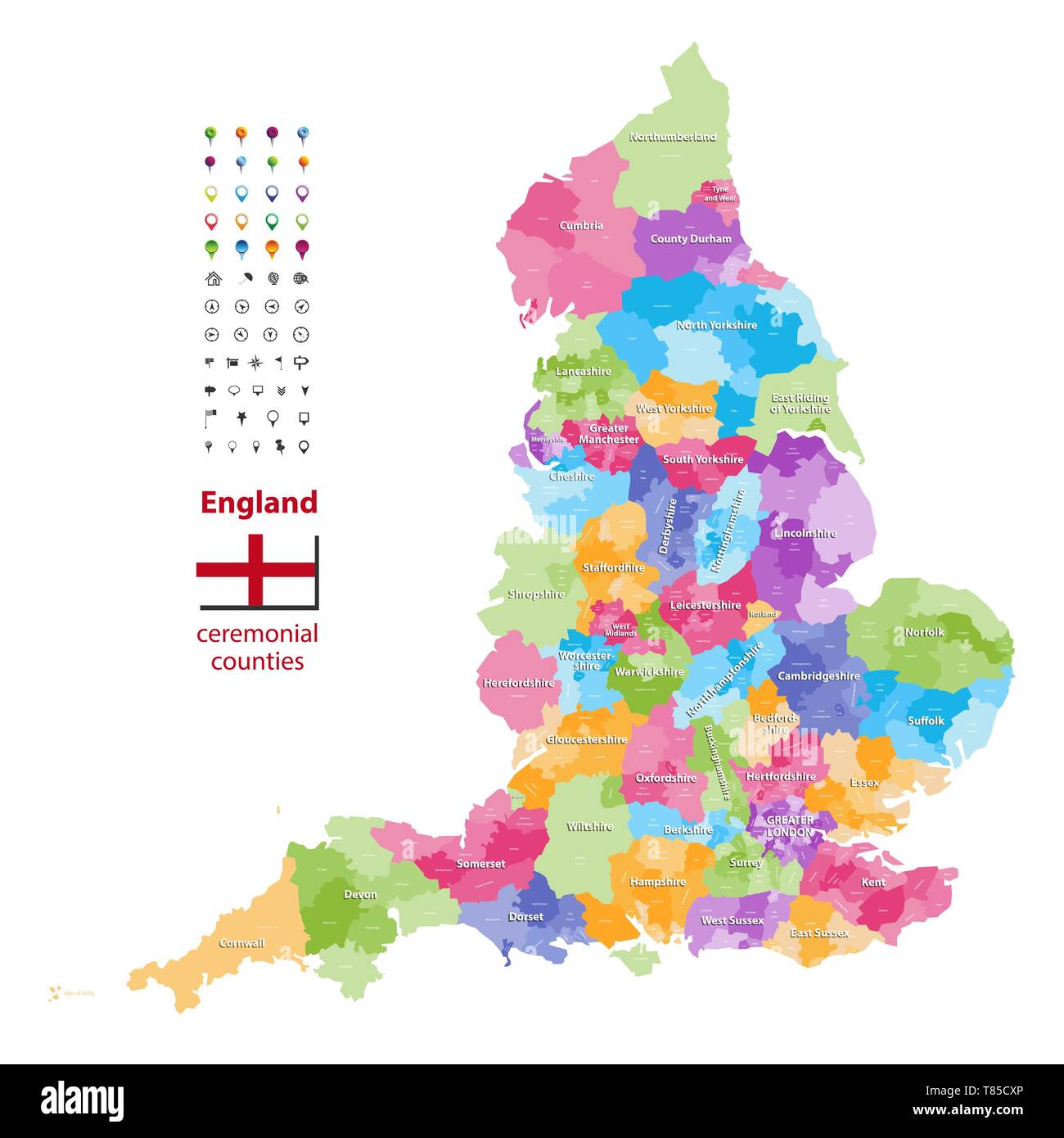 England ceremonial counties vector map Stock Vectorhttps://www.alamy.com/image-license-details/?v=1https://www.alamy.com/england-ceremonial-counties-vector-map-image245982318.html
RFT85CXP–England ceremonial counties vector map
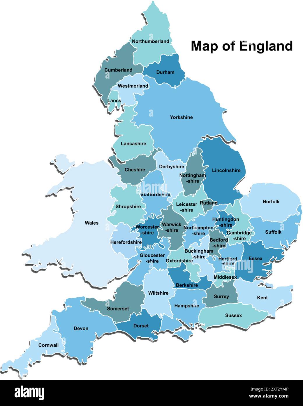 Map of England Stock Vectorhttps://www.alamy.com/image-license-details/?v=1https://www.alamy.com/map-of-england-image611648374.html
RF2XF2YMP–Map of England
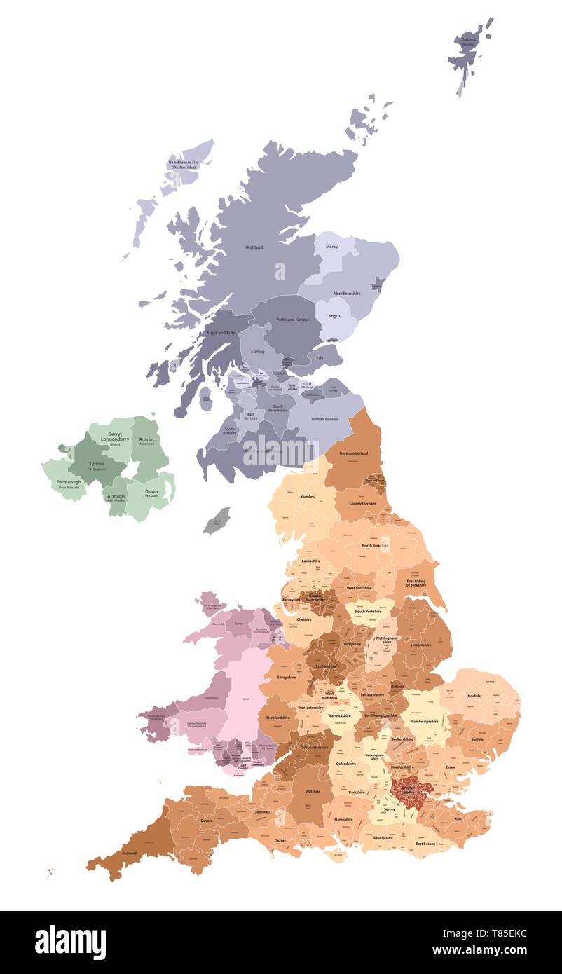 vector map of United Kingdom administrative divisions colored by countries and regions Stock Vectorhttps://www.alamy.com/image-license-details/?v=1https://www.alamy.com/vector-map-of-united-kingdom-administrative-divisions-colored-by-countries-and-regions-image245983680.html
RFT85EKC–vector map of United Kingdom administrative divisions colored by countries and regions
 The Oxfordshire County silhouette map isolated on white background Stock Vectorhttps://www.alamy.com/image-license-details/?v=1https://www.alamy.com/the-oxfordshire-county-silhouette-map-isolated-on-white-background-image431102711.html
RF2G1ABWB–The Oxfordshire County silhouette map isolated on white background
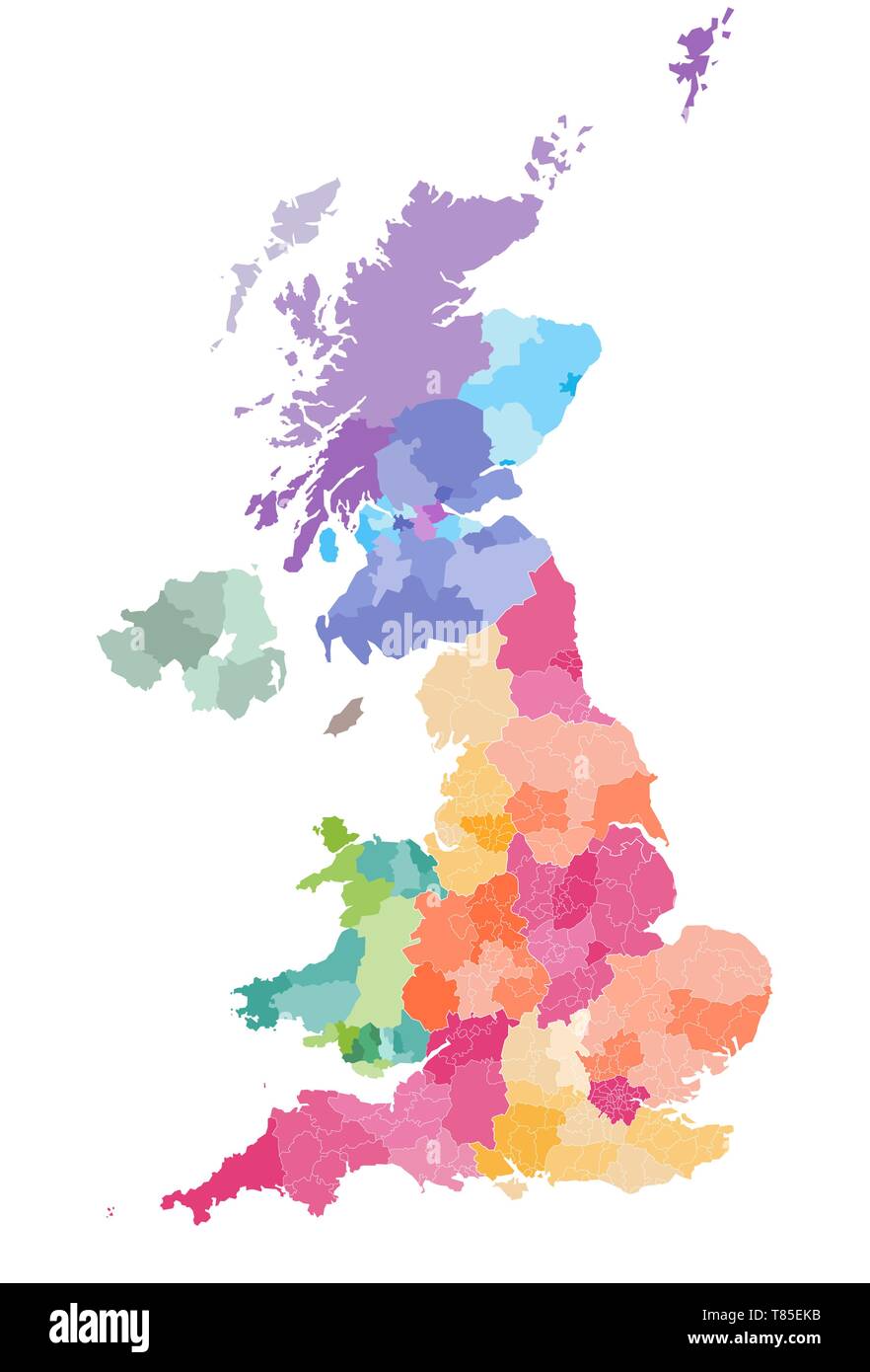 vector map of United Kingdom administrative divisions colored by countries and regions Stock Vectorhttps://www.alamy.com/image-license-details/?v=1https://www.alamy.com/vector-map-of-united-kingdom-administrative-divisions-colored-by-countries-and-regions-image245983679.html
RFT85EKB–vector map of United Kingdom administrative divisions colored by countries and regions
 High quality colorful labeled map of England with borders of the counties Stock Vectorhttps://www.alamy.com/image-license-details/?v=1https://www.alamy.com/high-quality-colorful-labeled-map-of-england-with-borders-of-the-counties-image397691074.html
RF2E30B0J–High quality colorful labeled map of England with borders of the counties
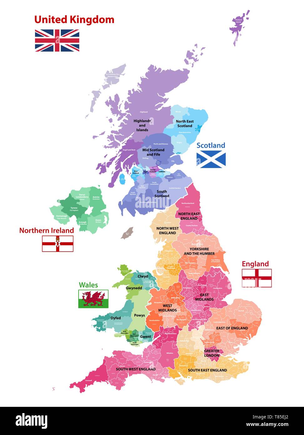 vector map of United Kingdom administrative divisions colored by countries and regions Stock Vectorhttps://www.alamy.com/image-license-details/?v=1https://www.alamy.com/vector-map-of-united-kingdom-administrative-divisions-colored-by-countries-and-regions-image245983642.html
RFT85EJ2–vector map of United Kingdom administrative divisions colored by countries and regions
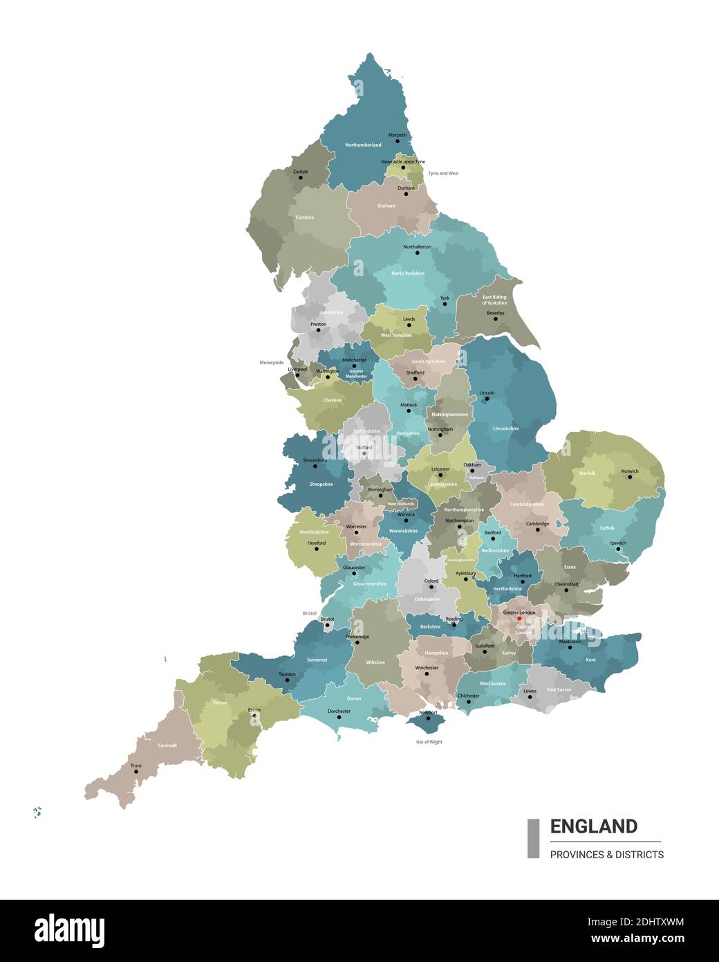 England higt detailed map with subdivisions. Administrative map of England with districts and cities name, colored by states and administrative distri Stock Vectorhttps://www.alamy.com/image-license-details/?v=1https://www.alamy.com/england-higt-detailed-map-with-subdivisions-administrative-map-of-england-with-districts-and-cities-name-colored-by-states-and-administrative-distri-image389625200.html
RF2DHTXWM–England higt detailed map with subdivisions. Administrative map of England with districts and cities name, colored by states and administrative distri
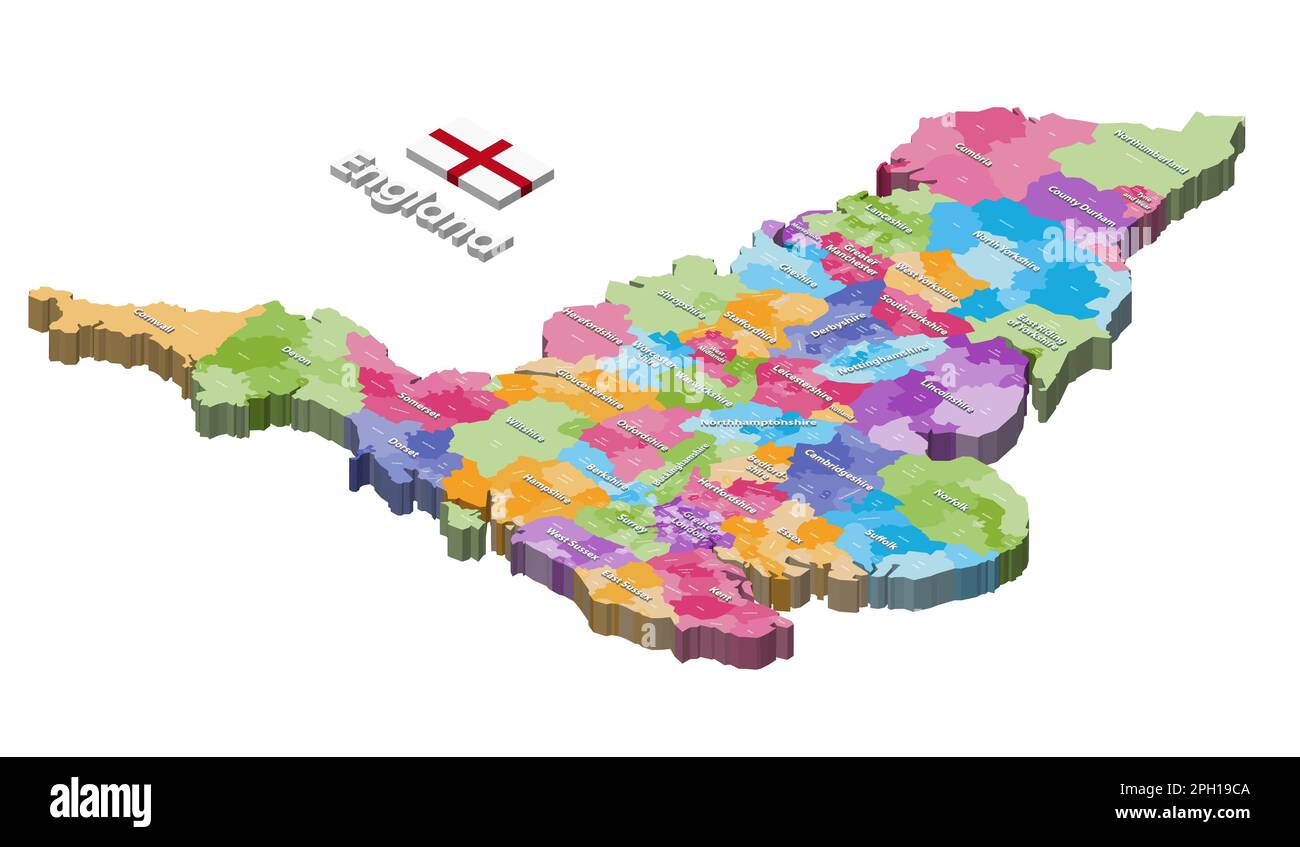 England districts isometric map colored by ceremonial counties Stock Vectorhttps://www.alamy.com/image-license-details/?v=1https://www.alamy.com/england-districts-isometric-map-colored-by-ceremonial-counties-image543999914.html
RF2PH19CA–England districts isometric map colored by ceremonial counties
 Oxfordshire (United Kingdom, England, Non-metropolitan county, shire county) map vector illustration, scribble sketch Oxon map Stock Vectorhttps://www.alamy.com/image-license-details/?v=1https://www.alamy.com/oxfordshire-united-kingdom-england-non-metropolitan-county-shire-county-map-vector-illustration-scribble-sketch-oxon-map-image239139185.html
RFRW1MD5–Oxfordshire (United Kingdom, England, Non-metropolitan county, shire county) map vector illustration, scribble sketch Oxon map
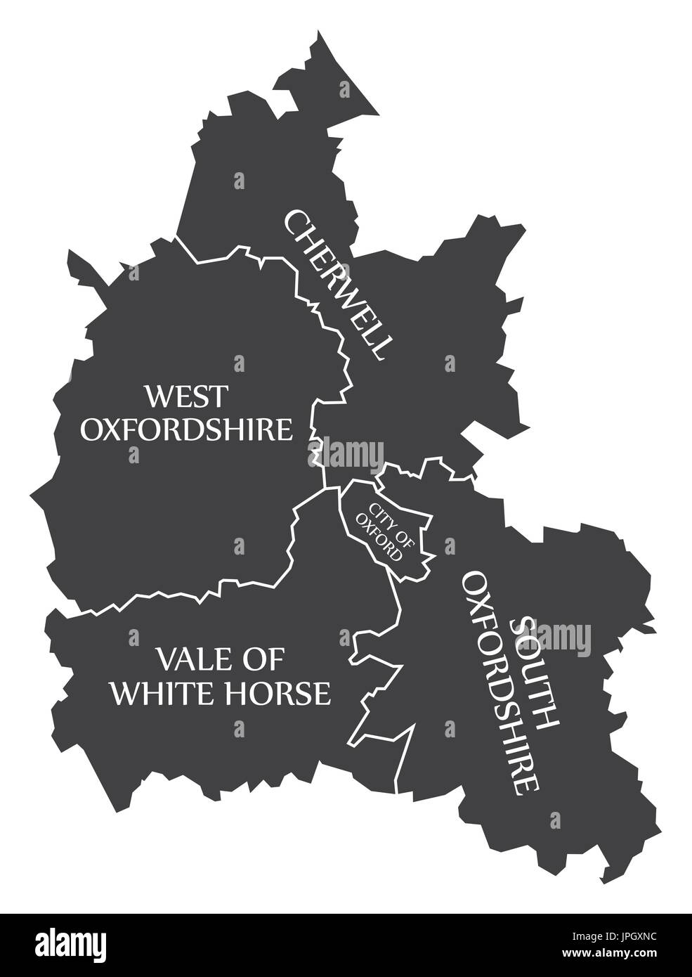 Oxfordshire county England UK black map with white labels illustration Stock Vectorhttps://www.alamy.com/image-license-details/?v=1https://www.alamy.com/oxfordshire-county-england-uk-black-map-with-white-labels-illustration-image151577592.html
RFJPGXNC–Oxfordshire county England UK black map with white labels illustration
 Oxfordshire County administrative map isolated on white background, England Stock Vectorhttps://www.alamy.com/image-license-details/?v=1https://www.alamy.com/oxfordshire-county-administrative-map-isolated-on-white-background-england-image425932567.html
RF2FMXW9B–Oxfordshire County administrative map isolated on white background, England
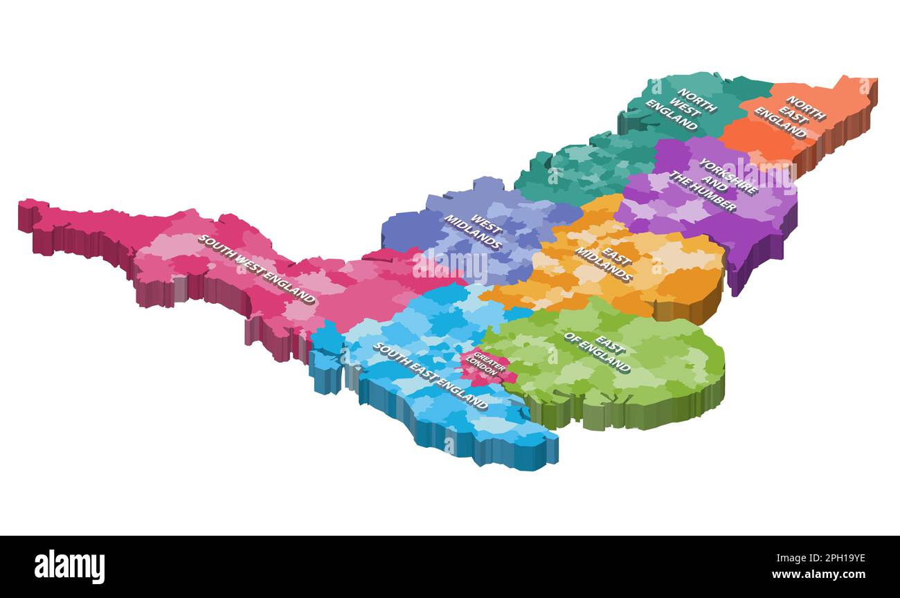 England counties isometric map colored by regions Stock Vectorhttps://www.alamy.com/image-license-details/?v=1https://www.alamy.com/england-counties-isometric-map-colored-by-regions-image544000338.html
RF2PH19YE–England counties isometric map colored by regions
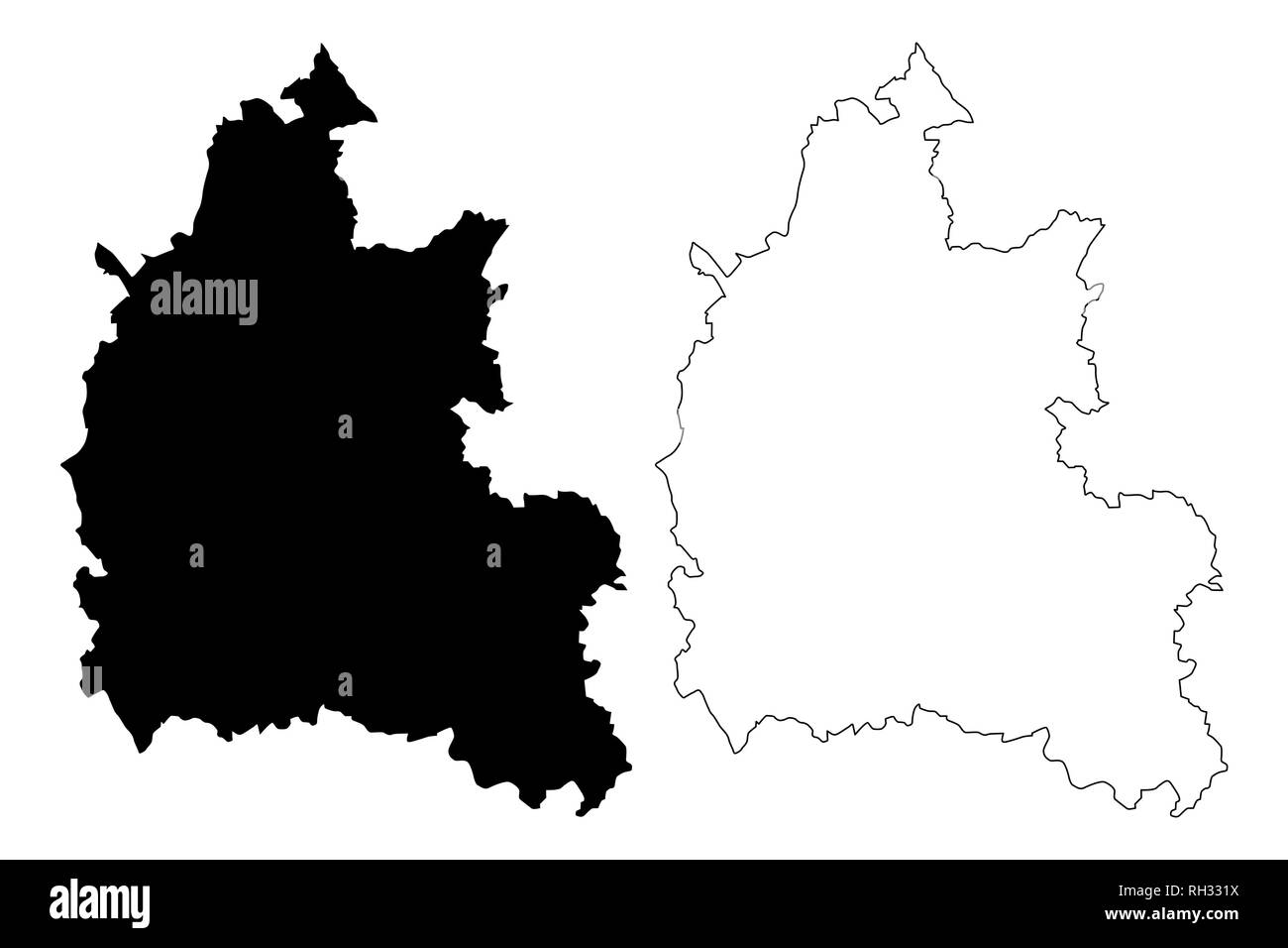 Oxfordshire (United Kingdom, England, Non-metropolitan county, shire county) map vector illustration, scribble sketch Oxon map Stock Vectorhttps://www.alamy.com/image-license-details/?v=1https://www.alamy.com/oxfordshire-united-kingdom-england-non-metropolitan-county-shire-county-map-vector-illustration-scribble-sketch-oxon-map-image234252198.html
RFRH331X–Oxfordshire (United Kingdom, England, Non-metropolitan county, shire county) map vector illustration, scribble sketch Oxon map
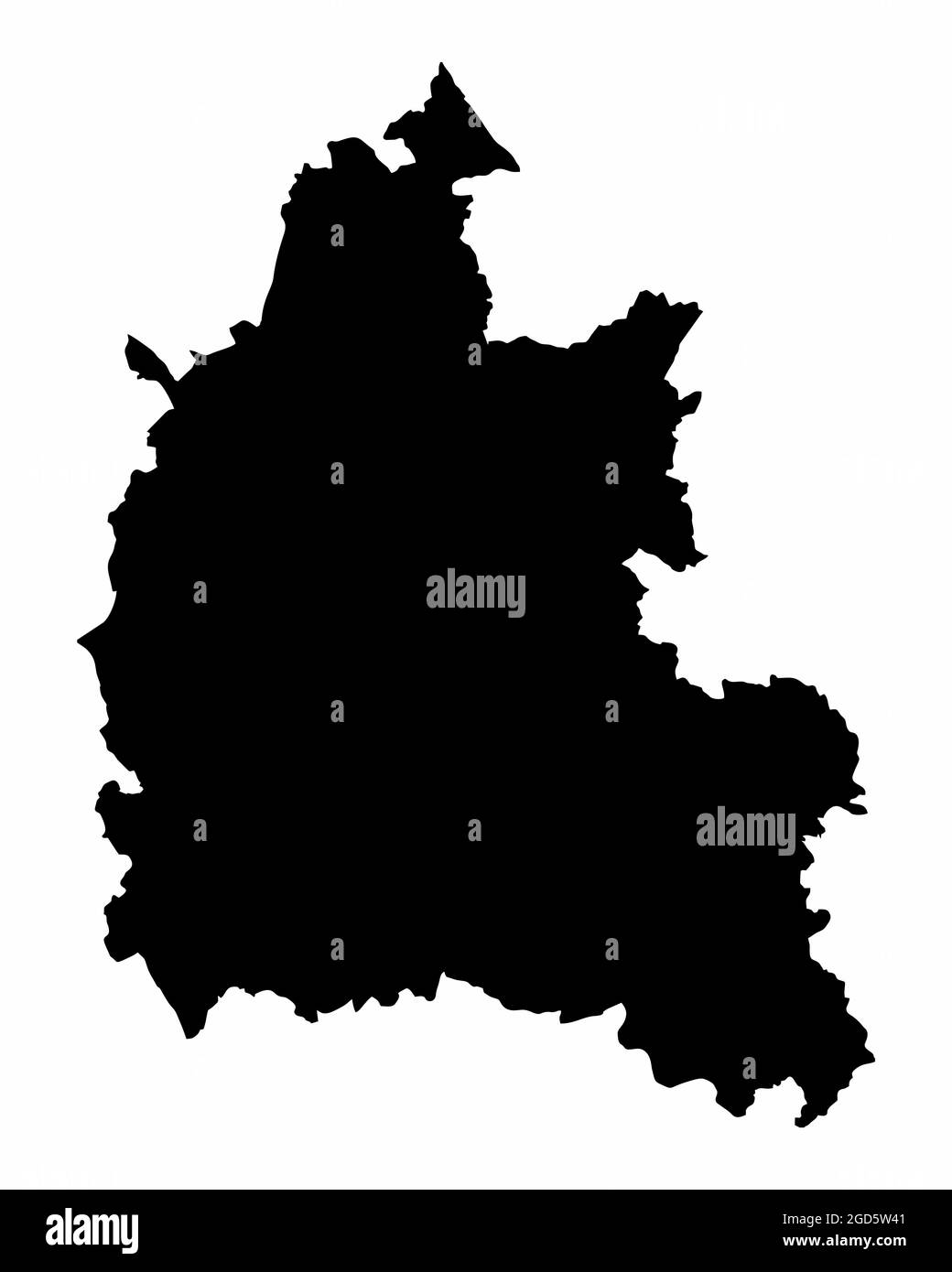 Oxfordshire county silhouette map isolated on white background, England Stock Vectorhttps://www.alamy.com/image-license-details/?v=1https://www.alamy.com/oxfordshire-county-silhouette-map-isolated-on-white-background-england-image438379201.html
RF2GD5W41–Oxfordshire county silhouette map isolated on white background, England
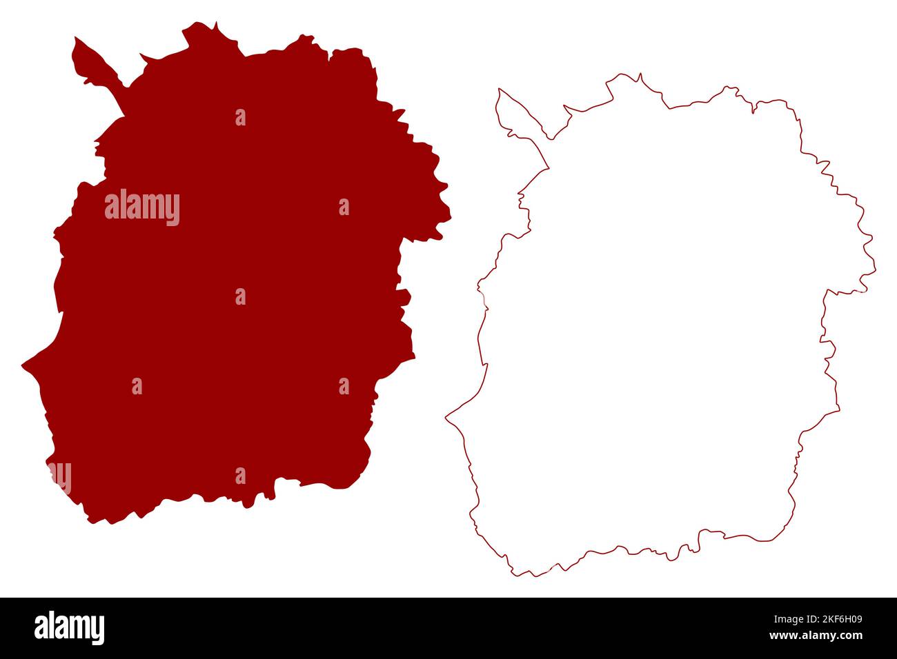 West Oxfordshire Non-metropolitan district, (United Kingdom of Great Britain and Northern Ireland, ceremonial county Oxfordshire, England) map vector Stock Vectorhttps://www.alamy.com/image-license-details/?v=1https://www.alamy.com/west-oxfordshire-non-metropolitan-district-united-kingdom-of-great-britain-and-northern-ireland-ceremonial-county-oxfordshire-england-map-vector-image491255193.html
RF2KF6H09–West Oxfordshire Non-metropolitan district, (United Kingdom of Great Britain and Northern Ireland, ceremonial county Oxfordshire, England) map vector
 South Oxfordshire Non-metropolitan district, (United Kingdom of Great Britain and Northern Ireland, ceremonial county Oxfordshire, England) map vector Stock Vectorhttps://www.alamy.com/image-license-details/?v=1https://www.alamy.com/south-oxfordshire-non-metropolitan-district-united-kingdom-of-great-britain-and-northern-ireland-ceremonial-county-oxfordshire-england-map-vector-image544083078.html
RF2PH53EE–South Oxfordshire Non-metropolitan district, (United Kingdom of Great Britain and Northern Ireland, ceremonial county Oxfordshire, England) map vector
 West Oxfordshire Non-metropolitan district, (United Kingdom of Great Britain and Northern Ireland, ceremonial county Oxfordshire, England) map vector Stock Vectorhttps://www.alamy.com/image-license-details/?v=1https://www.alamy.com/west-oxfordshire-non-metropolitan-district-united-kingdom-of-great-britain-and-northern-ireland-ceremonial-county-oxfordshire-england-map-vector-image561343745.html
RF2RH7BJW–West Oxfordshire Non-metropolitan district, (United Kingdom of Great Britain and Northern Ireland, ceremonial county Oxfordshire, England) map vector
 South Oxfordshire Non-metropolitan district, (United Kingdom of Great Britain and Northern Ireland, ceremonial county Oxfordshire, England) map vector Stock Vectorhttps://www.alamy.com/image-license-details/?v=1https://www.alamy.com/south-oxfordshire-non-metropolitan-district-united-kingdom-of-great-britain-and-northern-ireland-ceremonial-county-oxfordshire-england-map-vector-image560516111.html
RF2RFWM0F–South Oxfordshire Non-metropolitan district, (United Kingdom of Great Britain and Northern Ireland, ceremonial county Oxfordshire, England) map vector
 South Oxfordshire Non-metropolitan district, (United Kingdom of Great Britain and Northern Ireland, ceremonial county Oxfordshire, England) map vector Stock Vectorhttps://www.alamy.com/image-license-details/?v=1https://www.alamy.com/south-oxfordshire-non-metropolitan-district-united-kingdom-of-great-britain-and-northern-ireland-ceremonial-county-oxfordshire-england-map-vector-image491255198.html
RF2KF6H0E–South Oxfordshire Non-metropolitan district, (United Kingdom of Great Britain and Northern Ireland, ceremonial county Oxfordshire, England) map vector
 West Oxfordshire Non-metropolitan district, (United Kingdom of Great Britain and Northern Ireland, ceremonial county Oxfordshire, England) map vector Stock Vectorhttps://www.alamy.com/image-license-details/?v=1https://www.alamy.com/west-oxfordshire-non-metropolitan-district-united-kingdom-of-great-britain-and-northern-ireland-ceremonial-county-oxfordshire-england-map-vector-image544910812.html
RF2PJER8C–West Oxfordshire Non-metropolitan district, (United Kingdom of Great Britain and Northern Ireland, ceremonial county Oxfordshire, England) map vector
 Cherwell Non-metropolitan district, (United Kingdom of Great Britain and Northern Ireland, ceremonial county Oxfordshire, England) map vector illustra Stock Vectorhttps://www.alamy.com/image-license-details/?v=1https://www.alamy.com/cherwell-non-metropolitan-district-united-kingdom-of-great-britain-and-northern-ireland-ceremonial-county-oxfordshire-england-map-vector-illustra-image557798993.html
RF2RBDX8H–Cherwell Non-metropolitan district, (United Kingdom of Great Britain and Northern Ireland, ceremonial county Oxfordshire, England) map vector illustra
 Cherwell Non-metropolitan district, (United Kingdom of Great Britain and Northern Ireland, ceremonial county Oxfordshire, England) map vector illustra Stock Vectorhttps://www.alamy.com/image-license-details/?v=1https://www.alamy.com/cherwell-non-metropolitan-district-united-kingdom-of-great-britain-and-northern-ireland-ceremonial-county-oxfordshire-england-map-vector-illustra-image491255138.html
RF2KF6GXA–Cherwell Non-metropolitan district, (United Kingdom of Great Britain and Northern Ireland, ceremonial county Oxfordshire, England) map vector illustra
 Cherwell Non-metropolitan district, (United Kingdom of Great Britain and Northern Ireland, ceremonial county Oxfordshire, England) map vector illustra Stock Vectorhttps://www.alamy.com/image-license-details/?v=1https://www.alamy.com/cherwell-non-metropolitan-district-united-kingdom-of-great-britain-and-northern-ireland-ceremonial-county-oxfordshire-england-map-vector-illustra-image542133004.html
RF2PE0850–Cherwell Non-metropolitan district, (United Kingdom of Great Britain and Northern Ireland, ceremonial county Oxfordshire, England) map vector illustra
 Oxford city and Non-metropolitan district, (United Kingdom of Great Britain and Northern Ireland, ceremonial county Oxfordshire, England) map vector i Stock Vectorhttps://www.alamy.com/image-license-details/?v=1https://www.alamy.com/oxford-city-and-non-metropolitan-district-united-kingdom-of-great-britain-and-northern-ireland-ceremonial-county-oxfordshire-england-map-vector-i-image543415794.html
RF2PG2MAX–Oxford city and Non-metropolitan district, (United Kingdom of Great Britain and Northern Ireland, ceremonial county Oxfordshire, England) map vector i
 Oxford city and Non-metropolitan district, (United Kingdom of Great Britain and Northern Ireland, ceremonial county Oxfordshire, England) map vector i Stock Vectorhttps://www.alamy.com/image-license-details/?v=1https://www.alamy.com/oxford-city-and-non-metropolitan-district-united-kingdom-of-great-britain-and-northern-ireland-ceremonial-county-oxfordshire-england-map-vector-i-image491255186.html
RF2KF6H02–Oxford city and Non-metropolitan district, (United Kingdom of Great Britain and Northern Ireland, ceremonial county Oxfordshire, England) map vector i
 Oxford city and Non-metropolitan district, (United Kingdom of Great Britain and Northern Ireland, ceremonial county Oxfordshire, England) map vector i Stock Vectorhttps://www.alamy.com/image-license-details/?v=1https://www.alamy.com/oxford-city-and-non-metropolitan-district-united-kingdom-of-great-britain-and-northern-ireland-ceremonial-county-oxfordshire-england-map-vector-i-image559788431.html
RF2REMFRY–Oxford city and Non-metropolitan district, (United Kingdom of Great Britain and Northern Ireland, ceremonial county Oxfordshire, England) map vector i
 Vale of White Horse Non-metropolitan district, (United Kingdom of Great Britain and Northern Ireland, ceremonial county Oxfordshire, England) map vect Stock Vectorhttps://www.alamy.com/image-license-details/?v=1https://www.alamy.com/vale-of-white-horse-non-metropolitan-district-united-kingdom-of-great-britain-and-northern-ireland-ceremonial-county-oxfordshire-england-map-vect-image544716837.html
RF2PJ5YTN–Vale of White Horse Non-metropolitan district, (United Kingdom of Great Britain and Northern Ireland, ceremonial county Oxfordshire, England) map vect
 Vale of White Horse Non-metropolitan district, (United Kingdom of Great Britain and Northern Ireland, ceremonial county Oxfordshire, England) map vect Stock Vectorhttps://www.alamy.com/image-license-details/?v=1https://www.alamy.com/vale-of-white-horse-non-metropolitan-district-united-kingdom-of-great-britain-and-northern-ireland-ceremonial-county-oxfordshire-england-map-vect-image561213251.html
RF2RH1D6B–Vale of White Horse Non-metropolitan district, (United Kingdom of Great Britain and Northern Ireland, ceremonial county Oxfordshire, England) map vect
 Vale of White Horse Non-metropolitan district, (United Kingdom of Great Britain and Northern Ireland, ceremonial county Oxfordshire, England) map vect Stock Vectorhttps://www.alamy.com/image-license-details/?v=1https://www.alamy.com/vale-of-white-horse-non-metropolitan-district-united-kingdom-of-great-britain-and-northern-ireland-ceremonial-county-oxfordshire-england-map-vect-image491255211.html
RF2KF6H0Y–Vale of White Horse Non-metropolitan district, (United Kingdom of Great Britain and Northern Ireland, ceremonial county Oxfordshire, England) map vect