Palatine illinois map Stock Photos and Images
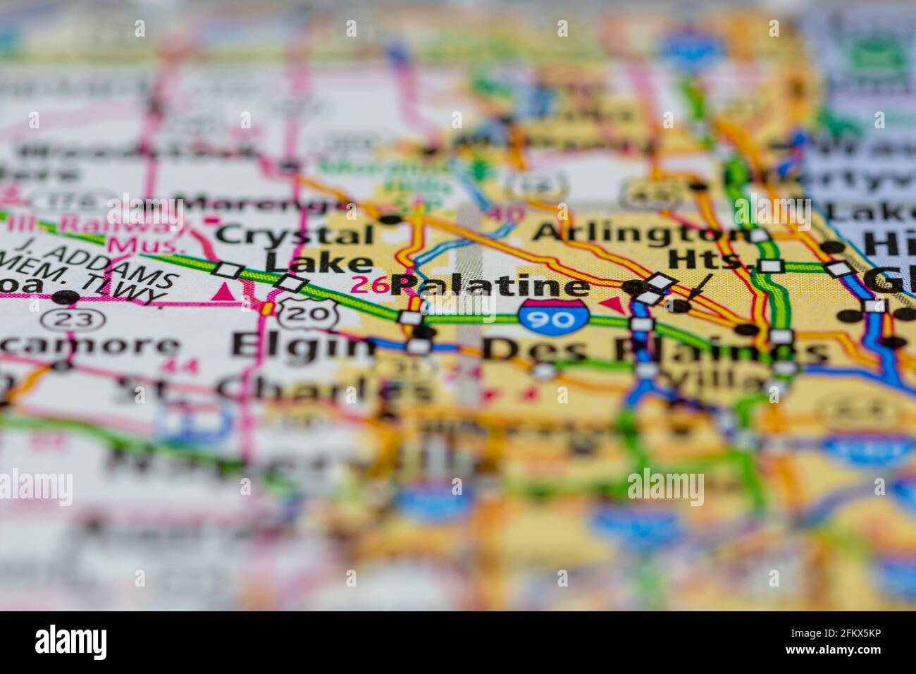 Palatine Illinois Shown on a Geography map or road map Stock Photohttps://www.alamy.com/image-license-details/?v=1https://www.alamy.com/palatine-illinois-shown-on-a-geography-map-or-road-map-image425302522.html
RM2FKX5KP–Palatine Illinois Shown on a Geography map or road map
 Palatine, Cook County, US, United States, Illinois, N 42 6' 37'', S 88 2' 3'', map, Cartascapes Map published in 2024. Explore Cartascapes, a map revealing Earth's diverse landscapes, cultures, and ecosystems. Journey through time and space, discovering the interconnectedness of our planet's past, present, and future. Stock Photohttps://www.alamy.com/image-license-details/?v=1https://www.alamy.com/palatine-cook-county-us-united-states-illinois-n-42-6-37-s-88-2-3-map-cartascapes-map-published-in-2024-explore-cartascapes-a-map-revealing-earths-diverse-landscapes-cultures-and-ecosystems-journey-through-time-and-space-discovering-the-interconnectedness-of-our-planets-past-present-and-future-image621149272.html
RM2Y2FP6G–Palatine, Cook County, US, United States, Illinois, N 42 6' 37'', S 88 2' 3'', map, Cartascapes Map published in 2024. Explore Cartascapes, a map revealing Earth's diverse landscapes, cultures, and ecosystems. Journey through time and space, discovering the interconnectedness of our planet's past, present, and future.
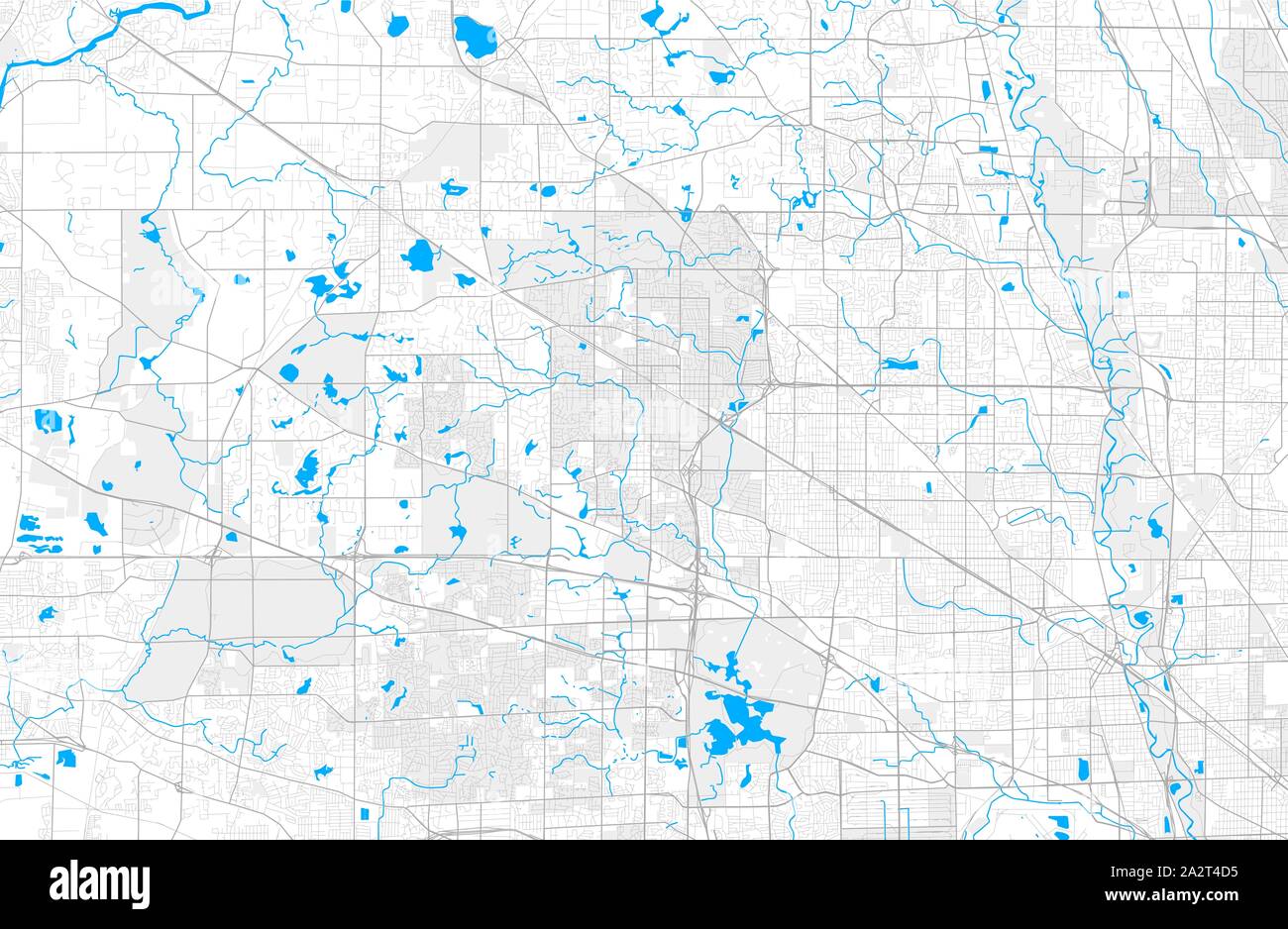 Rich detailed vector area map of Palatine, Illinois, USA. Map template for home decor. Stock Vectorhttps://www.alamy.com/image-license-details/?v=1https://www.alamy.com/rich-detailed-vector-area-map-of-palatine-illinois-usa-map-template-for-home-decor-image328756657.html
RF2A2T4D5–Rich detailed vector area map of Palatine, Illinois, USA. Map template for home decor.
 USGS TOPO Map Illinois IL Palatine 20120808 TM Restoration Stock Photohttps://www.alamy.com/image-license-details/?v=1https://www.alamy.com/usgs-topo-map-illinois-il-palatine-20120808-tm-restoration-image258816979.html
RMW123KF–USGS TOPO Map Illinois IL Palatine 20120808 TM Restoration
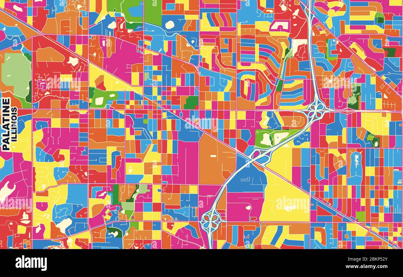 Colorful vector map of Palatine, Illinois, USA. Art Map template for selfprinting wall art in landscape format. Stock Vectorhttps://www.alamy.com/image-license-details/?v=1https://www.alamy.com/colorful-vector-map-of-palatine-illinois-usa-art-map-template-for-selfprinting-wall-art-in-landscape-format-image356372771.html
RF2BKP52Y–Colorful vector map of Palatine, Illinois, USA. Art Map template for selfprinting wall art in landscape format.
 Palatine, Cook County, US, United States, Illinois, N 42 6' 37'', S 88 2' 3'', map, Cartascapes Map published in 2024. Explore Cartascapes, a map revealing Earth's diverse landscapes, cultures, and ecosystems. Journey through time and space, discovering the interconnectedness of our planet's past, present, and future. Stock Photohttps://www.alamy.com/image-license-details/?v=1https://www.alamy.com/palatine-cook-county-us-united-states-illinois-n-42-6-37-s-88-2-3-map-cartascapes-map-published-in-2024-explore-cartascapes-a-map-revealing-earths-diverse-landscapes-cultures-and-ecosystems-journey-through-time-and-space-discovering-the-interconnectedness-of-our-planets-past-present-and-future-image621456521.html
RM2Y31P3N–Palatine, Cook County, US, United States, Illinois, N 42 6' 37'', S 88 2' 3'', map, Cartascapes Map published in 2024. Explore Cartascapes, a map revealing Earth's diverse landscapes, cultures, and ecosystems. Journey through time and space, discovering the interconnectedness of our planet's past, present, and future.
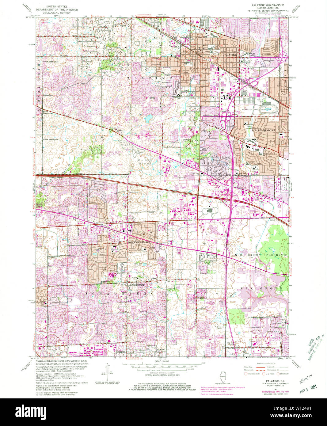 USGS TOPO Map Illinois IL Palatine 308410 1961 24000 Restoration Stock Photohttps://www.alamy.com/image-license-details/?v=1https://www.alamy.com/usgs-topo-map-illinois-il-palatine-308410-1961-24000-restoration-image258817469.html
RMW12491–USGS TOPO Map Illinois IL Palatine 308410 1961 24000 Restoration
 Village of Palatine, Cook County, US, United States, Illinois, N 42 7' 5'', S 88 2' 34'', map, Cartascapes Map published in 2024. Explore Cartascapes, a map revealing Earth's diverse landscapes, cultures, and ecosystems. Journey through time and space, discovering the interconnectedness of our planet's past, present, and future. Stock Photohttps://www.alamy.com/image-license-details/?v=1https://www.alamy.com/village-of-palatine-cook-county-us-united-states-illinois-n-42-7-5-s-88-2-34-map-cartascapes-map-published-in-2024-explore-cartascapes-a-map-revealing-earths-diverse-landscapes-cultures-and-ecosystems-journey-through-time-and-space-discovering-the-interconnectedness-of-our-planets-past-present-and-future-image633914178.html
RM2YR9802–Village of Palatine, Cook County, US, United States, Illinois, N 42 7' 5'', S 88 2' 34'', map, Cartascapes Map published in 2024. Explore Cartascapes, a map revealing Earth's diverse landscapes, cultures, and ecosystems. Journey through time and space, discovering the interconnectedness of our planet's past, present, and future.
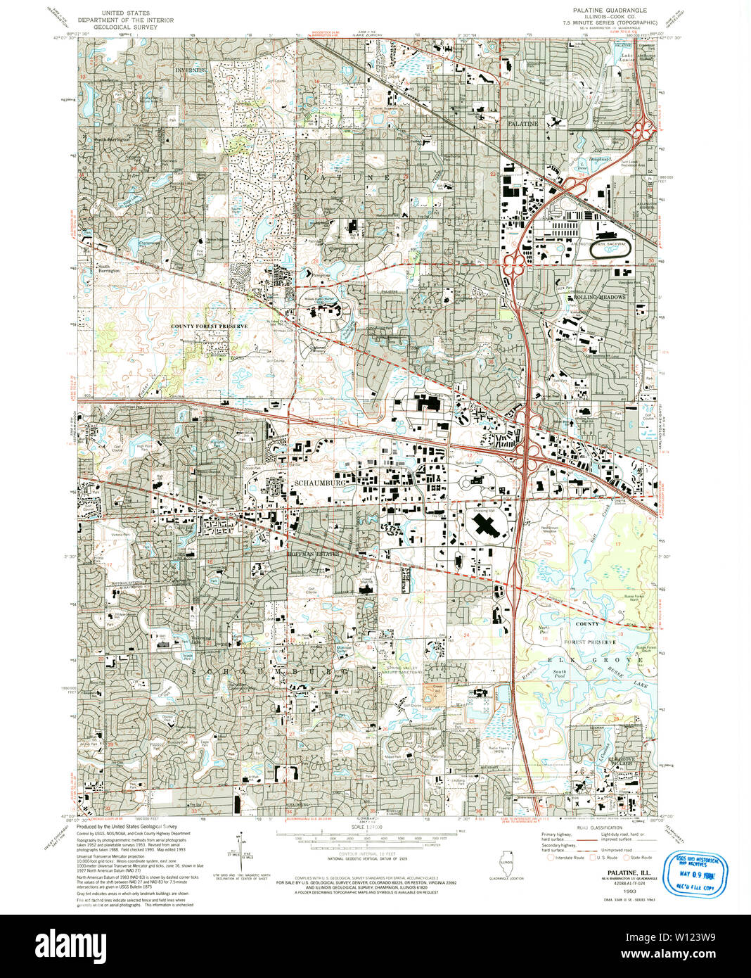 USGS TOPO Map Illinois IL Palatine 308405 1993 24000 Restoration Stock Photohttps://www.alamy.com/image-license-details/?v=1https://www.alamy.com/usgs-topo-map-illinois-il-palatine-308405-1993-24000-restoration-image258817141.html
RMW123W9–USGS TOPO Map Illinois IL Palatine 308405 1993 24000 Restoration
 Mount Palatine, Putnam County, US, United States, Illinois, N 41 11' 33'', S 89 9' 47'', map, Cartascapes Map published in 2024. Explore Cartascapes, a map revealing Earth's diverse landscapes, cultures, and ecosystems. Journey through time and space, discovering the interconnectedness of our planet's past, present, and future. Stock Photohttps://www.alamy.com/image-license-details/?v=1https://www.alamy.com/mount-palatine-putnam-county-us-united-states-illinois-n-41-11-33-s-89-9-47-map-cartascapes-map-published-in-2024-explore-cartascapes-a-map-revealing-earths-diverse-landscapes-cultures-and-ecosystems-journey-through-time-and-space-discovering-the-interconnectedness-of-our-planets-past-present-and-future-image620888668.html
RM2Y23WR8–Mount Palatine, Putnam County, US, United States, Illinois, N 41 11' 33'', S 89 9' 47'', map, Cartascapes Map published in 2024. Explore Cartascapes, a map revealing Earth's diverse landscapes, cultures, and ecosystems. Journey through time and space, discovering the interconnectedness of our planet's past, present, and future.
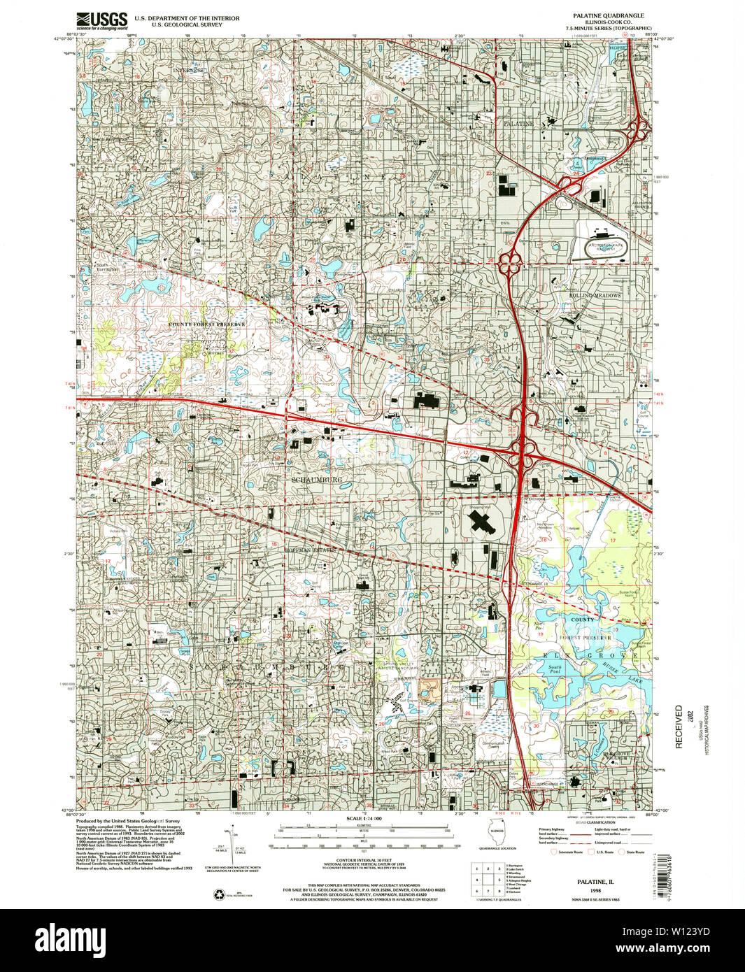 USGS TOPO Map Illinois IL Palatine 308406 1998 24000 Restoration Stock Photohttps://www.alamy.com/image-license-details/?v=1https://www.alamy.com/usgs-topo-map-illinois-il-palatine-308406-1998-24000-restoration-image258817201.html
RMW123YD–USGS TOPO Map Illinois IL Palatine 308406 1998 24000 Restoration
 Township of Palatine, Cook County, US, United States, Illinois, N 42 6' 37'', S 88 3' 47'', map, Cartascapes Map published in 2024. Explore Cartascapes, a map revealing Earth's diverse landscapes, cultures, and ecosystems. Journey through time and space, discovering the interconnectedness of our planet's past, present, and future. Stock Photohttps://www.alamy.com/image-license-details/?v=1https://www.alamy.com/township-of-palatine-cook-county-us-united-states-illinois-n-42-6-37-s-88-3-47-map-cartascapes-map-published-in-2024-explore-cartascapes-a-map-revealing-earths-diverse-landscapes-cultures-and-ecosystems-journey-through-time-and-space-discovering-the-interconnectedness-of-our-planets-past-present-and-future-image633876050.html
RM2YR7FAA–Township of Palatine, Cook County, US, United States, Illinois, N 42 6' 37'', S 88 3' 47'', map, Cartascapes Map published in 2024. Explore Cartascapes, a map revealing Earth's diverse landscapes, cultures, and ecosystems. Journey through time and space, discovering the interconnectedness of our planet's past, present, and future.
 USGS TOPO Map Illinois IL Palatine 308407 1953 24000 Restoration Stock Photohttps://www.alamy.com/image-license-details/?v=1https://www.alamy.com/usgs-topo-map-illinois-il-palatine-308407-1953-24000-restoration-image258817251.html
RMW12417–USGS TOPO Map Illinois IL Palatine 308407 1953 24000 Restoration
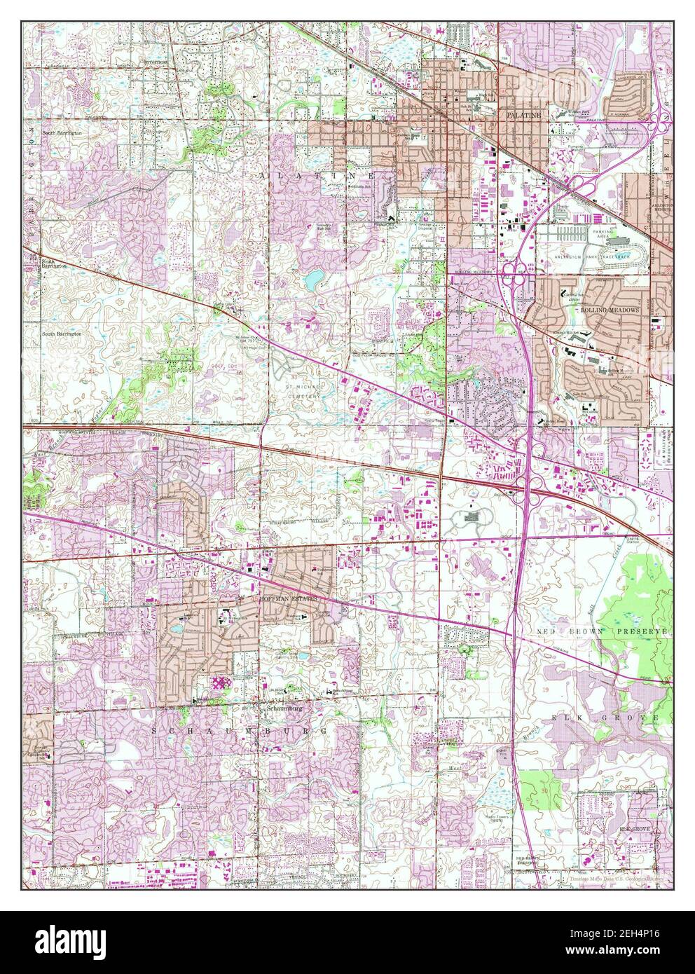 Palatine, Illinois, map 1961, 1:24000, United States of America by Timeless Maps, data U.S. Geological Survey Stock Photohttps://www.alamy.com/image-license-details/?v=1https://www.alamy.com/palatine-illinois-map-1961-124000-united-states-of-america-by-timeless-maps-data-us-geological-survey-image406392706.html
RM2EH4P16–Palatine, Illinois, map 1961, 1:24000, United States of America by Timeless Maps, data U.S. Geological Survey
 USGS TOPO Map Illinois IL Palatine 308404 1961 24000 Restoration Stock Photohttps://www.alamy.com/image-license-details/?v=1https://www.alamy.com/usgs-topo-map-illinois-il-palatine-308404-1961-24000-restoration-image258817024.html
RMW123N4–USGS TOPO Map Illinois IL Palatine 308404 1961 24000 Restoration
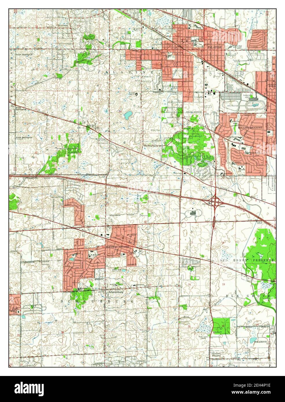 Palatine, Illinois, map 1961, 1:24000, United States of America by Timeless Maps, data U.S. Geological Survey Stock Photohttps://www.alamy.com/image-license-details/?v=1https://www.alamy.com/palatine-illinois-map-1961-124000-united-states-of-america-by-timeless-maps-data-us-geological-survey-image406392714.html
RM2EH4P1E–Palatine, Illinois, map 1961, 1:24000, United States of America by Timeless Maps, data U.S. Geological Survey
 USGS TOPO Map Illinois IL Palatine 20120808 TM Inverted Restoration Stock Photohttps://www.alamy.com/image-license-details/?v=1https://www.alamy.com/usgs-topo-map-illinois-il-palatine-20120808-tm-inverted-restoration-image258816925.html
RMW123HH–USGS TOPO Map Illinois IL Palatine 20120808 TM Inverted Restoration
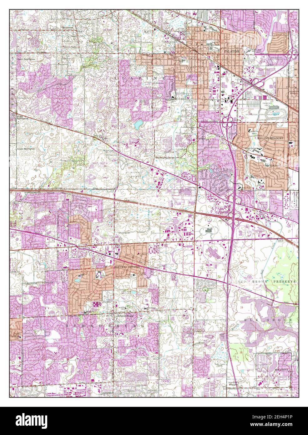 Palatine, Illinois, map 1961, 1:24000, United States of America by Timeless Maps, data U.S. Geological Survey Stock Photohttps://www.alamy.com/image-license-details/?v=1https://www.alamy.com/palatine-illinois-map-1961-124000-united-states-of-america-by-timeless-maps-data-us-geological-survey-image406392722.html
RM2EH4P1P–Palatine, Illinois, map 1961, 1:24000, United States of America by Timeless Maps, data U.S. Geological Survey
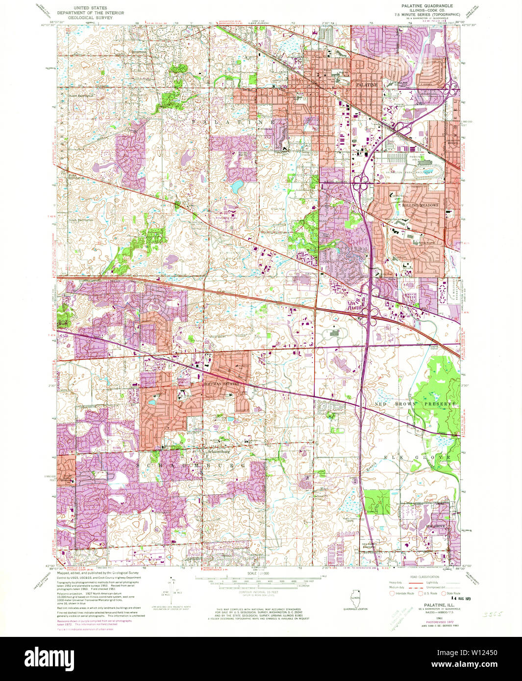 USGS TOPO Map Illinois IL Palatine 308409 1961 24000 Restoration Stock Photohttps://www.alamy.com/image-license-details/?v=1https://www.alamy.com/usgs-topo-map-illinois-il-palatine-308409-1961-24000-restoration-image258817356.html
RMW12450–USGS TOPO Map Illinois IL Palatine 308409 1961 24000 Restoration
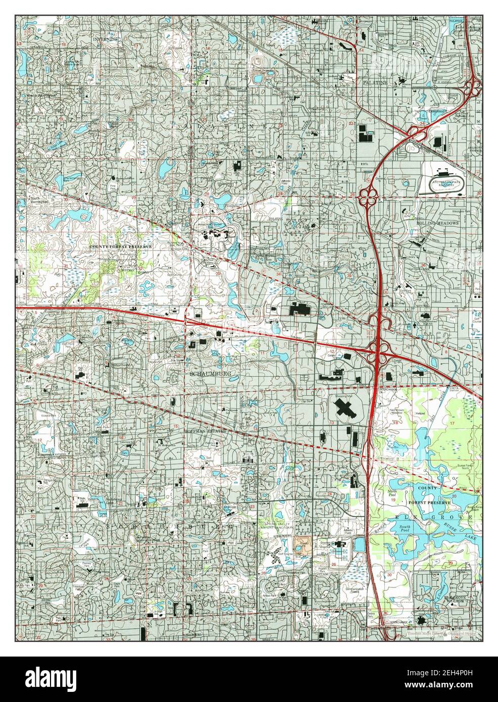 Palatine, Illinois, map 1998, 1:24000, United States of America by Timeless Maps, data U.S. Geological Survey Stock Photohttps://www.alamy.com/image-license-details/?v=1https://www.alamy.com/palatine-illinois-map-1998-124000-united-states-of-america-by-timeless-maps-data-us-geological-survey-image406392689.html
RM2EH4P0H–Palatine, Illinois, map 1998, 1:24000, United States of America by Timeless Maps, data U.S. Geological Survey
 USGS TOPO Map Illinois IL Palatine 308408 1961 24000 Restoration Stock Photohttps://www.alamy.com/image-license-details/?v=1https://www.alamy.com/usgs-topo-map-illinois-il-palatine-308408-1961-24000-restoration-image258817537.html
RMW124BD–USGS TOPO Map Illinois IL Palatine 308408 1961 24000 Restoration
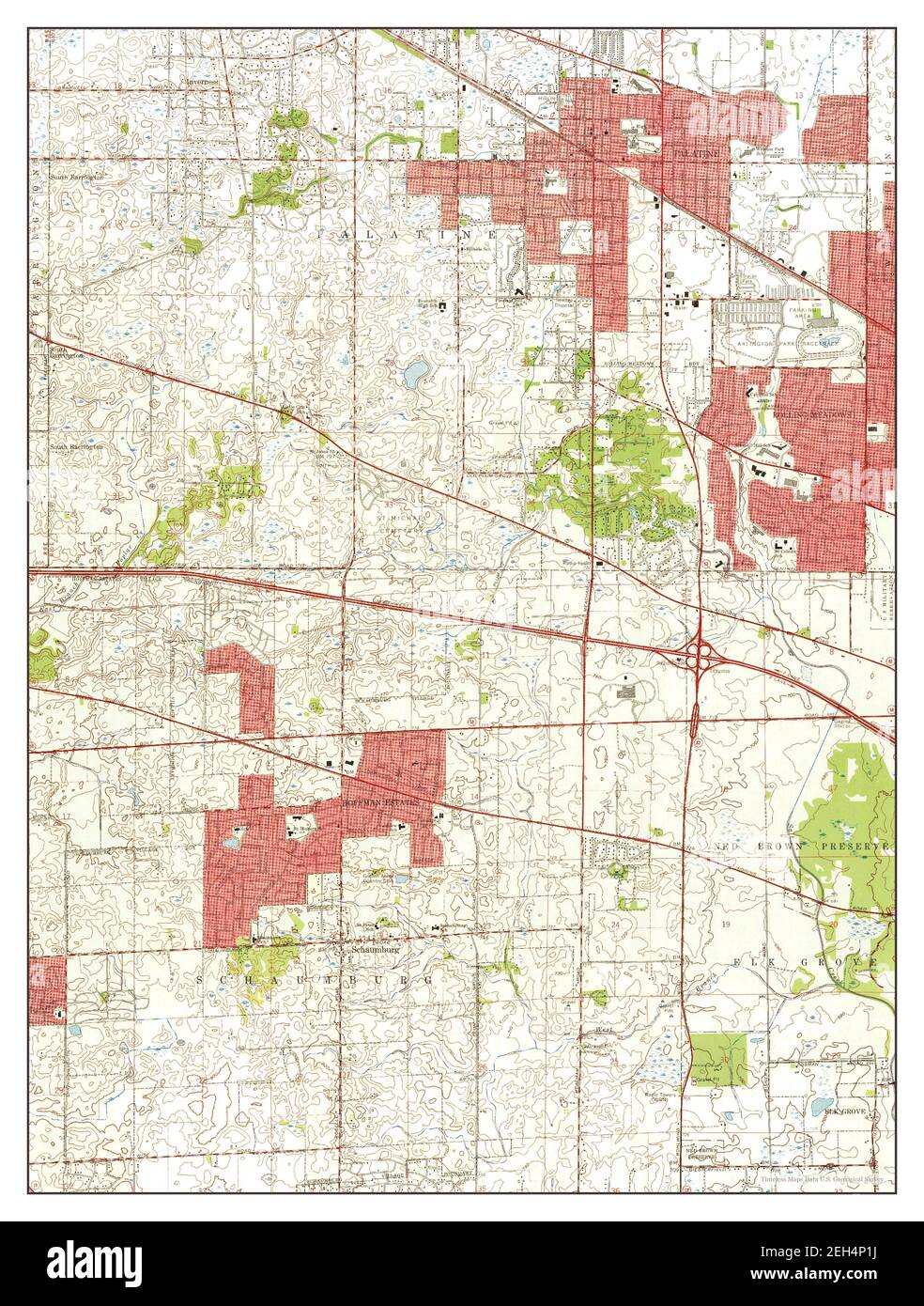 Palatine, Illinois, map 1961, 1:24000, United States of America by Timeless Maps, data U.S. Geological Survey Stock Photohttps://www.alamy.com/image-license-details/?v=1https://www.alamy.com/palatine-illinois-map-1961-124000-united-states-of-america-by-timeless-maps-data-us-geological-survey-image406392718.html
RM2EH4P1J–Palatine, Illinois, map 1961, 1:24000, United States of America by Timeless Maps, data U.S. Geological Survey
 USGS TOPO Map Illinois IL Palatine 308405 1993 24000 Inverted Restoration Stock Photohttps://www.alamy.com/image-license-details/?v=1https://www.alamy.com/usgs-topo-map-illinois-il-palatine-308405-1993-24000-inverted-restoration-image258817074.html
RMW123PX–USGS TOPO Map Illinois IL Palatine 308405 1993 24000 Inverted Restoration
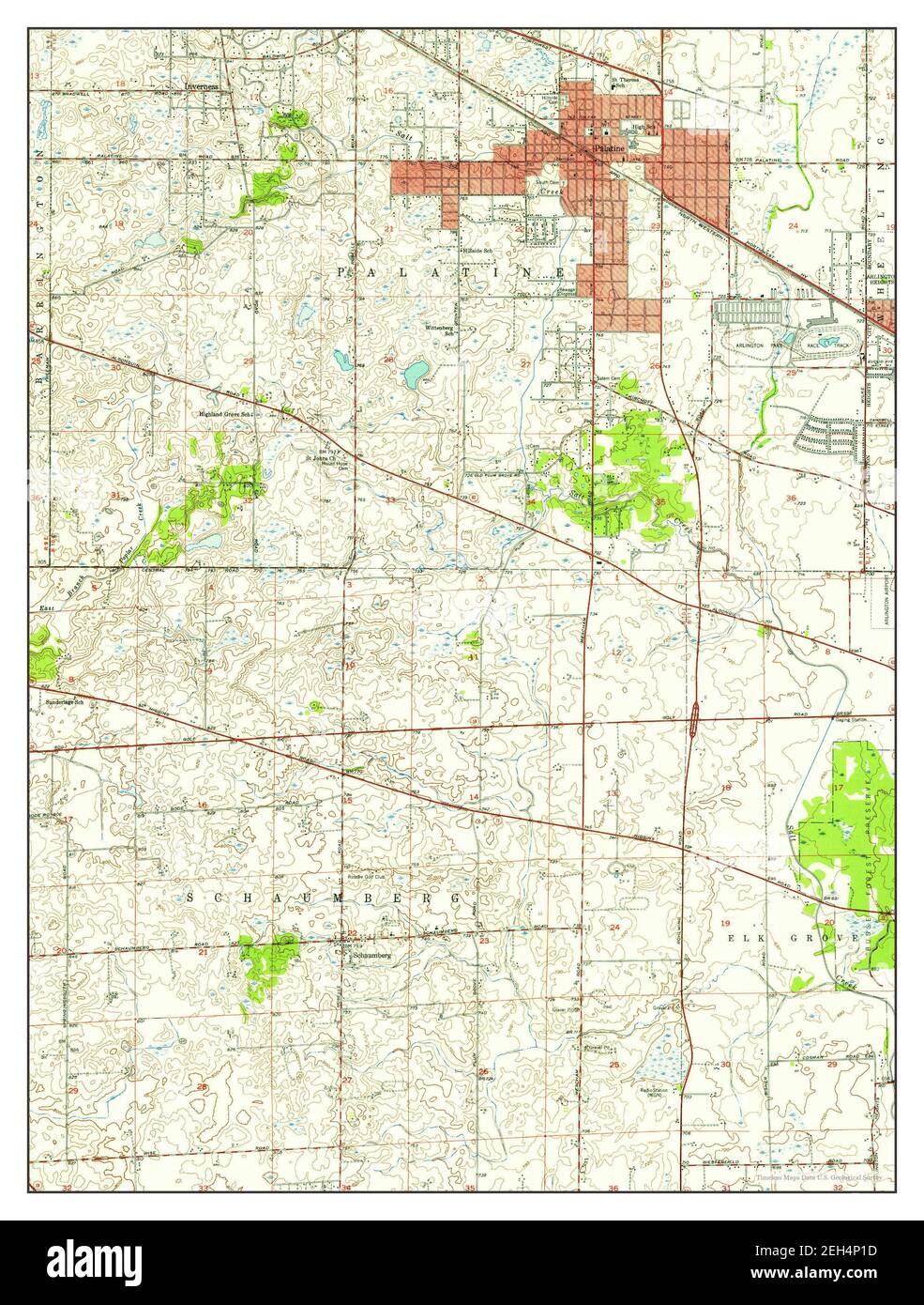 Palatine, Illinois, map 1953, 1:24000, United States of America by Timeless Maps, data U.S. Geological Survey Stock Photohttps://www.alamy.com/image-license-details/?v=1https://www.alamy.com/palatine-illinois-map-1953-124000-united-states-of-america-by-timeless-maps-data-us-geological-survey-image406392713.html
RM2EH4P1D–Palatine, Illinois, map 1953, 1:24000, United States of America by Timeless Maps, data U.S. Geological Survey
 USGS TOPO Map Illinois IL Palatine 308404 1961 24000 Inverted Restoration Stock Photohttps://www.alamy.com/image-license-details/?v=1https://www.alamy.com/usgs-topo-map-illinois-il-palatine-308404-1961-24000-inverted-restoration-image258816963.html
RMW123JY–USGS TOPO Map Illinois IL Palatine 308404 1961 24000 Inverted Restoration
 Palatine, Illinois, map 1993, 1:24000, United States of America by Timeless Maps, data U.S. Geological Survey Stock Photohttps://www.alamy.com/image-license-details/?v=1https://www.alamy.com/palatine-illinois-map-1993-124000-united-states-of-america-by-timeless-maps-data-us-geological-survey-image406392707.html
RM2EH4P17–Palatine, Illinois, map 1993, 1:24000, United States of America by Timeless Maps, data U.S. Geological Survey
 USGS TOPO Map Illinois IL Palatine 308409 1961 24000 Inverted Restoration Stock Photohttps://www.alamy.com/image-license-details/?v=1https://www.alamy.com/usgs-topo-map-illinois-il-palatine-308409-1961-24000-inverted-restoration-image258817353.html
RMW1244W–USGS TOPO Map Illinois IL Palatine 308409 1961 24000 Inverted Restoration
 Palatine, Illinois, map 1961, 1:24000, United States of America by Timeless Maps, data U.S. Geological Survey Stock Photohttps://www.alamy.com/image-license-details/?v=1https://www.alamy.com/palatine-illinois-map-1961-124000-united-states-of-america-by-timeless-maps-data-us-geological-survey-image406392727.html
RM2EH4P1Y–Palatine, Illinois, map 1961, 1:24000, United States of America by Timeless Maps, data U.S. Geological Survey
 USGS TOPO Map Illinois IL Palatine 308406 1998 24000 Inverted Restoration Stock Photohttps://www.alamy.com/image-license-details/?v=1https://www.alamy.com/usgs-topo-map-illinois-il-palatine-308406-1998-24000-inverted-restoration-image258817208.html
RMW123YM–USGS TOPO Map Illinois IL Palatine 308406 1998 24000 Inverted Restoration
 USGS TOPO Map Illinois IL Palatine 308407 1953 24000 Inverted Restoration Stock Photohttps://www.alamy.com/image-license-details/?v=1https://www.alamy.com/usgs-topo-map-illinois-il-palatine-308407-1953-24000-inverted-restoration-image258817324.html
RMW1243T–USGS TOPO Map Illinois IL Palatine 308407 1953 24000 Inverted Restoration
 USGS TOPO Map Illinois IL Palatine 308410 1961 24000 Inverted Restoration Stock Photohttps://www.alamy.com/image-license-details/?v=1https://www.alamy.com/usgs-topo-map-illinois-il-palatine-308410-1961-24000-inverted-restoration-image258817408.html
RMW1246T–USGS TOPO Map Illinois IL Palatine 308410 1961 24000 Inverted Restoration
 USGS TOPO Map Illinois IL Palatine 308408 1961 24000 Inverted Restoration Stock Photohttps://www.alamy.com/image-license-details/?v=1https://www.alamy.com/usgs-topo-map-illinois-il-palatine-308408-1961-24000-inverted-restoration-image258817333.html
RMW12445–USGS TOPO Map Illinois IL Palatine 308408 1961 24000 Inverted Restoration