Quick filters:
Pepperell massachusetts Stock Photos and Images
 The covered bridge on Groton Street over the Nashua River in Pepperell, Massachusetts, USA. Stock Photohttps://www.alamy.com/image-license-details/?v=1https://www.alamy.com/the-covered-bridge-on-groton-street-over-the-nashua-river-in-pepperell-massachusetts-usa-image428879675.html
RF2FWN4B7–The covered bridge on Groton Street over the Nashua River in Pepperell, Massachusetts, USA.
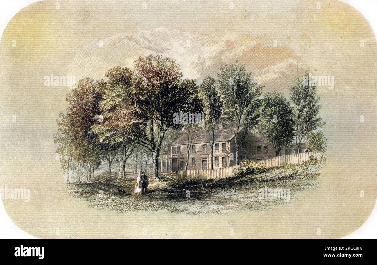 The home of William Hickling PRESCOTT at Pepperell, Massachusetts. Stock Photohttps://www.alamy.com/image-license-details/?v=1https://www.alamy.com/the-home-of-william-hickling-prescott-at-pepperell-massachusetts-image560836396.html
RM2RGC8F8–The home of William Hickling PRESCOTT at Pepperell, Massachusetts.
 Hiking a woodland trail in Pepperell, Massachusetts. Stock Photohttps://www.alamy.com/image-license-details/?v=1https://www.alamy.com/stock-photo-hiking-a-woodland-trail-in-pepperell-massachusetts-19658353.html
RMB3YEC1–Hiking a woodland trail in Pepperell, Massachusetts.
 The home of William Hickling PRESCOTT at Pepperell, Massachusetts. Colourised version of : 10173078 Date: 1796 - 1859 Stock Photohttps://www.alamy.com/image-license-details/?v=1https://www.alamy.com/the-home-of-william-hickling-prescott-at-pepperell-massachusetts-colourised-version-of-10173078-date-1796-1859-image472812474.html
RM2JD6D3P–The home of William Hickling PRESCOTT at Pepperell, Massachusetts. Colourised version of : 10173078 Date: 1796 - 1859
 Image 1 of Sanborn Fire Insurance Map from East Pepperell, Middlesex County, Massachusetts. May 1897. 4 Sheet(s), America, street map with a Nineteenth Century compass Stock Photohttps://www.alamy.com/image-license-details/?v=1https://www.alamy.com/image-1-of-sanborn-fire-insurance-map-from-east-pepperell-middlesex-county-massachusetts-may-1897-4-sheets-america-street-map-with-a-nineteenth-century-compass-image344678744.html
RM2B0ND74–Image 1 of Sanborn Fire Insurance Map from East Pepperell, Middlesex County, Massachusetts. May 1897. 4 Sheet(s), America, street map with a Nineteenth Century compass
 Hiking a woodland trail in Pepperell, Massachusetts. Stock Photohttps://www.alamy.com/image-license-details/?v=1https://www.alamy.com/stock-photo-hiking-a-woodland-trail-in-pepperell-massachusetts-15963231.html
RMAR7C8G–Hiking a woodland trail in Pepperell, Massachusetts.
 Winter in New England - Pepperell, Massachusetts Stock Photohttps://www.alamy.com/image-license-details/?v=1https://www.alamy.com/winter-in-new-england-pepperell-massachusetts-image519233223.html
RF2N4N37K–Winter in New England - Pepperell, Massachusetts
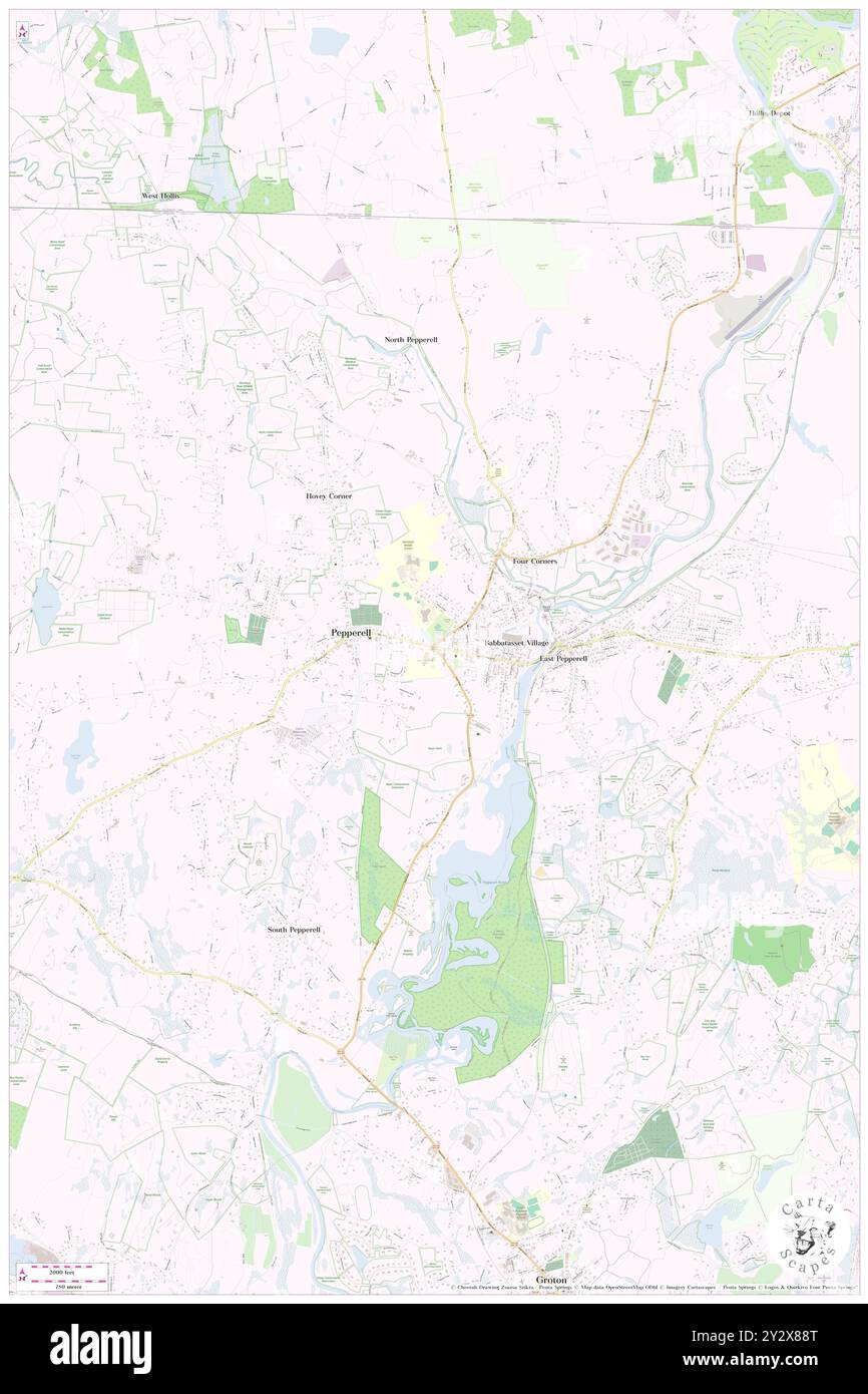 Pepperell, Middlesex County, US, United States, Massachusetts, N 42 39' 57'', S 71 35' 18'', map, Cartascapes Map published in 2024. Explore Cartascapes, a map revealing Earth's diverse landscapes, cultures, and ecosystems. Journey through time and space, discovering the interconnectedness of our planet's past, present, and future. Stock Photohttps://www.alamy.com/image-license-details/?v=1https://www.alamy.com/pepperell-middlesex-county-us-united-states-massachusetts-n-42-39-57-s-71-35-18-map-cartascapes-map-published-in-2024-explore-cartascapes-a-map-revealing-earths-diverse-landscapes-cultures-and-ecosystems-journey-through-time-and-space-discovering-the-interconnectedness-of-our-planets-past-present-and-future-image621379832.html
RM2Y2X88T–Pepperell, Middlesex County, US, United States, Massachusetts, N 42 39' 57'', S 71 35' 18'', map, Cartascapes Map published in 2024. Explore Cartascapes, a map revealing Earth's diverse landscapes, cultures, and ecosystems. Journey through time and space, discovering the interconnectedness of our planet's past, present, and future.
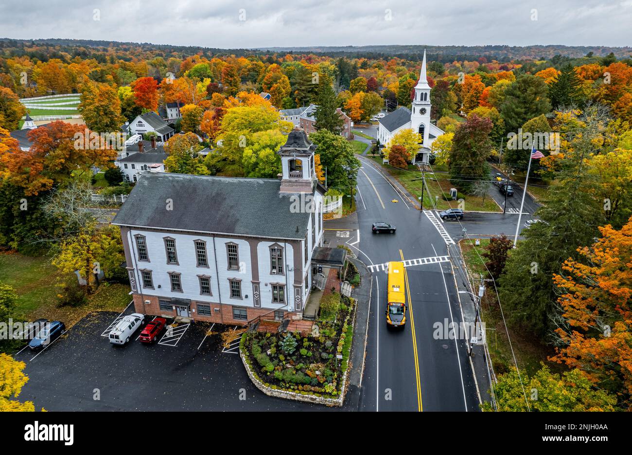 Peak fall foliage in Pepperell, Massachusetts Stock Photohttps://www.alamy.com/image-license-details/?v=1https://www.alamy.com/peak-fall-foliage-in-pepperell-massachusetts-image527748322.html
RF2NJH0AA–Peak fall foliage in Pepperell, Massachusetts
 East Pepperell, Mass : 1886. Bird's-eye-view. Indexed for points of interest... East Pepperell, Massachusetts. East Pepperell, Massachusetts, Massachusetts , Middlesex ,county , East Pepperell Stock Photohttps://www.alamy.com/image-license-details/?v=1https://www.alamy.com/east-pepperell-mass-1886-birds-eye-view-indexed-for-points-of-interest-east-pepperell-massachusetts-east-pepperell-massachusetts-massachusetts-middlesex-county-east-pepperell-image502728953.html
RM2M5W7WD–East Pepperell, Mass : 1886. Bird's-eye-view. Indexed for points of interest... East Pepperell, Massachusetts. East Pepperell, Massachusetts, Massachusetts , Middlesex ,county , East Pepperell
 Autumn in New England - Pepperell, Massachusetts Stock Photohttps://www.alamy.com/image-license-details/?v=1https://www.alamy.com/autumn-in-new-england-pepperell-massachusetts-image519240612.html
RF2N4NCKG–Autumn in New England - Pepperell, Massachusetts
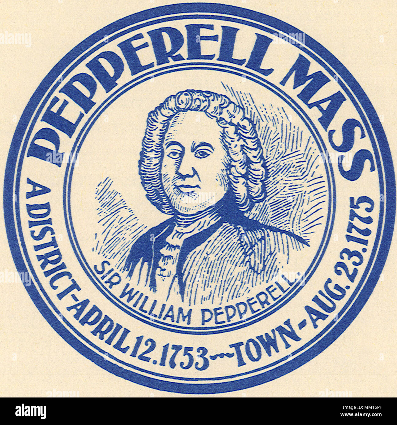 Seal of Pepperell. 1951 Stock Photohttps://www.alamy.com/image-license-details/?v=1https://www.alamy.com/seal-of-pepperell-1951-image184424087.html
RMMM16PF–Seal of Pepperell. 1951
 New England covered bridge in winter -Pepperell, Massachusetts Stock Photohttps://www.alamy.com/image-license-details/?v=1https://www.alamy.com/new-england-covered-bridge-in-winter-pepperell-massachusetts-image527697469.html
RF2NJEKE5–New England covered bridge in winter -Pepperell, Massachusetts
 PRESCOTT HOME PEPPERELL Stock Photohttps://www.alamy.com/image-license-details/?v=1https://www.alamy.com/prescott-home-pepperell-image65714812.html
RMDPWFWG–PRESCOTT HOME PEPPERELL
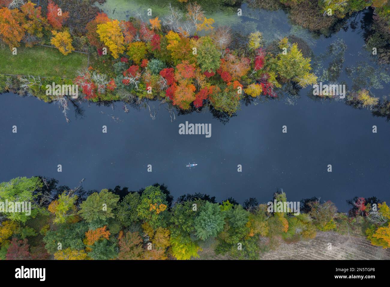 Aerial view of a kayak on river in autumn -Nashua River, Pepperell, Massachusetts Stock Photohttps://www.alamy.com/image-license-details/?v=1https://www.alamy.com/aerial-view-of-a-kayak-on-river-in-autumn-nashua-river-pepperell-massachusetts-image519924336.html
RF2N5TGP8–Aerial view of a kayak on river in autumn -Nashua River, Pepperell, Massachusetts
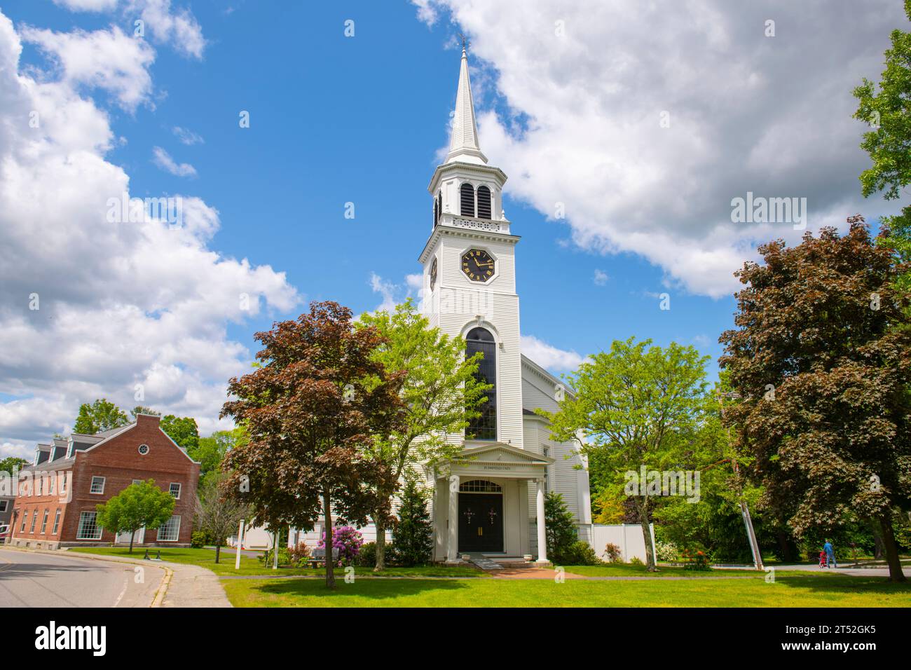 Community Church of Pepperell at 3 Townsend Street in historic town center of Pepperell, Massachusetts MA, USA. Stock Photohttps://www.alamy.com/image-license-details/?v=1https://www.alamy.com/community-church-of-pepperell-at-3-townsend-street-in-historic-town-center-of-pepperell-massachusetts-ma-usa-image571072409.html
RF2T52GK5–Community Church of Pepperell at 3 Townsend Street in historic town center of Pepperell, Massachusetts MA, USA.
 Ice rescue training -Pepperell, Massachusetts Stock Photohttps://www.alamy.com/image-license-details/?v=1https://www.alamy.com/ice-rescue-training-pepperell-massachusetts-image528308144.html
RF2NKEEC0–Ice rescue training -Pepperell, Massachusetts
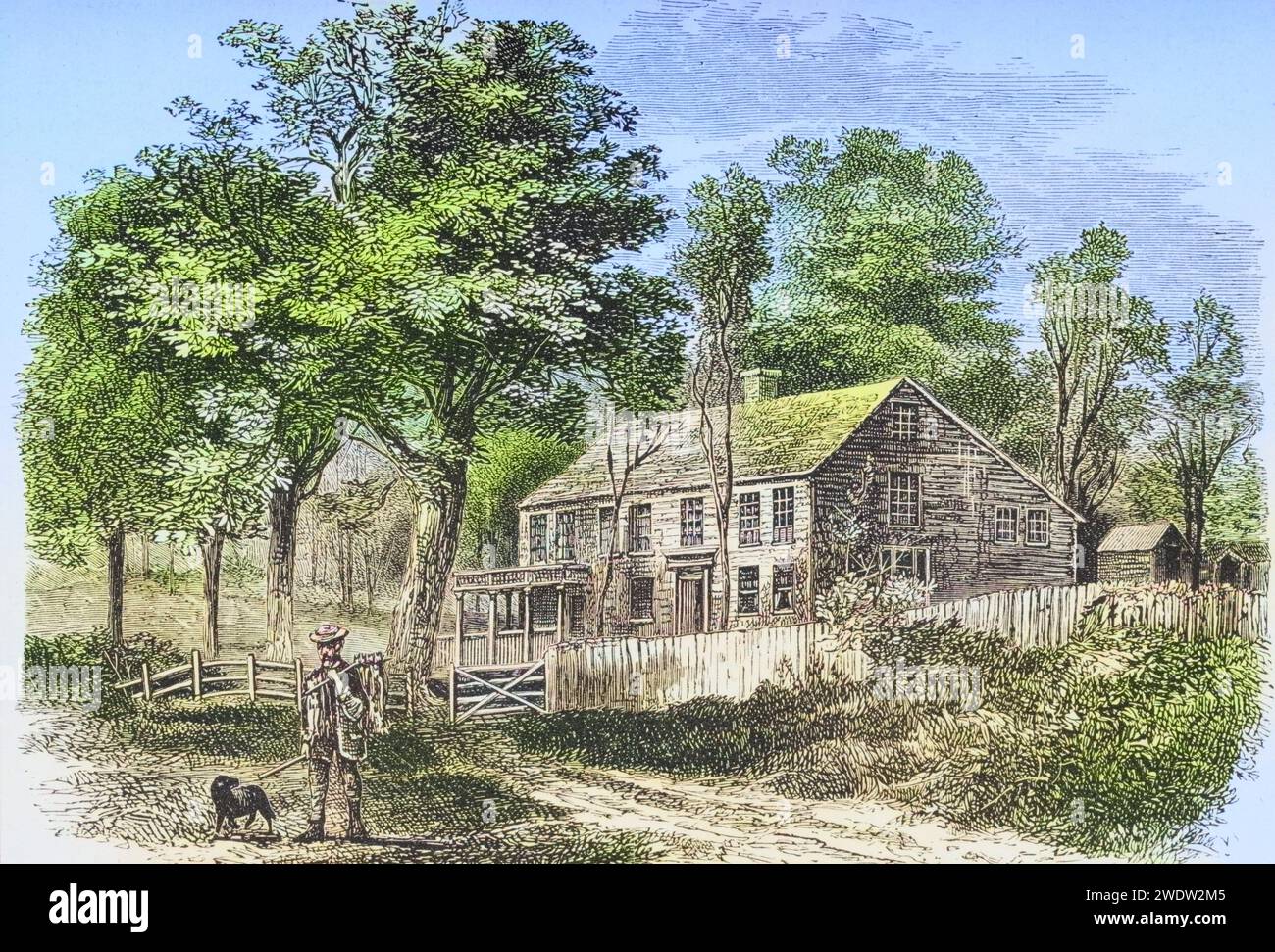 Pepperell bei Boston Massachusetts in den 1870er Jahren. Heimat des Historikers William Hickling Prescott. Aus American Pictures Drawn With Pen And Pencil von Rev Samuel Manning um 1880, Vereinigte Staaten, Amerika, Historisch, digital restaurierte Reproduktion von einer Vorlage aus dem 19. Jahrhundert, Record date not stated Stock Photohttps://www.alamy.com/image-license-details/?v=1https://www.alamy.com/pepperell-bei-boston-massachusetts-in-den-1870er-jahren-heimat-des-historikers-william-hickling-prescott-aus-american-pictures-drawn-with-pen-and-pencil-von-rev-samuel-manning-um-1880-vereinigte-staaten-amerika-historisch-digital-restaurierte-reproduktion-von-einer-vorlage-aus-dem-19-jahrhundert-record-date-not-stated-image593693973.html
RF2WDW2M5–Pepperell bei Boston Massachusetts in den 1870er Jahren. Heimat des Historikers William Hickling Prescott. Aus American Pictures Drawn With Pen And Pencil von Rev Samuel Manning um 1880, Vereinigte Staaten, Amerika, Historisch, digital restaurierte Reproduktion von einer Vorlage aus dem 19. Jahrhundert, Record date not stated
 Aerial view of snow and fall foliage from Pepperell, Massachusetts Stock Photohttps://www.alamy.com/image-license-details/?v=1https://www.alamy.com/aerial-view-of-snow-and-fall-foliage-from-pepperell-massachusetts-image571085283.html
RF2T5352Y–Aerial view of snow and fall foliage from Pepperell, Massachusetts
 Middlesex Global War on Terror Memorials in Pepperell, Massachusetts Stock Photohttps://www.alamy.com/image-license-details/?v=1https://www.alamy.com/middlesex-global-war-on-terror-memorials-in-pepperell-massachusetts-image455403825.html
RM2HCWC69–Middlesex Global War on Terror Memorials in Pepperell, Massachusetts
 Colonel william prescott house pepperell middlesex county massachusetts photo no 1 Stock Photohttps://www.alamy.com/image-license-details/?v=1https://www.alamy.com/stock-photo-colonel-william-prescott-house-pepperell-middlesex-county-massachusetts-139704853.html
RMJ382Y1–Colonel william prescott house pepperell middlesex county massachusetts photo no 1
 Hiking a woodland trail in Pepperell, Massachusetts. Stock Photohttps://www.alamy.com/image-license-details/?v=1https://www.alamy.com/stock-photo-hiking-a-woodland-trail-in-pepperell-massachusetts-19658346.html
RMB3YEBP–Hiking a woodland trail in Pepperell, Massachusetts.
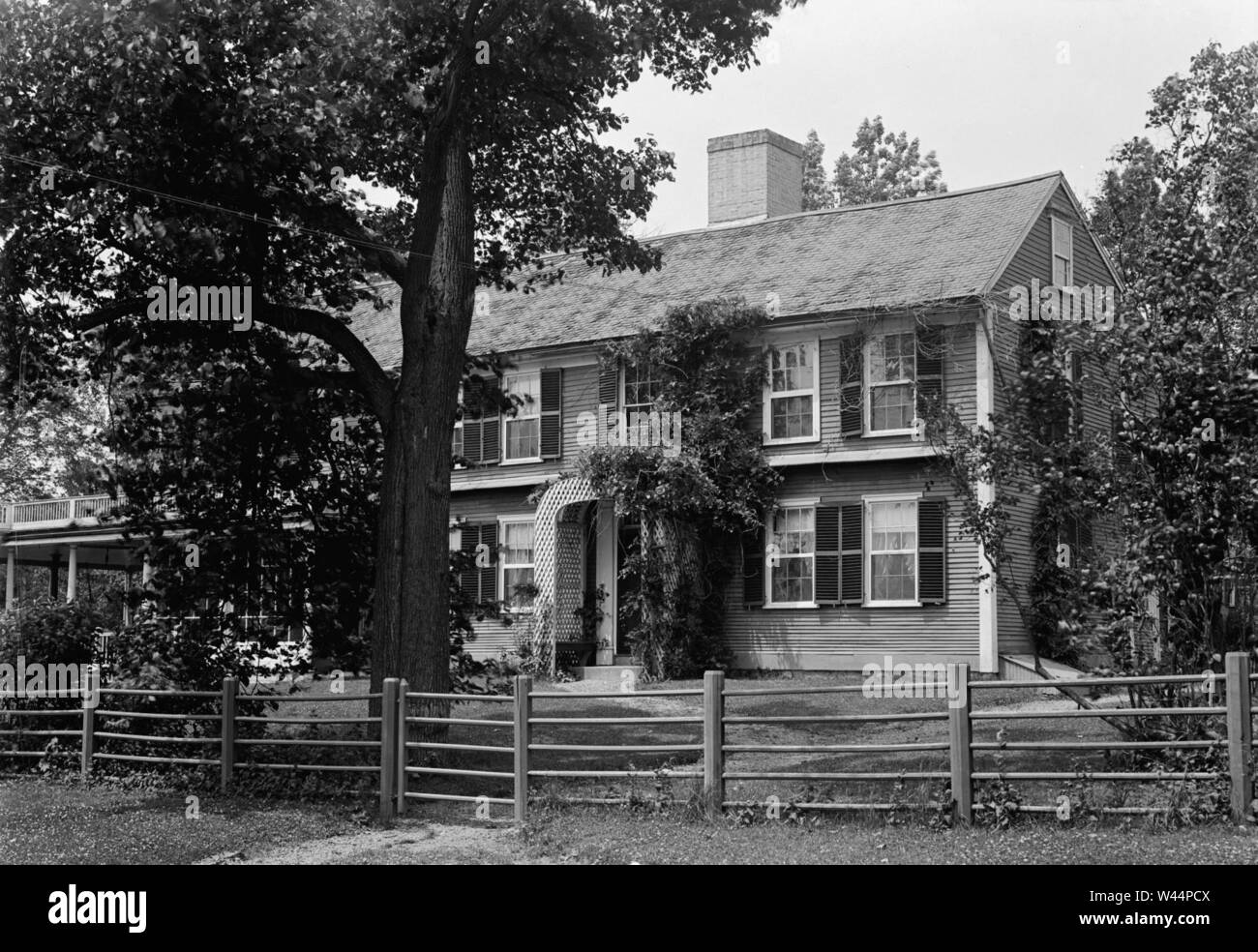 Colonel william prescott house pepperell middlesex county massachusetts photo no 1. Stock Photohttps://www.alamy.com/image-license-details/?v=1https://www.alamy.com/colonel-william-prescott-house-pepperell-middlesex-county-massachusetts-photo-no-1-image260719562.html
RMW44PCX–Colonel william prescott house pepperell middlesex county massachusetts photo no 1.
 Image 3 of Sanborn Fire Insurance Map from East Pepperell, Middlesex County, Massachusetts. Jul 1892. 3 Sheet(s), America, street map with a Nineteenth Century compass Stock Photohttps://www.alamy.com/image-license-details/?v=1https://www.alamy.com/image-3-of-sanborn-fire-insurance-map-from-east-pepperell-middlesex-county-massachusetts-jul-1892-3-sheets-america-street-map-with-a-nineteenth-century-compass-image344678739.html
RM2B0ND6Y–Image 3 of Sanborn Fire Insurance Map from East Pepperell, Middlesex County, Massachusetts. Jul 1892. 3 Sheet(s), America, street map with a Nineteenth Century compass
 Hiking a woodland trail in Pepperell, Massachusetts. Stock Photohttps://www.alamy.com/image-license-details/?v=1https://www.alamy.com/stock-photo-hiking-a-woodland-trail-in-pepperell-massachusetts-15963227.html
RMAR7C7T–Hiking a woodland trail in Pepperell, Massachusetts.
 Lance Cpl. Jordan Martinez conducts a functions check on a M240B medium machine gun at III Marine Expeditionary Force Headquarters Group armory, on Camp Hansen, Okinawa, Japan, October 12, 2016. Martinez repairs, inspects and maintains all weapons to ensure combat readiness. A big part of the Marine Corps is weapons maintenance and accountability. Martinez, from Pepperell, Massachusetts, is a small arms repair technician for III MHG, III Marine Expeditionary Force. (U.S. Marine Corps photo by Cpl. Jessica Etheridge / Released) Stock Photohttps://www.alamy.com/image-license-details/?v=1https://www.alamy.com/lance-cpl-jordan-martinez-conducts-a-functions-check-on-a-m240b-medium-machine-gun-at-iii-marine-expeditionary-force-headquarters-group-armory-on-camp-hansen-okinawa-japan-october-12-2016-martinez-repairs-inspects-and-maintains-all-weapons-to-ensure-combat-readiness-a-big-part-of-the-marine-corps-is-weapons-maintenance-and-accountability-martinez-from-pepperell-massachusetts-is-a-small-arms-repair-technician-for-iii-mhg-iii-marine-expeditionary-force-us-marine-corps-photo-by-cpl-jessica-etheridge-released-image207380868.html
RMP1B0BG–Lance Cpl. Jordan Martinez conducts a functions check on a M240B medium machine gun at III Marine Expeditionary Force Headquarters Group armory, on Camp Hansen, Okinawa, Japan, October 12, 2016. Martinez repairs, inspects and maintains all weapons to ensure combat readiness. A big part of the Marine Corps is weapons maintenance and accountability. Martinez, from Pepperell, Massachusetts, is a small arms repair technician for III MHG, III Marine Expeditionary Force. (U.S. Marine Corps photo by Cpl. Jessica Etheridge / Released)
 Pepperell, Middlesex County, US, United States, Massachusetts, N 42 39' 57'', S 71 35' 18'', map, Cartascapes Map published in 2024. Explore Cartascapes, a map revealing Earth's diverse landscapes, cultures, and ecosystems. Journey through time and space, discovering the interconnectedness of our planet's past, present, and future. Stock Photohttps://www.alamy.com/image-license-details/?v=1https://www.alamy.com/pepperell-middlesex-county-us-united-states-massachusetts-n-42-39-57-s-71-35-18-map-cartascapes-map-published-in-2024-explore-cartascapes-a-map-revealing-earths-diverse-landscapes-cultures-and-ecosystems-journey-through-time-and-space-discovering-the-interconnectedness-of-our-planets-past-present-and-future-image621346982.html
RM2Y2TPBJ–Pepperell, Middlesex County, US, United States, Massachusetts, N 42 39' 57'', S 71 35' 18'', map, Cartascapes Map published in 2024. Explore Cartascapes, a map revealing Earth's diverse landscapes, cultures, and ecosystems. Journey through time and space, discovering the interconnectedness of our planet's past, present, and future.
 A Painted Turtle (Chrysemys picta) basks in the sun on a log protruding out of the Nashua River on the border of Groton and Pepperell, MA. Stock Photohttps://www.alamy.com/image-license-details/?v=1https://www.alamy.com/a-painted-turtle-chrysemys-picta-basks-in-the-sun-on-a-log-protruding-out-of-the-nashua-river-on-the-border-of-groton-and-pepperell-ma-image355541657.html
RF2BJC909–A Painted Turtle (Chrysemys picta) basks in the sun on a log protruding out of the Nashua River on the border of Groton and Pepperell, MA.
![Plan of Groton, Massachusetts : as it was in 1794. Shows boundaries of the towns of Groton, Pepperrell, and Shirley. Facsim. of a ms. map. 'Jan. 15, 1894.' 'Reduced one third from the original manuscript at the State House.' Oriented with north toward the upper right. Includes text. Reproduction of: This plan contains the bounds of three towns, viz. Groton, Pepperell & Shirley, [1794]. in the Massachusetts State House.... , Massachusetts , Middlesex ,county , Groton Massachusetts , Middlesex ,county , Pepperell Massachusetts , Middlesex ,county , Shirley Stock Photo Plan of Groton, Massachusetts : as it was in 1794. Shows boundaries of the towns of Groton, Pepperrell, and Shirley. Facsim. of a ms. map. 'Jan. 15, 1894.' 'Reduced one third from the original manuscript at the State House.' Oriented with north toward the upper right. Includes text. Reproduction of: This plan contains the bounds of three towns, viz. Groton, Pepperell & Shirley, [1794]. in the Massachusetts State House.... , Massachusetts , Middlesex ,county , Groton Massachusetts , Middlesex ,county , Pepperell Massachusetts , Middlesex ,county , Shirley Stock Photo](https://c8.alamy.com/comp/2M5WK8E/plan-of-groton-massachusetts-as-it-was-in-1794-shows-boundaries-of-the-towns-of-groton-pepperrell-and-shirley-facsim-of-a-ms-map-jan-15-1894-reduced-one-third-from-the-original-manuscript-at-the-state-house-oriented-with-north-toward-the-upper-right-includes-text-reproduction-of-this-plan-contains-the-bounds-of-three-towns-viz-groton-pepperell-shirley-1794-in-the-massachusetts-state-house-massachusetts-middlesex-county-groton-massachusetts-middlesex-county-pepperell-massachusetts-middlesex-county-shirley-2M5WK8E.jpg) Plan of Groton, Massachusetts : as it was in 1794. Shows boundaries of the towns of Groton, Pepperrell, and Shirley. Facsim. of a ms. map. 'Jan. 15, 1894.' 'Reduced one third from the original manuscript at the State House.' Oriented with north toward the upper right. Includes text. Reproduction of: This plan contains the bounds of three towns, viz. Groton, Pepperell & Shirley, [1794]. in the Massachusetts State House.... , Massachusetts , Middlesex ,county , Groton Massachusetts , Middlesex ,county , Pepperell Massachusetts , Middlesex ,county , Shirley Stock Photohttps://www.alamy.com/image-license-details/?v=1https://www.alamy.com/plan-of-groton-massachusetts-as-it-was-in-1794-shows-boundaries-of-the-towns-of-groton-pepperrell-and-shirley-facsim-of-a-ms-map-jan-15-1894-reduced-one-third-from-the-original-manuscript-at-the-state-house-oriented-with-north-toward-the-upper-right-includes-text-reproduction-of-this-plan-contains-the-bounds-of-three-towns-viz-groton-pepperell-shirley-1794-in-the-massachusetts-state-house-massachusetts-middlesex-county-groton-massachusetts-middlesex-county-pepperell-massachusetts-middlesex-county-shirley-image502737886.html
Plan of Groton, Massachusetts : as it was in 1794. Shows boundaries of the towns of Groton, Pepperrell, and Shirley. Facsim. of a ms. map. 'Jan. 15, 1894.' 'Reduced one third from the original manuscript at the State House.' Oriented with north toward the upper right. Includes text. Reproduction of: This plan contains the bounds of three towns, viz. Groton, Pepperell & Shirley, [1794]. in the Massachusetts State House.... , Massachusetts , Middlesex ,county , Groton Massachusetts , Middlesex ,county , Pepperell Massachusetts , Middlesex ,county , Shirley Stock Photohttps://www.alamy.com/image-license-details/?v=1https://www.alamy.com/plan-of-groton-massachusetts-as-it-was-in-1794-shows-boundaries-of-the-towns-of-groton-pepperrell-and-shirley-facsim-of-a-ms-map-jan-15-1894-reduced-one-third-from-the-original-manuscript-at-the-state-house-oriented-with-north-toward-the-upper-right-includes-text-reproduction-of-this-plan-contains-the-bounds-of-three-towns-viz-groton-pepperell-shirley-1794-in-the-massachusetts-state-house-massachusetts-middlesex-county-groton-massachusetts-middlesex-county-pepperell-massachusetts-middlesex-county-shirley-image502737886.htmlRM2M5WK8E–Plan of Groton, Massachusetts : as it was in 1794. Shows boundaries of the towns of Groton, Pepperrell, and Shirley. Facsim. of a ms. map. 'Jan. 15, 1894.' 'Reduced one third from the original manuscript at the State House.' Oriented with north toward the upper right. Includes text. Reproduction of: This plan contains the bounds of three towns, viz. Groton, Pepperell & Shirley, [1794]. in the Massachusetts State House.... , Massachusetts , Middlesex ,county , Groton Massachusetts , Middlesex ,county , Pepperell Massachusetts , Middlesex ,county , Shirley
 The Massachusetts state record and year book of general information .. . awrence, Pepperell; Thomas W.Gillis, Thomas Chase, Nashua; Nathaniel P. Smith, Groton ; Ed-ward Lamb, Boston ; Jacob Fisher, Lancaster ; Cyrus Holbrook,Sterling, Directors. Western Railroad Credit. The Detroit Tribune, remarking upon the facility with which secu-rities for Western Railway improvements are negotiated at the East,states that, within the past year, the Indiana roads have obtained$1,000,000 in loans; within the past month, the Central has raisedan additional loan of $1,000,000; the Milwaukee and Mississippiro Stock Photohttps://www.alamy.com/image-license-details/?v=1https://www.alamy.com/the-massachusetts-state-record-and-year-book-of-general-information-awrence-pepperell-thomas-wgillis-thomas-chase-nashua-nathaniel-p-smith-groton-ed-ward-lamb-boston-jacob-fisher-lancaster-cyrus-holbrooksterling-directors-western-railroad-credit-the-detroit-tribune-remarking-upon-the-facility-with-which-secu-rities-for-western-railway-improvements-are-negotiated-at-the-eaststates-that-within-the-past-year-the-indiana-roads-have-obtained1000000-in-loans-within-the-past-month-the-central-has-raisedan-additional-loan-of-1000000-the-milwaukee-and-mississippiro-image340192985.html
RM2AND3HD–The Massachusetts state record and year book of general information .. . awrence, Pepperell; Thomas W.Gillis, Thomas Chase, Nashua; Nathaniel P. Smith, Groton ; Ed-ward Lamb, Boston ; Jacob Fisher, Lancaster ; Cyrus Holbrook,Sterling, Directors. Western Railroad Credit. The Detroit Tribune, remarking upon the facility with which secu-rities for Western Railway improvements are negotiated at the East,states that, within the past year, the Indiana roads have obtained$1,000,000 in loans; within the past month, the Central has raisedan additional loan of $1,000,000; the Milwaukee and Mississippiro
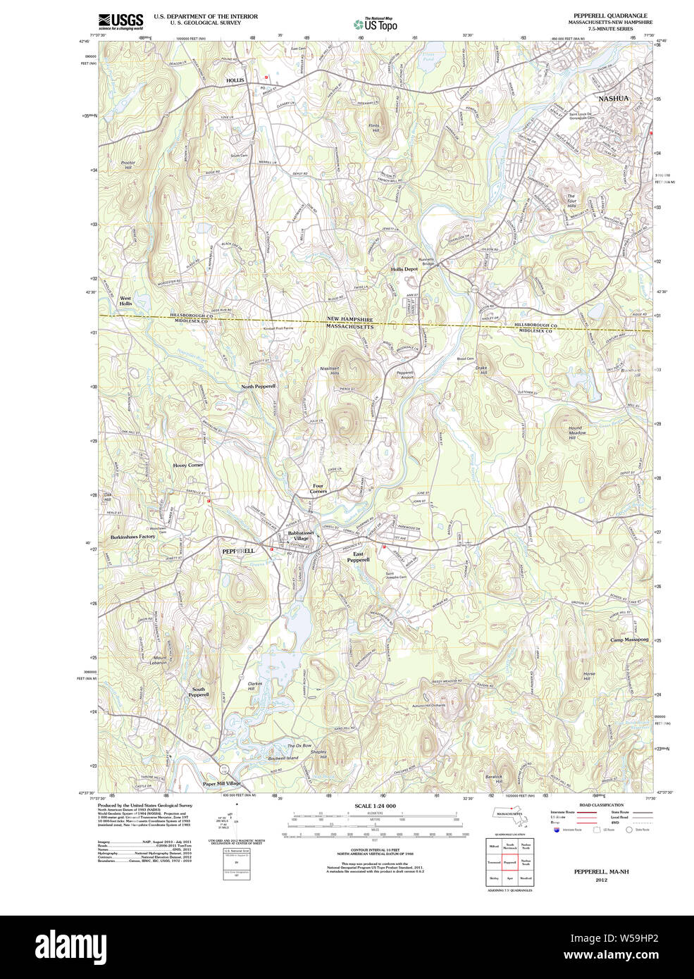 Massachusetts USGS Historical Topo Map MA Pepperell 20120613 TM Restoration Stock Photohttps://www.alamy.com/image-license-details/?v=1https://www.alamy.com/massachusetts-usgs-historical-topo-map-ma-pepperell-20120613-tm-restoration-image261440314.html
RMW59HP2–Massachusetts USGS Historical Topo Map MA Pepperell 20120613 TM Restoration
 Spring River in New England Stock Photohttps://www.alamy.com/image-license-details/?v=1https://www.alamy.com/spring-river-in-new-england-image230410413.html
RFRAT2R9–Spring River in New England
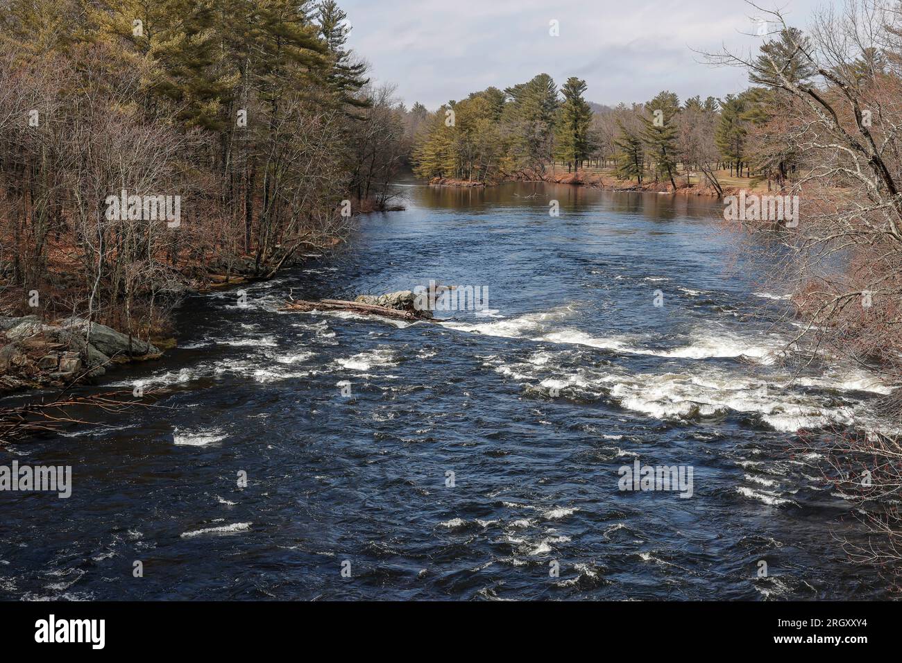 In South Hollis, this view is on the north side of the bridge on Route 111. This river is 37.5 miles long, and it's a tributary of the Merrimack Rive Stock Photohttps://www.alamy.com/image-license-details/?v=1https://www.alamy.com/in-south-hollis-this-view-is-on-the-north-side-of-the-bridge-on-route-111-this-river-is-375-miles-long-and-its-a-tributary-of-the-merrimack-rive-image561158168.html
RF2RGXXY4–In South Hollis, this view is on the north side of the bridge on Route 111. This river is 37.5 miles long, and it's a tributary of the Merrimack Rive
 Pepperell Covered Bridge across Nashua River near historic town center of Pepperell, Massachusetts MA, USA. Stock Photohttps://www.alamy.com/image-license-details/?v=1https://www.alamy.com/pepperell-covered-bridge-across-nashua-river-near-historic-town-center-of-pepperell-massachusetts-ma-usa-image571072883.html
RF2T52H83–Pepperell Covered Bridge across Nashua River near historic town center of Pepperell, Massachusetts MA, USA.
 Aerial view of a Massachusetts river in autumn - Nashua River, Pepperell Stock Photohttps://www.alamy.com/image-license-details/?v=1https://www.alamy.com/aerial-view-of-a-massachusetts-river-in-autumn-nashua-river-pepperell-image535223080.html
RF2P2NEE0–Aerial view of a Massachusetts river in autumn - Nashua River, Pepperell
 Middlesex Global War on Terror Memorials in Pepperell, Massachusetts Stock Photohttps://www.alamy.com/image-license-details/?v=1https://www.alamy.com/middlesex-global-war-on-terror-memorials-in-pepperell-massachusetts-image455403854.html
RM2HCWC7A–Middlesex Global War on Terror Memorials in Pepperell, Massachusetts
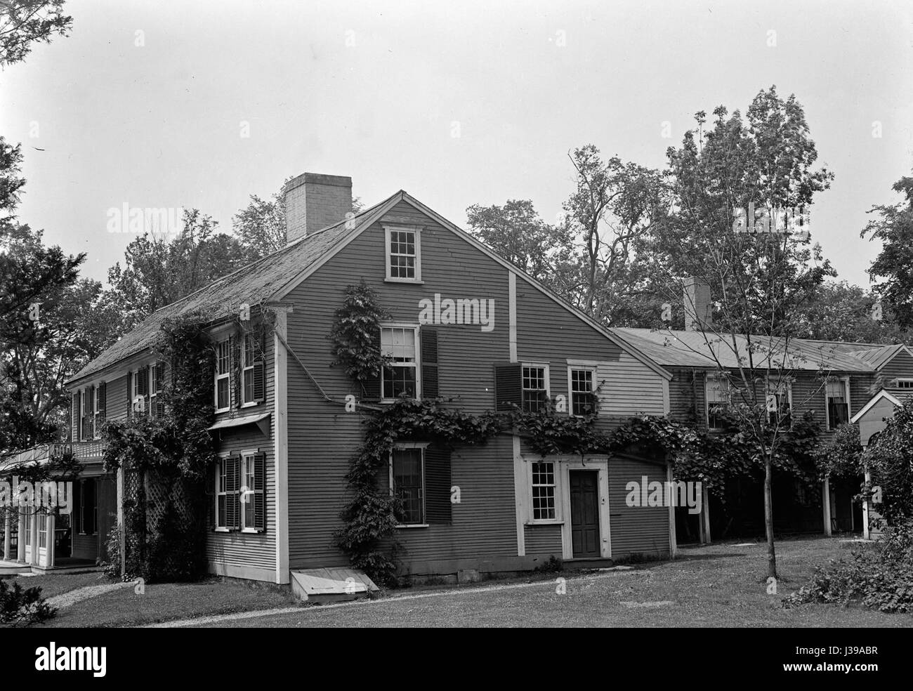 Colonel william prescott house pepperell middlesex county massachusetts photo no 2 Stock Photohttps://www.alamy.com/image-license-details/?v=1https://www.alamy.com/stock-photo-colonel-william-prescott-house-pepperell-middlesex-county-massachusetts-139732651.html
RMJ39ABR–Colonel william prescott house pepperell middlesex county massachusetts photo no 2
 Hiking a woodland trail in Pepperell, Massachusetts. Stock Photohttps://www.alamy.com/image-license-details/?v=1https://www.alamy.com/stock-photo-hiking-a-woodland-trail-in-pepperell-massachusetts-19658345.html
RMB3YEBN–Hiking a woodland trail in Pepperell, Massachusetts.
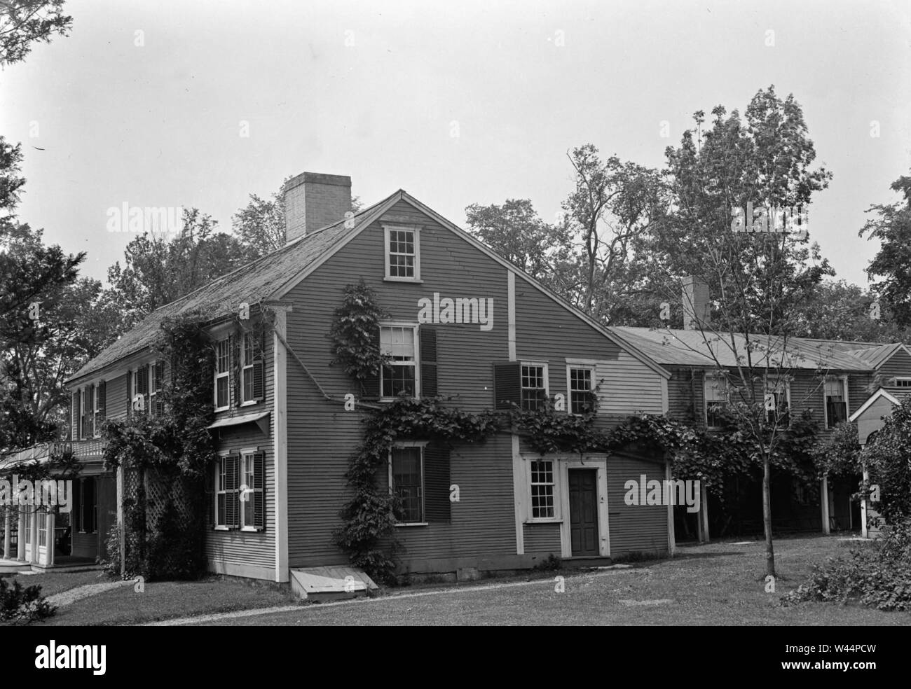 Colonel william prescott house pepperell middlesex county massachusetts photo no 2. Stock Photohttps://www.alamy.com/image-license-details/?v=1https://www.alamy.com/colonel-william-prescott-house-pepperell-middlesex-county-massachusetts-photo-no-2-image260719561.html
RMW44PCW–Colonel william prescott house pepperell middlesex county massachusetts photo no 2.
 Image 4 of Sanborn Fire Insurance Map from East Pepperell, Middlesex County, Massachusetts. May 1897. 4 Sheet(s), America, street map with a Nineteenth Century compass Stock Photohttps://www.alamy.com/image-license-details/?v=1https://www.alamy.com/image-4-of-sanborn-fire-insurance-map-from-east-pepperell-middlesex-county-massachusetts-may-1897-4-sheets-america-street-map-with-a-nineteenth-century-compass-image344678750.html
RM2B0ND7A–Image 4 of Sanborn Fire Insurance Map from East Pepperell, Middlesex County, Massachusetts. May 1897. 4 Sheet(s), America, street map with a Nineteenth Century compass
 Hiking a woodland trail in Pepperell, Massachusetts. Stock Photohttps://www.alamy.com/image-license-details/?v=1https://www.alamy.com/stock-photo-hiking-a-woodland-trail-in-pepperell-massachusetts-15963224.html
RMAR7C7N–Hiking a woodland trail in Pepperell, Massachusetts.
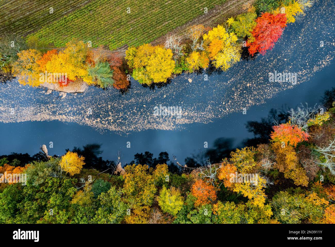 Aerial capture of a Massachusetts river and fall foliage Stock Photohttps://www.alamy.com/image-license-details/?v=1https://www.alamy.com/aerial-capture-of-a-massachusetts-river-and-fall-foliage-image518353415.html
RF2N3911Y–Aerial capture of a Massachusetts river and fall foliage
 South Pepperell, Middlesex County, US, United States, Massachusetts, N 42 38' 30'', S 71 36' 18'', map, Cartascapes Map published in 2024. Explore Cartascapes, a map revealing Earth's diverse landscapes, cultures, and ecosystems. Journey through time and space, discovering the interconnectedness of our planet's past, present, and future. Stock Photohttps://www.alamy.com/image-license-details/?v=1https://www.alamy.com/south-pepperell-middlesex-county-us-united-states-massachusetts-n-42-38-30-s-71-36-18-map-cartascapes-map-published-in-2024-explore-cartascapes-a-map-revealing-earths-diverse-landscapes-cultures-and-ecosystems-journey-through-time-and-space-discovering-the-interconnectedness-of-our-planets-past-present-and-future-image621407733.html
RM2Y2YFW9–South Pepperell, Middlesex County, US, United States, Massachusetts, N 42 38' 30'', S 71 36' 18'', map, Cartascapes Map published in 2024. Explore Cartascapes, a map revealing Earth's diverse landscapes, cultures, and ecosystems. Journey through time and space, discovering the interconnectedness of our planet's past, present, and future.
 Snow day! Aerial view of school buses parked during school cancelation -Massachusetts Stock Photohttps://www.alamy.com/image-license-details/?v=1https://www.alamy.com/snow-day!-aerial-view-of-school-buses-parked-during-school-cancelation-massachusetts-image519228101.html
RF2N4MTMN–Snow day! Aerial view of school buses parked during school cancelation -Massachusetts
 Plan of Pepperell made by Caleb Butler, dated 1830.... , Massachusetts , Middlesex ,county , Pepperell Stock Photohttps://www.alamy.com/image-license-details/?v=1https://www.alamy.com/plan-of-pepperell-made-by-caleb-butler-dated-1830-massachusetts-middlesex-county-pepperell-image502743799.html
RM2M5WXRK–Plan of Pepperell made by Caleb Butler, dated 1830.... , Massachusetts , Middlesex ,county , Pepperell
 Spotted salamander egg sac - Massachusetts Stock Photohttps://www.alamy.com/image-license-details/?v=1https://www.alamy.com/spotted-salamander-egg-sac-massachusetts-image519238711.html
RF2N4NA7K–Spotted salamander egg sac - Massachusetts
 New England family history : a magazine devoted to the history of families of Maine and Massachusetts . Volume I. [Out of Print). Containing the follow-ing families: Aborne, Bolles, Bray, Brewer, Brock-lebank, Clark, Crosby, Dole, Frost, Hazen, Jackson,Jordan, Mahan, Moore, Osgood, Pepperell, Pickard,Porter, Porteriield, Quinby (Quimbyj, Rice, Rolfe,Seal, Slemons, Wales, Whale, Wood. (Numbers 1and 4, fifty cents each.) Volume II. Subscription $1. Containsam.ongst others the following families: Albee,Atwood, Ayer, Barker, Barnes, Bitsfield, Bolles,Bond, Brewster, Clement, Colby, Cole, Cobb,Copp Stock Photohttps://www.alamy.com/image-license-details/?v=1https://www.alamy.com/new-england-family-history-a-magazine-devoted-to-the-history-of-families-of-maine-and-massachusetts-volume-i-out-of-print-containing-the-follow-ing-families-aborne-bolles-bray-brewer-brock-lebank-clark-crosby-dole-frost-hazen-jacksonjordan-mahan-moore-osgood-pepperell-pickardporter-porteriield-quinby-quimbyj-rice-rolfeseal-slemons-wales-whale-wood-numbers-1and-4-fifty-cents-each-volume-ii-subscription-1-containsamongst-others-the-following-families-albeeatwood-ayer-barker-barnes-bitsfield-bollesbond-brewster-clement-colby-cole-cobbcopp-image339953188.html
RM2AN25N8–New England family history : a magazine devoted to the history of families of Maine and Massachusetts . Volume I. [Out of Print). Containing the follow-ing families: Aborne, Bolles, Bray, Brewer, Brock-lebank, Clark, Crosby, Dole, Frost, Hazen, Jackson,Jordan, Mahan, Moore, Osgood, Pepperell, Pickard,Porter, Porteriield, Quinby (Quimbyj, Rice, Rolfe,Seal, Slemons, Wales, Whale, Wood. (Numbers 1and 4, fifty cents each.) Volume II. Subscription $1. Containsam.ongst others the following families: Albee,Atwood, Ayer, Barker, Barnes, Bitsfield, Bolles,Bond, Brewster, Clement, Colby, Cole, Cobb,Copp
 Spring snow covering flowers (crocuses) - Massachusetts Stock Photohttps://www.alamy.com/image-license-details/?v=1https://www.alamy.com/spring-snow-covering-flowers-crocuses-massachusetts-image519229634.html
RF2N4MXKE–Spring snow covering flowers (crocuses) - Massachusetts
 Massachusetts USGS Historical Topo Map MA Pepperell 20120613 TM Inverted Restoration Stock Photohttps://www.alamy.com/image-license-details/?v=1https://www.alamy.com/massachusetts-usgs-historical-topo-map-ma-pepperell-20120613-tm-inverted-restoration-image261440304.html
RMW59HNM–Massachusetts USGS Historical Topo Map MA Pepperell 20120613 TM Inverted Restoration
 Aerial view of school bus dropping off student Stock Photohttps://www.alamy.com/image-license-details/?v=1https://www.alamy.com/aerial-view-of-school-bus-dropping-off-student-image533684635.html
RF2P07C5F–Aerial view of school bus dropping off student
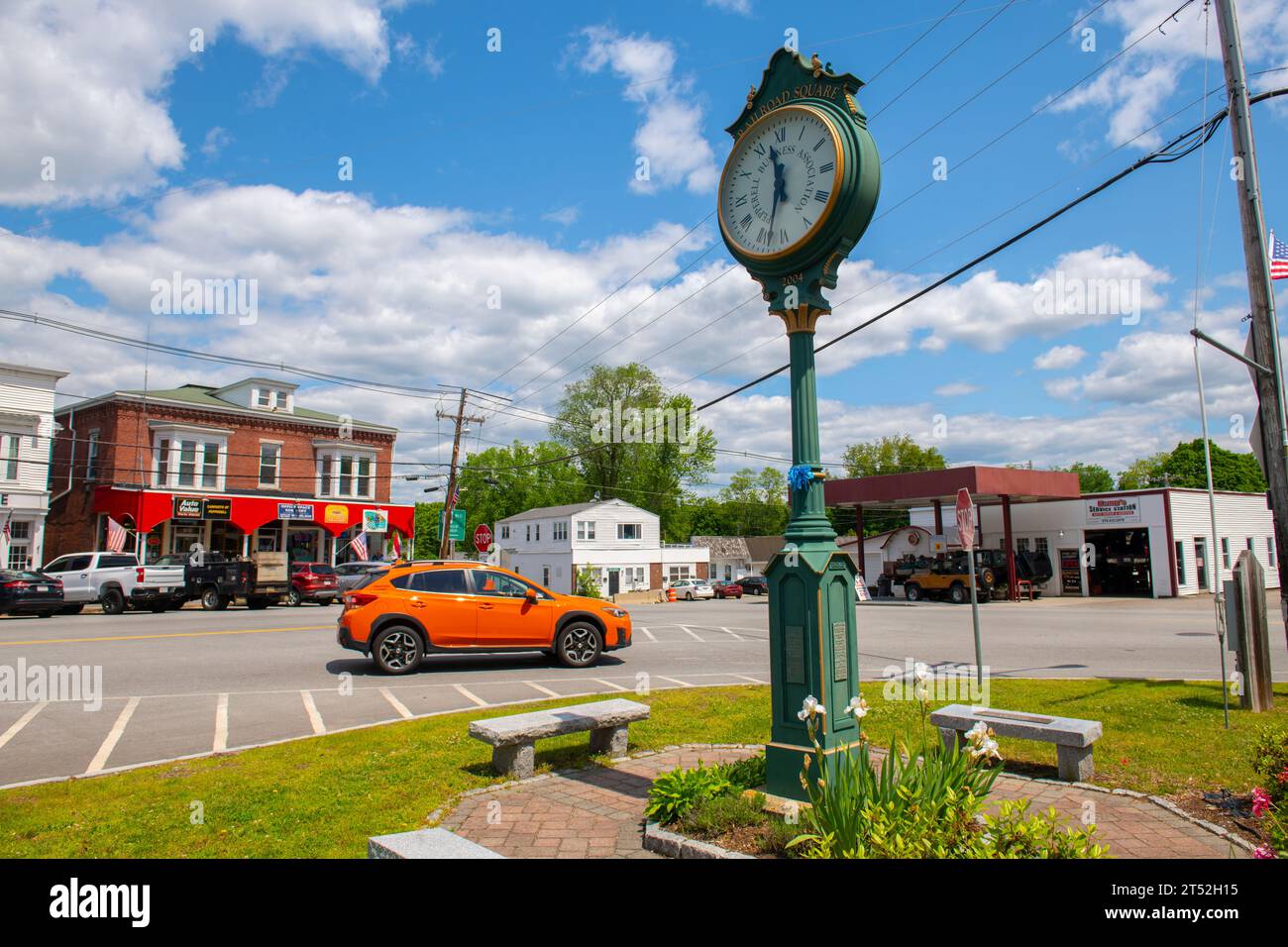 Clock at Railroad Square on Main Street in historic town center of Pepperell, Massachusetts MA, USA. Stock Photohttps://www.alamy.com/image-license-details/?v=1https://www.alamy.com/clock-at-railroad-square-on-main-street-in-historic-town-center-of-pepperell-massachusetts-ma-usa-image571072689.html
RF2T52H15–Clock at Railroad Square on Main Street in historic town center of Pepperell, Massachusetts MA, USA.
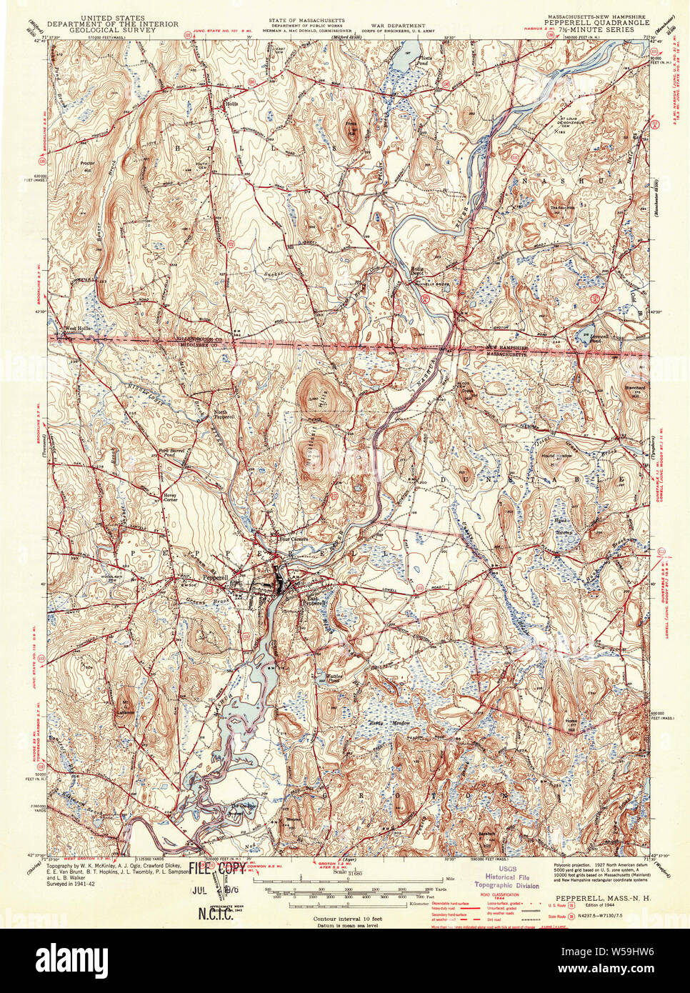 Massachusetts USGS Historical Topo Map MA Pepperell 352052 1944 31680 Restoration Stock Photohttps://www.alamy.com/image-license-details/?v=1https://www.alamy.com/massachusetts-usgs-historical-topo-map-ma-pepperell-352052-1944-31680-restoration-image261440402.html
RMW59HW6–Massachusetts USGS Historical Topo Map MA Pepperell 352052 1944 31680 Restoration
 Middlesex Global War on Terror Memorials in Pepperell, Massachusetts Stock Photohttps://www.alamy.com/image-license-details/?v=1https://www.alamy.com/middlesex-global-war-on-terror-memorials-in-pepperell-massachusetts-image455403847.html
RM2HCWC73–Middlesex Global War on Terror Memorials in Pepperell, Massachusetts
 Hiking a woodland trail in Pepperell, Massachusetts. Stock Photohttps://www.alamy.com/image-license-details/?v=1https://www.alamy.com/stock-photo-hiking-a-woodland-trail-in-pepperell-massachusetts-19658349.html
RMB3YEBW–Hiking a woodland trail in Pepperell, Massachusetts.
 Sanborn Fire Insurance Map from East Pepperell, Middlesex County, Massachusetts. Stock Photohttps://www.alamy.com/image-license-details/?v=1https://www.alamy.com/sanborn-fire-insurance-map-from-east-pepperell-middlesex-county-massachusetts-image456381206.html
RM2HEDXTP–Sanborn Fire Insurance Map from East Pepperell, Middlesex County, Massachusetts.
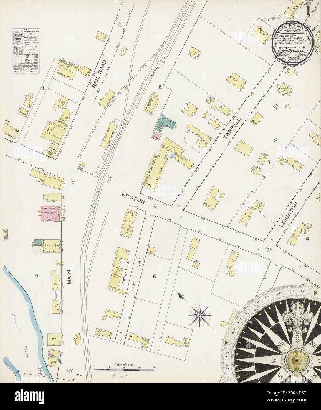 Image 1 of Sanborn Fire Insurance Map from East Pepperell, Middlesex County, Massachusetts. Jul 1892. 3 Sheet(s), America, street map with a Nineteenth Century compass Stock Photohttps://www.alamy.com/image-license-details/?v=1https://www.alamy.com/image-1-of-sanborn-fire-insurance-map-from-east-pepperell-middlesex-county-massachusetts-jul-1892-3-sheets-america-street-map-with-a-nineteenth-century-compass-image344678736.html
RM2B0ND6T–Image 1 of Sanborn Fire Insurance Map from East Pepperell, Middlesex County, Massachusetts. Jul 1892. 3 Sheet(s), America, street map with a Nineteenth Century compass
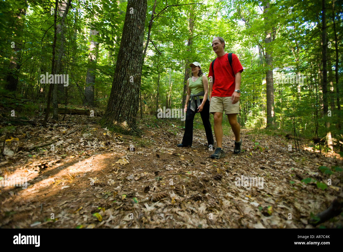 Hiking a woodland trail in Pepperell, Massachusetts. Stock Photohttps://www.alamy.com/image-license-details/?v=1https://www.alamy.com/stock-photo-hiking-a-woodland-trail-in-pepperell-massachusetts-15963186.html
RMAR7C4K–Hiking a woodland trail in Pepperell, Massachusetts.
 North Pepperell, Middlesex County, US, United States, Massachusetts, N 42 41' 35'', S 71 35' 28'', map, Cartascapes Map published in 2024. Explore Cartascapes, a map revealing Earth's diverse landscapes, cultures, and ecosystems. Journey through time and space, discovering the interconnectedness of our planet's past, present, and future. Stock Photohttps://www.alamy.com/image-license-details/?v=1https://www.alamy.com/north-pepperell-middlesex-county-us-united-states-massachusetts-n-42-41-35-s-71-35-28-map-cartascapes-map-published-in-2024-explore-cartascapes-a-map-revealing-earths-diverse-landscapes-cultures-and-ecosystems-journey-through-time-and-space-discovering-the-interconnectedness-of-our-planets-past-present-and-future-image620754143.html
RM2Y1WP6R–North Pepperell, Middlesex County, US, United States, Massachusetts, N 42 41' 35'', S 71 35' 28'', map, Cartascapes Map published in 2024. Explore Cartascapes, a map revealing Earth's diverse landscapes, cultures, and ecosystems. Journey through time and space, discovering the interconnectedness of our planet's past, present, and future.
 Plan of Pepperell made by Caleb Butler, dated 1830 ,. Massachusetts. Office of the Secretary of State Stock Photohttps://www.alamy.com/image-license-details/?v=1https://www.alamy.com/plan-of-pepperell-made-by-caleb-butler-dated-1830-massachusetts-office-of-the-secretary-of-state-image501395464.html
RM2M3MF0T–Plan of Pepperell made by Caleb Butler, dated 1830 ,. Massachusetts. Office of the Secretary of State
 New England family history : a magazine devoted to the history of families of Maine and Massachusetts . p-. ,,. .-,,0 —-r-y-. r ?^?^ --.^i^-rr^Ti? V 1 Ii1 /A y ? i y/. - 4 ^ . ^„ .J V - L . , MR. and MRS. ISAAC D. HOBSOX.HENRV D. B. HOBSOX. MARY HOBSOX. GEORGE P. F. HOBSOX. (See p. 12Sj 129 Note: Andrew Pepperell and Eleanor (Siemens)Frost who were married in 1782 had six children; twoof them sons, who died without issue and ended theFrost name from his stock. The four daughters, how-ever, gave Andrew Pepperell Frost twenty-four grand-children—eleven of whom were boys. Of the twenty-four, si Stock Photohttps://www.alamy.com/image-license-details/?v=1https://www.alamy.com/new-england-family-history-a-magazine-devoted-to-the-history-of-families-of-maine-and-massachusetts-p-0-r-y-r-i-rrti-v-1-ii1-a-y-i-y-4-j-v-l-mr-and-mrs-isaac-d-hobsoxhenrv-d-b-hobsox-mary-hobsox-george-p-f-hobsox-see-p-12sj-129-note-andrew-pepperell-and-eleanor-siemensfrost-who-were-married-in-1782-had-six-children-twoof-them-sons-who-died-without-issue-and-ended-thefrost-name-from-his-stock-the-four-daughters-how-ever-gave-andrew-pepperell-frost-twenty-four-grand-childreneleven-of-whom-were-boys-of-the-twenty-four-si-image339970635.html
RM2AN300B–New England family history : a magazine devoted to the history of families of Maine and Massachusetts . p-. ,,. .-,,0 —-r-y-. r ?^?^ --.^i^-rr^Ti? V 1 Ii1 /A y ? i y/. - 4 ^ . ^„ .J V - L . , MR. and MRS. ISAAC D. HOBSOX.HENRV D. B. HOBSOX. MARY HOBSOX. GEORGE P. F. HOBSOX. (See p. 12Sj 129 Note: Andrew Pepperell and Eleanor (Siemens)Frost who were married in 1782 had six children; twoof them sons, who died without issue and ended theFrost name from his stock. The four daughters, how-ever, gave Andrew Pepperell Frost twenty-four grand-children—eleven of whom were boys. Of the twenty-four, si
 Community Church of Pepperell at 3 Townsend Street in historic town center of Pepperell, Massachusetts MA, USA. Stock Photohttps://www.alamy.com/image-license-details/?v=1https://www.alamy.com/community-church-of-pepperell-at-3-townsend-street-in-historic-town-center-of-pepperell-massachusetts-ma-usa-image571072413.html
RF2T52GK9–Community Church of Pepperell at 3 Townsend Street in historic town center of Pepperell, Massachusetts MA, USA.
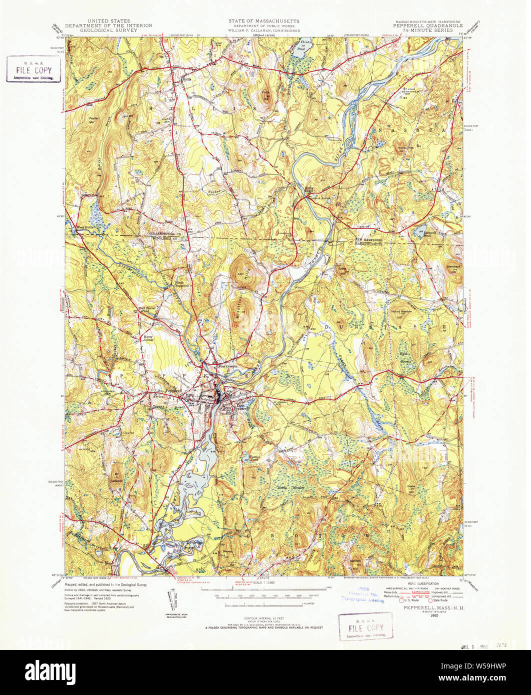 Massachusetts USGS Historical Topo Map MA Pepperell 352054 1950 31680 Restoration Stock Photohttps://www.alamy.com/image-license-details/?v=1https://www.alamy.com/massachusetts-usgs-historical-topo-map-ma-pepperell-352054-1950-31680-restoration-image261440418.html
RMW59HWP–Massachusetts USGS Historical Topo Map MA Pepperell 352054 1950 31680 Restoration
 Middlesex Global War on Terror Memorials in Pepperell, Massachusetts Stock Photohttps://www.alamy.com/image-license-details/?v=1https://www.alamy.com/middlesex-global-war-on-terror-memorials-in-pepperell-massachusetts-image455403822.html
RM2HCWC66–Middlesex Global War on Terror Memorials in Pepperell, Massachusetts
 Hiking a woodland trail in Pepperell, Massachusetts. Stock Photohttps://www.alamy.com/image-license-details/?v=1https://www.alamy.com/stock-photo-hiking-a-woodland-trail-in-pepperell-massachusetts-19658350.html
RMB3YEBX–Hiking a woodland trail in Pepperell, Massachusetts.
 Sanborn Fire Insurance Map from East Pepperell, Middlesex County, Massachusetts. Stock Photohttps://www.alamy.com/image-license-details/?v=1https://www.alamy.com/sanborn-fire-insurance-map-from-east-pepperell-middlesex-county-massachusetts-image456381178.html
RM2HEDXRP–Sanborn Fire Insurance Map from East Pepperell, Middlesex County, Massachusetts.
 Image 2 of Sanborn Fire Insurance Map from East Pepperell, Middlesex County, Massachusetts. May 1897. 4 Sheet(s), America, street map with a Nineteenth Century compass Stock Photohttps://www.alamy.com/image-license-details/?v=1https://www.alamy.com/image-2-of-sanborn-fire-insurance-map-from-east-pepperell-middlesex-county-massachusetts-may-1897-4-sheets-america-street-map-with-a-nineteenth-century-compass-image344678746.html
RM2B0ND76–Image 2 of Sanborn Fire Insurance Map from East Pepperell, Middlesex County, Massachusetts. May 1897. 4 Sheet(s), America, street map with a Nineteenth Century compass
 Hiking a woodland trail in Pepperell, Massachusetts. Stock Photohttps://www.alamy.com/image-license-details/?v=1https://www.alamy.com/stock-photo-hiking-a-woodland-trail-in-pepperell-massachusetts-15963203.html
RMAR7C5T–Hiking a woodland trail in Pepperell, Massachusetts.
 The Pepperell Covered Bridge on a rainy autumn day. Stock Photohttps://www.alamy.com/image-license-details/?v=1https://www.alamy.com/the-pepperell-covered-bridge-on-a-rainy-autumn-day-image331575658.html
RM2A7CG3P–The Pepperell Covered Bridge on a rainy autumn day.
 Town of Pepperell, Middlesex County, US, United States, Massachusetts, N 42 40' 16'', S 71 36' 15'', map, Cartascapes Map published in 2024. Explore Cartascapes, a map revealing Earth's diverse landscapes, cultures, and ecosystems. Journey through time and space, discovering the interconnectedness of our planet's past, present, and future. Stock Photohttps://www.alamy.com/image-license-details/?v=1https://www.alamy.com/town-of-pepperell-middlesex-county-us-united-states-massachusetts-n-42-40-16-s-71-36-15-map-cartascapes-map-published-in-2024-explore-cartascapes-a-map-revealing-earths-diverse-landscapes-cultures-and-ecosystems-journey-through-time-and-space-discovering-the-interconnectedness-of-our-planets-past-present-and-future-image633841560.html
RM2YR5YAG–Town of Pepperell, Middlesex County, US, United States, Massachusetts, N 42 40' 16'', S 71 36' 15'', map, Cartascapes Map published in 2024. Explore Cartascapes, a map revealing Earth's diverse landscapes, cultures, and ecosystems. Journey through time and space, discovering the interconnectedness of our planet's past, present, and future.
 Plan of Groton, Pepperell and Shirley, made by Oliver Prescott, Jr., dated September, 1794. ,. Massachusetts. Office of the Secretary of State Stock Photohttps://www.alamy.com/image-license-details/?v=1https://www.alamy.com/plan-of-groton-pepperell-and-shirley-made-by-oliver-prescott-jr-dated-september-1794-massachusetts-office-of-the-secretary-of-state-image501393358.html
RM2M3MC9J–Plan of Groton, Pepperell and Shirley, made by Oliver Prescott, Jr., dated September, 1794. ,. Massachusetts. Office of the Secretary of State
 . A gazetteer of the state of Massachusetts : with numerous illustrations. on of the territory. The Worcester, Nashua andPortland Division of the Boston and Maine Railroad has its Pep-perell station at Babbatasset village, on the Nashua, near thepaper mills. The Nissitisset River, coming across the townfrom the northwest, and furnishing power at East Village, PEPPEHELL. 535 enters the Nashua a short distance northward of the station. Thelast-mentioned place and Pepperell (centre) are the post-offices.The other villages are North, South and West Pepperell. The town is bounded on the east by Dun Stock Photohttps://www.alamy.com/image-license-details/?v=1https://www.alamy.com/a-gazetteer-of-the-state-of-massachusetts-with-numerous-illustrations-on-of-the-territory-the-worcester-nashua-andportland-division-of-the-boston-and-maine-railroad-has-its-pep-perell-station-at-babbatasset-village-on-the-nashua-near-thepaper-mills-the-nissitisset-river-coming-across-the-townfrom-the-northwest-and-furnishing-power-at-east-village-peppehell-535-enters-the-nashua-a-short-distance-northward-of-the-station-thelast-mentioned-place-and-pepperell-centre-are-the-post-officesthe-other-villages-are-north-south-and-west-pepperell-the-town-is-bounded-on-the-east-by-dun-image370314187.html
RM2CED7EK–. A gazetteer of the state of Massachusetts : with numerous illustrations. on of the territory. The Worcester, Nashua andPortland Division of the Boston and Maine Railroad has its Pep-perell station at Babbatasset village, on the Nashua, near thepaper mills. The Nissitisset River, coming across the townfrom the northwest, and furnishing power at East Village, PEPPEHELL. 535 enters the Nashua a short distance northward of the station. Thelast-mentioned place and Pepperell (centre) are the post-offices.The other villages are North, South and West Pepperell. The town is bounded on the east by Dun
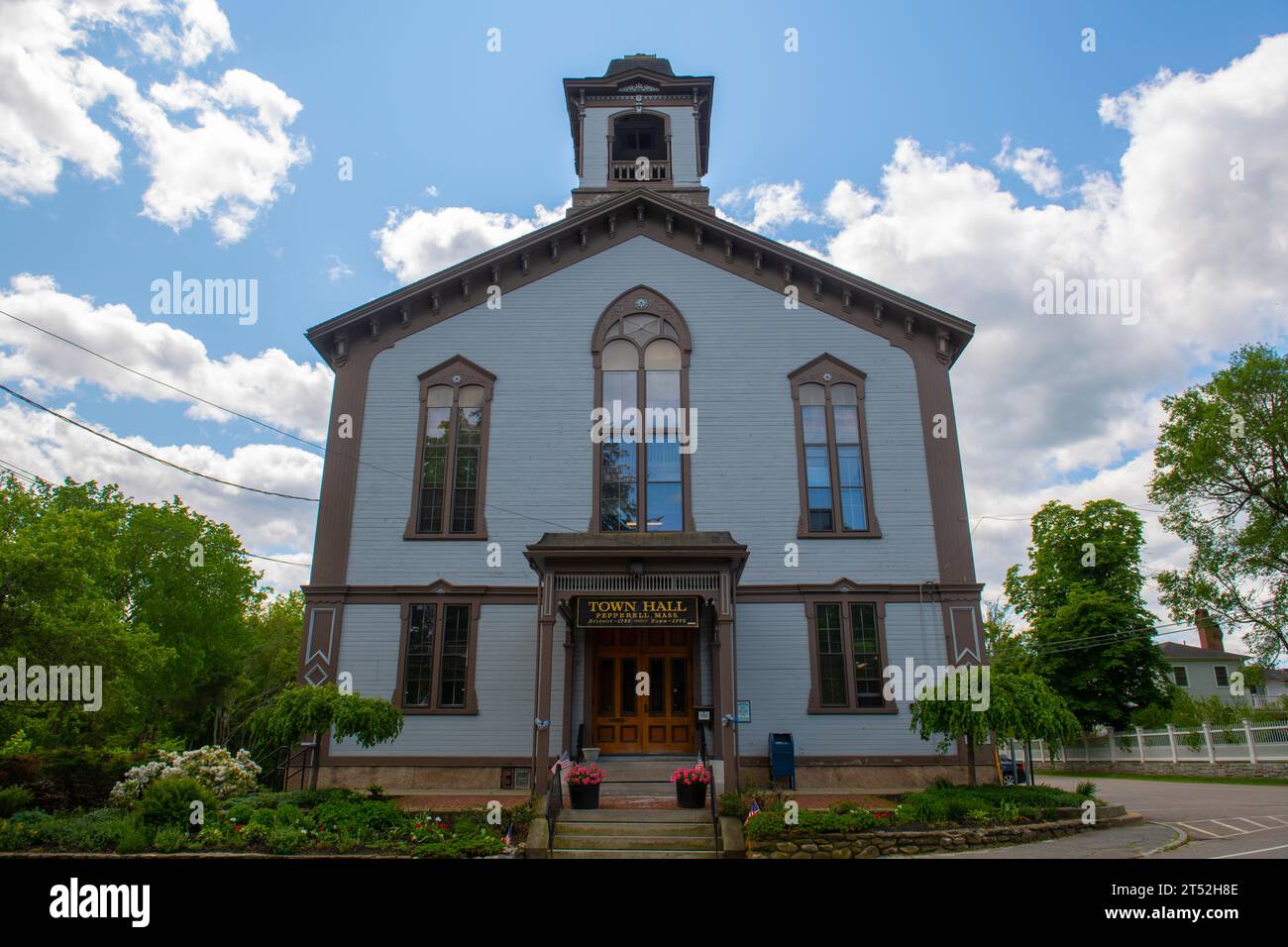 Pepperell Town Hall at 1 Main Street in historic town center of Pepperell, Massachusetts MA, USA. Stock Photohttps://www.alamy.com/image-license-details/?v=1https://www.alamy.com/pepperell-town-hall-at-1-main-street-in-historic-town-center-of-pepperell-massachusetts-ma-usa-image571072894.html
RF2T52H8E–Pepperell Town Hall at 1 Main Street in historic town center of Pepperell, Massachusetts MA, USA.
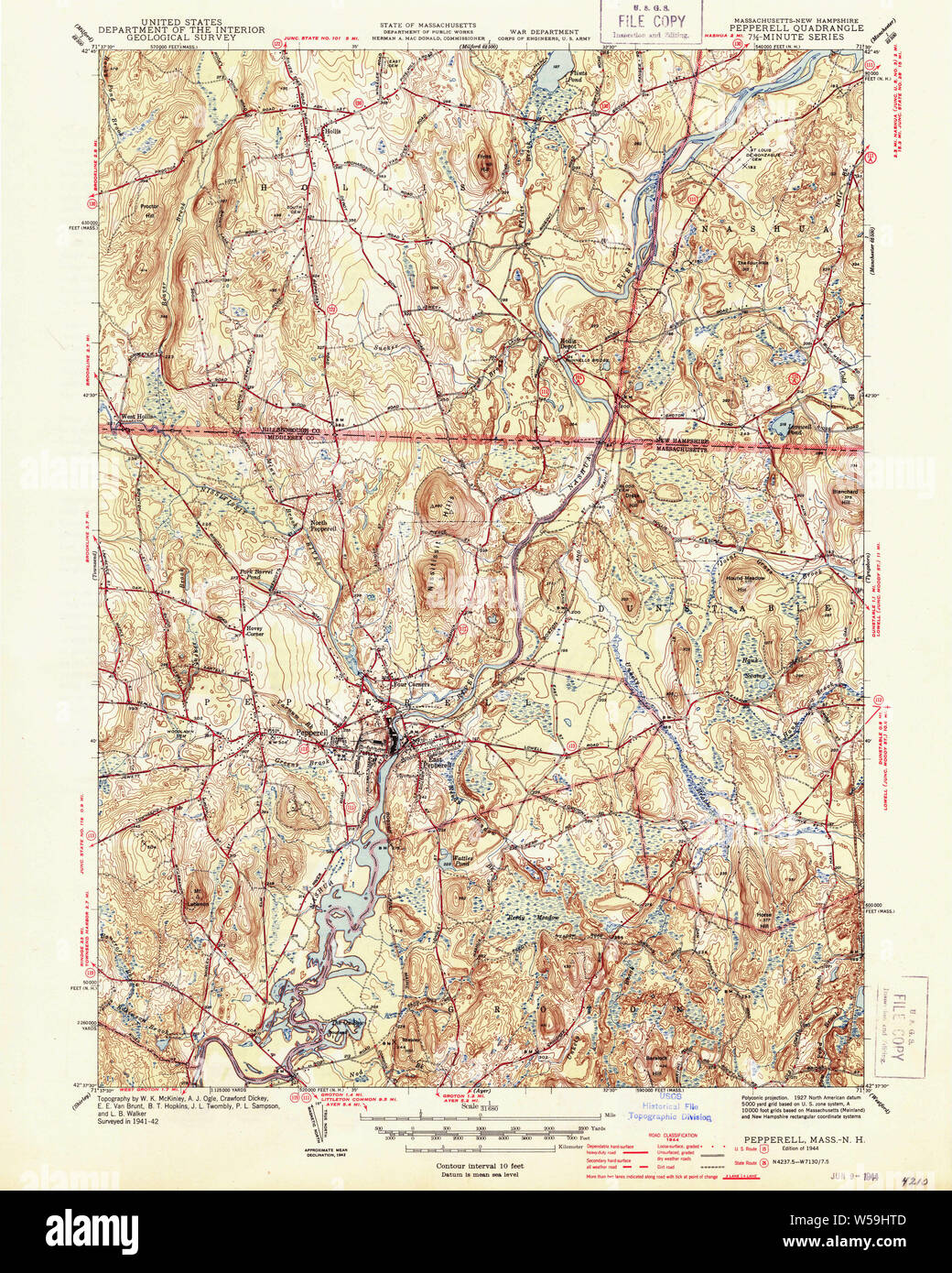 Massachusetts USGS Historical Topo Map MA Pepperell 352051 1944 31680 Restoration Stock Photohttps://www.alamy.com/image-license-details/?v=1https://www.alamy.com/massachusetts-usgs-historical-topo-map-ma-pepperell-352051-1944-31680-restoration-image261440381.html
RMW59HTD–Massachusetts USGS Historical Topo Map MA Pepperell 352051 1944 31680 Restoration
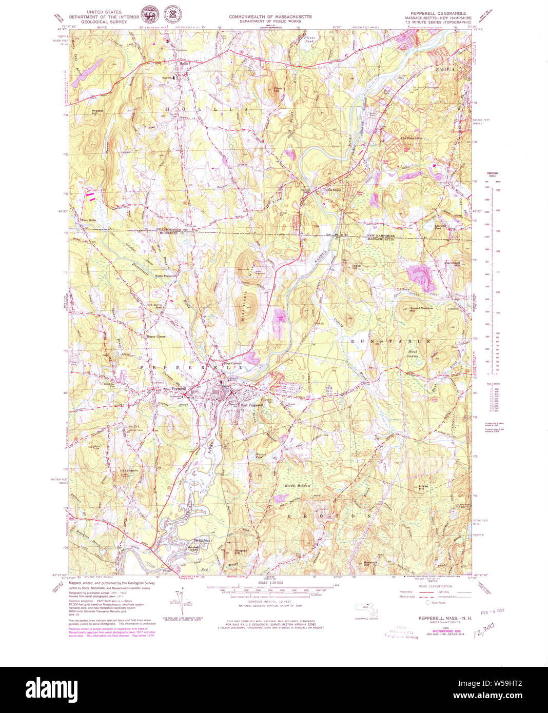 Massachusetts USGS Historical Topo Map MA Pepperell 351212 1965 25000 Restoration Stock Photohttps://www.alamy.com/image-license-details/?v=1https://www.alamy.com/massachusetts-usgs-historical-topo-map-ma-pepperell-351212-1965-25000-restoration-image261440370.html
RMW59HT2–Massachusetts USGS Historical Topo Map MA Pepperell 351212 1965 25000 Restoration
 Massachusetts USGS Historical Topo Map MA Pepperell 350446 1965 24000 Restoration Stock Photohttps://www.alamy.com/image-license-details/?v=1https://www.alamy.com/massachusetts-usgs-historical-topo-map-ma-pepperell-350446-1965-24000-restoration-image261440350.html
RMW59HRA–Massachusetts USGS Historical Topo Map MA Pepperell 350446 1965 24000 Restoration
 Hiking a woodland trail in Pepperell, Massachusetts. Stock Photohttps://www.alamy.com/image-license-details/?v=1https://www.alamy.com/stock-photo-hiking-a-woodland-trail-in-pepperell-massachusetts-19658351.html
RMB3YEBY–Hiking a woodland trail in Pepperell, Massachusetts.
 Sanborn Fire Insurance Map from East Pepperell, Middlesex County, Massachusetts. Stock Photohttps://www.alamy.com/image-license-details/?v=1https://www.alamy.com/sanborn-fire-insurance-map-from-east-pepperell-middlesex-county-massachusetts-image456381176.html
RM2HEDXRM–Sanborn Fire Insurance Map from East Pepperell, Middlesex County, Massachusetts.
 Image 3 of Sanborn Fire Insurance Map from East Pepperell, Middlesex County, Massachusetts. May 1897. 4 Sheet(s), America, street map with a Nineteenth Century compass Stock Photohttps://www.alamy.com/image-license-details/?v=1https://www.alamy.com/image-3-of-sanborn-fire-insurance-map-from-east-pepperell-middlesex-county-massachusetts-may-1897-4-sheets-america-street-map-with-a-nineteenth-century-compass-image344678748.html
RM2B0ND78–Image 3 of Sanborn Fire Insurance Map from East Pepperell, Middlesex County, Massachusetts. May 1897. 4 Sheet(s), America, street map with a Nineteenth Century compass
 Hiking a woodland trail in Pepperell, Massachusetts. Stock Photohttps://www.alamy.com/image-license-details/?v=1https://www.alamy.com/stock-photo-hiking-a-woodland-trail-in-pepperell-massachusetts-15963194.html
RMAR7C4Y–Hiking a woodland trail in Pepperell, Massachusetts.
 The Pepperell Covered Bridge on a rainy autumn day. Stock Photohttps://www.alamy.com/image-license-details/?v=1https://www.alamy.com/the-pepperell-covered-bridge-on-a-rainy-autumn-day-image331575512.html
RM2A7CFXG–The Pepperell Covered Bridge on a rainy autumn day.
 East Pepperell, Middlesex County, US, United States, Massachusetts, N 42 39' 55'', S 71 34' 23'', map, Cartascapes Map published in 2024. Explore Cartascapes, a map revealing Earth's diverse landscapes, cultures, and ecosystems. Journey through time and space, discovering the interconnectedness of our planet's past, present, and future. Stock Photohttps://www.alamy.com/image-license-details/?v=1https://www.alamy.com/east-pepperell-middlesex-county-us-united-states-massachusetts-n-42-39-55-s-71-34-23-map-cartascapes-map-published-in-2024-explore-cartascapes-a-map-revealing-earths-diverse-landscapes-cultures-and-ecosystems-journey-through-time-and-space-discovering-the-interconnectedness-of-our-planets-past-present-and-future-image620795967.html
RM2Y1YKGF–East Pepperell, Middlesex County, US, United States, Massachusetts, N 42 39' 55'', S 71 34' 23'', map, Cartascapes Map published in 2024. Explore Cartascapes, a map revealing Earth's diverse landscapes, cultures, and ecosystems. Journey through time and space, discovering the interconnectedness of our planet's past, present, and future.
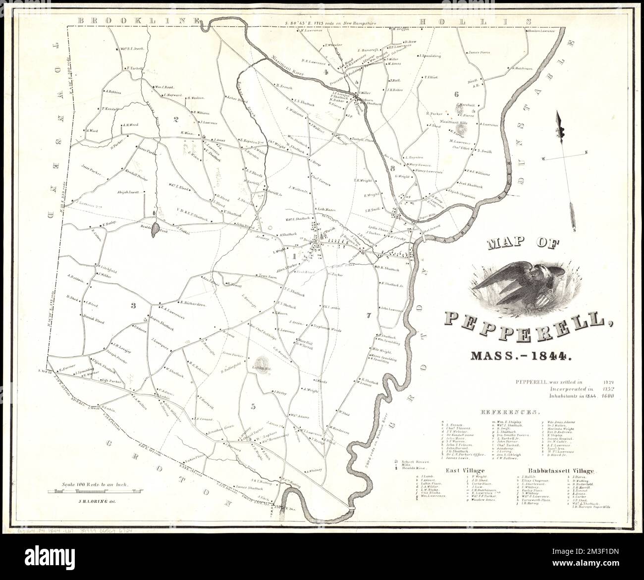 Map of Pepperell, Mass. - 1844 , Landowners, Massachusetts, Pepperell, Maps, Real property, Massachusetts, Pepperell, Maps, Pepperell Mass., Maps Norman B. Leventhal Map Center Collection Stock Photohttps://www.alamy.com/image-license-details/?v=1https://www.alamy.com/map-of-pepperell-mass-1844-landowners-massachusetts-pepperell-maps-real-property-massachusetts-pepperell-maps-pepperell-mass-maps-norman-b-leventhal-map-center-collection-image501275089.html
RM2M3F1DN–Map of Pepperell, Mass. - 1844 , Landowners, Massachusetts, Pepperell, Maps, Real property, Massachusetts, Pepperell, Maps, Pepperell Mass., Maps Norman B. Leventhal Map Center Collection
 . The hero of our heroic age; a sketch of Colonel William Pepperell. fluence in the political interests of the province. Min-gling freely with his fellow townsmen he was their constant adviser, and champion of their rightsand privileges. In all of this work, by his position in business, in military and judicial affairs, hewas a commanding power, and, in 1696, he became the peoples representative in the generalcourt of Massachusetts. In Maine from the time of Gorges, every person before the law hadthe right to participate in the government under which he was born, irrespective of property,educa Stock Photohttps://www.alamy.com/image-license-details/?v=1https://www.alamy.com/the-hero-of-our-heroic-age-a-sketch-of-colonel-william-pepperell-fluence-in-the-political-interests-of-the-province-min-gling-freely-with-his-fellow-townsmen-he-was-their-constant-adviser-and-champion-of-their-rightsand-privileges-in-all-of-this-work-by-his-position-in-business-in-military-and-judicial-affairs-hewas-a-commanding-power-and-in-1696-he-became-the-peoples-representative-in-the-generalcourt-of-massachusetts-in-maine-from-the-time-of-gorges-every-person-before-the-law-hadthe-right-to-participate-in-the-government-under-which-he-was-born-irrespective-of-propertyeduca-image370316302.html
RM2CEDA66–. The hero of our heroic age; a sketch of Colonel William Pepperell. fluence in the political interests of the province. Min-gling freely with his fellow townsmen he was their constant adviser, and champion of their rightsand privileges. In all of this work, by his position in business, in military and judicial affairs, hewas a commanding power, and, in 1696, he became the peoples representative in the generalcourt of Massachusetts. In Maine from the time of Gorges, every person before the law hadthe right to participate in the government under which he was born, irrespective of property,educa
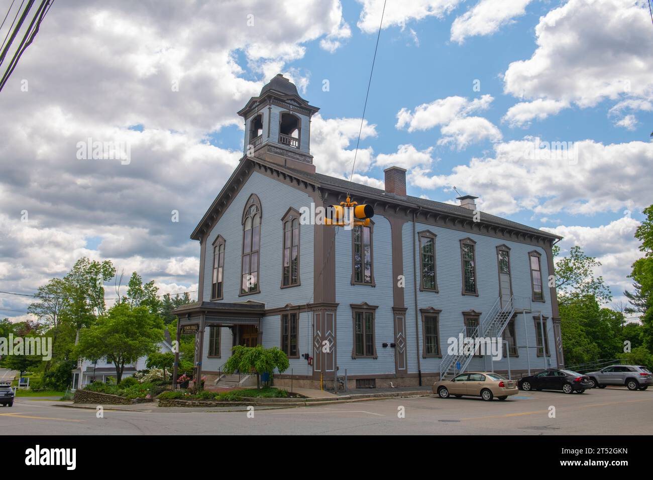 Pepperell Town Hall at 1 Main Street in historic town center of Pepperell, Massachusetts MA, USA. Stock Photohttps://www.alamy.com/image-license-details/?v=1https://www.alamy.com/pepperell-town-hall-at-1-main-street-in-historic-town-center-of-pepperell-massachusetts-ma-usa-image571072425.html
RF2T52GKN–Pepperell Town Hall at 1 Main Street in historic town center of Pepperell, Massachusetts MA, USA.
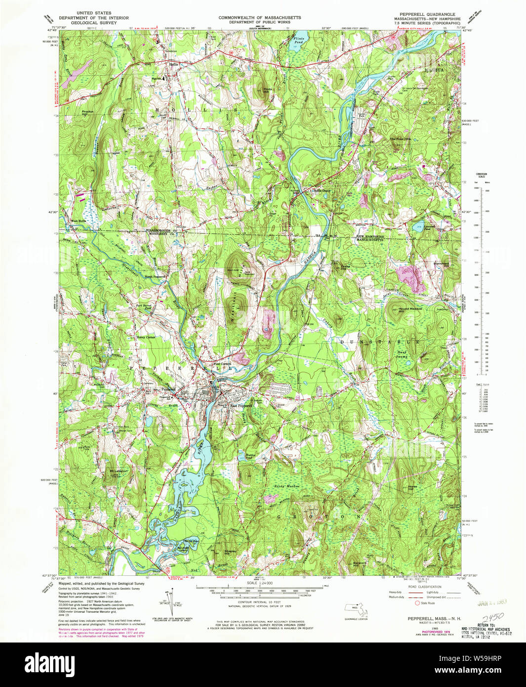 Massachusetts USGS Historical Topo Map MA Pepperell 350447 1965 24000 Restoration Stock Photohttps://www.alamy.com/image-license-details/?v=1https://www.alamy.com/massachusetts-usgs-historical-topo-map-ma-pepperell-350447-1965-24000-restoration-image261440362.html
RMW59HRP–Massachusetts USGS Historical Topo Map MA Pepperell 350447 1965 24000 Restoration
 Hiking a woodland trail in Pepperell, Massachusetts. Stock Photohttps://www.alamy.com/image-license-details/?v=1https://www.alamy.com/stock-photo-hiking-a-woodland-trail-in-pepperell-massachusetts-19658347.html
RMB3YEBR–Hiking a woodland trail in Pepperell, Massachusetts.
 Sanborn Fire Insurance Map from East Pepperell, Middlesex County, Massachusetts. Stock Photohttps://www.alamy.com/image-license-details/?v=1https://www.alamy.com/sanborn-fire-insurance-map-from-east-pepperell-middlesex-county-massachusetts-image456381190.html
RM2HEDXT6–Sanborn Fire Insurance Map from East Pepperell, Middlesex County, Massachusetts.
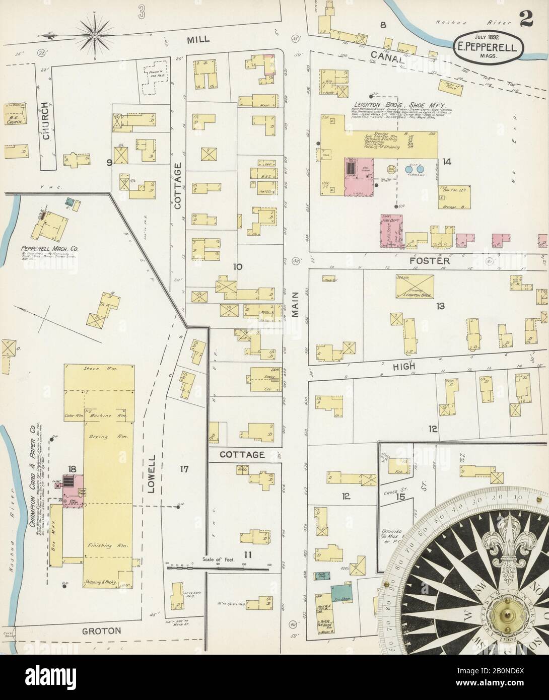 Image 2 of Sanborn Fire Insurance Map from East Pepperell, Middlesex County, Massachusetts. Jul 1892. 3 Sheet(s), America, street map with a Nineteenth Century compass Stock Photohttps://www.alamy.com/image-license-details/?v=1https://www.alamy.com/image-2-of-sanborn-fire-insurance-map-from-east-pepperell-middlesex-county-massachusetts-jul-1892-3-sheets-america-street-map-with-a-nineteenth-century-compass-image344678738.html
RM2B0ND6X–Image 2 of Sanborn Fire Insurance Map from East Pepperell, Middlesex County, Massachusetts. Jul 1892. 3 Sheet(s), America, street map with a Nineteenth Century compass
 Hiking a woodland trail in Pepperell, Massachusetts. Stock Photohttps://www.alamy.com/image-license-details/?v=1https://www.alamy.com/stock-photo-hiking-a-woodland-trail-in-pepperell-massachusetts-15963213.html
RMAR7C6P–Hiking a woodland trail in Pepperell, Massachusetts.
 The Pepperell Covered Bridge on a rainy autumn day. Stock Photohttps://www.alamy.com/image-license-details/?v=1https://www.alamy.com/the-pepperell-covered-bridge-on-a-rainy-autumn-day-image331575555.html
RM2A7CG03–The Pepperell Covered Bridge on a rainy autumn day.
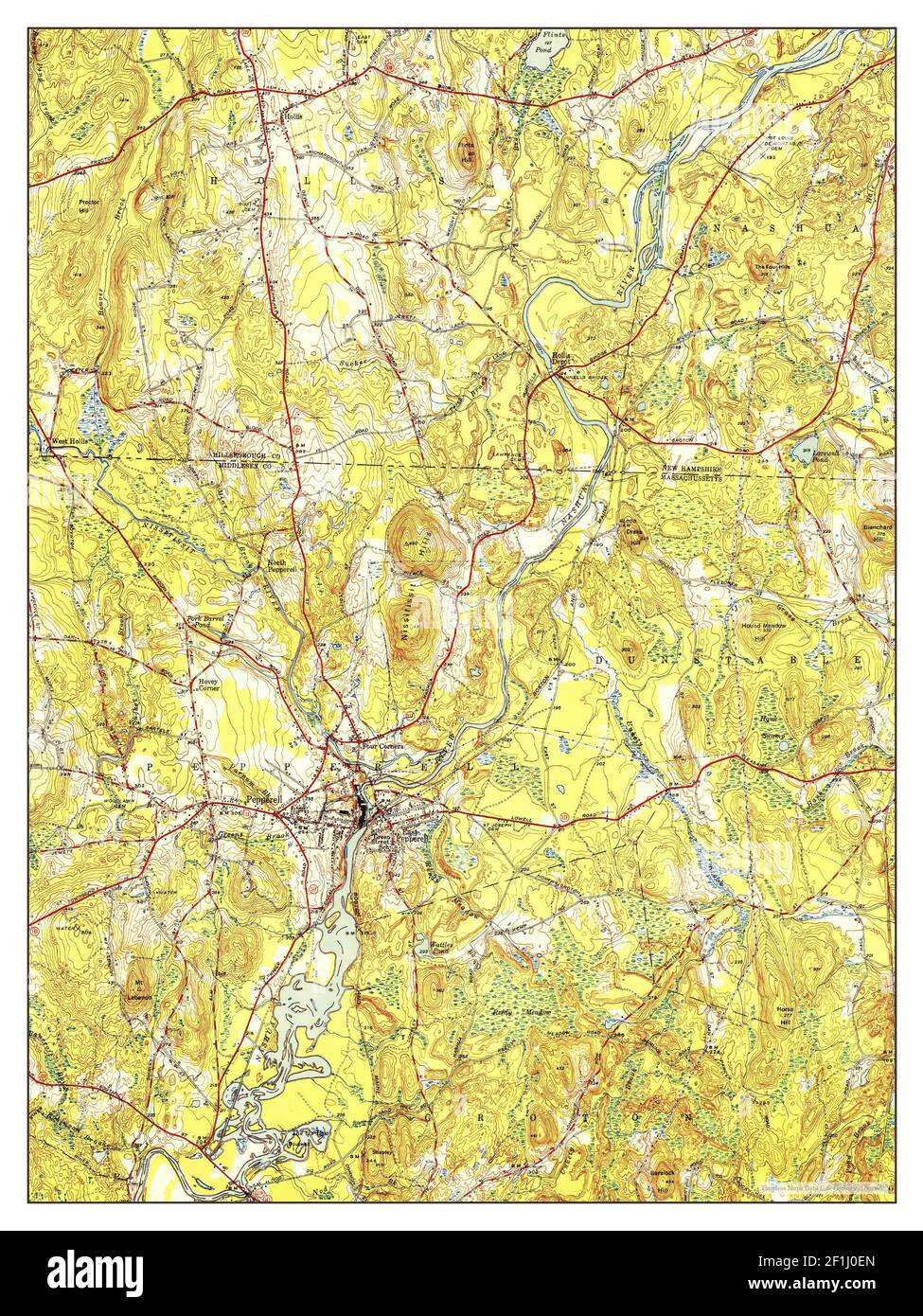 Pepperell, Massachusetts, map 1950, 1:31680, United States of America by Timeless Maps, data U.S. Geological Survey Stock Photohttps://www.alamy.com/image-license-details/?v=1https://www.alamy.com/pepperell-massachusetts-map-1950-131680-united-states-of-america-by-timeless-maps-data-us-geological-survey-image414059037.html
RM2F1J0EN–Pepperell, Massachusetts, map 1950, 1:31680, United States of America by Timeless Maps, data U.S. Geological Survey
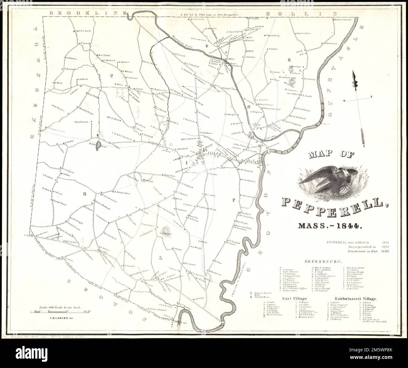 Map of Pepperell, Mass. - 1844. Relief shown by hachures. Includes statistics and references to property owners. Manuscript additions in pencil indicating property owners.... , Massachusetts , Middlesex ,county , Pepperell Stock Photohttps://www.alamy.com/image-license-details/?v=1https://www.alamy.com/map-of-pepperell-mass-1844-relief-shown-by-hachures-includes-statistics-and-references-to-property-owners-manuscript-additions-in-pencil-indicating-property-owners-massachusetts-middlesex-county-pepperell-image502740243.html
RM2M5WP8K–Map of Pepperell, Mass. - 1844. Relief shown by hachures. Includes statistics and references to property owners. Manuscript additions in pencil indicating property owners.... , Massachusetts , Middlesex ,county , Pepperell
 . A gazetteer of the state of Massachusetts : with numerous illustrations. Marlborough,Maynard, Medford, Melrose, Natick, North Reading, Pepperell, Read-ing, Sherborn, Shirley, Stoneham, Stowe, Sudbury, Tewksbury,Townsend, Tyngsborough, Wakefield, Watertown, Wayland, West-ford, Weston, Wilmington and Winchester. The shire towns areCambridge and Lowell. Portions of the county are included inthe 5th Congressional District with certain wards of Boston ; in the6th with Chelsea, Revere and Winthrop, and certain wards of Bos-ton ; in the 8th with four towns of Essex county, and four of Wor-cester Co Stock Photohttps://www.alamy.com/image-license-details/?v=1https://www.alamy.com/a-gazetteer-of-the-state-of-massachusetts-with-numerous-illustrations-marlboroughmaynard-medford-melrose-natick-north-reading-pepperell-read-ing-sherborn-shirley-stoneham-stowe-sudbury-tewksburytownsend-tyngsborough-wakefield-watertown-wayland-west-ford-weston-wilmington-and-winchester-the-shire-towns-arecambridge-and-lowell-portions-of-the-county-are-included-inthe-5th-congressional-district-with-certain-wards-of-boston-in-the6th-with-chelsea-revere-and-winthrop-and-certain-wards-of-bos-ton-in-the-8th-with-four-towns-of-essex-county-and-four-of-wor-cester-co-image370323810.html
RM2CEDKPA–. A gazetteer of the state of Massachusetts : with numerous illustrations. Marlborough,Maynard, Medford, Melrose, Natick, North Reading, Pepperell, Read-ing, Sherborn, Shirley, Stoneham, Stowe, Sudbury, Tewksbury,Townsend, Tyngsborough, Wakefield, Watertown, Wayland, West-ford, Weston, Wilmington and Winchester. The shire towns areCambridge and Lowell. Portions of the county are included inthe 5th Congressional District with certain wards of Boston ; in the6th with Chelsea, Revere and Winthrop, and certain wards of Bos-ton ; in the 8th with four towns of Essex county, and four of Wor-cester Co
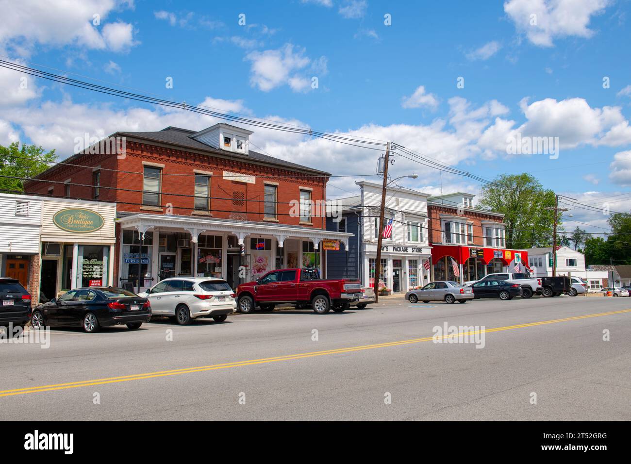 Historic commercial buildings on Main Street in historic town center of Pepperell, Massachusetts MA, USA. Stock Photohttps://www.alamy.com/image-license-details/?v=1https://www.alamy.com/historic-commercial-buildings-on-main-street-in-historic-town-center-of-pepperell-massachusetts-ma-usa-image571072532.html
RF2T52GRG–Historic commercial buildings on Main Street in historic town center of Pepperell, Massachusetts MA, USA.
 Massachusetts USGS Historical Topo Map MA Pepperell 350445 1950 24000 Restoration Stock Photohttps://www.alamy.com/image-license-details/?v=1https://www.alamy.com/massachusetts-usgs-historical-topo-map-ma-pepperell-350445-1950-24000-restoration-image261440328.html
RMW59HPG–Massachusetts USGS Historical Topo Map MA Pepperell 350445 1950 24000 Restoration
 Hiking a woodland trail in Pepperell, Massachusetts. Stock Photohttps://www.alamy.com/image-license-details/?v=1https://www.alamy.com/stock-photo-hiking-a-woodland-trail-in-pepperell-massachusetts-19658355.html
RMB3YEC3–Hiking a woodland trail in Pepperell, Massachusetts.
 Sanborn Fire Insurance Map from East Pepperell, Middlesex County, Massachusetts. Stock Photohttps://www.alamy.com/image-license-details/?v=1https://www.alamy.com/sanborn-fire-insurance-map-from-east-pepperell-middlesex-county-massachusetts-image456381216.html
RM2HEDXW4–Sanborn Fire Insurance Map from East Pepperell, Middlesex County, Massachusetts.
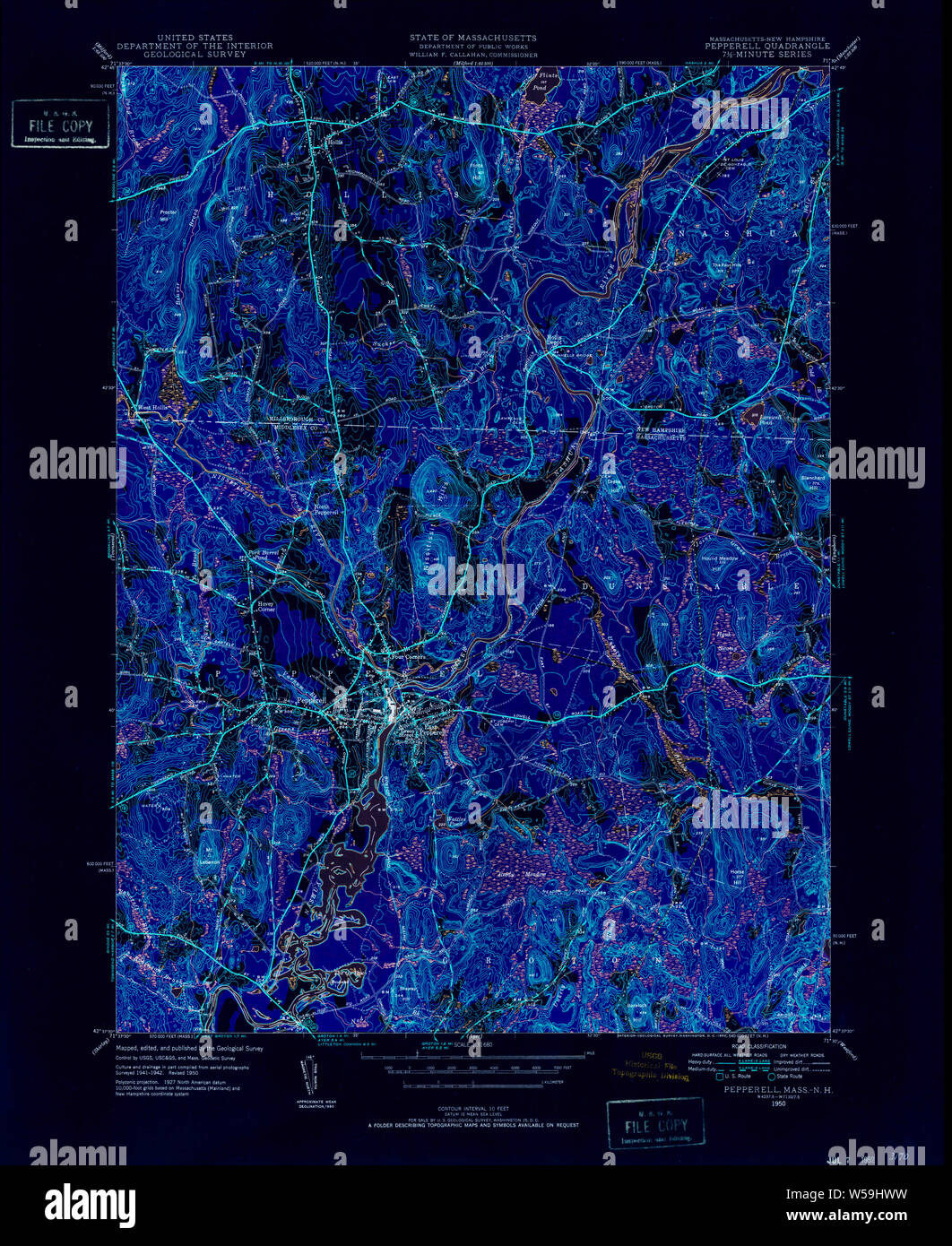 Massachusetts USGS Historical Topo Map MA Pepperell 352054 1950 31680 Inverted Restoration Stock Photohttps://www.alamy.com/image-license-details/?v=1https://www.alamy.com/massachusetts-usgs-historical-topo-map-ma-pepperell-352054-1950-31680-inverted-restoration-image261440421.html
RMW59HWW–Massachusetts USGS Historical Topo Map MA Pepperell 352054 1950 31680 Inverted Restoration
 Hiking a woodland trail in Pepperell, Massachusetts. Stock Photohttps://www.alamy.com/image-license-details/?v=1https://www.alamy.com/stock-photo-hiking-a-woodland-trail-in-pepperell-massachusetts-15963218.html
RMAR7C6Y–Hiking a woodland trail in Pepperell, Massachusetts.
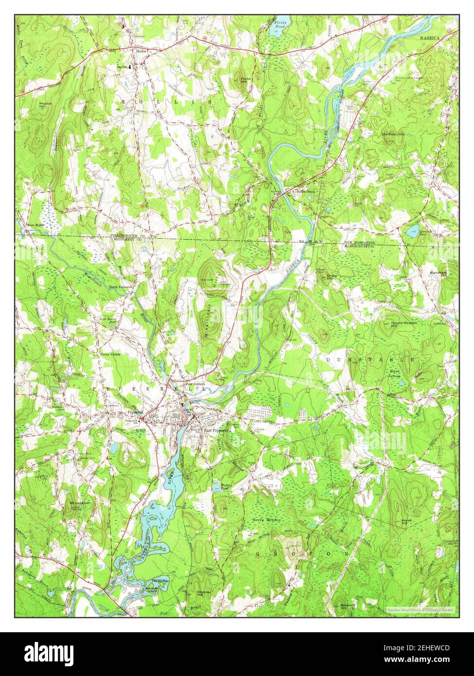 Pepperell, Massachusetts, map 1965, 1:24000, United States of America by Timeless Maps, data U.S. Geological Survey Stock Photohttps://www.alamy.com/image-license-details/?v=1https://www.alamy.com/pepperell-massachusetts-map-1965-124000-united-states-of-america-by-timeless-maps-data-us-geological-survey-image406614893.html
RM2EHEWCD–Pepperell, Massachusetts, map 1965, 1:24000, United States of America by Timeless Maps, data U.S. Geological Survey