Quick filters:
Petrolia map Stock Photos and Images
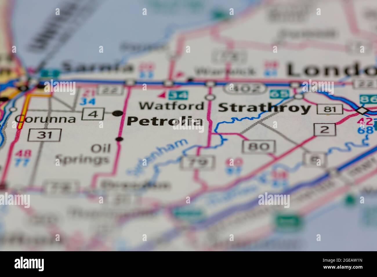 Petrolia Ontario Canada shown on a road map or Geography map Stock Photohttps://www.alamy.com/image-license-details/?v=1https://www.alamy.com/petrolia-ontario-canada-shown-on-a-road-map-or-geography-map-image439103553.html
RM2GEAW1N–Petrolia Ontario Canada shown on a road map or Geography map
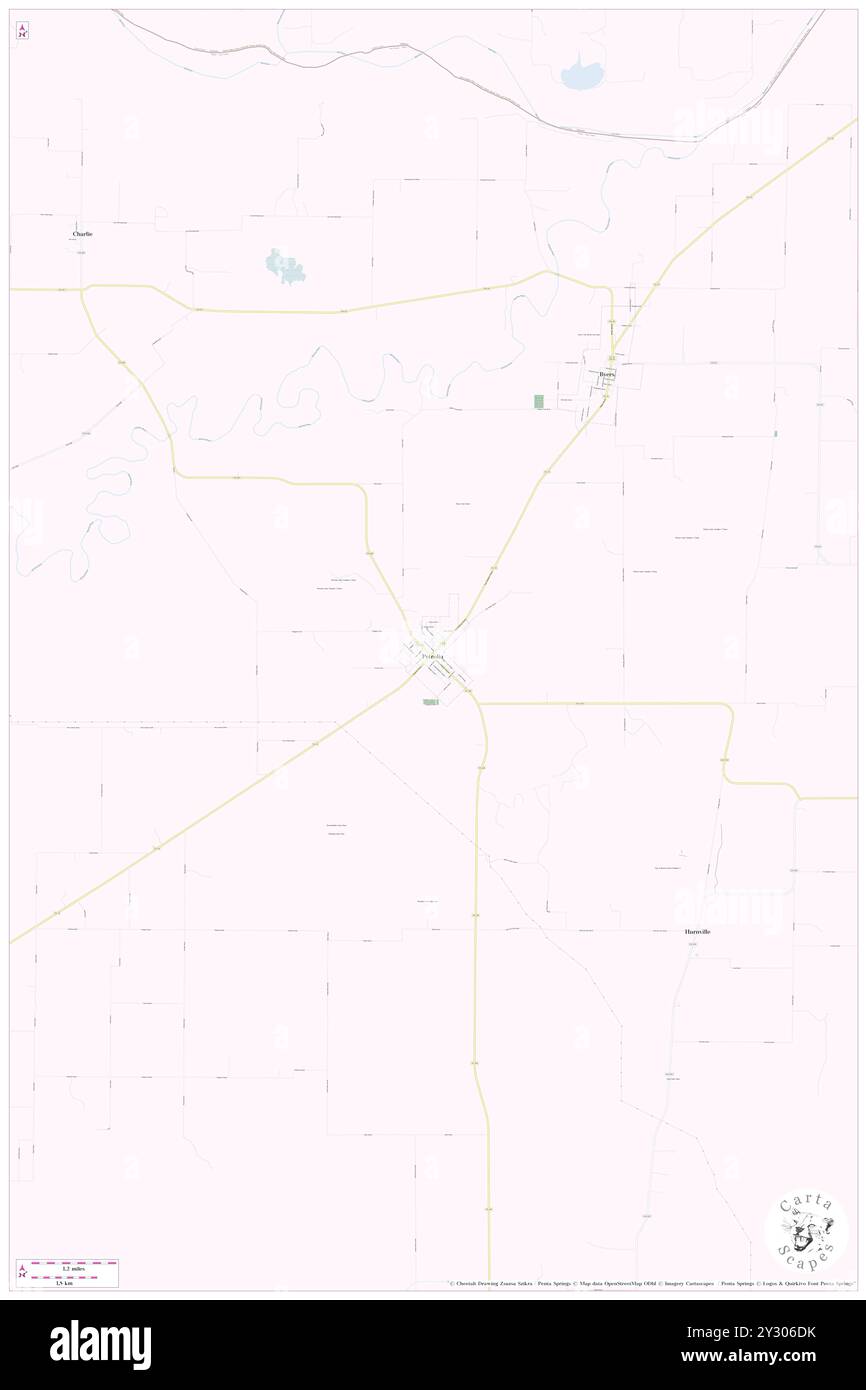 Petrolia, Clay County, US, United States, Texas, N 34 0' 47'', S 98 13' 56'', map, Cartascapes Map published in 2024. Explore Cartascapes, a map revealing Earth's diverse landscapes, cultures, and ecosystems. Journey through time and space, discovering the interconnectedness of our planet's past, present, and future. Stock Photohttps://www.alamy.com/image-license-details/?v=1https://www.alamy.com/petrolia-clay-county-us-united-states-texas-n-34-0-47-s-98-13-56-map-cartascapes-map-published-in-2024-explore-cartascapes-a-map-revealing-earths-diverse-landscapes-cultures-and-ecosystems-journey-through-time-and-space-discovering-the-interconnectedness-of-our-planets-past-present-and-future-image621422303.html
RM2Y306DK–Petrolia, Clay County, US, United States, Texas, N 34 0' 47'', S 98 13' 56'', map, Cartascapes Map published in 2024. Explore Cartascapes, a map revealing Earth's diverse landscapes, cultures, and ecosystems. Journey through time and space, discovering the interconnectedness of our planet's past, present, and future.
 HENRY(1873) p642 GEORGE H. NESBITT, PETROLIA (PA) Stock Photohttps://www.alamy.com/image-license-details/?v=1https://www.alamy.com/stock-photo-henry1873-p642-george-h-nesbitt-petrolia-pa-73580518.html
RME7KTKJ–HENRY(1873) p642 GEORGE H. NESBITT, PETROLIA (PA)
 HENRY(1873) p632 GEORGE H. DIMICK, PETROLIA (PA) Stock Photohttps://www.alamy.com/image-license-details/?v=1https://www.alamy.com/henry1873-p632-george-h-dimick-petrolia-pa-image154605890.html
RMJYEWAX–HENRY(1873) p632 GEORGE H. DIMICK, PETROLIA (PA)
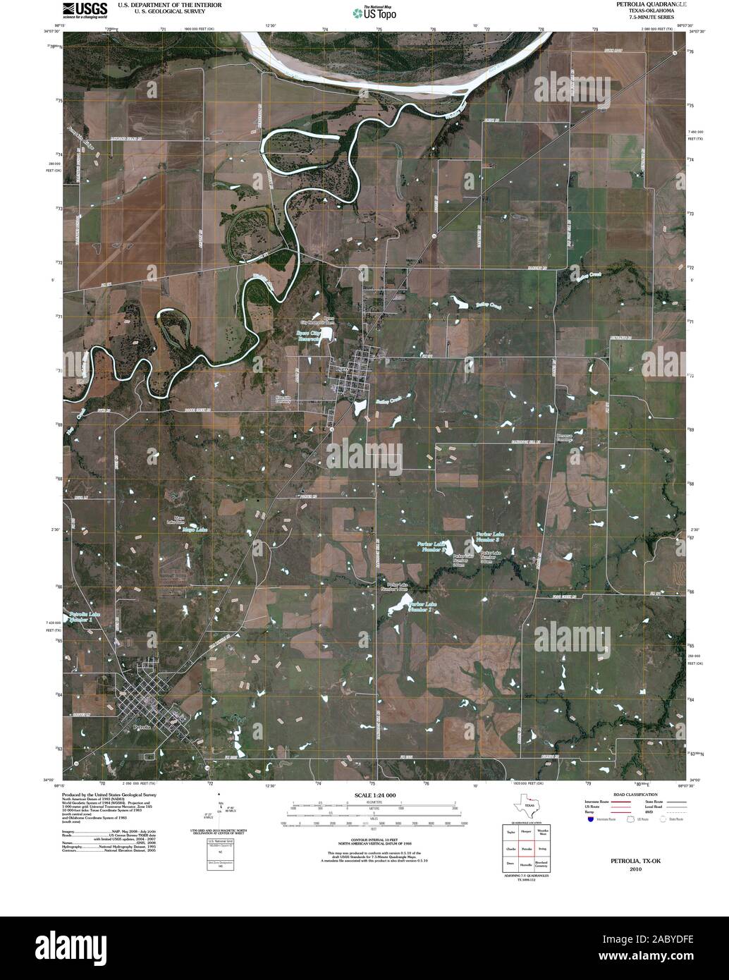 USGS TOPO Map Oklahoma TX Petrolia 20100614 TM Restoration Stock Photohttps://www.alamy.com/image-license-details/?v=1https://www.alamy.com/usgs-topo-map-oklahoma-tx-petrolia-20100614-tm-restoration-image334361538.html
RM2ABYDFE–USGS TOPO Map Oklahoma TX Petrolia 20100614 TM Restoration
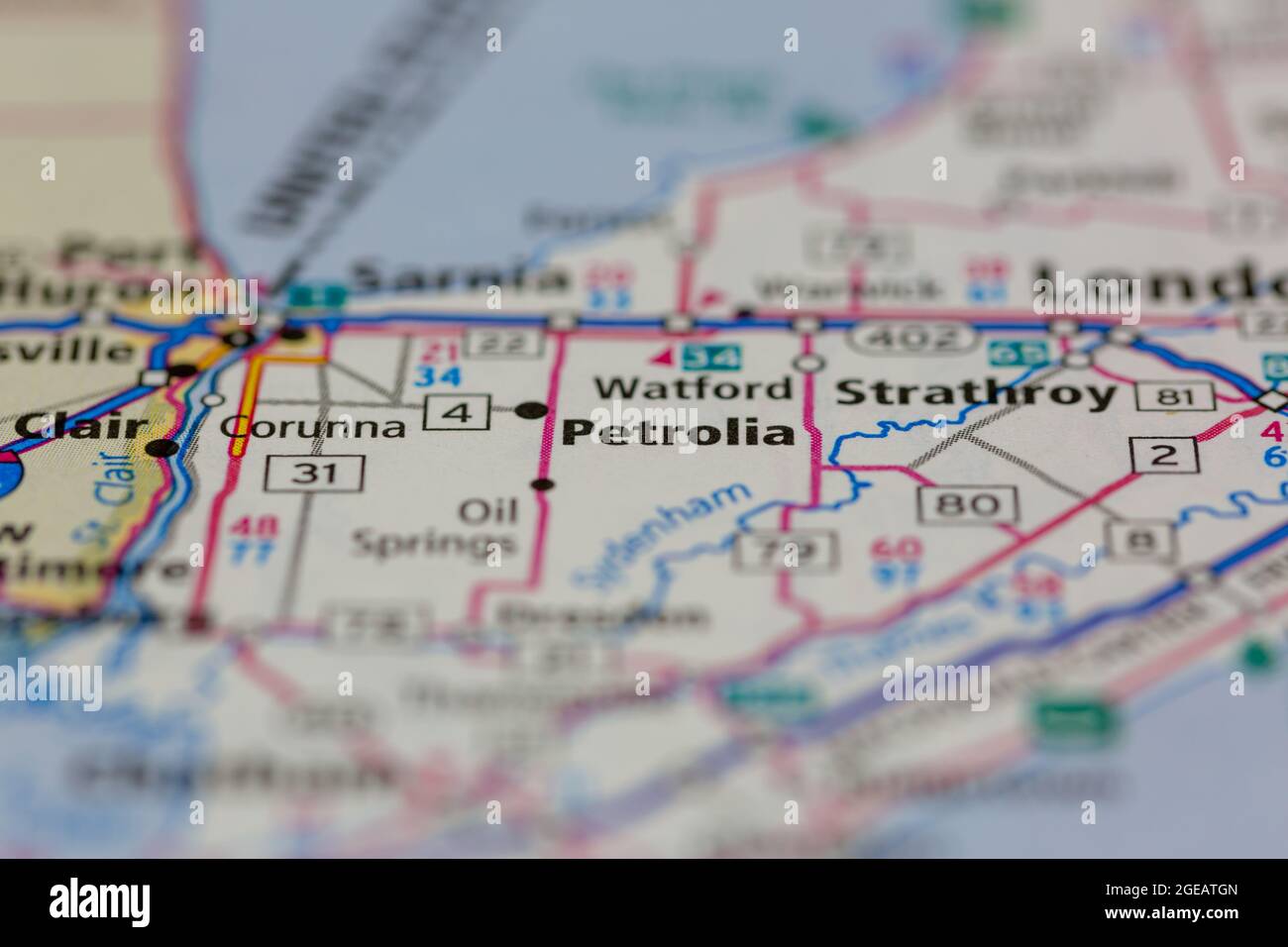 Petrolia Ontario Canada shown on a road map or Geography map Stock Photohttps://www.alamy.com/image-license-details/?v=1https://www.alamy.com/petrolia-ontario-canada-shown-on-a-road-map-or-geography-map-image439103189.html
RM2GEATGN–Petrolia Ontario Canada shown on a road map or Geography map
 Petrolia, Humboldt County, US, United States, California, N 40 19' 31'', S 124 17' 13'', map, Cartascapes Map published in 2024. Explore Cartascapes, a map revealing Earth's diverse landscapes, cultures, and ecosystems. Journey through time and space, discovering the interconnectedness of our planet's past, present, and future. Stock Photohttps://www.alamy.com/image-license-details/?v=1https://www.alamy.com/petrolia-humboldt-county-us-united-states-california-n-40-19-31-s-124-17-13-map-cartascapes-map-published-in-2024-explore-cartascapes-a-map-revealing-earths-diverse-landscapes-cultures-and-ecosystems-journey-through-time-and-space-discovering-the-interconnectedness-of-our-planets-past-present-and-future-image621448981.html
RM2Y31CED–Petrolia, Humboldt County, US, United States, California, N 40 19' 31'', S 124 17' 13'', map, Cartascapes Map published in 2024. Explore Cartascapes, a map revealing Earth's diverse landscapes, cultures, and ecosystems. Journey through time and space, discovering the interconnectedness of our planet's past, present, and future.
 HENRY(1873) p632 GEORGE H. DIMICK, PETROLIA (PA) Stock Photohttps://www.alamy.com/image-license-details/?v=1https://www.alamy.com/stock-photo-henry1873-p632-george-h-dimick-petrolia-pa-73580516.html
RME7KTKG–HENRY(1873) p632 GEORGE H. DIMICK, PETROLIA (PA)
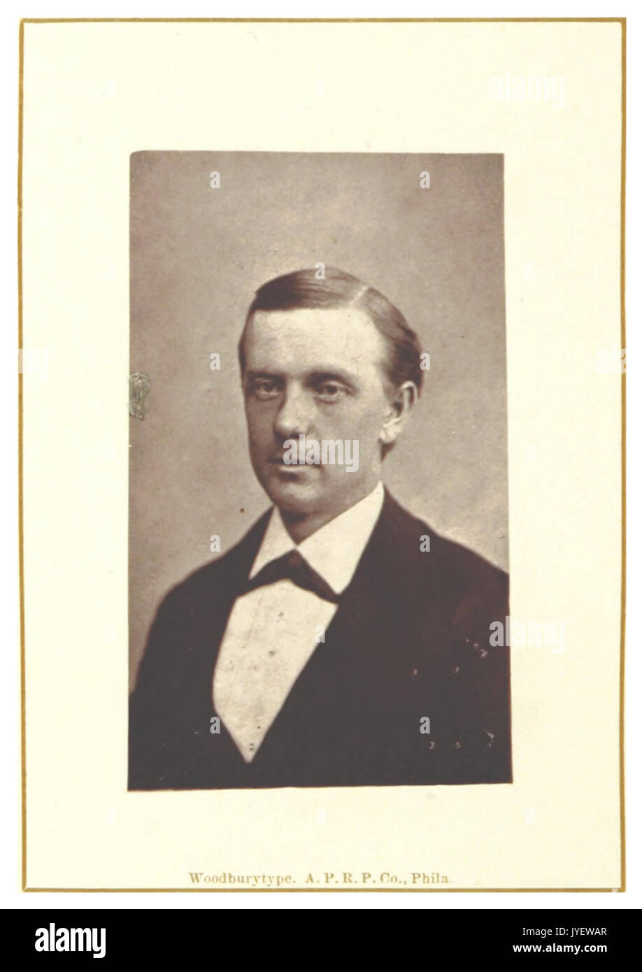 HENRY(1873) p642 GEORGE H. NESBITT, PETROLIA (PA) Stock Photohttps://www.alamy.com/image-license-details/?v=1https://www.alamy.com/henry1873-p642-george-h-nesbitt-petrolia-pa-image154605887.html
RMJYEWAR–HENRY(1873) p642 GEORGE H. NESBITT, PETROLIA (PA)
 USGS TOPO Map Texas TX Petrolia 20121102 TM Restoration Stock Photohttps://www.alamy.com/image-license-details/?v=1https://www.alamy.com/usgs-topo-map-texas-tx-petrolia-20121102-tm-restoration-image332574997.html
RM2A922PD–USGS TOPO Map Texas TX Petrolia 20121102 TM Restoration
 Petrolia, Clay County, US, United States, Texas, N 34 0' 47'', S 98 13' 56'', map, Cartascapes Map published in 2024. Explore Cartascapes, a map revealing Earth's diverse landscapes, cultures, and ecosystems. Journey through time and space, discovering the interconnectedness of our planet's past, present, and future. Stock Photohttps://www.alamy.com/image-license-details/?v=1https://www.alamy.com/petrolia-clay-county-us-united-states-texas-n-34-0-47-s-98-13-56-map-cartascapes-map-published-in-2024-explore-cartascapes-a-map-revealing-earths-diverse-landscapes-cultures-and-ecosystems-journey-through-time-and-space-discovering-the-interconnectedness-of-our-planets-past-present-and-future-image621260101.html
RM2Y2MRGN–Petrolia, Clay County, US, United States, Texas, N 34 0' 47'', S 98 13' 56'', map, Cartascapes Map published in 2024. Explore Cartascapes, a map revealing Earth's diverse landscapes, cultures, and ecosystems. Journey through time and space, discovering the interconnectedness of our planet's past, present, and future.
 HENRY(1873) p632 GEORGE H. DIMICK, PETROLIA (PA) Stock Photohttps://www.alamy.com/image-license-details/?v=1https://www.alamy.com/stock-photo-henry1873-p632-george-h-dimick-petrolia-pa-74877449.html
RME9PXXH–HENRY(1873) p632 GEORGE H. DIMICK, PETROLIA (PA)
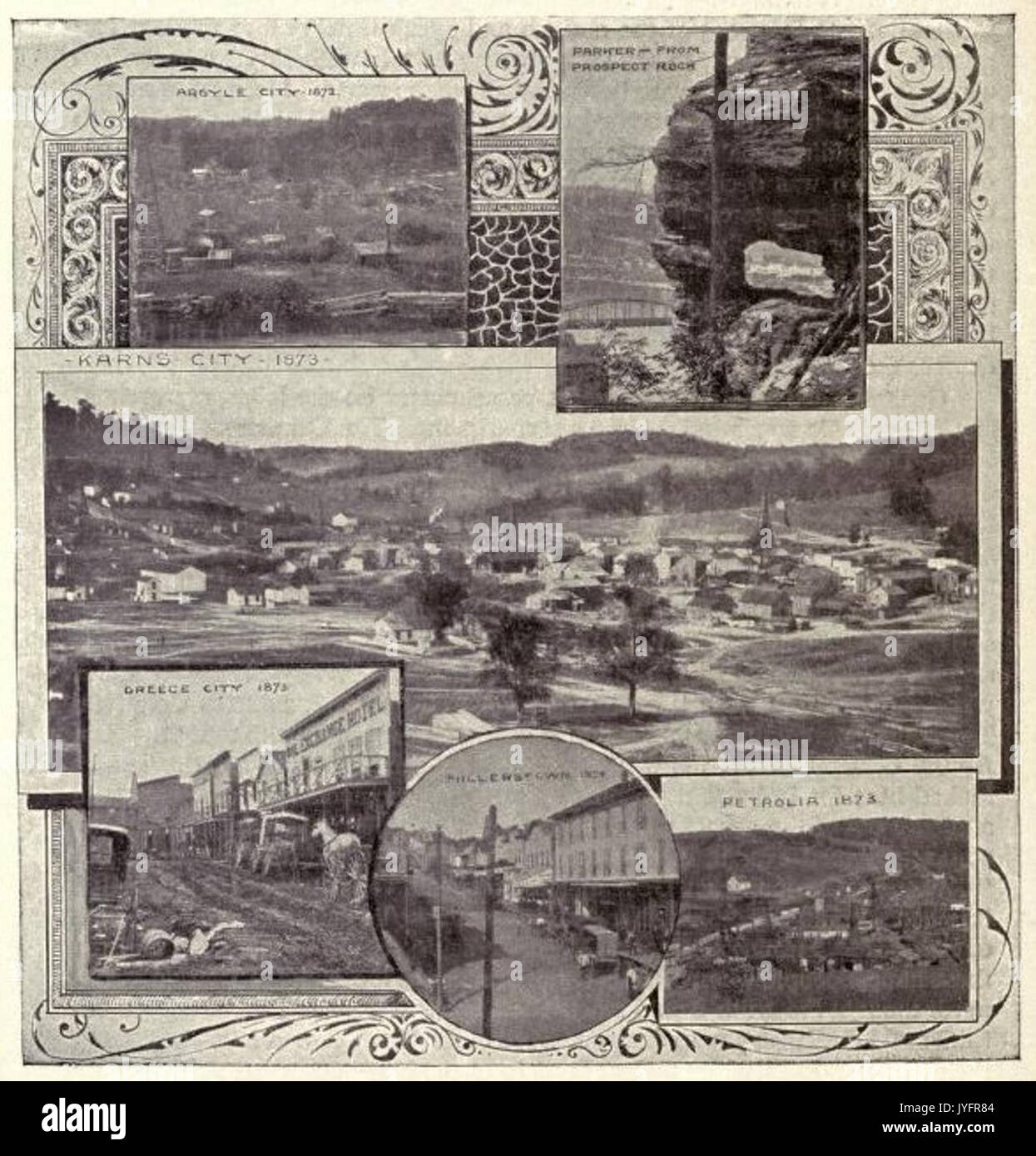 McLaurin(1902) pic.162 Petrolia and other Settlements in Butler County, PA Stock Photohttps://www.alamy.com/image-license-details/?v=1https://www.alamy.com/mclaurin1902-pic162-petrolia-and-other-settlements-in-butler-county-image154626196.html
RMJYFR84–McLaurin(1902) pic.162 Petrolia and other Settlements in Butler County, PA
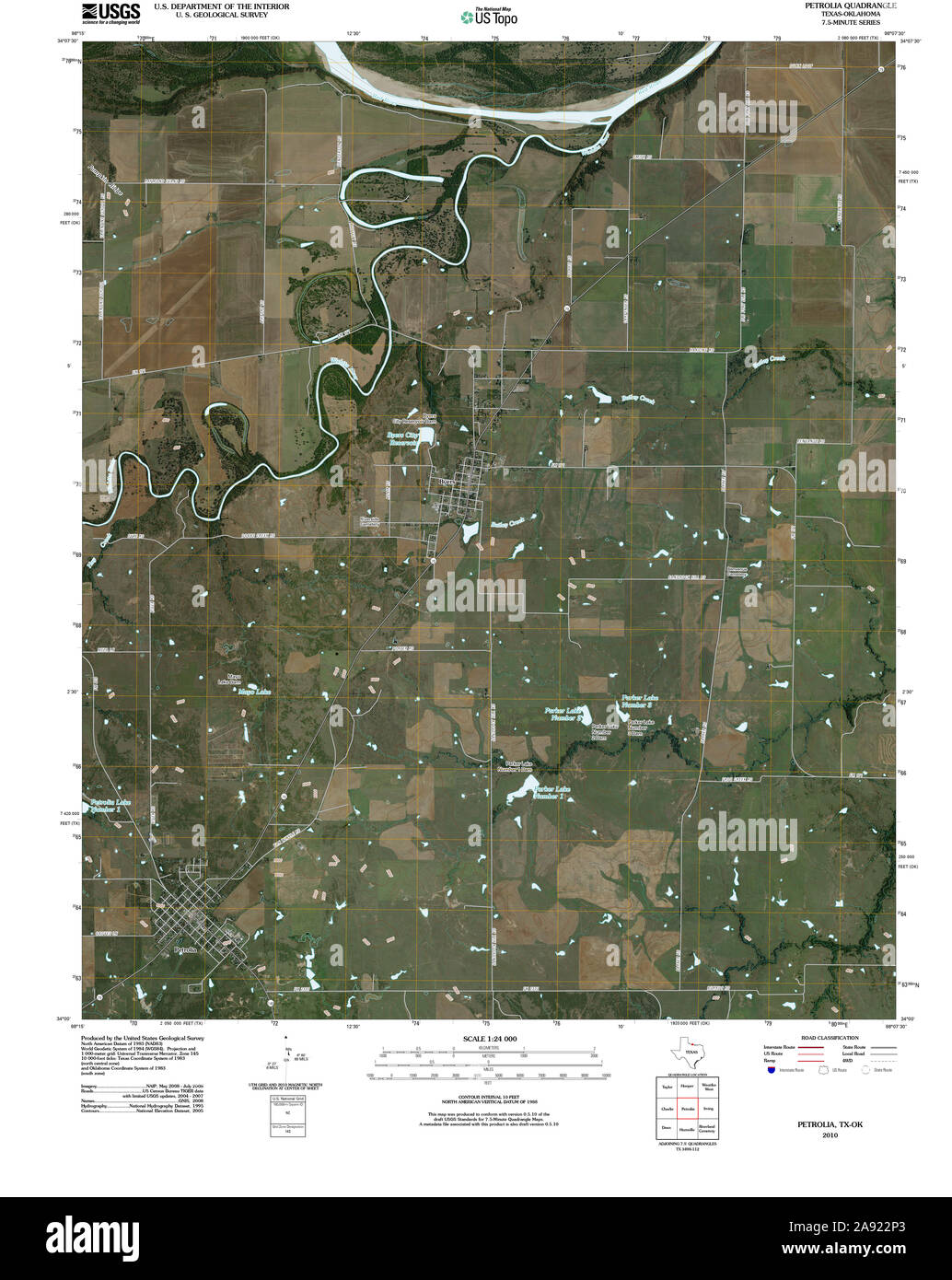 USGS TOPO Map Texas TX Petrolia 20100614 TM Restoration Stock Photohttps://www.alamy.com/image-license-details/?v=1https://www.alamy.com/usgs-topo-map-texas-tx-petrolia-20100614-tm-restoration-image332574987.html
RM2A922P3–USGS TOPO Map Texas TX Petrolia 20100614 TM Restoration
 Petrolia, Allen County, US, United States, Kansas, N 37 44' 45'', S 95 28' 17'', map, Cartascapes Map published in 2024. Explore Cartascapes, a map revealing Earth's diverse landscapes, cultures, and ecosystems. Journey through time and space, discovering the interconnectedness of our planet's past, present, and future. Stock Photohttps://www.alamy.com/image-license-details/?v=1https://www.alamy.com/petrolia-allen-county-us-united-states-kansas-n-37-44-45-s-95-28-17-map-cartascapes-map-published-in-2024-explore-cartascapes-a-map-revealing-earths-diverse-landscapes-cultures-and-ecosystems-journey-through-time-and-space-discovering-the-interconnectedness-of-our-planets-past-present-and-future-image621204781.html
RM2Y2J911–Petrolia, Allen County, US, United States, Kansas, N 37 44' 45'', S 95 28' 17'', map, Cartascapes Map published in 2024. Explore Cartascapes, a map revealing Earth's diverse landscapes, cultures, and ecosystems. Journey through time and space, discovering the interconnectedness of our planet's past, present, and future.
 HENRY(1873) p642 GEORGE H. NESBITT, PETROLIA (PA) Stock Photohttps://www.alamy.com/image-license-details/?v=1https://www.alamy.com/stock-photo-henry1873-p642-george-h-nesbitt-petrolia-pa-74877450.html
RME9PXXJ–HENRY(1873) p642 GEORGE H. NESBITT, PETROLIA (PA)
 USGS TOPO Map Oklahoma TX Petrolia 20121102 TM Restoration Stock Photohttps://www.alamy.com/image-license-details/?v=1https://www.alamy.com/usgs-topo-map-oklahoma-tx-petrolia-20121102-tm-restoration-image334361635.html
RM2ABYDJY–USGS TOPO Map Oklahoma TX Petrolia 20121102 TM Restoration
 Petrolia, Butler County, US, United States, Pennsylvania, N 41 1' 0'', S 79 43' 3'', map, Cartascapes Map published in 2024. Explore Cartascapes, a map revealing Earth's diverse landscapes, cultures, and ecosystems. Journey through time and space, discovering the interconnectedness of our planet's past, present, and future. Stock Photohttps://www.alamy.com/image-license-details/?v=1https://www.alamy.com/petrolia-butler-county-us-united-states-pennsylvania-n-41-1-0-s-79-43-3-map-cartascapes-map-published-in-2024-explore-cartascapes-a-map-revealing-earths-diverse-landscapes-cultures-and-ecosystems-journey-through-time-and-space-discovering-the-interconnectedness-of-our-planets-past-present-and-future-image621188309.html
RM2Y2HG0N–Petrolia, Butler County, US, United States, Pennsylvania, N 41 1' 0'', S 79 43' 3'', map, Cartascapes Map published in 2024. Explore Cartascapes, a map revealing Earth's diverse landscapes, cultures, and ecosystems. Journey through time and space, discovering the interconnectedness of our planet's past, present, and future.
 HENRY(1873) p642 GEORGE H. NESBITT, PETROLIA (PA) Stock Photohttps://www.alamy.com/image-license-details/?v=1https://www.alamy.com/stock-photo-henry1873-p642-george-h-nesbitt-petrolia-pa-75167432.html
RMEA84R4–HENRY(1873) p642 GEORGE H. NESBITT, PETROLIA (PA)
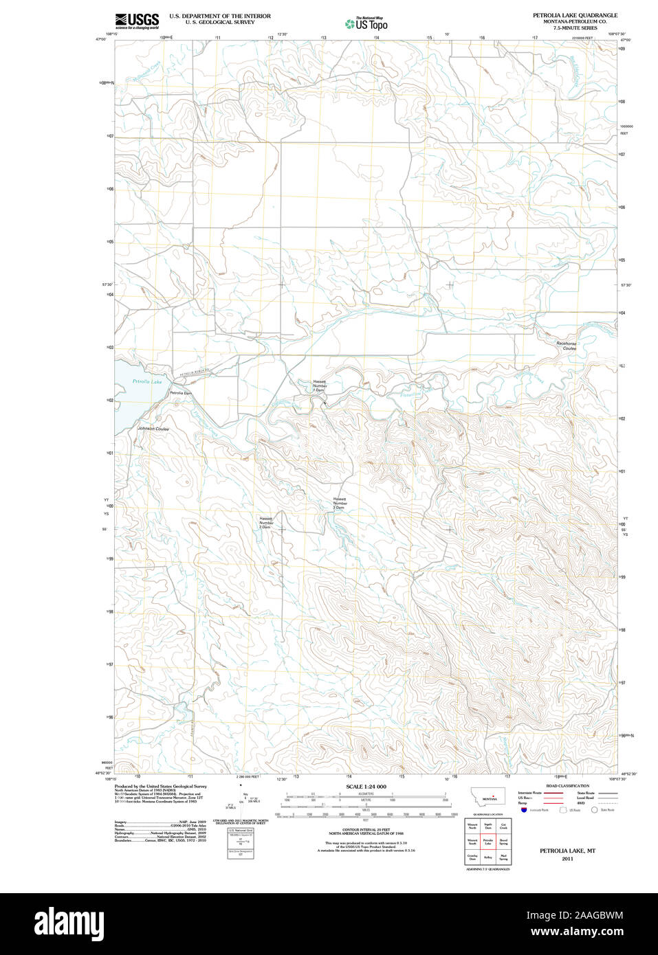 USGS TOPO Map Montana MT Petrolia Lake 20110613 TM Restoration Stock Photohttps://www.alamy.com/image-license-details/?v=1https://www.alamy.com/usgs-topo-map-montana-mt-petrolia-lake-20110613-tm-restoration-image333504128.html
RM2AAGBWM–USGS TOPO Map Montana MT Petrolia Lake 20110613 TM Restoration
 Byers-Petrolia, Clay County, US, United States, Texas, N 34 0' 57'', S 98 15' 21'', map, Cartascapes Map published in 2024. Explore Cartascapes, a map revealing Earth's diverse landscapes, cultures, and ecosystems. Journey through time and space, discovering the interconnectedness of our planet's past, present, and future. Stock Photohttps://www.alamy.com/image-license-details/?v=1https://www.alamy.com/byers-petrolia-clay-county-us-united-states-texas-n-34-0-57-s-98-15-21-map-cartascapes-map-published-in-2024-explore-cartascapes-a-map-revealing-earths-diverse-landscapes-cultures-and-ecosystems-journey-through-time-and-space-discovering-the-interconnectedness-of-our-planets-past-present-and-future-image621208372.html
RM2Y2JDH8–Byers-Petrolia, Clay County, US, United States, Texas, N 34 0' 57'', S 98 15' 21'', map, Cartascapes Map published in 2024. Explore Cartascapes, a map revealing Earth's diverse landscapes, cultures, and ecosystems. Journey through time and space, discovering the interconnectedness of our planet's past, present, and future.
 HENRY(1873) p632 GEORGE H. DIMICK, PETROLIA (PA) Stock Photohttps://www.alamy.com/image-license-details/?v=1https://www.alamy.com/stock-photo-henry1873-p632-george-h-dimick-petrolia-pa-75167427.html
RMEA84PY–HENRY(1873) p632 GEORGE H. DIMICK, PETROLIA (PA)
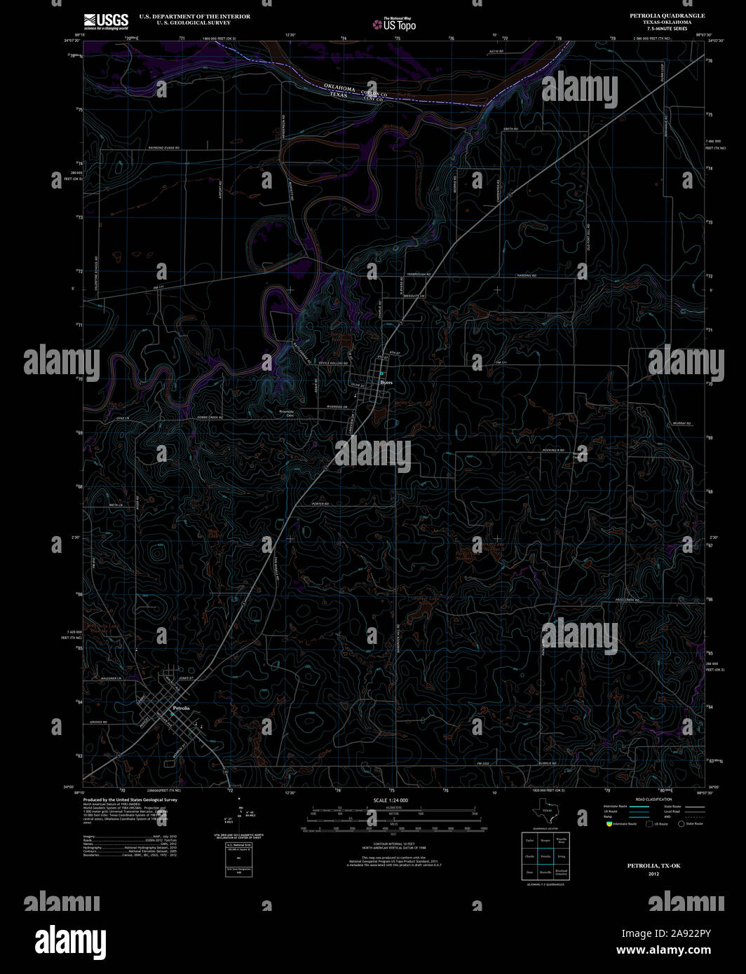 USGS TOPO Map Texas TX Petrolia 20121102 TM Inverted Restoration Stock Photohttps://www.alamy.com/image-license-details/?v=1https://www.alamy.com/usgs-topo-map-texas-tx-petrolia-20121102-tm-inverted-restoration-image332575011.html
RM2A922PY–USGS TOPO Map Texas TX Petrolia 20121102 TM Inverted Restoration
 Petrolia, Butler County, US, United States, Pennsylvania, N 41 1' 0'', S 79 43' 3'', map, Cartascapes Map published in 2024. Explore Cartascapes, a map revealing Earth's diverse landscapes, cultures, and ecosystems. Journey through time and space, discovering the interconnectedness of our planet's past, present, and future. Stock Photohttps://www.alamy.com/image-license-details/?v=1https://www.alamy.com/petrolia-butler-county-us-united-states-pennsylvania-n-41-1-0-s-79-43-3-map-cartascapes-map-published-in-2024-explore-cartascapes-a-map-revealing-earths-diverse-landscapes-cultures-and-ecosystems-journey-through-time-and-space-discovering-the-interconnectedness-of-our-planets-past-present-and-future-image620822001.html
RM2Y20TP9–Petrolia, Butler County, US, United States, Pennsylvania, N 41 1' 0'', S 79 43' 3'', map, Cartascapes Map published in 2024. Explore Cartascapes, a map revealing Earth's diverse landscapes, cultures, and ecosystems. Journey through time and space, discovering the interconnectedness of our planet's past, present, and future.
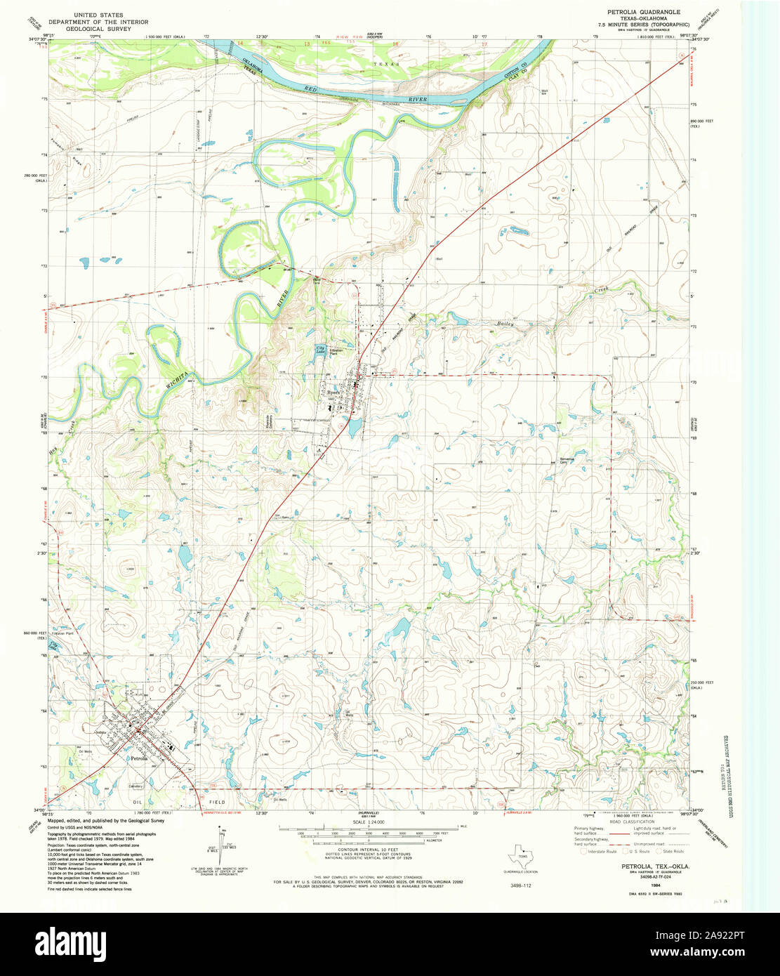 USGS TOPO Map Texas TX Petrolia 117483 1984 24000 Restoration Stock Photohttps://www.alamy.com/image-license-details/?v=1https://www.alamy.com/usgs-topo-map-texas-tx-petrolia-117483-1984-24000-restoration-image332575008.html
RM2A922PT–USGS TOPO Map Texas TX Petrolia 117483 1984 24000 Restoration
 Petrolia, Lawrence County, US, United States, Illinois, N 38 45' 38'', S 87 46' 44'', map, Cartascapes Map published in 2024. Explore Cartascapes, a map revealing Earth's diverse landscapes, cultures, and ecosystems. Journey through time and space, discovering the interconnectedness of our planet's past, present, and future. Stock Photohttps://www.alamy.com/image-license-details/?v=1https://www.alamy.com/petrolia-lawrence-county-us-united-states-illinois-n-38-45-38-s-87-46-44-map-cartascapes-map-published-in-2024-explore-cartascapes-a-map-revealing-earths-diverse-landscapes-cultures-and-ecosystems-journey-through-time-and-space-discovering-the-interconnectedness-of-our-planets-past-present-and-future-image620827611.html
RM2Y213XK–Petrolia, Lawrence County, US, United States, Illinois, N 38 45' 38'', S 87 46' 44'', map, Cartascapes Map published in 2024. Explore Cartascapes, a map revealing Earth's diverse landscapes, cultures, and ecosystems. Journey through time and space, discovering the interconnectedness of our planet's past, present, and future.
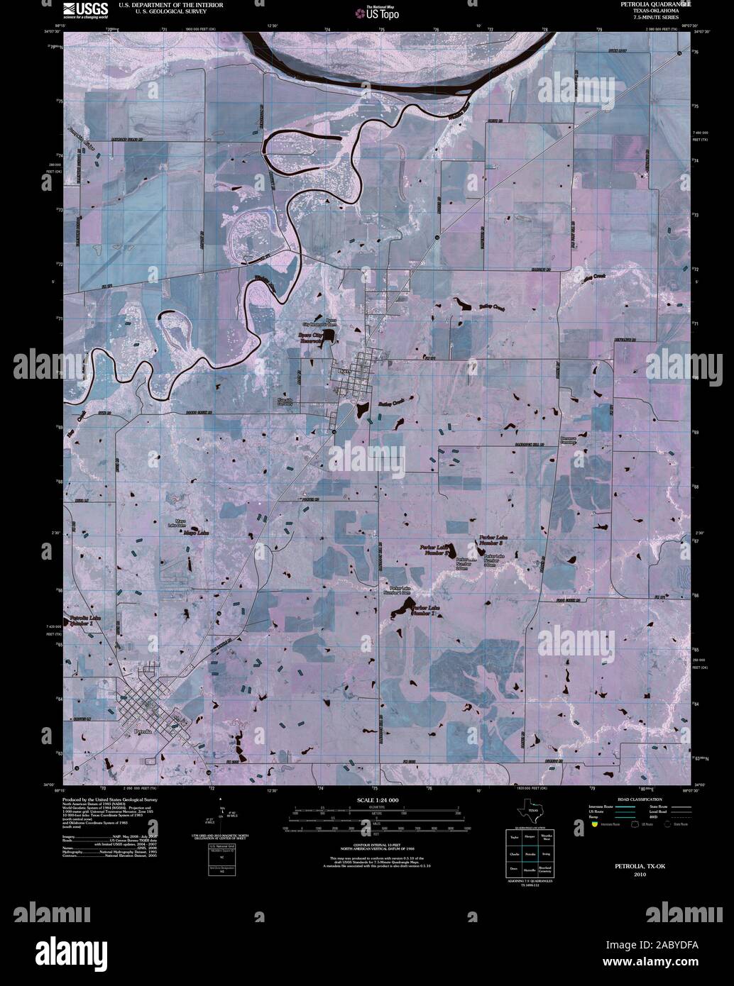 USGS TOPO Map Oklahoma TX Petrolia 20100614 TM Inverted Restoration Stock Photohttps://www.alamy.com/image-license-details/?v=1https://www.alamy.com/usgs-topo-map-oklahoma-tx-petrolia-20100614-tm-inverted-restoration-image334361534.html
RM2ABYDFA–USGS TOPO Map Oklahoma TX Petrolia 20100614 TM Inverted Restoration
 Petrolia, Allegany County, US, United States, New York, N 42 5' 22'', S 78 1' 6'', map, Cartascapes Map published in 2024. Explore Cartascapes, a map revealing Earth's diverse landscapes, cultures, and ecosystems. Journey through time and space, discovering the interconnectedness of our planet's past, present, and future. Stock Photohttps://www.alamy.com/image-license-details/?v=1https://www.alamy.com/petrolia-allegany-county-us-united-states-new-york-n-42-5-22-s-78-1-6-map-cartascapes-map-published-in-2024-explore-cartascapes-a-map-revealing-earths-diverse-landscapes-cultures-and-ecosystems-journey-through-time-and-space-discovering-the-interconnectedness-of-our-planets-past-present-and-future-image620865520.html
RM2Y22T8G–Petrolia, Allegany County, US, United States, New York, N 42 5' 22'', S 78 1' 6'', map, Cartascapes Map published in 2024. Explore Cartascapes, a map revealing Earth's diverse landscapes, cultures, and ecosystems. Journey through time and space, discovering the interconnectedness of our planet's past, present, and future.
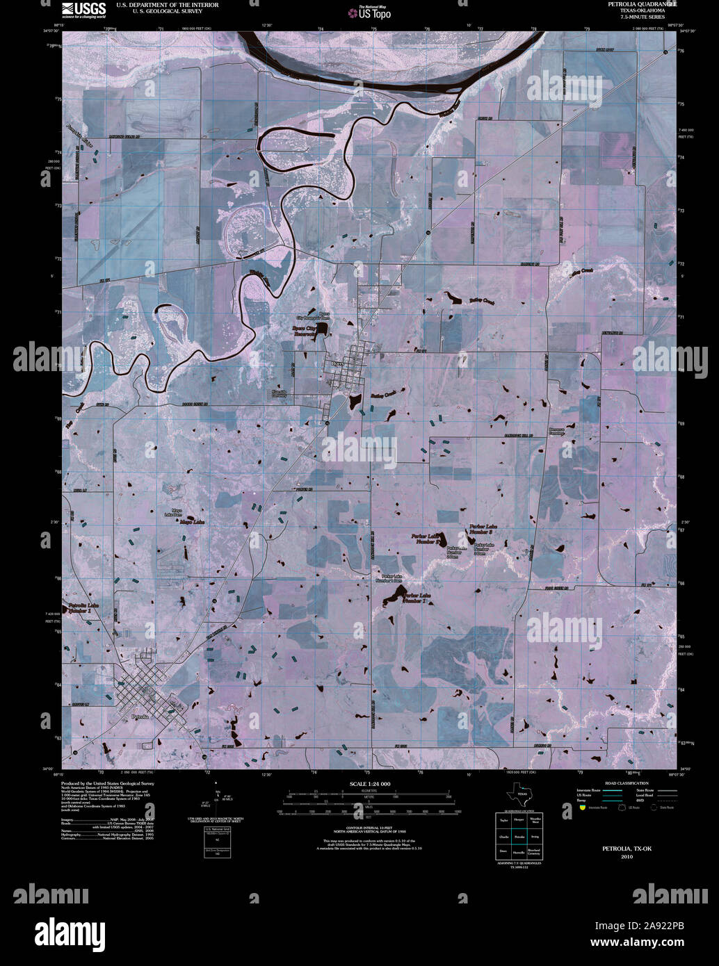 USGS TOPO Map Texas TX Petrolia 20100614 TM Inverted Restoration Stock Photohttps://www.alamy.com/image-license-details/?v=1https://www.alamy.com/usgs-topo-map-texas-tx-petrolia-20100614-tm-inverted-restoration-image332574995.html
RM2A922PB–USGS TOPO Map Texas TX Petrolia 20100614 TM Inverted Restoration
 Petrolia, Lambton County, Canada, Ontario, N 42 52' 0'', W 82 8' 59'', map, Timeless Map published in 2021. Travelers, explorers and adventurers like Florence Nightingale, David Livingstone, Ernest Shackleton, Lewis and Clark and Sherlock Holmes relied on maps to plan travels to the world's most remote corners, Timeless Maps is mapping most locations on the globe, showing the achievement of great dreams Stock Photohttps://www.alamy.com/image-license-details/?v=1https://www.alamy.com/petrolia-lambton-county-canada-ontario-n-42-52-0-w-82-8-59-map-timeless-map-published-in-2021-travelers-explorers-and-adventurers-like-florence-nightingale-david-livingstone-ernest-shackleton-lewis-and-clark-and-sherlock-holmes-relied-on-maps-to-plan-travels-to-the-worlds-most-remote-corners-timeless-maps-is-mapping-most-locations-on-the-globe-showing-the-achievement-of-great-dreams-image457878379.html
RM2HGX4F7–Petrolia, Lambton County, Canada, Ontario, N 42 52' 0'', W 82 8' 59'', map, Timeless Map published in 2021. Travelers, explorers and adventurers like Florence Nightingale, David Livingstone, Ernest Shackleton, Lewis and Clark and Sherlock Holmes relied on maps to plan travels to the world's most remote corners, Timeless Maps is mapping most locations on the globe, showing the achievement of great dreams
 USGS TOPO Map Oklahoma TX Petrolia 20121102 TM Inverted Restoration Stock Photohttps://www.alamy.com/image-license-details/?v=1https://www.alamy.com/usgs-topo-map-oklahoma-tx-petrolia-20121102-tm-inverted-restoration-image334361617.html
RM2ABYDJ9–USGS TOPO Map Oklahoma TX Petrolia 20121102 TM Inverted Restoration
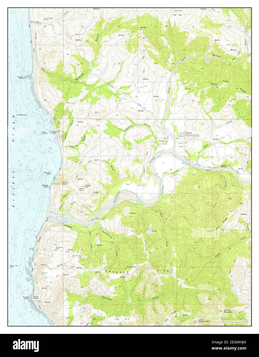 Petrolia, California, map 1969, 1:24000, United States of America by Timeless Maps, data U.S. Geological Survey Stock Photohttps://www.alamy.com/image-license-details/?v=1https://www.alamy.com/petrolia-california-map-1969-124000-united-states-of-america-by-timeless-maps-data-us-geological-survey-image406125853.html
RM2EGMHJN–Petrolia, California, map 1969, 1:24000, United States of America by Timeless Maps, data U.S. Geological Survey
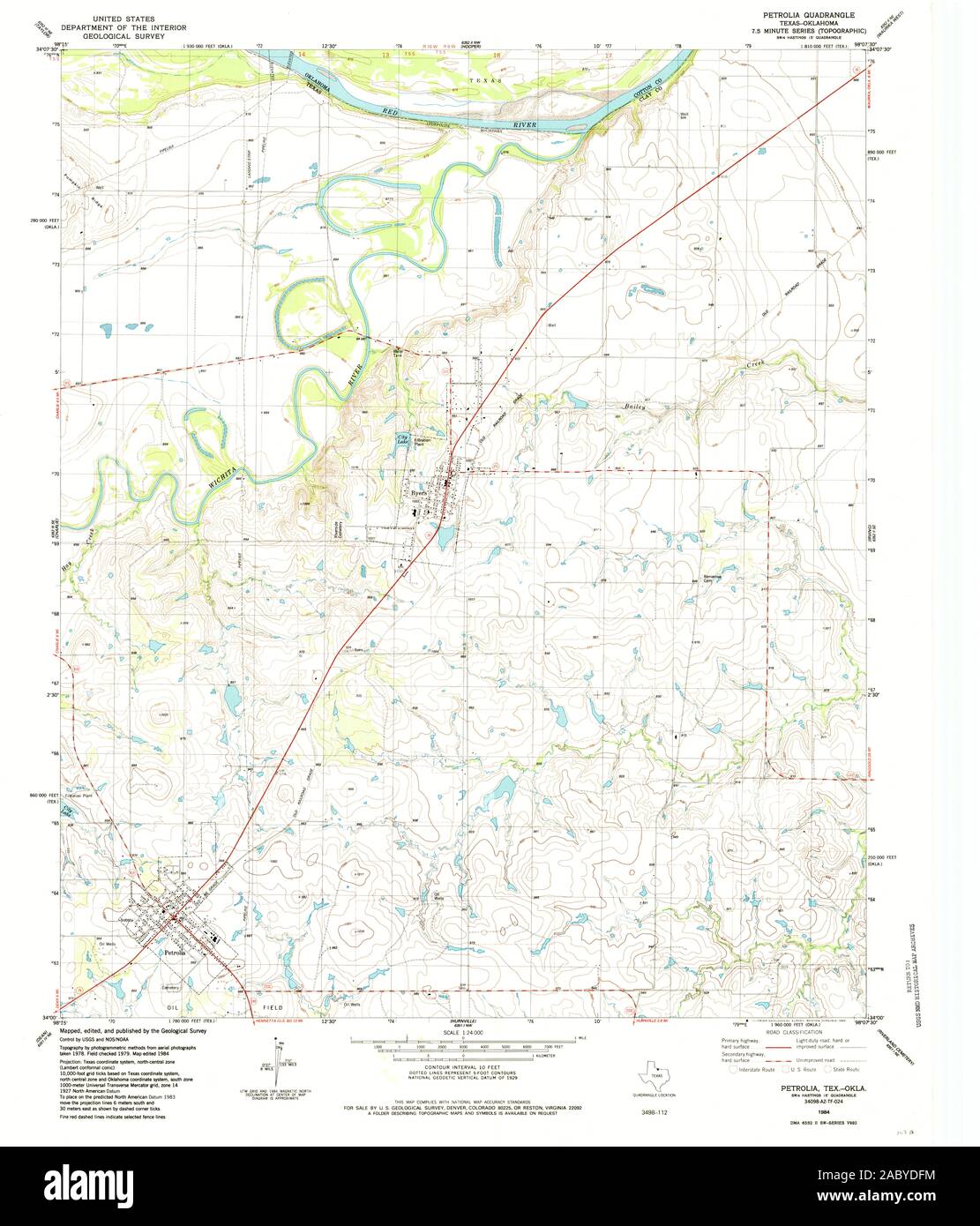 USGS TOPO Map Oklahoma TX Petrolia 117483 1984 24000 Restoration Stock Photohttps://www.alamy.com/image-license-details/?v=1https://www.alamy.com/usgs-topo-map-oklahoma-tx-petrolia-117483-1984-24000-restoration-image334361544.html
RM2ABYDFM–USGS TOPO Map Oklahoma TX Petrolia 117483 1984 24000 Restoration
 Petrolia, Texas, map 1984, 1:24000, United States of America by Timeless Maps, data U.S. Geological Survey Stock Photohttps://www.alamy.com/image-license-details/?v=1https://www.alamy.com/petrolia-texas-map-1984-124000-united-states-of-america-by-timeless-maps-data-us-geological-survey-image406988489.html
RM2EJ3WY5–Petrolia, Texas, map 1984, 1:24000, United States of America by Timeless Maps, data U.S. Geological Survey
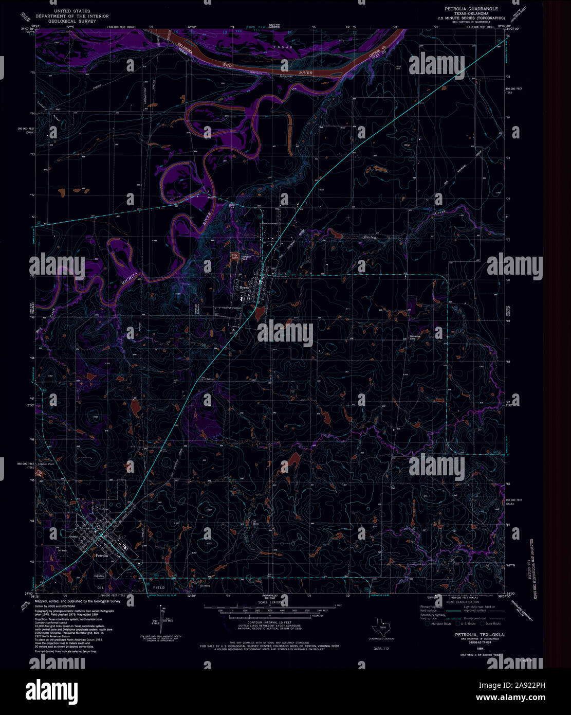 USGS TOPO Map Texas TX Petrolia 117483 1984 24000 Inverted Restoration Stock Photohttps://www.alamy.com/image-license-details/?v=1https://www.alamy.com/usgs-topo-map-texas-tx-petrolia-117483-1984-24000-inverted-restoration-image332575001.html
RM2A922PH–USGS TOPO Map Texas TX Petrolia 117483 1984 24000 Inverted Restoration
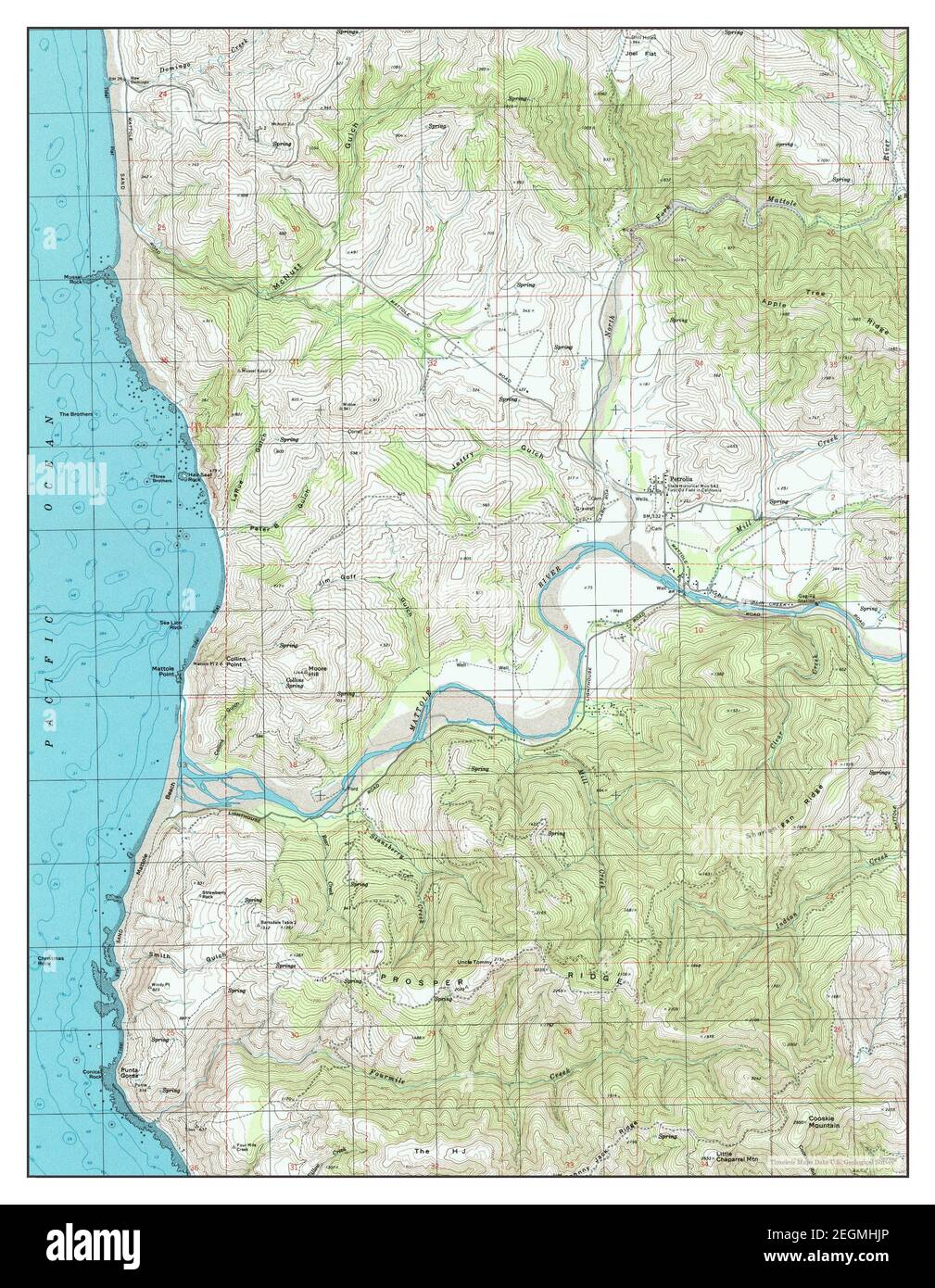 Petrolia, California, map 1997, 1:24000, United States of America by Timeless Maps, data U.S. Geological Survey Stock Photohttps://www.alamy.com/image-license-details/?v=1https://www.alamy.com/petrolia-california-map-1997-124000-united-states-of-america-by-timeless-maps-data-us-geological-survey-image406125854.html
RM2EGMHJP–Petrolia, California, map 1997, 1:24000, United States of America by Timeless Maps, data U.S. Geological Survey
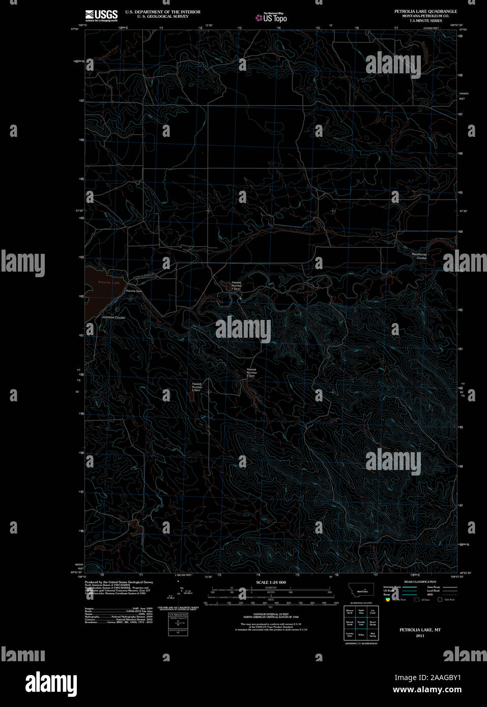 USGS TOPO Map Montana MT Petrolia Lake 20110613 TM Inverted Restoration Stock Photohttps://www.alamy.com/image-license-details/?v=1https://www.alamy.com/usgs-topo-map-montana-mt-petrolia-lake-20110613-tm-inverted-restoration-image333504165.html
RM2AAGBY1–USGS TOPO Map Montana MT Petrolia Lake 20110613 TM Inverted Restoration
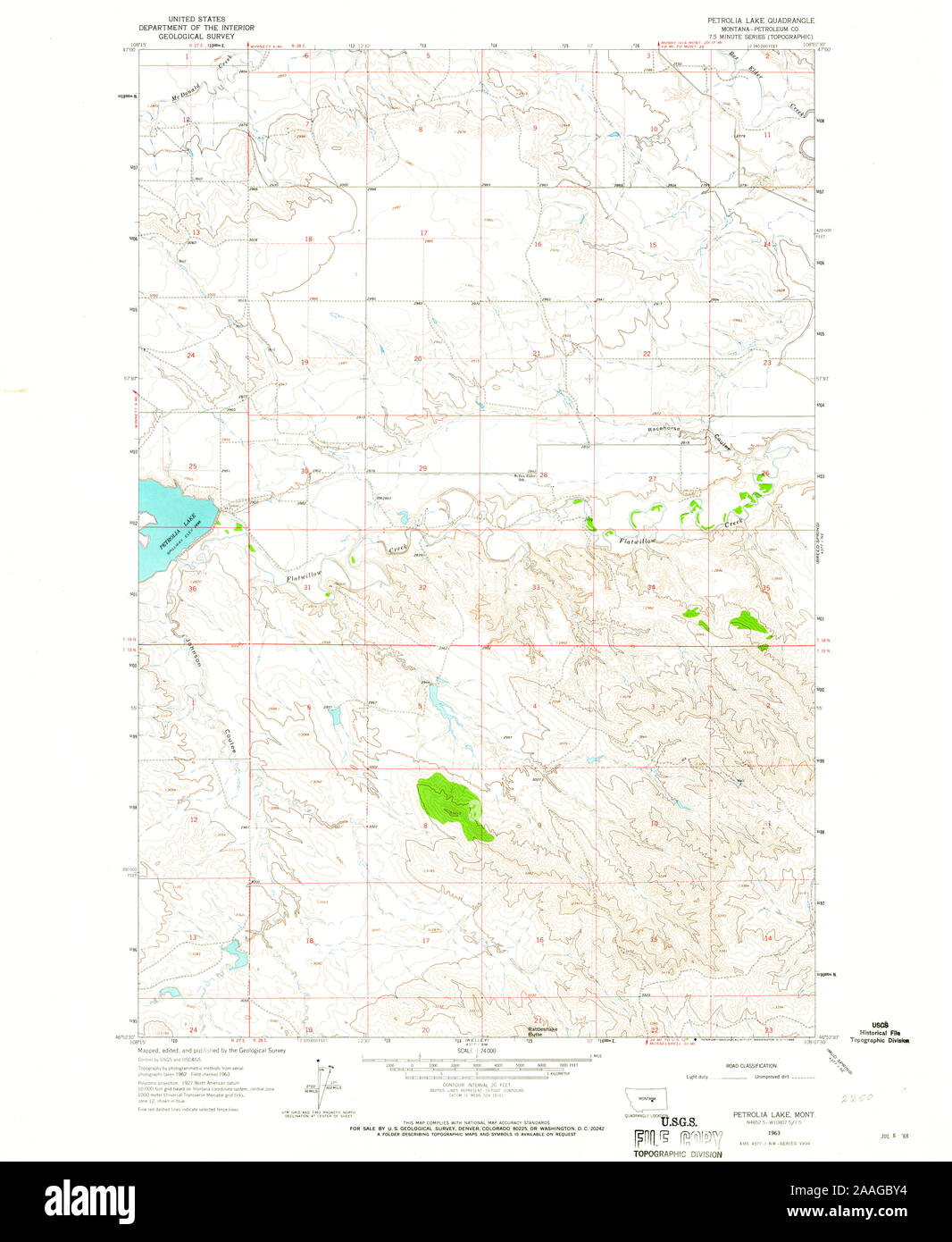 USGS TOPO Map Montana MT Petrolia Lake 265973 1963 24000 Restoration Stock Photohttps://www.alamy.com/image-license-details/?v=1https://www.alamy.com/usgs-topo-map-montana-mt-petrolia-lake-265973-1963-24000-restoration-image333504168.html
RM2AAGBY4–USGS TOPO Map Montana MT Petrolia Lake 265973 1963 24000 Restoration
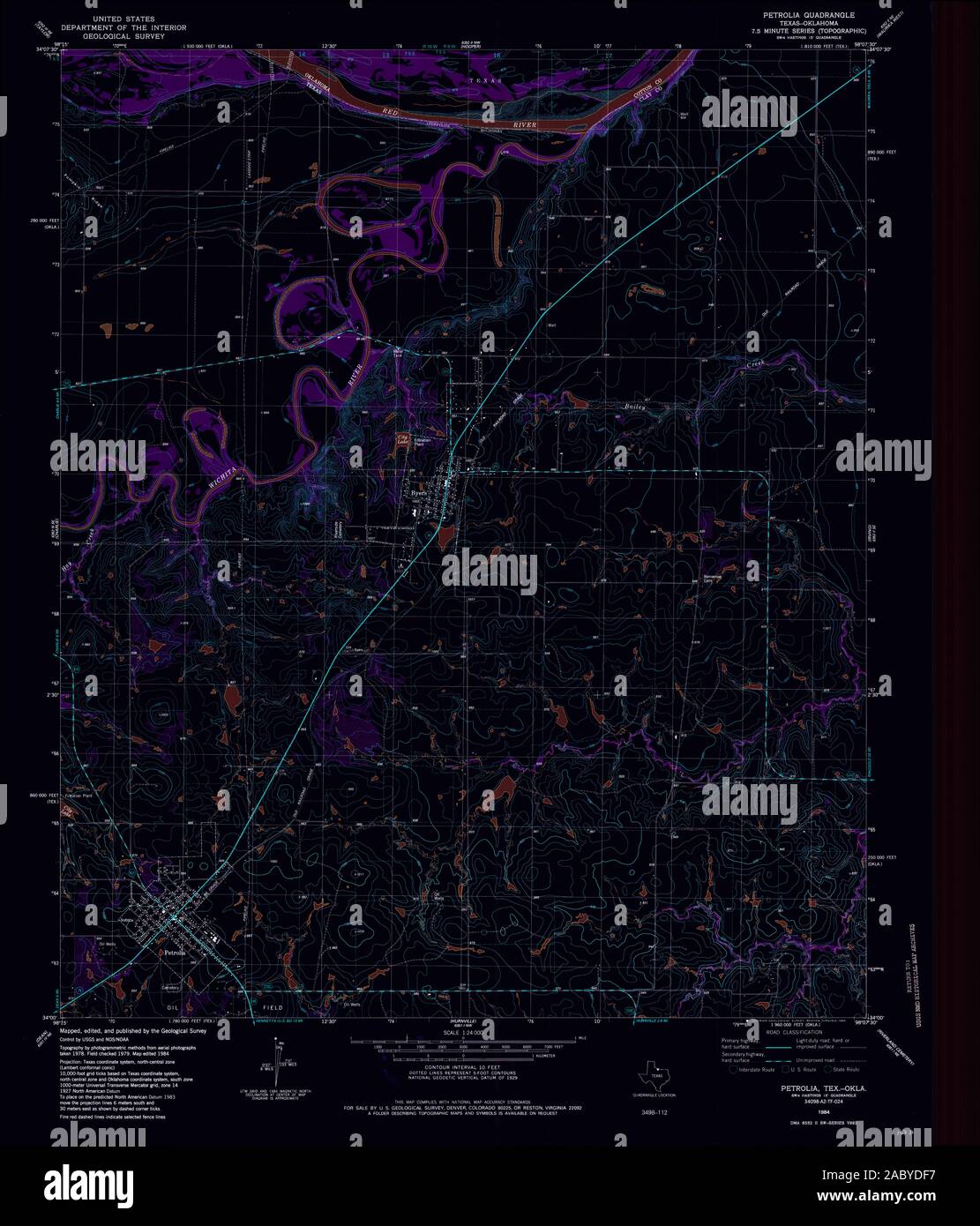 USGS TOPO Map Oklahoma TX Petrolia 117483 1984 24000 Inverted Restoration Stock Photohttps://www.alamy.com/image-license-details/?v=1https://www.alamy.com/usgs-topo-map-oklahoma-tx-petrolia-117483-1984-24000-inverted-restoration-image334361531.html
RM2ABYDF7–USGS TOPO Map Oklahoma TX Petrolia 117483 1984 24000 Inverted Restoration
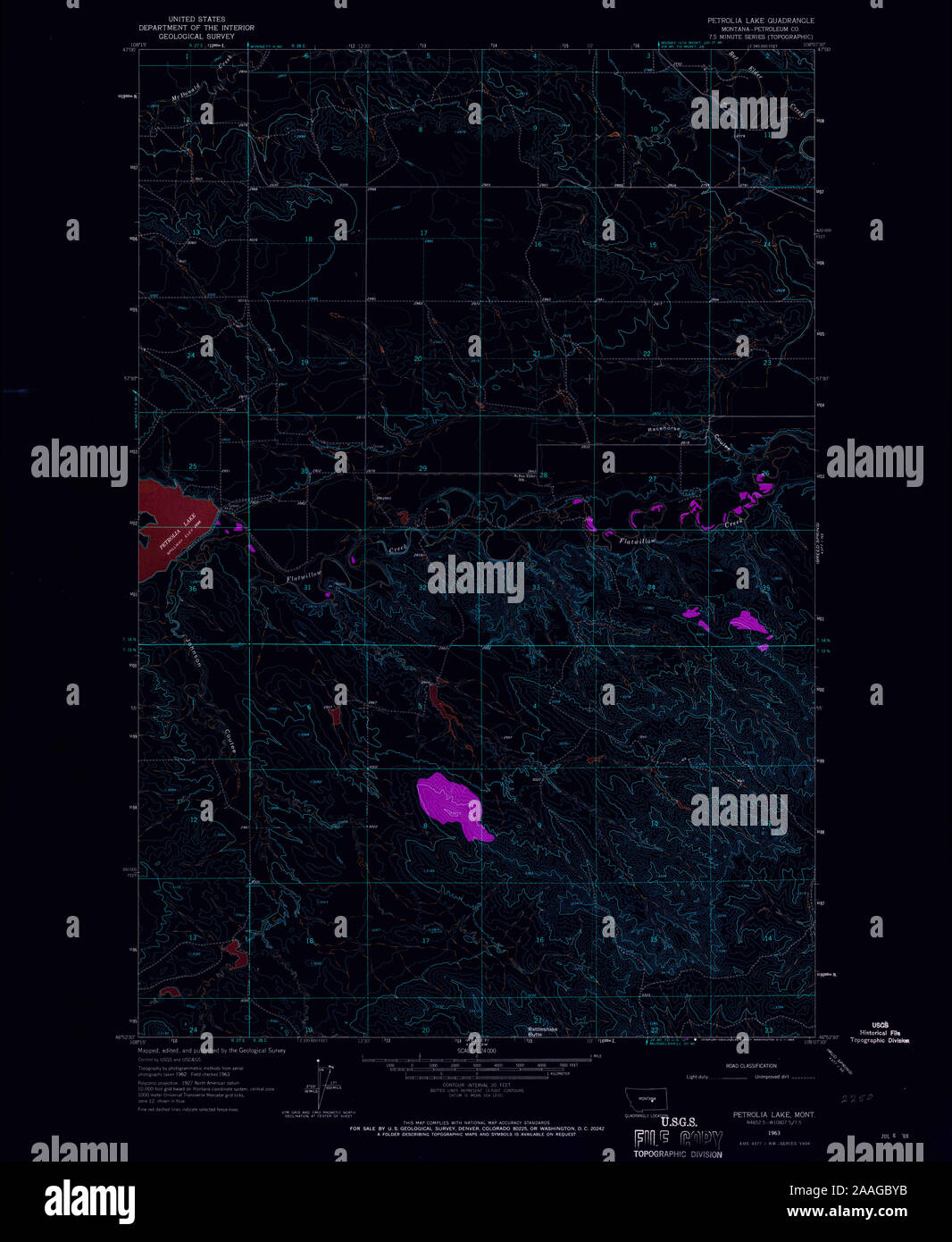 USGS TOPO Map Montana MT Petrolia Lake 265973 1963 24000 Inverted Restoration Stock Photohttps://www.alamy.com/image-license-details/?v=1https://www.alamy.com/usgs-topo-map-montana-mt-petrolia-lake-265973-1963-24000-inverted-restoration-image333504175.html
RM2AAGBYB–USGS TOPO Map Montana MT Petrolia Lake 265973 1963 24000 Inverted Restoration