Quick filters:
Photo erosion Stock Photos and Images
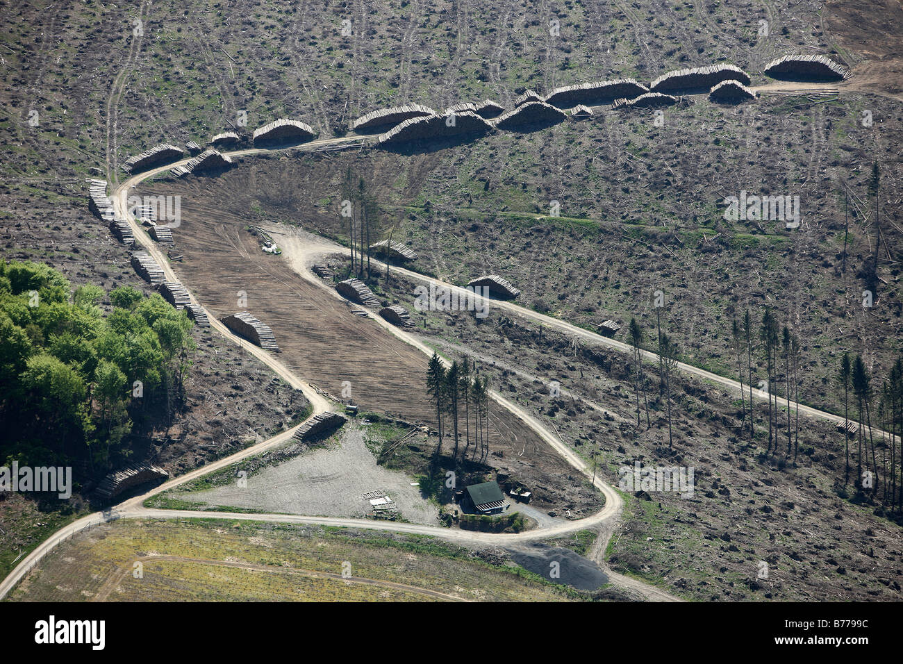 Aerial photo, erosion, consequences of hurricane Kyrill, wet-store for hurricane Kyrill wood, Meschede Bestwig, Hochsauerland d Stock Photohttps://www.alamy.com/image-license-details/?v=1https://www.alamy.com/stock-photo-aerial-photo-erosion-consequences-of-hurricane-kyrill-wet-store-for-21673944.html
RMB7799C–Aerial photo, erosion, consequences of hurricane Kyrill, wet-store for hurricane Kyrill wood, Meschede Bestwig, Hochsauerland d
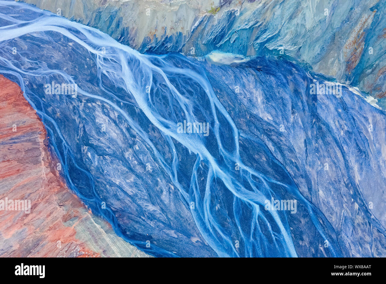 xinjiang anjihai grand canyon closeup Stock Photohttps://www.alamy.com/image-license-details/?v=1https://www.alamy.com/xinjiang-anjihai-grand-canyon-closeup-image274320336.html
RMWX8AAT–xinjiang anjihai grand canyon closeup
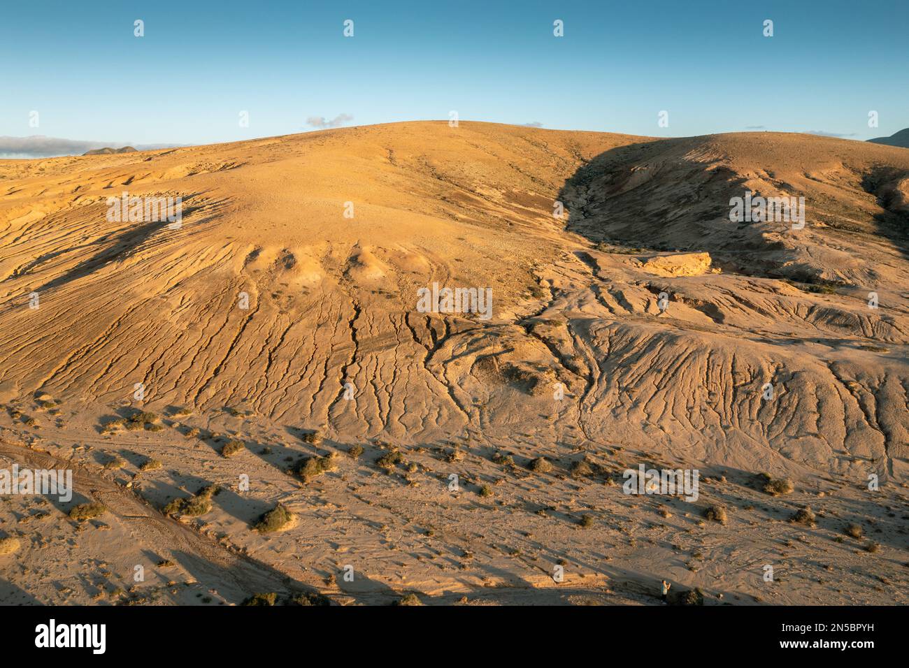 Hill with erosion channels around Montana del Mojon, aerial photo, Canary Islands, Fuerteventura, La Olivia Stock Photohttps://www.alamy.com/image-license-details/?v=1https://www.alamy.com/hill-with-erosion-channels-around-montana-del-mojon-aerial-photo-canary-islands-fuerteventura-la-olivia-image519643813.html
RM2N5BPYH–Hill with erosion channels around Montana del Mojon, aerial photo, Canary Islands, Fuerteventura, La Olivia
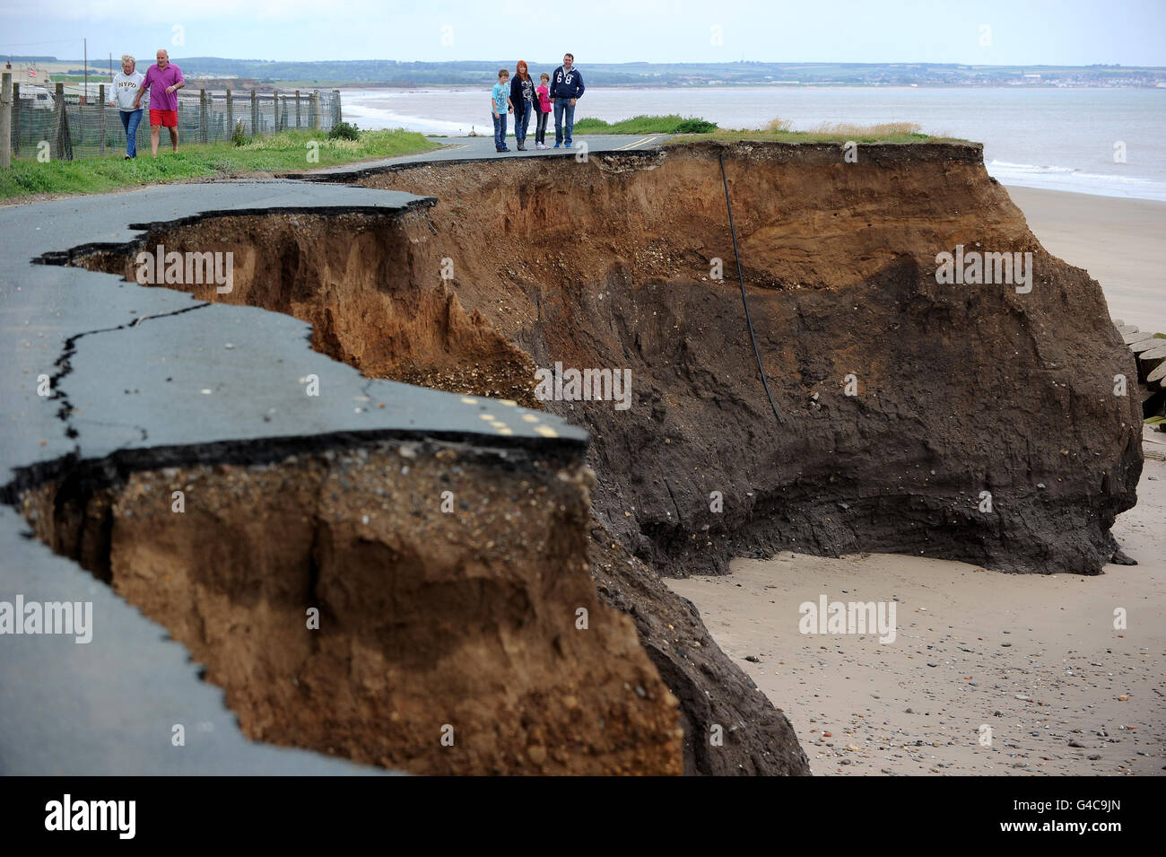 STANDALONE Photo. A cliff road in Skipsea, East Yorkshire, which has nearly completely washed away from coastal erosion. Stock Photohttps://www.alamy.com/image-license-details/?v=1https://www.alamy.com/stock-photo-standalone-photo-a-cliff-road-in-skipsea-east-yorkshire-which-has-105991837.html
RMG4C9JN–STANDALONE Photo. A cliff road in Skipsea, East Yorkshire, which has nearly completely washed away from coastal erosion.
 Aerial view of patterns in a salt lake alongside a road near Goyder in South Australia. Stock Photohttps://www.alamy.com/image-license-details/?v=1https://www.alamy.com/aerial-view-of-patterns-in-a-salt-lake-alongside-a-road-near-goyder-in-south-australia-image550647041.html
RF2PYT3WN–Aerial view of patterns in a salt lake alongside a road near Goyder in South Australia.
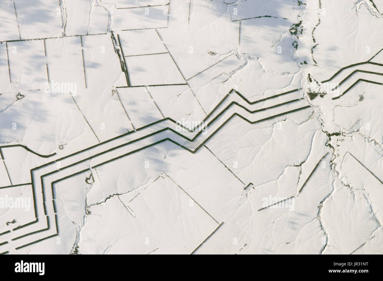 Windbreaks in the steppes of southern Russia, near the Volga River, to prevent soil erosion. Each of the lines is a planting of trees about 60 meters (75 yards) wide. Photographed by an astronaut on the International Space Station on February 16, 2017. Stock Photohttps://www.alamy.com/image-license-details/?v=1https://www.alamy.com/windbreaks-in-the-steppes-of-southern-russia-near-the-volga-river-image151887284.html
RMJR31NT–Windbreaks in the steppes of southern Russia, near the Volga River, to prevent soil erosion. Each of the lines is a planting of trees about 60 meters (75 yards) wide. Photographed by an astronaut on the International Space Station on February 16, 2017.
 Vintage 19th century photograph: Erosion on the Minaun Cliffs, Achill Island, Ireland Stock Photohttps://www.alamy.com/image-license-details/?v=1https://www.alamy.com/vintage-19th-century-photograph-erosion-on-the-minaun-cliffs-achill-island-ireland-image485667229.html
RM2K641E5–Vintage 19th century photograph: Erosion on the Minaun Cliffs, Achill Island, Ireland
 Vintage photo of natural rock tower (rock remnant), Green River, (Utah?). USA. 1860-1870 Stock Photohttps://www.alamy.com/image-license-details/?v=1https://www.alamy.com/vintage-photo-of-natural-rock-tower-rock-remnant-green-river-utah-usa-1860-1870-image624387359.html
RF2Y7R8CF–Vintage photo of natural rock tower (rock remnant), Green River, (Utah?). USA. 1860-1870
 Hubble photo of a small portion of one of the largest known star-birth regions in the galaxy, the Carina Nebula. Three Stock Photohttps://www.alamy.com/image-license-details/?v=1https://www.alamy.com/stock-photo-hubble-photo-of-a-small-portion-of-one-of-the-largest-known-star-birth-57345032.html
RMD9884T–Hubble photo of a small portion of one of the largest known star-birth regions in the galaxy, the Carina Nebula. Three
 Low level aerial photo of saline drainage lake Mildura, Victoria, Australia. Stock Photohttps://www.alamy.com/image-license-details/?v=1https://www.alamy.com/stock-photo-low-level-aerial-photo-of-saline-drainage-lake-mildura-victoria-australia-24672731.html
RMBC3X8Y–Low level aerial photo of saline drainage lake Mildura, Victoria, Australia.
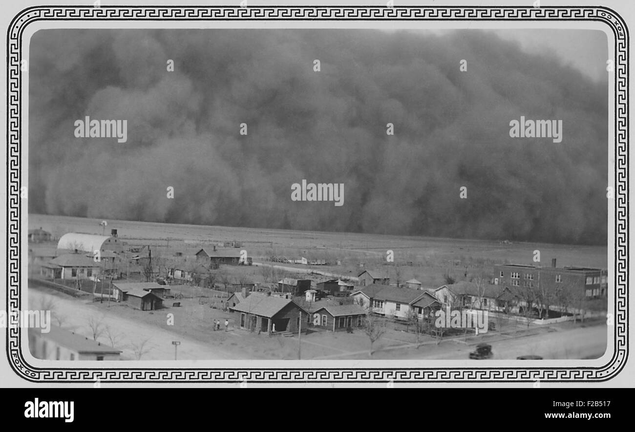 Dust Storm in Rolla, Kansas. May 6, 1935. The photo was sent to President Franklin Roosevelt this note, 'Dear Mr. Roosevelt, Darkness came when it hit us. Picture taken from water tower one hundred feet high. Yours Truly, Chas. P. Williams.' - (BSLOC 2015 1 157) Stock Photohttps://www.alamy.com/image-license-details/?v=1https://www.alamy.com/stock-photo-dust-storm-in-rolla-kansas-may-6-1935-the-photo-was-sent-to-president-87526579.html
RMF2B517–Dust Storm in Rolla, Kansas. May 6, 1935. The photo was sent to President Franklin Roosevelt this note, 'Dear Mr. Roosevelt, Darkness came when it hit us. Picture taken from water tower one hundred feet high. Yours Truly, Chas. P. Williams.' - (BSLOC 2015 1 157)
 Black and White Photo of Large Pile of Sand resembling Mountain Peaks due to Erosion in Crawford County, Indiana Stock Photohttps://www.alamy.com/image-license-details/?v=1https://www.alamy.com/stock-photo-black-and-white-photo-of-large-pile-of-sand-resembling-mountain-peaks-28200262.html
RFBHTHM6–Black and White Photo of Large Pile of Sand resembling Mountain Peaks due to Erosion in Crawford County, Indiana
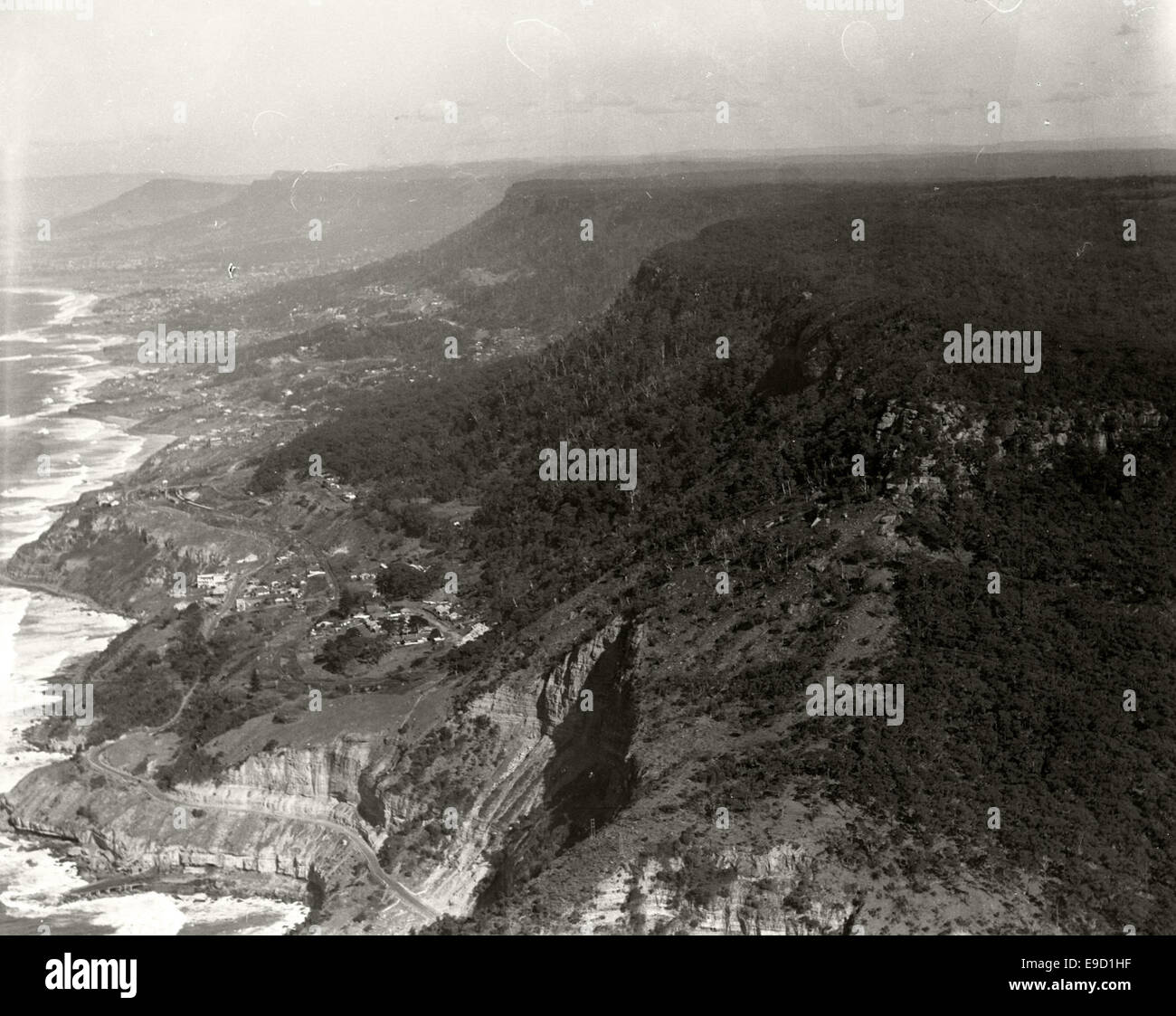 Stanwell Park soil erosion South Coast Rd 14043421984 o Stock Photohttps://www.alamy.com/image-license-details/?v=1https://www.alamy.com/stock-photo-stanwell-park-soil-erosion-south-coast-rd-14043421984-o-74660027.html
RME9D1HF–Stanwell Park soil erosion South Coast Rd 14043421984 o
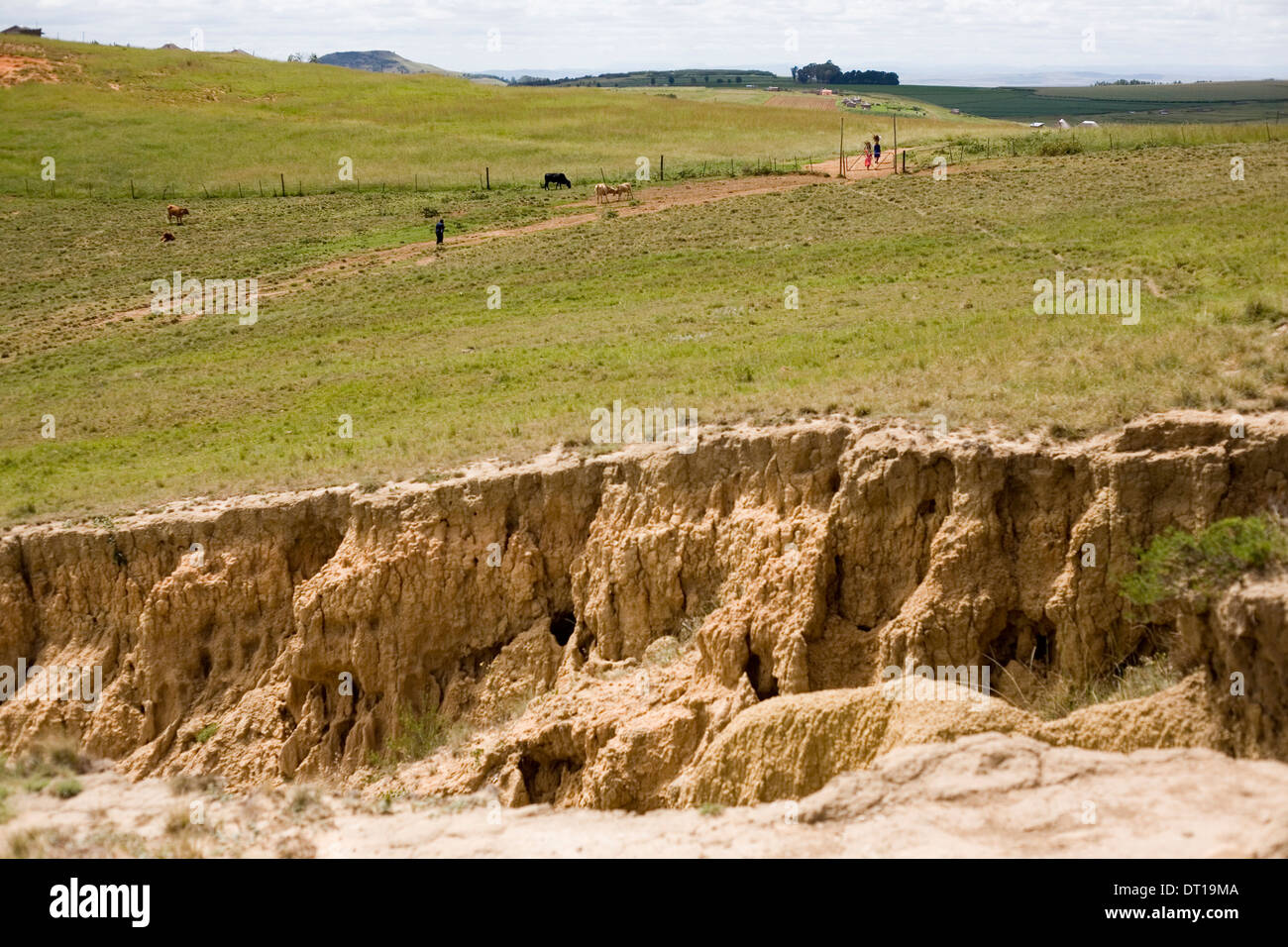 cattle, grassland and soil erosion. 24 FEBRUARY 2010 POTSHINI SOUTH AFRICA PHOTO/JOHN ROBINSON Stock Photohttps://www.alamy.com/image-license-details/?v=1https://www.alamy.com/cattle-grassland-and-soil-erosion-24-february-2010-potshini-south-image66412426.html
RMDT19MA–cattle, grassland and soil erosion. 24 FEBRUARY 2010 POTSHINI SOUTH AFRICA PHOTO/JOHN ROBINSON
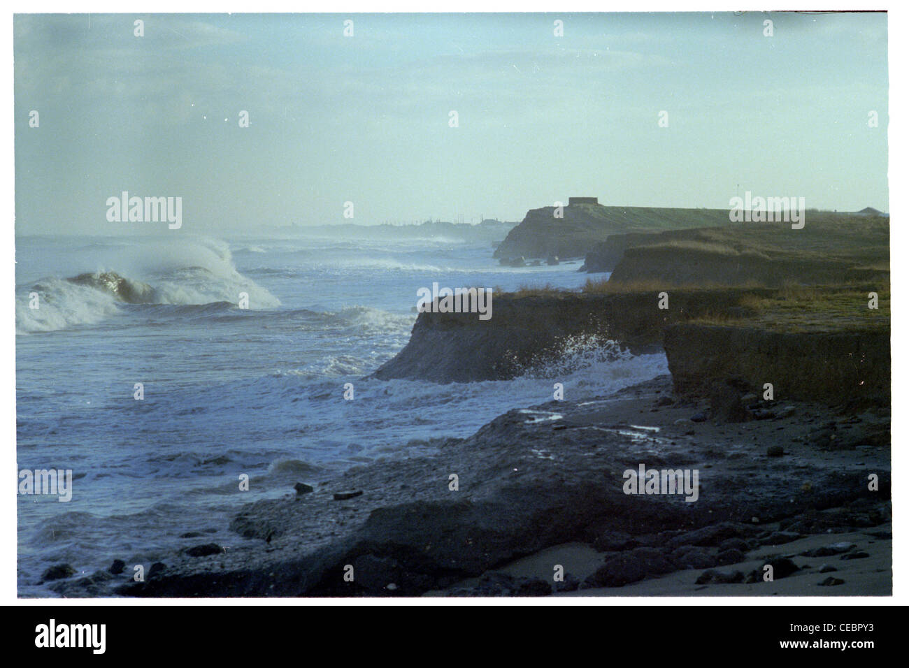 erosion of the soft clay cliffs of the holderness coast occurs rapidly during severe weather, this photo is taken near Barmston Stock Photohttps://www.alamy.com/image-license-details/?v=1https://www.alamy.com/stock-photo-erosion-of-the-soft-clay-cliffs-of-the-holderness-coast-occurs-rapidly-43285399.html
RMCEBPY3–erosion of the soft clay cliffs of the holderness coast occurs rapidly during severe weather, this photo is taken near Barmston
 U.S. Florida Congressman Charlie Crist (left) waves out of a U.S. Coast Guard helicopter in flight during an aerial assessment of erosion along the Florida coastline May 30, 2017 in Clearwater, Florida. (photo by Michael De Nyse /US Coast Guard via Planetpix) Stock Photohttps://www.alamy.com/image-license-details/?v=1https://www.alamy.com/stock-photo-us-florida-congressman-charlie-crist-left-waves-out-of-a-us-coast-143811812.html
RMJ9Y5C4–U.S. Florida Congressman Charlie Crist (left) waves out of a U.S. Coast Guard helicopter in flight during an aerial assessment of erosion along the Florida coastline May 30, 2017 in Clearwater, Florida. (photo by Michael De Nyse /US Coast Guard via Planetpix)
 Birling Gap, East Sussex, UK. 11th Feb, 2014. Storms are causing rapid erosion at the Sussex beauty spot. Beach access is no longer safe as steps cannot be used. The cottages, tea rooms and old boat house are close to the edge and as this photo was taken the cliff was crumbling beneath the shed. More extreme weather is forecast tomorrow. Credit: David Burr/Alamy Live News Stock Photohttps://www.alamy.com/image-license-details/?v=1https://www.alamy.com/birling-gap-east-sussex-uk-11th-feb-2014-storms-are-causing-rapid-image66552544.html
RMDT7MCG–Birling Gap, East Sussex, UK. 11th Feb, 2014. Storms are causing rapid erosion at the Sussex beauty spot. Beach access is no longer safe as steps cannot be used. The cottages, tea rooms and old boat house are close to the edge and as this photo was taken the cliff was crumbling beneath the shed. More extreme weather is forecast tomorrow. Credit: David Burr/Alamy Live News
 Gold Coast Queensland Australia beach erosion after storms, 7/ 2006, photo by Bruce Miller Stock Photohttps://www.alamy.com/image-license-details/?v=1https://www.alamy.com/stock-photo-gold-coast-queensland-australia-beach-erosion-after-storms-7-2006-10226817.html
RMA1DKHP–Gold Coast Queensland Australia beach erosion after storms, 7/ 2006, photo by Bruce Miller
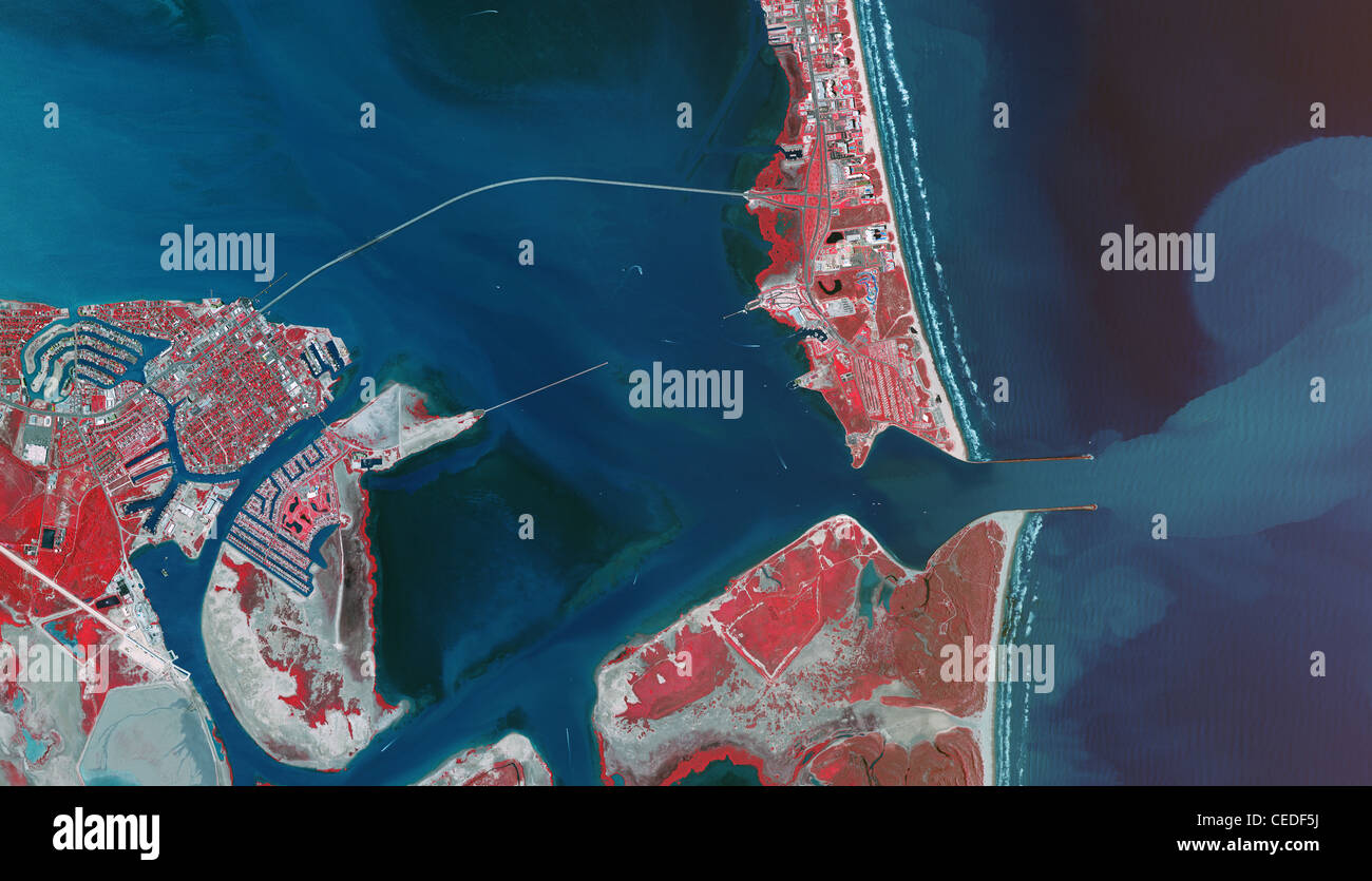 aerial infrared photo map Port Isabel Padre Island Port Brownsville ship channel Texas Stock Photohttps://www.alamy.com/image-license-details/?v=1https://www.alamy.com/stock-photo-aerial-infrared-photo-map-port-isabel-padre-island-port-brownsville-43323214.html
RMCEDF5J–aerial infrared photo map Port Isabel Padre Island Port Brownsville ship channel Texas
 Aerial photo rocks and erosion on the Figerhorn Mountain, Schober Mountains, Hohe Tauern, Kalser Valley, East Tirol, Austria Stock Photohttps://www.alamy.com/image-license-details/?v=1https://www.alamy.com/stock-photo-aerial-photo-rocks-and-erosion-on-the-figerhorn-mountain-schober-mountains-20923548.html
RMB6145G–Aerial photo rocks and erosion on the Figerhorn Mountain, Schober Mountains, Hohe Tauern, Kalser Valley, East Tirol, Austria
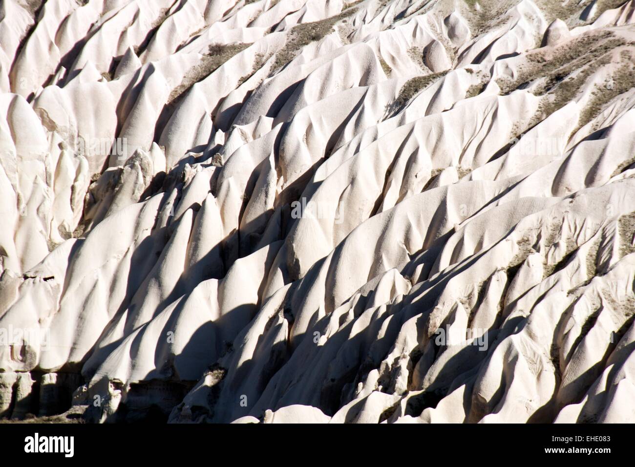 Aerial photo Cappadocia Stock Photohttps://www.alamy.com/image-license-details/?v=1https://www.alamy.com/stock-photo-aerial-photo-cappadocia-79598179.html
RFEHE083–Aerial photo Cappadocia
 DEATH VALLEY, California. Photo State Tourist Board Stock Photohttps://www.alamy.com/image-license-details/?v=1https://www.alamy.com/stock-photo-death-valley-california-photo-state-tourist-board-83419872.html
RMERM2W4–DEATH VALLEY, California. Photo State Tourist Board
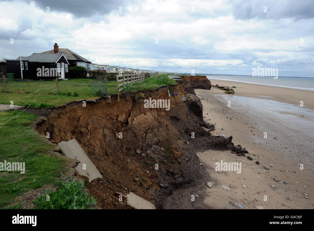 STANDALONE Photo. A cliff road in Skipsea, East Yorkshire, which has nearly completely washed away from coastal erosion. Stock Photohttps://www.alamy.com/image-license-details/?v=1https://www.alamy.com/stock-photo-standalone-photo-a-cliff-road-in-skipsea-east-yorkshire-which-has-105991838.html
RMG4C9JP–STANDALONE Photo. A cliff road in Skipsea, East Yorkshire, which has nearly completely washed away from coastal erosion.
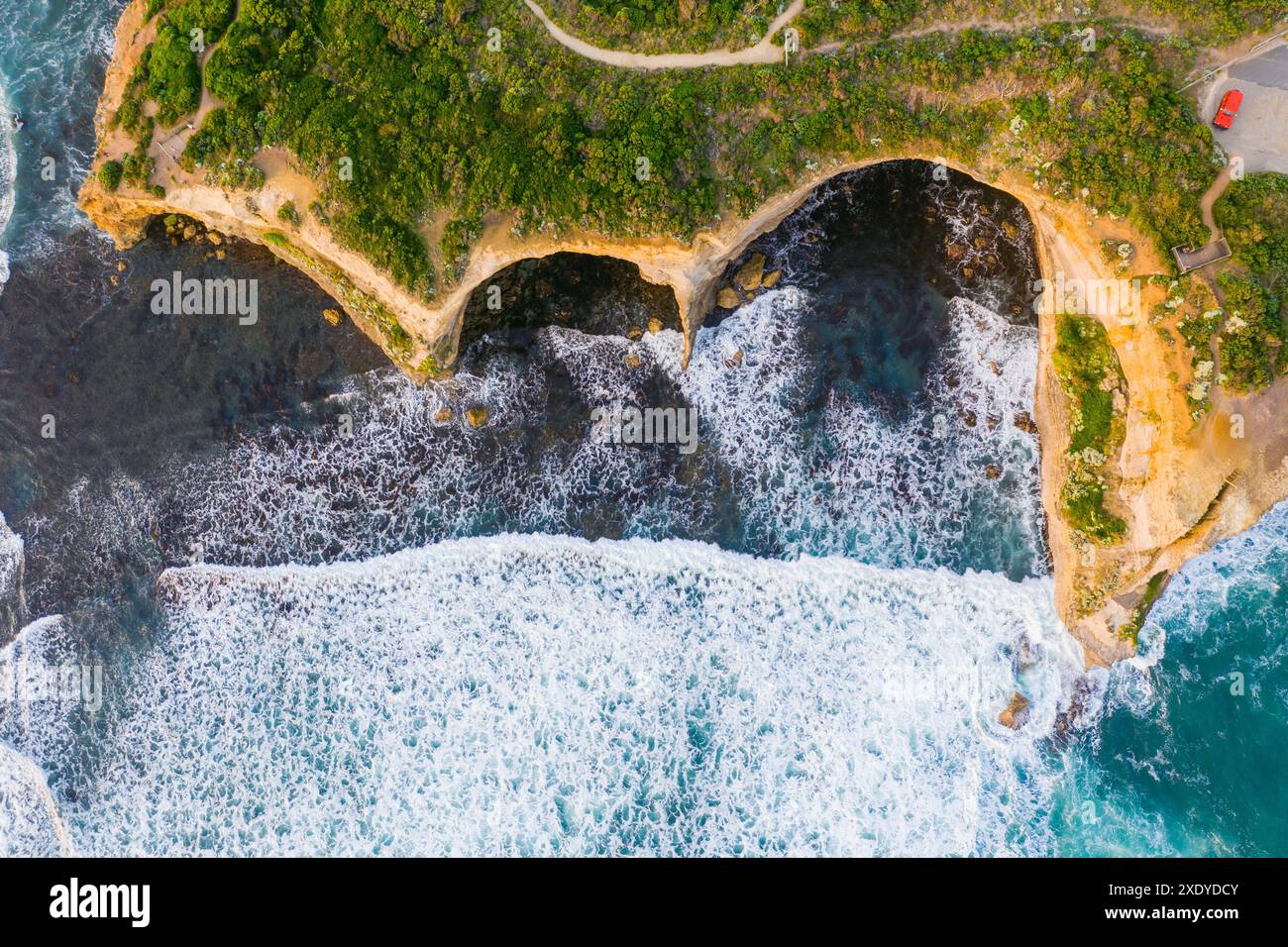 Aerial view of waves breaking into rocky caves eroded into coastal cliffs at Port Campbel on the Great Ocean Road in Victoria, Australia Stock Photohttps://www.alamy.com/image-license-details/?v=1https://www.alamy.com/aerial-view-of-waves-breaking-into-rocky-caves-eroded-into-coastal-cliffs-at-port-campbel-on-the-great-ocean-road-in-victoria-australia-image610956667.html
RF2XDYDCY–Aerial view of waves breaking into rocky caves eroded into coastal cliffs at Port Campbel on the Great Ocean Road in Victoria, Australia
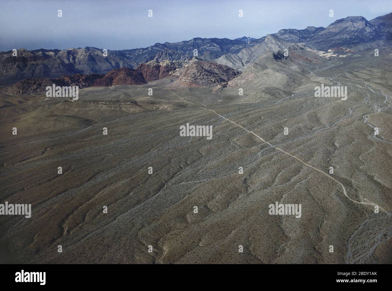 Aerial photo of the Nevada desert. Stock Photohttps://www.alamy.com/image-license-details/?v=1https://www.alamy.com/aerial-photo-of-the-nevada-desert-image352791675.html
RM2BDY1AK–Aerial photo of the Nevada desert.
 Photo of rock formations in Badlands, South Dakota Stock Photohttps://www.alamy.com/image-license-details/?v=1https://www.alamy.com/photo-of-rock-formations-in-badlands-south-dakota-image432585406.html
RF2G3NY2P–Photo of rock formations in Badlands, South Dakota
 AJAXNETPHOTO. WORTHING, ENGLAND. - ROCKY SHORE - BOULDERS PLACED ON THE BEACH TO HELP REDUCE COASTAL EROSION. PHOTO:JONATHAN EASTLAND/AJAX REF:D122603 2236 Stock Photohttps://www.alamy.com/image-license-details/?v=1https://www.alamy.com/stock-image-ajaxnetphoto-worthing-england-rocky-shore-boulders-placed-on-the-beach-165012715.html
RMKGCYB7–AJAXNETPHOTO. WORTHING, ENGLAND. - ROCKY SHORE - BOULDERS PLACED ON THE BEACH TO HELP REDUCE COASTAL EROSION. PHOTO:JONATHAN EASTLAND/AJAX REF:D122603 2236
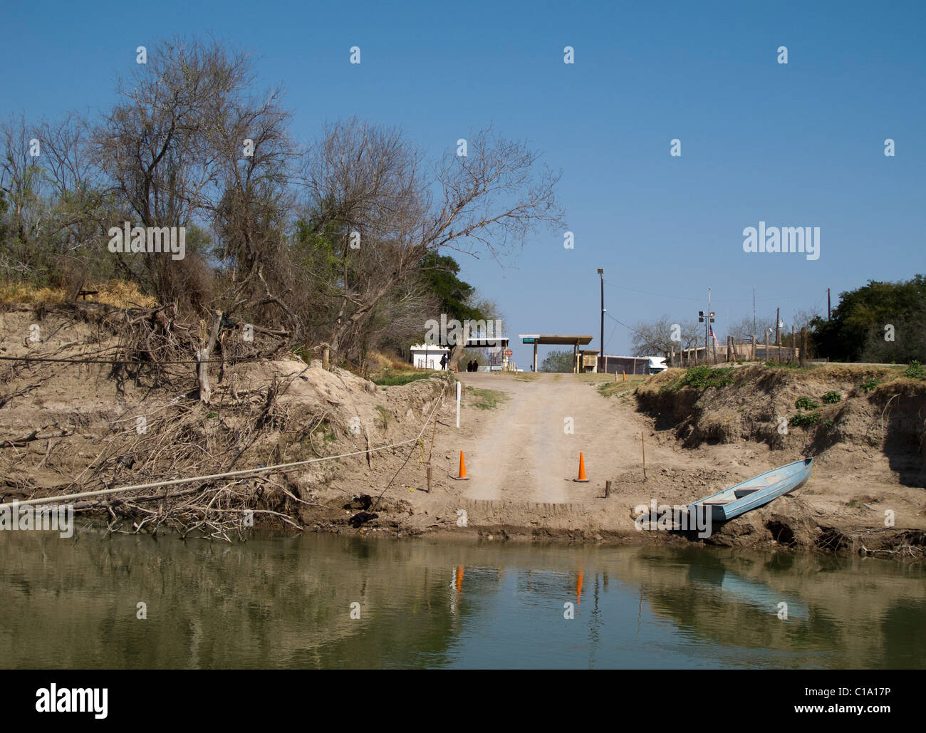 Rio Grande River bank. Photo shows river bank erosion on Texas side of the river caused by flooding in summer 2010. Stock Photohttps://www.alamy.com/image-license-details/?v=1https://www.alamy.com/stock-photo-rio-grande-river-bank-photo-shows-river-bank-erosion-on-texas-side-35255914.html
RMC1A17P–Rio Grande River bank. Photo shows river bank erosion on Texas side of the river caused by flooding in summer 2010.
 Peninnis Head on St Mary's , Isles of Scilly, Cornwall,UK.Photo taken from the sea showing the light, first lit in 1911, and the wave and wind erosion Stock Photohttps://www.alamy.com/image-license-details/?v=1https://www.alamy.com/peninnis-head-on-st-marys-isles-of-scilly-cornwallukphoto-taken-from-the-sea-showing-the-light-first-lit-in-1911-and-the-wave-and-wind-erosion-image360161701.html
RF2BWXNWW–Peninnis Head on St Mary's , Isles of Scilly, Cornwall,UK.Photo taken from the sea showing the light, first lit in 1911, and the wave and wind erosion
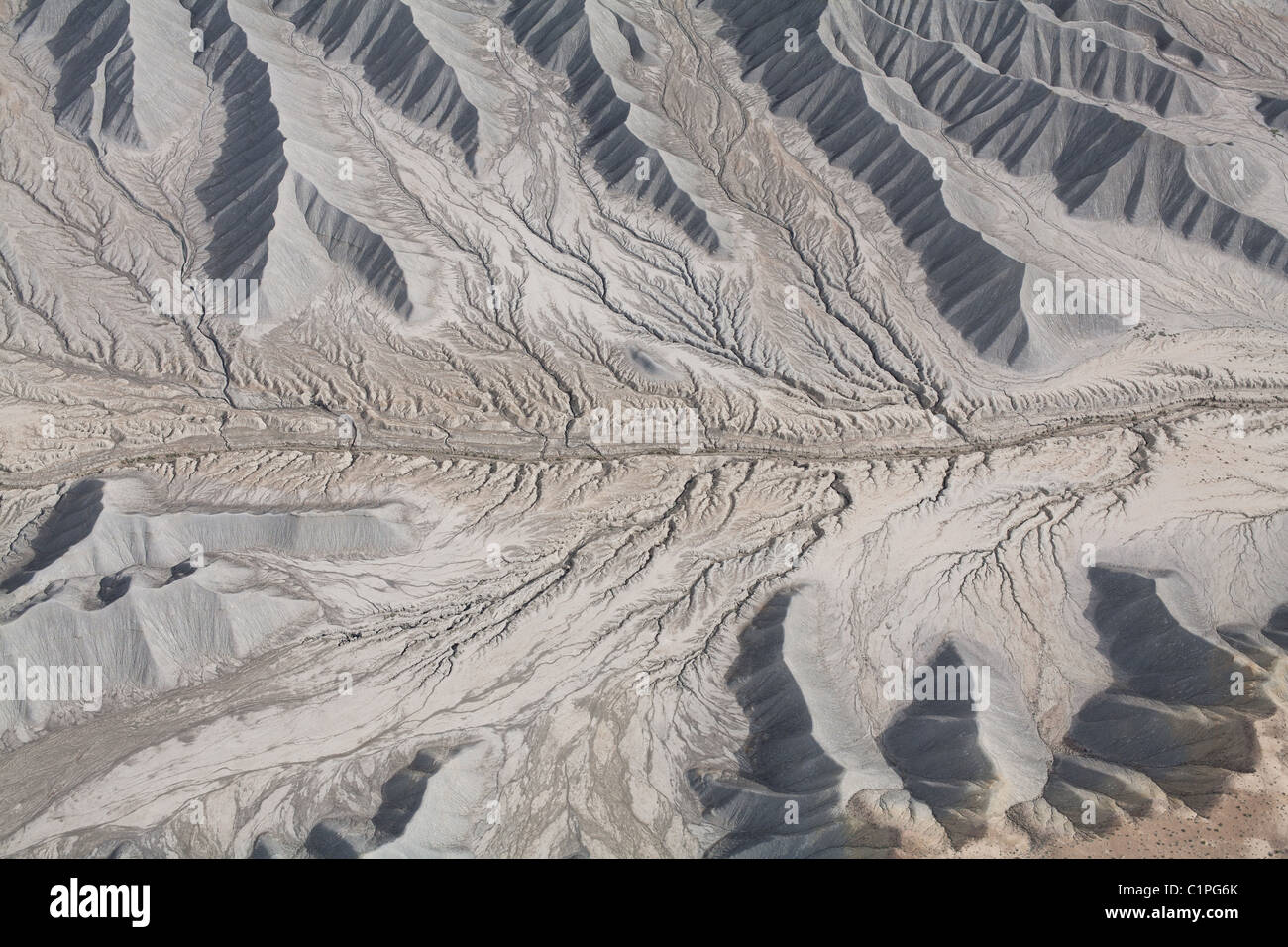 AERIAL VIEW. Dendritic drainage pattern. Erosion gullies in the Mancos Shale. Caineville, Southern Utah, USA. Stock Photohttps://www.alamy.com/image-license-details/?v=1https://www.alamy.com/stock-photo-aerial-view-dendritic-drainage-pattern-erosion-gullies-in-the-mancos-35531067.html
RMC1PG6K–AERIAL VIEW. Dendritic drainage pattern. Erosion gullies in the Mancos Shale. Caineville, Southern Utah, USA.
 Vintage early 20th century press print: Erosion, landslip, Brighton, England Stock Photohttps://www.alamy.com/image-license-details/?v=1https://www.alamy.com/vintage-early-20th-century-press-print-erosion-landslip-brighton-england-image457675121.html
RM2HGGW81–Vintage early 20th century press print: Erosion, landslip, Brighton, England
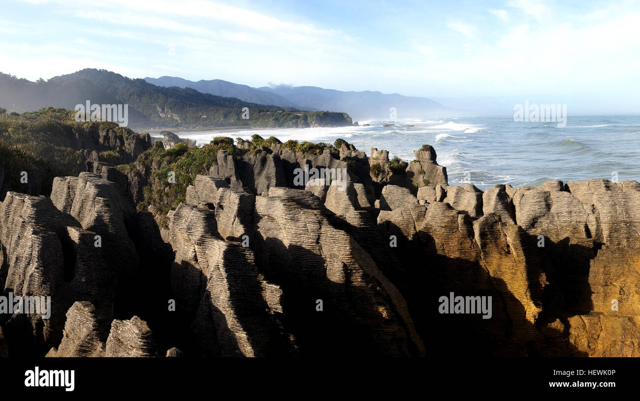 Pancake Rocks has irregular chasms and ridges, typical of limestone country. The layers of resistant bands of limestone are separated by softer, thin, mud-rich layers. This type of layering, found in limestones worldwide, is called stylobedding. Although the origin of stylobedding has been debated, it is mostly agreed that this layering is not original bedding, but a secondary feature caused by compaction. Erosion by water, wind and salt spray near the coast has etched out the stylobedding, forming the distinctive ‘pancakes’. Stock Photohttps://www.alamy.com/image-license-details/?v=1https://www.alamy.com/stock-photo-pancake-rocks-has-irregular-chasms-and-ridges-typical-of-limestone-129641478.html
RMHEWK0P–Pancake Rocks has irregular chasms and ridges, typical of limestone country. The layers of resistant bands of limestone are separated by softer, thin, mud-rich layers. This type of layering, found in limestones worldwide, is called stylobedding. Although the origin of stylobedding has been debated, it is mostly agreed that this layering is not original bedding, but a secondary feature caused by compaction. Erosion by water, wind and salt spray near the coast has etched out the stylobedding, forming the distinctive ‘pancakes’.
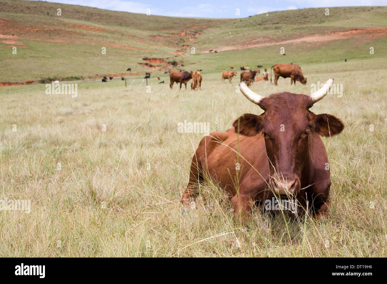 cattle, grassland and soil erosion. 24 FEBRUARY 2010 POTSHINI SOUTH AFRICA PHOTO/JOHN ROBINSON Stock Photohttps://www.alamy.com/image-license-details/?v=1https://www.alamy.com/cattle-grassland-and-soil-erosion-24-february-2010-potshini-south-image66412338.html
RMDT19H6–cattle, grassland and soil erosion. 24 FEBRUARY 2010 POTSHINI SOUTH AFRICA PHOTO/JOHN ROBINSON
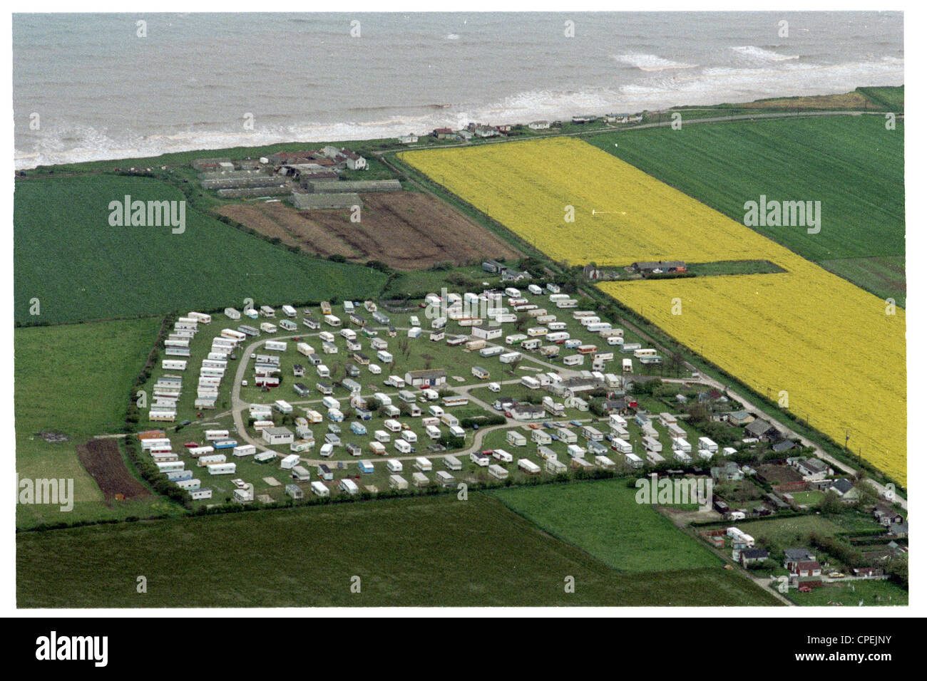 cowden caravan park now considerably nearer the coast due to erosion. sue earl's farm is next the cliff. This farm is now lost Stock Photohttps://www.alamy.com/image-license-details/?v=1https://www.alamy.com/stock-photo-cowden-caravan-park-now-considerably-nearer-the-coast-due-to-erosion-48265223.html
RMCPEJNY–cowden caravan park now considerably nearer the coast due to erosion. sue earl's farm is next the cliff. This farm is now lost
 Aerial view of damage and beach erosion in the aftermath of Hurricane Irma September 12, 2017 in Edisto Island, South Carolina. (photo by Ken Burton via Planetpix) Stock Photohttps://www.alamy.com/image-license-details/?v=1https://www.alamy.com/stock-image-aerial-view-of-damage-and-beach-erosion-in-the-aftermath-of-hurricane-166834182.html
RMKKBXKJ–Aerial view of damage and beach erosion in the aftermath of Hurricane Irma September 12, 2017 in Edisto Island, South Carolina. (photo by Ken Burton via Planetpix)
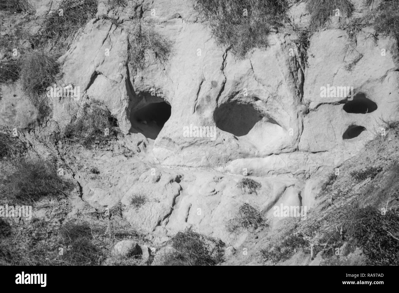 Wind & erosion created face on a hillside in black & white. Stock Photohttps://www.alamy.com/image-license-details/?v=1https://www.alamy.com/wind-erosion-created-face-on-a-hillside-in-black-white-image230084693.html
RFRA97AD–Wind & erosion created face on a hillside in black & white.
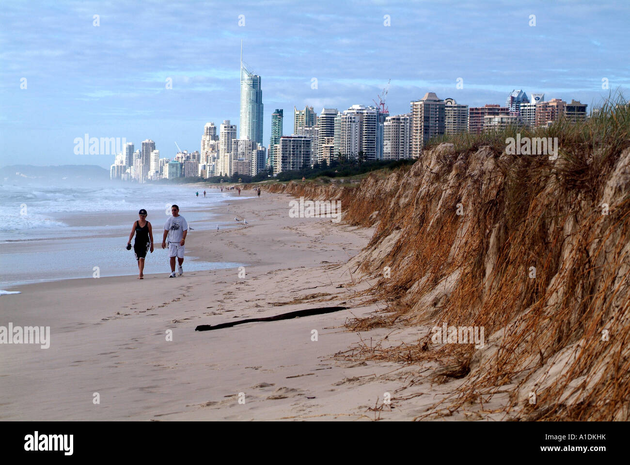 Gold Coast Queensland Australia beach erosion after storms, 7 2006 ,photo by Bruce Miller Stock Photohttps://www.alamy.com/image-license-details/?v=1https://www.alamy.com/stock-photo-gold-coast-queensland-australia-beach-erosion-after-storms-7-2006-10226814.html
RMA1DKHK–Gold Coast Queensland Australia beach erosion after storms, 7 2006 ,photo by Bruce Miller
 Young woman taking a photo to Benagil cave with mobile phone while standing on a cliff. Benagil, Carvoeiro, Algarve, Portugal. Stock Photohttps://www.alamy.com/image-license-details/?v=1https://www.alamy.com/young-woman-taking-a-photo-to-benagil-cave-with-mobile-phone-while-standing-on-a-cliff-benagil-carvoeiro-algarve-portugal-image599055465.html
RF2WPH9A1–Young woman taking a photo to Benagil cave with mobile phone while standing on a cliff. Benagil, Carvoeiro, Algarve, Portugal.
 Inside impressions of the Lengarica canyon. Bathing shoes are highly recommended to walk in the canyon Stock Photohttps://www.alamy.com/image-license-details/?v=1https://www.alamy.com/inside-impressions-of-the-lengarica-canyon-bathing-shoes-are-highly-recommended-to-walk-in-the-canyon-image632975451.html
RF2YNPEJ3–Inside impressions of the Lengarica canyon. Bathing shoes are highly recommended to walk in the canyon
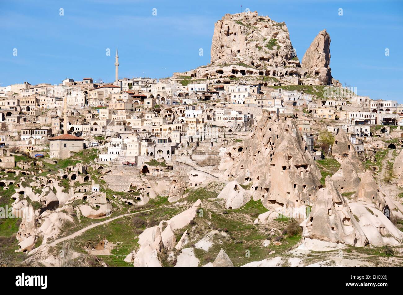 Aerial photo Cappadocia Stock Photohttps://www.alamy.com/image-license-details/?v=1https://www.alamy.com/stock-photo-aerial-photo-cappadocia-79596570.html
RFEHDX6J–Aerial photo Cappadocia
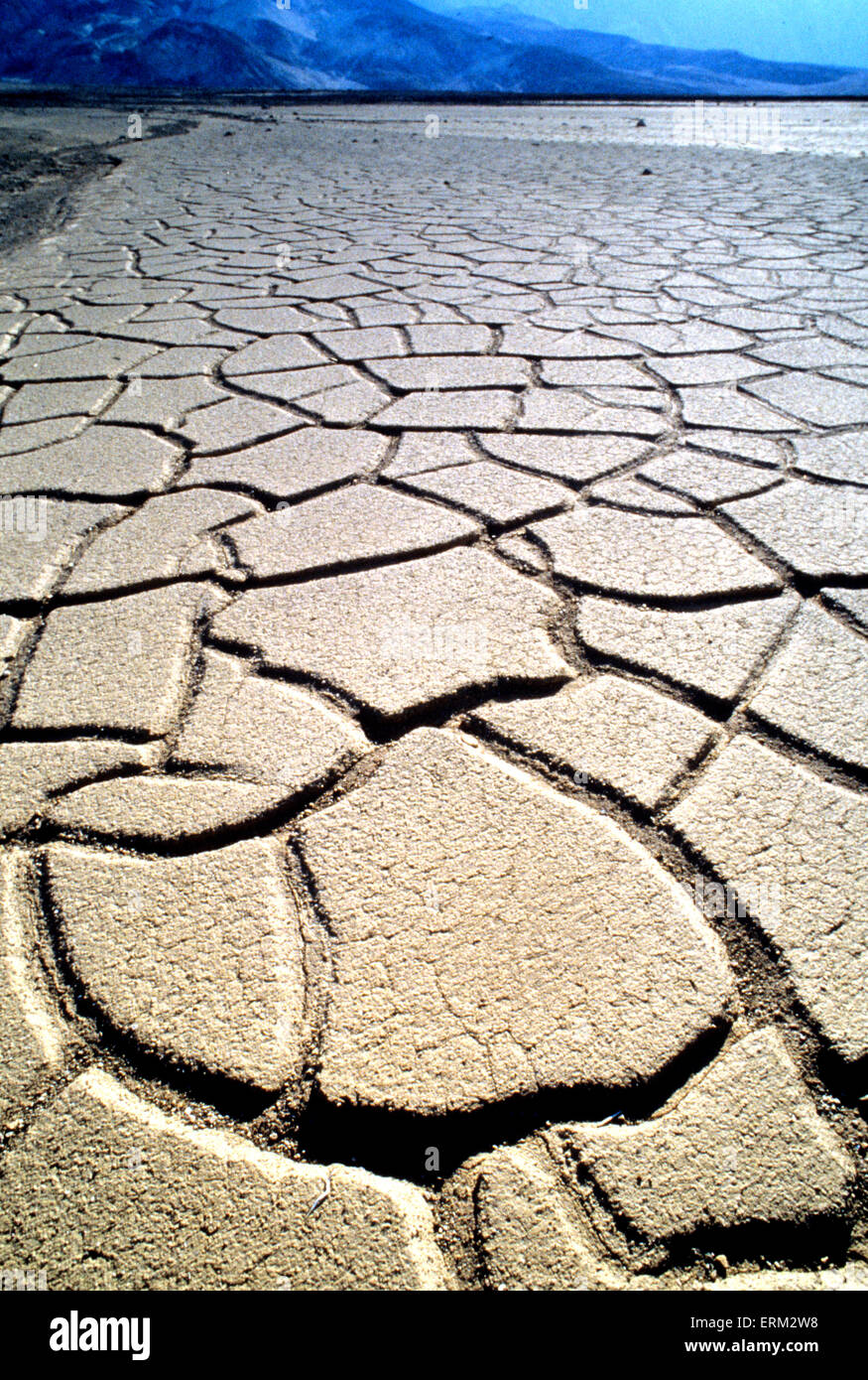 DROUGHT in California. Photo State Tourist Board Stock Photohttps://www.alamy.com/image-license-details/?v=1https://www.alamy.com/stock-photo-drought-in-california-photo-state-tourist-board-83419876.html
RMERM2W8–DROUGHT in California. Photo State Tourist Board
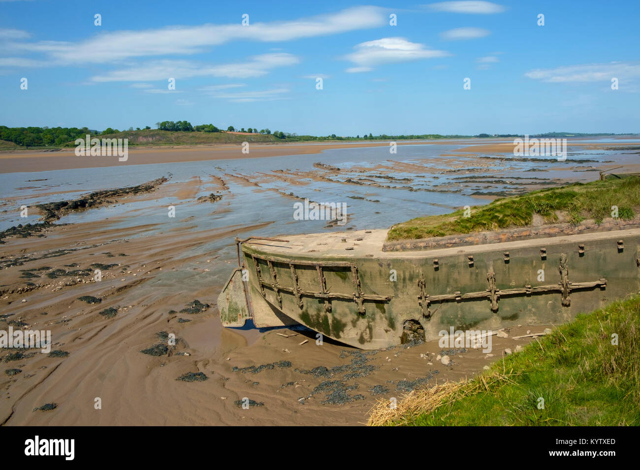 Obsolete small boats and barges were stranded on the banks of the tidal River Severn in Gloucestershire, UK to protect the river banks from erosion. Now they form an atmospheric local attraction to sightseers. Stock Photohttps://www.alamy.com/image-license-details/?v=1https://www.alamy.com/stock-photo-obsolete-small-boats-and-barges-were-stranded-on-the-banks-of-the-172036661.html
RFKYTXED–Obsolete small boats and barges were stranded on the banks of the tidal River Severn in Gloucestershire, UK to protect the river banks from erosion. Now they form an atmospheric local attraction to sightseers.
 photo of the blyde river canyon Stock Photohttps://www.alamy.com/image-license-details/?v=1https://www.alamy.com/stock-photo-photo-of-the-blyde-river-canyon-139132025.html
RMJ2A08W–photo of the blyde river canyon
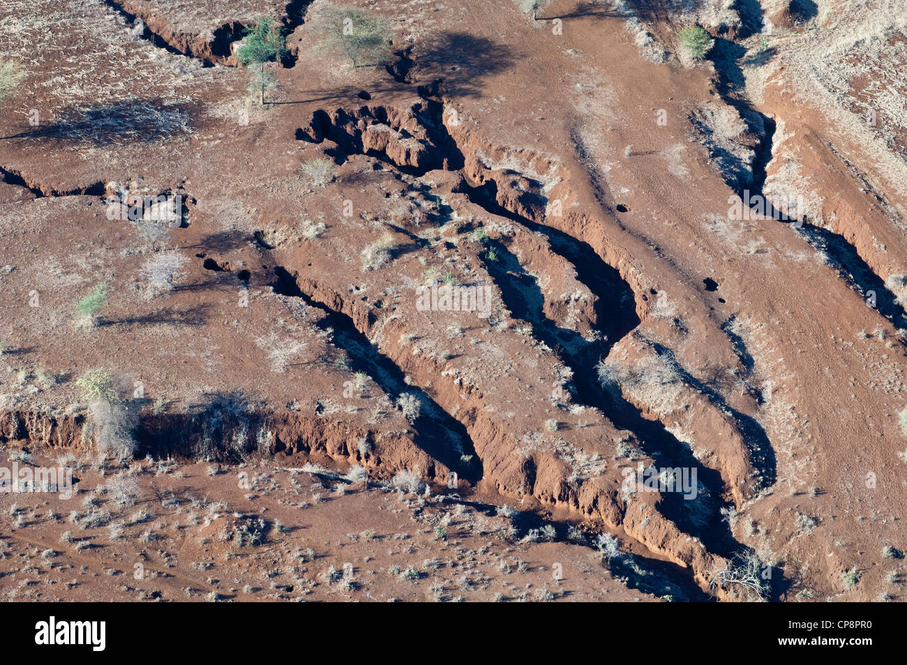 Erosion caused by run-off water, aerial view, Arusha Region, Tanzania Stock Photohttps://www.alamy.com/image-license-details/?v=1https://www.alamy.com/stock-photo-erosion-caused-by-run-off-water-aerial-view-arusha-region-tanzania-48136676.html
RMCP8PR0–Erosion caused by run-off water, aerial view, Arusha Region, Tanzania
 Workers at Holpool doing ‘fascine’ (anti-erosion) work on the banks of the Manchester Ship Canal, Lancashire, England UK c.1890 Stock Photohttps://www.alamy.com/image-license-details/?v=1https://www.alamy.com/stock-photo-workers-at-holpool-doing-fascine-anti-erosion-work-on-the-banks-of-78765222.html
RMEG41RJ–Workers at Holpool doing ‘fascine’ (anti-erosion) work on the banks of the Manchester Ship Canal, Lancashire, England UK c.1890
 AJAXNETPHOTO. 2017. WORTHING, ENGLAND. - ROUGH SEA BATTERS COAST - STORMY WEATHER HAMMERS THE STEEP SHINGLE BEACH PROTECTED FROM EROSION BY NUMEROUS WOODEN GROYNES. PHOTO:JONATHAN EASTLAND/AJAX REF:GX171608 233 Stock Photohttps://www.alamy.com/image-license-details/?v=1https://www.alamy.com/ajaxnetphoto-2017-worthing-england-rough-sea-batters-coast-stormy-image154499250.html
RMJYA1AA–AJAXNETPHOTO. 2017. WORTHING, ENGLAND. - ROUGH SEA BATTERS COAST - STORMY WEATHER HAMMERS THE STEEP SHINGLE BEACH PROTECTED FROM EROSION BY NUMEROUS WOODEN GROYNES. PHOTO:JONATHAN EASTLAND/AJAX REF:GX171608 233
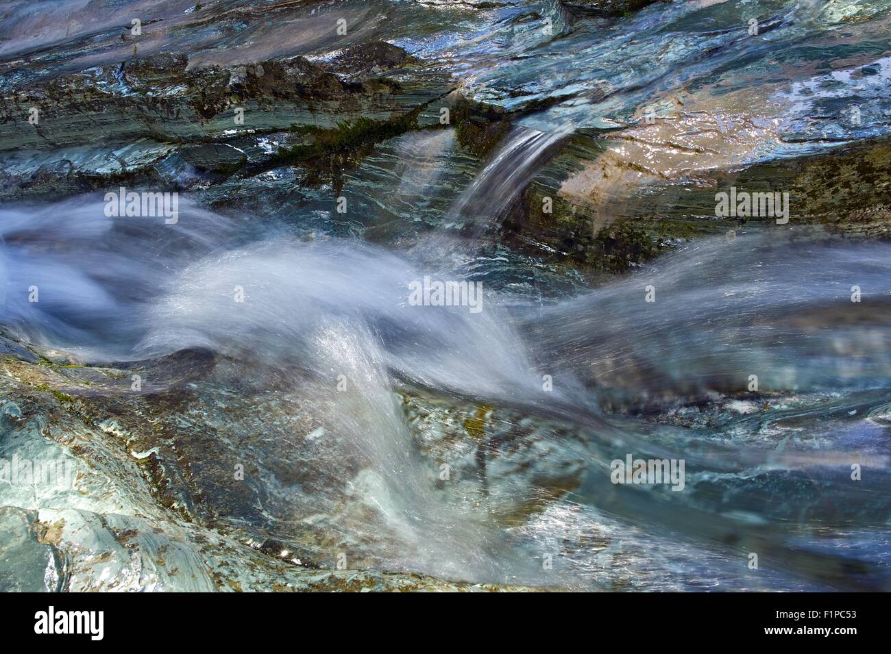 Rock and Water. Mountain Stream Thru Rock Formations Closeup. Nature Photo Background Collection. Stock Photohttps://www.alamy.com/image-license-details/?v=1https://www.alamy.com/stock-photo-rock-and-water-mountain-stream-thru-rock-formations-closeup-nature-87158991.html
RFF1PC53–Rock and Water. Mountain Stream Thru Rock Formations Closeup. Nature Photo Background Collection.
 Sidmouth, Devon, 3rd Feb 17 Storms pound into the red sandstone cliffs at Sidmouth, Devon. Rapid coastal erosion is of growing concern in the town, and talks continue on the best way to combat the problem and protect this area of the Jurassic coast. Photo by Tony Charnock / Alamy Live News Stock Photohttps://www.alamy.com/image-license-details/?v=1https://www.alamy.com/stock-photo-sidmouth-devon-3rd-feb-17-storms-pound-into-the-red-sandstone-cliffs-133139403.html
RMHMH0JK–Sidmouth, Devon, 3rd Feb 17 Storms pound into the red sandstone cliffs at Sidmouth, Devon. Rapid coastal erosion is of growing concern in the town, and talks continue on the best way to combat the problem and protect this area of the Jurassic coast. Photo by Tony Charnock / Alamy Live News
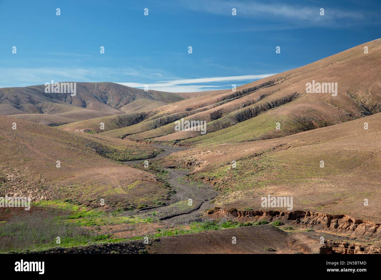 Semi-desert with Barranco de Fuente Lopez, aerial photo, Canary Islands, Fuerteventura, Tefia, Los Molinos Stock Photohttps://www.alamy.com/image-license-details/?v=1https://www.alamy.com/semi-desert-with-barranco-de-fuente-lopez-aerial-photo-canary-islands-fuerteventura-tefia-los-molinos-image519645181.html
RM2N5BTMD–Semi-desert with Barranco de Fuente Lopez, aerial photo, Canary Islands, Fuerteventura, Tefia, Los Molinos
 1970s Photo (1973) - Culvert pipe and cables dumped as riprap (a haphazard sustaining wall to prevent erosion) on the edge of the Duwamish river Stock Photohttps://www.alamy.com/image-license-details/?v=1https://www.alamy.com/1970s-photo-1973-culvert-pipe-and-cables-dumped-as-riprap-a-haphazard-sustaining-wall-to-prevent-erosion-on-the-edge-of-the-duwamish-river-image387537162.html
RM2DEDRGX–1970s Photo (1973) - Culvert pipe and cables dumped as riprap (a haphazard sustaining wall to prevent erosion) on the edge of the Duwamish river
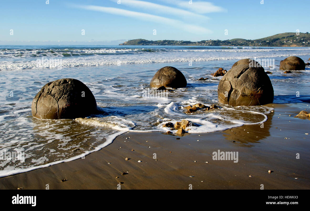 The Moeraki Boulders are unusually large and spherical boulders lying along a stretch of Koekohe Beach on the wave cut Otago coast of New Zealand between Moeraki and Hampden. They occur scattered either as isolated or clusters of boulders within a stretch of beach where they have been protected in a scientific reserve. The erosion by wave action of mudstone, comprising local bedrock and landslides, frequently exposes embedded isolated boulders. These boulders are grey-colored septarian concretions, which have been exhumed from the mudstone enclosing them and concentrated on the beach by coasta Stock Photohttps://www.alamy.com/image-license-details/?v=1https://www.alamy.com/stock-photo-the-moeraki-boulders-are-unusually-large-and-spherical-boulders-lying-129642187.html
RMHEWKX3–The Moeraki Boulders are unusually large and spherical boulders lying along a stretch of Koekohe Beach on the wave cut Otago coast of New Zealand between Moeraki and Hampden. They occur scattered either as isolated or clusters of boulders within a stretch of beach where they have been protected in a scientific reserve. The erosion by wave action of mudstone, comprising local bedrock and landslides, frequently exposes embedded isolated boulders. These boulders are grey-colored septarian concretions, which have been exhumed from the mudstone enclosing them and concentrated on the beach by coasta
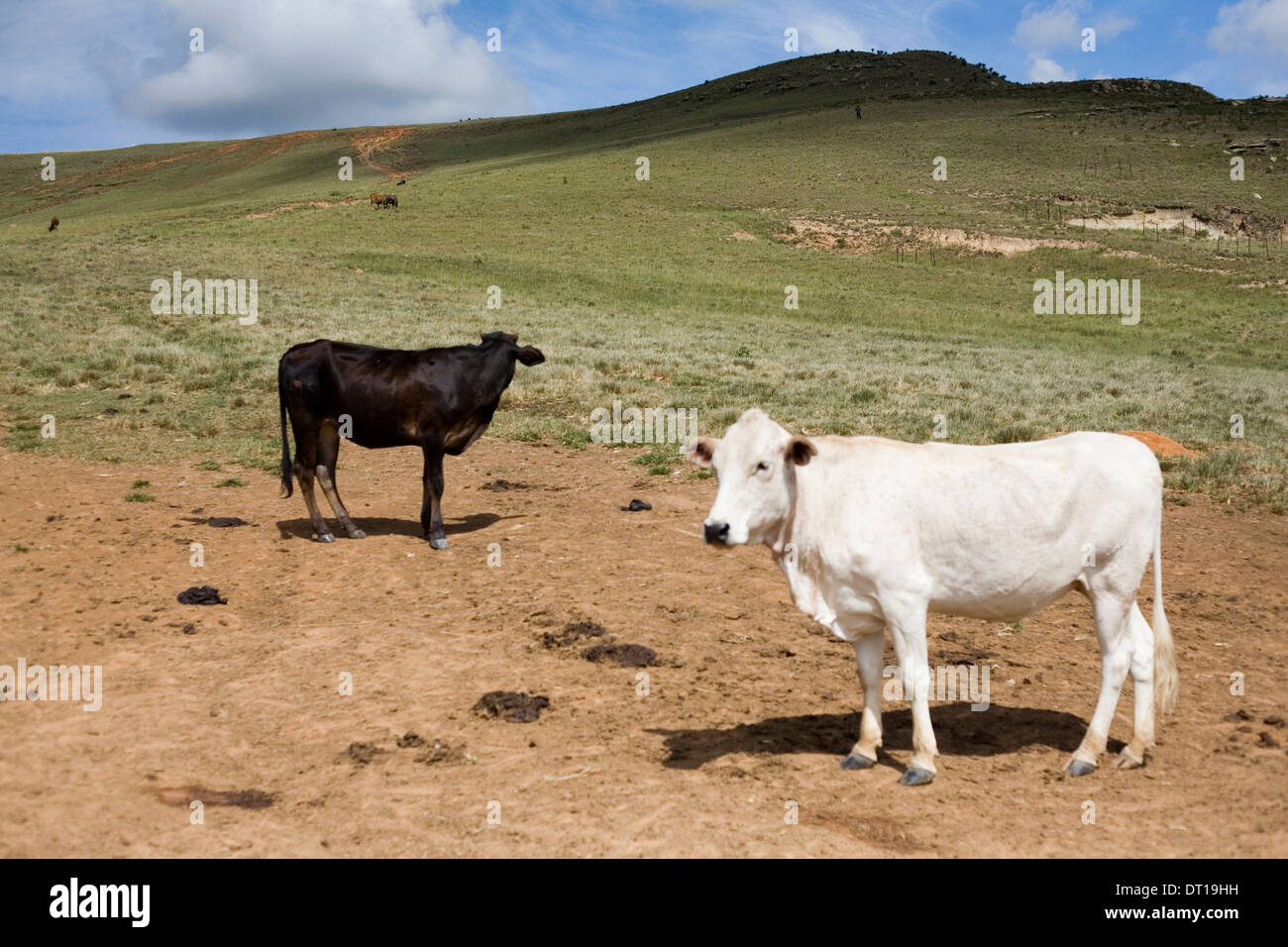 cattle, grassland and soil erosion. 24 FEBRUARY 2010 POTSHINI SOUTH AFRICA PHOTO/JOHN ROBINSON Stock Photohttps://www.alamy.com/image-license-details/?v=1https://www.alamy.com/cattle-grassland-and-soil-erosion-24-february-2010-potshini-south-image66412349.html
RMDT19HH–cattle, grassland and soil erosion. 24 FEBRUARY 2010 POTSHINI SOUTH AFRICA PHOTO/JOHN ROBINSON
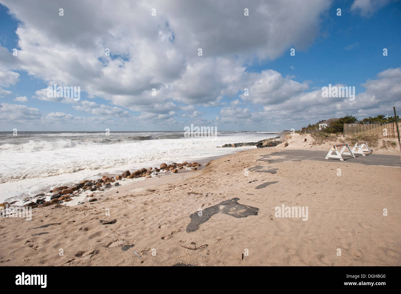 Erosion visible at Georgica Beach in East Hampton, NY, Photo by Gordon M. Grant Stock Photohttps://www.alamy.com/image-license-details/?v=1https://www.alamy.com/erosion-visible-at-georgica-beach-in-east-hampton-ny-photo-by-gordon-image61847856.html
RMDGHBG0–Erosion visible at Georgica Beach in East Hampton, NY, Photo by Gordon M. Grant
 field, soil erosion (CTK Photo/Jiri Castka) Stock Photohttps://www.alamy.com/image-license-details/?v=1https://www.alamy.com/stock-photo-field-soil-erosion-ctk-photojiri-castka-48243586.html
RMCPDK56–field, soil erosion (CTK Photo/Jiri Castka)
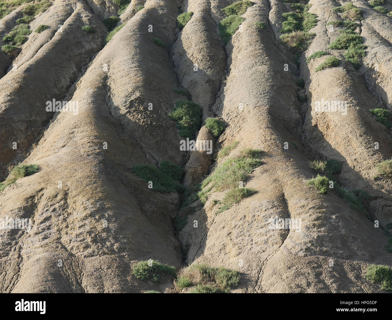 Erosion of the Mountain, Valley of the Temples, Vallee di Templi, Agrigento, Sicily, Italy Stock Photohttps://www.alamy.com/image-license-details/?v=1https://www.alamy.com/stock-photo-erosion-of-the-mountain-valley-of-the-temples-vallee-di-templi-agrigento-130047947.html
RFHFG5DF–Erosion of the Mountain, Valley of the Temples, Vallee di Templi, Agrigento, Sicily, Italy
 Gold Coast Queensland Australia beach erosion after storms, 7 2006 photo by Bruce Miller Stock Photohttps://www.alamy.com/image-license-details/?v=1https://www.alamy.com/stock-photo-gold-coast-queensland-australia-beach-erosion-after-storms-7-2006-10226811.html
RMA1DKHG–Gold Coast Queensland Australia beach erosion after storms, 7 2006 photo by Bruce Miller
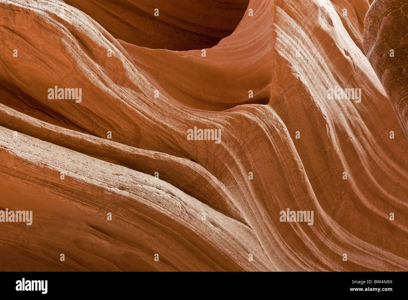 Detail of the water erosion in the Navajo sandstone Antelope Canyon Page Arizona USA Stock Photohttps://www.alamy.com/image-license-details/?v=1https://www.alamy.com/stock-photo-detail-of-the-water-erosion-in-the-navajo-sandstone-antelope-canyon-32681710.html
RFBW4NRX–Detail of the water erosion in the Navajo sandstone Antelope Canyon Page Arizona USA
 New Zealand South Island, gorge with the Shotover River on Skippers Canyon Road north of Queenstown in the Otago region Stock Photohttps://www.alamy.com/image-license-details/?v=1https://www.alamy.com/new-zealand-south-island-gorge-with-the-shotover-river-on-skippers-canyon-road-north-of-queenstown-in-the-otago-region-image622308767.html
RF2Y4CH53–New Zealand South Island, gorge with the Shotover River on Skippers Canyon Road north of Queenstown in the Otago region
 Aerial photo Cappadocia Stock Photohttps://www.alamy.com/image-license-details/?v=1https://www.alamy.com/stock-photo-aerial-photo-cappadocia-79598047.html
RFEHE03B–Aerial photo Cappadocia
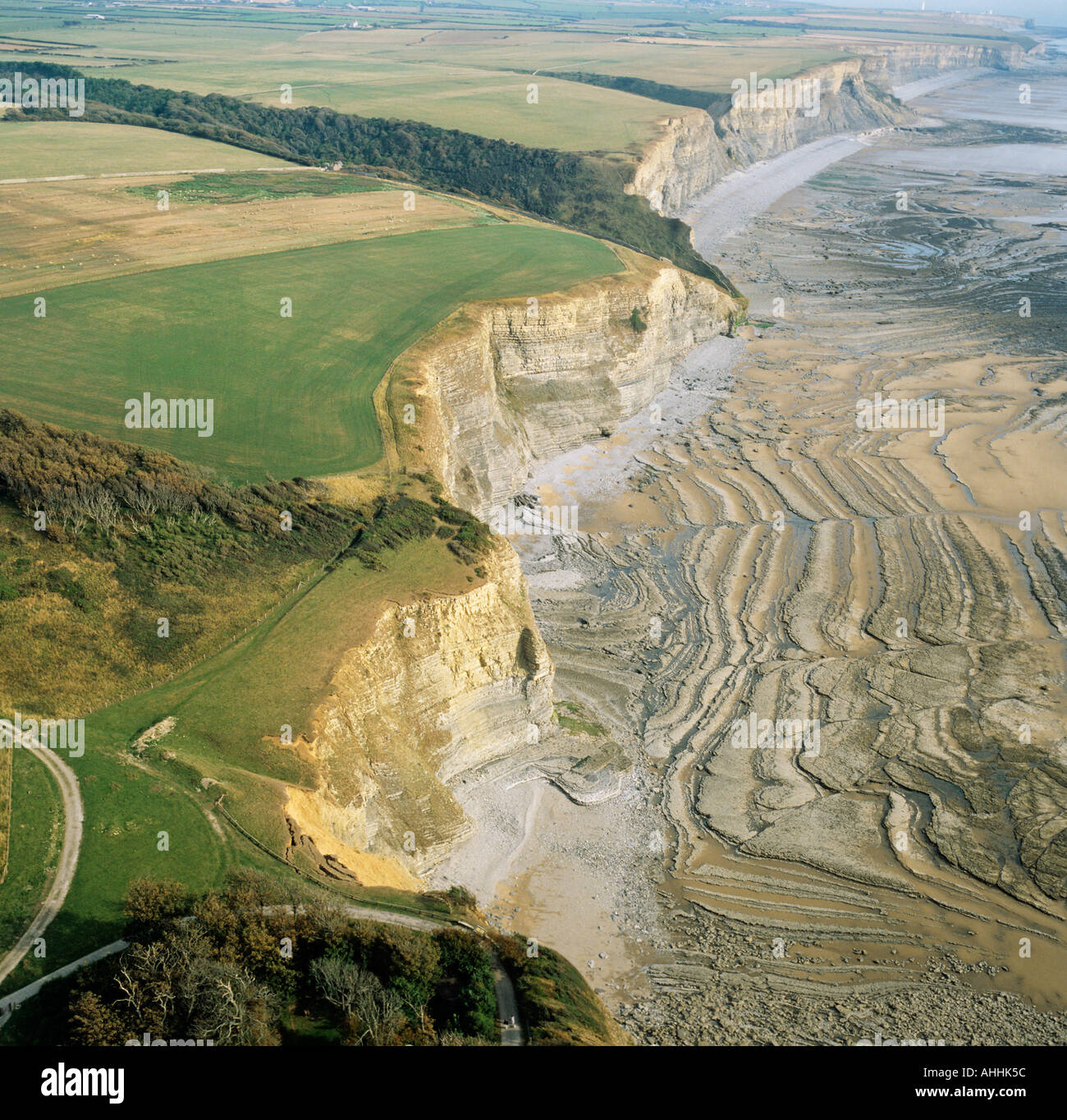 Cliff erosion patterns South Wales coast UK aerial view Stock Photohttps://www.alamy.com/image-license-details/?v=1https://www.alamy.com/cliff-erosion-patterns-south-wales-coast-uk-aerial-view-image4726619.html
RMAHHK5C–Cliff erosion patterns South Wales coast UK aerial view
 Aerial view of coastal path and cliff erosion near Brook. Carpark falling into the sea. South west coast Isle of Wight. UK Stock Photohttps://www.alamy.com/image-license-details/?v=1https://www.alamy.com/aerial-view-of-coastal-path-and-cliff-erosion-near-brook-carpark-falling-image9663562.html
RMAXT5TB–Aerial view of coastal path and cliff erosion near Brook. Carpark falling into the sea. South west coast Isle of Wight. UK
 Aerial photo of Purnululu National Park Stock Photohttps://www.alamy.com/image-license-details/?v=1https://www.alamy.com/aerial-photo-of-purnululu-national-park-image69971149.html
RME1RCWH–Aerial photo of Purnululu National Park
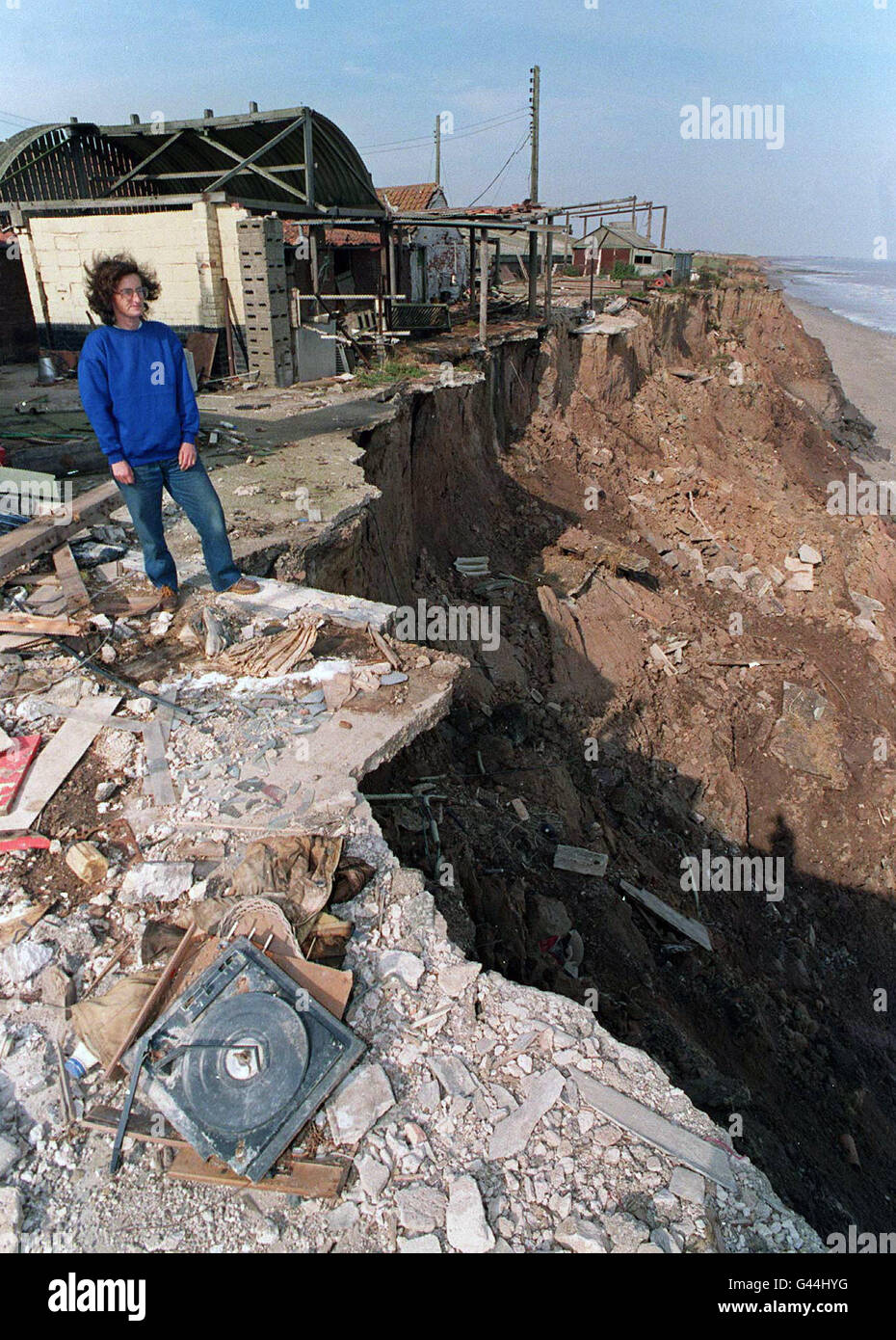 Looking over the edge of the cliff, Sue Earle of Great Cowden near Hornsea, East Yorkshire, can only look on as her home and farm collapse around her. She has been ordered to leave her home by the local council because coastal erosion has brought the cliff edge only feet from her front door, but claims she and her 65-year-old uncle David have nowhere to go. The sea has already consumed her dairy, garage and outbuildings and is currently eating away at the land at a rate of 30 feet a year. See PA story SOCIAL Cliffs. Photo John Giles.PA. Stock Photohttps://www.alamy.com/image-license-details/?v=1https://www.alamy.com/stock-photo-looking-over-the-edge-of-the-cliff-sue-earle-of-great-cowden-near-105822740.html
RMG44HYG–Looking over the edge of the cliff, Sue Earle of Great Cowden near Hornsea, East Yorkshire, can only look on as her home and farm collapse around her. She has been ordered to leave her home by the local council because coastal erosion has brought the cliff edge only feet from her front door, but claims she and her 65-year-old uncle David have nowhere to go. The sea has already consumed her dairy, garage and outbuildings and is currently eating away at the land at a rate of 30 feet a year. See PA story SOCIAL Cliffs. Photo John Giles.PA.
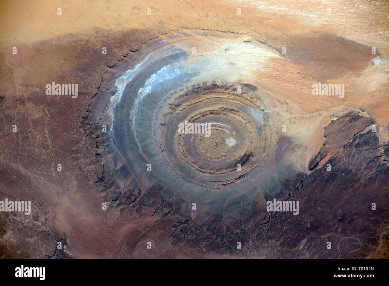 Richat Structure, ISS Image Stock Photohttps://www.alamy.com/image-license-details/?v=1https://www.alamy.com/richat-structure-iss-image-image245902545.html
RMT81R5N–Richat Structure, ISS Image
 AJAXNETPHOTO. 2013. WORTHING, ENGLAND. - ROUGH SEA BATTERS COAST - STORMY WEATHER HAMMERS THE STEEP SHINGLE BEACH PROTECTED FROM EROSION BY NUMEROUS WOODEN GROYNES. PHOTO:JONATHAN EASTLAND/AJAX REF:D130201 1183 Stock Photohttps://www.alamy.com/image-license-details/?v=1https://www.alamy.com/stock-image-ajaxnetphoto-2013-worthing-england-rough-sea-batters-coast-stormy-166821226.html
RMKKBA4X–AJAXNETPHOTO. 2013. WORTHING, ENGLAND. - ROUGH SEA BATTERS COAST - STORMY WEATHER HAMMERS THE STEEP SHINGLE BEACH PROTECTED FROM EROSION BY NUMEROUS WOODEN GROYNES. PHOTO:JONATHAN EASTLAND/AJAX REF:D130201 1183
 Landscape photo of rain water erosion landcape with blue cloudy sky Stock Photohttps://www.alamy.com/image-license-details/?v=1https://www.alamy.com/landscape-photo-of-rain-water-erosion-landcape-with-blue-cloudy-sky-image241869215.html
RFT1E2J7–Landscape photo of rain water erosion landcape with blue cloudy sky
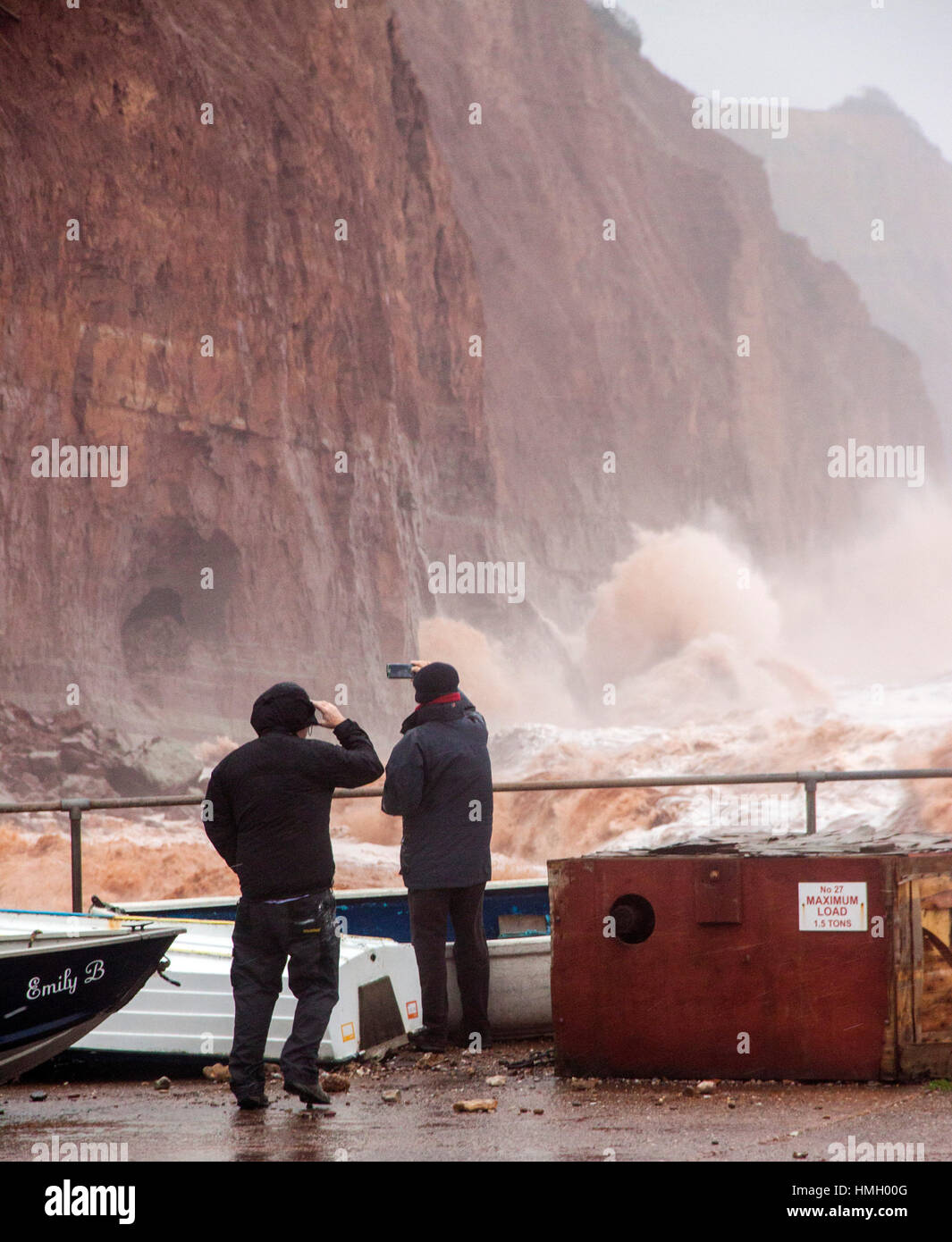 Sidmouth, Devon, UK. 3rd February, 2017. Storms pound into the red sandstone cliffs at Sidmouth, Devon. Rapid coastal erosion is of growing concern in the town, and talks continue on the best way to combat this and protect this area of the Jurassic coast line. Photo by Tony Charnock/Alamy Live News Stock Photohttps://www.alamy.com/image-license-details/?v=1https://www.alamy.com/stock-photo-sidmouth-devon-uk-3rd-february-2017-storms-pound-into-the-red-sandstone-133138896.html
RMHMH00G–Sidmouth, Devon, UK. 3rd February, 2017. Storms pound into the red sandstone cliffs at Sidmouth, Devon. Rapid coastal erosion is of growing concern in the town, and talks continue on the best way to combat this and protect this area of the Jurassic coast line. Photo by Tony Charnock/Alamy Live News
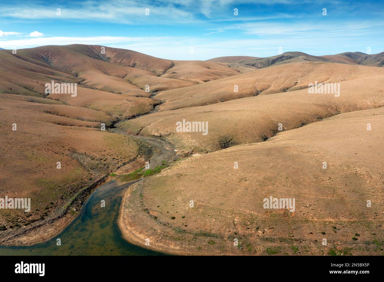 Semi-desert with Barranco de Fuente Lopez, aerial photo, Canary Islands, Fuerteventura, Tefia, Los Molinos Stock Photohttps://www.alamy.com/image-license-details/?v=1https://www.alamy.com/semi-desert-with-barranco-de-fuente-lopez-aerial-photo-canary-islands-fuerteventura-tefia-los-molinos-image519646338.html
RM2N5BX5P–Semi-desert with Barranco de Fuente Lopez, aerial photo, Canary Islands, Fuerteventura, Tefia, Los Molinos
 '1970s Photo (1973) - Homeowner on Duwamish river uses discarded refrigerator washing machine, stove and concrete to prevent erosion of river bank' Stock Photohttps://www.alamy.com/image-license-details/?v=1https://www.alamy.com/1970s-photo-1973-homeowner-on-duwamish-river-uses-discarded-refrigerator-washing-machine-stove-and-concrete-to-prevent-erosion-of-river-bank-image387530753.html
RM2DEDFC1–'1970s Photo (1973) - Homeowner on Duwamish river uses discarded refrigerator washing machine, stove and concrete to prevent erosion of river bank'
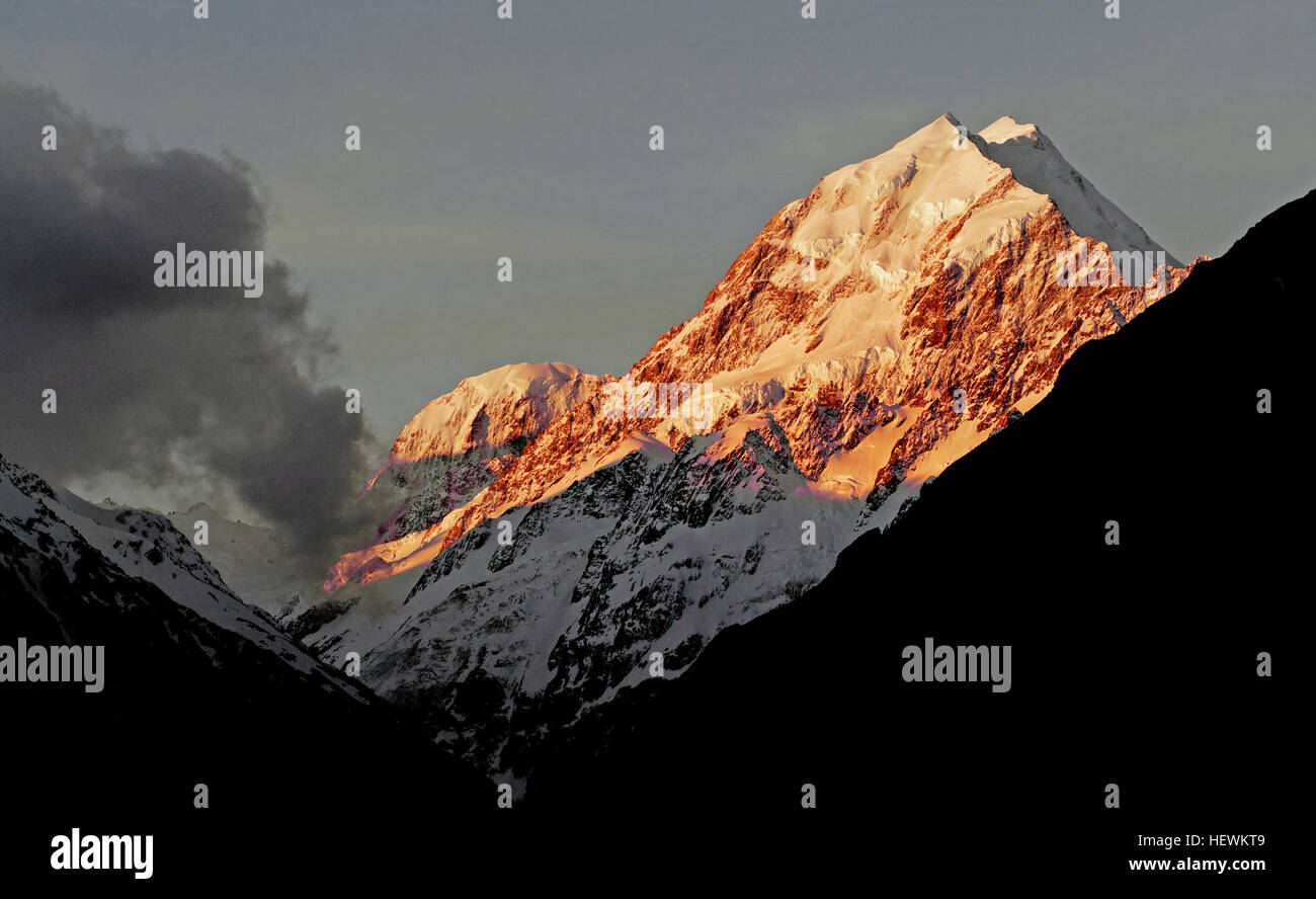 Mt Cook, the tallest mountain in New Zealand, helped Sir Edmund Hillary to develop his climbing skills in preparation for the conquest of Everest. Aoraki Mount Cook National Park is home of the highest mountains and the longest glaciers. It is alpine in the purest sense - with skyscraping peaks, glaciers and permanent snow fields, all set under a star-studded sky Aoraki / Mount Cook is the highest mountain in New Zealand. Its height since 2014 is listed as 3,724 metres, down from 3,764 m before December 1991, due to a rockslide and subsequent erosion. Stock Photohttps://www.alamy.com/image-license-details/?v=1https://www.alamy.com/stock-photo-mt-cook-the-tallest-mountain-in-new-zealand-helped-sir-edmund-hillary-129642137.html
RMHEWKT9–Mt Cook, the tallest mountain in New Zealand, helped Sir Edmund Hillary to develop his climbing skills in preparation for the conquest of Everest. Aoraki Mount Cook National Park is home of the highest mountains and the longest glaciers. It is alpine in the purest sense - with skyscraping peaks, glaciers and permanent snow fields, all set under a star-studded sky Aoraki / Mount Cook is the highest mountain in New Zealand. Its height since 2014 is listed as 3,724 metres, down from 3,764 m before December 1991, due to a rockslide and subsequent erosion.
 cattle, grassland and soil erosion. 24 FEBRUARY 2010 POTSHINI SOUTH AFRICA PHOTO/JOHN ROBINSON Stock Photohttps://www.alamy.com/image-license-details/?v=1https://www.alamy.com/cattle-grassland-and-soil-erosion-24-february-2010-potshini-south-image66412362.html
RMDT19J2–cattle, grassland and soil erosion. 24 FEBRUARY 2010 POTSHINI SOUTH AFRICA PHOTO/JOHN ROBINSON
 Erosion visible at Georgica Beach in East Hampton, NY, Photo by Gordon M. Grant Stock Photohttps://www.alamy.com/image-license-details/?v=1https://www.alamy.com/erosion-visible-at-georgica-beach-in-east-hampton-ny-photo-by-gordon-image61848174.html
RMDGHBYA–Erosion visible at Georgica Beach in East Hampton, NY, Photo by Gordon M. Grant
 field, soil erosion (CTK Photo/Jiri Castka) Stock Photohttps://www.alamy.com/image-license-details/?v=1https://www.alamy.com/stock-photo-field-soil-erosion-ctk-photojiri-castka-48243598.html
RMCPDK5J–field, soil erosion (CTK Photo/Jiri Castka)
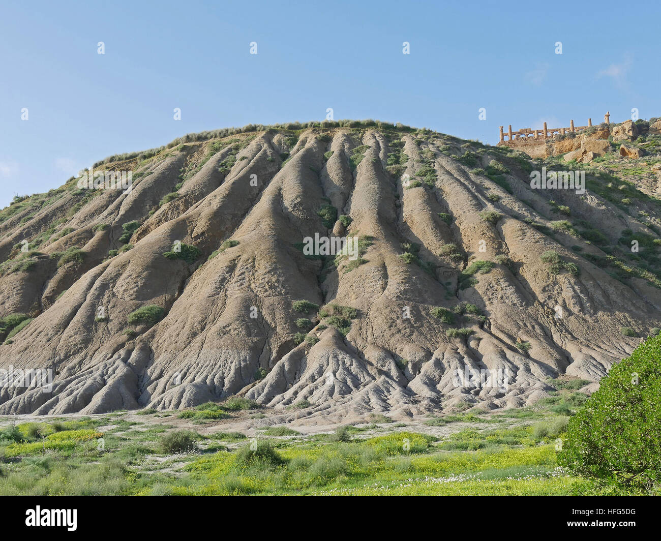 Erosion of the Mountain, Valley of the Temples, Vallee di Templi, Agrigento, Sicily, Italy Stock Photohttps://www.alamy.com/image-license-details/?v=1https://www.alamy.com/stock-photo-erosion-of-the-mountain-valley-of-the-temples-vallee-di-templi-agrigento-130047948.html
RFHFG5DG–Erosion of the Mountain, Valley of the Temples, Vallee di Templi, Agrigento, Sicily, Italy
 sever soil erosion damage to the South West Coastal path in Cornwall. Photo by Gordon Scammell Stock Photohttps://www.alamy.com/image-license-details/?v=1https://www.alamy.com/stock-photo-sever-soil-erosion-damage-to-the-south-west-coastal-path-in-cornwall-32076191.html
RMBT55E7–sever soil erosion damage to the South West Coastal path in Cornwall. Photo by Gordon Scammell
 Killed trees by beach erosion on Hunting Island, South Carolina, USA. Photo by Darrell Young. Stock Photohttps://www.alamy.com/image-license-details/?v=1https://www.alamy.com/stock-photo-killed-trees-by-beach-erosion-on-hunting-island-south-carolina-usa-24725946.html
RMBC6A5E–Killed trees by beach erosion on Hunting Island, South Carolina, USA. Photo by Darrell Young.
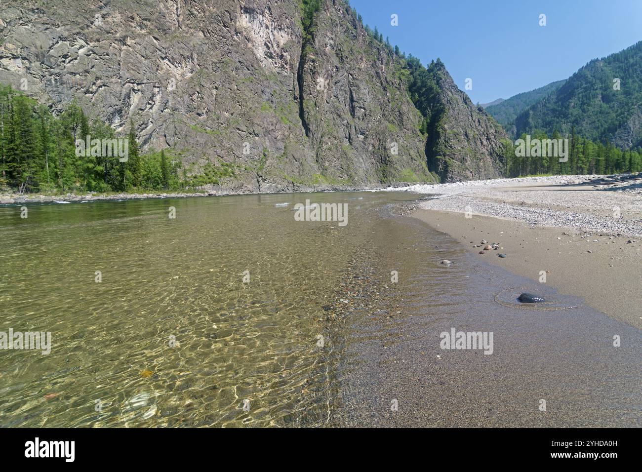 The Oka Sayanskaya River in the Orkho-Bom gorge. A small sandy beach. Sunny summer day. Buryatia, Siberia, Russia, Europe Stock Photohttps://www.alamy.com/image-license-details/?v=1https://www.alamy.com/the-oka-sayanskaya-river-in-the-orkho-bom-gorge-a-small-sandy-beach-sunny-summer-day-buryatia-siberia-russia-europe-image630315633.html
RM2YHDA0H–The Oka Sayanskaya River in the Orkho-Bom gorge. A small sandy beach. Sunny summer day. Buryatia, Siberia, Russia, Europe
 Aerial photo Cappadocia Stock Photohttps://www.alamy.com/image-license-details/?v=1https://www.alamy.com/stock-photo-aerial-photo-cappadocia-79598178.html
RFEHE082–Aerial photo Cappadocia
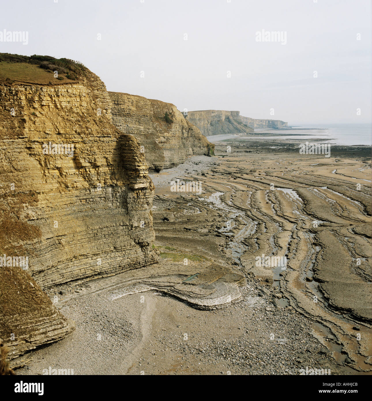 Erosion of cliffs along south Wales coast UK aerial view Stock Photohttps://www.alamy.com/image-license-details/?v=1https://www.alamy.com/erosion-of-cliffs-along-south-wales-coast-uk-aerial-view-image4726474.html
RMAHHJCB–Erosion of cliffs along south Wales coast UK aerial view
 This striking image contrasts the smooth, undulating waves of the sea with the rugged, solid boulders on the shore. A mix of pebbles and larger rocks at the water's edge tells a story of natural erosion and the relentless force of the waves. The expansive blue sky, filled with wispy cirrus clouds, stretches over the scene, providing a sense of openness and freedom. The natural palette of blues, whites, and earth tones captures the coastal environment's raw beauty, offering a fresh perspective on the boundary between land and sea. Coastal Contrast: Boulders and Waves. High quality photo Stock Photohttps://www.alamy.com/image-license-details/?v=1https://www.alamy.com/this-striking-image-contrasts-the-smooth-undulating-waves-of-the-sea-with-the-rugged-solid-boulders-on-the-shore-a-mix-of-pebbles-and-larger-rocks-at-the-waters-edge-tells-a-story-of-natural-erosion-and-the-relentless-force-of-the-waves-the-expansive-blue-sky-filled-with-wispy-cirrus-clouds-stretches-over-the-scene-providing-a-sense-of-openness-and-freedom-the-natural-palette-of-blues-whites-and-earth-tones-captures-the-coastal-environments-raw-beauty-offering-a-fresh-perspective-on-the-boundary-between-land-and-sea-coastal-contrast-boulders-and-waves-high-quality-photo-image592008864.html
RF2WB499M–This striking image contrasts the smooth, undulating waves of the sea with the rugged, solid boulders on the shore. A mix of pebbles and larger rocks at the water's edge tells a story of natural erosion and the relentless force of the waves. The expansive blue sky, filled with wispy cirrus clouds, stretches over the scene, providing a sense of openness and freedom. The natural palette of blues, whites, and earth tones captures the coastal environment's raw beauty, offering a fresh perspective on the boundary between land and sea. Coastal Contrast: Boulders and Waves. High quality photo
 Photo Mosaic of Schiaparelli Hemisphere, Mars, from Viking Orbiter Stock Photohttps://www.alamy.com/image-license-details/?v=1https://www.alamy.com/stock-photo-photo-mosaic-of-schiaparelli-hemisphere-mars-from-viking-orbiter-52113125.html
RMD0NXR1–Photo Mosaic of Schiaparelli Hemisphere, Mars, from Viking Orbiter
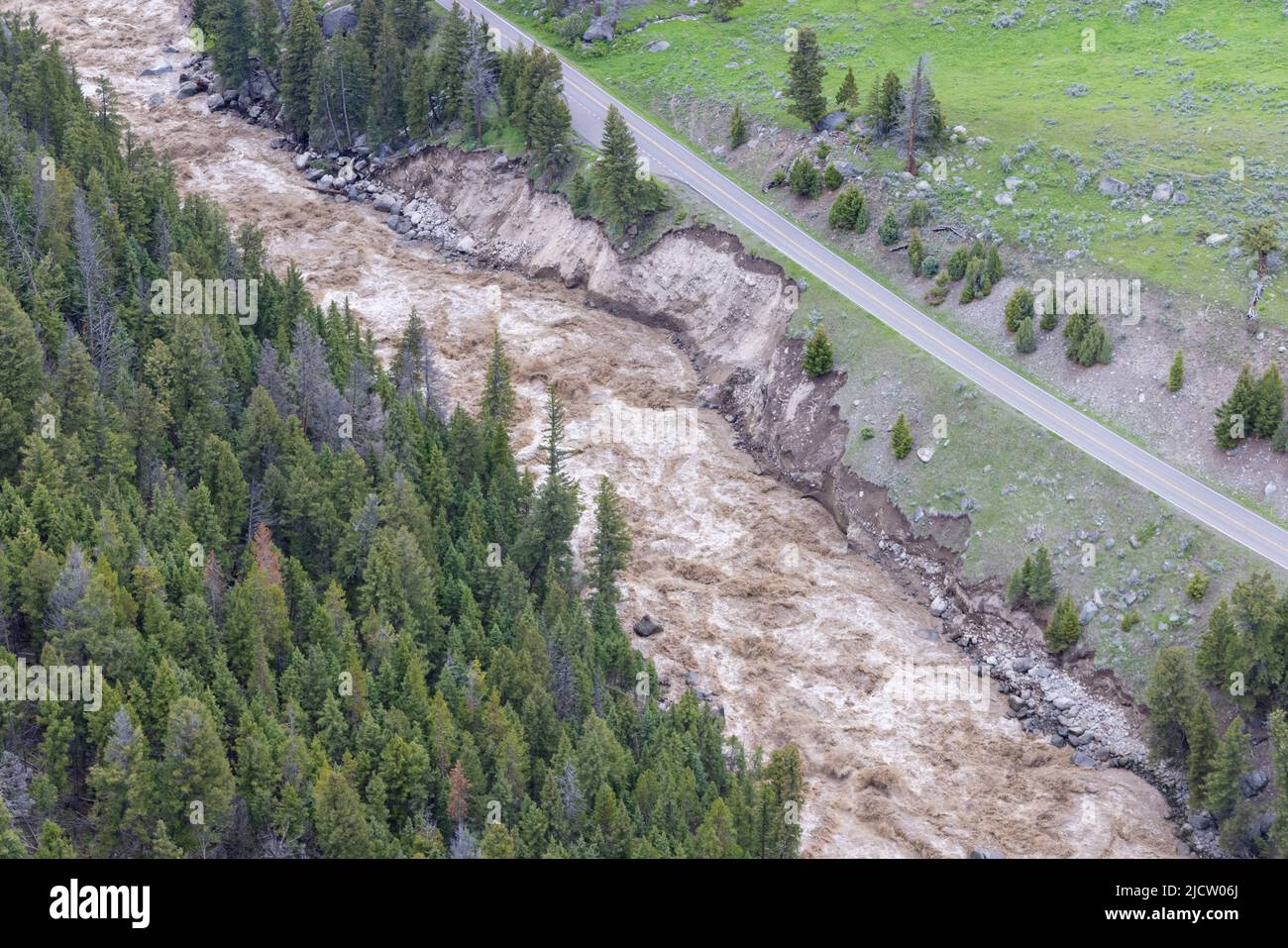 Yellowstone, United States. 13th June, 2022. The northeast entrance of Yellowstone National Park is washed out after record rains and snow melt caused destructive floods closing the park at the start of the busy season, June 13, 2022 in Yellowstone, Montana. Credit: Jacob W. Frank/NPS Photo/Alamy Live News Stock Photohttps://www.alamy.com/image-license-details/?v=1https://www.alamy.com/yellowstone-united-states-13th-june-2022-the-northeast-entrance-of-yellowstone-national-park-is-washed-out-after-record-rains-and-snow-melt-caused-destructive-floods-closing-the-park-at-the-start-of-the-busy-season-june-13-2022-in-yellowstone-montana-credit-jacob-w-franknps-photoalamy-live-news-image472604794.html
RM2JCW06J–Yellowstone, United States. 13th June, 2022. The northeast entrance of Yellowstone National Park is washed out after record rains and snow melt caused destructive floods closing the park at the start of the busy season, June 13, 2022 in Yellowstone, Montana. Credit: Jacob W. Frank/NPS Photo/Alamy Live News
 Richat Structure, ISS Image Stock Photohttps://www.alamy.com/image-license-details/?v=1https://www.alamy.com/richat-structure-iss-image-image245902547.html
RMT81R5R–Richat Structure, ISS Image
 AJAXNETPHOTO. 2013. WORTHING, ENGLAND. - ROUGH SEA BATTERS COAST - STORMY WEATHER HAMMERS THE STEEP SHINGLE BEACH PROTECTED FROM EROSION BY NUMEROUS WOODEN GROYNES. PHOTO:JONATHAN EASTLAND/AJAX REF:D130201 1184 Stock Photohttps://www.alamy.com/image-license-details/?v=1https://www.alamy.com/stock-image-ajaxnetphoto-2013-worthing-england-rough-sea-batters-coast-stormy-166821227.html
RMKKBA4Y–AJAXNETPHOTO. 2013. WORTHING, ENGLAND. - ROUGH SEA BATTERS COAST - STORMY WEATHER HAMMERS THE STEEP SHINGLE BEACH PROTECTED FROM EROSION BY NUMEROUS WOODEN GROYNES. PHOTO:JONATHAN EASTLAND/AJAX REF:D130201 1184
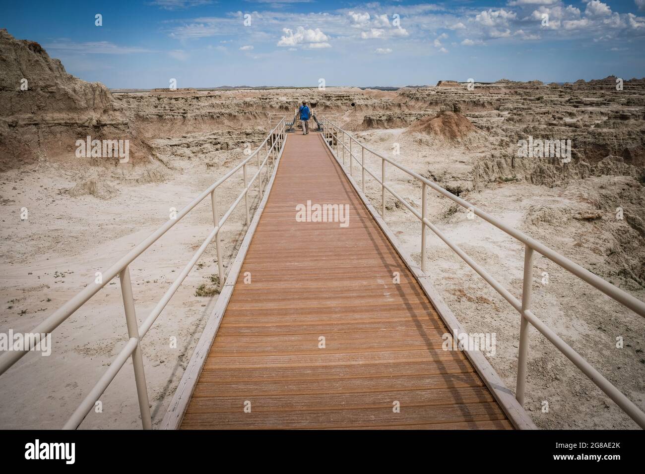 View of the Badlands of South Dakota, USA, Badlands National Park, USA. Stock Photohttps://www.alamy.com/image-license-details/?v=1https://www.alamy.com/view-of-the-badlands-of-south-dakota-usa-badlands-national-park-usa-image435407019.html
RM2G8AE2K–View of the Badlands of South Dakota, USA, Badlands National Park, USA.
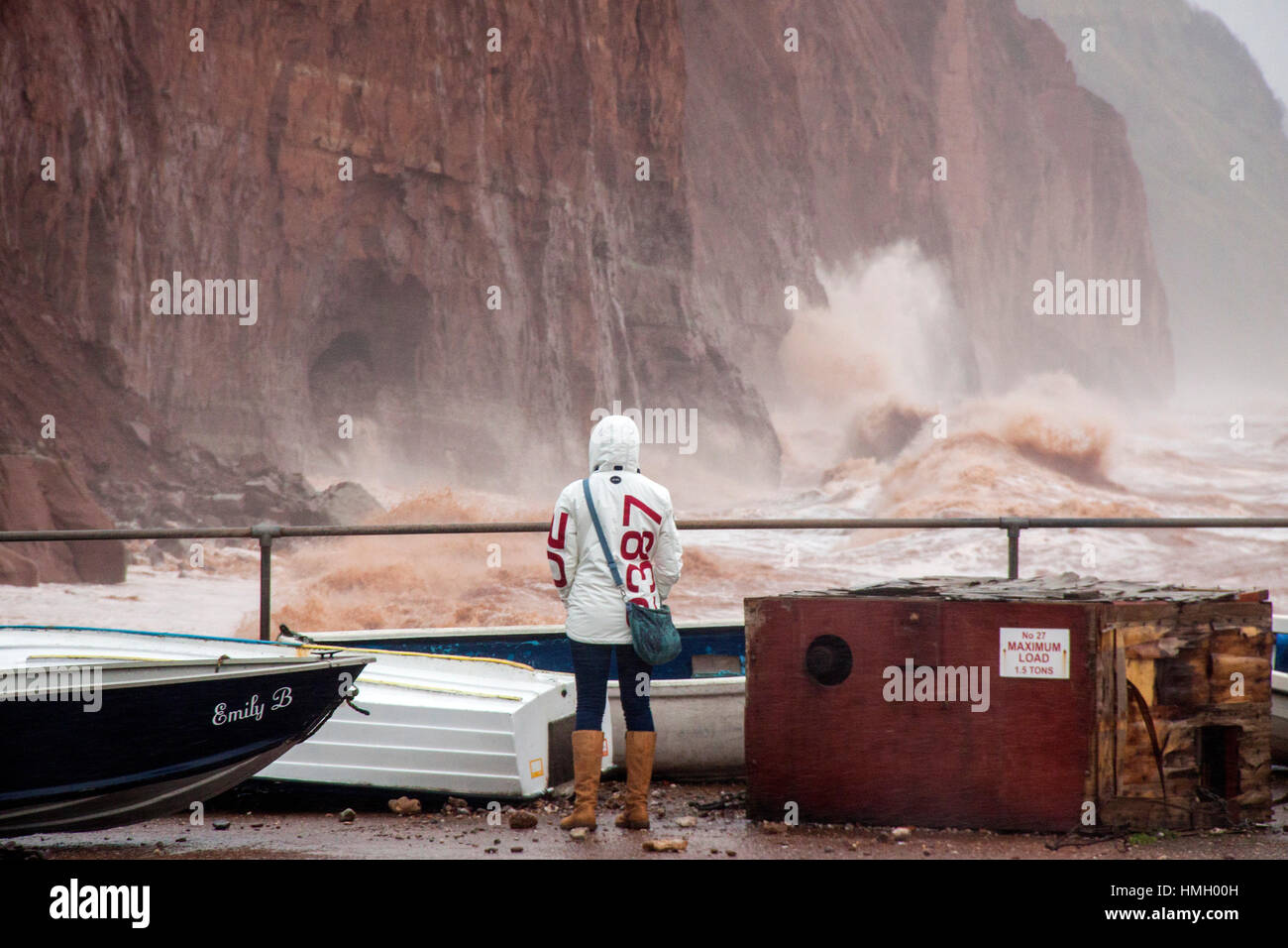 Sidmouth, Devon, UK. 3rd February, 2017. Storms pound into the red sandstone cliffs at Sidmouth, Devon. Rapid coastal erosion is of growing concern in the town, and talks continue on the best way to combat this and protect this area of the Jurassic coast line. Photo by Tony Charnock/Alamy Live News Stock Photohttps://www.alamy.com/image-license-details/?v=1https://www.alamy.com/stock-photo-sidmouth-devon-uk-3rd-february-2017-storms-pound-into-the-red-sandstone-133138897.html
RMHMH00H–Sidmouth, Devon, UK. 3rd February, 2017. Storms pound into the red sandstone cliffs at Sidmouth, Devon. Rapid coastal erosion is of growing concern in the town, and talks continue on the best way to combat this and protect this area of the Jurassic coast line. Photo by Tony Charnock/Alamy Live News
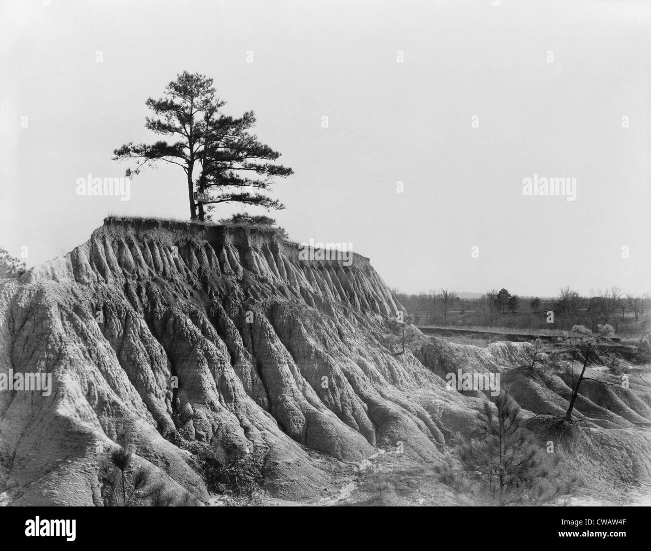 A lone tree marks the previous land level before erosion stripped soil away near Jackson, Mississippi. March 1936 photo by Stock Photohttps://www.alamy.com/image-license-details/?v=1https://www.alamy.com/stock-photo-a-lone-tree-marks-the-previous-land-level-before-erosion-stripped-50026383.html
RMCWAW4F–A lone tree marks the previous land level before erosion stripped soil away near Jackson, Mississippi. March 1936 photo by
 Aerial Photo of Coastline, Na Pali Coast, Kauai, Hawaii, USA Stock Photohttps://www.alamy.com/image-license-details/?v=1https://www.alamy.com/aerial-photo-of-coastline-na-pali-coast-kauai-hawaii-usa-image7952615.html
RMAFDXP8–Aerial Photo of Coastline, Na Pali Coast, Kauai, Hawaii, USA
 Grand Canyon National Park, Arizona, Usa, A tourist takes a photo along the South Rim, Stock Photohttps://www.alamy.com/image-license-details/?v=1https://www.alamy.com/stock-photo-grand-canyon-national-park-arizona-usa-a-tourist-takes-a-photo-along-147350103.html
RMJFMAFK–Grand Canyon National Park, Arizona, Usa, A tourist takes a photo along the South Rim,
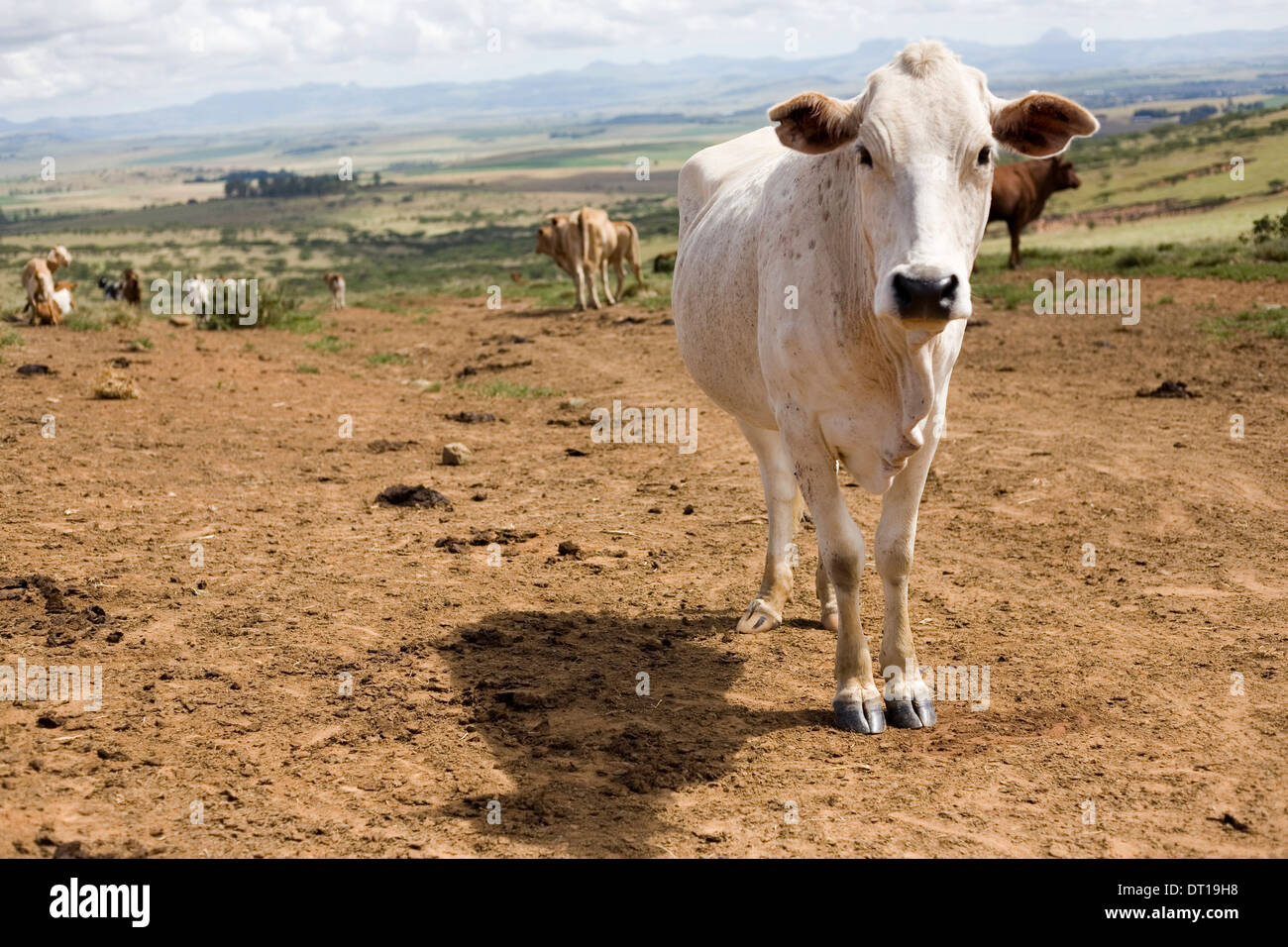 cattle, grassland and soil erosion. 24 FEBRUARY 2010 POTSHINI SOUTH AFRICA PHOTO/JOHN ROBINSON Stock Photohttps://www.alamy.com/image-license-details/?v=1https://www.alamy.com/cattle-grassland-and-soil-erosion-24-february-2010-potshini-south-image66412340.html
RMDT19H8–cattle, grassland and soil erosion. 24 FEBRUARY 2010 POTSHINI SOUTH AFRICA PHOTO/JOHN ROBINSON
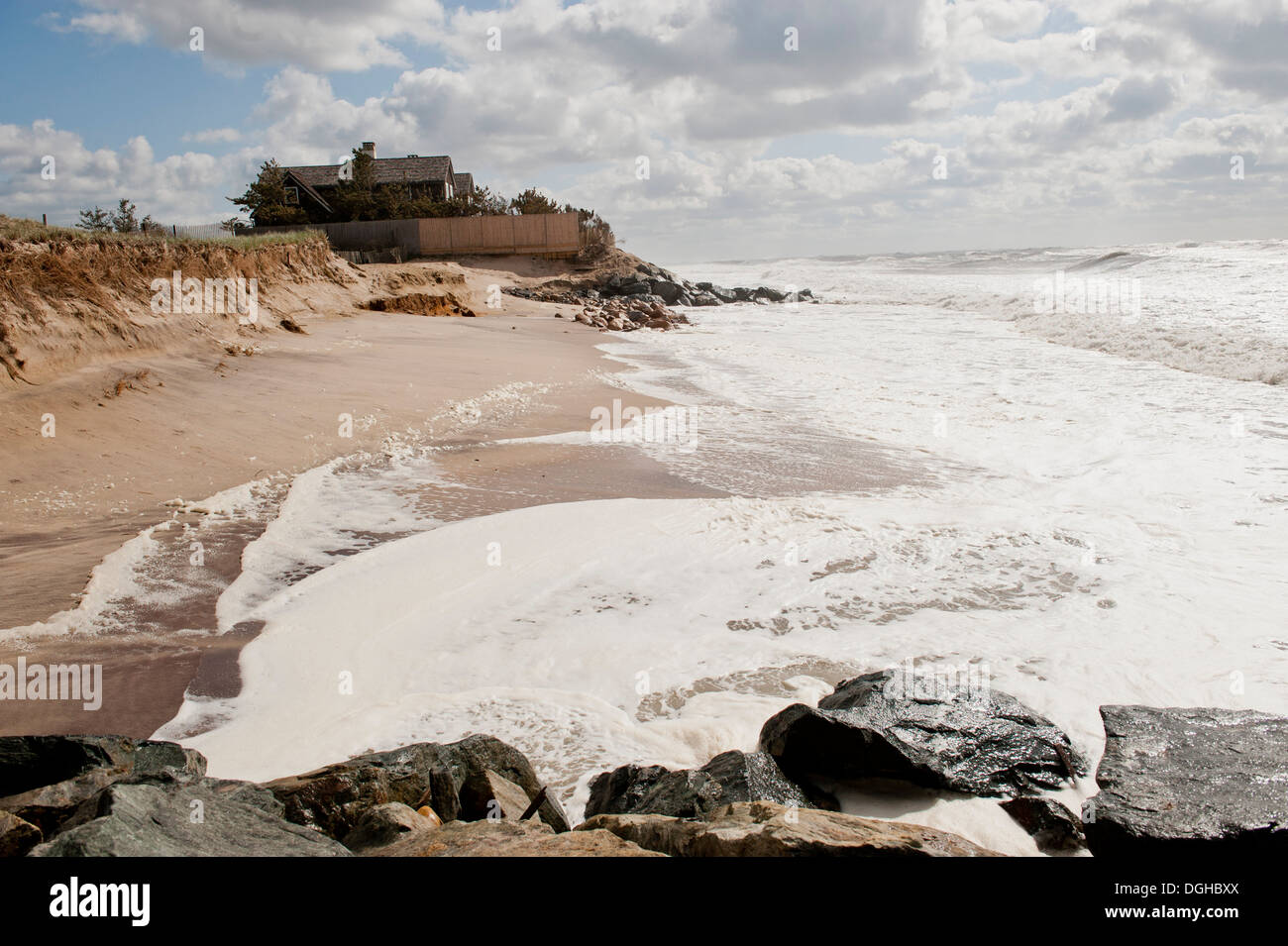 Erosion visible at Georgica Beach in East Hampton, NY, Photo by Gordon M. Grant Stock Photohttps://www.alamy.com/image-license-details/?v=1https://www.alamy.com/erosion-visible-at-georgica-beach-in-east-hampton-ny-photo-by-gordon-image61848162.html
RMDGHBXX–Erosion visible at Georgica Beach in East Hampton, NY, Photo by Gordon M. Grant
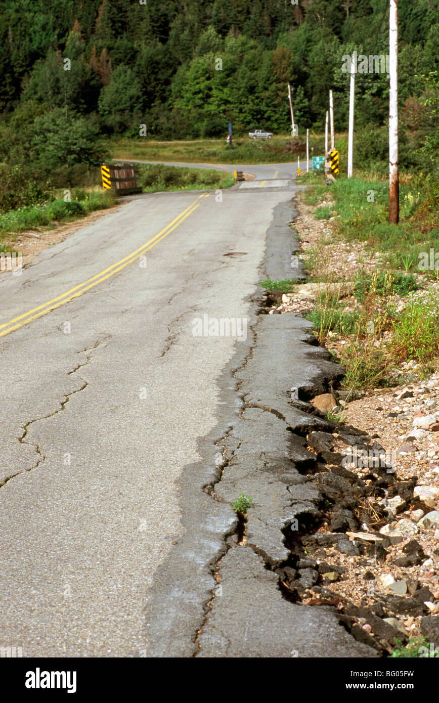 Dangerous Road Conditions - Soil Erosion along Side of Asphalt Highway creates Cracked and Broken Pavement Stock Photohttps://www.alamy.com/image-license-details/?v=1https://www.alamy.com/stock-photo-dangerous-road-conditions-soil-erosion-along-side-of-asphalt-highway-27049229.html
RMBG05FW–Dangerous Road Conditions - Soil Erosion along Side of Asphalt Highway creates Cracked and Broken Pavement
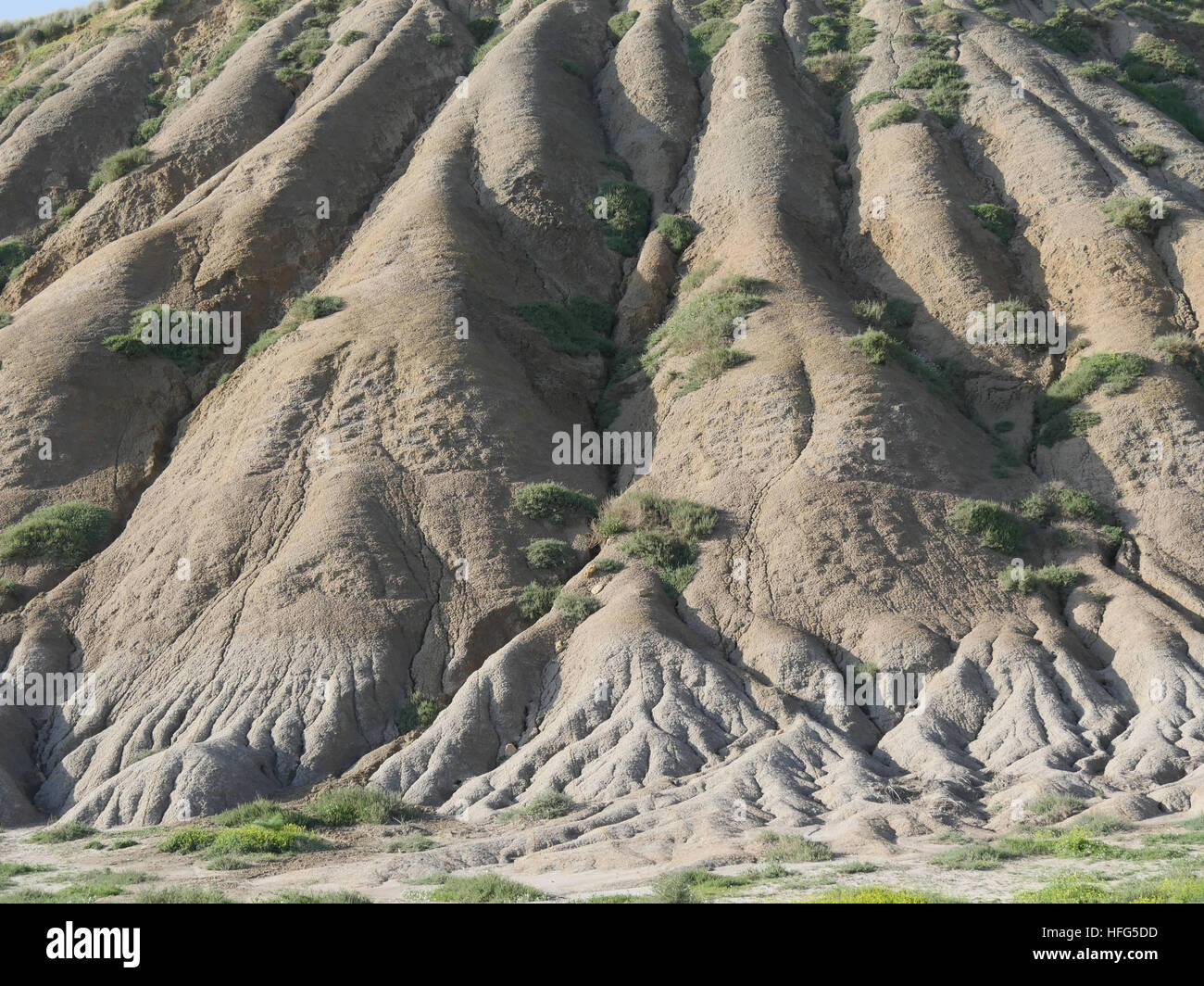 Erosion of the Mountain, Valley of the Temples, Vallee di Templi, Agrigento, Sicily, Italy Stock Photohttps://www.alamy.com/image-license-details/?v=1https://www.alamy.com/stock-photo-erosion-of-the-mountain-valley-of-the-temples-vallee-di-templi-agrigento-130047945.html
RFHFG5DD–Erosion of the Mountain, Valley of the Temples, Vallee di Templi, Agrigento, Sicily, Italy
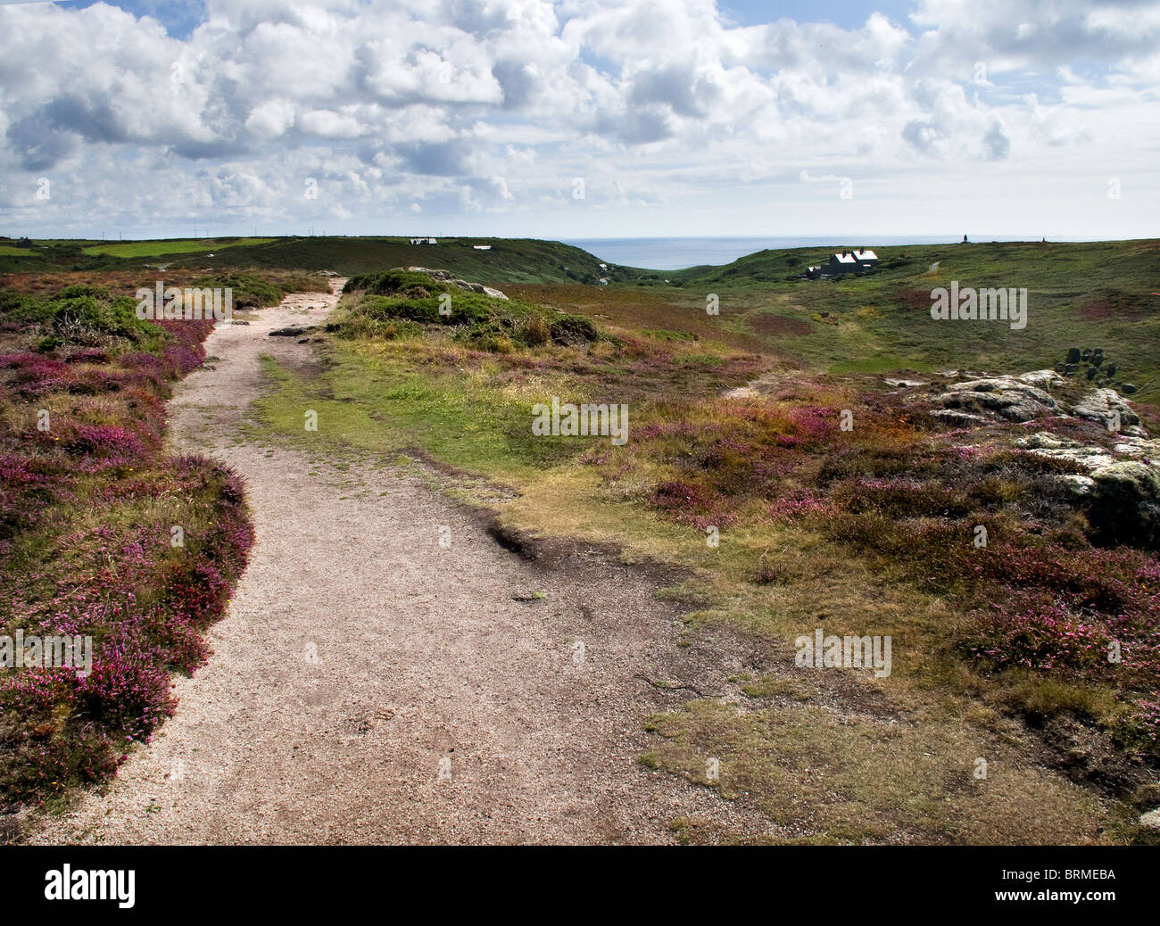 Soil erosion damage to the South West Coastal Path in Cornwall. Photo by Gordon Scammell Stock Photohttps://www.alamy.com/image-license-details/?v=1https://www.alamy.com/stock-photo-soil-erosion-damage-to-the-south-west-coastal-path-in-cornwall-photo-31797790.html
RMBRMEBA–Soil erosion damage to the South West Coastal Path in Cornwall. Photo by Gordon Scammell
 Killed trees by beach erosion on Hunting Island, South Carolina, USA. Photo by Darrell Young. Stock Photohttps://www.alamy.com/image-license-details/?v=1https://www.alamy.com/stock-photo-killed-trees-by-beach-erosion-on-hunting-island-south-carolina-usa-24725759.html
RMBC69XR–Killed trees by beach erosion on Hunting Island, South Carolina, USA. Photo by Darrell Young.
 Red Canyon in Utah, USA, North America Stock Photohttps://www.alamy.com/image-license-details/?v=1https://www.alamy.com/red-canyon-in-utah-usa-north-america-image620843478.html
RF2Y21T5A–Red Canyon in Utah, USA, North America
 Aerial photo Cappadocia Stock Photohttps://www.alamy.com/image-license-details/?v=1https://www.alamy.com/stock-photo-aerial-photo-cappadocia-79597587.html
RFEHDYEY–Aerial photo Cappadocia
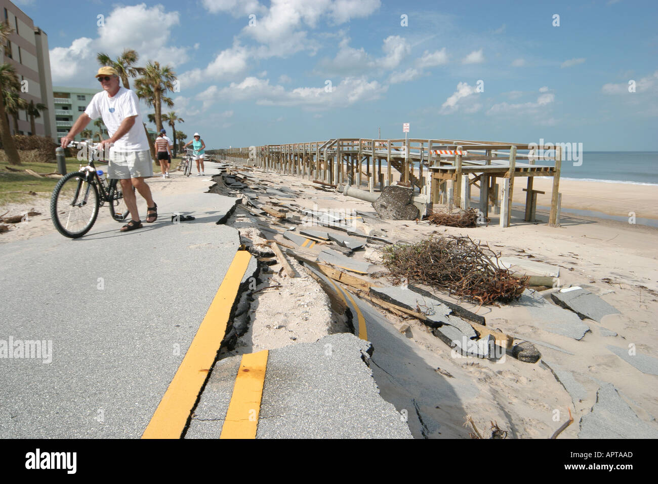 Vero Beach Florida,weather,Hurricane Jeanne damage,wind,storm,weather,destruction,missing road,wave erosion,wind destruction,tidal surge,FL0929040022 Stock Photohttps://www.alamy.com/image-license-details/?v=1https://www.alamy.com/vero-beach-floridaweatherhurricane-jeanne-damagewindstormweatherdestructionmissing-image2951852.html
RMAPTAAD–Vero Beach Florida,weather,Hurricane Jeanne damage,wind,storm,weather,destruction,missing road,wave erosion,wind destruction,tidal surge,FL0929040022
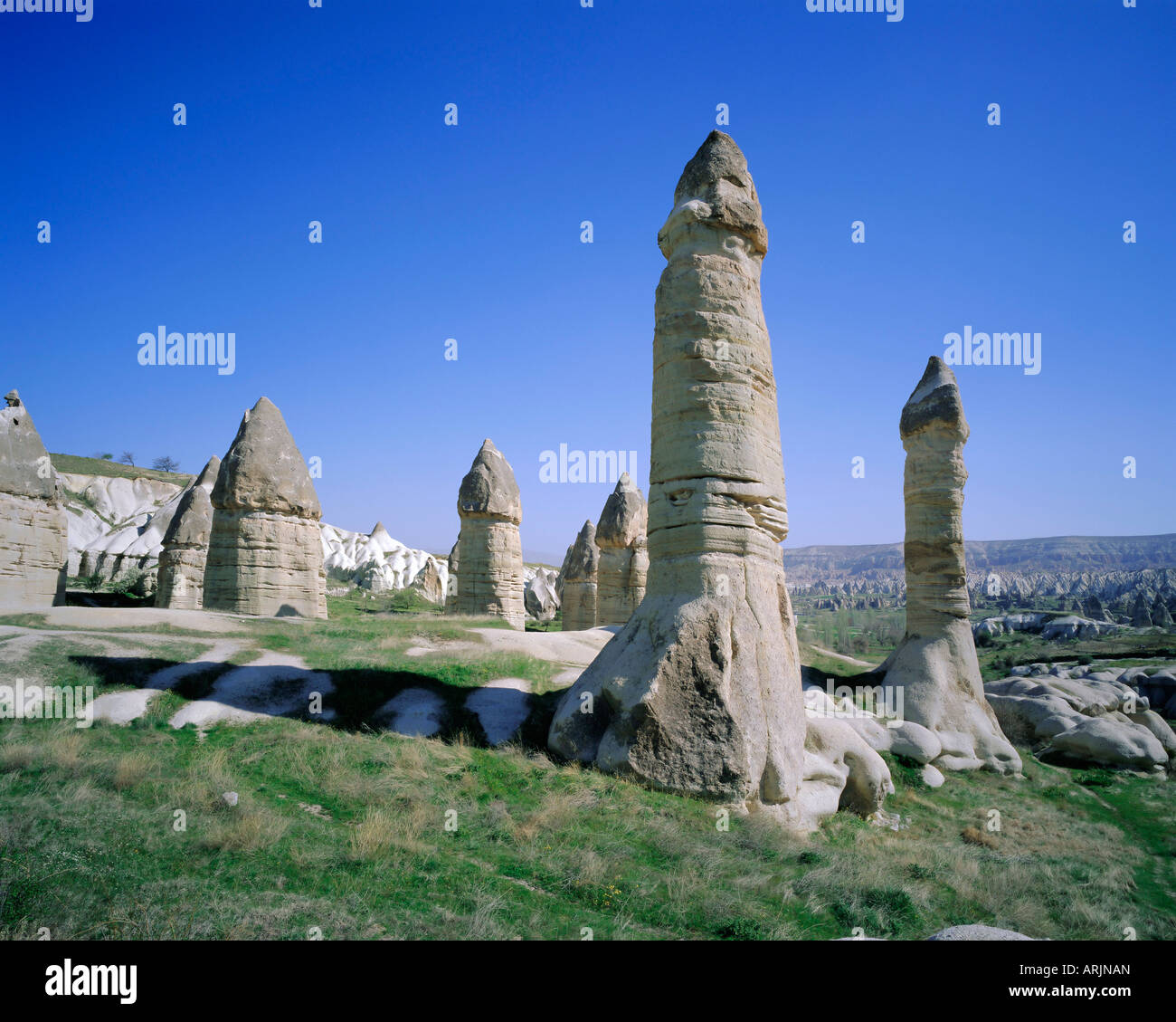 Rock formations resulting from differential erosion, Goreme Valley, Cappadocia, Turkey, Eurasia Stock Photohttps://www.alamy.com/image-license-details/?v=1https://www.alamy.com/stock-photo-rock-formations-resulting-from-differential-erosion-goreme-valley-16069772.html
RMARJNAN–Rock formations resulting from differential erosion, Goreme Valley, Cappadocia, Turkey, Eurasia
