Quick filters:
Pinchbeck lincolnshire Stock Photos and Images
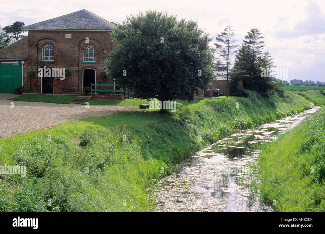 Pinchbeck Lincolnshire Drainage Museum Stock Photohttps://www.alamy.com/image-license-details/?v=1https://www.alamy.com/stock-photo-pinchbeck-lincolnshire-drainage-museum-15554118.html
RMANKXKK–Pinchbeck Lincolnshire Drainage Museum
 The River Glen flowing through the Lincolnshire fenlands between Pinchbeck and Surfleet, near Spalding Stock Photohttps://www.alamy.com/image-license-details/?v=1https://www.alamy.com/stock-photo-the-river-glen-flowing-through-the-lincolnshire-fenlands-between-pinchbeck-74542135.html
RME97K73–The River Glen flowing through the Lincolnshire fenlands between Pinchbeck and Surfleet, near Spalding
 Pinchbeck, Lincolnshire, United Kingdom, England, N 52 48' 46'', W 0 9' 45'', map, Timeless Map published in 2021. Travelers, explorers and adventurers like Florence Nightingale, David Livingstone, Ernest Shackleton, Lewis and Clark and Sherlock Holmes relied on maps to plan travels to the world's most remote corners, Timeless Maps is mapping most locations on the globe, showing the achievement of great dreams Stock Photohttps://www.alamy.com/image-license-details/?v=1https://www.alamy.com/pinchbeck-lincolnshire-united-kingdom-england-n-52-48-46-w-0-9-45-map-timeless-map-published-in-2021-travelers-explorers-and-adventurers-like-florence-nightingale-david-livingstone-ernest-shackleton-lewis-and-clark-and-sherlock-holmes-relied-on-maps-to-plan-travels-to-the-worlds-most-remote-corners-timeless-maps-is-mapping-most-locations-on-the-globe-showing-the-achievement-of-great-dreams-image439388913.html
RM2GERW15–Pinchbeck, Lincolnshire, United Kingdom, England, N 52 48' 46'', W 0 9' 45'', map, Timeless Map published in 2021. Travelers, explorers and adventurers like Florence Nightingale, David Livingstone, Ernest Shackleton, Lewis and Clark and Sherlock Holmes relied on maps to plan travels to the world's most remote corners, Timeless Maps is mapping most locations on the globe, showing the achievement of great dreams
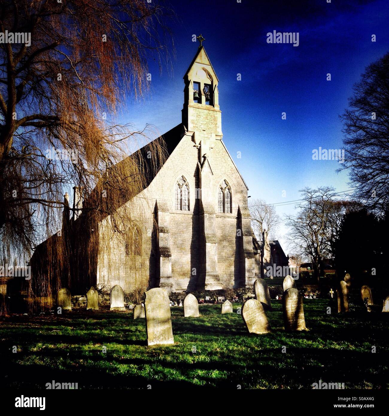 Parish church of St Bartholomew, West Pinchbeck, Lincolnshire, England. Stock Photohttps://www.alamy.com/image-license-details/?v=1https://www.alamy.com/stock-photo-parish-church-of-st-bartholomew-west-pinchbeck-lincolnshire-england-310026656.html
RMS0AX4G–Parish church of St Bartholomew, West Pinchbeck, Lincolnshire, England.
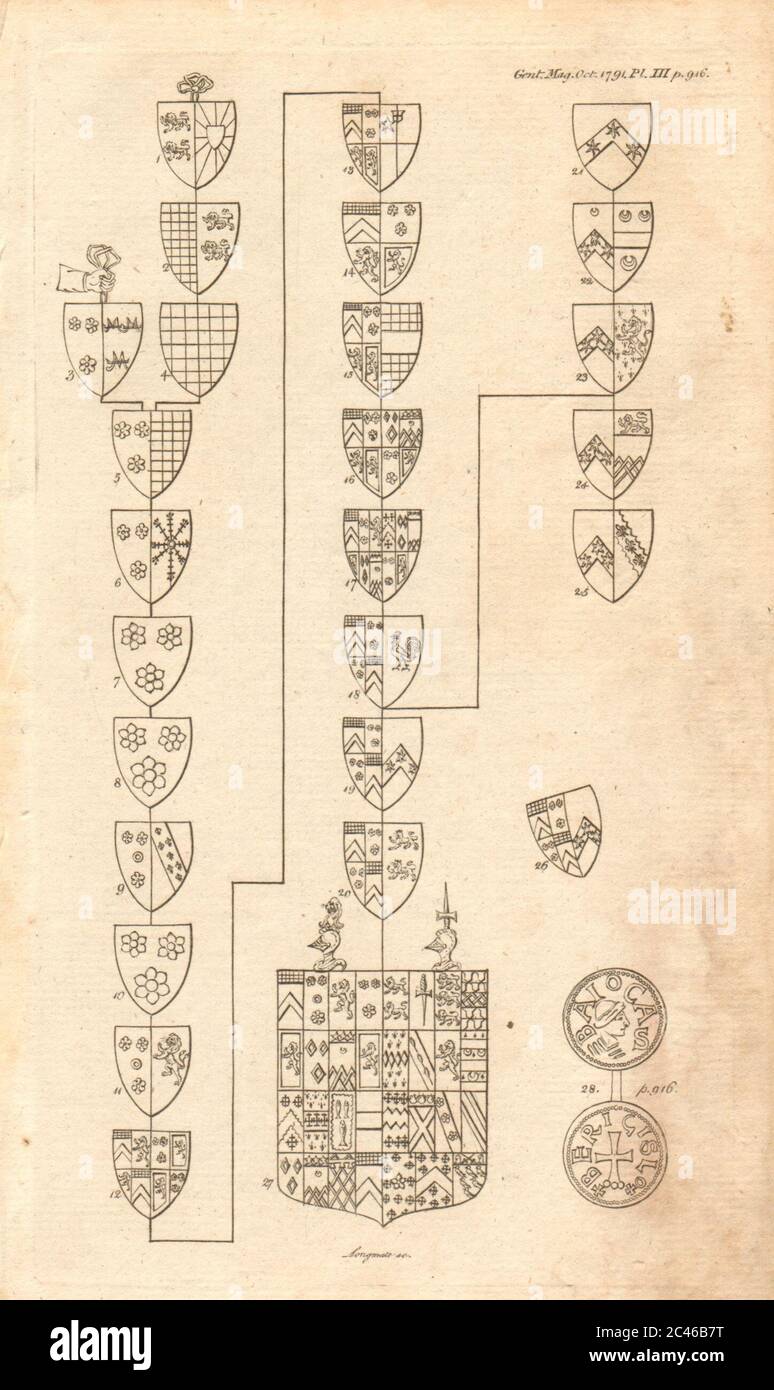 Lambert Family Armorial Bearings, Pinchbeck church, Lincolnshire 1791 print Stock Photohttps://www.alamy.com/image-license-details/?v=1https://www.alamy.com/lambert-family-armorial-bearings-pinchbeck-church-lincolnshire-1791-print-image364016908.html
RF2C46B7T–Lambert Family Armorial Bearings, Pinchbeck church, Lincolnshire 1791 print
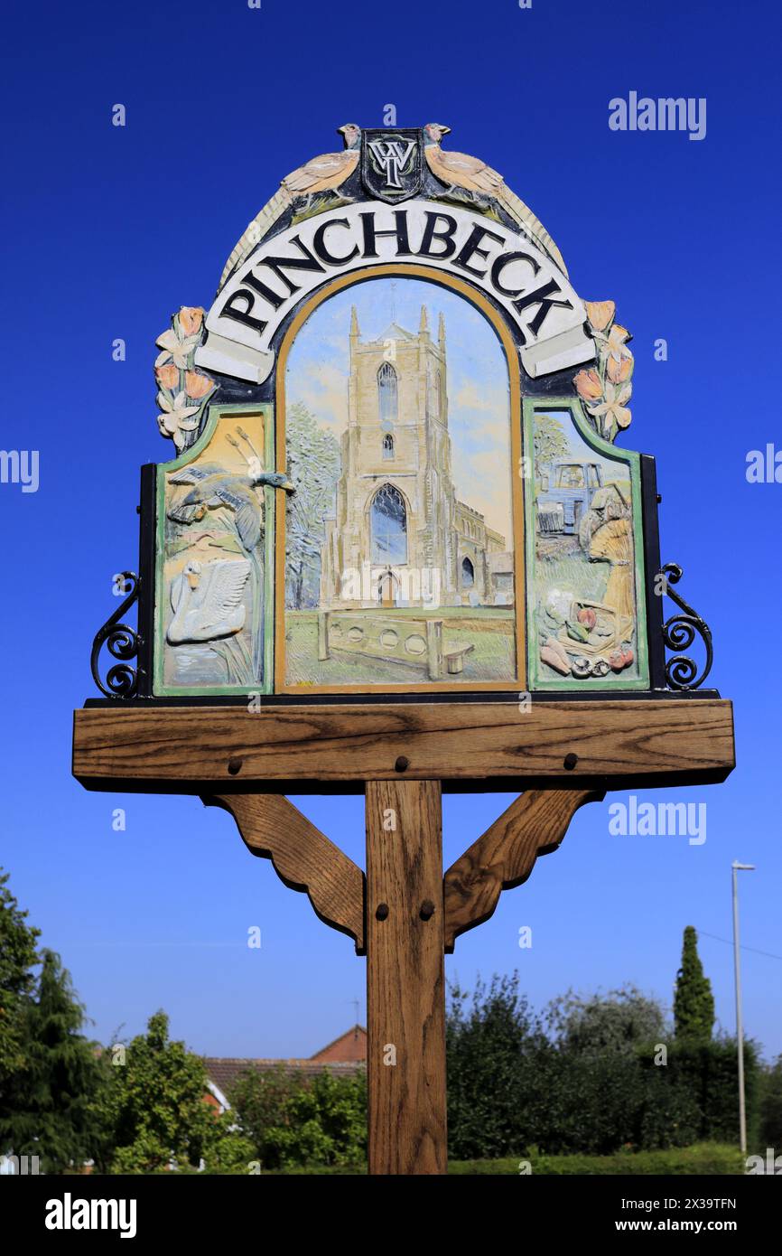 Pinchbeck town sign; Lincolnshire County; England; UK Stock Photohttps://www.alamy.com/image-license-details/?v=1https://www.alamy.com/pinchbeck-town-sign-lincolnshire-county-england-uk-image604423673.html
RM2X39TFN–Pinchbeck town sign; Lincolnshire County; England; UK
 Brides fur trimmed dress. The wedding of Mr John William Banks of Pinchbeck, Spalding, Lincolnshire, and Miss Olwyn Delmar Middleton of Ealing took place at Holy Trinity Church, Brompton. Photo shows, the bride in a wedding dress edged with white fur, leaving with the bridegroom after the ceremony. 24 September 1938 Stock Photohttps://www.alamy.com/image-license-details/?v=1https://www.alamy.com/brides-fur-trimmed-dress-the-wedding-of-mr-john-william-banks-of-pinchbeck-spalding-lincolnshire-and-miss-olwyn-delmar-middleton-of-ealing-took-place-at-holy-trinity-church-brompton-photo-shows-the-bride-in-a-wedding-dress-edged-with-white-fur-leaving-with-the-bridegroom-after-the-ceremony-24-september-1938-image359459364.html
RM2BTPP2C–Brides fur trimmed dress. The wedding of Mr John William Banks of Pinchbeck, Spalding, Lincolnshire, and Miss Olwyn Delmar Middleton of Ealing took place at Holy Trinity Church, Brompton. Photo shows, the bride in a wedding dress edged with white fur, leaving with the bridegroom after the ceremony. 24 September 1938
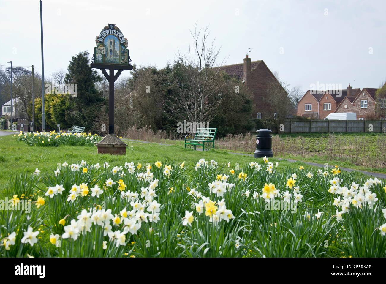 The village green, Pinchbeck, Lincolnshire Stock Photohttps://www.alamy.com/image-license-details/?v=1https://www.alamy.com/the-village-green-pinchbeck-lincolnshire-image398202526.html
RF2E3RKAP–The village green, Pinchbeck, Lincolnshire
 west pinchbeck. The Macmillan Way. Lincolnshire. East Midlands. England. UK Stock Photohttps://www.alamy.com/image-license-details/?v=1https://www.alamy.com/west-pinchbeck-the-macmillan-way-lincolnshire-east-midlands-england-uk-image224052293.html
RFR0ECYH–west pinchbeck. The Macmillan Way. Lincolnshire. East Midlands. England. UK
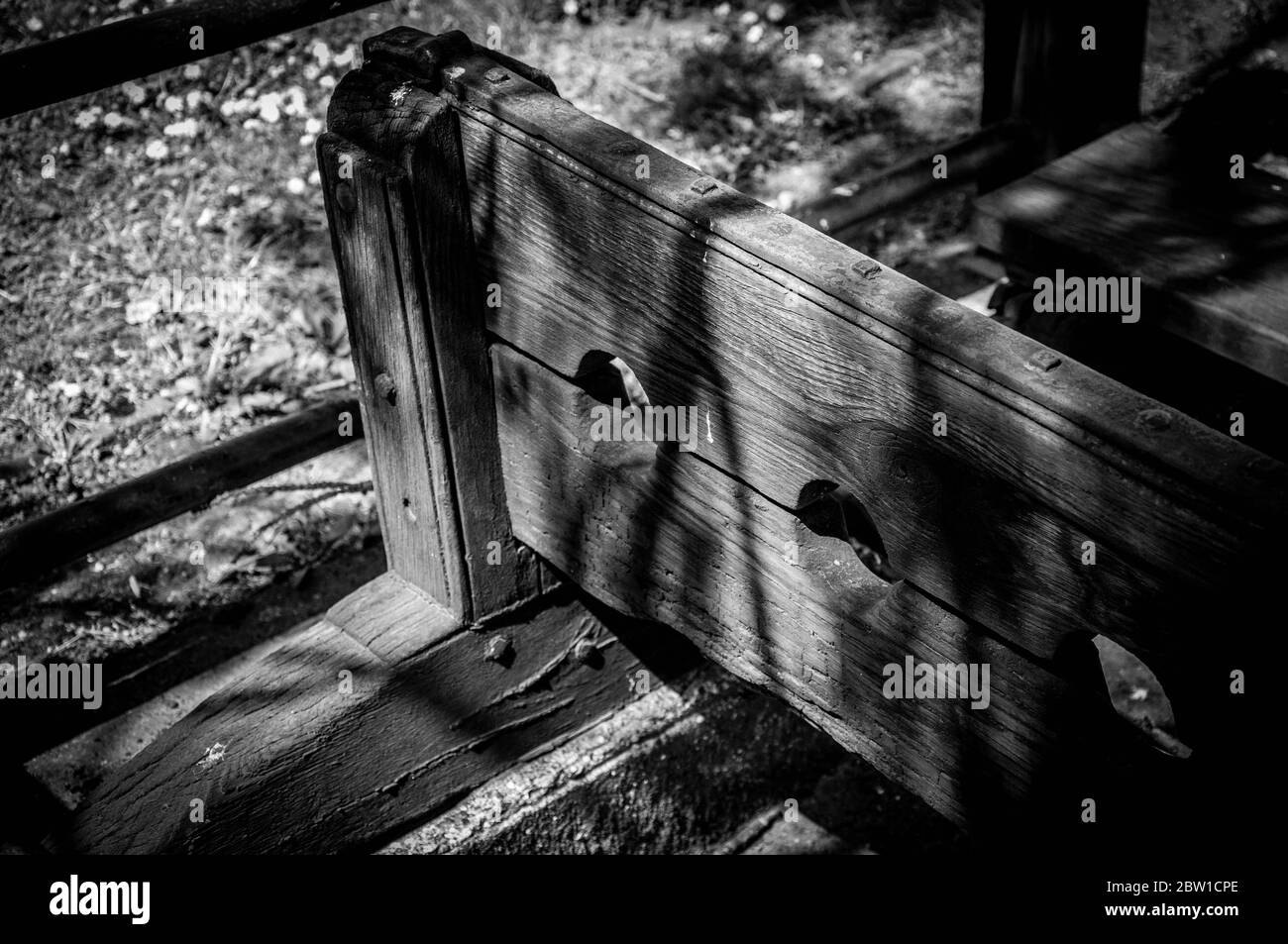 Stocks and Pillory, Pinchbeck, Lincolnshire, close-up black and white Stock Photohttps://www.alamy.com/image-license-details/?v=1https://www.alamy.com/stocks-and-pillory-pinchbeck-lincolnshire-close-up-black-and-white-image359605750.html
RF2BW1CPE–Stocks and Pillory, Pinchbeck, Lincolnshire, close-up black and white
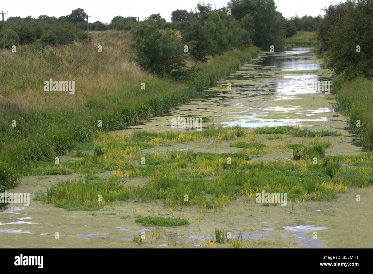 slow moving stagnant river glen pinchbeck lincolnshire the fens england Stock Photohttps://www.alamy.com/image-license-details/?v=1https://www.alamy.com/stock-photo-slow-moving-stagnant-river-glen-pinchbeck-lincolnshire-the-fens-england-20343709.html
RFB52MH1–slow moving stagnant river glen pinchbeck lincolnshire the fens england
 Wygate Park, Spalding, Lincolnshire with Spalding Water Tower in Centre. Western Relief road and housing soon to be built on this greenfield site. Stock Photohttps://www.alamy.com/image-license-details/?v=1https://www.alamy.com/wygate-park-spalding-lincolnshire-with-spalding-water-tower-in-centre-western-relief-road-and-housing-soon-to-be-built-on-this-greenfield-site-image393152700.html
RF2DRHJ7T–Wygate Park, Spalding, Lincolnshire with Spalding Water Tower in Centre. Western Relief road and housing soon to be built on this greenfield site.
 A Romano British settlement consisting of enclosures, droves and field ditches seen as cropmarks, Pinchbeck South Fen, Lincolnshire, 2023. Stock Photohttps://www.alamy.com/image-license-details/?v=1https://www.alamy.com/a-romano-british-settlement-consisting-of-enclosures-droves-and-field-ditches-seen-as-cropmarks-pinchbeck-south-fen-lincolnshire-2023-image635652291.html
RM2YX4CYF–A Romano British settlement consisting of enclosures, droves and field ditches seen as cropmarks, Pinchbeck South Fen, Lincolnshire, 2023.
 Closeup of a white concrete horizontal buttress in low sunlight providing reinforced strength to Pinchbeck water tower near Spalding, Lincolnshire UK Stock Photohttps://www.alamy.com/image-license-details/?v=1https://www.alamy.com/closeup-of-a-white-concrete-horizontal-buttress-in-low-sunlight-providing-reinforced-strength-to-pinchbeck-water-tower-near-spalding-lincolnshire-uk-image359605748.html
RF2BW1CPC–Closeup of a white concrete horizontal buttress in low sunlight providing reinforced strength to Pinchbeck water tower near Spalding, Lincolnshire UK
 Pinchbeck station on the Great Eastern and Great Northern joint line between March and Doncaster with its characteristc awning in silhouette augmentd Stock Photohttps://www.alamy.com/image-license-details/?v=1https://www.alamy.com/pinchbeck-station-on-the-great-eastern-and-great-northern-joint-line-between-march-and-doncaster-with-its-characteristc-awning-in-silhouette-augmentd-image210322389.html
RMP6509W–Pinchbeck station on the Great Eastern and Great Northern joint line between March and Doncaster with its characteristc awning in silhouette augmentd
 Sunset ariel panorama of the Market Town of Spalding in Lincolnshire, UK from Ayscoughee Hall and Little London to Pinchbeck and the power station. Stock Photohttps://www.alamy.com/image-license-details/?v=1https://www.alamy.com/sunset-ariel-panorama-of-the-market-town-of-spalding-in-lincolnshire-uk-from-ayscoughee-hall-and-little-london-to-pinchbeck-and-the-power-station-image382113589.html
RF2D5JNNW–Sunset ariel panorama of the Market Town of Spalding in Lincolnshire, UK from Ayscoughee Hall and Little London to Pinchbeck and the power station.
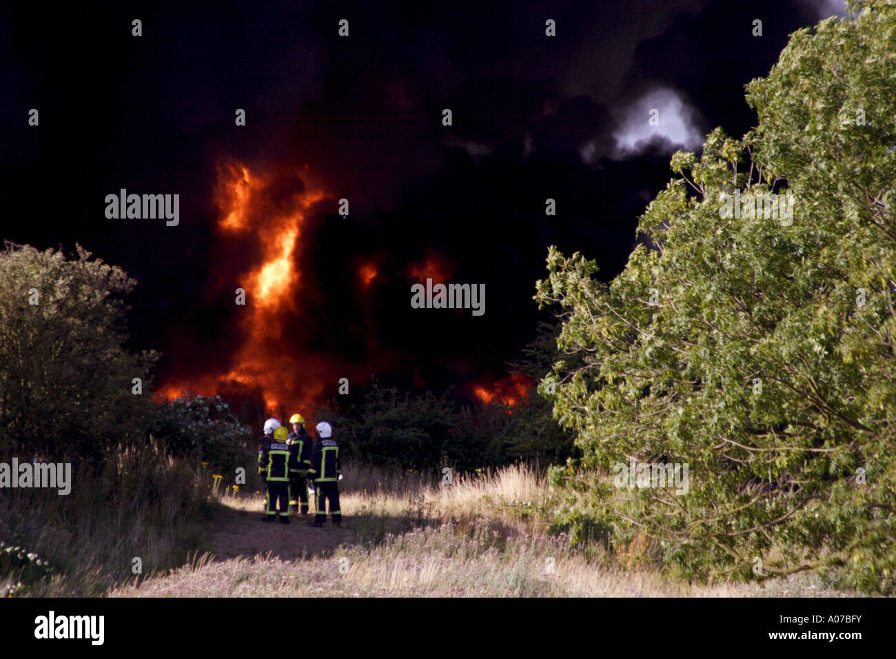 Logtek factory fire in Pinchbeck, UK Stock Photohttps://www.alamy.com/image-license-details/?v=1https://www.alamy.com/logtek-factory-fire-in-pinchbeck-uk-image9904238.html
RMA07BFY–Logtek factory fire in Pinchbeck, UK
 Yaxley Peterborough Spalding Boston Sleaford Lincoln SENEX #36 road map 1719 Stock Photohttps://www.alamy.com/image-license-details/?v=1https://www.alamy.com/stock-photo-yaxley-peterborough-spalding-boston-sleaford-lincoln-senex-36-road-176388042.html
RFM6Y4MX–Yaxley Peterborough Spalding Boston Sleaford Lincoln SENEX #36 road map 1719
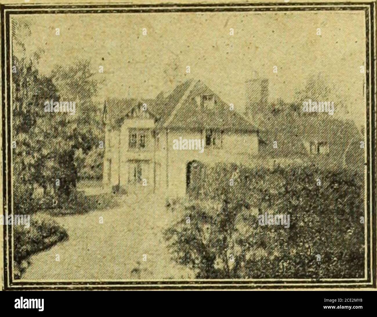 . Farmer and stockbreeder . associa-tion, which now numbers about 150 from nineteenMidland aind surrounding counties. FLAX CBOP IN SOOTH LINCOLNSHIRE The work of de-seeding the flax grown in SouthLincolnshire is proceeding at Holbeach, Pinchbeck,-and other centres in the district. At Holbeach arailway grain warehouse has been ta-ken over by theauthorities, and machinery installed for dealing withthe crop. The employees are for the most part girls,who during the summer have worked in the fieldsand are now earning good wages in the flax mills.The industry is finding employment for a large num-be Stock Photohttps://www.alamy.com/image-license-details/?v=1https://www.alamy.com/farmer-and-stockbreeder-associa-tion-which-now-numbers-about-150-from-nineteenmidland-aind-surrounding-counties-flax-cbop-in-sooth-lincolnshire-the-work-of-de-seeding-the-flax-grown-in-southlincolnshire-is-proceeding-at-holbeach-pinchbeck-and-other-centres-in-the-district-at-holbeach-arailway-grain-warehouse-has-been-ta-ken-over-by-theauthorities-and-machinery-installed-for-dealing-withthe-crop-the-employees-are-for-the-most-part-girlswho-during-the-summer-have-worked-in-the-fieldsand-are-now-earning-good-wages-in-the-flax-millsthe-industry-is-finding-employment-for-a-large-num-be-image370083260.html
RM2CE2MY8–. Farmer and stockbreeder . associa-tion, which now numbers about 150 from nineteenMidland aind surrounding counties. FLAX CBOP IN SOOTH LINCOLNSHIRE The work of de-seeding the flax grown in SouthLincolnshire is proceeding at Holbeach, Pinchbeck,-and other centres in the district. At Holbeach arailway grain warehouse has been ta-ken over by theauthorities, and machinery installed for dealing withthe crop. The employees are for the most part girls,who during the summer have worked in the fieldsand are now earning good wages in the flax mills.The industry is finding employment for a large num-be
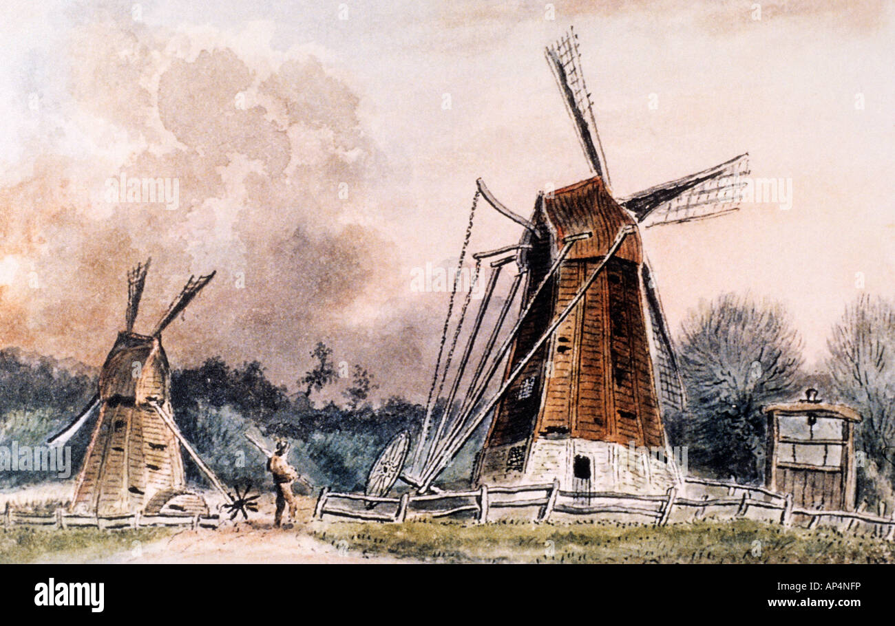 Drainage Mills near Crowland Pinchbeck Drainage Museum Stock Photohttps://www.alamy.com/image-license-details/?v=1https://www.alamy.com/stock-photo-drainage-mills-near-crowland-pinchbeck-drainage-museum-15674697.html
RMAP4NFP–Drainage Mills near Crowland Pinchbeck Drainage Museum
 Daffodil field in early April from the public footpath between Pinchbeck and Surfleet, near Spalding, Lincolnshire Stock Photohttps://www.alamy.com/image-license-details/?v=1https://www.alamy.com/stock-photo-daffodil-field-in-early-april-from-the-public-footpath-between-pinchbeck-29069087.html
RMBK85WK–Daffodil field in early April from the public footpath between Pinchbeck and Surfleet, near Spalding, Lincolnshire
 Pinchbeck, Lincolnshire, GB, United Kingdom, England, N 52 48' 11'', S 0 11' 8'', map, Cartascapes Map published in 2024. Explore Cartascapes, a map revealing Earth's diverse landscapes, cultures, and ecosystems. Journey through time and space, discovering the interconnectedness of our planet's past, present, and future. Stock Photohttps://www.alamy.com/image-license-details/?v=1https://www.alamy.com/pinchbeck-lincolnshire-gb-united-kingdom-england-n-52-48-11-s-0-11-8-map-cartascapes-map-published-in-2024-explore-cartascapes-a-map-revealing-earths-diverse-landscapes-cultures-and-ecosystems-journey-through-time-and-space-discovering-the-interconnectedness-of-our-planets-past-present-and-future-image604231652.html
RM2X313HT–Pinchbeck, Lincolnshire, GB, United Kingdom, England, N 52 48' 11'', S 0 11' 8'', map, Cartascapes Map published in 2024. Explore Cartascapes, a map revealing Earth's diverse landscapes, cultures, and ecosystems. Journey through time and space, discovering the interconnectedness of our planet's past, present, and future.
 Stone cross gravestone. West Pinchbeck, Lincolnshire, England. Stock Photohttps://www.alamy.com/image-license-details/?v=1https://www.alamy.com/stock-photo-stone-cross-gravestone-west-pinchbeck-lincolnshire-england-310027215.html
RMS0AXTF–Stone cross gravestone. West Pinchbeck, Lincolnshire, England.
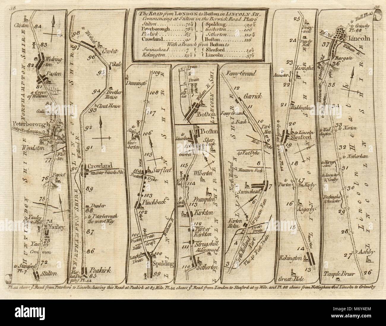 Yaxley Peterborough Spalding Boston Sleaford Lincoln. KITCHIN road map 1767 Stock Photohttps://www.alamy.com/image-license-details/?v=1https://www.alamy.com/stock-photo-yaxley-peterborough-spalding-boston-sleaford-lincoln-kitchin-road-176387868.html
RFM6Y4EM–Yaxley Peterborough Spalding Boston Sleaford Lincoln. KITCHIN road map 1767
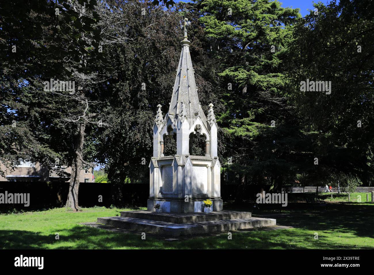 The War memorial at Pinchbeck town; Lincolnshire County; England; UK Stock Photohttps://www.alamy.com/image-license-details/?v=1https://www.alamy.com/the-war-memorial-at-pinchbeck-town-lincolnshire-county-england-uk-image604423890.html
RF2X39TRE–The War memorial at Pinchbeck town; Lincolnshire County; England; UK
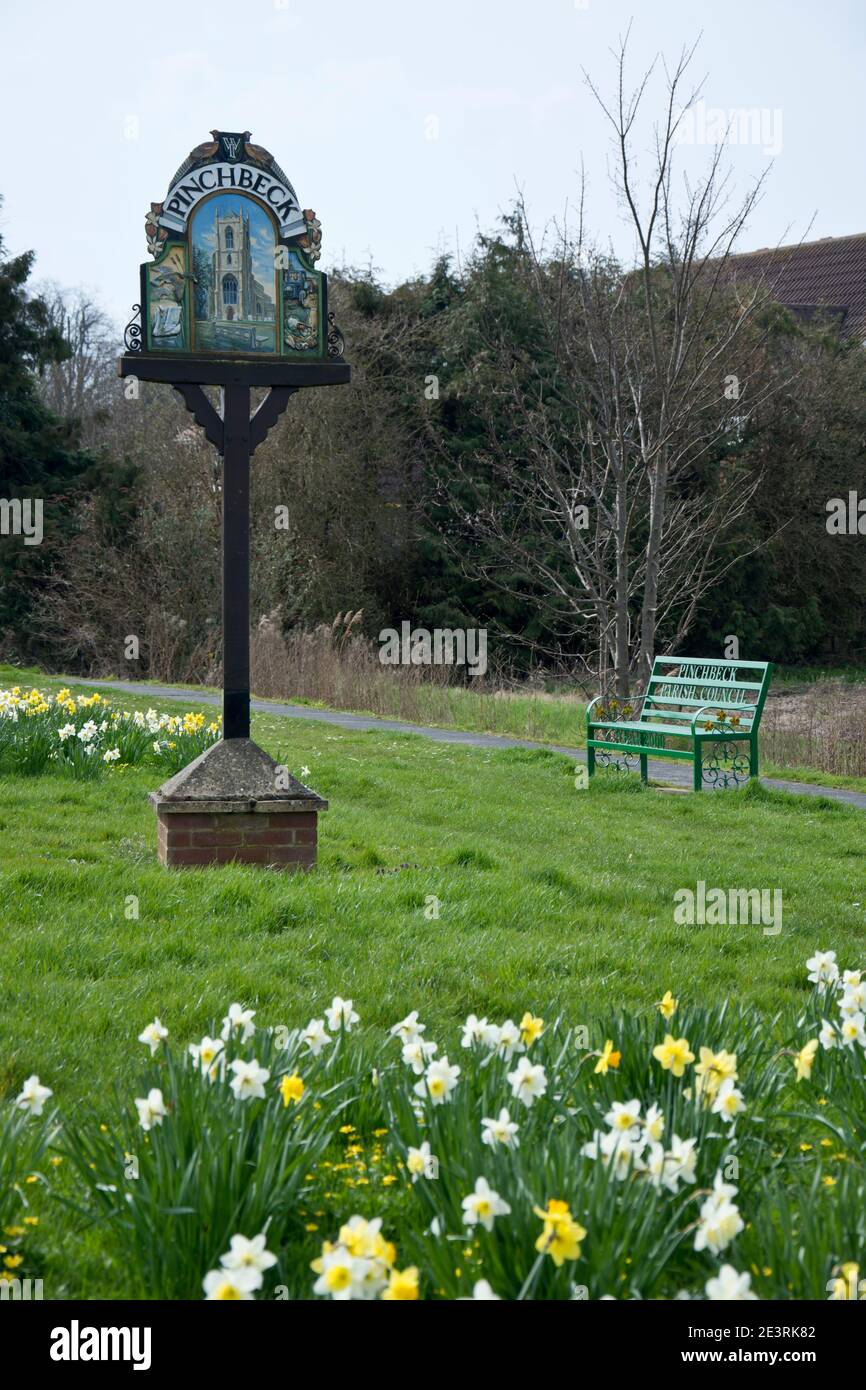 The village green, Pinchbeck, Lincolnshire Stock Photohttps://www.alamy.com/image-license-details/?v=1https://www.alamy.com/the-village-green-pinchbeck-lincolnshire-image398202450.html
RF2E3RK82–The village green, Pinchbeck, Lincolnshire
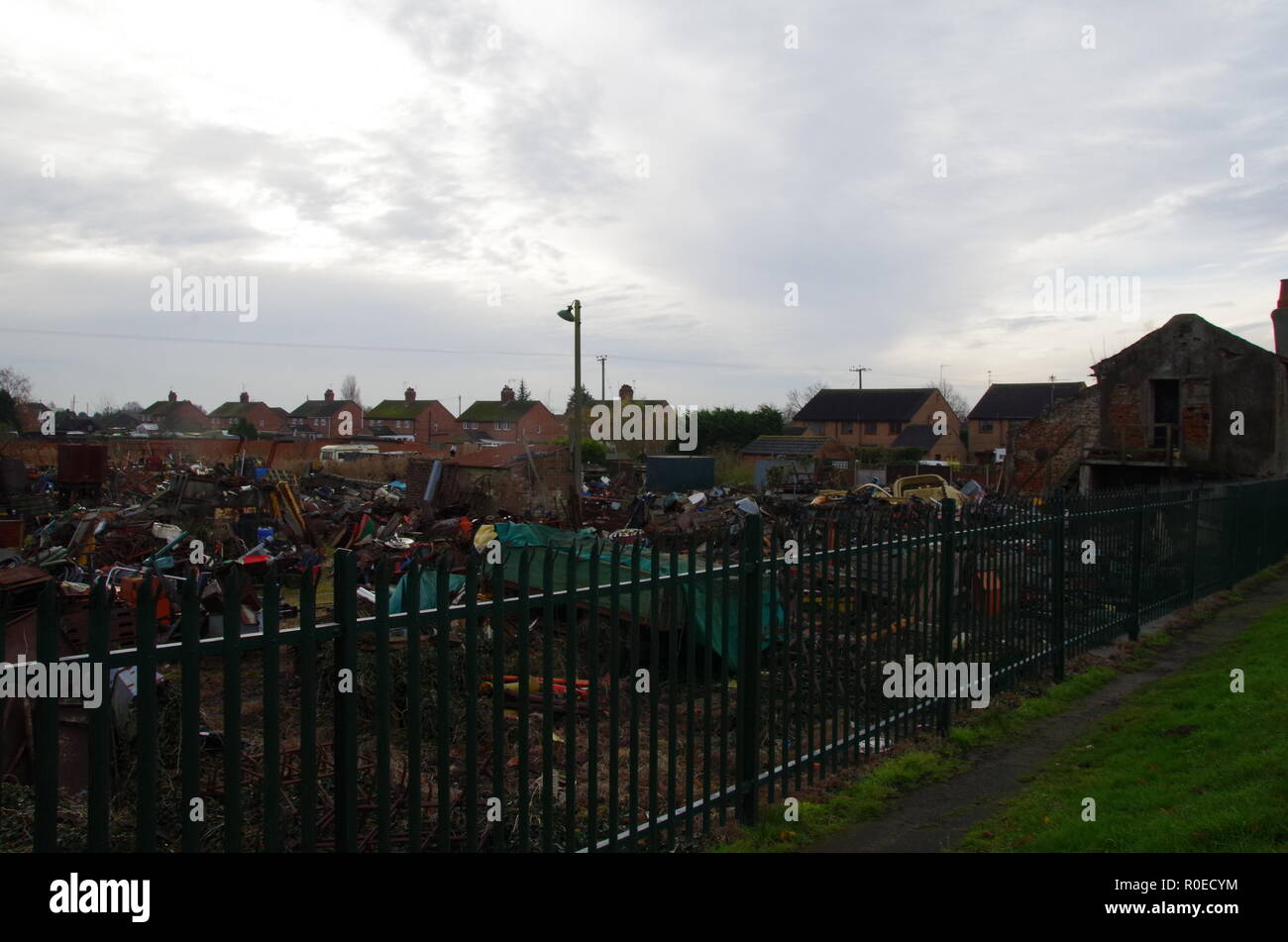 west pinchbeck. The Macmillan Way. Lincolnshire. East Midlands. England. UK Stock Photohttps://www.alamy.com/image-license-details/?v=1https://www.alamy.com/west-pinchbeck-the-macmillan-way-lincolnshire-east-midlands-england-uk-image224052296.html
RFR0ECYM–west pinchbeck. The Macmillan Way. Lincolnshire. East Midlands. England. UK
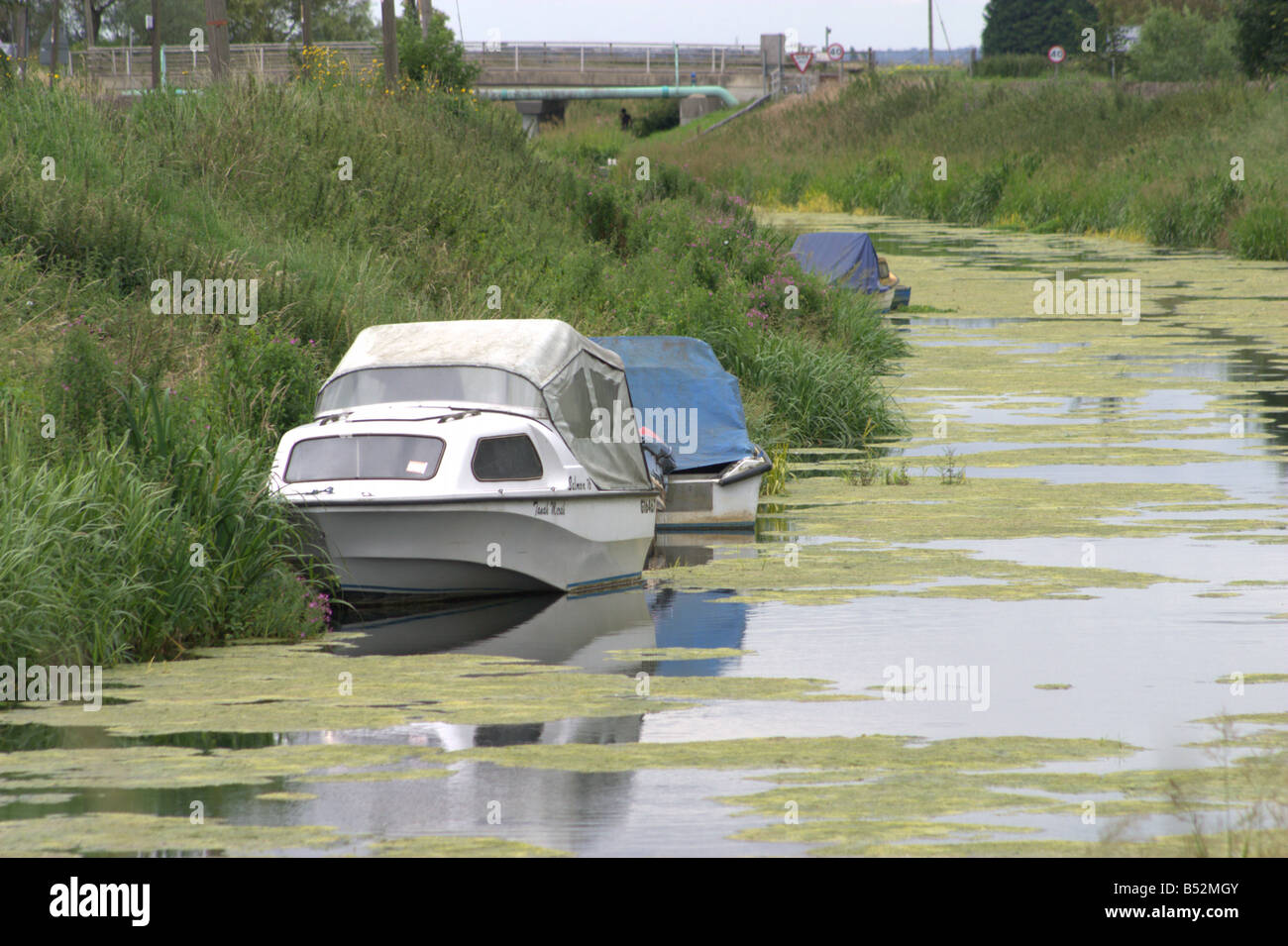 leisure boat slow moving stagnant river glen pinchbeck lincolnshire the fens england Stock Photohttps://www.alamy.com/image-license-details/?v=1https://www.alamy.com/stock-photo-leisure-boat-slow-moving-stagnant-river-glen-pinchbeck-lincolnshire-20343707.html
RMB52MGY–leisure boat slow moving stagnant river glen pinchbeck lincolnshire the fens england
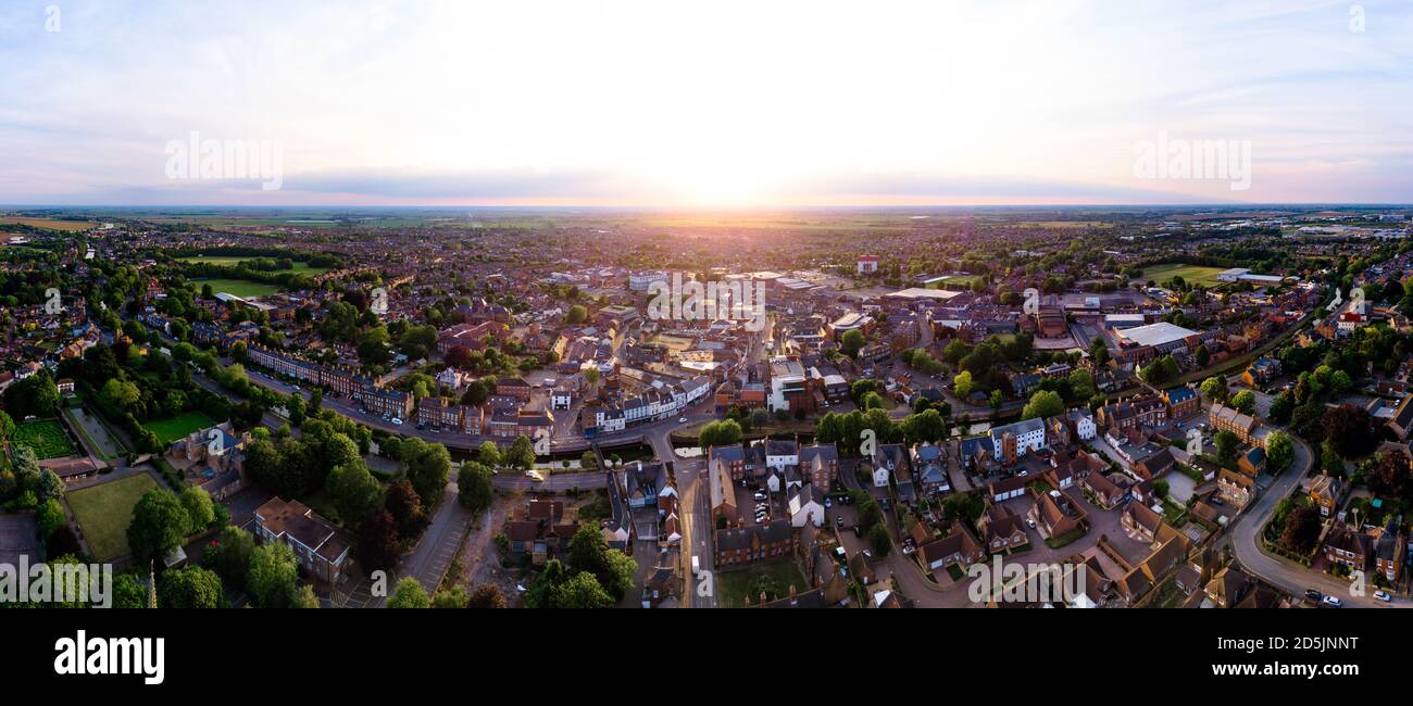 Sunset ariel panorama of the Market Town of Spalding in Lincolnshire, UK from Ayscoughee Hall and Little London to Pinchbeck and the power station. Stock Photohttps://www.alamy.com/image-license-details/?v=1https://www.alamy.com/sunset-ariel-panorama-of-the-market-town-of-spalding-in-lincolnshire-uk-from-ayscoughee-hall-and-little-london-to-pinchbeck-and-the-power-station-image382113588.html
RF2D5JNNT–Sunset ariel panorama of the Market Town of Spalding in Lincolnshire, UK from Ayscoughee Hall and Little London to Pinchbeck and the power station.
 Logtek factory fire in Pinchbeck, UK Stock Photohttps://www.alamy.com/image-license-details/?v=1https://www.alamy.com/logtek-factory-fire-in-pinchbeck-uk-image9904235.html
RMA07BFT–Logtek factory fire in Pinchbeck, UK
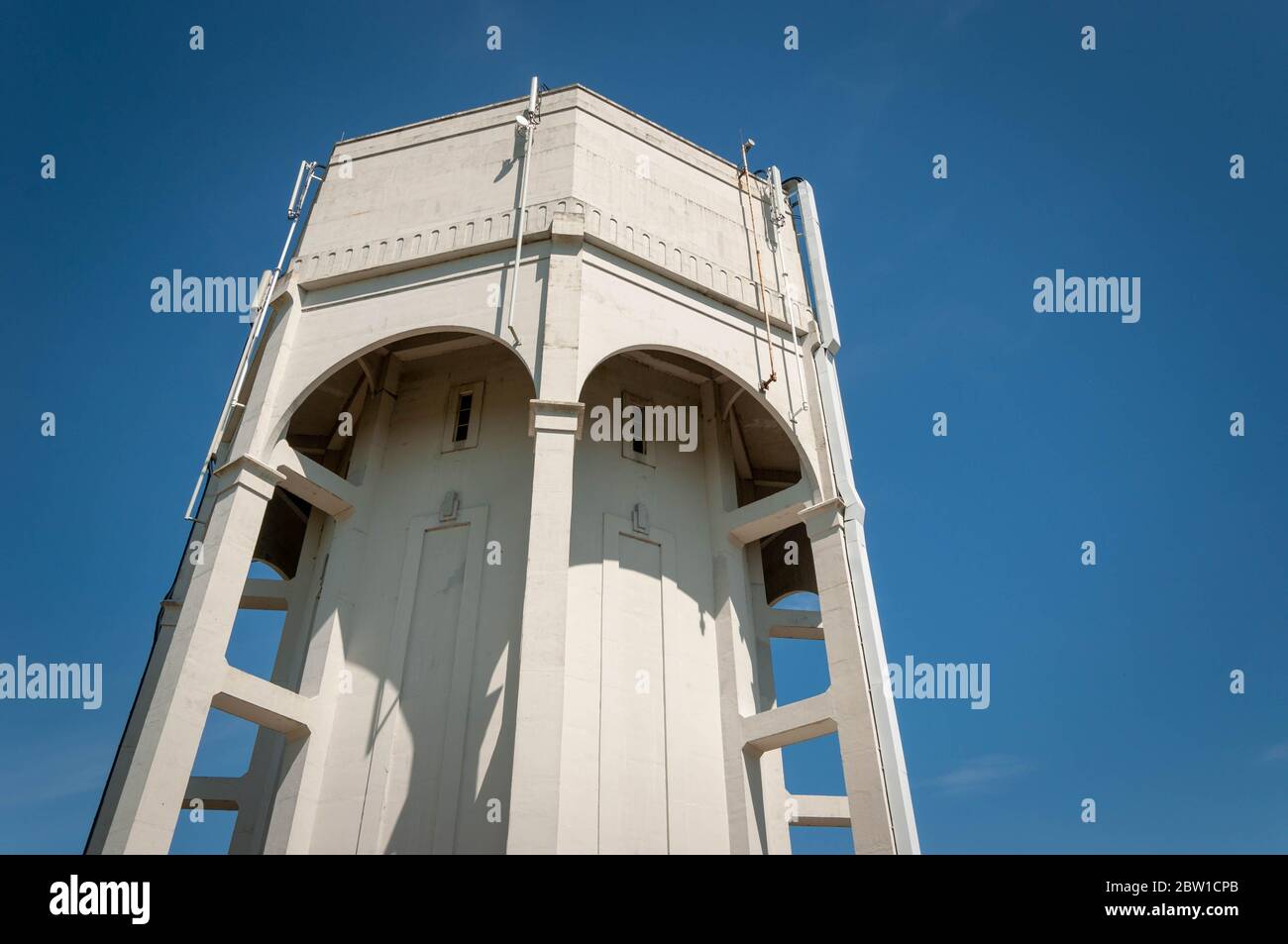 SPALDING, LINCOLNSHIRE / UK - May 20th 2020: Pinchbeck water tower showing structural reinforced concrete beams Stock Photohttps://www.alamy.com/image-license-details/?v=1https://www.alamy.com/spalding-lincolnshire-uk-may-20th-2020-pinchbeck-water-tower-showing-structural-reinforced-concrete-beams-image359605747.html
RF2BW1CPB–SPALDING, LINCOLNSHIRE / UK - May 20th 2020: Pinchbeck water tower showing structural reinforced concrete beams
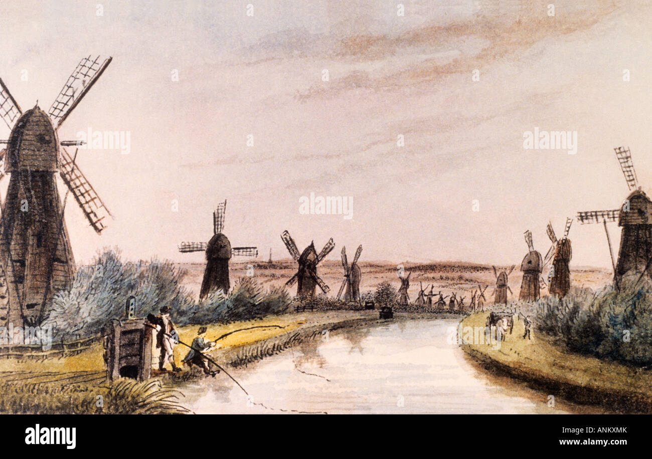 Drainage Mills North Drove Drain Deeping Fen Pinchbeck Drainage Museum Stock Photohttps://www.alamy.com/image-license-details/?v=1https://www.alamy.com/stock-photo-drainage-mills-north-drove-drain-deeping-fen-pinchbeck-drainage-museum-15554130.html
RMANKXMK–Drainage Mills North Drove Drain Deeping Fen Pinchbeck Drainage Museum
 Daffodil field in early April from the public footpath between Pinchbeck and Surfleet, near Spalding, Lincolnshire Stock Photohttps://www.alamy.com/image-license-details/?v=1https://www.alamy.com/stock-photo-daffodil-field-in-early-april-from-the-public-footpath-between-pinchbeck-74542143.html
RME97K7B–Daffodil field in early April from the public footpath between Pinchbeck and Surfleet, near Spalding, Lincolnshire
 Pinchbeck, Lincolnshire, GB, United Kingdom, England, N 52 48' 46'', S 0 9' 45'', map, Cartascapes Map published in 2024. Explore Cartascapes, a map revealing Earth's diverse landscapes, cultures, and ecosystems. Journey through time and space, discovering the interconnectedness of our planet's past, present, and future. Stock Photohttps://www.alamy.com/image-license-details/?v=1https://www.alamy.com/pinchbeck-lincolnshire-gb-united-kingdom-england-n-52-48-46-s-0-9-45-map-cartascapes-map-published-in-2024-explore-cartascapes-a-map-revealing-earths-diverse-landscapes-cultures-and-ecosystems-journey-through-time-and-space-discovering-the-interconnectedness-of-our-planets-past-present-and-future-image604154534.html
RM2X2WH7J–Pinchbeck, Lincolnshire, GB, United Kingdom, England, N 52 48' 46'', S 0 9' 45'', map, Cartascapes Map published in 2024. Explore Cartascapes, a map revealing Earth's diverse landscapes, cultures, and ecosystems. Journey through time and space, discovering the interconnectedness of our planet's past, present, and future.
 Stone cross shadow on a gravestone. West Pinchbeck, Lincolnshire, England. Stock Photohttps://www.alamy.com/image-license-details/?v=1https://www.alamy.com/stock-photo-stone-cross-shadow-on-a-gravestone-west-pinchbeck-lincolnshire-england-310027245.html
RMS0AXWH–Stone cross shadow on a gravestone. West Pinchbeck, Lincolnshire, England.
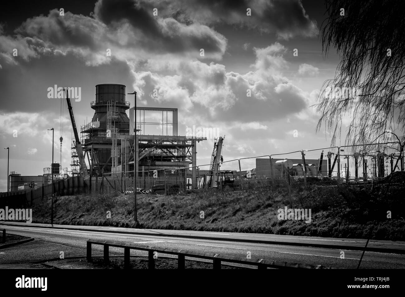 Construction of a new power plant in Spalding, Lincolnshire, UK Stock Photohttps://www.alamy.com/image-license-details/?v=1https://www.alamy.com/construction-of-a-new-power-plant-in-spalding-lincolnshire-uk-image255481027.html
RFTRJ4JB–Construction of a new power plant in Spalding, Lincolnshire, UK
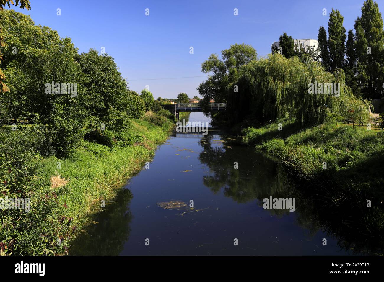 The river Glen, Pinchbeck town; Lincolnshire County; England; UK Stock Photohttps://www.alamy.com/image-license-details/?v=1https://www.alamy.com/the-river-glen-pinchbeck-town-lincolnshire-county-england-uk-image604423271.html
RF2X39T1B–The river Glen, Pinchbeck town; Lincolnshire County; England; UK
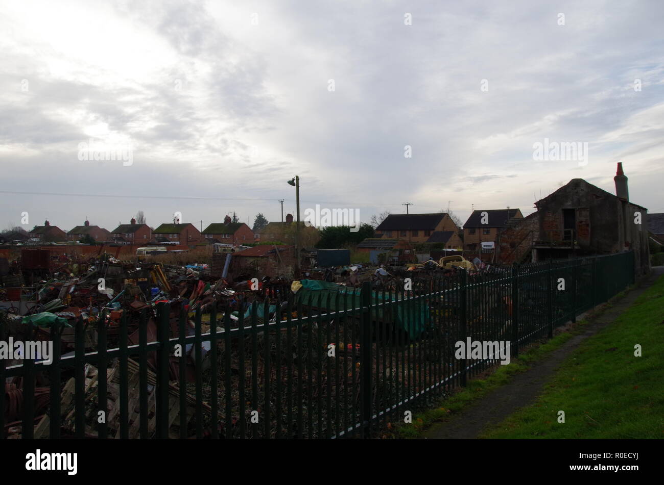 west pinchbeck. The Macmillan Way. Lincolnshire. East Midlands. England. UK Stock Photohttps://www.alamy.com/image-license-details/?v=1https://www.alamy.com/west-pinchbeck-the-macmillan-way-lincolnshire-east-midlands-england-uk-image224052294.html
RFR0ECYJ–west pinchbeck. The Macmillan Way. Lincolnshire. East Midlands. England. UK
 Logtek factory fire in Pinchbeck, UK Stock Photohttps://www.alamy.com/image-license-details/?v=1https://www.alamy.com/logtek-factory-fire-in-pinchbeck-uk-image9904242.html
RMA07BGK–Logtek factory fire in Pinchbeck, UK
 FIeld covered with plastic, in early April, from the public footpath between Pinchbeck and Surfleet, near Spalding, Lincolnshire Stock Photohttps://www.alamy.com/image-license-details/?v=1https://www.alamy.com/stock-photo-field-covered-with-plastic-in-early-april-from-the-public-footpath-74542129.html
RME97K6W–FIeld covered with plastic, in early April, from the public footpath between Pinchbeck and Surfleet, near Spalding, Lincolnshire
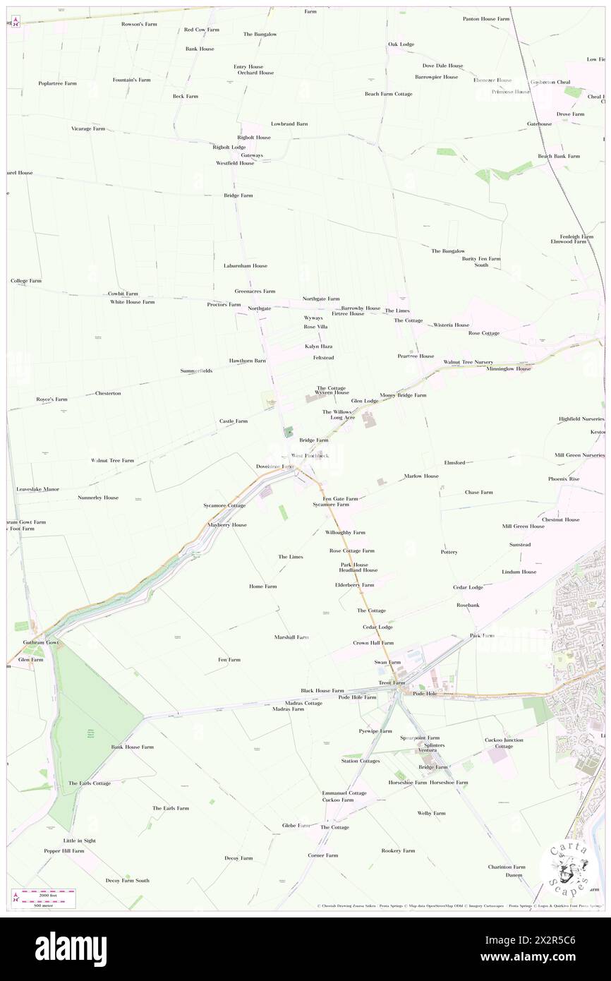 Pinchbeck West, Lincolnshire, GB, United Kingdom, England, N 52 48' 19'', S 0 13' 7'', map, Cartascapes Map published in 2024. Explore Cartascapes, a map revealing Earth's diverse landscapes, cultures, and ecosystems. Journey through time and space, discovering the interconnectedness of our planet's past, present, and future. Stock Photohttps://www.alamy.com/image-license-details/?v=1https://www.alamy.com/pinchbeck-west-lincolnshire-gb-united-kingdom-england-n-52-48-19-s-0-13-7-map-cartascapes-map-published-in-2024-explore-cartascapes-a-map-revealing-earths-diverse-landscapes-cultures-and-ecosystems-journey-through-time-and-space-discovering-the-interconnectedness-of-our-planets-past-present-and-future-image604101350.html
RM2X2R5C6–Pinchbeck West, Lincolnshire, GB, United Kingdom, England, N 52 48' 19'', S 0 13' 7'', map, Cartascapes Map published in 2024. Explore Cartascapes, a map revealing Earth's diverse landscapes, cultures, and ecosystems. Journey through time and space, discovering the interconnectedness of our planet's past, present, and future.
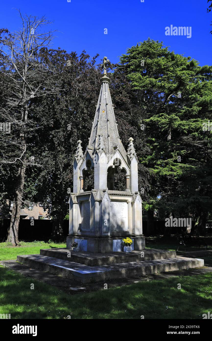 The War memorial at Pinchbeck town; Lincolnshire County; England; UK Stock Photohttps://www.alamy.com/image-license-details/?v=1https://www.alamy.com/the-war-memorial-at-pinchbeck-town-lincolnshire-county-england-uk-image604423770.html
RM2X39TK6–The War memorial at Pinchbeck town; Lincolnshire County; England; UK
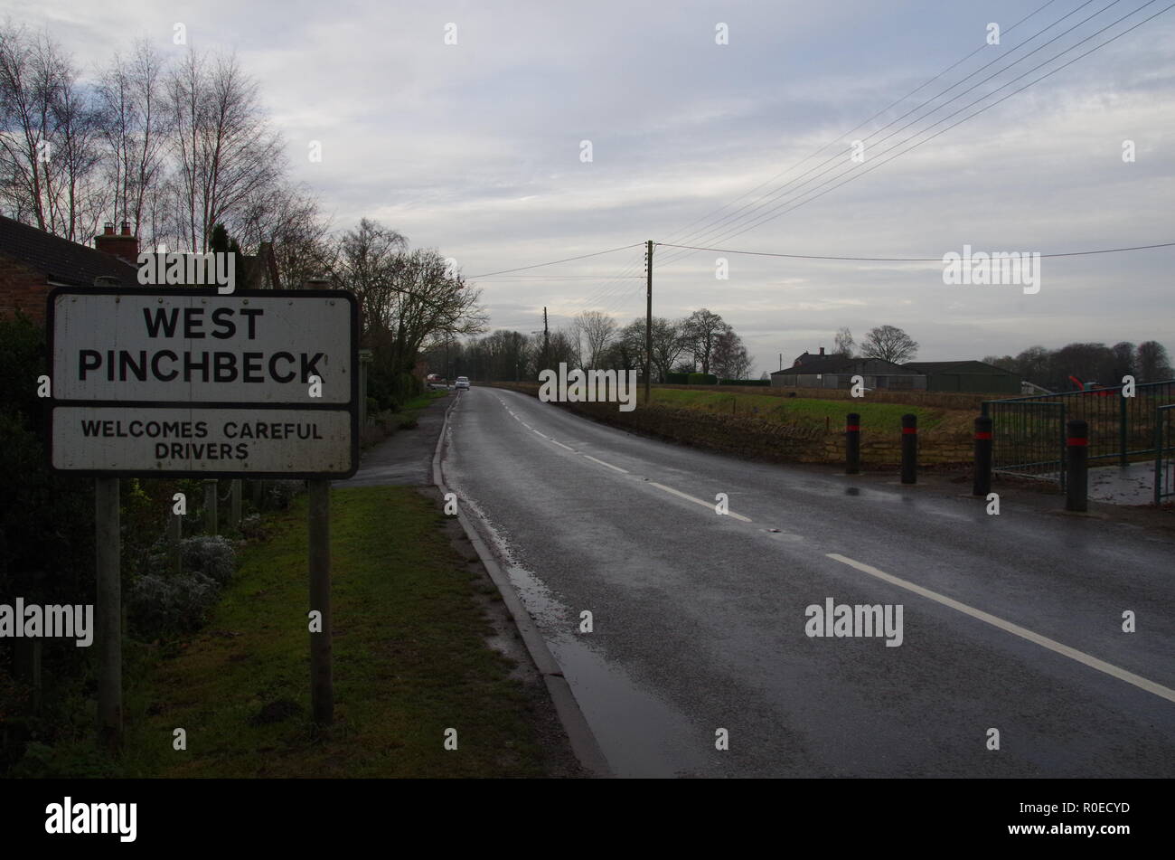 west pinchbeck sign. The Macmillan Way. Lincolnshire. East Midlands. England. UK Stock Photohttps://www.alamy.com/image-license-details/?v=1https://www.alamy.com/west-pinchbeck-sign-the-macmillan-way-lincolnshire-east-midlands-england-uk-image224052289.html
RFR0ECYD–west pinchbeck sign. The Macmillan Way. Lincolnshire. East Midlands. England. UK
 Logtek factory fire in Pinchbeck, UK Stock Photohttps://www.alamy.com/image-license-details/?v=1https://www.alamy.com/logtek-factory-fire-in-pinchbeck-uk-image9904241.html
RMA07BGJ–Logtek factory fire in Pinchbeck, UK
 FIeld covered with plastic, in early April, from the public footpath between Pinchbeck and Surfleet, near Spalding, Lincolnshire Stock Photohttps://www.alamy.com/image-license-details/?v=1https://www.alamy.com/stock-photo-field-covered-with-plastic-in-early-april-from-the-public-footpath-29067331.html
RMBK83JY–FIeld covered with plastic, in early April, from the public footpath between Pinchbeck and Surfleet, near Spalding, Lincolnshire
 Pinchbeck Marsh, Lincolnshire, GB, United Kingdom, England, N 52 50' 23'', S 0 6' 10'', map, Cartascapes Map published in 2024. Explore Cartascapes, a map revealing Earth's diverse landscapes, cultures, and ecosystems. Journey through time and space, discovering the interconnectedness of our planet's past, present, and future. Stock Photohttps://www.alamy.com/image-license-details/?v=1https://www.alamy.com/pinchbeck-marsh-lincolnshire-gb-united-kingdom-england-n-52-50-23-s-0-6-10-map-cartascapes-map-published-in-2024-explore-cartascapes-a-map-revealing-earths-diverse-landscapes-cultures-and-ecosystems-journey-through-time-and-space-discovering-the-interconnectedness-of-our-planets-past-present-and-future-image604139735.html
RM2X2TXB3–Pinchbeck Marsh, Lincolnshire, GB, United Kingdom, England, N 52 50' 23'', S 0 6' 10'', map, Cartascapes Map published in 2024. Explore Cartascapes, a map revealing Earth's diverse landscapes, cultures, and ecosystems. Journey through time and space, discovering the interconnectedness of our planet's past, present, and future.
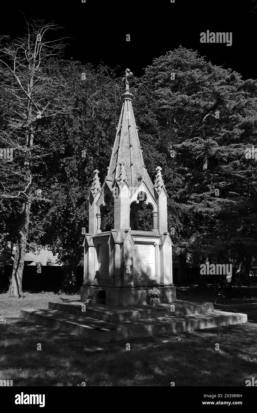 The War memorial at Pinchbeck town; Lincolnshire County; England; UK Stock Photohttps://www.alamy.com/image-license-details/?v=1https://www.alamy.com/the-war-memorial-at-pinchbeck-town-lincolnshire-county-england-uk-image604423109.html
RF2X39RRH–The War memorial at Pinchbeck town; Lincolnshire County; England; UK
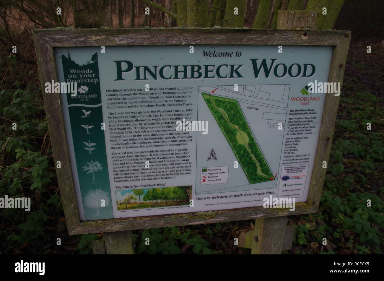 pinchbeck wood information panel sign. The Macmillan Way. Lincolnshire. East Midlands. England. UK Stock Photohttps://www.alamy.com/image-license-details/?v=1https://www.alamy.com/pinchbeck-wood-information-panel-sign-the-macmillan-way-lincolnshire-east-midlands-england-uk-image224052253.html
RFR0ECX5–pinchbeck wood information panel sign. The Macmillan Way. Lincolnshire. East Midlands. England. UK
 Logtek factory fire in Pinchbeck, UK Stock Photohttps://www.alamy.com/image-license-details/?v=1https://www.alamy.com/logtek-factory-fire-in-pinchbeck-uk-image9904210.html
RMA07BDR–Logtek factory fire in Pinchbeck, UK
 FIeld covered with plastic, in early April, from the public footpath between Pinchbeck and Surfleet, near Spalding, Lincolnshire Stock Photohttps://www.alamy.com/image-license-details/?v=1https://www.alamy.com/stock-photo-field-covered-with-plastic-in-early-april-from-the-public-footpath-74542127.html
RME97K6R–FIeld covered with plastic, in early April, from the public footpath between Pinchbeck and Surfleet, near Spalding, Lincolnshire
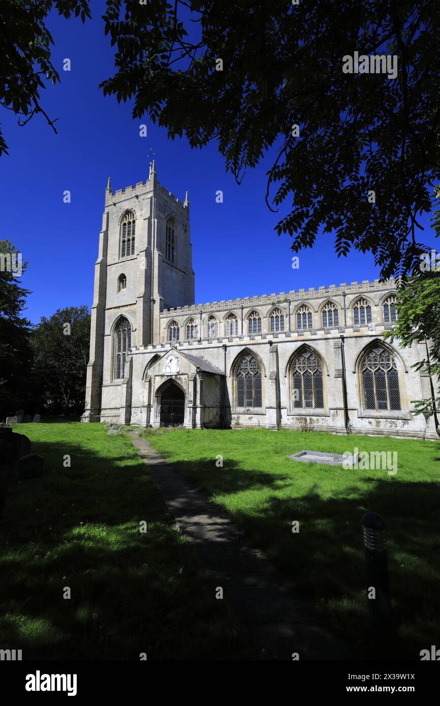 St Marys Church, Pinchbeck town; Lincolnshire County; England; UK Stock Photohttps://www.alamy.com/image-license-details/?v=1https://www.alamy.com/st-marys-church-pinchbeck-town-lincolnshire-county-england-uk-image604424070.html
RM2X39W1X–St Marys Church, Pinchbeck town; Lincolnshire County; England; UK
 Logtek factory fire in Pinchbeck, UK Stock Photohttps://www.alamy.com/image-license-details/?v=1https://www.alamy.com/logtek-factory-fire-in-pinchbeck-uk-image9904206.html
RMA07BDK–Logtek factory fire in Pinchbeck, UK
 FIeld covered with plastic, in early April, from the public footpath between Pinchbeck and Surfleet, near Spalding, Lincolnshire Stock Photohttps://www.alamy.com/image-license-details/?v=1https://www.alamy.com/stock-photo-field-covered-with-plastic-in-early-april-from-the-public-footpath-74542124.html
RME97K6M–FIeld covered with plastic, in early April, from the public footpath between Pinchbeck and Surfleet, near Spalding, Lincolnshire
 St Marys Church, Pinchbeck town; Lincolnshire County; England; UK Stock Photohttps://www.alamy.com/image-license-details/?v=1https://www.alamy.com/st-marys-church-pinchbeck-town-lincolnshire-county-england-uk-image604424043.html
RF2X39W0Y–St Marys Church, Pinchbeck town; Lincolnshire County; England; UK
 Logtek factory fire in Pinchbeck, UK Stock Photohttps://www.alamy.com/image-license-details/?v=1https://www.alamy.com/logtek-factory-fire-in-pinchbeck-uk-image9904223.html
RMA07BET–Logtek factory fire in Pinchbeck, UK
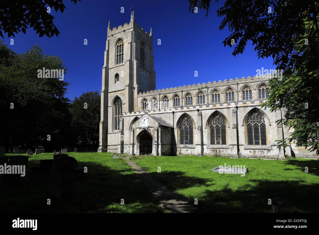 St Marys Church, Pinchbeck town; Lincolnshire County; England; UK Stock Photohttps://www.alamy.com/image-license-details/?v=1https://www.alamy.com/st-marys-church-pinchbeck-town-lincolnshire-county-england-uk-image604423698.html
RF2X39TGJ–St Marys Church, Pinchbeck town; Lincolnshire County; England; UK
 St Marys Church, Pinchbeck town; Lincolnshire County; England; UK Stock Photohttps://www.alamy.com/image-license-details/?v=1https://www.alamy.com/st-marys-church-pinchbeck-town-lincolnshire-county-england-uk-image604423824.html
RF2X39TN4–St Marys Church, Pinchbeck town; Lincolnshire County; England; UK
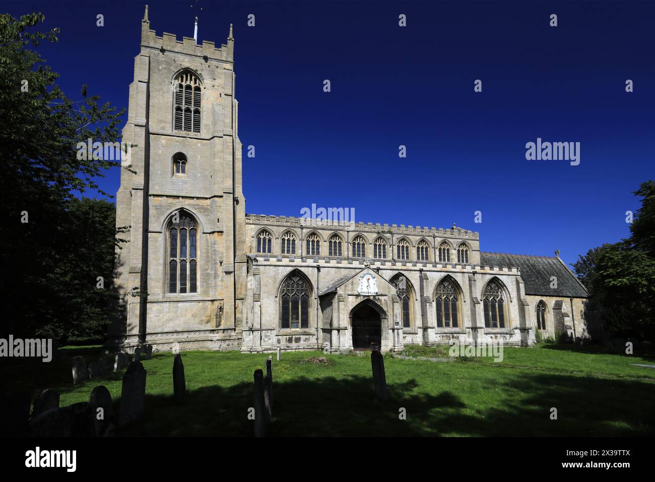 St Marys Church, Pinchbeck town; Lincolnshire County; England; UK Stock Photohttps://www.alamy.com/image-license-details/?v=1https://www.alamy.com/st-marys-church-pinchbeck-town-lincolnshire-county-england-uk-image604423930.html
RF2X39TTX–St Marys Church, Pinchbeck town; Lincolnshire County; England; UK
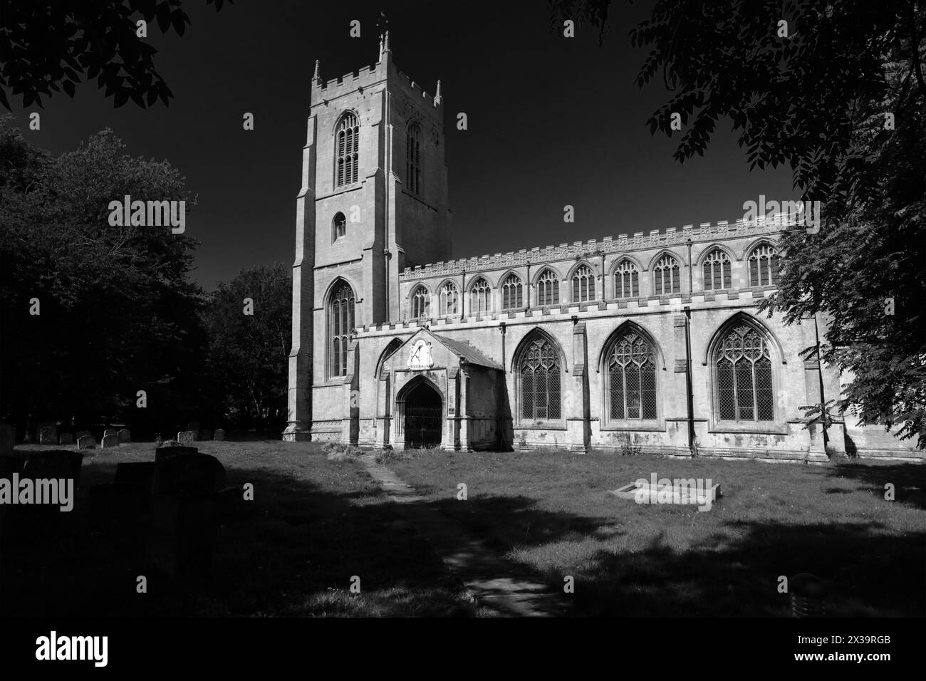 St Marys Church, Pinchbeck town; Lincolnshire County; England; UK Stock Photohttps://www.alamy.com/image-license-details/?v=1https://www.alamy.com/st-marys-church-pinchbeck-town-lincolnshire-county-england-uk-image604422907.html
RF2X39RGB–St Marys Church, Pinchbeck town; Lincolnshire County; England; UK