Quick filters:
Piri reis Stock Photos and Images
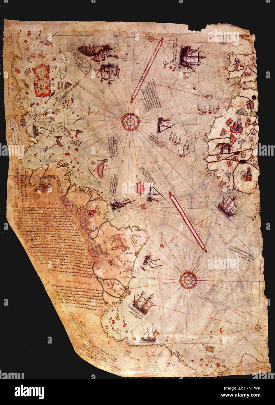 Surviving fragment of the first World Map of Piri Reis. Dated 1513 Stock Photohttps://www.alamy.com/image-license-details/?v=1https://www.alamy.com/stock-photo-surviving-fragment-of-the-first-world-map-of-piri-reis-dated-1513-90834959.html
RMF7NTWK–Surviving fragment of the first World Map of Piri Reis. Dated 1513
 Famous world map of Turkish Sailor Piri Reis dated 1513, Topkapi Palace Museum, Istanbul Turkey. Stock Photohttps://www.alamy.com/image-license-details/?v=1https://www.alamy.com/stock-photo-famous-world-map-of-turkish-sailor-piri-reis-dated-1513-topkapi-palace-27872523.html
RMBH9KK7–Famous world map of Turkish Sailor Piri Reis dated 1513, Topkapi Palace Museum, Istanbul Turkey.
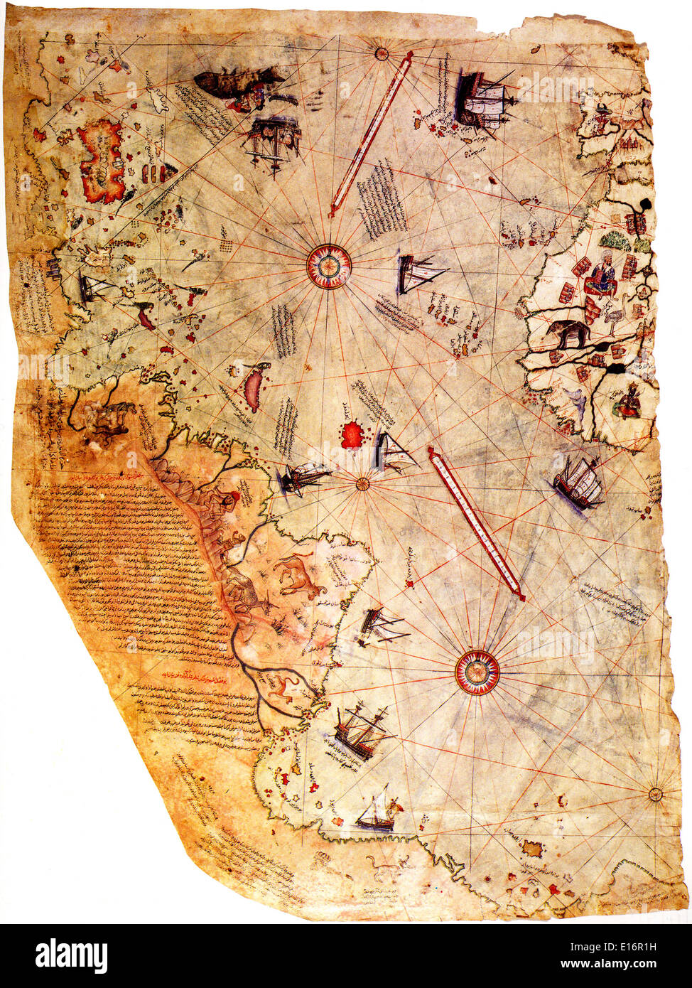 Map of the world - by Ottoman admiral Piri Reis, 1513 Stock Photohttps://www.alamy.com/image-license-details/?v=1https://www.alamy.com/map-of-the-world-by-ottoman-admiral-piri-reis-1513-image69605917.html
RME16R1H–Map of the world - by Ottoman admiral Piri Reis, 1513
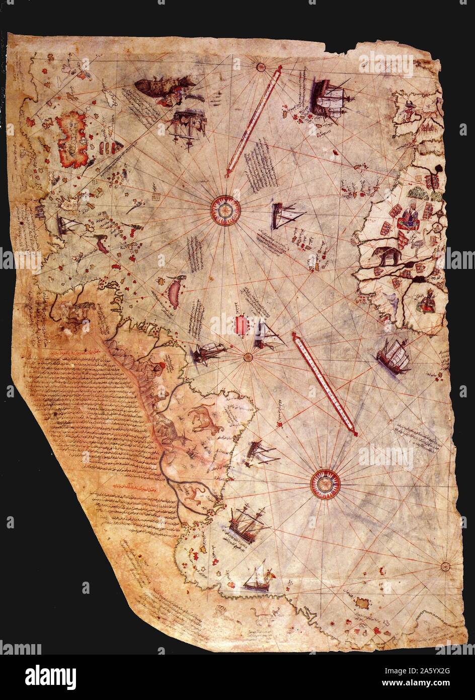 Surviving fragment of the first World Map of Piri Reis. Dated 1513 Stock Photohttps://www.alamy.com/image-license-details/?v=1https://www.alamy.com/surviving-fragment-of-the-first-world-map-of-piri-reis-dated-1513-image330683432.html
RM2A5YX2G–Surviving fragment of the first World Map of Piri Reis. Dated 1513
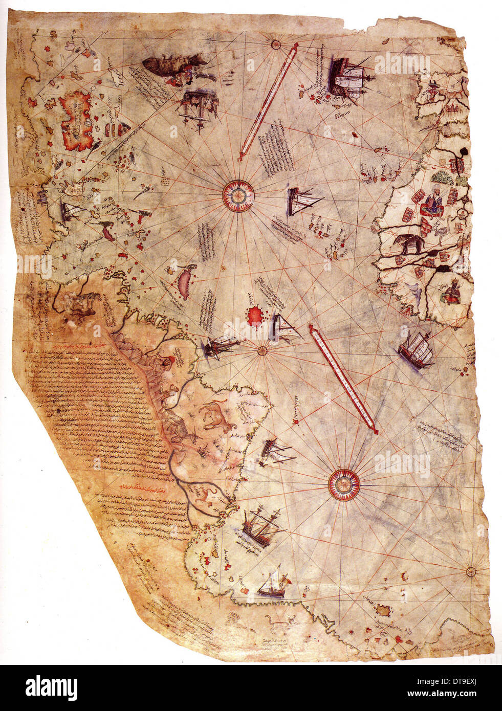 The Piri Reis world map, 1513. Artist: Piri Reis (1470-1553) Stock Photohttps://www.alamy.com/image-license-details/?v=1https://www.alamy.com/the-piri-reis-world-map-1513-artist-piri-reis-1470-1553-image66592138.html
RMDT9EXJ–The Piri Reis world map, 1513. Artist: Piri Reis (1470-1553)
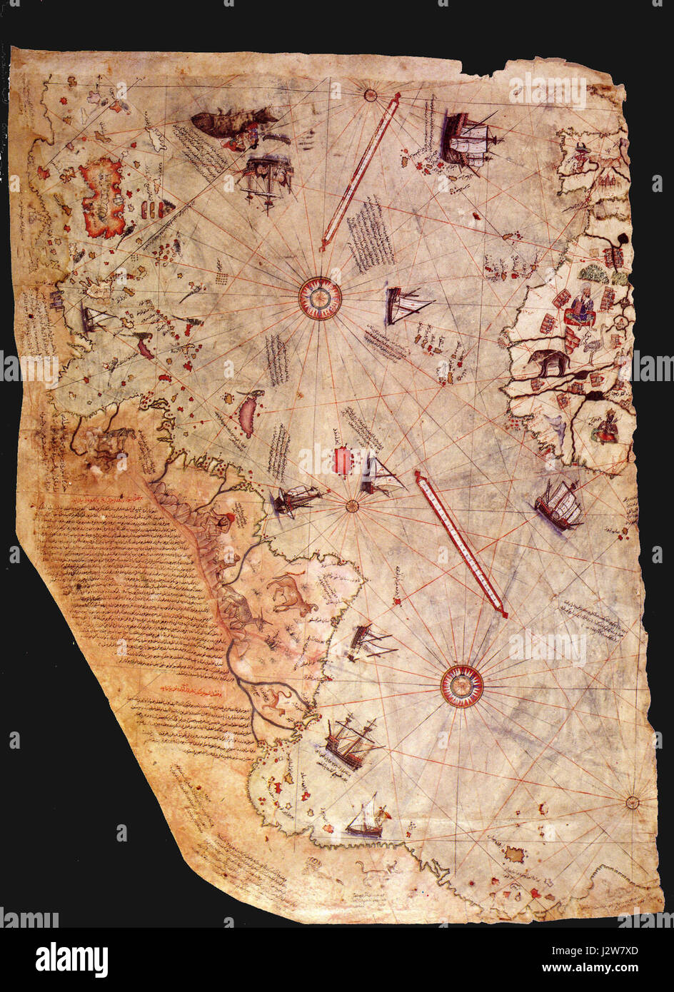 1513 Piri Reis Stock Photohttps://www.alamy.com/image-license-details/?v=1https://www.alamy.com/stock-photo-1513-piri-reis-139467285.html
RMJ2W7XD–1513 Piri Reis
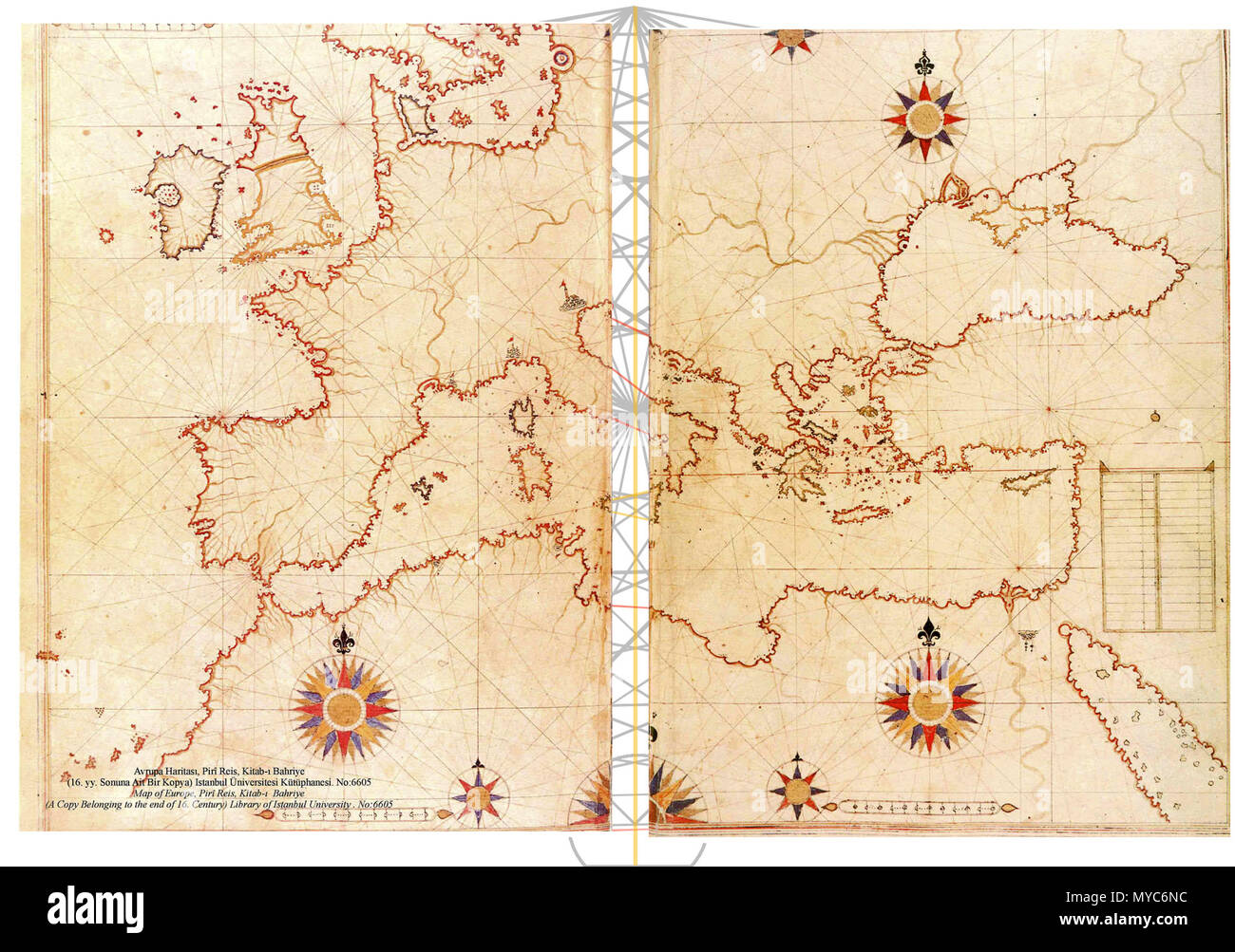 424 Piri Reis map of Europe and the Mediterranean Sea-right-spaced Stock Photohttps://www.alamy.com/image-license-details/?v=1https://www.alamy.com/424-piri-reis-map-of-europe-and-the-mediterranean-sea-right-spaced-image188968120.html
RMMYC6NC–424 Piri Reis map of Europe and the Mediterranean Sea-right-spaced
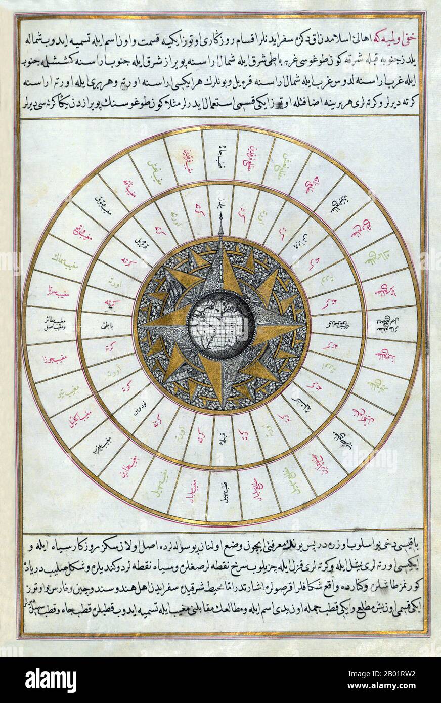 Turkey: 'Western Hemisphere Within a Windrose'. Folio from an Ottoman navigation guide by Piri Reis (c. 1470-1554), early 17th century. Piri Reis (full name Haji Ahmed Muhiddin Piri; Reis was a Turkish military rank equivalent to that of captain) was an Ottoman admiral, geographer and cartographer. He is primarily known today for his maps and charts collected in his Kitab-i Bahriye (Book of Navigation), a book which contains detailed information on navigation, as well as very accurate charts (for its time) describing the important ports and cities of the Mediterranean Sea. Stock Photohttps://www.alamy.com/image-license-details/?v=1https://www.alamy.com/turkey-western-hemisphere-within-a-windrose-folio-from-an-ottoman-navigation-guide-by-piri-reis-c-1470-1554-early-17th-century-piri-reis-full-name-haji-ahmed-muhiddin-piri-reis-was-a-turkish-military-rank-equivalent-to-that-of-captain-was-an-ottoman-admiral-geographer-and-cartographer-he-is-primarily-known-today-for-his-maps-and-charts-collected-in-his-kitab-i-bahriye-book-of-navigation-a-book-which-contains-detailed-information-on-navigation-as-well-as-very-accurate-charts-for-its-time-describing-the-important-ports-and-cities-of-the-mediterranean-sea-image344248046.html
RM2B01RW2–Turkey: 'Western Hemisphere Within a Windrose'. Folio from an Ottoman navigation guide by Piri Reis (c. 1470-1554), early 17th century. Piri Reis (full name Haji Ahmed Muhiddin Piri; Reis was a Turkish military rank equivalent to that of captain) was an Ottoman admiral, geographer and cartographer. He is primarily known today for his maps and charts collected in his Kitab-i Bahriye (Book of Navigation), a book which contains detailed information on navigation, as well as very accurate charts (for its time) describing the important ports and cities of the Mediterranean Sea.
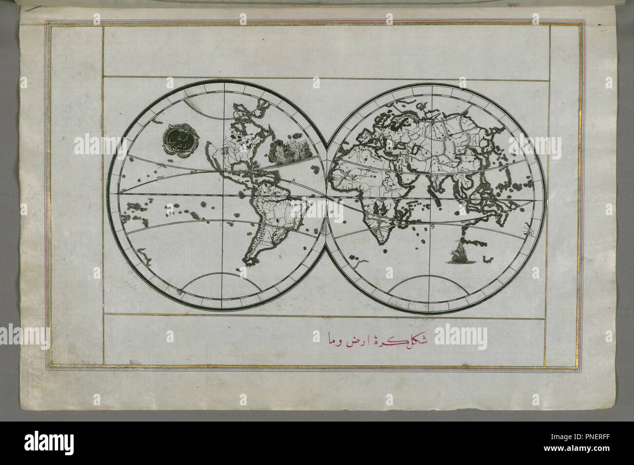 World Map in a Double Hemisphere. Date/Period: Ottoman. Illuminated manuscripts; folios (leaves); maps. Ink and pigments on laid European paper ink and pigments on laid European paper. Height: 34 mm (1.33 in); Width: 24 mm (0.94 in). Author: PIRI REIS. Stock Photohttps://www.alamy.com/image-license-details/?v=1https://www.alamy.com/world-map-in-a-double-hemisphere-dateperiod-ottoman-illuminated-manuscripts-folios-leaves-maps-ink-and-pigments-on-laid-european-paper-ink-and-pigments-on-laid-european-paper-height-34-mm-133-in-width-24-mm-094-in-author-piri-reis-image219757987.html
RMPNERFF–World Map in a Double Hemisphere. Date/Period: Ottoman. Illuminated manuscripts; folios (leaves); maps. Ink and pigments on laid European paper ink and pigments on laid European paper. Height: 34 mm (1.33 in); Width: 24 mm (0.94 in). Author: PIRI REIS.
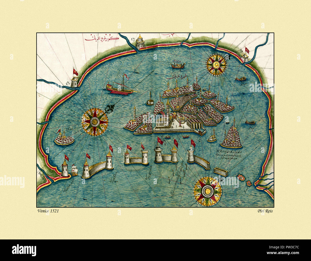 Map Of Venice 1521 Stock Photohttps://www.alamy.com/image-license-details/?v=1https://www.alamy.com/map-of-venice-1521-image221966288.html
RFPW3C7C–Map Of Venice 1521
 Amorgos by Piri Reis. Stock Photohttps://www.alamy.com/image-license-details/?v=1https://www.alamy.com/amorgos-by-piri-reis-image214664546.html
RMPD6PPX–Amorgos by Piri Reis.
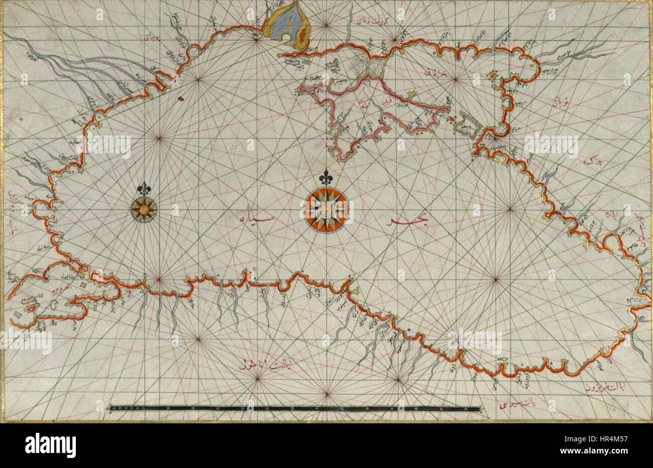 Piri Reis. Map of the Black Sea Stock Photohttps://www.alamy.com/image-license-details/?v=1https://www.alamy.com/stock-photo-piri-reis-map-of-the-black-sea-134713299.html
RMHR4M57–Piri Reis. Map of the Black Sea
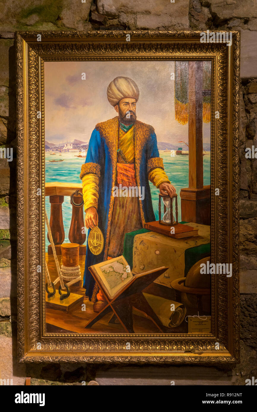 Piri Reis Museum in Gallipoli Stock Photohttps://www.alamy.com/image-license-details/?v=1https://www.alamy.com/piri-reis-museum-in-gallipoli-image229290820.html
RFR912NT–Piri Reis Museum in Gallipoli
 At the Piri reis Museum at Gelibolu, Turkey, Piri Reis (full name Haci Ahmed Muhiddin Piri - Hadji Ahmed Muhiddin Piri, Ahmet ibn-i el-Haç Mehmet El Karamani; Reis was a Turkish military rank akin to that of captain) was an Ottoman admiral, geographer and Stock Photohttps://www.alamy.com/image-license-details/?v=1https://www.alamy.com/stock-photo-at-the-piri-reis-museum-at-gelibolu-turkey-piri-reis-full-name-haci-111671375.html
RMGDK1YB–At the Piri reis Museum at Gelibolu, Turkey, Piri Reis (full name Haci Ahmed Muhiddin Piri - Hadji Ahmed Muhiddin Piri, Ahmet ibn-i el-Haç Mehmet El Karamani; Reis was a Turkish military rank akin to that of captain) was an Ottoman admiral, geographer and
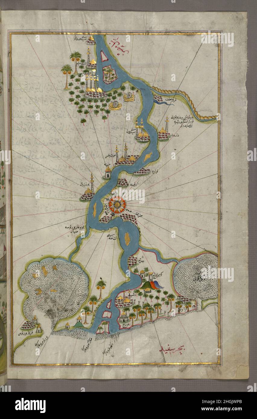 Piri Reis - Map of the River Nile From Its Estuary South Stock Photohttps://www.alamy.com/image-license-details/?v=1https://www.alamy.com/piri-reis-map-of-the-river-nile-from-its-estuary-south-image457719427.html
RF2HGJWPB–Piri Reis - Map of the River Nile From Its Estuary South
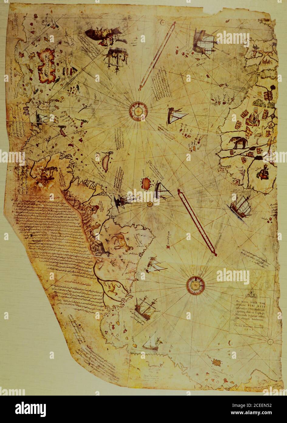 Wallpaper design with an old ship of Piri Reis map for mural print. Piri Reis map. Stock Photohttps://www.alamy.com/image-license-details/?v=1https://www.alamy.com/wallpaper-design-with-an-old-ship-of-piri-reis-map-for-mural-print-piri-reis-map-image370346846.html
RM2CEEN52–Wallpaper design with an old ship of Piri Reis map for mural print. Piri Reis map.
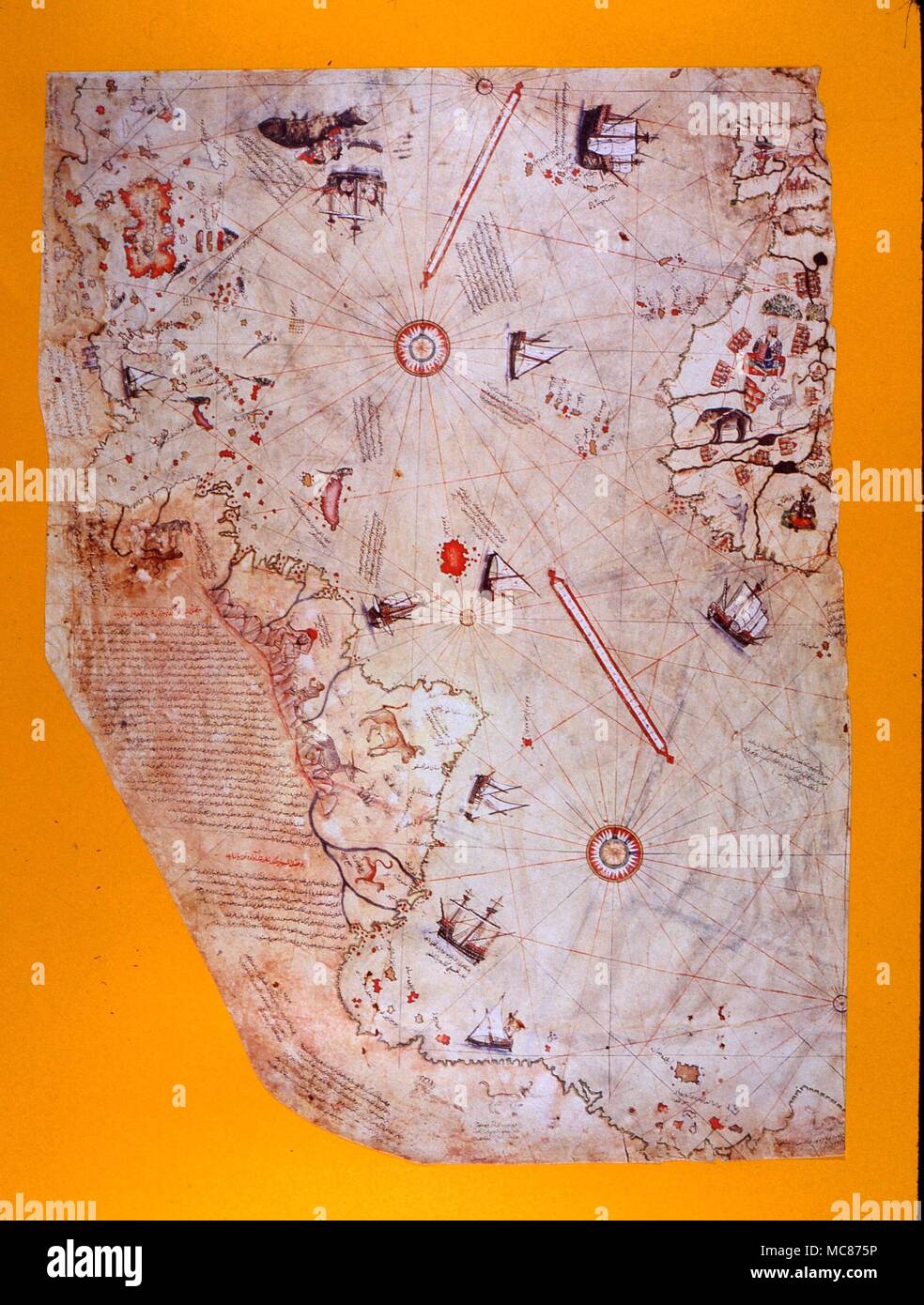 STRANGE PHENOMENA The Piri Reis map of the world, dated 1513. It is claimed that the coastline of the Antarctic (not known until modern times) is shown at the bottom. Picture after the scale reproduction in the Tokapi Palace, Istanbul Stock Photohttps://www.alamy.com/image-license-details/?v=1https://www.alamy.com/strange-phenomena-the-piri-reis-map-of-the-world-dated-1513-it-is-claimed-that-the-coastline-of-the-antarctic-not-known-until-modern-times-is-shown-at-the-bottom-picture-after-the-scale-reproduction-in-the-tokapi-palace-istanbul-image179660818.html
RMMC875P–STRANGE PHENOMENA The Piri Reis map of the world, dated 1513. It is claimed that the coastline of the Antarctic (not known until modern times) is shown at the bottom. Picture after the scale reproduction in the Tokapi Palace, Istanbul
 Piri Reis porcelain tilearthenware Spain Spanish Stock Photohttps://www.alamy.com/image-license-details/?v=1https://www.alamy.com/stock-photo-piri-reis-porcelain-tilearthenware-spain-spanish-76118011.html
RMEBRD8B–Piri Reis porcelain tilearthenware Spain Spanish
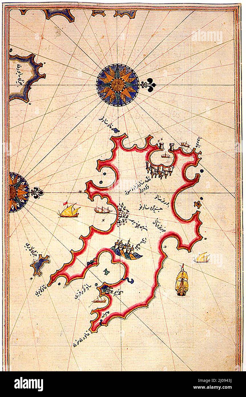 Historic map of Minorca by Piri Reis Stock Photohttps://www.alamy.com/image-license-details/?v=1https://www.alamy.com/historic-map-of-minorca-by-piri-reis-image464880742.html
RM2J0943J–Historic map of Minorca by Piri Reis
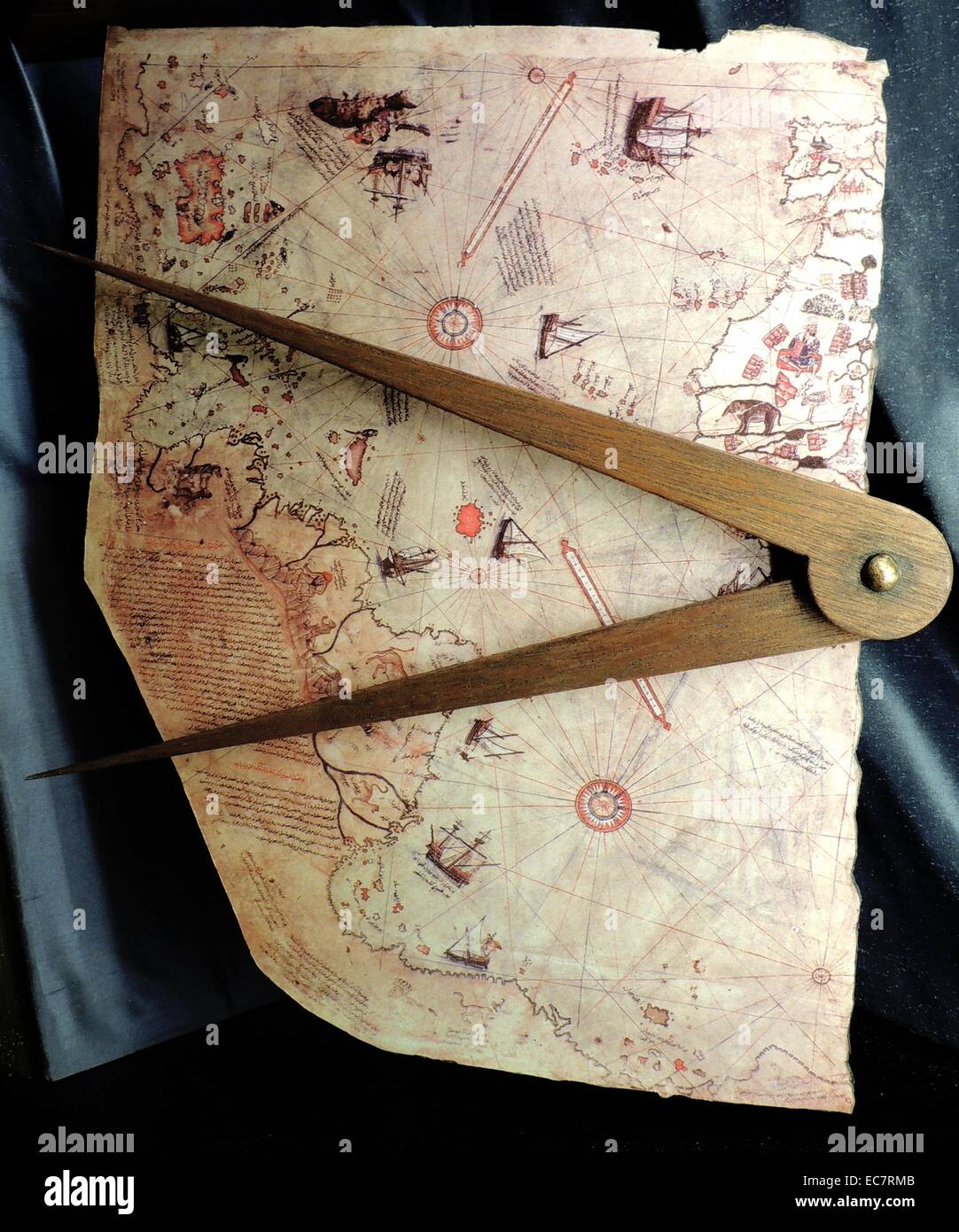 Piri Reis (1465-1554) The maps of Piri Reis, admiral of the Turkish fleet, are incredibly accurate and show much the world had been explored by the 1500's. Born in Gallipoli in 1465, Piri Reis spent most of his life at sea. In between naval battles, he produced a series of maps of the known world. His first world map was completed in 1513. This map is the first to show the Atlantic Ocean coastline of North and South America. Stock Photohttps://www.alamy.com/image-license-details/?v=1https://www.alamy.com/stock-photo-piri-reis-1465-1554-the-maps-of-piri-reis-admiral-of-the-turkish-fleet-76389611.html
RMEC7RMB–Piri Reis (1465-1554) The maps of Piri Reis, admiral of the Turkish fleet, are incredibly accurate and show much the world had been explored by the 1500's. Born in Gallipoli in 1465, Piri Reis spent most of his life at sea. In between naval battles, he produced a series of maps of the known world. His first world map was completed in 1513. This map is the first to show the Atlantic Ocean coastline of North and South America.
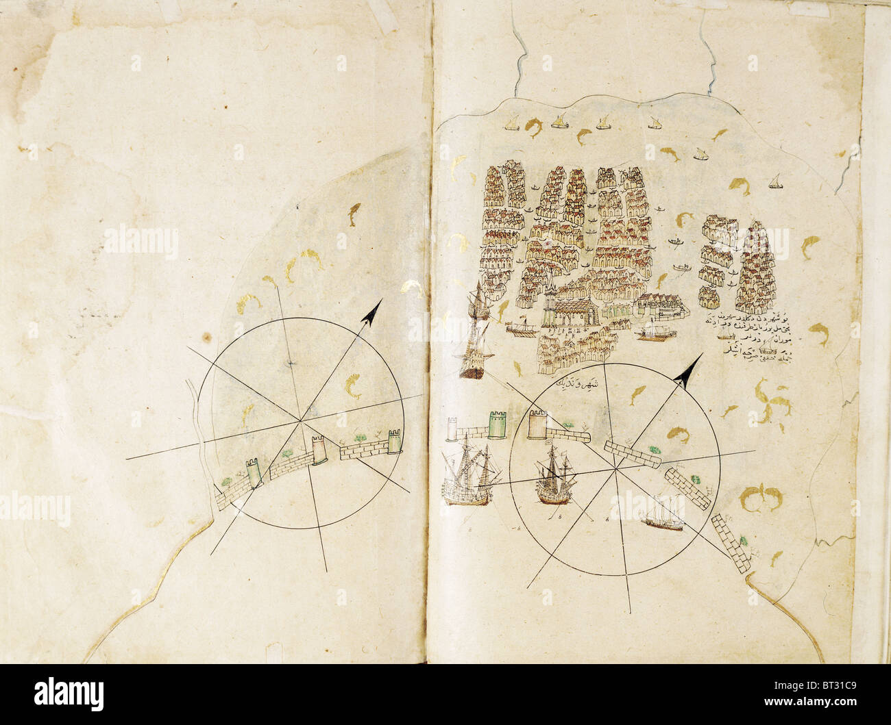 Historical chart of Venice by Piri Reis Kitab i Bahriye Istanbul university library Turkey Stock Photohttps://www.alamy.com/image-license-details/?v=1https://www.alamy.com/stock-photo-historical-chart-of-venice-by-piri-reis-kitab-i-bahriye-istanbul-university-32029097.html
RFBT31C9–Historical chart of Venice by Piri Reis Kitab i Bahriye Istanbul university library Turkey
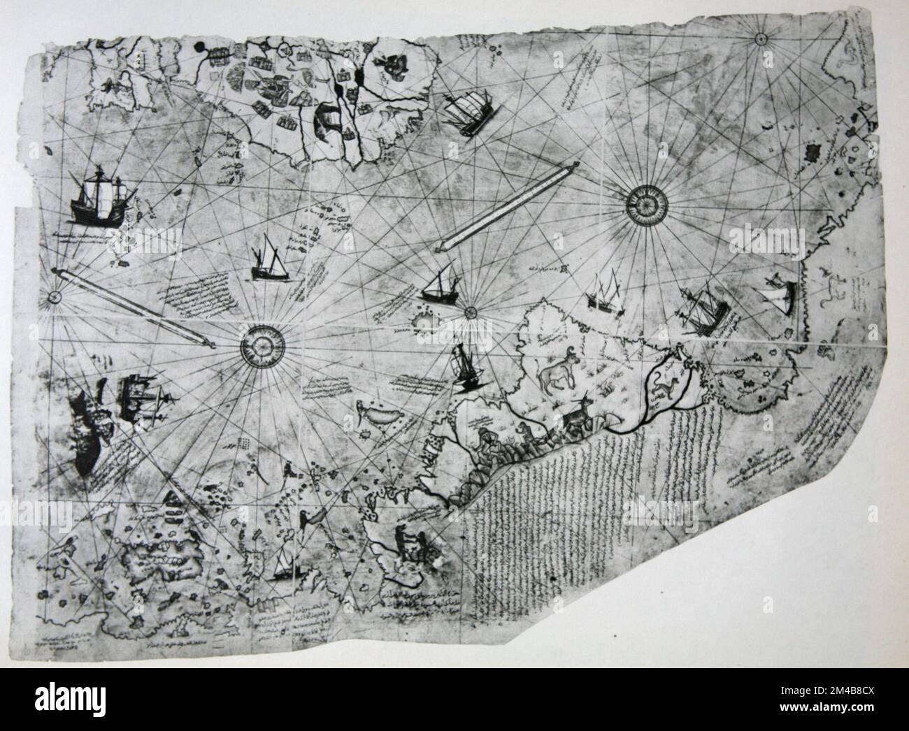 Nautical Chart by Turkish navigator and cartographer Piri Reis, 1513 Stock Photohttps://www.alamy.com/image-license-details/?v=1https://www.alamy.com/nautical-chart-by-turkish-navigator-and-cartographer-piri-reis-1513-image501807402.html
RM2M4B8CX–Nautical Chart by Turkish navigator and cartographer Piri Reis, 1513
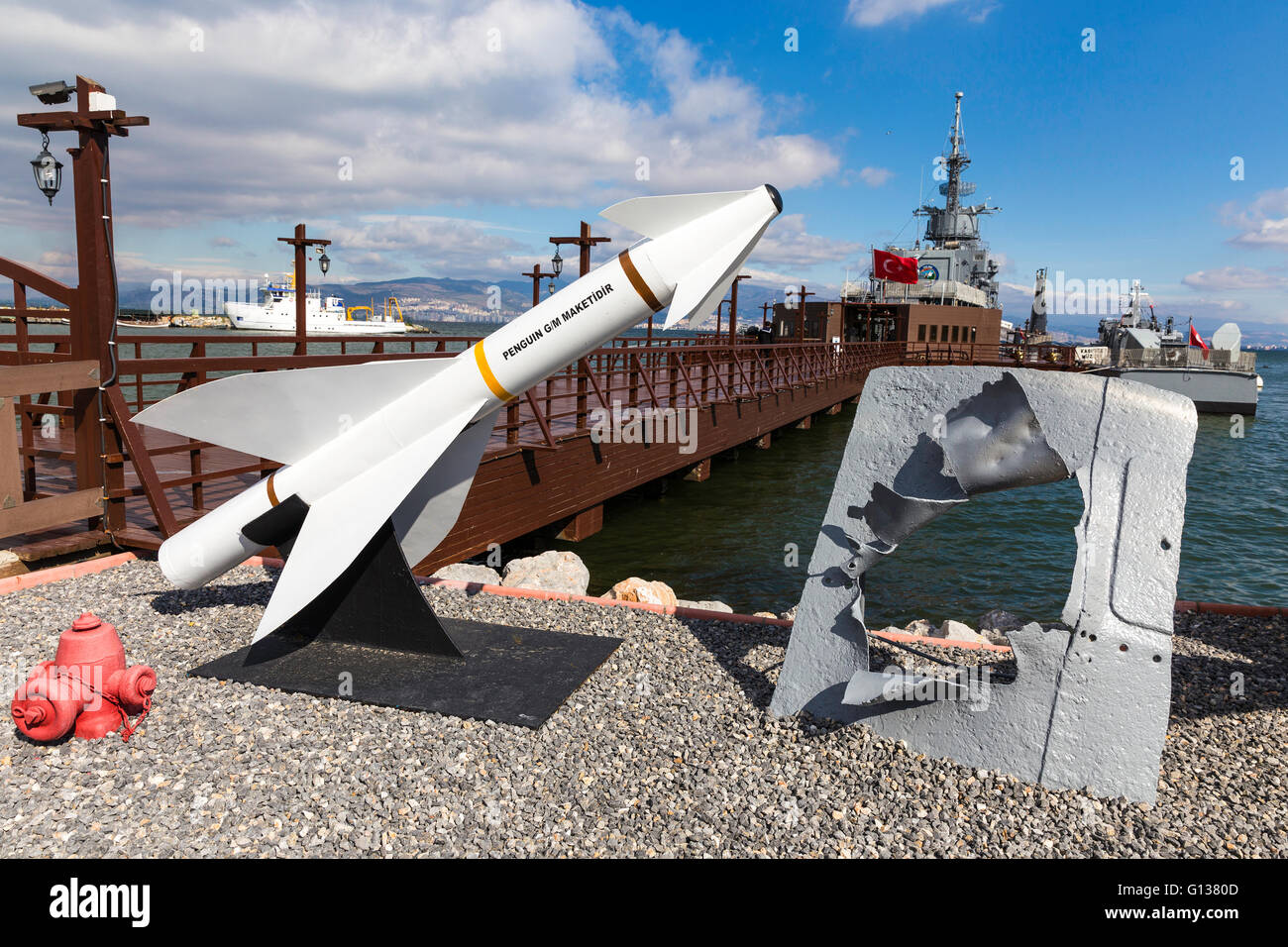 Unused missiles at the entrance of Ege and Piri Reis Museum Ships is a naval museum in the In Izmir Stock Photohttps://www.alamy.com/image-license-details/?v=1https://www.alamy.com/stock-photo-unused-missiles-at-the-entrance-of-ege-and-piri-reis-museum-ships-103949005.html
RMG1380D–Unused missiles at the entrance of Ege and Piri Reis Museum Ships is a naval museum in the In Izmir
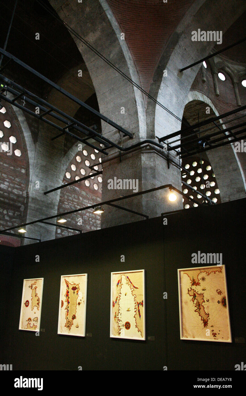 Exhibition of Piri Reis in Tophane in Istanbul,Turkey Stock Photohttps://www.alamy.com/image-license-details/?v=1https://www.alamy.com/exhibition-of-piri-reis-in-tophane-in-istanbulturkey-image60462060.html
RMDEA7Y8–Exhibition of Piri Reis in Tophane in Istanbul,Turkey
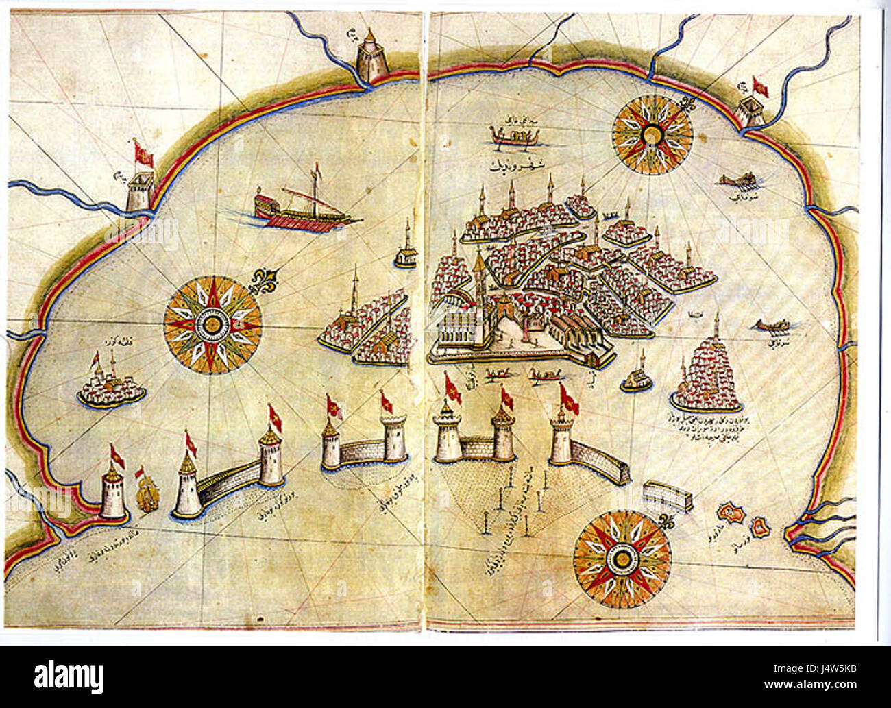 Venice by Piri Reis Stock Photohttps://www.alamy.com/image-license-details/?v=1https://www.alamy.com/stock-photo-venice-by-piri-reis-140694831.html
RMJ4W5KB–Venice by Piri Reis
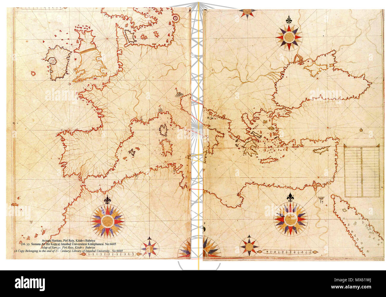 485 Piri Reis map of Europe and the Mediterranean Sea-right-spaced Stock Photohttps://www.alamy.com/image-license-details/?v=1https://www.alamy.com/485-piri-reis-map-of-europe-and-the-mediterranean-sea-right-spaced-image188217950.html
RMMX61WJ–485 Piri Reis map of Europe and the Mediterranean Sea-right-spaced
 Italy: An early 16th-century illustration of Venice by Ottoman admiral and cartographer Piri Reis (1470-1554), published in his navigational ‘Kitab-i-Bahriye’ (Book of Sea Lore). For centuries Venice was Europe’s prime trading partner with the Middle East and the Byzantine Empire in particular. Venetian naval and commercial power was unrivalled in Europe until it lost a series of wars to the Ottoman armies in the 15th century. The city lost some 50,000 people to the Black Death in 1575-77, but remained a major manufacturing center and port well into the 18th century. Stock Photohttps://www.alamy.com/image-license-details/?v=1https://www.alamy.com/italy-an-early-16th-century-illustration-of-venice-by-ottoman-admiral-and-cartographer-piri-reis-1470-1554-published-in-his-navigational-kitab-i-bahriye-book-of-sea-lore-for-centuries-venice-was-europes-prime-trading-partner-with-the-middle-east-and-the-byzantine-empire-in-particular-venetian-naval-and-commercial-power-was-unrivalled-in-europe-until-it-lost-a-series-of-wars-to-the-ottoman-armies-in-the-15th-century-the-city-lost-some-50000-people-to-the-black-death-in-1575-77-but-remained-a-major-manufacturing-center-and-port-well-into-the-18th-century-image344226976.html
RM2B00W0G–Italy: An early 16th-century illustration of Venice by Ottoman admiral and cartographer Piri Reis (1470-1554), published in his navigational ‘Kitab-i-Bahriye’ (Book of Sea Lore). For centuries Venice was Europe’s prime trading partner with the Middle East and the Byzantine Empire in particular. Venetian naval and commercial power was unrivalled in Europe until it lost a series of wars to the Ottoman armies in the 15th century. The city lost some 50,000 people to the Black Death in 1575-77, but remained a major manufacturing center and port well into the 18th century.
 A medieval fortress (currently using as Piri Reis Museum) in Canakkale province in Turkey Stock Photohttps://www.alamy.com/image-license-details/?v=1https://www.alamy.com/a-medieval-fortress-currently-using-as-piri-reis-museum-in-canakkale-province-in-turkey-image335366535.html
RF2ADH7C7–A medieval fortress (currently using as Piri Reis Museum) in Canakkale province in Turkey
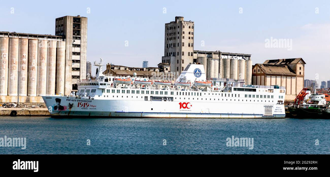 Haydarpasa, Istanbul, Turkey April 15th, 2021: The training and research vessel Piri Reis University Ship in Turkey, moored at Haydarpasa, Istanbul Stock Photohttps://www.alamy.com/image-license-details/?v=1https://www.alamy.com/haydarpasa-istanbul-turkey-april-15th-2021-the-training-and-research-vessel-piri-reis-university-ship-in-turkey-moored-at-haydarpasa-istanbul-image431688309.html
RF2G292RH–Haydarpasa, Istanbul, Turkey April 15th, 2021: The training and research vessel Piri Reis University Ship in Turkey, moored at Haydarpasa, Istanbul
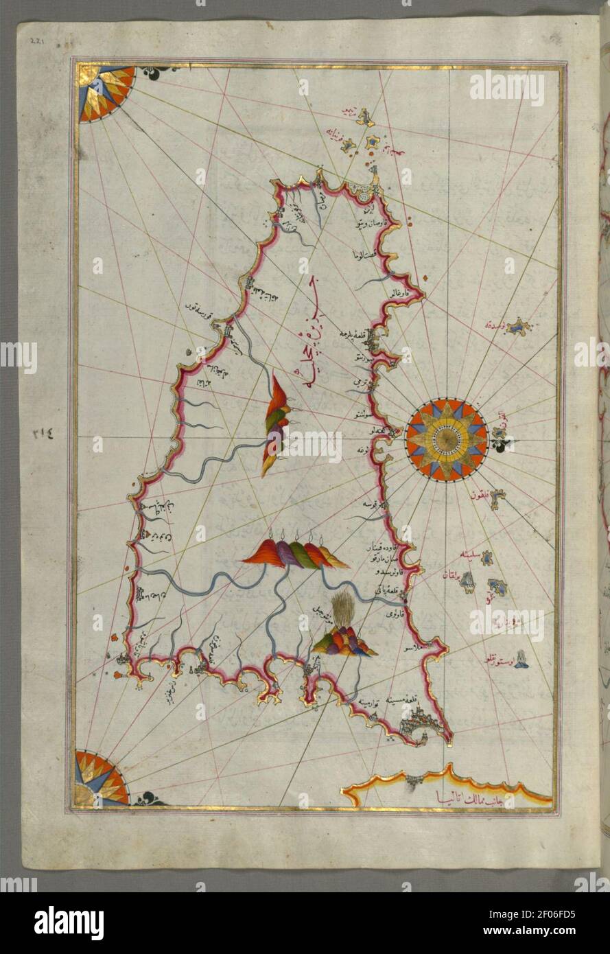 Piri Reis - Map of the Island of Sicily Stock Photohttps://www.alamy.com/image-license-details/?v=1https://www.alamy.com/piri-reis-map-of-the-island-of-sicily-image413192673.html
RM2F06FD5–Piri Reis - Map of the Island of Sicily
 Map of Granada by Piri Reis 15th century Stock Photohttps://www.alamy.com/image-license-details/?v=1https://www.alamy.com/stock-photo-map-of-granada-by-piri-reis-15th-century-133428247.html
RMHN252F–Map of Granada by Piri Reis 15th century
 Piri Reis Museum in Gallipoli Stock Photohttps://www.alamy.com/image-license-details/?v=1https://www.alamy.com/piri-reis-museum-in-gallipoli-image229290849.html
RFR912PW–Piri Reis Museum in Gallipoli
 Piri Reis (full name Haci Ahmed Muhiddin Piri - Hadji Ahmed Muhiddin Piri, Ahmet ibn-i el-Haç Mehmet El Karamani; Reis was a Turkish military rank akin to that of captain) was an Ottoman admiral, geographer and cartographer born between 1465 and 1470, and Stock Photohttps://www.alamy.com/image-license-details/?v=1https://www.alamy.com/stock-photo-piri-reis-full-name-haci-ahmed-muhiddin-piri-hadji-ahmed-muhiddin-111671361.html
RMGDK1XW–Piri Reis (full name Haci Ahmed Muhiddin Piri - Hadji Ahmed Muhiddin Piri, Ahmet ibn-i el-Haç Mehmet El Karamani; Reis was a Turkish military rank akin to that of captain) was an Ottoman admiral, geographer and cartographer born between 1465 and 1470, and
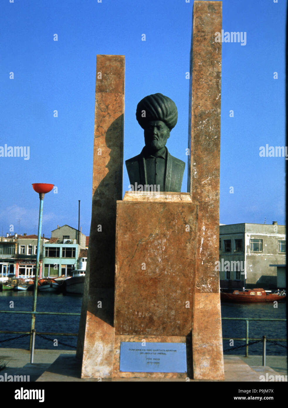 Piri Reis (1470-1554), cartographer and commander of the Ottoman fleet of Gelibolu (Gallipoli). Stock Photohttps://www.alamy.com/image-license-details/?v=1https://www.alamy.com/piri-reis-1470-1554-cartographer-and-commander-of-the-ottoman-fleet-of-gelibolu-gallipoli-image212467358.html
RMP9JM7X–Piri Reis (1470-1554), cartographer and commander of the Ottoman fleet of Gelibolu (Gallipoli).
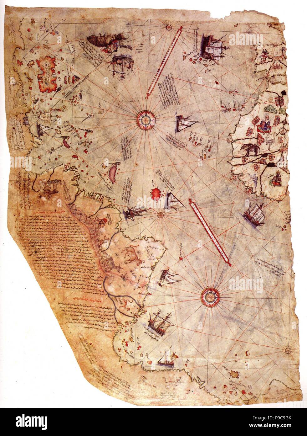 The Piri Reis world map. Museum: Topkapı Palace, Istanbul. Stock Photohttps://www.alamy.com/image-license-details/?v=1https://www.alamy.com/the-piri-reis-world-map-museum-topkap305-palace-istanbul-image212327267.html
RMP9C9GK–The Piri Reis world map. Museum: Topkapı Palace, Istanbul.
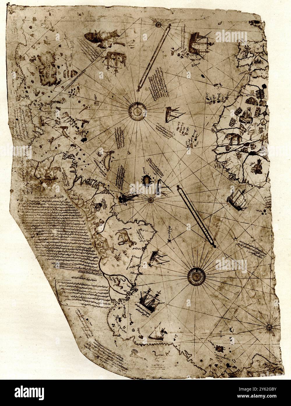 The new world revealed to Islam in 1513. The map of the Atlantic, work of Admiral Piri Reis, the celebrated Turkish cartographer. The map has recently been the subject of controversy and now shown to have been drawn some ten years only after Columbus's discovery. Stock Photohttps://www.alamy.com/image-license-details/?v=1https://www.alamy.com/the-new-world-revealed-to-islam-in-1513-the-map-of-the-atlantic-work-of-admiral-piri-reis-the-celebrated-turkish-cartographer-the-map-has-recently-been-the-subject-of-controversy-and-now-shown-to-have-been-drawn-some-ten-years-only-after-columbuss-discovery-image623317967.html
RM2Y62GBY–The new world revealed to Islam in 1513. The map of the Atlantic, work of Admiral Piri Reis, the celebrated Turkish cartographer. The map has recently been the subject of controversy and now shown to have been drawn some ten years only after Columbus's discovery.
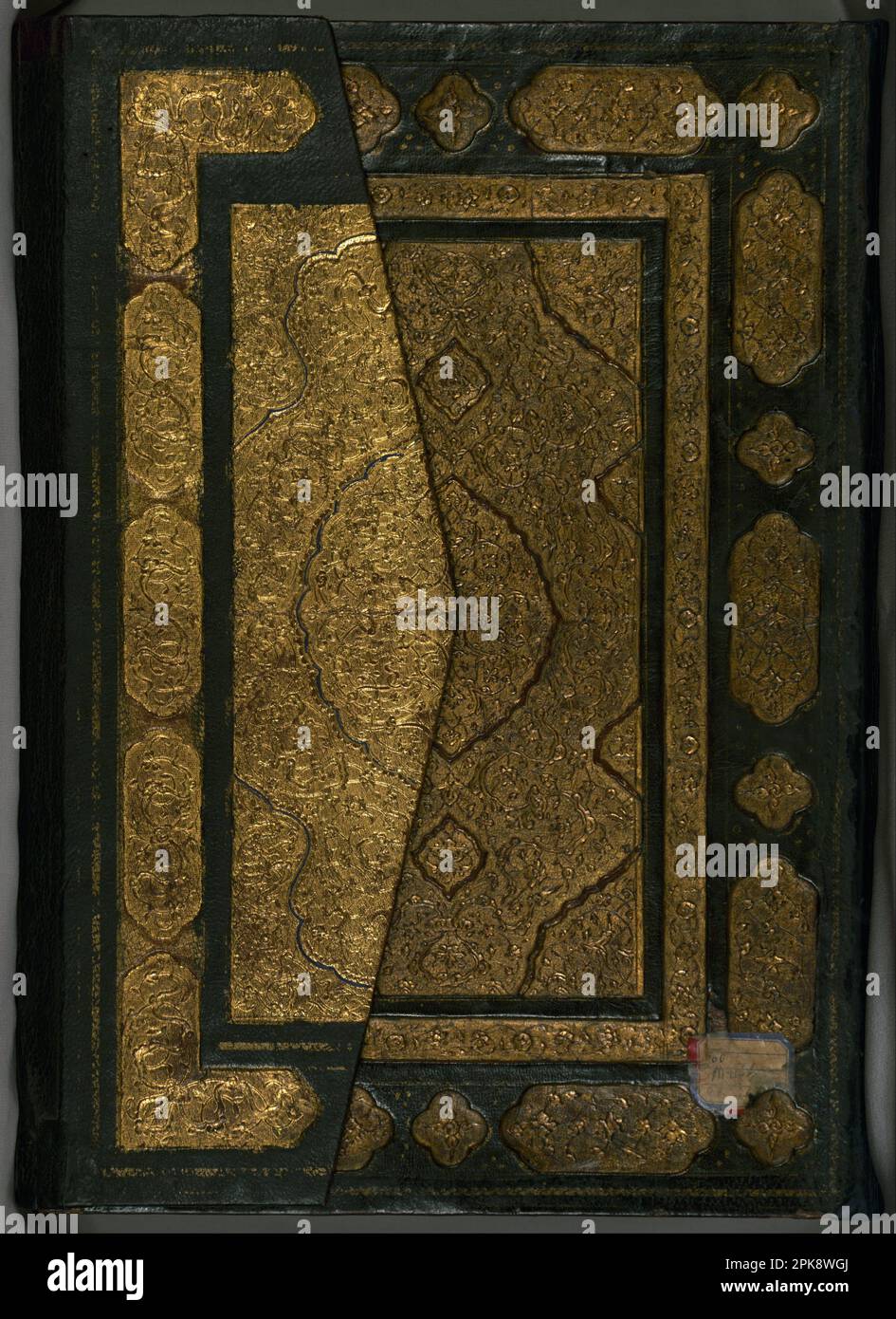 Book on Navigation late 11th century AH/AD 17th century-early 12th century AH/AD 18th century (Ottoman) by Piri Reis Stock Photohttps://www.alamy.com/image-license-details/?v=1https://www.alamy.com/book-on-navigation-late-11th-century-ahad-17th-century-early-12th-century-ahad-18th-century-ottoman-by-piri-reis-image545395554.html
RM2PK8WGJ–Book on Navigation late 11th century AH/AD 17th century-early 12th century AH/AD 18th century (Ottoman) by Piri Reis
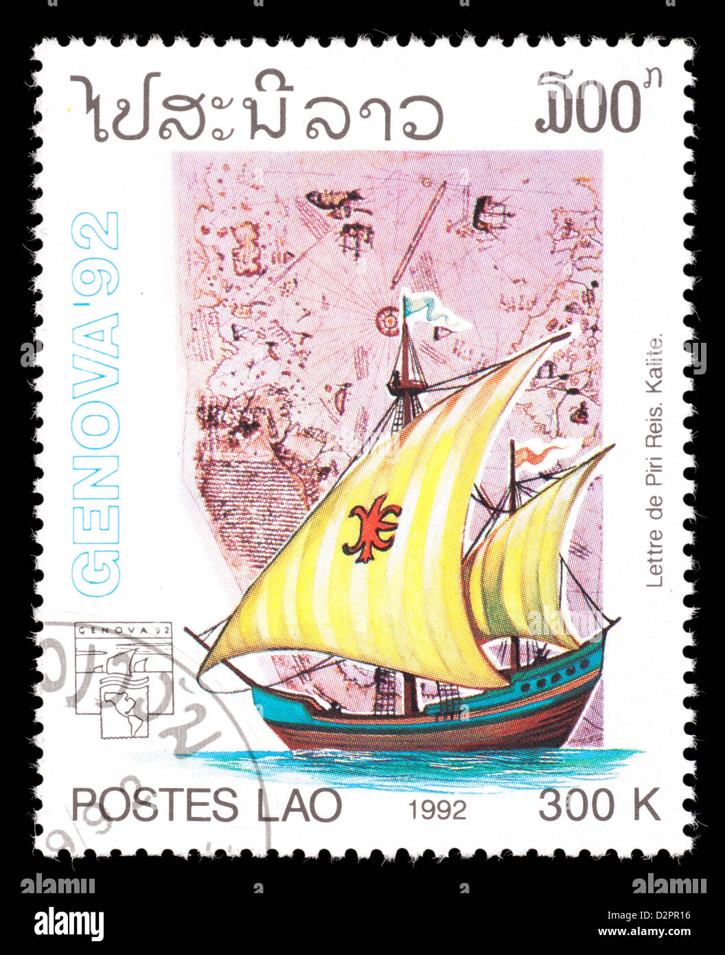 Postage stamp from Laos depicting the sailing ship of Piri Reis and map Stock Photohttps://www.alamy.com/image-license-details/?v=1https://www.alamy.com/stock-photo-postage-stamp-from-laos-depicting-the-sailing-ship-of-piri-reis-and-53361426.html
RMD2PR16–Postage stamp from Laos depicting the sailing ship of Piri Reis and map
 Map of the Algerian Coast From the Port of Bejaia as Far as Annaba with the City of Constantine. Map by Piri Reis. circa 1550 Stock Photohttps://www.alamy.com/image-license-details/?v=1https://www.alamy.com/map-of-the-algerian-coast-from-the-port-of-bejaia-as-far-as-annaba-with-the-city-of-constantine-map-by-piri-reis-circa-1550-image634158863.html
RM2YRMC2R–Map of the Algerian Coast From the Port of Bejaia as Far as Annaba with the City of Constantine. Map by Piri Reis. circa 1550
 Historical chart of North Aegean Sea by Piri Reis Kitab i Bahriye Istanbul univeristy library Turkey Stock Photohttps://www.alamy.com/image-license-details/?v=1https://www.alamy.com/historical-chart-of-north-aegean-sea-by-piri-reis-kitab-i-bahriye-image9342720.html
RMATMET1–Historical chart of North Aegean Sea by Piri Reis Kitab i Bahriye Istanbul univeristy library Turkey
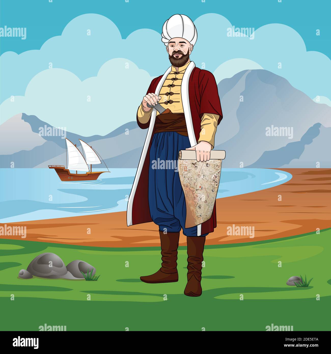 Piri-reis is also Muhiddin Piri-bey - Ottoman navigator, admiral and cartographer. Stock Vectorhttps://www.alamy.com/image-license-details/?v=1https://www.alamy.com/piri-reis-is-also-muhiddin-piri-bey-ottoman-navigator-admiral-and-cartographer-image387354698.html
RF2DE5ETA–Piri-reis is also Muhiddin Piri-bey - Ottoman navigator, admiral and cartographer.
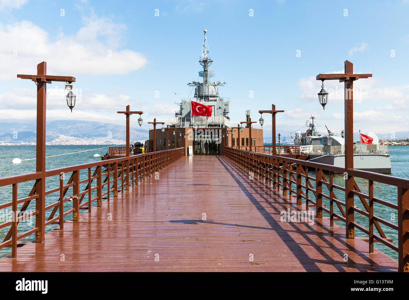 Entrance of Ege and Piri Reis Museum Ships is a naval museum in the Inciralti neighborhood in Izmir, Turkey Stock Photohttps://www.alamy.com/image-license-details/?v=1https://www.alamy.com/stock-photo-entrance-of-ege-and-piri-reis-museum-ships-is-a-naval-museum-in-the-103948956.html
RMG137XM–Entrance of Ege and Piri Reis Museum Ships is a naval museum in the Inciralti neighborhood in Izmir, Turkey
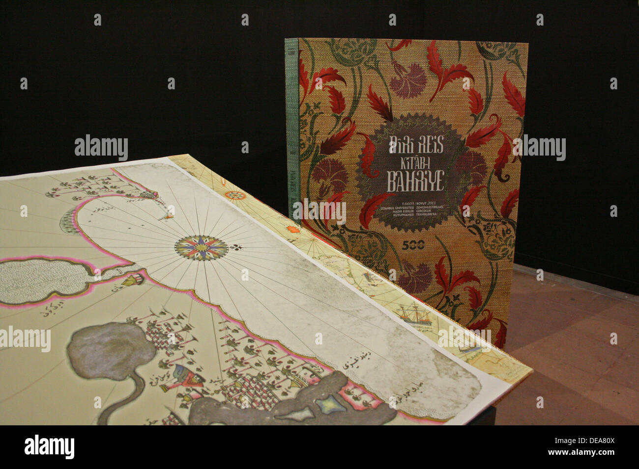 Kitab-i Bahriye in Exhibition of Piri Reis in Tophane ,Istanbul,Turkey Stock Photohttps://www.alamy.com/image-license-details/?v=1https://www.alamy.com/kitab-i-bahriye-in-exhibition-of-piri-reis-in-tophane-istanbulturkey-image60462106.html
RMDEA80X–Kitab-i Bahriye in Exhibition of Piri Reis in Tophane ,Istanbul,Turkey
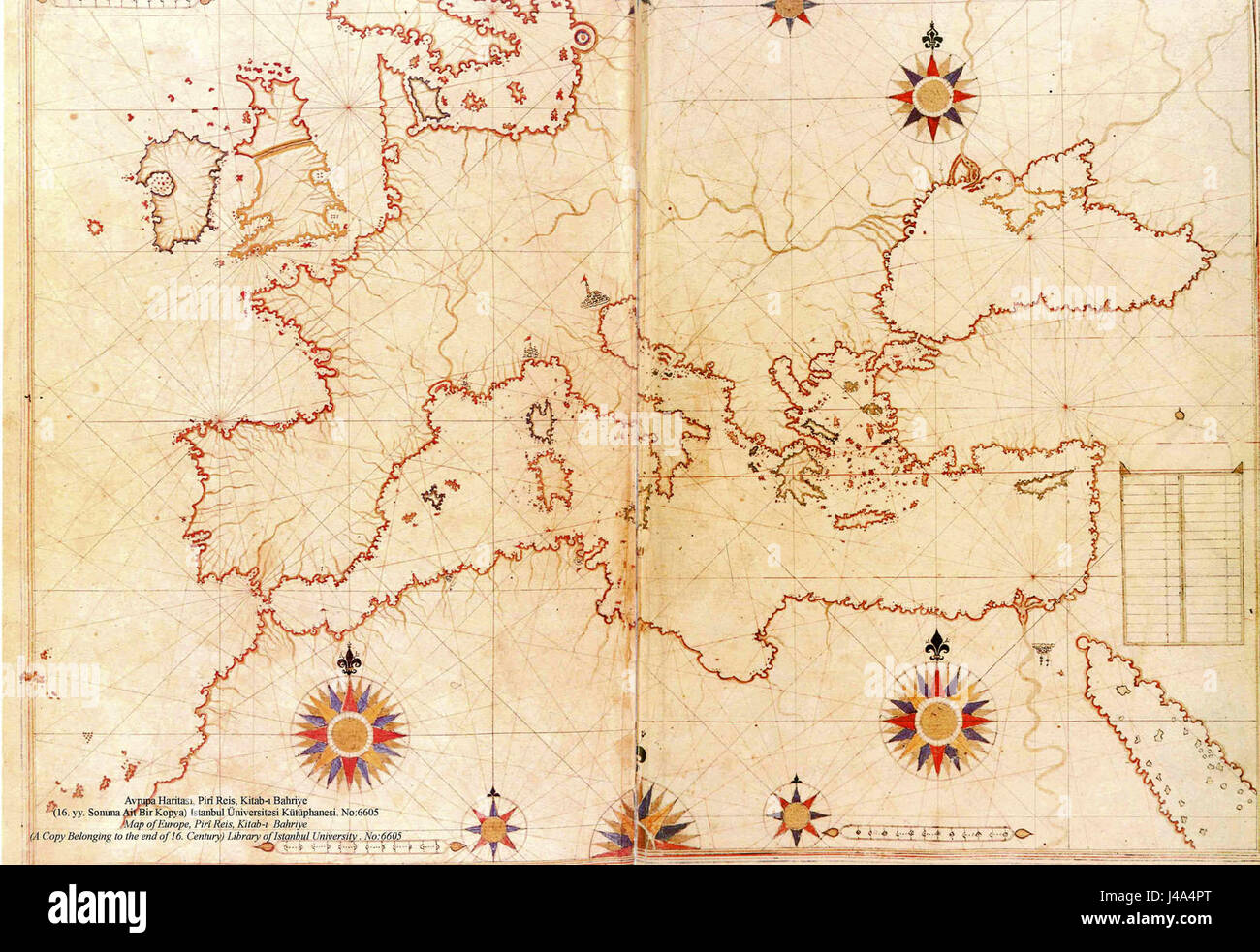 Piri Reis map of Europe and the Mediterranean Sea Stock Photohttps://www.alamy.com/image-license-details/?v=1https://www.alamy.com/stock-photo-piri-reis-map-of-europe-and-the-mediterranean-sea-140364864.html
RMJ4A4PT–Piri Reis map of Europe and the Mediterranean Sea
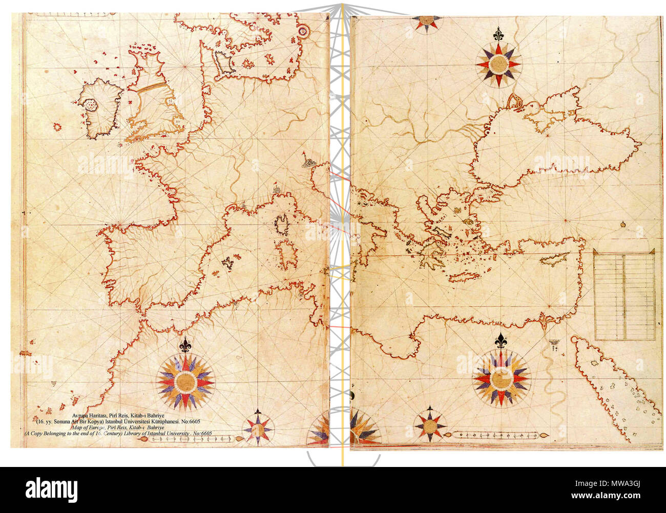 485 Piri Reis map of Europe and the Mediterranean Sea-right-spaced Stock Photohttps://www.alamy.com/image-license-details/?v=1https://www.alamy.com/485-piri-reis-map-of-europe-and-the-mediterranean-sea-right-spaced-image187692418.html
RMMWA3GJ–485 Piri Reis map of Europe and the Mediterranean Sea-right-spaced
 LAOS - CIRCA 1992: a stamp printed in Laos shows Sailing ship and Map by Piri Reis, Ottoman Admiral, Geographer and Cartographer, circa 1992 Stock Photohttps://www.alamy.com/image-license-details/?v=1https://www.alamy.com/laos-circa-1992-a-stamp-printed-in-laos-shows-sailing-ship-and-map-by-piri-reis-ottoman-admiral-geographer-and-cartographer-circa-1992-image467871531.html
RF2J55AWF–LAOS - CIRCA 1992: a stamp printed in Laos shows Sailing ship and Map by Piri Reis, Ottoman Admiral, Geographer and Cartographer, circa 1992
 Piri Reis - Map of the Islands of Semendrek and Imroz in the Aegean Sea Stock Photohttps://www.alamy.com/image-license-details/?v=1https://www.alamy.com/piri-reis-map-of-the-islands-of-semendrek-and-imroz-in-the-aegean-sea-image457720665.html
RF2HGJYAH–Piri Reis - Map of the Islands of Semendrek and Imroz in the Aegean Sea
 20121018 - ANKARA, TURKEY: Princess Mathilde of Belgium pictured during an exhibition on cartographers Mercator & Piri Reis, Thursday 18 October 2012, on the fourth day of the economic mission of Prince Philippe in Turkey, from 15 to 18 October. BELGA PHOTO ERIC LALMAND Stock Photohttps://www.alamy.com/image-license-details/?v=1https://www.alamy.com/20121018-ankara-turkey-princess-mathilde-of-belgium-pictured-during-an-exhibition-on-cartographers-mercator-piri-reis-thursday-18-october-2012-on-the-fourth-day-of-the-economic-mission-of-prince-philippe-in-turkey-from-15-to-18-october-belga-photo-eric-lalmand-image500193799.html
RM2M1NP87–20121018 - ANKARA, TURKEY: Princess Mathilde of Belgium pictured during an exhibition on cartographers Mercator & Piri Reis, Thursday 18 October 2012, on the fourth day of the economic mission of Prince Philippe in Turkey, from 15 to 18 October. BELGA PHOTO ERIC LALMAND
 1513 Piri Reis. Stock Photohttps://www.alamy.com/image-license-details/?v=1https://www.alamy.com/1513-piri-reis-image209418020.html
RMP4KPR0–1513 Piri Reis.
 Piri Reis - The City of Cairo - Walters W658305A - Full Page Stock Photohttps://www.alamy.com/image-license-details/?v=1https://www.alamy.com/stock-photo-piri-reis-the-city-of-cairo-walters-w658305a-full-page-134713262.html
RMHR4M3X–Piri Reis - The City of Cairo - Walters W658305A - Full Page
 Piri Reis Museum in Gallipoli Stock Photohttps://www.alamy.com/image-license-details/?v=1https://www.alamy.com/piri-reis-museum-in-gallipoli-image229290871.html
RFR912RK–Piri Reis Museum in Gallipoli
 Amasra/Turkey-July 22 2018: Piri Reis Ship in Amasra Beach Stock Photohttps://www.alamy.com/image-license-details/?v=1https://www.alamy.com/amasraturkey-july-22-2018-piri-reis-ship-in-amasra-beach-image216928201.html
RFPGWX3N–Amasra/Turkey-July 22 2018: Piri Reis Ship in Amasra Beach
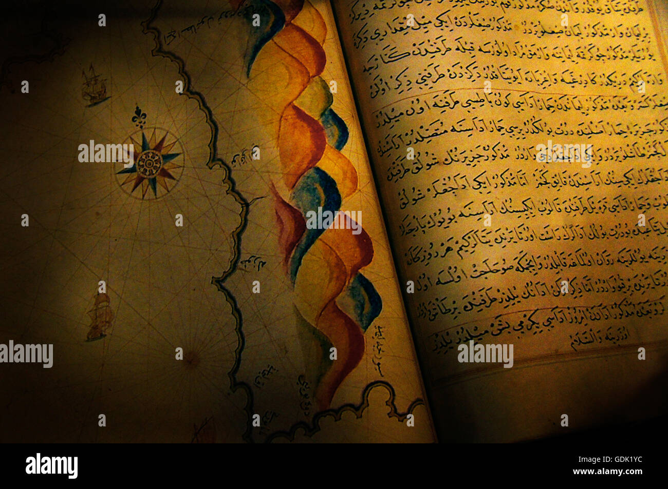 'Book of navigation' by Piri Reis (full name Haci Ahmed Muhiddin Piri - Hadji Ahmed Muhiddin Piri, Ahmet ibn-i el-Haç Mehmet El Karamani; Reis was a Turkish military rank akin to that of captain) was an Ottoman admiral, geographer and cartographer born be Stock Photohttps://www.alamy.com/image-license-details/?v=1https://www.alamy.com/stock-photo-book-of-navigation-by-piri-reis-full-name-haci-ahmed-muhiddin-piri-111671376.html
RMGDK1YC–'Book of navigation' by Piri Reis (full name Haci Ahmed Muhiddin Piri - Hadji Ahmed Muhiddin Piri, Ahmet ibn-i el-Haç Mehmet El Karamani; Reis was a Turkish military rank akin to that of captain) was an Ottoman admiral, geographer and cartographer born be
 Oval World Map. Date/Period: Ottoman. Illuminated manuscripts; folios (leaves); maps. Ink and pigments on laid European paper ink and pigments on laid European paper. Height: 34 mm (1.33 in); Width: 24 mm (0.94 in). Author: PIRI REIS. Stock Photohttps://www.alamy.com/image-license-details/?v=1https://www.alamy.com/oval-world-map-dateperiod-ottoman-illuminated-manuscripts-folios-leaves-maps-ink-and-pigments-on-laid-european-paper-ink-and-pigments-on-laid-european-paper-height-34-mm-133-in-width-24-mm-094-in-author-piri-reis-image219748474.html
RMPNEBBP–Oval World Map. Date/Period: Ottoman. Illuminated manuscripts; folios (leaves); maps. Ink and pigments on laid European paper ink and pigments on laid European paper. Height: 34 mm (1.33 in); Width: 24 mm (0.94 in). Author: PIRI REIS.
 The new world revealed to Islam in 1513. The map of the Atlantic, work of Admiral Piri Reis, the celebrated Turkish cartographer. The map has recently been the subject of controversy and now shown to have been drawn some ten years only after Columbus's discovery. Stock Photohttps://www.alamy.com/image-license-details/?v=1https://www.alamy.com/the-new-world-revealed-to-islam-in-1513-the-map-of-the-atlantic-work-of-admiral-piri-reis-the-celebrated-turkish-cartographer-the-map-has-recently-been-the-subject-of-controversy-and-now-shown-to-have-been-drawn-some-ten-years-only-after-columbuss-discovery-image623946769.html
RM2Y736D5–The new world revealed to Islam in 1513. The map of the Atlantic, work of Admiral Piri Reis, the celebrated Turkish cartographer. The map has recently been the subject of controversy and now shown to have been drawn some ten years only after Columbus's discovery.
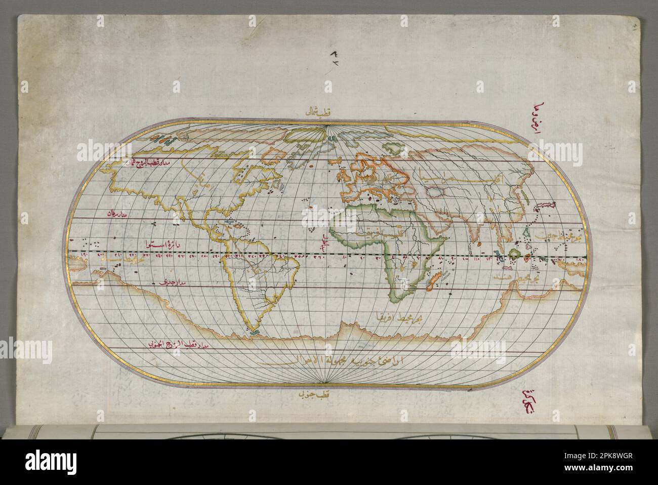 Oval World Map late 11th century AH/AD 17th century-early 12th century AH/AD 18th century (Ottoman) by Piri Reis Stock Photohttps://www.alamy.com/image-license-details/?v=1https://www.alamy.com/oval-world-map-late-11th-century-ahad-17th-century-early-12th-century-ahad-18th-century-ottoman-by-piri-reis-image545395559.html
RM2PK8WGR–Oval World Map late 11th century AH/AD 17th century-early 12th century AH/AD 18th century (Ottoman) by Piri Reis
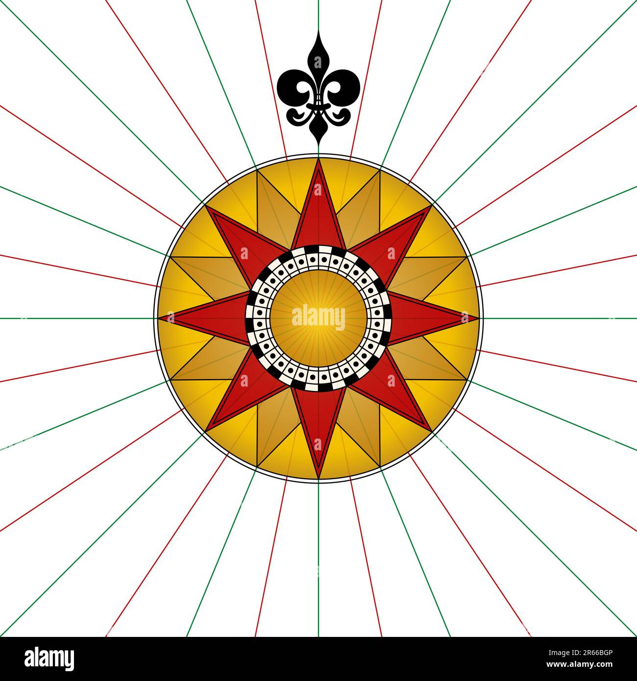 Compass rose with a fleur-de-lis pointing north. Compass star or wind rose with eight principal winds, showing the cardinal directions. Stock Photohttps://www.alamy.com/image-license-details/?v=1https://www.alamy.com/compass-rose-with-a-fleur-de-lis-pointing-north-compass-star-or-wind-rose-with-eight-principal-winds-showing-the-cardinal-directions-image554560518.html
RF2R66BGP–Compass rose with a fleur-de-lis pointing north. Compass star or wind rose with eight principal winds, showing the cardinal directions.
 Map of the Algerian Coast From the Port of Bejaia as Far as Annaba with the City of Constantine. Map by Piri Reis. circa 1550 Stock Photohttps://www.alamy.com/image-license-details/?v=1https://www.alamy.com/map-of-the-algerian-coast-from-the-port-of-bejaia-as-far-as-annaba-with-the-city-of-constantine-map-by-piri-reis-circa-1550-image634319136.html
RM2YRYMET–Map of the Algerian Coast From the Port of Bejaia as Far as Annaba with the City of Constantine. Map by Piri Reis. circa 1550
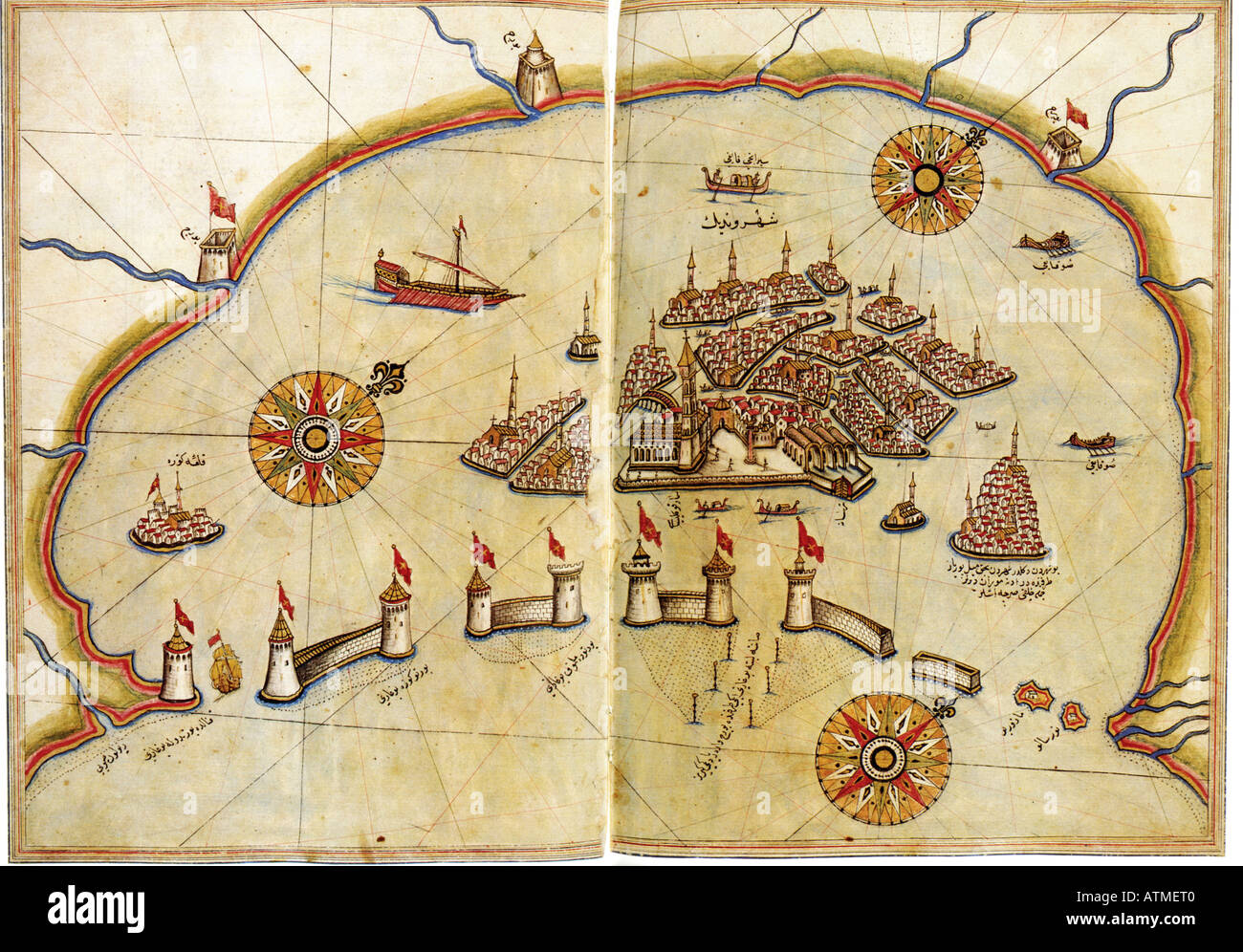 Historical chart of Venice by Piri Reis Kitab i Bahriye Istanbul university library Turkey Stock Photohttps://www.alamy.com/image-license-details/?v=1https://www.alamy.com/historical-chart-of-venice-by-piri-reis-kitab-i-bahriye-istanbul-university-image9342719.html
RMATMET0–Historical chart of Venice by Piri Reis Kitab i Bahriye Istanbul university library Turkey
 MOSCOW, RUSSIA - NOVEMBER 25, 2017: A stamp printed in Lao People's Democratic Republic shows Piri Reis, Sailing ships and maps serie, circa 1992 Stock Photohttps://www.alamy.com/image-license-details/?v=1https://www.alamy.com/moscow-russia-november-25-2017-a-stamp-printed-in-lao-peoples-democratic-republic-shows-piri-reis-sailing-ships-and-maps-serie-circa-1992-image383047753.html
RF2D7598W–MOSCOW, RUSSIA - NOVEMBER 25, 2017: A stamp printed in Lao People's Democratic Republic shows Piri Reis, Sailing ships and maps serie, circa 1992
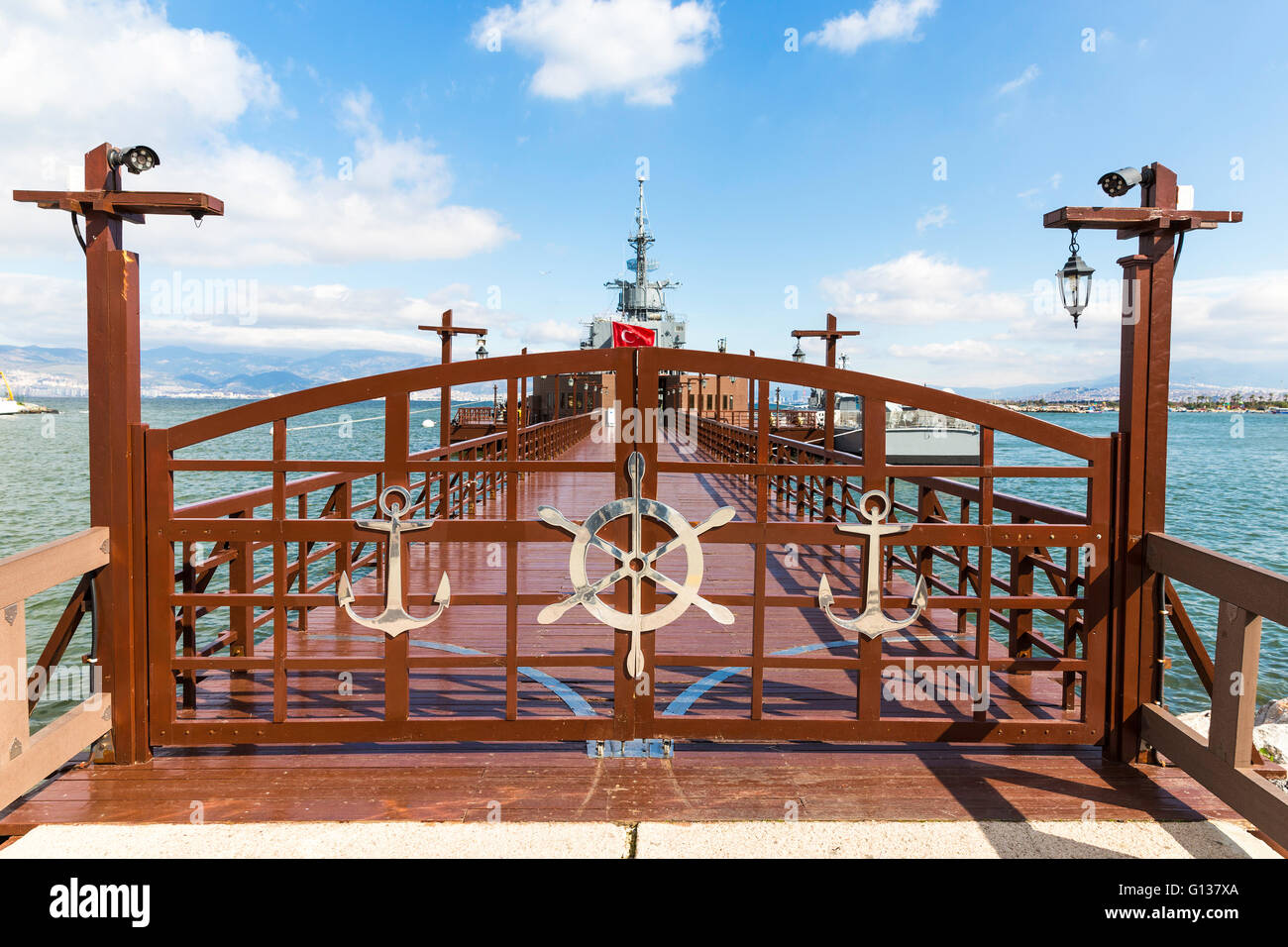 Closed entrance door of Ege and Piri Reis Museum Ships is a naval museum in the Inciralti in Izmir, Turkey Stock Photohttps://www.alamy.com/image-license-details/?v=1https://www.alamy.com/stock-photo-closed-entrance-door-of-ege-and-piri-reis-museum-ships-is-a-naval-103948946.html
RMG137XA–Closed entrance door of Ege and Piri Reis Museum Ships is a naval museum in the Inciralti in Izmir, Turkey
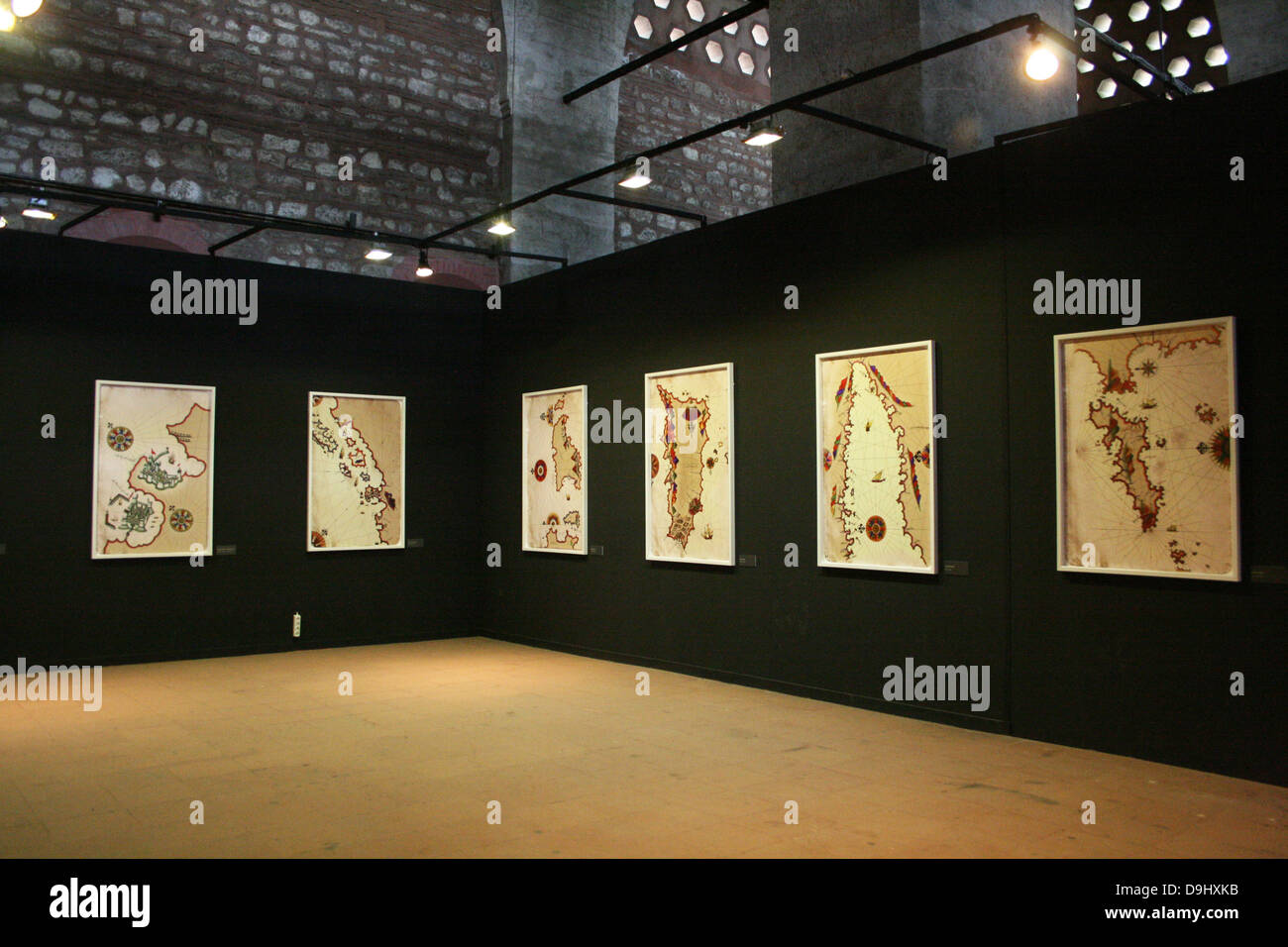 Exhibition of Piri Reis's Medieval Maps.al Stock Photohttps://www.alamy.com/image-license-details/?v=1https://www.alamy.com/stock-photo-exhibition-of-piri-reiss-medieval-mapsal-57557119.html
RMD9HXKB–Exhibition of Piri Reis's Medieval Maps.al
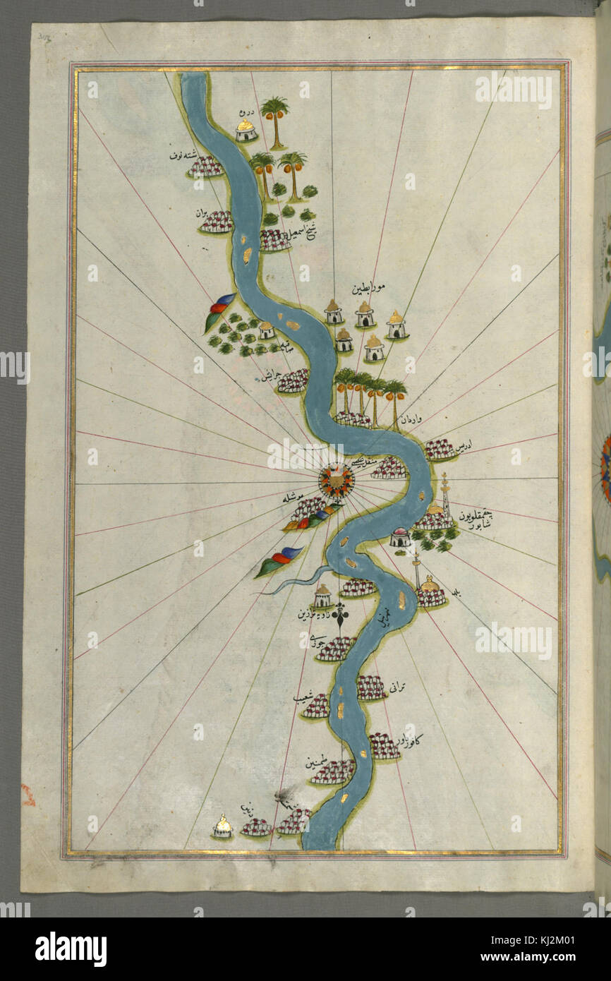 Piri Reis - Map of the River Nile with Various Oases on Each Side - Walters W658307A - Full Page Stock Photohttps://www.alamy.com/image-license-details/?v=1https://www.alamy.com/stock-image-piri-reis-map-of-the-river-nile-with-various-oases-on-each-side-walters-166016705.html
RMKJ2M01–Piri Reis - Map of the River Nile with Various Oases on Each Side - Walters W658307A - Full Page
 485 Piri Reis map of Europe and the Mediterranean Sea-right-spaced Stock Photohttps://www.alamy.com/image-license-details/?v=1https://www.alamy.com/485-piri-reis-map-of-europe-and-the-mediterranean-sea-right-spaced-image214204570.html
RMPCDT36–485 Piri Reis map of Europe and the Mediterranean Sea-right-spaced
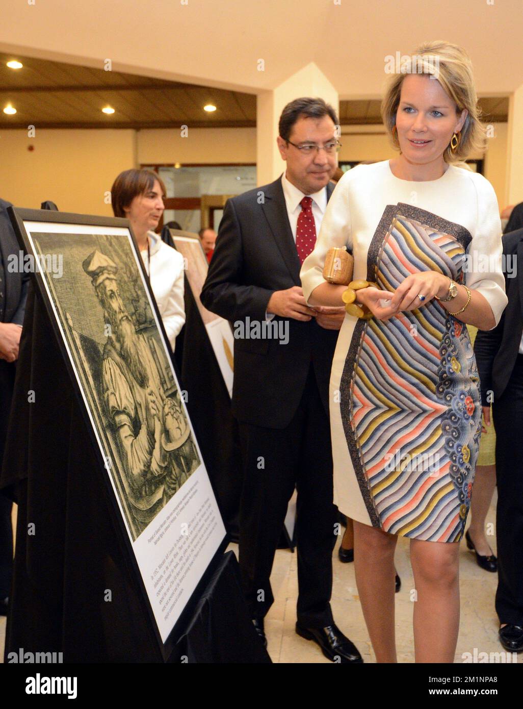 20121018 - ANKARA, TURKEY: Princess Mathilde of Belgium pictured during an exhibition on cartographers Mercator & Piri Reis, Thursday 18 October 2012, on the fourth day of the economic mission of Prince Philippe in Turkey, from 15 to 18 October. BELGA PHOTO ERIC LALMAND Stock Photohttps://www.alamy.com/image-license-details/?v=1https://www.alamy.com/20121018-ankara-turkey-princess-mathilde-of-belgium-pictured-during-an-exhibition-on-cartographers-mercator-piri-reis-thursday-18-october-2012-on-the-fourth-day-of-the-economic-mission-of-prince-philippe-in-turkey-from-15-to-18-october-belga-photo-eric-lalmand-image500193856.html
RM2M1NPA8–20121018 - ANKARA, TURKEY: Princess Mathilde of Belgium pictured during an exhibition on cartographers Mercator & Piri Reis, Thursday 18 October 2012, on the fourth day of the economic mission of Prince Philippe in Turkey, from 15 to 18 October. BELGA PHOTO ERIC LALMAND
 Ancona by Piri Reis. Stock Photohttps://www.alamy.com/image-license-details/?v=1https://www.alamy.com/ancona-by-piri-reis-image214673028.html
RMPD75HT–Ancona by Piri Reis.
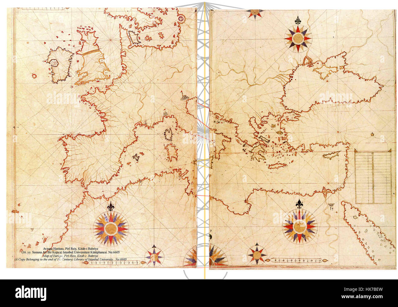 Piri Reis map of Europe and the Mediterranean Sea right spaced Stock Photohttps://www.alamy.com/image-license-details/?v=1https://www.alamy.com/stock-photo-piri-reis-map-of-europe-and-the-mediterranean-sea-right-spaced-136616337.html
RMHX7BEW–Piri Reis map of Europe and the Mediterranean Sea right spaced
 Piri Reis Museum in Gallipoli Stock Photohttps://www.alamy.com/image-license-details/?v=1https://www.alamy.com/piri-reis-museum-in-gallipoli-image229290805.html
RFR912N9–Piri Reis Museum in Gallipoli
 Map of the Island of Bozjah (Tenedos) Off the Coast of Anatolia. Date/Period: Ottoman. Illuminated manuscripts; folios (leaves); maps. Ink and pigments on laid European paper ink and pigments on laid European paper. Height: 34 mm (1.33 in); Width: 24 mm (0.94 in). Author: PIRI REIS. Stock Photohttps://www.alamy.com/image-license-details/?v=1https://www.alamy.com/map-of-the-island-of-bozjah-tenedos-off-the-coast-of-anatolia-dateperiod-ottoman-illuminated-manuscripts-folios-leaves-maps-ink-and-pigments-on-laid-european-paper-ink-and-pigments-on-laid-european-paper-height-34-mm-133-in-width-24-mm-094-in-author-piri-reis-image219725430.html
RMPNDA0P–Map of the Island of Bozjah (Tenedos) Off the Coast of Anatolia. Date/Period: Ottoman. Illuminated manuscripts; folios (leaves); maps. Ink and pigments on laid European paper ink and pigments on laid European paper. Height: 34 mm (1.33 in); Width: 24 mm (0.94 in). Author: PIRI REIS.
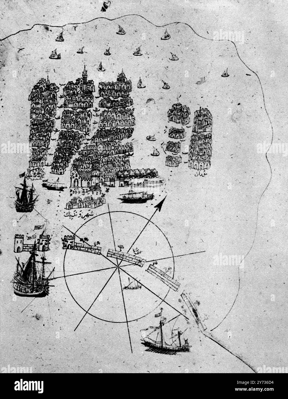 Venice, as a retired Turkish Admiral saw it in the early sixteenth ceuntry: a miniature from Piri Reis's geographical work on the Mediterranean; showing an arsenal with galleys building; the lagoon; and gondolas. 1513 Stock Photohttps://www.alamy.com/image-license-details/?v=1https://www.alamy.com/venice-as-a-retired-turkish-admiral-saw-it-in-the-early-sixteenth-ceuntry-a-miniature-from-piri-reiss-geographical-work-on-the-mediterranean-showing-an-arsenal-with-galleys-building-the-lagoon-and-gondolas-1513-image623946768.html
RM2Y736D4–Venice, as a retired Turkish Admiral saw it in the early sixteenth ceuntry: a miniature from Piri Reis's geographical work on the Mediterranean; showing an arsenal with galleys building; the lagoon; and gondolas. 1513
 Map of the Islands of Semendrek and Imroz in the Aegean Sea late 11th century AH/AD 17th century-early 12th century AH/AD 18th century (Ottoman) by Piri Reis Stock Photohttps://www.alamy.com/image-license-details/?v=1https://www.alamy.com/map-of-the-islands-of-semendrek-and-imroz-in-the-aegean-sea-late-11th-century-ahad-17th-century-early-12th-century-ahad-18th-century-ottoman-by-piri-reis-image545395543.html
RM2PK8WG7–Map of the Islands of Semendrek and Imroz in the Aegean Sea late 11th century AH/AD 17th century-early 12th century AH/AD 18th century (Ottoman) by Piri Reis
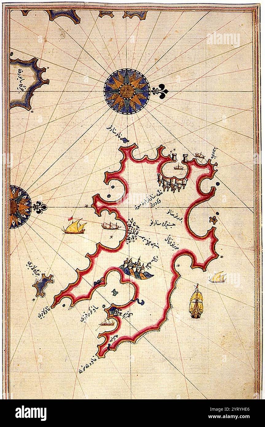 Raid of the Balearic islands by the Ottoman Empire in 1558, against the Spanish Habsburg territory of the Balearic islands. Map of Menorca by Piri Reis, 1558. Stock Photohttps://www.alamy.com/image-license-details/?v=1https://www.alamy.com/raid-of-the-balearic-islands-by-the-ottoman-empire-in-1558-against-the-spanish-habsburg-territory-of-the-balearic-islands-map-of-menorca-by-piri-reis-1558-image634316766.html
RM2YRYHE6–Raid of the Balearic islands by the Ottoman Empire in 1558, against the Spanish Habsburg territory of the Balearic islands. Map of Menorca by Piri Reis, 1558.
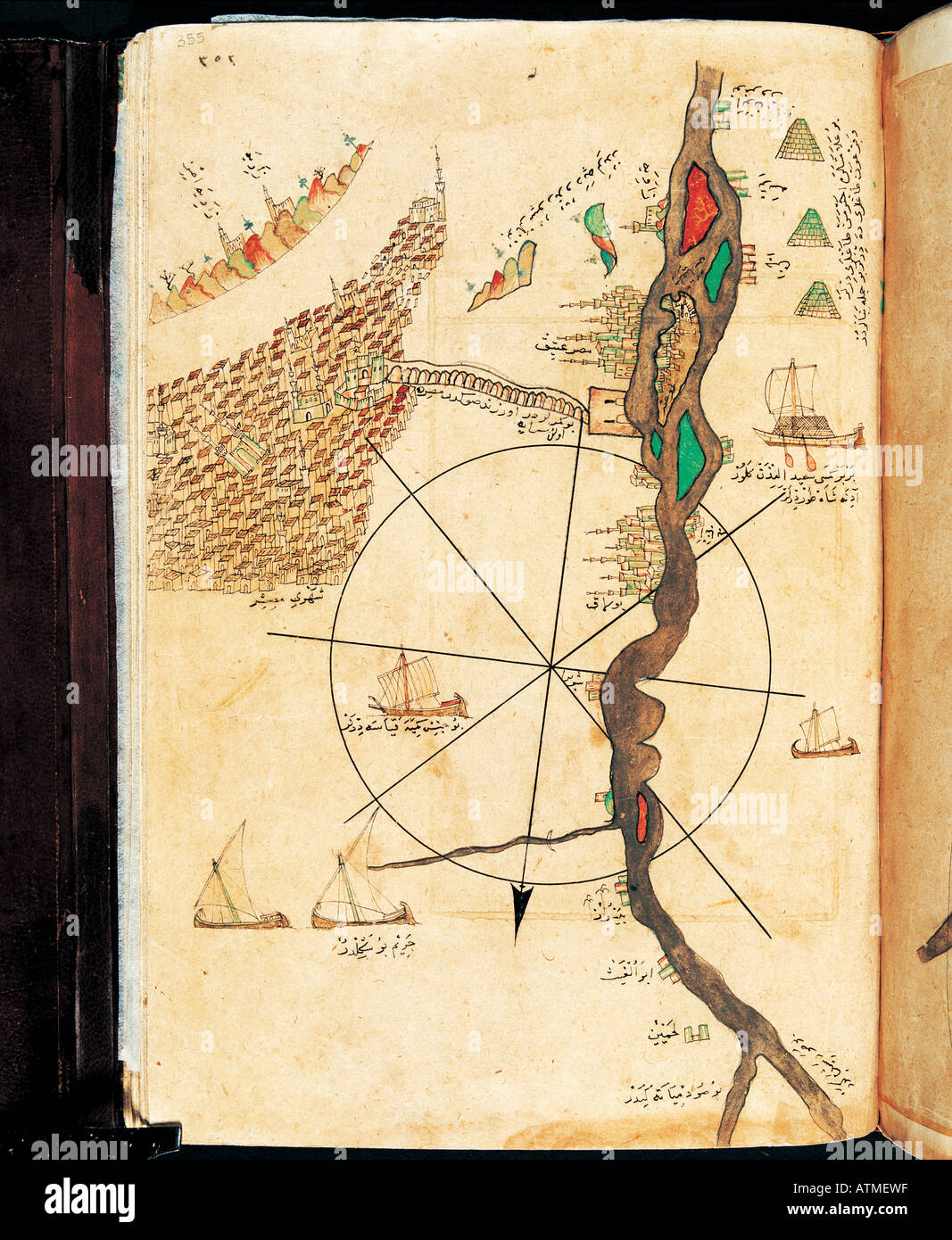 Cairo and Nile chart of Piri Reis Kitab i Bahriye Istanbul Univeristy Library Istanbul Turkey Stock Photohttps://www.alamy.com/image-license-details/?v=1https://www.alamy.com/cairo-and-nile-chart-of-piri-reis-kitab-i-bahriye-istanbul-univeristy-image9342750.html
RMATMEWF–Cairo and Nile chart of Piri Reis Kitab i Bahriye Istanbul Univeristy Library Istanbul Turkey
 IZMIR, TURKEY - FEBRUARY 21, 2016: Red military helicopter over the war ship at Piri Reis Museum which is a naval museum in the Inciralti neighborhood Stock Photohttps://www.alamy.com/image-license-details/?v=1https://www.alamy.com/stock-photo-izmir-turkey-february-21-2016-red-military-helicopter-over-the-war-133764415.html
RFHNHDTF–IZMIR, TURKEY - FEBRUARY 21, 2016: Red military helicopter over the war ship at Piri Reis Museum which is a naval museum in the Inciralti neighborhood
 Maps of Old European Cities in Exhibition of Piri Reis in Tophane ,Istanbul,Turkey Stock Photohttps://www.alamy.com/image-license-details/?v=1https://www.alamy.com/maps-of-old-european-cities-in-exhibition-of-piri-reis-in-tophane-image60461933.html
RMDEA7PN–Maps of Old European Cities in Exhibition of Piri Reis in Tophane ,Istanbul,Turkey
 Minorca by Piri Reis Stock Photohttps://www.alamy.com/image-license-details/?v=1https://www.alamy.com/stock-photo-minorca-by-piri-reis-140276341.html
RMJ463W9–Minorca by Piri Reis
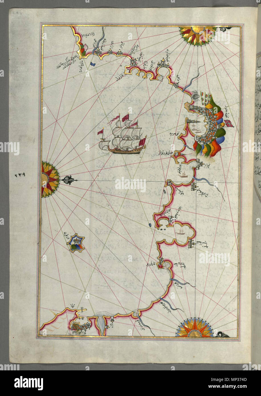 W.658.246a 1004 Piri Reis - Map of the Western Italian Coast from Pisa to the French Border, Including the Towns of Genoa and Savona - Walters W658246A - Full Page Stock Photohttps://www.alamy.com/image-license-details/?v=1https://www.alamy.com/w658246a-1004-piri-reis-map-of-the-western-italian-coast-from-pisa-to-the-french-border-including-the-towns-of-genoa-and-savona-walters-w658246a-full-page-image185697581.html
RMMP374D–W.658.246a 1004 Piri Reis - Map of the Western Italian Coast from Pisa to the French Border, Including the Towns of Genoa and Savona - Walters W658246A - Full Page
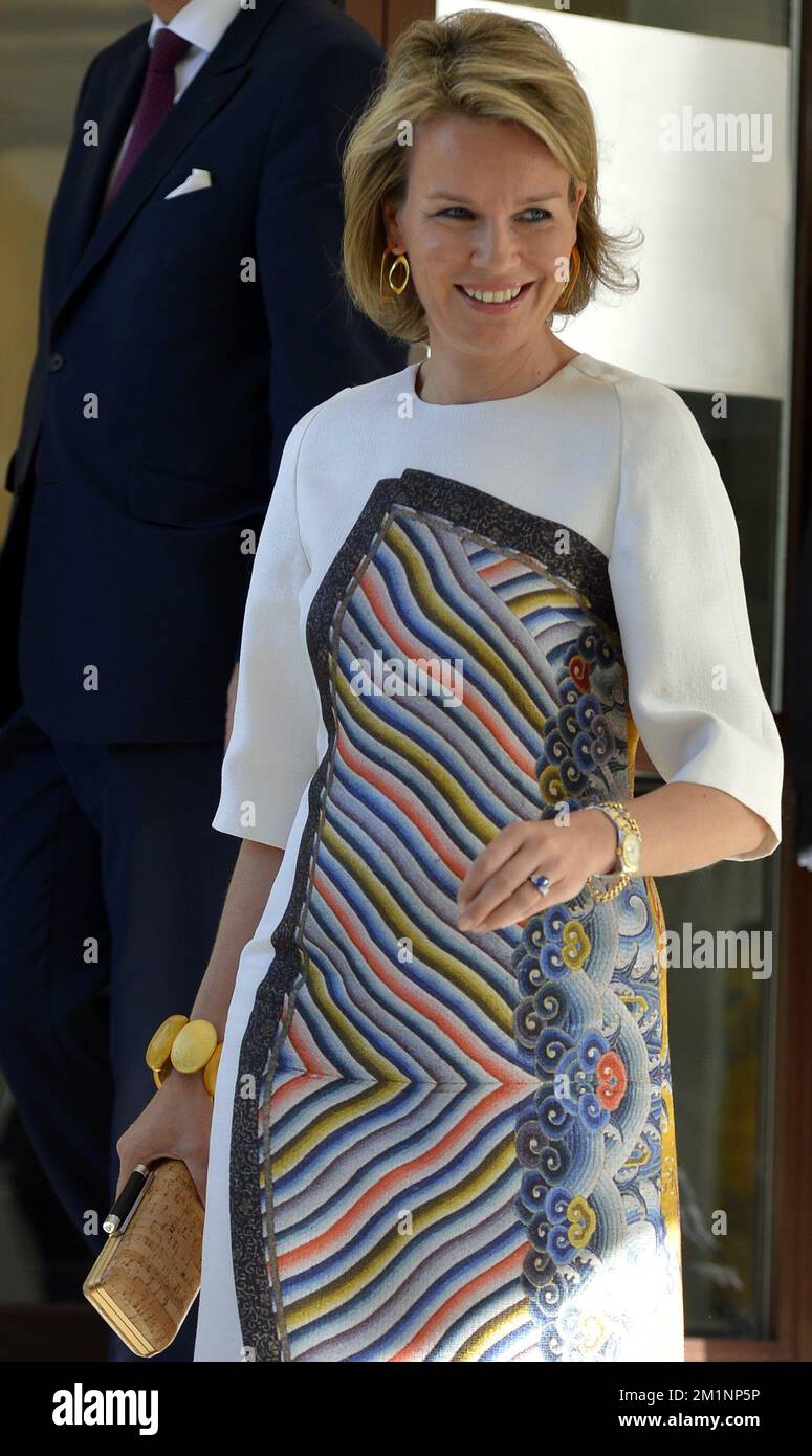 20121018 - ANKARA, TURKEY: Princess Mathilde of Belgium pictured during an exhibition on cartographers Mercator & Piri Reis, Thursday 18 October 2012, on the fourth day of the economic mission of Prince Philippe in Turkey, from 15 to 18 October. BELGA PHOTO ERIC LALMAND Stock Photohttps://www.alamy.com/image-license-details/?v=1https://www.alamy.com/20121018-ankara-turkey-princess-mathilde-of-belgium-pictured-during-an-exhibition-on-cartographers-mercator-piri-reis-thursday-18-october-2012-on-the-fourth-day-of-the-economic-mission-of-prince-philippe-in-turkey-from-15-to-18-october-belga-photo-eric-lalmand-image500193730.html
RM2M1NP5P–20121018 - ANKARA, TURKEY: Princess Mathilde of Belgium pictured during an exhibition on cartographers Mercator & Piri Reis, Thursday 18 October 2012, on the fourth day of the economic mission of Prince Philippe in Turkey, from 15 to 18 October. BELGA PHOTO ERIC LALMAND
 Algiers and Bejaia by Piri Reis. Stock Photohttps://www.alamy.com/image-license-details/?v=1https://www.alamy.com/algiers-and-bejaia-by-piri-reis-image214438510.html
RMPCTEE6–Algiers and Bejaia by Piri Reis.
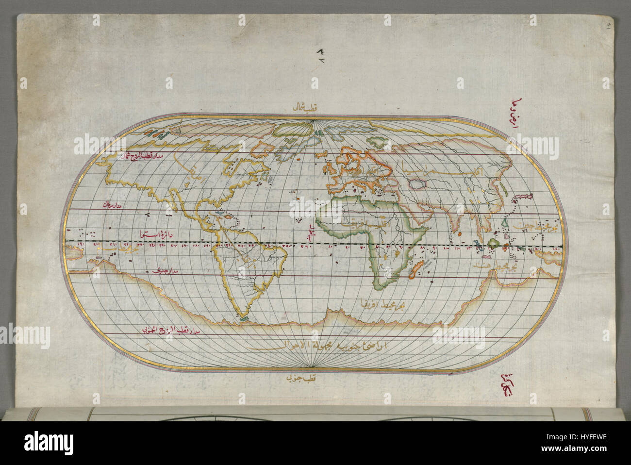 Piri Reis Oval World Map Google Art Project Stock Photohttps://www.alamy.com/image-license-details/?v=1https://www.alamy.com/stock-photo-piri-reis-oval-world-map-google-art-project-137409258.html
RMHYFEWE–Piri Reis Oval World Map Google Art Project
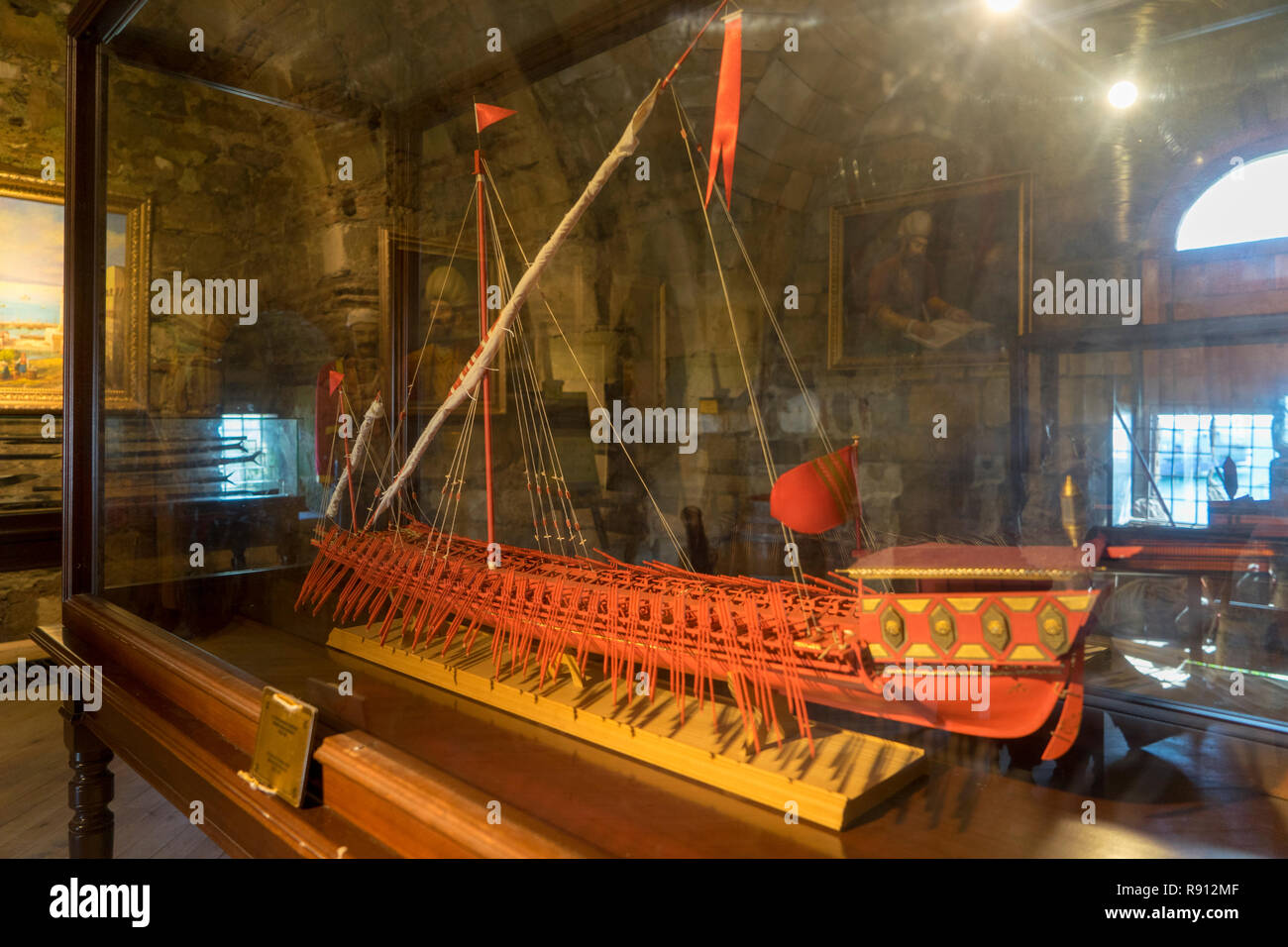 Piri Reis Museum in Gallipoli Stock Photohttps://www.alamy.com/image-license-details/?v=1https://www.alamy.com/piri-reis-museum-in-gallipoli-image229290783.html
RFR912MF–Piri Reis Museum in Gallipoli
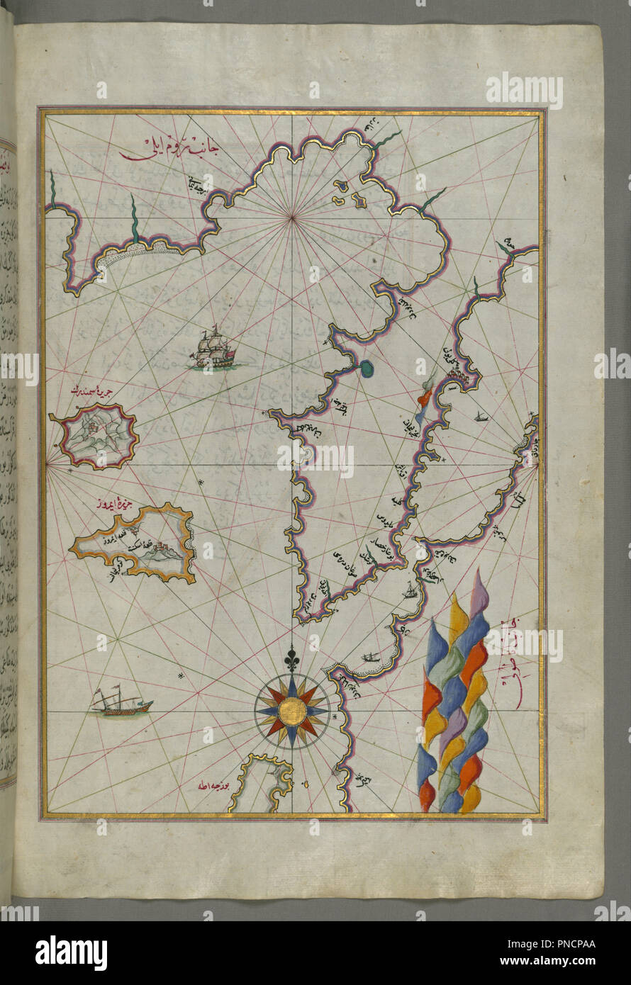 Map of the Islands of Semendrek and Imroz in the Aegean Sea. Date/Period: Ottoman. Illuminated manuscripts; folios (leaves); maps. Ink and pigments on laid European paper ink and pigments on laid European paper. Height: 34 mm (1.33 in); Width: 24 mm (0.94 in). Author: PIRI REIS. Stock Photohttps://www.alamy.com/image-license-details/?v=1https://www.alamy.com/map-of-the-islands-of-semendrek-and-imroz-in-the-aegean-sea-dateperiod-ottoman-illuminated-manuscripts-folios-leaves-maps-ink-and-pigments-on-laid-european-paper-ink-and-pigments-on-laid-european-paper-height-34-mm-133-in-width-24-mm-094-in-author-piri-reis-image219713154.html
RMPNCPAA–Map of the Islands of Semendrek and Imroz in the Aegean Sea. Date/Period: Ottoman. Illuminated manuscripts; folios (leaves); maps. Ink and pigments on laid European paper ink and pigments on laid European paper. Height: 34 mm (1.33 in); Width: 24 mm (0.94 in). Author: PIRI REIS.
 Venice, as a retired Turkish Admiral saw it in the early sixteenth ceuntry: a miniature from Piri Reis's geographical work on the Mediterranean; showing an arsenal with galleys building; the lagoon; and gondolas. 1513 Stock Photohttps://www.alamy.com/image-license-details/?v=1https://www.alamy.com/venice-as-a-retired-turkish-admiral-saw-it-in-the-early-sixteenth-ceuntry-a-miniature-from-piri-reiss-geographical-work-on-the-mediterranean-showing-an-arsenal-with-galleys-building-the-lagoon-and-gondolas-1513-image623946797.html
RM2Y736E5–Venice, as a retired Turkish Admiral saw it in the early sixteenth ceuntry: a miniature from Piri Reis's geographical work on the Mediterranean; showing an arsenal with galleys building; the lagoon; and gondolas. 1513
 Map of the River Nile From Its Estuary South late 11th century AH/AD 17th century-early 12th century AH/AD 18th century (Ottoman) by Piri Reis Stock Photohttps://www.alamy.com/image-license-details/?v=1https://www.alamy.com/map-of-the-river-nile-from-its-estuary-south-late-11th-century-ahad-17th-century-early-12th-century-ahad-18th-century-ottoman-by-piri-reis-image545395546.html
RM2PK8WGA–Map of the River Nile From Its Estuary South late 11th century AH/AD 17th century-early 12th century AH/AD 18th century (Ottoman) by Piri Reis
 Raid of the Balearic islands by the Ottoman Empire in 1558, against the Spanish Habsburg territory of the Balearic islands. Map of Menorca by Piri Reis, 1558. Stock Photohttps://www.alamy.com/image-license-details/?v=1https://www.alamy.com/raid-of-the-balearic-islands-by-the-ottoman-empire-in-1558-against-the-spanish-habsburg-territory-of-the-balearic-islands-map-of-menorca-by-piri-reis-1558-image634156057.html
RM2YRM8EH–Raid of the Balearic islands by the Ottoman Empire in 1558, against the Spanish Habsburg territory of the Balearic islands. Map of Menorca by Piri Reis, 1558.
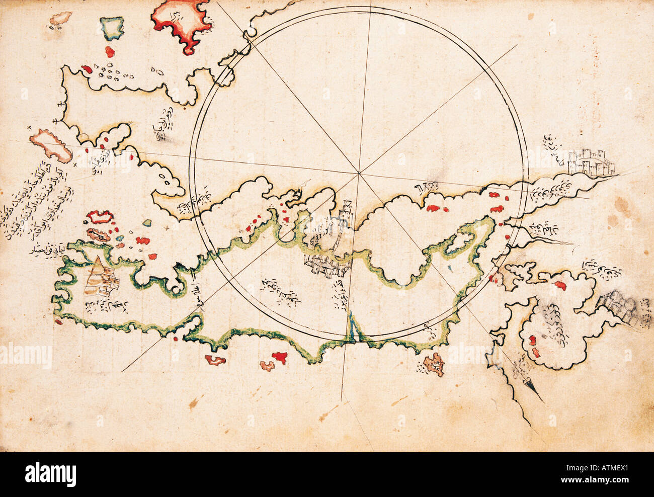 Greek Island Euboea chart of Piri Reis Kitab i Bahriye Istanbul Univeristy Library Istanbul Turkey Stock Photohttps://www.alamy.com/image-license-details/?v=1https://www.alamy.com/greek-island-euboea-chart-of-piri-reis-kitab-i-bahriye-istanbul-univeristy-image9342752.html
RMATMEX1–Greek Island Euboea chart of Piri Reis Kitab i Bahriye Istanbul Univeristy Library Istanbul Turkey
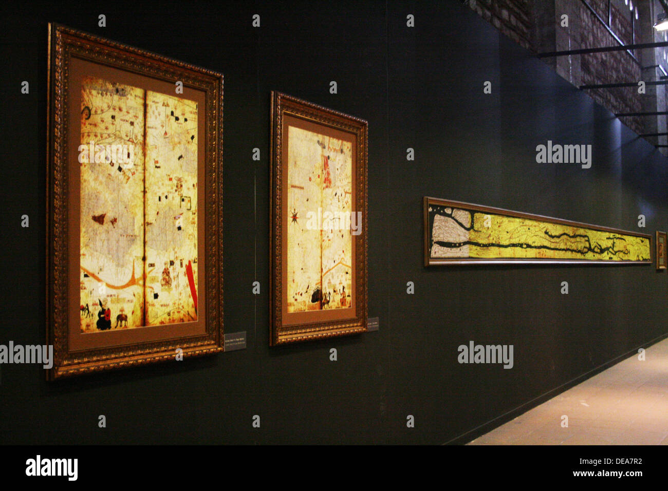 Maps of Old European Cities in Exhibition of Piri Reis in Tophane ,Istanbul,Turkey Stock Photohttps://www.alamy.com/image-license-details/?v=1https://www.alamy.com/maps-of-old-european-cities-in-exhibition-of-piri-reis-in-tophane-image60461942.html
RMDEA7R2–Maps of Old European Cities in Exhibition of Piri Reis in Tophane ,Istanbul,Turkey
 Thessaloniki by Piri Reis Stock Photohttps://www.alamy.com/image-license-details/?v=1https://www.alamy.com/stock-photo-thessaloniki-by-piri-reis-140671478.html
RMJ4T3WA–Thessaloniki by Piri Reis
 W.658.222b 485 Piri Reis - Malta - Walters Stock Photohttps://www.alamy.com/image-license-details/?v=1https://www.alamy.com/w658222b-485-piri-reis-malta-walters-image187584492.html
RMMW55X4–W.658.222b 485 Piri Reis - Malta - Walters
 20121018 - ANKARA, TURKEY: Princess Mathilde of Belgium pictured during an exhibition on cartographers Mercator & Piri Reis, Thursday 18 October 2012, on the fourth day of the economic mission of Prince Philippe in Turkey, from 15 to 18 October. BELGA PHOTO ERIC LALMAND Stock Photohttps://www.alamy.com/image-license-details/?v=1https://www.alamy.com/20121018-ankara-turkey-princess-mathilde-of-belgium-pictured-during-an-exhibition-on-cartographers-mercator-piri-reis-thursday-18-october-2012-on-the-fourth-day-of-the-economic-mission-of-prince-philippe-in-turkey-from-15-to-18-october-belga-photo-eric-lalmand-image500193839.html
RM2M1NP9K–20121018 - ANKARA, TURKEY: Princess Mathilde of Belgium pictured during an exhibition on cartographers Mercator & Piri Reis, Thursday 18 October 2012, on the fourth day of the economic mission of Prince Philippe in Turkey, from 15 to 18 October. BELGA PHOTO ERIC LALMAND
 Fethiye by Piri Reis. Stock Photohttps://www.alamy.com/image-license-details/?v=1https://www.alamy.com/fethiye-by-piri-reis-image329601768.html
RM2A46JBM–Fethiye by Piri Reis.
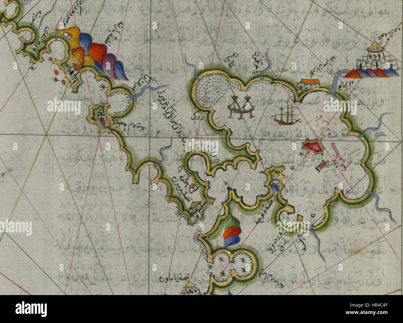 Piri Reis - Map of the Ambracian Gulf Stock Photohttps://www.alamy.com/image-license-details/?v=1https://www.alamy.com/stock-photo-piri-reis-map-of-the-ambracian-gulf-134707007.html
RMHR4C4F–Piri Reis - Map of the Ambracian Gulf
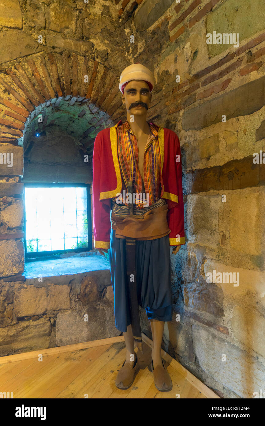 Piri Reis Museum in Gallipoli Stock Photohttps://www.alamy.com/image-license-details/?v=1https://www.alamy.com/piri-reis-museum-in-gallipoli-image229290772.html
RFR912M4–Piri Reis Museum in Gallipoli
 Map of the River Nile From Its Estuary South. Date/Period: Ottoman. Illuminated manuscripts; folios (leaves); maps. Ink and pigments on laid European paper ink and pigments on laid European paper. Height: 35.80 mm (1.40 in); Width: 65.50 mm (2.57 in). Author: PIRI REIS. Stock Photohttps://www.alamy.com/image-license-details/?v=1https://www.alamy.com/map-of-the-river-nile-from-its-estuary-south-dateperiod-ottoman-illuminated-manuscripts-folios-leaves-maps-ink-and-pigments-on-laid-european-paper-ink-and-pigments-on-laid-european-paper-height-3580-mm-140-in-width-6550-mm-257-in-author-piri-reis-image219736424.html
RMPNDT1C–Map of the River Nile From Its Estuary South. Date/Period: Ottoman. Illuminated manuscripts; folios (leaves); maps. Ink and pigments on laid European paper ink and pigments on laid European paper. Height: 35.80 mm (1.40 in); Width: 65.50 mm (2.57 in). Author: PIRI REIS.
 Map of the Island of Bozjah (Tenedos) Off the Coast of Anatolia late 11th century AH/AD 17th century-early 12th century AH/AD 18th century (Ottoman) by Piri Reis Stock Photohttps://www.alamy.com/image-license-details/?v=1https://www.alamy.com/map-of-the-island-of-bozjah-tenedos-off-the-coast-of-anatolia-late-11th-century-ahad-17th-century-early-12th-century-ahad-18th-century-ottoman-by-piri-reis-image545395552.html
RM2PK8WGG–Map of the Island of Bozjah (Tenedos) Off the Coast of Anatolia late 11th century AH/AD 17th century-early 12th century AH/AD 18th century (Ottoman) by Piri Reis
 Corsica by Piri Reis Stock Photohttps://www.alamy.com/image-license-details/?v=1https://www.alamy.com/stock-photo-corsica-by-piri-reis-139698367.html
RMJ37PKB–Corsica by Piri Reis
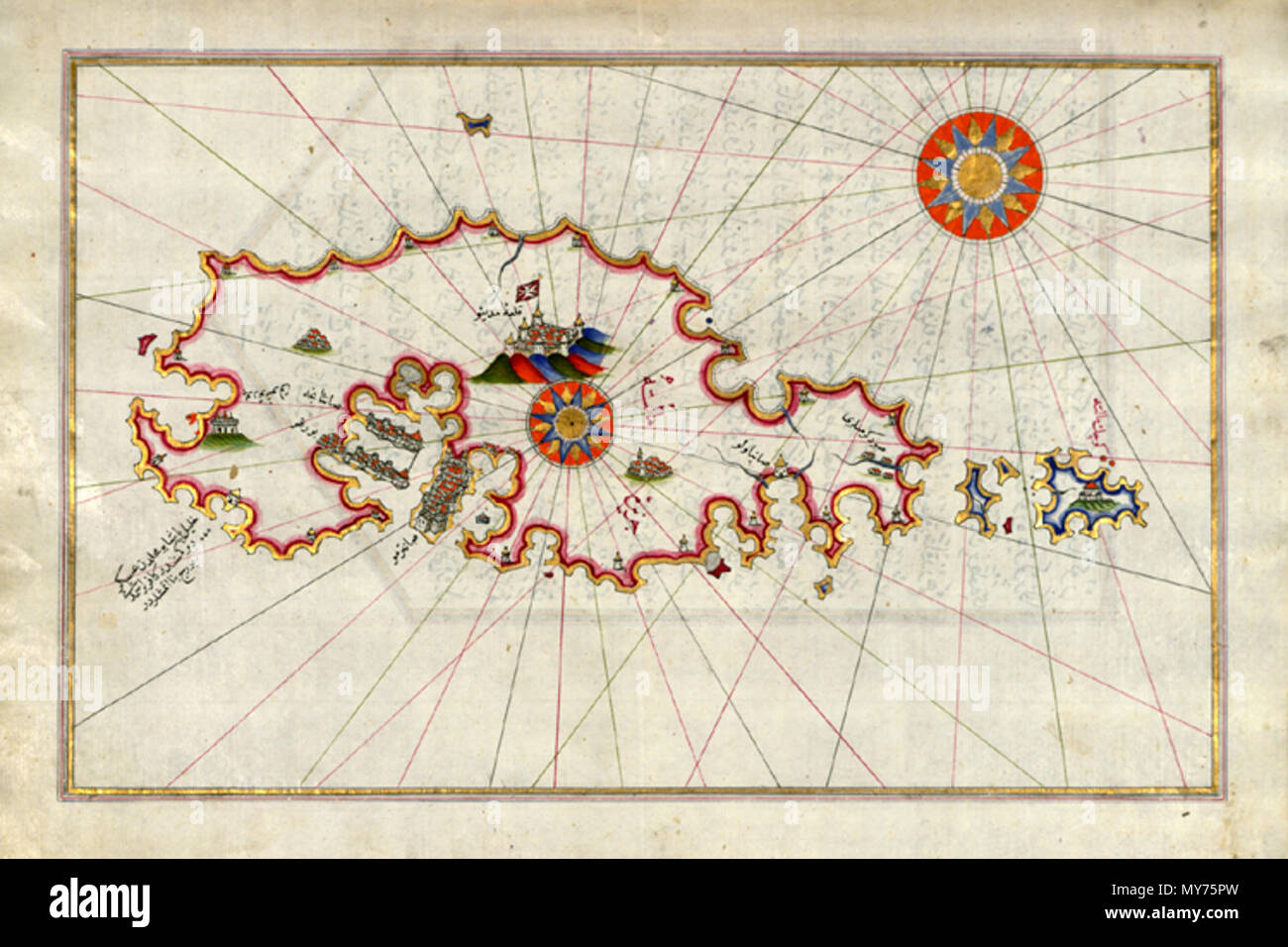 W.658.222b 424 Piri Reis - Malta - Walters Stock Photohttps://www.alamy.com/image-license-details/?v=1https://www.alamy.com/w658222b-424-piri-reis-malta-walters-image188857617.html
RMMY75PW–W.658.222b 424 Piri Reis - Malta - Walters
 20121018 - ANKARA, TURKEY: Princess Mathilde of Belgium pictured during an exhibition on cartographers Mercator & Piri Reis, Thursday 18 October 2012, on the fourth day of the economic mission of Prince Philippe in Turkey, from 15 to 18 October. BELGA PHOTO ERIC LALMAND Stock Photohttps://www.alamy.com/image-license-details/?v=1https://www.alamy.com/20121018-ankara-turkey-princess-mathilde-of-belgium-pictured-during-an-exhibition-on-cartographers-mercator-piri-reis-thursday-18-october-2012-on-the-fourth-day-of-the-economic-mission-of-prince-philippe-in-turkey-from-15-to-18-october-belga-photo-eric-lalmand-image500193887.html
RM2M1NPBB–20121018 - ANKARA, TURKEY: Princess Mathilde of Belgium pictured during an exhibition on cartographers Mercator & Piri Reis, Thursday 18 October 2012, on the fourth day of the economic mission of Prince Philippe in Turkey, from 15 to 18 October. BELGA PHOTO ERIC LALMAND
 Istanbul by Piri Reis. Stock Photohttps://www.alamy.com/image-license-details/?v=1https://www.alamy.com/istanbul-by-piri-reis-image364614722.html
RM2C55HPA–Istanbul by Piri Reis.
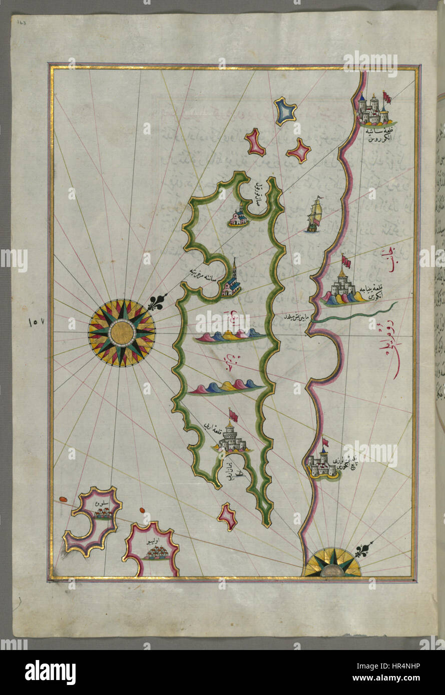 Piri Reis - Map of the Island of Rab - Walters W658163A - Full Page Stock Photohttps://www.alamy.com/image-license-details/?v=1https://www.alamy.com/stock-photo-piri-reis-map-of-the-island-of-rab-walters-w658163a-full-page-134714434.html
RMHR4NHP–Piri Reis - Map of the Island of Rab - Walters W658163A - Full Page