Quick filters:
Plaquemine louisiana Stock Photos and Images
 Elk283-3143 Louisiana, Plaquemine, Plaquemine Lock State Historic Site, 1909, lockhouse Stock Photohttps://www.alamy.com/image-license-details/?v=1https://www.alamy.com/stock-photo-elk283-3143-louisiana-plaquemine-plaquemine-lock-state-historic-site-56407749.html
RMD7NGJD–Elk283-3143 Louisiana, Plaquemine, Plaquemine Lock State Historic Site, 1909, lockhouse
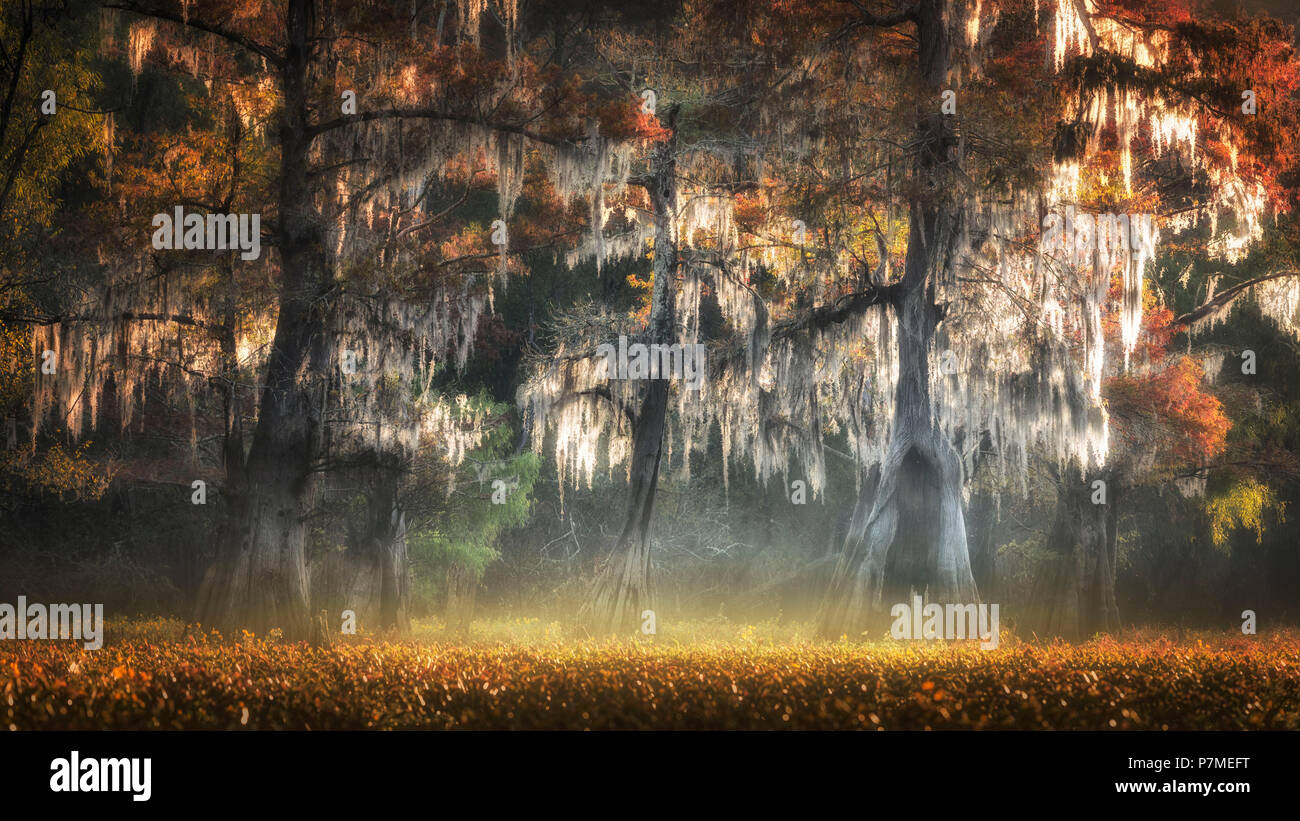 Atchafalaya river, Plaquemine, Atchafalaya Basin, Louisiana, Southern United States, USA, North America Stock Photohttps://www.alamy.com/image-license-details/?v=1https://www.alamy.com/atchafalaya-river-plaquemine-atchafalaya-basin-louisiana-southern-united-states-usa-north-america-image211277468.html
RMP7MEFT–Atchafalaya river, Plaquemine, Atchafalaya Basin, Louisiana, Southern United States, USA, North America
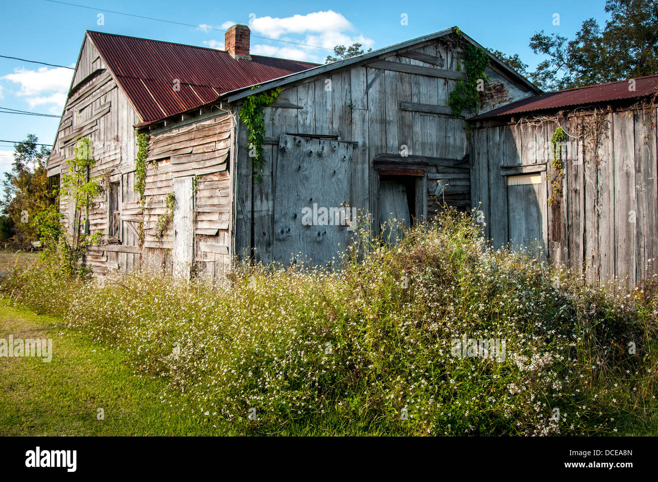 USA, Louisiana, Atchafalaya Basin, Plaquemine, abandoned clapboard house with tin roof. Stock Photohttps://www.alamy.com/image-license-details/?v=1https://www.alamy.com/stock-photo-usa-louisiana-atchafalaya-basin-plaquemine-abandoned-clapboard-house-59322389.html
RMDCEA8N–USA, Louisiana, Atchafalaya Basin, Plaquemine, abandoned clapboard house with tin roof.
 Plaquemine Lock State Historic Site; Louisiana. Stock Photohttps://www.alamy.com/image-license-details/?v=1https://www.alamy.com/stock-photo-plaquemine-lock-state-historic-site-louisiana-53816486.html
RMD3FFDA–Plaquemine Lock State Historic Site; Louisiana.
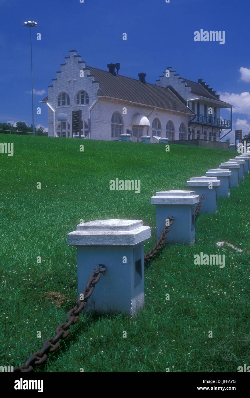 Lock House, Plaquemine Lock State Historic Site, Louisiana Stock Photohttps://www.alamy.com/image-license-details/?v=1https://www.alamy.com/stock-photo-lock-house-plaquemine-lock-state-historic-site-louisiana-147240676.html
RFJFFAYG–Lock House, Plaquemine Lock State Historic Site, Louisiana
 Protective boom surrounding marshes in Barataria Bay, LA, during BP oil spill Stock Photohttps://www.alamy.com/image-license-details/?v=1https://www.alamy.com/stock-photo-protective-boom-surrounding-marshes-in-barataria-bay-la-during-bp-30122033.html
RMBN04XW–Protective boom surrounding marshes in Barataria Bay, LA, during BP oil spill
 famous historic Plaquemine Lockhouse Stock Photohttps://www.alamy.com/image-license-details/?v=1https://www.alamy.com/famous-historic-plaquemine-lockhouse-image457085827.html
RF2HFJ1HR–famous historic Plaquemine Lockhouse
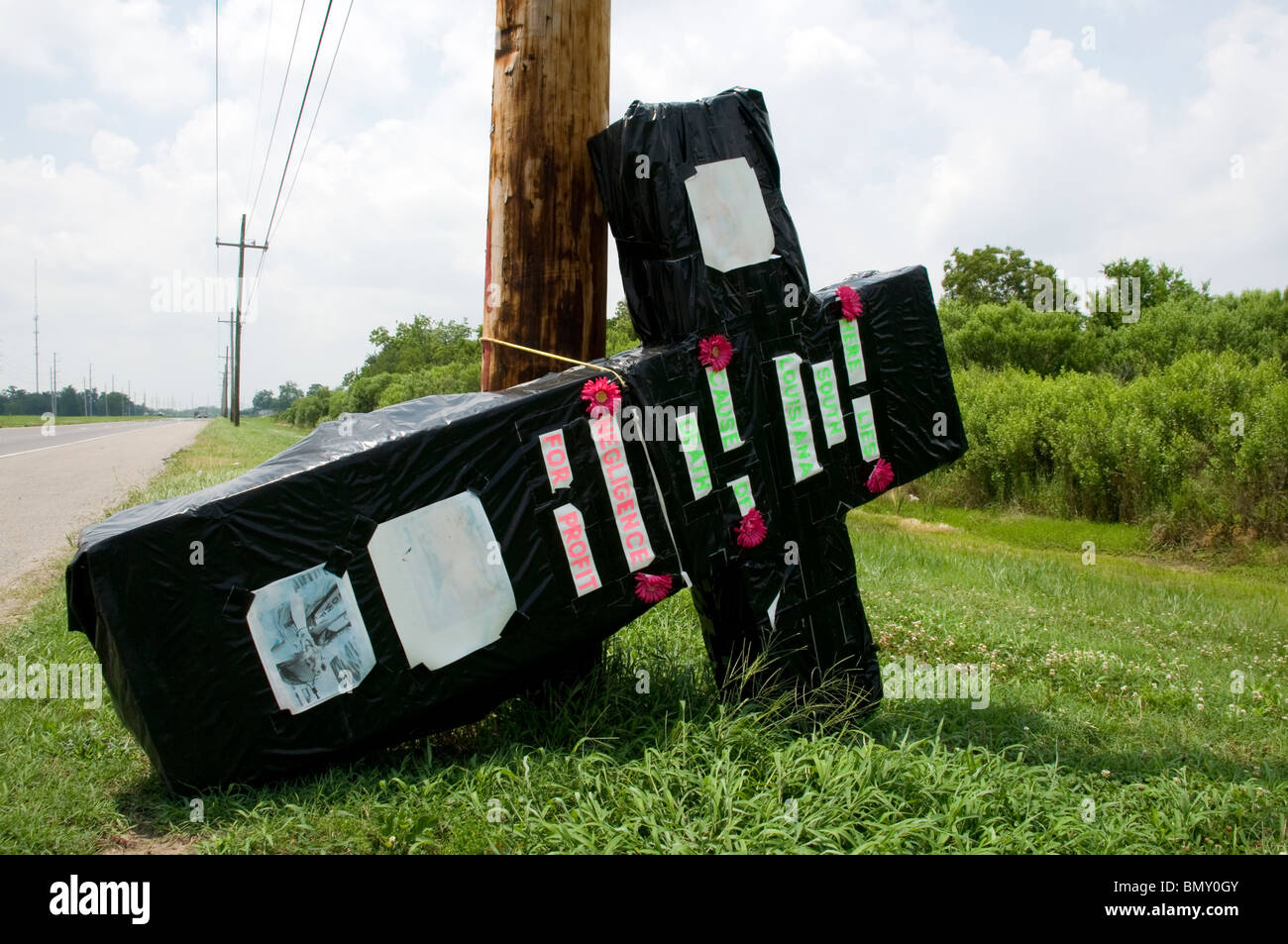 Giant crucifix symbolizing Louisiana's 'Cause of Death'on HWY 23 leaving Venice, Louisiana during BP oil spill 2010 Stock Photohttps://www.alamy.com/image-license-details/?v=1https://www.alamy.com/stock-photo-giant-crucifix-symbolizing-louisianas-cause-of-deathon-hwy-23-leaving-30096667.html
RMBMY0GY–Giant crucifix symbolizing Louisiana's 'Cause of Death'on HWY 23 leaving Venice, Louisiana during BP oil spill 2010
 Cpl. Clark Cavalier, a Plaquemine, Louisiana native, draws during archery practice at the 2015 Marine Corps Trials. The competition provides opportunities for the Marines to train as athletes, while increasing their strength so they can continue their military service or develop healthy habits for life outside the service. The Marine Corps Wounded Warrior Regiment enables wounded, ill, and injured Marines to focus on their abilities and to find new avenues to thrive. The fifth annual Marine Corps Trials is being held at Marine Corps Base Camp Pendleton, Calif., March 3-11. Athletes will compet Stock Photohttps://www.alamy.com/image-license-details/?v=1https://www.alamy.com/stock-photo-cpl-clark-cavalier-a-plaquemine-louisiana-native-draws-during-archery-129759476.html
RMHF31F0–Cpl. Clark Cavalier, a Plaquemine, Louisiana native, draws during archery practice at the 2015 Marine Corps Trials. The competition provides opportunities for the Marines to train as athletes, while increasing their strength so they can continue their military service or develop healthy habits for life outside the service. The Marine Corps Wounded Warrior Regiment enables wounded, ill, and injured Marines to focus on their abilities and to find new avenues to thrive. The fifth annual Marine Corps Trials is being held at Marine Corps Base Camp Pendleton, Calif., March 3-11. Athletes will compet
 Rendering of a green 3d highway sign for Iberville Parish in Louisiana Stock Photohttps://www.alamy.com/image-license-details/?v=1https://www.alamy.com/rendering-of-a-green-3d-highway-sign-for-iberville-parish-in-louisiana-image336495570.html
RF2AFCKEX–Rendering of a green 3d highway sign for Iberville Parish in Louisiana
 Cpl. Clark Cavalier, a Plaquemine, Louisiana, native, draws during archery practice at the 2015 Marine Corps Trials. The competition provides opportunities for the Marines to train as athletes, while increasing their strength so they can continue their military service or develop healthy habits for life outside the service. The Marine Corps Wounded Warrior Regiment enables wounded, ill and injured Marines to focus on their abilities and to find new avenues to thrive. The fifth annual Marine Corps Trials is being held at Marine Corps Base Camp Pendleton, Calif., March 3-11. Athletes will compet Stock Photohttps://www.alamy.com/image-license-details/?v=1https://www.alamy.com/stock-photo-cpl-clark-cavalier-a-plaquemine-louisiana-native-draws-during-archery-129759276.html
RMHF317T–Cpl. Clark Cavalier, a Plaquemine, Louisiana, native, draws during archery practice at the 2015 Marine Corps Trials. The competition provides opportunities for the Marines to train as athletes, while increasing their strength so they can continue their military service or develop healthy habits for life outside the service. The Marine Corps Wounded Warrior Regiment enables wounded, ill and injured Marines to focus on their abilities and to find new avenues to thrive. The fifth annual Marine Corps Trials is being held at Marine Corps Base Camp Pendleton, Calif., March 3-11. Athletes will compet
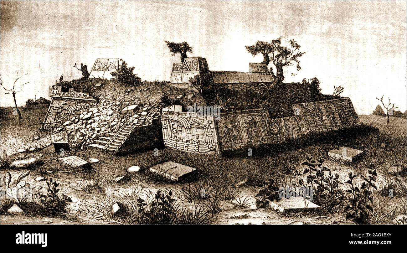 Ruins of step pyramid of Xochicalco at Cholula, Central America as they were in the 19th century Stock Photohttps://www.alamy.com/image-license-details/?v=1https://www.alamy.com/ruins-of-step-pyramid-of-xochicalco-at-cholula-central-america-as-they-were-in-the-19th-century-image336862819.html
RM2AG1BXY–Ruins of step pyramid of Xochicalco at Cholula, Central America as they were in the 19th century
 Coast Guard conducts overflight of oil substance off the coast of Venice, La. Stock Photohttps://www.alamy.com/image-license-details/?v=1https://www.alamy.com/stock-photo-coast-guard-conducts-overflight-of-oil-substance-off-the-coast-of-54531495.html
RMD4M3DB–Coast Guard conducts overflight of oil substance off the coast of Venice, La.
 Plaquemine , Louisiana . In racial outbreak here yesterday , a policeman (right) fires tear gas in direction of demonstrators , while (left) a crowd are gathered in church doorway who shout at police . One man holds a rock which he threatens to pitch in the direction of the police . - 2nd September 1963 Stock Photohttps://www.alamy.com/image-license-details/?v=1https://www.alamy.com/plaquemine-louisiana-in-racial-outbreak-here-yesterday-a-policeman-right-fires-tear-gas-in-direction-of-demonstrators-while-left-a-crowd-are-gathered-in-church-doorway-who-shout-at-police-one-man-holds-a-rock-which-he-threatens-to-pitch-in-the-direction-of-the-police-2nd-september-1963-image624439334.html
RM2Y7WJMP–Plaquemine , Louisiana . In racial outbreak here yesterday , a policeman (right) fires tear gas in direction of demonstrators , while (left) a crowd are gathered in church doorway who shout at police . One man holds a rock which he threatens to pitch in the direction of the police . - 2nd September 1963
 AJ14893, LA, Louisiana, Plaquemine Stock Photohttps://www.alamy.com/image-license-details/?v=1https://www.alamy.com/aj14893-la-louisiana-plaquemine-image1072311.html
RMAG5CB8–AJ14893, LA, Louisiana, Plaquemine
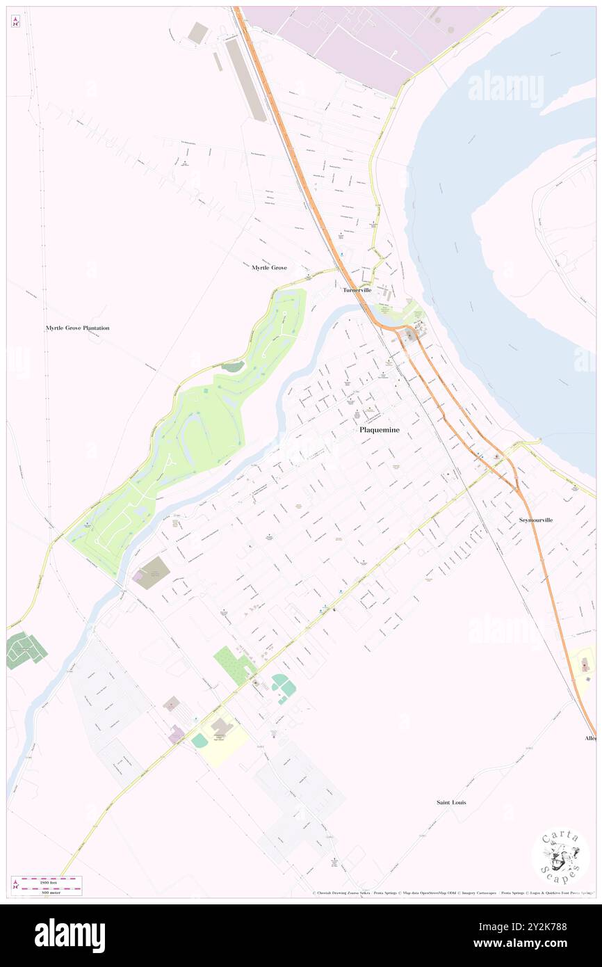 Plaquemine, Iberville Parish, US, United States, Louisiana, N 30 17' 24'', S 91 14' 5'', map, Cartascapes Map published in 2024. Explore Cartascapes, a map revealing Earth's diverse landscapes, cultures, and ecosystems. Journey through time and space, discovering the interconnectedness of our planet's past, present, and future. Stock Photohttps://www.alamy.com/image-license-details/?v=1https://www.alamy.com/plaquemine-iberville-parish-us-united-states-louisiana-n-30-17-24-s-91-14-5-map-cartascapes-map-published-in-2024-explore-cartascapes-a-map-revealing-earths-diverse-landscapes-cultures-and-ecosystems-journey-through-time-and-space-discovering-the-interconnectedness-of-our-planets-past-present-and-future-image621225368.html
RM2Y2K788–Plaquemine, Iberville Parish, US, United States, Louisiana, N 30 17' 24'', S 91 14' 5'', map, Cartascapes Map published in 2024. Explore Cartascapes, a map revealing Earth's diverse landscapes, cultures, and ecosystems. Journey through time and space, discovering the interconnectedness of our planet's past, present, and future.
 Great River Road - Plaquemine Lock State Historic Site. The Plaquemine Lock State Historic Site features the restored lockmasters structure—a two-story white building with arched windows and a walkway on the right of the building. Plaquemine, Louisiana (30.289° N 91.235° W) Stock Photohttps://www.alamy.com/image-license-details/?v=1https://www.alamy.com/great-river-road-plaquemine-lock-state-historic-site-the-plaquemine-lock-state-historic-site-features-the-restored-lockmasters-structurea-two-story-white-building-with-arched-windows-and-a-walkway-on-the-right-of-the-building-plaquemine-louisiana-30289-n-91235-w-image502566013.html
RM2M5HT25–Great River Road - Plaquemine Lock State Historic Site. The Plaquemine Lock State Historic Site features the restored lockmasters structure—a two-story white building with arched windows and a walkway on the right of the building. Plaquemine, Louisiana (30.289° N 91.235° W)
 US Navy Seabees assigned to Naval Mobile Construction Battalion Four Zero (NMCB 40) out of Port HUENEME Calif., clears away debris around the Plaquemine Parish Post Office in Louisiana in support of Hurrican. Stock Photohttps://www.alamy.com/image-license-details/?v=1https://www.alamy.com/us-navy-seabees-assigned-to-naval-mobile-construction-battalion-four-zero-nmcb-40-out-of-port-hueneme-calif-clears-away-debris-around-the-plaquemine-parish-post-office-in-louisiana-in-support-of-hurrican-image553442043.html
RM2R4BCY7–US Navy Seabees assigned to Naval Mobile Construction Battalion Four Zero (NMCB 40) out of Port HUENEME Calif., clears away debris around the Plaquemine Parish Post Office in Louisiana in support of Hurrican.
 . The photographic history of the Civil War : thousands of scenes photographed 1861-65, with text by many special authorities . er. 1861. General Buell promptly formed a brigadefrom the Army of the Ohio, put it in commaiul of .lames A. Garfield, Colonel of the Forty-second Ohio, with orders to drive GeneralMarshall from the State. This was accomplished Ijy the engagement at Middle Creek, .January 10, 1862. This photograph wastaken in 186i while the regiment was stationed at Plaquemine, Louisiana. General John Charles Fremont(1813-1890). Already a famousexplorer and scientist, the firstpresiden Stock Photohttps://www.alamy.com/image-license-details/?v=1https://www.alamy.com/the-photographic-history-of-the-civil-war-thousands-of-scenes-photographed-1861-65-with-text-by-many-special-authorities-er-1861-general-buell-promptly-formed-a-brigadefrom-the-army-of-the-ohio-put-it-in-commaiul-of-lames-a-garfield-colonel-of-the-forty-second-ohio-with-orders-to-drive-generalmarshall-from-the-state-this-was-accomplished-ijy-the-engagement-at-middle-creek-january-10-1862-this-photograph-wastaken-in-186i-while-the-regiment-was-stationed-at-plaquemine-louisiana-general-john-charles-fremont1813-1890-already-a-famousexplorer-and-scientist-the-firstpresiden-image371655141.html
RM2CGJ9WW–. The photographic history of the Civil War : thousands of scenes photographed 1861-65, with text by many special authorities . er. 1861. General Buell promptly formed a brigadefrom the Army of the Ohio, put it in commaiul of .lames A. Garfield, Colonel of the Forty-second Ohio, with orders to drive GeneralMarshall from the State. This was accomplished Ijy the engagement at Middle Creek, .January 10, 1862. This photograph wastaken in 186i while the regiment was stationed at Plaquemine, Louisiana. General John Charles Fremont(1813-1890). Already a famousexplorer and scientist, the firstpresiden
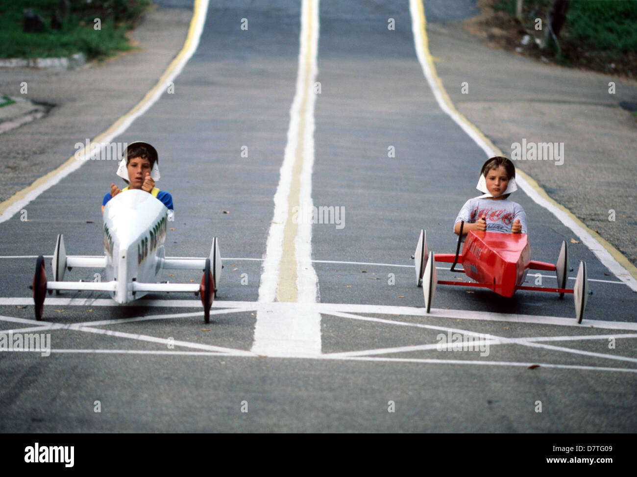 Elk283-3162 Louisiana, Plaquemine, soapbox derby Stock Photohttps://www.alamy.com/image-license-details/?v=1https://www.alamy.com/stock-photo-elk283-3162-louisiana-plaquemine-soapbox-derby-56473097.html
RMD7TG09–Elk283-3162 Louisiana, Plaquemine, soapbox derby
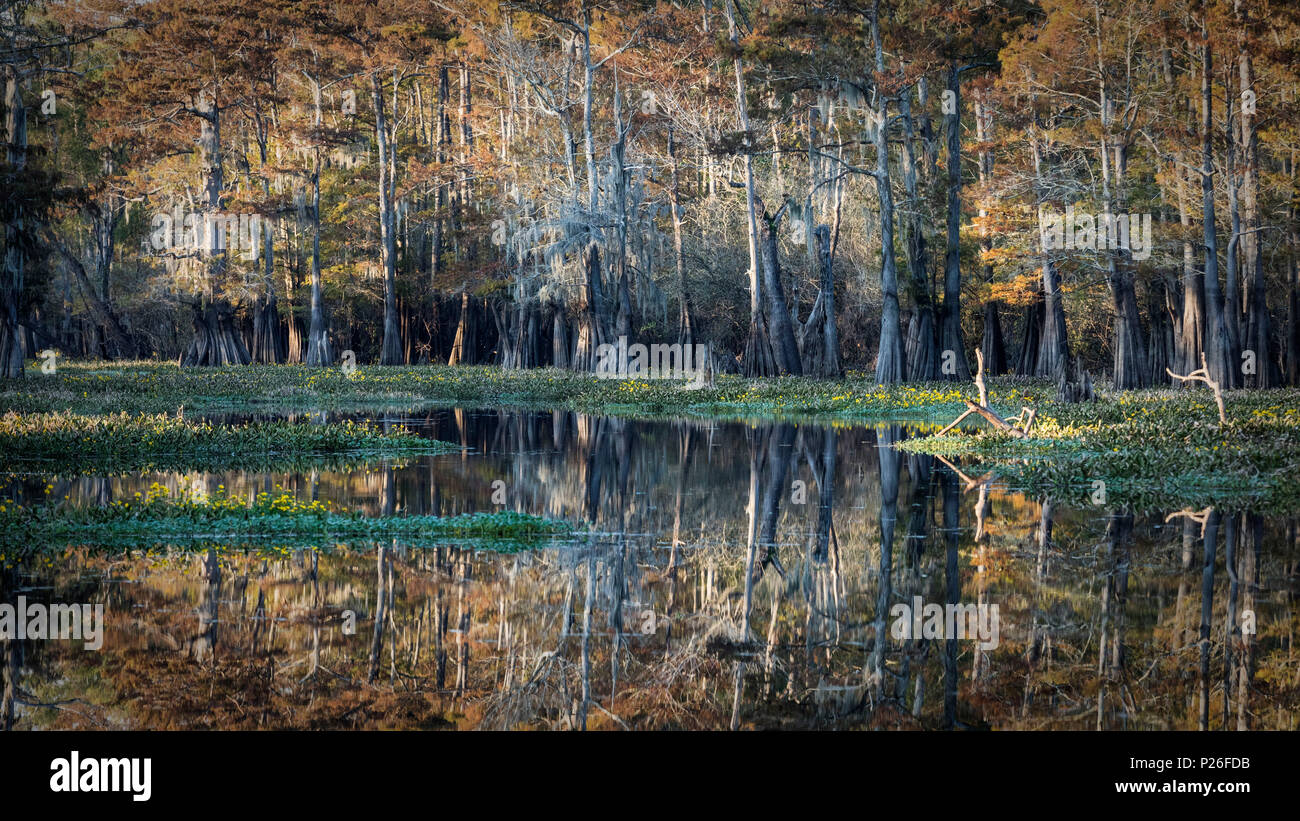 Bayou in Atchafalaya river, Plaquemine, Atchafalaya Basin, Louisiana, Southern United States, USA, North America Stock Photohttps://www.alamy.com/image-license-details/?v=1https://www.alamy.com/bayou-in-atchafalaya-river-plaquemine-atchafalaya-basin-louisiana-southern-united-states-usa-north-america-image207897575.html
RMP26FDB–Bayou in Atchafalaya river, Plaquemine, Atchafalaya Basin, Louisiana, Southern United States, USA, North America
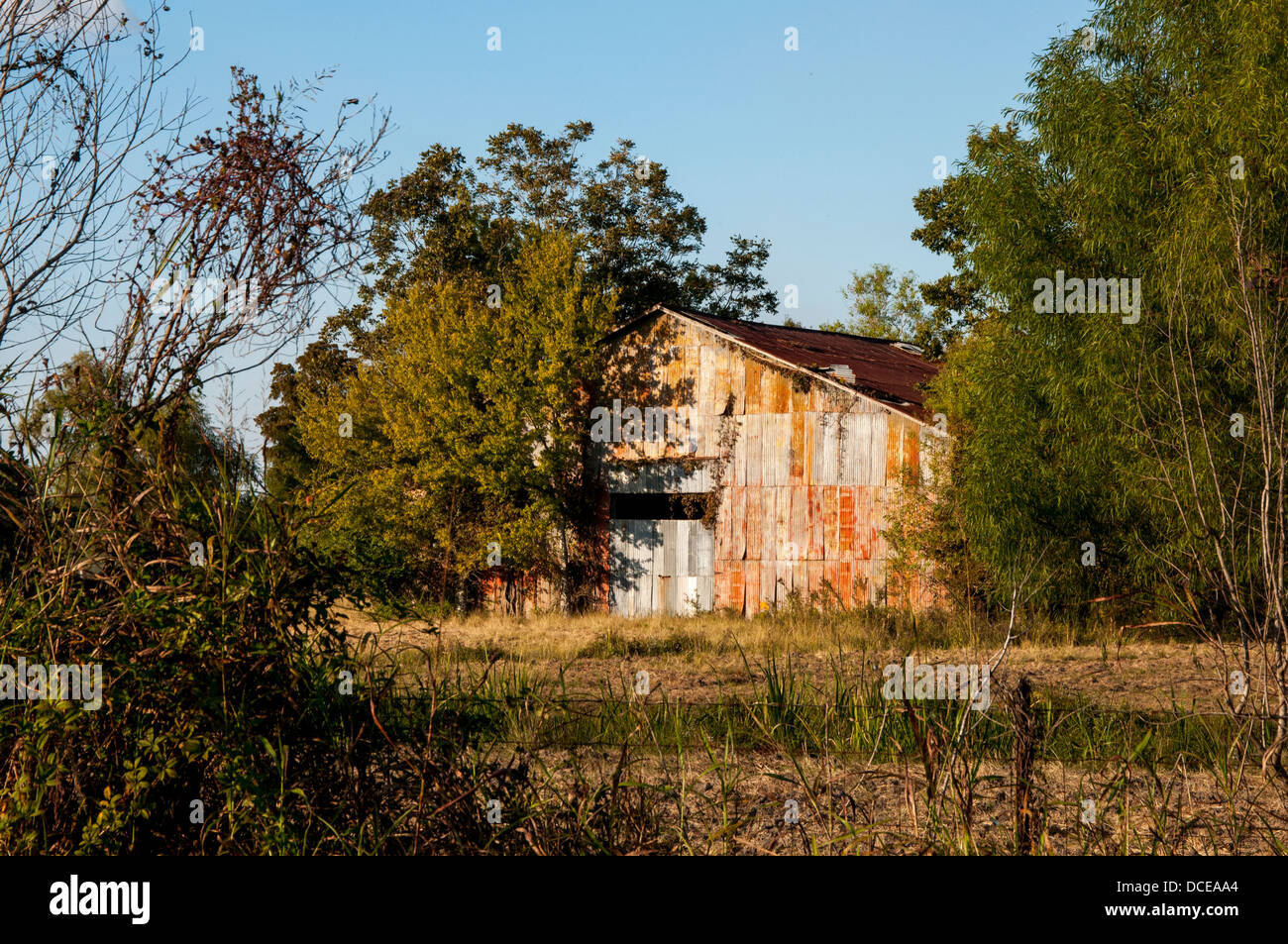 USA, Louisiana, Atchafalaya Basin, barn near Plaquemine. Stock Photohttps://www.alamy.com/image-license-details/?v=1https://www.alamy.com/stock-photo-usa-louisiana-atchafalaya-basin-barn-near-plaquemine-59322428.html
RMDCEAA4–USA, Louisiana, Atchafalaya Basin, barn near Plaquemine.
 Bayou in Atchafalaya river, Plaquemine, Atchafalaya Basin, Louisiana, Southern United States, USA, North America Stock Photohttps://www.alamy.com/image-license-details/?v=1https://www.alamy.com/bayou-in-atchafalaya-river-plaquemine-atchafalaya-basin-louisiana-southern-united-states-usa-north-america-image207897573.html
RMP26FD9–Bayou in Atchafalaya river, Plaquemine, Atchafalaya Basin, Louisiana, Southern United States, USA, North America
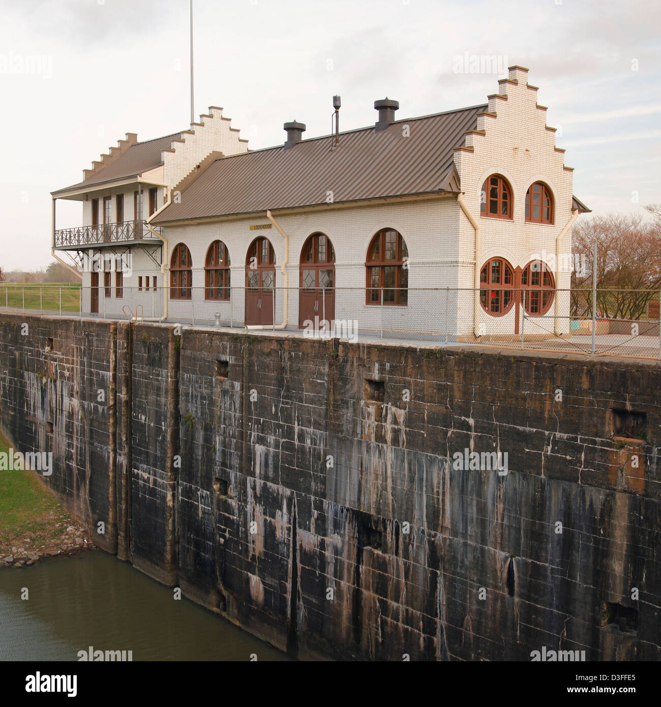 Plaquemine Lock State Historic Site; Louisiana. designed by Colonel George W. Goethals Stock Photohttps://www.alamy.com/image-license-details/?v=1https://www.alamy.com/stock-photo-plaquemine-lock-state-historic-site-louisiana-designed-by-colonel-53816509.html
RMD3FFE5–Plaquemine Lock State Historic Site; Louisiana. designed by Colonel George W. Goethals
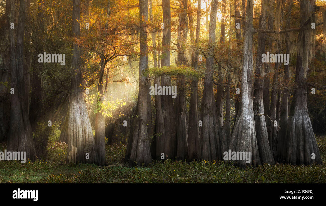 Atchafalaya river, Plaquemine, Atchafalaya Basin, Southern United States, USA, North America Stock Photohttps://www.alamy.com/image-license-details/?v=1https://www.alamy.com/atchafalaya-river-plaquemine-atchafalaya-basin-southern-united-states-usa-north-america-image207897582.html
RMP26FDJ–Atchafalaya river, Plaquemine, Atchafalaya Basin, Southern United States, USA, North America
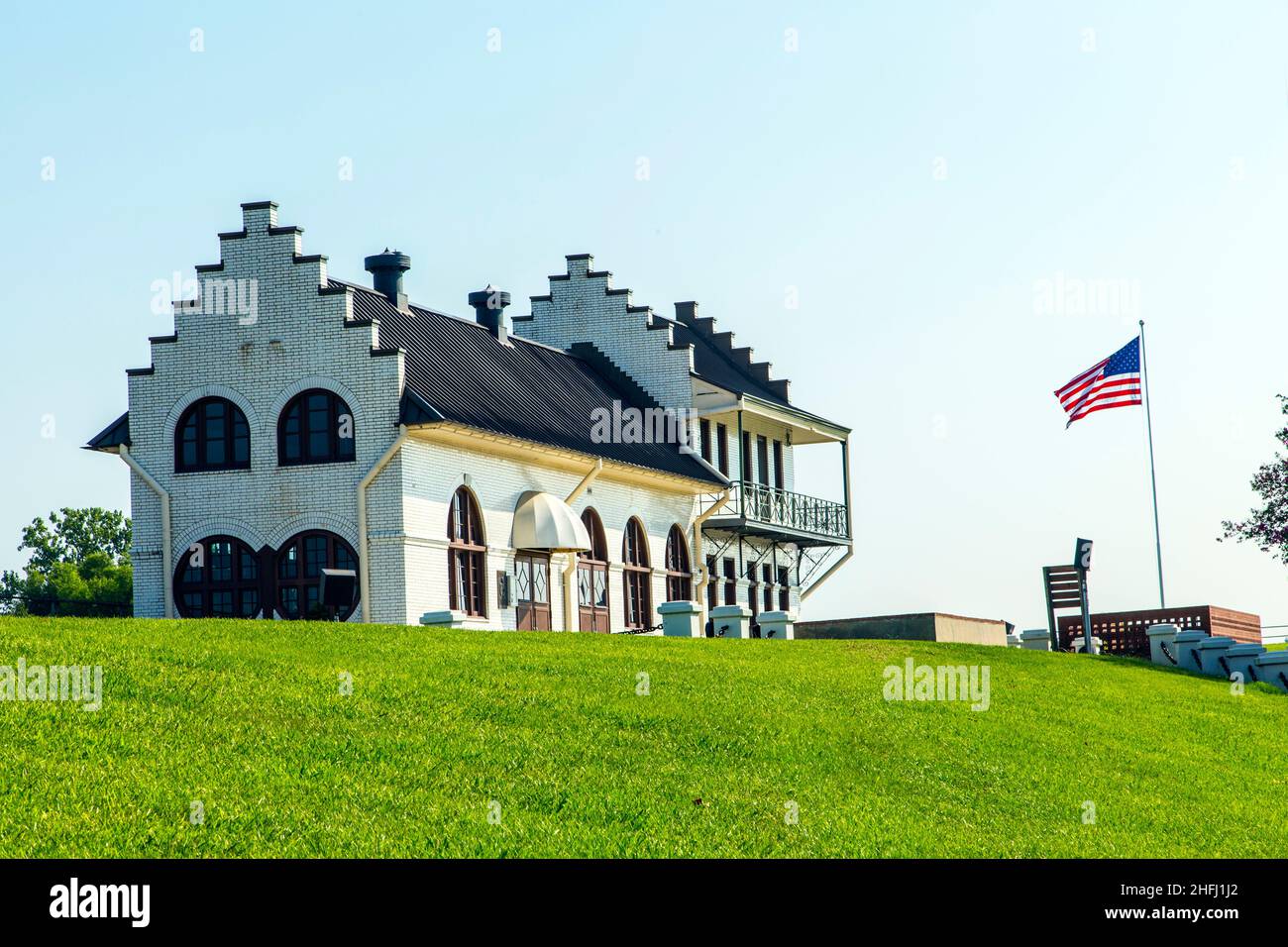 famous historic Plaquemine Lockhouse Stock Photohttps://www.alamy.com/image-license-details/?v=1https://www.alamy.com/famous-historic-plaquemine-lockhouse-image457085834.html
RF2HFJ1J2–famous historic Plaquemine Lockhouse
 Iberville County, Louisiana (U.S. county, United States of America, USA, U.S., US) map vector illustration, scribble sketch Iberville Parish map Stock Vectorhttps://www.alamy.com/image-license-details/?v=1https://www.alamy.com/iberville-county-louisiana-us-county-united-states-of-america-usa-us-us-map-vector-illustration-scribble-sketch-iberville-parish-map-image384490654.html
RF2D9F1N2–Iberville County, Louisiana (U.S. county, United States of America, USA, U.S., US) map vector illustration, scribble sketch Iberville Parish map
 USGS TOPO Map Louisiana LA Plaquemine 20120423 TM Stock Photohttps://www.alamy.com/image-license-details/?v=1https://www.alamy.com/usgs-topo-map-louisiana-la-plaquemine-20120423-tm-image260714430.html
RMW44FWJ–USGS TOPO Map Louisiana LA Plaquemine 20120423 TM
 Rendering of a green 3d highway sign for Iberville Parish in Louisiana Stock Photohttps://www.alamy.com/image-license-details/?v=1https://www.alamy.com/rendering-of-a-green-3d-highway-sign-for-iberville-parish-in-louisiana-image336495568.html
RF2AFCKET–Rendering of a green 3d highway sign for Iberville Parish in Louisiana
 Cpl. Clark Cavalier, a Plaquemine, Louisiana, native, sights in on his target during archery practice at the 2015 Marine Corps Trials. The competition provides opportunities for the Marines to train as athletes, while increasing their strength so they can continue their military service or develop healthy habits for life outside the service. The Marine Corps Wounded Warrior Regiment enables wounded, ill and injured Marines to focus on their abilities and to find new avenues to thrive. The fifth annual Marine Corps Trials is being held at Marine Corps Base Camp Pendleton, Calif., March 3-11. At Stock Photohttps://www.alamy.com/image-license-details/?v=1https://www.alamy.com/stock-photo-cpl-clark-cavalier-a-plaquemine-louisiana-native-sights-in-on-his-129759274.html
RMHF317P–Cpl. Clark Cavalier, a Plaquemine, Louisiana, native, sights in on his target during archery practice at the 2015 Marine Corps Trials. The competition provides opportunities for the Marines to train as athletes, while increasing their strength so they can continue their military service or develop healthy habits for life outside the service. The Marine Corps Wounded Warrior Regiment enables wounded, ill and injured Marines to focus on their abilities and to find new avenues to thrive. The fifth annual Marine Corps Trials is being held at Marine Corps Base Camp Pendleton, Calif., March 3-11. At
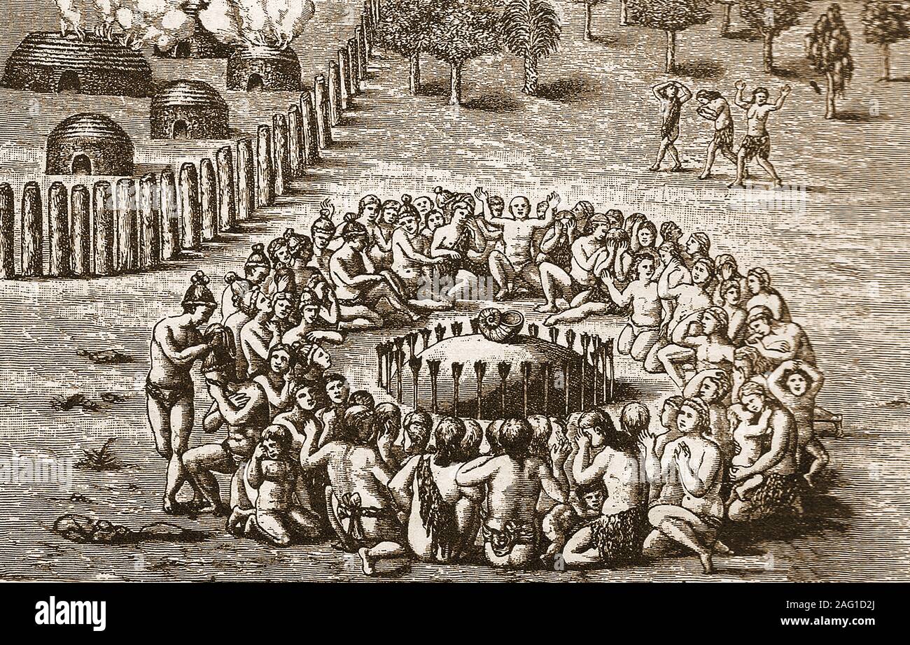 A 19th century artist's impression of early North American Indians would perform ceremonies near their Giant Mounds., Stock Photohttps://www.alamy.com/image-license-details/?v=1https://www.alamy.com/a-19th-century-artists-impression-of-early-north-american-indians-would-perform-ceremonies-near-their-giant-mounds-image336863706.html
RM2AG1D2J–A 19th century artist's impression of early North American Indians would perform ceremonies near their Giant Mounds.,
 Fifth graders from Crescent Elementary in Plaquemine, La., place picture cards in order of size during a class at the Louisiana National Guard youth program Bayou State STARBASE in Rosedale, La., Sept. 24, 2015. LANG STARBASE programs have educated more than 13,000 students across the state since the first program open in New Orleans in 1999. (Air National Guard photo by Master Sgt. Toby M. Valadie/Released) Stock Photohttps://www.alamy.com/image-license-details/?v=1https://www.alamy.com/fifth-graders-from-crescent-elementary-in-plaquemine-la-place-picture-cards-in-order-of-size-during-a-class-at-the-louisiana-national-guard-youth-program-bayou-state-starbase-in-rosedale-la-sept-24-2015-lang-starbase-programs-have-educated-more-than-13000-students-across-the-state-since-the-first-program-open-in-new-orleans-in-1999-air-national-guard-photo-by-master-sgt-toby-m-valadiereleased-image215194176.html
RMPE2XA8–Fifth graders from Crescent Elementary in Plaquemine, La., place picture cards in order of size during a class at the Louisiana National Guard youth program Bayou State STARBASE in Rosedale, La., Sept. 24, 2015. LANG STARBASE programs have educated more than 13,000 students across the state since the first program open in New Orleans in 1999. (Air National Guard photo by Master Sgt. Toby M. Valadie/Released)
 Coast Guard conducts overflight of oil substance off the coast of Venice, La. Stock Photohttps://www.alamy.com/image-license-details/?v=1https://www.alamy.com/stock-photo-coast-guard-conducts-overflight-of-oil-substance-off-the-coast-of-54531498.html
RMD4M3DE–Coast Guard conducts overflight of oil substance off the coast of Venice, La.
 Plaquemine, Iberville Parish, US, United States, Louisiana, N 30 17' 24'', S 91 14' 5'', map, Cartascapes Map published in 2024. Explore Cartascapes, a map revealing Earth's diverse landscapes, cultures, and ecosystems. Journey through time and space, discovering the interconnectedness of our planet's past, present, and future. Stock Photohttps://www.alamy.com/image-license-details/?v=1https://www.alamy.com/plaquemine-iberville-parish-us-united-states-louisiana-n-30-17-24-s-91-14-5-map-cartascapes-map-published-in-2024-explore-cartascapes-a-map-revealing-earths-diverse-landscapes-cultures-and-ecosystems-journey-through-time-and-space-discovering-the-interconnectedness-of-our-planets-past-present-and-future-image621209506.html
RM2Y2JF1P–Plaquemine, Iberville Parish, US, United States, Louisiana, N 30 17' 24'', S 91 14' 5'', map, Cartascapes Map published in 2024. Explore Cartascapes, a map revealing Earth's diverse landscapes, cultures, and ecosystems. Journey through time and space, discovering the interconnectedness of our planet's past, present, and future.
 A hand-book of Louisiana, giving general and agricultural features . A SCENE AT NORTH LOUISIANA EXPERIMENT STATION DURING THE AGRICULTUHAL FAI XLII. PLAQUEMINE LOCKSXLIII Stock Photohttps://www.alamy.com/image-license-details/?v=1https://www.alamy.com/a-hand-book-of-louisiana-giving-general-and-agricultural-features-a-scene-at-north-louisiana-experiment-station-during-the-agricultuhal-fai-xlii-plaquemine-locksxliii-image339945488.html
RM2AN1RX8–A hand-book of Louisiana, giving general and agricultural features . A SCENE AT NORTH LOUISIANA EXPERIMENT STATION DURING THE AGRICULTUHAL FAI XLII. PLAQUEMINE LOCKSXLIII
 Elk283-3160 Louisiana, Plaquemine, Plaquemine Lock State Historic Site, 1909, lock Stock Photohttps://www.alamy.com/image-license-details/?v=1https://www.alamy.com/stock-photo-elk283-3160-louisiana-plaquemine-plaquemine-lock-state-historic-site-56473064.html
RMD7TFY4–Elk283-3160 Louisiana, Plaquemine, Plaquemine Lock State Historic Site, 1909, lock
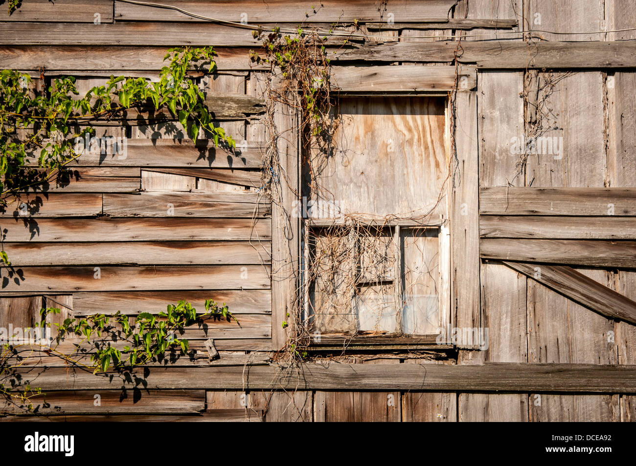 USA, Louisiana, Atchafalaya Basin, Plaquemine, boarded up window of abandoned clapboard house. Stock Photohttps://www.alamy.com/image-license-details/?v=1https://www.alamy.com/stock-photo-usa-louisiana-atchafalaya-basin-plaquemine-boarded-up-window-of-abandoned-59322398.html
RMDCEA92–USA, Louisiana, Atchafalaya Basin, Plaquemine, boarded up window of abandoned clapboard house.
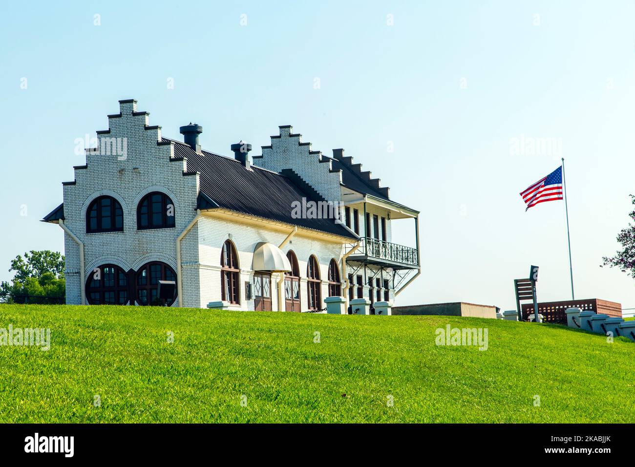 famous historic Plaquemine Lockhouse Stock Photohttps://www.alamy.com/image-license-details/?v=1https://www.alamy.com/famous-historic-plaquemine-lockhouse-image488292971.html
RF2KABJJK–famous historic Plaquemine Lockhouse
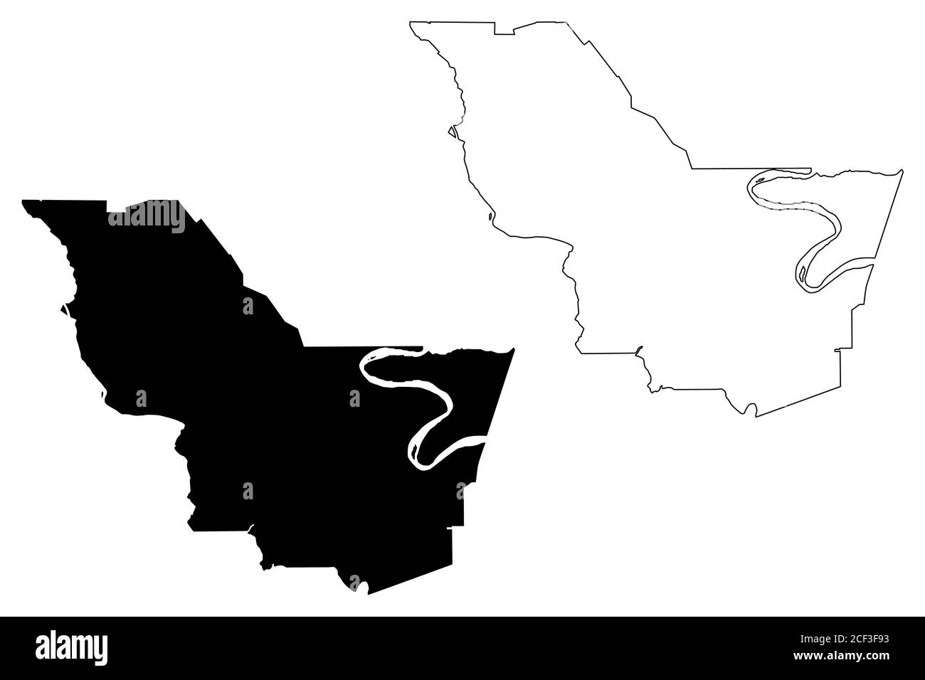 Iberville County, Louisiana (U.S. county, United States of America, USA, U.S., US) map vector illustration, scribble sketch Iberville Parish map Stock Vectorhttps://www.alamy.com/image-license-details/?v=1https://www.alamy.com/iberville-county-louisiana-us-county-united-states-of-america-usa-us-us-map-vector-illustration-scribble-sketch-iberville-parish-map-image370715439.html
RF2CF3F93–Iberville County, Louisiana (U.S. county, United States of America, USA, U.S., US) map vector illustration, scribble sketch Iberville Parish map
 USGS TOPO Map Louisiana LA Plaquemine 333059 1953 24000 Stock Photohttps://www.alamy.com/image-license-details/?v=1https://www.alamy.com/usgs-topo-map-louisiana-la-plaquemine-333059-1953-24000-image260714461.html
RMW44FXN–USGS TOPO Map Louisiana LA Plaquemine 333059 1953 24000
 1909 illustration - Nth American primitive mounds - The De Soto mound in Jefferson County, USA as it was at that time Stock Photohttps://www.alamy.com/image-license-details/?v=1https://www.alamy.com/1909-illustration-nth-american-primitive-mounds-the-de-soto-mound-in-jefferson-county-usa-as-it-was-at-that-time-image336863087.html
RM2AG1C8F–1909 illustration - Nth American primitive mounds - The De Soto mound in Jefferson County, USA as it was at that time
 Toni Cruz, from Crescent Elementary in Plaquemine, La., pours sand into a beaker during a lab module at the Louisiana National Guard youth program Bayou State STARBASE in Rosedale, La., Sept. 24, 2015. Students learn about science, technology, engineering and math concepts during a five-day course that involve both hands on and classroom teachings. (Air National Guard photo by Master Sgt. Toby M. Valadie/Released) Stock Photohttps://www.alamy.com/image-license-details/?v=1https://www.alamy.com/toni-cruz-from-crescent-elementary-in-plaquemine-la-pours-sand-into-a-beaker-during-a-lab-module-at-the-louisiana-national-guard-youth-program-bayou-state-starbase-in-rosedale-la-sept-24-2015-students-learn-about-science-technology-engineering-and-math-concepts-during-a-five-day-course-that-involve-both-hands-on-and-classroom-teachings-air-national-guard-photo-by-master-sgt-toby-m-valadiereleased-image215194178.html
RMPE2XAA–Toni Cruz, from Crescent Elementary in Plaquemine, La., pours sand into a beaker during a lab module at the Louisiana National Guard youth program Bayou State STARBASE in Rosedale, La., Sept. 24, 2015. Students learn about science, technology, engineering and math concepts during a five-day course that involve both hands on and classroom teachings. (Air National Guard photo by Master Sgt. Toby M. Valadie/Released)
 Coast Guard conducts overflight of oil substance off the coast of Venice, La. Stock Photohttps://www.alamy.com/image-license-details/?v=1https://www.alamy.com/stock-photo-coast-guard-conducts-overflight-of-oil-substance-off-the-coast-of-54531488.html
RMD4M3D4–Coast Guard conducts overflight of oil substance off the coast of Venice, La.
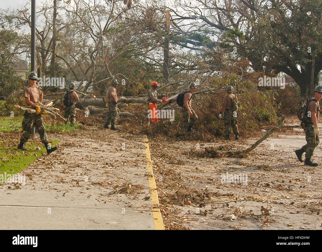 050912-N-9274T-006 New Orleans (Sept. 12, 2005) Ð Seabees assigned to Naval Mobile Construction Battalion Four Zero (NMCB 40) out of Port HUENEME Calif., clears away debris around the Plaquemine Parish Post Office in Louisiana in support of Hurricane Katrina relief efforts. The Navy's involvement in the Hurricane Katrina humanitarian assistance operations are led by the Federal Emergency Management Agency (FEMA), in conjunction with the Department of Defense. U.S. Navy photo by Photographer's Mate 2nd Class William Townsend (RELEASED) US Navy 050912-N-9274T-006 Seabees assigned to Naval Mobile Stock Photohttps://www.alamy.com/image-license-details/?v=1https://www.alamy.com/stock-photo-050912-n-9274t-006-new-orleans-sept-12-2005-seabees-assigned-to-naval-130273861.html
RMHFXDHW–050912-N-9274T-006 New Orleans (Sept. 12, 2005) Ð Seabees assigned to Naval Mobile Construction Battalion Four Zero (NMCB 40) out of Port HUENEME Calif., clears away debris around the Plaquemine Parish Post Office in Louisiana in support of Hurricane Katrina relief efforts. The Navy's involvement in the Hurricane Katrina humanitarian assistance operations are led by the Federal Emergency Management Agency (FEMA), in conjunction with the Department of Defense. U.S. Navy photo by Photographer's Mate 2nd Class William Townsend (RELEASED) US Navy 050912-N-9274T-006 Seabees assigned to Naval Mobile
 A levee breach in Braithwaite Stock Photohttps://www.alamy.com/image-license-details/?v=1https://www.alamy.com/stock-photo-a-levee-breach-in-braithwaite-54544897.html
RMD4MMG1–A levee breach in Braithwaite
 Plaquemine, Louisiana, map 1953, 1:24000, United States of America by Timeless Maps, data U.S. Geological Survey Stock Photohttps://www.alamy.com/image-license-details/?v=1https://www.alamy.com/plaquemine-louisiana-map-1953-124000-united-states-of-america-by-timeless-maps-data-us-geological-survey-image406585819.html
RM2EHDGA3–Plaquemine, Louisiana, map 1953, 1:24000, United States of America by Timeless Maps, data U.S. Geological Survey
 A hand-book of Louisiana, giving general and agricultural features . PLAQUEMINE LOCKSXLIII. (7f«w/f^ Li*. OIL GUSHER, NEAR JENNINGS. W^ IMMUI^^T^Sife^SimMMWB 1 aB^fc^^^^Sffig^^BB H ^S^ ^11 r^mt K ^ V P^ T |p ^^ %? [^^ m ? ^ p^ V- ^- ^^^^^^Rt ^ ^^vfifl SEAM OF COAL IN THE DOLET HILLS ? FEET THICK .1.1V The adaptability of the cypress to the many usesin building—doors, blinds, windows, floors, inside finish,outside work, bevels and drop siding, etc., and its won-derful powers of duration, even when exposed to thevicissitudes of sunshine and rain, heat and cold, dryand wet climates, have made Stock Photohttps://www.alamy.com/image-license-details/?v=1https://www.alamy.com/a-hand-book-of-louisiana-giving-general-and-agricultural-features-plaquemine-locksxliii-7fwf-li-oil-gusher-near-jennings-w-immuitsifesimmmwb-1-abfcsffigbb-h-s-11-rmt-k-v-p-t-p-m-p-v-rt-vfifl-seam-of-coal-in-the-dolet-hills-feet-thick-11v-the-adaptability-of-the-cypress-to-the-many-usesin-buildingdoors-blinds-windows-floors-inside-finishoutside-work-bevels-and-drop-siding-etc-and-its-won-derful-powers-of-duration-even-when-exposed-to-thevicissitudes-of-sunshine-and-rain-heat-and-cold-dryand-wet-climates-have-made-image339940612.html
RM2AN1HM4–A hand-book of Louisiana, giving general and agricultural features . PLAQUEMINE LOCKSXLIII. (7f«w/f^ Li*. OIL GUSHER, NEAR JENNINGS. W^ IMMUI^^T^Sife^SimMMWB 1 aB^fc^^^^Sffig^^BB H ^S^ ^11 r^mt K ^ V P^ T |p ^^ %? [^^ m ? ^ p^ V- ^- ^^^^^^Rt ^ ^^vfifl SEAM OF COAL IN THE DOLET HILLS ? FEET THICK .1.1V The adaptability of the cypress to the many usesin building—doors, blinds, windows, floors, inside finish,outside work, bevels and drop siding, etc., and its won-derful powers of duration, even when exposed to thevicissitudes of sunshine and rain, heat and cold, dryand wet climates, have made
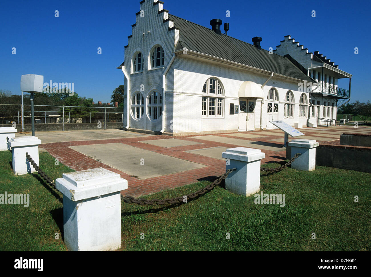 Elk283-3148 Louisiana, Plaquemine, Plaquemine Lock State Historic Site, 1909, lockhouse Stock Photohttps://www.alamy.com/image-license-details/?v=1https://www.alamy.com/stock-photo-elk283-3148-louisiana-plaquemine-plaquemine-lock-state-historic-site-56407768.html
RMD7NGK4–Elk283-3148 Louisiana, Plaquemine, Plaquemine Lock State Historic Site, 1909, lockhouse
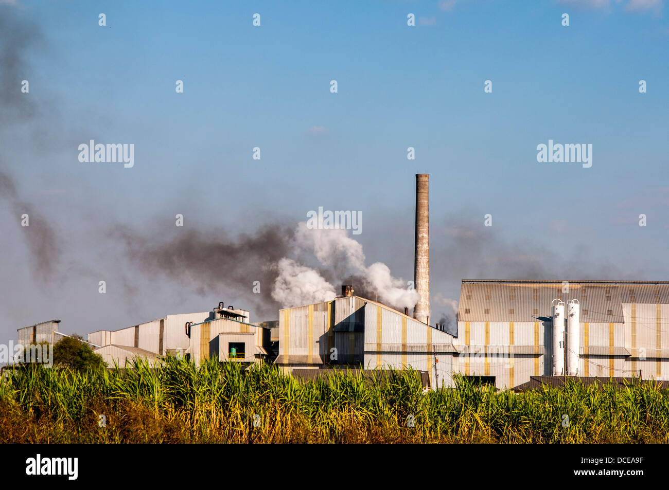 USA, Louisiana, Atchafalaya Basin, Plaquemine, AF Canella Sugarcane Plant with smoke stack and steam emissions. Stock Photohttps://www.alamy.com/image-license-details/?v=1https://www.alamy.com/stock-photo-usa-louisiana-atchafalaya-basin-plaquemine-af-canella-sugarcane-plant-59322411.html
RMDCEA9F–USA, Louisiana, Atchafalaya Basin, Plaquemine, AF Canella Sugarcane Plant with smoke stack and steam emissions.
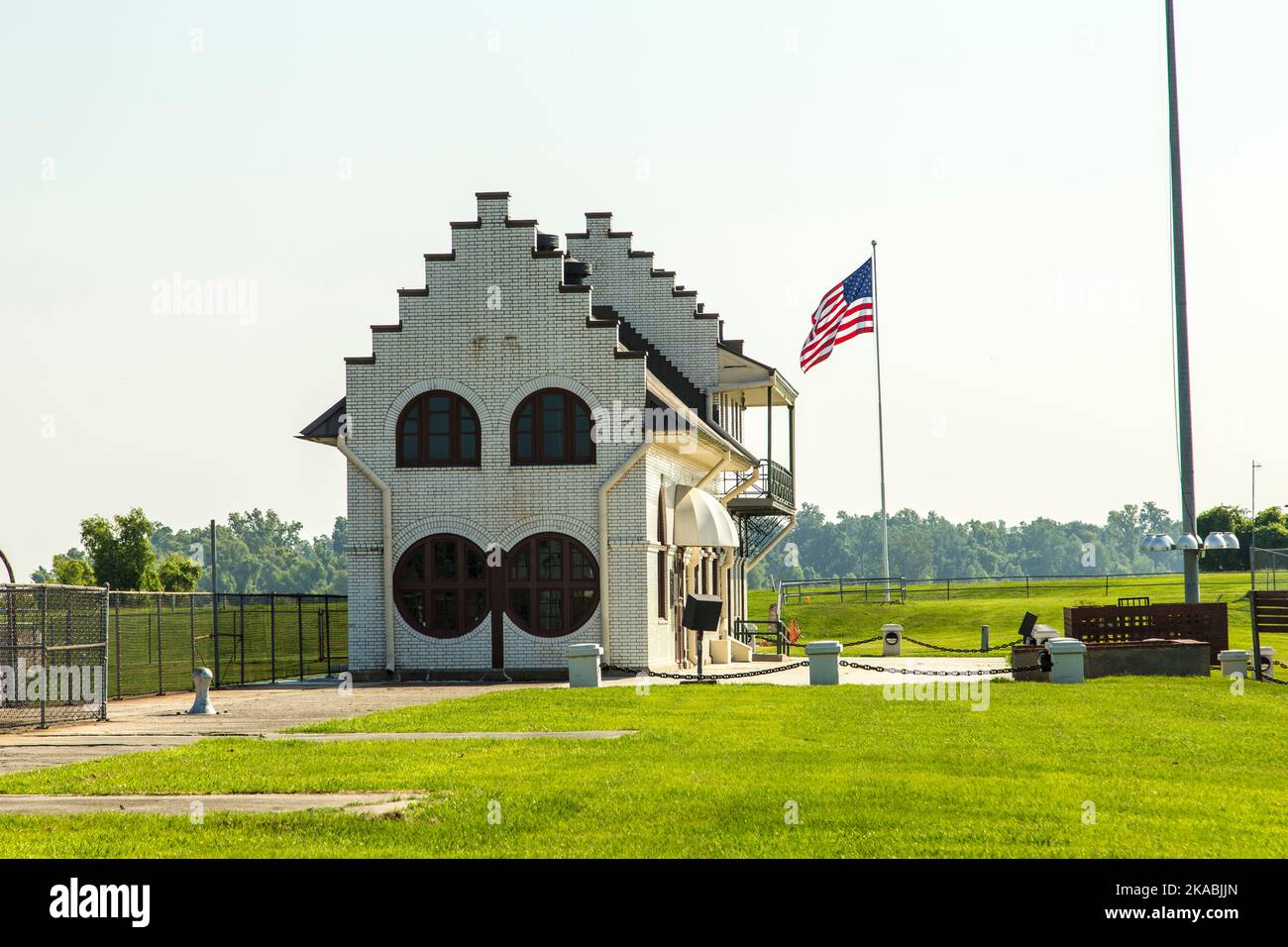 famous historic Plaquemine Lockhouse Stock Photohttps://www.alamy.com/image-license-details/?v=1https://www.alamy.com/famous-historic-plaquemine-lockhouse-image488292973.html
RF2KABJJN–famous historic Plaquemine Lockhouse
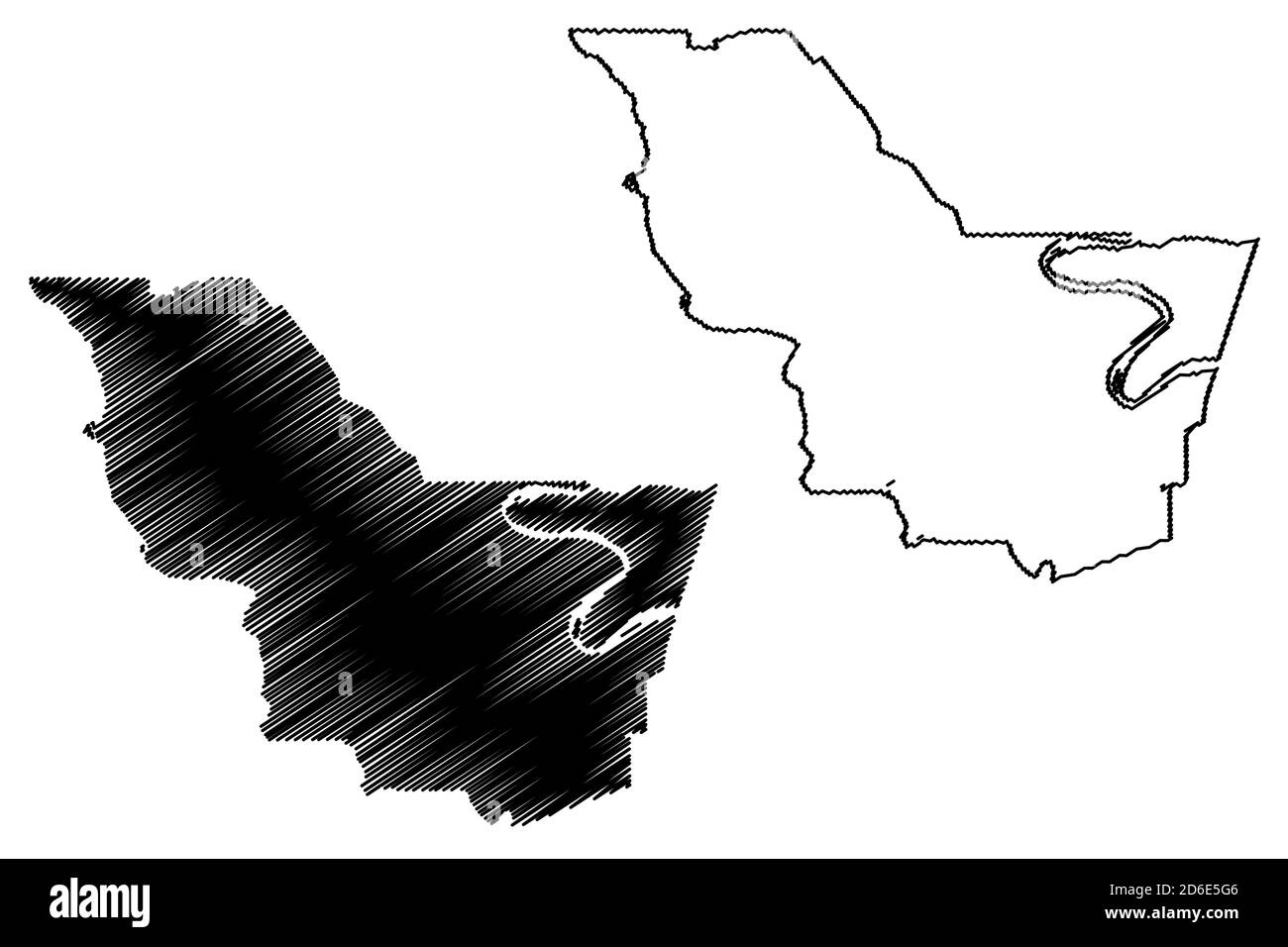 Iberville County, Louisiana (U.S. county, United States of America, USA, U.S., US) map vector illustration, scribble sketch Iberville Parish map Stock Vectorhttps://www.alamy.com/image-license-details/?v=1https://www.alamy.com/iberville-county-louisiana-us-county-united-states-of-america-usa-us-us-map-vector-illustration-scribble-sketch-iberville-parish-map-image382627734.html
RF2D6E5G6–Iberville County, Louisiana (U.S. county, United States of America, USA, U.S., US) map vector illustration, scribble sketch Iberville Parish map
 USGS TOPO Map Louisiana LA Plaquemine 333060 1963 24000 Stock Photohttps://www.alamy.com/image-license-details/?v=1https://www.alamy.com/usgs-topo-map-louisiana-la-plaquemine-333060-1963-24000-image260714486.html
RMW44FYJ–USGS TOPO Map Louisiana LA Plaquemine 333060 1963 24000
 1909 illustration - Nth American Avondale primitive mounds in Washington County , Mississippi, USA Stock Photohttps://www.alamy.com/image-license-details/?v=1https://www.alamy.com/1909-illustration-nth-american-avondale-primitive-mounds-in-washington-county-mississippi-usa-image336862948.html
RM2AG1C3G–1909 illustration - Nth American Avondale primitive mounds in Washington County , Mississippi, USA
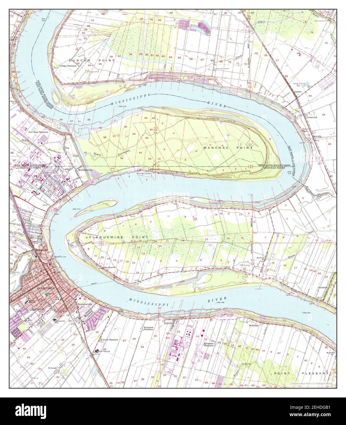 Plaquemine, Louisiana, map 1963, 1:24000, United States of America by Timeless Maps, data U.S. Geological Survey Stock Photohttps://www.alamy.com/image-license-details/?v=1https://www.alamy.com/plaquemine-louisiana-map-1963-124000-united-states-of-america-by-timeless-maps-data-us-geological-survey-image406585845.html
RM2EHDGB1–Plaquemine, Louisiana, map 1963, 1:24000, United States of America by Timeless Maps, data U.S. Geological Survey
 Elk283-3156v Louisiana, Plaquemine, Plaquemine Lock State Historic Site, 1909, lockhouse Stock Photohttps://www.alamy.com/image-license-details/?v=1https://www.alamy.com/stock-photo-elk283-3156v-louisiana-plaquemine-plaquemine-lock-state-historic-site-56407785.html
RMD7NGKN–Elk283-3156v Louisiana, Plaquemine, Plaquemine Lock State Historic Site, 1909, lockhouse
 USA, Louisiana, Atchafalaya Basin, Plaquemine, cemetery (raised due to high water table and perennial floods). Stock Photohttps://www.alamy.com/image-license-details/?v=1https://www.alamy.com/stock-photo-usa-louisiana-atchafalaya-basin-plaquemine-cemetery-raised-due-to-59322375.html
RMDCEA87–USA, Louisiana, Atchafalaya Basin, Plaquemine, cemetery (raised due to high water table and perennial floods).
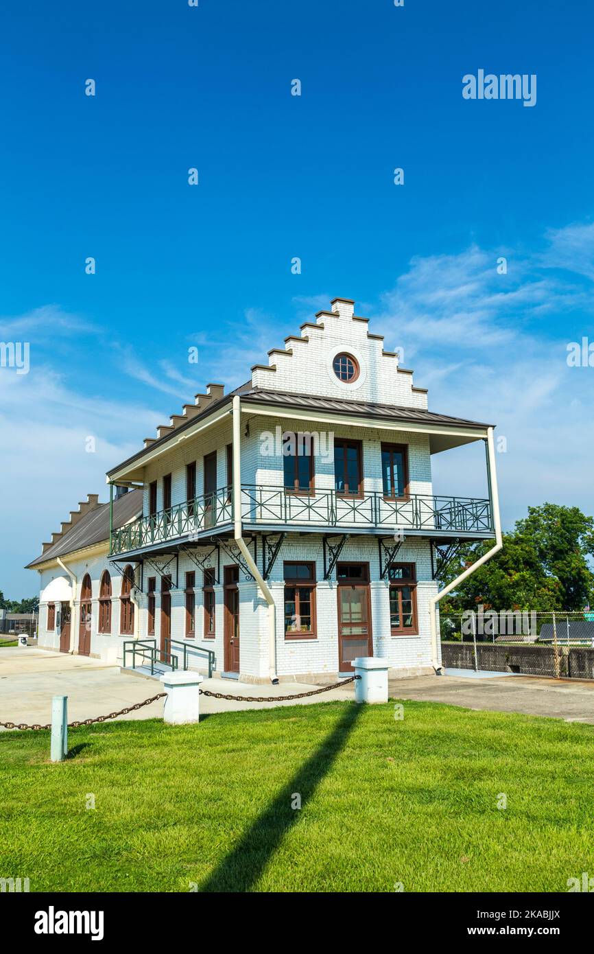 famous historic Plaquemine Lockhouse Stock Photohttps://www.alamy.com/image-license-details/?v=1https://www.alamy.com/famous-historic-plaquemine-lockhouse-image488292978.html
RF2KABJJX–famous historic Plaquemine Lockhouse
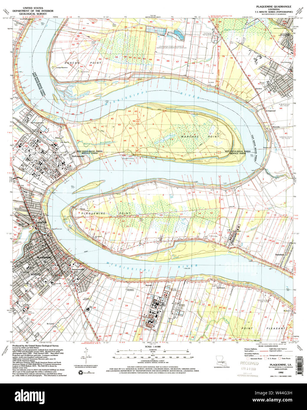 USGS TOPO Map Louisiana LA Plaquemine 333067 1992 24000 Stock Photohttps://www.alamy.com/image-license-details/?v=1https://www.alamy.com/usgs-topo-map-louisiana-la-plaquemine-333067-1992-24000-image260714597.html
RMW44G3H–USGS TOPO Map Louisiana LA Plaquemine 333067 1992 24000
 Plaquemine, Louisiana, map 1992, 1:24000, United States of America by Timeless Maps, data U.S. Geological Survey Stock Photohttps://www.alamy.com/image-license-details/?v=1https://www.alamy.com/plaquemine-louisiana-map-1992-124000-united-states-of-america-by-timeless-maps-data-us-geological-survey-image406586180.html
RM2EHDGR0–Plaquemine, Louisiana, map 1992, 1:24000, United States of America by Timeless Maps, data U.S. Geological Survey
 USA, Louisiana, Atchafalaya Basin, Plaquemine, Plaquemine Lock State Historic Site with Gary James Hebert Memorial Lockhouse. Stock Photohttps://www.alamy.com/image-license-details/?v=1https://www.alamy.com/stock-photo-usa-louisiana-atchafalaya-basin-plaquemine-plaquemine-lock-state-historic-59322443.html
RMDCEAAK–USA, Louisiana, Atchafalaya Basin, Plaquemine, Plaquemine Lock State Historic Site with Gary James Hebert Memorial Lockhouse.
 famous historic Plaquemine Lockhouse Stock Photohttps://www.alamy.com/image-license-details/?v=1https://www.alamy.com/famous-historic-plaquemine-lockhouse-image457085862.html
RF2HFJ1K2–famous historic Plaquemine Lockhouse
 USGS TOPO Map Louisiana LA Plaquemine 333063 1963 24000 Stock Photohttps://www.alamy.com/image-license-details/?v=1https://www.alamy.com/usgs-topo-map-louisiana-la-plaquemine-333063-1963-24000-image260714540.html
RMW44G1G–USGS TOPO Map Louisiana LA Plaquemine 333063 1963 24000
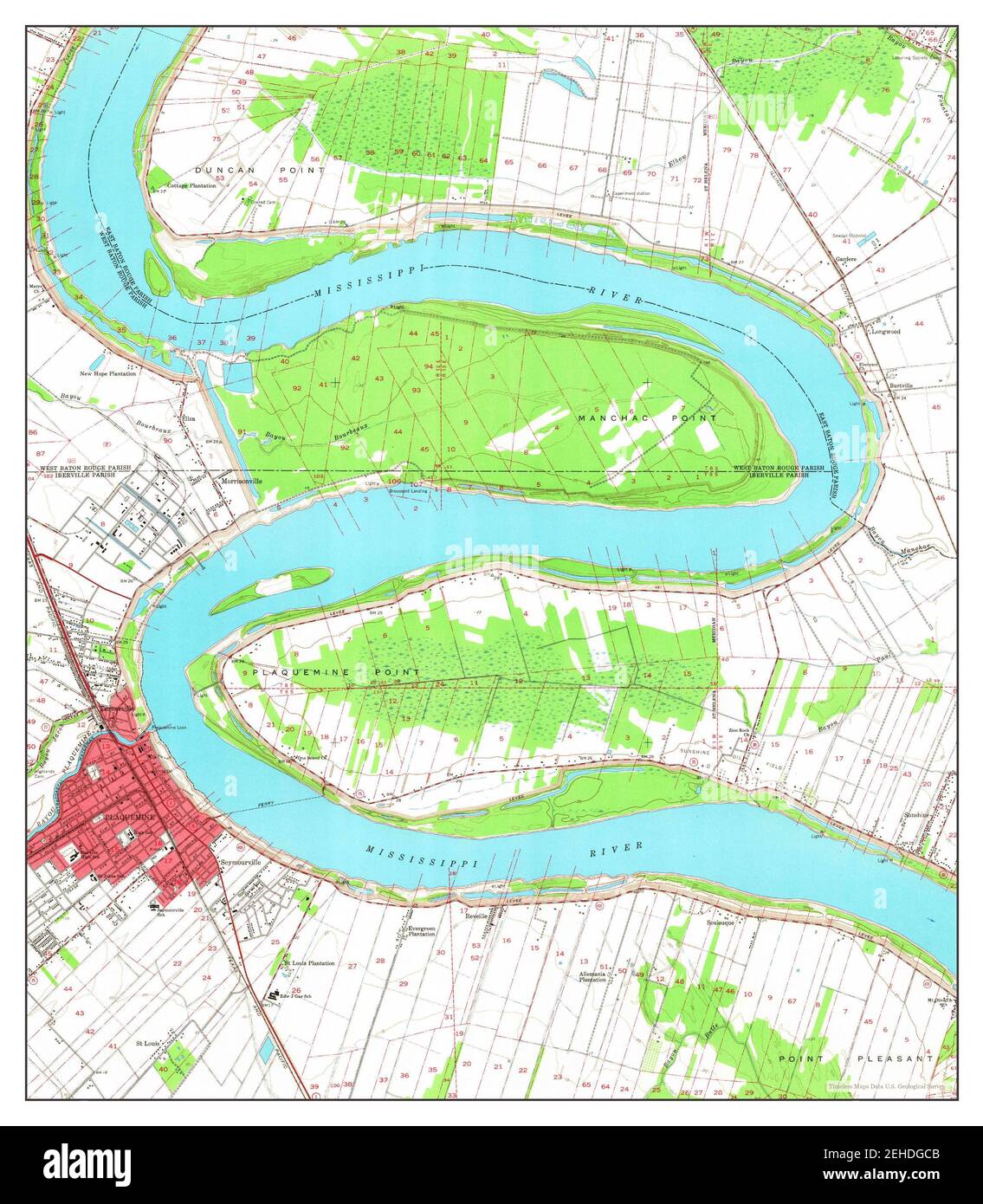 Plaquemine, Louisiana, map 1963, 1:24000, United States of America by Timeless Maps, data U.S. Geological Survey Stock Photohttps://www.alamy.com/image-license-details/?v=1https://www.alamy.com/plaquemine-louisiana-map-1963-124000-united-states-of-america-by-timeless-maps-data-us-geological-survey-image406585883.html
RM2EHDGCB–Plaquemine, Louisiana, map 1963, 1:24000, United States of America by Timeless Maps, data U.S. Geological Survey
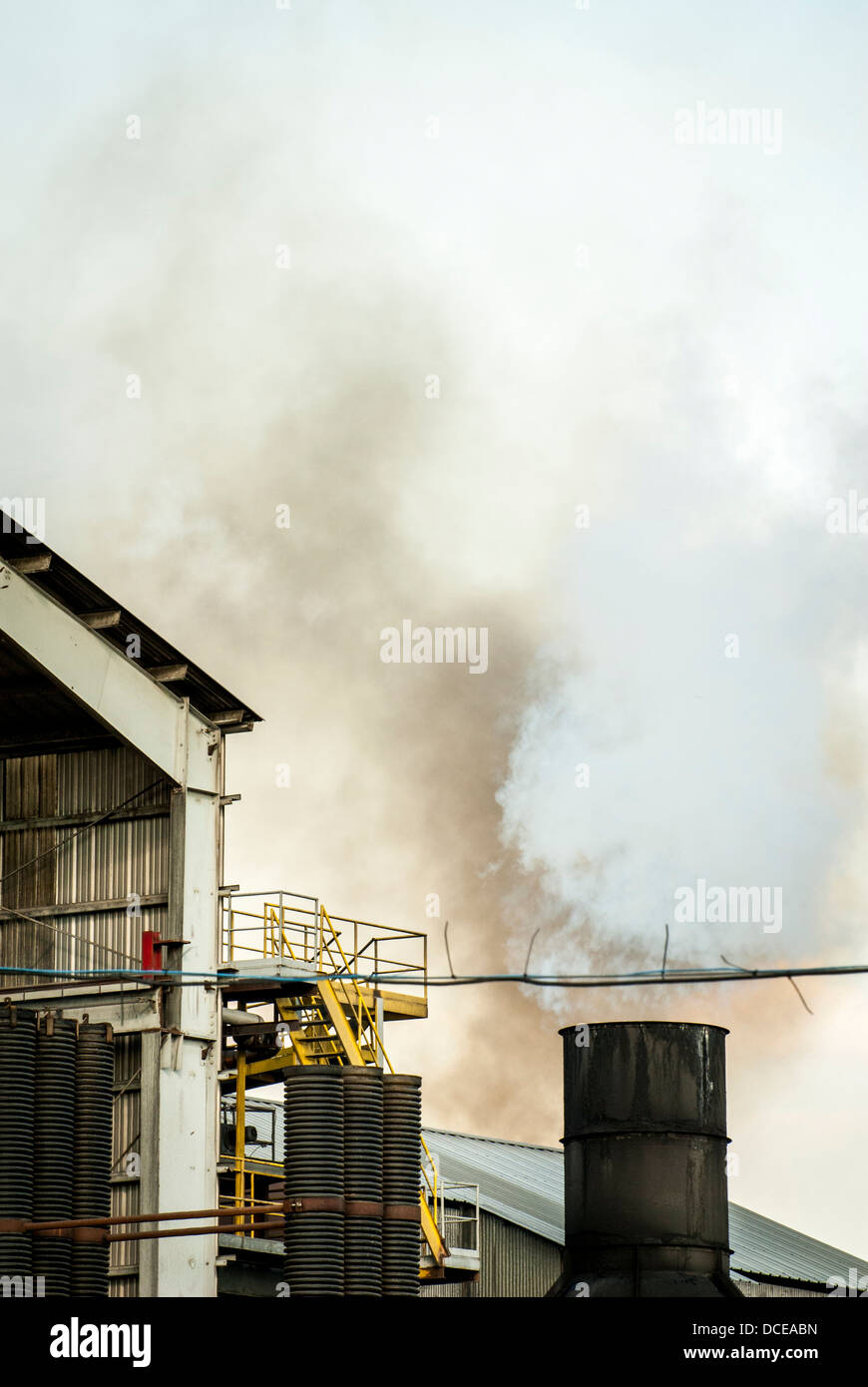 USA, Louisiana, Atchafalaya Basin, Plaquemine, AF Canella Sugarcane Plant. Stock Photohttps://www.alamy.com/image-license-details/?v=1https://www.alamy.com/stock-photo-usa-louisiana-atchafalaya-basin-plaquemine-af-canella-sugarcane-plant-59322473.html
RMDCEABN–USA, Louisiana, Atchafalaya Basin, Plaquemine, AF Canella Sugarcane Plant.
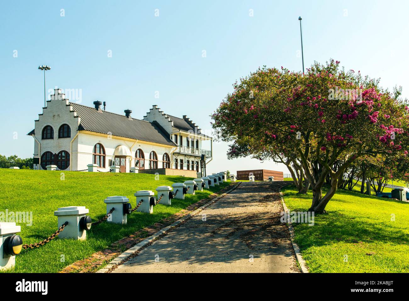 famous historic Plaquemine Lockhouse Stock Photohttps://www.alamy.com/image-license-details/?v=1https://www.alamy.com/famous-historic-plaquemine-lockhouse-image488292976.html
RF2KABJJT–famous historic Plaquemine Lockhouse
 USGS TOPO Map Louisiana LA Plaquemine 333062 1963 24000 Stock Photohttps://www.alamy.com/image-license-details/?v=1https://www.alamy.com/usgs-topo-map-louisiana-la-plaquemine-333062-1963-24000-image260714521.html
RMW44G0W–USGS TOPO Map Louisiana LA Plaquemine 333062 1963 24000
 Plaquemine, Louisiana, map 1992, 1:24000, United States of America by Timeless Maps, data U.S. Geological Survey Stock Photohttps://www.alamy.com/image-license-details/?v=1https://www.alamy.com/plaquemine-louisiana-map-1992-124000-united-states-of-america-by-timeless-maps-data-us-geological-survey-image406586187.html
RM2EHDGR7–Plaquemine, Louisiana, map 1992, 1:24000, United States of America by Timeless Maps, data U.S. Geological Survey
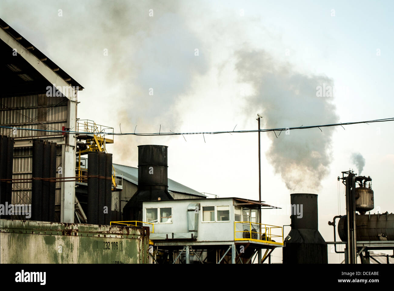 USA, Louisiana, Atchafalaya Basin, Plaquemine, AF Canella Sugarcane Plant. Stock Photohttps://www.alamy.com/image-license-details/?v=1https://www.alamy.com/stock-photo-usa-louisiana-atchafalaya-basin-plaquemine-af-canella-sugarcane-plant-59322466.html
RMDCEABE–USA, Louisiana, Atchafalaya Basin, Plaquemine, AF Canella Sugarcane Plant.
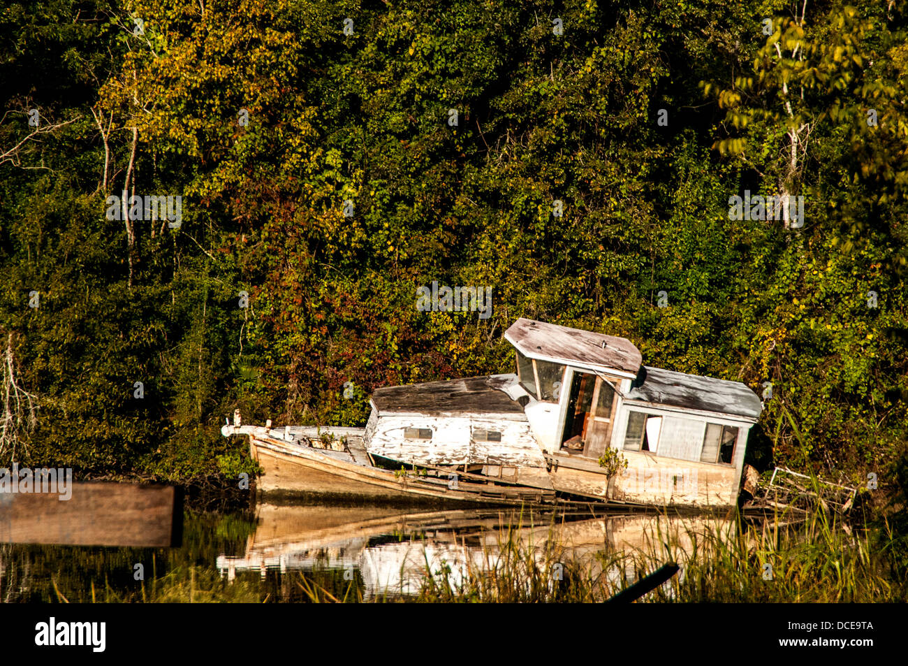 USA, Louisiana, Atchafalaya Basin, with C. C. Lockwood, boat across from Verret Shipyard. Stock Photohttps://www.alamy.com/image-license-details/?v=1https://www.alamy.com/stock-photo-usa-louisiana-atchafalaya-basin-with-c-c-lockwood-boat-across-from-59322042.html
RMDCE9TA–USA, Louisiana, Atchafalaya Basin, with C. C. Lockwood, boat across from Verret Shipyard.
 famous historic Plaquemine Lockhouse Stock Photohttps://www.alamy.com/image-license-details/?v=1https://www.alamy.com/famous-historic-plaquemine-lockhouse-image457085823.html
RF2HFJ1HK–famous historic Plaquemine Lockhouse
 USGS TOPO Map Louisiana LA Plaquemine 333066 1992 24000 Stock Photohttps://www.alamy.com/image-license-details/?v=1https://www.alamy.com/usgs-topo-map-louisiana-la-plaquemine-333066-1992-24000-image260714568.html
RMW44G2G–USGS TOPO Map Louisiana LA Plaquemine 333066 1992 24000
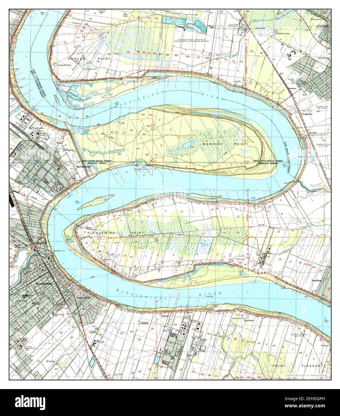 Plaquemine, Louisiana, map 1998, 1:24000, United States of America by Timeless Maps, data U.S. Geological Survey Stock Photohttps://www.alamy.com/image-license-details/?v=1https://www.alamy.com/plaquemine-louisiana-map-1998-124000-united-states-of-america-by-timeless-maps-data-us-geological-survey-image406586169.html
RM2EHDGPH–Plaquemine, Louisiana, map 1998, 1:24000, United States of America by Timeless Maps, data U.S. Geological Survey
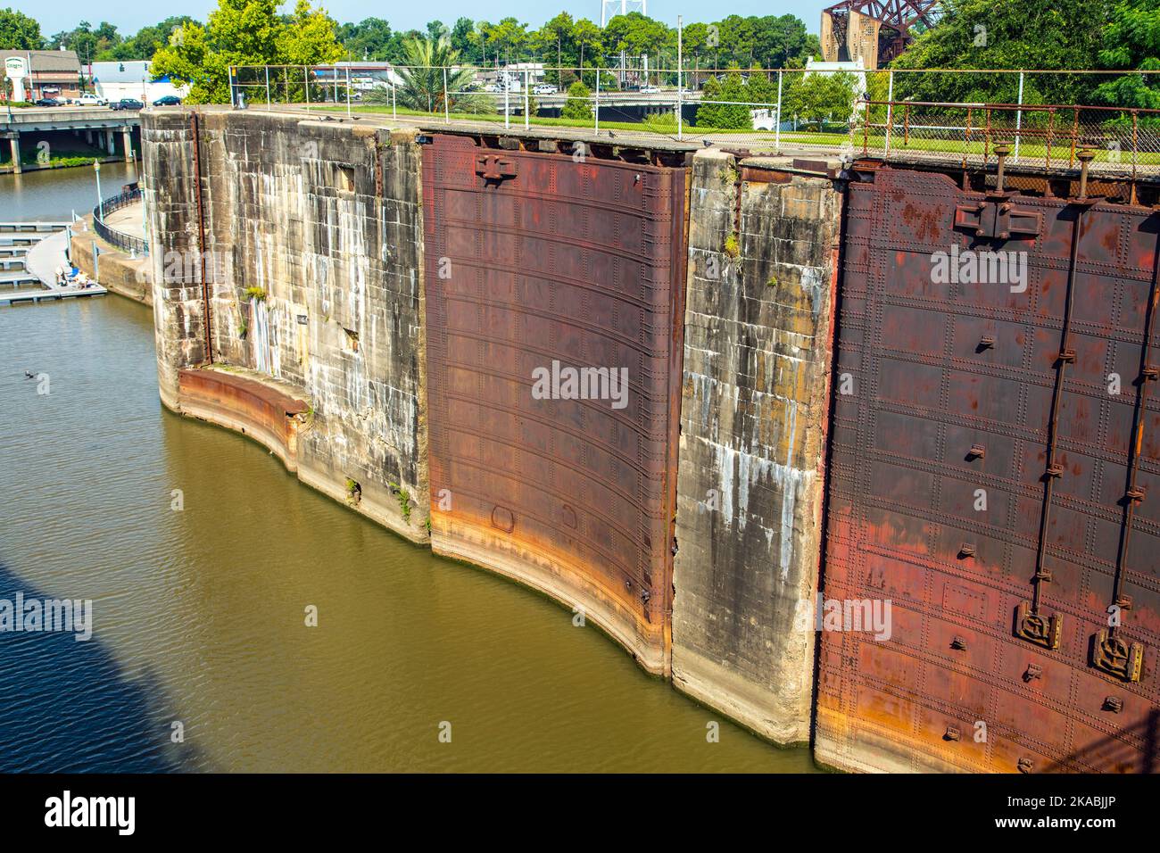 rusty historic Plaquemine gates at river lock Stock Photohttps://www.alamy.com/image-license-details/?v=1https://www.alamy.com/rusty-historic-plaquemine-gates-at-river-lock-image488292974.html
RF2KABJJP–rusty historic Plaquemine gates at river lock
 USGS TOPO Map Louisiana LA Plaquemine 333064 1963 24000 Stock Photohttps://www.alamy.com/image-license-details/?v=1https://www.alamy.com/usgs-topo-map-louisiana-la-plaquemine-333064-1963-24000-image260714556.html
RMW44G24–USGS TOPO Map Louisiana LA Plaquemine 333064 1963 24000
 Plaquemine, Louisiana, map 1963, 1:24000, United States of America by Timeless Maps, data U.S. Geological Survey Stock Photohttps://www.alamy.com/image-license-details/?v=1https://www.alamy.com/plaquemine-louisiana-map-1963-124000-united-states-of-america-by-timeless-maps-data-us-geological-survey-image406585847.html
RM2EHDGB3–Plaquemine, Louisiana, map 1963, 1:24000, United States of America by Timeless Maps, data U.S. Geological Survey
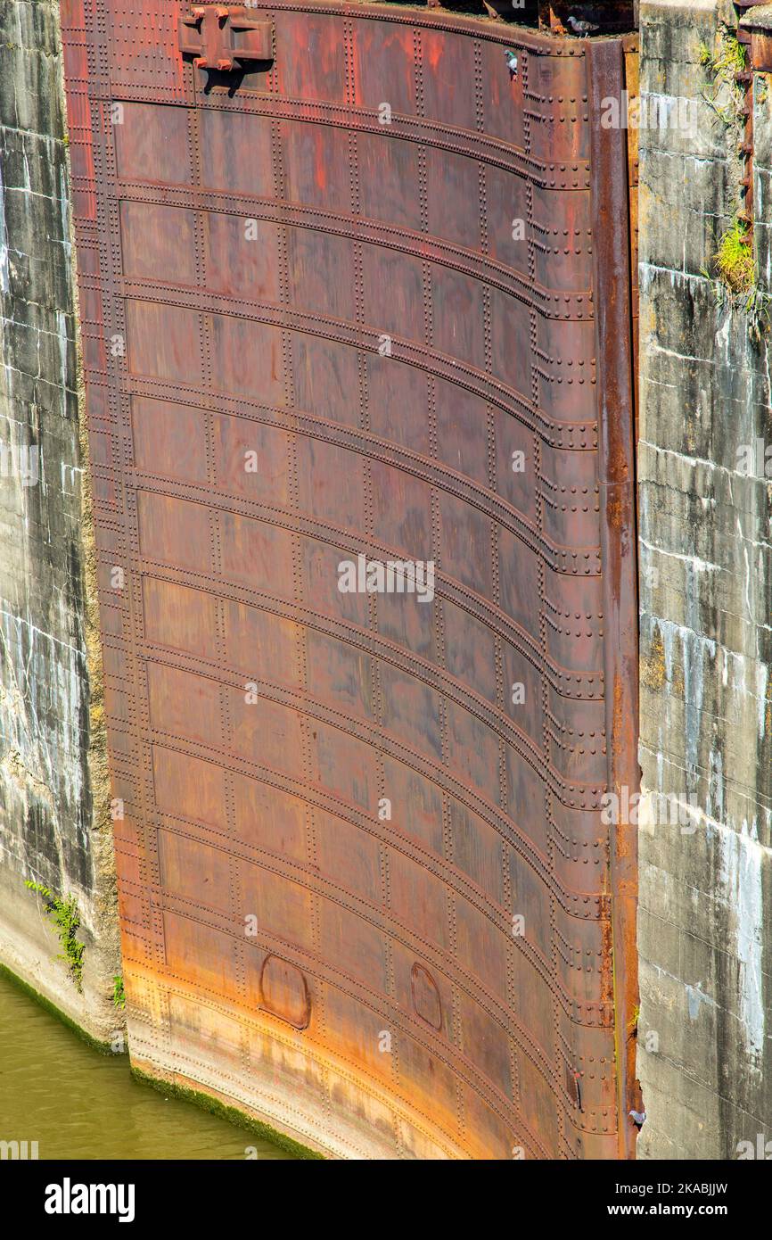 rusty historic Plaquemine gates at river lock Stock Photohttps://www.alamy.com/image-license-details/?v=1https://www.alamy.com/rusty-historic-plaquemine-gates-at-river-lock-image488292977.html
RF2KABJJW–rusty historic Plaquemine gates at river lock
 USGS TOPO Map Louisiana LA Plaquemine 333061 1963 24000 Stock Photohttps://www.alamy.com/image-license-details/?v=1https://www.alamy.com/usgs-topo-map-louisiana-la-plaquemine-333061-1963-24000-image260714507.html
RMW44G0B–USGS TOPO Map Louisiana LA Plaquemine 333061 1963 24000
 Plaquemine, Louisiana, map 1963, 1:24000, United States of America by Timeless Maps, data U.S. Geological Survey Stock Photohttps://www.alamy.com/image-license-details/?v=1https://www.alamy.com/plaquemine-louisiana-map-1963-124000-united-states-of-america-by-timeless-maps-data-us-geological-survey-image406585818.html
RM2EHDGA2–Plaquemine, Louisiana, map 1963, 1:24000, United States of America by Timeless Maps, data U.S. Geological Survey
 rusty historic Plaquemine gates at river lock Stock Photohttps://www.alamy.com/image-license-details/?v=1https://www.alamy.com/rusty-historic-plaquemine-gates-at-river-lock-image457085826.html
RF2HFJ1HP–rusty historic Plaquemine gates at river lock
 USGS TOPO Map Louisiana LA Plaquemine 20120423 TM Inverted Stock Photohttps://www.alamy.com/image-license-details/?v=1https://www.alamy.com/usgs-topo-map-louisiana-la-plaquemine-20120423-tm-inverted-image260714396.html
RMW44FTC–USGS TOPO Map Louisiana LA Plaquemine 20120423 TM Inverted
 Plaquemine, Louisiana, map 1963, 1:24000, United States of America by Timeless Maps, data U.S. Geological Survey Stock Photohttps://www.alamy.com/image-license-details/?v=1https://www.alamy.com/plaquemine-louisiana-map-1963-124000-united-states-of-america-by-timeless-maps-data-us-geological-survey-image406586159.html
RM2EHDGP7–Plaquemine, Louisiana, map 1963, 1:24000, United States of America by Timeless Maps, data U.S. Geological Survey
 rusty historic Plaquemine gates at river lock Stock Photohttps://www.alamy.com/image-license-details/?v=1https://www.alamy.com/rusty-historic-plaquemine-gates-at-river-lock-image457085824.html
RF2HFJ1HM–rusty historic Plaquemine gates at river lock
 USGS TOPO Map Louisiana LA Plaquemine 333068 1998 24000 Stock Photohttps://www.alamy.com/image-license-details/?v=1https://www.alamy.com/usgs-topo-map-louisiana-la-plaquemine-333068-1998-24000-image260714620.html
RMW44G4C–USGS TOPO Map Louisiana LA Plaquemine 333068 1998 24000
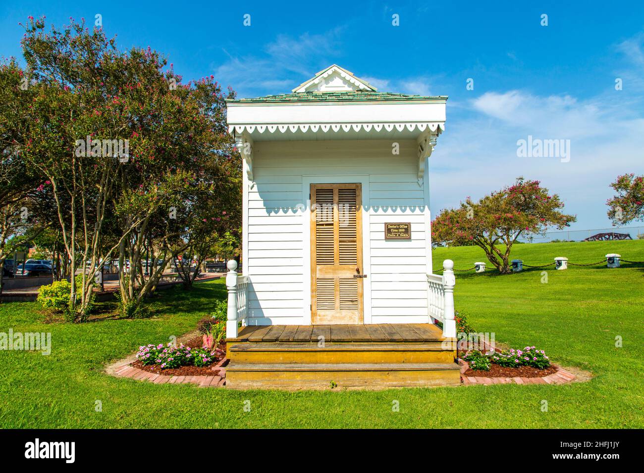 historic Plaquemine doctors house at the Plaquemine lock under blue sky Stock Photohttps://www.alamy.com/image-license-details/?v=1https://www.alamy.com/historic-plaquemine-doctors-house-at-the-plaquemine-lock-under-blue-sky-image457085859.html
RF2HFJ1JY–historic Plaquemine doctors house at the Plaquemine lock under blue sky
 USGS TOPO Map Louisiana LA Plaquemine 333060 1963 24000 Inverted Stock Photohttps://www.alamy.com/image-license-details/?v=1https://www.alamy.com/usgs-topo-map-louisiana-la-plaquemine-333060-1963-24000-inverted-image260714472.html
RMW44FY4–USGS TOPO Map Louisiana LA Plaquemine 333060 1963 24000 Inverted
 historic Plaquemine doctors house at the Plaquemine lock under blue sky Stock Photohttps://www.alamy.com/image-license-details/?v=1https://www.alamy.com/historic-plaquemine-doctors-house-at-the-plaquemine-lock-under-blue-sky-image488292980.html
RF2KABJK0–historic Plaquemine doctors house at the Plaquemine lock under blue sky
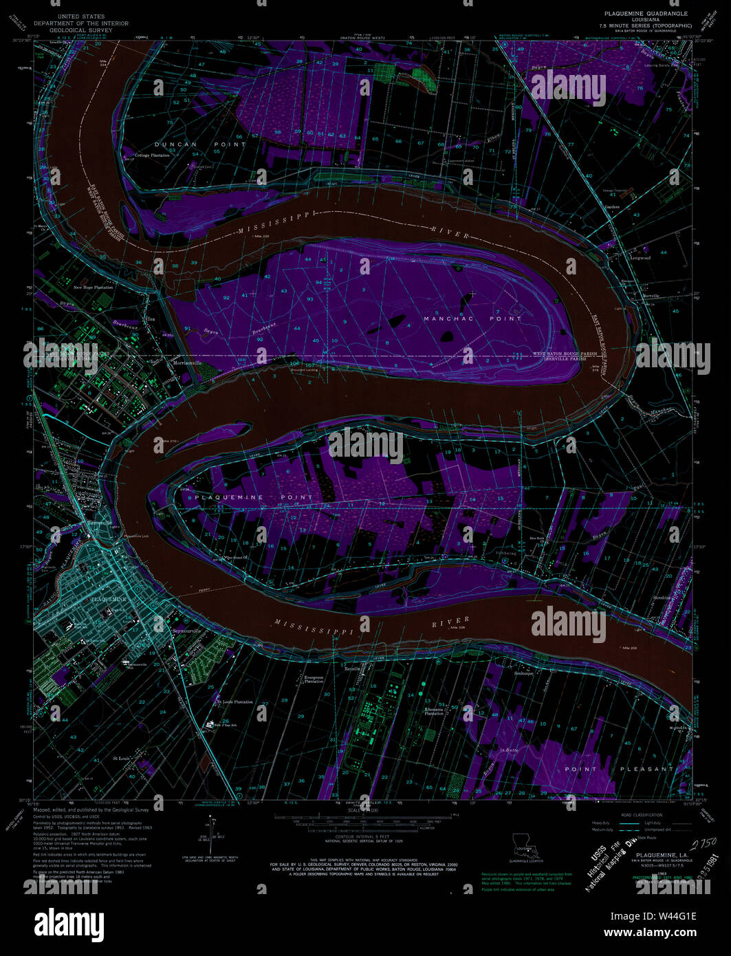 USGS TOPO Map Louisiana LA Plaquemine 333063 1963 24000 Inverted Stock Photohttps://www.alamy.com/image-license-details/?v=1https://www.alamy.com/usgs-topo-map-louisiana-la-plaquemine-333063-1963-24000-inverted-image260714538.html
RMW44G1E–USGS TOPO Map Louisiana LA Plaquemine 333063 1963 24000 Inverted
 USGS TOPO Map Louisiana LA Plaquemine 333061 1963 24000 Inverted Stock Photohttps://www.alamy.com/image-license-details/?v=1https://www.alamy.com/usgs-topo-map-louisiana-la-plaquemine-333061-1963-24000-inverted-image260714491.html
RMW44FYR–USGS TOPO Map Louisiana LA Plaquemine 333061 1963 24000 Inverted
 USGS TOPO Map Louisiana LA Plaquemine 333059 1953 24000 Inverted Stock Photohttps://www.alamy.com/image-license-details/?v=1https://www.alamy.com/usgs-topo-map-louisiana-la-plaquemine-333059-1953-24000-inverted-image260714456.html
RMW44FXG–USGS TOPO Map Louisiana LA Plaquemine 333059 1953 24000 Inverted
 USGS TOPO Map Louisiana LA Plaquemine 333068 1998 24000 Inverted Stock Photohttps://www.alamy.com/image-license-details/?v=1https://www.alamy.com/usgs-topo-map-louisiana-la-plaquemine-333068-1998-24000-inverted-image260714601.html
RMW44G3N–USGS TOPO Map Louisiana LA Plaquemine 333068 1998 24000 Inverted
 USGS TOPO Map Louisiana LA Plaquemine 333062 1963 24000 Inverted Stock Photohttps://www.alamy.com/image-license-details/?v=1https://www.alamy.com/usgs-topo-map-louisiana-la-plaquemine-333062-1963-24000-inverted-image260714519.html
RMW44G0R–USGS TOPO Map Louisiana LA Plaquemine 333062 1963 24000 Inverted
 USGS TOPO Map Louisiana LA Plaquemine 333064 1963 24000 Inverted Stock Photohttps://www.alamy.com/image-license-details/?v=1https://www.alamy.com/usgs-topo-map-louisiana-la-plaquemine-333064-1963-24000-inverted-image260714552.html
RMW44G20–USGS TOPO Map Louisiana LA Plaquemine 333064 1963 24000 Inverted
 USGS TOPO Map Louisiana LA Plaquemine 333066 1992 24000 Inverted Stock Photohttps://www.alamy.com/image-license-details/?v=1https://www.alamy.com/usgs-topo-map-louisiana-la-plaquemine-333066-1992-24000-inverted-image260714570.html
RMW44G2J–USGS TOPO Map Louisiana LA Plaquemine 333066 1992 24000 Inverted
 USGS TOPO Map Louisiana LA Plaquemine 333067 1992 24000 Inverted Stock Photohttps://www.alamy.com/image-license-details/?v=1https://www.alamy.com/usgs-topo-map-louisiana-la-plaquemine-333067-1992-24000-inverted-image260714582.html
RMW44G32–USGS TOPO Map Louisiana LA Plaquemine 333067 1992 24000 Inverted