Quick filters:
Pokomoké Stock Photos and Images
 Welcome sign in Downtown Pokomoke, MA, USA Stock Photohttps://www.alamy.com/image-license-details/?v=1https://www.alamy.com/welcome-sign-in-downtown-pokomoke-ma-usa-image256415354.html
RMTW4MB6–Welcome sign in Downtown Pokomoke, MA, USA
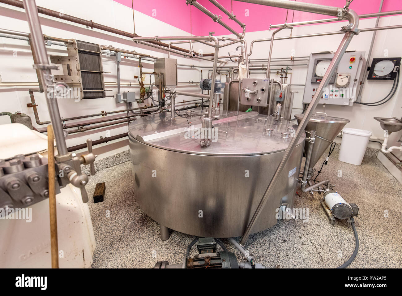 Machinery used to make and cheese at dairy processing facility, Pokomoke, Maryland Stock Photohttps://www.alamy.com/image-license-details/?v=1https://www.alamy.com/machinery-used-to-make-and-cheese-at-dairy-processing-facility-pokomoke-maryland-image239153549.html
RMRW2AP5–Machinery used to make and cheese at dairy processing facility, Pokomoke, Maryland
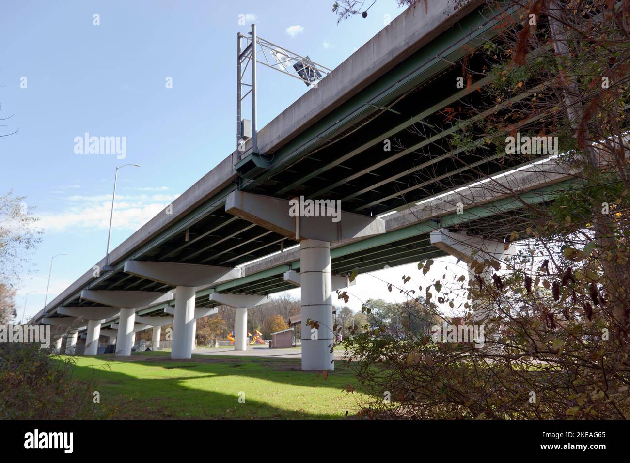 View of the Dual Steel Beam Bridge carrying US 13 over the Pocomoke River, Maryland, USA Stock Photohttps://www.alamy.com/image-license-details/?v=1https://www.alamy.com/view-of-the-dual-steel-beam-bridge-carrying-us-13-over-the-pocomoke-river-maryland-usa-image490727725.html
RM2KEAG65–View of the Dual Steel Beam Bridge carrying US 13 over the Pocomoke River, Maryland, USA
 Pokomoke, Maryland: An American bullfrog (Lithobates catesbeianus) emerges from the water of a pond in the Pokomoke River State Park. Stock Photohttps://www.alamy.com/image-license-details/?v=1https://www.alamy.com/pokomoke-maryland-an-american-bullfrog-lithobates-catesbeianus-emerges-from-the-water-of-a-pond-in-the-pokomoke-river-state-park-image359753564.html
RF2BW859G–Pokomoke, Maryland: An American bullfrog (Lithobates catesbeianus) emerges from the water of a pond in the Pokomoke River State Park.
 Oblique view of southeast end and southwest side - U.S. Naval Base, Pearl Harbor, Paint and Oil Storehouse, Pokomoke Street and Lexington Boulevard, Pearl City, Honolulu County, HI Stock Photohttps://www.alamy.com/image-license-details/?v=1https://www.alamy.com/oblique-view-of-southeast-end-and-southwest-side-us-naval-base-pearl-harbor-paint-and-oil-storehouse-pokomoke-street-and-lexington-boulevard-pearl-city-honolulu-county-hi-image249374755.html
RMTDM017–Oblique view of southeast end and southwest side - U.S. Naval Base, Pearl Harbor, Paint and Oil Storehouse, Pokomoke Street and Lexington Boulevard, Pearl City, Honolulu County, HI
 Pokomoke, Maryland /USA - May 15, 2018: Bronze plaque on the Pokomoke River Bridge (1921). Stock Photohttps://www.alamy.com/image-license-details/?v=1https://www.alamy.com/pokomoke-maryland-usa-may-15-2018-bronze-plaque-on-the-pokomoke-river-bridge-1921-image209928745.html
RFP5F275–Pokomoke, Maryland /USA - May 15, 2018: Bronze plaque on the Pokomoke River Bridge (1921).
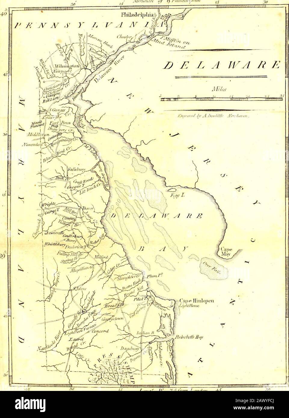 Carey's American pocket atlas ; containing twenty maps..with a brief description of each state, and of Louisiana: also, the census of the inhabitants of the United States, for 1801 and The exports from the United States for ten years . rt course, soft banks, nume-rous shoals, are skirted with very extensive marshes, andempty into the river and bay of Delaware. In the south-ern and western parts of this state, spring the head watersof Pokomoke, Wicomico, Nanticoke, Choptank, Ches-ter, Sassafras, and Bohemia rivers, all emptying intoChesapeak bay. Some of them are navigable twentv orthirty miles Stock Photohttps://www.alamy.com/image-license-details/?v=1https://www.alamy.com/careys-american-pocket-atlas-containing-twenty-mapswith-a-brief-description-of-each-state-and-of-louisiana-also-the-census-of-the-inhabitants-of-the-united-states-for-1801-and-the-exports-from-the-united-states-for-ten-years-rt-course-soft-banks-nume-rous-shoals-are-skirted-with-very-extensive-marshes-andempty-into-the-river-and-bay-of-delaware-in-the-south-ern-and-western-parts-of-this-state-spring-the-head-watersof-pokomoke-wicomico-nanticoke-choptank-ches-ter-sassafras-and-bohemia-rivers-all-emptying-intochesapeak-bay-some-of-them-are-navigable-twentv-orthirty-miles-image342968210.html
RM2AWYFCJ–Carey's American pocket atlas ; containing twenty maps..with a brief description of each state, and of Louisiana: also, the census of the inhabitants of the United States, for 1801 and The exports from the United States for ten years . rt course, soft banks, nume-rous shoals, are skirted with very extensive marshes, andempty into the river and bay of Delaware. In the south-ern and western parts of this state, spring the head watersof Pokomoke, Wicomico, Nanticoke, Choptank, Ches-ter, Sassafras, and Bohemia rivers, all emptying intoChesapeak bay. Some of them are navigable twentv orthirty miles
 Pokomoke, Maryland, USA: Docks in the Pokomoke River State Park reflected in the calm, glassy waters of the river. Stock Photohttps://www.alamy.com/image-license-details/?v=1https://www.alamy.com/pokomoke-maryland-usa-docks-in-the-pokomoke-river-state-park-reflected-in-the-calm-glassy-waters-of-the-river-image209928831.html
RFP5F2A7–Pokomoke, Maryland, USA: Docks in the Pokomoke River State Park reflected in the calm, glassy waters of the river.
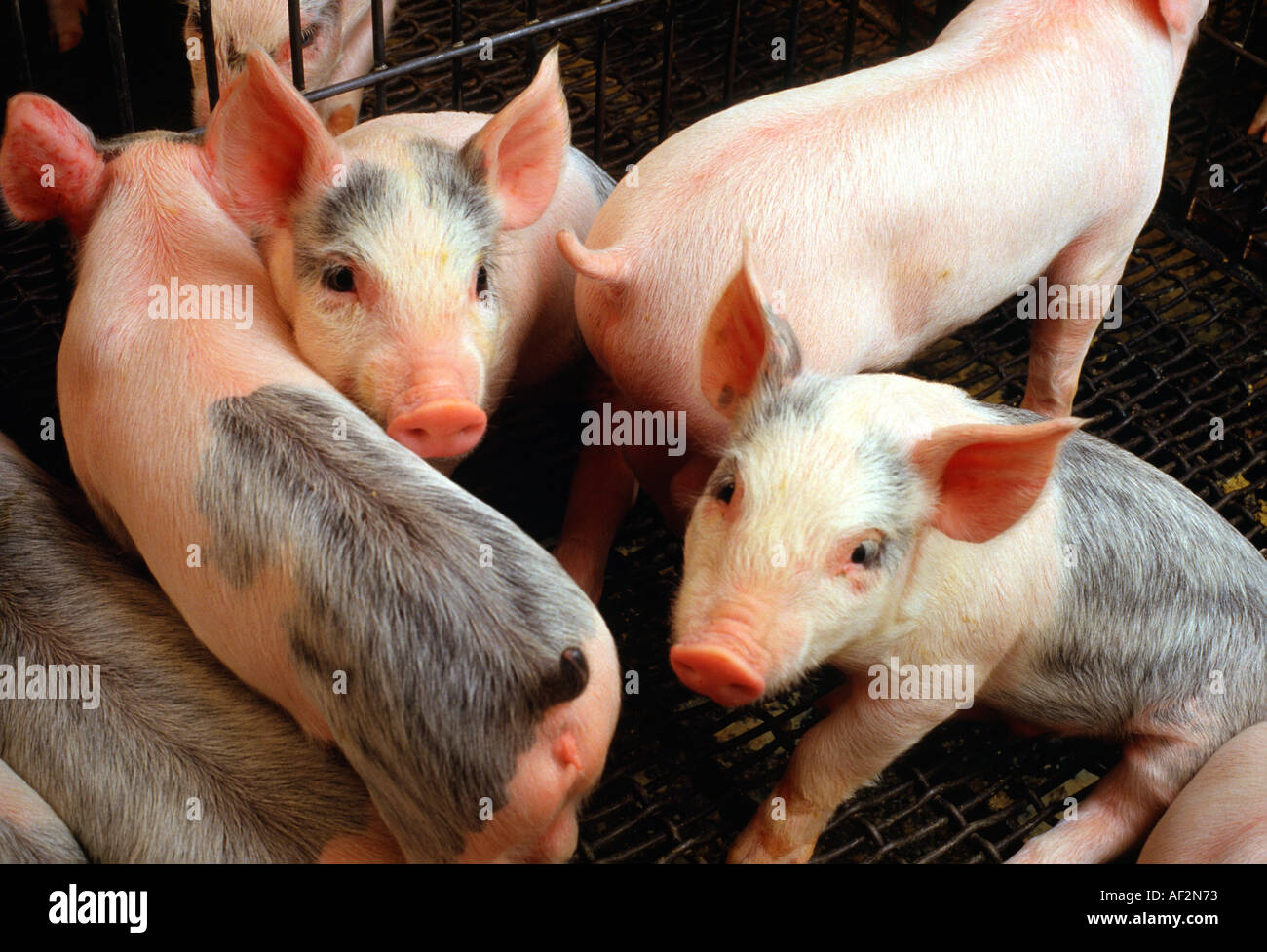 Young Feeder Pigs in pen at swine facility near Pokomoke City Maryland USA Stock Photohttps://www.alamy.com/image-license-details/?v=1https://www.alamy.com/young-feeder-pigs-in-pen-at-swine-facility-near-pokomoke-city-maryland-image4509042.html
RMAF2N73–Young Feeder Pigs in pen at swine facility near Pokomoke City Maryland USA
 Old building in downtown Pokomoke, MD, USA Stock Photohttps://www.alamy.com/image-license-details/?v=1https://www.alamy.com/old-building-in-downtown-pokomoke-md-usa-image256415894.html
RMTW4N2E–Old building in downtown Pokomoke, MD, USA
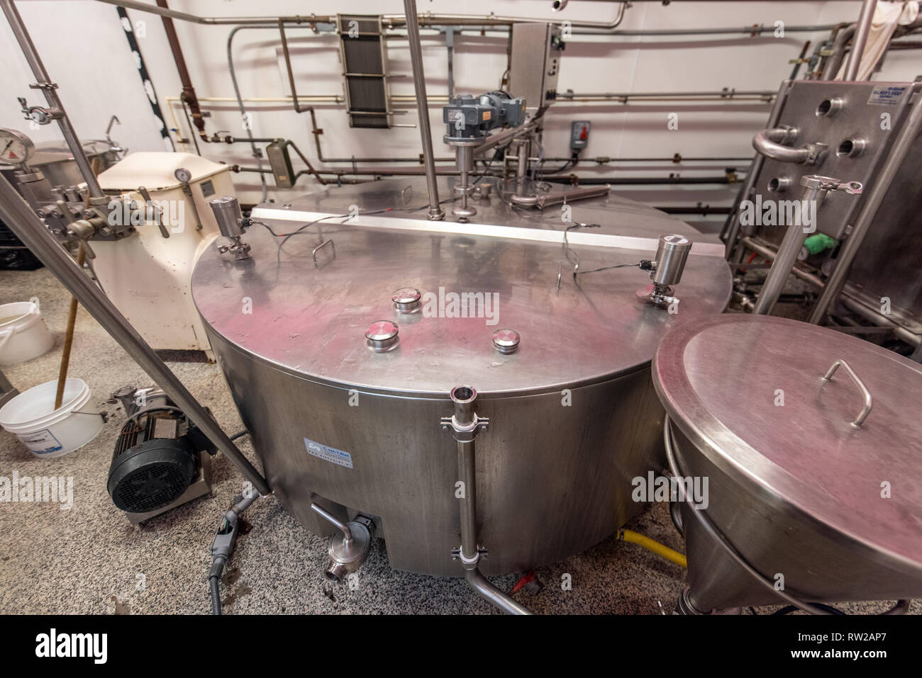 Machinery used to make and cheese at dairy processing facility, Pokomoke, Maryland Stock Photohttps://www.alamy.com/image-license-details/?v=1https://www.alamy.com/machinery-used-to-make-and-cheese-at-dairy-processing-facility-pokomoke-maryland-image239153551.html
RMRW2AP7–Machinery used to make and cheese at dairy processing facility, Pokomoke, Maryland
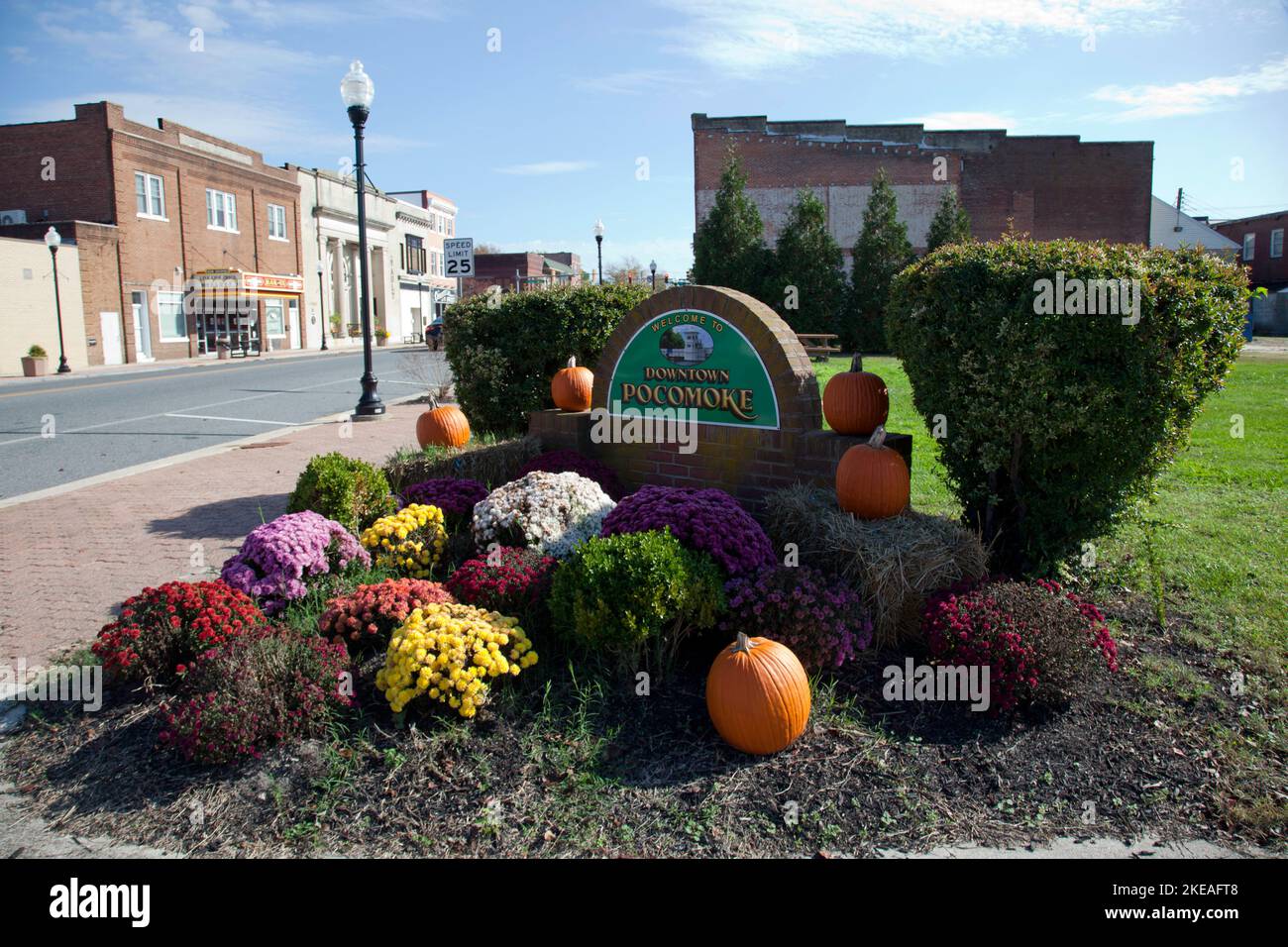 Welcome to Downtown Pokomoke, Market Street, Pocomoke City, Maryland, USA Stock Photohttps://www.alamy.com/image-license-details/?v=1https://www.alamy.com/welcome-to-downtown-pokomoke-market-street-pocomoke-city-maryland-usa-image490727448.html
RM2KEAFT8–Welcome to Downtown Pokomoke, Market Street, Pocomoke City, Maryland, USA
 Oblique view of northeast side and northwest end - U.S. Naval Base, Pearl Harbor, Paint and Oil Storehouse, Pokomoke Street and Lexington Boulevard, Pearl City, Honolulu County, HI Stock Photohttps://www.alamy.com/image-license-details/?v=1https://www.alamy.com/oblique-view-of-northeast-side-and-northwest-end-us-naval-base-pearl-harbor-paint-and-oil-storehouse-pokomoke-street-and-lexington-boulevard-pearl-city-honolulu-county-hi-image249374201.html
RMTDKY9D–Oblique view of northeast side and northwest end - U.S. Naval Base, Pearl Harbor, Paint and Oil Storehouse, Pokomoke Street and Lexington Boulevard, Pearl City, Honolulu County, HI
 Carey's American pocket atlas ; containing twenty maps..with a brief description of each state, and of Louisiana: also, the census of the inhabitants of the United States, for 1801 and The exports from the United States for ten years . generally have a short course, soft banks, nume-rous shoals, are skirted with very extensive marshes, andempty into the river and bay of Delaware. In the south-ern and western parts of this state, spring the head watersof Pokomoke, Wicomico, Nanticoke, Choptank, Ches-ter, Sassafras, and Bohemia rivers, all emptying intoChesapeak bay. Some of them are navigable t Stock Photohttps://www.alamy.com/image-license-details/?v=1https://www.alamy.com/careys-american-pocket-atlas-containing-twenty-mapswith-a-brief-description-of-each-state-and-of-louisiana-also-the-census-of-the-inhabitants-of-the-united-states-for-1801-and-the-exports-from-the-united-states-for-ten-years-generally-have-a-short-course-soft-banks-nume-rous-shoals-are-skirted-with-very-extensive-marshes-andempty-into-the-river-and-bay-of-delaware-in-the-south-ern-and-western-parts-of-this-state-spring-the-head-watersof-pokomoke-wicomico-nanticoke-choptank-ches-ter-sassafras-and-bohemia-rivers-all-emptying-intochesapeak-bay-some-of-them-are-navigable-t-image342968780.html
RM2AWYG50–Carey's American pocket atlas ; containing twenty maps..with a brief description of each state, and of Louisiana: also, the census of the inhabitants of the United States, for 1801 and The exports from the United States for ten years . generally have a short course, soft banks, nume-rous shoals, are skirted with very extensive marshes, andempty into the river and bay of Delaware. In the south-ern and western parts of this state, spring the head watersof Pokomoke, Wicomico, Nanticoke, Choptank, Ches-ter, Sassafras, and Bohemia rivers, all emptying intoChesapeak bay. Some of them are navigable t
 Pokomoke, Maryland, USA: A bullfrog emerges from the water of a pond in the Pokomoke River State Park. Stock Photohttps://www.alamy.com/image-license-details/?v=1https://www.alamy.com/pokomoke-maryland-usa-a-bullfrog-emerges-from-the-water-of-a-pond-in-the-pokomoke-river-state-park-image209928935.html
RFP5F2DY–Pokomoke, Maryland, USA: A bullfrog emerges from the water of a pond in the Pokomoke River State Park.
 Old building in downtown Pokomoke, MD, USA Stock Photohttps://www.alamy.com/image-license-details/?v=1https://www.alamy.com/old-building-in-downtown-pokomoke-md-usa-image256415714.html
RMTW4MT2–Old building in downtown Pokomoke, MD, USA
 Close-up on nose of calf as it eats, Pokomoke, Maryland Stock Photohttps://www.alamy.com/image-license-details/?v=1https://www.alamy.com/close-up-on-nose-of-calf-as-it-eats-pokomoke-maryland-image239153541.html
RMRW2ANW–Close-up on nose of calf as it eats, Pokomoke, Maryland
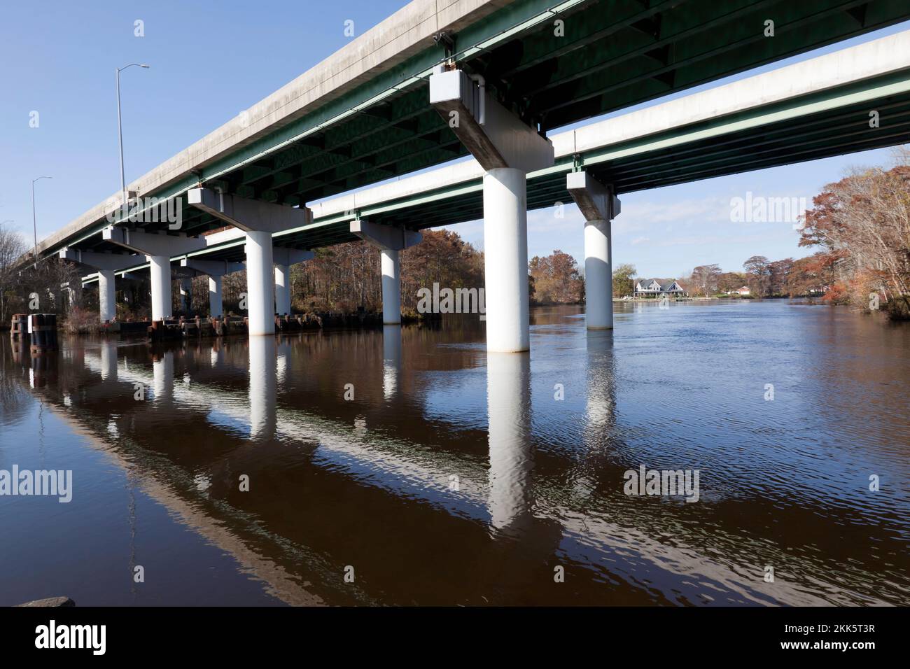 View of the Dual Steel Beam Bridge carrying US 13 over the Pocomoke River, Maryland, USA Stock Photohttps://www.alamy.com/image-license-details/?v=1https://www.alamy.com/view-of-the-dual-steel-beam-bridge-carrying-us-13-over-the-pocomoke-river-maryland-usa-image493697451.html
RM2KK5T3R–View of the Dual Steel Beam Bridge carrying US 13 over the Pocomoke River, Maryland, USA
 NORTHWEST ELEVATION SHOWING THE THREE LEVEL EQUIPMENT AREA. VIEW FACING SOUTHEAST - U.S. Naval Base, Pearl Harbor, Theater, Hornet Avenue between Enterprise and Pokomoke Streets, Pearl City, Honolulu County, HI Stock Photohttps://www.alamy.com/image-license-details/?v=1https://www.alamy.com/northwest-elevation-showing-the-three-level-equipment-area-view-facing-southeast-us-naval-base-pearl-harbor-theater-hornet-avenue-between-enterprise-and-pokomoke-streets-pearl-city-honolulu-county-hi-image249300210.html
RMTDGGXX–NORTHWEST ELEVATION SHOWING THE THREE LEVEL EQUIPMENT AREA. VIEW FACING SOUTHEAST - U.S. Naval Base, Pearl Harbor, Theater, Hornet Avenue between Enterprise and Pokomoke Streets, Pearl City, Honolulu County, HI
 Carey's American pocket atlas ; containing twenty maps..with a brief description of each state, and of Louisiana: also, the census of the inhabitants of the United States, for 1801 and The exports from the United States for ten years . ecil, Kent, Queen Ann, Caroline, Talbot,Somerset, Dorchester, and Worcester. Bays and Rivers. Cliesapeak Bay divides this stateinto eastern and western divisions. This bay is the larg-est in the United States. From the eastern shore in Ma-ryland, it receives Pokomoke, Nanticoke, Choptank, Ches-ter and Elk rivers. From the north, the rapid Susquehan-nah, and from Stock Photohttps://www.alamy.com/image-license-details/?v=1https://www.alamy.com/careys-american-pocket-atlas-containing-twenty-mapswith-a-brief-description-of-each-state-and-of-louisiana-also-the-census-of-the-inhabitants-of-the-united-states-for-1801-and-the-exports-from-the-united-states-for-ten-years-ecil-kent-queen-ann-caroline-talbotsomerset-dorchester-and-worcester-bays-and-rivers-cliesapeak-bay-divides-this-stateinto-eastern-and-western-divisions-this-bay-is-the-larg-est-in-the-united-states-from-the-eastern-shore-in-ma-ryland-it-receives-pokomoke-nanticoke-choptank-ches-ter-and-elk-rivers-from-the-north-the-rapid-susquehan-nah-and-from-image342966100.html
RM2AWYCN8–Carey's American pocket atlas ; containing twenty maps..with a brief description of each state, and of Louisiana: also, the census of the inhabitants of the United States, for 1801 and The exports from the United States for ten years . ecil, Kent, Queen Ann, Caroline, Talbot,Somerset, Dorchester, and Worcester. Bays and Rivers. Cliesapeak Bay divides this stateinto eastern and western divisions. This bay is the larg-est in the United States. From the eastern shore in Ma-ryland, it receives Pokomoke, Nanticoke, Choptank, Ches-ter and Elk rivers. From the north, the rapid Susquehan-nah, and from
 Pokomoke, Maryland, USA: Docks in the Pokomoke River State Park reflected in the calm, glassy waters of the river. Stock Photohttps://www.alamy.com/image-license-details/?v=1https://www.alamy.com/pokomoke-maryland-usa-docks-in-the-pokomoke-river-state-park-reflected-in-the-calm-glassy-waters-of-the-river-image209928808.html
RFP5F29C–Pokomoke, Maryland, USA: Docks in the Pokomoke River State Park reflected in the calm, glassy waters of the river.
 Pocomoke City Drawbridge in Pokomoke City, MD, USA Stock Photohttps://www.alamy.com/image-license-details/?v=1https://www.alamy.com/pocomoke-city-drawbridge-in-pokomoke-city-md-usa-image256413869.html
RMTW4JE5–Pocomoke City Drawbridge in Pokomoke City, MD, USA
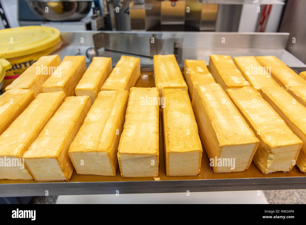 Blocks of freshly made cheese at dairy processing facility, Pokomoke, Maryland Stock Photohttps://www.alamy.com/image-license-details/?v=1https://www.alamy.com/blocks-of-freshly-made-cheese-at-dairy-processing-facility-pokomoke-maryland-image239153554.html
RMRW2APA–Blocks of freshly made cheese at dairy processing facility, Pokomoke, Maryland
 Boardwalk running along the edge of Cypress Park, next to the Pocomoke River, Pocomoke City, with the Dual Steel Beam Bridge, in the background Stock Photohttps://www.alamy.com/image-license-details/?v=1https://www.alamy.com/boardwalk-running-along-the-edge-of-cypress-park-next-to-the-pocomoke-river-pocomoke-city-with-the-dual-steel-beam-bridge-in-the-background-image493684695.html
RM2KK57T7–Boardwalk running along the edge of Cypress Park, next to the Pocomoke River, Pocomoke City, with the Dual Steel Beam Bridge, in the background
 OBLIQUE VIEW OF SOUTHEAST AND SOUTHWEST SIDES SHOWING THE VISOR WHICH EXTENDS AROUND THE BUILDING. VIEW FACING NORTH - U.S. Naval Base, Pearl Harbor, Theater, Hornet Avenue between Enterprise and Pokomoke Streets, Pearl City, Honolulu County, HI Stock Photohttps://www.alamy.com/image-license-details/?v=1https://www.alamy.com/oblique-view-of-southeast-and-southwest-sides-showing-the-visor-which-extends-around-the-building-view-facing-north-us-naval-base-pearl-harbor-theater-hornet-avenue-between-enterprise-and-pokomoke-streets-pearl-city-honolulu-county-hi-image249353601.html
RMTDK11N–OBLIQUE VIEW OF SOUTHEAST AND SOUTHWEST SIDES SHOWING THE VISOR WHICH EXTENDS AROUND THE BUILDING. VIEW FACING NORTH - U.S. Naval Base, Pearl Harbor, Theater, Hornet Avenue between Enterprise and Pokomoke Streets, Pearl City, Honolulu County, HI
 Carey's American pocket atlas ; containing twenty maps..with a brief description of each state, and of Louisiana: also, the census of the inhabitants of the United States, for 1801 and The exports from the United States for ten years . Marys, Cecil, Kent, Queen Ann, Caroline, Talbot,Somerset, Dorchester, and Worcester. Bays and Rivers. C/iesapeak Bay divides this stateinto eastern and western divisions. 1 his bay is the larg-est in the United States. From the eastern shore in Ma-ryland, it receives Pokomoke, Nanticoke, Choptank, Ches-ter and Elk rivers. From the north, the rapid Susquehan-nah, Stock Photohttps://www.alamy.com/image-license-details/?v=1https://www.alamy.com/careys-american-pocket-atlas-containing-twenty-mapswith-a-brief-description-of-each-state-and-of-louisiana-also-the-census-of-the-inhabitants-of-the-united-states-for-1801-and-the-exports-from-the-united-states-for-ten-years-marys-cecil-kent-queen-ann-caroline-talbotsomerset-dorchester-and-worcester-bays-and-rivers-ciesapeak-bay-divides-this-stateinto-eastern-and-western-divisions-1-his-bay-is-the-larg-est-in-the-united-states-from-the-eastern-shore-in-ma-ryland-it-receives-pokomoke-nanticoke-choptank-ches-ter-and-elk-rivers-from-the-north-the-rapid-susquehan-nah-image342966501.html
RM2AWYD7H–Carey's American pocket atlas ; containing twenty maps..with a brief description of each state, and of Louisiana: also, the census of the inhabitants of the United States, for 1801 and The exports from the United States for ten years . Marys, Cecil, Kent, Queen Ann, Caroline, Talbot,Somerset, Dorchester, and Worcester. Bays and Rivers. C/iesapeak Bay divides this stateinto eastern and western divisions. 1 his bay is the larg-est in the United States. From the eastern shore in Ma-ryland, it receives Pokomoke, Nanticoke, Choptank, Ches-ter and Elk rivers. From the north, the rapid Susquehan-nah,
 Pokomoke, Maryland, USA: Docks in the Pokomoke River State Park reflected in the calm, glassy waters of the river. Stock Photohttps://www.alamy.com/image-license-details/?v=1https://www.alamy.com/pokomoke-maryland-usa-docks-in-the-pokomoke-river-state-park-reflected-in-the-calm-glassy-waters-of-the-river-image209928915.html
RFP5F2D7–Pokomoke, Maryland, USA: Docks in the Pokomoke River State Park reflected in the calm, glassy waters of the river.
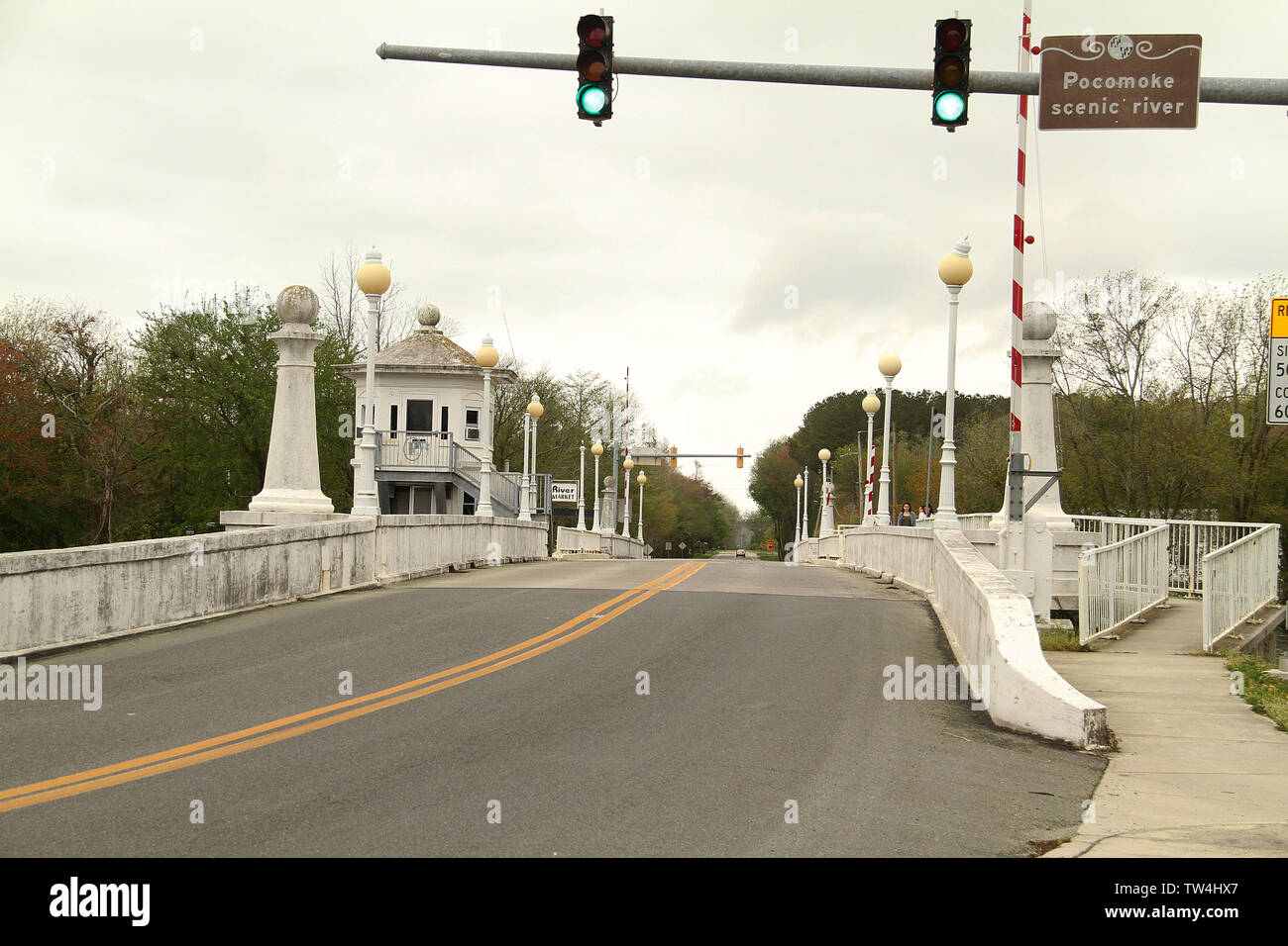 Pocomoke City Drawbridge in Pokomoke City, MD, USA Stock Photohttps://www.alamy.com/image-license-details/?v=1https://www.alamy.com/pocomoke-city-drawbridge-in-pokomoke-city-md-usa-image256413423.html
RMTW4HX7–Pocomoke City Drawbridge in Pokomoke City, MD, USA
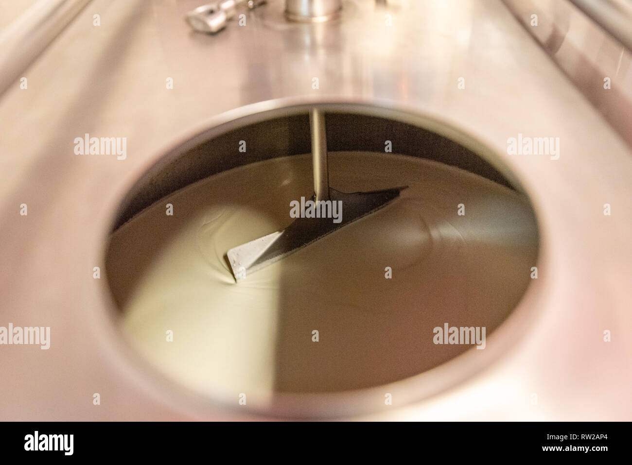 Inside of machine mixing cheese at dairy processing facility, Pokomoke, Maryland Stock Photohttps://www.alamy.com/image-license-details/?v=1https://www.alamy.com/inside-of-machine-mixing-cheese-at-dairy-processing-facility-pokomoke-maryland-image239153548.html
RMRW2AP4–Inside of machine mixing cheese at dairy processing facility, Pokomoke, Maryland
 NORTHEAST ELEVATION SHOWING THE COVERED PROMENADE AT THE FIRST FLOOR AND THREE WINDOWS (BOARDED) AT THE SECOND FLOOR. VIEW FACING SOUTHWEST - U.S. Naval Base, Pearl Harbor, Theater, Hornet Avenue between Enterprise and Pokomoke Streets, Pearl City, Honolulu County, HI Stock Photohttps://www.alamy.com/image-license-details/?v=1https://www.alamy.com/northeast-elevation-showing-the-covered-promenade-at-the-first-floor-and-three-windows-boarded-at-the-second-floor-view-facing-southwest-us-naval-base-pearl-harbor-theater-hornet-avenue-between-enterprise-and-pokomoke-streets-pearl-city-honolulu-county-hi-image249298051.html
RMTDGE5R–NORTHEAST ELEVATION SHOWING THE COVERED PROMENADE AT THE FIRST FLOOR AND THREE WINDOWS (BOARDED) AT THE SECOND FLOOR. VIEW FACING SOUTHWEST - U.S. Naval Base, Pearl Harbor, Theater, Hornet Avenue between Enterprise and Pokomoke Streets, Pearl City, Honolulu County, HI
 Pokomoke, Maryland, USA: Docks in the Pokomoke River State Park reflected in the calm, glassy waters of the river. Stock Photohttps://www.alamy.com/image-license-details/?v=1https://www.alamy.com/pokomoke-maryland-usa-docks-in-the-pokomoke-river-state-park-reflected-in-the-calm-glassy-waters-of-the-river-image209928857.html
RFP5F2B5–Pokomoke, Maryland, USA: Docks in the Pokomoke River State Park reflected in the calm, glassy waters of the river.
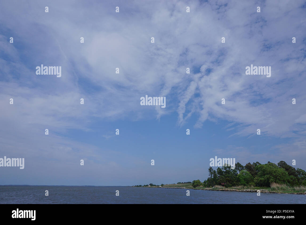 Saxis, Virginia: View of Pokomoke Sound, under a dramatic cloud formation, from the fishing town of Saxis, Virginia. Stock Photohttps://www.alamy.com/image-license-details/?v=1https://www.alamy.com/saxis-virginia-view-of-pokomoke-sound-under-a-dramatic-cloud-formation-from-the-fishing-town-of-saxis-virginia-image209926174.html
RFP5EXYA–Saxis, Virginia: View of Pokomoke Sound, under a dramatic cloud formation, from the fishing town of Saxis, Virginia.
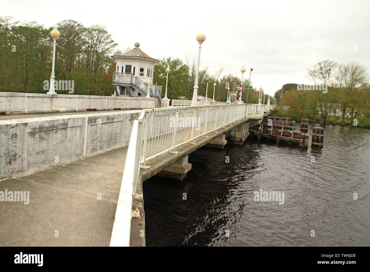 Pocomoke City Drawbridge in Pokomoke City, MD, USA Stock Photohttps://www.alamy.com/image-license-details/?v=1https://www.alamy.com/pocomoke-city-drawbridge-in-pokomoke-city-md-usa-image256413850.html
RMTW4JDE–Pocomoke City Drawbridge in Pokomoke City, MD, USA
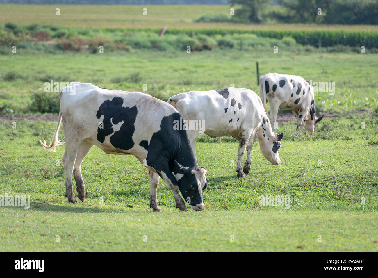 Holstein cattle grazing green grasses in field, Pokomoke, Maryland Stock Photohttps://www.alamy.com/image-license-details/?v=1https://www.alamy.com/holstein-cattle-grazing-green-grasses-in-field-pokomoke-maryland-image239153566.html
RMRW2APP–Holstein cattle grazing green grasses in field, Pokomoke, Maryland
 OBLIQUE VIEW OF NORTHWEST AND NORTHEAST SIDES. NOTE THE THREE LEVEL EQUIPMENT AREA WITH VENTILATION LOUVERS ON THE NORTHWEST SIDE AND COVERED PROMENADE ON THE NORTHEAST SIDE. VIEW FACING SOUTH - U.S. Naval Base, Pearl Harbor, Theater, Hornet Avenue between Enterprise and Pokomoke Streets, Pearl City, Honolulu County, HI Stock Photohttps://www.alamy.com/image-license-details/?v=1https://www.alamy.com/oblique-view-of-northwest-and-northeast-sides-note-the-three-level-equipment-area-with-ventilation-louvers-on-the-northwest-side-and-covered-promenade-on-the-northeast-side-view-facing-south-us-naval-base-pearl-harbor-theater-hornet-avenue-between-enterprise-and-pokomoke-streets-pearl-city-honolulu-county-hi-image249353410.html
RMTDK0PX–OBLIQUE VIEW OF NORTHWEST AND NORTHEAST SIDES. NOTE THE THREE LEVEL EQUIPMENT AREA WITH VENTILATION LOUVERS ON THE NORTHWEST SIDE AND COVERED PROMENADE ON THE NORTHEAST SIDE. VIEW FACING SOUTH - U.S. Naval Base, Pearl Harbor, Theater, Hornet Avenue between Enterprise and Pokomoke Streets, Pearl City, Honolulu County, HI
 Saxis, Virginia: View of Pokomoke Sound, under a dramatic cloud formation, from the fishing town of Saxis, Virginia. Stock Photohttps://www.alamy.com/image-license-details/?v=1https://www.alamy.com/saxis-virginia-view-of-pokomoke-sound-under-a-dramatic-cloud-formation-from-the-fishing-town-of-saxis-virginia-image209926175.html
RFP5EXYB–Saxis, Virginia: View of Pokomoke Sound, under a dramatic cloud formation, from the fishing town of Saxis, Virginia.
 Pocomoke City Drawbridge in Pokomoke City, MD, USA Stock Photohttps://www.alamy.com/image-license-details/?v=1https://www.alamy.com/pocomoke-city-drawbridge-in-pokomoke-city-md-usa-image256414785.html
RMTW4KJW–Pocomoke City Drawbridge in Pokomoke City, MD, USA
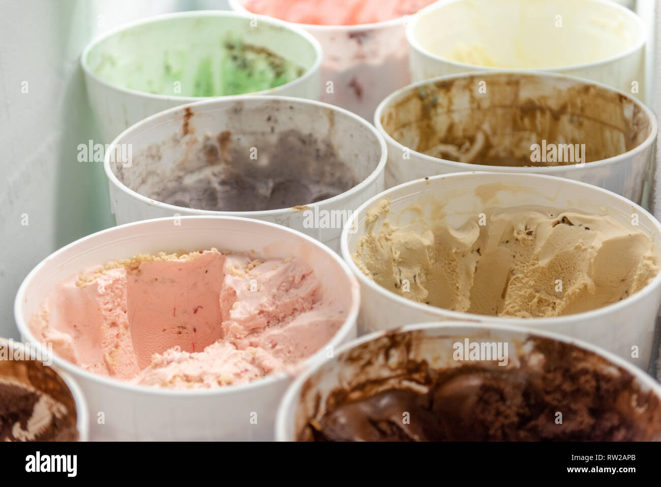 Plastic bins full of ice-cream in freezer, Pokomoke, Maryland Stock Photohttps://www.alamy.com/image-license-details/?v=1https://www.alamy.com/plastic-bins-full-of-ice-cream-in-freezer-pokomoke-maryland-image239153555.html
RMRW2APB–Plastic bins full of ice-cream in freezer, Pokomoke, Maryland
 Pokomoke, Maryland /USA - May 15, 2018: View of the Pokomoke River Bridge (1921) under a cloudy sky at dusk. Stock Photohttps://www.alamy.com/image-license-details/?v=1https://www.alamy.com/pokomoke-maryland-usa-may-15-2018-view-of-the-pokomoke-river-bridge-1921-under-a-cloudy-sky-at-dusk-image209928734.html
RFP5F26P–Pokomoke, Maryland /USA - May 15, 2018: View of the Pokomoke River Bridge (1921) under a cloudy sky at dusk.
 Pocomoke City Drawbridge in Pokomoke City, MD, USA Stock Photohttps://www.alamy.com/image-license-details/?v=1https://www.alamy.com/pocomoke-city-drawbridge-in-pokomoke-city-md-usa-image256414440.html
RMTW4K6G–Pocomoke City Drawbridge in Pokomoke City, MD, USA
 Aerial view farm buildings and equipment with corn field, Pokomoke, Maryland Stock Photohttps://www.alamy.com/image-license-details/?v=1https://www.alamy.com/aerial-view-farm-buildings-and-equipment-with-corn-field-pokomoke-maryland-image239153479.html
RMRW2AKK–Aerial view farm buildings and equipment with corn field, Pokomoke, Maryland
 Pokomoke, Maryland /USA - May 15, 2018: View of the Pokomoke River Bridge (1921) under a cloudy sky at dusk. Stock Photohttps://www.alamy.com/image-license-details/?v=1https://www.alamy.com/pokomoke-maryland-usa-may-15-2018-view-of-the-pokomoke-river-bridge-1921-under-a-cloudy-sky-at-dusk-image209926190.html
RFP5EXYX–Pokomoke, Maryland /USA - May 15, 2018: View of the Pokomoke River Bridge (1921) under a cloudy sky at dusk.
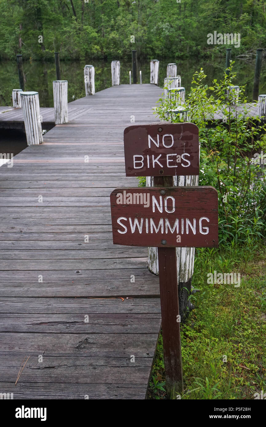 Pokomoke, Maryland, USA: Signs at a dock in the Pokomoke River State Park warn visitors that biking and swimming are not allowed. Stock Photohttps://www.alamy.com/image-license-details/?v=1https://www.alamy.com/pokomoke-maryland-usa-signs-at-a-dock-in-the-pokomoke-river-state-park-warn-visitors-that-biking-and-swimming-are-not-allowed-image209928785.html
RFP5F28H–Pokomoke, Maryland, USA: Signs at a dock in the Pokomoke River State Park warn visitors that biking and swimming are not allowed.
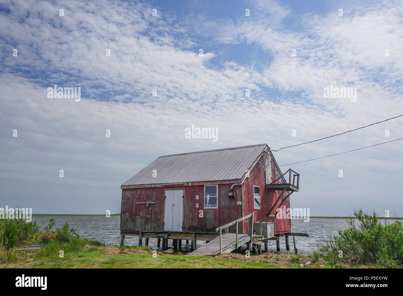 Saxis, Virginia / USA - May 15, 2018: An old red crab house on the edge of the Pokomoke Sound in the fishing town of Saxis, Virginia. Stock Photohttps://www.alamy.com/image-license-details/?v=1https://www.alamy.com/saxis-virginia-usa-may-15-2018-an-old-red-crab-house-on-the-edge-of-the-pokomoke-sound-in-the-fishing-town-of-saxis-virginia-image209926189.html
RFP5EXYW–Saxis, Virginia / USA - May 15, 2018: An old red crab house on the edge of the Pokomoke Sound in the fishing town of Saxis, Virginia.
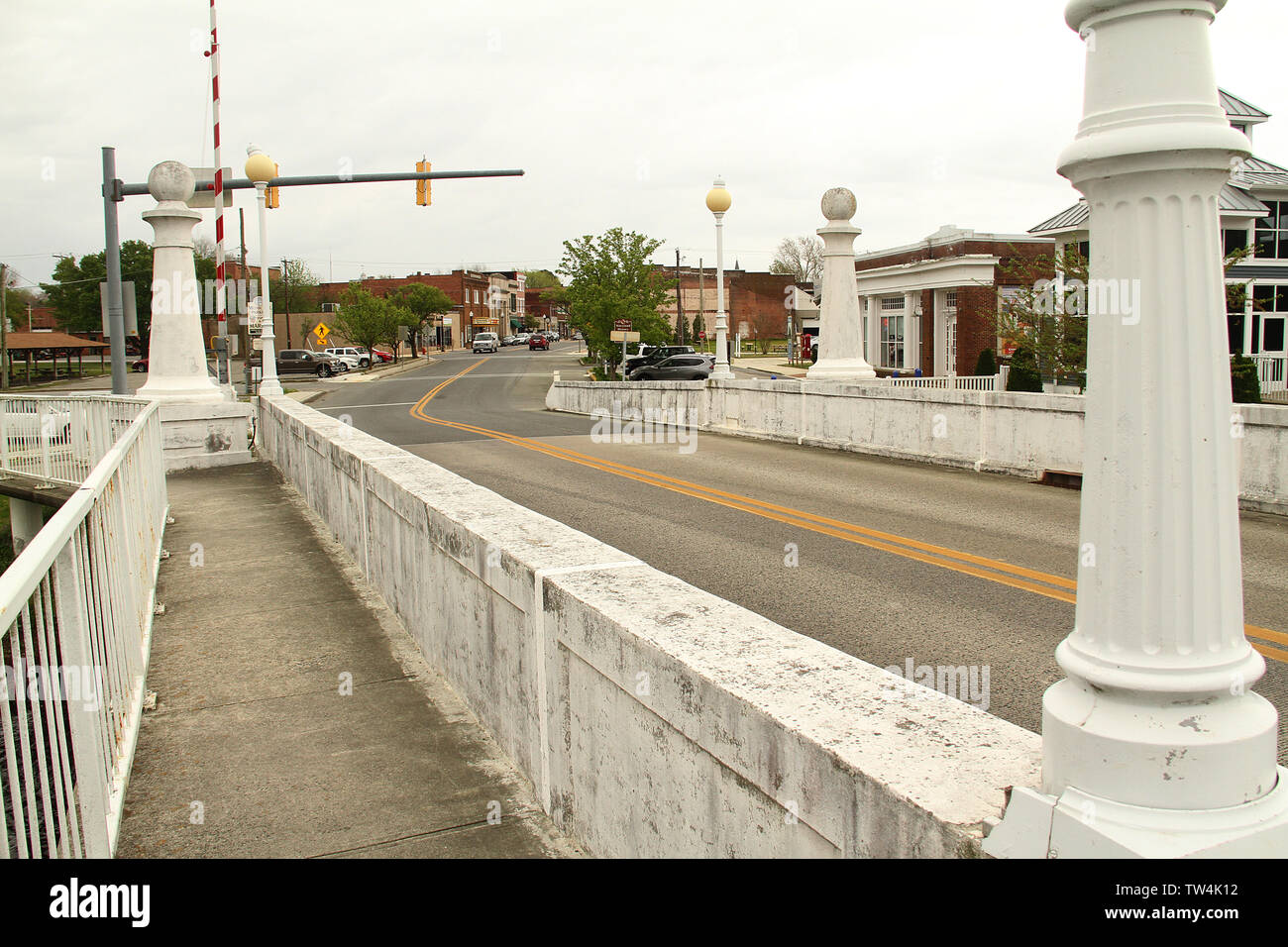 Pocomoke City Drawbridge in Pokomoke City, MD, USA Stock Photohttps://www.alamy.com/image-license-details/?v=1https://www.alamy.com/pocomoke-city-drawbridge-in-pokomoke-city-md-usa-image256414286.html
RMTW4K12–Pocomoke City Drawbridge in Pokomoke City, MD, USA
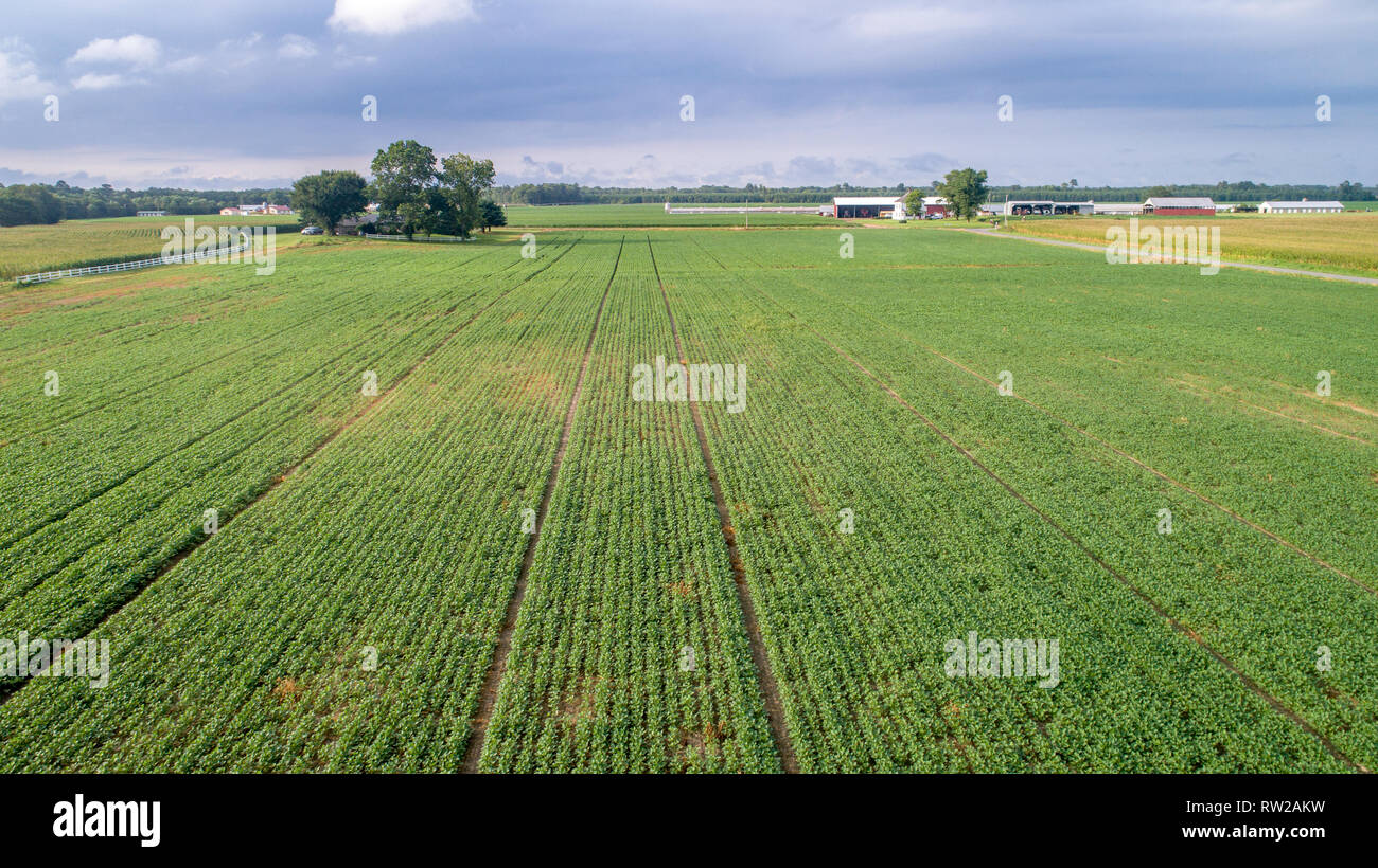 Aerial view corn field with farm buildings in the distance, Pokomoke, Maryland Stock Photohttps://www.alamy.com/image-license-details/?v=1https://www.alamy.com/aerial-view-corn-field-with-farm-buildings-in-the-distance-pokomoke-maryland-image239153485.html
RMRW2AKW–Aerial view corn field with farm buildings in the distance, Pokomoke, Maryland
 Saxis, Virginia / USA - May 15, 2018: Erosion barriers made from cemeted oyster shells protect the coast at Saxis, Virginia, on the Pokomoke Sound. Stock Photohttps://www.alamy.com/image-license-details/?v=1https://www.alamy.com/saxis-virginia-usa-may-15-2018-erosion-barriers-made-from-cemeted-oyster-shells-protect-the-coast-at-saxis-virginia-on-the-pokomoke-sound-image209926186.html
RFP5EXYP–Saxis, Virginia / USA - May 15, 2018: Erosion barriers made from cemeted oyster shells protect the coast at Saxis, Virginia, on the Pokomoke Sound.
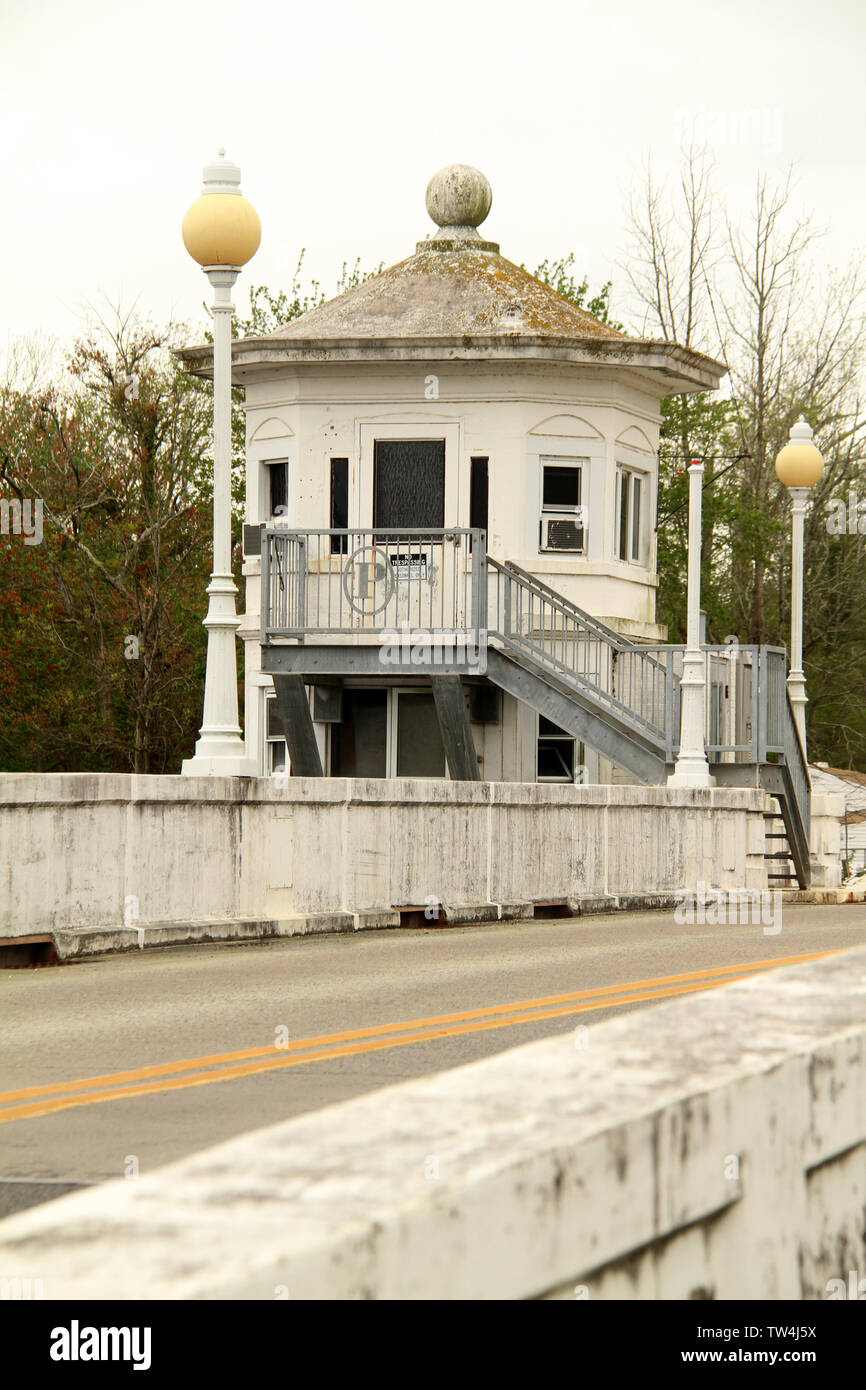 Pocomoke City Drawbridge in Pokomoke City, MD, USA Stock Photohttps://www.alamy.com/image-license-details/?v=1https://www.alamy.com/pocomoke-city-drawbridge-in-pokomoke-city-md-usa-image256413638.html
RMTW4J5X–Pocomoke City Drawbridge in Pokomoke City, MD, USA
 Close-up of nose and face of calf behind metal gate, Pokomoke, Maryland Stock Photohttps://www.alamy.com/image-license-details/?v=1https://www.alamy.com/close-up-of-nose-and-face-of-calf-behind-metal-gate-pokomoke-maryland-image239153562.html
RMRW2APJ–Close-up of nose and face of calf behind metal gate, Pokomoke, Maryland
 105 Market St. in downtown Pokomoke, MA, USA. Facade of the Vault, art, antiques, and jewelry store. Stock Photohttps://www.alamy.com/image-license-details/?v=1https://www.alamy.com/105-market-st-in-downtown-pokomoke-ma-usa-facade-of-the-vault-art-antiques-and-jewelry-store-image256415533.html
RMTW4MHH–105 Market St. in downtown Pokomoke, MA, USA. Facade of the Vault, art, antiques, and jewelry store.
 Hand holding out chocolate ice-cream cone outdoors, Pokomoke, Maryland Stock Photohttps://www.alamy.com/image-license-details/?v=1https://www.alamy.com/hand-holding-out-chocolate-ice-cream-cone-outdoors-pokomoke-maryland-image239153560.html
RMRW2APG–Hand holding out chocolate ice-cream cone outdoors, Pokomoke, Maryland
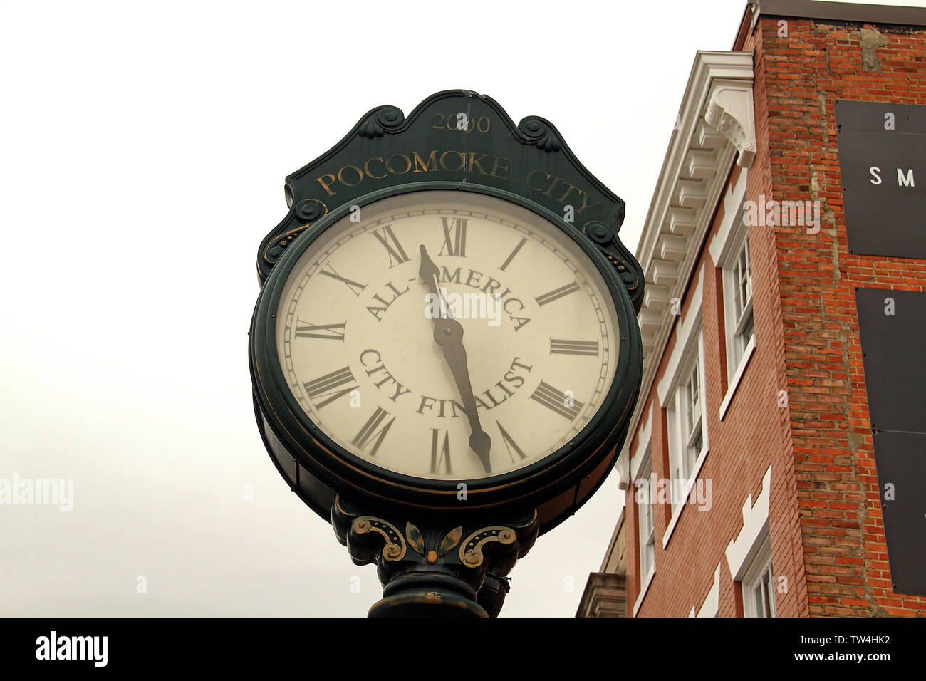 Post clock in downtown Pocomoke City, MD, USA Stock Photohttps://www.alamy.com/image-license-details/?v=1https://www.alamy.com/post-clock-in-downtown-pocomoke-city-md-usa-image256413222.html
RMTW4HK2–Post clock in downtown Pocomoke City, MD, USA
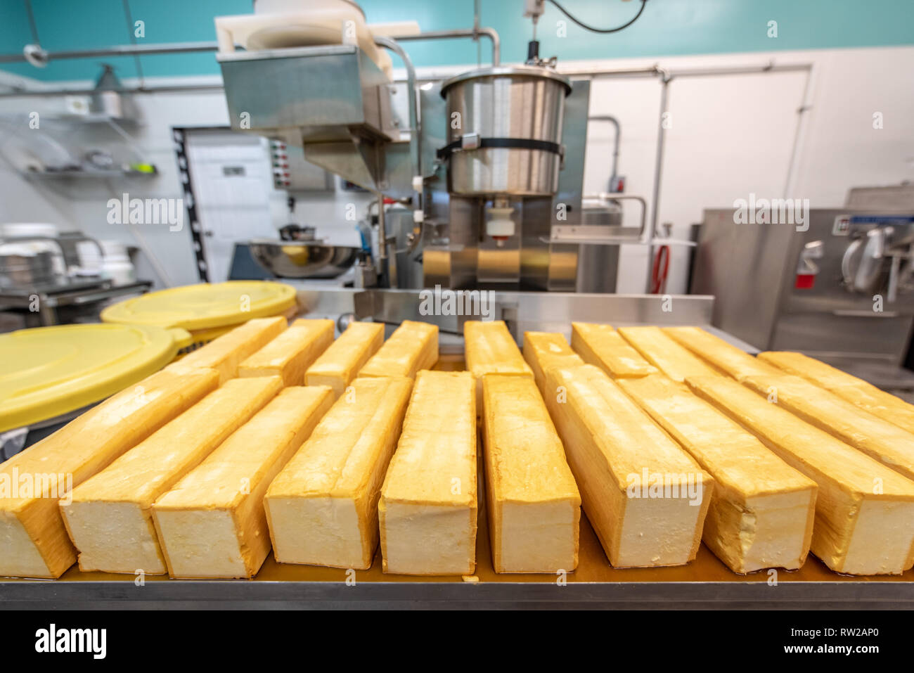 Blocks of freshly made cheese with machinery behind it at dairy processing facility, Pokomoke, Maryland Stock Photohttps://www.alamy.com/image-license-details/?v=1https://www.alamy.com/blocks-of-freshly-made-cheese-with-machinery-behind-it-at-dairy-processing-facility-pokomoke-maryland-image239153544.html
RMRW2AP0–Blocks of freshly made cheese with machinery behind it at dairy processing facility, Pokomoke, Maryland
 Former Atlantic gas station in Pocomoke City, MD, USA Stock Photohttps://www.alamy.com/image-license-details/?v=1https://www.alamy.com/former-atlantic-gas-station-in-pocomoke-city-md-usa-image256415181.html
RMTW4M51–Former Atlantic gas station in Pocomoke City, MD, USA
 Close-up of blocks of freshly made cheese at dairy processing facility, Pokomoke, Maryland Stock Photohttps://www.alamy.com/image-license-details/?v=1https://www.alamy.com/close-up-of-blocks-of-freshly-made-cheese-at-dairy-processing-facility-pokomoke-maryland-image239153552.html
RMRW2AP8–Close-up of blocks of freshly made cheese at dairy processing facility, Pokomoke, Maryland
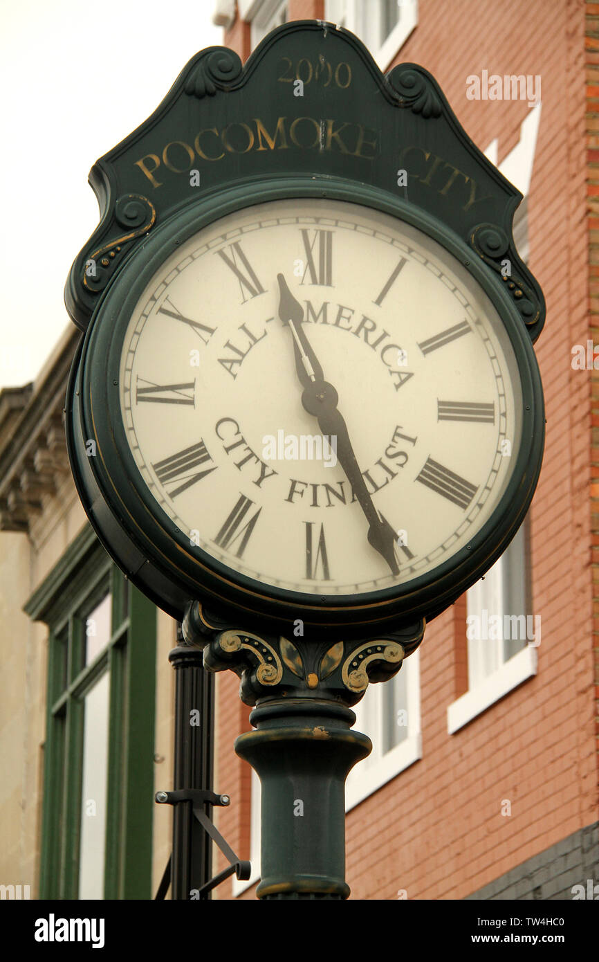 Post clock in downtown Pocomoke City, MD, USA Stock Photohttps://www.alamy.com/image-license-details/?v=1https://www.alamy.com/post-clock-in-downtown-pocomoke-city-md-usa-image256413024.html
RMTW4HC0–Post clock in downtown Pocomoke City, MD, USA
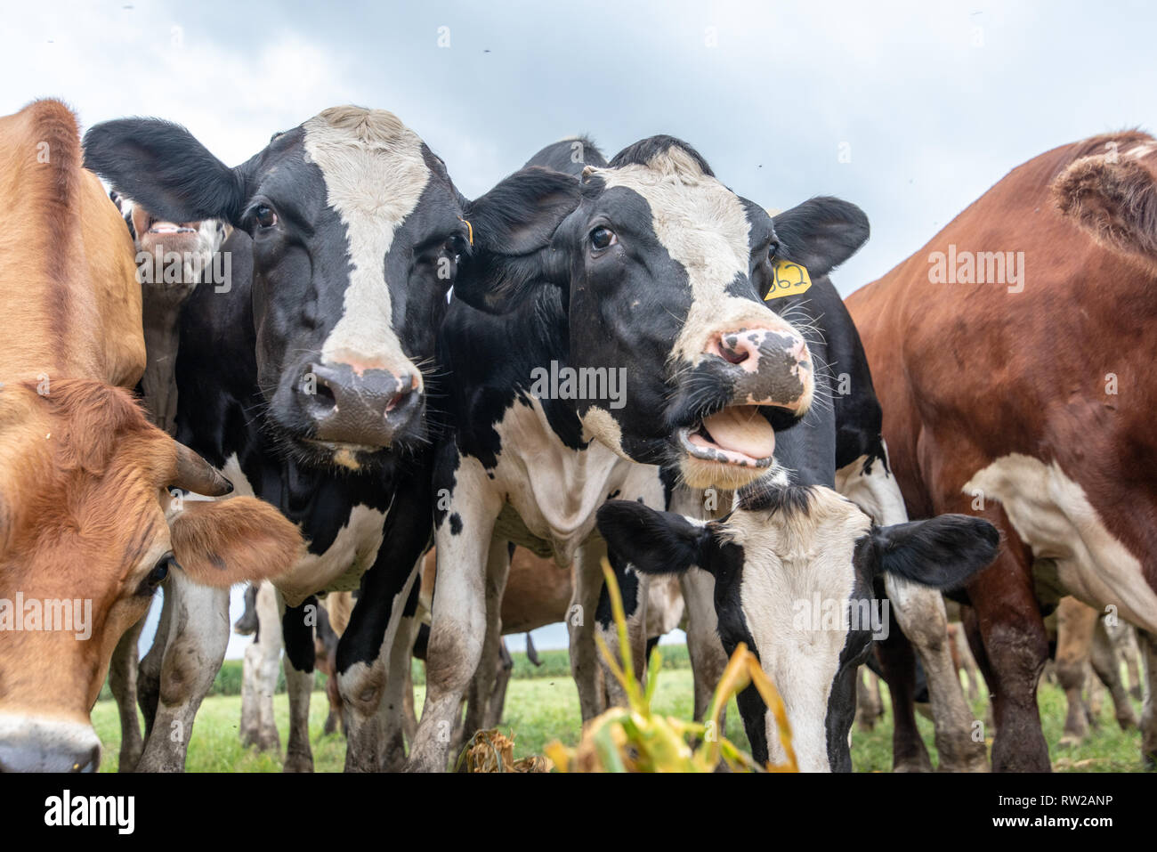 Low angle view of dairy cattle bunched together and grazing, Pokomoke, Maryland Stock Photohttps://www.alamy.com/image-license-details/?v=1https://www.alamy.com/low-angle-view-of-dairy-cattle-bunched-together-and-grazing-pokomoke-maryland-image239153538.html
RMRW2ANP–Low angle view of dairy cattle bunched together and grazing, Pokomoke, Maryland
 The Isaac Costen House Museum in Pocomoke, MD, USA Stock Photohttps://www.alamy.com/image-license-details/?v=1https://www.alamy.com/the-isaac-costen-house-museum-in-pocomoke-md-usa-image256412827.html
RMTW4H4Y–The Isaac Costen House Museum in Pocomoke, MD, USA
 Aerial view farm buildings and equipment in middle of corn field, Pokomoke, Maryland Stock Photohttps://www.alamy.com/image-license-details/?v=1https://www.alamy.com/aerial-view-farm-buildings-and-equipment-in-middle-of-corn-field-pokomoke-maryland-image239153480.html
RMRW2AKM–Aerial view farm buildings and equipment in middle of corn field, Pokomoke, Maryland
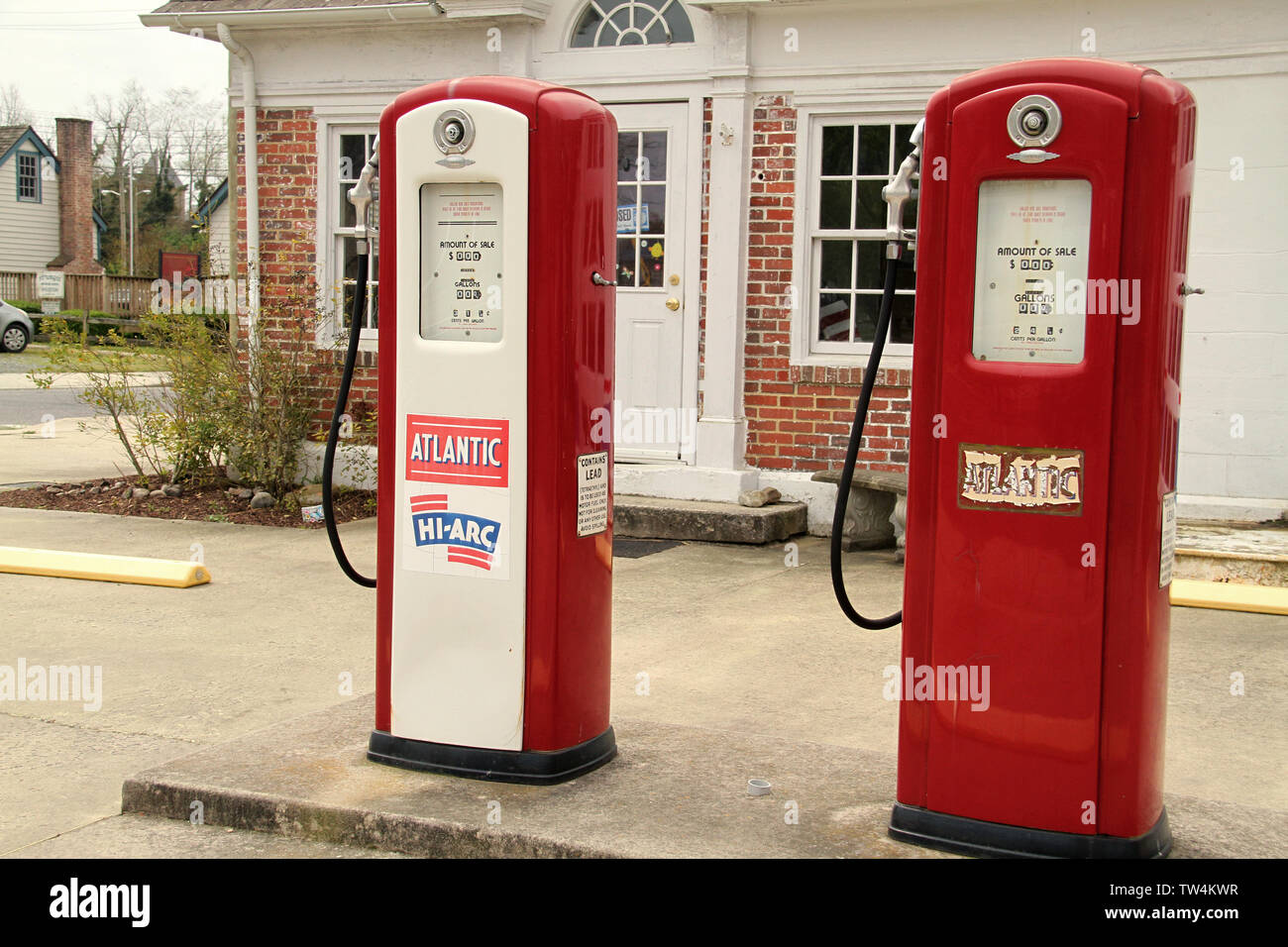 Former Atlantic gas station in Pocomoke City, MD, USA Stock Photohttps://www.alamy.com/image-license-details/?v=1https://www.alamy.com/former-atlantic-gas-station-in-pocomoke-city-md-usa-image256414979.html
RMTW4KWR–Former Atlantic gas station in Pocomoke City, MD, USA
 High angle view of plastic bins full of ice-cream in freezer, Pokomoke, Maryland Stock Photohttps://www.alamy.com/image-license-details/?v=1https://www.alamy.com/high-angle-view-of-plastic-bins-full-of-ice-cream-in-freezer-pokomoke-maryland-image239153558.html
RMRW2APE–High angle view of plastic bins full of ice-cream in freezer, Pokomoke, Maryland
 The Isaac Costen House Museum in Pocomoke, MD, USA Stock Photohttps://www.alamy.com/image-license-details/?v=1https://www.alamy.com/the-isaac-costen-house-museum-in-pocomoke-md-usa-image256412639.html
RMTW4GX7–The Isaac Costen House Museum in Pocomoke, MD, USA
 High angle view of plastic bins full of ice-cream in freezer, Pokomoke, Maryland Stock Photohttps://www.alamy.com/image-license-details/?v=1https://www.alamy.com/high-angle-view-of-plastic-bins-full-of-ice-cream-in-freezer-pokomoke-maryland-image239153561.html
RMRW2APH–High angle view of plastic bins full of ice-cream in freezer, Pokomoke, Maryland
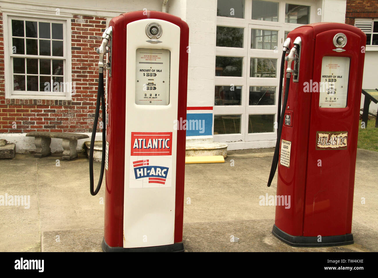 Former Atlantic gas station in Pocomoke City, MD, USA Stock Photohttps://www.alamy.com/image-license-details/?v=1https://www.alamy.com/former-atlantic-gas-station-in-pocomoke-city-md-usa-image256414998.html
RMTW4KXE–Former Atlantic gas station in Pocomoke City, MD, USA
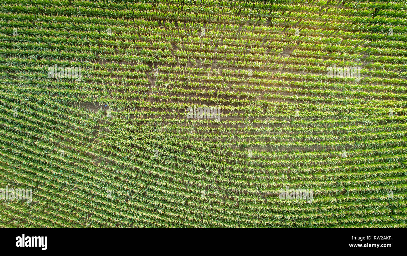 Aerial view looking straight down at corn crops growing in field, Pokomoke, Maryland Stock Photohttps://www.alamy.com/image-license-details/?v=1https://www.alamy.com/aerial-view-looking-straight-down-at-corn-crops-growing-in-field-pokomoke-maryland-image239153482.html
RMRW2AKP–Aerial view looking straight down at corn crops growing in field, Pokomoke, Maryland
 Aerial view of corn growing in field with farm buildings and residential home, Pokomoke, Maryland Stock Photohttps://www.alamy.com/image-license-details/?v=1https://www.alamy.com/aerial-view-of-corn-growing-in-field-with-farm-buildings-and-residential-home-pokomoke-maryland-image239153483.html
RMRW2AKR–Aerial view of corn growing in field with farm buildings and residential home, Pokomoke, Maryland
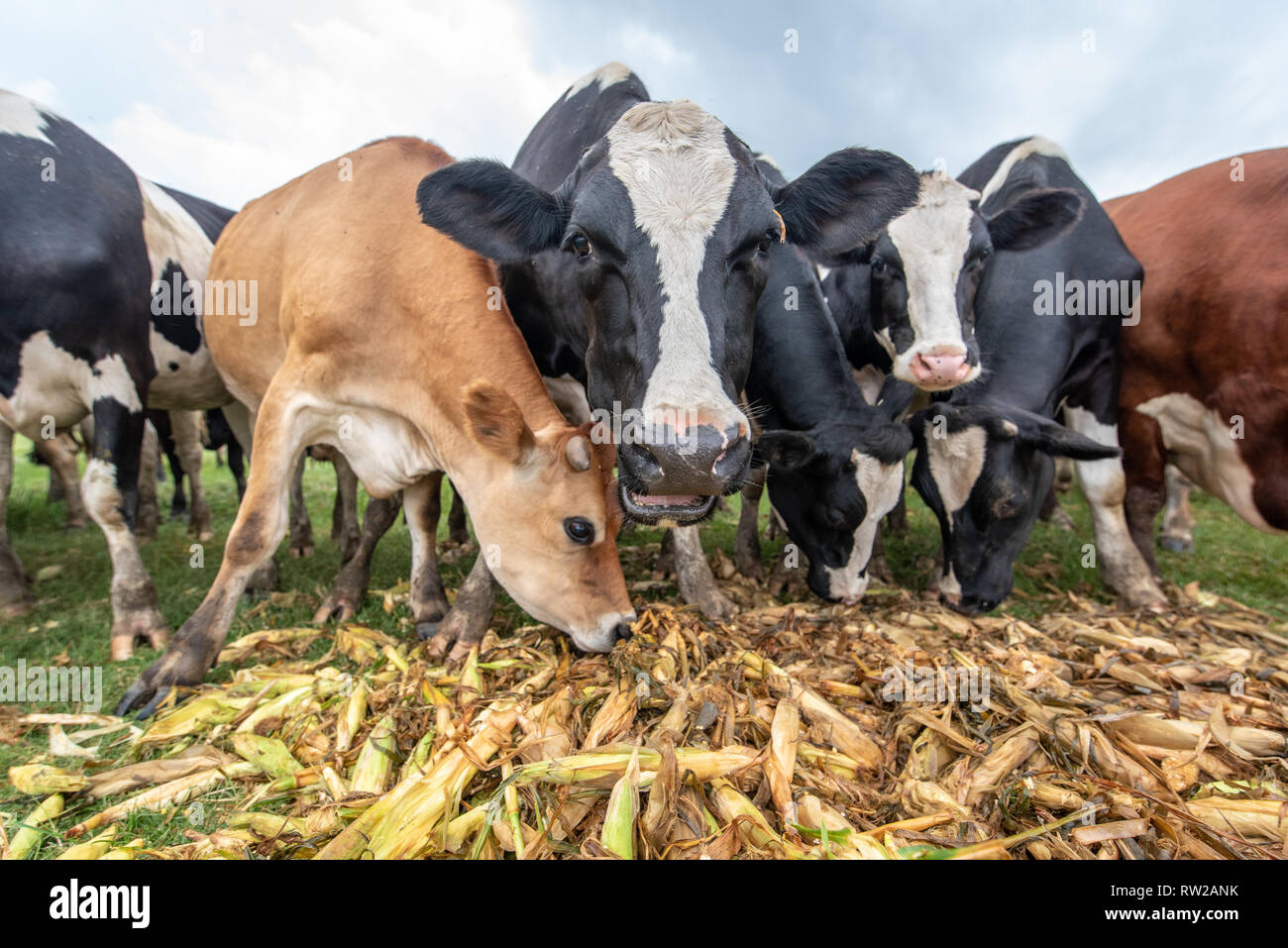 Low angle view of dairy cattle eating corn from pile, Pokomoke, Maryland Stock Photohttps://www.alamy.com/image-license-details/?v=1https://www.alamy.com/low-angle-view-of-dairy-cattle-eating-corn-from-pile-pokomoke-maryland-image239153535.html
RMRW2ANK–Low angle view of dairy cattle eating corn from pile, Pokomoke, Maryland
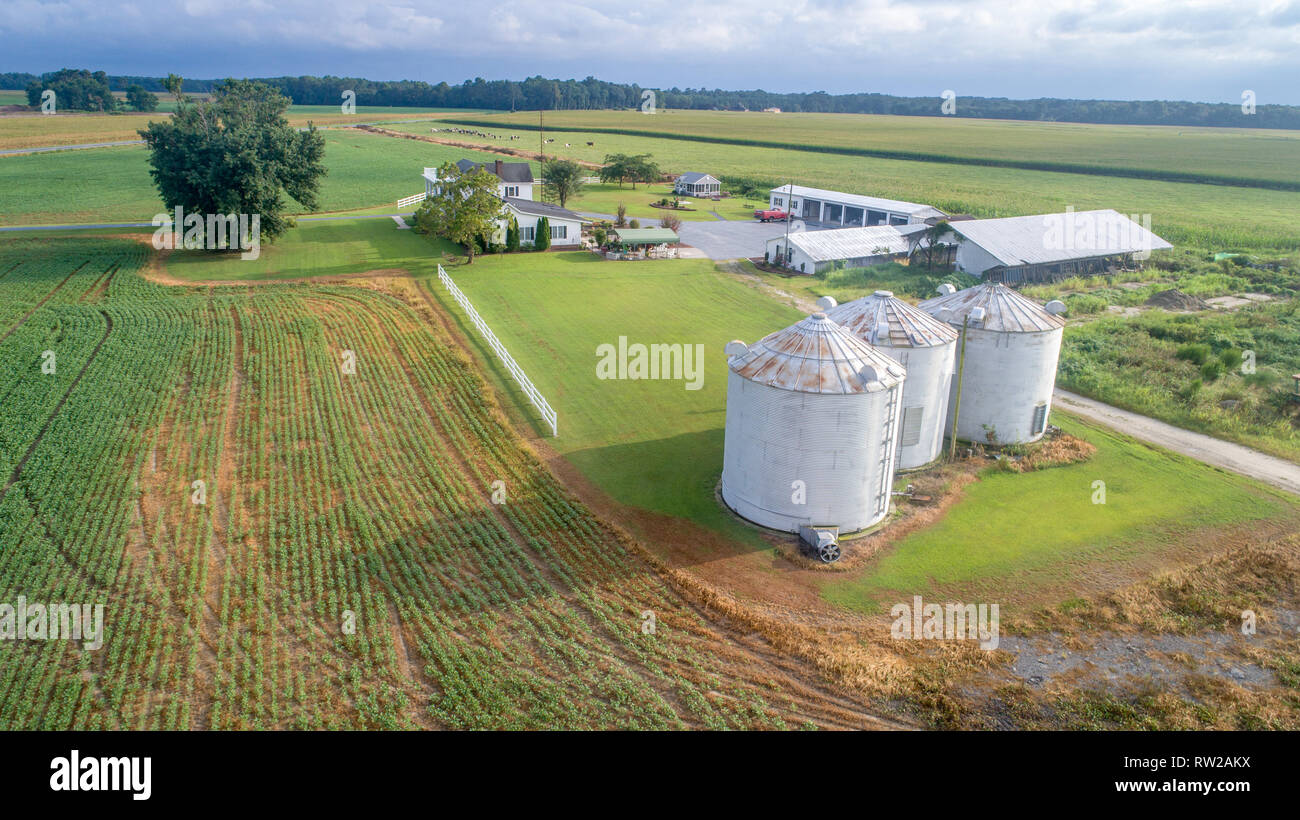 Aerial view of farm house and grain silos situated in middle of corn fields, Pokomoke, Maryland Stock Photohttps://www.alamy.com/image-license-details/?v=1https://www.alamy.com/aerial-view-of-farm-house-and-grain-silos-situated-in-middle-of-corn-fields-pokomoke-maryland-image239153486.html
RMRW2AKX–Aerial view of farm house and grain silos situated in middle of corn fields, Pokomoke, Maryland
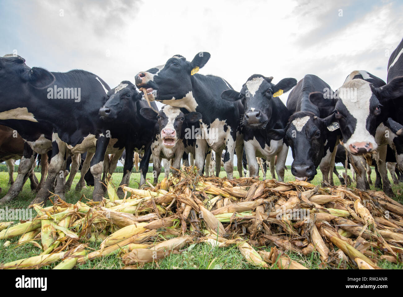 Low angle view of holstein cattle eating corn with cloudy skies behind them, Pokomoke, Maryland Stock Photohttps://www.alamy.com/image-license-details/?v=1https://www.alamy.com/low-angle-view-of-holstein-cattle-eating-corn-with-cloudy-skies-behind-them-pokomoke-maryland-image239153539.html
RMRW2ANR–Low angle view of holstein cattle eating corn with cloudy skies behind them, Pokomoke, Maryland
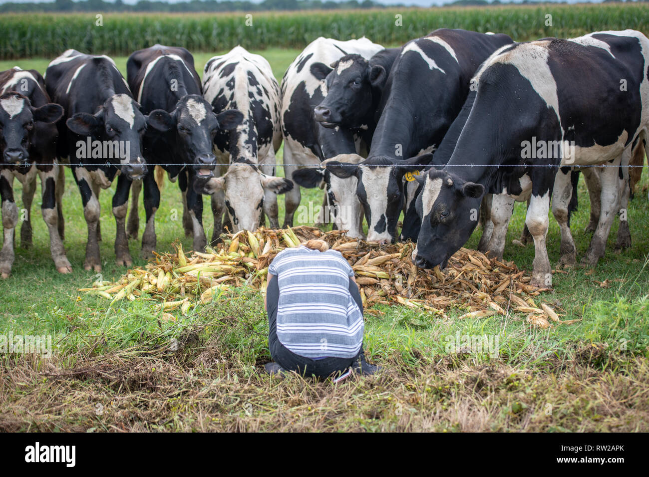 Young woman crouches down in front of holstein cattle eating corn still in the husks, Pokomoke, Maryland Stock Photohttps://www.alamy.com/image-license-details/?v=1https://www.alamy.com/young-woman-crouches-down-in-front-of-holstein-cattle-eating-corn-still-in-the-husks-pokomoke-maryland-image239153563.html
RMRW2APK–Young woman crouches down in front of holstein cattle eating corn still in the husks, Pokomoke, Maryland
 Young man holds up strobe light with light box modifier and aims it at another man posing next to sign, Pokomoke, Maryland Stock Photohttps://www.alamy.com/image-license-details/?v=1https://www.alamy.com/young-man-holds-up-strobe-light-with-light-box-modifier-and-aims-it-at-another-man-posing-next-to-sign-pokomoke-maryland-image239153542.html
RMRW2ANX–Young man holds up strobe light with light box modifier and aims it at another man posing next to sign, Pokomoke, Maryland