Quick filters:
Political map europe Stock Photos and Images
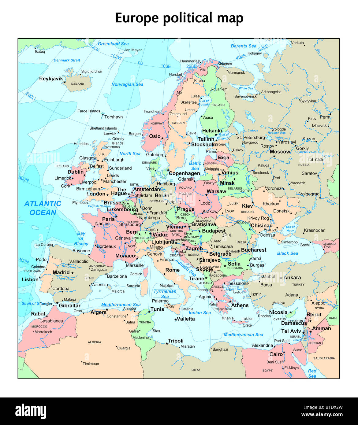 Europe political map Stock Photohttps://www.alamy.com/image-license-details/?v=1https://www.alamy.com/stock-photo-europe-political-map-18130865.html
RFB1DX2W–Europe political map
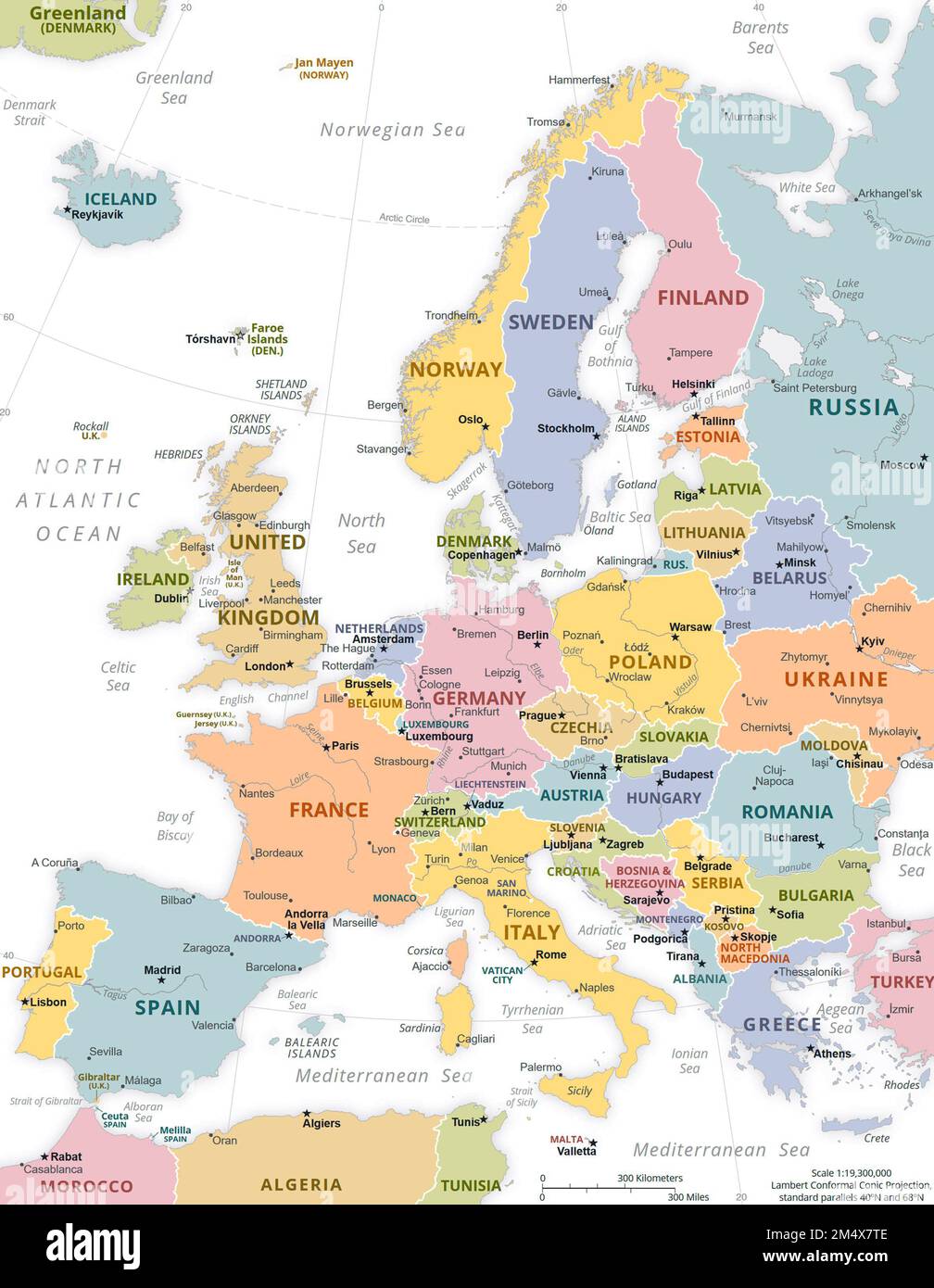 Political Map of Europe. Stock Photohttps://www.alamy.com/image-license-details/?v=1https://www.alamy.com/political-map-of-europe-image502136222.html
RM2M4X7TE–Political Map of Europe.
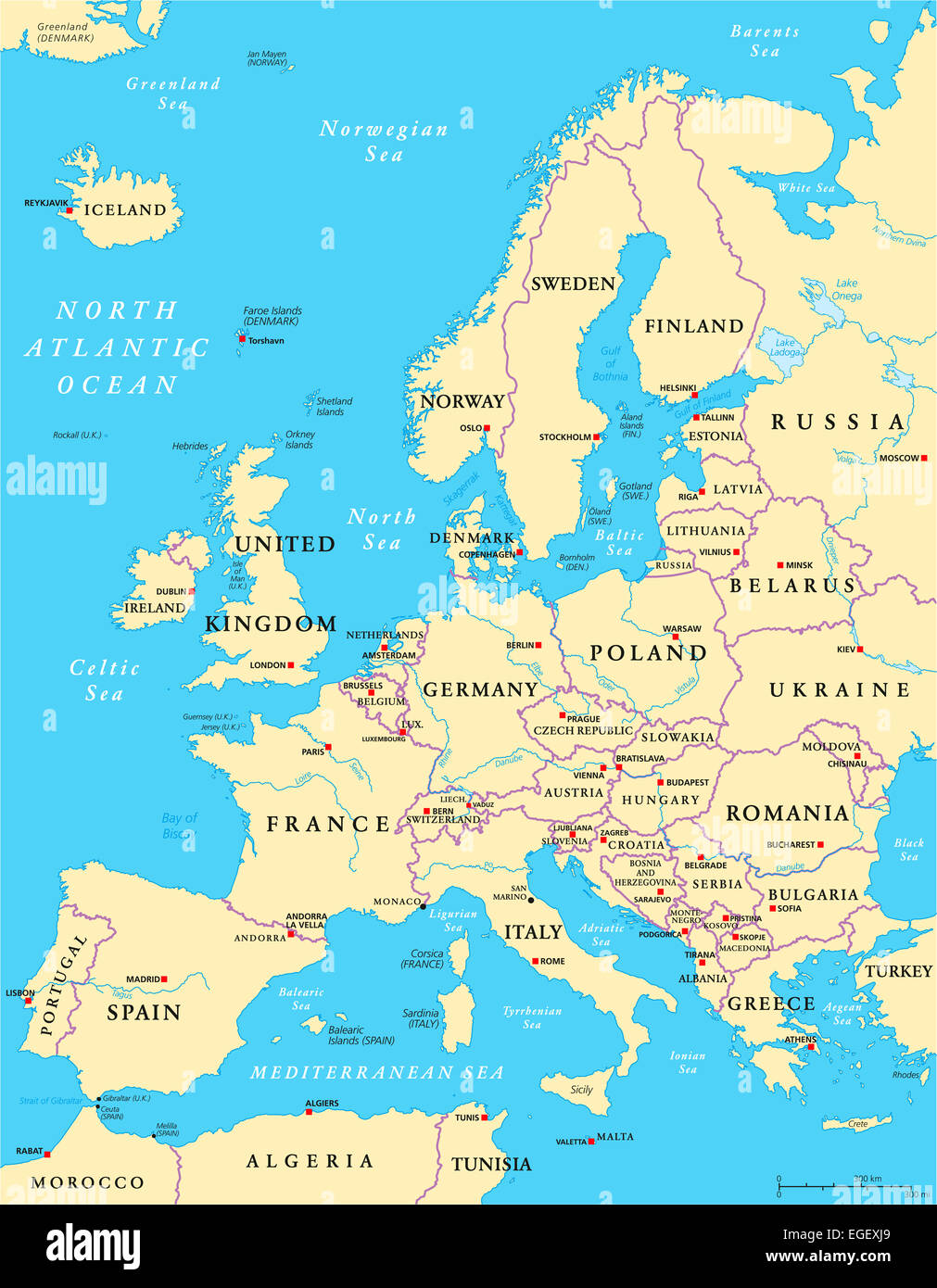 Europe Political Map Stock Photohttps://www.alamy.com/image-license-details/?v=1https://www.alamy.com/stock-photo-europe-political-map-79004193.html
RFEGEXJ9–Europe Political Map
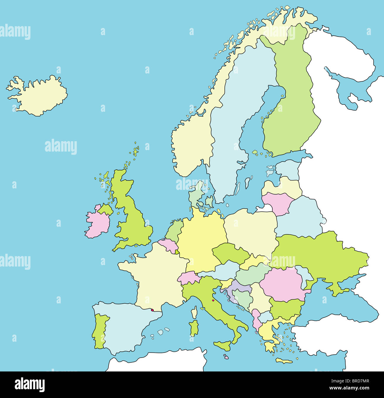 A stylized map of Europe showing the different countries. Stock Photohttps://www.alamy.com/image-license-details/?v=1https://www.alamy.com/stock-photo-a-stylized-map-of-europe-showing-the-different-countries-31638903.html
RFBRD7MR–A stylized map of Europe showing the different countries.
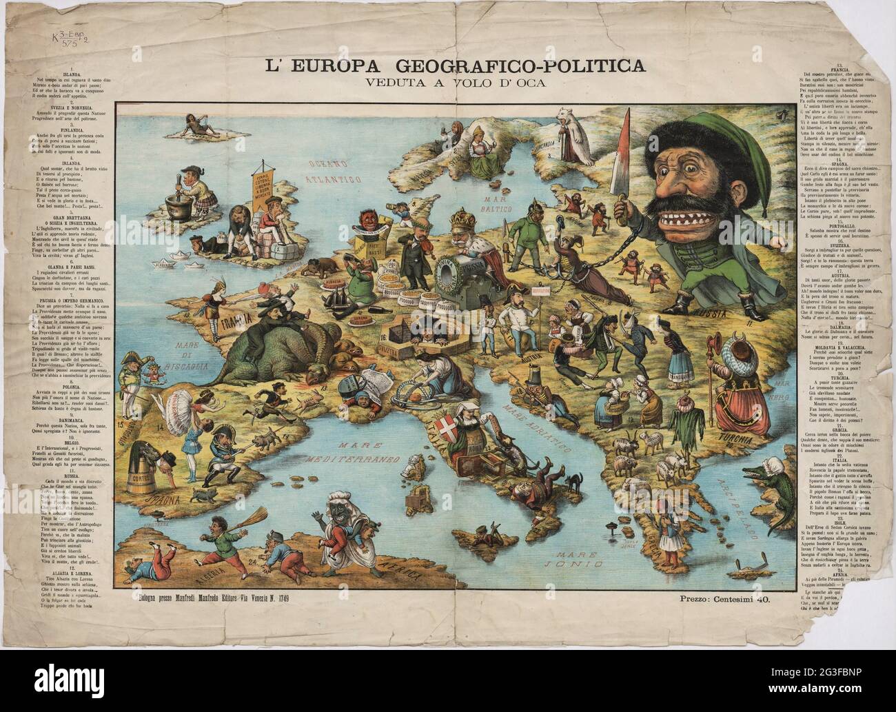 Europa geografico-politica mappa satirica circa 1871. Geographic and political map. Satirical map. Stock Photohttps://www.alamy.com/image-license-details/?v=1https://www.alamy.com/europa-geografico-politica-mappa-satirica-circa-1871-geographic-and-political-map-satirical-map-image432441682.html
RM2G3FBNP–Europa geografico-politica mappa satirica circa 1871. Geographic and political map. Satirical map.
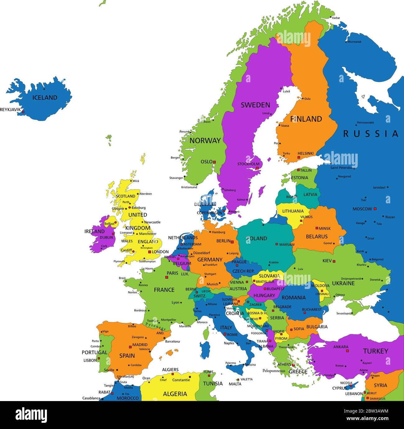 Colorful Europe political map with clearly labeled, separated layers. Vector illustration. Stock Vectorhttps://www.alamy.com/image-license-details/?v=1https://www.alamy.com/colorful-europe-political-map-with-clearly-labeled-separated-layers-vector-illustration-image359648176.html
RF2BW3AWM–Colorful Europe political map with clearly labeled, separated layers. Vector illustration.
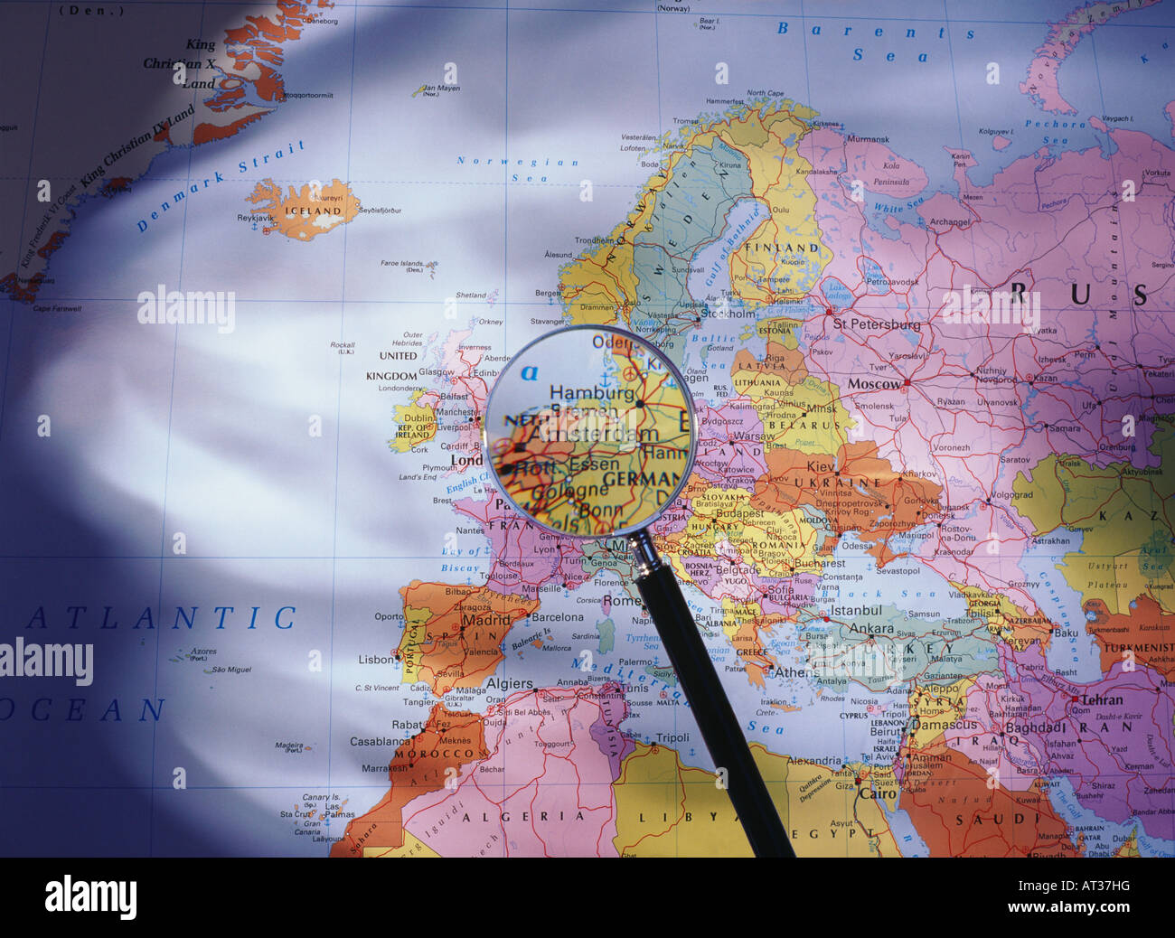 A map of Europe seen through a magnifying glass Stock Photohttps://www.alamy.com/image-license-details/?v=1https://www.alamy.com/stock-photo-a-map-of-europe-seen-through-a-magnifying-glass-16187451.html
RMAT37HG–A map of Europe seen through a magnifying glass
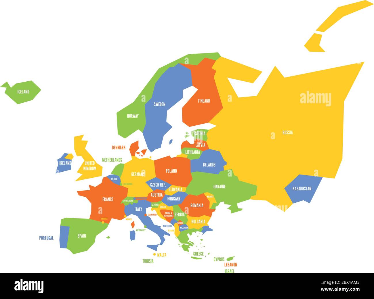 Very simplified infographical political map of Europe. Simple geometric vector illustration. Stock Vectorhttps://www.alamy.com/image-license-details/?v=1https://www.alamy.com/very-simplified-infographical-political-map-of-europe-simple-geometric-vector-illustration-image360284627.html
RF2BX4AM3–Very simplified infographical political map of Europe. Simple geometric vector illustration.
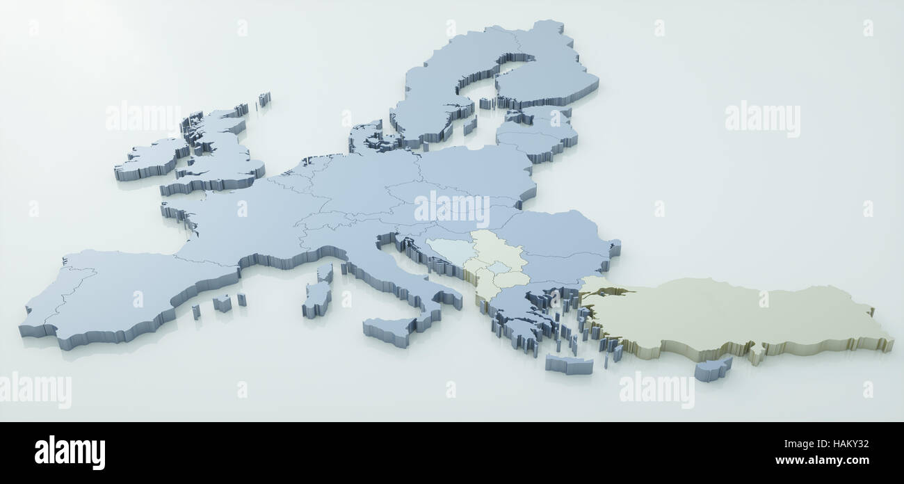 map of European Union - very high detail - 3d rendering Stock Photohttps://www.alamy.com/image-license-details/?v=1https://www.alamy.com/stock-photo-map-of-european-union-very-high-detail-3d-rendering-127057478.html
RFHAKY32–map of European Union - very high detail - 3d rendering
 Europe on the globe Stock Photohttps://www.alamy.com/image-license-details/?v=1https://www.alamy.com/stock-photo-europe-on-the-globe-41498853.html
RFCBEC5W–Europe on the globe
 Coins with Brexit written on them, laying on a map Stock Photohttps://www.alamy.com/image-license-details/?v=1https://www.alamy.com/stock-photo-coins-with-brexit-written-on-them-laying-on-a-map-102506916.html
RMFXNGH8–Coins with Brexit written on them, laying on a map
 political map Europe on a white background. Stock Photohttps://www.alamy.com/image-license-details/?v=1https://www.alamy.com/stock-photo-political-map-europe-on-a-white-background-84858578.html
RFEX1HYE–political map Europe on a white background.
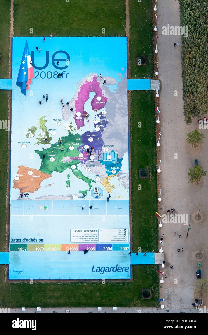 People explore a map of Europe at the Eiffel Tower to celebrate French Presidency of the Council of the European Union in Paris, France, 2008. Stock Photohttps://www.alamy.com/image-license-details/?v=1https://www.alamy.com/people-explore-a-map-of-europe-at-the-eiffel-tower-to-celebrate-french-presidency-of-the-council-of-the-european-union-in-paris-france-2008-image401298636.html
RM2E8TME4–People explore a map of Europe at the Eiffel Tower to celebrate French Presidency of the Council of the European Union in Paris, France, 2008.
 British Isles on jigsaw puzzle Stock Photohttps://www.alamy.com/image-license-details/?v=1https://www.alamy.com/stock-photo-british-isles-on-jigsaw-puzzle-18595013.html
RMB2723H–British Isles on jigsaw puzzle
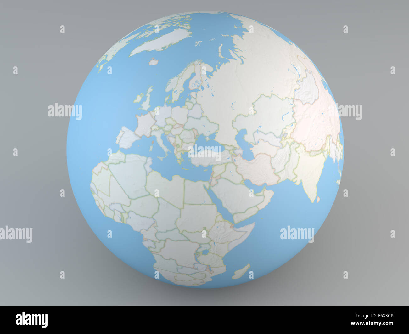 Planisphere map globe, political map, Europe North Africa and Middle East Stock Photohttps://www.alamy.com/image-license-details/?v=1https://www.alamy.com/stock-photo-planisphere-map-globe-political-map-europe-north-africa-and-middle-90313238.html
RFF6X3CP–Planisphere map globe, political map, Europe North Africa and Middle East
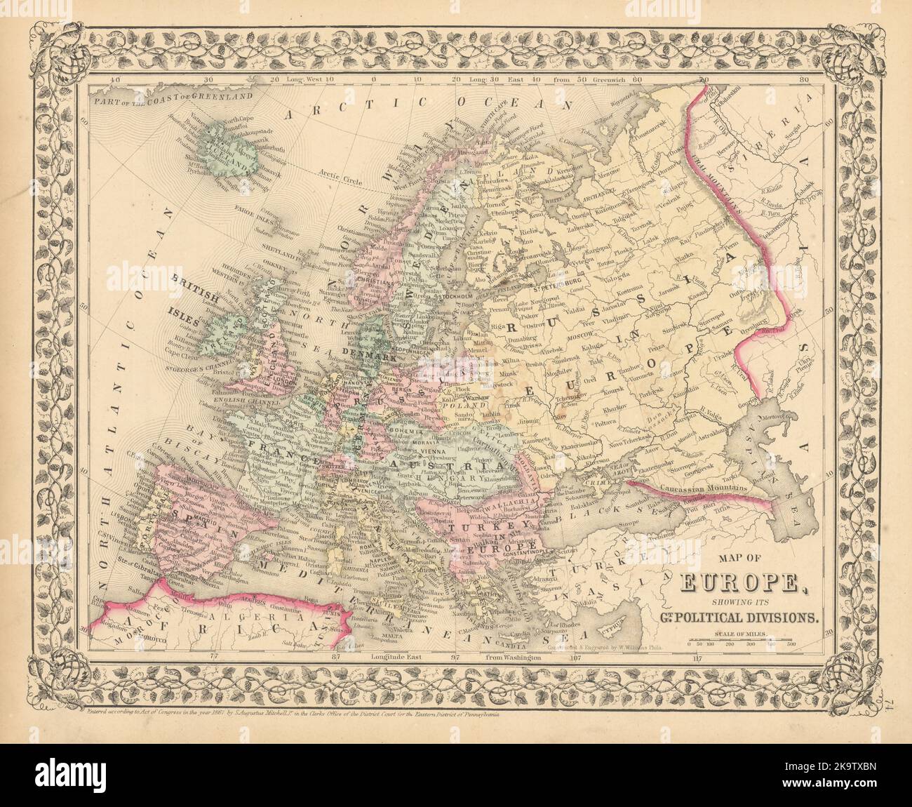 Map of Europe, showing its Political Divisions by S. Augustus Mitchell 1869 Stock Photohttps://www.alamy.com/image-license-details/?v=1https://www.alamy.com/map-of-europe-showing-its-political-divisions-by-s-augustus-mitchell-1869-image487969769.html
RF2K9TXBN–Map of Europe, showing its Political Divisions by S. Augustus Mitchell 1869
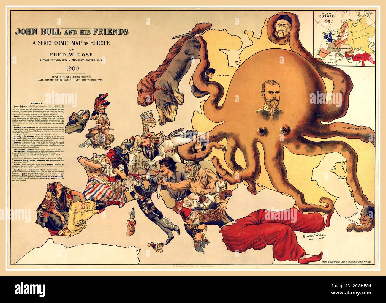 Vintage 1900 political caricature map, 'John Bull and his friends' by Frederick Rose of the countries of Europe, known as the Octopus Map from the brooding presence of the Russian Empire depicted as a massive octopus, whose tentacles stretch out towards Europe. Stock Photohttps://www.alamy.com/image-license-details/?v=1https://www.alamy.com/vintage-1900-political-caricature-map-john-bull-and-his-friends-by-frederick-rose-of-the-countries-of-europe-known-as-the-octopus-map-from-the-brooding-presence-of-the-russian-empire-depicted-as-a-massive-octopus-whose-tentacles-stretch-out-towards-europe-image371637620.html
RM2CGHFG4–Vintage 1900 political caricature map, 'John Bull and his friends' by Frederick Rose of the countries of Europe, known as the Octopus Map from the brooding presence of the Russian Empire depicted as a massive octopus, whose tentacles stretch out towards Europe.
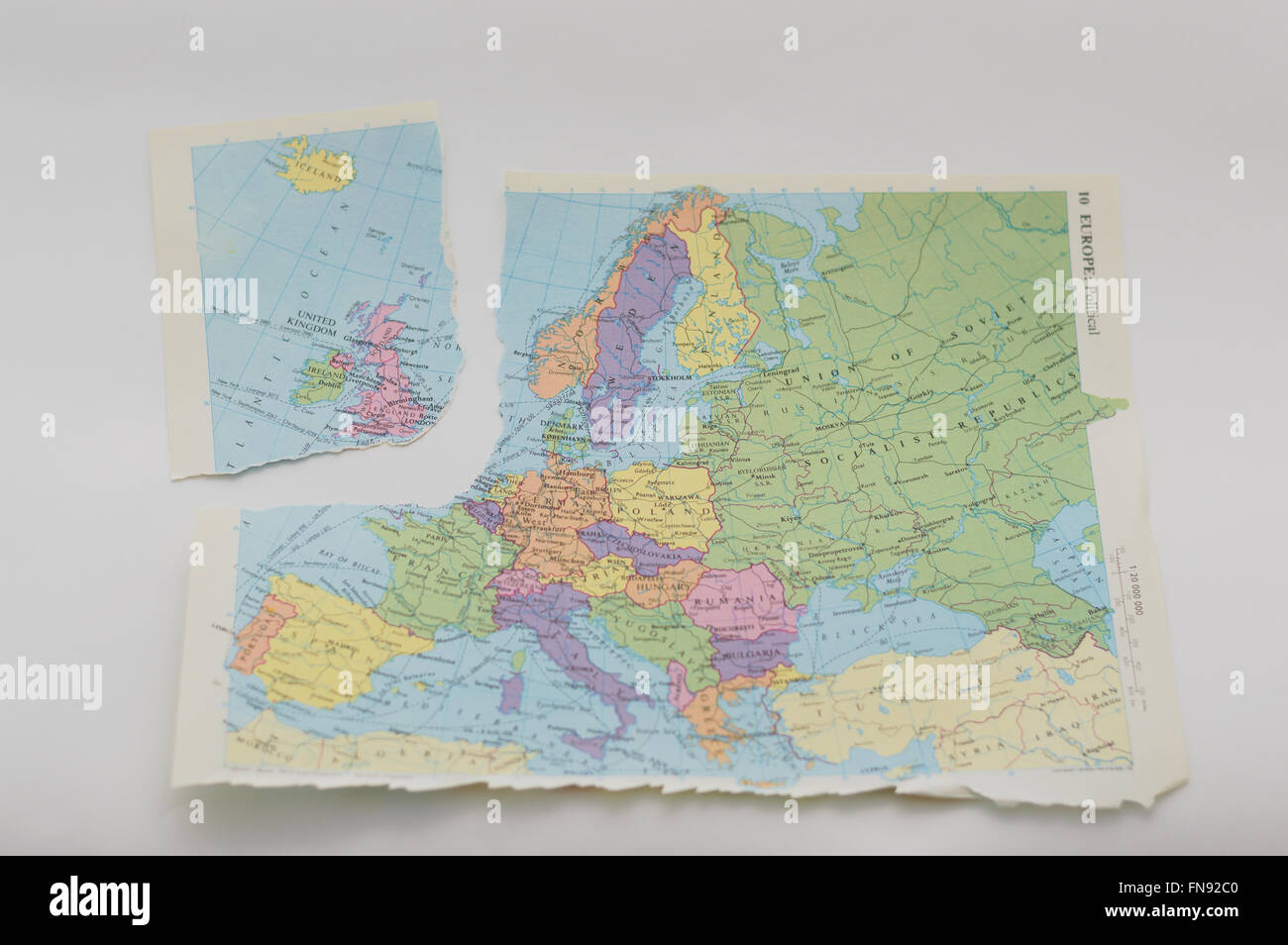 Map dating from 1984 torn to represent the EU referendum and possible 'Brexit' by Britain. In England. Stock Photohttps://www.alamy.com/image-license-details/?v=1https://www.alamy.com/stock-photo-map-dating-from-1984-torn-to-represent-the-eu-referendum-and-possible-99159088.html
RMFN92C0–Map dating from 1984 torn to represent the EU referendum and possible 'Brexit' by Britain. In England.
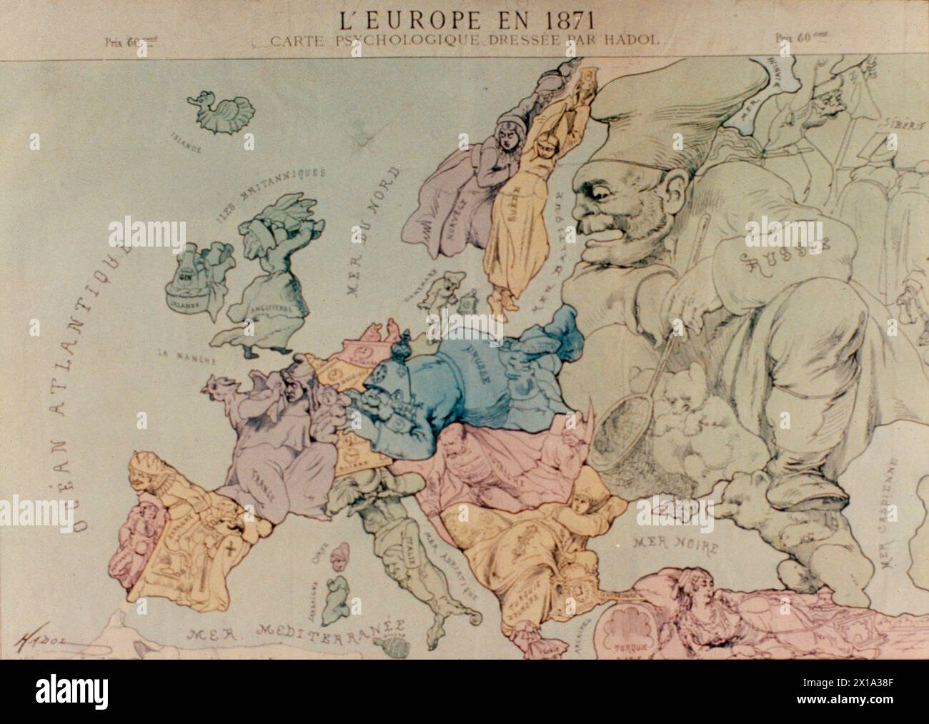 Hadol's map of Europe in 1871, political cartoon Stock Photohttps://www.alamy.com/image-license-details/?v=1https://www.alamy.com/hadols-map-of-europe-in-1871-political-cartoon-image603199647.html
RF2X1A38F–Hadol's map of Europe in 1871, political cartoon
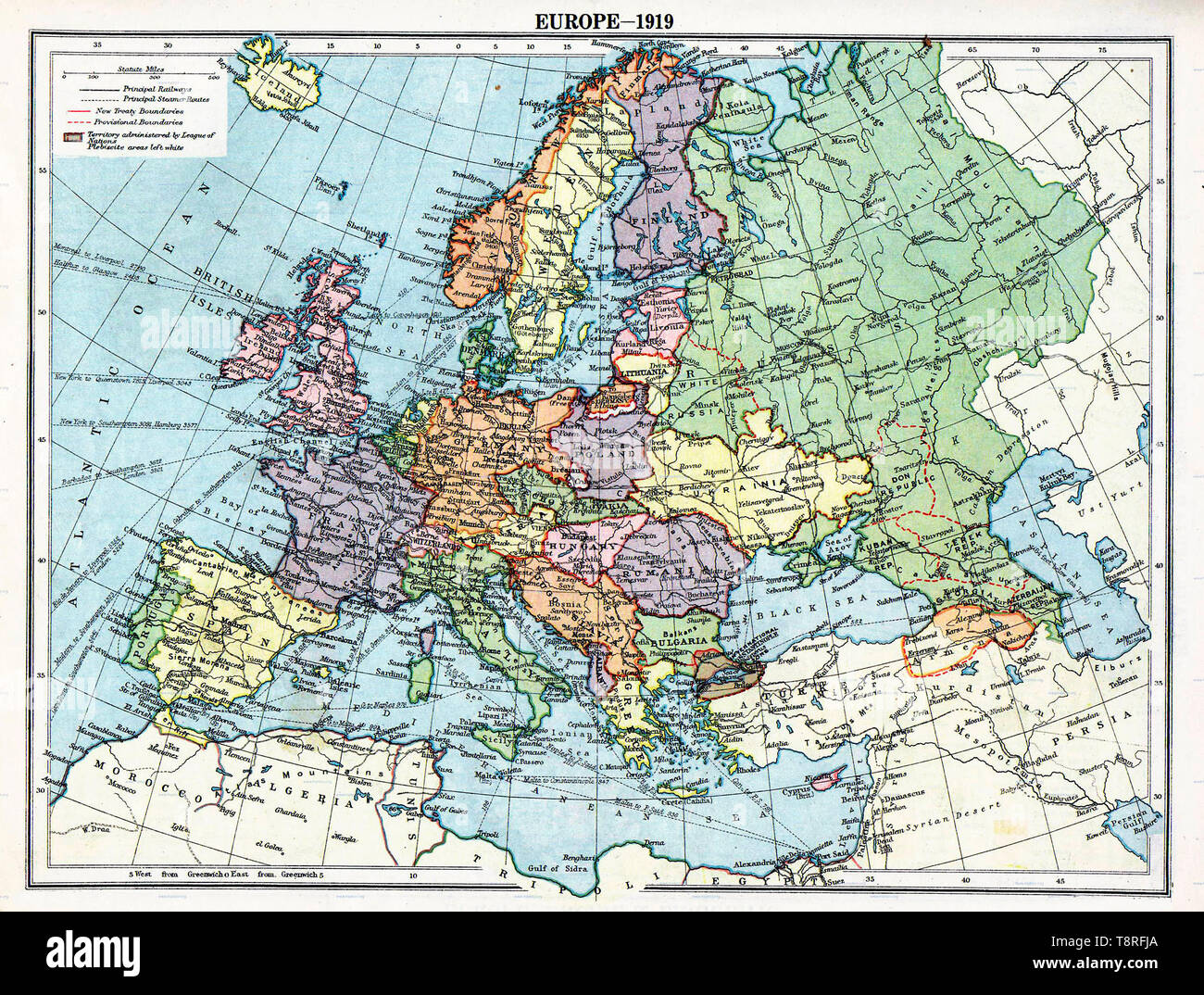 Map of Europe political divisions in 1919 (after the treaties of Brest-Litovsk and Versailles and before the treaties of Trianon, Riga, Kars and the establishment of Soviet Union and the republics of Ireland and Turkey. Stock Photohttps://www.alamy.com/image-license-details/?v=1https://www.alamy.com/map-of-europe-political-divisions-in-1919-after-the-treaties-of-brest-litovsk-and-versailles-and-before-the-treaties-of-trianon-riga-kars-and-the-establishment-of-soviet-union-and-the-republics-of-ireland-and-turkey-image246379570.html
RMT8RFJA–Map of Europe political divisions in 1919 (after the treaties of Brest-Litovsk and Versailles and before the treaties of Trianon, Riga, Kars and the establishment of Soviet Union and the republics of Ireland and Turkey.
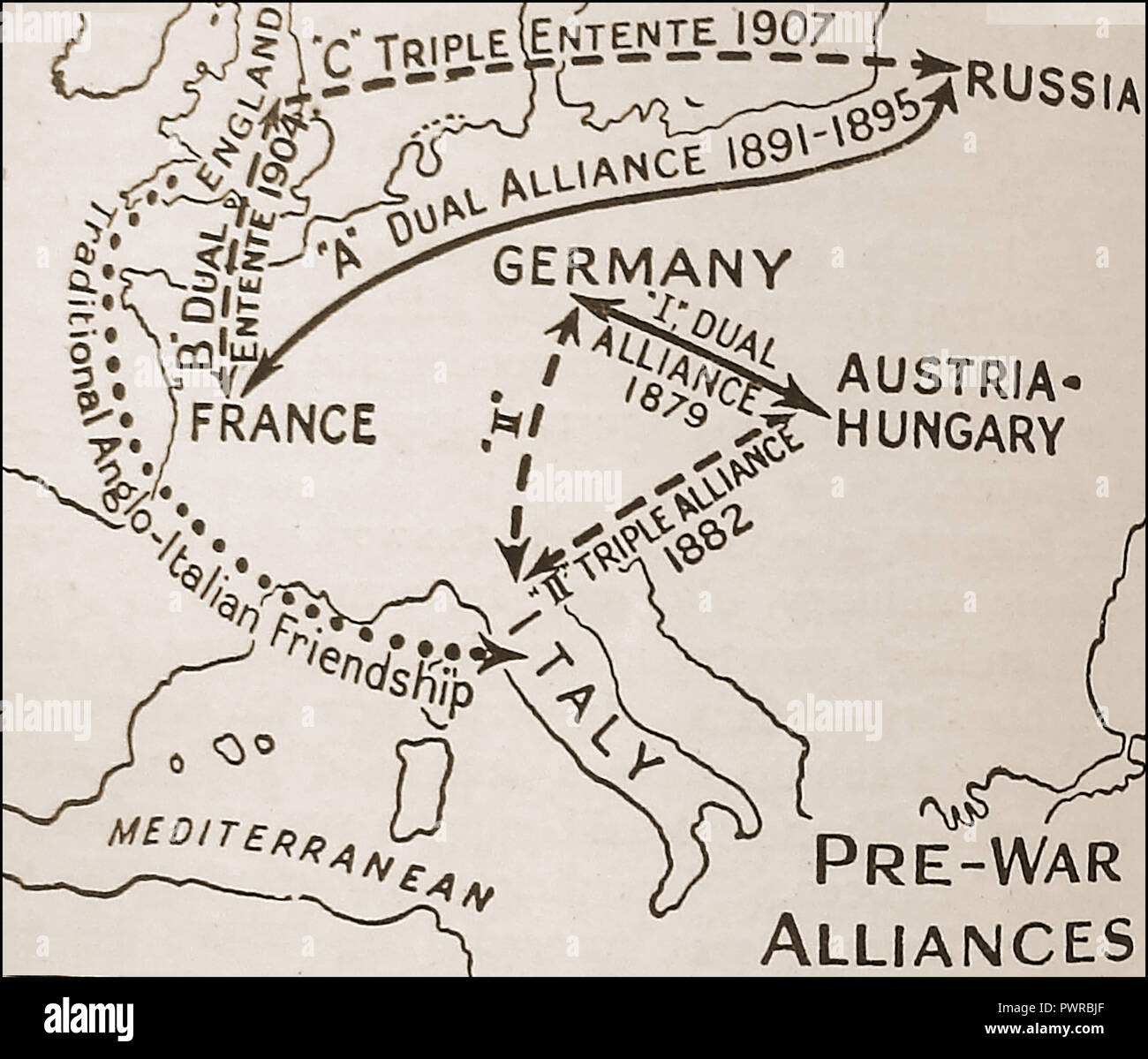 An early political map showing pre-war (WWI) alliances Europe (Triple Entente versus Triple Alliance / Dual Alliance Stock Photohttps://www.alamy.com/image-license-details/?v=1https://www.alamy.com/an-early-political-map-showing-pre-war-wwi-alliances-europe-triple-entente-versus-triple-alliance-dual-alliance-image222404855.html
RMPWRBJF–An early political map showing pre-war (WWI) alliances Europe (Triple Entente versus Triple Alliance / Dual Alliance
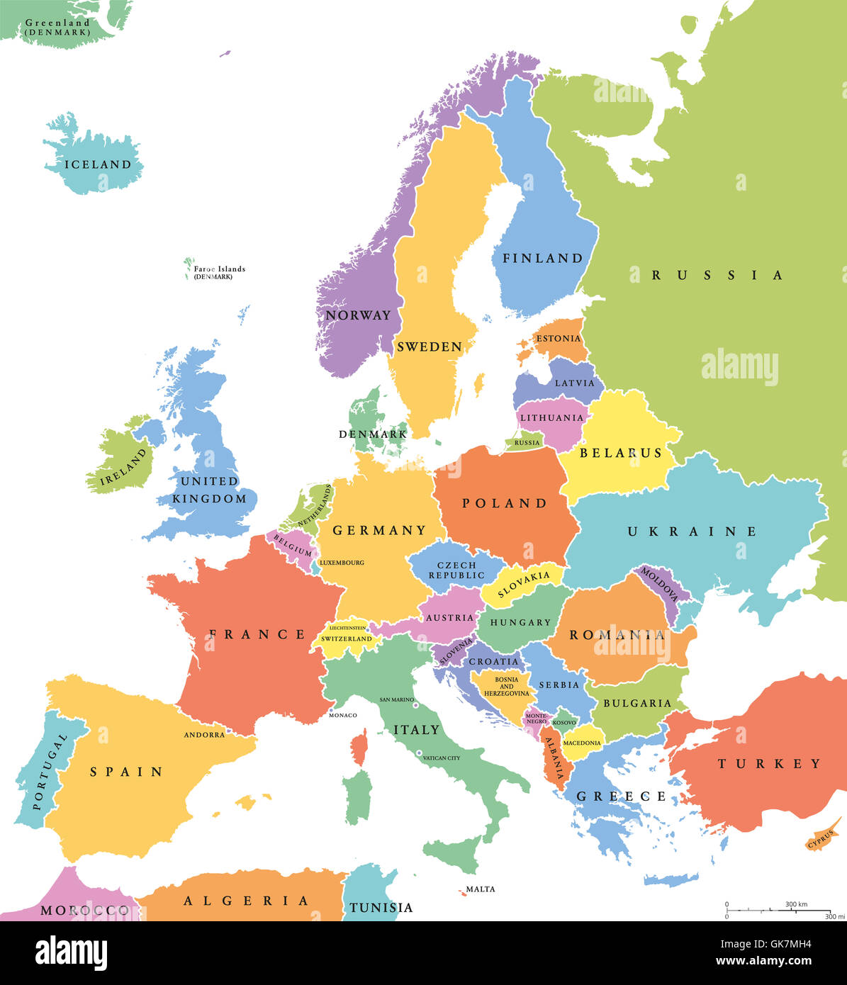 Europe single states political map. All countries in different colors, with national borders and country names. English labeling Stock Photohttps://www.alamy.com/image-license-details/?v=1https://www.alamy.com/stock-photo-europe-single-states-political-map-all-countries-in-different-colors-115110496.html
RFGK7MH4–Europe single states political map. All countries in different colors, with national borders and country names. English labeling
 Detail from a vintage political map of Europe showing Scandinavia. Stock Photohttps://www.alamy.com/image-license-details/?v=1https://www.alamy.com/detail-from-a-vintage-political-map-of-europe-showing-scandinavia-image607335463.html
RF2X82EG7–Detail from a vintage political map of Europe showing Scandinavia.
 europe administrative and political map with coordinates Stock Vectorhttps://www.alamy.com/image-license-details/?v=1https://www.alamy.com/stock-photo-europe-administrative-and-political-map-with-coordinates-100207839.html
RFFR0T3B–europe administrative and political map with coordinates
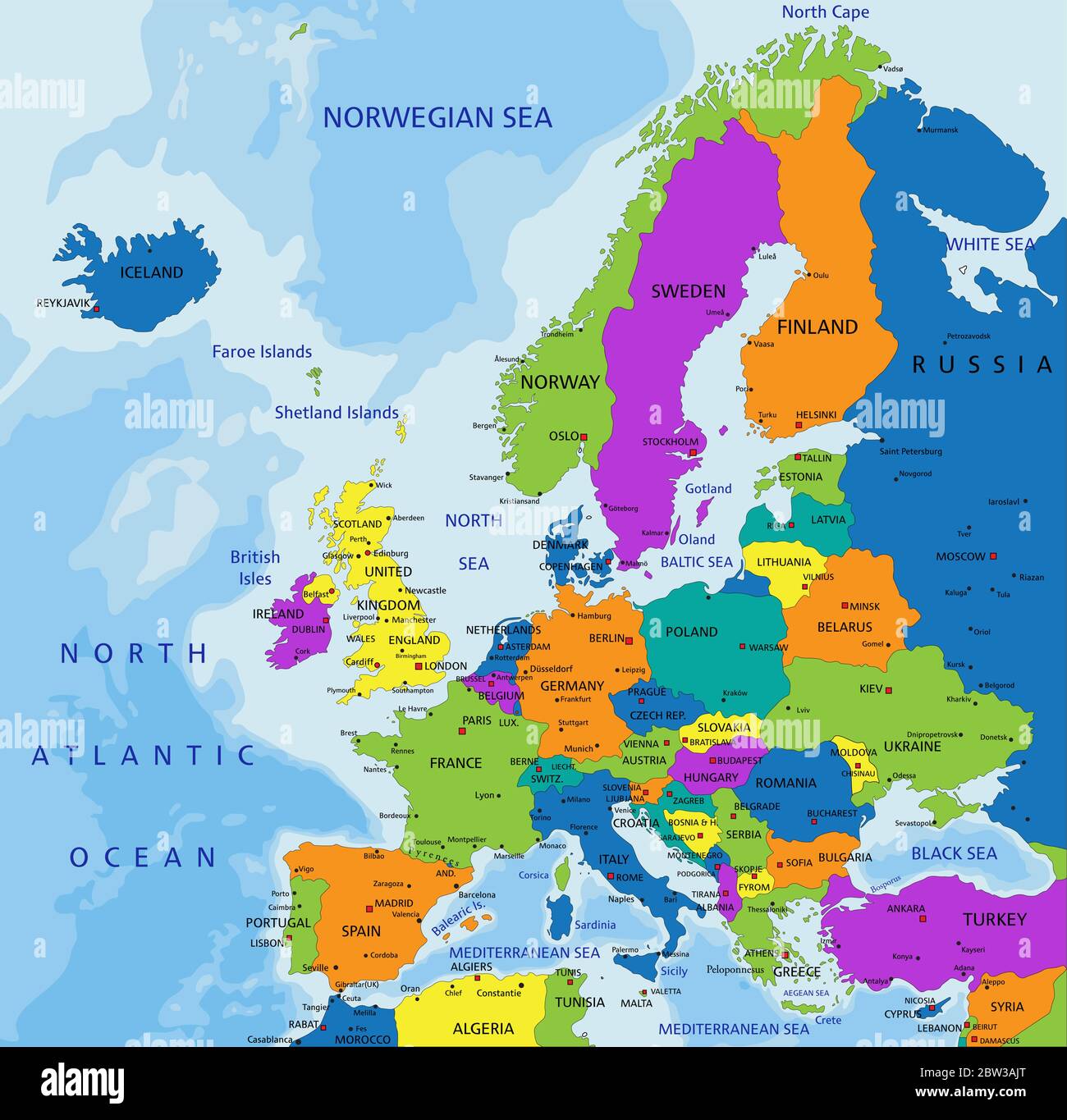 Colorful Europe political map with clearly labeled, separated layers. Vector illustration. Stock Vectorhttps://www.alamy.com/image-license-details/?v=1https://www.alamy.com/colorful-europe-political-map-with-clearly-labeled-separated-layers-vector-illustration-image359647984.html
RF2BW3AJT–Colorful Europe political map with clearly labeled, separated layers. Vector illustration.
 Map of Europe in which all countries are represented by people, ca. 1867 Nouvelle Carte D'Europe (title on object), Political map of Europe on which all countries are represented by people, ca. 1867. With Otto van Bismarck central in Prussia. With six-line caption in French., (Map of) Europe, Europe, Prussia, Otto von Bismarck, Flier (mentioned on object), Breda, 1867, paper, h 423 mm × w 480 mm Stock Photohttps://www.alamy.com/image-license-details/?v=1https://www.alamy.com/map-of-europe-in-which-all-countries-are-represented-by-people-ca-1867-nouvelle-carte-deurope-title-on-object-political-map-of-europe-on-which-all-countries-are-represented-by-people-ca-1867-with-otto-van-bismarck-central-in-prussia-with-six-line-caption-in-french-map-of-europe-europe-prussia-otto-von-bismarck-flier-mentioned-on-object-breda-1867-paper-h-423-mm-w-480-mm-image261399969.html
RMW57P95–Map of Europe in which all countries are represented by people, ca. 1867 Nouvelle Carte D'Europe (title on object), Political map of Europe on which all countries are represented by people, ca. 1867. With Otto van Bismarck central in Prussia. With six-line caption in French., (Map of) Europe, Europe, Prussia, Otto von Bismarck, Flier (mentioned on object), Breda, 1867, paper, h 423 mm × w 480 mm
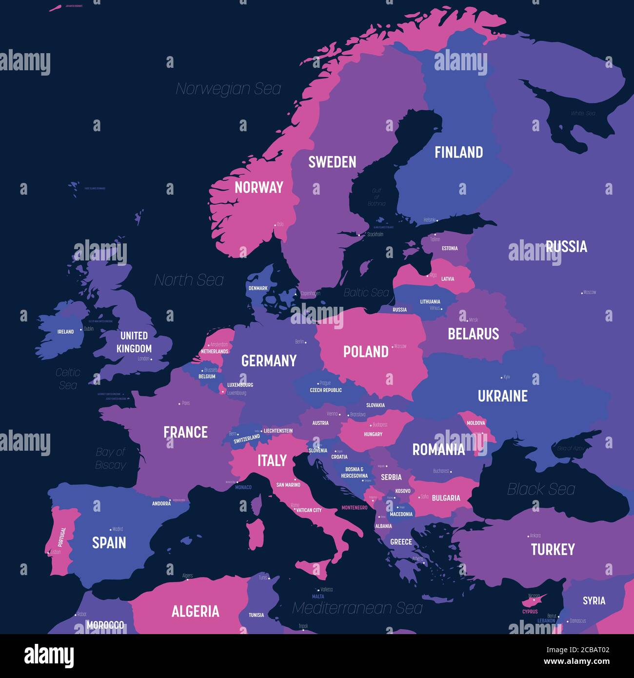 Europe map. High detailed political map of european continent with country, capital, ocean and sea names labeling. Stock Vectorhttps://www.alamy.com/image-license-details/?v=1https://www.alamy.com/europe-map-high-detailed-political-map-of-european-continent-with-country-capital-ocean-and-sea-names-labeling-image368417282.html
RF2CBAT02–Europe map. High detailed political map of european continent with country, capital, ocean and sea names labeling.
 a bitcoin currency on a political map Europe and Asia, next to Ukraine, use of cryptocurrency, aid to the Ukrainian war, economic power Stock Photohttps://www.alamy.com/image-license-details/?v=1https://www.alamy.com/a-bitcoin-currency-on-a-political-map-europe-and-asia-next-to-ukraine-use-of-cryptocurrency-aid-to-the-ukrainian-war-economic-power-image472259800.html
RF2JC985C–a bitcoin currency on a political map Europe and Asia, next to Ukraine, use of cryptocurrency, aid to the Ukrainian war, economic power
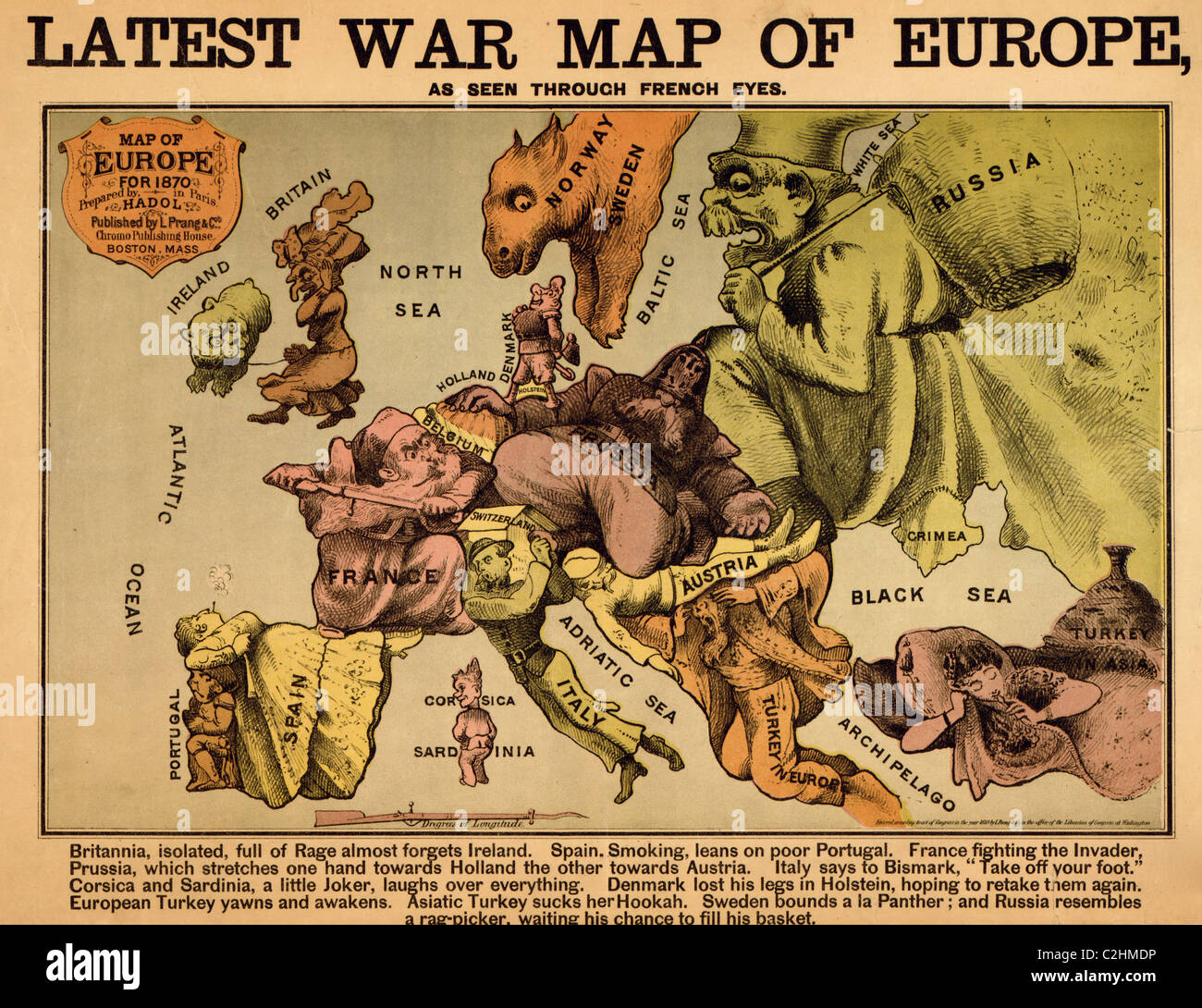 Anthropomorphic Map of Europe - 1870 - Political Stock Photohttps://www.alamy.com/image-license-details/?v=1https://www.alamy.com/stock-photo-anthropomorphic-map-of-europe-1870-political-36039298.html
RMC2HMDP–Anthropomorphic Map of Europe - 1870 - Political
 Vector illustration with european land with borders of states and marked country Albania. Political map in brown colors with western, south and etc re Stock Vectorhttps://www.alamy.com/image-license-details/?v=1https://www.alamy.com/vector-illustration-with-european-land-with-borders-of-states-and-marked-country-albania-political-map-in-brown-colors-with-western-south-and-etc-re-image601739205.html
RF2WXYGDW–Vector illustration with european land with borders of states and marked country Albania. Political map in brown colors with western, south and etc re
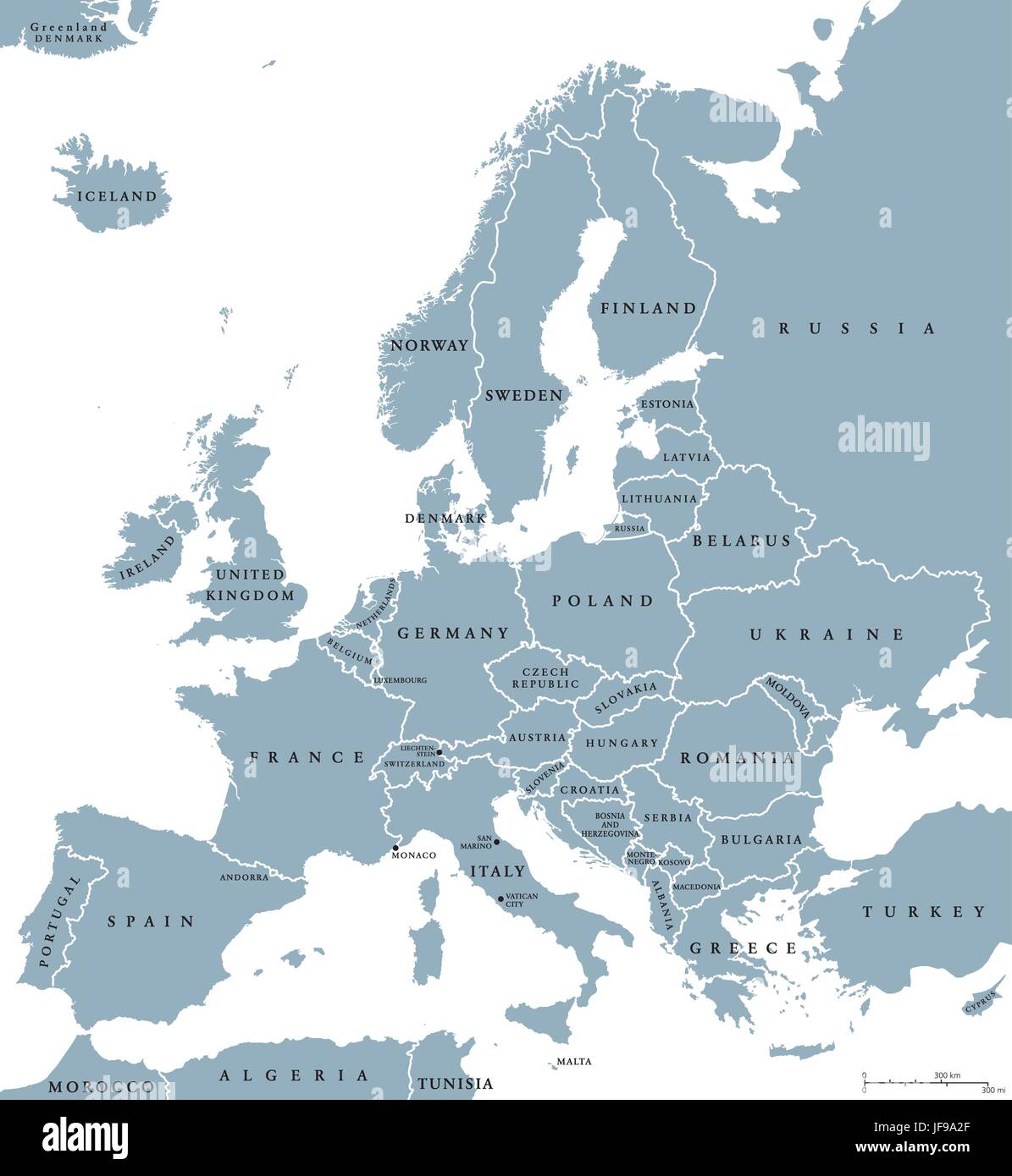 Europe Countries Political Map Stock Vectorhttps://www.alamy.com/image-license-details/?v=1https://www.alamy.com/stock-photo-europe-countries-political-map-147108263.html
RFJF9A2F–Europe Countries Political Map
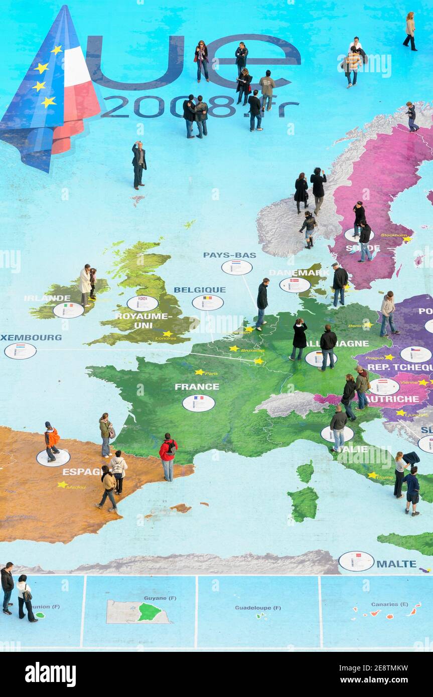 People explore a map of Europe at the Eiffel Tower to celebrate French Presidency of the Council of the European Union in Paris, France, 2008. Stock Photohttps://www.alamy.com/image-license-details/?v=1https://www.alamy.com/people-explore-a-map-of-europe-at-the-eiffel-tower-to-celebrate-french-presidency-of-the-council-of-the-european-union-in-paris-france-2008-image401298797.html
RM2E8TMKW–People explore a map of Europe at the Eiffel Tower to celebrate French Presidency of the Council of the European Union in Paris, France, 2008.
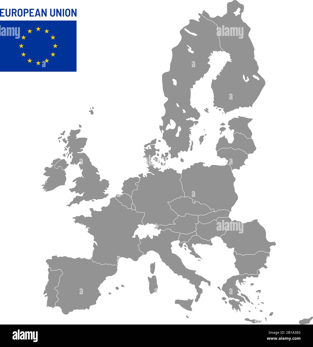 European Union map. EU member countries, europe country location travel maps vector illustration Stock Vectorhttps://www.alamy.com/image-license-details/?v=1https://www.alamy.com/european-union-map-eu-member-countries-europe-country-location-travel-maps-vector-illustration-image345044286.html
RF2B1A3E6–European Union map. EU member countries, europe country location travel maps vector illustration
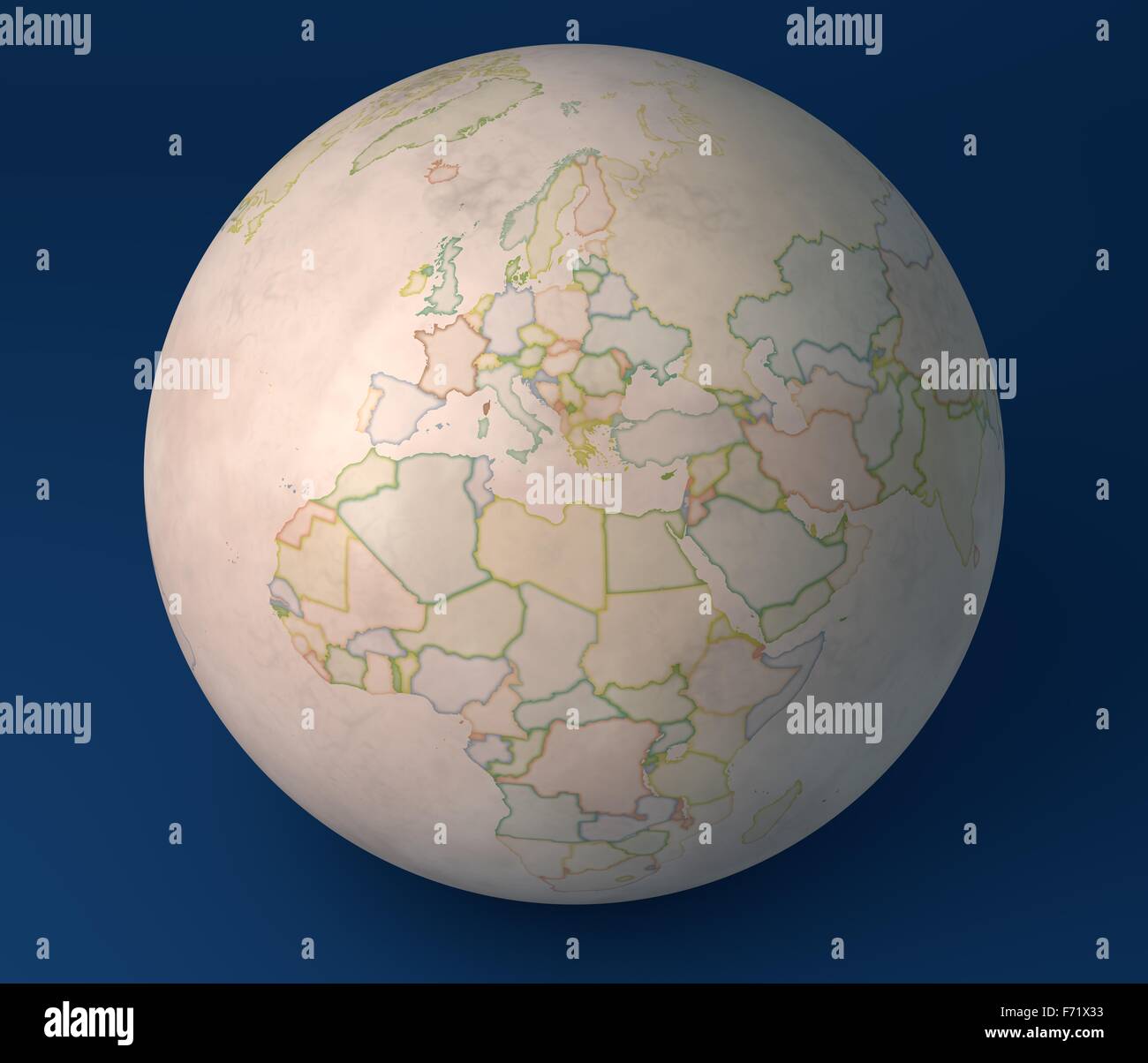 Planisphere map globe, political map, Europe North Africa and Middle East Stock Photohttps://www.alamy.com/image-license-details/?v=1https://www.alamy.com/stock-photo-planisphere-map-globe-political-map-europe-north-africa-and-middle-90396855.html
RFF71X33–Planisphere map globe, political map, Europe North Africa and Middle East
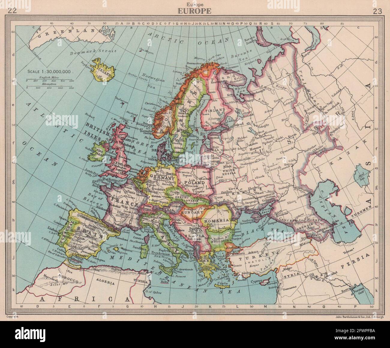 Europe. Political. Shows unified Germany. BARTHOLOMEW 1949 old vintage map Stock Photohttps://www.alamy.com/image-license-details/?v=1https://www.alamy.com/europe-political-shows-unified-germany-bartholomew-1949-old-vintage-map-image428910254.html
RF2FWPFBA–Europe. Political. Shows unified Germany. BARTHOLOMEW 1949 old vintage map
 Vector map of Slovenia to study Stock Vectorhttps://www.alamy.com/image-license-details/?v=1https://www.alamy.com/vector-map-of-slovenia-to-study-image429162131.html
RF2FX60JY–Vector map of Slovenia to study
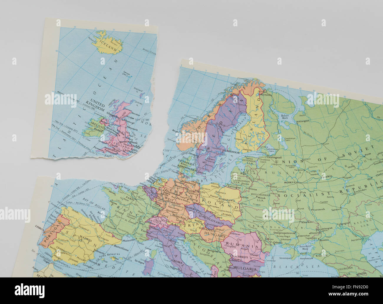 Map dating from 1984 torn to represent the EU referendum and possible 'Brexit' by Britain. In England. Stock Photohttps://www.alamy.com/image-license-details/?v=1https://www.alamy.com/stock-photo-map-dating-from-1984-torn-to-represent-the-eu-referendum-and-possible-99159116.html
RMFN92D0–Map dating from 1984 torn to represent the EU referendum and possible 'Brexit' by Britain. In England.
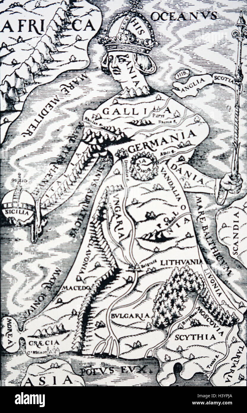 16th Century map of Spain as the head of Europe. Stock Photohttps://www.alamy.com/image-license-details/?v=1https://www.alamy.com/stock-photo-16th-century-map-of-spain-as-the-head-of-europe-122927010.html
RMH3YPJA–16th Century map of Spain as the head of Europe.
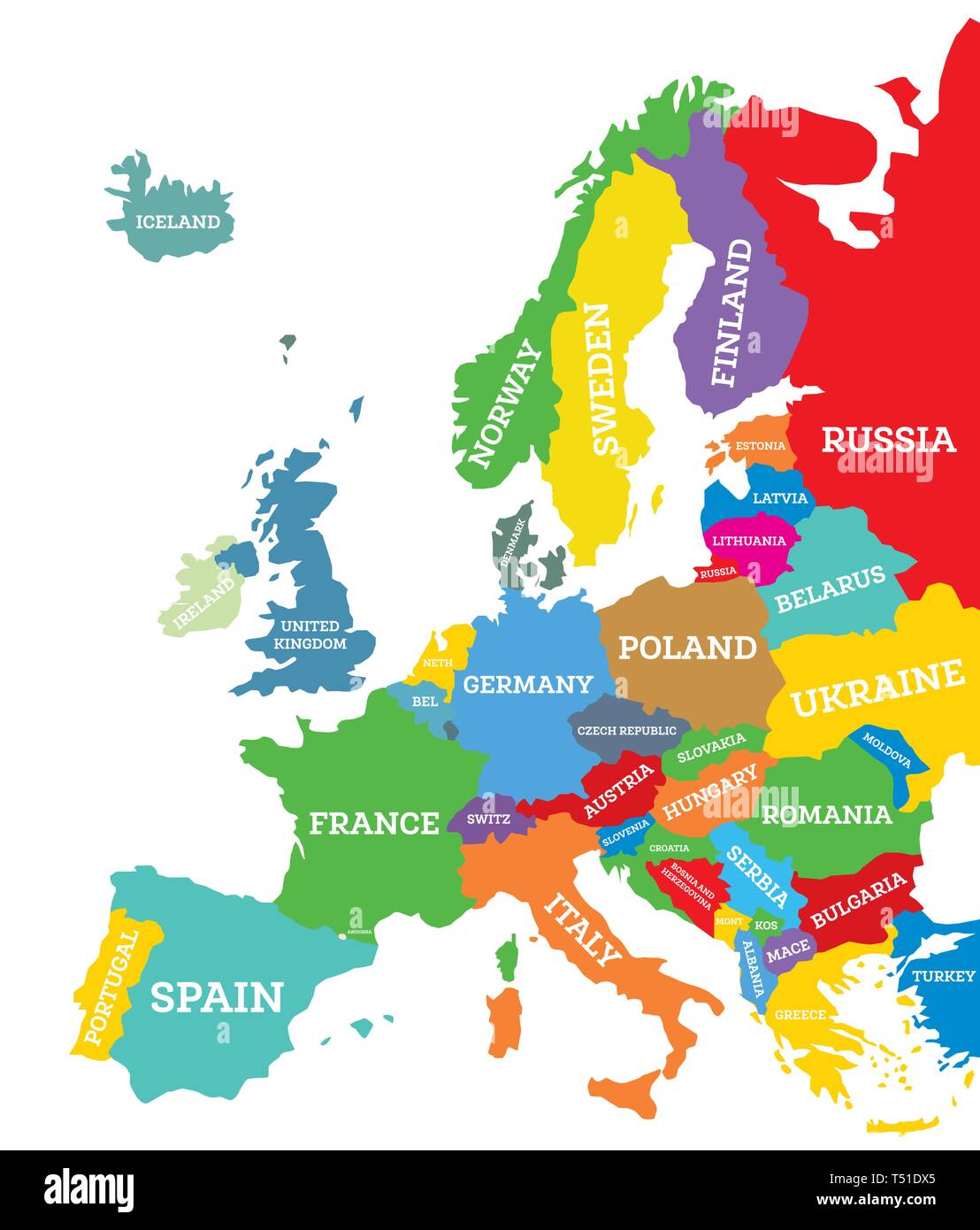 Political map of Europe Continent Isolated on White. Vector Illustration. Country Name Labels. Stock Vectorhttps://www.alamy.com/image-license-details/?v=1https://www.alamy.com/political-map-of-europe-continent-isolated-on-white-vector-illustration-country-name-labels-image244051309.html
RFT51DX5–Political map of Europe Continent Isolated on White. Vector Illustration. Country Name Labels.
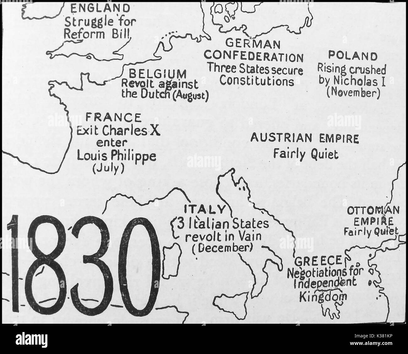 A political map showing the state of Europe in 1830 - England - Belgium - France - German Confederation - Poland - Austrian Empire - Italy - Greece - Ottoman Empire Stock Photohttps://www.alamy.com/image-license-details/?v=1https://www.alamy.com/a-political-map-showing-the-state-of-europe-in-1830-england-belgium-image156914234.html
RMK381KP–A political map showing the state of Europe in 1830 - England - Belgium - France - German Confederation - Poland - Austrian Empire - Italy - Greece - Ottoman Empire
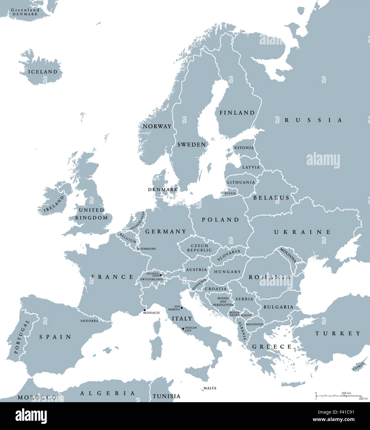 Europe countries political map with national borders and country names. English labeling and scaling. Illustration on white. Stock Photohttps://www.alamy.com/image-license-details/?v=1https://www.alamy.com/stock-photo-europe-countries-political-map-with-national-borders-and-country-names-88542077.html
RFF41C91–Europe countries political map with national borders and country names. English labeling and scaling. Illustration on white.
 Detail from a vintage political map of Europe showing Scandinavia. Stock Photohttps://www.alamy.com/image-license-details/?v=1https://www.alamy.com/detail-from-a-vintage-political-map-of-europe-showing-scandinavia-image607335466.html
RF2X82EGA–Detail from a vintage political map of Europe showing Scandinavia.
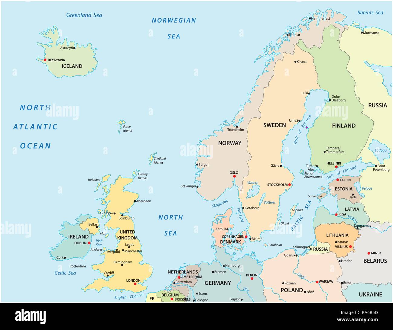 Political and administrative vector map of northern europe with state borders Stock Vectorhttps://www.alamy.com/image-license-details/?v=1https://www.alamy.com/political-and-administrative-vector-map-of-northern-europe-with-state-borders-image230031241.html
RFRA6R5D–Political and administrative vector map of northern europe with state borders
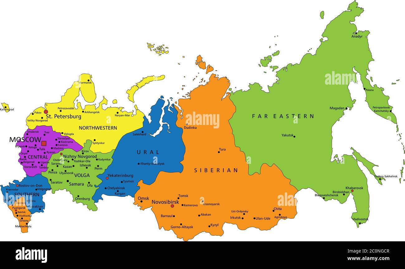 Colorful Russia political map with clearly labeled, separated layers. Vector illustration. Stock Vectorhttps://www.alamy.com/image-license-details/?v=1https://www.alamy.com/colorful-russia-political-map-with-clearly-labeled-separated-layers-vector-illustration-image361891623.html
RF2C0NGCR–Colorful Russia political map with clearly labeled, separated layers. Vector illustration.
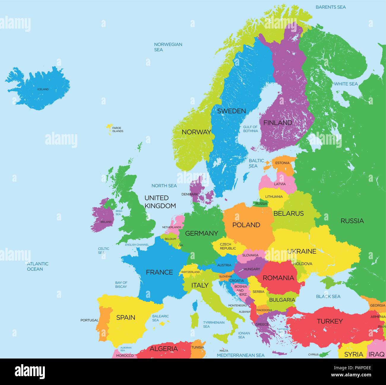 Political map of Europe high detail vector illustration for your design Stock Vectorhttps://www.alamy.com/image-license-details/?v=1https://www.alamy.com/political-map-of-europe-high-detail-vector-illustration-for-your-design-image222384358.html
RFPWPDEE–Political map of Europe high detail vector illustration for your design
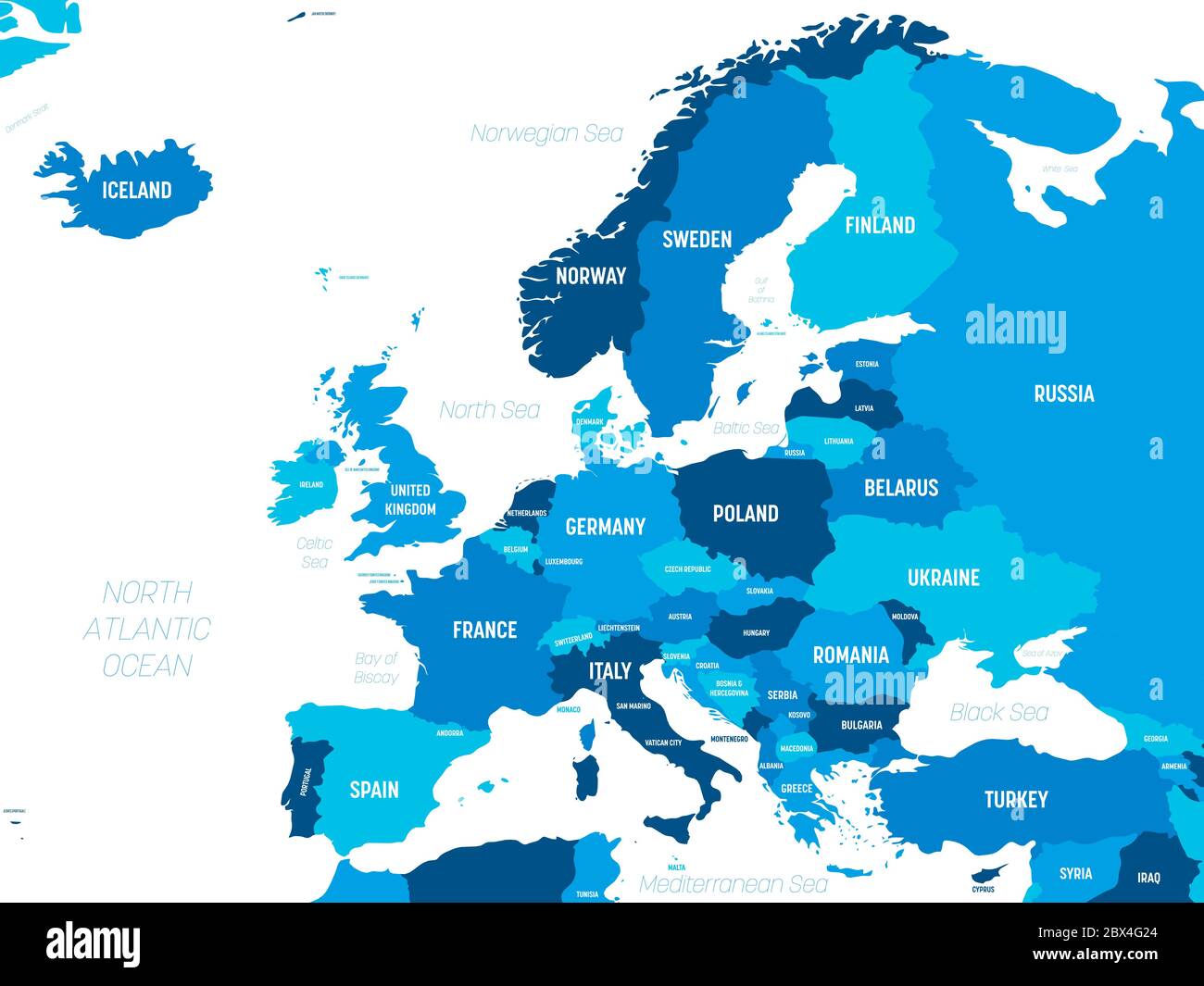 Europe map - green hue colored on dark background. High detailed political map of european continent with country, capital, ocean and sea names labeling. Stock Vectorhttps://www.alamy.com/image-license-details/?v=1https://www.alamy.com/europe-map-green-hue-colored-on-dark-background-high-detailed-political-map-of-european-continent-with-country-capital-ocean-and-sea-names-labeling-image360288828.html
RF2BX4G24–Europe map - green hue colored on dark background. High detailed political map of european continent with country, capital, ocean and sea names labeling.
 Picture of Europe 1772 - Cartoon shows Catherine II, Leopold II, and Frederick William II seated at table on which rests a map of Poland; standing behind them and looking over their shoulders are Louis XV and Charles III, still further back, asleep on a throne is George III; on the left, with head bowed, wearing a broken crown, and with hands bound behind him, sits the King of Poland, to his left sits Selim III in chains; a scale 'The Balance of Power' hangs above the table, the lighter side is labeled 'Great Britain' reflecting George III's influence on, or concern for, the affairs of Europe Stock Photohttps://www.alamy.com/image-license-details/?v=1https://www.alamy.com/stock-photo-picture-of-europe-1772-cartoon-shows-catherine-ii-leopold-ii-and-frederick-72190821.html
RME5CG3H–Picture of Europe 1772 - Cartoon shows Catherine II, Leopold II, and Frederick William II seated at table on which rests a map of Poland; standing behind them and looking over their shoulders are Louis XV and Charles III, still further back, asleep on a throne is George III; on the left, with head bowed, wearing a broken crown, and with hands bound behind him, sits the King of Poland, to his left sits Selim III in chains; a scale 'The Balance of Power' hangs above the table, the lighter side is labeled 'Great Britain' reflecting George III's influence on, or concern for, the affairs of Europe
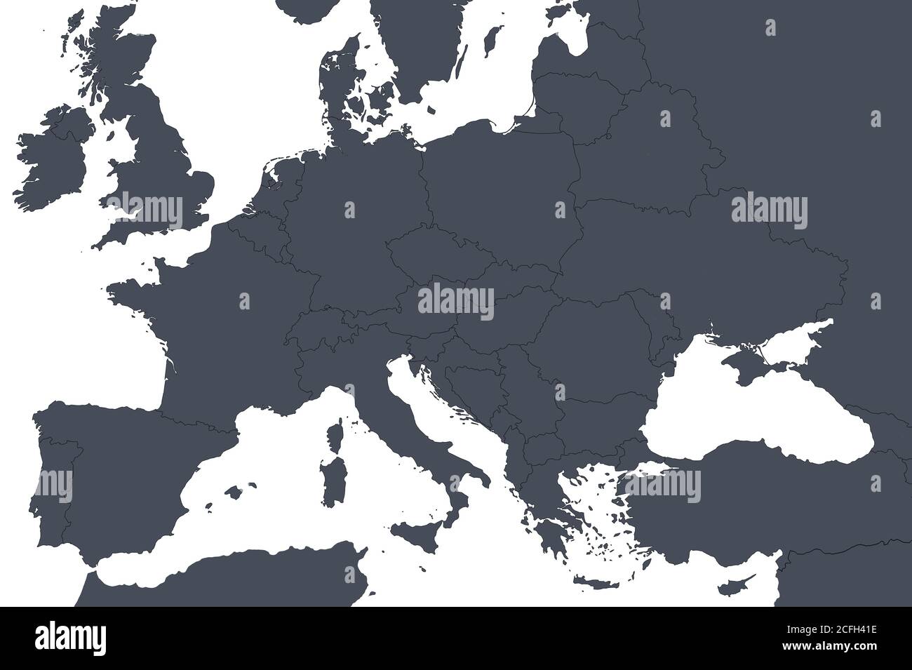 Europe outline map with countries borders. Detail of World political map, central European region with silhouette. Earth isolated on white background, Stock Photohttps://www.alamy.com/image-license-details/?v=1https://www.alamy.com/europe-outline-map-with-countries-borders-detail-of-world-political-map-central-european-region-with-silhouette-earth-isolated-on-white-background-image371013930.html
RF2CFH41E–Europe outline map with countries borders. Detail of World political map, central European region with silhouette. Earth isolated on white background,
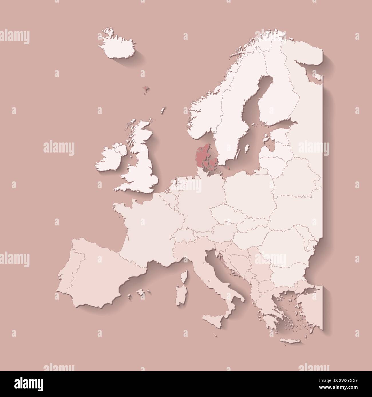 Vector illustration with european land with borders of states and marked country Denmark. Political map in brown colors with western, south and etc re Stock Vectorhttps://www.alamy.com/image-license-details/?v=1https://www.alamy.com/vector-illustration-with-european-land-with-borders-of-states-and-marked-country-denmark-political-map-in-brown-colors-with-western-south-and-etc-re-image601739273.html
RF2WXYGG9–Vector illustration with european land with borders of states and marked country Denmark. Political map in brown colors with western, south and etc re
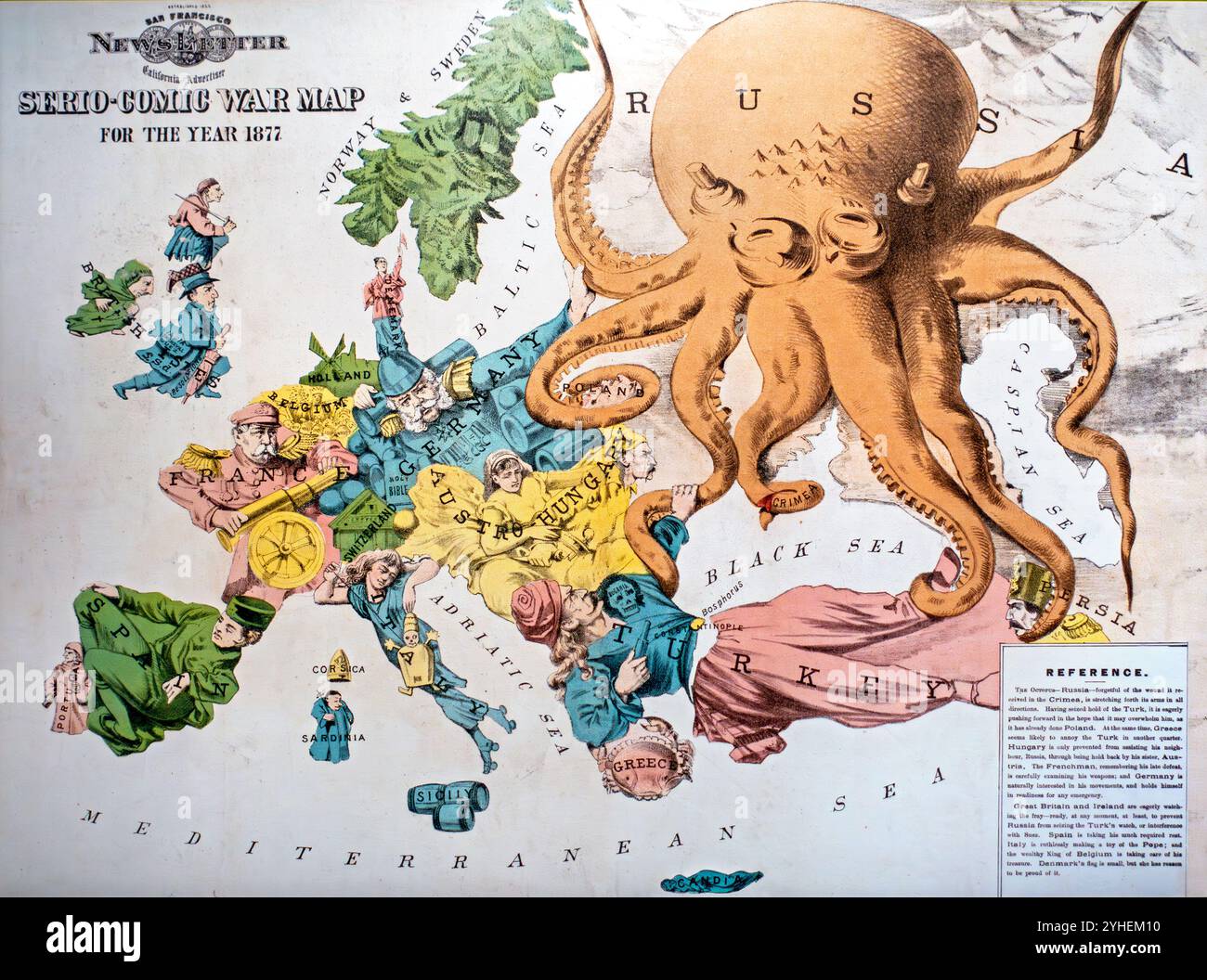 Serio-Comic War Map by Fred W. Rose, vintage cartoon map showing the political situation in Europe in 1877 Stock Photohttps://www.alamy.com/image-license-details/?v=1https://www.alamy.com/serio-comic-war-map-by-fred-w-rose-vintage-cartoon-map-showing-the-political-situation-in-europe-in-1877-image630345436.html
RM2YHEM10–Serio-Comic War Map by Fred W. Rose, vintage cartoon map showing the political situation in Europe in 1877
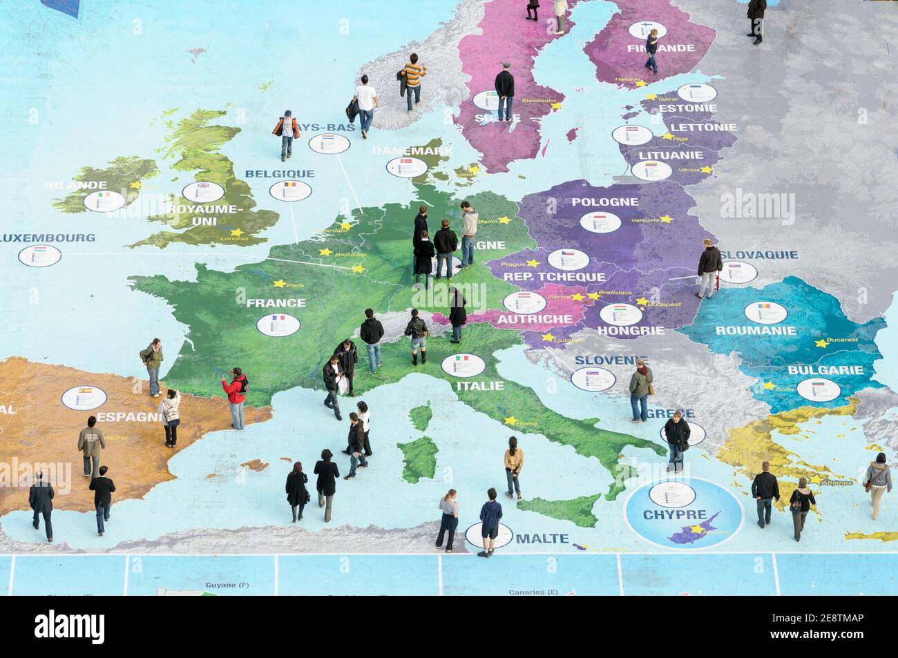 People explore a map of Europe at the Eiffel Tower to celebrate French Presidency of the Council of the European Union in Paris, France, 2008. Stock Photohttps://www.alamy.com/image-license-details/?v=1https://www.alamy.com/people-explore-a-map-of-europe-at-the-eiffel-tower-to-celebrate-french-presidency-of-the-council-of-the-european-union-in-paris-france-2008-image401298542.html
RM2E8TMAP–People explore a map of Europe at the Eiffel Tower to celebrate French Presidency of the Council of the European Union in Paris, France, 2008.
 Humorous map of Europe 1870 (title on object), Cartoon with the map of Europe represented by the political situation in the year 1870. The countries are shown as people and/or animals. With seven-line explanation below the performance., print maker: Emrik & Binger, Haarlem, 1870, paper, height 402 mm × width 535 mm, print Stock Photohttps://www.alamy.com/image-license-details/?v=1https://www.alamy.com/humorous-map-of-europe-1870-title-on-object-cartoon-with-the-map-of-europe-represented-by-the-political-situation-in-the-year-1870-the-countries-are-shown-as-people-andor-animals-with-seven-line-explanation-below-the-performance-print-maker-emrik-binger-haarlem-1870-paper-height-402-mm-width-535-mm-print-image599479307.html
RM2WR8HY7–Humorous map of Europe 1870 (title on object), Cartoon with the map of Europe represented by the political situation in the year 1870. The countries are shown as people and/or animals. With seven-line explanation below the performance., print maker: Emrik & Binger, Haarlem, 1870, paper, height 402 mm × width 535 mm, print
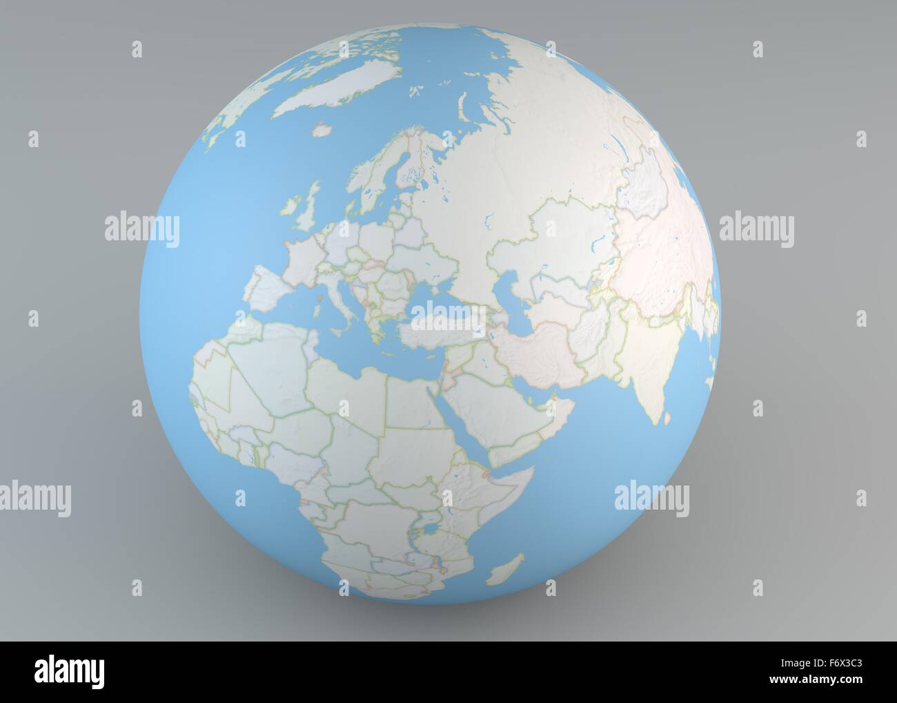 Planisphere map globe, political map, Europe North Africa and Middle East Stock Photohttps://www.alamy.com/image-license-details/?v=1https://www.alamy.com/stock-photo-planisphere-map-globe-political-map-europe-north-africa-and-middle-90313219.html
RFF6X3C3–Planisphere map globe, political map, Europe North Africa and Middle East
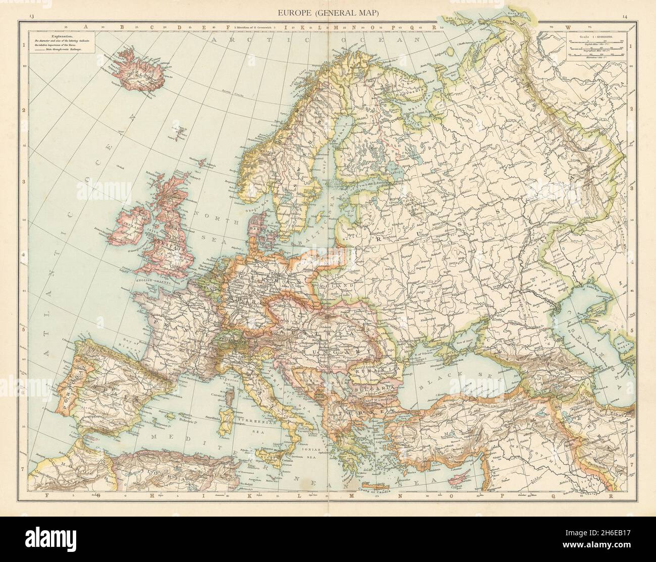 Europe (General map). Political. THE TIMES 1895 old antique plan chart Stock Photohttps://www.alamy.com/image-license-details/?v=1https://www.alamy.com/europe-general-map-political-the-times-1895-old-antique-plan-chart-image451473491.html
RF2H6EB17–Europe (General map). Political. THE TIMES 1895 old antique plan chart
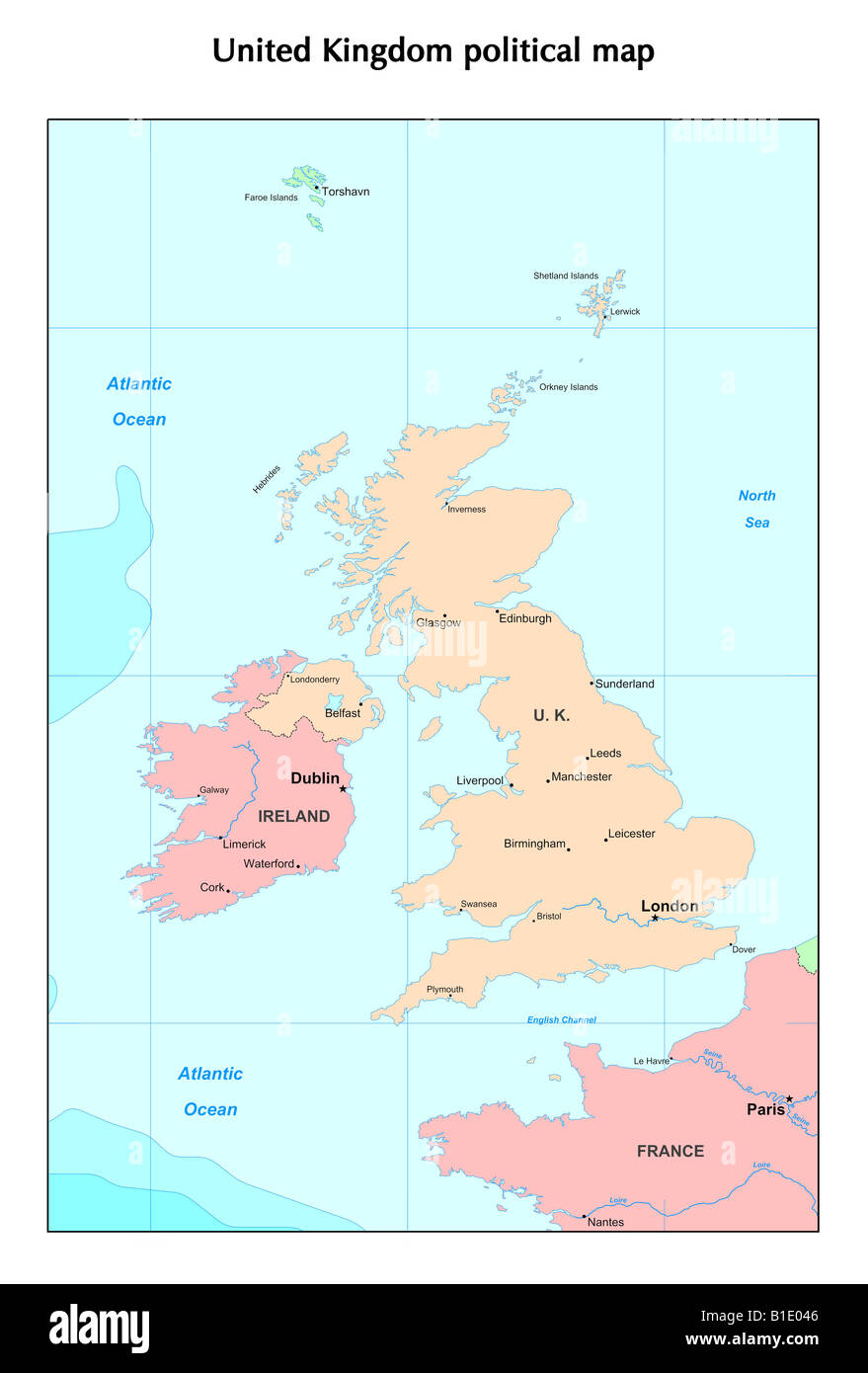 United Kingdom political map Stock Photohttps://www.alamy.com/image-license-details/?v=1https://www.alamy.com/stock-photo-united-kingdom-political-map-18132470.html
RFB1E046–United Kingdom political map
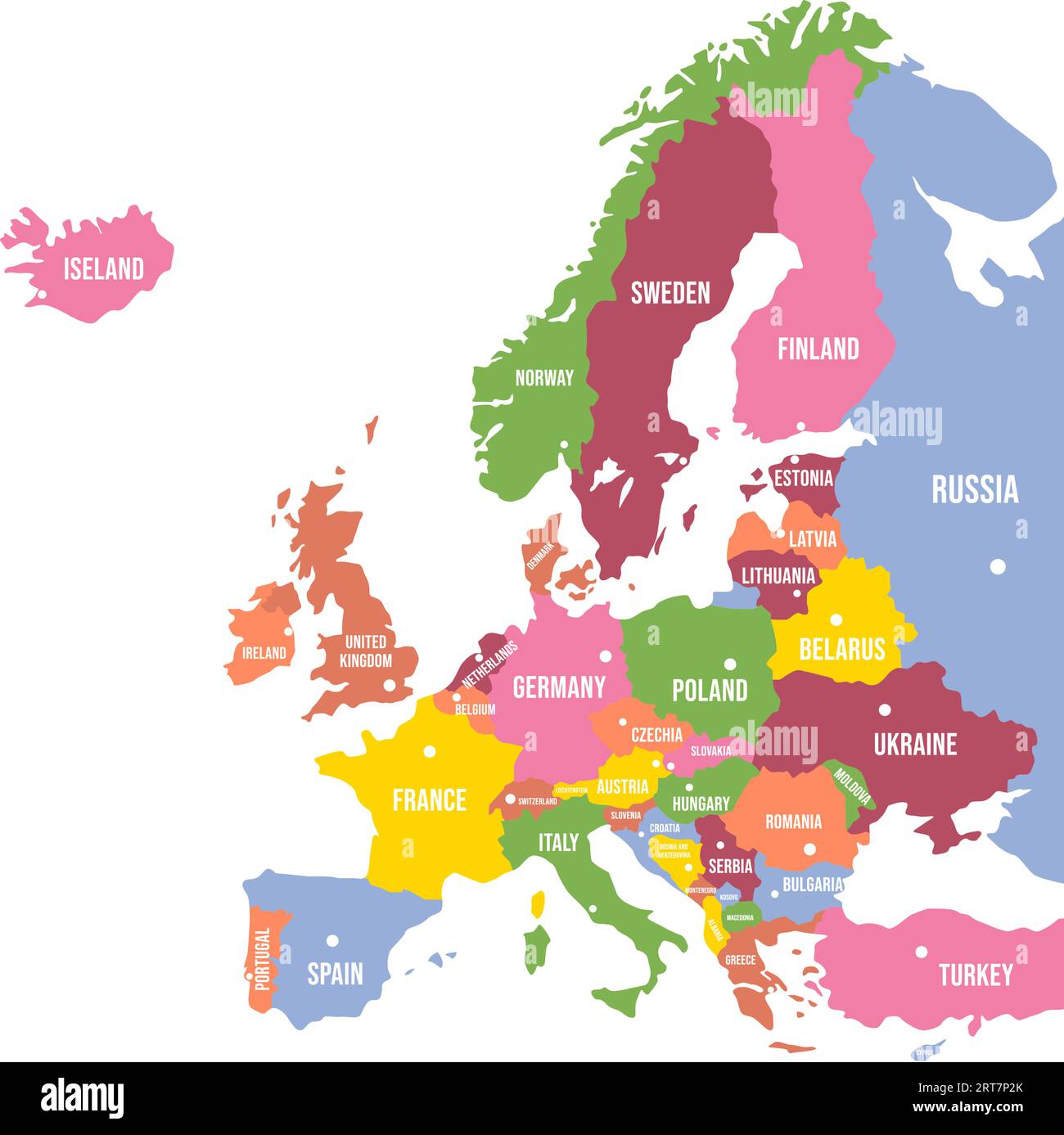 Colorful Europe map. Countries and borders, political map of Europe continent with capitals vector illustration Stock Vectorhttps://www.alamy.com/image-license-details/?v=1https://www.alamy.com/colorful-europe-map-countries-and-borders-political-map-of-europe-continent-with-capitals-vector-illustration-image565654507.html
RF2RT7P2K–Colorful Europe map. Countries and borders, political map of Europe continent with capitals vector illustration
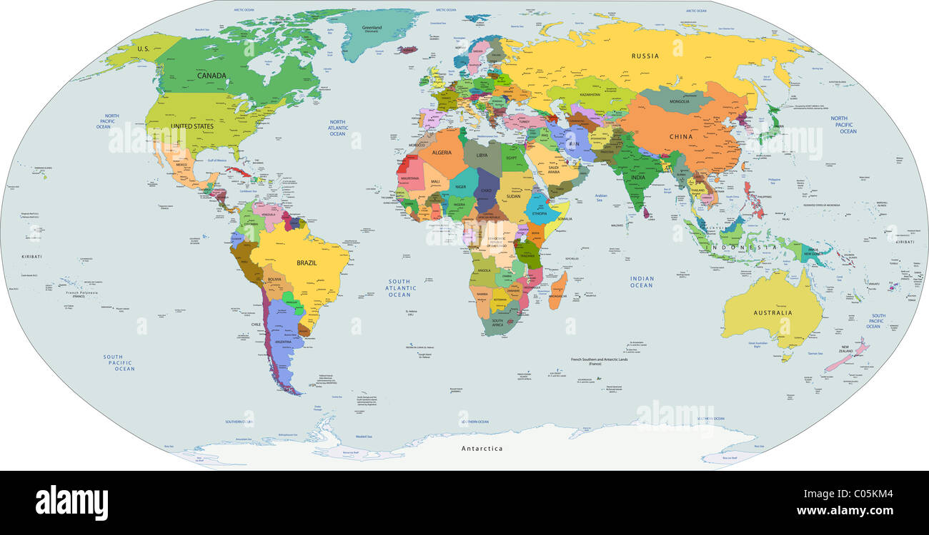 Global political map of the world, capitals and major city included, vector Stock Photohttps://www.alamy.com/image-license-details/?v=1https://www.alamy.com/stock-photo-global-political-map-of-the-world-capitals-and-major-city-included-34545956.html
RFC05KM4–Global political map of the world, capitals and major city included, vector
 Be in Guard Stock Photohttps://www.alamy.com/image-license-details/?v=1https://www.alamy.com/be-in-guard-image446730328.html
RM2GXP92G–Be in Guard
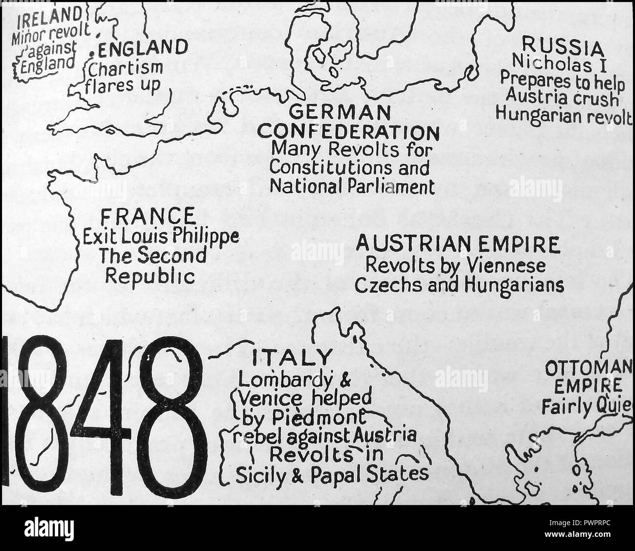 An early printed political map of Europe in 1848 Stock Photohttps://www.alamy.com/image-license-details/?v=1https://www.alamy.com/an-early-printed-political-map-of-europe-in-1848-image222392420.html
RMPWPRPC–An early printed political map of Europe in 1848
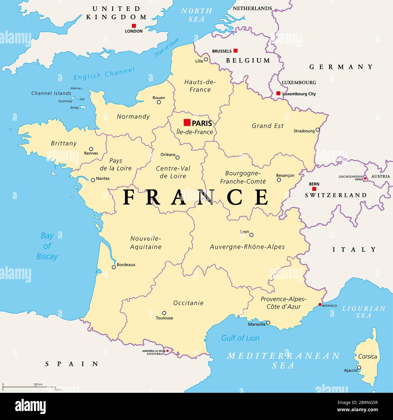 France, political map. Regions of Metropolitan France. French Republic with capital Paris and 13 administrative regions on the mainland of Europe. Stock Photohttps://www.alamy.com/image-license-details/?v=1https://www.alamy.com/france-political-map-regions-of-metropolitan-france-french-republic-with-capital-paris-and-13-administrative-regions-on-the-mainland-of-europe-image350212963.html
RF2B9NG5R–France, political map. Regions of Metropolitan France. French Republic with capital Paris and 13 administrative regions on the mainland of Europe.
 Detail from a vintage political map of Europe showing Iceland. Stock Photohttps://www.alamy.com/image-license-details/?v=1https://www.alamy.com/detail-from-a-vintage-political-map-of-europe-showing-iceland-image607335471.html
RF2X82EGF–Detail from a vintage political map of Europe showing Iceland.
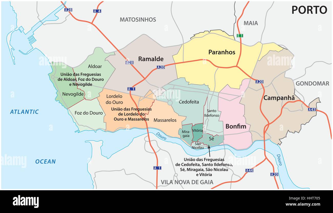 Administrative, political and street map of the Portuguese city of Porto Stock Vectorhttps://www.alamy.com/image-license-details/?v=1https://www.alamy.com/stock-photo-administrative-political-and-street-map-of-the-portuguese-city-of-131454069.html
RFHHT705–Administrative, political and street map of the Portuguese city of Porto
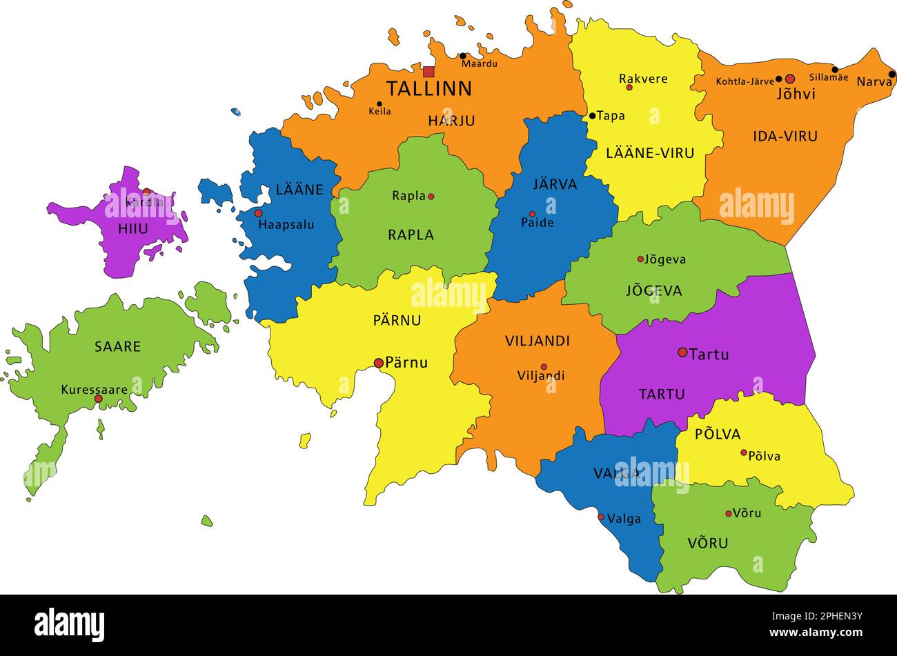 Colorful Estonia political map with clearly labeled, separated layers. Vector illustration. Stock Vectorhttps://www.alamy.com/image-license-details/?v=1https://www.alamy.com/colorful-estonia-political-map-with-clearly-labeled-separated-layers-vector-illustration-image544294463.html
RF2PHEN3Y–Colorful Estonia political map with clearly labeled, separated layers. Vector illustration.
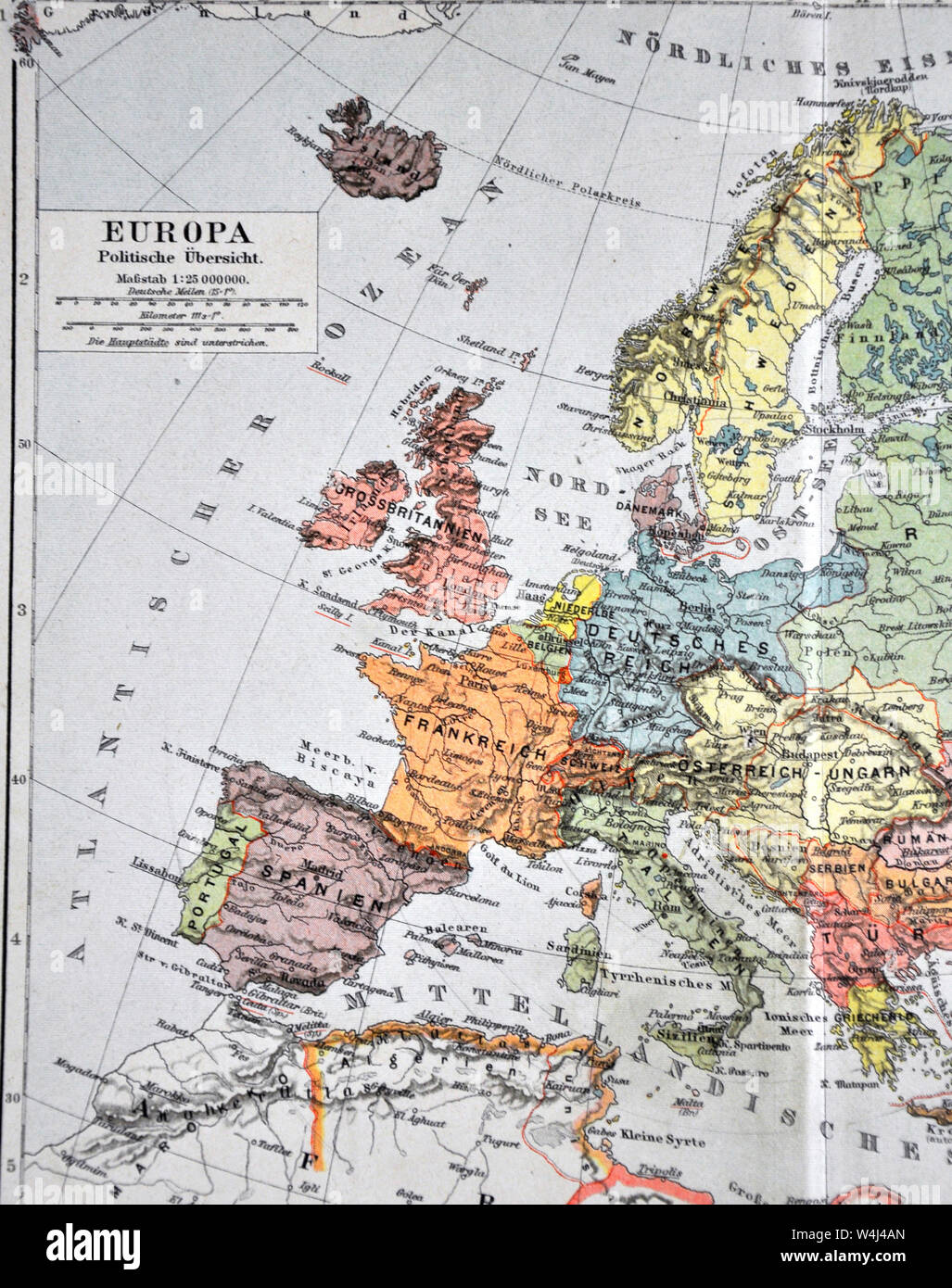 1900 Meyer Map of Europe Stock Photohttps://www.alamy.com/image-license-details/?v=1https://www.alamy.com/1900-meyer-map-of-europe-image261012717.html
RFW4J4AN–1900 Meyer Map of Europe
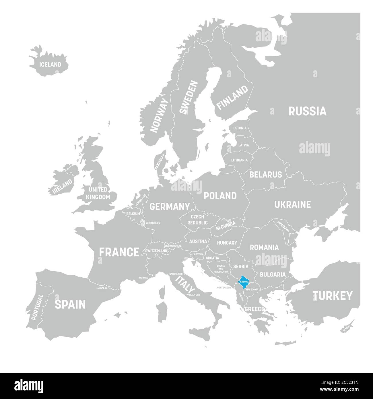 Kosovo marked by blue in grey political map of Europe. Vector illustration. Stock Vectorhttps://www.alamy.com/image-license-details/?v=1https://www.alamy.com/kosovo-marked-by-blue-in-grey-political-map-of-europe-vector-illustration-image364537957.html
RF2C523TN–Kosovo marked by blue in grey political map of Europe. Vector illustration.
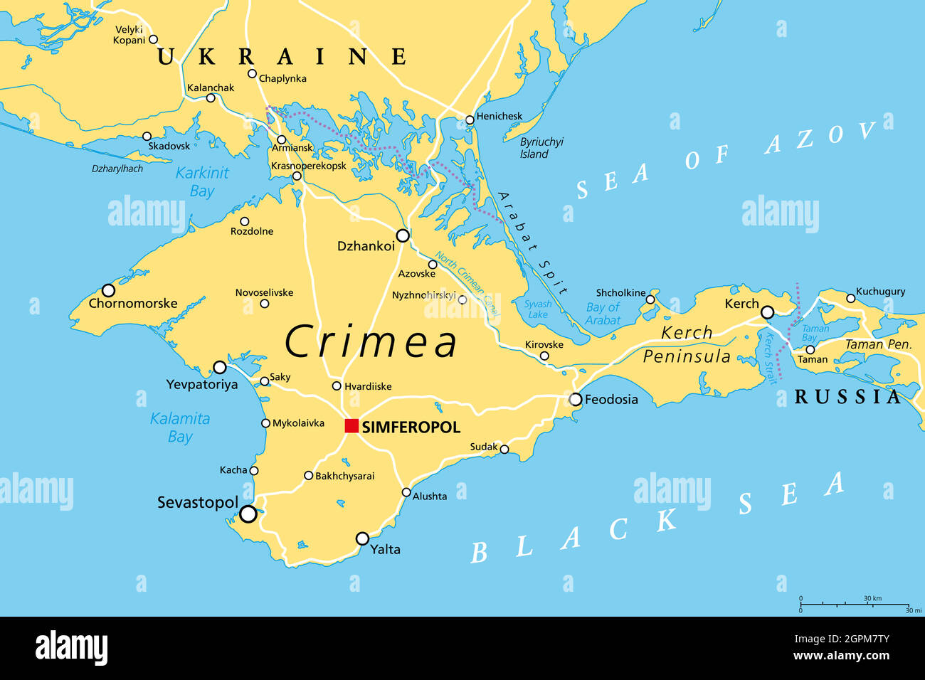 Crimea, peninsula in Eastern Europe, political map Stock Vectorhttps://www.alamy.com/image-license-details/?v=1https://www.alamy.com/crimea-peninsula-in-eastern-europe-political-map-image444226859.html
RF2GPM7TY–Crimea, peninsula in Eastern Europe, political map
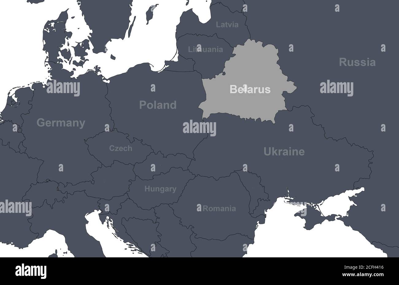 Belarus on Europe outline map with countries borders. Detail of World political map, central and eastern European region with silhouette. Earth isolat Stock Photohttps://www.alamy.com/image-license-details/?v=1https://www.alamy.com/belarus-on-europe-outline-map-with-countries-borders-detail-of-world-political-map-central-and-eastern-european-region-with-silhouette-earth-isolat-image371013922.html
RF2CFH416–Belarus on Europe outline map with countries borders. Detail of World political map, central and eastern European region with silhouette. Earth isolat
 Colorful pocket map of Europe, European Union countries, political map of Europe Stock Photohttps://www.alamy.com/image-license-details/?v=1https://www.alamy.com/colorful-pocket-map-of-europe-european-union-countries-political-map-of-europe-image641330934.html
RF2S7B446–Colorful pocket map of Europe, European Union countries, political map of Europe
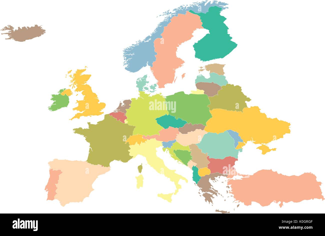 political map Europe on a white background. Stock Vectorhttps://www.alamy.com/image-license-details/?v=1https://www.alamy.com/political-map-europe-on-a-white-background-image155263039.html
RFK0GRGF–political map Europe on a white background.
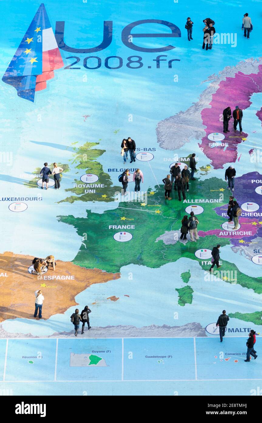 People explore a map of Europe at the Eiffel Tower to celebrate French Presidency of the Council of the European Union in Paris, France, 2008. Stock Photohttps://www.alamy.com/image-license-details/?v=1https://www.alamy.com/people-explore-a-map-of-europe-at-the-eiffel-tower-to-celebrate-french-presidency-of-the-council-of-the-european-union-in-paris-france-2008-image401298734.html
RM2E8TMHJ–People explore a map of Europe at the Eiffel Tower to celebrate French Presidency of the Council of the European Union in Paris, France, 2008.
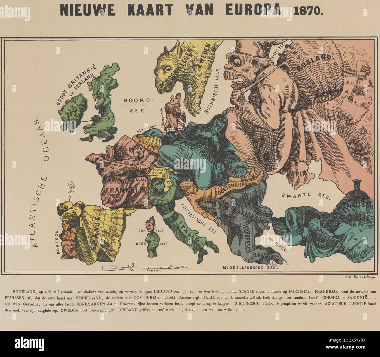 New map of Europe 1870 (title on object), Cartoon with the map of Europe represented by the political situation in the year 1870. The countries are shown as people and/or animals. With four-line explanation below the performance., print, print maker: Emrik & Binger, (mentioned on object), Netherlands, 1870, paper, height, 404 mm × width, 532 mm Stock Photohttps://www.alamy.com/image-license-details/?v=1https://www.alamy.com/new-map-of-europe-1870-title-on-object-cartoon-with-the-map-of-europe-represented-by-the-political-situation-in-the-year-1870-the-countries-are-shown-as-people-andor-animals-with-four-line-explanation-below-the-performance-print-print-maker-emrik-binger-mentioned-on-object-netherlands-1870-paper-height-404-mm-width-532-mm-image606664938.html
RM2X6YY8X–New map of Europe 1870 (title on object), Cartoon with the map of Europe represented by the political situation in the year 1870. The countries are shown as people and/or animals. With four-line explanation below the performance., print, print maker: Emrik & Binger, (mentioned on object), Netherlands, 1870, paper, height, 404 mm × width, 532 mm
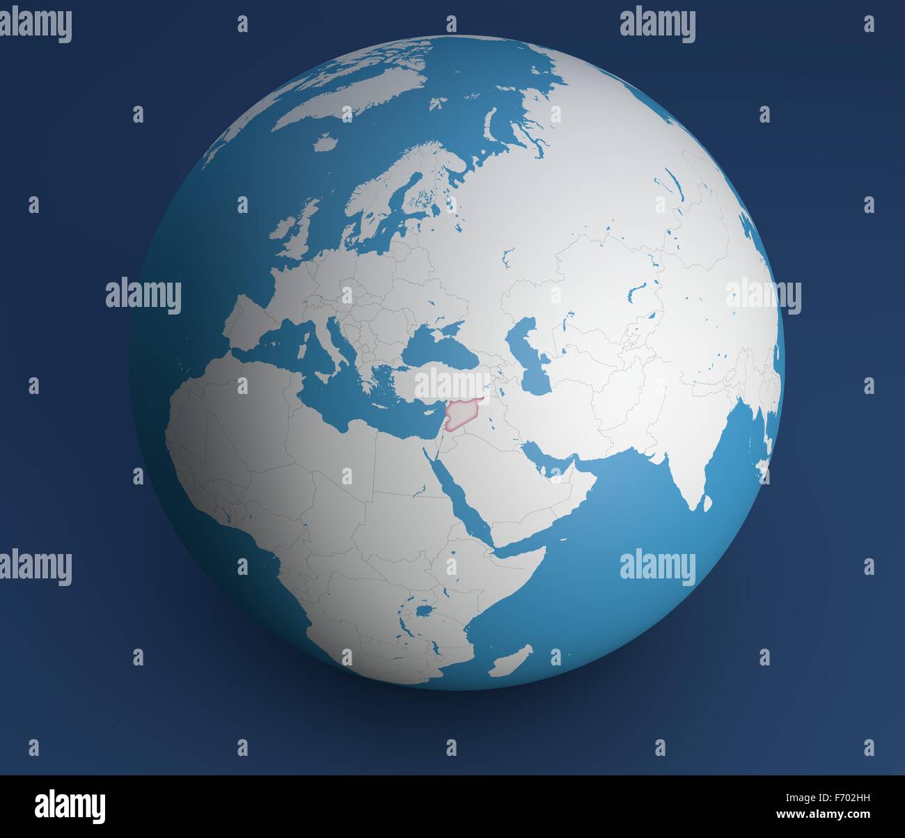 Planisphere map globe, political map, Europe North Africa and Middle East Stock Photohttps://www.alamy.com/image-license-details/?v=1https://www.alamy.com/stock-photo-planisphere-map-globe-political-map-europe-north-africa-and-middle-90356493.html
RFF702HH–Planisphere map globe, political map, Europe North Africa and Middle East
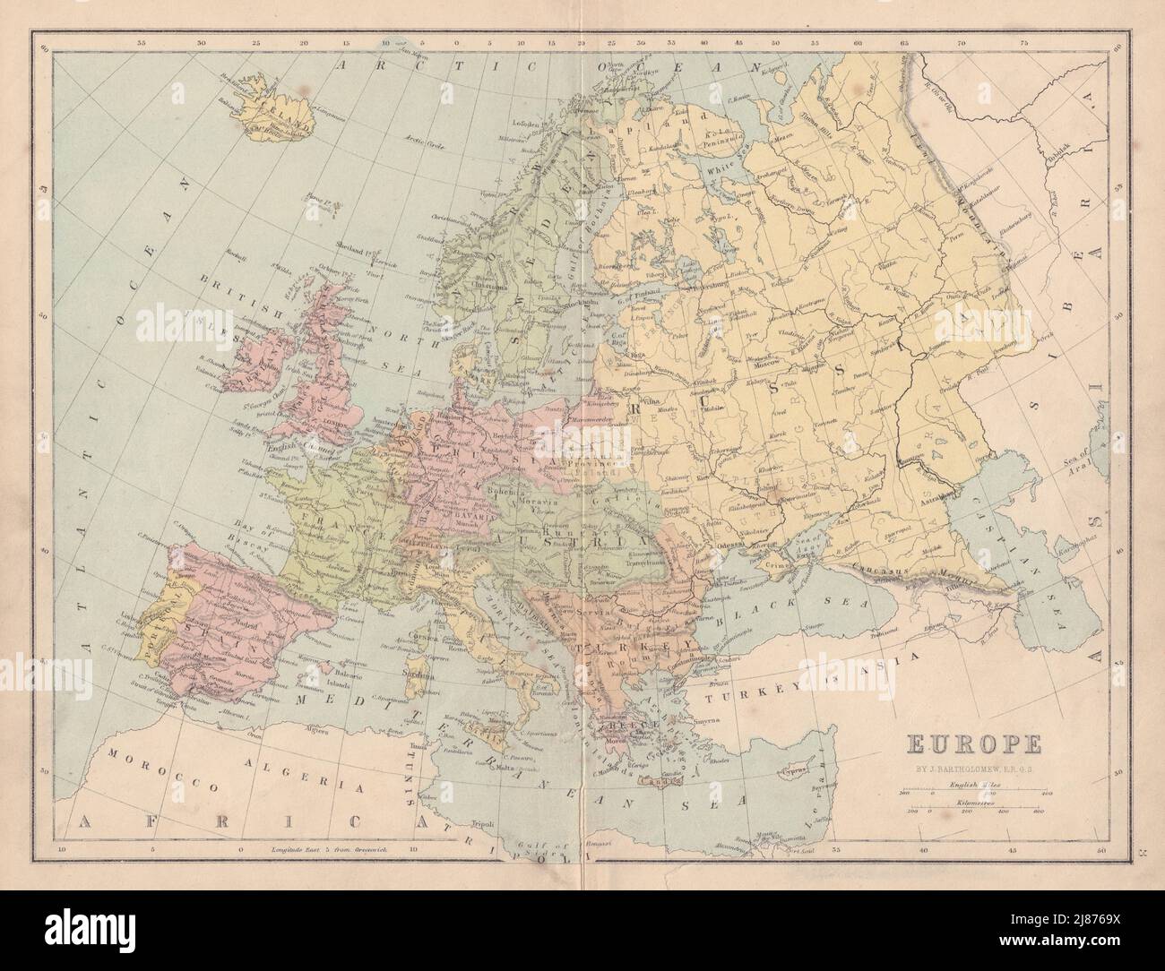 EUROPE Political. United Germany marked as Prussia. COLLINS 1873 old map Stock Photohttps://www.alamy.com/image-license-details/?v=1https://www.alamy.com/europe-political-united-germany-marked-as-prussia-collins-1873-old-map-image469755830.html
RF2J8769X–EUROPE Political. United Germany marked as Prussia. COLLINS 1873 old map
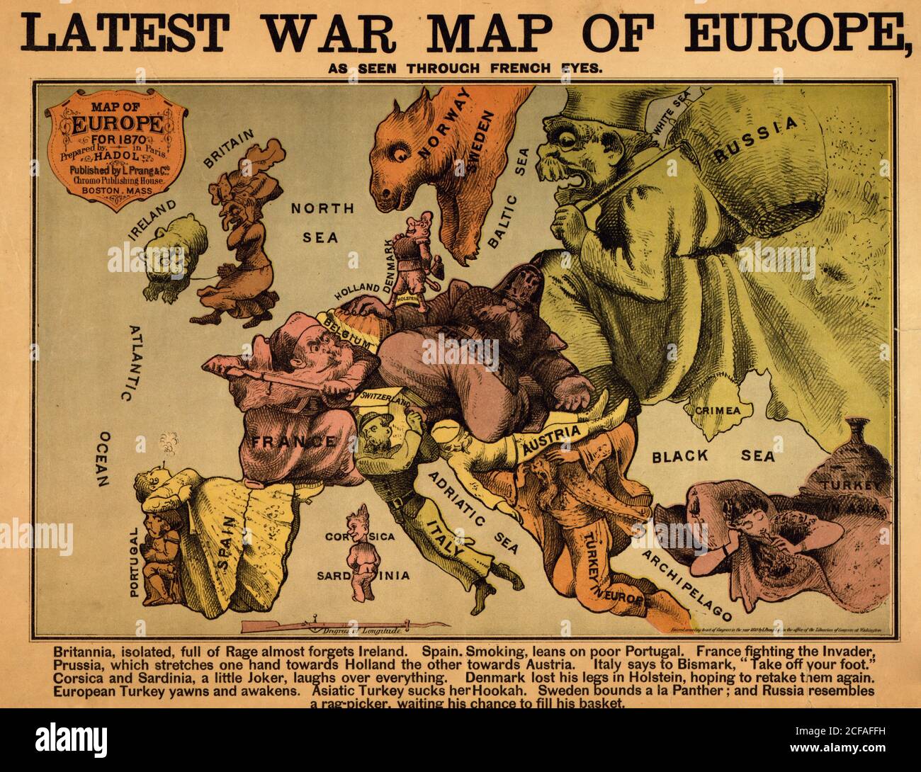 Anthropomorphic Map of Europe - 1870 - Political Stock Photohttps://www.alamy.com/image-license-details/?v=1https://www.alamy.com/anthropomorphic-map-of-europe-1870-political-image370869285.html
RM2CFAFFH–Anthropomorphic Map of Europe - 1870 - Political
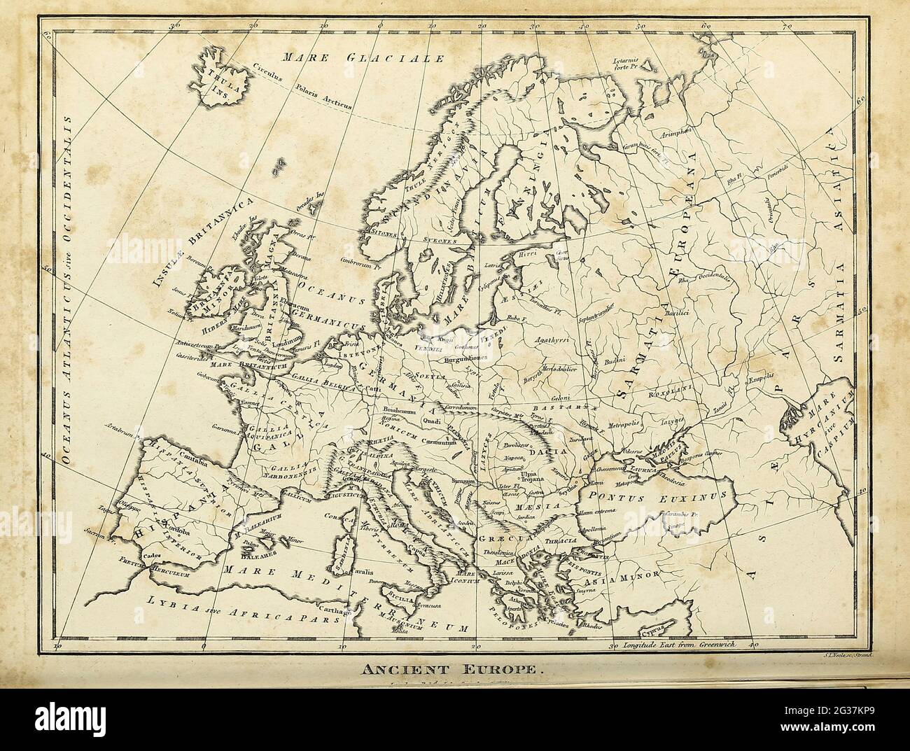 Map of Ancient Europe Copperplate engraving From the Encyclopaedia Londinensis or, Universal dictionary of arts, sciences, and literature; Volume VII; Edited by Wilkes, John. Published in London in 1810 Stock Photohttps://www.alamy.com/image-license-details/?v=1https://www.alamy.com/map-of-ancient-europe-copperplate-engraving-from-the-encyclopaedia-londinensis-or-universal-dictionary-of-arts-sciences-and-literature-volume-vii-edited-by-wilkes-john-published-in-london-in-1810-image432272353.html
RM2G37KP9–Map of Ancient Europe Copperplate engraving From the Encyclopaedia Londinensis or, Universal dictionary of arts, sciences, and literature; Volume VII; Edited by Wilkes, John. Published in London in 1810
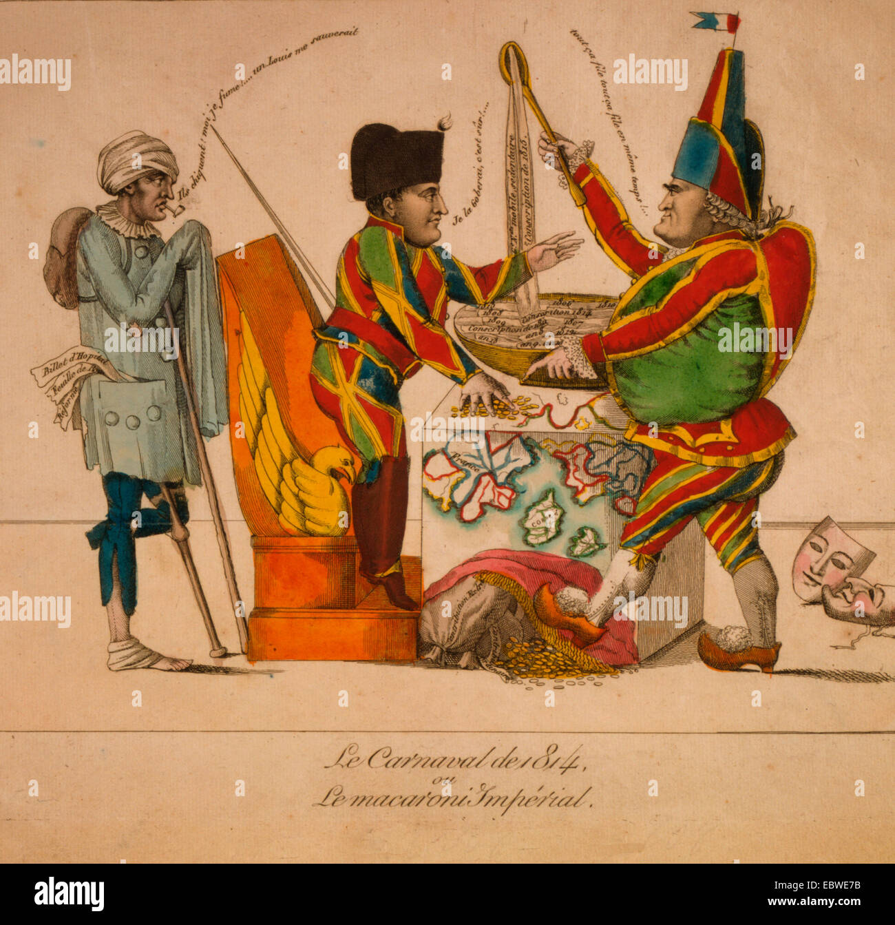 Le Carnaval de 1814 ou Le marcaroni Impérial - Political Cartoon shows Napoleon and Cambacérès as a harlequin and punch, respectively; between them is a table on which is a map of Europe. Cambacérès ladles out a macaroni soup comprised of the unpopular actions and events of Napoleon's reign. Napoleon, standing on a chair, gestures to Cambacérès and offers him money. Standing behind Napoleon, an injured war veteran, with one leg and a crutch, smokes a pipe and condemns their actions. Stock Photohttps://www.alamy.com/image-license-details/?v=1https://www.alamy.com/stock-photo-le-carnaval-de-1814-ou-le-marcaroni-imprial-political-cartoon-shows-76162671.html
RMEBWE7B–Le Carnaval de 1814 ou Le marcaroni Impérial - Political Cartoon shows Napoleon and Cambacérès as a harlequin and punch, respectively; between them is a table on which is a map of Europe. Cambacérès ladles out a macaroni soup comprised of the unpopular actions and events of Napoleon's reign. Napoleon, standing on a chair, gestures to Cambacérès and offers him money. Standing behind Napoleon, an injured war veteran, with one leg and a crutch, smokes a pipe and condemns their actions.
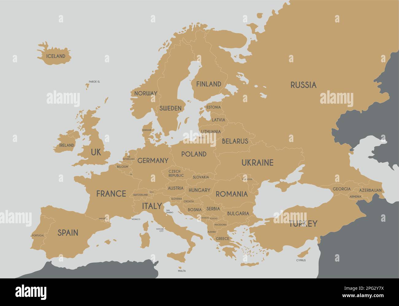 Political Europe Map vector illustration. Editable and clearly labeled layers. Stock Vectorhttps://www.alamy.com/image-license-details/?v=1https://www.alamy.com/political-europe-map-vector-illustration-editable-and-clearly-labeled-layers-image543421198.html
RF2PG2Y7X–Political Europe Map vector illustration. Editable and clearly labeled layers.
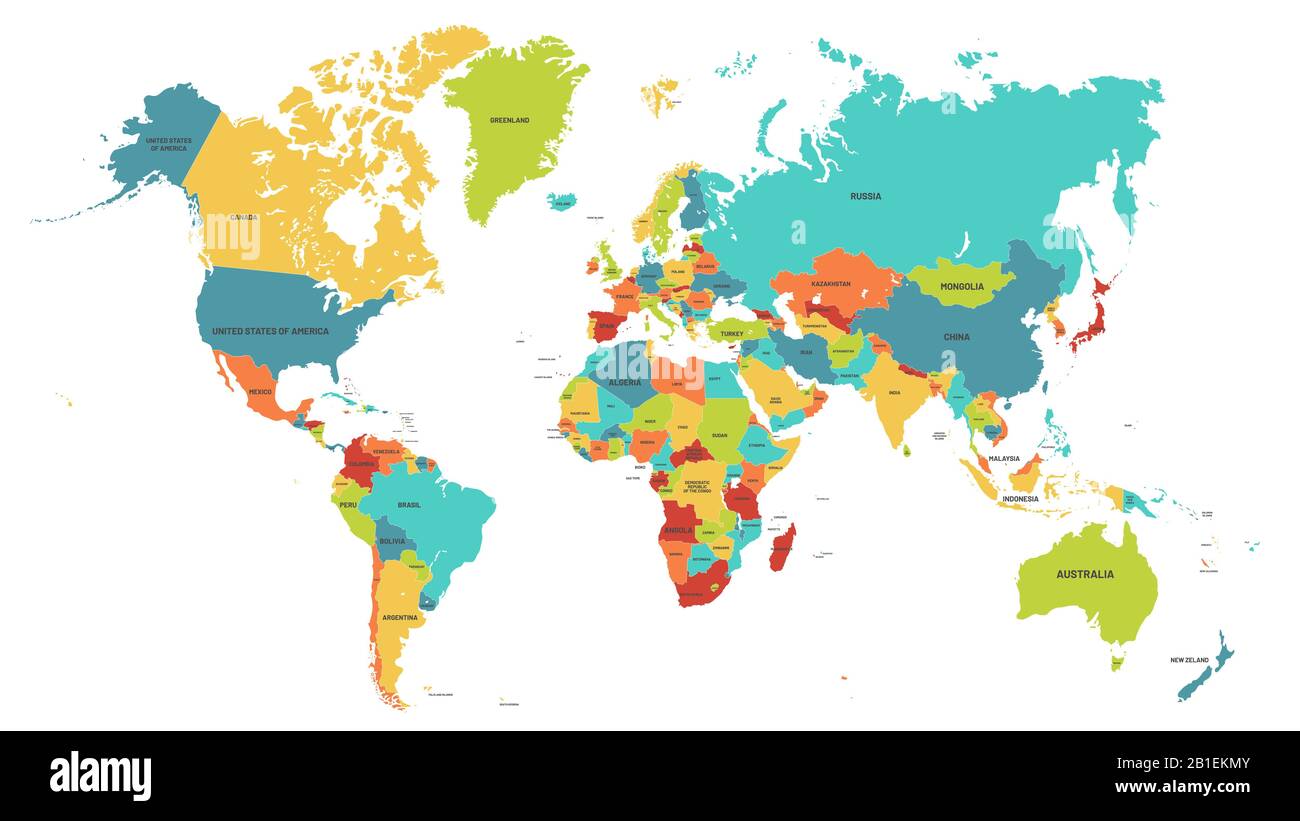 Colored world map. Political maps, colourful world countries and country names vector illustration Stock Vectorhttps://www.alamy.com/image-license-details/?v=1https://www.alamy.com/colored-world-map-political-maps-colourful-world-countries-and-country-names-vector-illustration-image345144827.html
RF2B1EKMY–Colored world map. Political maps, colourful world countries and country names vector illustration
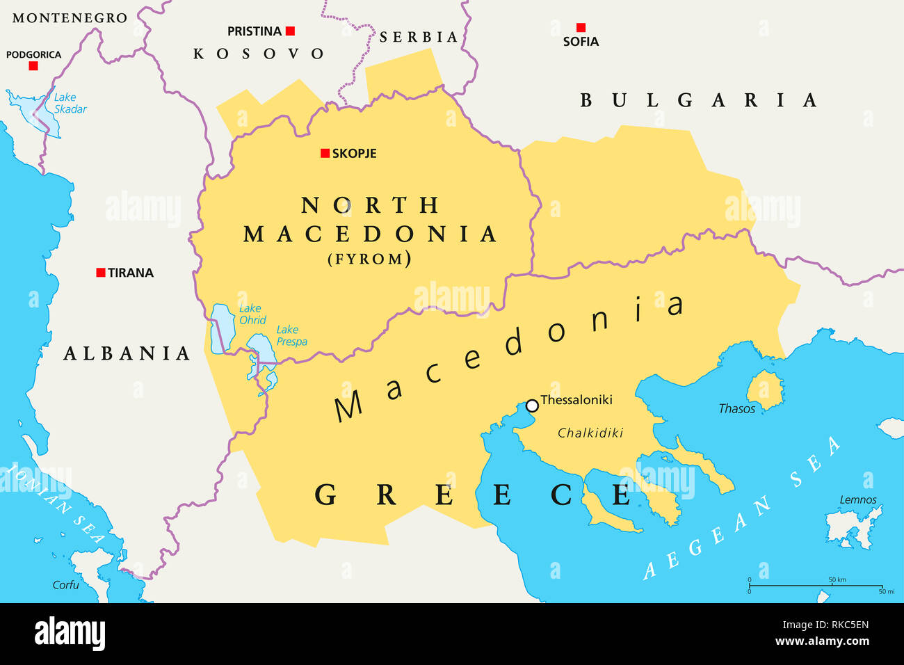 Macedonia region, political map. Region of Balkan Peninsula in Southeast Europe. Part of Greece, North Macedonia, Bulgaria, Albania, Kosovo, Serbia. Stock Photohttps://www.alamy.com/image-license-details/?v=1https://www.alamy.com/macedonia-region-political-map-region-of-balkan-peninsula-in-southeast-europe-part-of-greece-north-macedonia-bulgaria-albania-kosovo-serbia-image235681005.html
RFRKC5EN–Macedonia region, political map. Region of Balkan Peninsula in Southeast Europe. Part of Greece, North Macedonia, Bulgaria, Albania, Kosovo, Serbia.
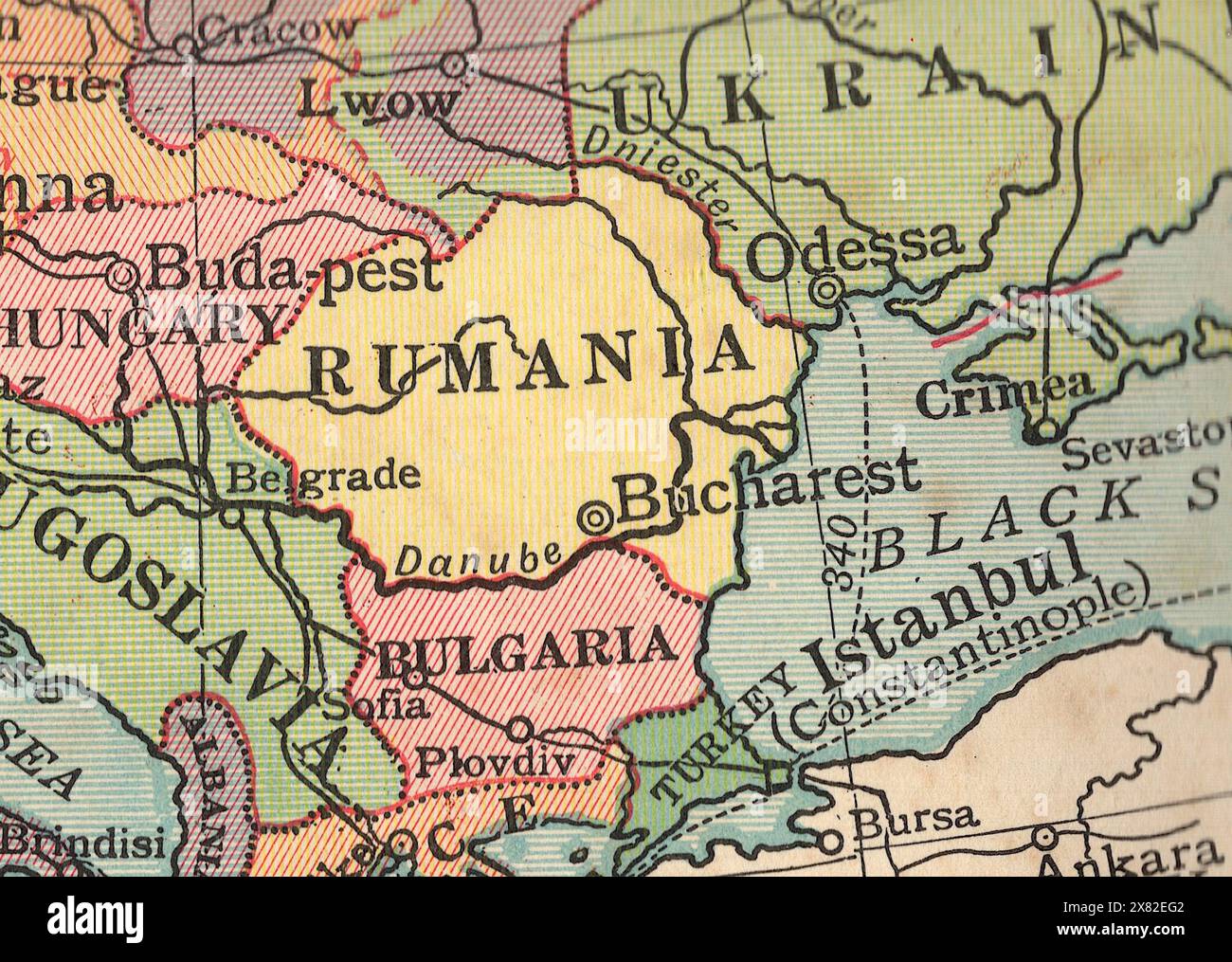 Detail from a vintage political map of Europe showing the Balkans. Stock Photohttps://www.alamy.com/image-license-details/?v=1https://www.alamy.com/detail-from-a-vintage-political-map-of-europe-showing-the-balkans-image607335458.html
RF2X82EG2–Detail from a vintage political map of Europe showing the Balkans.
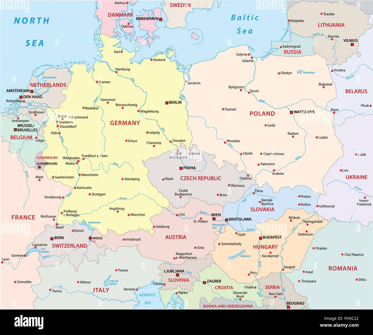 central europe map Stock Vectorhttps://www.alamy.com/image-license-details/?v=1https://www.alamy.com/stock-photo-central-europe-map-97081210.html
RFFHXC22–central europe map
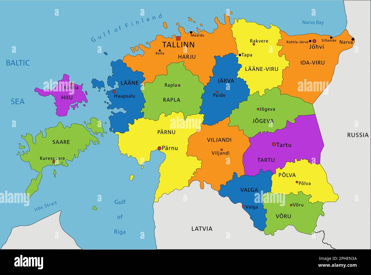 Colorful Estonia political map with clearly labeled, separated layers. Vector illustration. Stock Vectorhttps://www.alamy.com/image-license-details/?v=1https://www.alamy.com/colorful-estonia-political-map-with-clearly-labeled-separated-layers-vector-illustration-image544294446.html
RF2PHEN3A–Colorful Estonia political map with clearly labeled, separated layers. Vector illustration.
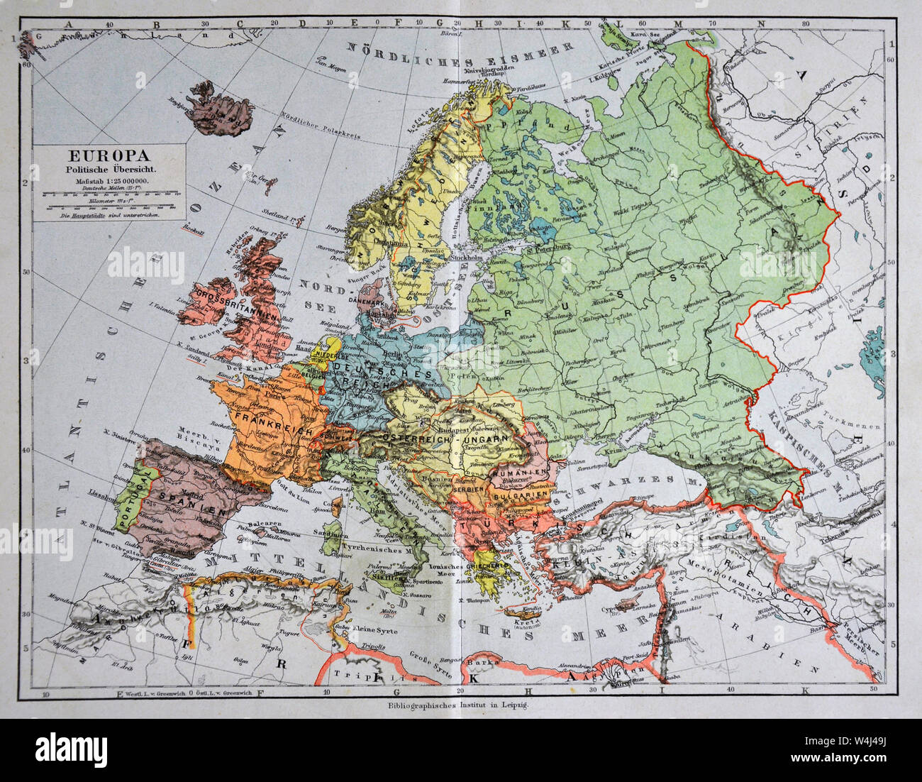 1900 Meyer Map of Europe Stock Photohttps://www.alamy.com/image-license-details/?v=1https://www.alamy.com/1900-meyer-map-of-europe-image261012686.html
RFW4J49J–1900 Meyer Map of Europe
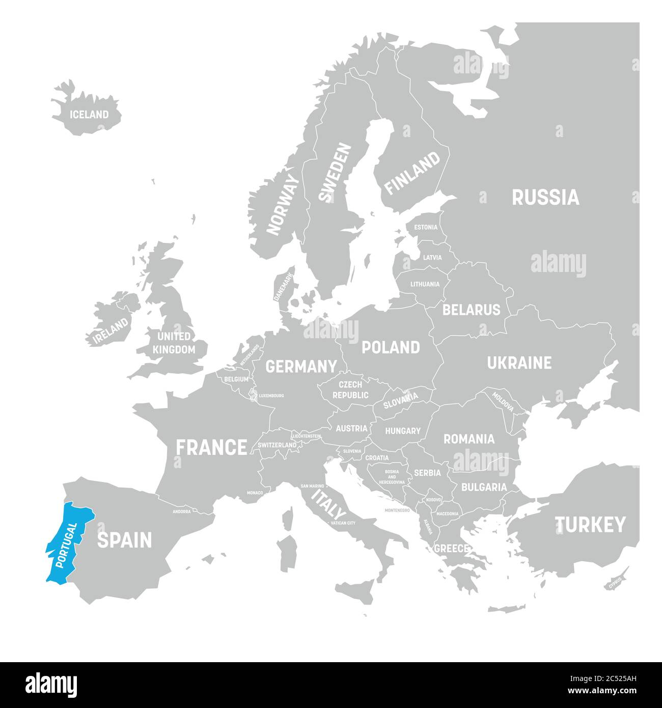 Portugal marked by blue in grey political map of Europe. Vector illustration. Stock Vectorhttps://www.alamy.com/image-license-details/?v=1https://www.alamy.com/portugal-marked-by-blue-in-grey-political-map-of-europe-vector-illustration-image364539129.html
RF2C525AH–Portugal marked by blue in grey political map of Europe. Vector illustration.
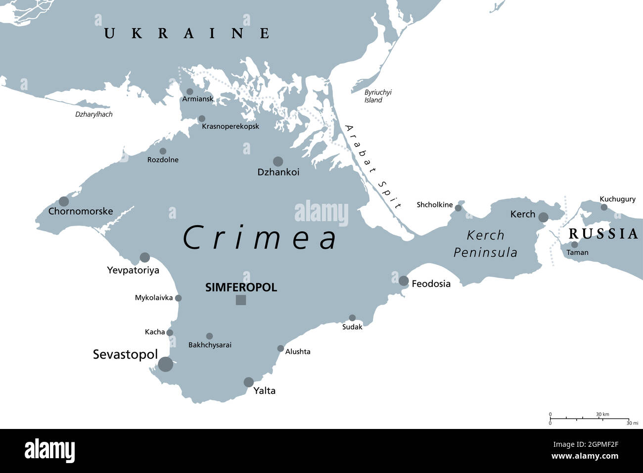 Crimea, peninsula in Eastern Europe, gray political map Stock Vectorhttps://www.alamy.com/image-license-details/?v=1https://www.alamy.com/crimea-peninsula-in-eastern-europe-gray-political-map-image444232503.html
RF2GPMF2F–Crimea, peninsula in Eastern Europe, gray political map
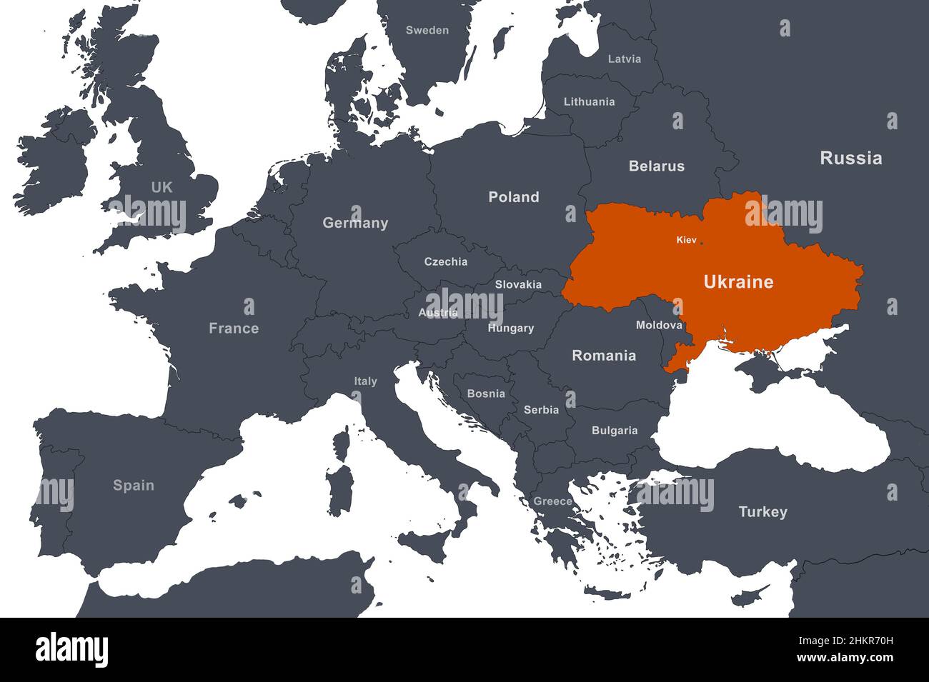 Ukraine on Europe outline map with borders. Political map with Black Sea region and territory of Russia, Crimea, Belarus, Poland and other countries. Stock Photohttps://www.alamy.com/image-license-details/?v=1https://www.alamy.com/ukraine-on-europe-outline-map-with-borders-political-map-with-black-sea-region-and-territory-of-russia-crimea-belarus-poland-and-other-countries-image459658433.html
RF2HKR70H–Ukraine on Europe outline map with borders. Political map with Black Sea region and territory of Russia, Crimea, Belarus, Poland and other countries.
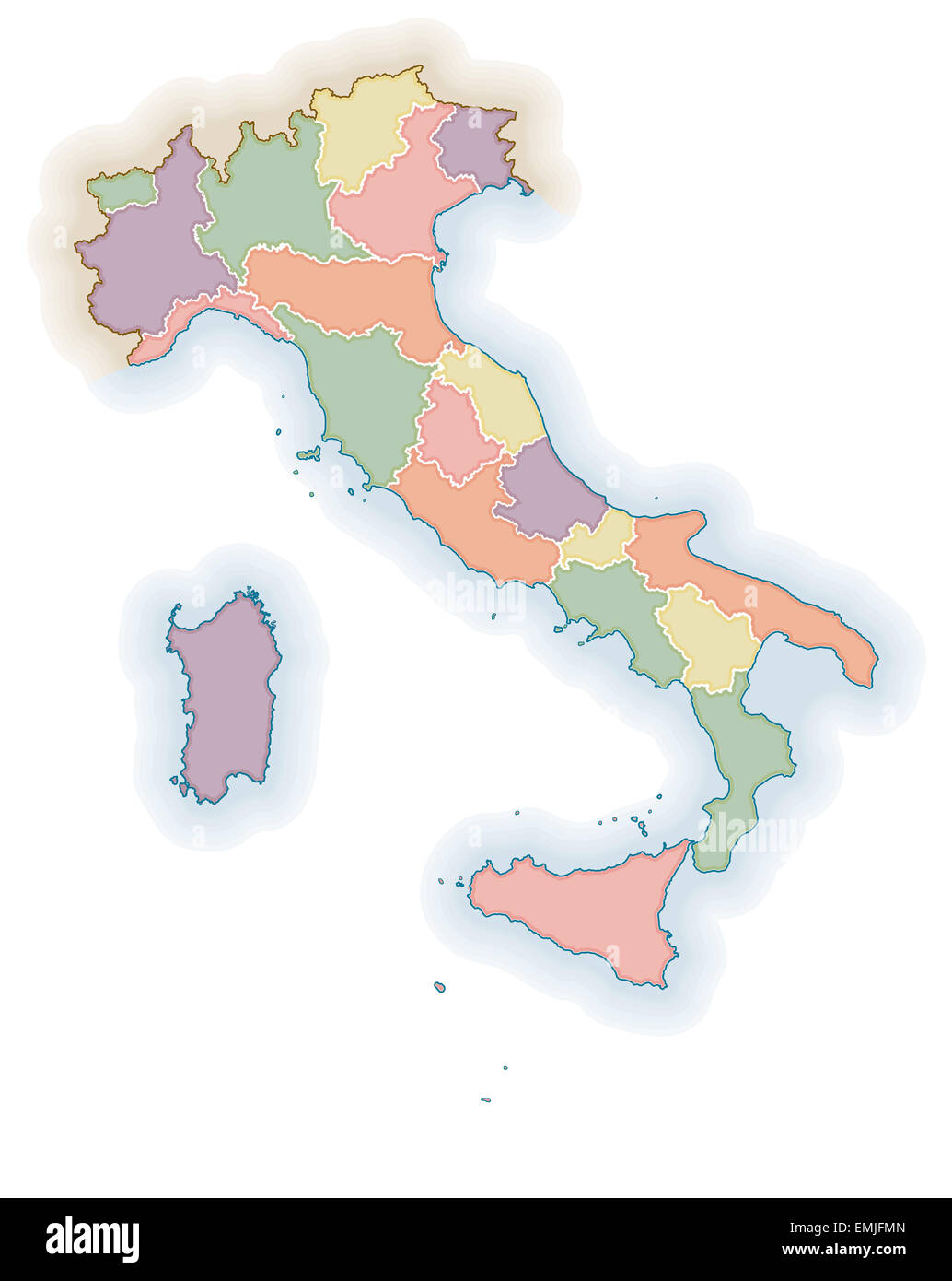 Political map of Italy. Stock Photohttps://www.alamy.com/image-license-details/?v=1https://www.alamy.com/stock-photo-political-map-of-italy-81542069.html
RFEMJFMN–Political map of Italy.
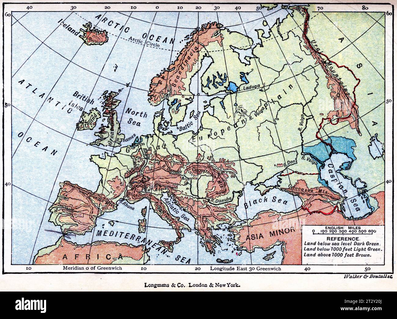 map of Europe circa 1910 from a school geography text book Stock Photohttps://www.alamy.com/image-license-details/?v=1https://www.alamy.com/map-of-europe-circa-1910-from-a-school-geography-text-book-image569765746.html
RM2T2Y20J–map of Europe circa 1910 from a school geography text book
 Vintage Detailed Colorful Political Map of Europe Printable Download Travel Poster Stock Photohttps://www.alamy.com/image-license-details/?v=1https://www.alamy.com/vintage-detailed-colorful-political-map-of-europe-printable-download-travel-poster-image626586713.html
RF2YBBDMW–Vintage Detailed Colorful Political Map of Europe Printable Download Travel Poster
 Beholding Peace Stage / Europe after the Peace of Villa-Franca 1859, anonymous, 1859, Map of the political situation in Central Europe after the Peace of Villafranca in the year 1859 that ended the Second Italian War of Independence. In the center, fiddle-playing France and Prussia huddled behind a cloak., print maker: anonymous, printer: Emrik & Binger, (mentioned on object), publisher: J.J. van Brederode, (mentioned on object), print maker: Netherlands, printer: Haarlem, publisher: Haarlem, 1859, paper, h 290 mm × w 357 mm Stock Photohttps://www.alamy.com/image-license-details/?v=1https://www.alamy.com/beholding-peace-stage-europe-after-the-peace-of-villa-franca-1859-anonymous-1859-map-of-the-political-situation-in-central-europe-after-the-peace-of-villafranca-in-the-year-1859-that-ended-the-second-italian-war-of-independence-in-the-center-fiddle-playing-france-and-prussia-huddled-behind-a-cloak-print-maker-anonymous-printer-emrik-binger-mentioned-on-object-publisher-jj-van-brederode-mentioned-on-object-print-maker-netherlands-printer-haarlem-publisher-haarlem-1859-paper-h-290-mm-w-357-mm-image473373535.html
RM2JE40NK–Beholding Peace Stage / Europe after the Peace of Villa-Franca 1859, anonymous, 1859, Map of the political situation in Central Europe after the Peace of Villafranca in the year 1859 that ended the Second Italian War of Independence. In the center, fiddle-playing France and Prussia huddled behind a cloak., print maker: anonymous, printer: Emrik & Binger, (mentioned on object), publisher: J.J. van Brederode, (mentioned on object), print maker: Netherlands, printer: Haarlem, publisher: Haarlem, 1859, paper, h 290 mm × w 357 mm
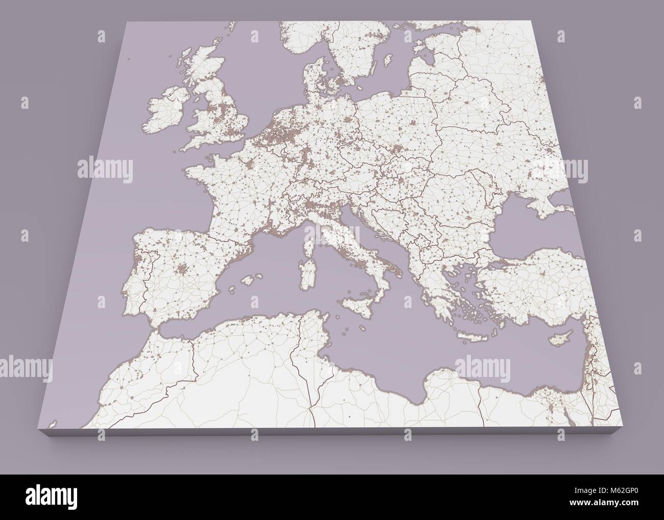 Street and political map of Europe and North Africa. European cities. Political map with the border of the states. Urban areas. Street directory atlas Stock Photohttps://www.alamy.com/image-license-details/?v=1https://www.alamy.com/stock-photo-street-and-political-map-of-europe-and-north-africa-european-cities-175848680.html
RFM62GP0–Street and political map of Europe and North Africa. European cities. Political map with the border of the states. Urban areas. Street directory atlas
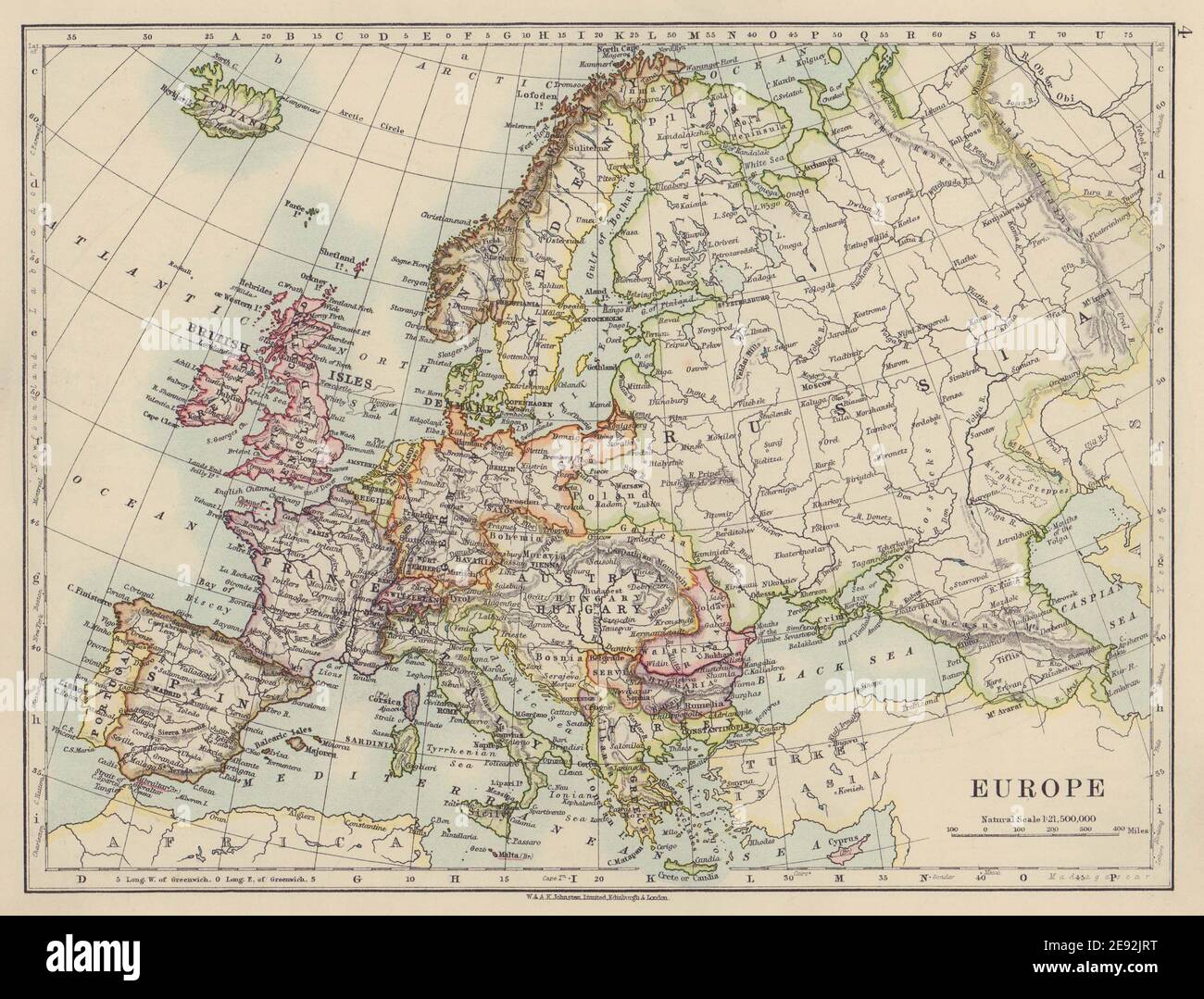 EUROPE POLITICAL. Austria-Hungary. Walachia Servia. JOHNSTON 1910 old map Stock Photohttps://www.alamy.com/image-license-details/?v=1https://www.alamy.com/europe-political-austria-hungary-walachia-servia-johnston-1910-old-map-image401429052.html
RF2E92JRT–EUROPE POLITICAL. Austria-Hungary. Walachia Servia. JOHNSTON 1910 old map
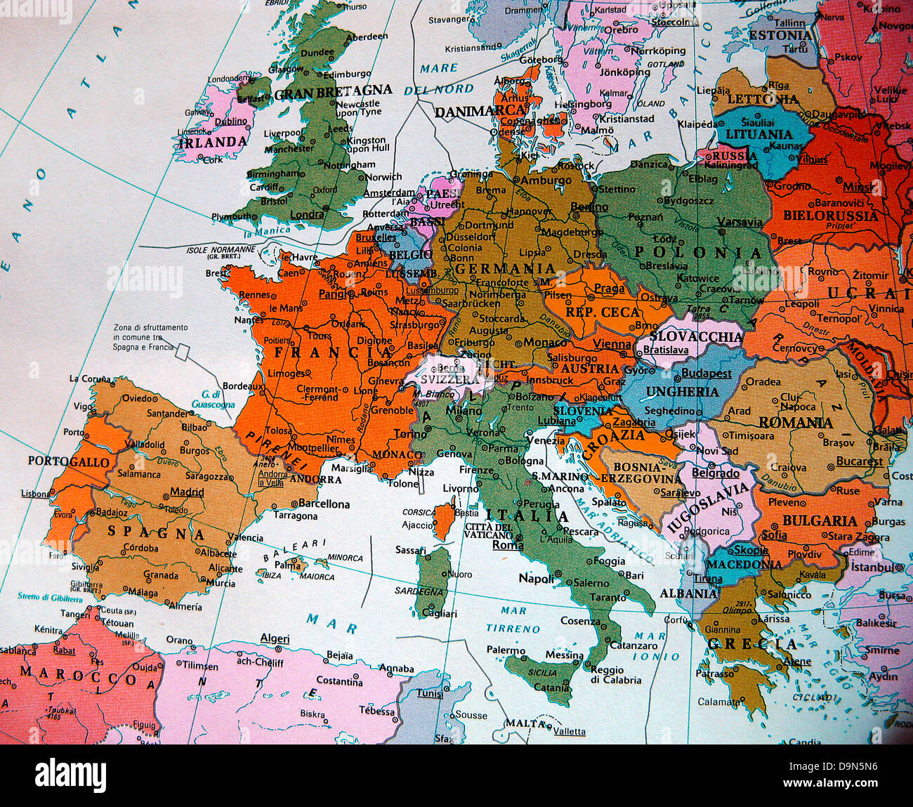 political map of europe Stock Photohttps://www.alamy.com/image-license-details/?v=1https://www.alamy.com/stock-photo-political-map-of-europe-57628514.html
RMD9N5N6–political map of europe
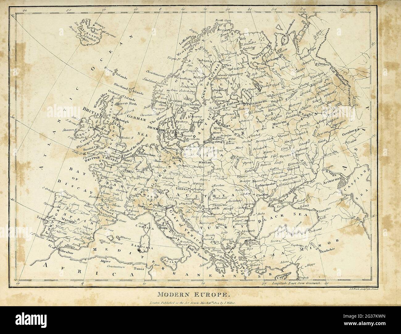 Map of Modern (1810) Europe Copperplate engraving From the Encyclopaedia Londinensis or, Universal dictionary of arts, sciences, and literature; Volume VII; Edited by Wilkes, John. Published in London in 1810 Stock Photohttps://www.alamy.com/image-license-details/?v=1https://www.alamy.com/map-of-modern-1810-europe-copperplate-engraving-from-the-encyclopaedia-londinensis-or-universal-dictionary-of-arts-sciences-and-literature-volume-vii-edited-by-wilkes-john-published-in-london-in-1810-image432272449.html
RM2G37KWN–Map of Modern (1810) Europe Copperplate engraving From the Encyclopaedia Londinensis or, Universal dictionary of arts, sciences, and literature; Volume VII; Edited by Wilkes, John. Published in London in 1810
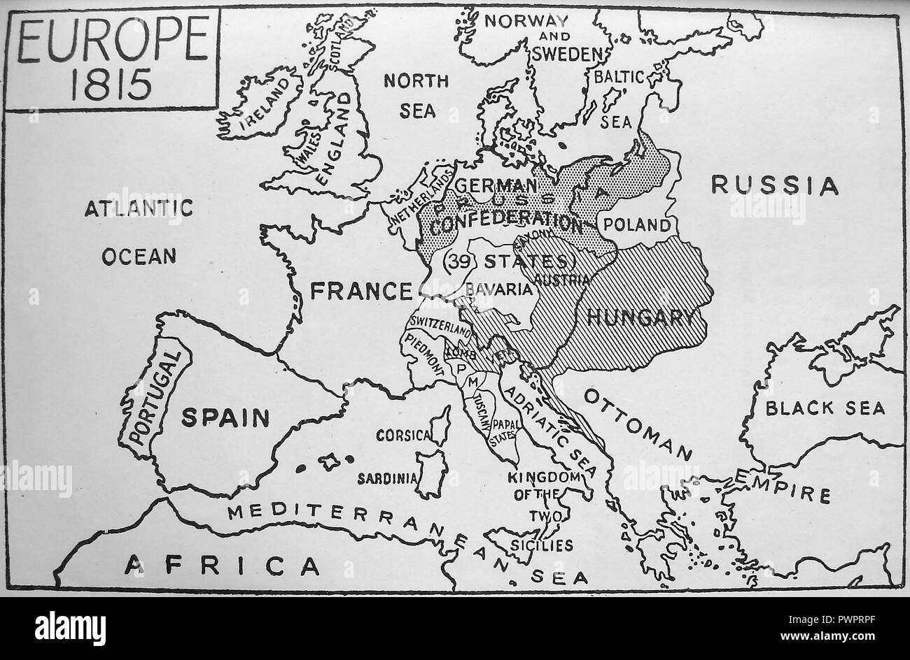 An early printed map of Europe in 1815 Stock Photohttps://www.alamy.com/image-license-details/?v=1https://www.alamy.com/an-early-printed-map-of-europe-in-1815-image222392423.html
RMPWPRPF–An early printed map of Europe in 1815
 Political blank Europe Map vector illustration. Editable and clearly labeled layers. Stock Vectorhttps://www.alamy.com/image-license-details/?v=1https://www.alamy.com/political-blank-europe-map-vector-illustration-editable-and-clearly-labeled-layers-image543422318.html
RF2PG30KX–Political blank Europe Map vector illustration. Editable and clearly labeled layers.
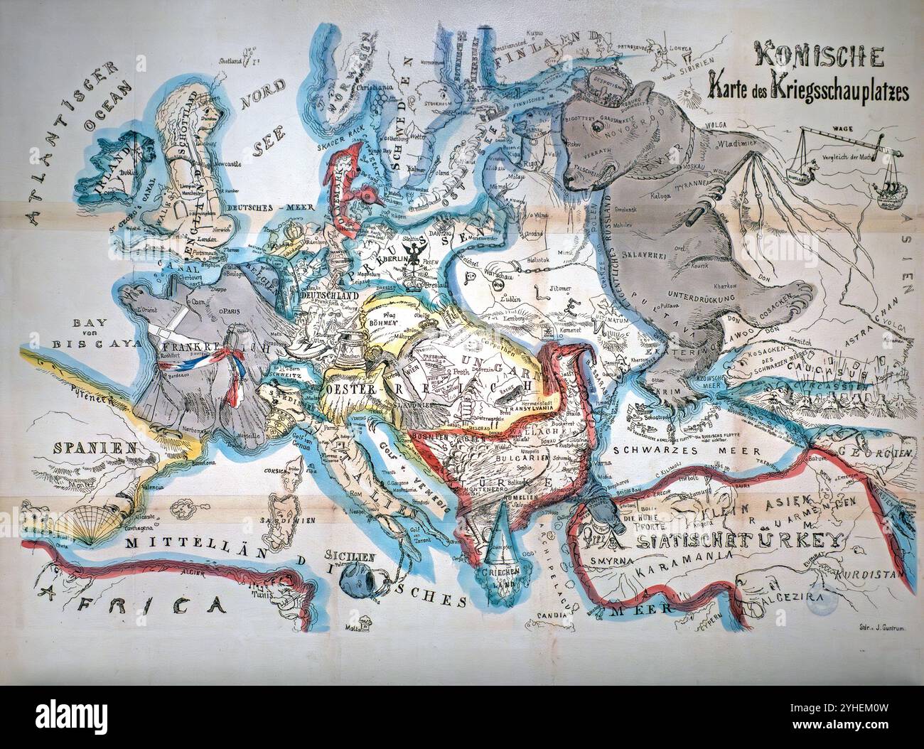 1854 Komische Karte des Kriegsschauplatzes by B. S. Berendsohn, comical satirical map showing the political situation at the end of the Crimean War Stock Photohttps://www.alamy.com/image-license-details/?v=1https://www.alamy.com/1854-komische-karte-des-kriegsschauplatzes-by-b-s-berendsohn-comical-satirical-map-showing-the-political-situation-at-the-end-of-the-crimean-war-image630345433.html
RM2YHEM0W–1854 Komische Karte des Kriegsschauplatzes by B. S. Berendsohn, comical satirical map showing the political situation at the end of the Crimean War
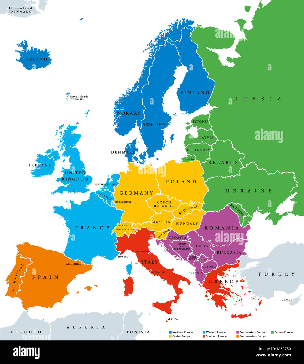 Regions of Europe, political map, with single countries and English labeling. Stock Photohttps://www.alamy.com/image-license-details/?v=1https://www.alamy.com/stock-photo-regions-of-europe-political-map-with-single-countries-and-english-175380156.html
RFM59750–Regions of Europe, political map, with single countries and English labeling.
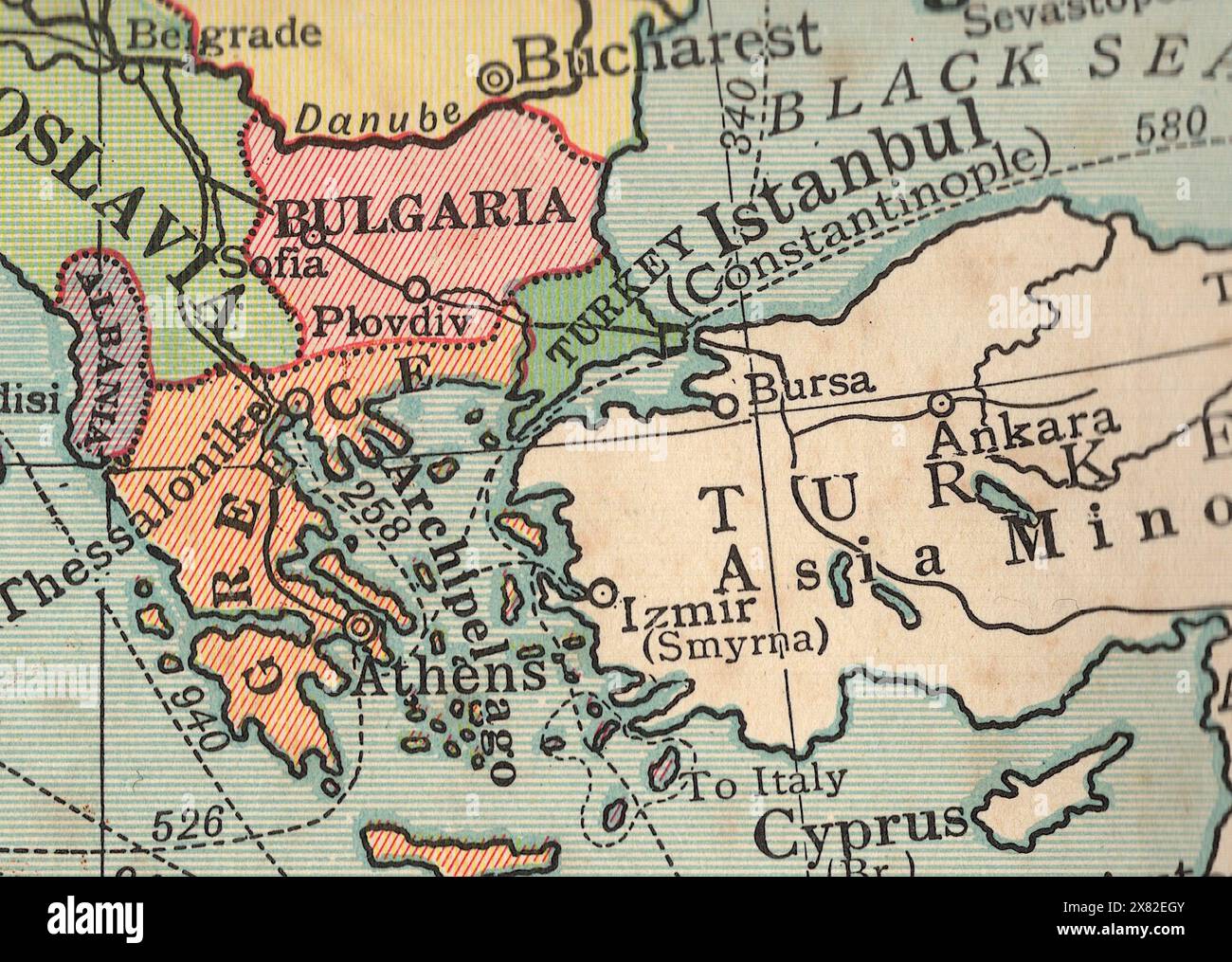 Detail from a vintage political map of Europe showing Bulgaria. Stock Photohttps://www.alamy.com/image-license-details/?v=1https://www.alamy.com/detail-from-a-vintage-political-map-of-europe-showing-bulgaria-image607335483.html
RF2X82EGY–Detail from a vintage political map of Europe showing Bulgaria.
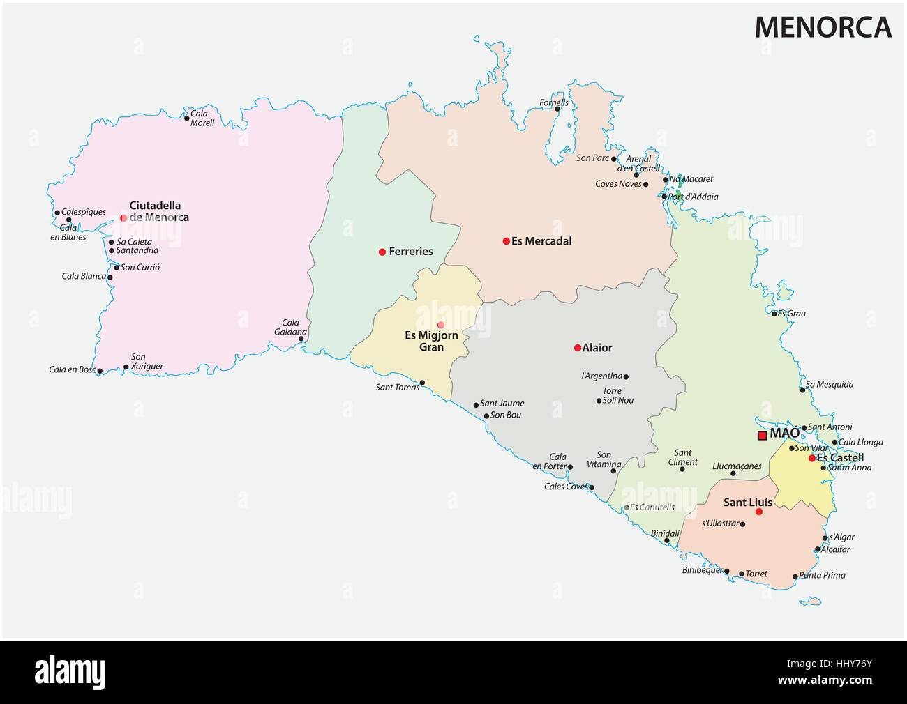 Administrative and political vector map of the Spanish Balearic Iceland of Menorca Stock Vectorhttps://www.alamy.com/image-license-details/?v=1https://www.alamy.com/stock-photo-administrative-and-political-vector-map-of-the-spanish-balearic-iceland-131520115.html
RFHHY76Y–Administrative and political vector map of the Spanish Balearic Iceland of Menorca