Political map of germany Stock Photos and Images
(5,302)See political map of germany stock video clipsQuick filters:
Political map of germany Stock Photos and Images
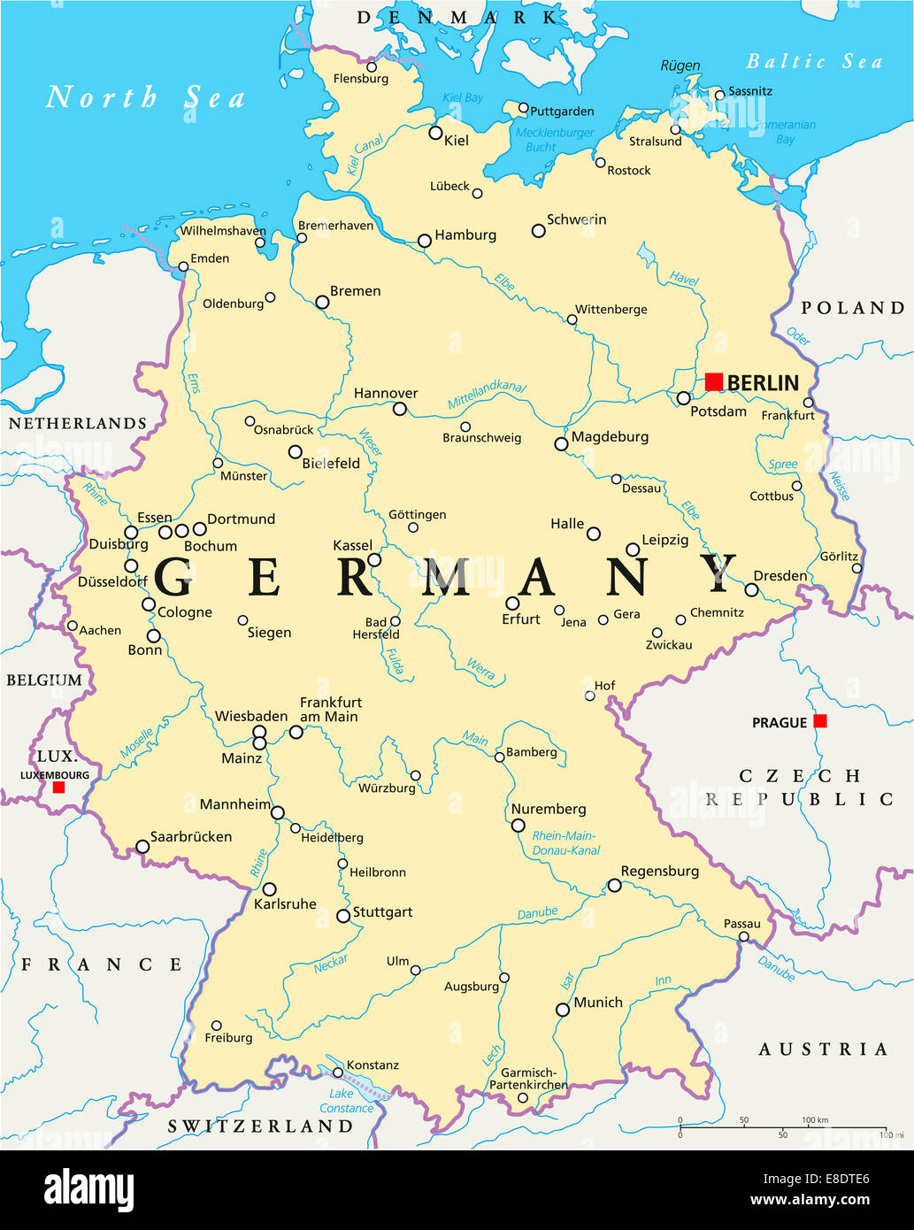 Germany Political Map with capital Berlin, national borders, most important cities, rivers and lakes. English labeling/scaling. Stock Photohttps://www.alamy.com/image-license-details/?v=1https://www.alamy.com/stock-photo-germany-political-map-with-capital-berlin-national-borders-most-important-74063310.html
RFE8DTE6–Germany Political Map with capital Berlin, national borders, most important cities, rivers and lakes. English labeling/scaling.
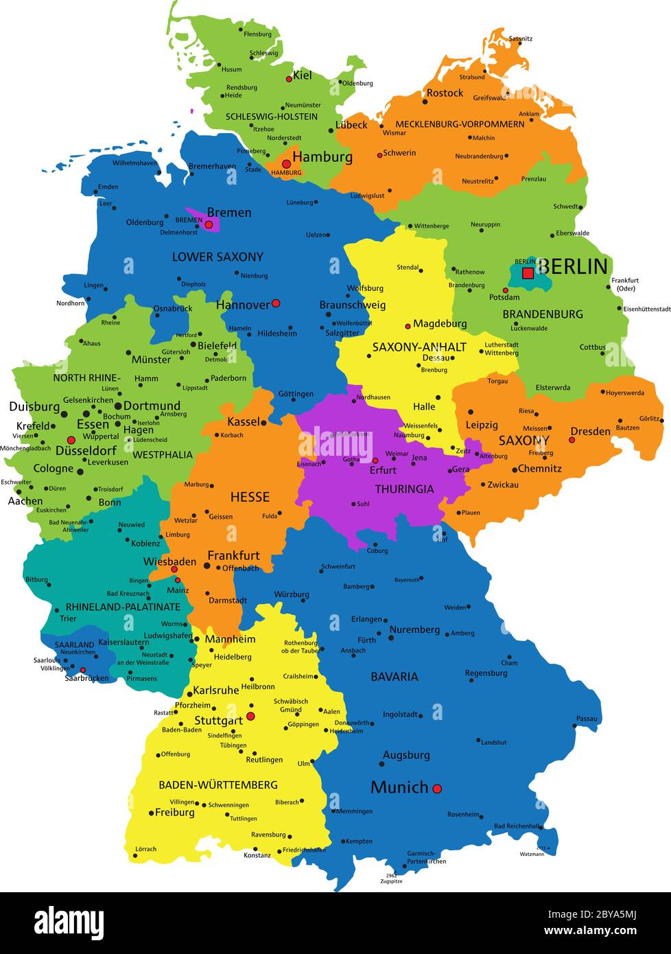 Colorful Germany political map with clearly labeled, separated layers. Vector illustration. Stock Vectorhttps://www.alamy.com/image-license-details/?v=1https://www.alamy.com/colorful-germany-political-map-with-clearly-labeled-separated-layers-vector-illustration-image361027090.html
RF2BYA5MJ–Colorful Germany political map with clearly labeled, separated layers. Vector illustration.
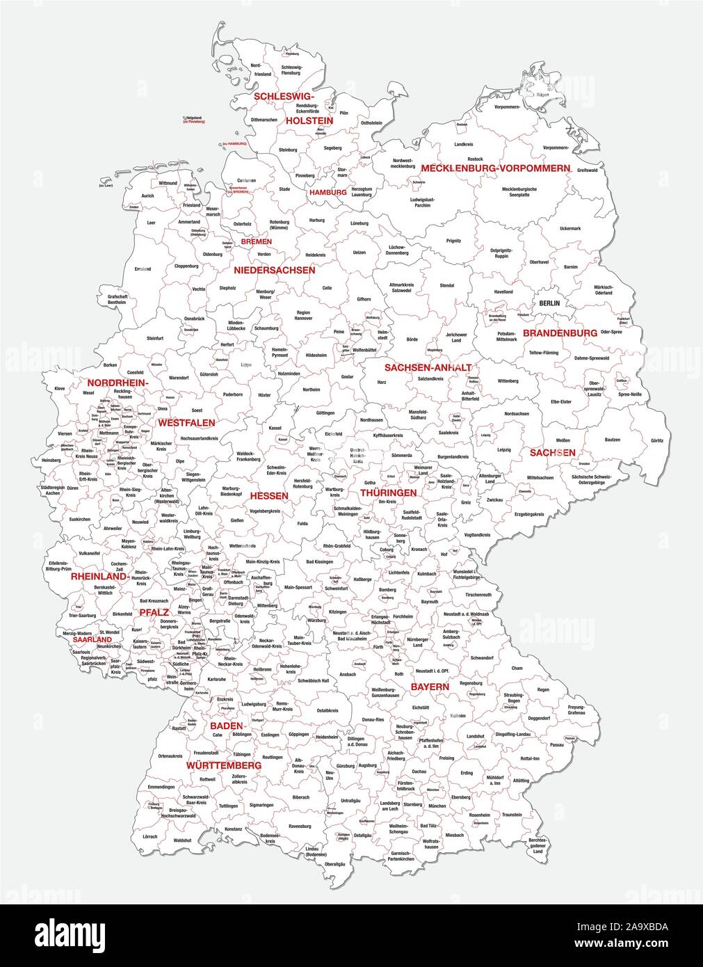 administrative and political map of Germany newly revised 2019 in black and white Stock Vectorhttps://www.alamy.com/image-license-details/?v=1https://www.alamy.com/administrative-and-political-map-of-germany-newly-revised-2019-in-black-and-white-image333108646.html
RF2A9XBDA–administrative and political map of Germany newly revised 2019 in black and white
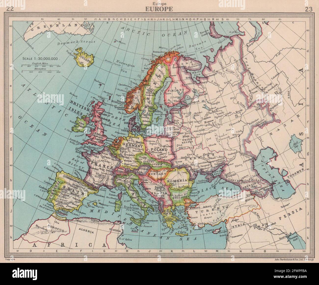 Europe. Political. Shows unified Germany. BARTHOLOMEW 1949 old vintage map Stock Photohttps://www.alamy.com/image-license-details/?v=1https://www.alamy.com/europe-political-shows-unified-germany-bartholomew-1949-old-vintage-map-image428910254.html
RF2FWPFBA–Europe. Political. Shows unified Germany. BARTHOLOMEW 1949 old vintage map
 Vintage Nazi Germany 1936 Political Propaganda Map Poster NAZI PROPAGANDA POSTER 1932-1936 'CONTINUE WITH HITLER' (WEITER MIT HITLER) '1932 petty-bourgeois disunity' 1936 'A united people in the restored Reich' Red Swastika emblem over reunified Greater Germany Stock Photohttps://www.alamy.com/image-license-details/?v=1https://www.alamy.com/vintage-nazi-germany-1936-political-propaganda-map-poster-nazi-propaganda-poster-1932-1936-continue-with-hitler-weiter-mit-hitler-1932-petty-bourgeois-disunity-1936-a-united-people-in-the-restored-reich-red-swastika-emblem-over-reunified-greater-germany-image331940576.html
RM2A815GG–Vintage Nazi Germany 1936 Political Propaganda Map Poster NAZI PROPAGANDA POSTER 1932-1936 'CONTINUE WITH HITLER' (WEITER MIT HITLER) '1932 petty-bourgeois disunity' 1936 'A united people in the restored Reich' Red Swastika emblem over reunified Greater Germany
![Physical and political map of Germany. [Adobe Illustrator (.ai); 2480x3507]. Stock Photo Physical and political map of Germany. [Adobe Illustrator (.ai); 2480x3507]. Stock Photo](https://c8.alamy.com/comp/2NEBK5A/physical-and-political-map-of-germany-adobe-illustrator-ai-2480x3507-2NEBK5A.jpg) Physical and political map of Germany. [Adobe Illustrator (.ai); 2480x3507]. Stock Photohttps://www.alamy.com/image-license-details/?v=1https://www.alamy.com/physical-and-political-map-of-germany-adobe-illustrator-ai-2480x3507-image525172742.html
Physical and political map of Germany. [Adobe Illustrator (.ai); 2480x3507]. Stock Photohttps://www.alamy.com/image-license-details/?v=1https://www.alamy.com/physical-and-political-map-of-germany-adobe-illustrator-ai-2480x3507-image525172742.htmlRM2NEBK5A–Physical and political map of Germany. [Adobe Illustrator (.ai); 2480x3507].
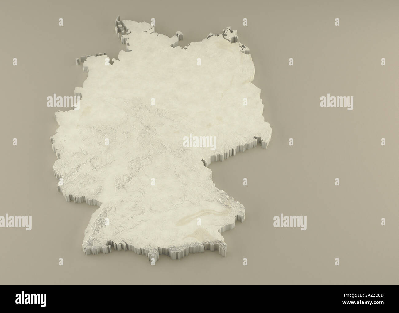 Extruded 3D political Map of Germany with relief as marble sculpture on a light beige background Stock Photohttps://www.alamy.com/image-license-details/?v=1https://www.alamy.com/extruded-3d-political-map-of-germany-with-relief-as-marble-sculpture-on-a-light-beige-background-image328279069.html
RF2A22B8D–Extruded 3D political Map of Germany with relief as marble sculpture on a light beige background
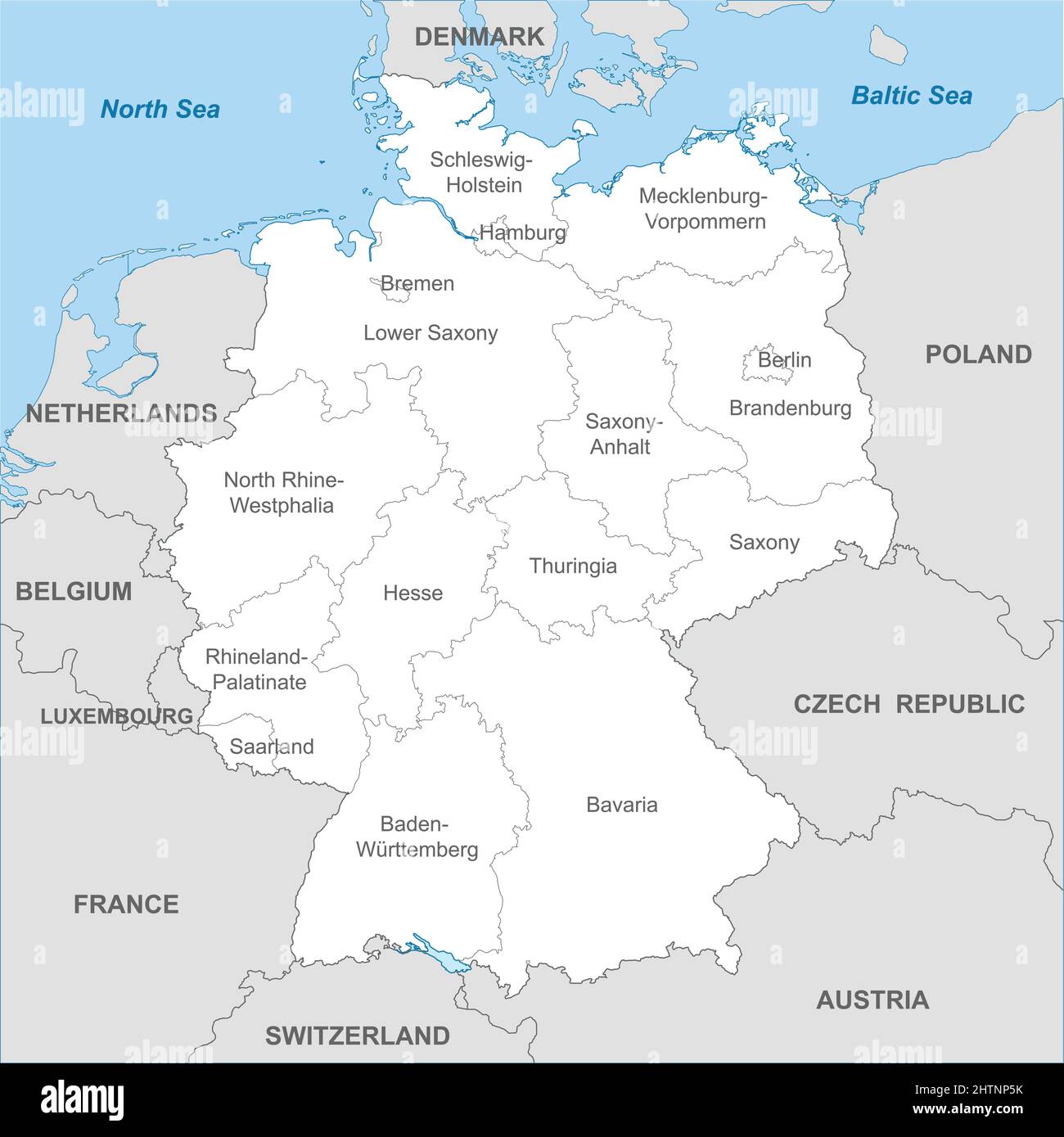 Political map of Germany with borders with borders of regions and countries Stock Vectorhttps://www.alamy.com/image-license-details/?v=1https://www.alamy.com/political-map-of-germany-with-borders-with-borders-of-regions-and-countries-image462699711.html
RF2HTNP5K–Political map of Germany with borders with borders of regions and countries
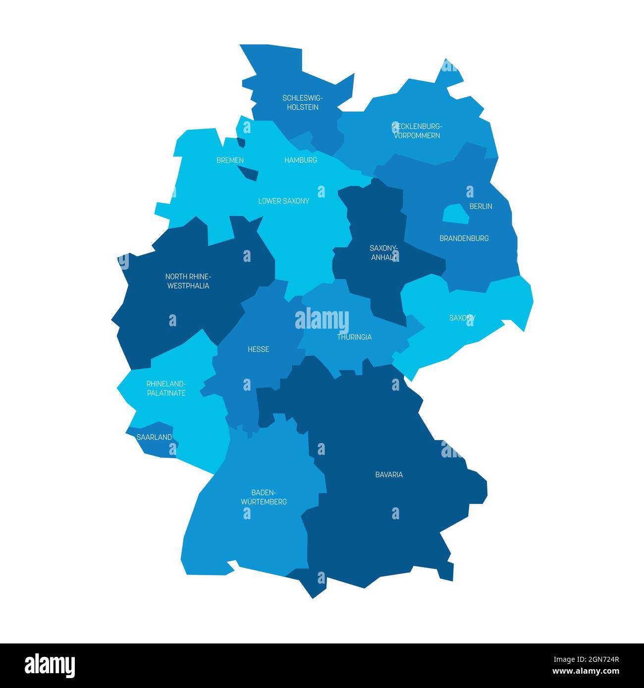 Blue political map of Germany. Administrative divisions - federal states and 3 city-states - Berlin, Bremen and Hamburg. Simple flat vector map with labels Stock Vectorhttps://www.alamy.com/image-license-details/?v=1https://www.alamy.com/blue-political-map-of-germany-administrative-divisions-federal-states-and-3-city-states-berlin-bremen-and-hamburg-simple-flat-vector-map-with-labels-image443322343.html
RF2GN724R–Blue political map of Germany. Administrative divisions - federal states and 3 city-states - Berlin, Bremen and Hamburg. Simple flat vector map with labels
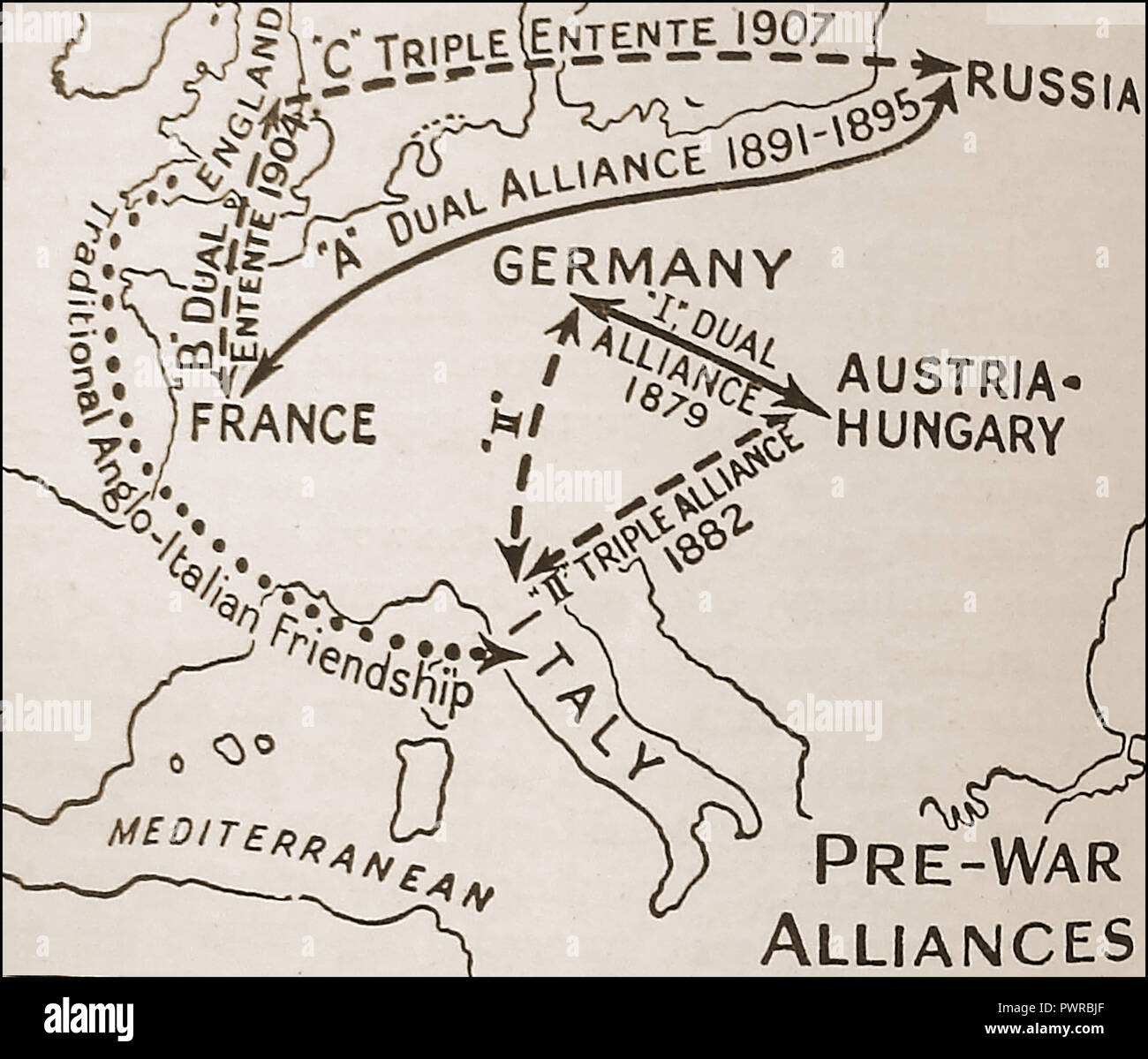 An early political map showing pre-war (WWI) alliances Europe (Triple Entente versus Triple Alliance / Dual Alliance Stock Photohttps://www.alamy.com/image-license-details/?v=1https://www.alamy.com/an-early-political-map-showing-pre-war-wwi-alliances-europe-triple-entente-versus-triple-alliance-dual-alliance-image222404855.html
RMPWRBJF–An early political map showing pre-war (WWI) alliances Europe (Triple Entente versus Triple Alliance / Dual Alliance
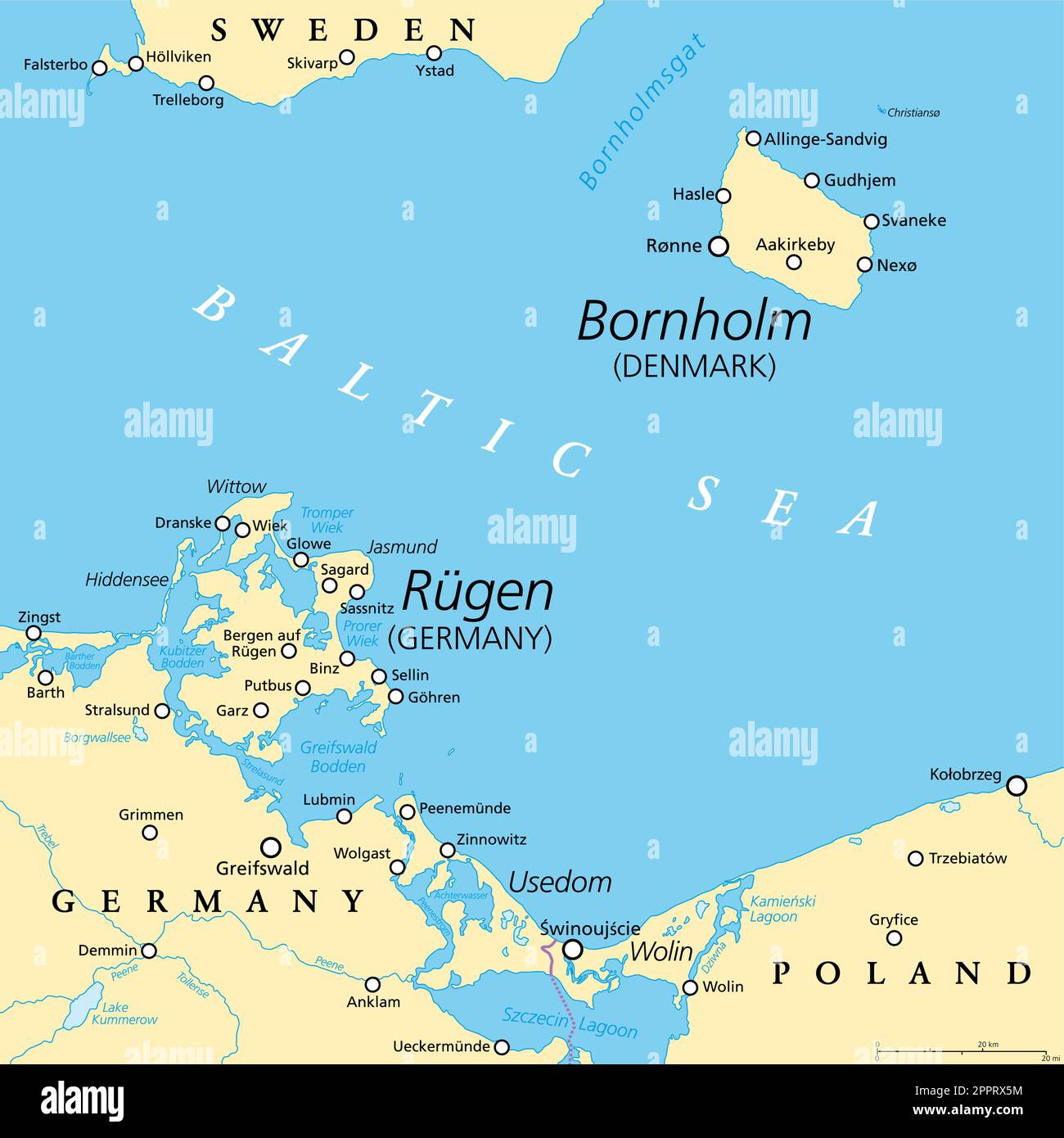 Political map of Danish island Bornholm, and German island Ruegen Stock Vectorhttps://www.alamy.com/image-license-details/?v=1https://www.alamy.com/political-map-of-danish-island-bornholm-and-german-island-ruegen-image547569280.html
RF2PPRX5M–Political map of Danish island Bornholm, and German island Ruegen
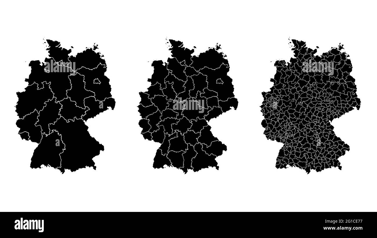 Germany map municipal, region, state division. Administrative borders, outline black on white background vector illustration. Stock Vectorhttps://www.alamy.com/image-license-details/?v=1https://www.alamy.com/germany-map-municipal-region-state-division-administrative-borders-outline-black-on-white-background-vector-illustration-image431148459.html
RF2G1CE77–Germany map municipal, region, state division. Administrative borders, outline black on white background vector illustration.
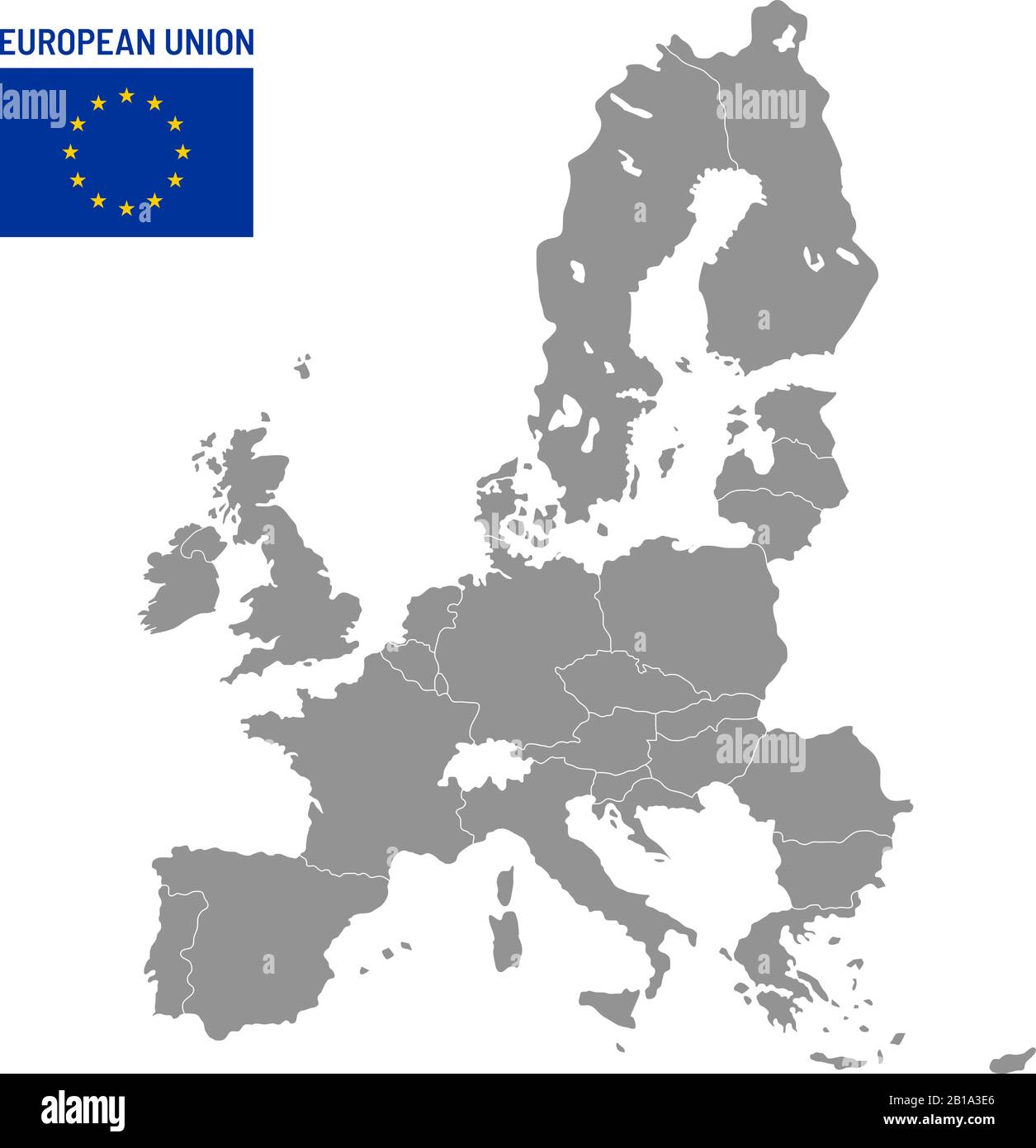 European Union map. EU member countries, europe country location travel maps vector illustration Stock Vectorhttps://www.alamy.com/image-license-details/?v=1https://www.alamy.com/european-union-map-eu-member-countries-europe-country-location-travel-maps-vector-illustration-image345044286.html
RF2B1A3E6–European Union map. EU member countries, europe country location travel maps vector illustration
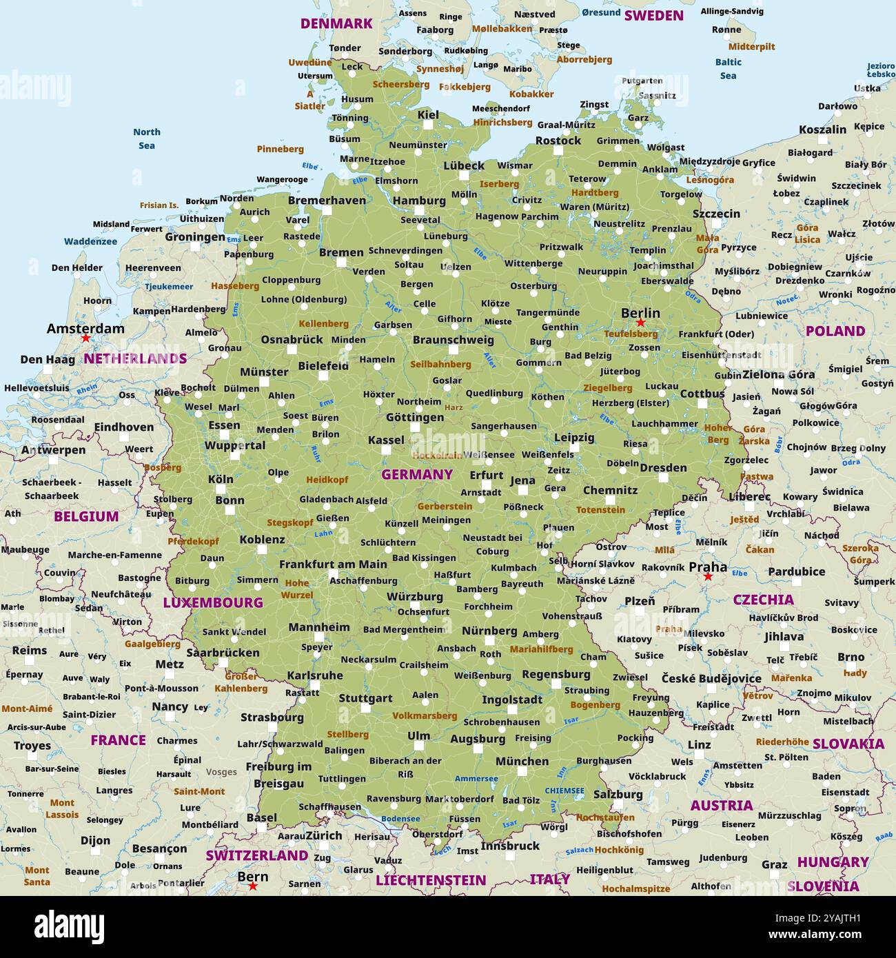 Simple political map of Germany Stock Vectorhttps://www.alamy.com/image-license-details/?v=1https://www.alamy.com/simple-political-map-of-germany-image626134237.html
RF2YAJTH1–Simple political map of Germany
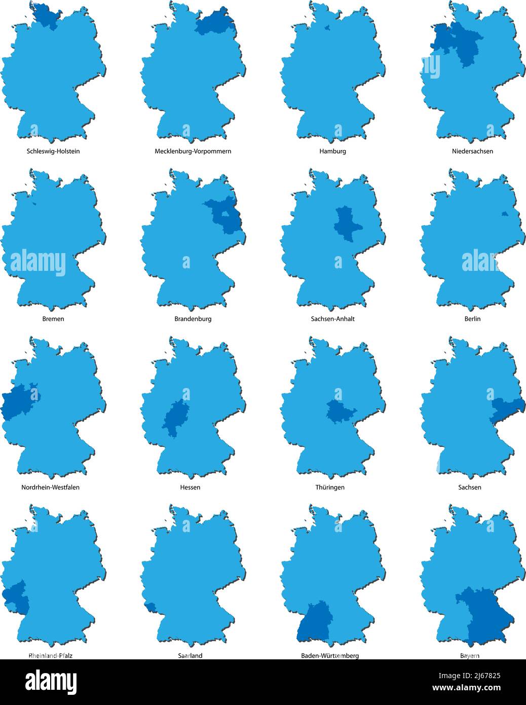 maps of Germany with each of the sixteen separate federal states highlighted, vector illustration Stock Vectorhttps://www.alamy.com/image-license-details/?v=1https://www.alamy.com/maps-of-germany-with-each-of-the-sixteen-separate-federal-states-highlighted-vector-illustration-image468527869.html
RF2J67825–maps of Germany with each of the sixteen separate federal states highlighted, vector illustration
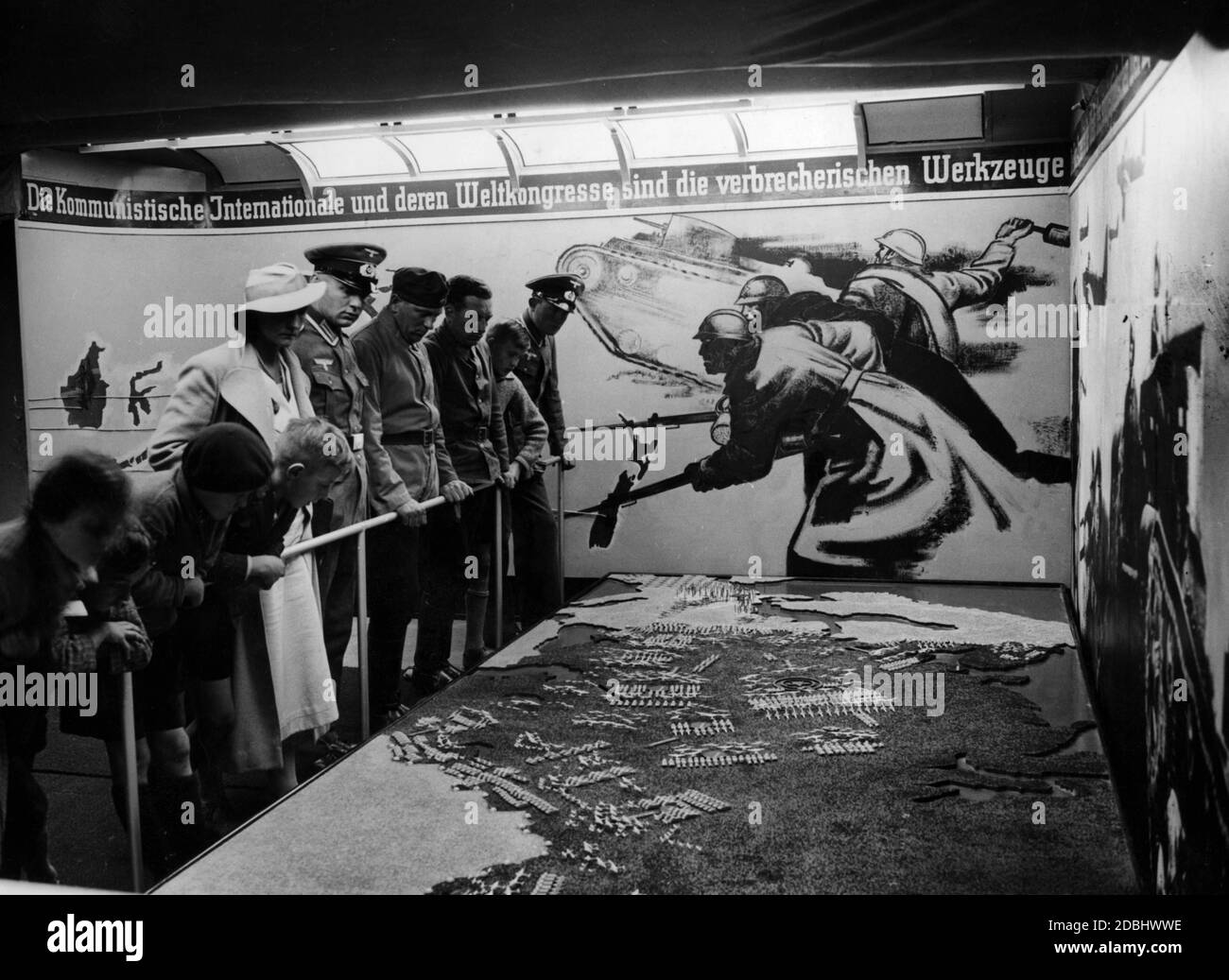 'View of the exhibition ''Das politische Deutschland'' in Nuremberg. In the room there is a map of Russia, on which there are models of airplanes and tanks. The event is organized by the NSDAP and the Anti-Comintern.' Stock Photohttps://www.alamy.com/image-license-details/?v=1https://www.alamy.com/view-of-the-exhibition-das-politische-deutschland-in-nuremberg-in-the-room-there-is-a-map-of-russia-on-which-there-are-models-of-airplanes-and-tanks-the-event-is-organized-by-the-nsdap-and-the-anti-comintern-image385782810.html
RM2DBHWWE–'View of the exhibition ''Das politische Deutschland'' in Nuremberg. In the room there is a map of Russia, on which there are models of airplanes and tanks. The event is organized by the NSDAP and the Anti-Comintern.'
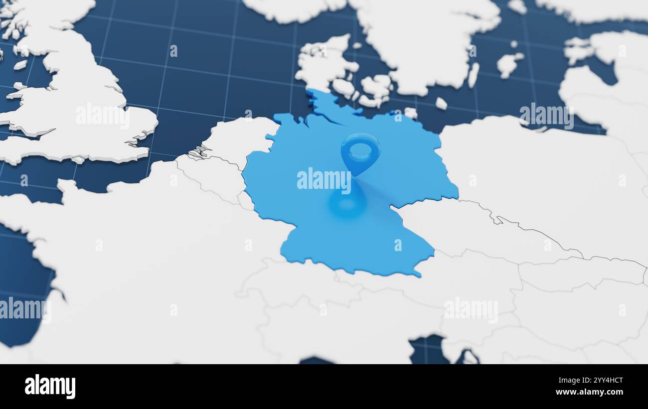 Blue Germany 3d map with pointer pin surrounded with other countries in white. Europe political map with borders. 3d render illustration Stock Photohttps://www.alamy.com/image-license-details/?v=1https://www.alamy.com/blue-germany-3d-map-with-pointer-pin-surrounded-with-other-countries-in-white-europe-political-map-with-borders-3d-render-illustration-image636270456.html
RF2YY4HCT–Blue Germany 3d map with pointer pin surrounded with other countries in white. Europe political map with borders. 3d render illustration
 Flag on the map of Germany. Vintage Map and Flag of European Countries Series 3D Rendering Stock Photohttps://www.alamy.com/image-license-details/?v=1https://www.alamy.com/flag-on-the-map-of-germany-vintage-map-and-flag-of-european-countries-series-3d-rendering-image370761767.html
RF2CF5JBK–Flag on the map of Germany. Vintage Map and Flag of European Countries Series 3D Rendering
 Maps of Germany in wooden plates painted with the colors of Jamaica (black, green and yellow), illustrative of the so-called Jamaica coalition. Stock Photohttps://www.alamy.com/image-license-details/?v=1https://www.alamy.com/stock-image-maps-of-germany-in-wooden-plates-painted-with-the-colors-of-jamaica-162454198.html
RFKC8BYJ–Maps of Germany in wooden plates painted with the colors of Jamaica (black, green and yellow), illustrative of the so-called Jamaica coalition.
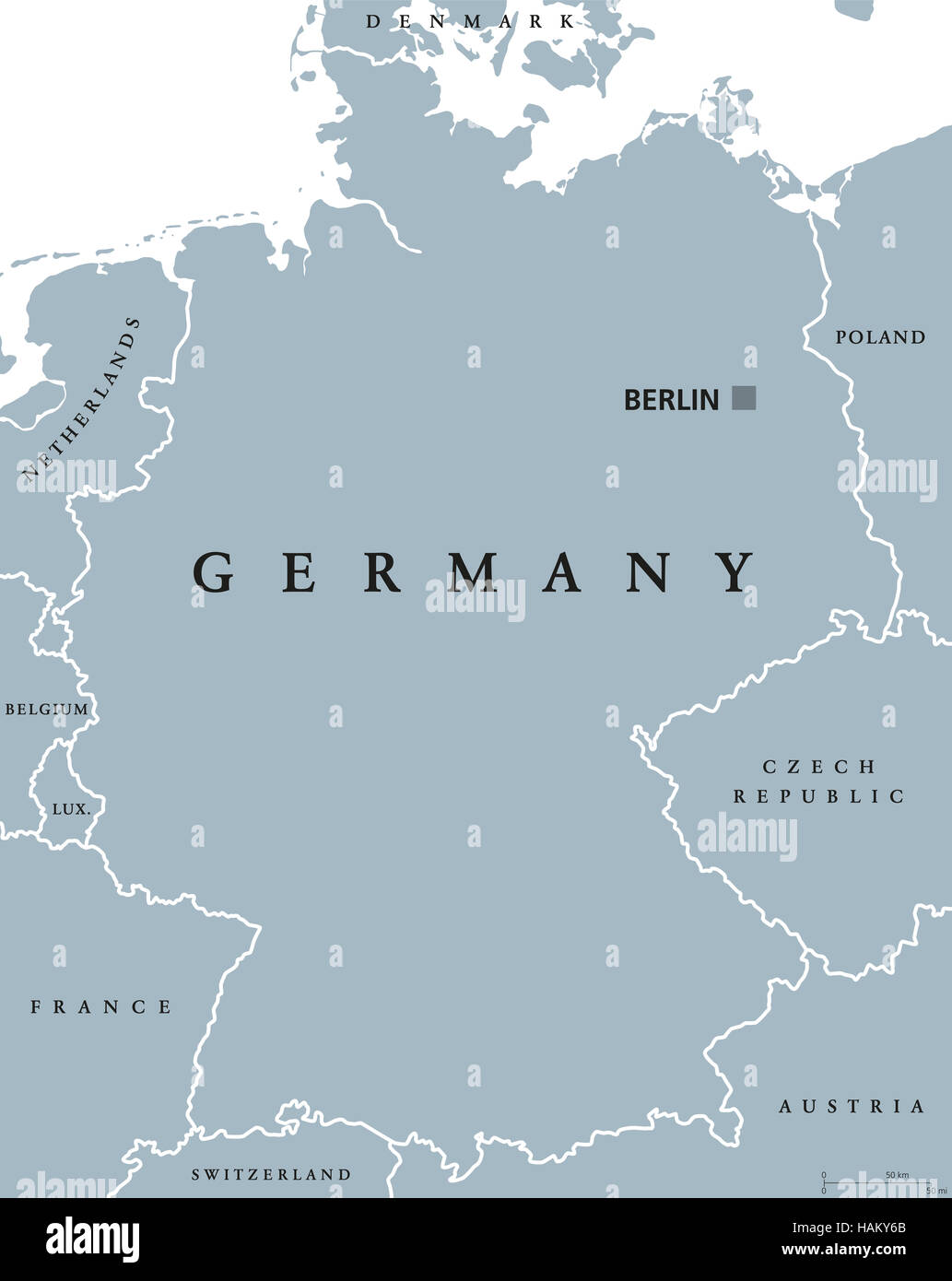 Germany political map with capital Berlin, national borders and neighbor countries. Gray illustration with English labeling. Stock Photohttps://www.alamy.com/image-license-details/?v=1https://www.alamy.com/stock-photo-germany-political-map-with-capital-berlin-national-borders-and-neighbor-127057571.html
RFHAKY6B–Germany political map with capital Berlin, national borders and neighbor countries. Gray illustration with English labeling.
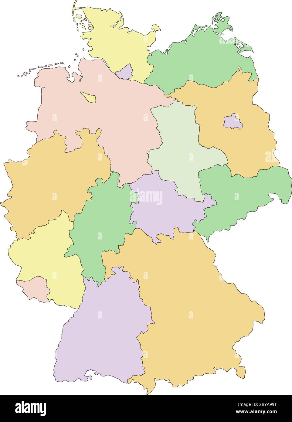 Germany - Highly detailed editable political map. Stock Vectorhttps://www.alamy.com/image-license-details/?v=1https://www.alamy.com/germany-highly-detailed-editable-political-map-image361029924.html
RF2BYA99T–Germany - Highly detailed editable political map.
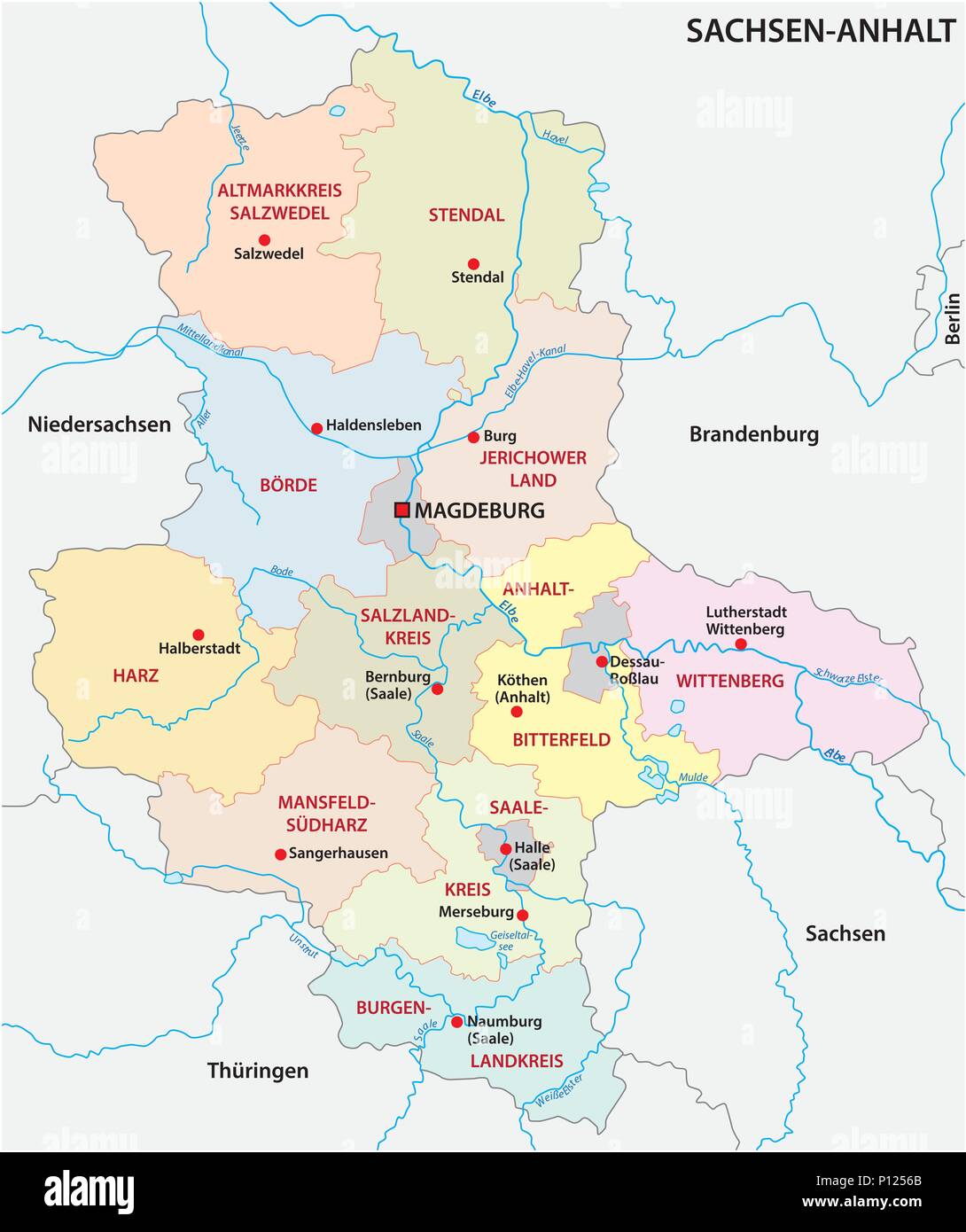 Saxony-anhalt administrative and political vector map, germany Stock Vectorhttps://www.alamy.com/image-license-details/?v=1https://www.alamy.com/saxony-anhalt-administrative-and-political-vector-map-germany-image207187075.html
RFP1256B–Saxony-anhalt administrative and political vector map, germany
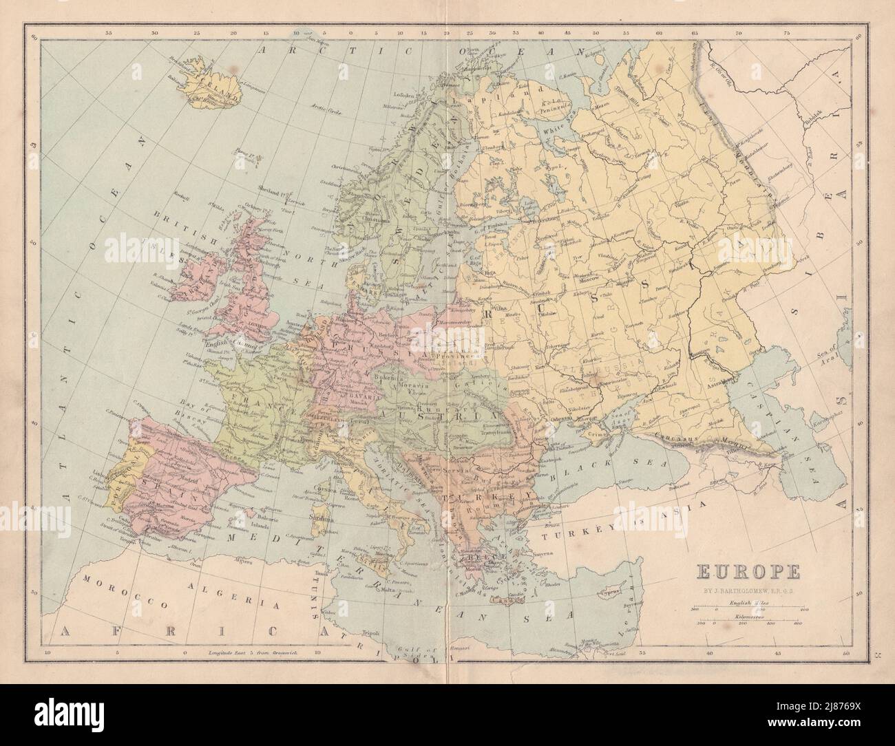 EUROPE Political. United Germany marked as Prussia. COLLINS 1873 old map Stock Photohttps://www.alamy.com/image-license-details/?v=1https://www.alamy.com/europe-political-united-germany-marked-as-prussia-collins-1873-old-map-image469755830.html
RF2J8769X–EUROPE Political. United Germany marked as Prussia. COLLINS 1873 old map
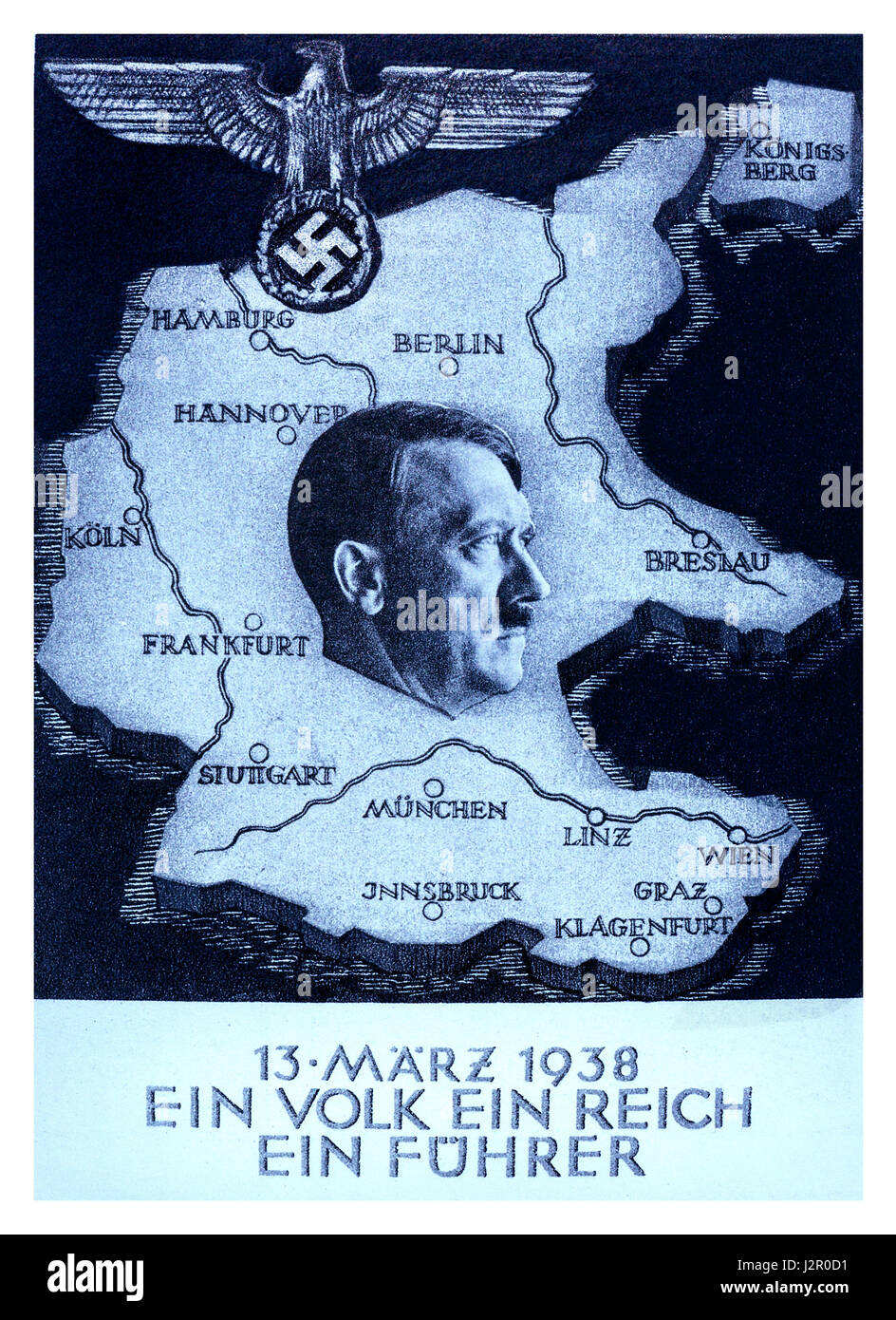 1930's Propaganda 'Anschluss' poster by Adolf Hitler 'One People..One Reich..One Führer' Austria was annexed into Nazi Germany on 12th March 1938 Stock Photohttps://www.alamy.com/image-license-details/?v=1https://www.alamy.com/stock-photo-1930s-propaganda-anschluss-poster-by-adolf-hitler-one-peopleone-reichone-139417517.html
RMJ2R0D1–1930's Propaganda 'Anschluss' poster by Adolf Hitler 'One People..One Reich..One Führer' Austria was annexed into Nazi Germany on 12th March 1938
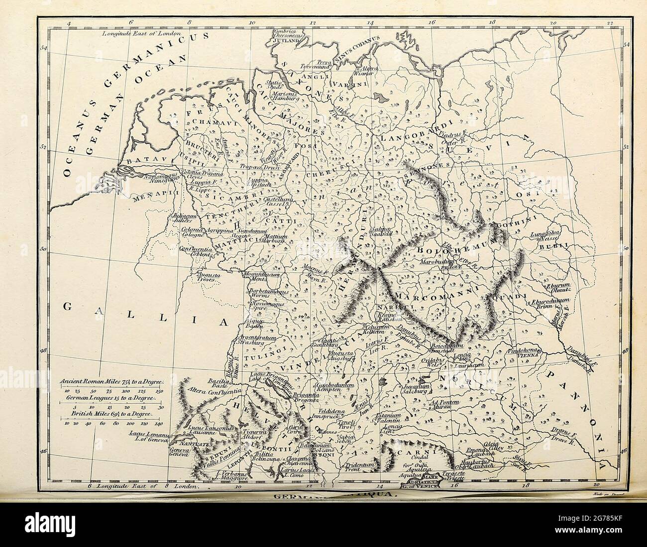 Germania Antiqua Ancient, Historical map of Germany Copperplate engraving From the Encyclopaedia Londinensis or, Universal dictionary of arts, sciences, and literature; Volume VIII; Edited by Wilkes, John. Published in London in 1810. Stock Photohttps://www.alamy.com/image-license-details/?v=1https://www.alamy.com/germania-antiqua-ancient-historical-map-of-germany-copperplate-engraving-from-the-encyclopaedia-londinensis-or-universal-dictionary-of-arts-sciences-and-literature-volume-viii-edited-by-wilkes-john-published-in-london-in-1810-image434741875.html
RM2G785KF–Germania Antiqua Ancient, Historical map of Germany Copperplate engraving From the Encyclopaedia Londinensis or, Universal dictionary of arts, sciences, and literature; Volume VIII; Edited by Wilkes, John. Published in London in 1810.
 Germany on The Political Map Travel Concept Macro Close-Up View Stock Photohttps://www.alamy.com/image-license-details/?v=1https://www.alamy.com/germany-on-the-political-map-travel-concept-macro-close-up-view-image495555125.html
RF2KP6DH9–Germany on The Political Map Travel Concept Macro Close-Up View
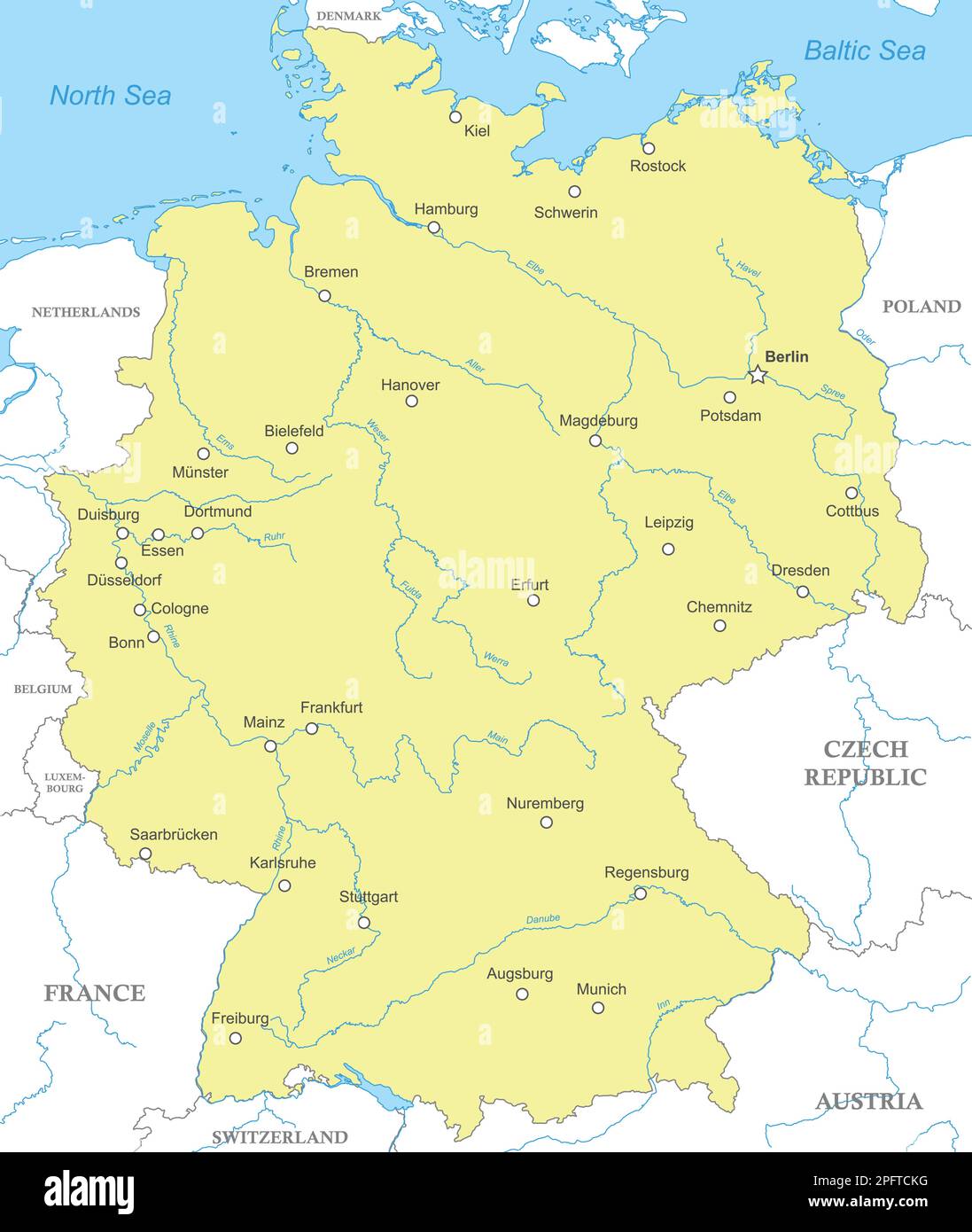 Political map of Germany with national borders, cities and rivers Stock Vectorhttps://www.alamy.com/image-license-details/?v=1https://www.alamy.com/political-map-of-germany-with-national-borders-cities-and-rivers-image543278052.html
RF2PFTCKG–Political map of Germany with national borders, cities and rivers
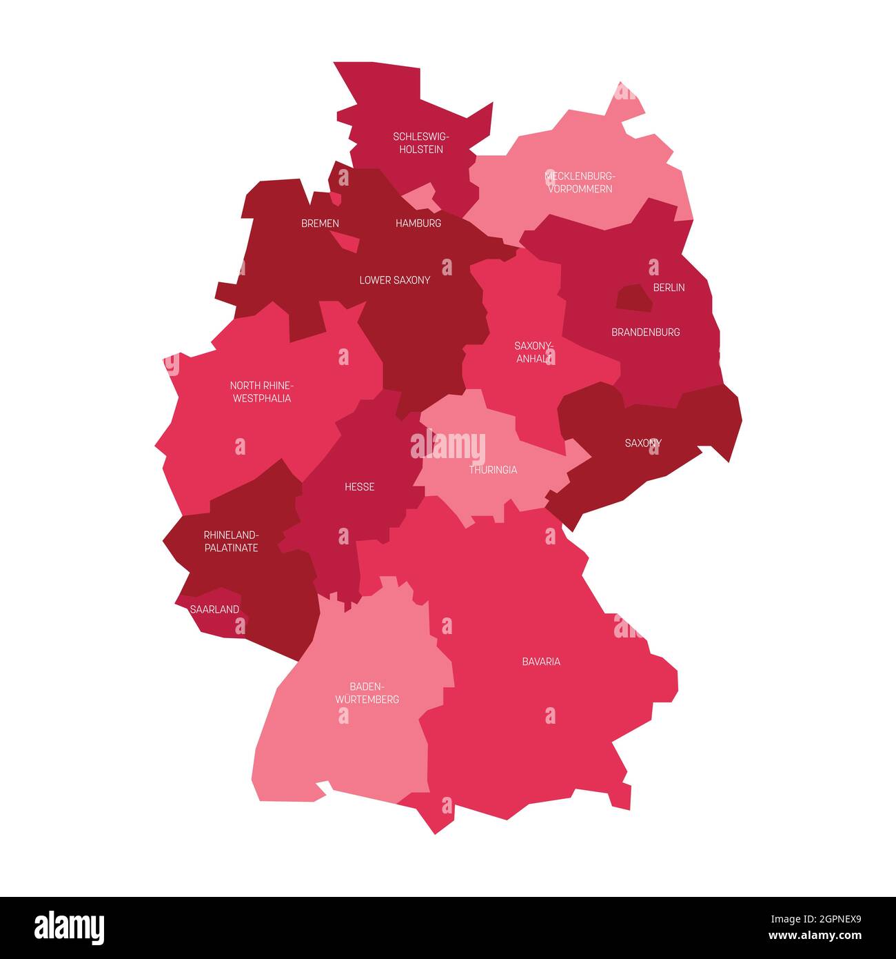 Pink political map of Germany. Administrative divisions - federal states and 3 city-states - Berlin, Bremen and Hamburg. Simple flat vector map with labels Stock Vectorhttps://www.alamy.com/image-license-details/?v=1https://www.alamy.com/pink-political-map-of-germany-administrative-divisions-federal-states-and-3-city-states-berlin-bremen-and-hamburg-simple-flat-vector-map-with-labels-image444254337.html
RF2GPNEX9–Pink political map of Germany. Administrative divisions - federal states and 3 city-states - Berlin, Bremen and Hamburg. Simple flat vector map with labels
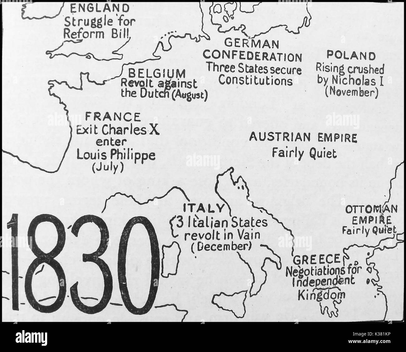 A political map showing the state of Europe in 1830 - England - Belgium - France - German Confederation - Poland - Austrian Empire - Italy - Greece - Ottoman Empire Stock Photohttps://www.alamy.com/image-license-details/?v=1https://www.alamy.com/a-political-map-showing-the-state-of-europe-in-1830-england-belgium-image156914234.html
RMK381KP–A political map showing the state of Europe in 1830 - England - Belgium - France - German Confederation - Poland - Austrian Empire - Italy - Greece - Ottoman Empire
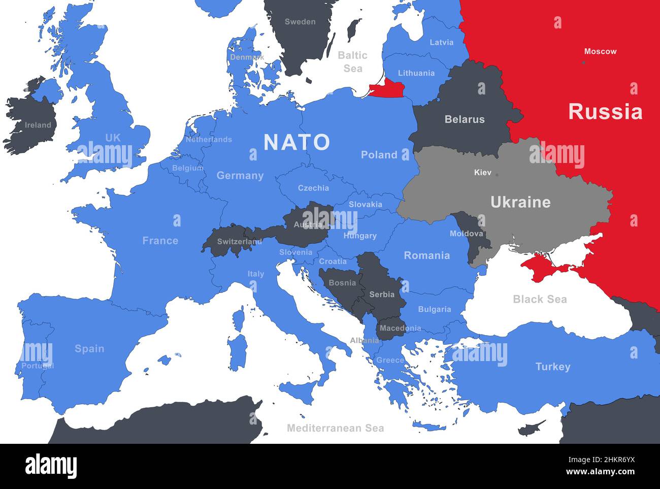 Russia, NATO and Ukraine on Europe outline map. Russian border on military-political map with Belarus, Poland, Germany, Turkey and other countries. Ba Stock Photohttps://www.alamy.com/image-license-details/?v=1https://www.alamy.com/russia-nato-and-ukraine-on-europe-outline-map-russian-border-on-military-political-map-with-belarus-poland-germany-turkey-and-other-countries-ba-image459658414.html
RF2HKR6YX–Russia, NATO and Ukraine on Europe outline map. Russian border on military-political map with Belarus, Poland, Germany, Turkey and other countries. Ba
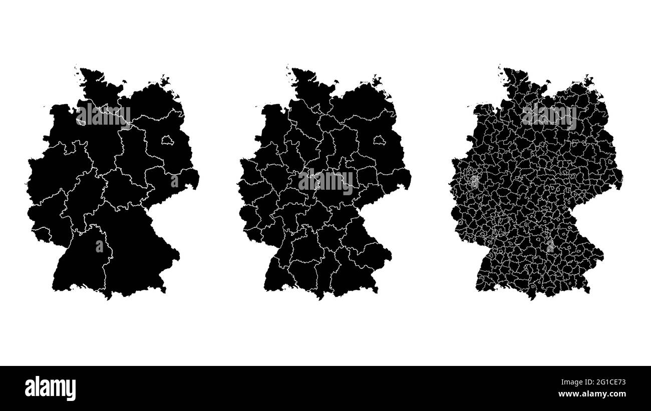 Germany map municipal, region, state division. Administrative borders, outline black on white background vector illustration. Stock Vectorhttps://www.alamy.com/image-license-details/?v=1https://www.alamy.com/germany-map-municipal-region-state-division-administrative-borders-outline-black-on-white-background-vector-illustration-image431148455.html
RF2G1CE73–Germany map municipal, region, state division. Administrative borders, outline black on white background vector illustration.
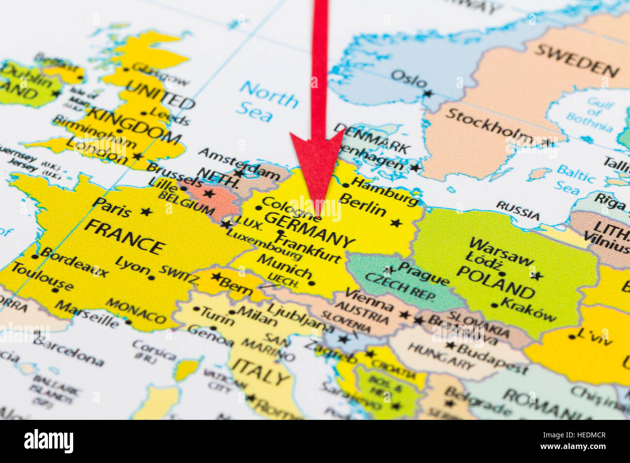 Red arrow pointing Germany on the map of Europe continent Stock Photohttps://www.alamy.com/image-license-details/?v=1https://www.alamy.com/stock-photo-red-arrow-pointing-germany-on-the-map-of-europe-continent-129379175.html
RMHEDMCR–Red arrow pointing Germany on the map of Europe continent
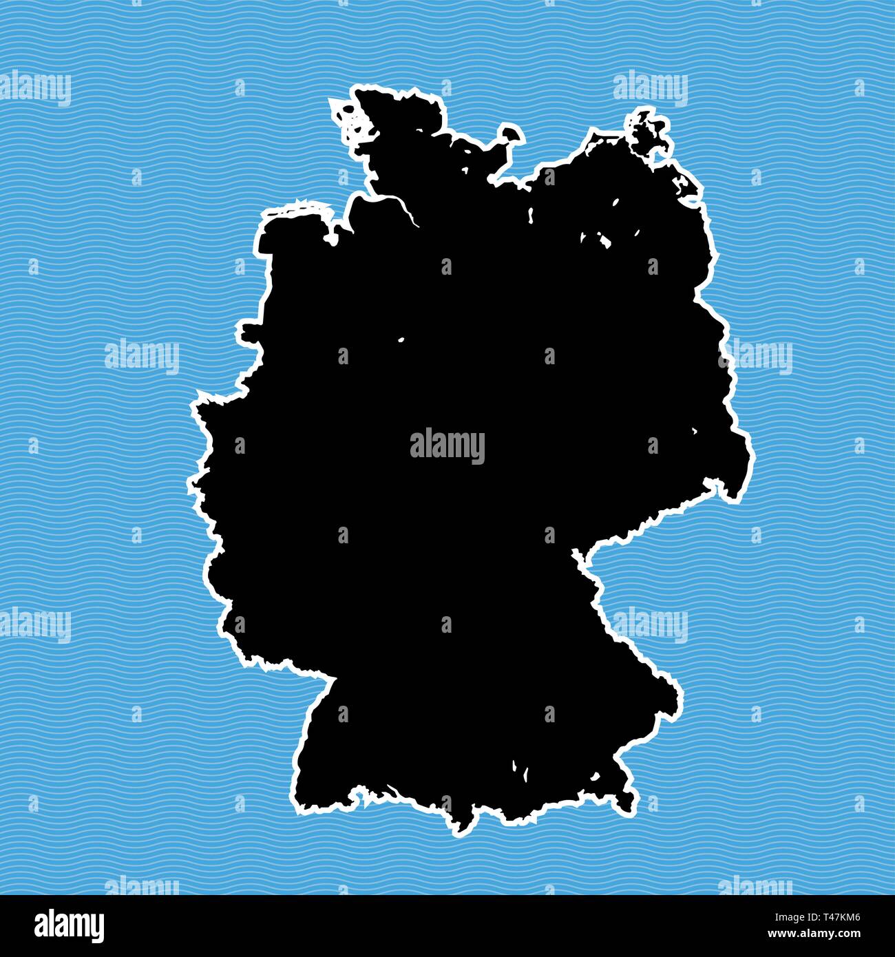 Germany map as island. Map separated on blue wave water background. Stock Vectorhttps://www.alamy.com/image-license-details/?v=1https://www.alamy.com/germany-map-as-island-map-separated-on-blue-wave-water-background-image243572902.html
RFT47KM6–Germany map as island. Map separated on blue wave water background.
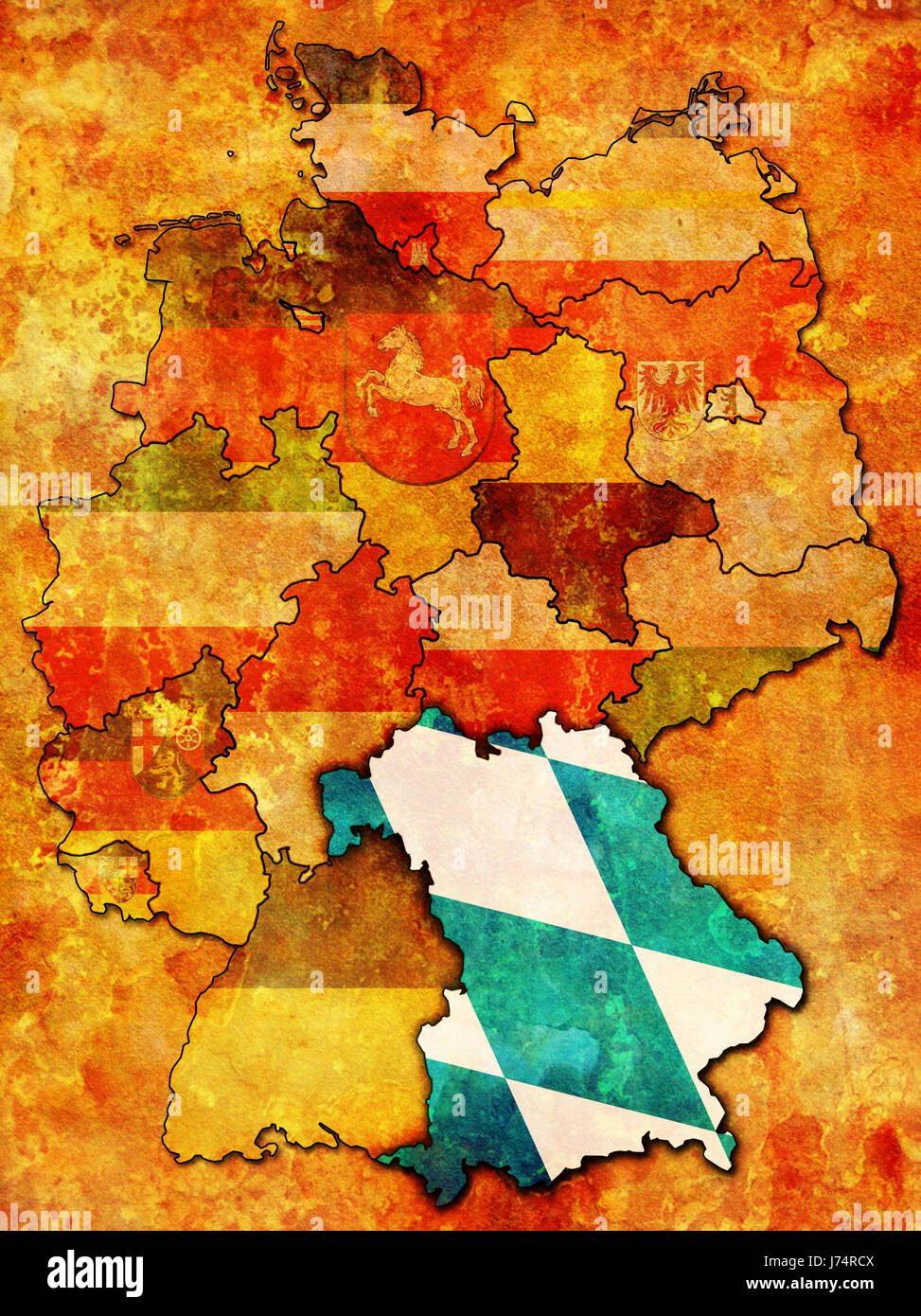 political bavaria germany german federal republic flag administration map atlas Stock Photohttps://www.alamy.com/image-license-details/?v=1https://www.alamy.com/stock-photo-political-bavaria-germany-german-federal-republic-flag-administration-142091738.html
RFJ74RCX–political bavaria germany german federal republic flag administration map atlas
 Political billiard game in Germany, 1758, A la Guerre oder Historical Politisch Kriegerisches Billiard Spiel der streitenden Mächten in Teutschland (title on object), Cartoon in which the warring parties of the Seven Years' War play a game of billiards on the map of Eastern Europe in the year 1758 Europe. The players include: Prussia, Hannover, France, Russia, Saxony, Sweden, Denmark, Spain, Poland and Switzerland. The Dutchman is neutral about the spectacle. On the back wall are arches with scenes of battles and sieges. In the caption, the warring parties speak in German. Numbered top left: N Stock Photohttps://www.alamy.com/image-license-details/?v=1https://www.alamy.com/political-billiard-game-in-germany-1758-a-la-guerre-oder-historical-politisch-kriegerisches-billiard-spiel-der-streitenden-mchten-in-teutschland-title-on-object-cartoon-in-which-the-warring-parties-of-the-seven-years-war-play-a-game-of-billiards-on-the-map-of-eastern-europe-in-the-year-1758-europe-the-players-include-prussia-hannover-france-russia-saxony-sweden-denmark-spain-poland-and-switzerland-the-dutchman-is-neutral-about-the-spectacle-on-the-back-wall-are-arches-with-scenes-of-battles-and-sieges-in-the-caption-the-warring-parties-speak-in-german-numbered-top-left-n-image623510358.html
RM2Y6B9R2–Political billiard game in Germany, 1758, A la Guerre oder Historical Politisch Kriegerisches Billiard Spiel der streitenden Mächten in Teutschland (title on object), Cartoon in which the warring parties of the Seven Years' War play a game of billiards on the map of Eastern Europe in the year 1758 Europe. The players include: Prussia, Hannover, France, Russia, Saxony, Sweden, Denmark, Spain, Poland and Switzerland. The Dutchman is neutral about the spectacle. On the back wall are arches with scenes of battles and sieges. In the caption, the warring parties speak in German. Numbered top left: N
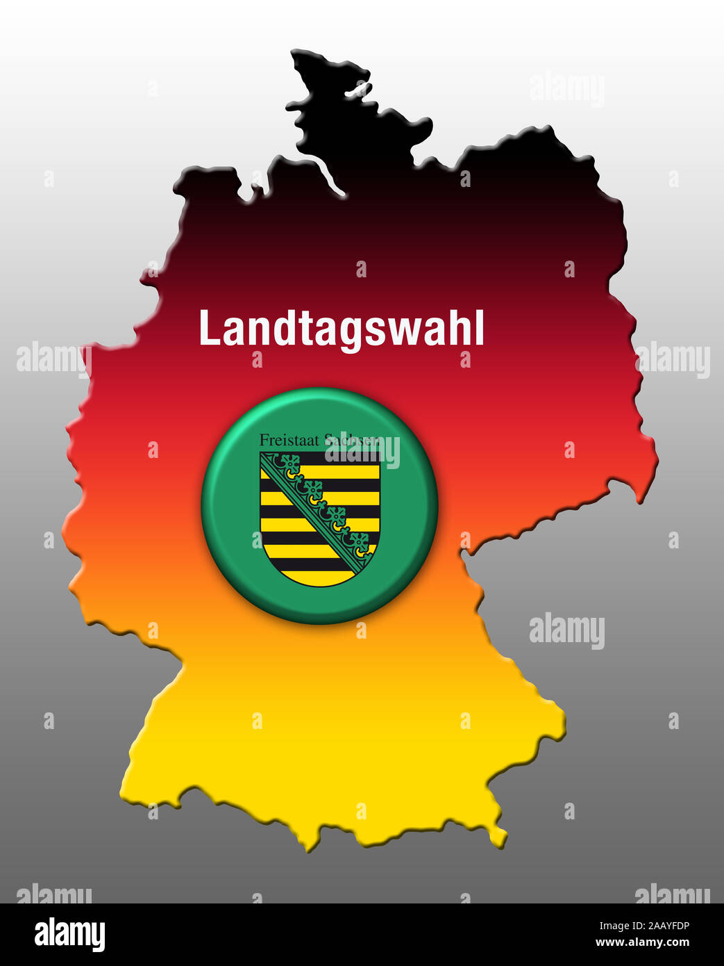 State elections, Saxony, Germany, Europe Stock Photohttps://www.alamy.com/image-license-details/?v=1https://www.alamy.com/state-elections-saxony-germany-europe-image333748402.html
RM2AAYFDP–State elections, Saxony, Germany, Europe
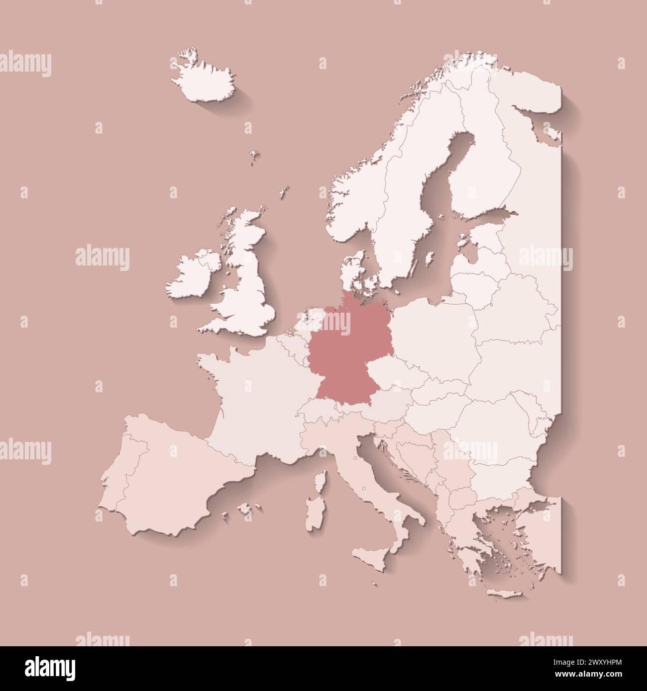 Vector illustration with european land with borders of states and marked country Germany. Political map in brown colors with western, south and etc re Stock Vectorhttps://www.alamy.com/image-license-details/?v=1https://www.alamy.com/vector-illustration-with-european-land-with-borders-of-states-and-marked-country-germany-political-map-in-brown-colors-with-western-south-and-etc-re-image601740236.html
RF2WXYHPM–Vector illustration with european land with borders of states and marked country Germany. Political map in brown colors with western, south and etc re
![Putting His Foot Down - Uncle Sam (to the powers) - Gentlemen, you may cut up this map as much as you like; but remember that I am here to stay, and you can't divide me up into spheres of influence! Uncle Sam holding a 'Trade Treaty with China', standing on a 'Map of China' in the midst of foreign rulers labeled 'Germany, Italy, England, Austria, Russia [and] France'; depicted are William II, Umberto I, John Bull, Franz Joseph I sharpening scissors at a grinding stone in the background, Uncle Sam, Nicholas II, and Emile Loubet, each with large scissors, intent on cutting up the map. Stock Photo Putting His Foot Down - Uncle Sam (to the powers) - Gentlemen, you may cut up this map as much as you like; but remember that I am here to stay, and you can't divide me up into spheres of influence! Uncle Sam holding a 'Trade Treaty with China', standing on a 'Map of China' in the midst of foreign rulers labeled 'Germany, Italy, England, Austria, Russia [and] France'; depicted are William II, Umberto I, John Bull, Franz Joseph I sharpening scissors at a grinding stone in the background, Uncle Sam, Nicholas II, and Emile Loubet, each with large scissors, intent on cutting up the map. Stock Photo](https://c8.alamy.com/comp/E7T955/putting-his-foot-down-uncle-sam-to-the-powers-gentlemen-you-may-cut-E7T955.jpg) Putting His Foot Down - Uncle Sam (to the powers) - Gentlemen, you may cut up this map as much as you like; but remember that I am here to stay, and you can't divide me up into spheres of influence! Uncle Sam holding a 'Trade Treaty with China', standing on a 'Map of China' in the midst of foreign rulers labeled 'Germany, Italy, England, Austria, Russia [and] France'; depicted are William II, Umberto I, John Bull, Franz Joseph I sharpening scissors at a grinding stone in the background, Uncle Sam, Nicholas II, and Emile Loubet, each with large scissors, intent on cutting up the map. Stock Photohttps://www.alamy.com/image-license-details/?v=1https://www.alamy.com/stock-photo-putting-his-foot-down-uncle-sam-to-the-powers-gentlemen-you-may-cut-73678113.html
Putting His Foot Down - Uncle Sam (to the powers) - Gentlemen, you may cut up this map as much as you like; but remember that I am here to stay, and you can't divide me up into spheres of influence! Uncle Sam holding a 'Trade Treaty with China', standing on a 'Map of China' in the midst of foreign rulers labeled 'Germany, Italy, England, Austria, Russia [and] France'; depicted are William II, Umberto I, John Bull, Franz Joseph I sharpening scissors at a grinding stone in the background, Uncle Sam, Nicholas II, and Emile Loubet, each with large scissors, intent on cutting up the map. Stock Photohttps://www.alamy.com/image-license-details/?v=1https://www.alamy.com/stock-photo-putting-his-foot-down-uncle-sam-to-the-powers-gentlemen-you-may-cut-73678113.htmlRME7T955–Putting His Foot Down - Uncle Sam (to the powers) - Gentlemen, you may cut up this map as much as you like; but remember that I am here to stay, and you can't divide me up into spheres of influence! Uncle Sam holding a 'Trade Treaty with China', standing on a 'Map of China' in the midst of foreign rulers labeled 'Germany, Italy, England, Austria, Russia [and] France'; depicted are William II, Umberto I, John Bull, Franz Joseph I sharpening scissors at a grinding stone in the background, Uncle Sam, Nicholas II, and Emile Loubet, each with large scissors, intent on cutting up the map.
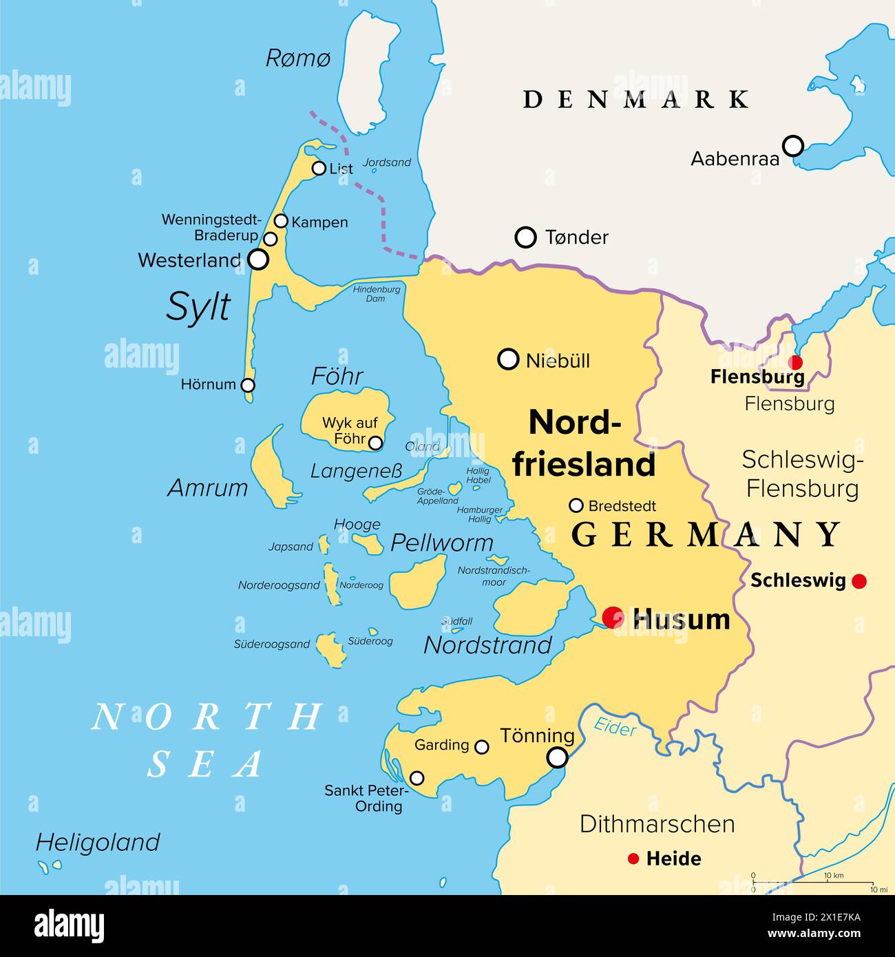 Nordfriesland, or North Frisia, political map. Northernmost district of Germany, part of Schleswig-Holstein, with capital Husum. Stock Photohttps://www.alamy.com/image-license-details/?v=1https://www.alamy.com/nordfriesland-or-north-frisia-political-map-northernmost-district-of-germany-part-of-schleswig-holstein-with-capital-husum-image603290894.html
RF2X1E7KA–Nordfriesland, or North Frisia, political map. Northernmost district of Germany, part of Schleswig-Holstein, with capital Husum.
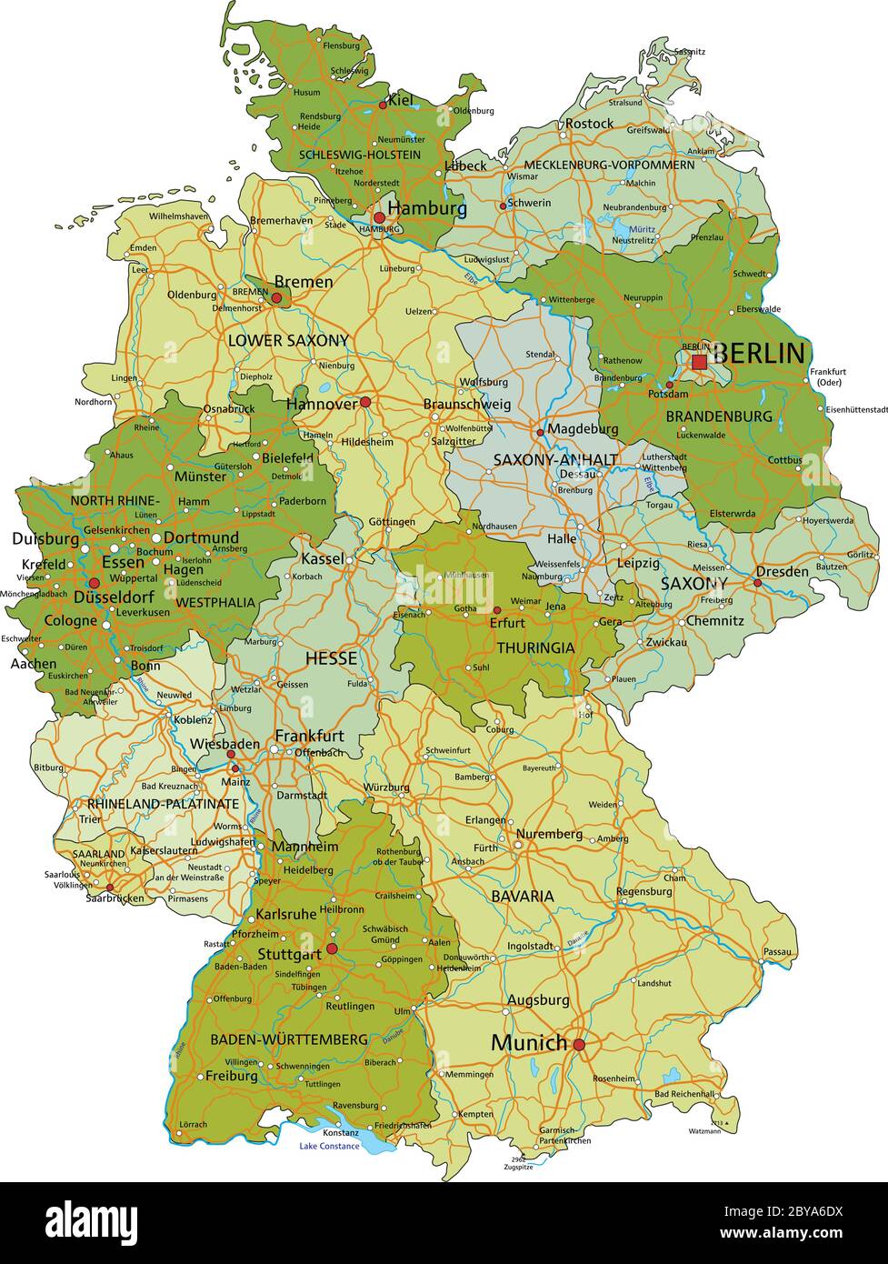 Germany - Highly detailed editable political map with separated layers. Stock Vectorhttps://www.alamy.com/image-license-details/?v=1https://www.alamy.com/germany-highly-detailed-editable-political-map-with-separated-layers-image361027686.html
RF2BYA6DX–Germany - Highly detailed editable political map with separated layers.
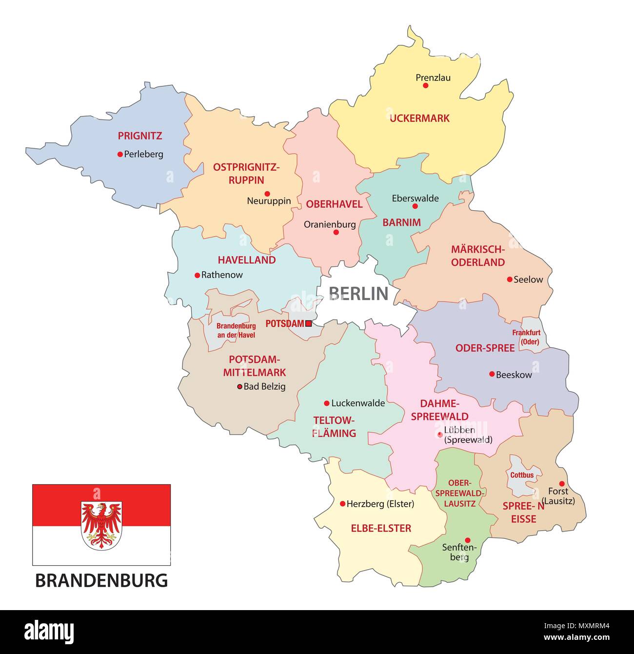 brandenburg administrative and political vector map with flag, germany Stock Vectorhttps://www.alamy.com/image-license-details/?v=1https://www.alamy.com/brandenburg-administrative-and-political-vector-map-with-flag-germany-image188542372.html
RFMXMRM4–brandenburg administrative and political vector map with flag, germany
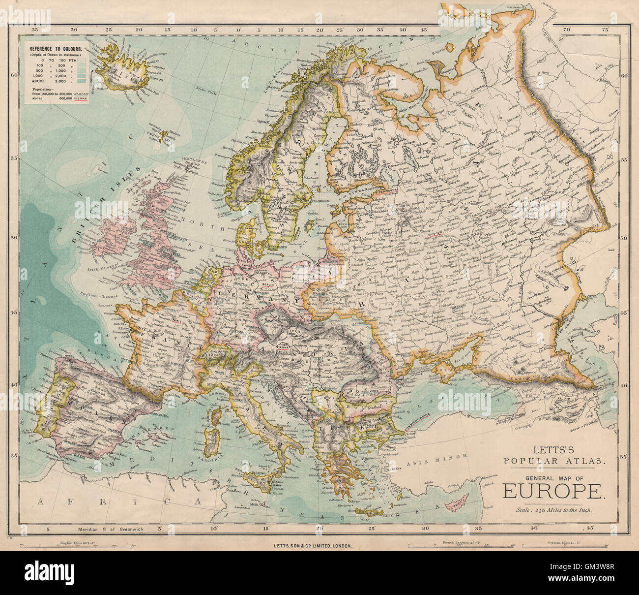 EUROPE Political map. Germany. Austria-Hungary. LETTS, 1889 Stock Photohttps://www.alamy.com/image-license-details/?v=1https://www.alamy.com/stock-photo-europe-political-map-germany-austria-hungary-letts-1889-115641031.html
RFGM3W8R–EUROPE Political map. Germany. Austria-Hungary. LETTS, 1889
 1932 Archive German Anti-Nazi Election Propaganda DAS DRITTE REICH The Third Reich! Election Propaganda Poster Germany Map of Germany as a graveyard with white crosses 1930’s. Drawing of a relief map of Germany, stained with blood and filled with white crosses marking graves.Anti-Nazi political poster from the 1932 German federal elections. The poster depicts Germany bleeding and covered in crosses, implying if the Nazis gained power, their systems of violence and intimidation would cause Germany and its people to suffer. By June 1932, Germany was deep in the throes of the Great Depression. Stock Photohttps://www.alamy.com/image-license-details/?v=1https://www.alamy.com/1932-archive-german-anti-nazi-election-propaganda-das-dritte-reich-the-third-reich!-election-propaganda-poster-germany-map-of-germany-as-a-graveyard-with-white-crosses-1930s-drawing-of-a-relief-map-of-germany-stained-with-blood-and-filled-with-white-crosses-marking-gravesanti-nazi-political-poster-from-the-1932-german-federal-elections-the-poster-depicts-germany-bleeding-and-covered-in-crosses-implying-if-the-nazis-gained-power-their-systems-of-violence-and-intimidation-would-cause-germany-and-its-people-to-suffer-by-june-1932-germany-was-deep-in-the-throes-of-the-great-depression-image397204081.html
RM2E265T1–1932 Archive German Anti-Nazi Election Propaganda DAS DRITTE REICH The Third Reich! Election Propaganda Poster Germany Map of Germany as a graveyard with white crosses 1930’s. Drawing of a relief map of Germany, stained with blood and filled with white crosses marking graves.Anti-Nazi political poster from the 1932 German federal elections. The poster depicts Germany bleeding and covered in crosses, implying if the Nazis gained power, their systems of violence and intimidation would cause Germany and its people to suffer. By June 1932, Germany was deep in the throes of the Great Depression.
RF2BDA9TB–Mobile Phone Tracking political theme in Germany. Illustration with map of Germany and mobile phones.
 Germany Country Name On The Political World Map Very Macro Close-Up View Stock Photohttps://www.alamy.com/image-license-details/?v=1https://www.alamy.com/germany-country-name-on-the-political-world-map-very-macro-close-up-view-image499221812.html
RF2M05EEC–Germany Country Name On The Political World Map Very Macro Close-Up View
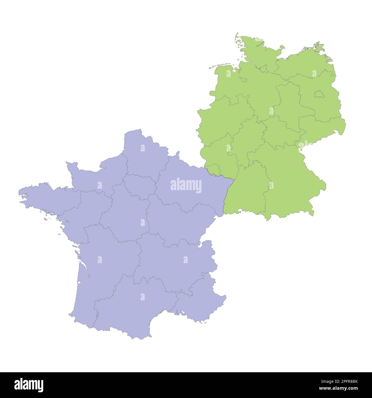 High quality political map of Germany and France with borders of the regions or provinces. Vector illustration Stock Vectorhttps://www.alamy.com/image-license-details/?v=1https://www.alamy.com/high-quality-political-map-of-germany-and-france-with-borders-of-the-regions-or-provinces-vector-illustration-image543252659.html
RF2PFR88K–High quality political map of Germany and France with borders of the regions or provinces. Vector illustration
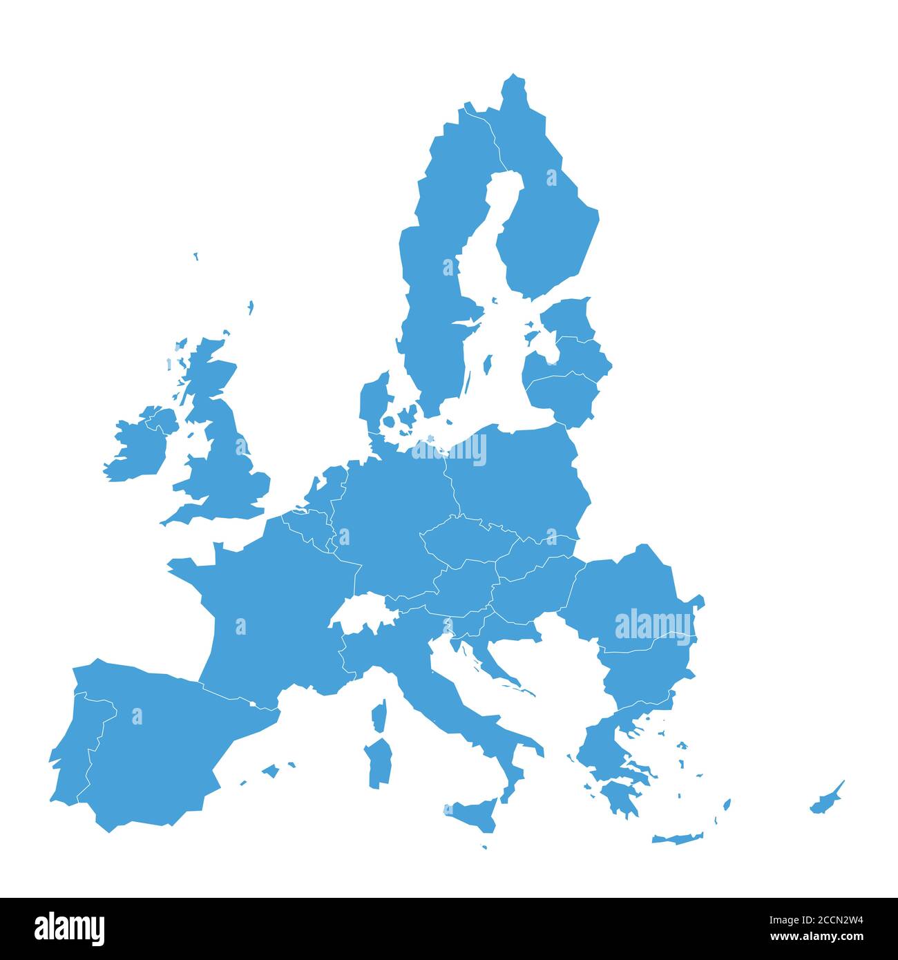 Political map of European Union, EU, member states. Simple flat vector illustration. Stock Vectorhttps://www.alamy.com/image-license-details/?v=1https://www.alamy.com/political-map-of-european-union-eu-member-states-simple-flat-vector-illustration-image369256864.html
RF2CCN2W4–Political map of European Union, EU, member states. Simple flat vector illustration.
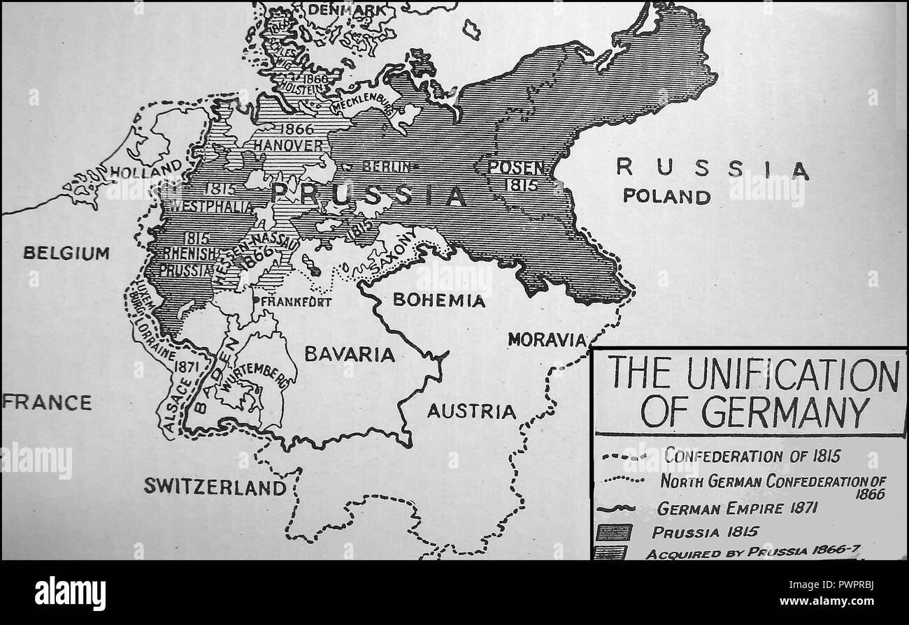 An early printed map showing the unification of Germany Stock Photohttps://www.alamy.com/image-license-details/?v=1https://www.alamy.com/an-early-printed-map-showing-the-unification-of-germany-image222392118.html
RMPWPRBJ–An early printed map showing the unification of Germany
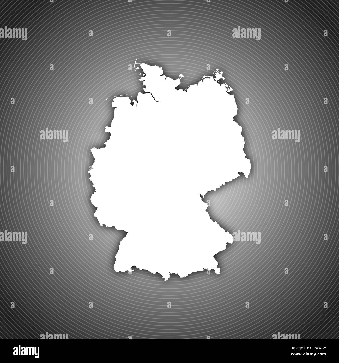 Political map of Germany with the several states. Stock Photohttps://www.alamy.com/image-license-details/?v=1https://www.alamy.com/stock-photo-political-map-of-germany-with-the-several-states-48753345.html
RFCR8WAW–Political map of Germany with the several states.
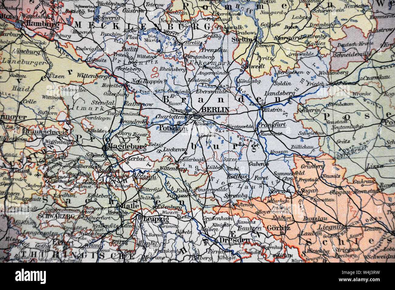 Berlin Germany Map 1900 by Adolph Meyer Stock Photohttps://www.alamy.com/image-license-details/?v=1https://www.alamy.com/berlin-germany-map-1900-by-adolph-meyer-image261012301.html
RFW4J3RW–Berlin Germany Map 1900 by Adolph Meyer
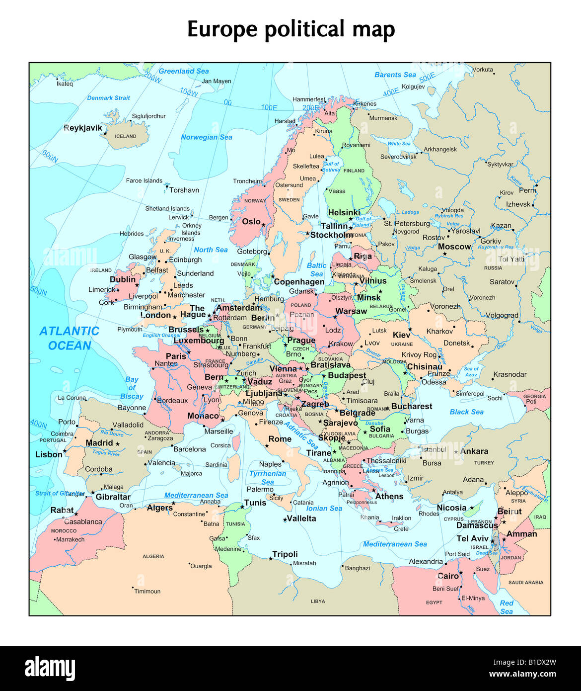 Europe political map Stock Photohttps://www.alamy.com/image-license-details/?v=1https://www.alamy.com/stock-photo-europe-political-map-18130865.html
RFB1DX2W–Europe political map
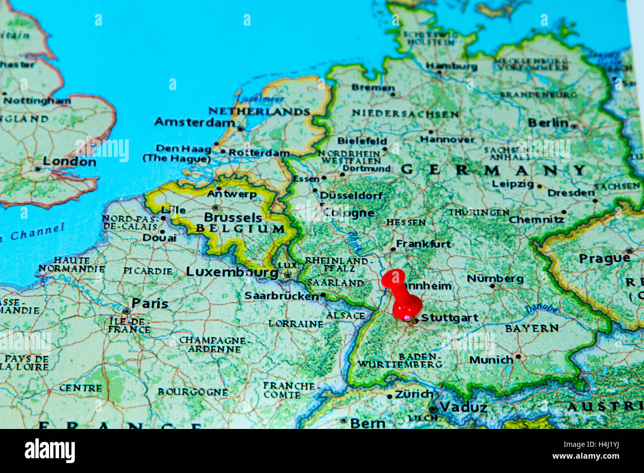 Stuttgart, Germany pinned on a map of Europe. Stock Photohttps://www.alamy.com/image-license-details/?v=1https://www.alamy.com/stock-photo-stuttgart-germany-pinned-on-a-map-of-europe-123327894.html
RMH4J1YJ–Stuttgart, Germany pinned on a map of Europe.
 map of germany,baden-wuerttemberg highlighted Stock Photohttps://www.alamy.com/image-license-details/?v=1https://www.alamy.com/stock-photo-map-of-germanybaden-wuerttemberg-highlighted-142875231.html
RFJ8CEPR–map of germany,baden-wuerttemberg highlighted
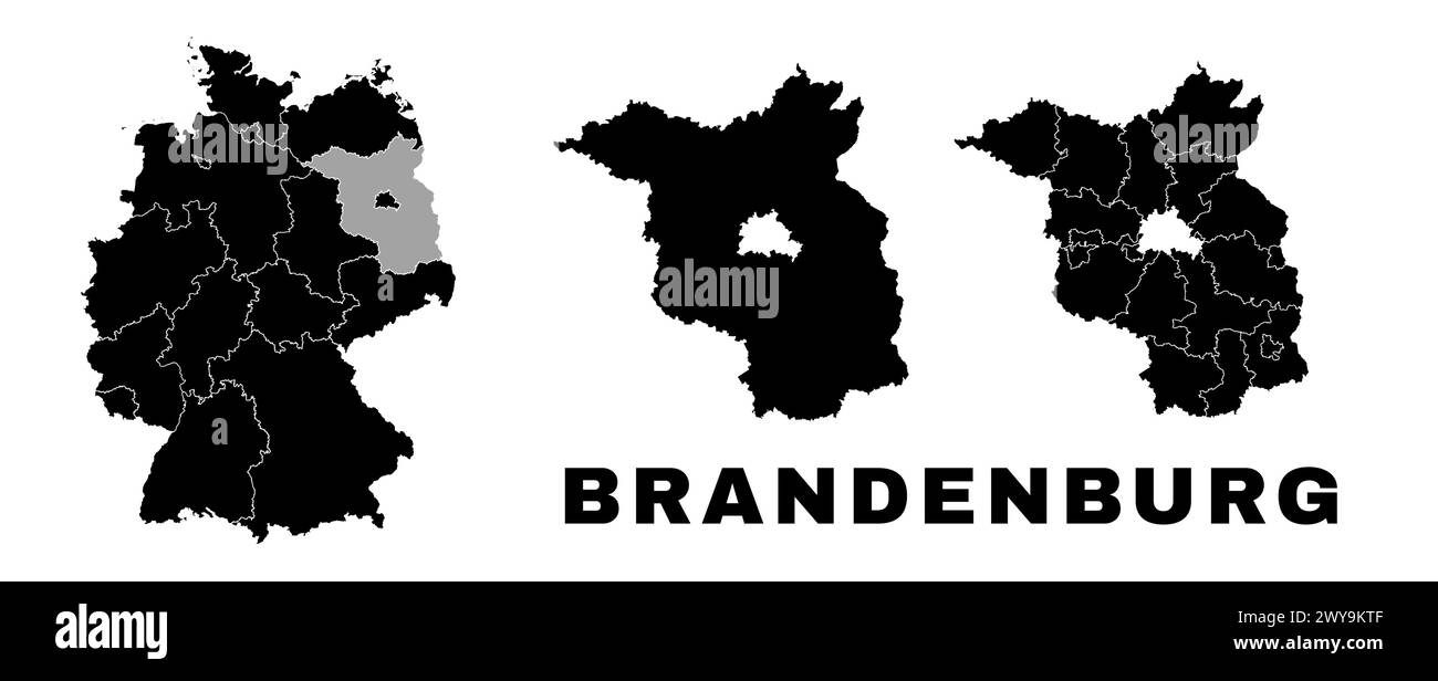 Brandenburg map, German state. Germany administrative division, regions and boroughs, amt and municipalities. Stock Vectorhttps://www.alamy.com/image-license-details/?v=1https://www.alamy.com/brandenburg-map-german-state-germany-administrative-division-regions-and-boroughs-amt-and-municipalities-image601961375.html
RF2WY9KTF–Brandenburg map, German state. Germany administrative division, regions and boroughs, amt and municipalities.
 State elections, Schleswig-Holstein, Germany, Europe Stock Photohttps://www.alamy.com/image-license-details/?v=1https://www.alamy.com/state-elections-schleswig-holstein-germany-europe-image333748517.html
RM2AAYFHW–State elections, Schleswig-Holstein, Germany, Europe
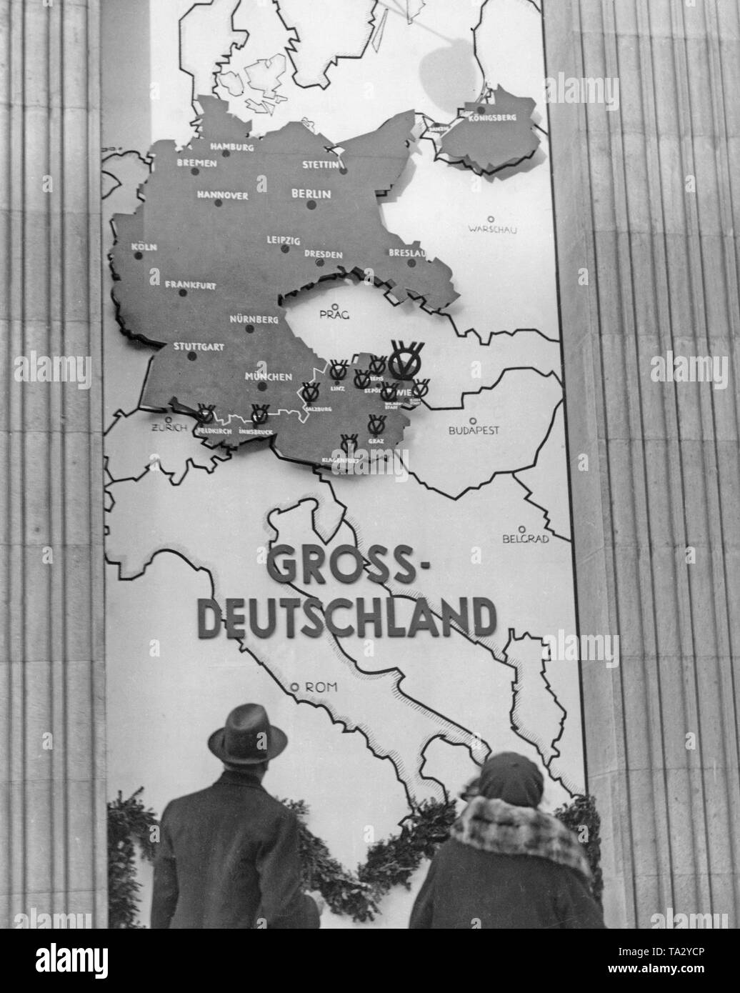 Since the annexation Austria belongs to the German Reich. The map of the Greater Germany hangs in a Viennese department store. Stock Photohttps://www.alamy.com/image-license-details/?v=1https://www.alamy.com/since-the-annexation-austria-belongs-to-the-german-reich-the-map-of-the-greater-germany-hangs-in-a-viennese-department-store-image247157142.html
RMTA2YCP–Since the annexation Austria belongs to the German Reich. The map of the Greater Germany hangs in a Viennese department store.
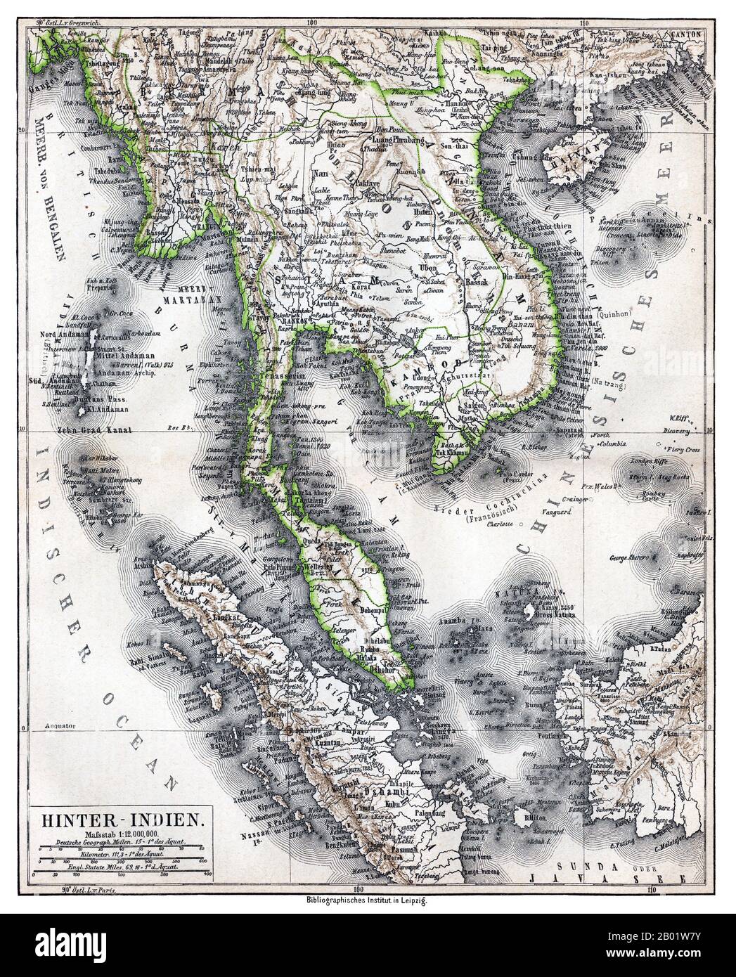 Southeast Asia: 'Hinter-Indien' ('Further India'), a map of Greater Indochina and the western part of the Malay-Indonesian Archipelago, Bibliographisches Institut in Leipzig, Germany, 1876. Physical map showing approximate political frontiers in Green. The Shan and Lao states are shown independent of (or tributary to) Siam. Chiang Mai ('Tshien-Mai'and Luang Prabang are both shown lying within the frontiers of a greater Siam,, but the territoryy of Chiang Mai extends further to the northwest, into Burma's Shan State, beyond the Salween River, than it does today. Stock Photohttps://www.alamy.com/image-license-details/?v=1https://www.alamy.com/southeast-asia-hinter-indien-further-india-a-map-of-greater-indochina-and-the-western-part-of-the-malay-indonesian-archipelago-bibliographisches-institut-in-leipzig-germany-1876-physical-map-showing-approximate-political-frontiers-in-green-the-shan-and-lao-states-are-shown-independent-of-or-tributary-to-siam-chiang-mai-tshien-maiand-luang-prabang-are-both-shown-lying-within-the-frontiers-of-a-greater-siam-but-the-territoryy-of-chiang-mai-extends-further-to-the-northwest-into-burmas-shan-state-beyond-the-salween-river-than-it-does-today-image344249135.html
RM2B01W7Y–Southeast Asia: 'Hinter-Indien' ('Further India'), a map of Greater Indochina and the western part of the Malay-Indonesian Archipelago, Bibliographisches Institut in Leipzig, Germany, 1876. Physical map showing approximate political frontiers in Green. The Shan and Lao states are shown independent of (or tributary to) Siam. Chiang Mai ('Tshien-Mai'and Luang Prabang are both shown lying within the frontiers of a greater Siam,, but the territoryy of Chiang Mai extends further to the northwest, into Burma's Shan State, beyond the Salween River, than it does today.
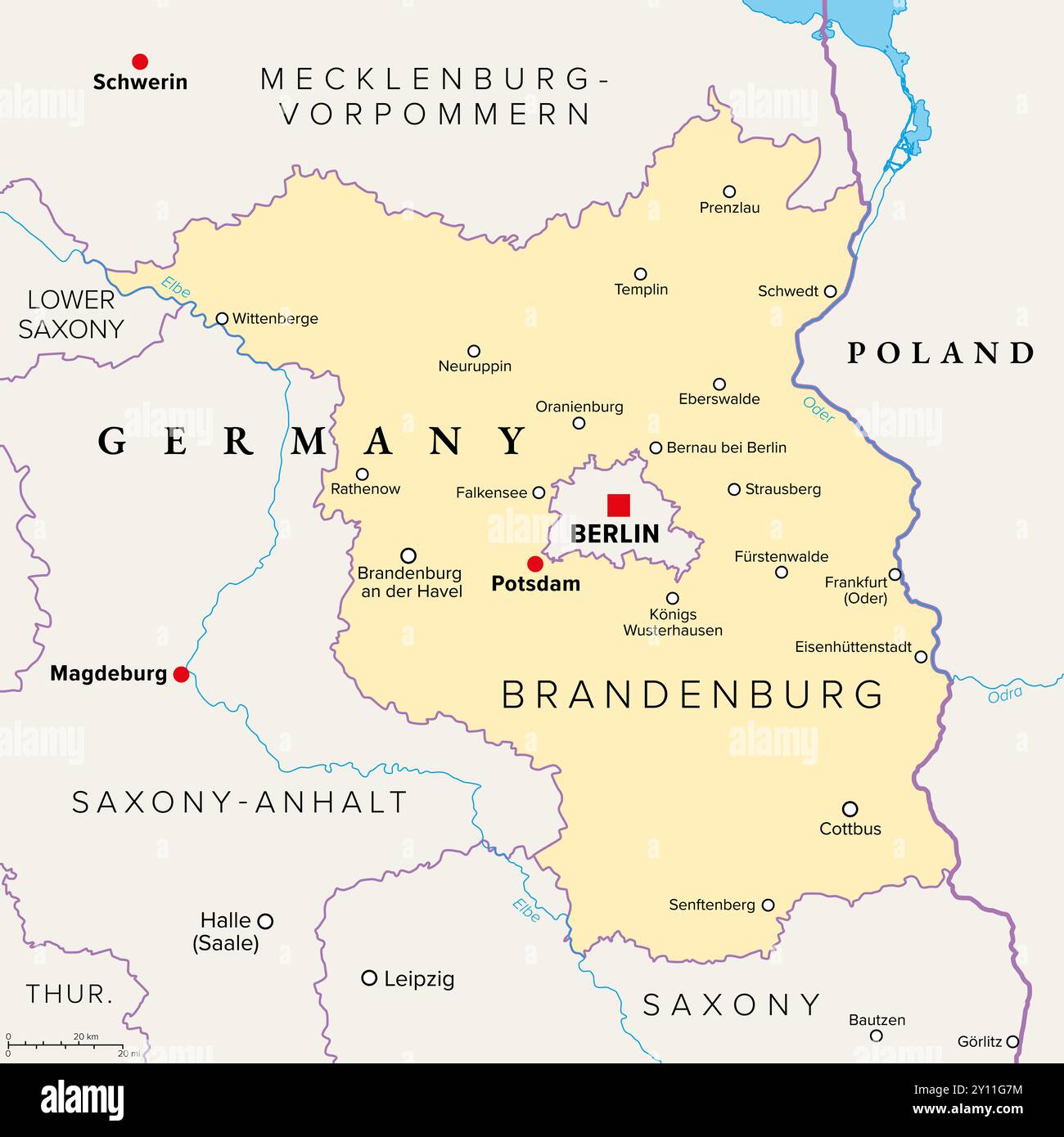 Brandenburg, a state in northeastern Germany, political map with capital and largest city Potsdam, borders, and largest cities. Stock Photohttps://www.alamy.com/image-license-details/?v=1https://www.alamy.com/brandenburg-a-state-in-northeastern-germany-political-map-with-capital-and-largest-city-potsdam-borders-and-largest-cities-image620222616.html
RF2Y11G7M–Brandenburg, a state in northeastern Germany, political map with capital and largest city Potsdam, borders, and largest cities.
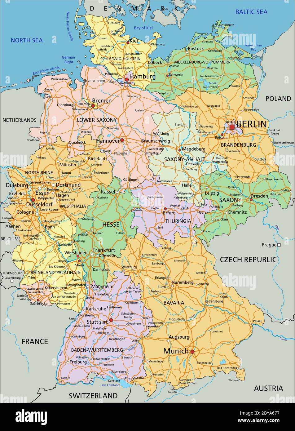 Germany - Highly detailed editable political map with separated layers. Stock Vectorhttps://www.alamy.com/image-license-details/?v=1https://www.alamy.com/germany-highly-detailed-editable-political-map-with-separated-layers-image361027499.html
RF2BYA677–Germany - Highly detailed editable political map with separated layers.
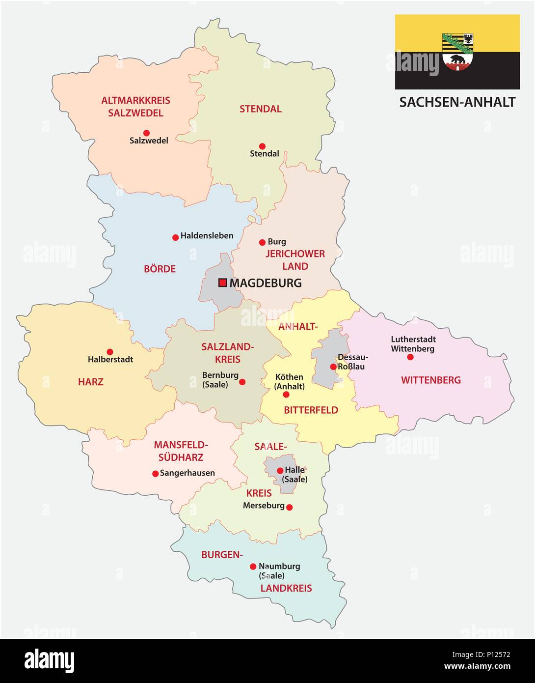 Saxony-anhalt administrative and political vector map with flag, germany Stock Vectorhttps://www.alamy.com/image-license-details/?v=1https://www.alamy.com/saxony-anhalt-administrative-and-political-vector-map-with-flag-germany-image207187094.html
RFP12572–Saxony-anhalt administrative and political vector map with flag, germany
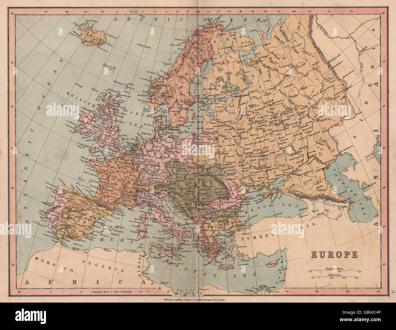 EUROPE: Political. United Germany marked as Prussia. COLLINS, 1880 antique map Stock Photohttps://www.alamy.com/image-license-details/?v=1https://www.alamy.com/stock-photo-europe-political-united-germany-marked-as-prussia-collins-1880-antique-110406514.html
RFGBHCHP–EUROPE: Political. United Germany marked as Prussia. COLLINS, 1880 antique map
 1626. map of the Seventeen Provinces of Low Germany (Low Countries, Netherlands). Made by the English cartographer John Speed (1552-1629). It shows the 17 traditional provinces of the Netherlands, which encompasses the modern day countries of the Netherlands, Belgium and Luxemburg. The Seventeen Provinces existed between 1543-1585 as imperial states of the Habsburg Netherlands. Stock Photohttps://www.alamy.com/image-license-details/?v=1https://www.alamy.com/1626-map-of-the-seventeen-provinces-of-low-germany-low-countries-netherlands-made-by-the-english-cartographer-john-speed-1552-1629-it-shows-the-17-traditional-provinces-of-the-netherlands-which-encompasses-the-modern-day-countries-of-the-netherlands-belgium-and-luxemburg-the-seventeen-provinces-existed-between-1543-1585-as-imperial-states-of-the-habsburg-netherlands-image634316796.html
RM2YRYHF8–1626. map of the Seventeen Provinces of Low Germany (Low Countries, Netherlands). Made by the English cartographer John Speed (1552-1629). It shows the 17 traditional provinces of the Netherlands, which encompasses the modern day countries of the Netherlands, Belgium and Luxemburg. The Seventeen Provinces existed between 1543-1585 as imperial states of the Habsburg Netherlands.
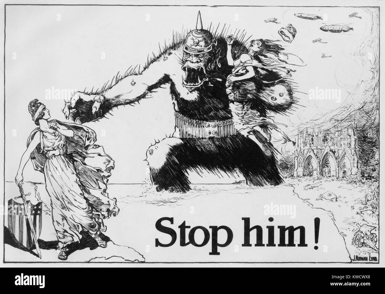 STOP HIM! Fierce gorilla wearing a German spiked helmet, reaches across the ocean from Europe. He threatens the figure of Liberty standing on a map of the American east coast. Drawing for a political cartoon by Norman Lynd, c. 1917 (BSLOC 2017 1 44) Stock Photohttps://www.alamy.com/image-license-details/?v=1https://www.alamy.com/stock-photo-stop-him!-fierce-gorilla-wearing-a-german-spiked-helmet-reaches-across-170543472.html
RMKWCWX8–STOP HIM! Fierce gorilla wearing a German spiked helmet, reaches across the ocean from Europe. He threatens the figure of Liberty standing on a map of the American east coast. Drawing for a political cartoon by Norman Lynd, c. 1917 (BSLOC 2017 1 44)
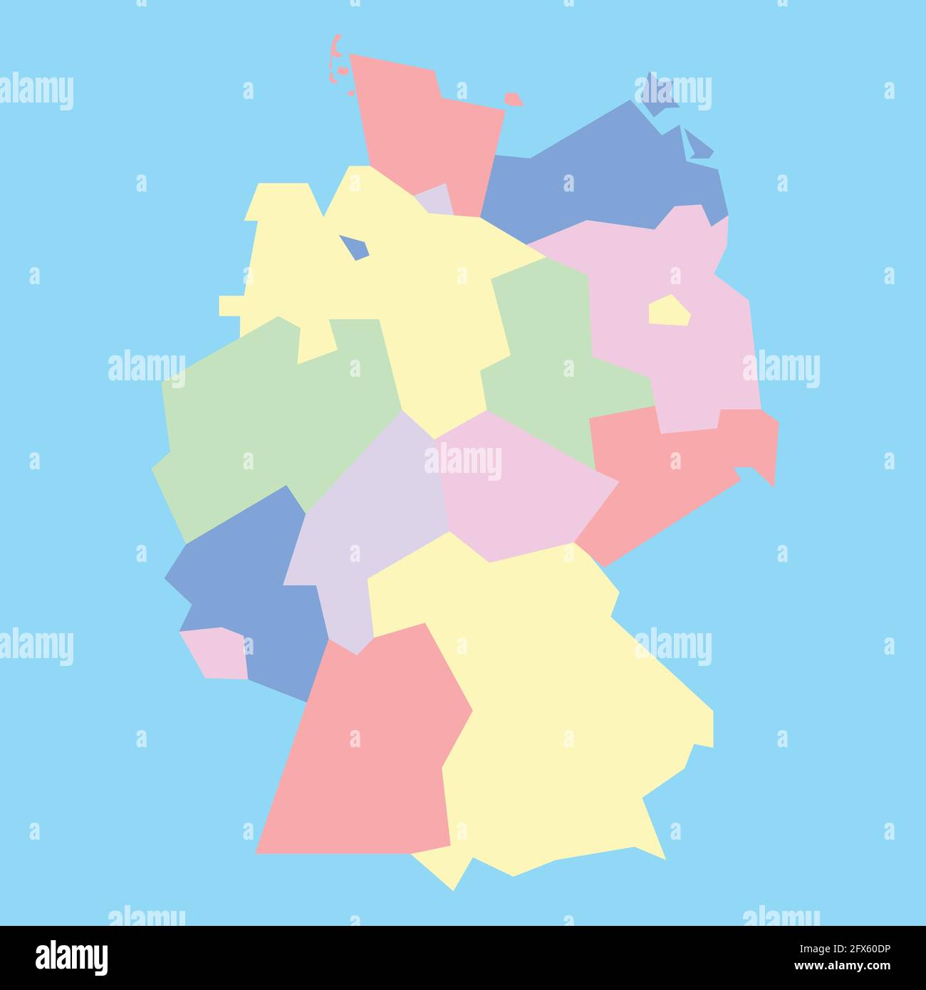 vector map of Germany to study Stock Vectorhttps://www.alamy.com/image-license-details/?v=1https://www.alamy.com/vector-map-of-germany-to-study-image429161986.html
RF2FX60DP–vector map of Germany to study
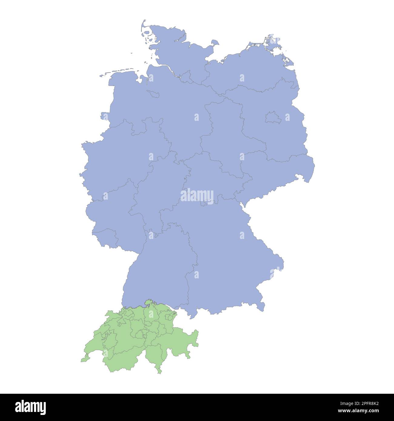 High quality political map of Germany and Switzerland with borders of the regions or provinces. Vector illustration Stock Vectorhttps://www.alamy.com/image-license-details/?v=1https://www.alamy.com/high-quality-political-map-of-germany-and-switzerland-with-borders-of-the-regions-or-provinces-vector-illustration-image543252950.html
RF2PFR8K2–High quality political map of Germany and Switzerland with borders of the regions or provinces. Vector illustration
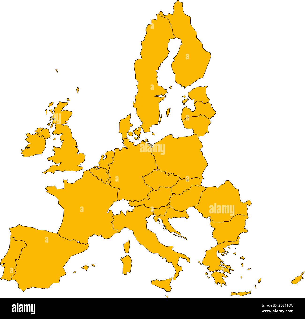 Political map of European Union, EU, member states. Simple flat vector illustration. Stock Vectorhttps://www.alamy.com/image-license-details/?v=1https://www.alamy.com/political-map-of-european-union-eu-member-states-simple-flat-vector-illustration-image387256209.html
RF2DE116W–Political map of European Union, EU, member states. Simple flat vector illustration.
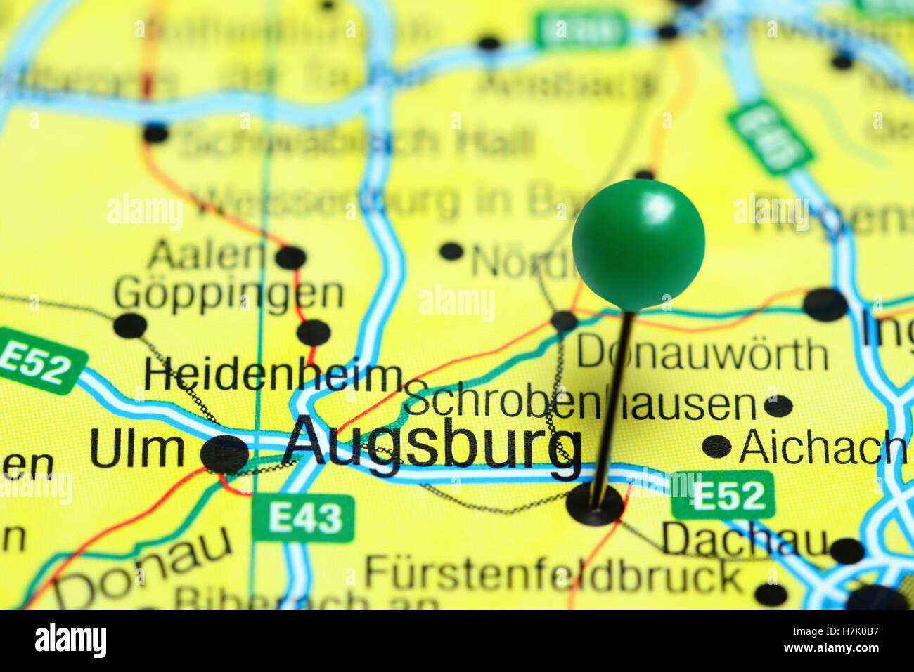 Augsburg pinned on a map of Germany Stock Photohttps://www.alamy.com/image-license-details/?v=1https://www.alamy.com/stock-photo-augsburg-pinned-on-a-map-of-germany-125192571.html
RFH7K0B7–Augsburg pinned on a map of Germany
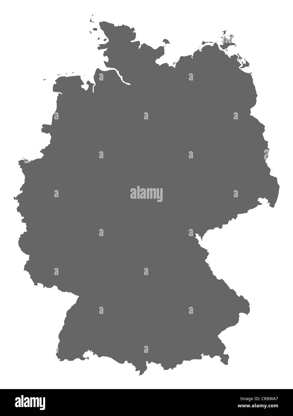 Political map of Germany with the several states. Stock Photohttps://www.alamy.com/image-license-details/?v=1https://www.alamy.com/stock-photo-political-map-of-germany-with-the-several-states-48753327.html
RFCR8WA7–Political map of Germany with the several states.
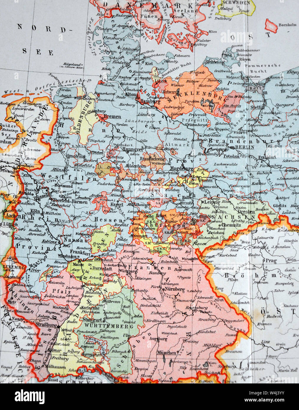 1900 Meyer Map of Germany and Poland Stock Photohttps://www.alamy.com/image-license-details/?v=1https://www.alamy.com/1900-meyer-map-of-germany-and-poland-image261012415.html
RFW4J3YY–1900 Meyer Map of Germany and Poland
 World map with Germany glowing on black background. Stock Photohttps://www.alamy.com/image-license-details/?v=1https://www.alamy.com/stock-photo-world-map-with-germany-glowing-on-black-background-30366268.html
RFBNB8DG–World map with Germany glowing on black background.
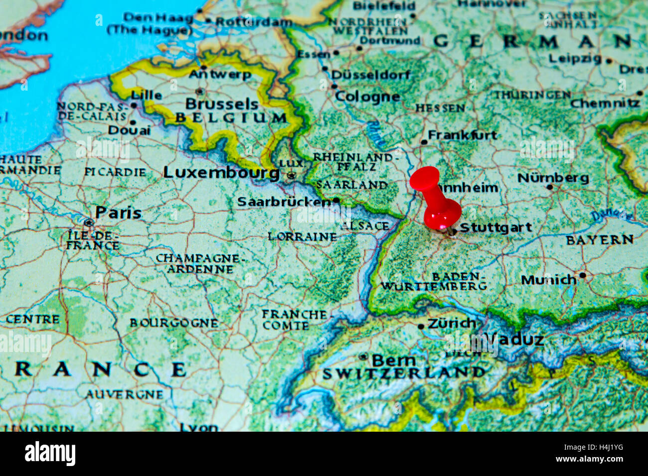 Stuttgart, Germany pinned on a map of Europe. Stock Photohttps://www.alamy.com/image-license-details/?v=1https://www.alamy.com/stock-photo-stuttgart-germany-pinned-on-a-map-of-europe-123327892.html
RMH4J1YG–Stuttgart, Germany pinned on a map of Europe.
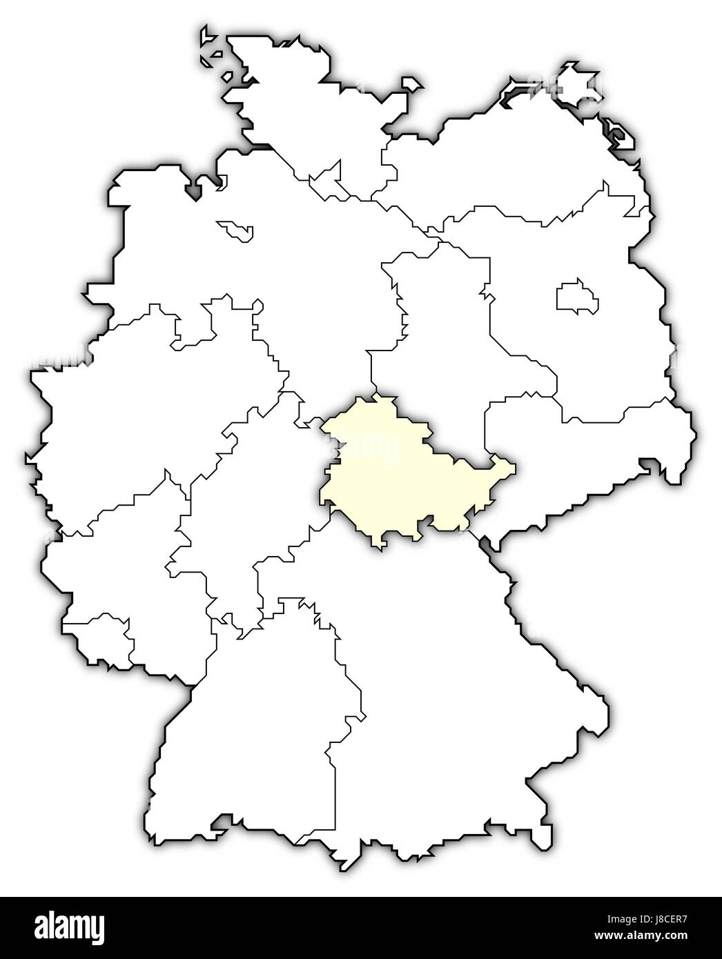 map of germany,thuringia highlighted Stock Photohttps://www.alamy.com/image-license-details/?v=1https://www.alamy.com/stock-photo-map-of-germanythuringia-highlighted-142875243.html
RFJ8CER7–map of germany,thuringia highlighted
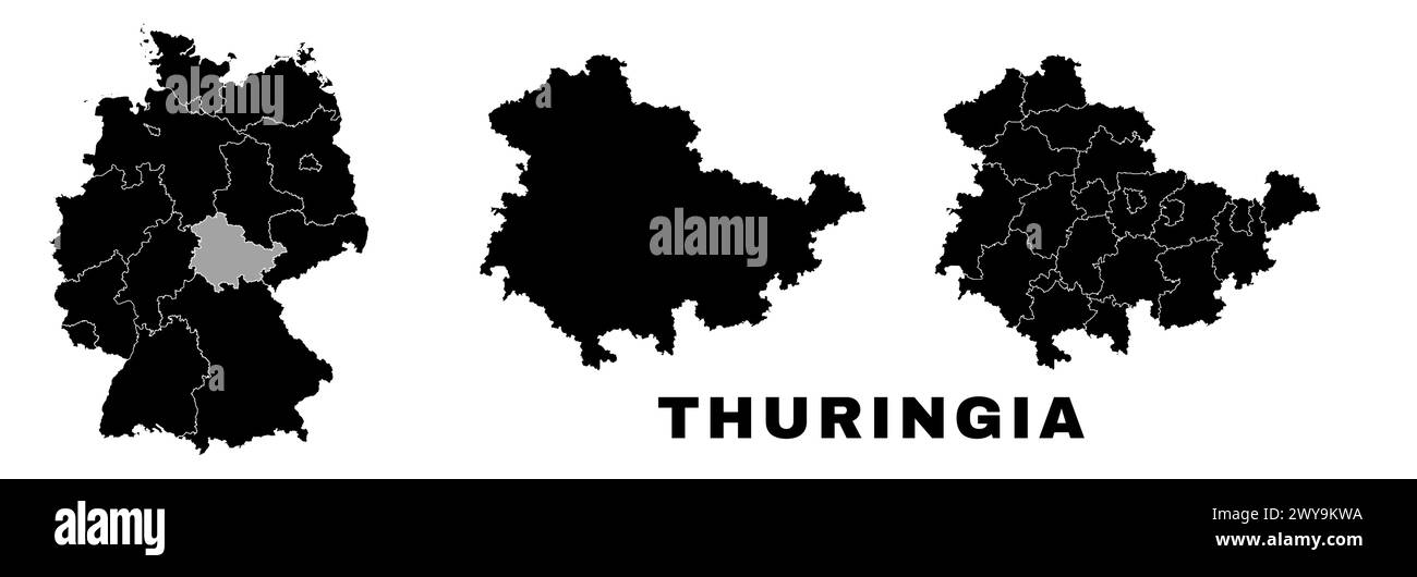 Thuringia map, German state. Germany administrative division, regions and boroughs, amt and municipalities. Stock Vectorhttps://www.alamy.com/image-license-details/?v=1https://www.alamy.com/thuringia-map-german-state-germany-administrative-division-regions-and-boroughs-amt-and-municipalities-image601961398.html
RF2WY9KWA–Thuringia map, German state. Germany administrative division, regions and boroughs, amt and municipalities.
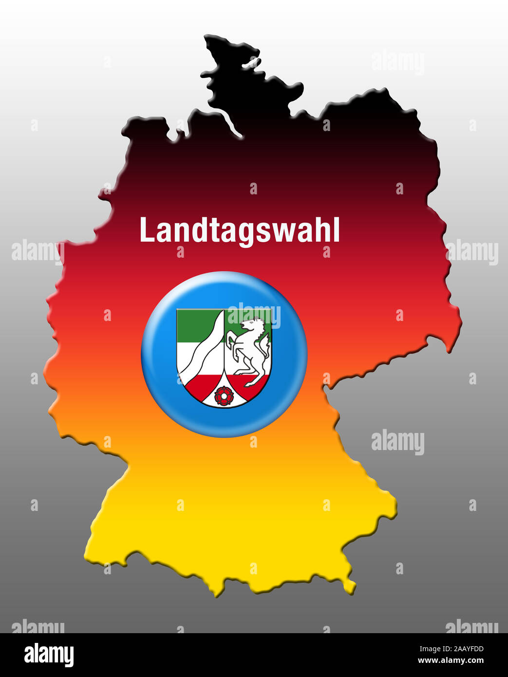 State elections, North Rhine-Westphalia, Germany, Europe Stock Photohttps://www.alamy.com/image-license-details/?v=1https://www.alamy.com/state-elections-north-rhine-westphalia-germany-europe-image333748393.html
RM2AAYFDD–State elections, North Rhine-Westphalia, Germany, Europe
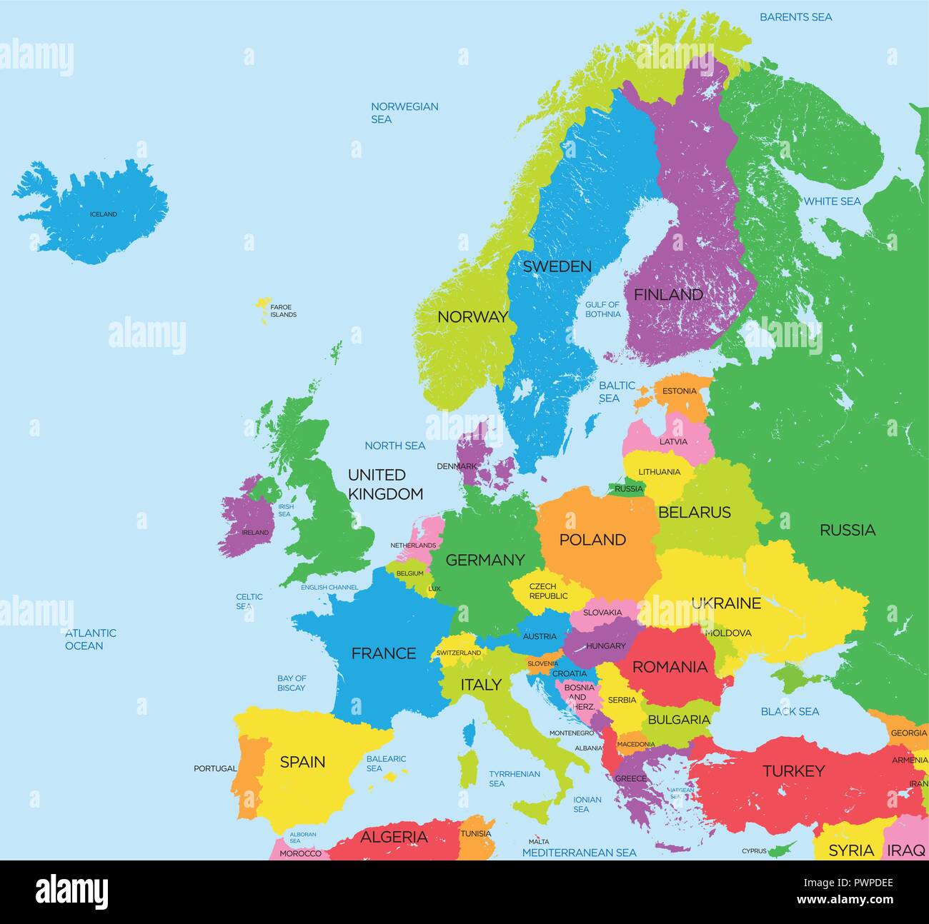 Political map of Europe high detail vector illustration for your design Stock Vectorhttps://www.alamy.com/image-license-details/?v=1https://www.alamy.com/political-map-of-europe-high-detail-vector-illustration-for-your-design-image222384358.html
RFPWPDEE–Political map of Europe high detail vector illustration for your design
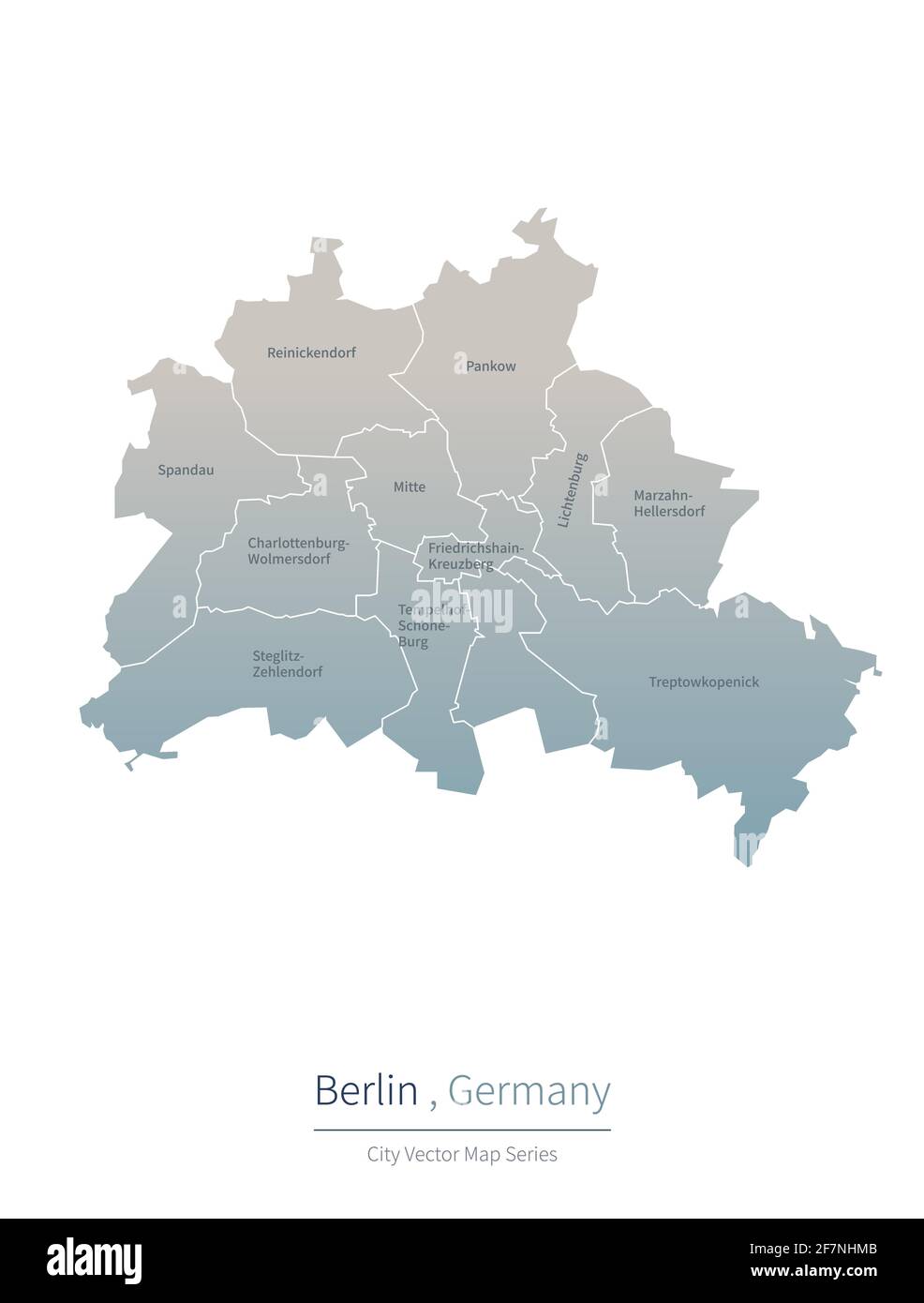 Berlin Map. vector map of major city in the Germany. Stock Vectorhttps://www.alamy.com/image-license-details/?v=1https://www.alamy.com/berlin-map-vector-map-of-major-city-in-the-germany-image417826315.html
RF2F7NHMB–Berlin Map. vector map of major city in the Germany.
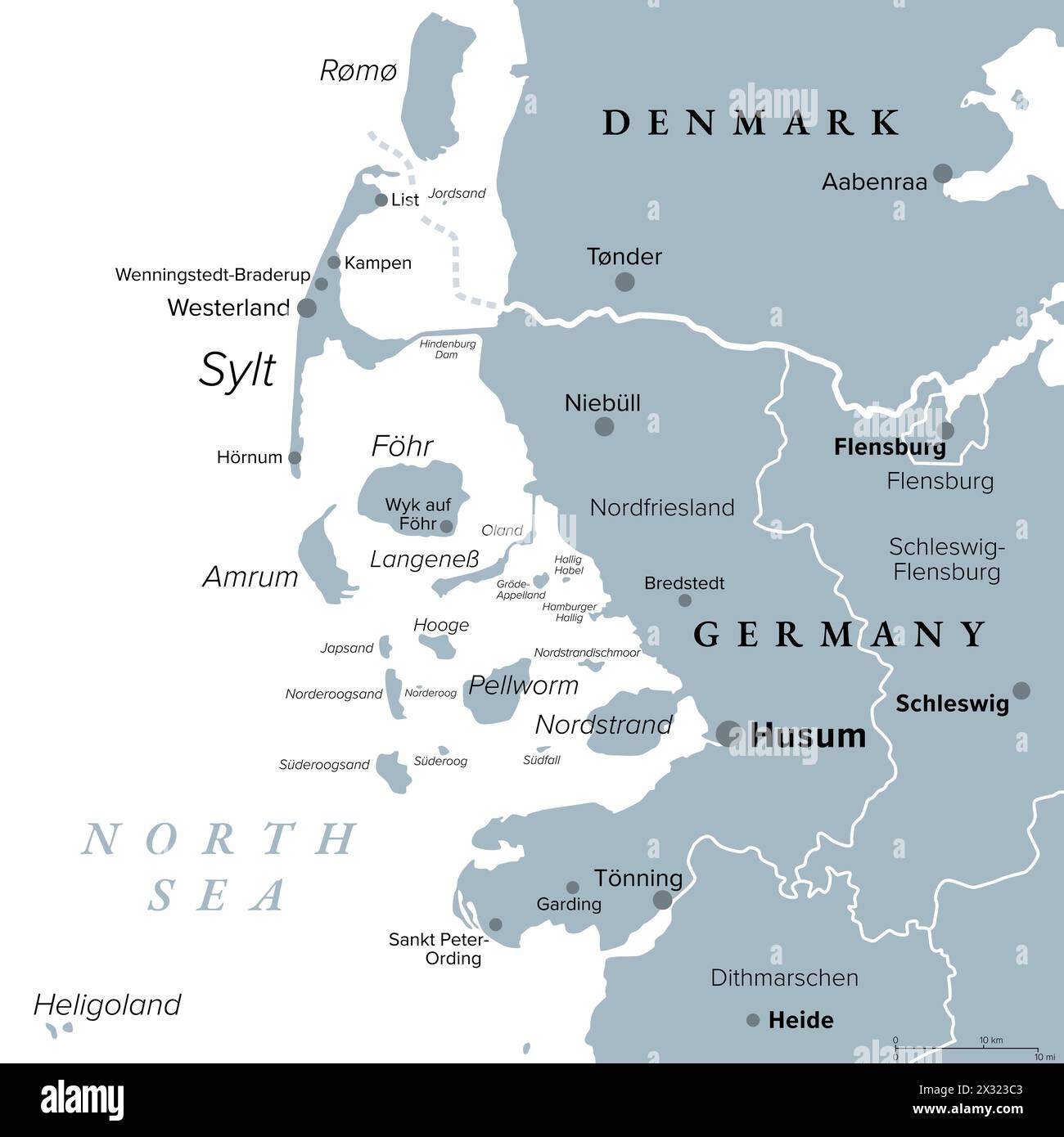 Nordfriesland, or North Frisia, gray political map. District of Germany, part of Schleswig-Holstein, with capital Husum and Island of Sylt. Stock Photohttps://www.alamy.com/image-license-details/?v=1https://www.alamy.com/nordfriesland-or-north-frisia-gray-political-map-district-of-germany-part-of-schleswig-holstein-with-capital-husum-and-island-of-sylt-image604253443.html
RF2X323C3–Nordfriesland, or North Frisia, gray political map. District of Germany, part of Schleswig-Holstein, with capital Husum and Island of Sylt.
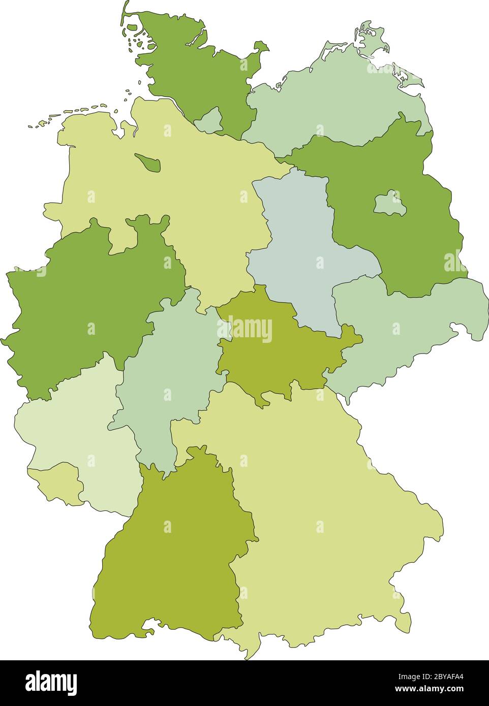 Germany - Highly detailed editable political map with separated layers. Stock Vectorhttps://www.alamy.com/image-license-details/?v=1https://www.alamy.com/germany-highly-detailed-editable-political-map-with-separated-layers-image361034636.html
RF2BYAFA4–Germany - Highly detailed editable political map with separated layers.
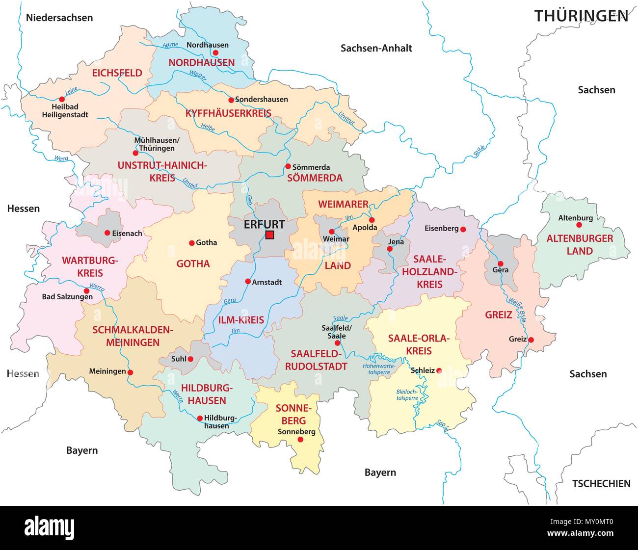 thuringia administrative and political vector map Stock Vectorhttps://www.alamy.com/image-license-details/?v=1https://www.alamy.com/thuringia-administrative-and-political-vector-map-image188715744.html
RFMY0MT0–thuringia administrative and political vector map
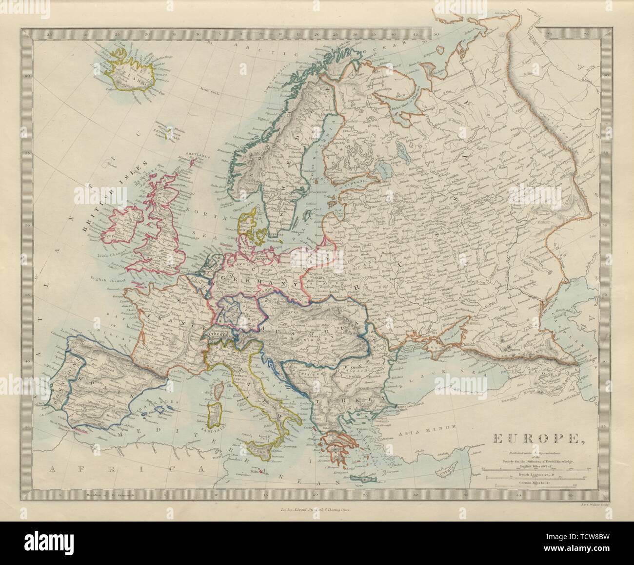 EUROPE political. Newly unified Germany. Austria Turkey Russia. SDUK 1874 map Stock Photohttps://www.alamy.com/image-license-details/?v=1https://www.alamy.com/europe-political-newly-unified-germany-austria-turkey-russia-sduk-1874-map-image248876429.html
RFTCW8BW–EUROPE political. Newly unified Germany. Austria Turkey Russia. SDUK 1874 map
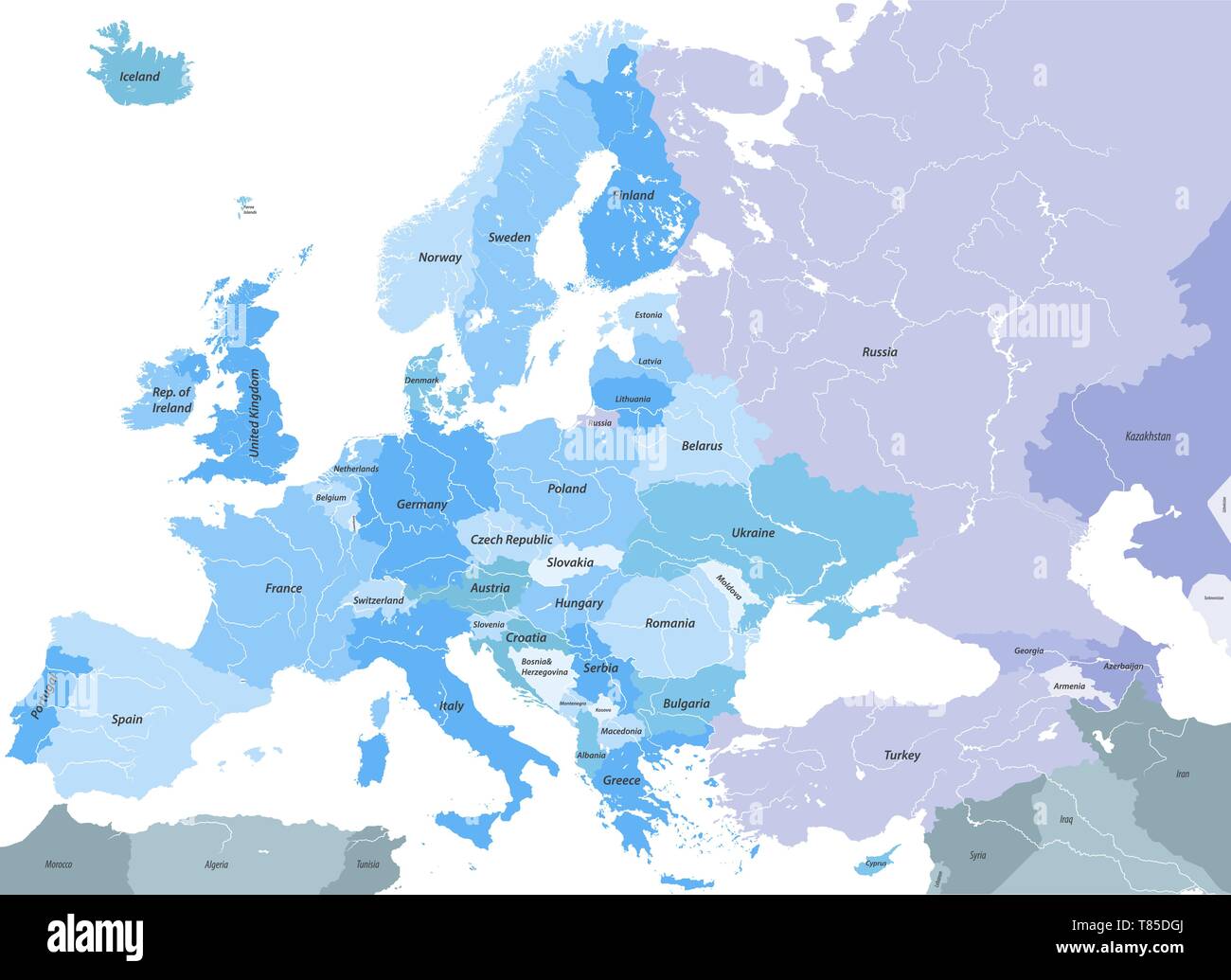 Europe high detailed vector political map with rivers and country names. Stock Vectorhttps://www.alamy.com/image-license-details/?v=1https://www.alamy.com/europe-high-detailed-vector-political-map-with-rivers-and-country-names-image245982818.html
RFT85DGJ–Europe high detailed vector political map with rivers and country names.
 White silhouette of Germany on the blue background. Map illustration of European country. Stock Photohttps://www.alamy.com/image-license-details/?v=1https://www.alamy.com/white-silhouette-of-germany-on-the-blue-background-map-illustration-of-european-country-image605834858.html
RF2X5J4F6–White silhouette of Germany on the blue background. Map illustration of European country.
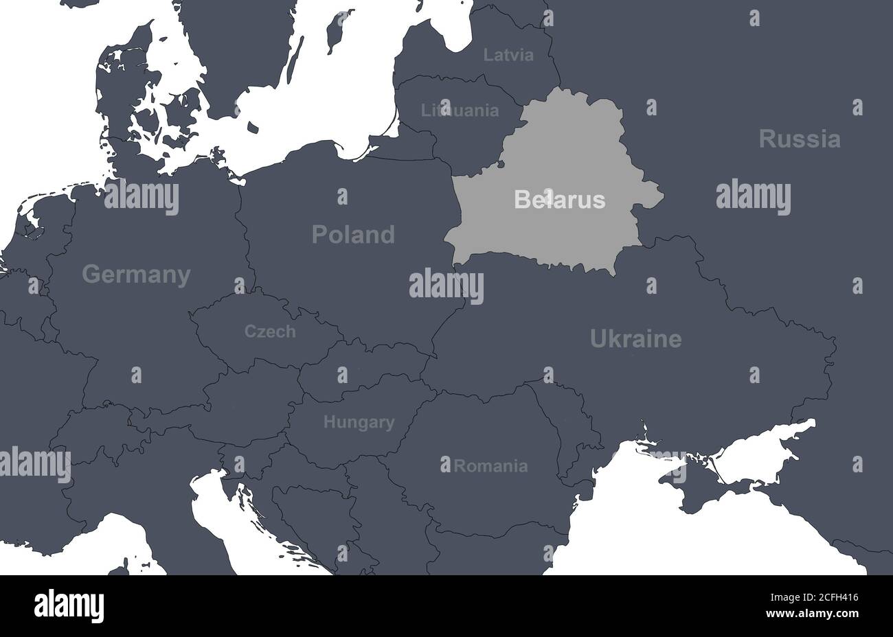 Belarus on Europe outline map with countries borders. Detail of World political map, central and eastern European region with silhouette. Earth isolat Stock Photohttps://www.alamy.com/image-license-details/?v=1https://www.alamy.com/belarus-on-europe-outline-map-with-countries-borders-detail-of-world-political-map-central-and-eastern-european-region-with-silhouette-earth-isolat-image371013922.html
RF2CFH416–Belarus on Europe outline map with countries borders. Detail of World political map, central and eastern European region with silhouette. Earth isolat
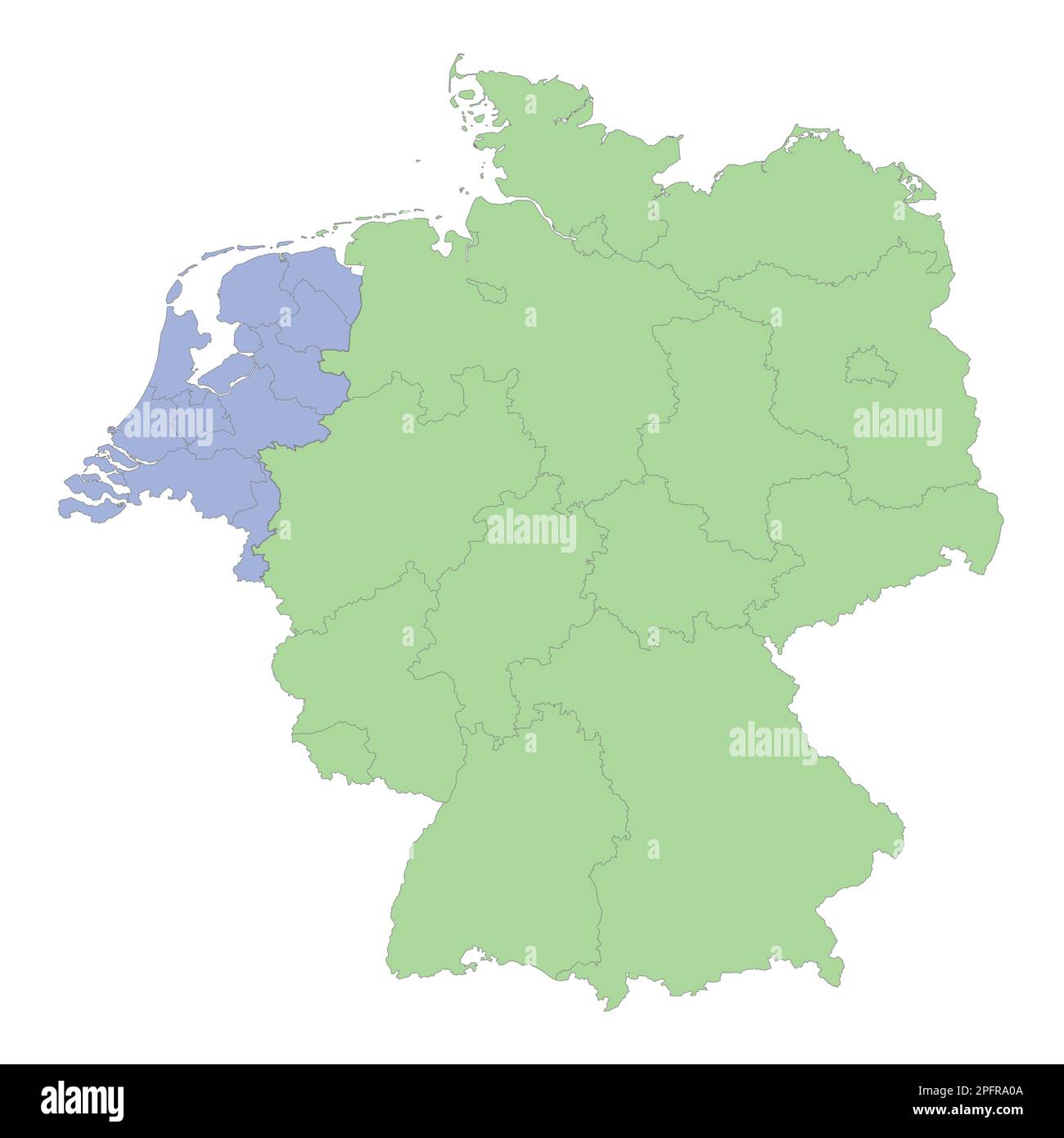 High quality political map of Germany and Netherlands with borders of the regions or provinces. Vector illustration Stock Vectorhttps://www.alamy.com/image-license-details/?v=1https://www.alamy.com/high-quality-political-map-of-germany-and-netherlands-with-borders-of-the-regions-or-provinces-vector-illustration-image543253994.html
RF2PFRA0A–High quality political map of Germany and Netherlands with borders of the regions or provinces. Vector illustration
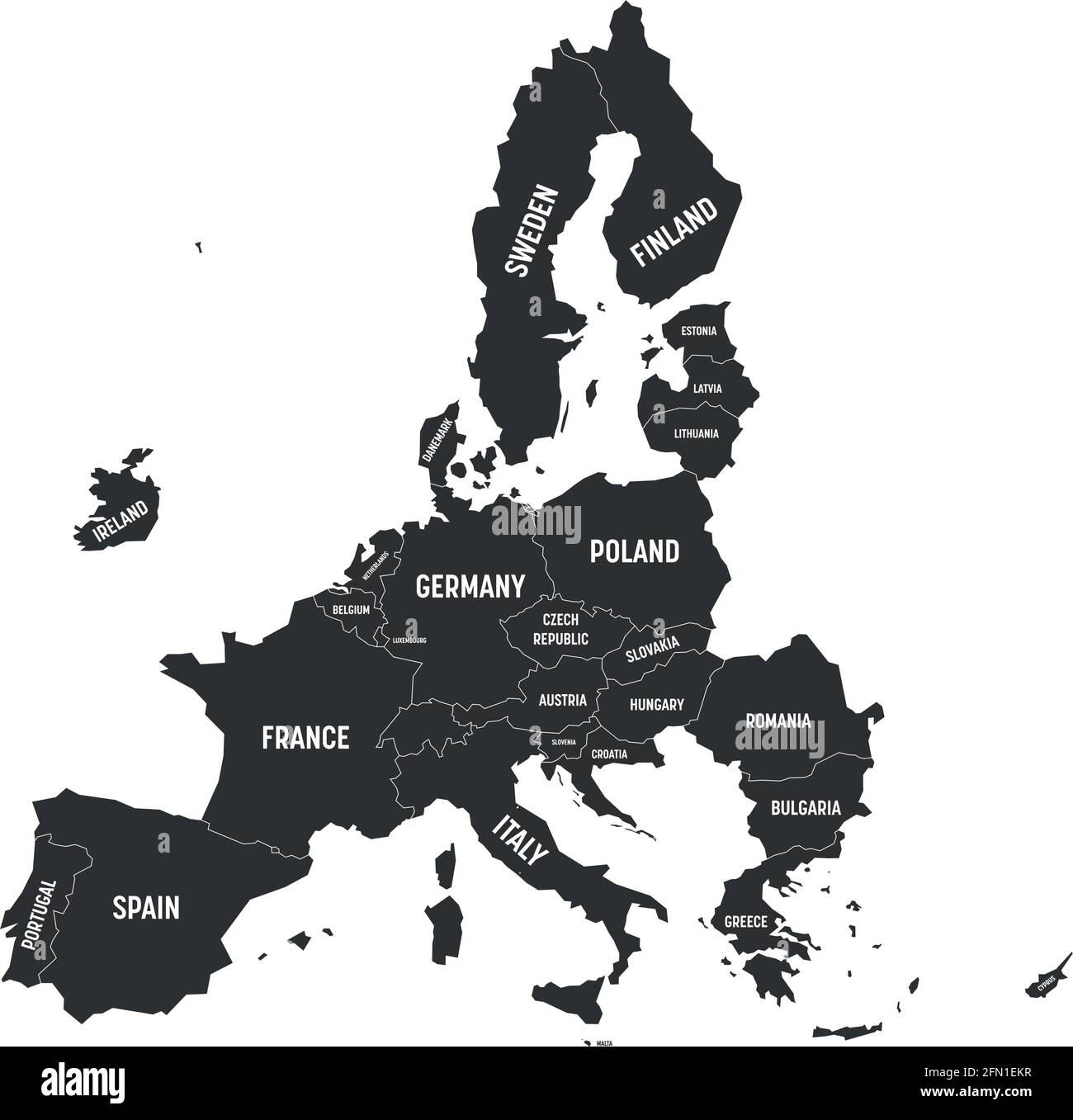 Political map of 27 European Union, EU, member states after brexit in 2020. Simple flat vector illustration Stock Vectorhttps://www.alamy.com/image-license-details/?v=1https://www.alamy.com/political-map-of-27-european-union-eu-member-states-after-brexit-in-2020-simple-flat-vector-illustration-image425990091.html
RF2FN1EKR–Political map of 27 European Union, EU, member states after brexit in 2020. Simple flat vector illustration
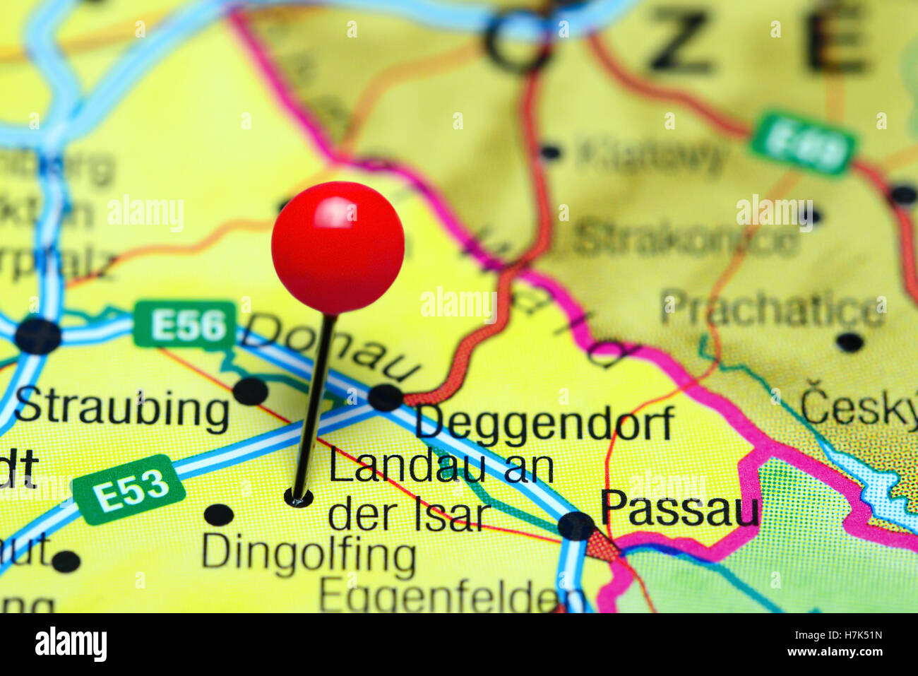 Landau an der Isar pinned on a map of Germany Stock Photohttps://www.alamy.com/image-license-details/?v=1https://www.alamy.com/stock-photo-landau-an-der-isar-pinned-on-a-map-of-germany-125196225.html
RFH7K51N–Landau an der Isar pinned on a map of Germany
 Political map of Germany with the several states. Stock Photohttps://www.alamy.com/image-license-details/?v=1https://www.alamy.com/stock-photo-political-map-of-germany-with-the-several-states-49044061.html
RFCRP45H–Political map of Germany with the several states.
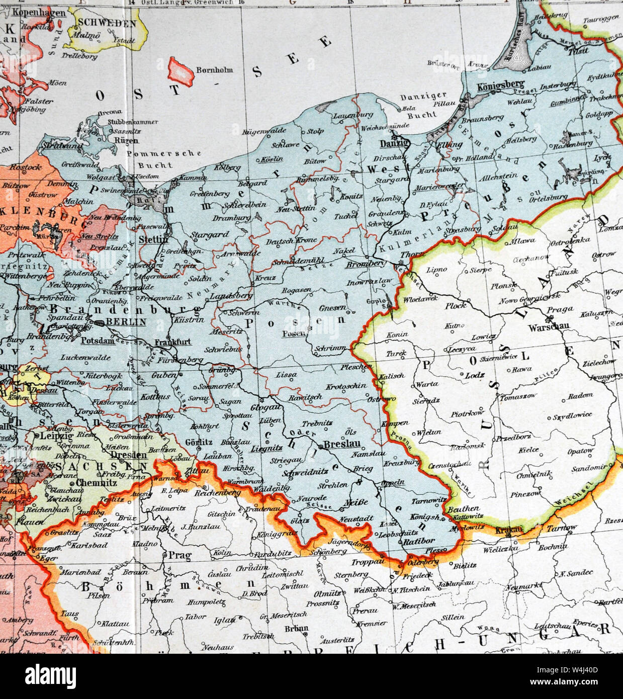 1900 Meyer Map of Germany and Poland Stock Photohttps://www.alamy.com/image-license-details/?v=1https://www.alamy.com/1900-meyer-map-of-germany-and-poland-image261012429.html
RFW4J40D–1900 Meyer Map of Germany and Poland
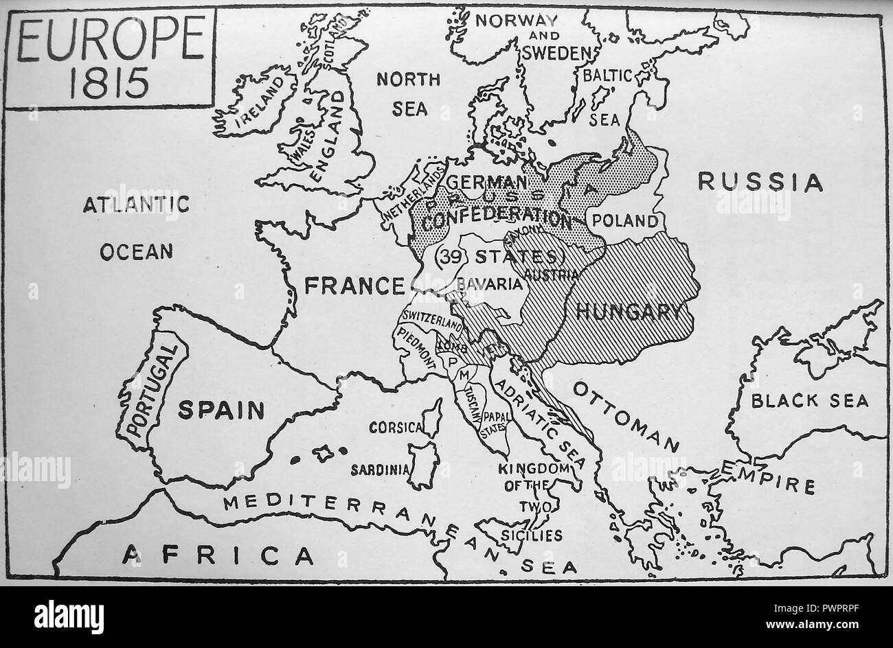 An early printed map of Europe in 1815 Stock Photohttps://www.alamy.com/image-license-details/?v=1https://www.alamy.com/an-early-printed-map-of-europe-in-1815-image222392423.html
RMPWPRPF–An early printed map of Europe in 1815
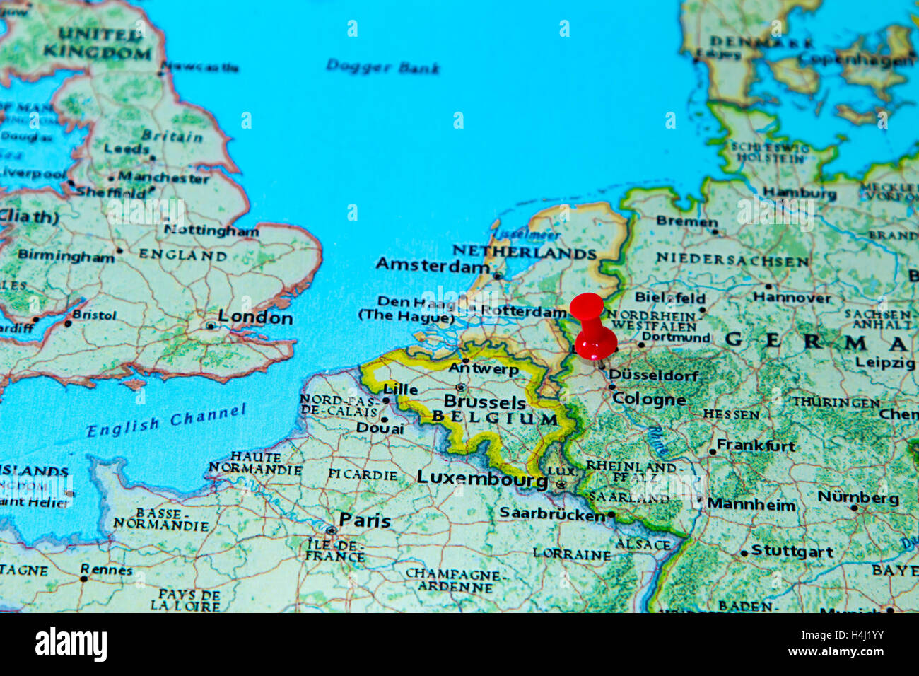 Dusseldorf, Germany pinned on a map of Europe. Stock Photohttps://www.alamy.com/image-license-details/?v=1https://www.alamy.com/stock-photo-dusseldorf-germany-pinned-on-a-map-of-europe-123327903.html
RMH4J1YY–Dusseldorf, Germany pinned on a map of Europe.
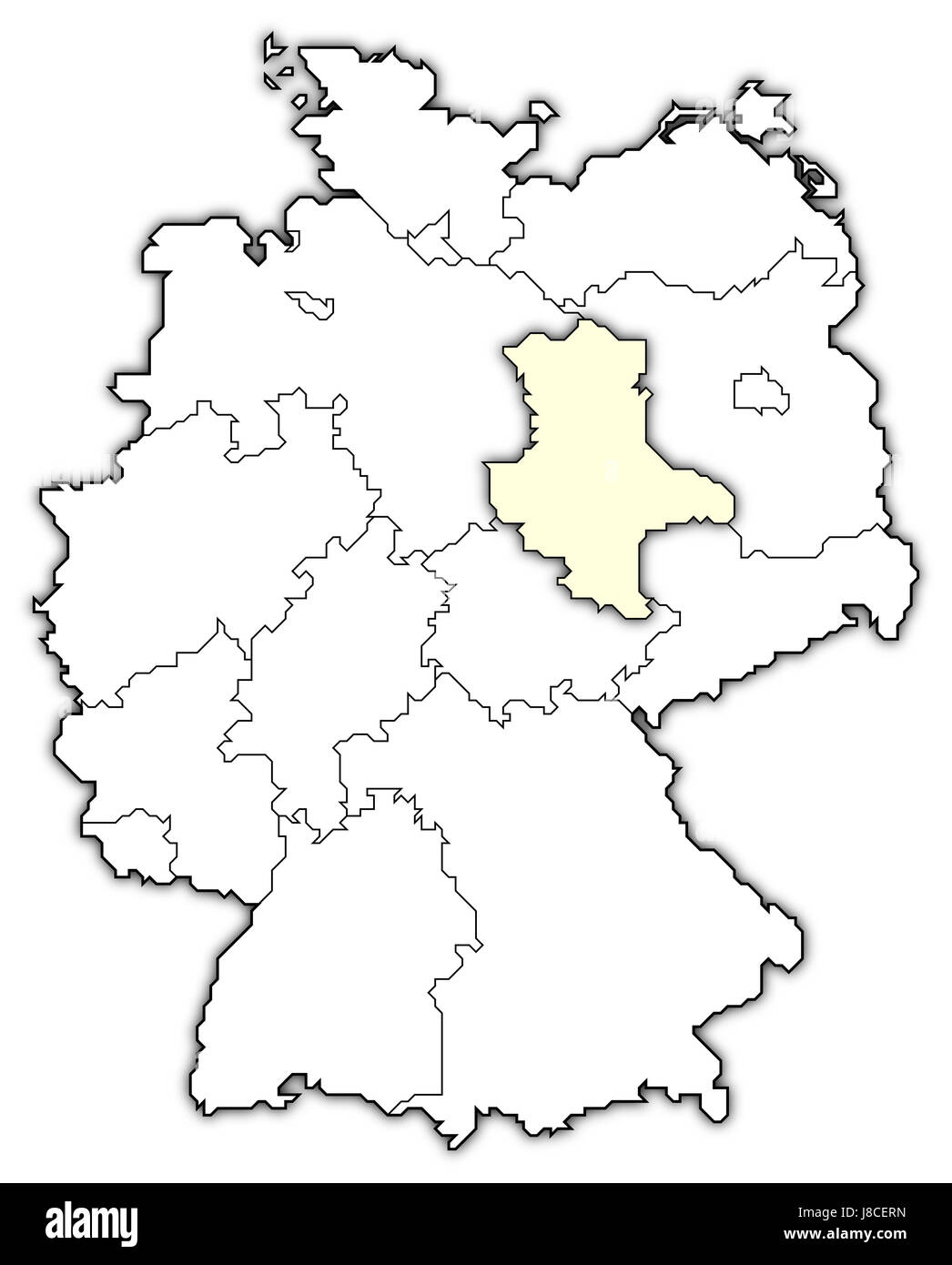 map of germany,saxony-anhalt highlighted Stock Photohttps://www.alamy.com/image-license-details/?v=1https://www.alamy.com/stock-photo-map-of-germanysaxony-anhalt-highlighted-142875257.html
RFJ8CERN–map of germany,saxony-anhalt highlighted
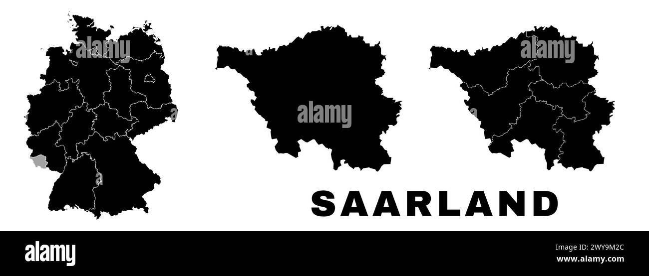 Saarland map, German state. Germany administrative division, regions and boroughs, amt and municipalities. Stock Vectorhttps://www.alamy.com/image-license-details/?v=1https://www.alamy.com/saarland-map-german-state-germany-administrative-division-regions-and-boroughs-amt-and-municipalities-image601961540.html
RF2WY9M2C–Saarland map, German state. Germany administrative division, regions and boroughs, amt and municipalities.
 Germany Map and Flag Stock Vectorhttps://www.alamy.com/image-license-details/?v=1https://www.alamy.com/germany-map-and-flag-image553660790.html
RF2R4NBYJ–Germany Map and Flag
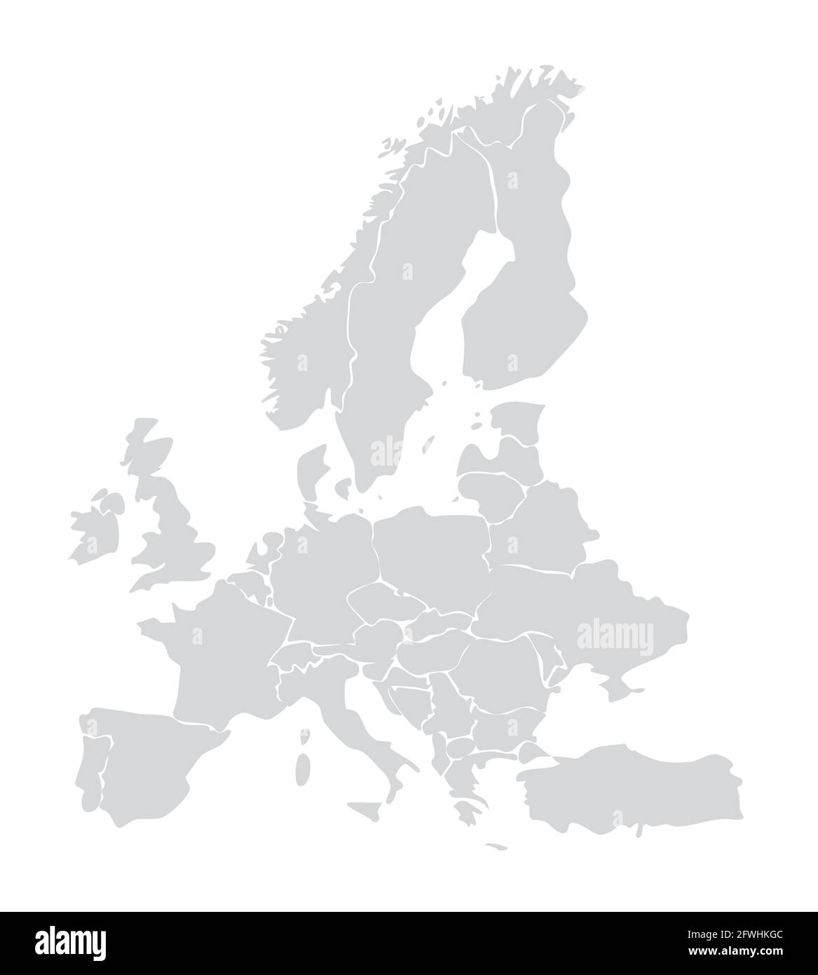 European map vector illustration. Germany, Italy, france, Spain, european union Stock Vectorhttps://www.alamy.com/image-license-details/?v=1https://www.alamy.com/european-map-vector-illustration-germany-italy-france-spain-european-union-image428803772.html
RF2FWHKGC–European map vector illustration. Germany, Italy, france, Spain, european union
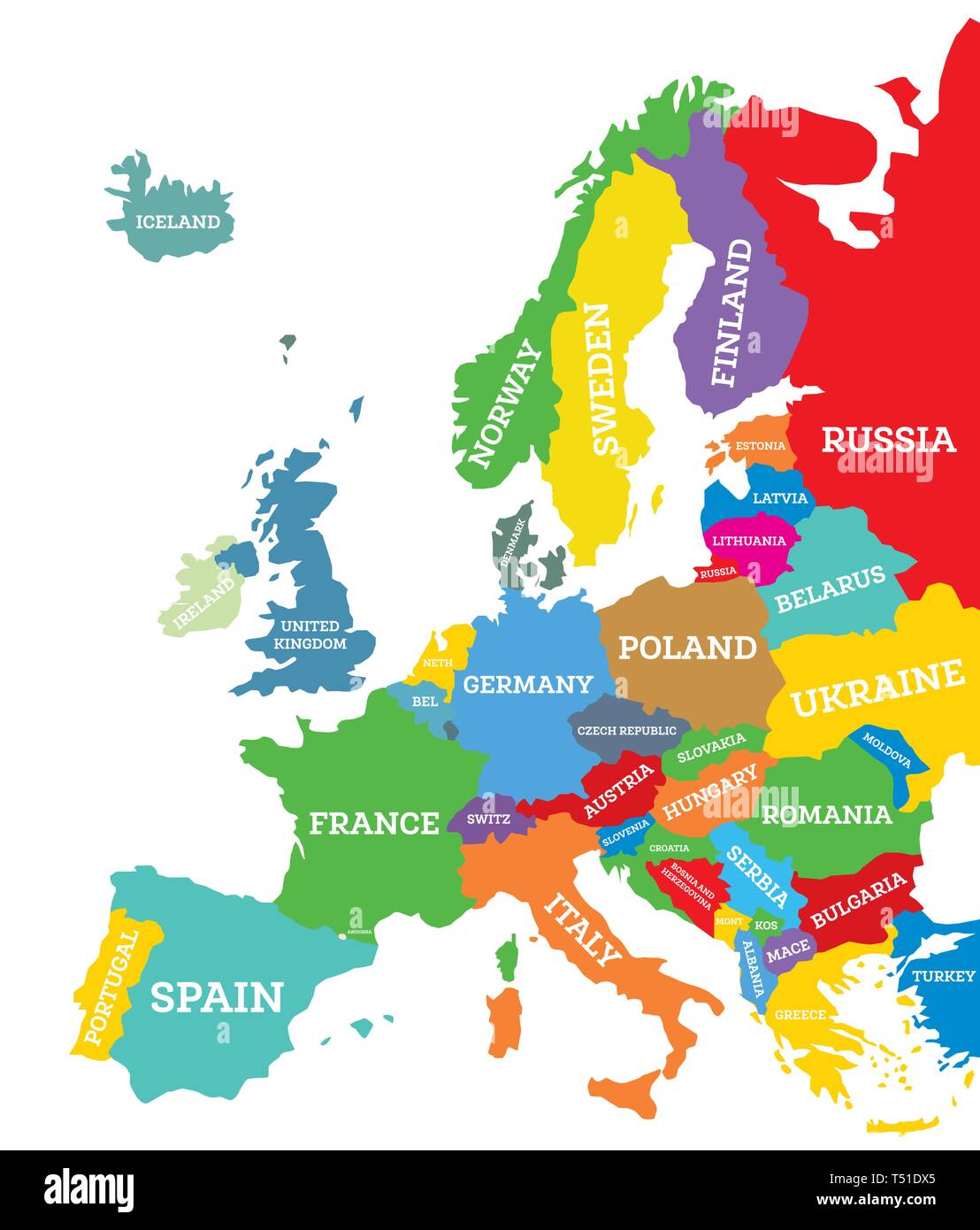 Political map of Europe Continent Isolated on White. Vector Illustration. Country Name Labels. Stock Vectorhttps://www.alamy.com/image-license-details/?v=1https://www.alamy.com/political-map-of-europe-continent-isolated-on-white-vector-illustration-country-name-labels-image244051309.html
RFT51DX5–Political map of Europe Continent Isolated on White. Vector Illustration. Country Name Labels.
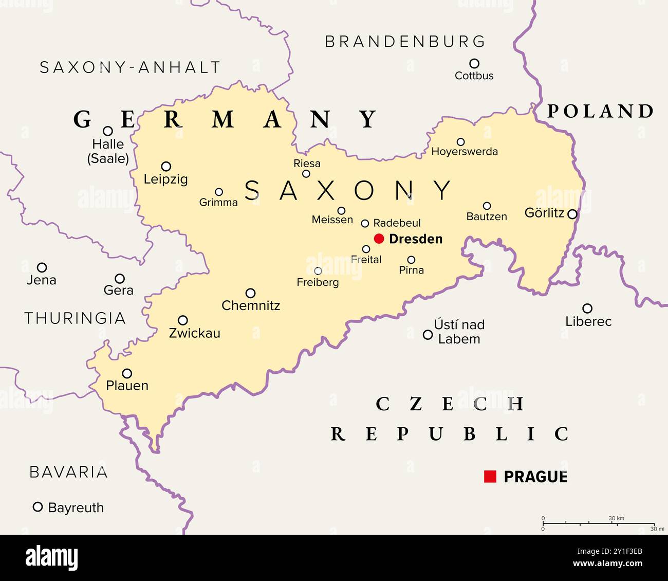 Saxony, a state in Germany, political map with capital Dresden, borders, and largest cities. Officially the Free State of Saxony. Stock Photohttps://www.alamy.com/image-license-details/?v=1https://www.alamy.com/saxony-a-state-in-germany-political-map-with-capital-dresden-borders-and-largest-cities-officially-the-free-state-of-saxony-image620519939.html
RF2Y1F3EB–Saxony, a state in Germany, political map with capital Dresden, borders, and largest cities. Officially the Free State of Saxony.
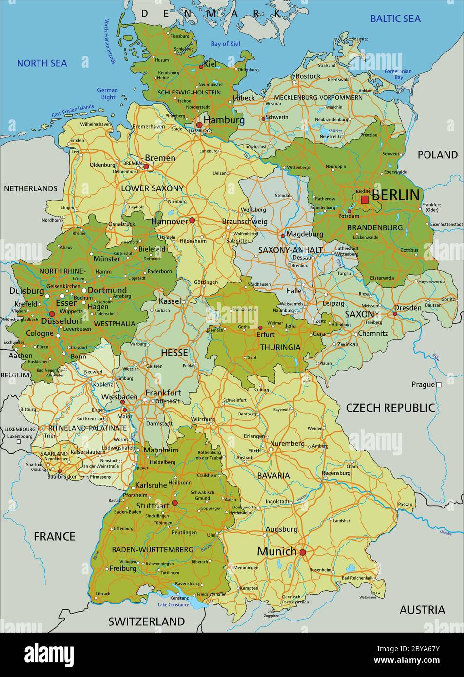 Germany - Highly detailed editable political map with separated layers. Stock Vectorhttps://www.alamy.com/image-license-details/?v=1https://www.alamy.com/germany-highly-detailed-editable-political-map-with-separated-layers-image361027519.html
RF2BYA67Y–Germany - Highly detailed editable political map with separated layers.
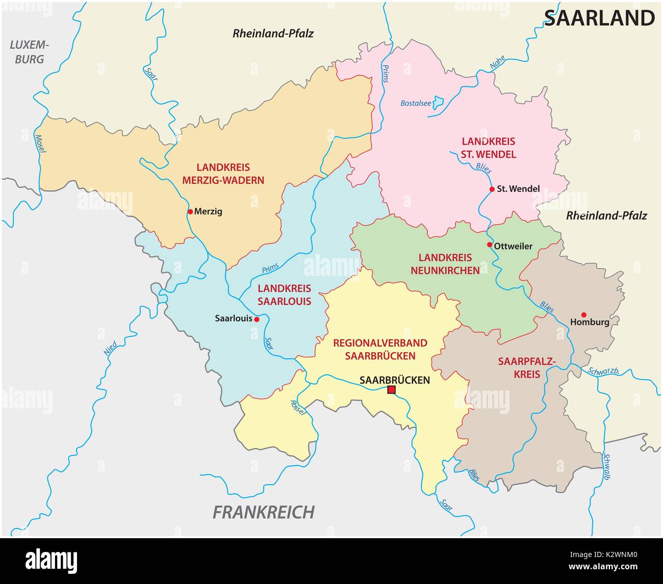 administrative and political map of the state of Saarland Stock Vectorhttps://www.alamy.com/image-license-details/?v=1https://www.alamy.com/administrative-and-political-map-of-the-state-of-saarland-image156688448.html
RFK2WNM0–administrative and political map of the state of Saarland
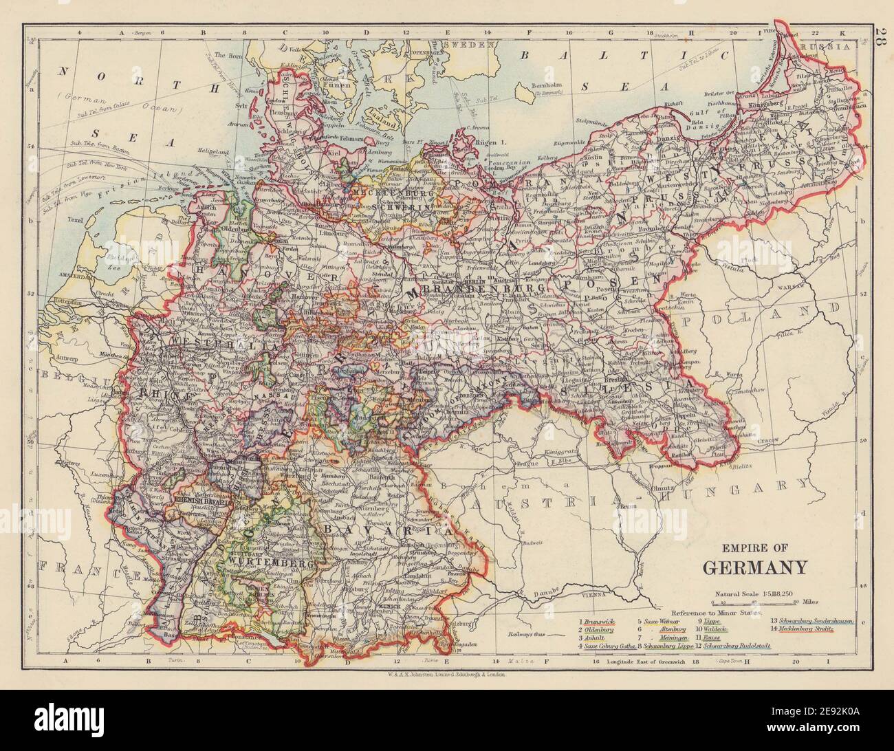 EMPIRE OF GERMANY. States. Prussia Bavaria Alsace Lorraine. JOHNSTON 1910 map Stock Photohttps://www.alamy.com/image-license-details/?v=1https://www.alamy.com/empire-of-germany-states-prussia-bavaria-alsace-lorraine-johnston-1910-map-image401429178.html
RF2E92K0A–EMPIRE OF GERMANY. States. Prussia Bavaria Alsace Lorraine. JOHNSTON 1910 map
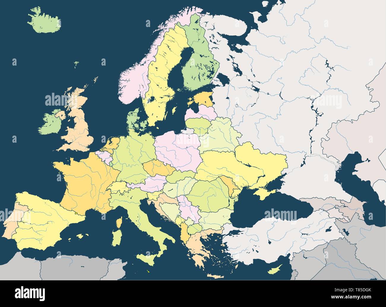 Europe high detailed vector political map with rivers and country names. Stock Vectorhttps://www.alamy.com/image-license-details/?v=1https://www.alamy.com/europe-high-detailed-vector-political-map-with-rivers-and-country-names-image245982819.html
RFT85DGK–Europe high detailed vector political map with rivers and country names.