Quick filters:
Port hills road nz Stock Photos and Images
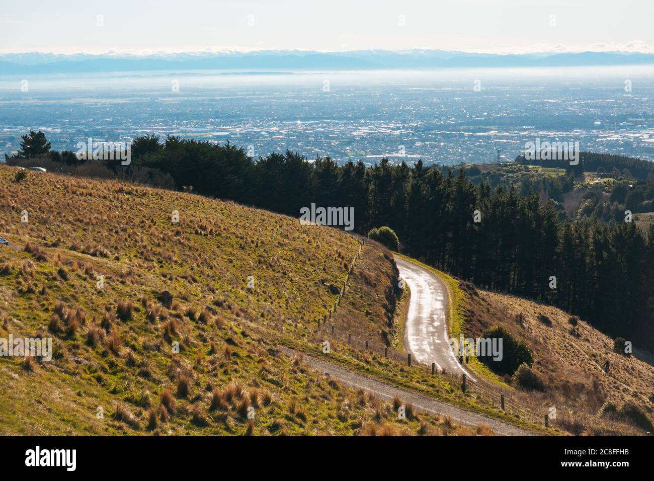 The Summit Road winding along the Port Hills in Christchurch, New Zealand Stock Photohttps://www.alamy.com/image-license-details/?v=1https://www.alamy.com/the-summit-road-winding-along-the-port-hills-in-christchurch-new-zealand-image366676503.html
RM2C8FFHB–The Summit Road winding along the Port Hills in Christchurch, New Zealand
 View of Port Hills from Mt Vernon Park, Summit Road, Banks Peninsula, Canterbury, New Zealand Stock Photohttps://www.alamy.com/image-license-details/?v=1https://www.alamy.com/view-of-port-hills-from-mt-vernon-park-summit-road-banks-peninsula-canterbury-new-zealand-image625043197.html
RM2Y8W4Y9–View of Port Hills from Mt Vernon Park, Summit Road, Banks Peninsula, Canterbury, New Zealand
 Scenic coastline on the remote northern tip of the Coromandel Peninsula, New Zealand. The Port Jackson road can be seen winding around the rocky bays Stock Photohttps://www.alamy.com/image-license-details/?v=1https://www.alamy.com/scenic-coastline-on-the-remote-northern-tip-of-the-coromandel-peninsula-new-zealand-the-port-jackson-road-can-be-seen-winding-around-the-rocky-bays-image399902925.html
RF2E6H479–Scenic coastline on the remote northern tip of the Coromandel Peninsula, New Zealand. The Port Jackson road can be seen winding around the rocky bays
 NZ Post electric vehicle, Port Hills Road, Hillsborough, Christchurch (Ōtautahi), Canterbury, New Zealand Stock Photohttps://www.alamy.com/image-license-details/?v=1https://www.alamy.com/nz-post-electric-vehicle-port-hills-road-hillsborough-christchurch-tautahi-canterbury-new-zealand-image605249428.html
RM2X4KDR0–NZ Post electric vehicle, Port Hills Road, Hillsborough, Christchurch (Ōtautahi), Canterbury, New Zealand
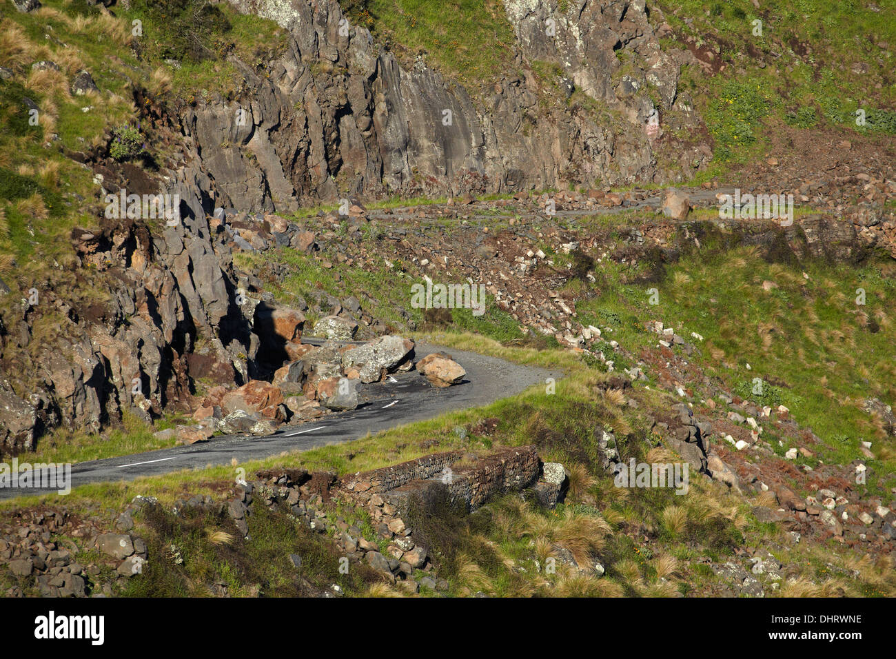 Summit Road, Port Hills (closed due to rockfall from the 2011 earthquake), Christchurch, Canterbury, South Island, New Zealand Stock Photohttps://www.alamy.com/image-license-details/?v=1https://www.alamy.com/summit-road-port-hills-closed-due-to-rockfall-from-the-2011-earthquake-image62605354.html
RMDHRWNE–Summit Road, Port Hills (closed due to rockfall from the 2011 earthquake), Christchurch, Canterbury, South Island, New Zealand
 Restaurant at Christchurch Adventure Park, Worsleys Road, Cashmere, Christchurch, Canterbury, New Zealand Stock Photohttps://www.alamy.com/image-license-details/?v=1https://www.alamy.com/stock-photo-restaurant-at-christchurch-adventure-park-worsleys-road-cashmere-christchurch-176403973.html
RMM6YW1W–Restaurant at Christchurch Adventure Park, Worsleys Road, Cashmere, Christchurch, Canterbury, New Zealand
 The scenic view of Lyttelton Harbour from Cass Peak, Port HIlls Christchurch Stock Photohttps://www.alamy.com/image-license-details/?v=1https://www.alamy.com/the-scenic-view-of-lyttelton-harbour-from-cass-peak-port-hills-christchurch-image225510517.html
RFR2TTY1–The scenic view of Lyttelton Harbour from Cass Peak, Port HIlls Christchurch
 The Sign of the Bellbird rest house on the Summit Walkway in Christchurchs Port Hills Stock Photohttps://www.alamy.com/image-license-details/?v=1https://www.alamy.com/stock-photo-the-sign-of-the-bellbird-rest-house-on-the-summit-walkway-in-christchurchs-15245772.html
RMAMF4YW–The Sign of the Bellbird rest house on the Summit Walkway in Christchurchs Port Hills
 Summit Road taken from the top of Port Hills where Christchurch Gondola The Summit Station is located. South Island, New Zealand attractions. Stock Photohttps://www.alamy.com/image-license-details/?v=1https://www.alamy.com/summit-road-taken-from-the-top-of-port-hills-where-christchurch-gondola-the-summit-station-is-located-south-island-new-zealand-attractions-image431596239.html
RF2G24WBB–Summit Road taken from the top of Port Hills where Christchurch Gondola The Summit Station is located. South Island, New Zealand attractions.
 The Port Hills are a range of hills in Canterbury, New Zealand, so named because they lie between the city of Christchurch and its port at Lyttelton. Stock Photohttps://www.alamy.com/image-license-details/?v=1https://www.alamy.com/the-port-hills-are-a-range-of-hills-in-canterbury-new-zealand-so-named-because-they-lie-between-the-city-of-christchurch-and-its-port-at-lyttelton-image418286698.html
RM2F8EGXJ–The Port Hills are a range of hills in Canterbury, New Zealand, so named because they lie between the city of Christchurch and its port at Lyttelton.
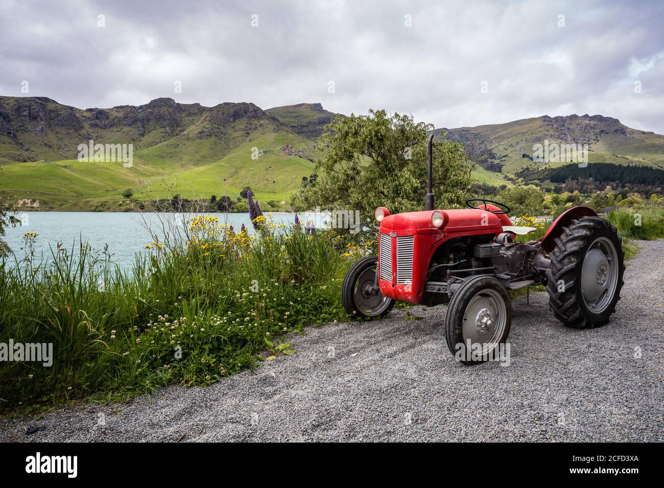 red vintage tractor, camper trip New Zealand, Diamond Habour Stock Photohttps://www.alamy.com/image-license-details/?v=1https://www.alamy.com/red-vintage-tractor-camper-trip-new-zealand-diamond-habour-image370926034.html
RM2CFD3XA–red vintage tractor, camper trip New Zealand, Diamond Habour
 Port Hills, Christchurch City, NZ, New Zealand, Canterbury, S 43 36' 7'', N 172 39' 16'', map, Cartascapes Map published in 2024. Explore Cartascapes, a map revealing Earth's diverse landscapes, cultures, and ecosystems. Journey through time and space, discovering the interconnectedness of our planet's past, present, and future. Stock Photohttps://www.alamy.com/image-license-details/?v=1https://www.alamy.com/port-hills-christchurch-city-nz-new-zealand-canterbury-s-43-36-7-n-172-39-16-map-cartascapes-map-published-in-2024-explore-cartascapes-a-map-revealing-earths-diverse-landscapes-cultures-and-ecosystems-journey-through-time-and-space-discovering-the-interconnectedness-of-our-planets-past-present-and-future-image634091072.html
RM2YRH9HM–Port Hills, Christchurch City, NZ, New Zealand, Canterbury, S 43 36' 7'', N 172 39' 16'', map, Cartascapes Map published in 2024. Explore Cartascapes, a map revealing Earth's diverse landscapes, cultures, and ecosystems. Journey through time and space, discovering the interconnectedness of our planet's past, present, and future.
 The Summit Road winding along the Port Hills in Christchurch, New Zealand Stock Photohttps://www.alamy.com/image-license-details/?v=1https://www.alamy.com/the-summit-road-winding-along-the-port-hills-in-christchurch-new-zealand-image366676494.html
RM2C8FFH2–The Summit Road winding along the Port Hills in Christchurch, New Zealand
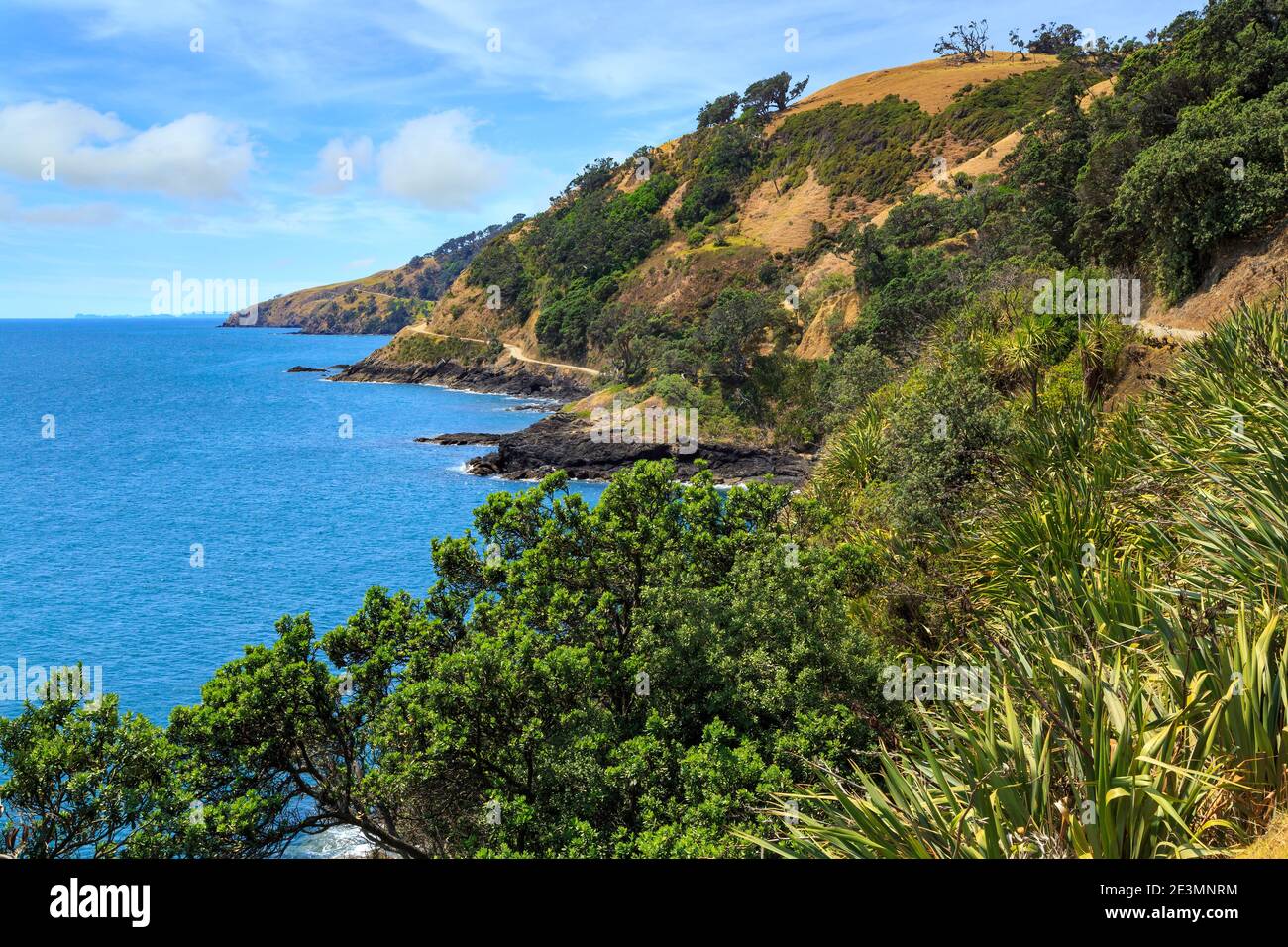 Coastal landscape on the remote northern tip of the Coromandel Peninsula, New Zealand Stock Photohttps://www.alamy.com/image-license-details/?v=1https://www.alamy.com/coastal-landscape-on-the-remote-northern-tip-of-the-coromandel-peninsula-new-zealand-image398138600.html
RF2E3MNRM–Coastal landscape on the remote northern tip of the Coromandel Peninsula, New Zealand
 Summit Road, Port Hills (closed due to rockfall from the 2011 earthquake), Christchurch, Canterbury, South Island, New Zealand Stock Photohttps://www.alamy.com/image-license-details/?v=1https://www.alamy.com/summit-road-port-hills-closed-due-to-rockfall-from-the-2011-earthquake-image62605172.html
RMDHRWF0–Summit Road, Port Hills (closed due to rockfall from the 2011 earthquake), Christchurch, Canterbury, South Island, New Zealand
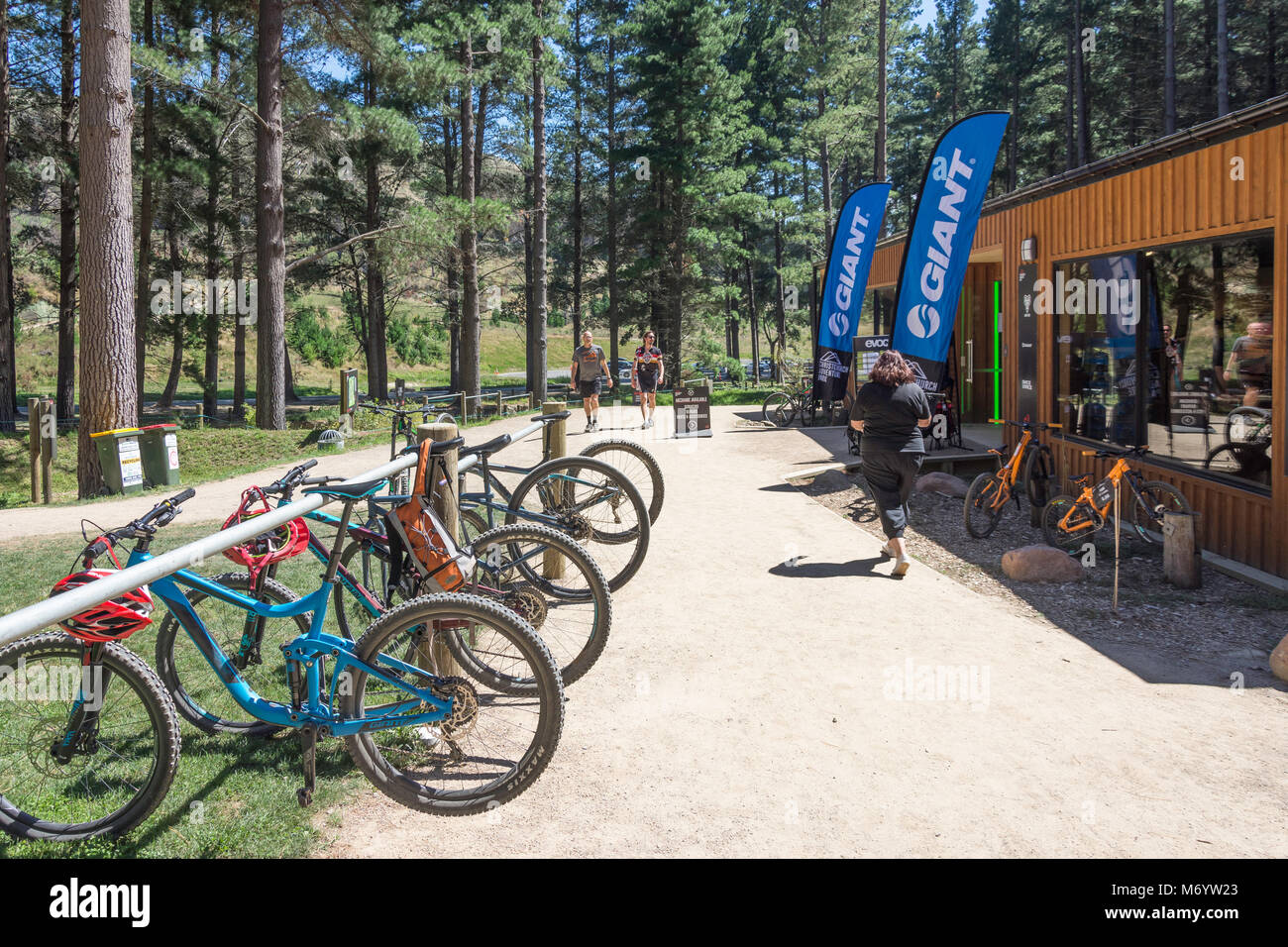 Bicycle shop at The Christchurch Adventure Park, Worsleys Road, Cashmere, Christchurch, Canterbury, New Zealand Stock Photohttps://www.alamy.com/image-license-details/?v=1https://www.alamy.com/stock-photo-bicycle-shop-at-the-christchurch-adventure-park-worsleys-road-cashmere-176403979.html
RMM6YW23–Bicycle shop at The Christchurch Adventure Park, Worsleys Road, Cashmere, Christchurch, Canterbury, New Zealand
 The Sign of the Bellbird rest house on the Summit Walkway in Christchurchs Port Hills Stock Photohttps://www.alamy.com/image-license-details/?v=1https://www.alamy.com/stock-photo-the-sign-of-the-bellbird-rest-house-on-the-summit-walkway-in-christchurchs-15259803.html
RMAMGJNG–The Sign of the Bellbird rest house on the Summit Walkway in Christchurchs Port Hills
 Gibraltar Rock in Christchurchs Port Hills Canterbury Plains and the Southern Alps in the background Stock Photohttps://www.alamy.com/image-license-details/?v=1https://www.alamy.com/stock-photo-gibraltar-rock-in-christchurchs-port-hills-canterbury-plains-and-the-12925573.html
RMABMFHX–Gibraltar Rock in Christchurchs Port Hills Canterbury Plains and the Southern Alps in the background
 The Port Hills are a range of hills in Canterbury, New Zealand, so named because they lie between the city of Christchurch and its port at Lyttelton. Stock Photohttps://www.alamy.com/image-license-details/?v=1https://www.alamy.com/the-port-hills-are-a-range-of-hills-in-canterbury-new-zealand-so-named-because-they-lie-between-the-city-of-christchurch-and-its-port-at-lyttelton-image418286648.html
RM2F8EGTT–The Port Hills are a range of hills in Canterbury, New Zealand, so named because they lie between the city of Christchurch and its port at Lyttelton.
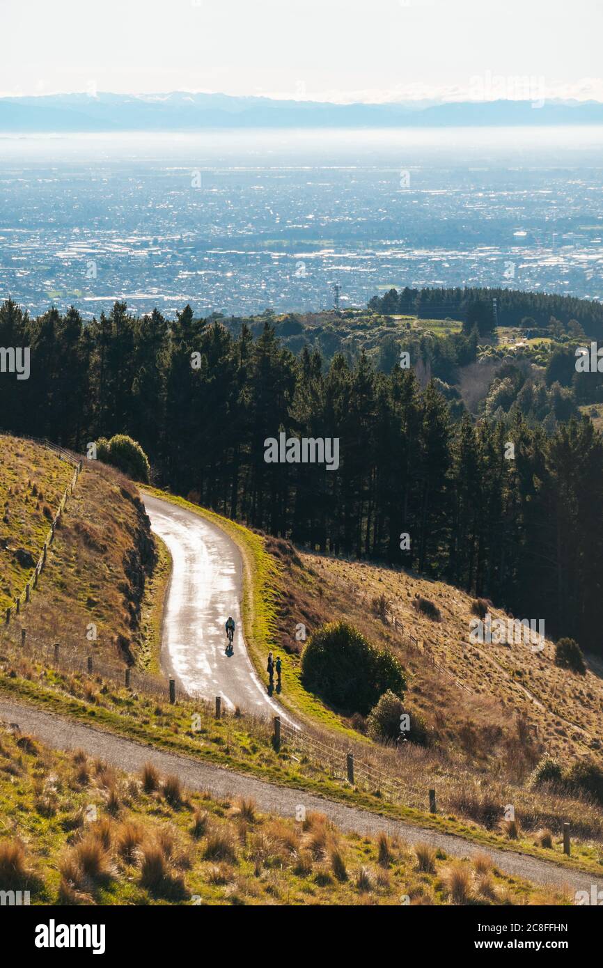 The Summit Road winding along the Port Hills in Christchurch, New Zealand Stock Photohttps://www.alamy.com/image-license-details/?v=1https://www.alamy.com/the-summit-road-winding-along-the-port-hills-in-christchurch-new-zealand-image366676513.html
RM2C8FFHN–The Summit Road winding along the Port Hills in Christchurch, New Zealand
 An old World War 2 bunker at Fletcher Bay on the remote northern tip of the Coromandel Peninsula, New Zealand Stock Photohttps://www.alamy.com/image-license-details/?v=1https://www.alamy.com/an-old-world-war-2-bunker-at-fletcher-bay-on-the-remote-northern-tip-of-the-coromandel-peninsula-new-zealand-image398138656.html
RF2E3MNWM–An old World War 2 bunker at Fletcher Bay on the remote northern tip of the Coromandel Peninsula, New Zealand
 Summit Road, Port Hills (closed due to rockfall from the 2011 earthquake), Christchurch, Canterbury, South Island, New Zealand Stock Photohttps://www.alamy.com/image-license-details/?v=1https://www.alamy.com/summit-road-port-hills-closed-due-to-rockfall-from-the-2011-earthquake-image62605440.html
RMDHRWTG–Summit Road, Port Hills (closed due to rockfall from the 2011 earthquake), Christchurch, Canterbury, South Island, New Zealand
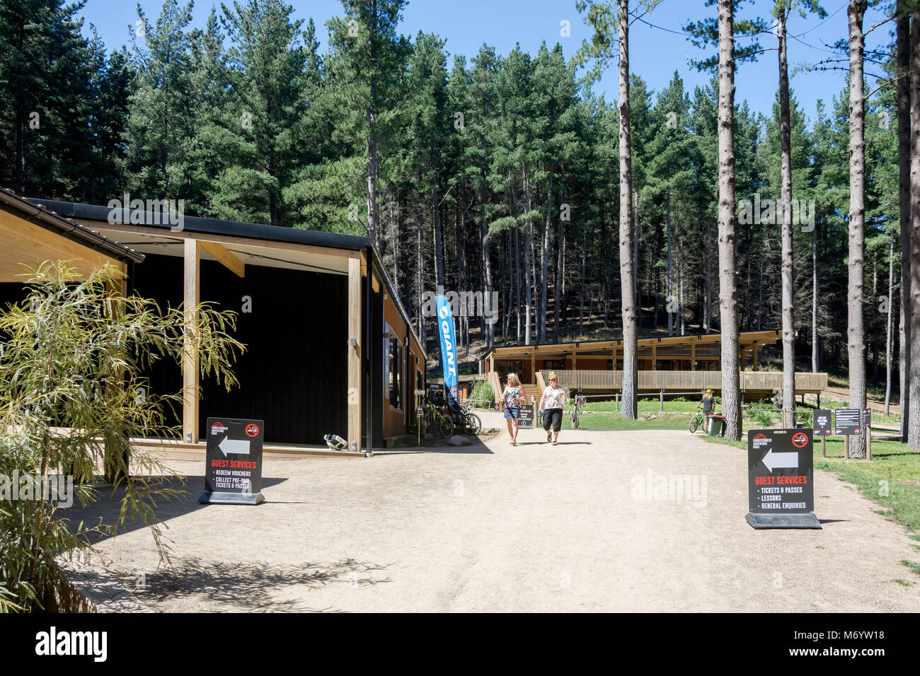 Shop and restaurant buildings at The Christchurch Adventure Park, Worsleys Road, Cashmere, Christchurch, Canterbury, New Zealand Stock Photohttps://www.alamy.com/image-license-details/?v=1https://www.alamy.com/stock-photo-shop-and-restaurant-buildings-at-the-christchurch-adventure-park-worsleys-176403956.html
RMM6YW18–Shop and restaurant buildings at The Christchurch Adventure Park, Worsleys Road, Cashmere, Christchurch, Canterbury, New Zealand
 Damaged armco barrier on Summit Road, Port Hills (closed due to rockfall from the 2011 earthquake), Christchurch, New Zealand Stock Photohttps://www.alamy.com/image-license-details/?v=1https://www.alamy.com/damaged-armco-barrier-on-summit-road-port-hills-closed-due-to-rockfall-image62605482.html
RMDHRWX2–Damaged armco barrier on Summit Road, Port Hills (closed due to rockfall from the 2011 earthquake), Christchurch, New Zealand
 Lookout at Mt Vernon Park, Summit Road, Banks Peninsula, Canterbury, New Zealand Stock Photohttps://www.alamy.com/image-license-details/?v=1https://www.alamy.com/lookout-at-mt-vernon-park-summit-road-banks-peninsula-canterbury-new-zealand-image625043219.html
RM2Y8W503–Lookout at Mt Vernon Park, Summit Road, Banks Peninsula, Canterbury, New Zealand
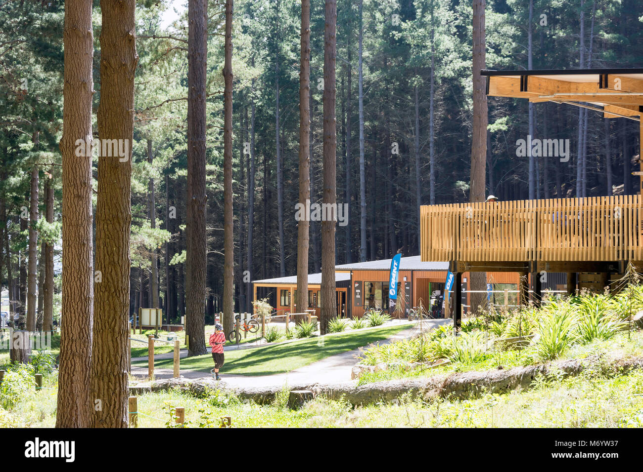 Shop and restaurant buildings at Christchurch Adventure Park, Worsleys Road, Cashmere, Christchurch, Canterbury, New Zealand Stock Photohttps://www.alamy.com/image-license-details/?v=1https://www.alamy.com/stock-photo-shop-and-restaurant-buildings-at-christchurch-adventure-park-worsleys-176404011.html
RMM6YW37–Shop and restaurant buildings at Christchurch Adventure Park, Worsleys Road, Cashmere, Christchurch, Canterbury, New Zealand
 The view over the city of Christchurch as seen from the Thomson Scenic Reserve, Port Hills, New Zealand Stock Photohttps://www.alamy.com/image-license-details/?v=1https://www.alamy.com/the-view-over-the-city-of-christchurch-as-seen-from-the-thomson-scenic-reserve-port-hills-new-zealand-image366676633.html
RM2C8FFP1–The view over the city of Christchurch as seen from the Thomson Scenic Reserve, Port Hills, New Zealand
 Damaged armco barrier on Summit Road, Port Hills (closed due to rockfall from the 2011 earthquake), Christchurch, New Zealand Stock Photohttps://www.alamy.com/image-license-details/?v=1https://www.alamy.com/damaged-armco-barrier-on-summit-road-port-hills-closed-due-to-rockfall-image62605758.html
RMDHRX7X–Damaged armco barrier on Summit Road, Port Hills (closed due to rockfall from the 2011 earthquake), Christchurch, New Zealand
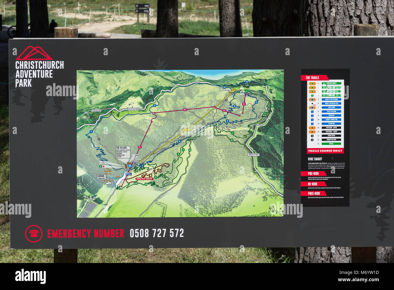 Trail map at The Christchurch Adventure Park, Worsleys Road, Cashmere, Christchurch, Canterbury, New Zealand Stock Photohttps://www.alamy.com/image-license-details/?v=1https://www.alamy.com/stock-photo-trail-map-at-the-christchurch-adventure-park-worsleys-road-cashmere-176403961.html
RMM6YW1D–Trail map at The Christchurch Adventure Park, Worsleys Road, Cashmere, Christchurch, Canterbury, New Zealand
 The view over the city of Christchurch as seen from the Thomson Scenic Reserve, Port Hills, New Zealand Stock Photohttps://www.alamy.com/image-license-details/?v=1https://www.alamy.com/the-view-over-the-city-of-christchurch-as-seen-from-the-thomson-scenic-reserve-port-hills-new-zealand-image366676629.html
RM2C8FFNW–The view over the city of Christchurch as seen from the Thomson Scenic Reserve, Port Hills, New Zealand
 A rare dumping of snow on top of the Port Hills in Canterbury, New Zealand Stock Photohttps://www.alamy.com/image-license-details/?v=1https://www.alamy.com/a-rare-dumping-of-snow-on-top-of-the-port-hills-in-canterbury-new-zealand-image384122132.html
RM2D8X7KG–A rare dumping of snow on top of the Port Hills in Canterbury, New Zealand
 Damaged armco barrier on Summit Road, Port Hills (closed due to rockfall from the 2011 earthquake), Christchurch, New Zealand Stock Photohttps://www.alamy.com/image-license-details/?v=1https://www.alamy.com/damaged-armco-barrier-on-summit-road-port-hills-closed-due-to-rockfall-image62605535.html
RMDHRWYY–Damaged armco barrier on Summit Road, Port Hills (closed due to rockfall from the 2011 earthquake), Christchurch, New Zealand
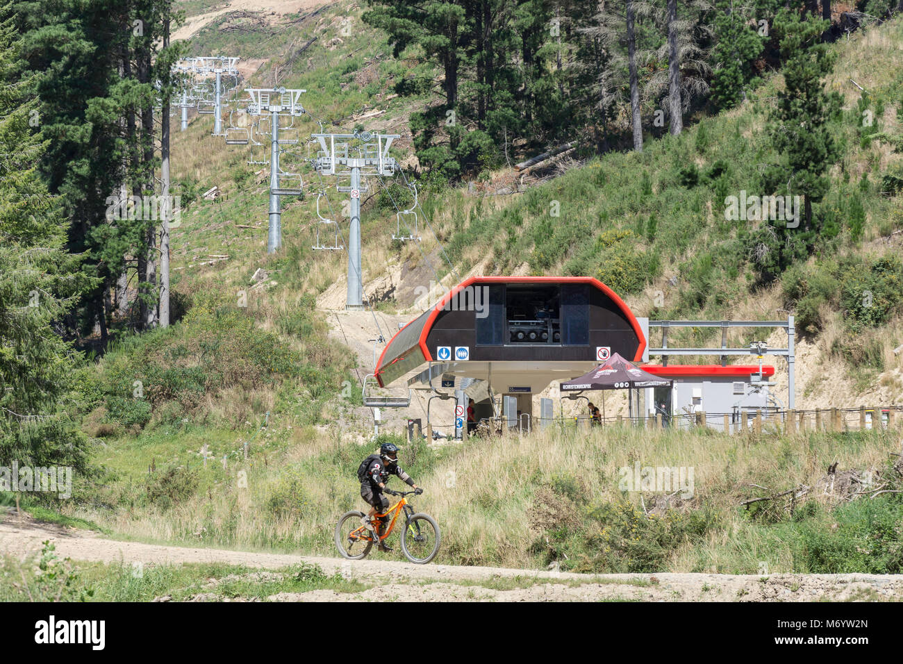 Chair lift and bike trail at Christchurch Adventure Park, Worsleys Road, Cashmere, Christchurch, Canterbury, New Zealand Stock Photohttps://www.alamy.com/image-license-details/?v=1https://www.alamy.com/stock-photo-chair-lift-and-bike-trail-at-christchurch-adventure-park-worsleys-176403997.html
RMM6YW2N–Chair lift and bike trail at Christchurch Adventure Park, Worsleys Road, Cashmere, Christchurch, Canterbury, New Zealand
 Damaged armco barrier on Summit Road, Port Hills (closed due to rockfall from the 2011 earthquake), Christchurch, New Zealand Stock Photohttps://www.alamy.com/image-license-details/?v=1https://www.alamy.com/damaged-armco-barrier-on-summit-road-port-hills-closed-due-to-rockfall-image62605591.html
RMDHRX1Y–Damaged armco barrier on Summit Road, Port Hills (closed due to rockfall from the 2011 earthquake), Christchurch, New Zealand
 Lyttelton Harbour and Sumner Road (closed due to rockfall from the 2011 earthquake), Christchurch, Canterbury, New Zealand Stock Photohttps://www.alamy.com/image-license-details/?v=1https://www.alamy.com/lyttelton-harbour-and-sumner-road-closed-due-to-rockfall-from-the-image62582810.html
RMDHPW0A–Lyttelton Harbour and Sumner Road (closed due to rockfall from the 2011 earthquake), Christchurch, Canterbury, New Zealand
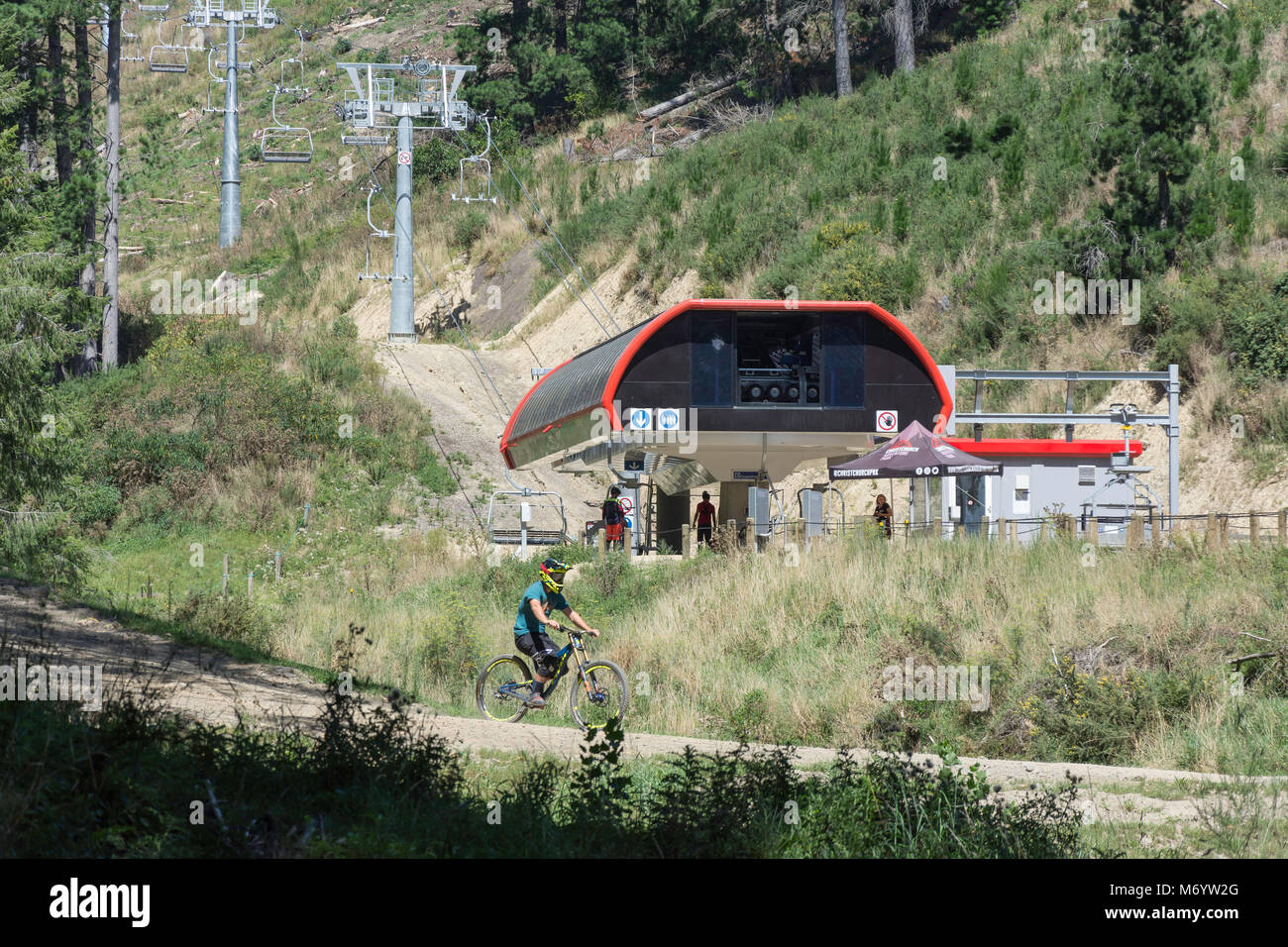 Chair lift and bike trail at Christchurch Adventure Park, Worsleys Road, Cashmere, Christchurch, Canterbury, New Zealand Stock Photohttps://www.alamy.com/image-license-details/?v=1https://www.alamy.com/stock-photo-chair-lift-and-bike-trail-at-christchurch-adventure-park-worsleys-176403992.html
RMM6YW2G–Chair lift and bike trail at Christchurch Adventure Park, Worsleys Road, Cashmere, Christchurch, Canterbury, New Zealand
 Large New Zealand weatherboard house, Valley Road, Cashmere, Christchurch (Ōtautahi), Canterbury, New Zealand Stock Photohttps://www.alamy.com/image-license-details/?v=1https://www.alamy.com/large-new-zealand-weatherboard-house-valley-road-cashmere-christchurch-tautahi-canterbury-new-zealand-image623652132.html
RM2Y6HPJC–Large New Zealand weatherboard house, Valley Road, Cashmere, Christchurch (Ōtautahi), Canterbury, New Zealand
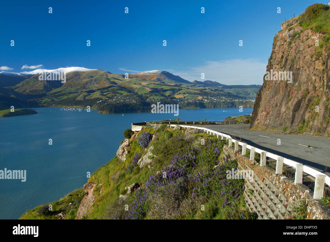 Lyttelton Harbour and Sumner Road (closed due to rockfall from the 2011 earthquake), Christchurch, Canterbury, New Zealand Stock Photohttps://www.alamy.com/image-license-details/?v=1https://www.alamy.com/lyttelton-harbour-and-sumner-road-closed-due-to-rockfall-from-the-image62582749.html
RMDHPTX5–Lyttelton Harbour and Sumner Road (closed due to rockfall from the 2011 earthquake), Christchurch, Canterbury, New Zealand
 Lyttelton Harbour and Sumner Road (closed due to rockfall from the 2011 earthquake), Christchurch, Canterbury, New Zealand Stock Photohttps://www.alamy.com/image-license-details/?v=1https://www.alamy.com/lyttelton-harbour-and-sumner-road-closed-due-to-rockfall-from-the-image62582640.html
RMDHPTP8–Lyttelton Harbour and Sumner Road (closed due to rockfall from the 2011 earthquake), Christchurch, Canterbury, New Zealand
 Lyttelton Harbour and Sumner Road (closed due to rockfall from the 2011 earthquake), Christchurch, Canterbury, New Zealand Stock Photohttps://www.alamy.com/image-license-details/?v=1https://www.alamy.com/lyttelton-harbour-and-sumner-road-closed-due-to-rockfall-from-the-image62582395.html
RMDHPTDF–Lyttelton Harbour and Sumner Road (closed due to rockfall from the 2011 earthquake), Christchurch, Canterbury, New Zealand
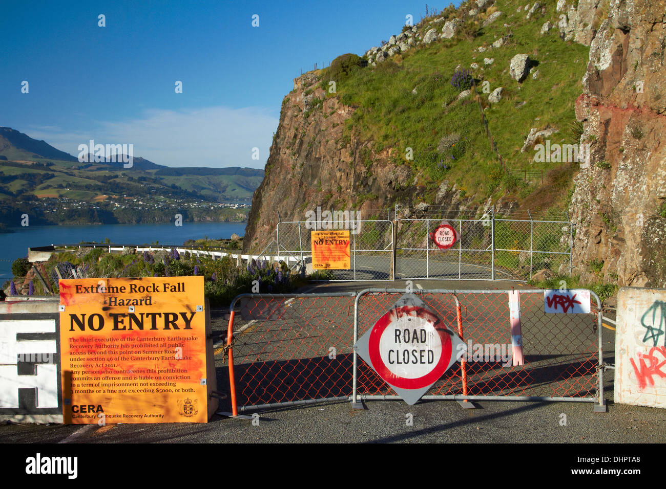 Lyttelton Harbour and Sumner Road (closed due to rockfall from the 2011 earthquake), Christchurch, Canterbury, New Zealand Stock Photohttps://www.alamy.com/image-license-details/?v=1https://www.alamy.com/lyttelton-harbour-and-sumner-road-closed-due-to-rockfall-from-the-image62582304.html
RMDHPTA8–Lyttelton Harbour and Sumner Road (closed due to rockfall from the 2011 earthquake), Christchurch, Canterbury, New Zealand
 Port Hills and Lyttelton Harbour Canterbury South Island New Zealand aerial Stock Photohttps://www.alamy.com/image-license-details/?v=1https://www.alamy.com/stock-photo-port-hills-and-lyttelton-harbour-canterbury-south-island-new-zealand-14204329.html
RMAGGDCX–Port Hills and Lyttelton Harbour Canterbury South Island New Zealand aerial
 Port Hills and Lyttelton Harbour Canterbury South Island New Zealand aerial Stock Photohttps://www.alamy.com/image-license-details/?v=1https://www.alamy.com/stock-photo-port-hills-and-lyttelton-harbour-canterbury-south-island-new-zealand-14460849.html
RMAHFMWP–Port Hills and Lyttelton Harbour Canterbury South Island New Zealand aerial