Quick filters:
Port isabel map Stock Photos and Images
 Port Isabel Texas USA shown on a Geography map or Road map Stock Photohttps://www.alamy.com/image-license-details/?v=1https://www.alamy.com/port-isabel-texas-usa-shown-on-a-geography-map-or-road-map-image433907081.html
RM2G5X4WD–Port Isabel Texas USA shown on a Geography map or Road map
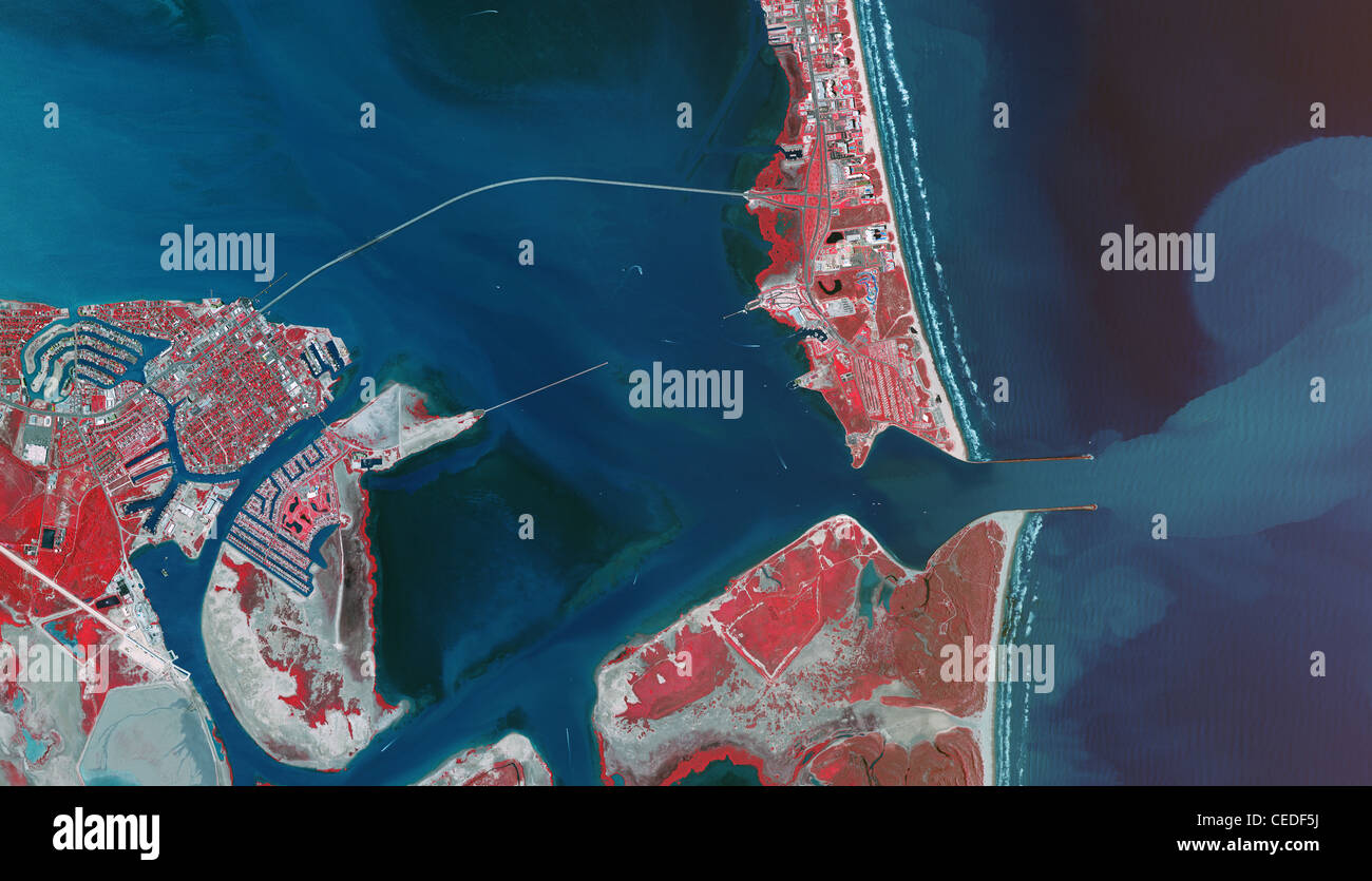 aerial infrared photo map Port Isabel Padre Island Port Brownsville ship channel Texas Stock Photohttps://www.alamy.com/image-license-details/?v=1https://www.alamy.com/stock-photo-aerial-infrared-photo-map-port-isabel-padre-island-port-brownsville-43323214.html
RMCEDF5J–aerial infrared photo map Port Isabel Padre Island Port Brownsville ship channel Texas
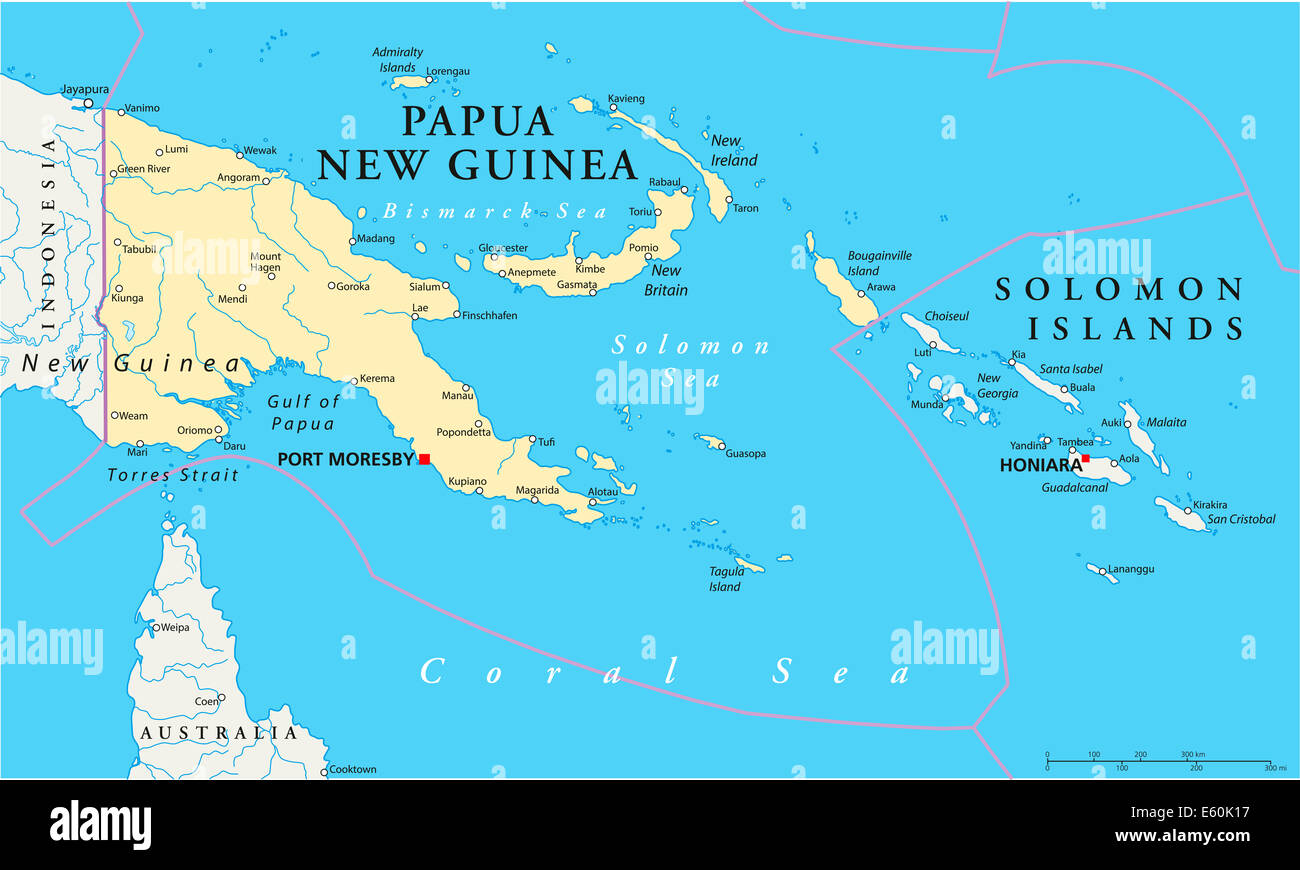 Papua New Guinea Political Map Stock Photohttps://www.alamy.com/image-license-details/?v=1https://www.alamy.com/stock-photo-papua-new-guinea-political-map-72544339.html
RFE60K17–Papua New Guinea Political Map
 041 - REDHEAD (2-28-12) port isabel, tx (2) (8715925184) Stock Photohttps://www.alamy.com/image-license-details/?v=1https://www.alamy.com/stock-photo-041-redhead-2-28-12-port-isabel-tx-2-8715925184-141309321.html
RMJ5W5DD–041 - REDHEAD (2-28-12) port isabel, tx (2) (8715925184)
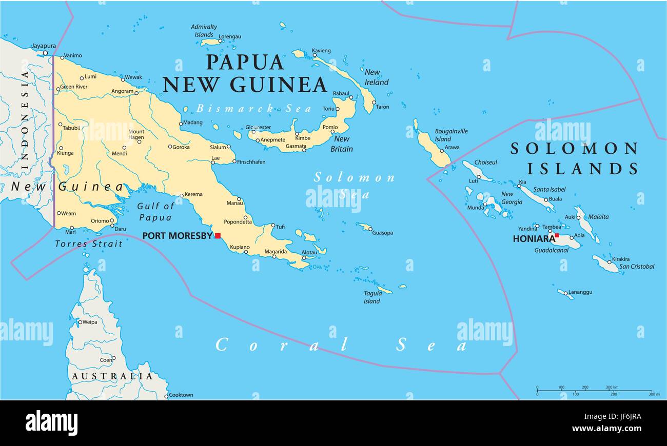 pacific, salt water, sea, ocean, water, guinea, map, atlas, map of the world, Stock Vectorhttps://www.alamy.com/image-license-details/?v=1https://www.alamy.com/stock-photo-pacific-salt-water-sea-ocean-water-guinea-map-atlas-map-of-the-world-147049262.html
RFJF6JRA–pacific, salt water, sea, ocean, water, guinea, map, atlas, map of the world,
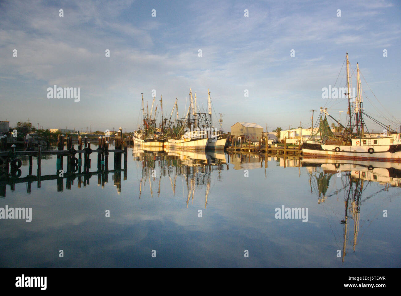 02i - PORT ISABEL, TX from campsite 1-6-09 (6) (16471865049) Stock Photohttps://www.alamy.com/image-license-details/?v=1https://www.alamy.com/stock-photo-02i-port-isabel-tx-from-campsite-1-6-09-6-16471865049-141294771.html
RMJ5TEWR–02i - PORT ISABEL, TX from campsite 1-6-09 (6) (16471865049)
 Port Isabel, Cameron County, US, United States, Texas, N 26 4' 24'', S 97 12' 30'', map, Cartascapes Map published in 2024. Explore Cartascapes, a map revealing Earth's diverse landscapes, cultures, and ecosystems. Journey through time and space, discovering the interconnectedness of our planet's past, present, and future. Stock Photohttps://www.alamy.com/image-license-details/?v=1https://www.alamy.com/port-isabel-cameron-county-us-united-states-texas-n-26-4-24-s-97-12-30-map-cartascapes-map-published-in-2024-explore-cartascapes-a-map-revealing-earths-diverse-landscapes-cultures-and-ecosystems-journey-through-time-and-space-discovering-the-interconnectedness-of-our-planets-past-present-and-future-image621217570.html
RM2Y2JW9P–Port Isabel, Cameron County, US, United States, Texas, N 26 4' 24'', S 97 12' 30'', map, Cartascapes Map published in 2024. Explore Cartascapes, a map revealing Earth's diverse landscapes, cultures, and ecosystems. Journey through time and space, discovering the interconnectedness of our planet's past, present, and future.
 Map of San Francisco Bay Stock Photohttps://www.alamy.com/image-license-details/?v=1https://www.alamy.com/stock-photo-map-of-san-francisco-bay-35955771.html
RMC2DWXK–Map of San Francisco Bay
 Port Isabel Lighthouse State Historic Site SP.PI.1 Stock Photohttps://www.alamy.com/image-license-details/?v=1https://www.alamy.com/port-isabel-lighthouse-state-historic-site-sppi1-image68784611.html
RMDYWBD7–Port Isabel Lighthouse State Historic Site SP.PI.1
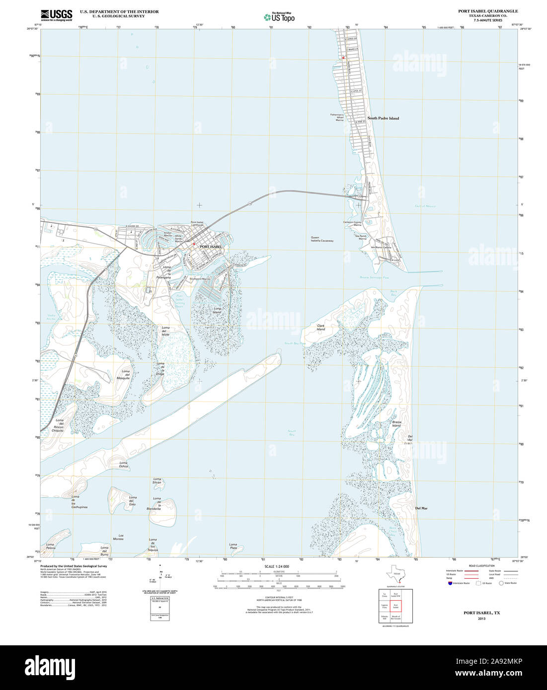 USGS TOPO Map Texas TX Port Isabel 20130201 TM Restoration Stock Photohttps://www.alamy.com/image-license-details/?v=1https://www.alamy.com/usgs-topo-map-texas-tx-port-isabel-20130201-tm-restoration-image332589034.html
RM2A92MKP–USGS TOPO Map Texas TX Port Isabel 20130201 TM Restoration
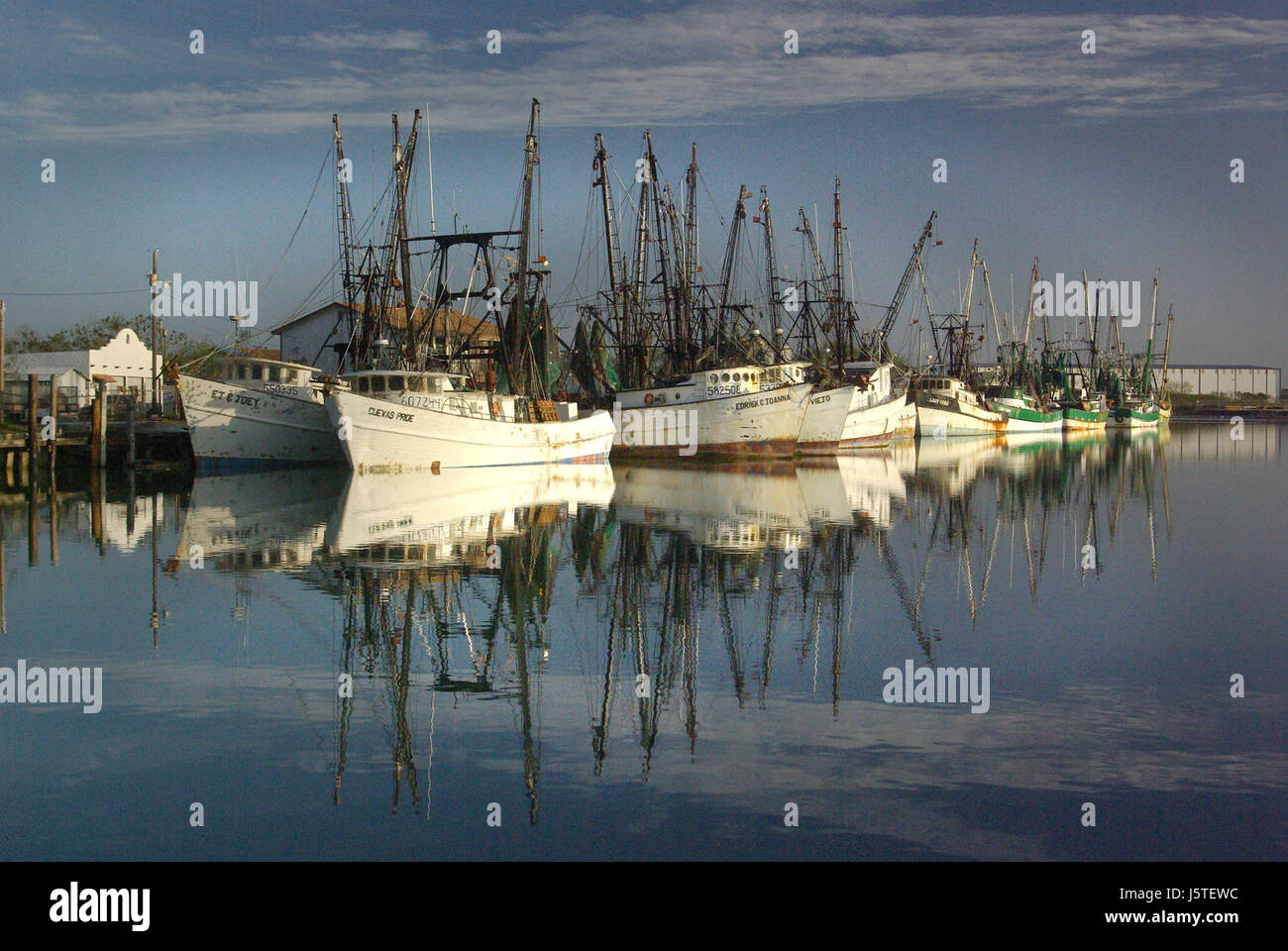 02i - PORT ISABEL, TX from campsite 1-6-09 (10) (16656628891) Stock Photohttps://www.alamy.com/image-license-details/?v=1https://www.alamy.com/stock-photo-02i-port-isabel-tx-from-campsite-1-6-09-10-16656628891-141294760.html
RMJ5TEWC–02i - PORT ISABEL, TX from campsite 1-6-09 (10) (16656628891)
 Port Isabel, Cameron County, US, United States, Texas, N 26 4' 24'', S 97 12' 30'', map, Cartascapes Map published in 2024. Explore Cartascapes, a map revealing Earth's diverse landscapes, cultures, and ecosystems. Journey through time and space, discovering the interconnectedness of our planet's past, present, and future. Stock Photohttps://www.alamy.com/image-license-details/?v=1https://www.alamy.com/port-isabel-cameron-county-us-united-states-texas-n-26-4-24-s-97-12-30-map-cartascapes-map-published-in-2024-explore-cartascapes-a-map-revealing-earths-diverse-landscapes-cultures-and-ecosystems-journey-through-time-and-space-discovering-the-interconnectedness-of-our-planets-past-present-and-future-image621424191.html
RM2Y308W3–Port Isabel, Cameron County, US, United States, Texas, N 26 4' 24'', S 97 12' 30'', map, Cartascapes Map published in 2024. Explore Cartascapes, a map revealing Earth's diverse landscapes, cultures, and ecosystems. Journey through time and space, discovering the interconnectedness of our planet's past, present, and future.
 Port Isabel Lighthouse State Historic Site SP.PI.2 Stock Photohttps://www.alamy.com/image-license-details/?v=1https://www.alamy.com/port-isabel-lighthouse-state-historic-site-sppi2-image68784465.html
RMDYWB81–Port Isabel Lighthouse State Historic Site SP.PI.2
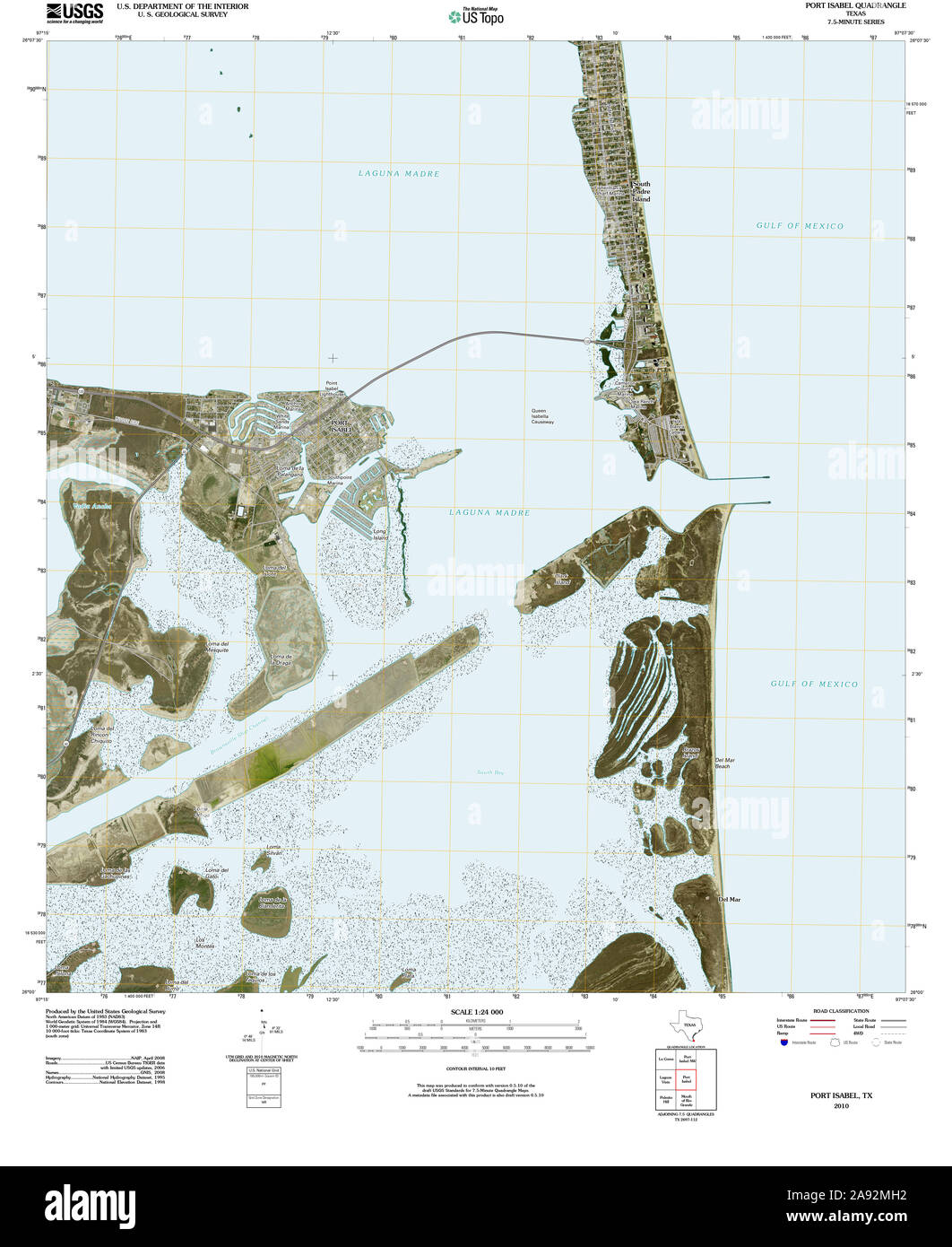 USGS TOPO Map Texas TX Port Isabel 20100524 TM Restoration Stock Photohttps://www.alamy.com/image-license-details/?v=1https://www.alamy.com/usgs-topo-map-texas-tx-port-isabel-20100524-tm-restoration-image332588958.html
RM2A92MH2–USGS TOPO Map Texas TX Port Isabel 20100524 TM Restoration
 02i - PORT ISABEL, TX from campsite 1-6-09 (3) (16470441018) Stock Photohttps://www.alamy.com/image-license-details/?v=1https://www.alamy.com/stock-photo-02i-port-isabel-tx-from-campsite-1-6-09-3-16470441018-141294786.html
RMJ5TEXA–02i - PORT ISABEL, TX from campsite 1-6-09 (3) (16470441018)
 City of Port Isabel, Cameron County, US, United States, Texas, N 26 3' 34'', S 97 14' 38'', map, Cartascapes Map published in 2024. Explore Cartascapes, a map revealing Earth's diverse landscapes, cultures, and ecosystems. Journey through time and space, discovering the interconnectedness of our planet's past, present, and future. Stock Photohttps://www.alamy.com/image-license-details/?v=1https://www.alamy.com/city-of-port-isabel-cameron-county-us-united-states-texas-n-26-3-34-s-97-14-38-map-cartascapes-map-published-in-2024-explore-cartascapes-a-map-revealing-earths-diverse-landscapes-cultures-and-ecosystems-journey-through-time-and-space-discovering-the-interconnectedness-of-our-planets-past-present-and-future-image633873000.html
RM2YR7BDC–City of Port Isabel, Cameron County, US, United States, Texas, N 26 3' 34'', S 97 14' 38'', map, Cartascapes Map published in 2024. Explore Cartascapes, a map revealing Earth's diverse landscapes, cultures, and ecosystems. Journey through time and space, discovering the interconnectedness of our planet's past, present, and future.
 02e - PORT ISABEL, TX from campsite 4-24 thru 5-3-2012 (2) (16656626391) Stock Photohttps://www.alamy.com/image-license-details/?v=1https://www.alamy.com/stock-photo-02e-port-isabel-tx-from-campsite-4-24-thru-5-3-2012-2-16656626391-141309394.html
RMJ5W5G2–02e - PORT ISABEL, TX from campsite 4-24 thru 5-3-2012 (2) (16656626391)
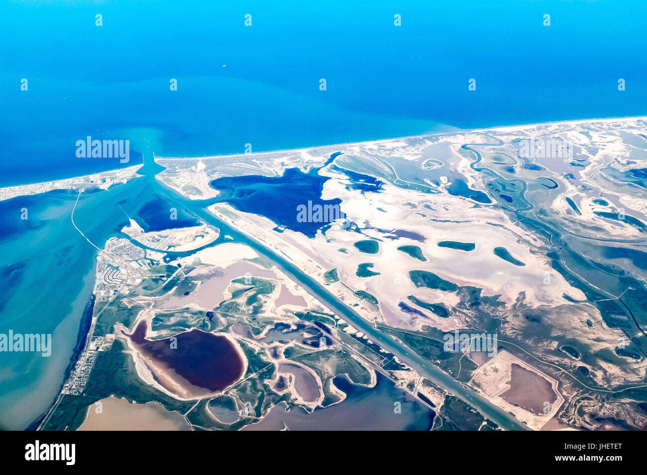 20150715 Port Isabel Aerial Photo IMG 6462 by sebaso Stock Photohttps://www.alamy.com/image-license-details/?v=1https://www.alamy.com/stock-photo-20150715-port-isabel-aerial-photo-img-6462-by-sebaso-148458656.html
RMJHETET–20150715 Port Isabel Aerial Photo IMG 6462 by sebaso
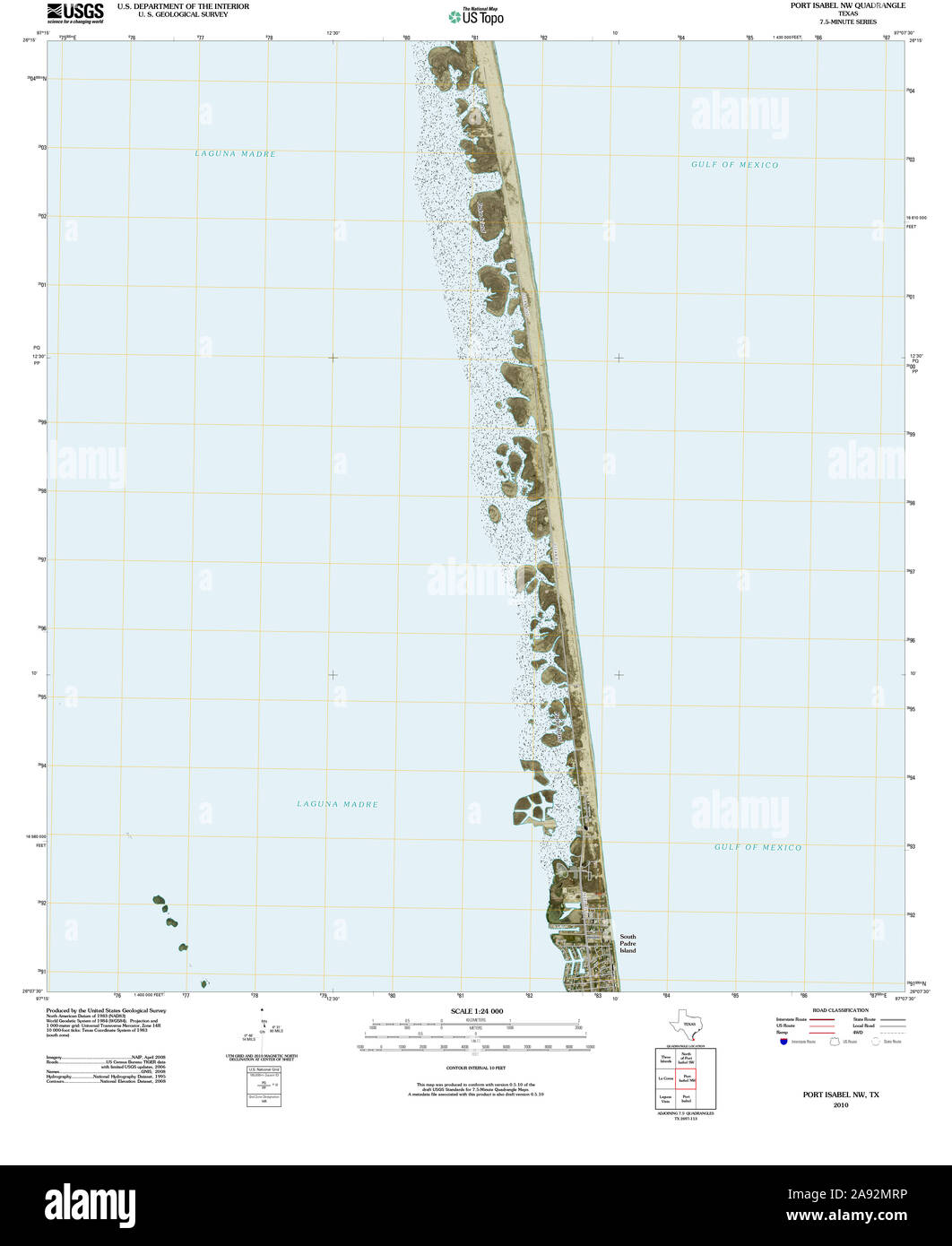 USGS TOPO Map Texas TX Port Isabel NW 20100526 TM Restoration Stock Photohttps://www.alamy.com/image-license-details/?v=1https://www.alamy.com/usgs-topo-map-texas-tx-port-isabel-nw-20100526-tm-restoration-image332589146.html
RM2A92MRP–USGS TOPO Map Texas TX Port Isabel NW 20100526 TM Restoration
 02a - PORT ISABEL TX from campsite 2-28 thru 3-1-2012 -10 28 9 281665662625129 Stock Photohttps://www.alamy.com/image-license-details/?v=1https://www.alamy.com/stock-photo-02a-port-isabel-tx-from-campsite-2-28-thru-3-1-2012-10-28-9-281665662625129-147439100.html
RMJFTC24–02a - PORT ISABEL TX from campsite 2-28 thru 3-1-2012 -10 28 9 281665662625129
 Colorado No. 2 in tidal drydock at Port Isabel Stock Photohttps://www.alamy.com/image-license-details/?v=1https://www.alamy.com/stock-photo-colorado-no-2-in-tidal-drydock-at-port-isabel-139726472.html
RMJ392F4–Colorado No. 2 in tidal drydock at Port Isabel
 Port Isabel, Texas, map 1956, 1:250000, United States of America by Timeless Maps, data U.S. Geological Survey Stock Photohttps://www.alamy.com/image-license-details/?v=1https://www.alamy.com/port-isabel-texas-map-1956-1250000-united-states-of-america-by-timeless-maps-data-us-geological-survey-image406988970.html
RM2EJ3XGA–Port Isabel, Texas, map 1956, 1:250000, United States of America by Timeless Maps, data U.S. Geological Survey
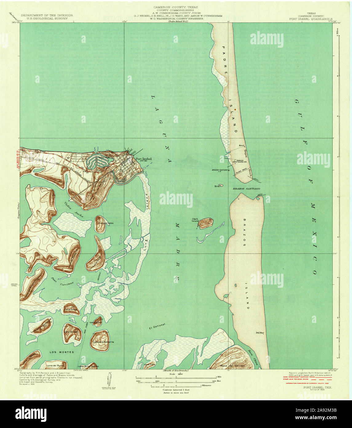 USGS TOPO Map Texas TX Port Isabel 116369 1934 31680 Restoration Stock Photohttps://www.alamy.com/image-license-details/?v=1https://www.alamy.com/usgs-topo-map-texas-tx-port-isabel-116369-1934-31680-restoration-image332588575.html
RM2A92M3B–USGS TOPO Map Texas TX Port Isabel 116369 1934 31680 Restoration
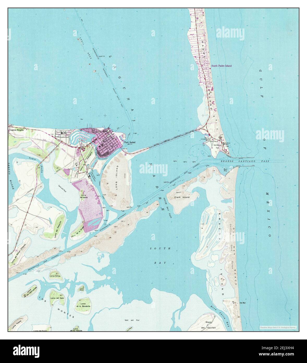 Port Isabel, Texas, map 1955, 1:24000, United States of America by Timeless Maps, data U.S. Geological Survey Stock Photohttps://www.alamy.com/image-license-details/?v=1https://www.alamy.com/port-isabel-texas-map-1955-124000-united-states-of-america-by-timeless-maps-data-us-geological-survey-image406988992.html
RM2EJ3XH4–Port Isabel, Texas, map 1955, 1:24000, United States of America by Timeless Maps, data U.S. Geological Survey
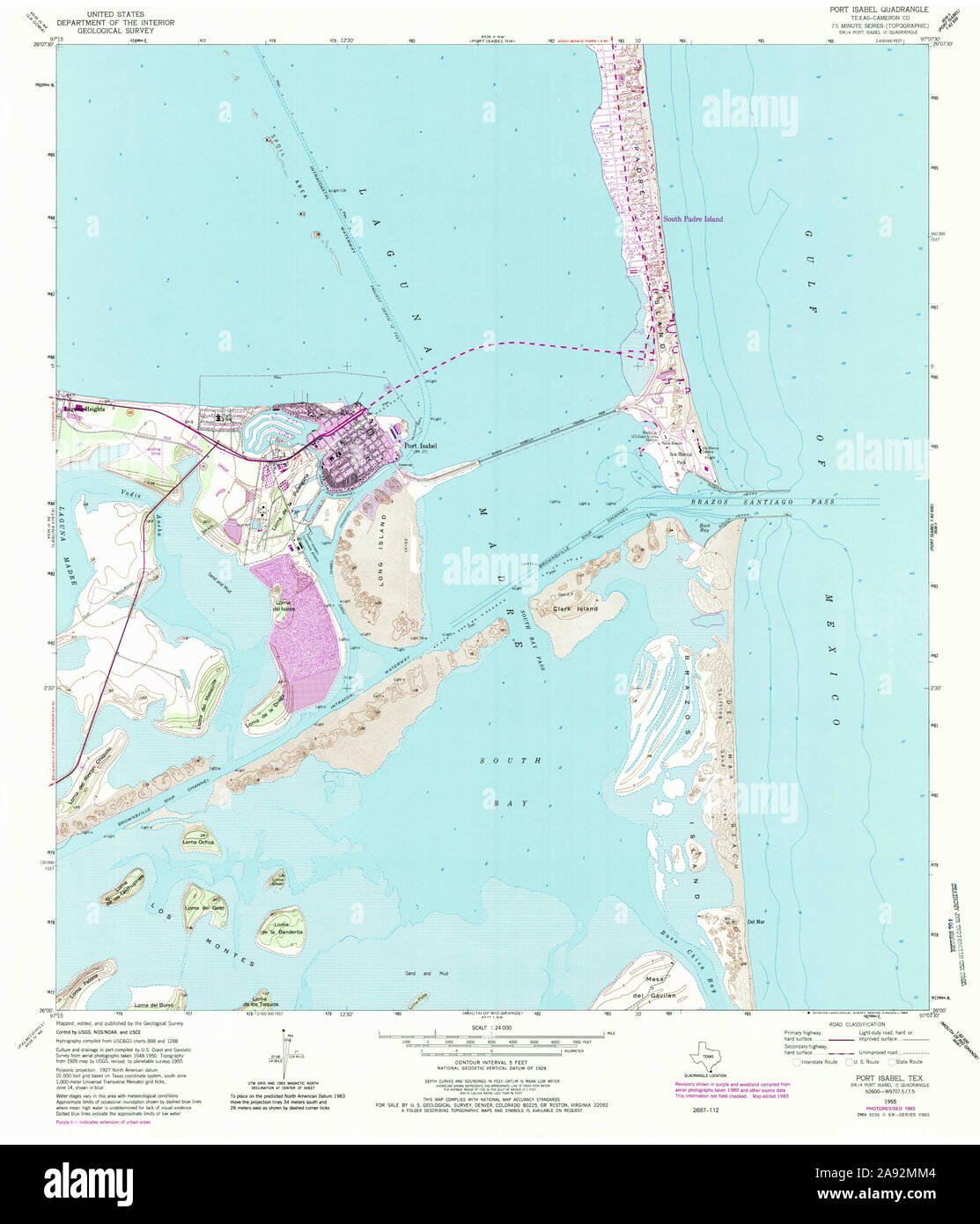 USGS TOPO Map Texas TX Port Isabel 116376 1955 24000 Restoration Stock Photohttps://www.alamy.com/image-license-details/?v=1https://www.alamy.com/usgs-topo-map-texas-tx-port-isabel-116376-1955-24000-restoration-image332589044.html
RM2A92MM4–USGS TOPO Map Texas TX Port Isabel 116376 1955 24000 Restoration
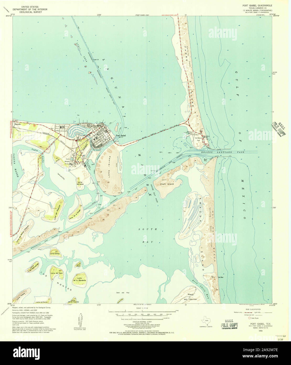 USGS TOPO Map Texas TX Port Isabel 116371 1955 24000 Restoration Stock Photohttps://www.alamy.com/image-license-details/?v=1https://www.alamy.com/usgs-topo-map-texas-tx-port-isabel-116371-1955-24000-restoration-image332588690.html
RM2A92M7E–USGS TOPO Map Texas TX Port Isabel 116371 1955 24000 Restoration
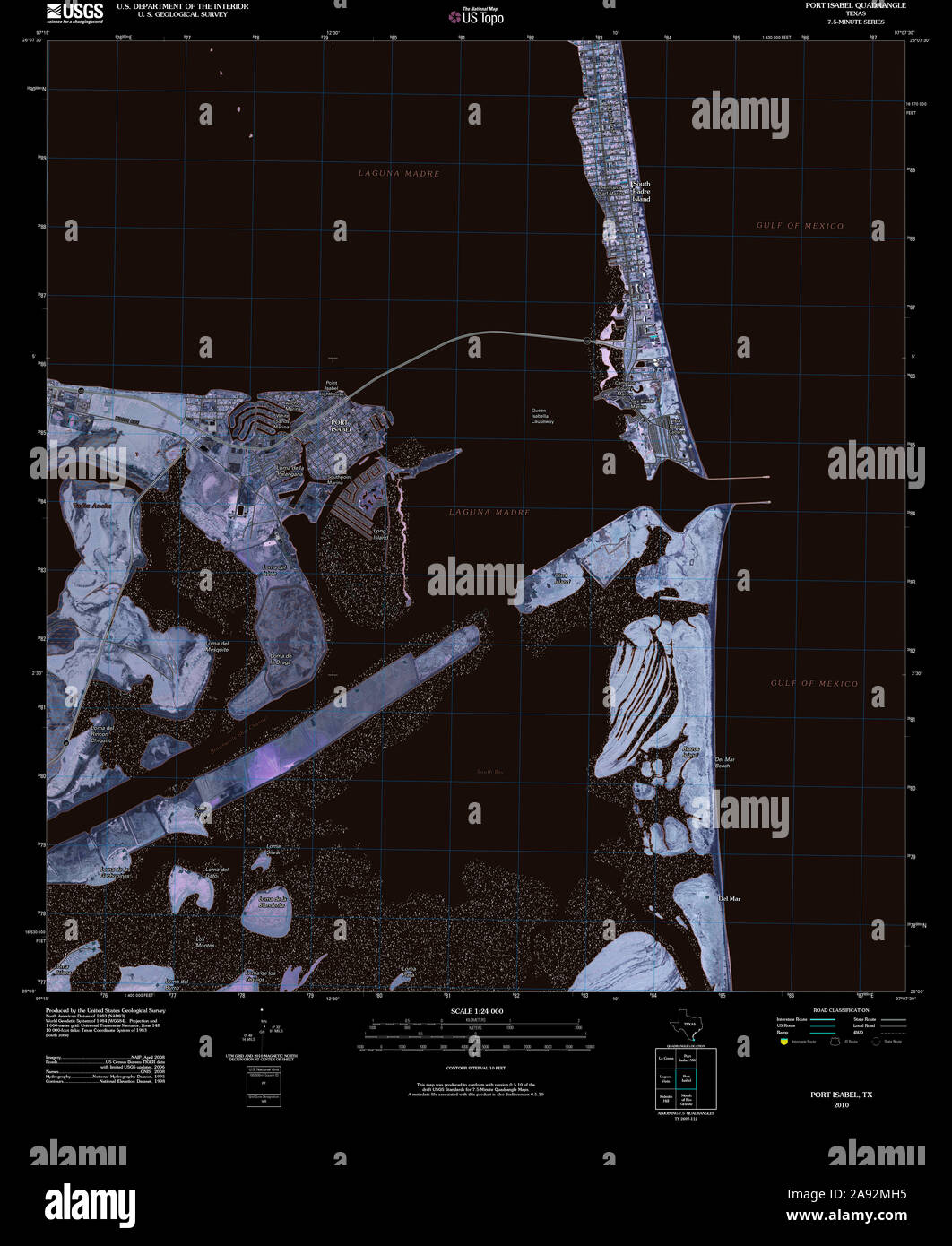 USGS TOPO Map Texas TX Port Isabel 20100524 TM Inverted Restoration Stock Photohttps://www.alamy.com/image-license-details/?v=1https://www.alamy.com/usgs-topo-map-texas-tx-port-isabel-20100524-tm-inverted-restoration-image332588961.html
RM2A92MH5–USGS TOPO Map Texas TX Port Isabel 20100524 TM Inverted Restoration
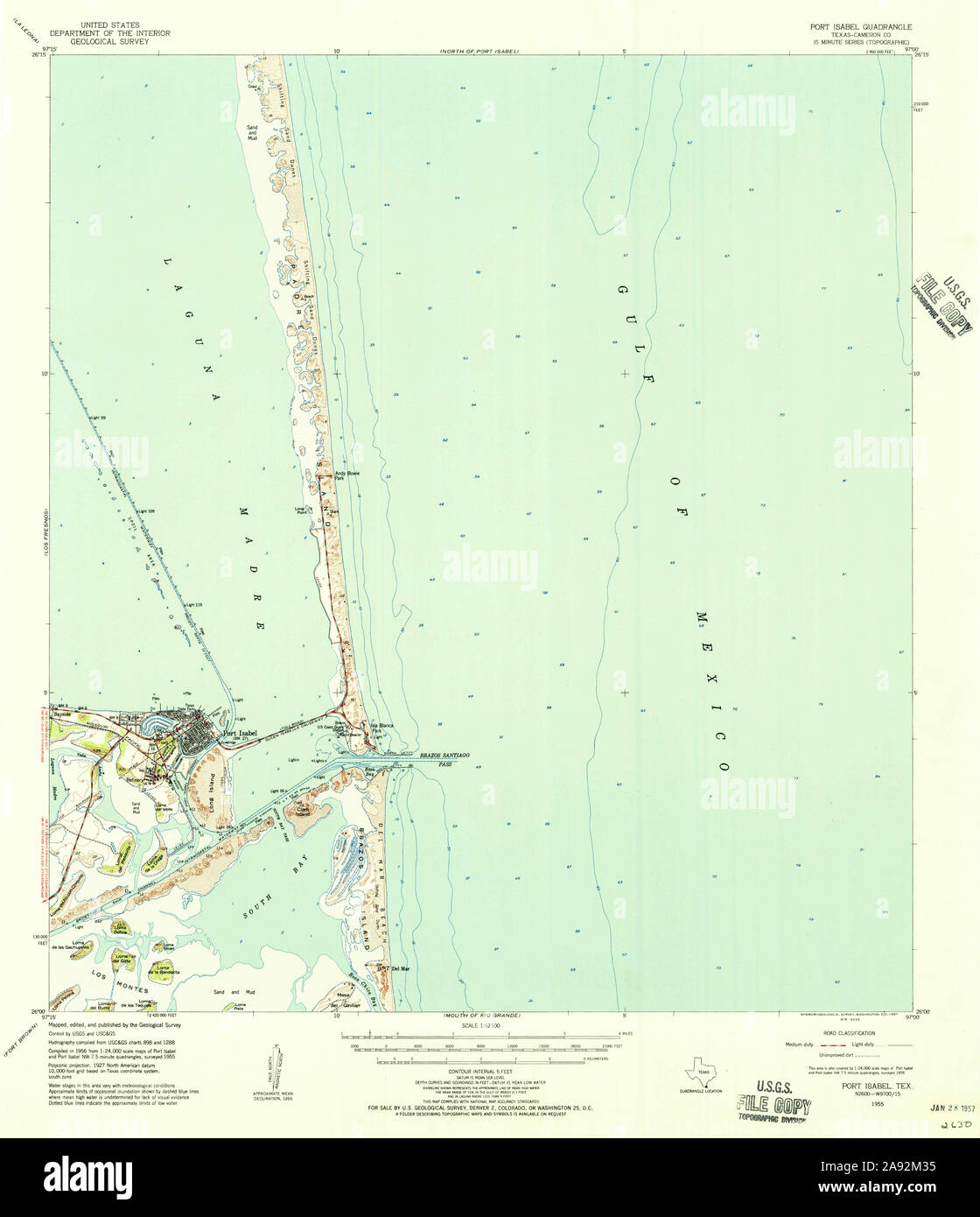 USGS TOPO Map Texas TX Port Isabel 116372 1955 62500 Restoration Stock Photohttps://www.alamy.com/image-license-details/?v=1https://www.alamy.com/usgs-topo-map-texas-tx-port-isabel-116372-1955-62500-restoration-image332588569.html
RM2A92M35–USGS TOPO Map Texas TX Port Isabel 116372 1955 62500 Restoration
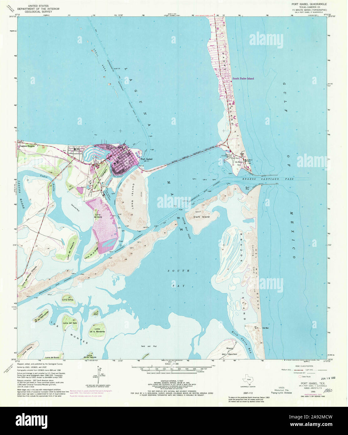 USGS TOPO Map Texas TX Port Isabel 116374 1955 24000 Restoration Stock Photohttps://www.alamy.com/image-license-details/?v=1https://www.alamy.com/usgs-topo-map-texas-tx-port-isabel-116374-1955-24000-restoration-image332588841.html
RM2A92MCW–USGS TOPO Map Texas TX Port Isabel 116374 1955 24000 Restoration
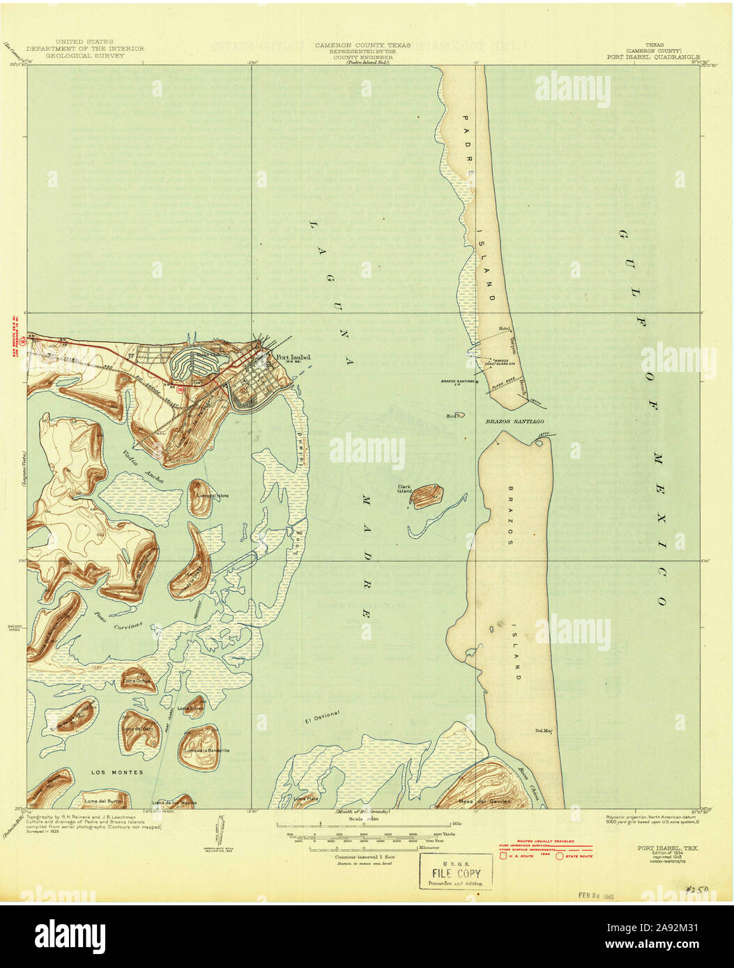 USGS TOPO Map Texas TX Port Isabel 116370 1934 31680 Restoration Stock Photohttps://www.alamy.com/image-license-details/?v=1https://www.alamy.com/usgs-topo-map-texas-tx-port-isabel-116370-1934-31680-restoration-image332588565.html
RM2A92M31–USGS TOPO Map Texas TX Port Isabel 116370 1934 31680 Restoration
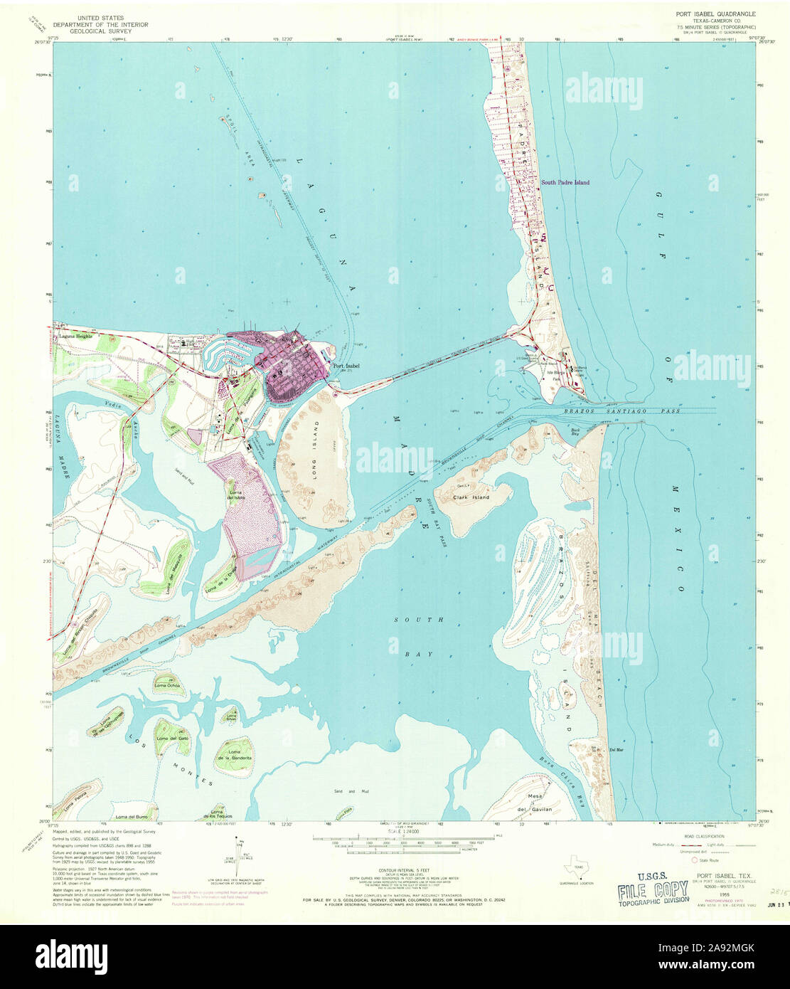 USGS TOPO Map Texas TX Port Isabel 116375 1955 24000 Restoration Stock Photohttps://www.alamy.com/image-license-details/?v=1https://www.alamy.com/usgs-topo-map-texas-tx-port-isabel-116375-1955-24000-restoration-image332588947.html
RM2A92MGK–USGS TOPO Map Texas TX Port Isabel 116375 1955 24000 Restoration
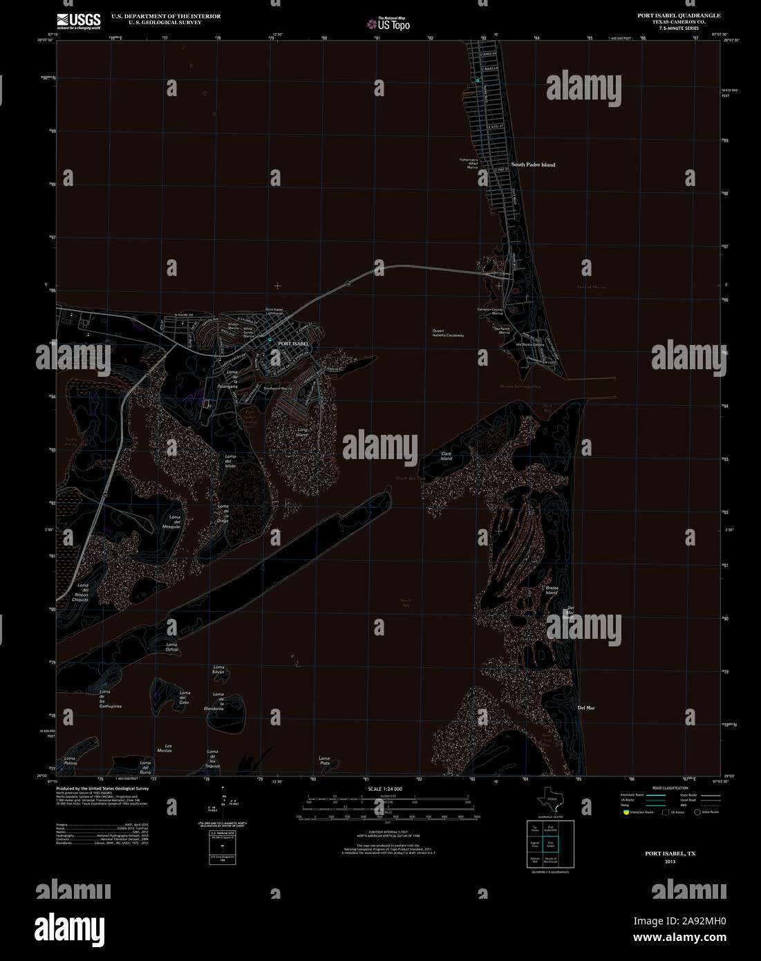 USGS TOPO Map Texas TX Port Isabel 20130201 TM Inverted Restoration Stock Photohttps://www.alamy.com/image-license-details/?v=1https://www.alamy.com/usgs-topo-map-texas-tx-port-isabel-20130201-tm-inverted-restoration-image332588956.html
RM2A92MH0–USGS TOPO Map Texas TX Port Isabel 20130201 TM Inverted Restoration
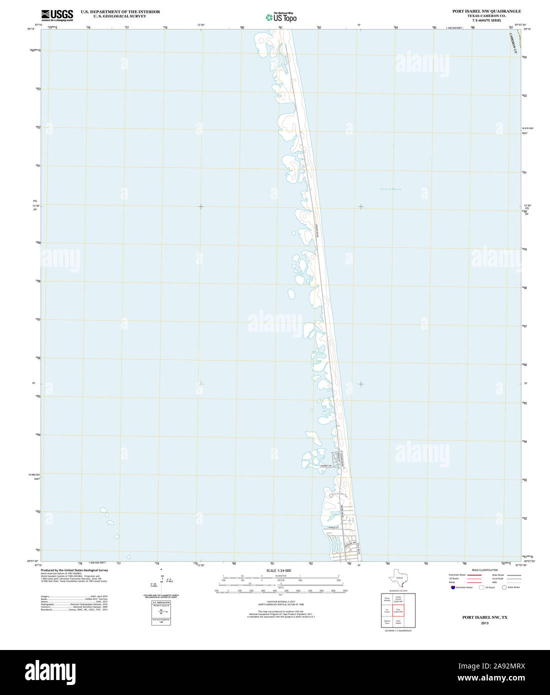 USGS TOPO Map Texas TX Port Isabel NW 20130201 TM Restoration Stock Photohttps://www.alamy.com/image-license-details/?v=1https://www.alamy.com/usgs-topo-map-texas-tx-port-isabel-nw-20130201-tm-restoration-image332589150.html
RM2A92MRX–USGS TOPO Map Texas TX Port Isabel NW 20130201 TM Restoration
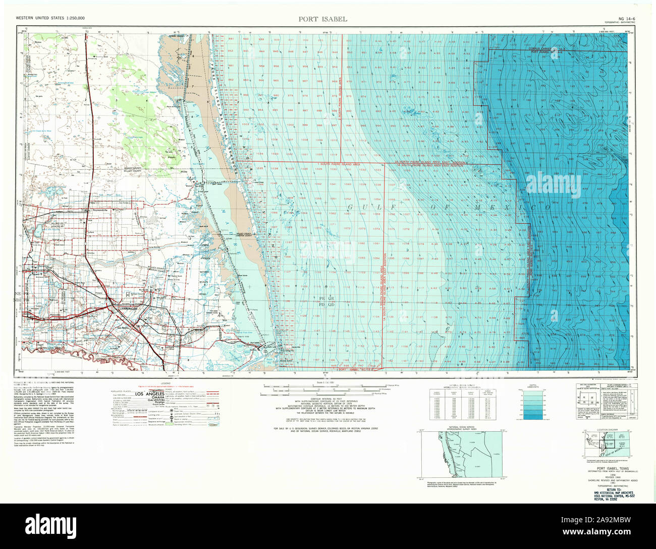 USGS TOPO Map Texas TX Port Isabel 116373 1956 250000 Restoration Stock Photohttps://www.alamy.com/image-license-details/?v=1https://www.alamy.com/usgs-topo-map-texas-tx-port-isabel-116373-1956-250000-restoration-image332588813.html
RM2A92MBW–USGS TOPO Map Texas TX Port Isabel 116373 1956 250000 Restoration
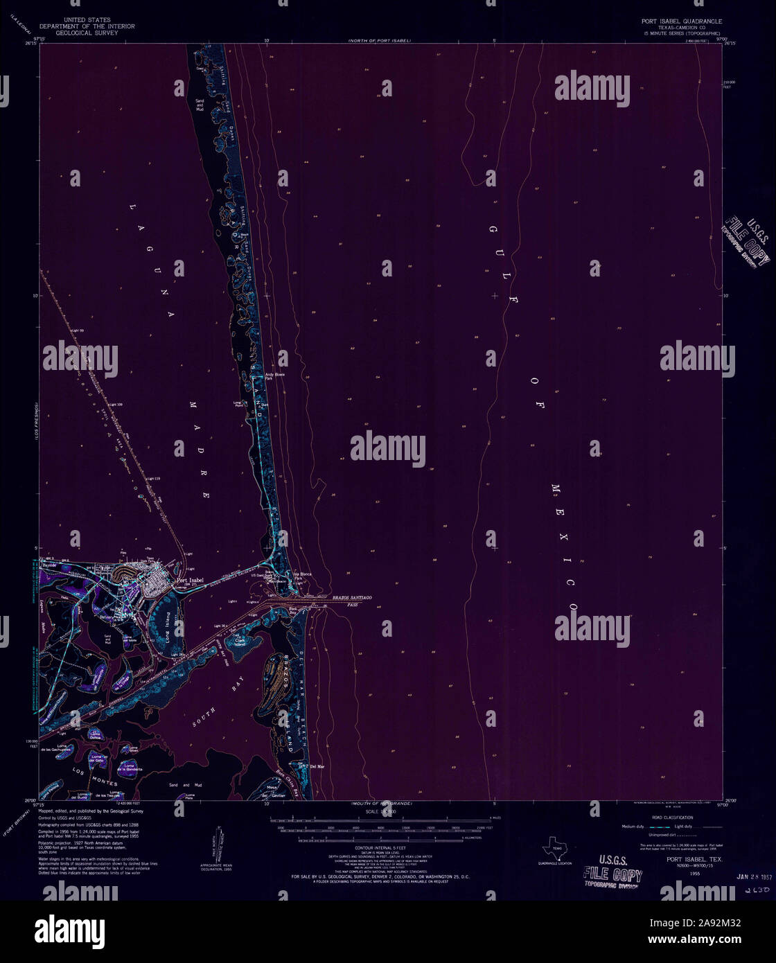 USGS TOPO Map Texas TX Port Isabel 116372 1955 62500 Inverted Restoration Stock Photohttps://www.alamy.com/image-license-details/?v=1https://www.alamy.com/usgs-topo-map-texas-tx-port-isabel-116372-1955-62500-inverted-restoration-image332588566.html
RM2A92M32–USGS TOPO Map Texas TX Port Isabel 116372 1955 62500 Inverted Restoration
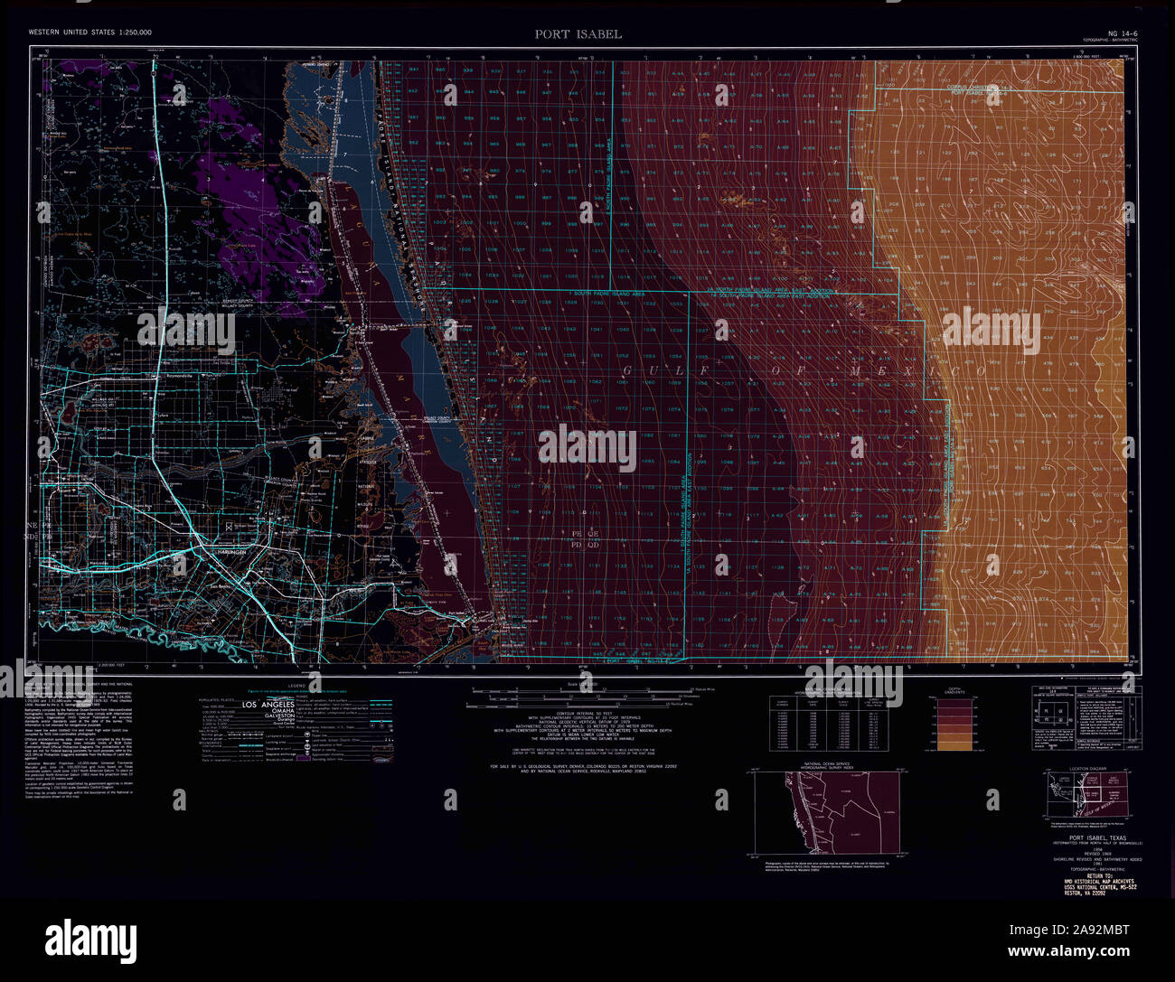 USGS TOPO Map Texas TX Port Isabel 116373 1956 250000 Inverted Restoration Stock Photohttps://www.alamy.com/image-license-details/?v=1https://www.alamy.com/usgs-topo-map-texas-tx-port-isabel-116373-1956-250000-inverted-restoration-image332588812.html
RM2A92MBT–USGS TOPO Map Texas TX Port Isabel 116373 1956 250000 Inverted Restoration
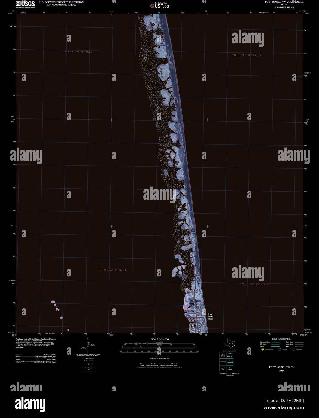 USGS TOPO Map Texas TX Port Isabel NW 20100526 TM Inverted Restoration Stock Photohttps://www.alamy.com/image-license-details/?v=1https://www.alamy.com/usgs-topo-map-texas-tx-port-isabel-nw-20100526-tm-inverted-restoration-image332589142.html
RM2A92MRJ–USGS TOPO Map Texas TX Port Isabel NW 20100526 TM Inverted Restoration
 USGS TOPO Map Texas TX Port Isabel NW 20130201 TM Inverted Restoration Stock Photohttps://www.alamy.com/image-license-details/?v=1https://www.alamy.com/usgs-topo-map-texas-tx-port-isabel-nw-20130201-tm-inverted-restoration-image332589148.html
RM2A92MRT–USGS TOPO Map Texas TX Port Isabel NW 20130201 TM Inverted Restoration
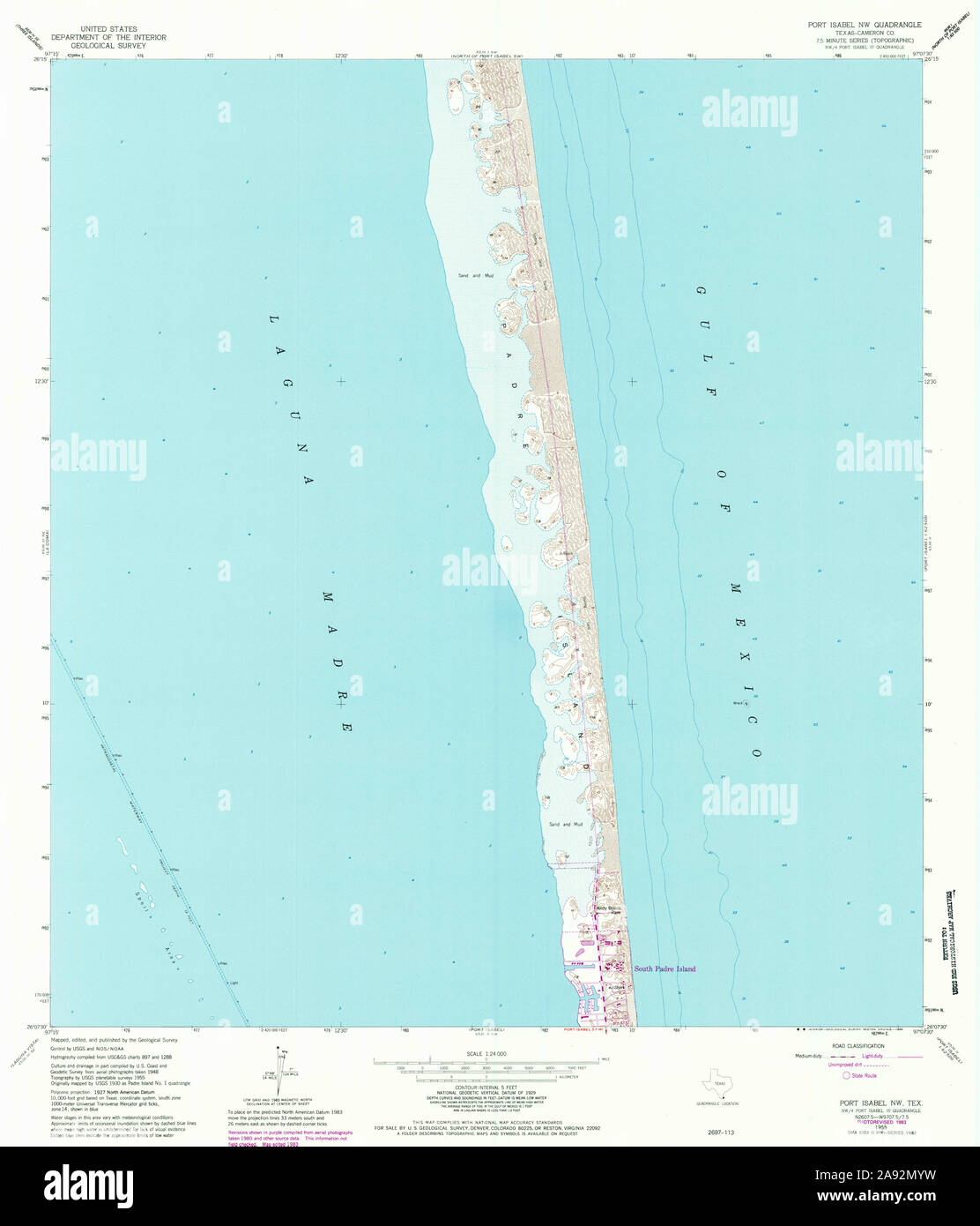 USGS TOPO Map Texas TX Port Isabel NW 116367 1955 24000 Restoration Stock Photohttps://www.alamy.com/image-license-details/?v=1https://www.alamy.com/usgs-topo-map-texas-tx-port-isabel-nw-116367-1955-24000-restoration-image332589261.html
RM2A92MYW–USGS TOPO Map Texas TX Port Isabel NW 116367 1955 24000 Restoration
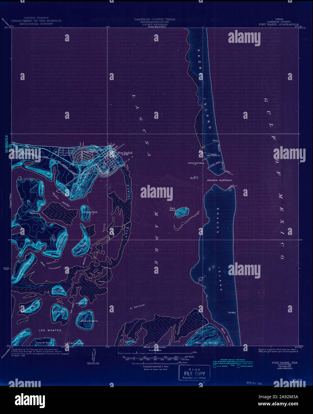 USGS TOPO Map Texas TX Port Isabel 116370 1934 31680 Inverted Restoration Stock Photohttps://www.alamy.com/image-license-details/?v=1https://www.alamy.com/usgs-topo-map-texas-tx-port-isabel-116370-1934-31680-inverted-restoration-image332588574.html
RM2A92M3A–USGS TOPO Map Texas TX Port Isabel 116370 1934 31680 Inverted Restoration
 USGS TOPO Map Texas TX North of Port Isabel NW 20130201 TM Restoration Stock Photohttps://www.alamy.com/image-license-details/?v=1https://www.alamy.com/usgs-topo-map-texas-tx-north-of-port-isabel-nw-20130201-tm-restoration-image332549416.html
RM2A90X4T–USGS TOPO Map Texas TX North of Port Isabel NW 20130201 TM Restoration
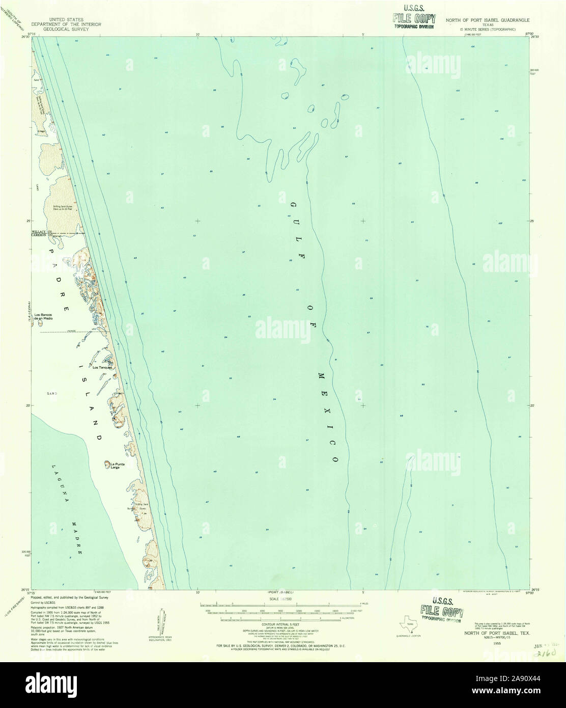 USGS TOPO Map Texas TX North Of Port Isabel 115261 1955 62500 Restoration Stock Photohttps://www.alamy.com/image-license-details/?v=1https://www.alamy.com/usgs-topo-map-texas-tx-north-of-port-isabel-115261-1955-62500-restoration-image332549396.html
RM2A90X44–USGS TOPO Map Texas TX North Of Port Isabel 115261 1955 62500 Restoration
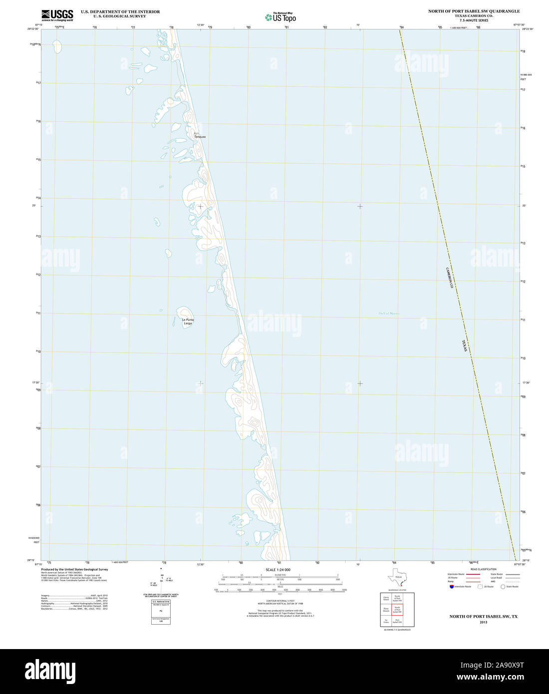 USGS TOPO Map Texas TX North of Port Isabel SW 20130201 TM Restoration Stock Photohttps://www.alamy.com/image-license-details/?v=1https://www.alamy.com/usgs-topo-map-texas-tx-north-of-port-isabel-sw-20130201-tm-restoration-image332549556.html
RM2A90X9T–USGS TOPO Map Texas TX North of Port Isabel SW 20130201 TM Restoration
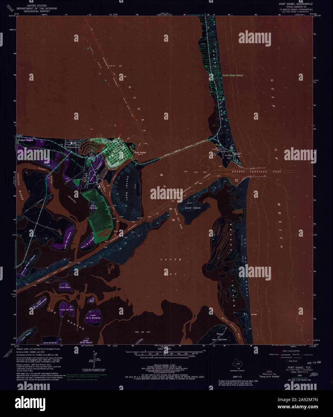 USGS TOPO Map Texas TX Port Isabel 116374 1955 24000 Inverted Restoration Stock Photohttps://www.alamy.com/image-license-details/?v=1https://www.alamy.com/usgs-topo-map-texas-tx-port-isabel-116374-1955-24000-inverted-restoration-image332588697.html
RM2A92M7N–USGS TOPO Map Texas TX Port Isabel 116374 1955 24000 Inverted Restoration
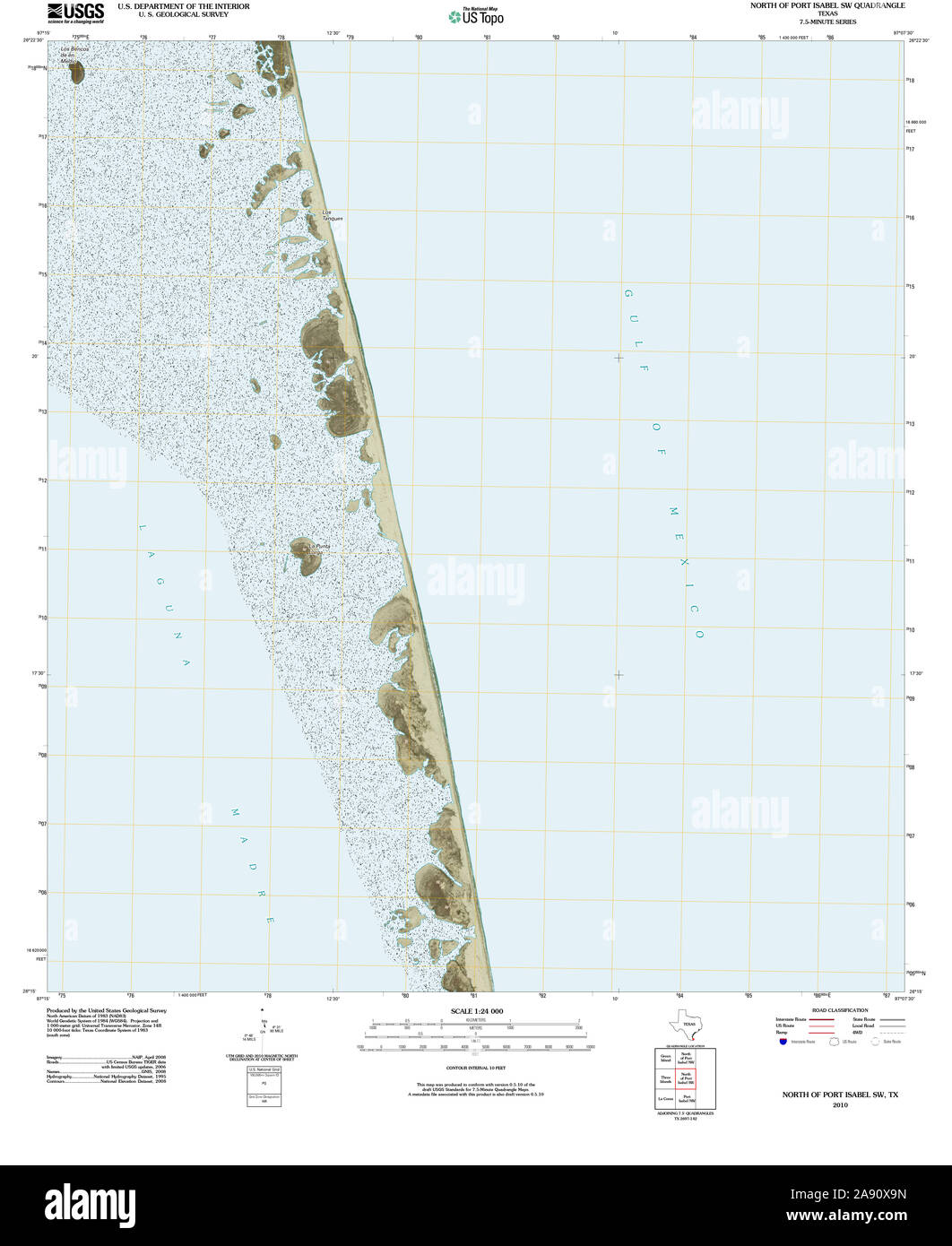 USGS TOPO Map Texas TX North of Port Isabel SW 20100525 TM Restoration Stock Photohttps://www.alamy.com/image-license-details/?v=1https://www.alamy.com/usgs-topo-map-texas-tx-north-of-port-isabel-sw-20100525-tm-restoration-image332549553.html
RM2A90X9N–USGS TOPO Map Texas TX North of Port Isabel SW 20100525 TM Restoration
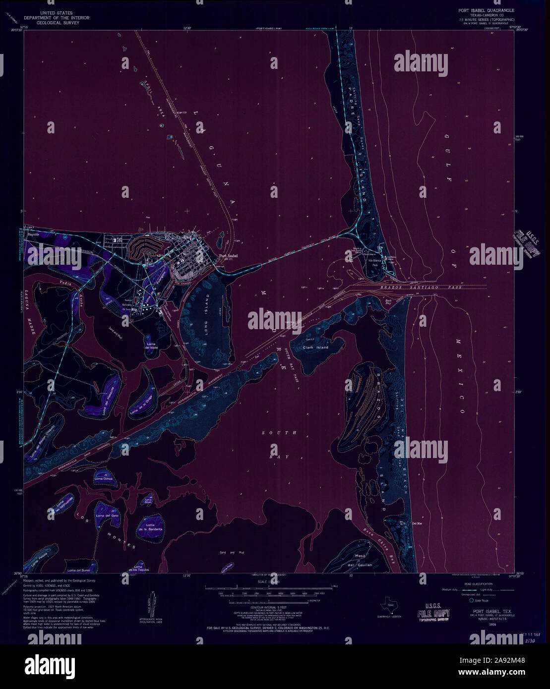 USGS TOPO Map Texas TX Port Isabel 116371 1955 24000 Inverted Restoration Stock Photohttps://www.alamy.com/image-license-details/?v=1https://www.alamy.com/usgs-topo-map-texas-tx-port-isabel-116371-1955-24000-inverted-restoration-image332588600.html
RM2A92M48–USGS TOPO Map Texas TX Port Isabel 116371 1955 24000 Inverted Restoration
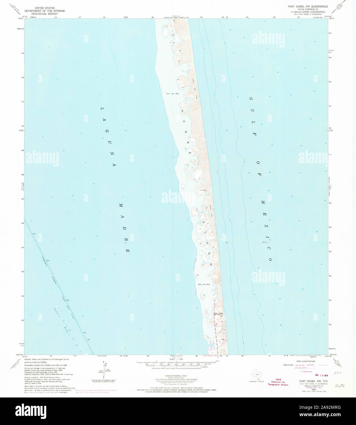 USGS TOPO Map Texas TX Port Isabel NW 116366 1955 24000 Restoration Stock Photohttps://www.alamy.com/image-license-details/?v=1https://www.alamy.com/usgs-topo-map-texas-tx-port-isabel-nw-116366-1955-24000-restoration-image332589140.html
RM2A92MRG–USGS TOPO Map Texas TX Port Isabel NW 116366 1955 24000 Restoration
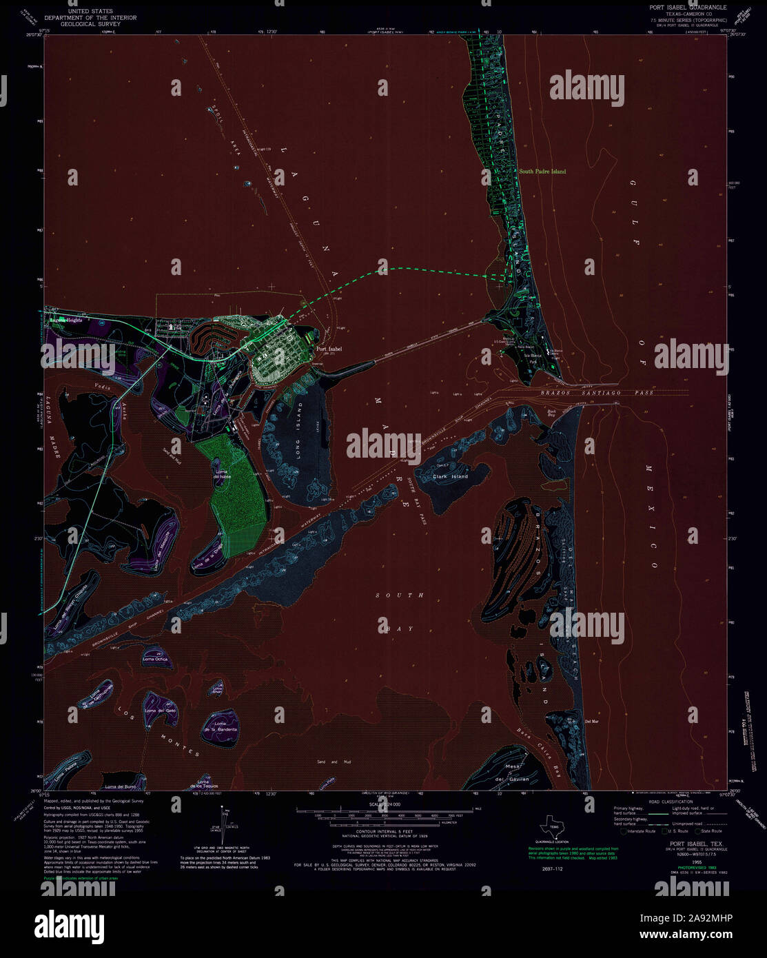 USGS TOPO Map Texas TX Port Isabel 116376 1955 24000 Inverted Restoration Stock Photohttps://www.alamy.com/image-license-details/?v=1https://www.alamy.com/usgs-topo-map-texas-tx-port-isabel-116376-1955-24000-inverted-restoration-image332588978.html
RM2A92MHP–USGS TOPO Map Texas TX Port Isabel 116376 1955 24000 Inverted Restoration
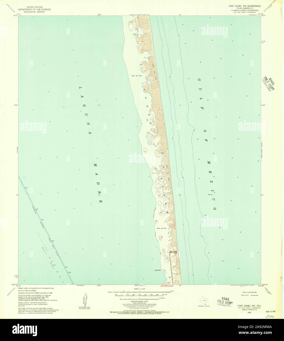 USGS TOPO Map Texas TX Port Isabel NW 116364 1955 24000 Restoration Stock Photohttps://www.alamy.com/image-license-details/?v=1https://www.alamy.com/usgs-topo-map-texas-tx-port-isabel-nw-116364-1955-24000-restoration-image332589050.html
RM2A92MMA–USGS TOPO Map Texas TX Port Isabel NW 116364 1955 24000 Restoration
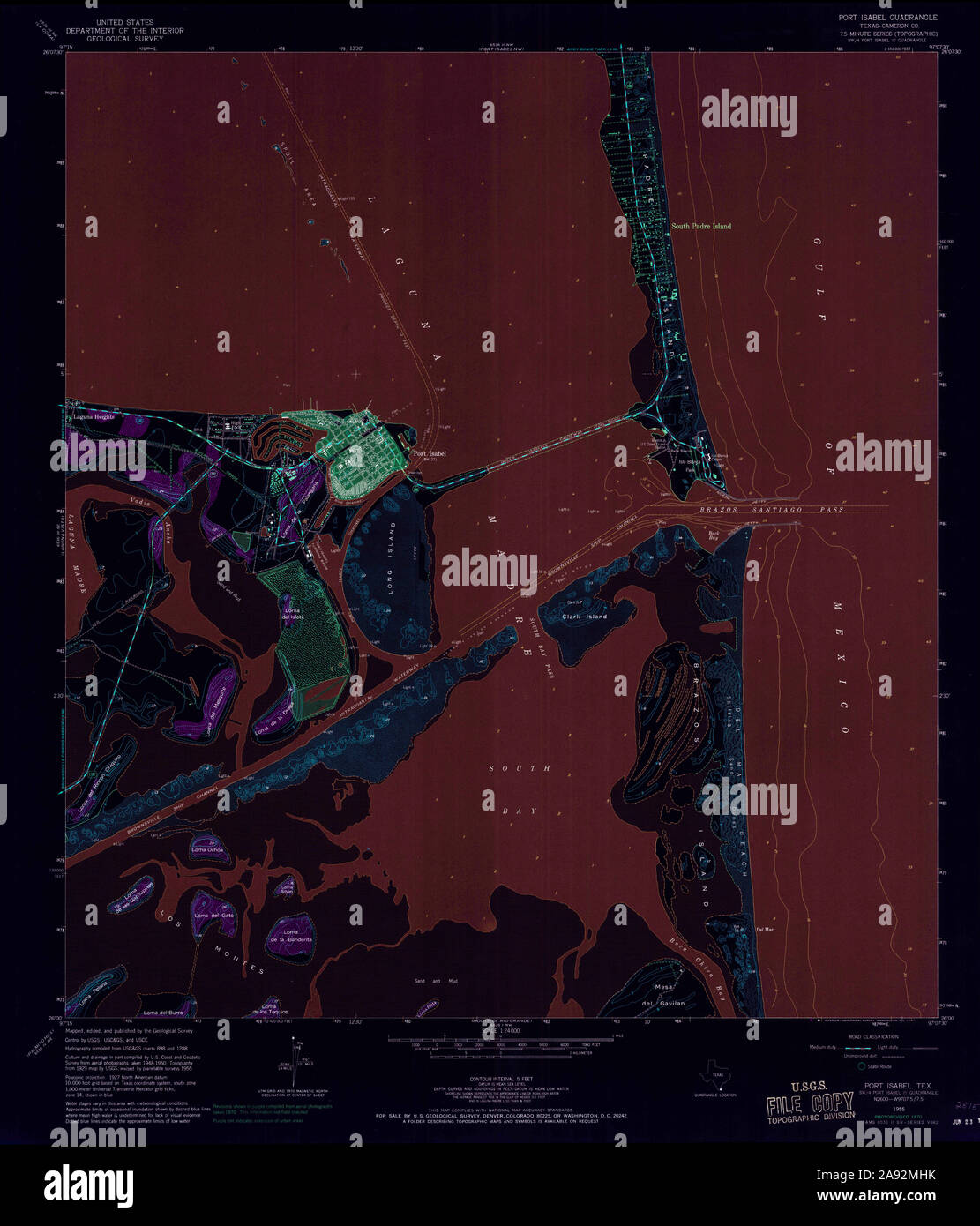 USGS TOPO Map Texas TX Port Isabel 116375 1955 24000 Inverted Restoration Stock Photohttps://www.alamy.com/image-license-details/?v=1https://www.alamy.com/usgs-topo-map-texas-tx-port-isabel-116375-1955-24000-inverted-restoration-image332588975.html
RM2A92MHK–USGS TOPO Map Texas TX Port Isabel 116375 1955 24000 Inverted Restoration
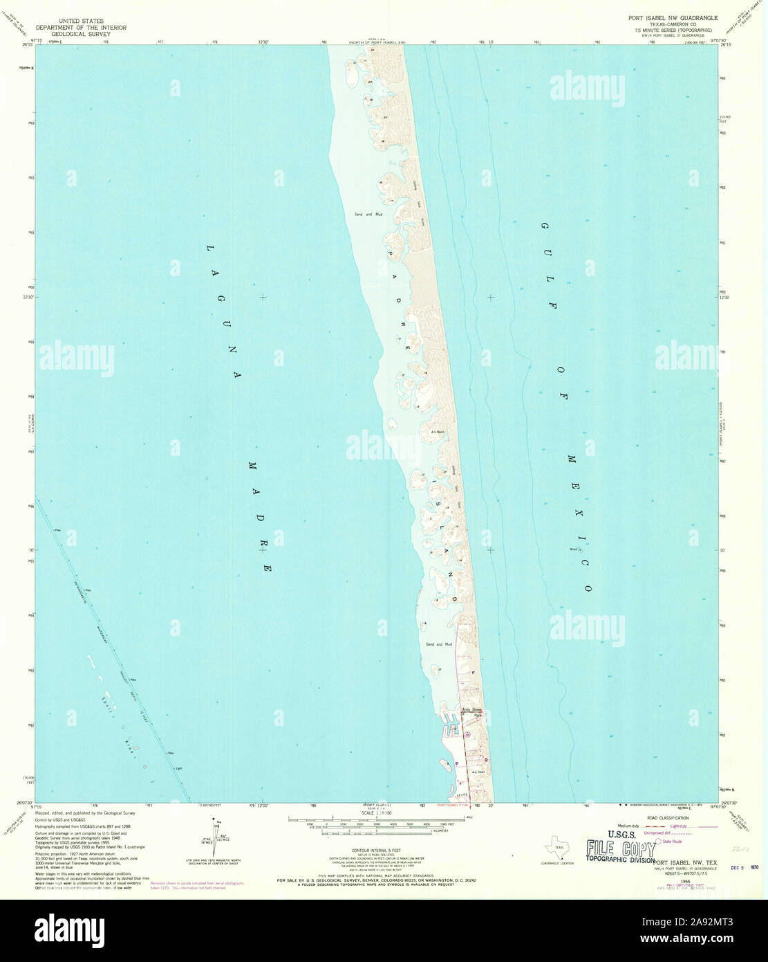 USGS TOPO Map Texas TX Port Isabel NW 116365 1955 24000 Restoration Stock Photohttps://www.alamy.com/image-license-details/?v=1https://www.alamy.com/usgs-topo-map-texas-tx-port-isabel-nw-116365-1955-24000-restoration-image332589155.html
RM2A92MT3–USGS TOPO Map Texas TX Port Isabel NW 116365 1955 24000 Restoration
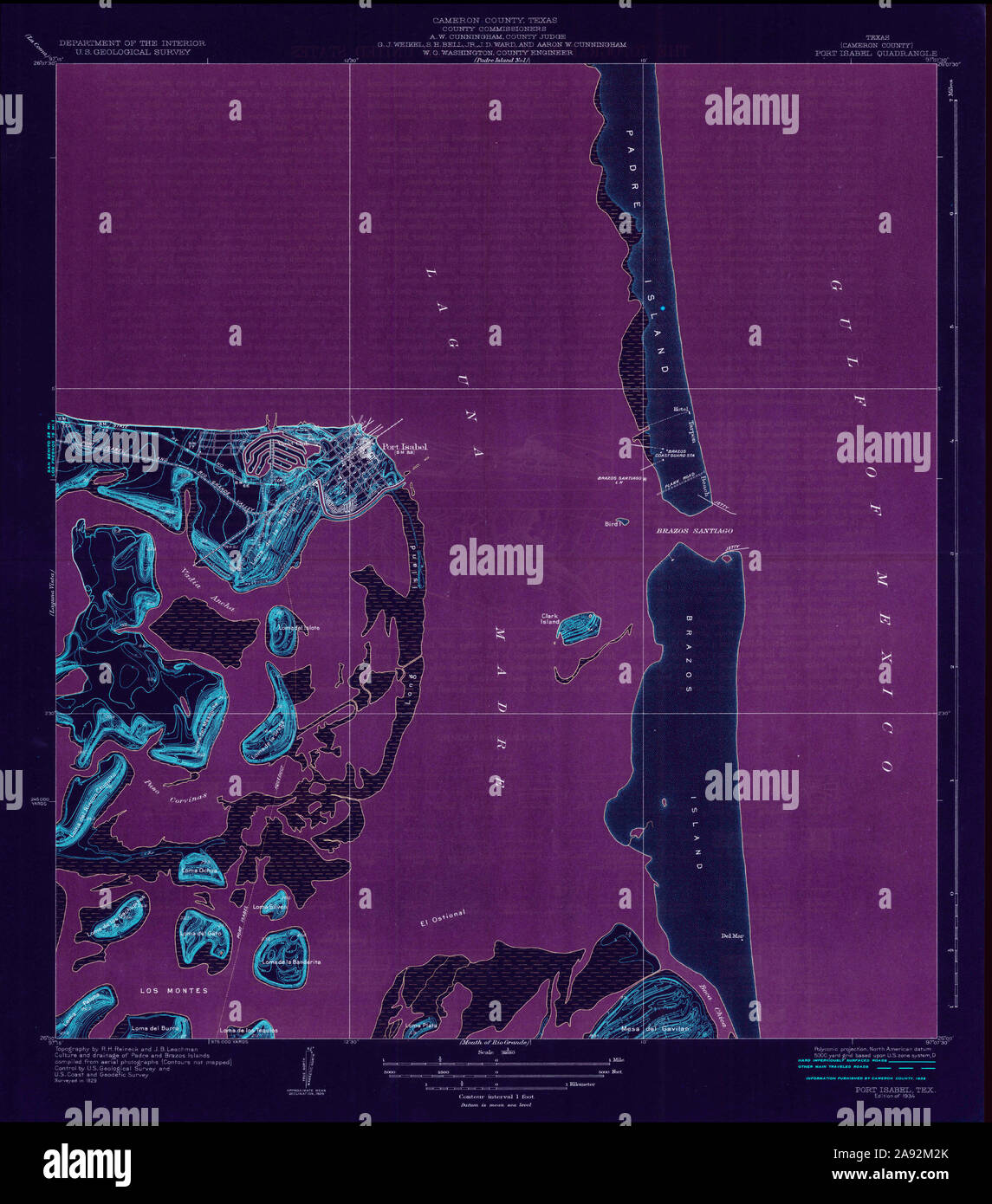 USGS TOPO Map Texas TX Port Isabel 116369 1934 31680 Inverted Restoration Stock Photohttps://www.alamy.com/image-license-details/?v=1https://www.alamy.com/usgs-topo-map-texas-tx-port-isabel-116369-1934-31680-inverted-restoration-image332588555.html
RM2A92M2K–USGS TOPO Map Texas TX Port Isabel 116369 1934 31680 Inverted Restoration
 USGS TOPO Map Texas TX North of Port Isabel NW 20100702 TM Restoration Stock Photohttps://www.alamy.com/image-license-details/?v=1https://www.alamy.com/usgs-topo-map-texas-tx-north-of-port-isabel-nw-20100702-tm-restoration-image332549476.html
RM2A90X70–USGS TOPO Map Texas TX North of Port Isabel NW 20100702 TM Restoration
 USGS TOPO Map Texas TX North of Port Isabel NW 20100702 TM Inverted Restoration Stock Photohttps://www.alamy.com/image-license-details/?v=1https://www.alamy.com/usgs-topo-map-texas-tx-north-of-port-isabel-nw-20100702-tm-inverted-restoration-image332549420.html
RM2A90X50–USGS TOPO Map Texas TX North of Port Isabel NW 20100702 TM Inverted Restoration
 USGS TOPO Map Texas TX North Of Port Isabel NW 114734 1952 24000 Restoration Stock Photohttps://www.alamy.com/image-license-details/?v=1https://www.alamy.com/usgs-topo-map-texas-tx-north-of-port-isabel-nw-114734-1952-24000-restoration-image332549425.html
RM2A90X55–USGS TOPO Map Texas TX North Of Port Isabel NW 114734 1952 24000 Restoration
 USGS TOPO Map Texas TX North Of Port Isabel SW 114737 1955 24000 Restoration Stock Photohttps://www.alamy.com/image-license-details/?v=1https://www.alamy.com/usgs-topo-map-texas-tx-north-of-port-isabel-sw-114737-1955-24000-restoration-image332549480.html
RM2A90X74–USGS TOPO Map Texas TX North Of Port Isabel SW 114737 1955 24000 Restoration
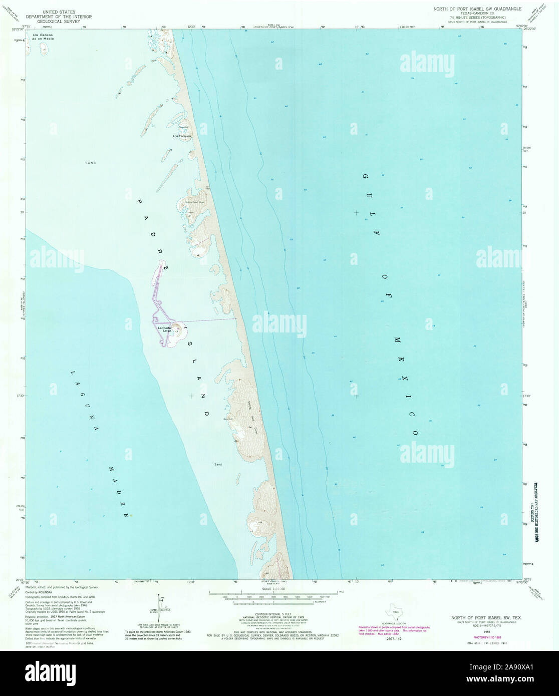 USGS TOPO Map Texas TX North Of Port Isabel SW 114738 1955 24000 Restoration Stock Photohttps://www.alamy.com/image-license-details/?v=1https://www.alamy.com/usgs-topo-map-texas-tx-north-of-port-isabel-sw-114738-1955-24000-restoration-image332549561.html
RM2A90XA1–USGS TOPO Map Texas TX North Of Port Isabel SW 114738 1955 24000 Restoration
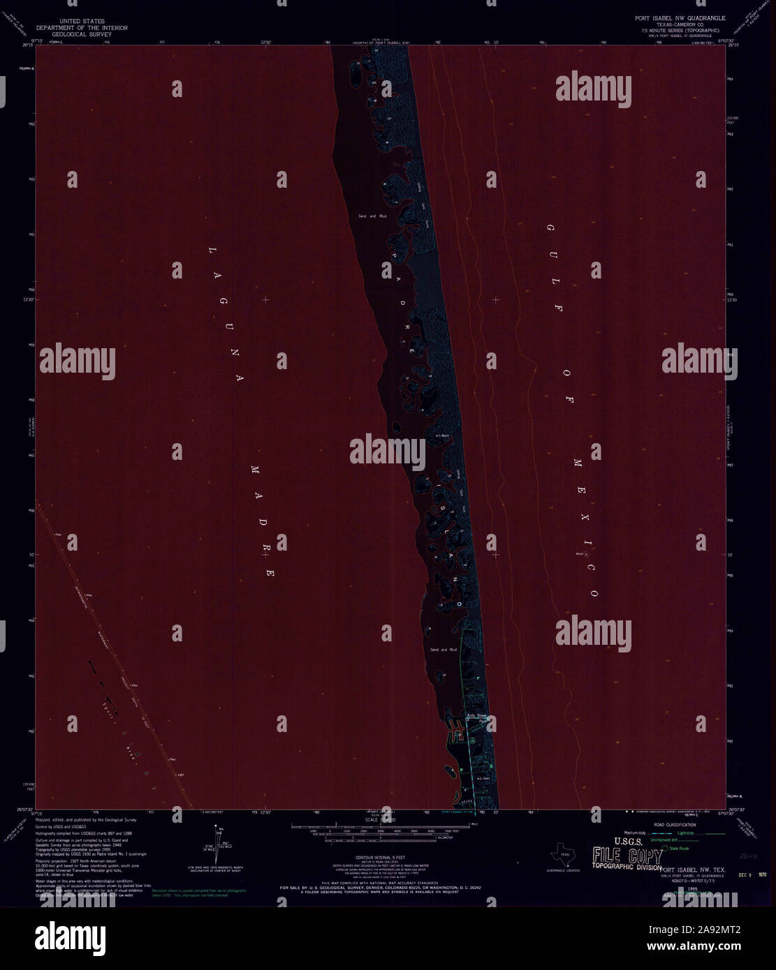 USGS TOPO Map Texas TX Port Isabel NW 116365 1955 24000 Inverted Restoration Stock Photohttps://www.alamy.com/image-license-details/?v=1https://www.alamy.com/usgs-topo-map-texas-tx-port-isabel-nw-116365-1955-24000-inverted-restoration-image332589154.html
RM2A92MT2–USGS TOPO Map Texas TX Port Isabel NW 116365 1955 24000 Inverted Restoration
 USGS TOPO Map Texas TX North of Port Isabel NW 20130201 TM Inverted Restoration Stock Photohttps://www.alamy.com/image-license-details/?v=1https://www.alamy.com/usgs-topo-map-texas-tx-north-of-port-isabel-nw-20130201-tm-inverted-restoration-image332549417.html
RM2A90X4W–USGS TOPO Map Texas TX North of Port Isabel NW 20130201 TM Inverted Restoration
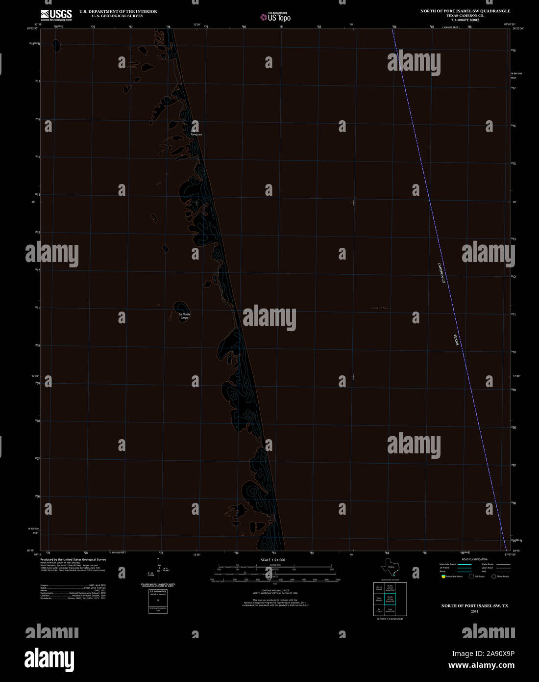 USGS TOPO Map Texas TX North of Port Isabel SW 20130201 TM Inverted Restoration Stock Photohttps://www.alamy.com/image-license-details/?v=1https://www.alamy.com/usgs-topo-map-texas-tx-north-of-port-isabel-sw-20130201-tm-inverted-restoration-image332549554.html
RM2A90X9P–USGS TOPO Map Texas TX North of Port Isabel SW 20130201 TM Inverted Restoration
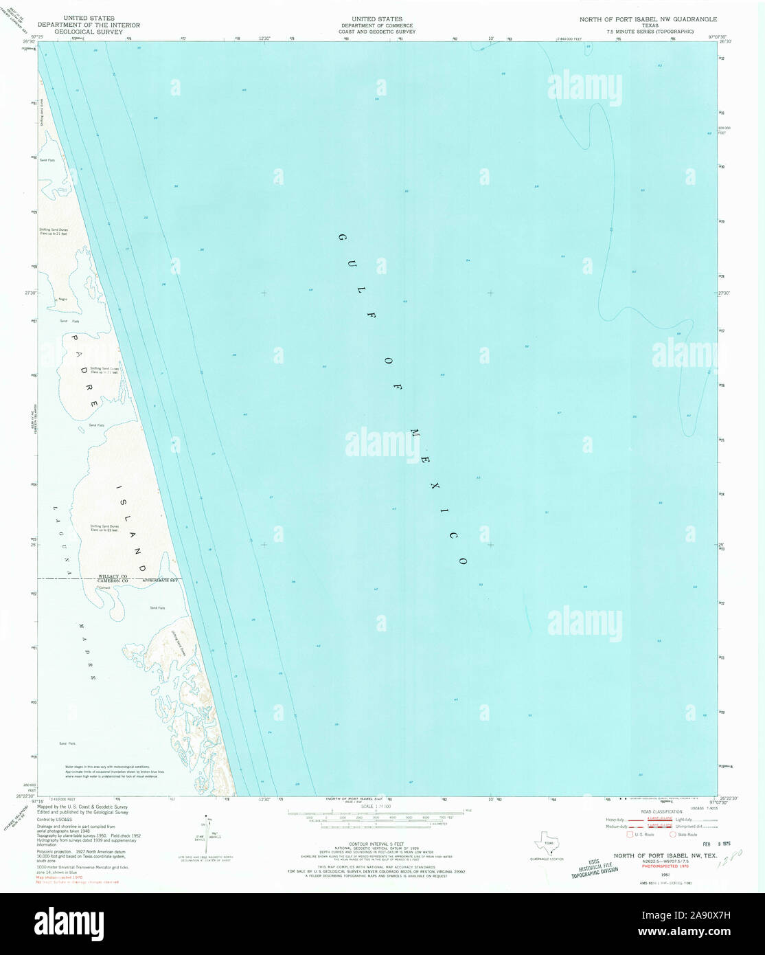 USGS TOPO Map Texas TX North Of Port Isabel NW 114735 1952 24000 Restoration Stock Photohttps://www.alamy.com/image-license-details/?v=1https://www.alamy.com/usgs-topo-map-texas-tx-north-of-port-isabel-nw-114735-1952-24000-restoration-image332549493.html
RM2A90X7H–USGS TOPO Map Texas TX North Of Port Isabel NW 114735 1952 24000 Restoration
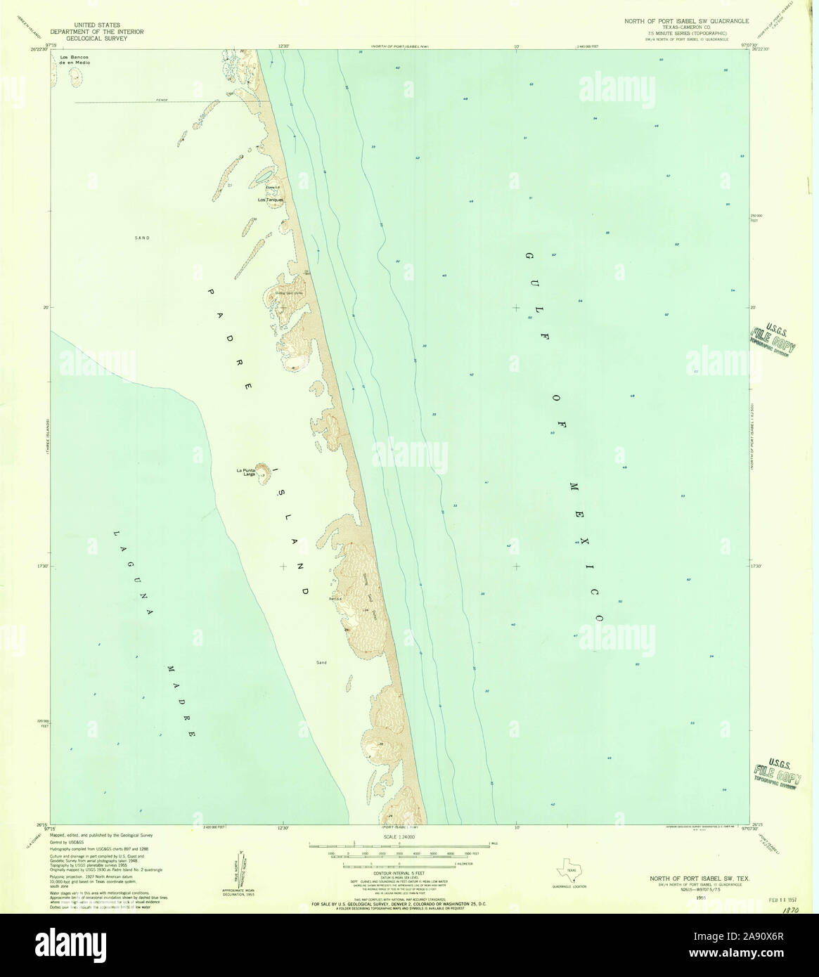 USGS TOPO Map Texas TX North Of Port Isabel SW 114736 1955 24000 Restoration Stock Photohttps://www.alamy.com/image-license-details/?v=1https://www.alamy.com/usgs-topo-map-texas-tx-north-of-port-isabel-sw-114736-1955-24000-restoration-image332549471.html
RM2A90X6R–USGS TOPO Map Texas TX North Of Port Isabel SW 114736 1955 24000 Restoration
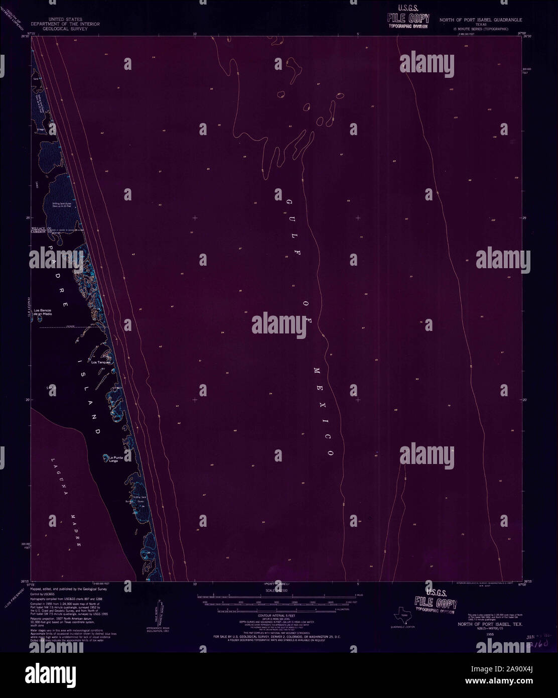 USGS TOPO Map Texas TX North Of Port Isabel 115261 1955 62500 Inverted Restoration Stock Photohttps://www.alamy.com/image-license-details/?v=1https://www.alamy.com/usgs-topo-map-texas-tx-north-of-port-isabel-115261-1955-62500-inverted-restoration-image332549410.html
RM2A90X4J–USGS TOPO Map Texas TX North Of Port Isabel 115261 1955 62500 Inverted Restoration
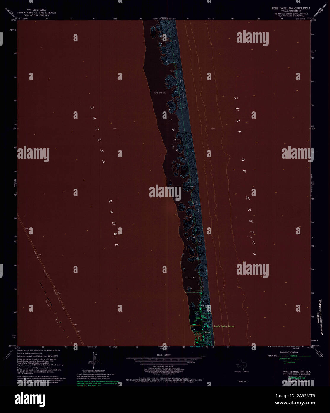 USGS TOPO Map Texas TX Port Isabel NW 116367 1955 24000 Inverted Restoration Stock Photohttps://www.alamy.com/image-license-details/?v=1https://www.alamy.com/usgs-topo-map-texas-tx-port-isabel-nw-116367-1955-24000-inverted-restoration-image332589161.html
RM2A92MT9–USGS TOPO Map Texas TX Port Isabel NW 116367 1955 24000 Inverted Restoration
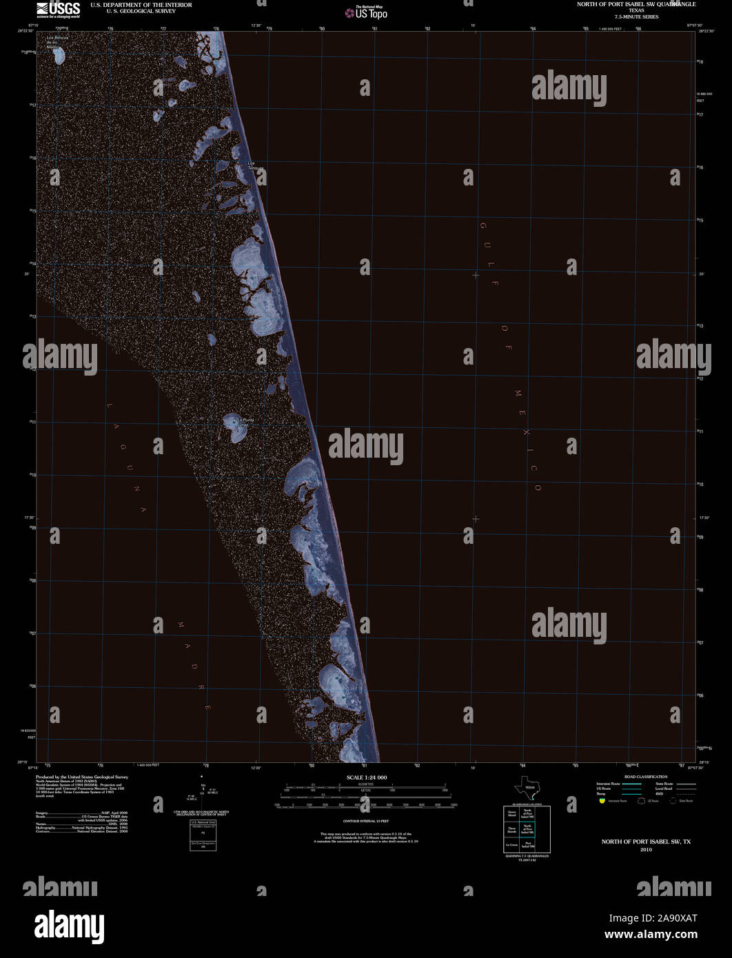 USGS TOPO Map Texas TX North of Port Isabel SW 20100525 TM Inverted Restoration Stock Photohttps://www.alamy.com/image-license-details/?v=1https://www.alamy.com/usgs-topo-map-texas-tx-north-of-port-isabel-sw-20100525-tm-inverted-restoration-image332549584.html
RM2A90XAT–USGS TOPO Map Texas TX North of Port Isabel SW 20100525 TM Inverted Restoration
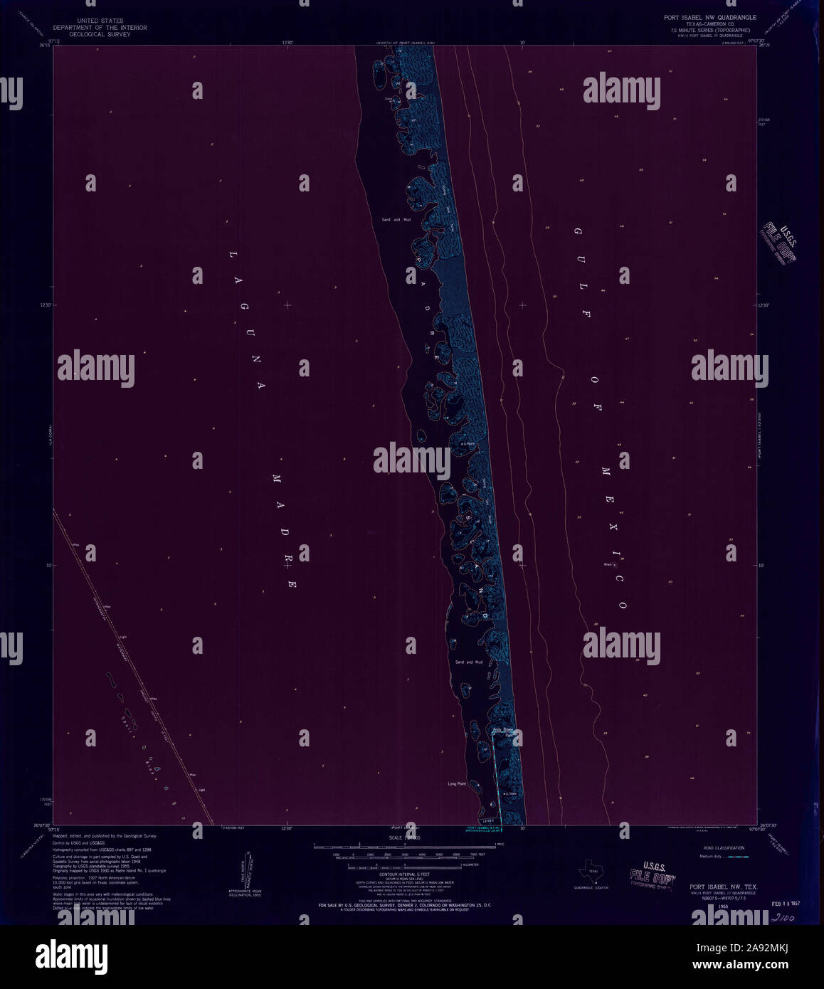 USGS TOPO Map Texas TX Port Isabel NW 116364 1955 24000 Inverted Restoration Stock Photohttps://www.alamy.com/image-license-details/?v=1https://www.alamy.com/usgs-topo-map-texas-tx-port-isabel-nw-116364-1955-24000-inverted-restoration-image332589030.html
RM2A92MKJ–USGS TOPO Map Texas TX Port Isabel NW 116364 1955 24000 Inverted Restoration
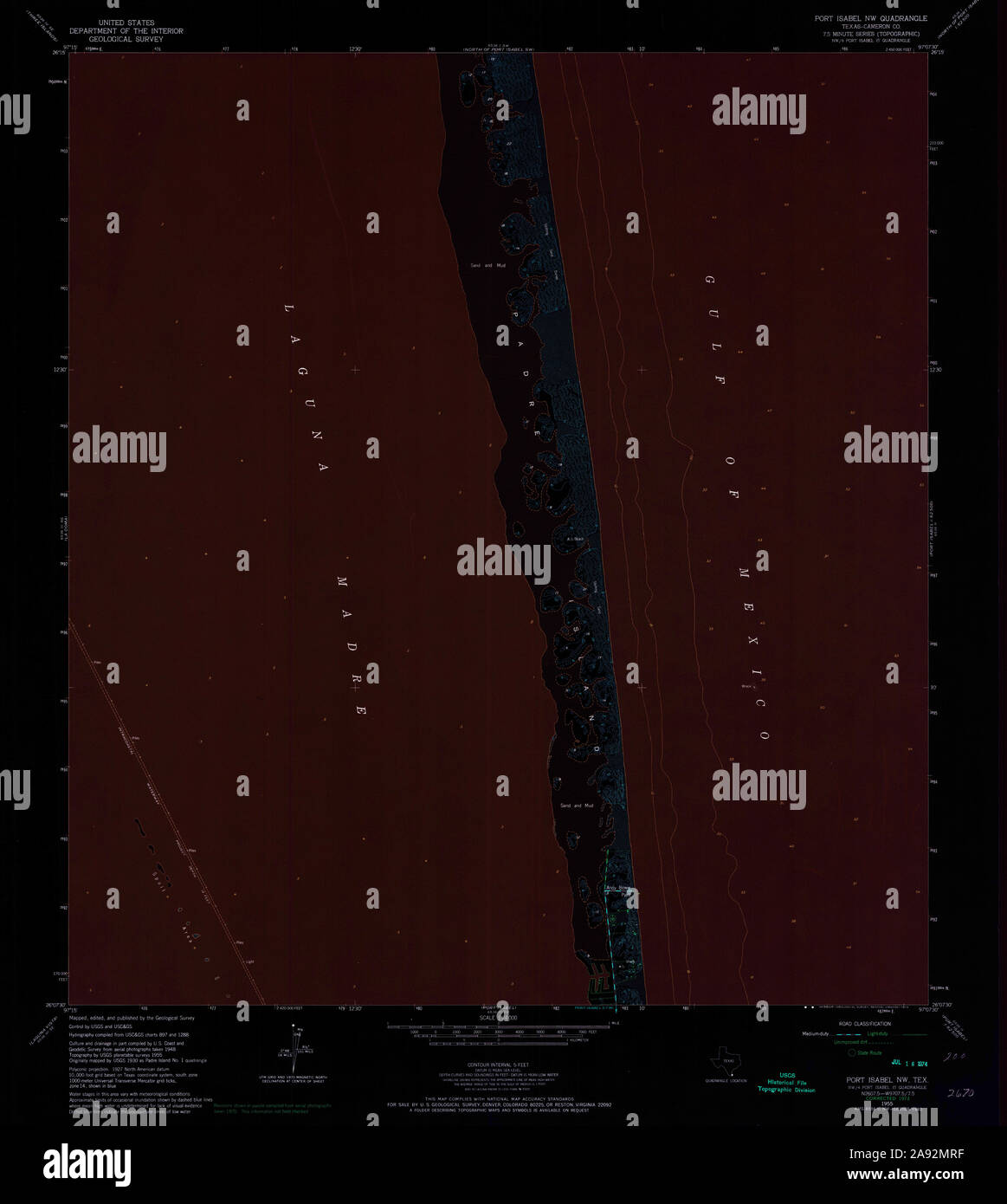 USGS TOPO Map Texas TX Port Isabel NW 116366 1955 24000 Inverted Restoration Stock Photohttps://www.alamy.com/image-license-details/?v=1https://www.alamy.com/usgs-topo-map-texas-tx-port-isabel-nw-116366-1955-24000-inverted-restoration-image332589139.html
RM2A92MRF–USGS TOPO Map Texas TX Port Isabel NW 116366 1955 24000 Inverted Restoration
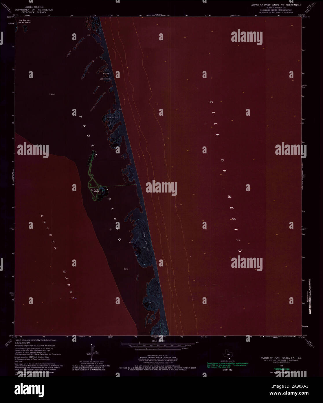 USGS TOPO Map Texas TX North Of Port Isabel SW 114738 1955 24000 Inverted Restoration Stock Photohttps://www.alamy.com/image-license-details/?v=1https://www.alamy.com/usgs-topo-map-texas-tx-north-of-port-isabel-sw-114738-1955-24000-inverted-restoration-image332549563.html
RM2A90XA3–USGS TOPO Map Texas TX North Of Port Isabel SW 114738 1955 24000 Inverted Restoration
 USGS TOPO Map Texas TX North Of Port Isabel NW 114735 1952 24000 Inverted Restoration Stock Photohttps://www.alamy.com/image-license-details/?v=1https://www.alamy.com/usgs-topo-map-texas-tx-north-of-port-isabel-nw-114735-1952-24000-inverted-restoration-image332549518.html
RM2A90X8E–USGS TOPO Map Texas TX North Of Port Isabel NW 114735 1952 24000 Inverted Restoration
 USGS TOPO Map Texas TX North Of Port Isabel SW 114737 1955 24000 Inverted Restoration Stock Photohttps://www.alamy.com/image-license-details/?v=1https://www.alamy.com/usgs-topo-map-texas-tx-north-of-port-isabel-sw-114737-1955-24000-inverted-restoration-image332549564.html
RM2A90XA4–USGS TOPO Map Texas TX North Of Port Isabel SW 114737 1955 24000 Inverted Restoration
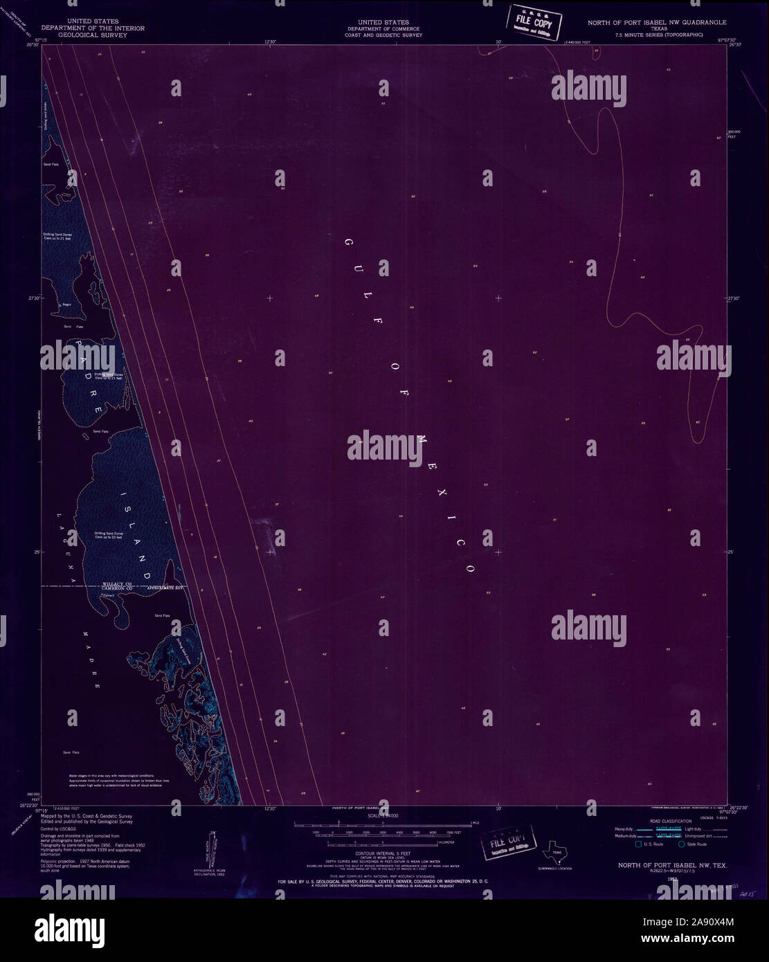 USGS TOPO Map Texas TX North Of Port Isabel NW 114734 1952 24000 Inverted Restoration Stock Photohttps://www.alamy.com/image-license-details/?v=1https://www.alamy.com/usgs-topo-map-texas-tx-north-of-port-isabel-nw-114734-1952-24000-inverted-restoration-image332549412.html
RM2A90X4M–USGS TOPO Map Texas TX North Of Port Isabel NW 114734 1952 24000 Inverted Restoration
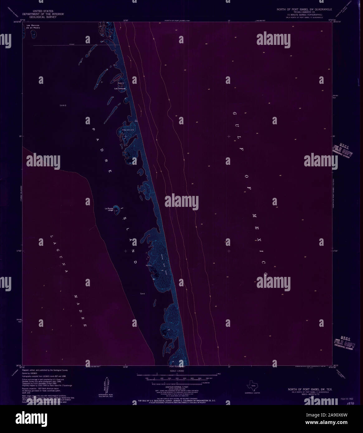 USGS TOPO Map Texas TX North Of Port Isabel SW 114736 1955 24000 Inverted Restoration Stock Photohttps://www.alamy.com/image-license-details/?v=1https://www.alamy.com/usgs-topo-map-texas-tx-north-of-port-isabel-sw-114736-1955-24000-inverted-restoration-image332549473.html
RM2A90X6W–USGS TOPO Map Texas TX North Of Port Isabel SW 114736 1955 24000 Inverted Restoration