Quick filters:
Port lavaca texas map Stock Photos and Images
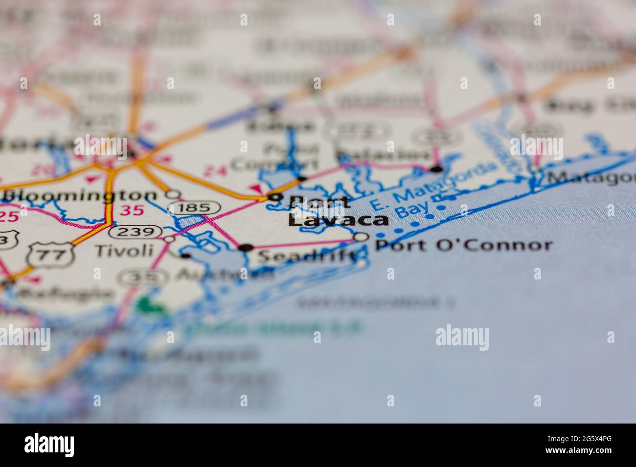 Port Lavaca Texas USA shown on a Geography map or Road map Stock Photohttps://www.alamy.com/image-license-details/?v=1https://www.alamy.com/port-lavaca-texas-usa-shown-on-a-geography-map-or-road-map-image433907000.html
RM2G5X4PG–Port Lavaca Texas USA shown on a Geography map or Road map
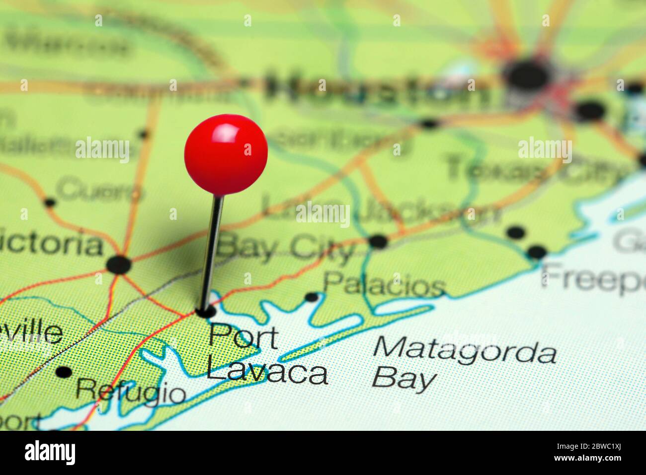 Port Lavaca pinned on a map of Texas, USA Stock Photohttps://www.alamy.com/image-license-details/?v=1https://www.alamy.com/port-lavaca-pinned-on-a-map-of-texas-usa-image359838714.html
RF2BWC1XJ–Port Lavaca pinned on a map of Texas, USA
 Port Lavaca, Calhoun County, US, United States, Texas, N 28 36' 53'', S 96 37' 33'', map, Cartascapes Map published in 2024. Explore Cartascapes, a map revealing Earth's diverse landscapes, cultures, and ecosystems. Journey through time and space, discovering the interconnectedness of our planet's past, present, and future. Stock Photohttps://www.alamy.com/image-license-details/?v=1https://www.alamy.com/port-lavaca-calhoun-county-us-united-states-texas-n-28-36-53-s-96-37-33-map-cartascapes-map-published-in-2024-explore-cartascapes-a-map-revealing-earths-diverse-landscapes-cultures-and-ecosystems-journey-through-time-and-space-discovering-the-interconnectedness-of-our-planets-past-present-and-future-image621379661.html
RM2Y2X82N–Port Lavaca, Calhoun County, US, United States, Texas, N 28 36' 53'', S 96 37' 33'', map, Cartascapes Map published in 2024. Explore Cartascapes, a map revealing Earth's diverse landscapes, cultures, and ecosystems. Journey through time and space, discovering the interconnectedness of our planet's past, present, and future.
RMMMNW6B–. English: This is an uncommon 1857 U.S. Coast Survey Chart or Map of Matagorda Bay and Lavaca Bay in Texas. Essentially three maps in one. The primary map, occupying the left portion of the sheet, details the Entrance to Matagorda Bay Offers excellent detail of Matagorda Island and Matagorda Peninsula, noting the Decros Point Beacon. Another map, it the upper right quadrants shows Lavaca Bay with wonderful detail of Lavaca City or as it is known today Lavaca Port. Lower central map shows both Matagorda and Lavaca bays in relation to one another. Countless depth soundings throughout. Notes on
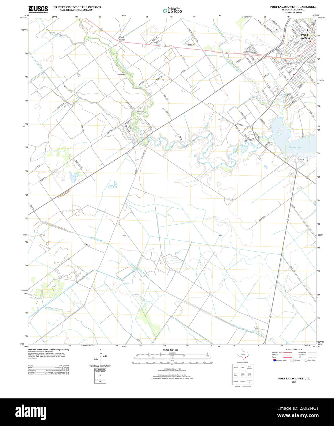 USGS TOPO Map Texas TX Port Lavaca West 20130115 TM Restoration Stock Photohttps://www.alamy.com/image-license-details/?v=1https://www.alamy.com/usgs-topo-map-texas-tx-port-lavaca-west-20130115-tm-restoration-image332589736.html
RM2A92NGT–USGS TOPO Map Texas TX Port Lavaca West 20130115 TM Restoration
 Calhoun County, Texas (Counties in Texas, United States of America,USA, U.S., US) map vector illustration, scribble sketch Calhoun map Stock Vectorhttps://www.alamy.com/image-license-details/?v=1https://www.alamy.com/calhoun-county-texas-counties-in-texas-united-states-of-americausa-us-us-map-vector-illustration-scribble-sketch-calhoun-map-image246471237.html
RFT8YMG5–Calhoun County, Texas (Counties in Texas, United States of America,USA, U.S., US) map vector illustration, scribble sketch Calhoun map
 Port Lavaca, Calhoun County, US, United States, Texas, N 28 36' 53'', S 96 37' 33'', map, Cartascapes Map published in 2024. Explore Cartascapes, a map revealing Earth's diverse landscapes, cultures, and ecosystems. Journey through time and space, discovering the interconnectedness of our planet's past, present, and future. Stock Photohttps://www.alamy.com/image-license-details/?v=1https://www.alamy.com/port-lavaca-calhoun-county-us-united-states-texas-n-28-36-53-s-96-37-33-map-cartascapes-map-published-in-2024-explore-cartascapes-a-map-revealing-earths-diverse-landscapes-cultures-and-ecosystems-journey-through-time-and-space-discovering-the-interconnectedness-of-our-planets-past-present-and-future-image621239090.html
RM2Y2KTPA–Port Lavaca, Calhoun County, US, United States, Texas, N 28 36' 53'', S 96 37' 33'', map, Cartascapes Map published in 2024. Explore Cartascapes, a map revealing Earth's diverse landscapes, cultures, and ecosystems. Journey through time and space, discovering the interconnectedness of our planet's past, present, and future.
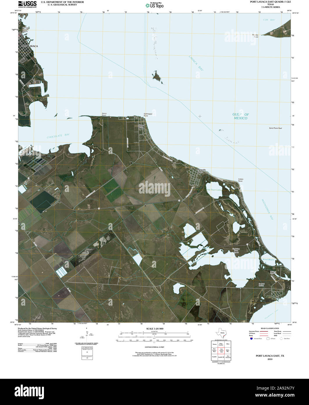 USGS TOPO Map Texas TX Port Lavaca East 20100524 TM Restoration Stock Photohttps://www.alamy.com/image-license-details/?v=1https://www.alamy.com/usgs-topo-map-texas-tx-port-lavaca-east-20100524-tm-restoration-image332589487.html
RM2A92N7Y–USGS TOPO Map Texas TX Port Lavaca East 20100524 TM Restoration
 Calhoun County, Texas (Counties in Texas, United States of America,USA, U.S., US) map vector illustration, scribble sketch Calhoun map Stock Vectorhttps://www.alamy.com/image-license-details/?v=1https://www.alamy.com/calhoun-county-texas-counties-in-texas-united-states-of-americausa-us-us-map-vector-illustration-scribble-sketch-calhoun-map-image245599050.html
RFT7G02J–Calhoun County, Texas (Counties in Texas, United States of America,USA, U.S., US) map vector illustration, scribble sketch Calhoun map
 City of Port Lavaca, Calhoun County, US, United States, Texas, N 28 37' 5'', S 96 37' 40'', map, Cartascapes Map published in 2024. Explore Cartascapes, a map revealing Earth's diverse landscapes, cultures, and ecosystems. Journey through time and space, discovering the interconnectedness of our planet's past, present, and future. Stock Photohttps://www.alamy.com/image-license-details/?v=1https://www.alamy.com/city-of-port-lavaca-calhoun-county-us-united-states-texas-n-28-37-5-s-96-37-40-map-cartascapes-map-published-in-2024-explore-cartascapes-a-map-revealing-earths-diverse-landscapes-cultures-and-ecosystems-journey-through-time-and-space-discovering-the-interconnectedness-of-our-planets-past-present-and-future-image633805211.html
RM2YR490B–City of Port Lavaca, Calhoun County, US, United States, Texas, N 28 37' 5'', S 96 37' 40'', map, Cartascapes Map published in 2024. Explore Cartascapes, a map revealing Earth's diverse landscapes, cultures, and ecosystems. Journey through time and space, discovering the interconnectedness of our planet's past, present, and future.
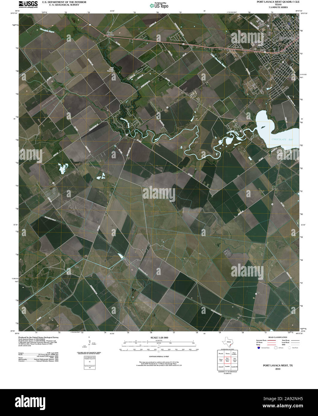 USGS TOPO Map Texas TX Port Lavaca West 20100524 TM Restoration Stock Photohttps://www.alamy.com/image-license-details/?v=1https://www.alamy.com/usgs-topo-map-texas-tx-port-lavaca-west-20100524-tm-restoration-image332589745.html
RM2A92NH5–USGS TOPO Map Texas TX Port Lavaca West 20100524 TM Restoration
 Calhoun County, Texas (Counties in Texas, United States of America,USA, U.S., US) map vector illustration, scribble sketch Calhoun map Stock Vectorhttps://www.alamy.com/image-license-details/?v=1https://www.alamy.com/calhoun-county-texas-counties-in-texas-united-states-of-americausa-us-us-map-vector-illustration-scribble-sketch-calhoun-map-image262420255.html
RFW6X7KY–Calhoun County, Texas (Counties in Texas, United States of America,USA, U.S., US) map vector illustration, scribble sketch Calhoun map
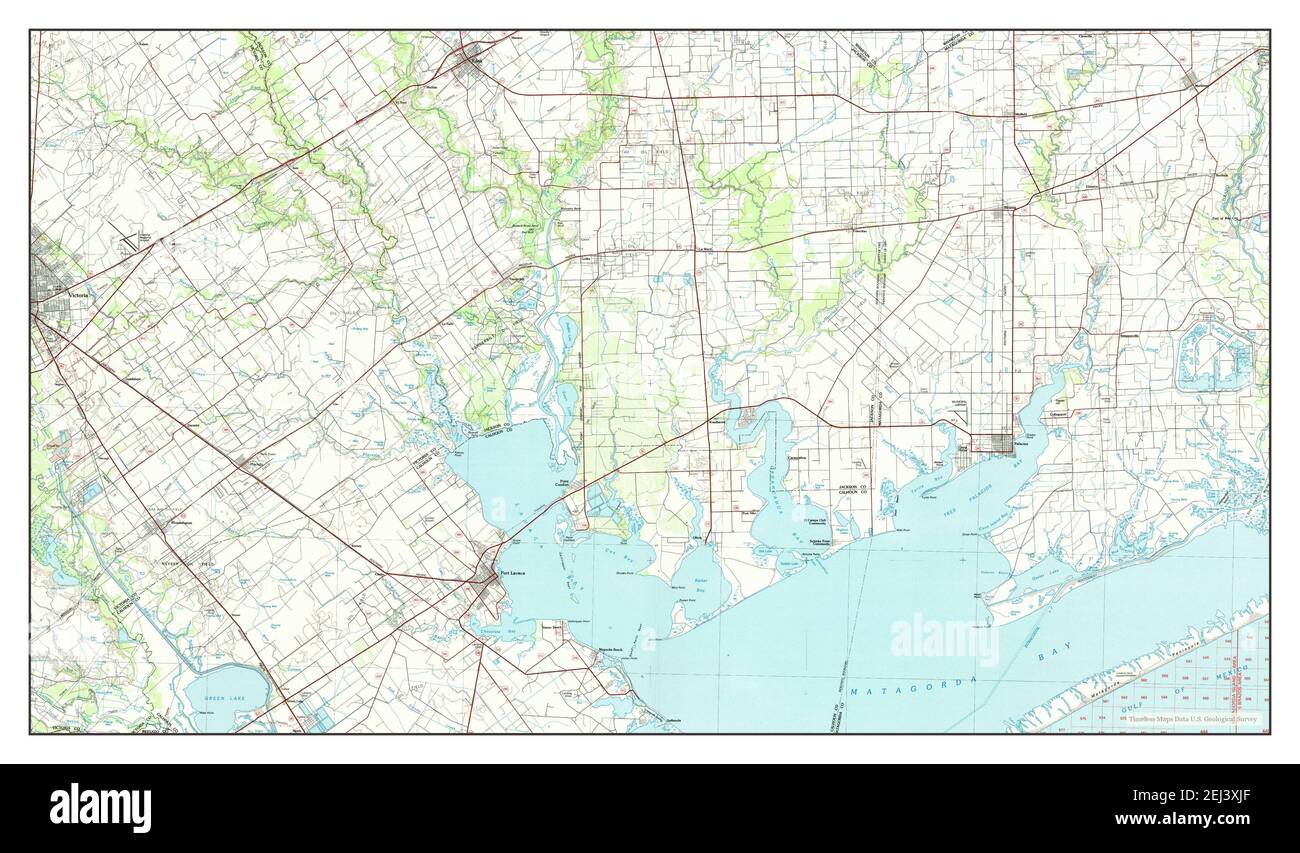 Port Lavaca, Texas, map 1984, 1:100000, United States of America by Timeless Maps, data U.S. Geological Survey Stock Photohttps://www.alamy.com/image-license-details/?v=1https://www.alamy.com/port-lavaca-texas-map-1984-1100000-united-states-of-america-by-timeless-maps-data-us-geological-survey-image406989031.html
RM2EJ3XJF–Port Lavaca, Texas, map 1984, 1:100000, United States of America by Timeless Maps, data U.S. Geological Survey
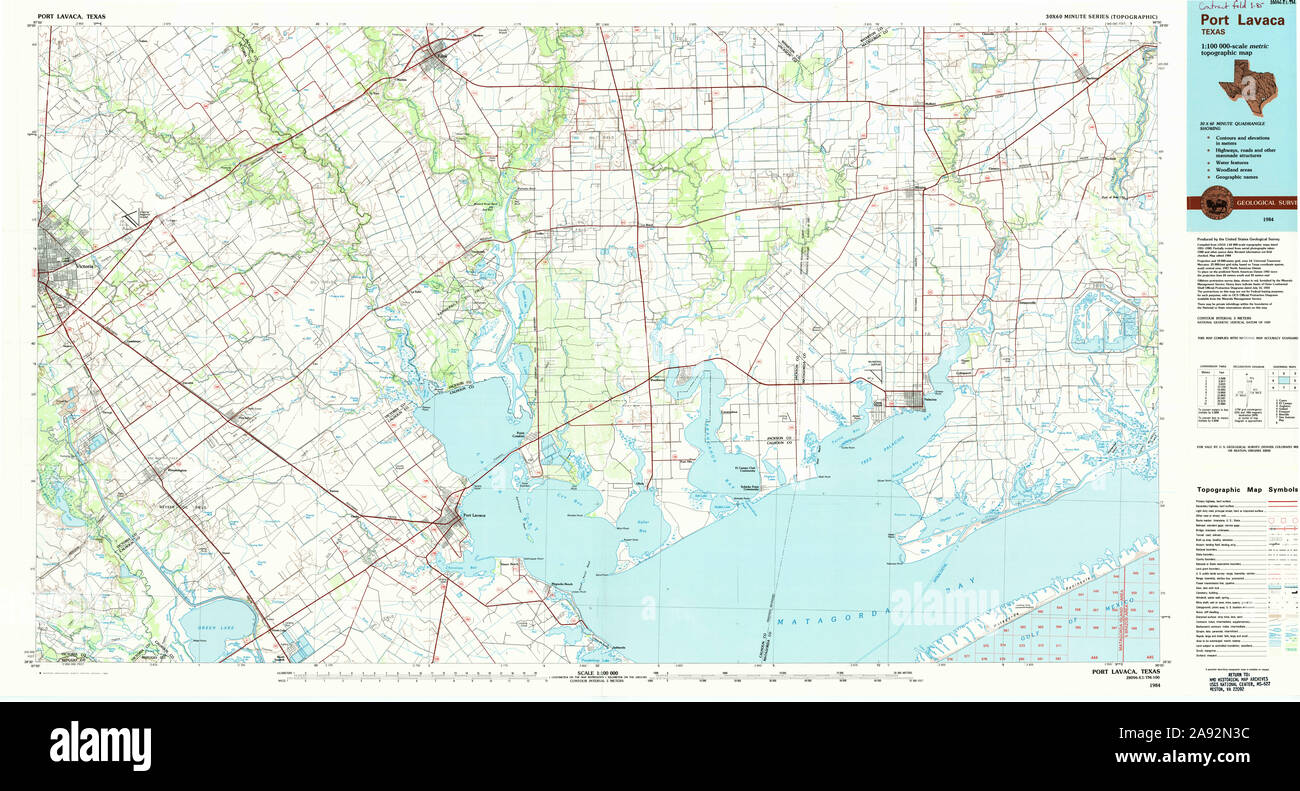 USGS TOPO Map Texas TX Port Lavaca 116383 1984 100000 Restoration Stock Photohttps://www.alamy.com/image-license-details/?v=1https://www.alamy.com/usgs-topo-map-texas-tx-port-lavaca-116383-1984-100000-restoration-image332589360.html
RM2A92N3C–USGS TOPO Map Texas TX Port Lavaca 116383 1984 100000 Restoration
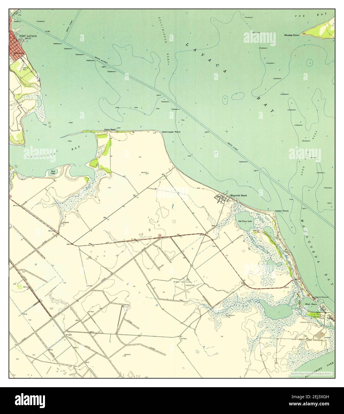 Port Lavaca East, Texas, map 1952, 1:24000, United States of America by Timeless Maps, data U.S. Geological Survey Stock Photohttps://www.alamy.com/image-license-details/?v=1https://www.alamy.com/port-lavaca-east-texas-map-1952-124000-united-states-of-america-by-timeless-maps-data-us-geological-survey-image406988977.html
RM2EJ3XGH–Port Lavaca East, Texas, map 1952, 1:24000, United States of America by Timeless Maps, data U.S. Geological Survey
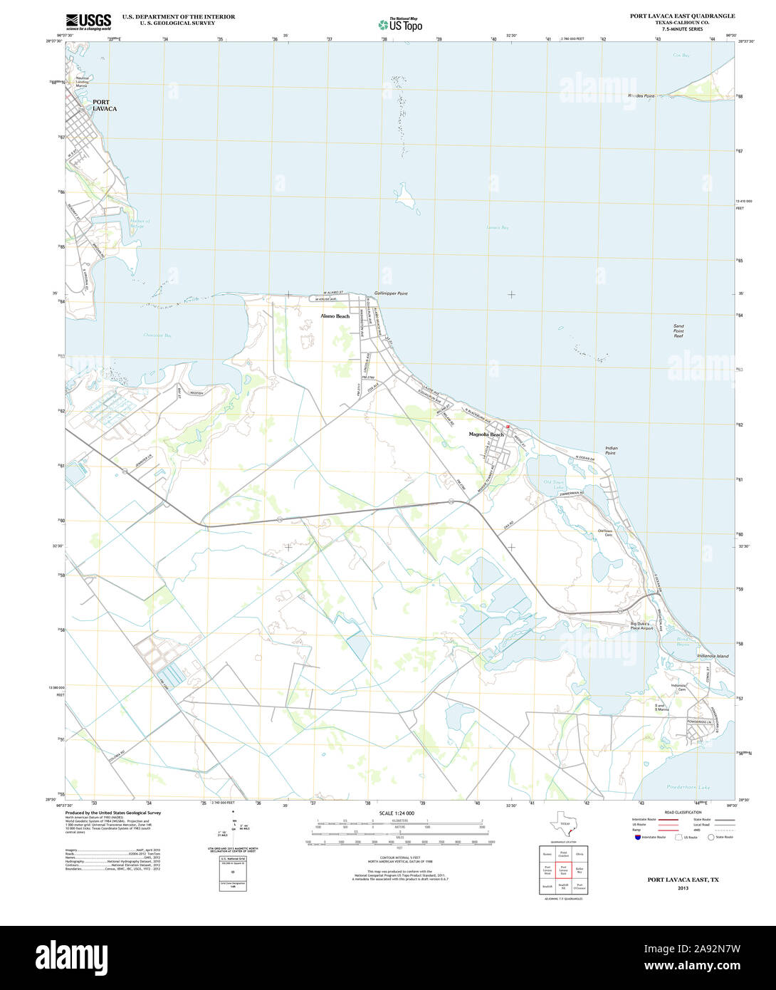 USGS TOPO Map Texas TX Port Lavaca East 20130115 TM Restoration Stock Photohttps://www.alamy.com/image-license-details/?v=1https://www.alamy.com/usgs-topo-map-texas-tx-port-lavaca-east-20130115-tm-restoration-image332589485.html
RM2A92N7W–USGS TOPO Map Texas TX Port Lavaca East 20130115 TM Restoration
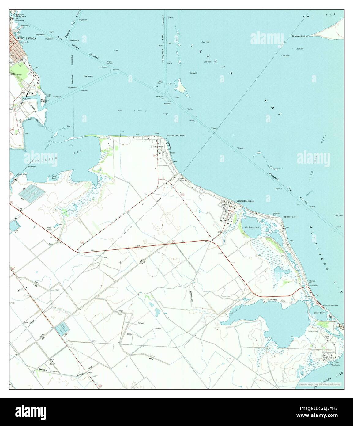 Port Lavaca East, Texas, map 1995, 1:24000, United States of America by Timeless Maps, data U.S. Geological Survey Stock Photohttps://www.alamy.com/image-license-details/?v=1https://www.alamy.com/port-lavaca-east-texas-map-1995-124000-united-states-of-america-by-timeless-maps-data-us-geological-survey-image406988991.html
RM2EJ3XH3–Port Lavaca East, Texas, map 1995, 1:24000, United States of America by Timeless Maps, data U.S. Geological Survey
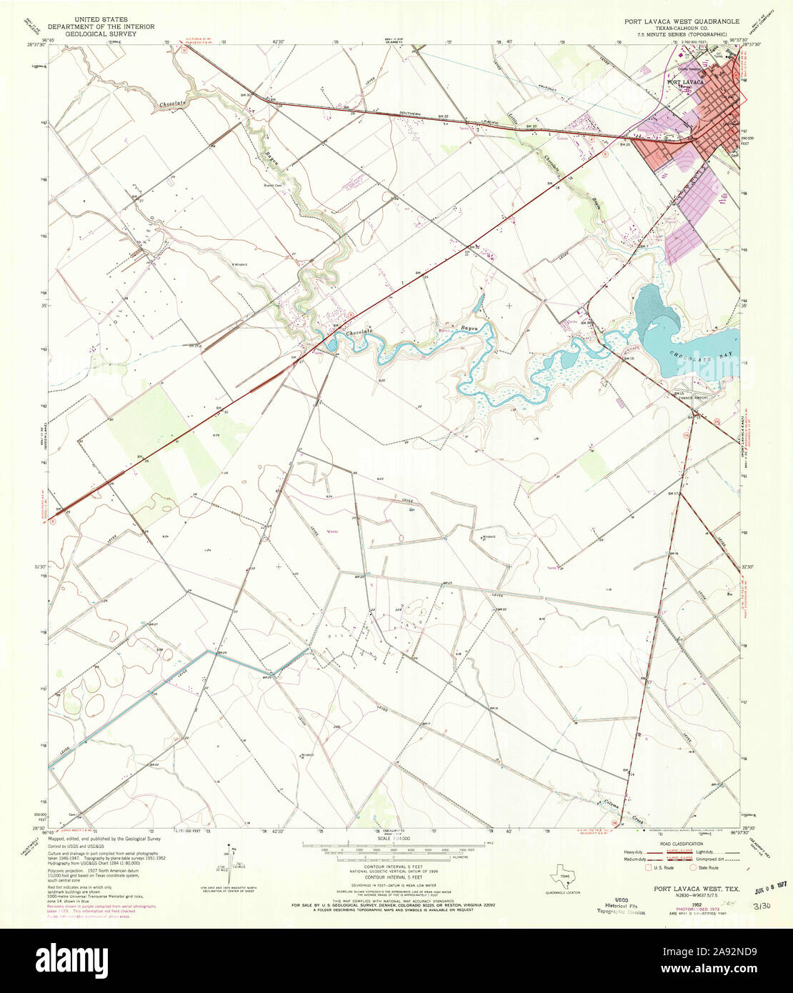 USGS TOPO Map Texas TX Port Lavaca West 116382 1952 24000 Restoration Stock Photohttps://www.alamy.com/image-license-details/?v=1https://www.alamy.com/usgs-topo-map-texas-tx-port-lavaca-west-116382-1952-24000-restoration-image332589637.html
RM2A92ND9–USGS TOPO Map Texas TX Port Lavaca West 116382 1952 24000 Restoration
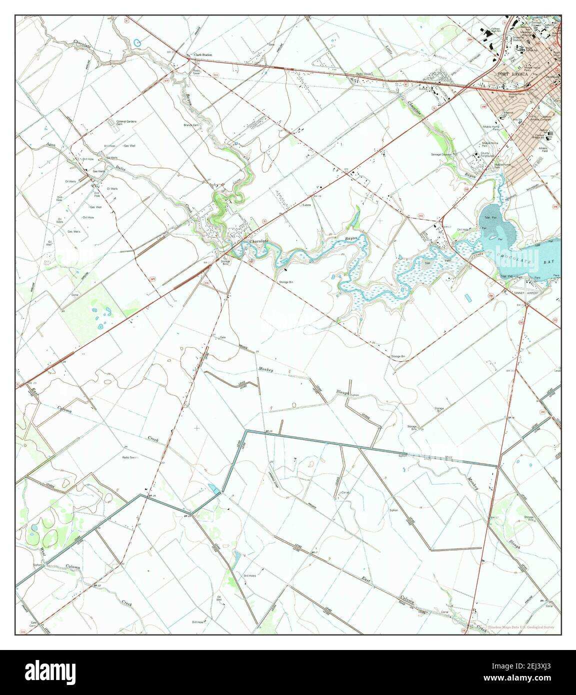 Port Lavaca West, Texas, map 1995, 1:24000, United States of America by Timeless Maps, data U.S. Geological Survey Stock Photohttps://www.alamy.com/image-license-details/?v=1https://www.alamy.com/port-lavaca-west-texas-map-1995-124000-united-states-of-america-by-timeless-maps-data-us-geological-survey-image406989019.html
RM2EJ3XJ3–Port Lavaca West, Texas, map 1995, 1:24000, United States of America by Timeless Maps, data U.S. Geological Survey
 USGS TOPO Map Texas TX Port Lavaca East 116378 1952 24000 Restoration Stock Photohttps://www.alamy.com/image-license-details/?v=1https://www.alamy.com/usgs-topo-map-texas-tx-port-lavaca-east-116378-1952-24000-restoration-image332589362.html
RM2A92N3E–USGS TOPO Map Texas TX Port Lavaca East 116378 1952 24000 Restoration
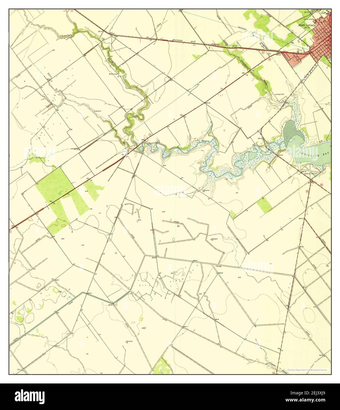 Port Lavaca West, Texas, map 1952, 1:24000, United States of America by Timeless Maps, data U.S. Geological Survey Stock Photohttps://www.alamy.com/image-license-details/?v=1https://www.alamy.com/port-lavaca-west-texas-map-1952-124000-united-states-of-america-by-timeless-maps-data-us-geological-survey-image406989025.html
RM2EJ3XJ9–Port Lavaca West, Texas, map 1952, 1:24000, United States of America by Timeless Maps, data U.S. Geological Survey
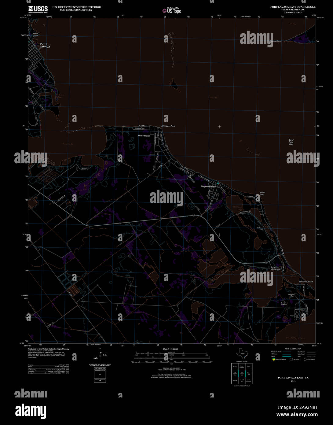 USGS TOPO Map Texas TX Port Lavaca East 20130115 TM Inverted Restoration Stock Photohttps://www.alamy.com/image-license-details/?v=1https://www.alamy.com/usgs-topo-map-texas-tx-port-lavaca-east-20130115-tm-inverted-restoration-image332589512.html
RM2A92N8T–USGS TOPO Map Texas TX Port Lavaca East 20130115 TM Inverted Restoration
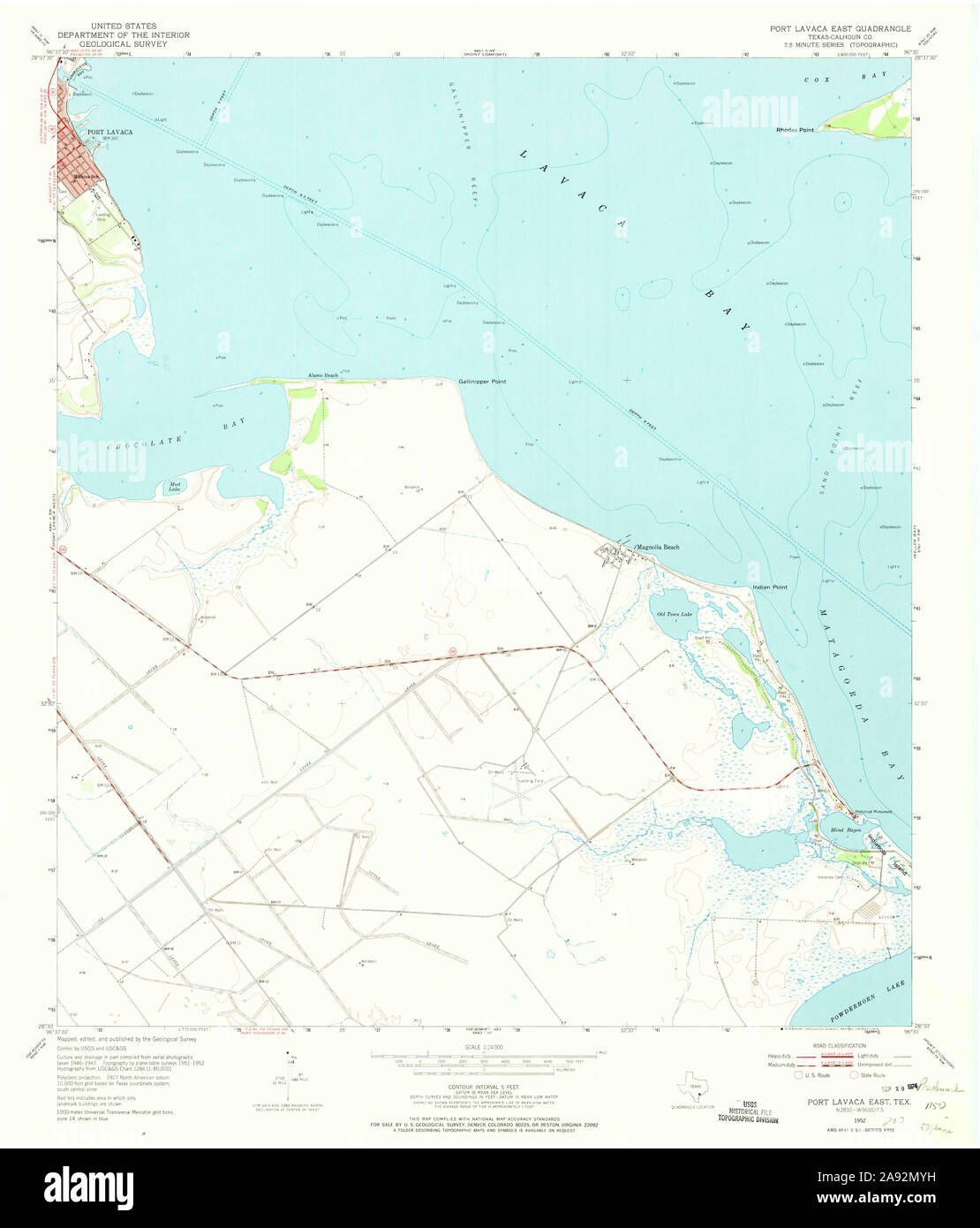 USGS TOPO Map Texas TX Port Lavaca East 116377 1952 24000 Restoration Stock Photohttps://www.alamy.com/image-license-details/?v=1https://www.alamy.com/usgs-topo-map-texas-tx-port-lavaca-east-116377-1952-24000-restoration-image332589253.html
RM2A92MYH–USGS TOPO Map Texas TX Port Lavaca East 116377 1952 24000 Restoration
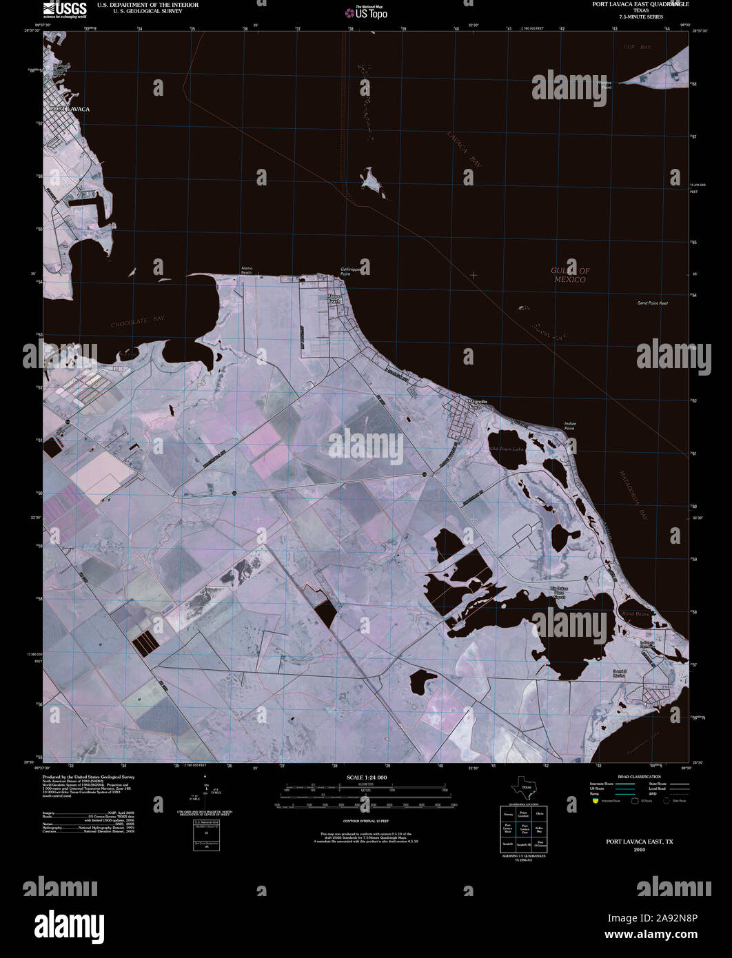 USGS TOPO Map Texas TX Port Lavaca East 20100524 TM Inverted Restoration Stock Photohttps://www.alamy.com/image-license-details/?v=1https://www.alamy.com/usgs-topo-map-texas-tx-port-lavaca-east-20100524-tm-inverted-restoration-image332589510.html
RM2A92N8P–USGS TOPO Map Texas TX Port Lavaca East 20100524 TM Inverted Restoration
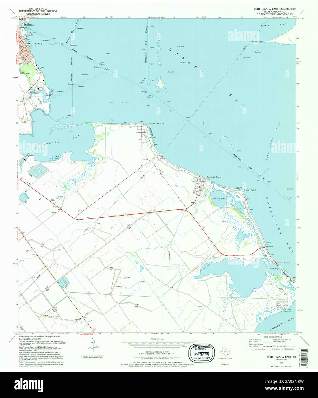 USGS TOPO Map Texas TX Port Lavaca East 117531 1995 24000 Restoration Stock Photohttps://www.alamy.com/image-license-details/?v=1https://www.alamy.com/usgs-topo-map-texas-tx-port-lavaca-east-117531-1995-24000-restoration-image332589513.html
RM2A92N8W–USGS TOPO Map Texas TX Port Lavaca East 117531 1995 24000 Restoration
 USGS TOPO Map Texas TX Port Lavaca East 116379 1952 24000 Restoration Stock Photohttps://www.alamy.com/image-license-details/?v=1https://www.alamy.com/usgs-topo-map-texas-tx-port-lavaca-east-116379-1952-24000-restoration-image332589491.html
RM2A92N83–USGS TOPO Map Texas TX Port Lavaca East 116379 1952 24000 Restoration
 USGS TOPO Map Texas TX Port Lavaca 116383 1984 100000 Inverted Restoration Stock Photohttps://www.alamy.com/image-license-details/?v=1https://www.alamy.com/usgs-topo-map-texas-tx-port-lavaca-116383-1984-100000-inverted-restoration-image332589357.html
RM2A92N39–USGS TOPO Map Texas TX Port Lavaca 116383 1984 100000 Inverted Restoration
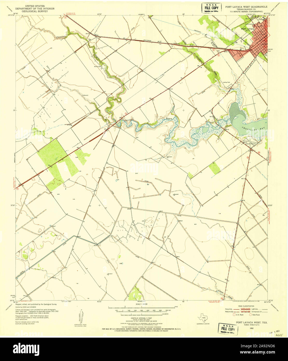 USGS TOPO Map Texas TX Port Lavaca West 116381 1952 24000 Restoration Stock Photohttps://www.alamy.com/image-license-details/?v=1https://www.alamy.com/usgs-topo-map-texas-tx-port-lavaca-west-116381-1952-24000-restoration-image332589634.html
RM2A92ND6–USGS TOPO Map Texas TX Port Lavaca West 116381 1952 24000 Restoration
 USGS TOPO Map Texas TX Port Lavaca West 20130115 TM Inverted Restoration Stock Photohttps://www.alamy.com/image-license-details/?v=1https://www.alamy.com/usgs-topo-map-texas-tx-port-lavaca-west-20130115-tm-inverted-restoration-image332589742.html
RM2A92NH2–USGS TOPO Map Texas TX Port Lavaca West 20130115 TM Inverted Restoration
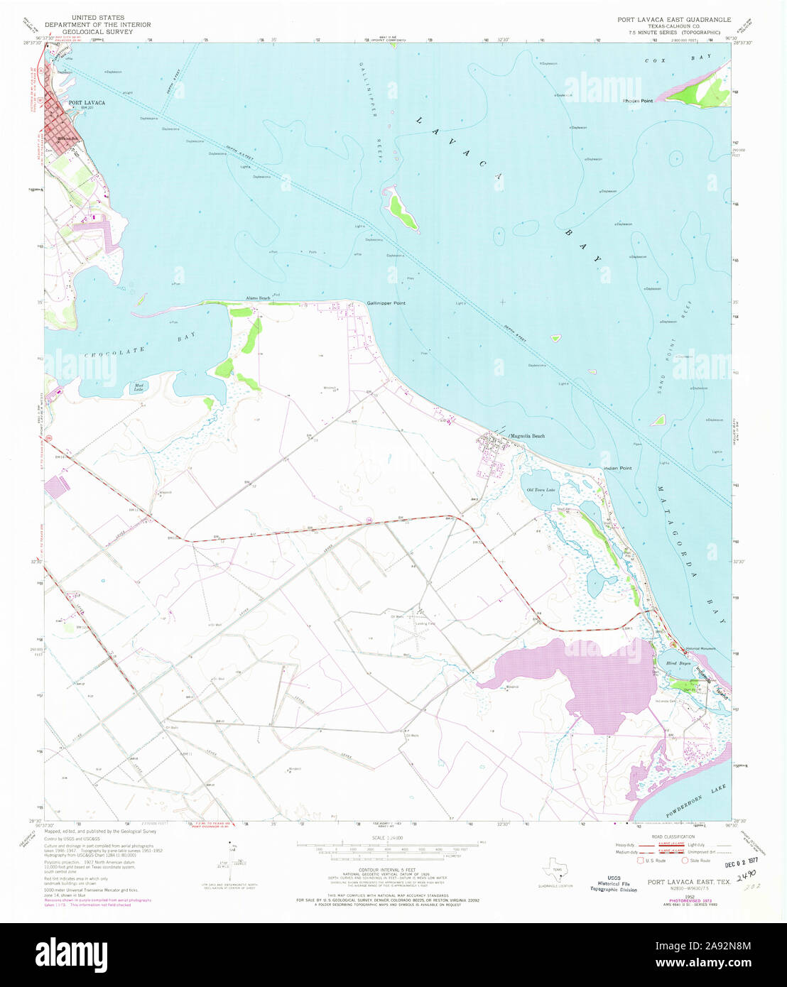 USGS TOPO Map Texas TX Port Lavaca East 116380 1952 24000 Restoration Stock Photohttps://www.alamy.com/image-license-details/?v=1https://www.alamy.com/usgs-topo-map-texas-tx-port-lavaca-east-116380-1952-24000-restoration-image332589508.html
RM2A92N8M–USGS TOPO Map Texas TX Port Lavaca East 116380 1952 24000 Restoration
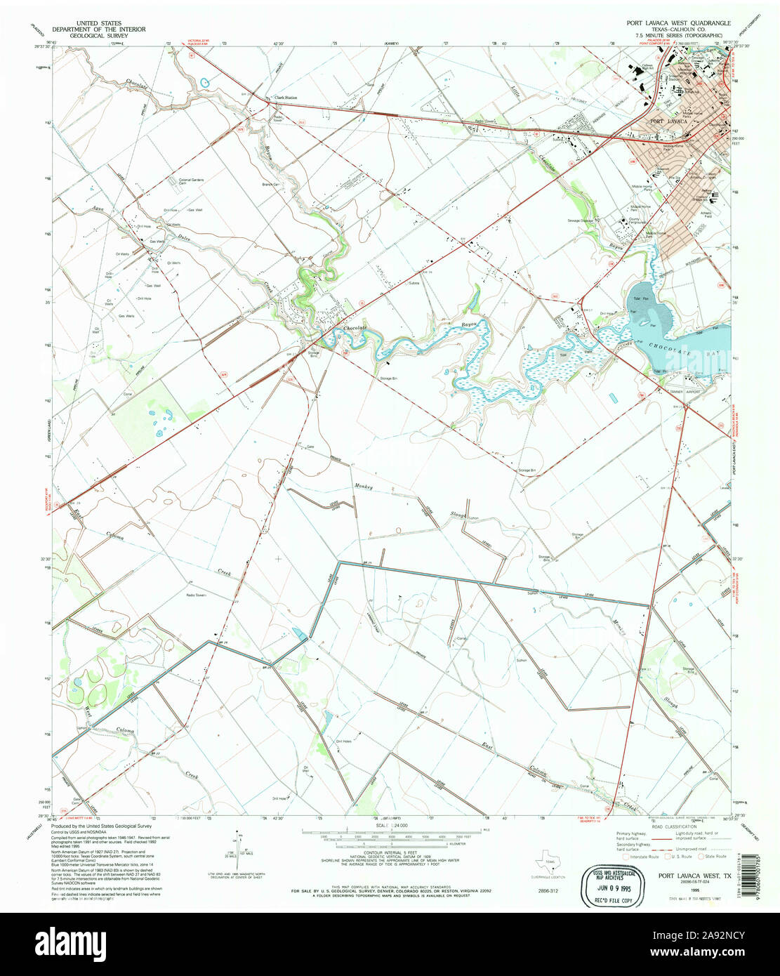 USGS TOPO Map Texas TX Port Lavaca West 117532 1995 24000 Restoration Stock Photohttps://www.alamy.com/image-license-details/?v=1https://www.alamy.com/usgs-topo-map-texas-tx-port-lavaca-west-117532-1995-24000-restoration-image332589627.html
RM2A92NCY–USGS TOPO Map Texas TX Port Lavaca West 117532 1995 24000 Restoration
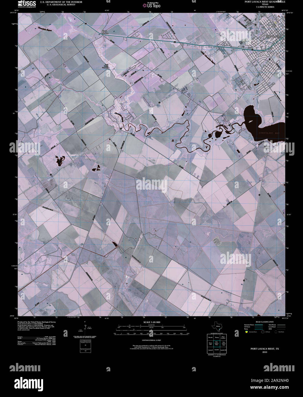 USGS TOPO Map Texas TX Port Lavaca West 20100524 TM Inverted Restoration Stock Photohttps://www.alamy.com/image-license-details/?v=1https://www.alamy.com/usgs-topo-map-texas-tx-port-lavaca-west-20100524-tm-inverted-restoration-image332589740.html
RM2A92NH0–USGS TOPO Map Texas TX Port Lavaca West 20100524 TM Inverted Restoration
 USGS TOPO Map Texas TX Port Lavaca East 116377 1952 24000 Inverted Restoration Stock Photohttps://www.alamy.com/image-license-details/?v=1https://www.alamy.com/usgs-topo-map-texas-tx-port-lavaca-east-116377-1952-24000-inverted-restoration-image332589244.html
RM2A92MY8–USGS TOPO Map Texas TX Port Lavaca East 116377 1952 24000 Inverted Restoration
 USGS TOPO Map Texas TX Port Lavaca West 117532 1995 24000 Inverted Restoration Stock Photohttps://www.alamy.com/image-license-details/?v=1https://www.alamy.com/usgs-topo-map-texas-tx-port-lavaca-west-117532-1995-24000-inverted-restoration-image332589633.html
RM2A92ND5–USGS TOPO Map Texas TX Port Lavaca West 117532 1995 24000 Inverted Restoration
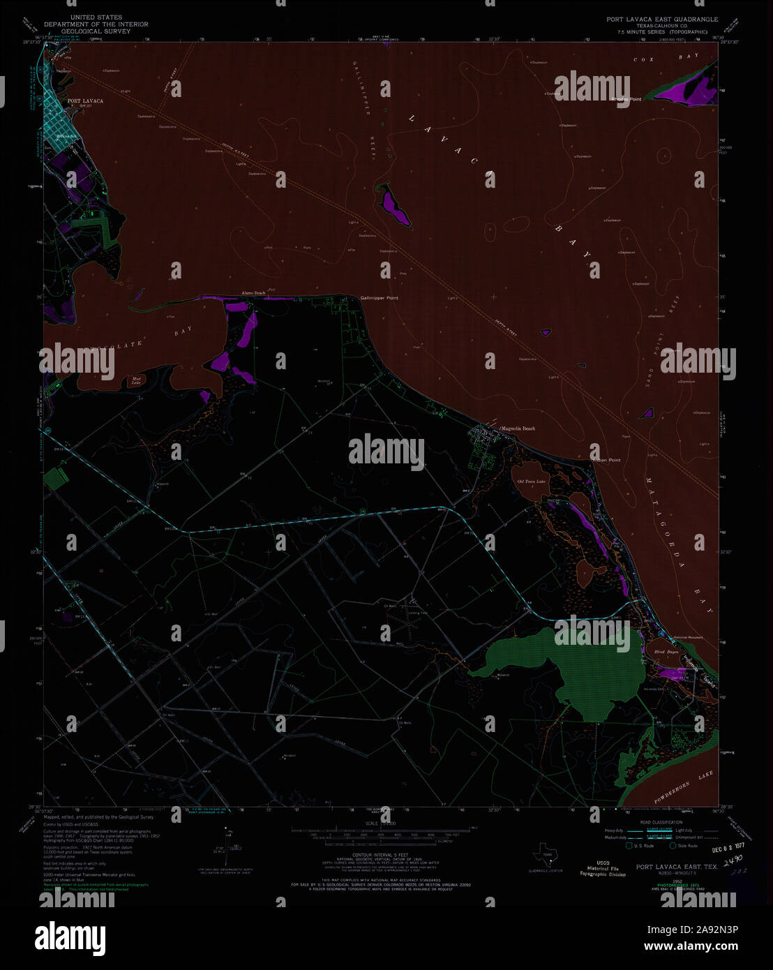 USGS TOPO Map Texas TX Port Lavaca East 116380 1952 24000 Inverted Restoration Stock Photohttps://www.alamy.com/image-license-details/?v=1https://www.alamy.com/usgs-topo-map-texas-tx-port-lavaca-east-116380-1952-24000-inverted-restoration-image332589370.html
RM2A92N3P–USGS TOPO Map Texas TX Port Lavaca East 116380 1952 24000 Inverted Restoration
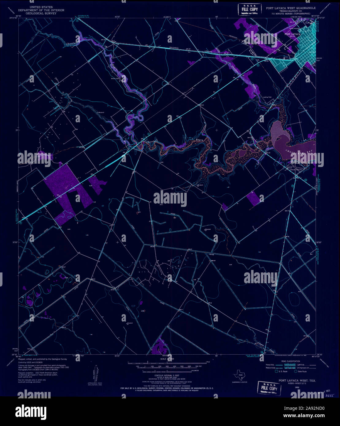 USGS TOPO Map Texas TX Port Lavaca West 116381 1952 24000 Inverted Restoration Stock Photohttps://www.alamy.com/image-license-details/?v=1https://www.alamy.com/usgs-topo-map-texas-tx-port-lavaca-west-116381-1952-24000-inverted-restoration-image332589628.html
RM2A92ND0–USGS TOPO Map Texas TX Port Lavaca West 116381 1952 24000 Inverted Restoration
 USGS TOPO Map Texas TX Port Lavaca East 117531 1995 24000 Inverted Restoration Stock Photohttps://www.alamy.com/image-license-details/?v=1https://www.alamy.com/usgs-topo-map-texas-tx-port-lavaca-east-117531-1995-24000-inverted-restoration-image332589519.html
RM2A92N93–USGS TOPO Map Texas TX Port Lavaca East 117531 1995 24000 Inverted Restoration
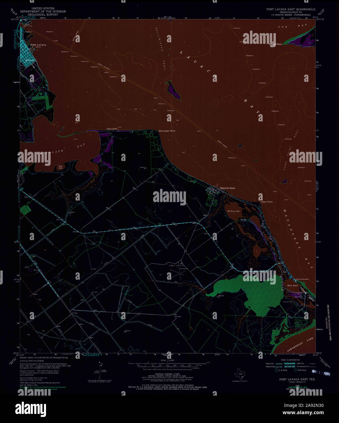 USGS TOPO Map Texas TX Port Lavaca East 116379 1952 24000 Inverted Restoration Stock Photohttps://www.alamy.com/image-license-details/?v=1https://www.alamy.com/usgs-topo-map-texas-tx-port-lavaca-east-116379-1952-24000-inverted-restoration-image332589348.html
RM2A92N30–USGS TOPO Map Texas TX Port Lavaca East 116379 1952 24000 Inverted Restoration
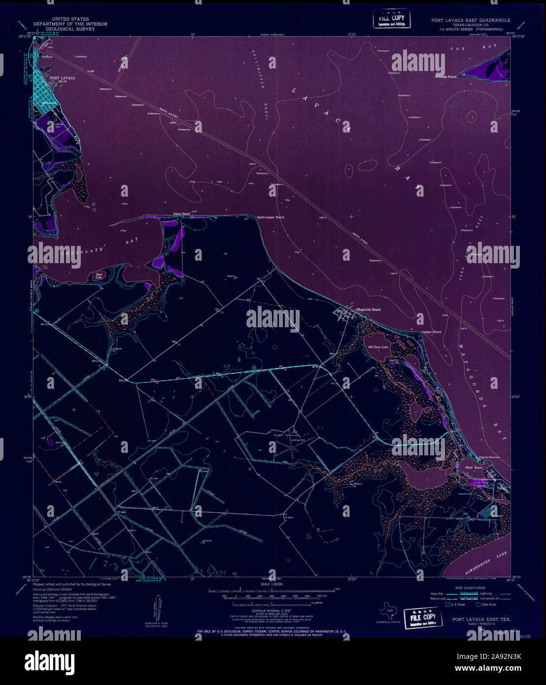 USGS TOPO Map Texas TX Port Lavaca East 116378 1952 24000 Inverted Restoration Stock Photohttps://www.alamy.com/image-license-details/?v=1https://www.alamy.com/usgs-topo-map-texas-tx-port-lavaca-east-116378-1952-24000-inverted-restoration-image332589367.html
RM2A92N3K–USGS TOPO Map Texas TX Port Lavaca East 116378 1952 24000 Inverted Restoration
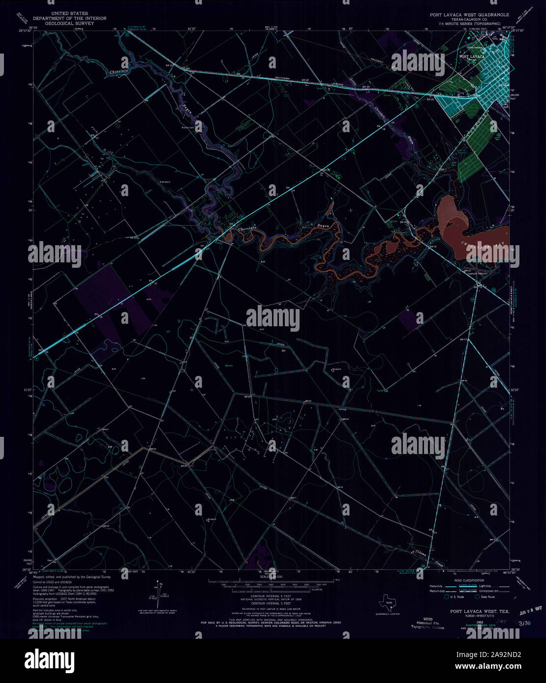 USGS TOPO Map Texas TX Port Lavaca West 116382 1952 24000 Inverted Restoration Stock Photohttps://www.alamy.com/image-license-details/?v=1https://www.alamy.com/usgs-topo-map-texas-tx-port-lavaca-west-116382-1952-24000-inverted-restoration-image332589630.html
RM2A92ND2–USGS TOPO Map Texas TX Port Lavaca West 116382 1952 24000 Inverted Restoration