Quick filters:
Praslin map Stock Photos and Images
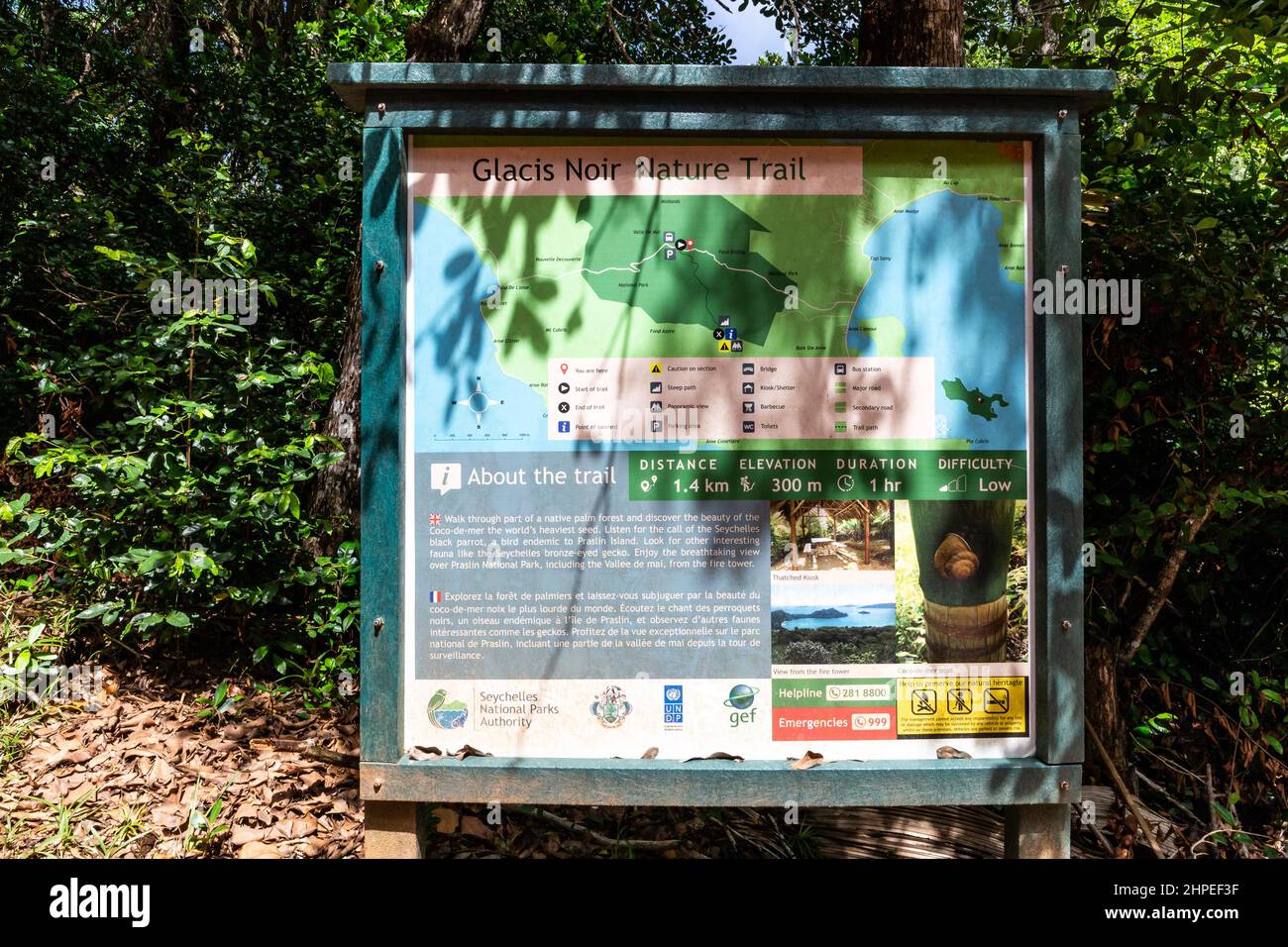 Praslin, Seychelles, 01.05.2021. Glacis Noir Nature Trail tourist information board at the start of the trail, leading to Mont Azore, Praslin. Stock Photohttps://www.alamy.com/image-license-details/?v=1https://www.alamy.com/praslin-seychelles-01052021-glacis-noir-nature-trail-tourist-information-board-at-the-start-of-the-trail-leading-to-mont-azore-praslin-image461311187.html
RF2HPEF3F–Praslin, Seychelles, 01.05.2021. Glacis Noir Nature Trail tourist information board at the start of the trail, leading to Mont Azore, Praslin.
 Travelling to Seychelles, visiting Praslin and la Digue island, swimming gears to starts your holiday, Mahe Seychelles Stock Photohttps://www.alamy.com/image-license-details/?v=1https://www.alamy.com/travelling-to-seychelles-visiting-praslin-and-la-digue-island-swimming-gears-to-starts-your-holiday-mahe-seychelles-image559069756.html
RF2RDFR50–Travelling to Seychelles, visiting Praslin and la Digue island, swimming gears to starts your holiday, Mahe Seychelles
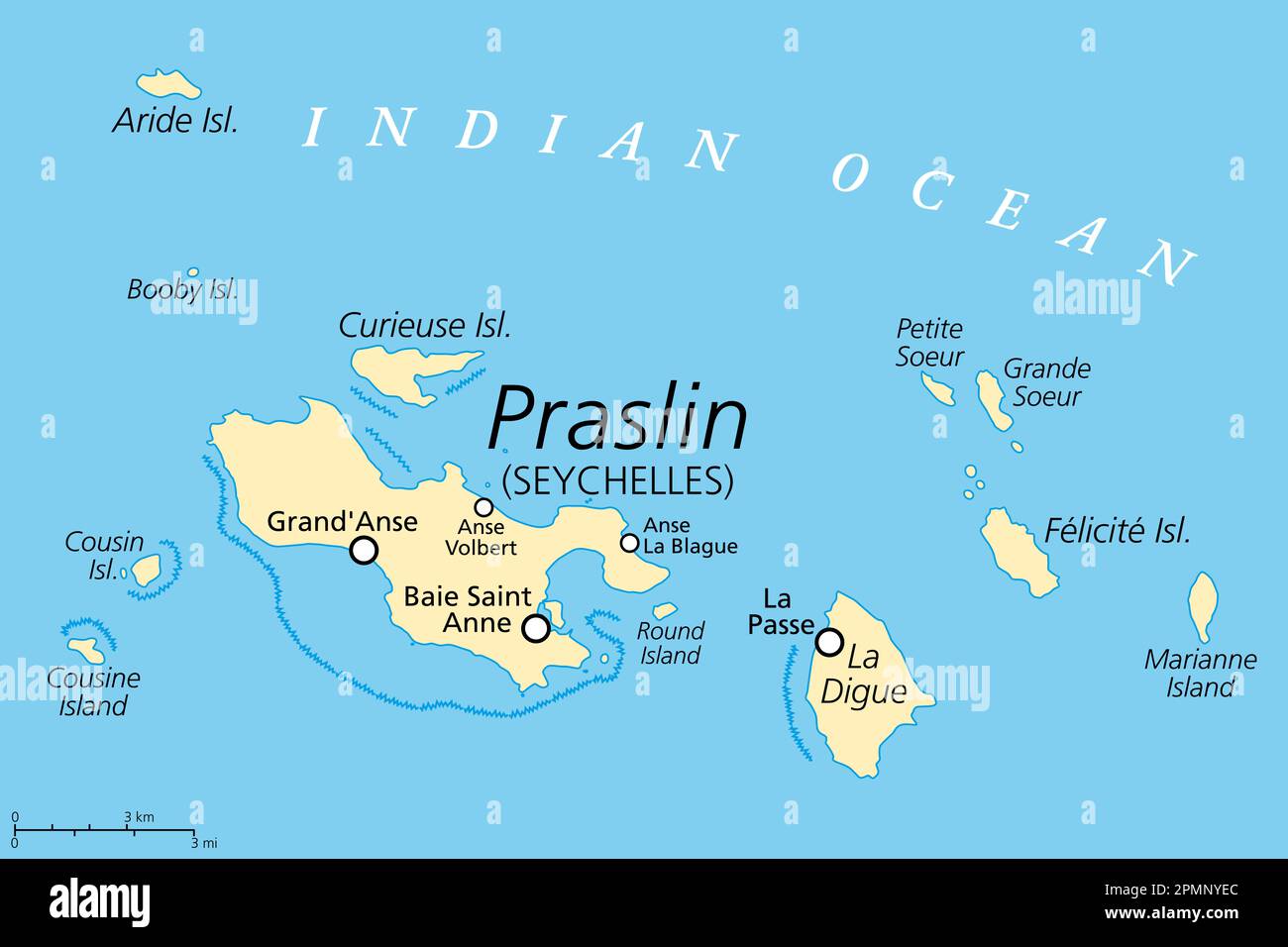 Praslin and nearby islands, political map. Second largest islands of the Seychelles, a Republic and archipelagic state in the Indian Ocean. Stock Photohttps://www.alamy.com/image-license-details/?v=1https://www.alamy.com/praslin-and-nearby-islands-political-map-second-largest-islands-of-the-seychelles-a-republic-and-archipelagic-state-in-the-indian-ocean-image546297092.html
RF2PMNYEC–Praslin and nearby islands, political map. Second largest islands of the Seychelles, a Republic and archipelagic state in the Indian Ocean.
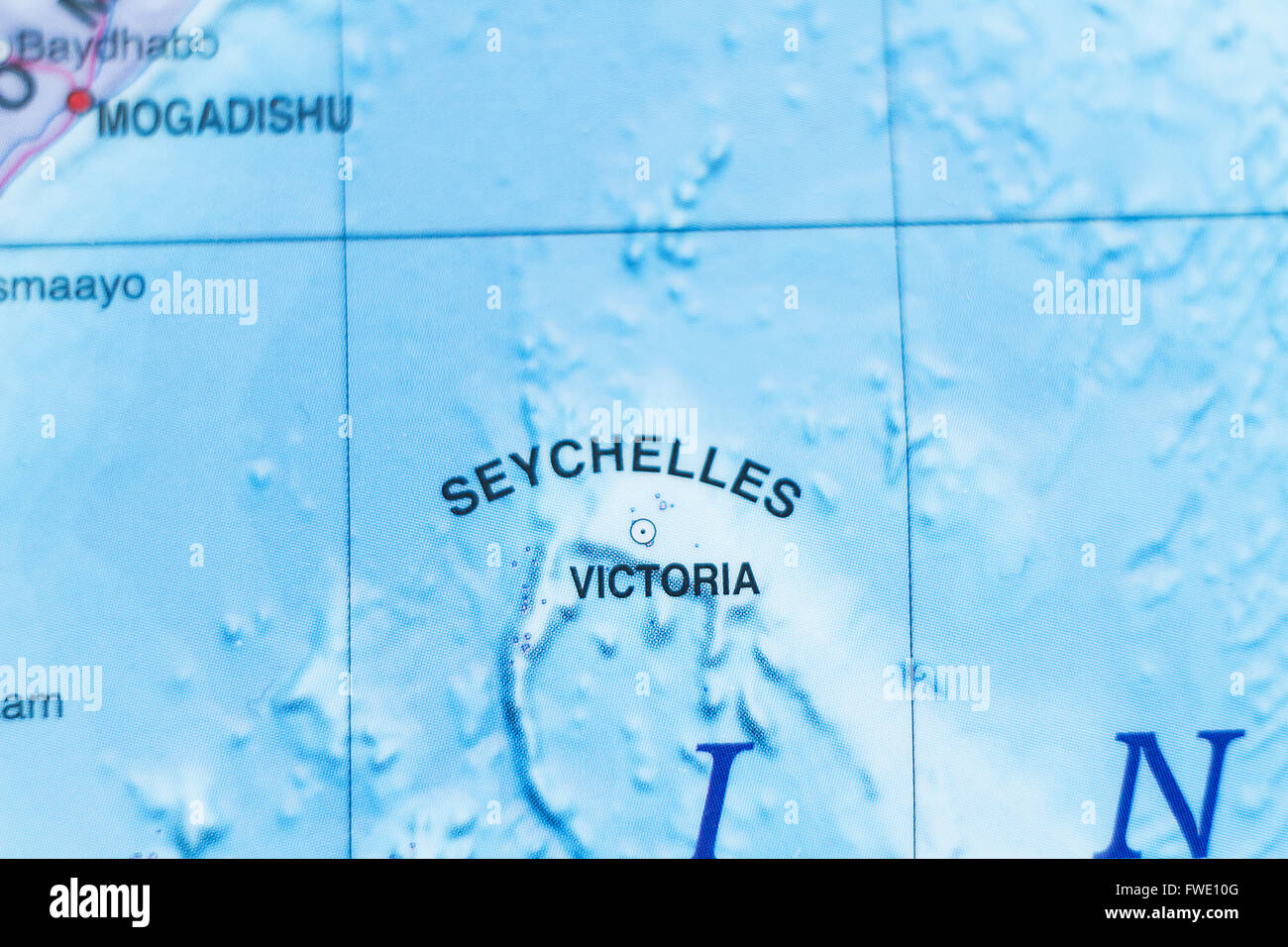 Photo of a map of Seychelles and the capital Victoria . Stock Photohttps://www.alamy.com/image-license-details/?v=1https://www.alamy.com/stock-photo-photo-of-a-map-of-seychelles-and-the-capital-victoria-101726368.html
RFFWE10G–Photo of a map of Seychelles and the capital Victoria .
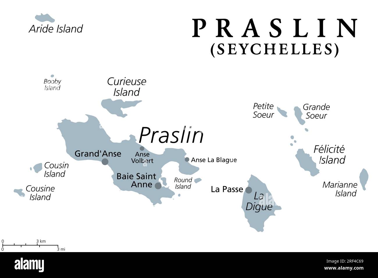 Praslin and nearby islands, gray political map. Second largest islands of the Seychelles, a Republic and archipelagic state in the Indian Ocean. Stock Photohttps://www.alamy.com/image-license-details/?v=1https://www.alamy.com/praslin-and-nearby-islands-gray-political-map-second-largest-islands-of-the-seychelles-a-republic-and-archipelagic-state-in-the-indian-ocean-image560049009.html
RF2RF4C69–Praslin and nearby islands, gray political map. Second largest islands of the Seychelles, a Republic and archipelagic state in the Indian Ocean.
 SEYCHELLES - CIRCA 1982: a stamp printed in Seychelles shows Curieuse Island and Praslin, circa 1982 Stock Photohttps://www.alamy.com/image-license-details/?v=1https://www.alamy.com/seychelles-circa-1982-a-stamp-printed-in-seychelles-shows-curieuse-island-and-praslin-circa-1982-image435094152.html
RF2G7T70T–SEYCHELLES - CIRCA 1982: a stamp printed in Seychelles shows Curieuse Island and Praslin, circa 1982
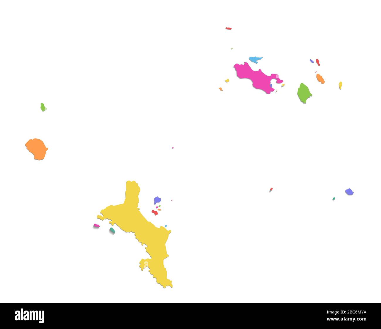 Seychelles map, administrative division, color map isolated on white background blank Stock Photohttps://www.alamy.com/image-license-details/?v=1https://www.alamy.com/seychelles-map-administrative-division-color-map-isolated-on-white-background-blank-image354190014.html
RF2BG6MYA–Seychelles map, administrative division, color map isolated on white background blank
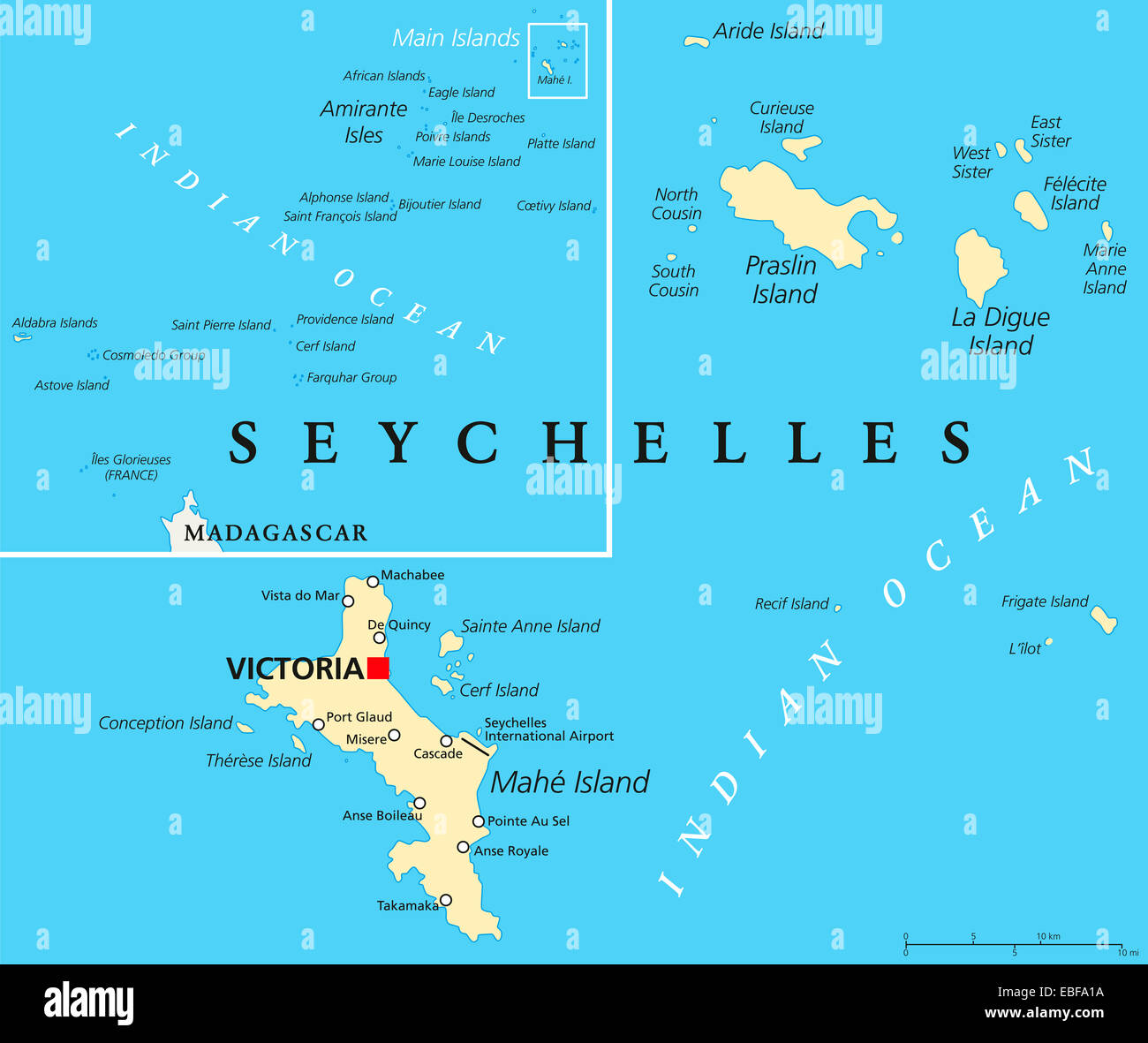 Seychelles Political Map with capital Victoria, important cities and islands and an overview map of the whole archipelago. Stock Photohttps://www.alamy.com/image-license-details/?v=1https://www.alamy.com/stock-photo-seychelles-political-map-with-capital-victoria-important-cities-and-75939846.html
RFEBFA1A–Seychelles Political Map with capital Victoria, important cities and islands and an overview map of the whole archipelago.
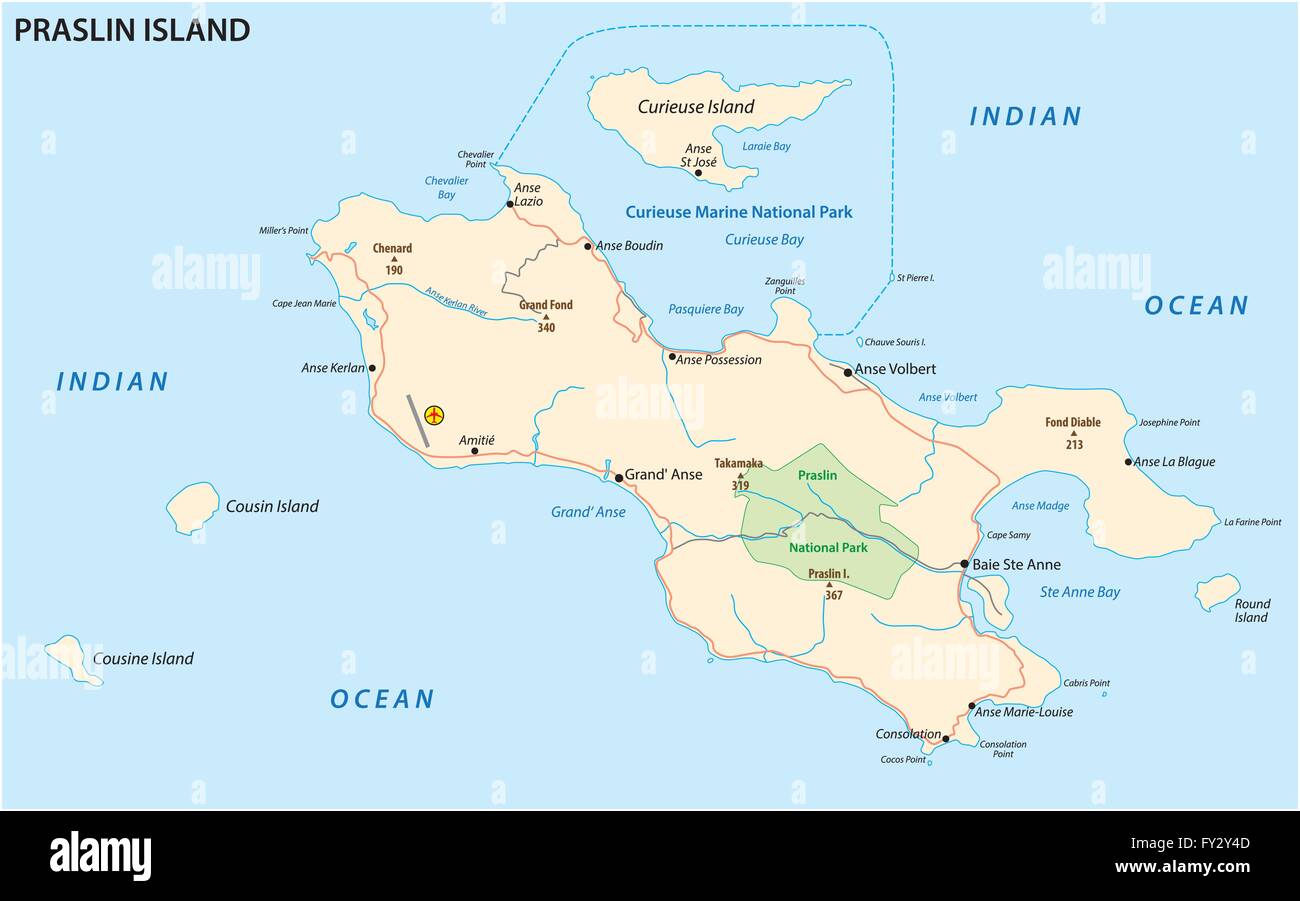 road map of the Seychelles Iseland praslin Stock Vectorhttps://www.alamy.com/image-license-details/?v=1https://www.alamy.com/stock-photo-road-map-of-the-seychelles-iseland-praslin-102712749.html
RFFY2Y4D–road map of the Seychelles Iseland praslin
 Praslin, Aube, FR, France, Grand Est, N 48 2' 47'', N 4 11' 57'', map, Cartascapes Map published in 2024. Explore Cartascapes, a map revealing Earth's diverse landscapes, cultures, and ecosystems. Journey through time and space, discovering the interconnectedness of our planet's past, present, and future. Stock Photohttps://www.alamy.com/image-license-details/?v=1https://www.alamy.com/praslin-aube-fr-france-grand-est-n-48-2-47-n-4-11-57-map-cartascapes-map-published-in-2024-explore-cartascapes-a-map-revealing-earths-diverse-landscapes-cultures-and-ecosystems-journey-through-time-and-space-discovering-the-interconnectedness-of-our-planets-past-present-and-future-image614329474.html
RM2XKD3EA–Praslin, Aube, FR, France, Grand Est, N 48 2' 47'', N 4 11' 57'', map, Cartascapes Map published in 2024. Explore Cartascapes, a map revealing Earth's diverse landscapes, cultures, and ecosystems. Journey through time and space, discovering the interconnectedness of our planet's past, present, and future.
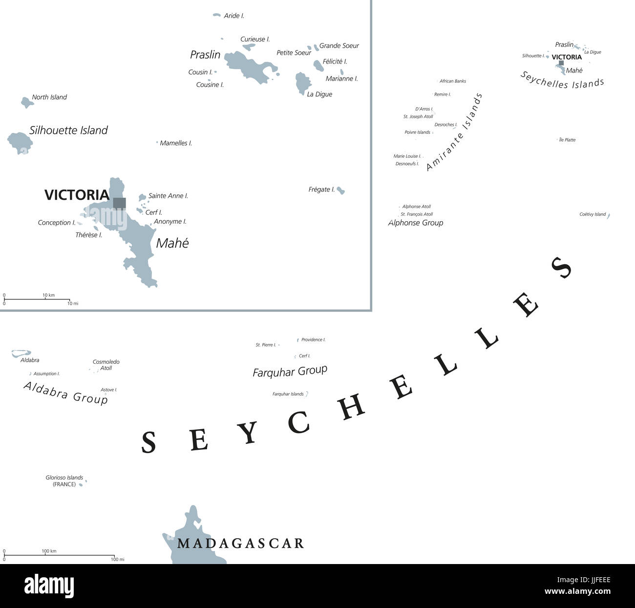 Seychelles political map with capital Victoria on the main island Mahe. Republic, archipelago and country in the Indian Ocean. Gray illustration. Stock Photohttps://www.alamy.com/image-license-details/?v=1https://www.alamy.com/stock-photo-seychelles-political-map-with-capital-victoria-on-the-main-island-149087414.html
RFJJFEEE–Seychelles political map with capital Victoria on the main island Mahe. Republic, archipelago and country in the Indian Ocean. Gray illustration.
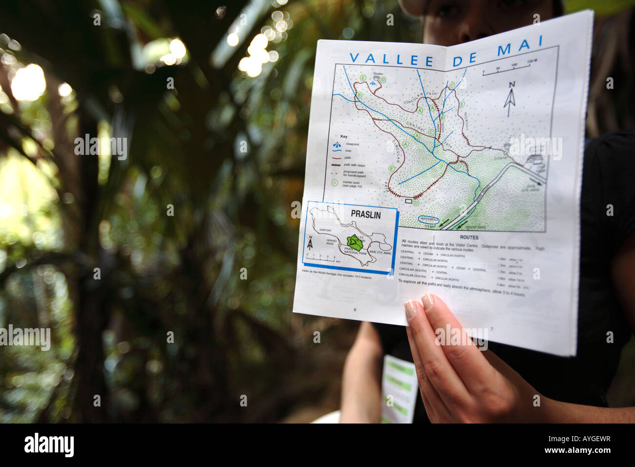 Woman showing a map of Vallee de Mai, Praslin island, Seychelles Stock Photohttps://www.alamy.com/image-license-details/?v=1https://www.alamy.com/stock-photo-woman-showing-a-map-of-vallee-de-mai-praslin-island-seychelles-17102482.html
RMAYGEWR–Woman showing a map of Vallee de Mai, Praslin island, Seychelles
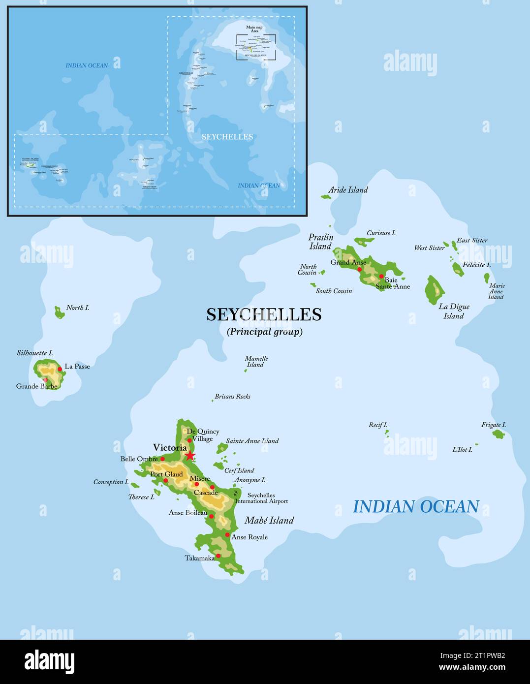 Highly detailed physical map of Seychelles islands in vector format,with all the relief forms,regions and big cities. Stock Vectorhttps://www.alamy.com/image-license-details/?v=1https://www.alamy.com/highly-detailed-physical-map-of-seychelles-islands-in-vector-formatwith-all-the-relief-formsregions-and-big-cities-image569059654.html
RF2T1PWB2–Highly detailed physical map of Seychelles islands in vector format,with all the relief forms,regions and big cities.
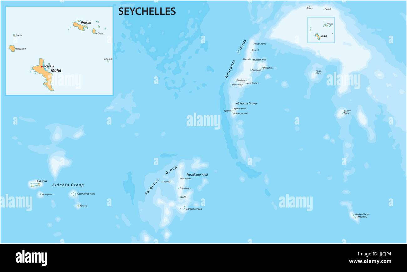 Vector map of the Republic of Seychelles Stock Vectorhttps://www.alamy.com/image-license-details/?v=1https://www.alamy.com/stock-photo-vector-map-of-the-republic-of-seychelles-149024908.html
RFJJCJP4–Vector map of the Republic of Seychelles
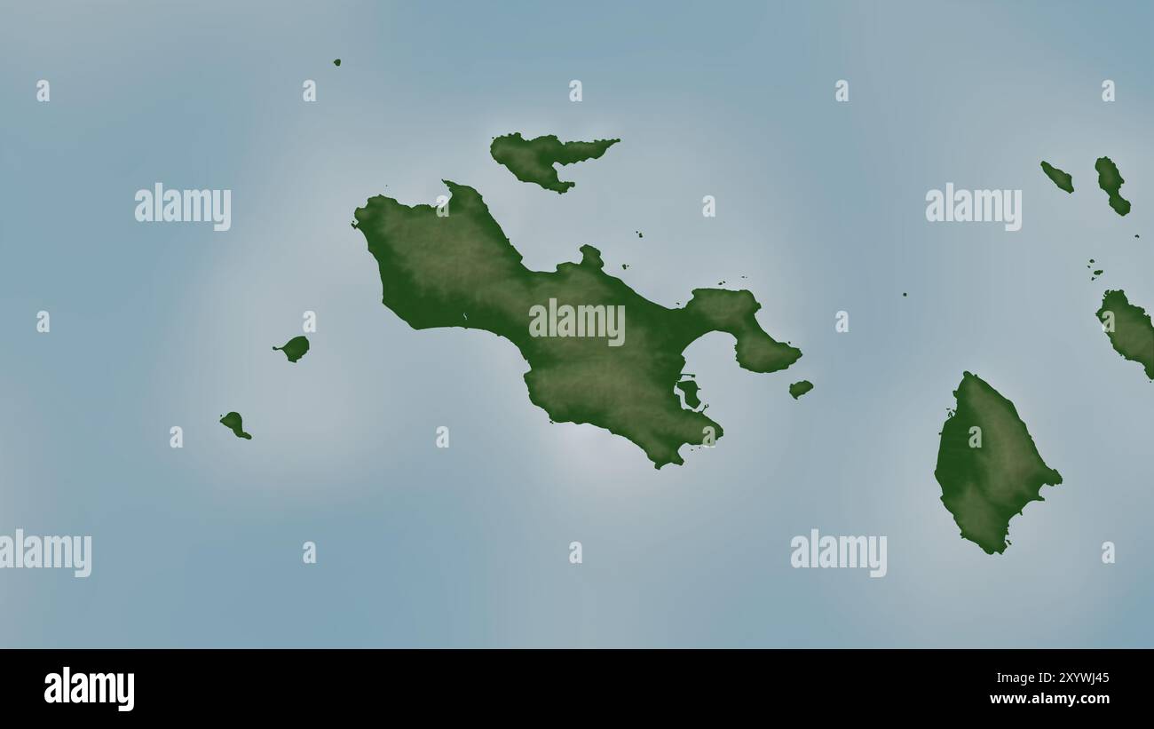 Praslin Island in the Indian Ocean on a colored elevation map Stock Photohttps://www.alamy.com/image-license-details/?v=1https://www.alamy.com/praslin-island-in-the-indian-ocean-on-a-colored-elevation-map-image619521621.html
RF2XYWJ45–Praslin Island in the Indian Ocean on a colored elevation map
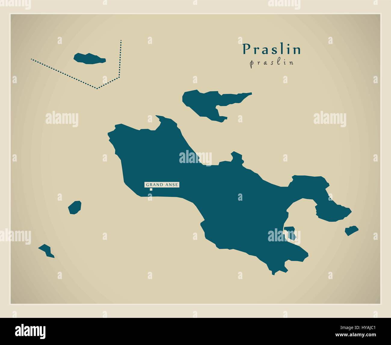 Modern Map - Praslin SC Stock Vectorhttps://www.alamy.com/image-license-details/?v=1https://www.alamy.com/stock-photo-modern-map-praslin-sc-137302257.html
RFHYAJC1–Modern Map - Praslin SC
 Vector isolated illustration of simplified administrative map of Seychelles (include only big islands Mahé, Praslin, La Digue). Borders of the distric Stock Vectorhttps://www.alamy.com/image-license-details/?v=1https://www.alamy.com/vector-isolated-illustration-of-simplified-administrative-map-of-seychelles-include-only-big-islands-mah-praslin-la-digue-borders-of-the-distric-image566537341.html
RF2RWM04D–Vector isolated illustration of simplified administrative map of Seychelles (include only big islands Mahé, Praslin, La Digue). Borders of the distric
 Praslin Seychelles Map grey illustration silhouette Stock Vectorhttps://www.alamy.com/image-license-details/?v=1https://www.alamy.com/stock-photo-praslin-seychelles-map-grey-illustration-silhouette-175331042.html
RFM570EX–Praslin Seychelles Map grey illustration silhouette
 Théobald de Choiseul Praslin Stock Photohttps://www.alamy.com/image-license-details/?v=1https://www.alamy.com/stock-photo-thobald-de-choiseul-praslin-147684992.html
RMJG7HM0–Théobald de Choiseul Praslin
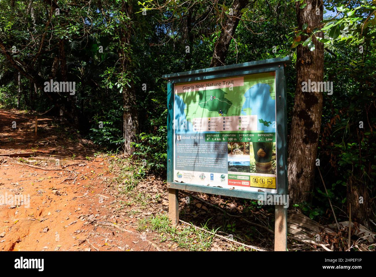 Praslin, Seychelles, 01.05.2021. Glacis Noir Nature Trail tourist information board at the start of the trail, leading to Mont Azore, Praslin. Stock Photohttps://www.alamy.com/image-license-details/?v=1https://www.alamy.com/praslin-seychelles-01052021-glacis-noir-nature-trail-tourist-information-board-at-the-start-of-the-trail-leading-to-mont-azore-praslin-image461311138.html
RF2HPEF1P–Praslin, Seychelles, 01.05.2021. Glacis Noir Nature Trail tourist information board at the start of the trail, leading to Mont Azore, Praslin.
 Travelling to Seychelles, visiting Praslin and la Digue island, swimming gears to starts your holiday, Mahe Seychelles Stock Photohttps://www.alamy.com/image-license-details/?v=1https://www.alamy.com/travelling-to-seychelles-visiting-praslin-and-la-digue-island-swimming-gears-to-starts-your-holiday-mahe-seychelles-image559069819.html
RF2RDFR77–Travelling to Seychelles, visiting Praslin and la Digue island, swimming gears to starts your holiday, Mahe Seychelles
 Praslin Island watercolor map of Seychelles Stock Photohttps://www.alamy.com/image-license-details/?v=1https://www.alamy.com/praslin-island-watercolor-map-of-seychelles-image342196447.html
RF2ATMB1K–Praslin Island watercolor map of Seychelles
 Africa with highlighted Seychelles map. Vector Illustration. Stock Vectorhttps://www.alamy.com/image-license-details/?v=1https://www.alamy.com/africa-with-highlighted-seychelles-map-vector-illustration-image348710963.html
RF2B794AY–Africa with highlighted Seychelles map. Vector Illustration.
 Geographical Map of Saint Lucia with Quarters with Counties with Regions with Shadows Stock Photohttps://www.alamy.com/image-license-details/?v=1https://www.alamy.com/geographical-map-of-saint-lucia-with-quarters-with-counties-with-regions-with-shadows-image473124000.html
RF2JDMJDM–Geographical Map of Saint Lucia with Quarters with Counties with Regions with Shadows
 Map pin with detailed map of Seychelles and neighboring countries. Stock Vectorhttps://www.alamy.com/image-license-details/?v=1https://www.alamy.com/map-pin-with-detailed-map-of-seychelles-and-neighboring-countries-image364873476.html
RF2C5HBRG–Map pin with detailed map of Seychelles and neighboring countries.
 Vector map Seychelles and Victoria. Country and capital. Isolated vector Illustration. Outline. EPS 10 Illustration. Stock Vectorhttps://www.alamy.com/image-license-details/?v=1https://www.alamy.com/vector-map-seychelles-and-victoria-country-and-capital-isolated-vector-illustration-outline-eps-10-illustration-image359696489.html
RF2BW5GF5–Vector map Seychelles and Victoria. Country and capital. Isolated vector Illustration. Outline. EPS 10 Illustration.
 Seychelles detailed map highlighted on blue rounded World Map. Map of Seychelles in circle. Stock Vectorhttps://www.alamy.com/image-license-details/?v=1https://www.alamy.com/seychelles-detailed-map-highlighted-on-blue-rounded-world-map-map-of-seychelles-in-circle-image402547002.html
RF2EAWGPJ–Seychelles detailed map highlighted on blue rounded World Map. Map of Seychelles in circle.
 Vector map Seychelles. Isolated vector Illustration. Black on White background. EPS 10 Illustration. Stock Vectorhttps://www.alamy.com/image-license-details/?v=1https://www.alamy.com/vector-map-seychelles-isolated-vector-illustration-black-on-white-background-eps-10-illustration-image359701004.html
RF2BW5P8C–Vector map Seychelles. Isolated vector Illustration. Black on White background. EPS 10 Illustration.
 Villiers-sous-Praslin, Aube, FR, France, Grand Est, N 48 3' 43'', N 4 14' 50'', map, Cartascapes Map published in 2024. Explore Cartascapes, a map revealing Earth's diverse landscapes, cultures, and ecosystems. Journey through time and space, discovering the interconnectedness of our planet's past, present, and future. Stock Photohttps://www.alamy.com/image-license-details/?v=1https://www.alamy.com/villiers-sous-praslin-aube-fr-france-grand-est-n-48-3-43-n-4-14-50-map-cartascapes-map-published-in-2024-explore-cartascapes-a-map-revealing-earths-diverse-landscapes-cultures-and-ecosystems-journey-through-time-and-space-discovering-the-interconnectedness-of-our-planets-past-present-and-future-image614331755.html
RM2XKD6BR–Villiers-sous-Praslin, Aube, FR, France, Grand Est, N 48 3' 43'', N 4 14' 50'', map, Cartascapes Map published in 2024. Explore Cartascapes, a map revealing Earth's diverse landscapes, cultures, and ecosystems. Journey through time and space, discovering the interconnectedness of our planet's past, present, and future.
 Abstract blue world map with magnified Seychelles. Seychelles flag and map. Vector Illustration. Stock Vectorhttps://www.alamy.com/image-license-details/?v=1https://www.alamy.com/abstract-blue-world-map-with-magnified-seychelles-seychelles-flag-and-map-vector-illustration-image380755051.html
RF2D3CTXK–Abstract blue world map with magnified Seychelles. Seychelles flag and map. Vector Illustration.
 Vector map Seychelles. Isolated vector Illustration. Black on White background. EPS 10 Illustration. Stock Vectorhttps://www.alamy.com/image-license-details/?v=1https://www.alamy.com/vector-map-seychelles-isolated-vector-illustration-black-on-white-background-eps-10-illustration-image359701404.html
RF2BW5PPM–Vector map Seychelles. Isolated vector Illustration. Black on White background. EPS 10 Illustration.
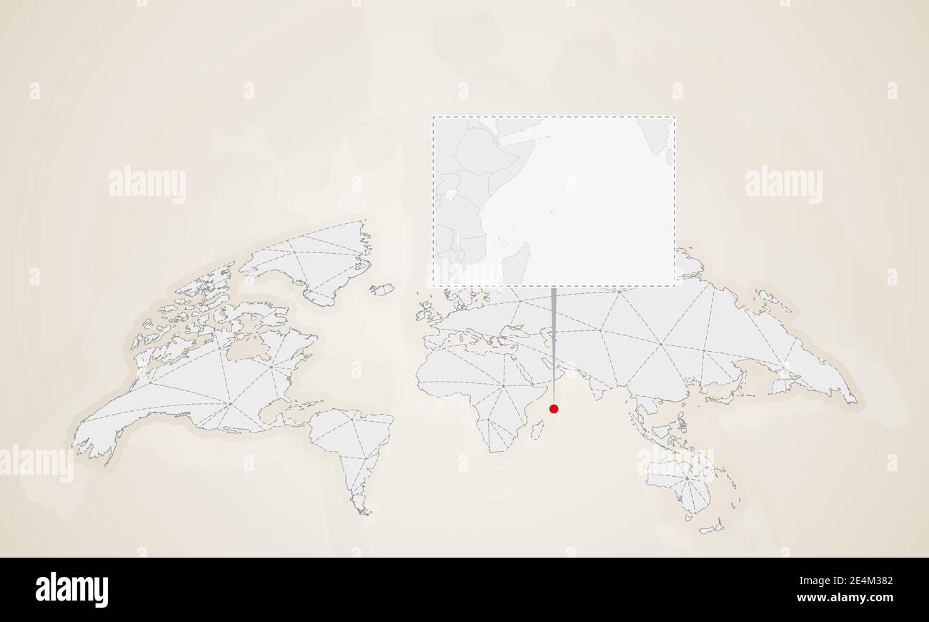 Map of Seychelles with neighbor countries pinned on world map. Abstract triangles World Map. Stock Vectorhttps://www.alamy.com/image-license-details/?v=1https://www.alamy.com/map-of-seychelles-with-neighbor-countries-pinned-on-world-map-abstract-triangles-world-map-image398738706.html
RF2E4M382–Map of Seychelles with neighbor countries pinned on world map. Abstract triangles World Map.
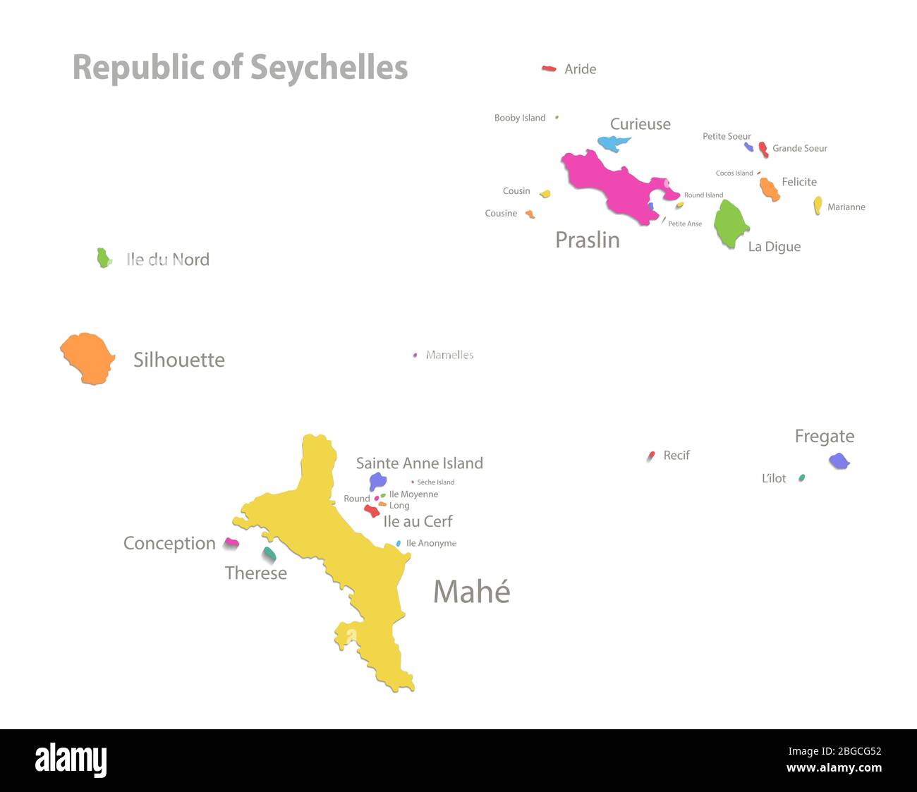 Seychelles map, administrative division with region names, color map isolated on white background vector Stock Vectorhttps://www.alamy.com/image-license-details/?v=1https://www.alamy.com/seychelles-map-administrative-division-with-region-names-color-map-isolated-on-white-background-vector-image354317966.html
RF2BGCG52–Seychelles map, administrative division with region names, color map isolated on white background vector
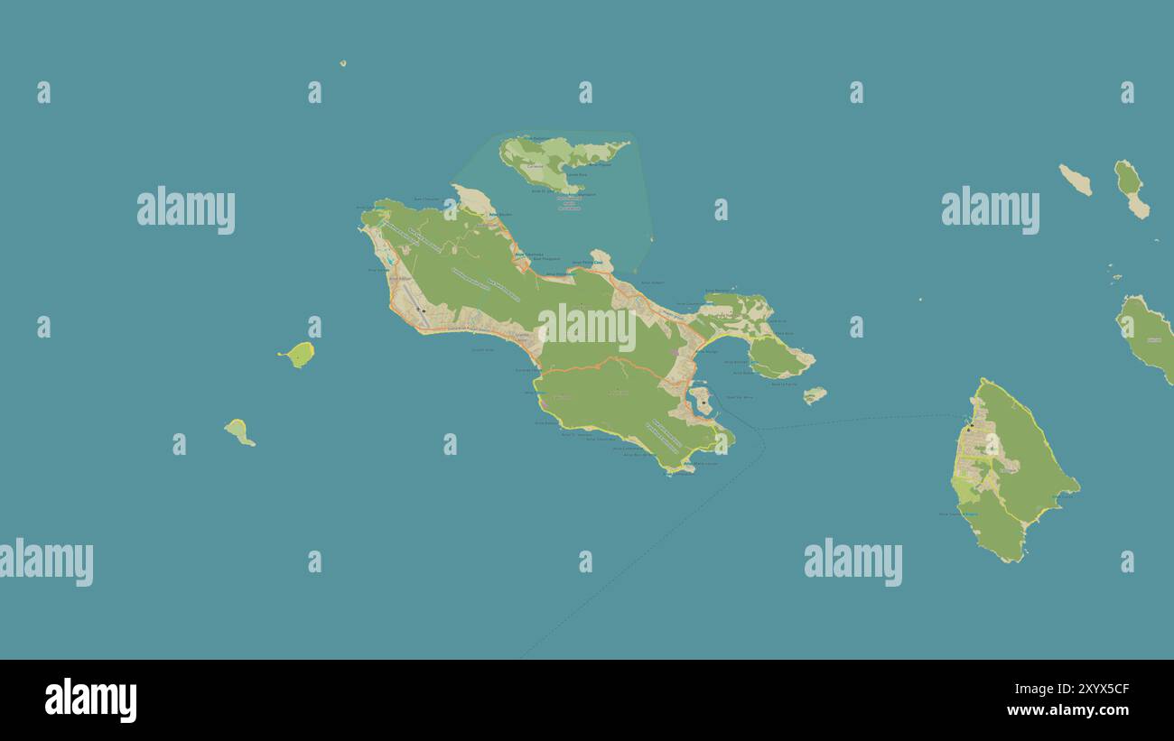 Praslin Island in the Indian Ocean on a topographic, OSM Humanitarian style map Stock Photohttps://www.alamy.com/image-license-details/?v=1https://www.alamy.com/praslin-island-in-the-indian-ocean-on-a-topographic-osm-humanitarian-style-map-image619533615.html
RF2XYX5CF–Praslin Island in the Indian Ocean on a topographic, OSM Humanitarian style map
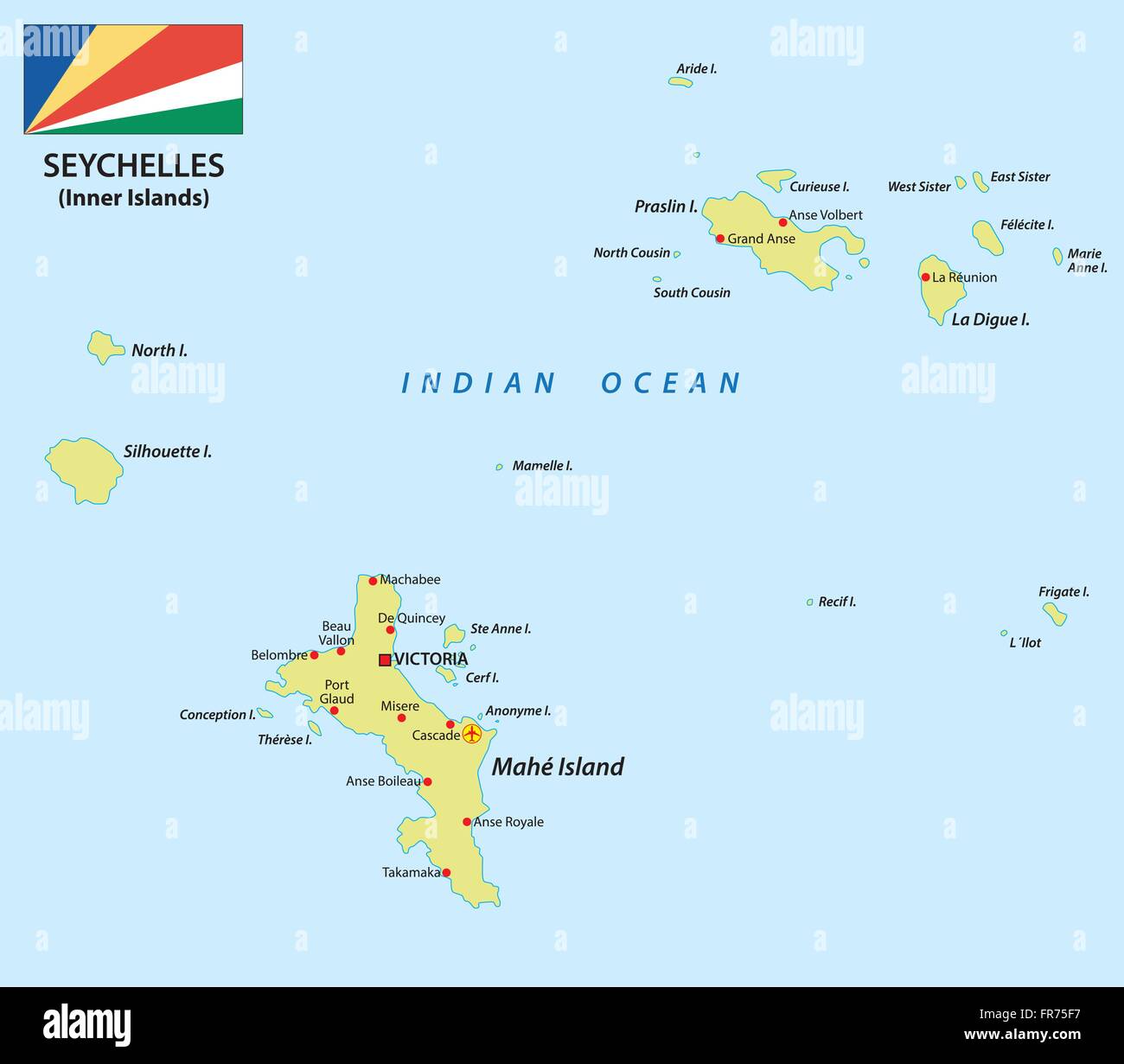 seychelles map with flag Stock Vectorhttps://www.alamy.com/image-license-details/?v=1https://www.alamy.com/stock-photo-seychelles-map-with-flag-100346939.html
RFFR75F7–seychelles map with flag
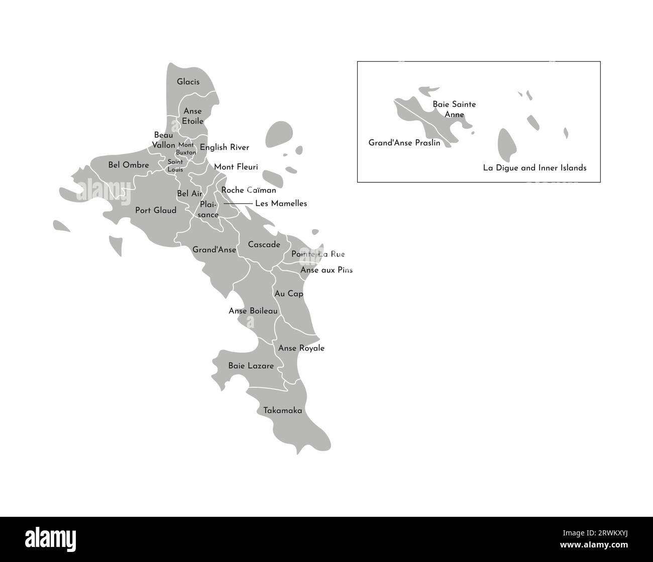 Vector isolated illustration of simplified administrative map of Seychelles (include only big islands Mahé, Praslin, La Digue). Borders and names of t Stock Vectorhttps://www.alamy.com/image-license-details/?v=1https://www.alamy.com/vector-isolated-illustration-of-simplified-administrative-map-of-seychelles-include-only-big-islands-mah-praslin-la-digue-borders-and-names-of-t-image566536422.html
RF2RWKXYJ–Vector isolated illustration of simplified administrative map of Seychelles (include only big islands Mahé, Praslin, La Digue). Borders and names of t
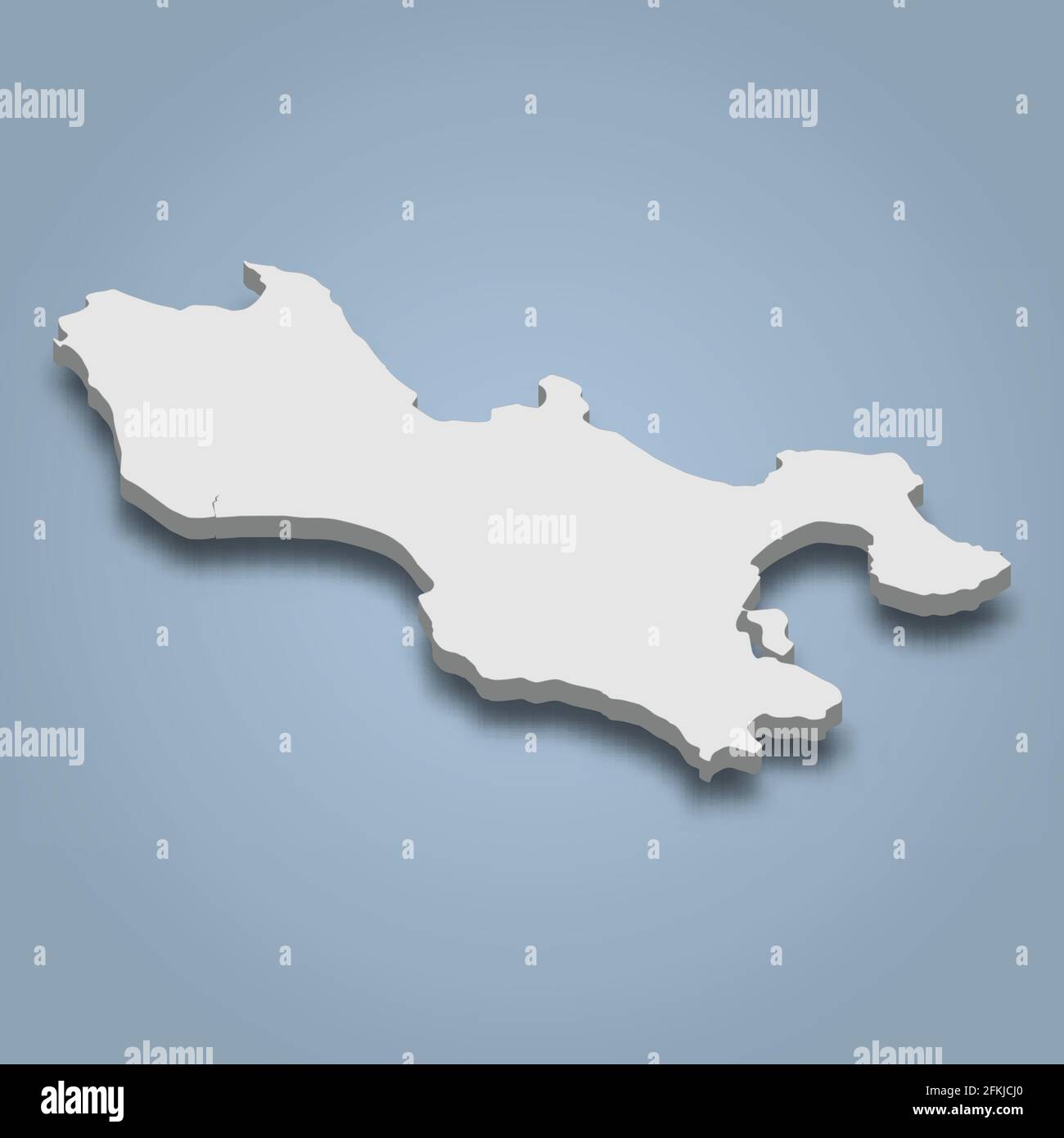 3d isometric map of Praslin is an island in Seychelles, isolaated vector illustration Stock Vectorhttps://www.alamy.com/image-license-details/?v=1https://www.alamy.com/3d-isometric-map-of-praslin-is-an-island-in-seychelles-isolaated-vector-illustration-image425132344.html
RF2FKJCJ0–3d isometric map of Praslin is an island in Seychelles, isolaated vector illustration
 Antoine César de Choiseul Praslin Stock Photohttps://www.alamy.com/image-license-details/?v=1https://www.alamy.com/stock-photo-antoine-csar-de-choiseul-praslin-147457422.html
RMJFW7CE–Antoine César de Choiseul Praslin
 Praslin, Seychelles, 01.05.2021. Vallee de Mai Nature Reserve entrance gate with thatched roof with dried palm tree leaves and map of a reseve. Stock Photohttps://www.alamy.com/image-license-details/?v=1https://www.alamy.com/praslin-seychelles-01052021-vallee-de-mai-nature-reserve-entrance-gate-with-thatched-roof-with-dried-palm-tree-leaves-and-map-of-a-reseve-image461580244.html
RF2HPXP8M–Praslin, Seychelles, 01.05.2021. Vallee de Mai Nature Reserve entrance gate with thatched roof with dried palm tree leaves and map of a reseve.
 Travelling to Seychelles, visiting Mahe island, swimming gears to starts your holiday, Mahe Seychelles 1 Stock Photohttps://www.alamy.com/image-license-details/?v=1https://www.alamy.com/travelling-to-seychelles-visiting-mahe-island-swimming-gears-to-starts-your-holiday-mahe-seychelles-1-image559069734.html
RF2RDFR46–Travelling to Seychelles, visiting Mahe island, swimming gears to starts your holiday, Mahe Seychelles 1
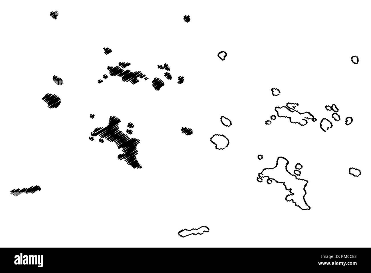 Seychelles islands map vector illustration, scribble sketch Republic of Seychelles Stock Vectorhttps://www.alamy.com/image-license-details/?v=1https://www.alamy.com/stock-image-seychelles-islands-map-vector-illustration-scribble-sketch-republic-167196235.html
RFKM0CE3–Seychelles islands map vector illustration, scribble sketch Republic of Seychelles
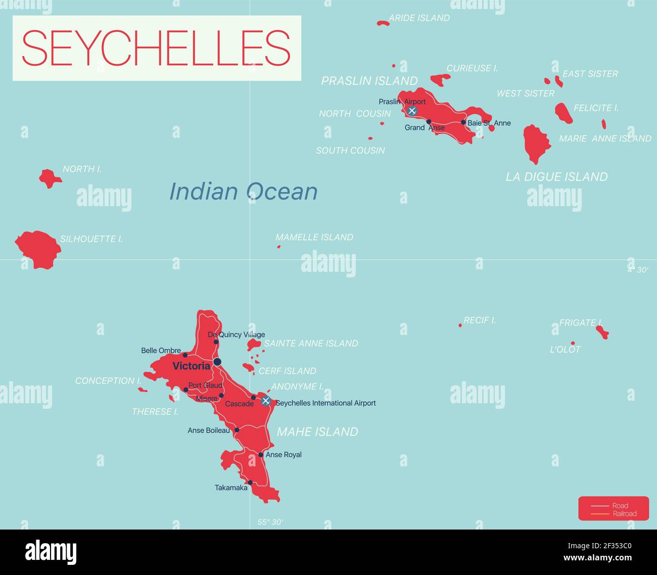 Seychelles islands detailed editable map with regions cities and towns, roads and railways, geographic sites. Vector EPS-10 file Stock Vectorhttps://www.alamy.com/image-license-details/?v=1https://www.alamy.com/seychelles-islands-detailed-editable-map-with-regions-cities-and-towns-roads-and-railways-geographic-sites-vector-eps-10-file-image415005248.html
RF2F353C0–Seychelles islands detailed editable map with regions cities and towns, roads and railways, geographic sites. Vector EPS-10 file
 Seychelles outdoor stamp. Round sticker with map of island with topographic isolines. Vector illustration. Can be used as insignia, logotype, label, s Stock Vectorhttps://www.alamy.com/image-license-details/?v=1https://www.alamy.com/seychelles-outdoor-stamp-round-sticker-with-map-of-island-with-topographic-isolines-vector-illustration-can-be-used-as-insignia-logotype-label-s-image533575377.html
RF2P02CRD–Seychelles outdoor stamp. Round sticker with map of island with topographic isolines. Vector illustration. Can be used as insignia, logotype, label, s
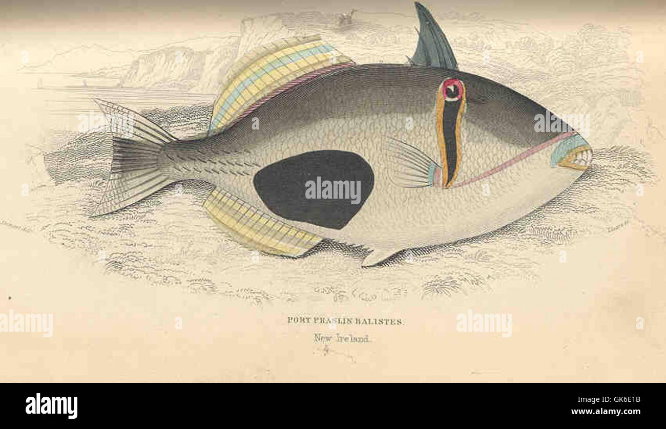 35918 Port Praslin Balistes Stock Photohttps://www.alamy.com/image-license-details/?v=1https://www.alamy.com/stock-photo-35918-port-praslin-balistes-115083399.html
RMGK6E1B–35918 Port Praslin Balistes
 Pont Praslin, Mauritius, Pamplemousses District, S 20 8' 57'', E 57 37' 57'', map, Timeless Map published in 2021. Travelers, explorers and adventurers like Florence Nightingale, David Livingstone, Ernest Shackleton, Lewis and Clark and Sherlock Holmes relied on maps to plan travels to the world's most remote corners, Timeless Maps is mapping most locations on the globe, showing the achievement of great dreams Stock Photohttps://www.alamy.com/image-license-details/?v=1https://www.alamy.com/pont-praslin-mauritius-pamplemousses-district-s-20-8-57-e-57-37-57-map-timeless-map-published-in-2021-travelers-explorers-and-adventurers-like-florence-nightingale-david-livingstone-ernest-shackleton-lewis-and-clark-and-sherlock-holmes-relied-on-maps-to-plan-travels-to-the-worlds-most-remote-corners-timeless-maps-is-mapping-most-locations-on-the-globe-showing-the-achievement-of-great-dreams-image457963923.html
RM2HH21JB–Pont Praslin, Mauritius, Pamplemousses District, S 20 8' 57'', E 57 37' 57'', map, Timeless Map published in 2021. Travelers, explorers and adventurers like Florence Nightingale, David Livingstone, Ernest Shackleton, Lewis and Clark and Sherlock Holmes relied on maps to plan travels to the world's most remote corners, Timeless Maps is mapping most locations on the globe, showing the achievement of great dreams
 Vector map Seychelles. Isolated vector Illustration. Black on White background. EPS 10 Illustration. Stock Vectorhttps://www.alamy.com/image-license-details/?v=1https://www.alamy.com/vector-map-seychelles-isolated-vector-illustration-black-on-white-background-eps-10-illustration-image359701100.html
RF2BW5PBT–Vector map Seychelles. Isolated vector Illustration. Black on White background. EPS 10 Illustration.
 Vector map Seychelles. Isolated vector Illustration. Black on White background. EPS 10 Illustration. Stock Vectorhttps://www.alamy.com/image-license-details/?v=1https://www.alamy.com/vector-map-seychelles-isolated-vector-illustration-black-on-white-background-eps-10-illustration-image359695612.html
RF2BW5FBT–Vector map Seychelles. Isolated vector Illustration. Black on White background. EPS 10 Illustration.
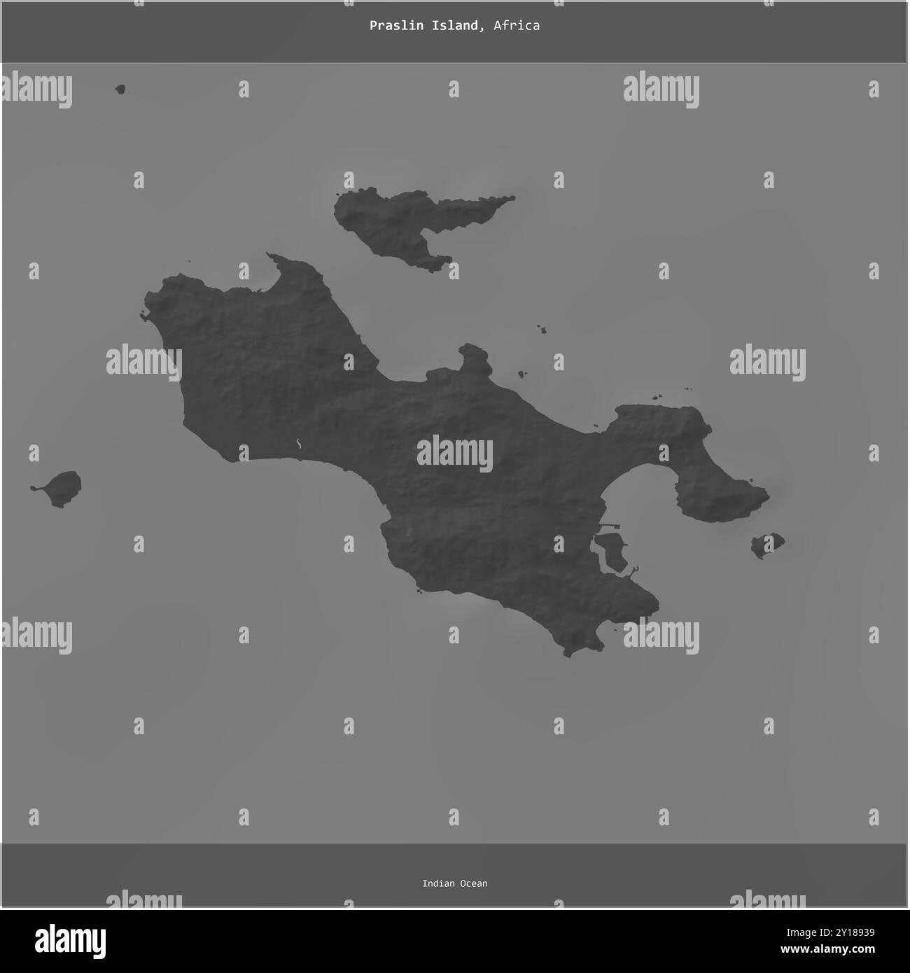 Praslin Island in the Indian Ocean, belonging to Seychelles, cropped to square on a bilevel elevation map Stock Photohttps://www.alamy.com/image-license-details/?v=1https://www.alamy.com/praslin-island-in-the-indian-ocean-belonging-to-seychelles-cropped-to-square-on-a-bilevel-elevation-map-image620370669.html
RF2Y18939–Praslin Island in the Indian Ocean, belonging to Seychelles, cropped to square on a bilevel elevation map
 Vector map Seychelles and Victoria. Isolated vector Illustration. Black on White background. EPS 10 Illustration. Stock Vectorhttps://www.alamy.com/image-license-details/?v=1https://www.alamy.com/vector-map-seychelles-and-victoria-isolated-vector-illustration-black-on-white-background-eps-10-illustration-image359700708.html
RF2BW5NWT–Vector map Seychelles and Victoria. Isolated vector Illustration. Black on White background. EPS 10 Illustration.
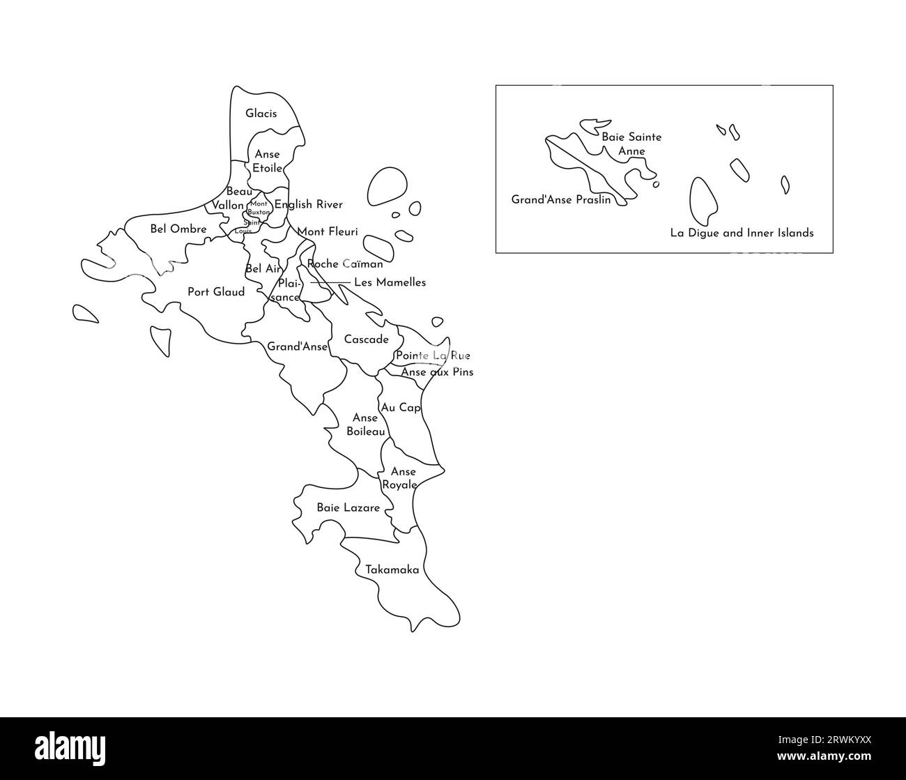 Vector isolated illustration of simplified administrative map of Seychelles (include only big islands Mahé, Praslin, La Digue). Borders and names of t Stock Vectorhttps://www.alamy.com/image-license-details/?v=1https://www.alamy.com/vector-isolated-illustration-of-simplified-administrative-map-of-seychelles-include-only-big-islands-mah-praslin-la-digue-borders-and-names-of-t-image566537186.html
RF2RWKYXX–Vector isolated illustration of simplified administrative map of Seychelles (include only big islands Mahé, Praslin, La Digue). Borders and names of t
 Vector map Seychelles and Victoria. Isolated vector Illustration. Black on White background. EPS 10 Illustration. Stock Vectorhttps://www.alamy.com/image-license-details/?v=1https://www.alamy.com/vector-map-seychelles-and-victoria-isolated-vector-illustration-black-on-white-background-eps-10-illustration-image359701088.html
RF2BW5PBC–Vector map Seychelles and Victoria. Isolated vector Illustration. Black on White background. EPS 10 Illustration.
 César de Choiseul du Plessis-Praslin Stock Photohttps://www.alamy.com/image-license-details/?v=1https://www.alamy.com/stock-photo-csar-de-choiseul-du-plessis-praslin-147463785.html
RMJFWFFN–César de Choiseul du Plessis-Praslin
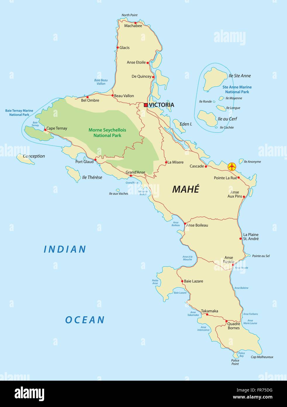 seychelles, mahe map Stock Vectorhttps://www.alamy.com/image-license-details/?v=1https://www.alamy.com/stock-photo-seychelles-mahe-map-100346892.html
RFFR75DG–seychelles, mahe map
 Travelling to Seychelles, visiting Mahe island, swimming gears to starts your holiday, Mahe Seychelles Stock Photohttps://www.alamy.com/image-license-details/?v=1https://www.alamy.com/travelling-to-seychelles-visiting-mahe-island-swimming-gears-to-starts-your-holiday-mahe-seychelles-image559069664.html
RF2RDFR1M–Travelling to Seychelles, visiting Mahe island, swimming gears to starts your holiday, Mahe Seychelles
 Seychelles islands map vector illustration, scribble sketch Republic of Seychelles Stock Vectorhttps://www.alamy.com/image-license-details/?v=1https://www.alamy.com/stock-image-seychelles-islands-map-vector-illustration-scribble-sketch-republic-166739890.html
RFKK7JC2–Seychelles islands map vector illustration, scribble sketch Republic of Seychelles
 39640 Holocentrus praslin Lacepede Stock Photohttps://www.alamy.com/image-license-details/?v=1https://www.alamy.com/stock-photo-39640-holocentrus-praslin-lacepede-115087909.html
RMGK6KPD–39640 Holocentrus praslin Lacepede
 Praslin, Aube, France, Grand Est, N 48 2' 49'', E 4 11' 55'', map, Timeless Map published in 2021. Travelers, explorers and adventurers like Florence Nightingale, David Livingstone, Ernest Shackleton, Lewis and Clark and Sherlock Holmes relied on maps to plan travels to the world's most remote corners, Timeless Maps is mapping most locations on the globe, showing the achievement of great dreams Stock Photohttps://www.alamy.com/image-license-details/?v=1https://www.alamy.com/praslin-aube-france-grand-est-n-48-2-49-e-4-11-55-map-timeless-map-published-in-2021-travelers-explorers-and-adventurers-like-florence-nightingale-david-livingstone-ernest-shackleton-lewis-and-clark-and-sherlock-holmes-relied-on-maps-to-plan-travels-to-the-worlds-most-remote-corners-timeless-maps-is-mapping-most-locations-on-the-globe-showing-the-achievement-of-great-dreams-image445043819.html
RM2GT1DX3–Praslin, Aube, France, Grand Est, N 48 2' 49'', E 4 11' 55'', map, Timeless Map published in 2021. Travelers, explorers and adventurers like Florence Nightingale, David Livingstone, Ernest Shackleton, Lewis and Clark and Sherlock Holmes relied on maps to plan travels to the world's most remote corners, Timeless Maps is mapping most locations on the globe, showing the achievement of great dreams
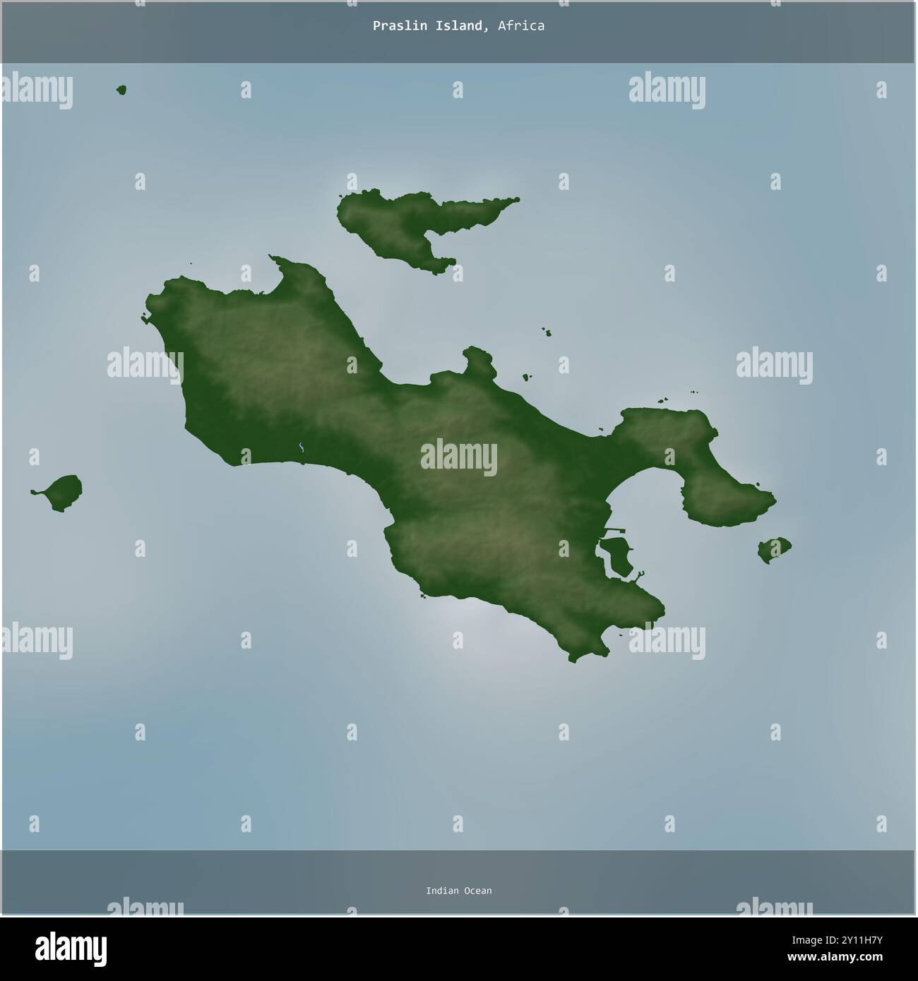 Praslin Island in the Indian Ocean, belonging to Seychelles, cropped to square on a colored elevation map Stock Photohttps://www.alamy.com/image-license-details/?v=1https://www.alamy.com/praslin-island-in-the-indian-ocean-belonging-to-seychelles-cropped-to-square-on-a-colored-elevation-map-image620223407.html
RF2Y11H7Y–Praslin Island in the Indian Ocean, belonging to Seychelles, cropped to square on a colored elevation map
 Vector isolated illustration of simplified administrative map of Seychelles (include only big islands Mahé, Praslin, La Digue). Borders and names of t Stock Vectorhttps://www.alamy.com/image-license-details/?v=1https://www.alamy.com/vector-isolated-illustration-of-simplified-administrative-map-of-seychelles-include-only-big-islands-mah-praslin-la-digue-borders-and-names-of-t-image566537540.html
RF2RWM0BG–Vector isolated illustration of simplified administrative map of Seychelles (include only big islands Mahé, Praslin, La Digue). Borders and names of t
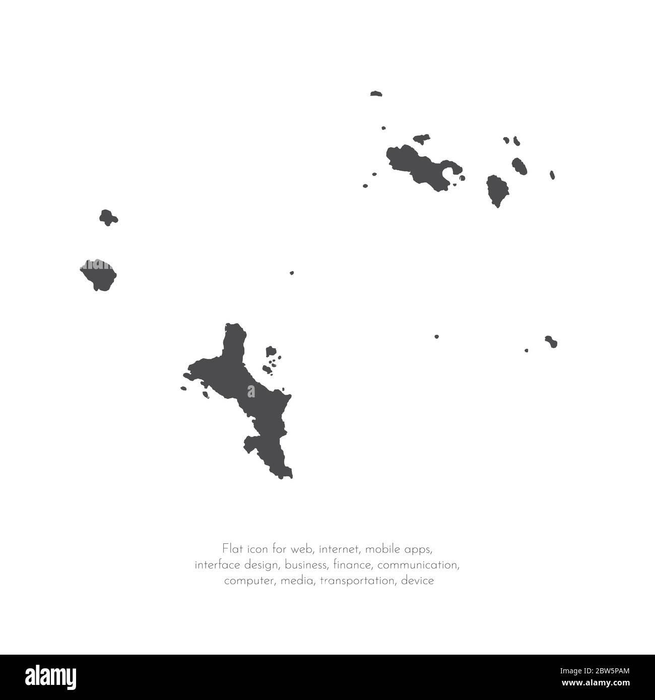 Vector map Seychelles and Victoria. Isolated vector Illustration. Black on White background. EPS 10 Illustration. Stock Vectorhttps://www.alamy.com/image-license-details/?v=1https://www.alamy.com/vector-map-seychelles-and-victoria-isolated-vector-illustration-black-on-white-background-eps-10-illustration-image359701068.html
RF2BW5PAM–Vector map Seychelles and Victoria. Isolated vector Illustration. Black on White background. EPS 10 Illustration.
 Horace de Choiseul-Praslin 281837-191529 Stock Photohttps://www.alamy.com/image-license-details/?v=1https://www.alamy.com/stock-photo-horace-de-choiseul-praslin-281837-191529-147597766.html
RMJG3JCP–Horace de Choiseul-Praslin 281837-191529
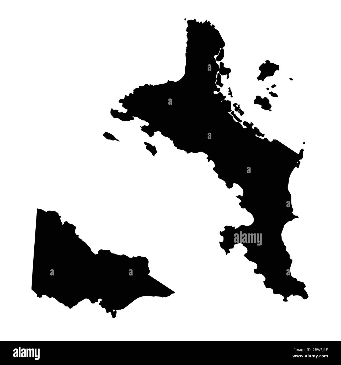 Vector map Seychelles and Victoria. Country and capital. Isolated vector Illustration. Black on White background. EPS 10 Illustration. Stock Vectorhttps://www.alamy.com/image-license-details/?v=1https://www.alamy.com/vector-map-seychelles-and-victoria-country-and-capital-isolated-vector-illustration-black-on-white-background-eps-10-illustration-image359697674.html
RF2BW5J1E–Vector map Seychelles and Victoria. Country and capital. Isolated vector Illustration. Black on White background. EPS 10 Illustration.
 Travelling to Seychelles, visiting Mahe island, swimming gears to starts your holiday, Mahe Seychelles 1 Stock Photohttps://www.alamy.com/image-license-details/?v=1https://www.alamy.com/travelling-to-seychelles-visiting-mahe-island-swimming-gears-to-starts-your-holiday-mahe-seychelles-1-image559069679.html
RF2RDFR27–Travelling to Seychelles, visiting Mahe island, swimming gears to starts your holiday, Mahe Seychelles 1
 Seychelles islands map vector illustration, scribble sketch Republic of Seychelles Stock Vectorhttps://www.alamy.com/image-license-details/?v=1https://www.alamy.com/stock-image-seychelles-islands-map-vector-illustration-scribble-sketch-republic-168699440.html
RFKPCWT0–Seychelles islands map vector illustration, scribble sketch Republic of Seychelles
 Praslin island (Republic of Seychelles, Indian Ocean, Inner Islands) map vector illustration, scribble sketch Ile de Palmes and Cousine map Stock Vectorhttps://www.alamy.com/image-license-details/?v=1https://www.alamy.com/praslin-island-republic-of-seychelles-indian-ocean-inner-islands-map-vector-illustration-scribble-sketch-ile-de-palmes-and-cousine-map-image478150032.html
RF2JNWH6T–Praslin island (Republic of Seychelles, Indian Ocean, Inner Islands) map vector illustration, scribble sketch Ile de Palmes and Cousine map
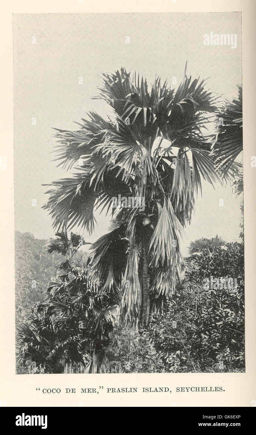 36520 Coco de Mer, Praslin Island, Seychelles Stock Photohttps://www.alamy.com/image-license-details/?v=1https://www.alamy.com/stock-photo-36520-coco-de-mer-praslin-island-seychelles-115084110.html
RMGK6EXP–36520 Coco de Mer, Praslin Island, Seychelles
 Villiers-sous-Praslin, Aube, France, Grand Est, N 48 3' 43'', E 4 14' 54'', map, Timeless Map published in 2021. Travelers, explorers and adventurers like Florence Nightingale, David Livingstone, Ernest Shackleton, Lewis and Clark and Sherlock Holmes relied on maps to plan travels to the world's most remote corners, Timeless Maps is mapping most locations on the globe, showing the achievement of great dreams Stock Photohttps://www.alamy.com/image-license-details/?v=1https://www.alamy.com/villiers-sous-praslin-aube-france-grand-est-n-48-3-43-e-4-14-54-map-timeless-map-published-in-2021-travelers-explorers-and-adventurers-like-florence-nightingale-david-livingstone-ernest-shackleton-lewis-and-clark-and-sherlock-holmes-relied-on-maps-to-plan-travels-to-the-worlds-most-remote-corners-timeless-maps-is-mapping-most-locations-on-the-globe-showing-the-achievement-of-great-dreams-image444958030.html
RM2GRWGE6–Villiers-sous-Praslin, Aube, France, Grand Est, N 48 3' 43'', E 4 14' 54'', map, Timeless Map published in 2021. Travelers, explorers and adventurers like Florence Nightingale, David Livingstone, Ernest Shackleton, Lewis and Clark and Sherlock Holmes relied on maps to plan travels to the world's most remote corners, Timeless Maps is mapping most locations on the globe, showing the achievement of great dreams
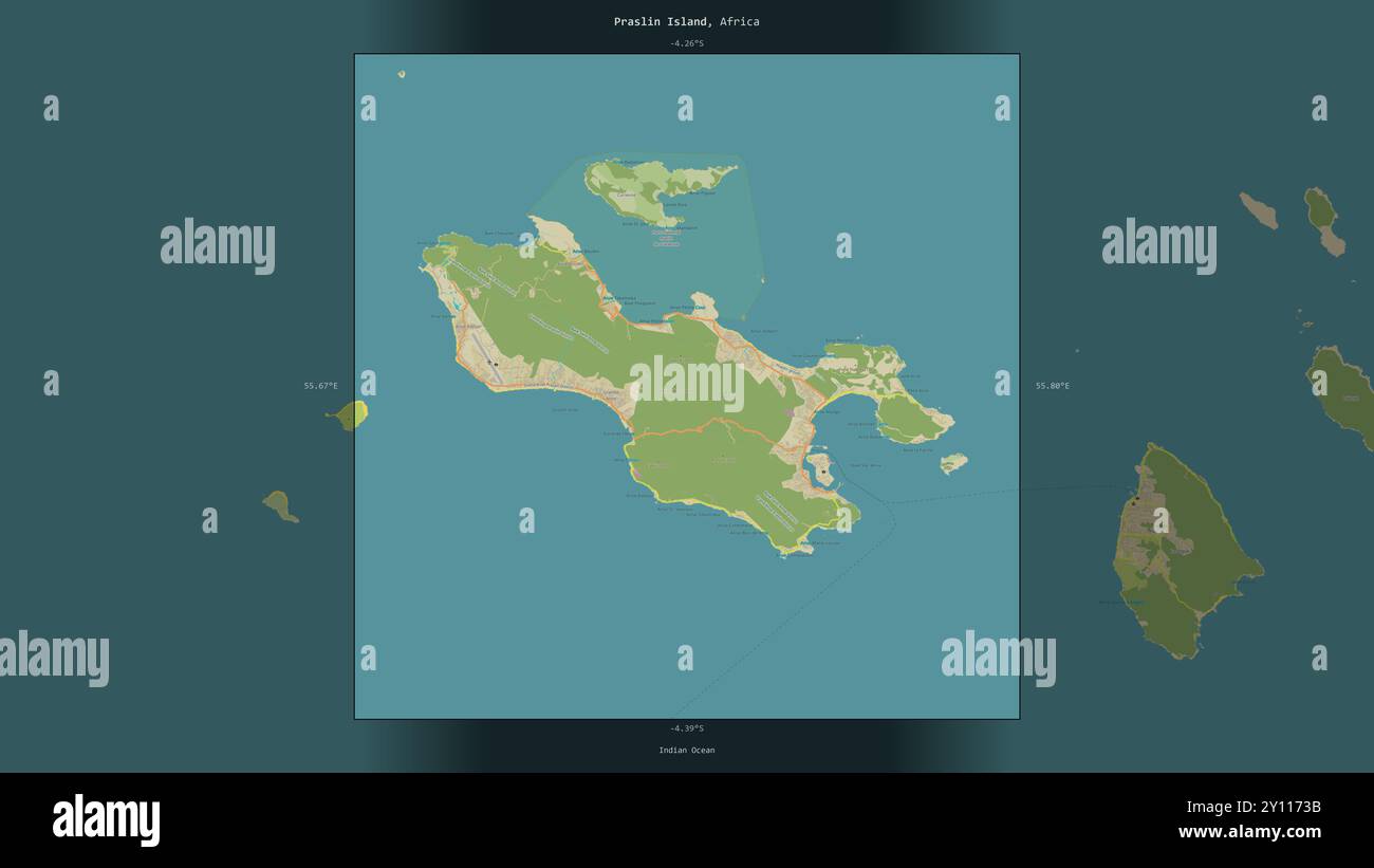 Praslin Island in the Indian Ocean, belonging to Seychelles, described and highlighted on a topographic, OSM Humanitarian style map Stock Photohttps://www.alamy.com/image-license-details/?v=1https://www.alamy.com/praslin-island-in-the-indian-ocean-belonging-to-seychelles-described-and-highlighted-on-a-topographic-osm-humanitarian-style-map-image620215439.html
RF2Y1173B–Praslin Island in the Indian Ocean, belonging to Seychelles, described and highlighted on a topographic, OSM Humanitarian style map
 Charles de Choiseul-Praslin 281563-162629 Stock Photohttps://www.alamy.com/image-license-details/?v=1https://www.alamy.com/stock-photo-charles-de-choiseul-praslin-281563-162629-147470653.html
RMJFWT91–Charles de Choiseul-Praslin 281563-162629
 Praslin island (Republic of Seychelles, Indian Ocean, Inner Islands) map vector illustration, scribble sketch Ile de Palmes and Cousine map Stock Vectorhttps://www.alamy.com/image-license-details/?v=1https://www.alamy.com/praslin-island-republic-of-seychelles-indian-ocean-inner-islands-map-vector-illustration-scribble-sketch-ile-de-palmes-and-cousine-map-image467864985.html
RF2J552FN–Praslin island (Republic of Seychelles, Indian Ocean, Inner Islands) map vector illustration, scribble sketch Ile de Palmes and Cousine map
 36491 Coco de Mer, Praslin Island, Seychelles Stock Photohttps://www.alamy.com/image-license-details/?v=1https://www.alamy.com/stock-photo-36491-coco-de-mer-praslin-island-seychelles-115084075.html
RMGK6EWF–36491 Coco de Mer, Praslin Island, Seychelles
 Praslin Island in the Indian Ocean, belonging to Seychelles, cropped to square on a topographic, OSM Humanitarian style map Stock Photohttps://www.alamy.com/image-license-details/?v=1https://www.alamy.com/praslin-island-in-the-indian-ocean-belonging-to-seychelles-cropped-to-square-on-a-topographic-osm-humanitarian-style-map-image620394132.html
RF2Y19B18–Praslin Island in the Indian Ocean, belonging to Seychelles, cropped to square on a topographic, OSM Humanitarian style map
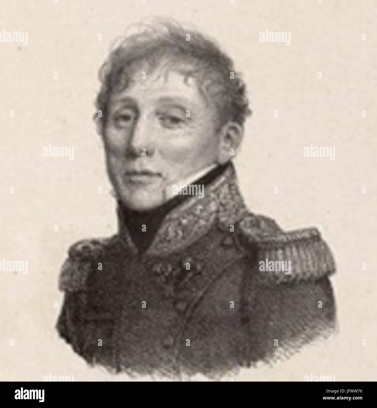 Charles-Félix de Choiseul-Praslin 281778-184129 Stock Photohttps://www.alamy.com/image-license-details/?v=1https://www.alamy.com/stock-photo-charles-flix-de-choiseul-praslin-281778-184129-147471386.html
RMJFWW76–Charles-Félix de Choiseul-Praslin 281778-184129
 Praslin island (Republic of Seychelles, Indian Ocean, Inner Islands) map vector illustration, scribble sketch Ile de Palmes and Cousine map Stock Vectorhttps://www.alamy.com/image-license-details/?v=1https://www.alamy.com/praslin-island-republic-of-seychelles-indian-ocean-inner-islands-map-vector-illustration-scribble-sketch-ile-de-palmes-and-cousine-map-image485749836.html
RF2K67PTC–Praslin island (Republic of Seychelles, Indian Ocean, Inner Islands) map vector illustration, scribble sketch Ile de Palmes and Cousine map
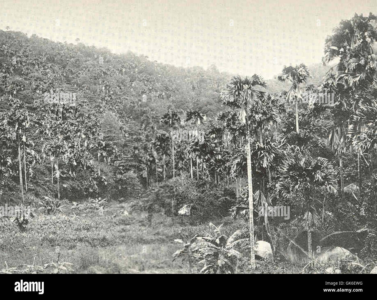 36492 Valley of the 'Coco de Mer,' Praslin Island, Seychelles Stock Photohttps://www.alamy.com/image-license-details/?v=1https://www.alamy.com/stock-photo-36492-valley-of-the-coco-de-mer-praslin-island-seychelles-115084076.html
RMGK6EWG–36492 Valley of the 'Coco de Mer,' Praslin Island, Seychelles
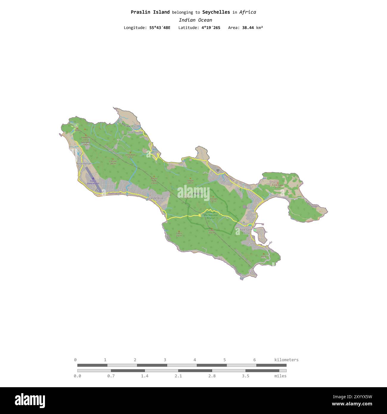 Praslin Island in the Indian Ocean, belonging to Seychelles, isolated on a topographic, OSM standard style map, with distance scale Stock Photohttps://www.alamy.com/image-license-details/?v=1https://www.alamy.com/praslin-island-in-the-indian-ocean-belonging-to-seychelles-isolated-on-a-topographic-osm-standard-style-map-with-distance-scale-image619571845.html
RF2XYYX5W–Praslin Island in the Indian Ocean, belonging to Seychelles, isolated on a topographic, OSM standard style map, with distance scale
 Renaud César de Choiseul Praslin (1735-1791) Stock Photohttps://www.alamy.com/image-license-details/?v=1https://www.alamy.com/stock-photo-renaud-csar-de-choiseul-praslin-1735-1791-147663619.html
RMJG6JCK–Renaud César de Choiseul Praslin (1735-1791)
 Shape of Praslin Island in the Indian Ocean, belonging to Seychelles Stock Photohttps://www.alamy.com/image-license-details/?v=1https://www.alamy.com/shape-of-praslin-island-in-the-indian-ocean-belonging-to-seychelles-image620359920.html
RF2Y17RBC–Shape of Praslin Island in the Indian Ocean, belonging to Seychelles
 Charles Félix du Choiseul-Praslin (1778-1841) Stock Photohttps://www.alamy.com/image-license-details/?v=1https://www.alamy.com/stock-photo-charles-flix-du-choiseul-praslin-1778-1841-147470696.html
RMJFWTAG–Charles Félix du Choiseul-Praslin (1778-1841)
 Praslin Island in the Indian Ocean on a satellite image taken in November 15, 2023 Stock Photohttps://www.alamy.com/image-license-details/?v=1https://www.alamy.com/praslin-island-in-the-indian-ocean-on-a-satellite-image-taken-in-november-15-2023-image619394867.html
RF2XYKTD7–Praslin Island in the Indian Ocean on a satellite image taken in November 15, 2023
 Praslin Island in the Indian Ocean - belonging to Seychelles. Described location diagram with yellow shape of the island and sample maps of its surrou Stock Photohttps://www.alamy.com/image-license-details/?v=1https://www.alamy.com/praslin-island-in-the-indian-ocean-belonging-to-seychelles-described-location-diagram-with-yellow-shape-of-the-island-and-sample-maps-of-its-surrou-image617420297.html
RF2XTDWTW–Praslin Island in the Indian Ocean - belonging to Seychelles. Described location diagram with yellow shape of the island and sample maps of its surrou
 Praslin Island in the Indian Ocean, belonging to Seychelles, cropped to square on a satellite image taken in November 30, 2023 Stock Photohttps://www.alamy.com/image-license-details/?v=1https://www.alamy.com/praslin-island-in-the-indian-ocean-belonging-to-seychelles-cropped-to-square-on-a-satellite-image-taken-in-november-30-2023-image620232806.html
RF2Y1217J–Praslin Island in the Indian Ocean, belonging to Seychelles, cropped to square on a satellite image taken in November 30, 2023
 Praslin Island in the Indian Ocean, belonging to Seychelles, isolated on a satellite image taken in November 30, 2023, with distance scale Stock Photohttps://www.alamy.com/image-license-details/?v=1https://www.alamy.com/praslin-island-in-the-indian-ocean-belonging-to-seychelles-isolated-on-a-satellite-image-taken-in-november-30-2023-with-distance-scale-image619550869.html
RF2XYXYCN–Praslin Island in the Indian Ocean, belonging to Seychelles, isolated on a satellite image taken in November 30, 2023, with distance scale