Prince edward island map Stock Vectors & Vector Art
(180)See prince edward island map stock video clipsPrince edward island map Stock Vectors & Vector Art
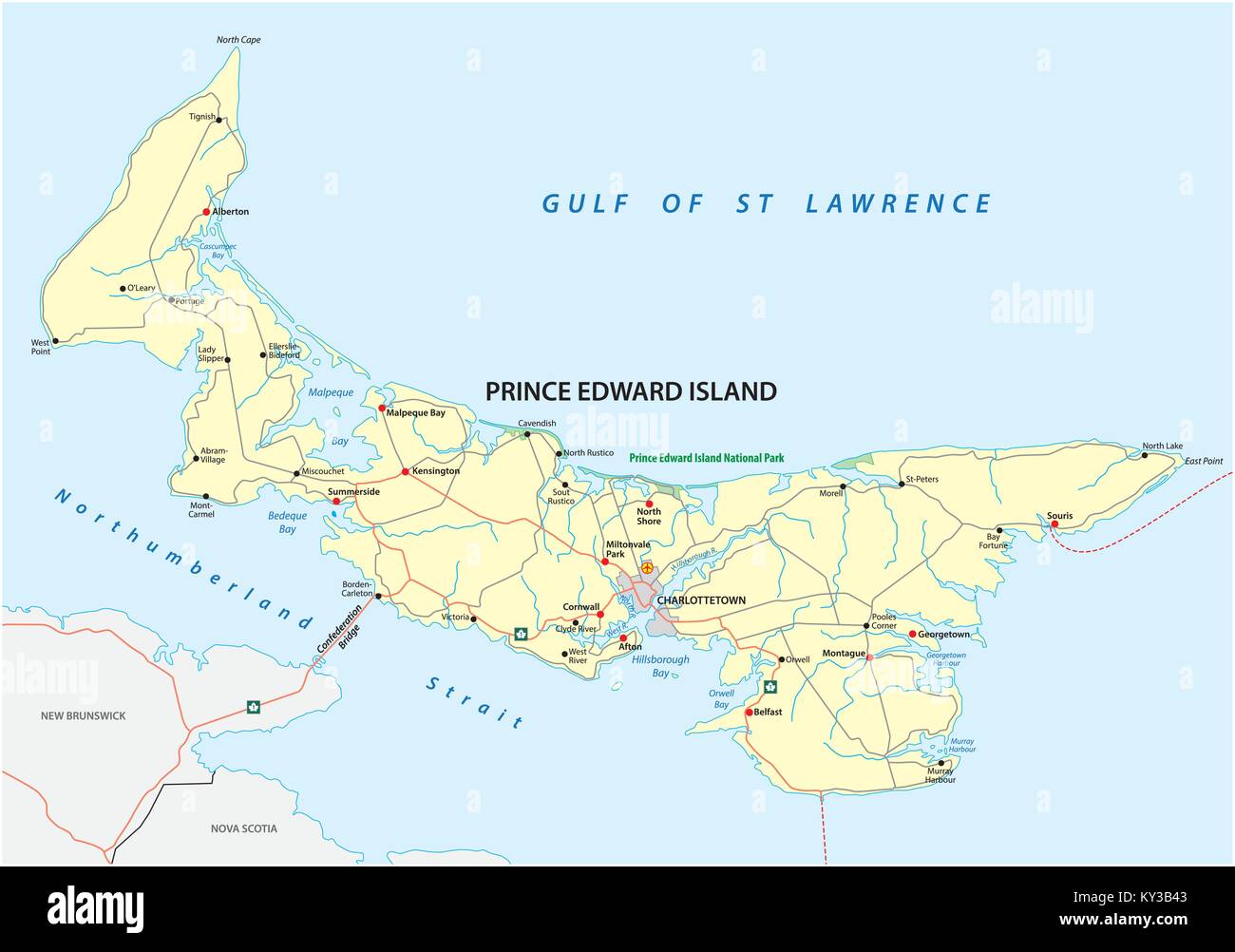 Prince Edward Island vector road map Stock Vectorhttps://www.alamy.com/image-license-details/?v=1https://www.alamy.com/stock-photo-prince-edward-island-vector-road-map-171563619.html
RFKY3B43–Prince Edward Island vector road map
 Prince Edward Island outline map Stock Vectorhttps://www.alamy.com/image-license-details/?v=1https://www.alamy.com/prince-edward-island-outline-map-image365344829.html
RF2C6AW1H–Prince Edward Island outline map
 Prince Edward Island Map Flag. Map of PE, Canada with flag. Canadian province. Vector illustration Banner. Stock Vectorhttps://www.alamy.com/image-license-details/?v=1https://www.alamy.com/prince-edward-island-map-flag-map-of-pe-canada-with-flag-canadian-province-vector-illustration-banner-image465274008.html
RF2J0Y1MT–Prince Edward Island Map Flag. Map of PE, Canada with flag. Canadian province. Vector illustration Banner.
 Prince Edward Island blank outline map set Stock Vectorhttps://www.alamy.com/image-license-details/?v=1https://www.alamy.com/stock-image-prince-edward-island-blank-outline-map-set-163838956.html
RFKEFE78–Prince Edward Island blank outline map set
RF2GCK5BK–Prince Edward Island Map on Canadian Flag. PE, CA Province Map on Canada Flag. EPS Vector Graphic Clipart Icon
 Provinces and territories of Canada - map of Prince Edward Island with paper cut effect. Please look at my other images of cartographic series - they Stock Vectorhttps://www.alamy.com/image-license-details/?v=1https://www.alamy.com/stock-photo-provinces-and-territories-of-canada-map-of-prince-edward-island-with-173766051.html
RFM2KMAB–Provinces and territories of Canada - map of Prince Edward Island with paper cut effect. Please look at my other images of cartographic series - they
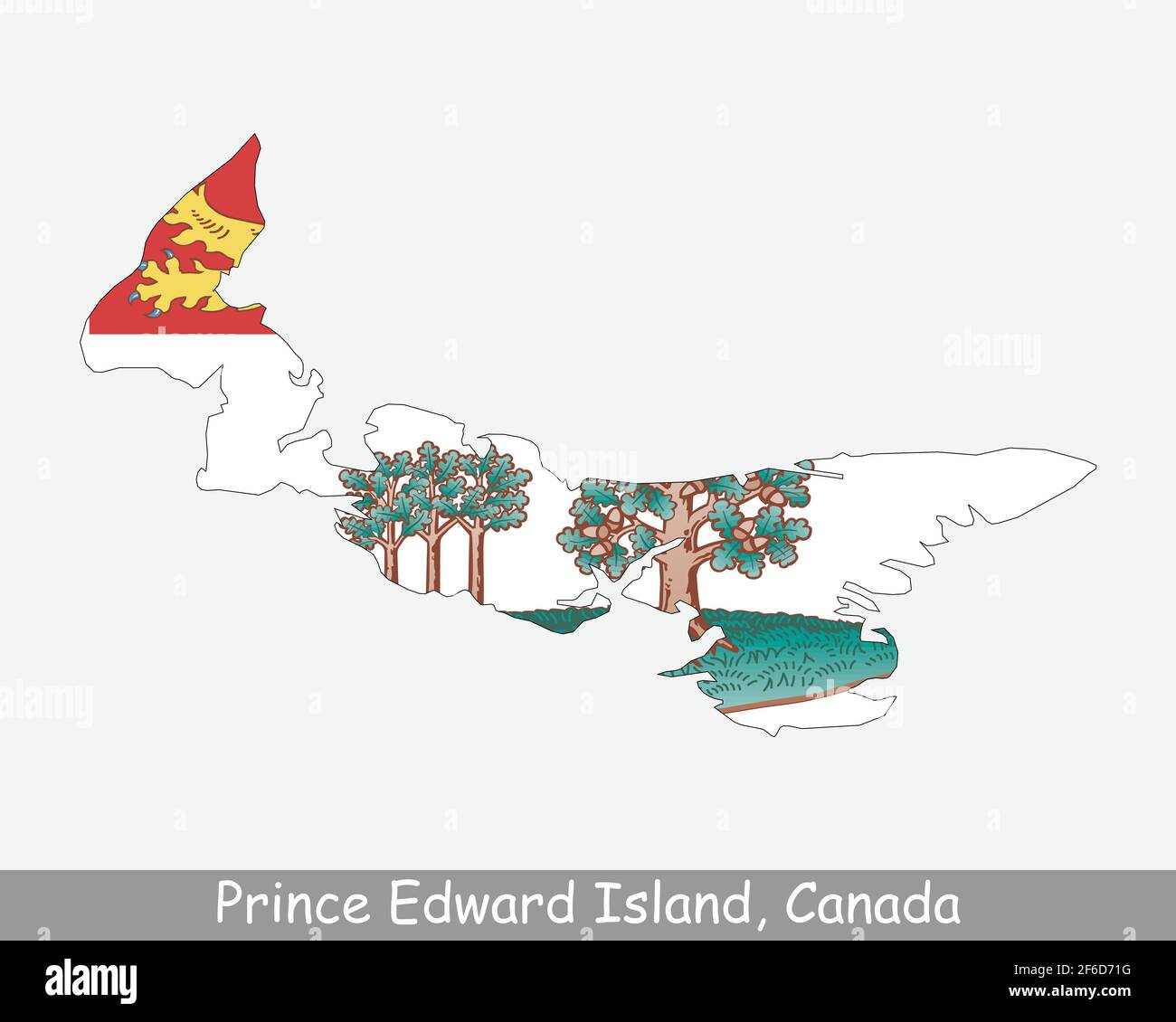 Prince Edward Island Map Flag. Map of PE, Canada with flag isolated on a white background. Canadian province. Vector illustration. Stock Vectorhttps://www.alamy.com/image-license-details/?v=1https://www.alamy.com/prince-edward-island-map-flag-map-of-pe-canada-with-flag-isolated-on-a-white-background-canadian-province-vector-illustration-image417027676.html
RF2F6D71G–Prince Edward Island Map Flag. Map of PE, Canada with flag isolated on a white background. Canadian province. Vector illustration.
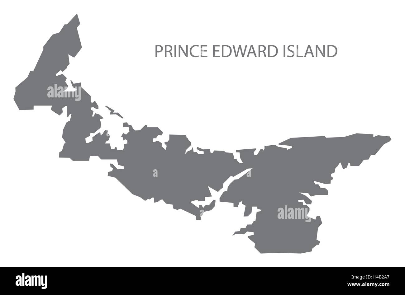 Prince Edward Island Canada Map in grey Stock Vectorhttps://www.alamy.com/image-license-details/?v=1https://www.alamy.com/stock-photo-prince-edward-island-canada-map-in-grey-123174527.html
RFH4B2A7–Prince Edward Island Canada Map in grey
RF2GCJCG9–Prince Edward Island Map on Canadian Flag. PE, CA Province Map on Canada Flag. EPS Vector Graphic Clipart Icon
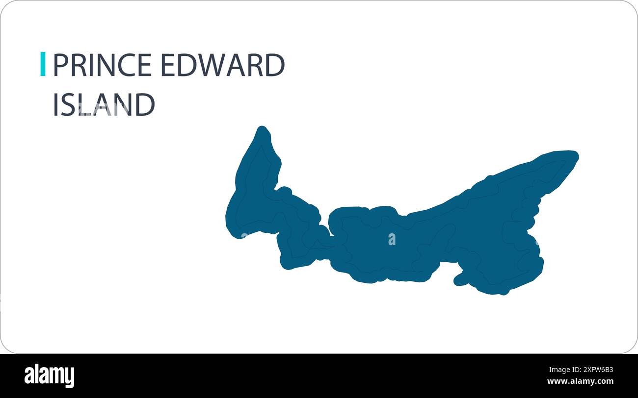 Map of PRINCE EDWARD ISLAND, North American, isolated map, showing its states and cities, with name, World map, vector, EPS, Government, politics Stock Vectorhttps://www.alamy.com/image-license-details/?v=1https://www.alamy.com/map-of-prince-edward-island-north-american-isolated-map-showing-its-states-and-cities-with-name-world-map-vector-eps-government-politics-image612136535.html
RF2XFW6B3–Map of PRINCE EDWARD ISLAND, North American, isolated map, showing its states and cities, with name, World map, vector, EPS, Government, politics
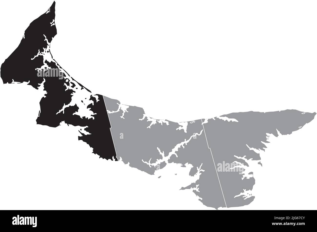 Black flat blank highlighted location map of the PRINCE COUNTY inside gray administrative map of counties of Canadian province of Prince Edward Island Stock Vectorhttps://www.alamy.com/image-license-details/?v=1https://www.alamy.com/black-flat-blank-highlighted-location-map-of-the-prince-county-inside-gray-administrative-map-of-counties-of-canadian-province-of-prince-edward-island-image474651995.html
RF2JG67CY–Black flat blank highlighted location map of the PRINCE COUNTY inside gray administrative map of counties of Canadian province of Prince Edward Island
 Detailed Map of Prince Edward Island, Canada with several variations Stock Vectorhttps://www.alamy.com/image-license-details/?v=1https://www.alamy.com/stock-photo-detailed-map-of-prince-edward-island-canada-with-several-variations-86905334.html
RFF1ATHX–Detailed Map of Prince Edward Island, Canada with several variations
 Prince Edward Island blank outline map set Stock Vectorhttps://www.alamy.com/image-license-details/?v=1https://www.alamy.com/stock-photo-prince-edward-island-blank-outline-map-set-116071419.html
RFGMRE7R–Prince Edward Island blank outline map set
 Symbol Map of the Province Prince Edward Island (Canada) showing the territory with a pattern of randomly distributed black circles of different sizes Stock Vectorhttps://www.alamy.com/image-license-details/?v=1https://www.alamy.com/symbol-map-of-the-province-prince-edward-island-canada-showing-the-territory-with-a-pattern-of-randomly-distributed-black-circles-of-different-sizes-image621722397.html
RF2Y3DW79–Symbol Map of the Province Prince Edward Island (Canada) showing the territory with a pattern of randomly distributed black circles of different sizes
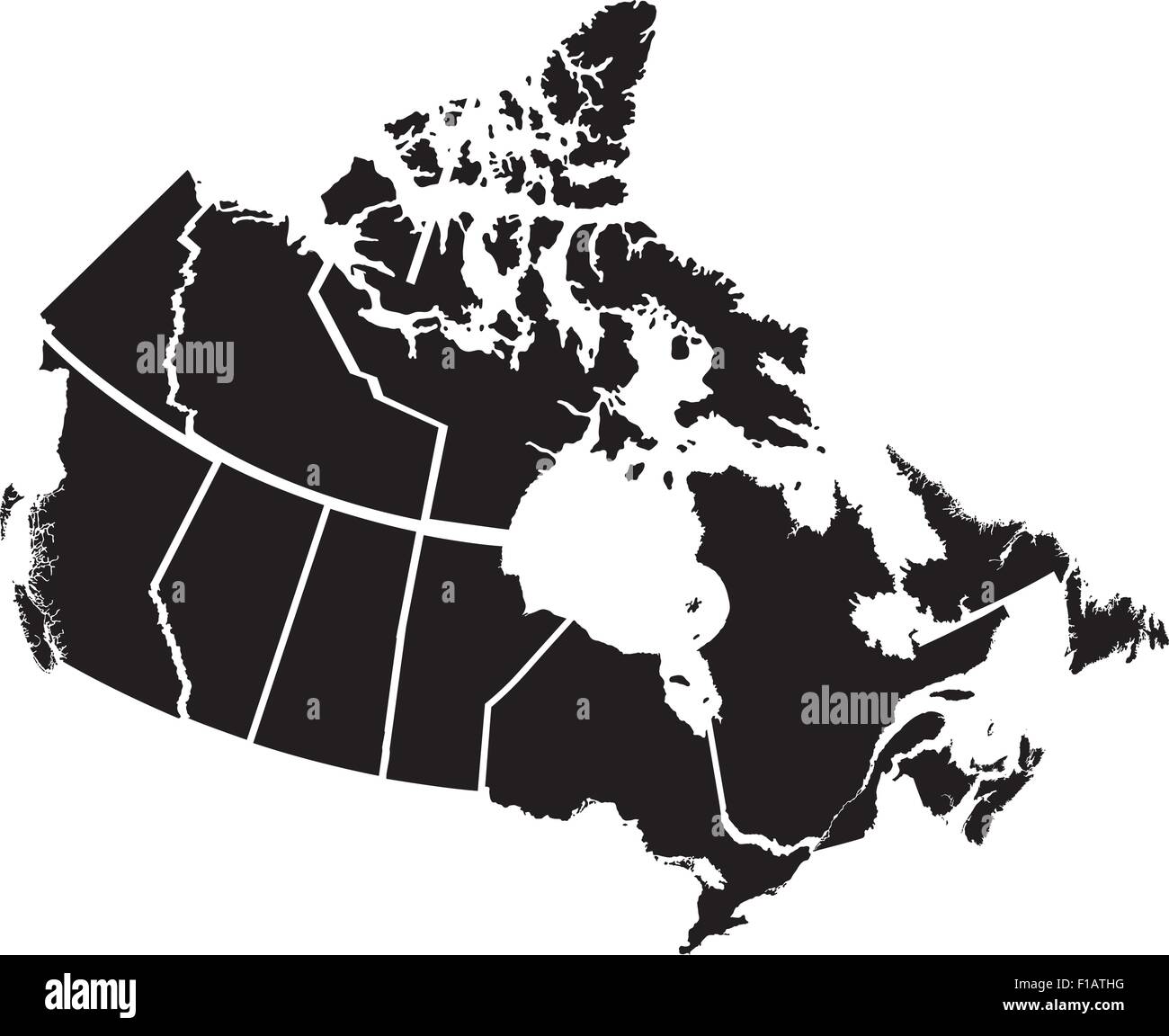 Detailed Map of Canadian Territories, each territory labeled on a separate layer Stock Vectorhttps://www.alamy.com/image-license-details/?v=1https://www.alamy.com/stock-photo-detailed-map-of-canadian-territories-each-territory-labeled-on-a-separate-86905324.html
RFF1ATHG–Detailed Map of Canadian Territories, each territory labeled on a separate layer
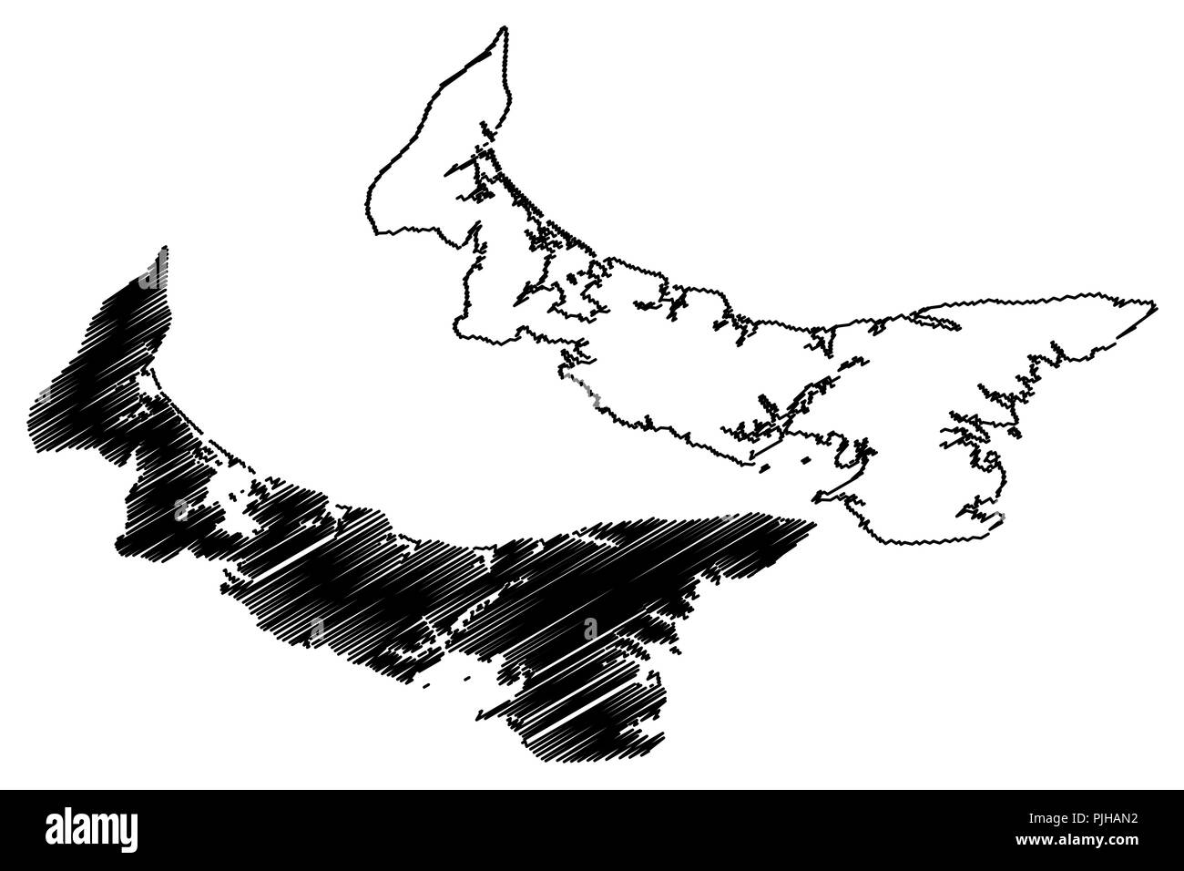 Prince Edward Island (provinces and territories of Canada, PEI or P.E.I.) map vector illustration, scribble sketch Prince Edward Island map Stock Vectorhttps://www.alamy.com/image-license-details/?v=1https://www.alamy.com/prince-edward-island-provinces-and-territories-of-canada-pei-or-pei-map-vector-illustration-scribble-sketch-prince-edward-island-map-image217969838.html
RFPJHAN2–Prince Edward Island (provinces and territories of Canada, PEI or P.E.I.) map vector illustration, scribble sketch Prince Edward Island map
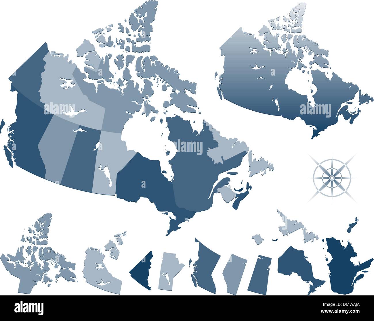 Map of Canada and provinces Stock Vectorhttps://www.alamy.com/image-license-details/?v=1https://www.alamy.com/map-of-canada-and-provinces-image64481378.html
RFDMWAJA–Map of Canada and provinces
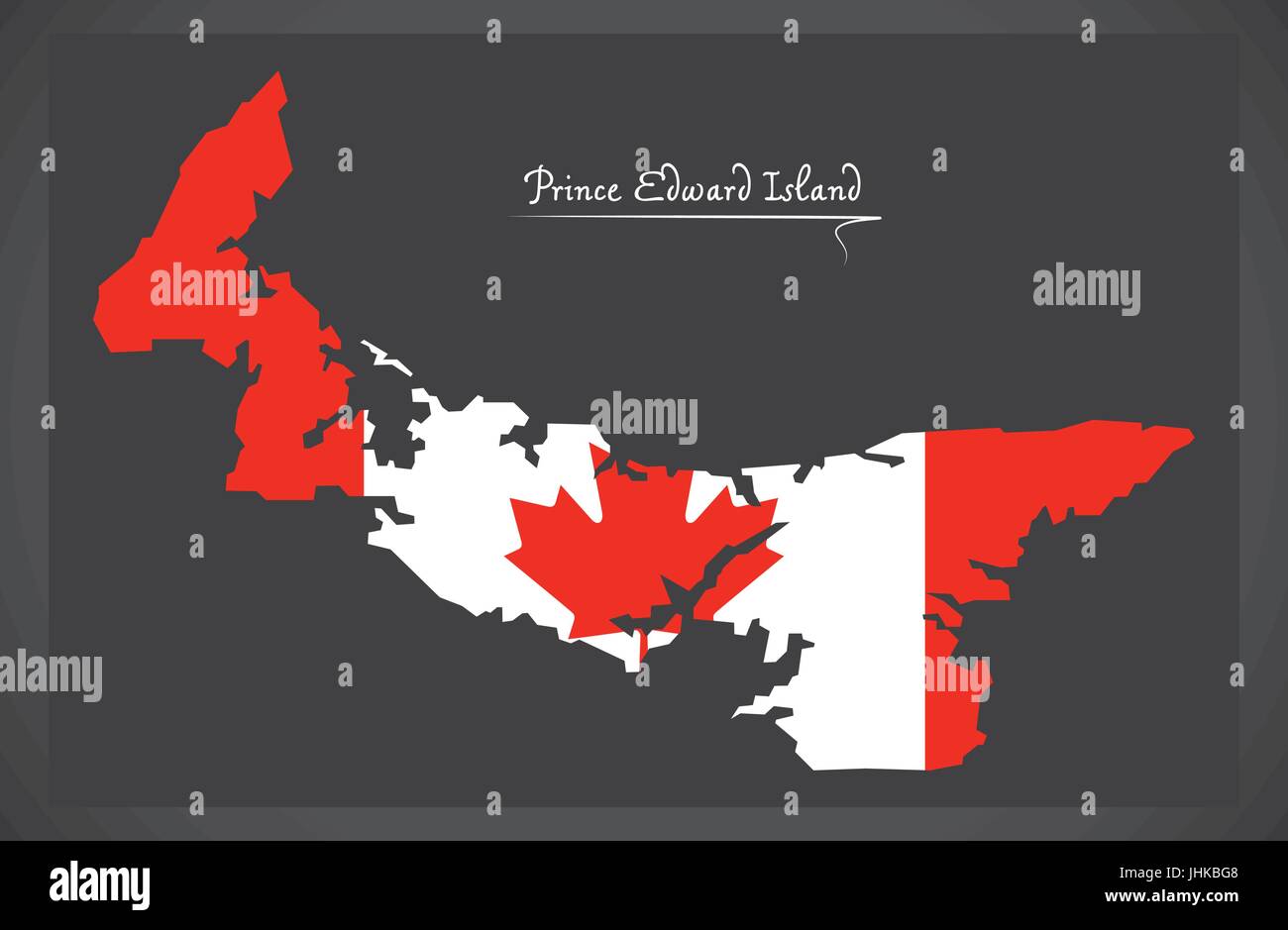 Prince Edward Island Canada map with Canadian national flag illustration Stock Vectorhttps://www.alamy.com/image-license-details/?v=1https://www.alamy.com/stock-photo-prince-edward-island-canada-map-with-canadian-national-flag-illustration-148558264.html
RFJHKBG8–Prince Edward Island Canada map with Canadian national flag illustration
 Prince Edward Island silhouette map isolated on white background, Canada Stock Vectorhttps://www.alamy.com/image-license-details/?v=1https://www.alamy.com/prince-edward-island-silhouette-map-isolated-on-white-background-canada-image437314104.html
RF2GBDAGT–Prince Edward Island silhouette map isolated on white background, Canada
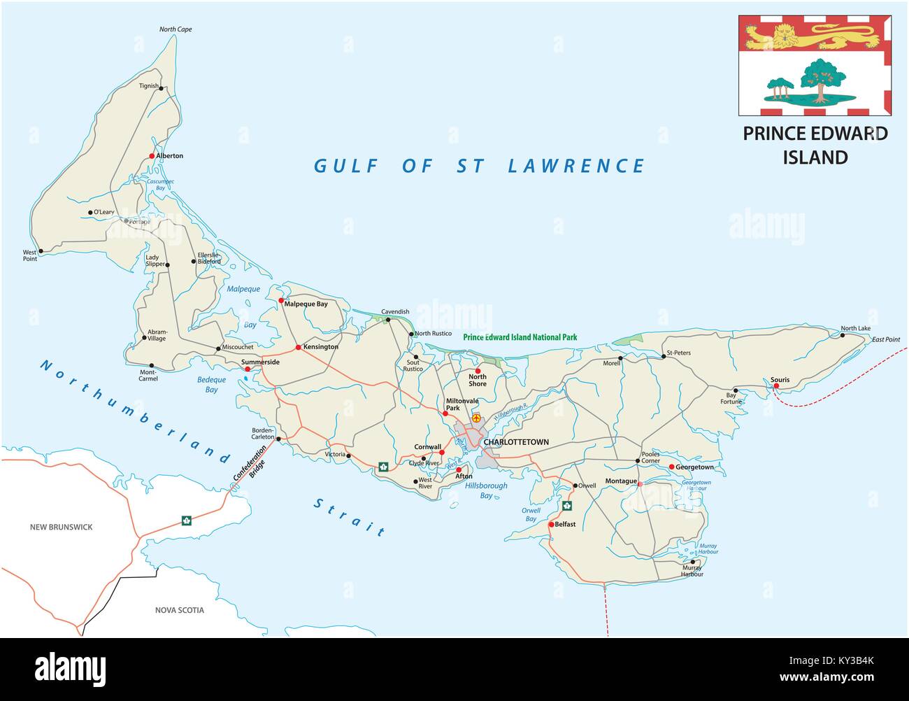 Prince Edward Island vector road map with flag Stock Vectorhttps://www.alamy.com/image-license-details/?v=1https://www.alamy.com/stock-photo-prince-edward-island-vector-road-map-with-flag-171563635.html
RFKY3B4K–Prince Edward Island vector road map with flag
 Prince Edward Island administrative map isolated on white background, Canada Stock Vectorhttps://www.alamy.com/image-license-details/?v=1https://www.alamy.com/prince-edward-island-administrative-map-isolated-on-white-background-canada-image436701118.html
RF2GADCME–Prince Edward Island administrative map isolated on white background, Canada
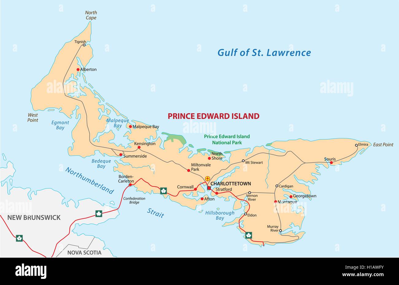 Prince Edward Island road map Stock Vectorhttps://www.alamy.com/image-license-details/?v=1https://www.alamy.com/stock-photo-prince-edward-island-road-map-121326799.html
RFH1AWFY–Prince Edward Island road map
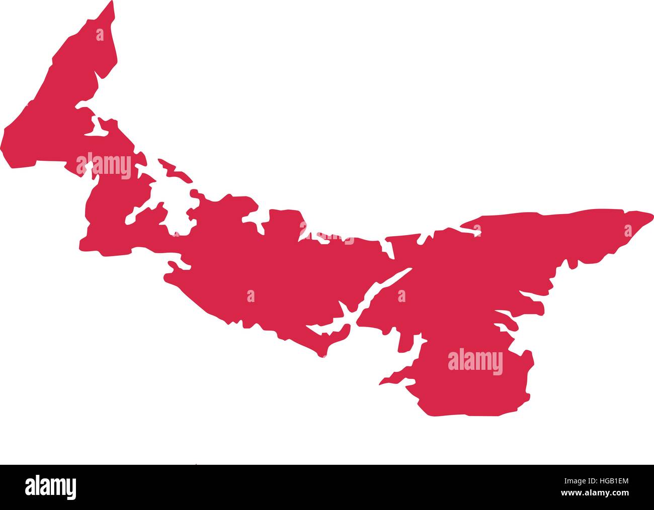 Map of prince edward island Stock Vectorhttps://www.alamy.com/image-license-details/?v=1https://www.alamy.com/stock-photo-map-of-prince-edward-island-130549740.html
RFHGB1EM–Map of prince edward island
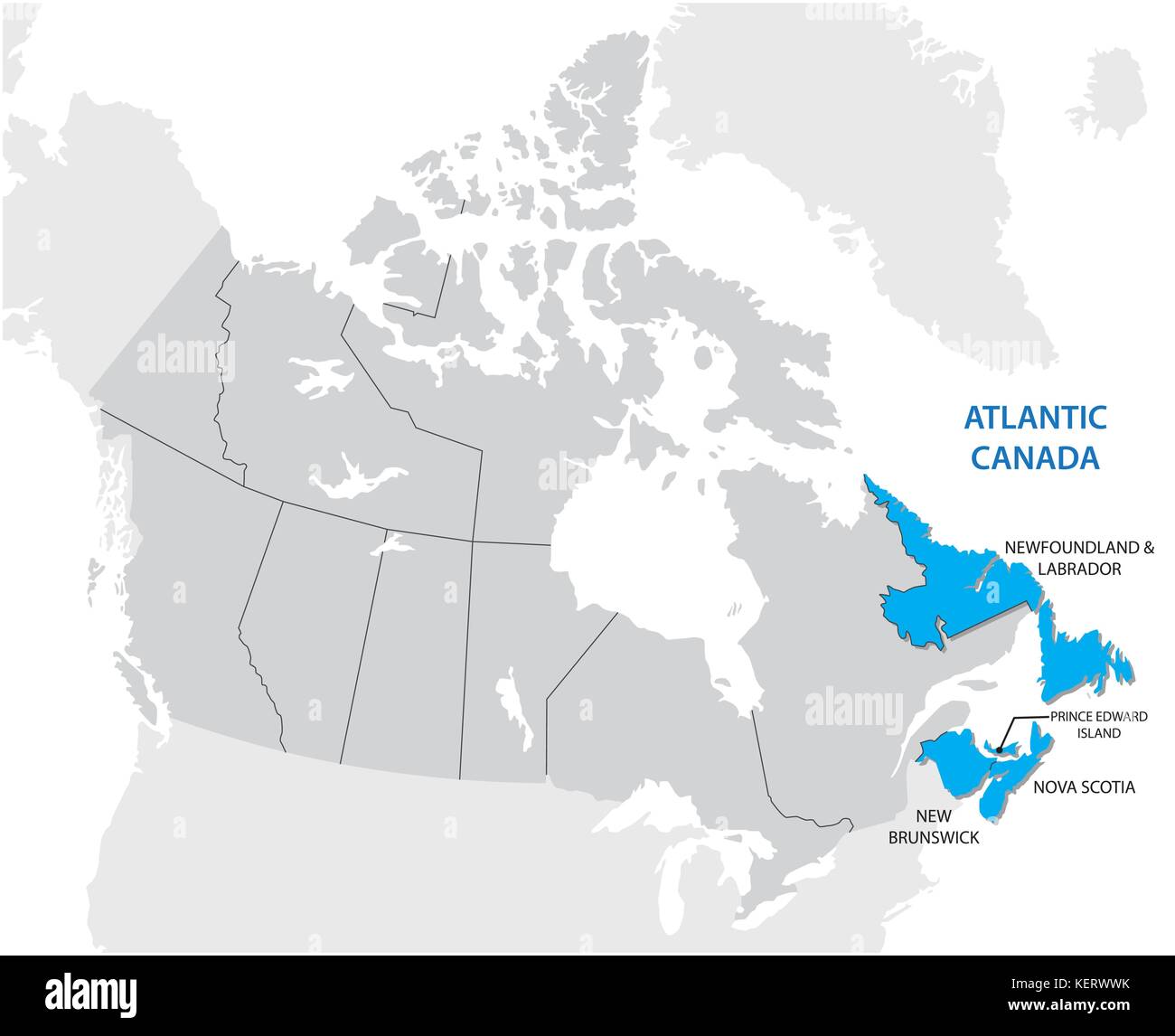 Survey map of the four Canadian Atlantic States Atlantic canada Stock Vectorhttps://www.alamy.com/image-license-details/?v=1https://www.alamy.com/stock-image-survey-map-of-the-four-canadian-atlantic-states-atlantic-canada-164023711.html
RFKERWWK–Survey map of the four Canadian Atlantic States Atlantic canada
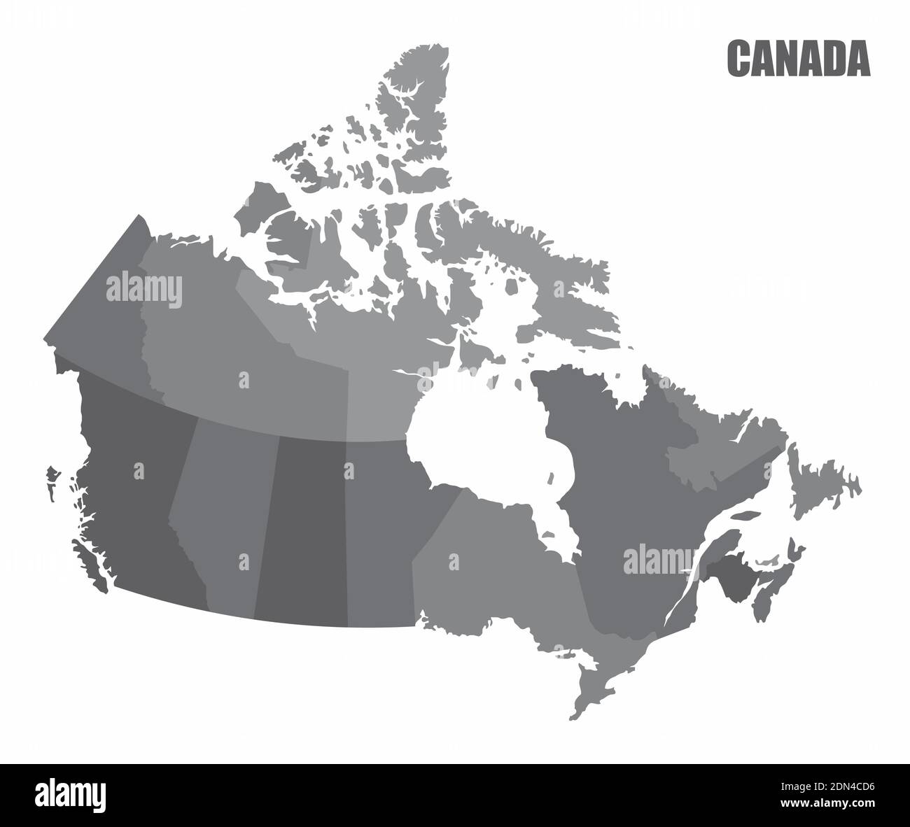 Canada provinces map Stock Vectorhttps://www.alamy.com/image-license-details/?v=1https://www.alamy.com/canada-provinces-map-image391633458.html
RF2DN4CD6–Canada provinces map
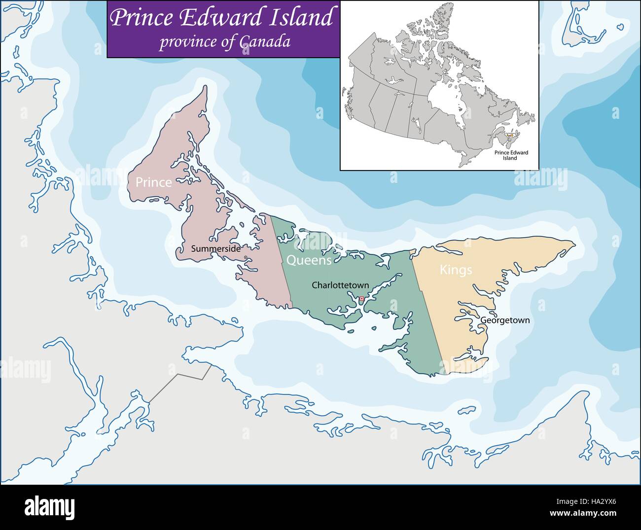 Map of Prince Edward Island Stock Vectorhttps://www.alamy.com/image-license-details/?v=1https://www.alamy.com/stock-photo-map-of-prince-edward-island-126684942.html
RFHA2YX6–Map of Prince Edward Island
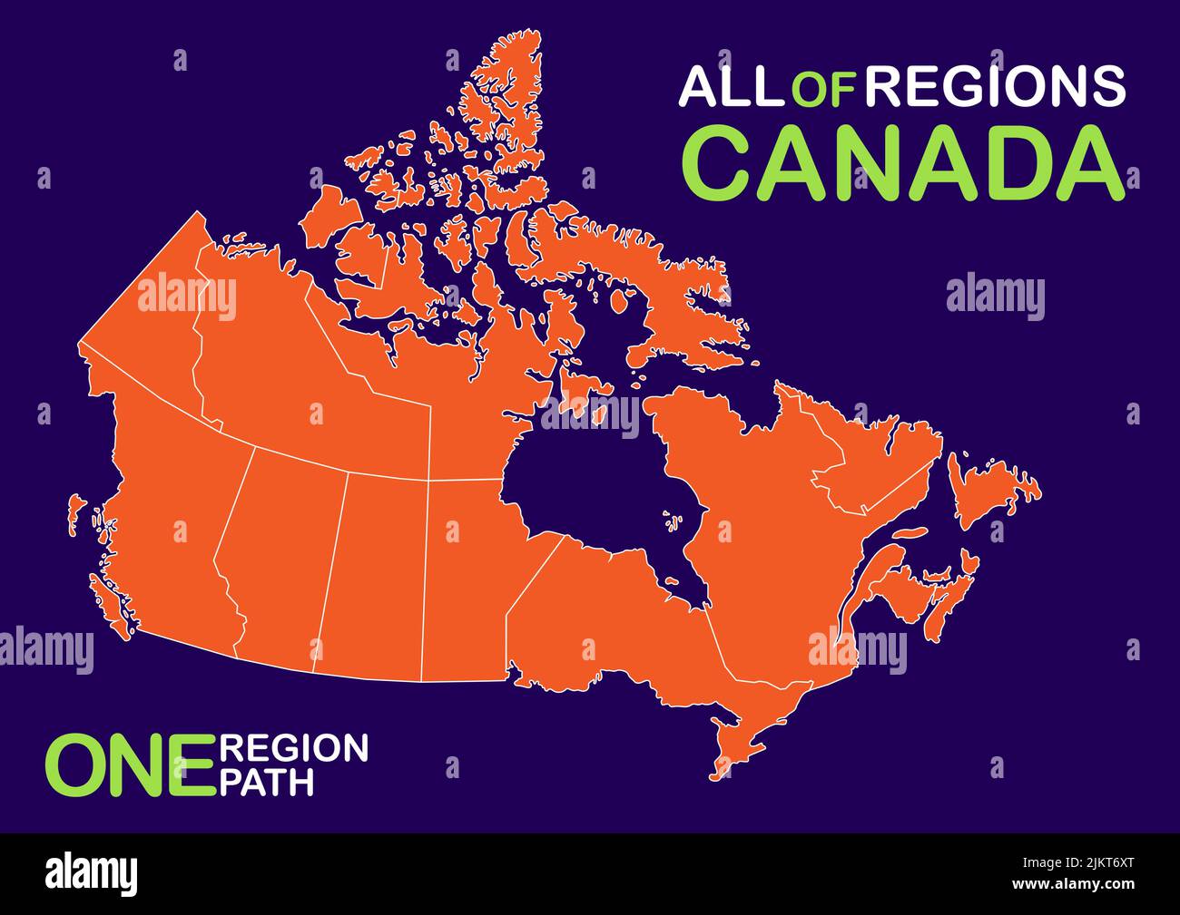 Vector, isolated illustration of simplified administrative map of Canada. Boundaries of provinces (regions) Stock Vectorhttps://www.alamy.com/image-license-details/?v=1https://www.alamy.com/vector-isolated-illustration-of-simplified-administrative-map-of-canada-boundaries-of-provinces-regions-image476890704.html
RF2JKT6XT–Vector, isolated illustration of simplified administrative map of Canada. Boundaries of provinces (regions)
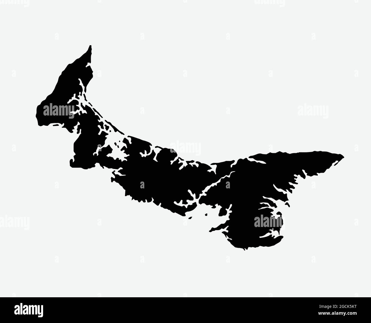 Prince Edward Island Canada Map Black Silhouette. PEI, Canadian Province Shape Geography Atlas Border Boundary. Black Map Isolated on White Background Stock Vectorhttps://www.alamy.com/image-license-details/?v=1https://www.alamy.com/prince-edward-island-canada-map-black-silhouette-pei-canadian-province-shape-geography-atlas-border-boundary-black-map-isolated-on-white-background-image438056636.html
RF2GCK5KT–Prince Edward Island Canada Map Black Silhouette. PEI, Canadian Province Shape Geography Atlas Border Boundary. Black Map Isolated on White Background
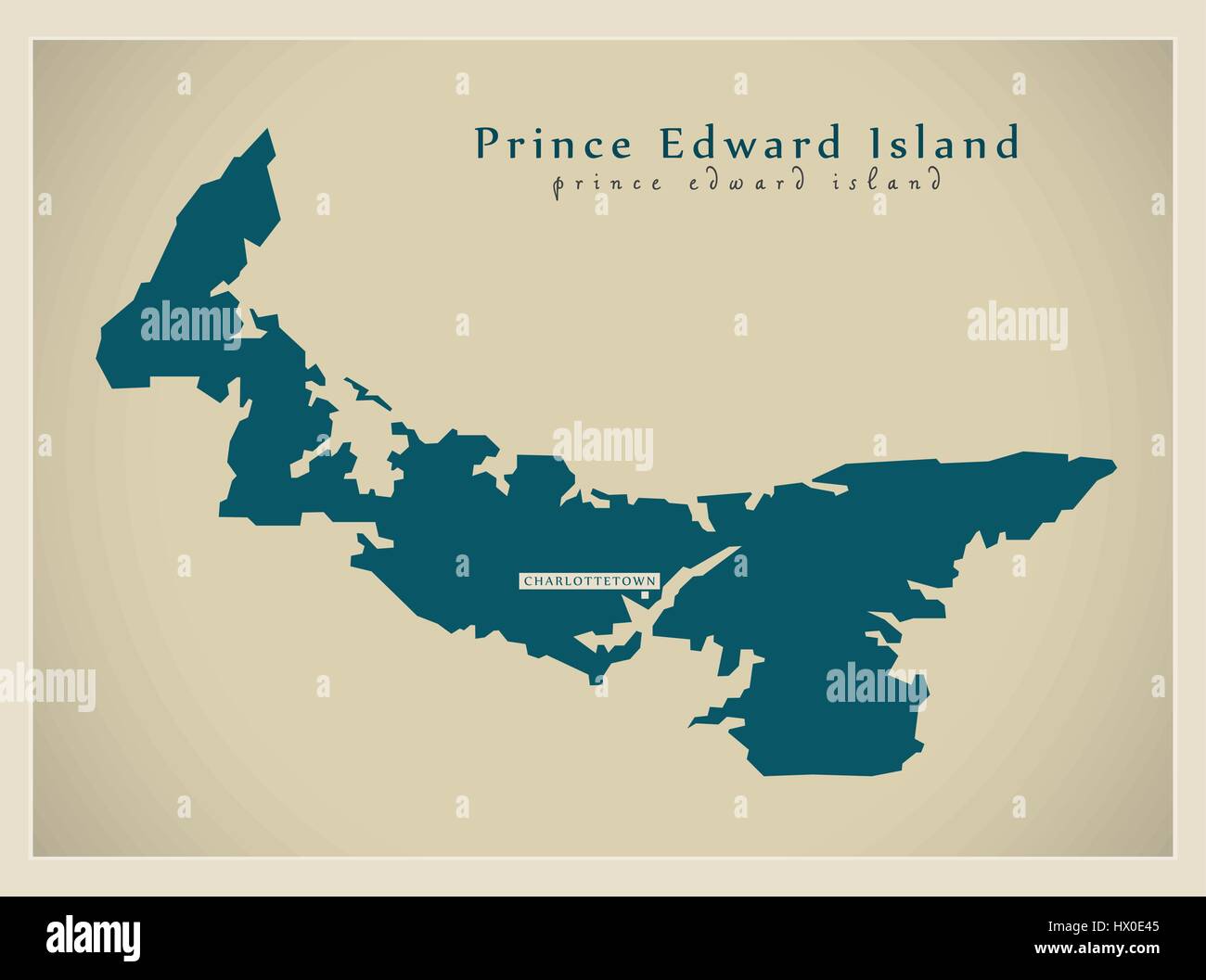 Modern Map - Prince Edward Island CA Stock Vectorhttps://www.alamy.com/image-license-details/?v=1https://www.alamy.com/stock-photo-modern-map-prince-edward-island-ca-136464725.html
RFHX0E45–Modern Map - Prince Edward Island CA
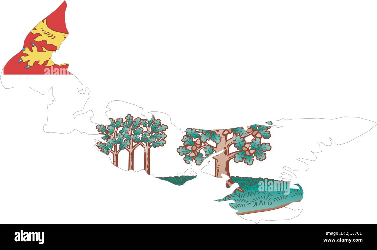 Flat vector administrative flag map of the Canadian province of PRINCE EDWARD ISLAND CANADA Stock Vectorhttps://www.alamy.com/image-license-details/?v=1https://www.alamy.com/flat-vector-administrative-flag-map-of-the-canadian-province-of-prince-edward-island-canada-image474651981.html
RF2JG67CD–Flat vector administrative flag map of the Canadian province of PRINCE EDWARD ISLAND CANADA
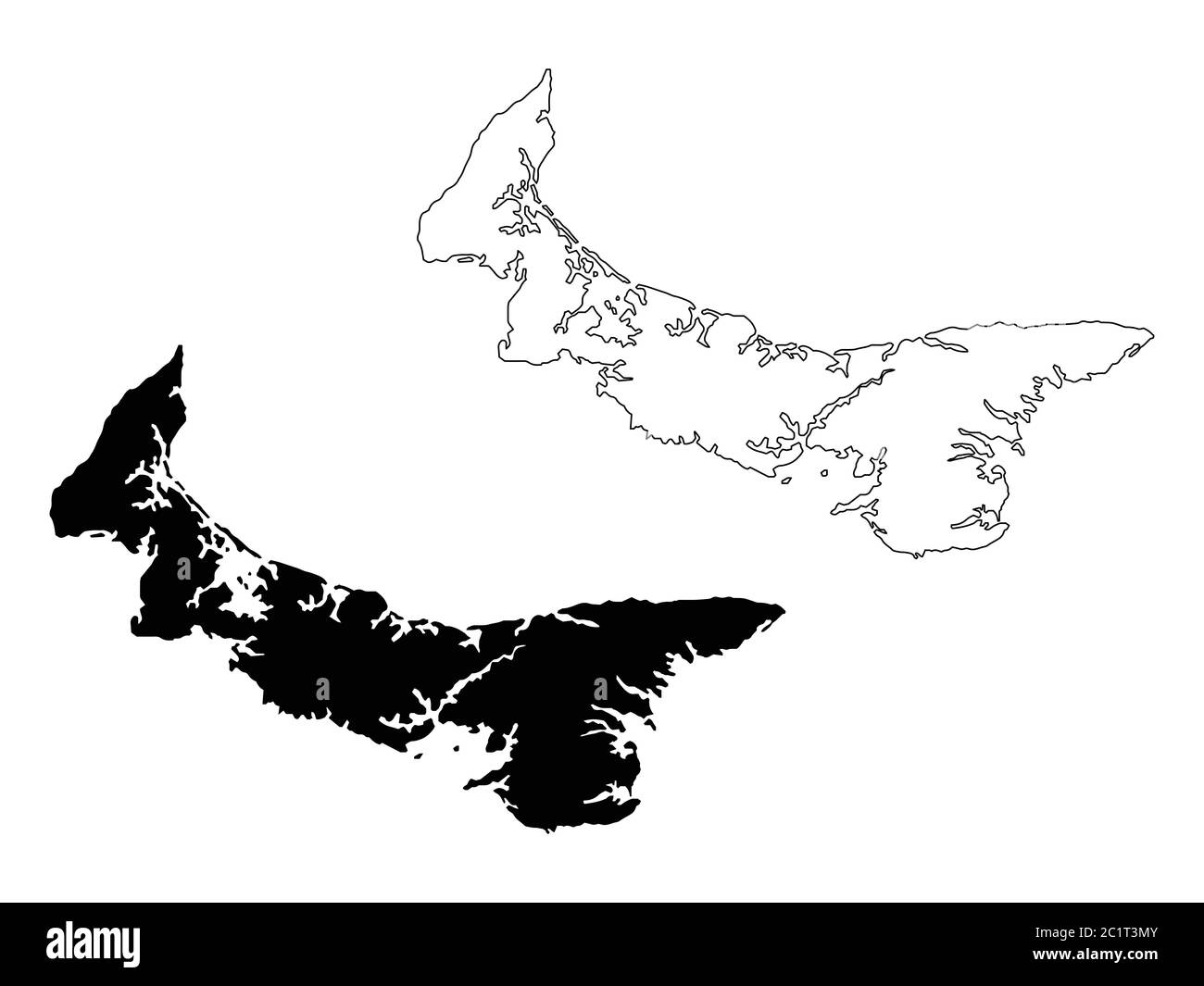 Prince Edward Island Province and Territory of Canada Map. Black Illustration and Outline. Isolated on a White Background. EPS Vector Stock Vectorhttps://www.alamy.com/image-license-details/?v=1https://www.alamy.com/prince-edward-island-province-and-territory-of-canada-map-black-illustration-and-outline-isolated-on-a-white-background-eps-vector-image362562171.html
RF2C1T3MY–Prince Edward Island Province and Territory of Canada Map. Black Illustration and Outline. Isolated on a White Background. EPS Vector
 Prince Edward Island CANADA map with Coronavirus warning illustration Stock Vectorhttps://www.alamy.com/image-license-details/?v=1https://www.alamy.com/prince-edward-island-canada-map-with-coronavirus-warning-illustration-image353411213.html
RF2BEY7H1–Prince Edward Island CANADA map with Coronavirus warning illustration
 Symbol Map of the Province Prince Edward Island (Canada). Abstract map showing the state/province with a pattern of overlapping colorful squares like Stock Vectorhttps://www.alamy.com/image-license-details/?v=1https://www.alamy.com/symbol-map-of-the-province-prince-edward-island-canada-abstract-map-showing-the-stateprovince-with-a-pattern-of-overlapping-colorful-squares-like-image611835306.html
RF2XFBE4X–Symbol Map of the Province Prince Edward Island (Canada). Abstract map showing the state/province with a pattern of overlapping colorful squares like
 Prince Edward Island Canada map black inverted silhouette illustration shape Stock Vectorhttps://www.alamy.com/image-license-details/?v=1https://www.alamy.com/stock-photo-prince-edward-island-canada-map-black-inverted-silhouette-illustration-148727851.html
RFJHY3TY–Prince Edward Island Canada map black inverted silhouette illustration shape
 Prince Edward Island (provinces and territories of Canada, PEI or P.E.I.) map vector illustration, scribble sketch Prince Edward Island map Stock Vectorhttps://www.alamy.com/image-license-details/?v=1https://www.alamy.com/prince-edward-island-provinces-and-territories-of-canada-pei-or-pei-map-vector-illustration-scribble-sketch-prince-edward-island-map-image217969837.html
RFPJHAN1–Prince Edward Island (provinces and territories of Canada, PEI or P.E.I.) map vector illustration, scribble sketch Prince Edward Island map
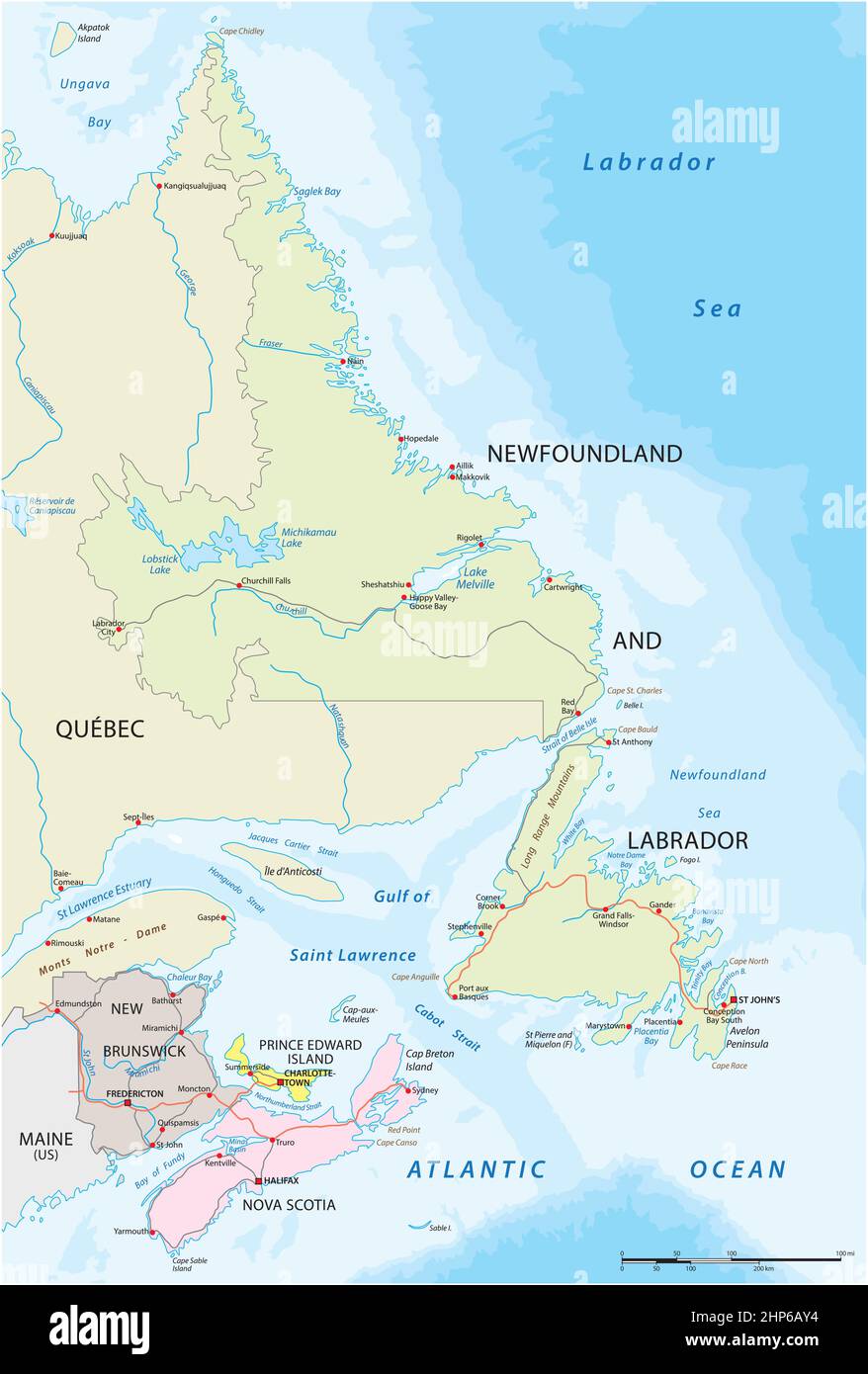 Vector road map of the four canada atlantic provinces Stock Vectorhttps://www.alamy.com/image-license-details/?v=1https://www.alamy.com/vector-road-map-of-the-four-canada-atlantic-provinces-image461132312.html
RF2HP6AY4–Vector road map of the four canada atlantic provinces
RFM5R5D0–Canada map icon. Flat vector illustration. Canada sign symbol with shadow on white background.
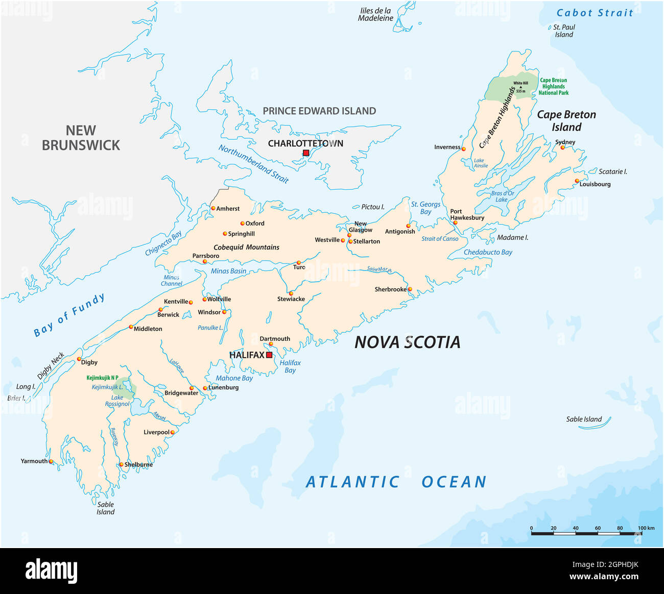 Vector map of the Canadian province of Nova Scotia Stock Vectorhttps://www.alamy.com/image-license-details/?v=1https://www.alamy.com/vector-map-of-the-canadian-province-of-nova-scotia-image444165531.html
RF2GPHDJK–Vector map of the Canadian province of Nova Scotia
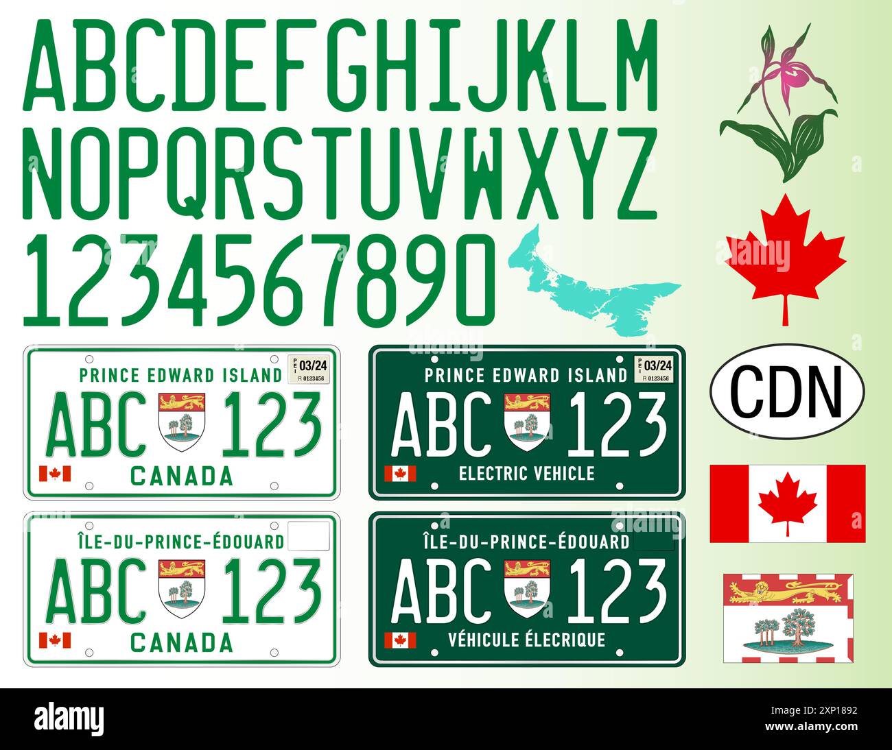 Prince Edward Island car license plate pattern, Canada, letters, numbers and symbols, vector illustration Stock Vectorhttps://www.alamy.com/image-license-details/?v=1https://www.alamy.com/prince-edward-island-car-license-plate-pattern-canada-letters-numbers-and-symbols-vector-illustration-image615913790.html
RF2XP1892–Prince Edward Island car license plate pattern, Canada, letters, numbers and symbols, vector illustration
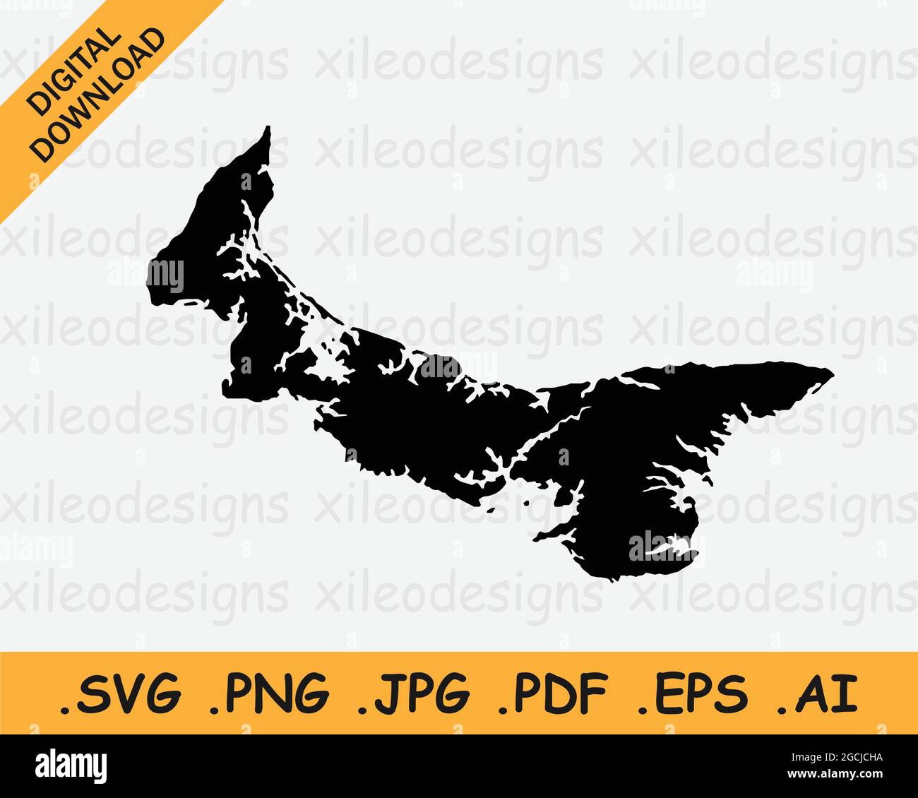 Prince Edward Island Canada Map Black Silhouette. PEI, Canadian Province Shape Geography Atlas Border Boundary. Black Map Isolated on a White Backgrou Stock Vectorhttps://www.alamy.com/image-license-details/?v=1https://www.alamy.com/prince-edward-island-canada-map-black-silhouette-pei-canadian-province-shape-geography-atlas-border-boundary-black-map-isolated-on-a-white-backgrou-image438040102.html
RF2GCJCHA–Prince Edward Island Canada Map Black Silhouette. PEI, Canadian Province Shape Geography Atlas Border Boundary. Black Map Isolated on a White Backgrou
 Canada Flag in Map, Canada Map with Flag, Country Map, Canada Map with Flag, Nation Flag Canada Stock Vectorhttps://www.alamy.com/image-license-details/?v=1https://www.alamy.com/canada-flag-in-map-canada-map-with-flag-country-map-canada-map-with-flag-nation-flag-canada-image619306745.html
RF2XYFT21–Canada Flag in Map, Canada Map with Flag, Country Map, Canada Map with Flag, Nation Flag Canada
 The detailed map of the Canada with regions or states Stock Vectorhttps://www.alamy.com/image-license-details/?v=1https://www.alamy.com/stock-photo-the-detailed-map-of-the-canada-with-regions-or-states-176945904.html
RFM7TG8G–The detailed map of the Canada with regions or states
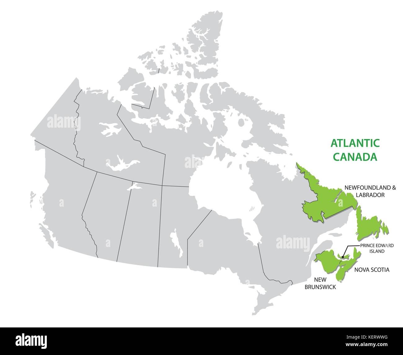 Survey map of the four Canadian Atlantic States Atlantic canada Stock Vectorhttps://www.alamy.com/image-license-details/?v=1https://www.alamy.com/stock-image-survey-map-of-the-four-canadian-atlantic-states-atlantic-canada-164023708.html
RFKERWWG–Survey map of the four Canadian Atlantic States Atlantic canada
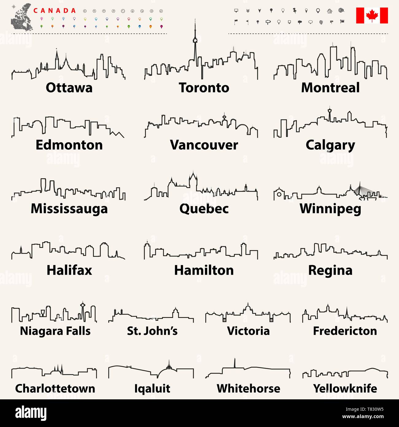 vector Canadian largest cities and all states capitals skylines Stock Vectorhttps://www.alamy.com/image-license-details/?v=1https://www.alamy.com/vector-canadian-largest-cities-and-all-states-capitals-skylines-image245928961.html
RFT830W5–vector Canadian largest cities and all states capitals skylines
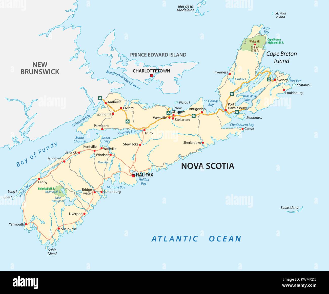 Nova Scotia road map, Canada Stock Vectorhttps://www.alamy.com/image-license-details/?v=1https://www.alamy.com/stock-photo-nova-scotia-road-map-canada-170719505.html
RFKWMXD5–Nova Scotia road map, Canada
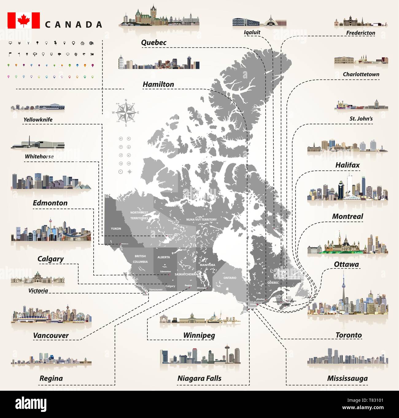 vector Canadian largest cities and all states capitals skylines Stock Vectorhttps://www.alamy.com/image-license-details/?v=1https://www.alamy.com/vector-canadian-largest-cities-and-all-states-capitals-skylines-image245929041.html
RFT83101–vector Canadian largest cities and all states capitals skylines
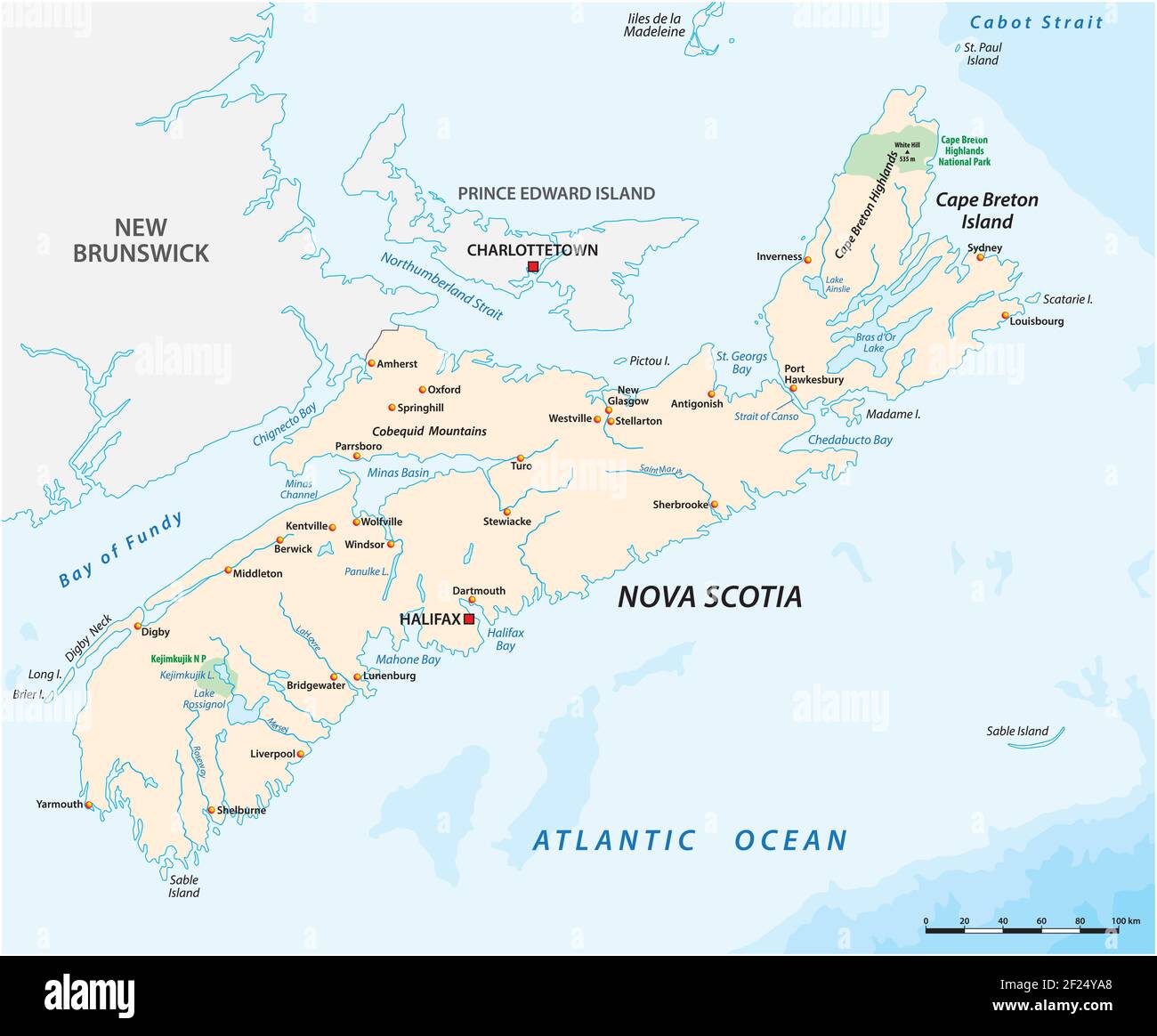 Vector map of the Canadian province of Nova Scotia Stock Vectorhttps://www.alamy.com/image-license-details/?v=1https://www.alamy.com/vector-map-of-the-canadian-province-of-nova-scotia-image414387408.html
RF2F24YA8–Vector map of the Canadian province of Nova Scotia
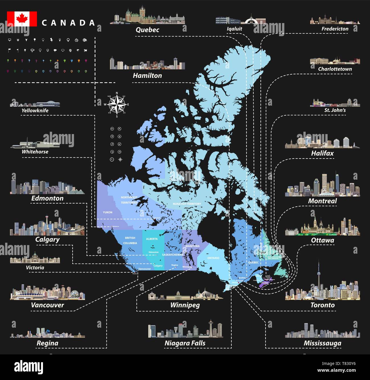 vector Canadian largest cities and all states capitals skylines Stock Vectorhttps://www.alamy.com/image-license-details/?v=1https://www.alamy.com/vector-canadian-largest-cities-and-all-states-capitals-skylines-image245929018.html
RFT830Y6–vector Canadian largest cities and all states capitals skylines
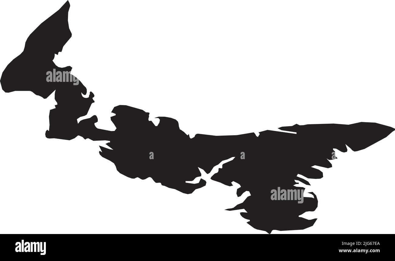 Black flat blank vector administrative map of the Canadian province of PRINCE EDWARD ISLAND, CANADA Stock Vectorhttps://www.alamy.com/image-license-details/?v=1https://www.alamy.com/black-flat-blank-vector-administrative-map-of-the-canadian-province-of-prince-edward-island-canada-image474652034.html
RF2JG67EA–Black flat blank vector administrative map of the Canadian province of PRINCE EDWARD ISLAND, CANADA
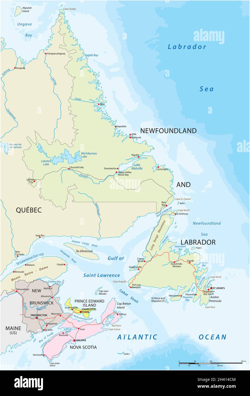 Vector road map of the four canada atlantic provinces Stock Vectorhttps://www.alamy.com/image-license-details/?v=1https://www.alamy.com/vector-road-map-of-the-four-canada-atlantic-provinces-image449953636.html
RF2H414CM–Vector road map of the four canada atlantic provinces
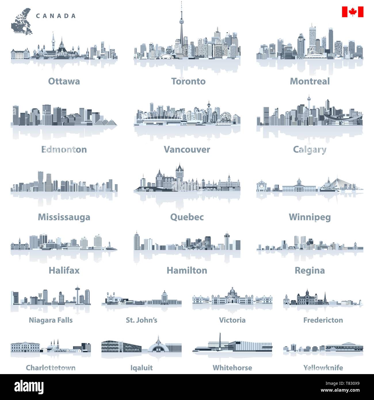 vector Canadian largest cities and all states capitals skylines Stock Vectorhttps://www.alamy.com/image-license-details/?v=1https://www.alamy.com/vector-canadian-largest-cities-and-all-states-capitals-skylines-image245928993.html
RFT830X9–vector Canadian largest cities and all states capitals skylines
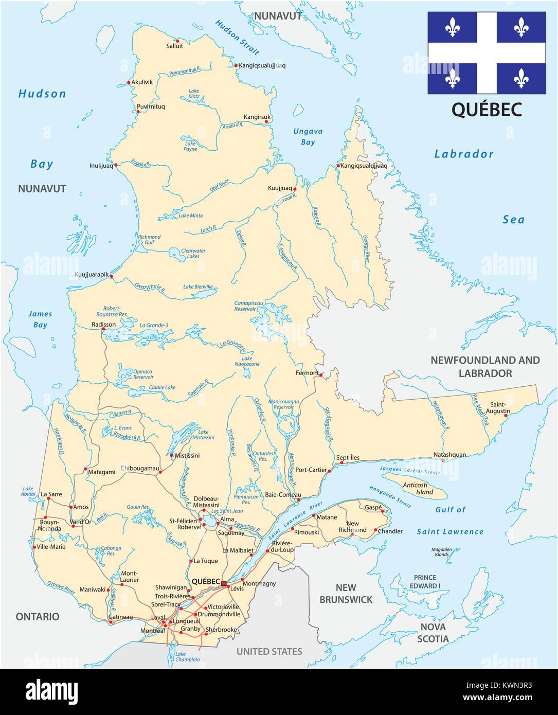 Province quebec road vector map with flag Stock Vectorhttps://www.alamy.com/image-license-details/?v=1https://www.alamy.com/stock-photo-province-quebec-road-vector-map-with-flag-170723703.html
RFKWN3R3–Province quebec road vector map with flag
 Symbol Map of the Province Prince Edward Island (Canada) showing the state/province with a pattern of black circles Stock Vectorhttps://www.alamy.com/image-license-details/?v=1https://www.alamy.com/symbol-map-of-the-province-prince-edward-island-canada-showing-the-stateprovince-with-a-pattern-of-black-circles-image612953817.html
RF2XH6CRN–Symbol Map of the Province Prince Edward Island (Canada) showing the state/province with a pattern of black circles
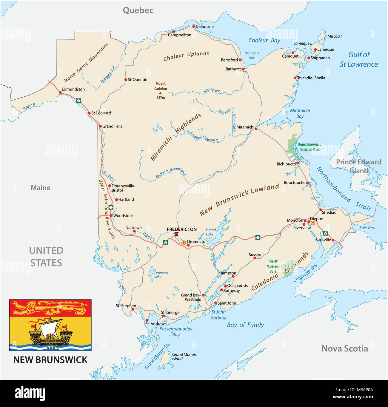 Road map with flag of the canada atlantic province new brunswick Stock Vectorhttps://www.alamy.com/image-license-details/?v=1https://www.alamy.com/stock-photo-road-map-with-flag-of-the-canada-atlantic-province-new-brunswick-174096618.html
RFM36P0A–Road map with flag of the canada atlantic province new brunswick
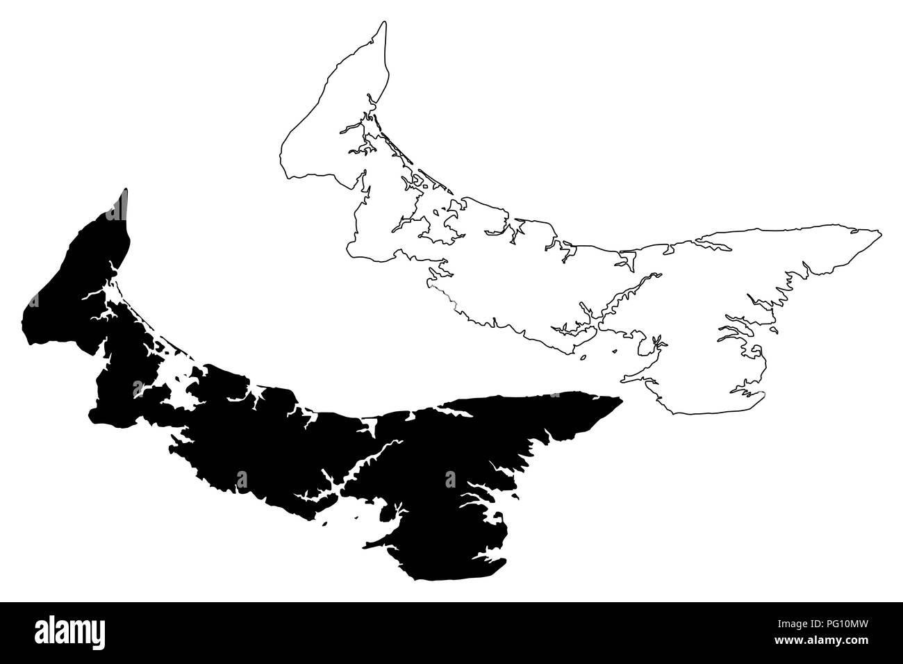 Prince Edward Island (provinces and territories of Canada, PEI or P.E.I.) map vector illustration, scribble sketch Prince Edward Island map Stock Vectorhttps://www.alamy.com/image-license-details/?v=1https://www.alamy.com/prince-edward-island-provinces-and-territories-of-canada-pei-or-pei-map-vector-illustration-scribble-sketch-prince-edward-island-map-image216381449.html
RFPG10MW–Prince Edward Island (provinces and territories of Canada, PEI or P.E.I.) map vector illustration, scribble sketch Prince Edward Island map
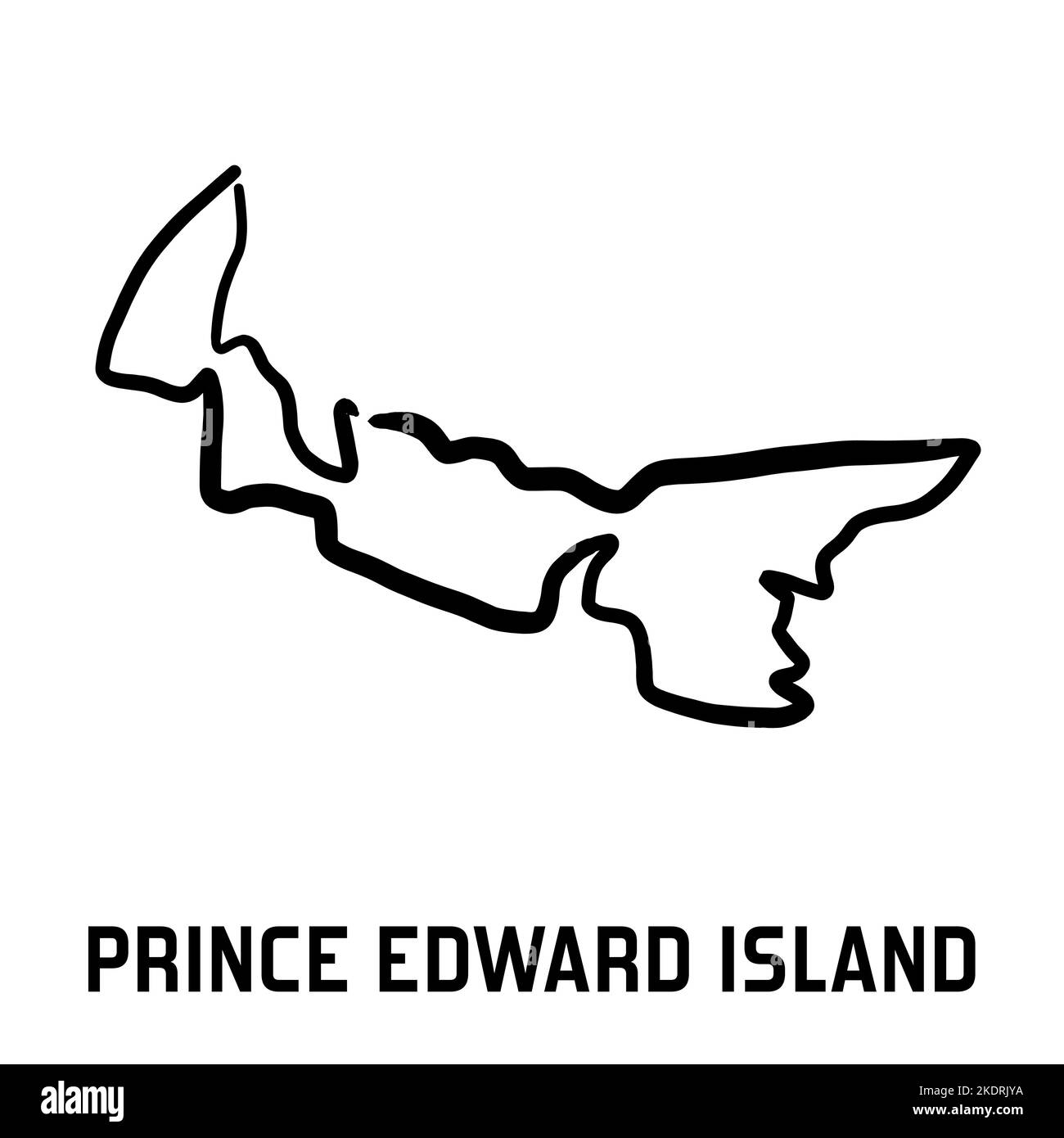 Prince Edward Island map outline - smooth simple hand-drawn Canadian province shape map vector. Province in Canada. Stock Vectorhttps://www.alamy.com/image-license-details/?v=1https://www.alamy.com/prince-edward-island-map-outline-smooth-simple-hand-drawn-canadian-province-shape-map-vector-province-in-canada-image490400606.html
RF2KDRJYA–Prince Edward Island map outline - smooth simple hand-drawn Canadian province shape map vector. Province in Canada.
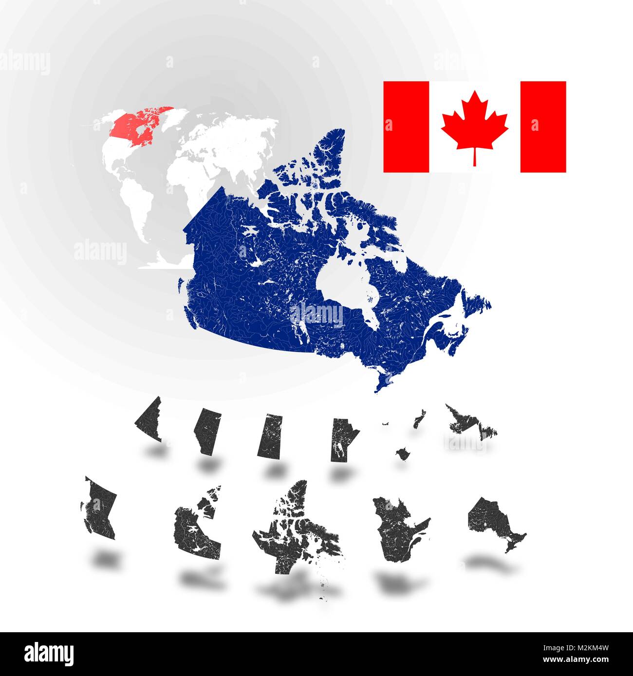 Map of Canada with rivers and lakes, maps of provinces and territories, map of world as background and flag of Canada. Please look at my other images Stock Vectorhttps://www.alamy.com/image-license-details/?v=1https://www.alamy.com/stock-photo-map-of-canada-with-rivers-and-lakes-maps-of-provinces-and-territories-173765897.html
RFM2KM4W–Map of Canada with rivers and lakes, maps of provinces and territories, map of world as background and flag of Canada. Please look at my other images
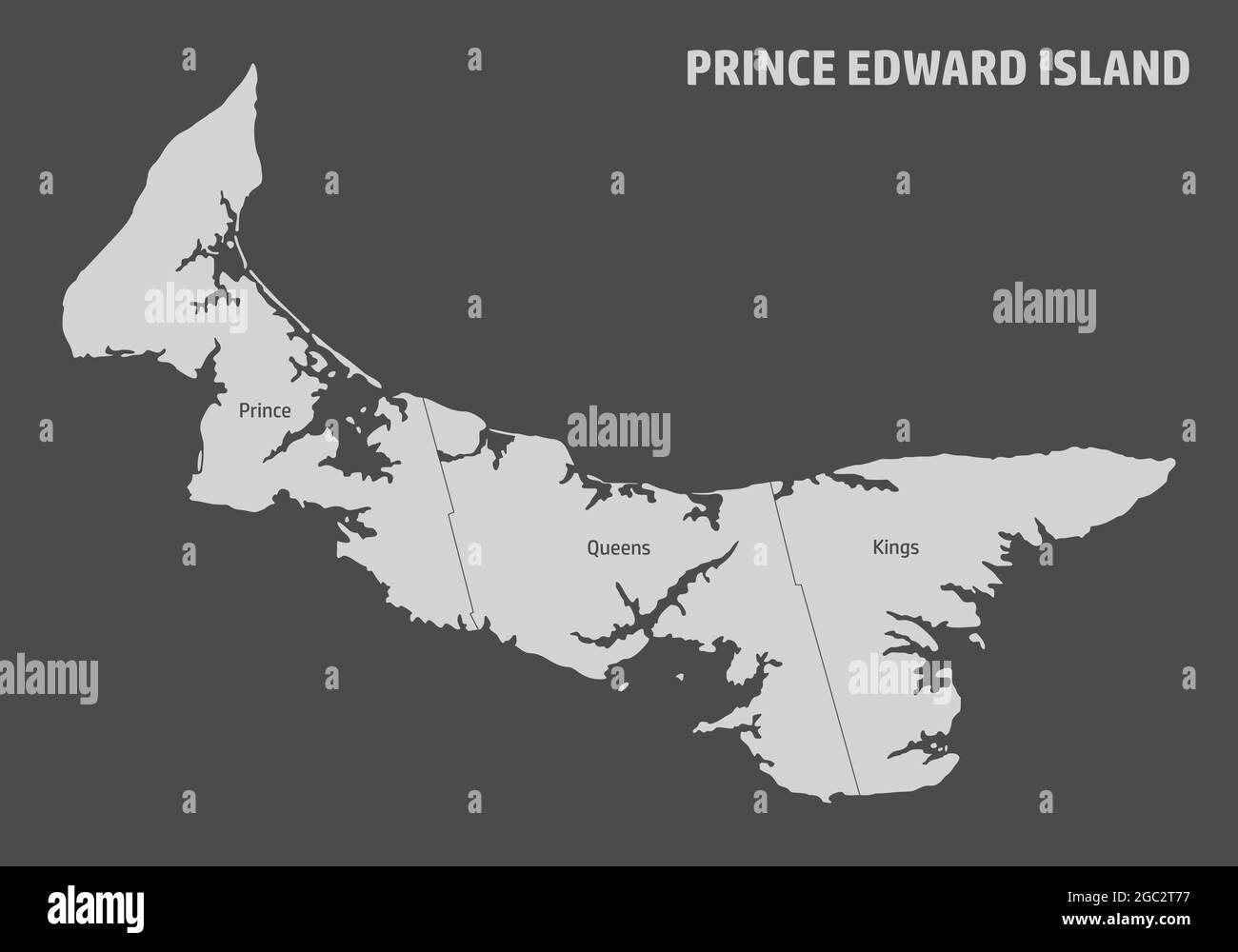 Prince Edward Island map divided in counties with labels, Canada Stock Vectorhttps://www.alamy.com/image-license-details/?v=1https://www.alamy.com/prince-edward-island-map-divided-in-counties-with-labels-canada-image437697995.html
RF2GC2T77–Prince Edward Island map divided in counties with labels, Canada
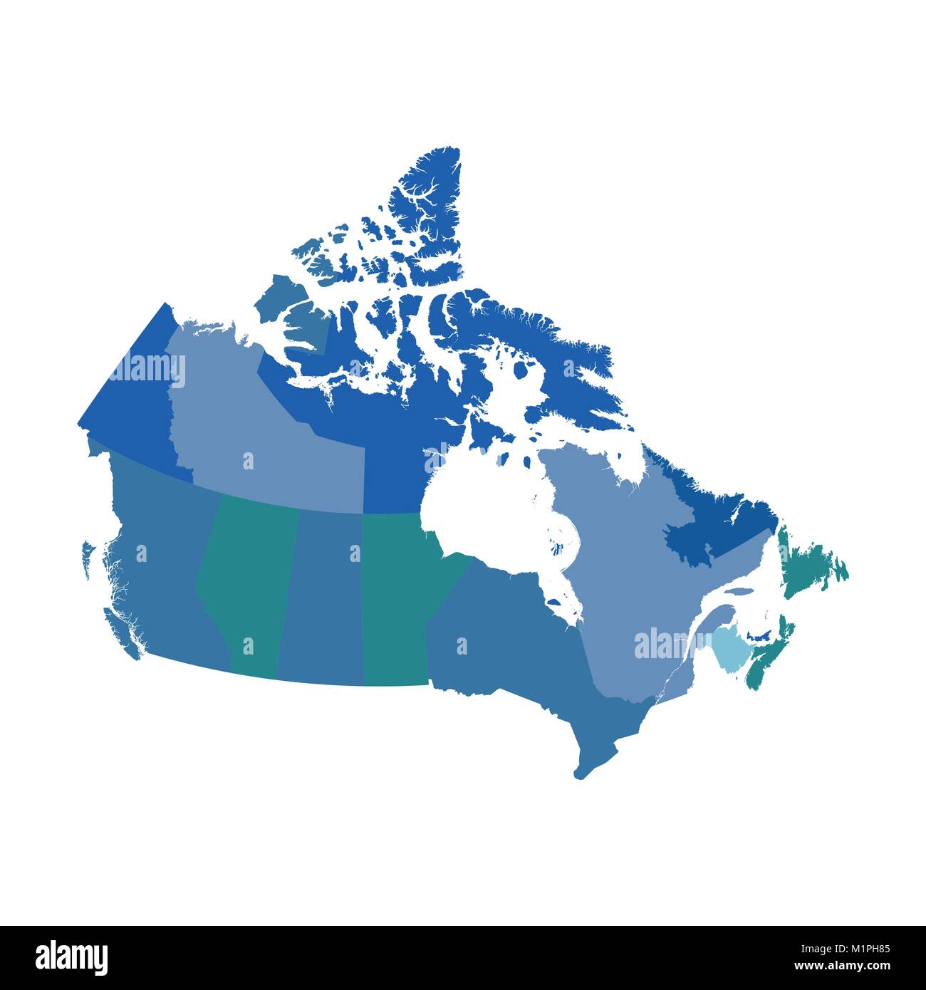 Canada political vector map Stock Vectorhttps://www.alamy.com/image-license-details/?v=1https://www.alamy.com/stock-photo-canada-political-vector-map-173214837.html
RFM1PH85–Canada political vector map
 Hand Drawn Doodle Map Of Canada Stock Vectorhttps://www.alamy.com/image-license-details/?v=1https://www.alamy.com/hand-drawn-doodle-map-of-canada-image556031249.html
RF2R8HBEW–Hand Drawn Doodle Map Of Canada
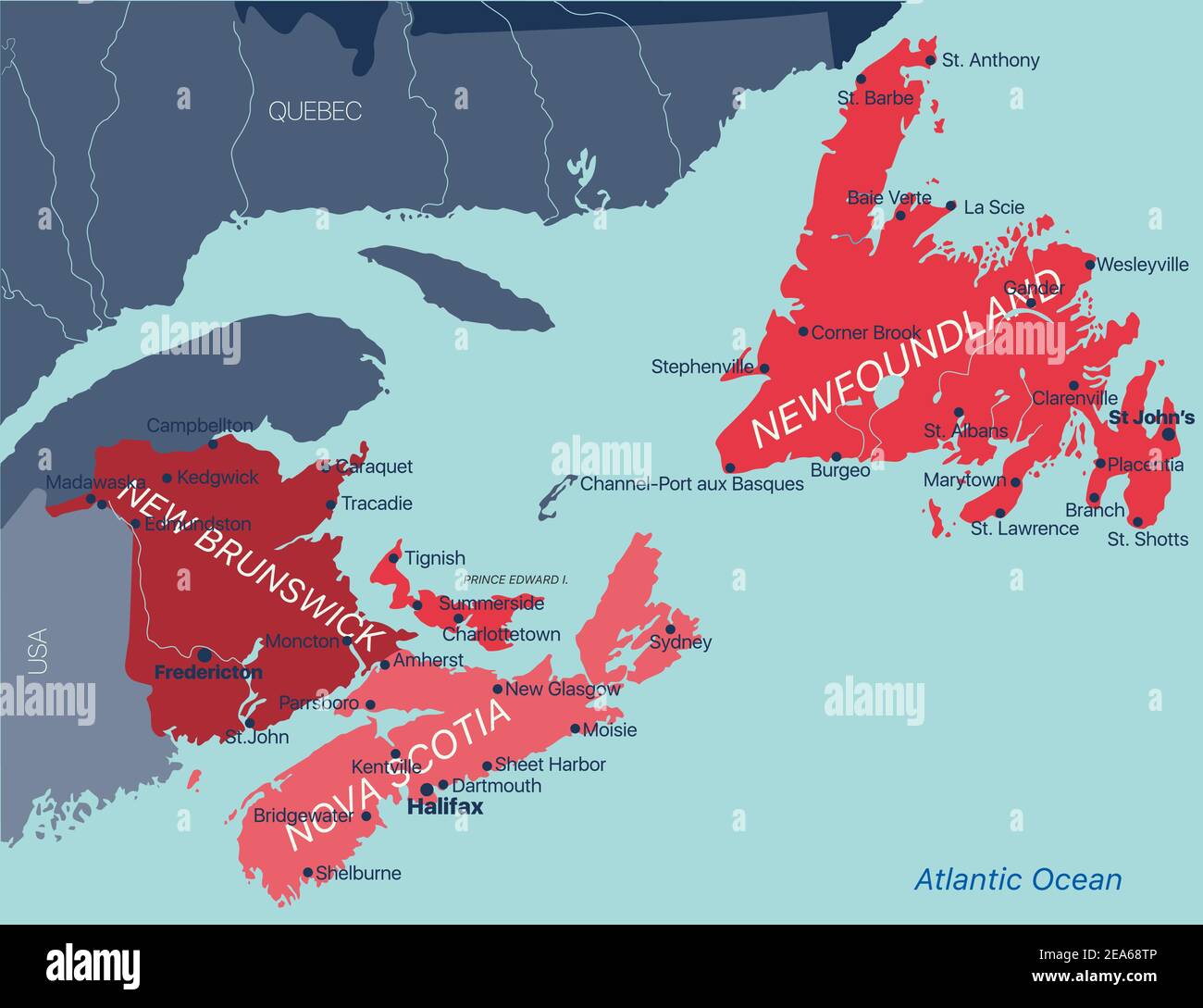 Vector color editable map of Atlantic provinces of Canada New Brunswick, Nova Scotia, Prince Edward Island and province of Newfoundland with capitals, Stock Vectorhttps://www.alamy.com/image-license-details/?v=1https://www.alamy.com/vector-color-editable-map-of-atlantic-provinces-of-canada-new-brunswick-nova-scotia-prince-edward-island-and-province-of-newfoundland-with-capitals-image402123702.html
RF2EA68TP–Vector color editable map of Atlantic provinces of Canada New Brunswick, Nova Scotia, Prince Edward Island and province of Newfoundland with capitals,
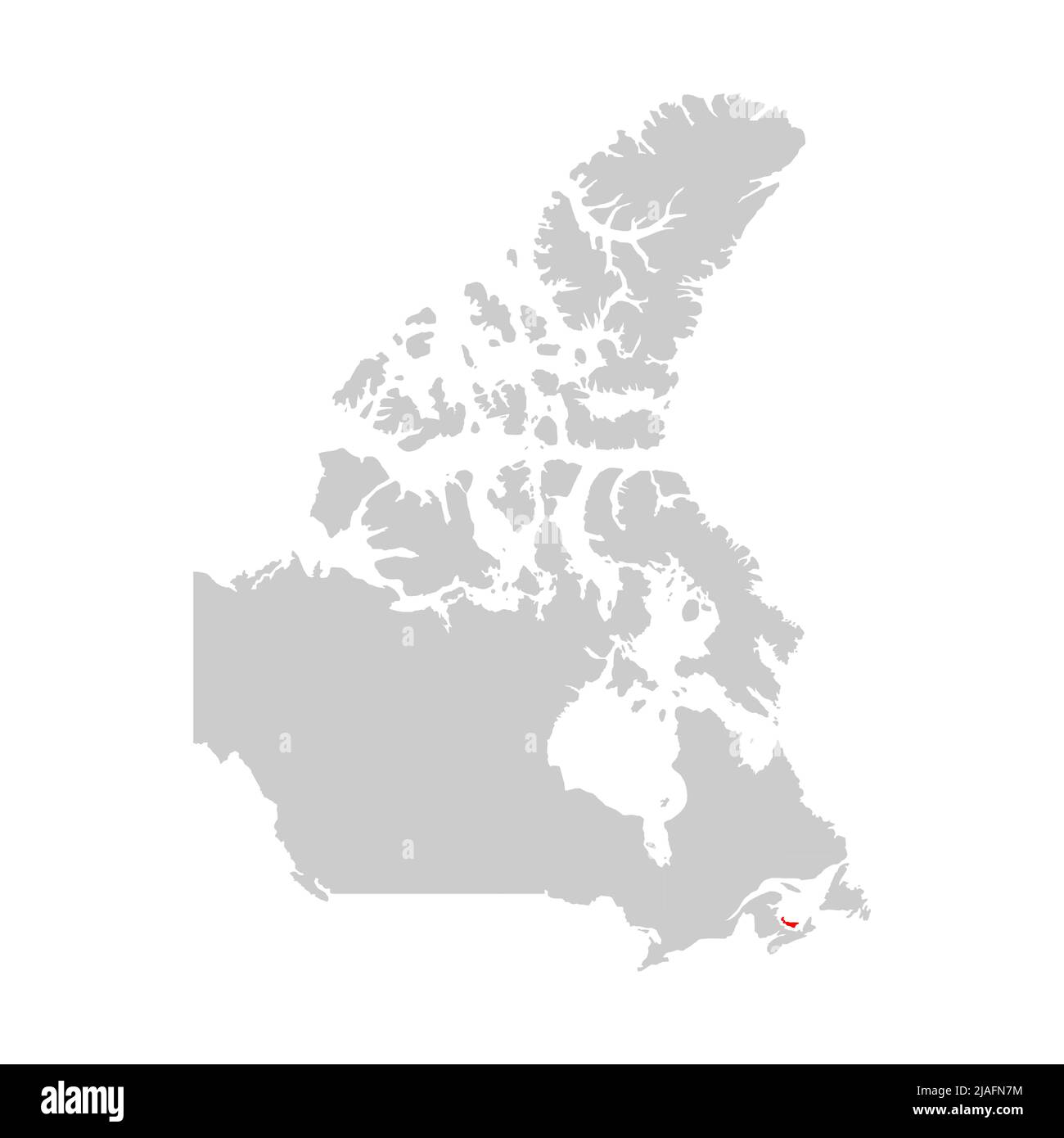 Prince Edward Island highlighted on map of Canada Stock Vectorhttps://www.alamy.com/image-license-details/?v=1https://www.alamy.com/prince-edward-island-highlighted-on-map-of-canada-image471172456.html
RF2JAFN7M–Prince Edward Island highlighted on map of Canada
 South Africa map vector illustration, scribble sketch FSA, Prince Edward Island, Marion Island, Stock Vectorhttps://www.alamy.com/image-license-details/?v=1https://www.alamy.com/stock-image-south-africa-map-vector-illustration-scribble-sketch-fsa-prince-edward-165680393.html
RFKHFB0W–South Africa map vector illustration, scribble sketch FSA, Prince Edward Island, Marion Island,
 3d map of Prince Edward Island is a province of Canada Stock Vectorhttps://www.alamy.com/image-license-details/?v=1https://www.alamy.com/3d-map-of-prince-edward-island-is-a-province-of-canada-image359563076.html
RF2BTYEAC–3d map of Prince Edward Island is a province of Canada
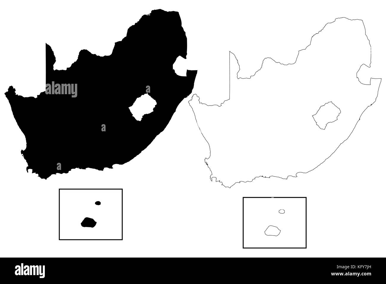 South Africa map vector illustration, scribble sketch FSA, Prince Edward Island, Marion Island, Stock Vectorhttps://www.alamy.com/image-license-details/?v=1https://www.alamy.com/stock-image-south-africa-map-vector-illustration-scribble-sketch-fsa-prince-edward-164711865.html
RFKFY7JH–South Africa map vector illustration, scribble sketch FSA, Prince Edward Island, Marion Island,
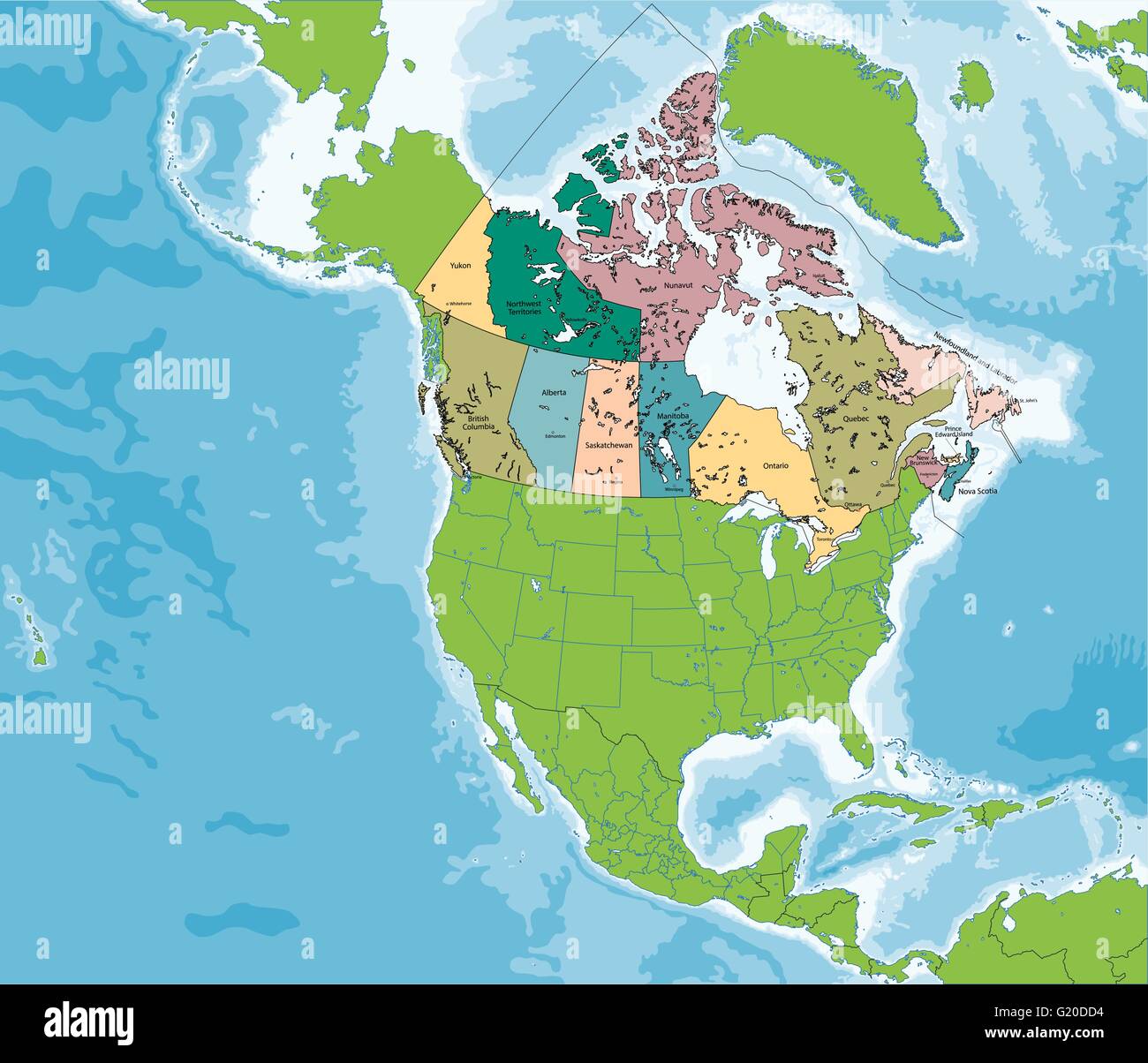 Map of Canada Stock Vectorhttps://www.alamy.com/image-license-details/?v=1https://www.alamy.com/stock-photo-map-of-canada-104502080.html
RFG20DD4–Map of Canada
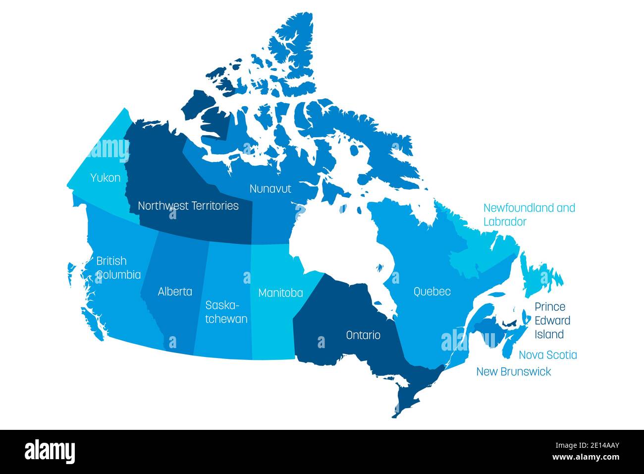 Map of Canada divided into 10 provinces and 3 territories. Administrative regions of Canada with labels. Vector illustration. Stock Vectorhttps://www.alamy.com/image-license-details/?v=1https://www.alamy.com/map-of-canada-divided-into-10-provinces-and-3-territories-administrative-regions-of-canada-with-labels-vector-illustration-image396549075.html
RF2E14AAY–Map of Canada divided into 10 provinces and 3 territories. Administrative regions of Canada with labels. Vector illustration.
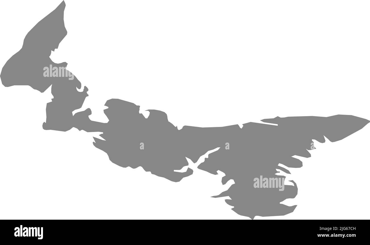 Gray flat blank vector administrative map of the Canadian province of PRINCE EDWARD ISLAND, CANADA Stock Vectorhttps://www.alamy.com/image-license-details/?v=1https://www.alamy.com/gray-flat-blank-vector-administrative-map-of-the-canadian-province-of-prince-edward-island-canada-image474651985.html
RF2JG67CH–Gray flat blank vector administrative map of the Canadian province of PRINCE EDWARD ISLAND, CANADA
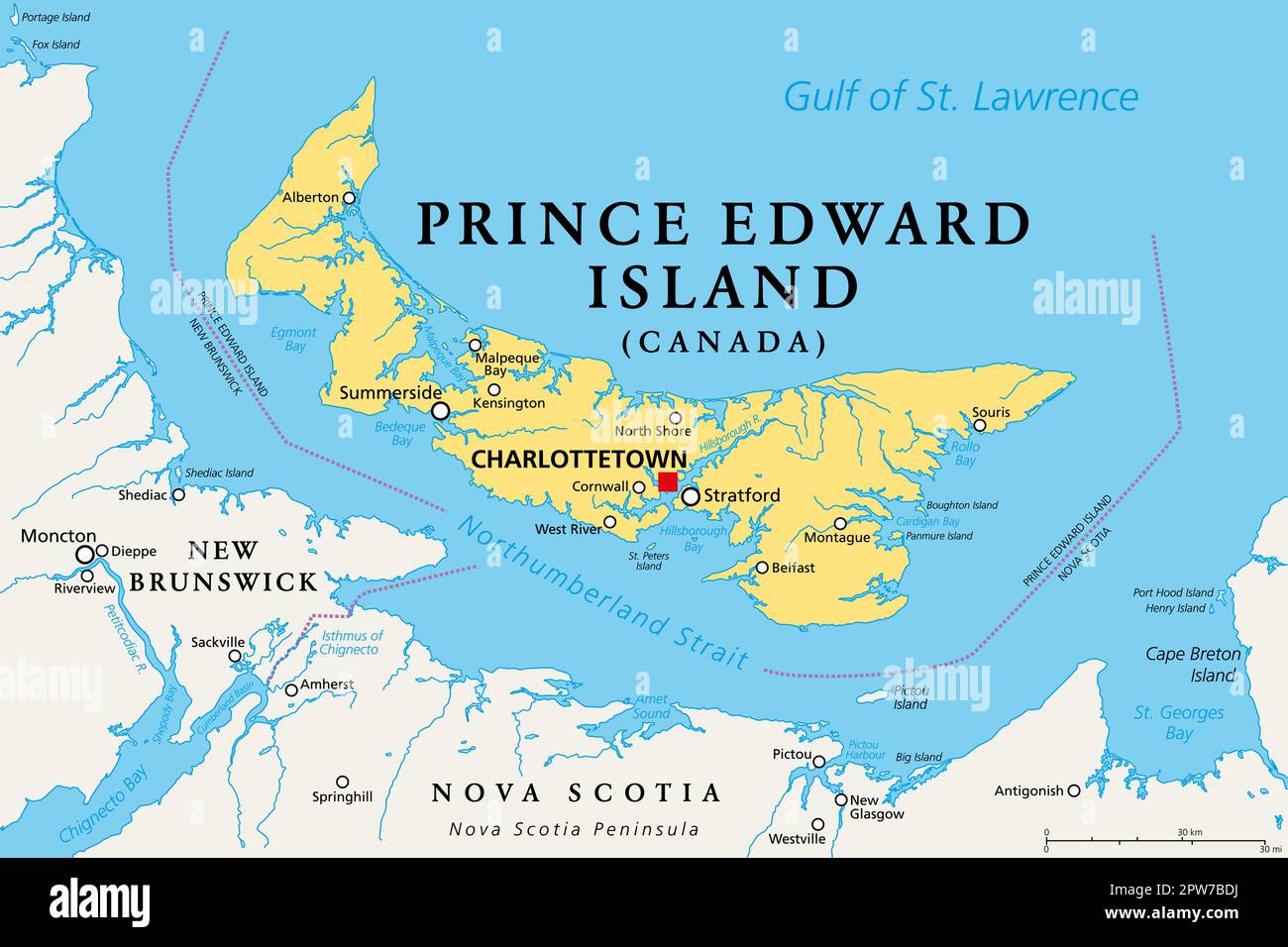 Prince Edward Island, Maritime province of Canada, political map Stock Vectorhttps://www.alamy.com/image-license-details/?v=1https://www.alamy.com/prince-edward-island-maritime-province-of-canada-political-map-image549050478.html
RF2PW7BDJ–Prince Edward Island, Maritime province of Canada, political map
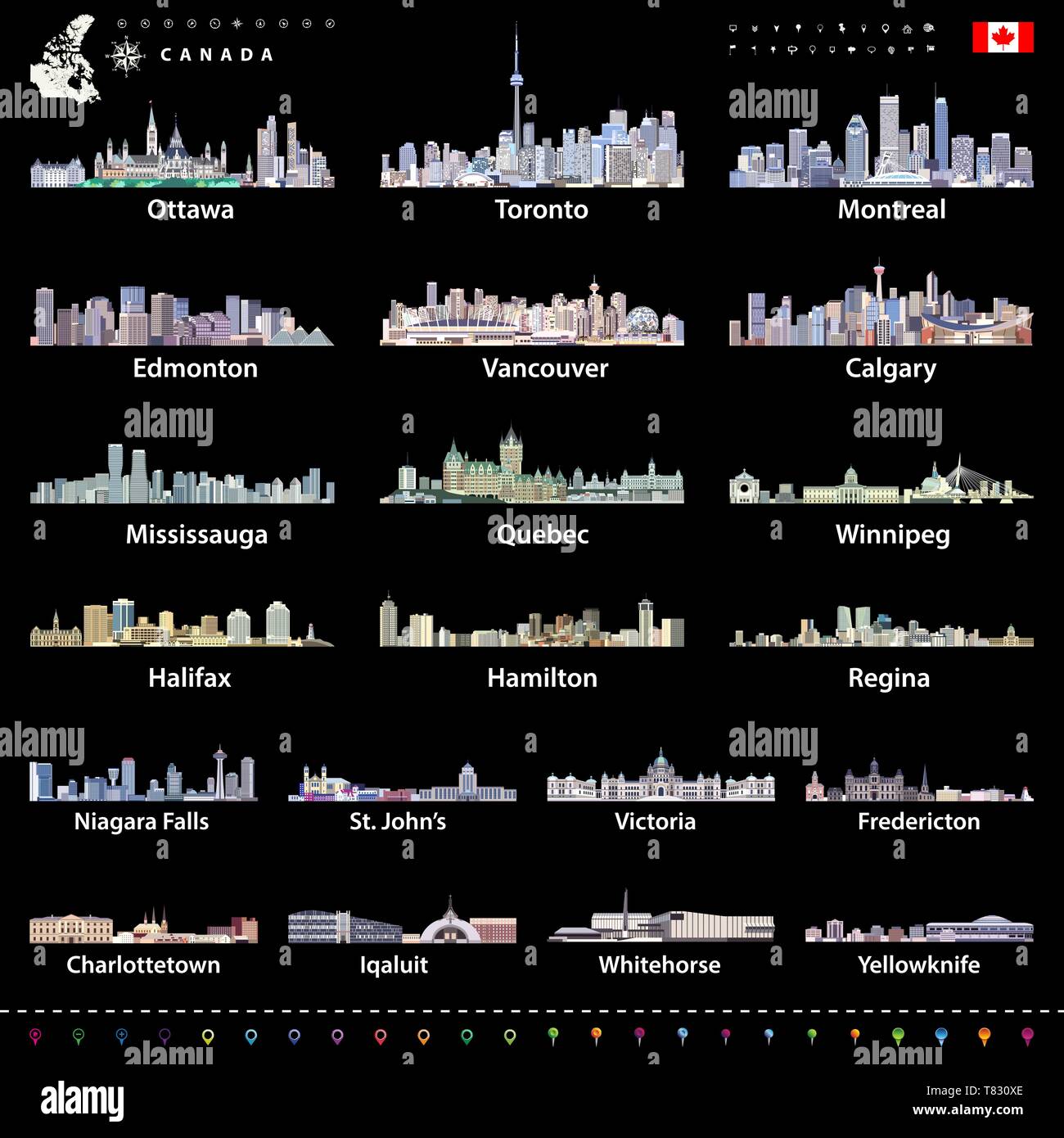 vector Canadian largest cities and all states capitals skylines Stock Vectorhttps://www.alamy.com/image-license-details/?v=1https://www.alamy.com/vector-canadian-largest-cities-and-all-states-capitals-skylines-image245928998.html
RFT830XE–vector Canadian largest cities and all states capitals skylines
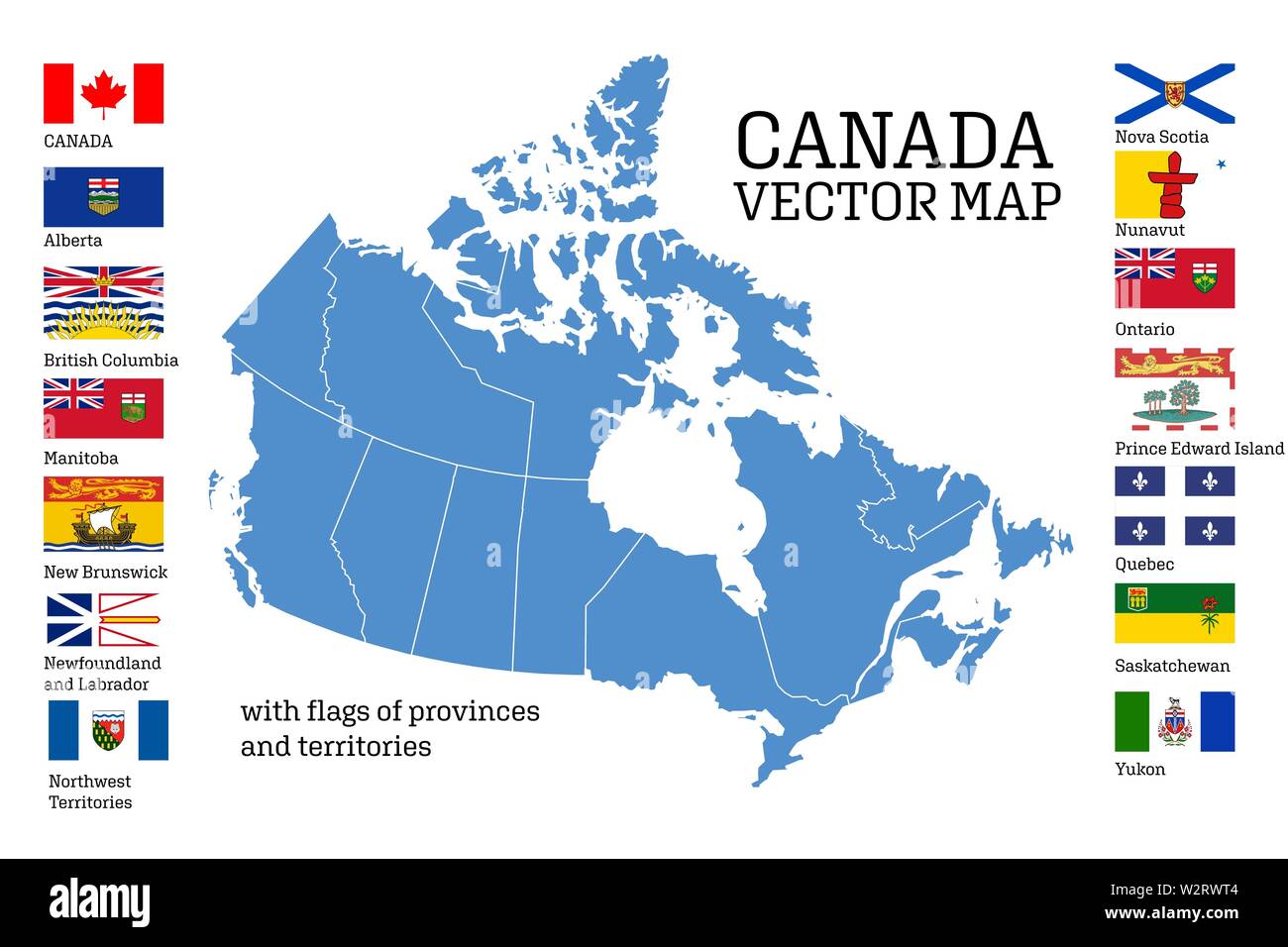 Canada map with flags of provinces and territories. Vector illustration. Ottawa, Toronto, Vancouver Stock Vectorhttps://www.alamy.com/image-license-details/?v=1https://www.alamy.com/canada-map-with-flags-of-provinces-and-territories-vector-illustration-ottawa-toronto-vancouver-image259910004.html
RFW2RWT4–Canada map with flags of provinces and territories. Vector illustration. Ottawa, Toronto, Vancouver
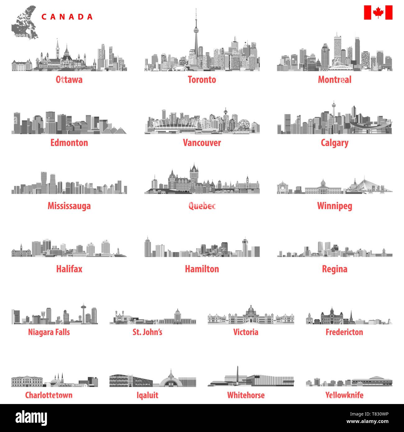 vector Canadian largest cities and all states capitals skylines Stock Vectorhttps://www.alamy.com/image-license-details/?v=1https://www.alamy.com/vector-canadian-largest-cities-and-all-states-capitals-skylines-image245928978.html
RFT830WP–vector Canadian largest cities and all states capitals skylines
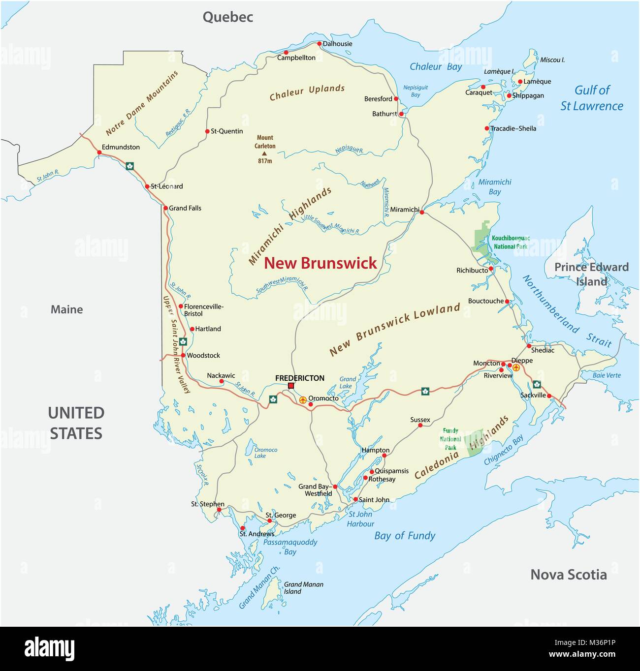 Road vector map of the canada atlantic province new brunswick Stock Vectorhttps://www.alamy.com/image-license-details/?v=1https://www.alamy.com/stock-photo-road-vector-map-of-the-canada-atlantic-province-new-brunswick-174096658.html
RFM36P1P–Road vector map of the canada atlantic province new brunswick
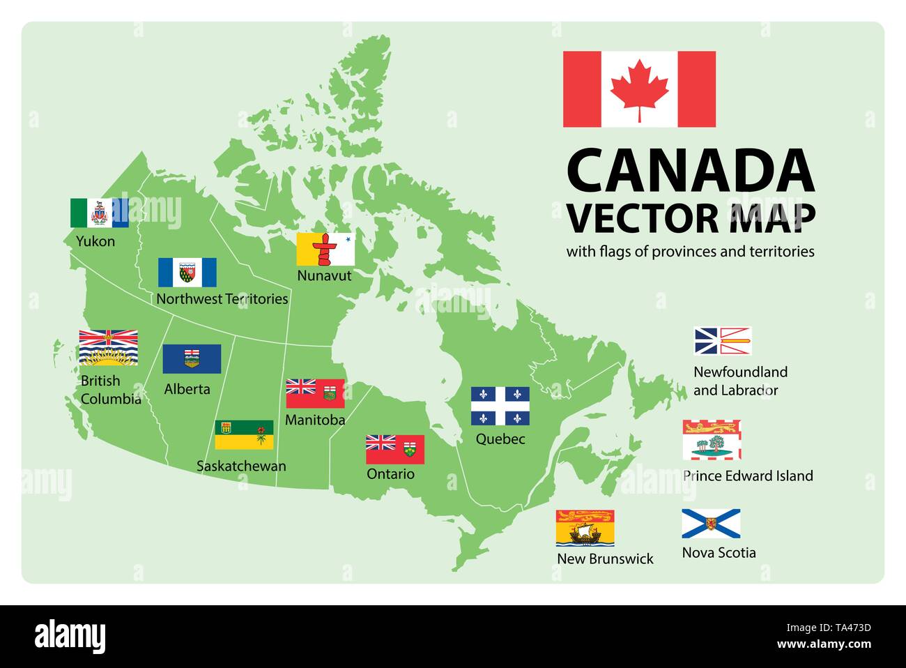 Vector set. Map of Canada with provinces and territories borders and vector flags. Stock Vectorhttps://www.alamy.com/image-license-details/?v=1https://www.alamy.com/vector-set-map-of-canada-with-provinces-and-territories-borders-and-vector-flags-image247185105.html
RFTA473D–Vector set. Map of Canada with provinces and territories borders and vector flags.
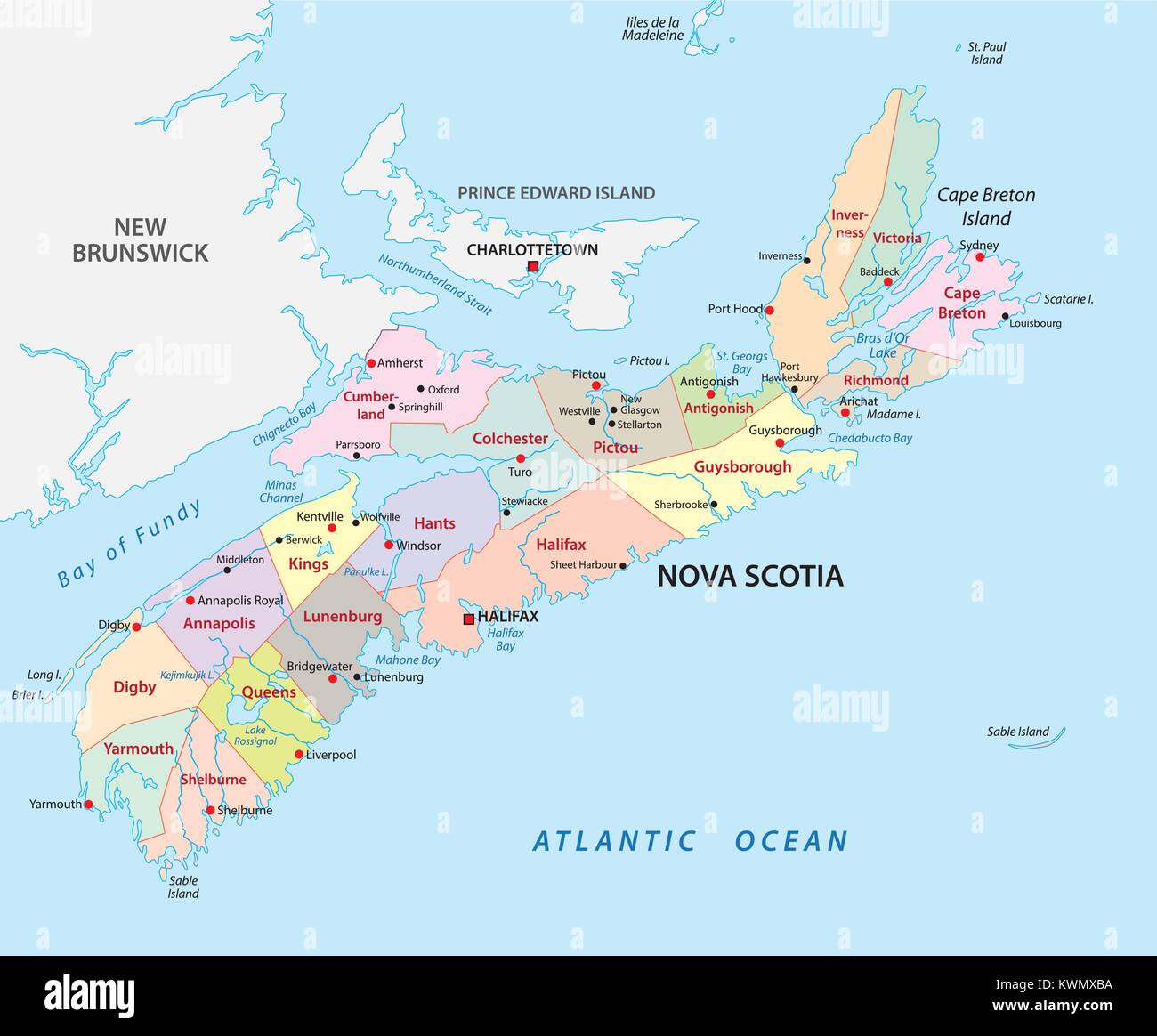 nova scotia administrative and political vector map Stock Vectorhttps://www.alamy.com/image-license-details/?v=1https://www.alamy.com/stock-photo-nova-scotia-administrative-and-political-vector-map-170719454.html
RFKWMXBA–nova scotia administrative and political vector map
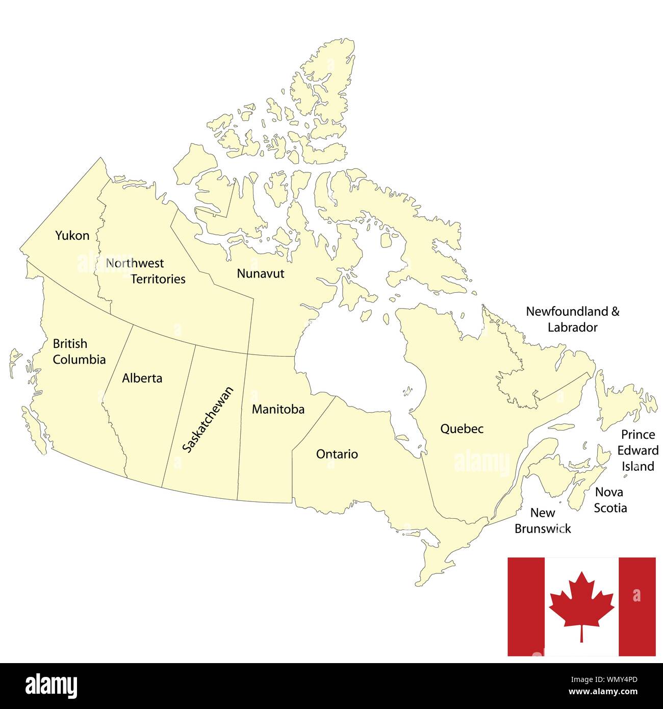 Detailed map of Canada Stock Vectorhttps://www.alamy.com/image-license-details/?v=1https://www.alamy.com/detailed-map-of-canada-image271045109.html
RFWMY4PD–Detailed map of Canada
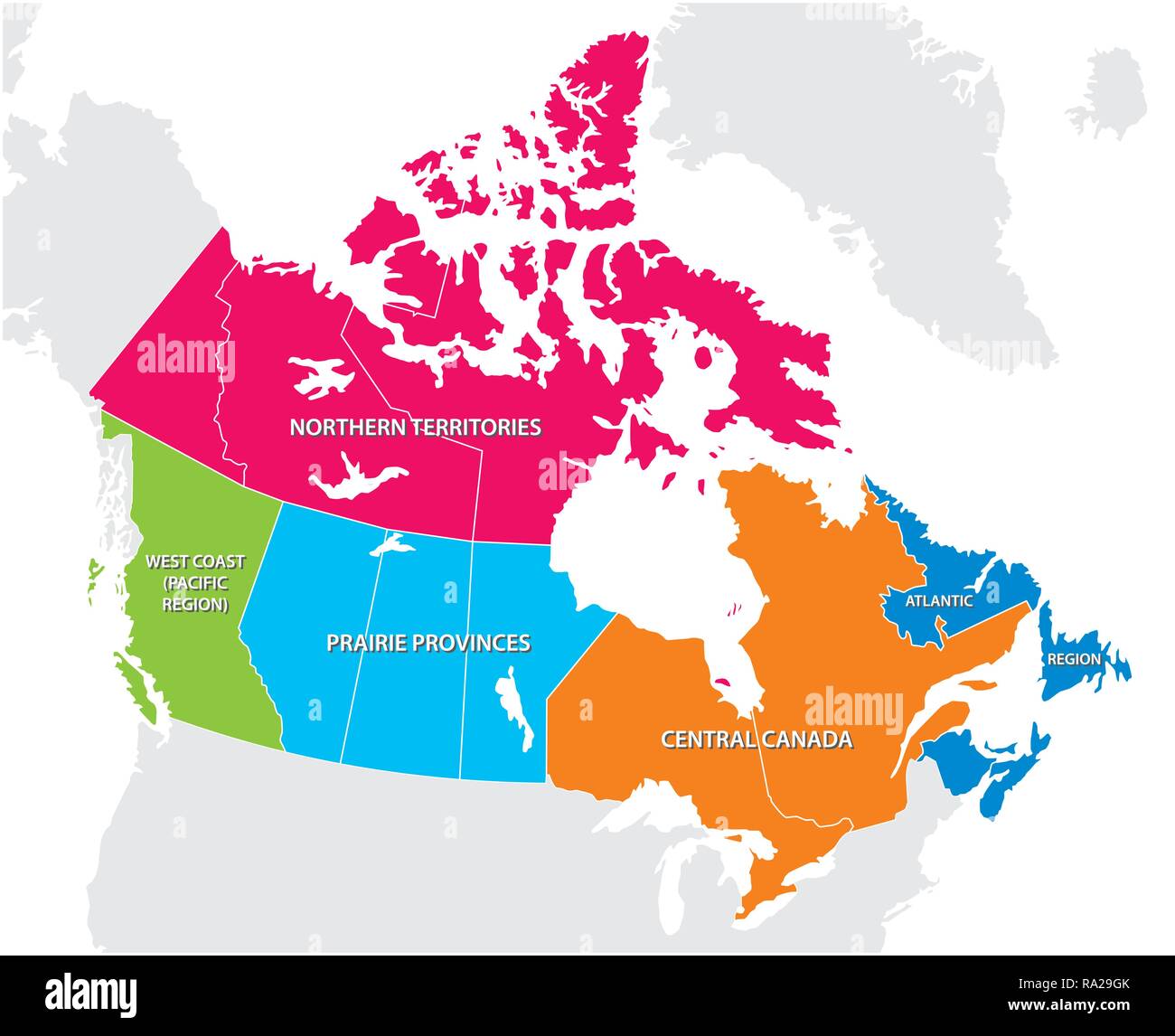 Outline map of the five Canadian regions Stock Vectorhttps://www.alamy.com/image-license-details/?v=1https://www.alamy.com/outline-map-of-the-five-canadian-regions-image229932771.html
RFRA29GK–Outline map of the five Canadian regions
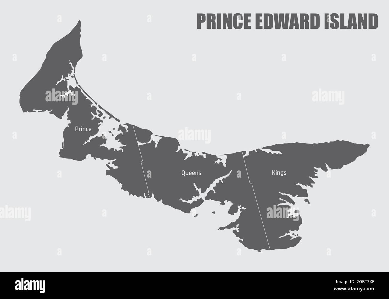 Prince Edward Island map divided in counties with labels, Canada Stock Vectorhttps://www.alamy.com/image-license-details/?v=1https://www.alamy.com/prince-edward-island-map-divided-in-counties-with-labels-canada-image437550359.html
RF2GBT3XF–Prince Edward Island map divided in counties with labels, Canada
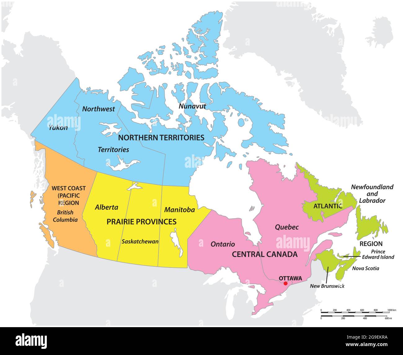 vector map of the five geographic regions of Canada Stock Vectorhttps://www.alamy.com/image-license-details/?v=1https://www.alamy.com/vector-map-of-the-five-geographic-regions-of-canada-image436113982.html
RF2G9EKRA–vector map of the five geographic regions of Canada
 Canada political vector map Stock Vectorhttps://www.alamy.com/image-license-details/?v=1https://www.alamy.com/stock-photo-canada-political-vector-map-173440112.html
RFM24THM–Canada political vector map
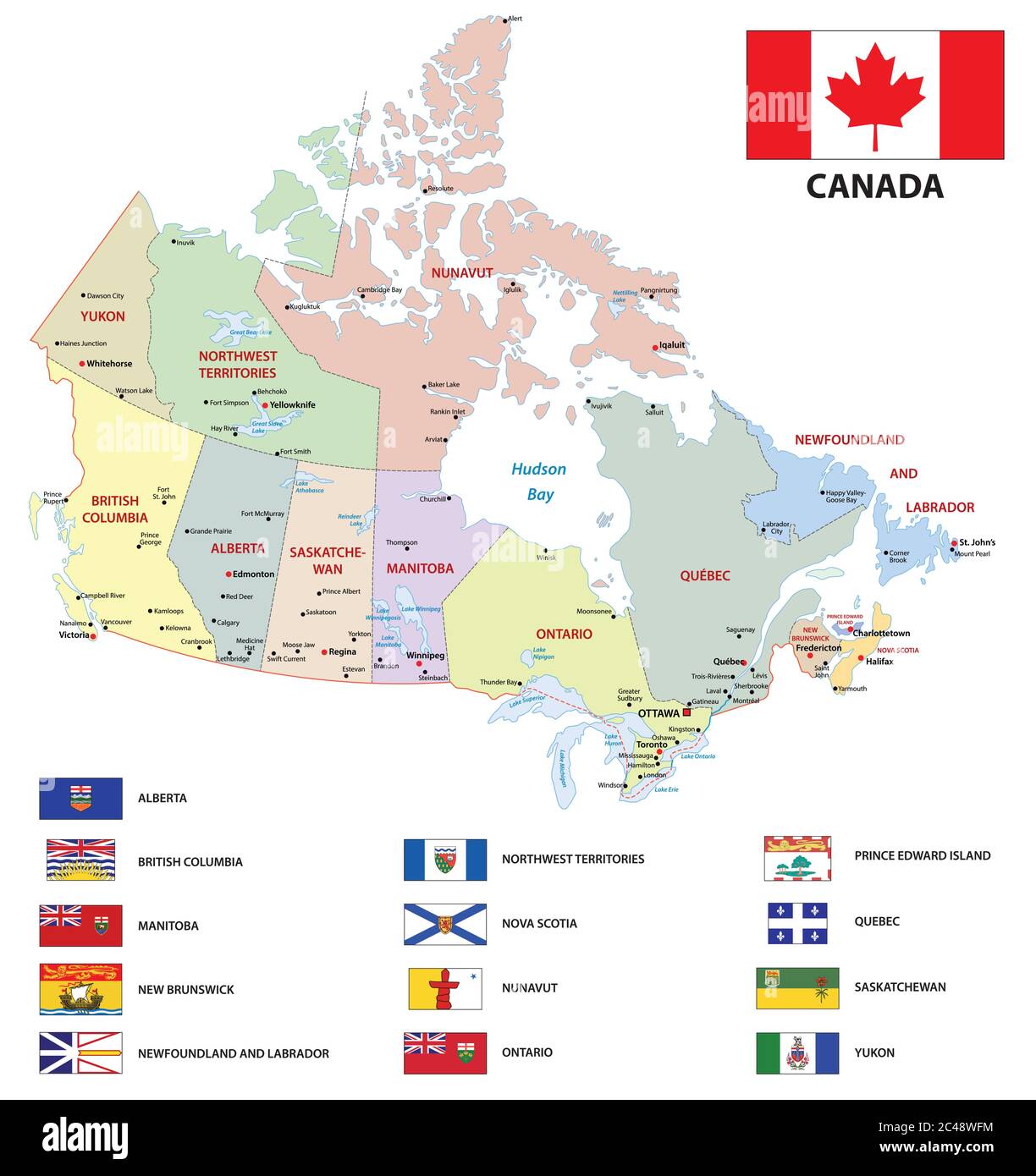 canada administrative and political vector map with flags Stock Vectorhttps://www.alamy.com/image-license-details/?v=1https://www.alamy.com/canada-administrative-and-political-vector-map-with-flags-image364072008.html
RF2C48WFM–canada administrative and political vector map with flags
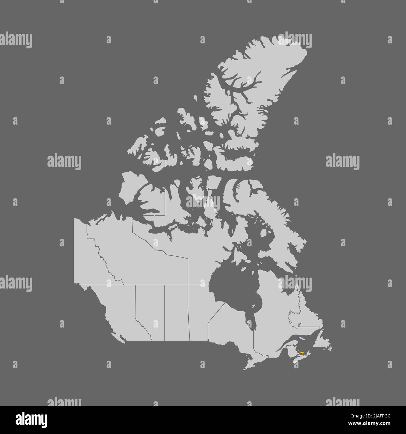 Prince Edward Island highlighted on map of Canada Stock Vectorhttps://www.alamy.com/image-license-details/?v=1https://www.alamy.com/prince-edward-island-highlighted-on-map-of-canada-image471173484.html
RF2JAFPGC–Prince Edward Island highlighted on map of Canada
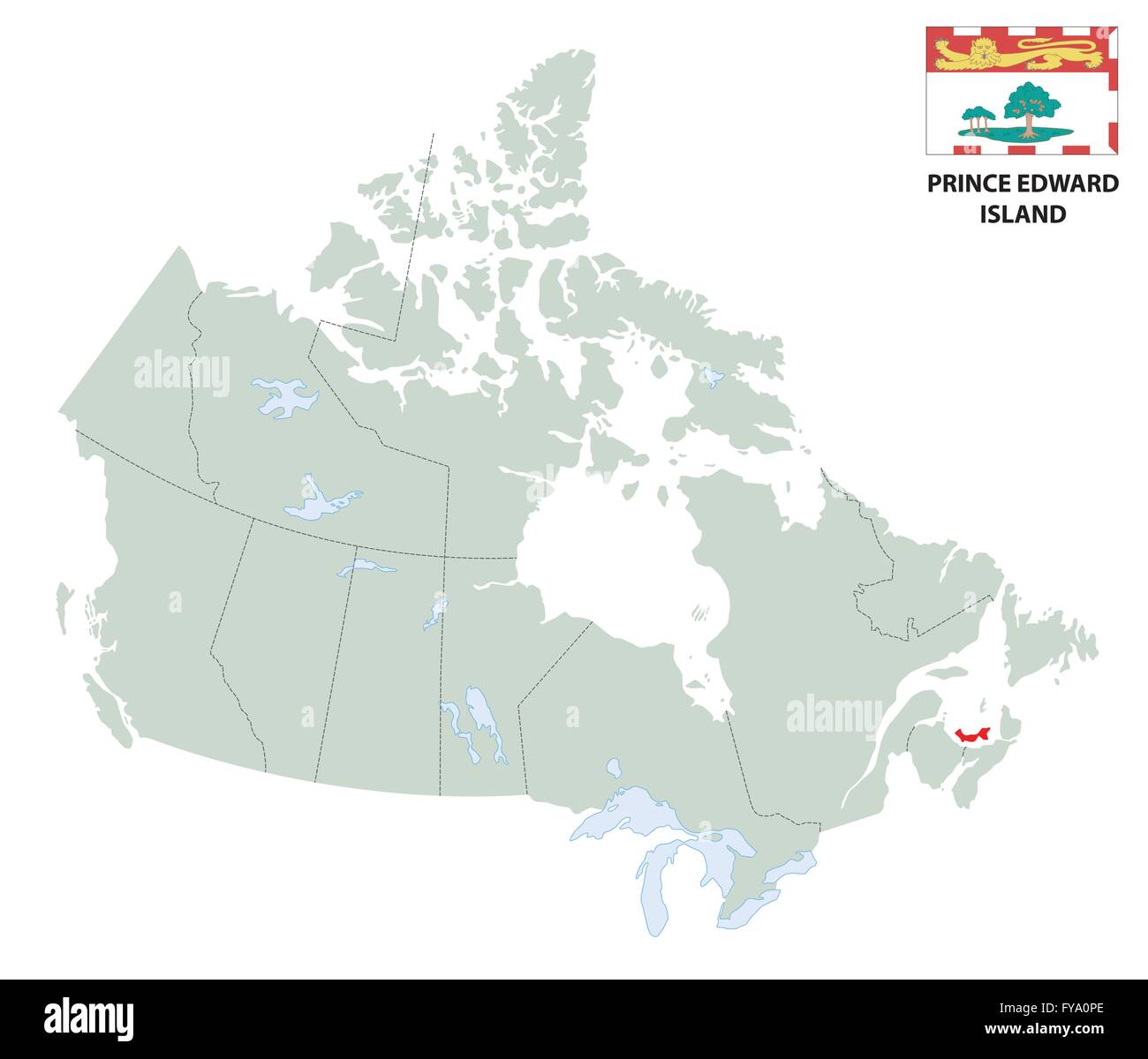 outline map of the Canadian province Prince Edward Island with flag Stock Vectorhttps://www.alamy.com/image-license-details/?v=1https://www.alamy.com/stock-photo-outline-map-of-the-canadian-province-prince-edward-island-with-flag-102867702.html
RFFYA0PE–outline map of the Canadian province Prince Edward Island with flag
 South Africa map vector illustration, scribble sketch FSA, Prince Edward Island, Marion Island, Stock Vectorhttps://www.alamy.com/image-license-details/?v=1https://www.alamy.com/stock-image-south-africa-map-vector-illustration-scribble-sketch-fsa-prince-edward-164836300.html
RFKG4XAM–South Africa map vector illustration, scribble sketch FSA, Prince Edward Island, Marion Island,
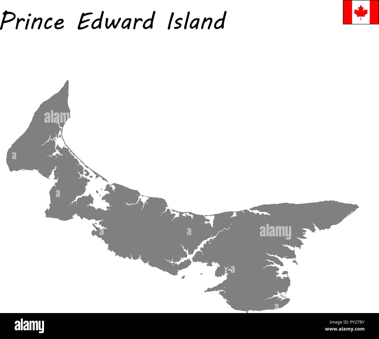 High Quality map of Prince Edward Island is a province of Canada Stock Vectorhttps://www.alamy.com/image-license-details/?v=1https://www.alamy.com/high-quality-map-of-prince-edward-island-is-a-province-of-canada-image223183183.html
RFPY2TBY–High Quality map of Prince Edward Island is a province of Canada
 Prince Edward Island (provinces and territories of Canada, PEI or P.E.I.) map is designed cannabis leaf green and black, Prince Edward Island map made Stock Vectorhttps://www.alamy.com/image-license-details/?v=1https://www.alamy.com/prince-edward-island-provinces-and-territories-of-canada-pei-or-pei-map-is-designed-cannabis-leaf-green-and-black-prince-edward-island-map-made-image255624889.html
RFTRTM49–Prince Edward Island (provinces and territories of Canada, PEI or P.E.I.) map is designed cannabis leaf green and black, Prince Edward Island map made
 Flat vector administrative flag map of the Canadian province of PRINCE EDWARD ISLAND combined with official flag of CANADA Stock Vectorhttps://www.alamy.com/image-license-details/?v=1https://www.alamy.com/flat-vector-administrative-flag-map-of-the-canadian-province-of-prince-edward-island-combined-with-official-flag-of-canada-image474652001.html
RF2JG67D5–Flat vector administrative flag map of the Canadian province of PRINCE EDWARD ISLAND combined with official flag of CANADA
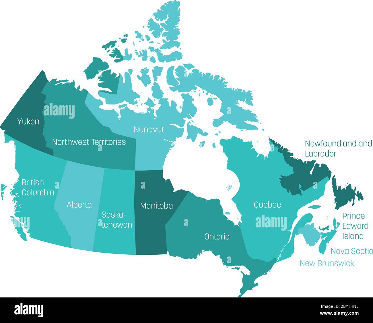 Map of Canada divided into 10 provinces and 3 territories. Administrative regions of Canada with labels. Vector illustration. Stock Vectorhttps://www.alamy.com/image-license-details/?v=1https://www.alamy.com/map-of-canada-divided-into-10-provinces-and-3-territories-administrative-regions-of-canada-with-labels-vector-illustration-image361343841.html
RF2BYTHN5–Map of Canada divided into 10 provinces and 3 territories. Administrative regions of Canada with labels. Vector illustration.
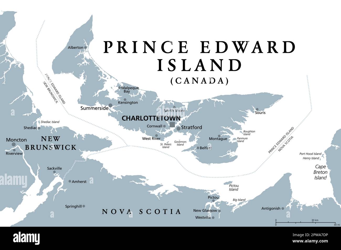 Prince Edward Island, Maritime province of Canada, gray political map Stock Vectorhttps://www.alamy.com/image-license-details/?v=1https://www.alamy.com/prince-edward-island-maritime-province-of-canada-gray-political-map-image549113202.html
RF2PWA7DP–Prince Edward Island, Maritime province of Canada, gray political map
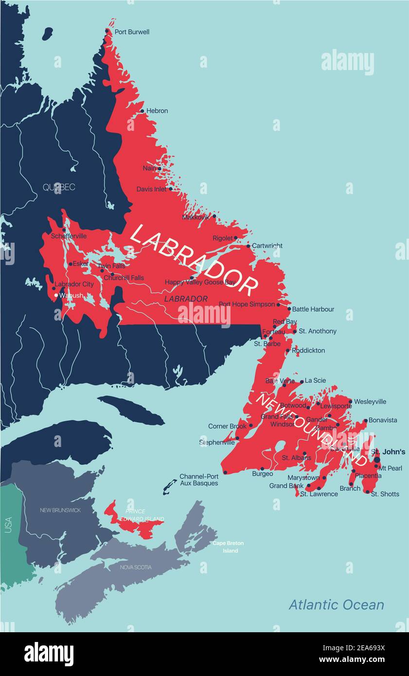 Newfoundland and Labrador province vector editable map of the Canada with capital, national borders, cities and towns, rivers and lakes. Vector EPS-10 Stock Vectorhttps://www.alamy.com/image-license-details/?v=1https://www.alamy.com/newfoundland-and-labrador-province-vector-editable-map-of-the-canada-with-capital-national-borders-cities-and-towns-rivers-and-lakes-vector-eps-10-image402123902.html
RF2EA693X–Newfoundland and Labrador province vector editable map of the Canada with capital, national borders, cities and towns, rivers and lakes. Vector EPS-10
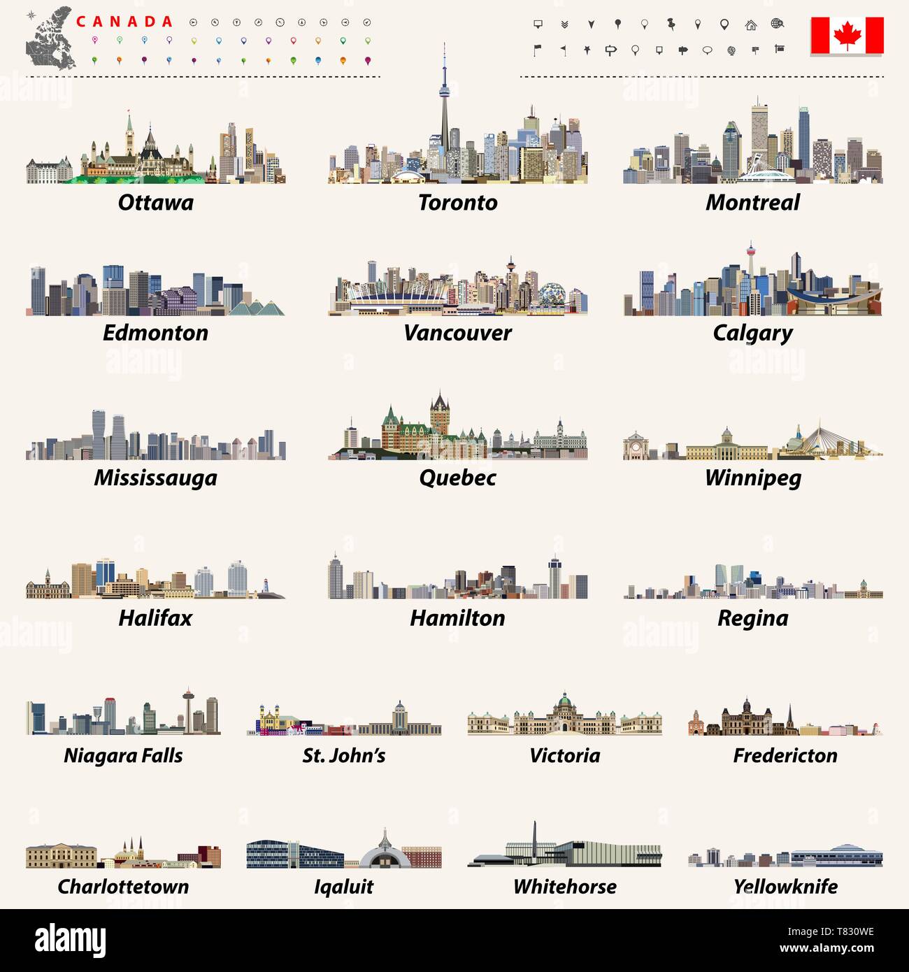 vector Canadian largest cities and all states capitals skylines Stock Vectorhttps://www.alamy.com/image-license-details/?v=1https://www.alamy.com/vector-canadian-largest-cities-and-all-states-capitals-skylines-image245928970.html
RFT830WE–vector Canadian largest cities and all states capitals skylines
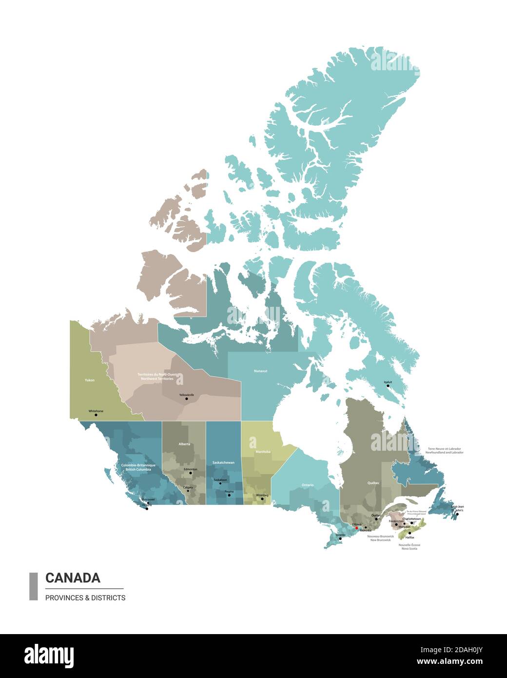 Canada higt detailed map with subdivisions. Administrative map of Canada with districts and cities name, colored by states and administrative district Stock Vectorhttps://www.alamy.com/image-license-details/?v=1https://www.alamy.com/canada-higt-detailed-map-with-subdivisions-administrative-map-of-canada-with-districts-and-cities-name-colored-by-states-and-administrative-district-image385148371.html
RF2DAH0JY–Canada higt detailed map with subdivisions. Administrative map of Canada with districts and cities name, colored by states and administrative district
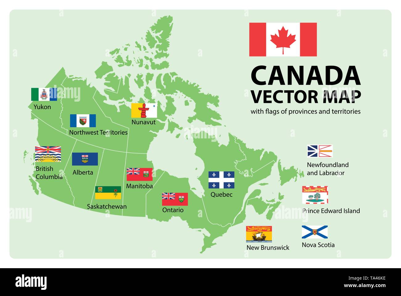 Vector set. Map of Canada with provinces and territories borders and vector flags. Stock Vectorhttps://www.alamy.com/image-license-details/?v=1https://www.alamy.com/vector-set-map-of-canada-with-provinces-and-territories-borders-and-vector-flags-image247184770.html
RFTA46KE–Vector set. Map of Canada with provinces and territories borders and vector flags.
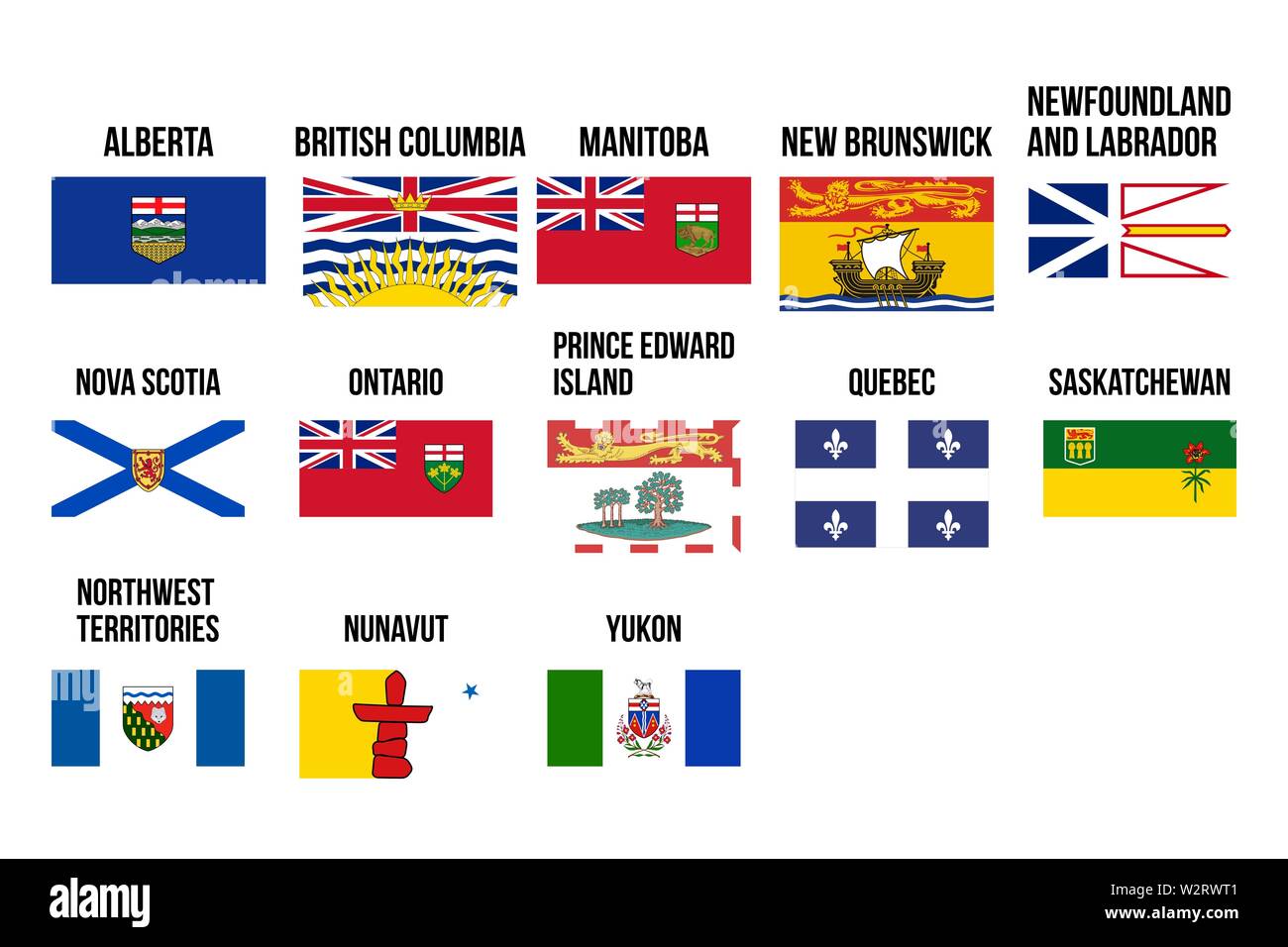 Vector flags of provinces and territories of Canada. Vector illustration. Ottawa, Toronto, Vancouver Stock Vectorhttps://www.alamy.com/image-license-details/?v=1https://www.alamy.com/vector-flags-of-provinces-and-territories-of-canada-vector-illustration-ottawa-toronto-vancouver-image259910001.html
RFW2RWT1–Vector flags of provinces and territories of Canada. Vector illustration. Ottawa, Toronto, Vancouver
 Prince Edward Island dark silhouette map Stock Vectorhttps://www.alamy.com/image-license-details/?v=1https://www.alamy.com/prince-edward-island-dark-silhouette-map-image365349343.html
RF2C6B2PR–Prince Edward Island dark silhouette map
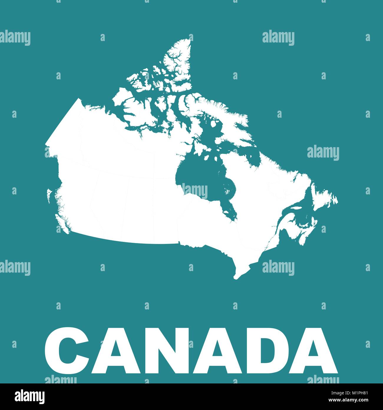 Canada map. Flat vector Stock Vectorhttps://www.alamy.com/image-license-details/?v=1https://www.alamy.com/stock-photo-canada-map-flat-vector-173214833.html
RFM1PH81–Canada map. Flat vector
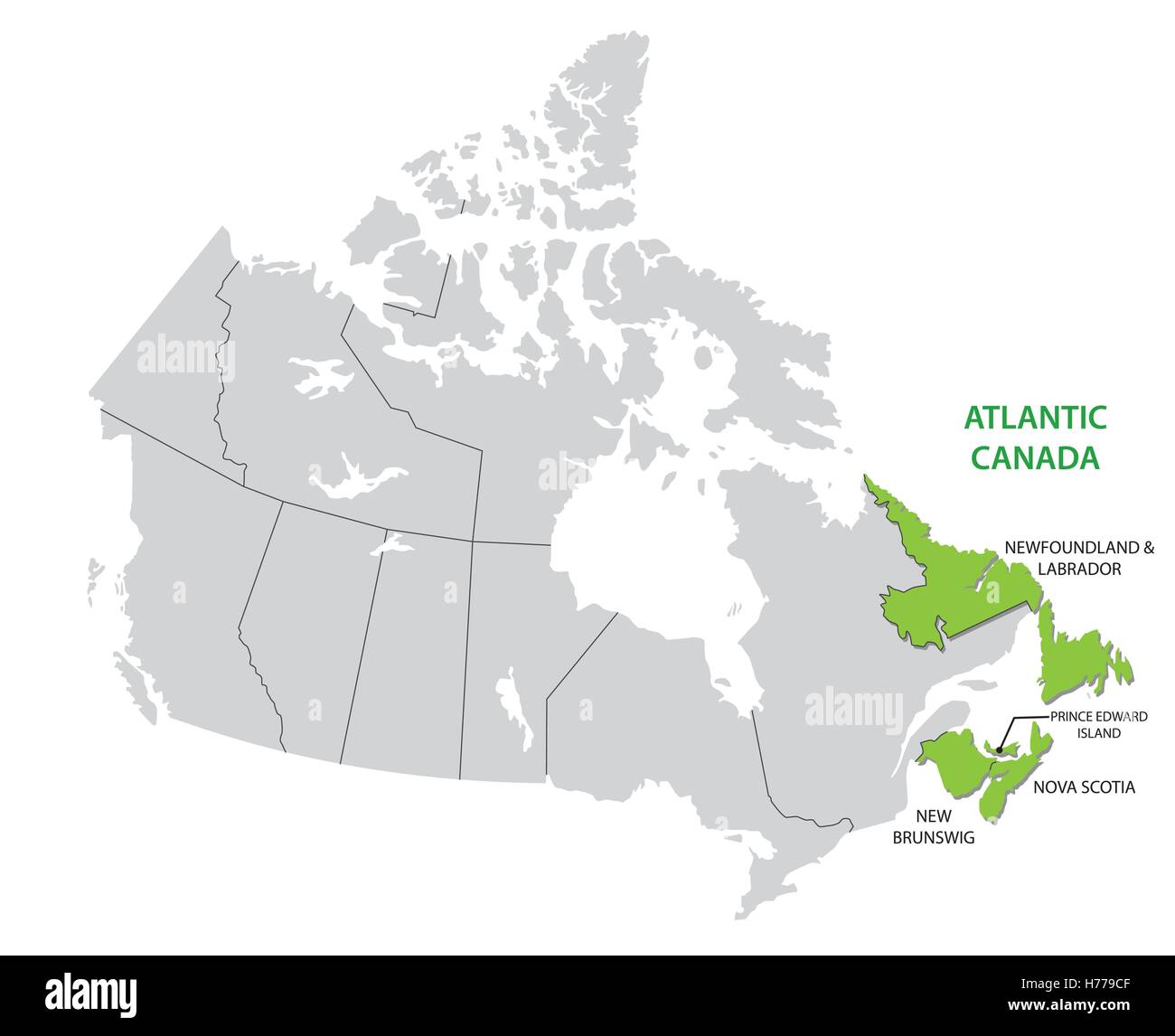 Survey map of the four Canadian Atlantic States, Atlantic canada Stock Vectorhttps://www.alamy.com/image-license-details/?v=1https://www.alamy.com/stock-photo-survey-map-of-the-four-canadian-atlantic-states-atlantic-canada-124936239.html
RFH779CF–Survey map of the four Canadian Atlantic States, Atlantic canada
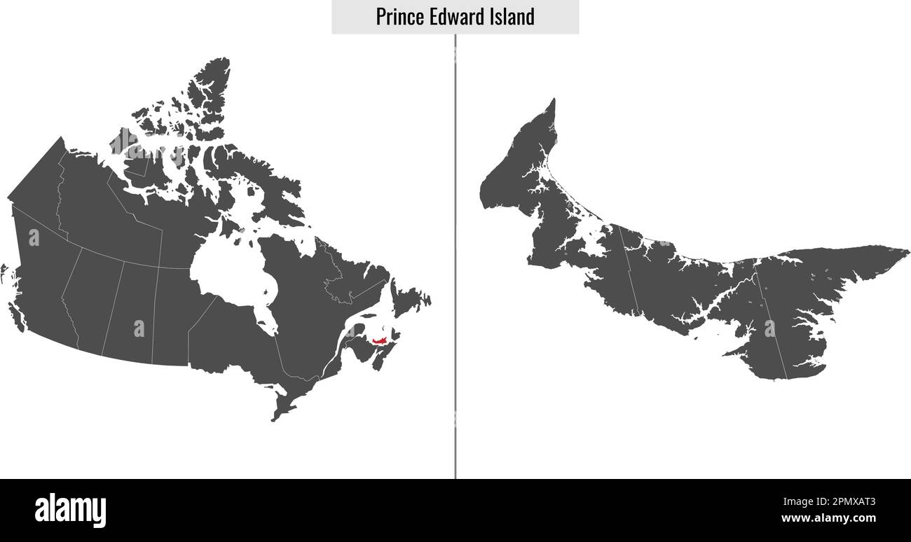 map of Prince Edward Island province of Canada and location on Canadian map Stock Vectorhttps://www.alamy.com/image-license-details/?v=1https://www.alamy.com/map-of-prince-edward-island-province-of-canada-and-location-on-canadian-map-image546393795.html
RF2PMXAT3–map of Prince Edward Island province of Canada and location on Canadian map
 Prince Edward Islands ( Republic of South Africa, RSA) map is designed cannabis leaf green and black, Marion Island and Prince Edward Island map made Stock Vectorhttps://www.alamy.com/image-license-details/?v=1https://www.alamy.com/prince-edward-islands-republic-of-south-africa-rsa-map-is-designed-cannabis-leaf-green-and-black-marion-island-and-prince-edward-island-map-made-image333235133.html
RF2AA44PN–Prince Edward Islands ( Republic of South Africa, RSA) map is designed cannabis leaf green and black, Marion Island and Prince Edward Island map made
 Topographic relief map of the Canadian province of PRINCE EDWARD ISLAND, CANADA with black contour lines on beige background Stock Vectorhttps://www.alamy.com/image-license-details/?v=1https://www.alamy.com/topographic-relief-map-of-the-canadian-province-of-prince-edward-island-canada-with-black-contour-lines-on-beige-background-image474651989.html
RF2JG67CN–Topographic relief map of the Canadian province of PRINCE EDWARD ISLAND, CANADA with black contour lines on beige background