Quincy map Cut Out Stock Images
 Quincy, Cher, FR, France, Centre, N 47 8' 0'', N 2 9' 24'', map, Cartascapes Map published in 2024. Explore Cartascapes, a map revealing Earth's diverse landscapes, cultures, and ecosystems. Journey through time and space, discovering the interconnectedness of our planet's past, present, and future. Stock Photohttps://www.alamy.com/image-license-details/?v=1https://www.alamy.com/quincy-cher-fr-france-centre-n-47-8-0-n-2-9-24-map-cartascapes-map-published-in-2024-explore-cartascapes-a-map-revealing-earths-diverse-landscapes-cultures-and-ecosystems-journey-through-time-and-space-discovering-the-interconnectedness-of-our-planets-past-present-and-future-image614297003.html
RM2XKBJ2K–Quincy, Cher, FR, France, Centre, N 47 8' 0'', N 2 9' 24'', map, Cartascapes Map published in 2024. Explore Cartascapes, a map revealing Earth's diverse landscapes, cultures, and ecosystems. Journey through time and space, discovering the interconnectedness of our planet's past, present, and future.
 USGS TOPO Map Florida FL Quincy 348263 1959 24000 Restoration Stock Photohttps://www.alamy.com/image-license-details/?v=1https://www.alamy.com/usgs-topo-map-florida-fl-quincy-348263-1959-24000-restoration-image244493500.html
RMT5NHXM–USGS TOPO Map Florida FL Quincy 348263 1959 24000 Restoration
 SITE MAP. October 1982 - Mississippi River 9-Foot Channel Project, Lock and Dam No. 21, Upper Mississippi River, Quincy, Adams County, IL; U.S. Army Corps of Engineers; Joseph Meltzer Incorporated; Abbott, Edwin E Stock Photohttps://www.alamy.com/image-license-details/?v=1https://www.alamy.com/site-map-october-1982-mississippi-river-9-foot-channel-project-lock-and-dam-no-21-upper-mississippi-river-quincy-adams-county-il-us-army-corps-of-engineers-joseph-meltzer-incorporated-abbott-edwin-e-image256707005.html
RMTWJ0B9–SITE MAP. October 1982 - Mississippi River 9-Foot Channel Project, Lock and Dam No. 21, Upper Mississippi River, Quincy, Adams County, IL; U.S. Army Corps of Engineers; Joseph Meltzer Incorporated; Abbott, Edwin E
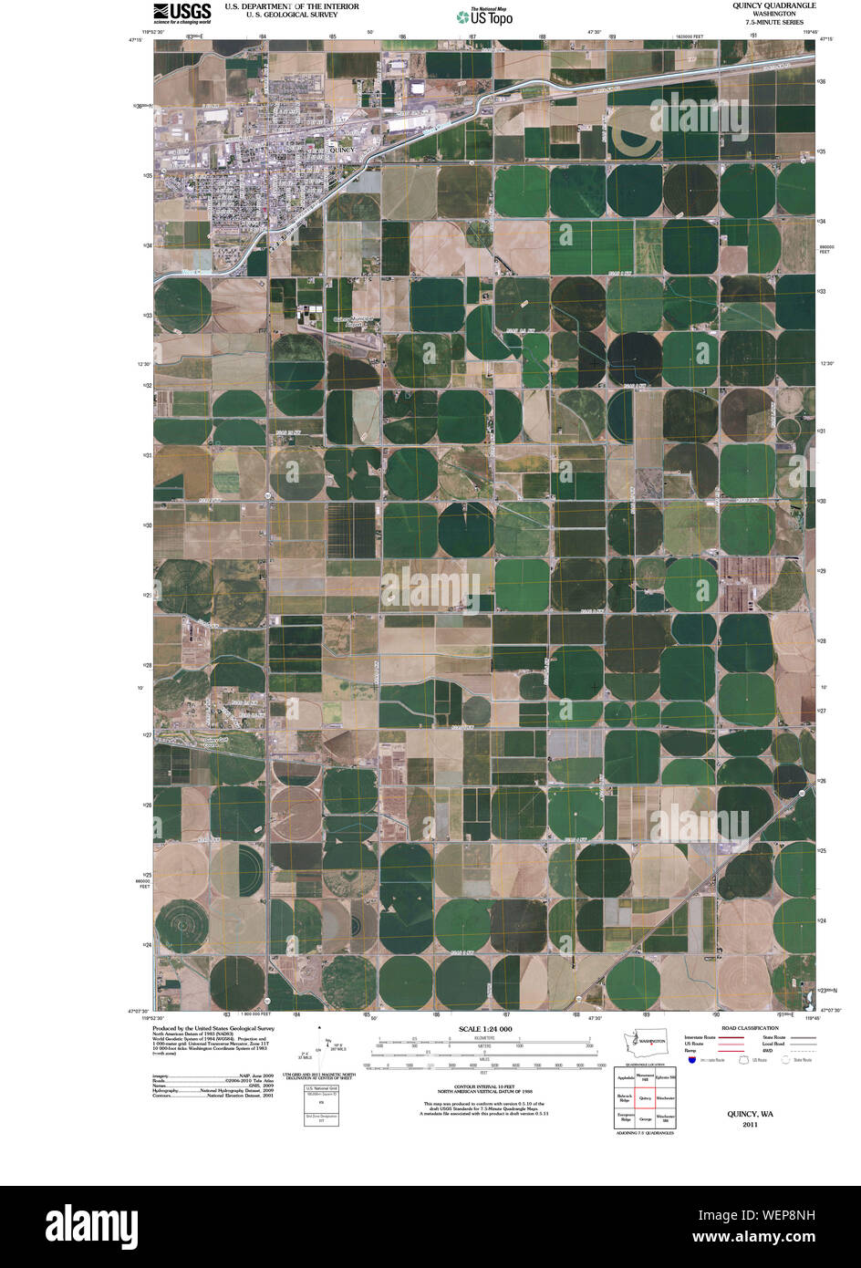 USGS Topo Map Washington State WA Quincy 20110429 TM Restoration Stock Photohttps://www.alamy.com/image-license-details/?v=1https://www.alamy.com/usgs-topo-map-washington-state-wa-quincy-20110429-tm-restoration-image267250525.html
RMWEP8NH–USGS Topo Map Washington State WA Quincy 20110429 TM Restoration
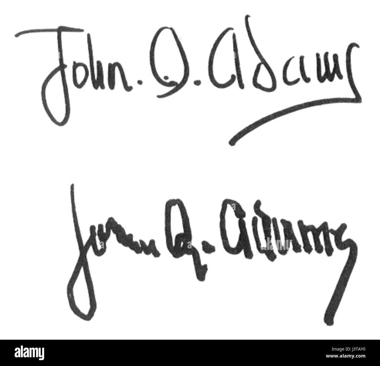 John Quincy Adams Signatures Stock Photohttps://www.alamy.com/image-license-details/?v=1https://www.alamy.com/stock-photo-john-quincy-adams-signatures-140062356.html
RMJ3TAY0–John Quincy Adams Signatures
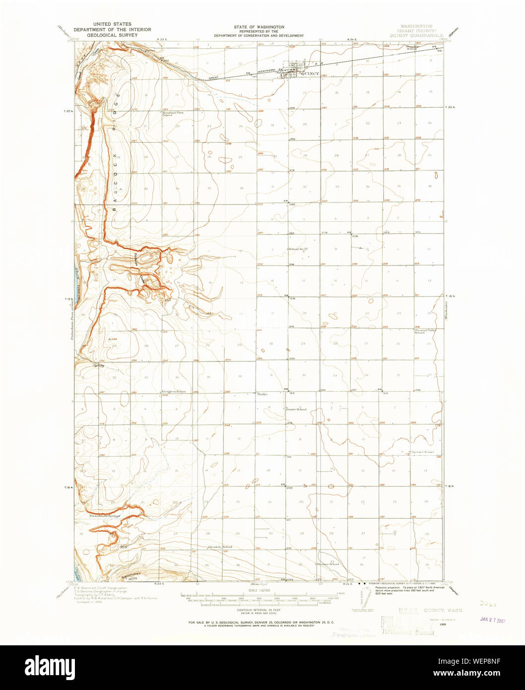 USGS Topo Map Washington State WA Quincy 243360 1909 62500 Restoration Stock Photohttps://www.alamy.com/image-license-details/?v=1https://www.alamy.com/usgs-topo-map-washington-state-wa-quincy-243360-1909-62500-restoration-image267250523.html
RMWEP8NF–USGS Topo Map Washington State WA Quincy 243360 1909 62500 Restoration
 USA collection. Map of Massachusetts - yellow silhouette. Doodling style lettering Stock Vectorhttps://www.alamy.com/image-license-details/?v=1https://www.alamy.com/usa-collection-map-of-massachusetts-yellow-silhouette-doodling-style-lettering-image397585398.html
RF2E2RG6E–USA collection. Map of Massachusetts - yellow silhouette. Doodling style lettering
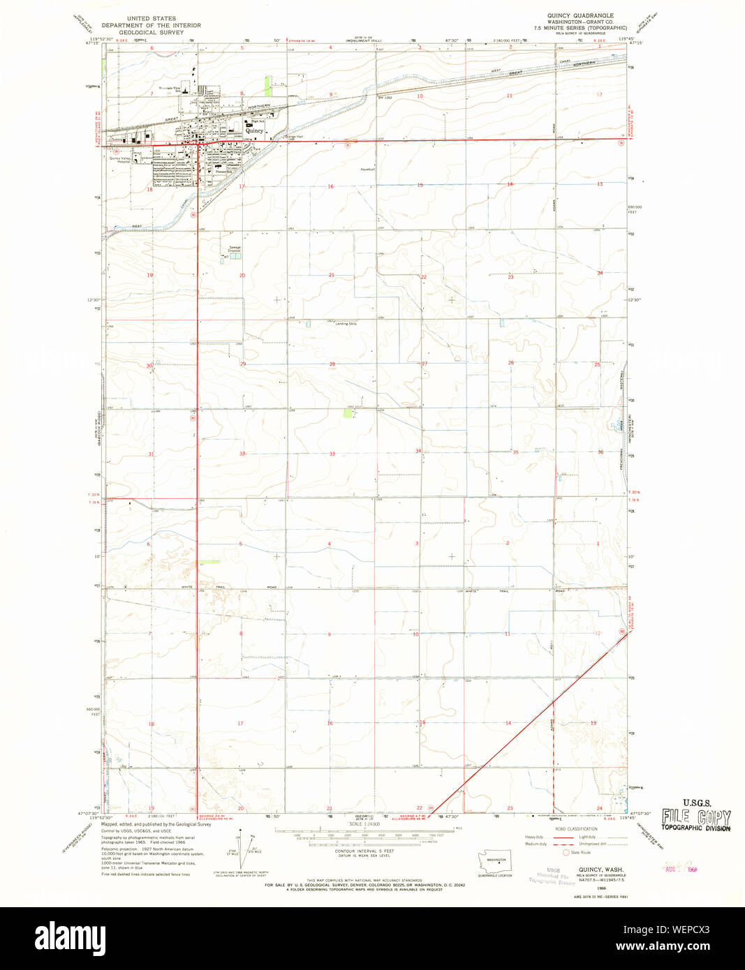 USGS Topo Map Washington State WA Quincy 243365 1966 24000 Restoration Stock Photohttps://www.alamy.com/image-license-details/?v=1https://www.alamy.com/usgs-topo-map-washington-state-wa-quincy-243365-1966-24000-restoration-image267253787.html
RMWEPCX3–USGS Topo Map Washington State WA Quincy 243365 1966 24000 Restoration
 Quincy City, Massachusetts (United States cities, United States of America, us, usa city) map vector illustration, scribble sketch City of Quincy map Stock Vectorhttps://www.alamy.com/image-license-details/?v=1https://www.alamy.com/quincy-city-massachusetts-united-states-cities-united-states-of-america-us-usa-city-map-vector-illustration-scribble-sketch-city-of-quincy-map-image609912372.html
RF2XC7WCM–Quincy City, Massachusetts (United States cities, United States of America, us, usa city) map vector illustration, scribble sketch City of Quincy map
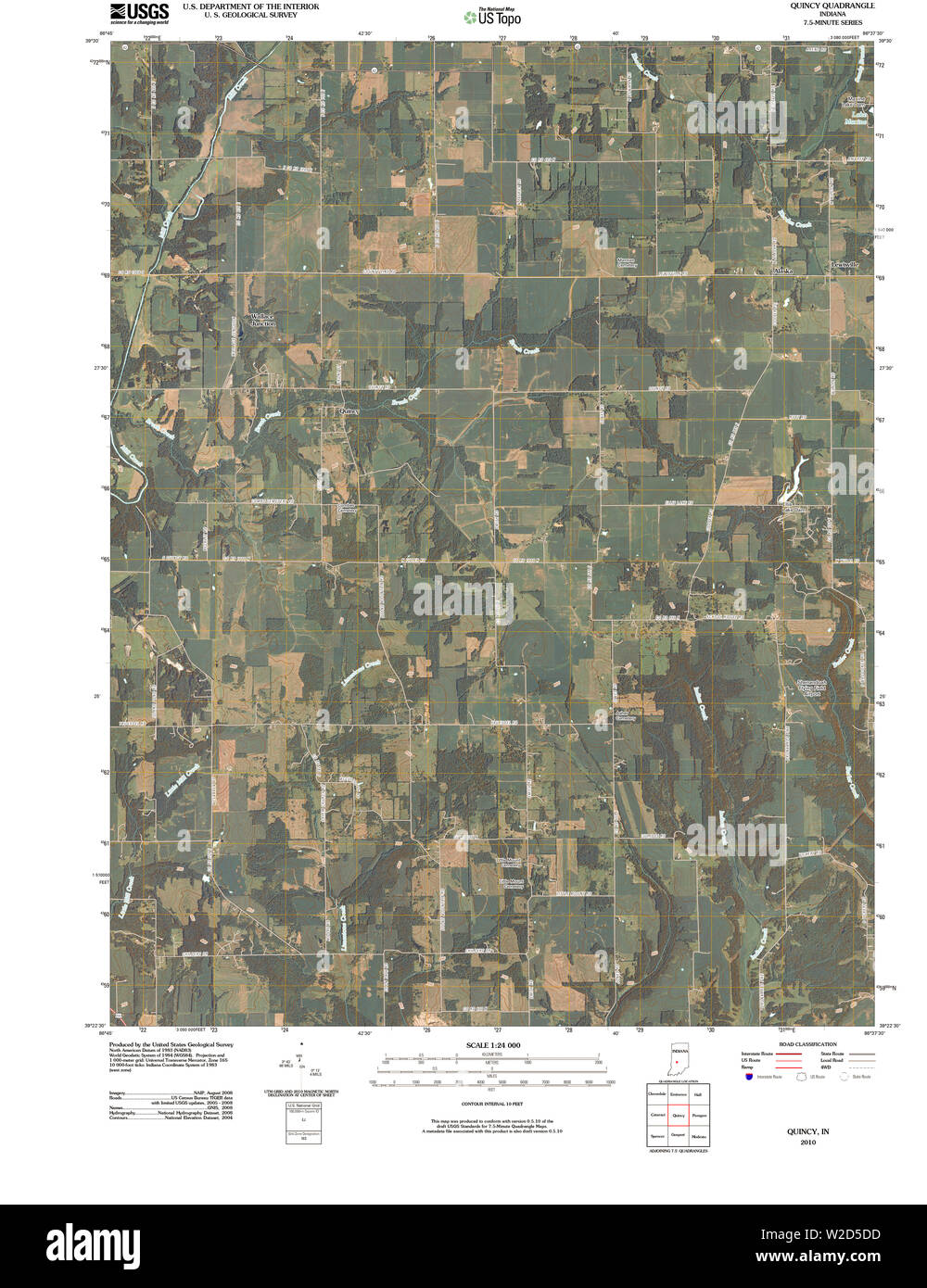 USGS TOPO Map Indiana IN Quincy 20100513 TM Restoration Stock Photohttps://www.alamy.com/image-license-details/?v=1https://www.alamy.com/usgs-topo-map-indiana-in-quincy-20100513-tm-restoration-image259674505.html
RMW2D5DD–USGS TOPO Map Indiana IN Quincy 20100513 TM Restoration
 US-MA(1891) p364 QUINCY, CRANE LIBRARY Stock Photohttps://www.alamy.com/image-license-details/?v=1https://www.alamy.com/stock-photo-us-ma1891-p364-quincy-crane-library-73668726.html
RME7RW5X–US-MA(1891) p364 QUINCY, CRANE LIBRARY
 Quincy, Adams County, US, United States, Iowa, N 41 2' 24'', S 94 47' 24'', map, Cartascapes Map published in 2024. Explore Cartascapes, a map revealing Earth's diverse landscapes, cultures, and ecosystems. Journey through time and space, discovering the interconnectedness of our planet's past, present, and future. Stock Photohttps://www.alamy.com/image-license-details/?v=1https://www.alamy.com/quincy-adams-county-us-united-states-iowa-n-41-2-24-s-94-47-24-map-cartascapes-map-published-in-2024-explore-cartascapes-a-map-revealing-earths-diverse-landscapes-cultures-and-ecosystems-journey-through-time-and-space-discovering-the-interconnectedness-of-our-planets-past-present-and-future-image621469502.html
RM2Y32AKA–Quincy, Adams County, US, United States, Iowa, N 41 2' 24'', S 94 47' 24'', map, Cartascapes Map published in 2024. Explore Cartascapes, a map revealing Earth's diverse landscapes, cultures, and ecosystems. Journey through time and space, discovering the interconnectedness of our planet's past, present, and future.
 Appletons' Adams John Quincy Stock Photohttps://www.alamy.com/image-license-details/?v=1https://www.alamy.com/stock-image-appletons-adams-john-quincy-162733337.html
RMKCN40W–Appletons' Adams John Quincy
 Quincy City, Massachusetts (United States cities, United States of America, us, usa city) map vector illustration, scribble sketch City of Quincy map Stock Vectorhttps://www.alamy.com/image-license-details/?v=1https://www.alamy.com/quincy-city-massachusetts-united-states-cities-united-states-of-america-us-usa-city-map-vector-illustration-scribble-sketch-city-of-quincy-map-image572930682.html
RF2T836X2–Quincy City, Massachusetts (United States cities, United States of America, us, usa city) map vector illustration, scribble sketch City of Quincy map
 USGS TOPO Map Kansas KS Quincy 20091028 TM Restoration Stock Photohttps://www.alamy.com/image-license-details/?v=1https://www.alamy.com/usgs-topo-map-kansas-ks-quincy-20091028-tm-restoration-image260301048.html
RMW3DMJ0–USGS TOPO Map Kansas KS Quincy 20091028 TM Restoration
 US-IL(1891) p206 QUINCY, CITY HALL Stock Photohttps://www.alamy.com/image-license-details/?v=1https://www.alamy.com/stock-photo-us-il1891-p206-quincy-city-hall-73666648.html
RME7RPFM–US-IL(1891) p206 QUINCY, CITY HALL
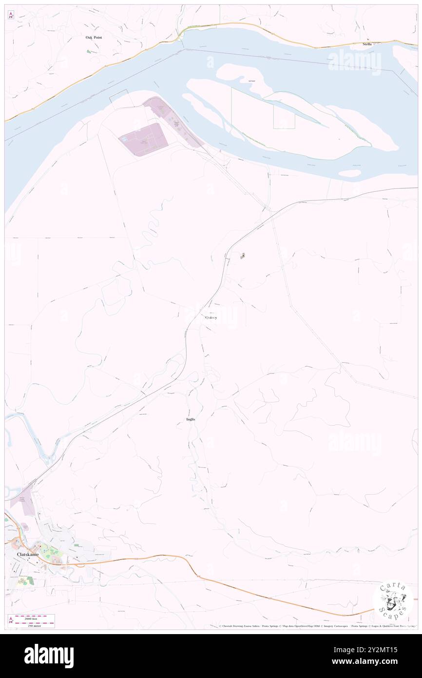 Quincy, Columbia County, US, United States, Oregon, N 46 8' 37'', S 123 9' 36'', map, Cartascapes Map published in 2024. Explore Cartascapes, a map revealing Earth's diverse landscapes, cultures, and ecosystems. Journey through time and space, discovering the interconnectedness of our planet's past, present, and future. Stock Photohttps://www.alamy.com/image-license-details/?v=1https://www.alamy.com/quincy-columbia-county-us-united-states-oregon-n-46-8-37-s-123-9-36-map-cartascapes-map-published-in-2024-explore-cartascapes-a-map-revealing-earths-diverse-landscapes-cultures-and-ecosystems-journey-through-time-and-space-discovering-the-interconnectedness-of-our-planets-past-present-and-future-image621260449.html
RM2Y2MT15–Quincy, Columbia County, US, United States, Oregon, N 46 8' 37'', S 123 9' 36'', map, Cartascapes Map published in 2024. Explore Cartascapes, a map revealing Earth's diverse landscapes, cultures, and ecosystems. Journey through time and space, discovering the interconnectedness of our planet's past, present, and future.
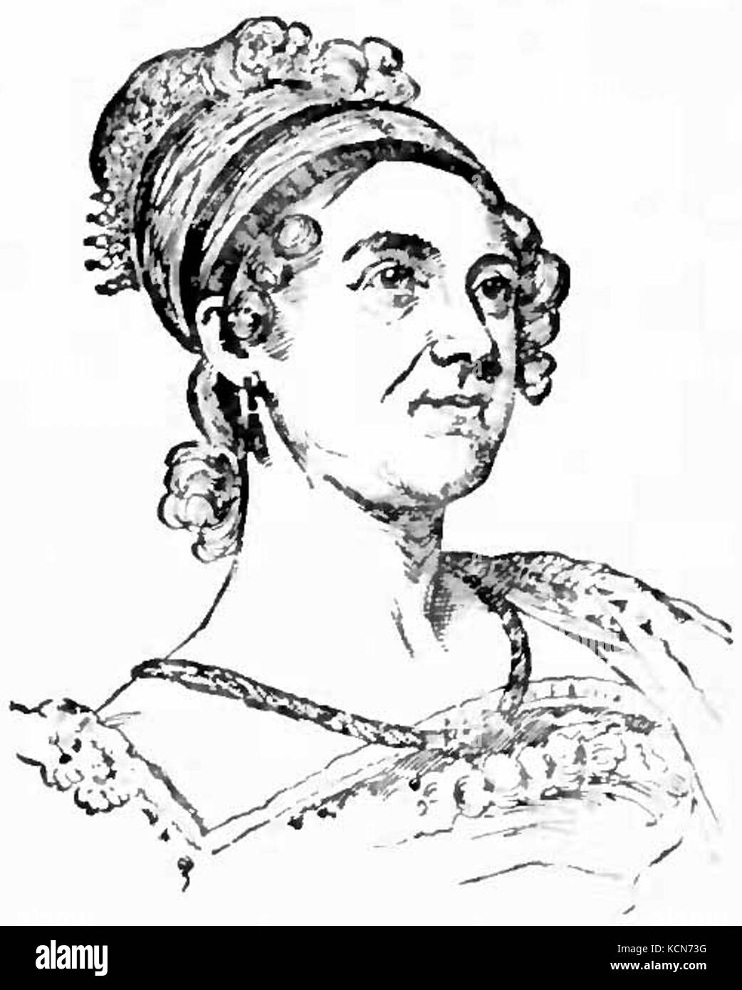 Appletons' Adams John Quincy Louisa Catherine Stock Photohttps://www.alamy.com/image-license-details/?v=1https://www.alamy.com/stock-image-appletons-adams-john-quincy-louisa-catherine-162735764.html
RMKCN73G–Appletons' Adams John Quincy Louisa Catherine
 Quincy City, Massachusetts (United States cities, United States of America, us, usa city) map vector illustration, scribble sketch City of Quincy map Stock Vectorhttps://www.alamy.com/image-license-details/?v=1https://www.alamy.com/quincy-city-massachusetts-united-states-cities-united-states-of-america-us-usa-city-map-vector-illustration-scribble-sketch-city-of-quincy-map-image601674006.html
RF2WXTH9A–Quincy City, Massachusetts (United States cities, United States of America, us, usa city) map vector illustration, scribble sketch City of Quincy map
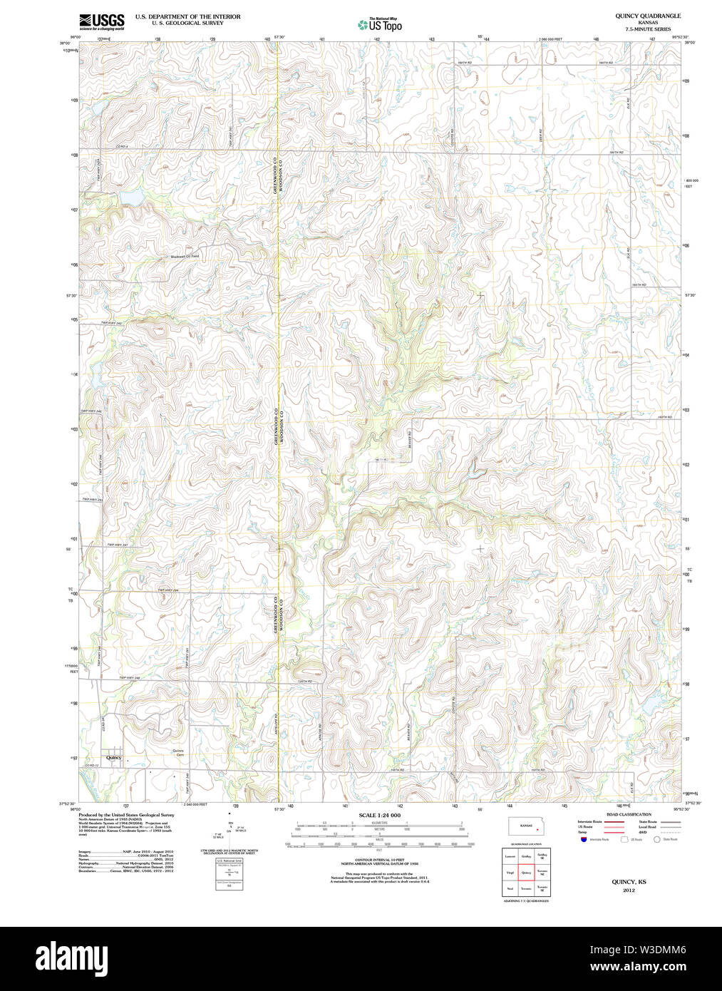 USGS TOPO Map Kansas KS Quincy 20120906 TM Restoration Stock Photohttps://www.alamy.com/image-license-details/?v=1https://www.alamy.com/usgs-topo-map-kansas-ks-quincy-20120906-tm-restoration-image260301110.html
RMW3DMM6–USGS TOPO Map Kansas KS Quincy 20120906 TM Restoration
 US-IL(1891) p208 QUINCY, SAILORS' AND SOLDIERS' HOME Stock Photohttps://www.alamy.com/image-license-details/?v=1https://www.alamy.com/stock-photo-us-il1891-p208-quincy-sailors-and-soldiers-home-73666658.html
RME7RPG2–US-IL(1891) p208 QUINCY, SAILORS' AND SOLDIERS' HOME
 Quincy, Hickory County, US, United States, Missouri, N 38 0' 30'', S 93 28' 20'', map, Cartascapes Map published in 2024. Explore Cartascapes, a map revealing Earth's diverse landscapes, cultures, and ecosystems. Journey through time and space, discovering the interconnectedness of our planet's past, present, and future. Stock Photohttps://www.alamy.com/image-license-details/?v=1https://www.alamy.com/quincy-hickory-county-us-united-states-missouri-n-38-0-30-s-93-28-20-map-cartascapes-map-published-in-2024-explore-cartascapes-a-map-revealing-earths-diverse-landscapes-cultures-and-ecosystems-journey-through-time-and-space-discovering-the-interconnectedness-of-our-planets-past-present-and-future-image621436754.html
RM2Y30TWP–Quincy, Hickory County, US, United States, Missouri, N 38 0' 30'', S 93 28' 20'', map, Cartascapes Map published in 2024. Explore Cartascapes, a map revealing Earth's diverse landscapes, cultures, and ecosystems. Journey through time and space, discovering the interconnectedness of our planet's past, present, and future.
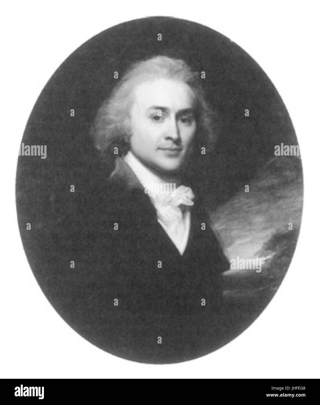 John Quincy Adams - Age 29 Stock Photohttps://www.alamy.com/image-license-details/?v=1https://www.alamy.com/stock-photo-john-quincy-adams-age-29-148472808.html
RMJHFEG8–John Quincy Adams - Age 29
 Gadsden County, Florida (U.S. county, United States of America,USA, U.S., US) map vector illustration, scribble sketch Gadsden map Stock Vectorhttps://www.alamy.com/image-license-details/?v=1https://www.alamy.com/gadsden-county-florida-us-county-united-states-of-americausa-us-us-map-vector-illustration-scribble-sketch-gadsden-map-image345586575.html
RF2B26R5K–Gadsden County, Florida (U.S. county, United States of America,USA, U.S., US) map vector illustration, scribble sketch Gadsden map
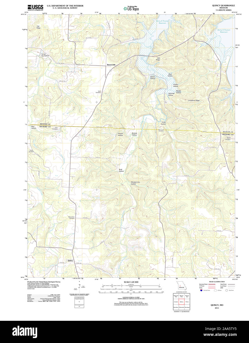 USGS TOPO Map Missouri MO Quincy 20111214 TM Restoration Stock Photohttps://www.alamy.com/image-license-details/?v=1https://www.alamy.com/usgs-topo-map-missouri-mo-quincy-20111214-tm-restoration-image333272889.html
RM2AA5TY5–USGS TOPO Map Missouri MO Quincy 20111214 TM Restoration
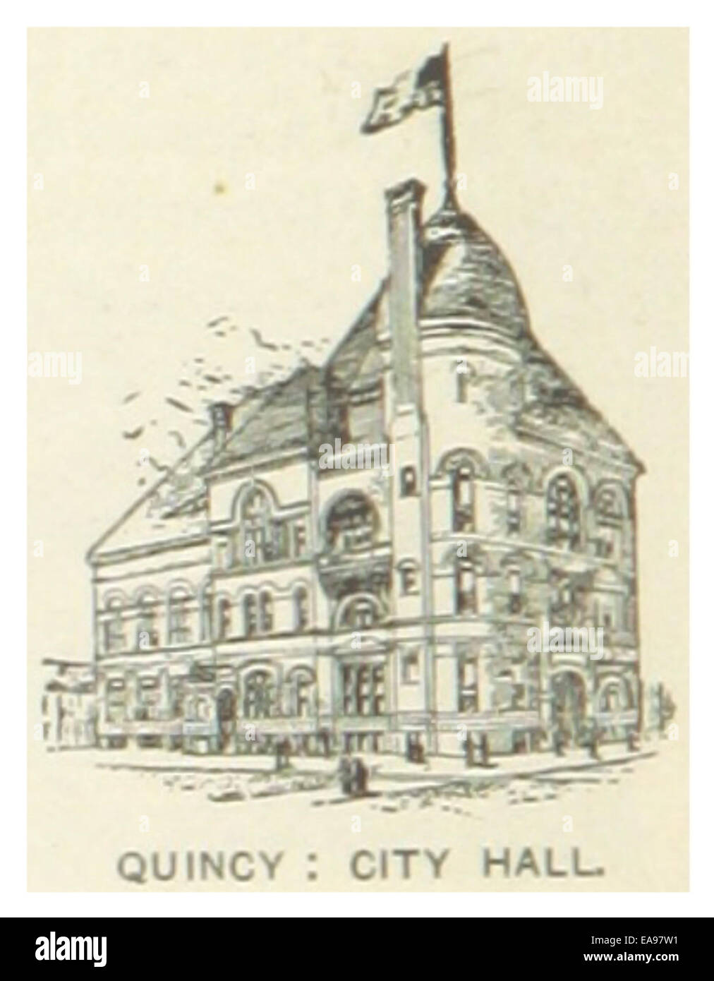 US-IL(1891) p206 QUINCY, CITY HALL Stock Photohttps://www.alamy.com/image-license-details/?v=1https://www.alamy.com/stock-photo-us-il1891-p206-quincy-city-hall-75191789.html
RMEA97W1–US-IL(1891) p206 QUINCY, CITY HALL
 Quincy, Grant County, US, United States, Washington, N 47 14' 3'', S 119 51' 9'', map, Cartascapes Map published in 2024. Explore Cartascapes, a map revealing Earth's diverse landscapes, cultures, and ecosystems. Journey through time and space, discovering the interconnectedness of our planet's past, present, and future. Stock Photohttps://www.alamy.com/image-license-details/?v=1https://www.alamy.com/quincy-grant-county-us-united-states-washington-n-47-14-3-s-119-51-9-map-cartascapes-map-published-in-2024-explore-cartascapes-a-map-revealing-earths-diverse-landscapes-cultures-and-ecosystems-journey-through-time-and-space-discovering-the-interconnectedness-of-our-planets-past-present-and-future-image621261417.html
RM2Y2MW7N–Quincy, Grant County, US, United States, Washington, N 47 14' 3'', S 119 51' 9'', map, Cartascapes Map published in 2024. Explore Cartascapes, a map revealing Earth's diverse landscapes, cultures, and ecosystems. Journey through time and space, discovering the interconnectedness of our planet's past, present, and future.
 US IL(1891) p208 QUINCY, SAILORS' AND SOLDIERS' HOME Stock Photohttps://www.alamy.com/image-license-details/?v=1https://www.alamy.com/us-il1891-p208-quincy-sailors-and-soldiers-home-image154605479.html
RMJYETT7–US IL(1891) p208 QUINCY, SAILORS' AND SOLDIERS' HOME
 Adams County, Illinois (U.S. county, United States of America, USA, U.S., US) map vector illustration, scribble sketch Adams map Stock Vectorhttps://www.alamy.com/image-license-details/?v=1https://www.alamy.com/adams-county-illinois-us-county-united-states-of-america-usa-us-us-map-vector-illustration-scribble-sketch-adams-map-image368910734.html
RF2CC59BA–Adams County, Illinois (U.S. county, United States of America, USA, U.S., US) map vector illustration, scribble sketch Adams map
 USGS TOPO Map Illinois IL Quincy 310175 1956 250000 Restoration Stock Photohttps://www.alamy.com/image-license-details/?v=1https://www.alamy.com/usgs-topo-map-illinois-il-quincy-310175-1956-250000-restoration-image258828526.html
RMW12JBX–USGS TOPO Map Illinois IL Quincy 310175 1956 250000 Restoration
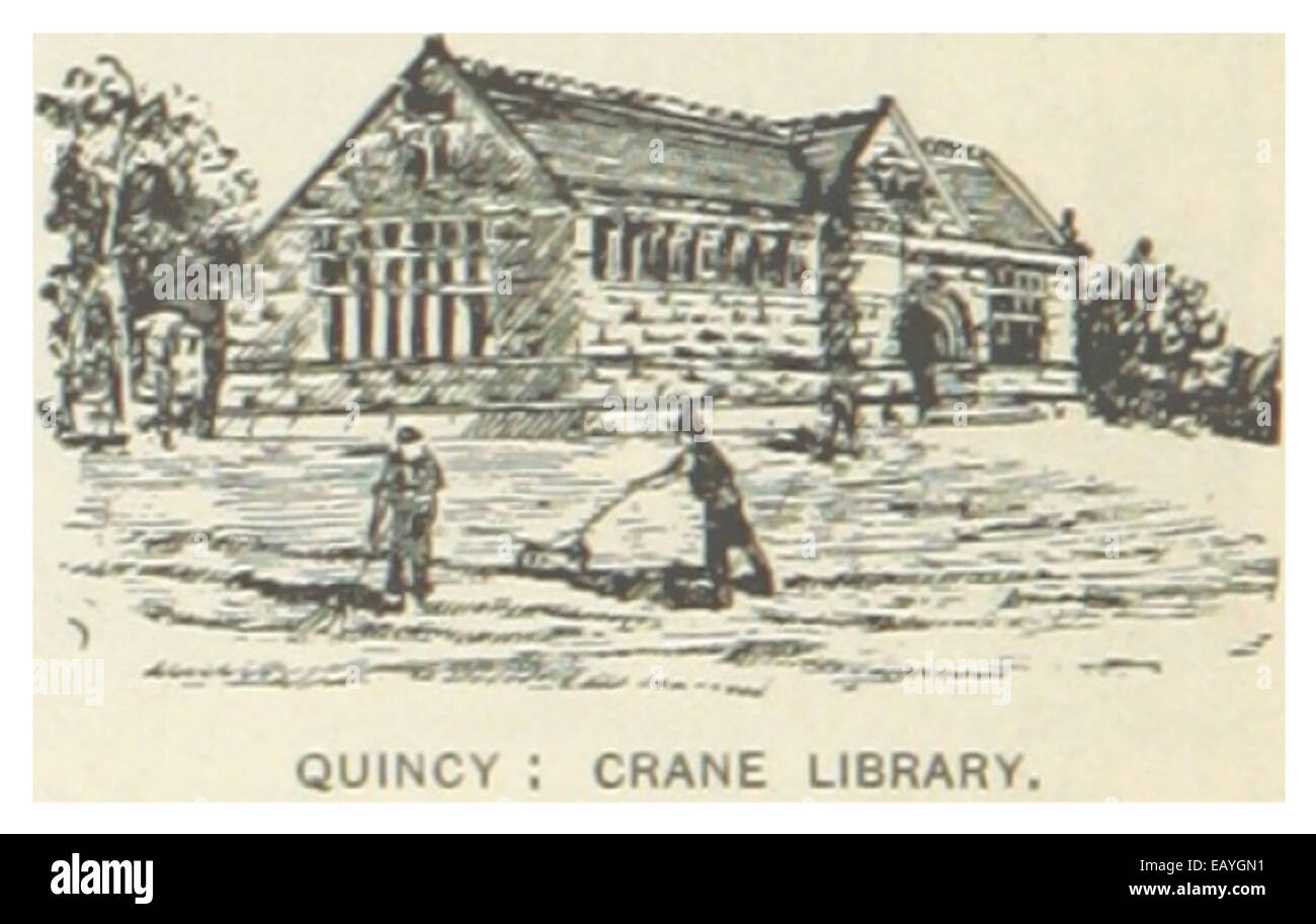 US-MA(1891) p364 QUINCY, CRANE LIBRARY Stock Photohttps://www.alamy.com/image-license-details/?v=1https://www.alamy.com/stock-photo-us-ma1891-p364-quincy-crane-library-75593869.html
RMEAYGN1–US-MA(1891) p364 QUINCY, CRANE LIBRARY
 Quincy, Norfolk County, US, United States, Massachusetts, N 42 15' 10'', S 71 0' 8'', map, Cartascapes Map published in 2024. Explore Cartascapes, a map revealing Earth's diverse landscapes, cultures, and ecosystems. Journey through time and space, discovering the interconnectedness of our planet's past, present, and future. Stock Photohttps://www.alamy.com/image-license-details/?v=1https://www.alamy.com/quincy-norfolk-county-us-united-states-massachusetts-n-42-15-10-s-71-0-8-map-cartascapes-map-published-in-2024-explore-cartascapes-a-map-revealing-earths-diverse-landscapes-cultures-and-ecosystems-journey-through-time-and-space-discovering-the-interconnectedness-of-our-planets-past-present-and-future-image621438409.html
RM2Y30Y0W–Quincy, Norfolk County, US, United States, Massachusetts, N 42 15' 10'', S 71 0' 8'', map, Cartascapes Map published in 2024. Explore Cartascapes, a map revealing Earth's diverse landscapes, cultures, and ecosystems. Journey through time and space, discovering the interconnectedness of our planet's past, present, and future.
 Adams County, Illinois (U.S. county, United States of America, USA, U.S., US) map vector illustration, scribble sketch Adams map Stock Vectorhttps://www.alamy.com/image-license-details/?v=1https://www.alamy.com/adams-county-illinois-us-county-united-states-of-america-usa-us-us-map-vector-illustration-scribble-sketch-adams-map-image361547638.html
RF2C05WKJ–Adams County, Illinois (U.S. county, United States of America, USA, U.S., US) map vector illustration, scribble sketch Adams map
 USGS TOPO Map Illinois IL Quincy West 20120806 TM Restoration Stock Photohttps://www.alamy.com/image-license-details/?v=1https://www.alamy.com/usgs-topo-map-illinois-il-quincy-west-20120806-tm-restoration-image258828922.html
RMW12JX2–USGS TOPO Map Illinois IL Quincy West 20120806 TM Restoration
 US-MA(1891) p364 QUINCY, CRANE LIBRARY Stock Photohttps://www.alamy.com/image-license-details/?v=1https://www.alamy.com/stock-photo-us-ma1891-p364-quincy-crane-library-74955229.html
RME9XE4D–US-MA(1891) p364 QUINCY, CRANE LIBRARY
 Quincy, Lewis County, US, United States, Kentucky, N 38 37' 26'', S 83 7' 50'', map, Cartascapes Map published in 2024. Explore Cartascapes, a map revealing Earth's diverse landscapes, cultures, and ecosystems. Journey through time and space, discovering the interconnectedness of our planet's past, present, and future. Stock Photohttps://www.alamy.com/image-license-details/?v=1https://www.alamy.com/quincy-lewis-county-us-united-states-kentucky-n-38-37-26-s-83-7-50-map-cartascapes-map-published-in-2024-explore-cartascapes-a-map-revealing-earths-diverse-landscapes-cultures-and-ecosystems-journey-through-time-and-space-discovering-the-interconnectedness-of-our-planets-past-present-and-future-image621319938.html
RM2Y2RFWP–Quincy, Lewis County, US, United States, Kentucky, N 38 37' 26'', S 83 7' 50'', map, Cartascapes Map published in 2024. Explore Cartascapes, a map revealing Earth's diverse landscapes, cultures, and ecosystems. Journey through time and space, discovering the interconnectedness of our planet's past, present, and future.
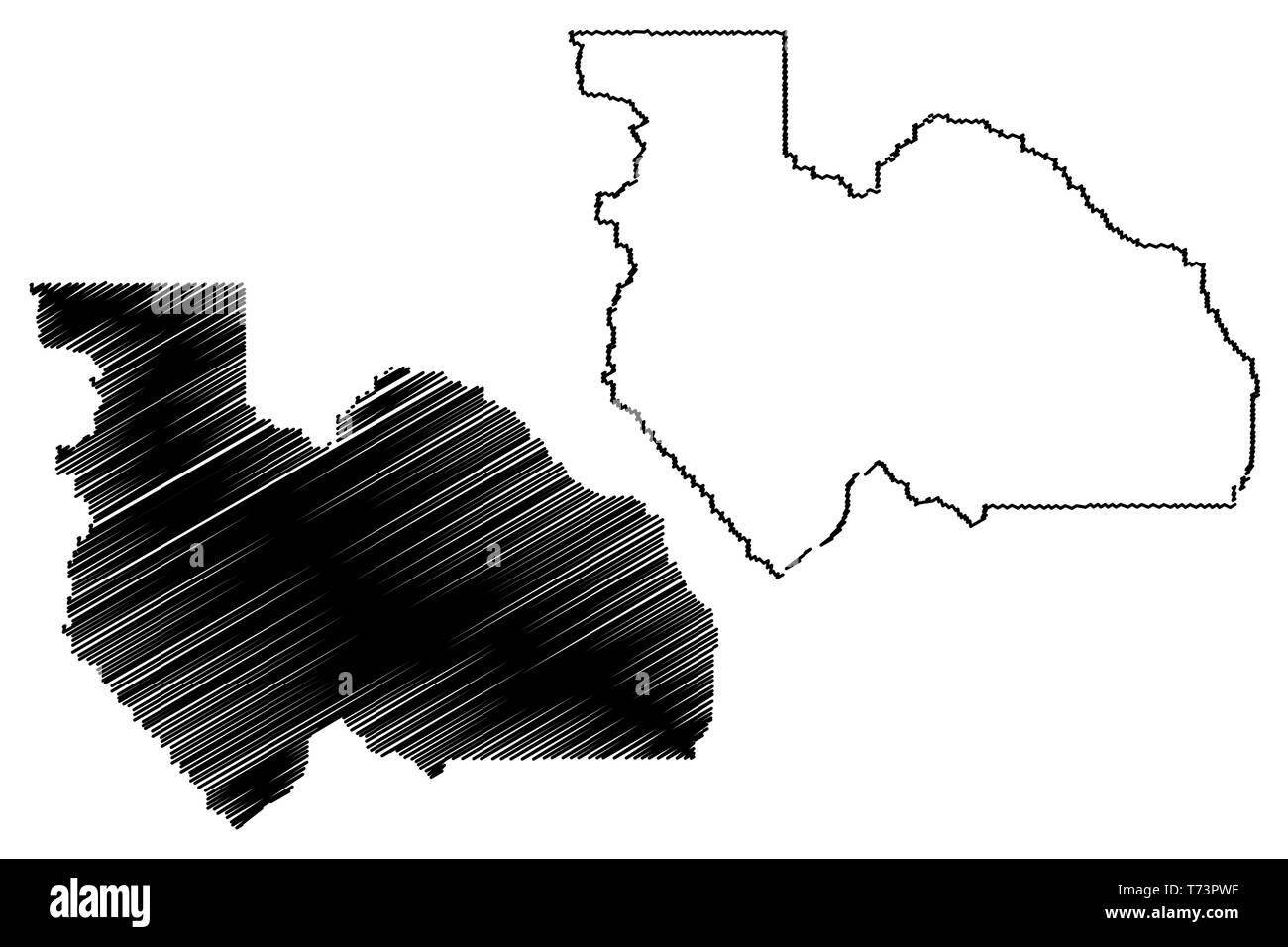 Plumas County, California (Counties in California, United States of America,USA, U.S., US) map vector illustration, scribble sketch Plumas map Stock Vectorhttps://www.alamy.com/image-license-details/?v=1https://www.alamy.com/plumas-county-california-counties-in-california-united-states-of-americausa-us-us-map-vector-illustration-scribble-sketch-plumas-map-image245331563.html
RFT73PWF–Plumas County, California (Counties in California, United States of America,USA, U.S., US) map vector illustration, scribble sketch Plumas map
 USGS TOPO Map Illinois IL Quincy 310178 1956 250000 Restoration Stock Photohttps://www.alamy.com/image-license-details/?v=1https://www.alamy.com/usgs-topo-map-illinois-il-quincy-310178-1956-250000-restoration-image258828685.html
RMW12JHH–USGS TOPO Map Illinois IL Quincy 310178 1956 250000 Restoration
 US-IL(1891) p206 QUINCY, CITY HALL Stock Photohttps://www.alamy.com/image-license-details/?v=1https://www.alamy.com/stock-photo-us-il1891-p206-quincy-city-hall-74953390.html
RME9XBPP–US-IL(1891) p206 QUINCY, CITY HALL
 Quincy, Adams County, US, United States, Illinois, N 39 56' 8'', S 91 24' 35'', map, Cartascapes Map published in 2024. Explore Cartascapes, a map revealing Earth's diverse landscapes, cultures, and ecosystems. Journey through time and space, discovering the interconnectedness of our planet's past, present, and future. Stock Photohttps://www.alamy.com/image-license-details/?v=1https://www.alamy.com/quincy-adams-county-us-united-states-illinois-n-39-56-8-s-91-24-35-map-cartascapes-map-published-in-2024-explore-cartascapes-a-map-revealing-earths-diverse-landscapes-cultures-and-ecosystems-journey-through-time-and-space-discovering-the-interconnectedness-of-our-planets-past-present-and-future-image621150739.html
RM2Y2FT2Y–Quincy, Adams County, US, United States, Illinois, N 39 56' 8'', S 91 24' 35'', map, Cartascapes Map published in 2024. Explore Cartascapes, a map revealing Earth's diverse landscapes, cultures, and ecosystems. Journey through time and space, discovering the interconnectedness of our planet's past, present, and future.
 Gadsden County, Florida (U.S. county, United States of America,USA, U.S., US) map vector illustration, scribble sketch Gadsden map Stock Vectorhttps://www.alamy.com/image-license-details/?v=1https://www.alamy.com/gadsden-county-florida-us-county-united-states-of-americausa-us-us-map-vector-illustration-scribble-sketch-gadsden-map-image352323821.html
RF2BD5MHH–Gadsden County, Florida (U.S. county, United States of America,USA, U.S., US) map vector illustration, scribble sketch Gadsden map
 USGS TOPO Map Indiana IN Quincy 160180 1958 24000 Restoration Stock Photohttps://www.alamy.com/image-license-details/?v=1https://www.alamy.com/usgs-topo-map-indiana-in-quincy-160180-1958-24000-restoration-image259674282.html
RMW2D55E–USGS TOPO Map Indiana IN Quincy 160180 1958 24000 Restoration
 US-IL(1891) p208 QUINCY, SAILORS' AND SOLDIERS' HOME Stock Photohttps://www.alamy.com/image-license-details/?v=1https://www.alamy.com/stock-photo-us-il1891-p208-quincy-sailors-and-soldiers-home-74953403.html
RME9XBR7–US-IL(1891) p208 QUINCY, SAILORS' AND SOLDIERS' HOME
 Quincy, Branch County, US, United States, Michigan, N 41 56' 39'', S 84 53' 1'', map, Cartascapes Map published in 2024. Explore Cartascapes, a map revealing Earth's diverse landscapes, cultures, and ecosystems. Journey through time and space, discovering the interconnectedness of our planet's past, present, and future. Stock Photohttps://www.alamy.com/image-license-details/?v=1https://www.alamy.com/quincy-branch-county-us-united-states-michigan-n-41-56-39-s-84-53-1-map-cartascapes-map-published-in-2024-explore-cartascapes-a-map-revealing-earths-diverse-landscapes-cultures-and-ecosystems-journey-through-time-and-space-discovering-the-interconnectedness-of-our-planets-past-present-and-future-image621349357.html
RM2Y2TWCD–Quincy, Branch County, US, United States, Michigan, N 41 56' 39'', S 84 53' 1'', map, Cartascapes Map published in 2024. Explore Cartascapes, a map revealing Earth's diverse landscapes, cultures, and ecosystems. Journey through time and space, discovering the interconnectedness of our planet's past, present, and future.
 Plumas County, California (Counties in California, United States of America,USA, U.S., US) map vector illustration, scribble sketch Plumas map Stock Vectorhttps://www.alamy.com/image-license-details/?v=1https://www.alamy.com/plumas-county-california-counties-in-california-united-states-of-americausa-us-us-map-vector-illustration-scribble-sketch-plumas-map-image247414480.html
RFTAEKKC–Plumas County, California (Counties in California, United States of America,USA, U.S., US) map vector illustration, scribble sketch Plumas map
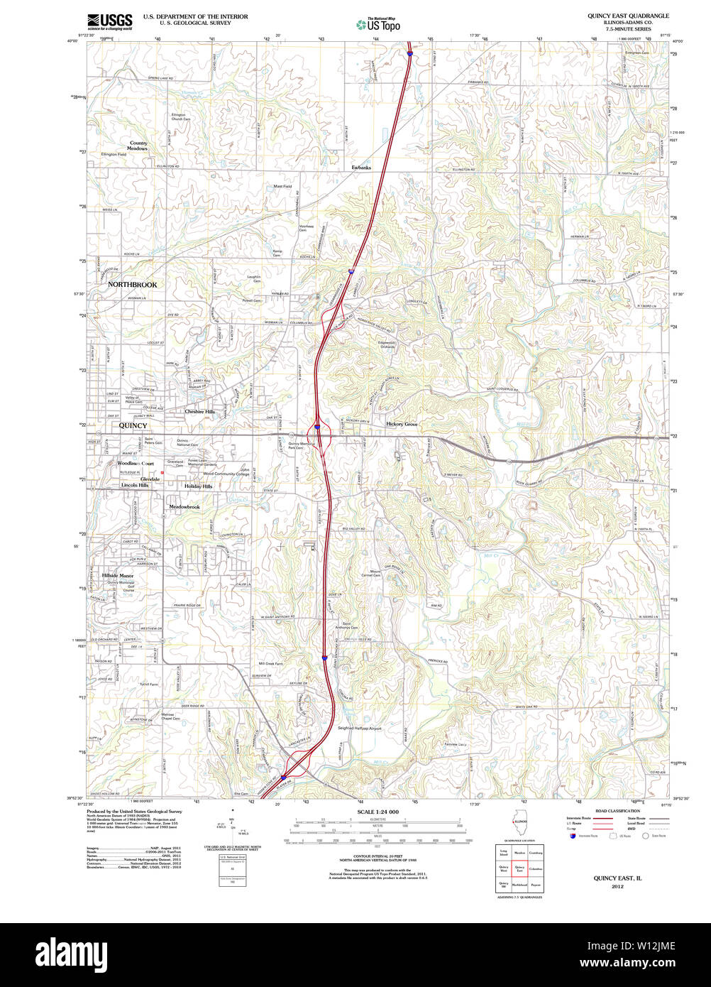 USGS TOPO Map Illinois IL Quincy East 20120822 TM Restoration Stock Photohttps://www.alamy.com/image-license-details/?v=1https://www.alamy.com/usgs-topo-map-illinois-il-quincy-east-20120822-tm-restoration-image258828766.html
RMW12JME–USGS TOPO Map Illinois IL Quincy East 20120822 TM Restoration
 US-IL(1891) p208 QUINCY, SAILORS' AND SOLDIERS' HOME Stock Photohttps://www.alamy.com/image-license-details/?v=1https://www.alamy.com/stock-photo-us-il1891-p208-quincy-sailors-and-soldiers-home-75191796.html
RMEA97W8–US-IL(1891) p208 QUINCY, SAILORS' AND SOLDIERS' HOME
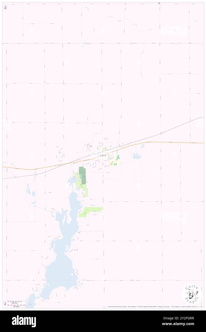 Quincy, Branch County, US, United States, Michigan, N 41 56' 39'', S 84 53' 1'', map, Cartascapes Map published in 2024. Explore Cartascapes, a map revealing Earth's diverse landscapes, cultures, and ecosystems. Journey through time and space, discovering the interconnectedness of our planet's past, present, and future. Stock Photohttps://www.alamy.com/image-license-details/?v=1https://www.alamy.com/quincy-branch-county-us-united-states-michigan-n-41-56-39-s-84-53-1-map-cartascapes-map-published-in-2024-explore-cartascapes-a-map-revealing-earths-diverse-landscapes-cultures-and-ecosystems-journey-through-time-and-space-discovering-the-interconnectedness-of-our-planets-past-present-and-future-image621145051.html
RM2Y2FGRR–Quincy, Branch County, US, United States, Michigan, N 41 56' 39'', S 84 53' 1'', map, Cartascapes Map published in 2024. Explore Cartascapes, a map revealing Earth's diverse landscapes, cultures, and ecosystems. Journey through time and space, discovering the interconnectedness of our planet's past, present, and future.
 Plumas County, California (Counties in California, United States of America,USA, U.S., US) map vector illustration, scribble sketch Plumas map Stock Vectorhttps://www.alamy.com/image-license-details/?v=1https://www.alamy.com/plumas-county-california-counties-in-california-united-states-of-americausa-us-us-map-vector-illustration-scribble-sketch-plumas-map-image242296022.html
RFT25F1A–Plumas County, California (Counties in California, United States of America,USA, U.S., US) map vector illustration, scribble sketch Plumas map
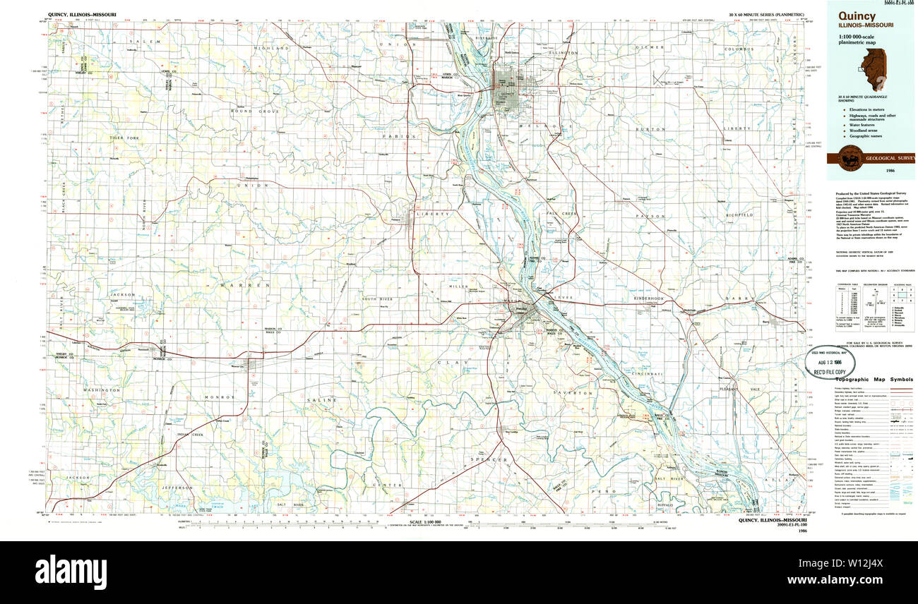 USGS TOPO Map Illinois IL Quincy 310135 1986 100000 Restoration Stock Photohttps://www.alamy.com/image-license-details/?v=1https://www.alamy.com/usgs-topo-map-illinois-il-quincy-310135-1986-100000-restoration-image258828330.html
RMW12J4X–USGS TOPO Map Illinois IL Quincy 310135 1986 100000 Restoration
 Quincy-Landzecourt, Meuse, FR, France, Grand Est, N 49 29' 39'', N 5 17' 48'', map, Cartascapes Map published in 2024. Explore Cartascapes, a map revealing Earth's diverse landscapes, cultures, and ecosystems. Journey through time and space, discovering the interconnectedness of our planet's past, present, and future. Stock Photohttps://www.alamy.com/image-license-details/?v=1https://www.alamy.com/quincy-landzecourt-meuse-fr-france-grand-est-n-49-29-39-n-5-17-48-map-cartascapes-map-published-in-2024-explore-cartascapes-a-map-revealing-earths-diverse-landscapes-cultures-and-ecosystems-journey-through-time-and-space-discovering-the-interconnectedness-of-our-planets-past-present-and-future-image614325880.html
RM2XKCXX0–Quincy-Landzecourt, Meuse, FR, France, Grand Est, N 49 29' 39'', N 5 17' 48'', map, Cartascapes Map published in 2024. Explore Cartascapes, a map revealing Earth's diverse landscapes, cultures, and ecosystems. Journey through time and space, discovering the interconnectedness of our planet's past, present, and future.
 Adams County, Illinois (U.S. county, United States of America, USA, U.S., US) map vector illustration, scribble sketch Adams map Stock Vectorhttps://www.alamy.com/image-license-details/?v=1https://www.alamy.com/adams-county-illinois-us-county-united-states-of-america-usa-us-us-map-vector-illustration-scribble-sketch-adams-map-image365841545.html
RF2C75EHD–Adams County, Illinois (U.S. county, United States of America, USA, U.S., US) map vector illustration, scribble sketch Adams map
 USGS TOPO Map Illinois IL Quincy 309912 1944 62500 Restoration Stock Photohttps://www.alamy.com/image-license-details/?v=1https://www.alamy.com/usgs-topo-map-illinois-il-quincy-309912-1944-62500-restoration-image258828341.html
RMW12J59–USGS TOPO Map Illinois IL Quincy 309912 1944 62500 Restoration
 Quincy, Gadsden County, US, United States, Florida, N 30 35' 13'', S 84 34' 59'', map, Cartascapes Map published in 2024. Explore Cartascapes, a map revealing Earth's diverse landscapes, cultures, and ecosystems. Journey through time and space, discovering the interconnectedness of our planet's past, present, and future. Stock Photohttps://www.alamy.com/image-license-details/?v=1https://www.alamy.com/quincy-gadsden-county-us-united-states-florida-n-30-35-13-s-84-34-59-map-cartascapes-map-published-in-2024-explore-cartascapes-a-map-revealing-earths-diverse-landscapes-cultures-and-ecosystems-journey-through-time-and-space-discovering-the-interconnectedness-of-our-planets-past-present-and-future-image621281775.html
RM2Y2NR6R–Quincy, Gadsden County, US, United States, Florida, N 30 35' 13'', S 84 34' 59'', map, Cartascapes Map published in 2024. Explore Cartascapes, a map revealing Earth's diverse landscapes, cultures, and ecosystems. Journey through time and space, discovering the interconnectedness of our planet's past, present, and future.
 Gadsden County, Florida (U.S. county, United States of America,USA, U.S., US) map vector illustration, scribble sketch Gadsden map Stock Vectorhttps://www.alamy.com/image-license-details/?v=1https://www.alamy.com/gadsden-county-florida-us-county-united-states-of-americausa-us-us-map-vector-illustration-scribble-sketch-gadsden-map-image349383980.html
RF2B8BPR8–Gadsden County, Florida (U.S. county, United States of America,USA, U.S., US) map vector illustration, scribble sketch Gadsden map
 USGS TOPO Map Illinois IL Quincy 310176 1956 250000 Restoration Stock Photohttps://www.alamy.com/image-license-details/?v=1https://www.alamy.com/usgs-topo-map-illinois-il-quincy-310176-1956-250000-restoration-image258828629.html
RMW12JFH–USGS TOPO Map Illinois IL Quincy 310176 1956 250000 Restoration
 West Quincy, Norfolk County, US, United States, Massachusetts, N 42 15' 10'', S 71 1' 58'', map, Cartascapes Map published in 2024. Explore Cartascapes, a map revealing Earth's diverse landscapes, cultures, and ecosystems. Journey through time and space, discovering the interconnectedness of our planet's past, present, and future. Stock Photohttps://www.alamy.com/image-license-details/?v=1https://www.alamy.com/west-quincy-norfolk-county-us-united-states-massachusetts-n-42-15-10-s-71-1-58-map-cartascapes-map-published-in-2024-explore-cartascapes-a-map-revealing-earths-diverse-landscapes-cultures-and-ecosystems-journey-through-time-and-space-discovering-the-interconnectedness-of-our-planets-past-present-and-future-image621465079.html
RM2Y3251B–West Quincy, Norfolk County, US, United States, Massachusetts, N 42 15' 10'', S 71 1' 58'', map, Cartascapes Map published in 2024. Explore Cartascapes, a map revealing Earth's diverse landscapes, cultures, and ecosystems. Journey through time and space, discovering the interconnectedness of our planet's past, present, and future.
 USGS TOPO Map Illinois IL Quincy 310136 1986 100000 Restoration Stock Photohttps://www.alamy.com/image-license-details/?v=1https://www.alamy.com/usgs-topo-map-illinois-il-quincy-310136-1986-100000-restoration-image258828419.html
RMW12J83–USGS TOPO Map Illinois IL Quincy 310136 1986 100000 Restoration
 East Quincy, Plumas County, US, United States, California, N 39 56' 2'', S 120 53' 52'', map, Cartascapes Map published in 2024. Explore Cartascapes, a map revealing Earth's diverse landscapes, cultures, and ecosystems. Journey through time and space, discovering the interconnectedness of our planet's past, present, and future. Stock Photohttps://www.alamy.com/image-license-details/?v=1https://www.alamy.com/east-quincy-plumas-county-us-united-states-california-n-39-56-2-s-120-53-52-map-cartascapes-map-published-in-2024-explore-cartascapes-a-map-revealing-earths-diverse-landscapes-cultures-and-ecosystems-journey-through-time-and-space-discovering-the-interconnectedness-of-our-planets-past-present-and-future-image621243758.html
RM2Y2M2N2–East Quincy, Plumas County, US, United States, California, N 39 56' 2'', S 120 53' 52'', map, Cartascapes Map published in 2024. Explore Cartascapes, a map revealing Earth's diverse landscapes, cultures, and ecosystems. Journey through time and space, discovering the interconnectedness of our planet's past, present, and future.
 USGS TOPO Map Missouri MO Quincy SW 20120206 TM Restoration Stock Photohttps://www.alamy.com/image-license-details/?v=1https://www.alamy.com/usgs-topo-map-missouri-mo-quincy-sw-20120206-tm-restoration-image333272994.html
RM2AA5W2X–USGS TOPO Map Missouri MO Quincy SW 20120206 TM Restoration
 Quincy Hollow, Bucks County, US, United States, Pennsylvania, N 40 9' 13'', S 74 51' 43'', map, Cartascapes Map published in 2024. Explore Cartascapes, a map revealing Earth's diverse landscapes, cultures, and ecosystems. Journey through time and space, discovering the interconnectedness of our planet's past, present, and future. Stock Photohttps://www.alamy.com/image-license-details/?v=1https://www.alamy.com/quincy-hollow-bucks-county-us-united-states-pennsylvania-n-40-9-13-s-74-51-43-map-cartascapes-map-published-in-2024-explore-cartascapes-a-map-revealing-earths-diverse-landscapes-cultures-and-ecosystems-journey-through-time-and-space-discovering-the-interconnectedness-of-our-planets-past-present-and-future-image621287289.html
RM2Y2P27N–Quincy Hollow, Bucks County, US, United States, Pennsylvania, N 40 9' 13'', S 74 51' 43'', map, Cartascapes Map published in 2024. Explore Cartascapes, a map revealing Earth's diverse landscapes, cultures, and ecosystems. Journey through time and space, discovering the interconnectedness of our planet's past, present, and future.
 USGS TOPO Map Missouri MO Quincy 323946 1982 24000 Restoration Stock Photohttps://www.alamy.com/image-license-details/?v=1https://www.alamy.com/usgs-topo-map-missouri-mo-quincy-323946-1982-24000-restoration-image333272947.html
RM2AA5W17–USGS TOPO Map Missouri MO Quincy 323946 1982 24000 Restoration
 Quincy Market, Suffolk County, US, United States, Massachusetts, N 42 21' 38'', S 71 3' 16'', map, Cartascapes Map published in 2024. Explore Cartascapes, a map revealing Earth's diverse landscapes, cultures, and ecosystems. Journey through time and space, discovering the interconnectedness of our planet's past, present, and future. Stock Photohttps://www.alamy.com/image-license-details/?v=1https://www.alamy.com/quincy-market-suffolk-county-us-united-states-massachusetts-n-42-21-38-s-71-3-16-map-cartascapes-map-published-in-2024-explore-cartascapes-a-map-revealing-earths-diverse-landscapes-cultures-and-ecosystems-journey-through-time-and-space-discovering-the-interconnectedness-of-our-planets-past-present-and-future-image621323555.html
RM2Y2RMEY–Quincy Market, Suffolk County, US, United States, Massachusetts, N 42 21' 38'', S 71 3' 16'', map, Cartascapes Map published in 2024. Explore Cartascapes, a map revealing Earth's diverse landscapes, cultures, and ecosystems. Journey through time and space, discovering the interconnectedness of our planet's past, present, and future.
 USGS TOPO Map Missouri MO Quincy 323945 1980 24000 Restoration Stock Photohttps://www.alamy.com/image-license-details/?v=1https://www.alamy.com/usgs-topo-map-missouri-mo-quincy-323945-1980-24000-restoration-image333273015.html
RM2AA5W3K–USGS TOPO Map Missouri MO Quincy 323945 1980 24000 Restoration
 Quincy Point, Norfolk County, US, United States, Massachusetts, N 42 14' 45'', S 70 58' 58'', map, Cartascapes Map published in 2024. Explore Cartascapes, a map revealing Earth's diverse landscapes, cultures, and ecosystems. Journey through time and space, discovering the interconnectedness of our planet's past, present, and future. Stock Photohttps://www.alamy.com/image-license-details/?v=1https://www.alamy.com/quincy-point-norfolk-county-us-united-states-massachusetts-n-42-14-45-s-70-58-58-map-cartascapes-map-published-in-2024-explore-cartascapes-a-map-revealing-earths-diverse-landscapes-cultures-and-ecosystems-journey-through-time-and-space-discovering-the-interconnectedness-of-our-planets-past-present-and-future-image621350146.html
RM2Y2TXCJ–Quincy Point, Norfolk County, US, United States, Massachusetts, N 42 14' 45'', S 70 58' 58'', map, Cartascapes Map published in 2024. Explore Cartascapes, a map revealing Earth's diverse landscapes, cultures, and ecosystems. Journey through time and space, discovering the interconnectedness of our planet's past, present, and future.
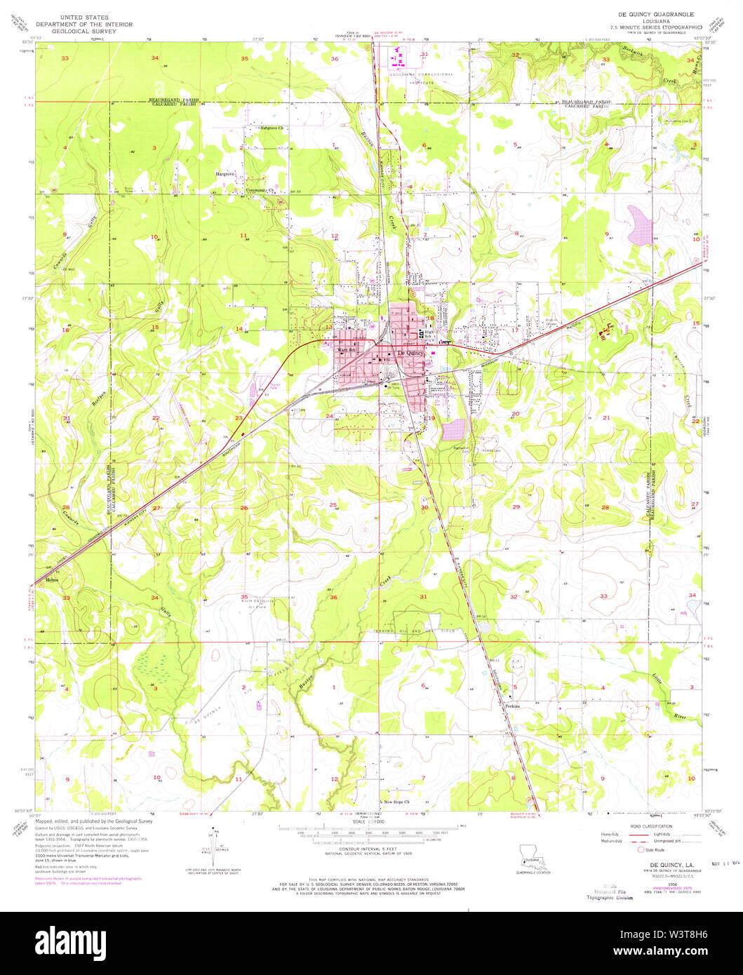 USGS TOPO Map Louisiana LA De Quincy 331804 1956 24000 Restoration Stock Photohttps://www.alamy.com/image-license-details/?v=1https://www.alamy.com/usgs-topo-map-louisiana-la-de-quincy-331804-1956-24000-restoration-image260533090.html
RMW3T8H6–USGS TOPO Map Louisiana LA De Quincy 331804 1956 24000 Restoration
 Quincy (historical), Adams County, US, United States, Wisconsin, N 43 52' 34'', S 89 57' 22'', map, Cartascapes Map published in 2024. Explore Cartascapes, a map revealing Earth's diverse landscapes, cultures, and ecosystems. Journey through time and space, discovering the interconnectedness of our planet's past, present, and future. Stock Photohttps://www.alamy.com/image-license-details/?v=1https://www.alamy.com/quincy-historical-adams-county-us-united-states-wisconsin-n-43-52-34-s-89-57-22-map-cartascapes-map-published-in-2024-explore-cartascapes-a-map-revealing-earths-diverse-landscapes-cultures-and-ecosystems-journey-through-time-and-space-discovering-the-interconnectedness-of-our-planets-past-present-and-future-image621327279.html
RM2Y2RW7Y–Quincy (historical), Adams County, US, United States, Wisconsin, N 43 52' 34'', S 89 57' 22'', map, Cartascapes Map published in 2024. Explore Cartascapes, a map revealing Earth's diverse landscapes, cultures, and ecosystems. Journey through time and space, discovering the interconnectedness of our planet's past, present, and future.
 USGS TOPO Map Illinois IL Quincy East 308555 1971 24000 Restoration Stock Photohttps://www.alamy.com/image-license-details/?v=1https://www.alamy.com/usgs-topo-map-illinois-il-quincy-east-308555-1971-24000-restoration-image258828868.html
RMW12JT4–USGS TOPO Map Illinois IL Quincy East 308555 1971 24000 Restoration
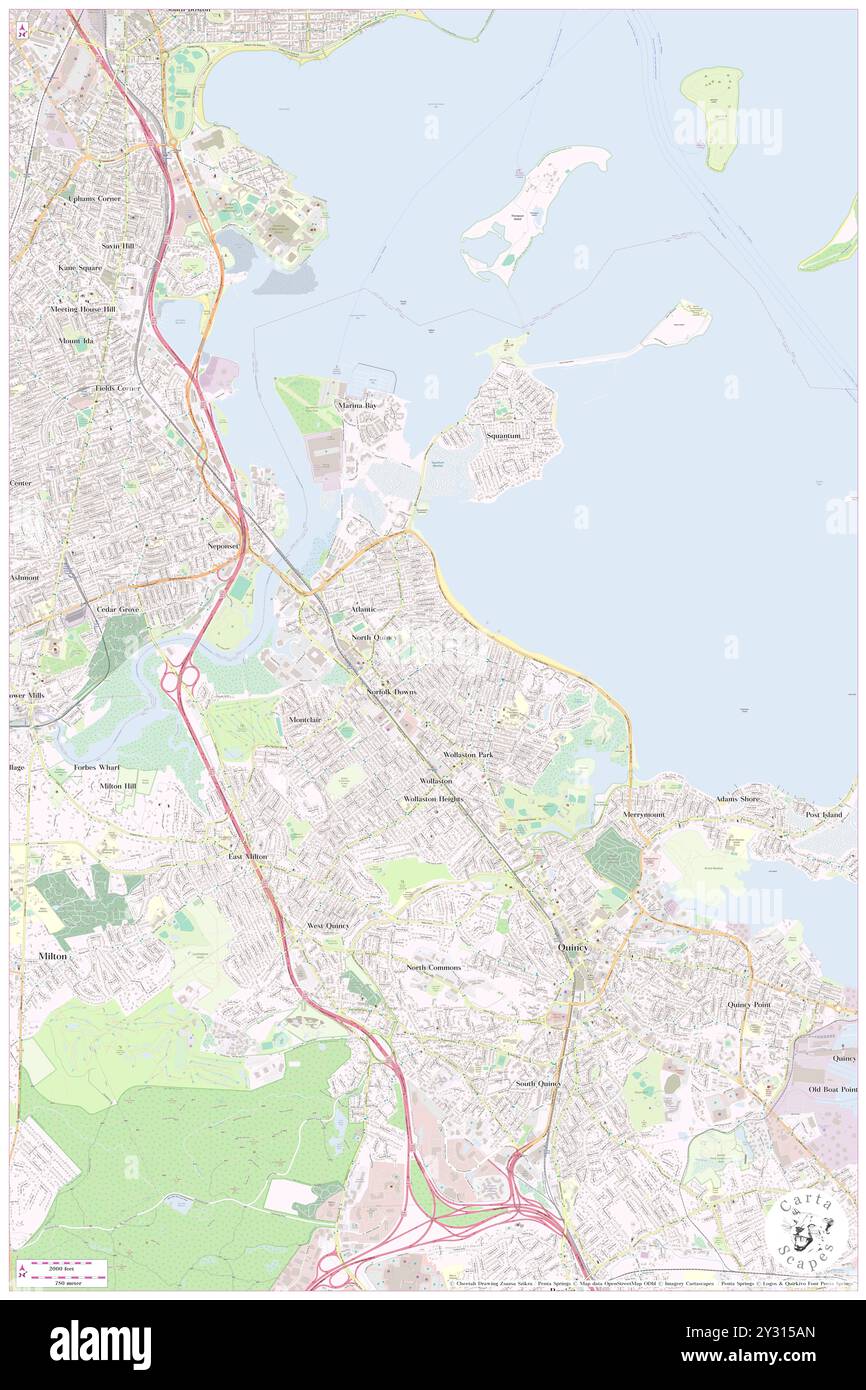 North Quincy, Norfolk County, US, United States, Massachusetts, N 42 16' 37'', S 71 1' 13'', map, Cartascapes Map published in 2024. Explore Cartascapes, a map revealing Earth's diverse landscapes, cultures, and ecosystems. Journey through time and space, discovering the interconnectedness of our planet's past, present, and future. Stock Photohttps://www.alamy.com/image-license-details/?v=1https://www.alamy.com/north-quincy-norfolk-county-us-united-states-massachusetts-n-42-16-37-s-71-1-13-map-cartascapes-map-published-in-2024-explore-cartascapes-a-map-revealing-earths-diverse-landscapes-cultures-and-ecosystems-journey-through-time-and-space-discovering-the-interconnectedness-of-our-planets-past-present-and-future-image621443389.html
RM2Y315AN–North Quincy, Norfolk County, US, United States, Massachusetts, N 42 16' 37'', S 71 1' 13'', map, Cartascapes Map published in 2024. Explore Cartascapes, a map revealing Earth's diverse landscapes, cultures, and ecosystems. Journey through time and space, discovering the interconnectedness of our planet's past, present, and future.
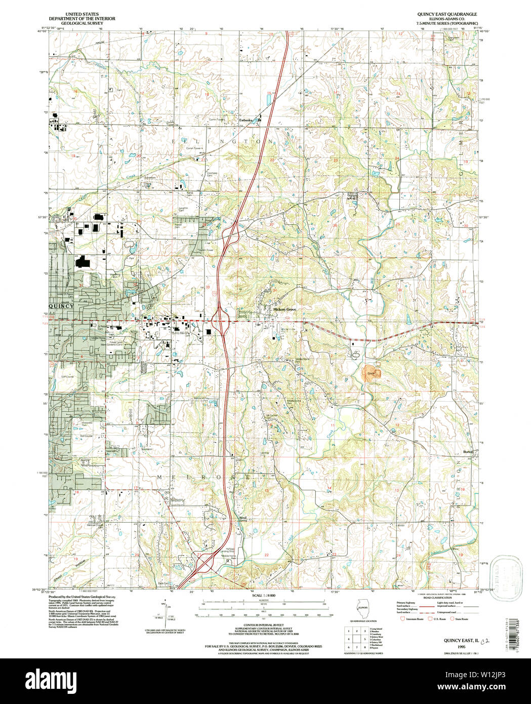 USGS TOPO Map Illinois IL Quincy East 308554 1995 24000 Restoration Stock Photohttps://www.alamy.com/image-license-details/?v=1https://www.alamy.com/usgs-topo-map-illinois-il-quincy-east-308554-1995-24000-restoration-image258828811.html
RMW12JP3–USGS TOPO Map Illinois IL Quincy East 308554 1995 24000 Restoration
 Quincy, Grafton County, US, United States, New Hampshire, N 43 47' 15'', S 71 46' 28'', map, Cartascapes Map published in 2024. Explore Cartascapes, a map revealing Earth's diverse landscapes, cultures, and ecosystems. Journey through time and space, discovering the interconnectedness of our planet's past, present, and future. Stock Photohttps://www.alamy.com/image-license-details/?v=1https://www.alamy.com/quincy-grafton-county-us-united-states-new-hampshire-n-43-47-15-s-71-46-28-map-cartascapes-map-published-in-2024-explore-cartascapes-a-map-revealing-earths-diverse-landscapes-cultures-and-ecosystems-journey-through-time-and-space-discovering-the-interconnectedness-of-our-planets-past-present-and-future-image621319317.html
RM2Y2RF3H–Quincy, Grafton County, US, United States, New Hampshire, N 43 47' 15'', S 71 46' 28'', map, Cartascapes Map published in 2024. Explore Cartascapes, a map revealing Earth's diverse landscapes, cultures, and ecosystems. Journey through time and space, discovering the interconnectedness of our planet's past, present, and future.
 USGS TOPO Map Louisiana LA De Quincy 331803 1956 24000 Restoration Stock Photohttps://www.alamy.com/image-license-details/?v=1https://www.alamy.com/usgs-topo-map-louisiana-la-de-quincy-331803-1956-24000-restoration-image260533038.html
RMW3T8FA–USGS TOPO Map Louisiana LA De Quincy 331803 1956 24000 Restoration
 Quincy-Basse, Aisne, FR, France, Hauts-de-France, N 49 30' 56'', N 3 22' 38'', map, Cartascapes Map published in 2024. Explore Cartascapes, a map revealing Earth's diverse landscapes, cultures, and ecosystems. Journey through time and space, discovering the interconnectedness of our planet's past, present, and future. Stock Photohttps://www.alamy.com/image-license-details/?v=1https://www.alamy.com/quincy-basse-aisne-fr-france-hauts-de-france-n-49-30-56-n-3-22-38-map-cartascapes-map-published-in-2024-explore-cartascapes-a-map-revealing-earths-diverse-landscapes-cultures-and-ecosystems-journey-through-time-and-space-discovering-the-interconnectedness-of-our-planets-past-present-and-future-image614333532.html
RM2XKD8K8–Quincy-Basse, Aisne, FR, France, Hauts-de-France, N 49 30' 56'', N 3 22' 38'', map, Cartascapes Map published in 2024. Explore Cartascapes, a map revealing Earth's diverse landscapes, cultures, and ecosystems. Journey through time and space, discovering the interconnectedness of our planet's past, present, and future.
 USGS TOPO Map Louisiana LA De Quincy 334452 1956 62500 Restoration Stock Photohttps://www.alamy.com/image-license-details/?v=1https://www.alamy.com/usgs-topo-map-louisiana-la-de-quincy-334452-1956-62500-restoration-image260533306.html
RMW3T8TX–USGS TOPO Map Louisiana LA De Quincy 334452 1956 62500 Restoration
 East Quincy Highlands, Arapahoe County, US, United States, Colorado, N 39 38' 40'', S 104 43' 51'', map, Cartascapes Map published in 2024. Explore Cartascapes, a map revealing Earth's diverse landscapes, cultures, and ecosystems. Journey through time and space, discovering the interconnectedness of our planet's past, present, and future. Stock Photohttps://www.alamy.com/image-license-details/?v=1https://www.alamy.com/east-quincy-highlands-arapahoe-county-us-united-states-colorado-n-39-38-40-s-104-43-51-map-cartascapes-map-published-in-2024-explore-cartascapes-a-map-revealing-earths-diverse-landscapes-cultures-and-ecosystems-journey-through-time-and-space-discovering-the-interconnectedness-of-our-planets-past-present-and-future-image621211508.html
RM2Y2JHH8–East Quincy Highlands, Arapahoe County, US, United States, Colorado, N 39 38' 40'', S 104 43' 51'', map, Cartascapes Map published in 2024. Explore Cartascapes, a map revealing Earth's diverse landscapes, cultures, and ecosystems. Journey through time and space, discovering the interconnectedness of our planet's past, present, and future.
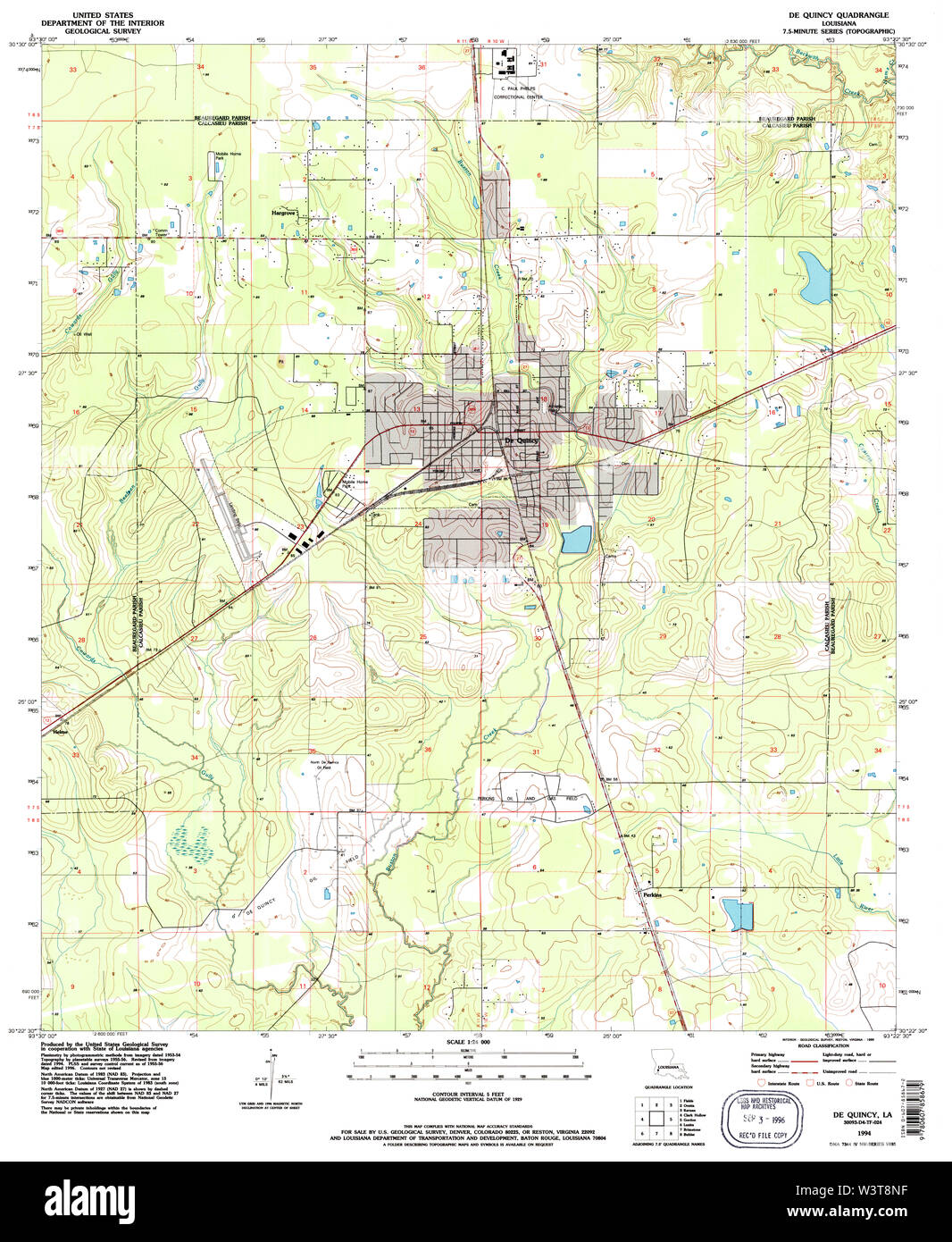 USGS TOPO Map Louisiana LA De Quincy 331806 1994 24000 Restoration Stock Photohttps://www.alamy.com/image-license-details/?v=1https://www.alamy.com/usgs-topo-map-louisiana-la-de-quincy-331806-1994-24000-restoration-image260533211.html
RMW3T8NF–USGS TOPO Map Louisiana LA De Quincy 331806 1994 24000 Restoration
 Quincy-sous-Senart, Essonne, FR, France, Île-de-France, N 48 40' 15'', N 2 32' 2'', map, Cartascapes Map published in 2024. Explore Cartascapes, a map revealing Earth's diverse landscapes, cultures, and ecosystems. Journey through time and space, discovering the interconnectedness of our planet's past, present, and future. Stock Photohttps://www.alamy.com/image-license-details/?v=1https://www.alamy.com/quincy-sous-senart-essonne-fr-france-le-de-france-n-48-40-15-n-2-32-2-map-cartascapes-map-published-in-2024-explore-cartascapes-a-map-revealing-earths-diverse-landscapes-cultures-and-ecosystems-journey-through-time-and-space-discovering-the-interconnectedness-of-our-planets-past-present-and-future-image614325649.html
RM2XKCXHN–Quincy-sous-Senart, Essonne, FR, France, Île-de-France, N 48 40' 15'', N 2 32' 2'', map, Cartascapes Map published in 2024. Explore Cartascapes, a map revealing Earth's diverse landscapes, cultures, and ecosystems. Journey through time and space, discovering the interconnectedness of our planet's past, present, and future.
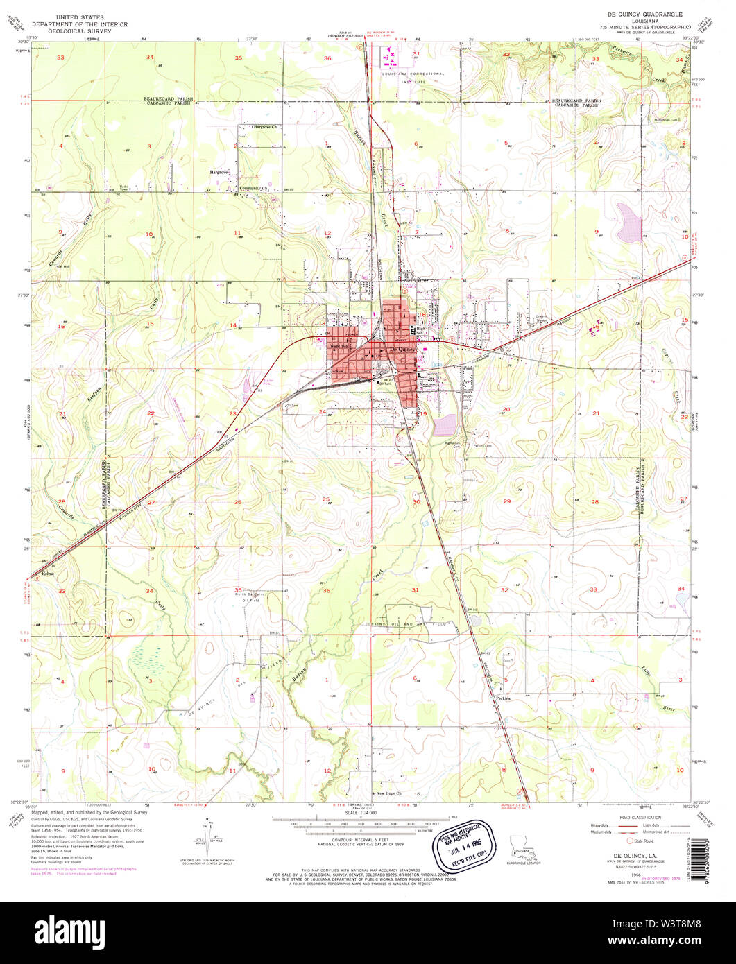 USGS TOPO Map Louisiana LA De Quincy 331805 1956 24000 Restoration Stock Photohttps://www.alamy.com/image-license-details/?v=1https://www.alamy.com/usgs-topo-map-louisiana-la-de-quincy-331805-1956-24000-restoration-image260533176.html
RMW3T8M8–USGS TOPO Map Louisiana LA De Quincy 331805 1956 24000 Restoration
 Quincy-le-Vicomte, Cote d'Or, FR, France, Bourgogne-Franche-Comté, N 47 36' 28'', N 4 15' 19'', map, Cartascapes Map published in 2024. Explore Cartascapes, a map revealing Earth's diverse landscapes, cultures, and ecosystems. Journey through time and space, discovering the interconnectedness of our planet's past, present, and future. Stock Photohttps://www.alamy.com/image-license-details/?v=1https://www.alamy.com/quincy-le-vicomte-cote-dor-fr-france-bourgogne-franche-comt-n-47-36-28-n-4-15-19-map-cartascapes-map-published-in-2024-explore-cartascapes-a-map-revealing-earths-diverse-landscapes-cultures-and-ecosystems-journey-through-time-and-space-discovering-the-interconnectedness-of-our-planets-past-present-and-future-image614334914.html
RM2XKDACJ–Quincy-le-Vicomte, Cote d'Or, FR, France, Bourgogne-Franche-Comté, N 47 36' 28'', N 4 15' 19'', map, Cartascapes Map published in 2024. Explore Cartascapes, a map revealing Earth's diverse landscapes, cultures, and ecosystems. Journey through time and space, discovering the interconnectedness of our planet's past, present, and future.
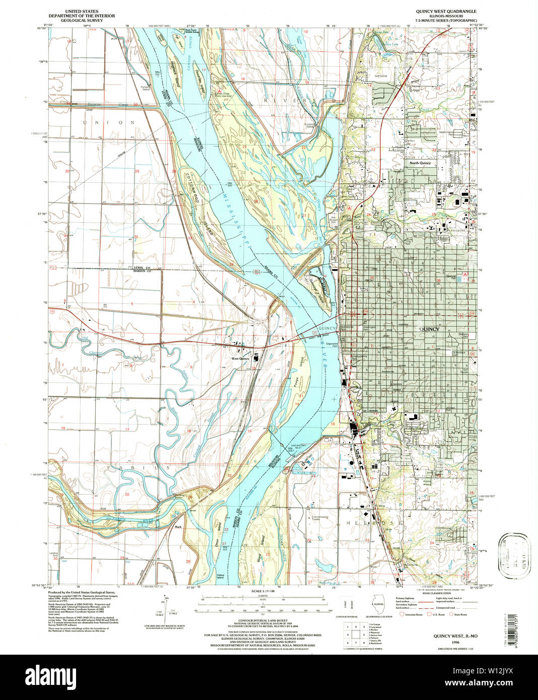 USGS TOPO Map Illinois IL Quincy West 308556 1996 24000 Restoration Stock Photohttps://www.alamy.com/image-license-details/?v=1https://www.alamy.com/usgs-topo-map-illinois-il-quincy-west-308556-1996-24000-restoration-image258828974.html
RMW12JYX–USGS TOPO Map Illinois IL Quincy West 308556 1996 24000 Restoration
 Quincy-sous-le-Mont, Aisne, FR, France, Hauts-de-France, N 49 18' 21'', N 3 33' 6'', map, Cartascapes Map published in 2024. Explore Cartascapes, a map revealing Earth's diverse landscapes, cultures, and ecosystems. Journey through time and space, discovering the interconnectedness of our planet's past, present, and future. Stock Photohttps://www.alamy.com/image-license-details/?v=1https://www.alamy.com/quincy-sous-le-mont-aisne-fr-france-hauts-de-france-n-49-18-21-n-3-33-6-map-cartascapes-map-published-in-2024-explore-cartascapes-a-map-revealing-earths-diverse-landscapes-cultures-and-ecosystems-journey-through-time-and-space-discovering-the-interconnectedness-of-our-planets-past-present-and-future-image614343810.html
RM2XKDNPA–Quincy-sous-le-Mont, Aisne, FR, France, Hauts-de-France, N 49 18' 21'', N 3 33' 6'', map, Cartascapes Map published in 2024. Explore Cartascapes, a map revealing Earth's diverse landscapes, cultures, and ecosystems. Journey through time and space, discovering the interconnectedness of our planet's past, present, and future.
 USGS TOPO Map Louisiana LA De Quincy 334450 1956 62500 Restoration Stock Photohttps://www.alamy.com/image-license-details/?v=1https://www.alamy.com/usgs-topo-map-louisiana-la-de-quincy-334450-1956-62500-restoration-image260533225.html
RMW3T8P1–USGS TOPO Map Louisiana LA De Quincy 334450 1956 62500 Restoration
 Quincy-Voisins, Seine-et-Marne, FR, France, Île-de-France, N 48 53' 57'', N 2 52' 24'', map, Cartascapes Map published in 2024. Explore Cartascapes, a map revealing Earth's diverse landscapes, cultures, and ecosystems. Journey through time and space, discovering the interconnectedness of our planet's past, present, and future. Stock Photohttps://www.alamy.com/image-license-details/?v=1https://www.alamy.com/quincy-voisins-seine-et-marne-fr-france-le-de-france-n-48-53-57-n-2-52-24-map-cartascapes-map-published-in-2024-explore-cartascapes-a-map-revealing-earths-diverse-landscapes-cultures-and-ecosystems-journey-through-time-and-space-discovering-the-interconnectedness-of-our-planets-past-present-and-future-image614309907.html
RM2XKC6FF–Quincy-Voisins, Seine-et-Marne, FR, France, Île-de-France, N 48 53' 57'', N 2 52' 24'', map, Cartascapes Map published in 2024. Explore Cartascapes, a map revealing Earth's diverse landscapes, cultures, and ecosystems. Journey through time and space, discovering the interconnectedness of our planet's past, present, and future.
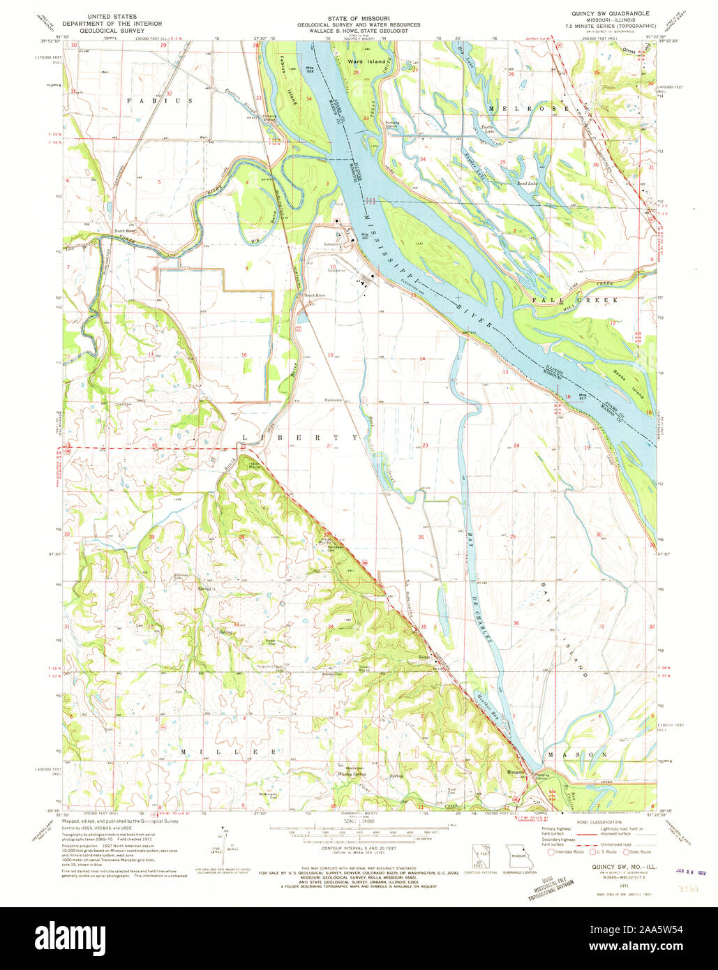 USGS TOPO Map Missouri MO Quincy SW 323947 1971 24000 Restoration Stock Photohttps://www.alamy.com/image-license-details/?v=1https://www.alamy.com/usgs-topo-map-missouri-mo-quincy-sw-323947-1971-24000-restoration-image333273056.html
RM2AA5W54–USGS TOPO Map Missouri MO Quincy SW 323947 1971 24000 Restoration
 Quincy, Franklin County, US, United States, Pennsylvania, N 39 48' 12'', S 77 34' 27'', map, Cartascapes Map published in 2024. Explore Cartascapes, a map revealing Earth's diverse landscapes, cultures, and ecosystems. Journey through time and space, discovering the interconnectedness of our planet's past, present, and future. Stock Photohttps://www.alamy.com/image-license-details/?v=1https://www.alamy.com/quincy-franklin-county-us-united-states-pennsylvania-n-39-48-12-s-77-34-27-map-cartascapes-map-published-in-2024-explore-cartascapes-a-map-revealing-earths-diverse-landscapes-cultures-and-ecosystems-journey-through-time-and-space-discovering-the-interconnectedness-of-our-planets-past-present-and-future-image620806668.html
RM2Y2056M–Quincy, Franklin County, US, United States, Pennsylvania, N 39 48' 12'', S 77 34' 27'', map, Cartascapes Map published in 2024. Explore Cartascapes, a map revealing Earth's diverse landscapes, cultures, and ecosystems. Journey through time and space, discovering the interconnectedness of our planet's past, present, and future.
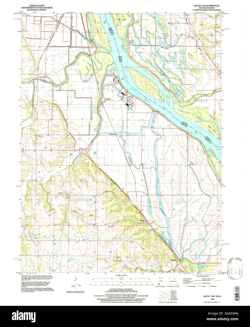 USGS TOPO Map Missouri MO Quincy SW 323948 1996 24000 Restoration Stock Photohttps://www.alamy.com/image-license-details/?v=1https://www.alamy.com/usgs-topo-map-missouri-mo-quincy-sw-323948-1996-24000-restoration-image333273042.html
RM2AA5W4J–USGS TOPO Map Missouri MO Quincy SW 323948 1996 24000 Restoration
 Quincy, Adams County, US, United States, Illinois, N 39 56' 8'', S 91 24' 35'', map, Cartascapes Map published in 2024. Explore Cartascapes, a map revealing Earth's diverse landscapes, cultures, and ecosystems. Journey through time and space, discovering the interconnectedness of our planet's past, present, and future. Stock Photohttps://www.alamy.com/image-license-details/?v=1https://www.alamy.com/quincy-adams-county-us-united-states-illinois-n-39-56-8-s-91-24-35-map-cartascapes-map-published-in-2024-explore-cartascapes-a-map-revealing-earths-diverse-landscapes-cultures-and-ecosystems-journey-through-time-and-space-discovering-the-interconnectedness-of-our-planets-past-present-and-future-image620730050.html
RM2Y1TKEA–Quincy, Adams County, US, United States, Illinois, N 39 56' 8'', S 91 24' 35'', map, Cartascapes Map published in 2024. Explore Cartascapes, a map revealing Earth's diverse landscapes, cultures, and ecosystems. Journey through time and space, discovering the interconnectedness of our planet's past, present, and future.
 UT Quincy Spring 20110316 TM Restoration Stock Photohttps://www.alamy.com/image-license-details/?v=1https://www.alamy.com/ut-quincy-spring-20110316-tm-restoration-image334026293.html
RM2ABC5XD–UT Quincy Spring 20110316 TM Restoration
 Quincy, Gadsden County, US, United States, Florida, N 30 35' 13'', S 84 34' 59'', map, Cartascapes Map published in 2024. Explore Cartascapes, a map revealing Earth's diverse landscapes, cultures, and ecosystems. Journey through time and space, discovering the interconnectedness of our planet's past, present, and future. Stock Photohttps://www.alamy.com/image-license-details/?v=1https://www.alamy.com/quincy-gadsden-county-us-united-states-florida-n-30-35-13-s-84-34-59-map-cartascapes-map-published-in-2024-explore-cartascapes-a-map-revealing-earths-diverse-landscapes-cultures-and-ecosystems-journey-through-time-and-space-discovering-the-interconnectedness-of-our-planets-past-present-and-future-image620867911.html
RM2Y22Y9Y–Quincy, Gadsden County, US, United States, Florida, N 30 35' 13'', S 84 34' 59'', map, Cartascapes Map published in 2024. Explore Cartascapes, a map revealing Earth's diverse landscapes, cultures, and ecosystems. Journey through time and space, discovering the interconnectedness of our planet's past, present, and future.
 UT Quincy Spring 251433 1973 24000 Restoration Stock Photohttps://www.alamy.com/image-license-details/?v=1https://www.alamy.com/ut-quincy-spring-251433-1973-24000-restoration-image334026315.html
RM2ABC5Y7–UT Quincy Spring 251433 1973 24000 Restoration
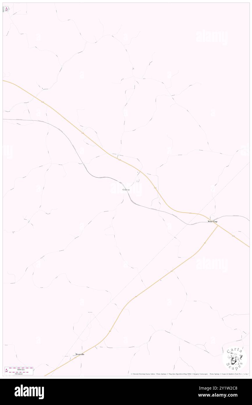 Quincy, Monroe County, US, United States, Mississippi, N 33 54' 35'', S 88 22' 1'', map, Cartascapes Map published in 2024. Explore Cartascapes, a map revealing Earth's diverse landscapes, cultures, and ecosystems. Journey through time and space, discovering the interconnectedness of our planet's past, present, and future. Stock Photohttps://www.alamy.com/image-license-details/?v=1https://www.alamy.com/quincy-monroe-county-us-united-states-mississippi-n-33-54-35-s-88-22-1-map-cartascapes-map-published-in-2024-explore-cartascapes-a-map-revealing-earths-diverse-landscapes-cultures-and-ecosystems-journey-through-time-and-space-discovering-the-interconnectedness-of-our-planets-past-present-and-future-image620738616.html
RM2Y1W2C8–Quincy, Monroe County, US, United States, Mississippi, N 33 54' 35'', S 88 22' 1'', map, Cartascapes Map published in 2024. Explore Cartascapes, a map revealing Earth's diverse landscapes, cultures, and ecosystems. Journey through time and space, discovering the interconnectedness of our planet's past, present, and future.
 Quincy, Logan County, US, United States, Ohio, N 40 17' 57'', S 83 58' 7'', map, Cartascapes Map published in 2024. Explore Cartascapes, a map revealing Earth's diverse landscapes, cultures, and ecosystems. Journey through time and space, discovering the interconnectedness of our planet's past, present, and future. Stock Photohttps://www.alamy.com/image-license-details/?v=1https://www.alamy.com/quincy-logan-county-us-united-states-ohio-n-40-17-57-s-83-58-7-map-cartascapes-map-published-in-2024-explore-cartascapes-a-map-revealing-earths-diverse-landscapes-cultures-and-ecosystems-journey-through-time-and-space-discovering-the-interconnectedness-of-our-planets-past-present-and-future-image620740071.html
RM2Y1W487–Quincy, Logan County, US, United States, Ohio, N 40 17' 57'', S 83 58' 7'', map, Cartascapes Map published in 2024. Explore Cartascapes, a map revealing Earth's diverse landscapes, cultures, and ecosystems. Journey through time and space, discovering the interconnectedness of our planet's past, present, and future.
 Quincy, Norfolk County, US, United States, Massachusetts, N 42 15' 10'', S 71 0' 8'', map, Cartascapes Map published in 2024. Explore Cartascapes, a map revealing Earth's diverse landscapes, cultures, and ecosystems. Journey through time and space, discovering the interconnectedness of our planet's past, present, and future. Stock Photohttps://www.alamy.com/image-license-details/?v=1https://www.alamy.com/quincy-norfolk-county-us-united-states-massachusetts-n-42-15-10-s-71-0-8-map-cartascapes-map-published-in-2024-explore-cartascapes-a-map-revealing-earths-diverse-landscapes-cultures-and-ecosystems-journey-through-time-and-space-discovering-the-interconnectedness-of-our-planets-past-present-and-future-image620830812.html
RM2Y21810–Quincy, Norfolk County, US, United States, Massachusetts, N 42 15' 10'', S 71 0' 8'', map, Cartascapes Map published in 2024. Explore Cartascapes, a map revealing Earth's diverse landscapes, cultures, and ecosystems. Journey through time and space, discovering the interconnectedness of our planet's past, present, and future.
 Quincy, Grant County, US, United States, Washington, N 47 14' 3'', S 119 51' 9'', map, Cartascapes Map published in 2024. Explore Cartascapes, a map revealing Earth's diverse landscapes, cultures, and ecosystems. Journey through time and space, discovering the interconnectedness of our planet's past, present, and future. Stock Photohttps://www.alamy.com/image-license-details/?v=1https://www.alamy.com/quincy-grant-county-us-united-states-washington-n-47-14-3-s-119-51-9-map-cartascapes-map-published-in-2024-explore-cartascapes-a-map-revealing-earths-diverse-landscapes-cultures-and-ecosystems-journey-through-time-and-space-discovering-the-interconnectedness-of-our-planets-past-present-and-future-image620682678.html
RM2Y1PF2E–Quincy, Grant County, US, United States, Washington, N 47 14' 3'', S 119 51' 9'', map, Cartascapes Map published in 2024. Explore Cartascapes, a map revealing Earth's diverse landscapes, cultures, and ecosystems. Journey through time and space, discovering the interconnectedness of our planet's past, present, and future.
 Quincy, Logan County, US, United States, Ohio, N 40 17' 57'', S 83 58' 7'', map, Cartascapes Map published in 2024. Explore Cartascapes, a map revealing Earth's diverse landscapes, cultures, and ecosystems. Journey through time and space, discovering the interconnectedness of our planet's past, present, and future. Stock Photohttps://www.alamy.com/image-license-details/?v=1https://www.alamy.com/quincy-logan-county-us-united-states-ohio-n-40-17-57-s-83-58-7-map-cartascapes-map-published-in-2024-explore-cartascapes-a-map-revealing-earths-diverse-landscapes-cultures-and-ecosystems-journey-through-time-and-space-discovering-the-interconnectedness-of-our-planets-past-present-and-future-image620811180.html
RM2Y20AYT–Quincy, Logan County, US, United States, Ohio, N 40 17' 57'', S 83 58' 7'', map, Cartascapes Map published in 2024. Explore Cartascapes, a map revealing Earth's diverse landscapes, cultures, and ecosystems. Journey through time and space, discovering the interconnectedness of our planet's past, present, and future.
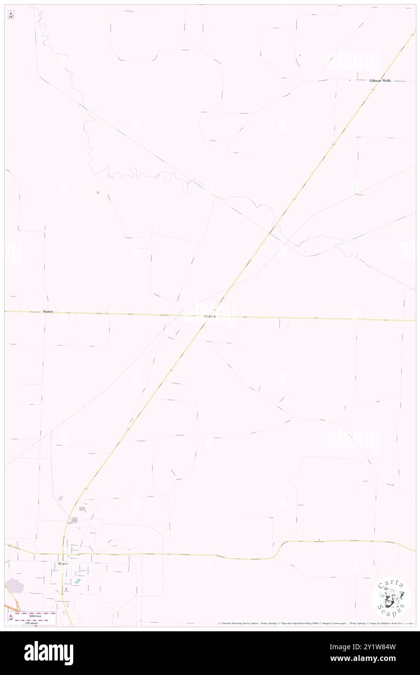 Quincy, Crockett County, US, United States, Tennessee, N 35 50' 2'', S 89 4' 52'', map, Cartascapes Map published in 2024. Explore Cartascapes, a map revealing Earth's diverse landscapes, cultures, and ecosystems. Journey through time and space, discovering the interconnectedness of our planet's past, present, and future. Stock Photohttps://www.alamy.com/image-license-details/?v=1https://www.alamy.com/quincy-crockett-county-us-united-states-tennessee-n-35-50-2-s-89-4-52-map-cartascapes-map-published-in-2024-explore-cartascapes-a-map-revealing-earths-diverse-landscapes-cultures-and-ecosystems-journey-through-time-and-space-discovering-the-interconnectedness-of-our-planets-past-present-and-future-image620743113.html
RM2Y1W84W–Quincy, Crockett County, US, United States, Tennessee, N 35 50' 2'', S 89 4' 52'', map, Cartascapes Map published in 2024. Explore Cartascapes, a map revealing Earth's diverse landscapes, cultures, and ecosystems. Journey through time and space, discovering the interconnectedness of our planet's past, present, and future.
 Quincy, Owen County, US, United States, Indiana, N 39 27' 13'', S 86 42' 45'', map, Cartascapes Map published in 2024. Explore Cartascapes, a map revealing Earth's diverse landscapes, cultures, and ecosystems. Journey through time and space, discovering the interconnectedness of our planet's past, present, and future. Stock Photohttps://www.alamy.com/image-license-details/?v=1https://www.alamy.com/quincy-owen-county-us-united-states-indiana-n-39-27-13-s-86-42-45-map-cartascapes-map-published-in-2024-explore-cartascapes-a-map-revealing-earths-diverse-landscapes-cultures-and-ecosystems-journey-through-time-and-space-discovering-the-interconnectedness-of-our-planets-past-present-and-future-image620878097.html
RM2Y23C9N–Quincy, Owen County, US, United States, Indiana, N 39 27' 13'', S 86 42' 45'', map, Cartascapes Map published in 2024. Explore Cartascapes, a map revealing Earth's diverse landscapes, cultures, and ecosystems. Journey through time and space, discovering the interconnectedness of our planet's past, present, and future.
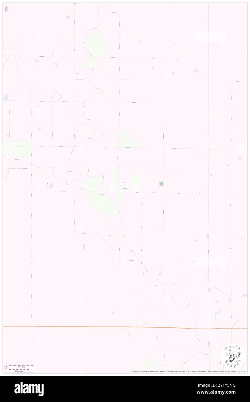 Quincy, Greenwood County, US, United States, Kansas, N 37 52' 55'', S 95 59' 33'', map, Cartascapes Map published in 2024. Explore Cartascapes, a map revealing Earth's diverse landscapes, cultures, and ecosystems. Journey through time and space, discovering the interconnectedness of our planet's past, present, and future. Stock Photohttps://www.alamy.com/image-license-details/?v=1https://www.alamy.com/quincy-greenwood-county-us-united-states-kansas-n-37-52-55-s-95-59-33-map-cartascapes-map-published-in-2024-explore-cartascapes-a-map-revealing-earths-diverse-landscapes-cultures-and-ecosystems-journey-through-time-and-space-discovering-the-interconnectedness-of-our-planets-past-present-and-future-image620785132.html
RM2Y1Y5NG–Quincy, Greenwood County, US, United States, Kansas, N 37 52' 55'', S 95 59' 33'', map, Cartascapes Map published in 2024. Explore Cartascapes, a map revealing Earth's diverse landscapes, cultures, and ecosystems. Journey through time and space, discovering the interconnectedness of our planet's past, present, and future.
 Quincy, Plumas County, US, United States, California, N 39 56' 12'', S 120 56' 47'', map, Cartascapes Map published in 2024. Explore Cartascapes, a map revealing Earth's diverse landscapes, cultures, and ecosystems. Journey through time and space, discovering the interconnectedness of our planet's past, present, and future. Stock Photohttps://www.alamy.com/image-license-details/?v=1https://www.alamy.com/quincy-plumas-county-us-united-states-california-n-39-56-12-s-120-56-47-map-cartascapes-map-published-in-2024-explore-cartascapes-a-map-revealing-earths-diverse-landscapes-cultures-and-ecosystems-journey-through-time-and-space-discovering-the-interconnectedness-of-our-planets-past-present-and-future-image620678216.html
RM2Y1P9B4–Quincy, Plumas County, US, United States, California, N 39 56' 12'', S 120 56' 47'', map, Cartascapes Map published in 2024. Explore Cartascapes, a map revealing Earth's diverse landscapes, cultures, and ecosystems. Journey through time and space, discovering the interconnectedness of our planet's past, present, and future.
 Township of Quincy, Houghton County, US, United States, Michigan, N 47 9' 18'', S 88 35' 40'', map, Cartascapes Map published in 2024. Explore Cartascapes, a map revealing Earth's diverse landscapes, cultures, and ecosystems. Journey through time and space, discovering the interconnectedness of our planet's past, present, and future. Stock Photohttps://www.alamy.com/image-license-details/?v=1https://www.alamy.com/township-of-quincy-houghton-county-us-united-states-michigan-n-47-9-18-s-88-35-40-map-cartascapes-map-published-in-2024-explore-cartascapes-a-map-revealing-earths-diverse-landscapes-cultures-and-ecosystems-journey-through-time-and-space-discovering-the-interconnectedness-of-our-planets-past-present-and-future-image633855950.html
RM2YR6HME–Township of Quincy, Houghton County, US, United States, Michigan, N 47 9' 18'', S 88 35' 40'', map, Cartascapes Map published in 2024. Explore Cartascapes, a map revealing Earth's diverse landscapes, cultures, and ecosystems. Journey through time and space, discovering the interconnectedness of our planet's past, present, and future.