Redden Cut Out Stock Images
 Redden Creek, , AU, Australia, Queensland, S 16 51' 0'', N 145 45' 0'', map, Cartascapes Map published in 2024. Explore Cartascapes, a map revealing Earth's diverse landscapes, cultures, and ecosystems. Journey through time and space, discovering the interconnectedness of our planet's past, present, and future. Stock Photohttps://www.alamy.com/image-license-details/?v=1https://www.alamy.com/redden-creek-au-australia-queensland-s-16-51-0-n-145-45-0-map-cartascapes-map-published-in-2024-explore-cartascapes-a-map-revealing-earths-diverse-landscapes-cultures-and-ecosystems-journey-through-time-and-space-discovering-the-interconnectedness-of-our-planets-past-present-and-future-image625791436.html
RM2YA37A4–Redden Creek, , AU, Australia, Queensland, S 16 51' 0'', N 145 45' 0'', map, Cartascapes Map published in 2024. Explore Cartascapes, a map revealing Earth's diverse landscapes, cultures, and ecosystems. Journey through time and space, discovering the interconnectedness of our planet's past, present, and future.
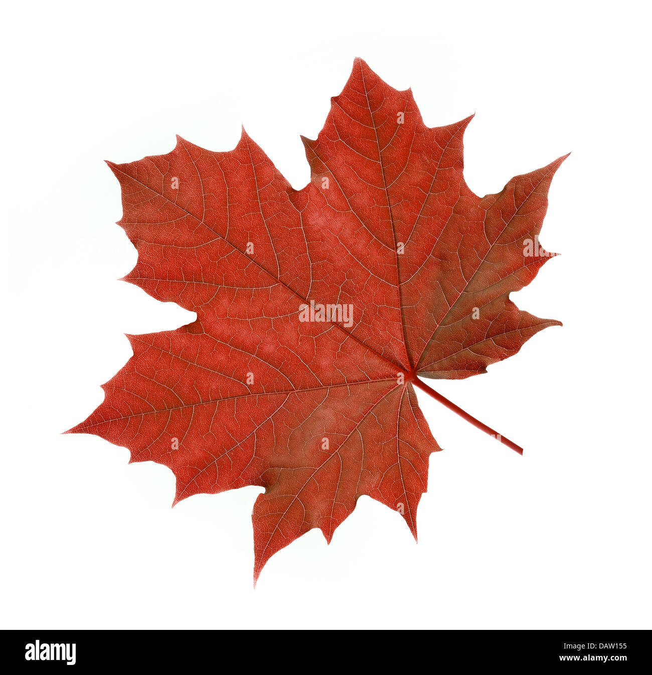
 maple leaf Stock Photohttps://www.alamy.com/image-license-details/?v=1https://www.alamy.com/stock-photo-maple-leaf-58327393.html
RFDAW155–maple leaf
 Couples of different ages in love. Children teenagers, adults and old people. Stock Vectorhttps://www.alamy.com/image-license-details/?v=1https://www.alamy.com/couples-of-different-ages-in-love-children-teenagers-adults-and-old-people-image449069637.html
RF2H2GTW9–Couples of different ages in love. Children teenagers, adults and old people.
 Man eskimo on white Stock Photohttps://www.alamy.com/image-license-details/?v=1https://www.alamy.com/man-eskimo-on-white-image226866408.html
RFR52JBM–Man eskimo on white
 diffident heart Stock Vectorhttps://www.alamy.com/image-license-details/?v=1https://www.alamy.com/stock-photo-diffident-heart-90971814.html
RFF803DA–diffident heart
 USGS TOPO Map Oklahoma OK Redden 20121116 TM Restoration Stock Photohttps://www.alamy.com/image-license-details/?v=1https://www.alamy.com/usgs-topo-map-oklahoma-ok-redden-20121116-tm-restoration-image334274960.html
RM2ABRF3C–USGS TOPO Map Oklahoma OK Redden 20121116 TM Restoration
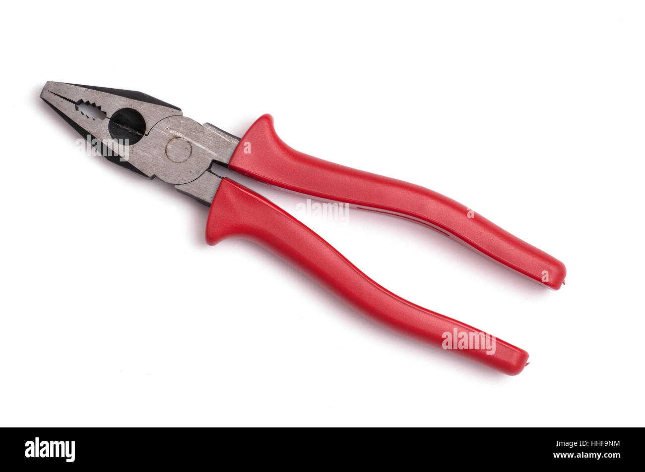
 work unit, tool, studio photography, metal, combination pliers, used, pliers, Stock Photohttps://www.alamy.com/image-license-details/?v=1https://www.alamy.com/stock-photo-work-unit-tool-studio-photography-metal-combination-pliers-used-pliers-131258672.html
RFHHF9NM–work unit, tool, studio photography, metal, combination pliers, used, pliers,
 Man eskimo in warm cloth on white background Stock Vectorhttps://www.alamy.com/image-license-details/?v=1https://www.alamy.com/stock-photo-man-eskimo-in-warm-cloth-on-white-background-104330177.html
RFG1MJ5N–Man eskimo in warm cloth on white background
 The Finger of the person pressing redden button.Vector illustration Stock Vectorhttps://www.alamy.com/image-license-details/?v=1https://www.alamy.com/stock-photo-the-finger-of-the-person-pressing-redden-buttonvector-illustration-111423454.html
RFGD7NN2–The Finger of the person pressing redden button.Vector illustration
 Redden, Atoka County, US, United States, Oklahoma, N 34 30' 23'', S 95 50' 40'', map, Cartascapes Map published in 2024. Explore Cartascapes, a map revealing Earth's diverse landscapes, cultures, and ecosystems. Journey through time and space, discovering the interconnectedness of our planet's past, present, and future. Stock Photohttps://www.alamy.com/image-license-details/?v=1https://www.alamy.com/redden-atoka-county-us-united-states-oklahoma-n-34-30-23-s-95-50-40-map-cartascapes-map-published-in-2024-explore-cartascapes-a-map-revealing-earths-diverse-landscapes-cultures-and-ecosystems-journey-through-time-and-space-discovering-the-interconnectedness-of-our-planets-past-present-and-future-image621441806.html
RM2Y313A6–Redden, Atoka County, US, United States, Oklahoma, N 34 30' 23'', S 95 50' 40'', map, Cartascapes Map published in 2024. Explore Cartascapes, a map revealing Earth's diverse landscapes, cultures, and ecosystems. Journey through time and space, discovering the interconnectedness of our planet's past, present, and future.
 USGS TOPO Map Oklahoma OK Redden 20100131 TM Restoration Stock Photohttps://www.alamy.com/image-license-details/?v=1https://www.alamy.com/usgs-topo-map-oklahoma-ok-redden-20100131-tm-restoration-image334274958.html
RM2ABRF3A–USGS TOPO Map Oklahoma OK Redden 20100131 TM Restoration
 work unit, tool, studio photography, metal, gaspipe pliers, pliers, tongs, Stock Photohttps://www.alamy.com/image-license-details/?v=1https://www.alamy.com/stock-photo-work-unit-tool-studio-photography-metal-gaspipe-pliers-pliers-tongs-131258674.html
RFHHF9NP–work unit, tool, studio photography, metal, gaspipe pliers, pliers, tongs,
 Redden, Sussex County, US, United States, Delaware, N 38 44' 29'', S 75 25' 1'', map, Cartascapes Map published in 2024. Explore Cartascapes, a map revealing Earth's diverse landscapes, cultures, and ecosystems. Journey through time and space, discovering the interconnectedness of our planet's past, present, and future. Stock Photohttps://www.alamy.com/image-license-details/?v=1https://www.alamy.com/redden-sussex-county-us-united-states-delaware-n-38-44-29-s-75-25-1-map-cartascapes-map-published-in-2024-explore-cartascapes-a-map-revealing-earths-diverse-landscapes-cultures-and-ecosystems-journey-through-time-and-space-discovering-the-interconnectedness-of-our-planets-past-present-and-future-image621317336.html
RM2Y2RCGT–Redden, Sussex County, US, United States, Delaware, N 38 44' 29'', S 75 25' 1'', map, Cartascapes Map published in 2024. Explore Cartascapes, a map revealing Earth's diverse landscapes, cultures, and ecosystems. Journey through time and space, discovering the interconnectedness of our planet's past, present, and future.
 USGS TOPO Map Oklahoma OK Redden 706653 1973 24000 Restoration Stock Photohttps://www.alamy.com/image-license-details/?v=1https://www.alamy.com/usgs-topo-map-oklahoma-ok-redden-706653-1973-24000-restoration-image334274977.html
RM2ABRF41–USGS TOPO Map Oklahoma OK Redden 706653 1973 24000 Restoration
 work unit, tool, studio photography, metal, combination pliers, pliers, tongs, Stock Photohttps://www.alamy.com/image-license-details/?v=1https://www.alamy.com/stock-photo-work-unit-tool-studio-photography-metal-combination-pliers-pliers-131258673.html
RFHHF9NN–work unit, tool, studio photography, metal, combination pliers, pliers, tongs,
 Redden (historical), Dickson County, US, United States, Tennessee, N 35 59' 8'', S 87 26' 30'', map, Cartascapes Map published in 2024. Explore Cartascapes, a map revealing Earth's diverse landscapes, cultures, and ecosystems. Journey through time and space, discovering the interconnectedness of our planet's past, present, and future. Stock Photohttps://www.alamy.com/image-license-details/?v=1https://www.alamy.com/redden-historical-dickson-county-us-united-states-tennessee-n-35-59-8-s-87-26-30-map-cartascapes-map-published-in-2024-explore-cartascapes-a-map-revealing-earths-diverse-landscapes-cultures-and-ecosystems-journey-through-time-and-space-discovering-the-interconnectedness-of-our-planets-past-present-and-future-image621282616.html
RM2Y2NT8T–Redden (historical), Dickson County, US, United States, Tennessee, N 35 59' 8'', S 87 26' 30'', map, Cartascapes Map published in 2024. Explore Cartascapes, a map revealing Earth's diverse landscapes, cultures, and ecosystems. Journey through time and space, discovering the interconnectedness of our planet's past, present, and future.
 USGS TOPO Map Oklahoma OK Redden 706652 1973 24000 Restoration Stock Photohttps://www.alamy.com/image-license-details/?v=1https://www.alamy.com/usgs-topo-map-oklahoma-ok-redden-706652-1973-24000-restoration-image334274957.html
RM2ABRF39–USGS TOPO Map Oklahoma OK Redden 706652 1973 24000 Restoration
 Redden Crossroads, Sussex County, US, United States, Delaware, N 38 44' 21'', S 75 25' 22'', map, Cartascapes Map published in 2024. Explore Cartascapes, a map revealing Earth's diverse landscapes, cultures, and ecosystems. Journey through time and space, discovering the interconnectedness of our planet's past, present, and future. Stock Photohttps://www.alamy.com/image-license-details/?v=1https://www.alamy.com/redden-crossroads-sussex-county-us-united-states-delaware-n-38-44-21-s-75-25-22-map-cartascapes-map-published-in-2024-explore-cartascapes-a-map-revealing-earths-diverse-landscapes-cultures-and-ecosystems-journey-through-time-and-space-discovering-the-interconnectedness-of-our-planets-past-present-and-future-image620832873.html
RM2Y21AJH–Redden Crossroads, Sussex County, US, United States, Delaware, N 38 44' 21'', S 75 25' 22'', map, Cartascapes Map published in 2024. Explore Cartascapes, a map revealing Earth's diverse landscapes, cultures, and ecosystems. Journey through time and space, discovering the interconnectedness of our planet's past, present, and future.
 Redden, Oklahoma, map 1973, 1:24000, United States of America by Timeless Maps, data U.S. Geological Survey Stock Photohttps://www.alamy.com/image-license-details/?v=1https://www.alamy.com/redden-oklahoma-map-1973-124000-united-states-of-america-by-timeless-maps-data-us-geological-survey-image406942014.html
RM2EJ1PKA–Redden, Oklahoma, map 1973, 1:24000, United States of America by Timeless Maps, data U.S. Geological Survey
 Redden, Oklahoma, map 1973, 1:24000, United States of America by Timeless Maps, data U.S. Geological Survey Stock Photohttps://www.alamy.com/image-license-details/?v=1https://www.alamy.com/redden-oklahoma-map-1973-124000-united-states-of-america-by-timeless-maps-data-us-geological-survey-image406941986.html
RM2EJ1PJA–Redden, Oklahoma, map 1973, 1:24000, United States of America by Timeless Maps, data U.S. Geological Survey