Redmond map Cut Out Stock Images
 Redmond Lake, , AU, Australia, Victoria, S 38 21' 24'', N 147 10' 51'', map, Cartascapes Map published in 2024. Explore Cartascapes, a map revealing Earth's diverse landscapes, cultures, and ecosystems. Journey through time and space, discovering the interconnectedness of our planet's past, present, and future. Stock Photohttps://www.alamy.com/image-license-details/?v=1https://www.alamy.com/redmond-lake-au-australia-victoria-s-38-21-24-n-147-10-51-map-cartascapes-map-published-in-2024-explore-cartascapes-a-map-revealing-earths-diverse-landscapes-cultures-and-ecosystems-journey-through-time-and-space-discovering-the-interconnectedness-of-our-planets-past-present-and-future-image625520686.html
RM2Y9JX0E–Redmond Lake, , AU, Australia, Victoria, S 38 21' 24'', N 147 10' 51'', map, Cartascapes Map published in 2024. Explore Cartascapes, a map revealing Earth's diverse landscapes, cultures, and ecosystems. Journey through time and space, discovering the interconnectedness of our planet's past, present, and future.
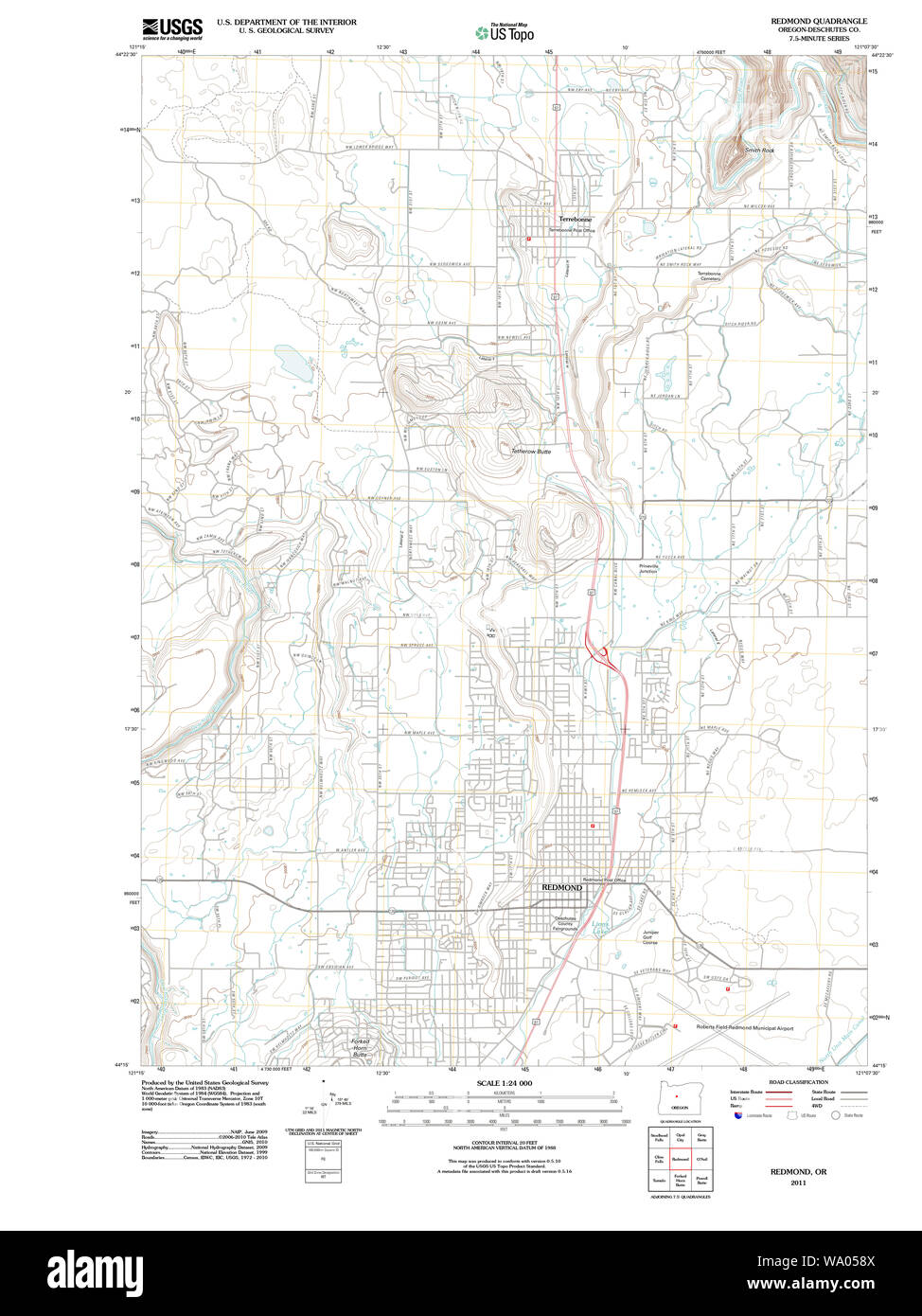 USGS Topo Map Oregon Redmond 20110826 TM Restoration Stock Photohttps://www.alamy.com/image-license-details/?v=1https://www.alamy.com/usgs-topo-map-oregon-redmond-20110826-tm-restoration-image264306250.html
RMWA058X–USGS Topo Map Oregon Redmond 20110826 TM Restoration
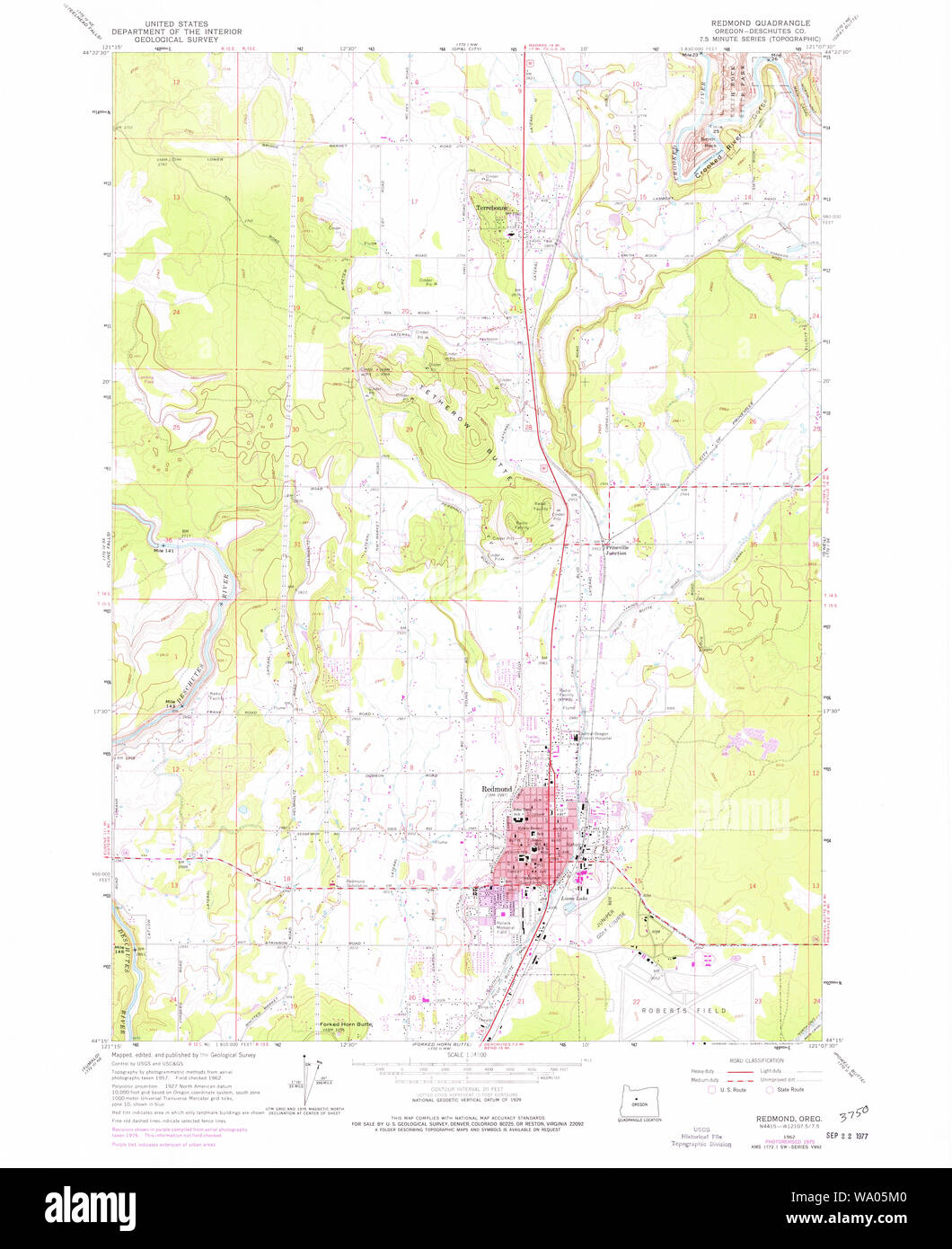 USGS Topo Map Oregon Redmond 281251 1961 24000 Restoration Stock Photohttps://www.alamy.com/image-license-details/?v=1https://www.alamy.com/usgs-topo-map-oregon-redmond-281251-1961-24000-restoration-image264306560.html
RMWA05M0–USGS Topo Map Oregon Redmond 281251 1961 24000 Restoration
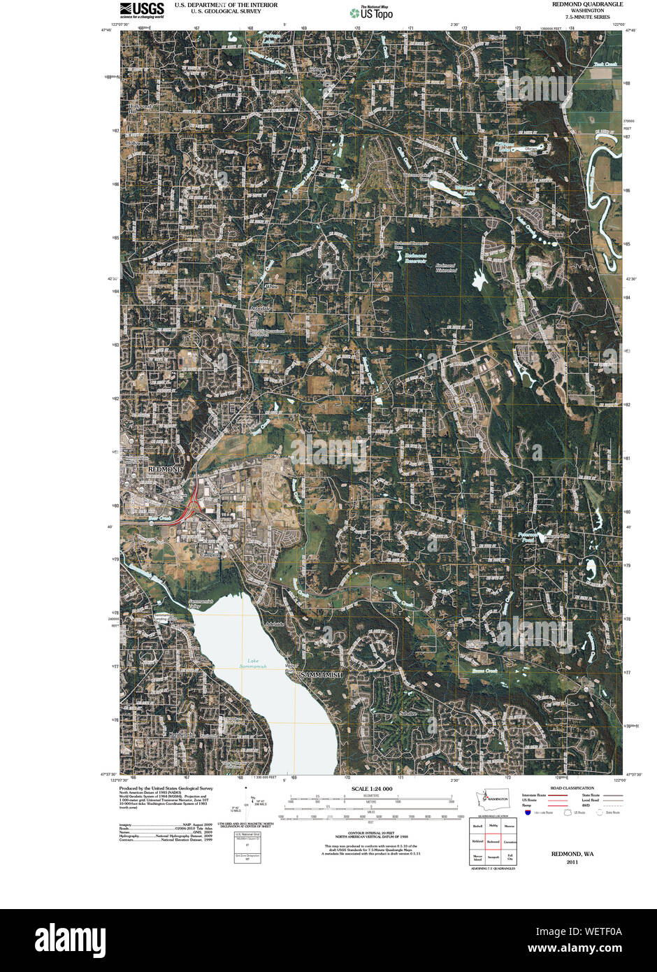 USGS Topo Map Washington State WA Redmond 20110422 TM Restoration Stock Photohttps://www.alamy.com/image-license-details/?v=1https://www.alamy.com/usgs-topo-map-washington-state-wa-redmond-20110422-tm-restoration-image267299322.html
RMWETF0A–USGS Topo Map Washington State WA Redmond 20110422 TM Restoration
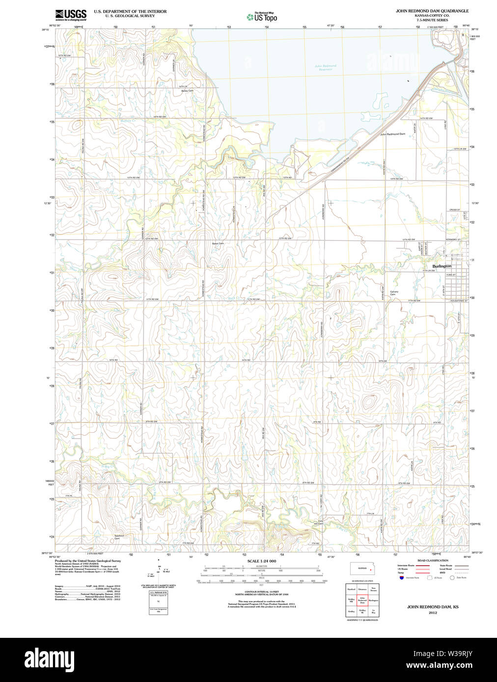 USGS TOPO Map Kansas KS John Redmond Dam 20120924 TM Restoration Stock Photohttps://www.alamy.com/image-license-details/?v=1https://www.alamy.com/usgs-topo-map-kansas-ks-john-redmond-dam-20120924-tm-restoration-image260215619.html
RMW39RJY–USGS TOPO Map Kansas KS John Redmond Dam 20120924 TM Restoration
 Redmond, Albany, AU, Australia, Western Australia, S 34 52' 0'', N 117 40' 59'', map, Cartascapes Map published in 2024. Explore Cartascapes, a map revealing Earth's diverse landscapes, cultures, and ecosystems. Journey through time and space, discovering the interconnectedness of our planet's past, present, and future. Stock Photohttps://www.alamy.com/image-license-details/?v=1https://www.alamy.com/redmond-albany-au-australia-western-australia-s-34-52-0-n-117-40-59-map-cartascapes-map-published-in-2024-explore-cartascapes-a-map-revealing-earths-diverse-landscapes-cultures-and-ecosystems-journey-through-time-and-space-discovering-the-interconnectedness-of-our-planets-past-present-and-future-image625615932.html
RM2Y9R7E4–Redmond, Albany, AU, Australia, Western Australia, S 34 52' 0'', N 117 40' 59'', map, Cartascapes Map published in 2024. Explore Cartascapes, a map revealing Earth's diverse landscapes, cultures, and ecosystems. Journey through time and space, discovering the interconnectedness of our planet's past, present, and future.
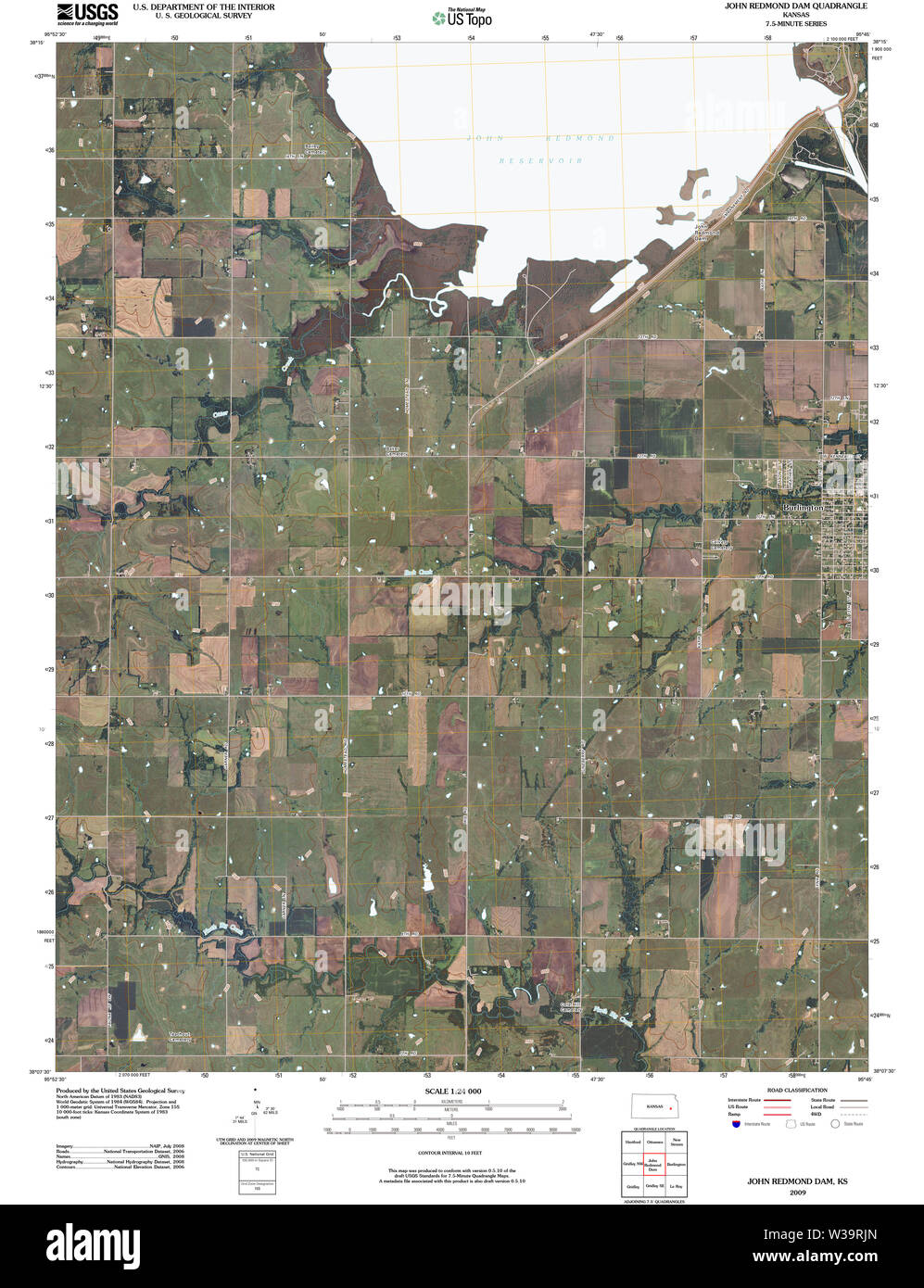 USGS TOPO Map Kansas KS John Redmond Dam 20091031 TM Restoration Stock Photohttps://www.alamy.com/image-license-details/?v=1https://www.alamy.com/usgs-topo-map-kansas-ks-john-redmond-dam-20091031-tm-restoration-image260215613.html
RMW39RJN–USGS TOPO Map Kansas KS John Redmond Dam 20091031 TM Restoration
 Redmond, Albany, AU, Australia, Western Australia, S 34 52' 0'', N 117 40' 59'', map, Cartascapes Map published in 2024. Explore Cartascapes, a map revealing Earth's diverse landscapes, cultures, and ecosystems. Journey through time and space, discovering the interconnectedness of our planet's past, present, and future. Stock Photohttps://www.alamy.com/image-license-details/?v=1https://www.alamy.com/redmond-albany-au-australia-western-australia-s-34-52-0-n-117-40-59-map-cartascapes-map-published-in-2024-explore-cartascapes-a-map-revealing-earths-diverse-landscapes-cultures-and-ecosystems-journey-through-time-and-space-discovering-the-interconnectedness-of-our-planets-past-present-and-future-image625821899.html
RM2YA4J63–Redmond, Albany, AU, Australia, Western Australia, S 34 52' 0'', N 117 40' 59'', map, Cartascapes Map published in 2024. Explore Cartascapes, a map revealing Earth's diverse landscapes, cultures, and ecosystems. Journey through time and space, discovering the interconnectedness of our planet's past, present, and future.
 USGS TOPO Map Kansas KS John Redmond Dam 511686 1966 24000 Restoration Stock Photohttps://www.alamy.com/image-license-details/?v=1https://www.alamy.com/usgs-topo-map-kansas-ks-john-redmond-dam-511686-1966-24000-restoration-image260215624.html
RMW39RK4–USGS TOPO Map Kansas KS John Redmond Dam 511686 1966 24000 Restoration
 Redmond West, Albany, AU, Australia, Western Australia, S 34 50' 54'', N 117 35' 29'', map, Cartascapes Map published in 2024. Explore Cartascapes, a map revealing Earth's diverse landscapes, cultures, and ecosystems. Journey through time and space, discovering the interconnectedness of our planet's past, present, and future. Stock Photohttps://www.alamy.com/image-license-details/?v=1https://www.alamy.com/redmond-west-albany-au-australia-western-australia-s-34-50-54-n-117-35-29-map-cartascapes-map-published-in-2024-explore-cartascapes-a-map-revealing-earths-diverse-landscapes-cultures-and-ecosystems-journey-through-time-and-space-discovering-the-interconnectedness-of-our-planets-past-present-and-future-image625834592.html
RM2YA56BC–Redmond West, Albany, AU, Australia, Western Australia, S 34 50' 54'', N 117 35' 29'', map, Cartascapes Map published in 2024. Explore Cartascapes, a map revealing Earth's diverse landscapes, cultures, and ecosystems. Journey through time and space, discovering the interconnectedness of our planet's past, present, and future.
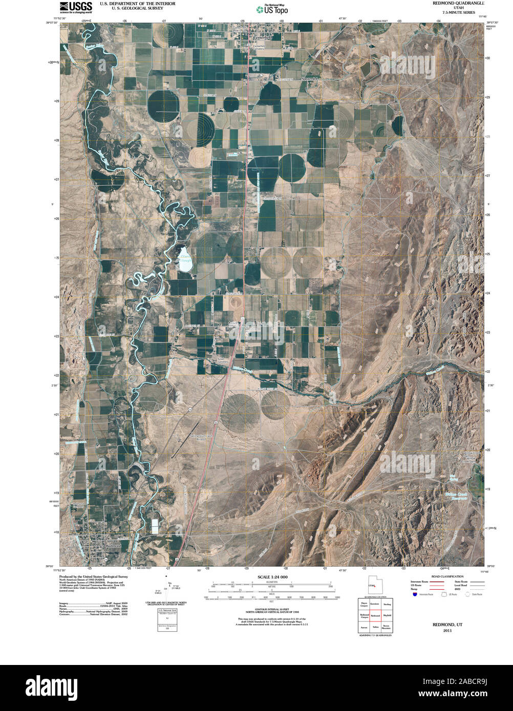 UT Redmond 20110311 TM Restoration Stock Photohttps://www.alamy.com/image-license-details/?v=1https://www.alamy.com/ut-redmond-20110311-tm-restoration-image334039934.html
RM2ABCR9J–UT Redmond 20110311 TM Restoration
 Redmond West, Albany, AU, Australia, Western Australia, S 34 50' 54'', N 117 35' 29'', map, Cartascapes Map published in 2024. Explore Cartascapes, a map revealing Earth's diverse landscapes, cultures, and ecosystems. Journey through time and space, discovering the interconnectedness of our planet's past, present, and future. Stock Photohttps://www.alamy.com/image-license-details/?v=1https://www.alamy.com/redmond-west-albany-au-australia-western-australia-s-34-50-54-n-117-35-29-map-cartascapes-map-published-in-2024-explore-cartascapes-a-map-revealing-earths-diverse-landscapes-cultures-and-ecosystems-journey-through-time-and-space-discovering-the-interconnectedness-of-our-planets-past-present-and-future-image625626010.html
RM2Y9RMA2–Redmond West, Albany, AU, Australia, Western Australia, S 34 50' 54'', N 117 35' 29'', map, Cartascapes Map published in 2024. Explore Cartascapes, a map revealing Earth's diverse landscapes, cultures, and ecosystems. Journey through time and space, discovering the interconnectedness of our planet's past, present, and future.
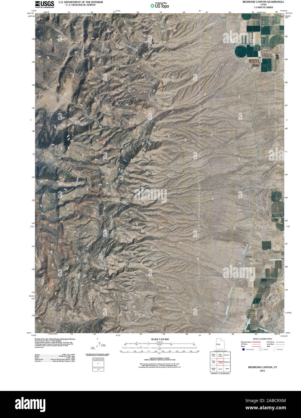 UT Redmond Canyon 20110311 TM Restoration Stock Photohttps://www.alamy.com/image-license-details/?v=1https://www.alamy.com/ut-redmond-canyon-20110311-tm-restoration-image334040412.html
RM2ABCRXM–UT Redmond Canyon 20110311 TM Restoration
 Redmond Oval, , AU, Australia, New South Wales, S 33 57' 24'', N 151 9' 4'', map, Cartascapes Map published in 2024. Explore Cartascapes, a map revealing Earth's diverse landscapes, cultures, and ecosystems. Journey through time and space, discovering the interconnectedness of our planet's past, present, and future. Stock Photohttps://www.alamy.com/image-license-details/?v=1https://www.alamy.com/redmond-oval-au-australia-new-south-wales-s-33-57-24-n-151-9-4-map-cartascapes-map-published-in-2024-explore-cartascapes-a-map-revealing-earths-diverse-landscapes-cultures-and-ecosystems-journey-through-time-and-space-discovering-the-interconnectedness-of-our-planets-past-present-and-future-image625520783.html
RM2Y9JX3Y–Redmond Oval, , AU, Australia, New South Wales, S 33 57' 24'', N 151 9' 4'', map, Cartascapes Map published in 2024. Explore Cartascapes, a map revealing Earth's diverse landscapes, cultures, and ecosystems. Journey through time and space, discovering the interconnectedness of our planet's past, present, and future.
 UT Redmond 251536 1966 24000 Restoration Stock Photohttps://www.alamy.com/image-license-details/?v=1https://www.alamy.com/ut-redmond-251536-1966-24000-restoration-image334039912.html
RM2ABCR8T–UT Redmond 251536 1966 24000 Restoration
 Redmond Well, Karratha, AU, Australia, Western Australia, S 20 50' 24'', N 117 30' 39'', map, Cartascapes Map published in 2024. Explore Cartascapes, a map revealing Earth's diverse landscapes, cultures, and ecosystems. Journey through time and space, discovering the interconnectedness of our planet's past, present, and future. Stock Photohttps://www.alamy.com/image-license-details/?v=1https://www.alamy.com/redmond-well-karratha-au-australia-western-australia-s-20-50-24-n-117-30-39-map-cartascapes-map-published-in-2024-explore-cartascapes-a-map-revealing-earths-diverse-landscapes-cultures-and-ecosystems-journey-through-time-and-space-discovering-the-interconnectedness-of-our-planets-past-present-and-future-image625517371.html
RM2Y9JNP3–Redmond Well, Karratha, AU, Australia, Western Australia, S 20 50' 24'', N 117 30' 39'', map, Cartascapes Map published in 2024. Explore Cartascapes, a map revealing Earth's diverse landscapes, cultures, and ecosystems. Journey through time and space, discovering the interconnectedness of our planet's past, present, and future.
 UT Redmond 251537 1966 24000 Restoration Stock Photohttps://www.alamy.com/image-license-details/?v=1https://www.alamy.com/ut-redmond-251537-1966-24000-restoration-image334040215.html
RM2ABCRKK–UT Redmond 251537 1966 24000 Restoration
 Redmond, King County, US, United States, Washington, N 47 40' 26'', S 122 7' 17'', map, Cartascapes Map published in 2024. Explore Cartascapes, a map revealing Earth's diverse landscapes, cultures, and ecosystems. Journey through time and space, discovering the interconnectedness of our planet's past, present, and future. Stock Photohttps://www.alamy.com/image-license-details/?v=1https://www.alamy.com/redmond-king-county-us-united-states-washington-n-47-40-26-s-122-7-17-map-cartascapes-map-published-in-2024-explore-cartascapes-a-map-revealing-earths-diverse-landscapes-cultures-and-ecosystems-journey-through-time-and-space-discovering-the-interconnectedness-of-our-planets-past-present-and-future-image621156919.html
RM2Y2G3YK–Redmond, King County, US, United States, Washington, N 47 40' 26'', S 122 7' 17'', map, Cartascapes Map published in 2024. Explore Cartascapes, a map revealing Earth's diverse landscapes, cultures, and ecosystems. Journey through time and space, discovering the interconnectedness of our planet's past, present, and future.
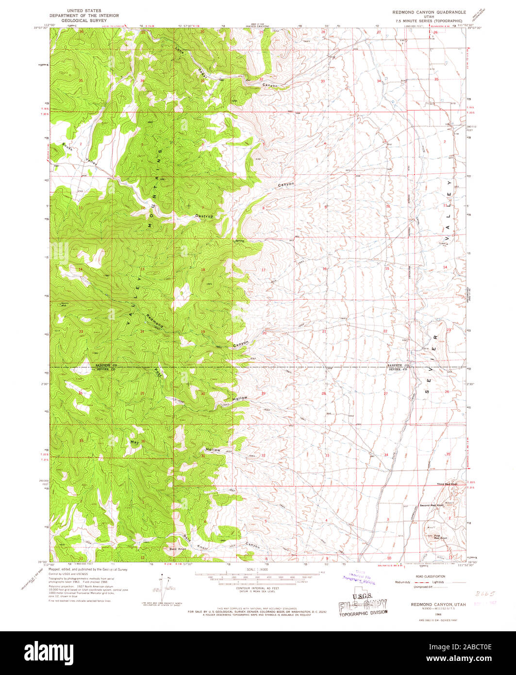 UT Redmond Canyon 251535 1966 24000 Restoration Stock Photohttps://www.alamy.com/image-license-details/?v=1https://www.alamy.com/ut-redmond-canyon-251535-1966-24000-restoration-image334040462.html
RM2ABCT0E–UT Redmond Canyon 251535 1966 24000 Restoration
 George Redmond Crossing, Barkly, AU, Australia, Northern Territory, S 17 15' 55'', N 133 27' 12'', map, Cartascapes Map published in 2024. Explore Cartascapes, a map revealing Earth's diverse landscapes, cultures, and ecosystems. Journey through time and space, discovering the interconnectedness of our planet's past, present, and future. Stock Photohttps://www.alamy.com/image-license-details/?v=1https://www.alamy.com/george-redmond-crossing-barkly-au-australia-northern-territory-s-17-15-55-n-133-27-12-map-cartascapes-map-published-in-2024-explore-cartascapes-a-map-revealing-earths-diverse-landscapes-cultures-and-ecosystems-journey-through-time-and-space-discovering-the-interconnectedness-of-our-planets-past-present-and-future-image625673964.html
RM2Y9WWEM–George Redmond Crossing, Barkly, AU, Australia, Northern Territory, S 17 15' 55'', N 133 27' 12'', map, Cartascapes Map published in 2024. Explore Cartascapes, a map revealing Earth's diverse landscapes, cultures, and ecosystems. Journey through time and space, discovering the interconnectedness of our planet's past, present, and future.
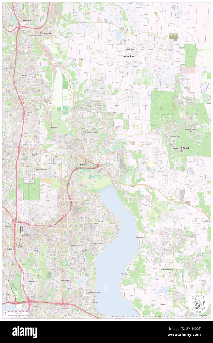 Redmond, King County, US, United States, Washington, N 47 40' 26'', S 122 7' 17'', map, Cartascapes Map published in 2024. Explore Cartascapes, a map revealing Earth's diverse landscapes, cultures, and ecosystems. Journey through time and space, discovering the interconnectedness of our planet's past, present, and future. Stock Photohttps://www.alamy.com/image-license-details/?v=1https://www.alamy.com/redmond-king-county-us-united-states-washington-n-47-40-26-s-122-7-17-map-cartascapes-map-published-in-2024-explore-cartascapes-a-map-revealing-earths-diverse-landscapes-cultures-and-ecosystems-journey-through-time-and-space-discovering-the-interconnectedness-of-our-planets-past-present-and-future-image620648920.html
RM2Y1N00T–Redmond, King County, US, United States, Washington, N 47 40' 26'', S 122 7' 17'', map, Cartascapes Map published in 2024. Explore Cartascapes, a map revealing Earth's diverse landscapes, cultures, and ecosystems. Journey through time and space, discovering the interconnectedness of our planet's past, present, and future.
 Redmond, Butler County, US, United States, Pennsylvania, N 41 5' 0'', S 80 2' 6'', map, Cartascapes Map published in 2024. Explore Cartascapes, a map revealing Earth's diverse landscapes, cultures, and ecosystems. Journey through time and space, discovering the interconnectedness of our planet's past, present, and future. Stock Photohttps://www.alamy.com/image-license-details/?v=1https://www.alamy.com/redmond-butler-county-us-united-states-pennsylvania-n-41-5-0-s-80-2-6-map-cartascapes-map-published-in-2024-explore-cartascapes-a-map-revealing-earths-diverse-landscapes-cultures-and-ecosystems-journey-through-time-and-space-discovering-the-interconnectedness-of-our-planets-past-present-and-future-image620792016.html
RM2Y1YEFC–Redmond, Butler County, US, United States, Pennsylvania, N 41 5' 0'', S 80 2' 6'', map, Cartascapes Map published in 2024. Explore Cartascapes, a map revealing Earth's diverse landscapes, cultures, and ecosystems. Journey through time and space, discovering the interconnectedness of our planet's past, present, and future.
 Redmond, Deschutes County, US, United States, Oregon, N 44 16' 21'', S 121 10' 26'', map, Cartascapes Map published in 2024. Explore Cartascapes, a map revealing Earth's diverse landscapes, cultures, and ecosystems. Journey through time and space, discovering the interconnectedness of our planet's past, present, and future. Stock Photohttps://www.alamy.com/image-license-details/?v=1https://www.alamy.com/redmond-deschutes-county-us-united-states-oregon-n-44-16-21-s-121-10-26-map-cartascapes-map-published-in-2024-explore-cartascapes-a-map-revealing-earths-diverse-landscapes-cultures-and-ecosystems-journey-through-time-and-space-discovering-the-interconnectedness-of-our-planets-past-present-and-future-image620744595.html
RM2Y1WA1R–Redmond, Deschutes County, US, United States, Oregon, N 44 16' 21'', S 121 10' 26'', map, Cartascapes Map published in 2024. Explore Cartascapes, a map revealing Earth's diverse landscapes, cultures, and ecosystems. Journey through time and space, discovering the interconnectedness of our planet's past, present, and future.
 Redmond, Deschutes County, US, United States, Oregon, N 44 16' 21'', S 121 10' 26'', map, Cartascapes Map published in 2024. Explore Cartascapes, a map revealing Earth's diverse landscapes, cultures, and ecosystems. Journey through time and space, discovering the interconnectedness of our planet's past, present, and future. Stock Photohttps://www.alamy.com/image-license-details/?v=1https://www.alamy.com/redmond-deschutes-county-us-united-states-oregon-n-44-16-21-s-121-10-26-map-cartascapes-map-published-in-2024-explore-cartascapes-a-map-revealing-earths-diverse-landscapes-cultures-and-ecosystems-journey-through-time-and-space-discovering-the-interconnectedness-of-our-planets-past-present-and-future-image620878679.html
RM2Y23D2F–Redmond, Deschutes County, US, United States, Oregon, N 44 16' 21'', S 121 10' 26'', map, Cartascapes Map published in 2024. Explore Cartascapes, a map revealing Earth's diverse landscapes, cultures, and ecosystems. Journey through time and space, discovering the interconnectedness of our planet's past, present, and future.
 Redmond, Sevier County, US, United States, Utah, N 39 0' 21'', S 111 51' 42'', map, Cartascapes Map published in 2024. Explore Cartascapes, a map revealing Earth's diverse landscapes, cultures, and ecosystems. Journey through time and space, discovering the interconnectedness of our planet's past, present, and future. Stock Photohttps://www.alamy.com/image-license-details/?v=1https://www.alamy.com/redmond-sevier-county-us-united-states-utah-n-39-0-21-s-111-51-42-map-cartascapes-map-published-in-2024-explore-cartascapes-a-map-revealing-earths-diverse-landscapes-cultures-and-ecosystems-journey-through-time-and-space-discovering-the-interconnectedness-of-our-planets-past-present-and-future-image620859743.html
RM2Y22GX7–Redmond, Sevier County, US, United States, Utah, N 39 0' 21'', S 111 51' 42'', map, Cartascapes Map published in 2024. Explore Cartascapes, a map revealing Earth's diverse landscapes, cultures, and ecosystems. Journey through time and space, discovering the interconnectedness of our planet's past, present, and future.
 Redmond, Larimer County, US, United States, Colorado, N 40 28' 43'', S 105 2' 26'', map, Cartascapes Map published in 2024. Explore Cartascapes, a map revealing Earth's diverse landscapes, cultures, and ecosystems. Journey through time and space, discovering the interconnectedness of our planet's past, present, and future. Stock Photohttps://www.alamy.com/image-license-details/?v=1https://www.alamy.com/redmond-larimer-county-us-united-states-colorado-n-40-28-43-s-105-2-26-map-cartascapes-map-published-in-2024-explore-cartascapes-a-map-revealing-earths-diverse-landscapes-cultures-and-ecosystems-journey-through-time-and-space-discovering-the-interconnectedness-of-our-planets-past-present-and-future-image620737133.html
RM2Y1W0F9–Redmond, Larimer County, US, United States, Colorado, N 40 28' 43'', S 105 2' 26'', map, Cartascapes Map published in 2024. Explore Cartascapes, a map revealing Earth's diverse landscapes, cultures, and ecosystems. Journey through time and space, discovering the interconnectedness of our planet's past, present, and future.
 Redmond, Sevier County, US, United States, Utah, N 39 0' 21'', S 111 51' 42'', map, Cartascapes Map published in 2024. Explore Cartascapes, a map revealing Earth's diverse landscapes, cultures, and ecosystems. Journey through time and space, discovering the interconnectedness of our planet's past, present, and future. Stock Photohttps://www.alamy.com/image-license-details/?v=1https://www.alamy.com/redmond-sevier-county-us-united-states-utah-n-39-0-21-s-111-51-42-map-cartascapes-map-published-in-2024-explore-cartascapes-a-map-revealing-earths-diverse-landscapes-cultures-and-ecosystems-journey-through-time-and-space-discovering-the-interconnectedness-of-our-planets-past-present-and-future-image620763014.html
RM2Y1X5FJ–Redmond, Sevier County, US, United States, Utah, N 39 0' 21'', S 111 51' 42'', map, Cartascapes Map published in 2024. Explore Cartascapes, a map revealing Earth's diverse landscapes, cultures, and ecosystems. Journey through time and space, discovering the interconnectedness of our planet's past, present, and future.
 Redmond, Mason County, US, United States, West Virginia, N 38 48' 15'', S 82 8' 2'', map, Cartascapes Map published in 2024. Explore Cartascapes, a map revealing Earth's diverse landscapes, cultures, and ecosystems. Journey through time and space, discovering the interconnectedness of our planet's past, present, and future. Stock Photohttps://www.alamy.com/image-license-details/?v=1https://www.alamy.com/redmond-mason-county-us-united-states-west-virginia-n-38-48-15-s-82-8-2-map-cartascapes-map-published-in-2024-explore-cartascapes-a-map-revealing-earths-diverse-landscapes-cultures-and-ecosystems-journey-through-time-and-space-discovering-the-interconnectedness-of-our-planets-past-present-and-future-image620898206.html
RM2Y249YX–Redmond, Mason County, US, United States, West Virginia, N 38 48' 15'', S 82 8' 2'', map, Cartascapes Map published in 2024. Explore Cartascapes, a map revealing Earth's diverse landscapes, cultures, and ecosystems. Journey through time and space, discovering the interconnectedness of our planet's past, present, and future.
 Redmond Ridge, King County, US, United States, Washington, N 47 41' 25'', S 122 2' 21'', map, Cartascapes Map published in 2024. Explore Cartascapes, a map revealing Earth's diverse landscapes, cultures, and ecosystems. Journey through time and space, discovering the interconnectedness of our planet's past, present, and future. Stock Photohttps://www.alamy.com/image-license-details/?v=1https://www.alamy.com/redmond-ridge-king-county-us-united-states-washington-n-47-41-25-s-122-2-21-map-cartascapes-map-published-in-2024-explore-cartascapes-a-map-revealing-earths-diverse-landscapes-cultures-and-ecosystems-journey-through-time-and-space-discovering-the-interconnectedness-of-our-planets-past-present-and-future-image620858670.html
RM2Y22FFX–Redmond Ridge, King County, US, United States, Washington, N 47 41' 25'', S 122 2' 21'', map, Cartascapes Map published in 2024. Explore Cartascapes, a map revealing Earth's diverse landscapes, cultures, and ecosystems. Journey through time and space, discovering the interconnectedness of our planet's past, present, and future.
 Redmond Corner, Oneida County, US, United States, New York, N 43 27' 52'', S 75 23' 23'', map, Cartascapes Map published in 2024. Explore Cartascapes, a map revealing Earth's diverse landscapes, cultures, and ecosystems. Journey through time and space, discovering the interconnectedness of our planet's past, present, and future. Stock Photohttps://www.alamy.com/image-license-details/?v=1https://www.alamy.com/redmond-corner-oneida-county-us-united-states-new-york-n-43-27-52-s-75-23-23-map-cartascapes-map-published-in-2024-explore-cartascapes-a-map-revealing-earths-diverse-landscapes-cultures-and-ecosystems-journey-through-time-and-space-discovering-the-interconnectedness-of-our-planets-past-present-and-future-image620894111.html
RM2Y244NK–Redmond Corner, Oneida County, US, United States, New York, N 43 27' 52'', S 75 23' 23'', map, Cartascapes Map published in 2024. Explore Cartascapes, a map revealing Earth's diverse landscapes, cultures, and ecosystems. Journey through time and space, discovering the interconnectedness of our planet's past, present, and future.
 Friendly Village of Redmond Mobile Home Park, King County, US, United States, Washington, N 47 41' 3'', S 122 5' 37'', map, Cartascapes Map published in 2024. Explore Cartascapes, a map revealing Earth's diverse landscapes, cultures, and ecosystems. Journey through time and space, discovering the interconnectedness of our planet's past, present, and future. Stock Photohttps://www.alamy.com/image-license-details/?v=1https://www.alamy.com/friendly-village-of-redmond-mobile-home-park-king-county-us-united-states-washington-n-47-41-3-s-122-5-37-map-cartascapes-map-published-in-2024-explore-cartascapes-a-map-revealing-earths-diverse-landscapes-cultures-and-ecosystems-journey-through-time-and-space-discovering-the-interconnectedness-of-our-planets-past-present-and-future-image620882369.html
RM2Y23HP9–Friendly Village of Redmond Mobile Home Park, King County, US, United States, Washington, N 47 41' 3'', S 122 5' 37'', map, Cartascapes Map published in 2024. Explore Cartascapes, a map revealing Earth's diverse landscapes, cultures, and ecosystems. Journey through time and space, discovering the interconnectedness of our planet's past, present, and future.
 Redmond, Utah, map 1966, 1:24000, United States of America by Timeless Maps, data U.S. Geological Survey Stock Photohttps://www.alamy.com/image-license-details/?v=1https://www.alamy.com/redmond-utah-map-1966-124000-united-states-of-america-by-timeless-maps-data-us-geological-survey-image406998292.html
RM2EJ4AD8–Redmond, Utah, map 1966, 1:24000, United States of America by Timeless Maps, data U.S. Geological Survey
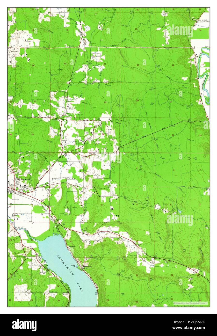 Redmond, Washington, map 1950, 1:24000, United States of America by Timeless Maps, data U.S. Geological Survey Stock Photohttps://www.alamy.com/image-license-details/?v=1https://www.alamy.com/redmond-washington-map-1950-124000-united-states-of-america-by-timeless-maps-data-us-geological-survey-image407027927.html
RM2EJ5M7K–Redmond, Washington, map 1950, 1:24000, United States of America by Timeless Maps, data U.S. Geological Survey
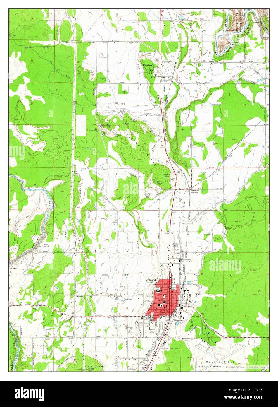 Redmond, Oregon, map 1962, 1:24000, United States of America by Timeless Maps, data U.S. Geological Survey Stock Photohttps://www.alamy.com/image-license-details/?v=1https://www.alamy.com/redmond-oregon-map-1962-124000-united-states-of-america-by-timeless-maps-data-us-geological-survey-image406945933.html
RM2EJ1YK9–Redmond, Oregon, map 1962, 1:24000, United States of America by Timeless Maps, data U.S. Geological Survey
 Redmond, Washington, map 1950, 1:24000, United States of America by Timeless Maps, data U.S. Geological Survey Stock Photohttps://www.alamy.com/image-license-details/?v=1https://www.alamy.com/redmond-washington-map-1950-124000-united-states-of-america-by-timeless-maps-data-us-geological-survey-image407027929.html
RM2EJ5M7N–Redmond, Washington, map 1950, 1:24000, United States of America by Timeless Maps, data U.S. Geological Survey
 Redmond, Washington, map 1950, 1:24000, United States of America by Timeless Maps, data U.S. Geological Survey Stock Photohttps://www.alamy.com/image-license-details/?v=1https://www.alamy.com/redmond-washington-map-1950-124000-united-states-of-america-by-timeless-maps-data-us-geological-survey-image407027931.html
RM2EJ5M7R–Redmond, Washington, map 1950, 1:24000, United States of America by Timeless Maps, data U.S. Geological Survey
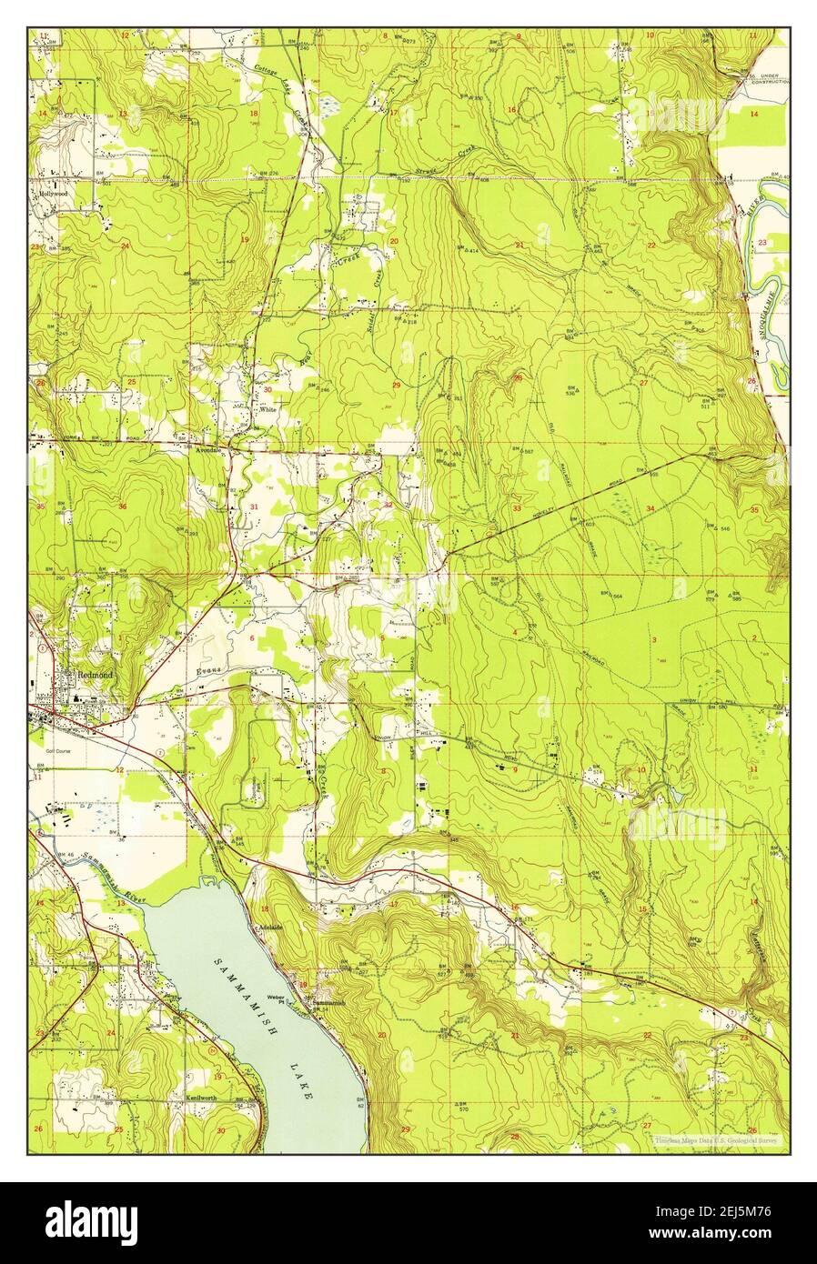 Redmond, Washington, map 1950, 1:24000, United States of America by Timeless Maps, data U.S. Geological Survey Stock Photohttps://www.alamy.com/image-license-details/?v=1https://www.alamy.com/redmond-washington-map-1950-124000-united-states-of-america-by-timeless-maps-data-us-geological-survey-image407027914.html
RM2EJ5M76–Redmond, Washington, map 1950, 1:24000, United States of America by Timeless Maps, data U.S. Geological Survey
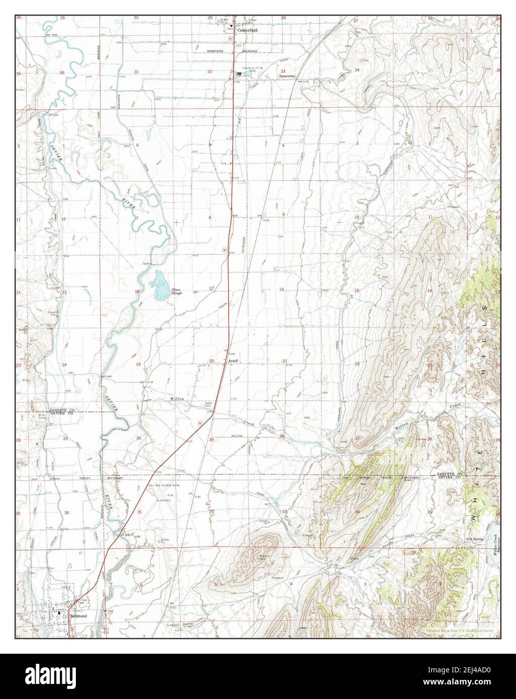 Redmond, Utah, map 1966, 1:24000, United States of America by Timeless Maps, data U.S. Geological Survey Stock Photohttps://www.alamy.com/image-license-details/?v=1https://www.alamy.com/redmond-utah-map-1966-124000-united-states-of-america-by-timeless-maps-data-us-geological-survey-image406998284.html
RM2EJ4AD0–Redmond, Utah, map 1966, 1:24000, United States of America by Timeless Maps, data U.S. Geological Survey
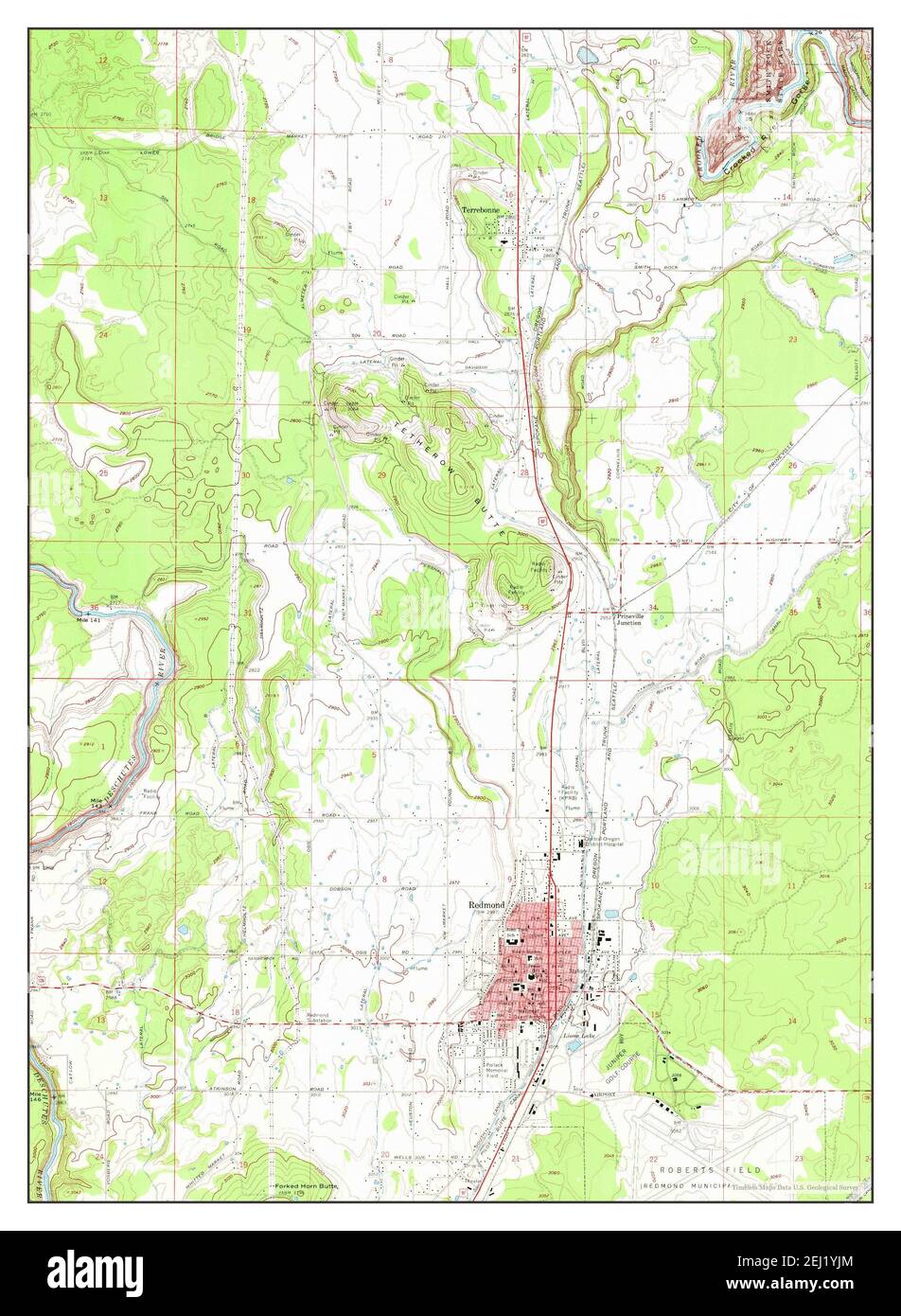 Redmond, Oregon, map 1962, 1:24000, United States of America by Timeless Maps, data U.S. Geological Survey Stock Photohttps://www.alamy.com/image-license-details/?v=1https://www.alamy.com/redmond-oregon-map-1962-124000-united-states-of-america-by-timeless-maps-data-us-geological-survey-image406945916.html
RM2EJ1YJM–Redmond, Oregon, map 1962, 1:24000, United States of America by Timeless Maps, data U.S. Geological Survey
 John Redmond Dam, Kansas, map 1966, 1:24000, United States of America by Timeless Maps, data U.S. Geological Survey Stock Photohttps://www.alamy.com/image-license-details/?v=1https://www.alamy.com/john-redmond-dam-kansas-map-1966-124000-united-states-of-america-by-timeless-maps-data-us-geological-survey-image406488014.html
RM2EH93H2–John Redmond Dam, Kansas, map 1966, 1:24000, United States of America by Timeless Maps, data U.S. Geological Survey