Quick filters:
Relief map africa Stock Photos and Images
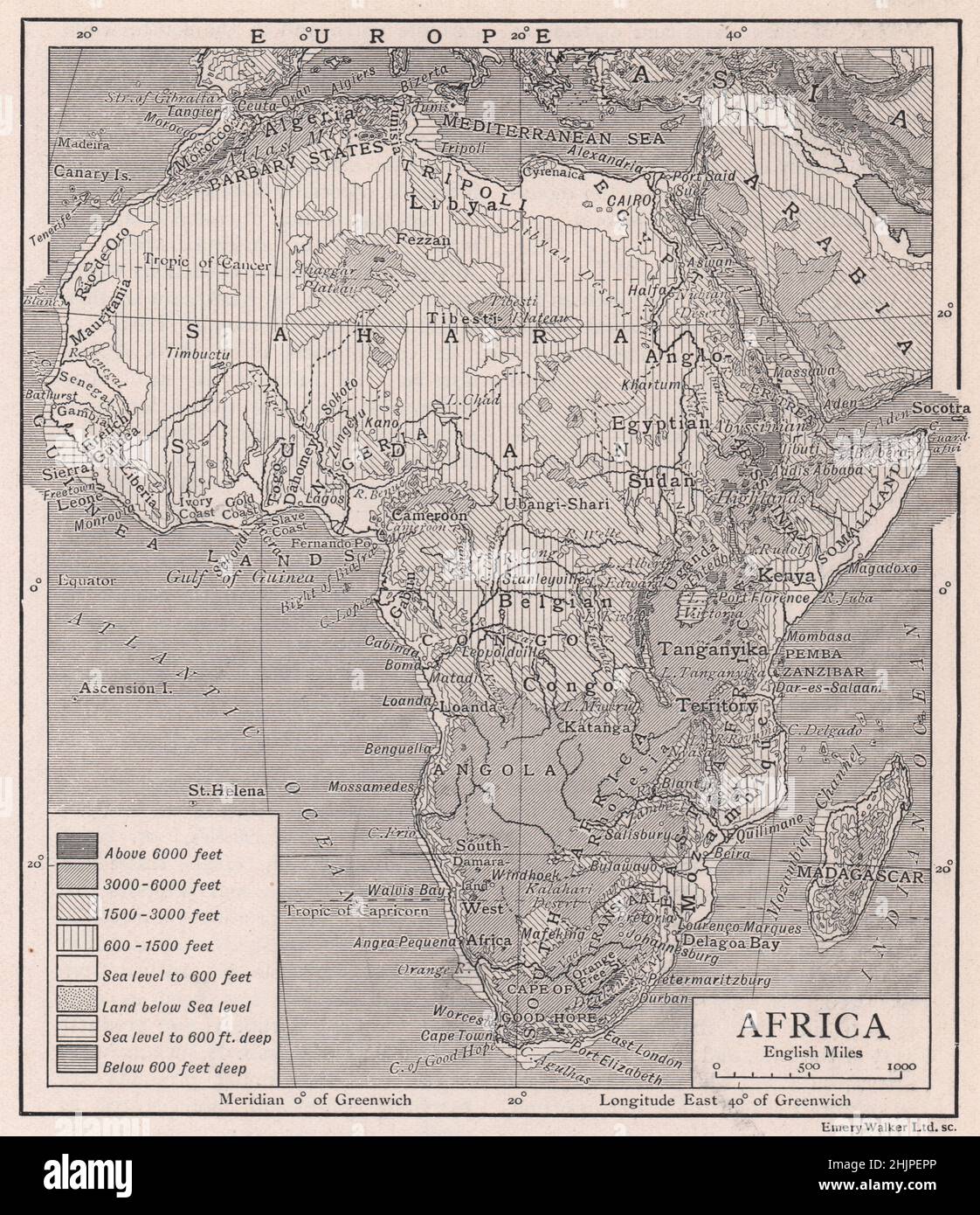 Relief Map of the Continent of Africa (1923) Stock Photohttps://www.alamy.com/image-license-details/?v=1https://www.alamy.com/relief-map-of-the-continent-of-africa-1923-image459027934.html
RF2HJPEPP–Relief Map of the Continent of Africa (1923)
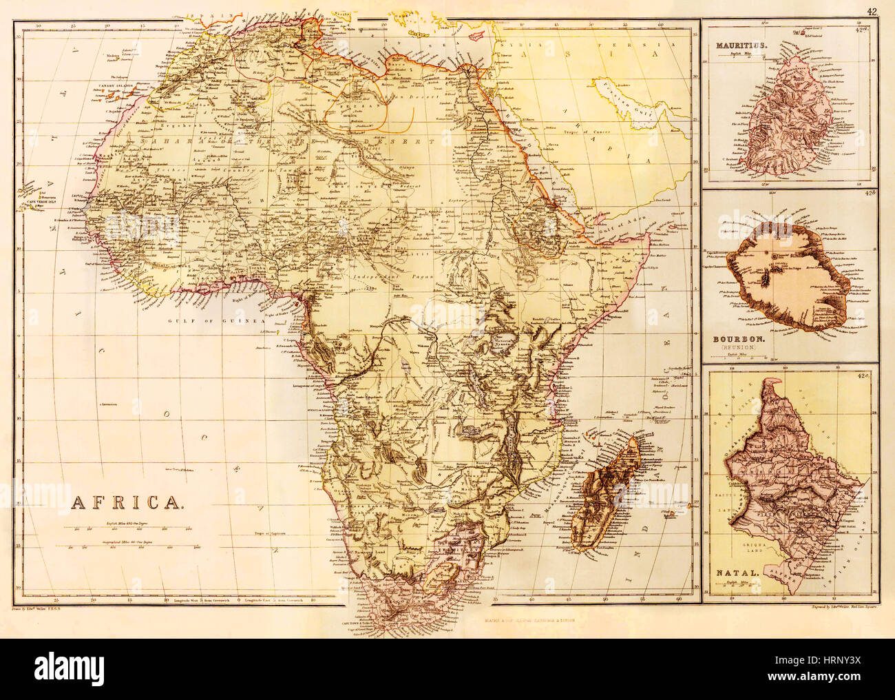 Map of Africa, c. 1850 Stock Photohttps://www.alamy.com/image-license-details/?v=1https://www.alamy.com/stock-photo-map-of-africa-c-1850-135091934.html
RMHRNY3X–Map of Africa, c. 1850
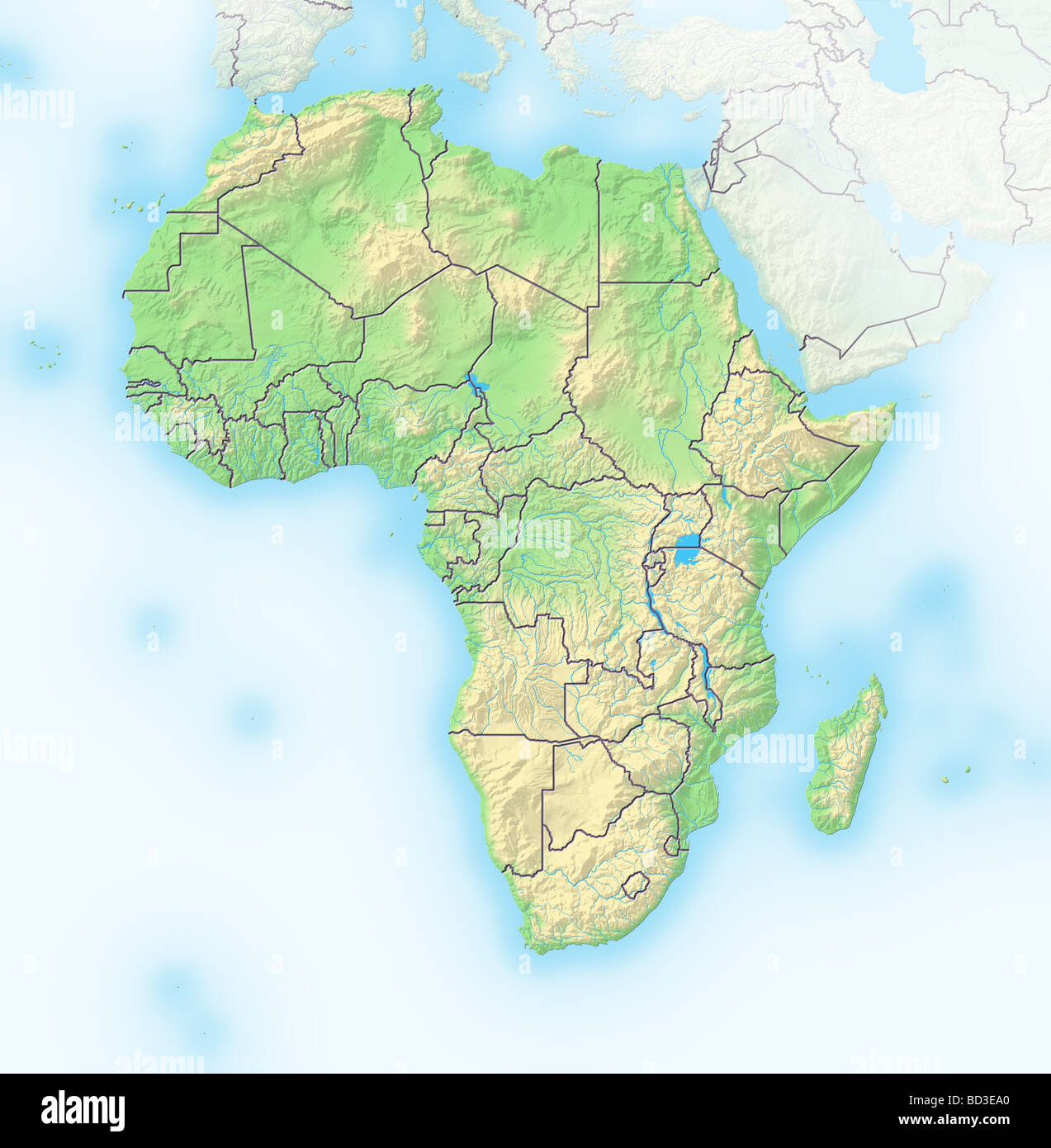 Africa, shaded relief map with country borders. Stock Photohttps://www.alamy.com/image-license-details/?v=1https://www.alamy.com/stock-photo-africa-shaded-relief-map-with-country-borders-25278008.html
RFBD3EA0–Africa, shaded relief map with country borders.
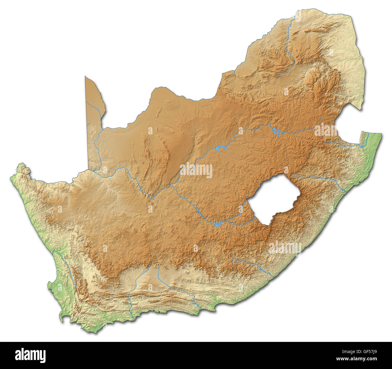 Relief map of South Africa with shaded relief. Stock Photohttps://www.alamy.com/image-license-details/?v=1https://www.alamy.com/stock-photo-relief-map-of-south-africa-with-shaded-relief-112597809.html
RFGF57J9–Relief map of South Africa with shaded relief.
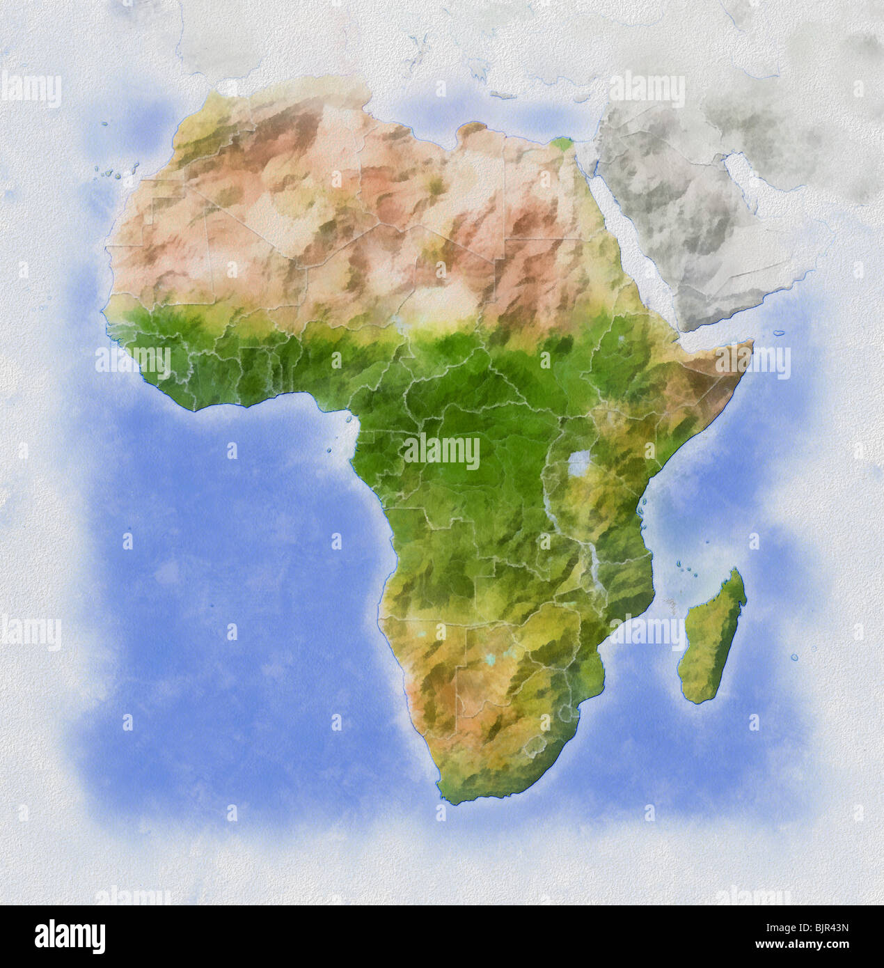 Africa, relief map in water colors. Stock Photohttps://www.alamy.com/image-license-details/?v=1https://www.alamy.com/stock-photo-africa-relief-map-in-water-colors-28782313.html
RFBJR43N–Africa, relief map in water colors.
 Relief map of Africa. Detail of The Africa Service Medal: South African campaign medal for service during the Second World War, awarded to members of Stock Photohttps://www.alamy.com/image-license-details/?v=1https://www.alamy.com/relief-map-of-africa-detail-of-the-africa-service-medal-south-african-campaign-medal-for-service-during-the-second-world-war-awarded-to-members-of-image213526632.html
RMPBAYB4–Relief map of Africa. Detail of The Africa Service Medal: South African campaign medal for service during the Second World War, awarded to members of
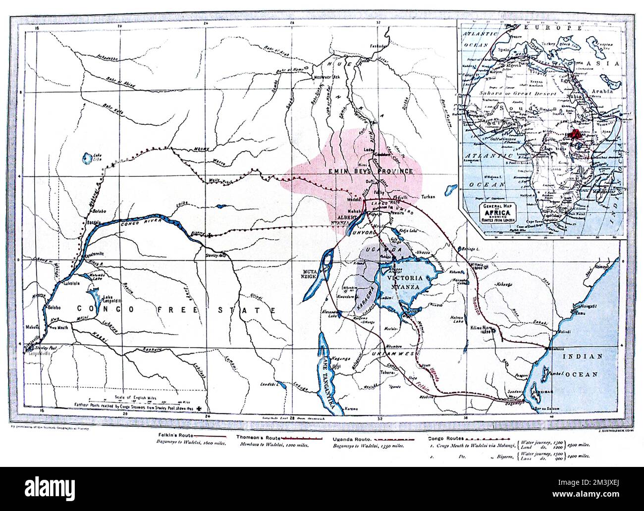 Map of Central Africa showing the likely routes of the Emin Stock Photohttps://www.alamy.com/image-license-details/?v=1https://www.alamy.com/map-of-central-africa-showing-the-likely-routes-of-the-emin-image501360570.html
RM2M3JXEJ–Map of Central Africa showing the likely routes of the Emin
 South Africa, Relief Map with Border Stock Photohttps://www.alamy.com/image-license-details/?v=1https://www.alamy.com/stock-photo-south-africa-relief-map-with-border-71607501.html
RME4E02N–South Africa, Relief Map with Border
 Outline map of Africa continent in black isolated on white background Stock Photohttps://www.alamy.com/image-license-details/?v=1https://www.alamy.com/stock-photo-outline-map-of-africa-continent-in-black-isolated-on-white-background-21708200.html
RMB78W0T–Outline map of Africa continent in black isolated on white background
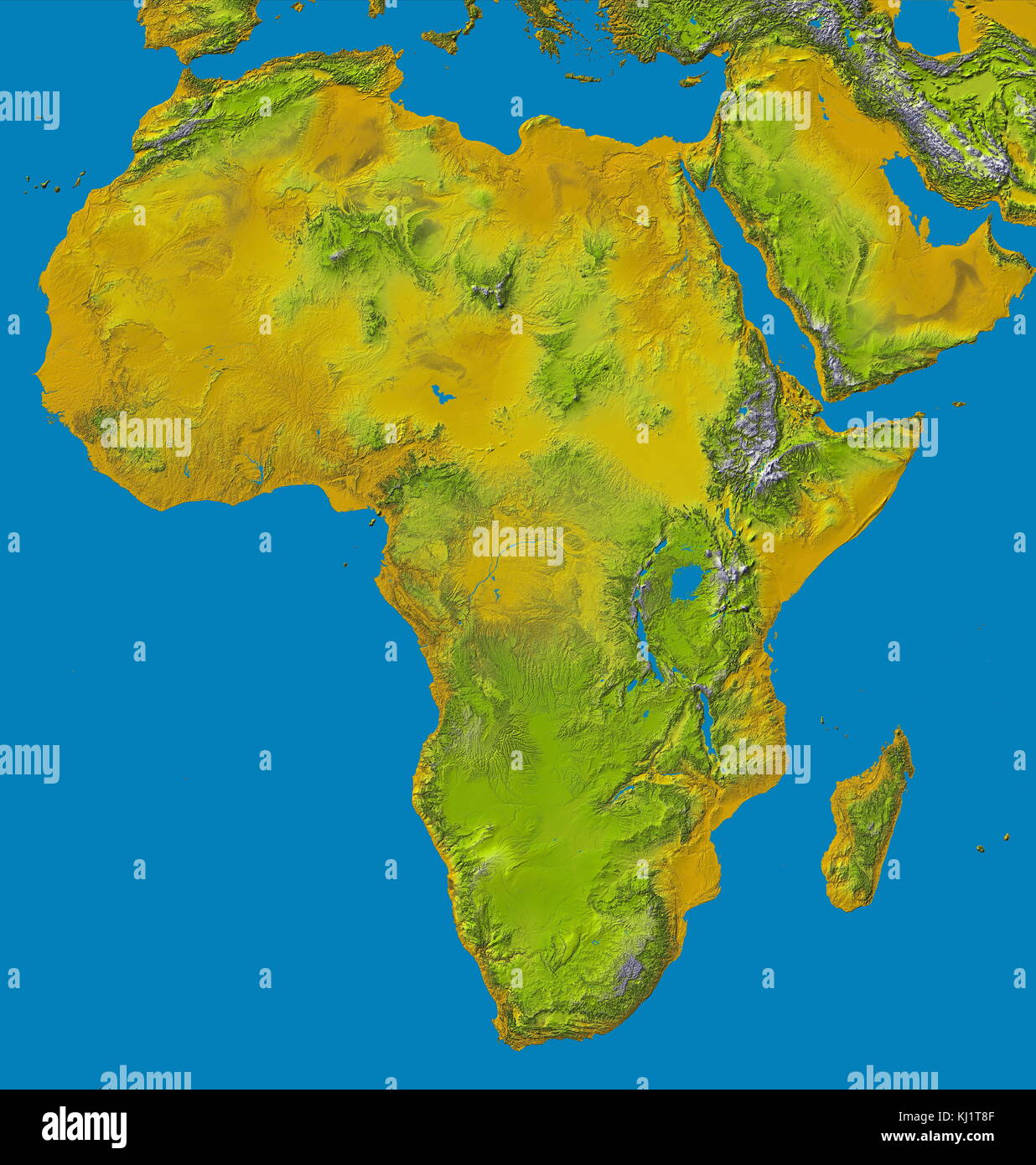 relief image of Africa by the Shuttle Radar Topography Mission (SRTM). This release in 2000, includes data for all of the continent, plus the island of Madagascar and the Arabian Peninsula. The central latitudes of Africa is dominated by the Great Rift Valley, extending from Lake Nyasa to the Red Sea. To the west lies the Congo Basin. Most of the southern part of the continent rests on a concave plateau comprising the Kalahari basin. color-coding is directly related to topographic height, with brown and yellow at the lower elevations, rising through green, to white at the highest elevations. B Stock Photohttps://www.alamy.com/image-license-details/?v=1https://www.alamy.com/stock-image-relief-image-of-africa-by-the-shuttle-radar-topography-mission-srtm-165998127.html
RMKJ1T8F–relief image of Africa by the Shuttle Radar Topography Mission (SRTM). This release in 2000, includes data for all of the continent, plus the island of Madagascar and the Arabian Peninsula. The central latitudes of Africa is dominated by the Great Rift Valley, extending from Lake Nyasa to the Red Sea. To the west lies the Congo Basin. Most of the southern part of the continent rests on a concave plateau comprising the Kalahari basin. color-coding is directly related to topographic height, with brown and yellow at the lower elevations, rising through green, to white at the highest elevations. B
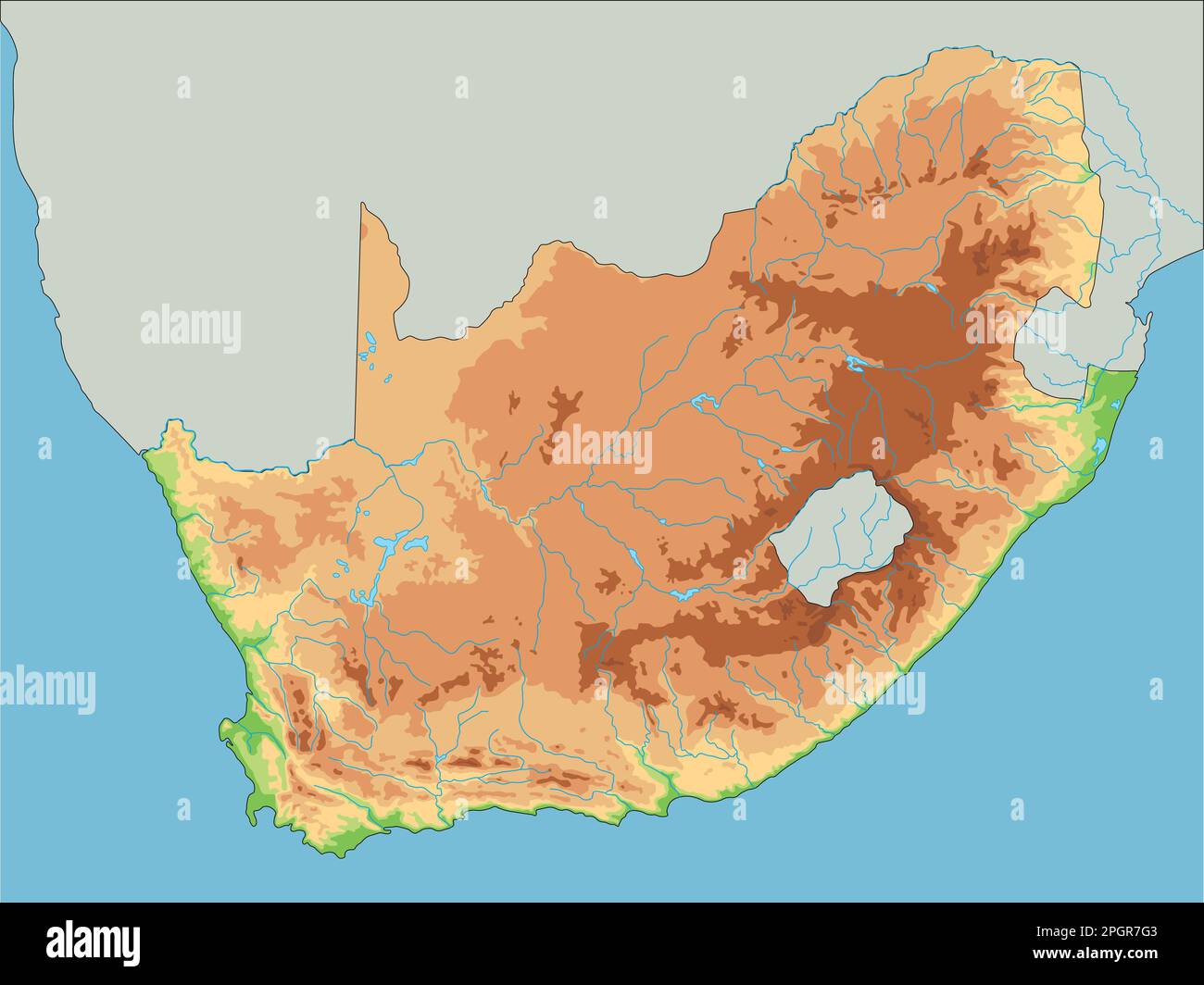 High detailed South Africa physical map. Stock Vectorhttps://www.alamy.com/image-license-details/?v=1https://www.alamy.com/high-detailed-south-africa-physical-map-image543866739.html
RF2PGR7G3–High detailed South Africa physical map.
 abstract world map relief Stock Photohttps://www.alamy.com/image-license-details/?v=1https://www.alamy.com/stock-photo-abstract-world-map-relief-50600470.html
RFCX91BJ–abstract world map relief
 Makande, Gabon. Dany Cleyet Marrel colouring a relief map. Stock Photohttps://www.alamy.com/image-license-details/?v=1https://www.alamy.com/makande-gabon-dany-cleyet-marrel-colouring-a-relief-map-image5464684.html
RMAX5P6D–Makande, Gabon. Dany Cleyet Marrel colouring a relief map.
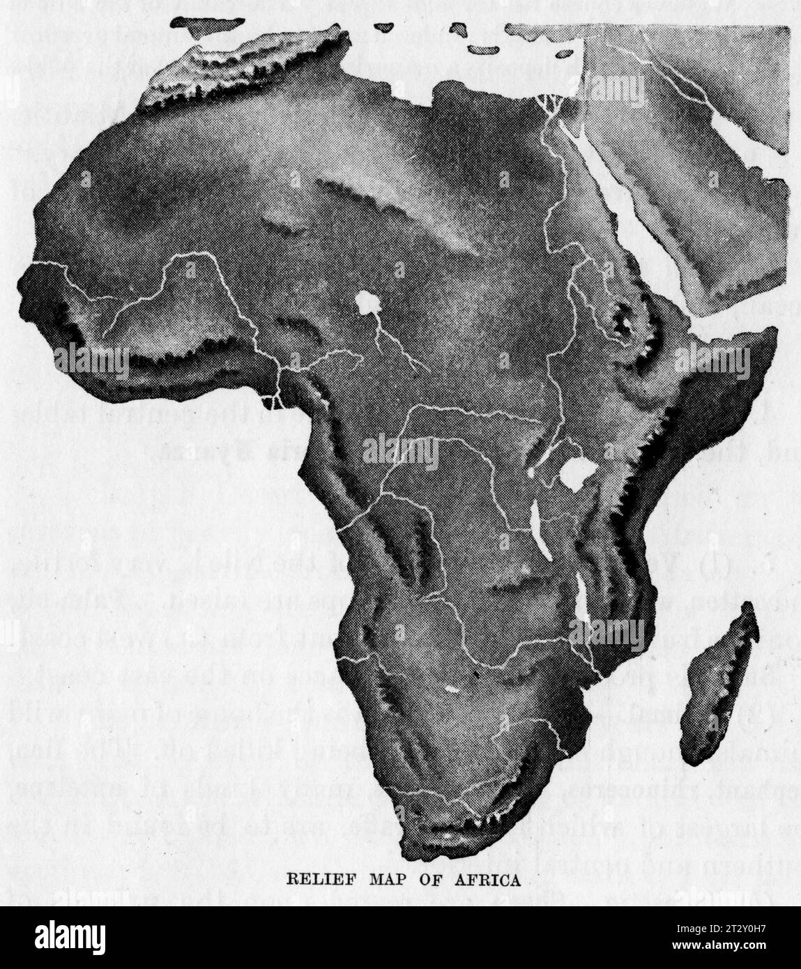 relief map of Africa circa 1910 from a school geography text book Stock Photohttps://www.alamy.com/image-license-details/?v=1https://www.alamy.com/relief-map-of-africa-circa-1910-from-a-school-geography-text-book-image569764643.html
RM2T2Y0H7–relief map of Africa circa 1910 from a school geography text book
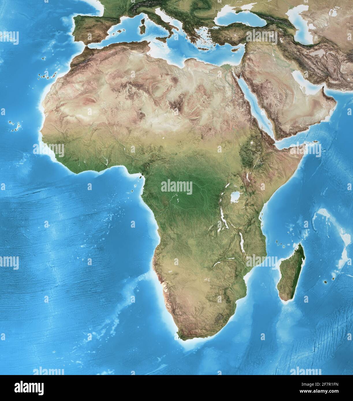 Physical map of Africa, with high resolution details. Flattened satellite view of Planet Earth and its geography - Elements furnished by NASA Stock Photohttps://www.alamy.com/image-license-details/?v=1https://www.alamy.com/physical-map-of-africa-with-high-resolution-details-flattened-satellite-view-of-planet-earth-and-its-geography-elements-furnished-by-nasa-image417857545.html
RF2F7R1FN–Physical map of Africa, with high resolution details. Flattened satellite view of Planet Earth and its geography - Elements furnished by NASA
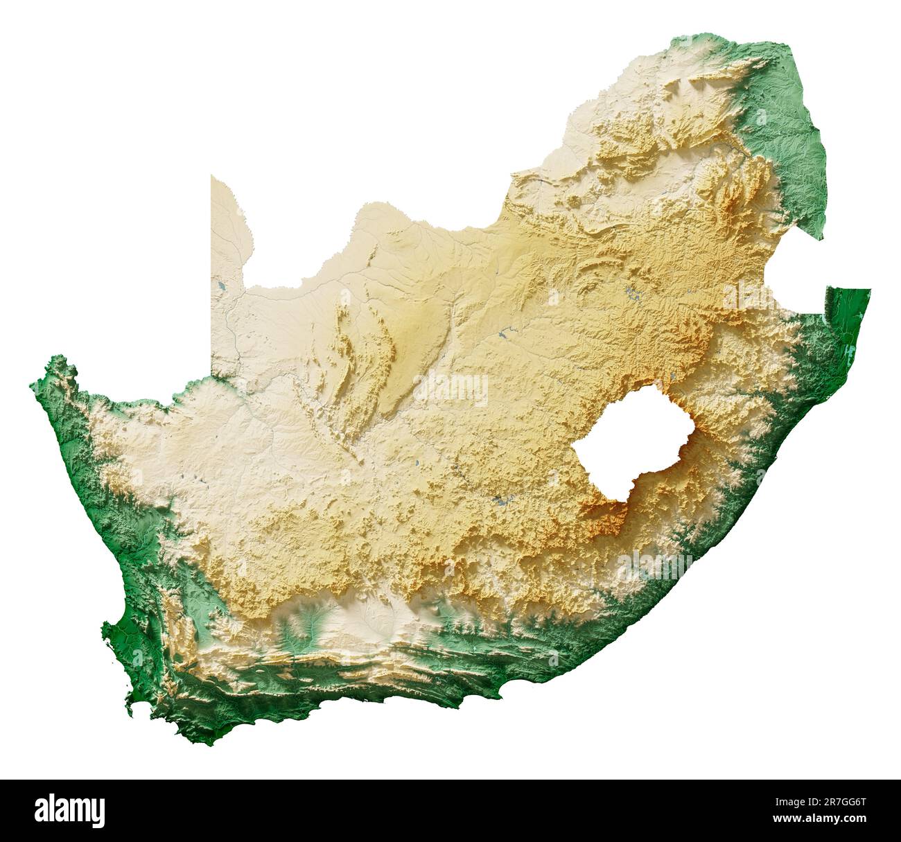 Detailed 3D rendering of a shaded relief map with rivers and lakes. Colored by elevation. White background. Created with satellite data. Stock Photohttps://www.alamy.com/image-license-details/?v=1https://www.alamy.com/detailed-3d-rendering-of-a-shaded-relief-map-with-rivers-and-lakes-colored-by-elevation-white-background-created-with-satellite-data-image555398336.html
RF2R7GG6T–Detailed 3D rendering of a shaded relief map with rivers and lakes. Colored by elevation. White background. Created with satellite data.
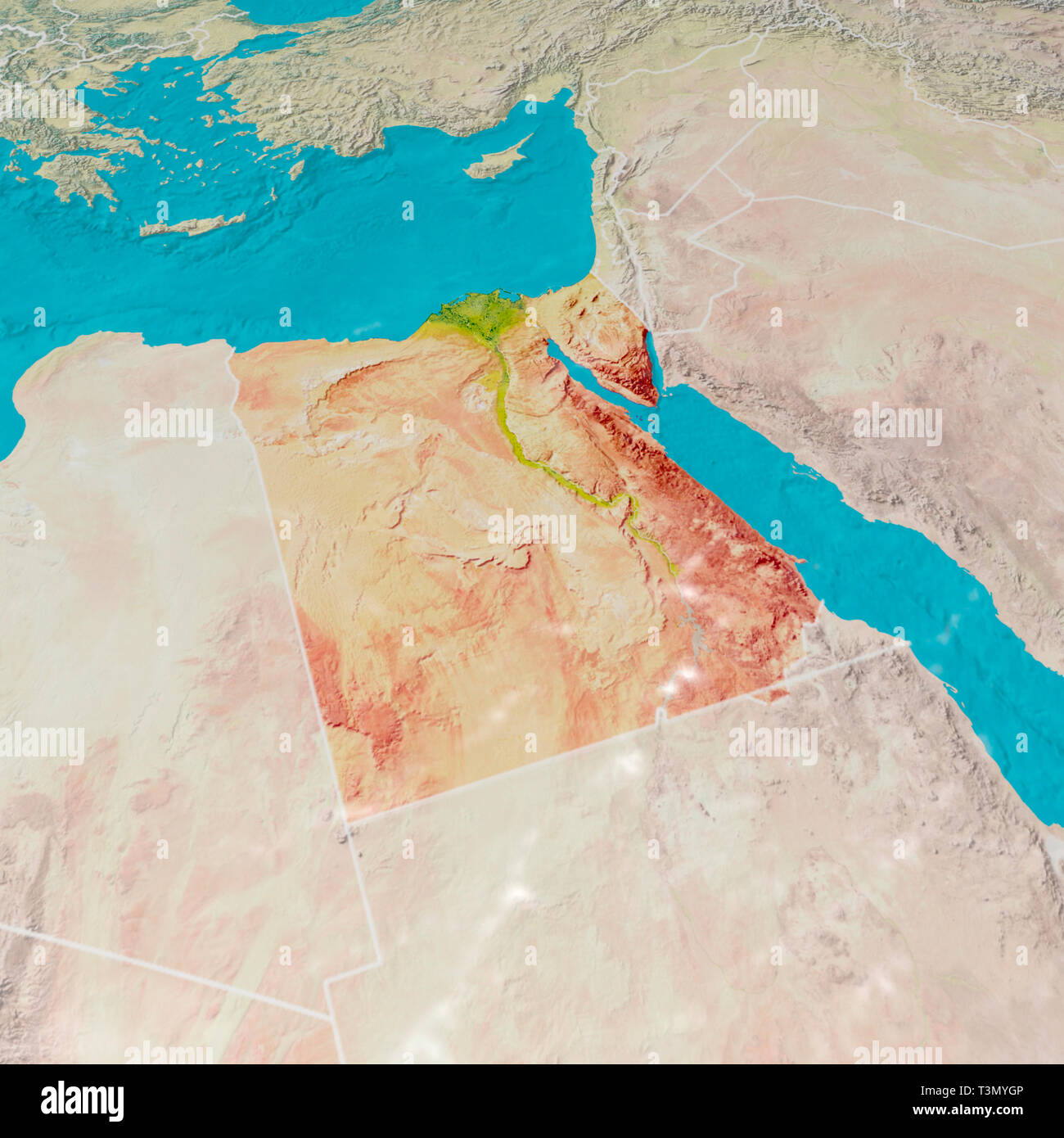 Physical map with reliefs of Egypt. 3d map of north Africa, Europe and Asia. 3d render Stock Photohttps://www.alamy.com/image-license-details/?v=1https://www.alamy.com/physical-map-with-reliefs-of-egypt-3d-map-of-north-africa-europe-and-asia-3d-render-image243249798.html
RFT3MYGP–Physical map with reliefs of Egypt. 3d map of north Africa, Europe and Asia. 3d render
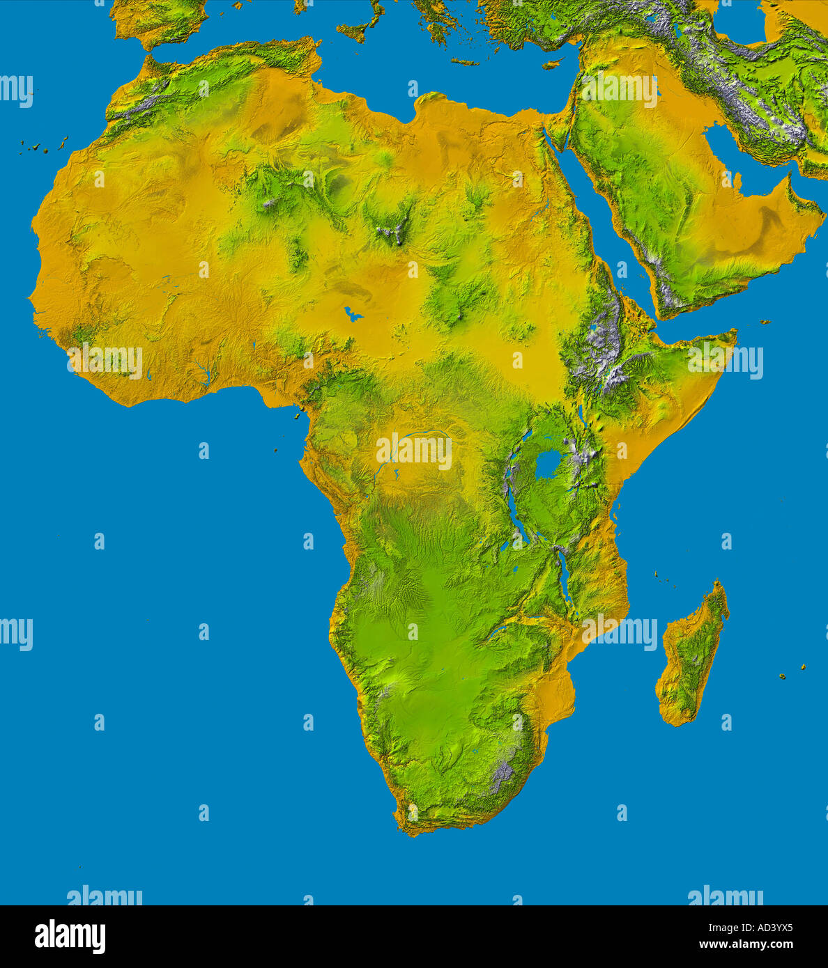 Color shaded relief image showing the elevation data for Africa. Stock Photohttps://www.alamy.com/image-license-details/?v=1https://www.alamy.com/color-shaded-relief-image-showing-the-elevation-data-for-africa-image7598052.html
RFAD3YX5–Color shaded relief image showing the elevation data for Africa.
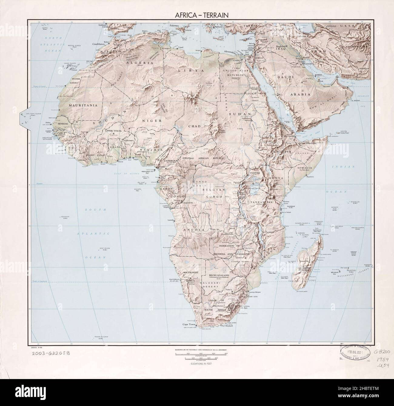 Relief map of Africa ca. 1959 Stock Photohttps://www.alamy.com/image-license-details/?v=1https://www.alamy.com/relief-map-of-africa-ca-1959-image454769300.html
RM2HBTETM–Relief map of Africa ca. 1959
 AFRICA: Relief, 1943 vintage map Stock Photohttps://www.alamy.com/image-license-details/?v=1https://www.alamy.com/stock-photo-africa-relief-1943-vintage-map-103813299.html
RFG0W2WR–AFRICA: Relief, 1943 vintage map
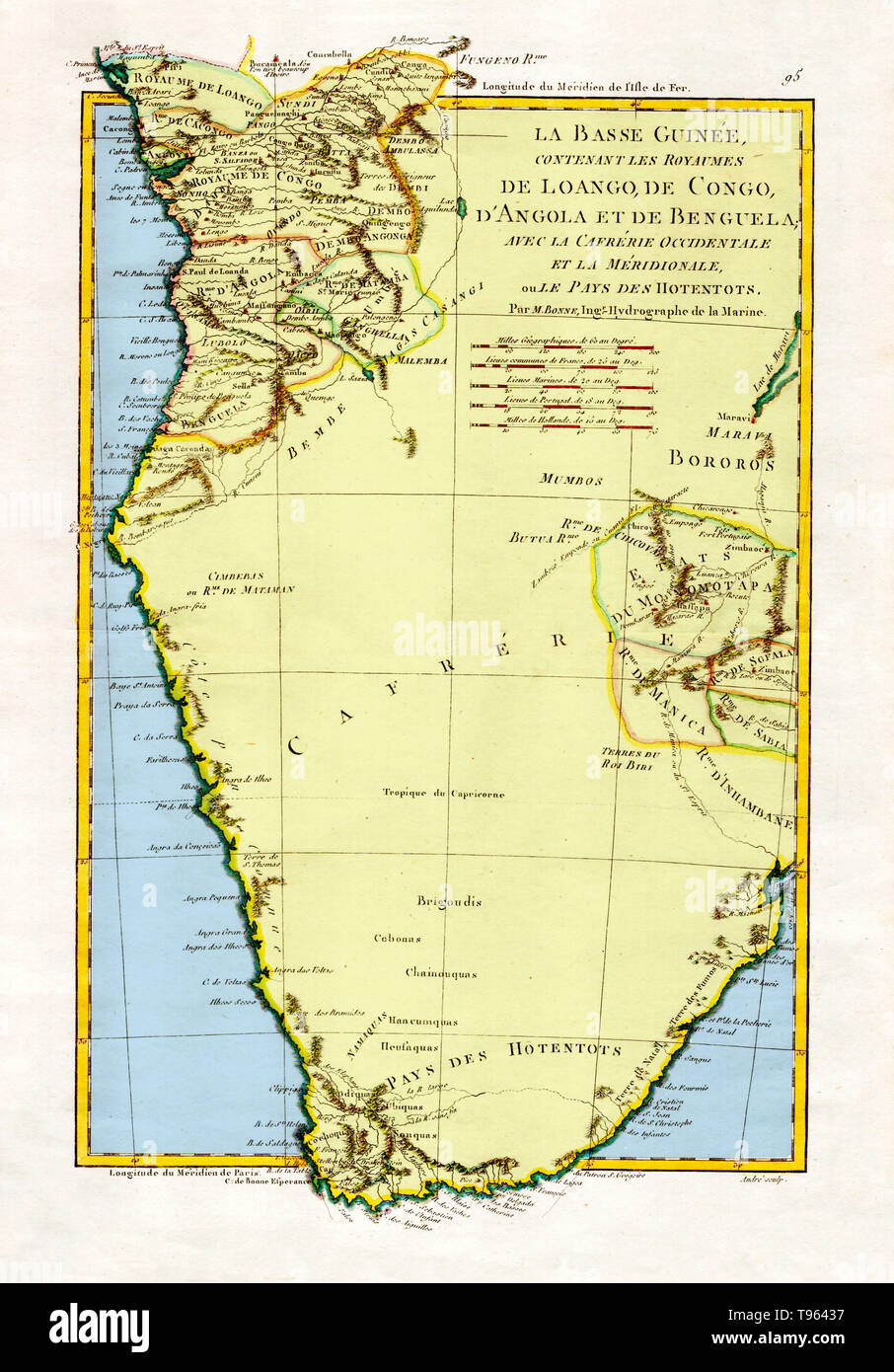 'The Kingdoms of Lower Guinea Including Loango, Congo, Angola, and Benguela with Kaffraria and the West Country of Meridionale or Hotentots,' 1788. A general map of Angola and the Congo, showing some relief information. Created by M. Bonne, Ingenieur-Hydrographe de la Marine. This image has been color enhanced. Stock Photohttps://www.alamy.com/image-license-details/?v=1https://www.alamy.com/the-kingdoms-of-lower-guinea-including-loango-congo-angola-and-benguela-with-kaffraria-and-the-west-country-of-meridionale-or-hotentots-1788-a-general-map-of-angola-and-the-congo-showing-some-relief-information-created-by-m-bonne-ingenieur-hydrographe-de-la-marine-this-image-has-been-color-enhanced-image246611995.html
RMT96437–'The Kingdoms of Lower Guinea Including Loango, Congo, Angola, and Benguela with Kaffraria and the West Country of Meridionale or Hotentots,' 1788. A general map of Angola and the Congo, showing some relief information. Created by M. Bonne, Ingenieur-Hydrographe de la Marine. This image has been color enhanced.
 A grayscale 3D illustration of the Central Africa map on a white background Stock Photohttps://www.alamy.com/image-license-details/?v=1https://www.alamy.com/a-grayscale-3d-illustration-of-the-central-africa-map-on-a-white-background-image479443713.html
RF2JT0F9N–A grayscale 3D illustration of the Central Africa map on a white background
 Relief map of Zambia with shaded relief. Stock Photohttps://www.alamy.com/image-license-details/?v=1https://www.alamy.com/stock-photo-relief-map-of-zambia-with-shaded-relief-112676347.html
RFGF8RR7–Relief map of Zambia with shaded relief.
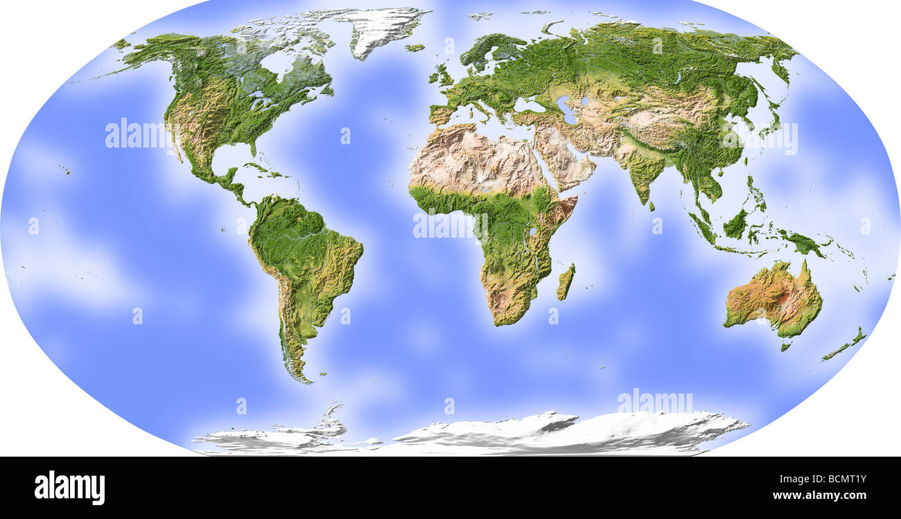 World map, shaded relief, centered on Africa Stock Photohttps://www.alamy.com/image-license-details/?v=1https://www.alamy.com/stock-photo-world-map-shaded-relief-centered-on-africa-25044151.html
RFBCMT1Y–World map, shaded relief, centered on Africa
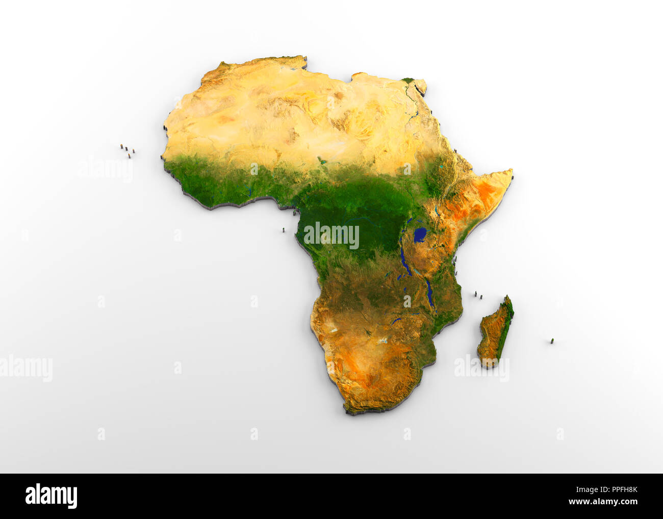 3D rendering of extruded high-resolution physical map (with relief) of the African continent, isolated on white background Stock Photohttps://www.alamy.com/image-license-details/?v=1https://www.alamy.com/3d-rendering-of-extruded-high-resolution-physical-map-with-relief-of-the-african-continent-isolated-on-white-background-image220389699.html
RFPPFH8K–3D rendering of extruded high-resolution physical map (with relief) of the African continent, isolated on white background
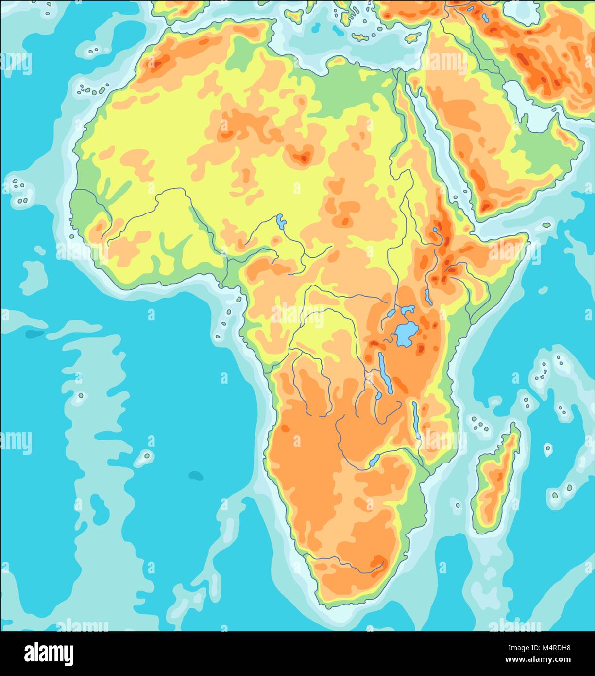 Physical Africa Map Stock Vectorhttps://www.alamy.com/image-license-details/?v=1https://www.alamy.com/stock-photo-physical-africa-map-175077876.html
RFM4RDH8–Physical Africa Map
 South Africa, Relief Map with Border and Mask Stock Photohttps://www.alamy.com/image-license-details/?v=1https://www.alamy.com/stock-photo-south-africa-relief-map-with-border-and-mask-71601916.html
RME4DMY8–South Africa, Relief Map with Border and Mask
 Outline map of Africa continent in green isolated on white background Stock Photohttps://www.alamy.com/image-license-details/?v=1https://www.alamy.com/stock-photo-outline-map-of-africa-continent-in-green-isolated-on-white-background-21708163.html
RMB78TYF–Outline map of Africa continent in green isolated on white background
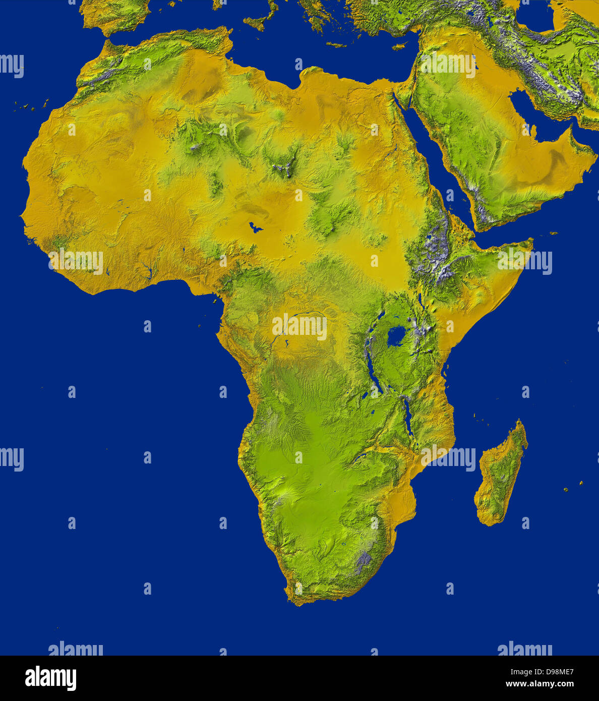 shaded relief image shows the extent of digital elevation data for Africa recently released by the Shuttle Radar Topography Stock Photohttps://www.alamy.com/image-license-details/?v=1https://www.alamy.com/stock-photo-shaded-relief-image-shows-the-extent-of-digital-elevation-data-for-57354703.html
RMD98ME7–shaded relief image shows the extent of digital elevation data for Africa recently released by the Shuttle Radar Topography
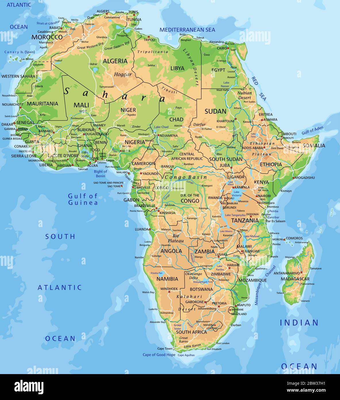 High detailed Africa physical map with labeling. Stock Vectorhttps://www.alamy.com/image-license-details/?v=1https://www.alamy.com/high-detailed-africa-physical-map-with-labeling-image359645581.html
RF2BW37H1–High detailed Africa physical map with labeling.
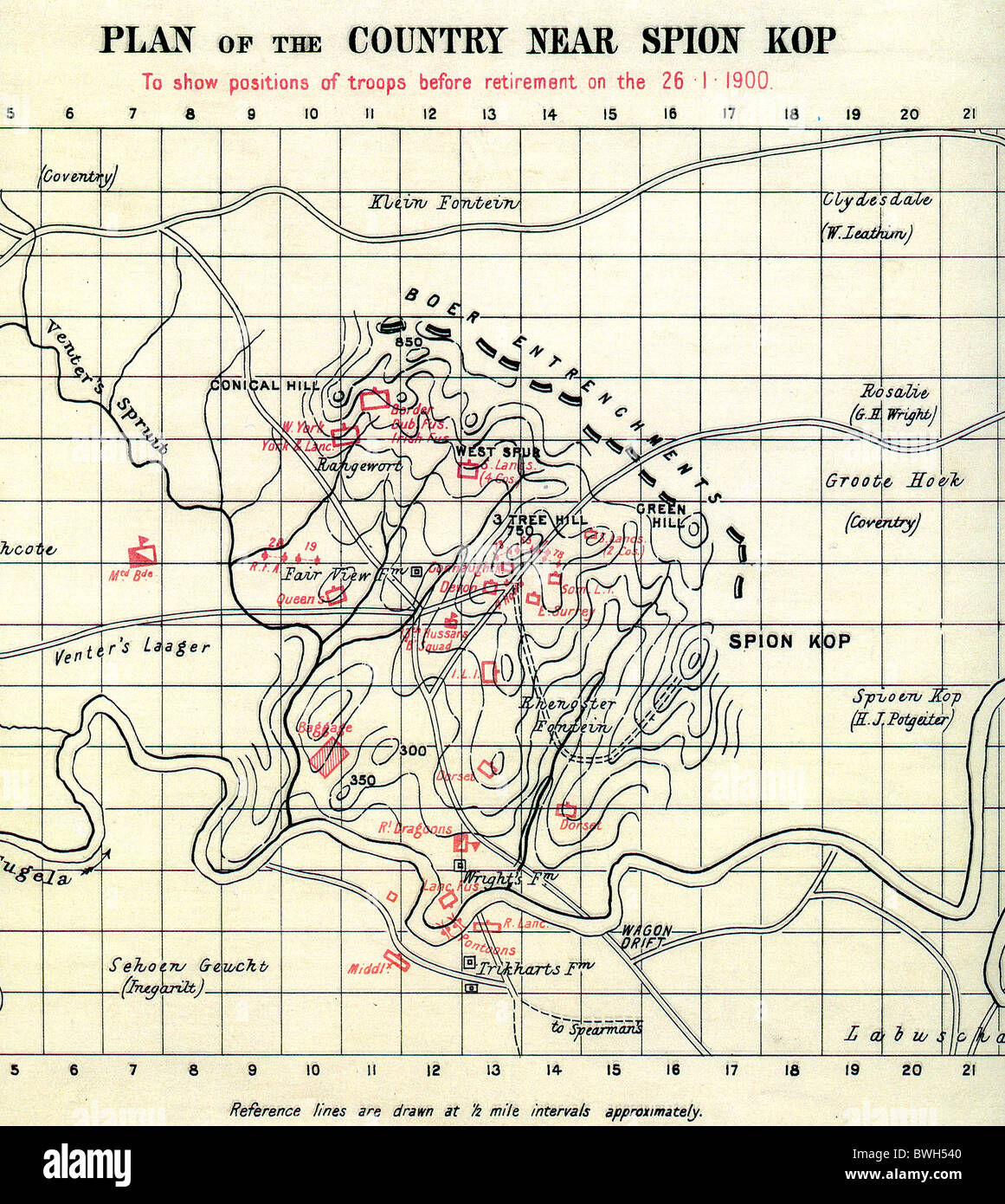 SPION COP, South Africa. British War office map showing positions of British troops in red and Boers in black on 26 January 1900 Stock Photohttps://www.alamy.com/image-license-details/?v=1https://www.alamy.com/stock-photo-spion-cop-south-africa-british-war-office-map-showing-positions-of-32953984.html
RMBWH540–SPION COP, South Africa. British War office map showing positions of British troops in red and Boers in black on 26 January 1900
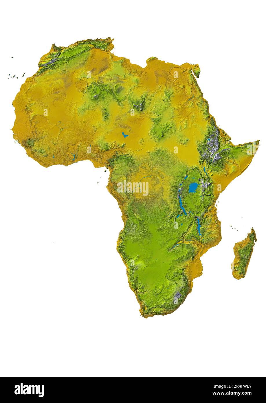 The physical map of Africa reveals varied relief, including plains, plains, rainforests and major rivers Stock Photohttps://www.alamy.com/image-license-details/?v=1https://www.alamy.com/the-physical-map-of-africa-reveals-varied-relief-including-plains-plains-rainforests-and-major-rivers-image553539699.html
RF2R4FWEY–The physical map of Africa reveals varied relief, including plains, plains, rainforests and major rivers
 Map Africa Stock Photohttps://www.alamy.com/image-license-details/?v=1https://www.alamy.com/stock-photo-map-africa-22385474.html
RMB8BMW6–Map Africa
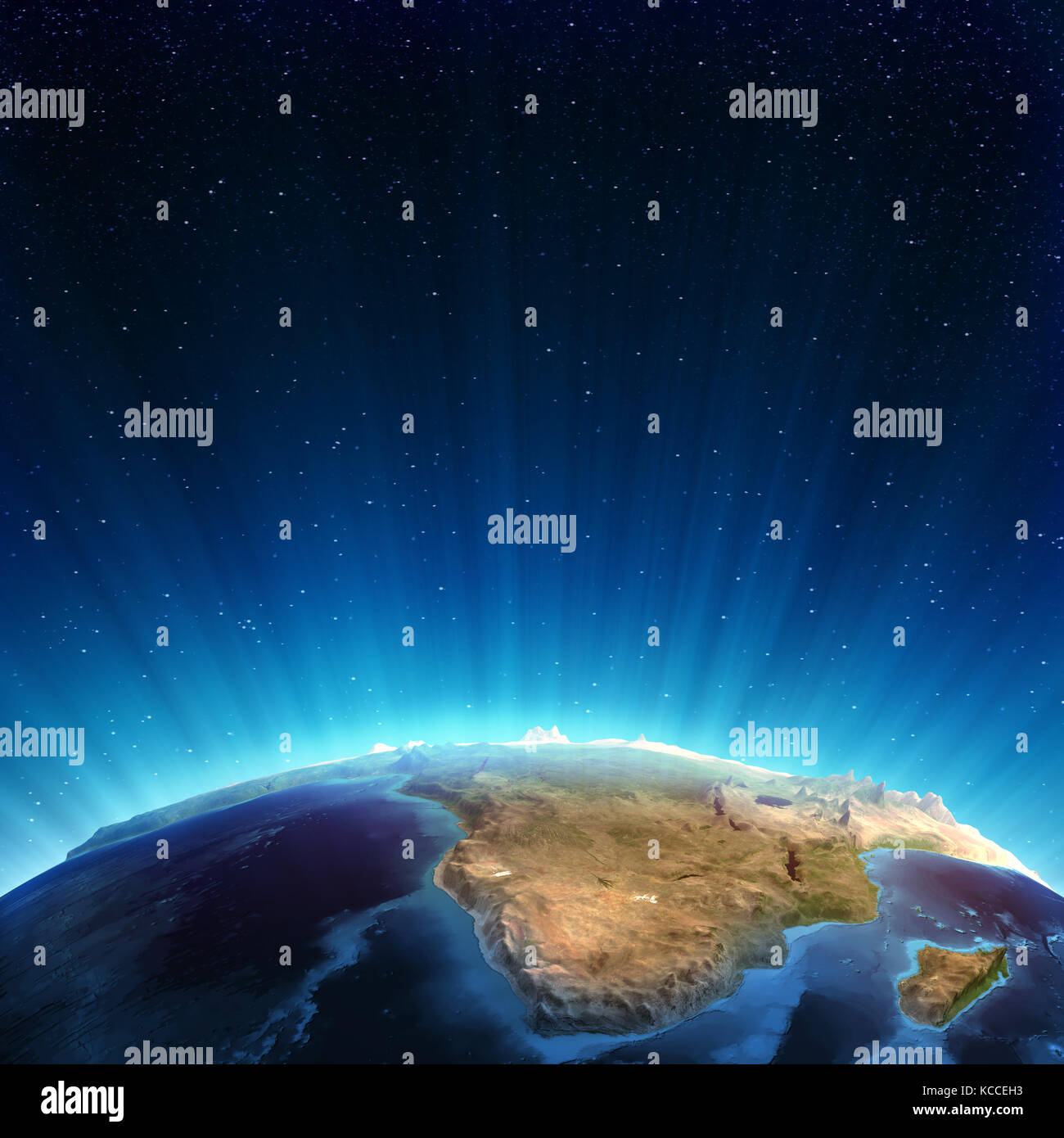 South africa real relief 3d rendering Stock Photohttps://www.alamy.com/image-license-details/?v=1https://www.alamy.com/stock-image-south-africa-real-relief-3d-rendering-162544063.html
RFKCCEH3–South africa real relief 3d rendering
 sketch map of south africa The Republic of South Africa, also known by other official names, is a country located at the souther Stock Photohttps://www.alamy.com/image-license-details/?v=1https://www.alamy.com/stock-photo-sketch-map-of-south-africa-the-republic-of-south-africa-also-known-22672572.html
RMB8TR2M–sketch map of south africa The Republic of South Africa, also known by other official names, is a country located at the souther
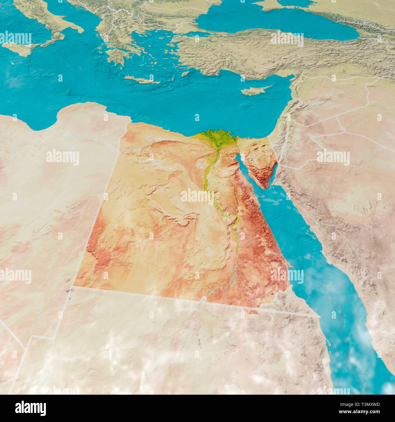 Physical map with reliefs of Egypt. 3d map of north Africa, Europe and Asia. 3d render Stock Photohttps://www.alamy.com/image-license-details/?v=1https://www.alamy.com/physical-map-with-reliefs-of-egypt-3d-map-of-north-africa-europe-and-asia-3d-render-image243249257.html
RFT3MXWD–Physical map with reliefs of Egypt. 3d map of north Africa, Europe and Asia. 3d render
 Team of doctors with world map plan relief action in Africa Stock Photohttps://www.alamy.com/image-license-details/?v=1https://www.alamy.com/stock-image-team-of-doctors-with-world-map-plan-relief-action-in-africa-163446790.html
RFKDWJ1A–Team of doctors with world map plan relief action in Africa
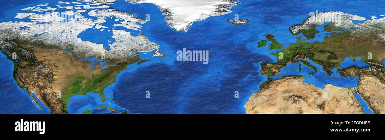 Physical map of North America, Western Europe and North Africa. Detailed flat view of the Planet Earth. 3D illustration - Elements furnished by NASA Stock Photohttps://www.alamy.com/image-license-details/?v=1https://www.alamy.com/physical-map-of-north-america-western-europe-and-north-africa-detailed-flat-view-of-the-planet-earth-3d-illustration-elements-furnished-by-nasa-image405971983.html
RF2EGDHBB–Physical map of North America, Western Europe and North Africa. Detailed flat view of the Planet Earth. 3D illustration - Elements furnished by NASA
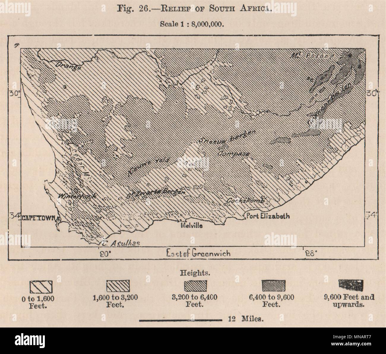 Relief of South Africa 1885 old antique vintage map plan chart Stock Photohttps://www.alamy.com/image-license-details/?v=1https://www.alamy.com/relief-of-south-africa-1885-old-antique-vintage-map-plan-chart-image185249687.html
RFMNART7–Relief of South Africa 1885 old antique vintage map plan chart
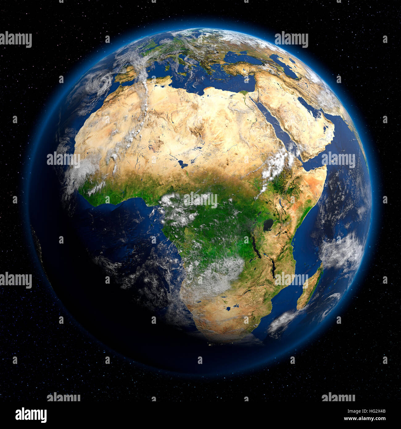 Earth viewed from space showing Africa. Realistic digital illustration including relief map hill shading of terrain. Please credit Nasa. Stock Photohttps://www.alamy.com/image-license-details/?v=1https://www.alamy.com/stock-photo-earth-viewed-from-space-showing-africa-realistic-digital-illustration-130371483.html
RMHG2X4B–Earth viewed from space showing Africa. Realistic digital illustration including relief map hill shading of terrain. Please credit Nasa.
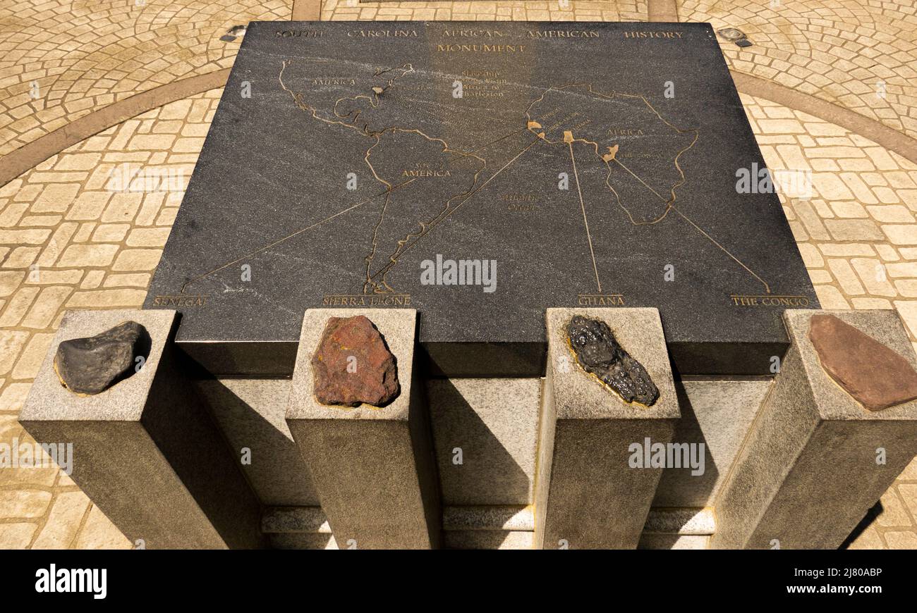 African American History Monument at the State House in Columbia South Carolina Stock Photohttps://www.alamy.com/image-license-details/?v=1https://www.alamy.com/african-american-history-monument-at-the-state-house-in-columbia-south-carolina-image469605354.html
RM2J80ABP–African American History Monument at the State House in Columbia South Carolina
 Relief map of Swaziland with shaded relief. Stock Photohttps://www.alamy.com/image-license-details/?v=1https://www.alamy.com/stock-photo-relief-map-of-swaziland-with-shaded-relief-112676282.html
RFGF8RMX–Relief map of Swaziland with shaded relief.
 Ethiopia, shaded relief map. Stock Photohttps://www.alamy.com/image-license-details/?v=1https://www.alamy.com/stock-photo-ethiopia-shaded-relief-map-25370500.html
RFBD7M98–Ethiopia, shaded relief map.
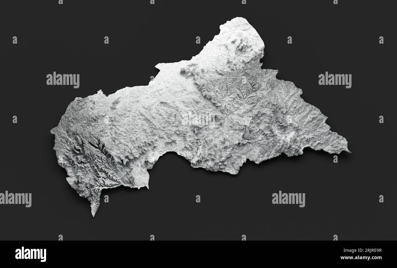 An illustration of the Central African relief map on a dark background Stock Photohttps://www.alamy.com/image-license-details/?v=1https://www.alamy.com/an-illustration-of-the-central-african-relief-map-on-a-dark-background-image562311731.html
RF2RJRE9R–An illustration of the Central African relief map on a dark background
 Balloon Map illustrating the Battle of Pieters and Relief of Ladysmith . from the book ' South Africa and the Transvaal war ' by Louis Creswicke, Publisher; Edinburgh : T. C. & E. C. Jack 1900 Stock Photohttps://www.alamy.com/image-license-details/?v=1https://www.alamy.com/balloon-map-illustrating-the-battle-of-pieters-and-relief-of-ladysmith-from-the-book-south-africa-and-the-transvaal-war-by-louis-creswicke-publisher-edinburgh-t-c-e-c-jack-1900-image465304317.html
RF2J10CB9–Balloon Map illustrating the Battle of Pieters and Relief of Ladysmith . from the book ' South Africa and the Transvaal war ' by Louis Creswicke, Publisher; Edinburgh : T. C. & E. C. Jack 1900
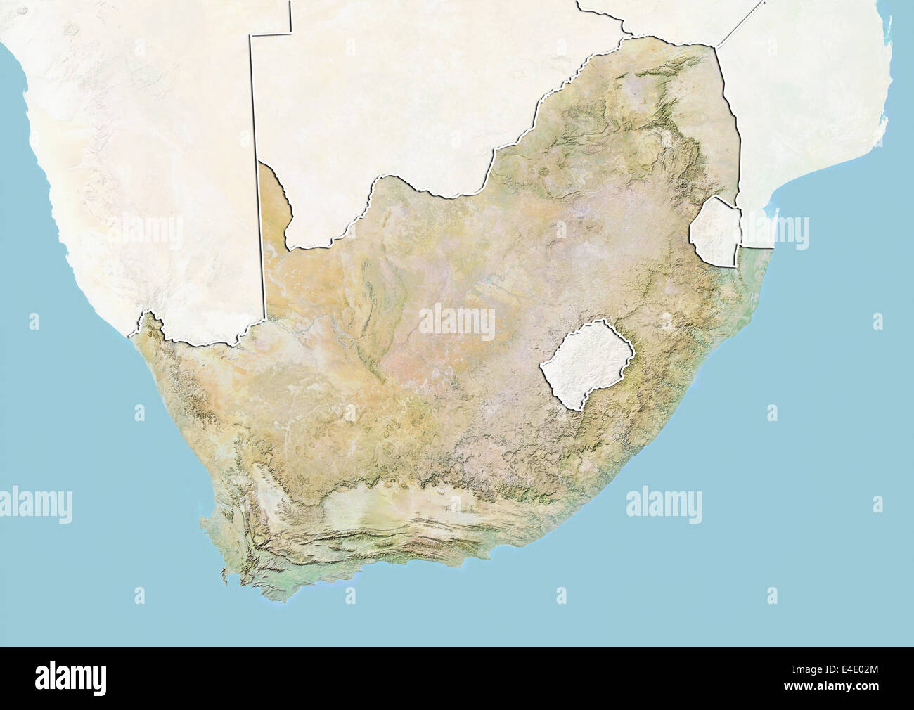 South Africa, Relief Map with Border and Mask Stock Photohttps://www.alamy.com/image-license-details/?v=1https://www.alamy.com/stock-photo-south-africa-relief-map-with-border-and-mask-71607500.html
RME4E02M–South Africa, Relief Map with Border and Mask
 Outline map of Africa continent in green isolated on blue background Stock Photohttps://www.alamy.com/image-license-details/?v=1https://www.alamy.com/stock-photo-outline-map-of-africa-continent-in-green-isolated-on-blue-background-21708503.html
RMB78WBK–Outline map of Africa continent in green isolated on blue background
 Little girl with world map painted on her face on white isolated background Stock Photohttps://www.alamy.com/image-license-details/?v=1https://www.alamy.com/little-girl-with-world-map-painted-on-her-face-on-white-isolated-background-image416144416.html
RF2F510CG–Little girl with world map painted on her face on white isolated background
 Three dimesnional map of South Africa, isolated on white background. Stock Photohttps://www.alamy.com/image-license-details/?v=1https://www.alamy.com/stock-photo-three-dimesnional-map-of-south-africa-isolated-on-white-background-25874423.html
RMBE2K2F–Three dimesnional map of South Africa, isolated on white background.
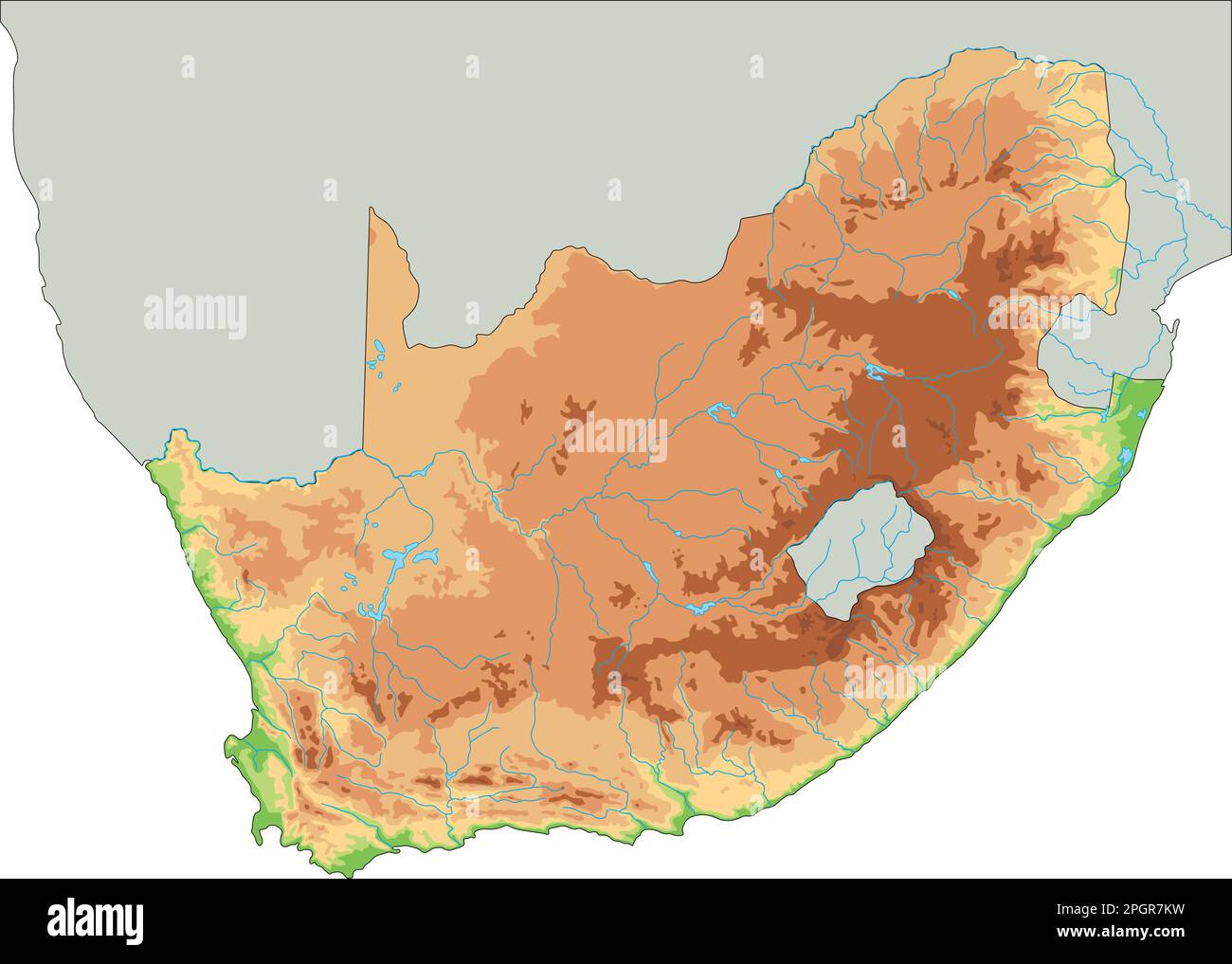 High detailed South Africa physical map. Stock Vectorhttps://www.alamy.com/image-license-details/?v=1https://www.alamy.com/high-detailed-south-africa-physical-map-image543866845.html
RF2PGR7KW–High detailed South Africa physical map.
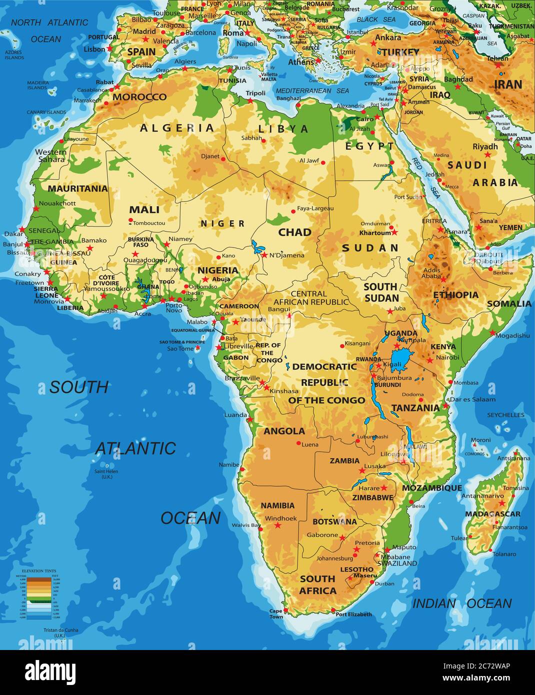 Highly detailed physical map of Africa,in vector format,with all the relief forms,countries and big cities. Stock Vectorhttps://www.alamy.com/image-license-details/?v=1https://www.alamy.com/highly-detailed-physical-map-of-africain-vector-formatwith-all-the-relief-formscountries-and-big-cities-image365784126.html
RF2C72WAP–Highly detailed physical map of Africa,in vector format,with all the relief forms,countries and big cities.
 Map Northern Africa Stock Photohttps://www.alamy.com/image-license-details/?v=1https://www.alamy.com/stock-photo-map-northern-africa-22385483.html
RMB8BMWF–Map Northern Africa
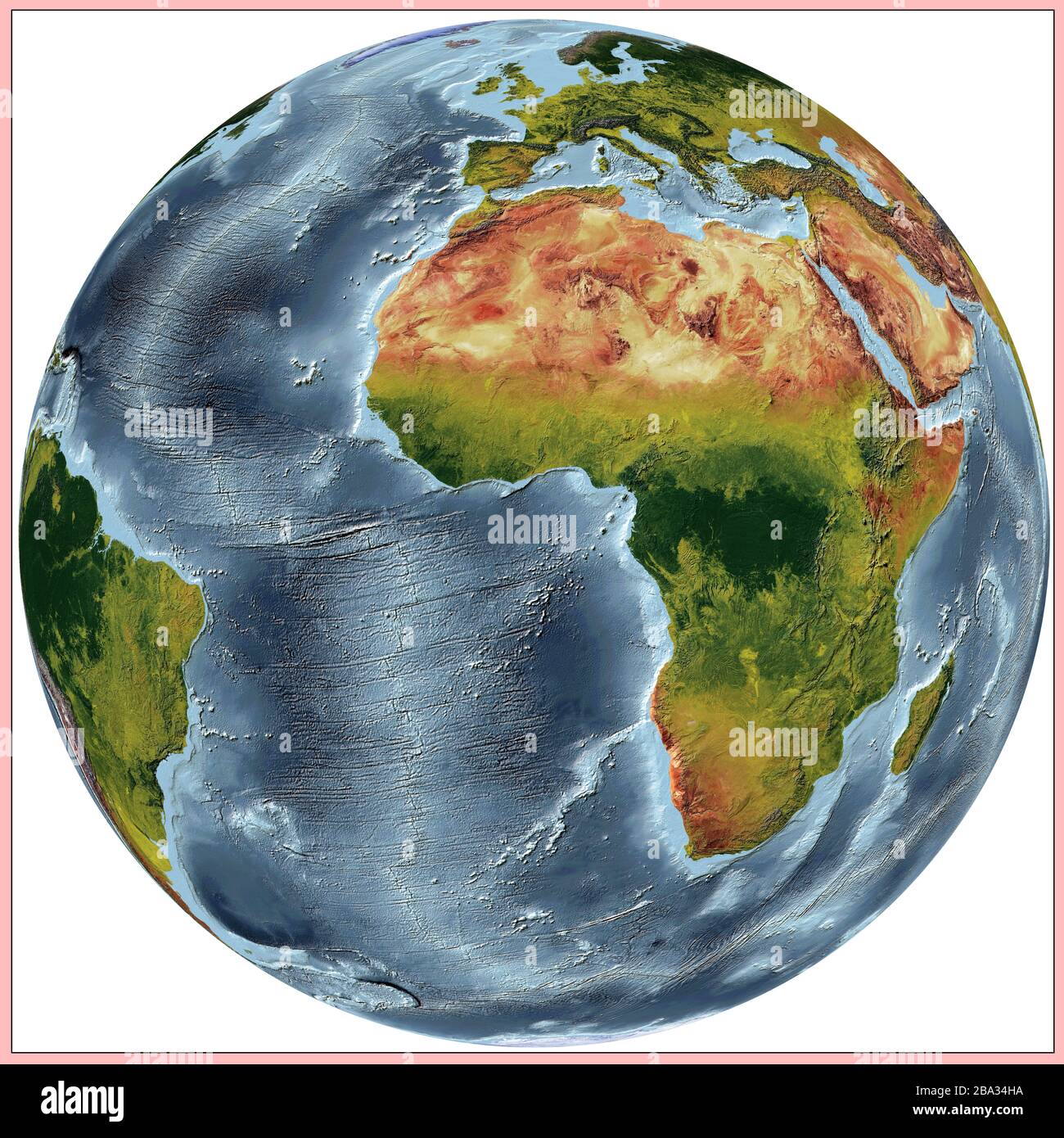 World relief map of continents and oceans. The colors shows the vegetations of the continents and countries. Projection: Vertical Perspective Stock Photohttps://www.alamy.com/image-license-details/?v=1https://www.alamy.com/world-relief-map-of-continents-and-oceans-the-colors-shows-the-vegetations-of-the-continents-and-countries-projection-vertical-perspective-image350423398.html
RF2BA34HA–World relief map of continents and oceans. The colors shows the vegetations of the continents and countries. Projection: Vertical Perspective
 Map of Africa. Relief shown by shading. ca. 2002 Stock Photohttps://www.alamy.com/image-license-details/?v=1https://www.alamy.com/map-of-africa-relief-shown-by-shading-ca-2002-image454766937.html
RM2HBTBT9–Map of Africa. Relief shown by shading. ca. 2002
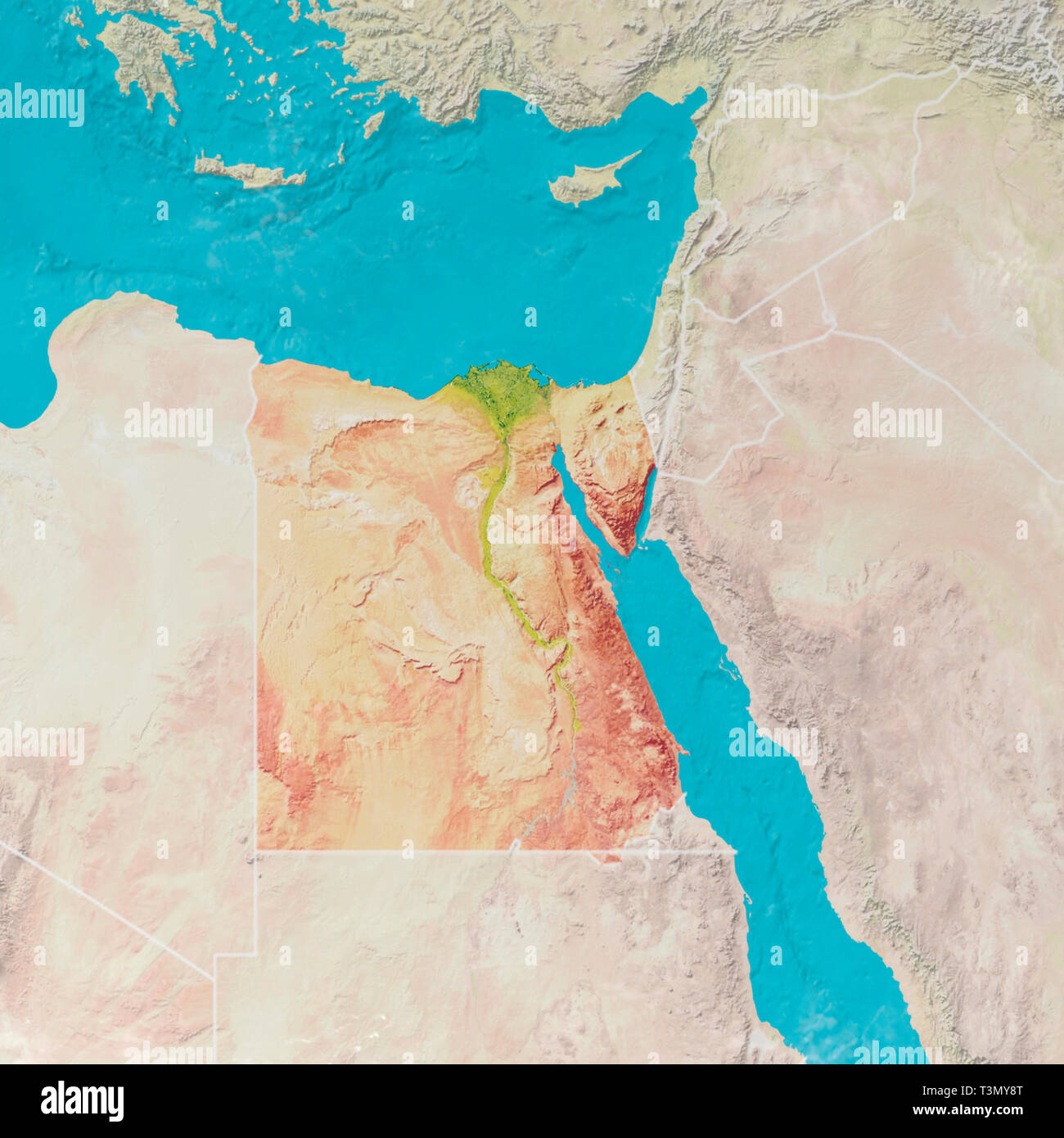 Physical map with reliefs of Egypt. 3d map of north Africa, Europe and Asia. 3d render Stock Photohttps://www.alamy.com/image-license-details/?v=1https://www.alamy.com/physical-map-with-reliefs-of-egypt-3d-map-of-north-africa-europe-and-asia-3d-render-image243249576.html
RFT3MY8T–Physical map with reliefs of Egypt. 3d map of north Africa, Europe and Asia. 3d render
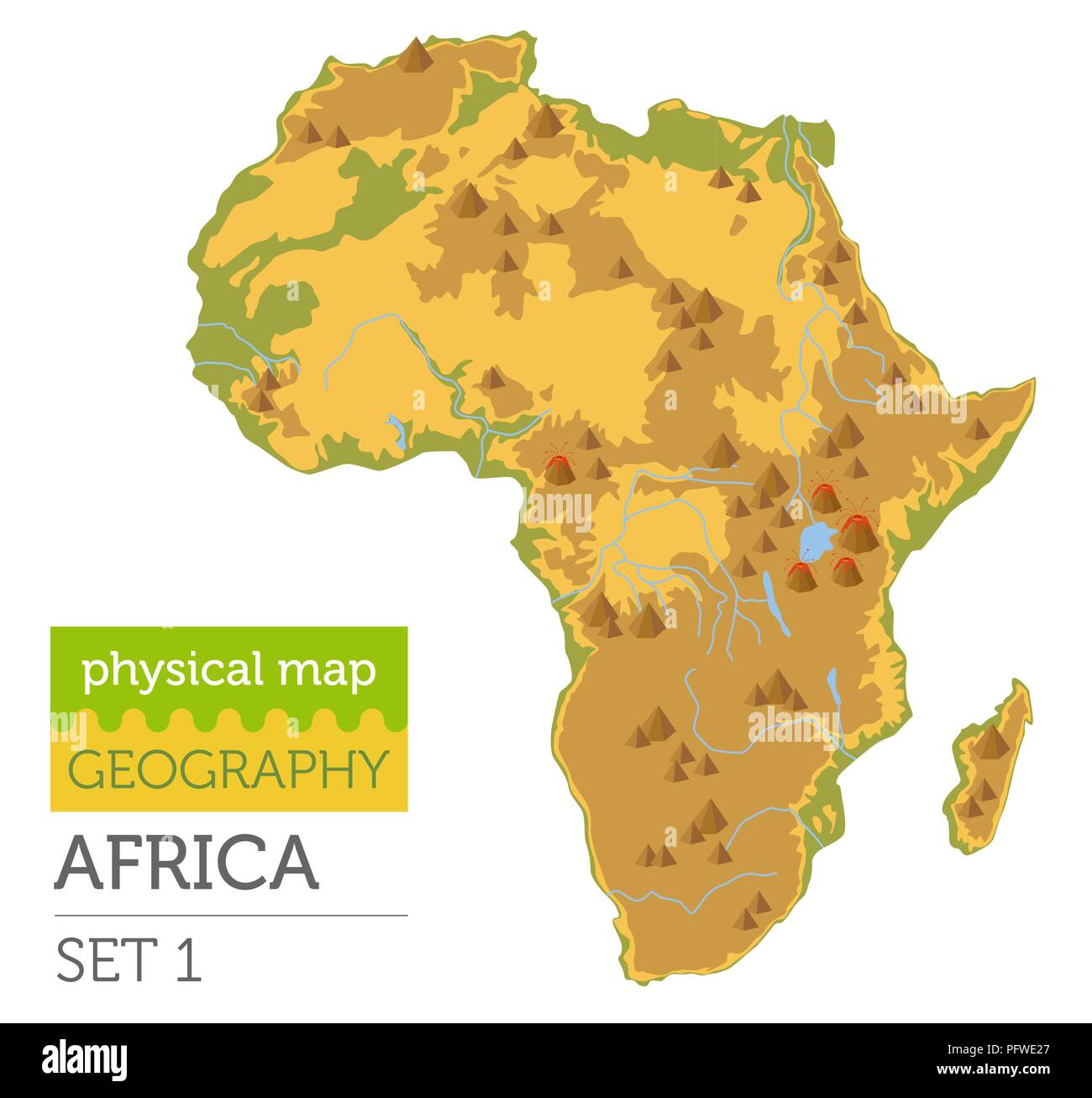 Flat Africa physical map constructor elements isolated on white. Build your own geography infographics collection. Vector illustration Stock Vectorhttps://www.alamy.com/image-license-details/?v=1https://www.alamy.com/flat-africa-physical-map-constructor-elements-isolated-on-white-build-your-own-geography-infographics-collection-vector-illustration-image216304095.html
RFPFWE27–Flat Africa physical map constructor elements isolated on white. Build your own geography infographics collection. Vector illustration
 world map relief or shape on metal plate Stock Photohttps://www.alamy.com/image-license-details/?v=1https://www.alamy.com/stock-photo-world-map-relief-or-shape-on-metal-plate-50481205.html
RFCX3H85–world map relief or shape on metal plate
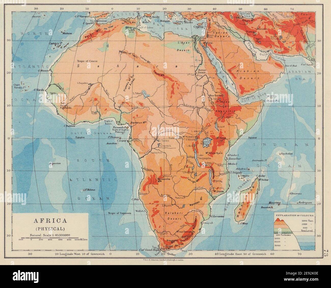 AFRICA PHYSICAL. Relief ocean depths rivers. JOHNSTON 1910 old antique map Stock Photohttps://www.alamy.com/image-license-details/?v=1https://www.alamy.com/africa-physical-relief-ocean-depths-rivers-johnston-1910-old-antique-map-image401429182.html
RF2E92K0E–AFRICA PHYSICAL. Relief ocean depths rivers. JOHNSTON 1910 old antique map
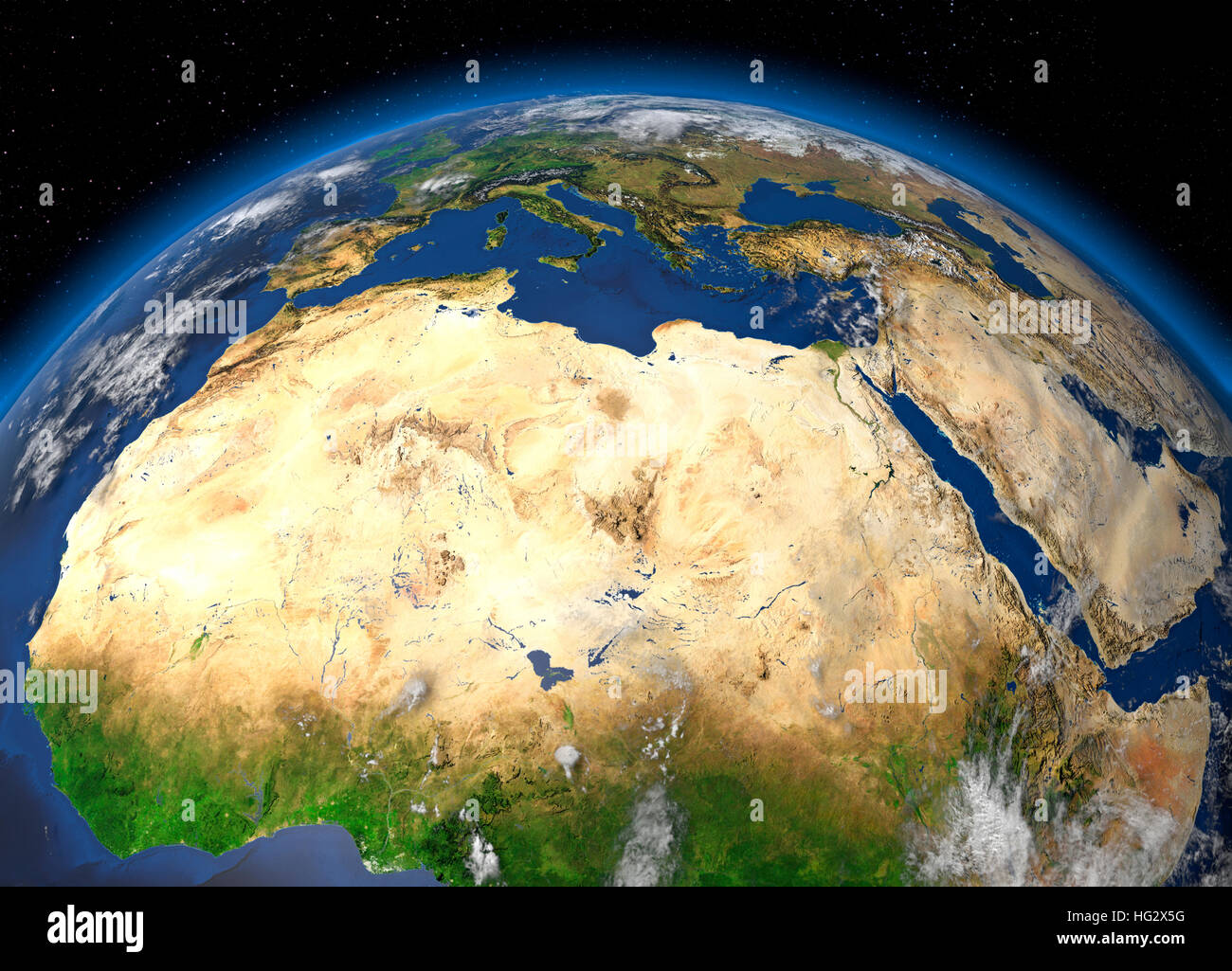 Earth viewed from space showing the Sahara Desert and North Africa. Realistic digital illustration including relief map hill shading of terrain. Pleas Stock Photohttps://www.alamy.com/image-license-details/?v=1https://www.alamy.com/stock-photo-earth-viewed-from-space-showing-the-sahara-desert-and-north-africa-130371516.html
RMHG2X5G–Earth viewed from space showing the Sahara Desert and North Africa. Realistic digital illustration including relief map hill shading of terrain. Pleas
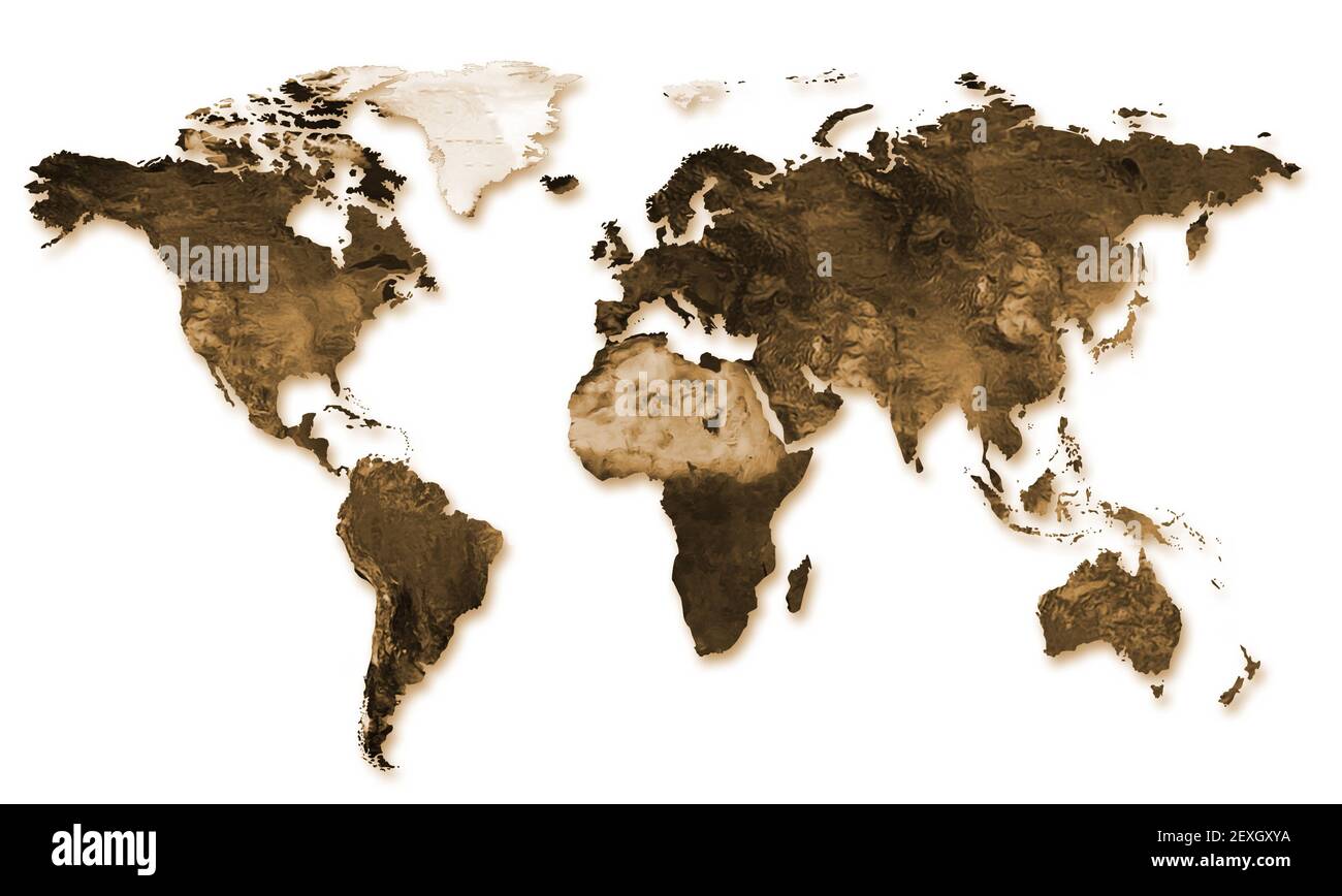 World map in relief Stock Photohttps://www.alamy.com/image-license-details/?v=1https://www.alamy.com/world-map-in-relief-image412191902.html
RF2EXGXYA–World map in relief
 Relief map of Botswana with shaded relief. Stock Photohttps://www.alamy.com/image-license-details/?v=1https://www.alamy.com/stock-photo-relief-map-of-botswana-with-shaded-relief-112605769.html
RFGF5HPH–Relief map of Botswana with shaded relief.
 Madagascar, shaded relief map. Stock Photohttps://www.alamy.com/image-license-details/?v=1https://www.alamy.com/stock-photo-madagascar-shaded-relief-map-24192662.html
RFBBA1YJ–Madagascar, shaded relief map.
 An illustration of the Central African Map isolated on a white background Stock Photohttps://www.alamy.com/image-license-details/?v=1https://www.alamy.com/an-illustration-of-the-central-african-map-isolated-on-a-white-background-image478663221.html
RF2JPMYR1–An illustration of the Central African Map isolated on a white background
 Night planet Earth with precise detailed relief and city lights illuminated by moonlight. South Africa. Elements of this image furnished by NASA Stock Photohttps://www.alamy.com/image-license-details/?v=1https://www.alamy.com/night-planet-earth-with-precise-detailed-relief-and-city-lights-illuminated-by-moonlight-south-africa-elements-of-this-image-furnished-by-nasa-image626172294.html
RM2YAMH46–Night planet Earth with precise detailed relief and city lights illuminated by moonlight. South Africa. Elements of this image furnished by NASA
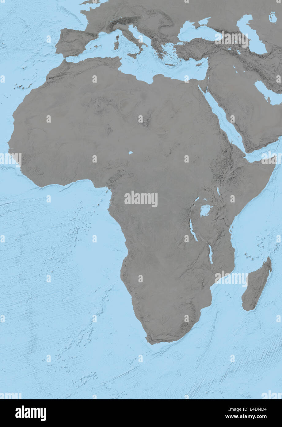 Africa, Relief Map Stock Photohttps://www.alamy.com/image-license-details/?v=1https://www.alamy.com/stock-photo-africa-relief-map-71602304.html
RME4DND4–Africa, Relief Map
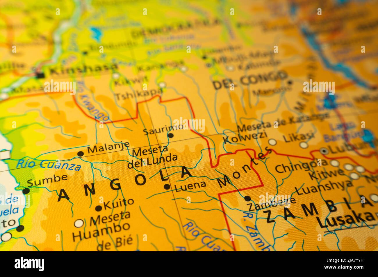 Orographic map of the area of Angola, Zambia and Congo in central Africa. With references in Spanish. Concept of cartography, travel, tourism, geograp Stock Photohttps://www.alamy.com/image-license-details/?v=1https://www.alamy.com/orographic-map-of-the-area-of-angola-zambia-and-congo-in-central-africa-with-references-in-spanish-concept-of-cartography-travel-tourism-geograp-image471002101.html
RF2JA7YYH–Orographic map of the area of Angola, Zambia and Congo in central Africa. With references in Spanish. Concept of cartography, travel, tourism, geograp
 Little girl with world map painted on her face on white isolated background in close-up Stock Photohttps://www.alamy.com/image-license-details/?v=1https://www.alamy.com/little-girl-with-world-map-painted-on-her-face-on-white-isolated-background-in-close-up-image416144247.html
RF2F5106F–Little girl with world map painted on her face on white isolated background in close-up
 Outline map of South Africa with the national flag superimposed over the country. 3D graphics casting a shadow on the white background Stock Photohttps://www.alamy.com/image-license-details/?v=1https://www.alamy.com/outline-map-of-south-africa-with-the-national-flag-superimposed-over-the-country-3d-graphics-casting-a-shadow-on-the-white-background-image433285497.html
RF2G4WT21–Outline map of South Africa with the national flag superimposed over the country. 3D graphics casting a shadow on the white background
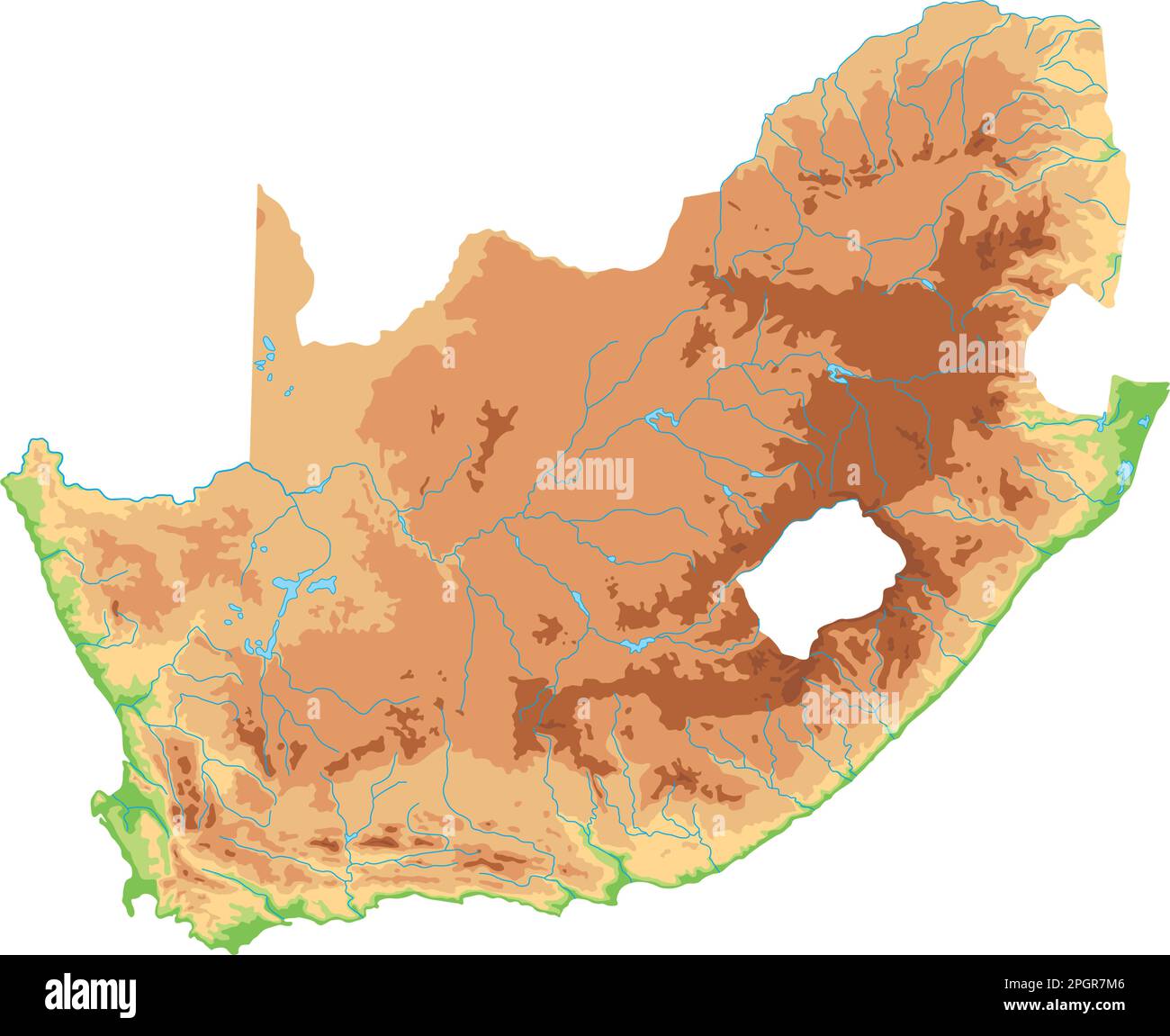 High detailed South Africa physical map. Stock Vectorhttps://www.alamy.com/image-license-details/?v=1https://www.alamy.com/high-detailed-south-africa-physical-map-image543866854.html
RF2PGR7M6–High detailed South Africa physical map.
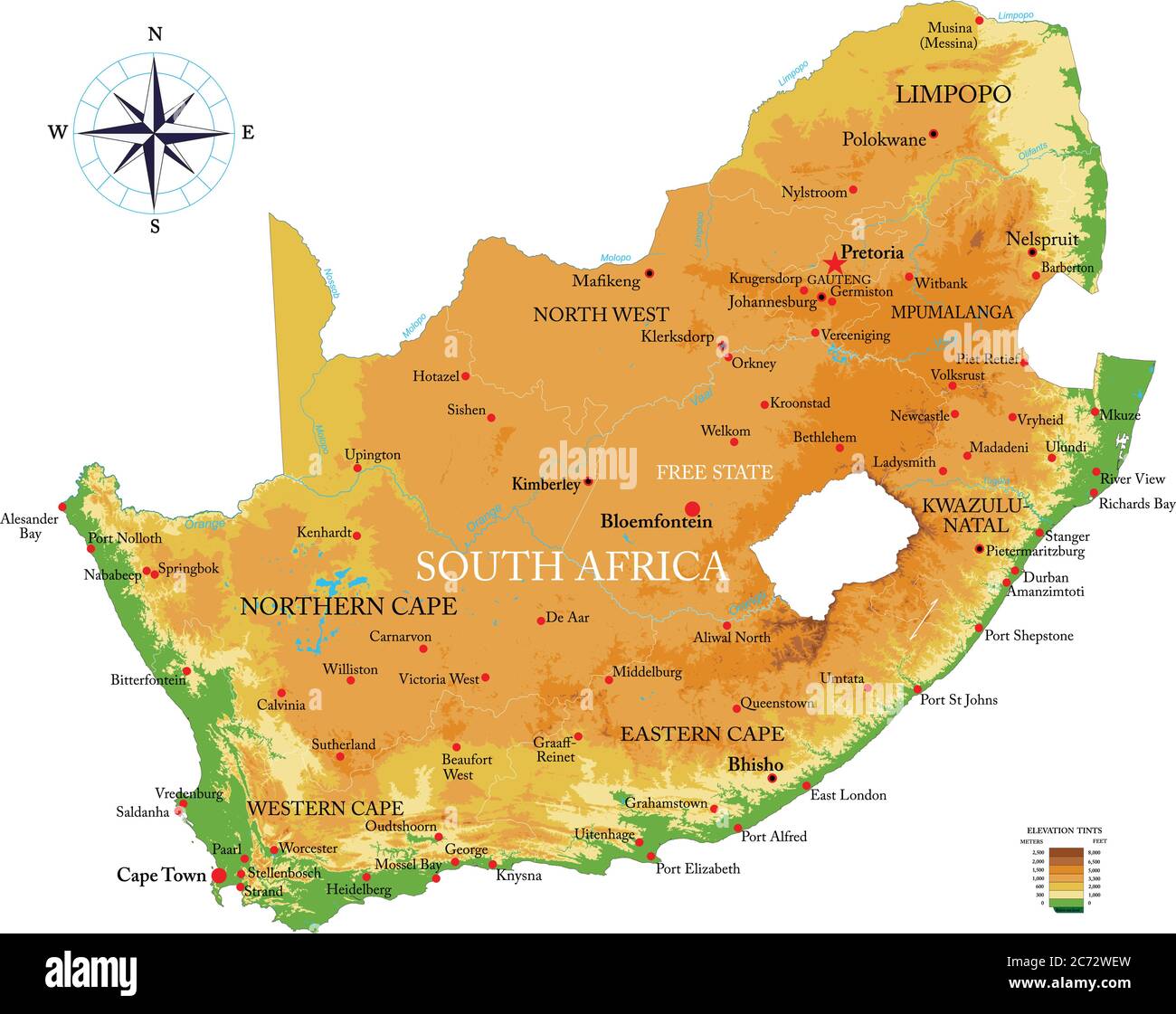 Highly detailed physical map of the South Africa, in vector format,with all the relief forms,regions and big cities. Stock Vectorhttps://www.alamy.com/image-license-details/?v=1https://www.alamy.com/highly-detailed-physical-map-of-the-south-africa-in-vector-formatwith-all-the-relief-formsregions-and-big-cities-image365784241.html
RF2C72WEW–Highly detailed physical map of the South Africa, in vector format,with all the relief forms,regions and big cities.
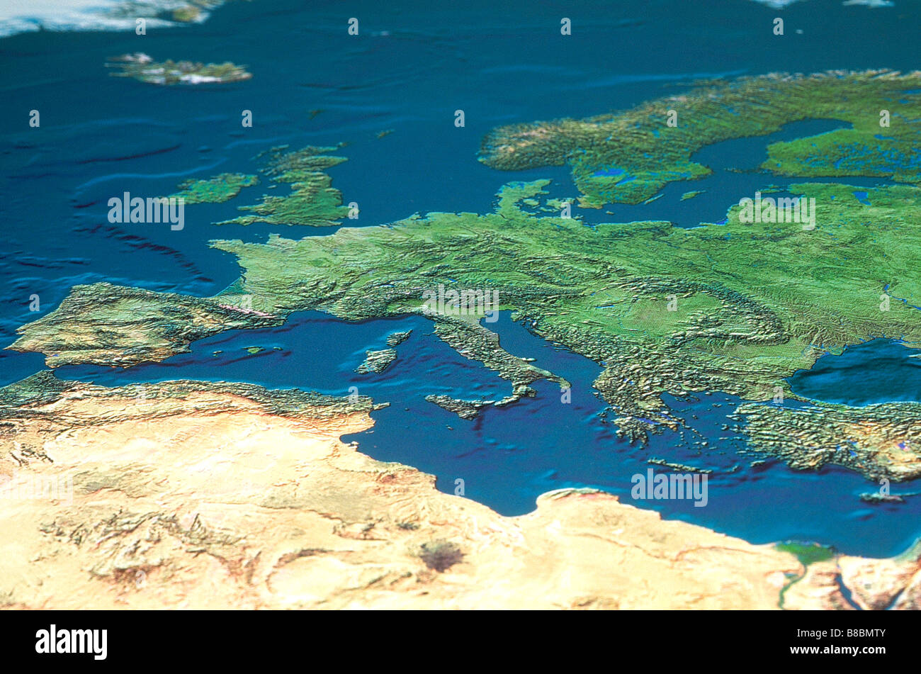 Map Europe North Africa Stock Photohttps://www.alamy.com/image-license-details/?v=1https://www.alamy.com/stock-photo-map-europe-north-africa-22385467.html
RMB8BMTY–Map Europe North Africa
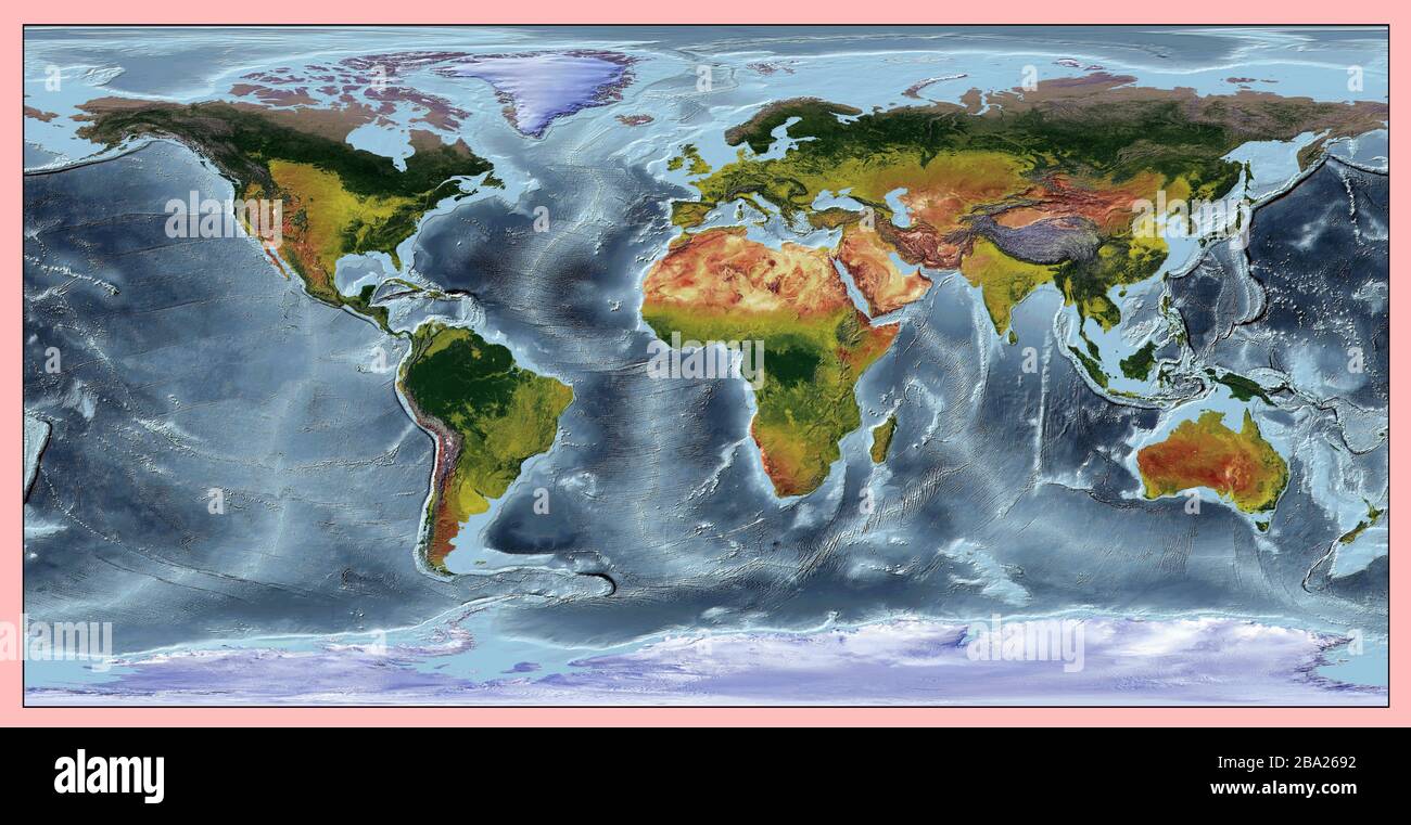 World relief map of continents and oceans. The colors also shows the vegetation of the continents and countries. Projection: WGS 84. Stock Photohttps://www.alamy.com/image-license-details/?v=1https://www.alamy.com/world-relief-map-of-continents-and-oceans-the-colors-also-shows-the-vegetation-of-the-continents-and-countries-projection-wgs-84-image350402782.html
RF2BA2692–World relief map of continents and oceans. The colors also shows the vegetation of the continents and countries. Projection: WGS 84.
 Topographic map of South Africa (shaded relief) ca. 2005 Stock Photohttps://www.alamy.com/image-license-details/?v=1https://www.alamy.com/topographic-map-of-south-africa-shaded-relief-ca-2005-image454756619.html
RM2HBRXKR–Topographic map of South Africa (shaded relief) ca. 2005
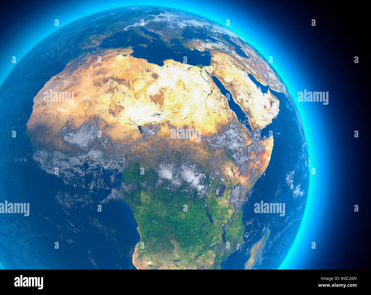 Physical map of the world, satellite view of North and central Africa. Globe. Hemisphere. Reliefs and oceans. 3d rendering. Nasa Stock Photohttps://www.alamy.com/image-license-details/?v=1https://www.alamy.com/physical-map-of-the-world-satellite-view-of-north-and-central-africa-globe-hemisphere-reliefs-and-oceans-3d-rendering-nasa-image233834461.html
RFRGC26N–Physical map of the world, satellite view of North and central Africa. Globe. Hemisphere. Reliefs and oceans. 3d rendering. Nasa
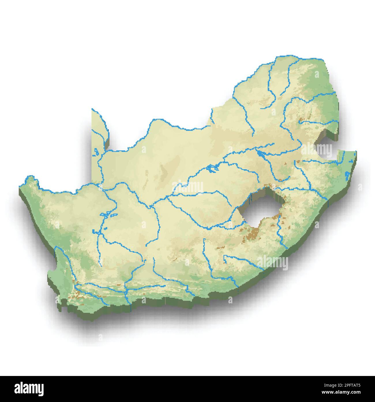 3d isometric relief map of South Africa with shadow Stock Vectorhttps://www.alamy.com/image-license-details/?v=1https://www.alamy.com/3d-isometric-relief-map-of-south-africa-with-shadow-image543276613.html
RF2PFTAT5–3d isometric relief map of South Africa with shadow
 Chart of Kimberley relief campaign from the book ' Boer and Britisher in South Africa; a history of the Boer-British war and the wars for United South Africa, together with biographies of the great men who made the history of South Africa ' By Neville, John Ormond Published by Thompson & Thomas, Chicago, USA in 1900 Stock Photohttps://www.alamy.com/image-license-details/?v=1https://www.alamy.com/chart-of-kimberley-relief-campaign-from-the-book-boer-and-britisher-in-south-africa-a-history-of-the-boer-british-war-and-the-wars-for-united-south-africa-together-with-biographies-of-the-great-men-who-made-the-history-of-south-africa-by-neville-john-ormond-published-by-thompson-thomas-chicago-usa-in-1900-image413983231.html
RF2F1EFRB–Chart of Kimberley relief campaign from the book ' Boer and Britisher in South Africa; a history of the Boer-British war and the wars for United South Africa, together with biographies of the great men who made the history of South Africa ' By Neville, John Ormond Published by Thompson & Thomas, Chicago, USA in 1900
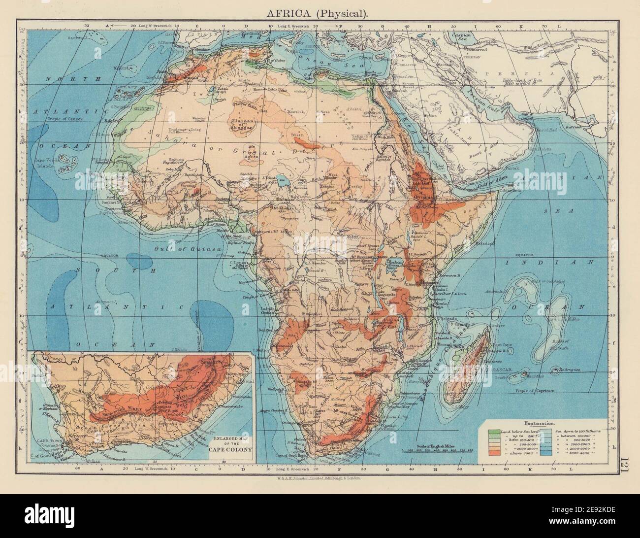 AFRICA PHYSICAL. Relief ocean depths rivers. JOHNSTON 1901 old antique map Stock Photohttps://www.alamy.com/image-license-details/?v=1https://www.alamy.com/africa-physical-relief-ocean-depths-rivers-johnston-1901-old-antique-map-image401429546.html
RF2E92KDE–AFRICA PHYSICAL. Relief ocean depths rivers. JOHNSTON 1901 old antique map
 Map of South Africa with national flag isolated Stock Photohttps://www.alamy.com/image-license-details/?v=1https://www.alamy.com/map-of-south-africa-with-national-flag-isolated-image69089688.html
RFE0B8GT–Map of South Africa with national flag isolated
 Africa and Madagascar Stock Photohttps://www.alamy.com/image-license-details/?v=1https://www.alamy.com/stock-photo-africa-and-madagascar-149108781.html
RFJJGDNH–Africa and Madagascar
 Relief map of Lesotho with shaded relief. Stock Photohttps://www.alamy.com/image-license-details/?v=1https://www.alamy.com/stock-photo-relief-map-of-lesotho-with-shaded-relief-112676079.html
RFGF8RDK–Relief map of Lesotho with shaded relief.
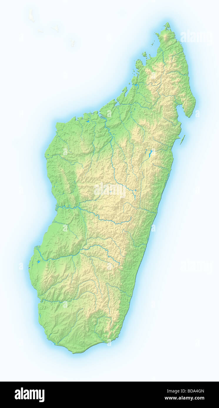 Madagascar, shaded relief map. Stock Photohttps://www.alamy.com/image-license-details/?v=1https://www.alamy.com/stock-photo-madagascar-shaded-relief-map-25424021.html
RFBDA4GN–Madagascar, shaded relief map.
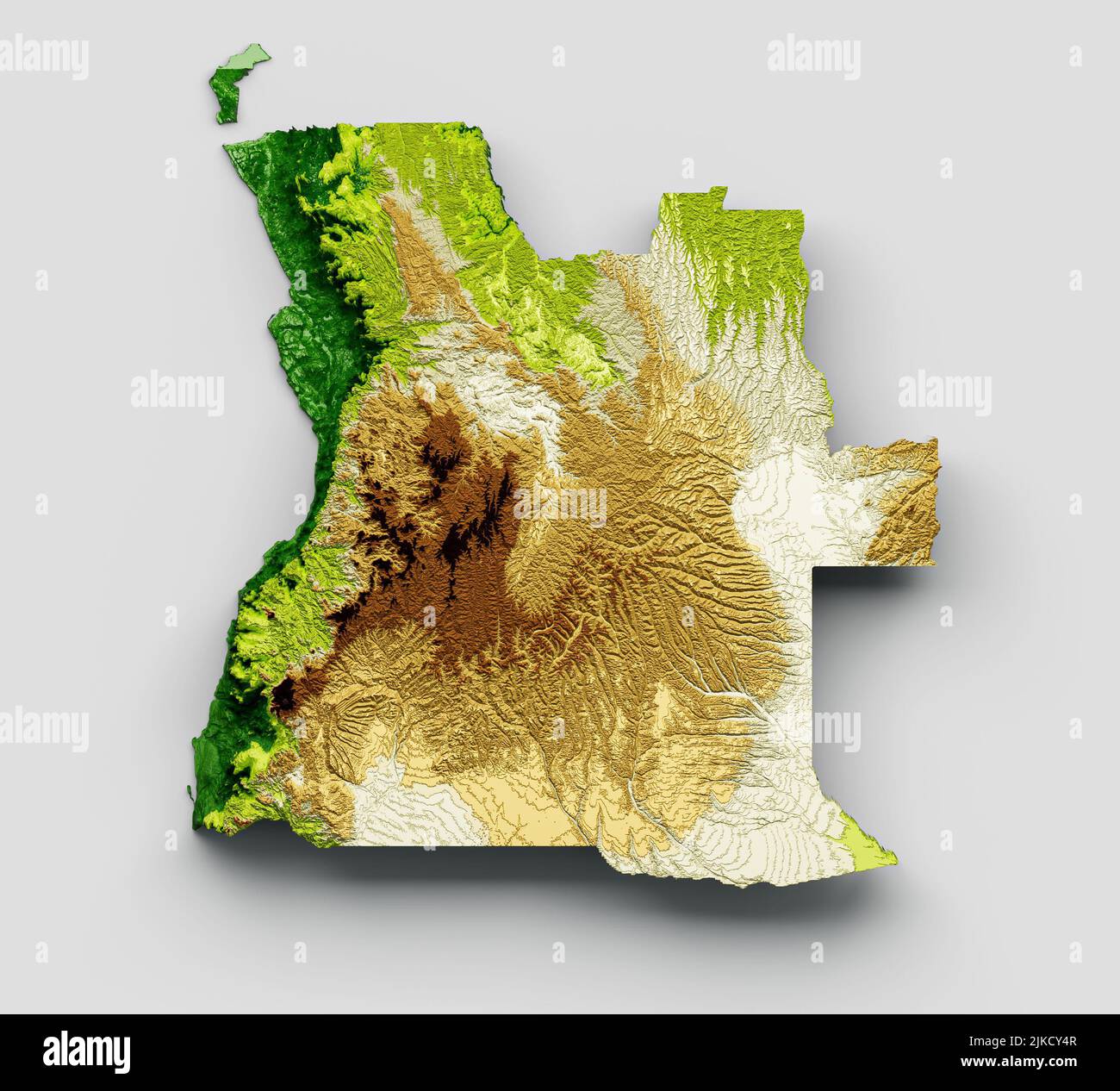 A 3D rendering of the map of Angola made of shaded relief Stock Photohttps://www.alamy.com/image-license-details/?v=1https://www.alamy.com/a-3d-rendering-of-the-map-of-angola-made-of-shaded-relief-image476643127.html
RF2JKCY4R–A 3D rendering of the map of Angola made of shaded relief
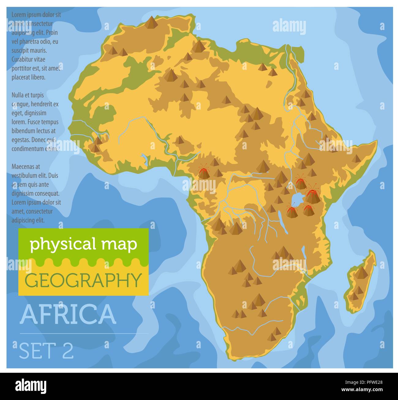 Flat Africa physical map constructor elements on the water surface. Build your own geography infographics collection. Vector illustration Stock Vectorhttps://www.alamy.com/image-license-details/?v=1https://www.alamy.com/flat-africa-physical-map-constructor-elements-on-the-water-surface-build-your-own-geography-infographics-collection-vector-illustration-image216304096.html
RFPFWE28–Flat Africa physical map constructor elements on the water surface. Build your own geography infographics collection. Vector illustration
 South Africa, Relief Map Stock Photohttps://www.alamy.com/image-license-details/?v=1https://www.alamy.com/stock-photo-south-africa-relief-map-71603163.html
RME4DPFR–South Africa, Relief Map
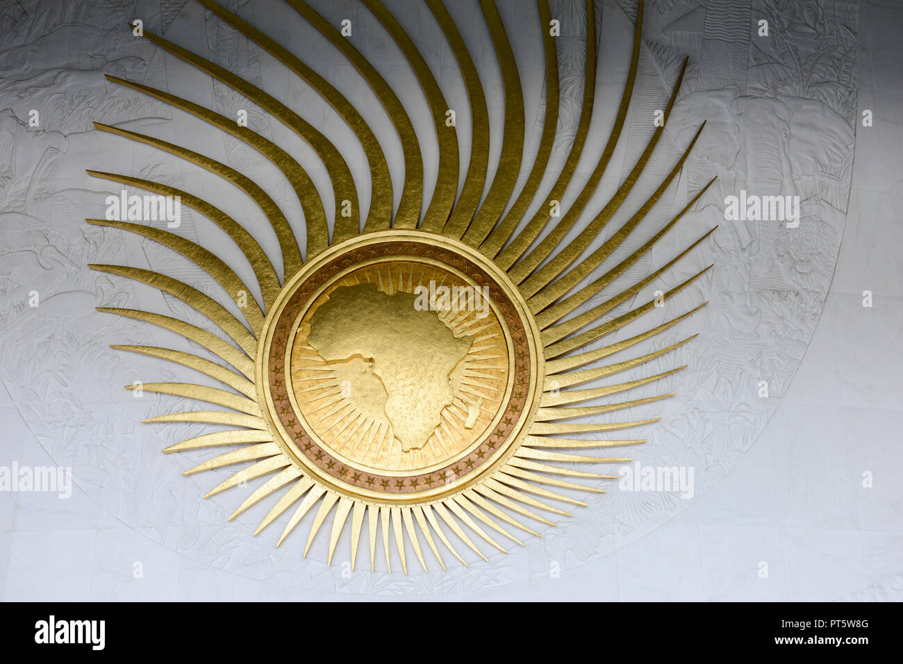 ETHIOPIA Addis Ababa, AU African Union new building, constructed and gifted by China / AETHIOPIEN, Addis Abeba, neues Gebaeude der AU Afrikanischen Union, gebaut und geschenkt von China Stock Photohttps://www.alamy.com/image-license-details/?v=1https://www.alamy.com/ethiopia-addis-ababa-au-african-union-new-building-constructed-and-gifted-by-china-aethiopien-addis-abeba-neues-gebaeude-der-au-afrikanischen-union-gebaut-und-geschenkt-von-china-image221405760.html
RMPT5W8G–ETHIOPIA Addis Ababa, AU African Union new building, constructed and gifted by China / AETHIOPIEN, Addis Abeba, neues Gebaeude der AU Afrikanischen Union, gebaut und geschenkt von China
 black cut out of Africa continent on white with plastic cutlery and copy space Stock Photohttps://www.alamy.com/image-license-details/?v=1https://www.alamy.com/black-cut-out-of-africa-continent-on-white-with-plastic-cutlery-and-copy-space-image479252932.html
RF2JRKT04–black cut out of Africa continent on white with plastic cutlery and copy space
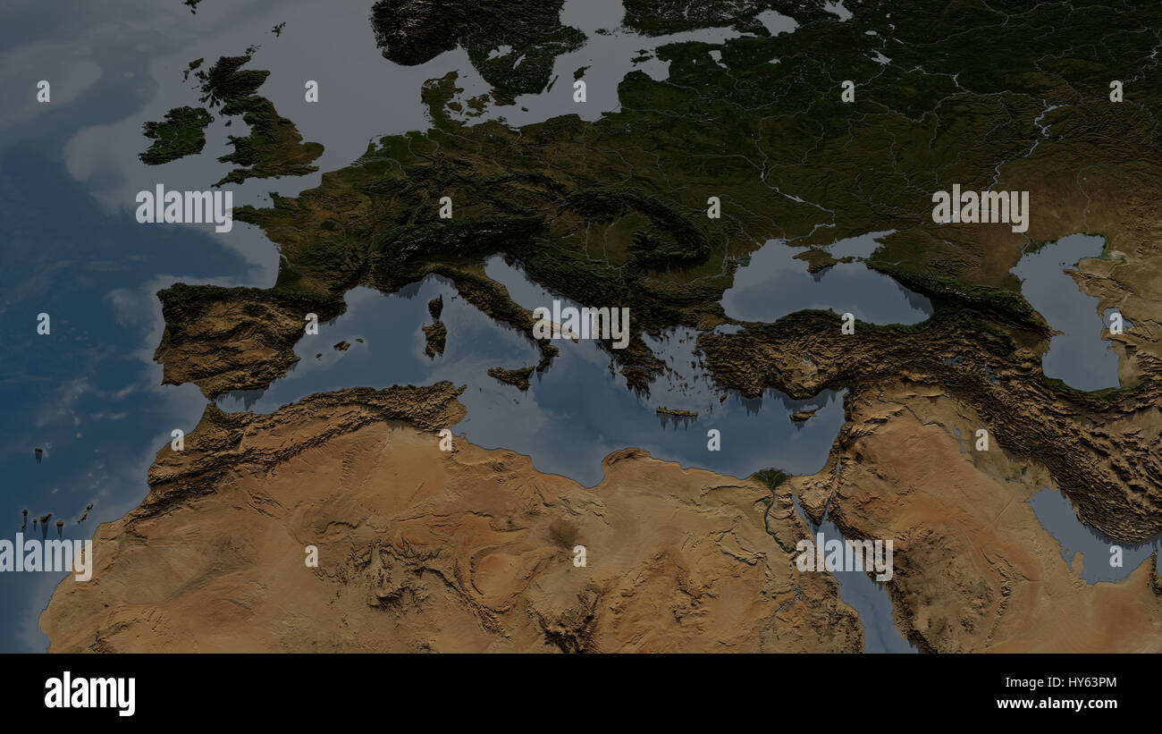 Europe and North-Africa. Map with highly detailed 3D terrain and shadows. Elements of this image furnished by NASA. Stock Photohttps://www.alamy.com/image-license-details/?v=1https://www.alamy.com/stock-photo-europe-and-north-africa-map-with-highly-detailed-3d-terrain-and-shadows-137202988.html
RFHY63PM–Europe and North-Africa. Map with highly detailed 3D terrain and shadows. Elements of this image furnished by NASA.
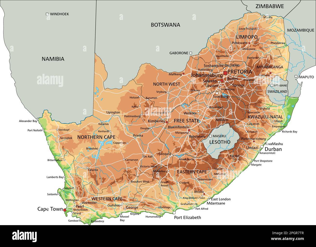 High detailed South Africa physical map with labeling. Stock Vectorhttps://www.alamy.com/image-license-details/?v=1https://www.alamy.com/high-detailed-south-africa-physical-map-with-labeling-image543866983.html
RF2PGR7TR–High detailed South Africa physical map with labeling.
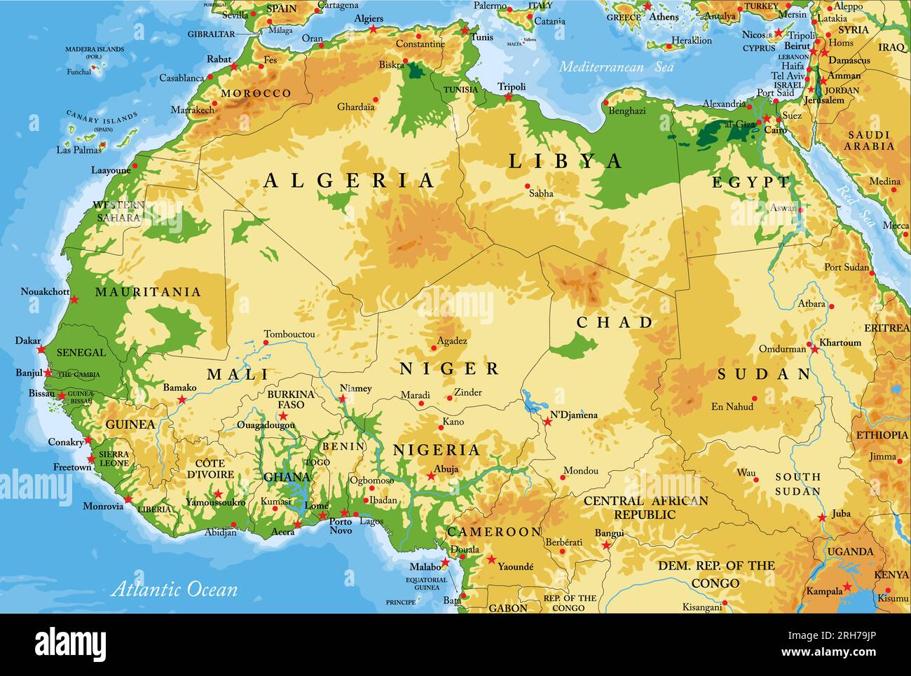 Highly detailed physical map of northern and western Africa in vector format,with all the relief forms,regions and big cities. Stock Vectorhttps://www.alamy.com/image-license-details/?v=1https://www.alamy.com/highly-detailed-physical-map-of-northern-and-western-africa-in-vector-formatwith-all-the-relief-formsregions-and-big-cities-image561342174.html
RF2RH79JP–Highly detailed physical map of northern and western Africa in vector format,with all the relief forms,regions and big cities.
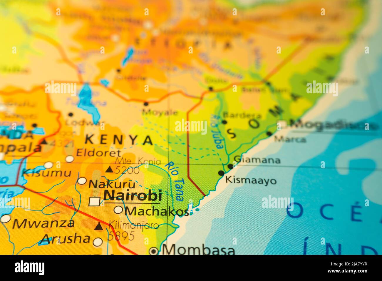 Orographic map of Kenya in Africa, with Kilimanjaro and Mount Kenya. With references in Spanish. Concept of cartography, tourism, geography. Different Stock Photohttps://www.alamy.com/image-license-details/?v=1https://www.alamy.com/orographic-map-of-kenya-in-africa-with-kilimanjaro-and-mount-kenya-with-references-in-spanish-concept-of-cartography-tourism-geography-different-image471002107.html
RF2JA7YYR–Orographic map of Kenya in Africa, with Kilimanjaro and Mount Kenya. With references in Spanish. Concept of cartography, tourism, geography. Different
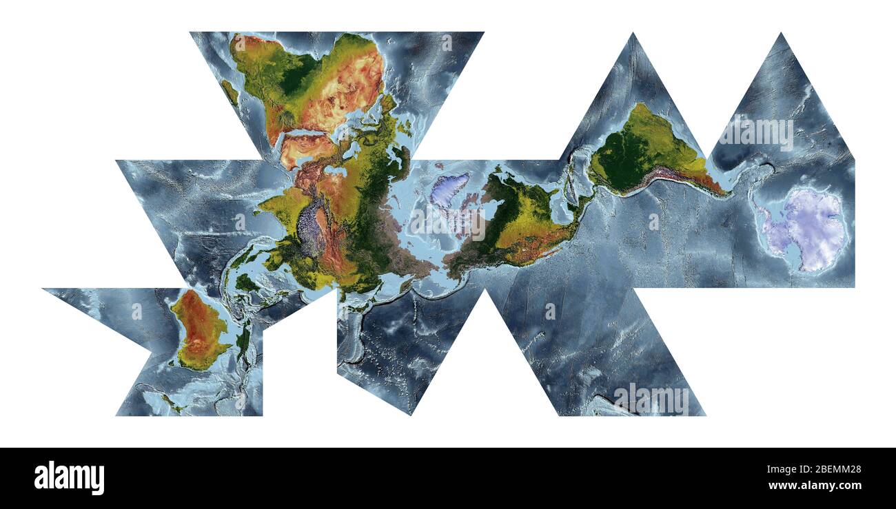 World Map showing land cover and shaded relief with a natural style and a relief shading of the oceans. Fuller projection. Stock Photohttps://www.alamy.com/image-license-details/?v=1https://www.alamy.com/world-map-showing-land-cover-and-shaded-relief-with-a-natural-style-and-a-relief-shading-of-the-oceans-fuller-projection-image353267328.html
RF2BEMM28–World Map showing land cover and shaded relief with a natural style and a relief shading of the oceans. Fuller projection.
 Layered world map with vertical stripes and shadows, black and white, elements of this image furnished by NASA. Stock Photohttps://www.alamy.com/image-license-details/?v=1https://www.alamy.com/layered-world-map-with-vertical-stripes-and-shadows-black-and-white-elements-of-this-image-furnished-by-nasa-image428724827.html
RF2FWE2TY–Layered world map with vertical stripes and shadows, black and white, elements of this image furnished by NASA.
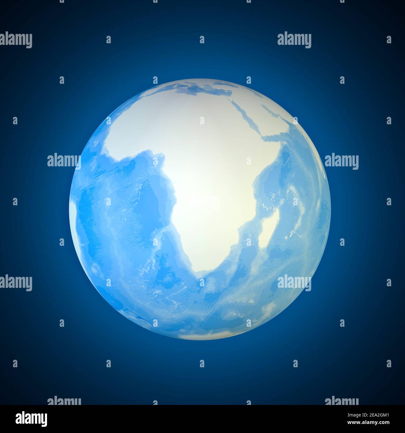 Globe map of the South Africa. Cartography, geographical atlas. 3d render. Bathymetry, underwater depth of ocean Stock Photohttps://www.alamy.com/image-license-details/?v=1https://www.alamy.com/globe-map-of-the-south-africa-cartography-geographical-atlas-3d-render-bathymetry-underwater-depth-of-ocean-image402042033.html
RF2EA2GM1–Globe map of the South Africa. Cartography, geographical atlas. 3d render. Bathymetry, underwater depth of ocean
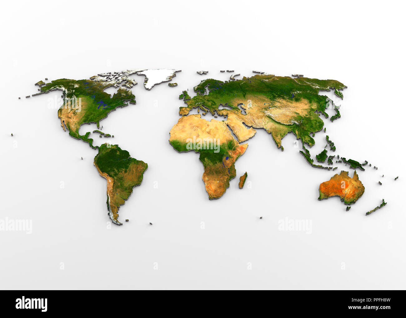 3D rendering of extruded high-resolution physical map (with relief) of the World, isolated on white background. Stock Photohttps://www.alamy.com/image-license-details/?v=1https://www.alamy.com/3d-rendering-of-extruded-high-resolution-physical-map-with-relief-of-the-world-isolated-on-white-background-image220389705.html
RFPPFH8W–3D rendering of extruded high-resolution physical map (with relief) of the World, isolated on white background.
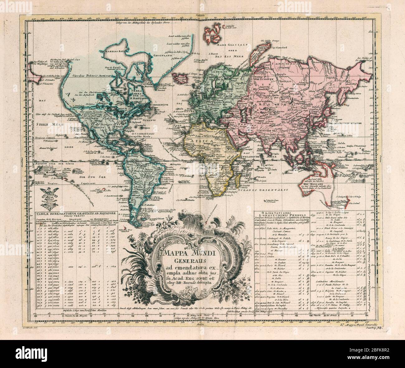 Mappa Mundi generalis General world map by Euler, Leonhard, 1707-1783 Published in 1753 by Ex officina Michaelis, Berolini. Hand colored copperplate engraving map on 2 sheets. Shows North America the Northwest coast is blank and a river provides passage between the Great Lakes and the Pacific. Australia and New Zealand are depicted with partially completed coastlines. Relief shown pictorially. Prime meridian is Ferro. Includes two large explanation tables. In lower right corner: 27. Mappa Mundi Generalis. Stock Photohttps://www.alamy.com/image-license-details/?v=1https://www.alamy.com/mappa-mundi-generalis-general-world-map-by-euler-leonhard-1707-1783-published-in-1753-by-ex-officina-michaelis-berolini-hand-colored-copperplate-engraving-map-on-2-sheets-shows-north-america-the-northwest-coast-is-blank-and-a-river-provides-passage-between-the-great-lakes-and-the-pacific-australia-and-new-zealand-are-depicted-with-partially-completed-coastlines-relief-shown-pictorially-prime-meridian-is-ferro-includes-two-large-explanation-tables-in-lower-right-corner-27-mappa-mundi-generalis-image353851206.html
RM2BFK8R2–Mappa Mundi generalis General world map by Euler, Leonhard, 1707-1783 Published in 1753 by Ex officina Michaelis, Berolini. Hand colored copperplate engraving map on 2 sheets. Shows North America the Northwest coast is blank and a river provides passage between the Great Lakes and the Pacific. Australia and New Zealand are depicted with partially completed coastlines. Relief shown pictorially. Prime meridian is Ferro. Includes two large explanation tables. In lower right corner: 27. Mappa Mundi Generalis.
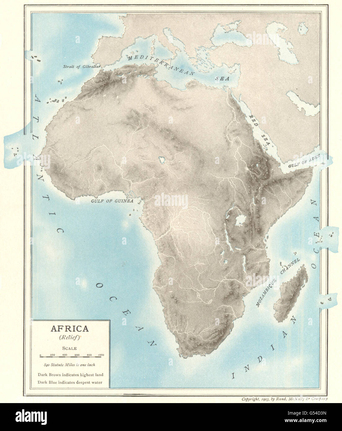 AFRICA PHYSICAL. relief rivers mountains lakes, 1907 antique map Stock Photohttps://www.alamy.com/image-license-details/?v=1https://www.alamy.com/stock-photo-africa-physical-relief-rivers-mountains-lakes-1907-antique-map-106433593.html
RFG54D3N–AFRICA PHYSICAL. relief rivers mountains lakes, 1907 antique map
 Map of South Africa with national flag isolated Stock Photohttps://www.alamy.com/image-license-details/?v=1https://www.alamy.com/map-of-south-africa-with-national-flag-isolated-image69089662.html
RFE0B8FX–Map of South Africa with national flag isolated
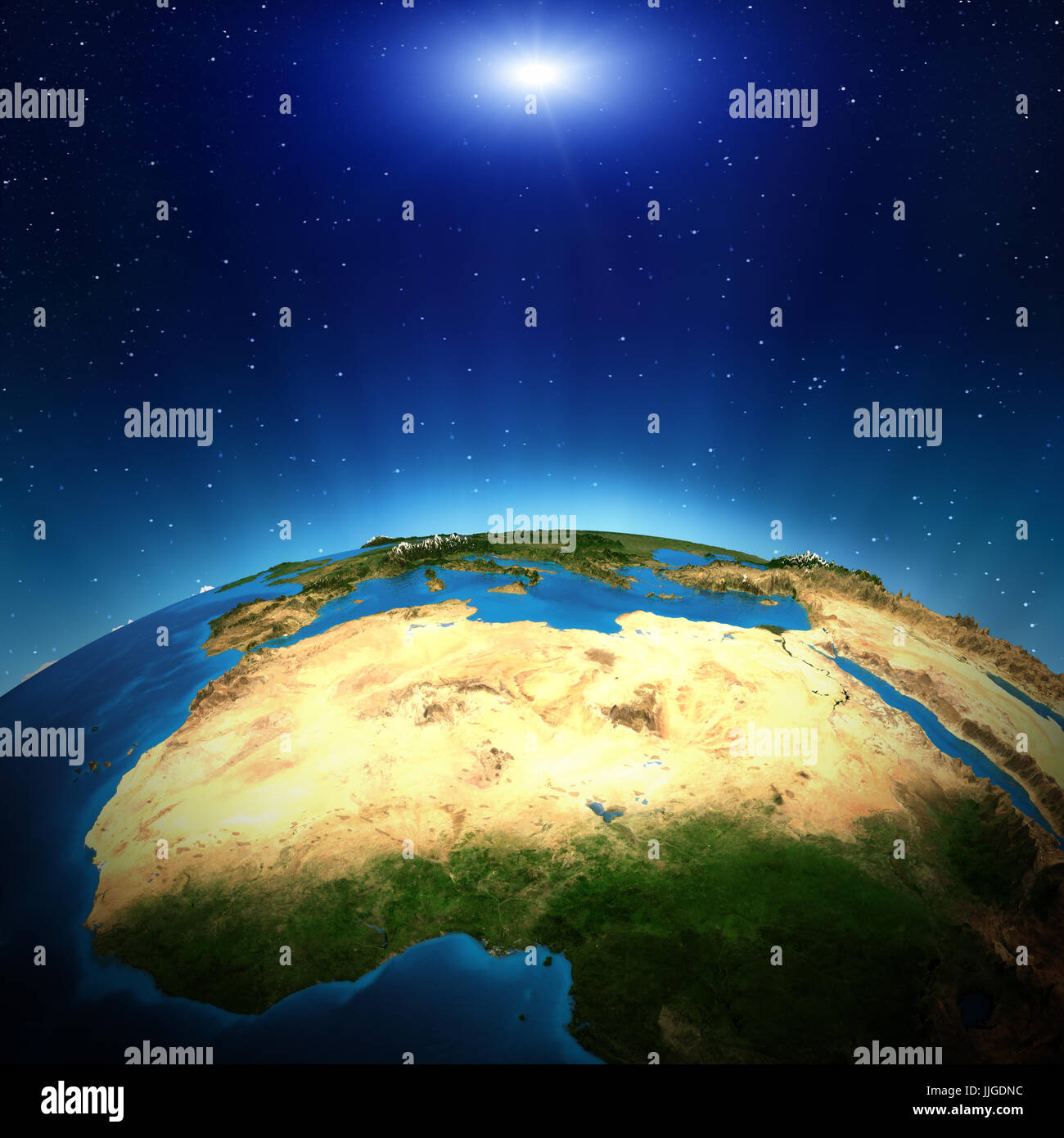 Africa from space Stock Photohttps://www.alamy.com/image-license-details/?v=1https://www.alamy.com/stock-photo-africa-from-space-149108776.html
RFJJGDNC–Africa from space
