Quick filters:
Relief map of scotland Stock Photos and Images
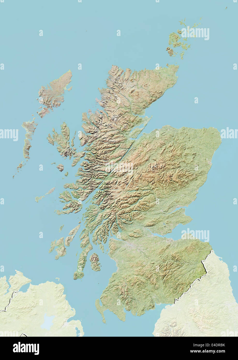 Scotland, United Kingdom, Relief Map Stock Photohttps://www.alamy.com/image-license-details/?v=1https://www.alamy.com/stock-photo-scotland-united-kingdom-relief-map-71603831.html
RME4DRBK–Scotland, United Kingdom, Relief Map
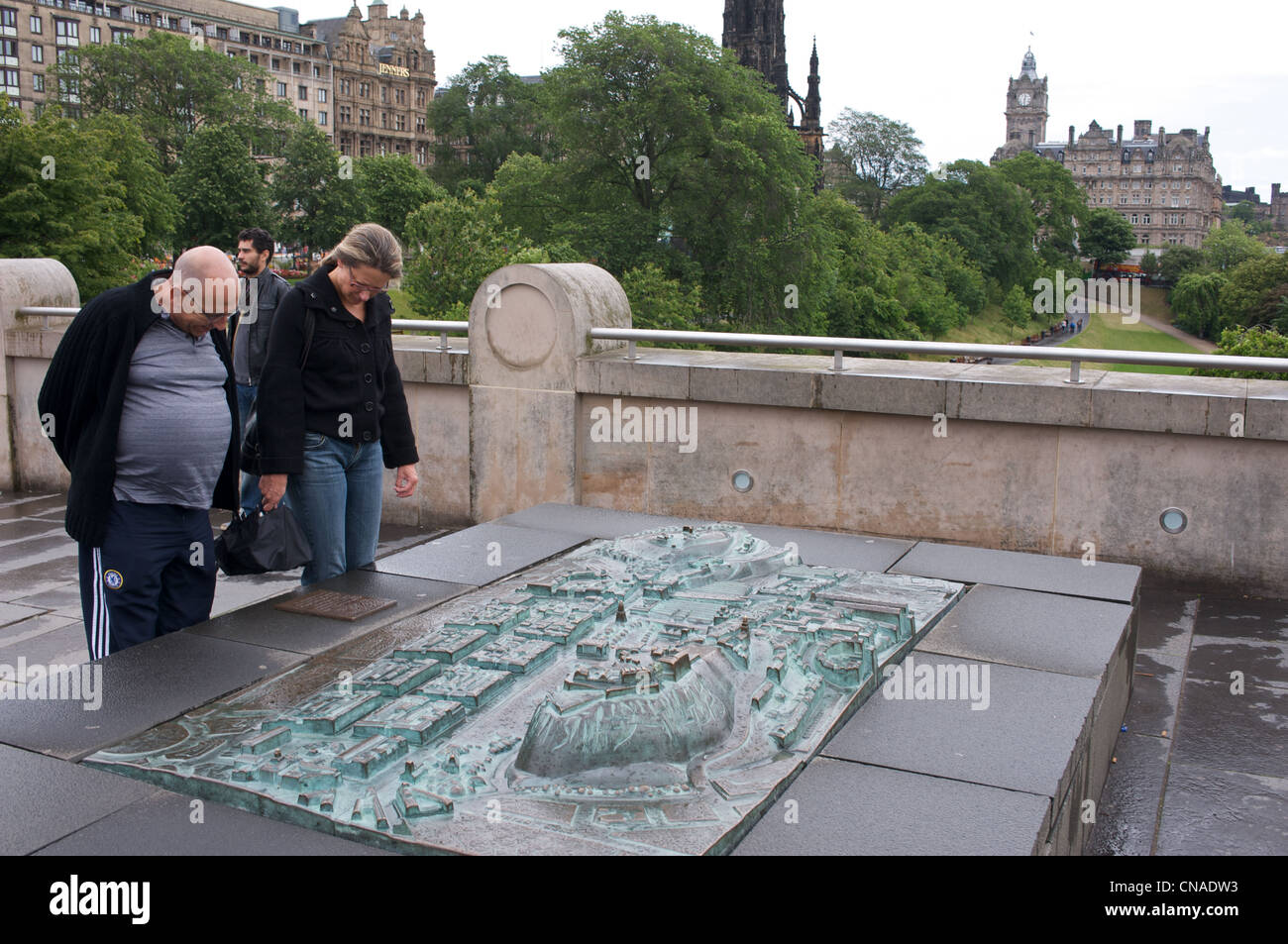 Bronze relief map Edinburgh Scotland UK Stock Photohttps://www.alamy.com/image-license-details/?v=1https://www.alamy.com/stock-photo-bronze-relief-map-edinburgh-scotland-uk-47558927.html
RMCNADW3–Bronze relief map Edinburgh Scotland UK
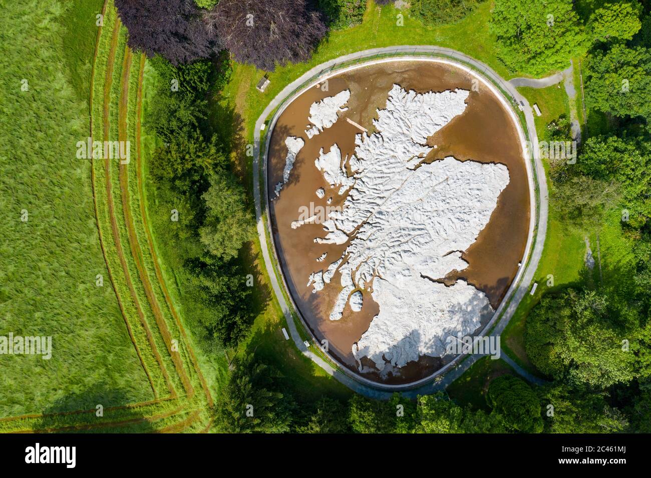 Eddleston, Scotland, UK. 24 June, 2020. An aerial view of The Great Polish Map of Scotland, as if mirroring the sunny, cloud free conditions enjoyed in Scotland today. The Map is a 50 m x 40 m three-dimensional, outdoor concrete scale model of Scotland, located at Barony Castle Hotel, Eddleston near Peebles. It was built by Polish war veteran Jan Tomasik between 1974 and 1979 and is claimed to be the world's largest terrain relief model. The sculpture is a category B listed building. Iain Masterton/Alamy Live News Stock Photohttps://www.alamy.com/image-license-details/?v=1https://www.alamy.com/eddleston-scotland-uk-24-june-2020-an-aerial-view-of-the-great-polish-map-of-scotland-as-if-mirroring-the-sunny-cloud-free-conditions-enjoyed-in-scotland-today-the-map-is-a-50-m-x-40-m-three-dimensional-outdoor-concrete-scale-model-of-scotland-located-at-barony-castle-hotel-eddleston-near-peebles-it-was-built-by-polish-war-veteran-jan-tomasik-between-1974-and-1979-and-is-claimed-to-be-the-worlds-largest-terrain-relief-model-the-sculpture-is-a-category-b-listed-building-iain-mastertonalamy-live-news-image364009426.html
RM2C461MJ–Eddleston, Scotland, UK. 24 June, 2020. An aerial view of The Great Polish Map of Scotland, as if mirroring the sunny, cloud free conditions enjoyed in Scotland today. The Map is a 50 m x 40 m three-dimensional, outdoor concrete scale model of Scotland, located at Barony Castle Hotel, Eddleston near Peebles. It was built by Polish war veteran Jan Tomasik between 1974 and 1979 and is claimed to be the world's largest terrain relief model. The sculpture is a category B listed building. Iain Masterton/Alamy Live News
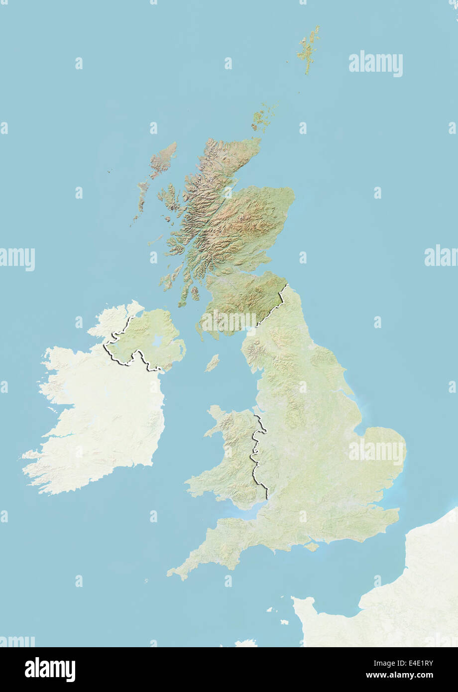 United Kingdom and Scotland, Relief Map Stock Photohttps://www.alamy.com/image-license-details/?v=1https://www.alamy.com/stock-photo-united-kingdom-and-scotland-relief-map-71608879.html
RME4E1RY–United Kingdom and Scotland, Relief Map
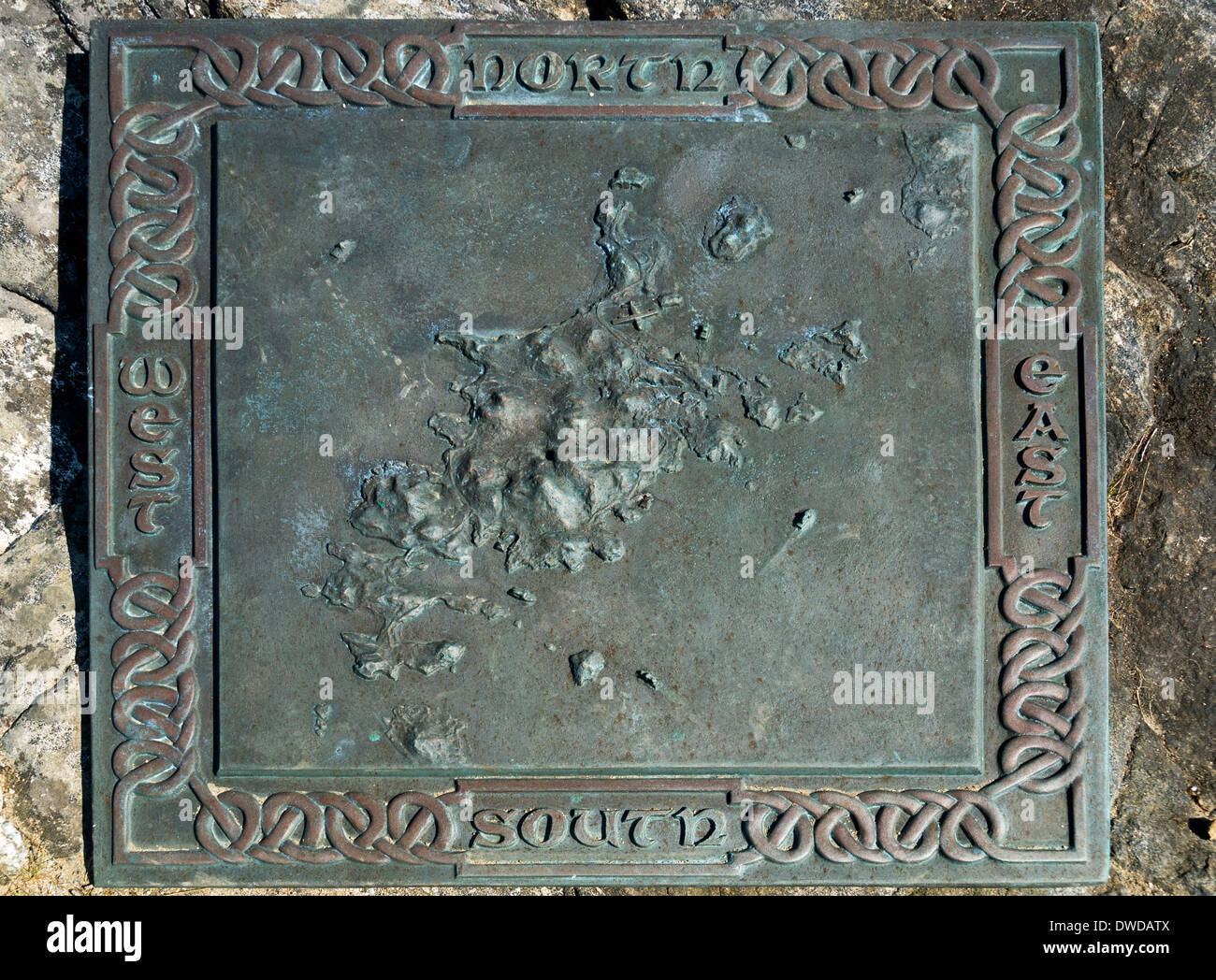 Bronze plaque showing a relief map of Barra and adjacent islands, Castlebay, Isle of Barra, Western Isles, Scotland, UK Stock Photohttps://www.alamy.com/image-license-details/?v=1https://www.alamy.com/bronze-plaque-showing-a-relief-map-of-barra-and-adjacent-islands-castlebay-image67291418.html
RMDWDATX–Bronze plaque showing a relief map of Barra and adjacent islands, Castlebay, Isle of Barra, Western Isles, Scotland, UK
 Peebles, Scotland, UK. 11th January, 2025. Following the coldest night of the year, snow lies on the Great Polish Map of Scotland in the village of Eddleston outside Peebles in the Scottish Borders. The brainchild of Polish war veteran Jan Tomasik, it was built between 1974 and 1979 and is claimed to be the world's largest (50m x 40m) terrain relief model. The sculpture is a category B listed building. Iain Masterton/Alamy Live News Stock Photohttps://www.alamy.com/image-license-details/?v=1https://www.alamy.com/peebles-scotland-uk-11th-january-2025-following-the-coldest-night-of-the-year-snow-lies-on-the-great-polish-map-of-scotland-in-the-village-of-eddleston-outside-peebles-in-the-scottish-borders-the-brainchild-of-polish-war-veteran-jan-tomasik-it-was-built-between-1974-and-1979-and-is-claimed-to-be-the-worlds-largest-50m-x-40m-terrain-relief-model-the-sculpture-is-a-category-b-listed-building-iain-mastertonalamy-live-news-image639506745.html
RM2S4C1AH–Peebles, Scotland, UK. 11th January, 2025. Following the coldest night of the year, snow lies on the Great Polish Map of Scotland in the village of Eddleston outside Peebles in the Scottish Borders. The brainchild of Polish war veteran Jan Tomasik, it was built between 1974 and 1979 and is claimed to be the world's largest (50m x 40m) terrain relief model. The sculpture is a category B listed building. Iain Masterton/Alamy Live News
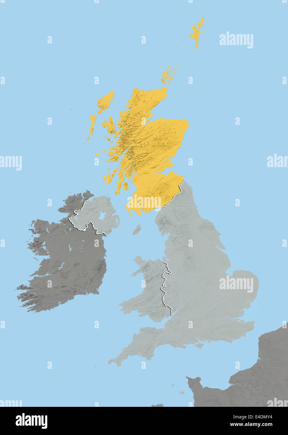 Scotland with Shetland, United Kingdom, Relief Map Stock Photohttps://www.alamy.com/image-license-details/?v=1https://www.alamy.com/stock-photo-scotland-with-shetland-united-kingdom-relief-map-71601912.html
RME4DMY4–Scotland with Shetland, United Kingdom, Relief Map
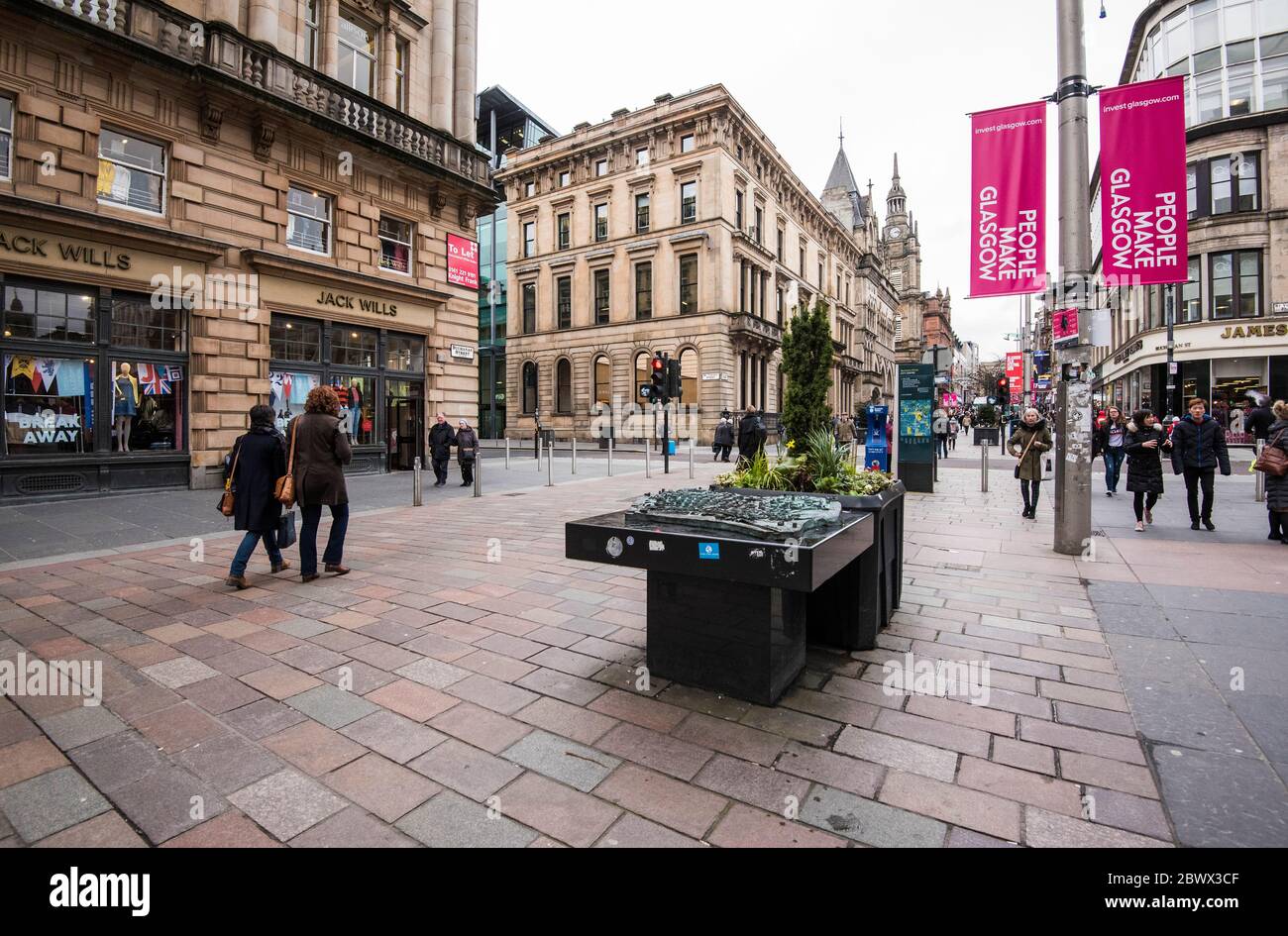 Topographical Relief Map of City Centre in Buchanan Street, Glasgow, Scotland. Stock Photohttps://www.alamy.com/image-license-details/?v=1https://www.alamy.com/topographical-relief-map-of-city-centre-in-buchanan-street-glasgow-scotland-image360147215.html
RF2BWX3CF–Topographical Relief Map of City Centre in Buchanan Street, Glasgow, Scotland.
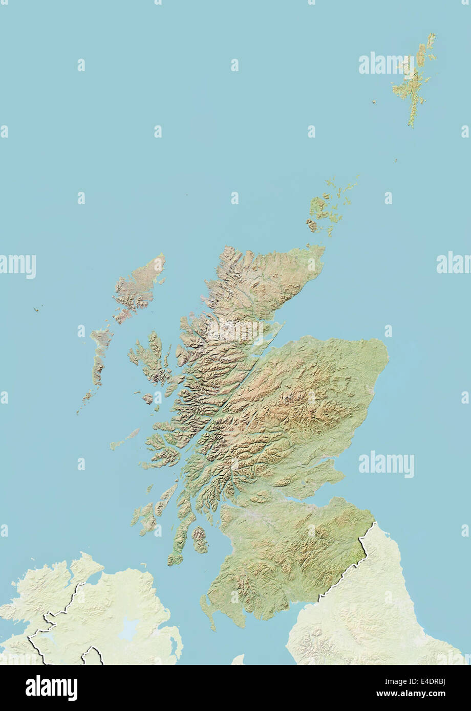 Scotland with Shetland, United Kingdom, Relief Map Stock Photohttps://www.alamy.com/image-license-details/?v=1https://www.alamy.com/stock-photo-scotland-with-shetland-united-kingdom-relief-map-71603830.html
RME4DRBJ–Scotland with Shetland, United Kingdom, Relief Map
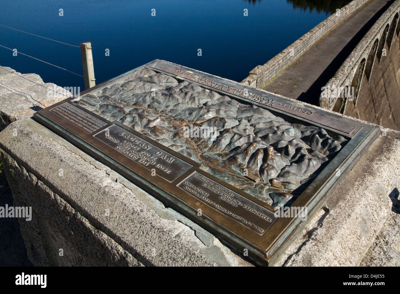 Fort William, Great Britain, a relief map of Loch Laggan Stock Photohttps://www.alamy.com/image-license-details/?v=1https://www.alamy.com/stock-photo-fort-william-great-britain-a-relief-map-of-loch-laggan-54495985.html
RMD4JE55–Fort William, Great Britain, a relief map of Loch Laggan
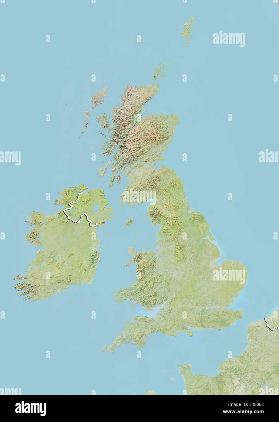 British Isles, Relief Map with Border Stock Photohttps://www.alamy.com/image-license-details/?v=1https://www.alamy.com/stock-photo-british-isles-relief-map-with-border-71607819.html
RME4E0E3–British Isles, Relief Map with Border
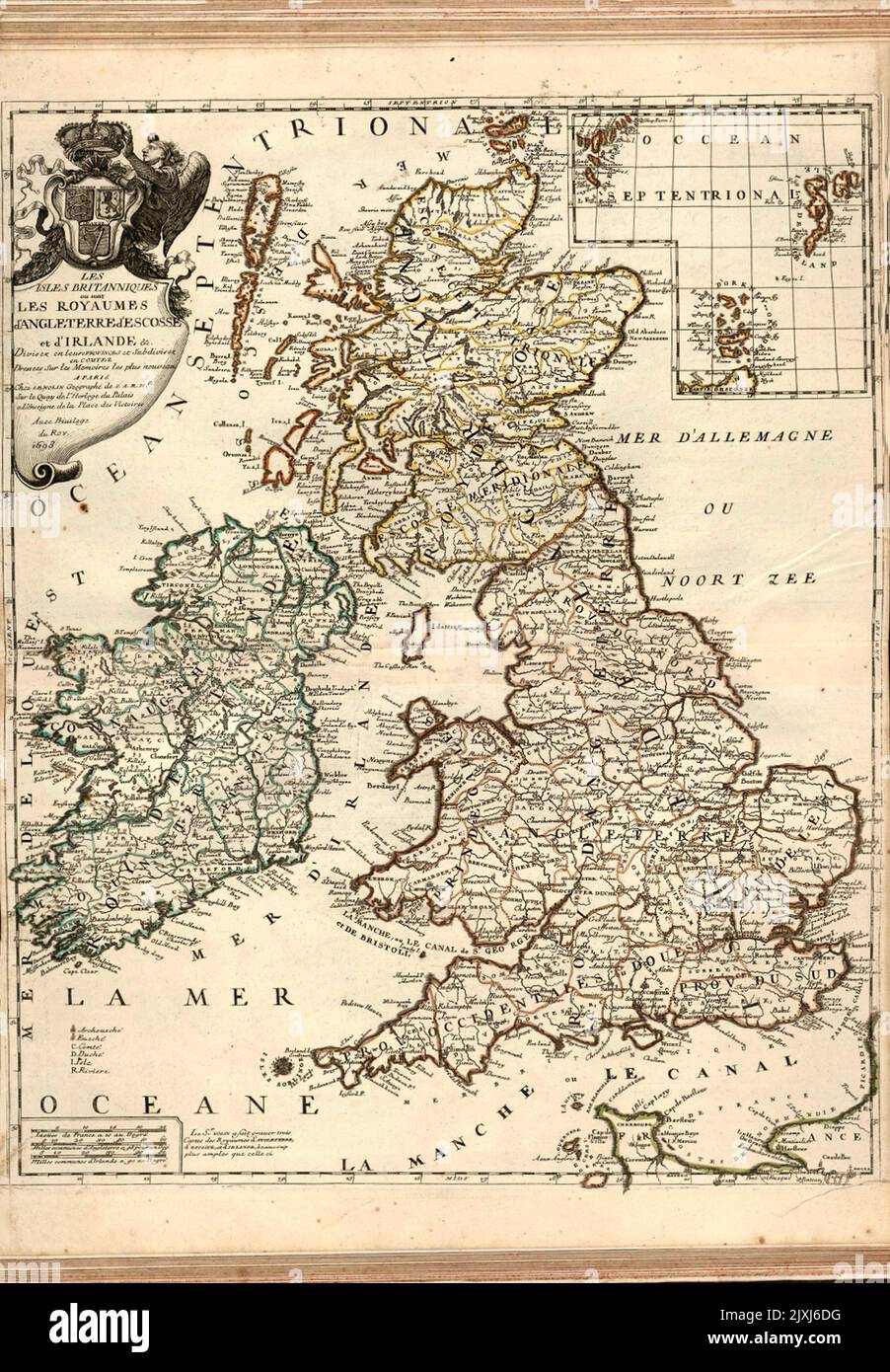 Map of the British Isles 1698 The British Isles or the Kingdoms of England, Scotland and Ireland divided into their provinces. Shows political boundaries, cities, ports, routes, topography, vegetation, lakes, drainage, coastlines and islands. Relief shown pictorially. Includes latitudinal and longitudinal lines, as well as a legend, three bar scales and explanatory notes. Decorative cartouche with angel. With inset map: Occean Septentrional. Black and white engraving with hand-colored borders. Stock Photohttps://www.alamy.com/image-license-details/?v=1https://www.alamy.com/map-of-the-british-isles-1698-the-british-isles-or-the-kingdoms-of-england-scotland-and-ireland-divided-into-their-provinces-shows-political-boundaries-cities-ports-routes-topography-vegetation-lakes-drainage-coastlines-and-islands-relief-shown-pictorially-includes-latitudinal-and-longitudinal-lines-as-well-as-a-legend-three-bar-scales-and-explanatory-notes-decorative-cartouche-with-angel-with-inset-map-occean-septentrional-black-and-white-engraving-with-hand-colored-borders-image481061212.html
RF2JXJ6DG–Map of the British Isles 1698 The British Isles or the Kingdoms of England, Scotland and Ireland divided into their provinces. Shows political boundaries, cities, ports, routes, topography, vegetation, lakes, drainage, coastlines and islands. Relief shown pictorially. Includes latitudinal and longitudinal lines, as well as a legend, three bar scales and explanatory notes. Decorative cartouche with angel. With inset map: Occean Septentrional. Black and white engraving with hand-colored borders.
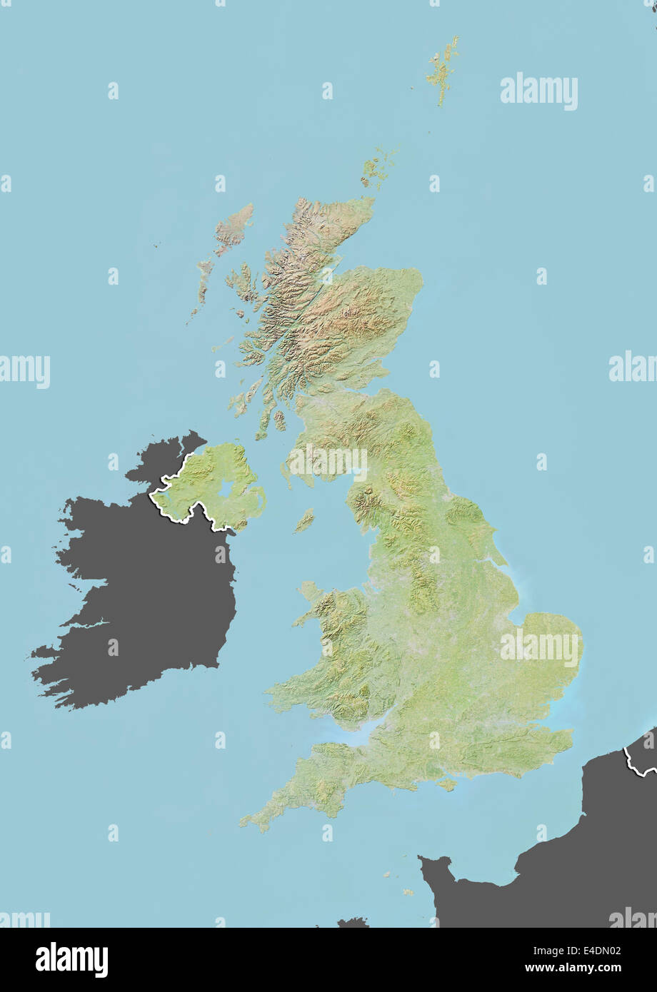 United Kingdom, Relief Map with Border and Mask Stock Photohttps://www.alamy.com/image-license-details/?v=1https://www.alamy.com/stock-photo-united-kingdom-relief-map-with-border-and-mask-71601938.html
RME4DN02–United Kingdom, Relief Map with Border and Mask
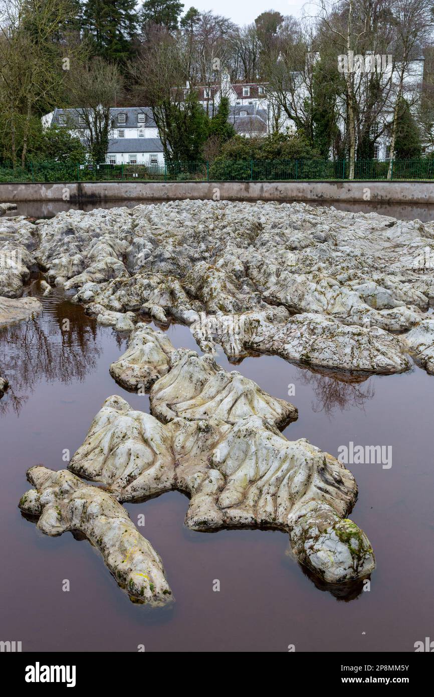 The Great Polish Map of Scotland is a large three-dimensional, outdoor concrete scale model of Scotland, outside the village of Eddleston near Peebles Stock Photohttps://www.alamy.com/image-license-details/?v=1https://www.alamy.com/the-great-polish-map-of-scotland-is-a-large-three-dimensional-outdoor-concrete-scale-model-of-scotland-outside-the-village-of-eddleston-near-peebles-image538893543.html
RM2P8MM5Y–The Great Polish Map of Scotland is a large three-dimensional, outdoor concrete scale model of Scotland, outside the village of Eddleston near Peebles
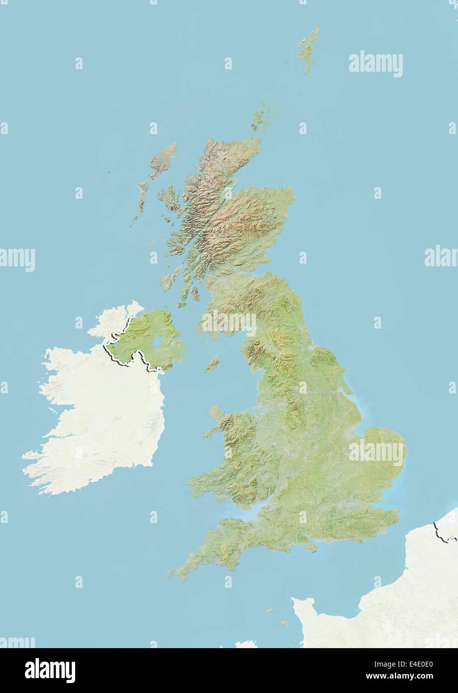 United Kingdom, Relief Map with Border and Mask Stock Photohttps://www.alamy.com/image-license-details/?v=1https://www.alamy.com/stock-photo-united-kingdom-relief-map-with-border-and-mask-71607816.html
RME4E0E0–United Kingdom, Relief Map with Border and Mask
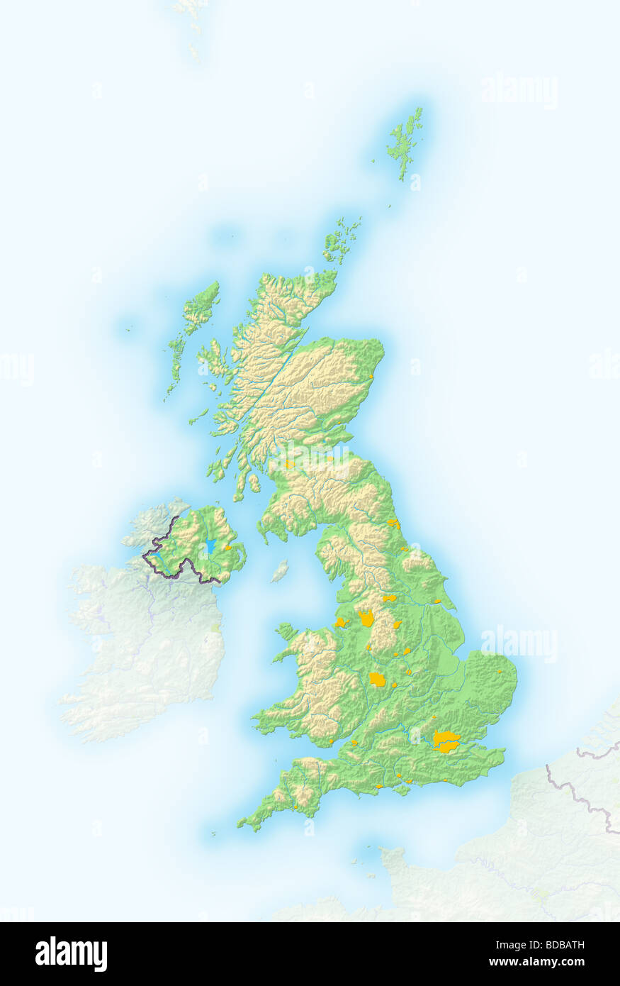 United Kingdom, shaded relief map. Stock Photohttps://www.alamy.com/image-license-details/?v=1https://www.alamy.com/stock-photo-united-kingdom-shaded-relief-map-25450897.html
RFBDBATH–United Kingdom, shaded relief map.
 Great Polish Map of Scotland in Eddleston, Scottish Borders Stock Photohttps://www.alamy.com/image-license-details/?v=1https://www.alamy.com/great-polish-map-of-scotland-in-eddleston-scottish-borders-image575988117.html
RF2TD2EM5–Great Polish Map of Scotland in Eddleston, Scottish Borders
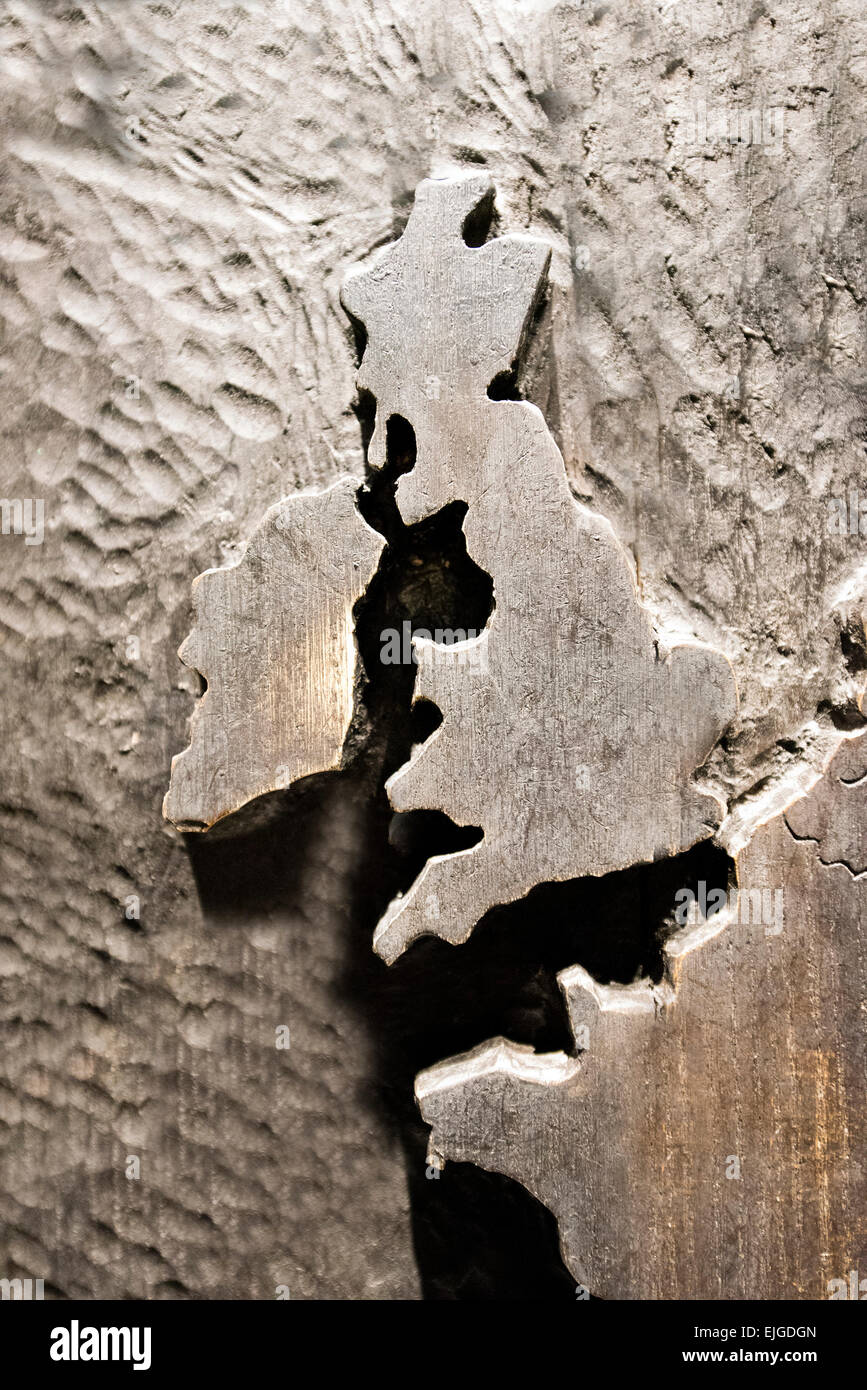 map of Great Britain Stock Photohttps://www.alamy.com/image-license-details/?v=1https://www.alamy.com/stock-photo-map-of-great-britain-80267173.html
RMEJGDGN–map of Great Britain
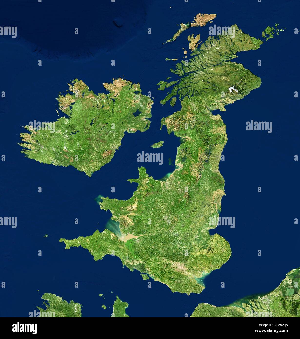 UK map in satellite photo, England terrain view from space. Physical topographic map of Great Britain and Ireland islands. Detailed photography of Uni Stock Photohttps://www.alamy.com/image-license-details/?v=1https://www.alamy.com/uk-map-in-satellite-photo-england-terrain-view-from-space-physical-topographic-map-of-great-britain-and-ireland-islands-detailed-photography-of-uni-image384752432.html
RF2D9XYJ8–UK map in satellite photo, England terrain view from space. Physical topographic map of Great Britain and Ireland islands. Detailed photography of Uni
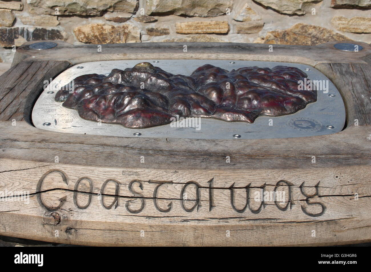 Details of a relief map of Arran Coastal Way on a plinth on Brodick Promenade, Brodick, Isle of Arran, Scotland Stock Photohttps://www.alamy.com/image-license-details/?v=1https://www.alamy.com/stock-photo-details-of-a-relief-map-of-arran-coastal-way-on-a-plinth-on-brodick-105492554.html
RMG3HGR6–Details of a relief map of Arran Coastal Way on a plinth on Brodick Promenade, Brodick, Isle of Arran, Scotland
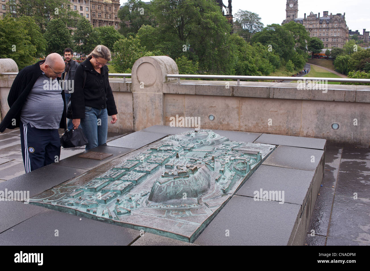 Bronze relief map Edinburgh Scotland UK Stock Photohttps://www.alamy.com/image-license-details/?v=1https://www.alamy.com/stock-photo-bronze-relief-map-edinburgh-scotland-uk-47558860.html
RMCNADPM–Bronze relief map Edinburgh Scotland UK
 Glasgow Scotland: 12th Feb 2024: Bronze Cast Map of Cathedral Precinct close up Stock Photohttps://www.alamy.com/image-license-details/?v=1https://www.alamy.com/glasgow-scotland-12th-feb-2024-bronze-cast-map-of-cathedral-precinct-close-up-image606843686.html
RM2X7838P–Glasgow Scotland: 12th Feb 2024: Bronze Cast Map of Cathedral Precinct close up
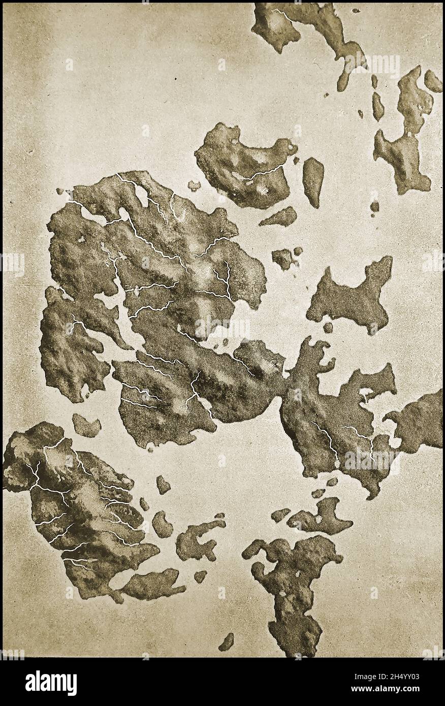 1908 press image - Orkney Scotland - A relief map of the hills of the Orkney Islands Stock Photohttps://www.alamy.com/image-license-details/?v=1https://www.alamy.com/1908-press-image-orkney-scotland-a-relief-map-of-the-hills-of-the-orkney-islands-image450542067.html
RM2H4YY03–1908 press image - Orkney Scotland - A relief map of the hills of the Orkney Islands
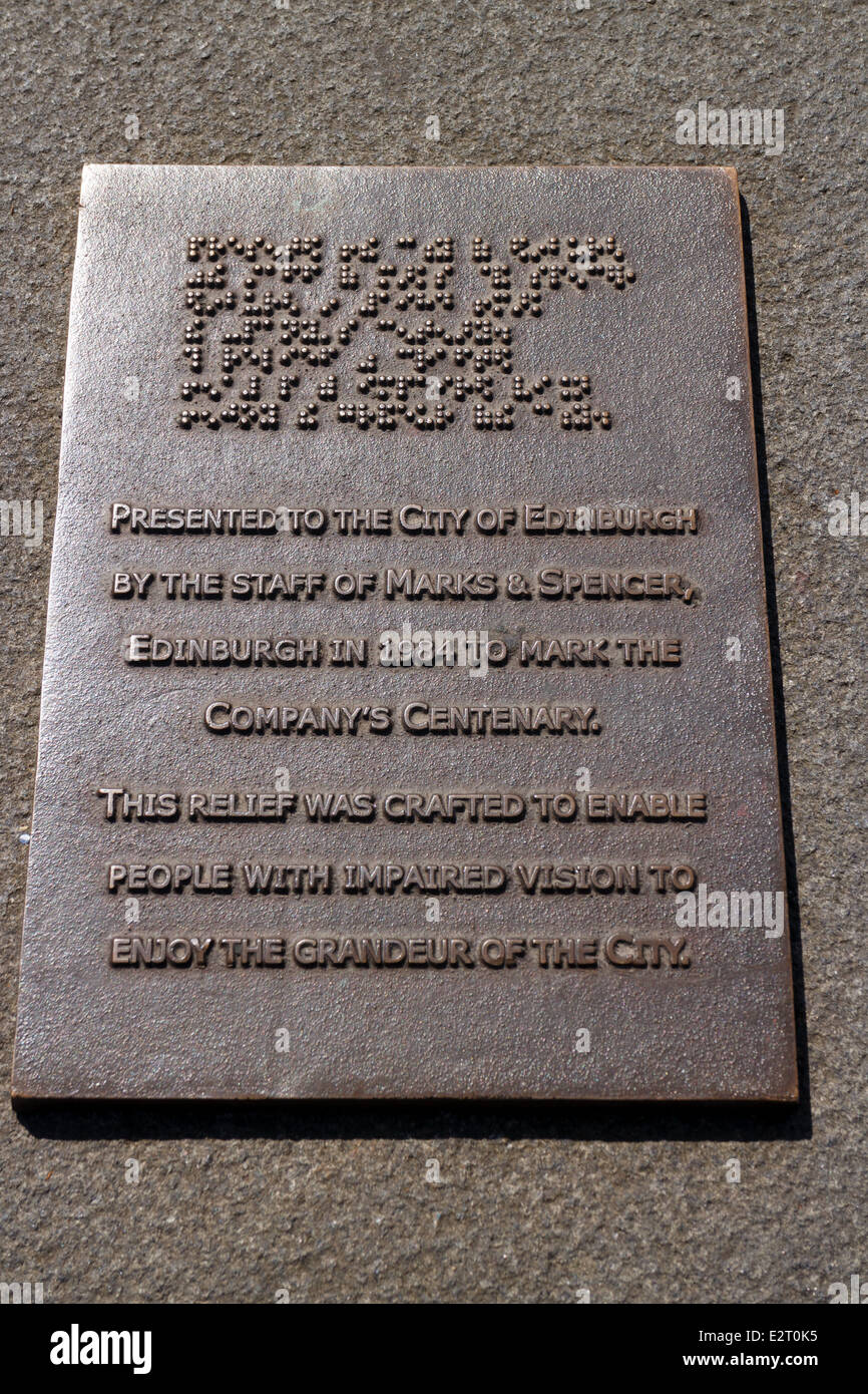 Plaque on sculpture map of Edinburgh presented by Marks & Spencer for the blind and visually impaired Stock Photohttps://www.alamy.com/image-license-details/?v=1https://www.alamy.com/stock-photo-plaque-on-sculpture-map-of-edinburgh-presented-by-marks-spencer-for-70598169.html
RME2T0K5–Plaque on sculpture map of Edinburgh presented by Marks & Spencer for the blind and visually impaired
 Peebles, Scotland, UK. 11th January, 2025. Following the coldest night of the year, snow lies on the Great Polish Map of Scotland in the village of Eddleston outside Peebles in the Scottish Borders. The brainchild of Polish war veteran Jan Tomasik, it was built between 1974 and 1979 and is claimed to be the world's largest (50m x 40m) terrain relief model. The sculpture is a category B listed building. Iain Masterton/Alamy Live News Stock Photohttps://www.alamy.com/image-license-details/?v=1https://www.alamy.com/peebles-scotland-uk-11th-january-2025-following-the-coldest-night-of-the-year-snow-lies-on-the-great-polish-map-of-scotland-in-the-village-of-eddleston-outside-peebles-in-the-scottish-borders-the-brainchild-of-polish-war-veteran-jan-tomasik-it-was-built-between-1974-and-1979-and-is-claimed-to-be-the-worlds-largest-50m-x-40m-terrain-relief-model-the-sculpture-is-a-category-b-listed-building-iain-mastertonalamy-live-news-image639506778.html
RM2S4C1BP–Peebles, Scotland, UK. 11th January, 2025. Following the coldest night of the year, snow lies on the Great Polish Map of Scotland in the village of Eddleston outside Peebles in the Scottish Borders. The brainchild of Polish war veteran Jan Tomasik, it was built between 1974 and 1979 and is claimed to be the world's largest (50m x 40m) terrain relief model. The sculpture is a category B listed building. Iain Masterton/Alamy Live News
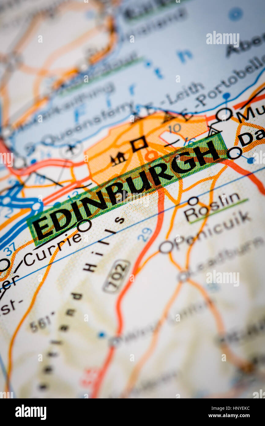 Map Photography: Edinburgh City on a Road Map Stock Photohttps://www.alamy.com/image-license-details/?v=1https://www.alamy.com/stock-photo-map-photography-edinburgh-city-on-a-road-map-133984576.html
RFHNYEKC–Map Photography: Edinburgh City on a Road Map
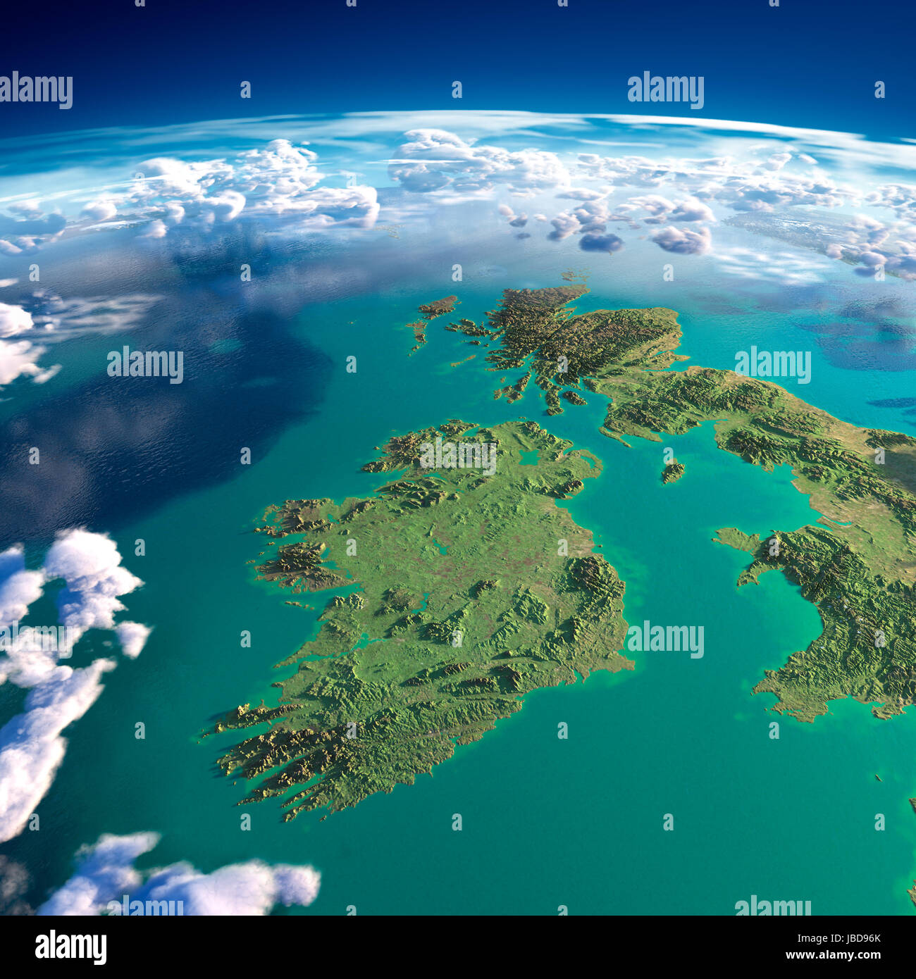 Highly detailed fragments of the planet Earth with exaggerated relief, translucent ocean and clouds, illuminated by the morning sun. Ireland and UK. Elements of this image furnished by NASA Stock Photohttps://www.alamy.com/image-license-details/?v=1https://www.alamy.com/stock-photo-highly-detailed-fragments-of-the-planet-earth-with-exaggerated-relief-144736779.html
RFJBD96K–Highly detailed fragments of the planet Earth with exaggerated relief, translucent ocean and clouds, illuminated by the morning sun. Ireland and UK. Elements of this image furnished by NASA
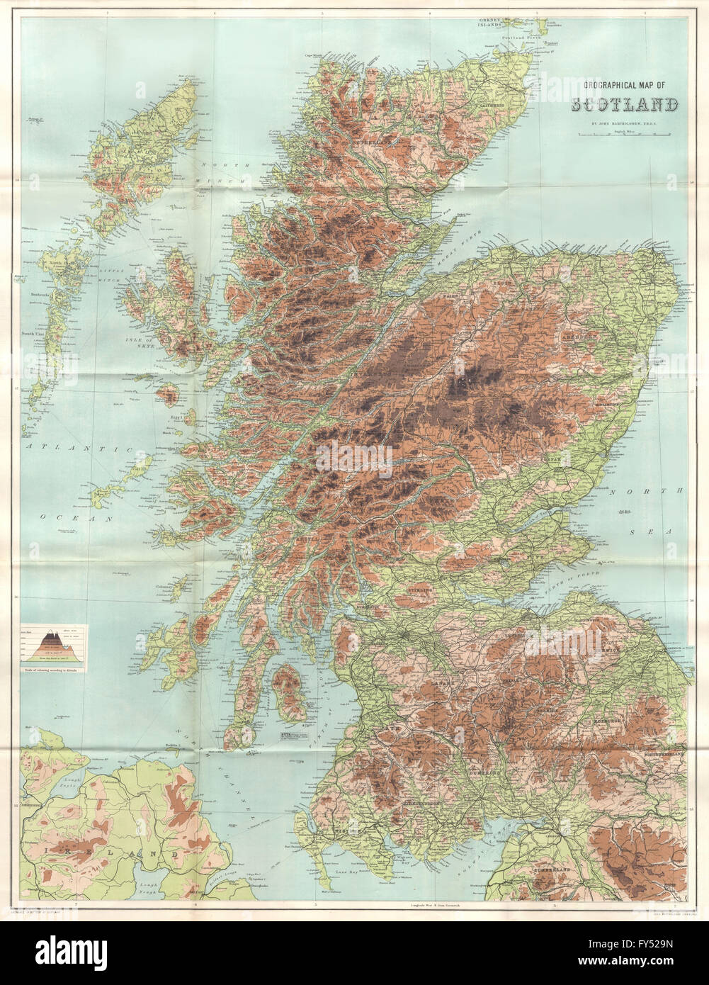 Antique SCOTLAND OROGRAPHICAL Relief map. Large. BARTHOLOMEW, 1885 Stock Photohttps://www.alamy.com/image-license-details/?v=1https://www.alamy.com/stock-photo-antique-scotland-orographical-relief-map-large-bartholomew-1885-102759153.html
RFFY529N–Antique SCOTLAND OROGRAPHICAL Relief map. Large. BARTHOLOMEW, 1885
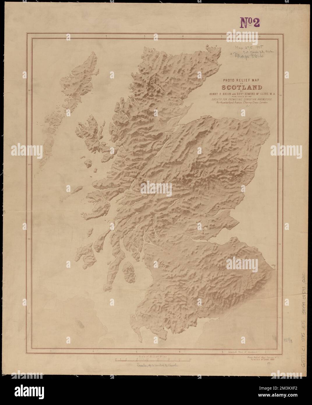 Photo relief map of Scotland , Scotland, Maps Norman B. Leventhal Map Center Collection Stock Photohttps://www.alamy.com/image-license-details/?v=1https://www.alamy.com/photo-relief-map-of-scotland-scotland-maps-norman-b-leventhal-map-center-collection-image501382534.html
RM2M3KXF2–Photo relief map of Scotland , Scotland, Maps Norman B. Leventhal Map Center Collection
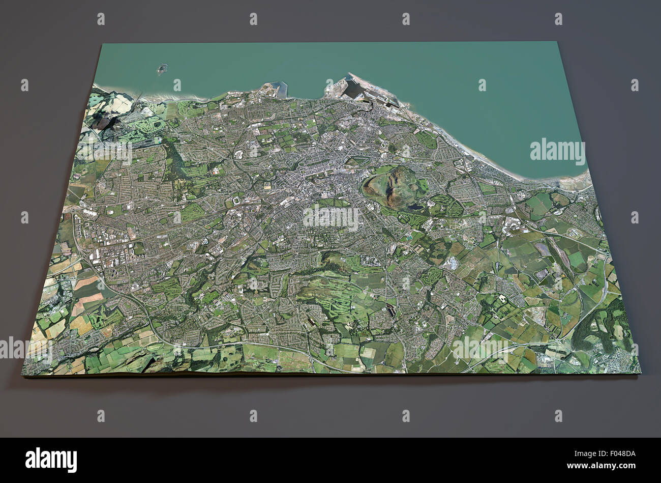 Satellite view of Edinburgh map, Scotland Stock Photohttps://www.alamy.com/image-license-details/?v=1https://www.alamy.com/stock-photo-satellite-view-of-edinburgh-map-scotland-86146294.html
RFF048DA–Satellite view of Edinburgh map, Scotland
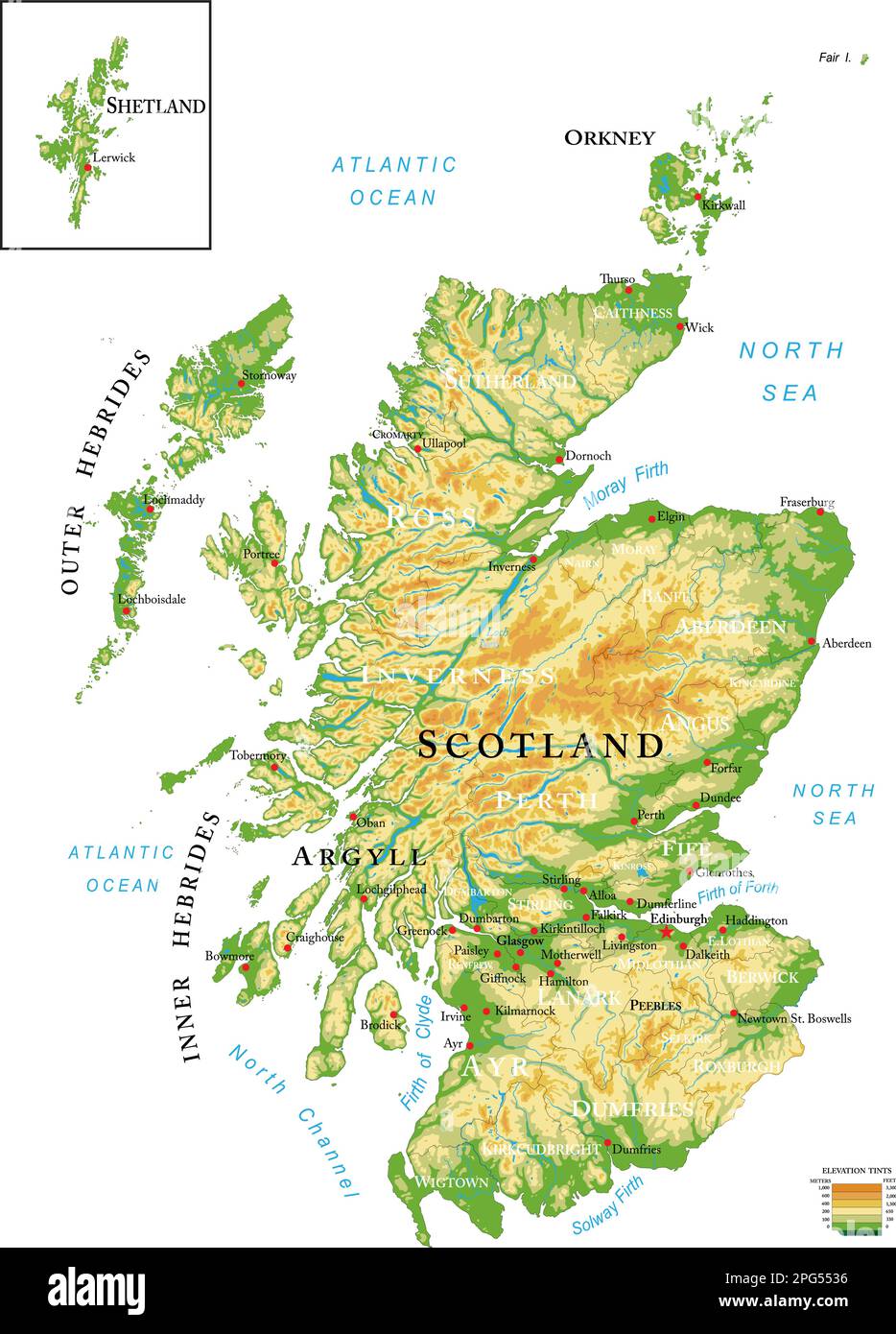 Highly detailed physical map of Scotland, in vector format,with all the relief forms,regions and big cities. Stock Vectorhttps://www.alamy.com/image-license-details/?v=1https://www.alamy.com/highly-detailed-physical-map-of-scotland-in-vector-formatwith-all-the-relief-formsregions-and-big-cities-image543469674.html
RF2PG5536–Highly detailed physical map of Scotland, in vector format,with all the relief forms,regions and big cities.
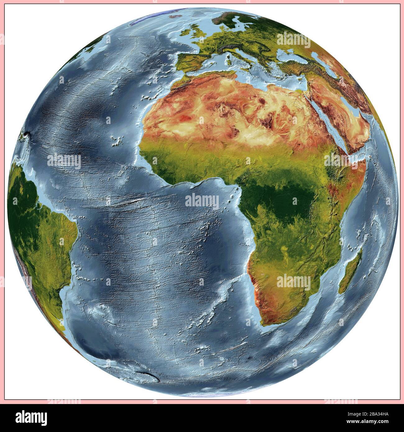 World relief map of continents and oceans. The colors shows the vegetations of the continents and countries. Projection: Vertical Perspective Stock Photohttps://www.alamy.com/image-license-details/?v=1https://www.alamy.com/world-relief-map-of-continents-and-oceans-the-colors-shows-the-vegetations-of-the-continents-and-countries-projection-vertical-perspective-image350423398.html
RF2BA34HA–World relief map of continents and oceans. The colors shows the vegetations of the continents and countries. Projection: Vertical Perspective
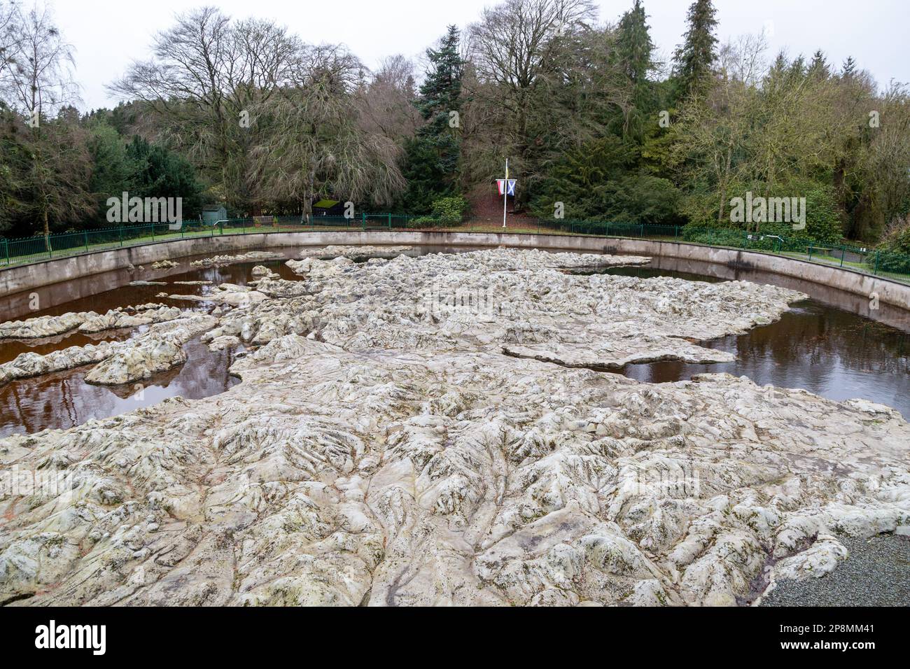 The Great Polish Map of Scotland is a large three-dimensional, outdoor concrete scale model of Scotland, outside the village of Eddleston near Peebles Stock Photohttps://www.alamy.com/image-license-details/?v=1https://www.alamy.com/the-great-polish-map-of-scotland-is-a-large-three-dimensional-outdoor-concrete-scale-model-of-scotland-outside-the-village-of-eddleston-near-peebles-image538893489.html
RM2P8MM41–The Great Polish Map of Scotland is a large three-dimensional, outdoor concrete scale model of Scotland, outside the village of Eddleston near Peebles
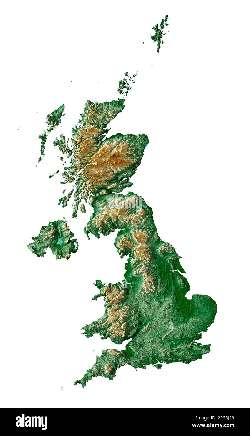 United Kingdom. Detailed 3D rendering of a shaded relief map with rivers & lakes. Colored by elevation. White background. Created with satellite data. Stock Photohttps://www.alamy.com/image-license-details/?v=1https://www.alamy.com/united-kingdom-detailed-3d-rendering-of-a-shaded-relief-map-with-rivers-lakes-colored-by-elevation-white-background-created-with-satellite-data-image553928993.html
RF2R55J29–United Kingdom. Detailed 3D rendering of a shaded relief map with rivers & lakes. Colored by elevation. White background. Created with satellite data.
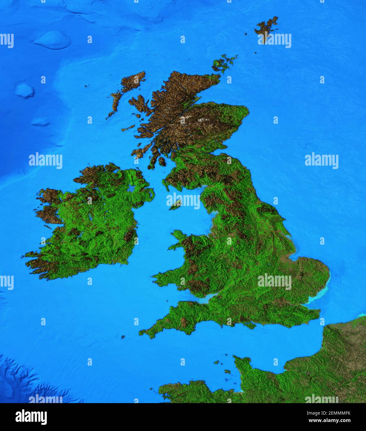 Physical map of England, Britain and Ireland. Detailed flat view of the Planet Earth and its landforms - Elements furnished by NASA Stock Photohttps://www.alamy.com/image-license-details/?v=1https://www.alamy.com/physical-map-of-england-britain-and-ireland-detailed-flat-view-of-the-planet-earth-and-its-landforms-elements-furnished-by-nasa-image408586743.html
RF2EMMMFK–Physical map of England, Britain and Ireland. Detailed flat view of the Planet Earth and its landforms - Elements furnished by NASA
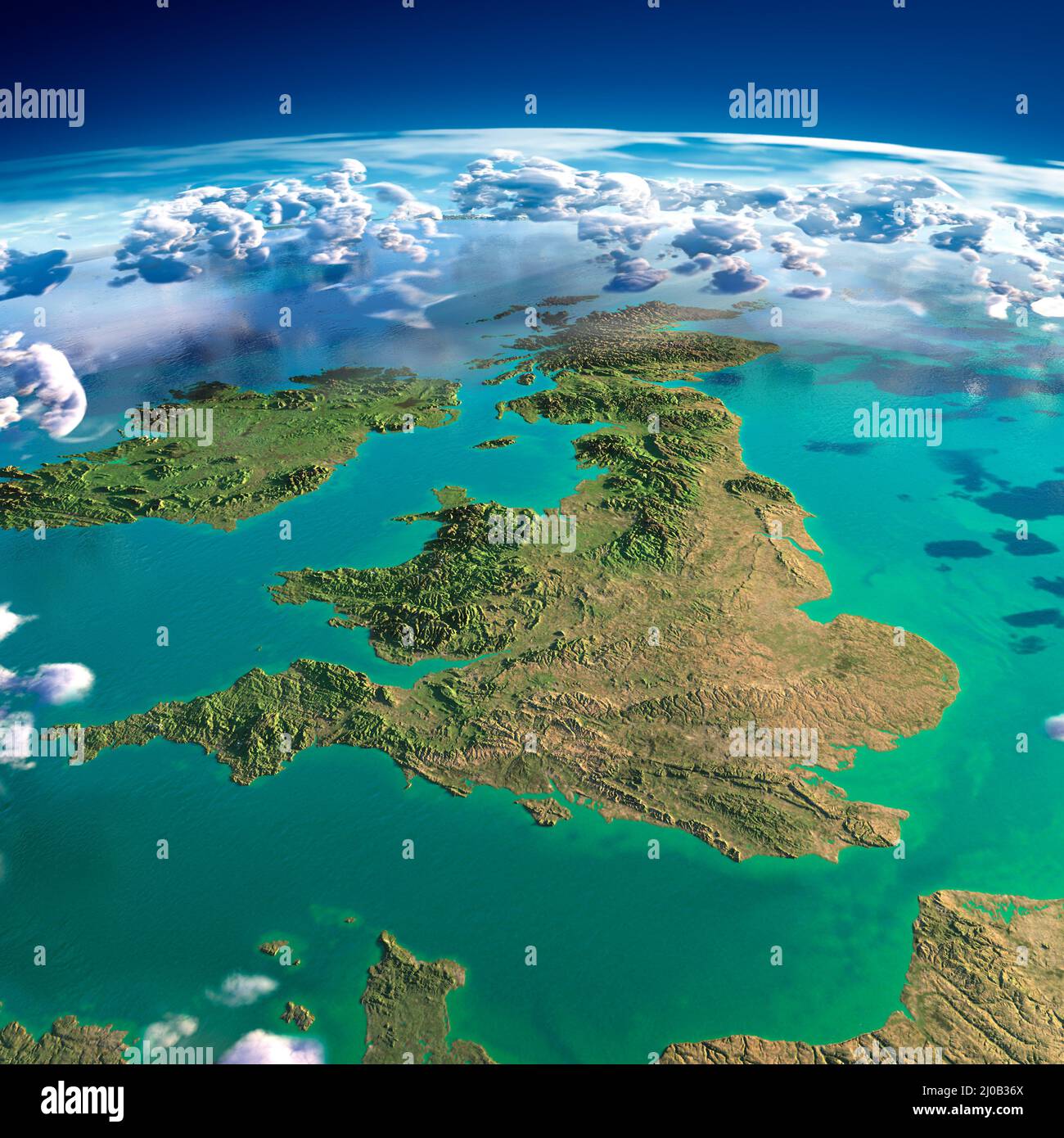 Fragments of the planet Earth. United Kingdom and Ireland Stock Photohttps://www.alamy.com/image-license-details/?v=1https://www.alamy.com/fragments-of-the-planet-earth-united-kingdom-and-ireland-image464923954.html
RM2J0B36X–Fragments of the planet Earth. United Kingdom and Ireland
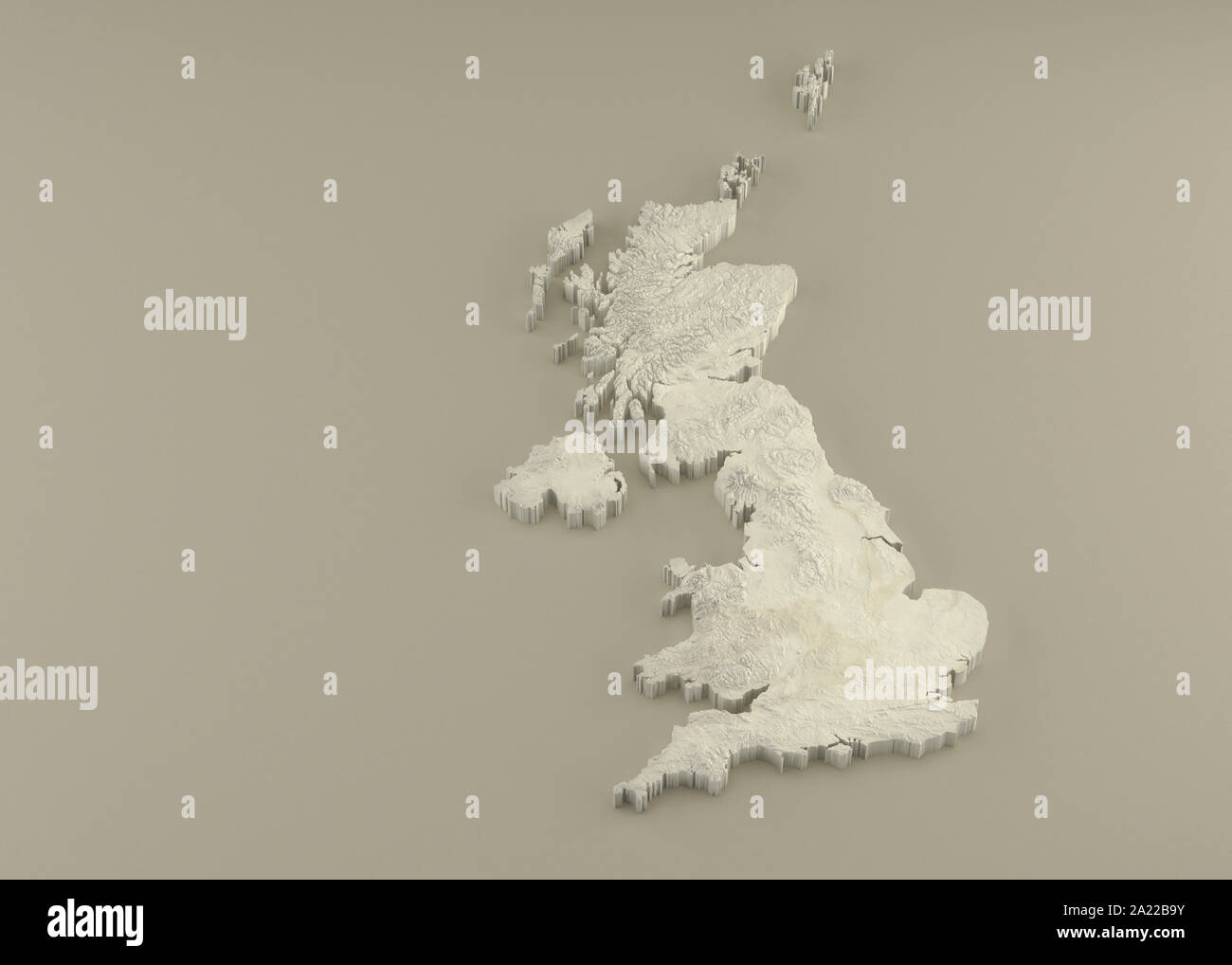 Extruded 3D political Map of United Kingdom with relief as marble sculpture on a light beige background Stock Photohttps://www.alamy.com/image-license-details/?v=1https://www.alamy.com/extruded-3d-political-map-of-united-kingdom-with-relief-as-marble-sculpture-on-a-light-beige-background-image328279111.html
RF2A22B9Y–Extruded 3D political Map of United Kingdom with relief as marble sculpture on a light beige background
 . English: A fine example of Rigobert Bonne and Guillaume Raynal’s 1780 map of the British Isles. Covers Ireland, Scotland, Wales, England, Isle of Man, and the Channel Islands. Highly detailed, showing towns, rivers, some topographical features, important roadways and political boundaries. Relief shown in profile. Drawn by R. Bonne for G. Raynal’s Atlas de Toutes les Parties Connues du Globe Terrestre, Dressé pour l'Histoire Philosophique et Politique des Établissemens et du Commerce des Européens dans les Deux Indes . Carte Des Isles Brittaniques Contenant Royaumes D'Angleterre, D'Ecosse, Stock Photohttps://www.alamy.com/image-license-details/?v=1https://www.alamy.com/english-a-fine-example-of-rigobert-bonne-and-guillaume-raynals-1780-map-of-the-british-isles-covers-ireland-scotland-wales-england-isle-of-man-and-the-channel-islands-highly-detailed-showing-towns-rivers-some-topographical-features-important-roadways-and-political-boundaries-relief-shown-in-profile-drawn-by-r-bonne-for-g-raynals-atlas-de-toutes-les-parties-connues-du-globe-terrestre-dress-pour-lhistoire-philosophique-et-politique-des-tablissemens-et-du-commerce-des-europens-dans-les-deux-indes-carte-des-isles-brittaniques-contenant-royaumes-dangleterre-decosse-image184883903.html
RMMMP58F–. English: A fine example of Rigobert Bonne and Guillaume Raynal’s 1780 map of the British Isles. Covers Ireland, Scotland, Wales, England, Isle of Man, and the Channel Islands. Highly detailed, showing towns, rivers, some topographical features, important roadways and political boundaries. Relief shown in profile. Drawn by R. Bonne for G. Raynal’s Atlas de Toutes les Parties Connues du Globe Terrestre, Dressé pour l'Histoire Philosophique et Politique des Établissemens et du Commerce des Européens dans les Deux Indes . Carte Des Isles Brittaniques Contenant Royaumes D'Angleterre, D'Ecosse,
 Display oh heathers in a shield shape by a relief map of Arran Coastal Way on Brodick promenade, Isle of Arran, Scotland. Stock Photohttps://www.alamy.com/image-license-details/?v=1https://www.alamy.com/stock-photo-display-oh-heathers-in-a-shield-shape-by-a-relief-map-of-arran-coastal-105492557.html
RMG3HGR9–Display oh heathers in a shield shape by a relief map of Arran Coastal Way on Brodick promenade, Isle of Arran, Scotland.
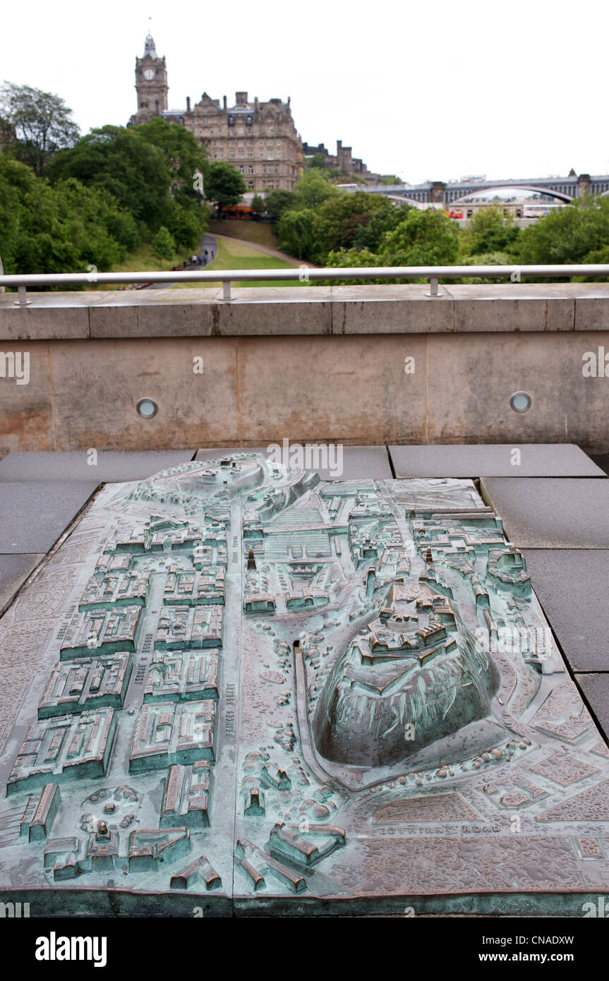 Bronze relief map Edinburgh Scotland UK Stock Photohttps://www.alamy.com/image-license-details/?v=1https://www.alamy.com/stock-photo-bronze-relief-map-edinburgh-scotland-uk-47558977.html
RMCNADXW–Bronze relief map Edinburgh Scotland UK
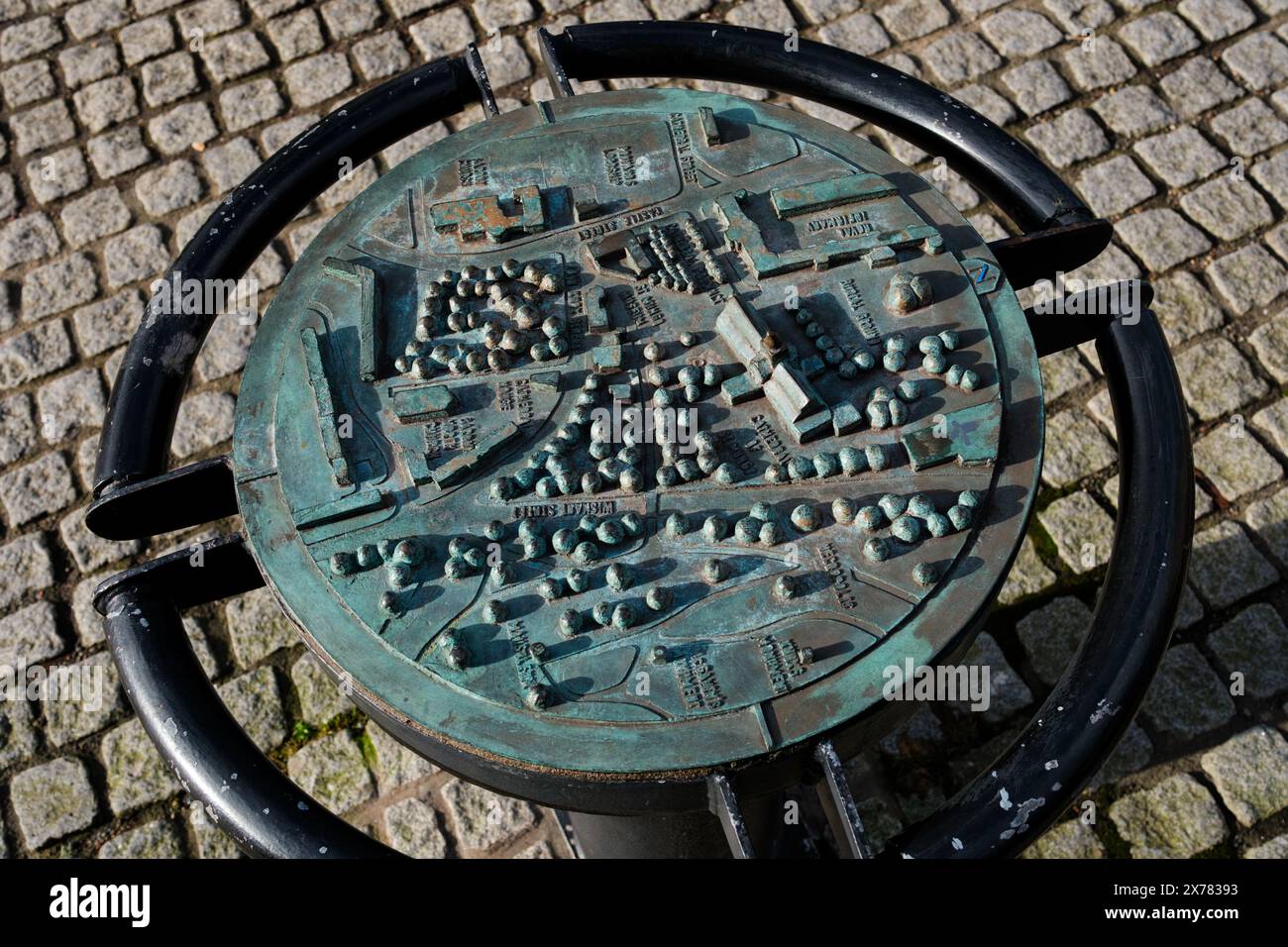 Glasgow Scotland: 12th Feb 2024: Bronze Cast Map of Cathedral Precinct close up Stock Photohttps://www.alamy.com/image-license-details/?v=1https://www.alamy.com/glasgow-scotland-12th-feb-2024-bronze-cast-map-of-cathedral-precinct-close-up-image606843695.html
RM2X78393–Glasgow Scotland: 12th Feb 2024: Bronze Cast Map of Cathedral Precinct close up
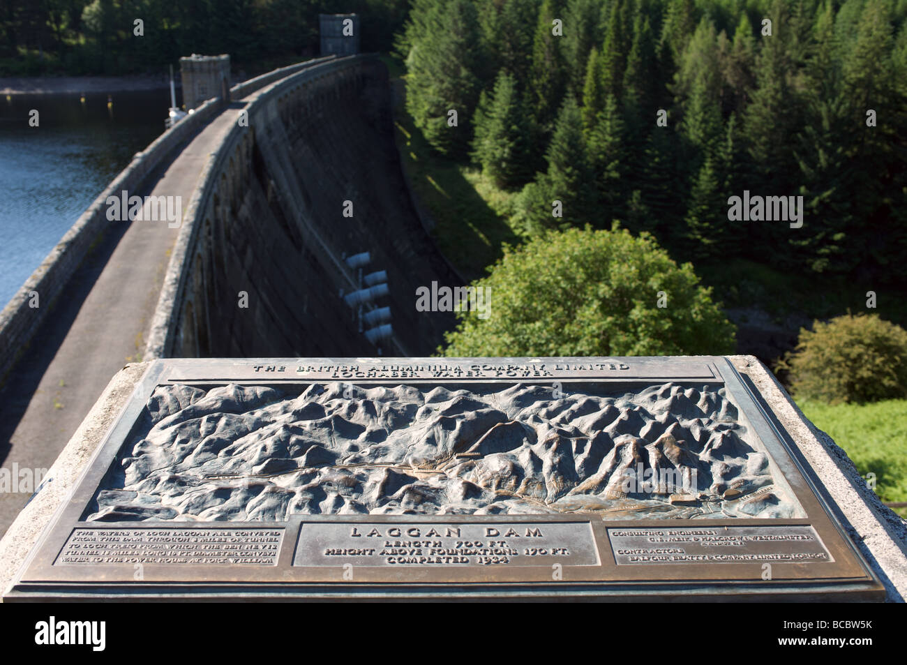 Loch Laggan hydro-electric water dam, Scotland. Stock Photohttps://www.alamy.com/image-license-details/?v=1https://www.alamy.com/stock-photo-loch-laggan-hydro-electric-water-dam-scotland-24847471.html
RMBCBW5K–Loch Laggan hydro-electric water dam, Scotland.
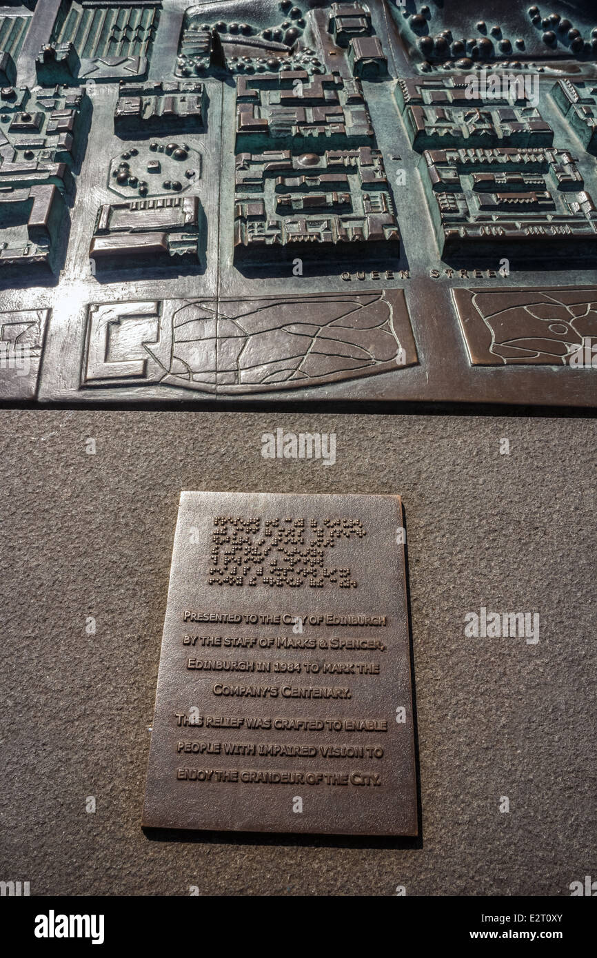 Plaque on sculpture map of Edinburgh presented by Marks & Spencer for the blind and visually impaired Stock Photohttps://www.alamy.com/image-license-details/?v=1https://www.alamy.com/stock-photo-plaque-on-sculpture-map-of-edinburgh-presented-by-marks-spencer-for-70598387.html
RME2T0XY–Plaque on sculpture map of Edinburgh presented by Marks & Spencer for the blind and visually impaired
 Peebles, Scotland, UK. 11th January, 2025. Following the coldest night of the year, snow lies on the Great Polish Map of Scotland in the village of Eddleston outside Peebles in the Scottish Borders. The brainchild of Polish war veteran Jan Tomasik, it was built between 1974 and 1979 and is claimed to be the world's largest (50m x 40m) terrain relief model. The sculpture is a category B listed building. Iain Masterton/Alamy Live News Stock Photohttps://www.alamy.com/image-license-details/?v=1https://www.alamy.com/peebles-scotland-uk-11th-january-2025-following-the-coldest-night-of-the-year-snow-lies-on-the-great-polish-map-of-scotland-in-the-village-of-eddleston-outside-peebles-in-the-scottish-borders-the-brainchild-of-polish-war-veteran-jan-tomasik-it-was-built-between-1974-and-1979-and-is-claimed-to-be-the-worlds-largest-50m-x-40m-terrain-relief-model-the-sculpture-is-a-category-b-listed-building-iain-mastertonalamy-live-news-image639506773.html
RM2S4C1BH–Peebles, Scotland, UK. 11th January, 2025. Following the coldest night of the year, snow lies on the Great Polish Map of Scotland in the village of Eddleston outside Peebles in the Scottish Borders. The brainchild of Polish war veteran Jan Tomasik, it was built between 1974 and 1979 and is claimed to be the world's largest (50m x 40m) terrain relief model. The sculpture is a category B listed building. Iain Masterton/Alamy Live News
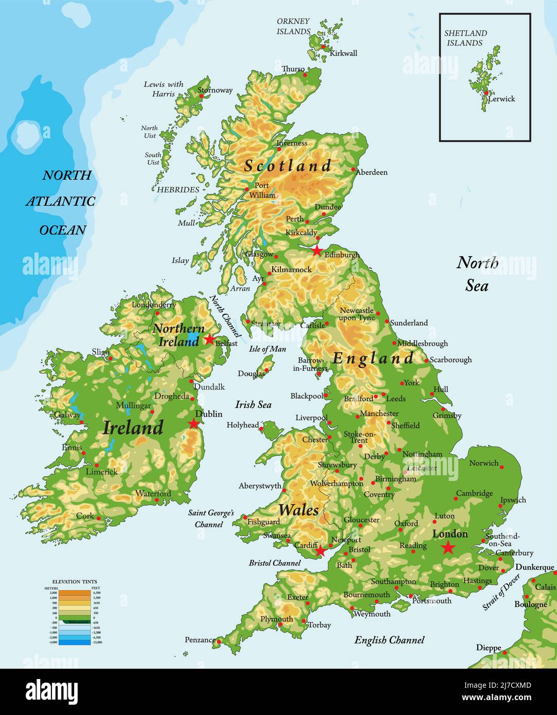 Highly detailed physical map of United Kingdom and Ireland,in vector format,with all the relief forms,states and big cities. Stock Vectorhttps://www.alamy.com/image-license-details/?v=1https://www.alamy.com/highly-detailed-physical-map-of-united-kingdom-and-irelandin-vector-formatwith-all-the-relief-formsstates-and-big-cities-image469266909.html
RF2J7CXMD–Highly detailed physical map of United Kingdom and Ireland,in vector format,with all the relief forms,states and big cities.
 Highly detailed fragments of the planet Earth with exaggerated relief, translucent ocean and clouds, illuminated by the morning sun. United Kingdom and Ireland. Elements of this image furnished by NASA Stock Photohttps://www.alamy.com/image-license-details/?v=1https://www.alamy.com/stock-photo-highly-detailed-fragments-of-the-planet-earth-with-exaggerated-relief-144716332.html
RFJBCB4C–Highly detailed fragments of the planet Earth with exaggerated relief, translucent ocean and clouds, illuminated by the morning sun. United Kingdom and Ireland. Elements of this image furnished by NASA
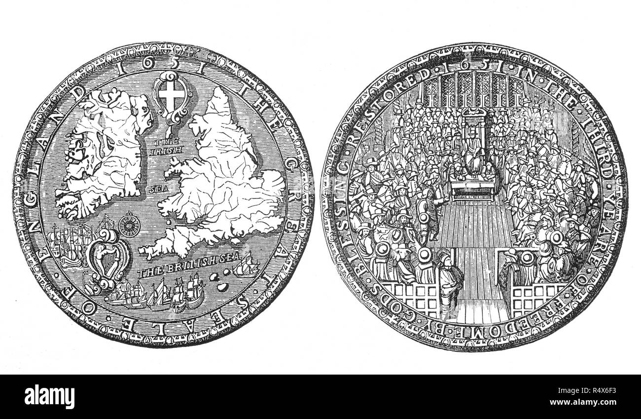 The Great Seal of the Commonwealth during the period from 1649 to 1660 when England and Wales, later along with Ireland and Scotland,were ruled as a republic following the end of the Second English Civil War and the trial and execution of Charles I. Power in the early Commonwealth was vested primarily in the Parliament and a Council of State. In 1653, after the forcible dissolution of the Rump Parliament, the Army Council made Oliver Cromwell Lord Protector of a united 'Commonwealth of England, Scotland and Ireland', inaugurating the period now usually known as the Protectorate. Stock Photohttps://www.alamy.com/image-license-details/?v=1https://www.alamy.com/the-great-seal-of-the-commonwealth-during-the-period-from-1649-to-1660-when-england-and-wales-later-along-with-ireland-and-scotlandwere-ruled-as-a-republic-following-the-end-of-the-second-english-civil-war-and-the-trial-and-execution-of-charles-i-power-in-the-early-commonwealth-was-vested-primarily-in-the-parliament-and-a-council-of-state-in-1653-after-the-forcible-dissolution-of-the-rump-parliament-the-army-council-made-oliver-cromwell-lord-protector-of-a-united-commonwealth-of-england-scotland-and-ireland-inaugurating-the-period-now-usually-known-as-the-protectorate-image226769287.html
RMR4X6F3–The Great Seal of the Commonwealth during the period from 1649 to 1660 when England and Wales, later along with Ireland and Scotland,were ruled as a republic following the end of the Second English Civil War and the trial and execution of Charles I. Power in the early Commonwealth was vested primarily in the Parliament and a Council of State. In 1653, after the forcible dissolution of the Rump Parliament, the Army Council made Oliver Cromwell Lord Protector of a united 'Commonwealth of England, Scotland and Ireland', inaugurating the period now usually known as the Protectorate.
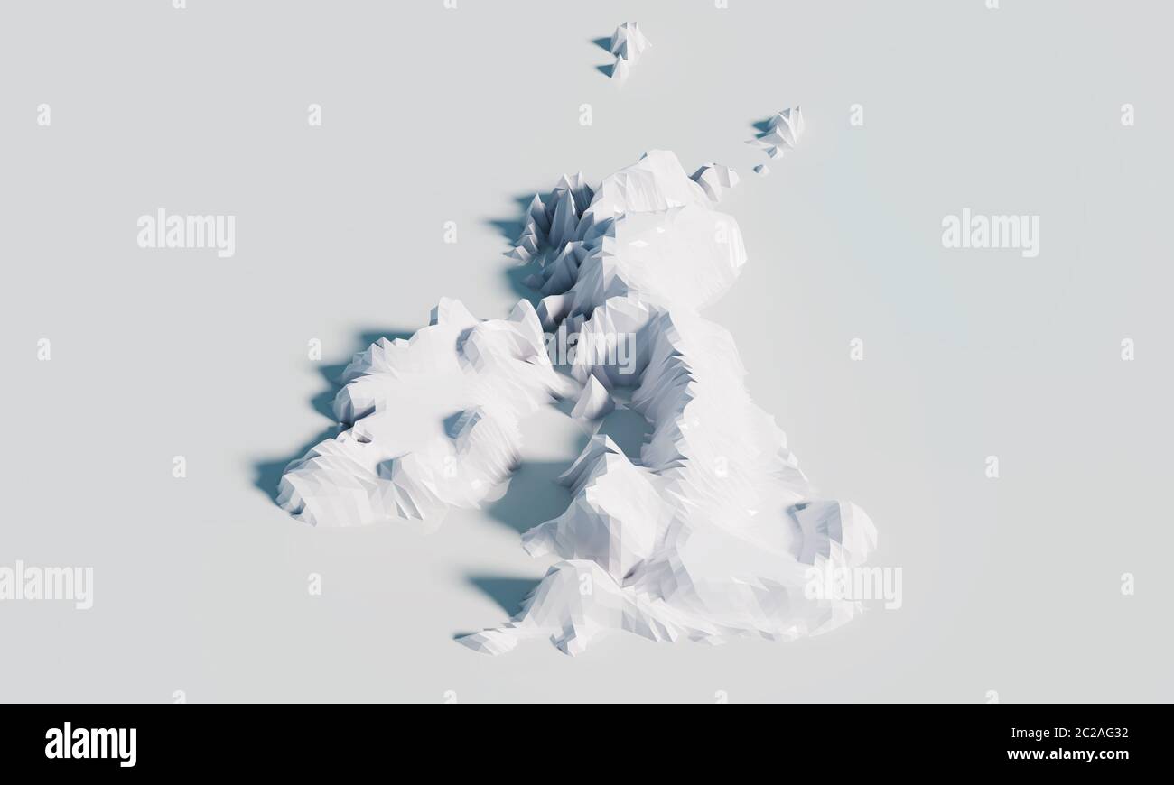 Relief map with the heights of Great Britain and Ireland Stock Photohttps://www.alamy.com/image-license-details/?v=1https://www.alamy.com/relief-map-with-the-heights-of-great-britain-and-ireland-image362879190.html
RF2C2AG32–Relief map with the heights of Great Britain and Ireland
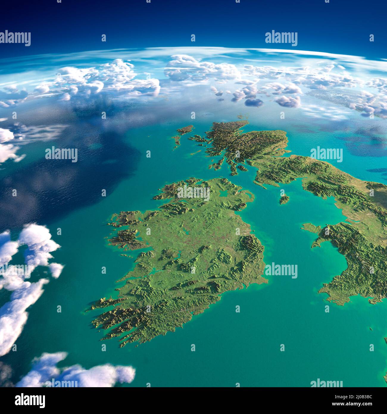 Fragments of the planet Earth. Ireland and UK Stock Photohttps://www.alamy.com/image-license-details/?v=1https://www.alamy.com/fragments-of-the-planet-earth-ireland-and-uk-image464924080.html
RM2J0B3BC–Fragments of the planet Earth. Ireland and UK
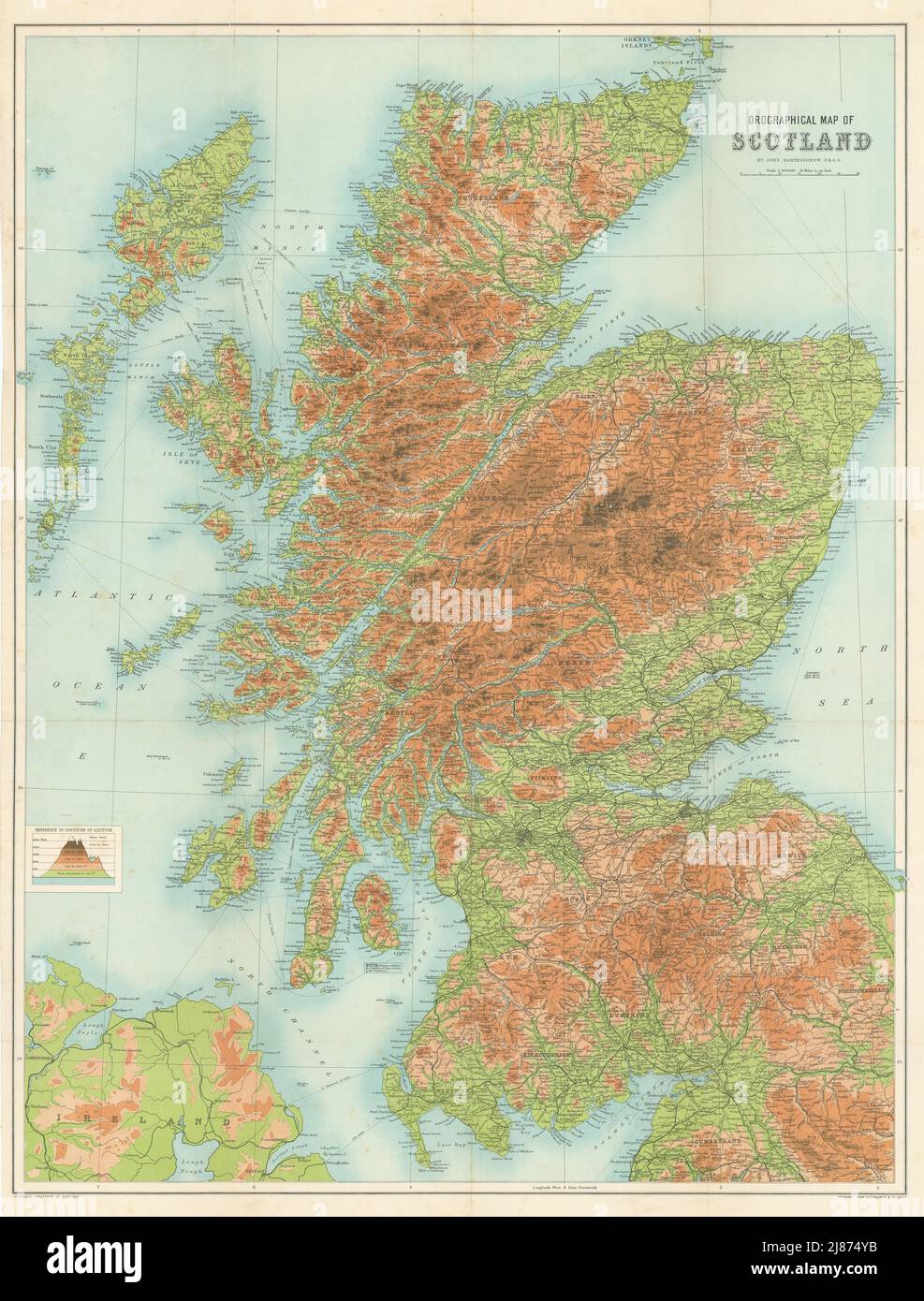 Antique SCOTLAND OROGRAPHICAL Relief map. Large. BARTHOLOMEW 1895 old Stock Photohttps://www.alamy.com/image-license-details/?v=1https://www.alamy.com/antique-scotland-orographical-relief-map-large-bartholomew-1895-old-image469754751.html
RF2J874YB–Antique SCOTLAND OROGRAPHICAL Relief map. Large. BARTHOLOMEW 1895 old
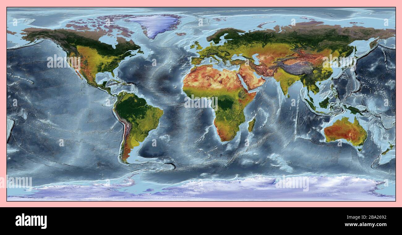 World relief map of continents and oceans. The colors also shows the vegetation of the continents and countries. Projection: WGS 84. Stock Photohttps://www.alamy.com/image-license-details/?v=1https://www.alamy.com/world-relief-map-of-continents-and-oceans-the-colors-also-shows-the-vegetation-of-the-continents-and-countries-projection-wgs-84-image350402782.html
RF2BA2692–World relief map of continents and oceans. The colors also shows the vegetation of the continents and countries. Projection: WGS 84.
 relief map of Scotland circa 1910 from a school geography text book Stock Photohttps://www.alamy.com/image-license-details/?v=1https://www.alamy.com/relief-map-of-scotland-circa-1910-from-a-school-geography-text-book-image569764778.html
RM2T2Y0P2–relief map of Scotland circa 1910 from a school geography text book
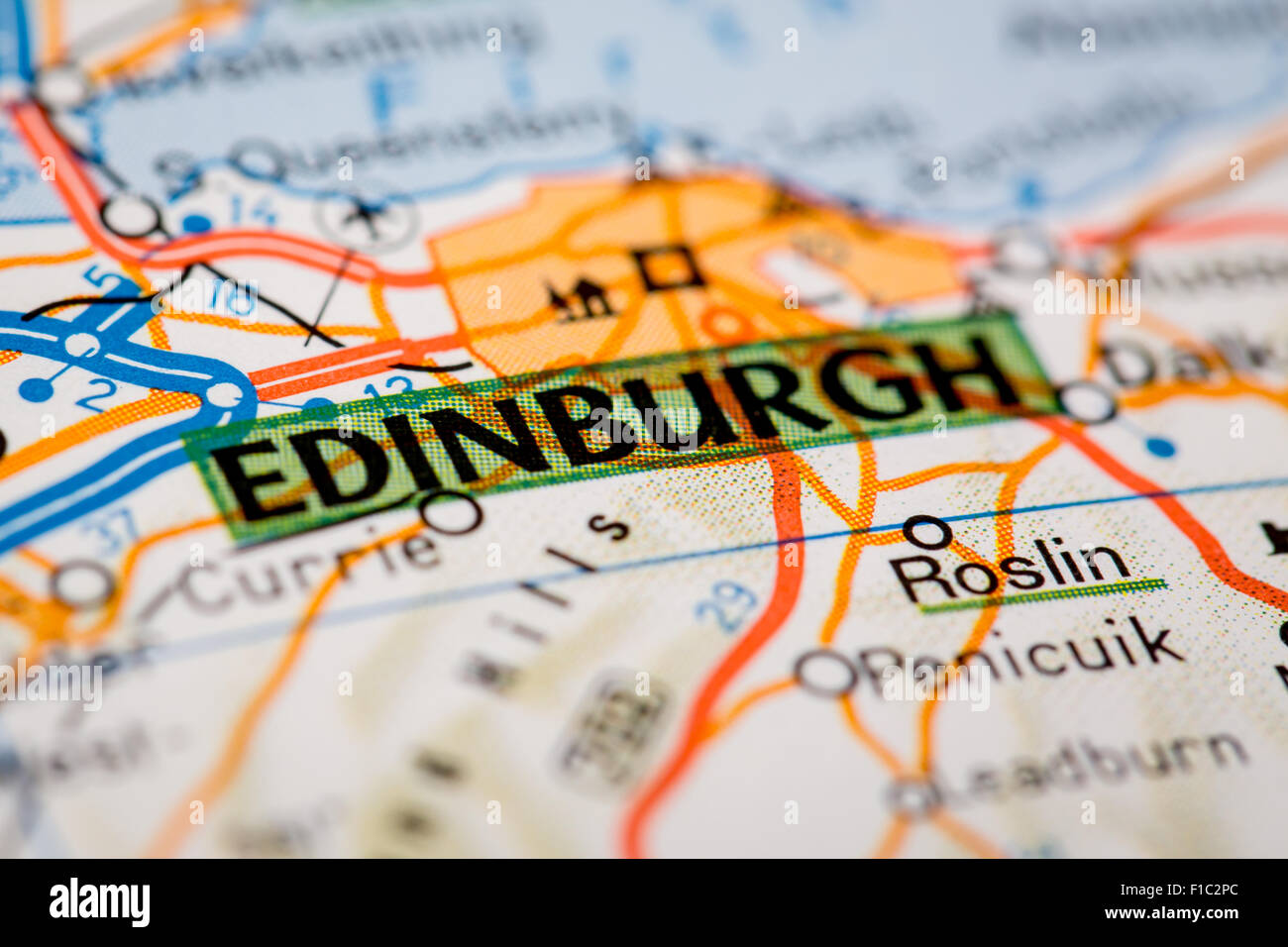 Map Photography: Edinburgh City on a Road Map Stock Photohttps://www.alamy.com/image-license-details/?v=1https://www.alamy.com/stock-photo-map-photography-edinburgh-city-on-a-road-map-86932116.html
RMF1C2PC–Map Photography: Edinburgh City on a Road Map
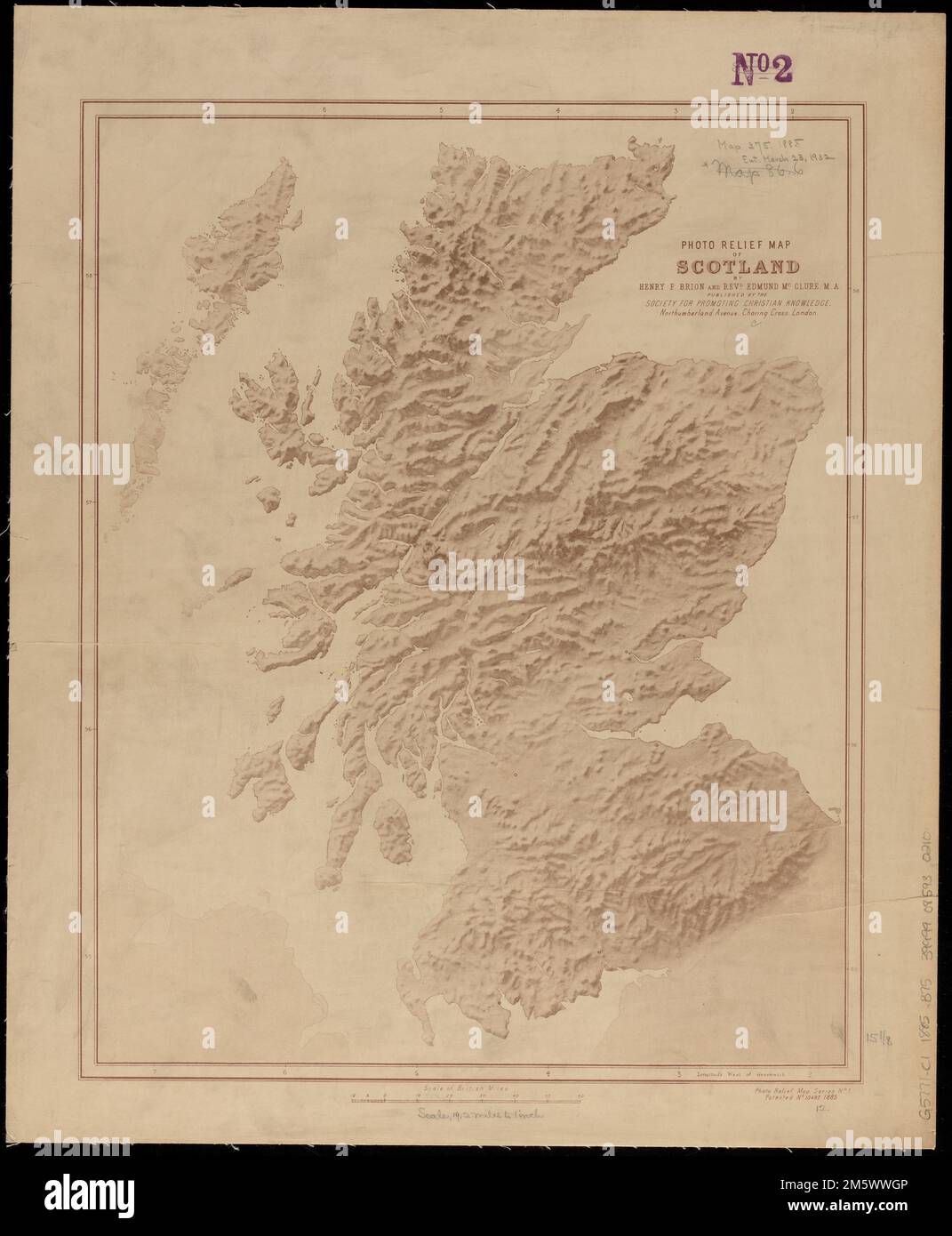 Photo relief map of Scotland. Relief shown by shading. In lower right: Photo relief map series no. 1. Patented no. 10487, 1885.... , Scotland Stock Photohttps://www.alamy.com/image-license-details/?v=1https://www.alamy.com/photo-relief-map-of-scotland-relief-shown-by-shading-in-lower-right-photo-relief-map-series-no-1-patented-no-10487-1885-scotland-image502742822.html
RM2M5WWGP–Photo relief map of Scotland. Relief shown by shading. In lower right: Photo relief map series no. 1. Patented no. 10487, 1885.... , Scotland
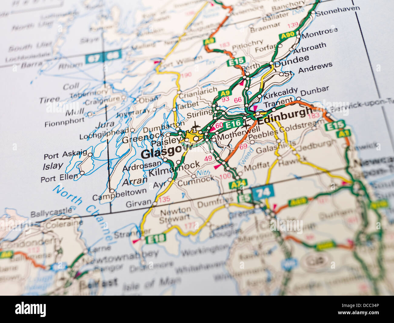 Map of Glasgow Stock Photohttps://www.alamy.com/image-license-details/?v=1https://www.alamy.com/stock-photo-map-of-glasgow-59272886.html
RFDCC34P–Map of Glasgow
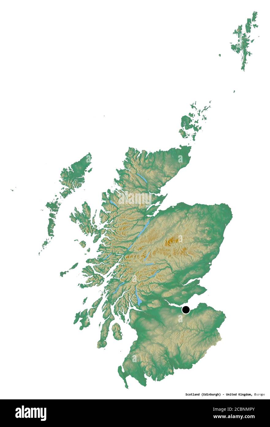 Shape of Scotland, region of United Kingdom, with its capital isolated on white background. Topographic relief map. 3D rendering Stock Photohttps://www.alamy.com/image-license-details/?v=1https://www.alamy.com/shape-of-scotland-region-of-united-kingdom-with-its-capital-isolated-on-white-background-topographic-relief-map-3d-rendering-image368656259.html
RF2CBNMPY–Shape of Scotland, region of United Kingdom, with its capital isolated on white background. Topographic relief map. 3D rendering
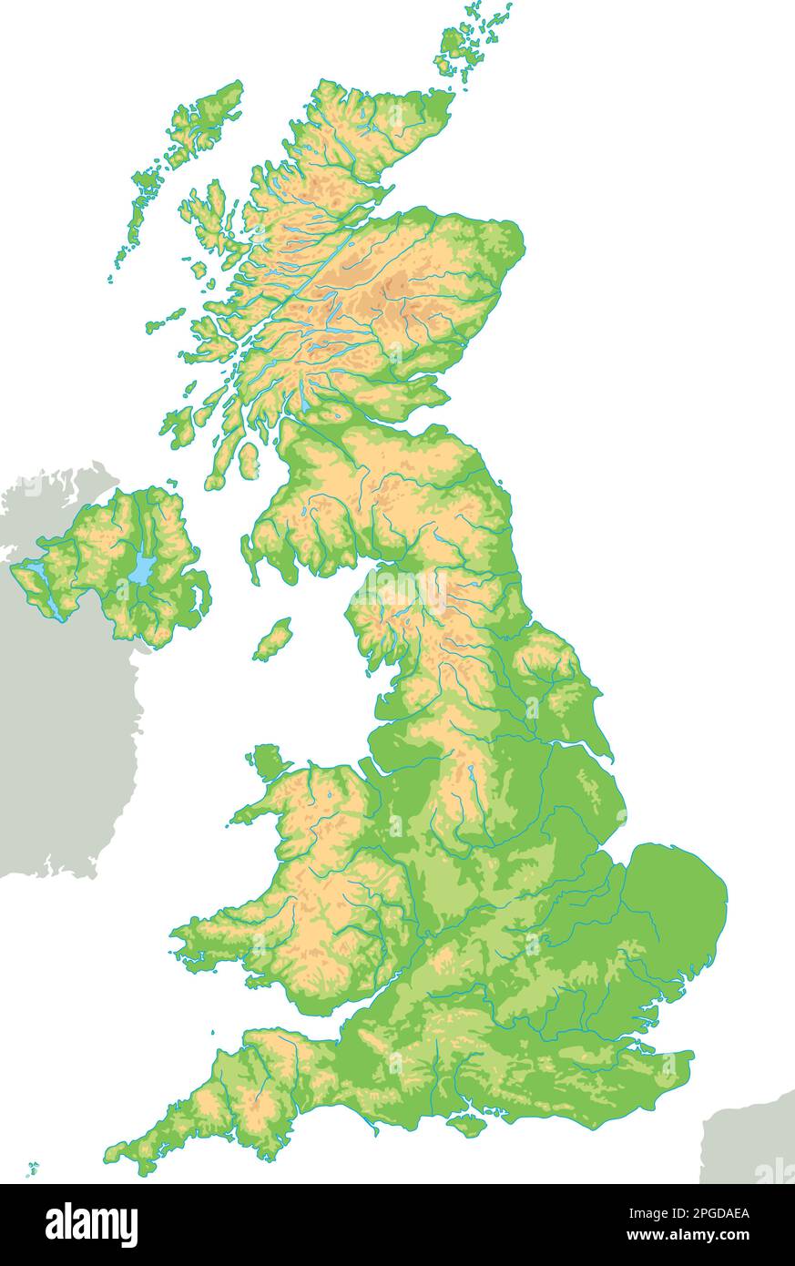 High detailed United Kingdom physical map. Stock Vectorhttps://www.alamy.com/image-license-details/?v=1https://www.alamy.com/high-detailed-united-kingdom-physical-map-image543649522.html
RF2PGDAEA–High detailed United Kingdom physical map.
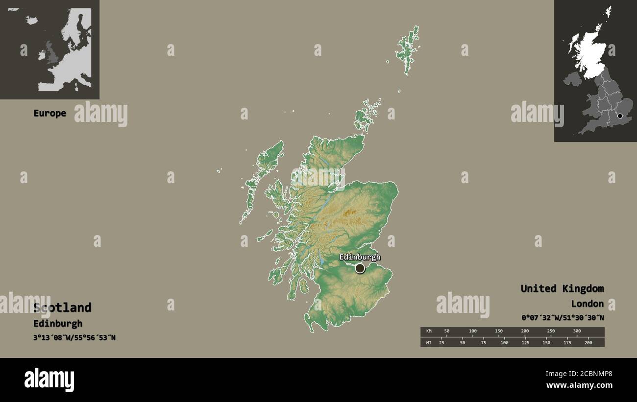 Shape of Scotland, region of United Kingdom, and its capital. Distance scale, previews and labels. Topographic relief map. 3D rendering Stock Photohttps://www.alamy.com/image-license-details/?v=1https://www.alamy.com/shape-of-scotland-region-of-united-kingdom-and-its-capital-distance-scale-previews-and-labels-topographic-relief-map-3d-rendering-image368656240.html
RF2CBNMP8–Shape of Scotland, region of United Kingdom, and its capital. Distance scale, previews and labels. Topographic relief map. 3D rendering
 Planet Earth - England and Ireland. 3D Rendering. Elements of this image furnished by NASA Stock Photohttps://www.alamy.com/image-license-details/?v=1https://www.alamy.com/planet-earth-england-and-ireland-3d-rendering-elements-of-this-image-furnished-by-nasa-image538031963.html
RF2P79D77–Planet Earth - England and Ireland. 3D Rendering. Elements of this image furnished by NASA
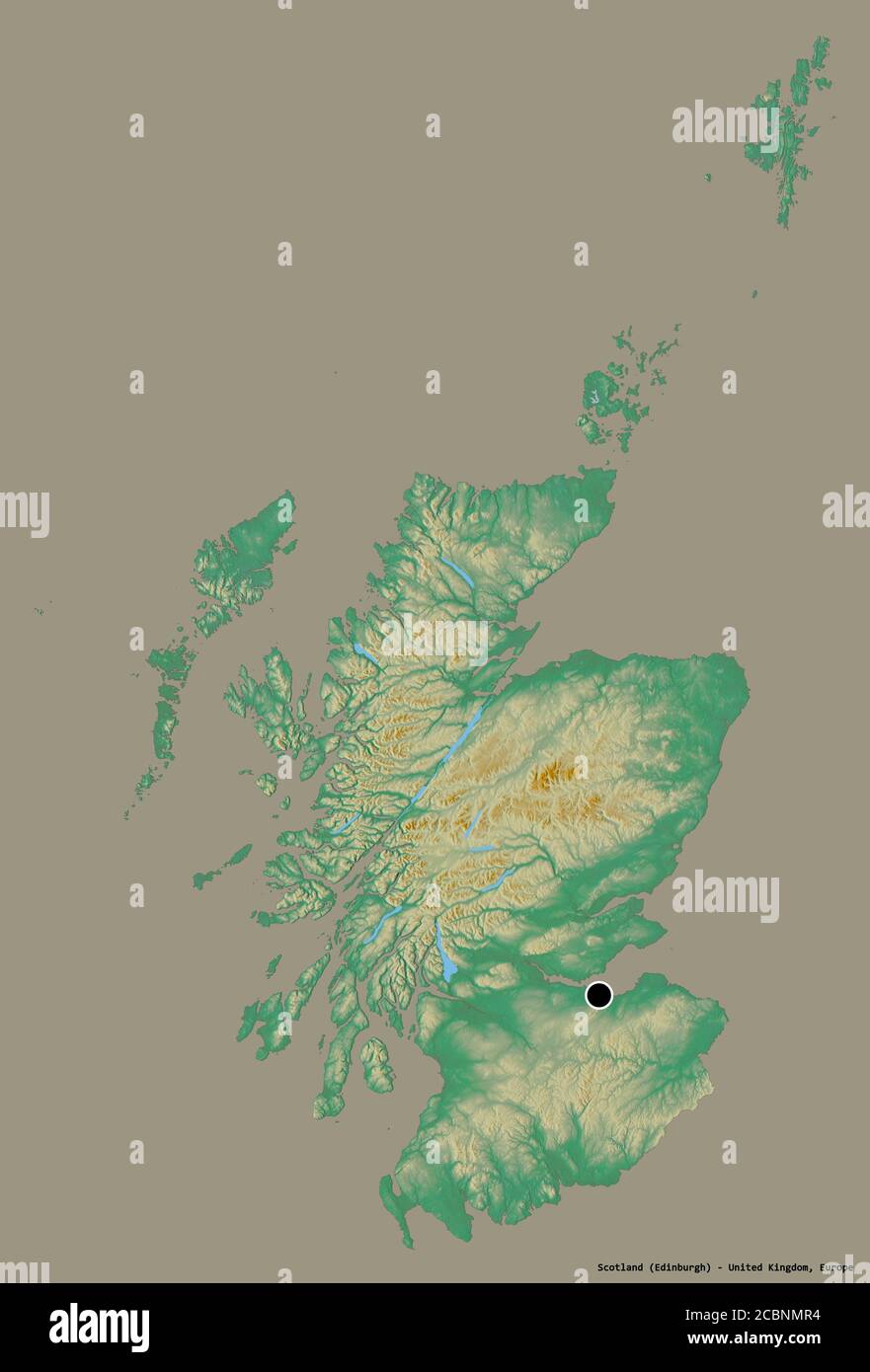 Shape of Scotland, region of United Kingdom, with its capital isolated on a solid color background. Topographic relief map. 3D rendering Stock Photohttps://www.alamy.com/image-license-details/?v=1https://www.alamy.com/shape-of-scotland-region-of-united-kingdom-with-its-capital-isolated-on-a-solid-color-background-topographic-relief-map-3d-rendering-image368656264.html
RF2CBNMR4–Shape of Scotland, region of United Kingdom, with its capital isolated on a solid color background. Topographic relief map. 3D rendering
 Stock Photohttps://www.alamy.com/image-license-details/?v=1https://www.alamy.com/-image225765909.html
RFR38EM5–
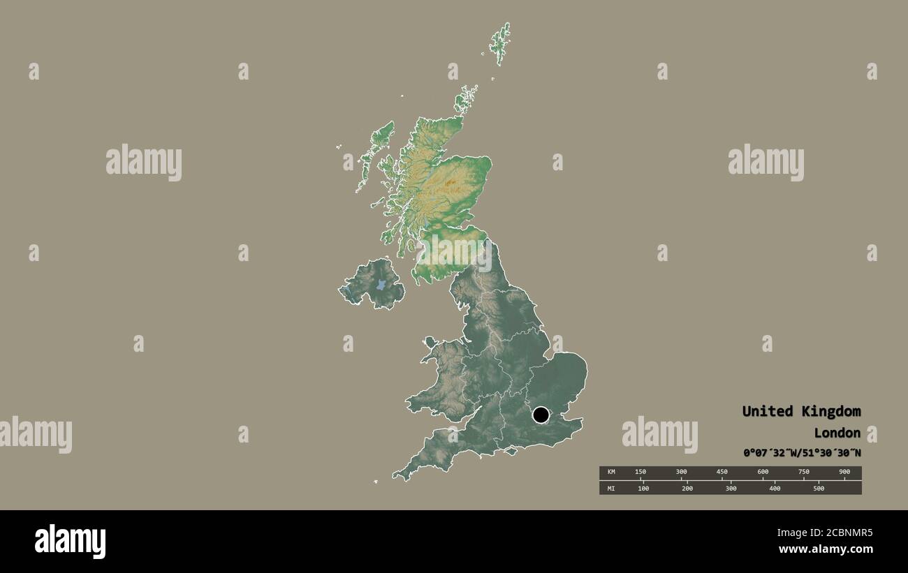 Desaturated shape of United Kingdom with its capital, main regional division and the separated Scotland area. Labels. Topographic relief map. 3D rende Stock Photohttps://www.alamy.com/image-license-details/?v=1https://www.alamy.com/desaturated-shape-of-united-kingdom-with-its-capital-main-regional-division-and-the-separated-scotland-area-labels-topographic-relief-map-3d-rende-image368656265.html
RF2CBNMR5–Desaturated shape of United Kingdom with its capital, main regional division and the separated Scotland area. Labels. Topographic relief map. 3D rende
 Peebles, Scotland, UK. 11th January, 2025. Following the coldest night of the year, snow lies on the Great Polish Map of Scotland in the village of Eddleston outside Peebles in the Scottish Borders. The brainchild of Polish war veteran Jan Tomasik, it was built between 1974 and 1979 and is claimed to be the world's largest (50m x 40m) terrain relief model. The sculpture is a category B listed building. Iain Masterton/Alamy Live News Stock Photohttps://www.alamy.com/image-license-details/?v=1https://www.alamy.com/peebles-scotland-uk-11th-january-2025-following-the-coldest-night-of-the-year-snow-lies-on-the-great-polish-map-of-scotland-in-the-village-of-eddleston-outside-peebles-in-the-scottish-borders-the-brainchild-of-polish-war-veteran-jan-tomasik-it-was-built-between-1974-and-1979-and-is-claimed-to-be-the-worlds-largest-50m-x-40m-terrain-relief-model-the-sculpture-is-a-category-b-listed-building-iain-mastertonalamy-live-news-image639578503.html
RM2S4F8WB–Peebles, Scotland, UK. 11th January, 2025. Following the coldest night of the year, snow lies on the Great Polish Map of Scotland in the village of Eddleston outside Peebles in the Scottish Borders. The brainchild of Polish war veteran Jan Tomasik, it was built between 1974 and 1979 and is claimed to be the world's largest (50m x 40m) terrain relief model. The sculpture is a category B listed building. Iain Masterton/Alamy Live News
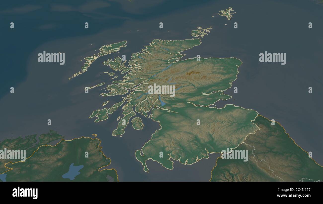 Zoom in on Scotland (region of United Kingdom) outlined. Oblique perspective. Topographic relief map with surface waters. 3D rendering Stock Photohttps://www.alamy.com/image-license-details/?v=1https://www.alamy.com/zoom-in-on-scotland-region-of-united-kingdom-outlined-oblique-perspective-topographic-relief-map-with-surface-waters-3d-rendering-image364342195.html
RF2C4N657–Zoom in on Scotland (region of United Kingdom) outlined. Oblique perspective. Topographic relief map with surface waters. 3D rendering
 3D Illustration of United Kingdom map with as Flag Stock Photohttps://www.alamy.com/image-license-details/?v=1https://www.alamy.com/stock-photo-3d-illustration-of-united-kingdom-map-with-as-flag-74182549.html
RFE8K8GN–3D Illustration of United Kingdom map with as Flag
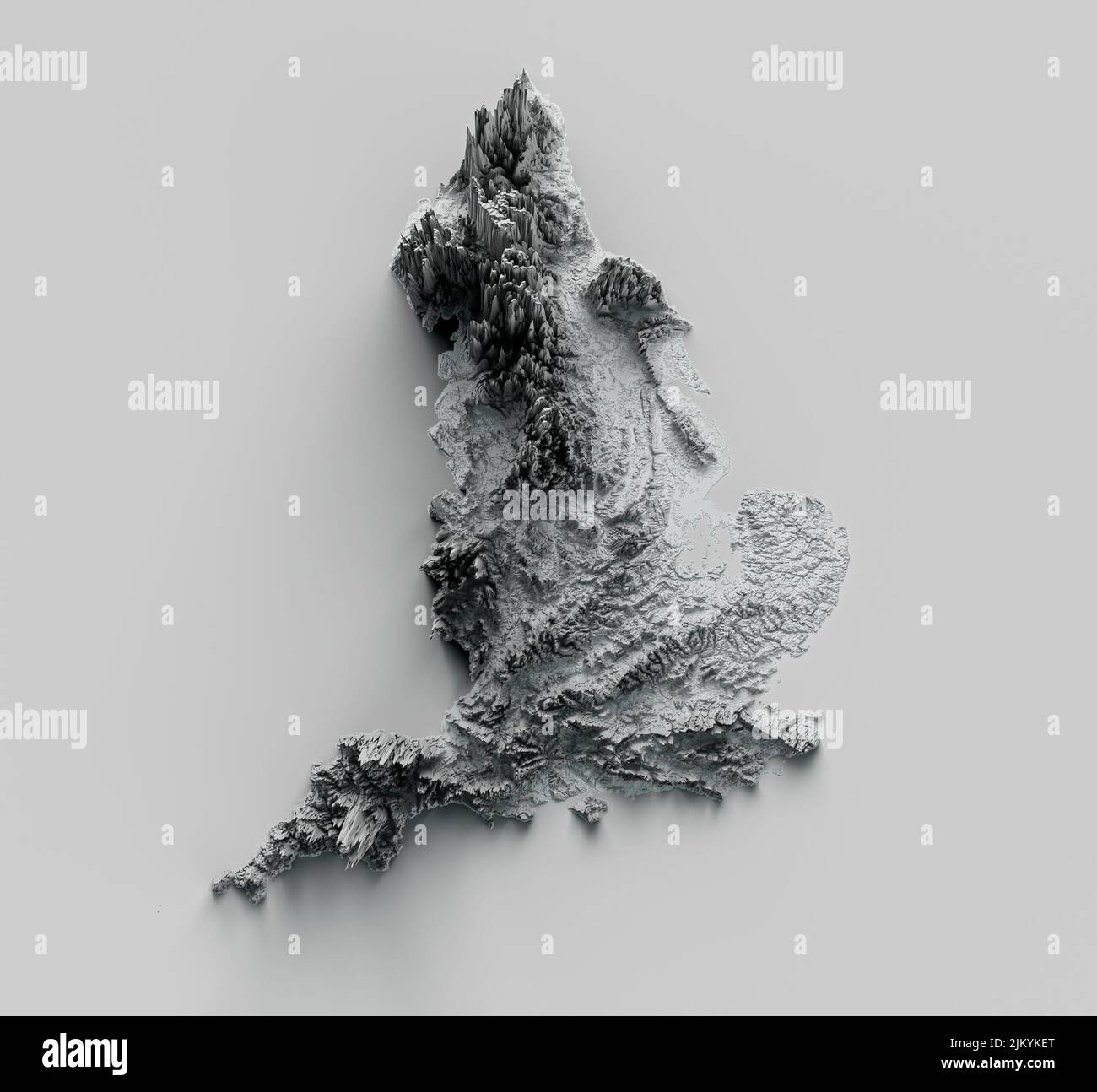 Relief map of United Kingdom. surrounding territory greyed out 3d illustration Stock Photohttps://www.alamy.com/image-license-details/?v=1https://www.alamy.com/relief-map-of-united-kingdom-surrounding-territory-greyed-out-3d-illustration-image476966416.html
RF2JKYKET–Relief map of United Kingdom. surrounding territory greyed out 3d illustration
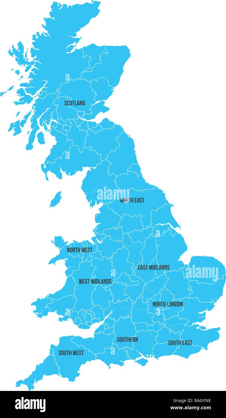 United Kingdom. Great Britan map. Vector map isolated on white background Stock Vectorhttps://www.alamy.com/image-license-details/?v=1https://www.alamy.com/united-kingdom-great-britan-map-vector-map-isolated-on-white-background-image230254346.html
RFRAGYNE–United Kingdom. Great Britan map. Vector map isolated on white background
 3D Illustration of United Kingdom map with as Flag Stock Photohttps://www.alamy.com/image-license-details/?v=1https://www.alamy.com/stock-photo-3d-illustration-of-united-kingdom-map-with-as-flag-146352963.html
RFJE2XKF–3D Illustration of United Kingdom map with as Flag
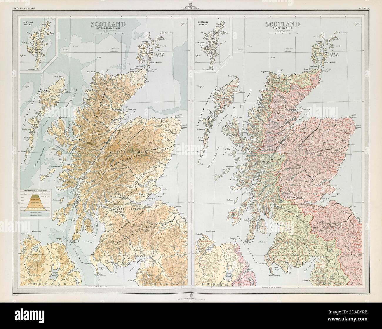 SCOTLAND. Relief & River basins. Watersheds. Drainage divide. LARGE 1895 map Stock Photohttps://www.alamy.com/image-license-details/?v=1https://www.alamy.com/scotland-relief-river-basins-watersheds-drainage-divide-large-1895-map-image385037951.html
RF2DABYRB–SCOTLAND. Relief & River basins. Watersheds. Drainage divide. LARGE 1895 map
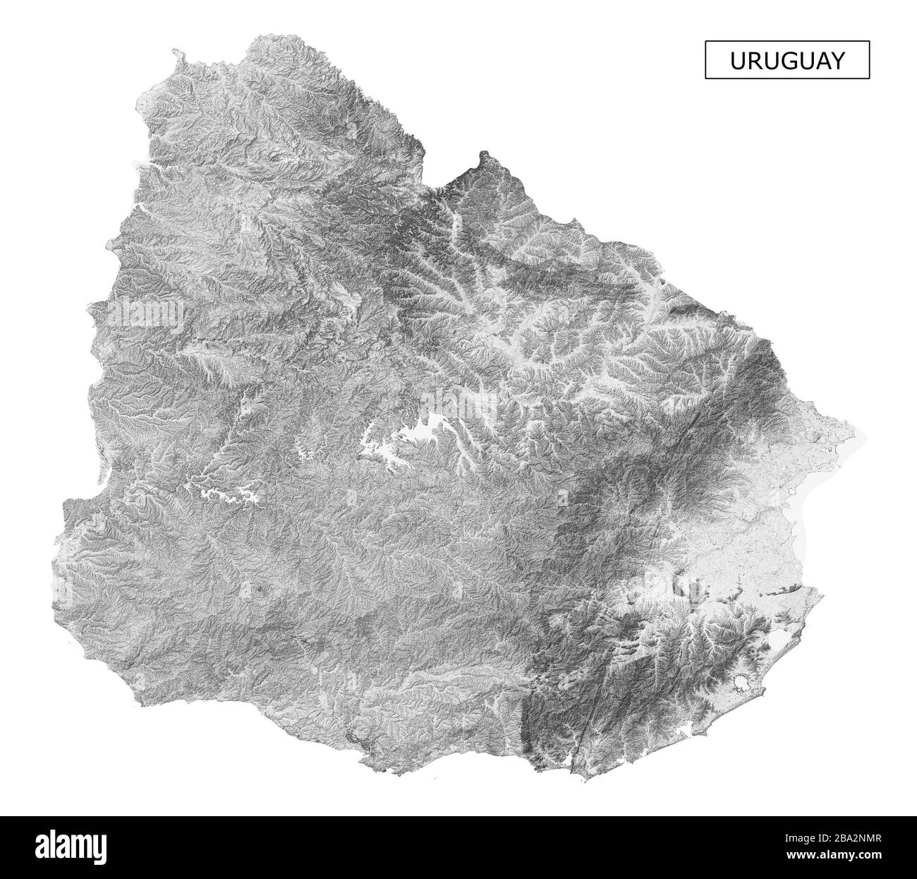 Uruguay relief map Stock Photohttps://www.alamy.com/image-license-details/?v=1https://www.alamy.com/uruguay-relief-map-image350414871.html
RF2BA2NMR–Uruguay relief map
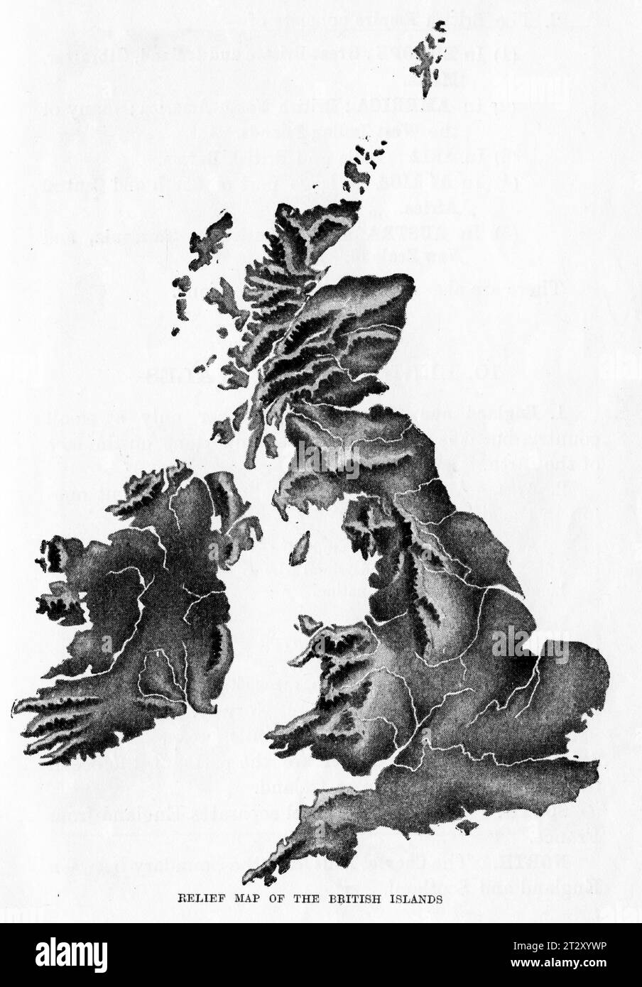 relief map of Great Britian circa 1910 from a school geography text book Stock Photohttps://www.alamy.com/image-license-details/?v=1https://www.alamy.com/relief-map-of-great-britian-circa-1910-from-a-school-geography-text-book-image569764098.html
RM2T2XYWP–relief map of Great Britian circa 1910 from a school geography text book
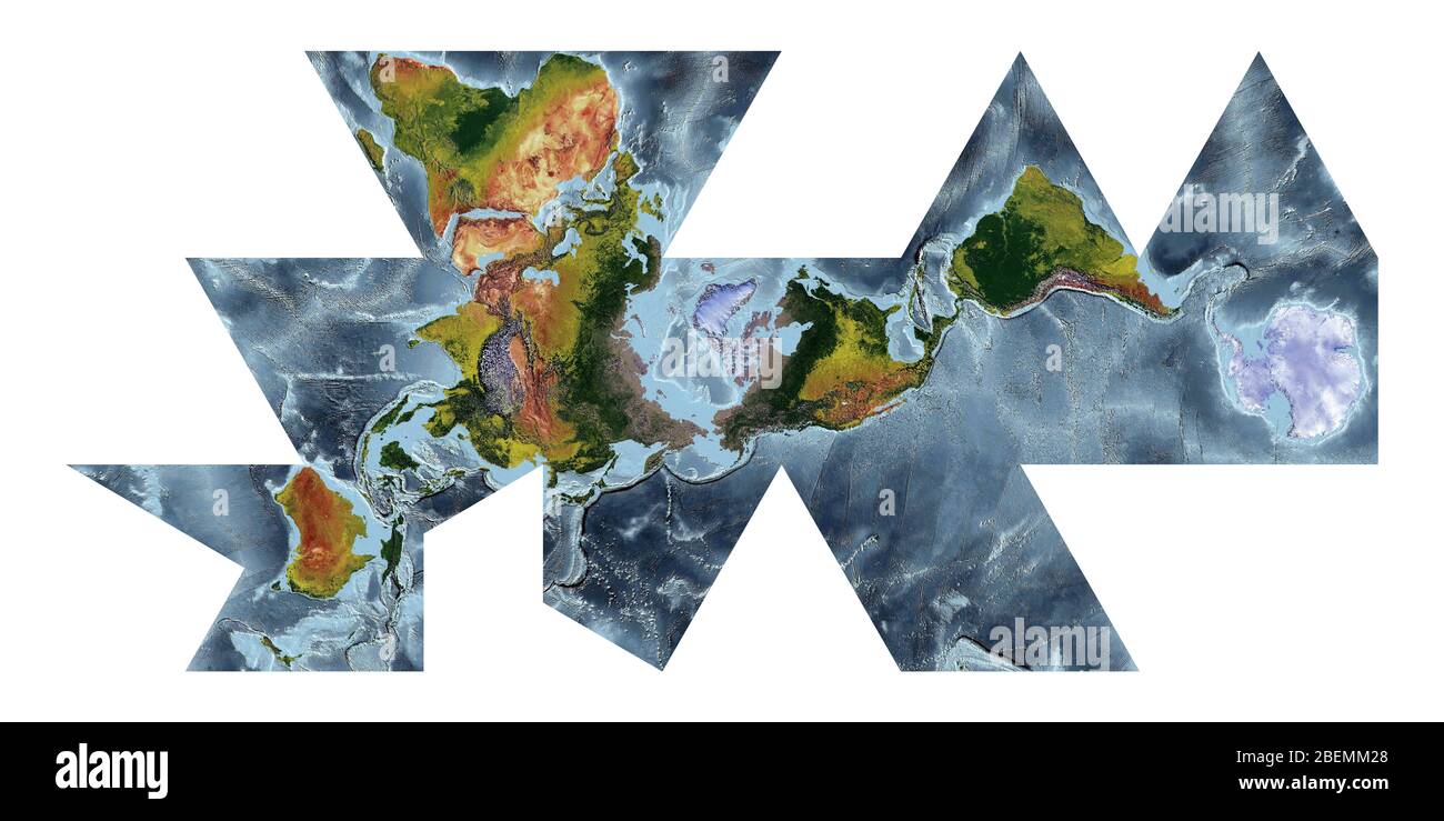 World Map showing land cover and shaded relief with a natural style and a relief shading of the oceans. Fuller projection. Stock Photohttps://www.alamy.com/image-license-details/?v=1https://www.alamy.com/world-map-showing-land-cover-and-shaded-relief-with-a-natural-style-and-a-relief-shading-of-the-oceans-fuller-projection-image353267328.html
RF2BEMM28–World Map showing land cover and shaded relief with a natural style and a relief shading of the oceans. Fuller projection.
 Map Photography: Edinburgh City on a Road Map Stock Photohttps://www.alamy.com/image-license-details/?v=1https://www.alamy.com/stock-photo-map-photography-edinburgh-city-on-a-road-map-88022453.html
RMF35NF1–Map Photography: Edinburgh City on a Road Map
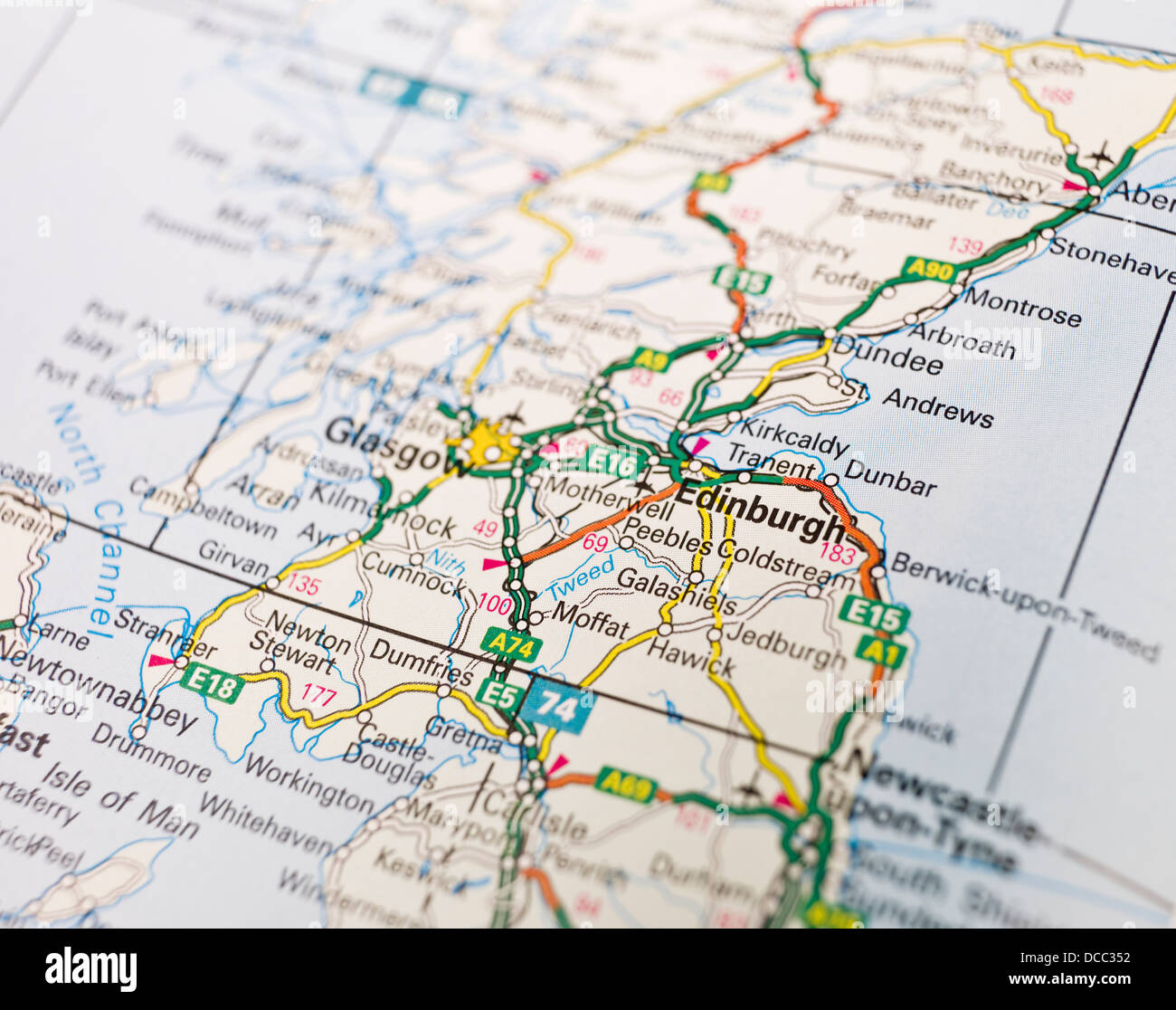 Map of Edinburgh Stock Photohttps://www.alamy.com/image-license-details/?v=1https://www.alamy.com/stock-photo-map-of-edinburgh-59272894.html
RFDCC352–Map of Edinburgh
 Andrews's new and accurate travelling map of the roads of Scotland : shewing the distances between the towns &c. Relief shown pictorially.... , Scotland Stock Photohttps://www.alamy.com/image-license-details/?v=1https://www.alamy.com/andrewss-new-and-accurate-travelling-map-of-the-roads-of-scotland-shewing-the-distances-between-the-towns-c-relief-shown-pictorially-scotland-image502708195.html
RM2M5T9C3–Andrews's new and accurate travelling map of the roads of Scotland : shewing the distances between the towns &c. Relief shown pictorially.... , Scotland
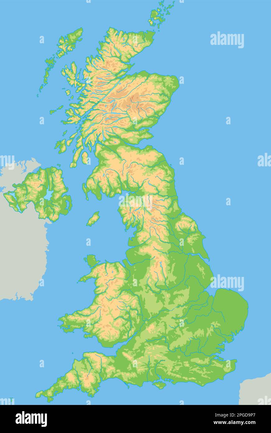 High detailed United Kingdom physical map. Stock Vectorhttps://www.alamy.com/image-license-details/?v=1https://www.alamy.com/high-detailed-united-kingdom-physical-map-image543648959.html
RF2PGD9P7–High detailed United Kingdom physical map.
 Image taken from page 735 of '[Appleton's European Guide Book illustrated. Including England, Scotland, and Ireland, France, Belgium, Holland, Northern and Southern Germany, Switzerland, Italy, Spain and Portugal, Russia, Denmark, Norway, and Sweden. Cont Image taken from page 735 of '[Appleton's Europea Stock Photohttps://www.alamy.com/image-license-details/?v=1https://www.alamy.com/stock-photo-image-taken-from-page-735-of-appletons-european-guide-book-illustrated-132354576.html
RMHK97H4–Image taken from page 735 of '[Appleton's European Guide Book illustrated. Including England, Scotland, and Ireland, France, Belgium, Holland, Northern and Southern Germany, Switzerland, Italy, Spain and Portugal, Russia, Denmark, Norway, and Sweden. Cont Image taken from page 735 of '[Appleton's Europea
 Peebles, Scotland, UK. 11th January, 2025. Following the coldest night of the year, snow lies on the Great Polish Map of Scotland in the village of Eddleston outside Peebles in the Scottish Borders. The brainchild of Polish war veteran Jan Tomasik, it was built between 1974 and 1979 and is claimed to be the world's largest (50m x 40m) terrain relief model. The sculpture is a category B listed building. Iain Masterton/Alamy Live News Stock Photohttps://www.alamy.com/image-license-details/?v=1https://www.alamy.com/peebles-scotland-uk-11th-january-2025-following-the-coldest-night-of-the-year-snow-lies-on-the-great-polish-map-of-scotland-in-the-village-of-eddleston-outside-peebles-in-the-scottish-borders-the-brainchild-of-polish-war-veteran-jan-tomasik-it-was-built-between-1974-and-1979-and-is-claimed-to-be-the-worlds-largest-50m-x-40m-terrain-relief-model-the-sculpture-is-a-category-b-listed-building-iain-mastertonalamy-live-news-image639578543.html
RM2S4F8XR–Peebles, Scotland, UK. 11th January, 2025. Following the coldest night of the year, snow lies on the Great Polish Map of Scotland in the village of Eddleston outside Peebles in the Scottish Borders. The brainchild of Polish war veteran Jan Tomasik, it was built between 1974 and 1979 and is claimed to be the world's largest (50m x 40m) terrain relief model. The sculpture is a category B listed building. Iain Masterton/Alamy Live News
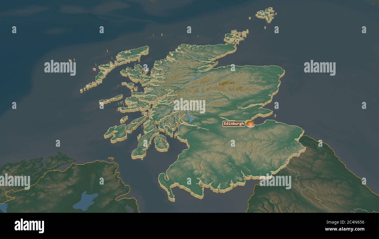 Zoom in on Scotland (region of United Kingdom) extruded. Oblique perspective. Topographic relief map with surface waters. 3D rendering Stock Photohttps://www.alamy.com/image-license-details/?v=1https://www.alamy.com/zoom-in-on-scotland-region-of-united-kingdom-extruded-oblique-perspective-topographic-relief-map-with-surface-waters-3d-rendering-image364342194.html
RF2C4N656–Zoom in on Scotland (region of United Kingdom) extruded. Oblique perspective. Topographic relief map with surface waters. 3D rendering
 3D Illustration of United Kingdom map with as Flag Stock Photohttps://www.alamy.com/image-license-details/?v=1https://www.alamy.com/stock-photo-3d-illustration-of-united-kingdom-map-with-as-flag-75350936.html
RFEAGETT–3D Illustration of United Kingdom map with as Flag
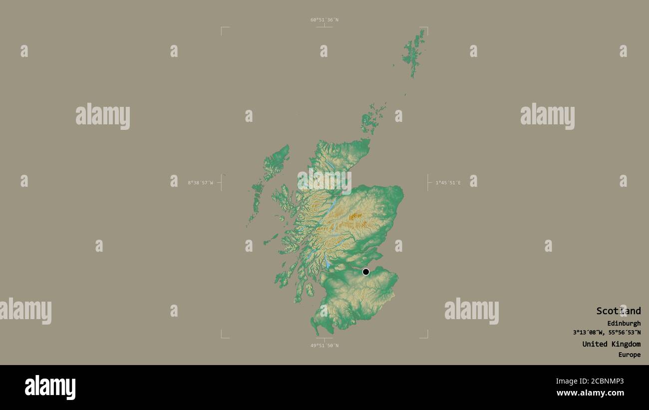 Area of Scotland, region of United Kingdom, isolated on a solid background in a georeferenced bounding box. Labels. Topographic relief map. 3D renderi Stock Photohttps://www.alamy.com/image-license-details/?v=1https://www.alamy.com/area-of-scotland-region-of-united-kingdom-isolated-on-a-solid-background-in-a-georeferenced-bounding-box-labels-topographic-relief-map-3d-renderi-image368656235.html
RF2CBNMP3–Area of Scotland, region of United Kingdom, isolated on a solid background in a georeferenced bounding box. Labels. Topographic relief map. 3D renderi
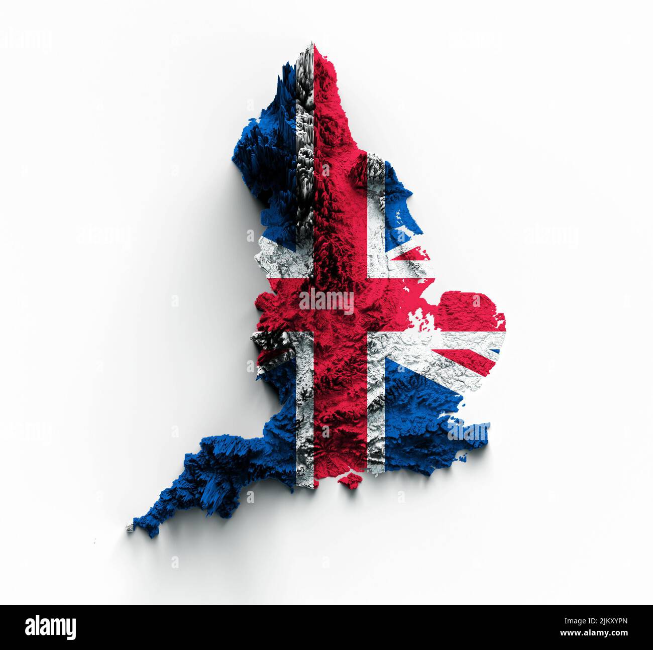 England Map National flag Great Britain (UK) relief map 3d illustration Stock Photohttps://www.alamy.com/image-license-details/?v=1https://www.alamy.com/england-map-national-flag-great-britain-uk-relief-map-3d-illustration-image476950957.html
RF2JKXYPN–England Map National flag Great Britain (UK) relief map 3d illustration
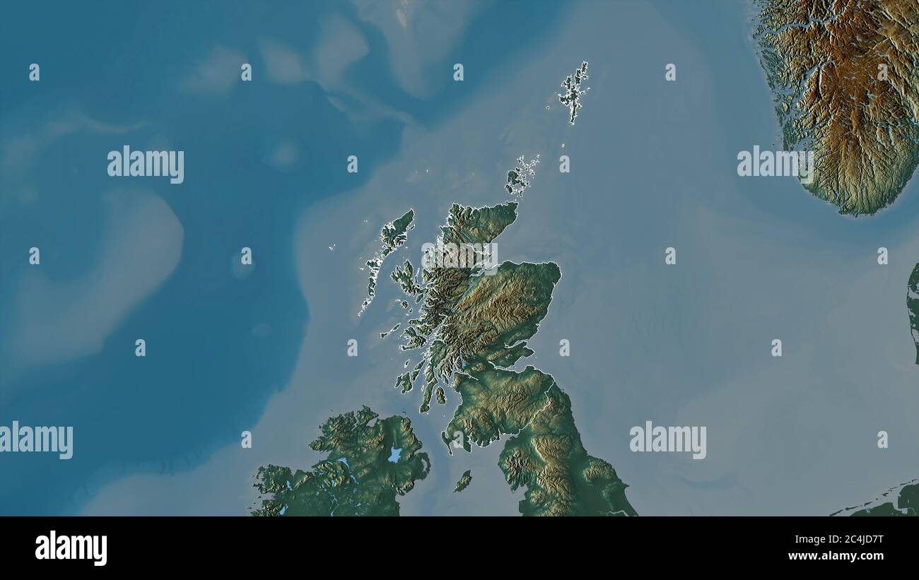 Scotland, region of United Kingdom. Colored relief with lakes and rivers. Shape outlined against its country area. 3D rendering Stock Photohttps://www.alamy.com/image-license-details/?v=1https://www.alamy.com/scotland-region-of-united-kingdom-colored-relief-with-lakes-and-rivers-shape-outlined-against-its-country-area-3d-rendering-image364281900.html
RF2C4JD7T–Scotland, region of United Kingdom. Colored relief with lakes and rivers. Shape outlined against its country area. 3D rendering
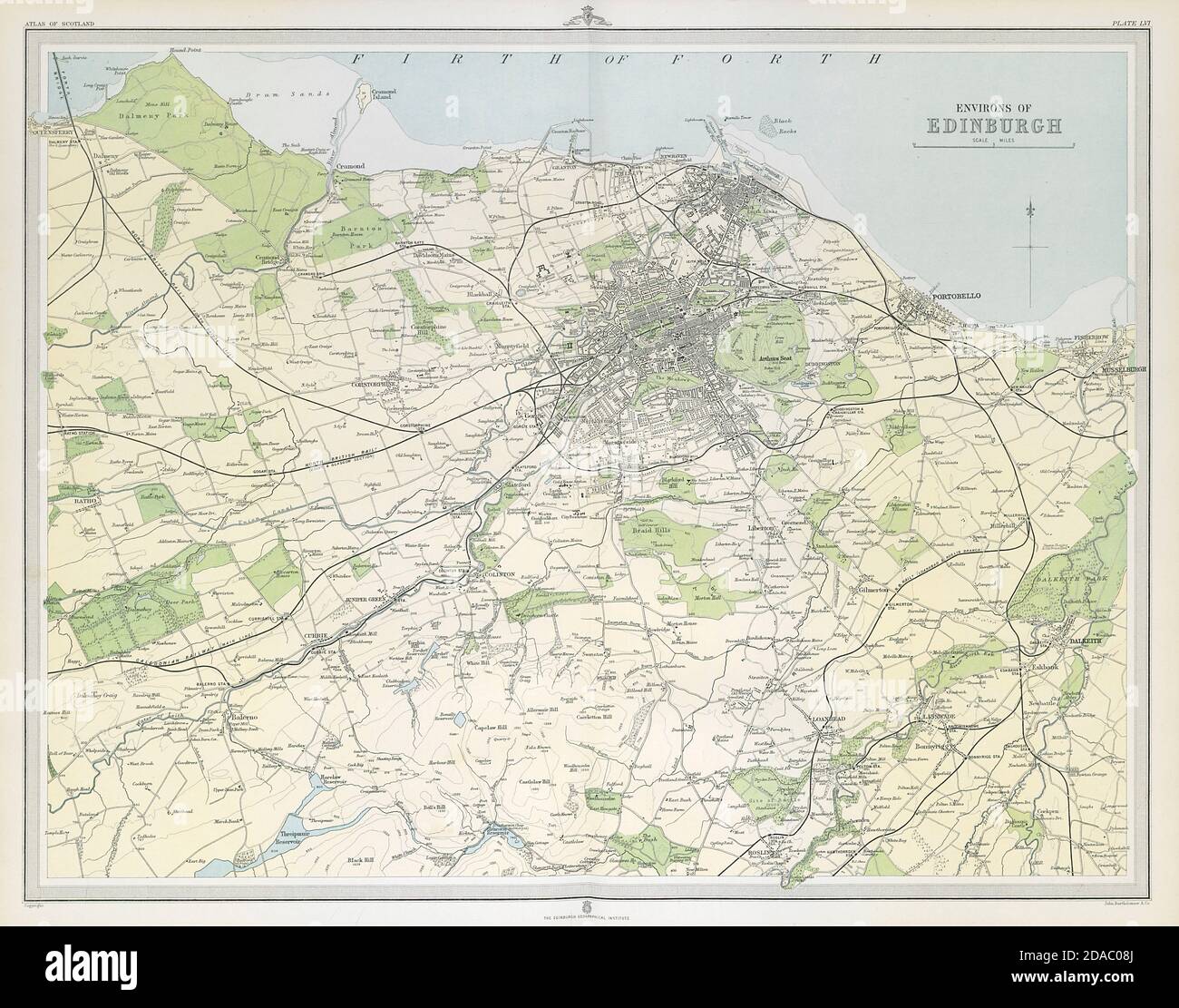 Environs of EDINBURGH & LEITH. Midlothian. Large 45x55. Relief. LARGE 1895 map Stock Photohttps://www.alamy.com/image-license-details/?v=1https://www.alamy.com/environs-of-edinburgh-leith-midlothian-large-45x55-relief-large-1895-map-image385038322.html
RF2DAC08J–Environs of EDINBURGH & LEITH. Midlothian. Large 45x55. Relief. LARGE 1895 map
 3D Illustration of United Kingdom map with as Flag Stock Photohttps://www.alamy.com/image-license-details/?v=1https://www.alamy.com/stock-photo-3d-illustration-of-united-kingdom-map-with-as-flag-146392677.html
RFJE4N9W–3D Illustration of United Kingdom map with as Flag
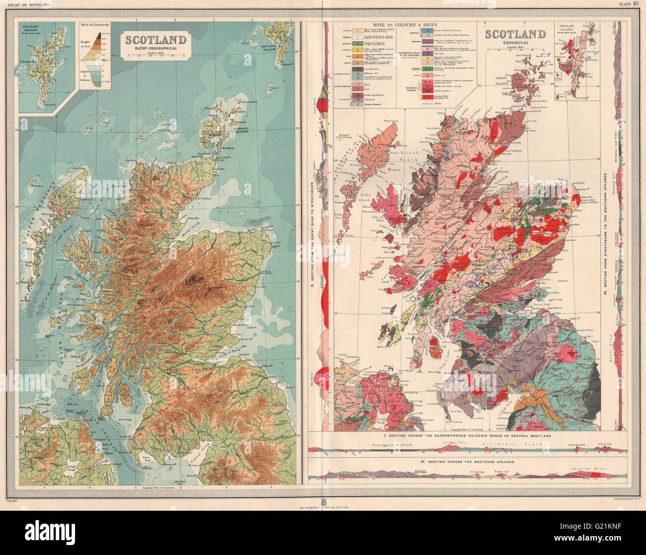 SCOTLAND. Geological with sections. Relief. Geology. LARGE, 1912 antique map Stock Photohttps://www.alamy.com/image-license-details/?v=1https://www.alamy.com/stock-photo-scotland-geological-with-sections-relief-geology-large-1912-antique-104528971.html
RFG21KNF–SCOTLAND. Geological with sections. Relief. Geology. LARGE, 1912 antique map
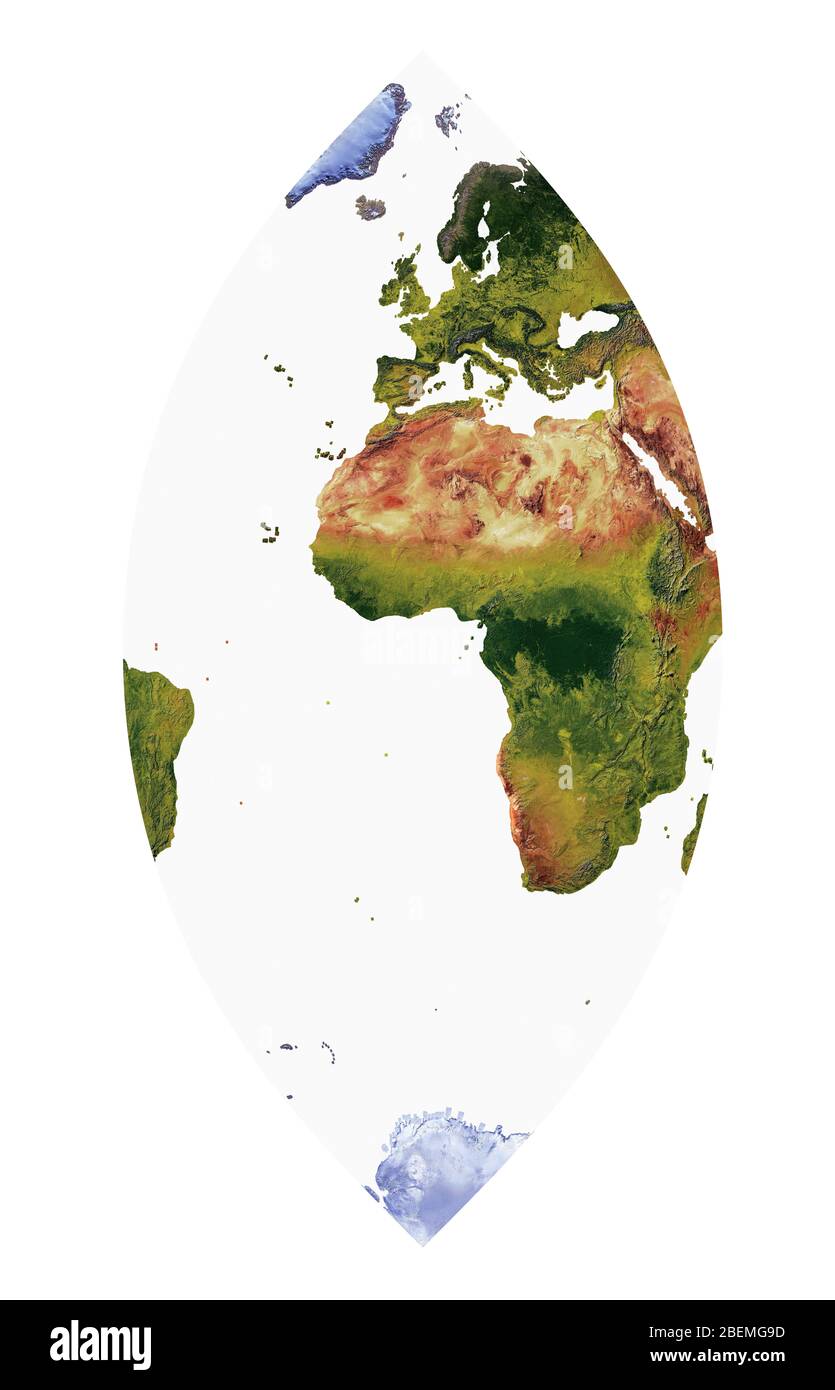 World Map showing land cover and shaded relief with a natural style and a relief shading of the oceans. Cassini projection. Stock Photohttps://www.alamy.com/image-license-details/?v=1https://www.alamy.com/world-map-showing-land-cover-and-shaded-relief-with-a-natural-style-and-a-relief-shading-of-the-oceans-cassini-projection-image353264393.html
RF2BEMG9D–World Map showing land cover and shaded relief with a natural style and a relief shading of the oceans. Cassini projection.
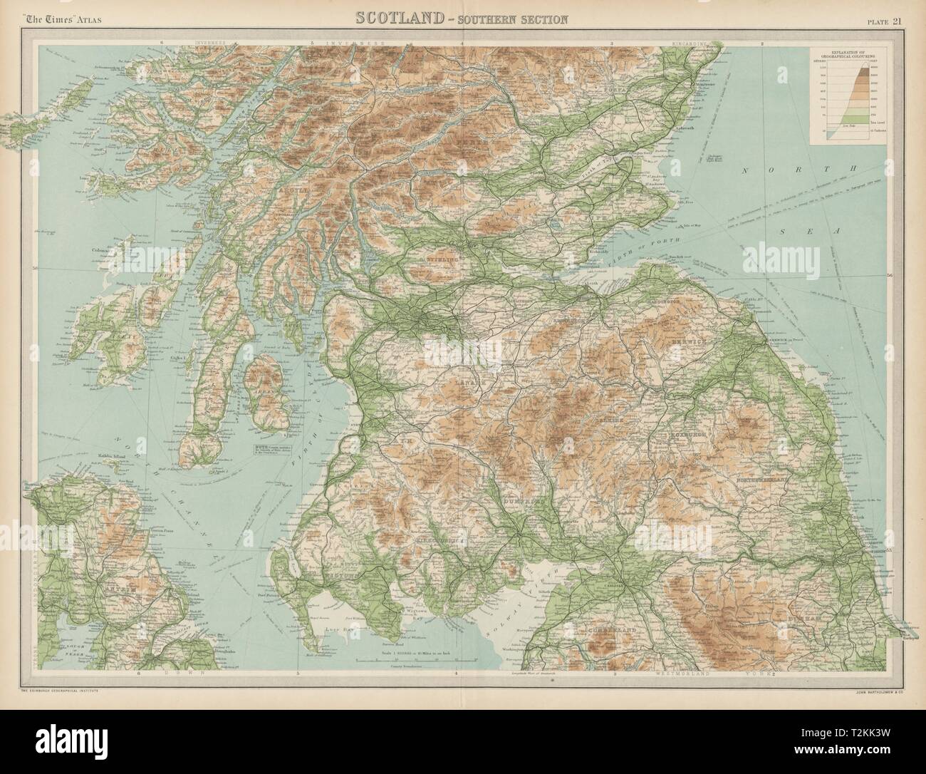 Southern Scotland. Relief & railways. THE TIMES 1922 old vintage map chart Stock Photohttps://www.alamy.com/image-license-details/?v=1https://www.alamy.com/southern-scotland-relief-railways-the-times-1922-old-vintage-map-chart-image242606557.html
RFT2KK3W–Southern Scotland. Relief & railways. THE TIMES 1922 old vintage map chart
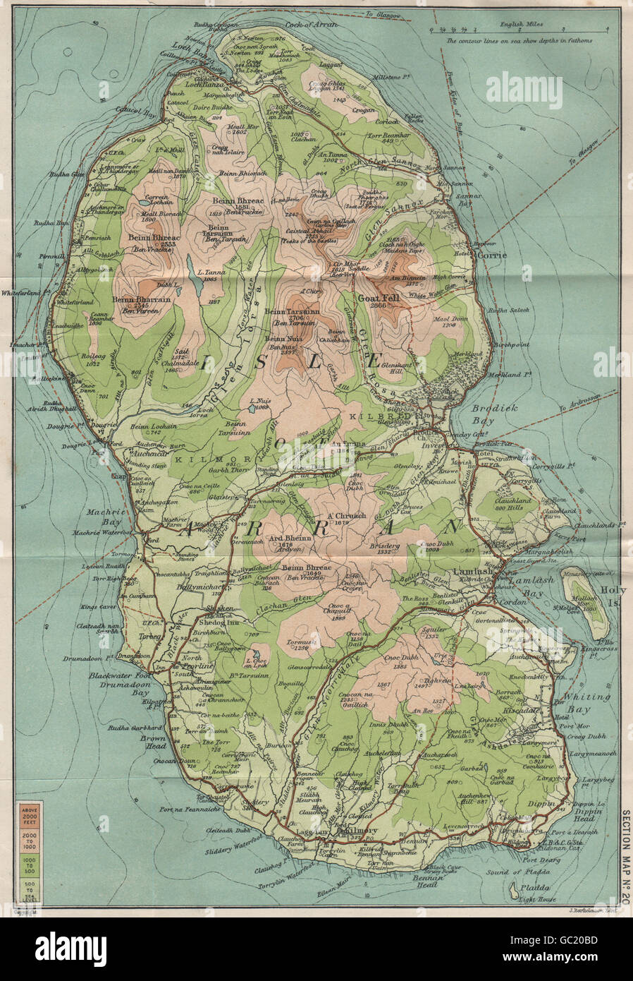 ISLE OF ARRAN Relief. Goatfell. Brodick. BARTHOLOMEW, 1908 antique map Stock Photohttps://www.alamy.com/image-license-details/?v=1https://www.alamy.com/stock-photo-isle-of-arran-relief-goatfell-brodick-bartholomew-1908-antique-map-110682305.html
RFGC20BD–ISLE OF ARRAN Relief. Goatfell. Brodick. BARTHOLOMEW, 1908 antique map
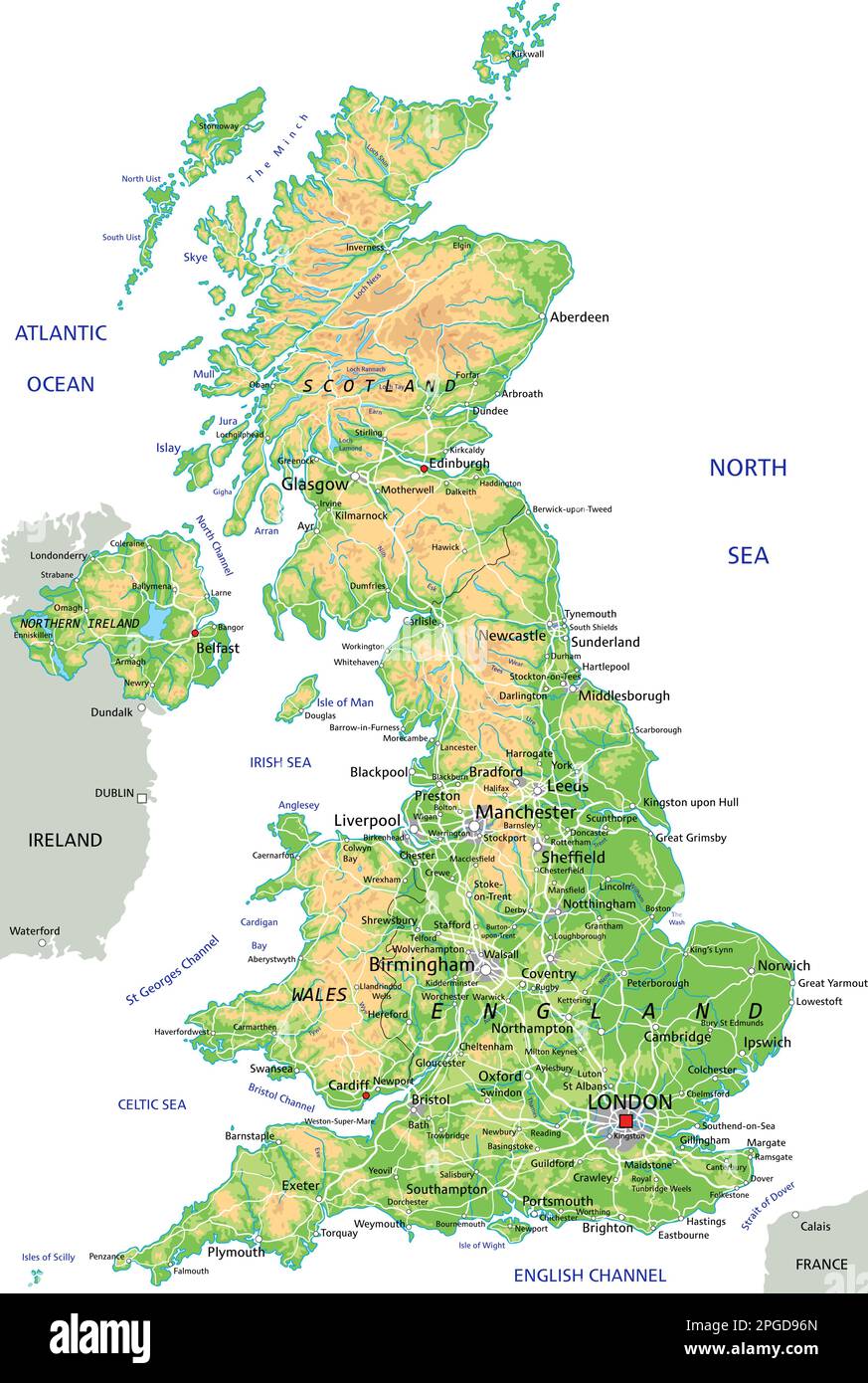 High detailed United Kingdom physical map with labeling. Stock Vectorhttps://www.alamy.com/image-license-details/?v=1https://www.alamy.com/high-detailed-united-kingdom-physical-map-with-labeling-image543648525.html
RF2PGD96N–High detailed United Kingdom physical map with labeling.
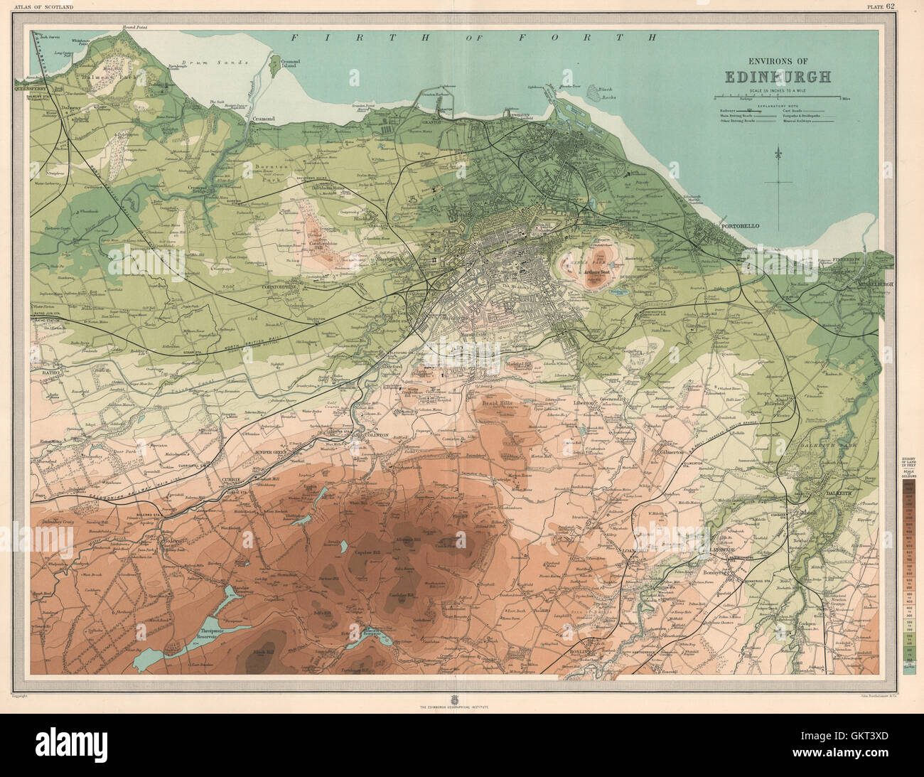 Environs of EDINBURGH & LEITH. Midlothian. Large 45x55. Relief. LARGE, 1912 map Stock Photohttps://www.alamy.com/image-license-details/?v=1https://www.alamy.com/stock-photo-environs-of-edinburgh-leith-midlothian-large-45x55-relief-large-1912-115470613.html
RFGKT3XD–Environs of EDINBURGH & LEITH. Midlothian. Large 45x55. Relief. LARGE, 1912 map
 This map of Scotland. Relief shown pictorially. Insets: Orkney Islands; The Shetland Islands. Includes tables of Military districts, Population and heights of the principal ranges.... , Scotland Stock Photohttps://www.alamy.com/image-license-details/?v=1https://www.alamy.com/this-map-of-scotland-relief-shown-pictorially-insets-orkney-islands-the-shetland-islands-includes-tables-of-military-districts-population-and-heights-of-the-principal-ranges-scotland-image502708697.html
RM2M5TA21–This map of Scotland. Relief shown pictorially. Insets: Orkney Islands; The Shetland Islands. Includes tables of Military districts, Population and heights of the principal ranges.... , Scotland
 Peebles, Scotland, UK. 11th January, 2025. Following the coldest night of the year, snow lies on the Great Polish Map of Scotland in the village of Eddleston outside Peebles in the Scottish Borders. The brainchild of Polish war veteran Jan Tomasik, it was built between 1974 and 1979 and is claimed to be the world's largest (50m x 40m) terrain relief model. The sculpture is a category B listed building. Iain Masterton/Alamy Live News Stock Photohttps://www.alamy.com/image-license-details/?v=1https://www.alamy.com/peebles-scotland-uk-11th-january-2025-following-the-coldest-night-of-the-year-snow-lies-on-the-great-polish-map-of-scotland-in-the-village-of-eddleston-outside-peebles-in-the-scottish-borders-the-brainchild-of-polish-war-veteran-jan-tomasik-it-was-built-between-1974-and-1979-and-is-claimed-to-be-the-worlds-largest-50m-x-40m-terrain-relief-model-the-sculpture-is-a-category-b-listed-building-iain-mastertonalamy-live-news-image639578469.html
RM2S4F8T5–Peebles, Scotland, UK. 11th January, 2025. Following the coldest night of the year, snow lies on the Great Polish Map of Scotland in the village of Eddleston outside Peebles in the Scottish Borders. The brainchild of Polish war veteran Jan Tomasik, it was built between 1974 and 1979 and is claimed to be the world's largest (50m x 40m) terrain relief model. The sculpture is a category B listed building. Iain Masterton/Alamy Live News
 3D Illustration of United Kingdom map with as Flag Stock Photohttps://www.alamy.com/image-license-details/?v=1https://www.alamy.com/stock-photo-3d-illustration-of-united-kingdom-map-with-as-flag-74182547.html
RFE8K8GK–3D Illustration of United Kingdom map with as Flag
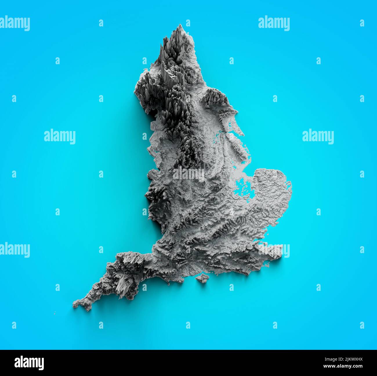 Relief map of United Kingdom. England Map on Blue Background 3d illustration Stock Photohttps://www.alamy.com/image-license-details/?v=1https://www.alamy.com/relief-map-of-united-kingdom-england-map-on-blue-background-3d-illustration-image476928086.html
RF2JKWXHX–Relief map of United Kingdom. England Map on Blue Background 3d illustration
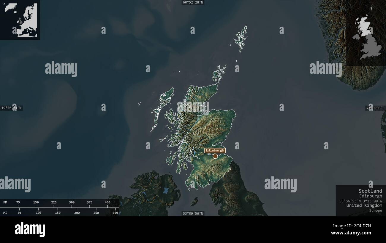 Scotland, region of United Kingdom. Colored relief with lakes and rivers. Shape presented against its country area with informative overlays. 3D rende Stock Photohttps://www.alamy.com/image-license-details/?v=1https://www.alamy.com/scotland-region-of-united-kingdom-colored-relief-with-lakes-and-rivers-shape-presented-against-its-country-area-with-informative-overlays-3d-rende-image364281897.html
RF2C4JD7N–Scotland, region of United Kingdom. Colored relief with lakes and rivers. Shape presented against its country area with informative overlays. 3D rende
 Shape of Scotland, region of United Kingdom, with its capital isolated on solid background. Distance scale, region preview and labels. Topographic rel Stock Photohttps://www.alamy.com/image-license-details/?v=1https://www.alamy.com/shape-of-scotland-region-of-united-kingdom-with-its-capital-isolated-on-solid-background-distance-scale-region-preview-and-labels-topographic-rel-image368656267.html
RF2CBNMR7–Shape of Scotland, region of United Kingdom, with its capital isolated on solid background. Distance scale, region preview and labels. Topographic rel
 3D Illustration of United Kingdom map with as Flag Stock Photohttps://www.alamy.com/image-license-details/?v=1https://www.alamy.com/stock-photo-3d-illustration-of-united-kingdom-map-with-as-flag-146353002.html
RFJE2XMX–3D Illustration of United Kingdom map with as Flag
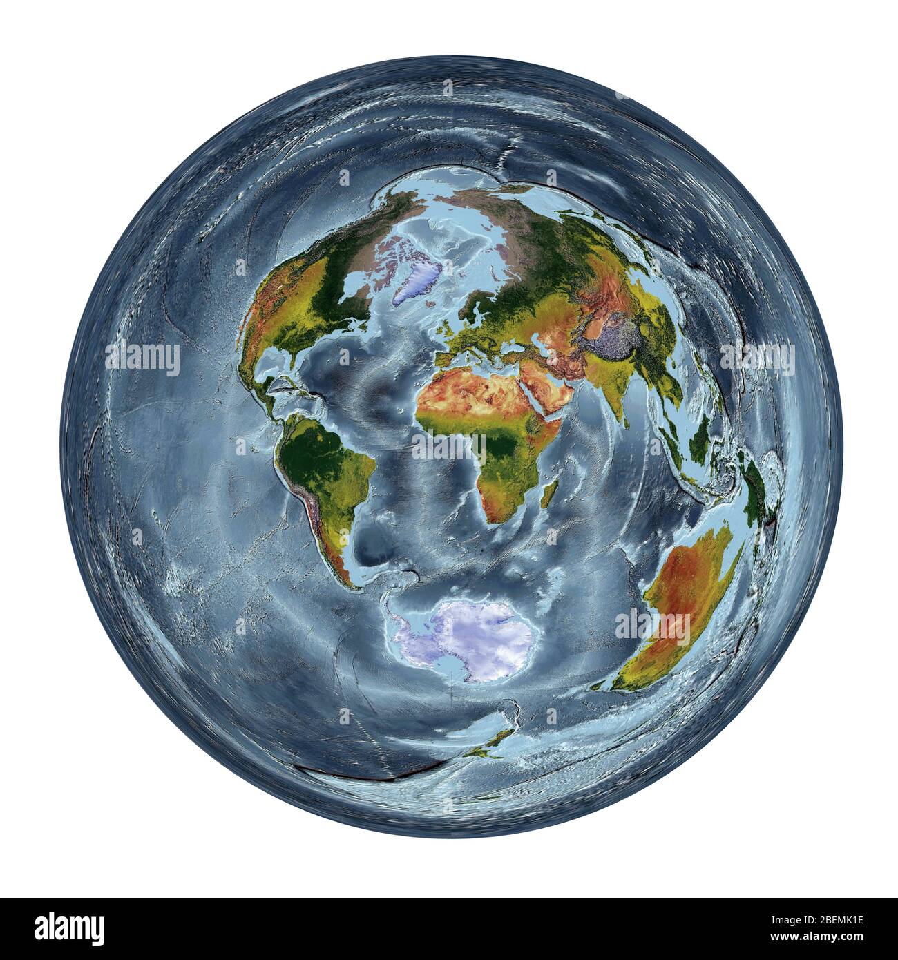 World Map showing land cover and shaded relief with a natural style and a relief shading of the oceans. Azimuthal projection. Stock Photohttps://www.alamy.com/image-license-details/?v=1https://www.alamy.com/world-map-showing-land-cover-and-shaded-relief-with-a-natural-style-and-a-relief-shading-of-the-oceans-azimuthal-projection-image353266522.html
RF2BEMK1E–World Map showing land cover and shaded relief with a natural style and a relief shading of the oceans. Azimuthal projection.
