Quick filters:
Remote imaging Stock Photos and Images
 Photograph from the International Space Station of glaciers of the Pan Coast Mountains, Rocky Mountains, Columbia Basin, Canada. Glacier. An optimised and digitally enhanced version of a NASA image / credit NASA Stock Photohttps://www.alamy.com/image-license-details/?v=1https://www.alamy.com/photograph-from-the-international-space-station-of-glaciers-of-the-pan-coast-mountains-rocky-mountains-columbia-basin-canada-glacier-an-optimised-and-digitally-enhanced-version-of-a-nasa-image-credit-nasa-image441770033.html
RM2GJMA55–Photograph from the International Space Station of glaciers of the Pan Coast Mountains, Rocky Mountains, Columbia Basin, Canada. Glacier. An optimised and digitally enhanced version of a NASA image / credit NASA
 Aerial view of seafront Bisceglie in Puglia with drone. Stock Photohttps://www.alamy.com/image-license-details/?v=1https://www.alamy.com/aerial-view-of-seafront-bisceglie-in-puglia-with-drone-image603533547.html
RF2X1W95F–Aerial view of seafront Bisceglie in Puglia with drone.
 Treatment of a patient with symptoms of a stroke by an emergency physician at Blaye hospital and remote examination and validation (CT and angiography) imaging criteria by a neurologist Unit Neuro vascular of Bordeaux hospital. Stock Photohttps://www.alamy.com/image-license-details/?v=1https://www.alamy.com/stock-photo-treatment-of-a-patient-with-symptoms-of-a-stroke-by-an-emergency-physician-79755705.html
RMEHN561–Treatment of a patient with symptoms of a stroke by an emergency physician at Blaye hospital and remote examination and validation (CT and angiography) imaging criteria by a neurologist Unit Neuro vascular of Bordeaux hospital.
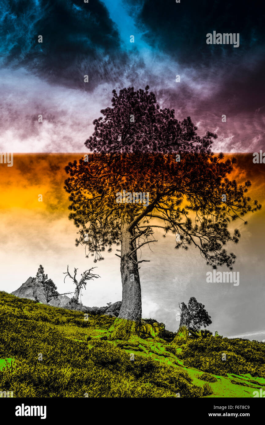 Tree growing on remote hillside Stock Photohttps://www.alamy.com/image-license-details/?v=1https://www.alamy.com/stock-photo-tree-growing-on-remote-hillside-90273241.html
RFF6T8C9–Tree growing on remote hillside
 Drone with thermal imaging camera, Germany Stock Photohttps://www.alamy.com/image-license-details/?v=1https://www.alamy.com/drone-with-thermal-imaging-camera-germany-image555838294.html
RM2R88HBJ–Drone with thermal imaging camera, Germany
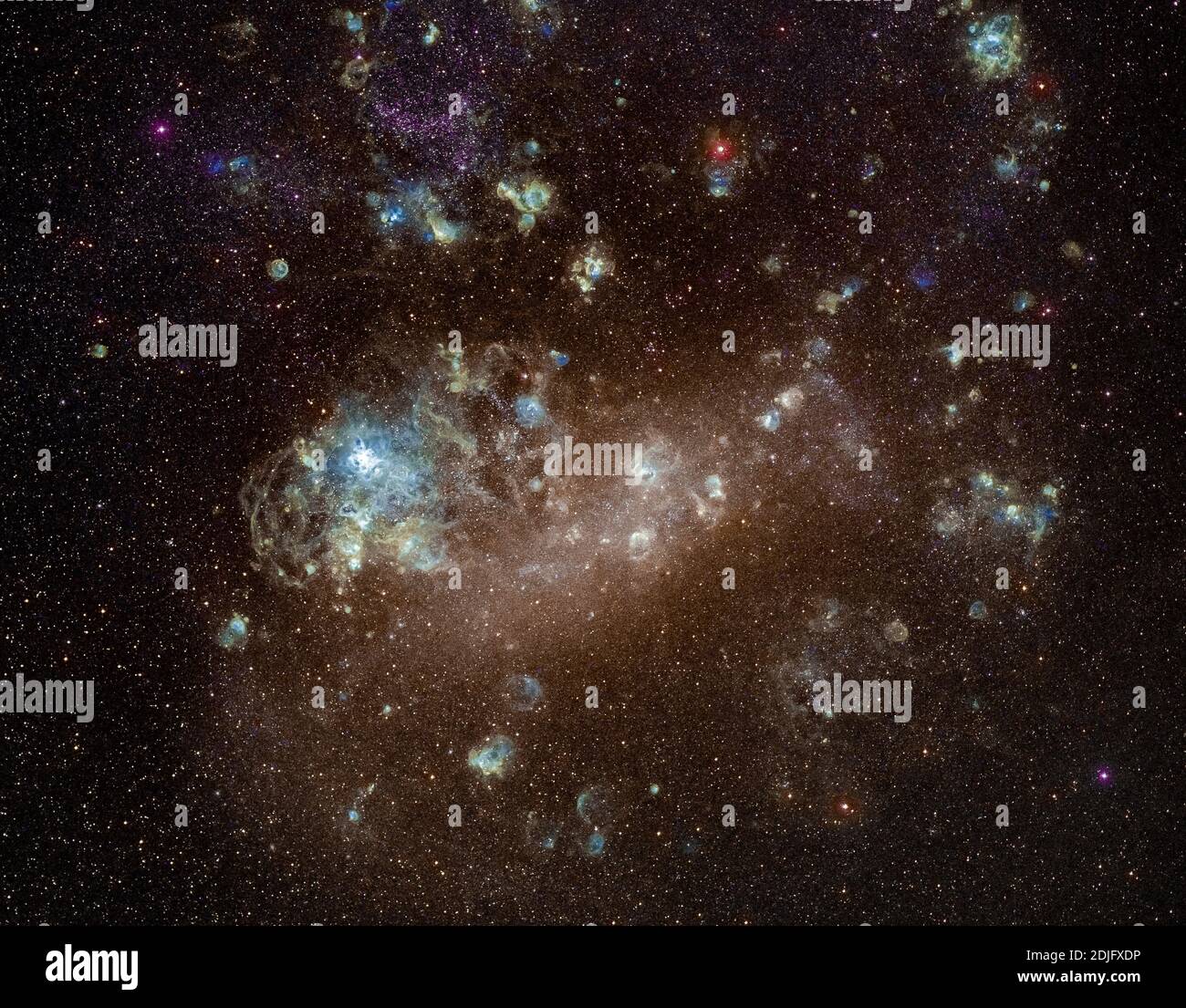 Astrophotography - Large Magellanic Cloud. The Large Magellanic Cloud is a satellite galaxy of the Milky Way. Stock Photohttps://www.alamy.com/image-license-details/?v=1https://www.alamy.com/astrophotography-large-magellanic-cloud-the-large-magellanic-cloud-is-a-satellite-galaxy-of-the-milky-way-image390041954.html
RF2DJFXDP–Astrophotography - Large Magellanic Cloud. The Large Magellanic Cloud is a satellite galaxy of the Milky Way.
 White cottage with red roof, Inverbain, Shieldaig, Scottish Highlands. Stock Photohttps://www.alamy.com/image-license-details/?v=1https://www.alamy.com/white-cottage-with-red-roof-inverbain-shieldaig-scottish-highlands-image625296649.html
RM2Y98M75–White cottage with red roof, Inverbain, Shieldaig, Scottish Highlands.
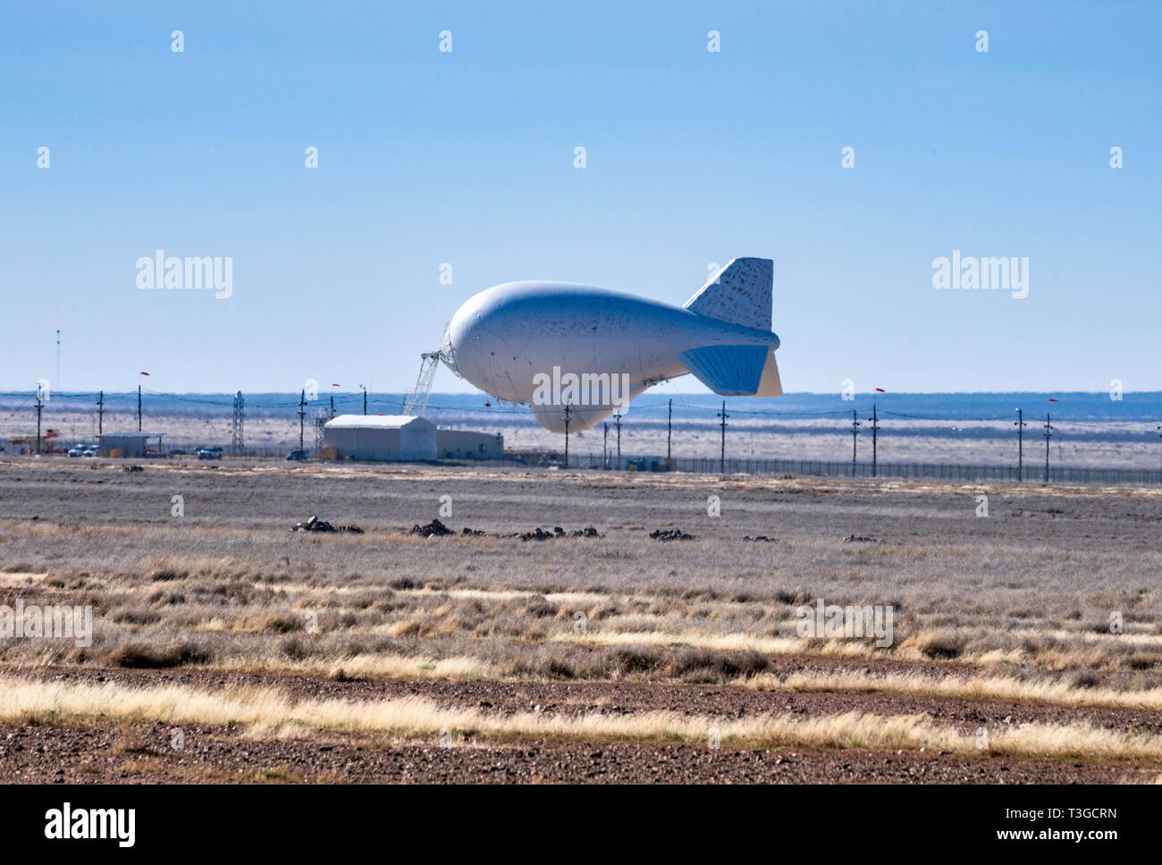 Aerostat surveillance blimp with downward-looking radar for drug smugglers aircraft detection, low on ground due to strong winds, near Marfa, Texas Stock Photohttps://www.alamy.com/image-license-details/?v=1https://www.alamy.com/aerostat-surveillance-blimp-with-downward-looking-radar-for-drug-smugglers-aircraft-detection-low-on-ground-due-to-strong-winds-near-marfa-texas-image243150425.html
RMT3GCRN–Aerostat surveillance blimp with downward-looking radar for drug smugglers aircraft detection, low on ground due to strong winds, near Marfa, Texas
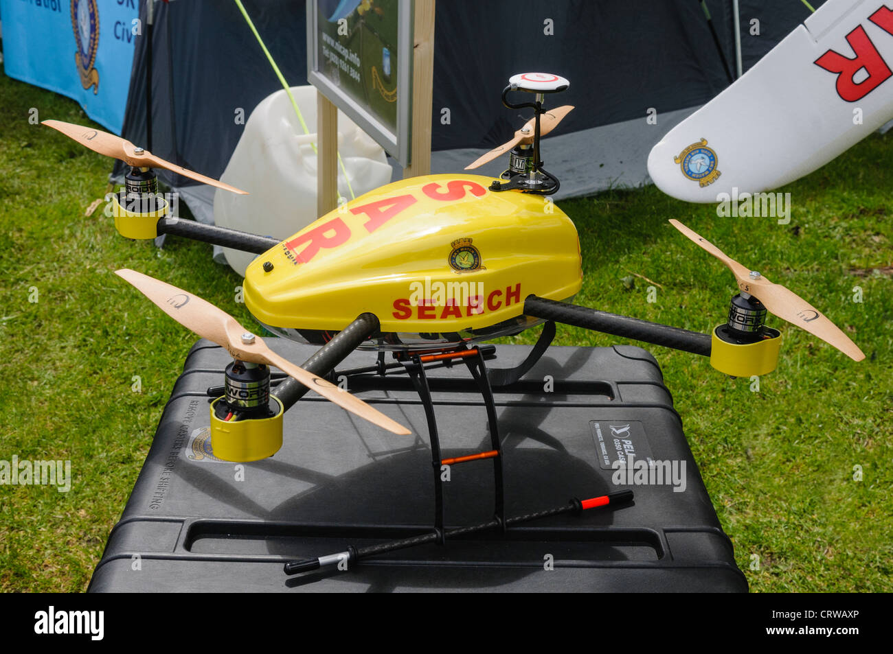 Search and Rescue remotely controlled drone Stock Photohttps://www.alamy.com/image-license-details/?v=1https://www.alamy.com/stock-photo-search-and-rescue-remotely-controlled-drone-49115214.html
RMCRWAXP–Search and Rescue remotely controlled drone
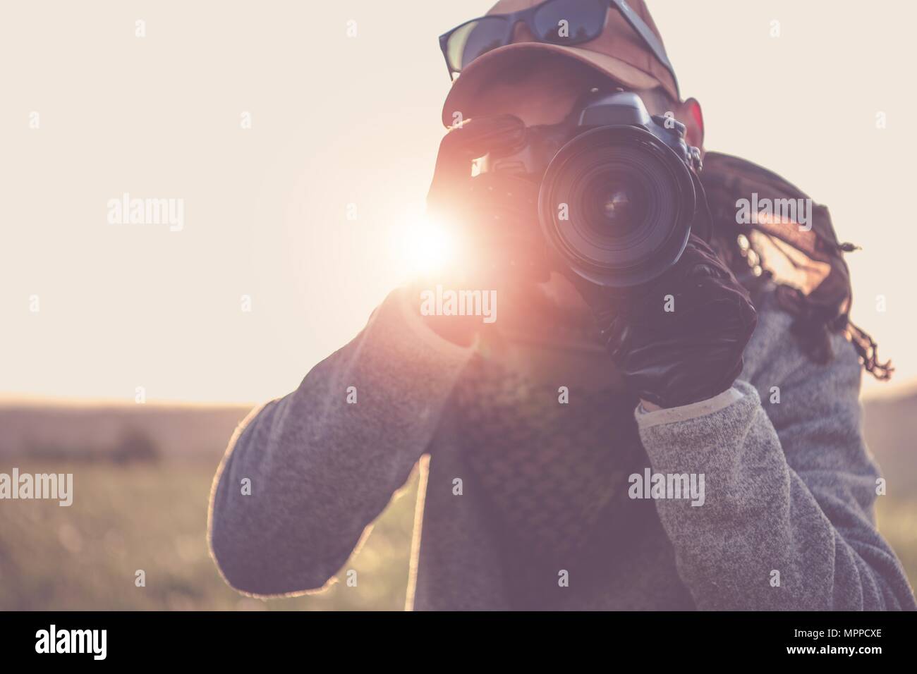 Press Photographer with Digital Camera Taking Pictures in the Remote Location. Stock Photohttps://www.alamy.com/image-license-details/?v=1https://www.alamy.com/press-photographer-with-digital-camera-taking-pictures-in-the-remote-location-image186119206.html
RFMPPCXE–Press Photographer with Digital Camera Taking Pictures in the Remote Location.
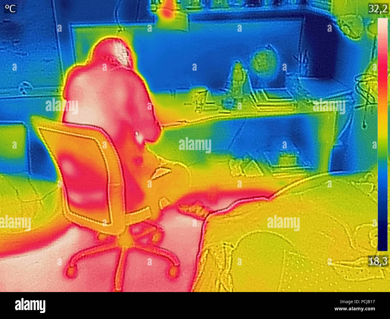 Thermal image Photo IR during office work Stock Photohttps://www.alamy.com/image-license-details/?v=1https://www.alamy.com/thermal-image-photo-ir-during-office-work-image214304083.html
RFPCJB17–Thermal image Photo IR during office work
 Little tin hut sitting in the sunlight with a the sea loch behind and mountains, giving a sense of isolation. Stock Photohttps://www.alamy.com/image-license-details/?v=1https://www.alamy.com/stock-photo-little-tin-hut-sitting-in-the-sunlight-with-a-the-sea-loch-behind-39281965.html
RMC7WCF9–Little tin hut sitting in the sunlight with a the sea loch behind and mountains, giving a sense of isolation.
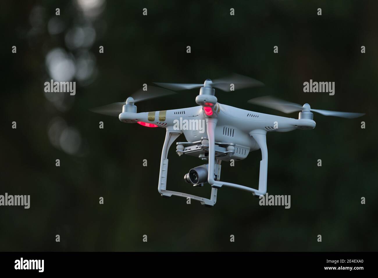 19 - UAV remote controlled commercial quad copter drone hovering. Hobby aircraft with professional imaging applications. Stock Photohttps://www.alamy.com/image-license-details/?v=1https://www.alamy.com/19-uav-remote-controlled-commercial-quad-copter-drone-hovering-hobby-aircraft-with-professional-imaging-applications-image398625080.html
RF2E4EXA0–19 - UAV remote controlled commercial quad copter drone hovering. Hobby aircraft with professional imaging applications.
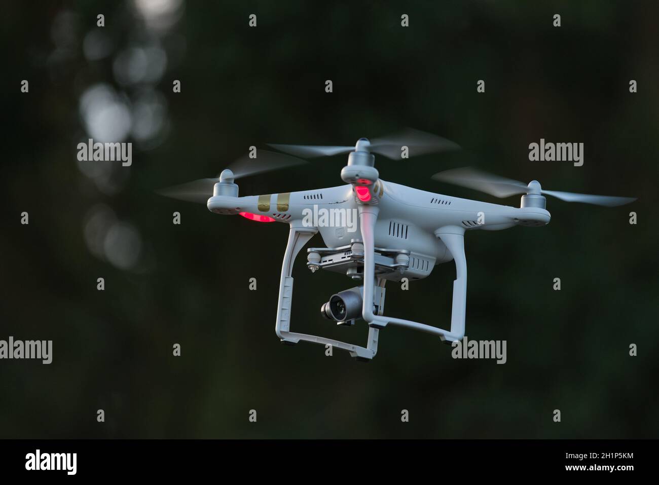 19 - UAV remote controlled commercial quad copter drone hovering. Hobby aircraft with professional imaging applications. Stock Photohttps://www.alamy.com/image-license-details/?v=1https://www.alamy.com/19-uav-remote-controlled-commercial-quad-copter-drone-hovering-hobby-aircraft-with-professional-imaging-applications-image448571640.html
RM2H1P5KM–19 - UAV remote controlled commercial quad copter drone hovering. Hobby aircraft with professional imaging applications.
 Delu Pan, pioneer of China's ocean remote sensing and imaging and academician the Chinese Academy of Sciences (CAS), delivers a speech at the 2019 Net Stock Photohttps://www.alamy.com/image-license-details/?v=1https://www.alamy.com/delu-pan-pioneer-of-chinas-ocean-remote-sensing-and-imaging-and-academician-the-chinese-academy-of-sciences-cas-delivers-a-speech-at-the-2019-net-image336145613.html
RM2AETN4D–Delu Pan, pioneer of China's ocean remote sensing and imaging and academician the Chinese Academy of Sciences (CAS), delivers a speech at the 2019 Net
 Staff worker using Drone aerial imaging system in port container yard. UAV Patrol flying guard technology for survey and security safety area in logis Stock Photohttps://www.alamy.com/image-license-details/?v=1https://www.alamy.com/staff-worker-using-drone-aerial-imaging-system-in-port-container-yard-uav-patrol-flying-guard-technology-for-survey-and-security-safety-area-in-logis-image593319345.html
RF2WD80TH–Staff worker using Drone aerial imaging system in port container yard. UAV Patrol flying guard technology for survey and security safety area in logis
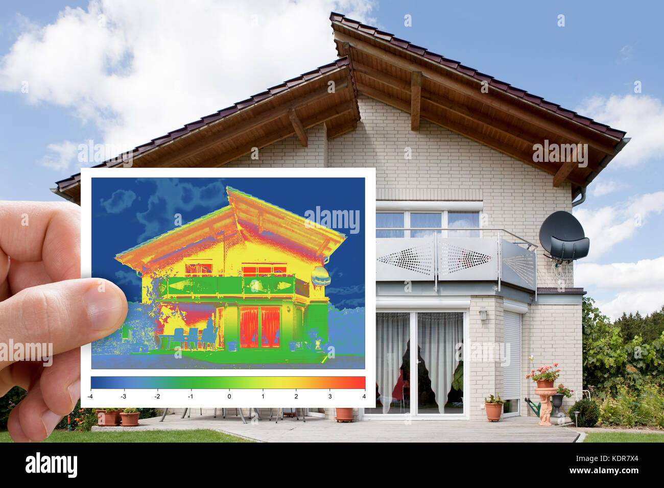 Person Hand Holding Infrared Thermovision Image Showing Lack Of Thermal Insulation Outside The House Stock Photohttps://www.alamy.com/image-license-details/?v=1https://www.alamy.com/stock-image-person-hand-holding-infrared-thermovision-image-showing-lack-of-thermal-163394956.html
RFKDR7X4–Person Hand Holding Infrared Thermovision Image Showing Lack Of Thermal Insulation Outside The House
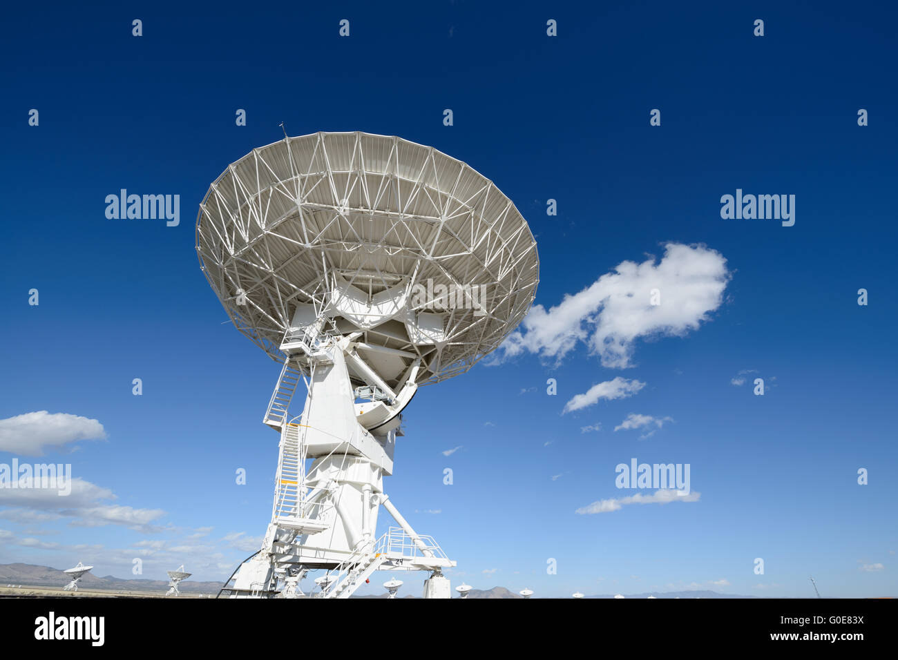 Huge antenna dish at Very Large Array, searching for imaging signal in space Stock Photohttps://www.alamy.com/image-license-details/?v=1https://www.alamy.com/stock-photo-huge-antenna-dish-at-very-large-array-searching-for-imaging-signal-103575918.html
RFG0E83X–Huge antenna dish at Very Large Array, searching for imaging signal in space
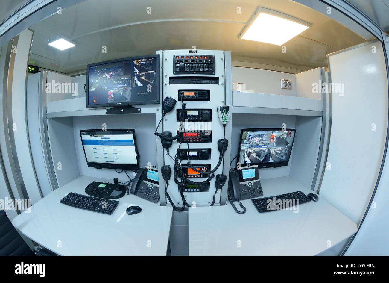 Emergency operator workplace, control panel, thermal imaging monitors, computers Stock Photohttps://www.alamy.com/image-license-details/?v=1https://www.alamy.com/emergency-operator-workplace-control-panel-thermal-imaging-monitors-computers-image433740030.html
RF2G5JFRA–Emergency operator workplace, control panel, thermal imaging monitors, computers
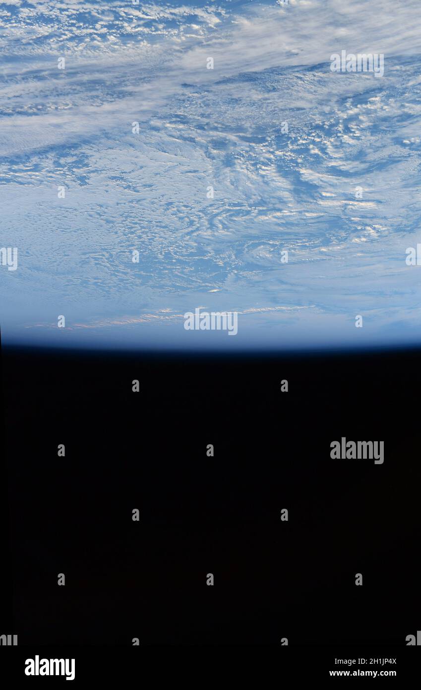 A view of Earth from the International Space Station: Antarctica's ice-covered mountains from space. Ê An optimised and digitally enhanced version of a NASA/ ESA image. Mandatory Credit: NASA/ESA/T. Pesquet. NB: Usage restrictions: Not to be presented as an endorsement. Stock Photohttps://www.alamy.com/image-license-details/?v=1https://www.alamy.com/a-view-of-earth-from-the-international-space-station-antarcticas-ice-covered-mountains-from-space-an-optimised-and-digitally-enhanced-version-of-a-nasa-esa-image-mandatory-credit-nasaesat-pesquet-nb-usage-restrictions-not-to-be-presented-as-an-endorsement-image448496746.html
RM2H1JP4X–A view of Earth from the International Space Station: Antarctica's ice-covered mountains from space. Ê An optimised and digitally enhanced version of a NASA/ ESA image. Mandatory Credit: NASA/ESA/T. Pesquet. NB: Usage restrictions: Not to be presented as an endorsement.
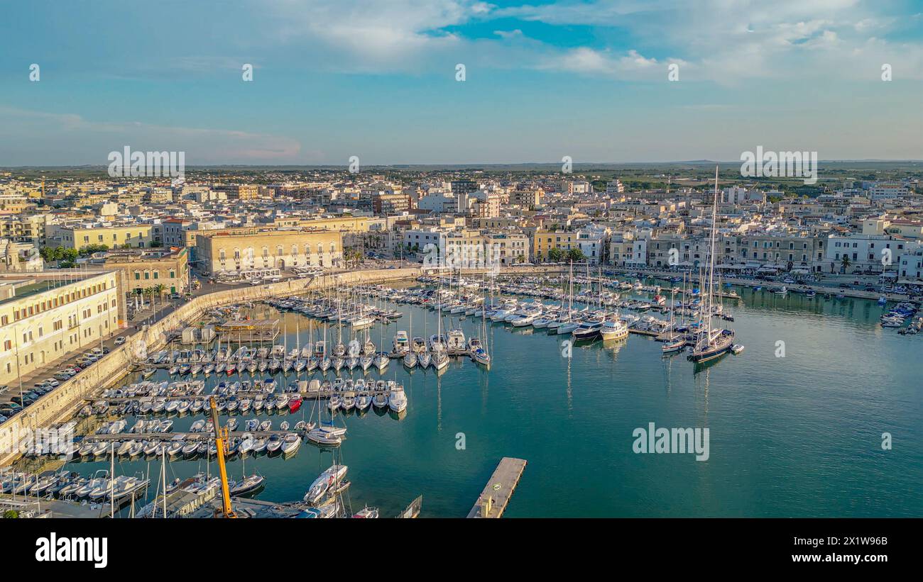 Aerial view with drone of seafront and the city of Trani (Puglia, Italy) Stock Photohttps://www.alamy.com/image-license-details/?v=1https://www.alamy.com/aerial-view-with-drone-of-seafront-and-the-city-of-trani-puglia-italy-image603533571.html
RM2X1W96B–Aerial view with drone of seafront and the city of Trani (Puglia, Italy)
 A DJI Air 2S Drone in flight against the sky Stock Photohttps://www.alamy.com/image-license-details/?v=1https://www.alamy.com/a-dji-air-2s-drone-in-flight-against-the-sky-image563453811.html
RM2RMKF2B–A DJI Air 2S Drone in flight against the sky
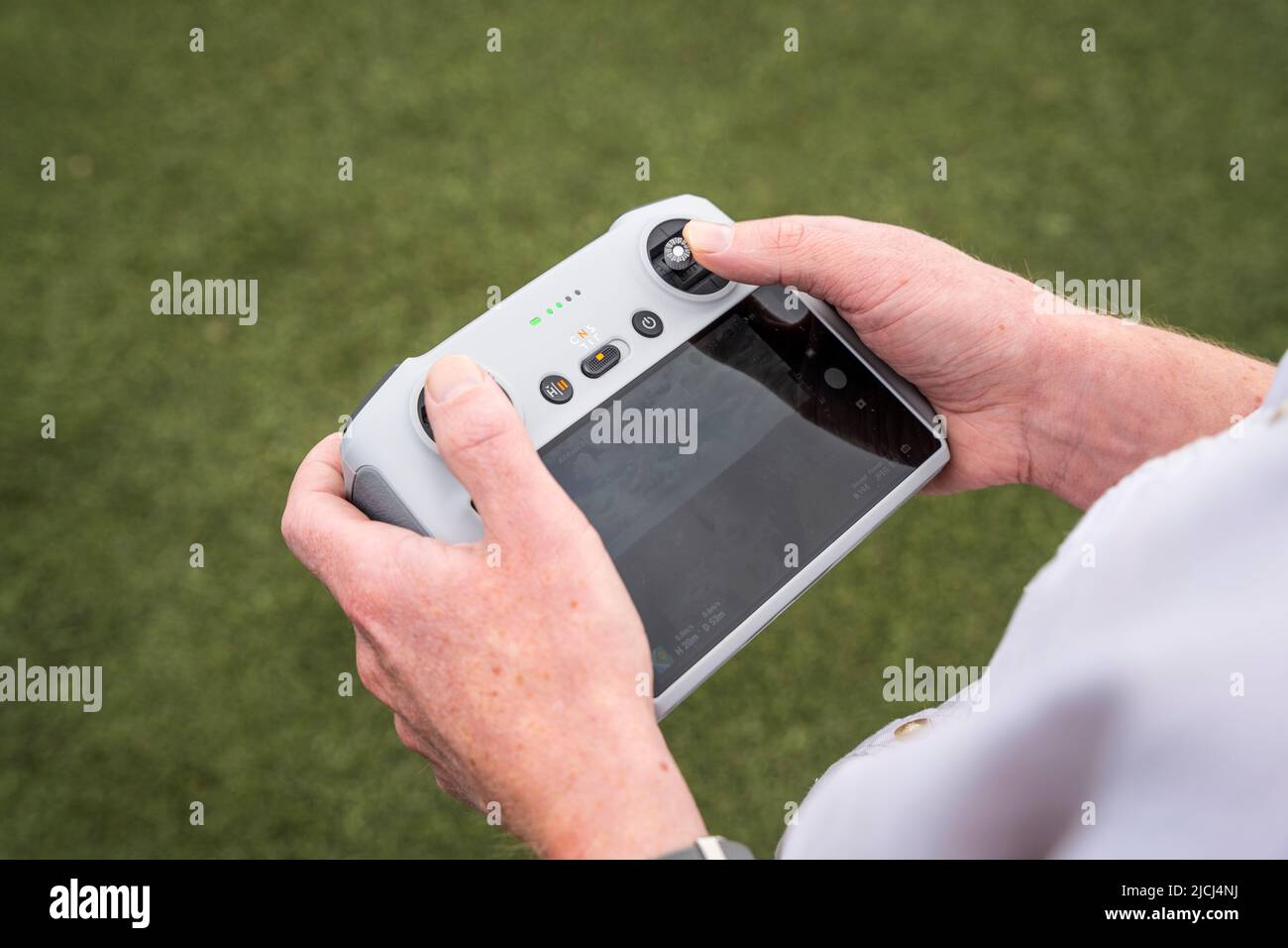 DJI RC-N1 remote controller being used to pilot DJI Mini 3 Pro drone (UAV) Stock Photohttps://www.alamy.com/image-license-details/?v=1https://www.alamy.com/dji-rc-n1-remote-controller-being-used-to-pilot-dji-mini-3-pro-drone-uav-image472454686.html
RM2JCJ4NJ–DJI RC-N1 remote controller being used to pilot DJI Mini 3 Pro drone (UAV)
 Detail of the TTL Wireless Flash Trigger Godox XPro-S isolated on white. Photograph taken on June 14, 2022 in Spain Stock Photohttps://www.alamy.com/image-license-details/?v=1https://www.alamy.com/detail-of-the-ttl-wireless-flash-trigger-godox-xpro-s-isolated-on-white-photograph-taken-on-june-14-2022-in-spain-image472597233.html
RF2JCTJGH–Detail of the TTL Wireless Flash Trigger Godox XPro-S isolated on white. Photograph taken on June 14, 2022 in Spain
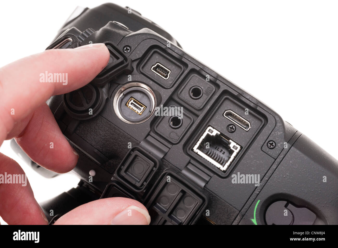 Photographic equipment - Nikon D4 interfaces including Ethernet, USB, HDMI, microphone, headphone, remote. Stock Photohttps://www.alamy.com/image-license-details/?v=1https://www.alamy.com/stock-photo-photographic-equipment-nikon-d4-interfaces-including-ethernet-usb-47774332.html
RFCNM8J4–Photographic equipment - Nikon D4 interfaces including Ethernet, USB, HDMI, microphone, headphone, remote.
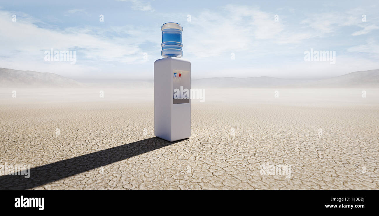 Water cooler in remote desert Stock Photohttps://www.alamy.com/image-license-details/?v=1https://www.alamy.com/stock-image-water-cooler-in-remote-desert-166207542.html
RMKJBBBJ–Water cooler in remote desert
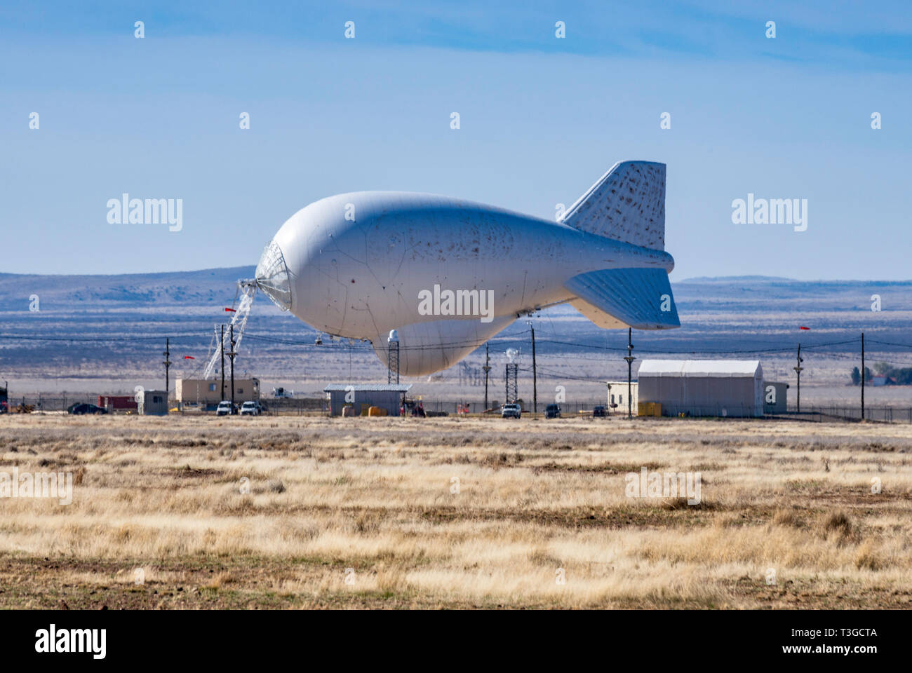 Aerostat surveillance blimp with downward-looking radar for drug smugglers aircraft detection, low on ground due to strong winds, near Marfa, Texas Stock Photohttps://www.alamy.com/image-license-details/?v=1https://www.alamy.com/aerostat-surveillance-blimp-with-downward-looking-radar-for-drug-smugglers-aircraft-detection-low-on-ground-due-to-strong-winds-near-marfa-texas-image243150442.html
RMT3GCTA–Aerostat surveillance blimp with downward-looking radar for drug smugglers aircraft detection, low on ground due to strong winds, near Marfa, Texas
 Doral FL 11/10/2020 ARGO.AI self driving test vehicle on public roads mapping lanes and 3d photo imaging area for future applications. Stock Photohttps://www.alamy.com/image-license-details/?v=1https://www.alamy.com/doral-fl-11102020-argoai-self-driving-test-vehicle-on-public-roads-mapping-lanes-and-3d-photo-imaging-area-for-future-applications-image391453662.html
RF2DMT73X–Doral FL 11/10/2020 ARGO.AI self driving test vehicle on public roads mapping lanes and 3d photo imaging area for future applications.
 Dusk and Dawn Photography Theme. Men Taking Nature Pictures in the Remote Location. Stock Photohttps://www.alamy.com/image-license-details/?v=1https://www.alamy.com/dusk-and-dawn-photography-theme-men-taking-nature-pictures-in-the-remote-location-image184302628.html
RFMKRKTM–Dusk and Dawn Photography Theme. Men Taking Nature Pictures in the Remote Location.
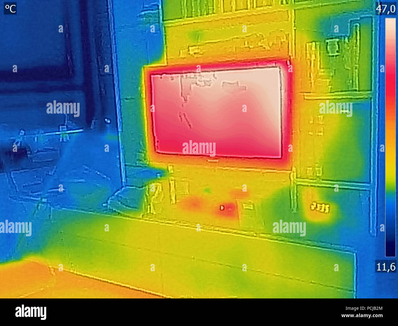 Thermal image Photo while included TV in the room Stock Photohttps://www.alamy.com/image-license-details/?v=1https://www.alamy.com/thermal-image-photo-while-included-tv-in-the-room-image214304124.html
RFPCJB2M–Thermal image Photo while included TV in the room
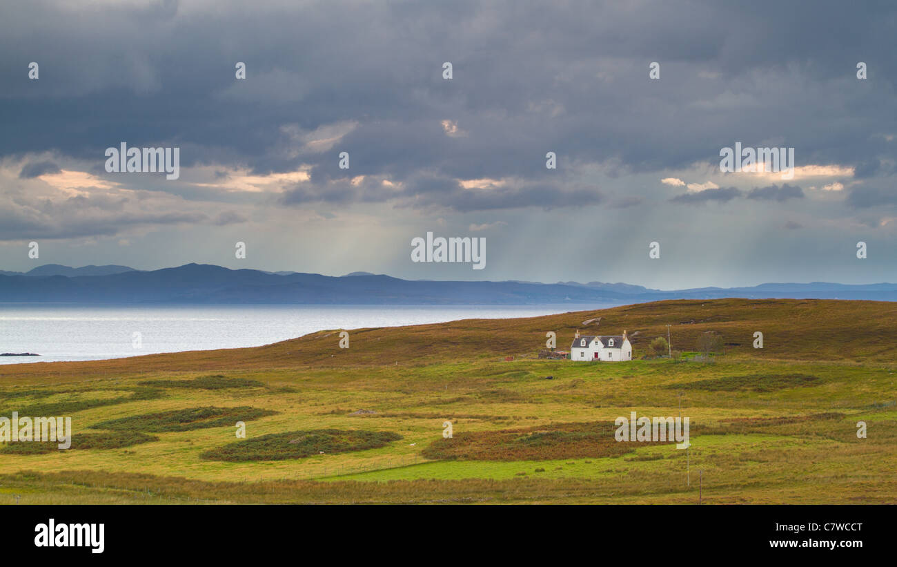 Small white abandoned house sitting on a Scottish hillside with a rain shower approaching over the distant mountains and loch. Stock Photohttps://www.alamy.com/image-license-details/?v=1https://www.alamy.com/stock-photo-small-white-abandoned-house-sitting-on-a-scottish-hillside-with-a-39281896.html
RMC7WCCT–Small white abandoned house sitting on a Scottish hillside with a rain shower approaching over the distant mountains and loch.
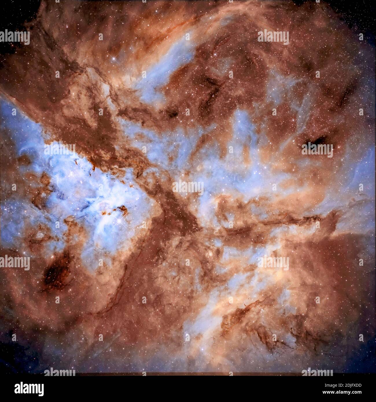 Astrophotography - NGC3372 Eta Carina Nebula Stock Photohttps://www.alamy.com/image-license-details/?v=1https://www.alamy.com/astrophotography-ngc3372-eta-carina-nebula-image390041945.html
RF2DJFXDD–Astrophotography - NGC3372 Eta Carina Nebula
 This NASA image acquired by the Optical Spectroscopic and Infrared Remote Imaging System (OSIRIS) camera on board the Rosetta spacecraft shows Earth during its swing-by in November 2007. A sun-illuminated crescent can be seen around Antarctica in this image that is a color composite combining images obtained at various wavelengths. (UPI Photo/NASA/Johns Hopkins University Applied Physics Laboratory/Carnegie Institution of Washington) Stock Photohttps://www.alamy.com/image-license-details/?v=1https://www.alamy.com/this-nasa-image-acquired-by-the-optical-spectroscopic-and-infrared-remote-imaging-system-osiris-camera-on-board-the-rosetta-spacecraft-shows-earth-during-its-swing-by-in-november-2007-a-sun-illuminated-crescent-can-be-seen-around-antarctica-in-this-image-that-is-a-color-composite-combining-images-obtained-at-various-wavelengths-upi-photonasajohns-hopkins-university-applied-physics-laboratorycarnegie-institution-of-washington-image258603828.html
RMW0MBR0–This NASA image acquired by the Optical Spectroscopic and Infrared Remote Imaging System (OSIRIS) camera on board the Rosetta spacecraft shows Earth during its swing-by in November 2007. A sun-illuminated crescent can be seen around Antarctica in this image that is a color composite combining images obtained at various wavelengths. (UPI Photo/NASA/Johns Hopkins University Applied Physics Laboratory/Carnegie Institution of Washington)
 St. Petersburg, Russia - February 16, 2017: X-ray room in the St. Magdalena children's hospital. The hospital was founded in 1829 Stock Photohttps://www.alamy.com/image-license-details/?v=1https://www.alamy.com/st-petersburg-russia-february-16-2017-x-ray-room-in-the-st-magdalena-image157394085.html
RFK41WN9–St. Petersburg, Russia - February 16, 2017: X-ray room in the St. Magdalena children's hospital. The hospital was founded in 1829
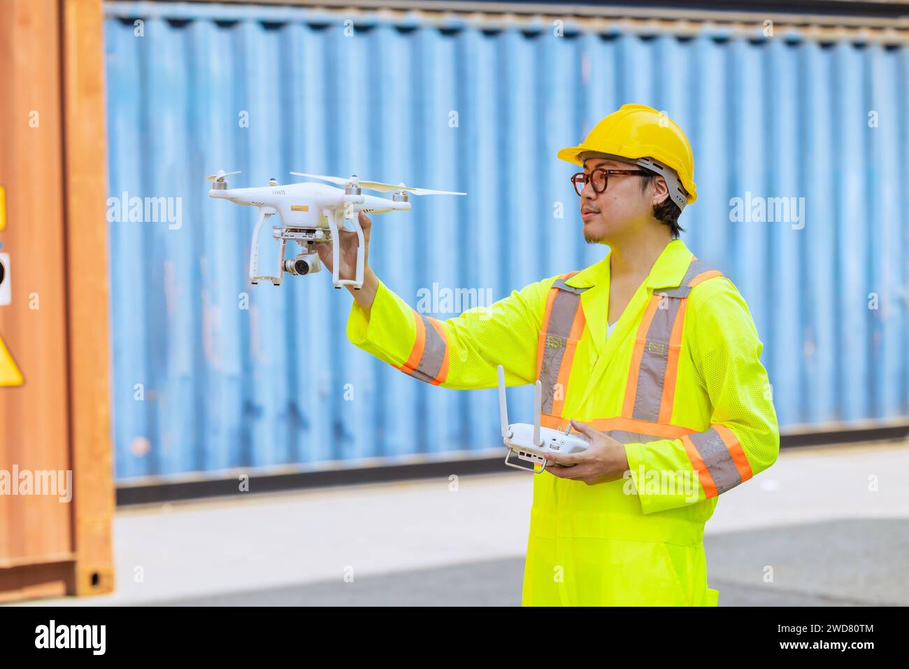 Staff worker using Drone aerial imaging system in port container yard. UAV Patrol flying guard technology for survey and security safety area in logis Stock Photohttps://www.alamy.com/image-license-details/?v=1https://www.alamy.com/staff-worker-using-drone-aerial-imaging-system-in-port-container-yard-uav-patrol-flying-guard-technology-for-survey-and-security-safety-area-in-logis-image593319348.html
RF2WD80TM–Staff worker using Drone aerial imaging system in port container yard. UAV Patrol flying guard technology for survey and security safety area in logis
 Doctor in telemedicine concept looking at x-ray image Stock Photohttps://www.alamy.com/image-license-details/?v=1https://www.alamy.com/doctor-in-telemedicine-concept-looking-at-x-ray-image-image274433595.html
RFWXDERR–Doctor in telemedicine concept looking at x-ray image
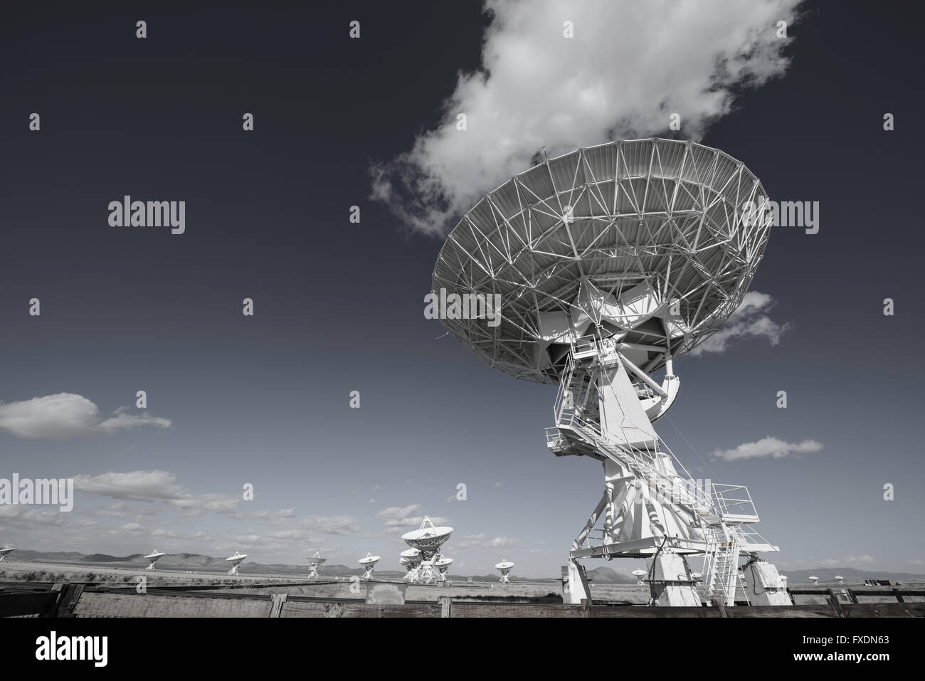 Huge antenna dish at Very Large Array, searching for imaging signal in space Stock Photohttps://www.alamy.com/image-license-details/?v=1https://www.alamy.com/stock-photo-huge-antenna-dish-at-very-large-array-searching-for-imaging-signal-102334907.html
RFFXDN63–Huge antenna dish at Very Large Array, searching for imaging signal in space
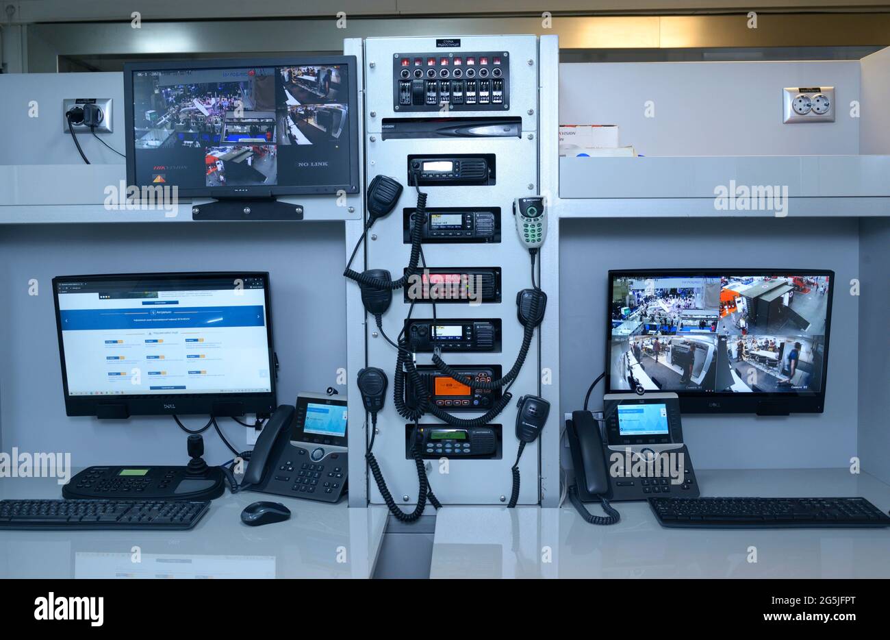 Emergency operator workplace, control panel, thermal imaging monitors, computers Stock Photohttps://www.alamy.com/image-license-details/?v=1https://www.alamy.com/emergency-operator-workplace-control-panel-thermal-imaging-monitors-computers-image433740016.html
RF2G5JFPT–Emergency operator workplace, control panel, thermal imaging monitors, computers
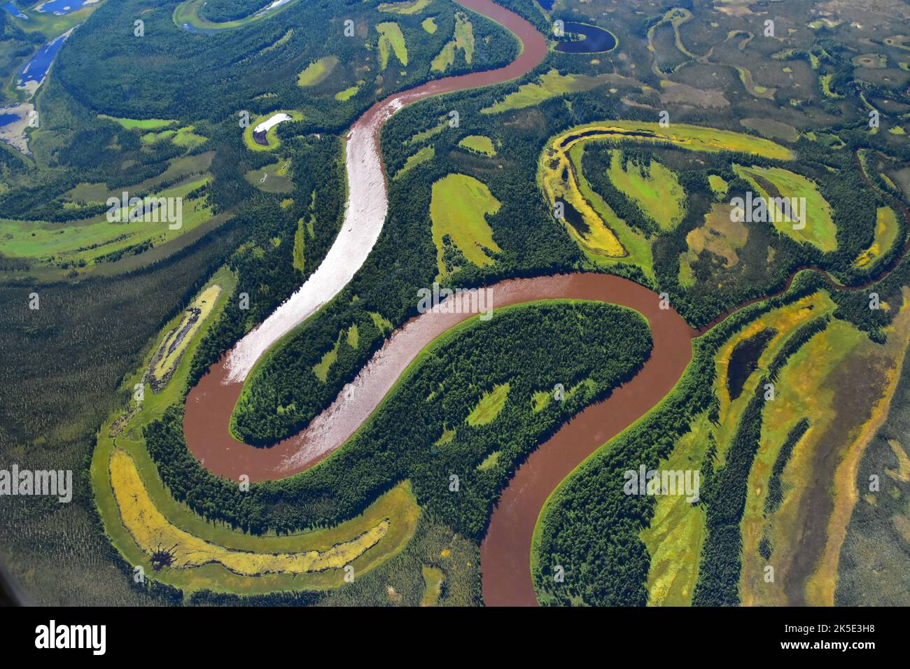 As part of the Arctic Boreal Vulnerability Experiment (ABoVE), NASA scientists have been flying over Alaska & Canada measuring the elevation of rivers and lakes to study how thawing permafrost affects hydrology in the landscape.This view of the Kuskokwim River near McGrath, Alaska, was taken from NASA's DC-8 'flying laboratory' as part of the Active Sensing of CO2 Emissions over Nights, Days and Seasons (ASCENDS) experiment.Changes in water levels will have effects on Arctic life plants, animals, and humans in the near future. Credit: NASA/PGriffith Stock Photohttps://www.alamy.com/image-license-details/?v=1https://www.alamy.com/as-part-of-the-arctic-boreal-vulnerability-experiment-above-nasa-scientists-have-been-flying-over-alaska-canada-measuring-the-elevation-of-rivers-and-lakes-to-study-how-thawing-permafrost-affects-hydrology-in-the-landscapethis-view-of-the-kuskokwim-river-near-mcgrath-alaska-was-taken-from-nasas-dc-8-flying-laboratory-as-part-of-the-active-sensing-of-co2-emissions-over-nights-days-and-seasons-ascends-experimentchanges-in-water-levels-will-have-effects-on-arctic-life-plants-animals-and-humans-in-the-near-future-credit-nasapgriffith-image485273748.html
RM2K5E3H8–As part of the Arctic Boreal Vulnerability Experiment (ABoVE), NASA scientists have been flying over Alaska & Canada measuring the elevation of rivers and lakes to study how thawing permafrost affects hydrology in the landscape.This view of the Kuskokwim River near McGrath, Alaska, was taken from NASA's DC-8 'flying laboratory' as part of the Active Sensing of CO2 Emissions over Nights, Days and Seasons (ASCENDS) experiment.Changes in water levels will have effects on Arctic life plants, animals, and humans in the near future. Credit: NASA/PGriffith
 Aerial view with drone of seafront and the city of Trani (Puglia, Italy) Stock Photohttps://www.alamy.com/image-license-details/?v=1https://www.alamy.com/aerial-view-with-drone-of-seafront-and-the-city-of-trani-puglia-italy-image603533568.html
RF2X1W968–Aerial view with drone of seafront and the city of Trani (Puglia, Italy)
 A DJI Air 2S Drone in flight against the sky Stock Photohttps://www.alamy.com/image-license-details/?v=1https://www.alamy.com/a-dji-air-2s-drone-in-flight-against-the-sky-image563453921.html
RM2RMKF69–A DJI Air 2S Drone in flight against the sky
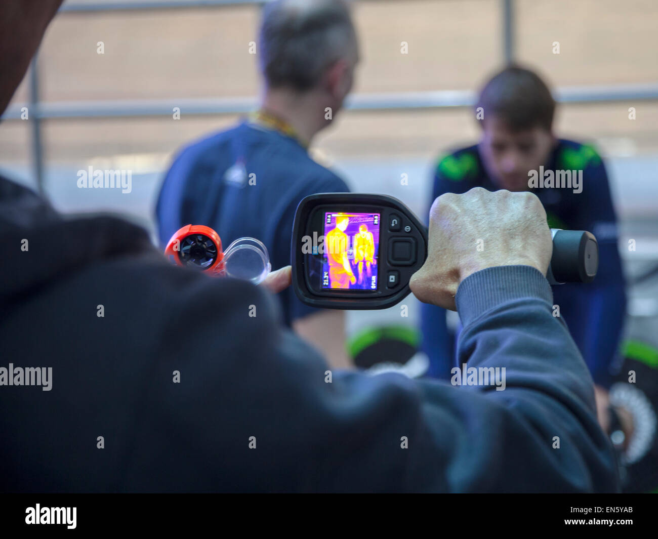 Manchester Velodrome, UK. 28th April, 2015. Alex Dowsett Team Movistar carrying out tests with infra red imaging prior to his attempt on the Hour record on Saturday 2nd May 2015. Credit: Anthony Collins/Alamy Live News Stock Photohttps://www.alamy.com/image-license-details/?v=1https://www.alamy.com/stock-photo-manchester-velodrome-uk-28th-april-2015-alex-dowsett-team-movistar-81880467.html
RMEN5YAB–Manchester Velodrome, UK. 28th April, 2015. Alex Dowsett Team Movistar carrying out tests with infra red imaging prior to his attempt on the Hour record on Saturday 2nd May 2015. Credit: Anthony Collins/Alamy Live News
 Detail of the TTL Wireless Flash Trigger Godox XPro-S isolated on white. Photograph taken on June 14, 2022 in Spain Stock Photohttps://www.alamy.com/image-license-details/?v=1https://www.alamy.com/detail-of-the-ttl-wireless-flash-trigger-godox-xpro-s-isolated-on-white-photograph-taken-on-june-14-2022-in-spain-image472597242.html
RF2JCTJGX–Detail of the TTL Wireless Flash Trigger Godox XPro-S isolated on white. Photograph taken on June 14, 2022 in Spain
 Dreamy woman sitting with laptop outdoors on street. Smiling businesswoman daydreaming, imaging smth while working outside office building Stock Photohttps://www.alamy.com/image-license-details/?v=1https://www.alamy.com/dreamy-woman-sitting-with-laptop-outdoors-on-street-smiling-businesswoman-daydreaming-imaging-smth-while-working-outside-office-building-image490998846.html
RF2KEPX12–Dreamy woman sitting with laptop outdoors on street. Smiling businesswoman daydreaming, imaging smth while working outside office building
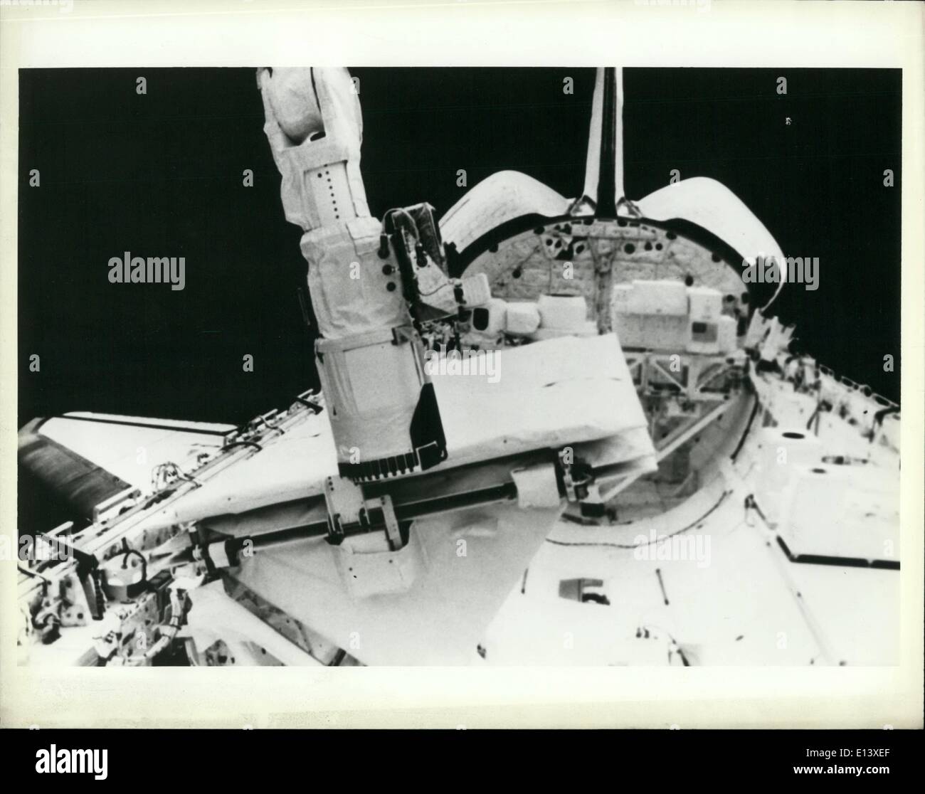 Mar. 27, 2012 - Shuttle: The end effector of the remote manipulator system (RMS) securing the Shuttle imaging radar (SIR-B) antenna. Credit: Consolidate News Pictures Stock Photohttps://www.alamy.com/image-license-details/?v=1https://www.alamy.com/mar-27-2012-shuttle-the-end-effector-of-the-remote-manipulator-system-image69542775.html
RME13XEF–Mar. 27, 2012 - Shuttle: The end effector of the remote manipulator system (RMS) securing the Shuttle imaging radar (SIR-B) antenna. Credit: Consolidate News Pictures
 Glasses of virtual reality. Future technology. Modern imaging technology. Stock Photohttps://www.alamy.com/image-license-details/?v=1https://www.alamy.com/glasses-of-virtual-reality-future-technology-modern-imaging-technology-image229381858.html
RFR956W6–Glasses of virtual reality. Future technology. Modern imaging technology.
 Doral FL 11/10/2020 ARGO.AI self driving test vehicle on public roads mapping lanes and 3d photo imaging area for future applications. Stock Photohttps://www.alamy.com/image-license-details/?v=1https://www.alamy.com/doral-fl-11102020-argoai-self-driving-test-vehicle-on-public-roads-mapping-lanes-and-3d-photo-imaging-area-for-future-applications-image391453285.html
RF2DMT6JD–Doral FL 11/10/2020 ARGO.AI self driving test vehicle on public roads mapping lanes and 3d photo imaging area for future applications.
 Outdoor Photographer Equipped with Large Telephoto Lens in the Remote Location During Scenic Sunset. Stock Photohttps://www.alamy.com/image-license-details/?v=1https://www.alamy.com/outdoor-photographer-equipped-with-large-telephoto-lens-in-the-remote-location-during-scenic-sunset-image184302697.html
RFMKRKY5–Outdoor Photographer Equipped with Large Telephoto Lens in the Remote Location During Scenic Sunset.
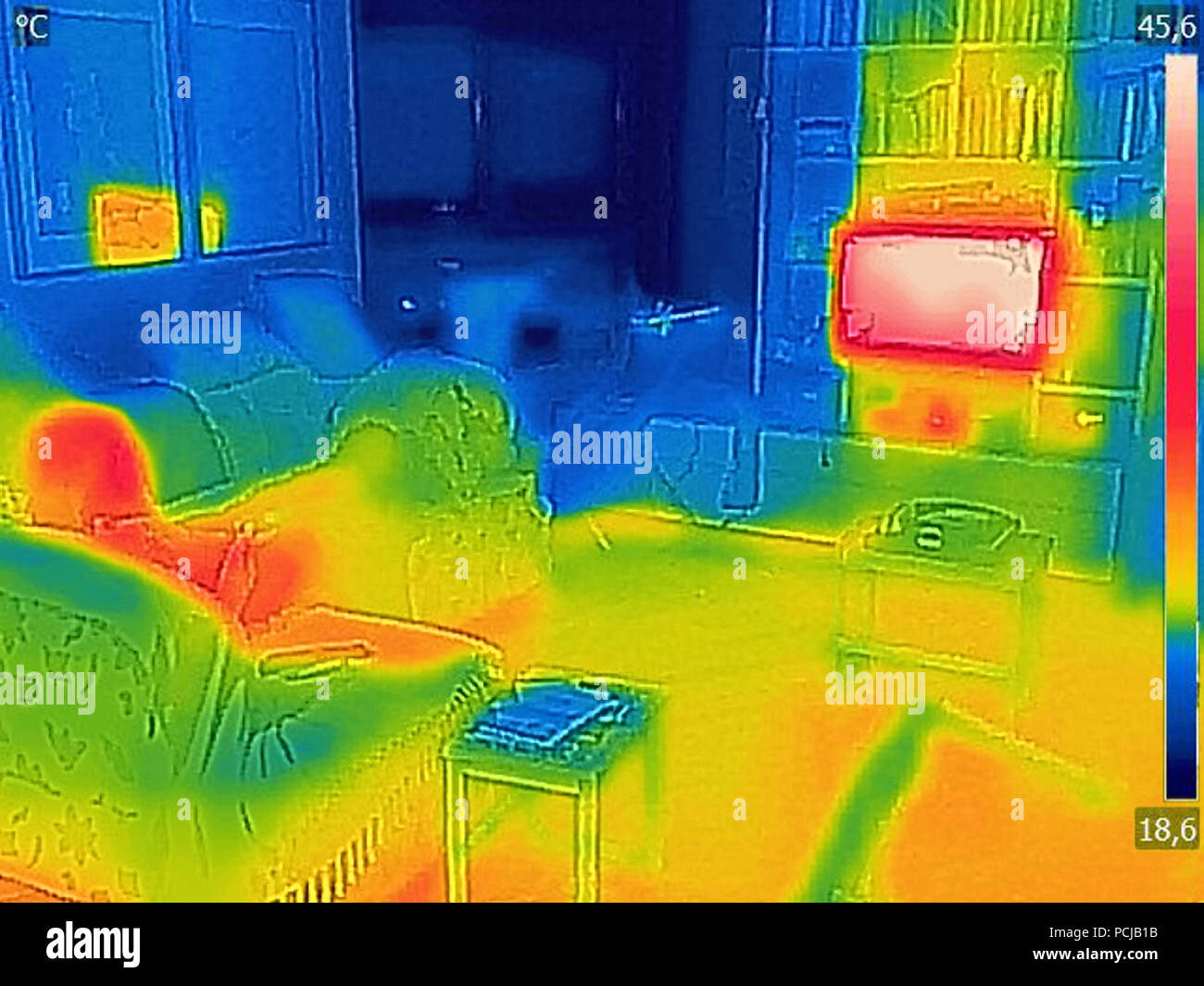 Thermal image Photo while a woman is watching television Stock Photohttps://www.alamy.com/image-license-details/?v=1https://www.alamy.com/thermal-image-photo-while-a-woman-is-watching-television-image214304087.html
RFPCJB1B–Thermal image Photo while a woman is watching television
 Old tractor and tanker, Camustiel, Applecross, Wester Ross, Highlands of Scotland, UK Stock Photohttps://www.alamy.com/image-license-details/?v=1https://www.alamy.com/old-tractor-and-tanker-camustiel-applecross-wester-ross-highlands-of-scotland-uk-image625296521.html
RM2Y98M2H–Old tractor and tanker, Camustiel, Applecross, Wester Ross, Highlands of Scotland, UK
 remote, sensing of the earth (satellite in space) Stock Photohttps://www.alamy.com/image-license-details/?v=1https://www.alamy.com/remote-sensing-of-the-earth-satellite-in-space-image223285620.html
RFPY7F2C–remote, sensing of the earth (satellite in space)
 Remote thermometer, body temperature meter in connection with coronavirus quarantine. Remote temperature measurement using thermal imager helps to ide Stock Photohttps://www.alamy.com/image-license-details/?v=1https://www.alamy.com/remote-thermometer-body-temperature-meter-in-connection-with-coronavirus-quarantine-remote-temperature-measurement-using-thermal-imager-helps-to-ide-image452502756.html
RF2H857TM–Remote thermometer, body temperature meter in connection with coronavirus quarantine. Remote temperature measurement using thermal imager helps to ide
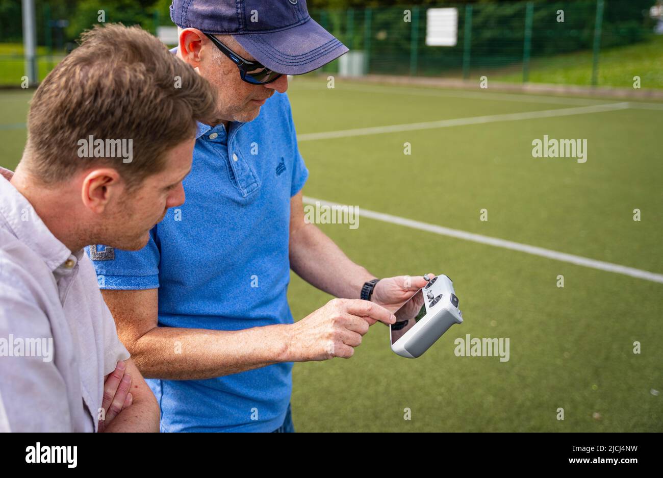 Crew / pilot operating a DJI Mini 3 Pro drone (UAV) using remote control Stock Photohttps://www.alamy.com/image-license-details/?v=1https://www.alamy.com/crew-pilot-operating-a-dji-mini-3-pro-drone-uav-using-remote-control-image472454693.html
RM2JCJ4NW–Crew / pilot operating a DJI Mini 3 Pro drone (UAV) using remote control
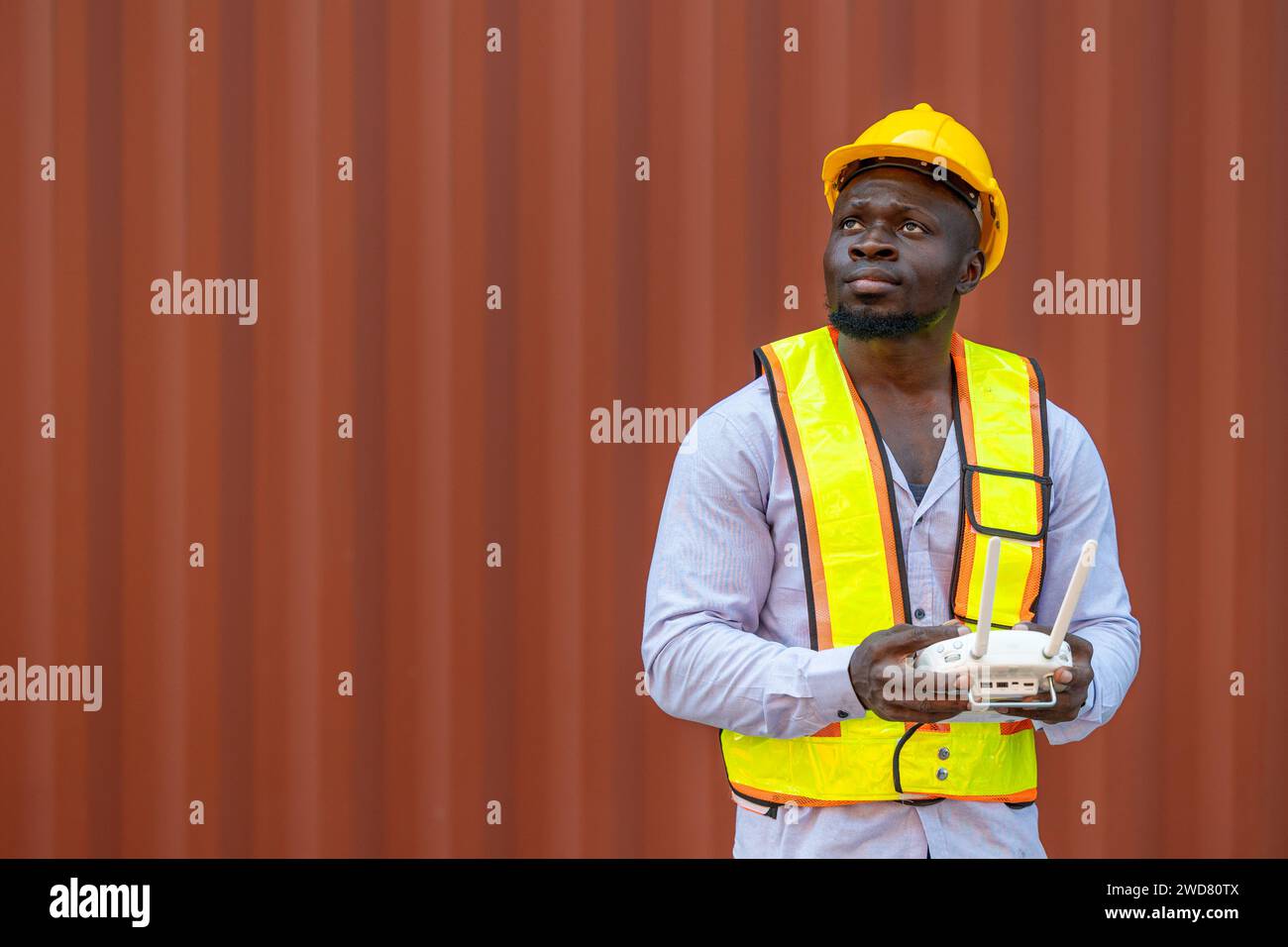 Staff worker using Drone aerial imaging system in port container yard. UAV Patrol flying guard technology for survey and security safety area in logis Stock Photohttps://www.alamy.com/image-license-details/?v=1https://www.alamy.com/staff-worker-using-drone-aerial-imaging-system-in-port-container-yard-uav-patrol-flying-guard-technology-for-survey-and-security-safety-area-in-logis-image593319354.html
RF2WD80TX–Staff worker using Drone aerial imaging system in port container yard. UAV Patrol flying guard technology for survey and security safety area in logis
 Doctor in telemedicine concept looking at x-ray image Stock Photohttps://www.alamy.com/image-license-details/?v=1https://www.alamy.com/doctor-in-telemedicine-concept-looking-at-x-ray-image-image274300790.html
RFWX7DCP–Doctor in telemedicine concept looking at x-ray image
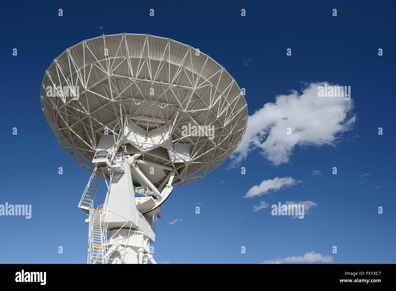 Huge antenna dish at Very Large Array, searching for imaging signal in space Stock Photohttps://www.alamy.com/image-license-details/?v=1https://www.alamy.com/stock-photo-huge-antenna-dish-at-very-large-array-searching-for-imaging-signal-102628295.html
RFFXY3C7–Huge antenna dish at Very Large Array, searching for imaging signal in space
 Precision agriculture, an advanced agricultural management practice that utilizes modern technology to enhance crop yields, efficiency, and sustainabi Stock Vectorhttps://www.alamy.com/image-license-details/?v=1https://www.alamy.com/precision-agriculture-an-advanced-agricultural-management-practice-that-utilizes-modern-technology-to-enhance-crop-yields-efficiency-and-sustainabi-image623288835.html
RF2Y6177F–Precision agriculture, an advanced agricultural management practice that utilizes modern technology to enhance crop yields, efficiency, and sustainabi
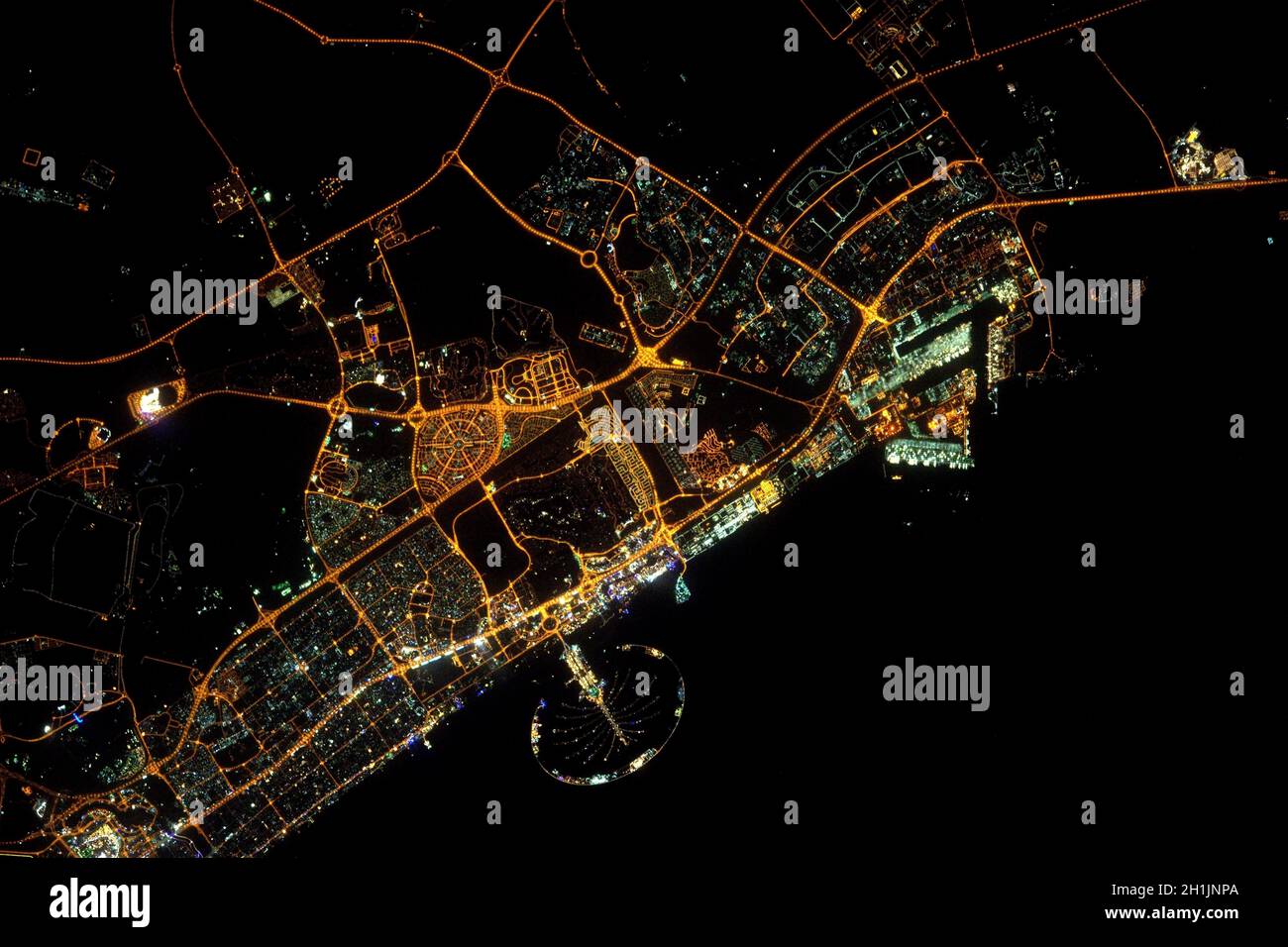 A view of Earth from the International Space Station: the night lights of Dubai, and the manmade Palm islands. An optimised and digitally enhanced version of a NASA/ ESA image. Mandatory Credit: NASA/ESA/T. Pesquet. NB: Usage restrictions: Not to be presented as an endorsement. Stock Photohttps://www.alamy.com/image-license-details/?v=1https://www.alamy.com/a-view-of-earth-from-the-international-space-station-the-night-lights-of-dubai-and-the-manmade-palm-islands-an-optimised-and-digitally-enhanced-version-of-a-nasa-esa-image-mandatory-credit-nasaesat-pesquet-nb-usage-restrictions-not-to-be-presented-as-an-endorsement-image448496450.html
RM2H1JNPA–A view of Earth from the International Space Station: the night lights of Dubai, and the manmade Palm islands. An optimised and digitally enhanced version of a NASA/ ESA image. Mandatory Credit: NASA/ESA/T. Pesquet. NB: Usage restrictions: Not to be presented as an endorsement.
 Mapping of asbestos-cement with graph from the Multispectral Infrared and Visible Imaging Spectrometer sensor - concept with definition of Asbestos Stock Photohttps://www.alamy.com/image-license-details/?v=1https://www.alamy.com/mapping-of-asbestos-cement-with-graph-from-the-multispectral-infrared-and-visible-imaging-spectrometer-sensor-concept-with-definition-of-asbestos-image552876932.html
RF2R3DM4M–Mapping of asbestos-cement with graph from the Multispectral Infrared and Visible Imaging Spectrometer sensor - concept with definition of Asbestos
 A DJI Air 2S Drone in flight against the sky Stock Photohttps://www.alamy.com/image-license-details/?v=1https://www.alamy.com/a-dji-air-2s-drone-in-flight-against-the-sky-image563453906.html
RM2RMKF5P–A DJI Air 2S Drone in flight against the sky
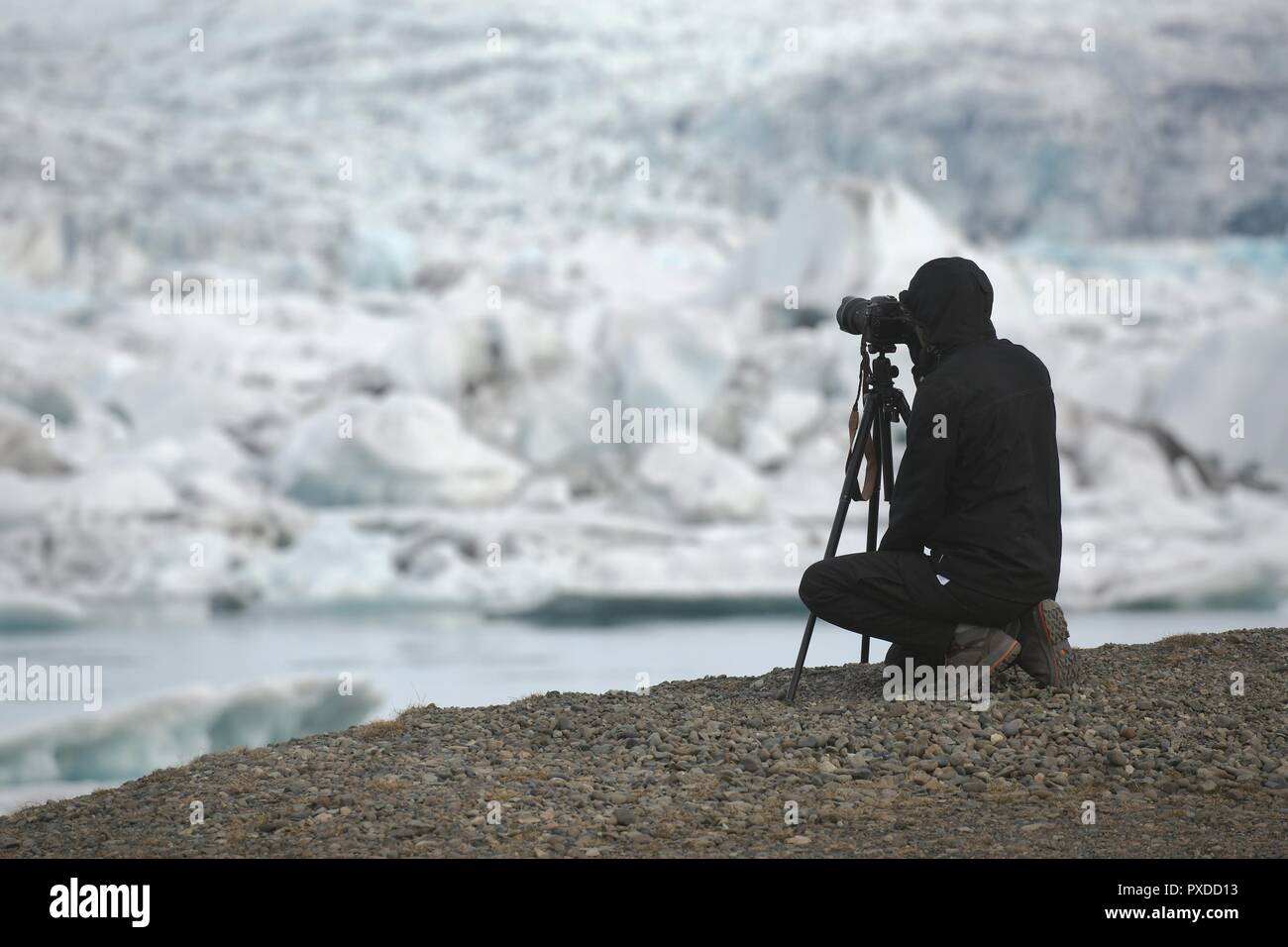 Photographer with tripod Stock Photohttps://www.alamy.com/image-license-details/?v=1https://www.alamy.com/photographer-with-tripod-image222801071.html
RFPXDD13–Photographer with tripod
 Online medical service concept. Vector of a medical professional, a doctor consulting patients online via modern mobile technology, internet website Stock Vectorhttps://www.alamy.com/image-license-details/?v=1https://www.alamy.com/online-medical-service-concept-vector-of-a-medical-professional-a-doctor-consulting-patients-online-via-modern-mobile-technology-internet-website-image363808013.html
RF2C3TTR9–Online medical service concept. Vector of a medical professional, a doctor consulting patients online via modern mobile technology, internet website
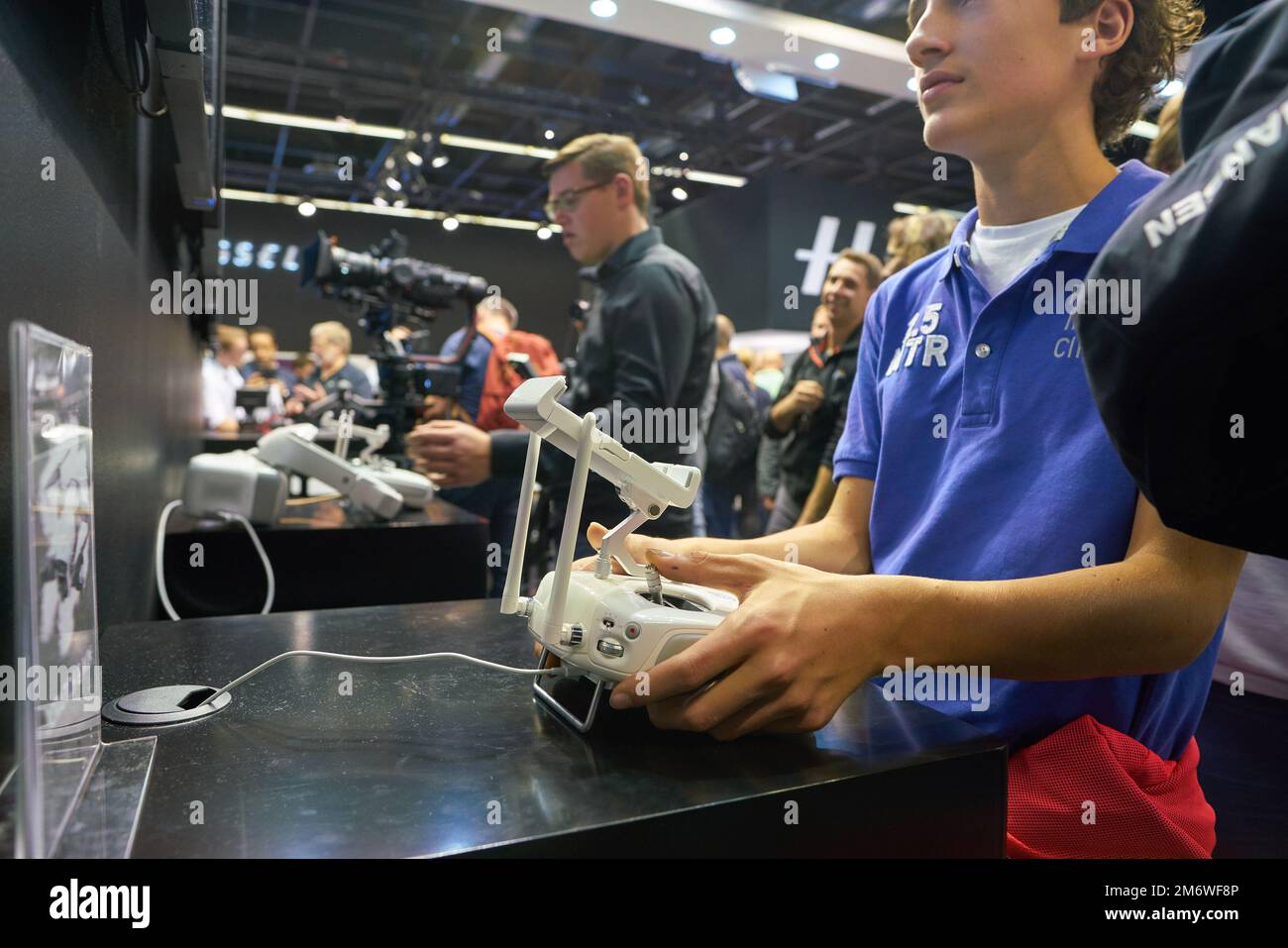 COLOGNE, GERMANY - CIRCA SEPTEMBER, 2018: DJI space at Photokina Exhibition. Photokina is a trade fair held in Europe for the photographic and imaging Stock Photohttps://www.alamy.com/image-license-details/?v=1https://www.alamy.com/cologne-germany-circa-september-2018-dji-space-at-photokina-exhibition-photokina-is-a-trade-fair-held-in-europe-for-the-photographic-and-imaging-image503349414.html
RF2M6WF8P–COLOGNE, GERMANY - CIRCA SEPTEMBER, 2018: DJI space at Photokina Exhibition. Photokina is a trade fair held in Europe for the photographic and imaging
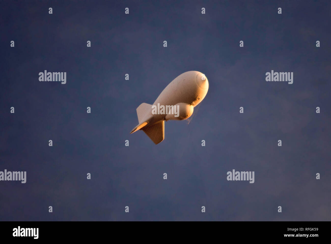 Aerostat, TARS, or Tethered Aerostat Radar System, balloon with downward-looking radar for drug smugglers aircraft detection, near Marfa, Texas, USA Stock Photohttps://www.alamy.com/image-license-details/?v=1https://www.alamy.com/aerostat-tars-or-tethered-aerostat-radar-system-balloon-with-downward-looking-radar-for-drug-smugglers-aircraft-detection-near-marfa-texas-usa-image233320901.html
RFRFGK59–Aerostat, TARS, or Tethered Aerostat Radar System, balloon with downward-looking radar for drug smugglers aircraft detection, near Marfa, Texas, USA
 Glasses of virtual reality. Future technology. Modern imaging technology. Stock Photohttps://www.alamy.com/image-license-details/?v=1https://www.alamy.com/stock-photo-glasses-of-virtual-reality-future-technology-modern-imaging-technology-176986214.html
RFM7XBM6–Glasses of virtual reality. Future technology. Modern imaging technology.
 Doral FL 11/10/2020 ARGO.AI self driving test vehicle on public roads mapping lanes and 3d photo imaging area for future applications. Stock Photohttps://www.alamy.com/image-license-details/?v=1https://www.alamy.com/doral-fl-11102020-argoai-self-driving-test-vehicle-on-public-roads-mapping-lanes-and-3d-photo-imaging-area-for-future-applications-image391453682.html
RF2DMT74J–Doral FL 11/10/2020 ARGO.AI self driving test vehicle on public roads mapping lanes and 3d photo imaging area for future applications.
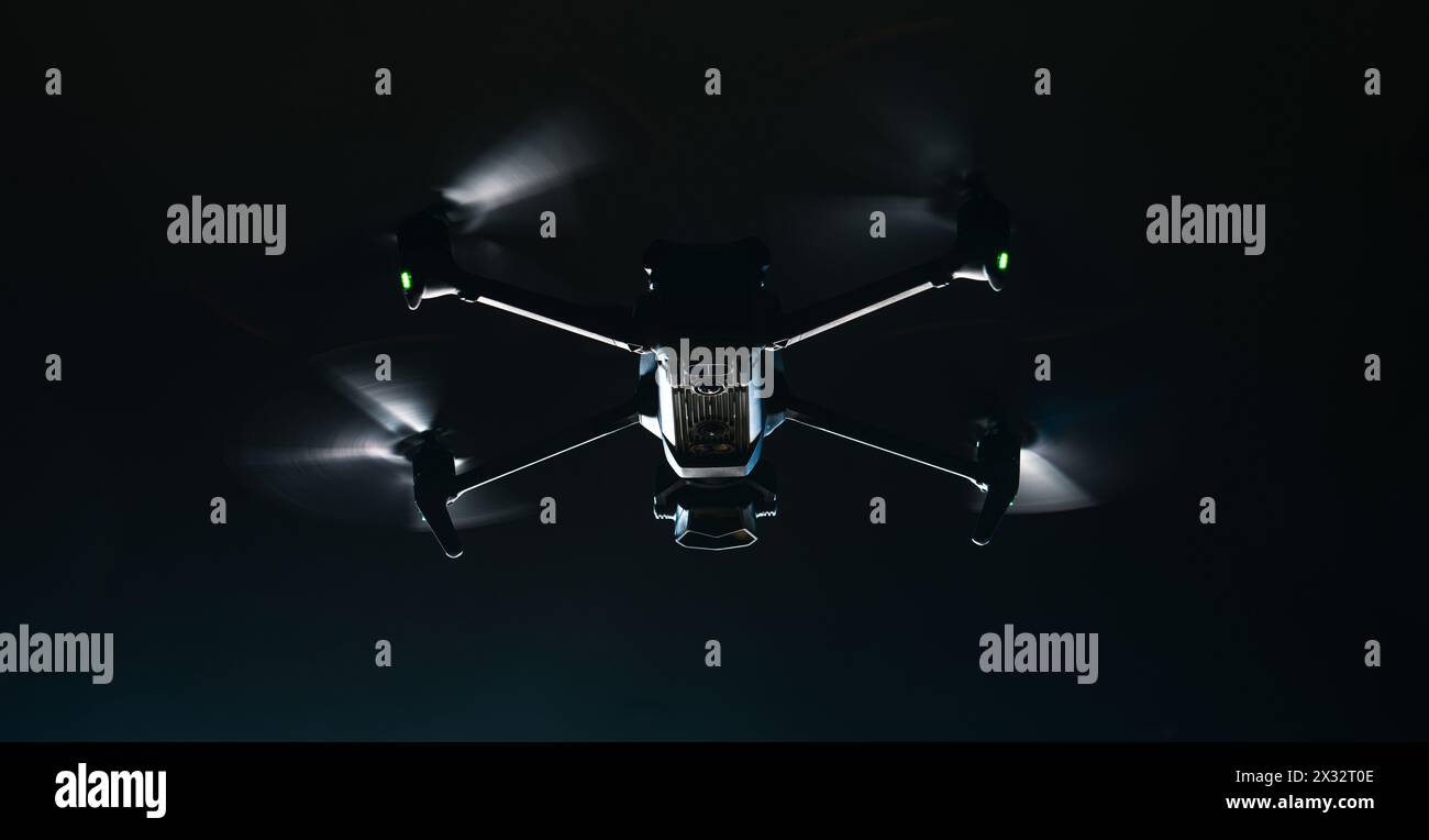 Modern Drone in Flight. Night Time Low Light Scenery. Aerial Technologies. Stock Photohttps://www.alamy.com/image-license-details/?v=1https://www.alamy.com/modern-drone-in-flight-night-time-low-light-scenery-aerial-technologies-image604269582.html
RF2X32T0E–Modern Drone in Flight. Night Time Low Light Scenery. Aerial Technologies.
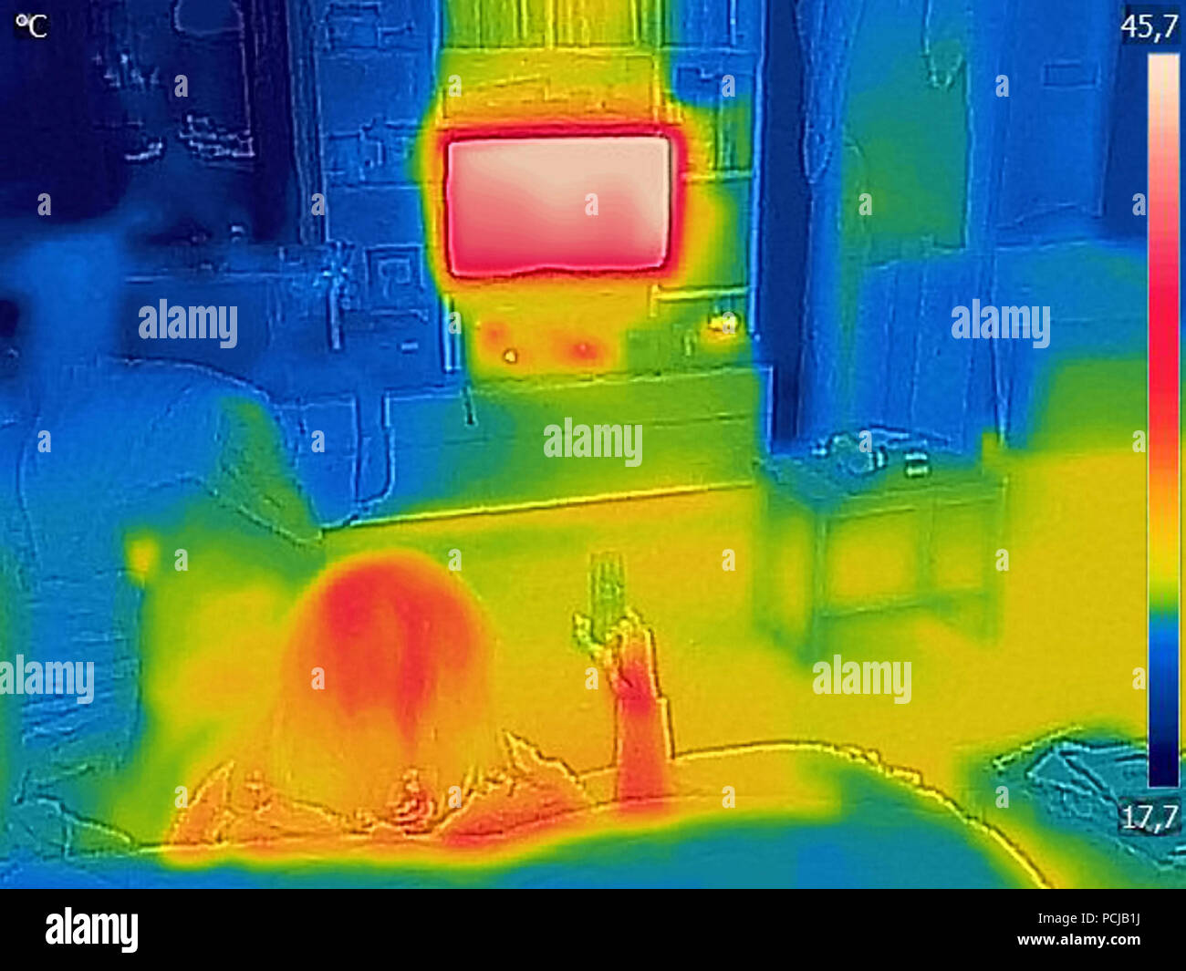 Thermal image Photo while a woman is watching television Stock Photohttps://www.alamy.com/image-license-details/?v=1https://www.alamy.com/thermal-image-photo-while-a-woman-is-watching-television-image214304094.html
RFPCJB1J–Thermal image Photo while a woman is watching television
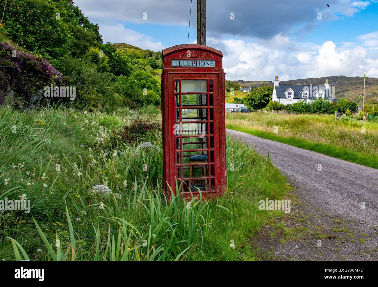 Old red telephone box, Toscaig, Applecross peninsular, Wester Ross, Highlands of Scotland, UK Stock Photohttps://www.alamy.com/image-license-details/?v=1https://www.alamy.com/old-red-telephone-box-toscaig-applecross-peninsular-wester-ross-highlands-of-scotland-uk-image625296657.html
RM2Y98M7D–Old red telephone box, Toscaig, Applecross peninsular, Wester Ross, Highlands of Scotland, UK
 Rainbow over calm lake Stock Photohttps://www.alamy.com/image-license-details/?v=1https://www.alamy.com/stock-photo-rainbow-over-calm-lake-74799049.html
RFE9KAXH–Rainbow over calm lake
 Remote thermometer, body temperature meter in connection with coronavirus quarantine. Remote temperature measurement using thermal imager helps to ide Stock Photohttps://www.alamy.com/image-license-details/?v=1https://www.alamy.com/remote-thermometer-body-temperature-meter-in-connection-with-coronavirus-quarantine-remote-temperature-measurement-using-thermal-imager-helps-to-ide-image451271959.html
RF2H655YK–Remote thermometer, body temperature meter in connection with coronavirus quarantine. Remote temperature measurement using thermal imager helps to ide
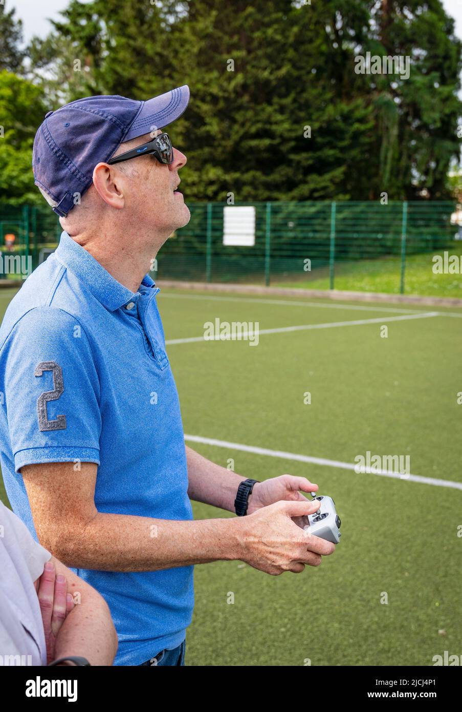 Crew / pilot operating a DJI Mini 3 Pro drone (UAV) using remote control Stock Photohttps://www.alamy.com/image-license-details/?v=1https://www.alamy.com/crew-pilot-operating-a-dji-mini-3-pro-drone-uav-using-remote-control-image472454697.html
RM2JCJ4P1–Crew / pilot operating a DJI Mini 3 Pro drone (UAV) using remote control
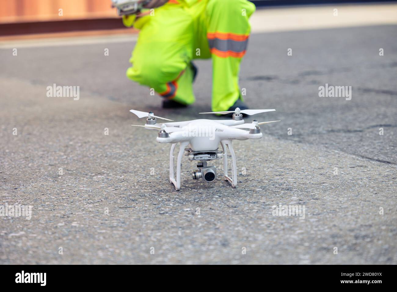 Staff worker using Drone aerial imaging system in port container yard. UAV Patrol flying guard technology for survey and security safety area in logis Stock Photohttps://www.alamy.com/image-license-details/?v=1https://www.alamy.com/staff-worker-using-drone-aerial-imaging-system-in-port-container-yard-uav-patrol-flying-guard-technology-for-survey-and-security-safety-area-in-logis-image593319438.html
RF2WD80YX–Staff worker using Drone aerial imaging system in port container yard. UAV Patrol flying guard technology for survey and security safety area in logis
 Telehealth concept with doctor doing remote check-up Stock Photohttps://www.alamy.com/image-license-details/?v=1https://www.alamy.com/telehealth-concept-with-doctor-doing-remote-check-up-image245162246.html
RFT6T2XE–Telehealth concept with doctor doing remote check-up
 Huge antenna dish at Very Large Array, searching for imaging signal in space Stock Photohttps://www.alamy.com/image-license-details/?v=1https://www.alamy.com/stock-photo-huge-antenna-dish-at-very-large-array-searching-for-imaging-signal-116996802.html
RFGP9JH6–Huge antenna dish at Very Large Array, searching for imaging signal in space
 A personal drone with camera hovering Stock Photohttps://www.alamy.com/image-license-details/?v=1https://www.alamy.com/a-personal-drone-with-camera-hovering-image241215925.html
RMT0C9AD–A personal drone with camera hovering
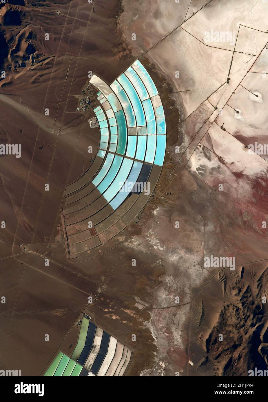 A view of Earth from the International Space Station: Mineral reservoirs, The Andes Peru/Bolivia. An optimised and digitally enhanced version of a NASA/ ESA image. Mandatory Credit: NASA/ESA/T. Pesquet. NB: Usage restrictions: Not to be presented as an endorsement. Stock Photohttps://www.alamy.com/image-license-details/?v=1https://www.alamy.com/a-view-of-earth-from-the-international-space-station-mineral-reservoirs-the-andes-perubolivia-an-optimised-and-digitally-enhanced-version-of-a-nasa-esa-image-mandatory-credit-nasaesat-pesquet-nb-usage-restrictions-not-to-be-presented-as-an-endorsement-image448497256.html
RM2H1JPR4–A view of Earth from the International Space Station: Mineral reservoirs, The Andes Peru/Bolivia. An optimised and digitally enhanced version of a NASA/ ESA image. Mandatory Credit: NASA/ESA/T. Pesquet. NB: Usage restrictions: Not to be presented as an endorsement.
 Mapping of asbestos-cement roof with graph from the Multispectral Infrared and Visible Imaging Spectrometer sensor - concept image. Stock Photohttps://www.alamy.com/image-license-details/?v=1https://www.alamy.com/mapping-of-asbestos-cement-roof-with-graph-from-the-multispectral-infrared-and-visible-imaging-spectrometer-sensor-concept-image-image551424912.html
RF2R13G2T–Mapping of asbestos-cement roof with graph from the Multispectral Infrared and Visible Imaging Spectrometer sensor - concept image.
 A DJI Air 2S Drone in flight against the sky Stock Photohttps://www.alamy.com/image-license-details/?v=1https://www.alamy.com/a-dji-air-2s-drone-in-flight-against-the-sky-image563454862.html
RM2RMKGBX–A DJI Air 2S Drone in flight against the sky
 Person Hand Using Infrared Thermal Camera In Living Room Stock Photohttps://www.alamy.com/image-license-details/?v=1https://www.alamy.com/stock-photo-person-hand-using-infrared-thermal-camera-in-living-room-171825447.html
RFKYF933–Person Hand Using Infrared Thermal Camera In Living Room
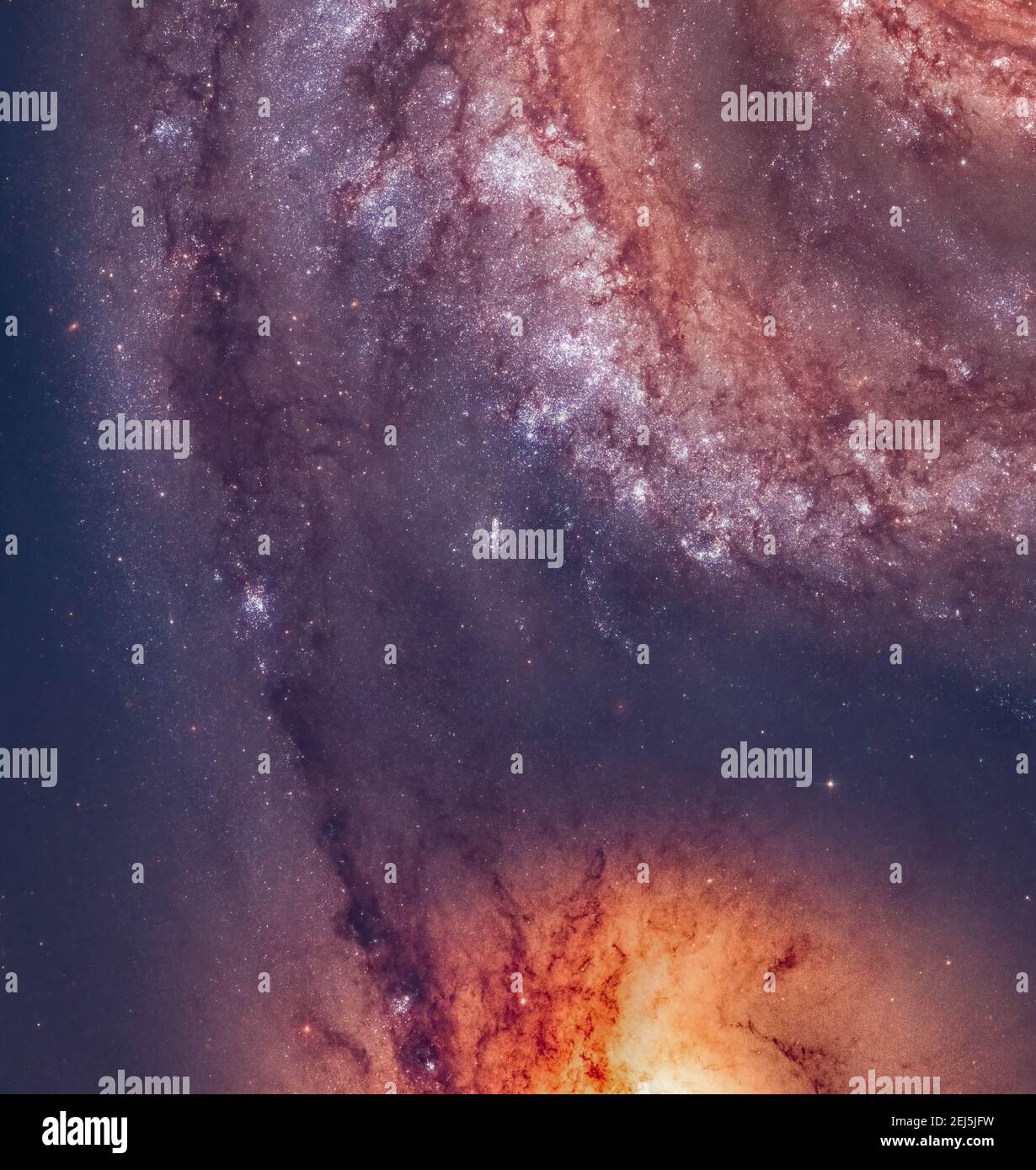 Hubble Legacy Archive Data Set of the Whirlpool Galaxy processed by contributor Stock Photohttps://www.alamy.com/image-license-details/?v=1https://www.alamy.com/hubble-legacy-archive-data-set-of-the-whirlpool-galaxy-processed-by-contributor-image407026589.html
RF2EJ5JFW–Hubble Legacy Archive Data Set of the Whirlpool Galaxy processed by contributor
 COLOGNE, GERMANY - CIRCA SEPTEMBER, 2018: DJI space at Photokina Exhibition. Photokina is a trade fair held in Europe for the photographic and imaging Stock Photohttps://www.alamy.com/image-license-details/?v=1https://www.alamy.com/cologne-germany-circa-september-2018-dji-space-at-photokina-exhibition-photokina-is-a-trade-fair-held-in-europe-for-the-photographic-and-imaging-image503349419.html
RF2M6WF8Y–COLOGNE, GERMANY - CIRCA SEPTEMBER, 2018: DJI space at Photokina Exhibition. Photokina is a trade fair held in Europe for the photographic and imaging
 Woman astronaut posing for cell phone selfie during space walk Stock Photohttps://www.alamy.com/image-license-details/?v=1https://www.alamy.com/stock-photo-woman-astronaut-posing-for-cell-phone-selfie-during-space-walk-149452807.html
RFJK44G7–Woman astronaut posing for cell phone selfie during space walk
 Glasses of virtual reality. Future technology. Modern imaging technology. Stock Photohttps://www.alamy.com/image-license-details/?v=1https://www.alamy.com/glasses-of-virtual-reality-future-technology-modern-imaging-technology-image229381871.html
RFR956WK–Glasses of virtual reality. Future technology. Modern imaging technology.
 detailed true-colour image of the entire Earth. Using a collection of satellite-based observations, scientists and visualizers stitched together months of observations of the land surface, oceans, sea ice, and clouds into a seamless, true-colour mosaic of every square kilometre (.386 square mile) of our planet. These images are freely available to educators, scientists, museums, and the public. Much of the information contained in this image came from a single remote-sensing device-NASA’s Moderate Resolution Imaging Spectroradiometer, or MODIS. Stock Photohttps://www.alamy.com/image-license-details/?v=1https://www.alamy.com/stock-image-detailed-true-colour-image-of-the-entire-earth-using-a-collection-165992245.html
RMKJ1GPD–detailed true-colour image of the entire Earth. Using a collection of satellite-based observations, scientists and visualizers stitched together months of observations of the land surface, oceans, sea ice, and clouds into a seamless, true-colour mosaic of every square kilometre (.386 square mile) of our planet. These images are freely available to educators, scientists, museums, and the public. Much of the information contained in this image came from a single remote-sensing device-NASA’s Moderate Resolution Imaging Spectroradiometer, or MODIS.
 Long endurance drone prototype for surveillance and rescue (Aerogenix) Stock Photohttps://www.alamy.com/image-license-details/?v=1https://www.alamy.com/stock-photo-long-endurance-drone-prototype-for-surveillance-and-rescue-aerogenix-81980209.html
RMENAEGH–Long endurance drone prototype for surveillance and rescue (Aerogenix)
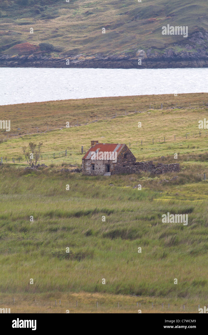 Red roof tin hut sitting in a lonely landscape Stock Photohttps://www.alamy.com/image-license-details/?v=1https://www.alamy.com/stock-photo-red-roof-tin-hut-sitting-in-a-lonely-landscape-39282105.html
RMC7WCM9–Red roof tin hut sitting in a lonely landscape
 Royal Mail post box at the post office, Camustiel, Applecross, Wester Ross, Highlands of Scotland, UK Stock Photohttps://www.alamy.com/image-license-details/?v=1https://www.alamy.com/royal-mail-post-box-at-the-post-office-camustiel-applecross-wester-ross-highlands-of-scotland-uk-image625296464.html
RM2Y98M0G–Royal Mail post box at the post office, Camustiel, Applecross, Wester Ross, Highlands of Scotland, UK
 Limestone pinnacles desert of Namburg National park, Western Australia Stock Photohttps://www.alamy.com/image-license-details/?v=1https://www.alamy.com/limestone-pinnacles-desert-of-namburg-national-park-western-australia-image152073961.html
RFJRBFTW–Limestone pinnacles desert of Namburg National park, Western Australia
 Crowd wearing protective masks (surgical mask) during coronavirus quarantine period. Remote temperature measurement using thermal imager helps to iden Stock Photohttps://www.alamy.com/image-license-details/?v=1https://www.alamy.com/crowd-wearing-protective-masks-surgical-mask-during-coronavirus-quarantine-period-remote-temperature-measurement-using-thermal-imager-helps-to-iden-image449000121.html
RF2H2DM6H–Crowd wearing protective masks (surgical mask) during coronavirus quarantine period. Remote temperature measurement using thermal imager helps to iden
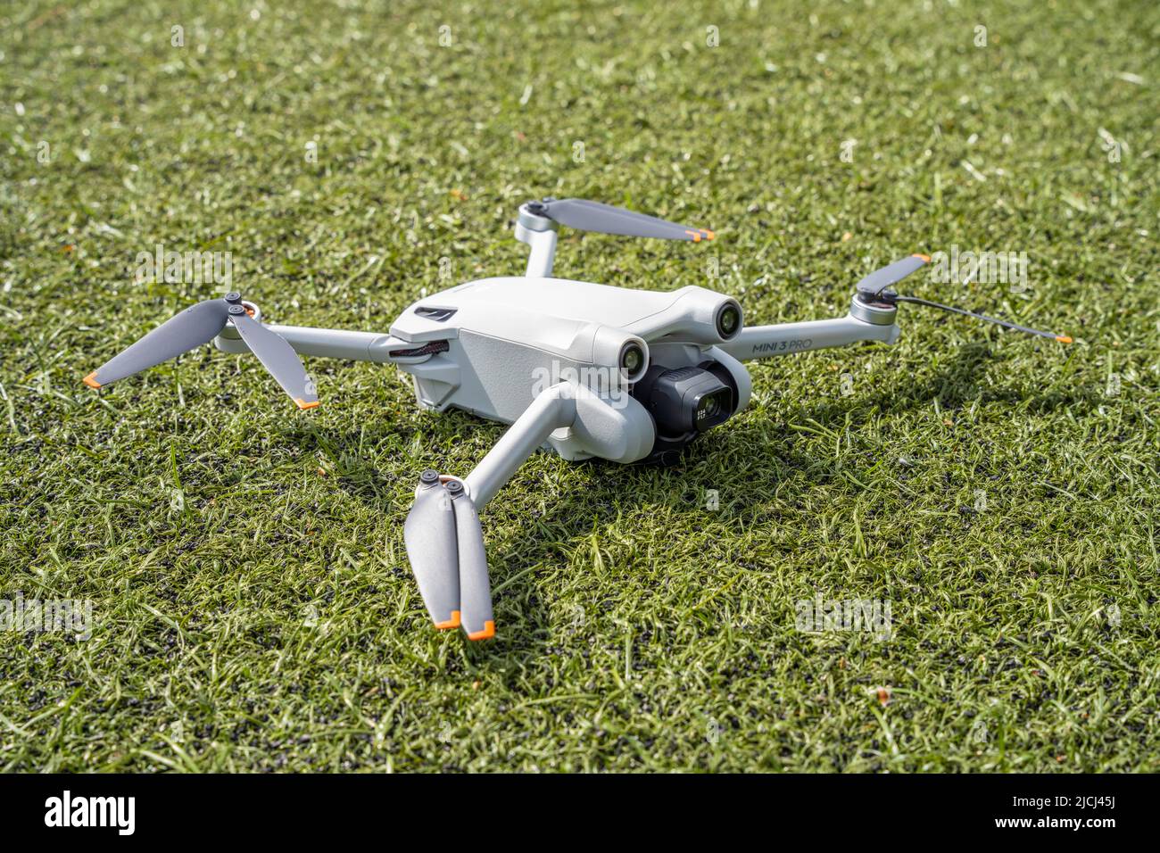 DJI Mini 3 Pro resting on the ground Stock Photohttps://www.alamy.com/image-license-details/?v=1https://www.alamy.com/dji-mini-3-pro-resting-on-the-ground-image472454238.html
RM2JCJ45J–DJI Mini 3 Pro resting on the ground
 engineer staff worker using modern technology drone and VR headset for working Stock Photohttps://www.alamy.com/image-license-details/?v=1https://www.alamy.com/engineer-staff-worker-using-modern-technology-drone-and-vr-headset-for-working-image457004970.html
RF2HFEAE2–engineer staff worker using modern technology drone and VR headset for working
 Telehealth concept with doctor doing remote check-up Stock Photohttps://www.alamy.com/image-license-details/?v=1https://www.alamy.com/telehealth-concept-with-doctor-doing-remote-check-up-image245165797.html
RFT6T7D9–Telehealth concept with doctor doing remote check-up
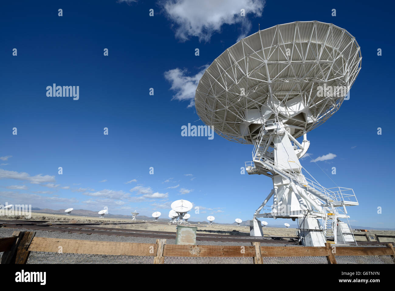 Huge antenna dish at Very Large Array, searching for imaging signal in space Stock Photohttps://www.alamy.com/image-license-details/?v=1https://www.alamy.com/stock-photo-huge-antenna-dish-at-very-large-array-searching-for-imaging-signal-107494233.html
RFG6TNYN–Huge antenna dish at Very Large Array, searching for imaging signal in space
 Aerial view with drone of seafront and the city of Trani (Puglia, Italy) Stock Photohttps://www.alamy.com/image-license-details/?v=1https://www.alamy.com/aerial-view-with-drone-of-seafront-and-the-city-of-trani-puglia-italy-image603533300.html
RF2X1W8TM–Aerial view with drone of seafront and the city of Trani (Puglia, Italy)
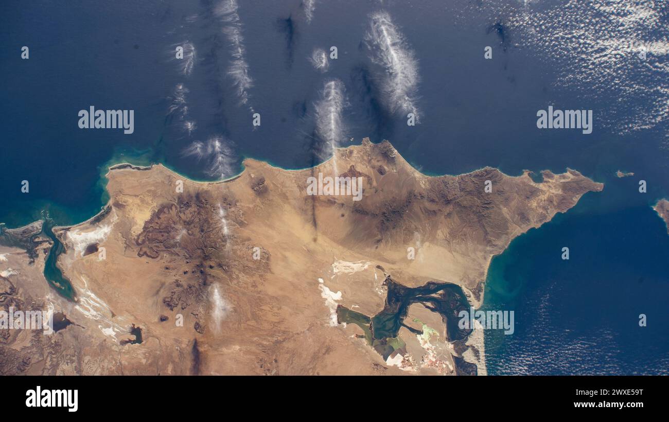 Baja California Sur The north coast of the Mexican state of Baja California Sur on the Pacific Ocean is pictured from the International Space Station as it orbited 258 miles above. 14 October 2023. An optimised version of an original NASA image. . Mandatory credit: NASA Stock Photohttps://www.alamy.com/image-license-details/?v=1https://www.alamy.com/baja-california-sur-the-north-coast-of-the-mexican-state-of-baja-california-sur-on-the-pacific-ocean-is-pictured-from-the-international-space-station-as-it-orbited-258-miles-above-14-october-2023-an-optimised-version-of-an-original-nasa-image-mandatory-credit-nasa-image601445092.html
RM2WXE59T–Baja California Sur The north coast of the Mexican state of Baja California Sur on the Pacific Ocean is pictured from the International Space Station as it orbited 258 miles above. 14 October 2023. An optimised version of an original NASA image. . Mandatory credit: NASA
 Mapping of asbestos-cement roof with graph from the Multispectral Infrared and Visible Imaging Spectrometer sensor - concept image. Stock Photohttps://www.alamy.com/image-license-details/?v=1https://www.alamy.com/mapping-of-asbestos-cement-roof-with-graph-from-the-multispectral-infrared-and-visible-imaging-spectrometer-sensor-concept-image-image551430158.html
RF2R13PP6–Mapping of asbestos-cement roof with graph from the Multispectral Infrared and Visible Imaging Spectrometer sensor - concept image.
 Advanced robotics in space exploration Stock Photohttps://www.alamy.com/image-license-details/?v=1https://www.alamy.com/advanced-robotics-in-space-exploration-image628715968.html
RF2YETDHM–Advanced robotics in space exploration
 Person Hand Using Infrared Thermal Camera In Living Room Stock Photohttps://www.alamy.com/image-license-details/?v=1https://www.alamy.com/stock-photo-person-hand-using-infrared-thermal-camera-in-living-room-172543101.html
RFM0M0DH–Person Hand Using Infrared Thermal Camera In Living Room
 The Lagoon Nebula is a giant interstellar cloud in the constellation Sagittarius. It is classified as an emission nebula and as an H II region. Stock Photohttps://www.alamy.com/image-license-details/?v=1https://www.alamy.com/the-lagoon-nebula-is-a-giant-interstellar-cloud-in-the-constellation-sagittarius-it-is-classified-as-an-emission-nebula-and-as-an-h-ii-region-image407026603.html
RF2EJ5JGB–The Lagoon Nebula is a giant interstellar cloud in the constellation Sagittarius. It is classified as an emission nebula and as an H II region.