Quick filters:
Renaissance europe, map Stock Photos and Images
 Renaissance map of Europe, Jacopo Russo, 1528, detail of Turkey Stock Photohttps://www.alamy.com/image-license-details/?v=1https://www.alamy.com/stock-photo-renaissance-map-of-europe-jacopo-russo-1528-detail-of-turkey-90844909.html
RMF7P9H1–Renaissance map of Europe, Jacopo Russo, 1528, detail of Turkey
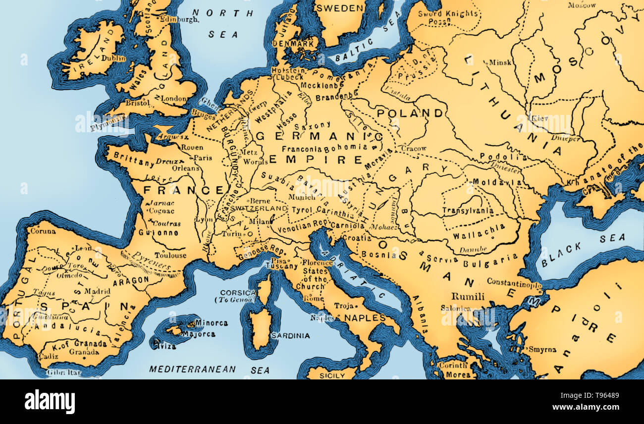 In Europe, the 15th century is seen as the bridge between the Late Middle Ages, the Early Renaissance, and the Early modern period. In the Age of Exploration, from the 15th century to the 17th century, European cartographers both copied earlier maps (some of which had been passed down for centuries) and drew their own based on explorers' observations and new surveying techniques. The invention of the magnetic compass, telescope and sextant enabled increasing accuracy. Image taken from page 52 of 'Cassell's Illustrated Universal History', 1893. This image has been color enhanced. Stock Photohttps://www.alamy.com/image-license-details/?v=1https://www.alamy.com/in-europe-the-15th-century-is-seen-as-the-bridge-between-the-late-middle-ages-the-early-renaissance-and-the-early-modern-period-in-the-age-of-exploration-from-the-15th-century-to-the-17th-century-european-cartographers-both-copied-earlier-maps-some-of-which-had-been-passed-down-for-centuries-and-drew-their-own-based-on-explorers-observations-and-new-surveying-techniques-the-invention-of-the-magnetic-compass-telescope-and-sextant-enabled-increasing-accuracy-image-taken-from-page-52-of-cassells-illustrated-universal-history-1893-this-image-has-been-color-enhanced-image246612137.html
RMT96489–In Europe, the 15th century is seen as the bridge between the Late Middle Ages, the Early Renaissance, and the Early modern period. In the Age of Exploration, from the 15th century to the 17th century, European cartographers both copied earlier maps (some of which had been passed down for centuries) and drew their own based on explorers' observations and new surveying techniques. The invention of the magnetic compass, telescope and sextant enabled increasing accuracy. Image taken from page 52 of 'Cassell's Illustrated Universal History', 1893. This image has been color enhanced.
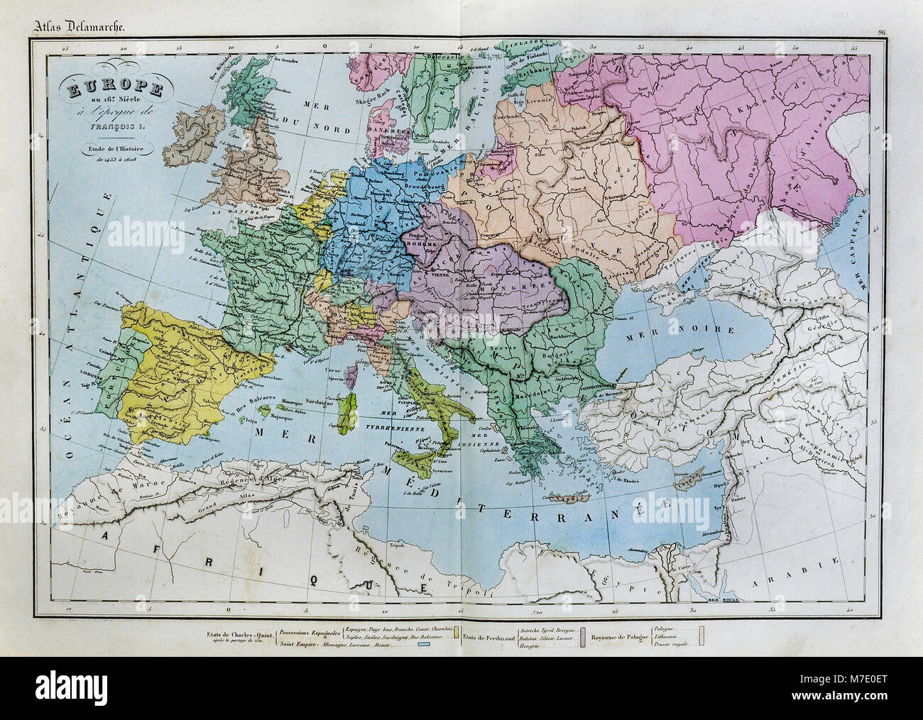 1858 Delamarche Historical Map of Renaissance Europe in the 16th Century under Francois I Stock Photohttps://www.alamy.com/image-license-details/?v=1https://www.alamy.com/stock-photo-1858-delamarche-historical-map-of-renaissance-europe-in-the-16th-century-176714016.html
RFM7E0ET–1858 Delamarche Historical Map of Renaissance Europe in the 16th Century under Francois I
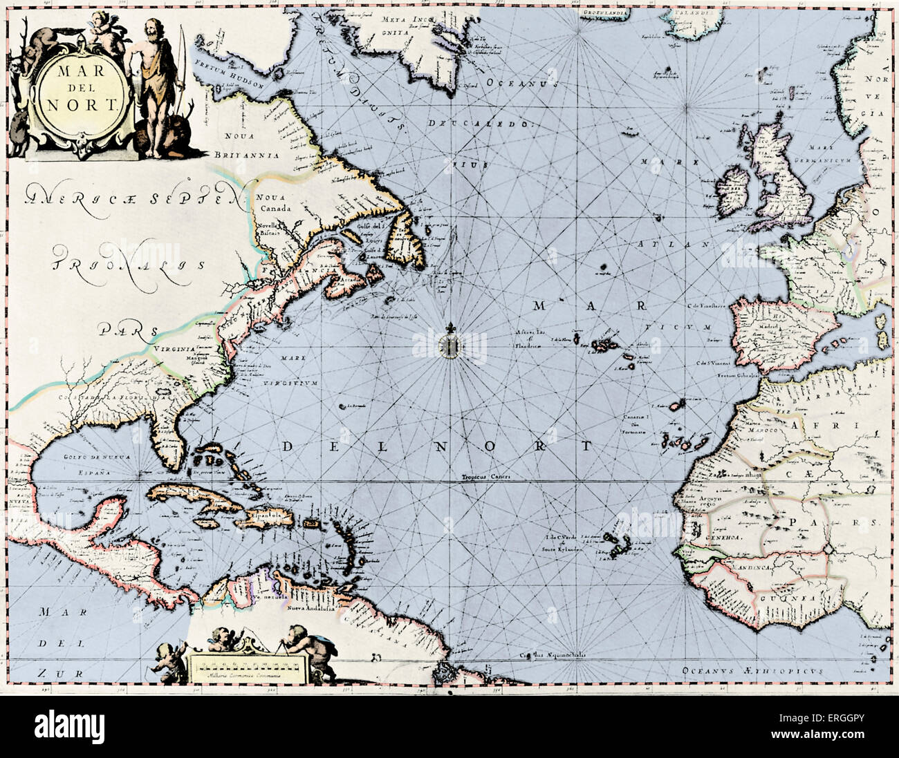 Map of the North Atlantic - published in Jansson 's 'Novus Atlas', 1658. (Full title: 'Novus Atlas, das ist Weltbeschreibung Stock Photohttps://www.alamy.com/image-license-details/?v=1https://www.alamy.com/stock-photo-map-of-the-north-atlantic-published-in-jansson-s-novus-atlas-1658-83342979.html
RMERGGPY–Map of the North Atlantic - published in Jansson 's 'Novus Atlas', 1658. (Full title: 'Novus Atlas, das ist Weltbeschreibung
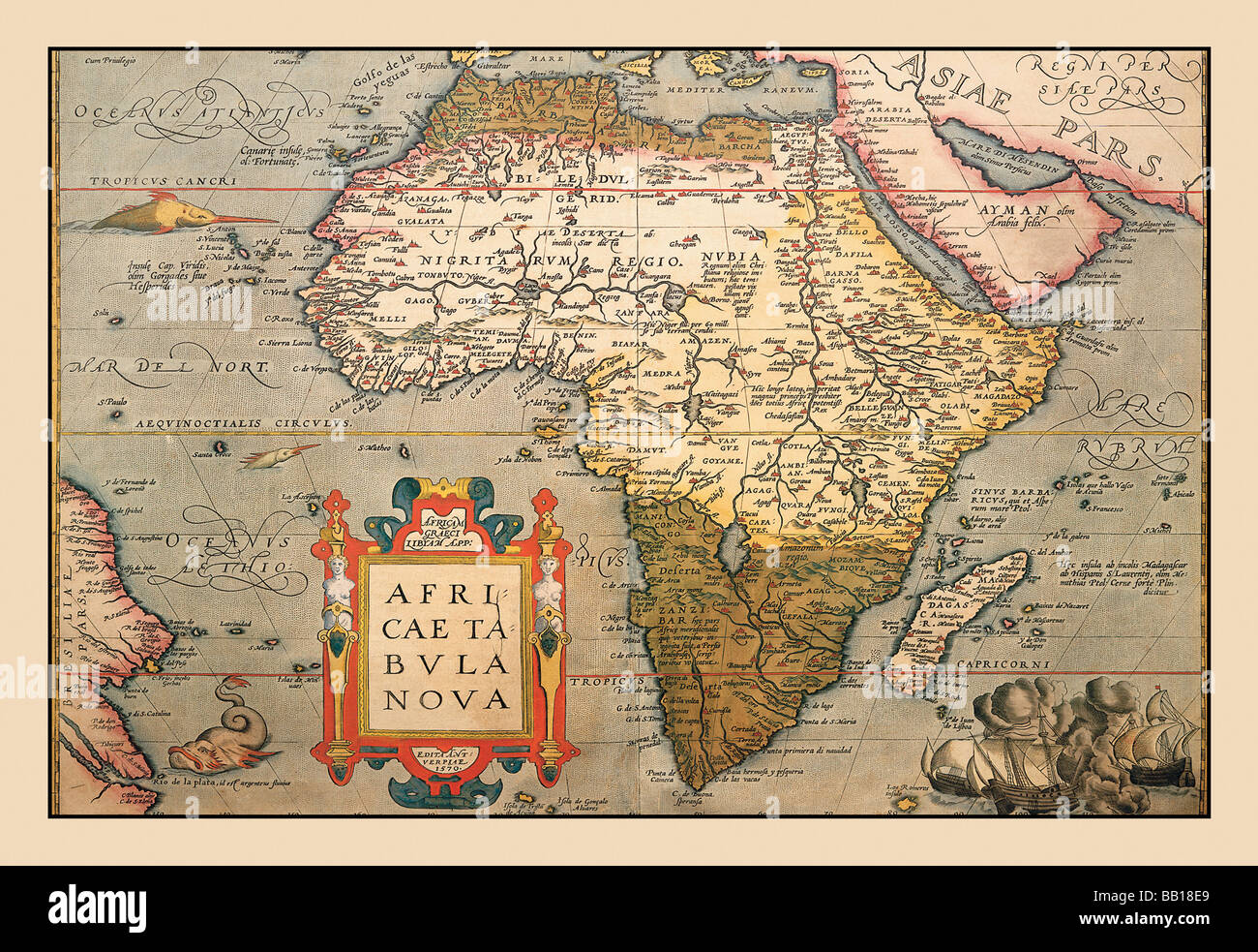 Map of Africa Stock Photohttps://www.alamy.com/image-license-details/?v=1https://www.alamy.com/stock-photo-map-of-africa-24000209.html
RMBB18E9–Map of Africa
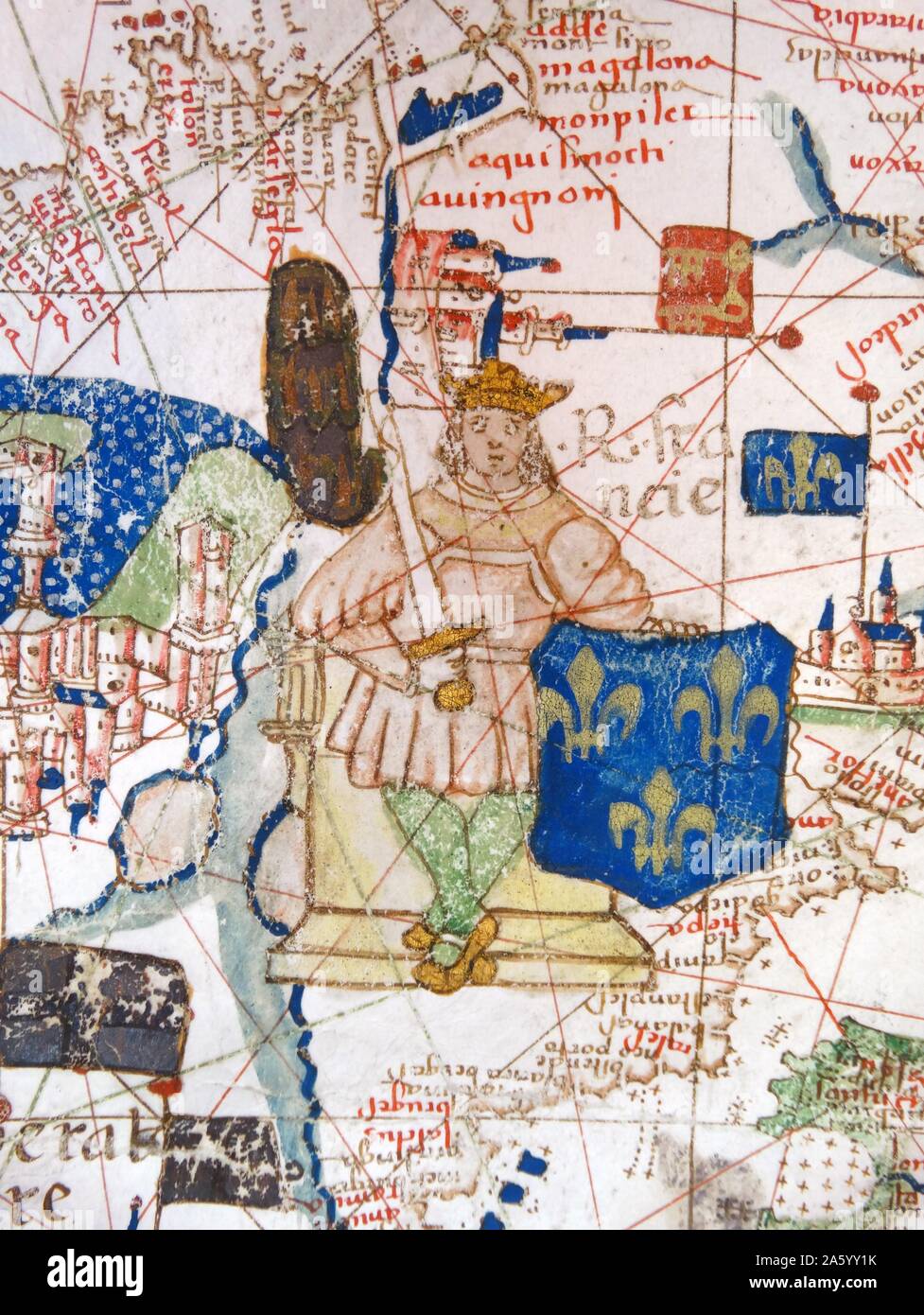 Renaissance map of Europe, Jacopo Russo, 1528, detail Stock Photohttps://www.alamy.com/image-license-details/?v=1https://www.alamy.com/renaissance-map-of-europe-jacopo-russo-1528-detail-image330684191.html
RM2A5YY1K–Renaissance map of Europe, Jacopo Russo, 1528, detail
 Map by Bastian Lopez showing Europe, the British Isles and part of Africa, Portuguese, 1558. Artist: Bastiaim Lopez Stock Photohttps://www.alamy.com/image-license-details/?v=1https://www.alamy.com/map-by-bastian-lopez-showing-europe-the-british-isles-and-part-of-africa-portuguese-1558-artist-bastiaim-lopez-image262740116.html
RMW7CRKG–Map by Bastian Lopez showing Europe, the British Isles and part of Africa, Portuguese, 1558. Artist: Bastiaim Lopez
 ‘De Europa, quae nostro aeuo Christianum’ a map of Christian Europe; woodcut from 1550 edition of ‘Cosmographia’ by Sebastian Munster (1488-1552). See description for more information. Stock Photohttps://www.alamy.com/image-license-details/?v=1https://www.alamy.com/stock-photo-de-europa-quae-nostro-aeuo-christianum-a-map-of-christian-europe-woodcut-130456333.html
RMHG6PAN–‘De Europa, quae nostro aeuo Christianum’ a map of Christian Europe; woodcut from 1550 edition of ‘Cosmographia’ by Sebastian Munster (1488-1552). See description for more information.
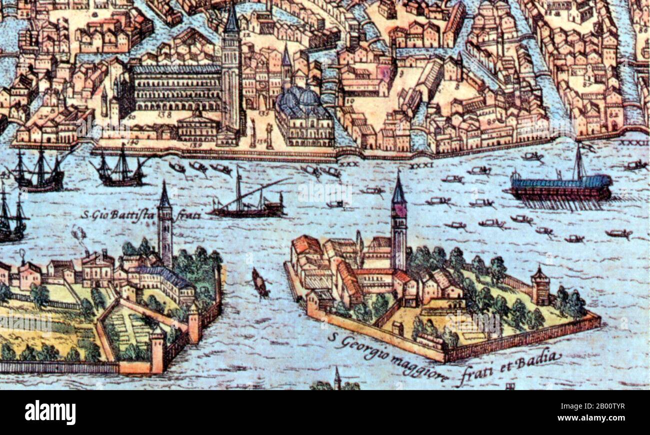 Italy: Detail from an illustration of Venice showing lateen- (triangular-) and square--rigged ships. Illustration by Frans Hogenberg (1535-1590), 16th century. For centuries Venice was Europe’s prime trading partner with the Middle East and the Byzantine Empire in particular. Venetian naval and commercial power was unrivalled in Europe until it lost a series of wars to the Ottoman armies in the 15th century. The city lost some 50,000 people to the Black Death in 1575-77, but remained a major manufacturing center and port well into the 18th century. Stock Photohttps://www.alamy.com/image-license-details/?v=1https://www.alamy.com/italy-detail-from-an-illustration-of-venice-showing-lateen-triangular-and-square-rigged-ships-illustration-by-frans-hogenberg-1535-1590-16th-century-for-centuries-venice-was-europes-prime-trading-partner-with-the-middle-east-and-the-byzantine-empire-in-particular-venetian-naval-and-commercial-power-was-unrivalled-in-europe-until-it-lost-a-series-of-wars-to-the-ottoman-armies-in-the-15th-century-the-city-lost-some-50000-people-to-the-black-death-in-1575-77-but-remained-a-major-manufacturing-center-and-port-well-into-the-18th-century-image344226955.html
RM2B00TYR–Italy: Detail from an illustration of Venice showing lateen- (triangular-) and square--rigged ships. Illustration by Frans Hogenberg (1535-1590), 16th century. For centuries Venice was Europe’s prime trading partner with the Middle East and the Byzantine Empire in particular. Venetian naval and commercial power was unrivalled in Europe until it lost a series of wars to the Ottoman armies in the 15th century. The city lost some 50,000 people to the Black Death in 1575-77, but remained a major manufacturing center and port well into the 18th century.
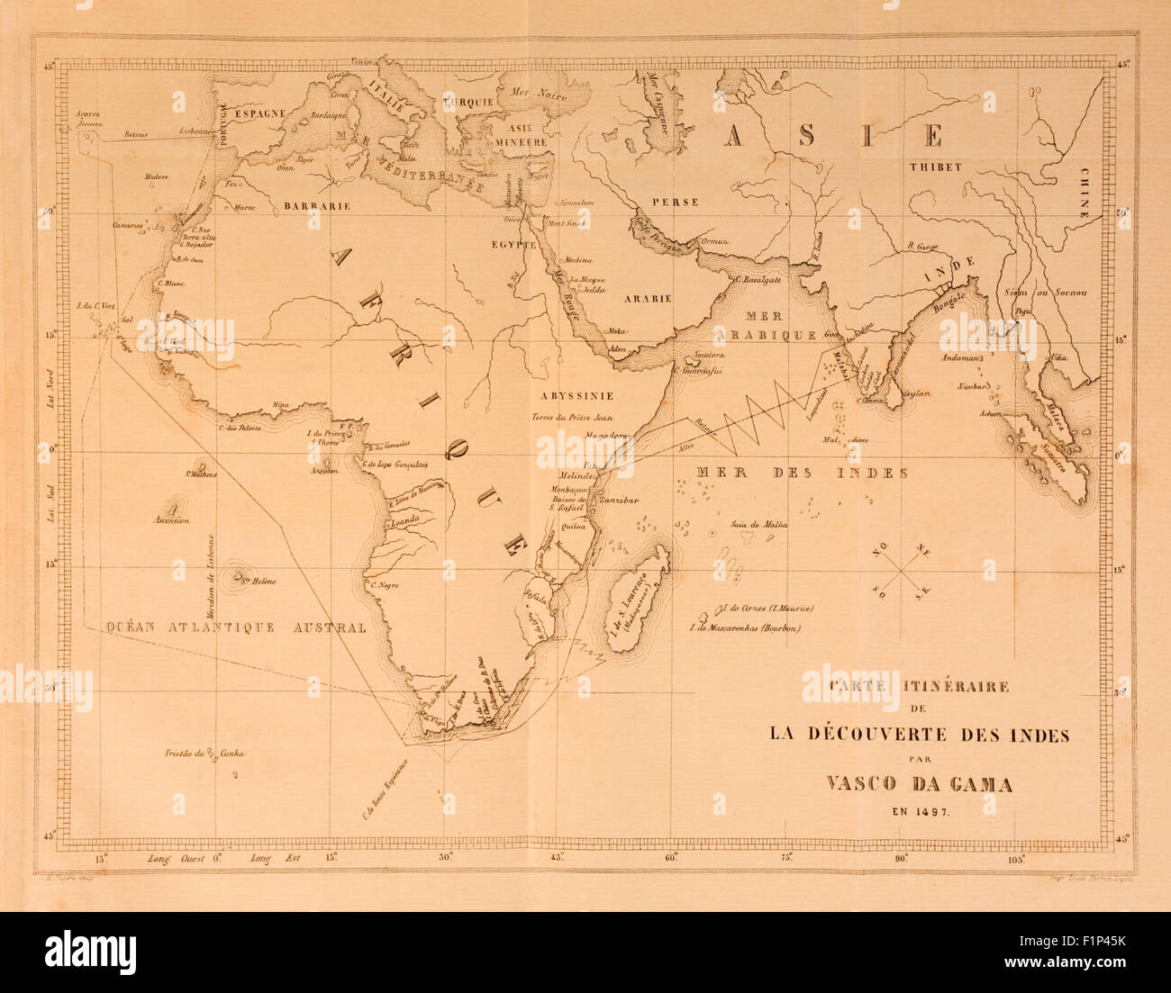 Map showing route from Europe to India taken by Vasco da Gama (1460-1524), Portuguese explorer and the first European to successfully navigate the route from Europe round the Cape of Good Hope to India, landing on 20 May 1498. See description for more information. Stock Photohttps://www.alamy.com/image-license-details/?v=1https://www.alamy.com/stock-photo-map-showing-route-from-europe-to-india-taken-by-vasco-da-gama-1460-87152735.html
RMF1P45K–Map showing route from Europe to India taken by Vasco da Gama (1460-1524), Portuguese explorer and the first European to successfully navigate the route from Europe round the Cape of Good Hope to India, landing on 20 May 1498. See description for more information.
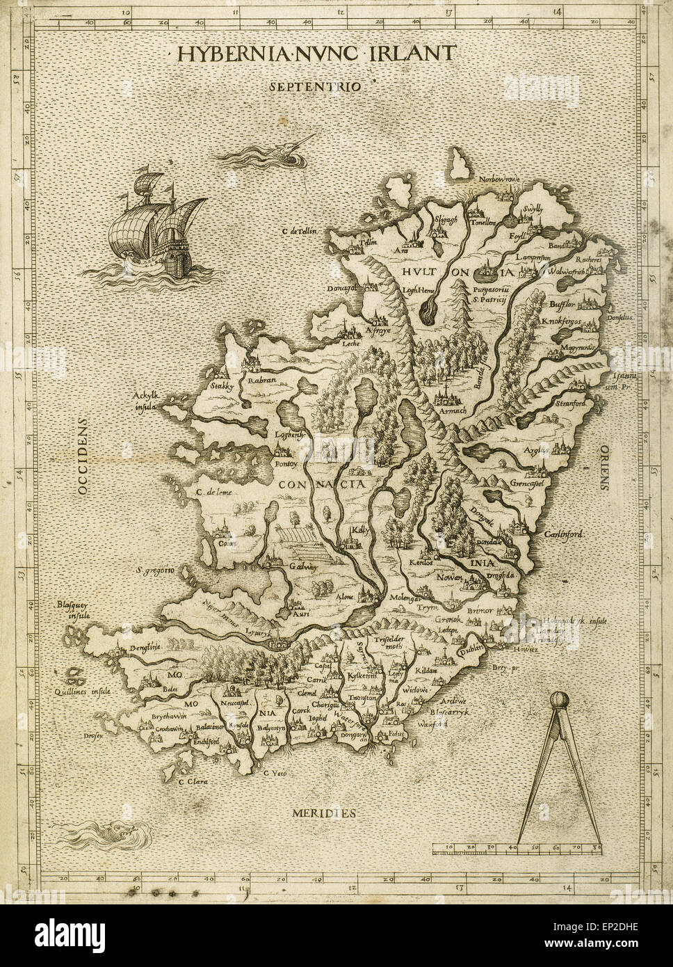 Hybernia Nunc Irlant. Ireland. Map was clearly made by a member of the Lafreri School of cartographers, Antonio Lafreri (1512-77). Rome, 1570. Renaissance. Engraving by Paolo Forlani, 16th C. Stock Photohttps://www.alamy.com/image-license-details/?v=1https://www.alamy.com/stock-photo-hybernia-nunc-irlant-ireland-map-was-clearly-made-by-a-member-of-the-82418490.html
RMEP2DHE–Hybernia Nunc Irlant. Ireland. Map was clearly made by a member of the Lafreri School of cartographers, Antonio Lafreri (1512-77). Rome, 1570. Renaissance. Engraving by Paolo Forlani, 16th C.
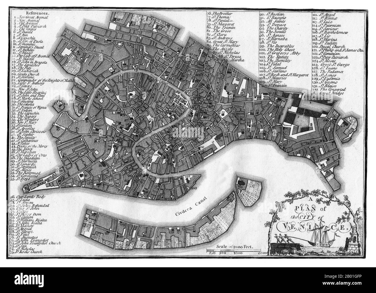 Italy/Venice: A map of Venice published by J. Stockdale, London, 1800. For centuries Venice was Europe’s prime trading partner with the Middle East and the Byzantine Empire in particular. Venetian naval and commercial power was unrivalled in Europe until it lost a series of wars to the Ottoman armies in the 15th century. The city lost some 50,000 people to the Black Death in 1575-1577, but remained a major manufacturing centre and port well into the 18th century. Stock Photohttps://www.alamy.com/image-license-details/?v=1https://www.alamy.com/italyvenice-a-map-of-venice-published-by-j-stockdale-london-1800-for-centuries-venice-was-europes-prime-trading-partner-with-the-middle-east-and-the-byzantine-empire-in-particular-venetian-naval-and-commercial-power-was-unrivalled-in-europe-until-it-lost-a-series-of-wars-to-the-ottoman-armies-in-the-15th-century-the-city-lost-some-50000-people-to-the-black-death-in-1575-1577-but-remained-a-major-manufacturing-centre-and-port-well-into-the-18th-century-image344242298.html
RM2B01GFP–Italy/Venice: A map of Venice published by J. Stockdale, London, 1800. For centuries Venice was Europe’s prime trading partner with the Middle East and the Byzantine Empire in particular. Venetian naval and commercial power was unrivalled in Europe until it lost a series of wars to the Ottoman armies in the 15th century. The city lost some 50,000 people to the Black Death in 1575-1577, but remained a major manufacturing centre and port well into the 18th century.
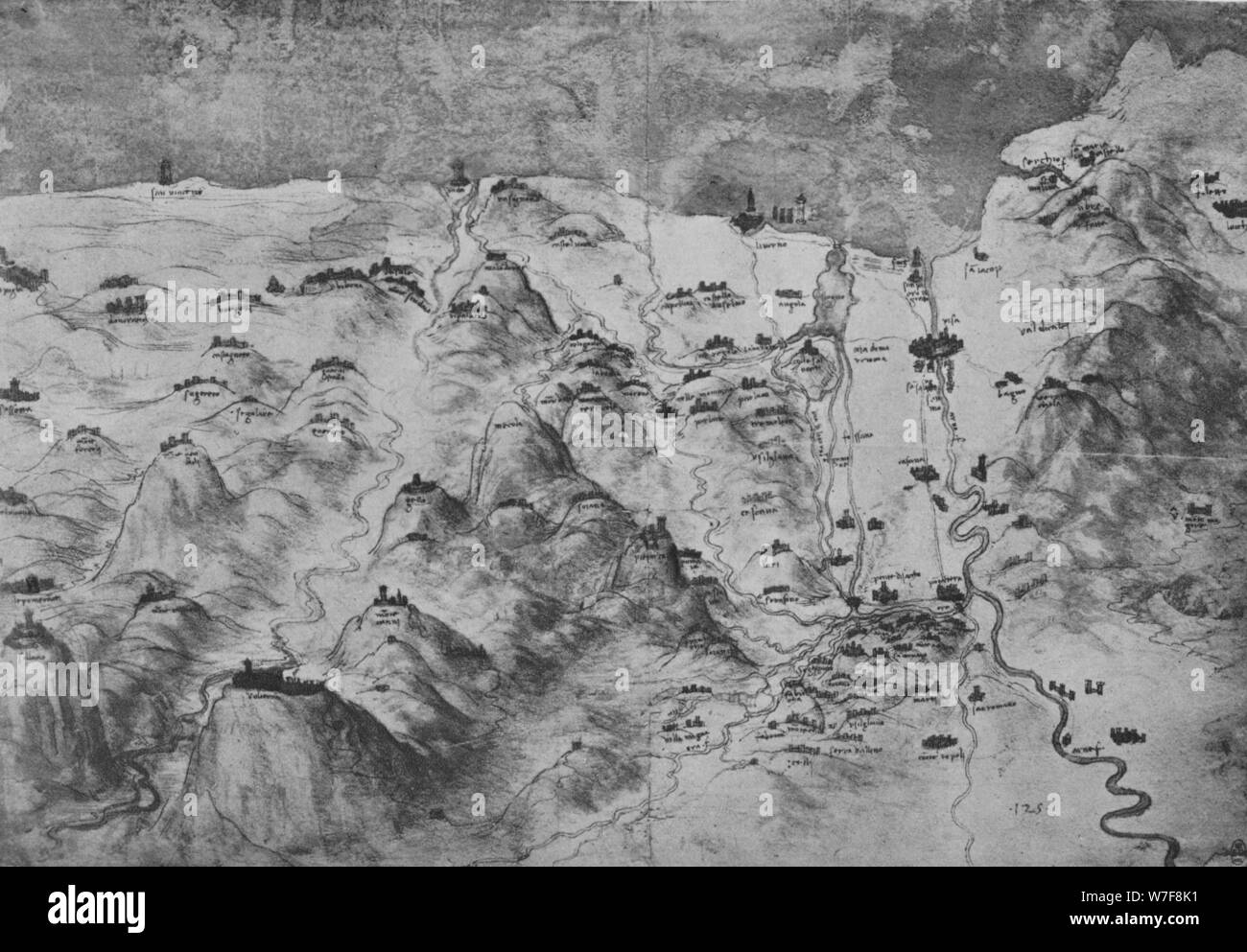 'Bird's-Eye View of Part of Tuscany', c1480 (1945). Artist: Leonardo da Vinci. Stock Photohttps://www.alamy.com/image-license-details/?v=1https://www.alamy.com/birds-eye-view-of-part-of-tuscany-c1480-1945-artist-leonardo-da-vinci-image262794197.html
RMW7F8K1–'Bird's-Eye View of Part of Tuscany', c1480 (1945). Artist: Leonardo da Vinci.
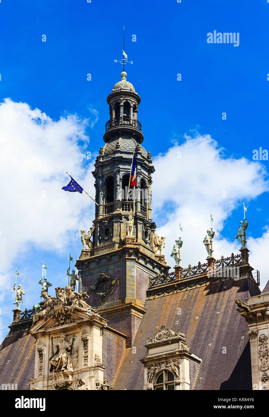  hotel de ville in paris Stock Photohttps://www.alamy.com/image-license-details/?v=1https://www.alamy.com/stock-image-hotel-de-ville-in-paris-169209914.html
 RFKR84Y6– hotel de ville in paris
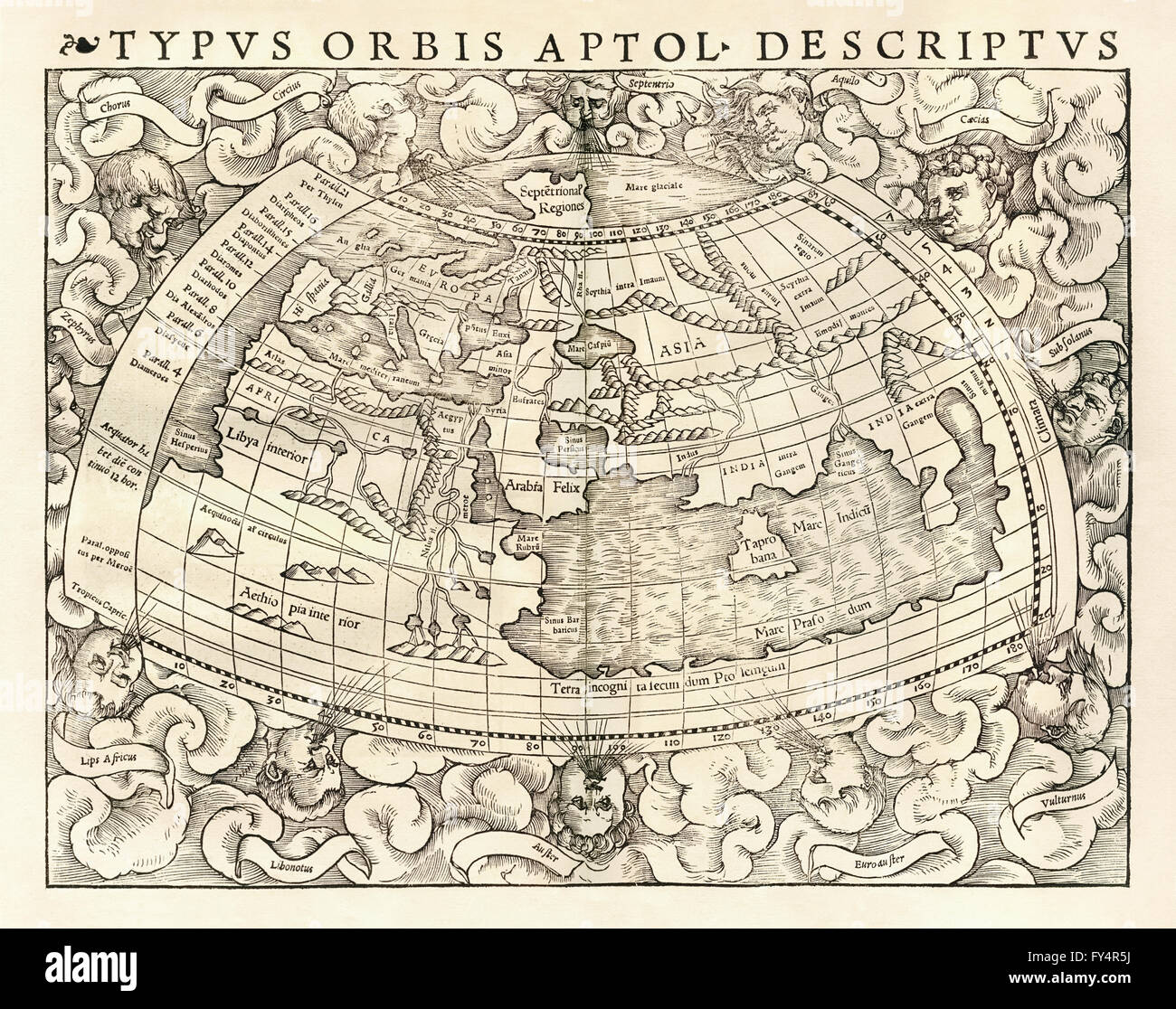 ‘Typus Orbis A Ptol. Desciptus’ Map of the world according to Claudius Ptolemy (100-170), Greco-Egyptian geographer and cartographer. See description for more information. Stock Photohttps://www.alamy.com/image-license-details/?v=1https://www.alamy.com/stock-photo-typus-orbis-a-ptol-desciptus-map-of-the-world-according-to-claudius-102753550.html
RMFY4R5J–‘Typus Orbis A Ptol. Desciptus’ Map of the world according to Claudius Ptolemy (100-170), Greco-Egyptian geographer and cartographer. See description for more information.
 Italy: An early 16th-century illustration of Venice by Ottoman admiral and cartographer Piri Reis (1470-1554), published in his navigational ‘Kitab-i-Bahriye’ (Book of Sea Lore). For centuries Venice was Europe’s prime trading partner with the Middle East and the Byzantine Empire in particular. Venetian naval and commercial power was unrivalled in Europe until it lost a series of wars to the Ottoman armies in the 15th century. The city lost some 50,000 people to the Black Death in 1575-77, but remained a major manufacturing center and port well into the 18th century. Stock Photohttps://www.alamy.com/image-license-details/?v=1https://www.alamy.com/italy-an-early-16th-century-illustration-of-venice-by-ottoman-admiral-and-cartographer-piri-reis-1470-1554-published-in-his-navigational-kitab-i-bahriye-book-of-sea-lore-for-centuries-venice-was-europes-prime-trading-partner-with-the-middle-east-and-the-byzantine-empire-in-particular-venetian-naval-and-commercial-power-was-unrivalled-in-europe-until-it-lost-a-series-of-wars-to-the-ottoman-armies-in-the-15th-century-the-city-lost-some-50000-people-to-the-black-death-in-1575-77-but-remained-a-major-manufacturing-center-and-port-well-into-the-18th-century-image344226976.html
RM2B00W0G–Italy: An early 16th-century illustration of Venice by Ottoman admiral and cartographer Piri Reis (1470-1554), published in his navigational ‘Kitab-i-Bahriye’ (Book of Sea Lore). For centuries Venice was Europe’s prime trading partner with the Middle East and the Byzantine Empire in particular. Venetian naval and commercial power was unrivalled in Europe until it lost a series of wars to the Ottoman armies in the 15th century. The city lost some 50,000 people to the Black Death in 1575-77, but remained a major manufacturing center and port well into the 18th century.
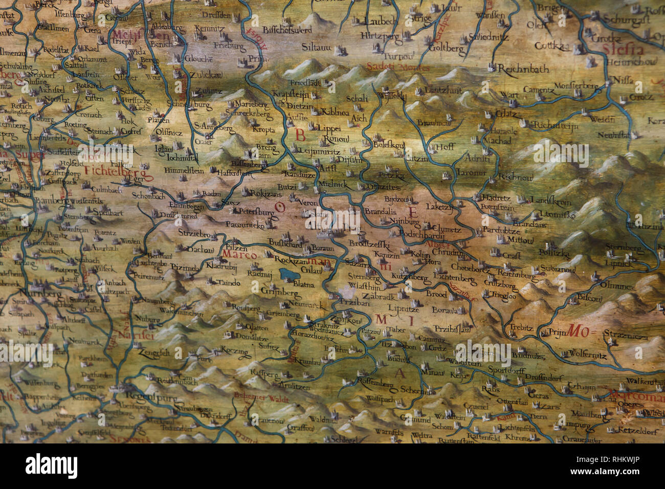 Map of Bohemia and Germany dated from 1564-1586 on display in the Hall of Geographical Maps (Sala delle Carte Geografiche) in the Palazzo Vecchio in Florence, Tuscany, Italy. Stock Photohttps://www.alamy.com/image-license-details/?v=1https://www.alamy.com/map-of-bohemia-and-germany-dated-from-1564-1586-on-display-in-the-hall-of-geographical-maps-sala-delle-carte-geografiche-in-the-palazzo-vecchio-in-florence-tuscany-italy-image234621150.html
RMRHKWJP–Map of Bohemia and Germany dated from 1564-1586 on display in the Hall of Geographical Maps (Sala delle Carte Geografiche) in the Palazzo Vecchio in Florence, Tuscany, Italy.
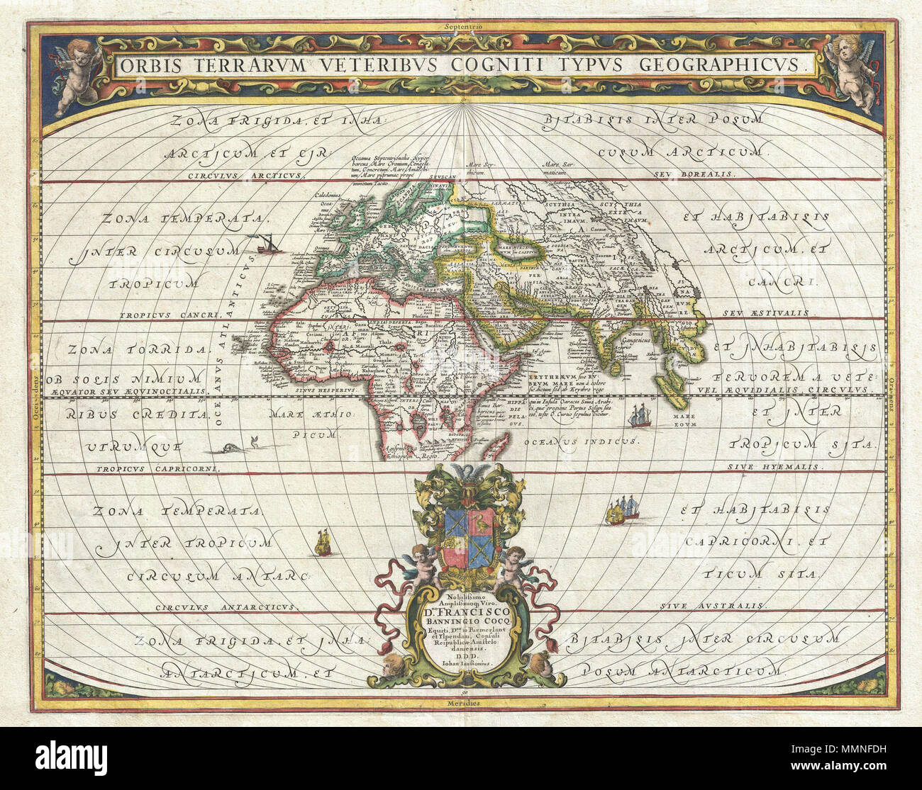 . English: An exceptional 1650 map of the world as it was known to the ancients by Jan Janssonius. Such maps, which filled in contemporary geography with ancient place names, were popular in the post-Renaissance period. Scholars digging through rediscovered Greek and Roman texts needed a geographical reference point for the numerous place names that peppered these works. Such maps began appearing in 16t century. This particular example is a significant reworking of an earlier chart by A. Ortelius. It covers Europe, western Asia, and Northern Africa as well as significant, though blank, portio Stock Photohttps://www.alamy.com/image-license-details/?v=1https://www.alamy.com/english-an-exceptional-1650-map-of-the-world-as-it-was-known-to-the-ancients-by-jan-janssonius-such-maps-which-filled-in-contemporary-geography-with-ancient-place-names-were-popular-in-the-post-renaissance-period-scholars-digging-through-rediscovered-greek-and-roman-texts-needed-a-geographical-reference-point-for-the-numerous-place-names-that-peppered-these-works-such-maps-began-appearing-in-16t-century-this-particular-example-is-a-significant-reworking-of-an-earlier-chart-by-a-ortelius-it-covers-europe-western-asia-and-northern-africa-as-well-as-significant-though-blank-portio-image184869933.html
RMMMNFDH–. English: An exceptional 1650 map of the world as it was known to the ancients by Jan Janssonius. Such maps, which filled in contemporary geography with ancient place names, were popular in the post-Renaissance period. Scholars digging through rediscovered Greek and Roman texts needed a geographical reference point for the numerous place names that peppered these works. Such maps began appearing in 16t century. This particular example is a significant reworking of an earlier chart by A. Ortelius. It covers Europe, western Asia, and Northern Africa as well as significant, though blank, portio
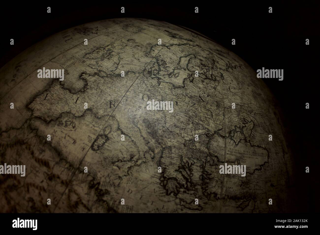 european map in a prestigious globe Stock Photohttps://www.alamy.com/image-license-details/?v=1https://www.alamy.com/european-map-in-a-prestigious-globe-image338699835.html
RM2AK132K–european map in a prestigious globe
 Renaissance map of Europe, Jacopo Russo, 1528, detail of Turkey and Cyprus in the Eastern Mediterranean Stock Photohttps://www.alamy.com/image-license-details/?v=1https://www.alamy.com/stock-photo-renaissance-map-of-europe-jacopo-russo-1528-detail-of-turkey-and-cyprus-90844908.html
RMF7P9H0–Renaissance map of Europe, Jacopo Russo, 1528, detail of Turkey and Cyprus in the Eastern Mediterranean
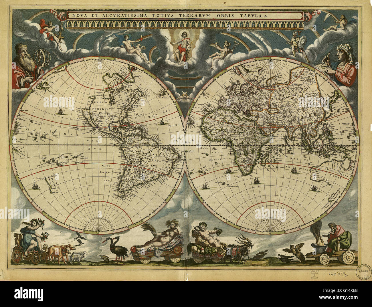 World map, published around 1664 in Amsterdam, the Netherlands, by Dutch mapmaker Joan Blaeu (c.1599-1673). The Latin title is Nova et Accuratissima Totius Terrarum Orbis Tabula (new and accurate all world map). Blaeu's maps built on those made by Mercato Stock Photohttps://www.alamy.com/image-license-details/?v=1https://www.alamy.com/stock-photo-world-map-published-around-1664-in-amsterdam-the-netherlands-by-dutch-103985459.html
RMG14XEB–World map, published around 1664 in Amsterdam, the Netherlands, by Dutch mapmaker Joan Blaeu (c.1599-1673). The Latin title is Nova et Accuratissima Totius Terrarum Orbis Tabula (new and accurate all world map). Blaeu's maps built on those made by Mercato
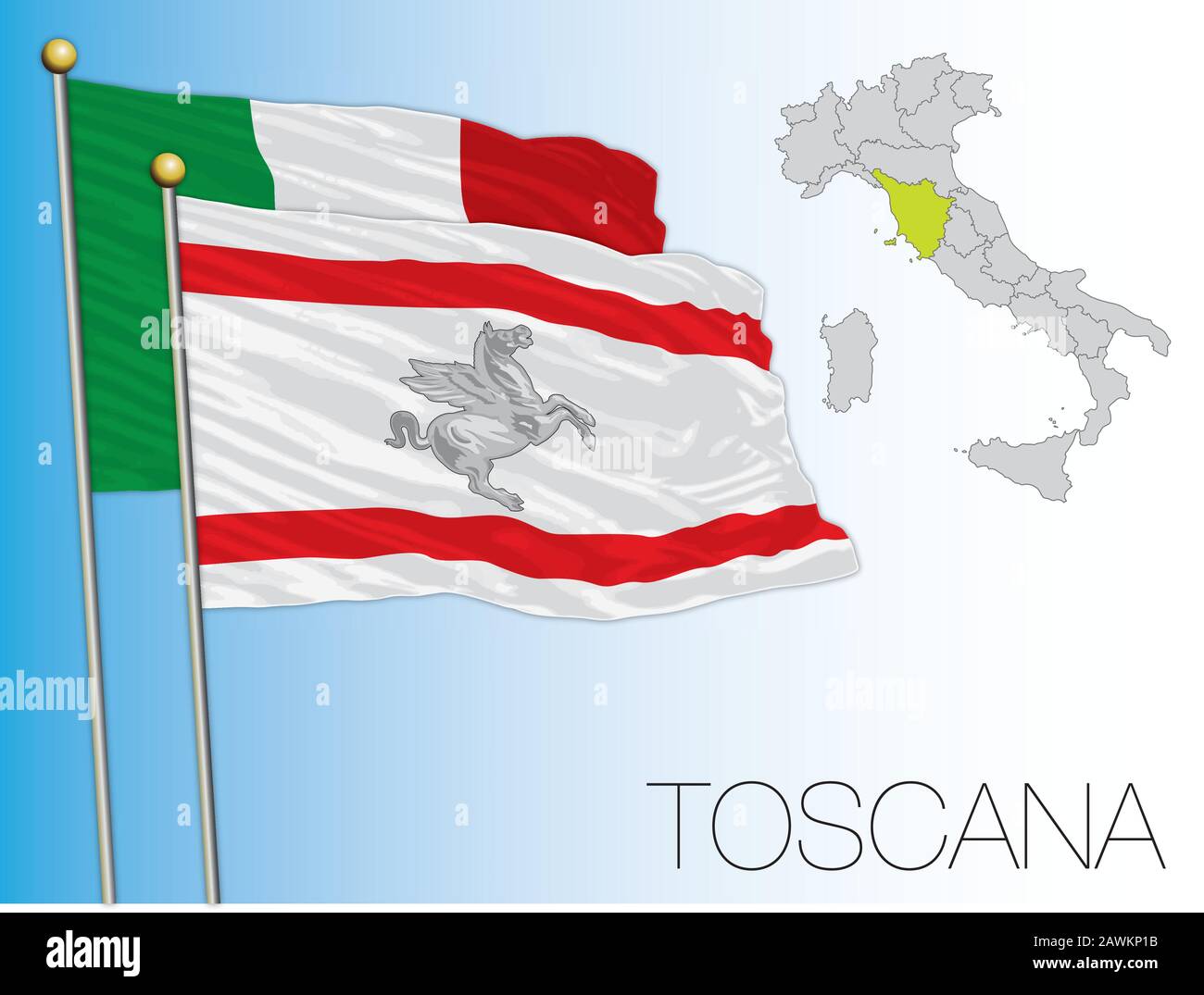 Tuscany official regional flag and map, Italy, vector illustration Stock Vectorhttps://www.alamy.com/image-license-details/?v=1https://www.alamy.com/tuscany-official-regional-flag-and-map-italy-vector-illustration-image342797767.html
RF2AWKP1B–Tuscany official regional flag and map, Italy, vector illustration
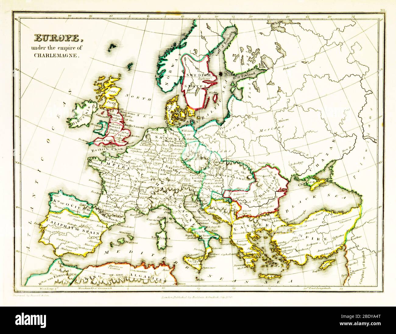 Carolingian Empire, Europe Map, 9th Century Stock Photohttps://www.alamy.com/image-license-details/?v=1https://www.alamy.com/carolingian-empire-europe-map-9th-century-image352798568.html
RM2BDYA4T–Carolingian Empire, Europe Map, 9th Century
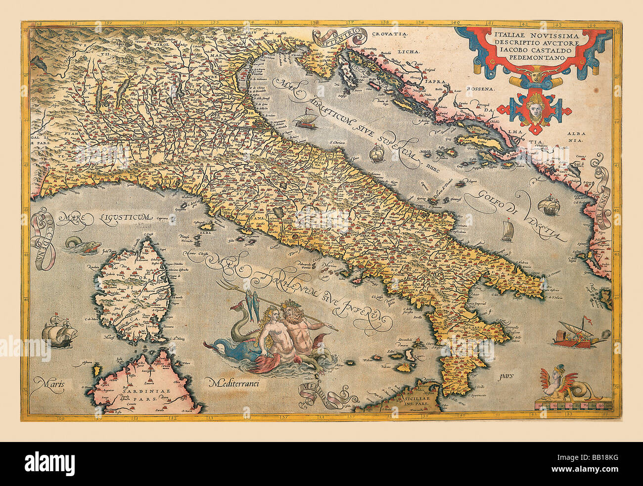 Map of Italy Stock Photohttps://www.alamy.com/image-license-details/?v=1https://www.alamy.com/stock-photo-map-of-italy-24000356.html
RMBB18KG–Map of Italy
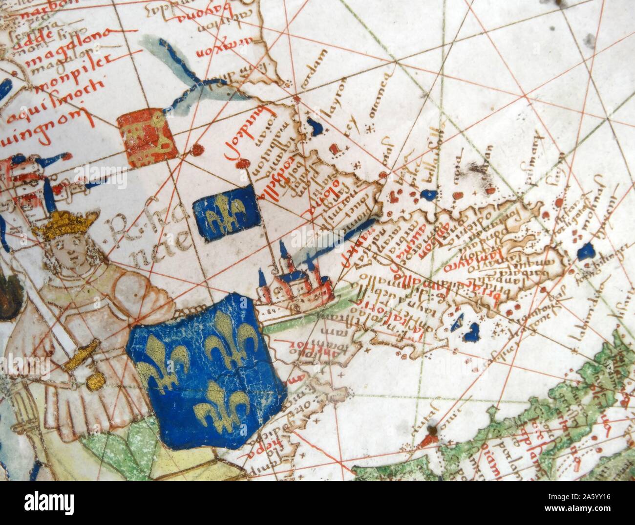 Renaissance map of Europe, Jacopo Russo, 1528, detail Stock Photohttps://www.alamy.com/image-license-details/?v=1https://www.alamy.com/renaissance-map-of-europe-jacopo-russo-1528-detail-image330684178.html
RM2A5YY16–Renaissance map of Europe, Jacopo Russo, 1528, detail
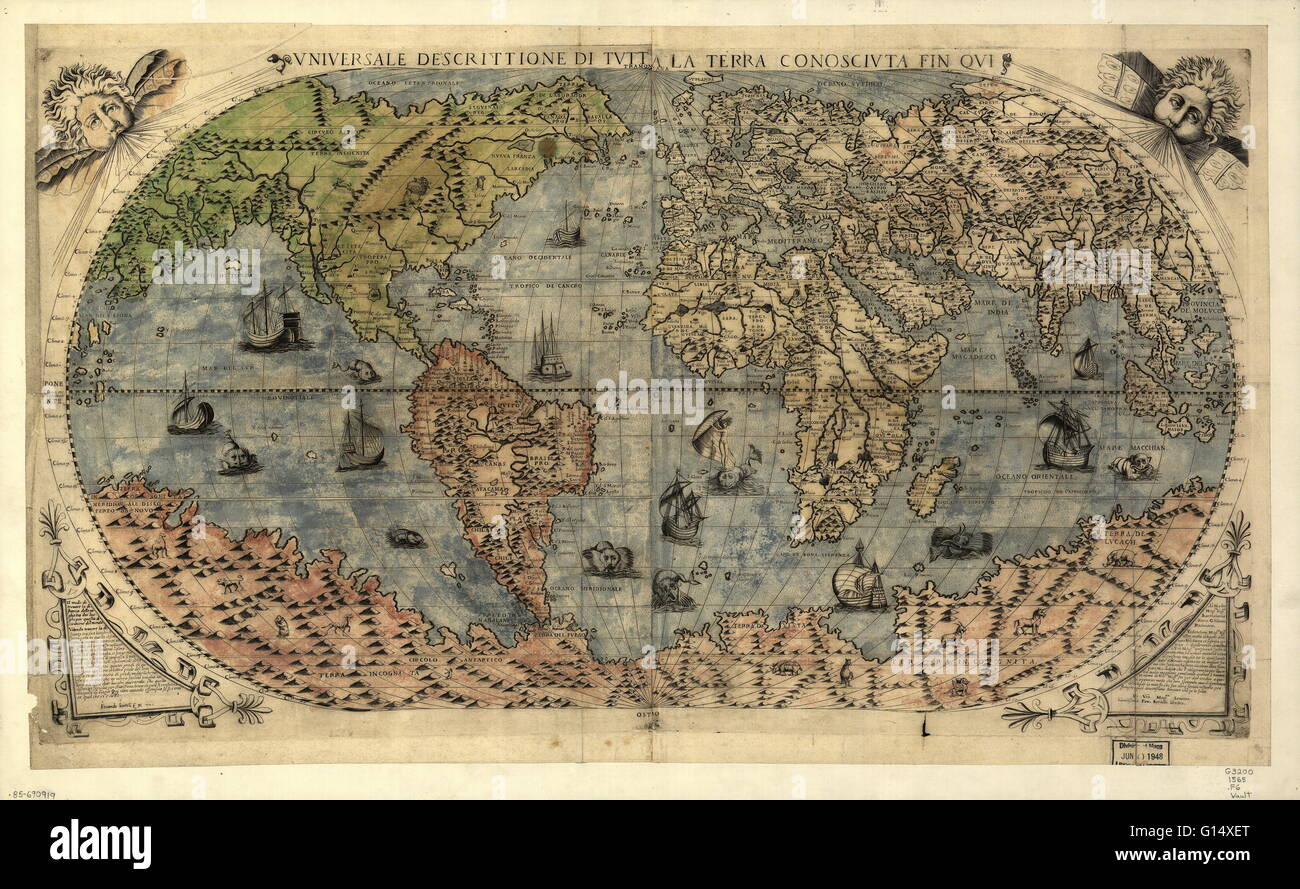 World map, published around 1565 in Venice, Italy, by Italian mapmaker Ferando Bertelli. The title of the map: Universale Descrittione di Tutta la Terra Conosciuta Fin Qui (universal description to the end of the known Earth). In the past few hundred year Stock Photohttps://www.alamy.com/image-license-details/?v=1https://www.alamy.com/stock-photo-world-map-published-around-1565-in-venice-italy-by-italian-mapmaker-103985472.html
RMG14XET–World map, published around 1565 in Venice, Italy, by Italian mapmaker Ferando Bertelli. The title of the map: Universale Descrittione di Tutta la Terra Conosciuta Fin Qui (universal description to the end of the known Earth). In the past few hundred year
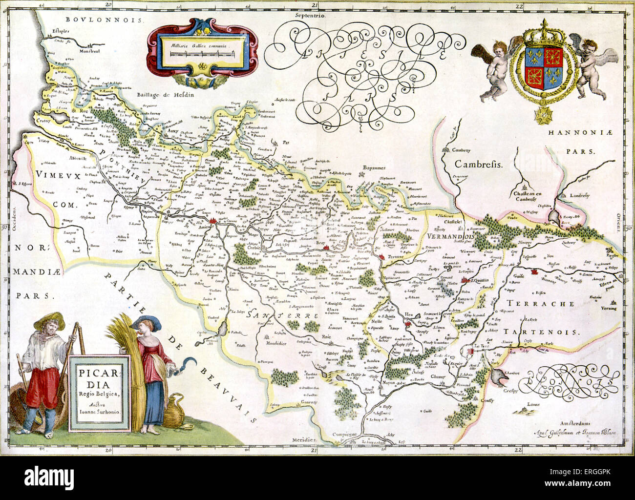 Map of the Province of Picardy - published in W.J Blaeu and J. Blaeu 's 'Nieuwe Atlas', 1642-3. (Full title: 'Tooneel des Stock Photohttps://www.alamy.com/image-license-details/?v=1https://www.alamy.com/stock-photo-map-of-the-province-of-picardy-published-in-wj-blaeu-and-j-blaeu-s-83342971.html
RMERGGPK–Map of the Province of Picardy - published in W.J Blaeu and J. Blaeu 's 'Nieuwe Atlas', 1642-3. (Full title: 'Tooneel des
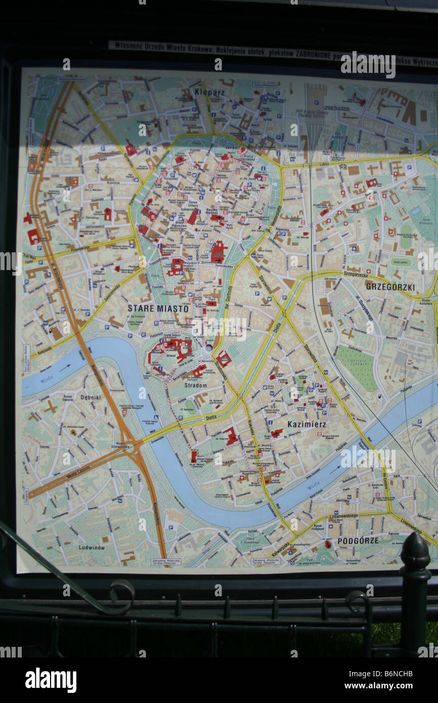 krakow map. Poland Stock Photohttps://www.alamy.com/image-license-details/?v=1https://www.alamy.com/stock-photo-krakow-map-poland-21369191.html
RMB6NCHB–krakow map. Poland
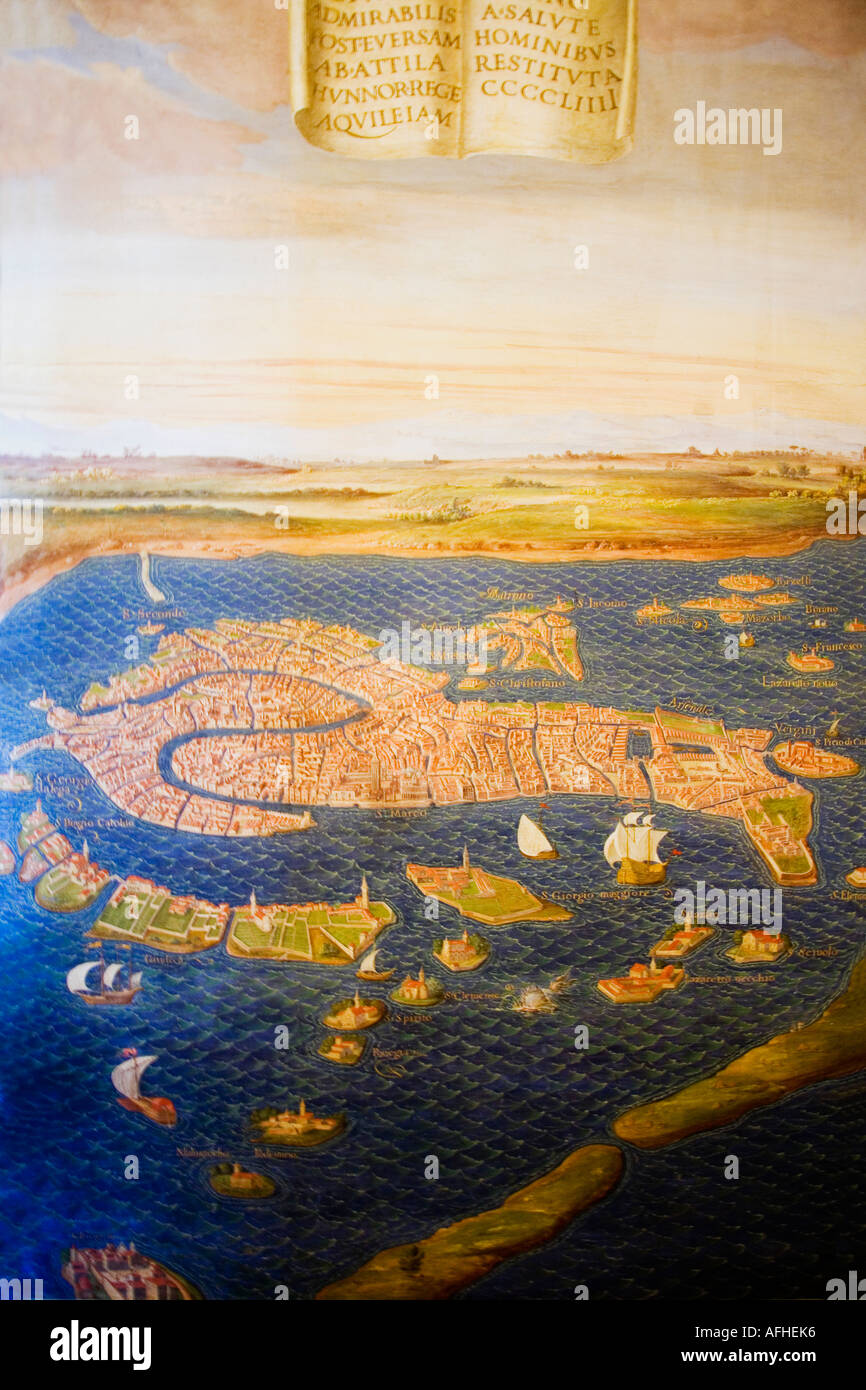 Vatican Museum Room of Maps Venice by Ignazio Danti (1536-1586) The Vatican Rome Italy Europe Stock Photohttps://www.alamy.com/image-license-details/?v=1https://www.alamy.com/vatican-museum-room-of-maps-venice-by-ignazio-danti-1536-1586-the-image7971765.html
RMAFHEK6–Vatican Museum Room of Maps Venice by Ignazio Danti (1536-1586) The Vatican Rome Italy Europe
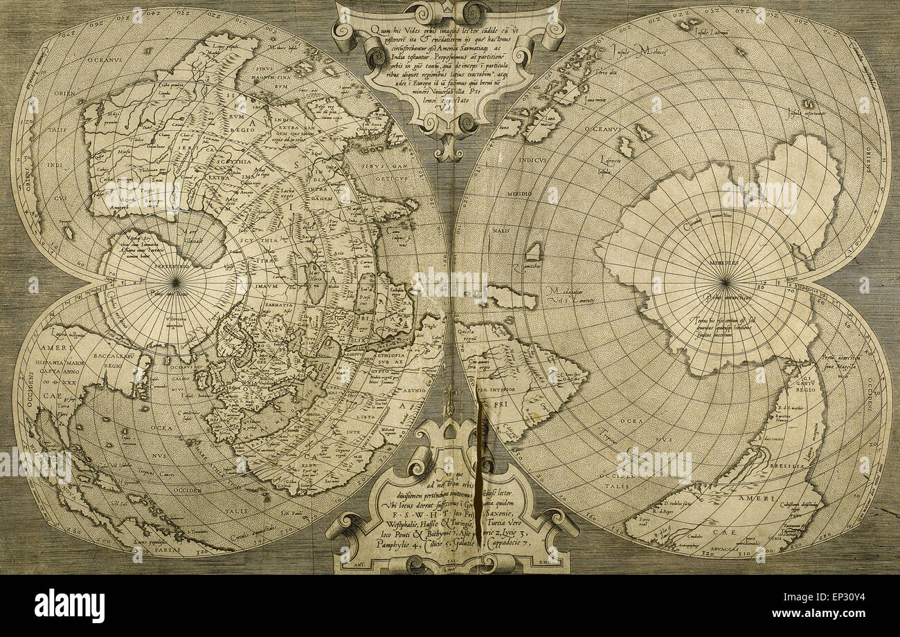 World map. Italian engraving. 16th century. Stock Photohttps://www.alamy.com/image-license-details/?v=1https://www.alamy.com/stock-photo-world-map-italian-engraving-16th-century-82430520.html
RMEP30Y4–World map. Italian engraving. 16th century.
 Map of Northern Europe from ‘Cosmographia’ by Claudius Ptolemy (Ptolemaeus) (90-168AD). See description for more information. Stock Photohttps://www.alamy.com/image-license-details/?v=1https://www.alamy.com/stock-photo-map-of-northern-europe-from-cosmographia-by-claudius-ptolemy-ptolemaeus-75459656.html
RMEANDFM–Map of Northern Europe from ‘Cosmographia’ by Claudius Ptolemy (Ptolemaeus) (90-168AD). See description for more information.
 Hybernia Nunc Irlant. Ireland. Map was clearly made by a member of the Lafreri School of cartographers, Antonio Lafreri (1512-77). Rome, 1570. Renaissance. Engraving by Paolo Forlani, 16th C. Stock Photohttps://www.alamy.com/image-license-details/?v=1https://www.alamy.com/hybernia-nunc-irlant-ireland-map-was-clearly-made-by-a-member-of-the-lafreri-school-of-cartographers-antonio-lafreri-1512-77-rome-1570-renaissance-engraving-by-paolo-forlani-16th-c-image220201526.html
RMPP7186–Hybernia Nunc Irlant. Ireland. Map was clearly made by a member of the Lafreri School of cartographers, Antonio Lafreri (1512-77). Rome, 1570. Renaissance. Engraving by Paolo Forlani, 16th C.
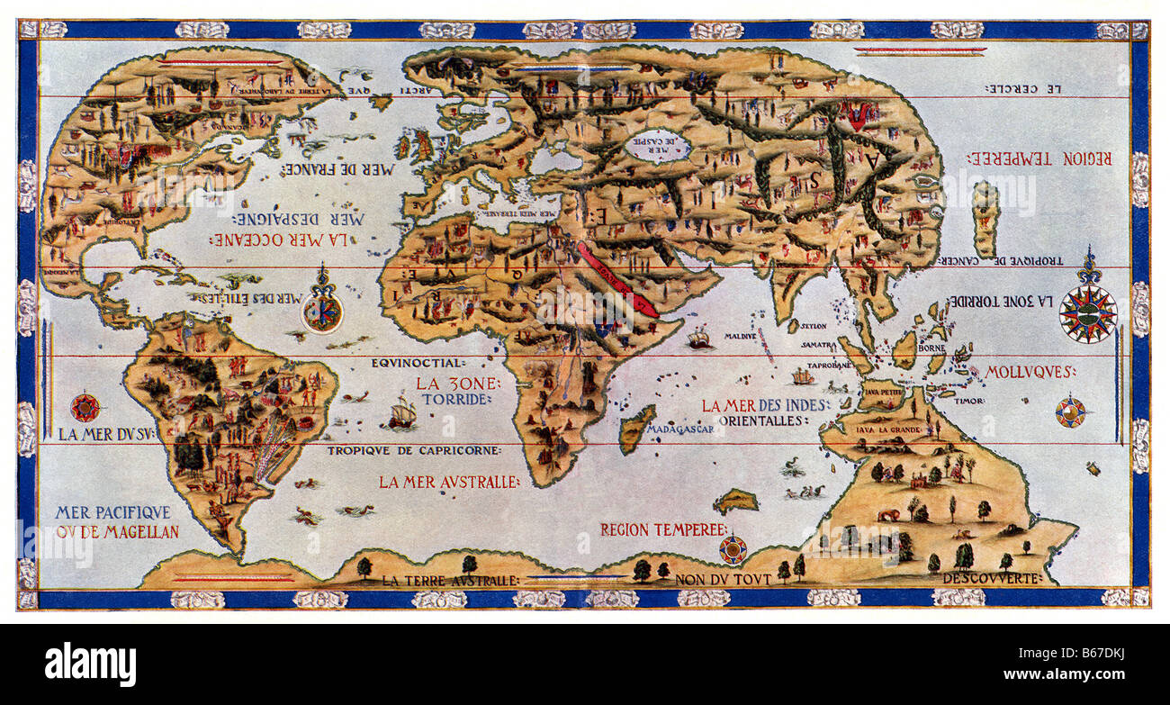 Dauphin Map of the World Stock Photohttps://www.alamy.com/image-license-details/?v=1https://www.alamy.com/stock-photo-dauphin-map-of-the-world-21062710.html
RFB67DKJ–Dauphin Map of the World
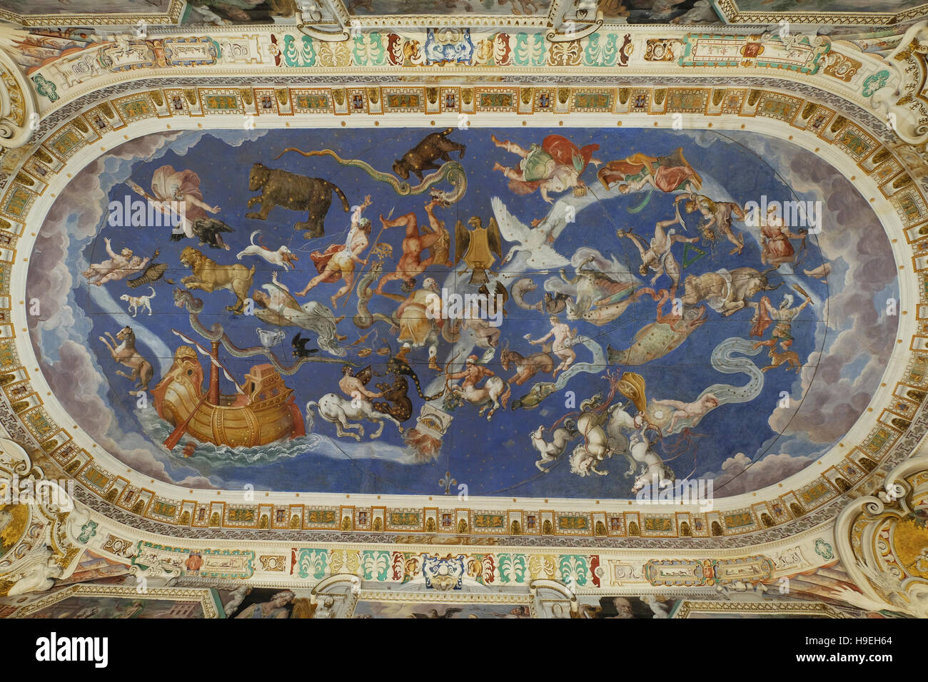 'Room of the World Map', the frescoed vault depicts the celestial spheres and the constellations of the zodiac. Farnese palace,Caprarola,Italy Stock Photohttps://www.alamy.com/image-license-details/?v=1https://www.alamy.com/stock-photo-room-of-the-world-map-the-frescoed-vault-depicts-the-celestial-spheres-126325308.html
RMH9EH64–'Room of the World Map', the frescoed vault depicts the celestial spheres and the constellations of the zodiac. Farnese palace,Caprarola,Italy
 Italy, Venice, Young couple looking at map on St. Mark's Square Stock Photohttps://www.alamy.com/image-license-details/?v=1https://www.alamy.com/stock-photo-italy-venice-young-couple-looking-at-map-on-st-marks-square-81831685.html
RFEN3N45–Italy, Venice, Young couple looking at map on St. Mark's Square
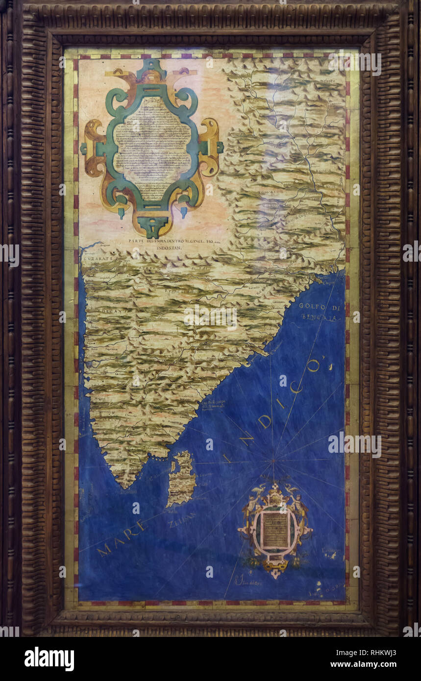 Map of Indian subcontinent and the island of Ceylon (Sri Lanka) dated from 1564-1586 on display in the Hall of Geographical Maps (Sala delle Carte Geografiche) in the Palazzo Vecchio in Florence, Tuscany, Italy. Stock Photohttps://www.alamy.com/image-license-details/?v=1https://www.alamy.com/map-of-indian-subcontinent-and-the-island-of-ceylon-sri-lanka-dated-from-1564-1586-on-display-in-the-hall-of-geographical-maps-sala-delle-carte-geografiche-in-the-palazzo-vecchio-in-florence-tuscany-italy-image234621131.html
RMRHKWJ3–Map of Indian subcontinent and the island of Ceylon (Sri Lanka) dated from 1564-1586 on display in the Hall of Geographical Maps (Sala delle Carte Geografiche) in the Palazzo Vecchio in Florence, Tuscany, Italy.
 Smiling tourist couple using map as guide on vacation in Europe. Stock Photohttps://www.alamy.com/image-license-details/?v=1https://www.alamy.com/smiling-tourist-couple-using-map-as-guide-on-vacation-in-europe-image256771786.html
RFTWMY0X–Smiling tourist couple using map as guide on vacation in Europe.
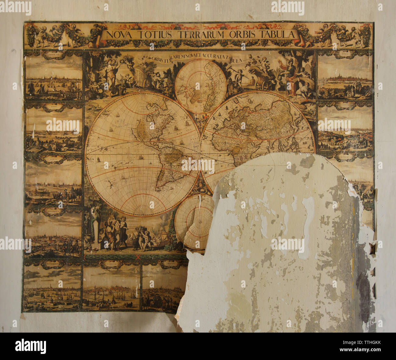 Map of the World in one of the abandoned rooms of the Desfours Palace (Desfourský palác) in Nové Město (New Town) in Prague, Czech Republic. The Desfours Palace once owned by the Desfours Walderode family and abandoned for last few decades was open to the public during the Open House Prague Festival on 18-19 May 2019. Stock Photohttps://www.alamy.com/image-license-details/?v=1https://www.alamy.com/map-of-the-world-in-one-of-the-abandoned-rooms-of-the-desfours-palace-desfoursk-palc-in-nov-msto-new-town-in-prague-czech-republic-the-desfours-palace-once-owned-by-the-desfours-walderode-family-and-abandoned-for-last-few-decades-was-open-to-the-public-during-the-open-house-prague-festival-on-18-19-may-2019-image256083175.html
RMTTHGKK–Map of the World in one of the abandoned rooms of the Desfours Palace (Desfourský palác) in Nové Město (New Town) in Prague, Czech Republic. The Desfours Palace once owned by the Desfours Walderode family and abandoned for last few decades was open to the public during the Open House Prague Festival on 18-19 May 2019.
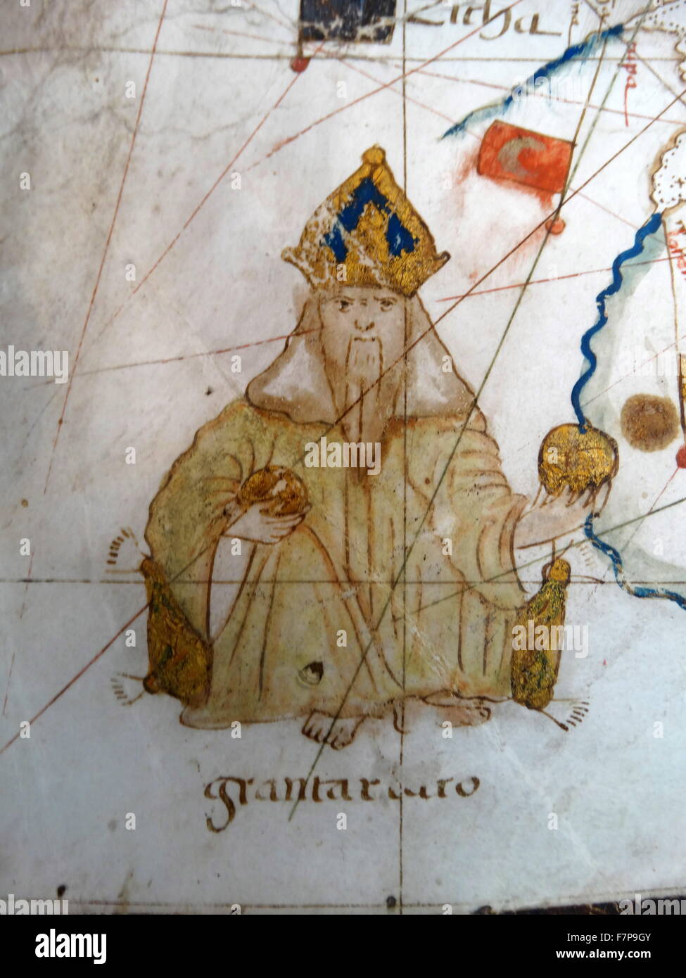 Renaissance map of Europe, Jacopo Russo, 1528, Stock Photohttps://www.alamy.com/image-license-details/?v=1https://www.alamy.com/stock-photo-renaissance-map-of-europe-jacopo-russo-1528-90844907.html
RMF7P9GY–Renaissance map of Europe, Jacopo Russo, 1528,
 european map in a prestigious globe Stock Photohttps://www.alamy.com/image-license-details/?v=1https://www.alamy.com/european-map-in-a-prestigious-globe-image338699807.html
RM2AK131K–european map in a prestigious globe
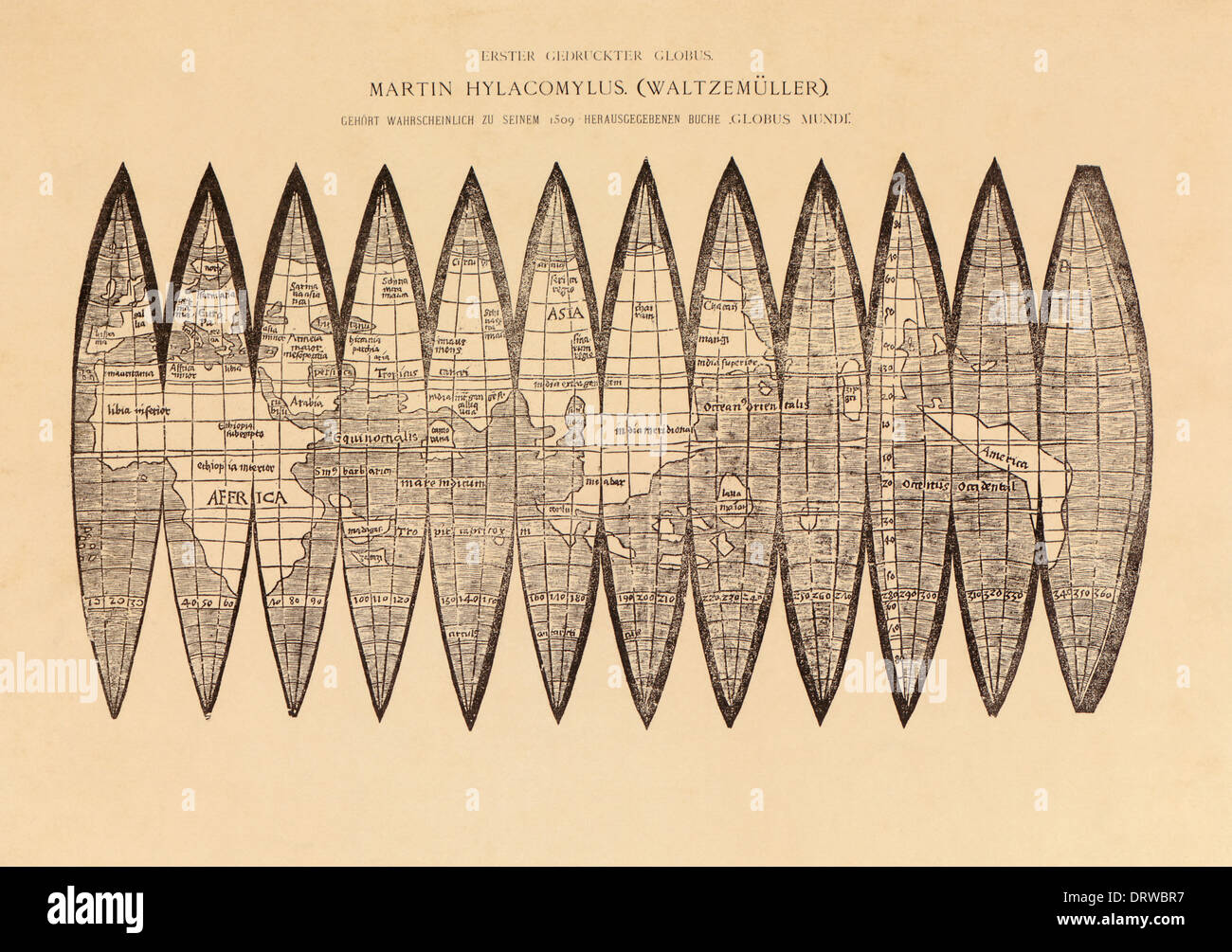 Martin Waldseemüller (1470-1520) German cartographer global gores woodcut illustration from Globus Mundus 1509. Stock Photohttps://www.alamy.com/image-license-details/?v=1https://www.alamy.com/martin-waldseemller-1470-1520-german-cartographer-global-gores-woodcut-image66326267.html
RMDRWBR7–Martin Waldseemüller (1470-1520) German cartographer global gores woodcut illustration from Globus Mundus 1509.
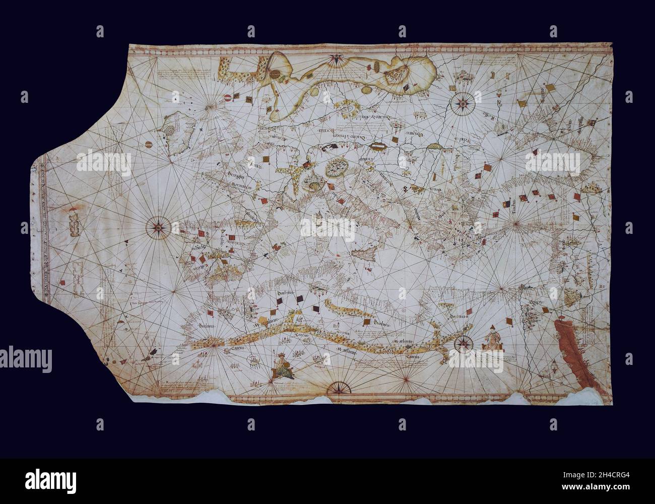 Nautical chart Borgiana VIII by Andrea Benincasa, 1508. Stock Photohttps://www.alamy.com/image-license-details/?v=1https://www.alamy.com/nautical-chart-borgiana-viii-by-andrea-benincasa-1508-image450210100.html
RF2H4CRG4–Nautical chart Borgiana VIII by Andrea Benincasa, 1508.
 Map of Europe Stock Photohttps://www.alamy.com/image-license-details/?v=1https://www.alamy.com/stock-photo-map-of-europe-24000171.html
RMBB18CY–Map of Europe
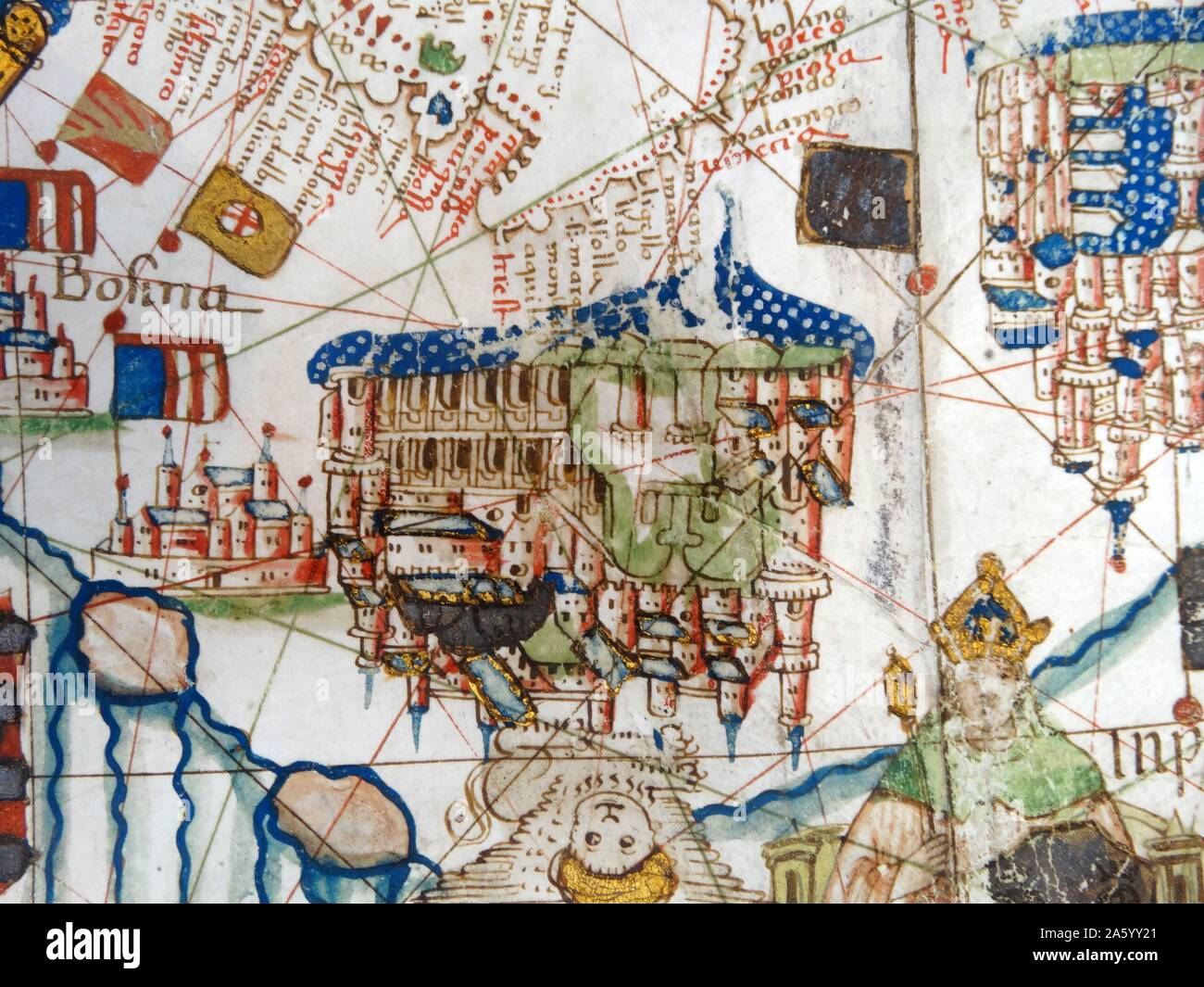 Renaissance map of Europe, Jacopo Russo, 1528, detail of Bosnia Stock Photohttps://www.alamy.com/image-license-details/?v=1https://www.alamy.com/renaissance-map-of-europe-jacopo-russo-1528-detail-of-bosnia-image330684201.html
RM2A5YY21–Renaissance map of Europe, Jacopo Russo, 1528, detail of Bosnia
 Brunelleschi's Dome and map-holding tourists seen from on Giotto's Bell Tower (campanile) in Florence. Stock Photohttps://www.alamy.com/image-license-details/?v=1https://www.alamy.com/stock-photo-brunelleschis-dome-and-map-holding-tourists-seen-from-on-giottos-bell-32235776.html
RMBTCD1M–Brunelleschi's Dome and map-holding tourists seen from on Giotto's Bell Tower (campanile) in Florence.
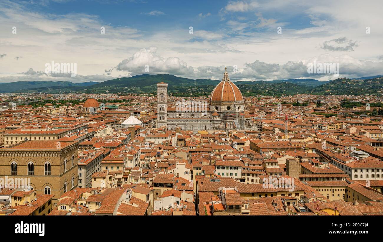 Europe, Italy, Florence, Tuscany. Floerence city scape with dome. Stunning mediterran city in tuscany, Italy. Stock Photohttps://www.alamy.com/image-license-details/?v=1https://www.alamy.com/europe-italy-florence-tuscany-floerence-city-scape-with-dome-stunning-mediterran-city-in-tuscany-italy-image396107884.html
RF2E0C7J4–Europe, Italy, Florence, Tuscany. Floerence city scape with dome. Stunning mediterran city in tuscany, Italy.
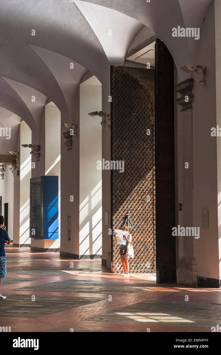 Woman travel, view of a solo woman traveler reading a map inside the vaulted atrium of the Palazzo Ducale, Genoa, Italy. Stock Photohttps://www.alamy.com/image-license-details/?v=1https://www.alamy.com/stock-photo-woman-travel-view-of-a-solo-woman-traveler-reading-a-map-inside-the-81614398.html
RMEMNRYX–Woman travel, view of a solo woman traveler reading a map inside the vaulted atrium of the Palazzo Ducale, Genoa, Italy.
 Knight design. Armour gloves of the knight, sword of the Crusade and map of Europe Stock Vectorhttps://www.alamy.com/image-license-details/?v=1https://www.alamy.com/knight-design-armour-gloves-of-the-knight-sword-of-the-crusade-and-map-of-europe-image487999846.html
RF2K9X8NX–Knight design. Armour gloves of the knight, sword of the Crusade and map of Europe
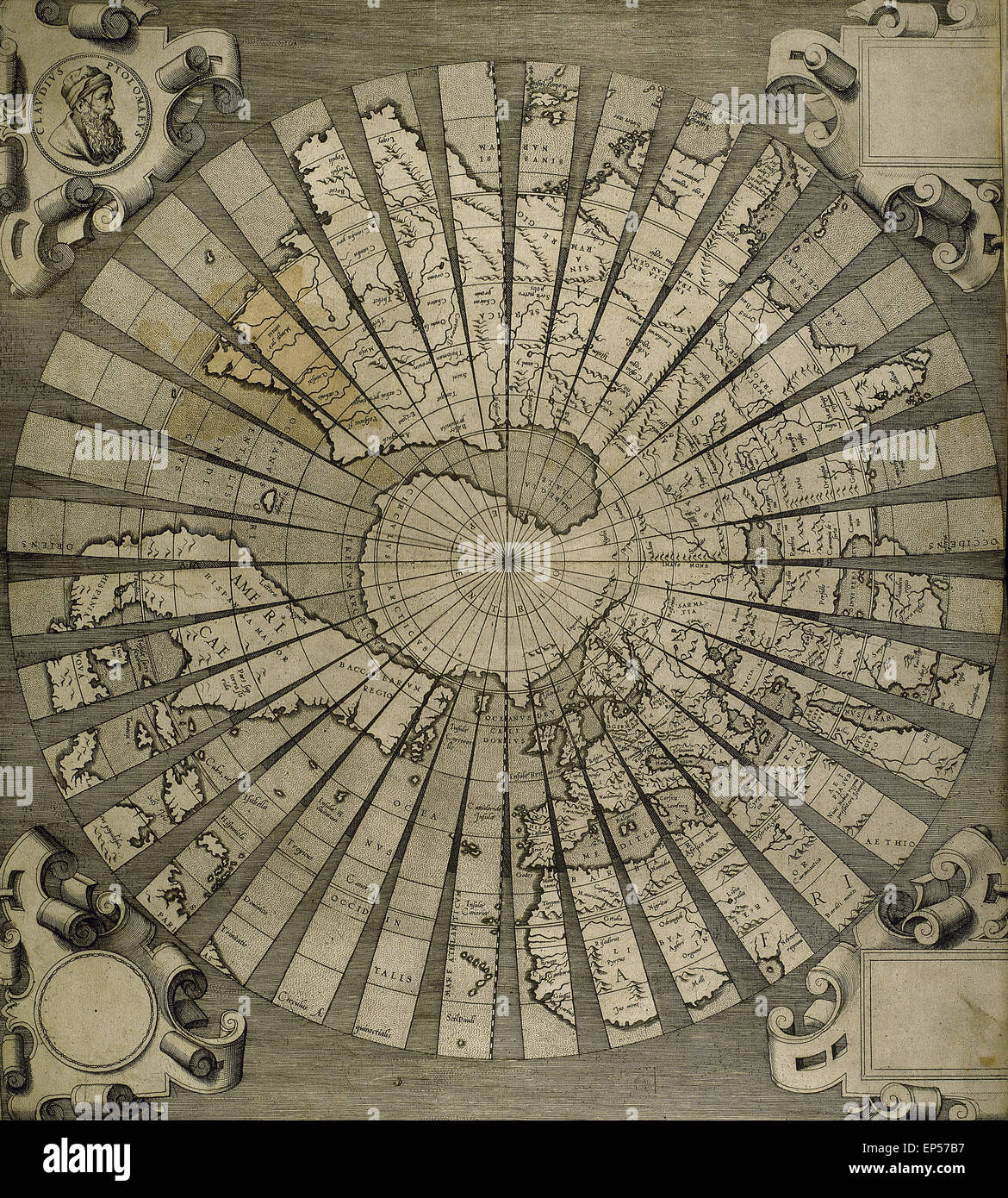 Claudius Ptolemy (90-168) Greco-Egyptian geographer. World map. Engraving, 16th century. Stock Photohttps://www.alamy.com/image-license-details/?v=1https://www.alamy.com/stock-photo-claudius-ptolemy-90-168-greco-egyptian-geographer-world-map-engraving-82479467.html
RMEP57B7–Claudius Ptolemy (90-168) Greco-Egyptian geographer. World map. Engraving, 16th century.
 Female single travel, view in summer of a young woman reading a map while standing in a narrow street in the historic Old Town area of Toledo, Spain Stock Photohttps://www.alamy.com/image-license-details/?v=1https://www.alamy.com/female-single-travel-view-in-summer-of-a-young-woman-reading-a-map-while-standing-in-a-narrow-street-in-the-historic-old-town-area-of-toledo-spain-image556930191.html
RM2RA2A3Y–Female single travel, view in summer of a young woman reading a map while standing in a narrow street in the historic Old Town area of Toledo, Spain
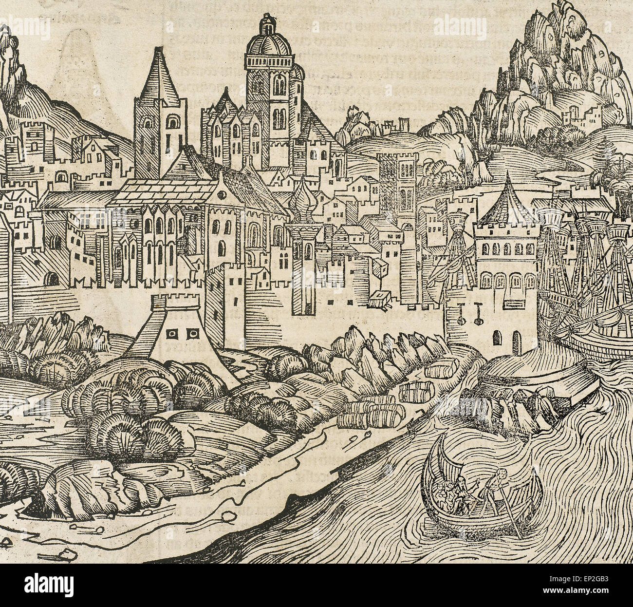 France. Lyon. Engraving. 16th century. Stock Photohttps://www.alamy.com/image-license-details/?v=1https://www.alamy.com/stock-photo-france-lyon-engraving-16th-century-82420663.html
RMEP2GB3–France. Lyon. Engraving. 16th century.
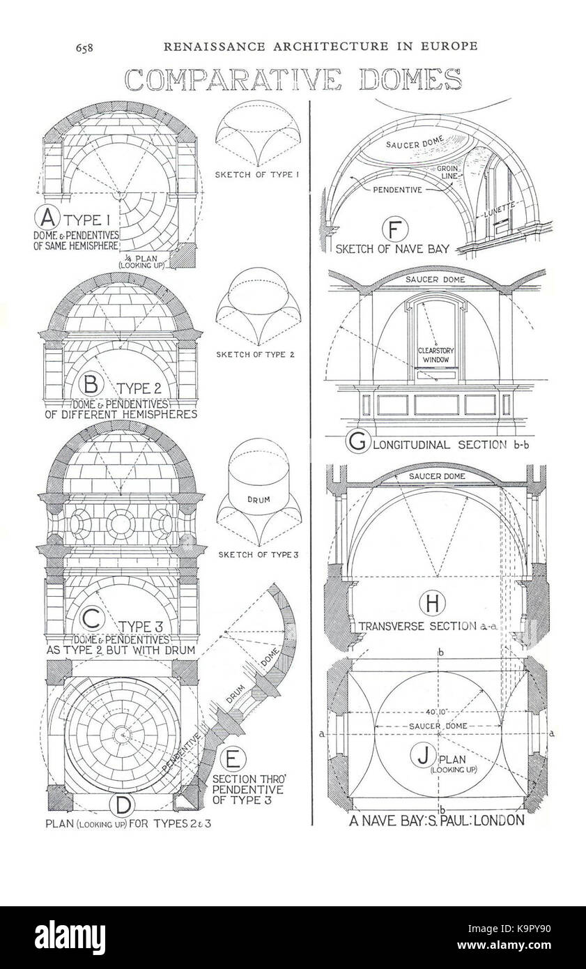 Renaissance Archt in Europe 638 Stock Photohttps://www.alamy.com/image-license-details/?v=1https://www.alamy.com/stock-image-renaissance-archt-in-europe-638-160929580.html
RMK9PY90–Renaissance Archt in Europe 638
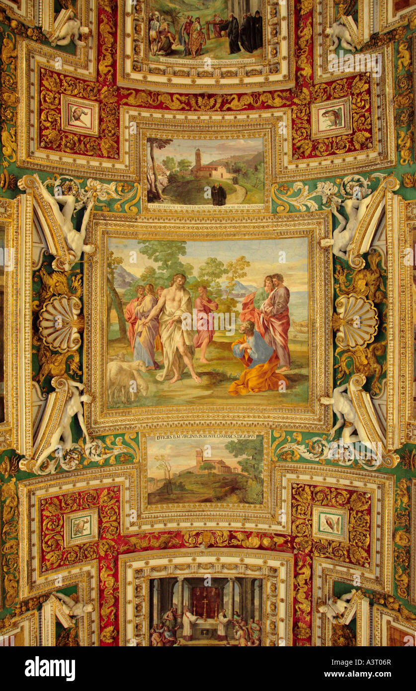 Detail of the Ceiling of the Map Room in the Vatican Museum Rome Italy Stock Photohttps://www.alamy.com/image-license-details/?v=1https://www.alamy.com/stock-photo-detail-of-the-ceiling-of-the-map-room-in-the-vatican-museum-rome-italy-10850638.html
RMA3T06R–Detail of the Ceiling of the Map Room in the Vatican Museum Rome Italy
 Italy, Venice, Young couple looking at map on St. Mark's Square Stock Photohttps://www.alamy.com/image-license-details/?v=1https://www.alamy.com/stock-photo-italy-venice-young-couple-looking-at-map-on-st-marks-square-81831681.html
RFEN3N41–Italy, Venice, Young couple looking at map on St. Mark's Square
 Plaza de Espana in Seville, Spain showing the Cadiz region with tiled map and regional history. Stock Photohttps://www.alamy.com/image-license-details/?v=1https://www.alamy.com/plaza-de-espana-in-seville-spain-showing-the-cadiz-region-with-tiled-map-and-regional-history-image217890498.html
RFPJDNFE–Plaza de Espana in Seville, Spain showing the Cadiz region with tiled map and regional history.
 couple reading map - Happy young couple on travel vacation in Europe. Happy women and men in love traveling together. Stock Photohttps://www.alamy.com/image-license-details/?v=1https://www.alamy.com/couple-reading-map-happy-young-couple-on-travel-vacation-in-europe-happy-women-and-men-in-love-traveling-together-image249277604.html
RFTDFG3G–couple reading map - Happy young couple on travel vacation in Europe. Happy women and men in love traveling together.
 Map of the World in one of the abandoned rooms of the Desfours Palace (Desfourský palác) in Nové Město (New Town) in Prague, Czech Republic. The Desfours Palace once owned by the Desfours Walderode family and abandoned for last few decades was open to the public during the Open House Prague Festival on 18-19 May 2019. Stock Photohttps://www.alamy.com/image-license-details/?v=1https://www.alamy.com/map-of-the-world-in-one-of-the-abandoned-rooms-of-the-desfours-palace-desfoursk-palc-in-nov-msto-new-town-in-prague-czech-republic-the-desfours-palace-once-owned-by-the-desfours-walderode-family-and-abandoned-for-last-few-decades-was-open-to-the-public-during-the-open-house-prague-festival-on-18-19-may-2019-image256082575.html
RMTTHFX7–Map of the World in one of the abandoned rooms of the Desfours Palace (Desfourský palác) in Nové Město (New Town) in Prague, Czech Republic. The Desfours Palace once owned by the Desfours Walderode family and abandoned for last few decades was open to the public during the Open House Prague Festival on 18-19 May 2019.
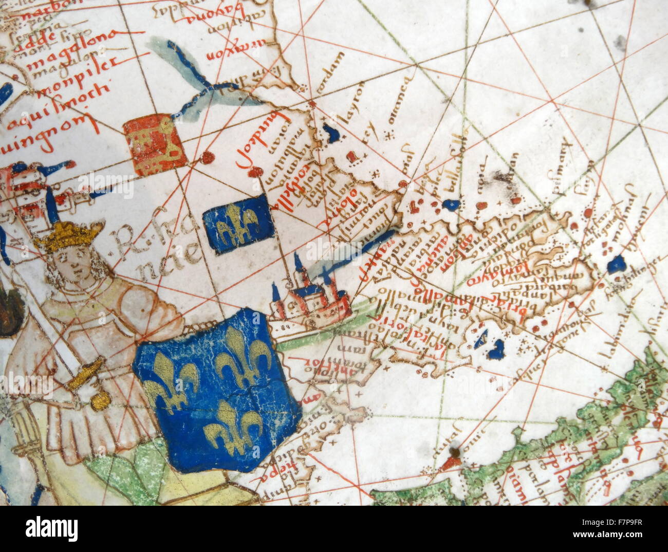 Renaissance map of Europe, Jacopo Russo, 1528, detail Stock Photohttps://www.alamy.com/image-license-details/?v=1https://www.alamy.com/stock-photo-renaissance-map-of-europe-jacopo-russo-1528-detail-90844875.html
RMF7P9FR–Renaissance map of Europe, Jacopo Russo, 1528, detail
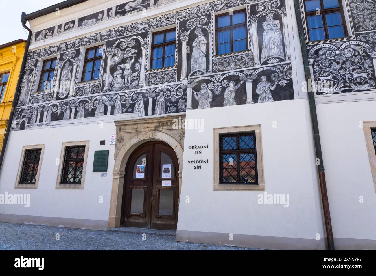 Trebic, Czech Republic. June 25, 2024. Painted House. One of the most beautiful Renaissance houses in Třebic Stock Photohttps://www.alamy.com/image-license-details/?v=1https://www.alamy.com/trebic-czech-republic-june-25-2024-painted-house-one-of-the-most-beautiful-renaissance-houses-in-tebic-image615643680.html
RF2XNGYP8–Trebic, Czech Republic. June 25, 2024. Painted House. One of the most beautiful Renaissance houses in Třebic
 A historic map of Milan showing ancient city gates at Castello Sforzesco, or Milan Castle, in Milan, Italy. Stock Photohttps://www.alamy.com/image-license-details/?v=1https://www.alamy.com/a-historic-map-of-milan-showing-ancient-city-gates-at-castello-sforzesco-or-milan-castle-in-milan-italy-image599223641.html
RF2WPTYT9–A historic map of Milan showing ancient city gates at Castello Sforzesco, or Milan Castle, in Milan, Italy.
 Nuova pianta di Venezia = Neuer plan von Venedig. Publisher as given on cover of folder; map shows earlier form H.F. Münster. Relief shown by hachures. Inset: Lagune Venete = Venedigs Lagunen von den dämmen des Sile bis zur mündung der Etsch. Includes indexes and notes. In Italian and German.. Venice was an important and powerful republic in Renaissance Italy, having long been a major player in trade and maritime activities. The city was also a melting pot, serving as a trading center between Europe and the Middle East and Asia. Two of Shakespeare's most tormented figures have their stories Stock Photohttps://www.alamy.com/image-license-details/?v=1https://www.alamy.com/nuova-pianta-di-venezia-=-neuer-plan-von-venedig-publisher-as-given-on-cover-of-folder-map-shows-earlier-form-hf-munster-relief-shown-by-hachures-inset-lagune-venete-=-venedigs-lagunen-von-den-dammen-des-sile-bis-zur-mundung-der-etsch-includes-indexes-and-notes-in-italian-and-german-venice-was-an-important-and-powerful-republic-in-renaissance-italy-having-long-been-a-major-player-in-trade-and-maritime-activities-the-city-was-also-a-melting-pot-serving-as-a-trading-center-between-europe-and-the-middle-east-and-asia-two-of-shakespeares-most-tormented-figures-have-their-stories-image502724821.html
RM2M5W2HW–Nuova pianta di Venezia = Neuer plan von Venedig. Publisher as given on cover of folder; map shows earlier form H.F. Münster. Relief shown by hachures. Inset: Lagune Venete = Venedigs Lagunen von den dämmen des Sile bis zur mündung der Etsch. Includes indexes and notes. In Italian and German.. Venice was an important and powerful republic in Renaissance Italy, having long been a major player in trade and maritime activities. The city was also a melting pot, serving as a trading center between Europe and the Middle East and Asia. Two of Shakespeare's most tormented figures have their stories
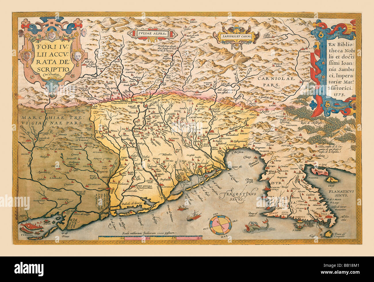 Map of Southern Europe Stock Photohttps://www.alamy.com/image-license-details/?v=1https://www.alamy.com/stock-photo-map-of-southern-europe-24000369.html
RMBB18M1–Map of Southern Europe
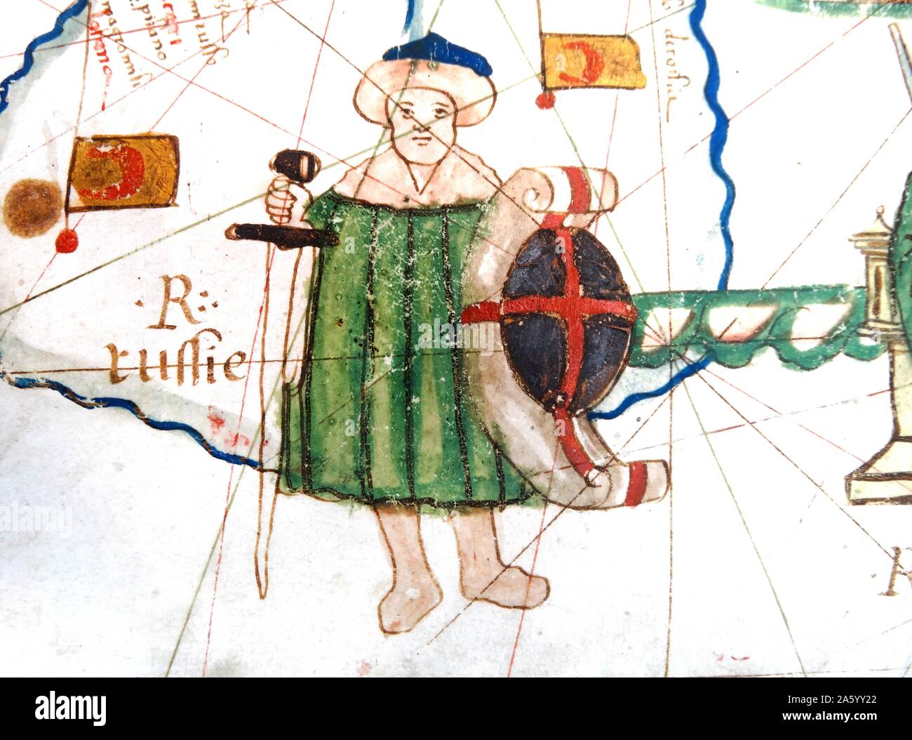 Renaissance map of Europe, Jacopo Russo, 1528, detail of Turkey Stock Photohttps://www.alamy.com/image-license-details/?v=1https://www.alamy.com/renaissance-map-of-europe-jacopo-russo-1528-detail-of-turkey-image330684202.html
RM2A5YY22–Renaissance map of Europe, Jacopo Russo, 1528, detail of Turkey
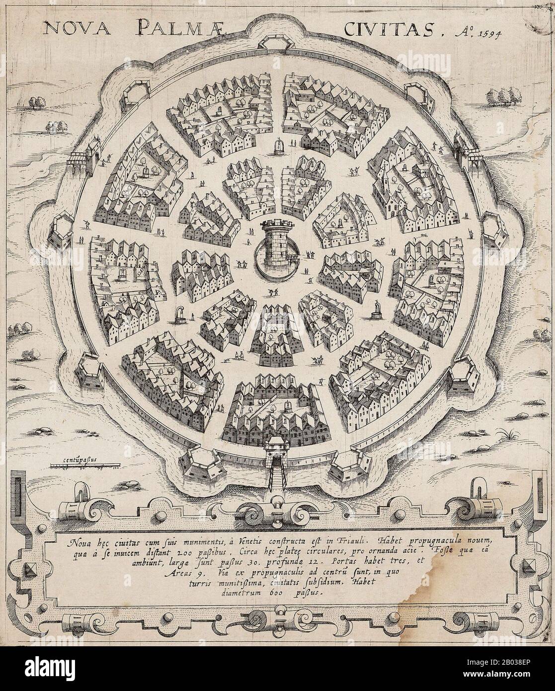 Palmanova is a town and municipality in northeastern Italy. It is an excellent example of a bastion / star fort of the design favoured in the Late Renaissance era. First built by the Venetians in 1593, the fort-town was designed by Vincenzo Scamozzi. A second phase of construction occurred between 1658 and 1690, with final fortifications completed under the Napoleonic domination of 1806-1813. Stock Photohttps://www.alamy.com/image-license-details/?v=1https://www.alamy.com/palmanova-is-a-town-and-municipality-in-northeastern-italy-it-is-an-excellent-example-of-a-bastion-star-fort-of-the-design-favoured-in-the-late-renaissance-era-first-built-by-the-venetians-in-1593-the-fort-town-was-designed-by-vincenzo-scamozzi-a-second-phase-of-construction-occurred-between-1658-and-1690-with-final-fortifications-completed-under-the-napoleonic-domination-of-1806-1813-image344279902.html
RM2B038EP–Palmanova is a town and municipality in northeastern Italy. It is an excellent example of a bastion / star fort of the design favoured in the Late Renaissance era. First built by the Venetians in 1593, the fort-town was designed by Vincenzo Scamozzi. A second phase of construction occurred between 1658 and 1690, with final fortifications completed under the Napoleonic domination of 1806-1813.
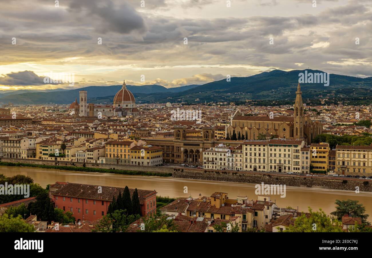 Europe, Italy, Florence, Tuscany. Floerence city scape with dome. Stunning mediterran city in tuscany, Italy. Stock Photohttps://www.alamy.com/image-license-details/?v=1https://www.alamy.com/europe-italy-florence-tuscany-floerence-city-scape-with-dome-stunning-mediterran-city-in-tuscany-italy-image396107926.html
RF2E0C7KJ–Europe, Italy, Florence, Tuscany. Floerence city scape with dome. Stunning mediterran city in tuscany, Italy.
 THE PARK AND THE SMALL CHATEAU, CHATEAU DES SAINT-SIMON OF LA FERTE-VIDAME IN THE SNOW, EURE-ET-LOIR (28), FRANCE Stock Photohttps://www.alamy.com/image-license-details/?v=1https://www.alamy.com/the-park-and-the-small-chateau-chateau-des-saint-simon-of-la-ferte-vidame-in-the-snow-eure-et-loir-28-france-image329439386.html
RM2A3Y78A–THE PARK AND THE SMALL CHATEAU, CHATEAU DES SAINT-SIMON OF LA FERTE-VIDAME IN THE SNOW, EURE-ET-LOIR (28), FRANCE
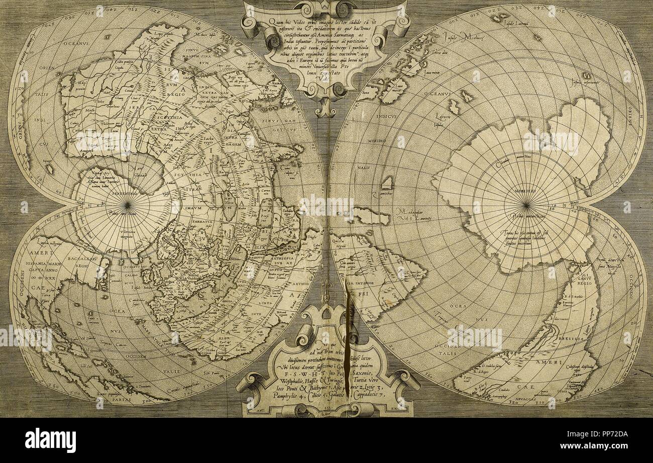 World map. Italian engraving. 16th century. Stock Photohttps://www.alamy.com/image-license-details/?v=1https://www.alamy.com/world-map-italian-engraving-16th-century-image220202454.html
RMPP72DA–World map. Italian engraving. 16th century.
 Map of Great Britain and Ireland in the Palazzo Vecchio in Florence Stock Photohttps://www.alamy.com/image-license-details/?v=1https://www.alamy.com/map-of-great-britain-and-ireland-in-the-palazzo-vecchio-in-florence-image544415732.html
RM2PHM7R0–Map of Great Britain and Ireland in the Palazzo Vecchio in Florence
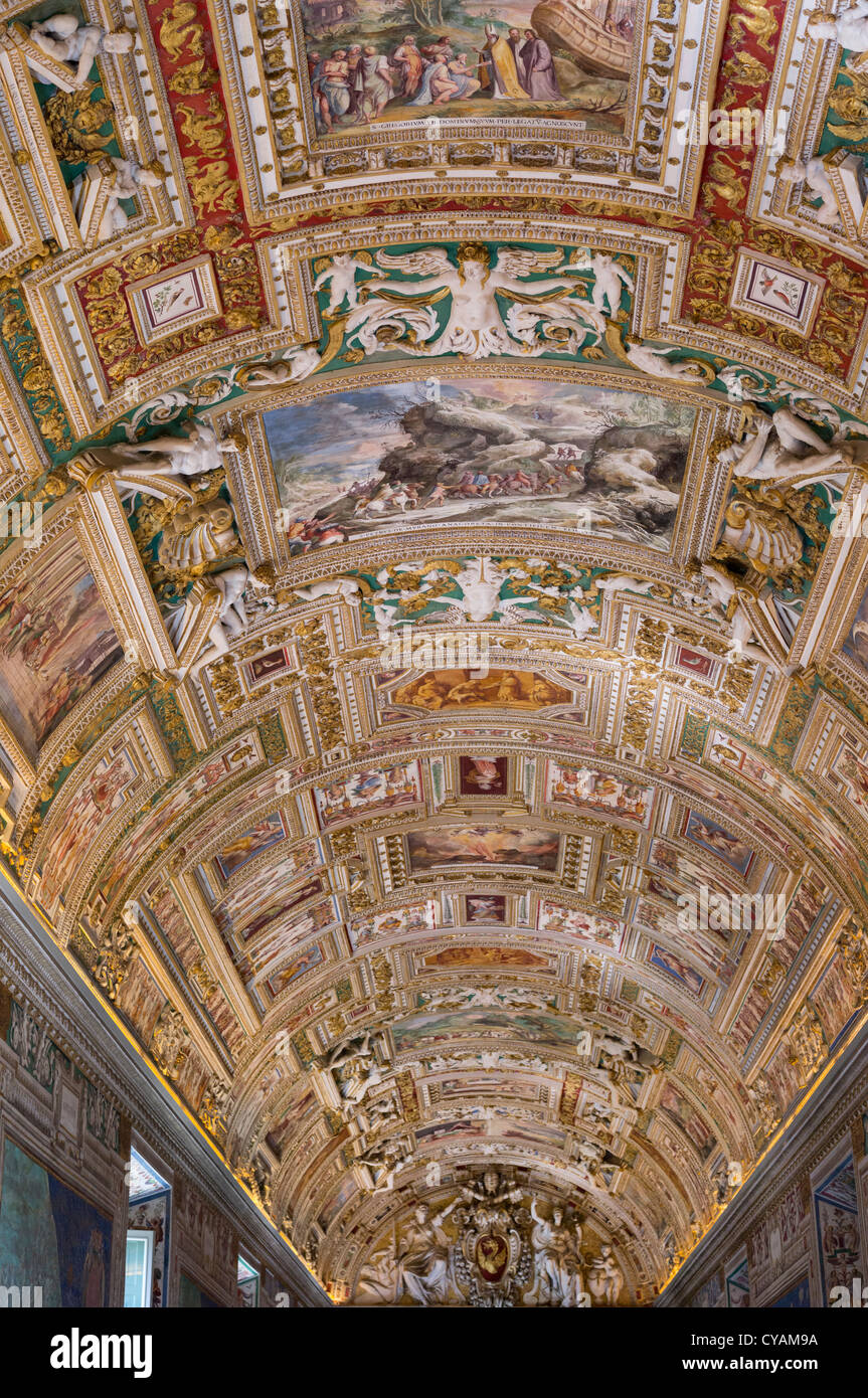 CEILING, GALLERY OF MAPS, VATICAN MUSEUM, ROME Stock Photohttps://www.alamy.com/image-license-details/?v=1https://www.alamy.com/stock-photo-ceiling-gallery-of-maps-vatican-museum-rome-51251910.html
RMCYAM9A–CEILING, GALLERY OF MAPS, VATICAN MUSEUM, ROME
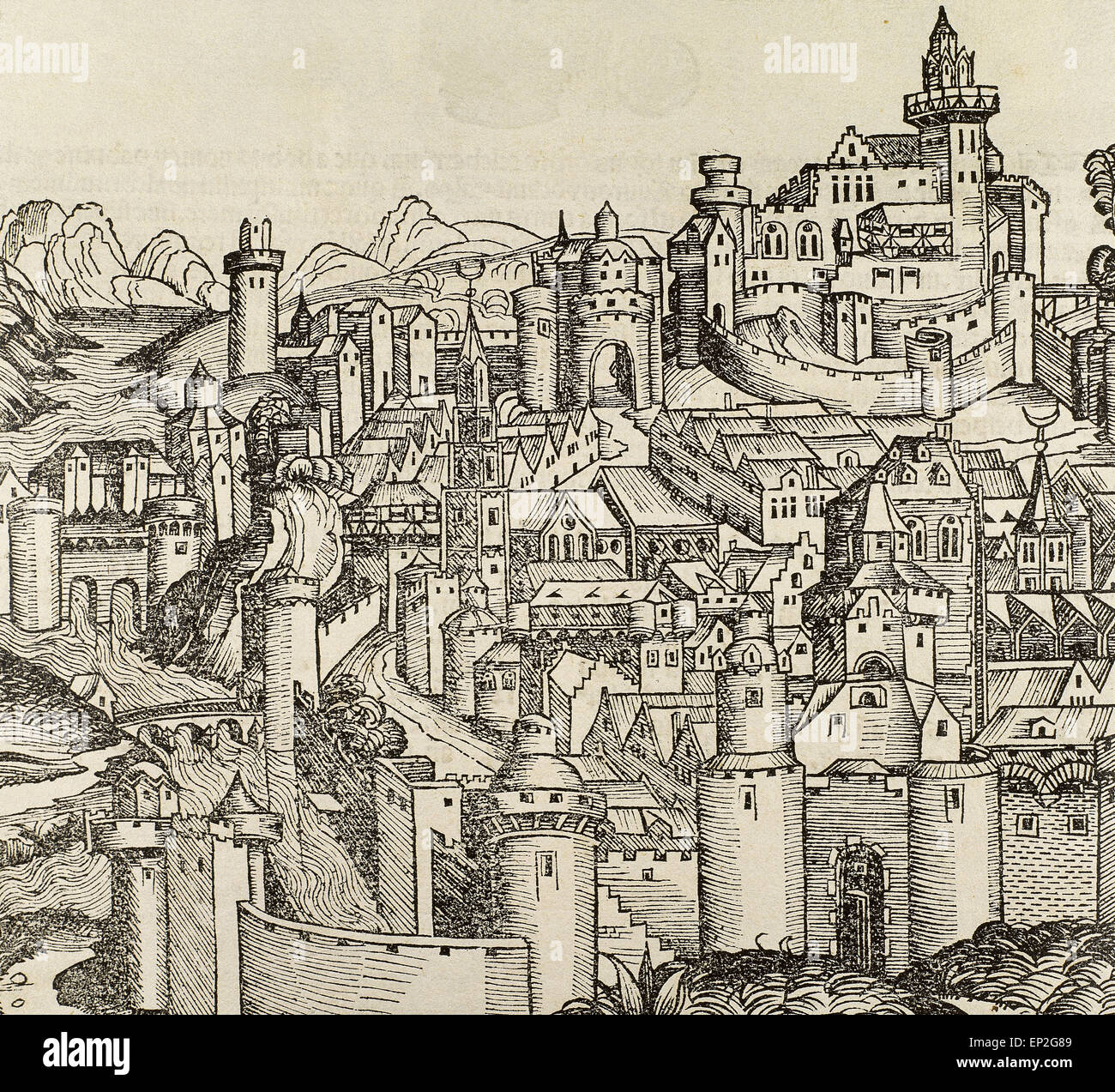 Pisa. Italy. Engraving. 16th century. Stock Photohttps://www.alamy.com/image-license-details/?v=1https://www.alamy.com/stock-photo-pisa-italy-engraving-16th-century-82420585.html
RMEP2G89–Pisa. Italy. Engraving. 16th century.
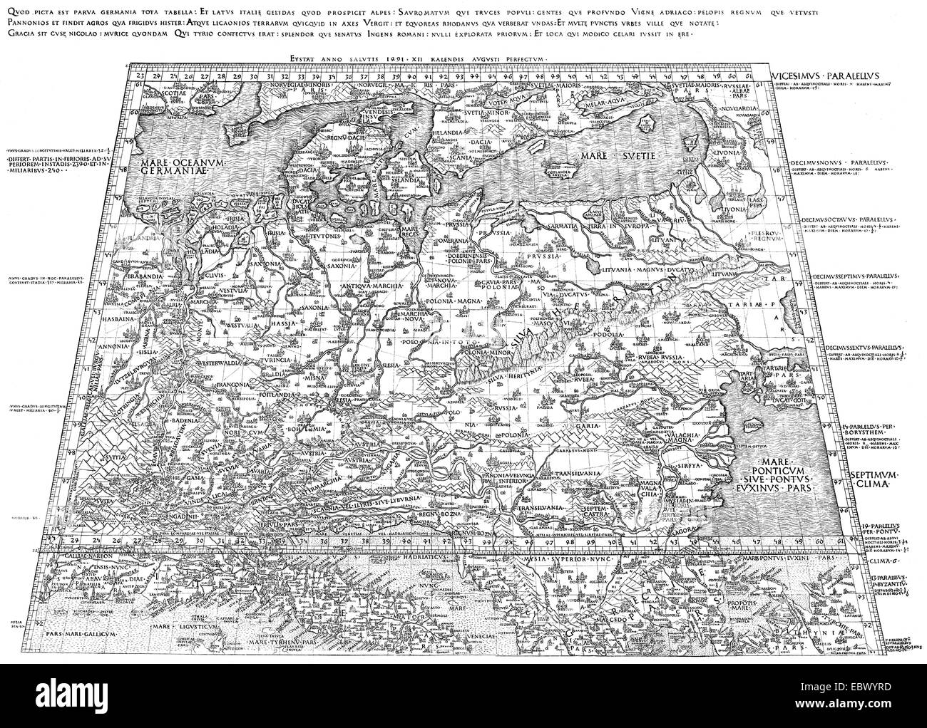 The oldest map of Germany, 1451, by Nicholas of Kues or Nicolaus Cusanus, Nicholas of Cusa, 1401 - 1464, a German philosopher, Stock Photohttps://www.alamy.com/image-license-details/?v=1https://www.alamy.com/stock-photo-the-oldest-map-of-germany-1451-by-nicholas-of-kues-or-nicolaus-cusanus-76173313.html
RMEBWYRD–The oldest map of Germany, 1451, by Nicholas of Kues or Nicolaus Cusanus, Nicholas of Cusa, 1401 - 1464, a German philosopher,
 Italy. Pisa. Engraving. 16th century. Colored. Stock Photohttps://www.alamy.com/image-license-details/?v=1https://www.alamy.com/stock-photo-italy-pisa-engraving-16th-century-colored-85620695.html
RMEY8A1Y–Italy. Pisa. Engraving. 16th century. Colored.
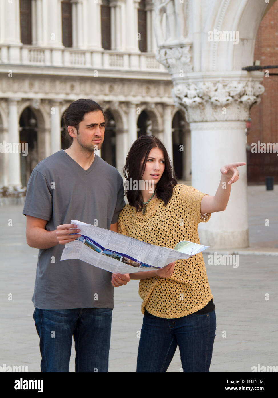 Italy, Venice, Young couple looking at map on St. Mark's Square Stock Photohttps://www.alamy.com/image-license-details/?v=1https://www.alamy.com/stock-photo-italy-venice-young-couple-looking-at-map-on-st-marks-square-81831700.html
RFEN3N4M–Italy, Venice, Young couple looking at map on St. Mark's Square
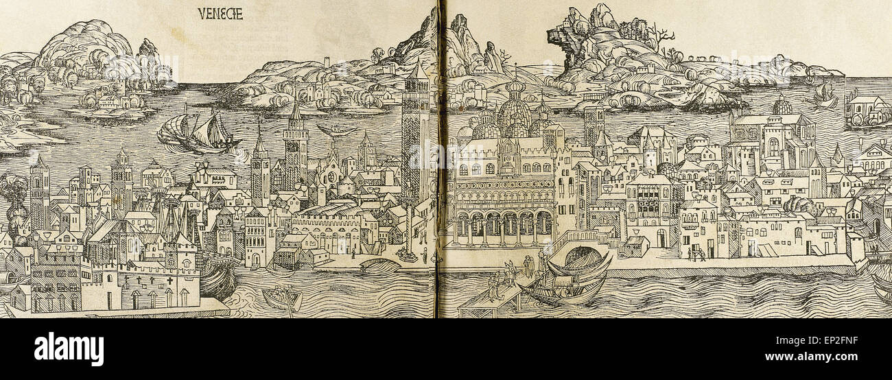 Venice. Italy. Engraving. 16th century. Stock Photohttps://www.alamy.com/image-license-details/?v=1https://www.alamy.com/stock-photo-venice-italy-engraving-16th-century-82420171.html
RMEP2FNF–Venice. Italy. Engraving. 16th century.
 smiling friends with map in the city. Stock Photohttps://www.alamy.com/image-license-details/?v=1https://www.alamy.com/smiling-friends-with-map-in-the-city-image247967487.html
RFTBBW1K–smiling friends with map in the city.
 Detail of the Ceiling of the Map Room in the Vatican Museum Rome Italy Stock Photohttps://www.alamy.com/image-license-details/?v=1https://www.alamy.com/stock-photo-detail-of-the-ceiling-of-the-map-room-in-the-vatican-museum-rome-italy-10850611.html
RMA3T04M–Detail of the Ceiling of the Map Room in the Vatican Museum Rome Italy
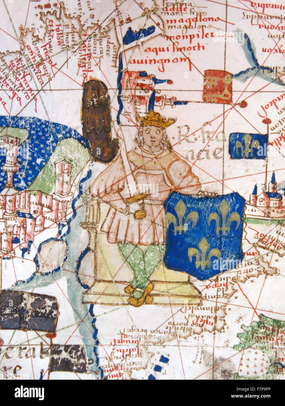 Renaissance map of Europe, Jacopo Russo, 1528, detail Stock Photohttps://www.alamy.com/image-license-details/?v=1https://www.alamy.com/stock-photo-renaissance-map-of-europe-jacopo-russo-1528-detail-90844874.html
RMF7P9FP–Renaissance map of Europe, Jacopo Russo, 1528, detail
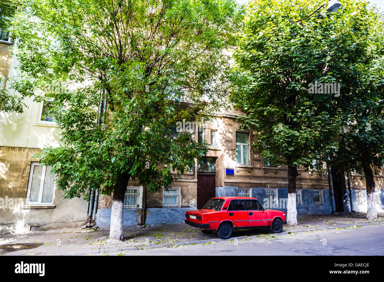 LVIV, UKRAINE The streets of the old town Stock Photohttps://www.alamy.com/image-license-details/?v=1https://www.alamy.com/stock-photo-lviv-ukraine-the-streets-of-the-old-town-109726022.html
RFGAECJE–LVIV, UKRAINE The streets of the old town
 1874 Antique German Encyclopedia Atlas Print: Florence Livorno Ancona Modena Town Plans of North and Central Italy. Stock Photohttps://www.alamy.com/image-license-details/?v=1https://www.alamy.com/stock-photo-1874-antique-german-encyclopedia-atlas-print-florence-livorno-ancona-143688657.html
RFJ9NG9N–1874 Antique German Encyclopedia Atlas Print: Florence Livorno Ancona Modena Town Plans of North and Central Italy.
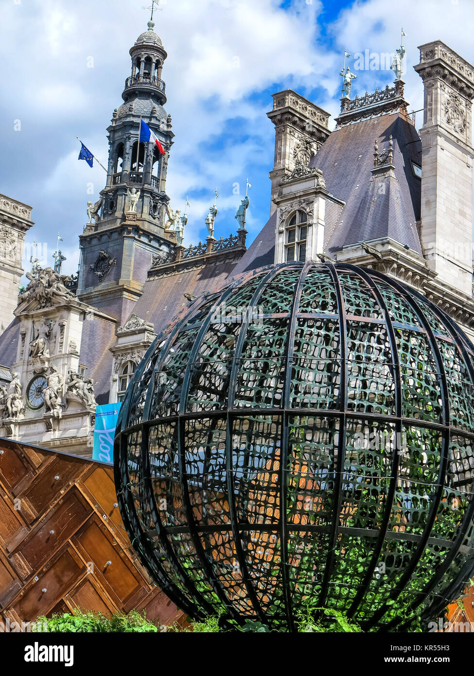 town hall square in paris Stock Photohttps://www.alamy.com/image-license-details/?v=1https://www.alamy.com/stock-image-town-hall-square-in-paris-169144559.html
RFKR55H3–town hall square in paris
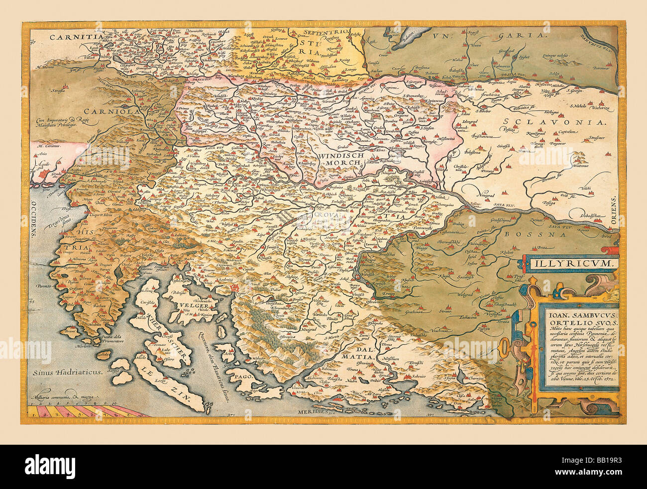 Map of Eastern Europe #4 Stock Photohttps://www.alamy.com/image-license-details/?v=1https://www.alamy.com/stock-photo-map-of-eastern-europe-4-24001239.html
RMBB19R3–Map of Eastern Europe #4
 Renaissance map of Europe, Jacopo Russo, 1528, detail of Bosnia Stock Photohttps://www.alamy.com/image-license-details/?v=1https://www.alamy.com/renaissance-map-of-europe-jacopo-russo-1528-detail-of-bosnia-image330684214.html
RM2A5YY2E–Renaissance map of Europe, Jacopo Russo, 1528, detail of Bosnia
 Palmanova is a town and municipality in northeastern Italy. It is an excellent example of a bastion / star fort of the design favoured in the Late Renaissance era. First built by the Venetians in 1593, the fort-town was designed by Vincenzo Scamozzi. A second phase of construction occurred between 1658 and 1690, with final fortifications completed under the Napoleonic domination of 1806-1813. Stock Photohttps://www.alamy.com/image-license-details/?v=1https://www.alamy.com/palmanova-is-a-town-and-municipality-in-northeastern-italy-it-is-an-excellent-example-of-a-bastion-star-fort-of-the-design-favoured-in-the-late-renaissance-era-first-built-by-the-venetians-in-1593-the-fort-town-was-designed-by-vincenzo-scamozzi-a-second-phase-of-construction-occurred-between-1658-and-1690-with-final-fortifications-completed-under-the-napoleonic-domination-of-1806-1813-image344279907.html
RM2B038EY–Palmanova is a town and municipality in northeastern Italy. It is an excellent example of a bastion / star fort of the design favoured in the Late Renaissance era. First built by the Venetians in 1593, the fort-town was designed by Vincenzo Scamozzi. A second phase of construction occurred between 1658 and 1690, with final fortifications completed under the Napoleonic domination of 1806-1813.
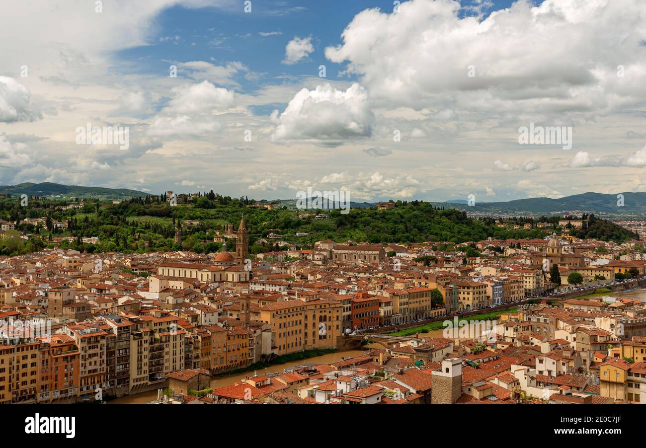 Europe, Italy, Florence, Tuscany. Floerence city scape with dome. Stunning mediterran city in tuscany, Italy. Stock Photohttps://www.alamy.com/image-license-details/?v=1https://www.alamy.com/europe-italy-florence-tuscany-floerence-city-scape-with-dome-stunning-mediterran-city-in-tuscany-italy-image396107895.html
RF2E0C7JF–Europe, Italy, Florence, Tuscany. Floerence city scape with dome. Stunning mediterran city in tuscany, Italy.
 Travalers map at tourist office: Phillip Roberts Stock Photohttps://www.alamy.com/image-license-details/?v=1https://www.alamy.com/travalers-map-at-tourist-office-phillip-roberts-image641845885.html
RM2S86GY9–Travalers map at tourist office: Phillip Roberts
 Claudius Ptolemy (90-168) Greco-Egyptian geographer. World map. Engraving, 16th century. Stock Photohttps://www.alamy.com/image-license-details/?v=1https://www.alamy.com/claudius-ptolemy-90-168-greco-egyptian-geographer-world-map-engraving-16th-century-image220201896.html
RMPP71NC–Claudius Ptolemy (90-168) Greco-Egyptian geographer. World map. Engraving, 16th century.
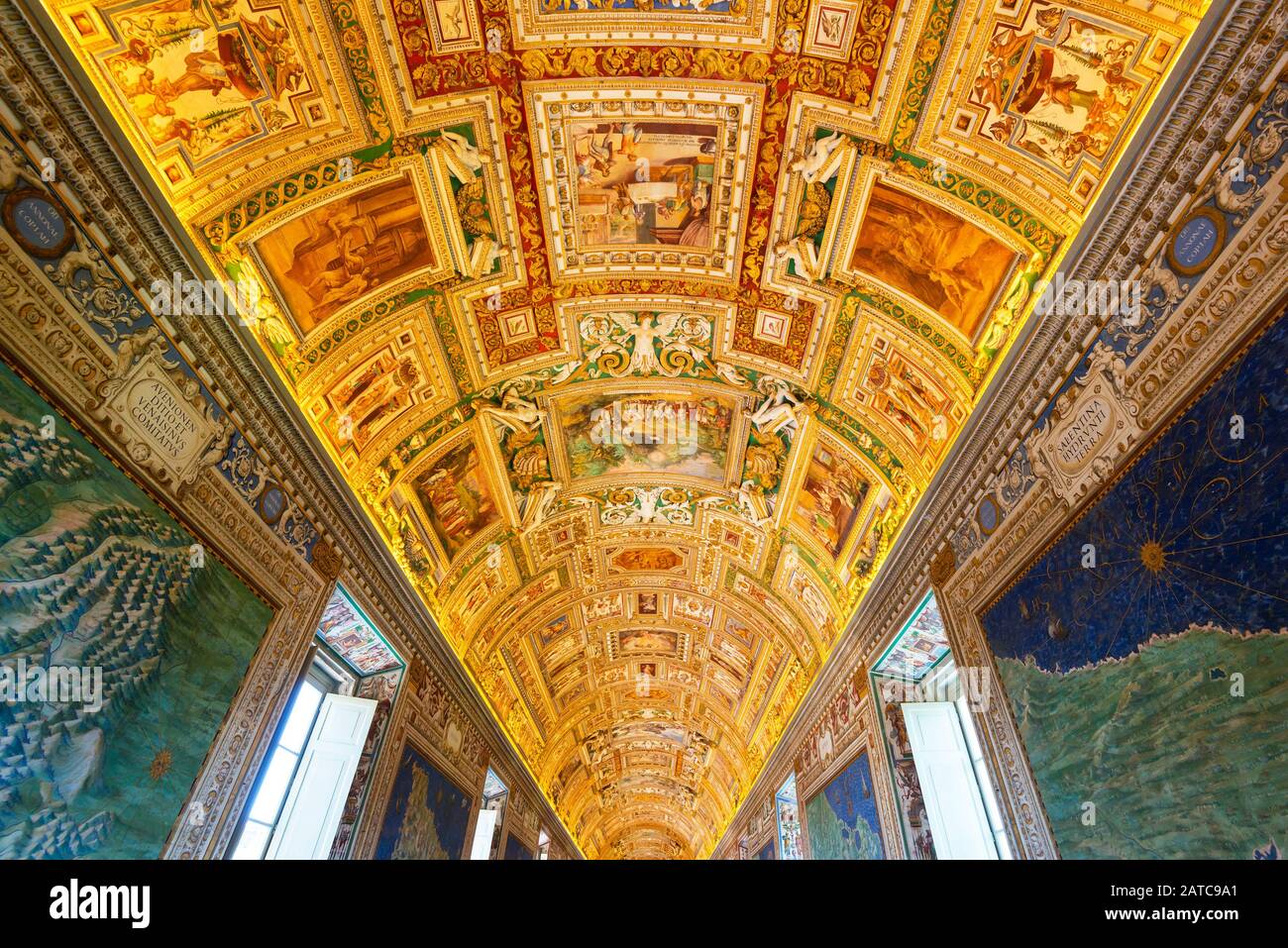 VATICAN - MAY 14, 2014: The ceiling in the Geographic gallery of the Vatican Museums. Stock Photohttps://www.alamy.com/image-license-details/?v=1https://www.alamy.com/vatican-may-14-2014-the-ceiling-in-the-geographic-gallery-of-the-vatican-museums-image342019497.html
RF2ATC9A1–VATICAN - MAY 14, 2014: The ceiling in the Geographic gallery of the Vatican Museums.
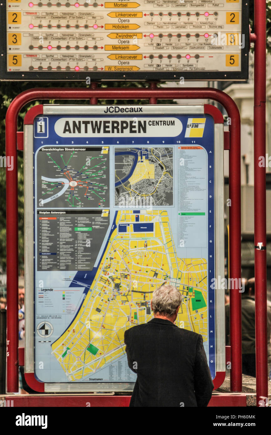 Antwerp, Belgium Stock Photohttps://www.alamy.com/image-license-details/?v=1https://www.alamy.com/antwerp-belgium-image217105859.html
RFPH60MK–Antwerp, Belgium
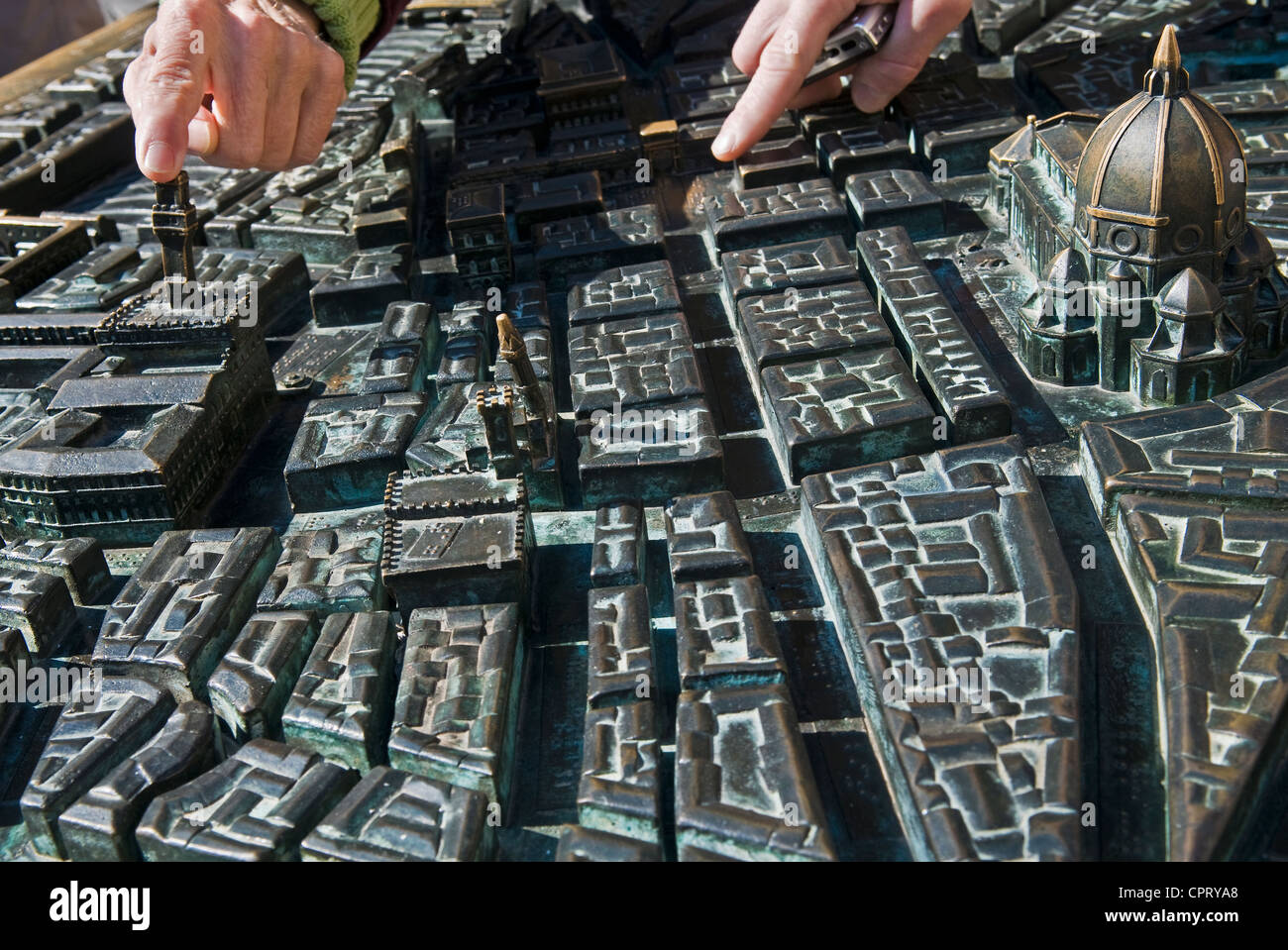 Bronze model of Florence city centre, Piazza della Repubblica, Unesco World Heritage site, Firenze, Tuscany, Italy Stock Photohttps://www.alamy.com/image-license-details/?v=1https://www.alamy.com/stock-photo-bronze-model-of-florence-city-centre-piazza-della-repubblica-unesco-48469520.html
RMCPRYA8–Bronze model of Florence city centre, Piazza della Repubblica, Unesco World Heritage site, Firenze, Tuscany, Italy
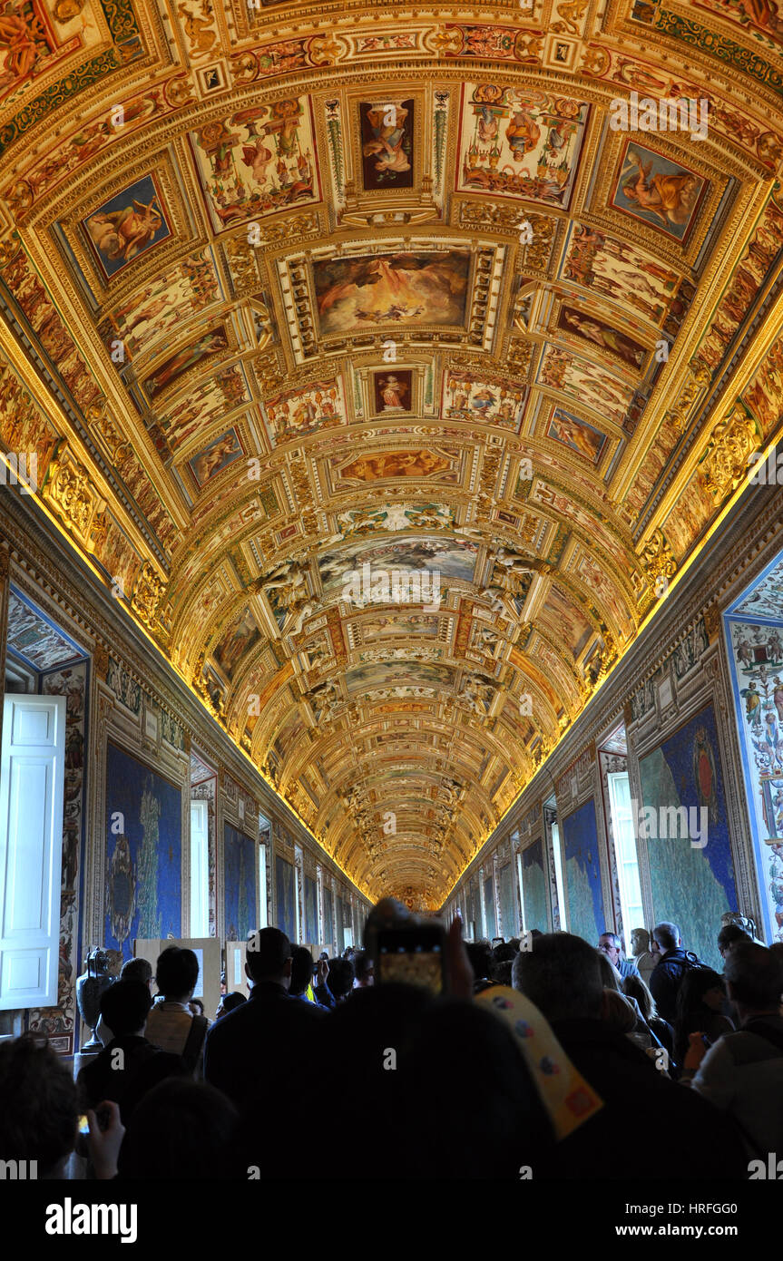 VATICAN, ITALY - MARCH 14, 2016: Tourists visiting the famous Gallery of Maps in the Vatican Museum and admiring the incredible ceiling Stock Photohttps://www.alamy.com/image-license-details/?v=1https://www.alamy.com/stock-photo-vatican-italy-march-14-2016-tourists-visiting-the-famous-gallery-of-134951936.html
RFHRFGG0–VATICAN, ITALY - MARCH 14, 2016: Tourists visiting the famous Gallery of Maps in the Vatican Museum and admiring the incredible ceiling
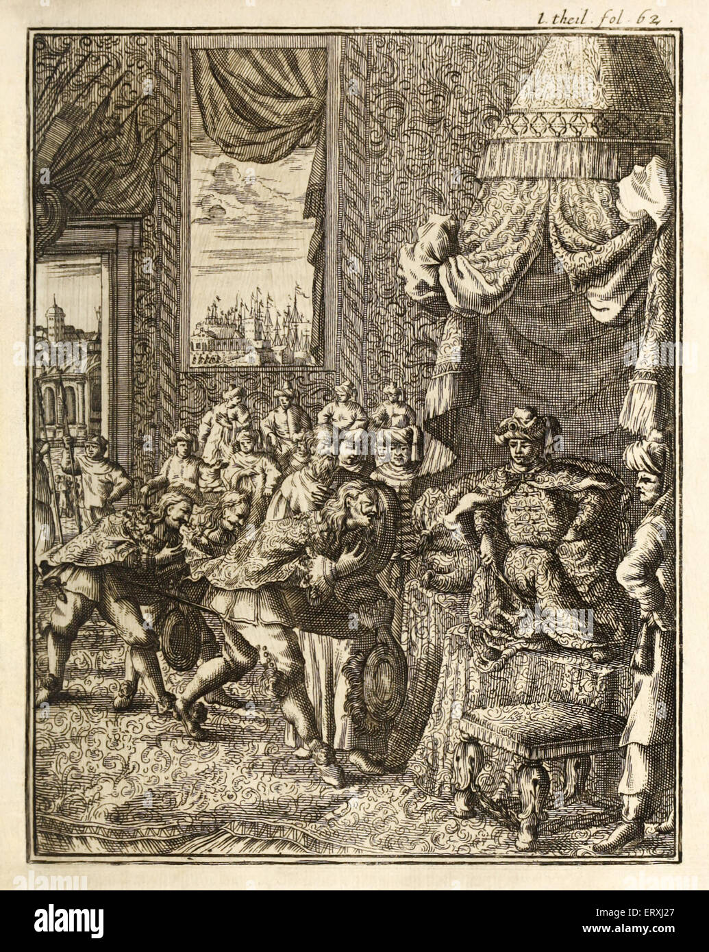 Vasco da Gama (1460s-1524) the Portuguese explorer arrives in Calicut, Kerala in Southern India for the first time in 1498 and is granted an audience before the King of Calicut, Zamorin. Vasco da Gama was the first European to reach India by sea, establishing a sea route between Europe and Asia and thereby granting Portugal a monopoly on trade that lasted a century. Engraving by H. Padtbrugge (1656-1687). See description for more information. Stock Photohttps://www.alamy.com/image-license-details/?v=1https://www.alamy.com/stock-photo-vasco-da-gama-1460s-1524-the-portuguese-explorer-arrives-in-calicut-83563487.html
RMERXJ27–Vasco da Gama (1460s-1524) the Portuguese explorer arrives in Calicut, Kerala in Southern India for the first time in 1498 and is granted an audience before the King of Calicut, Zamorin. Vasco da Gama was the first European to reach India by sea, establishing a sea route between Europe and Asia and thereby granting Portugal a monopoly on trade that lasted a century. Engraving by H. Padtbrugge (1656-1687). See description for more information.
 Sinaia, Prahova / Romania - October 25, 2019: Statue of King Carol I, in front of Peles castle. Stock Photohttps://www.alamy.com/image-license-details/?v=1https://www.alamy.com/sinaia-prahova-romania-october-25-2019-statue-of-king-carol-i-in-front-of-peles-castle-image366524280.html
RF2C88HCT–Sinaia, Prahova / Romania - October 25, 2019: Statue of King Carol I, in front of Peles castle.
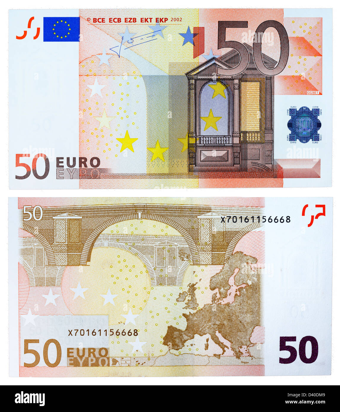 50 Euro banknote, Renaissance architecture and bridge, 2002 Stock Photohttps://www.alamy.com/image-license-details/?v=1https://www.alamy.com/stock-photo-50-euro-banknote-renaissance-architecture-and-bridge-2002-54100489.html
RMD40DM9–50 Euro banknote, Renaissance architecture and bridge, 2002
 Smiling tourist couple using map as guide. Stock Photohttps://www.alamy.com/image-license-details/?v=1https://www.alamy.com/smiling-tourist-couple-using-map-as-guide-image247967609.html
RFTBBW61–Smiling tourist couple using map as guide.
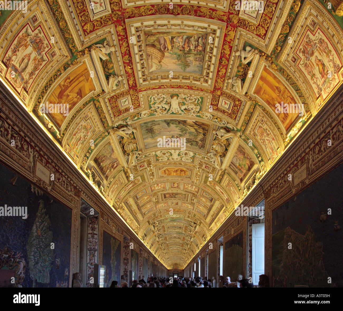 Detail of the Ceiling of the Map Room in the Vatican Museum Rome Italy Stock Photohttps://www.alamy.com/image-license-details/?v=1https://www.alamy.com/stock-photo-detail-of-the-ceiling-of-the-map-room-in-the-vatican-museum-rome-italy-10850620.html
RMA3T05H–Detail of the Ceiling of the Map Room in the Vatican Museum Rome Italy
 Renaissance map of Europe, Jacopo Russo, 1528, detail Stock Photohttps://www.alamy.com/image-license-details/?v=1https://www.alamy.com/stock-photo-renaissance-map-of-europe-jacopo-russo-1528-detail-90844877.html
RMF7P9FW–Renaissance map of Europe, Jacopo Russo, 1528, detail
 Antique map of Libya and the Mediterranean region, Neo-Renaissance and Neo-Baroque interiors, Miramare Castle, 1870, residence of Maximilian of Stock Photohttps://www.alamy.com/image-license-details/?v=1https://www.alamy.com/antique-map-of-libya-and-the-mediterranean-region-neo-renaissance-and-neo-baroque-interiors-miramare-castle-1870-residence-of-maximilian-of-image599215120.html
RM2WPTH00–Antique map of Libya and the Mediterranean region, Neo-Renaissance and Neo-Baroque interiors, Miramare Castle, 1870, residence of Maximilian of
 Symbol of Valladolid. Coat of arms, map and decorative panels on Plaza de Espana (Spain Square) in Seville, Andalusia, Spain. Stock Photohttps://www.alamy.com/image-license-details/?v=1https://www.alamy.com/symbol-of-valladolid-coat-of-arms-map-and-decorative-panels-on-plaza-de-espana-spain-square-in-seville-andalusia-spain-image212210266.html
RFP970A2–Symbol of Valladolid. Coat of arms, map and decorative panels on Plaza de Espana (Spain Square) in Seville, Andalusia, Spain.
 Detail of ornate baroque wall decoration at the 17th century Wilanów Royal Palace in Warsaw,Poland. Stock Photohttps://www.alamy.com/image-license-details/?v=1https://www.alamy.com/stock-photo-detail-of-ornate-baroque-wall-decoration-at-the-17th-century-wilanw-55622432.html
RMD6DPYC–Detail of ornate baroque wall decoration at the 17th century Wilanów Royal Palace in Warsaw,Poland.
