Retford aerial Stock Photos and Images
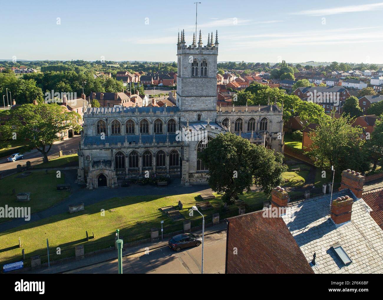 Retford Town Aerial Views Stock Photohttps://www.alamy.com/image-license-details/?v=1https://www.alamy.com/retford-town-aerial-views-image417158883.html
RF2F6K6BF–Retford Town Aerial Views
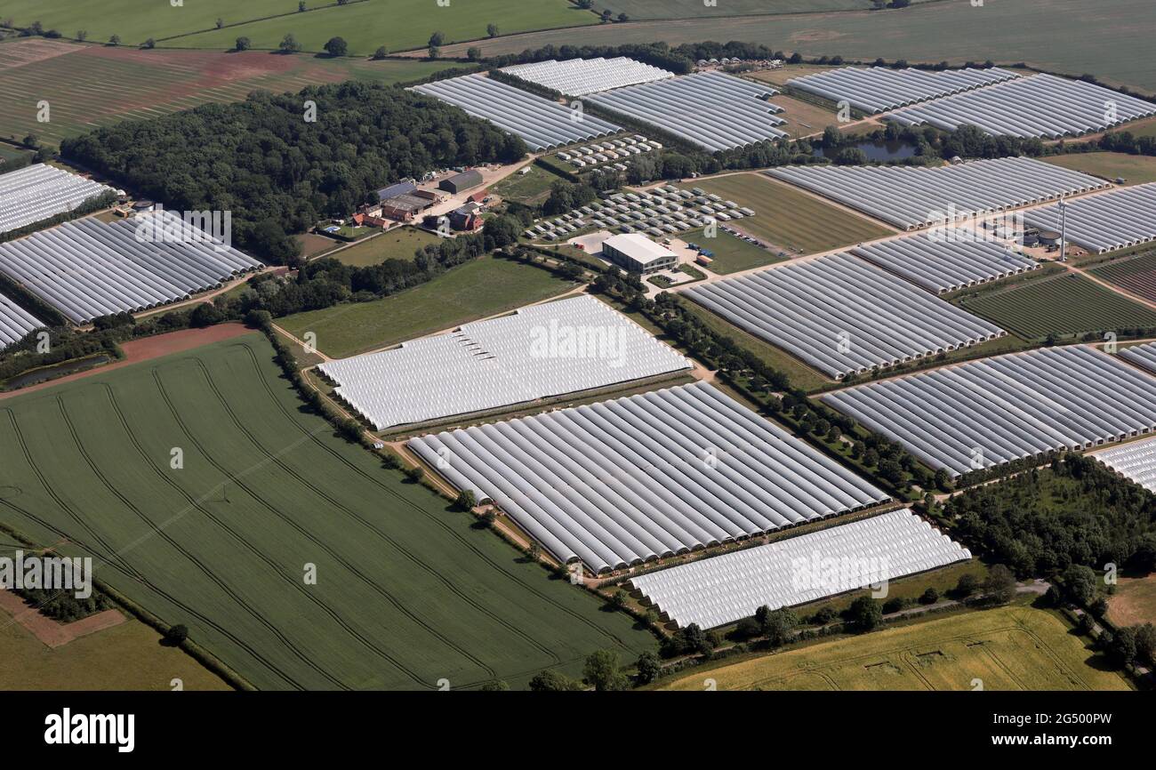 aerial view of the Harwill Farm part the Tasker Partnership near Retford Stock Photohttps://www.alamy.com/image-license-details/?v=1https://www.alamy.com/aerial-view-of-the-harwill-farm-part-the-tasker-partnership-near-retford-image433333121.html
RM2G500PW–aerial view of the Harwill Farm part the Tasker Partnership near Retford
 Aerial photograph of Cottam Power Station located on the banks of the river Trent, 6 miles east of Retford. Stock Photohttps://www.alamy.com/image-license-details/?v=1https://www.alamy.com/aerial-photograph-of-cottam-power-station-located-on-the-banks-of-the-river-trent-6-miles-east-of-retford-image479758897.html
RM2JTEWA9–Aerial photograph of Cottam Power Station located on the banks of the river Trent, 6 miles east of Retford.
 aerial view of Markham Moor Services at a junction of the A1 road near Retford, Lincolnshire Stock Photohttps://www.alamy.com/image-license-details/?v=1https://www.alamy.com/aerial-view-of-markham-moor-services-at-a-junction-of-the-a1-road-near-retford-lincolnshire-image462844159.html
RM2HW0ACF–aerial view of Markham Moor Services at a junction of the A1 road near Retford, Lincolnshire
 Aerial view of Cottam power station, near Retford, Nottinghamshire, owned by EDF Energy. A coal-fired power station Stock Photohttps://www.alamy.com/image-license-details/?v=1https://www.alamy.com/stock-photo-aerial-view-of-cottam-power-station-near-retford-nottinghamshire-owned-50888224.html
RMCXP4CG–Aerial view of Cottam power station, near Retford, Nottinghamshire, owned by EDF Energy. A coal-fired power station
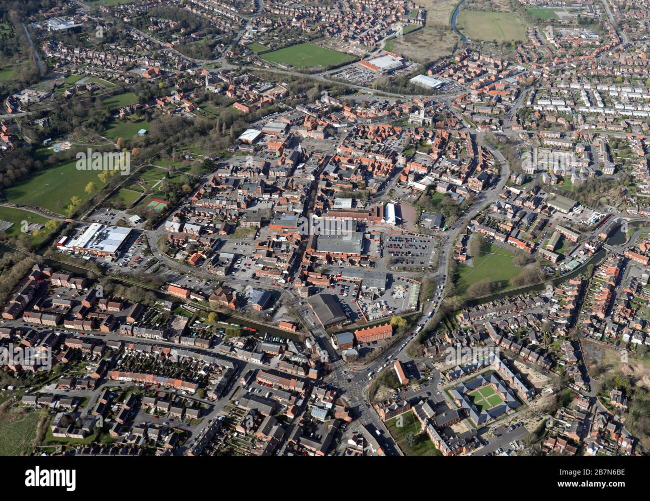 aerial view of Retford town, Nottinghamshire, UK Stock Photohttps://www.alamy.com/image-license-details/?v=1https://www.alamy.com/aerial-view-of-retford-town-nottinghamshire-uk-image348975970.html
RM2B7N6BE–aerial view of Retford town, Nottinghamshire, UK
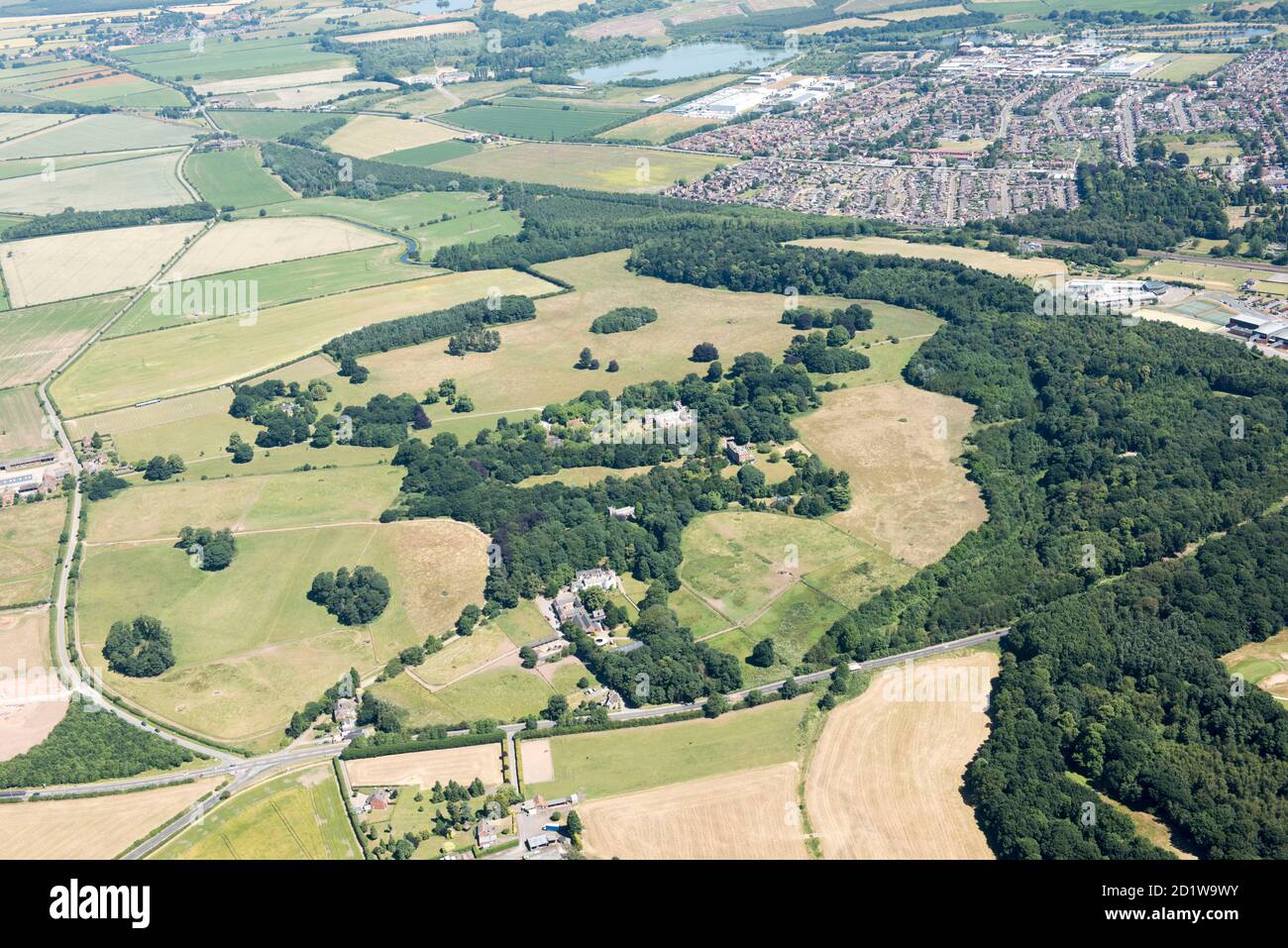 Humphry Repton designed landscape park at Babworth Park, Retford, Nottinghamshire, 2018. Aerial view. Stock Photohttps://www.alamy.com/image-license-details/?v=1https://www.alamy.com/humphry-repton-designed-landscape-park-at-babworth-park-retford-nottinghamshire-2018-aerial-view-image379799335.html
RM2D1W9WY–Humphry Repton designed landscape park at Babworth Park, Retford, Nottinghamshire, 2018. Aerial view.
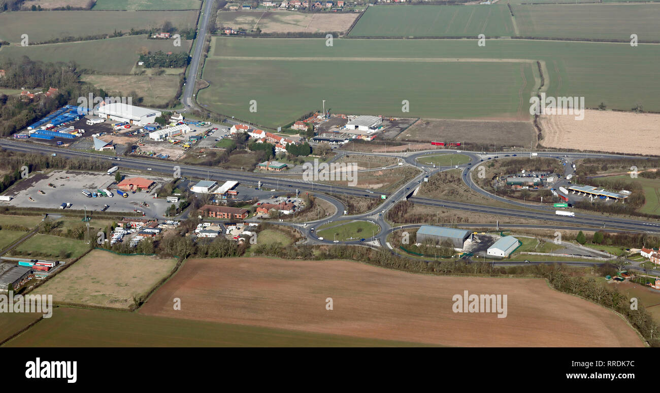 aerial view of the Markham Moor junction & service area on the A1M near Retford, Nottinghamshire Stock Photohttps://www.alamy.com/image-license-details/?v=1https://www.alamy.com/aerial-view-of-the-markham-moor-junction-service-area-on-the-a1m-near-retford-nottinghamshire-image238172352.html
RMRRDK7C–aerial view of the Markham Moor junction & service area on the A1M near Retford, Nottinghamshire
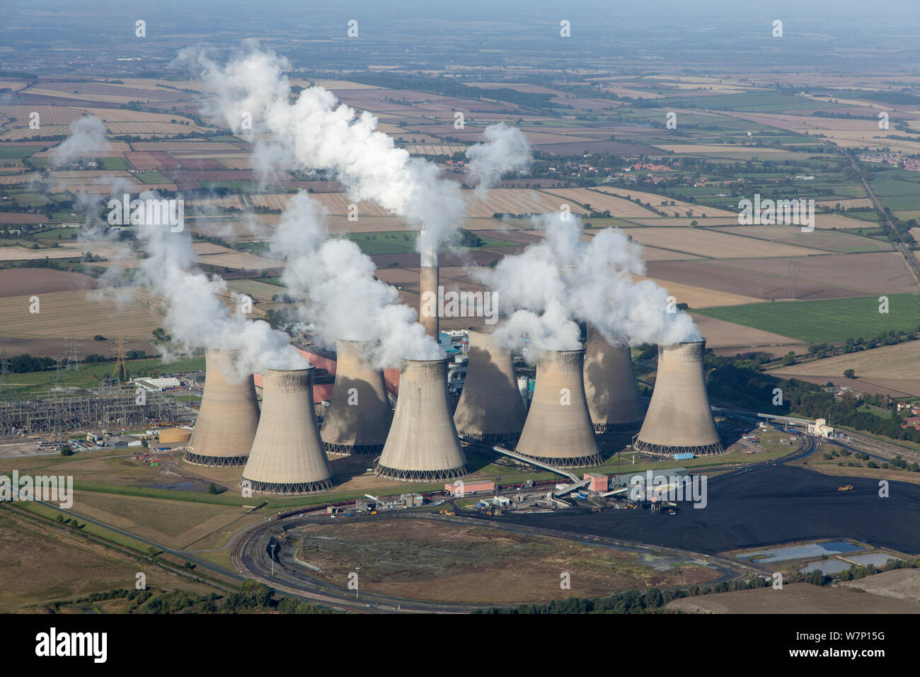 Aerial view of Cottam power station, near Retford, Nottinghamshire, owned by EDF Energy. This power station is coal-fired. October 2012. Stock Photohttps://www.alamy.com/image-license-details/?v=1https://www.alamy.com/aerial-view-of-cottam-power-station-near-retford-nottinghamshire-owned-by-edf-energy-this-power-station-is-coal-fired-october-2012-image262941996.html
RMW7P15G–Aerial view of Cottam power station, near Retford, Nottinghamshire, owned by EDF Energy. This power station is coal-fired. October 2012.
 Parkland of Babworth Hall, near Retford, Nottinghamshire, 2018. Creator: Historic England Staff Photographer. Stock Photohttps://www.alamy.com/image-license-details/?v=1https://www.alamy.com/parkland-of-babworth-hall-near-retford-nottinghamshire-2018-creator-historic-england-staff-photographer-image262735002.html
RMW7CH4X–Parkland of Babworth Hall, near Retford, Nottinghamshire, 2018. Creator: Historic England Staff Photographer.
 Power Station Pollution from Drax Power Station, with Cottam Power Station foreground, East Midlands, UK Stock Photohttps://www.alamy.com/image-license-details/?v=1https://www.alamy.com/stock-photo-power-station-pollution-from-drax-power-station-with-cottam-power-27849158.html
RFBH8HTP–Power Station Pollution from Drax Power Station, with Cottam Power Station foreground, East Midlands, UK
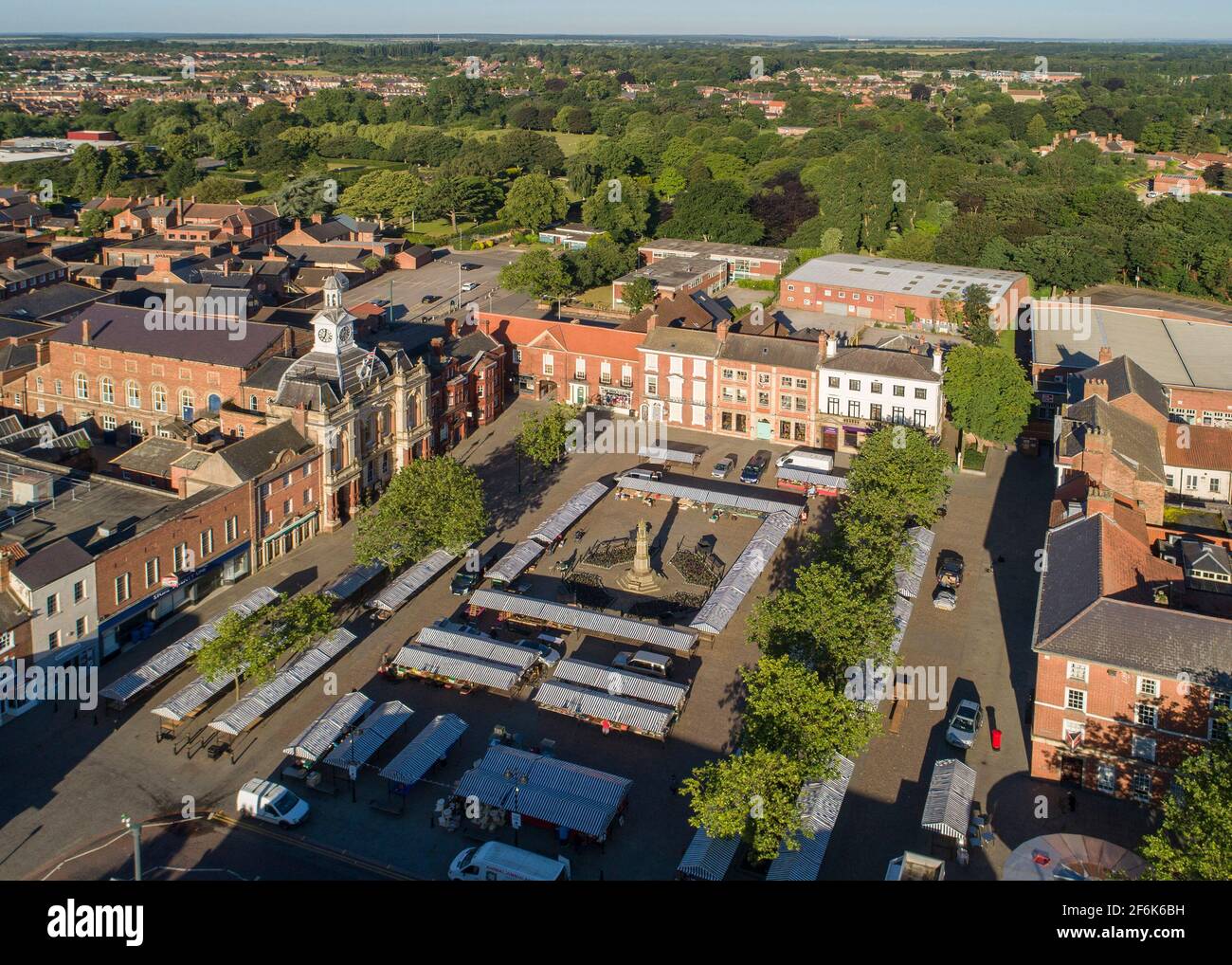 Retford Town Aerial Views Stock Photohttps://www.alamy.com/image-license-details/?v=1https://www.alamy.com/retford-town-aerial-views-image417158885.html
RF2F6K6BH–Retford Town Aerial Views
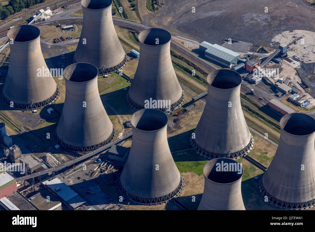 Aerial photograph of Cottam Power Station located on the banks of the river Trent, 6 miles east of Retford. Stock Photohttps://www.alamy.com/image-license-details/?v=1https://www.alamy.com/aerial-photograph-of-cottam-power-station-located-on-the-banks-of-the-river-trent-6-miles-east-of-retford-image479758889.html
RM2JTEWA1–Aerial photograph of Cottam Power Station located on the banks of the river Trent, 6 miles east of Retford.
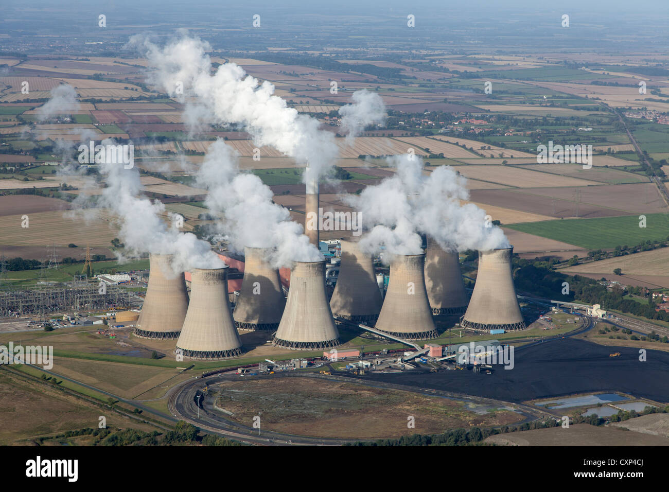 Aerial view of Cottam power station, near Retford, Nottinghamshire, owned by EDF Energy. A coal-fired power station Stock Photohttps://www.alamy.com/image-license-details/?v=1https://www.alamy.com/stock-photo-aerial-view-of-cottam-power-station-near-retford-nottinghamshire-owned-50888226.html
RMCXP4CJ–Aerial view of Cottam power station, near Retford, Nottinghamshire, owned by EDF Energy. A coal-fired power station
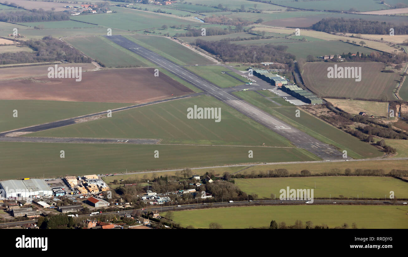 aerial view of Gamston Airport Stock Photohttps://www.alamy.com/image-license-details/?v=1https://www.alamy.com/aerial-view-of-gamston-airport-image238172132.html
RMRRDJYG–aerial view of Gamston Airport
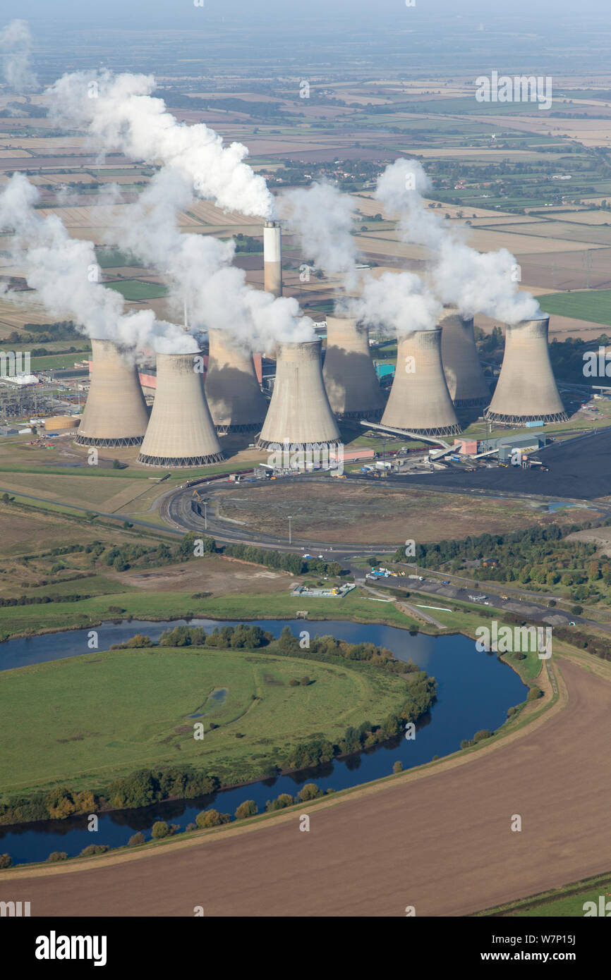 Aerial view of Cottam power station, near Retford, Nottinghamshire, owned by EDF Energy. This power station is coal-fired. October 2012. Stock Photohttps://www.alamy.com/image-license-details/?v=1https://www.alamy.com/aerial-view-of-cottam-power-station-near-retford-nottinghamshire-owned-by-edf-energy-this-power-station-is-coal-fired-october-2012-image262941998.html
RMW7P15J–Aerial view of Cottam power station, near Retford, Nottinghamshire, owned by EDF Energy. This power station is coal-fired. October 2012.
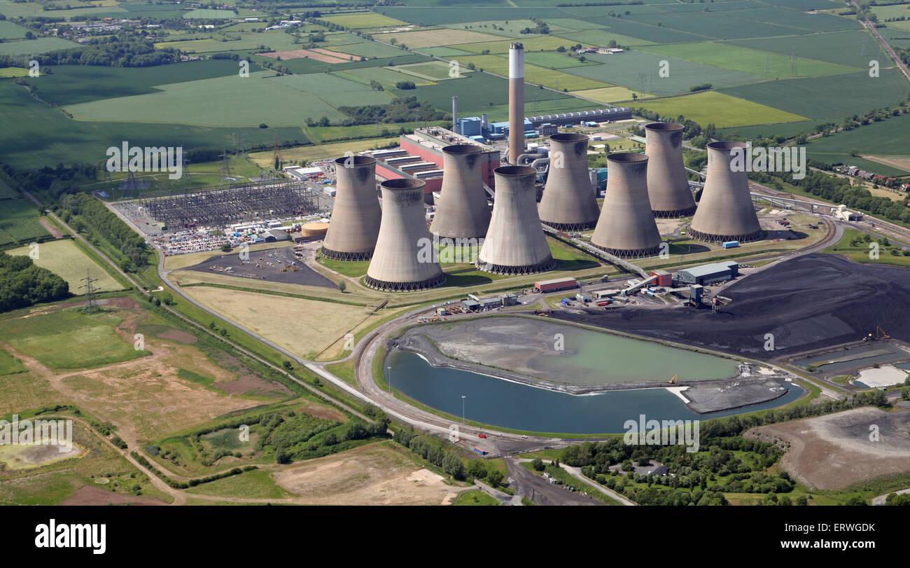 aerial view of Cottam Power Stations, a coal-fired and a gas-fired power station, near Retford in Nottinghamshire Stock Photohttps://www.alamy.com/image-license-details/?v=1https://www.alamy.com/stock-photo-aerial-view-of-cottam-power-stations-a-coal-fired-and-a-gas-fired-83540287.html
RMERWGDK–aerial view of Cottam Power Stations, a coal-fired and a gas-fired power station, near Retford in Nottinghamshire
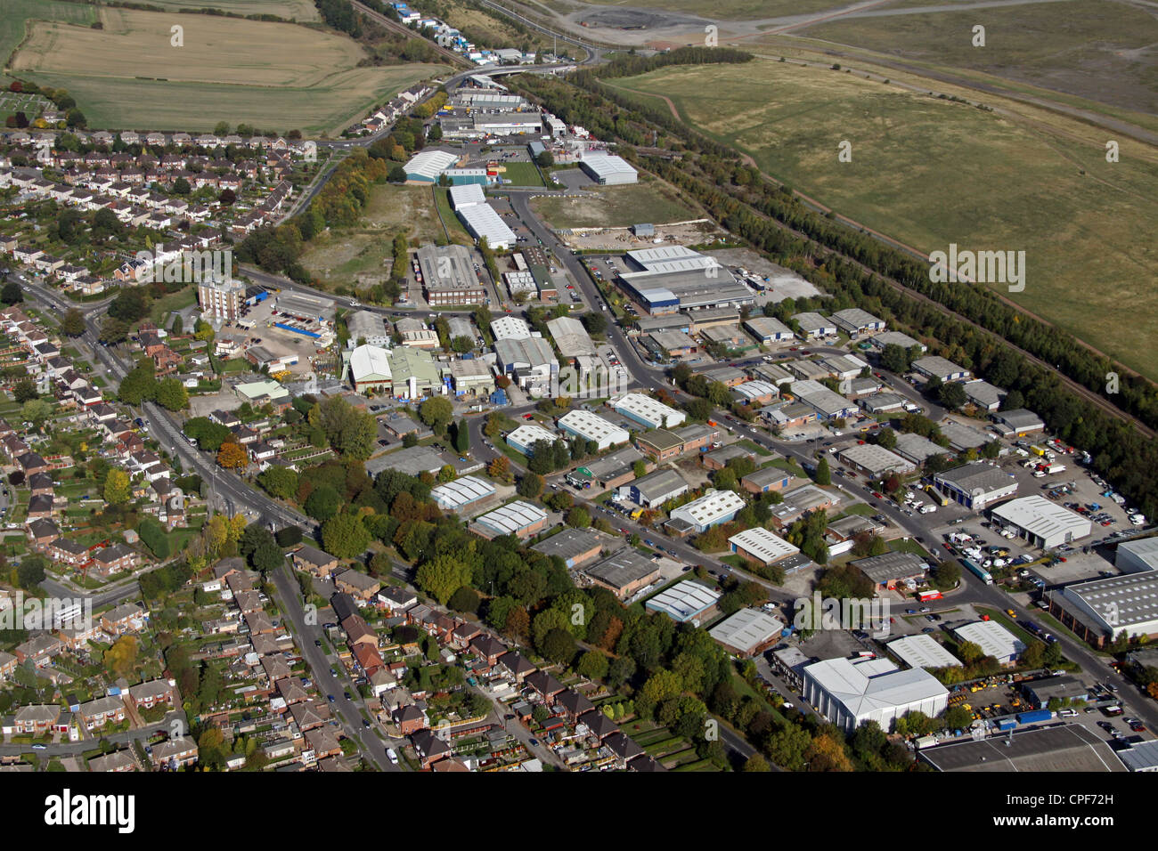 aerial view of Dore House Farm Industrial Estate, Orgreave Drive, Sheffield Stock Photohttps://www.alamy.com/image-license-details/?v=1https://www.alamy.com/stock-photo-aerial-view-of-dore-house-farm-industrial-estate-orgreave-drive-sheffield-48278009.html
RMCPF72H–aerial view of Dore House Farm Industrial Estate, Orgreave Drive, Sheffield
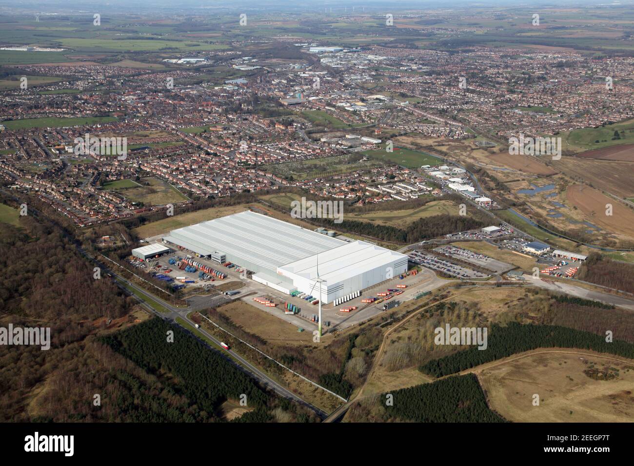 aerial view of the B & Q / Wincanton distribution centre warehouse at Worksop, Nottinghamshire Stock Photohttps://www.alamy.com/image-license-details/?v=1https://www.alamy.com/aerial-view-of-the-b-q-wincanton-distribution-centre-warehouse-at-worksop-nottinghamshire-image404812348.html
RM2EEGP7T–aerial view of the B & Q / Wincanton distribution centre warehouse at Worksop, Nottinghamshire
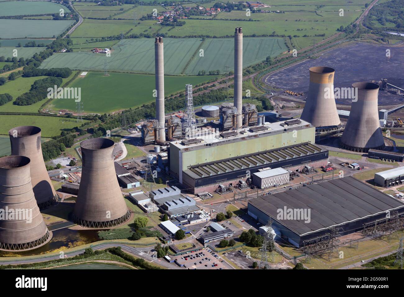 aerial view of West Burton A Power Station near Retford which is a coal-fired power station due to close in September 2022 Stock Photohttps://www.alamy.com/image-license-details/?v=1https://www.alamy.com/aerial-view-of-west-burton-a-power-station-near-retford-which-is-a-coal-fired-power-station-due-to-close-in-september-2022-image433333125.html
RM2G500R1–aerial view of West Burton A Power Station near Retford which is a coal-fired power station due to close in September 2022
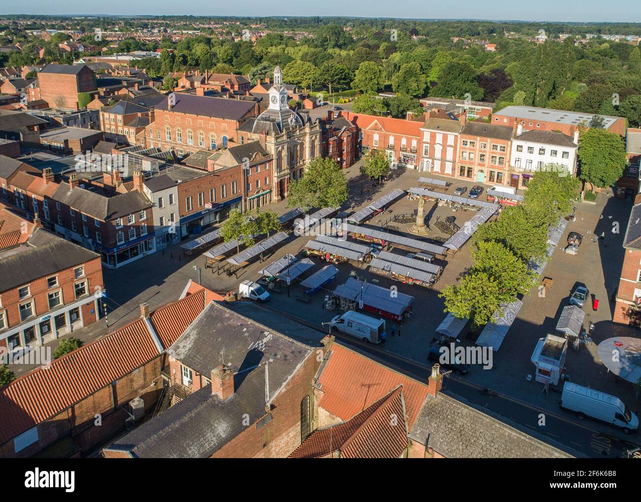 Retford Town Aerial Views Stock Photohttps://www.alamy.com/image-license-details/?v=1https://www.alamy.com/retford-town-aerial-views-image417158876.html
RF2F6K6B8–Retford Town Aerial Views
 Aerial photograph of Cottam Power Station located on the banks of the river Trent, 6 miles east of Retford. Stock Photohttps://www.alamy.com/image-license-details/?v=1https://www.alamy.com/aerial-photograph-of-cottam-power-station-located-on-the-banks-of-the-river-trent-6-miles-east-of-retford-image479758875.html
RM2JTEW9F–Aerial photograph of Cottam Power Station located on the banks of the river Trent, 6 miles east of Retford.
 Retford Town Aerial Views Stock Photohttps://www.alamy.com/image-license-details/?v=1https://www.alamy.com/retford-town-aerial-views-image417158881.html
RF2F6K6BD–Retford Town Aerial Views
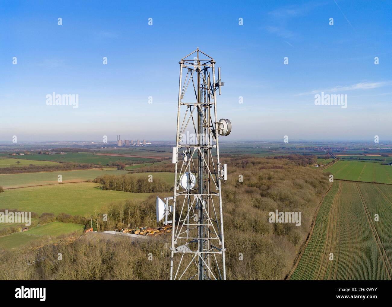 Radio Tower Leverton Hill Retford Stock Photohttps://www.alamy.com/image-license-details/?v=1https://www.alamy.com/radio-tower-leverton-hill-retford-image417174239.html
RF2F6KWYY–Radio Tower Leverton Hill Retford
 Aerial photograph of Cottam Power Station located on the banks of the river Trent, 6 miles east of Retford. Stock Photohttps://www.alamy.com/image-license-details/?v=1https://www.alamy.com/aerial-photograph-of-cottam-power-station-located-on-the-banks-of-the-river-trent-6-miles-east-of-retford-image479758882.html
RM2JTEW9P–Aerial photograph of Cottam Power Station located on the banks of the river Trent, 6 miles east of Retford.
 Radio Tower Leverton Hill Retford Stock Photohttps://www.alamy.com/image-license-details/?v=1https://www.alamy.com/radio-tower-leverton-hill-retford-image417174258.html
RF2F6KX0J–Radio Tower Leverton Hill Retford
 Radio Tower Leverton Hill Retford Stock Photohttps://www.alamy.com/image-license-details/?v=1https://www.alamy.com/radio-tower-leverton-hill-retford-image417174229.html
RF2F6KWYH–Radio Tower Leverton Hill Retford
 Radio Tower Leverton Hill Retford Stock Photohttps://www.alamy.com/image-license-details/?v=1https://www.alamy.com/radio-tower-leverton-hill-retford-image417174246.html
RF2F6KX06–Radio Tower Leverton Hill Retford
 Radio Tower Leverton Hill Retford Stock Photohttps://www.alamy.com/image-license-details/?v=1https://www.alamy.com/radio-tower-leverton-hill-retford-image417174249.html
RF2F6KX09–Radio Tower Leverton Hill Retford
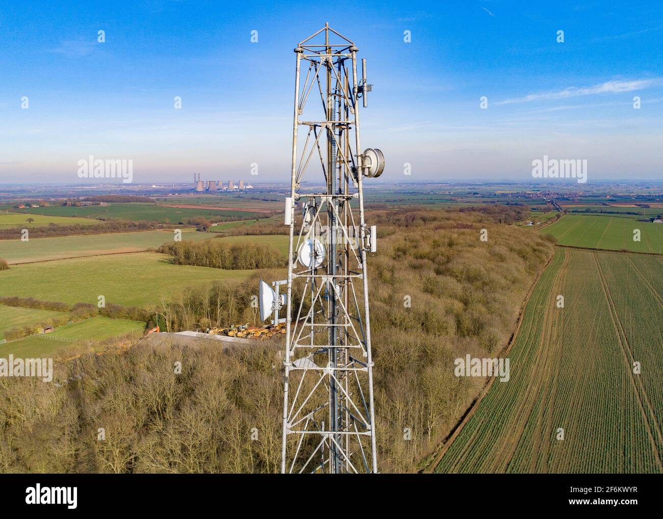 Radio Tower Leverton Hill Retford Stock Photohttps://www.alamy.com/image-license-details/?v=1https://www.alamy.com/radio-tower-leverton-hill-retford-image417174235.html
RF2F6KWYR–Radio Tower Leverton Hill Retford
 Radio Tower Leverton Hill Retford Stock Photohttps://www.alamy.com/image-license-details/?v=1https://www.alamy.com/radio-tower-leverton-hill-retford-image417174253.html
RF2F6KX0D–Radio Tower Leverton Hill Retford
 Radio Tower Leverton Hill Retford Stock Photohttps://www.alamy.com/image-license-details/?v=1https://www.alamy.com/radio-tower-leverton-hill-retford-image417174242.html
RF2F6KX02–Radio Tower Leverton Hill Retford
 Radio Tower Leverton Hill Retford Stock Photohttps://www.alamy.com/image-license-details/?v=1https://www.alamy.com/radio-tower-leverton-hill-retford-image417174224.html
RF2F6KWYC–Radio Tower Leverton Hill Retford
 Radio Tower Leverton Hill Retford Stock Photohttps://www.alamy.com/image-license-details/?v=1https://www.alamy.com/radio-tower-leverton-hill-retford-image417174233.html
RF2F6KWYN–Radio Tower Leverton Hill Retford
 Radio Tower Leverton Hill Retford Stock Photohttps://www.alamy.com/image-license-details/?v=1https://www.alamy.com/radio-tower-leverton-hill-retford-image417174091.html
RF2F6KWPK–Radio Tower Leverton Hill Retford
 Radio Tower Leverton Hill Retford Stock Photohttps://www.alamy.com/image-license-details/?v=1https://www.alamy.com/radio-tower-leverton-hill-retford-image417174222.html
RF2F6KWYA–Radio Tower Leverton Hill Retford
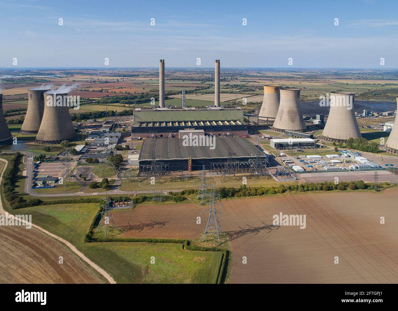 Cottam Power Station Stock Photohttps://www.alamy.com/image-license-details/?v=1https://www.alamy.com/cottam-power-station-image417720409.html
RF2F7GPJ1–Cottam Power Station
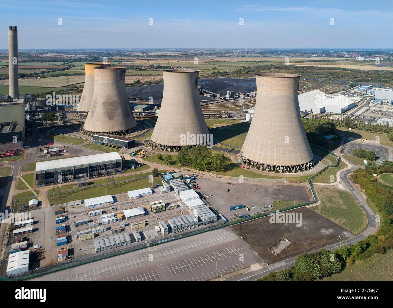 Cottam Power Station Stock Photohttps://www.alamy.com/image-license-details/?v=1https://www.alamy.com/cottam-power-station-image417720415.html
RF2F7GPJ7–Cottam Power Station
 Retford Town Aerial Views Stock Photohttps://www.alamy.com/image-license-details/?v=1https://www.alamy.com/retford-town-aerial-views-image417156726.html
RF2F6K3JE–Retford Town Aerial Views
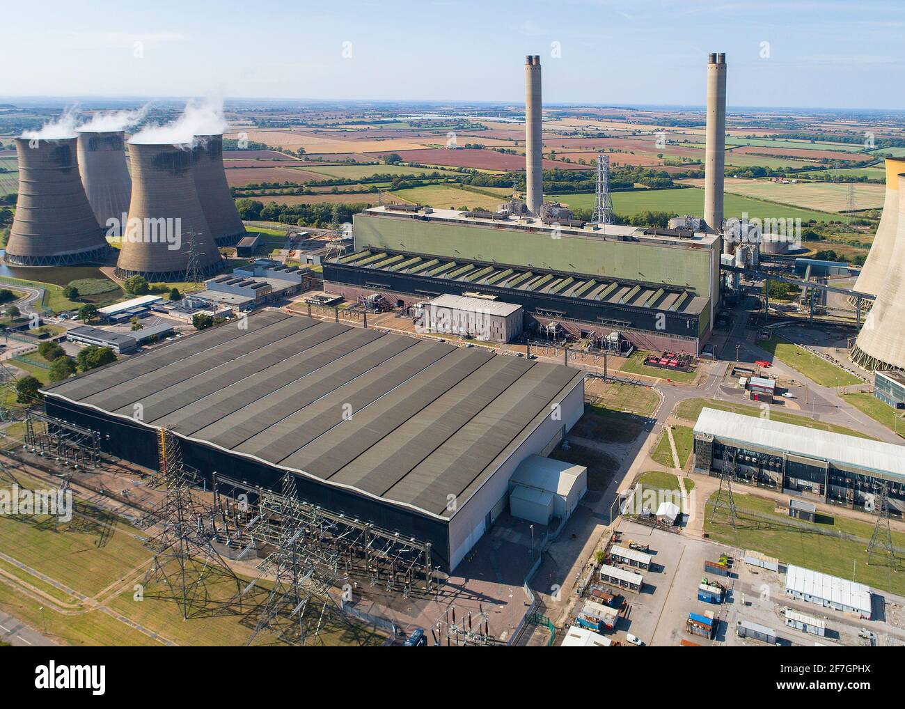 Cottam Power Station Stock Photohttps://www.alamy.com/image-license-details/?v=1https://www.alamy.com/cottam-power-station-image417720406.html
RF2F7GPHX–Cottam Power Station
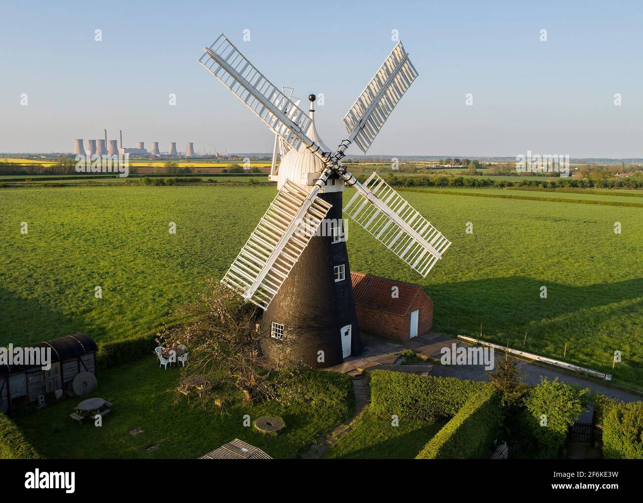
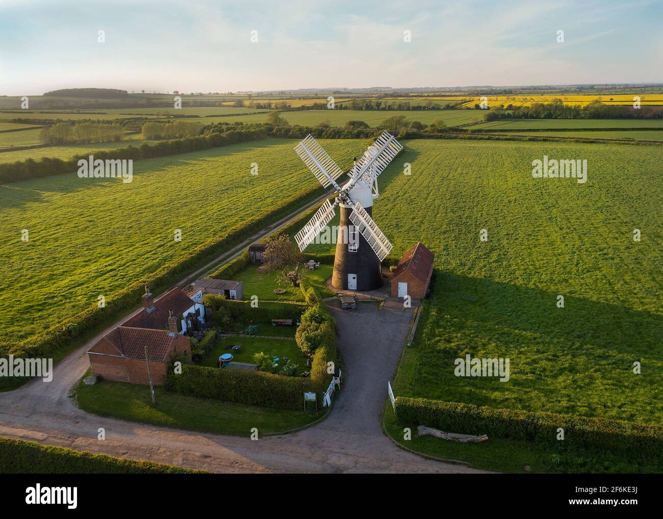 North Leverton Windmill Stock Photohttps://www.alamy.com/image-license-details/?v=1https://www.alamy.com/north-leverton-windmill-image417164934.html
RF2F6KE3J–North Leverton Windmill
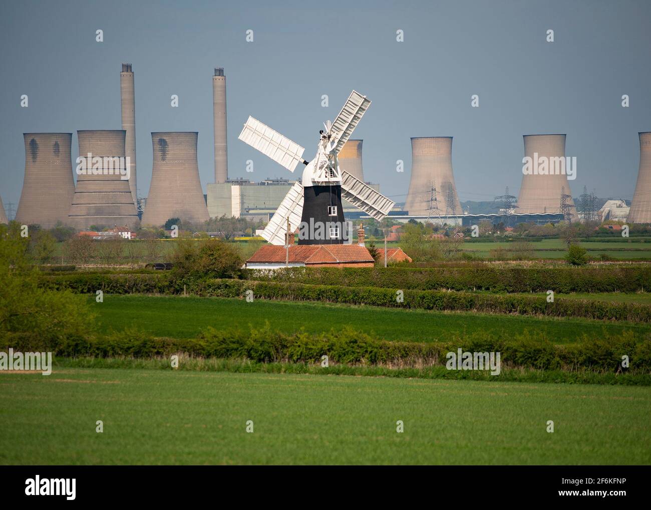 North Leverton Windmill Stock Photohttps://www.alamy.com/image-license-details/?v=1https://www.alamy.com/north-leverton-windmill-image417166226.html
RF2F6KFNP–North Leverton Windmill
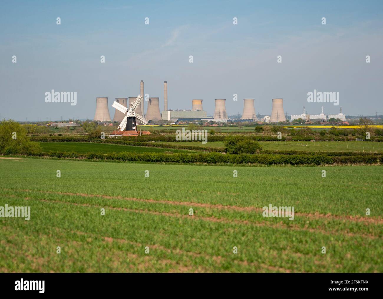 North Leverton Windmill Stock Photohttps://www.alamy.com/image-license-details/?v=1https://www.alamy.com/north-leverton-windmill-image417166230.html
RF2F6KFNX–North Leverton Windmill
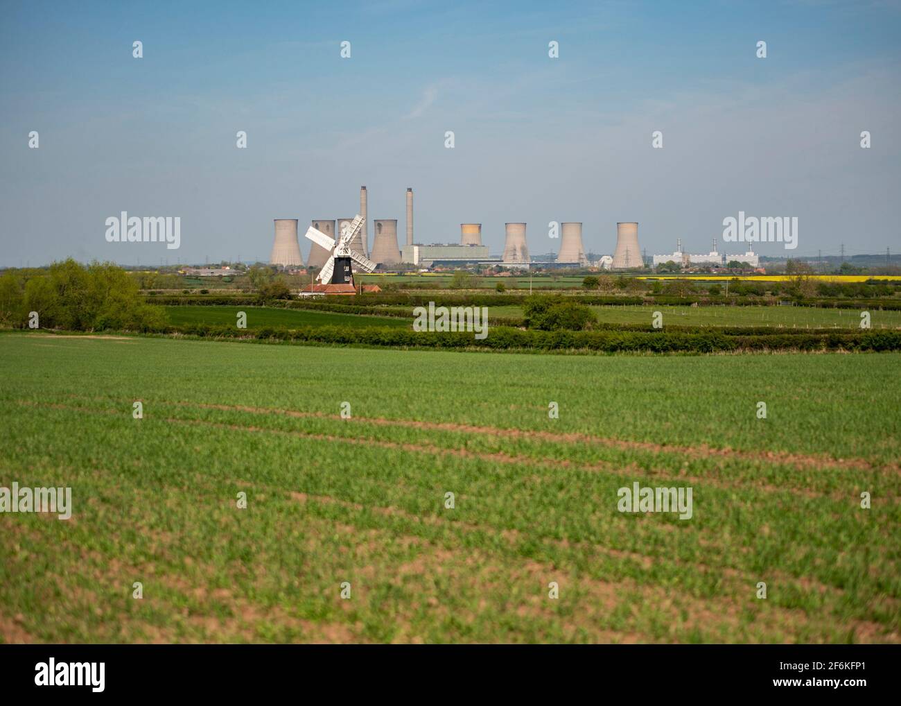 North Leverton Windmill Stock Photohttps://www.alamy.com/image-license-details/?v=1https://www.alamy.com/north-leverton-windmill-image417166233.html
RF2F6KFP1–North Leverton Windmill
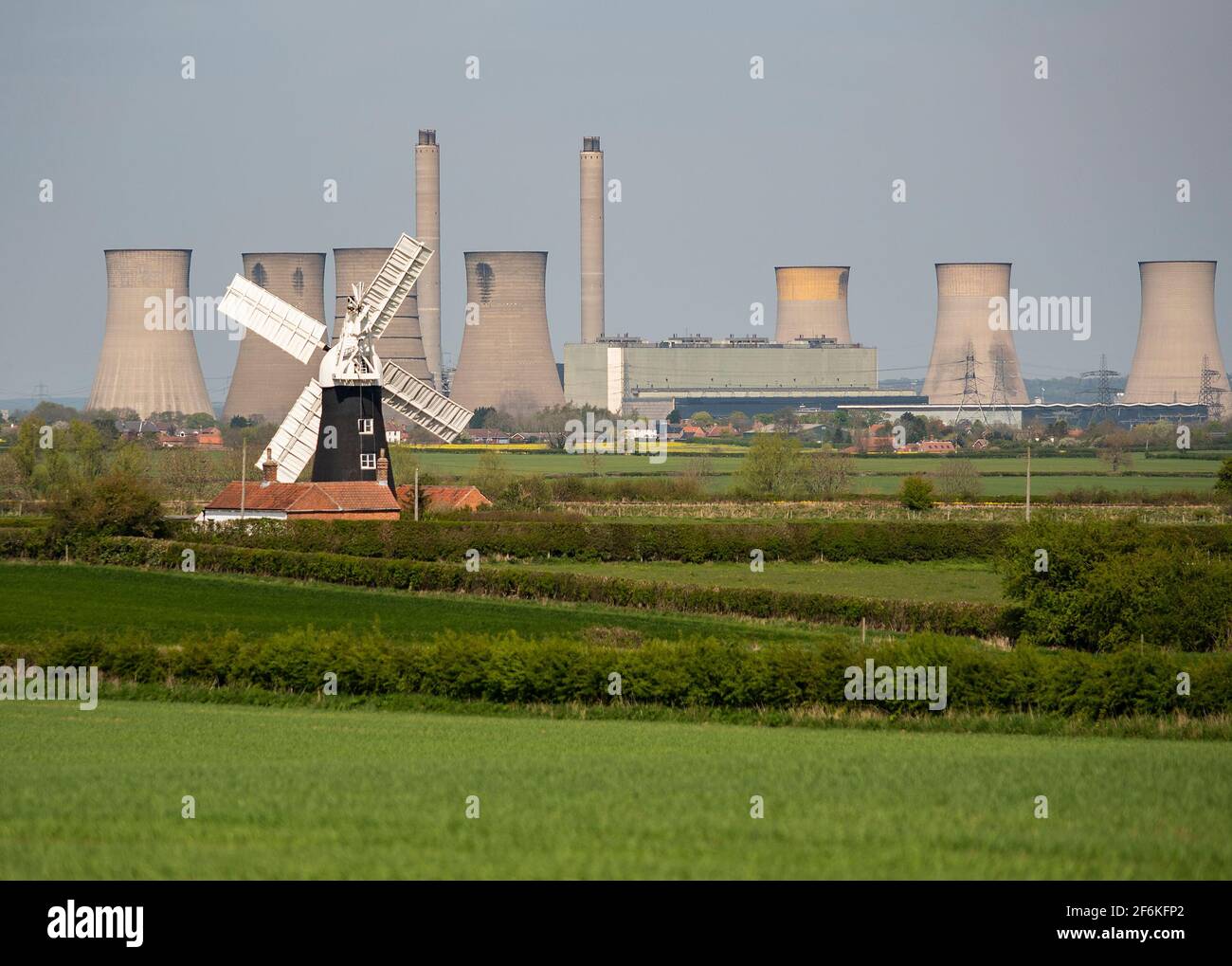 North Leverton Windmill Stock Photohttps://www.alamy.com/image-license-details/?v=1https://www.alamy.com/north-leverton-windmill-image417166234.html
RF2F6KFP2–North Leverton Windmill
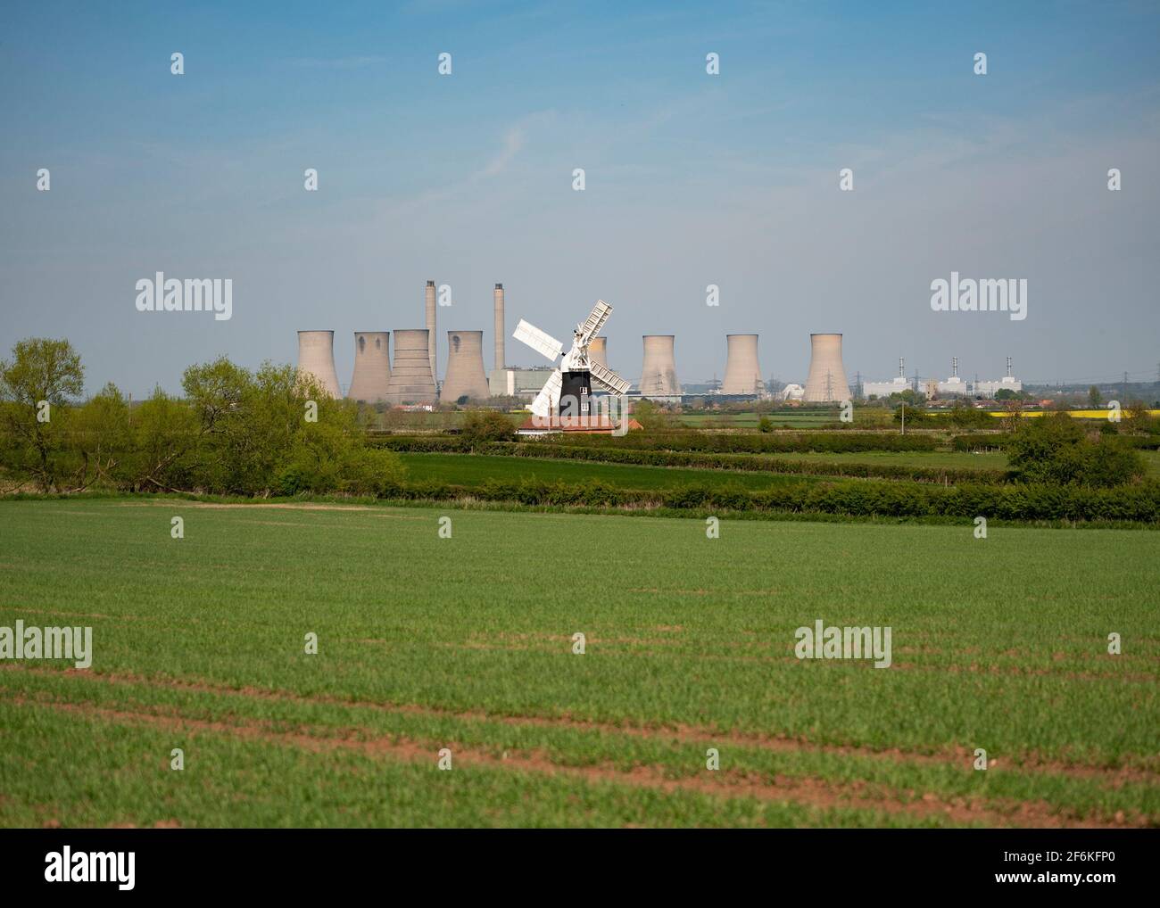 North Leverton Windmill Stock Photohttps://www.alamy.com/image-license-details/?v=1https://www.alamy.com/north-leverton-windmill-image417166232.html
RF2F6KFP0–North Leverton Windmill
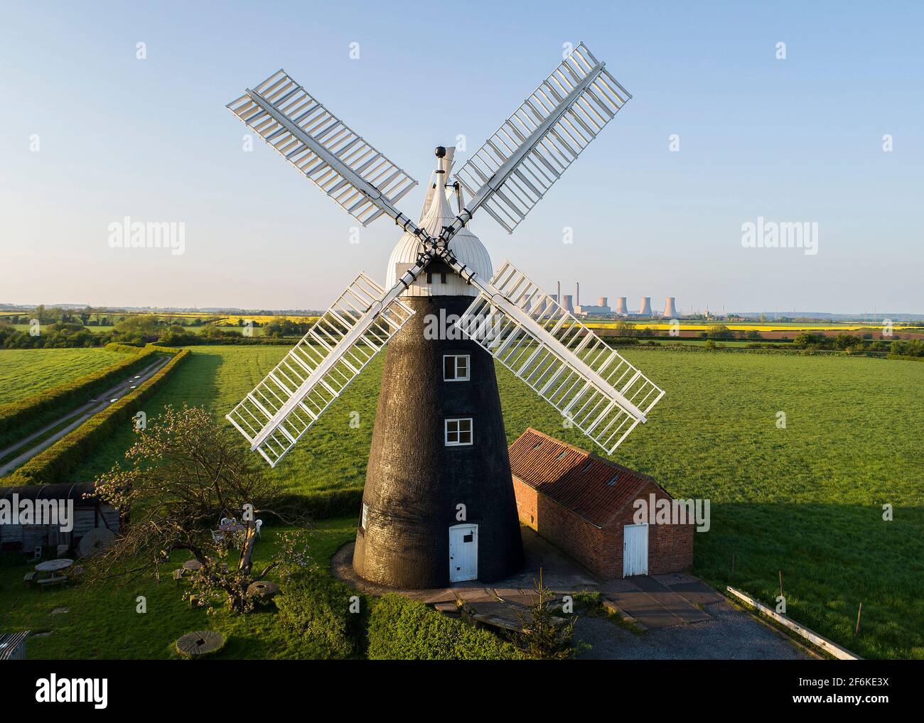 North Leverton Windmill Stock Photohttps://www.alamy.com/image-license-details/?v=1https://www.alamy.com/north-leverton-windmill-image417164942.html
RF2F6KE3X–North Leverton Windmill
 North Leverton Windmill Stock Photohttps://www.alamy.com/image-license-details/?v=1https://www.alamy.com/north-leverton-windmill-image417164926.html
RF2F6KE3A–North Leverton Windmill
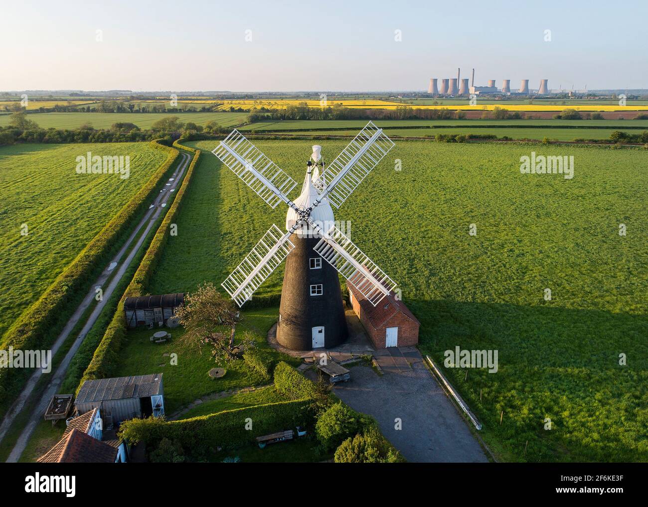 North Leverton Windmill Stock Photohttps://www.alamy.com/image-license-details/?v=1https://www.alamy.com/north-leverton-windmill-image417164931.html
RF2F6KE3F–North Leverton Windmill
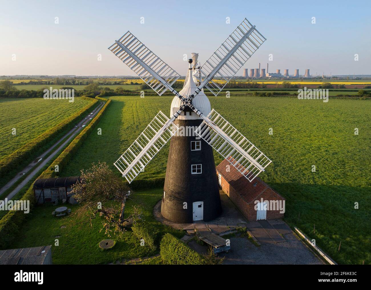 North Leverton Windmill Stock Photohttps://www.alamy.com/image-license-details/?v=1https://www.alamy.com/north-leverton-windmill-image417164928.html
RF2F6KE3C–North Leverton Windmill
