Rhode island usa coast Cut Out Stock Images
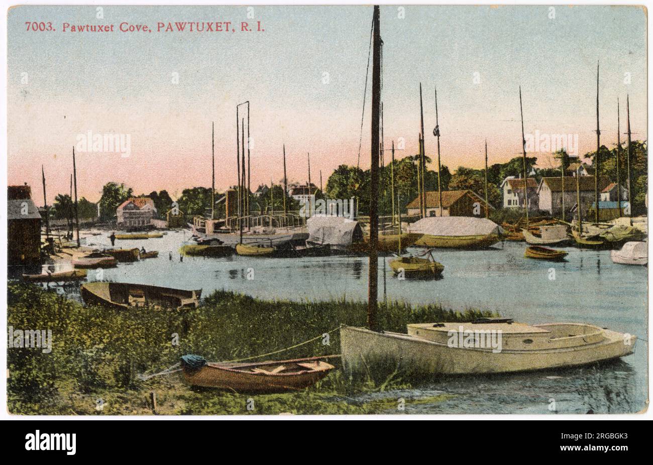 Pawtuxet Cove and Marina, Pawtuxet, Rhode Island, USA - nine miles south of Pawtucket. Stock Photohttps://www.alamy.com/image-license-details/?v=1https://www.alamy.com/pawtuxet-cove-and-marina-pawtuxet-rhode-island-usa-nine-miles-south-of-pawtucket-image560820823.html
RM2RGBGK3–Pawtuxet Cove and Marina, Pawtuxet, Rhode Island, USA - nine miles south of Pawtucket.
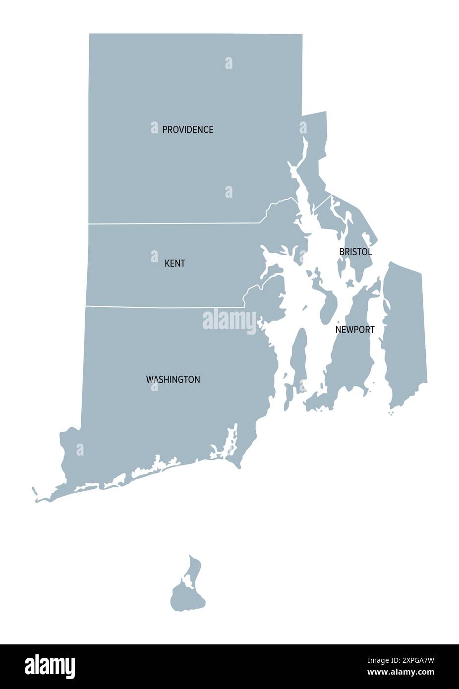 Rhode Island, U.S. state subdivided into 5 counties, gray political map with borders and county names. State in the New England region od the USA. Stock Photohttps://www.alamy.com/image-license-details/?v=1https://www.alamy.com/rhode-island-us-state-subdivided-into-5-counties-gray-political-map-with-borders-and-county-names-state-in-the-new-england-region-od-the-usa-image616244605.html
RF2XPGA7W–Rhode Island, U.S. state subdivided into 5 counties, gray political map with borders and county names. State in the New England region od the USA.
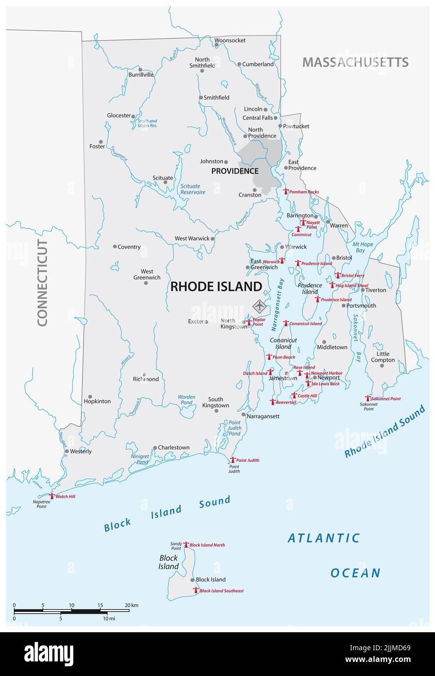 Lighthouse Vector Map of Rhode Island, United States Stock Photohttps://www.alamy.com/image-license-details/?v=1https://www.alamy.com/lighthouse-vector-map-of-rhode-island-united-states-image476193153.html
RF2JJMD69–Lighthouse Vector Map of Rhode Island, United States
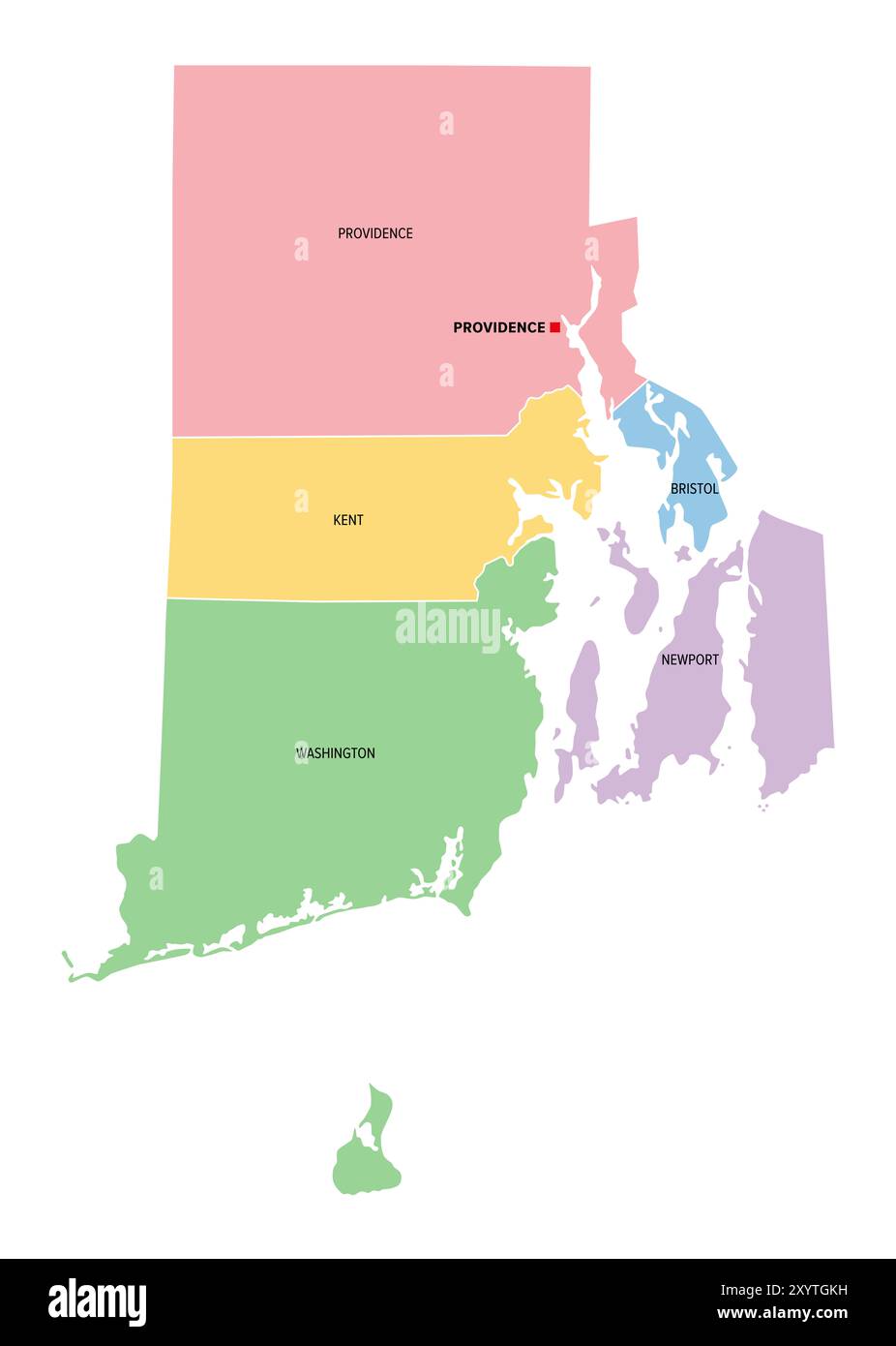 Rhode Island, U.S. state, subdivided into 5 counties, multi colored political map with capital Providence, and borders. Stock Photohttps://www.alamy.com/image-license-details/?v=1https://www.alamy.com/rhode-island-us-state-subdivided-into-5-counties-multi-colored-political-map-with-capital-providence-and-borders-image619498533.html
RF2XYTGKH–Rhode Island, U.S. state, subdivided into 5 counties, multi colored political map with capital Providence, and borders.
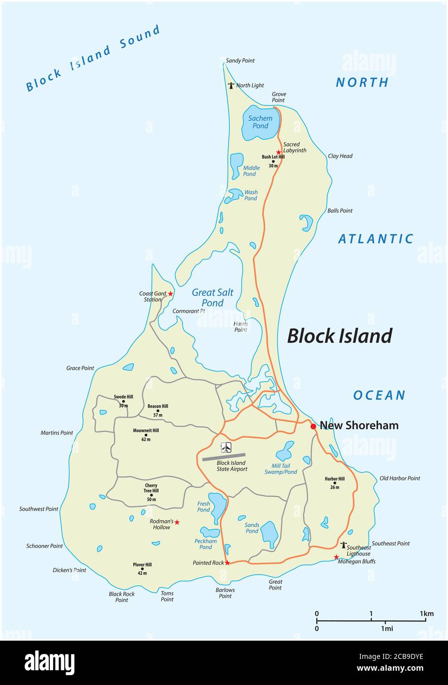 vector road map of Block Island, Rhode Island, United States Stock Vectorhttps://www.alamy.com/image-license-details/?v=1https://www.alamy.com/vector-road-map-of-block-island-rhode-island-united-states-image368387474.html
RF2CB9DYE–vector road map of Block Island, Rhode Island, United States
 Rhode Island official state flag, USA, vector illustration Stock Vectorhttps://www.alamy.com/image-license-details/?v=1https://www.alamy.com/rhode-island-official-state-flag-usa-vector-illustration-image570804285.html
RF2T4JAK9–Rhode Island official state flag, USA, vector illustration
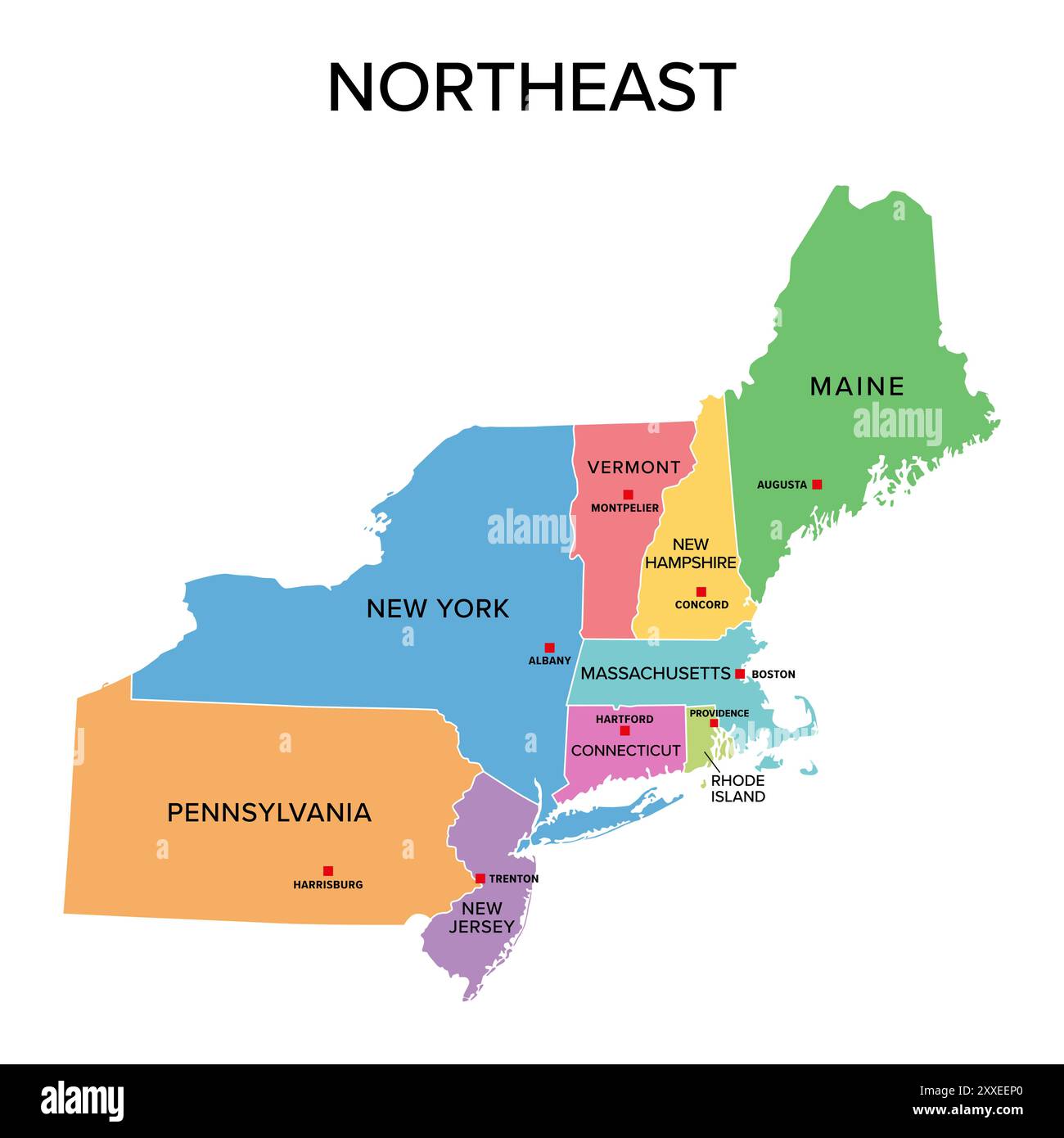 Northeast, U.S. census region, multi colored political map. Census region 1 of the United States, consisting of 9 single states. Colored silhouettes. Stock Photohttps://www.alamy.com/image-license-details/?v=1https://www.alamy.com/northeast-us-census-region-multi-colored-political-map-census-region-1-of-the-united-states-consisting-of-9-single-states-colored-silhouettes-image618662856.html
RF2XXEEP0–Northeast, U.S. census region, multi colored political map. Census region 1 of the United States, consisting of 9 single states. Colored silhouettes.
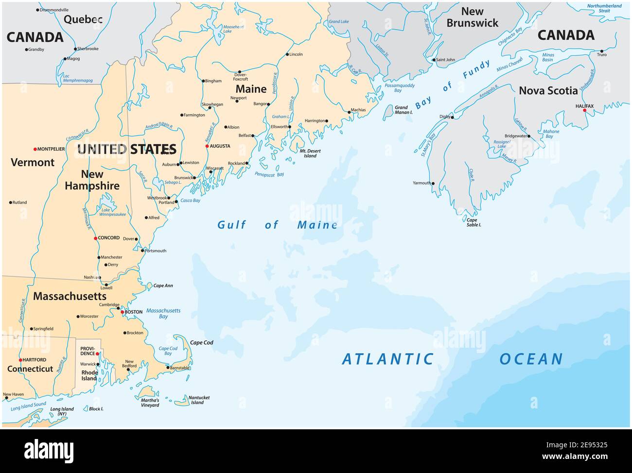 vector map of the North American marginal sea, Gulf of Maine, Canada, United States Stock Vectorhttps://www.alamy.com/image-license-details/?v=1https://www.alamy.com/vector-map-of-the-north-american-marginal-sea-gulf-of-maine-canada-united-states-image401482541.html
RF2E95325–vector map of the North American marginal sea, Gulf of Maine, Canada, United States
 USA collection. Vector illustration of Rhode Island theme. State Symbols - round shape Stock Vectorhttps://www.alamy.com/image-license-details/?v=1https://www.alamy.com/usa-collection-vector-illustration-of-rhode-island-theme-state-symbols-round-shape-image406033570.html
RF2EGGBXX–USA collection. Vector illustration of Rhode Island theme. State Symbols - round shape
 Admiral Stephen B. Luce, US Navy, between 1910 and 1917. American naval officer Stephen Bleecker Luce: served with the Atlantic coast blockaders during the American Civil War, and commanded the monitor Nantucket at the siege of Charleston; founder and first president of the Naval War College. 'Original picture taken In Rhode Island'. Stock Photohttps://www.alamy.com/image-license-details/?v=1https://www.alamy.com/admiral-stephen-b-luce-us-navy-between-1910-and-1917-american-naval-officer-stephen-bleecker-luce-served-with-the-atlantic-coast-blockaders-during-the-american-civil-war-and-commanded-the-monitor-nantucket-at-the-siege-of-charleston-founder-and-first-president-of-the-naval-war-college-original-picture-taken-in-rhode-island-image482065131.html
RM2K07XYR–Admiral Stephen B. Luce, US Navy, between 1910 and 1917. American naval officer Stephen Bleecker Luce: served with the Atlantic coast blockaders during the American Civil War, and commanded the monitor Nantucket at the siege of Charleston; founder and first president of the Naval War College. 'Original picture taken In Rhode Island'.
 United States, Rhode Island, Providence, Nc State Bell Tower, travel landmark vector illustration Stock Vectorhttps://www.alamy.com/image-license-details/?v=1https://www.alamy.com/united-states-rhode-island-providence-nc-state-bell-tower-travel-landmark-vector-illustration-image544431835.html
RF2PHN0A3–United States, Rhode Island, Providence, Nc State Bell Tower, travel landmark vector illustration
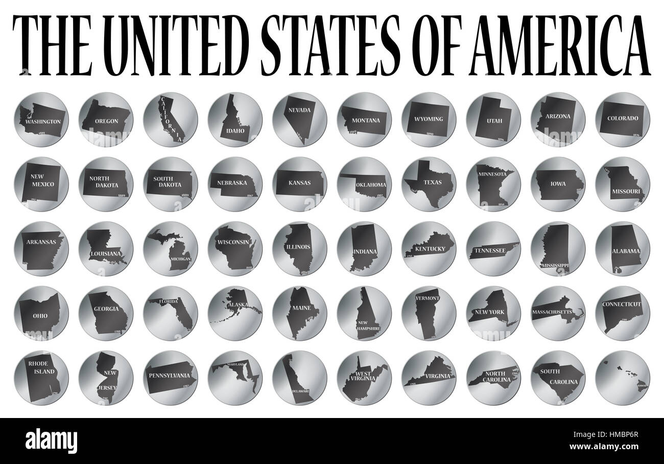 50 coins representing the 50 states of the USA isolated on a white background Stock Photohttps://www.alamy.com/image-license-details/?v=1https://www.alamy.com/stock-photo-50-coins-representing-the-50-states-of-the-usa-isolated-on-a-white-133024607.html
RMHMBP6R–50 coins representing the 50 states of the USA isolated on a white background
 Newport skyline, monochrome silhouette. Vector illustration. Stock Vectorhttps://www.alamy.com/image-license-details/?v=1https://www.alamy.com/newport-skyline-monochrome-silhouette-vector-illustration-image436938003.html
RF2GAT6TK–Newport skyline, monochrome silhouette. Vector illustration.
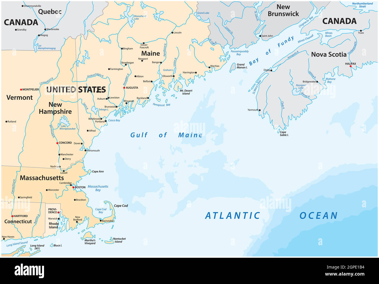 vector map of the North American marginal sea, Gulf of Maine, Canada, United States Stock Vectorhttps://www.alamy.com/image-license-details/?v=1https://www.alamy.com/vector-map-of-the-north-american-marginal-sea-gulf-of-maine-canada-united-states-image444090056.html
RF2GPE1B4–vector map of the North American marginal sea, Gulf of Maine, Canada, United States
 USA collection. Vector illustration of Rhode Island theme. State Symbols - seamless pattern Stock Vectorhttps://www.alamy.com/image-license-details/?v=1https://www.alamy.com/usa-collection-vector-illustration-of-rhode-island-theme-state-symbols-seamless-pattern-image406022937.html
RF2EGFXB5–USA collection. Vector illustration of Rhode Island theme. State Symbols - seamless pattern
 Indian Rock, Narragansett, R.I., c1899. Stock Photohttps://www.alamy.com/image-license-details/?v=1https://www.alamy.com/indian-rock-narragansett-ri-c1899-image556259205.html
RM2R8YP85–Indian Rock, Narragansett, R.I., c1899.
 USA map collection. State symbols and nature on gray state silhouette - Rhode Island. Cartoon simple style for print Stock Vectorhttps://www.alamy.com/image-license-details/?v=1https://www.alamy.com/usa-map-collection-state-symbols-and-nature-on-gray-state-silhouette-rhode-island-cartoon-simple-style-for-print-image435533096.html
RF2G8G6WC–USA map collection. State symbols and nature on gray state silhouette - Rhode Island. Cartoon simple style for print