Richland center map Cut Out Stock Images
 Richland Center, Bucks County, US, United States, Pennsylvania, N 40 25' 53'', S 75 17' 50'', map, Cartascapes Map published in 2024. Explore Cartascapes, a map revealing Earth's diverse landscapes, cultures, and ecosystems. Journey through time and space, discovering the interconnectedness of our planet's past, present, and future. Stock Photohttps://www.alamy.com/image-license-details/?v=1https://www.alamy.com/richland-center-bucks-county-us-united-states-pennsylvania-n-40-25-53-s-75-17-50-map-cartascapes-map-published-in-2024-explore-cartascapes-a-map-revealing-earths-diverse-landscapes-cultures-and-ecosystems-journey-through-time-and-space-discovering-the-interconnectedness-of-our-planets-past-present-and-future-image621443493.html
RM2Y315ED–Richland Center, Bucks County, US, United States, Pennsylvania, N 40 25' 53'', S 75 17' 50'', map, Cartascapes Map published in 2024. Explore Cartascapes, a map revealing Earth's diverse landscapes, cultures, and ecosystems. Journey through time and space, discovering the interconnectedness of our planet's past, present, and future.
 WI Richland Center 20100716 TM Restoration Stock Photohttps://www.alamy.com/image-license-details/?v=1https://www.alamy.com/wi-richland-center-20100716-tm-restoration-image335935837.html
RM2AEF5GD–WI Richland Center 20100716 TM Restoration
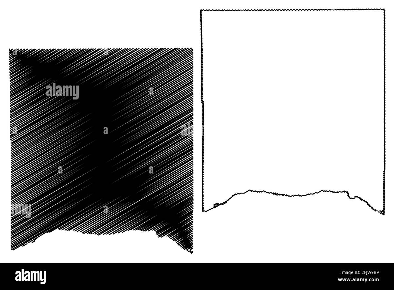 Richland County, State of Wisconsin (U.S. county, United States of America, US) map vector illustration, scribble sketch Richland map Stock Vectorhttps://www.alamy.com/image-license-details/?v=1https://www.alamy.com/richland-county-state-of-wisconsin-us-county-united-states-of-america-us-map-vector-illustration-scribble-sketch-richland-map-image424668813.html
RF2FJW9B9–Richland County, State of Wisconsin (U.S. county, United States of America, US) map vector illustration, scribble sketch Richland map
 Richland Center, Richland County, US, United States, Wisconsin, N 43 20' 4'', S 90 23' 12'', map, Cartascapes Map published in 2024. Explore Cartascapes, a map revealing Earth's diverse landscapes, cultures, and ecosystems. Journey through time and space, discovering the interconnectedness of our planet's past, present, and future. Stock Photohttps://www.alamy.com/image-license-details/?v=1https://www.alamy.com/richland-center-richland-county-us-united-states-wisconsin-n-43-20-4-s-90-23-12-map-cartascapes-map-published-in-2024-explore-cartascapes-a-map-revealing-earths-diverse-landscapes-cultures-and-ecosystems-journey-through-time-and-space-discovering-the-interconnectedness-of-our-planets-past-present-and-future-image621381845.html
RM2Y2XATN–Richland Center, Richland County, US, United States, Wisconsin, N 43 20' 4'', S 90 23' 12'', map, Cartascapes Map published in 2024. Explore Cartascapes, a map revealing Earth's diverse landscapes, cultures, and ecosystems. Journey through time and space, discovering the interconnectedness of our planet's past, present, and future.
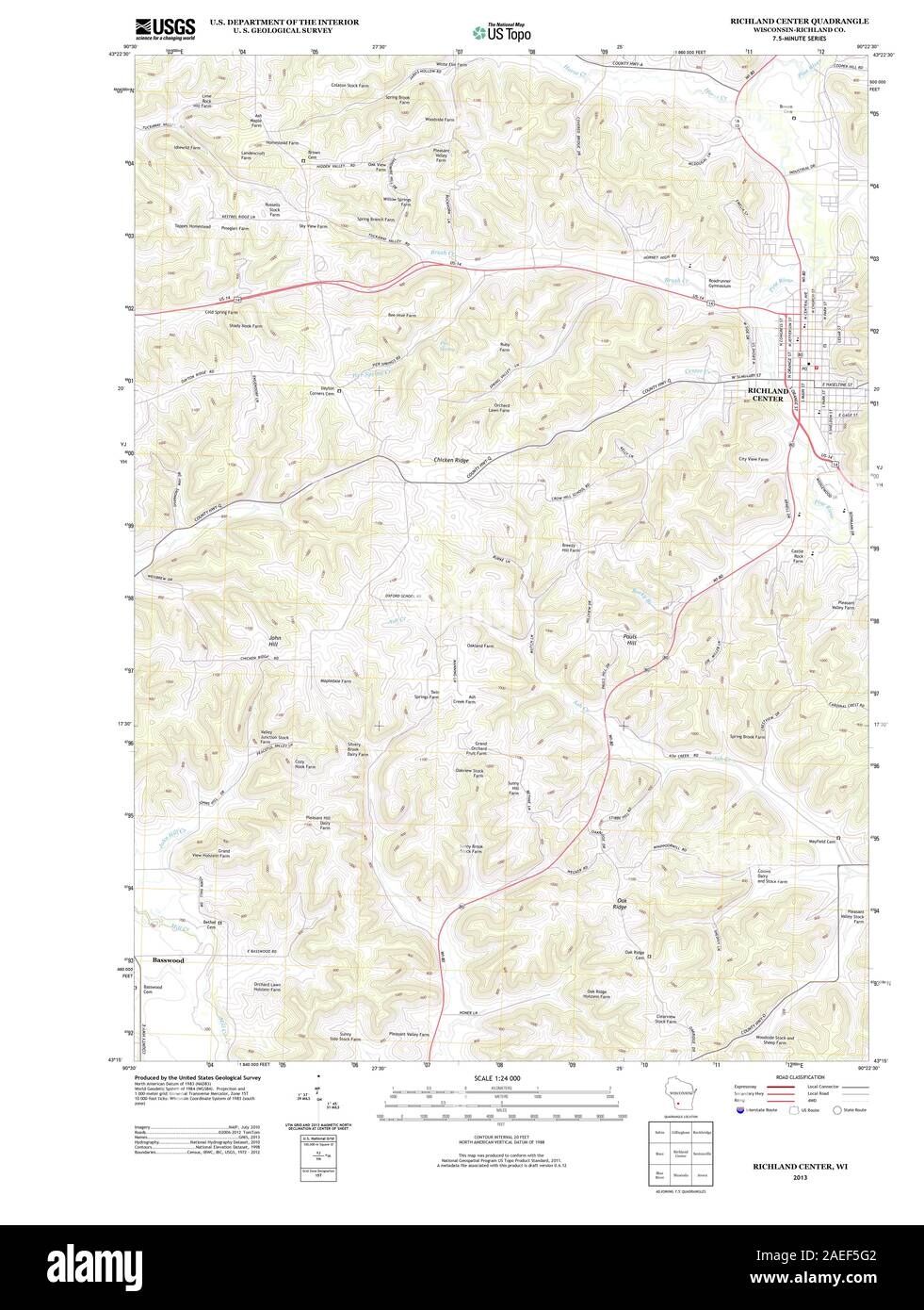 WI Richland Center 20130612 TM Restoration Stock Photohttps://www.alamy.com/image-license-details/?v=1https://www.alamy.com/wi-richland-center-20130612-tm-restoration-image335935826.html
RM2AEF5G2–WI Richland Center 20130612 TM Restoration
 Richland County, State of Wisconsin (U.S. county, United States of America, US) map vector illustration, scribble sketch Richland map Stock Vectorhttps://www.alamy.com/image-license-details/?v=1https://www.alamy.com/richland-county-state-of-wisconsin-us-county-united-states-of-america-us-map-vector-illustration-scribble-sketch-richland-map-image433835038.html
RF2G5PW0E–Richland County, State of Wisconsin (U.S. county, United States of America, US) map vector illustration, scribble sketch Richland map
 Richland Center, Fulton County, US, United States, Indiana, N 41 9' 23'', S 86 16' 14'', map, Cartascapes Map published in 2024. Explore Cartascapes, a map revealing Earth's diverse landscapes, cultures, and ecosystems. Journey through time and space, discovering the interconnectedness of our planet's past, present, and future. Stock Photohttps://www.alamy.com/image-license-details/?v=1https://www.alamy.com/richland-center-fulton-county-us-united-states-indiana-n-41-9-23-s-86-16-14-map-cartascapes-map-published-in-2024-explore-cartascapes-a-map-revealing-earths-diverse-landscapes-cultures-and-ecosystems-journey-through-time-and-space-discovering-the-interconnectedness-of-our-planets-past-present-and-future-image621336576.html
RM2Y2T940–Richland Center, Fulton County, US, United States, Indiana, N 41 9' 23'', S 86 16' 14'', map, Cartascapes Map published in 2024. Explore Cartascapes, a map revealing Earth's diverse landscapes, cultures, and ecosystems. Journey through time and space, discovering the interconnectedness of our planet's past, present, and future.
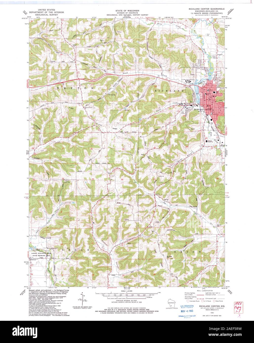 WI Richland Center 501241 1983 24000 Restoration Stock Photohttps://www.alamy.com/image-license-details/?v=1https://www.alamy.com/wi-richland-center-501241-1983-24000-restoration-image335936045.html
RM2AEF5RW–WI Richland Center 501241 1983 24000 Restoration
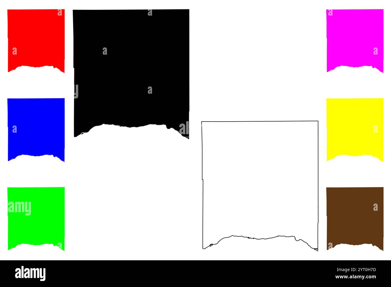 Richland County, State of Wisconsin (U.S. county, United States of America, US) map vector illustration, scribble sketch Richland map Stock Vectorhttps://www.alamy.com/image-license-details/?v=1https://www.alamy.com/richland-county-state-of-wisconsin-us-county-united-states-of-america-us-map-vector-illustration-scribble-sketch-richland-map-image634338529.html
RF2YT0H7D–Richland County, State of Wisconsin (U.S. county, United States of America, US) map vector illustration, scribble sketch Richland map
 City of Richland Center, Richland County, US, United States, Wisconsin, N 43 20' 24'', S 90 23' 1'', map, Cartascapes Map published in 2024. Explore Cartascapes, a map revealing Earth's diverse landscapes, cultures, and ecosystems. Journey through time and space, discovering the interconnectedness of our planet's past, present, and future. Stock Photohttps://www.alamy.com/image-license-details/?v=1https://www.alamy.com/city-of-richland-center-richland-county-us-united-states-wisconsin-n-43-20-24-s-90-23-1-map-cartascapes-map-published-in-2024-explore-cartascapes-a-map-revealing-earths-diverse-landscapes-cultures-and-ecosystems-journey-through-time-and-space-discovering-the-interconnectedness-of-our-planets-past-present-and-future-image633877268.html
RM2YR7GWT–City of Richland Center, Richland County, US, United States, Wisconsin, N 43 20' 24'', S 90 23' 1'', map, Cartascapes Map published in 2024. Explore Cartascapes, a map revealing Earth's diverse landscapes, cultures, and ecosystems. Journey through time and space, discovering the interconnectedness of our planet's past, present, and future.
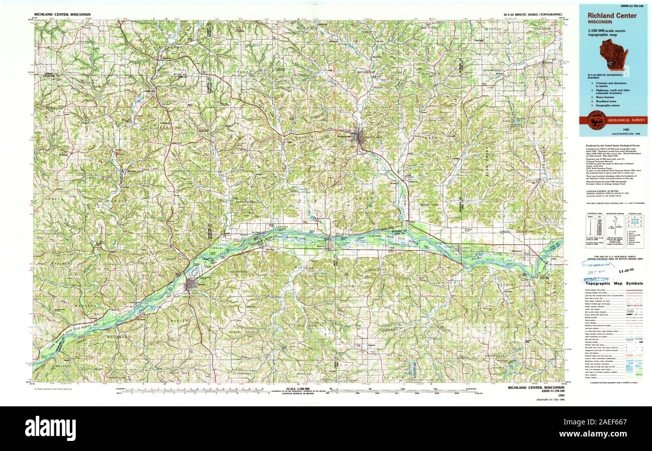 WI Richland Center 803114 1985 100000 Restoration Stock Photohttps://www.alamy.com/image-license-details/?v=1https://www.alamy.com/wi-richland-center-803114-1985-100000-restoration-image335936335.html
RM2AEF667–WI Richland Center 803114 1985 100000 Restoration
 Richland County, State of Wisconsin (U.S. county, United States of America, US) map vector illustration, scribble sketch Richland map Stock Vectorhttps://www.alamy.com/image-license-details/?v=1https://www.alamy.com/richland-county-state-of-wisconsin-us-county-united-states-of-america-us-map-vector-illustration-scribble-sketch-richland-map-image401929982.html
RF2E9WDP6–Richland County, State of Wisconsin (U.S. county, United States of America, US) map vector illustration, scribble sketch Richland map
 Township of Center, Richland County, US, United States, North Dakota, N 46 14' 12'', S 96 40' 57'', map, Cartascapes Map published in 2024. Explore Cartascapes, a map revealing Earth's diverse landscapes, cultures, and ecosystems. Journey through time and space, discovering the interconnectedness of our planet's past, present, and future. Stock Photohttps://www.alamy.com/image-license-details/?v=1https://www.alamy.com/township-of-center-richland-county-us-united-states-north-dakota-n-46-14-12-s-96-40-57-map-cartascapes-map-published-in-2024-explore-cartascapes-a-map-revealing-earths-diverse-landscapes-cultures-and-ecosystems-journey-through-time-and-space-discovering-the-interconnectedness-of-our-planets-past-present-and-future-image633831555.html
RM2YR5EH7–Township of Center, Richland County, US, United States, North Dakota, N 46 14' 12'', S 96 40' 57'', map, Cartascapes Map published in 2024. Explore Cartascapes, a map revealing Earth's diverse landscapes, cultures, and ecosystems. Journey through time and space, discovering the interconnectedness of our planet's past, present, and future.
 WI Richland Center 503501 1960 62500 Restoration Stock Photohttps://www.alamy.com/image-license-details/?v=1https://www.alamy.com/wi-richland-center-503501-1960-62500-restoration-image335935942.html
RM2AEF5M6–WI Richland Center 503501 1960 62500 Restoration
 Richland Center, Richland County, US, United States, Wisconsin, N 43 20' 4'', S 90 23' 12'', map, Cartascapes Map published in 2024. Explore Cartascapes, a map revealing Earth's diverse landscapes, cultures, and ecosystems. Journey through time and space, discovering the interconnectedness of our planet's past, present, and future. Stock Photohttps://www.alamy.com/image-license-details/?v=1https://www.alamy.com/richland-center-richland-county-us-united-states-wisconsin-n-43-20-4-s-90-23-12-map-cartascapes-map-published-in-2024-explore-cartascapes-a-map-revealing-earths-diverse-landscapes-cultures-and-ecosystems-journey-through-time-and-space-discovering-the-interconnectedness-of-our-planets-past-present-and-future-image620716471.html
RM2Y1T25B–Richland Center, Richland County, US, United States, Wisconsin, N 43 20' 4'', S 90 23' 12'', map, Cartascapes Map published in 2024. Explore Cartascapes, a map revealing Earth's diverse landscapes, cultures, and ecosystems. Journey through time and space, discovering the interconnectedness of our planet's past, present, and future.
 Township of Richland Center, Slope County, US, United States, North Dakota, N 46 29' 49'', S 103 36' 48'', map, Cartascapes Map published in 2024. Explore Cartascapes, a map revealing Earth's diverse landscapes, cultures, and ecosystems. Journey through time and space, discovering the interconnectedness of our planet's past, present, and future. Stock Photohttps://www.alamy.com/image-license-details/?v=1https://www.alamy.com/township-of-richland-center-slope-county-us-united-states-north-dakota-n-46-29-49-s-103-36-48-map-cartascapes-map-published-in-2024-explore-cartascapes-a-map-revealing-earths-diverse-landscapes-cultures-and-ecosystems-journey-through-time-and-space-discovering-the-interconnectedness-of-our-planets-past-present-and-future-image633878159.html
RM2YR7J1K–Township of Richland Center, Slope County, US, United States, North Dakota, N 46 29' 49'', S 103 36' 48'', map, Cartascapes Map published in 2024. Explore Cartascapes, a map revealing Earth's diverse landscapes, cultures, and ecosystems. Journey through time and space, discovering the interconnectedness of our planet's past, present, and future.
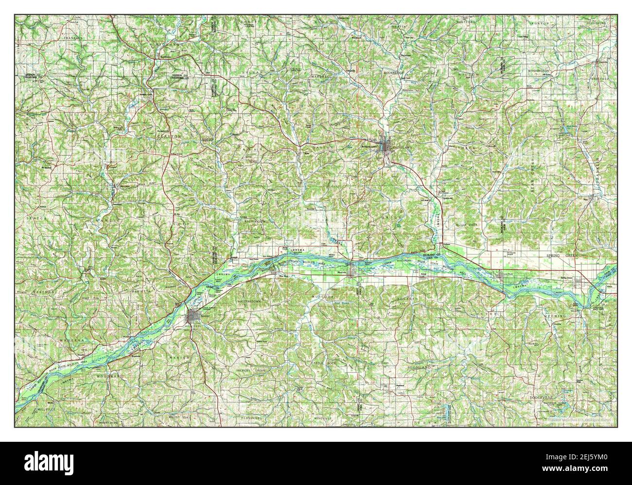 Richland Center, Wisconsin, map 1985, 1:100000, United States of America by Timeless Maps, data U.S. Geological Survey Stock Photohttps://www.alamy.com/image-license-details/?v=1https://www.alamy.com/richland-center-wisconsin-map-1985-1100000-united-states-of-america-by-timeless-maps-data-us-geological-survey-image407033760.html
RM2EJ5YM0–Richland Center, Wisconsin, map 1985, 1:100000, United States of America by Timeless Maps, data U.S. Geological Survey
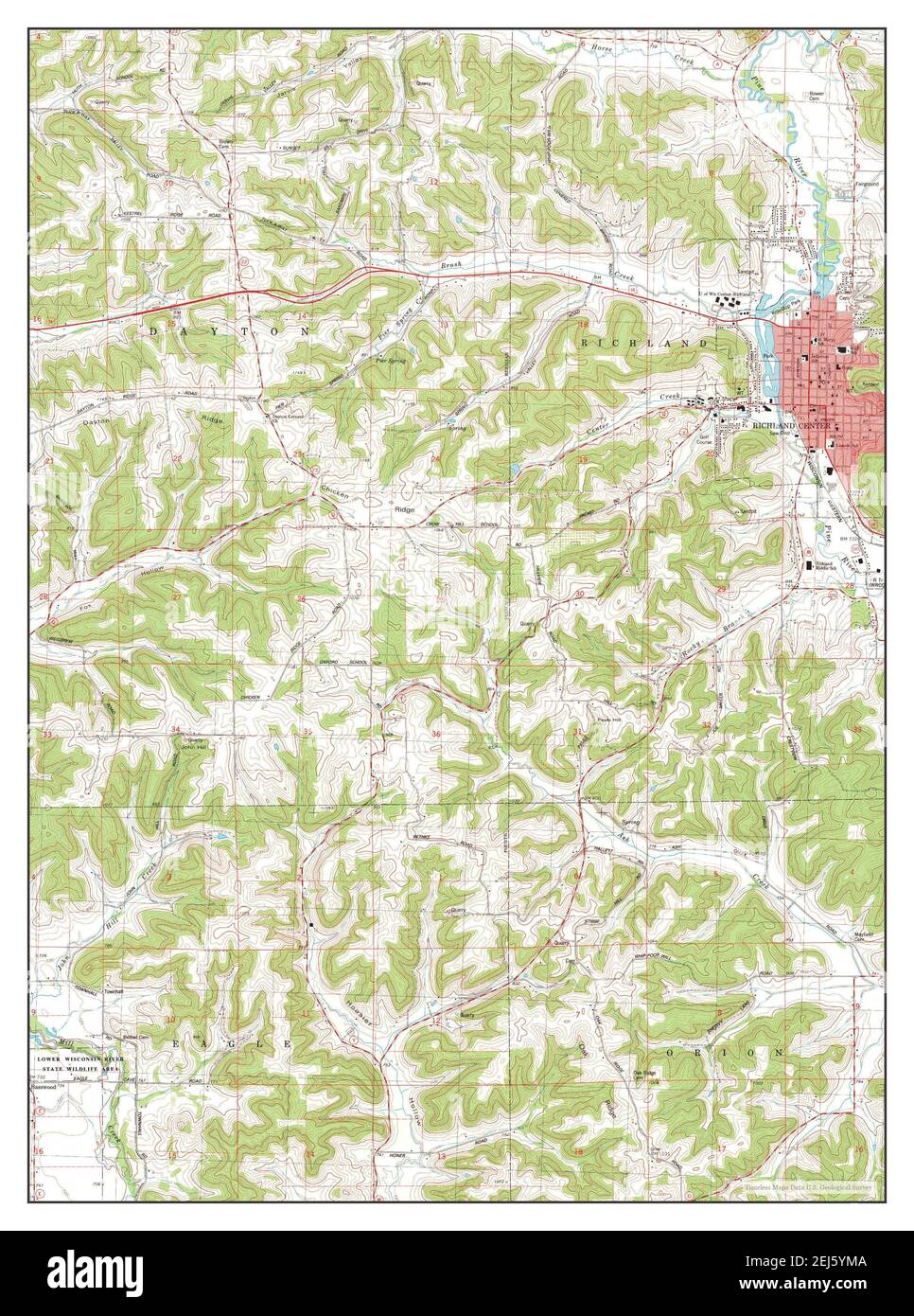 Richland Center, Wisconsin, map 1983, 1:24000, United States of America by Timeless Maps, data U.S. Geological Survey Stock Photohttps://www.alamy.com/image-license-details/?v=1https://www.alamy.com/richland-center-wisconsin-map-1983-124000-united-states-of-america-by-timeless-maps-data-us-geological-survey-image407033770.html
RM2EJ5YMA–Richland Center, Wisconsin, map 1983, 1:24000, United States of America by Timeless Maps, data U.S. Geological Survey
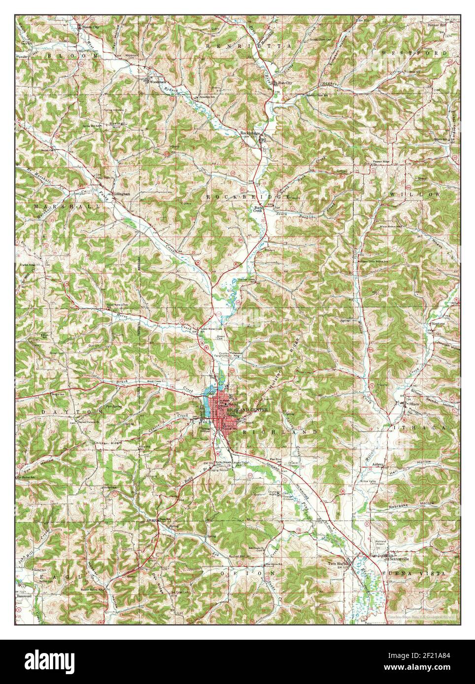 Richland Center, Wisconsin, map 1960, 1:62500, United States of America by Timeless Maps, data U.S. Geological Survey Stock Photohttps://www.alamy.com/image-license-details/?v=1https://www.alamy.com/richland-center-wisconsin-map-1960-162500-united-states-of-america-by-timeless-maps-data-us-geological-survey-image414308164.html
RM2F21A84–Richland Center, Wisconsin, map 1960, 1:62500, United States of America by Timeless Maps, data U.S. Geological Survey
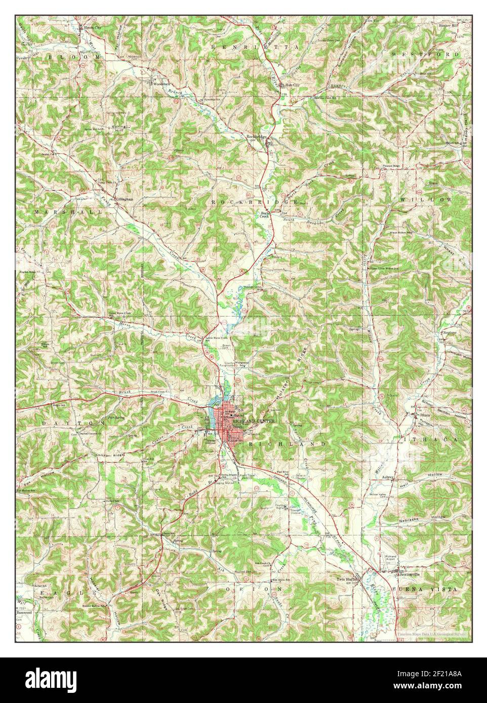 Richland Center, Wisconsin, map 1960, 1:62500, United States of America by Timeless Maps, data U.S. Geological Survey Stock Photohttps://www.alamy.com/image-license-details/?v=1https://www.alamy.com/richland-center-wisconsin-map-1960-162500-united-states-of-america-by-timeless-maps-data-us-geological-survey-image414308170.html
RM2F21A8A–Richland Center, Wisconsin, map 1960, 1:62500, United States of America by Timeless Maps, data U.S. Geological Survey
 Richland Center, Wisconsin, map 1905, 1:125000, United States of America by Timeless Maps, data U.S. Geological Survey Stock Photohttps://www.alamy.com/image-license-details/?v=1https://www.alamy.com/richland-center-wisconsin-map-1905-1125000-united-states-of-america-by-timeless-maps-data-us-geological-survey-image414307982.html
RM2F21A1J–Richland Center, Wisconsin, map 1905, 1:125000, United States of America by Timeless Maps, data U.S. Geological Survey
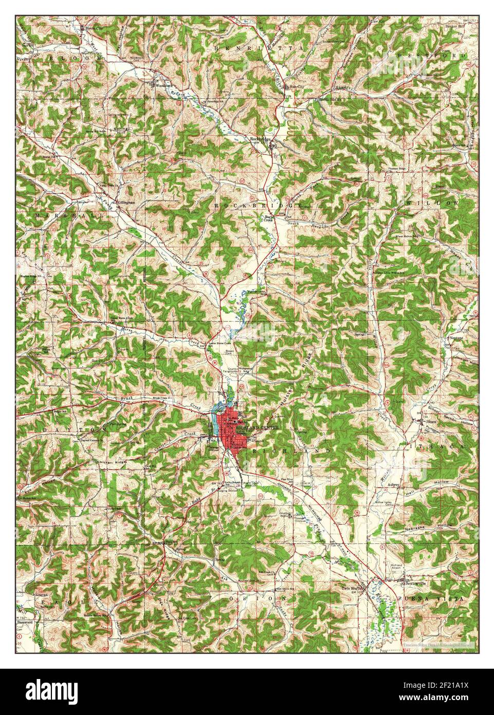 Richland Center, Wisconsin, map 1960, 1:62500, United States of America by Timeless Maps, data U.S. Geological Survey Stock Photohttps://www.alamy.com/image-license-details/?v=1https://www.alamy.com/richland-center-wisconsin-map-1960-162500-united-states-of-america-by-timeless-maps-data-us-geological-survey-image414307990.html
RM2F21A1X–Richland Center, Wisconsin, map 1960, 1:62500, United States of America by Timeless Maps, data U.S. Geological Survey