Richmond kentucky map Cut Out Stock Images
 Richmond, Madison County, US, United States, Kentucky, N 37 44' 52'', S 84 17' 40'', map, Cartascapes Map published in 2024. Explore Cartascapes, a map revealing Earth's diverse landscapes, cultures, and ecosystems. Journey through time and space, discovering the interconnectedness of our planet's past, present, and future. Stock Photohttps://www.alamy.com/image-license-details/?v=1https://www.alamy.com/richmond-madison-county-us-united-states-kentucky-n-37-44-52-s-84-17-40-map-cartascapes-map-published-in-2024-explore-cartascapes-a-map-revealing-earths-diverse-landscapes-cultures-and-ecosystems-journey-through-time-and-space-discovering-the-interconnectedness-of-our-planets-past-present-and-future-image621246933.html
RM2Y2M6PD–Richmond, Madison County, US, United States, Kentucky, N 37 44' 52'', S 84 17' 40'', map, Cartascapes Map published in 2024. Explore Cartascapes, a map revealing Earth's diverse landscapes, cultures, and ecosystems. Journey through time and space, discovering the interconnectedness of our planet's past, present, and future.
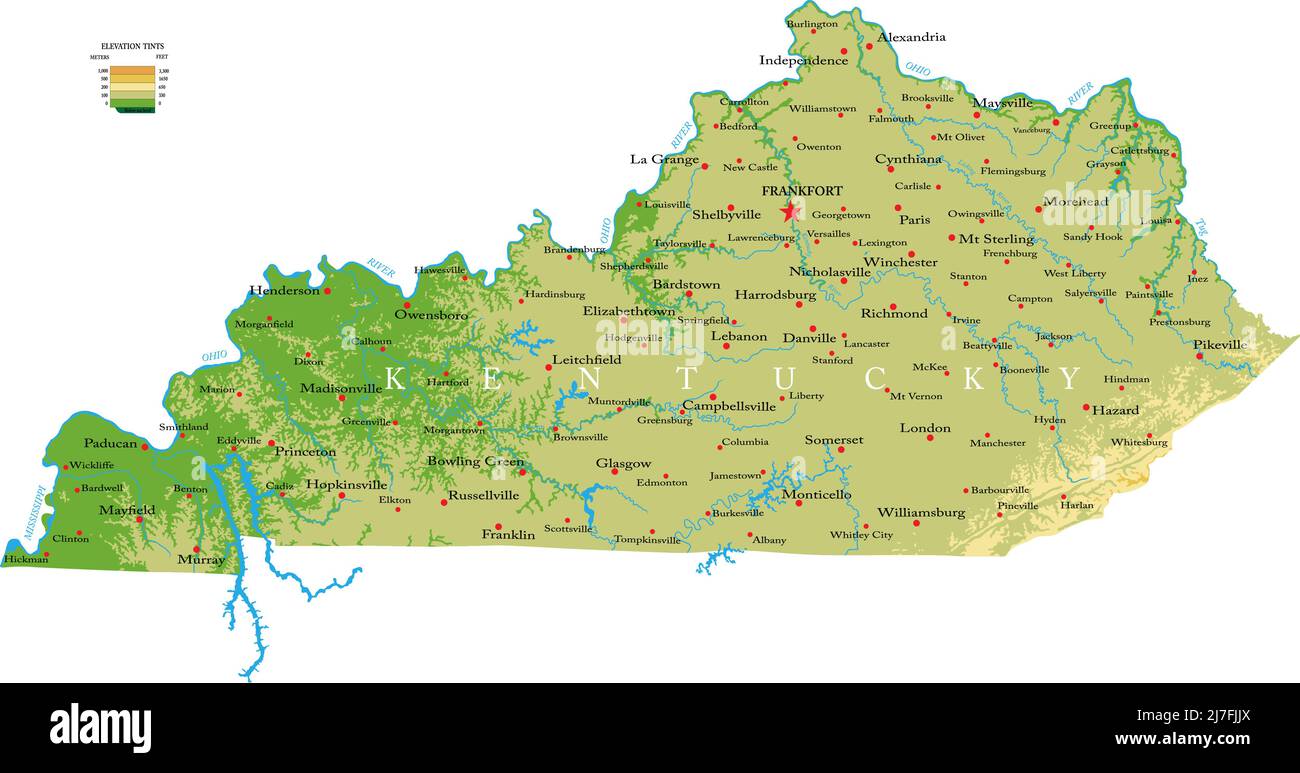 Highly detailed physical map of the Kentucky, in vector format,with all the relief forms,regions and big cities. Stock Vectorhttps://www.alamy.com/image-license-details/?v=1https://www.alamy.com/highly-detailed-physical-map-of-the-kentucky-in-vector-formatwith-all-the-relief-formsregions-and-big-cities-image469326450.html
RF2J7FJJX–Highly detailed physical map of the Kentucky, in vector format,with all the relief forms,regions and big cities.
 Greetings from Richmond vintage rusty metal sign on a white background, vector illustration Stock Vectorhttps://www.alamy.com/image-license-details/?v=1https://www.alamy.com/greetings-from-richmond-vintage-rusty-metal-sign-on-a-white-background-vector-illustration-image549363182.html
RF2PWNJ9J–Greetings from Richmond vintage rusty metal sign on a white background, vector illustration
 USGS TOPO Map Kentucky KY Richmond North 20100324 TM Stock Photohttps://www.alamy.com/image-license-details/?v=1https://www.alamy.com/usgs-topo-map-kentucky-ky-richmond-north-20100324-tm-image332846044.html
RM2A9ECEM–USGS TOPO Map Kentucky KY Richmond North 20100324 TM
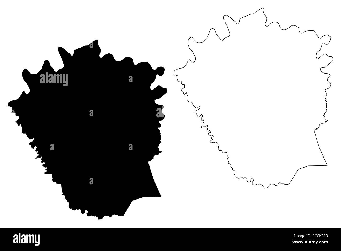 Madison County, Kentucky (U.S. county, United States of America, USA, U.S., US) map vector illustration, scribble sketch Madison map Stock Vectorhttps://www.alamy.com/image-license-details/?v=1https://www.alamy.com/madison-county-kentucky-us-county-united-states-of-america-usa-us-us-map-vector-illustration-scribble-sketch-madison-map-image369222683.html
RF2CCKF8B–Madison County, Kentucky (U.S. county, United States of America, USA, U.S., US) map vector illustration, scribble sketch Madison map
 Richmond, Madison County, US, United States, Kentucky, N 37 44' 52'', S 84 17' 40'', map, Cartascapes Map published in 2024. Explore Cartascapes, a map revealing Earth's diverse landscapes, cultures, and ecosystems. Journey through time and space, discovering the interconnectedness of our planet's past, present, and future. Stock Photohttps://www.alamy.com/image-license-details/?v=1https://www.alamy.com/richmond-madison-county-us-united-states-kentucky-n-37-44-52-s-84-17-40-map-cartascapes-map-published-in-2024-explore-cartascapes-a-map-revealing-earths-diverse-landscapes-cultures-and-ecosystems-journey-through-time-and-space-discovering-the-interconnectedness-of-our-planets-past-present-and-future-image620699628.html
RM2Y1R8KT–Richmond, Madison County, US, United States, Kentucky, N 37 44' 52'', S 84 17' 40'', map, Cartascapes Map published in 2024. Explore Cartascapes, a map revealing Earth's diverse landscapes, cultures, and ecosystems. Journey through time and space, discovering the interconnectedness of our planet's past, present, and future.
 USGS TOPO Map Kentucky KY Richmond South 20100324 TM Stock Photohttps://www.alamy.com/image-license-details/?v=1https://www.alamy.com/usgs-topo-map-kentucky-ky-richmond-south-20100324-tm-image332846283.html
RM2A9ECR7–USGS TOPO Map Kentucky KY Richmond South 20100324 TM
 Madison County, Kentucky (U.S. county, United States of America, USA, U.S., US) map vector illustration, scribble sketch Madison map Stock Vectorhttps://www.alamy.com/image-license-details/?v=1https://www.alamy.com/madison-county-kentucky-us-county-united-states-of-america-usa-us-us-map-vector-illustration-scribble-sketch-madison-map-image381800494.html
RF2D54EBX–Madison County, Kentucky (U.S. county, United States of America, USA, U.S., US) map vector illustration, scribble sketch Madison map
 Richmond, Kentucky, map 1897, 1:125000, United States of America by Timeless Maps, data U.S. Geological Survey Stock Photohttps://www.alamy.com/image-license-details/?v=1https://www.alamy.com/richmond-kentucky-map-1897-1125000-united-states-of-america-by-timeless-maps-data-us-geological-survey-image414048769.html
RM2F1HFC1–Richmond, Kentucky, map 1897, 1:125000, United States of America by Timeless Maps, data U.S. Geological Survey
 USGS TOPO Map Kentucky KY Richmond 709616 1897 125000 Stock Photohttps://www.alamy.com/image-license-details/?v=1https://www.alamy.com/usgs-topo-map-kentucky-ky-richmond-709616-1897-125000-image332845874.html
RM2A9EC8J–USGS TOPO Map Kentucky KY Richmond 709616 1897 125000
 Madison County, Kentucky (U.S. county, United States of America, USA, U.S., US) map vector illustration, scribble sketch Madison map Stock Vectorhttps://www.alamy.com/image-license-details/?v=1https://www.alamy.com/madison-county-kentucky-us-county-united-states-of-america-usa-us-us-map-vector-illustration-scribble-sketch-madison-map-image384140231.html
RF2D8Y2NY–Madison County, Kentucky (U.S. county, United States of America, USA, U.S., US) map vector illustration, scribble sketch Madison map
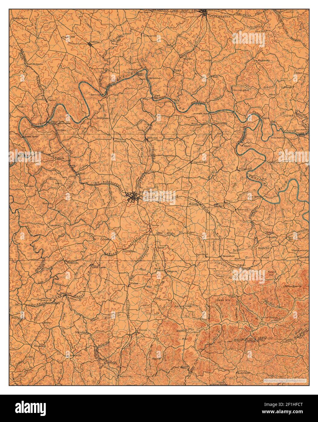 Richmond, Kentucky, map 1897, 1:125000, United States of America by Timeless Maps, data U.S. Geological Survey Stock Photohttps://www.alamy.com/image-license-details/?v=1https://www.alamy.com/richmond-kentucky-map-1897-1125000-united-states-of-america-by-timeless-maps-data-us-geological-survey-image414048792.html
RM2F1HFCT–Richmond, Kentucky, map 1897, 1:125000, United States of America by Timeless Maps, data U.S. Geological Survey
 USGS TOPO Map Kentucky KY Richmond South 709621 1997 24000 Stock Photohttps://www.alamy.com/image-license-details/?v=1https://www.alamy.com/usgs-topo-map-kentucky-ky-richmond-south-709621-1997-24000-image332846322.html
RM2A9ECTJ–USGS TOPO Map Kentucky KY Richmond South 709621 1997 24000
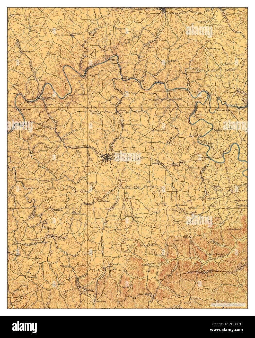 Richmond, Kentucky, map 1897, 1:125000, United States of America by Timeless Maps, data U.S. Geological Survey Stock Photohttps://www.alamy.com/image-license-details/?v=1https://www.alamy.com/richmond-kentucky-map-1897-1125000-united-states-of-america-by-timeless-maps-data-us-geological-survey-image414048708.html
RM2F1HF9T–Richmond, Kentucky, map 1897, 1:125000, United States of America by Timeless Maps, data U.S. Geological Survey
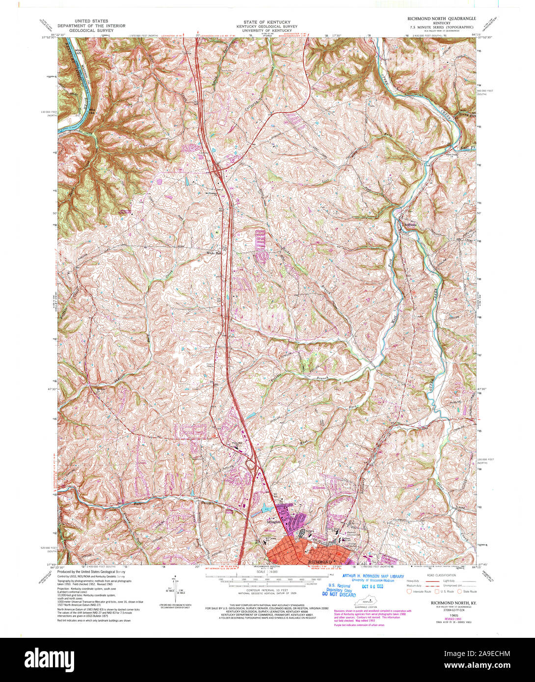 USGS TOPO Map Kentucky KY Richmond North 709617 1965 24000 Stock Photohttps://www.alamy.com/image-license-details/?v=1https://www.alamy.com/usgs-topo-map-kentucky-ky-richmond-north-709617-1965-24000-image332846128.html
RM2A9ECHM–USGS TOPO Map Kentucky KY Richmond North 709617 1965 24000
 Richmond, Kentucky, map 1897, 1:125000, United States of America by Timeless Maps, data U.S. Geological Survey Stock Photohttps://www.alamy.com/image-license-details/?v=1https://www.alamy.com/richmond-kentucky-map-1897-1125000-united-states-of-america-by-timeless-maps-data-us-geological-survey-image414048773.html
RM2F1HFC5–Richmond, Kentucky, map 1897, 1:125000, United States of America by Timeless Maps, data U.S. Geological Survey
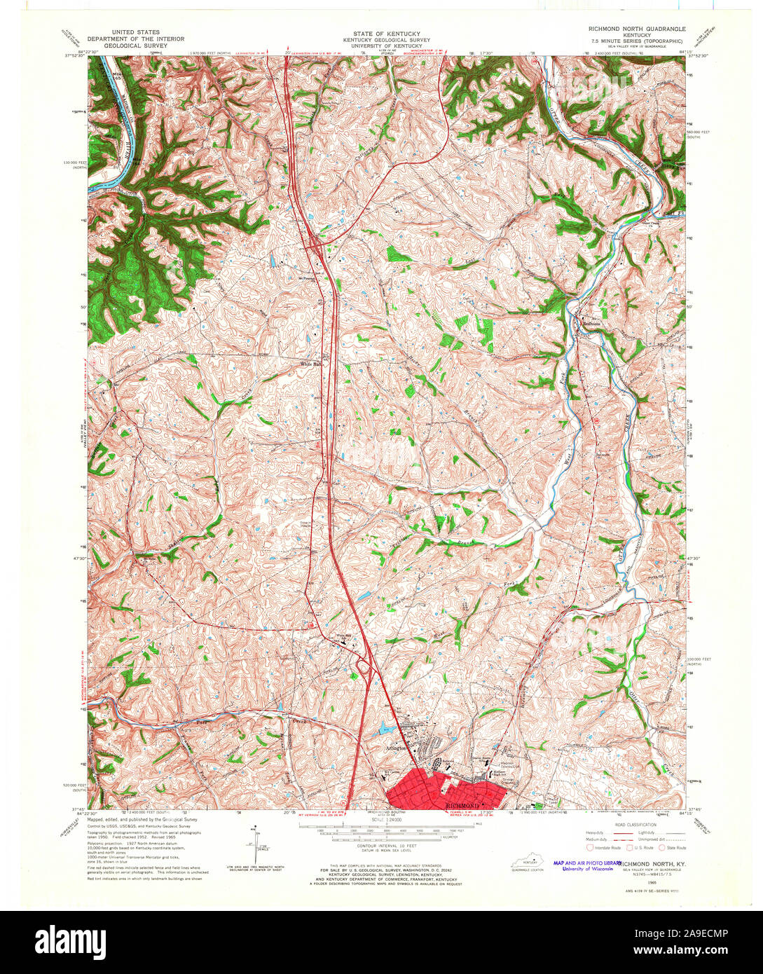 USGS TOPO Map Kentucky KY Richmond North 709619 1965 24000 Stock Photohttps://www.alamy.com/image-license-details/?v=1https://www.alamy.com/usgs-topo-map-kentucky-ky-richmond-north-709619-1965-24000-image332846214.html
RM2A9ECMP–USGS TOPO Map Kentucky KY Richmond North 709619 1965 24000
 Richmond, Kentucky, map 1892, 1:125000, United States of America by Timeless Maps, data U.S. Geological Survey Stock Photohttps://www.alamy.com/image-license-details/?v=1https://www.alamy.com/richmond-kentucky-map-1892-1125000-united-states-of-america-by-timeless-maps-data-us-geological-survey-image414048784.html
RM2F1HFCG–Richmond, Kentucky, map 1892, 1:125000, United States of America by Timeless Maps, data U.S. Geological Survey
 USGS TOPO Map Kentucky KY New Richmond 709399 1953 24000 Stock Photohttps://www.alamy.com/image-license-details/?v=1https://www.alamy.com/usgs-topo-map-kentucky-ky-new-richmond-709399-1953-24000-image332831346.html
RM2A9DNNP–USGS TOPO Map Kentucky KY New Richmond 709399 1953 24000
 Richmond, Kentucky, map 1897, 1:125000, United States of America by Timeless Maps, data U.S. Geological Survey Stock Photohttps://www.alamy.com/image-license-details/?v=1https://www.alamy.com/richmond-kentucky-map-1897-1125000-united-states-of-america-by-timeless-maps-data-us-geological-survey-image414048780.html
RM2F1HFCC–Richmond, Kentucky, map 1897, 1:125000, United States of America by Timeless Maps, data U.S. Geological Survey
 USGS TOPO Map Kentucky KY Richmond South 709623 1965 24000 Stock Photohttps://www.alamy.com/image-license-details/?v=1https://www.alamy.com/usgs-topo-map-kentucky-ky-richmond-south-709623-1965-24000-image332846403.html
RM2A9ECYF–USGS TOPO Map Kentucky KY Richmond South 709623 1965 24000
 New Richmond, Kentucky, map 1953, 1:24000, United States of America by Timeless Maps, data U.S. Geological Survey Stock Photohttps://www.alamy.com/image-license-details/?v=1https://www.alamy.com/new-richmond-kentucky-map-1953-124000-united-states-of-america-by-timeless-maps-data-us-geological-survey-image406542603.html
RM2EHBH6K–New Richmond, Kentucky, map 1953, 1:24000, United States of America by Timeless Maps, data U.S. Geological Survey
 USGS TOPO Map Kentucky KY Richmond North 709618 1965 24000 Stock Photohttps://www.alamy.com/image-license-details/?v=1https://www.alamy.com/usgs-topo-map-kentucky-ky-richmond-north-709618-1965-24000-image332846219.html
RM2A9ECMY–USGS TOPO Map Kentucky KY Richmond North 709618 1965 24000
 New Richmond, Kentucky, map 1953, 1:24000, United States of America by Timeless Maps, data U.S. Geological Survey Stock Photohttps://www.alamy.com/image-license-details/?v=1https://www.alamy.com/new-richmond-kentucky-map-1953-124000-united-states-of-america-by-timeless-maps-data-us-geological-survey-image406542629.html
RM2EHBH7H–New Richmond, Kentucky, map 1953, 1:24000, United States of America by Timeless Maps, data U.S. Geological Survey
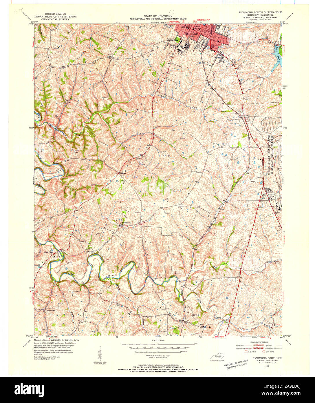 USGS TOPO Map Kentucky KY Richmond South 709625 1953 24000 Stock Photohttps://www.alamy.com/image-license-details/?v=1https://www.alamy.com/usgs-topo-map-kentucky-ky-richmond-south-709625-1953-24000-image332846602.html
RM2A9ED6J–USGS TOPO Map Kentucky KY Richmond South 709625 1953 24000
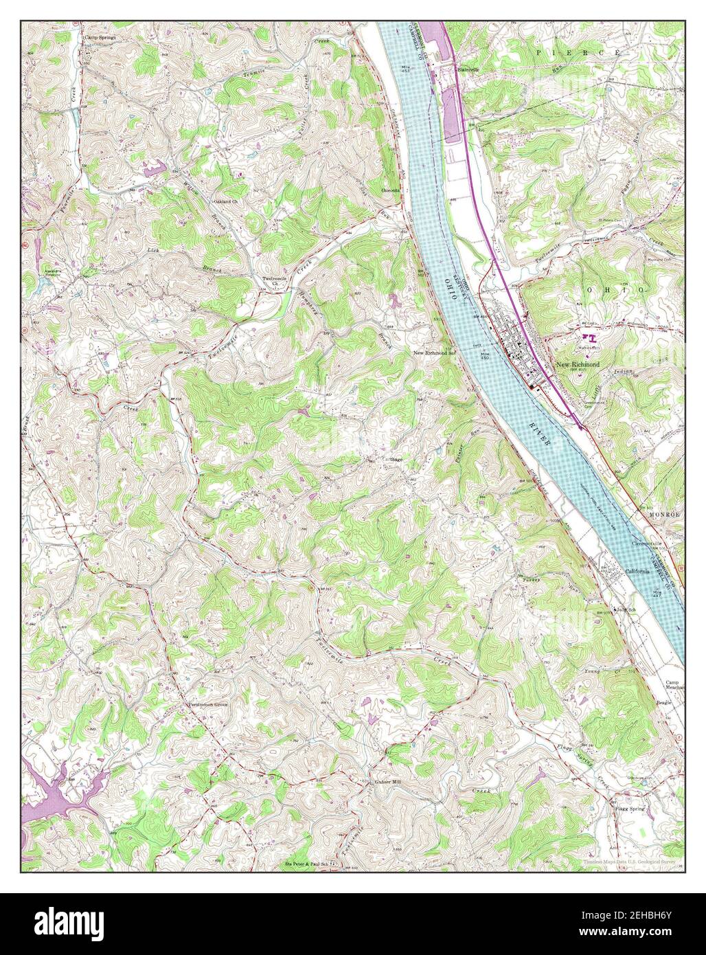 New Richmond, Kentucky, map 1953, 1:24000, United States of America by Timeless Maps, data U.S. Geological Survey Stock Photohttps://www.alamy.com/image-license-details/?v=1https://www.alamy.com/new-richmond-kentucky-map-1953-124000-united-states-of-america-by-timeless-maps-data-us-geological-survey-image406542611.html
RM2EHBH6Y–New Richmond, Kentucky, map 1953, 1:24000, United States of America by Timeless Maps, data U.S. Geological Survey
 USGS TOPO Map Kentucky KY Richmond South 709622 1965 24000 Stock Photohttps://www.alamy.com/image-license-details/?v=1https://www.alamy.com/usgs-topo-map-kentucky-ky-richmond-south-709622-1965-24000-image332846321.html
RM2A9ECTH–USGS TOPO Map Kentucky KY Richmond South 709622 1965 24000
 Richmond North, Kentucky, map 1965, 1:24000, United States of America by Timeless Maps, data U.S. Geological Survey Stock Photohttps://www.alamy.com/image-license-details/?v=1https://www.alamy.com/richmond-north-kentucky-map-1965-124000-united-states-of-america-by-timeless-maps-data-us-geological-survey-image406548520.html
RM2EHBTP0–Richmond North, Kentucky, map 1965, 1:24000, United States of America by Timeless Maps, data U.S. Geological Survey
 USGS TOPO Map Kentucky KY Richmond South 709624 1965 24000 Stock Photohttps://www.alamy.com/image-license-details/?v=1https://www.alamy.com/usgs-topo-map-kentucky-ky-richmond-south-709624-1965-24000-image332846487.html
RM2A9ED2F–USGS TOPO Map Kentucky KY Richmond South 709624 1965 24000
 Richmond South, Kentucky, map 1965, 1:24000, United States of America by Timeless Maps, data U.S. Geological Survey Stock Photohttps://www.alamy.com/image-license-details/?v=1https://www.alamy.com/richmond-south-kentucky-map-1965-124000-united-states-of-america-by-timeless-maps-data-us-geological-survey-image406548578.html
RM2EHBTT2–Richmond South, Kentucky, map 1965, 1:24000, United States of America by Timeless Maps, data U.S. Geological Survey
 USGS TOPO Map Kentucky KY New Richmond 709398 1953 24000 Stock Photohttps://www.alamy.com/image-license-details/?v=1https://www.alamy.com/usgs-topo-map-kentucky-ky-new-richmond-709398-1953-24000-image332831335.html
RM2A9DNNB–USGS TOPO Map Kentucky KY New Richmond 709398 1953 24000
 Richmond South, Kentucky, map 1965, 1:24000, United States of America by Timeless Maps, data U.S. Geological Survey Stock Photohttps://www.alamy.com/image-license-details/?v=1https://www.alamy.com/richmond-south-kentucky-map-1965-124000-united-states-of-america-by-timeless-maps-data-us-geological-survey-image406548562.html
RM2EHBTRE–Richmond South, Kentucky, map 1965, 1:24000, United States of America by Timeless Maps, data U.S. Geological Survey
 USGS TOPO Map Kentucky KY Richmond North 709620 1952 24000 Stock Photohttps://www.alamy.com/image-license-details/?v=1https://www.alamy.com/usgs-topo-map-kentucky-ky-richmond-north-709620-1952-24000-image332846259.html
RM2A9ECPB–USGS TOPO Map Kentucky KY Richmond North 709620 1952 24000
 Richmond North, Kentucky, map 1965, 1:24000, United States of America by Timeless Maps, data U.S. Geological Survey Stock Photohttps://www.alamy.com/image-license-details/?v=1https://www.alamy.com/richmond-north-kentucky-map-1965-124000-united-states-of-america-by-timeless-maps-data-us-geological-survey-image406548487.html
RM2EHBTMR–Richmond North, Kentucky, map 1965, 1:24000, United States of America by Timeless Maps, data U.S. Geological Survey
 Richmond North, Kentucky, map 1952, 1:24000, United States of America by Timeless Maps, data U.S. Geological Survey Stock Photohttps://www.alamy.com/image-license-details/?v=1https://www.alamy.com/richmond-north-kentucky-map-1952-124000-united-states-of-america-by-timeless-maps-data-us-geological-survey-image406548582.html
RM2EHBTT6–Richmond North, Kentucky, map 1952, 1:24000, United States of America by Timeless Maps, data U.S. Geological Survey
 Richmond North, Kentucky, map 1965, 1:24000, United States of America by Timeless Maps, data U.S. Geological Survey Stock Photohttps://www.alamy.com/image-license-details/?v=1https://www.alamy.com/richmond-north-kentucky-map-1965-124000-united-states-of-america-by-timeless-maps-data-us-geological-survey-image406548466.html
RM2EHBTM2–Richmond North, Kentucky, map 1965, 1:24000, United States of America by Timeless Maps, data U.S. Geological Survey
 Richmond South, Kentucky, map 1953, 1:24000, United States of America by Timeless Maps, data U.S. Geological Survey Stock Photohttps://www.alamy.com/image-license-details/?v=1https://www.alamy.com/richmond-south-kentucky-map-1953-124000-united-states-of-america-by-timeless-maps-data-us-geological-survey-image406548503.html
RM2EHBTNB–Richmond South, Kentucky, map 1953, 1:24000, United States of America by Timeless Maps, data U.S. Geological Survey
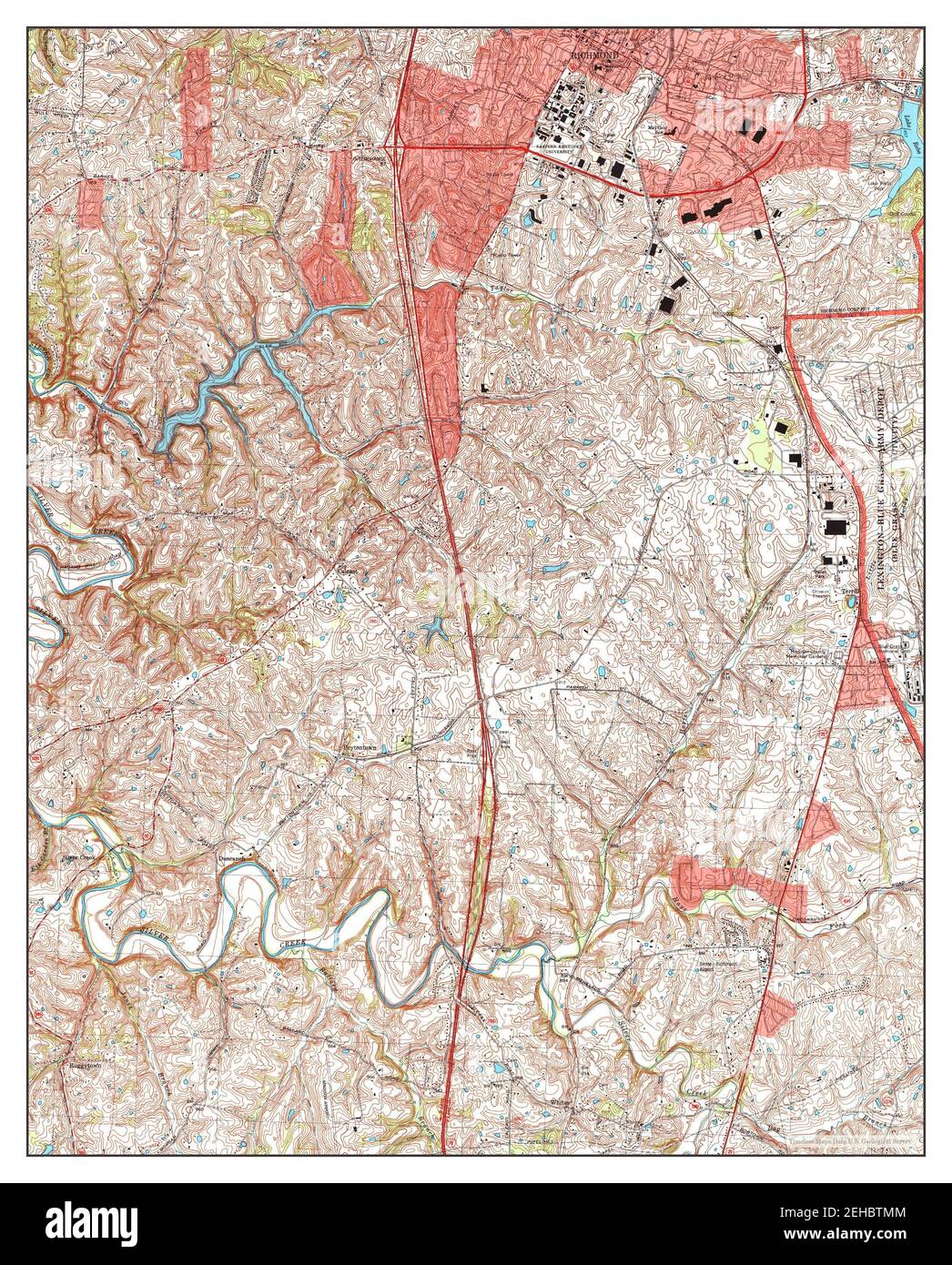 Richmond South, Kentucky, map 1997, 1:24000, United States of America by Timeless Maps, data U.S. Geological Survey Stock Photohttps://www.alamy.com/image-license-details/?v=1https://www.alamy.com/richmond-south-kentucky-map-1997-124000-united-states-of-america-by-timeless-maps-data-us-geological-survey-image406548484.html
RM2EHBTMM–Richmond South, Kentucky, map 1997, 1:24000, United States of America by Timeless Maps, data U.S. Geological Survey
 Richmond South, Kentucky, map 1965, 1:24000, United States of America by Timeless Maps, data U.S. Geological Survey Stock Photohttps://www.alamy.com/image-license-details/?v=1https://www.alamy.com/richmond-south-kentucky-map-1965-124000-united-states-of-america-by-timeless-maps-data-us-geological-survey-image406548580.html
RM2EHBTT4–Richmond South, Kentucky, map 1965, 1:24000, United States of America by Timeless Maps, data U.S. Geological Survey