Quick filters:
Ringgold map Stock Photos and Images
 Map of Ringgold. 1877 Stock Photohttps://www.alamy.com/image-license-details/?v=1https://www.alamy.com/map-of-ringgold-1877-image184629577.html
RMMMAGWD–Map of Ringgold. 1877
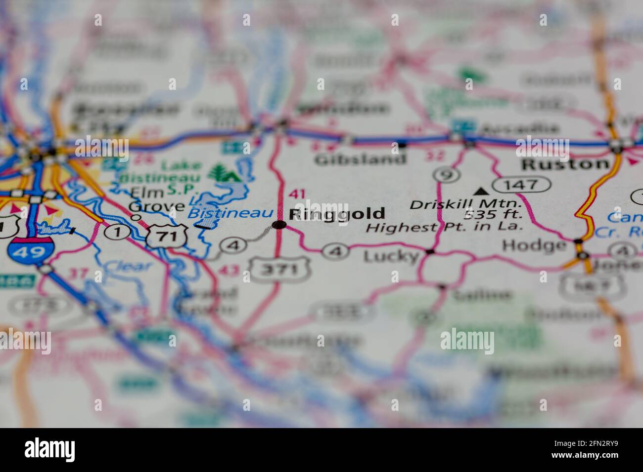 Ringgold Louisiana USA Shown on a Geography map or road map Stock Photohttps://www.alamy.com/image-license-details/?v=1https://www.alamy.com/ringgold-louisiana-usa-shown-on-a-geography-map-or-road-map-image426019309.html
RM2FN2RY9–Ringgold Louisiana USA Shown on a Geography map or road map
 Diagonal, Ringgold County, US, United States, Iowa, N 40 48' 33'', S 94 20' 31'', map, Cartascapes Map published in 2024. Explore Cartascapes, a map revealing Earth's diverse landscapes, cultures, and ecosystems. Journey through time and space, discovering the interconnectedness of our planet's past, present, and future. Stock Photohttps://www.alamy.com/image-license-details/?v=1https://www.alamy.com/diagonal-ringgold-county-us-united-states-iowa-n-40-48-33-s-94-20-31-map-cartascapes-map-published-in-2024-explore-cartascapes-a-map-revealing-earths-diverse-landscapes-cultures-and-ecosystems-journey-through-time-and-space-discovering-the-interconnectedness-of-our-planets-past-present-and-future-image621252804.html
RM2Y2ME84–Diagonal, Ringgold County, US, United States, Iowa, N 40 48' 33'', S 94 20' 31'', map, Cartascapes Map published in 2024. Explore Cartascapes, a map revealing Earth's diverse landscapes, cultures, and ecosystems. Journey through time and space, discovering the interconnectedness of our planet's past, present, and future.
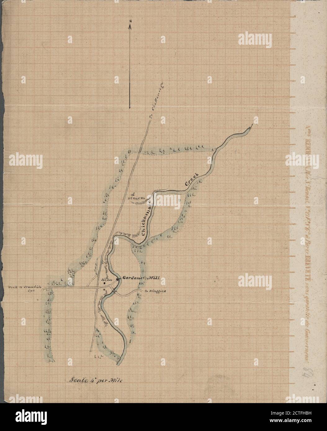 Manuscript map of an approximately 2-mile segment of Chickamaga (that is, West Chickamauga) Creek, south of Chattanooga, Tenn., south of the Chickamauga Battlefield, and west of Ringgold, Ga., cartographic, Maps, 1863 Stock Photohttps://www.alamy.com/image-license-details/?v=1https://www.alamy.com/manuscript-map-of-an-approximately-2-mile-segment-of-chickamaga-that-is-west-chickamauga-creek-south-of-chattanooga-tenn-south-of-the-chickamauga-battlefield-and-west-of-ringgold-ga-cartographic-maps-1863-image376512405.html
RM2CTFHBH–Manuscript map of an approximately 2-mile segment of Chickamaga (that is, West Chickamauga) Creek, south of Chattanooga, Tenn., south of the Chickamauga Battlefield, and west of Ringgold, Ga., cartographic, Maps, 1863
 Ringgold County (Iowa) outline map set Stock Vectorhttps://www.alamy.com/image-license-details/?v=1https://www.alamy.com/ringgold-county-iowa-outline-map-set-image620885704.html
RF2Y23P1C–Ringgold County (Iowa) outline map set
 Map of Ringgold in Iowa Stock Photohttps://www.alamy.com/image-license-details/?v=1https://www.alamy.com/map-of-ringgold-in-iowa-image443758022.html
RF2GNXWTP–Map of Ringgold in Iowa
 Commodore Cadwalader Ringgold Stock Photohttps://www.alamy.com/image-license-details/?v=1https://www.alamy.com/stock-photo-commodore-cadwalader-ringgold-139728897.html
RMJ395HN–Commodore Cadwalader Ringgold
 Sanborn Fire Insurance Map from Mount Ayr, Ringgold County, Iowa. Stock Photohttps://www.alamy.com/image-license-details/?v=1https://www.alamy.com/sanborn-fire-insurance-map-from-mount-ayr-ringgold-county-iowa-image456445689.html
RM2HEGW3N–Sanborn Fire Insurance Map from Mount Ayr, Ringgold County, Iowa.
 Battle Ringgold Gap Drawing Stock Photohttps://www.alamy.com/image-license-details/?v=1https://www.alamy.com/stock-image-battle-ringgold-gap-drawing-162762279.html
RMKCPCXF–Battle Ringgold Gap Drawing
 Map of Pickaway County, Ohio. Entered according to Act of Congress in the year 1858 by R.P. Smith in the clerks office of the District Court of the eastern district of Pennsylvania. Includes Bloomfield directory, 1850 population and agriculture statistics, distance table, 9 insets and 10 views of public, commercial, and residential properties. Insets: Genoa -- Palestine -- Williamsport -- Darbyville -- New Holland -- Tarlton -- Bloomfield -- Ringgold -- Circleville. BPL copy assembled, sectioned into 3 pieces and mounted on cloth.. America Transformed: Pickaway County, located in central Ohio Stock Photohttps://www.alamy.com/image-license-details/?v=1https://www.alamy.com/map-of-pickaway-county-ohio-entered-according-to-act-of-congress-in-the-year-1858-by-rp-smith-in-the-clerks-office-of-the-district-court-of-the-eastern-district-of-pennsylvania-includes-bloomfield-directory-1850-population-and-agriculture-statistics-distance-table-9-insets-and-10-views-of-public-commercial-and-residential-properties-insets-genoa-palestine-williamsport-darbyville-new-holland-tarlton-bloomfield-ringgold-circleville-bpl-copy-assembled-sectioned-into-3-pieces-and-mounted-on-cloth-america-transformed-pickaway-county-located-in-central-ohio-image502717734.html
RM2M5TNGP–Map of Pickaway County, Ohio. Entered according to Act of Congress in the year 1858 by R.P. Smith in the clerks office of the District Court of the eastern district of Pennsylvania. Includes Bloomfield directory, 1850 population and agriculture statistics, distance table, 9 insets and 10 views of public, commercial, and residential properties. Insets: Genoa -- Palestine -- Williamsport -- Darbyville -- New Holland -- Tarlton -- Bloomfield -- Ringgold -- Circleville. BPL copy assembled, sectioned into 3 pieces and mounted on cloth.. America Transformed: Pickaway County, located in central Ohio
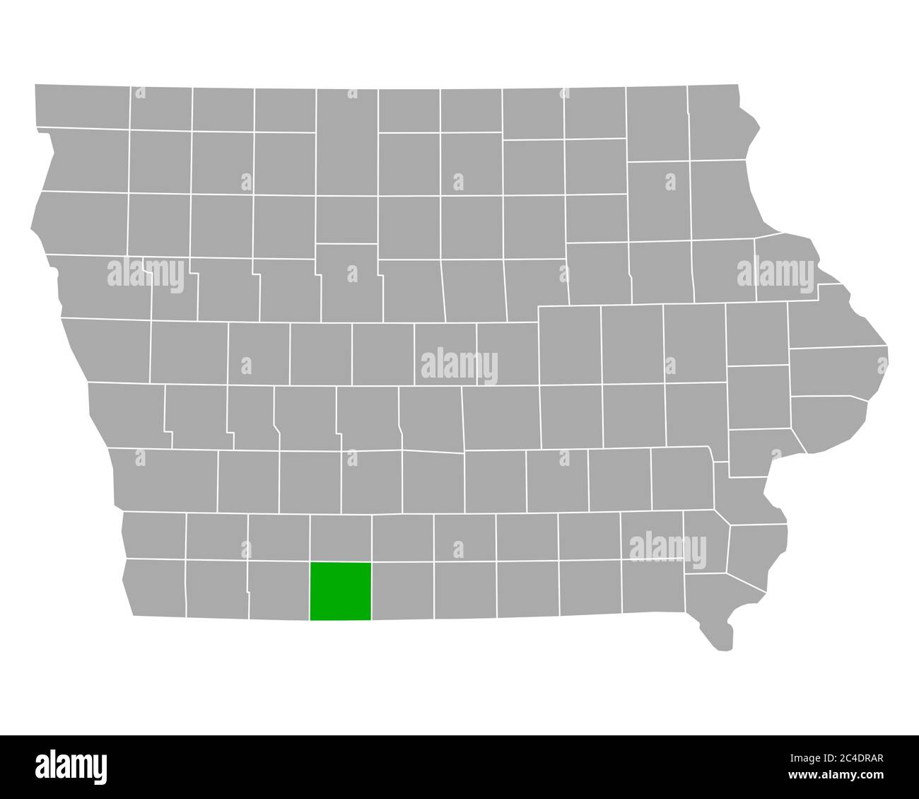 Map of Ringgold in Iowa Stock Photohttps://www.alamy.com/image-license-details/?v=1https://www.alamy.com/map-of-ringgold-in-iowa-image364180063.html
RF2C4DRAR–Map of Ringgold in Iowa
 Sac, Story, Shelby, Pocahontas, Ringgold and Osceola County, Iowa (U.S. county, United States of America, USA, U.S., US) map vector illustration, scri Stock Vectorhttps://www.alamy.com/image-license-details/?v=1https://www.alamy.com/sac-story-shelby-pocahontas-ringgold-and-osceola-county-iowa-us-county-united-states-of-america-usa-us-us-map-vector-illustration-scri-image376367585.html
RF2CT90KD–Sac, Story, Shelby, Pocahontas, Ringgold and Osceola County, Iowa (U.S. county, United States of America, USA, U.S., US) map vector illustration, scri
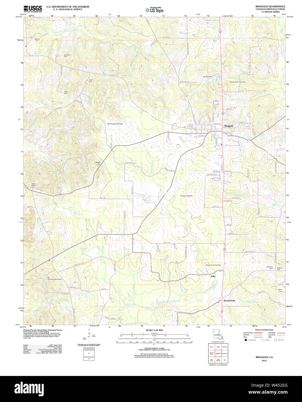 USGS TOPO Map Louisiana LA Ringgold 20120404 TM Stock Photohttps://www.alamy.com/image-license-details/?v=1https://www.alamy.com/usgs-topo-map-louisiana-la-ringgold-20120404-tm-image260725880.html
RMW452EG–USGS TOPO Map Louisiana LA Ringgold 20120404 TM
 . P.J. Hannifan & Co.'s new commercial railroad and county map of New Yort State and gazetteer .. . y of Matamoras. Major Brown(in whose honor the fort was named) was mortally wounded. May 8. Battle of Palo Alto. Gen. Taylor, with a little over 2,000troops, met, in battle array, 6,000 Mexicans, under Gen. Arista. Forfive hours, a hot contest was maintained, when the Mexicans gave wayand fled. American loss in killed and wounded, fifty-three. Among thewounded was Capt. Page, of Maine, who afterwards died on the 12th ofJuly ; and Major Ringgold, commander of Flying Artillery, who diedfour days a Stock Photohttps://www.alamy.com/image-license-details/?v=1https://www.alamy.com/pj-hannifan-cos-new-commercial-railroad-and-county-map-of-new-yort-state-and-gazetteer-y-of-matamoras-major-brownin-whose-honor-the-fort-was-named-was-mortally-wounded-may-8-battle-of-palo-alto-gen-taylor-with-a-little-over-2000troops-met-in-battle-array-6000-mexicans-under-gen-arista-forfive-hours-a-hot-contest-was-maintained-when-the-mexicans-gave-wayand-fled-american-loss-in-killed-and-wounded-fifty-three-among-thewounded-was-capt-page-of-maine-who-afterwards-died-on-the-12th-ofjuly-and-major-ringgold-commander-of-flying-artillery-who-diedfour-days-a-image375824636.html
RM2CRC84C–. P.J. Hannifan & Co.'s new commercial railroad and county map of New Yort State and gazetteer .. . y of Matamoras. Major Brown(in whose honor the fort was named) was mortally wounded. May 8. Battle of Palo Alto. Gen. Taylor, with a little over 2,000troops, met, in battle array, 6,000 Mexicans, under Gen. Arista. Forfive hours, a hot contest was maintained, when the Mexicans gave wayand fled. American loss in killed and wounded, fifty-three. Among thewounded was Capt. Page, of Maine, who afterwards died on the 12th ofJuly ; and Major Ringgold, commander of Flying Artillery, who diedfour days a
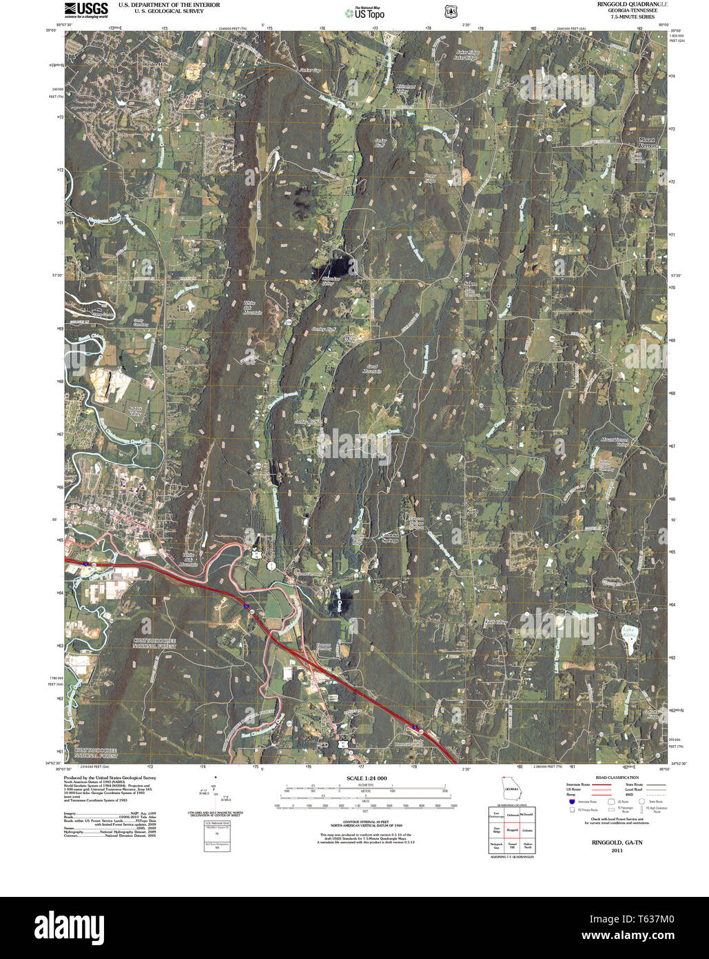 USGS TOPO Map Georgia GA Ringgold 20110225 TM Restoration Stock Photohttps://www.alamy.com/image-license-details/?v=1https://www.alamy.com/usgs-topo-map-georgia-ga-ringgold-20110225-tm-restoration-image244704992.html
RMT637M0–USGS TOPO Map Georgia GA Ringgold 20110225 TM Restoration
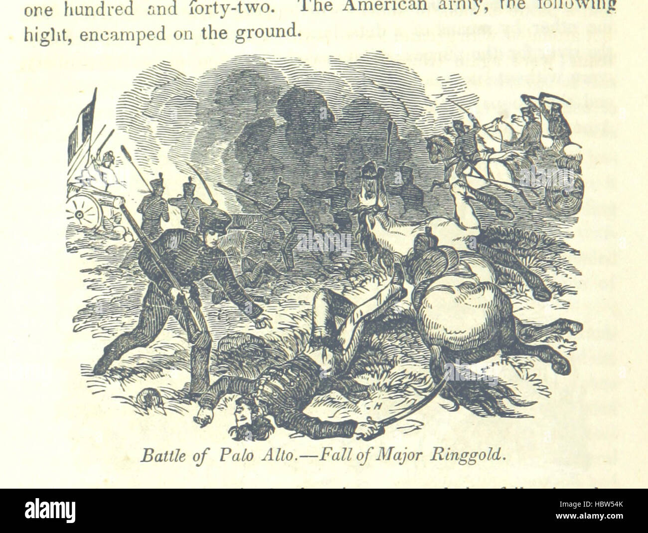 Image taken from page 806 of 'A Pictorial History of America; embracing both the northern and southern portions of the New World ... Illustrated, etc' Image taken from page 806 of 'A Pictorial History of Stock Photohttps://www.alamy.com/image-license-details/?v=1https://www.alamy.com/stock-photo-image-taken-from-page-806-of-a-pictorial-history-of-america-embracing-127786643.html
RMHBW54K–Image taken from page 806 of 'A Pictorial History of America; embracing both the northern and southern portions of the New World ... Illustrated, etc' Image taken from page 806 of 'A Pictorial History of
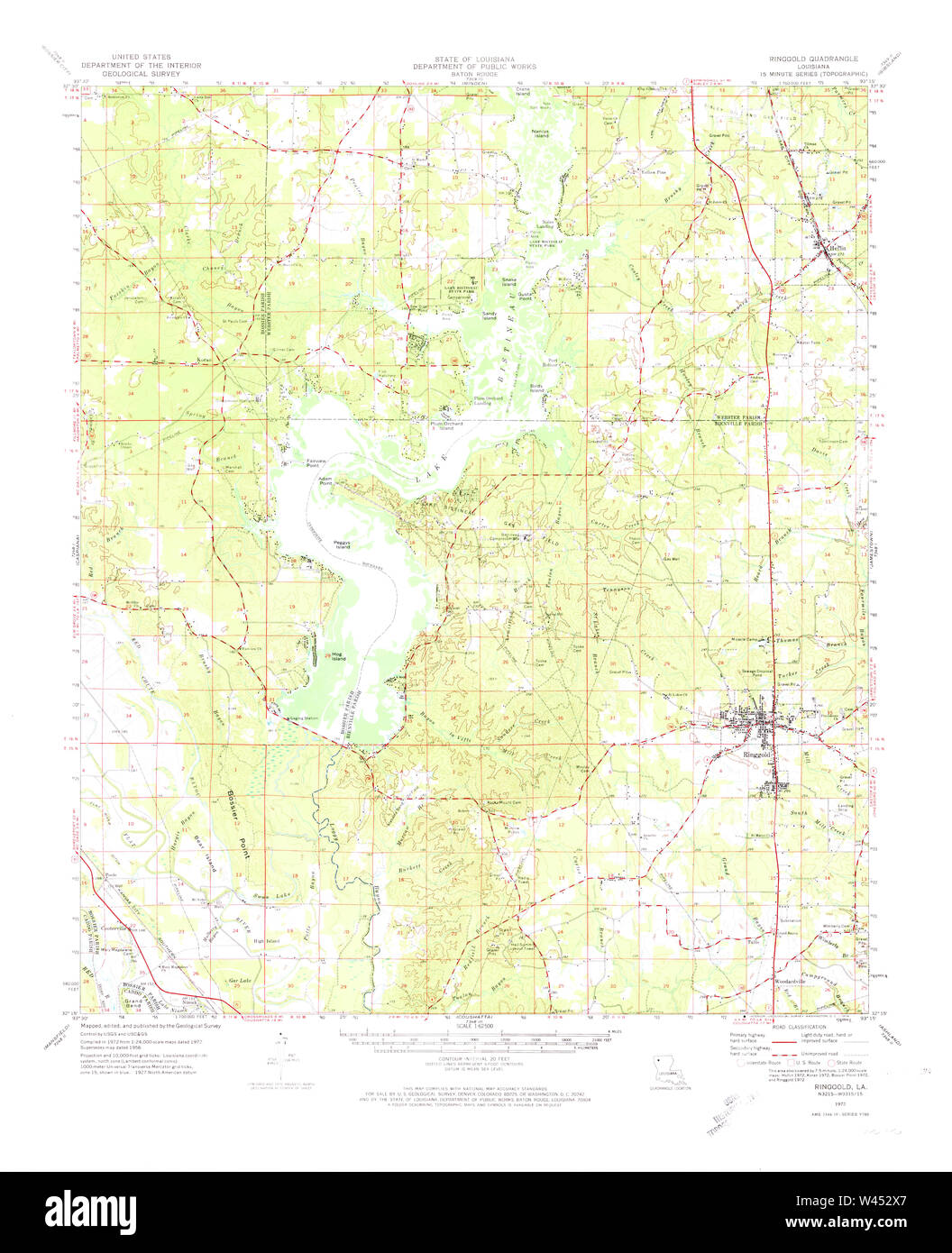 USGS TOPO Map Louisiana LA Ringgold 334973 1972 62500 Stock Photohttps://www.alamy.com/image-license-details/?v=1https://www.alamy.com/usgs-topo-map-louisiana-la-ringgold-334973-1972-62500-image260726207.html
RMW452X7–USGS TOPO Map Louisiana LA Ringgold 334973 1972 62500
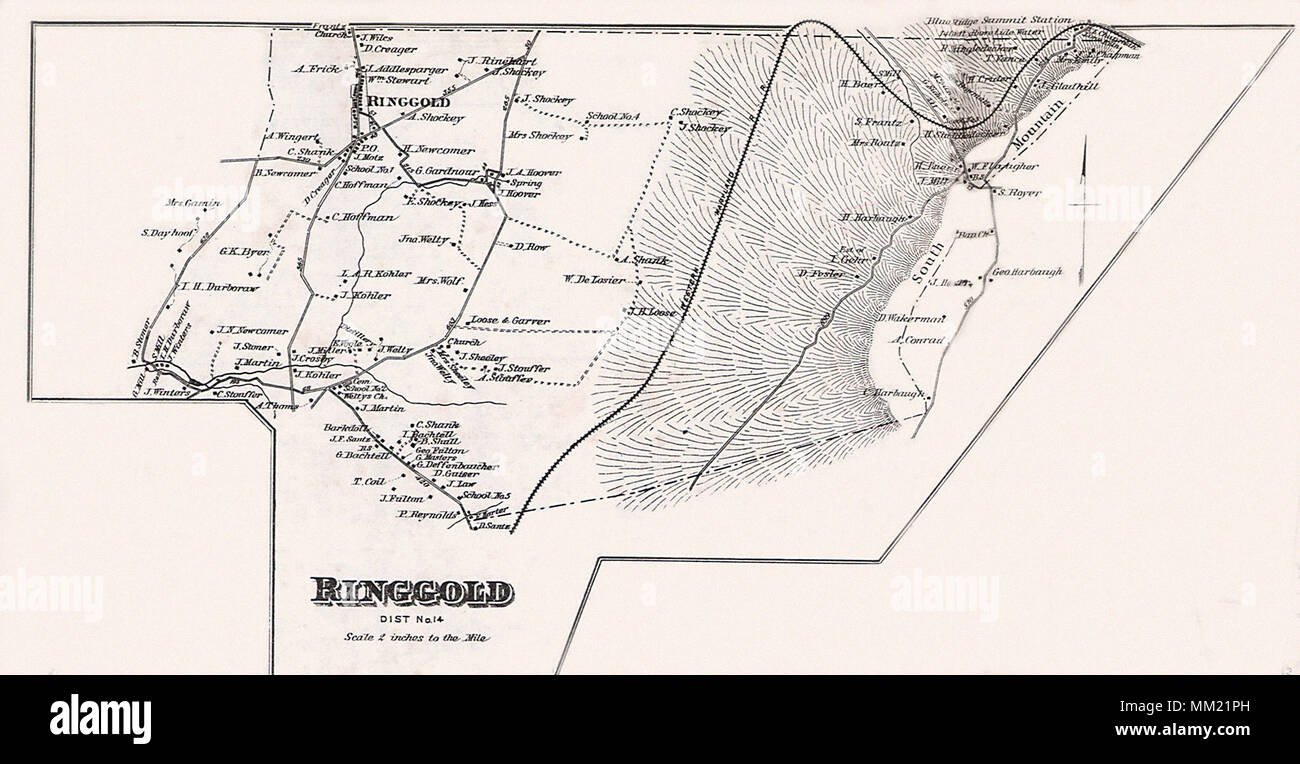 Map of Ringgold. 1877 Stock Photohttps://www.alamy.com/image-license-details/?v=1https://www.alamy.com/map-of-ringgold-1877-image184442121.html
RMMM21PH–Map of Ringgold. 1877
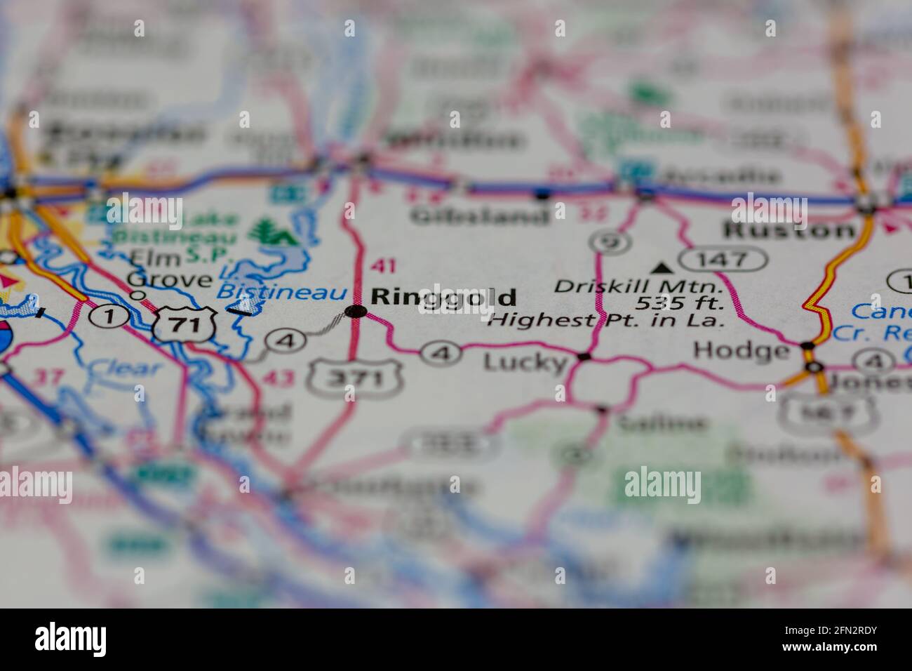 Ringgold Louisiana USA Shown on a Geography map or road map Stock Photohttps://www.alamy.com/image-license-details/?v=1https://www.alamy.com/ringgold-louisiana-usa-shown-on-a-geography-map-or-road-map-image426018935.html
RM2FN2RDY–Ringgold Louisiana USA Shown on a Geography map or road map
 Redding, Ringgold County, US, United States, Iowa, N 40 36' 16'', S 94 23' 15'', map, Cartascapes Map published in 2024. Explore Cartascapes, a map revealing Earth's diverse landscapes, cultures, and ecosystems. Journey through time and space, discovering the interconnectedness of our planet's past, present, and future. Stock Photohttps://www.alamy.com/image-license-details/?v=1https://www.alamy.com/redding-ringgold-county-us-united-states-iowa-n-40-36-16-s-94-23-15-map-cartascapes-map-published-in-2024-explore-cartascapes-a-map-revealing-earths-diverse-landscapes-cultures-and-ecosystems-journey-through-time-and-space-discovering-the-interconnectedness-of-our-planets-past-present-and-future-image621393382.html
RM2Y2XWGP–Redding, Ringgold County, US, United States, Iowa, N 40 36' 16'', S 94 23' 15'', map, Cartascapes Map published in 2024. Explore Cartascapes, a map revealing Earth's diverse landscapes, cultures, and ecosystems. Journey through time and space, discovering the interconnectedness of our planet's past, present, and future.
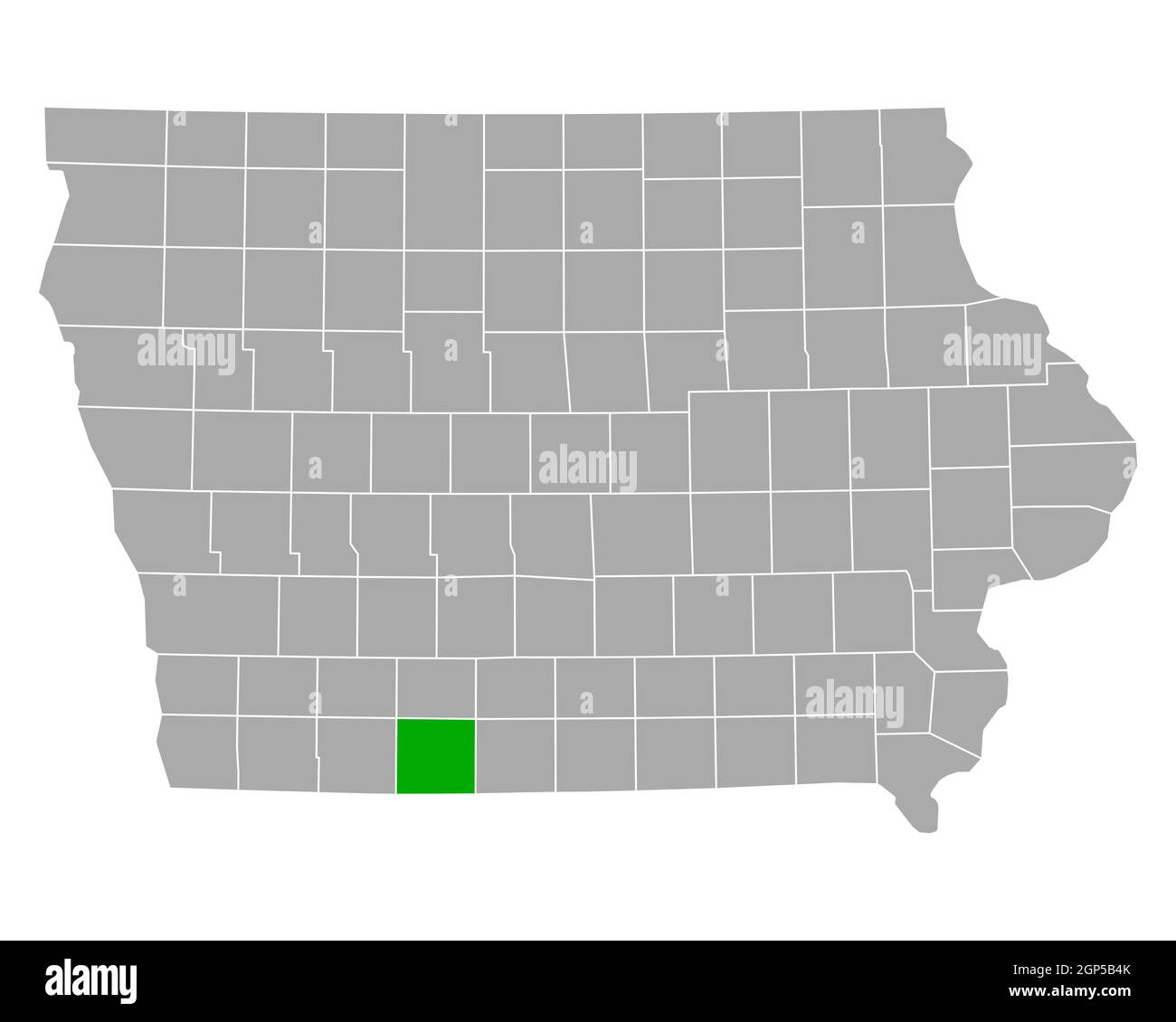 Map of Ringgold in Iowa Stock Photohttps://www.alamy.com/image-license-details/?v=1https://www.alamy.com/map-of-ringgold-in-iowa-image443900147.html
RF2GP5B4K–Map of Ringgold in Iowa
 Sanborn Fire Insurance Map from Mount Ayr, Ringgold County, Iowa. Stock Photohttps://www.alamy.com/image-license-details/?v=1https://www.alamy.com/sanborn-fire-insurance-map-from-mount-ayr-ringgold-county-iowa-image456445664.html
RM2HEGW2T–Sanborn Fire Insurance Map from Mount Ayr, Ringgold County, Iowa.
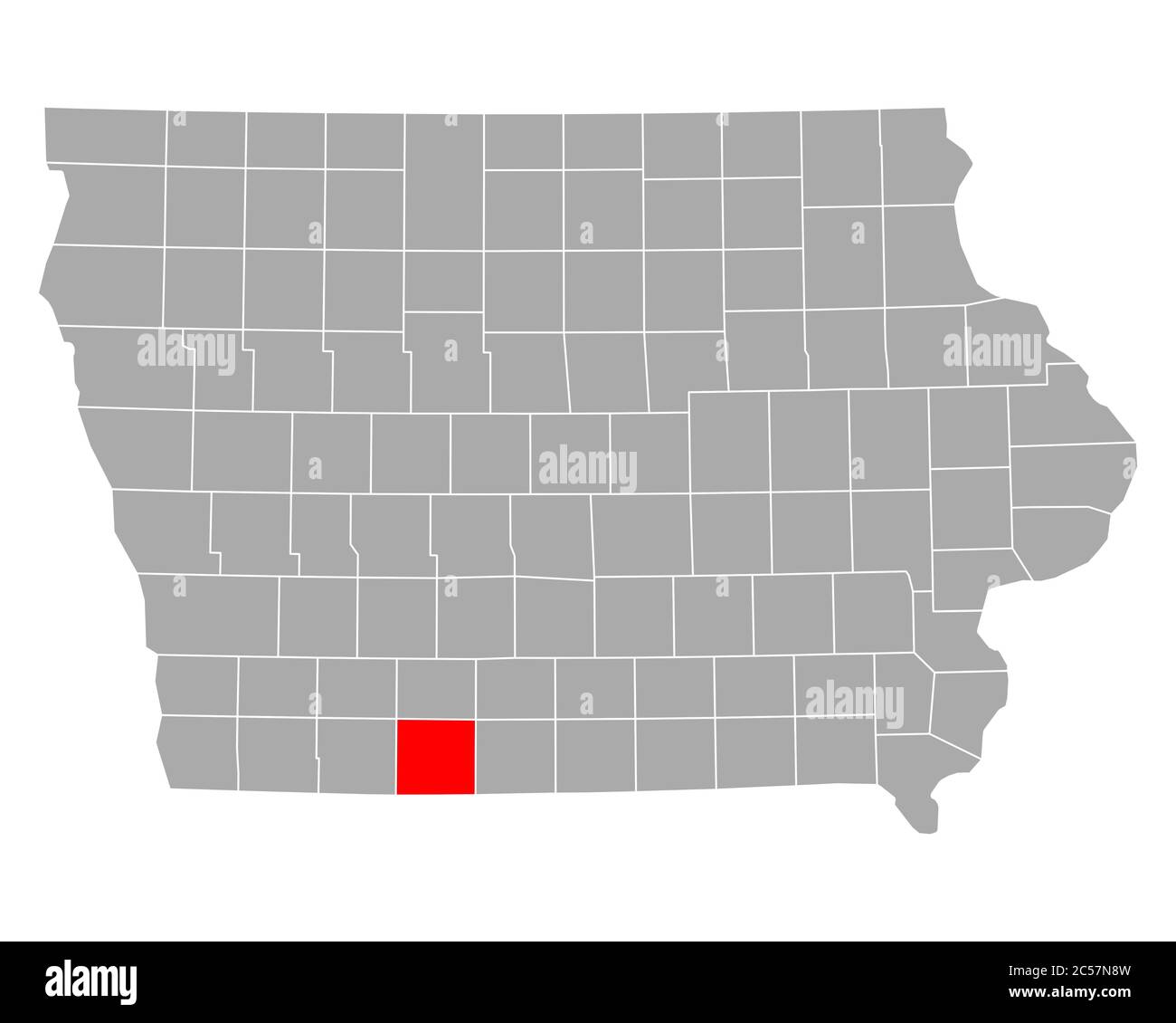 Map of Ringgold in Iowa Stock Photohttps://www.alamy.com/image-license-details/?v=1https://www.alamy.com/map-of-ringgold-in-iowa-image364661385.html
RF2C57N8W–Map of Ringgold in Iowa
 Sac, Story, Shelby, Pocahontas, Ringgold and Osceola County, Iowa (U.S. county, United States of America, USA, U.S., US) map vector illustration, scri Stock Vectorhttps://www.alamy.com/image-license-details/?v=1https://www.alamy.com/sac-story-shelby-pocahontas-ringgold-and-osceola-county-iowa-us-county-united-states-of-america-usa-us-us-map-vector-illustration-scri-image367253935.html
RF2C9DT3Y–Sac, Story, Shelby, Pocahontas, Ringgold and Osceola County, Iowa (U.S. county, United States of America, USA, U.S., US) map vector illustration, scri
 Elwood's stories of the old Ringgold Cavalry, 1847-1865 (electronic resource)- the first three year cavalry of the Civil War - with introduction by the Rev. H.H. Ryland (1914) Stock Photohttps://www.alamy.com/image-license-details/?v=1https://www.alamy.com/stock-photo-elwoods-stories-of-the-old-ringgold-cavalry-1847-1865-electronic-resource-100423290.html
RMFRAJX2–Elwood's stories of the old Ringgold Cavalry, 1847-1865 (electronic resource)- the first three year cavalry of the Civil War - with introduction by the Rev. H.H. Ryland (1914)
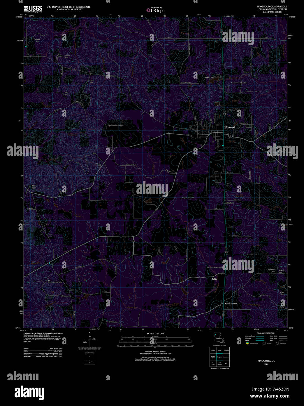 USGS TOPO Map Louisiana LA Ringgold 20120404 TM Inverted Stock Photohttps://www.alamy.com/image-license-details/?v=1https://www.alamy.com/usgs-topo-map-louisiana-la-ringgold-20120404-tm-inverted-image260725857.html
RMW452DN–USGS TOPO Map Louisiana LA Ringgold 20120404 TM Inverted
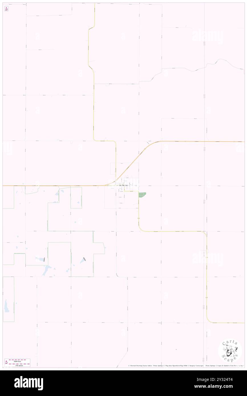 Kellerton, Ringgold County, US, United States, Iowa, N 40 42' 38'', S 94 2' 59'', map, Cartascapes Map published in 2024. Explore Cartascapes, a map revealing Earth's diverse landscapes, cultures, and ecosystems. Journey through time and space, discovering the interconnectedness of our planet's past, present, and future. Stock Photohttps://www.alamy.com/image-license-details/?v=1https://www.alamy.com/kellerton-ringgold-county-us-united-states-iowa-n-40-42-38-s-94-2-59-map-cartascapes-map-published-in-2024-explore-cartascapes-a-map-revealing-earths-diverse-landscapes-cultures-and-ecosystems-journey-through-time-and-space-discovering-the-interconnectedness-of-our-planets-past-present-and-future-image621464932.html
RM2Y324T4–Kellerton, Ringgold County, US, United States, Iowa, N 40 42' 38'', S 94 2' 59'', map, Cartascapes Map published in 2024. Explore Cartascapes, a map revealing Earth's diverse landscapes, cultures, and ecosystems. Journey through time and space, discovering the interconnectedness of our planet's past, present, and future.
 Map of Ringgold in Iowa Stock Photohttps://www.alamy.com/image-license-details/?v=1https://www.alamy.com/map-of-ringgold-in-iowa-image443925879.html
RF2GP6FYK–Map of Ringgold in Iowa
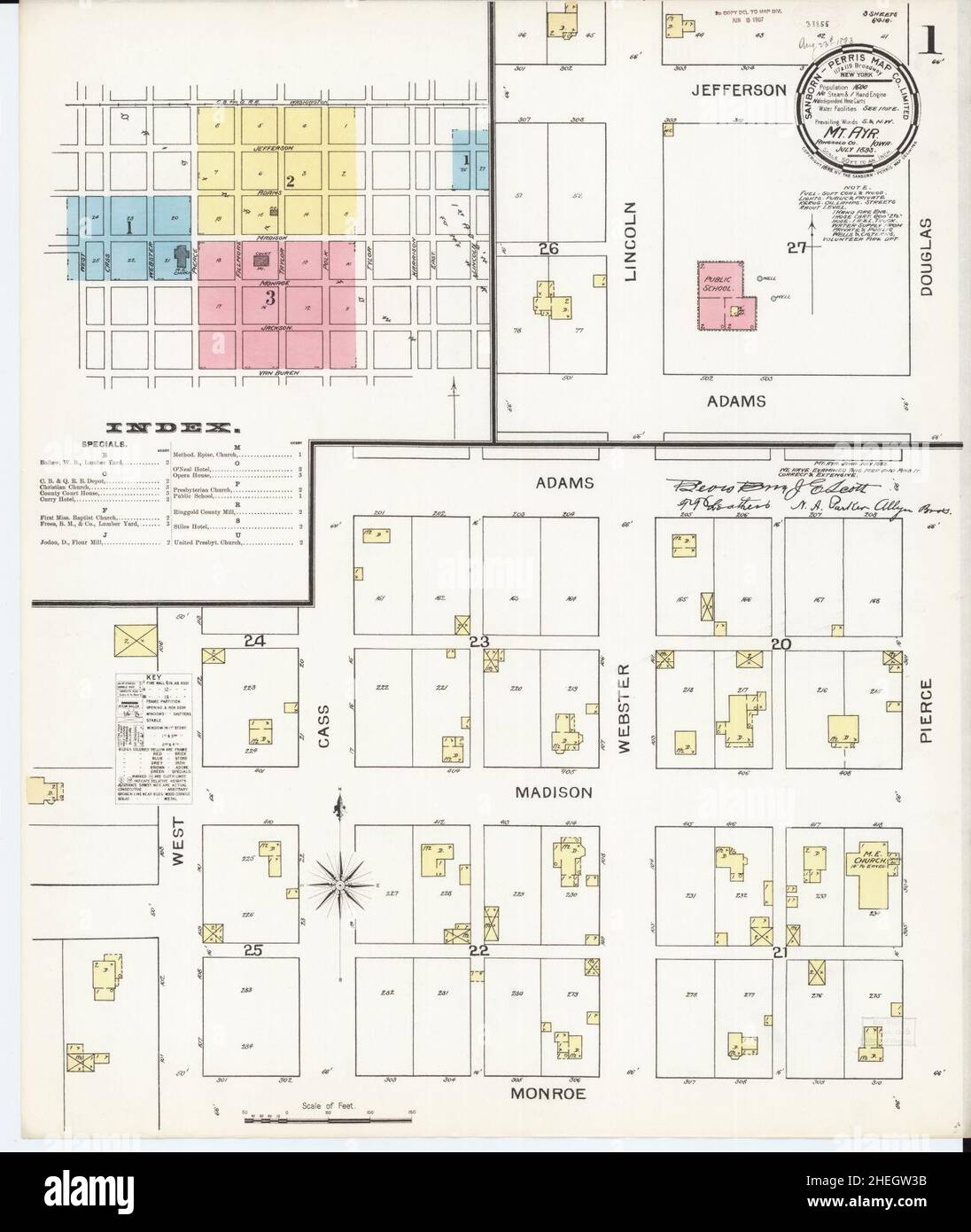 Sanborn Fire Insurance Map from Mount Ayr, Ringgold County, Iowa. Stock Photohttps://www.alamy.com/image-license-details/?v=1https://www.alamy.com/sanborn-fire-insurance-map-from-mount-ayr-ringgold-county-iowa-image456445679.html
RM2HEGW3B–Sanborn Fire Insurance Map from Mount Ayr, Ringgold County, Iowa.
 Map of Ringgold in Iowa Stock Photohttps://www.alamy.com/image-license-details/?v=1https://www.alamy.com/map-of-ringgold-in-iowa-image365209492.html
RF2C64MC4–Map of Ringgold in Iowa
 Catoosa County, Georgia (U.S. county, United States of America,USA, U.S., US) map vector illustration, scribble sketch Catoosa map Stock Vectorhttps://www.alamy.com/image-license-details/?v=1https://www.alamy.com/catoosa-county-georgia-us-county-united-states-of-americausa-us-us-map-vector-illustration-scribble-sketch-catoosa-map-image357511390.html
RF2BNJ1BX–Catoosa County, Georgia (U.S. county, United States of America,USA, U.S., US) map vector illustration, scribble sketch Catoosa map
 Elwood's stories of the old Ringgold Cavalry, 1847-1865 (electronic resource)- the first three year cavalry of the Civil War - with introduction by the Rev. H.H. Ryland (1914) Stock Photohttps://www.alamy.com/image-license-details/?v=1https://www.alamy.com/stock-photo-elwoods-stories-of-the-old-ringgold-cavalry-1847-1865-electronic-resource-100353385.html
RMFR7DND–Elwood's stories of the old Ringgold Cavalry, 1847-1865 (electronic resource)- the first three year cavalry of the Civil War - with introduction by the Rev. H.H. Ryland (1914)
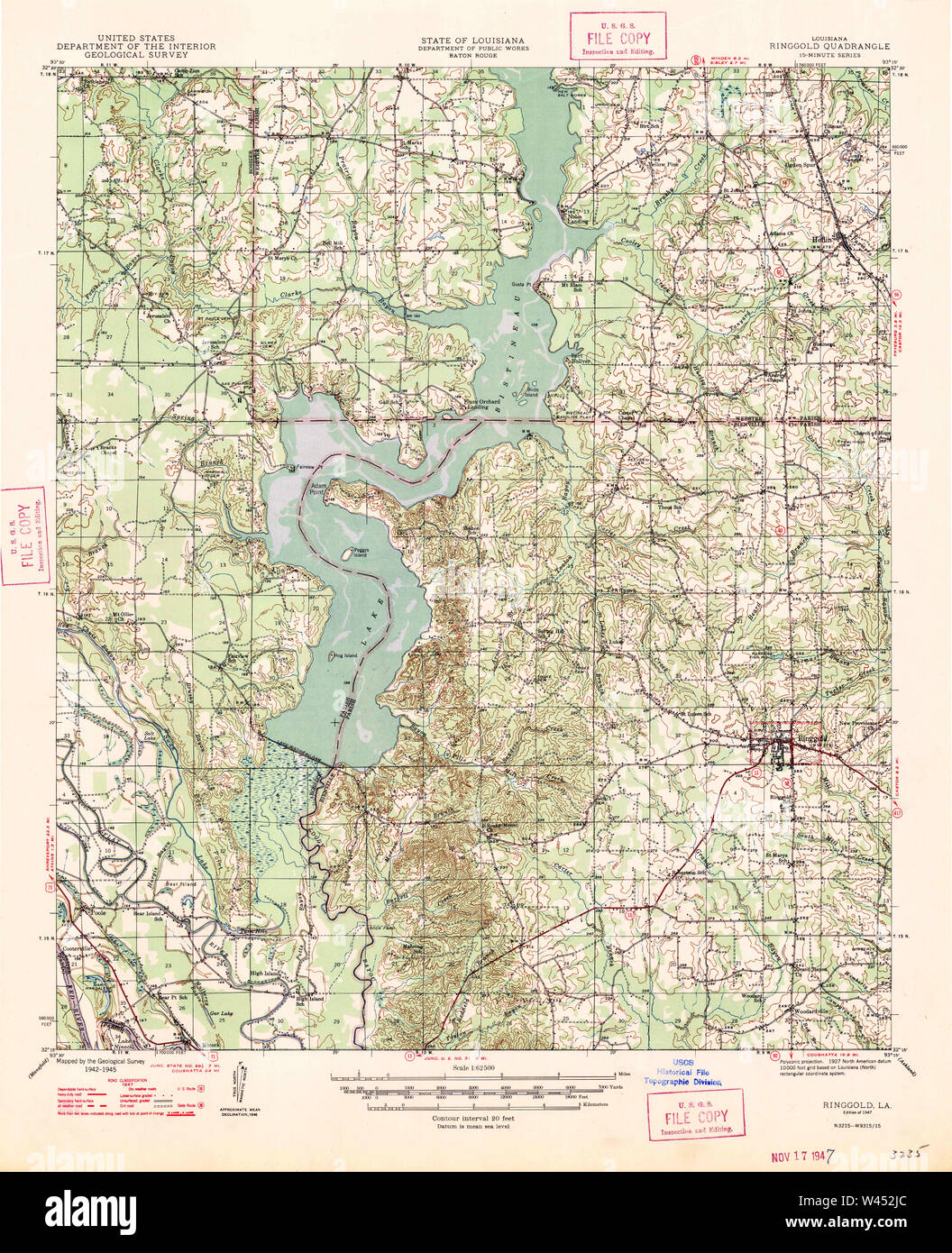 USGS TOPO Map Louisiana LA Ringgold 334970 1947 62500 Stock Photohttps://www.alamy.com/image-license-details/?v=1https://www.alamy.com/usgs-topo-map-louisiana-la-ringgold-334970-1947-62500-image260725988.html
RMW452JC–USGS TOPO Map Louisiana LA Ringgold 334970 1947 62500
 Maloy, Ringgold County, US, United States, Iowa, N 40 40' 27'', S 94 24' 43'', map, Cartascapes Map published in 2024. Explore Cartascapes, a map revealing Earth's diverse landscapes, cultures, and ecosystems. Journey through time and space, discovering the interconnectedness of our planet's past, present, and future. Stock Photohttps://www.alamy.com/image-license-details/?v=1https://www.alamy.com/maloy-ringgold-county-us-united-states-iowa-n-40-40-27-s-94-24-43-map-cartascapes-map-published-in-2024-explore-cartascapes-a-map-revealing-earths-diverse-landscapes-cultures-and-ecosystems-journey-through-time-and-space-discovering-the-interconnectedness-of-our-planets-past-present-and-future-image621444561.html
RM2Y316TH–Maloy, Ringgold County, US, United States, Iowa, N 40 40' 27'', S 94 24' 43'', map, Cartascapes Map published in 2024. Explore Cartascapes, a map revealing Earth's diverse landscapes, cultures, and ecosystems. Journey through time and space, discovering the interconnectedness of our planet's past, present, and future.
 Sanborn Fire Insurance Map from Mount Ayr, Ringgold County, Iowa. Stock Photohttps://www.alamy.com/image-license-details/?v=1https://www.alamy.com/sanborn-fire-insurance-map-from-mount-ayr-ringgold-county-iowa-image456445677.html
RM2HEGW39–Sanborn Fire Insurance Map from Mount Ayr, Ringgold County, Iowa.
 Catoosa County, Georgia (U.S. county, United States of America,USA, U.S., US) map vector illustration, scribble sketch Catoosa map Stock Vectorhttps://www.alamy.com/image-license-details/?v=1https://www.alamy.com/catoosa-county-georgia-us-county-united-states-of-americausa-us-us-map-vector-illustration-scribble-sketch-catoosa-map-image354294235.html
RF2BGBDWF–Catoosa County, Georgia (U.S. county, United States of America,USA, U.S., US) map vector illustration, scribble sketch Catoosa map
 Elwood's stories of the old Ringgold Cavalry, 1847-1865 (electronic resource)- the first three year cavalry of the Civil War - with introduction by the Rev. H.H. Ryland (1914) Stock Photohttps://www.alamy.com/image-license-details/?v=1https://www.alamy.com/stock-photo-elwoods-stories-of-the-old-ringgold-cavalry-1847-1865-electronic-resource-100455380.html
RMFRC3T4–Elwood's stories of the old Ringgold Cavalry, 1847-1865 (electronic resource)- the first three year cavalry of the Civil War - with introduction by the Rev. H.H. Ryland (1914)
 USGS TOPO Map Louisiana LA Ringgold 334972 1956 62500 Stock Photohttps://www.alamy.com/image-license-details/?v=1https://www.alamy.com/usgs-topo-map-louisiana-la-ringgold-334972-1956-62500-image260726094.html
RMW452P6–USGS TOPO Map Louisiana LA Ringgold 334972 1956 62500
RM2Y2PD78–Beaconsfield, Ringgold County, US, United States, Iowa, N 40 48' 27'', S 94 3' 1'', map, Cartascapes Map published in 2024. Explore Cartascapes, a map revealing Earth's diverse landscapes, cultures, and ecosystems. Journey through time and space, discovering the interconnectedness of our planet's past, present, and future.
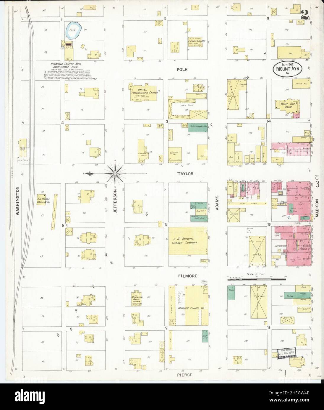 Sanborn Fire Insurance Map from Mount Ayr, Ringgold County, Iowa. Stock Photohttps://www.alamy.com/image-license-details/?v=1https://www.alamy.com/sanborn-fire-insurance-map-from-mount-ayr-ringgold-county-iowa-image456445718.html
RM2HEGW4P–Sanborn Fire Insurance Map from Mount Ayr, Ringgold County, Iowa.
 Catoosa County, Georgia (U.S. county, United States of America,USA, U.S., US) map vector illustration, scribble sketch Catoosa map Stock Vectorhttps://www.alamy.com/image-license-details/?v=1https://www.alamy.com/catoosa-county-georgia-us-county-united-states-of-americausa-us-us-map-vector-illustration-scribble-sketch-catoosa-map-image365352793.html
RF2C6B761–Catoosa County, Georgia (U.S. county, United States of America,USA, U.S., US) map vector illustration, scribble sketch Catoosa map
 Elwood's stories of the old Ringgold Cavalry, 1847-1865 (electronic resource)- the first three year cavalry of the Civil War - with introduction by the Rev. H.H. Ryland (1914) Stock Photohttps://www.alamy.com/image-license-details/?v=1https://www.alamy.com/stock-photo-elwoods-stories-of-the-old-ringgold-cavalry-1847-1865-electronic-resource-100397296.html
RMFR9DNM–Elwood's stories of the old Ringgold Cavalry, 1847-1865 (electronic resource)- the first three year cavalry of the Civil War - with introduction by the Rev. H.H. Ryland (1914)
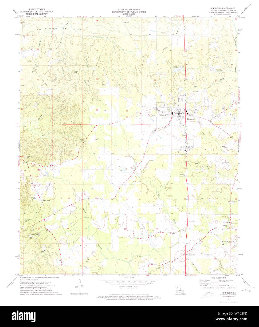 USGS TOPO Map Louisiana LA Ringgold 333177 1972 24000 Stock Photohttps://www.alamy.com/image-license-details/?v=1https://www.alamy.com/usgs-topo-map-louisiana-la-ringgold-333177-1972-24000-image260725905.html
RMW452FD–USGS TOPO Map Louisiana LA Ringgold 333177 1972 24000
 Redding, Ringgold County, US, United States, Iowa, N 40 36' 16'', S 94 23' 15'', map, Cartascapes Map published in 2024. Explore Cartascapes, a map revealing Earth's diverse landscapes, cultures, and ecosystems. Journey through time and space, discovering the interconnectedness of our planet's past, present, and future. Stock Photohttps://www.alamy.com/image-license-details/?v=1https://www.alamy.com/redding-ringgold-county-us-united-states-iowa-n-40-36-16-s-94-23-15-map-cartascapes-map-published-in-2024-explore-cartascapes-a-map-revealing-earths-diverse-landscapes-cultures-and-ecosystems-journey-through-time-and-space-discovering-the-interconnectedness-of-our-planets-past-present-and-future-image621227797.html
RM2Y2KAB1–Redding, Ringgold County, US, United States, Iowa, N 40 36' 16'', S 94 23' 15'', map, Cartascapes Map published in 2024. Explore Cartascapes, a map revealing Earth's diverse landscapes, cultures, and ecosystems. Journey through time and space, discovering the interconnectedness of our planet's past, present, and future.
 Sanborn Fire Insurance Map from Mount Ayr, Ringgold County, Iowa. Stock Photohttps://www.alamy.com/image-license-details/?v=1https://www.alamy.com/sanborn-fire-insurance-map-from-mount-ayr-ringgold-county-iowa-image456445700.html
RM2HEGW44–Sanborn Fire Insurance Map from Mount Ayr, Ringgold County, Iowa.
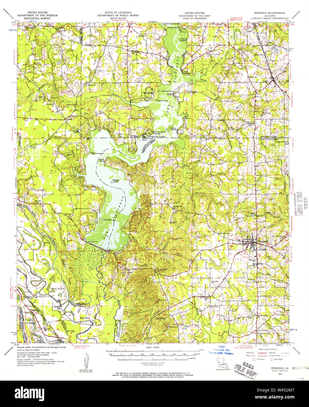 USGS TOPO Map Louisiana LA Ringgold 334971 1956 62500 Stock Photohttps://www.alamy.com/image-license-details/?v=1https://www.alamy.com/usgs-topo-map-louisiana-la-ringgold-334971-1956-62500-image260726039.html
RMW452M7–USGS TOPO Map Louisiana LA Ringgold 334971 1956 62500
 Watterson, Ringgold County, US, United States, Iowa, N 40 36' 6'', S 94 14' 0'', map, Cartascapes Map published in 2024. Explore Cartascapes, a map revealing Earth's diverse landscapes, cultures, and ecosystems. Journey through time and space, discovering the interconnectedness of our planet's past, present, and future. Stock Photohttps://www.alamy.com/image-license-details/?v=1https://www.alamy.com/watterson-ringgold-county-us-united-states-iowa-n-40-36-6-s-94-14-0-map-cartascapes-map-published-in-2024-explore-cartascapes-a-map-revealing-earths-diverse-landscapes-cultures-and-ecosystems-journey-through-time-and-space-discovering-the-interconnectedness-of-our-planets-past-present-and-future-image621321924.html
RM2Y2RJCM–Watterson, Ringgold County, US, United States, Iowa, N 40 36' 6'', S 94 14' 0'', map, Cartascapes Map published in 2024. Explore Cartascapes, a map revealing Earth's diverse landscapes, cultures, and ecosystems. Journey through time and space, discovering the interconnectedness of our planet's past, present, and future.
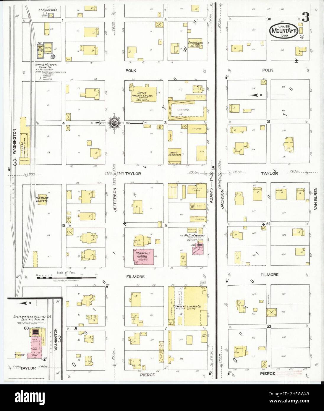 Sanborn Fire Insurance Map from Mount Ayr, Ringgold County, Iowa. Stock Photohttps://www.alamy.com/image-license-details/?v=1https://www.alamy.com/sanborn-fire-insurance-map-from-mount-ayr-ringgold-county-iowa-image456445699.html
RM2HEGW43–Sanborn Fire Insurance Map from Mount Ayr, Ringgold County, Iowa.
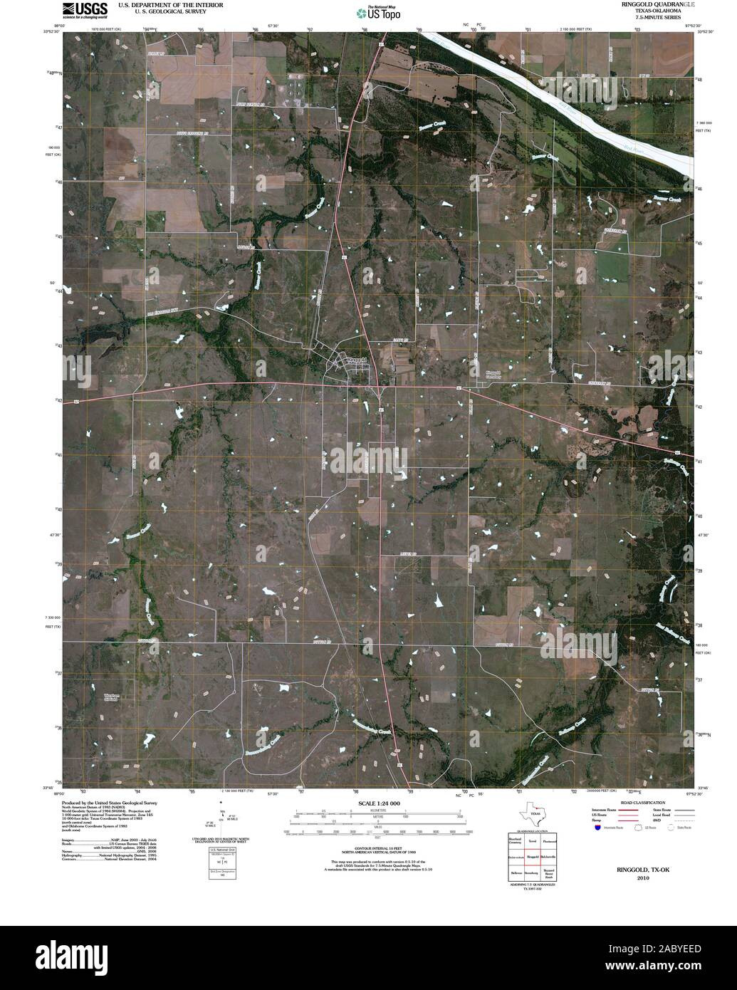 USGS TOPO Map Oklahoma TX Ringgold 20100614 TM Restoration Stock Photohttps://www.alamy.com/image-license-details/?v=1https://www.alamy.com/usgs-topo-map-oklahoma-tx-ringgold-20100614-tm-restoration-image334362293.html
RM2ABYEED–USGS TOPO Map Oklahoma TX Ringgold 20100614 TM Restoration
 Delphos, Ringgold County, US, United States, Iowa, N 40 39' 48'', S 94 20' 21'', map, Cartascapes Map published in 2024. Explore Cartascapes, a map revealing Earth's diverse landscapes, cultures, and ecosystems. Journey through time and space, discovering the interconnectedness of our planet's past, present, and future. Stock Photohttps://www.alamy.com/image-license-details/?v=1https://www.alamy.com/delphos-ringgold-county-us-united-states-iowa-n-40-39-48-s-94-20-21-map-cartascapes-map-published-in-2024-explore-cartascapes-a-map-revealing-earths-diverse-landscapes-cultures-and-ecosystems-journey-through-time-and-space-discovering-the-interconnectedness-of-our-planets-past-present-and-future-image621221085.html
RM2Y2K1R9–Delphos, Ringgold County, US, United States, Iowa, N 40 39' 48'', S 94 20' 21'', map, Cartascapes Map published in 2024. Explore Cartascapes, a map revealing Earth's diverse landscapes, cultures, and ecosystems. Journey through time and space, discovering the interconnectedness of our planet's past, present, and future.
 Sanborn Fire Insurance Map from Mount Ayr, Ringgold County, Iowa. Stock Photohttps://www.alamy.com/image-license-details/?v=1https://www.alamy.com/sanborn-fire-insurance-map-from-mount-ayr-ringgold-county-iowa-image456445712.html
RM2HEGW4G–Sanborn Fire Insurance Map from Mount Ayr, Ringgold County, Iowa.
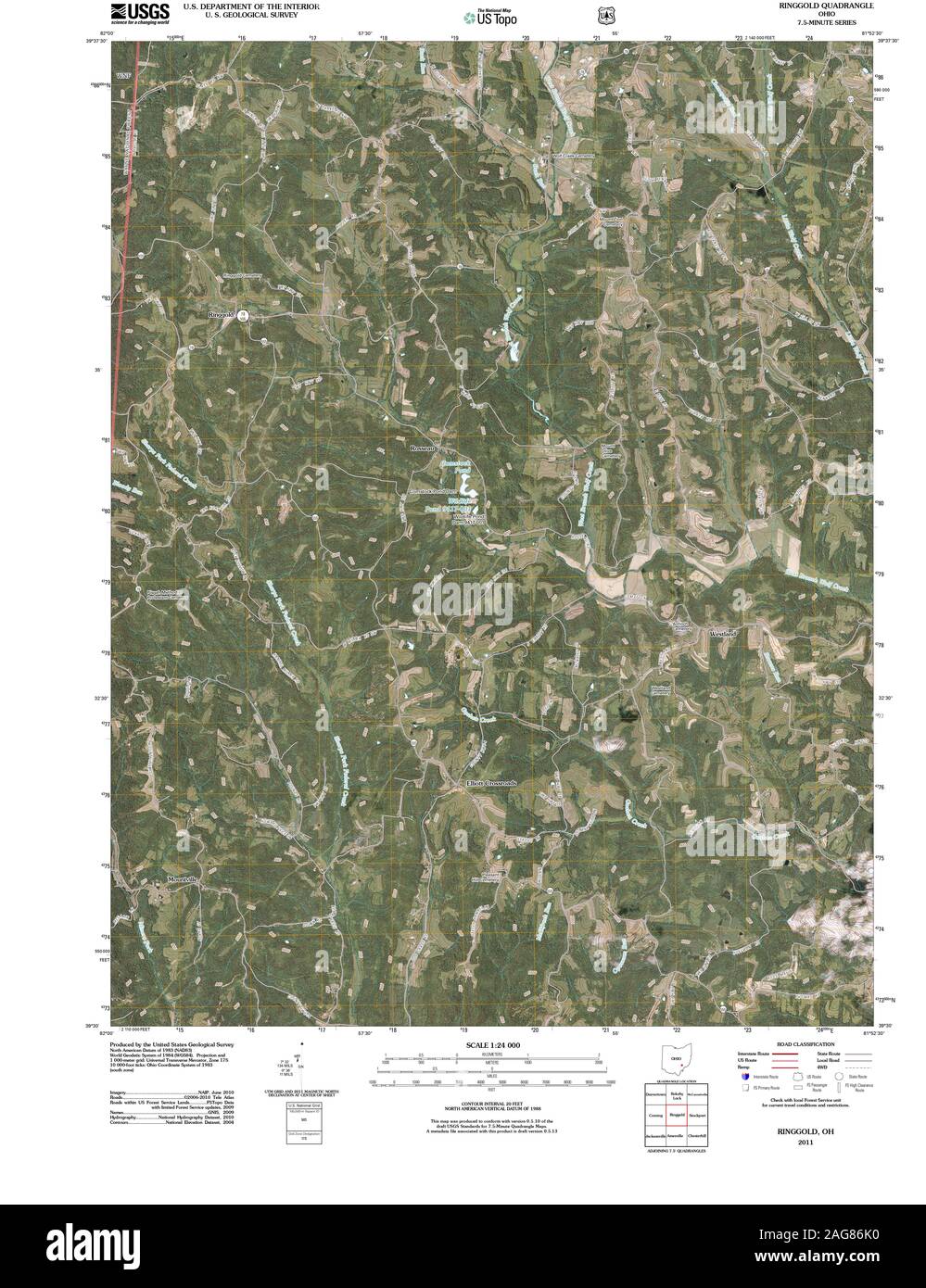 USGS TOPO Map Ohio OH Ringgold 20110512 TM Restoration Stock Photohttps://www.alamy.com/image-license-details/?v=1https://www.alamy.com/usgs-topo-map-ohio-oh-ringgold-20110512-tm-restoration-image337012340.html
RM2AG86K0–USGS TOPO Map Ohio OH Ringgold 20110512 TM Restoration
 Ellston, Ringgold County, US, United States, Iowa, N 40 50' 24'', S 94 6' 30'', map, Cartascapes Map published in 2024. Explore Cartascapes, a map revealing Earth's diverse landscapes, cultures, and ecosystems. Journey through time and space, discovering the interconnectedness of our planet's past, present, and future. Stock Photohttps://www.alamy.com/image-license-details/?v=1https://www.alamy.com/ellston-ringgold-county-us-united-states-iowa-n-40-50-24-s-94-6-30-map-cartascapes-map-published-in-2024-explore-cartascapes-a-map-revealing-earths-diverse-landscapes-cultures-and-ecosystems-journey-through-time-and-space-discovering-the-interconnectedness-of-our-planets-past-present-and-future-image621169849.html
RM2Y2GMDD–Ellston, Ringgold County, US, United States, Iowa, N 40 50' 24'', S 94 6' 30'', map, Cartascapes Map published in 2024. Explore Cartascapes, a map revealing Earth's diverse landscapes, cultures, and ecosystems. Journey through time and space, discovering the interconnectedness of our planet's past, present, and future.
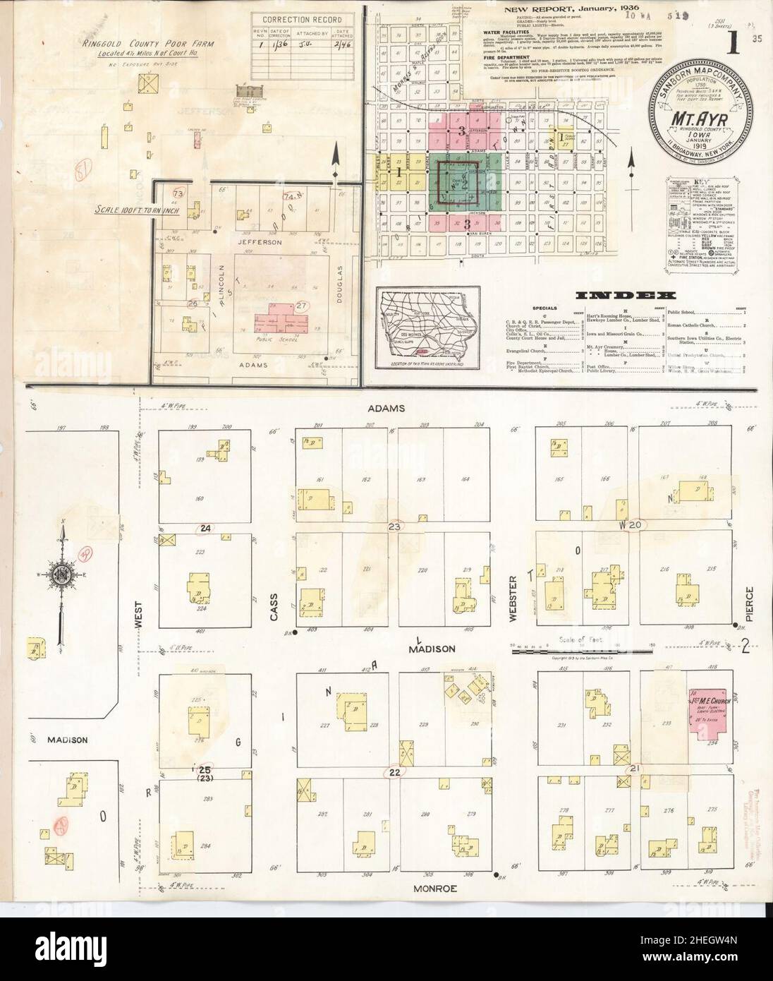 Sanborn Fire Insurance Map from Mount Ayr, Ringgold County, Iowa. Stock Photohttps://www.alamy.com/image-license-details/?v=1https://www.alamy.com/sanborn-fire-insurance-map-from-mount-ayr-ringgold-county-iowa-image456445717.html
RM2HEGW4N–Sanborn Fire Insurance Map from Mount Ayr, Ringgold County, Iowa.
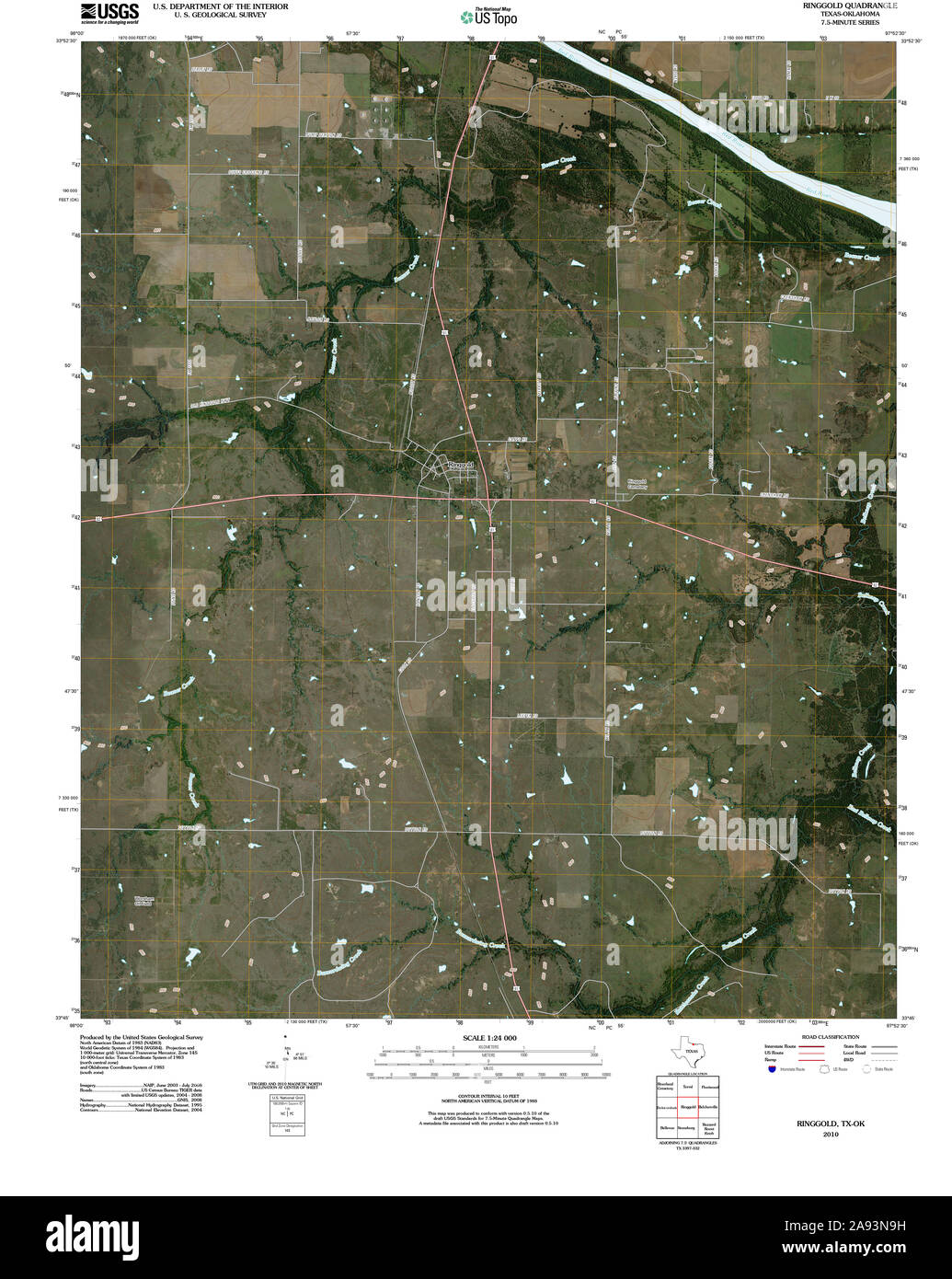 USGS TOPO Map Texas TX Ringgold 20100614 TM Restoration Stock Photohttps://www.alamy.com/image-license-details/?v=1https://www.alamy.com/usgs-topo-map-texas-tx-ringgold-20100614-tm-restoration-image332611485.html
RM2A93N9H–USGS TOPO Map Texas TX Ringgold 20100614 TM Restoration
 Ringgold, Catoosa County, US, United States, Georgia, N 34 54' 57'', S 85 6' 32'', map, Cartascapes Map published in 2024. Explore Cartascapes, a map revealing Earth's diverse landscapes, cultures, and ecosystems. Journey through time and space, discovering the interconnectedness of our planet's past, present, and future. Stock Photohttps://www.alamy.com/image-license-details/?v=1https://www.alamy.com/ringgold-catoosa-county-us-united-states-georgia-n-34-54-57-s-85-6-32-map-cartascapes-map-published-in-2024-explore-cartascapes-a-map-revealing-earths-diverse-landscapes-cultures-and-ecosystems-journey-through-time-and-space-discovering-the-interconnectedness-of-our-planets-past-present-and-future-image621417466.html
RM2Y3008X–Ringgold, Catoosa County, US, United States, Georgia, N 34 54' 57'', S 85 6' 32'', map, Cartascapes Map published in 2024. Explore Cartascapes, a map revealing Earth's diverse landscapes, cultures, and ecosystems. Journey through time and space, discovering the interconnectedness of our planet's past, present, and future.
 Sanborn Fire Insurance Map from Mount Ayr, Ringgold County, Iowa. Stock Photohttps://www.alamy.com/image-license-details/?v=1https://www.alamy.com/sanborn-fire-insurance-map-from-mount-ayr-ringgold-county-iowa-image456445680.html
RM2HEGW3C–Sanborn Fire Insurance Map from Mount Ayr, Ringgold County, Iowa.
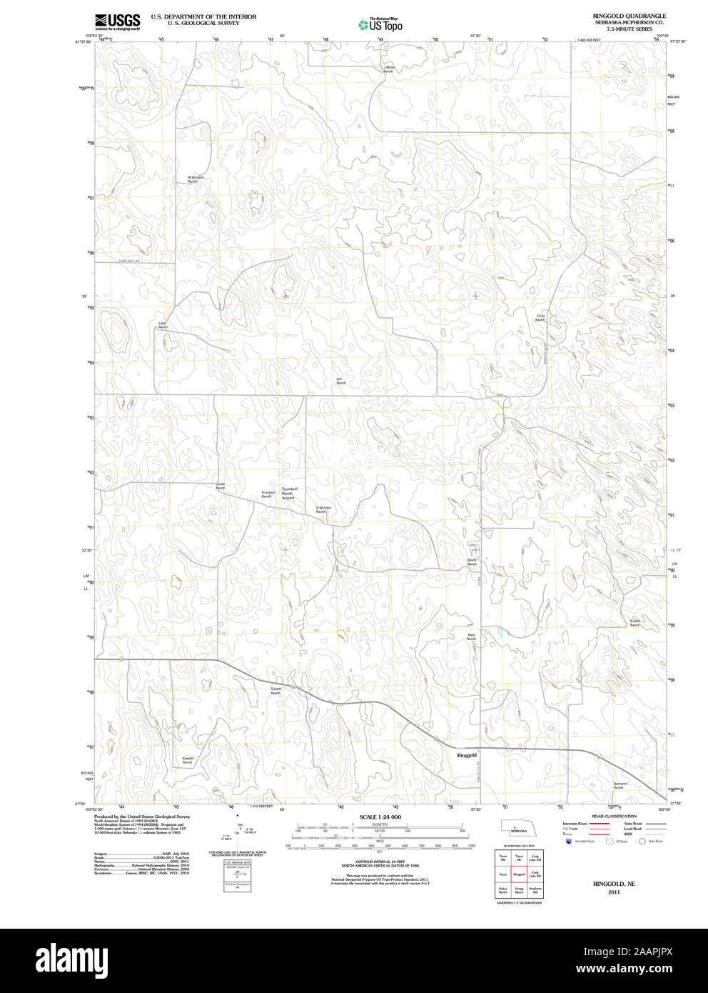 USGS TOPO Map Nebraska NE Ringgold 20111202 TM Restoration Stock Photohttps://www.alamy.com/image-license-details/?v=1https://www.alamy.com/usgs-topo-map-nebraska-ne-ringgold-20111202-tm-restoration-image333641250.html
RM2AAPJPX–USGS TOPO Map Nebraska NE Ringgold 20111202 TM Restoration
 Delphos, Ringgold County, US, United States, Iowa, N 40 39' 48'', S 94 20' 21'', map, Cartascapes Map published in 2024. Explore Cartascapes, a map revealing Earth's diverse landscapes, cultures, and ecosystems. Journey through time and space, discovering the interconnectedness of our planet's past, present, and future. Stock Photohttps://www.alamy.com/image-license-details/?v=1https://www.alamy.com/delphos-ringgold-county-us-united-states-iowa-n-40-39-48-s-94-20-21-map-cartascapes-map-published-in-2024-explore-cartascapes-a-map-revealing-earths-diverse-landscapes-cultures-and-ecosystems-journey-through-time-and-space-discovering-the-interconnectedness-of-our-planets-past-present-and-future-image621298158.html
RM2Y2PG3X–Delphos, Ringgold County, US, United States, Iowa, N 40 39' 48'', S 94 20' 21'', map, Cartascapes Map published in 2024. Explore Cartascapes, a map revealing Earth's diverse landscapes, cultures, and ecosystems. Journey through time and space, discovering the interconnectedness of our planet's past, present, and future.
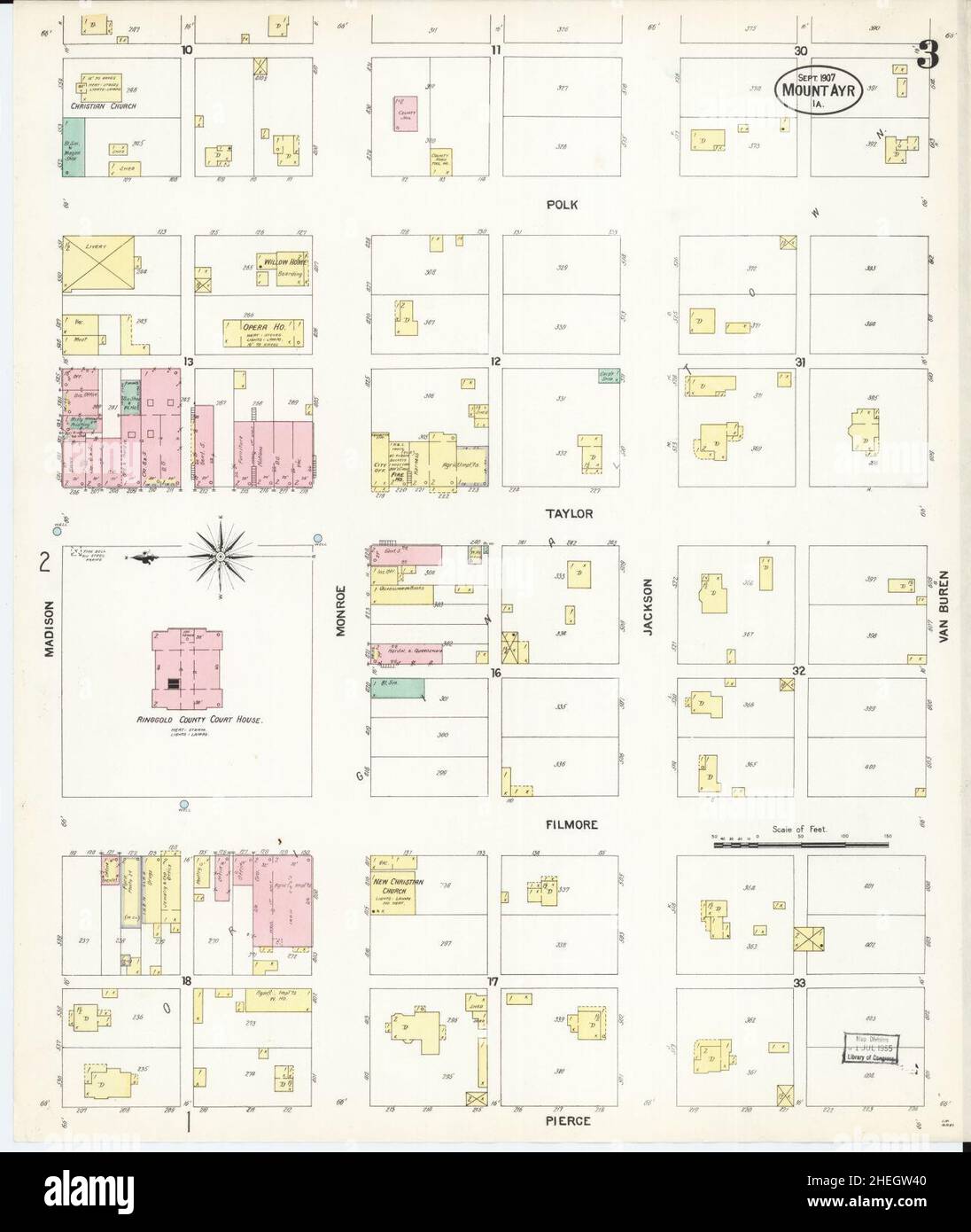 Sanborn Fire Insurance Map from Mount Ayr, Ringgold County, Iowa. Stock Photohttps://www.alamy.com/image-license-details/?v=1https://www.alamy.com/sanborn-fire-insurance-map-from-mount-ayr-ringgold-county-iowa-image456445696.html
RM2HEGW40–Sanborn Fire Insurance Map from Mount Ayr, Ringgold County, Iowa.
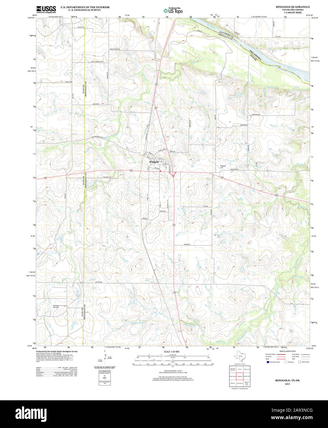 USGS TOPO Map Texas TX Ringgold 20130211 TM Restoration Stock Photohttps://www.alamy.com/image-license-details/?v=1https://www.alamy.com/usgs-topo-map-texas-tx-ringgold-20130211-tm-restoration-image332611568.html
RM2A93NCG–USGS TOPO Map Texas TX Ringgold 20130211 TM Restoration
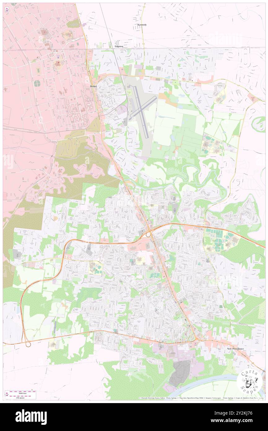 Ringgold, Montgomery County, US, United States, Tennessee, N 36 35' 38'', S 87 25' 5'', map, Cartascapes Map published in 2024. Explore Cartascapes, a map revealing Earth's diverse landscapes, cultures, and ecosystems. Journey through time and space, discovering the interconnectedness of our planet's past, present, and future. Stock Photohttps://www.alamy.com/image-license-details/?v=1https://www.alamy.com/ringgold-montgomery-county-us-united-states-tennessee-n-36-35-38-s-87-25-5-map-cartascapes-map-published-in-2024-explore-cartascapes-a-map-revealing-earths-diverse-landscapes-cultures-and-ecosystems-journey-through-time-and-space-discovering-the-interconnectedness-of-our-planets-past-present-and-future-image621233962.html
RM2Y2KJ76–Ringgold, Montgomery County, US, United States, Tennessee, N 36 35' 38'', S 87 25' 5'', map, Cartascapes Map published in 2024. Explore Cartascapes, a map revealing Earth's diverse landscapes, cultures, and ecosystems. Journey through time and space, discovering the interconnectedness of our planet's past, present, and future.
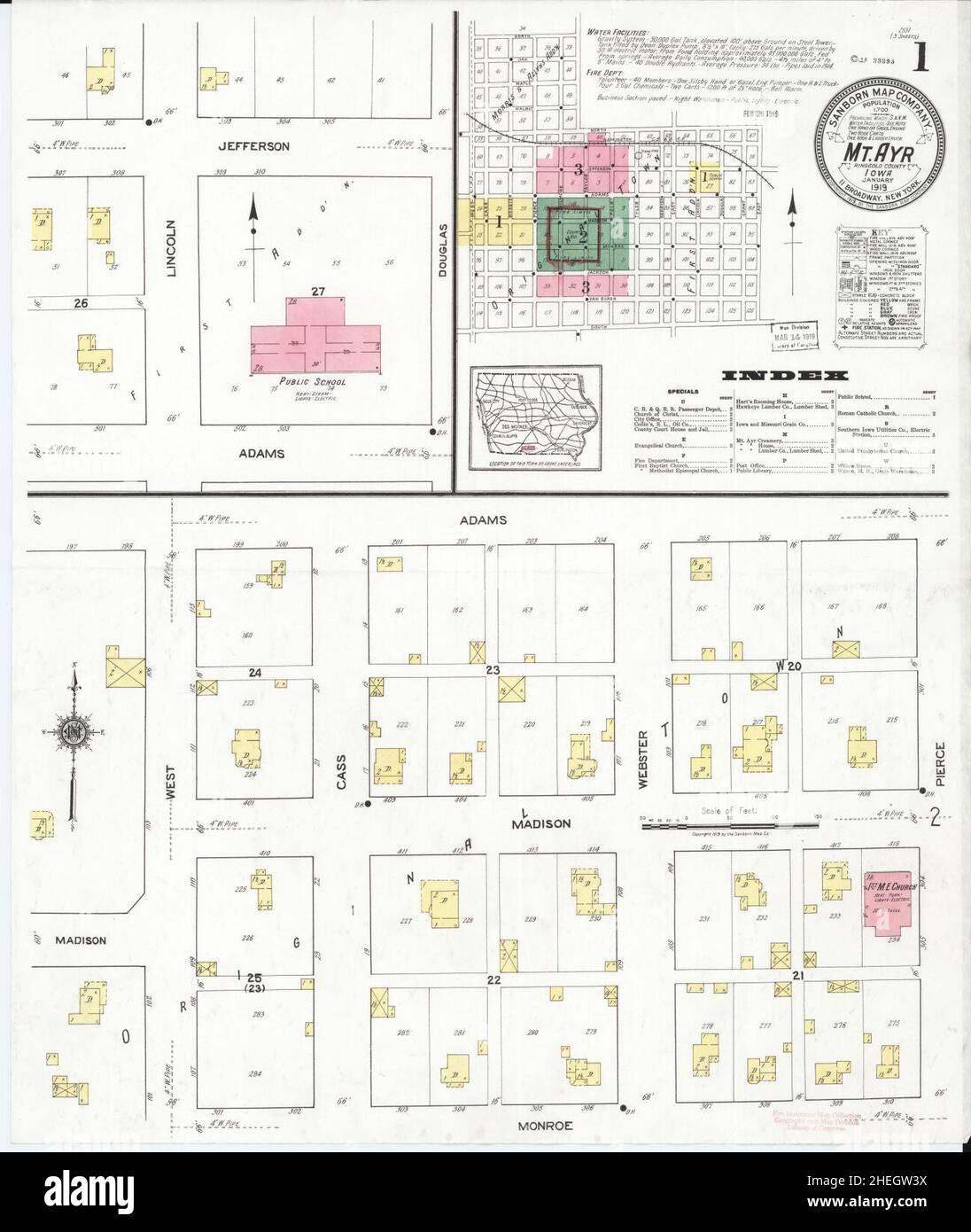 Sanborn Fire Insurance Map from Mount Ayr, Ringgold County, Iowa. Stock Photohttps://www.alamy.com/image-license-details/?v=1https://www.alamy.com/sanborn-fire-insurance-map-from-mount-ayr-ringgold-county-iowa-image456445694.html
RM2HEGW3X–Sanborn Fire Insurance Map from Mount Ayr, Ringgold County, Iowa.
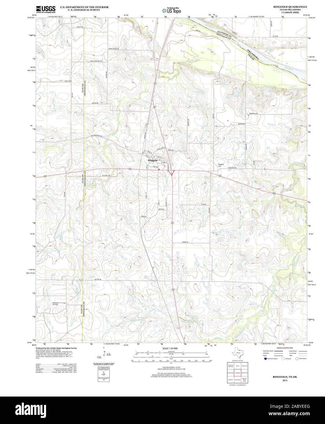 USGS TOPO Map Oklahoma TX Ringgold 20130211 TM Restoration Stock Photohttps://www.alamy.com/image-license-details/?v=1https://www.alamy.com/usgs-topo-map-oklahoma-tx-ringgold-20130211-tm-restoration-image334362296.html
RM2ABYEEG–USGS TOPO Map Oklahoma TX Ringgold 20130211 TM Restoration
 Ringgold, Cherokee County, US, United States, Alabama, N 34 20' 2'', S 85 32' 51'', map, Cartascapes Map published in 2024. Explore Cartascapes, a map revealing Earth's diverse landscapes, cultures, and ecosystems. Journey through time and space, discovering the interconnectedness of our planet's past, present, and future. Stock Photohttps://www.alamy.com/image-license-details/?v=1https://www.alamy.com/ringgold-cherokee-county-us-united-states-alabama-n-34-20-2-s-85-32-51-map-cartascapes-map-published-in-2024-explore-cartascapes-a-map-revealing-earths-diverse-landscapes-cultures-and-ecosystems-journey-through-time-and-space-discovering-the-interconnectedness-of-our-planets-past-present-and-future-image621266331.html
RM2Y2N3F7–Ringgold, Cherokee County, US, United States, Alabama, N 34 20' 2'', S 85 32' 51'', map, Cartascapes Map published in 2024. Explore Cartascapes, a map revealing Earth's diverse landscapes, cultures, and ecosystems. Journey through time and space, discovering the interconnectedness of our planet's past, present, and future.
 Sanborn Fire Insurance Map from Mount Ayr, Ringgold County, Iowa. Stock Photohttps://www.alamy.com/image-license-details/?v=1https://www.alamy.com/sanborn-fire-insurance-map-from-mount-ayr-ringgold-county-iowa-image456445690.html
RM2HEGW3P–Sanborn Fire Insurance Map from Mount Ayr, Ringgold County, Iowa.
 USGS TOPO Map Tennessee GA Ringgold 20110225 TM Restoration Stock Photohttps://www.alamy.com/image-license-details/?v=1https://www.alamy.com/usgs-topo-map-tennessee-ga-ringgold-20110225-tm-restoration-image335216098.html
RM2ADABFE–USGS TOPO Map Tennessee GA Ringgold 20110225 TM Restoration
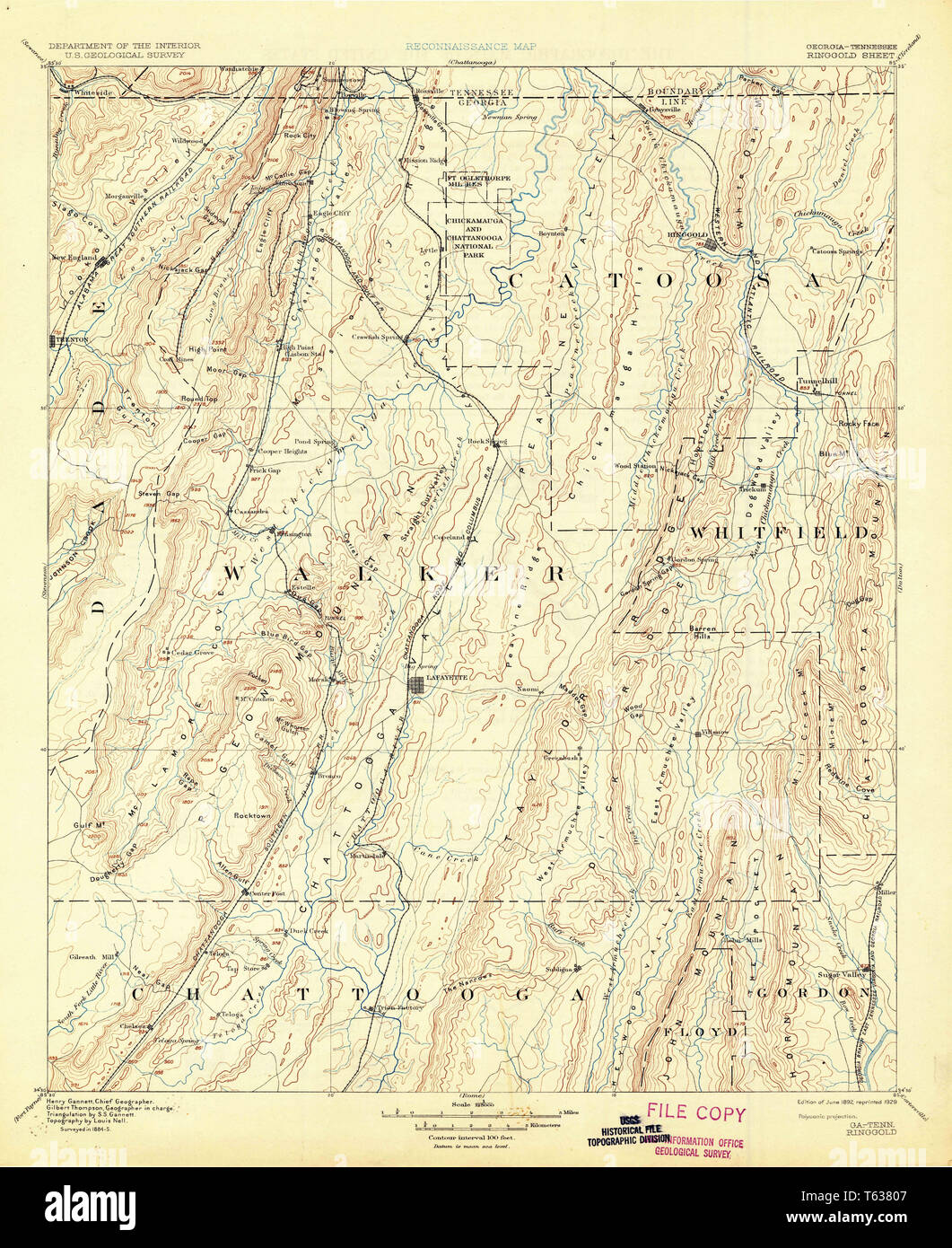 USGS TOPO Map Georgia GA Ringgold 247776 1892 125000 Restoration Stock Photohttps://www.alamy.com/image-license-details/?v=1https://www.alamy.com/usgs-topo-map-georgia-ga-ringgold-247776-1892-125000-restoration-image244705223.html
RMT63807–USGS TOPO Map Georgia GA Ringgold 247776 1892 125000 Restoration
 USGS TOPO Map Georgia GA Ringgold 246772 1983 24000 Restoration Stock Photohttps://www.alamy.com/image-license-details/?v=1https://www.alamy.com/usgs-topo-map-georgia-ga-ringgold-246772-1983-24000-restoration-image244705005.html
RMT637MD–USGS TOPO Map Georgia GA Ringgold 246772 1983 24000 Restoration
 Tingley, Ringgold County, US, United States, Iowa, N 40 51' 9'', S 94 11' 42'', map, Cartascapes Map published in 2024. Explore Cartascapes, a map revealing Earth's diverse landscapes, cultures, and ecosystems. Journey through time and space, discovering the interconnectedness of our planet's past, present, and future. Stock Photohttps://www.alamy.com/image-license-details/?v=1https://www.alamy.com/tingley-ringgold-county-us-united-states-iowa-n-40-51-9-s-94-11-42-map-cartascapes-map-published-in-2024-explore-cartascapes-a-map-revealing-earths-diverse-landscapes-cultures-and-ecosystems-journey-through-time-and-space-discovering-the-interconnectedness-of-our-planets-past-present-and-future-image621408646.html
RM2Y2YH1X–Tingley, Ringgold County, US, United States, Iowa, N 40 51' 9'', S 94 11' 42'', map, Cartascapes Map published in 2024. Explore Cartascapes, a map revealing Earth's diverse landscapes, cultures, and ecosystems. Journey through time and space, discovering the interconnectedness of our planet's past, present, and future.
 Sanborn Fire Insurance Map from Mount Ayr, Ringgold County, Iowa. Stock Photohttps://www.alamy.com/image-license-details/?v=1https://www.alamy.com/sanborn-fire-insurance-map-from-mount-ayr-ringgold-county-iowa-image456445685.html
RM2HEGW3H–Sanborn Fire Insurance Map from Mount Ayr, Ringgold County, Iowa.
 USGS TOPO Map Georgia GA Ringgold 246773 1983 24000 Restoration Stock Photohttps://www.alamy.com/image-license-details/?v=1https://www.alamy.com/usgs-topo-map-georgia-ga-ringgold-246773-1983-24000-restoration-image244705046.html
RMT637NX–USGS TOPO Map Georgia GA Ringgold 246773 1983 24000 Restoration
RM2Y2TGYB–Beaconsfield, Ringgold County, US, United States, Iowa, N 40 48' 27'', S 94 3' 1'', map, Cartascapes Map published in 2024. Explore Cartascapes, a map revealing Earth's diverse landscapes, cultures, and ecosystems. Journey through time and space, discovering the interconnectedness of our planet's past, present, and future.
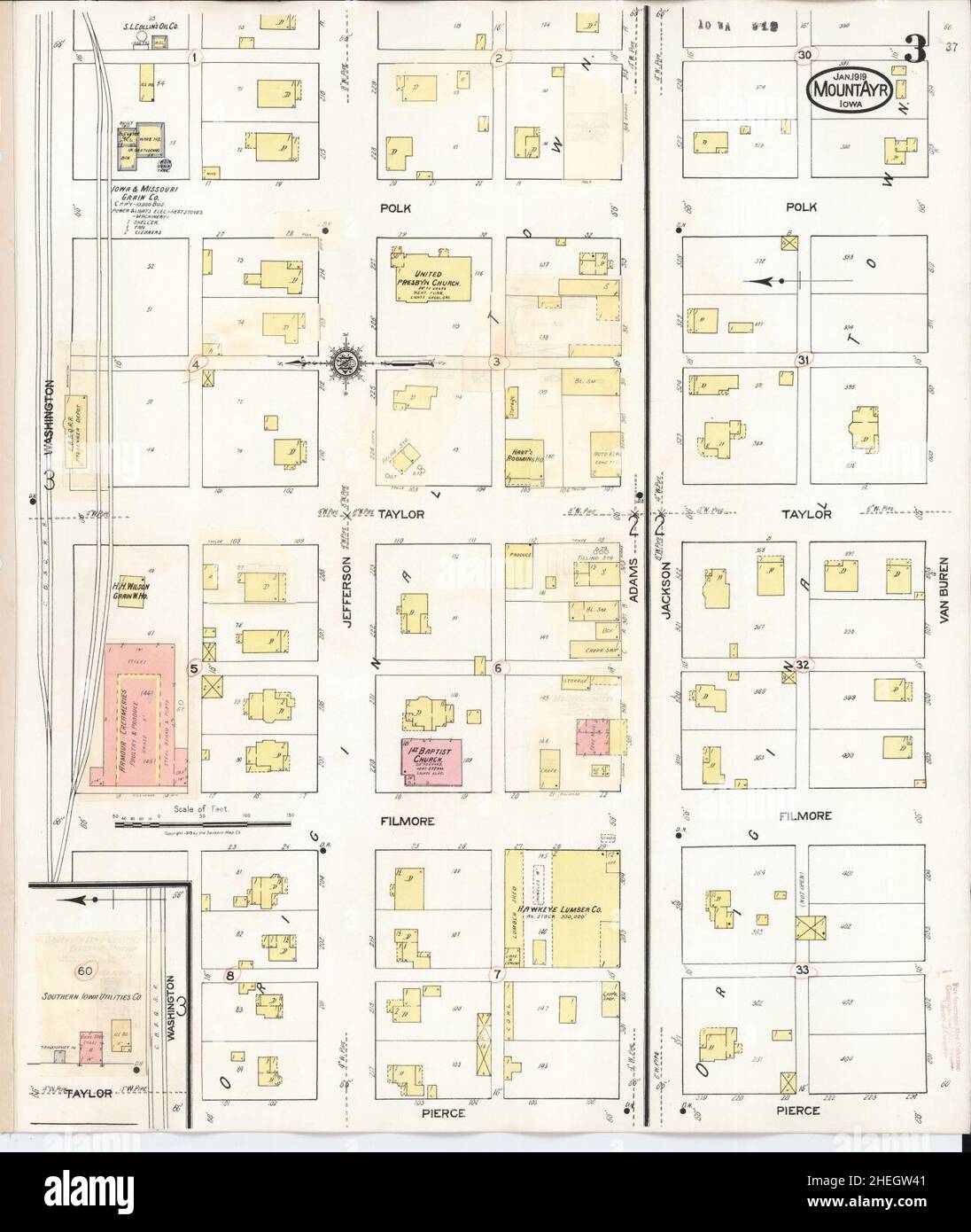 Sanborn Fire Insurance Map from Mount Ayr, Ringgold County, Iowa. Stock Photohttps://www.alamy.com/image-license-details/?v=1https://www.alamy.com/sanborn-fire-insurance-map-from-mount-ayr-ringgold-county-iowa-image456445697.html
RM2HEGW41–Sanborn Fire Insurance Map from Mount Ayr, Ringgold County, Iowa.
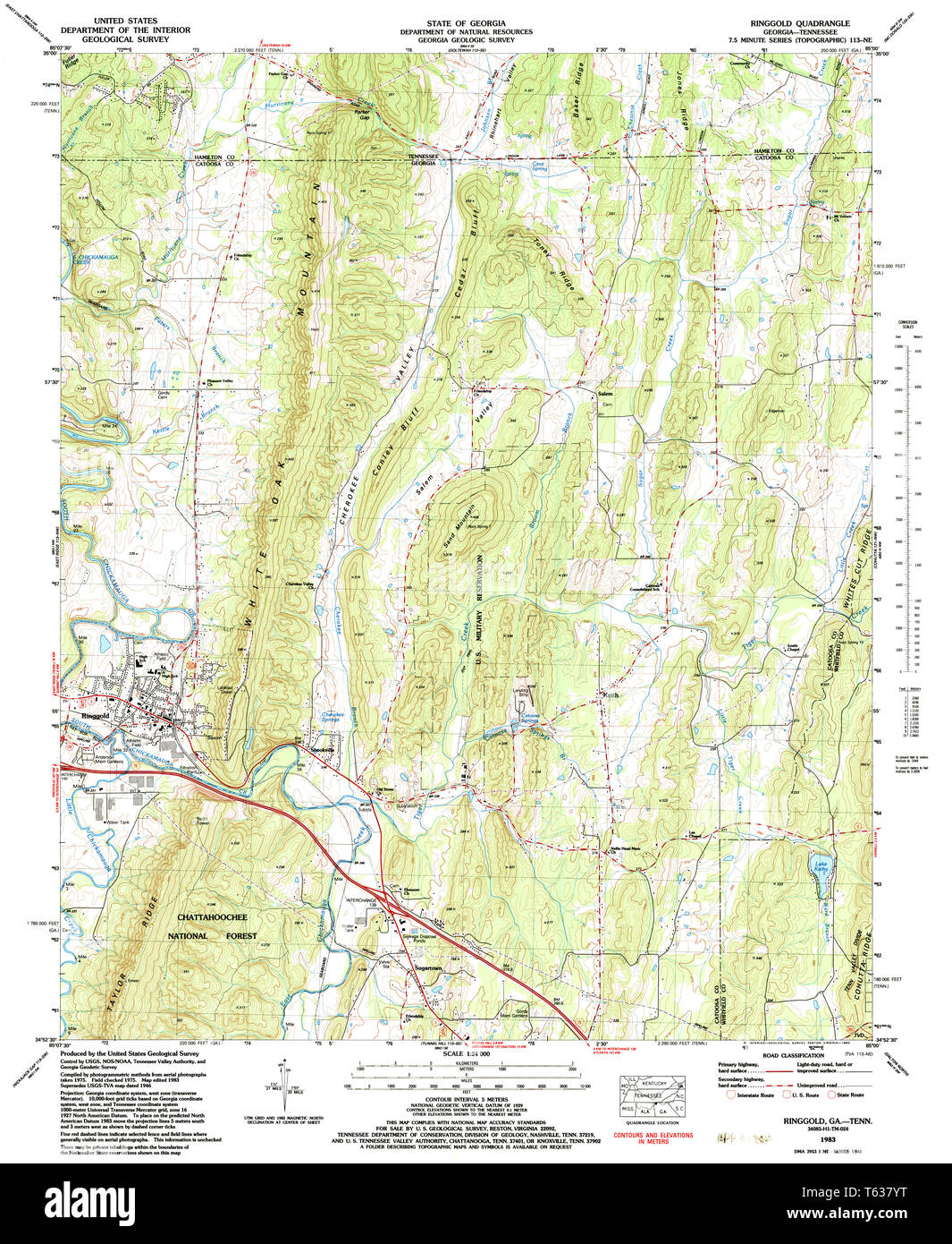 USGS TOPO Map Georgia GA Ringgold 246779 1983 24000 Restoration Stock Photohttps://www.alamy.com/image-license-details/?v=1https://www.alamy.com/usgs-topo-map-georgia-ga-ringgold-246779-1983-24000-restoration-image244705212.html
RMT637YT–USGS TOPO Map Georgia GA Ringgold 246779 1983 24000 Restoration
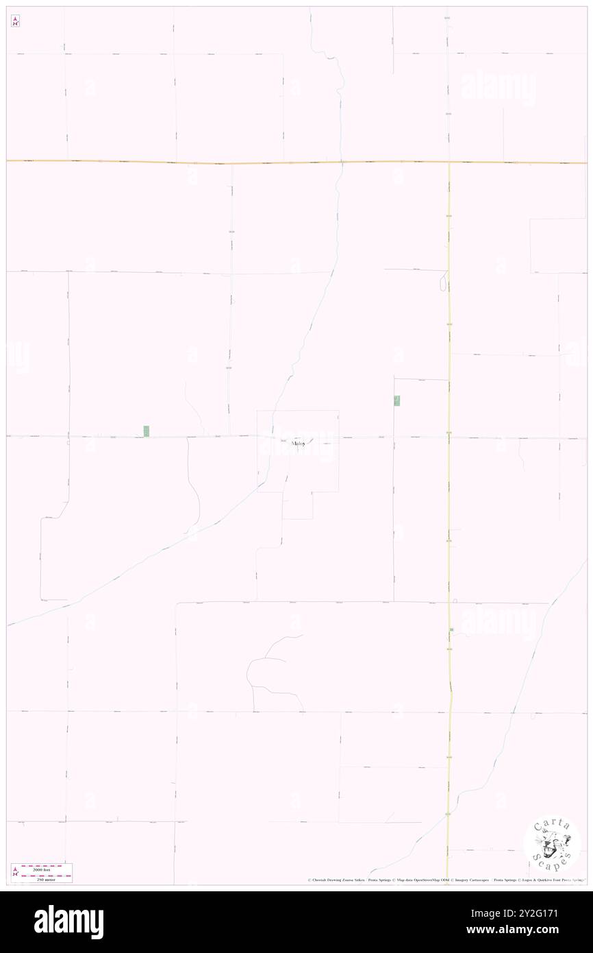 Maloy, Ringgold County, US, United States, Iowa, N 40 40' 27'', S 94 24' 43'', map, Cartascapes Map published in 2024. Explore Cartascapes, a map revealing Earth's diverse landscapes, cultures, and ecosystems. Journey through time and space, discovering the interconnectedness of our planet's past, present, and future. Stock Photohttps://www.alamy.com/image-license-details/?v=1https://www.alamy.com/maloy-ringgold-county-us-united-states-iowa-n-40-40-27-s-94-24-43-map-cartascapes-map-published-in-2024-explore-cartascapes-a-map-revealing-earths-diverse-landscapes-cultures-and-ecosystems-journey-through-time-and-space-discovering-the-interconnectedness-of-our-planets-past-present-and-future-image621154773.html
RM2Y2G171–Maloy, Ringgold County, US, United States, Iowa, N 40 40' 27'', S 94 24' 43'', map, Cartascapes Map published in 2024. Explore Cartascapes, a map revealing Earth's diverse landscapes, cultures, and ecosystems. Journey through time and space, discovering the interconnectedness of our planet's past, present, and future.
 Sanborn Fire Insurance Map from Mount Ayr, Ringgold County, Iowa. Stock Photohttps://www.alamy.com/image-license-details/?v=1https://www.alamy.com/sanborn-fire-insurance-map-from-mount-ayr-ringgold-county-iowa-image456445670.html
RM2HEGW32–Sanborn Fire Insurance Map from Mount Ayr, Ringgold County, Iowa.
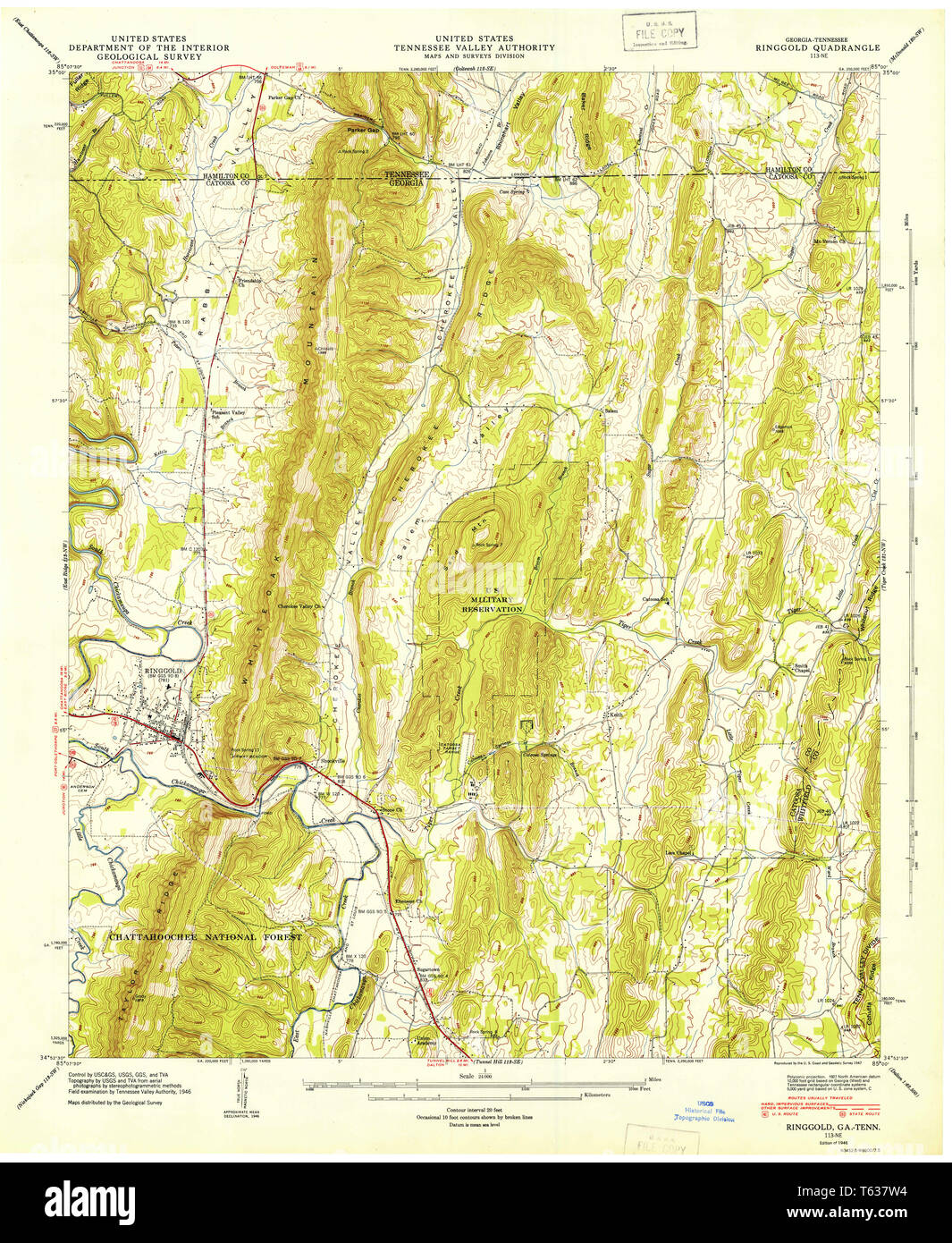 USGS TOPO Map Georgia GA Ringgold 246777 1946 24000 Restoration Stock Photohttps://www.alamy.com/image-license-details/?v=1https://www.alamy.com/usgs-topo-map-georgia-ga-ringgold-246777-1946-24000-restoration-image244705136.html
RMT637W4–USGS TOPO Map Georgia GA Ringgold 246777 1946 24000 Restoration
 Ringgold, Jefferson County, US, United States, Pennsylvania, N 40 59' 41'', S 79 10' 4'', map, Cartascapes Map published in 2024. Explore Cartascapes, a map revealing Earth's diverse landscapes, cultures, and ecosystems. Journey through time and space, discovering the interconnectedness of our planet's past, present, and future. Stock Photohttps://www.alamy.com/image-license-details/?v=1https://www.alamy.com/ringgold-jefferson-county-us-united-states-pennsylvania-n-40-59-41-s-79-10-4-map-cartascapes-map-published-in-2024-explore-cartascapes-a-map-revealing-earths-diverse-landscapes-cultures-and-ecosystems-journey-through-time-and-space-discovering-the-interconnectedness-of-our-planets-past-present-and-future-image621369528.html
RM2Y2WR4T–Ringgold, Jefferson County, US, United States, Pennsylvania, N 40 59' 41'', S 79 10' 4'', map, Cartascapes Map published in 2024. Explore Cartascapes, a map revealing Earth's diverse landscapes, cultures, and ecosystems. Journey through time and space, discovering the interconnectedness of our planet's past, present, and future.
 Sanborn Fire Insurance Map from Mount Ayr, Ringgold County, Iowa. Stock Photohttps://www.alamy.com/image-license-details/?v=1https://www.alamy.com/sanborn-fire-insurance-map-from-mount-ayr-ringgold-county-iowa-image456445672.html
RM2HEGW34–Sanborn Fire Insurance Map from Mount Ayr, Ringgold County, Iowa.
 USGS TOPO Map Georgia GA Ringgold 246774 1935 24000 Restoration Stock Photohttps://www.alamy.com/image-license-details/?v=1https://www.alamy.com/usgs-topo-map-georgia-ga-ringgold-246774-1935-24000-restoration-image244705055.html
RMT637P7–USGS TOPO Map Georgia GA Ringgold 246774 1935 24000 Restoration
 Knowlton, Ringgold County, US, United States, Iowa, N 40 49' 34'', S 94 19' 55'', map, Cartascapes Map published in 2024. Explore Cartascapes, a map revealing Earth's diverse landscapes, cultures, and ecosystems. Journey through time and space, discovering the interconnectedness of our planet's past, present, and future. Stock Photohttps://www.alamy.com/image-license-details/?v=1https://www.alamy.com/knowlton-ringgold-county-us-united-states-iowa-n-40-49-34-s-94-19-55-map-cartascapes-map-published-in-2024-explore-cartascapes-a-map-revealing-earths-diverse-landscapes-cultures-and-ecosystems-journey-through-time-and-space-discovering-the-interconnectedness-of-our-planets-past-present-and-future-image621148683.html
RM2Y2FNDF–Knowlton, Ringgold County, US, United States, Iowa, N 40 49' 34'', S 94 19' 55'', map, Cartascapes Map published in 2024. Explore Cartascapes, a map revealing Earth's diverse landscapes, cultures, and ecosystems. Journey through time and space, discovering the interconnectedness of our planet's past, present, and future.
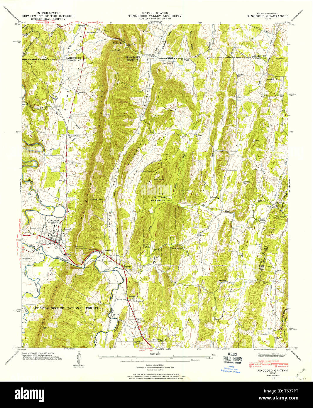 USGS TOPO Map Georgia GA Ringgold 246776 1946 24000 Restoration Stock Photohttps://www.alamy.com/image-license-details/?v=1https://www.alamy.com/usgs-topo-map-georgia-ga-ringgold-246776-1946-24000-restoration-image244705072.html
RMT637PT–USGS TOPO Map Georgia GA Ringgold 246776 1946 24000 Restoration
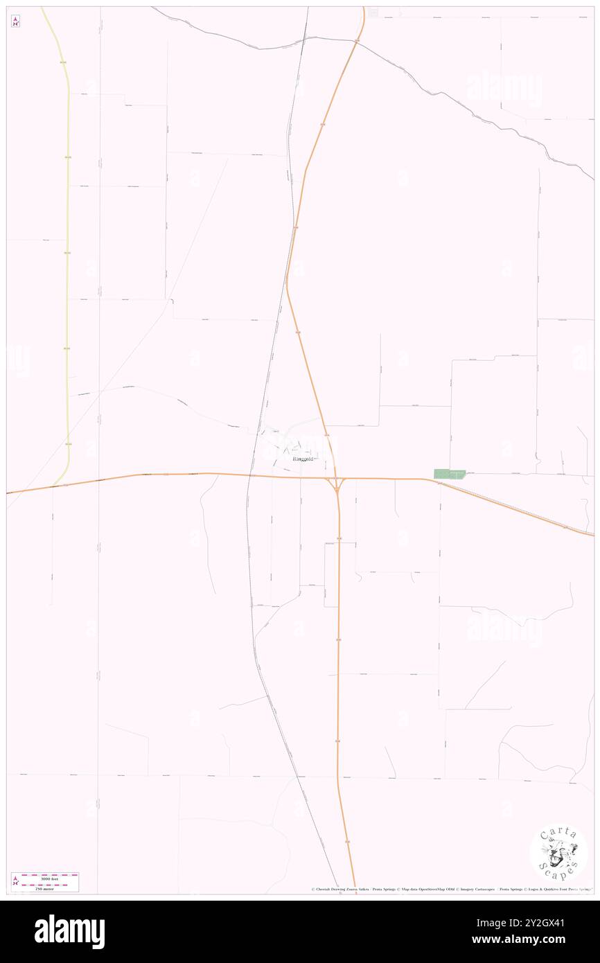 Ringgold, Montague County, US, United States, Texas, N 33 49' 13'', S 97 56' 37'', map, Cartascapes Map published in 2024. Explore Cartascapes, a map revealing Earth's diverse landscapes, cultures, and ecosystems. Journey through time and space, discovering the interconnectedness of our planet's past, present, and future. Stock Photohttps://www.alamy.com/image-license-details/?v=1https://www.alamy.com/ringgold-montague-county-us-united-states-texas-n-33-49-13-s-97-56-37-map-cartascapes-map-published-in-2024-explore-cartascapes-a-map-revealing-earths-diverse-landscapes-cultures-and-ecosystems-journey-through-time-and-space-discovering-the-interconnectedness-of-our-planets-past-present-and-future-image621174289.html
RM2Y2GX41–Ringgold, Montague County, US, United States, Texas, N 33 49' 13'', S 97 56' 37'', map, Cartascapes Map published in 2024. Explore Cartascapes, a map revealing Earth's diverse landscapes, cultures, and ecosystems. Journey through time and space, discovering the interconnectedness of our planet's past, present, and future.
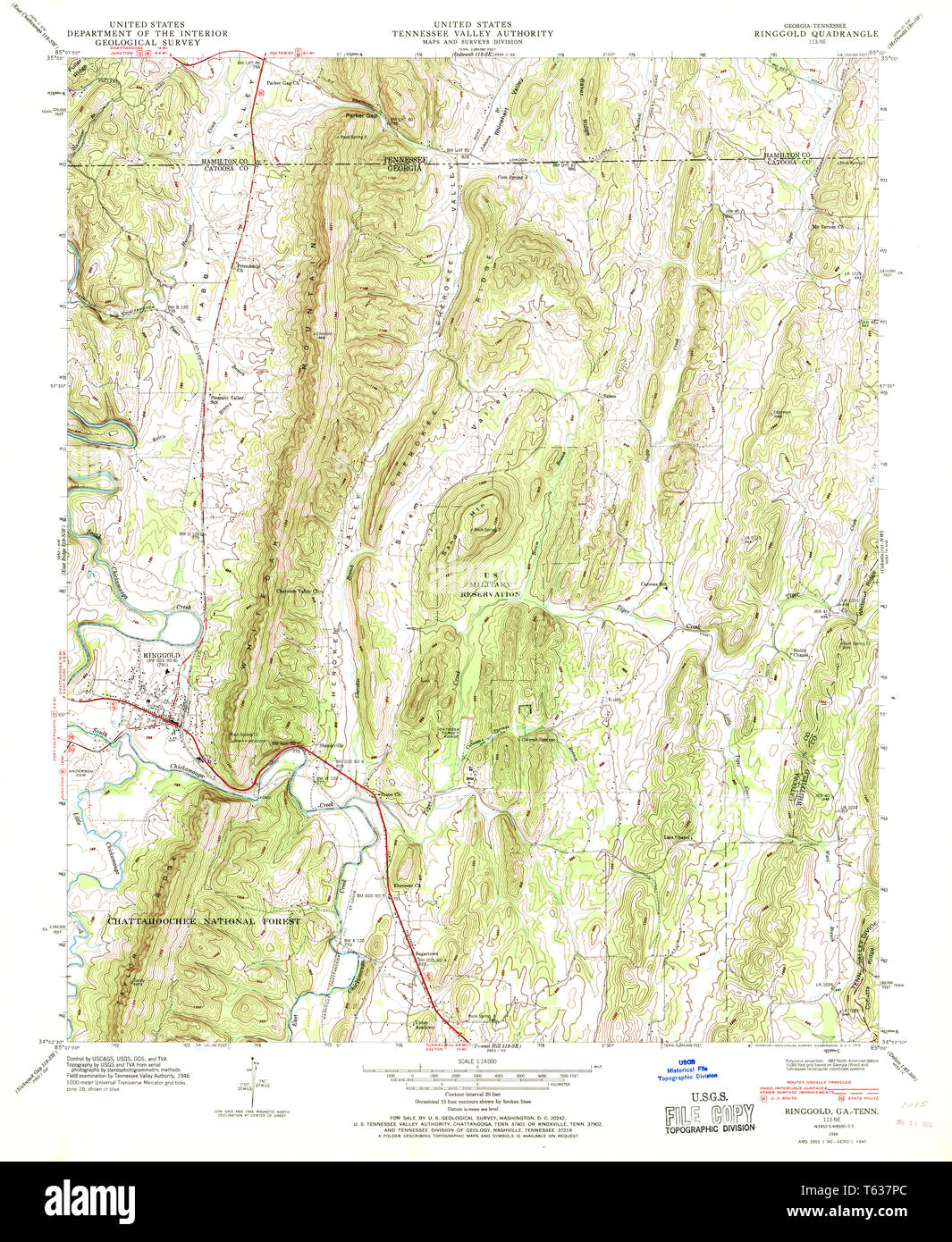 USGS TOPO Map Georgia GA Ringgold 246775 1946 24000 Restoration Stock Photohttps://www.alamy.com/image-license-details/?v=1https://www.alamy.com/usgs-topo-map-georgia-ga-ringgold-246775-1946-24000-restoration-image244705060.html
RMT637PC–USGS TOPO Map Georgia GA Ringgold 246775 1946 24000 Restoration
 Ringgold, Cherokee County, US, United States, Alabama, N 34 20' 2'', S 85 32' 51'', map, Cartascapes Map published in 2024. Explore Cartascapes, a map revealing Earth's diverse landscapes, cultures, and ecosystems. Journey through time and space, discovering the interconnectedness of our planet's past, present, and future. Stock Photohttps://www.alamy.com/image-license-details/?v=1https://www.alamy.com/ringgold-cherokee-county-us-united-states-alabama-n-34-20-2-s-85-32-51-map-cartascapes-map-published-in-2024-explore-cartascapes-a-map-revealing-earths-diverse-landscapes-cultures-and-ecosystems-journey-through-time-and-space-discovering-the-interconnectedness-of-our-planets-past-present-and-future-image621425455.html
RM2Y30AE7–Ringgold, Cherokee County, US, United States, Alabama, N 34 20' 2'', S 85 32' 51'', map, Cartascapes Map published in 2024. Explore Cartascapes, a map revealing Earth's diverse landscapes, cultures, and ecosystems. Journey through time and space, discovering the interconnectedness of our planet's past, present, and future.
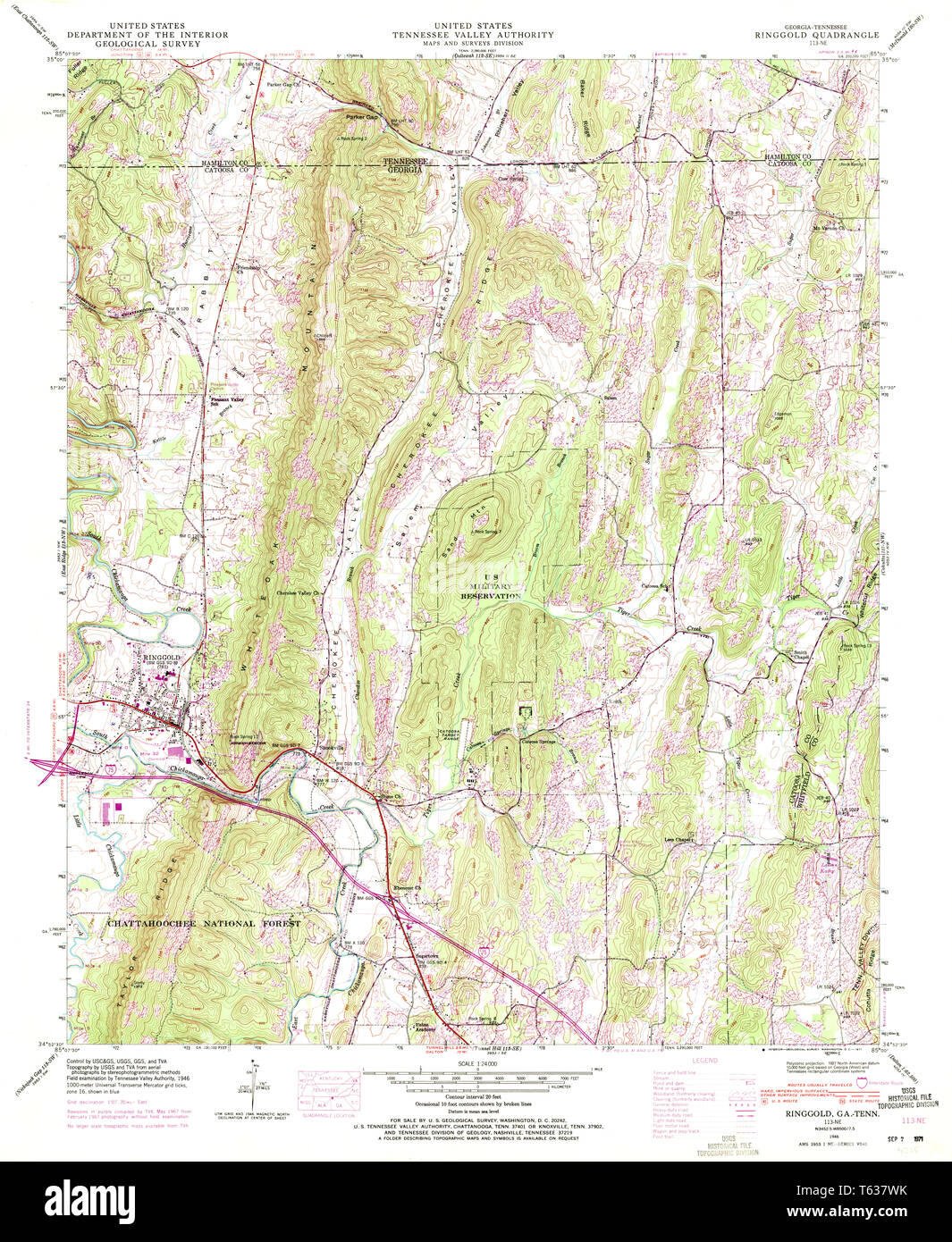 USGS TOPO Map Georgia GA Ringgold 246778 1946 24000 Restoration Stock Photohttps://www.alamy.com/image-license-details/?v=1https://www.alamy.com/usgs-topo-map-georgia-ga-ringgold-246778-1946-24000-restoration-image244705151.html
RMT637WK–USGS TOPO Map Georgia GA Ringgold 246778 1946 24000 Restoration
 Benton, Ringgold County, US, United States, Iowa, N 40 42' 11'', S 94 21' 29'', map, Cartascapes Map published in 2024. Explore Cartascapes, a map revealing Earth's diverse landscapes, cultures, and ecosystems. Journey through time and space, discovering the interconnectedness of our planet's past, present, and future. Stock Photohttps://www.alamy.com/image-license-details/?v=1https://www.alamy.com/benton-ringgold-county-us-united-states-iowa-n-40-42-11-s-94-21-29-map-cartascapes-map-published-in-2024-explore-cartascapes-a-map-revealing-earths-diverse-landscapes-cultures-and-ecosystems-journey-through-time-and-space-discovering-the-interconnectedness-of-our-planets-past-present-and-future-image621405235.html
RM2Y2YCM3–Benton, Ringgold County, US, United States, Iowa, N 40 42' 11'', S 94 21' 29'', map, Cartascapes Map published in 2024. Explore Cartascapes, a map revealing Earth's diverse landscapes, cultures, and ecosystems. Journey through time and space, discovering the interconnectedness of our planet's past, present, and future.
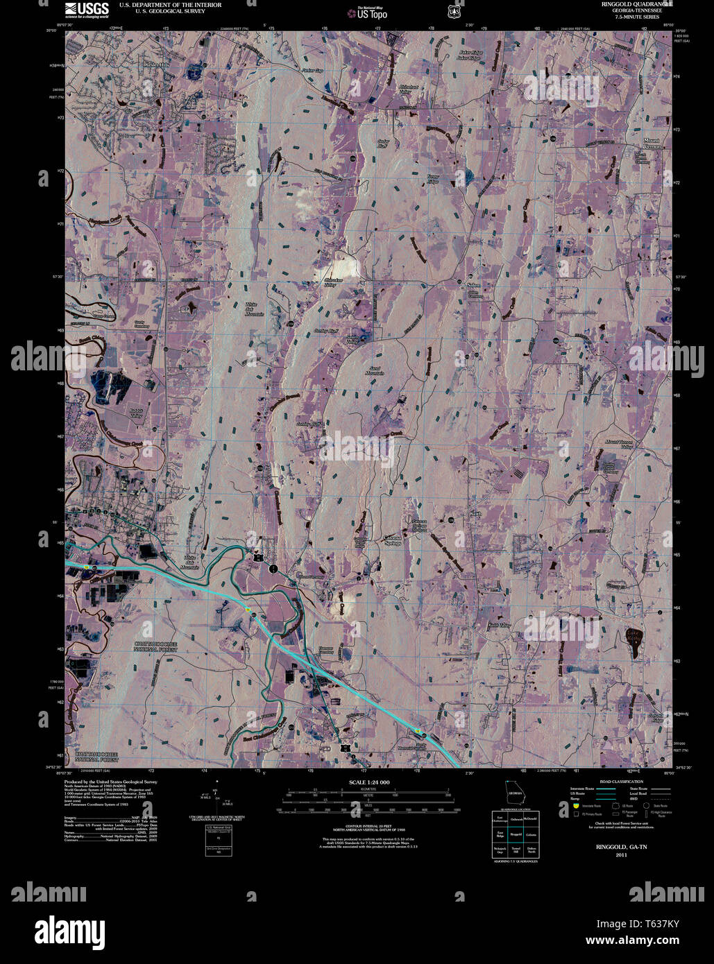 USGS TOPO Map Georgia GA Ringgold 20110225 TM Inverted Restoration Stock Photohttps://www.alamy.com/image-license-details/?v=1https://www.alamy.com/usgs-topo-map-georgia-ga-ringgold-20110225-tm-inverted-restoration-image244704991.html
RMT637KY–USGS TOPO Map Georgia GA Ringgold 20110225 TM Inverted Restoration
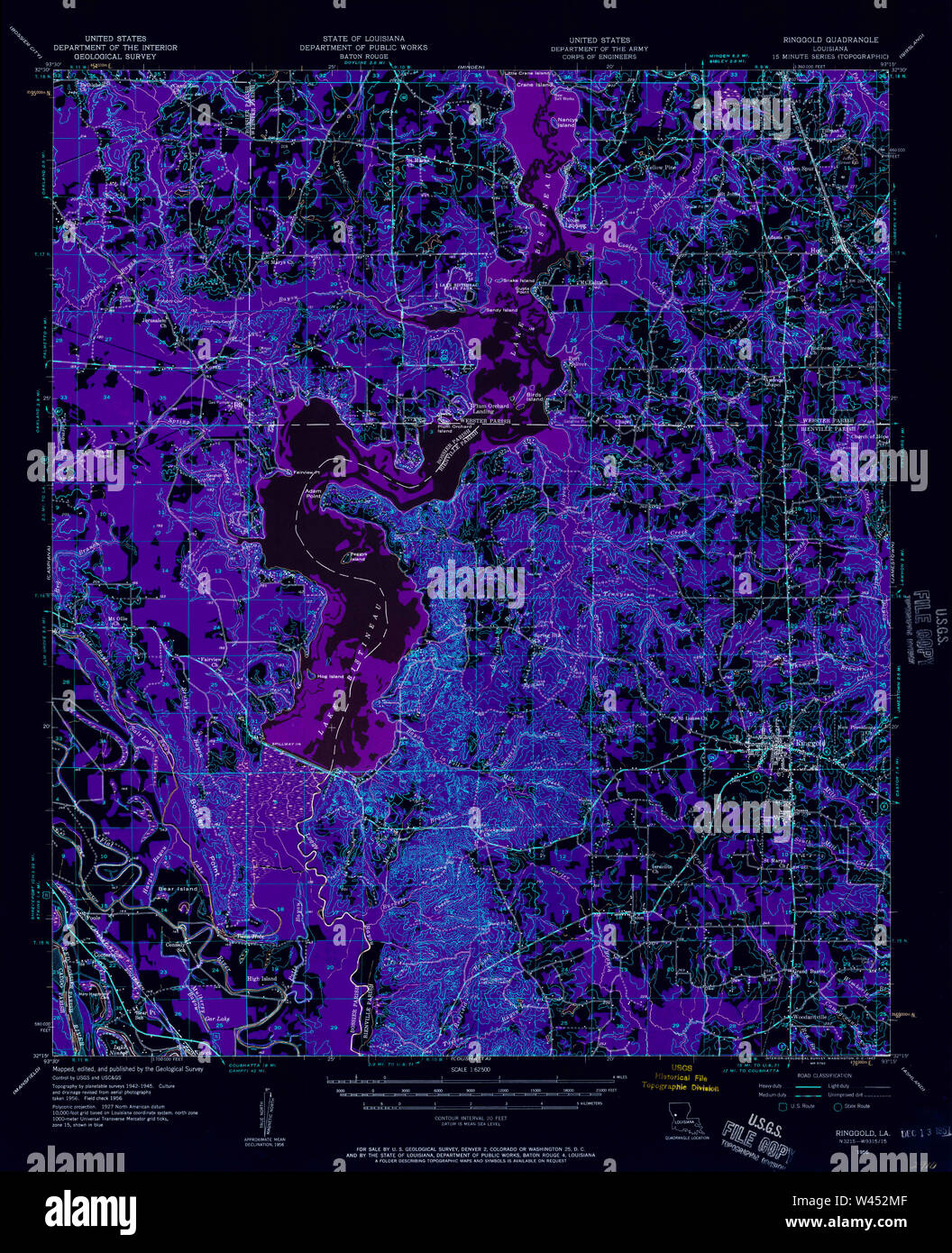 USGS TOPO Map Louisiana LA Ringgold 334971 1956 62500 Inverted Stock Photohttps://www.alamy.com/image-license-details/?v=1https://www.alamy.com/usgs-topo-map-louisiana-la-ringgold-334971-1956-62500-inverted-image260726047.html
RMW452MF–USGS TOPO Map Louisiana LA Ringgold 334971 1956 62500 Inverted
 Tingley, Ringgold County, US, United States, Iowa, N 40 51' 9'', S 94 11' 42'', map, Cartascapes Map published in 2024. Explore Cartascapes, a map revealing Earth's diverse landscapes, cultures, and ecosystems. Journey through time and space, discovering the interconnectedness of our planet's past, present, and future. Stock Photohttps://www.alamy.com/image-license-details/?v=1https://www.alamy.com/tingley-ringgold-county-us-united-states-iowa-n-40-51-9-s-94-11-42-map-cartascapes-map-published-in-2024-explore-cartascapes-a-map-revealing-earths-diverse-landscapes-cultures-and-ecosystems-journey-through-time-and-space-discovering-the-interconnectedness-of-our-planets-past-present-and-future-image621161280.html
RM2Y2G9FC–Tingley, Ringgold County, US, United States, Iowa, N 40 51' 9'', S 94 11' 42'', map, Cartascapes Map published in 2024. Explore Cartascapes, a map revealing Earth's diverse landscapes, cultures, and ecosystems. Journey through time and space, discovering the interconnectedness of our planet's past, present, and future.
 USGS TOPO Map Louisiana LA Ringgold 333177 1972 24000 Inverted Stock Photohttps://www.alamy.com/image-license-details/?v=1https://www.alamy.com/usgs-topo-map-louisiana-la-ringgold-333177-1972-24000-inverted-image260725928.html
RMW452G8–USGS TOPO Map Louisiana LA Ringgold 333177 1972 24000 Inverted
 Ringgold, Pittsylvania County, US, United States, Virginia, N 36 36' 29'', S 79 17' 43'', map, Cartascapes Map published in 2024. Explore Cartascapes, a map revealing Earth's diverse landscapes, cultures, and ecosystems. Journey through time and space, discovering the interconnectedness of our planet's past, present, and future. Stock Photohttps://www.alamy.com/image-license-details/?v=1https://www.alamy.com/ringgold-pittsylvania-county-us-united-states-virginia-n-36-36-29-s-79-17-43-map-cartascapes-map-published-in-2024-explore-cartascapes-a-map-revealing-earths-diverse-landscapes-cultures-and-ecosystems-journey-through-time-and-space-discovering-the-interconnectedness-of-our-planets-past-present-and-future-image621237468.html
RM2Y2KPMC–Ringgold, Pittsylvania County, US, United States, Virginia, N 36 36' 29'', S 79 17' 43'', map, Cartascapes Map published in 2024. Explore Cartascapes, a map revealing Earth's diverse landscapes, cultures, and ecosystems. Journey through time and space, discovering the interconnectedness of our planet's past, present, and future.
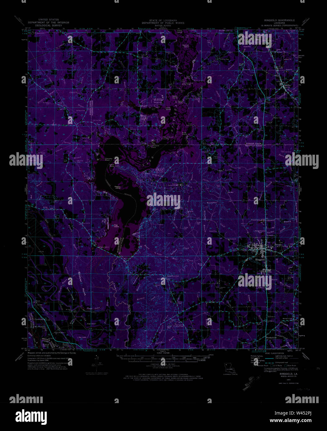 USGS TOPO Map Louisiana LA Ringgold 334973 1972 62500 Inverted Stock Photohttps://www.alamy.com/image-license-details/?v=1https://www.alamy.com/usgs-topo-map-louisiana-la-ringgold-334973-1972-62500-inverted-image260726106.html
RMW452PJ–USGS TOPO Map Louisiana LA Ringgold 334973 1972 62500 Inverted
 Ringgold, Monongalia County, US, United States, West Virginia, N 39 33' 48'', S 79 56' 35'', map, Cartascapes Map published in 2024. Explore Cartascapes, a map revealing Earth's diverse landscapes, cultures, and ecosystems. Journey through time and space, discovering the interconnectedness of our planet's past, present, and future. Stock Photohttps://www.alamy.com/image-license-details/?v=1https://www.alamy.com/ringgold-monongalia-county-us-united-states-west-virginia-n-39-33-48-s-79-56-35-map-cartascapes-map-published-in-2024-explore-cartascapes-a-map-revealing-earths-diverse-landscapes-cultures-and-ecosystems-journey-through-time-and-space-discovering-the-interconnectedness-of-our-planets-past-present-and-future-image621239559.html
RM2Y2KWB3–Ringgold, Monongalia County, US, United States, West Virginia, N 39 33' 48'', S 79 56' 35'', map, Cartascapes Map published in 2024. Explore Cartascapes, a map revealing Earth's diverse landscapes, cultures, and ecosystems. Journey through time and space, discovering the interconnectedness of our planet's past, present, and future.
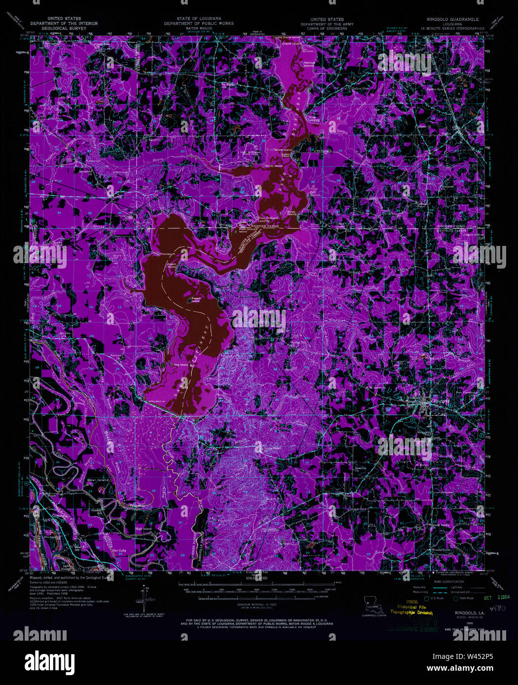 USGS TOPO Map Louisiana LA Ringgold 334972 1956 62500 Inverted Stock Photohttps://www.alamy.com/image-license-details/?v=1https://www.alamy.com/usgs-topo-map-louisiana-la-ringgold-334972-1956-62500-inverted-image260726093.html
RMW452P5–USGS TOPO Map Louisiana LA Ringgold 334972 1956 62500 Inverted
 Marshall (historical), Ringgold County, US, United States, Iowa, N 40 43' 29'', S 94 19' 40'', map, Cartascapes Map published in 2024. Explore Cartascapes, a map revealing Earth's diverse landscapes, cultures, and ecosystems. Journey through time and space, discovering the interconnectedness of our planet's past, present, and future. Stock Photohttps://www.alamy.com/image-license-details/?v=1https://www.alamy.com/marshall-historical-ringgold-county-us-united-states-iowa-n-40-43-29-s-94-19-40-map-cartascapes-map-published-in-2024-explore-cartascapes-a-map-revealing-earths-diverse-landscapes-cultures-and-ecosystems-journey-through-time-and-space-discovering-the-interconnectedness-of-our-planets-past-present-and-future-image621195467.html
RM2Y2HW4B–Marshall (historical), Ringgold County, US, United States, Iowa, N 40 43' 29'', S 94 19' 40'', map, Cartascapes Map published in 2024. Explore Cartascapes, a map revealing Earth's diverse landscapes, cultures, and ecosystems. Journey through time and space, discovering the interconnectedness of our planet's past, present, and future.
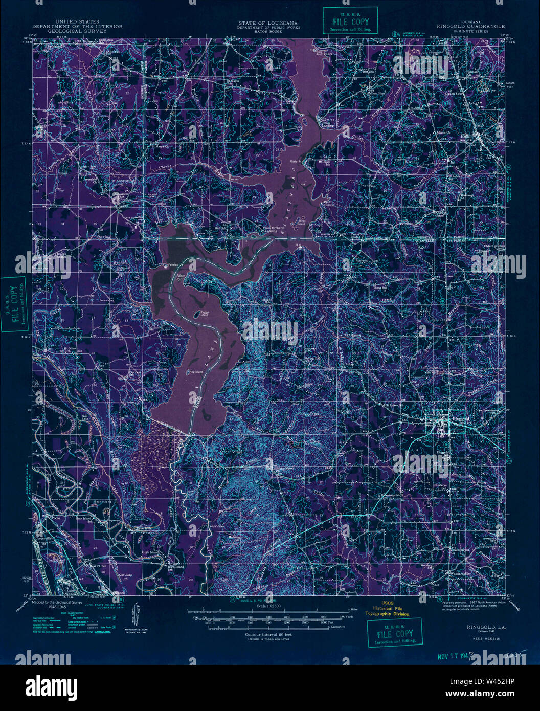 USGS TOPO Map Louisiana LA Ringgold 334970 1947 62500 Inverted Stock Photohttps://www.alamy.com/image-license-details/?v=1https://www.alamy.com/usgs-topo-map-louisiana-la-ringgold-334970-1947-62500-inverted-image260725970.html
RMW452HP–USGS TOPO Map Louisiana LA Ringgold 334970 1947 62500 Inverted
 East Ringgold, Pickaway County, US, United States, Ohio, N 39 40' 10'', S 82 51' 39'', map, Cartascapes Map published in 2024. Explore Cartascapes, a map revealing Earth's diverse landscapes, cultures, and ecosystems. Journey through time and space, discovering the interconnectedness of our planet's past, present, and future. Stock Photohttps://www.alamy.com/image-license-details/?v=1https://www.alamy.com/east-ringgold-pickaway-county-us-united-states-ohio-n-39-40-10-s-82-51-39-map-cartascapes-map-published-in-2024-explore-cartascapes-a-map-revealing-earths-diverse-landscapes-cultures-and-ecosystems-journey-through-time-and-space-discovering-the-interconnectedness-of-our-planets-past-present-and-future-image621423971.html
RM2Y308H7–East Ringgold, Pickaway County, US, United States, Ohio, N 39 40' 10'', S 82 51' 39'', map, Cartascapes Map published in 2024. Explore Cartascapes, a map revealing Earth's diverse landscapes, cultures, and ecosystems. Journey through time and space, discovering the interconnectedness of our planet's past, present, and future.
 USGS TOPO Map Tennessee GA Ringgold 246776 1946 24000 Restoration Stock Photohttps://www.alamy.com/image-license-details/?v=1https://www.alamy.com/usgs-topo-map-tennessee-ga-ringgold-246776-1946-24000-restoration-image335216306.html
RM2ADABPX–USGS TOPO Map Tennessee GA Ringgold 246776 1946 24000 Restoration