Quick filters:
River v shaped valley uk Stock Photos and Images
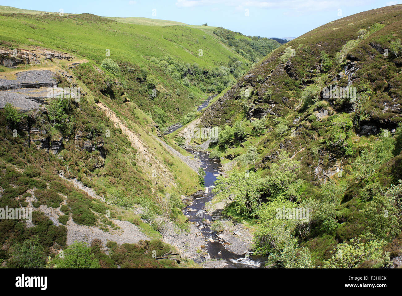 Afon Aled Flows Through a V-shaped Gorge On the Denbighshire Moors, Wales Stock Photohttps://www.alamy.com/image-license-details/?v=1https://www.alamy.com/afon-aled-flows-through-a-v-shaped-gorge-on-the-denbighshire-moors-wales-image208741979.html
RMP3H0EK–Afon Aled Flows Through a V-shaped Gorge On the Denbighshire Moors, Wales
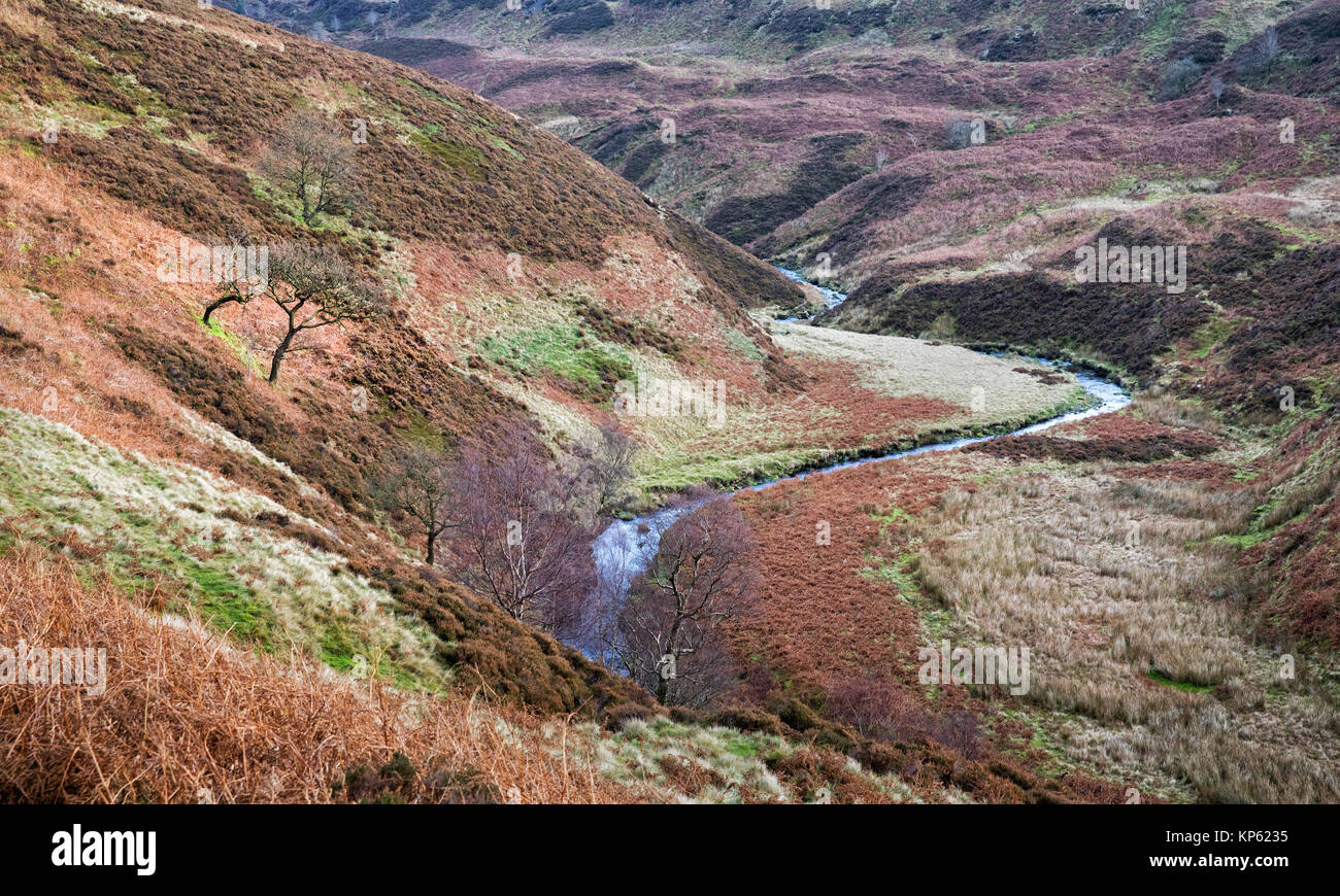 Upper reaches of the River Derwent near its source at Swain's Greave below Bleaklow in the Derbyshire Peak District UK Stock Photohttps://www.alamy.com/image-license-details/?v=1https://www.alamy.com/stock-image-upper-reaches-of-the-river-derwent-near-its-source-at-swains-greave-168549113.html
RMKP6235–Upper reaches of the River Derwent near its source at Swain's Greave below Bleaklow in the Derbyshire Peak District UK
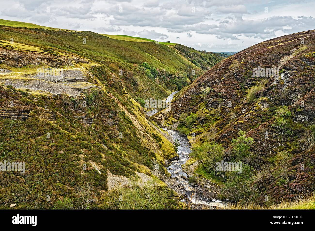 River (Afon)) Aled flowing through a typical V shaped valley on the Denbigh Moors (Mynydd Hiraethog) North Wales UK Septembern2019 1034 Stock Photohttps://www.alamy.com/image-license-details/?v=1https://www.alamy.com/river-afon-aled-flowing-through-a-typical-v-shaped-valley-on-the-denbigh-moors-mynydd-hiraethog-north-wales-uk-septembern2019-1034-image382941683.html
RM2D70E0K–River (Afon)) Aled flowing through a typical V shaped valley on the Denbigh Moors (Mynydd Hiraethog) North Wales UK Septembern2019 1034
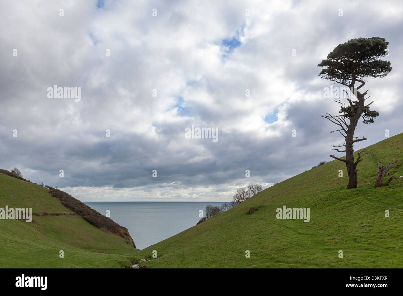 Steep V shaped river valley with the sea beyond and a wind battered fir tree, Devon, England. Stock Photohttps://www.alamy.com/image-license-details/?v=1https://www.alamy.com/stock-photo-steep-v-shaped-river-valley-with-the-sea-beyond-and-a-wind-battered-56983439.html
RMD8KPXR–Steep V shaped river valley with the sea beyond and a wind battered fir tree, Devon, England.
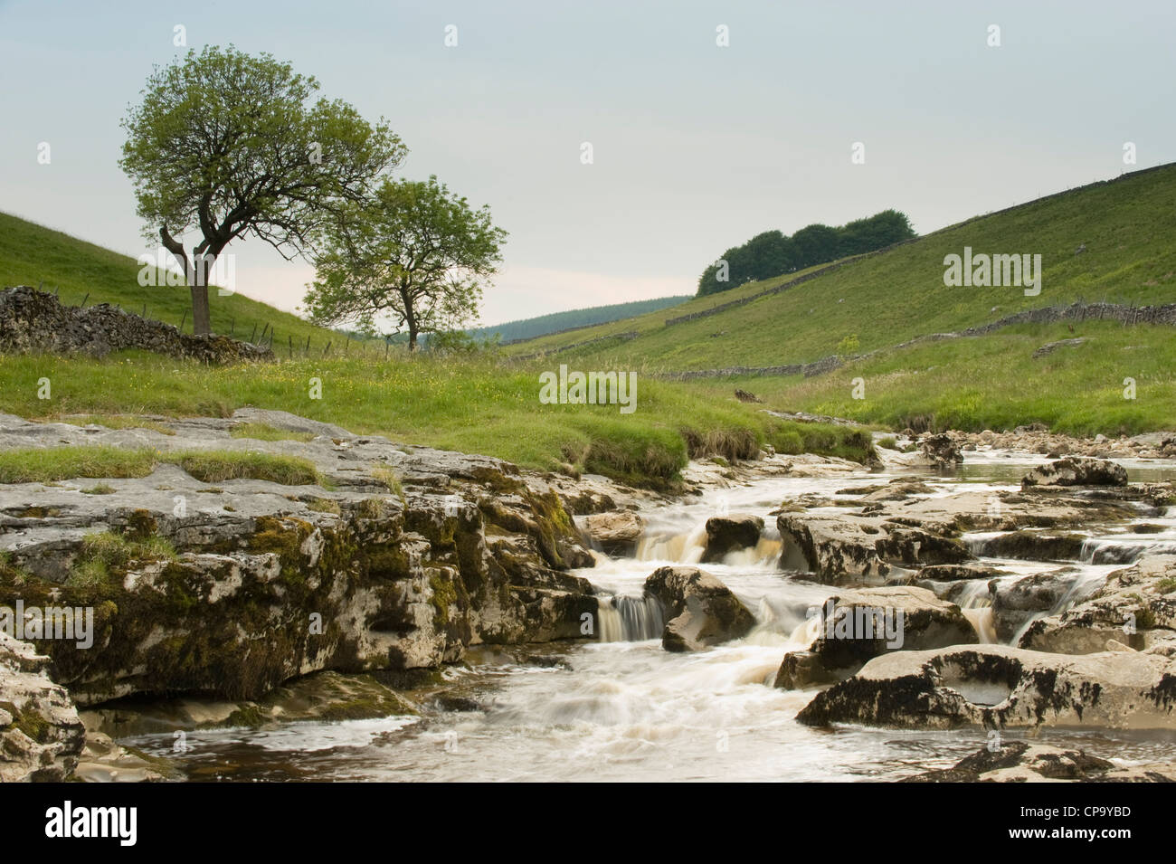 River Wharfe, flowing through quiet scenic narrow v-shaped valley, cascading over limestone rocks - Langstrothdale, Yorkshire Dales, England, UK. Stock Photohttps://www.alamy.com/image-license-details/?v=1https://www.alamy.com/stock-photo-river-wharfe-flowing-through-quiet-scenic-narrow-v-shaped-valley-cascading-48162225.html
RMCP9YBD–River Wharfe, flowing through quiet scenic narrow v-shaped valley, cascading over limestone rocks - Langstrothdale, Yorkshire Dales, England, UK.
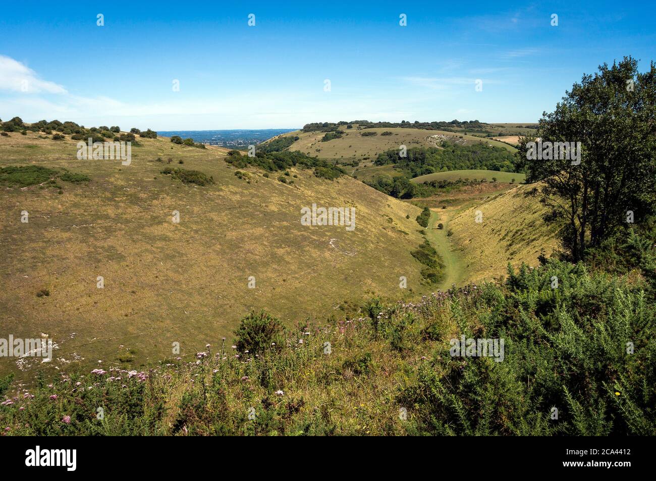 The Devil's Dyke on the South Downs, West Sussex, UK Stock Photohttps://www.alamy.com/image-license-details/?v=1https://www.alamy.com/the-devils-dyke-on-the-south-downs-west-sussex-uk-image367655262.html
RF2CA4412–The Devil's Dyke on the South Downs, West Sussex, UK
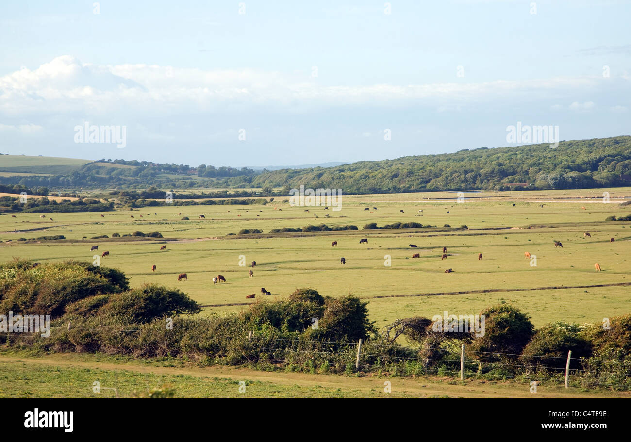 View north east over River Cuckmere valley from Seaford Head, East Sussex, England Stock Photohttps://www.alamy.com/image-license-details/?v=1https://www.alamy.com/stock-photo-view-north-east-over-river-cuckmere-valley-from-seaford-head-east-37417450.html
RMC4TE9E–View north east over River Cuckmere valley from Seaford Head, East Sussex, England
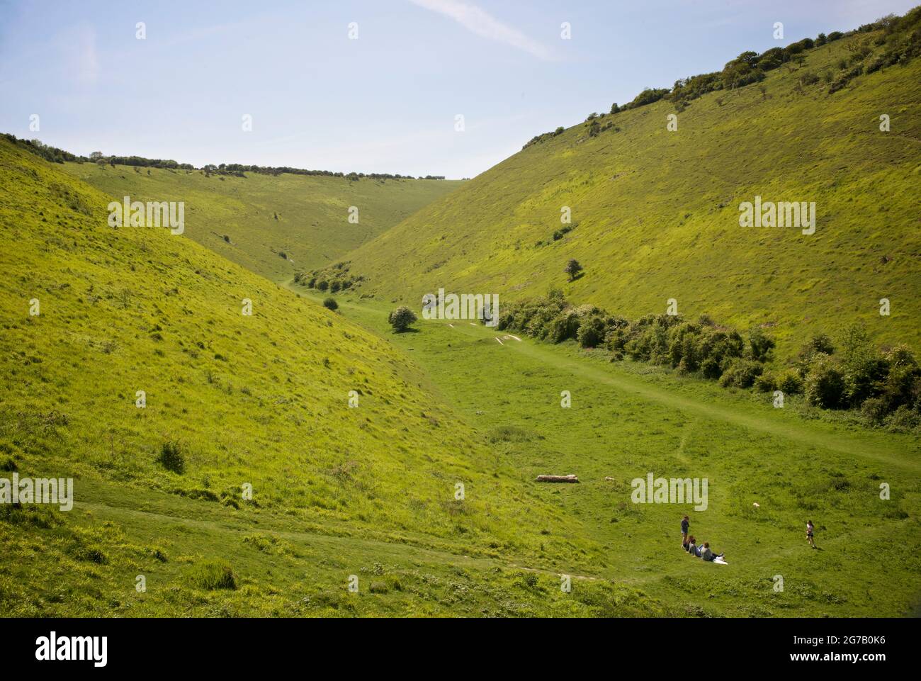 'Devil's Dyke', South Downs National Park, just outside Brighton, England, UK. The Devil's Dyke V-shaped dry valley is the result of solifluction and river erosion Stock Photohttps://www.alamy.com/image-license-details/?v=1https://www.alamy.com/devils-dyke-south-downs-national-park-just-outside-brighton-england-uk-the-devils-dyke-v-shaped-dry-valley-is-the-result-of-solifluction-and-river-erosion-image434803802.html
RM2G7B0K6–'Devil's Dyke', South Downs National Park, just outside Brighton, England, UK. The Devil's Dyke V-shaped dry valley is the result of solifluction and river erosion
 The river Lyn flowing alongside the village of Lynmouth in Devon. Stock Photohttps://www.alamy.com/image-license-details/?v=1https://www.alamy.com/the-river-lyn-flowing-alongside-the-village-of-lynmouth-in-devon-image371639891.html
RM2CGHJD7–The river Lyn flowing alongside the village of Lynmouth in Devon.
 River valley in the Long Mynd hills above Church Stretton, Shropshire, UK Stock Photohttps://www.alamy.com/image-license-details/?v=1https://www.alamy.com/stock-photo-river-valley-in-the-long-mynd-hills-above-church-stretton-shropshire-72307717.html
RME5HW6D–River valley in the Long Mynd hills above Church Stretton, Shropshire, UK
 River Ashop Tributary of River Derwent UK United Kingdom GB Great Britain British Isles Europe Stock Photohttps://www.alamy.com/image-license-details/?v=1https://www.alamy.com/river-ashop-tributary-of-river-derwent-uk-united-kingdom-gb-great-image3639702.html
RFA4YN97–River Ashop Tributary of River Derwent UK United Kingdom GB Great Britain British Isles Europe
 Crowden moorland valley, Longdendale, near Glossop, Derbyshire, Northern England, United Kingdom, UK. Stock Photohttps://www.alamy.com/image-license-details/?v=1https://www.alamy.com/crowden-moorland-valley-longdendale-near-glossop-derbyshire-northern-england-united-kingdom-uk-image557011015.html
RM2RA616F–Crowden moorland valley, Longdendale, near Glossop, Derbyshire, Northern England, United Kingdom, UK.
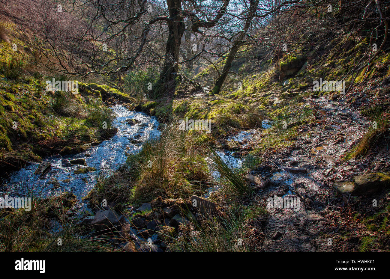 Lady Clough with Lady Booth Brook tumbling down to the Vale of Edale from Kinder Scout in the Derbyshire Peak District UK Stock Photohttps://www.alamy.com/image-license-details/?v=1https://www.alamy.com/stock-photo-lady-clough-with-lady-booth-brook-tumbling-down-to-the-vale-of-edale-136227393.html
RFHWHKC1–Lady Clough with Lady Booth Brook tumbling down to the Vale of Edale from Kinder Scout in the Derbyshire Peak District UK
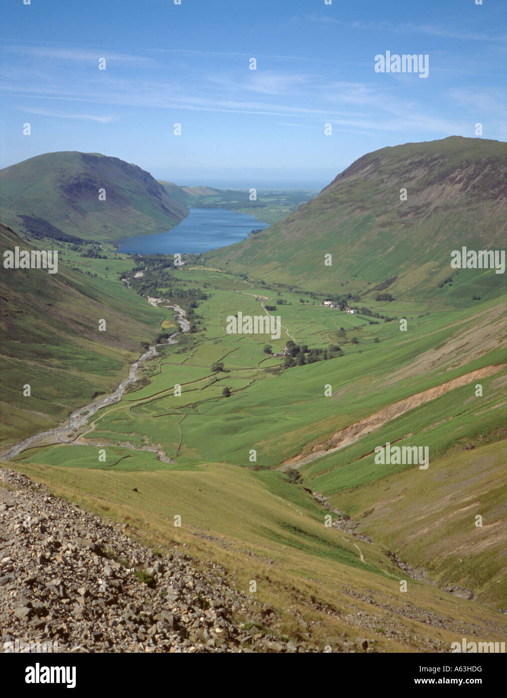 Classic V-shaped valley leading to a glacially eroded U-shaped valley, Wasdale, Lake District National Park, Cumbria, England UK Stock Photohttps://www.alamy.com/image-license-details/?v=1https://www.alamy.com/stock-photo-classic-v-shaped-valley-leading-to-a-glacially-eroded-u-shaped-valley-11449131.html
RMA63HDG–Classic V-shaped valley leading to a glacially eroded U-shaped valley, Wasdale, Lake District National Park, Cumbria, England UK
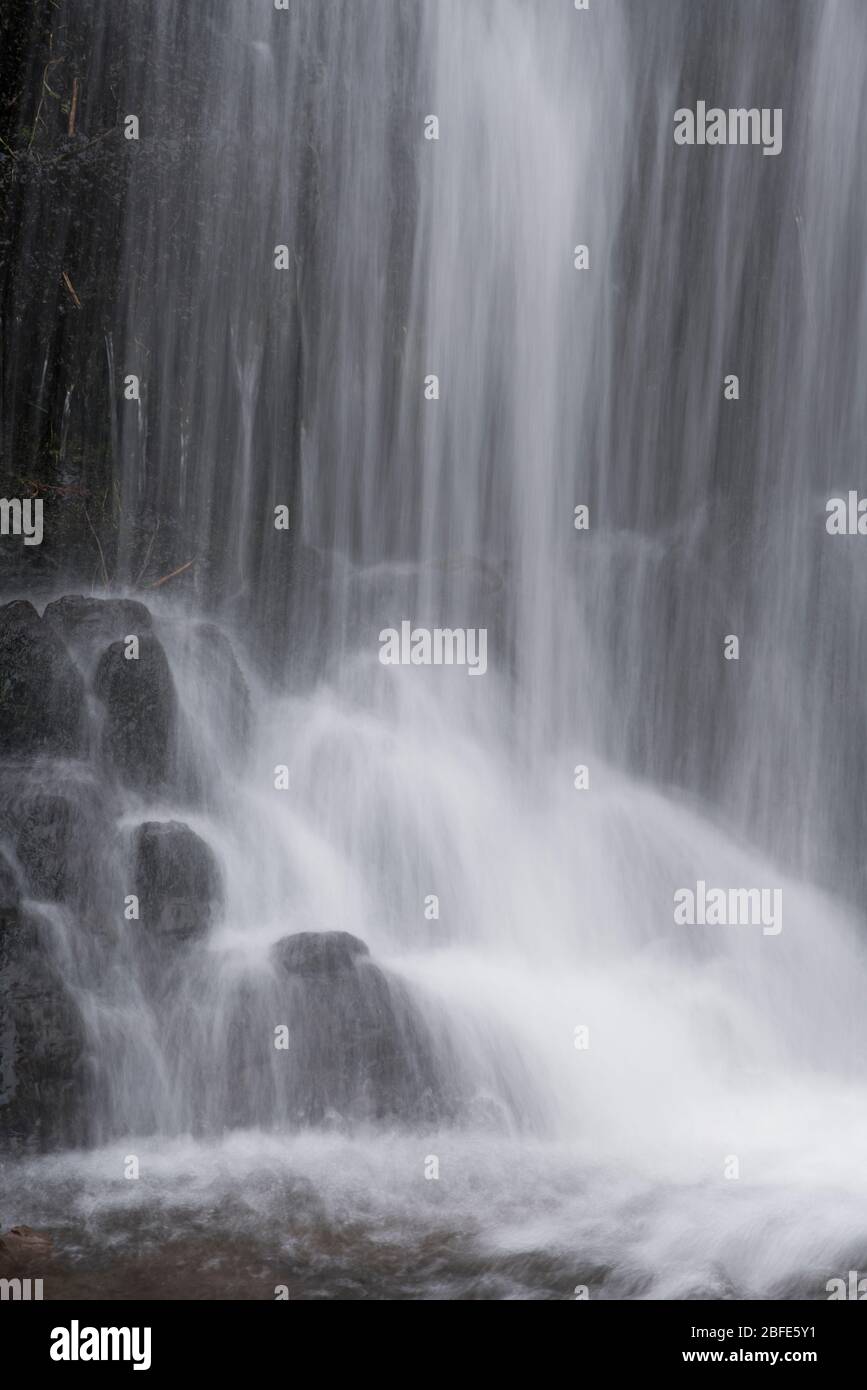 Lightspout Waterfall in Cardingmill Valley, Long Mynd, Shropshire, UK Stock Photohttps://www.alamy.com/image-license-details/?v=1https://www.alamy.com/lightspout-waterfall-in-cardingmill-valley-long-mynd-shropshire-uk-image353739205.html
RM2BFE5Y1–Lightspout Waterfall in Cardingmill Valley, Long Mynd, Shropshire, UK
 Winter sunset on Skiddaw from Braithwaite, near Kswick, Lake District, Cumbria, England, UK. Stock Photohttps://www.alamy.com/image-license-details/?v=1https://www.alamy.com/stock-photo-winter-sunset-on-skiddaw-from-braithwaite-near-kswick-lake-district-33806050.html
RMBXYYXX–Winter sunset on Skiddaw from Braithwaite, near Kswick, Lake District, Cumbria, England, UK.
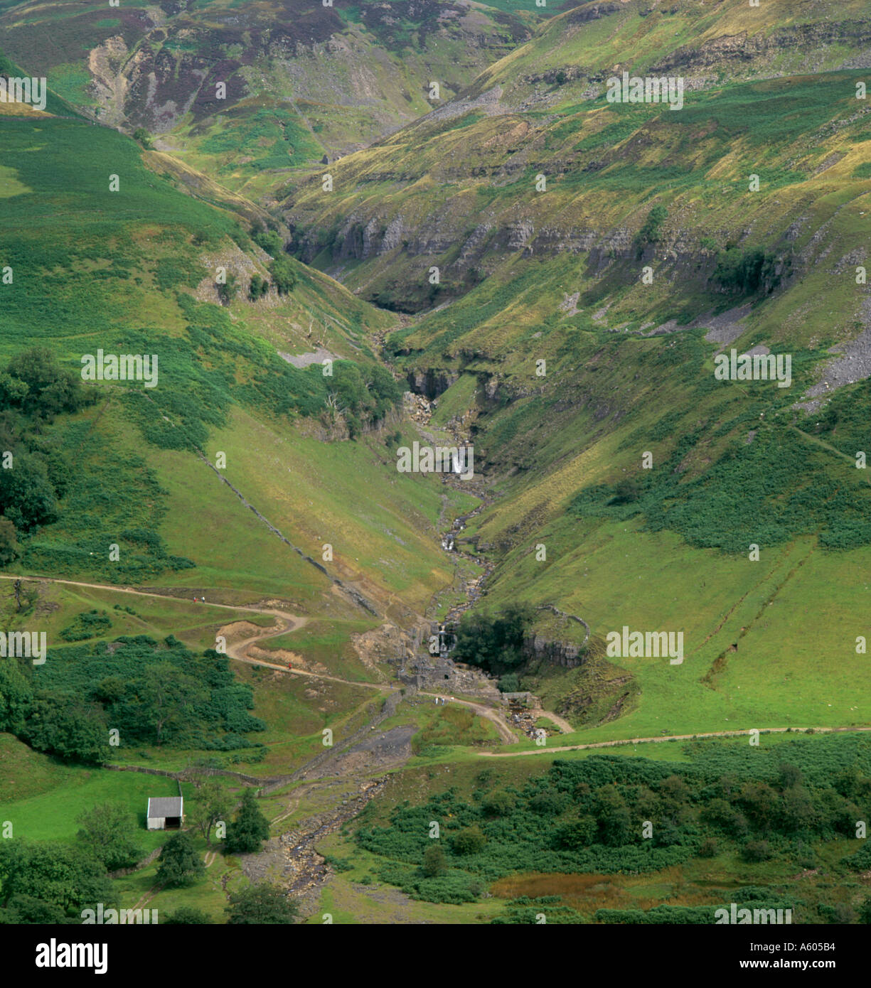 Remains of old lead mine workings at the base of Swinner Gill, near Keld, Upper Swaledale, North Yorkshire, England, UK. Stock Photohttps://www.alamy.com/image-license-details/?v=1https://www.alamy.com/remains-of-old-lead-mine-workings-at-the-base-of-swinner-gill-near-image394676.html
RMA605B4–Remains of old lead mine workings at the base of Swinner Gill, near Keld, Upper Swaledale, North Yorkshire, England, UK.
 Hayeswater Gill with Hayeswater beyond, beneath High Street, Lake District National Park, Cumbria, England, UK. Stock Photohttps://www.alamy.com/image-license-details/?v=1https://www.alamy.com/hayeswater-gill-with-hayeswater-beyond-beneath-high-street-lake-district-image2516499.html
RMADX614–Hayeswater Gill with Hayeswater beyond, beneath High Street, Lake District National Park, Cumbria, England, UK.
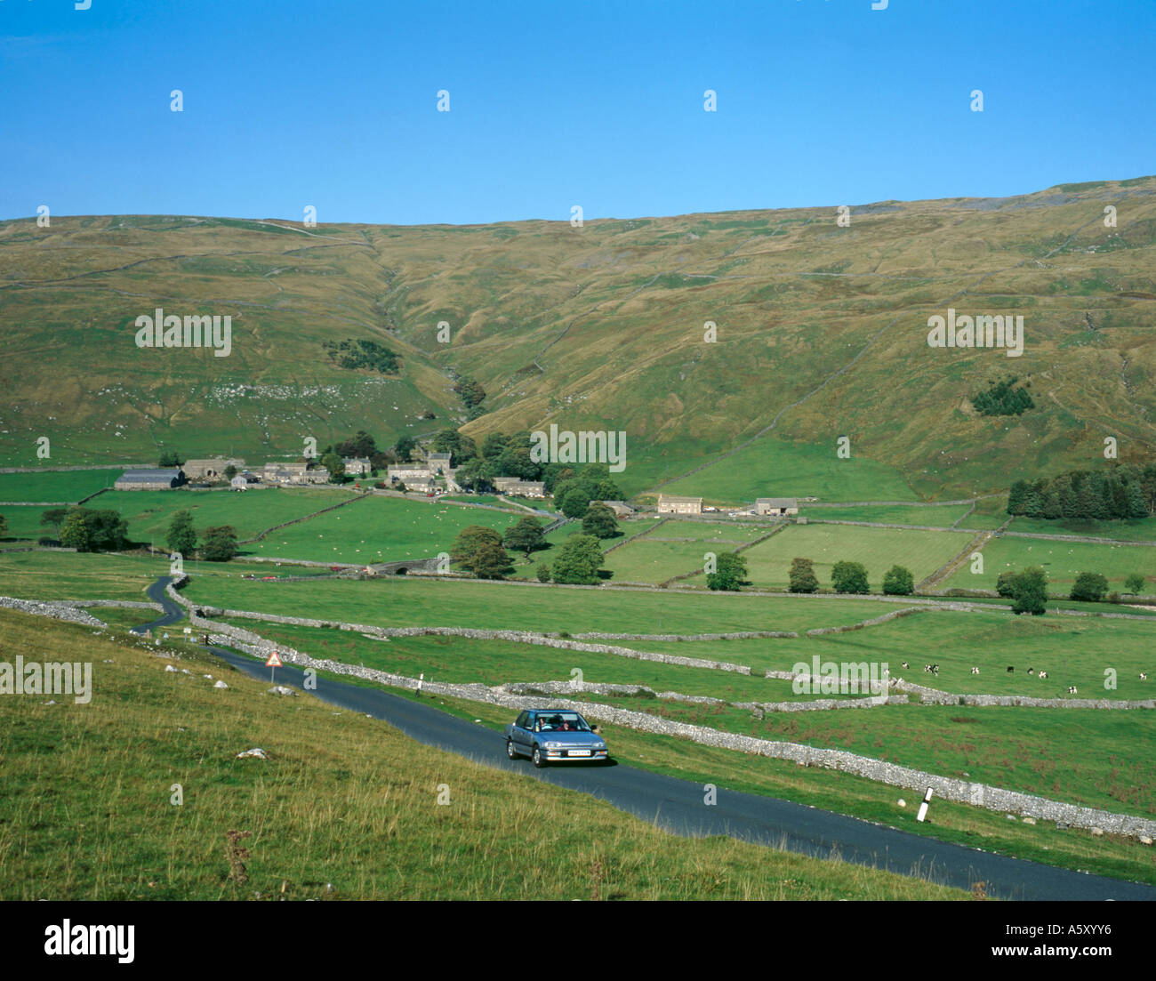 Motoring in upper Littondale, village of Halton Gill beyond, Yorkshire Dales National Park, North Yorkshire, England, UK. Stock Photohttps://www.alamy.com/image-license-details/?v=1https://www.alamy.com/motoring-in-upper-littondale-village-of-halton-gill-beyond-yorkshire-image6517493.html
RMA5XYY6–Motoring in upper Littondale, village of Halton Gill beyond, Yorkshire Dales National Park, North Yorkshire, England, UK.
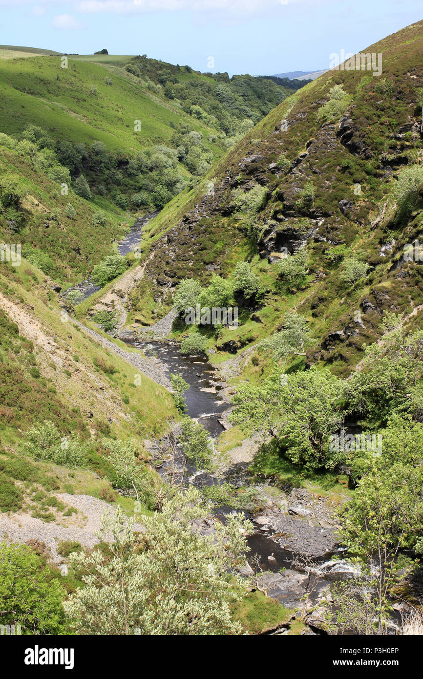 Afon Aled Flows Through a V-shaped Gorge On the Denbighshire Moors, Wales Stock Photohttps://www.alamy.com/image-license-details/?v=1https://www.alamy.com/afon-aled-flows-through-a-v-shaped-gorge-on-the-denbighshire-moors-wales-image208741982.html
RMP3H0EP–Afon Aled Flows Through a V-shaped Gorge On the Denbighshire Moors, Wales
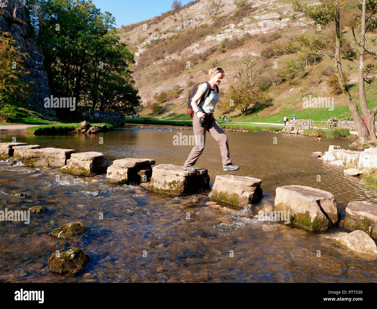 Peak District National Park, Derbyshire, UK. 10th October, 2018. UK Weather Woman crossing the stepping stones on an unusually hot sunny October day in the tourist hotspot of Dovedale in the Peak District National Park, Derbyshire Credit: Doug Blane/Alamy Live News Stock Photohttps://www.alamy.com/image-license-details/?v=1https://www.alamy.com/peak-district-national-park-derbyshire-uk-10th-october-2018-uk-weather-woman-crossing-the-stepping-stones-on-an-unusually-hot-sunny-october-day-in-the-tourist-hotspot-of-dovedale-in-the-peak-district-national-park-derbyshire-credit-doug-blanealamy-live-news-image221807012.html
RMPTT530–Peak District National Park, Derbyshire, UK. 10th October, 2018. UK Weather Woman crossing the stepping stones on an unusually hot sunny October day in the tourist hotspot of Dovedale in the Peak District National Park, Derbyshire Credit: Doug Blane/Alamy Live News
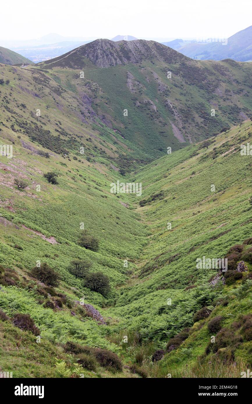 View down Townbrook Valley toward Burway Hill, Long Mynd Shropshire, UK Stock Photohttps://www.alamy.com/image-license-details/?v=1https://www.alamy.com/view-down-townbrook-valley-toward-burway-hill-long-mynd-shropshire-uk-image408231972.html
RM2EM4G18–View down Townbrook Valley toward Burway Hill, Long Mynd Shropshire, UK
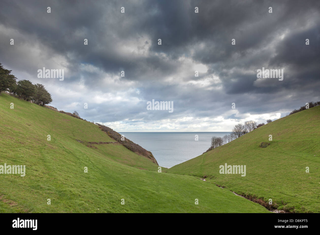 Steep V shaped river valley with the sea beyond and a threatening sky, Devon, England. Stock Photohttps://www.alamy.com/image-license-details/?v=1https://www.alamy.com/stock-photo-steep-v-shaped-river-valley-with-the-sea-beyond-and-a-threatening-56983365.html
RMD8KPT5–Steep V shaped river valley with the sea beyond and a threatening sky, Devon, England.
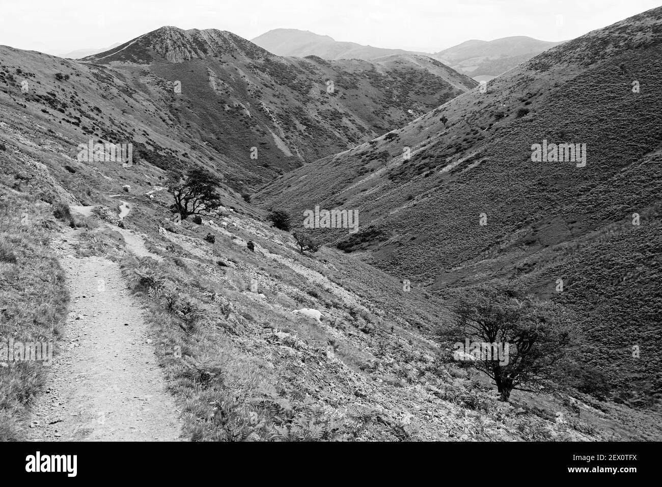 View along walking trail forming part of the Shropshire Way down Townbrook Valley toward Burway Hill, Long Mynd Shropshire, UK Stock Photohttps://www.alamy.com/image-license-details/?v=1https://www.alamy.com/view-along-walking-trail-forming-part-of-the-shropshire-way-down-townbrook-valley-toward-burway-hill-long-mynd-shropshire-uk-image411838782.html
RM2EX0TFX–View along walking trail forming part of the Shropshire Way down Townbrook Valley toward Burway Hill, Long Mynd Shropshire, UK
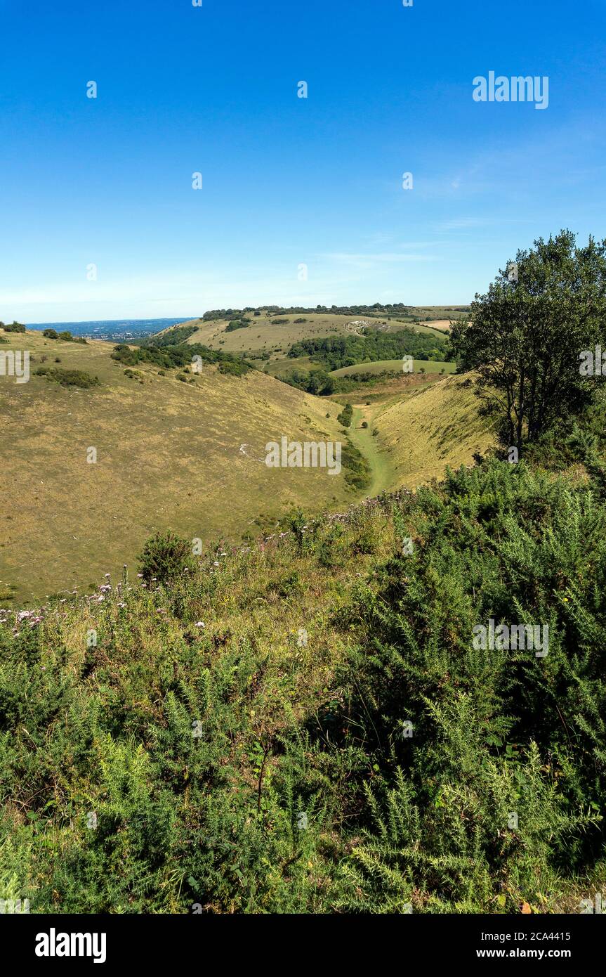 The Devil's Dyke on the South Downs, West Sussex, UK Stock Photohttps://www.alamy.com/image-license-details/?v=1https://www.alamy.com/the-devils-dyke-on-the-south-downs-west-sussex-uk-image367655265.html
RF2CA4415–The Devil's Dyke on the South Downs, West Sussex, UK
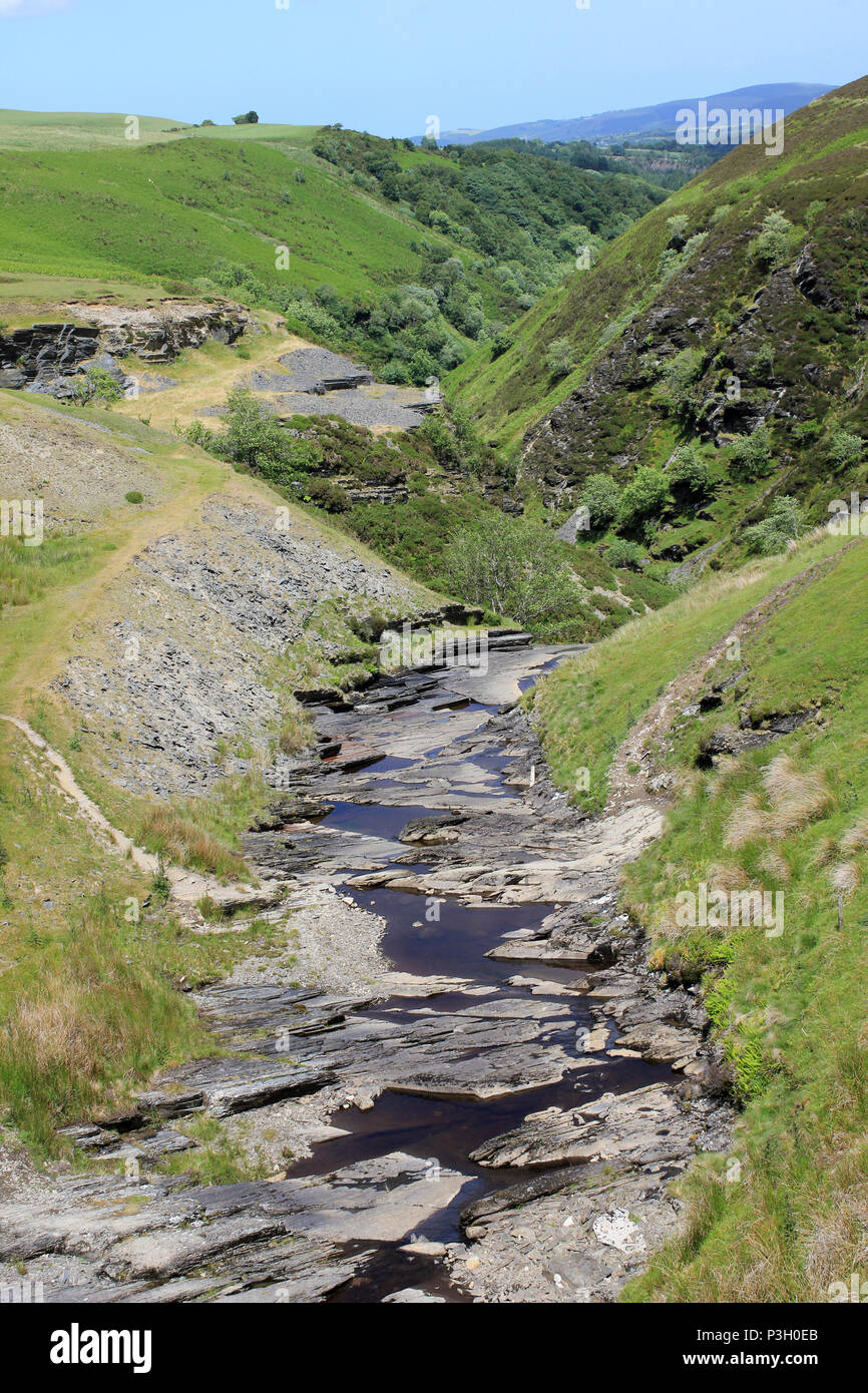 Afon Aled Flows Through a V-shaped Gorge On the Denbighshire Moors, Wales Stock Photohttps://www.alamy.com/image-license-details/?v=1https://www.alamy.com/afon-aled-flows-through-a-v-shaped-gorge-on-the-denbighshire-moors-wales-image208741971.html
RMP3H0EB–Afon Aled Flows Through a V-shaped Gorge On the Denbighshire Moors, Wales
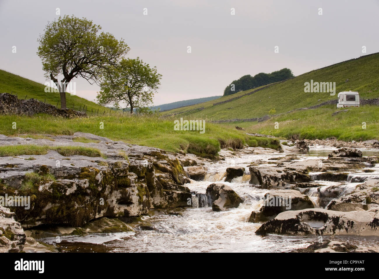 Campervan by River Wharfe, flowing through quiet scenic narrow valley, cascading over limestone rocks - Langstrothdale, Yorkshire Dales, England, UK. Stock Photohttps://www.alamy.com/image-license-details/?v=1https://www.alamy.com/stock-photo-campervan-by-river-wharfe-flowing-through-quiet-scenic-narrow-valley-48162208.html
RMCP9YAT–Campervan by River Wharfe, flowing through quiet scenic narrow valley, cascading over limestone rocks - Langstrothdale, Yorkshire Dales, England, UK.
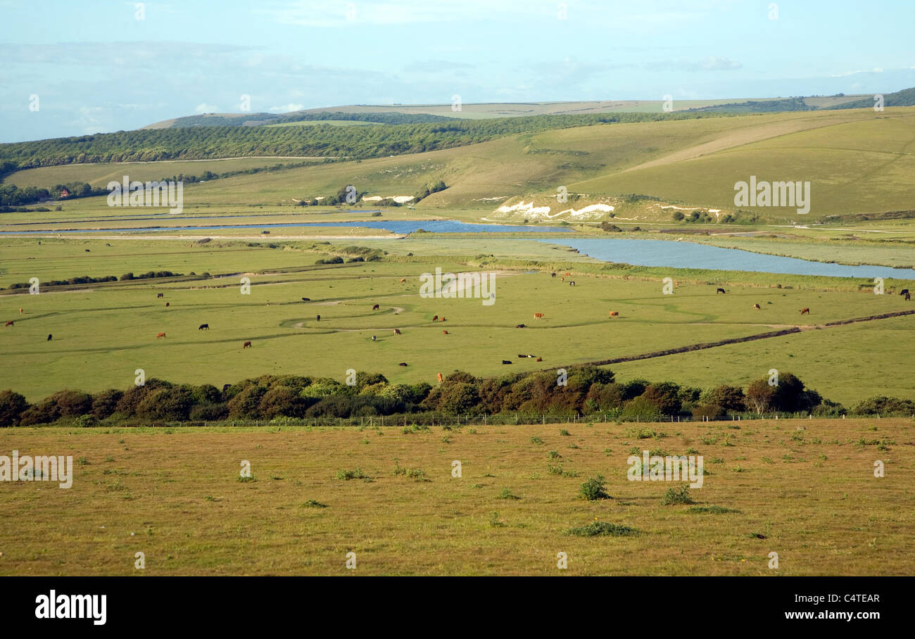 View north east over River Cuckmere valley from Seaford Head, East Sussex, England Stock Photohttps://www.alamy.com/image-license-details/?v=1https://www.alamy.com/stock-photo-view-north-east-over-river-cuckmere-valley-from-seaford-head-east-37417487.html
RMC4TEAR–View north east over River Cuckmere valley from Seaford Head, East Sussex, England
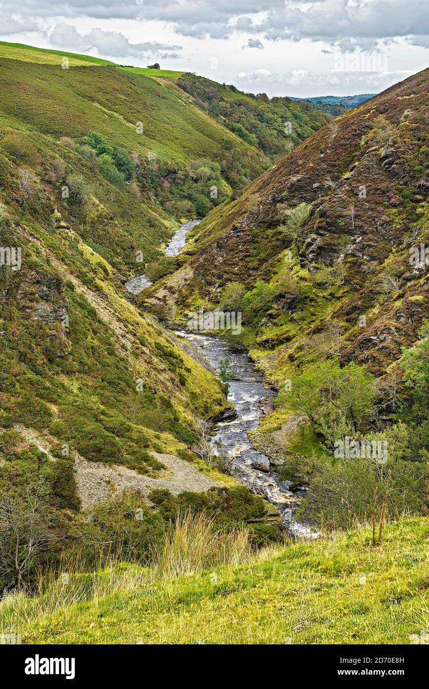 River (Afon)) Aled flowing through a typical V shaped valley on the Denbigh Moors (Mynydd Hiraethog) North Wales UK Septembern2019 1045 Stock Photohttps://www.alamy.com/image-license-details/?v=1https://www.alamy.com/river-afon-aled-flowing-through-a-typical-v-shaped-valley-on-the-denbigh-moors-mynydd-hiraethog-north-wales-uk-septembern2019-1045-image382941905.html
RM2D70E8H–River (Afon)) Aled flowing through a typical V shaped valley on the Denbigh Moors (Mynydd Hiraethog) North Wales UK Septembern2019 1045
 'Devil's Dyke', South Downs National Park, just outside Brighton, England, UK' The Devil's Dyke V-shaped dry valley is the result of solifluction and river erosion Stock Photohttps://www.alamy.com/image-license-details/?v=1https://www.alamy.com/devils-dyke-south-downs-national-park-just-outside-brighton-england-uk-the-devils-dyke-v-shaped-dry-valley-is-the-result-of-solifluction-and-river-erosion-image434803805.html
RM2G7B0K9–'Devil's Dyke', South Downs National Park, just outside Brighton, England, UK' The Devil's Dyke V-shaped dry valley is the result of solifluction and river erosion
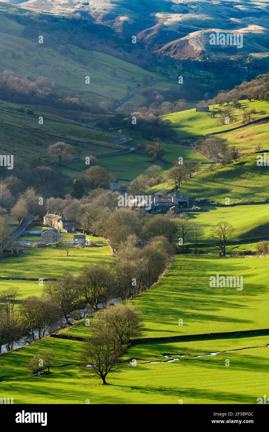 Picturesque Dales village (cottages & farms) & River Wharfe, nestling by hills & hillsides in steep-sided valley - Hubberholme, Yorkshire, England, UK Stock Photohttps://www.alamy.com/image-license-details/?v=1https://www.alamy.com/picturesque-dales-village-cottages-farms-river-wharfe-nestling-by-hills-hillsides-in-steep-sided-valley-hubberholme-yorkshire-england-uk-image415151980.html
RF2F3BPGC–Picturesque Dales village (cottages & farms) & River Wharfe, nestling by hills & hillsides in steep-sided valley - Hubberholme, Yorkshire, England, UK
 Long Mynd hills, above Church Stretton, Shropshire, UK Stock Photohttps://www.alamy.com/image-license-details/?v=1https://www.alamy.com/stock-photo-long-mynd-hills-above-church-stretton-shropshire-uk-72308787.html
RME5HXGK–Long Mynd hills, above Church Stretton, Shropshire, UK
 High Peak District River Ashop Derbyshire England UK United Kingdom GB Great Britain British Isles Europe Stock Photohttps://www.alamy.com/image-license-details/?v=1https://www.alamy.com/high-peak-district-river-ashop-derbyshire-england-uk-united-kingdom-image3639706.html
RFA4YN9B–High Peak District River Ashop Derbyshire England UK United Kingdom GB Great Britain British Isles Europe
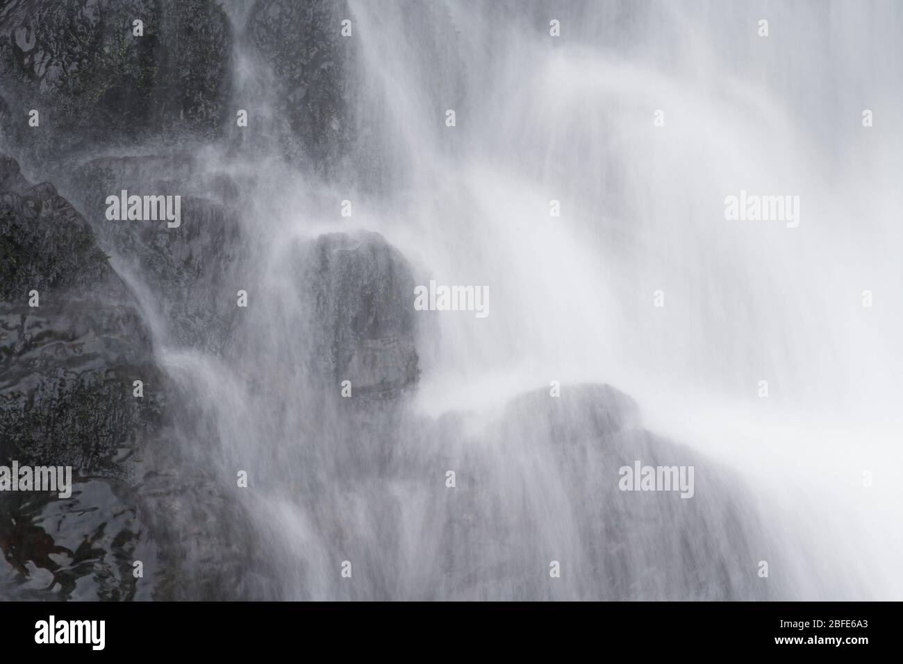 Lightspout Waterfall in Cardingmill Valley, Long Mynd, Shropshire, UK Stock Photohttps://www.alamy.com/image-license-details/?v=1https://www.alamy.com/lightspout-waterfall-in-cardingmill-valley-long-mynd-shropshire-uk-image353739515.html
RM2BFE6A3–Lightspout Waterfall in Cardingmill Valley, Long Mynd, Shropshire, UK
 Winter sunset on Skiddaw from Braithwaite, near Keswick, Lake District, Cumbria, England, UK. Stock Photohttps://www.alamy.com/image-license-details/?v=1https://www.alamy.com/stock-photo-winter-sunset-on-skiddaw-from-braithwaite-near-keswick-lake-district-33806051.html
RMBXYYXY–Winter sunset on Skiddaw from Braithwaite, near Keswick, Lake District, Cumbria, England, UK.
 Killhope Burn in early summer, Killhope, Upper Weardale, County Durham, England, UK. Stock Photohttps://www.alamy.com/image-license-details/?v=1https://www.alamy.com/killhope-burn-in-early-summer-killhope-upper-weardale-county-durham-image3567360.html
RMA43Y01–Killhope Burn in early summer, Killhope, Upper Weardale, County Durham, England, UK.
 Rossett Gill, a classic mountain stream, with Bowfell beyond, Langdale, Lake District National Park, Cumbria, England, UK. Stock Photohttps://www.alamy.com/image-license-details/?v=1https://www.alamy.com/rossett-gill-a-classic-mountain-stream-with-bowfell-beyond-langdale-image2253778.html
RMA8P3D3–Rossett Gill, a classic mountain stream, with Bowfell beyond, Langdale, Lake District National Park, Cumbria, England, UK.
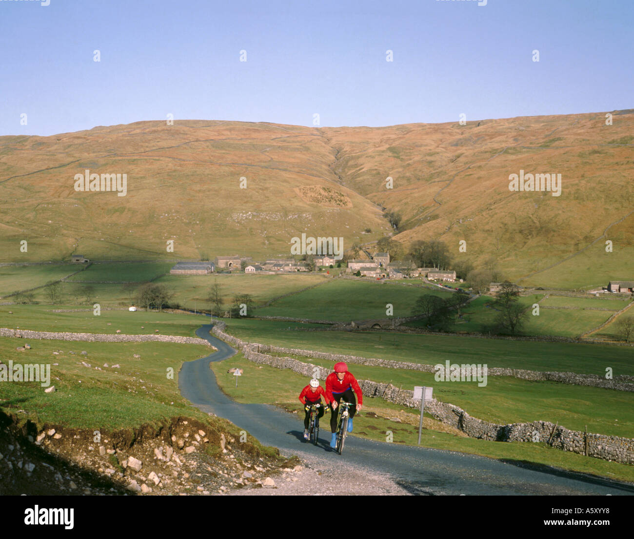 Cycling in upper Littondale, village of Halton Gill beyond, Yorkshire Dales National Park, North Yorkshire, England, UK. Stock Photohttps://www.alamy.com/image-license-details/?v=1https://www.alamy.com/cycling-in-upper-littondale-village-of-halton-gill-beyond-yorkshire-image6517495.html
RMA5XYY8–Cycling in upper Littondale, village of Halton Gill beyond, Yorkshire Dales National Park, North Yorkshire, England, UK.
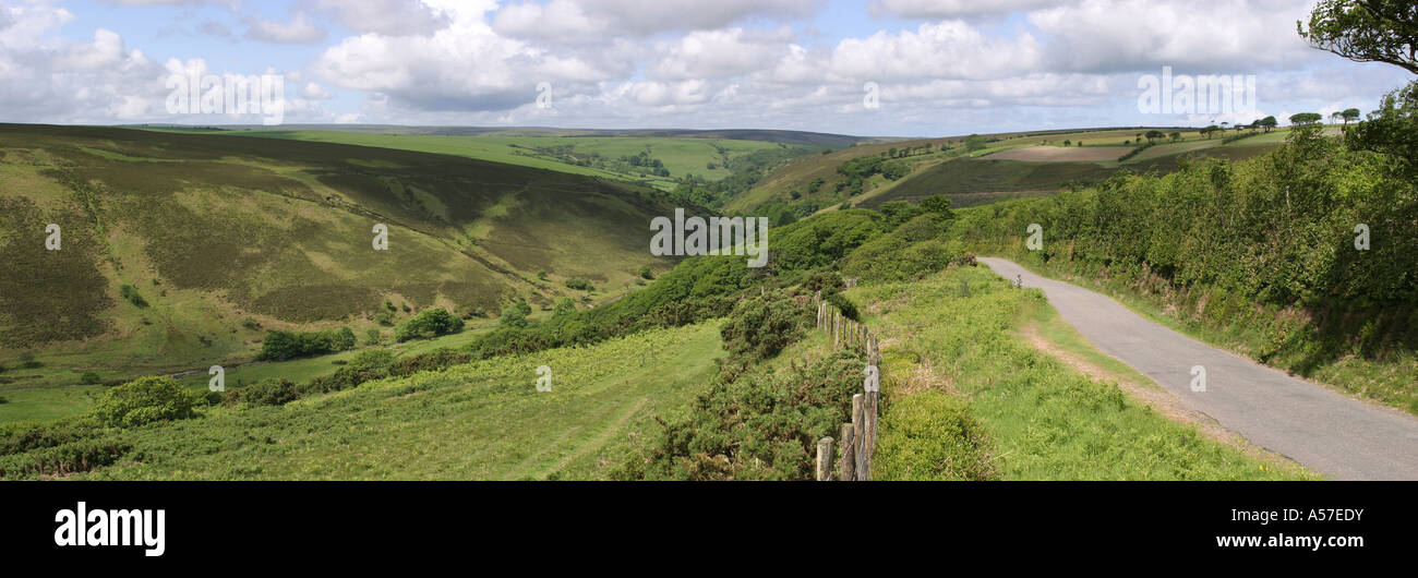 Devon Exmoor Watersmeet from Countisbury Hill panoramic Stock Photohttps://www.alamy.com/image-license-details/?v=1https://www.alamy.com/stock-photo-devon-exmoor-watersmeet-from-countisbury-hill-panoramic-11222342.html
RMA57EDY–Devon Exmoor Watersmeet from Countisbury Hill panoramic
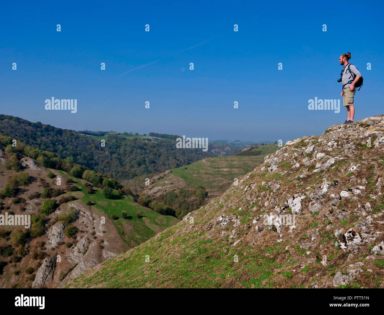 Peak District National Park, Derbyshire, UK. 10th October, 2018. UK Weather a man admiring the view on the top of Thorpe Cloud on a unusually hot sunny October day in the tourist hotspot of Dovedale in the Peak District National Park, Derbyshire Credit: Doug Blane/Alamy Live News Stock Photohttps://www.alamy.com/image-license-details/?v=1https://www.alamy.com/peak-district-national-park-derbyshire-uk-10th-october-2018-uk-weather-a-man-admiring-the-view-on-the-top-of-thorpe-cloud-on-a-unusually-hot-sunny-october-day-in-the-tourist-hotspot-of-dovedale-in-the-peak-district-national-park-derbyshire-credit-doug-blanealamy-live-news-image221806977.html
RMPTT51N–Peak District National Park, Derbyshire, UK. 10th October, 2018. UK Weather a man admiring the view on the top of Thorpe Cloud on a unusually hot sunny October day in the tourist hotspot of Dovedale in the Peak District National Park, Derbyshire Credit: Doug Blane/Alamy Live News
 South Dene beck flowing under Brontë Bridge leading too top withens, above Haworth, West Yorkshire, England, UK. Stock Photohttps://www.alamy.com/image-license-details/?v=1https://www.alamy.com/south-dene-beck-flowing-under-bront-bridge-leading-too-top-withens-image5643746.html
RMA04DJ3–South Dene beck flowing under Brontë Bridge leading too top withens, above Haworth, West Yorkshire, England, UK.
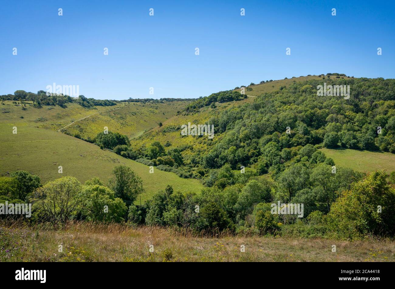 The Devil's Dyke on the South Downs, West Sussex, UK Stock Photohttps://www.alamy.com/image-license-details/?v=1https://www.alamy.com/the-devils-dyke-on-the-south-downs-west-sussex-uk-image367655268.html
RF2CA4418–The Devil's Dyke on the South Downs, West Sussex, UK
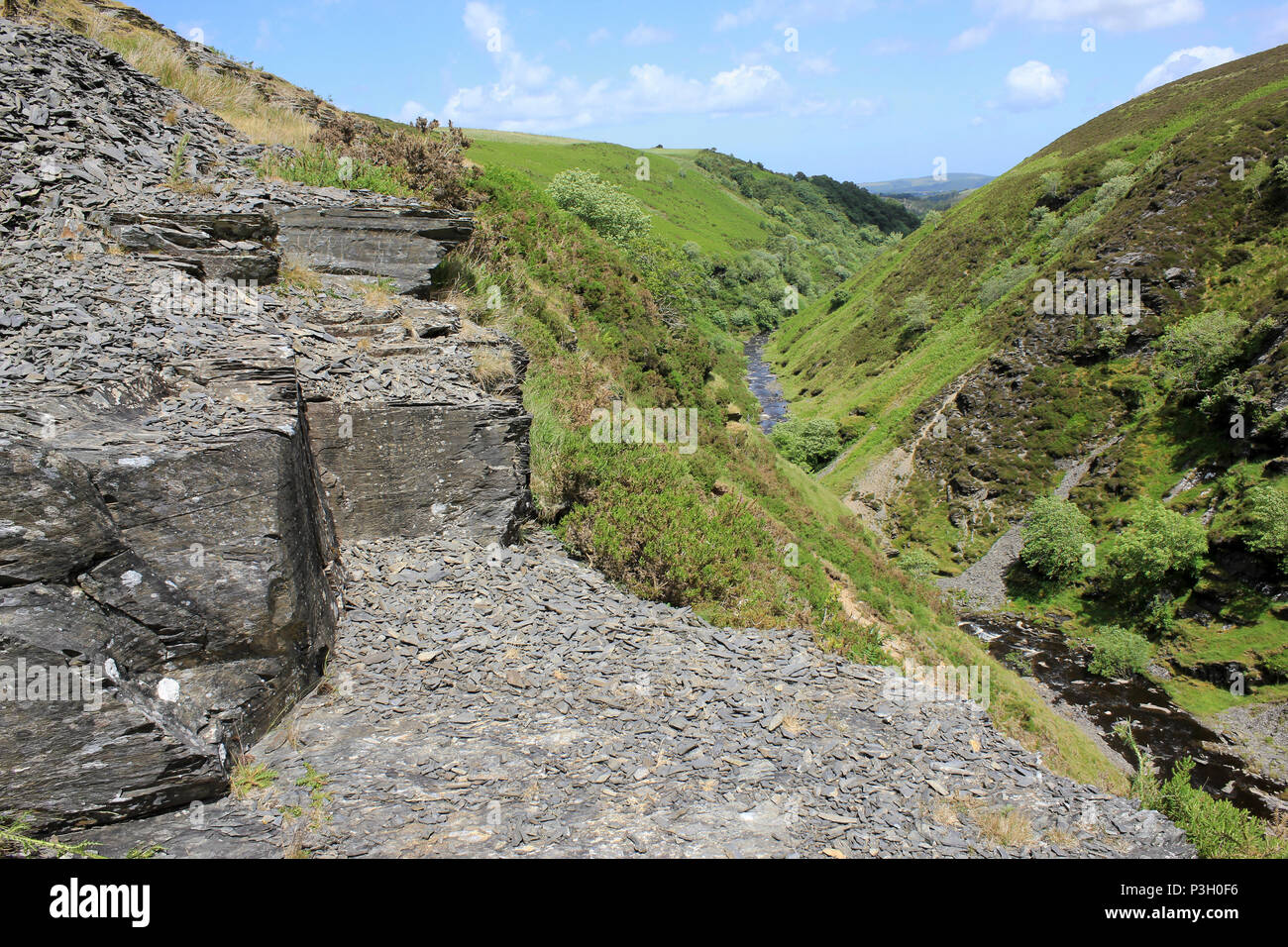 Afon Aled Flows Through a V-shaped Gorge On the Denbighshire Moors, Wales Stock Photohttps://www.alamy.com/image-license-details/?v=1https://www.alamy.com/afon-aled-flows-through-a-v-shaped-gorge-on-the-denbighshire-moors-wales-image208741994.html
RMP3H0F6–Afon Aled Flows Through a V-shaped Gorge On the Denbighshire Moors, Wales
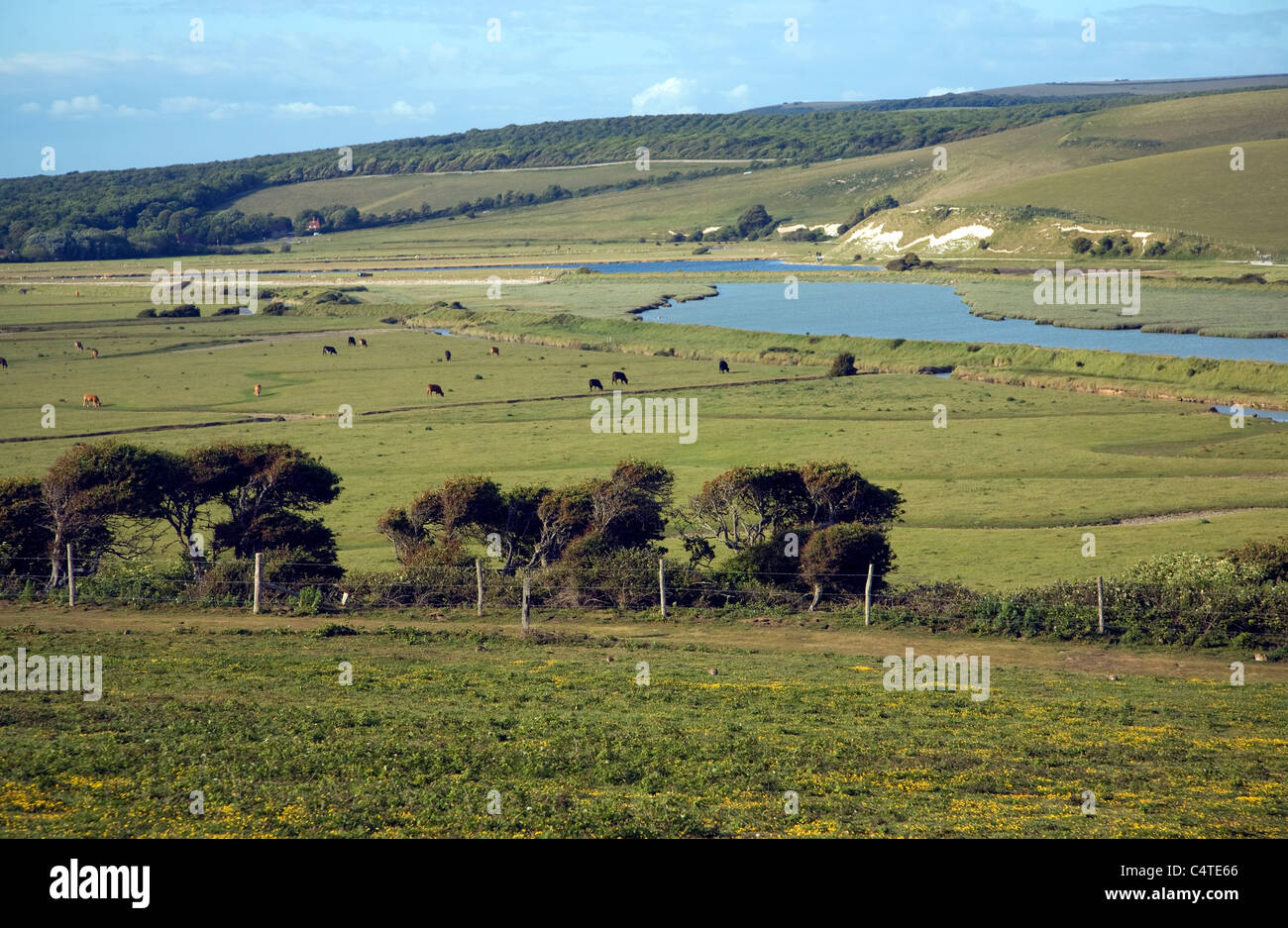 View north east over River Cuckmere valley from Seaford Head, East Sussex, England Stock Photohttps://www.alamy.com/image-license-details/?v=1https://www.alamy.com/stock-photo-view-north-east-over-river-cuckmere-valley-from-seaford-head-east-37417358.html
RMC4TE66–View north east over River Cuckmere valley from Seaford Head, East Sussex, England
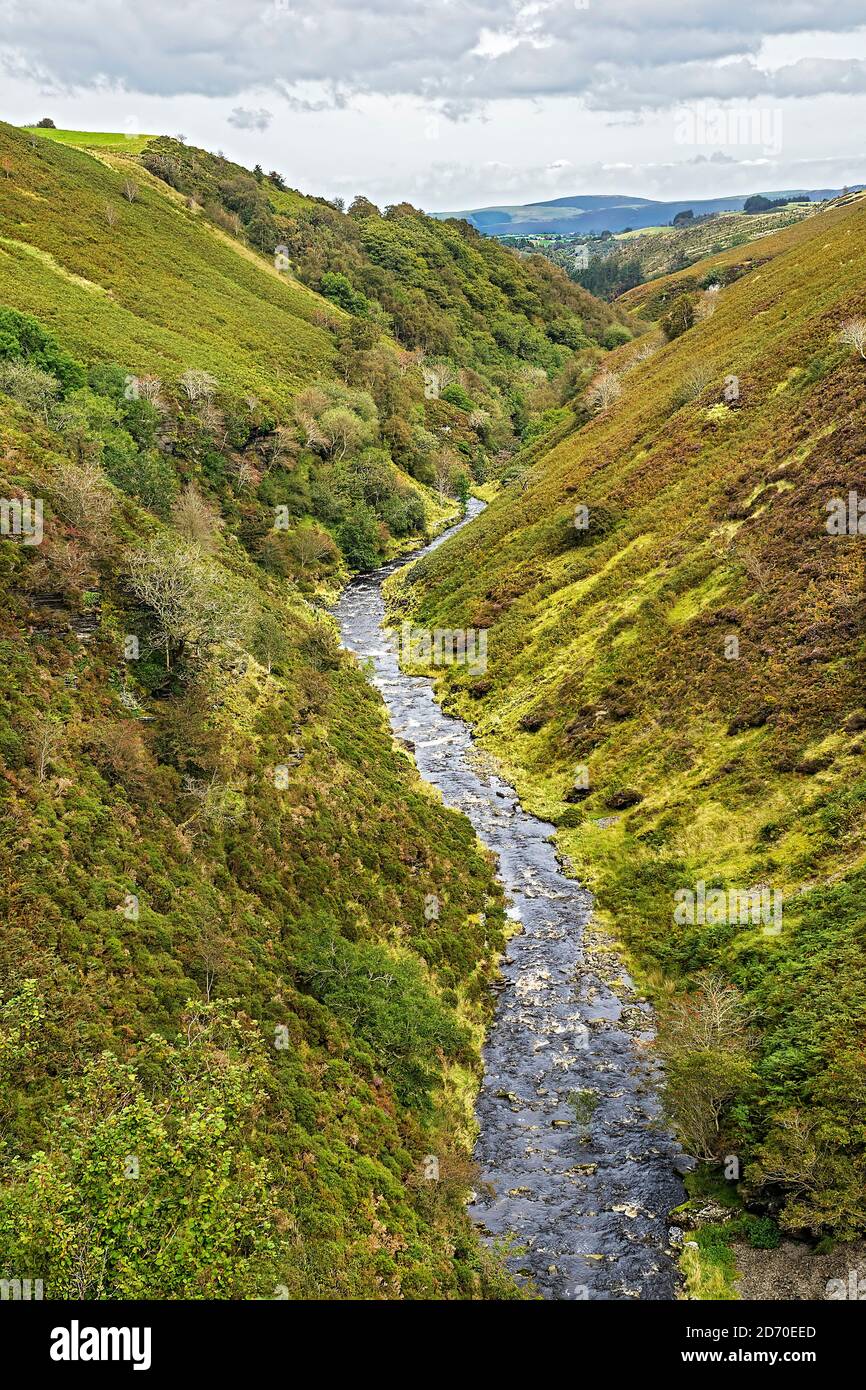 River (Afon)) Aled flowing through a typical V shaped valley on the Denbigh Moors (Mynydd Hiraethog) North Wales UK Septembern2019 1065 Stock Photohttps://www.alamy.com/image-license-details/?v=1https://www.alamy.com/river-afon-aled-flowing-through-a-typical-v-shaped-valley-on-the-denbigh-moors-mynydd-hiraethog-north-wales-uk-septembern2019-1065-image382942069.html
RM2D70EED–River (Afon)) Aled flowing through a typical V shaped valley on the Denbigh Moors (Mynydd Hiraethog) North Wales UK Septembern2019 1065
 Looking downstream East Lyn River valley at Watersmeet, near Lynmouth, Exmoor national park, Devon, England Stock Photohttps://www.alamy.com/image-license-details/?v=1https://www.alamy.com/looking-downstream-east-lyn-river-valley-at-watersmeet-near-lynmouth-image67605753.html
RMDWYKR5–Looking downstream East Lyn River valley at Watersmeet, near Lynmouth, Exmoor national park, Devon, England
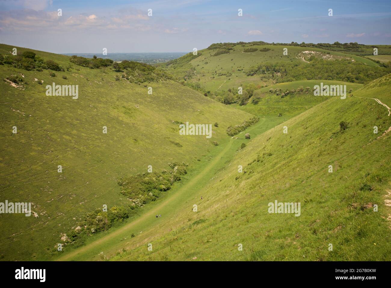 'Devil's Dyke', South Downs National Park, just outside Brighton, England, UK' The Devil's Dyke V-shaped dry valley is the result of solifluction and river erosion Stock Photohttps://www.alamy.com/image-license-details/?v=1https://www.alamy.com/devils-dyke-south-downs-national-park-just-outside-brighton-england-uk-the-devils-dyke-v-shaped-dry-valley-is-the-result-of-solifluction-and-river-erosion-image434803821.html
RM2G7B0KW–'Devil's Dyke', South Downs National Park, just outside Brighton, England, UK' The Devil's Dyke V-shaped dry valley is the result of solifluction and river erosion
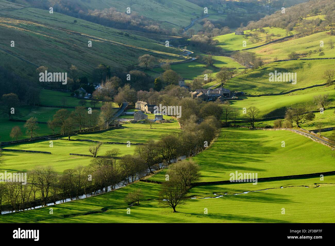 Picturesque Dales village (cottages & farms) & River Wharfe, nestling by hills & hillsides in steep-sided valley - Hubberholme, Yorkshire, England, UK Stock Photohttps://www.alamy.com/image-license-details/?v=1https://www.alamy.com/picturesque-dales-village-cottages-farms-river-wharfe-nestling-by-hills-hillsides-in-steep-sided-valley-hubberholme-yorkshire-england-uk-image415151731.html
RF2F3BP7F–Picturesque Dales village (cottages & farms) & River Wharfe, nestling by hills & hillsides in steep-sided valley - Hubberholme, Yorkshire, England, UK
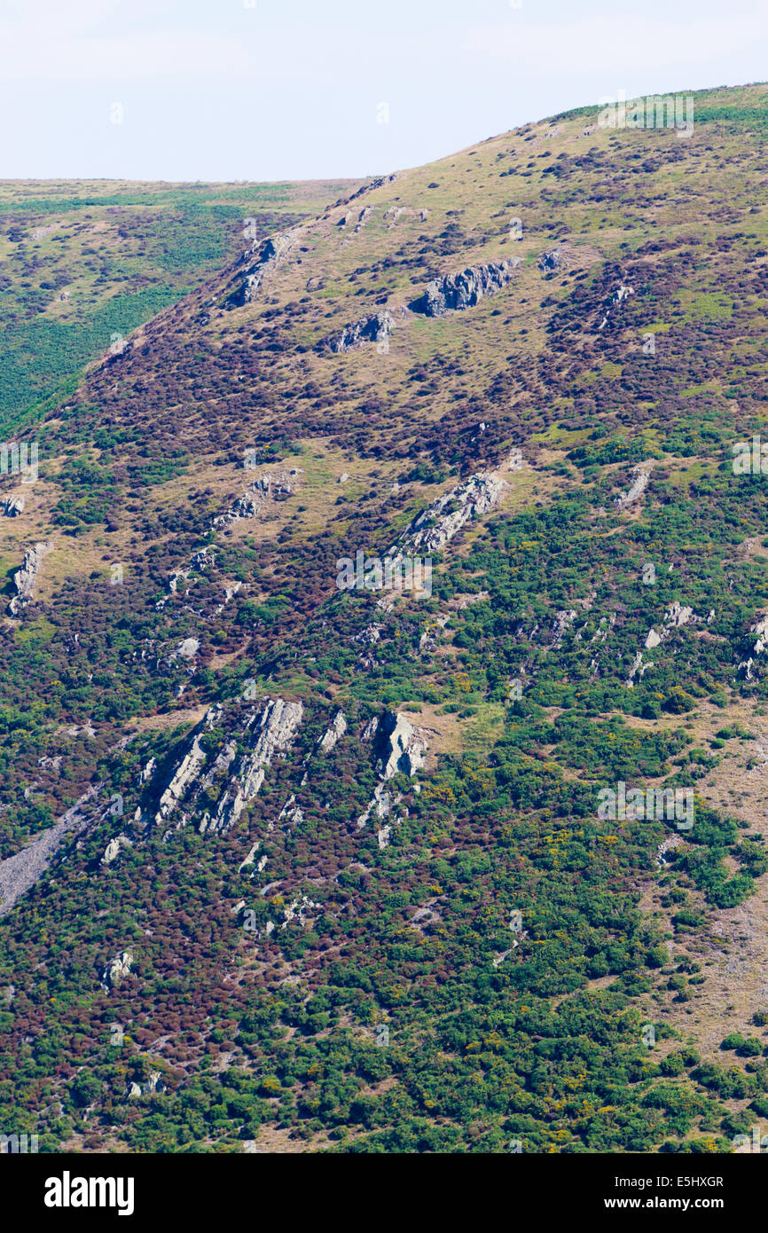 Long Mynd hills, above Church Stretton, Shropshire, UK Stock Photohttps://www.alamy.com/image-license-details/?v=1https://www.alamy.com/stock-photo-long-mynd-hills-above-church-stretton-shropshire-uk-72308791.html
RME5HXGR–Long Mynd hills, above Church Stretton, Shropshire, UK
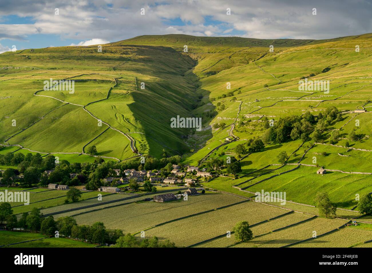 Scenic Dales village (houses) nestling in valley by dry-stone walls, hillside slopes & steep-sided Cam Gill gorge - Starbotton, Yorkshire England, UK. Stock Photohttps://www.alamy.com/image-license-details/?v=1https://www.alamy.com/scenic-dales-village-houses-nestling-in-valley-by-dry-stone-walls-hillside-slopes-steep-sided-cam-gill-gorge-starbotton-yorkshire-england-uk-image416026867.html
RF2F4RJEB–Scenic Dales village (houses) nestling in valley by dry-stone walls, hillside slopes & steep-sided Cam Gill gorge - Starbotton, Yorkshire England, UK.
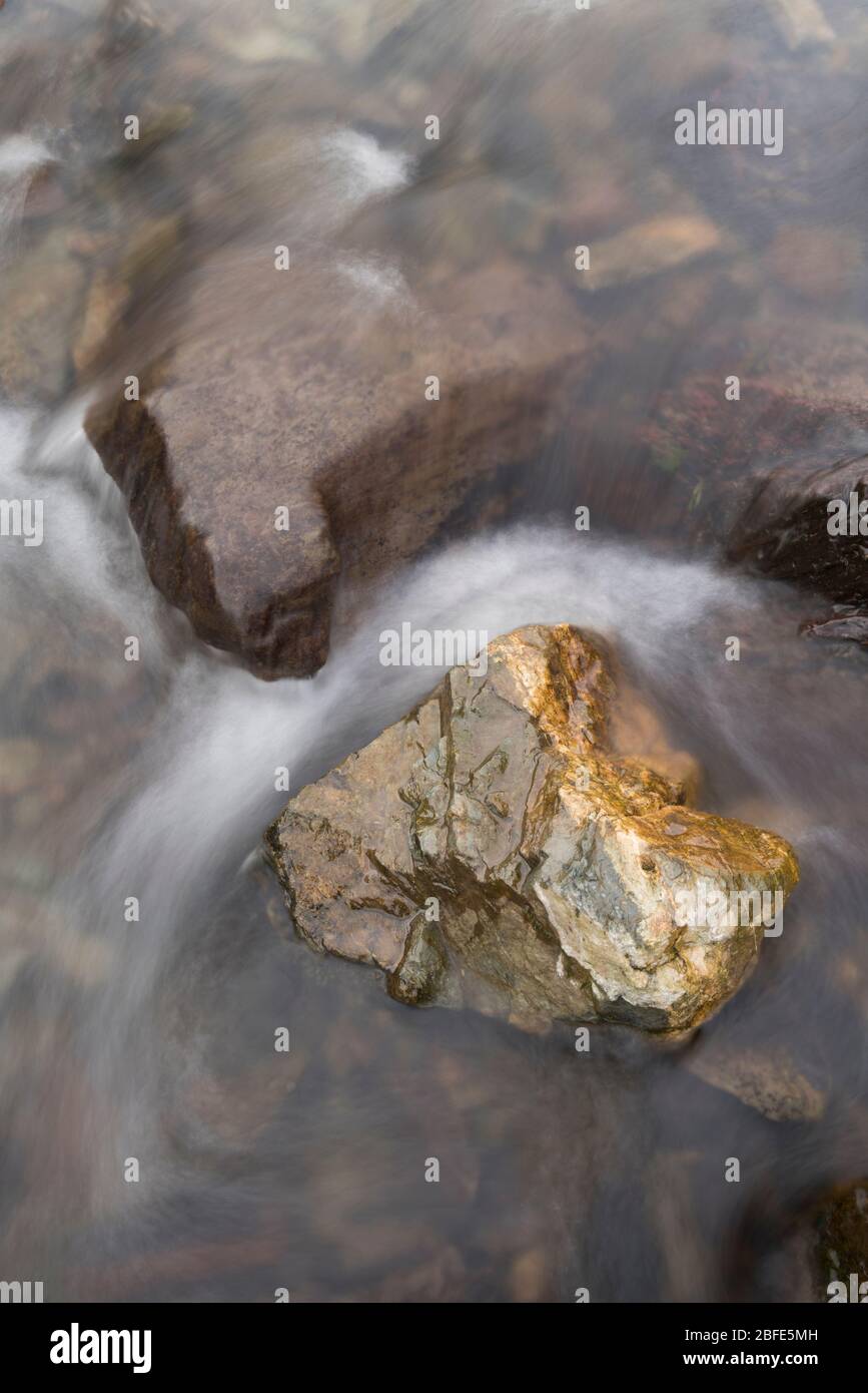 Lightspout Waterfall in Cardingmill Valley, Long Mynd, Shropshire, UK Stock Photohttps://www.alamy.com/image-license-details/?v=1https://www.alamy.com/lightspout-waterfall-in-cardingmill-valley-long-mynd-shropshire-uk-image353739025.html
RM2BFE5MH–Lightspout Waterfall in Cardingmill Valley, Long Mynd, Shropshire, UK
 Killhope Burn in early spring, Killhope, Upper Weardale, County Durham, England, UK. Stock Photohttps://www.alamy.com/image-license-details/?v=1https://www.alamy.com/killhope-burn-in-early-spring-killhope-upper-weardale-county-durham-image3567366.html
RMA43Y07–Killhope Burn in early spring, Killhope, Upper Weardale, County Durham, England, UK.
 Skiddaw seen from the Derwent Fells above Braithwaite village in winter, Lake District National Park, Cumbria, England, UK. Stock Photohttps://www.alamy.com/image-license-details/?v=1https://www.alamy.com/skiddaw-seen-from-the-derwent-fells-above-braithwaite-village-in-winter-image2468820.html
RMACXBD5–Skiddaw seen from the Derwent Fells above Braithwaite village in winter, Lake District National Park, Cumbria, England, UK.
 Devon Exmoor panoramic view over Watersmeet Stock Photohttps://www.alamy.com/image-license-details/?v=1https://www.alamy.com/stock-photo-devon-exmoor-panoramic-view-over-watersmeet-11222274.html
RFA57E8K–Devon Exmoor panoramic view over Watersmeet
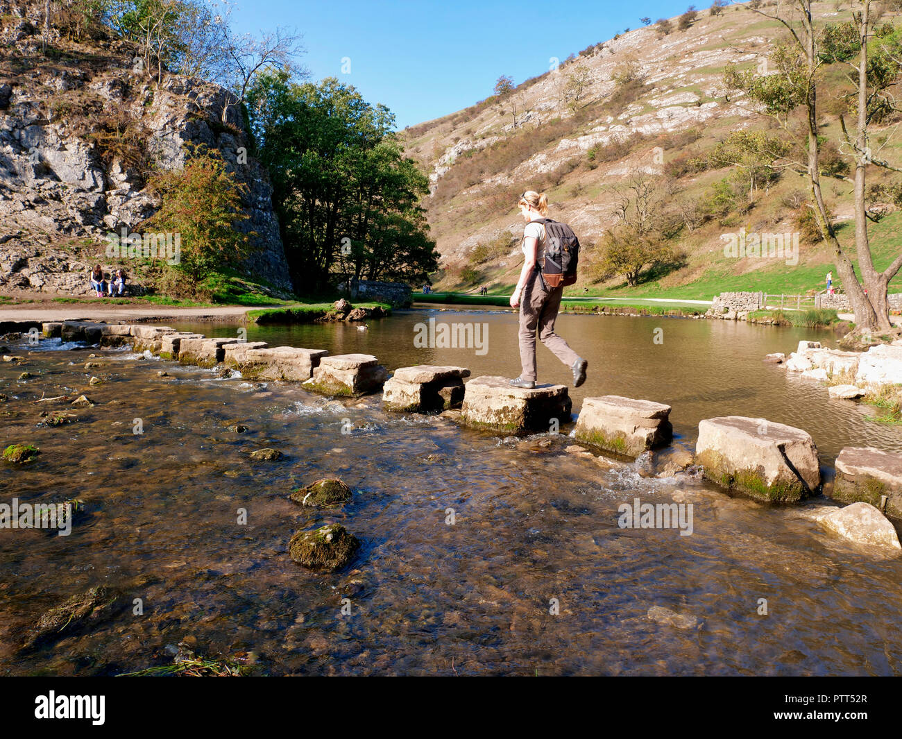 Peak District National Park, Derbyshire, UK, October day in the tourist hotspot of Dovedale in the Peak District National Park, Derbyshire Credit: Doug Blane/Peak District Pitures/Alamy Live News Stock Photohttps://www.alamy.com/image-license-details/?v=1https://www.alamy.com/peak-district-national-park-derbyshire-uk-october-day-in-the-tourist-hotspot-of-dovedale-in-the-peak-district-national-park-derbyshire-credit-doug-blanepeak-district-pituresalamy-live-news-image221807007.html
RMPTT52R–Peak District National Park, Derbyshire, UK, October day in the tourist hotspot of Dovedale in the Peak District National Park, Derbyshire Credit: Doug Blane/Peak District Pitures/Alamy Live News
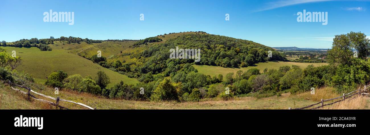 The Devil's Dyke on the South Downs, West Sussex, UK Stock Photohttps://www.alamy.com/image-license-details/?v=1https://www.alamy.com/the-devils-dyke-on-the-south-downs-west-sussex-uk-image367655227.html
RF2CA43YR–The Devil's Dyke on the South Downs, West Sussex, UK
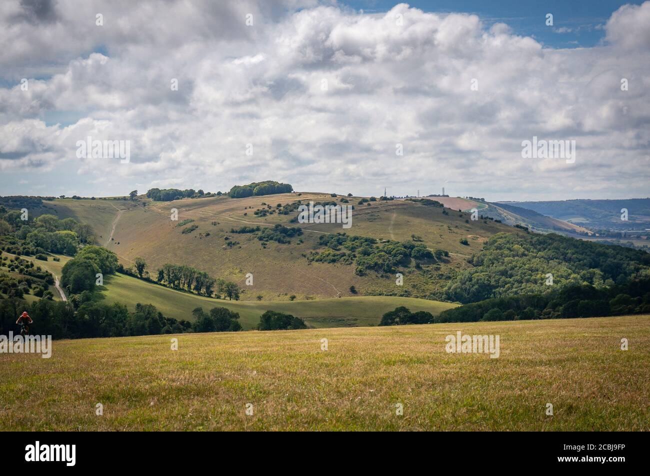 The Devil's Dyke viewed from West Hill, West Sussex, UK Stock Photohttps://www.alamy.com/image-license-details/?v=1https://www.alamy.com/the-devils-dyke-viewed-from-west-hill-west-sussex-uk-image368581578.html
RF2CBJ9FP–The Devil's Dyke viewed from West Hill, West Sussex, UK
 Looking downstream East Lyn River valley at Watersmeet, near Lynmouth, Exmoor national park, Devon, England Stock Photohttps://www.alamy.com/image-license-details/?v=1https://www.alamy.com/looking-downstream-east-lyn-river-valley-at-watersmeet-near-lynmouth-image67605922.html
RMDWYM16–Looking downstream East Lyn River valley at Watersmeet, near Lynmouth, Exmoor national park, Devon, England
 'Devil's Dyke', South Downs National Park, just outside Brighton, England, UK' The Devil's Dyke V-shaped dry valley is the result of solifluction and river erosion Stock Photohttps://www.alamy.com/image-license-details/?v=1https://www.alamy.com/devils-dyke-south-downs-national-park-just-outside-brighton-england-uk-the-devils-dyke-v-shaped-dry-valley-is-the-result-of-solifluction-and-river-erosion-image434803800.html
RM2G7B0K4–'Devil's Dyke', South Downs National Park, just outside Brighton, England, UK' The Devil's Dyke V-shaped dry valley is the result of solifluction and river erosion
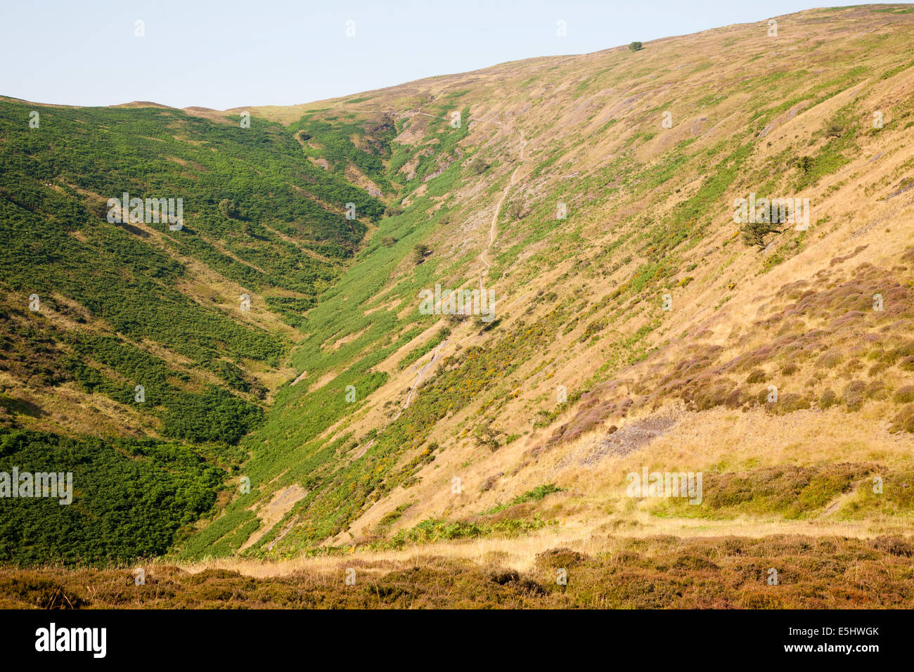 Long Mynd hills, above Church Stretton, Shropshire, UK Stock Photohttps://www.alamy.com/image-license-details/?v=1https://www.alamy.com/stock-photo-long-mynd-hills-above-church-stretton-shropshire-uk-72308003.html
RME5HWGK–Long Mynd hills, above Church Stretton, Shropshire, UK
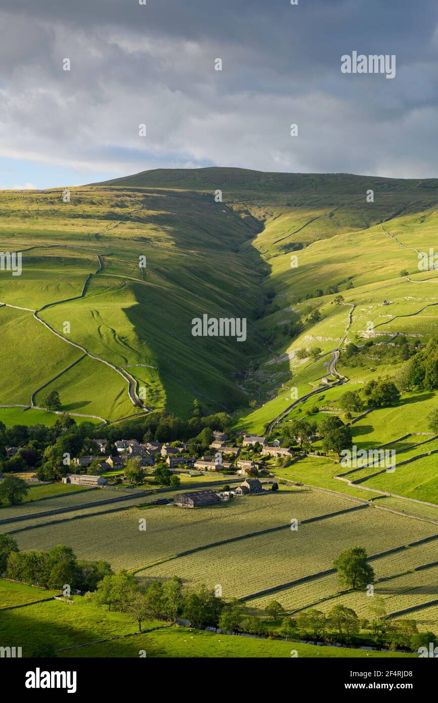 Scenic Dales village (houses) nestling in valley by dry-stone walls, hillside slopes & steep-sided Cam Gill gorge - Starbotton, Yorkshire England, UK. Stock Photohttps://www.alamy.com/image-license-details/?v=1https://www.alamy.com/scenic-dales-village-houses-nestling-in-valley-by-dry-stone-walls-hillside-slopes-steep-sided-cam-gill-gorge-starbotton-yorkshire-england-uk-image416026836.html
RF2F4RJD8–Scenic Dales village (houses) nestling in valley by dry-stone walls, hillside slopes & steep-sided Cam Gill gorge - Starbotton, Yorkshire England, UK.
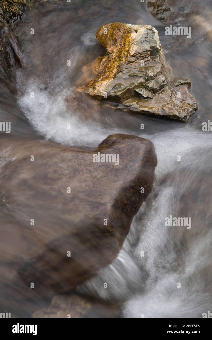 Lightspout Waterfall in Cardingmill Valley, Long Mynd, Shropshire, UK Stock Photohttps://www.alamy.com/image-license-details/?v=1https://www.alamy.com/lightspout-waterfall-in-cardingmill-valley-long-mynd-shropshire-uk-image353738845.html
RM2BFE5E5–Lightspout Waterfall in Cardingmill Valley, Long Mynd, Shropshire, UK
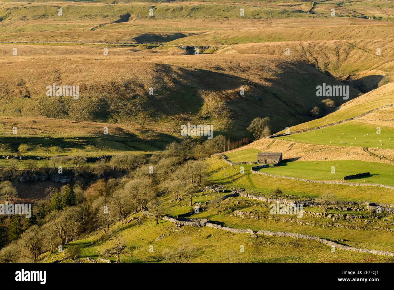 Scenic sunny Wharfedale landscape (upland fells, stone barn, steep hillside, limestone walls, sheep grazing pastures) - Yorkshire Dales, England, UK. Stock Photohttps://www.alamy.com/image-license-details/?v=1https://www.alamy.com/scenic-sunny-wharfedale-landscape-upland-fells-stone-barn-steep-hillside-limestone-walls-sheep-grazing-pastures-yorkshire-dales-england-uk-image417690617.html
RF2F7FCJ1–Scenic sunny Wharfedale landscape (upland fells, stone barn, steep hillside, limestone walls, sheep grazing pastures) - Yorkshire Dales, England, UK.
 Killhope Burn in mid-winter, Killhope, Upper Weardale, County Durham, England, UK. Stock Photohttps://www.alamy.com/image-license-details/?v=1https://www.alamy.com/killhope-burn-in-mid-winter-killhope-upper-weardale-county-durham-image3567372.html
RMA43Y0D–Killhope Burn in mid-winter, Killhope, Upper Weardale, County Durham, England, UK.
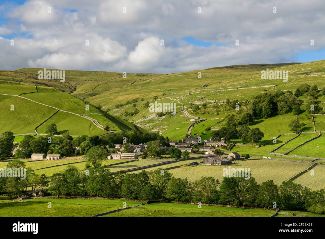 Picturesque Dales village (stone houses) nestling in sunlit valley by fields, hills, hillsides & steep-sided gorge - Starbotton, Yorkshire England UK. Stock Photohttps://www.alamy.com/image-license-details/?v=1https://www.alamy.com/picturesque-dales-village-stone-houses-nestling-in-sunlit-valley-by-fields-hills-hillsides-steep-sided-gorge-starbotton-yorkshire-england-uk-image416340134.html
RF2F59X2E–Picturesque Dales village (stone houses) nestling in sunlit valley by fields, hills, hillsides & steep-sided gorge - Starbotton, Yorkshire England UK.
 Remains of old lead mine workings at the base of Swinner Gill, near Keld, Upper Swaledale, North Yorkshire, England, UK. Stock Photohttps://www.alamy.com/image-license-details/?v=1https://www.alamy.com/remains-of-old-lead-mine-workings-at-the-base-of-swinner-gill-near-image394661.html
RMA605A5–Remains of old lead mine workings at the base of Swinner Gill, near Keld, Upper Swaledale, North Yorkshire, England, UK.
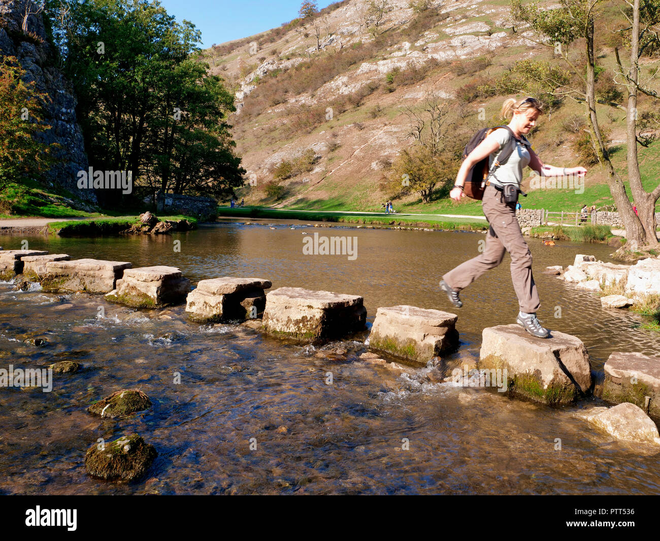 Peak District National Park, Derbyshire, UK. 10th October, 2018. UK Weather Woman crossing the stepping stones on an unusually hot sunny October day in the tourist hotspot of Dovedale in the Peak District National Park, Derbyshire Credit: Doug Blane/Alamy Live News Stock Photohttps://www.alamy.com/image-license-details/?v=1https://www.alamy.com/peak-district-national-park-derbyshire-uk-10th-october-2018-uk-weather-woman-crossing-the-stepping-stones-on-an-unusually-hot-sunny-october-day-in-the-tourist-hotspot-of-dovedale-in-the-peak-district-national-park-derbyshire-credit-doug-blanealamy-live-news-image221807018.html
RMPTT536–Peak District National Park, Derbyshire, UK. 10th October, 2018. UK Weather Woman crossing the stepping stones on an unusually hot sunny October day in the tourist hotspot of Dovedale in the Peak District National Park, Derbyshire Credit: Doug Blane/Alamy Live News
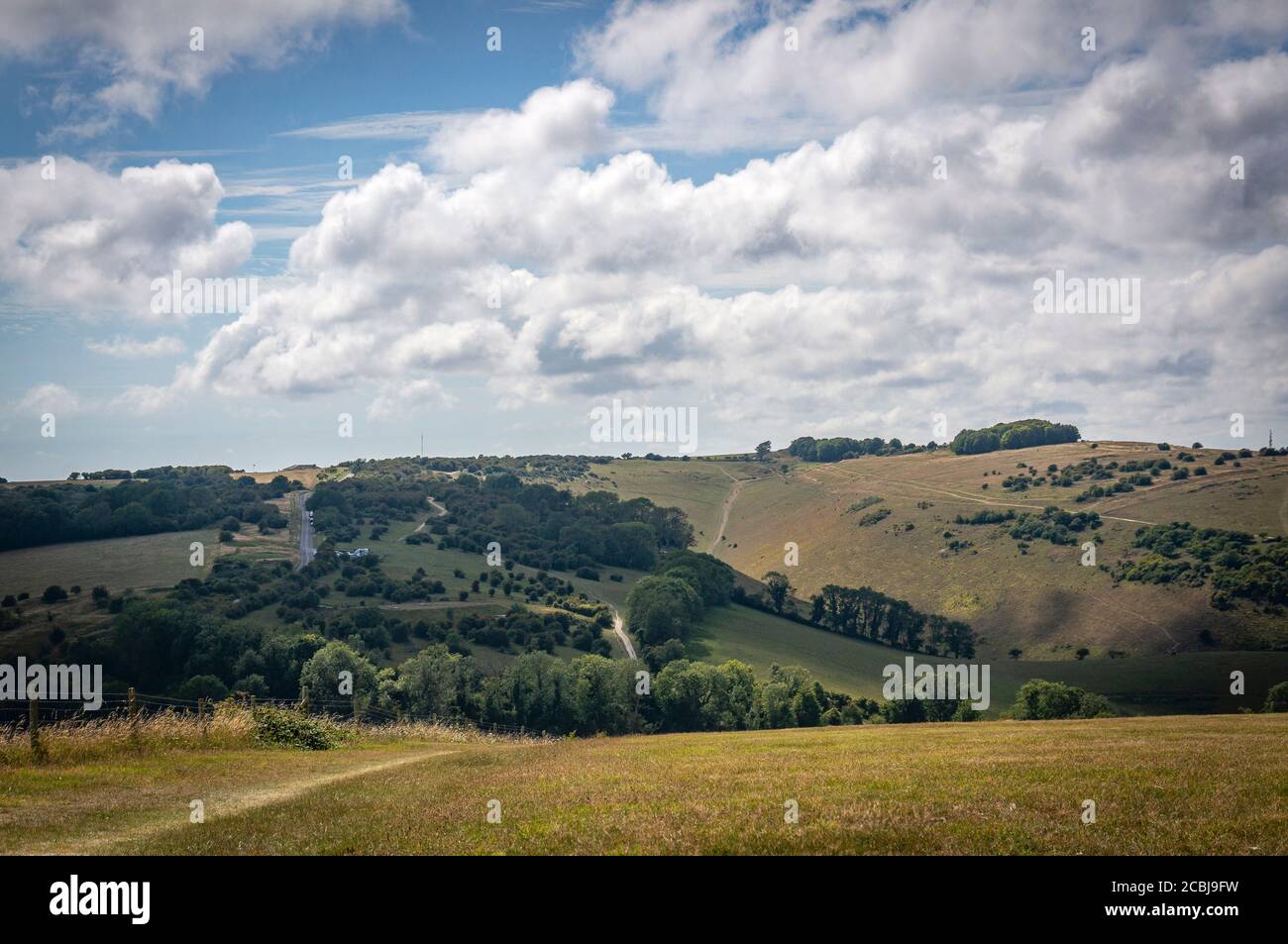 The Devil's Dyke viewed from West Hill, West Sussex, UK Stock Photohttps://www.alamy.com/image-license-details/?v=1https://www.alamy.com/the-devils-dyke-viewed-from-west-hill-west-sussex-uk-image368581581.html
RF2CBJ9FW–The Devil's Dyke viewed from West Hill, West Sussex, UK
 Looking downstream East Lyn River valley at Watersmeet, near Lynmouth, Exmoor national park, Devon, England Stock Photohttps://www.alamy.com/image-license-details/?v=1https://www.alamy.com/looking-downstream-east-lyn-river-valley-at-watersmeet-near-lynmouth-image67605661.html
RMDWYKKW–Looking downstream East Lyn River valley at Watersmeet, near Lynmouth, Exmoor national park, Devon, England
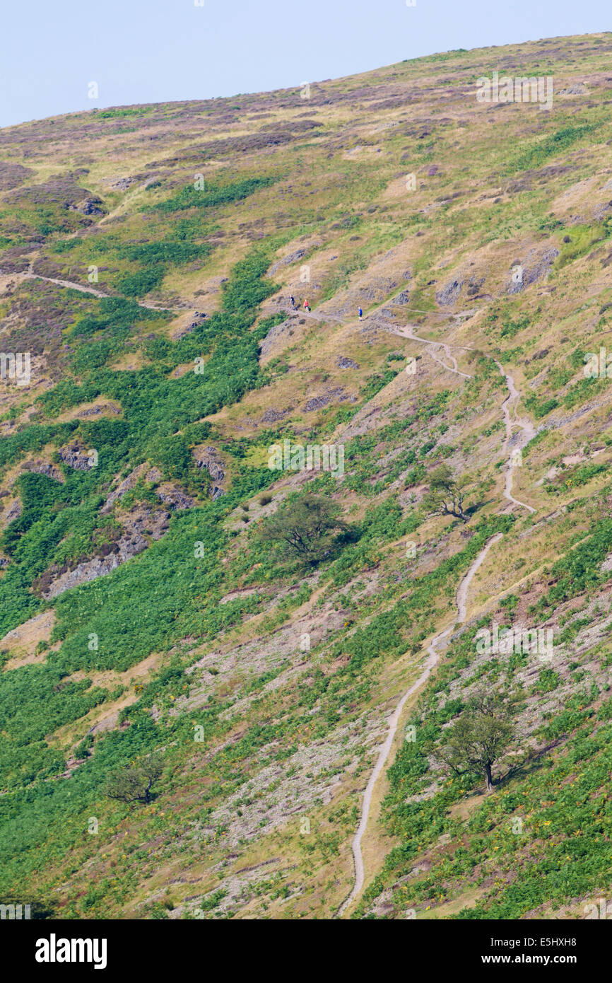 Long Mynd hills, above Church Stretton, Shropshire, UK Stock Photohttps://www.alamy.com/image-license-details/?v=1https://www.alamy.com/stock-photo-long-mynd-hills-above-church-stretton-shropshire-uk-72308804.html
RME5HXH8–Long Mynd hills, above Church Stretton, Shropshire, UK
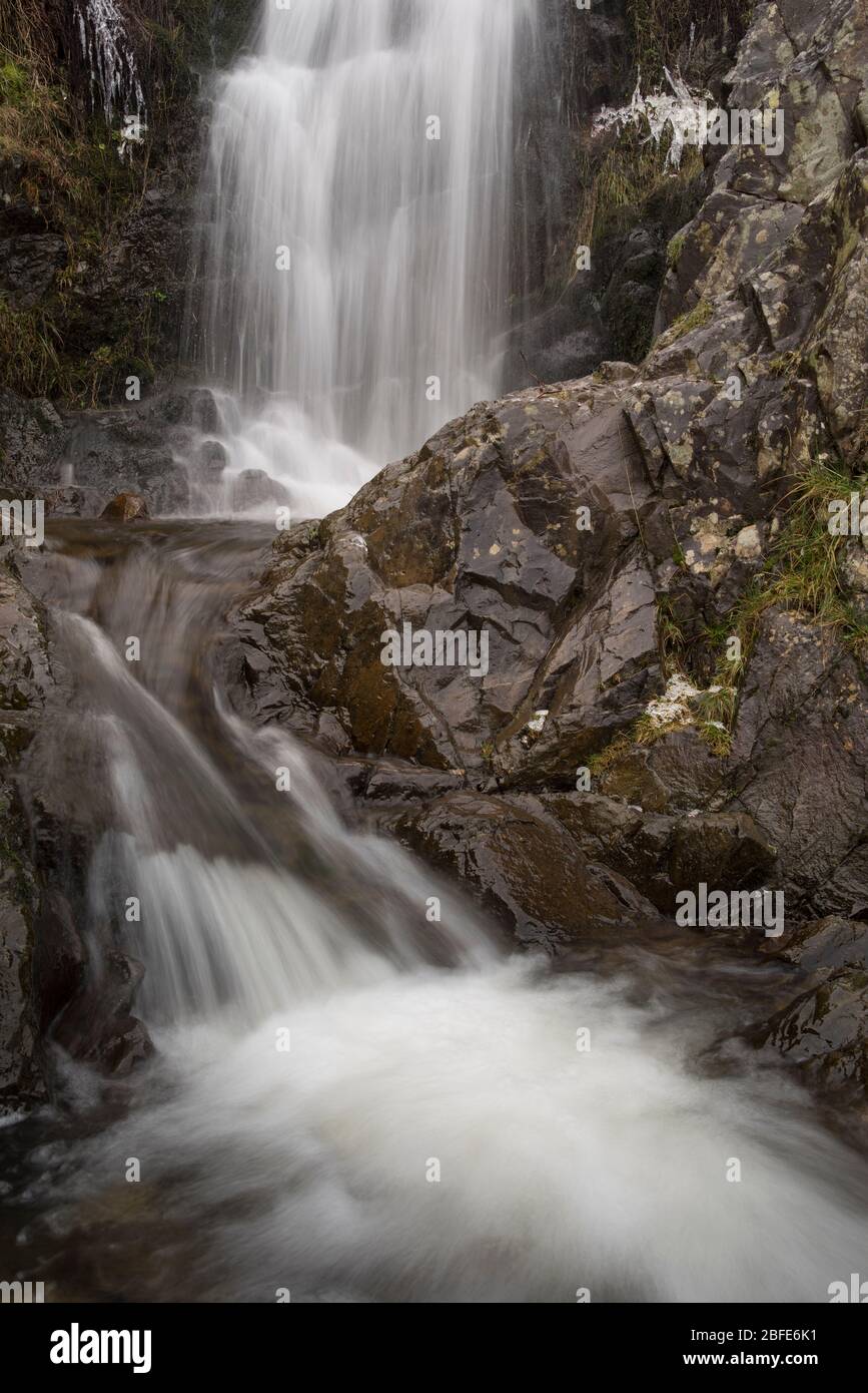 Lightspout Waterfall in Cardingmill Valley, Long Mynd, Shropshire, UK Stock Photohttps://www.alamy.com/image-license-details/?v=1https://www.alamy.com/lightspout-waterfall-in-cardingmill-valley-long-mynd-shropshire-uk-image353739765.html
RM2BFE6K1–Lightspout Waterfall in Cardingmill Valley, Long Mynd, Shropshire, UK
 Winding road in Wharfedale, Yorkshire Dales National Park, North Yorkshire, England, UK. Stock Photohttps://www.alamy.com/image-license-details/?v=1https://www.alamy.com/winding-road-in-wharfedale-yorkshire-dales-national-park-north-yorkshire-image6472866.html
RMA5JKP3–Winding road in Wharfedale, Yorkshire Dales National Park, North Yorkshire, England, UK.
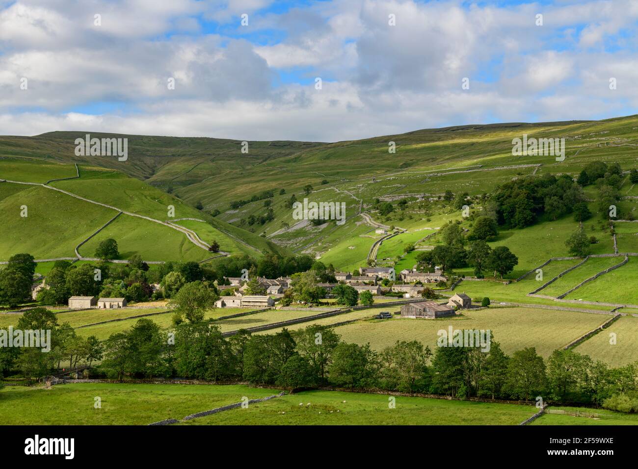 Picturesque Dales village (stone houses) nestling in sunlit valley by fields, hills, hillsides & steep-sided gorge - Starbotton, Yorkshire England UK. Stock Photohttps://www.alamy.com/image-license-details/?v=1https://www.alamy.com/picturesque-dales-village-stone-houses-nestling-in-sunlit-valley-by-fields-hills-hillsides-steep-sided-gorge-starbotton-yorkshire-england-uk-image416340022.html
RF2F59WXE–Picturesque Dales village (stone houses) nestling in sunlit valley by fields, hills, hillsides & steep-sided gorge - Starbotton, Yorkshire England UK.
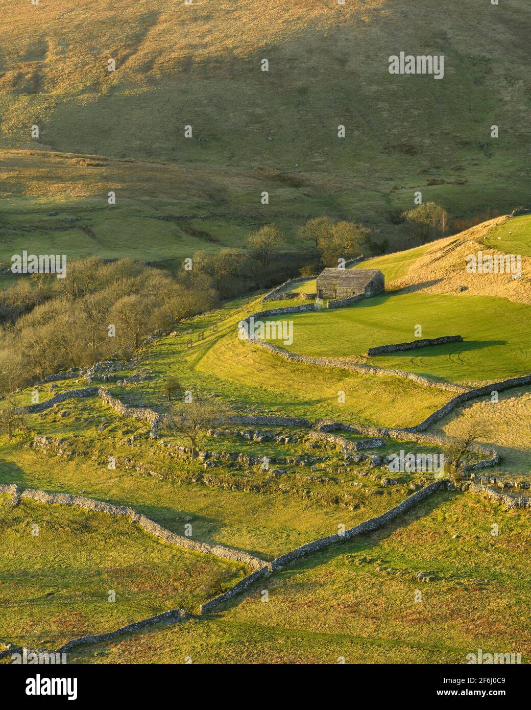 Scenic sunny Wharfedale landscape (upland fells, stone barn, steep hillside slopes, limestone walls, grazing pastures) - Yorkshire Dales, England UK. Stock Photohttps://www.alamy.com/image-license-details/?v=1https://www.alamy.com/scenic-sunny-wharfedale-landscape-upland-fells-stone-barn-steep-hillside-slopes-limestone-walls-grazing-pastures-yorkshire-dales-england-uk-image417132249.html
RF2F6J0C9–Scenic sunny Wharfedale landscape (upland fells, stone barn, steep hillside slopes, limestone walls, grazing pastures) - Yorkshire Dales, England UK.
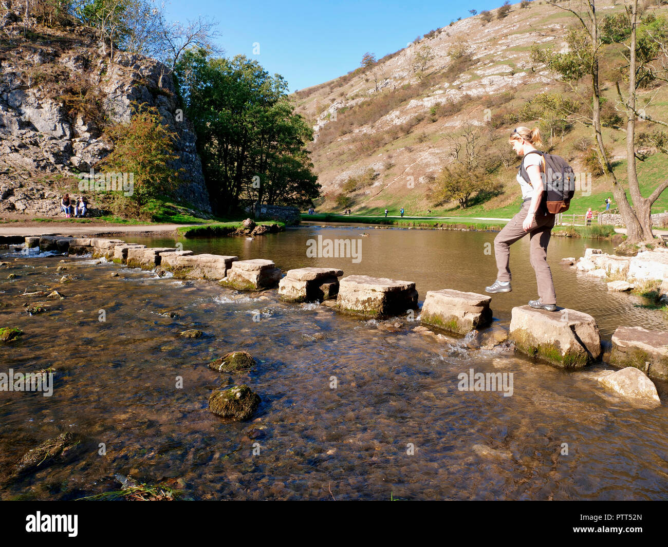 Peak District National Park, Derbyshire, UK. 10th October, 2018. UK Weather Woman crossing the stepping stones on an unusually hot sunny October day in the tourist hotspot of Dovedale in the Peak District National Park, Derbyshire Credit: Doug Blane/Alamy Live News Stock Photohttps://www.alamy.com/image-license-details/?v=1https://www.alamy.com/peak-district-national-park-derbyshire-uk-10th-october-2018-uk-weather-woman-crossing-the-stepping-stones-on-an-unusually-hot-sunny-october-day-in-the-tourist-hotspot-of-dovedale-in-the-peak-district-national-park-derbyshire-credit-doug-blanealamy-live-news-image221807005.html
RMPTT52N–Peak District National Park, Derbyshire, UK. 10th October, 2018. UK Weather Woman crossing the stepping stones on an unusually hot sunny October day in the tourist hotspot of Dovedale in the Peak District National Park, Derbyshire Credit: Doug Blane/Alamy Live News
 Looking downstream East Lyn River valley at Watersmeet, near Lynmouth, Exmoor national park, Devon, England Stock Photohttps://www.alamy.com/image-license-details/?v=1https://www.alamy.com/looking-downstream-east-lyn-river-valley-at-watersmeet-near-lynmouth-image67605711.html
RMDWYKNK–Looking downstream East Lyn River valley at Watersmeet, near Lynmouth, Exmoor national park, Devon, England
 View north east over from Seaford Head, East Sussex, England. Canadian war memorial. Stock Photohttps://www.alamy.com/image-license-details/?v=1https://www.alamy.com/stock-photo-view-north-east-over-from-seaford-head-east-sussex-england-canadian-37417420.html
RMC4TE8C–View north east over from Seaford Head, East Sussex, England. Canadian war memorial.
 Long Mynd hills, above Church Stretton, Shropshire, UK Stock Photohttps://www.alamy.com/image-license-details/?v=1https://www.alamy.com/stock-photo-long-mynd-hills-above-church-stretton-shropshire-uk-72308798.html
RME5HXH2–Long Mynd hills, above Church Stretton, Shropshire, UK
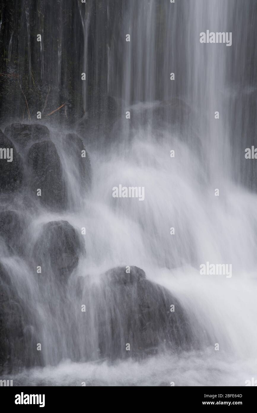 Lightspout Waterfall in Cardingmill Valley, Long Mynd, Shropshire, UK Stock Photohttps://www.alamy.com/image-license-details/?v=1https://www.alamy.com/lightspout-waterfall-in-cardingmill-valley-long-mynd-shropshire-uk-image353739357.html
RM2BFE64D–Lightspout Waterfall in Cardingmill Valley, Long Mynd, Shropshire, UK
 12880 02 01 Winding road in Wharfedale, Yorkshire Dales National Park, North Yorkshire, England, UK. Stock Photohttps://www.alamy.com/image-license-details/?v=1https://www.alamy.com/12880-02-01-winding-road-in-wharfedale-yorkshire-dales-national-park-image195511.html
RMA2FBB7–12880 02 01 Winding road in Wharfedale, Yorkshire Dales National Park, North Yorkshire, England, UK.
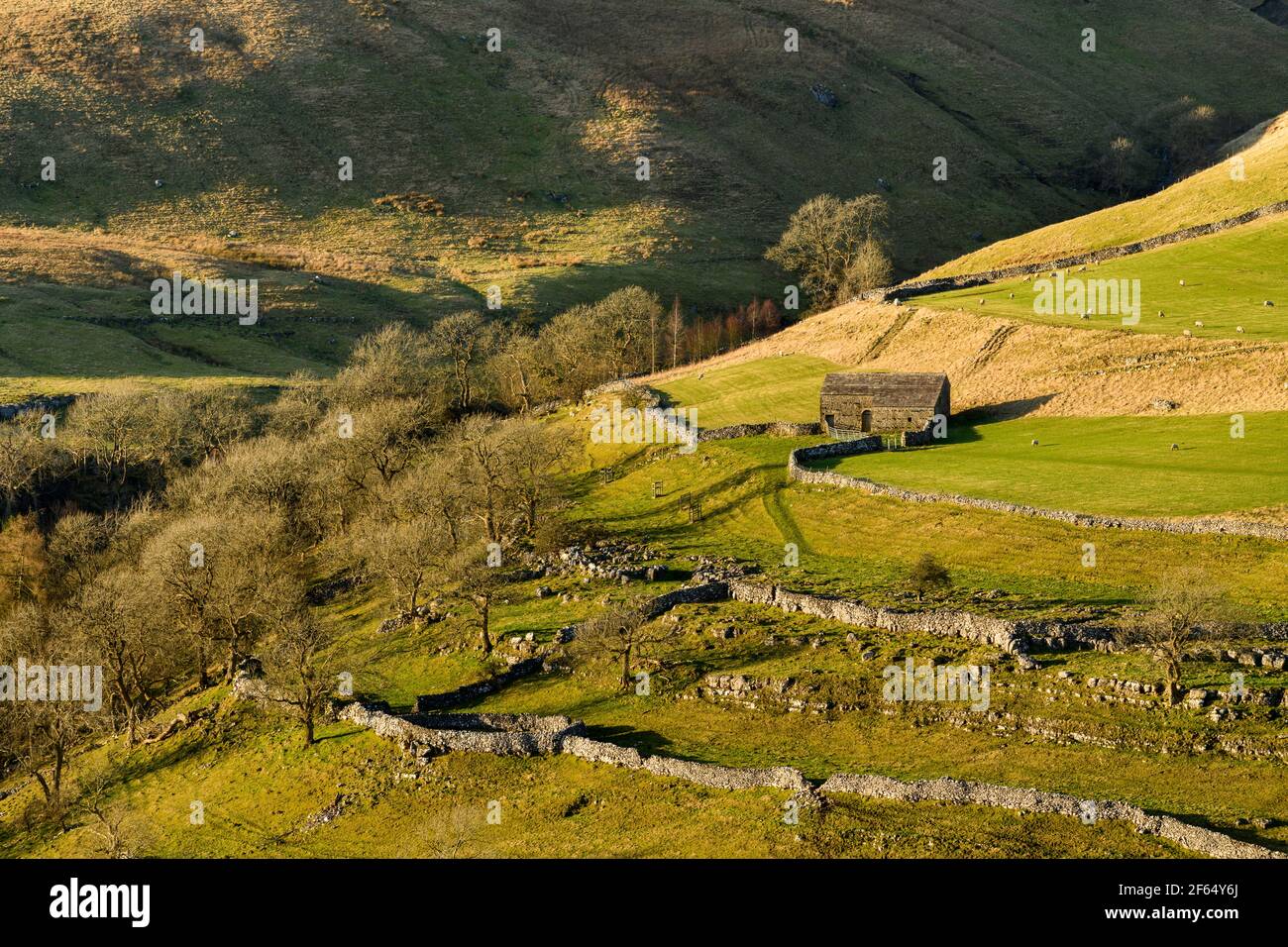 Scenic sunny Wharfedale landscape (upland fells, stone barn, steep hillside, limestone walls, sheep grazing pastures) - Yorkshire Dales, England, UK. Stock Photohttps://www.alamy.com/image-license-details/?v=1https://www.alamy.com/scenic-sunny-wharfedale-landscape-upland-fells-stone-barn-steep-hillside-limestone-walls-sheep-grazing-pastures-yorkshire-dales-england-uk-image416845930.html
RF2F64Y6J–Scenic sunny Wharfedale landscape (upland fells, stone barn, steep hillside, limestone walls, sheep grazing pastures) - Yorkshire Dales, England, UK.
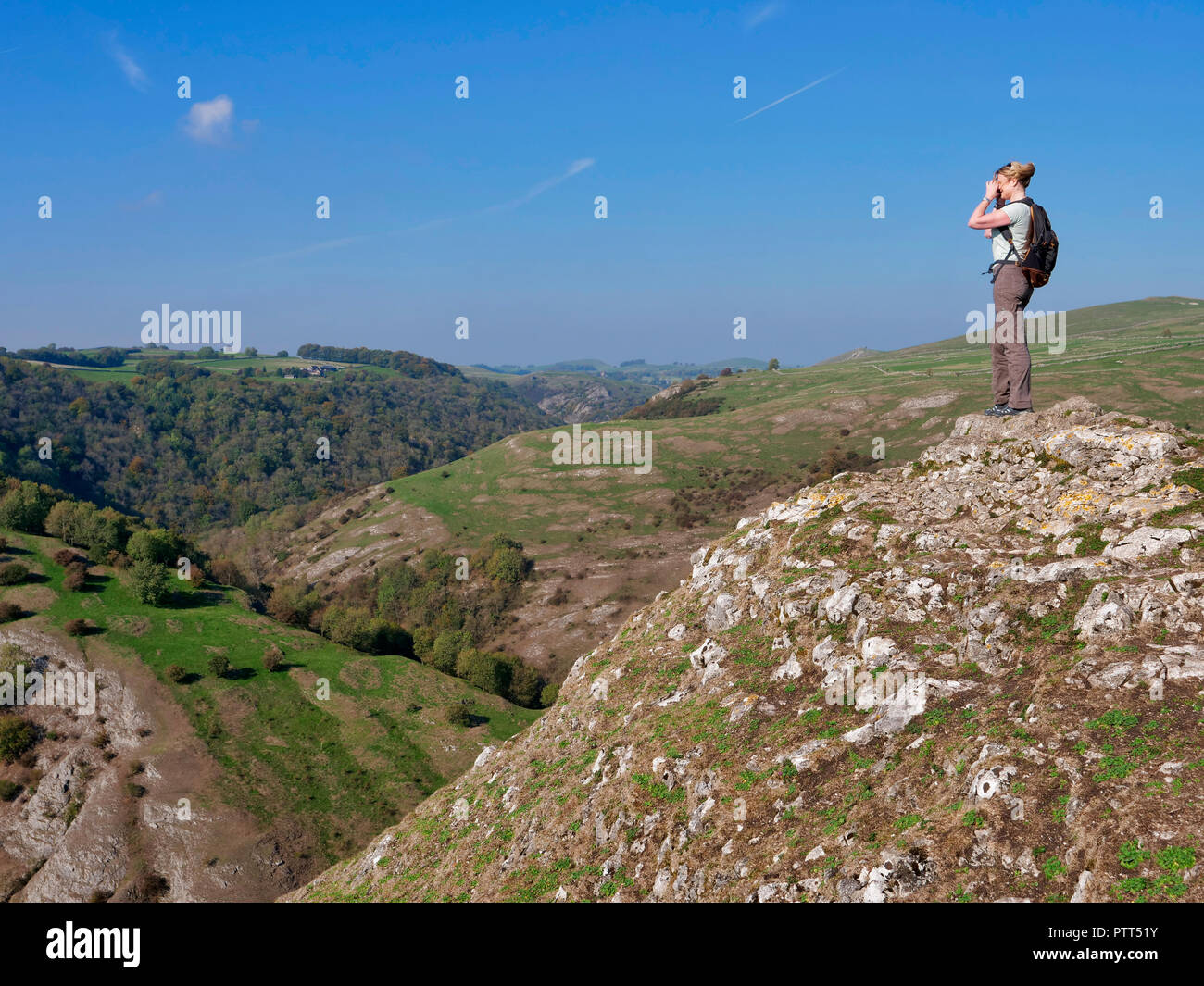 Peak District National Park, Derbyshire, UK. 10th October, 2018. UK Weather woman admiring the view on the top of Thorpe Cloud on a unusually hot sunny October day in the tourist hotspot of Dovedale in the Peak District National Park, Derbyshire Credit: Doug Blane/Alamy Live News Stock Photohttps://www.alamy.com/image-license-details/?v=1https://www.alamy.com/peak-district-national-park-derbyshire-uk-10th-october-2018-uk-weather-woman-admiring-the-view-on-the-top-of-thorpe-cloud-on-a-unusually-hot-sunny-october-day-in-the-tourist-hotspot-of-dovedale-in-the-peak-district-national-park-derbyshire-credit-doug-blanealamy-live-news-image221806983.html
RMPTT51Y–Peak District National Park, Derbyshire, UK. 10th October, 2018. UK Weather woman admiring the view on the top of Thorpe Cloud on a unusually hot sunny October day in the tourist hotspot of Dovedale in the Peak District National Park, Derbyshire Credit: Doug Blane/Alamy Live News
 Long Mynd hills, above Church Stretton, Shropshire, UK Stock Photohttps://www.alamy.com/image-license-details/?v=1https://www.alamy.com/stock-photo-long-mynd-hills-above-church-stretton-shropshire-uk-72308794.html
RME5HXGX–Long Mynd hills, above Church Stretton, Shropshire, UK
 Hillside landscape mid-Wales UK autumn Stock Photohttps://www.alamy.com/image-license-details/?v=1https://www.alamy.com/hillside-landscape-mid-wales-uk-autumn-image9865726.html
RMA038XR–Hillside landscape mid-Wales UK autumn
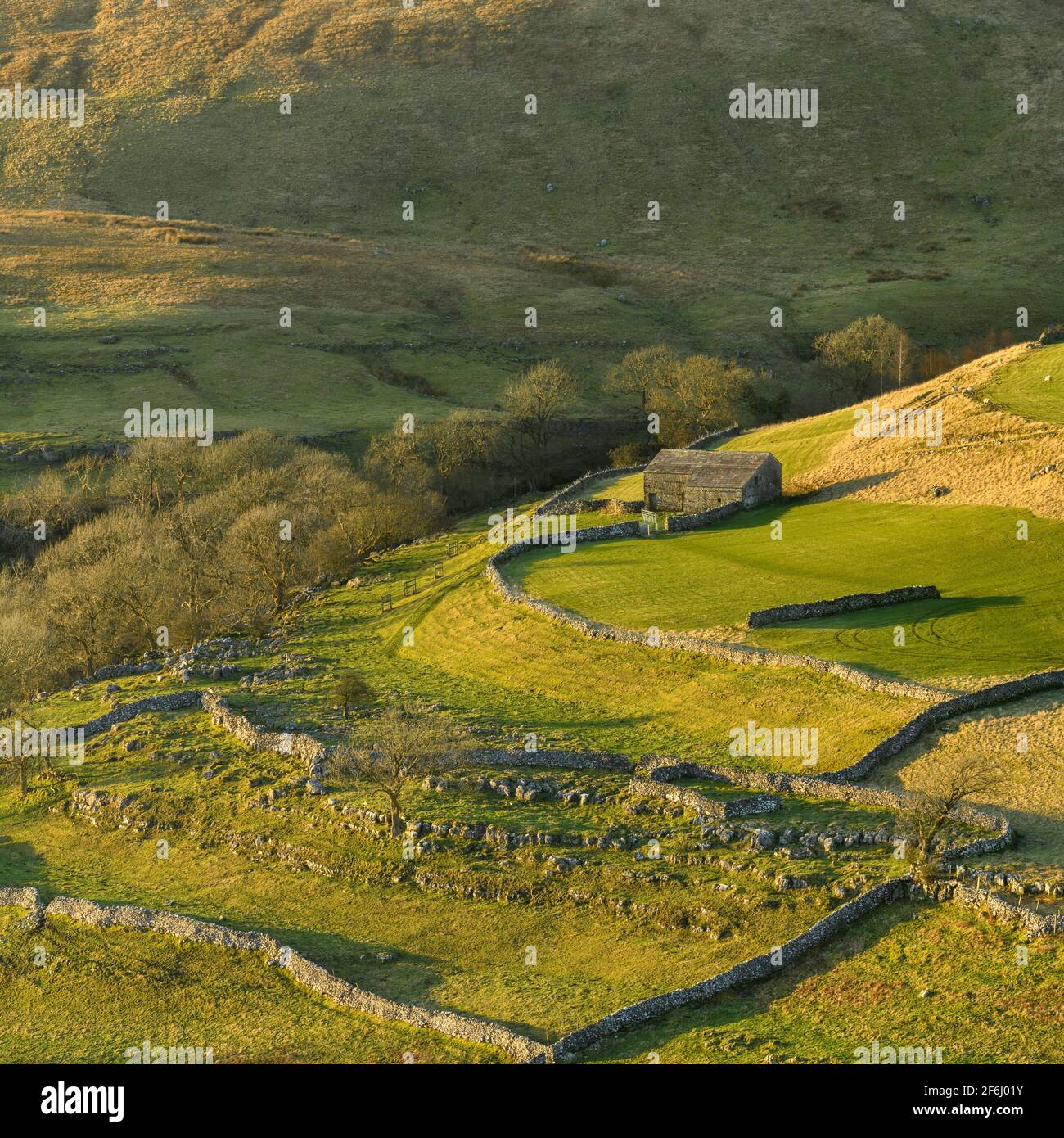 Scenic sunny Wharfedale landscape (upland fells, stone barn, steep hillside slopes, limestone walls, grazing pastures) - Yorkshire Dales, England UK. Stock Photohttps://www.alamy.com/image-license-details/?v=1https://www.alamy.com/scenic-sunny-wharfedale-landscape-upland-fells-stone-barn-steep-hillside-slopes-limestone-walls-grazing-pastures-yorkshire-dales-england-uk-image417131959.html
RF2F6J01Y–Scenic sunny Wharfedale landscape (upland fells, stone barn, steep hillside slopes, limestone walls, grazing pastures) - Yorkshire Dales, England UK.
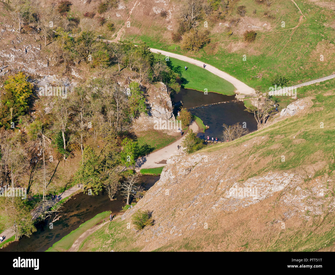 Peak District National Park, Derbyshire, UK. 10th October, 2018. UK Weather looking down at the Donedale stepping stones from Thorpe Cloud on an unusually hot sunny October day in the tourist hotspot of Dovedale in the Peak District National Park, Derbyshire Credit: Doug Blane/Alamy Live News Stock Photohttps://www.alamy.com/image-license-details/?v=1https://www.alamy.com/peak-district-national-park-derbyshire-uk-10th-october-2018-uk-weather-looking-down-at-the-donedale-stepping-stones-from-thorpe-cloud-on-an-unusually-hot-sunny-october-day-in-the-tourist-hotspot-of-dovedale-in-the-peak-district-national-park-derbyshire-credit-doug-blanealamy-live-news-image221806980.html
RMPTT51T–Peak District National Park, Derbyshire, UK. 10th October, 2018. UK Weather looking down at the Donedale stepping stones from Thorpe Cloud on an unusually hot sunny October day in the tourist hotspot of Dovedale in the Peak District National Park, Derbyshire Credit: Doug Blane/Alamy Live News
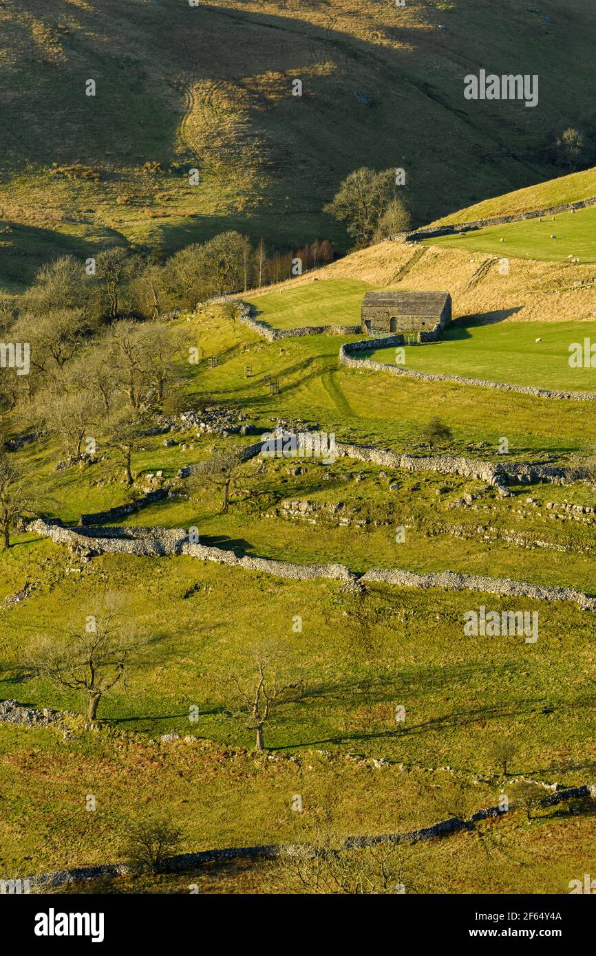 Scenic sunny Wharfedale landscape (upland fells, stone barn, steep hillside, limestone walls, sheep grazing pastures) - Yorkshire Dales, England, UK. Stock Photohttps://www.alamy.com/image-license-details/?v=1https://www.alamy.com/scenic-sunny-wharfedale-landscape-upland-fells-stone-barn-steep-hillside-limestone-walls-sheep-grazing-pastures-yorkshire-dales-england-uk-image416845866.html
RF2F64Y4A–Scenic sunny Wharfedale landscape (upland fells, stone barn, steep hillside, limestone walls, sheep grazing pastures) - Yorkshire Dales, England, UK.
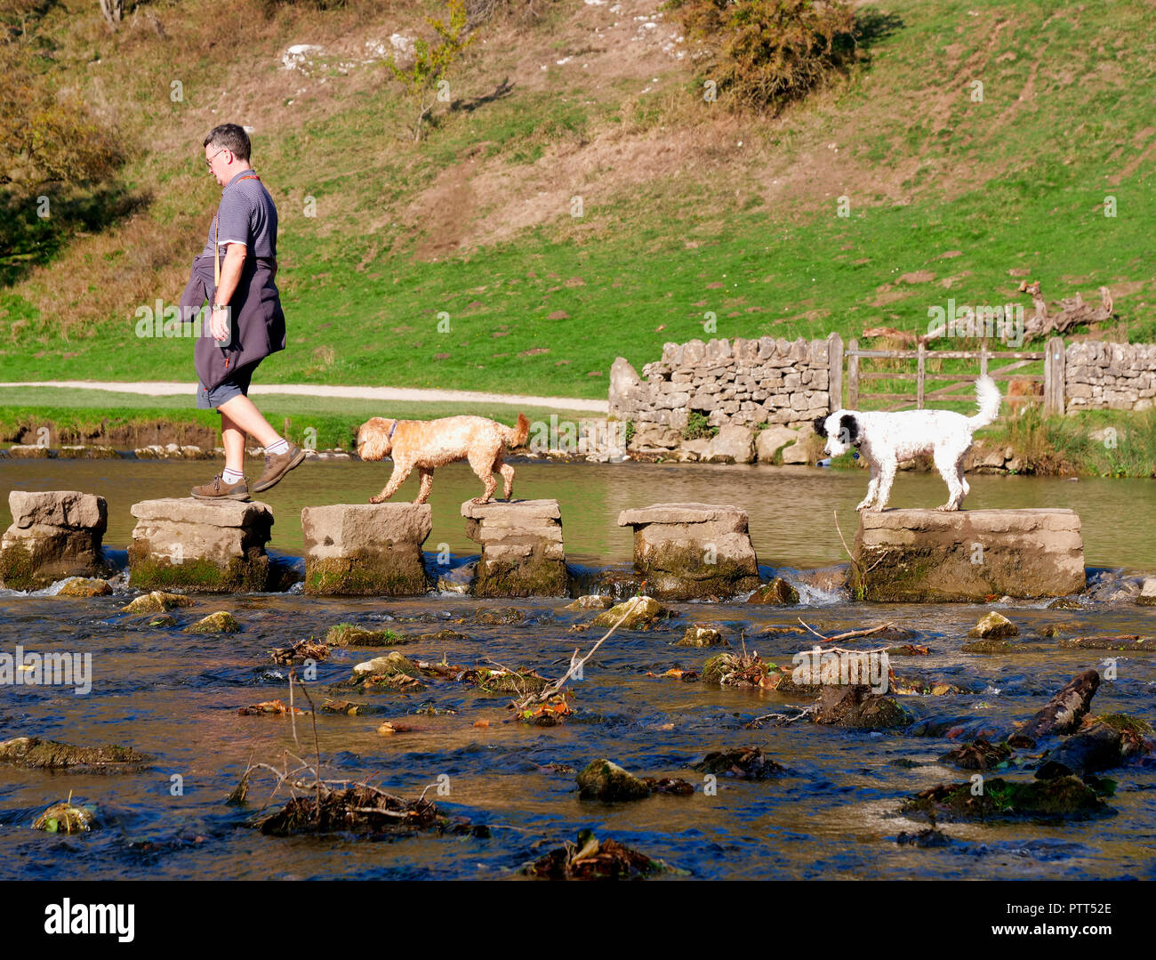 Peak District National Park, Derbyshire, UK. 10th October, 2018. UK Weather one man & two dogs crossing the stepping stones on an unusually hot sunny October day in the tourist hotspot of Dovedale in the Peak District National Park, Derbyshire Credit: Doug Blane/Alamy Live News Stock Photohttps://www.alamy.com/image-license-details/?v=1https://www.alamy.com/peak-district-national-park-derbyshire-uk-10th-october-2018-uk-weather-one-man-two-dogs-crossing-the-stepping-stones-on-an-unusually-hot-sunny-october-day-in-the-tourist-hotspot-of-dovedale-in-the-peak-district-national-park-derbyshire-credit-doug-blanealamy-live-news-image221806998.html
RMPTT52E–Peak District National Park, Derbyshire, UK. 10th October, 2018. UK Weather one man & two dogs crossing the stepping stones on an unusually hot sunny October day in the tourist hotspot of Dovedale in the Peak District National Park, Derbyshire Credit: Doug Blane/Alamy Live News
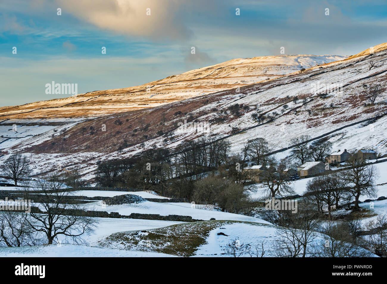 High view looking up remote scenic valley of Langstrothdale, Yockenthwaite Farm nestling under snow covered hills & blue sky - North Yorkshire, GB, UK Stock Photohttps://www.alamy.com/image-license-details/?v=1https://www.alamy.com/high-view-looking-up-remote-scenic-valley-of-langstrothdale-yockenthwaite-farm-nestling-under-snow-covered-hills-blue-sky-north-yorkshire-gb-uk-image222370217.html
RFPWNRDD–High view looking up remote scenic valley of Langstrothdale, Yockenthwaite Farm nestling under snow covered hills & blue sky - North Yorkshire, GB, UK
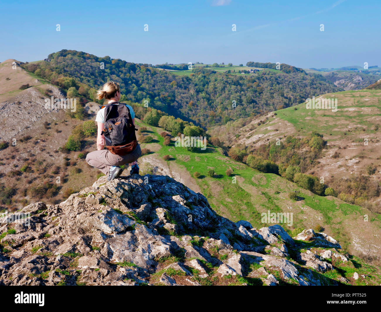 Peak District National Park, Derbyshire, UK. 10th October, 2018. UK Weather woman admiring the view on the top of Thorpe Cloud on a unusually hot sunny October day in the tourist hotspot of Dovedale in the Peak District National Park, Derbyshire Credit: Doug Blane/Alamy Live News Stock Photohttps://www.alamy.com/image-license-details/?v=1https://www.alamy.com/peak-district-national-park-derbyshire-uk-10th-october-2018-uk-weather-woman-admiring-the-view-on-the-top-of-thorpe-cloud-on-a-unusually-hot-sunny-october-day-in-the-tourist-hotspot-of-dovedale-in-the-peak-district-national-park-derbyshire-credit-doug-blanealamy-live-news-image221806989.html
RMPTT525–Peak District National Park, Derbyshire, UK. 10th October, 2018. UK Weather woman admiring the view on the top of Thorpe Cloud on a unusually hot sunny October day in the tourist hotspot of Dovedale in the Peak District National Park, Derbyshire Credit: Doug Blane/Alamy Live News
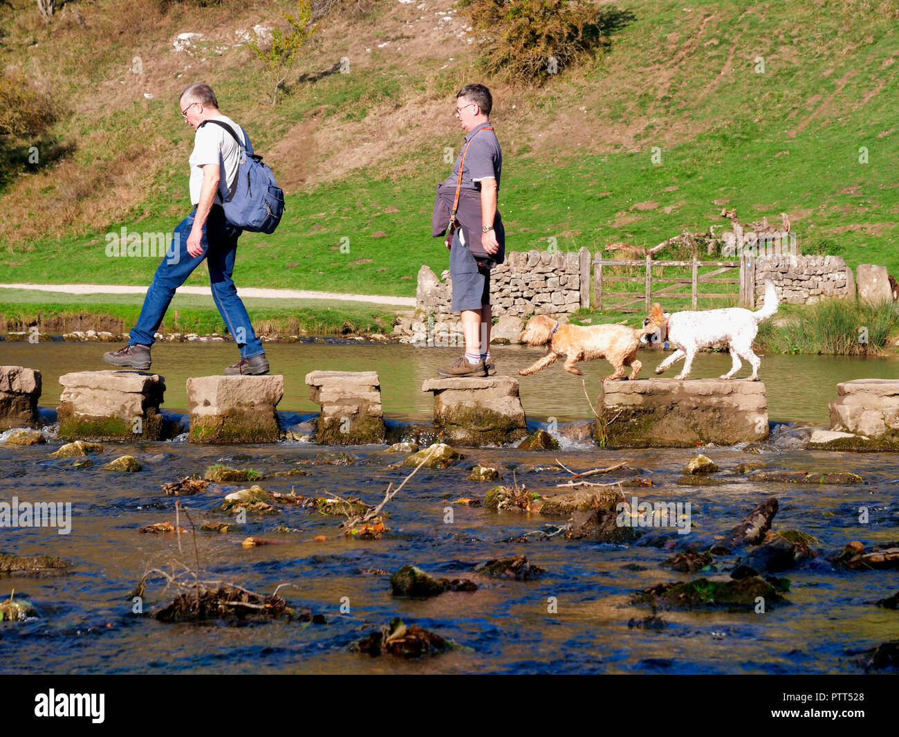 Peak District National Park, Derbyshire, UK. 10th October, 2018. UK Weather two men & two dogs crossing the stepping stones on an unusually hot sunny October day in the tourist hotspot of Dovedale in the Peak District National Park, Derbyshire Credit: Doug Blane/Alamy Live News Stock Photohttps://www.alamy.com/image-license-details/?v=1https://www.alamy.com/peak-district-national-park-derbyshire-uk-10th-october-2018-uk-weather-two-men-two-dogs-crossing-the-stepping-stones-on-an-unusually-hot-sunny-october-day-in-the-tourist-hotspot-of-dovedale-in-the-peak-district-national-park-derbyshire-credit-doug-blanealamy-live-news-image221806992.html
RMPTT528–Peak District National Park, Derbyshire, UK. 10th October, 2018. UK Weather two men & two dogs crossing the stepping stones on an unusually hot sunny October day in the tourist hotspot of Dovedale in the Peak District National Park, Derbyshire Credit: Doug Blane/Alamy Live News