Quick filters:
Rocky mountain drone Stock Photos and Images
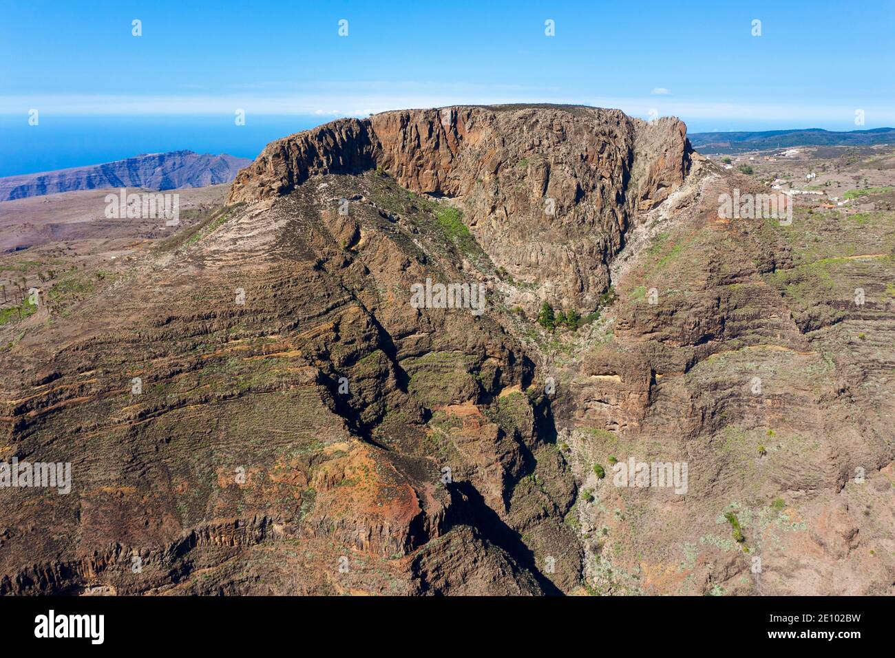 Table Mountain Fortaleza, Barranco de Erque, drone image, La Gomera, Canary Islands, Spain, Europe Stock Photohttps://www.alamy.com/image-license-details/?v=1https://www.alamy.com/table-mountain-fortaleza-barranco-de-erque-drone-image-la-gomera-canary-islands-spain-europe-image396455021.html
RM2E102BW–Table Mountain Fortaleza, Barranco de Erque, drone image, La Gomera, Canary Islands, Spain, Europe
 Mountain range and village. Stock Photohttps://www.alamy.com/image-license-details/?v=1https://www.alamy.com/mountain-range-and-village-image331716976.html
RM2A7K0AT–Mountain range and village.
 Drone view of rocky mountain peaks against sky, Sesto Dolomites, Dolomites, Alto Adige, Italy Stock Photohttps://www.alamy.com/image-license-details/?v=1https://www.alamy.com/drone-view-of-rocky-mountain-peaks-against-sky-sesto-dolomites-dolomites-alto-adige-italy-image383333975.html
RF2D7JAB3–Drone view of rocky mountain peaks against sky, Sesto Dolomites, Dolomites, Alto Adige, Italy
 aerial view with drone over the rocky summit of a mountain on a foggy autumn day Stock Photohttps://www.alamy.com/image-license-details/?v=1https://www.alamy.com/aerial-view-with-drone-over-the-rocky-summit-of-a-mountain-on-a-foggy-autumn-day-image619966946.html
RF2Y0HX4J–aerial view with drone over the rocky summit of a mountain on a foggy autumn day
 Majestic seascape of ocean bay greenery rocky shore at sand beach. Mountain island landscape with green tropic jungle forest. Boats at sea waterfront of Palawan Island, Philippines, Asia drone shot Stock Photohttps://www.alamy.com/image-license-details/?v=1https://www.alamy.com/majestic-seascape-of-ocean-bay-greenery-rocky-shore-at-sand-beach-mountain-island-landscape-with-green-tropic-jungle-forest-boats-at-sea-waterfront-of-palawan-island-philippines-asia-drone-shot-image391217975.html
RF2DMDEEF–Majestic seascape of ocean bay greenery rocky shore at sand beach. Mountain island landscape with green tropic jungle forest. Boats at sea waterfront of Palawan Island, Philippines, Asia drone shot
 Drone shot, rocky mountain with a lake, sea in the background, dark gloomy fog, rocks, Nordic landscape Stock Photohttps://www.alamy.com/image-license-details/?v=1https://www.alamy.com/drone-shot-rocky-mountain-with-a-lake-sea-in-the-background-dark-gloomy-fog-rocks-nordic-landscape-image630365026.html
RF2YHFH0J–Drone shot, rocky mountain with a lake, sea in the background, dark gloomy fog, rocks, Nordic landscape
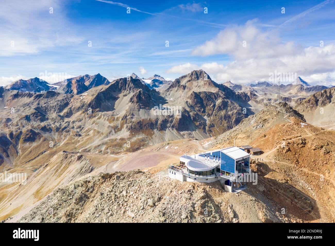 Aerial by drone of cable car station on top of the rocky peak of Piz Nair, Engadine, canton of Graubunden, Switzerland, Europe Stock Photohttps://www.alamy.com/image-license-details/?v=1https://www.alamy.com/aerial-by-drone-of-cable-car-station-on-top-of-the-rocky-peak-of-piz-nair-engadine-canton-of-graubunden-switzerland-europe-image374629658.html
RF2CNDRXJ–Aerial by drone of cable car station on top of the rocky peak of Piz Nair, Engadine, canton of Graubunden, Switzerland, Europe
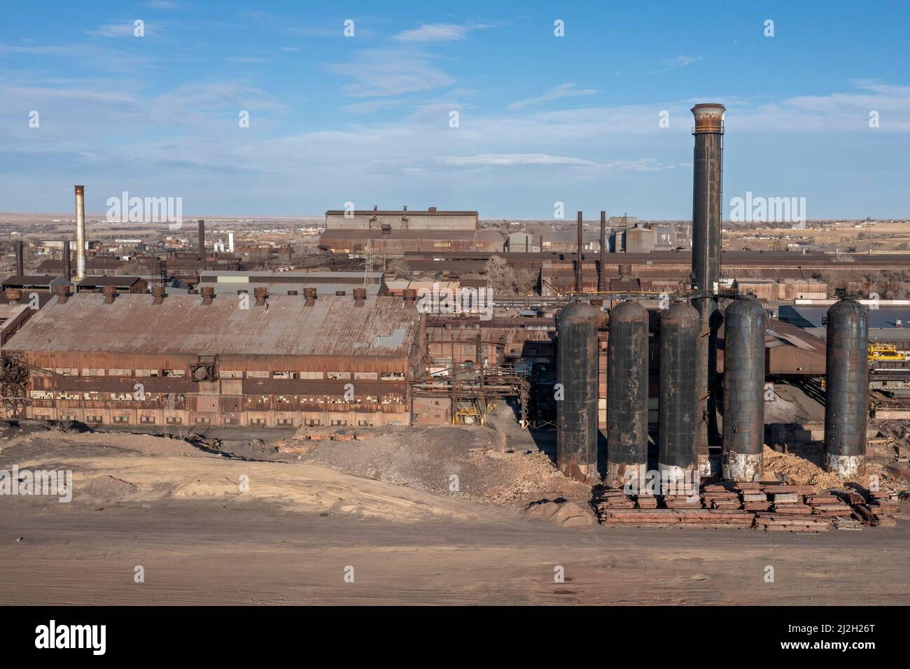 Pueblo, Colorado - The Evraz Rocky Mountain Steel mill. The large Russian mining and steel company, Evraz PLC, bought the mill in 2007. The company's Stock Photohttps://www.alamy.com/image-license-details/?v=1https://www.alamy.com/pueblo-colorado-the-evraz-rocky-mountain-steel-mill-the-large-russian-mining-and-steel-company-evraz-plc-bought-the-mill-in-2007-the-companys-image466284192.html
RM2J2H26T–Pueblo, Colorado - The Evraz Rocky Mountain Steel mill. The large Russian mining and steel company, Evraz PLC, bought the mill in 2007. The company's
 Drone photography, Rocky Mountain National Park is an American national park located in north-central Colorado, within the Front Range of the Rocky Mo Stock Photohttps://www.alamy.com/image-license-details/?v=1https://www.alamy.com/drone-photography-rocky-mountain-national-park-is-an-american-national-park-located-in-north-central-colorado-within-the-front-range-of-the-rocky-mo-image511406791.html
RF2MM0GG7–Drone photography, Rocky Mountain National Park is an American national park located in north-central Colorado, within the Front Range of the Rocky Mo
 Aerial view over mountain range north of Innerdalen, view from above rim Bjoraskaret to the north, Norway Stock Photohttps://www.alamy.com/image-license-details/?v=1https://www.alamy.com/aerial-view-over-mountain-range-north-of-innerdalen-view-from-above-rim-bjoraskaret-to-the-north-norway-image446654157.html
RM2GXJRX5–Aerial view over mountain range north of Innerdalen, view from above rim Bjoraskaret to the north, Norway
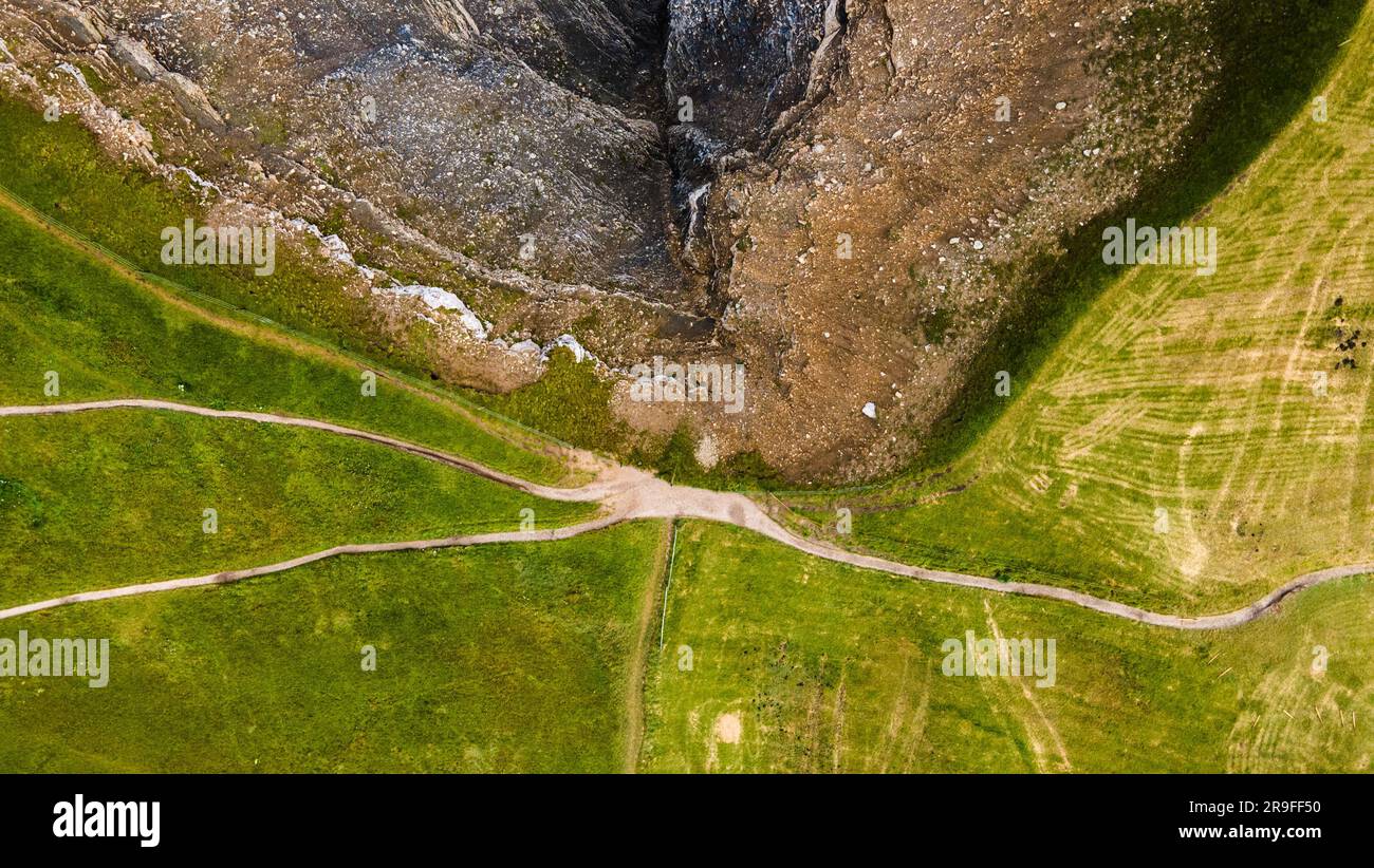 Top down aerial of a mountain ridge in the dolemites with a green side with walking paths and a rocky side. Drone photography. Earth shot. Stock Photohttps://www.alamy.com/image-license-details/?v=1https://www.alamy.com/top-down-aerial-of-a-mountain-ridge-in-the-dolemites-with-a-green-side-with-walking-paths-and-a-rocky-side-drone-photography-earth-shot-image556604860.html
RF2R9FF50–Top down aerial of a mountain ridge in the dolemites with a green side with walking paths and a rocky side. Drone photography. Earth shot.
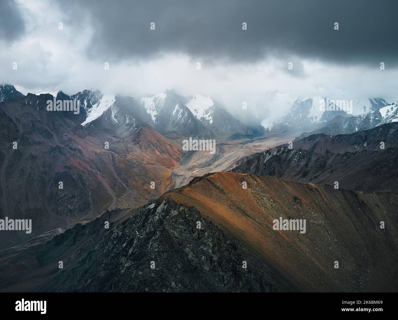 Aerial drone landscape shot of snow summit with ice glacier and and rocky wall at mountain valley with cloudy dark sky in Kazakhstan Stock Photohttps://www.alamy.com/image-license-details/?v=1https://www.alamy.com/aerial-drone-landscape-shot-of-snow-summit-with-ice-glacier-and-and-rocky-wall-at-mountain-valley-with-cloudy-dark-sky-in-kazakhstan-image485835569.html
RF2K6BM69–Aerial drone landscape shot of snow summit with ice glacier and and rocky wall at mountain valley with cloudy dark sky in Kazakhstan
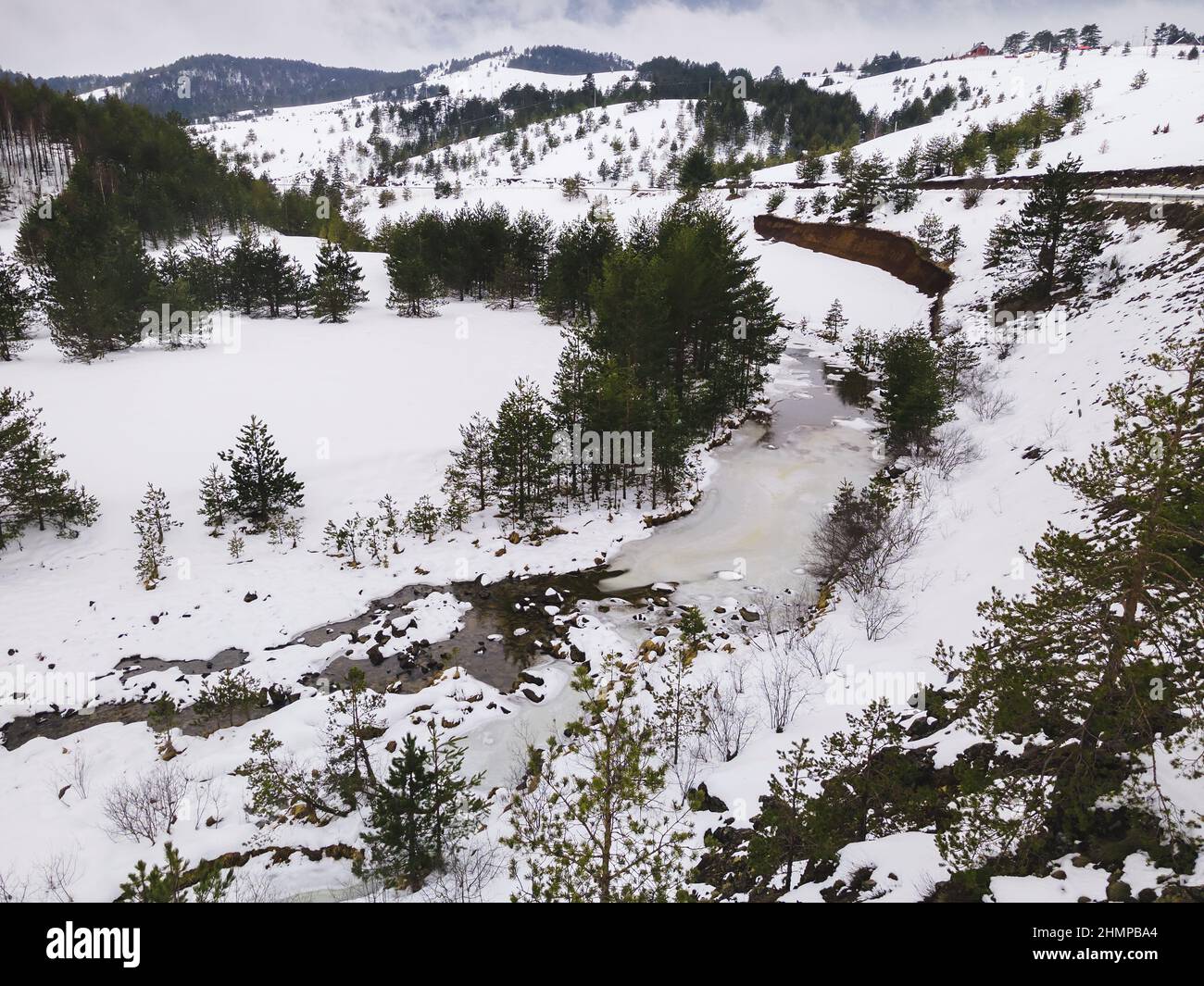 Winter landscape with rocky river, Zlatibor mountain and Crni Rzav river. Zlatibor, Serbia Stock Photohttps://www.alamy.com/image-license-details/?v=1https://www.alamy.com/winter-landscape-with-rocky-river-zlatibor-mountain-and-crni-rzav-river-zlatibor-serbia-image460254540.html
RF2HMPBA4–Winter landscape with rocky river, Zlatibor mountain and Crni Rzav river. Zlatibor, Serbia
 Mountain landscape from drone. Aerial view of mountain village and gorgeous rocky ridge in background. Beauty of Giffre mountains region, France. Stock Photohttps://www.alamy.com/image-license-details/?v=1https://www.alamy.com/mountain-landscape-from-drone-aerial-view-of-mountain-village-and-gorgeous-rocky-ridge-in-background-beauty-of-giffre-mountains-region-france-image416904458.html
RM2F67HTX–Mountain landscape from drone. Aerial view of mountain village and gorgeous rocky ridge in background. Beauty of Giffre mountains region, France.
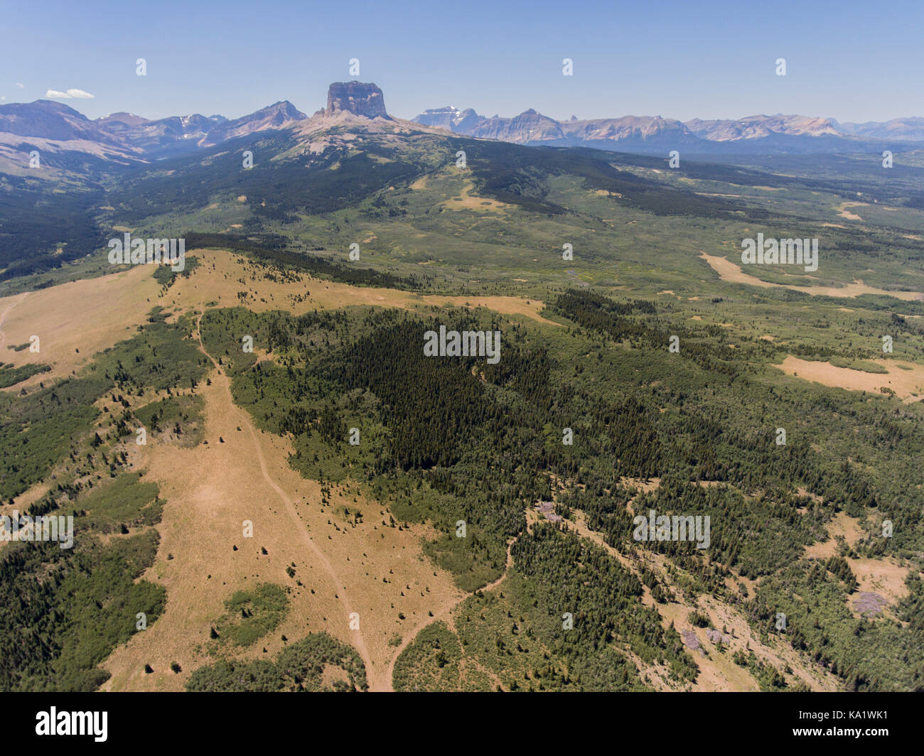 Aerial view to west of Chief Mountain and the Rocky Mountain Front from above the Chief Mountain Highway (MT 17), Glacier County, Montana, USA Stock Photohttps://www.alamy.com/image-license-details/?v=1https://www.alamy.com/stock-image-aerial-view-to-west-of-chief-mountain-and-the-rocky-mountain-front-161081957.html
RMKA1WK1–Aerial view to west of Chief Mountain and the Rocky Mountain Front from above the Chief Mountain Highway (MT 17), Glacier County, Montana, USA
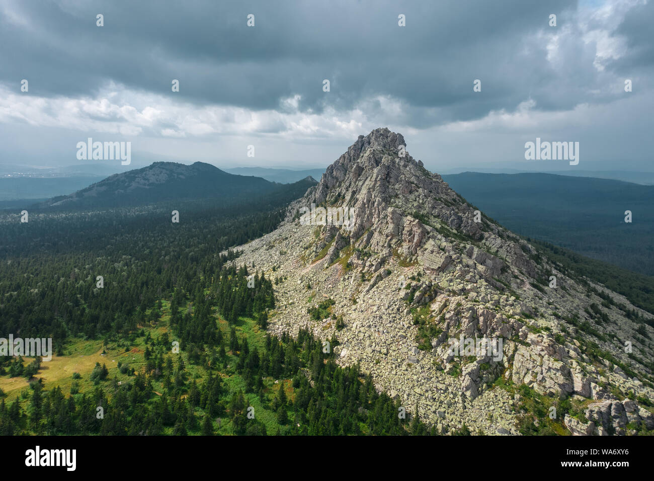 aerial view of russian national park Taganay. drone flying near a steep stony slope of mount overgrown with deep taiga forest of oldest mountain range Stock Photohttps://www.alamy.com/image-license-details/?v=1https://www.alamy.com/aerial-view-of-russian-national-park-taganay-drone-flying-near-a-steep-stony-slope-of-mount-overgrown-with-deep-taiga-forest-of-oldest-mountain-range-image264454938.html
RFWA6XY6–aerial view of russian national park Taganay. drone flying near a steep stony slope of mount overgrown with deep taiga forest of oldest mountain range
 Drone photograph of the Ariege Valley in the autumn, near Tarascon sur Ariege Stock Photohttps://www.alamy.com/image-license-details/?v=1https://www.alamy.com/drone-photograph-of-the-ariege-valley-in-the-autumn-near-tarascon-sur-ariege-image379885047.html
RF2D21773–Drone photograph of the Ariege Valley in the autumn, near Tarascon sur Ariege
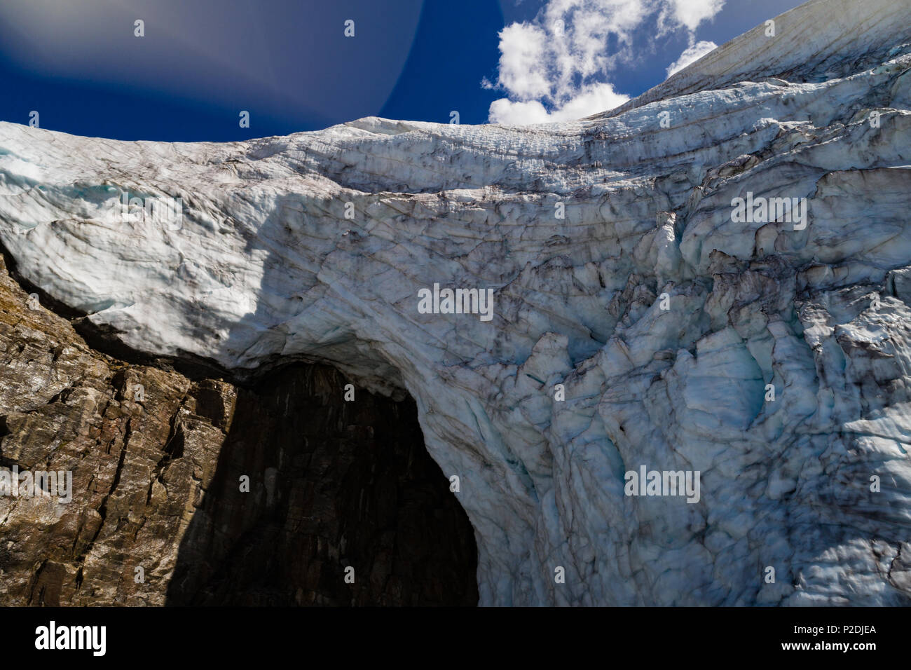 Glacier on the rocky mountain Stock Photohttps://www.alamy.com/image-license-details/?v=1https://www.alamy.com/glacier-on-the-rocky-mountain-image208053618.html
RFP2DJEA–Glacier on the rocky mountain
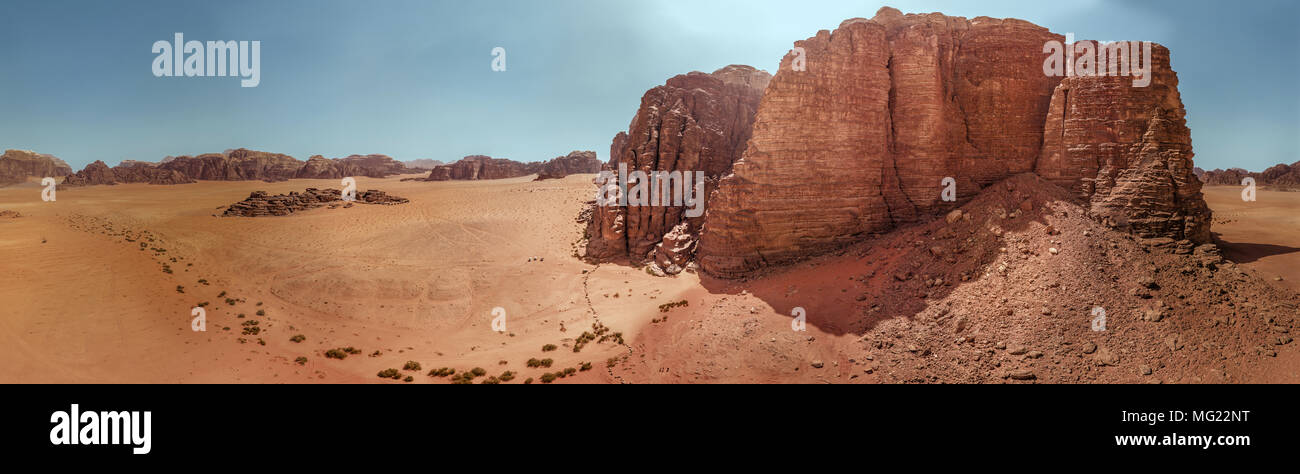 Aerial view of the gigantic rocks and mountains in the nature reserve of Wadi Rum, high resolution panorama, composed of single pictures, drone shot Stock Photohttps://www.alamy.com/image-license-details/?v=1https://www.alamy.com/aerial-view-of-the-gigantic-rocks-and-mountains-in-the-nature-reserve-of-wadi-rum-high-resolution-panorama-composed-of-single-pictures-drone-shot-image181984260.html
RFMG22NT–Aerial view of the gigantic rocks and mountains in the nature reserve of Wadi Rum, high resolution panorama, composed of single pictures, drone shot
 Barranco de Erque with Table Mountain Fortaleza, drone image, La Gomera, Canary Islands, Spain, Europe Stock Photohttps://www.alamy.com/image-license-details/?v=1https://www.alamy.com/barranco-de-erque-with-table-mountain-fortaleza-drone-image-la-gomera-canary-islands-spain-europe-image396455032.html
RM2E102C8–Barranco de Erque with Table Mountain Fortaleza, drone image, La Gomera, Canary Islands, Spain, Europe
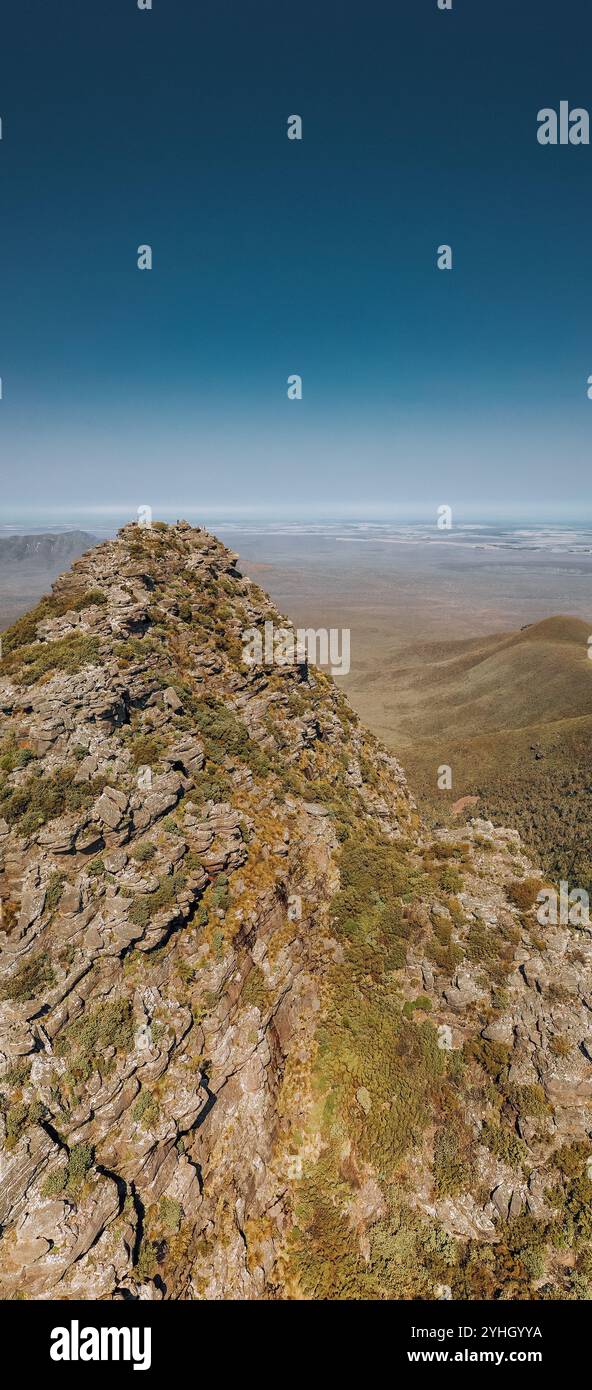 Vertical panoramic of Toolbrunup mountain peak in the Stirling Ranges, Western Australia. The mountain peak is visible on a clear day. Stock Photohttps://www.alamy.com/image-license-details/?v=1https://www.alamy.com/vertical-panoramic-of-toolbrunup-mountain-peak-in-the-stirling-ranges-western-australia-the-mountain-peak-is-visible-on-a-clear-day-image630395566.html
RF2YHGYYA–Vertical panoramic of Toolbrunup mountain peak in the Stirling Ranges, Western Australia. The mountain peak is visible on a clear day.
 Drone view of rocky mountain peaks against cloudy sky, Sesto Dolomites, Dolomites, Alto Adige, Italy Stock Photohttps://www.alamy.com/image-license-details/?v=1https://www.alamy.com/drone-view-of-rocky-mountain-peaks-against-cloudy-sky-sesto-dolomites-dolomites-alto-adige-italy-image383338993.html
RF2D7JGP9–Drone view of rocky mountain peaks against cloudy sky, Sesto Dolomites, Dolomites, Alto Adige, Italy
 aerial view with drone over the rocky summit of a mountain on a misty autumn day Stock Photohttps://www.alamy.com/image-license-details/?v=1https://www.alamy.com/aerial-view-with-drone-over-the-rocky-summit-of-a-mountain-on-a-misty-autumn-day-image619966947.html
RF2Y0HX4K–aerial view with drone over the rocky summit of a mountain on a misty autumn day
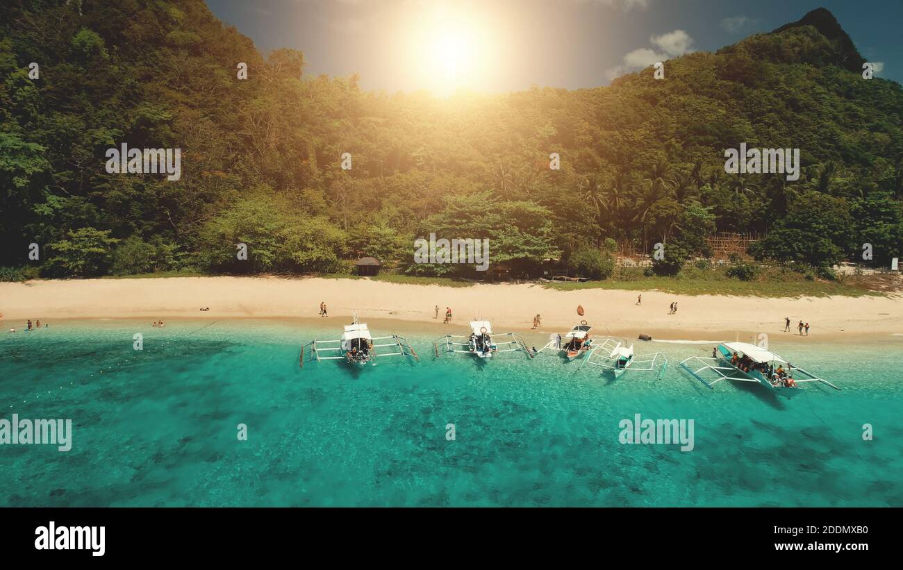 Closeup passenger boat at ocean bay with green rocky shore at summer sun day cruise. Tropical seascape at mountain island of El Nido, Philippines, Visayas Archipelago. Cinematic close up drone shot Stock Photohttps://www.alamy.com/image-license-details/?v=1https://www.alamy.com/closeup-passenger-boat-at-ocean-bay-with-green-rocky-shore-at-summer-sun-day-cruise-tropical-seascape-at-mountain-island-of-el-nido-philippines-visayas-archipelago-cinematic-close-up-drone-shot-image387078356.html
RF2DDMXB0–Closeup passenger boat at ocean bay with green rocky shore at summer sun day cruise. Tropical seascape at mountain island of El Nido, Philippines, Visayas Archipelago. Cinematic close up drone shot
 Horizontal Drone Shot, rocky mountain with bushes and moss, clear sky with few small clouds Stock Photohttps://www.alamy.com/image-license-details/?v=1https://www.alamy.com/horizontal-drone-shot-rocky-mountain-with-bushes-and-moss-clear-sky-with-few-small-clouds-image630365028.html
RF2YHFH0M–Horizontal Drone Shot, rocky mountain with bushes and moss, clear sky with few small clouds
 Aerial by drone of tourists at the cable car station on top of rocky peak of Piz Nair, Engadine, canton of Graubunden, Switzerland, Europe Stock Photohttps://www.alamy.com/image-license-details/?v=1https://www.alamy.com/aerial-by-drone-of-tourists-at-the-cable-car-station-on-top-of-rocky-peak-of-piz-nair-engadine-canton-of-graubunden-switzerland-europe-image374629671.html
RF2CNDRY3–Aerial by drone of tourists at the cable car station on top of rocky peak of Piz Nair, Engadine, canton of Graubunden, Switzerland, Europe
 Pueblo, Colorado - The Bighorn Solar Project. The 300 Megawatt facility will provide most of the power for the nearby Evraz Rocky Mountain Steel mill. Stock Photohttps://www.alamy.com/image-license-details/?v=1https://www.alamy.com/pueblo-colorado-the-bighorn-solar-project-the-300-megawatt-facility-will-provide-most-of-the-power-for-the-nearby-evraz-rocky-mountain-steel-mill-image466284224.html
RM2J2H280–Pueblo, Colorado - The Bighorn Solar Project. The 300 Megawatt facility will provide most of the power for the nearby Evraz Rocky Mountain Steel mill.
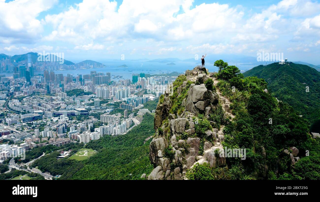 Aerial view on a solo traveling girl standing on my top of the rocky mountain with Hong Kong city and harbor in the background. Stock Photohttps://www.alamy.com/image-license-details/?v=1https://www.alamy.com/aerial-view-on-a-solo-traveling-girl-standing-on-my-top-of-the-rocky-mountain-with-hong-kong-city-and-harbor-in-the-background-image360343804.html
RF2BX725G–Aerial view on a solo traveling girl standing on my top of the rocky mountain with Hong Kong city and harbor in the background.
 Aerial view of road in mountain scenery, passing lakes and meadows, road from E10 to village Nusfjord, Lofoten, Norway Stock Photohttps://www.alamy.com/image-license-details/?v=1https://www.alamy.com/aerial-view-of-road-in-mountain-scenery-passing-lakes-and-meadows-road-from-e10-to-village-nusfjord-lofoten-norway-image447507704.html
RM2H01MJ0–Aerial view of road in mountain scenery, passing lakes and meadows, road from E10 to village Nusfjord, Lofoten, Norway
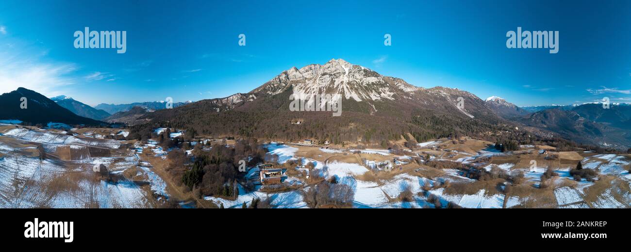 Monte Stivo, Trentino mountain north of Lake Garda. Stock Photohttps://www.alamy.com/image-license-details/?v=1https://www.alamy.com/monte-stivo-trentino-mountain-north-of-lake-garda-image340340302.html
RF2ANKREP–Monte Stivo, Trentino mountain north of Lake Garda.
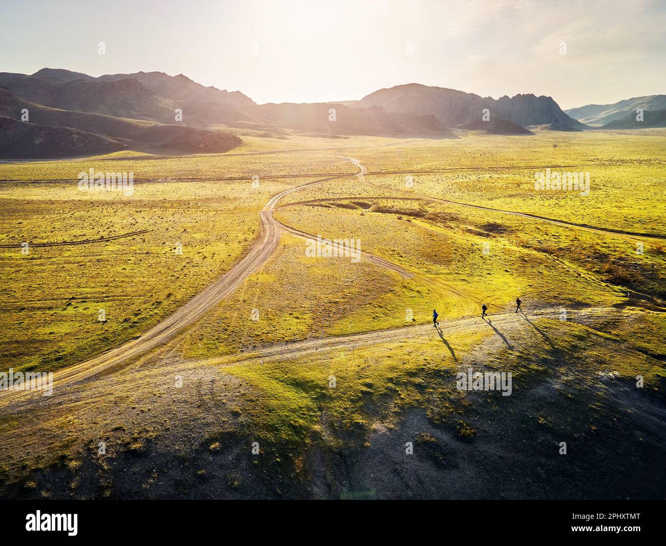 Aerial drone top down view of three athletic men running down dusty country road at green grassy hills with rocky mountains at sunset. Trail running a Stock Photohttps://www.alamy.com/image-license-details/?v=1https://www.alamy.com/aerial-drone-top-down-view-of-three-athletic-men-running-down-dusty-country-road-at-green-grassy-hills-with-rocky-mountains-at-sunset-trail-running-a-image544560712.html
RF2PHXTMT–Aerial drone top down view of three athletic men running down dusty country road at green grassy hills with rocky mountains at sunset. Trail running a
 Tre Cime di Lavaredo Dolomites Italy, drone photo Stock Photohttps://www.alamy.com/image-license-details/?v=1https://www.alamy.com/tre-cime-di-lavaredo-dolomites-italy-drone-photo-image614188274.html
RF2XK6KBE–Tre Cime di Lavaredo Dolomites Italy, drone photo
 Panoramic view of the Carpathian mountains in spring time, with the peaks covered in snow. Photography was shot from a drone at a higher altitude. Stock Photohttps://www.alamy.com/image-license-details/?v=1https://www.alamy.com/panoramic-view-of-the-carpathian-mountains-in-spring-time-with-the-peaks-covered-in-snow-photography-was-shot-from-a-drone-at-a-higher-altitude-image469450626.html
RF2J7N91P–Panoramic view of the Carpathian mountains in spring time, with the peaks covered in snow. Photography was shot from a drone at a higher altitude.
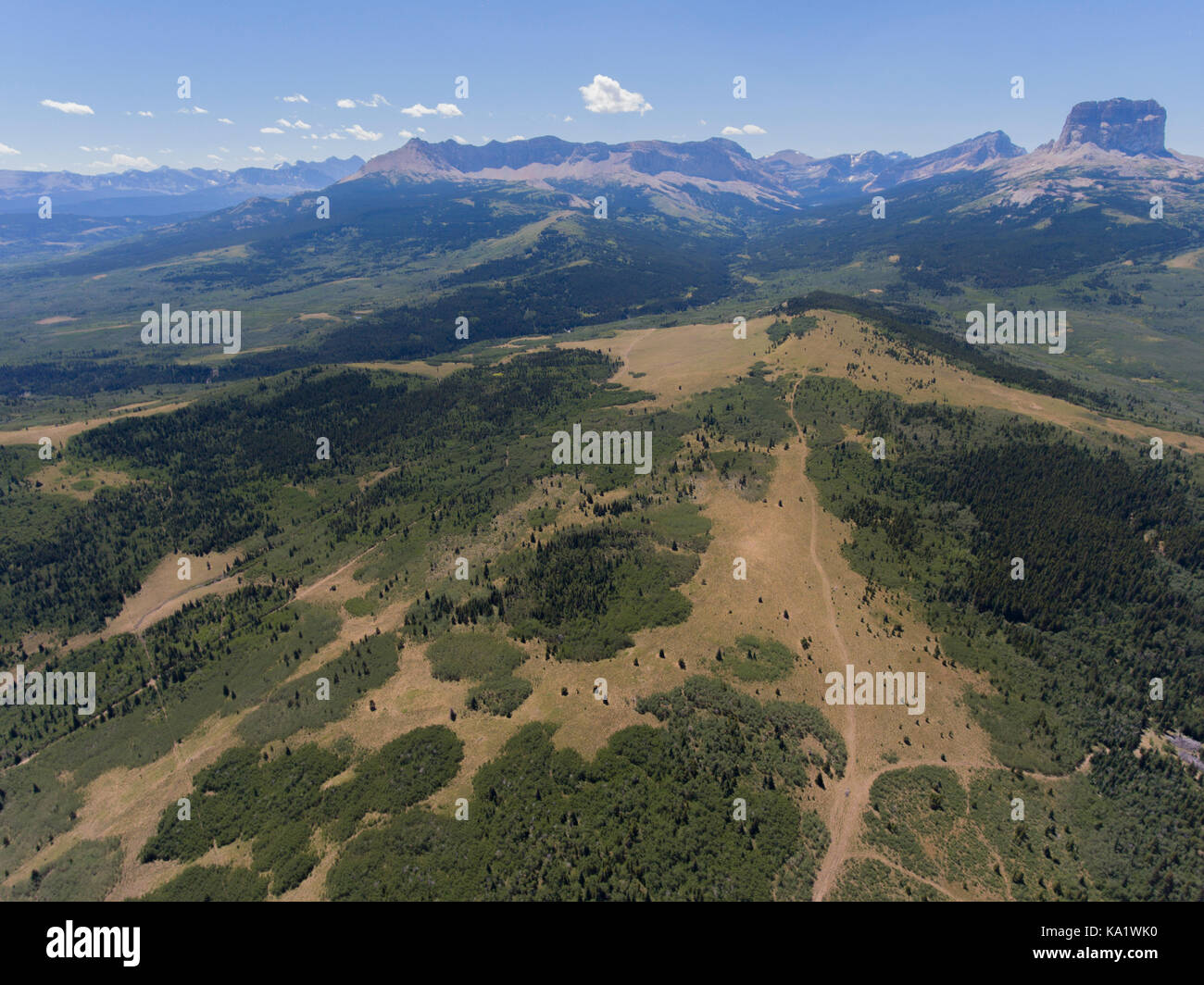 Aerial view to west of Chief Mountain and the Rocky Mountain Front from above the Chief Mountain Highway (MT 17), Glacier County, Montana, USA Stock Photohttps://www.alamy.com/image-license-details/?v=1https://www.alamy.com/stock-image-aerial-view-to-west-of-chief-mountain-and-the-rocky-mountain-front-161081956.html
RMKA1WK0–Aerial view to west of Chief Mountain and the Rocky Mountain Front from above the Chief Mountain Highway (MT 17), Glacier County, Montana, USA
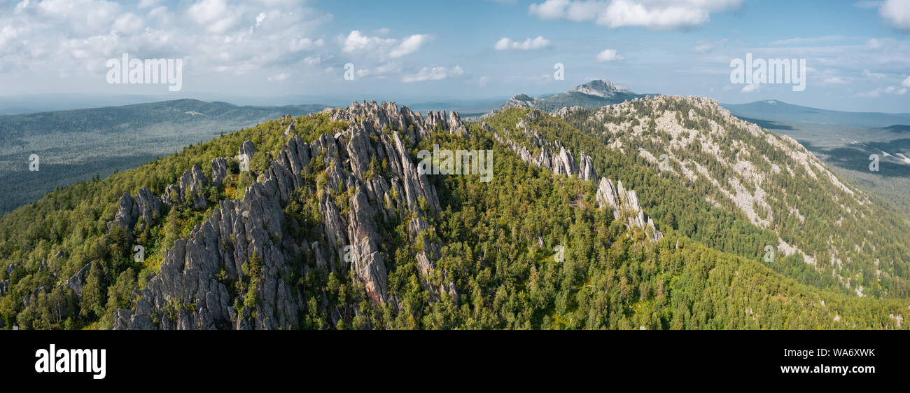 aerial view of natural russian landscape. oldest mountain range Ural. drone flying sideways along steep stone slope overgrown with deep taiga forest. Stock Photohttps://www.alamy.com/image-license-details/?v=1https://www.alamy.com/aerial-view-of-natural-russian-landscape-oldest-mountain-range-ural-drone-flying-sideways-along-steep-stone-slope-overgrown-with-deep-taiga-forest-image264454895.html
RFWA6XWK–aerial view of natural russian landscape. oldest mountain range Ural. drone flying sideways along steep stone slope overgrown with deep taiga forest.
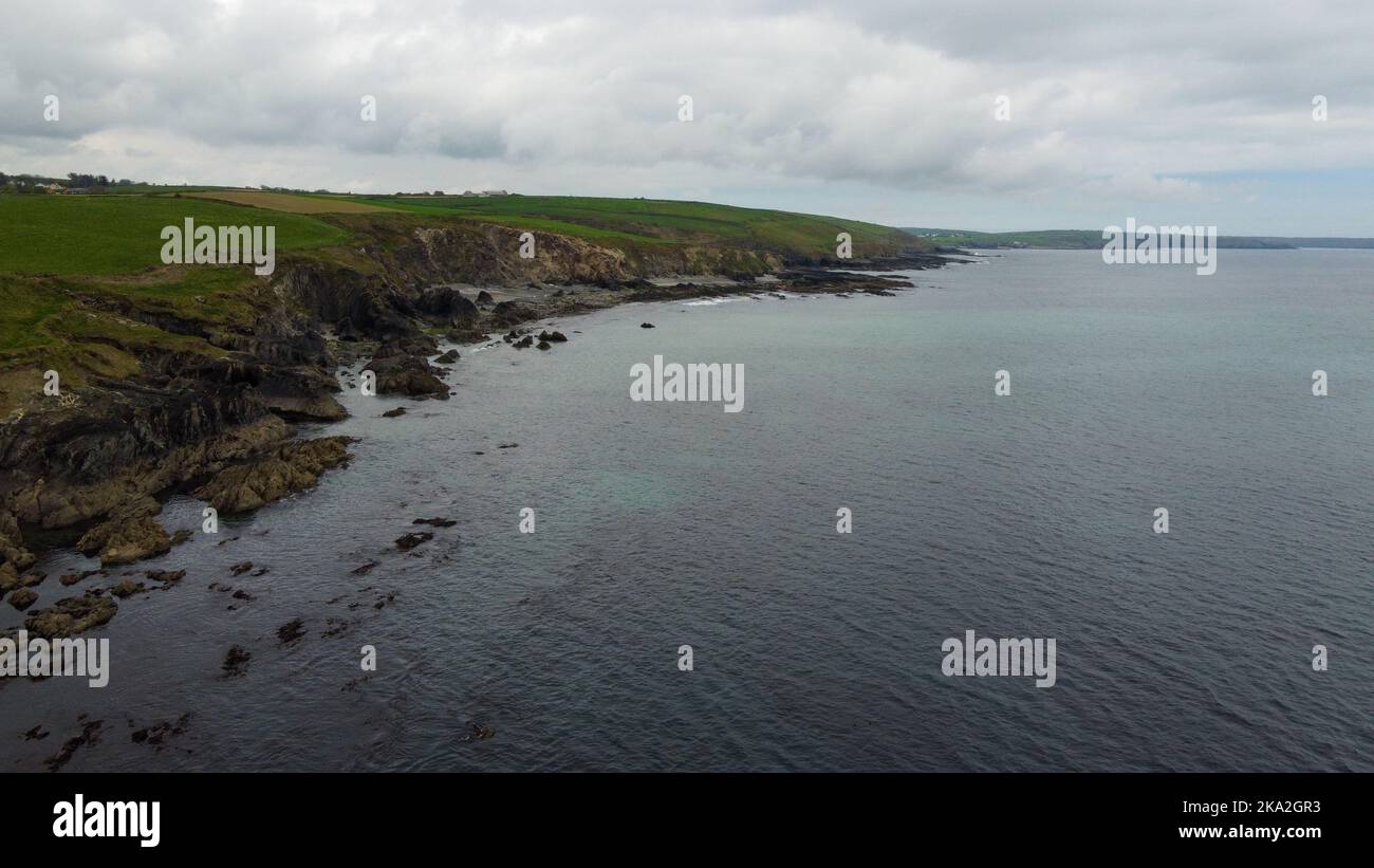 Sea coastline in cloudy weather, top view. The rocky coast of the Atlantic Ocean. Nature of Northern Europe. Drone photo. Stock Photohttps://www.alamy.com/image-license-details/?v=1https://www.alamy.com/sea-coastline-in-cloudy-weather-top-view-the-rocky-coast-of-the-atlantic-ocean-nature-of-northern-europe-drone-photo-image488093959.html
RF2KA2GR3–Sea coastline in cloudy weather, top view. The rocky coast of the Atlantic Ocean. Nature of Northern Europe. Drone photo.
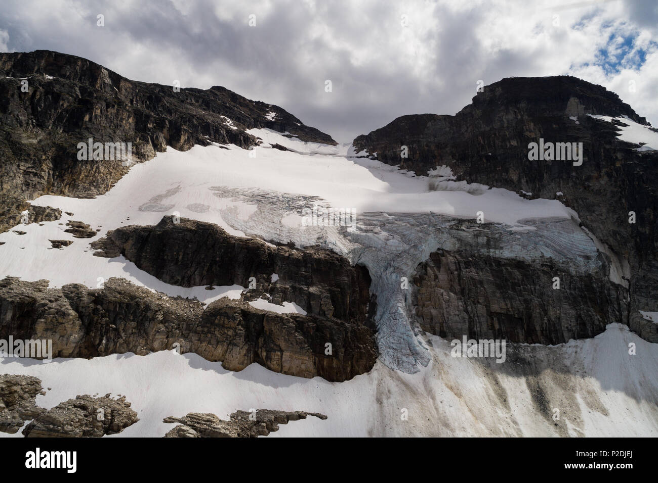 Glacier on the rocky mountain Stock Photohttps://www.alamy.com/image-license-details/?v=1https://www.alamy.com/glacier-on-the-rocky-mountain-image208053626.html
RFP2DJEJ–Glacier on the rocky mountain
 Drone view of orange mountain landscape covered with sparse vegetation and curved road creating beautiful scenario of a National Stock Photohttps://www.alamy.com/image-license-details/?v=1https://www.alamy.com/drone-view-of-orange-mountain-landscape-covered-with-sparse-vegetation-and-curved-road-creating-beautiful-scenario-of-a-national-image388796720.html
RF2DGF654–Drone view of orange mountain landscape covered with sparse vegetation and curved road creating beautiful scenario of a National
 Village Vallehermoso and mountain Roque Cano, drone image, La Gomera, Canary Islands, Spain, Europe Stock Photohttps://www.alamy.com/image-license-details/?v=1https://www.alamy.com/village-vallehermoso-and-mountain-roque-cano-drone-image-la-gomera-canary-islands-spain-europe-image396455040.html
RM2E102CG–Village Vallehermoso and mountain Roque Cano, drone image, La Gomera, Canary Islands, Spain, Europe
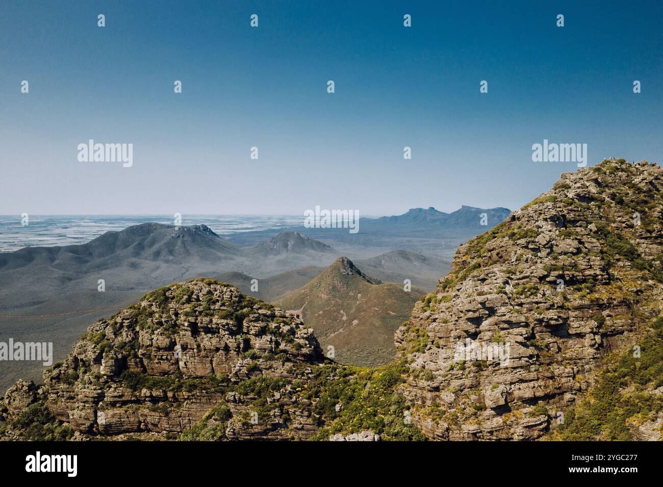 Stirling Ranges Mountain range in Western Australia, viewed from Toolbrunup Peak on a clear day. Blue sky, green rocky mountain ranges. Stock Photohttps://www.alamy.com/image-license-details/?v=1https://www.alamy.com/stirling-ranges-mountain-range-in-western-australia-viewed-from-toolbrunup-peak-on-a-clear-day-blue-sky-green-rocky-mountain-ranges-image629672939.html
RM2YGC277–Stirling Ranges Mountain range in Western Australia, viewed from Toolbrunup Peak on a clear day. Blue sky, green rocky mountain ranges.
 Mulafossur waterfall amidst rocky mountain Stock Photohttps://www.alamy.com/image-license-details/?v=1https://www.alamy.com/mulafossur-waterfall-amidst-rocky-mountain-image502141632.html
RF2M4XENM–Mulafossur waterfall amidst rocky mountain
 Magnificent drone view of rough rocky cliff of Garbi Mountain against†beautiful nature on sunny day in Djibouti Stock Photohttps://www.alamy.com/image-license-details/?v=1https://www.alamy.com/magnificent-drone-view-of-rough-rocky-cliff-of-garbi-mountain-againstbeautiful-nature-on-sunny-day-in-djibouti-image370360896.html
RF2CEFB2T–Magnificent drone view of rough rocky cliff of Garbi Mountain against†beautiful nature on sunny day in Djibouti
 Aerial view of the Lawrence spring in the Jordanian desert near Wadi Rum, made with drone Stock Photohttps://www.alamy.com/image-license-details/?v=1https://www.alamy.com/aerial-view-of-the-lawrence-spring-in-the-jordanian-desert-near-wadi-rum-made-with-drone-image178419005.html
RFMA7K79–Aerial view of the Lawrence spring in the Jordanian desert near Wadi Rum, made with drone
 Aerial shot Callosa de Segura townscape. Drone point of view spanish village located in foothills of huge Sierra de Callosa rocky mountain. North-west Stock Photohttps://www.alamy.com/image-license-details/?v=1https://www.alamy.com/aerial-shot-callosa-de-segura-townscape-drone-point-of-view-spanish-village-located-in-foothills-of-huge-sierra-de-callosa-rocky-mountain-north-west-image455713240.html
RF2HDBETT–Aerial shot Callosa de Segura townscape. Drone point of view spanish village located in foothills of huge Sierra de Callosa rocky mountain. North-west
 Aerial drone panoramic view of a camper van on a mountain road at sunset, Sardinia, Italy, Mediterranean, Europe Stock Photohttps://www.alamy.com/image-license-details/?v=1https://www.alamy.com/aerial-drone-panoramic-view-of-a-camper-van-on-a-mountain-road-at-sunset-sardinia-italy-mediterranean-europe-image615843635.html
RF2XNX2RF–Aerial drone panoramic view of a camper van on a mountain road at sunset, Sardinia, Italy, Mediterranean, Europe
 Pueblo, Colorado - The Bighorn Solar Project. The 300 Megawatt facility will provide most of the power for the nearby Evraz Rocky Mountain Steel mill. Stock Photohttps://www.alamy.com/image-license-details/?v=1https://www.alamy.com/pueblo-colorado-the-bighorn-solar-project-the-300-megawatt-facility-will-provide-most-of-the-power-for-the-nearby-evraz-rocky-mountain-steel-mill-image466284221.html
RM2J2H27W–Pueblo, Colorado - The Bighorn Solar Project. The 300 Megawatt facility will provide most of the power for the nearby Evraz Rocky Mountain Steel mill.
 Drone view of wild mountain coast of Greece with wild beaches Stock Photohttps://www.alamy.com/image-license-details/?v=1https://www.alamy.com/drone-view-of-wild-mountain-coast-of-greece-with-wild-beaches-image625066340.html
RF2Y8X6DT–Drone view of wild mountain coast of Greece with wild beaches
 Aerial view of road in mountain scenery, passing lakes and meadows, road from E10 to village Nusfjord, Lofoten, Norway Stock Photohttps://www.alamy.com/image-license-details/?v=1https://www.alamy.com/aerial-view-of-road-in-mountain-scenery-passing-lakes-and-meadows-road-from-e10-to-village-nusfjord-lofoten-norway-image447507691.html
RM2H01MHF–Aerial view of road in mountain scenery, passing lakes and meadows, road from E10 to village Nusfjord, Lofoten, Norway
 Greece, Kea Tzia island. Ioulida or Ioulis cityscape aerial drone view. Chora town red roofs white houses on the rocky mountain landscape, sunny day, Stock Photohttps://www.alamy.com/image-license-details/?v=1https://www.alamy.com/greece-kea-tzia-island-ioulida-or-ioulis-cityscape-aerial-drone-view-chora-town-red-roofs-white-houses-on-the-rocky-mountain-landscape-sunny-day-image433832714.html
RF2G5PP1E–Greece, Kea Tzia island. Ioulida or Ioulis cityscape aerial drone view. Chora town red roofs white houses on the rocky mountain landscape, sunny day,
 Mountain Waterfall with Drone Stock Photohttps://www.alamy.com/image-license-details/?v=1https://www.alamy.com/mountain-waterfall-with-drone-image242691747.html
RFT2RFPB–Mountain Waterfall with Drone
 Tre Cime di Lavaredo Dolomites Italy, drone photo Stock Photohttps://www.alamy.com/image-license-details/?v=1https://www.alamy.com/tre-cime-di-lavaredo-dolomites-italy-drone-photo-image614188261.html
RF2XK6KB1–Tre Cime di Lavaredo Dolomites Italy, drone photo
 Panoramic view of the Carpathian mountains in spring time, with the peaks covered in snow. Photography was shot from a drone at a higher altitude. Stock Photohttps://www.alamy.com/image-license-details/?v=1https://www.alamy.com/panoramic-view-of-the-carpathian-mountains-in-spring-time-with-the-peaks-covered-in-snow-photography-was-shot-from-a-drone-at-a-higher-altitude-image469450581.html
RF2J7N905–Panoramic view of the Carpathian mountains in spring time, with the peaks covered in snow. Photography was shot from a drone at a higher altitude.
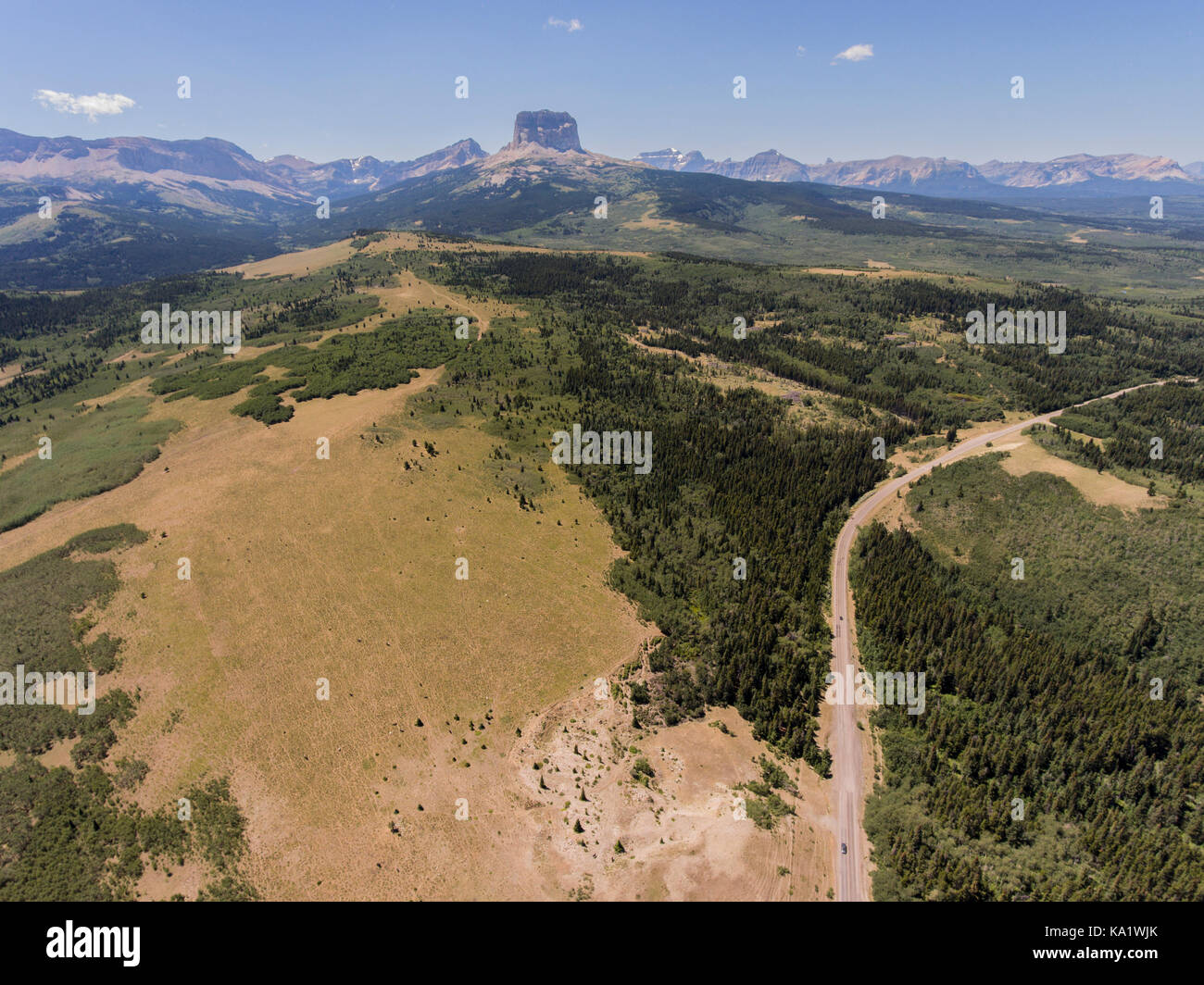 Aerial view to west of Chief Mountain and the Rocky Mountain Front from above the Chief Mountain Highway (MT 17), Glacier County, Montana, USA Stock Photohttps://www.alamy.com/image-license-details/?v=1https://www.alamy.com/stock-image-aerial-view-to-west-of-chief-mountain-and-the-rocky-mountain-front-161081947.html
RMKA1WJK–Aerial view to west of Chief Mountain and the Rocky Mountain Front from above the Chief Mountain Highway (MT 17), Glacier County, Montana, USA
 Drone photography of rocky seaside during summer day Stock Photohttps://www.alamy.com/image-license-details/?v=1https://www.alamy.com/drone-photography-of-rocky-seaside-during-summer-day-image488557284.html
RF2KARKPC–Drone photography of rocky seaside during summer day
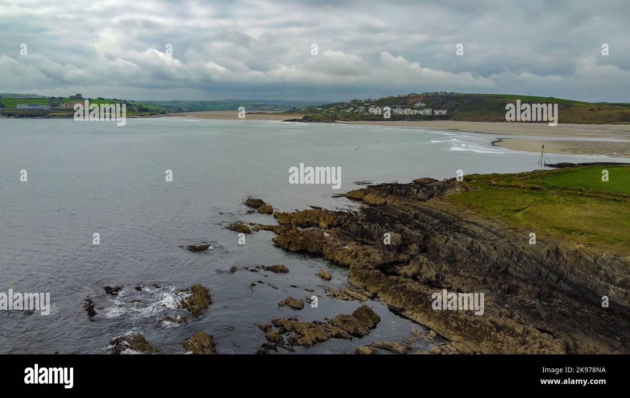 Drone point of view. Sea coastline in cloudy weather, top view. The rocky coast of the Atlantic Ocean. Nature of Northern Europe. Stock Photohttps://www.alamy.com/image-license-details/?v=1https://www.alamy.com/drone-point-of-view-sea-coastline-in-cloudy-weather-top-view-the-rocky-coast-of-the-atlantic-ocean-nature-of-northern-europe-image487582742.html
RF2K978NA–Drone point of view. Sea coastline in cloudy weather, top view. The rocky coast of the Atlantic Ocean. Nature of Northern Europe.
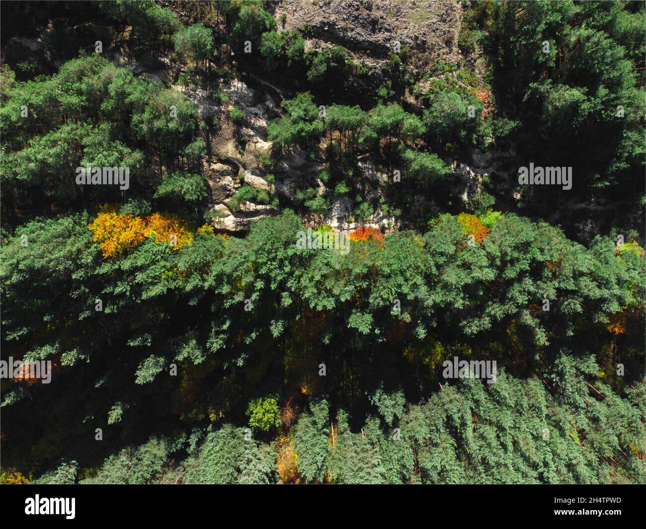 Rocky hill with pine forest from a drone. Stock Photohttps://www.alamy.com/image-license-details/?v=1https://www.alamy.com/rocky-hill-with-pine-forest-from-a-drone-image450473001.html
RM2H4TPWD–Rocky hill with pine forest from a drone.
 Mountain landscape in Norway with grass and lakes captured with a drone Stock Photohttps://www.alamy.com/image-license-details/?v=1https://www.alamy.com/mountain-landscape-in-norway-with-grass-and-lakes-captured-with-a-drone-image600629699.html
RF2WW518K–Mountain landscape in Norway with grass and lakes captured with a drone
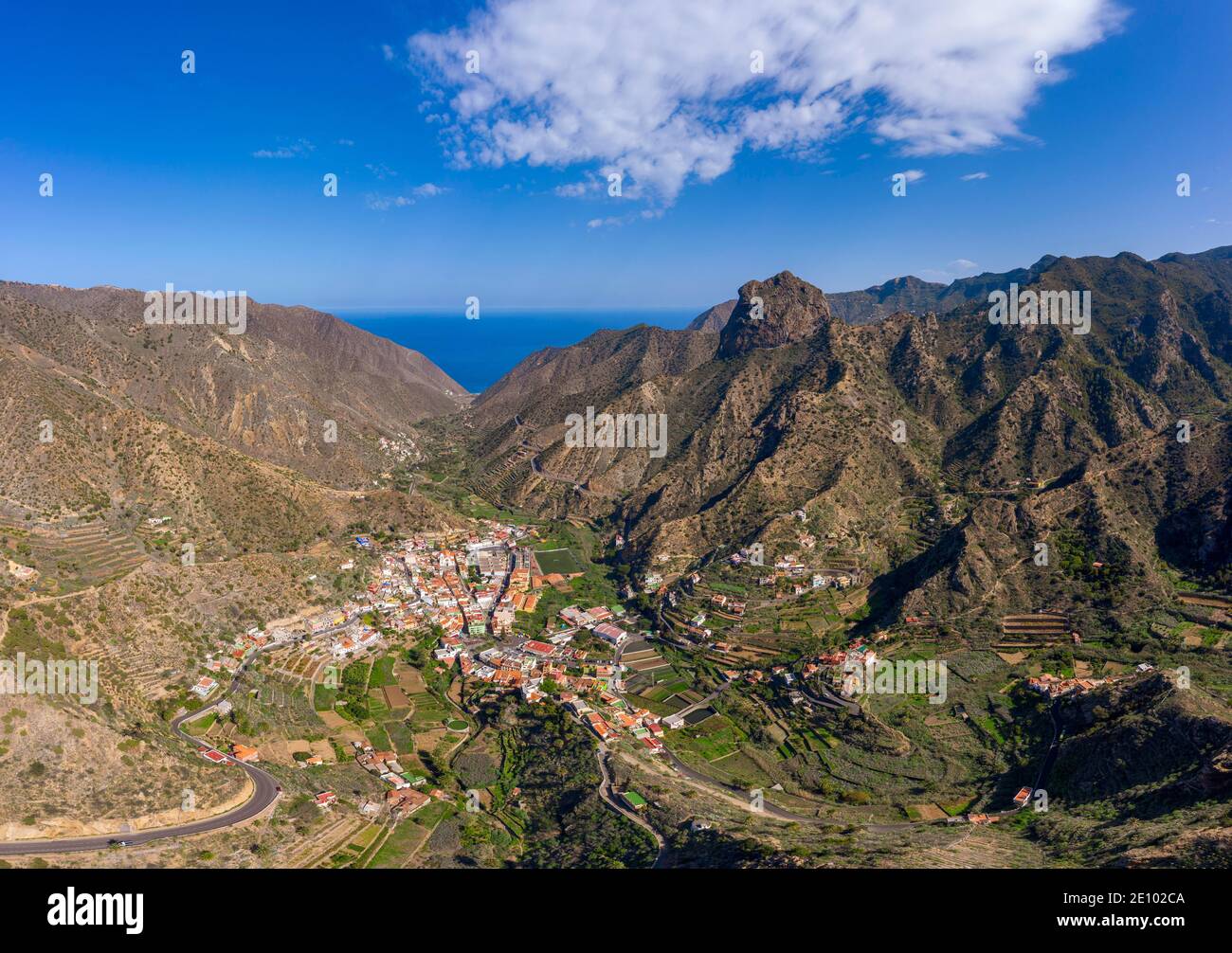 Village Vallehermoso and mountain Roque Cano, drone image, La Gomera, Canary Islands, Spain, Europe Stock Photohttps://www.alamy.com/image-license-details/?v=1https://www.alamy.com/village-vallehermoso-and-mountain-roque-cano-drone-image-la-gomera-canary-islands-spain-europe-image396455034.html
RM2E102CA–Village Vallehermoso and mountain Roque Cano, drone image, La Gomera, Canary Islands, Spain, Europe
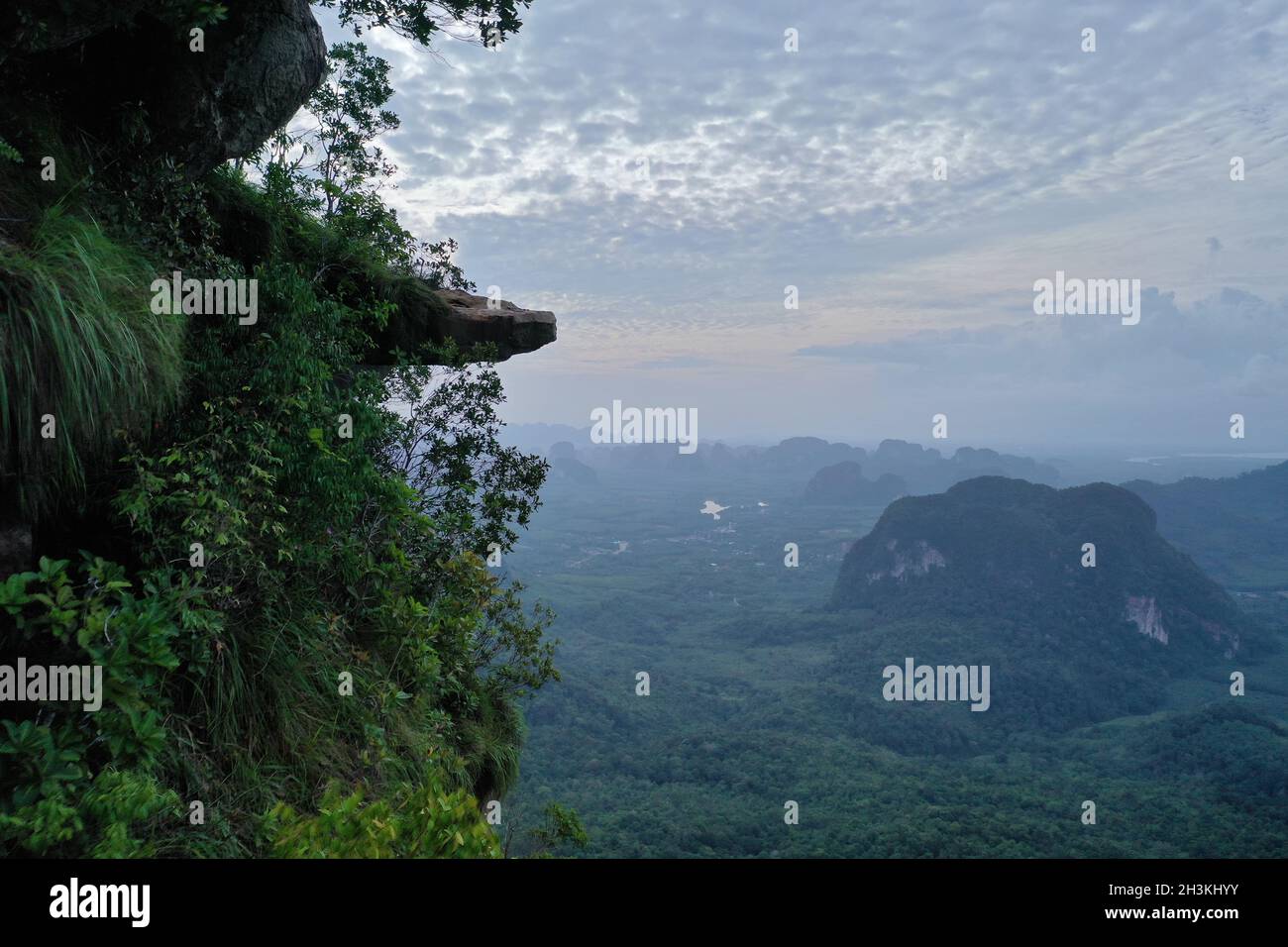 Aerial view of beautiful rocky mountain view point over valley and sky background Stock Photohttps://www.alamy.com/image-license-details/?v=1https://www.alamy.com/aerial-view-of-beautiful-rocky-mountain-view-point-over-valley-and-sky-background-image449744735.html
RF2H3KHYY–Aerial view of beautiful rocky mountain view point over valley and sky background
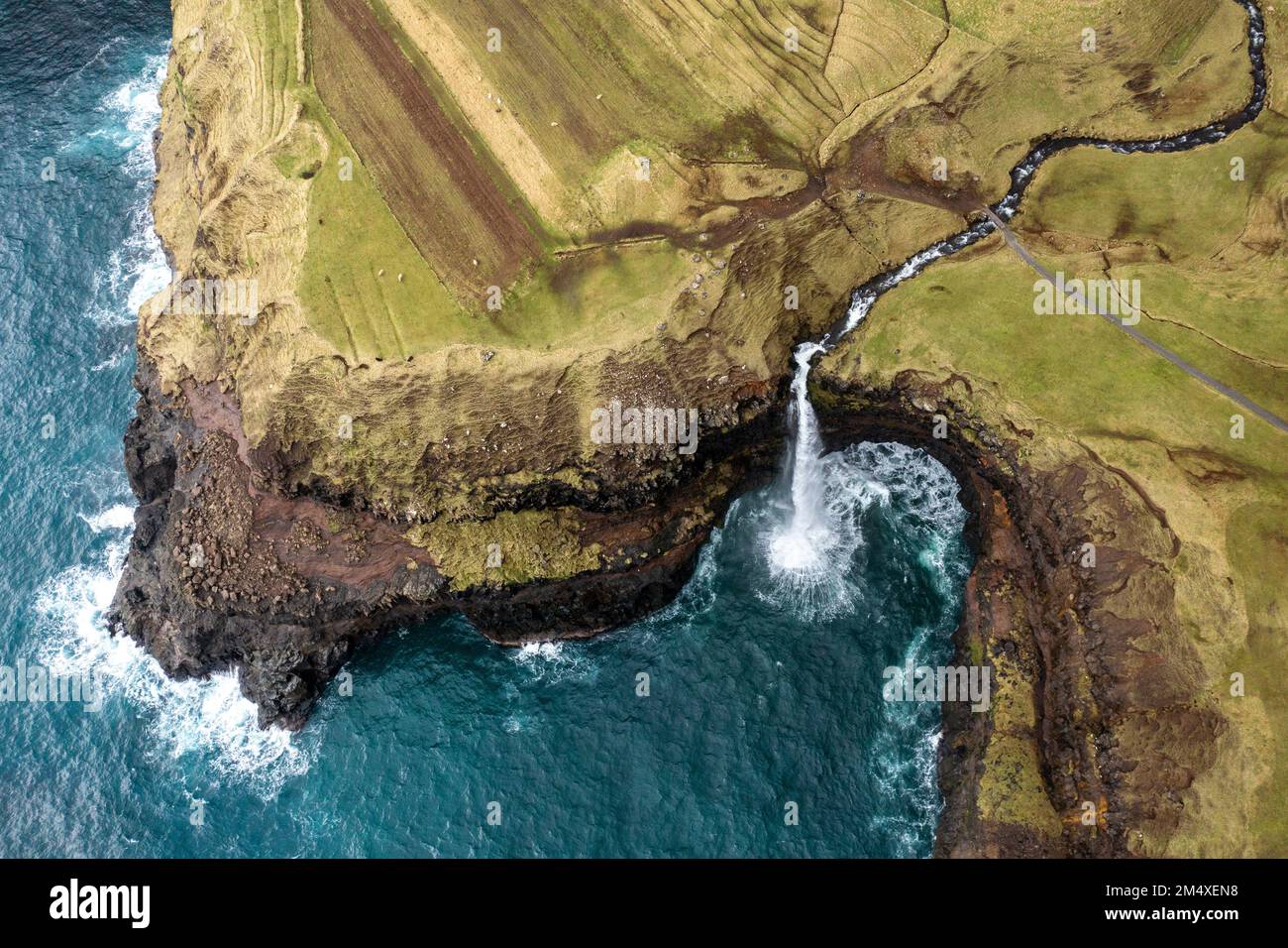 Mulafossur waterfall amidst rocky mountain by sea Stock Photohttps://www.alamy.com/image-license-details/?v=1https://www.alamy.com/mulafossur-waterfall-amidst-rocky-mountain-by-sea-image502141620.html
RF2M4XEN8–Mulafossur waterfall amidst rocky mountain by sea
 Aerial view of Colac rocky mountain peak with people, Dolomites (Canazei). Via Ferrata dei Finanzieri. Marmolada background Stock Photohttps://www.alamy.com/image-license-details/?v=1https://www.alamy.com/aerial-view-of-colac-rocky-mountain-peak-with-people-dolomites-canazei-via-ferrata-dei-finanzieri-marmolada-background-image626119189.html
RF2YAJ5BH–Aerial view of Colac rocky mountain peak with people, Dolomites (Canazei). Via Ferrata dei Finanzieri. Marmolada background
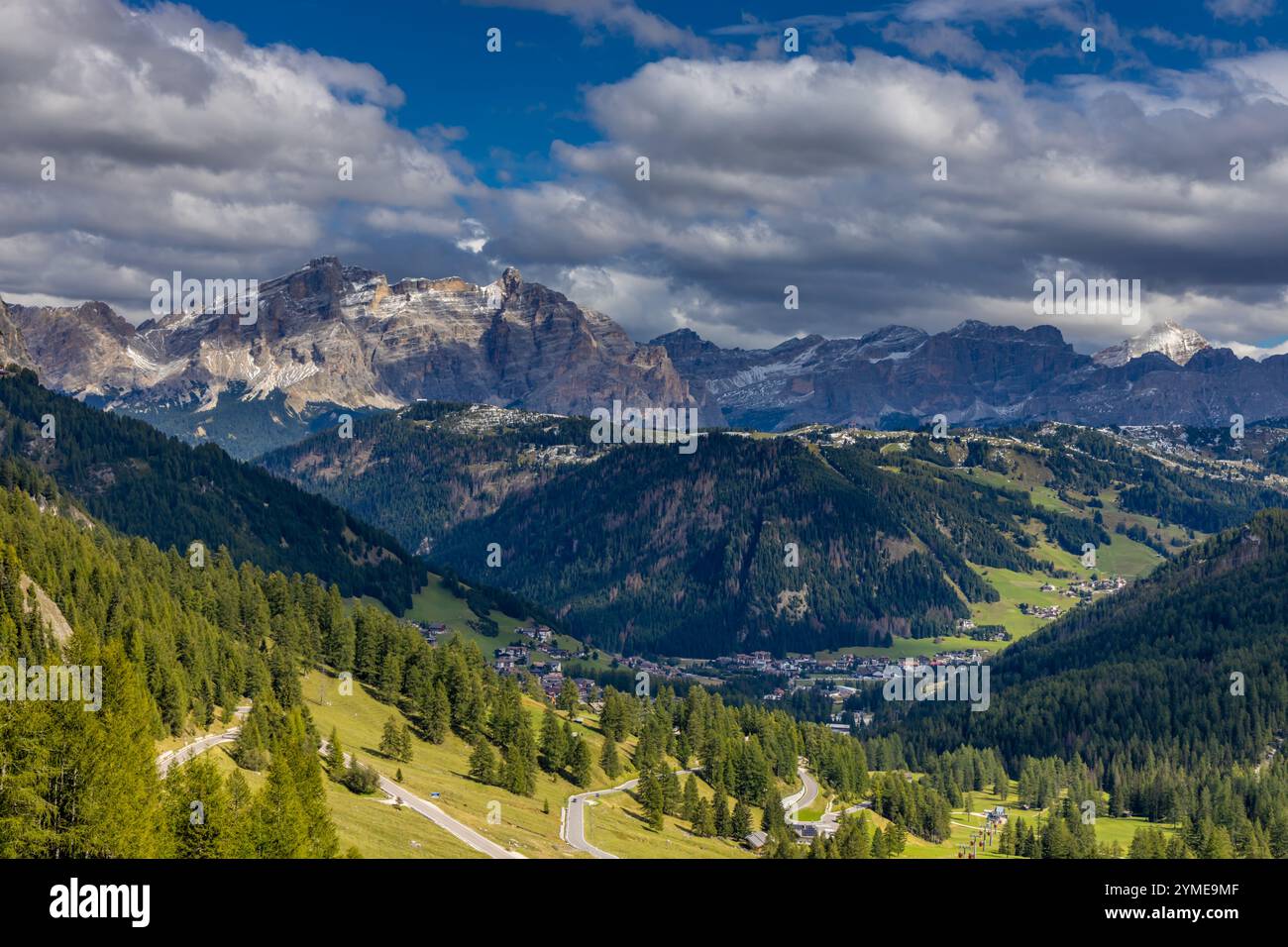 Aerial view of the Dolomites. Mountain landscape from above. Rocky peaks and mountain summits in the Alps scenic aerial view Stock Photohttps://www.alamy.com/image-license-details/?v=1https://www.alamy.com/aerial-view-of-the-dolomites-mountain-landscape-from-above-rocky-peaks-and-mountain-summits-in-the-alps-scenic-aerial-view-image632181327.html
RF2YME9MF–Aerial view of the Dolomites. Mountain landscape from above. Rocky peaks and mountain summits in the Alps scenic aerial view
 Aerial photo view from above rocky mountain coastline and Mediterranean Sea waters surf sunrise light. Breaking waves raging ocean background. Spain Stock Photohttps://www.alamy.com/image-license-details/?v=1https://www.alamy.com/aerial-photo-view-from-above-rocky-mountain-coastline-and-mediterranean-sea-waters-surf-sunrise-light-breaking-waves-raging-ocean-background-spain-image365600906.html
RF2C6PFK6–Aerial photo view from above rocky mountain coastline and Mediterranean Sea waters surf sunrise light. Breaking waves raging ocean background. Spain
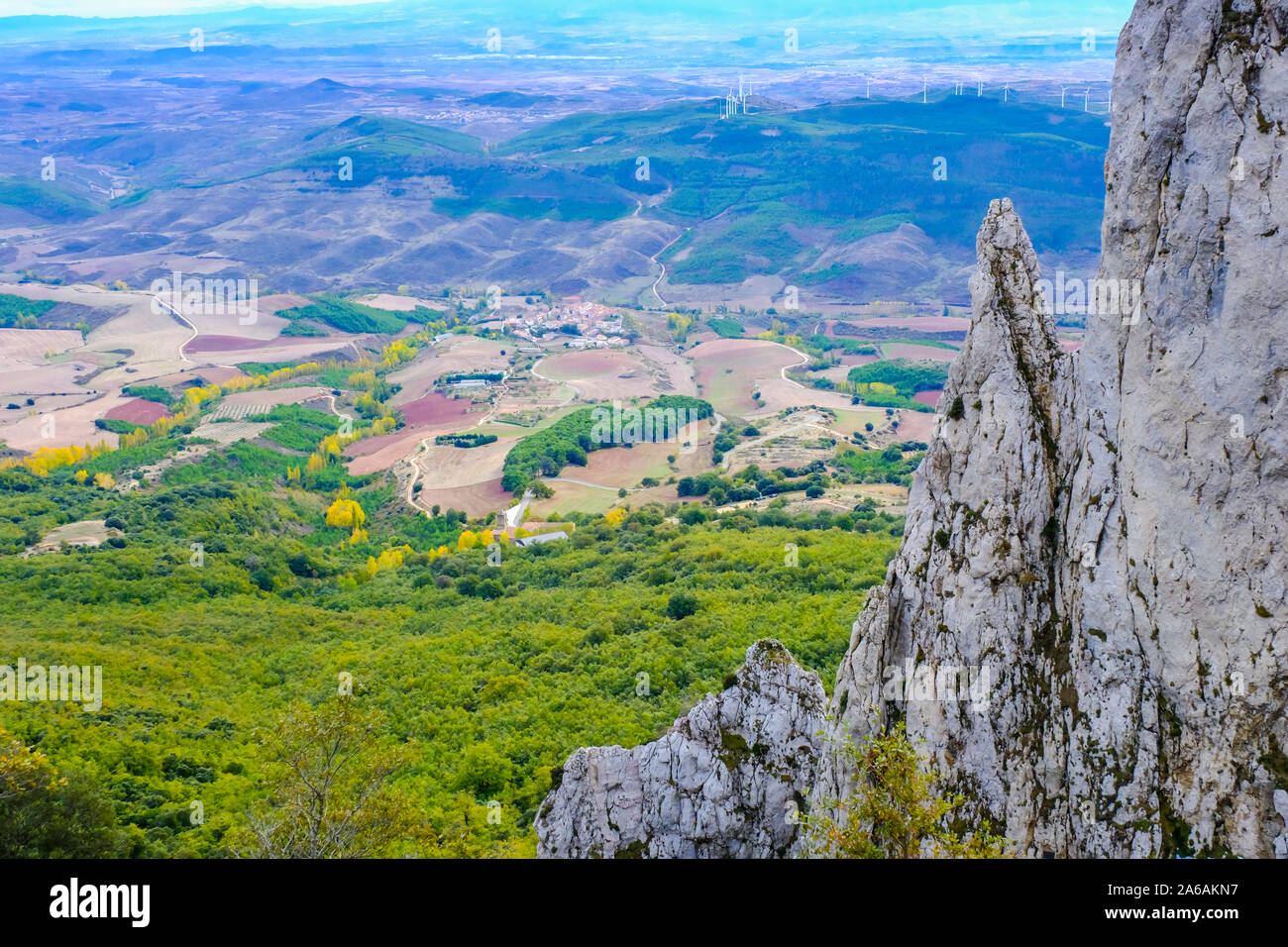 Mountain landscape drone view. Stock Photohttps://www.alamy.com/image-license-details/?v=1https://www.alamy.com/mountain-landscape-drone-view-image330919939.html
RM2A6AKN7–Mountain landscape drone view.
 Pueblo, Colorado - The Bighorn Solar Project. The 300 Megawatt facility will provide most of the power for the nearby Evraz Rocky Mountain Steel mill. Stock Photohttps://www.alamy.com/image-license-details/?v=1https://www.alamy.com/pueblo-colorado-the-bighorn-solar-project-the-300-megawatt-facility-will-provide-most-of-the-power-for-the-nearby-evraz-rocky-mountain-steel-mill-image466284210.html
RM2J2H27E–Pueblo, Colorado - The Bighorn Solar Project. The 300 Megawatt facility will provide most of the power for the nearby Evraz Rocky Mountain Steel mill.
 Panorama of central america nature aerial drone view Stock Photohttps://www.alamy.com/image-license-details/?v=1https://www.alamy.com/panorama-of-central-america-nature-aerial-drone-view-image567380062.html
RF2RY2B1J–Panorama of central america nature aerial drone view
 Aerial View of snow covered mountain in North Europe french alps Stock Photohttps://www.alamy.com/image-license-details/?v=1https://www.alamy.com/aerial-view-of-snow-covered-mountain-in-north-europe-french-alps-image416905589.html
RM2F67K99–Aerial View of snow covered mountain in North Europe french alps
 Greece, Kea Tzia island. Ioulida or Ioulis cityscape aerial drone view. Chora town red roofs white houses on the rocky mountain landscape, sunny day, Stock Photohttps://www.alamy.com/image-license-details/?v=1https://www.alamy.com/greece-kea-tzia-island-ioulida-or-ioulis-cityscape-aerial-drone-view-chora-town-red-roofs-white-houses-on-the-rocky-mountain-landscape-sunny-day-image433832721.html
RF2G5PP1N–Greece, Kea Tzia island. Ioulida or Ioulis cityscape aerial drone view. Chora town red roofs white houses on the rocky mountain landscape, sunny day,
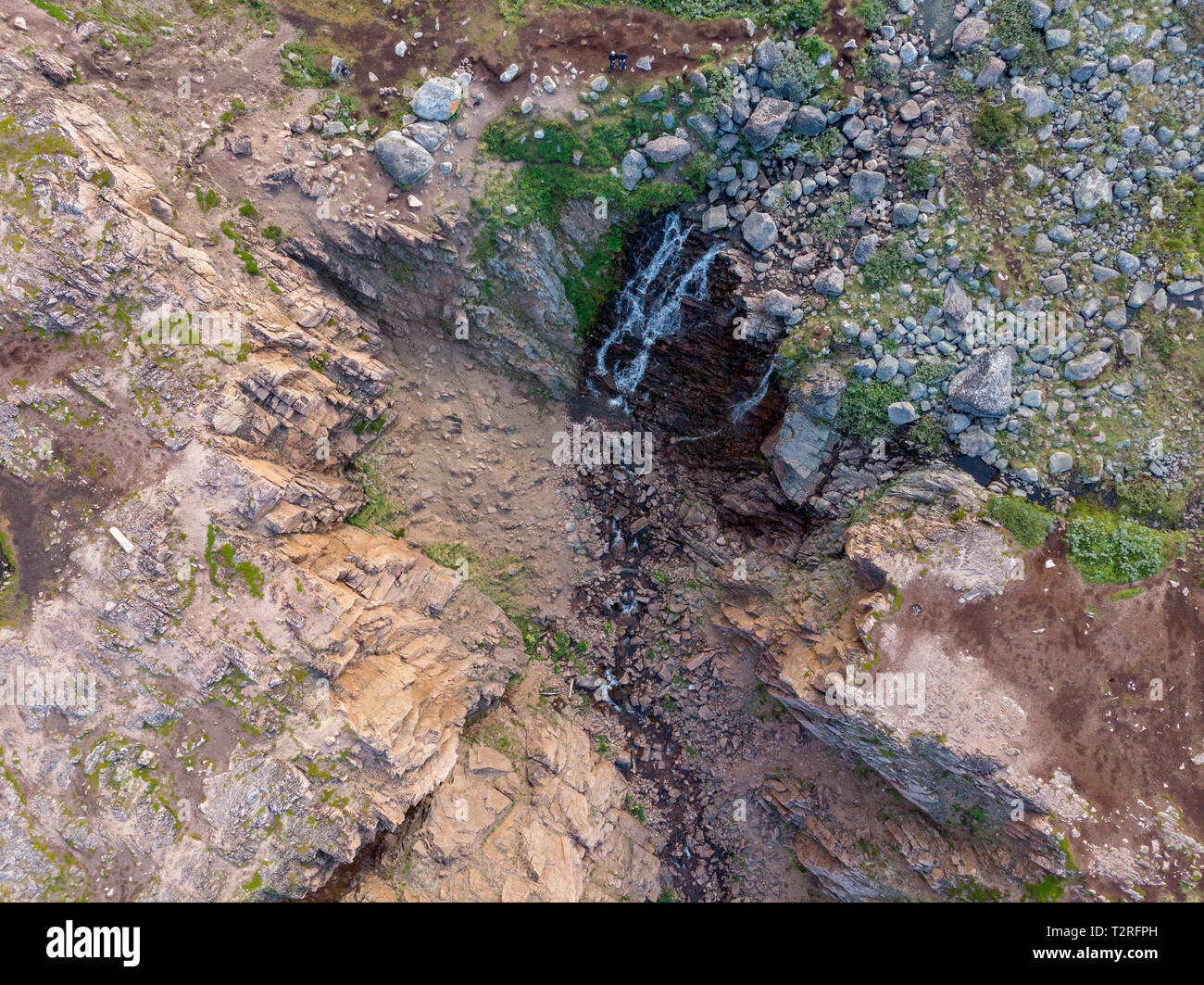 Mountain Waterfall with Drone Stock Photohttps://www.alamy.com/image-license-details/?v=1https://www.alamy.com/mountain-waterfall-with-drone-image242691753.html
RFT2RFPH–Mountain Waterfall with Drone
 Tre Cime di Lavaredo Dolomites Italy, drone photo Stock Photohttps://www.alamy.com/image-license-details/?v=1https://www.alamy.com/tre-cime-di-lavaredo-dolomites-italy-drone-photo-image614188270.html
RF2XK6KBA–Tre Cime di Lavaredo Dolomites Italy, drone photo
 Panoramic view of the Carpathian mountains in spring time, with the peaks covered in snow. Photography was shot from a drone at a higher altitude. Stock Photohttps://www.alamy.com/image-license-details/?v=1https://www.alamy.com/panoramic-view-of-the-carpathian-mountains-in-spring-time-with-the-peaks-covered-in-snow-photography-was-shot-from-a-drone-at-a-higher-altitude-image469450639.html
RF2J7N927–Panoramic view of the Carpathian mountains in spring time, with the peaks covered in snow. Photography was shot from a drone at a higher altitude.
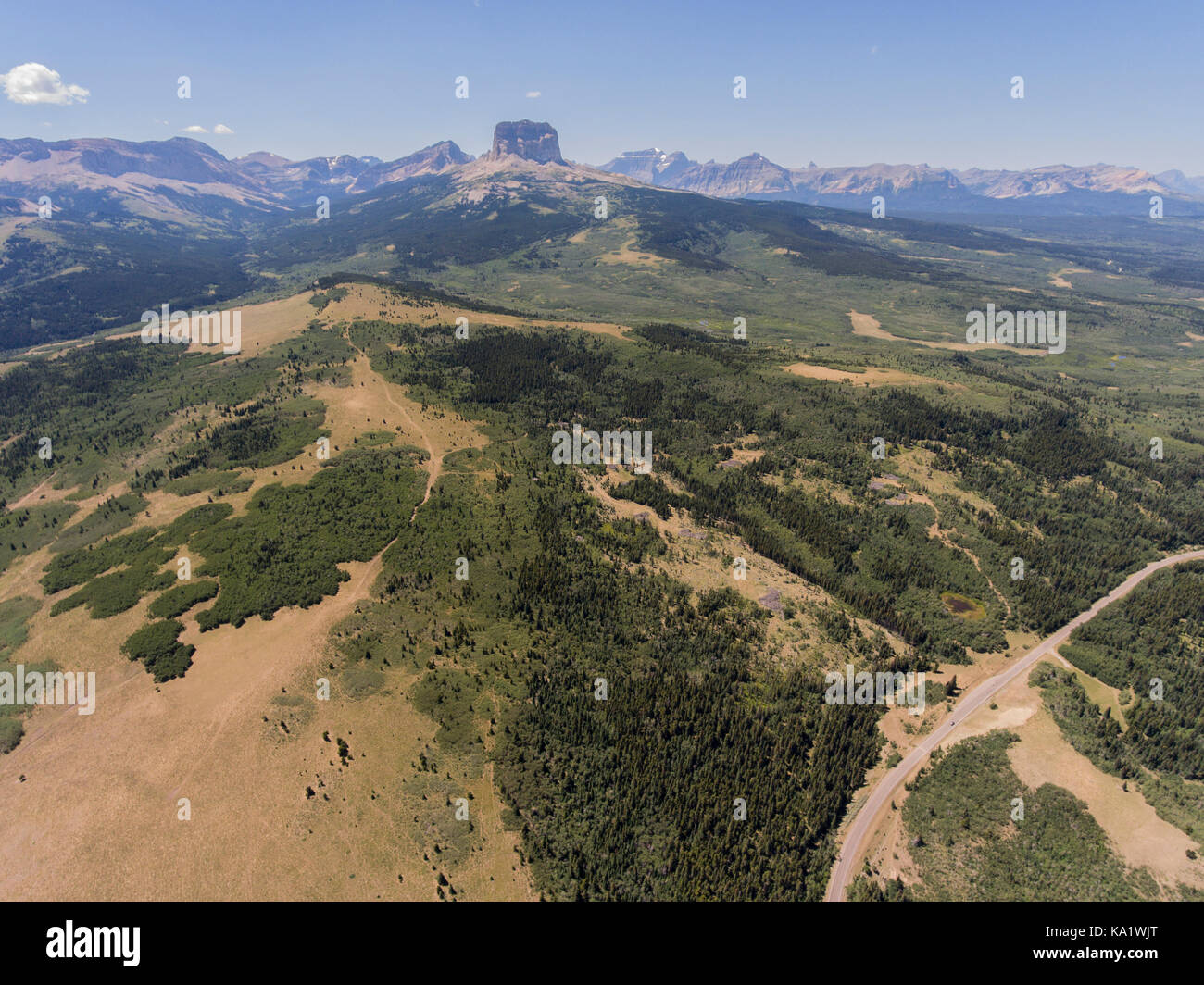 Aerial view to west of Chief Mountain and the Rocky Mountain Front from above the Chief Mountain Highway (MT 17), Glacier County, Montana, USA Stock Photohttps://www.alamy.com/image-license-details/?v=1https://www.alamy.com/stock-image-aerial-view-to-west-of-chief-mountain-and-the-rocky-mountain-front-161081952.html
RMKA1WJT–Aerial view to west of Chief Mountain and the Rocky Mountain Front from above the Chief Mountain Highway (MT 17), Glacier County, Montana, USA
 Drone photography of dolomite mountain peaks during summer day. Stock Photohttps://www.alamy.com/image-license-details/?v=1https://www.alamy.com/drone-photography-of-dolomite-mountain-peaks-during-summer-day-image510239104.html
RF2MJ3B54–Drone photography of dolomite mountain peaks during summer day.
 The coast of the Celtic Sea from a bird's-eye view. The rocky shores of Ireland. Drone photo. Stock Photohttps://www.alamy.com/image-license-details/?v=1https://www.alamy.com/the-coast-of-the-celtic-sea-from-a-birds-eye-view-the-rocky-shores-of-ireland-drone-photo-image502683720.html
RF2M5R660–The coast of the Celtic Sea from a bird's-eye view. The rocky shores of Ireland. Drone photo.
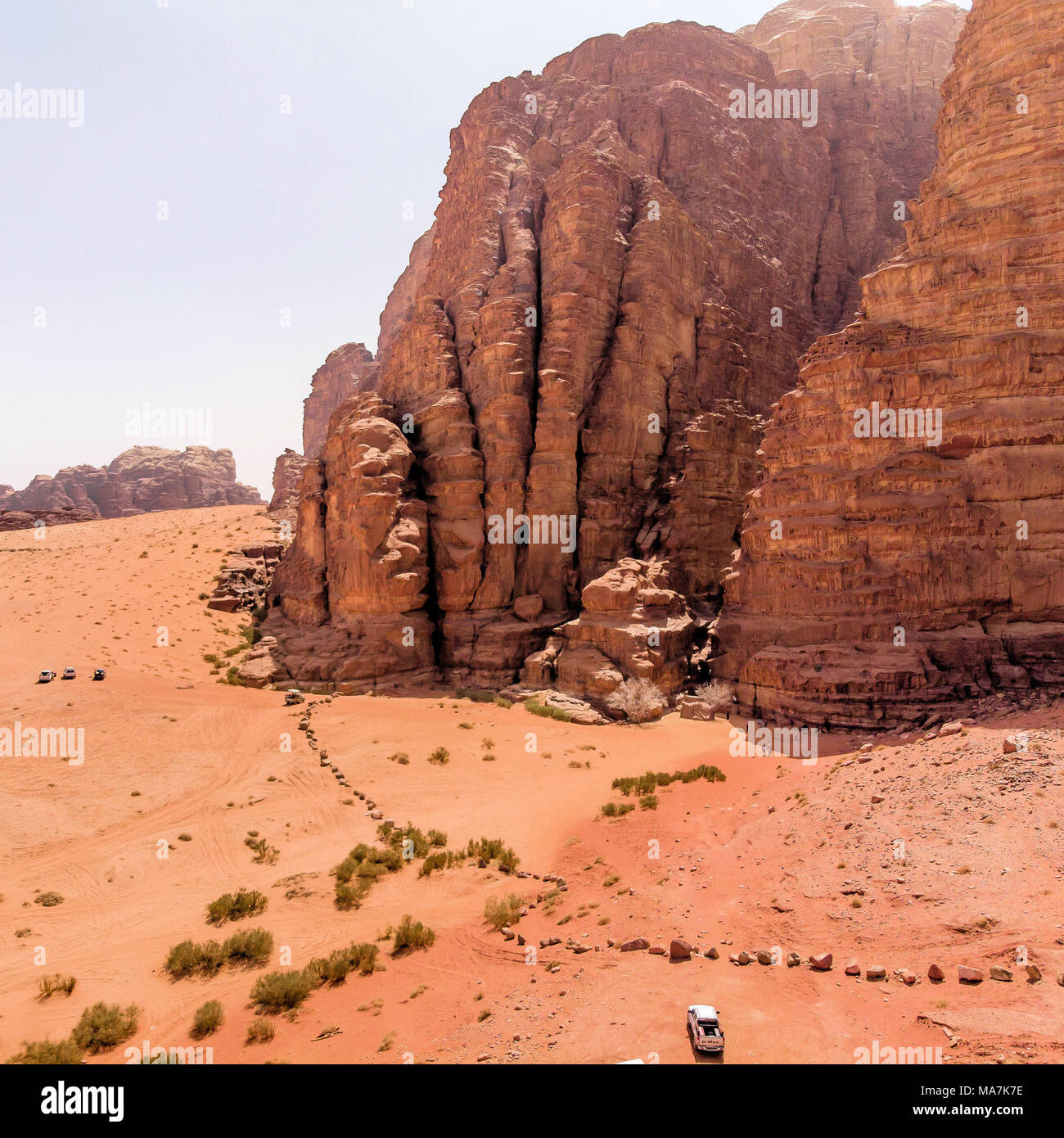 Aerial view of the Lawrence spring in the Jordanian desert near Wadi Rum, made with drone Stock Photohttps://www.alamy.com/image-license-details/?v=1https://www.alamy.com/aerial-view-of-the-lawrence-spring-in-the-jordanian-desert-near-wadi-rum-made-with-drone-image178419010.html
RFMA7K7E–Aerial view of the Lawrence spring in the Jordanian desert near Wadi Rum, made with drone
 Drone photography, Rocky Mountain National Park is an American national park located in north-central Colorado, within the Front Range of the Rocky Mo Stock Photohttps://www.alamy.com/image-license-details/?v=1https://www.alamy.com/drone-photography-rocky-mountain-national-park-is-an-american-national-park-located-in-north-central-colorado-within-the-front-range-of-the-rocky-mo-image511406603.html
RF2MM0G9F–Drone photography, Rocky Mountain National Park is an American national park located in north-central Colorado, within the Front Range of the Rocky Mo
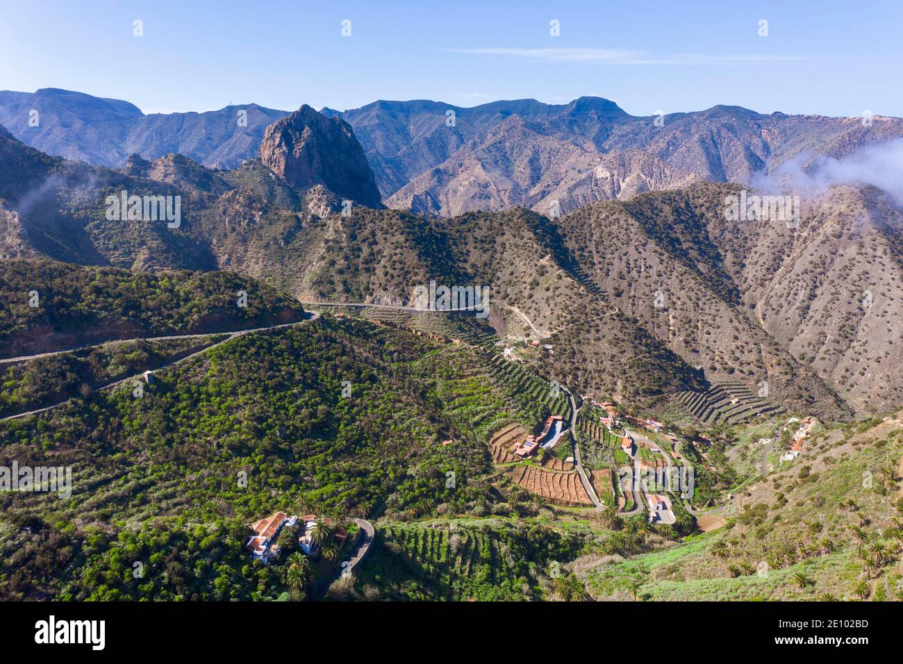 Tamargada settlement and Roque Cano mountain, near Vallehermosos, drone image, La Gomera, Canary Islands, Spain, Europe Stock Photohttps://www.alamy.com/image-license-details/?v=1https://www.alamy.com/tamargada-settlement-and-roque-cano-mountain-near-vallehermosos-drone-image-la-gomera-canary-islands-spain-europe-image396455009.html
RM2E102BD–Tamargada settlement and Roque Cano mountain, near Vallehermosos, drone image, La Gomera, Canary Islands, Spain, Europe
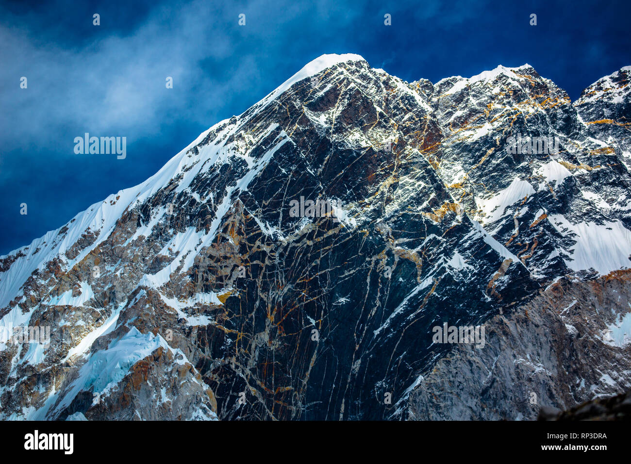 A mountain on the trek to Mount Everest in the Himalayas Stock Photohttps://www.alamy.com/image-license-details/?v=1https://www.alamy.com/a-mountain-on-the-trek-to-mount-everest-in-the-himalayas-image237333918.html
RMRP3DRA–A mountain on the trek to Mount Everest in the Himalayas
 Spain, Mallorca, Pollenca, Drone view of rocky coast of Formentor Peninsula Stock Photohttps://www.alamy.com/image-license-details/?v=1https://www.alamy.com/spain-mallorca-pollenca-drone-view-of-rocky-coast-of-formentor-peninsula-image354715138.html
RF2BH2JNP–Spain, Mallorca, Pollenca, Drone view of rocky coast of Formentor Peninsula
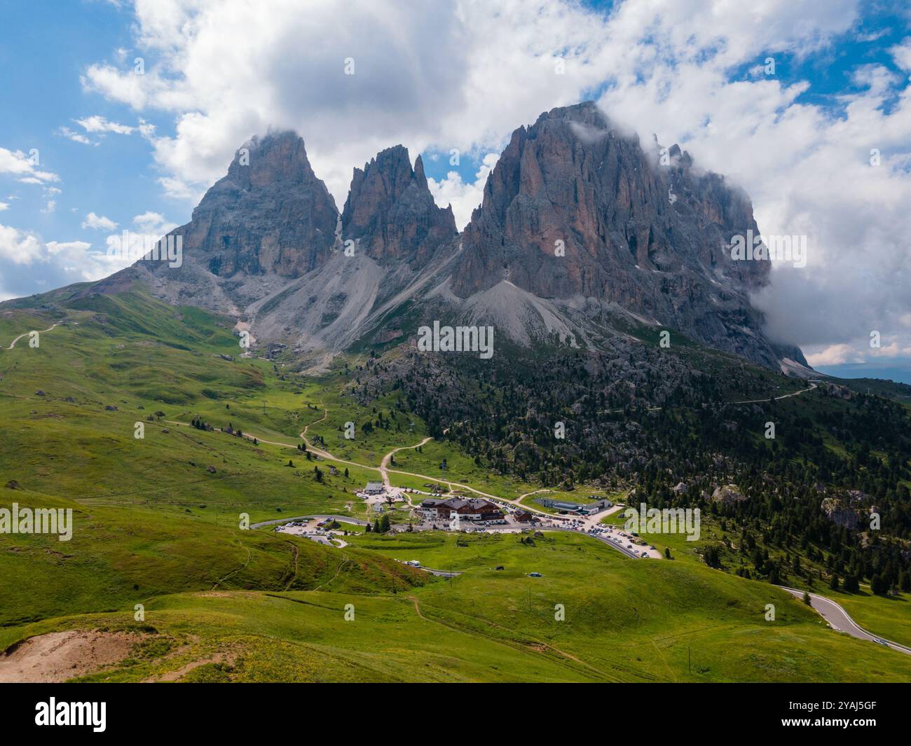 Passo Sella Città dei Sassi, Sassolungo (Sasslong), Dolomites. Rocky mountain peaks, green grass and clouds. aerial view Stock Photohttps://www.alamy.com/image-license-details/?v=1https://www.alamy.com/passo-sella-citt-dei-sassi-sassolungo-sasslong-dolomites-rocky-mountain-peaks-green-grass-and-clouds-aerial-view-image626119327.html
RF2YAJ5GF–Passo Sella Città dei Sassi, Sassolungo (Sasslong), Dolomites. Rocky mountain peaks, green grass and clouds. aerial view
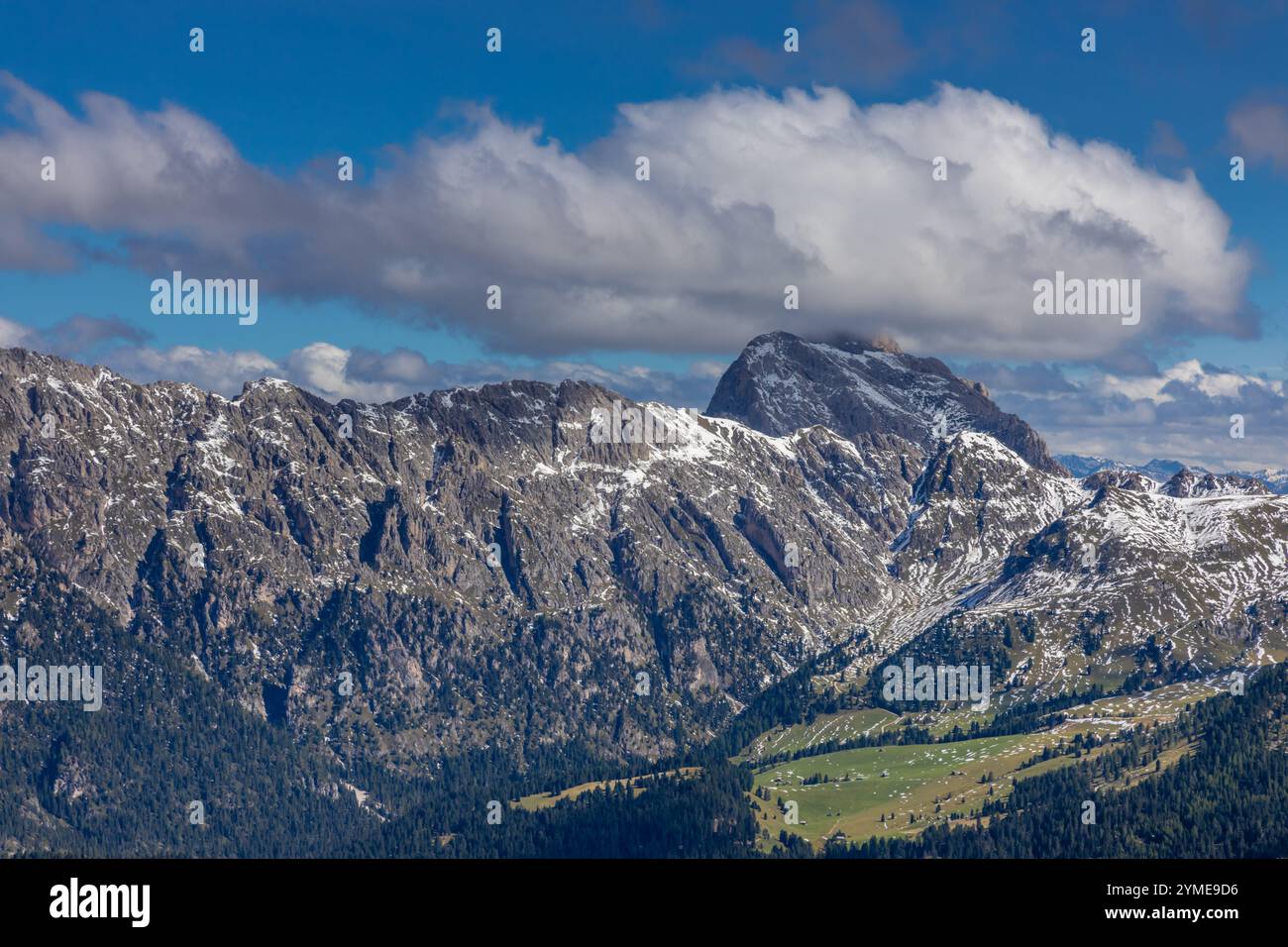 Aerial view of the Dolomites. Mountain landscape from above. Rocky peaks and mountain summits in the Alps scenic aerial view Stock Photohttps://www.alamy.com/image-license-details/?v=1https://www.alamy.com/aerial-view-of-the-dolomites-mountain-landscape-from-above-rocky-peaks-and-mountain-summits-in-the-alps-scenic-aerial-view-image632181122.html
RF2YME9D6–Aerial view of the Dolomites. Mountain landscape from above. Rocky peaks and mountain summits in the Alps scenic aerial view
 Panoramic aerial view of road in mountain scenery, passing lakes and meadows, road from E10 to village Nusfjord, Lofoten, Norway Stock Photohttps://www.alamy.com/image-license-details/?v=1https://www.alamy.com/panoramic-aerial-view-of-road-in-mountain-scenery-passing-lakes-and-meadows-road-from-e10-to-village-nusfjord-lofoten-norway-image448010396.html
RM2H0THR8–Panoramic aerial view of road in mountain scenery, passing lakes and meadows, road from E10 to village Nusfjord, Lofoten, Norway
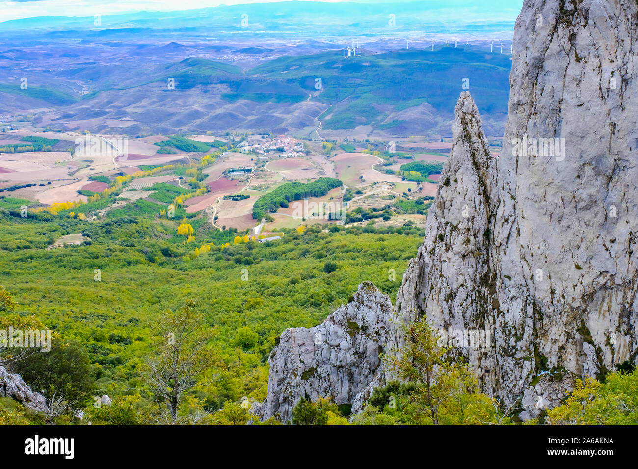 Mountain landscape drone view. Stock Photohttps://www.alamy.com/image-license-details/?v=1https://www.alamy.com/mountain-landscape-drone-view-image330919942.html
RM2A6AKNA–Mountain landscape drone view.
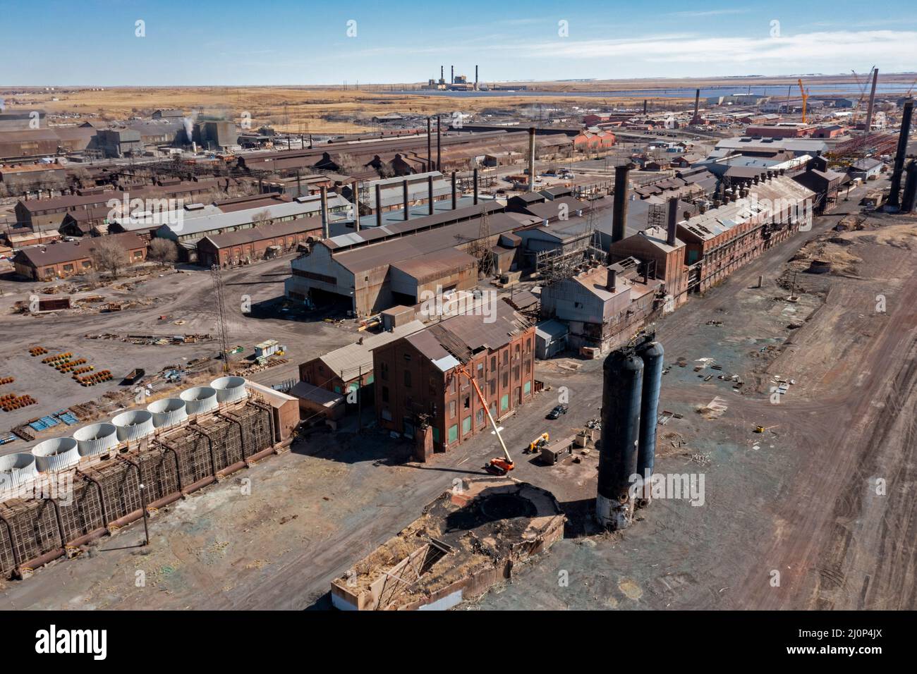 Pueblo, Colorado - The Evraz Rocky Mountain Steel mill. The large Russian mining and steel company, Evraz PLC, bought the mill in 2007. The company's Stock Photohttps://www.alamy.com/image-license-details/?v=1https://www.alamy.com/pueblo-colorado-the-evraz-rocky-mountain-steel-mill-the-large-russian-mining-and-steel-company-evraz-plc-bought-the-mill-in-2007-the-companys-image465166546.html
RM2J0P4JX–Pueblo, Colorado - The Evraz Rocky Mountain Steel mill. The large Russian mining and steel company, Evraz PLC, bought the mill in 2007. The company's
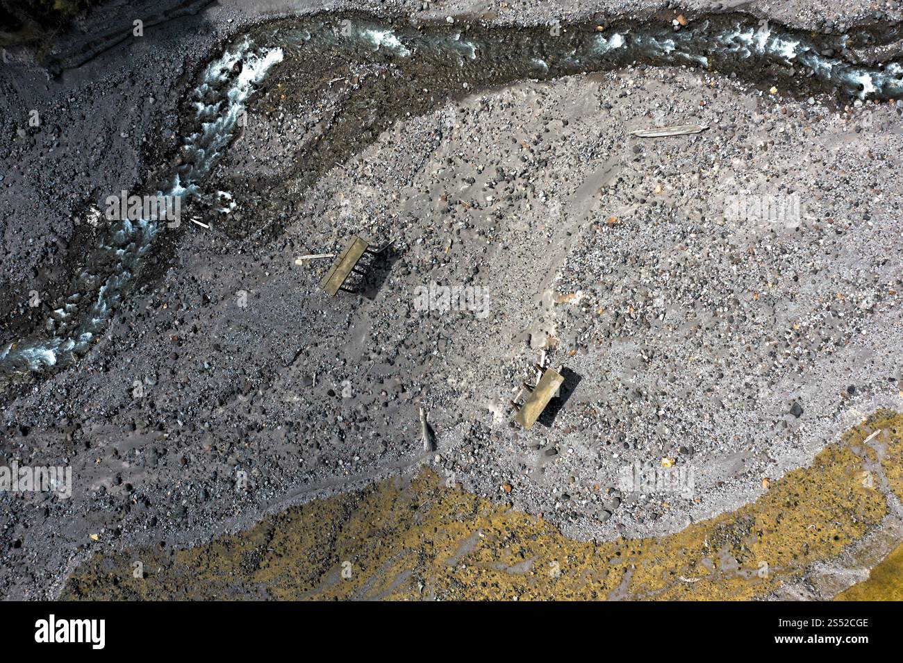 Aerial View of meandering Stream and Rocky Terrain With Ruins in Remote Valley, Gifford Pinchot National Forest, Washington Stock Photohttps://www.alamy.com/image-license-details/?v=1https://www.alamy.com/aerial-view-of-meandering-stream-and-rocky-terrain-with-ruins-in-remote-valley-gifford-pinchot-national-forest-washington-image639910670.html
RM2S52CGE–Aerial View of meandering Stream and Rocky Terrain With Ruins in Remote Valley, Gifford Pinchot National Forest, Washington
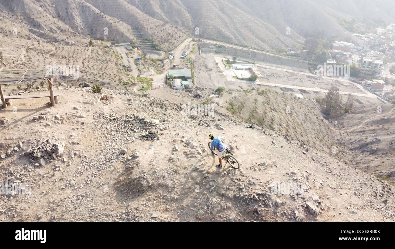 Man riding mountain bikes along the barren rocky terrain Stock Photohttps://www.alamy.com/image-license-details/?v=1https://www.alamy.com/man-riding-mountain-bikes-along-the-barren-rocky-terrain-image397581322.html
RF2E2RB0X–Man riding mountain bikes along the barren rocky terrain
 Greece, Kea Tzia island. Ioulida or Ioulis cityscape aerial drone view. Chora town red roofs white houses on the rocky mountain landscape, sunny day, Stock Photohttps://www.alamy.com/image-license-details/?v=1https://www.alamy.com/greece-kea-tzia-island-ioulida-or-ioulis-cityscape-aerial-drone-view-chora-town-red-roofs-white-houses-on-the-rocky-mountain-landscape-sunny-day-image433832910.html
RF2G5PP8E–Greece, Kea Tzia island. Ioulida or Ioulis cityscape aerial drone view. Chora town red roofs white houses on the rocky mountain landscape, sunny day,
 Aerial view of Kok-Zhailau in the Ile-Alatau national park in Kazakhstan. Central Asia Travel. Drone Photography Kazakhstan. Stock Photohttps://www.alamy.com/image-license-details/?v=1https://www.alamy.com/aerial-view-of-kok-zhailau-in-the-ile-alatau-national-park-in-kazakhstan-central-asia-travel-drone-photography-kazakhstan-image556575737.html
RF2R9E60W–Aerial view of Kok-Zhailau in the Ile-Alatau national park in Kazakhstan. Central Asia Travel. Drone Photography Kazakhstan.
 Tre Cime di Lavaredo Dolomites Italy, drone photo Stock Photohttps://www.alamy.com/image-license-details/?v=1https://www.alamy.com/tre-cime-di-lavaredo-dolomites-italy-drone-photo-image614188271.html
RF2XK6KBB–Tre Cime di Lavaredo Dolomites Italy, drone photo
 Panoramic view of the Carpathian mountains in spring time, with the peaks covered in snow. Photography was shot from a drone at a higher altitude. Stock Photohttps://www.alamy.com/image-license-details/?v=1https://www.alamy.com/panoramic-view-of-the-carpathian-mountains-in-spring-time-with-the-peaks-covered-in-snow-photography-was-shot-from-a-drone-at-a-higher-altitude-image469450592.html
RF2J7N90G–Panoramic view of the Carpathian mountains in spring time, with the peaks covered in snow. Photography was shot from a drone at a higher altitude.
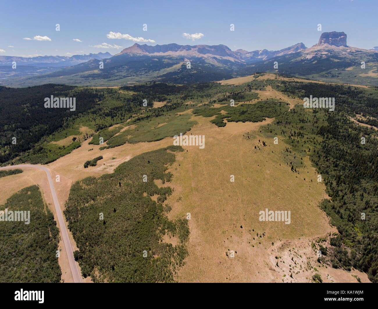 Aerial view to west of Chief Mountain and the Rocky Mountain Front from above the Chief Mountain Highway (MT 17), Glacier County, Montana, USA Stock Photohttps://www.alamy.com/image-license-details/?v=1https://www.alamy.com/stock-image-aerial-view-to-west-of-chief-mountain-and-the-rocky-mountain-front-161081948.html
RMKA1WJM–Aerial view to west of Chief Mountain and the Rocky Mountain Front from above the Chief Mountain Highway (MT 17), Glacier County, Montana, USA
 Drone photography of dolomite mountain peaks during summer day. Stock Photohttps://www.alamy.com/image-license-details/?v=1https://www.alamy.com/drone-photography-of-dolomite-mountain-peaks-during-summer-day-image510239124.html
RF2MJ3B5T–Drone photography of dolomite mountain peaks during summer day.
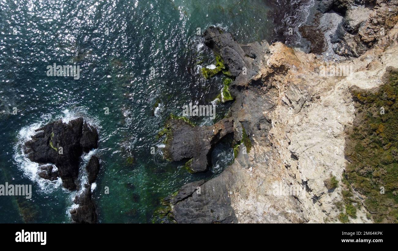 The coast of the Celtic Sea from a bird's-eye view. The rocky shores of Ireland. Drone point of view. Stock Photohttps://www.alamy.com/image-license-details/?v=1https://www.alamy.com/the-coast-of-the-celtic-sea-from-a-birds-eye-view-the-rocky-shores-of-ireland-drone-point-of-view-image502891947.html
RF2M64KPK–The coast of the Celtic Sea from a bird's-eye view. The rocky shores of Ireland. Drone point of view.
 Wadi Rum, Jordan, March 8, 2018: Aerial view of the Lawrence spring in the Jordanian desert near Wadi Rum, made with drone Stock Photohttps://www.alamy.com/image-license-details/?v=1https://www.alamy.com/stock-photo-wadi-rum-jordan-march-8-2018-aerial-view-of-the-lawrence-spring-in-177551380.html
RFM8T4GM–Wadi Rum, Jordan, March 8, 2018: Aerial view of the Lawrence spring in the Jordanian desert near Wadi Rum, made with drone
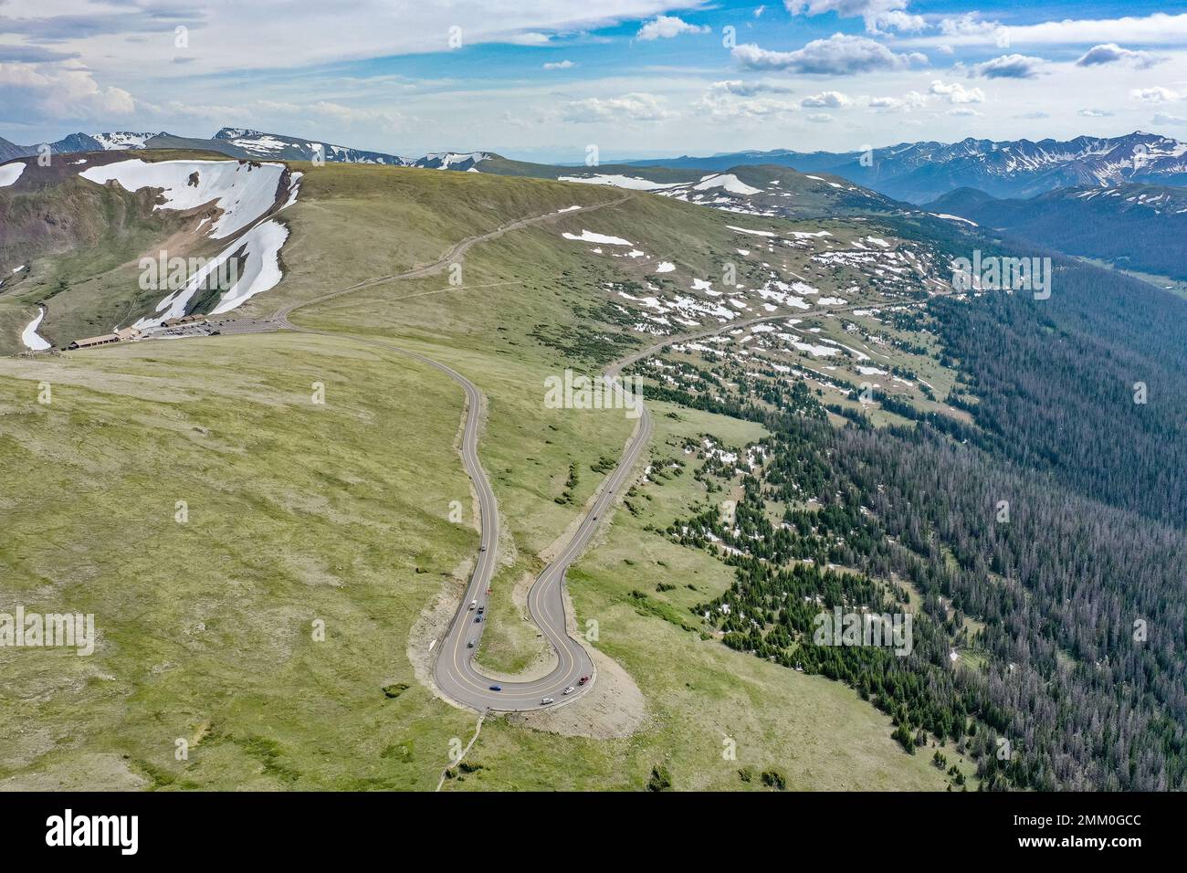 Drone photography, Rocky Mountain National Park is an American national park located in north-central Colorado, within the Front Range of the Rocky Mo Stock Photohttps://www.alamy.com/image-license-details/?v=1https://www.alamy.com/drone-photography-rocky-mountain-national-park-is-an-american-national-park-located-in-north-central-colorado-within-the-front-range-of-the-rocky-mo-image511406684.html
RF2MM0GCC–Drone photography, Rocky Mountain National Park is an American national park located in north-central Colorado, within the Front Range of the Rocky Mo
 Panorama from Barranco de Erque with Table Mountain Fortaleza, drone shot, La Gomera, Canary Islands, Spain, Europe Stock Photohttps://www.alamy.com/image-license-details/?v=1https://www.alamy.com/panorama-from-barranco-de-erque-with-table-mountain-fortaleza-drone-shot-la-gomera-canary-islands-spain-europe-image396455017.html
RM2E102BN–Panorama from Barranco de Erque with Table Mountain Fortaleza, drone shot, La Gomera, Canary Islands, Spain, Europe
 Aerial shot rocky mountain top, drone point of view Penyal d Ifac Natural Park of Calpe, panorama during dawn. Province of Alicante. Spain. Travel and Stock Photohttps://www.alamy.com/image-license-details/?v=1https://www.alamy.com/aerial-shot-rocky-mountain-top-drone-point-of-view-penyal-d-ifac-natural-park-of-calpe-panorama-during-dawn-province-of-alicante-spain-travel-and-image455713245.html
RF2HDBEW1–Aerial shot rocky mountain top, drone point of view Penyal d Ifac Natural Park of Calpe, panorama during dawn. Province of Alicante. Spain. Travel and
 Idyllic shot of rocky mountain peaks, Sesto Dolomites, Dolomites, Alto Adige, Italy Stock Photohttps://www.alamy.com/image-license-details/?v=1https://www.alamy.com/idyllic-shot-of-rocky-mountain-peaks-sesto-dolomites-dolomites-alto-adige-italy-image383342107.html
RF2D7JMNF–Idyllic shot of rocky mountain peaks, Sesto Dolomites, Dolomites, Alto Adige, Italy
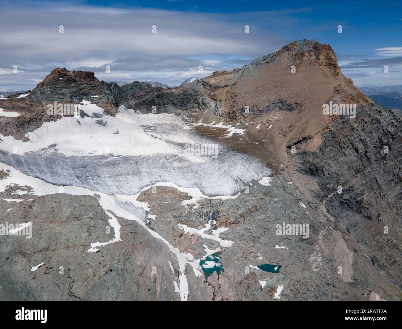 drone aerial view of Ciamarella peak, glacier and small glacial lakes, Italian Alps (Valli di Lanzo). mountain landscape Stock Photohttps://www.alamy.com/image-license-details/?v=1https://www.alamy.com/drone-aerial-view-of-ciamarella-peak-glacier-and-small-glacial-lakes-italian-alps-valli-di-lanzo-mountain-landscape-image566445442.html
RF2RWFPXA–drone aerial view of Ciamarella peak, glacier and small glacial lakes, Italian Alps (Valli di Lanzo). mountain landscape
 Aerial view of the Dolomites. Mountain landscape from above. Rocky peaks and mountain summits in the Alps scenic aerial view Stock Photohttps://www.alamy.com/image-license-details/?v=1https://www.alamy.com/aerial-view-of-the-dolomites-mountain-landscape-from-above-rocky-peaks-and-mountain-summits-in-the-alps-scenic-aerial-view-image632186962.html
RF2YMEGWP–Aerial view of the Dolomites. Mountain landscape from above. Rocky peaks and mountain summits in the Alps scenic aerial view