Quick filters:
Rostock map Stock Photos and Images
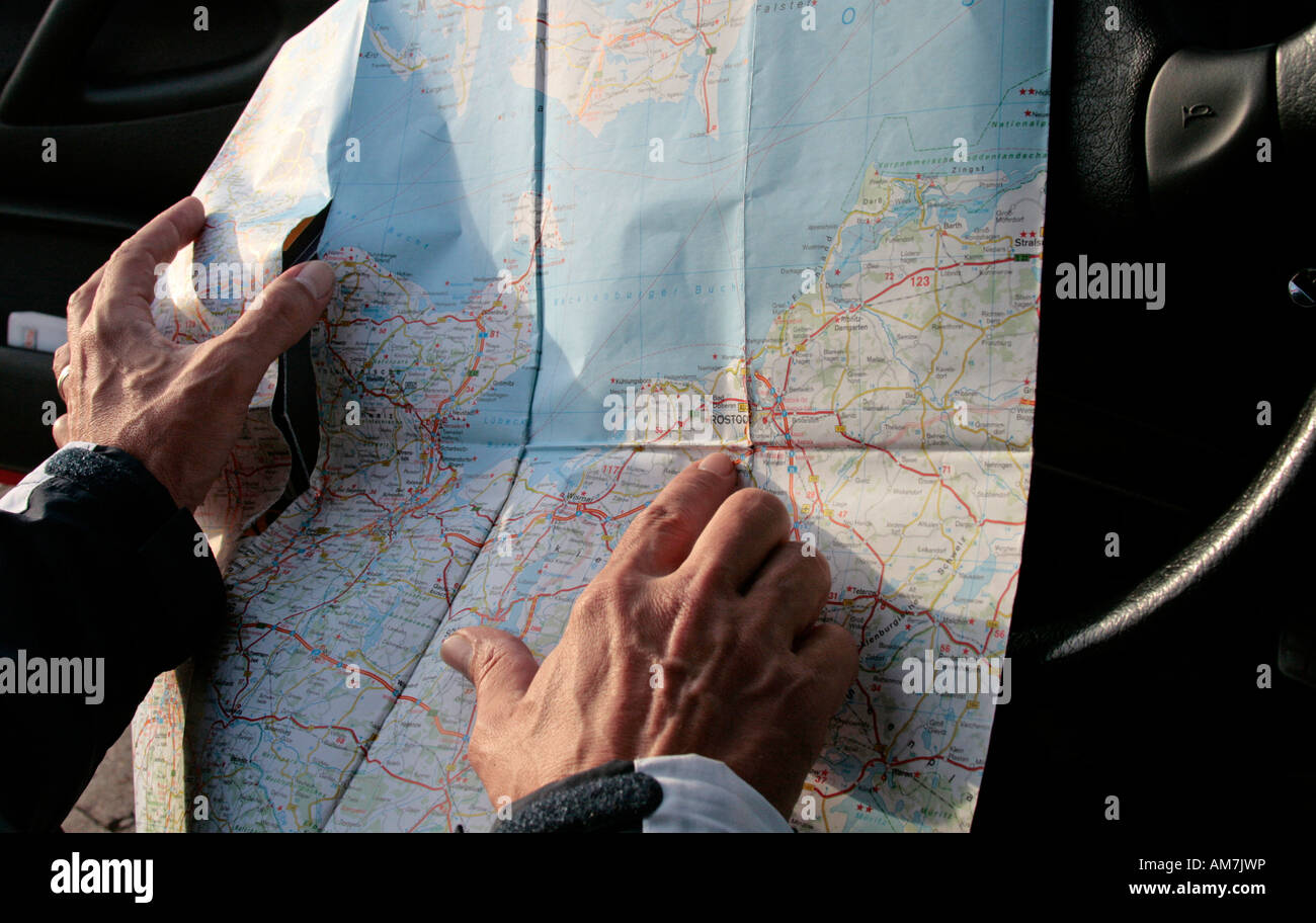 Searching for a destination the conventional way with a map, Germany Stock Photohttps://www.alamy.com/image-license-details/?v=1https://www.alamy.com/stock-photo-searching-for-a-destination-the-conventional-way-with-a-map-germany-15175185.html
RFAM7JWP–Searching for a destination the conventional way with a map, Germany
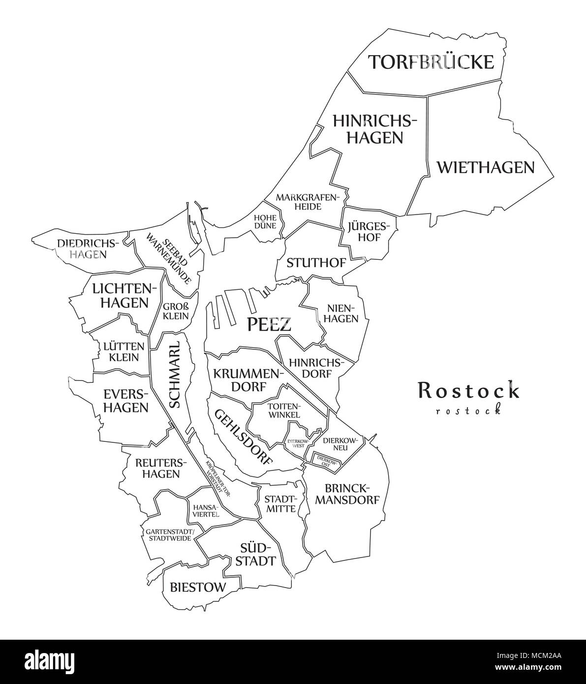 Modern City Map - Rostock city of Germany with boroughs and titles DE outline map Stock Vectorhttps://www.alamy.com/image-license-details/?v=1https://www.alamy.com/modern-city-map-rostock-city-of-germany-with-boroughs-and-titles-de-outline-map-image179920450.html
RFMCM2AA–Modern City Map - Rostock city of Germany with boroughs and titles DE outline map
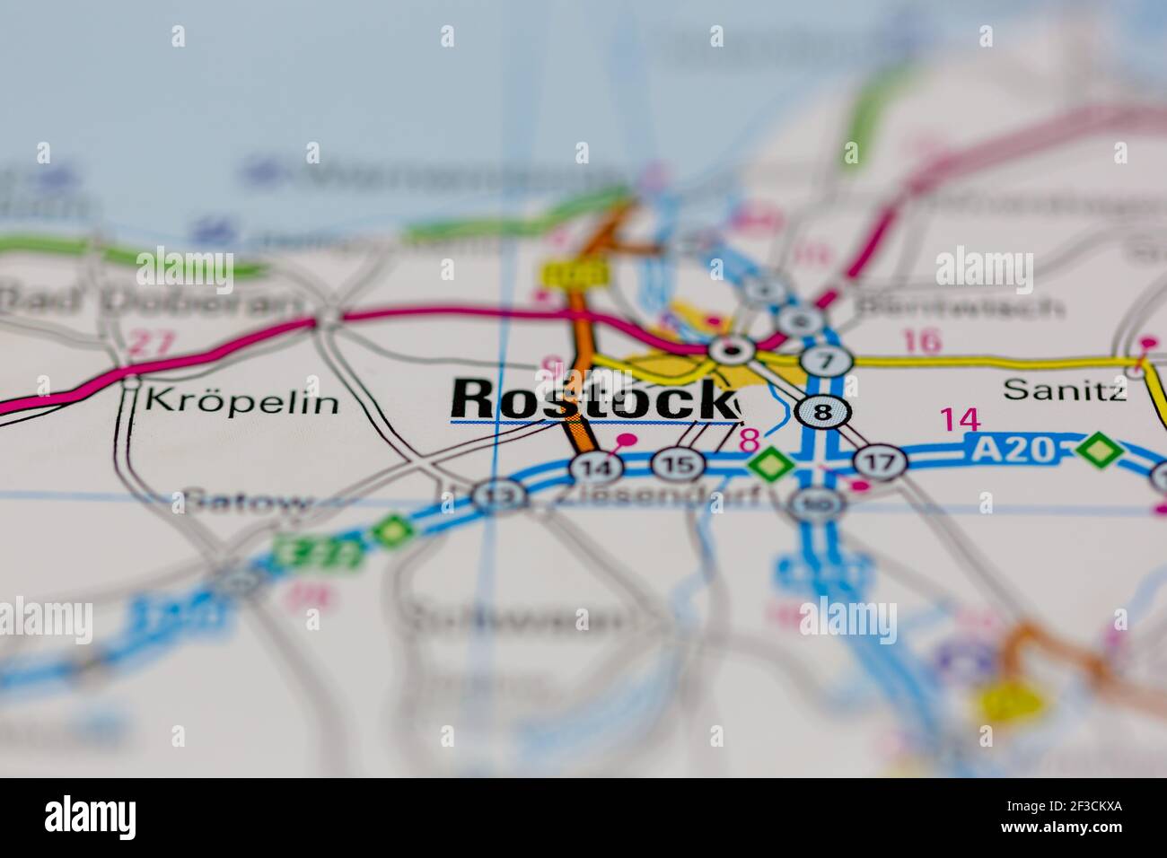 Rostock Shown on a geography map or road map Stock Photohttps://www.alamy.com/image-license-details/?v=1https://www.alamy.com/rostock-shown-on-a-geography-map-or-road-map-image415171858.html
RM2F3CKXA–Rostock Shown on a geography map or road map
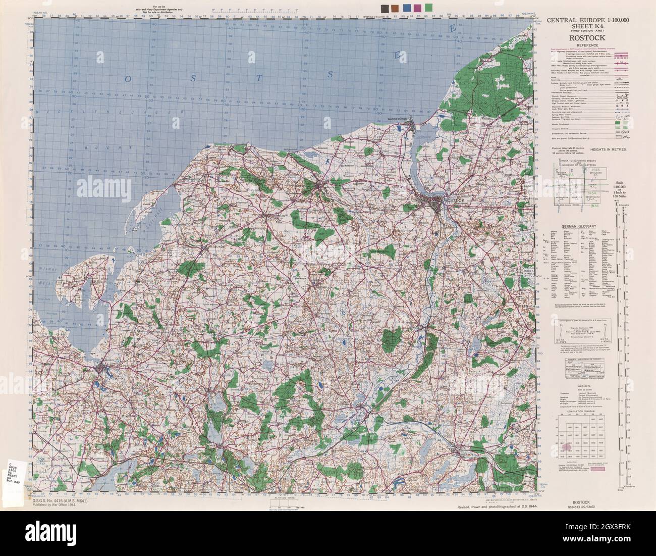 MAP CENTRAL EUROPE ROSTOCK 1944 Stock Photohttps://www.alamy.com/image-license-details/?v=1https://www.alamy.com/map-central-europe-rostock-1944-image446318535.html
RF2GX3FRK–MAP CENTRAL EUROPE ROSTOCK 1944
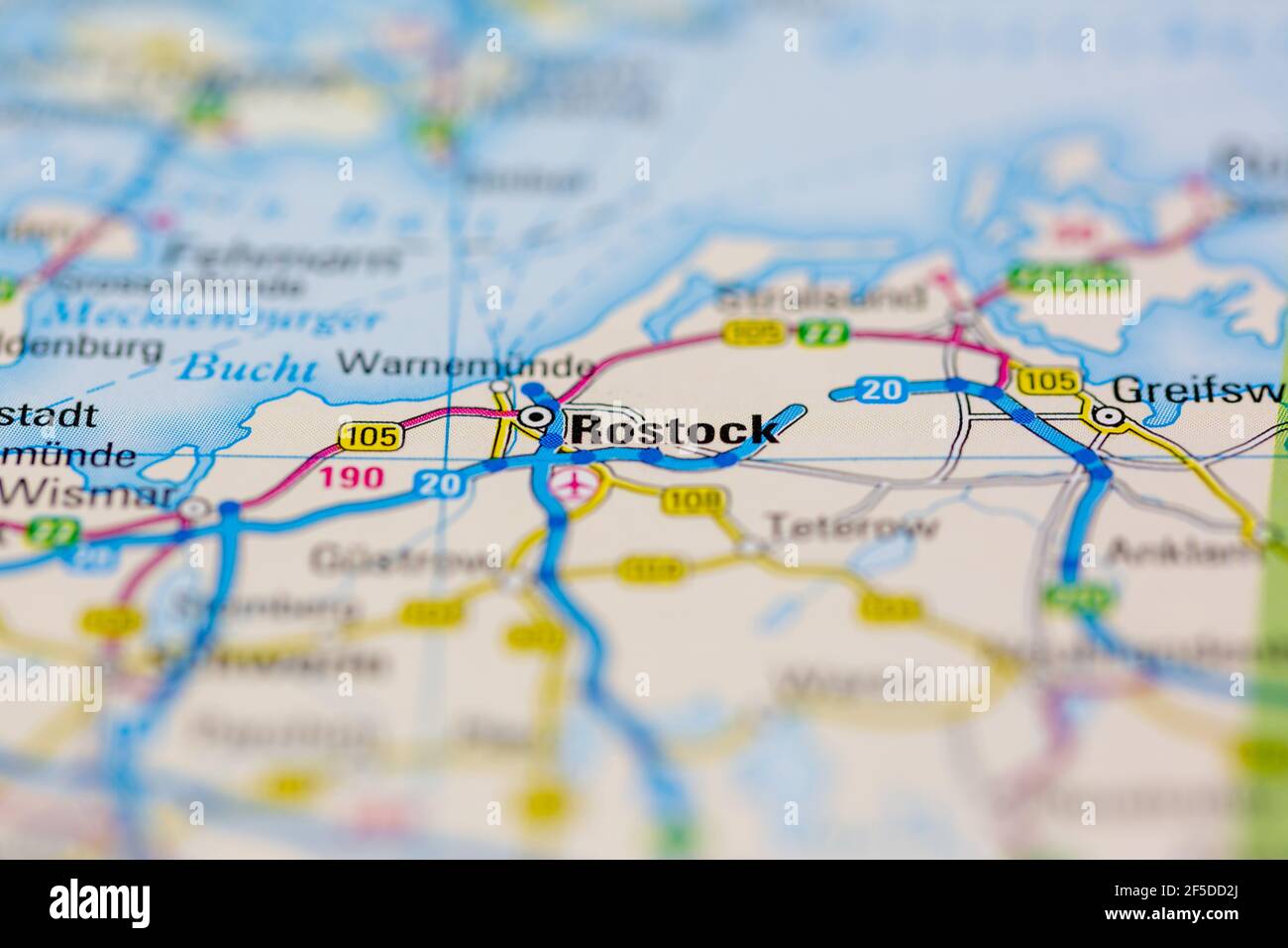 Rostock and surrounding areas Shown on a Geography map or road map Stock Photohttps://www.alamy.com/image-license-details/?v=1https://www.alamy.com/rostock-and-surrounding-areas-shown-on-a-geography-map-or-road-map-image416417754.html
RM2F5DD2J–Rostock and surrounding areas Shown on a Geography map or road map
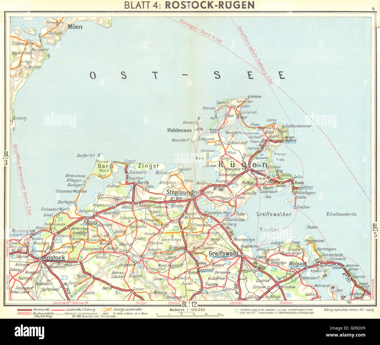 GERMANY: Rostock Rügen, 1936 vintage map Stock Photohttps://www.alamy.com/image-license-details/?v=1https://www.alamy.com/stock-photo-germany-rostock-rgen-1936-vintage-map-103461885.html
RFG092K9–GERMANY: Rostock Rügen, 1936 vintage map
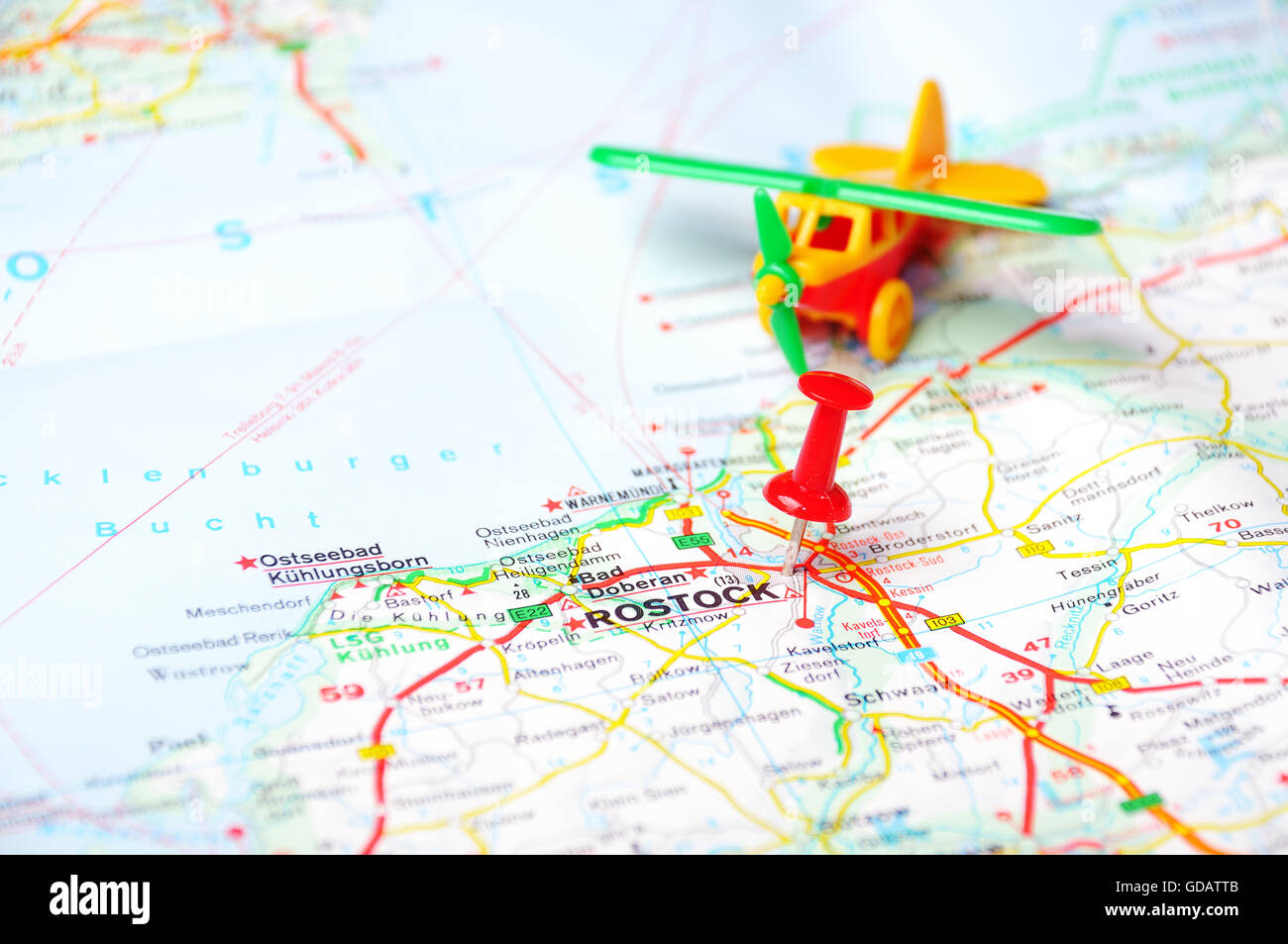 Close up of Rostock map with red pin and airplan - Travel concept Stock Photohttps://www.alamy.com/image-license-details/?v=1https://www.alamy.com/stock-photo-close-up-of-rostock-map-with-red-pin-and-airplan-travel-concept-111491755.html
RFGDATTB–Close up of Rostock map with red pin and airplan - Travel concept
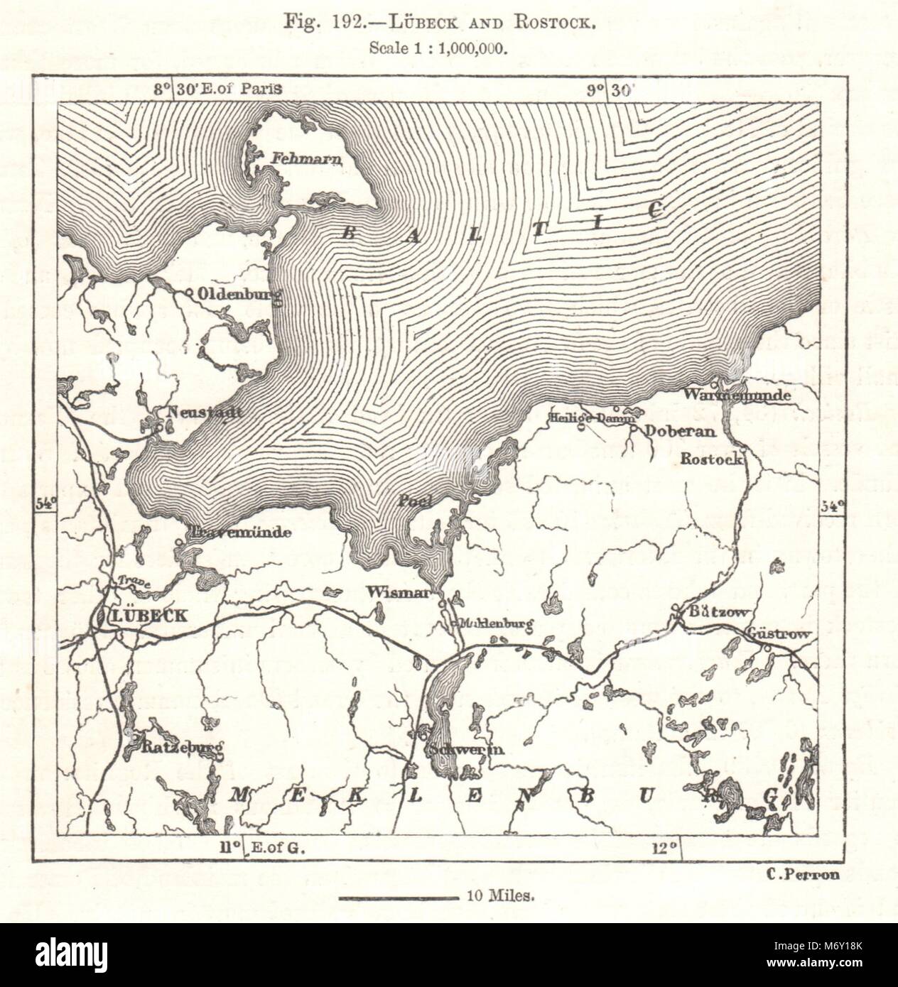 Lübeck and Rostock. Mecklenburg. Germany. Sketch map 1885 old antique Stock Photohttps://www.alamy.com/image-license-details/?v=1https://www.alamy.com/stock-photo-lbeck-and-rostock-mecklenburg-germany-sketch-map-1885-old-antique-176385347.html
RFM6Y18K–Lübeck and Rostock. Mecklenburg. Germany. Sketch map 1885 old antique
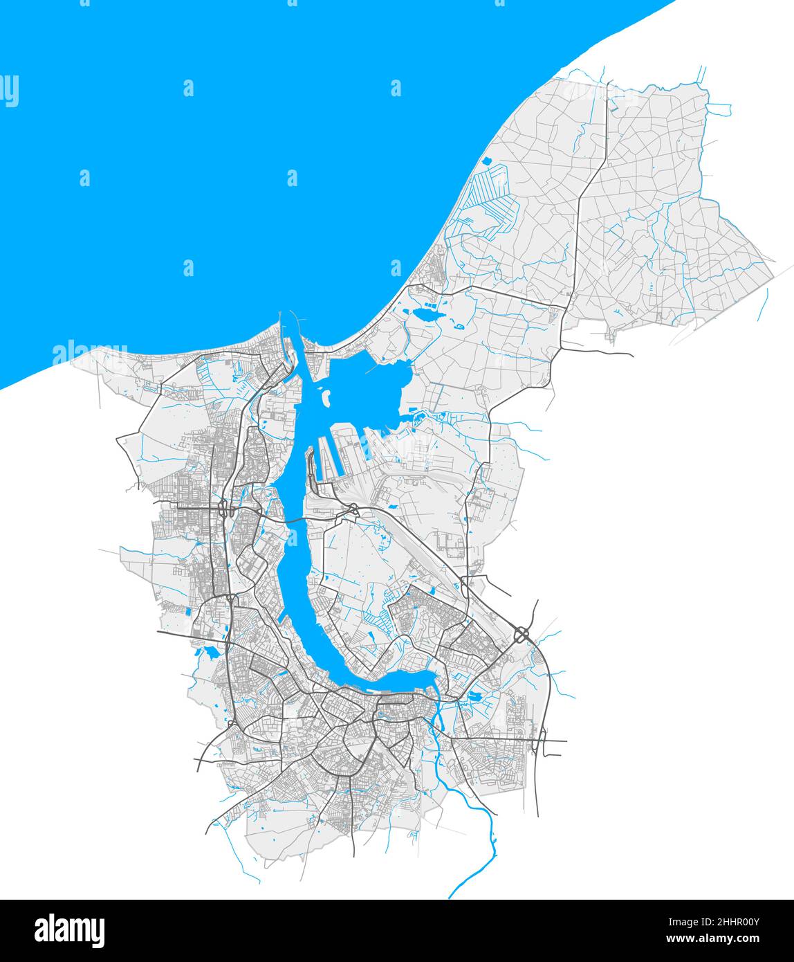 Rostock, Mecklenburg-Western Pomerania, Germany high resolution vector map with city boundaries and editable paths. White outlines for main roads. Man Stock Vectorhttps://www.alamy.com/image-license-details/?v=1https://www.alamy.com/rostock-mecklenburg-western-pomerania-germany-high-resolution-vector-map-with-city-boundaries-and-editable-paths-white-outlines-for-main-roads-man-image458423643.html
RF2HHR00Y–Rostock, Mecklenburg-Western Pomerania, Germany high resolution vector map with city boundaries and editable paths. White outlines for main roads. Man
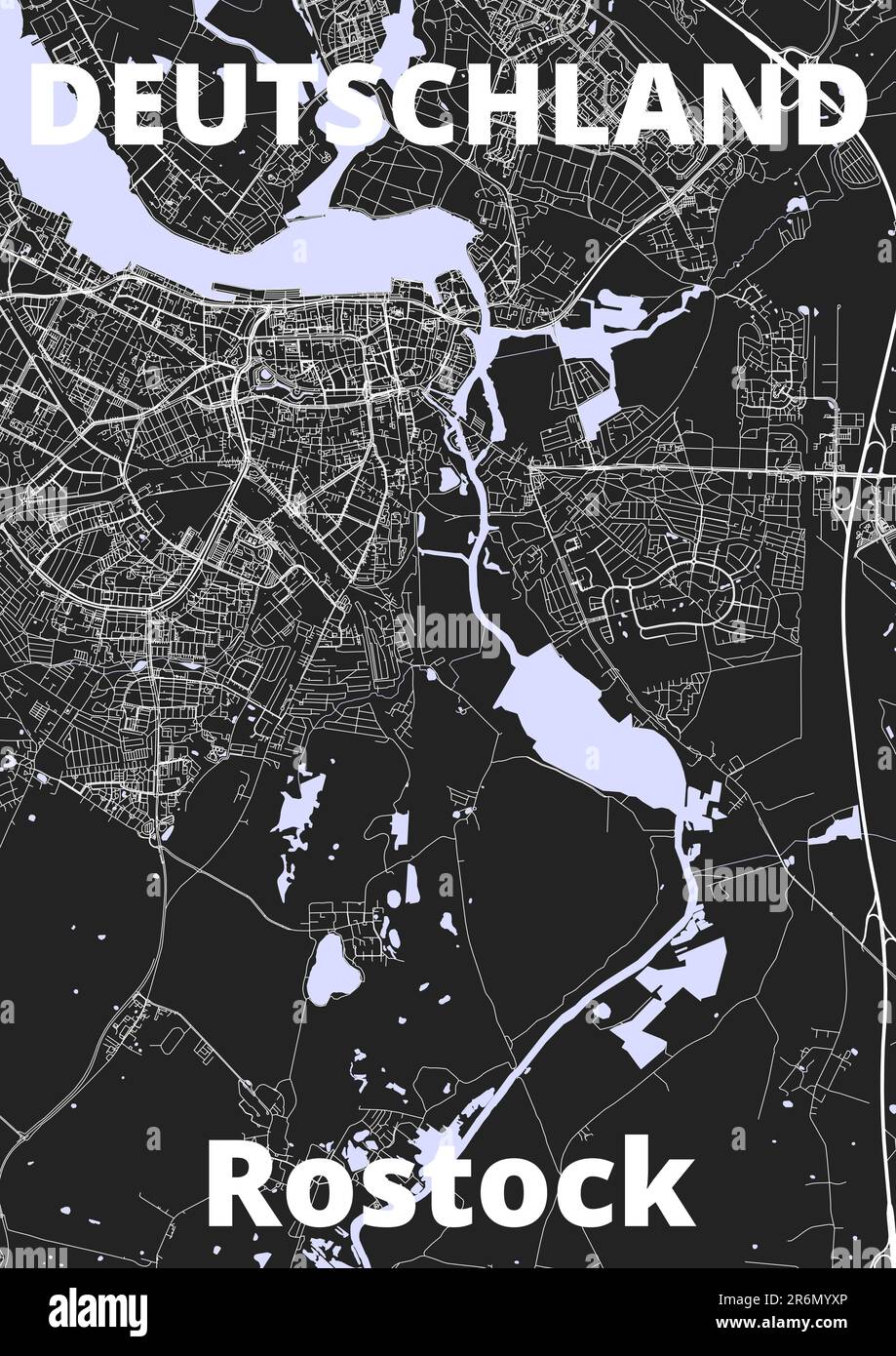 City Rostock map with streets rivers and lakes germany Stock Photohttps://www.alamy.com/image-license-details/?v=1https://www.alamy.com/city-rostock-map-with-streets-rivers-and-lakes-germany-image554880670.html
RF2R6MYXP–City Rostock map with streets rivers and lakes germany
 Rostock-Gedser ferry, DE, Germany, N 54 21' 35'', N 11 58' 48'', map, Cartascapes Map published in 2024. Explore Cartascapes, a map revealing Earth's diverse landscapes, cultures, and ecosystems. Journey through time and space, discovering the interconnectedness of our planet's past, present, and future. Stock Photohttps://www.alamy.com/image-license-details/?v=1https://www.alamy.com/rostock-gedser-ferry-de-germany-n-54-21-35-n-11-58-48-map-cartascapes-map-published-in-2024-explore-cartascapes-a-map-revealing-earths-diverse-landscapes-cultures-and-ecosystems-journey-through-time-and-space-discovering-the-interconnectedness-of-our-planets-past-present-and-future-image629438235.html
RM2YG1ATY–Rostock-Gedser ferry, DE, Germany, N 54 21' 35'', N 11 58' 48'', map, Cartascapes Map published in 2024. Explore Cartascapes, a map revealing Earth's diverse landscapes, cultures, and ecosystems. Journey through time and space, discovering the interconnectedness of our planet's past, present, and future.
 Pass map of the Baltic Sea from Rostock to Vyborg, Pass map of the Baltic Sea Verthoonende All the Locations between Rostok and Wyborg. Accurately drawn up. (title on object), Pass map of the Baltic Sea and the coasts of the surrounding countries (Denmark, Germany, Sweden, Poland, Russia and the Baltic states) from the German city of Rostock to the Russian Vyborg, with two compass roses, North is above . Top left a rock with the title, where some miners are working. An iron smelter in front of the rock. At the bottom right the publisher's address and the scale in German Stock Photohttps://www.alamy.com/image-license-details/?v=1https://www.alamy.com/pass-map-of-the-baltic-sea-from-rostock-to-vyborg-pass-map-of-the-baltic-sea-verthoonende-all-the-locations-between-rostok-and-wyborg-accurately-drawn-up-title-on-object-pass-map-of-the-baltic-sea-and-the-coasts-of-the-surrounding-countries-denmark-germany-sweden-poland-russia-and-the-baltic-states-from-the-german-city-of-rostock-to-the-russian-vyborg-with-two-compass-roses-north-is-above-top-left-a-rock-with-the-title-where-some-miners-are-working-an-iron-smelter-in-front-of-the-rock-at-the-bottom-right-the-publishers-address-and-the-scale-in-german-image599445707.html
RM2WR7337–Pass map of the Baltic Sea from Rostock to Vyborg, Pass map of the Baltic Sea Verthoonende All the Locations between Rostok and Wyborg. Accurately drawn up. (title on object), Pass map of the Baltic Sea and the coasts of the surrounding countries (Denmark, Germany, Sweden, Poland, Russia and the Baltic states) from the German city of Rostock to the Russian Vyborg, with two compass roses, North is above . Top left a rock with the title, where some miners are working. An iron smelter in front of the rock. At the bottom right the publisher's address and the scale in German
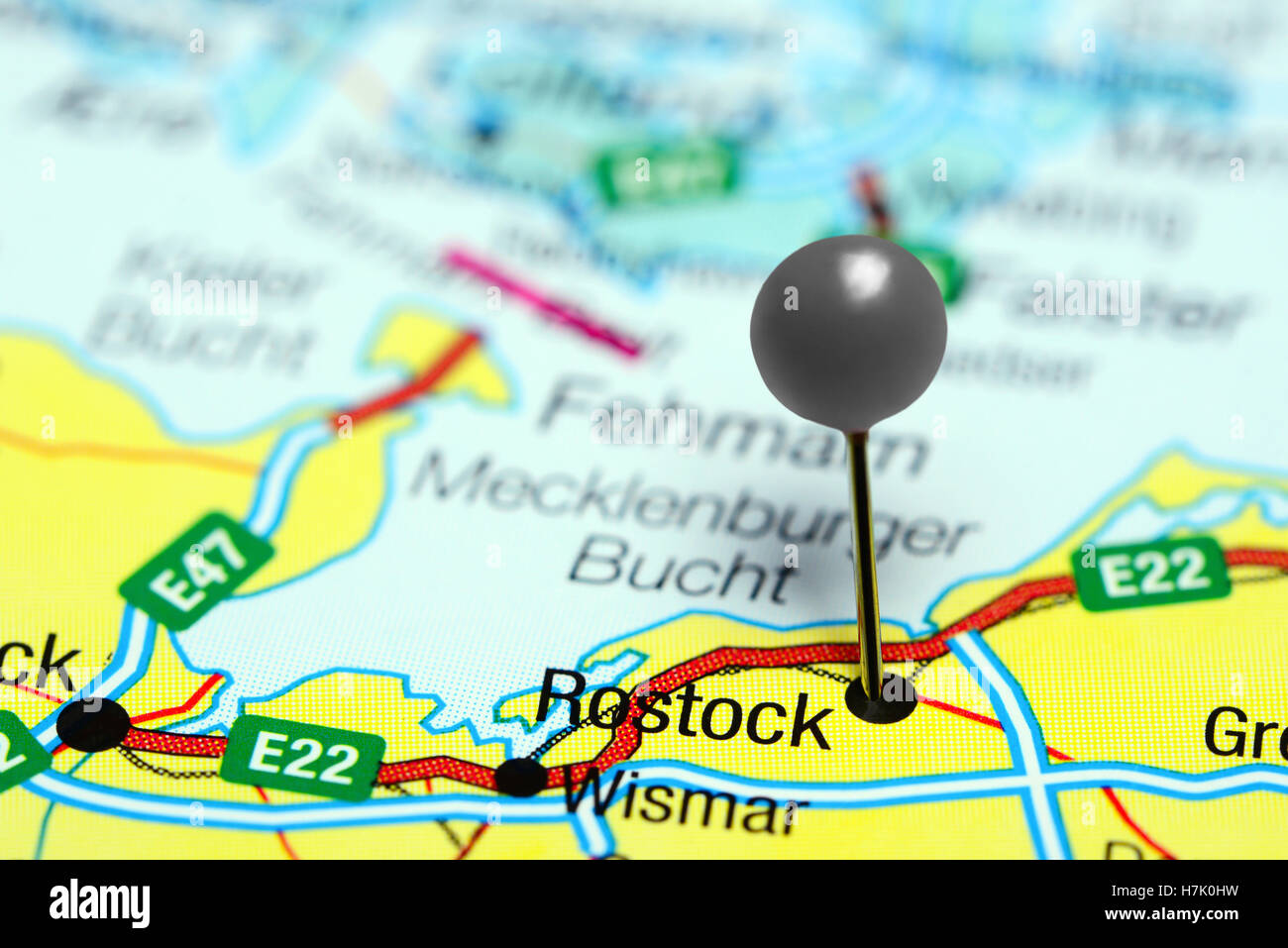 Rostock pinned on a map of Germany Stock Photohttps://www.alamy.com/image-license-details/?v=1https://www.alamy.com/stock-photo-rostock-pinned-on-a-map-of-germany-125192757.html
RFH7K0HW–Rostock pinned on a map of Germany
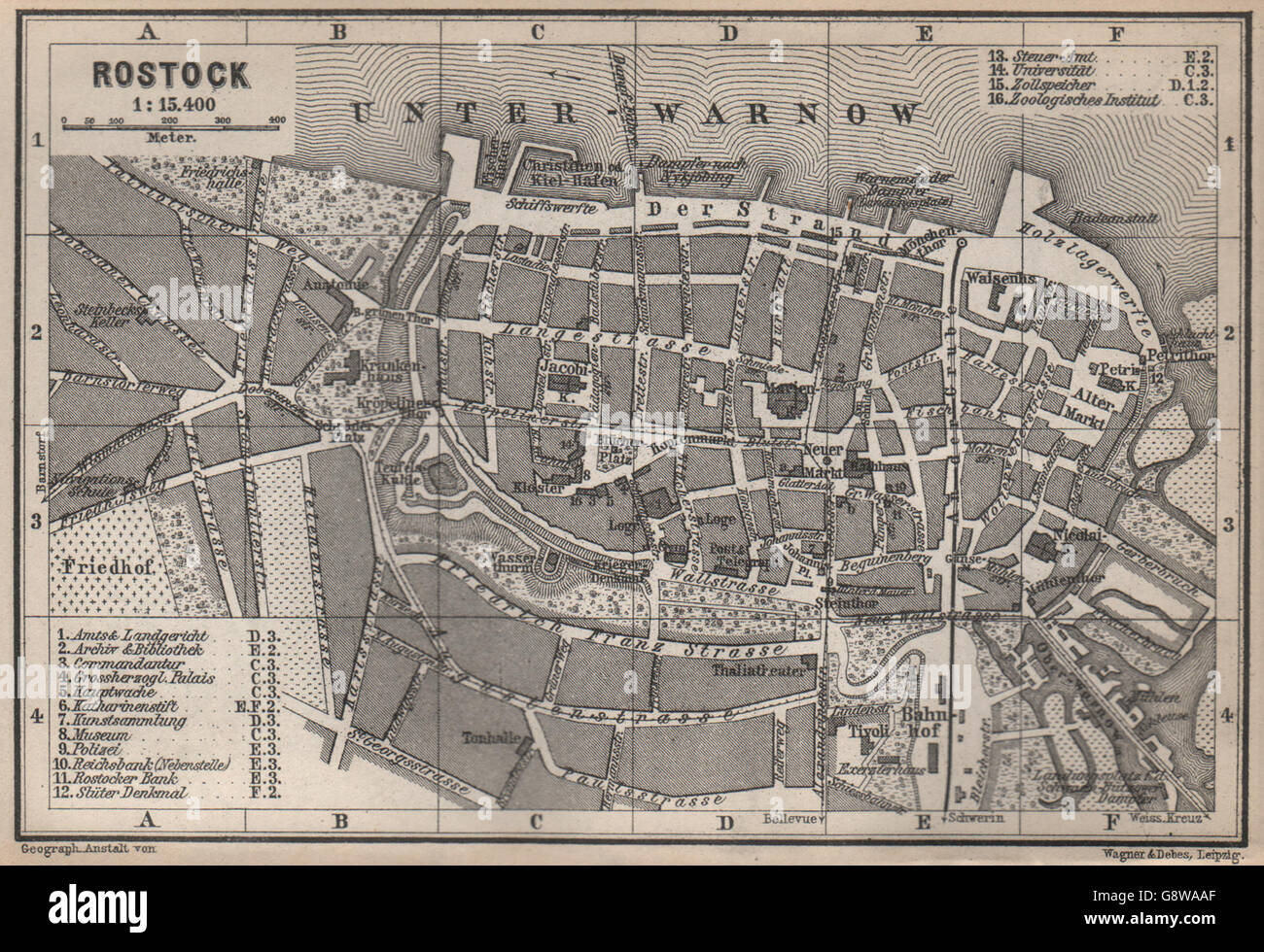 ROSTOCK antique town city stadtplan. Mecklenburg-Vorpommern karte, 1886 map Stock Photohttps://www.alamy.com/image-license-details/?v=1https://www.alamy.com/stock-photo-rostock-antique-town-city-stadtplan-mecklenburg-vorpommern-karte-1886-108736391.html
RFG8WAAF–ROSTOCK antique town city stadtplan. Mecklenburg-Vorpommern karte, 1886 map
 Administrative vector map of the state of Mecklenburg Western Pomerania, Germany Stock Vectorhttps://www.alamy.com/image-license-details/?v=1https://www.alamy.com/administrative-vector-map-of-the-state-of-mecklenburg-western-pomerania-germany-image452531806.html
RF2H86GX6–Administrative vector map of the state of Mecklenburg Western Pomerania, Germany
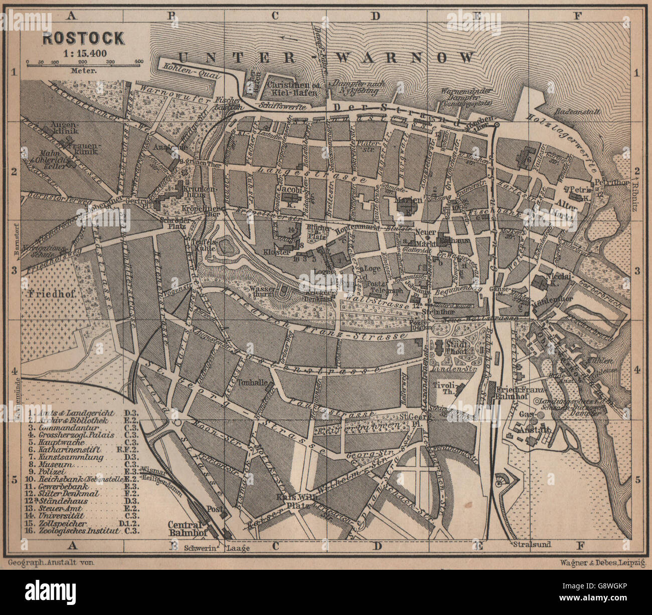 ROSTOCK antique town city stadtplan. Mecklenburg-Vorpommern karte, 1900 map Stock Photohttps://www.alamy.com/image-license-details/?v=1https://www.alamy.com/stock-photo-rostock-antique-town-city-stadtplan-mecklenburg-vorpommern-karte-1900-108741354.html
RFG8WGKP–ROSTOCK antique town city stadtplan. Mecklenburg-Vorpommern karte, 1900 map
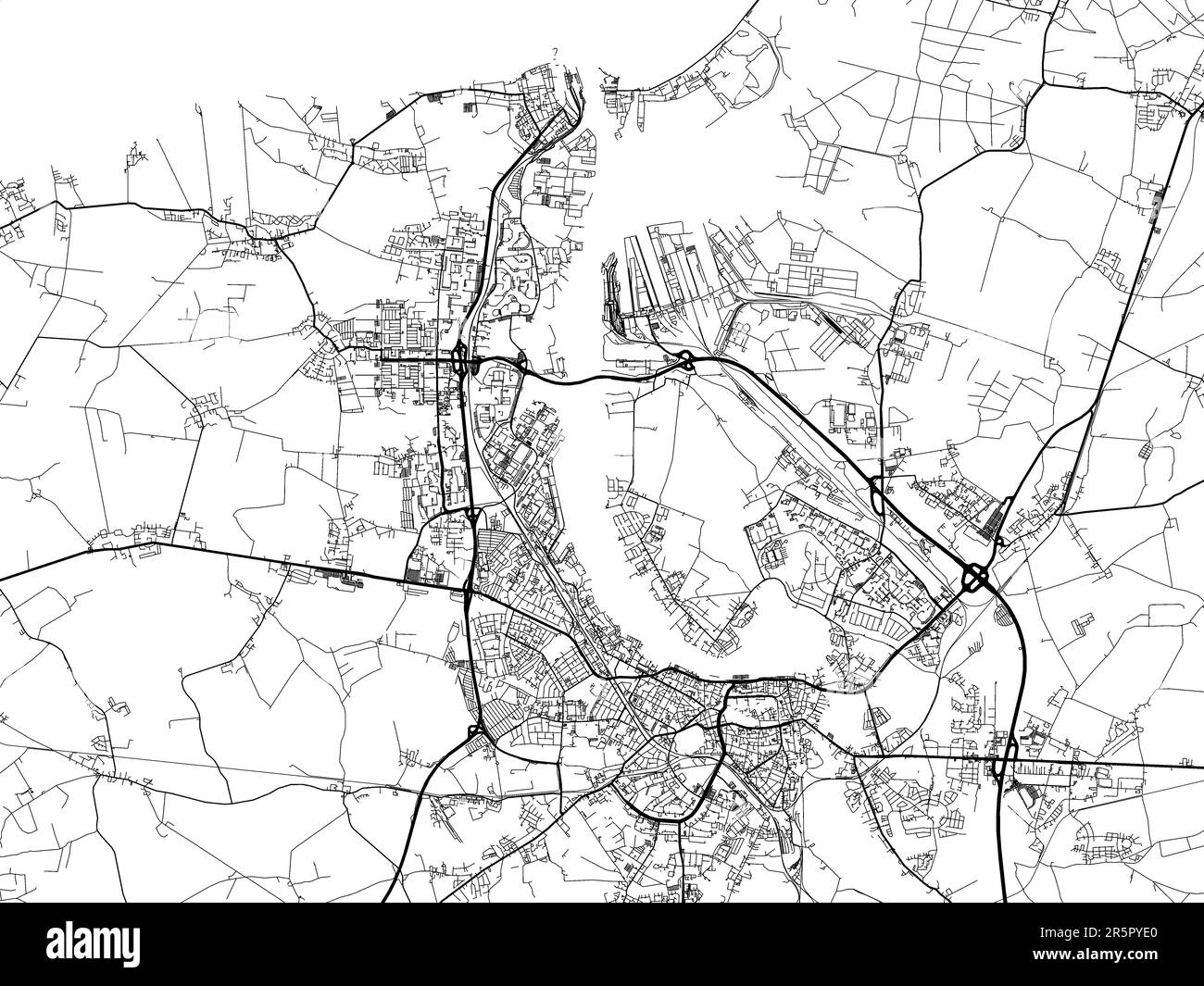 Vector road map of the city of Rostock in Germany on a white background. Stock Photohttps://www.alamy.com/image-license-details/?v=1https://www.alamy.com/vector-road-map-of-the-city-of-rostock-in-germany-on-a-white-background-image554309560.html
RF2R5PYE0–Vector road map of the city of Rostock in Germany on a white background.
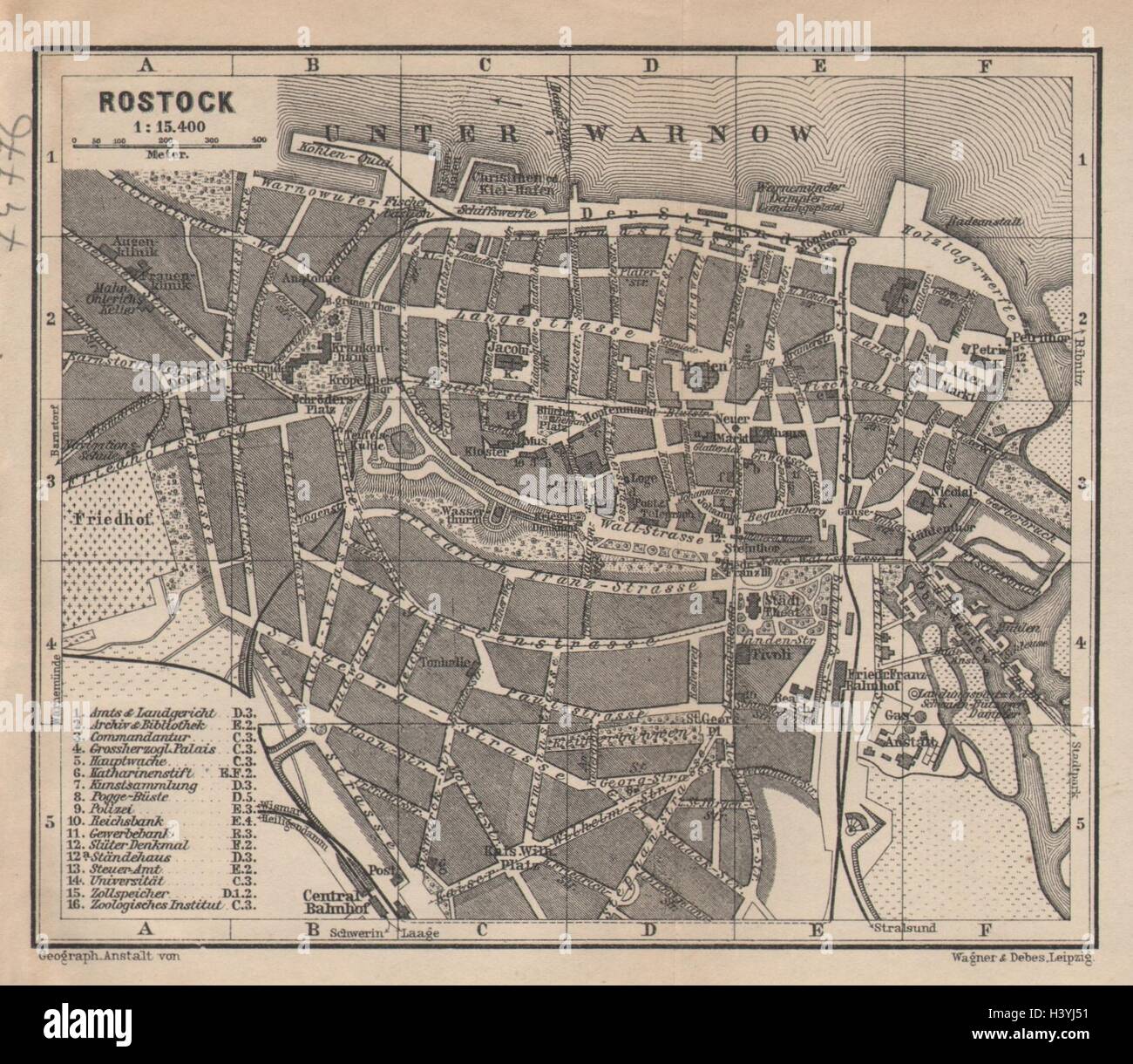 ROSTOCK antique town city stadtplan. Mecklenburg-Vorpommern karte 1904 old map Stock Photohttps://www.alamy.com/image-license-details/?v=1https://www.alamy.com/stock-photo-rostock-antique-town-city-stadtplan-mecklenburg-vorpommern-karte-1904-122923501.html
RFH3YJ51–ROSTOCK antique town city stadtplan. Mecklenburg-Vorpommern karte 1904 old map
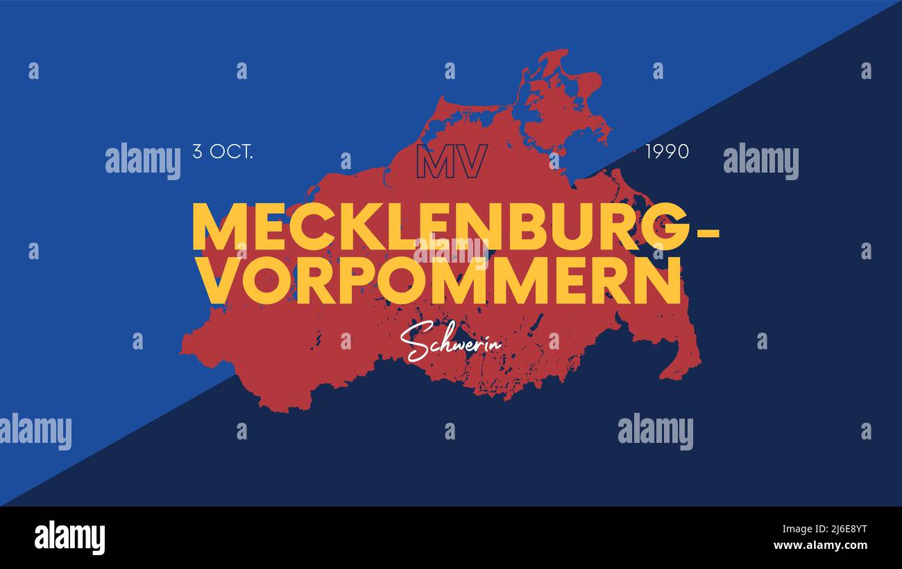 5 of 16 states of Germany with a name, capital and detailed vector Mecklenburg-Vorpommern map for printing posters, postcards and t-shirts Stock Vectorhttps://www.alamy.com/image-license-details/?v=1https://www.alamy.com/5-of-16-states-of-germany-with-a-name-capital-and-detailed-vector-mecklenburg-vorpommern-map-for-printing-posters-postcards-and-t-shirts-image468682252.html
RF2J6E8YT–5 of 16 states of Germany with a name, capital and detailed vector Mecklenburg-Vorpommern map for printing posters, postcards and t-shirts
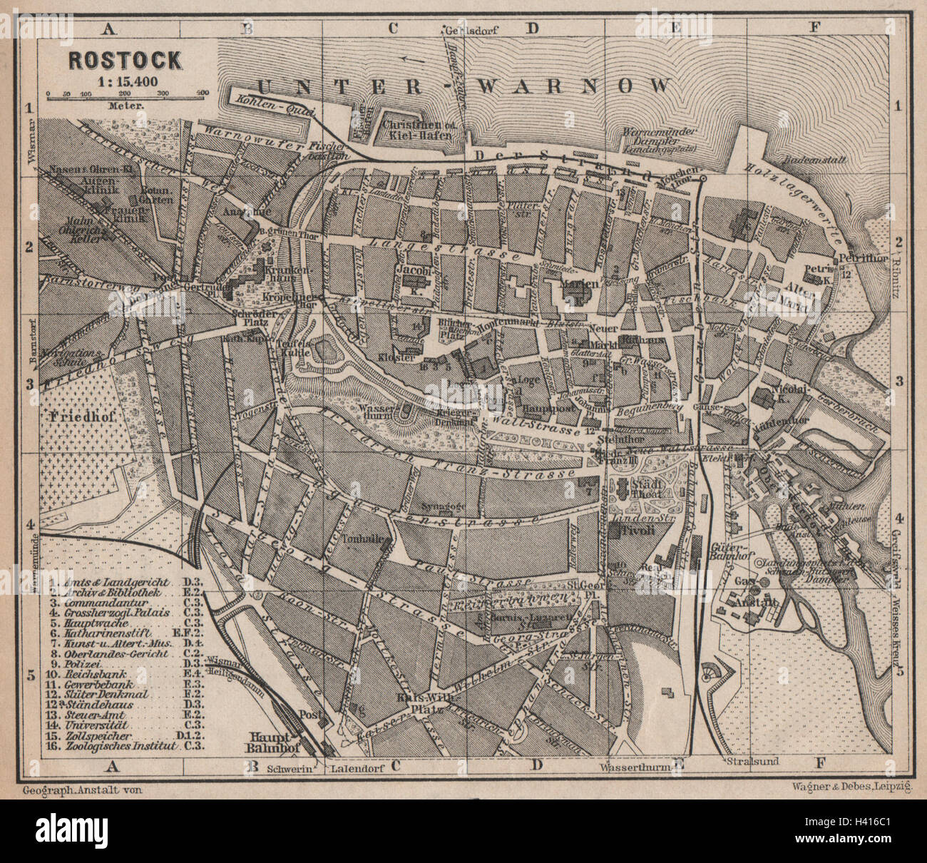 ROSTOCK antique town city stadtplan. Mecklenburg-Vorpommern karte 1910 old map Stock Photohttps://www.alamy.com/image-license-details/?v=1https://www.alamy.com/stock-photo-rostock-antique-town-city-stadtplan-mecklenburg-vorpommern-karte-1910-122958193.html
RFH416C1–ROSTOCK antique town city stadtplan. Mecklenburg-Vorpommern karte 1910 old map
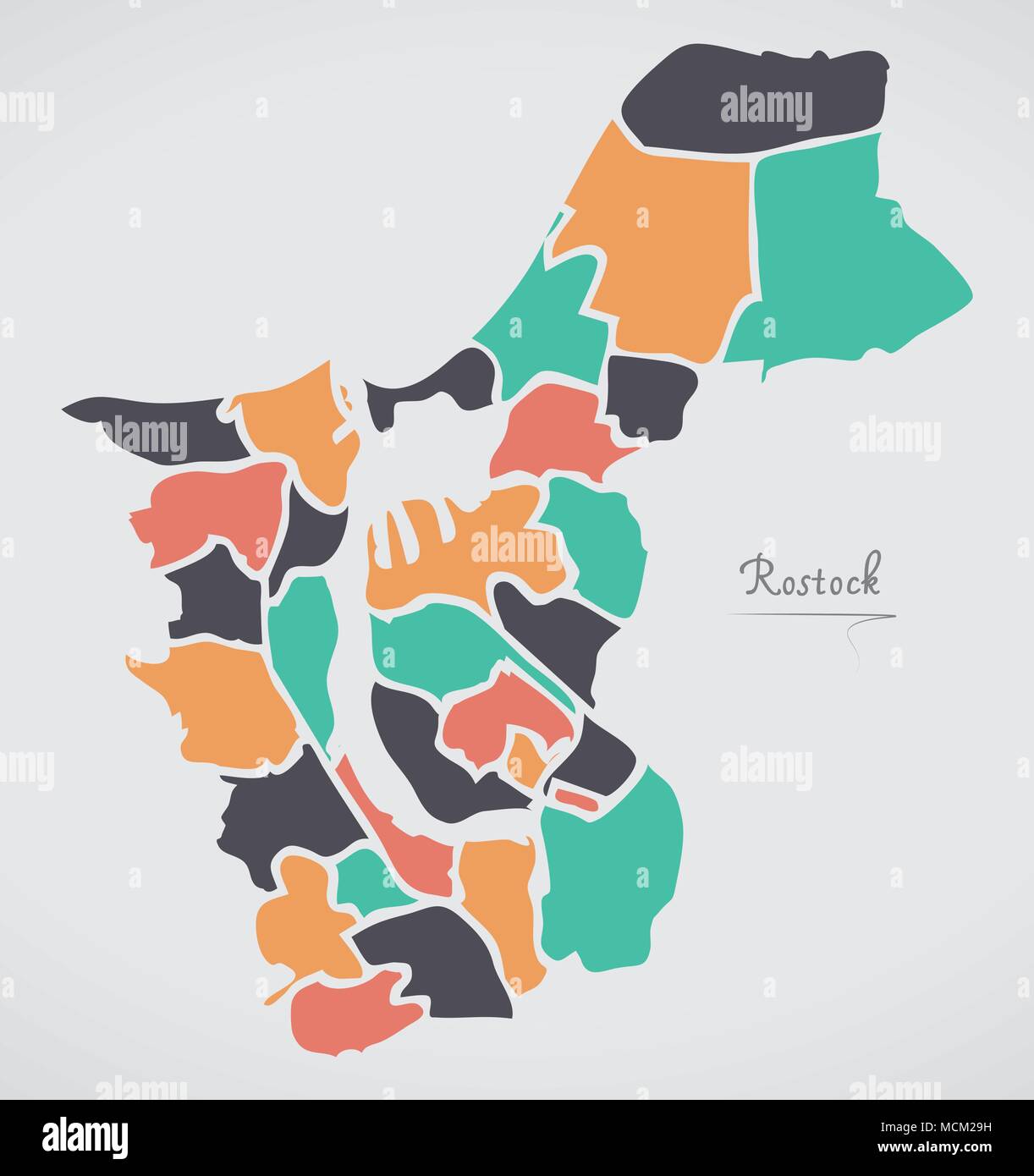 Rostock Map with boroughs and modern round shapes Stock Vectorhttps://www.alamy.com/image-license-details/?v=1https://www.alamy.com/rostock-map-with-boroughs-and-modern-round-shapes-image179920429.html
RFMCM29H–Rostock Map with boroughs and modern round shapes
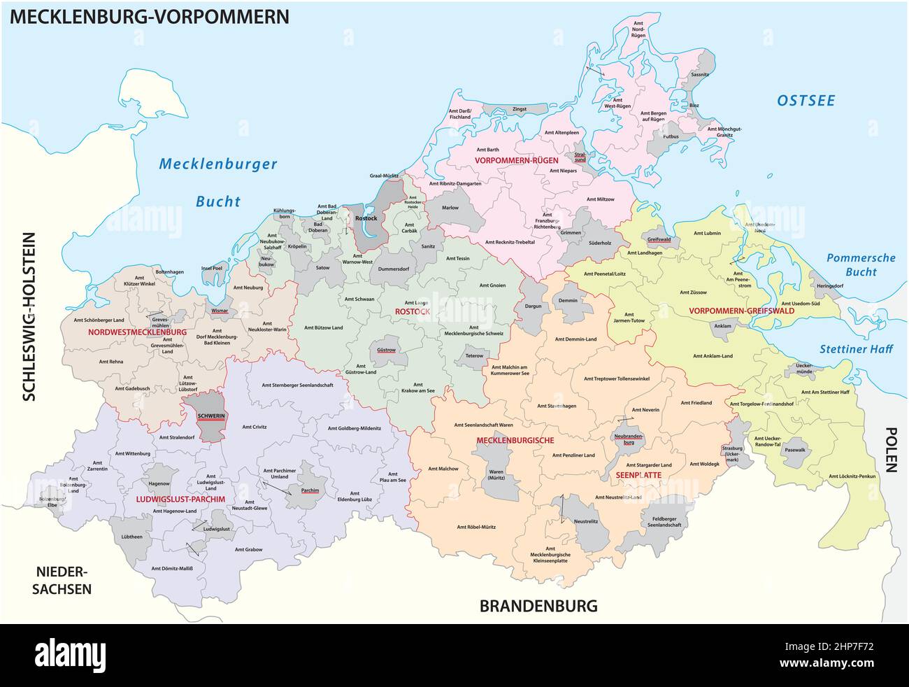 Administrative vector map of the state of Mecklenburg Western Pomerania, Germany Stock Vectorhttps://www.alamy.com/image-license-details/?v=1https://www.alamy.com/administrative-vector-map-of-the-state-of-mecklenburg-western-pomerania-germany-image461157622.html
RF2HP7F72–Administrative vector map of the state of Mecklenburg Western Pomerania, Germany
 Rostock, Germany Stock Photohttps://www.alamy.com/image-license-details/?v=1https://www.alamy.com/rostock-germany-image179229804.html
RMMBGHCC–Rostock, Germany
 island map of mecklenburg-vorpommern abstract background in blue Stock Vectorhttps://www.alamy.com/image-license-details/?v=1https://www.alamy.com/stock-photo-island-map-of-mecklenburg-vorpommern-abstract-background-in-blue-146877531.html
RFJEXRP3–island map of mecklenburg-vorpommern abstract background in blue
 Germany Rostock, tourists in front of the map in the city center Stock Photohttps://www.alamy.com/image-license-details/?v=1https://www.alamy.com/germany-rostock-tourists-in-front-of-the-map-in-the-city-center-image263589091.html
RMW8REG3–Germany Rostock, tourists in front of the map in the city center
 Close up of Rostock map with red pin and a taxi toy - Travel concept Stock Photohttps://www.alamy.com/image-license-details/?v=1https://www.alamy.com/stock-photo-close-up-of-rostock-map-with-red-pin-and-a-taxi-toy-travel-concept-111491776.html
RFGDATW4–Close up of Rostock map with red pin and a taxi toy - Travel concept
 MAP Rostock 1910 Stock Photohttps://www.alamy.com/image-license-details/?v=1https://www.alamy.com/stock-photo-map-rostock-1910-140188499.html
RMJ423T3–MAP Rostock 1910
 Rostock, Football Stadium, outline vector map. The bundesliga statium map was drawn with white areas and lines for main roads, side roads. Stock Vectorhttps://www.alamy.com/image-license-details/?v=1https://www.alamy.com/rostock-football-stadium-outline-vector-map-the-bundesliga-statium-map-was-drawn-with-white-areas-and-lines-for-main-roads-side-roads-image459863404.html
RF2HM4GD0–Rostock, Football Stadium, outline vector map. The bundesliga statium map was drawn with white areas and lines for main roads, side roads.
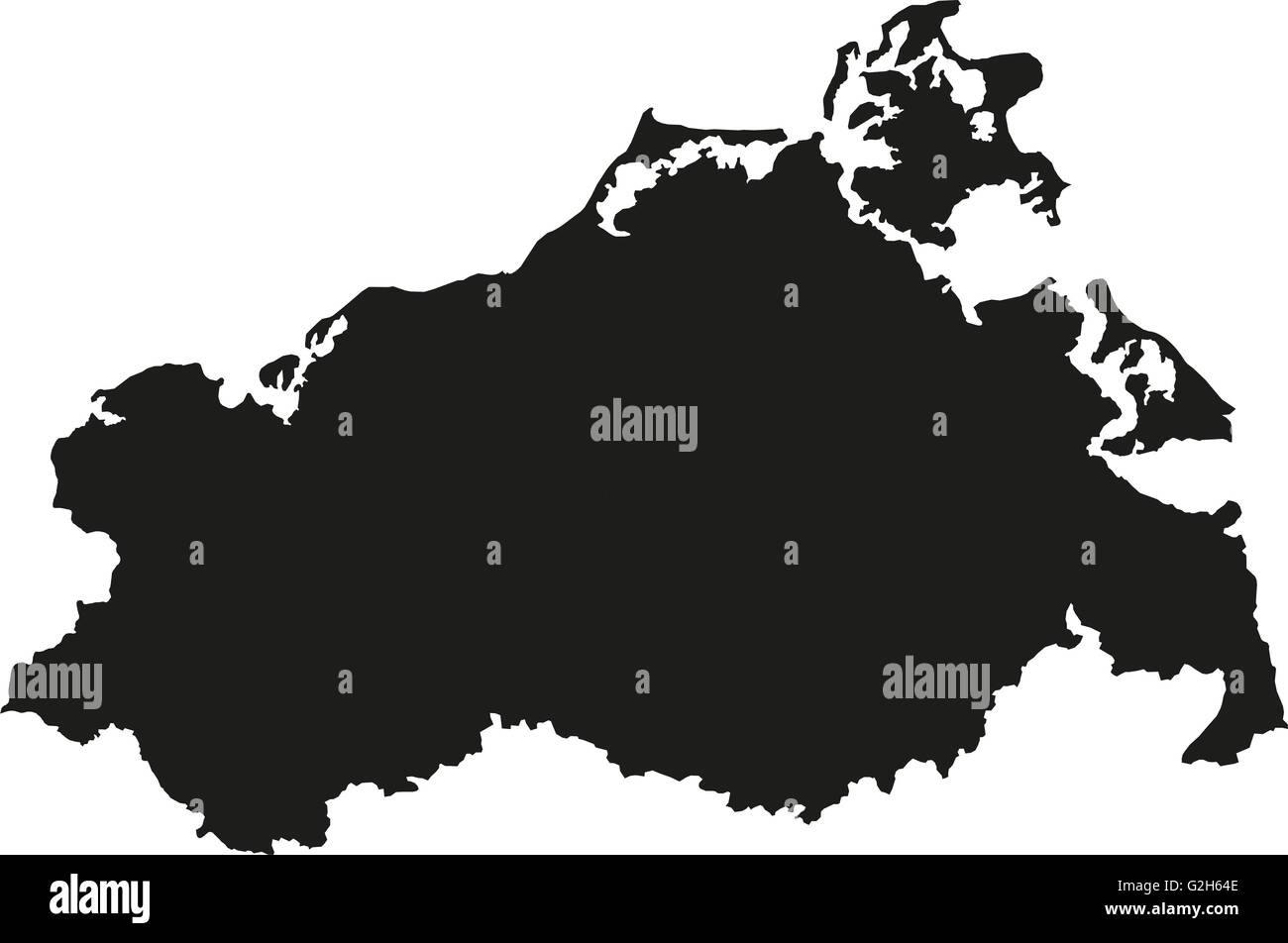 Map of Mecklenburg-Western Pomerania Stock Photohttps://www.alamy.com/image-license-details/?v=1https://www.alamy.com/stock-photo-map-of-mecklenburg-western-pomerania-104869534.html
RFG2H64E–Map of Mecklenburg-Western Pomerania
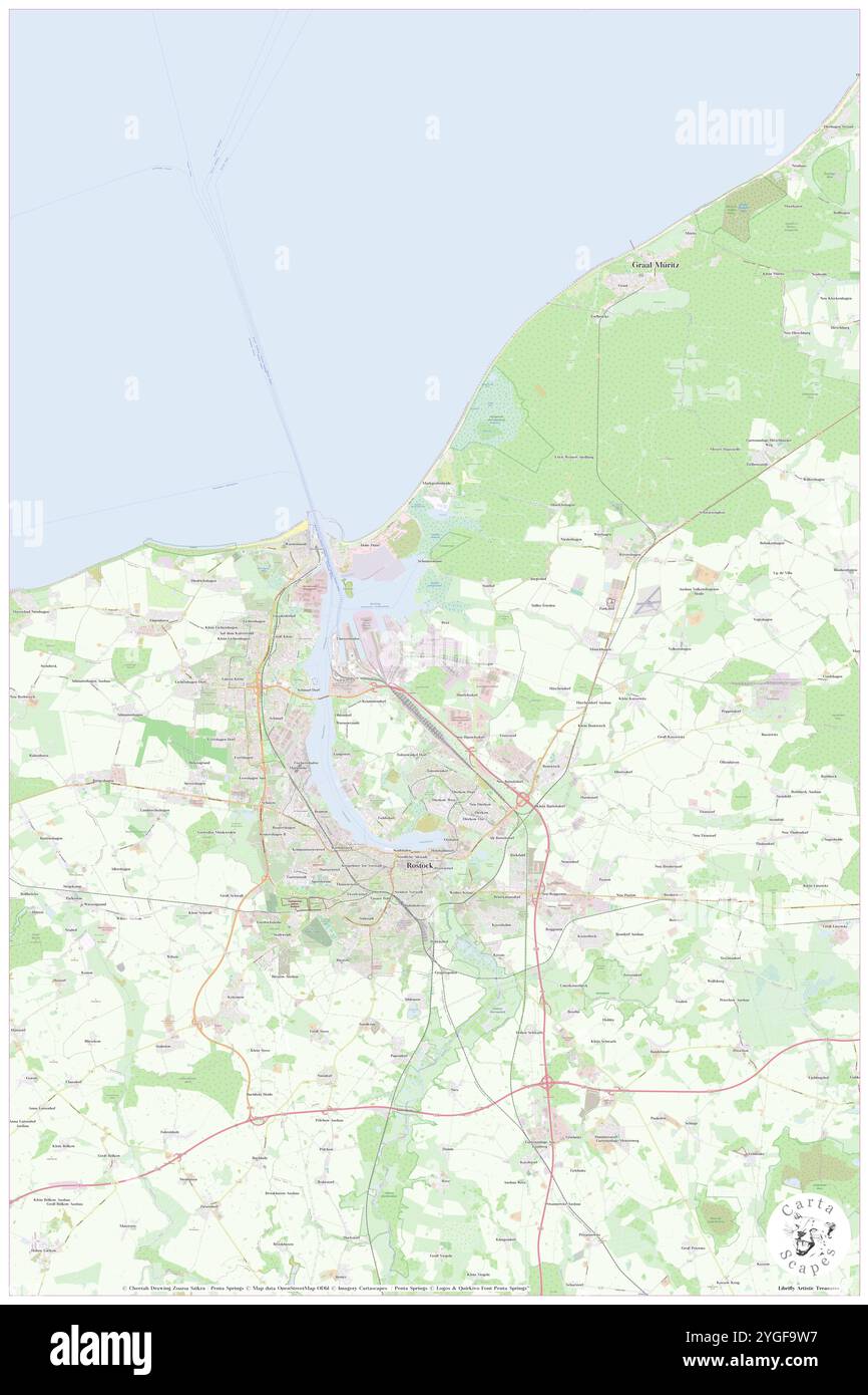 Rostock, DE, Germany, Mecklenburg-Vorpommern, N 54 5' 19'', N 12 8' 25'', map, Cartascapes Map published in 2024. Explore Cartascapes, a map revealing Earth's diverse landscapes, cultures, and ecosystems. Journey through time and space, discovering the interconnectedness of our planet's past, present, and future. Stock Photohttps://www.alamy.com/image-license-details/?v=1https://www.alamy.com/rostock-de-germany-mecklenburg-vorpommern-n-54-5-19-n-12-8-25-map-cartascapes-map-published-in-2024-explore-cartascapes-a-map-revealing-earths-diverse-landscapes-cultures-and-ecosystems-journey-through-time-and-space-discovering-the-interconnectedness-of-our-planets-past-present-and-future-image629744787.html
RM2YGF9W7–Rostock, DE, Germany, Mecklenburg-Vorpommern, N 54 5' 19'', N 12 8' 25'', map, Cartascapes Map published in 2024. Explore Cartascapes, a map revealing Earth's diverse landscapes, cultures, and ecosystems. Journey through time and space, discovering the interconnectedness of our planet's past, present, and future.
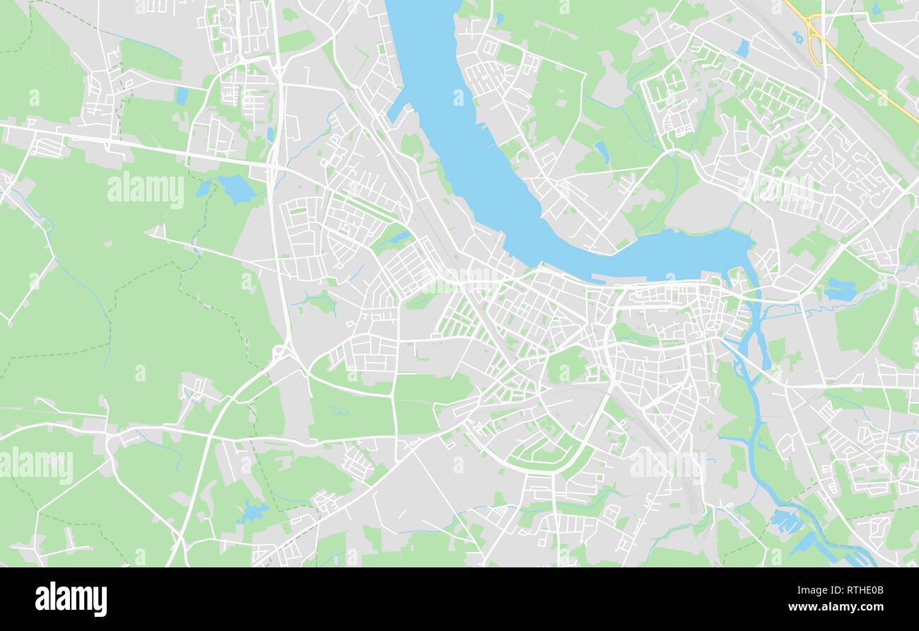 Rostock, Germany printable street map in classic style colors with all relevant motorways, roads and railways. Use this map for any kind of digital in Stock Vectorhttps://www.alamy.com/image-license-details/?v=1https://www.alamy.com/rostock-germany-printable-street-map-in-classic-style-colors-with-all-relevant-motorways-roads-and-railways-use-this-map-for-any-kind-of-digital-in-image238870699.html
RFRTHE0B–Rostock, Germany printable street map in classic style colors with all relevant motorways, roads and railways. Use this map for any kind of digital in
 Rostock, Maranoa, AU, Australia, Queensland, S 26 55' 12'', N 149 25' 49'', map, Cartascapes Map published in 2024. Explore Cartascapes, a map revealing Earth's diverse landscapes, cultures, and ecosystems. Journey through time and space, discovering the interconnectedness of our planet's past, present, and future. Stock Photohttps://www.alamy.com/image-license-details/?v=1https://www.alamy.com/rostock-maranoa-au-australia-queensland-s-26-55-12-n-149-25-49-map-cartascapes-map-published-in-2024-explore-cartascapes-a-map-revealing-earths-diverse-landscapes-cultures-and-ecosystems-journey-through-time-and-space-discovering-the-interconnectedness-of-our-planets-past-present-and-future-image625830814.html
RM2YA51GE–Rostock, Maranoa, AU, Australia, Queensland, S 26 55' 12'', N 149 25' 49'', map, Cartascapes Map published in 2024. Explore Cartascapes, a map revealing Earth's diverse landscapes, cultures, and ecosystems. Journey through time and space, discovering the interconnectedness of our planet's past, present, and future.
 Rostock pinned on a map of Germany Stock Photohttps://www.alamy.com/image-license-details/?v=1https://www.alamy.com/stock-photo-rostock-pinned-on-a-map-of-germany-125196426.html
RFH7K58X–Rostock pinned on a map of Germany
 Rostock-Moenchhagen, DE, Germany, Mecklenburg-Vorpommern, N 54 8' 59'', N 12 13' 59'', map, Cartascapes Map published in 2024. Explore Cartascapes, a map revealing Earth's diverse landscapes, cultures, and ecosystems. Journey through time and space, discovering the interconnectedness of our planet's past, present, and future. Stock Photohttps://www.alamy.com/image-license-details/?v=1https://www.alamy.com/rostock-moenchhagen-de-germany-mecklenburg-vorpommern-n-54-8-59-n-12-13-59-map-cartascapes-map-published-in-2024-explore-cartascapes-a-map-revealing-earths-diverse-landscapes-cultures-and-ecosystems-journey-through-time-and-space-discovering-the-interconnectedness-of-our-planets-past-present-and-future-image629517776.html
RM2YG509M–Rostock-Moenchhagen, DE, Germany, Mecklenburg-Vorpommern, N 54 8' 59'', N 12 13' 59'', map, Cartascapes Map published in 2024. Explore Cartascapes, a map revealing Earth's diverse landscapes, cultures, and ecosystems. Journey through time and space, discovering the interconnectedness of our planet's past, present, and future.
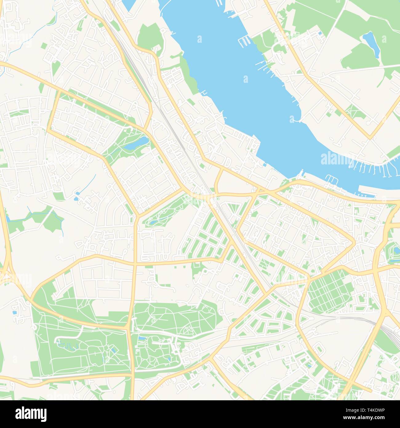 Printable map of Rostock, Germany with main and secondary roads and larger railways. This map is carefully designed for routing and placing individual Stock Vectorhttps://www.alamy.com/image-license-details/?v=1https://www.alamy.com/printable-map-of-rostock-germany-with-main-and-secondary-roads-and-larger-railways-this-map-is-carefully-designed-for-routing-and-placing-individual-image243831778.html
RFT4KDWP–Printable map of Rostock, Germany with main and secondary roads and larger railways. This map is carefully designed for routing and placing individual
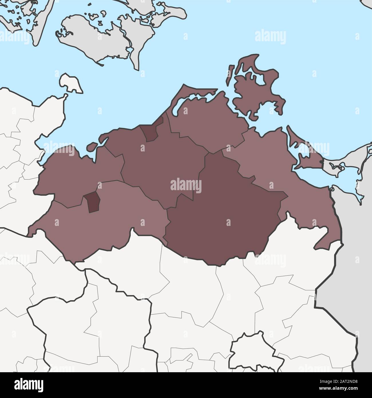 Map of Germany federal state Mecklenburg-Vorpommern with neighboring federal states Stock Vectorhttps://www.alamy.com/image-license-details/?v=1https://www.alamy.com/map-of-germany-federal-state-mecklenburg-vorpommern-with-neighboring-federal-states-image341809476.html
RF2AT2ND8–Map of Germany federal state Mecklenburg-Vorpommern with neighboring federal states
![PLAN de ROSTOCK wie solches Hatt Sollen fortificuret werden auch Ao. 1717 1718 1719 daran gearbeitet nach gehnts aber eingehalten ist. Map information: Title: PLAN de ROSTOCK wie solches Hatt Sollen fortificuret werden auch Ao. 1717 1718 1719 daran gearbeitet nach gehnts aber eingehalten ist. 101.21. Place of publication: [Germany] Publisher: [producer not identified] Date of publication: [about 1720.] Item type: 1 map Medium: manuscript map with wash colour Dimensions: 45.4 x 66.5 cm, on sheet 51.7 x 72.4 cm Former owner: George III, King of Great Brit Stock Photo PLAN de ROSTOCK wie solches Hatt Sollen fortificuret werden auch Ao. 1717 1718 1719 daran gearbeitet nach gehnts aber eingehalten ist. Map information: Title: PLAN de ROSTOCK wie solches Hatt Sollen fortificuret werden auch Ao. 1717 1718 1719 daran gearbeitet nach gehnts aber eingehalten ist. 101.21. Place of publication: [Germany] Publisher: [producer not identified] Date of publication: [about 1720.] Item type: 1 map Medium: manuscript map with wash colour Dimensions: 45.4 x 66.5 cm, on sheet 51.7 x 72.4 cm Former owner: George III, King of Great Brit Stock Photo](https://c8.alamy.com/comp/2E9HHJ4/plan-de-rostock-wie-solches-hatt-sollen-fortificuret-werden-auch-ao-1717-1718-1719-daran-gearbeitet-nach-gehnts-aber-eingehalten-ist-map-information-title-plan-de-rostock-wie-solches-hatt-sollen-fortificuret-werden-auch-ao-1717-1718-1719-daran-gearbeitet-nach-gehnts-aber-eingehalten-ist-10121-place-of-publication-germany-publisher-producer-not-identified-date-of-publication-about-1720-item-type-1-map-medium-manuscript-map-with-wash-colour-dimensions-454-x-665-cm-on-sheet-517-x-724-cm-former-owner-george-iii-king-of-great-brit-2E9HHJ4.jpg) PLAN de ROSTOCK wie solches Hatt Sollen fortificuret werden auch Ao. 1717 1718 1719 daran gearbeitet nach gehnts aber eingehalten ist. Map information: Title: PLAN de ROSTOCK wie solches Hatt Sollen fortificuret werden auch Ao. 1717 1718 1719 daran gearbeitet nach gehnts aber eingehalten ist. 101.21. Place of publication: [Germany] Publisher: [producer not identified] Date of publication: [about 1720.] Item type: 1 map Medium: manuscript map with wash colour Dimensions: 45.4 x 66.5 cm, on sheet 51.7 x 72.4 cm Former owner: George III, King of Great Brit Stock Photohttps://www.alamy.com/image-license-details/?v=1https://www.alamy.com/plan-de-rostock-wie-solches-hatt-sollen-fortificuret-werden-auch-ao-1717-1718-1719-daran-gearbeitet-nach-gehnts-aber-eingehalten-ist-map-information-title-plan-de-rostock-wie-solches-hatt-sollen-fortificuret-werden-auch-ao-1717-1718-1719-daran-gearbeitet-nach-gehnts-aber-eingehalten-ist-10121-place-of-publication-germany-publisher-producer-not-identified-date-of-publication-about-1720-item-type-1-map-medium-manuscript-map-with-wash-colour-dimensions-454-x-665-cm-on-sheet-517-x-724-cm-former-owner-george-iii-king-of-great-brit-image401757388.html
PLAN de ROSTOCK wie solches Hatt Sollen fortificuret werden auch Ao. 1717 1718 1719 daran gearbeitet nach gehnts aber eingehalten ist. Map information: Title: PLAN de ROSTOCK wie solches Hatt Sollen fortificuret werden auch Ao. 1717 1718 1719 daran gearbeitet nach gehnts aber eingehalten ist. 101.21. Place of publication: [Germany] Publisher: [producer not identified] Date of publication: [about 1720.] Item type: 1 map Medium: manuscript map with wash colour Dimensions: 45.4 x 66.5 cm, on sheet 51.7 x 72.4 cm Former owner: George III, King of Great Brit Stock Photohttps://www.alamy.com/image-license-details/?v=1https://www.alamy.com/plan-de-rostock-wie-solches-hatt-sollen-fortificuret-werden-auch-ao-1717-1718-1719-daran-gearbeitet-nach-gehnts-aber-eingehalten-ist-map-information-title-plan-de-rostock-wie-solches-hatt-sollen-fortificuret-werden-auch-ao-1717-1718-1719-daran-gearbeitet-nach-gehnts-aber-eingehalten-ist-10121-place-of-publication-germany-publisher-producer-not-identified-date-of-publication-about-1720-item-type-1-map-medium-manuscript-map-with-wash-colour-dimensions-454-x-665-cm-on-sheet-517-x-724-cm-former-owner-george-iii-king-of-great-brit-image401757388.htmlRM2E9HHJ4–PLAN de ROSTOCK wie solches Hatt Sollen fortificuret werden auch Ao. 1717 1718 1719 daran gearbeitet nach gehnts aber eingehalten ist. Map information: Title: PLAN de ROSTOCK wie solches Hatt Sollen fortificuret werden auch Ao. 1717 1718 1719 daran gearbeitet nach gehnts aber eingehalten ist. 101.21. Place of publication: [Germany] Publisher: [producer not identified] Date of publication: [about 1720.] Item type: 1 map Medium: manuscript map with wash colour Dimensions: 45.4 x 66.5 cm, on sheet 51.7 x 72.4 cm Former owner: George III, King of Great Brit
 . Map of Rostock . 1653. Caspar Merian (1627–1686) Alternative names Kaspar Merian Description German copperplate engraver and publisher Date of birth/death 13 February 1627 12 April 1686 Location of birth/death Frankfurt Wieuwerd, Netherlands Work location Germany (Frankfurt, Nuremberg), France (Paris) Authority control : Q100910 VIAF: 87279684 ISNI: 0000 0001 1773 5298 LCCN: n83215304 NLA: 35104403 GND: 118581074 WorldCat 1074 Rostock Merian Stock Photohttps://www.alamy.com/image-license-details/?v=1https://www.alamy.com/map-of-rostock-1653-caspar-merian-16271686-alternative-names-kaspar-merian-description-german-copperplate-engraver-and-publisher-date-of-birthdeath-13-february-1627-12-april-1686-location-of-birthdeath-frankfurt-wieuwerd-netherlands-work-location-germany-frankfurt-nuremberg-france-paris-authority-control-q100910-viaf87279684-isni0000-0001-1773-5298-lccnn83215304-nla35104403-gnd118581074-worldcat-1074-rostock-merian-image185775875.html
RMMP6R0K–. Map of Rostock . 1653. Caspar Merian (1627–1686) Alternative names Kaspar Merian Description German copperplate engraver and publisher Date of birth/death 13 February 1627 12 April 1686 Location of birth/death Frankfurt Wieuwerd, Netherlands Work location Germany (Frankfurt, Nuremberg), France (Paris) Authority control : Q100910 VIAF: 87279684 ISNI: 0000 0001 1773 5298 LCCN: n83215304 NLA: 35104403 GND: 118581074 WorldCat 1074 Rostock Merian
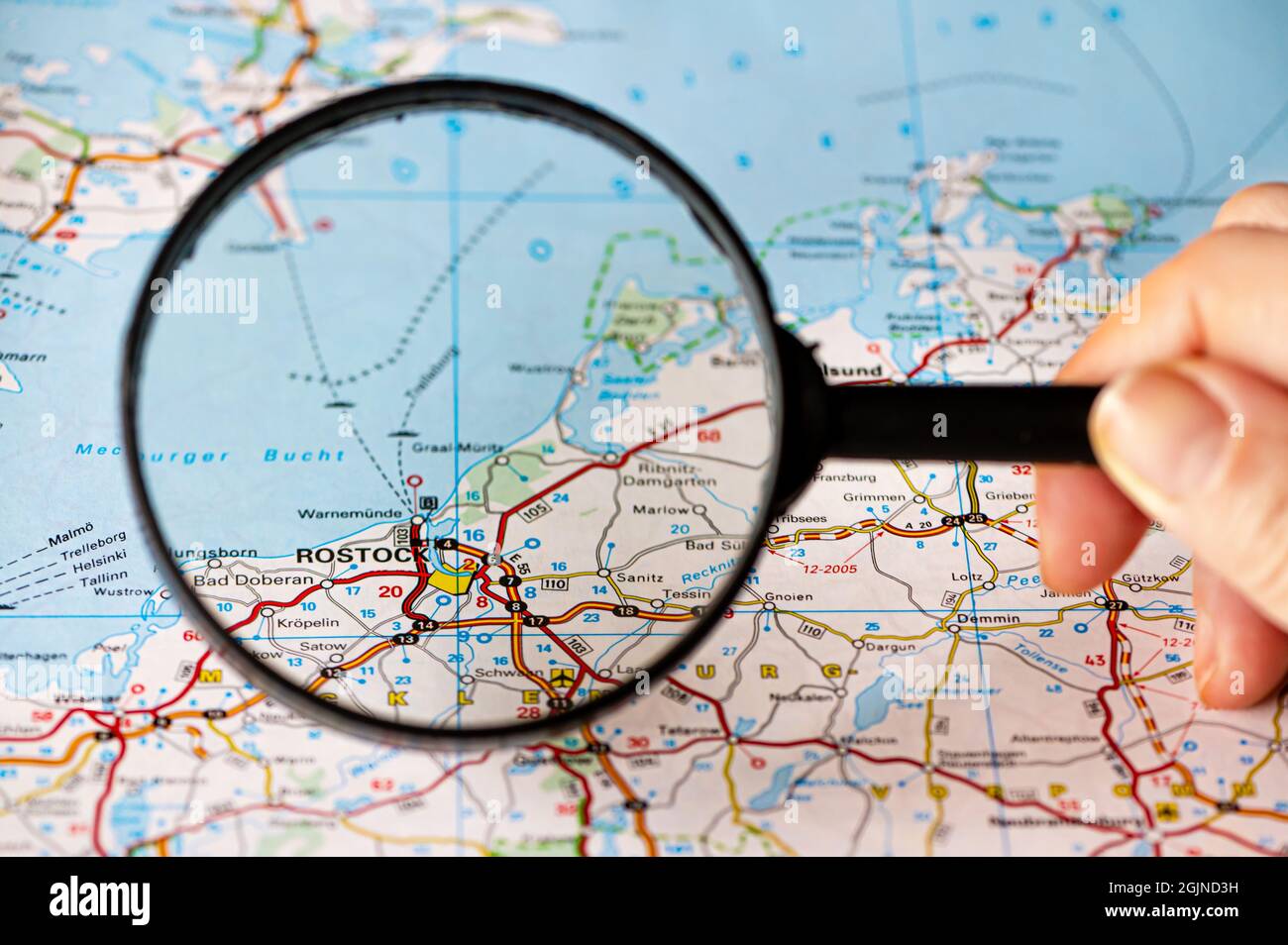 map of Rostock in Germany through magnifying glass, concept of planning the travel itinerary Stock Photohttps://www.alamy.com/image-license-details/?v=1https://www.alamy.com/map-of-rostock-in-germany-through-magnifying-glass-concept-of-planning-the-travel-itinerary-image441794293.html
RF2GJND3H–map of Rostock in Germany through magnifying glass, concept of planning the travel itinerary
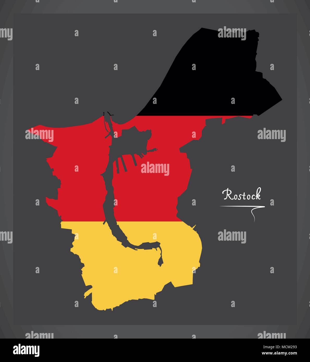 Rostock map with German national flag illustration Stock Vectorhttps://www.alamy.com/image-license-details/?v=1https://www.alamy.com/rostock-map-with-german-national-flag-illustration-image179920415.html
RFMCM293–Rostock map with German national flag illustration
 . Zoom into this map at maps.bpl.org. Author: Johann Lauremberg (1590–1658) Alternative names Johannes Wilhelm Lauremberg; Hans Willmsen L. Rost.; Johannes Laurembergius Description German playwright, university teacher, mathematician, poet and writer Date of birth/death 1590 1658 Location of birth/death Rostock Sorø Authority control : Q97596 VIAF: 34758305 ISNI: 0000 0000 8114 046X LCCN: n90681167 GND: 118726714 SELIBR: 212214 WorldCat Publisher: Jan Janssonius (1588–1664) Alternative names Jan Jansson, Jan Jansz, Jan Janszoon, Joannes Janssonius Description Dutch carto Stock Photohttps://www.alamy.com/image-license-details/?v=1https://www.alamy.com/zoom-into-this-map-at-mapsbplorg-author-johann-lauremberg-15901658-alternative-names-johannes-wilhelm-lauremberg-hans-willmsen-l-rost-johannes-laurembergius-description-german-playwright-university-teacher-mathematician-poet-and-writer-date-of-birthdeath-1590-1658-location-of-birthdeath-rostock-sor-authority-control-q97596-viaf34758305-isni0000-0000-8114-046x-lccnn90681167-gnd118726714-selibr212214-worldcat-publisher-jan-janssonius-15881664-alternative-names-jan-jansson-jan-jansz-jan-janszoon-joannes-janssonius-description-dutch-carto-image185718661.html
RMMP4619–. Zoom into this map at maps.bpl.org. Author: Johann Lauremberg (1590–1658) Alternative names Johannes Wilhelm Lauremberg; Hans Willmsen L. Rost.; Johannes Laurembergius Description German playwright, university teacher, mathematician, poet and writer Date of birth/death 1590 1658 Location of birth/death Rostock Sorø Authority control : Q97596 VIAF: 34758305 ISNI: 0000 0000 8114 046X LCCN: n90681167 GND: 118726714 SELIBR: 212214 WorldCat Publisher: Jan Janssonius (1588–1664) Alternative names Jan Jansson, Jan Jansz, Jan Janszoon, Joannes Janssonius Description Dutch carto
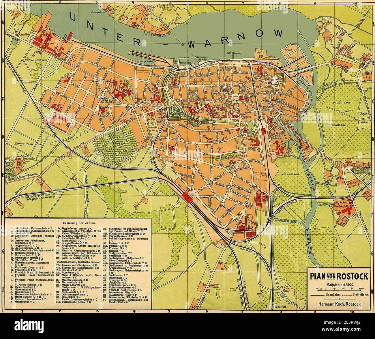 MAP - Rostock 1918. Stock Photohttps://www.alamy.com/image-license-details/?v=1https://www.alamy.com/map-rostock-1918-image398207434.html
RM2E3RWJ2–MAP - Rostock 1918.
 border map of mecklenburg-vorpommern with borders in bright gray Stock Vectorhttps://www.alamy.com/image-license-details/?v=1https://www.alamy.com/stock-photo-border-map-of-mecklenburg-vorpommern-with-borders-in-bright-gray-146876366.html
RFJEXP8E–border map of mecklenburg-vorpommern with borders in bright gray
![. Deutsch: Karte des historischen Herzogtums Pommern aus dem 17. Jahrhundert. English: Map of the historical Duchy of Pomerania from the 17th century . 1635. Eilhard Lubinus (1565–1621) Alternative names Lübben, Eilhard; Lübben, Eilert Description German cartographer, mathematician, theologian and university teacher Date of birth/death 24 March 1565 2 June 1621 Location of birth/death Westerstede Rostock Authority control : Q86250 VIAF: 69214075 ISNI: 0000 0001 2138 3168 LCCN: n85143470 GND: 100974325 SELIBR: 265037 WorldCat S[alomon]. Rogiers sculpsit Amstelodami, Guiljelm. Bla Stock Photo . Deutsch: Karte des historischen Herzogtums Pommern aus dem 17. Jahrhundert. English: Map of the historical Duchy of Pomerania from the 17th century . 1635. Eilhard Lubinus (1565–1621) Alternative names Lübben, Eilhard; Lübben, Eilert Description German cartographer, mathematician, theologian and university teacher Date of birth/death 24 March 1565 2 June 1621 Location of birth/death Westerstede Rostock Authority control : Q86250 VIAF: 69214075 ISNI: 0000 0001 2138 3168 LCCN: n85143470 GND: 100974325 SELIBR: 265037 WorldCat S[alomon]. Rogiers sculpsit Amstelodami, Guiljelm. Bla Stock Photo](https://c8.alamy.com/comp/MNTF08/deutsch-karte-des-historischen-herzogtums-pommern-aus-dem-17-jahrhundert-english-map-of-the-historical-duchy-of-pomerania-from-the-17th-century-1635-eilhard-lubinus-15651621-alternative-names-lbben-eilhard-lbben-eilert-description-german-cartographer-mathematician-theologian-and-university-teacher-date-of-birthdeath-24-march-1565-2-june-1621-location-of-birthdeath-westerstede-rostock-authority-control-q86250-viaf69214075-isni0000-0001-2138-3168-lccnn85143470-gnd100974325-selibr265037-worldcat-s-alomon-rogiers-sculpsit-amstelodami-guiljelm-bla-MNTF08.jpg) . Deutsch: Karte des historischen Herzogtums Pommern aus dem 17. Jahrhundert. English: Map of the historical Duchy of Pomerania from the 17th century . 1635. Eilhard Lubinus (1565–1621) Alternative names Lübben, Eilhard; Lübben, Eilert Description German cartographer, mathematician, theologian and university teacher Date of birth/death 24 March 1565 2 June 1621 Location of birth/death Westerstede Rostock Authority control : Q86250 VIAF: 69214075 ISNI: 0000 0001 2138 3168 LCCN: n85143470 GND: 100974325 SELIBR: 265037 WorldCat S[alomon]. Rogiers sculpsit Amstelodami, Guiljelm. Bla Stock Photohttps://www.alamy.com/image-license-details/?v=1https://www.alamy.com/deutsch-karte-des-historischen-herzogtums-pommern-aus-dem-17-jahrhundert-english-map-of-the-historical-duchy-of-pomerania-from-the-17th-century-1635-eilhard-lubinus-15651621-alternative-names-lbben-eilhard-lbben-eilert-description-german-cartographer-mathematician-theologian-and-university-teacher-date-of-birthdeath-24-march-1565-2-june-1621-location-of-birthdeath-westerstede-rostock-authority-control-q86250-viaf69214075-isni0000-0001-2138-3168-lccnn85143470-gnd100974325-selibr265037-worldcat-s-alomon-rogiers-sculpsit-amstelodami-guiljelm-bla-image185550072.html
. Deutsch: Karte des historischen Herzogtums Pommern aus dem 17. Jahrhundert. English: Map of the historical Duchy of Pomerania from the 17th century . 1635. Eilhard Lubinus (1565–1621) Alternative names Lübben, Eilhard; Lübben, Eilert Description German cartographer, mathematician, theologian and university teacher Date of birth/death 24 March 1565 2 June 1621 Location of birth/death Westerstede Rostock Authority control : Q86250 VIAF: 69214075 ISNI: 0000 0001 2138 3168 LCCN: n85143470 GND: 100974325 SELIBR: 265037 WorldCat S[alomon]. Rogiers sculpsit Amstelodami, Guiljelm. Bla Stock Photohttps://www.alamy.com/image-license-details/?v=1https://www.alamy.com/deutsch-karte-des-historischen-herzogtums-pommern-aus-dem-17-jahrhundert-english-map-of-the-historical-duchy-of-pomerania-from-the-17th-century-1635-eilhard-lubinus-15651621-alternative-names-lbben-eilhard-lbben-eilert-description-german-cartographer-mathematician-theologian-and-university-teacher-date-of-birthdeath-24-march-1565-2-june-1621-location-of-birthdeath-westerstede-rostock-authority-control-q86250-viaf69214075-isni0000-0001-2138-3168-lccnn85143470-gnd100974325-selibr265037-worldcat-s-alomon-rogiers-sculpsit-amstelodami-guiljelm-bla-image185550072.htmlRMMNTF08–. Deutsch: Karte des historischen Herzogtums Pommern aus dem 17. Jahrhundert. English: Map of the historical Duchy of Pomerania from the 17th century . 1635. Eilhard Lubinus (1565–1621) Alternative names Lübben, Eilhard; Lübben, Eilert Description German cartographer, mathematician, theologian and university teacher Date of birth/death 24 March 1565 2 June 1621 Location of birth/death Westerstede Rostock Authority control : Q86250 VIAF: 69214075 ISNI: 0000 0001 2138 3168 LCCN: n85143470 GND: 100974325 SELIBR: 265037 WorldCat S[alomon]. Rogiers sculpsit Amstelodami, Guiljelm. Bla
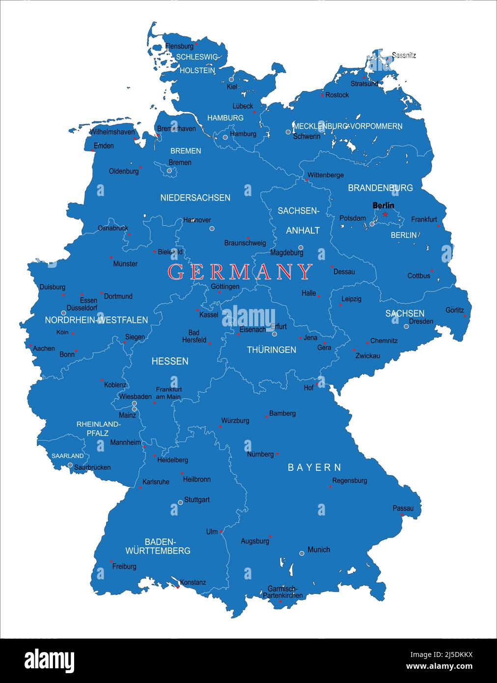 Highly detailed vector map of Germany with administrative regions, main cities and roads Stock Vectorhttps://www.alamy.com/image-license-details/?v=1https://www.alamy.com/highly-detailed-vector-map-of-germany-with-administrative-regions-main-cities-and-roads-image468054046.html
RF2J5DKKX–Highly detailed vector map of Germany with administrative regions, main cities and roads
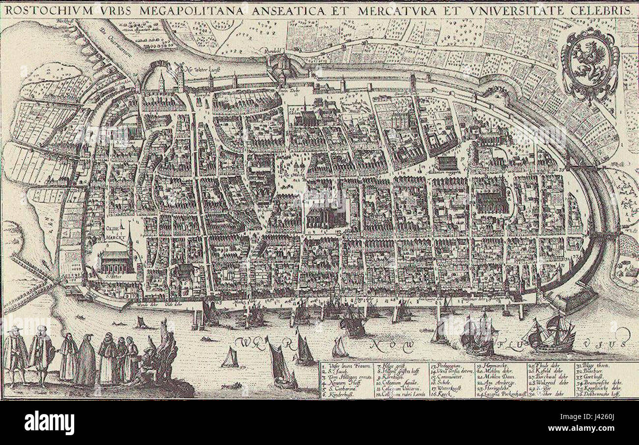 MAP Rostock 1683 Stock Photohttps://www.alamy.com/image-license-details/?v=1https://www.alamy.com/stock-photo-map-rostock-1683-140190194.html
RMJ4260J–MAP Rostock 1683
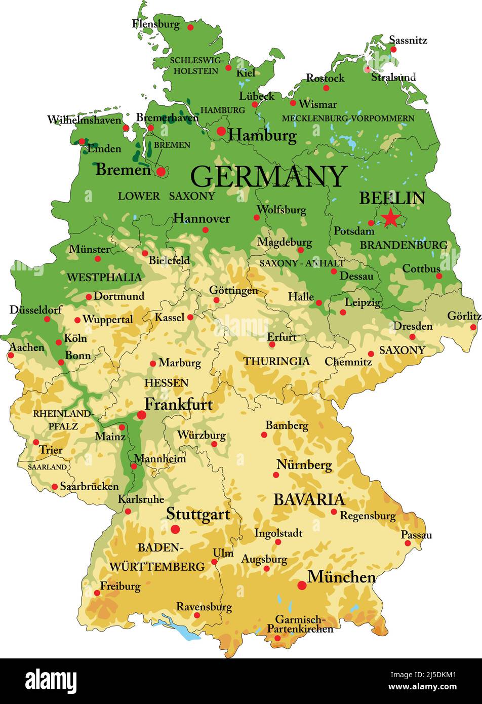 Highly detailed physical map of Germany,in vector format,with all the relief forms,regions and big cities. Stock Vectorhttps://www.alamy.com/image-license-details/?v=1https://www.alamy.com/highly-detailed-physical-map-of-germanyin-vector-formatwith-all-the-relief-formsregions-and-big-cities-image468054049.html
RF2J5DKM1–Highly detailed physical map of Germany,in vector format,with all the relief forms,regions and big cities.
 Mecklenburg-Western Pomerania map with german title Stock Photohttps://www.alamy.com/image-license-details/?v=1https://www.alamy.com/stock-photo-mecklenburg-western-pomerania-map-with-german-title-104869533.html
RFG2H64D–Mecklenburg-Western Pomerania map with german title
 Rostock City (Federal Republic of Germany, Mecklenburg-Vorpommern) map vector illustration, scribble sketch Hanseatic City of Rostock map Stock Vectorhttps://www.alamy.com/image-license-details/?v=1https://www.alamy.com/rostock-city-federal-republic-of-germany-mecklenburg-vorpommern-map-vector-illustration-scribble-sketch-hanseatic-city-of-rostock-map-image348520046.html
RF2B70CTE–Rostock City (Federal Republic of Germany, Mecklenburg-Vorpommern) map vector illustration, scribble sketch Hanseatic City of Rostock map
 Rostock, Germany. 17th July, 2020. A copy of a map by Amerigo Vespucci (1454-1512), navigator, cartographer and explorer, in a folio edition of 'De novo mundo', the letter about the New World of Vespucci, in the University Library of Rostock According to the latest findings, it is said to be the most complete copy of a map of Vespucci. It is part of a print from around 1505, produced by the Rostock council secretary and printer Hermann Barckhusen (around 1460-1528/29). Credit: Bernd Wüstneck/dpa-Zentralbild/dpa/Alamy Live News Stock Photohttps://www.alamy.com/image-license-details/?v=1https://www.alamy.com/rostock-germany-17th-july-2020-a-copy-of-a-map-by-amerigo-vespucci-1454-1512-navigator-cartographer-and-explorer-in-a-folio-edition-of-de-novo-mundo-the-letter-about-the-new-world-of-vespucci-in-the-university-library-of-rostock-according-to-the-latest-findings-it-is-said-to-be-the-most-complete-copy-of-a-map-of-vespucci-it-is-part-of-a-print-from-around-1505-produced-by-the-rostock-council-secretary-and-printer-hermann-barckhusen-around-1460-152829-credit-bernd-wstneckdpa-zentralbilddpaalamy-live-news-image366090394.html
RM2C7GT0X–Rostock, Germany. 17th July, 2020. A copy of a map by Amerigo Vespucci (1454-1512), navigator, cartographer and explorer, in a folio edition of 'De novo mundo', the letter about the New World of Vespucci, in the University Library of Rostock According to the latest findings, it is said to be the most complete copy of a map of Vespucci. It is part of a print from around 1505, produced by the Rostock council secretary and printer Hermann Barckhusen (around 1460-1528/29). Credit: Bernd Wüstneck/dpa-Zentralbild/dpa/Alamy Live News
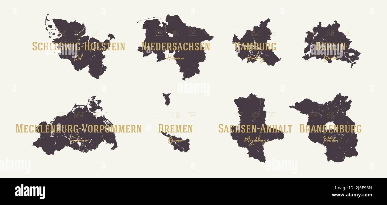 Set 1 of 2 Highly detailed maps vector silhouettes states of Germany with names and capital Stock Vectorhttps://www.alamy.com/image-license-details/?v=1https://www.alamy.com/set-1-of-2-highly-detailed-maps-vector-silhouettes-states-of-germany-with-names-and-capital-image468682445.html
RF2J6E96N–Set 1 of 2 Highly detailed maps vector silhouettes states of Germany with names and capital
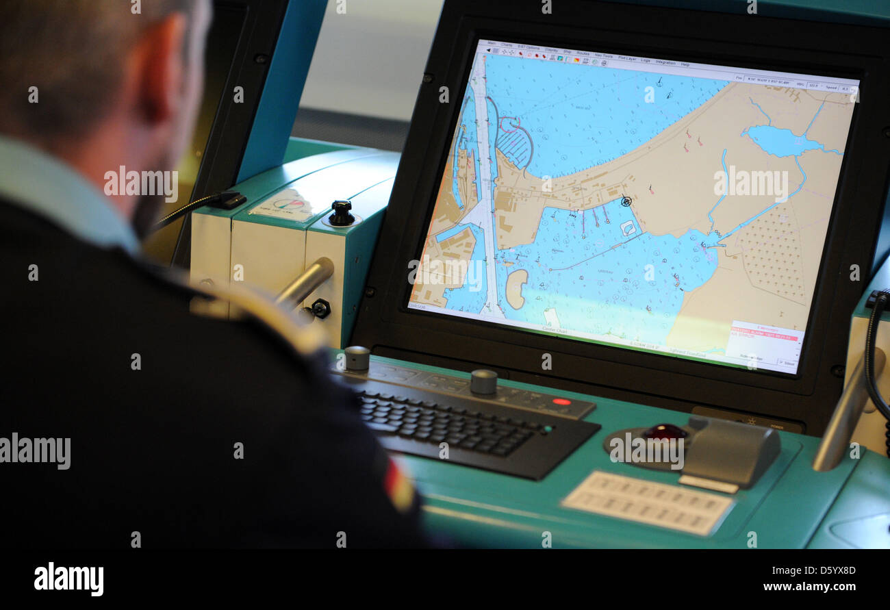 A recruit looks at a map at the corvette 'Braunschweig' at the naval base Hohe Duene in Rostock, Germany, 25 October 2012. Photo: Daniel Reinhardt Stock Photohttps://www.alamy.com/image-license-details/?v=1https://www.alamy.com/stock-photo-a-recruit-looks-at-a-map-at-the-corvette-braunschweig-at-the-naval-55317709.html
RMD5YX8D–A recruit looks at a map at the corvette 'Braunschweig' at the naval base Hohe Duene in Rostock, Germany, 25 October 2012. Photo: Daniel Reinhardt
 Rostock, Marienkirche, DE, Germany, Mecklenburg-Vorpommern, N 54 5' 23'', N 12 8' 19'', map, Cartascapes Map published in 2024. Explore Cartascapes, a map revealing Earth's diverse landscapes, cultures, and ecosystems. Journey through time and space, discovering the interconnectedness of our planet's past, present, and future. Stock Photohttps://www.alamy.com/image-license-details/?v=1https://www.alamy.com/rostock-marienkirche-de-germany-mecklenburg-vorpommern-n-54-5-23-n-12-8-19-map-cartascapes-map-published-in-2024-explore-cartascapes-a-map-revealing-earths-diverse-landscapes-cultures-and-ecosystems-journey-through-time-and-space-discovering-the-interconnectedness-of-our-planets-past-present-and-future-image629514638.html
RM2YG4T9J–Rostock, Marienkirche, DE, Germany, Mecklenburg-Vorpommern, N 54 5' 23'', N 12 8' 19'', map, Cartascapes Map published in 2024. Explore Cartascapes, a map revealing Earth's diverse landscapes, cultures, and ecosystems. Journey through time and space, discovering the interconnectedness of our planet's past, present, and future.
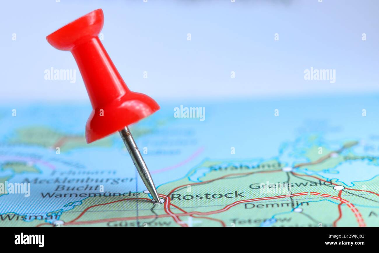 Rostock, Germany pin on map. Stock Photohttps://www.alamy.com/image-license-details/?v=1https://www.alamy.com/rostock-germany-pin-on-map-image596230658.html
RF2WJ0J82–Rostock, Germany pin on map.
![Germany, Rostock, 10.10.1990. Archive-No.: 22-31-03 Information visit at the 3.Flotilla Ost (former NVA) Photo: Officer reading a map [automated translation] Stock Photo Germany, Rostock, 10.10.1990. Archive-No.: 22-31-03 Information visit at the 3.Flotilla Ost (former NVA) Photo: Officer reading a map [automated translation] Stock Photo](https://c8.alamy.com/comp/2PYWF18/germany-rostock-10101990-archive-no-22-31-03-information-visit-at-the-3flotilla-ost-former-nva-photo-officer-reading-a-map-automated-translation-2PYWF18.jpg) Germany, Rostock, 10.10.1990. Archive-No.: 22-31-03 Information visit at the 3.Flotilla Ost (former NVA) Photo: Officer reading a map [automated translation] Stock Photohttps://www.alamy.com/image-license-details/?v=1https://www.alamy.com/germany-rostock-10101990-archive-no-22-31-03-information-visit-at-the-3flotilla-ost-former-nva-photo-officer-reading-a-map-automated-translation-image550677716.html
Germany, Rostock, 10.10.1990. Archive-No.: 22-31-03 Information visit at the 3.Flotilla Ost (former NVA) Photo: Officer reading a map [automated translation] Stock Photohttps://www.alamy.com/image-license-details/?v=1https://www.alamy.com/germany-rostock-10101990-archive-no-22-31-03-information-visit-at-the-3flotilla-ost-former-nva-photo-officer-reading-a-map-automated-translation-image550677716.htmlRM2PYWF18–Germany, Rostock, 10.10.1990. Archive-No.: 22-31-03 Information visit at the 3.Flotilla Ost (former NVA) Photo: Officer reading a map [automated translation]
 Sea chart of the Baltic Sea from Rostock to Vyborg, Jan Luyken, Johannes van Keulen (I), unknown, 1681 - 1799 Stock Photohttps://www.alamy.com/image-license-details/?v=1https://www.alamy.com/sea-chart-of-the-baltic-sea-from-rostock-to-vyborg-jan-luyken-johannes-van-keulen-i-unknown-1681-1799-image240591555.html
RMRYBTYF–Sea chart of the Baltic Sea from Rostock to Vyborg, Jan Luyken, Johannes van Keulen (I), unknown, 1681 - 1799
 CIVITATES ORBIS TERRARUM - ROSTOCK (ALEMANIA) - GRABADO - 1572. Author: BRAUN GEORG 1541-1622 / HOGENBERG FRANS. Location: PRIVATE COLLECTION. Stock Photohttps://www.alamy.com/image-license-details/?v=1https://www.alamy.com/civitates-orbis-terrarum-rostock-alemania-grabado-1572-author-braun-georg-1541-1622-hogenberg-frans-location-private-collection-image226522228.html
RMR4EYBG–CIVITATES ORBIS TERRARUM - ROSTOCK (ALEMANIA) - GRABADO - 1572. Author: BRAUN GEORG 1541-1622 / HOGENBERG FRANS. Location: PRIVATE COLLECTION.
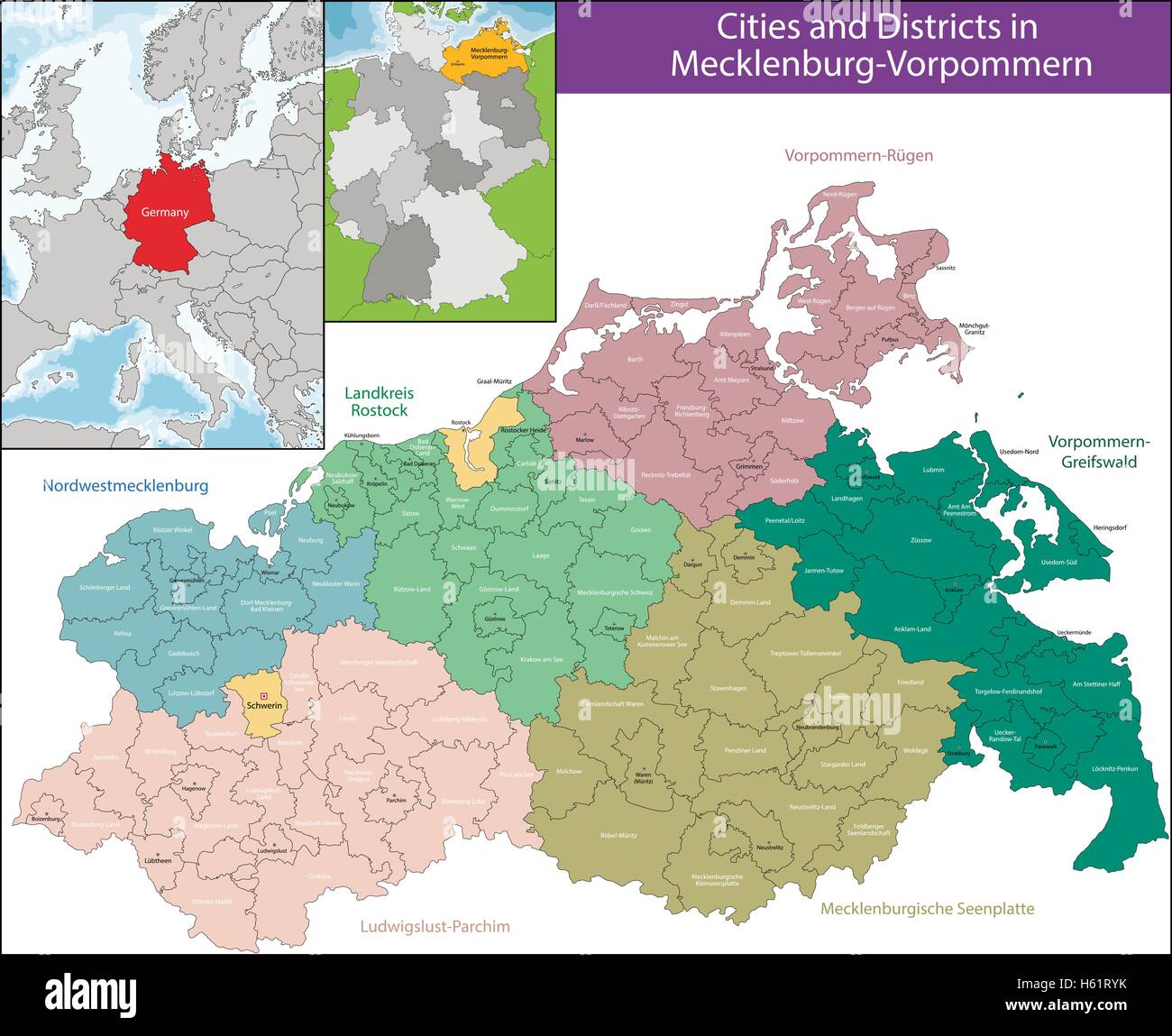 Map of Mecklenburg-Vorpommern Stock Vectorhttps://www.alamy.com/image-license-details/?v=1https://www.alamy.com/stock-photo-map-of-mecklenburg-vorpommern-124201271.html
RFH61RYK–Map of Mecklenburg-Vorpommern
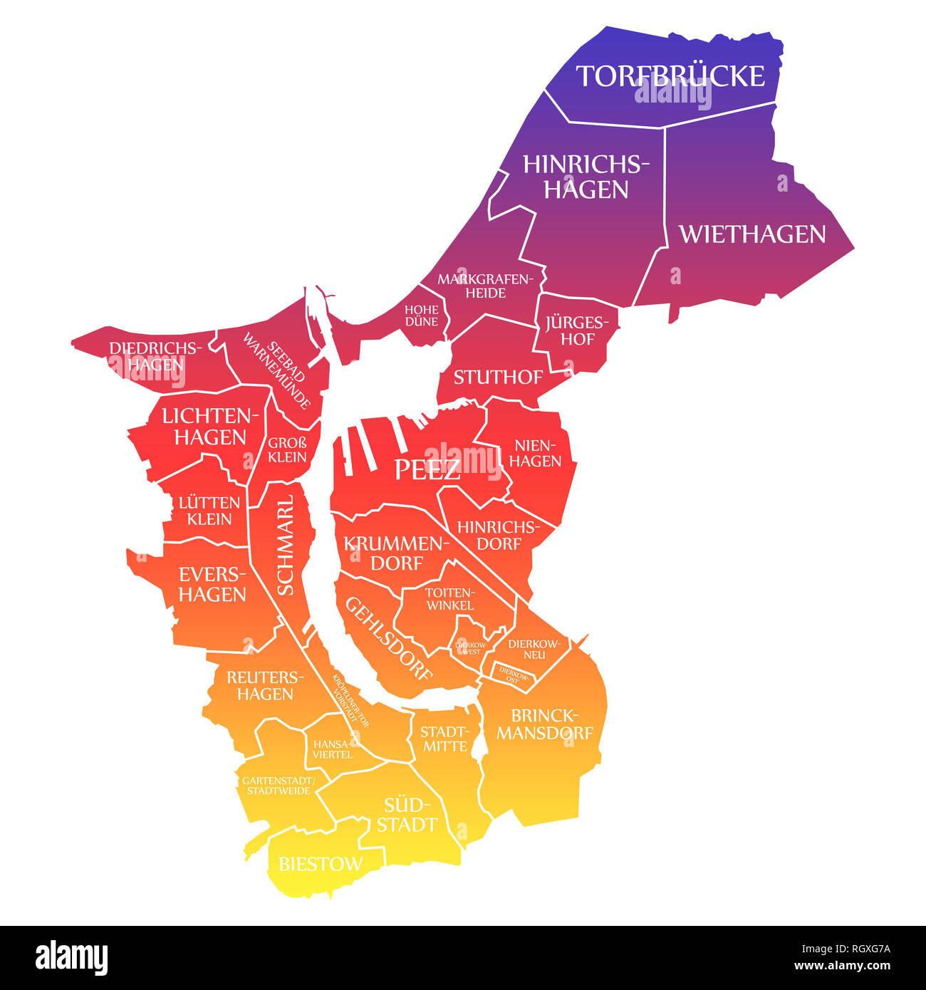 Rostock City Map Germany DE labelled rainbow colored illustration Stock Photohttps://www.alamy.com/image-license-details/?v=1https://www.alamy.com/rostock-city-map-germany-de-labelled-rainbow-colored-illustration-image234152782.html
RFRGXG7A–Rostock City Map Germany DE labelled rainbow colored illustration
 Mecklenburg Vorpommern silhouette map isolated on white background, Germany Stock Vectorhttps://www.alamy.com/image-license-details/?v=1https://www.alamy.com/mecklenburg-vorpommern-silhouette-map-isolated-on-white-background-germany-image614432776.html
RF2XKHR7M–Mecklenburg Vorpommern silhouette map isolated on white background, Germany
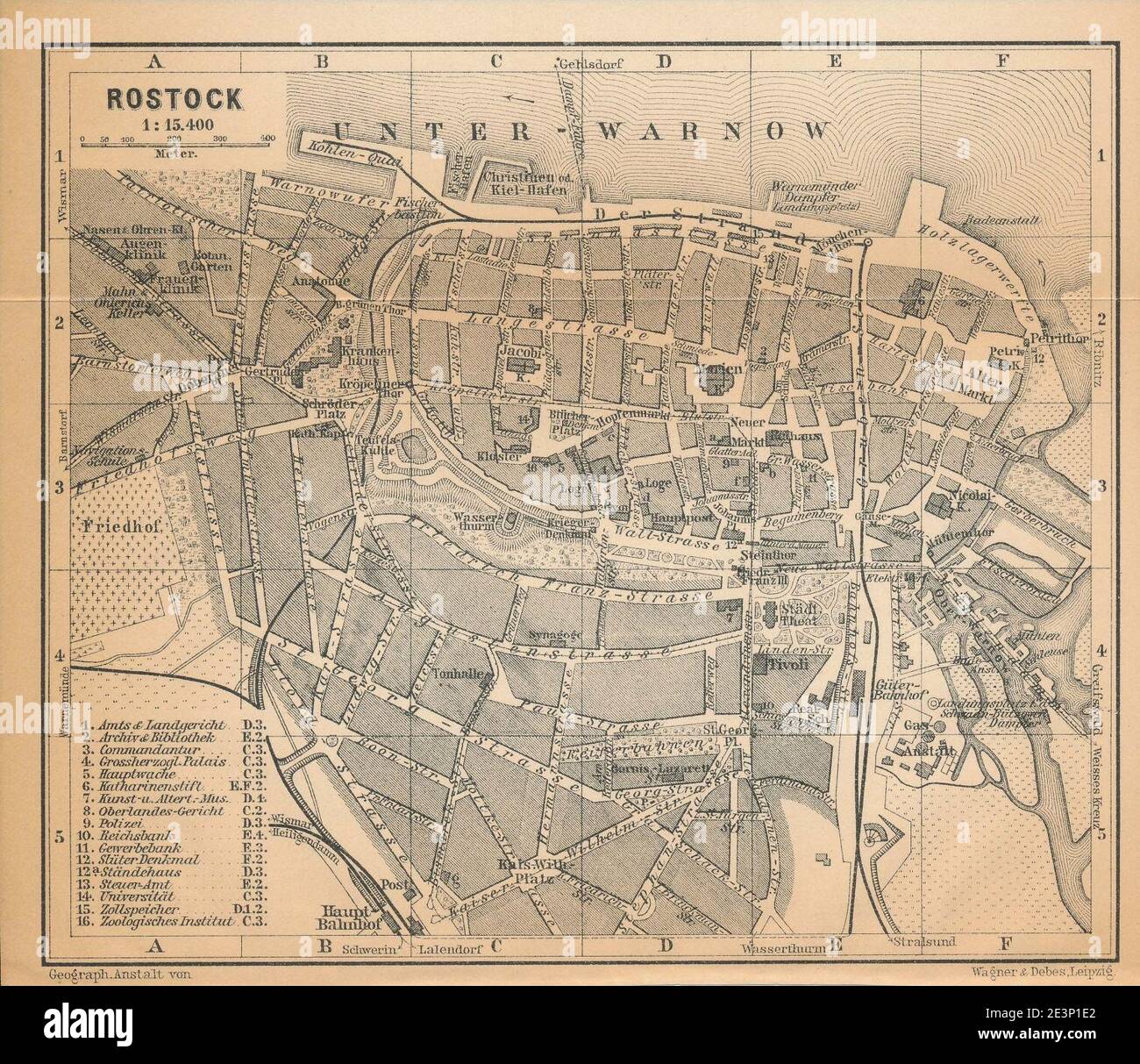 MAP Rostock 1910. Stock Photohttps://www.alamy.com/image-license-details/?v=1https://www.alamy.com/map-rostock-1910-image398166554.html
RM2E3P1E2–MAP Rostock 1910.
 island map of mecklenburg-vorpommern abstract background in violet Stock Vectorhttps://www.alamy.com/image-license-details/?v=1https://www.alamy.com/stock-photo-island-map-of-mecklenburg-vorpommern-abstract-background-in-violet-146900658.html
RFJEYW82–island map of mecklenburg-vorpommern abstract background in violet
 . Map of Rostock 1788 . 1788. Friedrich Wilhelm Karl von Schmettau (1743–1806) Alternative names Friedrich Wilhelm Carl Graf von Schmettau; Friedrich Wilhelm Karl Graf von Schmettau; Фридрих Вильгельм Карл фон Шметтау Description German general, cartographer and topographer German lieutenant general, cartographer, and topographer (1743-1806) Date of birth/death 13 April 1743 18 October 1806 Location of birth/death Berlin Weimar Authority control : Q121684 VIAF: 17474772 ISNI: 0000 0000 7357 2537 LCCN: n50074789 GND: 118608576 SUDOC: 079382150 WorldCat 1074 Rostock1788 Stock Photohttps://www.alamy.com/image-license-details/?v=1https://www.alamy.com/map-of-rostock-1788-1788-friedrich-wilhelm-karl-von-schmettau-17431806-alternative-names-friedrich-wilhelm-carl-graf-von-schmettau-friedrich-wilhelm-karl-graf-von-schmettau-description-german-general-cartographer-and-topographer-german-lieutenant-general-cartographer-and-topographer-1743-1806-date-of-birthdeath-13-april-1743-18-october-1806-location-of-birthdeath-berlin-weimar-authority-control-q121684-viaf17474772-isni0000-0000-7357-2537-lccnn50074789-gnd118608576-sudoc079382150-worldcat-1074-rostock1788-image185580936.html
RMMNWXAG–. Map of Rostock 1788 . 1788. Friedrich Wilhelm Karl von Schmettau (1743–1806) Alternative names Friedrich Wilhelm Carl Graf von Schmettau; Friedrich Wilhelm Karl Graf von Schmettau; Фридрих Вильгельм Карл фон Шметтау Description German general, cartographer and topographer German lieutenant general, cartographer, and topographer (1743-1806) Date of birth/death 13 April 1743 18 October 1806 Location of birth/death Berlin Weimar Authority control : Q121684 VIAF: 17474772 ISNI: 0000 0000 7357 2537 LCCN: n50074789 GND: 118608576 SUDOC: 079382150 WorldCat 1074 Rostock1788
 Passport map of the Baltic Sea and the coasts of the surrounding countries (Denmark, Germany, Sweden, Poland, Russia and the Baltic States) from the G Stock Photohttps://www.alamy.com/image-license-details/?v=1https://www.alamy.com/passport-map-of-the-baltic-sea-and-the-coasts-of-the-surrounding-countries-denmark-germany-sweden-poland-russia-and-the-baltic-states-from-the-g-image488032500.html
RF2K9YPC4–Passport map of the Baltic Sea and the coasts of the surrounding countries (Denmark, Germany, Sweden, Poland, Russia and the Baltic States) from the G
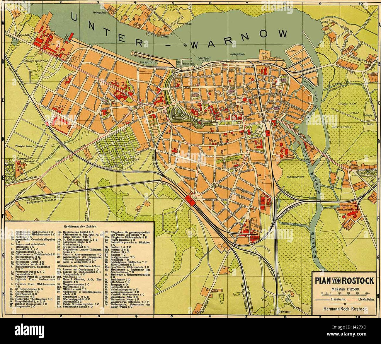 MAP Rostock 1918 Stock Photohttps://www.alamy.com/image-license-details/?v=1https://www.alamy.com/stock-photo-map-rostock-1918-140191701.html
RMJ427XD–MAP Rostock 1918
 N/A. English: Cityview of Anklam on the 'Lubinischen Karte' (Map of Lubin) in 1618 Deutsch: Ansicht von Anklam auf der Lubinischen Karte von 1618 . 1618. Author= Eilhard Lubinus (1565–1621) Alternative names Lübben, Eilhard; Lübben, Eilert Description German cartographer, mathematician, theologian and university teacher Date of birth/death 24 March 1565 2 June 1621 Location of birth/death Westerstede Rostock Authority control : Q86250 VIAF:69214075 ISNI:0000 0001 2138 3168 LCCN:n85143470 Open Library:OL785843A GND:100974325 WorldCat 104 Anklam-1618-Lubin Stock Photohttps://www.alamy.com/image-license-details/?v=1https://www.alamy.com/na-english-cityview-of-anklam-on-the-lubinischen-karte-map-of-lubin-in-1618-deutsch-ansicht-von-anklam-auf-der-lubinischen-karte-von-1618-1618-author=-eilhard-lubinus-15651621-alternative-names-lbben-eilhard-lbben-eilert-description-german-cartographer-mathematician-theologian-and-university-teacher-date-of-birthdeath-24-march-1565-2-june-1621-location-of-birthdeath-westerstede-rostock-authority-control-q86250-viaf69214075-isni0000-0001-2138-3168-lccnn85143470-open-libraryol785843a-gnd100974325-worldcat-104-anklam-1618-lubin-image209834371.html
RMP5ANTK–N/A. English: Cityview of Anklam on the 'Lubinischen Karte' (Map of Lubin) in 1618 Deutsch: Ansicht von Anklam auf der Lubinischen Karte von 1618 . 1618. Author= Eilhard Lubinus (1565–1621) Alternative names Lübben, Eilhard; Lübben, Eilert Description German cartographer, mathematician, theologian and university teacher Date of birth/death 24 March 1565 2 June 1621 Location of birth/death Westerstede Rostock Authority control : Q86250 VIAF:69214075 ISNI:0000 0001 2138 3168 LCCN:n85143470 Open Library:OL785843A GND:100974325 WorldCat 104 Anklam-1618-Lubin
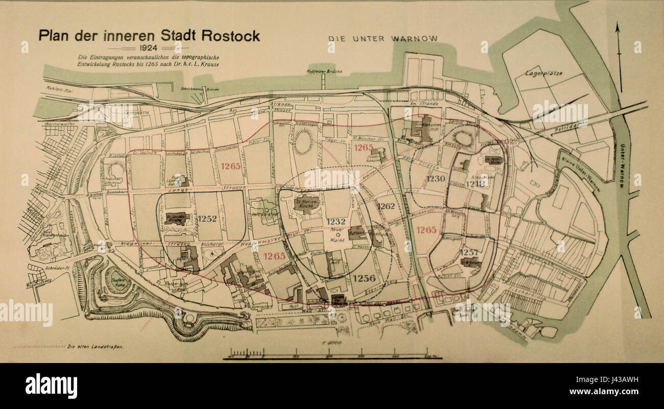 Map Rostock Innenstadt Entwicklung Krause Stock Photohttps://www.alamy.com/image-license-details/?v=1https://www.alamy.com/stock-photo-map-rostock-innenstadt-entwicklung-krause-140215981.html
RMJ43AWH–Map Rostock Innenstadt Entwicklung Krause
 I love Mecklenburg-Western Pomerania with map german Stock Photohttps://www.alamy.com/image-license-details/?v=1https://www.alamy.com/stock-photo-i-love-mecklenburg-western-pomerania-with-map-german-104869529.html
RFG2H649–I love Mecklenburg-Western Pomerania with map german
 Rostock City (Federal Republic of Germany, Mecklenburg-Vorpommern) map vector illustration, scribble sketch Hanseatic City of Rostock map Stock Vectorhttps://www.alamy.com/image-license-details/?v=1https://www.alamy.com/rostock-city-federal-republic-of-germany-mecklenburg-vorpommern-map-vector-illustration-scribble-sketch-hanseatic-city-of-rostock-map-image355540974.html
RF2BJC83X–Rostock City (Federal Republic of Germany, Mecklenburg-Vorpommern) map vector illustration, scribble sketch Hanseatic City of Rostock map
 Rostock, Germany. 17th July, 2020. A copy of a map by Amerigo Vespucci (1454-1512), navigator, cartographer and explorer, in a folio edition of 'De novo mundo', the letter about the New World of Vespucci, in the University Library of Rostock According to the latest findings, it is said to be the most complete copy of a map of Vespucci. It is part of a print from around 1505, produced by the Rostock council secretary and printer Hermann Barckhusen (around 1460-1528/29). Credit: Bernd Wüstneck/dpa-Zentralbild/dpa/Alamy Live News Stock Photohttps://www.alamy.com/image-license-details/?v=1https://www.alamy.com/rostock-germany-17th-july-2020-a-copy-of-a-map-by-amerigo-vespucci-1454-1512-navigator-cartographer-and-explorer-in-a-folio-edition-of-de-novo-mundo-the-letter-about-the-new-world-of-vespucci-in-the-university-library-of-rostock-according-to-the-latest-findings-it-is-said-to-be-the-most-complete-copy-of-a-map-of-vespucci-it-is-part-of-a-print-from-around-1505-produced-by-the-rostock-council-secretary-and-printer-hermann-barckhusen-around-1460-152829-credit-bernd-wstneckdpa-zentralbilddpaalamy-live-news-image366090415.html
RM2C7GT1K–Rostock, Germany. 17th July, 2020. A copy of a map by Amerigo Vespucci (1454-1512), navigator, cartographer and explorer, in a folio edition of 'De novo mundo', the letter about the New World of Vespucci, in the University Library of Rostock According to the latest findings, it is said to be the most complete copy of a map of Vespucci. It is part of a print from around 1505, produced by the Rostock council secretary and printer Hermann Barckhusen (around 1460-1528/29). Credit: Bernd Wüstneck/dpa-Zentralbild/dpa/Alamy Live News
 00525-Rostock-1898-Rathaus-Brück & Sohn Kunstverlag Stock Photohttps://www.alamy.com/image-license-details/?v=1https://www.alamy.com/stock-photo-00525-rostock-1898-rathaus-brck-sohn-kunstverlag-147369087.html
RMJFN6NK–00525-Rostock-1898-Rathaus-Brück & Sohn Kunstverlag
 Kraftwerk Rostock, DE, Germany, Mecklenburg-Vorpommern, N 54 8' 28'', N 12 7' 53'', map, Cartascapes Map published in 2024. Explore Cartascapes, a map revealing Earth's diverse landscapes, cultures, and ecosystems. Journey through time and space, discovering the interconnectedness of our planet's past, present, and future. Stock Photohttps://www.alamy.com/image-license-details/?v=1https://www.alamy.com/kraftwerk-rostock-de-germany-mecklenburg-vorpommern-n-54-8-28-n-12-7-53-map-cartascapes-map-published-in-2024-explore-cartascapes-a-map-revealing-earths-diverse-landscapes-cultures-and-ecosystems-journey-through-time-and-space-discovering-the-interconnectedness-of-our-planets-past-present-and-future-image629480312.html
RM2YG38FM–Kraftwerk Rostock, DE, Germany, Mecklenburg-Vorpommern, N 54 8' 28'', N 12 7' 53'', map, Cartascapes Map published in 2024. Explore Cartascapes, a map revealing Earth's diverse landscapes, cultures, and ecosystems. Journey through time and space, discovering the interconnectedness of our planet's past, present, and future.
 Vector posters with highly detailed silhouettes maps states of Germany - Mecklenburg-Vorpommern, Berlin, Brandenburg, Sachsen-Anhalt - set 2 of 4 Stock Vectorhttps://www.alamy.com/image-license-details/?v=1https://www.alamy.com/vector-posters-with-highly-detailed-silhouettes-maps-states-of-germany-mecklenburg-vorpommern-berlin-brandenburg-sachsen-anhalt-set-2-of-4-image468682693.html
RF2J6E9FH–Vector posters with highly detailed silhouettes maps states of Germany - Mecklenburg-Vorpommern, Berlin, Brandenburg, Sachsen-Anhalt - set 2 of 4
 Rostock, Germany. 19th June, 2019. Steffen Stuth (l), director of the museum, presents the new exhibition 'People - Knowledge - Paths of Life' at a press event in the Monastery of the Holy Cross and shows a map from the 17th century showing university buildings from 1419-1600. Starting 20.06.2019, the show will present exciting aspects from 600 eventful years of Rostock university and science history. Credit: Bernd Wüstneck/dpa-Zentralbild/dpa/Alamy Live News Stock Photohttps://www.alamy.com/image-license-details/?v=1https://www.alamy.com/rostock-germany-19th-june-2019-steffen-stuth-l-director-of-the-museum-presents-the-new-exhibition-people-knowledge-paths-of-life-at-a-press-event-in-the-monastery-of-the-holy-cross-and-shows-a-map-from-the-17th-century-showing-university-buildings-from-1419-1600-starting-20062019-the-show-will-present-exciting-aspects-from-600-eventful-years-of-rostock-university-and-science-history-credit-bernd-wstneckdpa-zentralbilddpaalamy-live-news-image249471573.html
RMTDTBF1–Rostock, Germany. 19th June, 2019. Steffen Stuth (l), director of the museum, presents the new exhibition 'People - Knowledge - Paths of Life' at a press event in the Monastery of the Holy Cross and shows a map from the 17th century showing university buildings from 1419-1600. Starting 20.06.2019, the show will present exciting aspects from 600 eventful years of Rostock university and science history. Credit: Bernd Wüstneck/dpa-Zentralbild/dpa/Alamy Live News
 Sea chart of the Baltic Sea from Rostock to Vyborg, Jan Luyken, Johannes van Keulen (I), unknown, 1681 - 1799 Stock Photohttps://www.alamy.com/image-license-details/?v=1https://www.alamy.com/stock-photo-sea-chart-of-the-baltic-sea-from-rostock-to-vyborg-jan-luyken-johannes-104863475.html
RMG2GXC3–Sea chart of the Baltic Sea from Rostock to Vyborg, Jan Luyken, Johannes van Keulen (I), unknown, 1681 - 1799
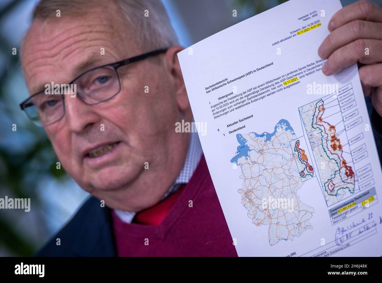 Schwerin, Germany. 16th Nov, 2021. Till Backhaus (SPD), the Minister of Agriculture, Environment and Climate Protection of Mecklenburg-Western Pomerania, shows a map of Germany on which affected regions are marked in red at a press conference on the first case of African swine fever in Mecklenburg-Western Pomerania. In response to the outbreak of ASF in a livestock herd in the Rostock district, several thousand pigs must now be killed and disposed of. Credit: Jens Büttner/dpa-Zentralbild/dpa/Alamy Live News Stock Photohttps://www.alamy.com/image-license-details/?v=1https://www.alamy.com/schwerin-germany-16th-nov-2021-till-backhaus-spd-the-minister-of-agriculture-environment-and-climate-protection-of-mecklenburg-western-pomerania-shows-a-map-of-germany-on-which-affected-regions-are-marked-in-red-at-a-press-conference-on-the-first-case-of-african-swine-fever-in-mecklenburg-western-pomerania-in-response-to-the-outbreak-of-asf-in-a-livestock-herd-in-the-rostock-district-several-thousand-pigs-must-now-be-killed-and-disposed-of-credit-jens-bttnerdpa-zentralbilddpaalamy-live-news-image451556019.html
RM2H6J48K–Schwerin, Germany. 16th Nov, 2021. Till Backhaus (SPD), the Minister of Agriculture, Environment and Climate Protection of Mecklenburg-Western Pomerania, shows a map of Germany on which affected regions are marked in red at a press conference on the first case of African swine fever in Mecklenburg-Western Pomerania. In response to the outbreak of ASF in a livestock herd in the Rostock district, several thousand pigs must now be killed and disposed of. Credit: Jens Büttner/dpa-Zentralbild/dpa/Alamy Live News
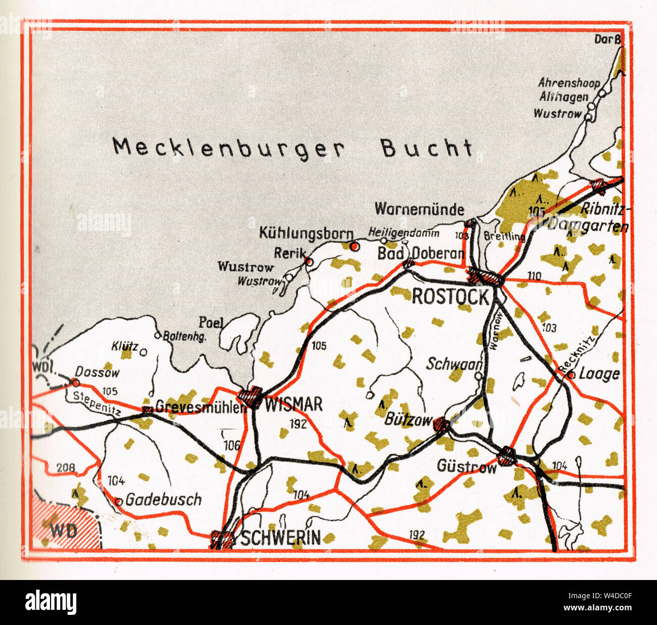 Rostock region, Former GDR map, Leipzig Editions, 1964 Stock Photohttps://www.alamy.com/image-license-details/?v=1https://www.alamy.com/rostock-region-former-gdr-map-leipzig-editions-1964-image260908943.html
RMW4DC0F–Rostock region, Former GDR map, Leipzig Editions, 1964
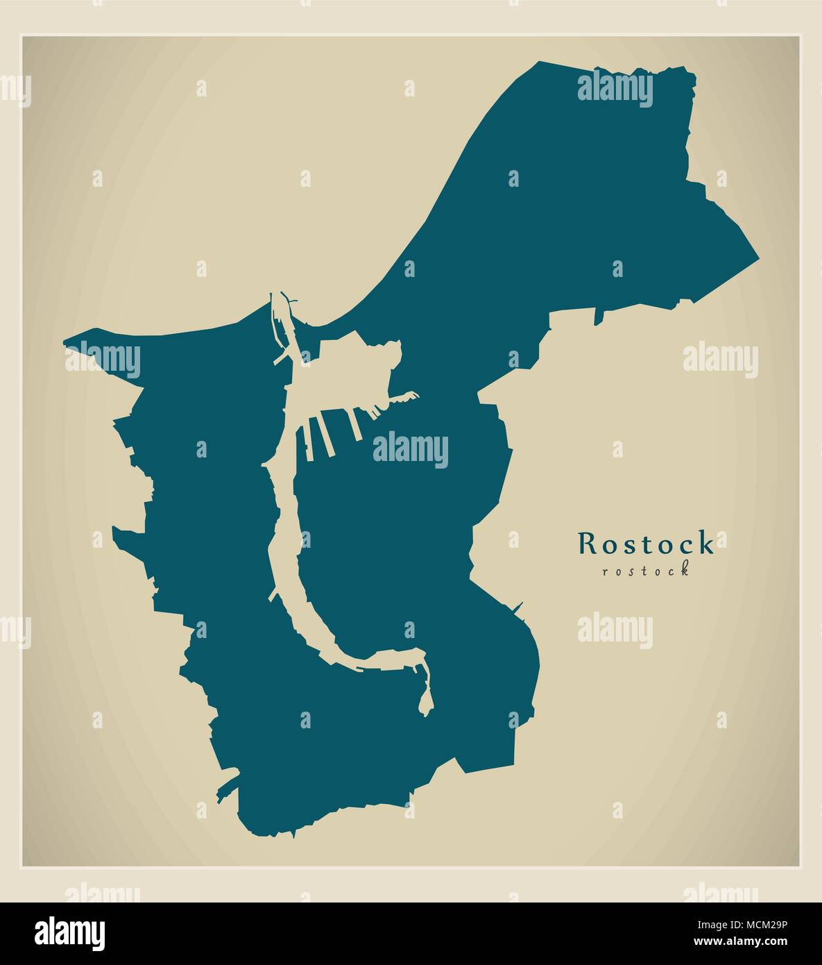 Modern City Map - Rostock city of Germany DE Stock Vectorhttps://www.alamy.com/image-license-details/?v=1https://www.alamy.com/modern-city-map-rostock-city-of-germany-de-image179920434.html
RFMCM29P–Modern City Map - Rostock city of Germany DE
 Kiel, Germany. 05th Sep, 2020. Football: Test matches, KSV Holstein - FC Hansa Rostock. A soccer fan of KSV Holstein is standing in front of the stadium map after the game with his mouth and nose protection and looks at his smartphone. IMPORTANT NOTE: In accordance with the regulations of the DFL Deutsche Fußball Liga and the DFB Deutscher Fußball-Bund, it is prohibited to use or have used in the stadium and/or from the game taken photos in the form of sequence pictures and/or video-like photo series. Credit: Gregor Fischer/dpa/Alamy Live News Stock Photohttps://www.alamy.com/image-license-details/?v=1https://www.alamy.com/kiel-germany-05th-sep-2020-football-test-matches-ksv-holstein-fc-hansa-rostock-a-soccer-fan-of-ksv-holstein-is-standing-in-front-of-the-stadium-map-after-the-game-with-his-mouth-and-nose-protection-and-looks-at-his-smartphone-important-note-in-accordance-with-the-regulations-of-the-dfl-deutsche-fuball-liga-and-the-dfb-deutscher-fuball-bund-it-is-prohibited-to-use-or-have-used-in-the-stadium-andor-from-the-game-taken-photos-in-the-form-of-sequence-pictures-andor-video-like-photo-series-credit-gregor-fischerdpaalamy-live-news-image370988735.html
RM2CFFYWK–Kiel, Germany. 05th Sep, 2020. Football: Test matches, KSV Holstein - FC Hansa Rostock. A soccer fan of KSV Holstein is standing in front of the stadium map after the game with his mouth and nose protection and looks at his smartphone. IMPORTANT NOTE: In accordance with the regulations of the DFL Deutsche Fußball Liga and the DFB Deutscher Fußball-Bund, it is prohibited to use or have used in the stadium and/or from the game taken photos in the form of sequence pictures and/or video-like photo series. Credit: Gregor Fischer/dpa/Alamy Live News
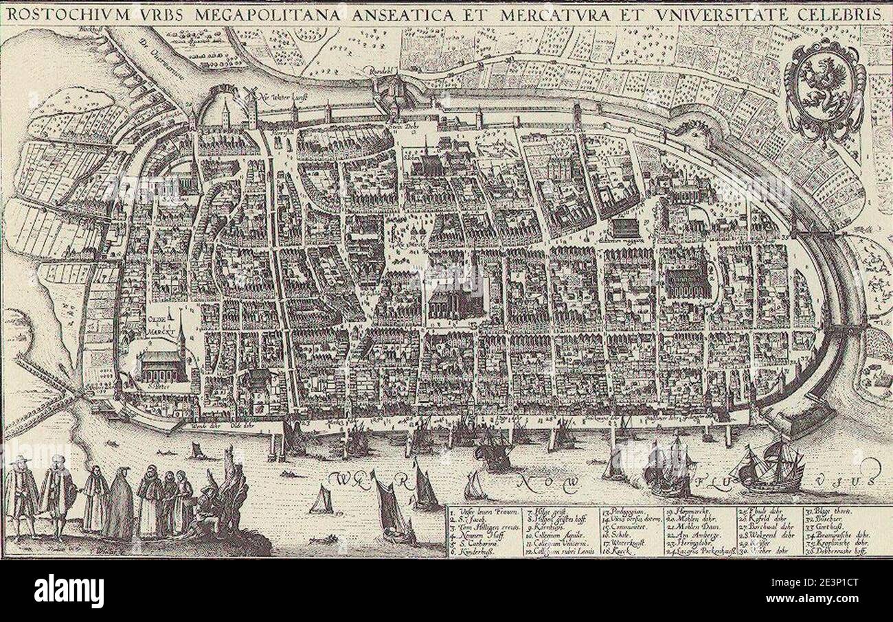 MAP Rostock 1683. Stock Photohttps://www.alamy.com/image-license-details/?v=1https://www.alamy.com/map-rostock-1683-image398166520.html
RM2E3P1CT–MAP Rostock 1683.
 card, atlas, map of the world, map, model, design, project, concept, plan, Stock Vectorhttps://www.alamy.com/image-license-details/?v=1https://www.alamy.com/stock-photo-card-atlas-map-of-the-world-map-model-design-project-concept-plan-146900856.html
RFJEYWF4–card, atlas, map of the world, map, model, design, project, concept, plan,
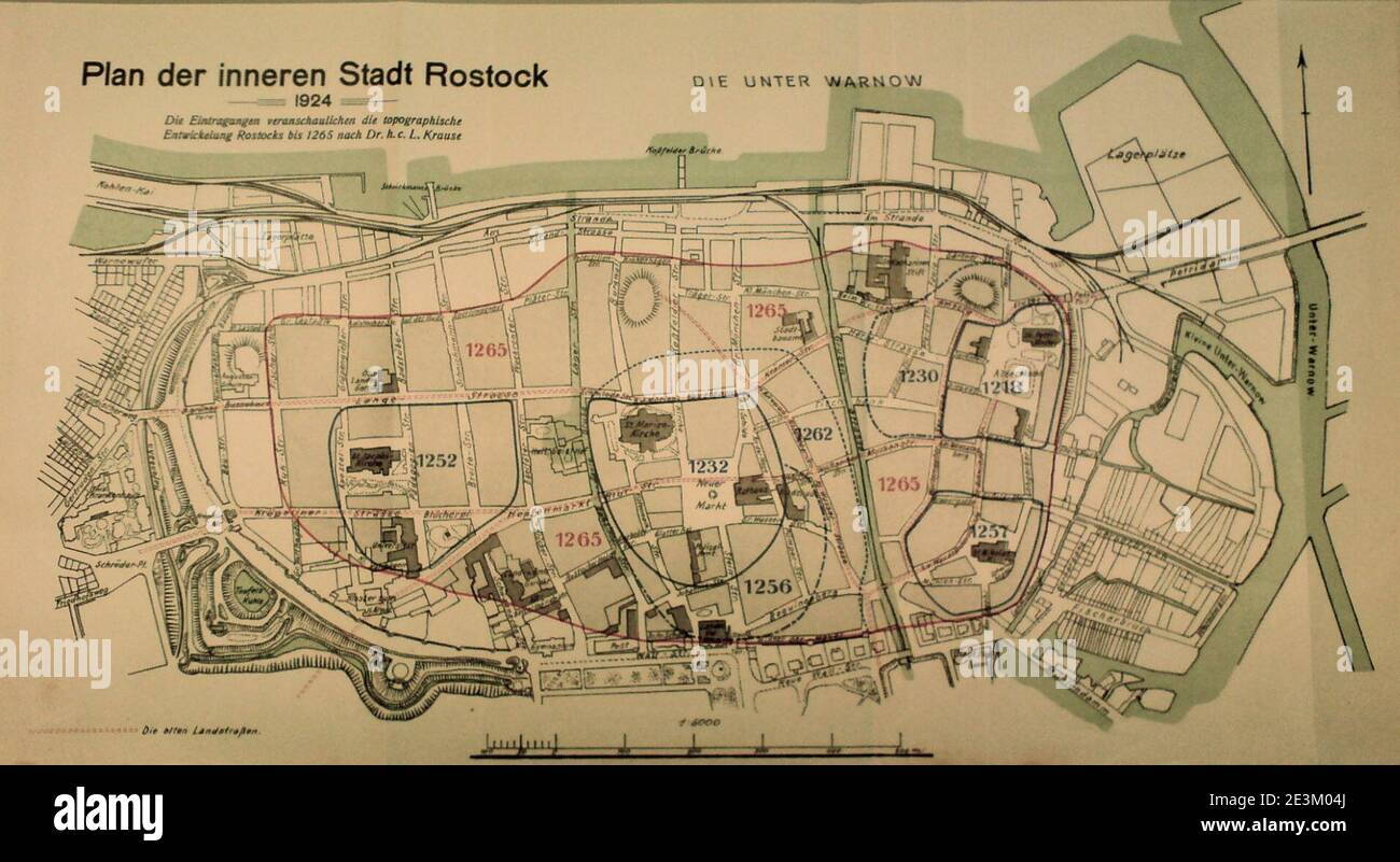 Map Rostock Innenstadt Entwicklung Krause. Stock Photohttps://www.alamy.com/image-license-details/?v=1https://www.alamy.com/map-rostock-innenstadt-entwicklung-krause-image398121602.html
RM2E3M04J–Map Rostock Innenstadt Entwicklung Krause.
 30 August 2019, Mecklenburg-Western Pomerania, Rostock: Martin Sauerschnig (r), Managing Director of RST, and Pierre Godart, Managing Director of ArianeGroup GmbH, are standing on a map of Mecklenburg-Western Pomerania next to the model of an Ariane 6 launch vehicle. With the symbolic first steel cut, the company RST Rostock System-Technik had previously started the construction of large jigs for the construction of the European launch vehicle without press support. RST stated that these were lifting devices, work platforms or transport carriages, not rocket parts. Without these assembly devic Stock Photohttps://www.alamy.com/image-license-details/?v=1https://www.alamy.com/30-august-2019-mecklenburg-western-pomerania-rostock-martin-sauerschnig-r-managing-director-of-rst-and-pierre-godart-managing-director-of-arianegroup-gmbh-are-standing-on-a-map-of-mecklenburg-western-pomerania-next-to-the-model-of-an-ariane-6-launch-vehicle-with-the-symbolic-first-steel-cut-the-company-rst-rostock-system-technik-had-previously-started-the-construction-of-large-jigs-for-the-construction-of-the-european-launch-vehicle-without-press-support-rst-stated-that-these-were-lifting-devices-work-platforms-or-transport-carriages-not-rocket-parts-without-these-assembly-devic-image267046168.html
RMWED034–30 August 2019, Mecklenburg-Western Pomerania, Rostock: Martin Sauerschnig (r), Managing Director of RST, and Pierre Godart, Managing Director of ArianeGroup GmbH, are standing on a map of Mecklenburg-Western Pomerania next to the model of an Ariane 6 launch vehicle. With the symbolic first steel cut, the company RST Rostock System-Technik had previously started the construction of large jigs for the construction of the European launch vehicle without press support. RST stated that these were lifting devices, work platforms or transport carriages, not rocket parts. Without these assembly devic
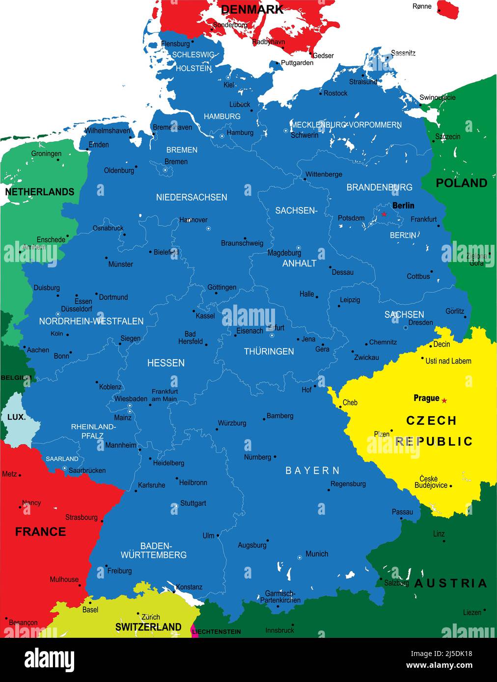 Highly detailed vector map of Germany with administrative regions, main cities and roads Stock Vectorhttps://www.alamy.com/image-license-details/?v=1https://www.alamy.com/highly-detailed-vector-map-of-germany-with-administrative-regions-main-cities-and-roads-image468053524.html
RF2J5DK18–Highly detailed vector map of Germany with administrative regions, main cities and roads
 Rostock Germany - December 2. 2017: LNG Tanker Coral Energice at Neptun Shipyard in port of Rostock Stock Photohttps://www.alamy.com/image-license-details/?v=1https://www.alamy.com/rostock-germany-december-2-2017-lng-tanker-coral-energice-at-neptun-shipyard-in-port-of-rostock-image403917403.html
RF2ED40NF–Rostock Germany - December 2. 2017: LNG Tanker Coral Energice at Neptun Shipyard in port of Rostock
 Map of Central Berlin Germany - CITY OF BERLIN, GERMANY - MARCH 11, 2021 Stock Photohttps://www.alamy.com/image-license-details/?v=1https://www.alamy.com/map-of-central-berlin-germany-city-of-berlin-germany-march-11-2021-image415063727.html
RF2F37P0F–Map of Central Berlin Germany - CITY OF BERLIN, GERMANY - MARCH 11, 2021
 Made in Mecklenburg-Western Pomerania barcode german Stock Photohttps://www.alamy.com/image-license-details/?v=1https://www.alamy.com/stock-photo-made-in-mecklenburg-western-pomerania-barcode-german-104869527.html
RFG2H647–Made in Mecklenburg-Western Pomerania barcode german
 Rostock City (Federal Republic of Germany, Mecklenburg-Vorpommern) map vector illustration, scribble sketch Hanseatic City of Rostock map Stock Vectorhttps://www.alamy.com/image-license-details/?v=1https://www.alamy.com/rostock-city-federal-republic-of-germany-mecklenburg-vorpommern-map-vector-illustration-scribble-sketch-hanseatic-city-of-rostock-map-image360684713.html
RF2BXPH0W–Rostock City (Federal Republic of Germany, Mecklenburg-Vorpommern) map vector illustration, scribble sketch Hanseatic City of Rostock map
 Wismar, Rostock, Schwerin German travel stickers and plates, vector luggage tags. Germany cities tin signs and grunge plates with German landmark and state symbols, emblems and flags Stock Vectorhttps://www.alamy.com/image-license-details/?v=1https://www.alamy.com/wismar-rostock-schwerin-german-travel-stickers-and-plates-vector-luggage-tags-germany-cities-tin-signs-and-grunge-plates-with-german-landmark-and-state-symbols-emblems-and-flags-image471845000.html
RF2JBJB34–Wismar, Rostock, Schwerin German travel stickers and plates, vector luggage tags. Germany cities tin signs and grunge plates with German landmark and state symbols, emblems and flags
 00528-Rostock-1898-Universität-Brück & Sohn Kunstverlag Stock Photohttps://www.alamy.com/image-license-details/?v=1https://www.alamy.com/stock-photo-00528-rostock-1898-universitt-brck-sohn-kunstverlag-147369136.html
RMJFN6RC–00528-Rostock-1898-Universität-Brück & Sohn Kunstverlag
 Rostock-Torfbruecke, DE, Germany, Mecklenburg-Vorpommern, N 54 14' 30'', N 12 13' 39'', map, Cartascapes Map published in 2024. Explore Cartascapes, a map revealing Earth's diverse landscapes, cultures, and ecosystems. Journey through time and space, discovering the interconnectedness of our planet's past, present, and future. Stock Photohttps://www.alamy.com/image-license-details/?v=1https://www.alamy.com/rostock-torfbruecke-de-germany-mecklenburg-vorpommern-n-54-14-30-n-12-13-39-map-cartascapes-map-published-in-2024-explore-cartascapes-a-map-revealing-earths-diverse-landscapes-cultures-and-ecosystems-journey-through-time-and-space-discovering-the-interconnectedness-of-our-planets-past-present-and-future-image629426056.html
RM2YG0RA0–Rostock-Torfbruecke, DE, Germany, Mecklenburg-Vorpommern, N 54 14' 30'', N 12 13' 39'', map, Cartascapes Map published in 2024. Explore Cartascapes, a map revealing Earth's diverse landscapes, cultures, and ecosystems. Journey through time and space, discovering the interconnectedness of our planet's past, present, and future.
 Germany, Rostock flat landmarks vector illustration. Germany, Rostock line city with famous travel sights, skyline, design. Stock Vectorhttps://www.alamy.com/image-license-details/?v=1https://www.alamy.com/germany-rostock-flat-landmarks-vector-illustration-germany-rostock-line-city-with-famous-travel-sights-skyline-design-image240386581.html
RFRY2FF1–Germany, Rostock flat landmarks vector illustration. Germany, Rostock line city with famous travel sights, skyline, design.
 Pass card from the Baltic Sea from Rostock to Vyborg; Passcard of the East Sea Verthoone Al de Gelegentheyt between Rovok, and Wyborg. Single-pressed .. Pass map of the Baltic Sea and the shores of the surrounding countries (Denmark, Germany, Sweden, Poland, Russia and the Baltic states) from the German city of Rostock to Russian Vyborg, with two compass roses, the north lies above. Above left a rocking party with the title, where a few miners perform work. For the rock an iron mask. At the bottom right The publishing address and the scale in German, Spanish and English or French miles. To the Stock Photohttps://www.alamy.com/image-license-details/?v=1https://www.alamy.com/pass-card-from-the-baltic-sea-from-rostock-to-vyborg-passcard-of-the-east-sea-verthoone-al-de-gelegentheyt-between-rovok-and-wyborg-single-pressed-pass-map-of-the-baltic-sea-and-the-shores-of-the-surrounding-countries-denmark-germany-sweden-poland-russia-and-the-baltic-states-from-the-german-city-of-rostock-to-russian-vyborg-with-two-compass-roses-the-north-lies-above-above-left-a-rocking-party-with-the-title-where-a-few-miners-perform-work-for-the-rock-an-iron-mask-at-the-bottom-right-the-publishing-address-and-the-scale-in-german-spanish-and-english-or-french-miles-to-the-image432396292.html
RM2G3D9TM–Pass card from the Baltic Sea from Rostock to Vyborg; Passcard of the East Sea Verthoone Al de Gelegentheyt between Rovok, and Wyborg. Single-pressed .. Pass map of the Baltic Sea and the shores of the surrounding countries (Denmark, Germany, Sweden, Poland, Russia and the Baltic states) from the German city of Rostock to Russian Vyborg, with two compass roses, the north lies above. Above left a rocking party with the title, where a few miners perform work. For the rock an iron mask. At the bottom right The publishing address and the scale in German, Spanish and English or French miles. To the
RFMPKAE8–Rostock silhouette skyline. Germany - Rostock vector city, german linear architecture, buildings. Rostock travel illustration, outline landmarks. Germany flat icon, german line banner
 Justus Falckner, mystic and scholar, devout Pietist in Germany, hermit on the Wissahickon, missionary on the Hudson : a bi-centennial memorial of the first regular ordination of an Orthodox pastor in America, done November 24, 1703, at Gloria Dei, the Swedish Lutheran church at Wicaco, Philadelphia . ion of Map, 1704 100 Section of Map, 1740 .... 101 Communicant Record .... 103 New York Paper Money . . 105 Marriage Entry 107 Getrouwe Wachter Stem ... 117 EMBELLISHMENTS. Headpiece, HistoryHalle Student ....Halle University . .Halle Lecture Room .Rostock, View of . .Headpiece, LiteratureHalle, V Stock Photohttps://www.alamy.com/image-license-details/?v=1https://www.alamy.com/justus-falckner-mystic-and-scholar-devout-pietist-in-germany-hermit-on-the-wissahickon-missionary-on-the-hudson-a-bi-centennial-memorial-of-the-first-regular-ordination-of-an-orthodox-pastor-in-america-done-november-24-1703-at-gloria-dei-the-swedish-lutheran-church-at-wicaco-philadelphia-ion-of-map-1704-100-section-of-map-1740-101-communicant-record-103-new-york-paper-money-105-marriage-entry-107-getrouwe-wachter-stem-117-embellishments-headpiece-historyhalle-student-halle-university-halle-lecture-room-rostock-view-of-headpiece-literaturehalle-v-image340312790.html
RM2ANJGC6–Justus Falckner, mystic and scholar, devout Pietist in Germany, hermit on the Wissahickon, missionary on the Hudson : a bi-centennial memorial of the first regular ordination of an Orthodox pastor in America, done November 24, 1703, at Gloria Dei, the Swedish Lutheran church at Wicaco, Philadelphia . ion of Map, 1704 100 Section of Map, 1740 .... 101 Communicant Record .... 103 New York Paper Money . . 105 Marriage Entry 107 Getrouwe Wachter Stem ... 117 EMBELLISHMENTS. Headpiece, HistoryHalle Student ....Halle University . .Halle Lecture Room .Rostock, View of . .Headpiece, LiteratureHalle, V
 Sea chart of the Baltic Sea from Rostock to Vyborg, Jan Luyken, Johannes van Keulen (I), unknown, 1681 - 1799 reimagined Stock Photohttps://www.alamy.com/image-license-details/?v=1https://www.alamy.com/sea-chart-of-the-baltic-sea-from-rostock-to-vyborg-jan-luyken-johannes-van-keulen-i-unknown-1681-1799-reimagined-image230472351.html
RFRAXWRB–Sea chart of the Baltic Sea from Rostock to Vyborg, Jan Luyken, Johannes van Keulen (I), unknown, 1681 - 1799 reimagined
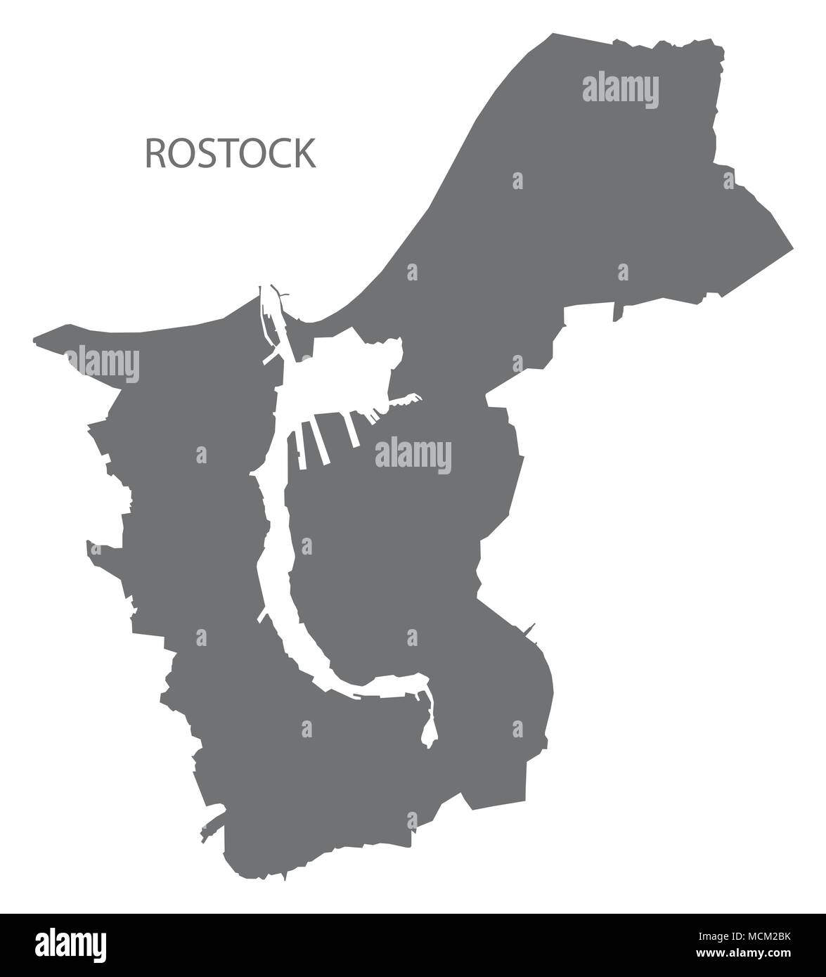 Rostock city map with boroughs grey illustration silhouette shape Stock Vectorhttps://www.alamy.com/image-license-details/?v=1https://www.alamy.com/rostock-city-map-with-boroughs-grey-illustration-silhouette-shape-image179920487.html
RFMCM2BK–Rostock city map with boroughs grey illustration silhouette shape
 rostock in braille Stock Photohttps://www.alamy.com/image-license-details/?v=1https://www.alamy.com/stock-photo-rostock-in-braille-131562869.html
RFHJ15NW–rostock in braille
 30 August 2019, Mecklenburg-Western Pomerania, Rostock: Martin Sauerschnig (2nd from left), Managing Director of RST, and Pierre Godart (left), Managing Director of ArianeGroup GmbH, are on a map of Mecklenburg-Western Pomerania next to the model of an Ariane 6 launch vehicle and are photographed by representatives of the press. With the symbolic first steel cut, the company RST Rostock System-Technik started the construction of large jigs for the construction of the European launcher without press support. RST stated that these were lifting devices, work platforms or transport carriages, not Stock Photohttps://www.alamy.com/image-license-details/?v=1https://www.alamy.com/30-august-2019-mecklenburg-western-pomerania-rostock-martin-sauerschnig-2nd-from-left-managing-director-of-rst-and-pierre-godart-left-managing-director-of-arianegroup-gmbh-are-on-a-map-of-mecklenburg-western-pomerania-next-to-the-model-of-an-ariane-6-launch-vehicle-and-are-photographed-by-representatives-of-the-press-with-the-symbolic-first-steel-cut-the-company-rst-rostock-system-technik-started-the-construction-of-large-jigs-for-the-construction-of-the-european-launcher-without-press-support-rst-stated-that-these-were-lifting-devices-work-platforms-or-transport-carriages-not-image267046136.html
RMWED020–30 August 2019, Mecklenburg-Western Pomerania, Rostock: Martin Sauerschnig (2nd from left), Managing Director of RST, and Pierre Godart (left), Managing Director of ArianeGroup GmbH, are on a map of Mecklenburg-Western Pomerania next to the model of an Ariane 6 launch vehicle and are photographed by representatives of the press. With the symbolic first steel cut, the company RST Rostock System-Technik started the construction of large jigs for the construction of the European launcher without press support. RST stated that these were lifting devices, work platforms or transport carriages, not
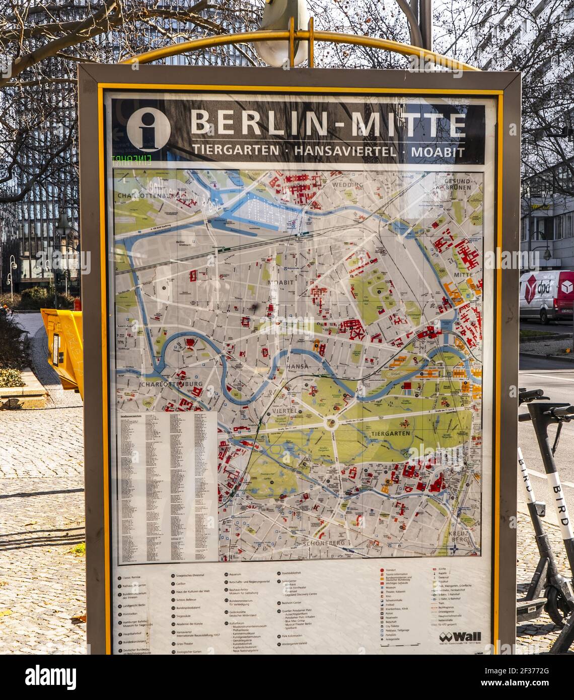 Map of Central Berlin Germany - CITY OF BERLIN, GERMANY - MARCH 11, 2021 Stock Photohttps://www.alamy.com/image-license-details/?v=1https://www.alamy.com/map-of-central-berlin-germany-city-of-berlin-germany-march-11-2021-image415052024.html
RF2F3772G–Map of Central Berlin Germany - CITY OF BERLIN, GERMANY - MARCH 11, 2021