Quick filters:
Rush springs map Stock Photos and Images
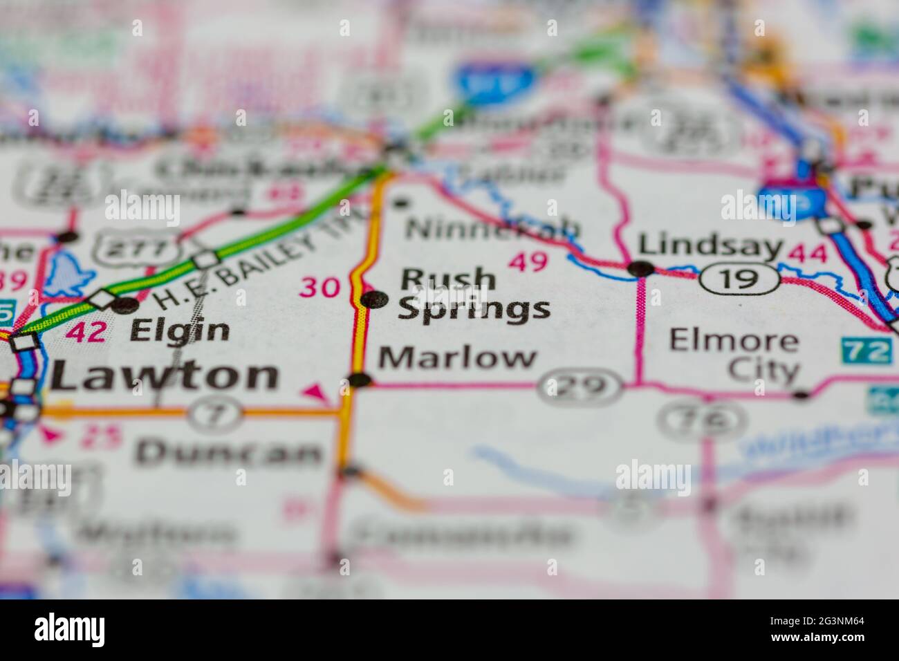 Rush springs Oklahoma USA shown on a Geography map or road map Stock Photohttps://www.alamy.com/image-license-details/?v=1https://www.alamy.com/rush-springs-oklahoma-usa-shown-on-a-geography-map-or-road-map-image432580012.html
RM2G3NM64–Rush springs Oklahoma USA shown on a Geography map or road map
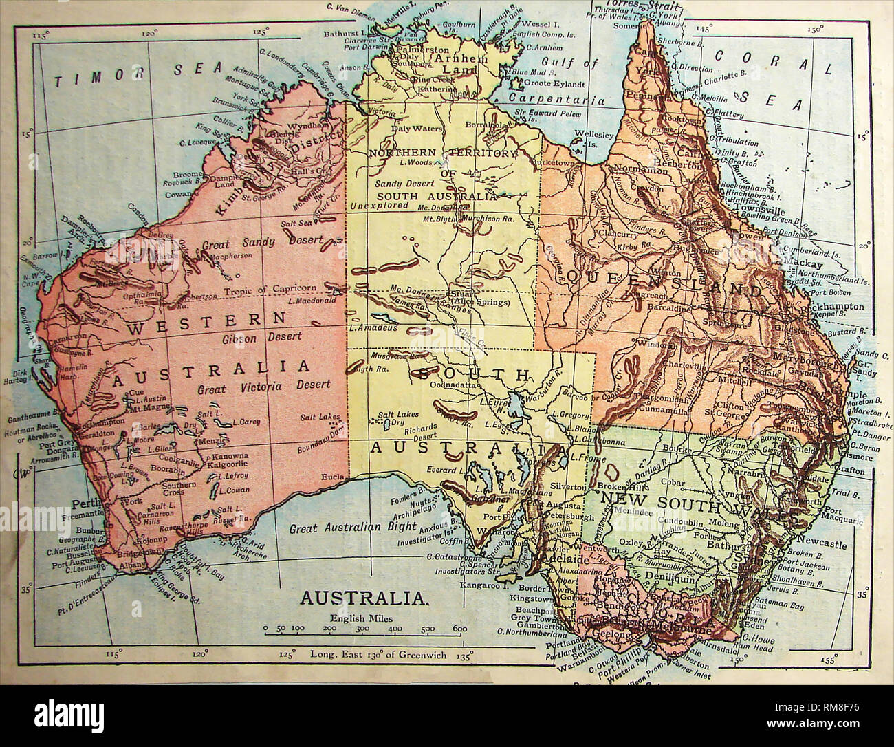 Coloured Map of Australia 1901 showing unexplored regions Stock Photohttps://www.alamy.com/image-license-details/?v=1https://www.alamy.com/coloured-map-of-australia-1901-showing-unexplored-regions-image236215482.html
RMRM8F76–Coloured Map of Australia 1901 showing unexplored regions
 Rush Springs, Grady County, US, United States, Oklahoma, N 34 46' 57'', S 97 57' 25'', map, Cartascapes Map published in 2024. Explore Cartascapes, a map revealing Earth's diverse landscapes, cultures, and ecosystems. Journey through time and space, discovering the interconnectedness of our planet's past, present, and future. Stock Photohttps://www.alamy.com/image-license-details/?v=1https://www.alamy.com/rush-springs-grady-county-us-united-states-oklahoma-n-34-46-57-s-97-57-25-map-cartascapes-map-published-in-2024-explore-cartascapes-a-map-revealing-earths-diverse-landscapes-cultures-and-ecosystems-journey-through-time-and-space-discovering-the-interconnectedness-of-our-planets-past-present-and-future-image621160361.html
RM2Y2G8AH–Rush Springs, Grady County, US, United States, Oklahoma, N 34 46' 57'', S 97 57' 25'', map, Cartascapes Map published in 2024. Explore Cartascapes, a map revealing Earth's diverse landscapes, cultures, and ecosystems. Journey through time and space, discovering the interconnectedness of our planet's past, present, and future.
 Sanborn Fire Insurance Map from Rush Springs, Grady County, Oklahoma. Stock Photohttps://www.alamy.com/image-license-details/?v=1https://www.alamy.com/sanborn-fire-insurance-map-from-rush-springs-grady-county-oklahoma-image456462657.html
RM2HEHJNN–Sanborn Fire Insurance Map from Rush Springs, Grady County, Oklahoma.
 USGS TOPO Map Oklahoma OK Rush Springs 20121120 TM Restoration Stock Photohttps://www.alamy.com/image-license-details/?v=1https://www.alamy.com/usgs-topo-map-oklahoma-ok-rush-springs-20121120-tm-restoration-image334277209.html
RM2ABRHYN–USGS TOPO Map Oklahoma OK Rush Springs 20121120 TM Restoration
 . The earth and its inhabitants .. . 1 MUe. the rain precipitated upon the plateau of the Carso. Some of them rise from the bottom of the sea. The most copious of these submarine springs gushes out at the foot of the Monte Maggiore, and after heavy rain the rush of fresh water causes a great commotion of the sea, dangerous to vessels entering within a circle of 600 feet radius. Phenomena of the same kind have been observed in connection with the Istrian Arsa and the Dalmatian rivers Zermanja, Krka (Kerka), Cettina, and Narenta. On a map these rivers, which hide themselves from time to time Stock Photohttps://www.alamy.com/image-license-details/?v=1https://www.alamy.com/the-earth-and-its-inhabitants-1-mue-the-rain-precipitated-upon-the-plateau-of-the-carso-some-of-them-rise-from-the-bottom-of-the-sea-the-most-copious-of-these-submarine-springs-gushes-out-at-the-foot-of-the-monte-maggiore-and-after-heavy-rain-the-rush-of-fresh-water-causes-a-great-commotion-of-the-sea-dangerous-to-vessels-entering-within-a-circle-of-600-feet-radius-phenomena-of-the-same-kind-have-been-observed-in-connection-with-the-istrian-arsa-and-the-dalmatian-rivers-zermanja-krka-kerka-cettina-and-narenta-on-a-map-these-rivers-which-hide-themselves-from-time-to-time-image178486550.html
RMMAANBJ–. The earth and its inhabitants .. . 1 MUe. the rain precipitated upon the plateau of the Carso. Some of them rise from the bottom of the sea. The most copious of these submarine springs gushes out at the foot of the Monte Maggiore, and after heavy rain the rush of fresh water causes a great commotion of the sea, dangerous to vessels entering within a circle of 600 feet radius. Phenomena of the same kind have been observed in connection with the Istrian Arsa and the Dalmatian rivers Zermanja, Krka (Kerka), Cettina, and Narenta. On a map these rivers, which hide themselves from time to time
 Rush Springs, Grady County, US, United States, Oklahoma, N 34 46' 57'', S 97 57' 25'', map, Cartascapes Map published in 2024. Explore Cartascapes, a map revealing Earth's diverse landscapes, cultures, and ecosystems. Journey through time and space, discovering the interconnectedness of our planet's past, present, and future. Stock Photohttps://www.alamy.com/image-license-details/?v=1https://www.alamy.com/rush-springs-grady-county-us-united-states-oklahoma-n-34-46-57-s-97-57-25-map-cartascapes-map-published-in-2024-explore-cartascapes-a-map-revealing-earths-diverse-landscapes-cultures-and-ecosystems-journey-through-time-and-space-discovering-the-interconnectedness-of-our-planets-past-present-and-future-image621237426.html
RM2Y2KPJX–Rush Springs, Grady County, US, United States, Oklahoma, N 34 46' 57'', S 97 57' 25'', map, Cartascapes Map published in 2024. Explore Cartascapes, a map revealing Earth's diverse landscapes, cultures, and ecosystems. Journey through time and space, discovering the interconnectedness of our planet's past, present, and future.
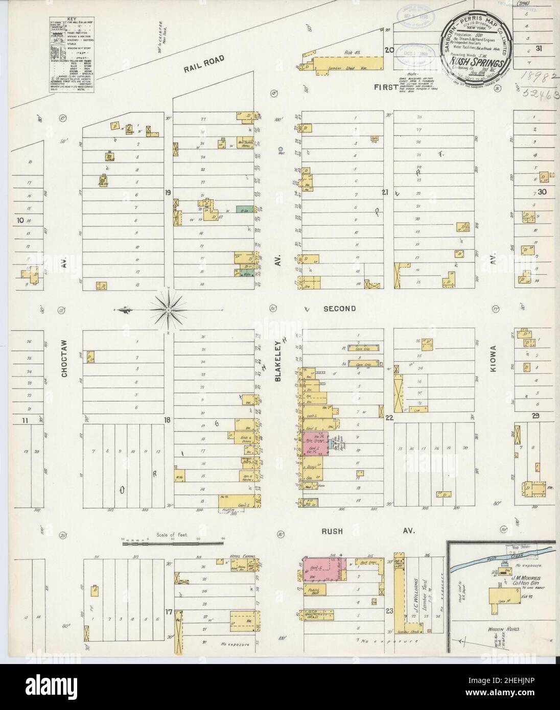 Sanborn Fire Insurance Map from Rush Springs, Grady County, Oklahoma. Stock Photohttps://www.alamy.com/image-license-details/?v=1https://www.alamy.com/sanborn-fire-insurance-map-from-rush-springs-grady-county-oklahoma-image456462658.html
RM2HEHJNP–Sanborn Fire Insurance Map from Rush Springs, Grady County, Oklahoma.
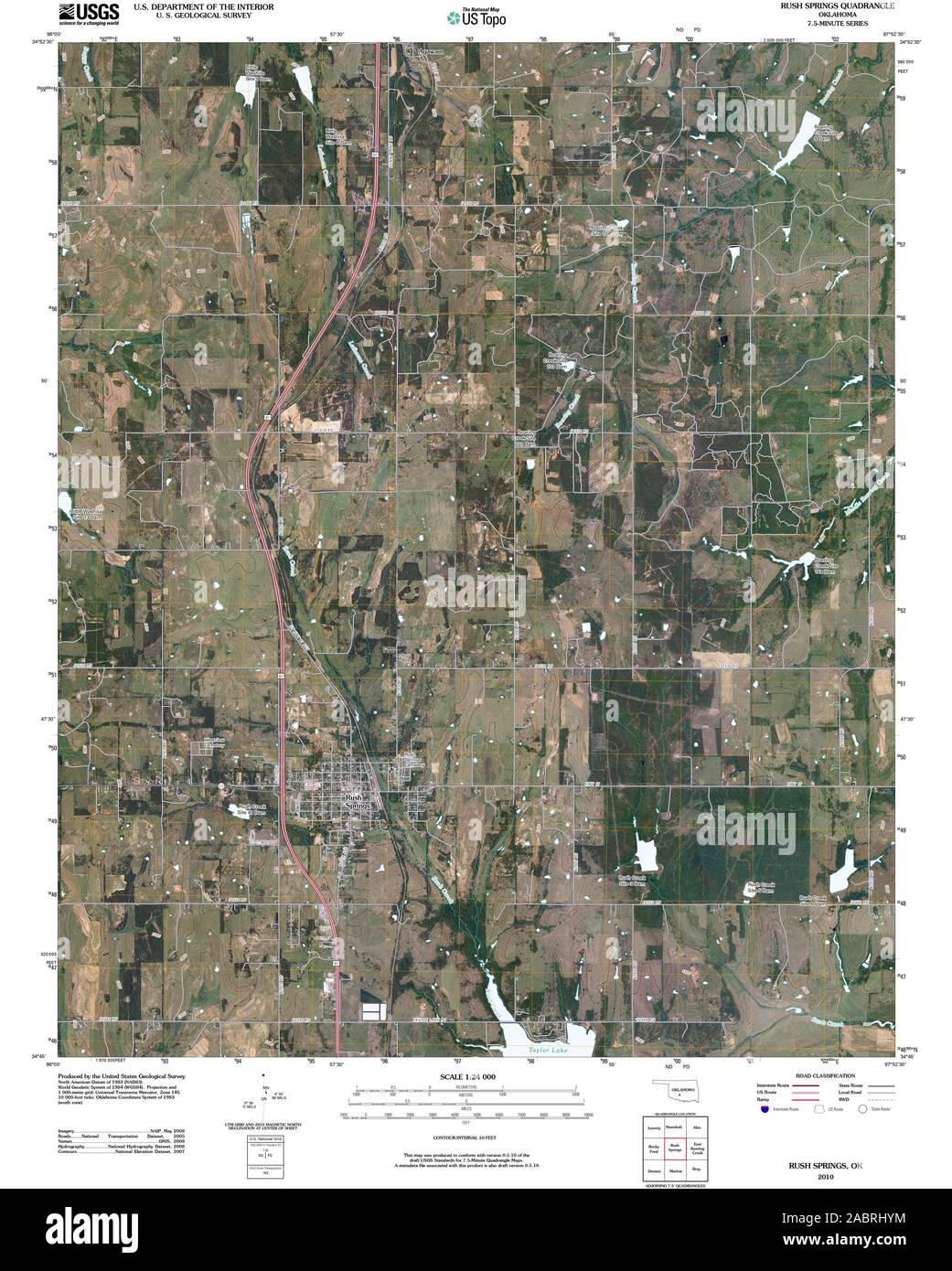 USGS TOPO Map Oklahoma OK Rush Springs 20100203 TM Restoration Stock Photohttps://www.alamy.com/image-license-details/?v=1https://www.alamy.com/usgs-topo-map-oklahoma-ok-rush-springs-20100203-tm-restoration-image334277208.html
RM2ABRHYM–USGS TOPO Map Oklahoma OK Rush Springs 20100203 TM Restoration
 Town of Rush Springs, Grady County, US, United States, Oklahoma, N 34 46' 44'', S 97 57' 25'', map, Cartascapes Map published in 2024. Explore Cartascapes, a map revealing Earth's diverse landscapes, cultures, and ecosystems. Journey through time and space, discovering the interconnectedness of our planet's past, present, and future. Stock Photohttps://www.alamy.com/image-license-details/?v=1https://www.alamy.com/town-of-rush-springs-grady-county-us-united-states-oklahoma-n-34-46-44-s-97-57-25-map-cartascapes-map-published-in-2024-explore-cartascapes-a-map-revealing-earths-diverse-landscapes-cultures-and-ecosystems-journey-through-time-and-space-discovering-the-interconnectedness-of-our-planets-past-present-and-future-image633781647.html
RM2YR36XR–Town of Rush Springs, Grady County, US, United States, Oklahoma, N 34 46' 44'', S 97 57' 25'', map, Cartascapes Map published in 2024. Explore Cartascapes, a map revealing Earth's diverse landscapes, cultures, and ecosystems. Journey through time and space, discovering the interconnectedness of our planet's past, present, and future.
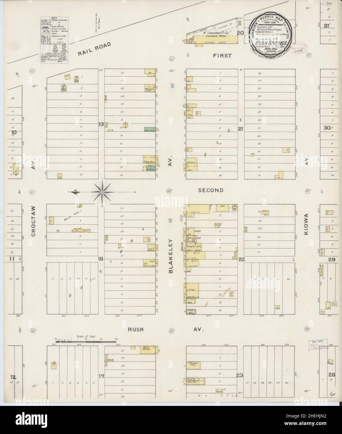 Sanborn Fire Insurance Map from Rush Springs, Grady County, Oklahoma. Stock Photohttps://www.alamy.com/image-license-details/?v=1https://www.alamy.com/sanborn-fire-insurance-map-from-rush-springs-grady-county-oklahoma-image456462638.html
RM2HEHJN2–Sanborn Fire Insurance Map from Rush Springs, Grady County, Oklahoma.
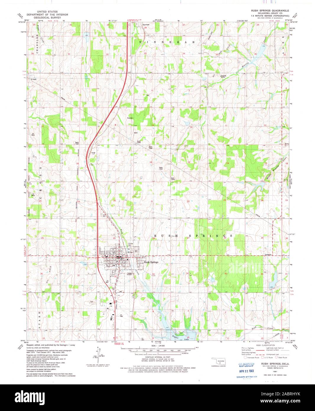 USGS TOPO Map Oklahoma OK Rush Springs 706717 1981 24000 Restoration Stock Photohttps://www.alamy.com/image-license-details/?v=1https://www.alamy.com/usgs-topo-map-oklahoma-ok-rush-springs-706717-1981-24000-restoration-image334277207.html
RM2ABRHYK–USGS TOPO Map Oklahoma OK Rush Springs 706717 1981 24000 Restoration
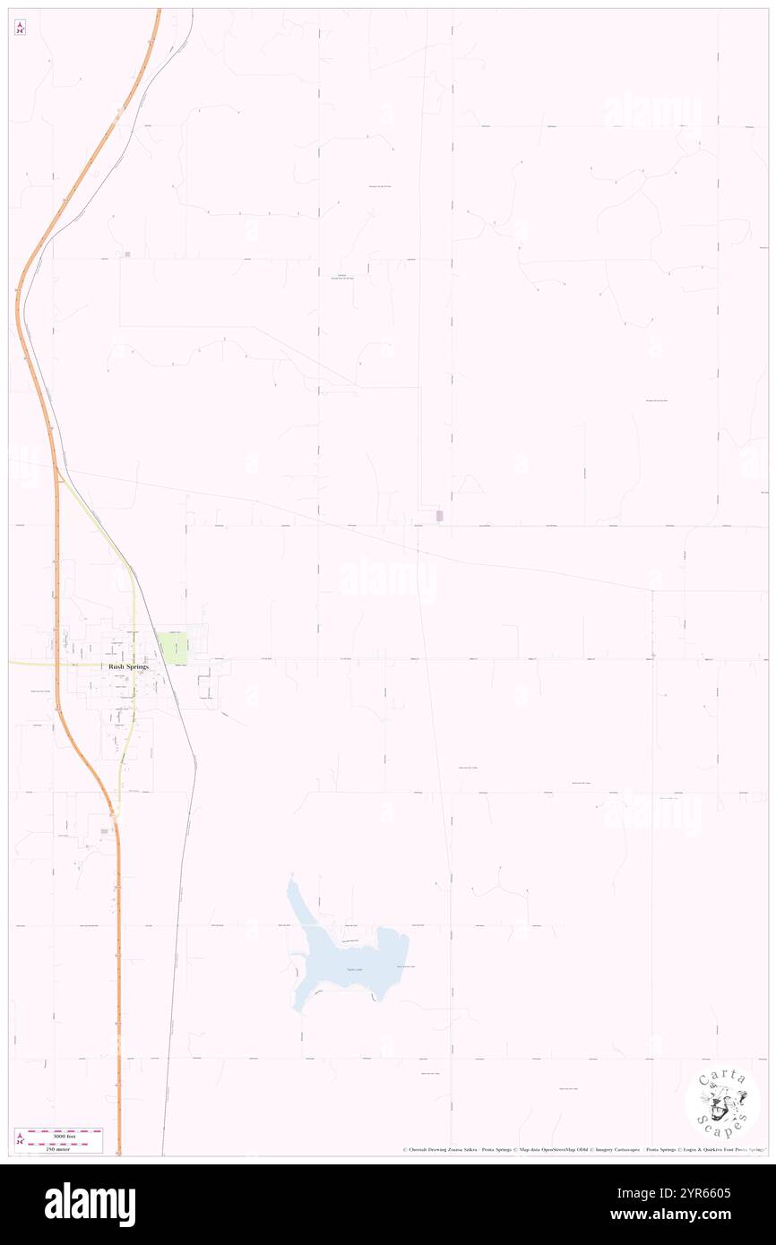 Township of Rush Springs, Grady County, US, United States, Oklahoma, N 34 47' 30'', S 97 55' 21'', map, Cartascapes Map published in 2024. Explore Cartascapes, a map revealing Earth's diverse landscapes, cultures, and ecosystems. Journey through time and space, discovering the interconnectedness of our planet's past, present, and future. Stock Photohttps://www.alamy.com/image-license-details/?v=1https://www.alamy.com/township-of-rush-springs-grady-county-us-united-states-oklahoma-n-34-47-30-s-97-55-21-map-cartascapes-map-published-in-2024-explore-cartascapes-a-map-revealing-earths-diverse-landscapes-cultures-and-ecosystems-journey-through-time-and-space-discovering-the-interconnectedness-of-our-planets-past-present-and-future-image633846757.html
RM2YR6605–Township of Rush Springs, Grady County, US, United States, Oklahoma, N 34 47' 30'', S 97 55' 21'', map, Cartascapes Map published in 2024. Explore Cartascapes, a map revealing Earth's diverse landscapes, cultures, and ecosystems. Journey through time and space, discovering the interconnectedness of our planet's past, present, and future.
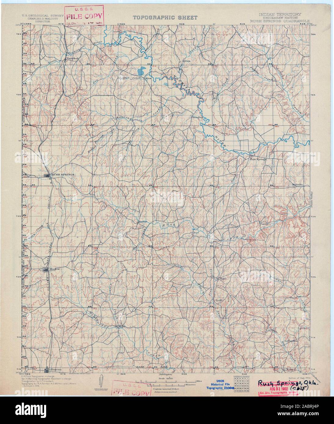 USGS TOPO Map Oklahoma OK Rush Springs 802580 1902 125000 Restoration Stock Photohttps://www.alamy.com/image-license-details/?v=1https://www.alamy.com/usgs-topo-map-oklahoma-ok-rush-springs-802580-1902-125000-restoration-image334277350.html
RM2ABRJ4P–USGS TOPO Map Oklahoma OK Rush Springs 802580 1902 125000 Restoration
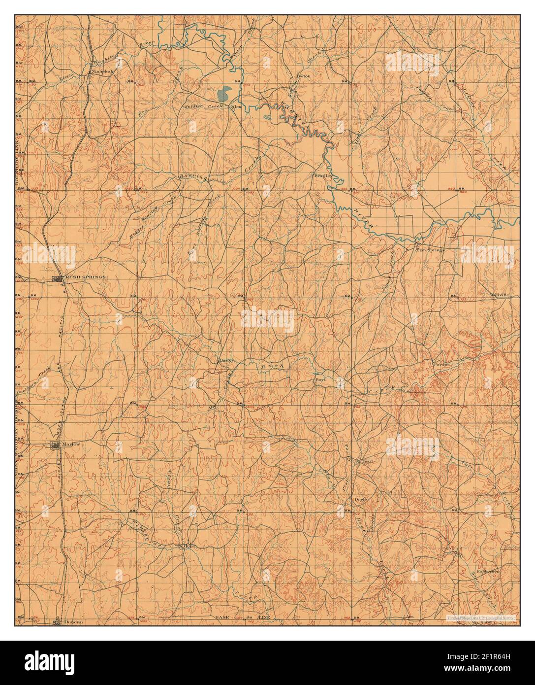 Rush Springs, Oklahoma, map 1902, 1:125000, United States of America by Timeless Maps, data U.S. Geological Survey Stock Photohttps://www.alamy.com/image-license-details/?v=1https://www.alamy.com/rush-springs-oklahoma-map-1902-1125000-united-states-of-america-by-timeless-maps-data-us-geological-survey-image414173217.html
RM2F1R64H–Rush Springs, Oklahoma, map 1902, 1:125000, United States of America by Timeless Maps, data U.S. Geological Survey
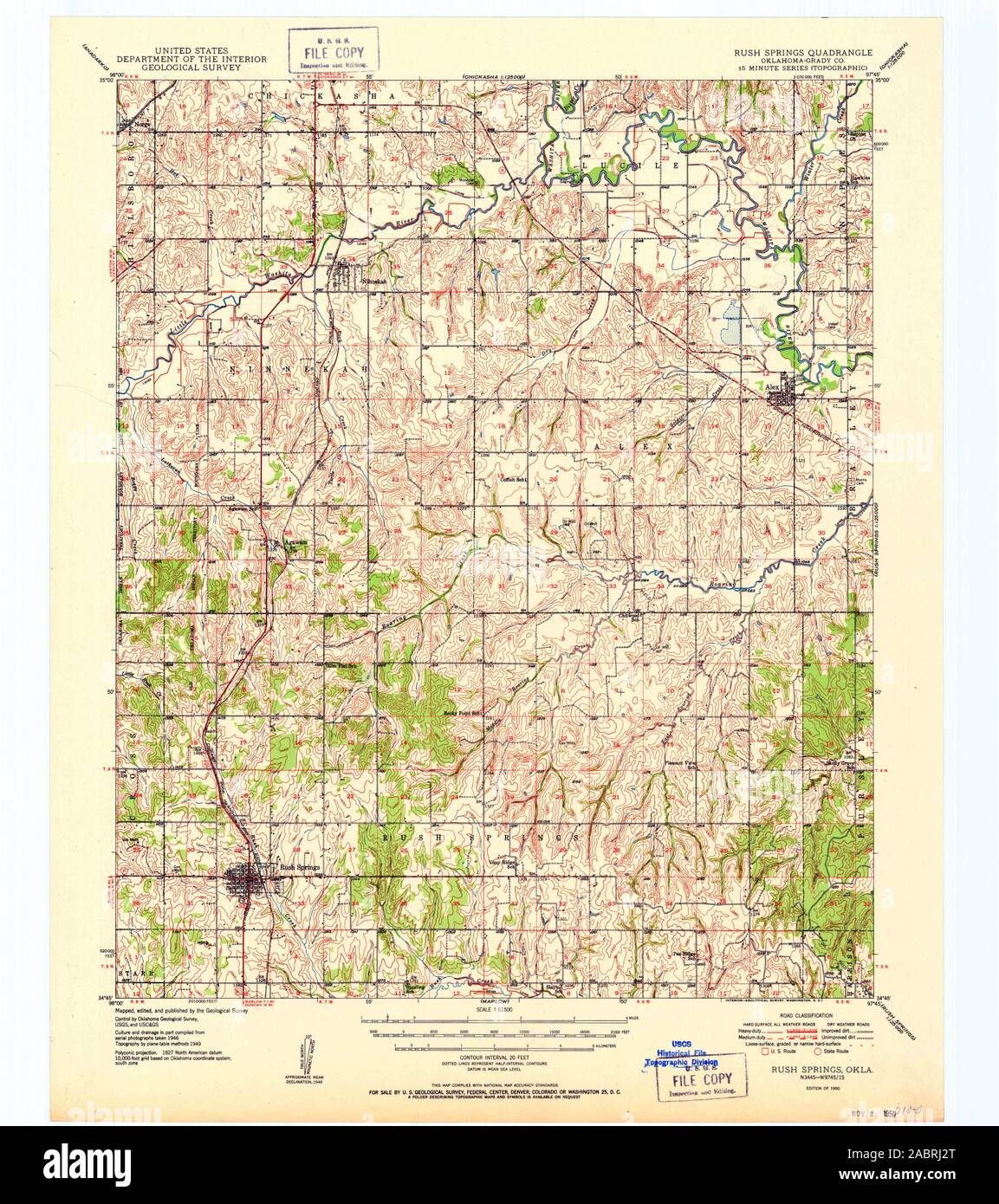 USGS TOPO Map Oklahoma OK Rush Springs 802391 1950 62500 Restoration Stock Photohttps://www.alamy.com/image-license-details/?v=1https://www.alamy.com/usgs-topo-map-oklahoma-ok-rush-springs-802391-1950-62500-restoration-image334277296.html
RM2ABRJ2T–USGS TOPO Map Oklahoma OK Rush Springs 802391 1950 62500 Restoration
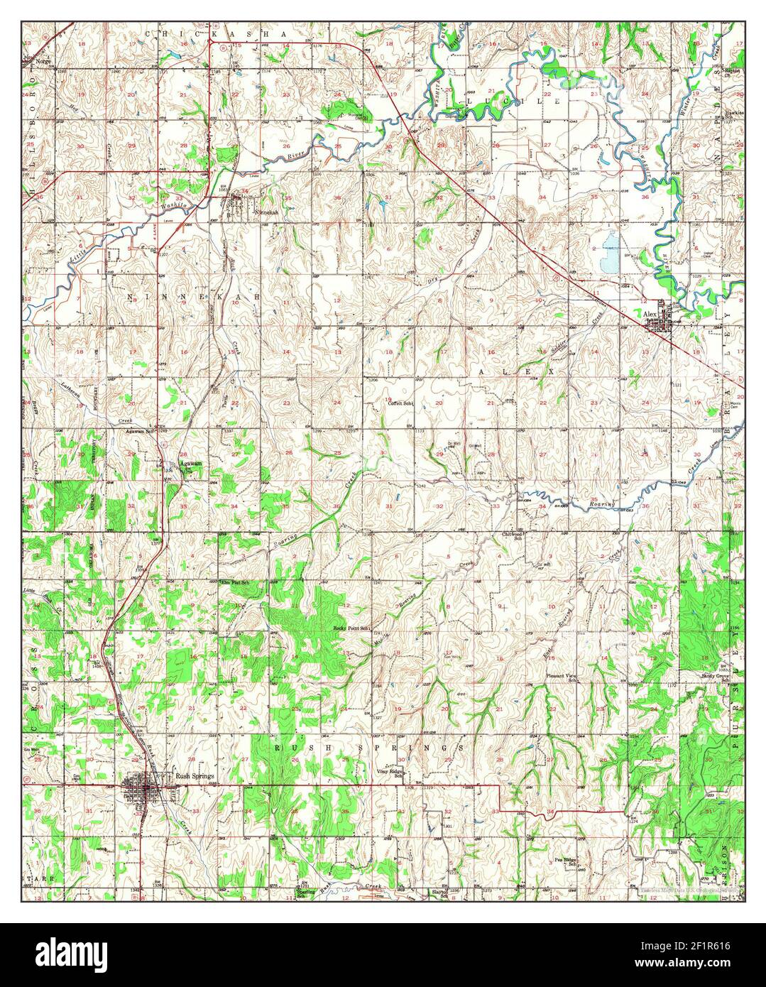 Rush Springs, Oklahoma, map 1949, 1:62500, United States of America by Timeless Maps, data U.S. Geological Survey Stock Photohttps://www.alamy.com/image-license-details/?v=1https://www.alamy.com/rush-springs-oklahoma-map-1949-162500-united-states-of-america-by-timeless-maps-data-us-geological-survey-image414173122.html
RM2F1R616–Rush Springs, Oklahoma, map 1949, 1:62500, United States of America by Timeless Maps, data U.S. Geological Survey
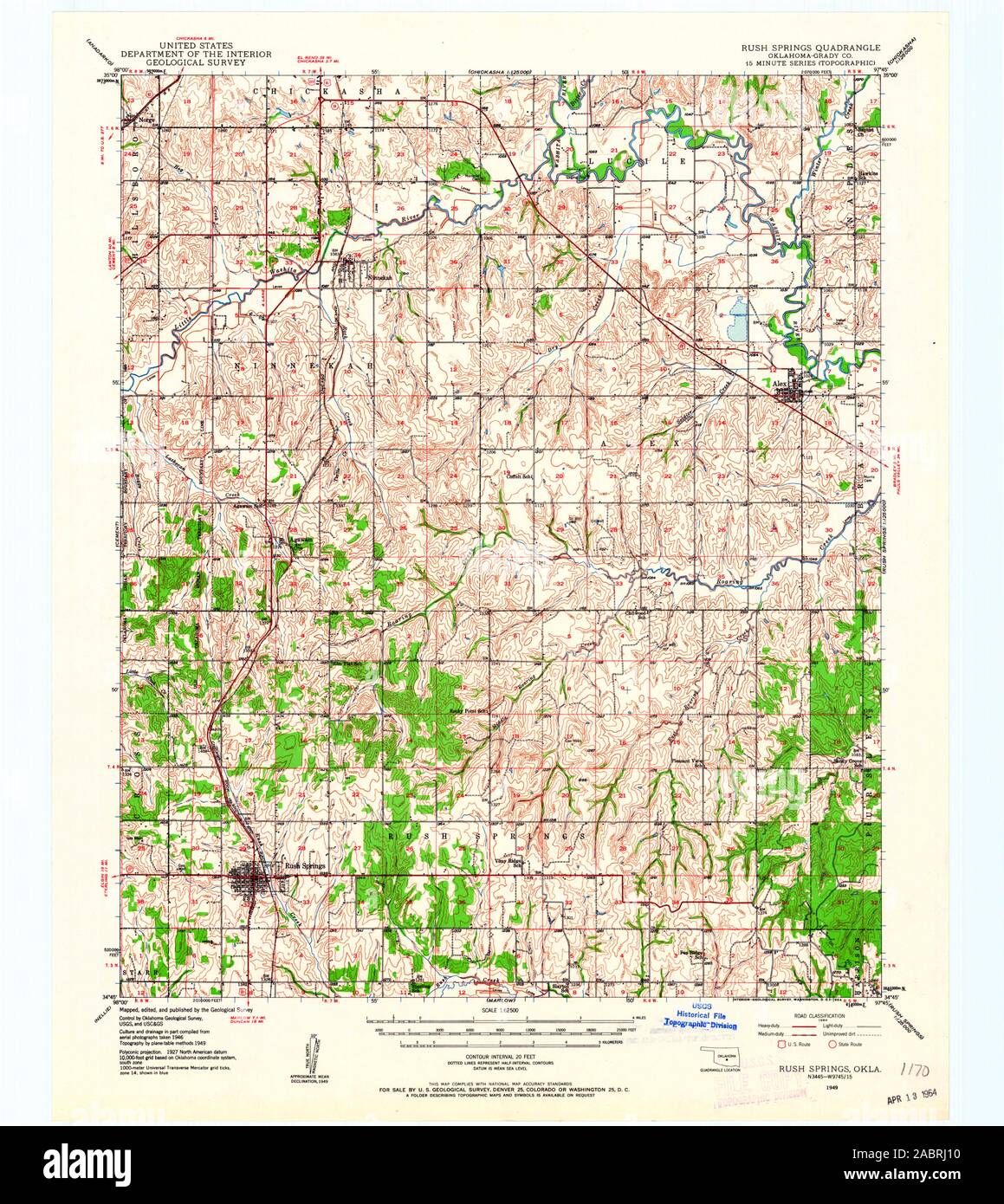 USGS TOPO Map Oklahoma OK Rush Springs 802389 1949 62500 Restoration Stock Photohttps://www.alamy.com/image-license-details/?v=1https://www.alamy.com/usgs-topo-map-oklahoma-ok-rush-springs-802389-1949-62500-restoration-image334277244.html
RM2ABRJ10–USGS TOPO Map Oklahoma OK Rush Springs 802389 1949 62500 Restoration
 Rush Springs, Oklahoma, map 1949, 1:62500, United States of America by Timeless Maps, data U.S. Geological Survey Stock Photohttps://www.alamy.com/image-license-details/?v=1https://www.alamy.com/rush-springs-oklahoma-map-1949-162500-united-states-of-america-by-timeless-maps-data-us-geological-survey-image414173142.html
RM2F1R61X–Rush Springs, Oklahoma, map 1949, 1:62500, United States of America by Timeless Maps, data U.S. Geological Survey
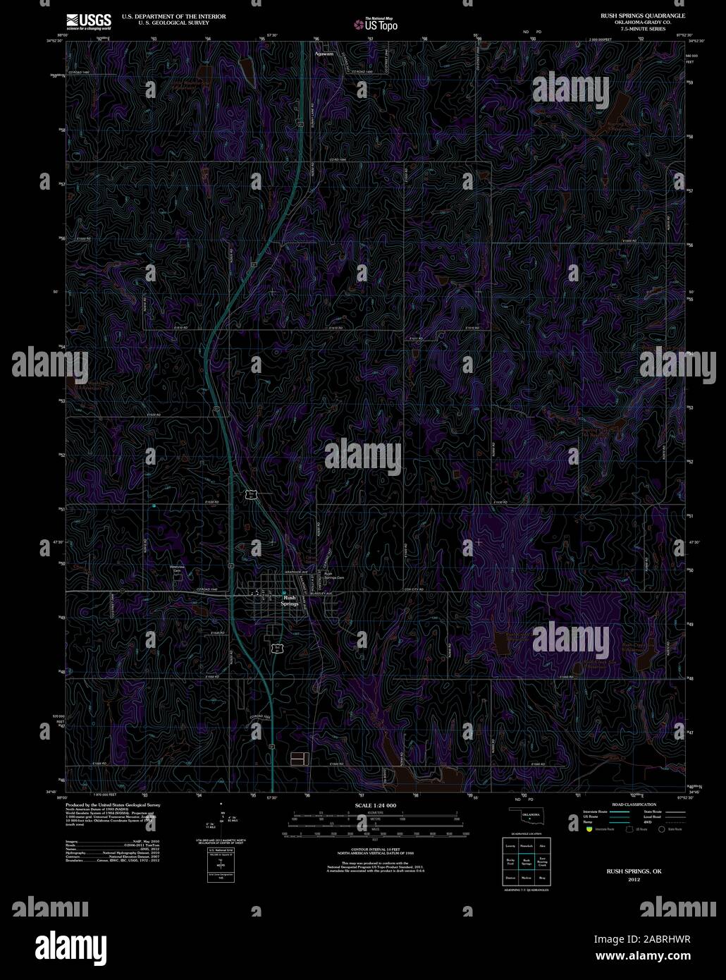 USGS TOPO Map Oklahoma OK Rush Springs 20121120 TM Inverted Restoration Stock Photohttps://www.alamy.com/image-license-details/?v=1https://www.alamy.com/usgs-topo-map-oklahoma-ok-rush-springs-20121120-tm-inverted-restoration-image334277155.html
RM2ABRHWR–USGS TOPO Map Oklahoma OK Rush Springs 20121120 TM Inverted Restoration
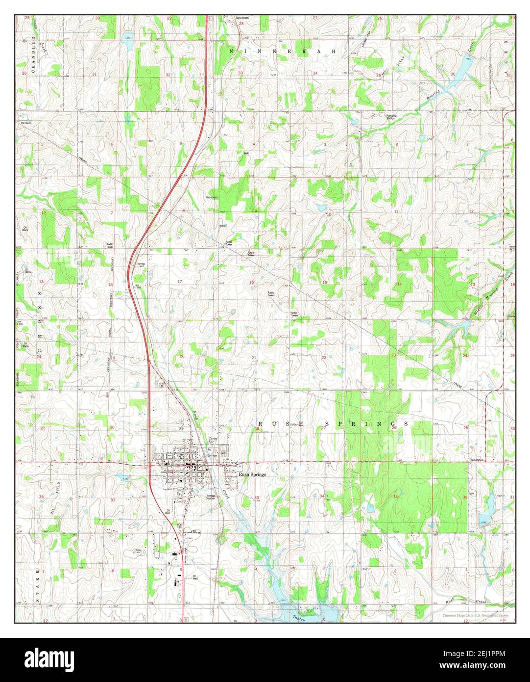 Rush Springs, Oklahoma, map 1981, 1:24000, United States of America by Timeless Maps, data U.S. Geological Survey Stock Photohttps://www.alamy.com/image-license-details/?v=1https://www.alamy.com/rush-springs-oklahoma-map-1981-124000-united-states-of-america-by-timeless-maps-data-us-geological-survey-image406942108.html
RM2EJ1PPM–Rush Springs, Oklahoma, map 1981, 1:24000, United States of America by Timeless Maps, data U.S. Geological Survey
 USGS TOPO Map Oklahoma OK Rush Springs 802578 1902 125000 Restoration Stock Photohttps://www.alamy.com/image-license-details/?v=1https://www.alamy.com/usgs-topo-map-oklahoma-ok-rush-springs-802578-1902-125000-restoration-image334277293.html
RM2ABRJ2N–USGS TOPO Map Oklahoma OK Rush Springs 802578 1902 125000 Restoration
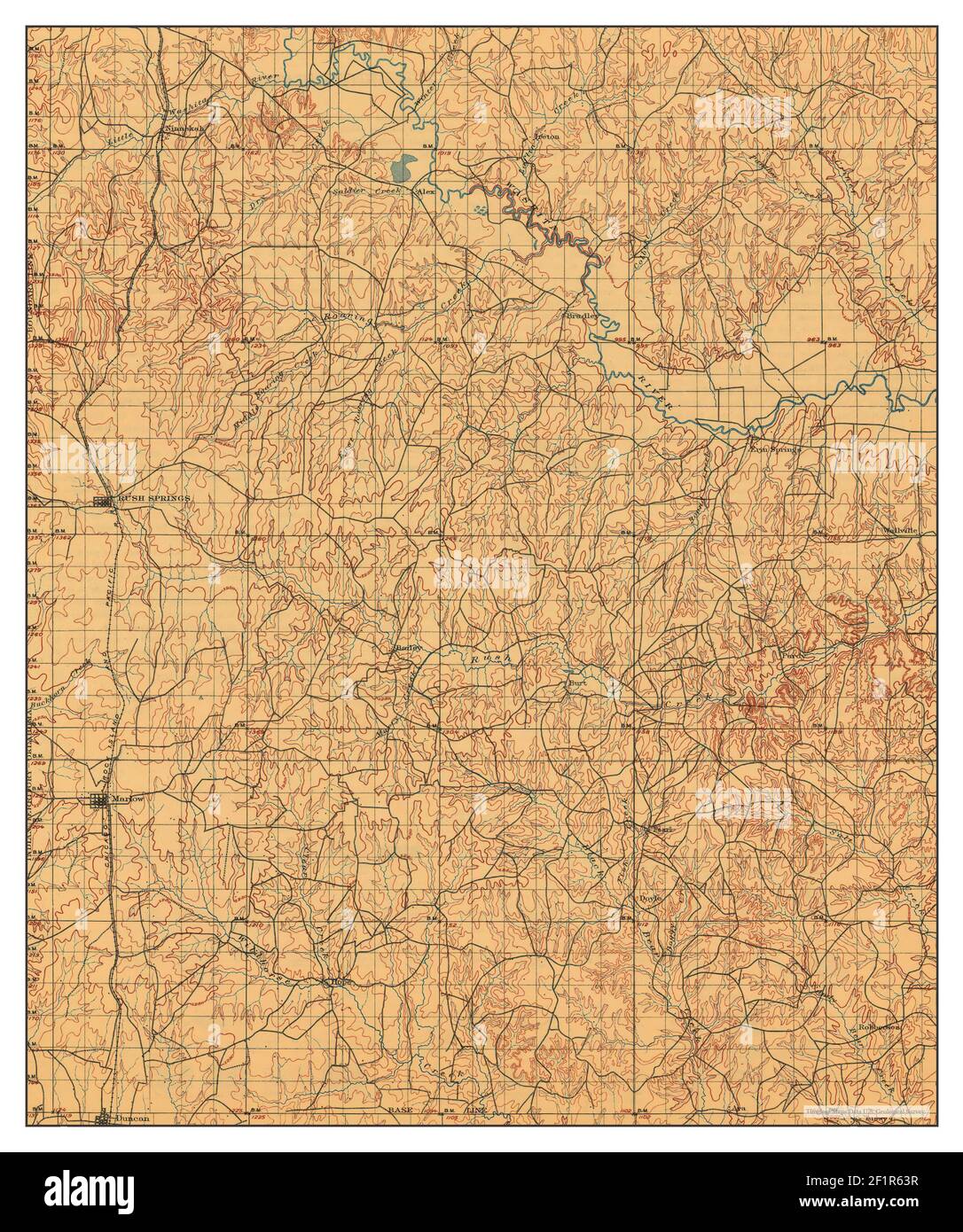 Rush Springs, Oklahoma, map 1902, 1:125000, United States of America by Timeless Maps, data U.S. Geological Survey Stock Photohttps://www.alamy.com/image-license-details/?v=1https://www.alamy.com/rush-springs-oklahoma-map-1902-1125000-united-states-of-america-by-timeless-maps-data-us-geological-survey-image414173195.html
RM2F1R63R–Rush Springs, Oklahoma, map 1902, 1:125000, United States of America by Timeless Maps, data U.S. Geological Survey
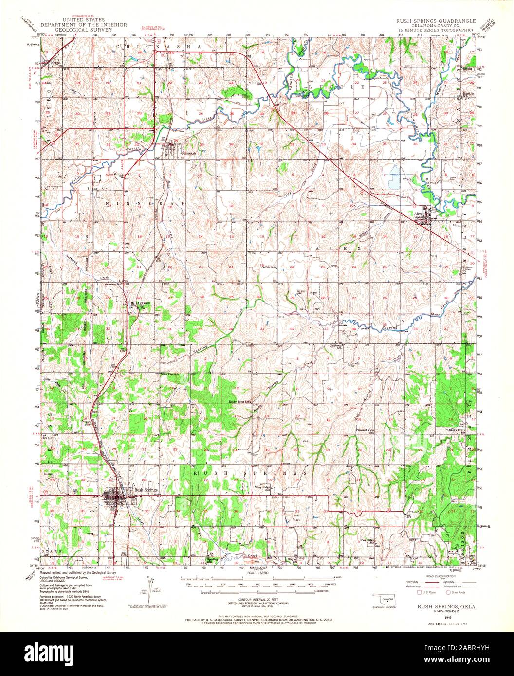 USGS TOPO Map Oklahoma OK Rush Springs 706714 1949 62500 Restoration Stock Photohttps://www.alamy.com/image-license-details/?v=1https://www.alamy.com/usgs-topo-map-oklahoma-ok-rush-springs-706714-1949-62500-restoration-image334277205.html
RM2ABRHYH–USGS TOPO Map Oklahoma OK Rush Springs 706714 1949 62500 Restoration
 Rush Springs, Oklahoma, map 1902, 1:125000, United States of America by Timeless Maps, data U.S. Geological Survey Stock Photohttps://www.alamy.com/image-license-details/?v=1https://www.alamy.com/rush-springs-oklahoma-map-1902-1125000-united-states-of-america-by-timeless-maps-data-us-geological-survey-image414173131.html
RM2F1R61F–Rush Springs, Oklahoma, map 1902, 1:125000, United States of America by Timeless Maps, data U.S. Geological Survey
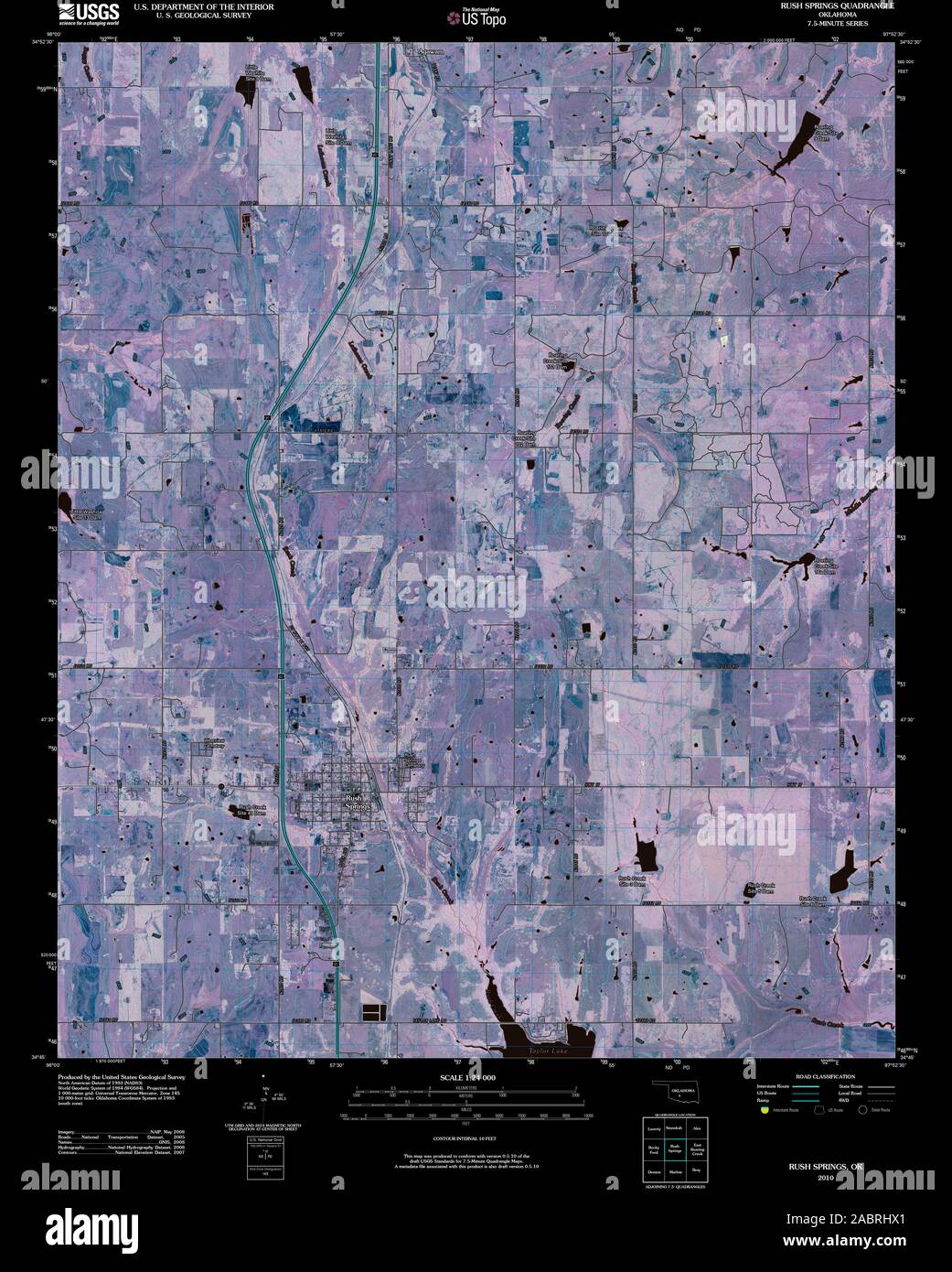 USGS TOPO Map Oklahoma OK Rush Springs 20100203 TM Inverted Restoration Stock Photohttps://www.alamy.com/image-license-details/?v=1https://www.alamy.com/usgs-topo-map-oklahoma-ok-rush-springs-20100203-tm-inverted-restoration-image334277161.html
RM2ABRHX1–USGS TOPO Map Oklahoma OK Rush Springs 20100203 TM Inverted Restoration
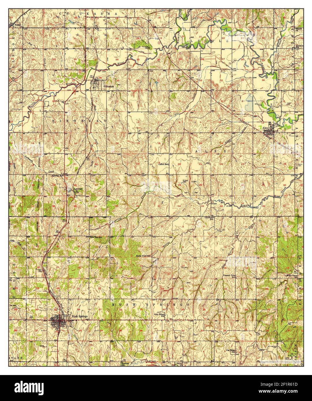 Rush Springs, Oklahoma, map 1950, 1:62500, United States of America by Timeless Maps, data U.S. Geological Survey Stock Photohttps://www.alamy.com/image-license-details/?v=1https://www.alamy.com/rush-springs-oklahoma-map-1950-162500-united-states-of-america-by-timeless-maps-data-us-geological-survey-image414173129.html
RM2F1R61D–Rush Springs, Oklahoma, map 1950, 1:62500, United States of America by Timeless Maps, data U.S. Geological Survey
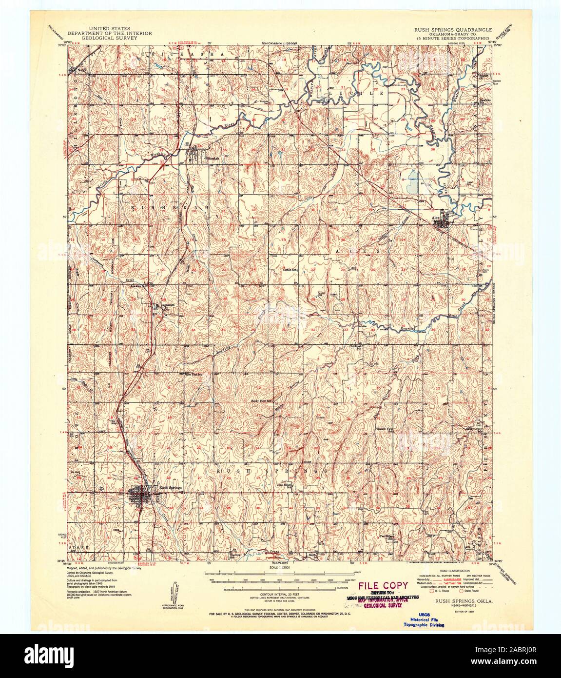 USGS TOPO Map Oklahoma OK Rush Springs 802390 1950 62500 Restoration Stock Photohttps://www.alamy.com/image-license-details/?v=1https://www.alamy.com/usgs-topo-map-oklahoma-ok-rush-springs-802390-1950-62500-restoration-image334277239.html
RM2ABRJ0R–USGS TOPO Map Oklahoma OK Rush Springs 802390 1950 62500 Restoration
 Rush Springs, Oklahoma, map 1902, 1:125000, United States of America by Timeless Maps, data U.S. Geological Survey Stock Photohttps://www.alamy.com/image-license-details/?v=1https://www.alamy.com/rush-springs-oklahoma-map-1902-1125000-united-states-of-america-by-timeless-maps-data-us-geological-survey-image414173144.html
RM2F1R620–Rush Springs, Oklahoma, map 1902, 1:125000, United States of America by Timeless Maps, data U.S. Geological Survey
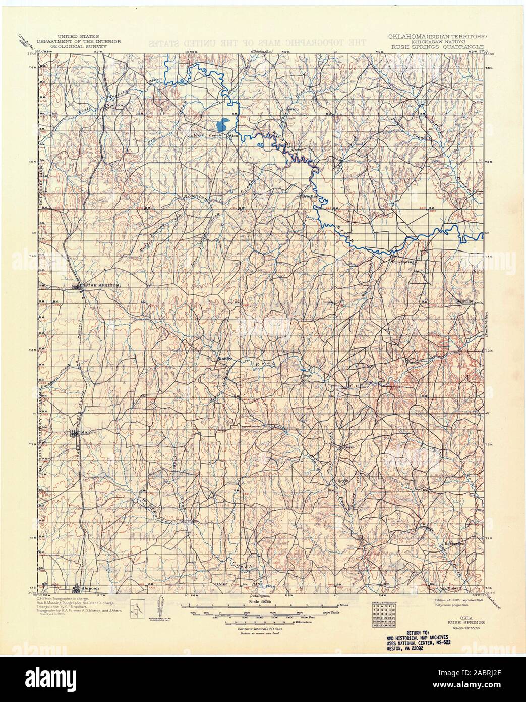 USGS TOPO Map Oklahoma OK Rush Springs 802392 1902 125000 Restoration Stock Photohttps://www.alamy.com/image-license-details/?v=1https://www.alamy.com/usgs-topo-map-oklahoma-ok-rush-springs-802392-1902-125000-restoration-image334277287.html
RM2ABRJ2F–USGS TOPO Map Oklahoma OK Rush Springs 802392 1902 125000 Restoration
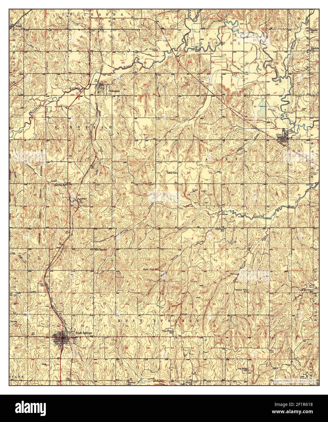 Rush Springs, Oklahoma, map 1950, 1:62500, United States of America by Timeless Maps, data U.S. Geological Survey Stock Photohttps://www.alamy.com/image-license-details/?v=1https://www.alamy.com/rush-springs-oklahoma-map-1950-162500-united-states-of-america-by-timeless-maps-data-us-geological-survey-image414173124.html
RM2F1R618–Rush Springs, Oklahoma, map 1950, 1:62500, United States of America by Timeless Maps, data U.S. Geological Survey
 USGS TOPO Map Oklahoma OK Rush Springs 802579 1902 125000 Restoration Stock Photohttps://www.alamy.com/image-license-details/?v=1https://www.alamy.com/usgs-topo-map-oklahoma-ok-rush-springs-802579-1902-125000-restoration-image334277351.html
RM2ABRJ4R–USGS TOPO Map Oklahoma OK Rush Springs 802579 1902 125000 Restoration
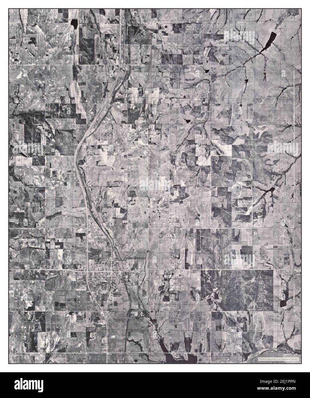 Rush Springs SW, Oklahoma, map 1975, 1:24000, United States of America by Timeless Maps, data U.S. Geological Survey Stock Photohttps://www.alamy.com/image-license-details/?v=1https://www.alamy.com/rush-springs-sw-oklahoma-map-1975-124000-united-states-of-america-by-timeless-maps-data-us-geological-survey-image406942109.html
RM2EJ1PPN–Rush Springs SW, Oklahoma, map 1975, 1:24000, United States of America by Timeless Maps, data U.S. Geological Survey
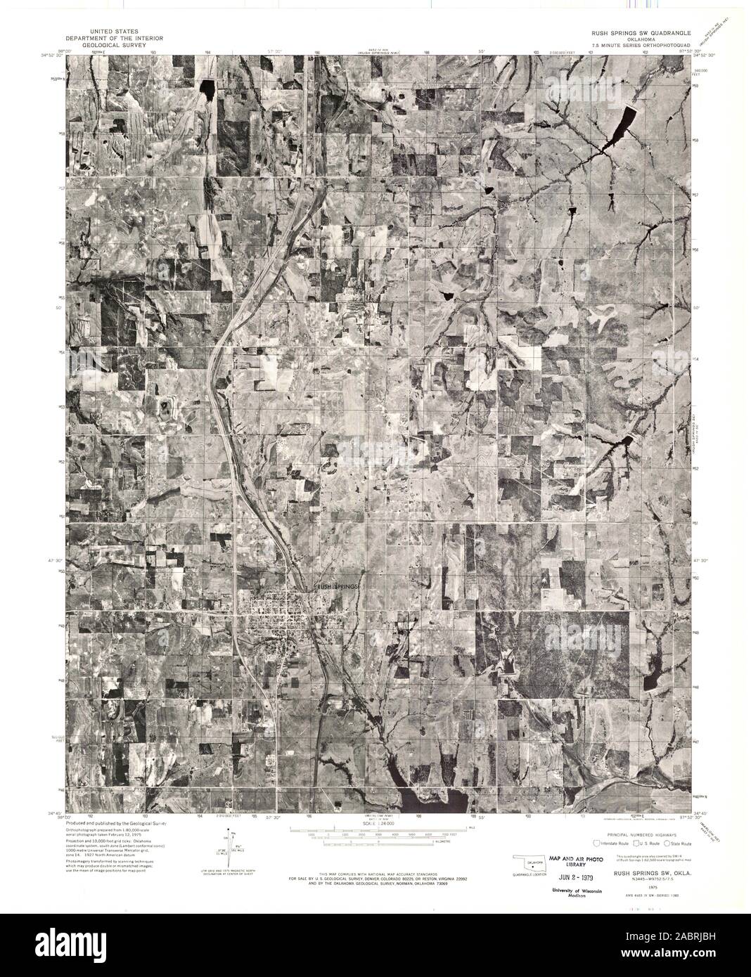 USGS TOPO Map Oklahoma OK Rush Springs SW 706721 1975 24000 Restoration Stock Photohttps://www.alamy.com/image-license-details/?v=1https://www.alamy.com/usgs-topo-map-oklahoma-ok-rush-springs-sw-706721-1975-24000-restoration-image334277541.html
RM2ABRJBH–USGS TOPO Map Oklahoma OK Rush Springs SW 706721 1975 24000 Restoration
 Rush Springs NE, Oklahoma, map 1975, 1:24000, United States of America by Timeless Maps, data U.S. Geological Survey Stock Photohttps://www.alamy.com/image-license-details/?v=1https://www.alamy.com/rush-springs-ne-oklahoma-map-1975-124000-united-states-of-america-by-timeless-maps-data-us-geological-survey-image406942103.html
RM2EJ1PPF–Rush Springs NE, Oklahoma, map 1975, 1:24000, United States of America by Timeless Maps, data U.S. Geological Survey
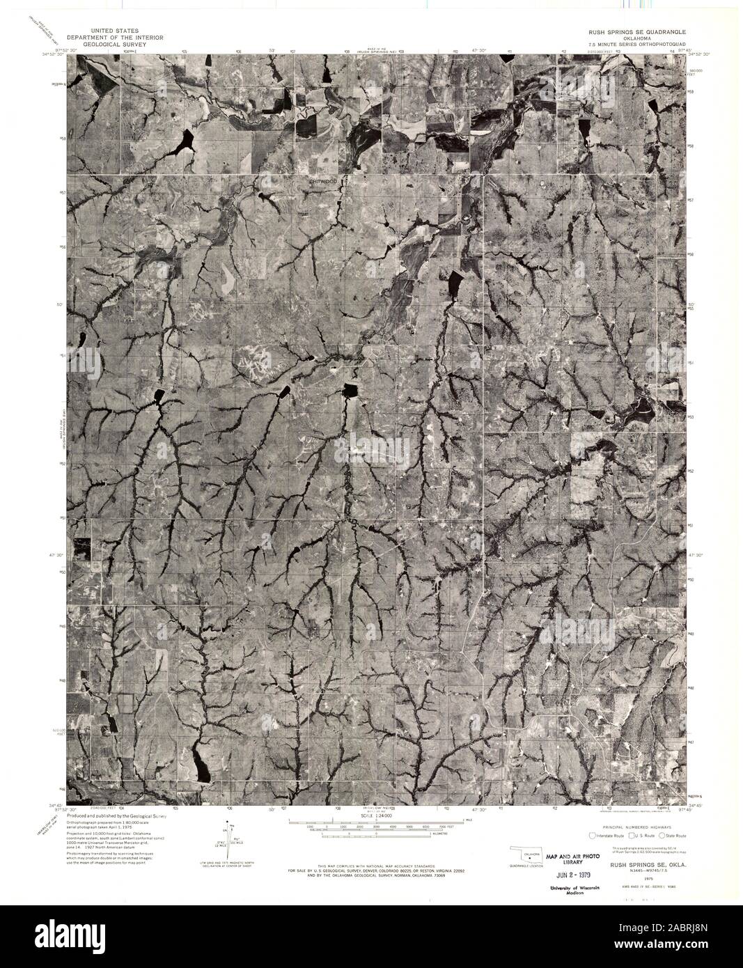 USGS TOPO Map Oklahoma OK Rush Springs SE 706720 1975 24000 Restoration Stock Photohttps://www.alamy.com/image-license-details/?v=1https://www.alamy.com/usgs-topo-map-oklahoma-ok-rush-springs-se-706720-1975-24000-restoration-image334277461.html
RM2ABRJ8N–USGS TOPO Map Oklahoma OK Rush Springs SE 706720 1975 24000 Restoration
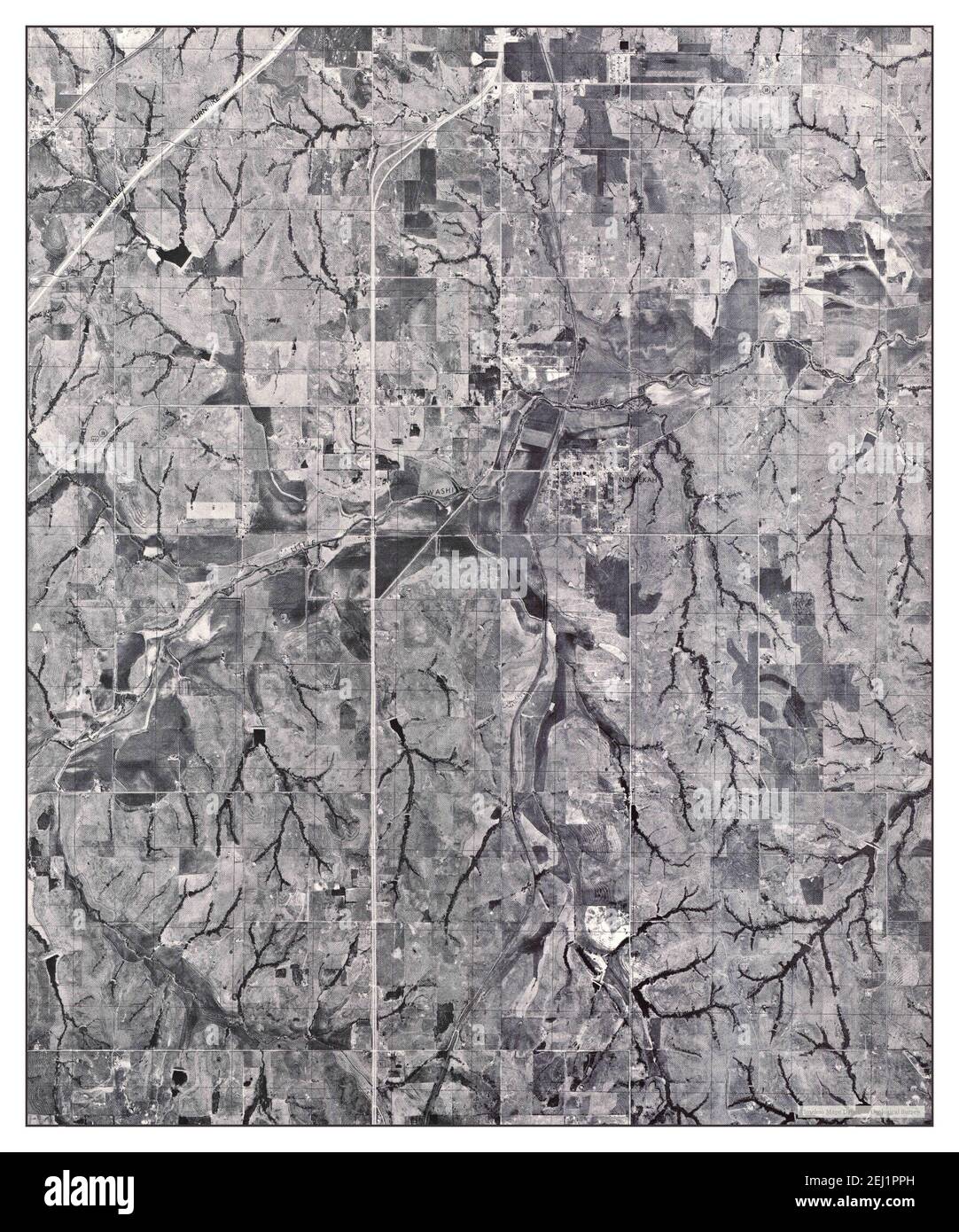 Rush Springs NW, Oklahoma, map 1975, 1:24000, United States of America by Timeless Maps, data U.S. Geological Survey Stock Photohttps://www.alamy.com/image-license-details/?v=1https://www.alamy.com/rush-springs-nw-oklahoma-map-1975-124000-united-states-of-america-by-timeless-maps-data-us-geological-survey-image406942105.html
RM2EJ1PPH–Rush Springs NW, Oklahoma, map 1975, 1:24000, United States of America by Timeless Maps, data U.S. Geological Survey
 USGS TOPO Map Oklahoma OK Rush Springs NW 706719 1975 24000 Restoration Stock Photohttps://www.alamy.com/image-license-details/?v=1https://www.alamy.com/usgs-topo-map-oklahoma-ok-rush-springs-nw-706719-1975-24000-restoration-image334277457.html
RM2ABRJ8H–USGS TOPO Map Oklahoma OK Rush Springs NW 706719 1975 24000 Restoration
 USGS TOPO Map Oklahoma OK Rush Springs 802391 1950 62500 Inverted Restoration Stock Photohttps://www.alamy.com/image-license-details/?v=1https://www.alamy.com/usgs-topo-map-oklahoma-ok-rush-springs-802391-1950-62500-inverted-restoration-image334277245.html
RM2ABRJ11–USGS TOPO Map Oklahoma OK Rush Springs 802391 1950 62500 Inverted Restoration
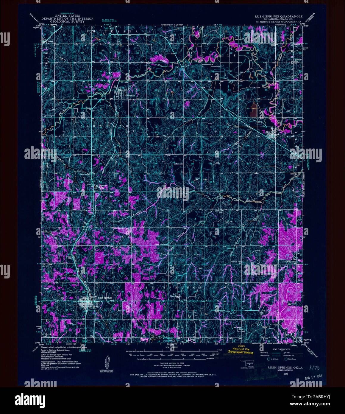 USGS TOPO Map Oklahoma OK Rush Springs 802389 1949 62500 Inverted Restoration Stock Photohttps://www.alamy.com/image-license-details/?v=1https://www.alamy.com/usgs-topo-map-oklahoma-ok-rush-springs-802389-1949-62500-inverted-restoration-image334277206.html
RM2ABRHYJ–USGS TOPO Map Oklahoma OK Rush Springs 802389 1949 62500 Inverted Restoration
 USGS TOPO Map Oklahoma OK Rush Springs 802390 1950 62500 Inverted Restoration Stock Photohttps://www.alamy.com/image-license-details/?v=1https://www.alamy.com/usgs-topo-map-oklahoma-ok-rush-springs-802390-1950-62500-inverted-restoration-image334277250.html
RM2ABRJ16–USGS TOPO Map Oklahoma OK Rush Springs 802390 1950 62500 Inverted Restoration
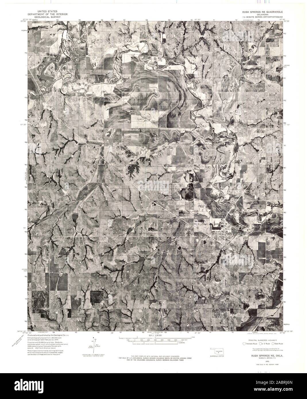 USGS TOPO Map Oklahoma OK Rush Springs NE 706718 1975 24000 Restoration Stock Photohttps://www.alamy.com/image-license-details/?v=1https://www.alamy.com/usgs-topo-map-oklahoma-ok-rush-springs-ne-706718-1975-24000-restoration-image334277405.html
RM2ABRJ6N–USGS TOPO Map Oklahoma OK Rush Springs NE 706718 1975 24000 Restoration
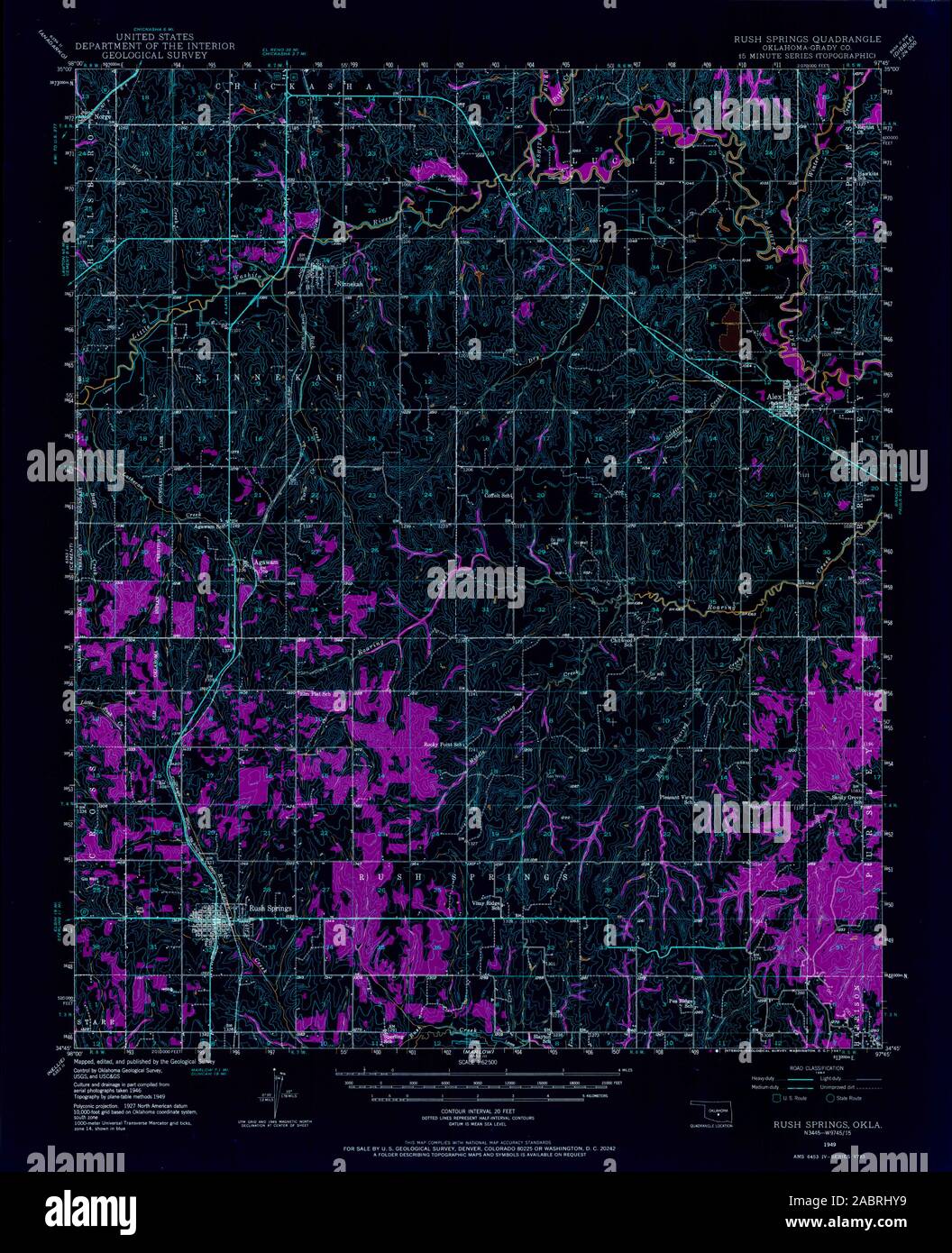 USGS TOPO Map Oklahoma OK Rush Springs 706714 1949 62500 Inverted Restoration Stock Photohttps://www.alamy.com/image-license-details/?v=1https://www.alamy.com/usgs-topo-map-oklahoma-ok-rush-springs-706714-1949-62500-inverted-restoration-image334277197.html
RM2ABRHY9–USGS TOPO Map Oklahoma OK Rush Springs 706714 1949 62500 Inverted Restoration
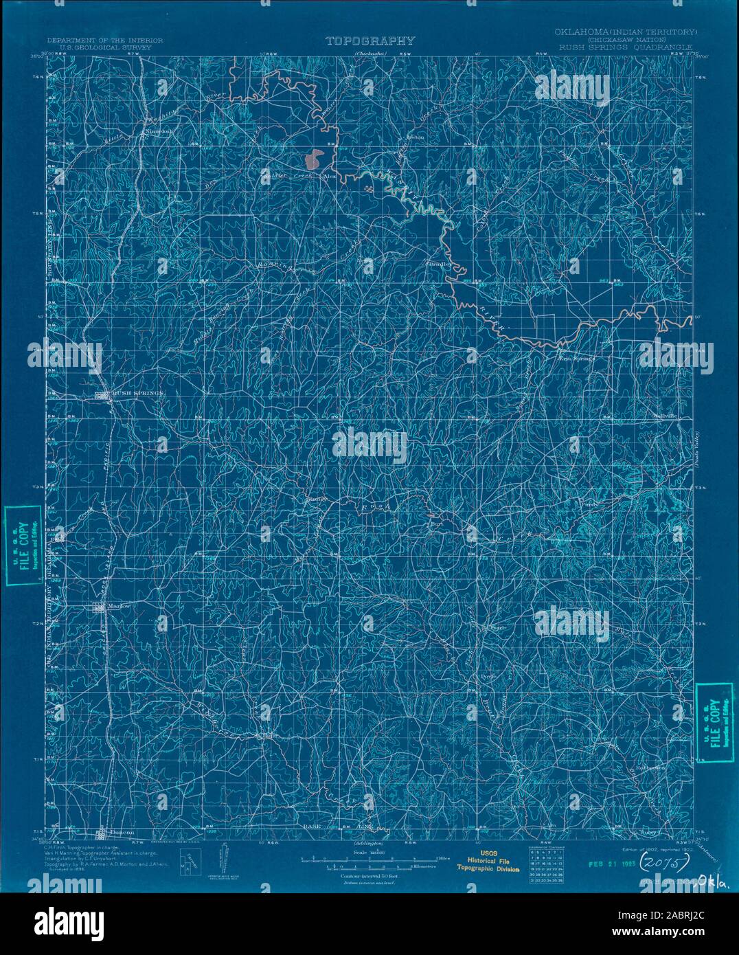 USGS TOPO Map Oklahoma OK Rush Springs 802578 1902 125000 Inverted Restoration Stock Photohttps://www.alamy.com/image-license-details/?v=1https://www.alamy.com/usgs-topo-map-oklahoma-ok-rush-springs-802578-1902-125000-inverted-restoration-image334277284.html
RM2ABRJ2C–USGS TOPO Map Oklahoma OK Rush Springs 802578 1902 125000 Inverted Restoration
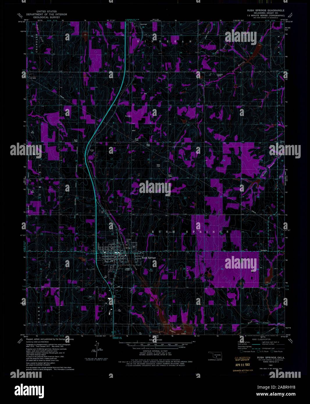 USGS TOPO Map Oklahoma OK Rush Springs 706717 1981 24000 Inverted Restoration Stock Photohttps://www.alamy.com/image-license-details/?v=1https://www.alamy.com/usgs-topo-map-oklahoma-ok-rush-springs-706717-1981-24000-inverted-restoration-image334277196.html
RM2ABRHY8–USGS TOPO Map Oklahoma OK Rush Springs 706717 1981 24000 Inverted Restoration
 USGS TOPO Map Oklahoma OK Rush Springs 802392 1902 125000 Inverted Restoration Stock Photohttps://www.alamy.com/image-license-details/?v=1https://www.alamy.com/usgs-topo-map-oklahoma-ok-rush-springs-802392-1902-125000-inverted-restoration-image334277294.html
RM2ABRJ2P–USGS TOPO Map Oklahoma OK Rush Springs 802392 1902 125000 Inverted Restoration
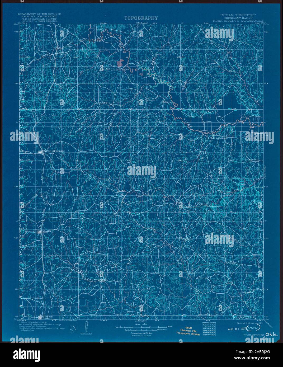 USGS TOPO Map Oklahoma OK Rush Springs 802579 1902 125000 Inverted Restoration Stock Photohttps://www.alamy.com/image-license-details/?v=1https://www.alamy.com/usgs-topo-map-oklahoma-ok-rush-springs-802579-1902-125000-inverted-restoration-image334277288.html
RM2ABRJ2G–USGS TOPO Map Oklahoma OK Rush Springs 802579 1902 125000 Inverted Restoration
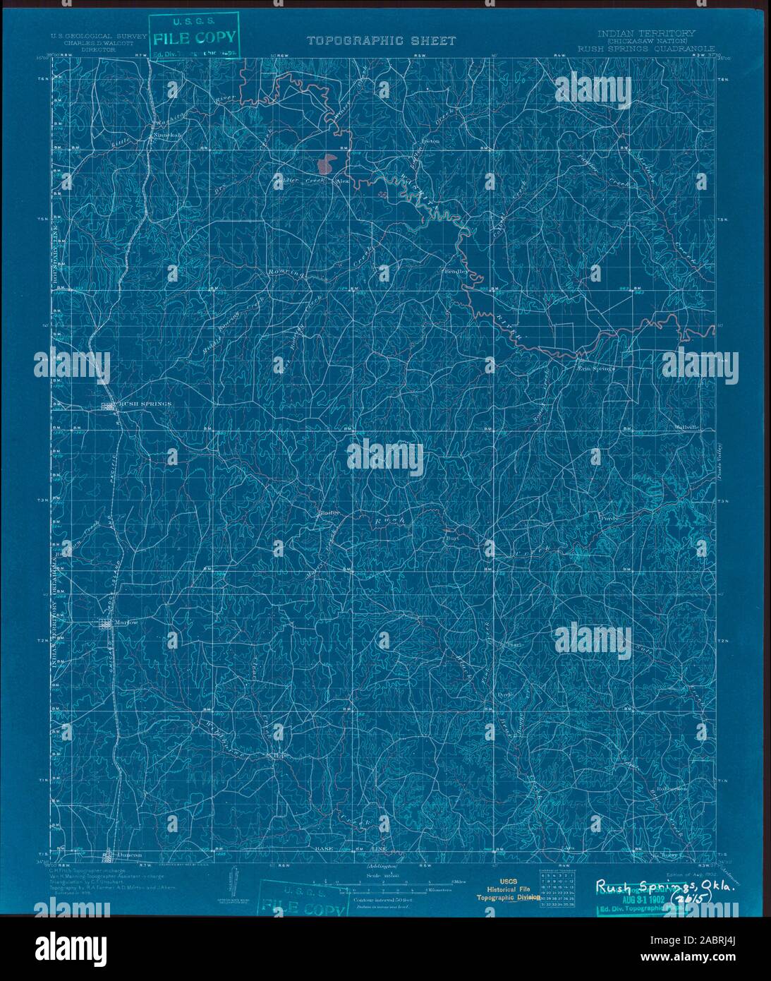 USGS TOPO Map Oklahoma OK Rush Springs 802580 1902 125000 Inverted Restoration Stock Photohttps://www.alamy.com/image-license-details/?v=1https://www.alamy.com/usgs-topo-map-oklahoma-ok-rush-springs-802580-1902-125000-inverted-restoration-image334277346.html
RM2ABRJ4J–USGS TOPO Map Oklahoma OK Rush Springs 802580 1902 125000 Inverted Restoration
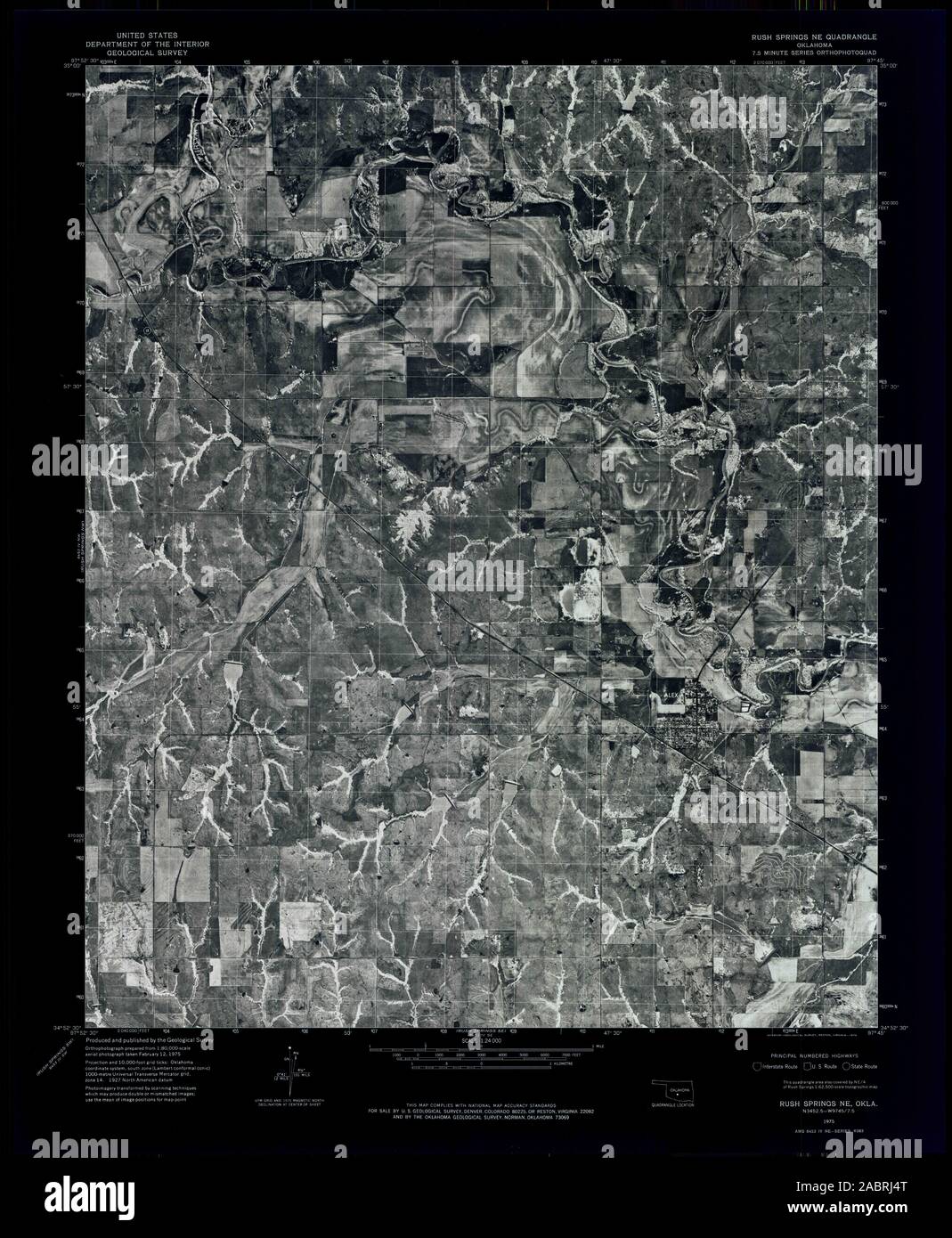 USGS TOPO Map Oklahoma OK Rush Springs NE 706718 1975 24000 Inverted Restoration Stock Photohttps://www.alamy.com/image-license-details/?v=1https://www.alamy.com/usgs-topo-map-oklahoma-ok-rush-springs-ne-706718-1975-24000-inverted-restoration-image334277352.html
RM2ABRJ4T–USGS TOPO Map Oklahoma OK Rush Springs NE 706718 1975 24000 Inverted Restoration
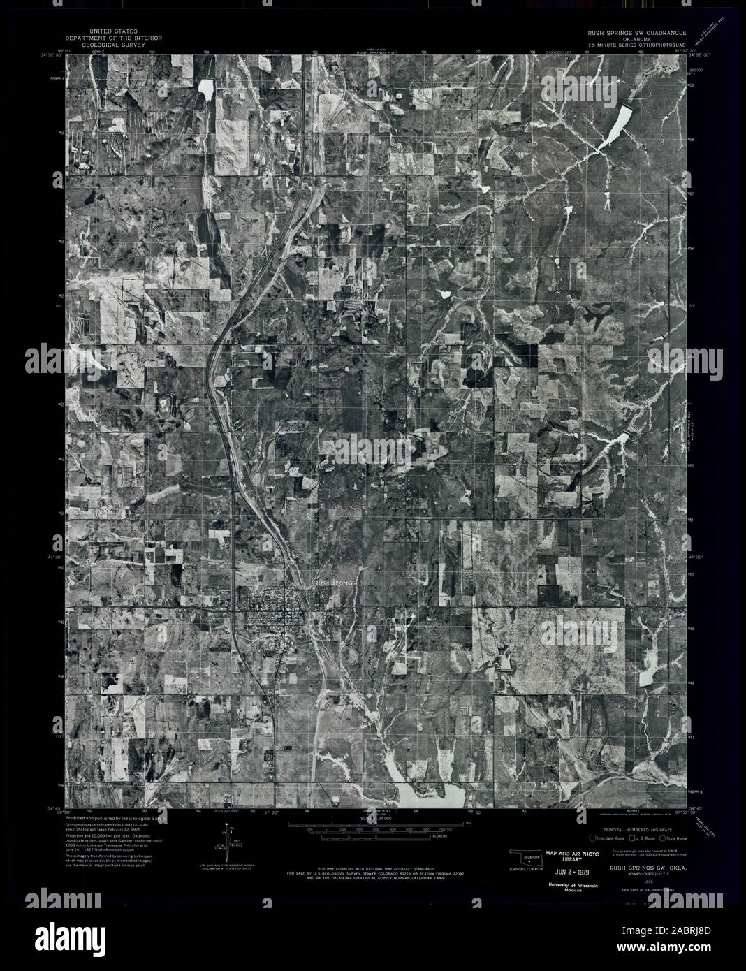 USGS TOPO Map Oklahoma OK Rush Springs SW 706721 1975 24000 Inverted Restoration Stock Photohttps://www.alamy.com/image-license-details/?v=1https://www.alamy.com/usgs-topo-map-oklahoma-ok-rush-springs-sw-706721-1975-24000-inverted-restoration-image334277453.html
RM2ABRJ8D–USGS TOPO Map Oklahoma OK Rush Springs SW 706721 1975 24000 Inverted Restoration
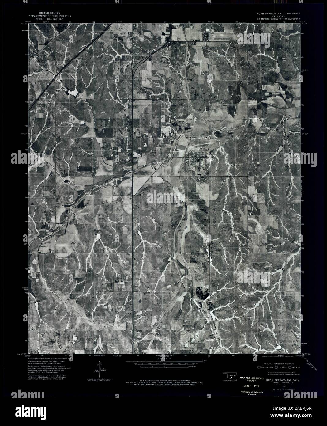 USGS TOPO Map Oklahoma OK Rush Springs NW 706719 1975 24000 Inverted Restoration Stock Photohttps://www.alamy.com/image-license-details/?v=1https://www.alamy.com/usgs-topo-map-oklahoma-ok-rush-springs-nw-706719-1975-24000-inverted-restoration-image334277407.html
RM2ABRJ6R–USGS TOPO Map Oklahoma OK Rush Springs NW 706719 1975 24000 Inverted Restoration
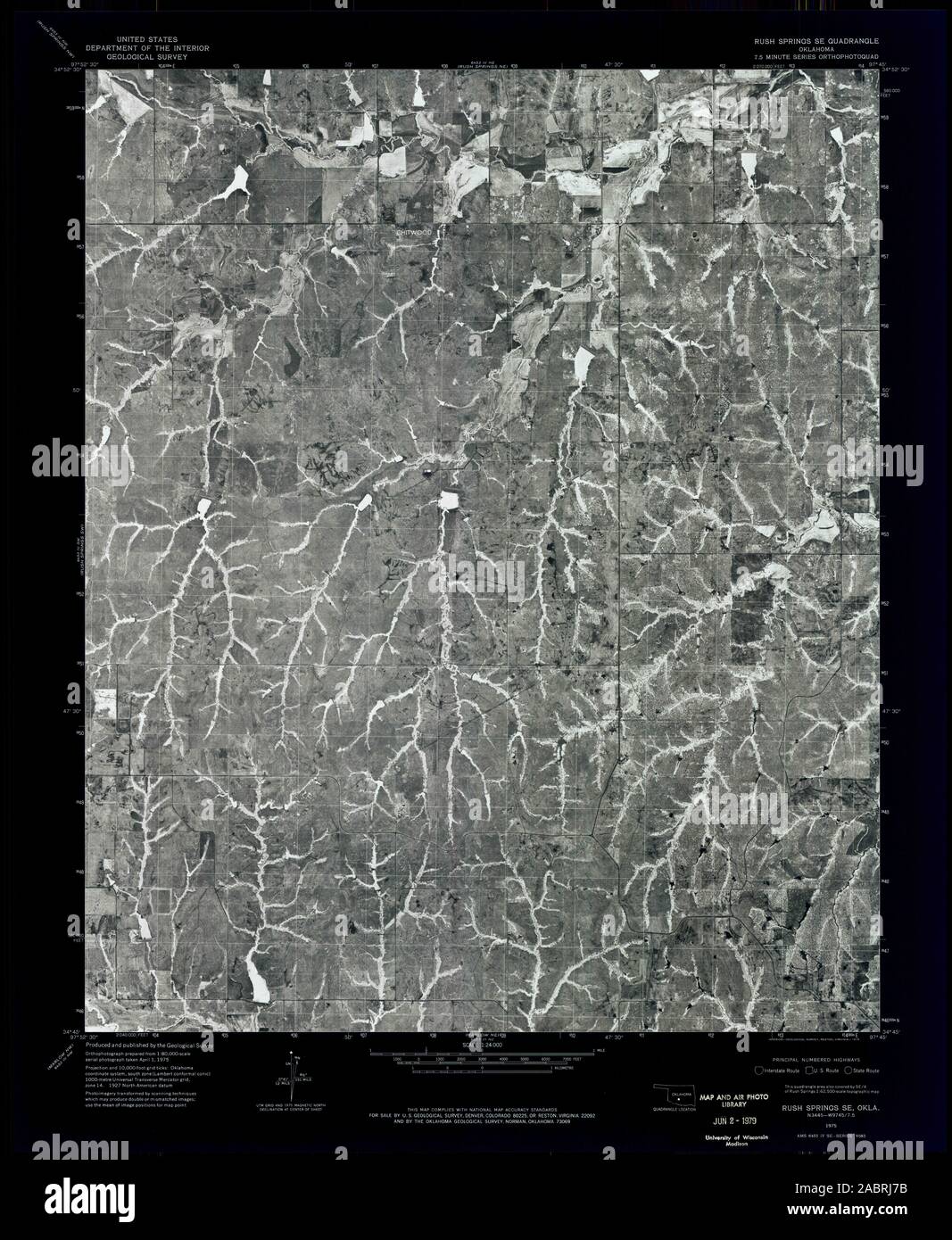 USGS TOPO Map Oklahoma OK Rush Springs SE 706720 1975 24000 Inverted Restoration Stock Photohttps://www.alamy.com/image-license-details/?v=1https://www.alamy.com/usgs-topo-map-oklahoma-ok-rush-springs-se-706720-1975-24000-inverted-restoration-image334277423.html
RM2ABRJ7B–USGS TOPO Map Oklahoma OK Rush Springs SE 706720 1975 24000 Inverted Restoration