Quick filters:
Russells map Stock Photos and Images
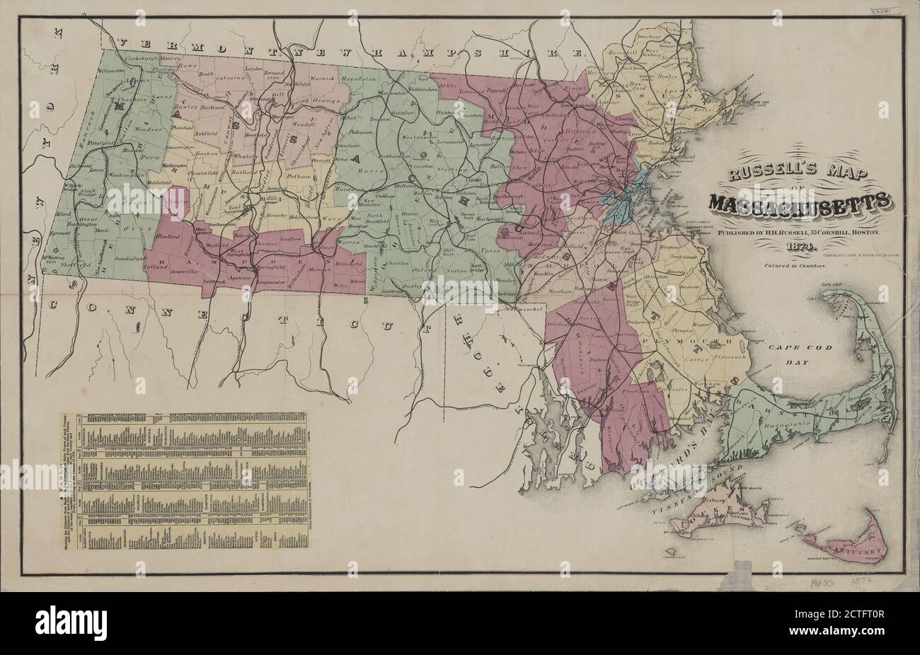 Russell's map of Massachusetts, cartographic, Maps, 1874, J. Mayer & Co Stock Photohttps://www.alamy.com/image-license-details/?v=1https://www.alamy.com/russells-map-of-massachusetts-cartographic-maps-1874-j-mayer-co-image376517591.html
RM2CTFT0R–Russell's map of Massachusetts, cartographic, Maps, 1874, J. Mayer & Co
 Russell's map of Massachusetts 1874 Stock Photohttps://www.alamy.com/image-license-details/?v=1https://www.alamy.com/russells-map-of-massachusetts-1874-image633421426.html
RM2YPERDP–Russell's map of Massachusetts 1874
 Russell's map of Paris and fortifications - Norman B. Leventhal Map Center. Stock Photohttps://www.alamy.com/image-license-details/?v=1https://www.alamy.com/russells-map-of-paris-and-fortifications-norman-b-leventhal-map-center-image456187118.html
RM2HE5392–Russell's map of Paris and fortifications - Norman B. Leventhal Map Center.
 Russells Creek, , AU, Australia, Victoria, S 38 1' 59'', N 146 11' 59'', map, Cartascapes Map published in 2024. Explore Cartascapes, a map revealing Earth's diverse landscapes, cultures, and ecosystems. Journey through time and space, discovering the interconnectedness of our planet's past, present, and future. Stock Photohttps://www.alamy.com/image-license-details/?v=1https://www.alamy.com/russells-creek-au-australia-victoria-s-38-1-59-n-146-11-59-map-cartascapes-map-published-in-2024-explore-cartascapes-a-map-revealing-earths-diverse-landscapes-cultures-and-ecosystems-journey-through-time-and-space-discovering-the-interconnectedness-of-our-planets-past-present-and-future-image625430786.html
RM2Y9ER9P–Russells Creek, , AU, Australia, Victoria, S 38 1' 59'', N 146 11' 59'', map, Cartascapes Map published in 2024. Explore Cartascapes, a map revealing Earth's diverse landscapes, cultures, and ecosystems. Journey through time and space, discovering the interconnectedness of our planet's past, present, and future.
![A map of London. A Guide through London and the surrounding Boroughs. ([With] A Guide to the streets and buildings ... Being a sequel to Russell's Map of London. By J. Gilberts). London : E. Grattan, 1836. Source: Maps 3480.(114.). Language: English. Stock Photo A map of London. A Guide through London and the surrounding Boroughs. ([With] A Guide to the streets and buildings ... Being a sequel to Russell's Map of London. By J. Gilberts). London : E. Grattan, 1836. Source: Maps 3480.(114.). Language: English. Stock Photo](https://c8.alamy.com/comp/R5ETTA/a-map-of-london-a-guide-through-london-and-the-surrounding-boroughs-with-a-guide-to-the-streets-and-buildings-being-a-sequel-to-russells-map-of-london-by-j-gilberts-london-e-grattan-1836-source-maps-3480114-language-english-R5ETTA.jpg) A map of London. A Guide through London and the surrounding Boroughs. ([With] A Guide to the streets and buildings ... Being a sequel to Russell's Map of London. By J. Gilberts). London : E. Grattan, 1836. Source: Maps 3480.(114.). Language: English. Stock Photohttps://www.alamy.com/image-license-details/?v=1https://www.alamy.com/a-map-of-london-a-guide-through-london-and-the-surrounding-boroughs-with-a-guide-to-the-streets-and-buildings-being-a-sequel-to-russells-map-of-london-by-j-gilberts-london-e-grattan-1836-source-maps-3480114-language-english-image227134890.html
A map of London. A Guide through London and the surrounding Boroughs. ([With] A Guide to the streets and buildings ... Being a sequel to Russell's Map of London. By J. Gilberts). London : E. Grattan, 1836. Source: Maps 3480.(114.). Language: English. Stock Photohttps://www.alamy.com/image-license-details/?v=1https://www.alamy.com/a-map-of-london-a-guide-through-london-and-the-surrounding-boroughs-with-a-guide-to-the-streets-and-buildings-being-a-sequel-to-russells-map-of-london-by-j-gilberts-london-e-grattan-1836-source-maps-3480114-language-english-image227134890.htmlRMR5ETTA–A map of London. A Guide through London and the surrounding Boroughs. ([With] A Guide to the streets and buildings ... Being a sequel to Russell's Map of London. By J. Gilberts). London : E. Grattan, 1836. Source: Maps 3480.(114.). Language: English.
 Russell's map of Paris and fortifications.... , France , Île-de-France ,region , Paris Stock Photohttps://www.alamy.com/image-license-details/?v=1https://www.alamy.com/russells-map-of-paris-and-fortifications-france-le-de-france-region-paris-image502731912.html
RM2M5WBK4–Russell's map of Paris and fortifications.... , France , Île-de-France ,region , Paris
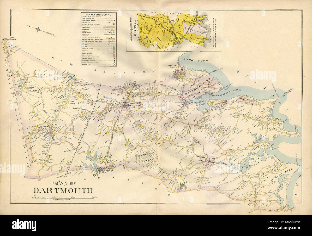 Map of Westport Factory in Dartmouth. 1895 Stock Photohttps://www.alamy.com/image-license-details/?v=1https://www.alamy.com/map-of-westport-factory-in-dartmouth-1895-image184414043.html
RMMM0NYR–Map of Westport Factory in Dartmouth. 1895
 Kitchener and Birdwood at Russells Top Anzac Stock Photohttps://www.alamy.com/image-license-details/?v=1https://www.alamy.com/stock-photo-kitchener-and-birdwood-at-russells-top-anzac-140045022.html
RMJ3RGRX–Kitchener and Birdwood at Russells Top Anzac
 USGS TOPO Map Nevada NV Russells 20120202 TM Restoration Stock Photohttps://www.alamy.com/image-license-details/?v=1https://www.alamy.com/usgs-topo-map-nevada-nv-russells-20120202-tm-restoration-image333795731.html
RM2AB1KT3–USGS TOPO Map Nevada NV Russells 20120202 TM Restoration
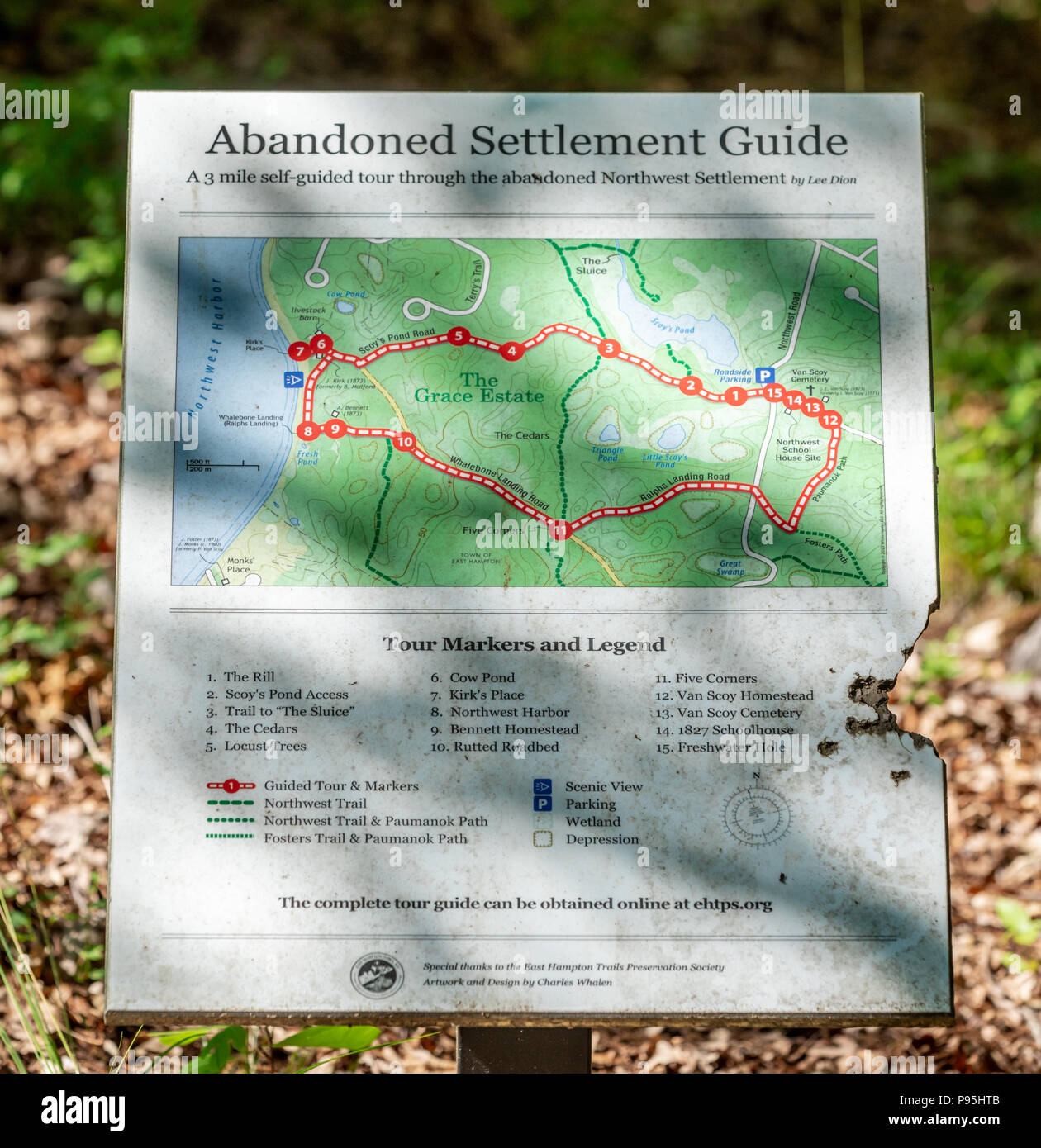 abandoned Northwest Settlement in East Hampton NY Stock Photohttps://www.alamy.com/image-license-details/?v=1https://www.alamy.com/abandoned-northwest-settlement-in-east-hampton-ny-image212180091.html
RFP95HTB–abandoned Northwest Settlement in East Hampton NY
 . Redeeming the republic : the third period of the war of the rebellion, in the year 1864 . 11* JERICHO MILL AND PONTOON-BRIDGE, NORTH ANNA RIVER.From a Photograph taken at the Time. 166 EEDEEMING THE REPUBLIC.. MAP OP THE NORTH ANNA. ions of cavalry — Greggs and Torberts—moved south to LittlepagesBridge, in the direction of Hanover, followed by Russells division of theSixth Corps infantry. A small force of cavalry was left at LittlepagesBridge to make a feint of crossing at that point, while Sheridan, with themain body, followed by the infantry, pushed on through the night, makinga march of n Stock Photohttps://www.alamy.com/image-license-details/?v=1https://www.alamy.com/redeeming-the-republic-the-third-period-of-the-war-of-the-rebellion-in-the-year-1864-11-jericho-mill-and-pontoon-bridge-north-anna-riverfrom-a-photograph-taken-at-the-time-166-eedeeming-the-republic-map-op-the-north-anna-ions-of-cavalry-greggs-and-torbertsmoved-south-to-littlepagesbridge-in-the-direction-of-hanover-followed-by-russells-division-of-thesixth-corps-infantry-a-small-force-of-cavalry-was-left-at-littlepagesbridge-to-make-a-feint-of-crossing-at-that-point-while-sheridan-with-themain-body-followed-by-the-infantry-pushed-on-through-the-night-makinga-march-of-n-image369641176.html
RM2CDAH2G–. Redeeming the republic : the third period of the war of the rebellion, in the year 1864 . 11* JERICHO MILL AND PONTOON-BRIDGE, NORTH ANNA RIVER.From a Photograph taken at the Time. 166 EEDEEMING THE REPUBLIC.. MAP OP THE NORTH ANNA. ions of cavalry — Greggs and Torberts—moved south to LittlepagesBridge, in the direction of Hanover, followed by Russells division of theSixth Corps infantry. A small force of cavalry was left at LittlepagesBridge to make a feint of crossing at that point, while Sheridan, with themain body, followed by the infantry, pushed on through the night, makinga march of n
 Russells Falls, , AU, Australia, Tasmania, S 42 40' 59'', N 146 43' 59'', map, Cartascapes Map published in 2024. Explore Cartascapes, a map revealing Earth's diverse landscapes, cultures, and ecosystems. Journey through time and space, discovering the interconnectedness of our planet's past, present, and future. Stock Photohttps://www.alamy.com/image-license-details/?v=1https://www.alamy.com/russells-falls-au-australia-tasmania-s-42-40-59-n-146-43-59-map-cartascapes-map-published-in-2024-explore-cartascapes-a-map-revealing-earths-diverse-landscapes-cultures-and-ecosystems-journey-through-time-and-space-discovering-the-interconnectedness-of-our-planets-past-present-and-future-image625603330.html
RM2Y9PKC2–Russells Falls, , AU, Australia, Tasmania, S 42 40' 59'', N 146 43' 59'', map, Cartascapes Map published in 2024. Explore Cartascapes, a map revealing Earth's diverse landscapes, cultures, and ecosystems. Journey through time and space, discovering the interconnectedness of our planet's past, present, and future.
 Russell's map of Massachusetts , Massachusetts, Maps Norman B. Leventhal Map Center Collection Stock Photohttps://www.alamy.com/image-license-details/?v=1https://www.alamy.com/russells-map-of-massachusetts-massachusetts-maps-norman-b-leventhal-map-center-collection-image501454157.html
RM2M3R5W1–Russell's map of Massachusetts , Massachusetts, Maps Norman B. Leventhal Map Center Collection
 Mormon Family (Russell's Polygamy in Low Life) Stock Photohttps://www.alamy.com/image-license-details/?v=1https://www.alamy.com/stock-image-mormon-family-russells-polygamy-in-low-life-162259105.html
RMKBYF41–Mormon Family (Russell's Polygamy in Low Life)
 USGS TOPO Map Nevada NV Russells 319951 1965 24000 Restoration Stock Photohttps://www.alamy.com/image-license-details/?v=1https://www.alamy.com/usgs-topo-map-nevada-nv-russells-319951-1965-24000-restoration-image333795810.html
RM2AB1KXX–USGS TOPO Map Nevada NV Russells 319951 1965 24000 Restoration
 . Personal recollections and civil war diary, 1864; . ation). I was the only officer exceptAdjutant Wyllys Lyman, who is deceased, so farahead at that time on my part of the battlefield, andI can make affidavit to this statement. We and agoodly number of scattering men who generally ledin most assaults were within a rod of the enemysstrongest manned works, zvhich no map in existenceshows that I have seen, where I was twice almostinstantaneously wounded when the enemy ran as itsaw General Russells Division coming, as thoughtheir lives depended upon it, and I knozif whereof Iam writing. General Stock Photohttps://www.alamy.com/image-license-details/?v=1https://www.alamy.com/personal-recollections-and-civil-war-diary-1864-ation-i-was-the-only-officer-exceptadjutant-wyllys-lyman-who-is-deceased-so-farahead-at-that-time-on-my-part-of-the-battlefield-andi-can-make-affidavit-to-this-statement-we-and-agoodly-number-of-scattering-men-who-generally-ledin-most-assaults-were-within-a-rod-of-the-enemysstrongest-manned-works-zvhich-no-map-in-existenceshows-that-i-have-seen-where-i-was-twice-almostinstantaneously-wounded-when-the-enemy-ran-as-itsaw-general-russells-division-coming-as-thoughtheir-lives-depended-upon-it-and-i-knozif-whereof-iam-writing-general-image372714829.html
RM2CJAHFW–. Personal recollections and civil war diary, 1864; . ation). I was the only officer exceptAdjutant Wyllys Lyman, who is deceased, so farahead at that time on my part of the battlefield, andI can make affidavit to this statement. We and agoodly number of scattering men who generally ledin most assaults were within a rod of the enemysstrongest manned works, zvhich no map in existenceshows that I have seen, where I was twice almostinstantaneously wounded when the enemy ran as itsaw General Russells Division coming, as thoughtheir lives depended upon it, and I knozif whereof Iam writing. General
 Russells Top, Brisbane, AU, Australia, Queensland, S 27 7' 0'', N 153 22' 59'', map, Cartascapes Map published in 2024. Explore Cartascapes, a map revealing Earth's diverse landscapes, cultures, and ecosystems. Journey through time and space, discovering the interconnectedness of our planet's past, present, and future. Stock Photohttps://www.alamy.com/image-license-details/?v=1https://www.alamy.com/russells-top-brisbane-au-australia-queensland-s-27-7-0-n-153-22-59-map-cartascapes-map-published-in-2024-explore-cartascapes-a-map-revealing-earths-diverse-landscapes-cultures-and-ecosystems-journey-through-time-and-space-discovering-the-interconnectedness-of-our-planets-past-present-and-future-image625741082.html
RM2YA0Y3P–Russells Top, Brisbane, AU, Australia, Queensland, S 27 7' 0'', N 153 22' 59'', map, Cartascapes Map published in 2024. Explore Cartascapes, a map revealing Earth's diverse landscapes, cultures, and ecosystems. Journey through time and space, discovering the interconnectedness of our planet's past, present, and future.
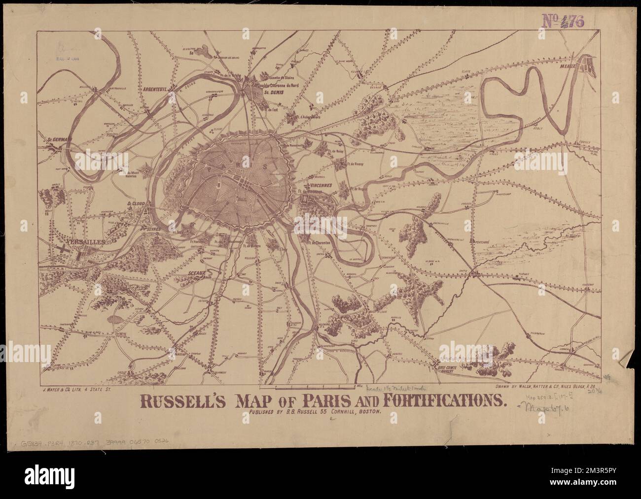 Russell's map of Paris and fortifications , Paris France, Maps Norman B. Leventhal Map Center Collection Stock Photohttps://www.alamy.com/image-license-details/?v=1https://www.alamy.com/russells-map-of-paris-and-fortifications-paris-france-maps-norman-b-leventhal-map-center-collection-image501454099.html
RM2M3R5PY–Russell's map of Paris and fortifications , Paris France, Maps Norman B. Leventhal Map Center Collection
 USGS TOPO Map Nevada NV Russells 20120202 TM Inverted Restoration Stock Photohttps://www.alamy.com/image-license-details/?v=1https://www.alamy.com/usgs-topo-map-nevada-nv-russells-20120202-tm-inverted-restoration-image333795754.html
RM2AB1KTX–USGS TOPO Map Nevada NV Russells 20120202 TM Inverted Restoration
 Russells Falls Creek, , AU, Australia, Tasmania, S 42 40' 0'', N 146 52' 0'', map, Cartascapes Map published in 2024. Explore Cartascapes, a map revealing Earth's diverse landscapes, cultures, and ecosystems. Journey through time and space, discovering the interconnectedness of our planet's past, present, and future. Stock Photohttps://www.alamy.com/image-license-details/?v=1https://www.alamy.com/russells-falls-creek-au-australia-tasmania-s-42-40-0-n-146-52-0-map-cartascapes-map-published-in-2024-explore-cartascapes-a-map-revealing-earths-diverse-landscapes-cultures-and-ecosystems-journey-through-time-and-space-discovering-the-interconnectedness-of-our-planets-past-present-and-future-image625560435.html
RM2Y9MMM3–Russells Falls Creek, , AU, Australia, Tasmania, S 42 40' 0'', N 146 52' 0'', map, Cartascapes Map published in 2024. Explore Cartascapes, a map revealing Earth's diverse landscapes, cultures, and ecosystems. Journey through time and space, discovering the interconnectedness of our planet's past, present, and future.
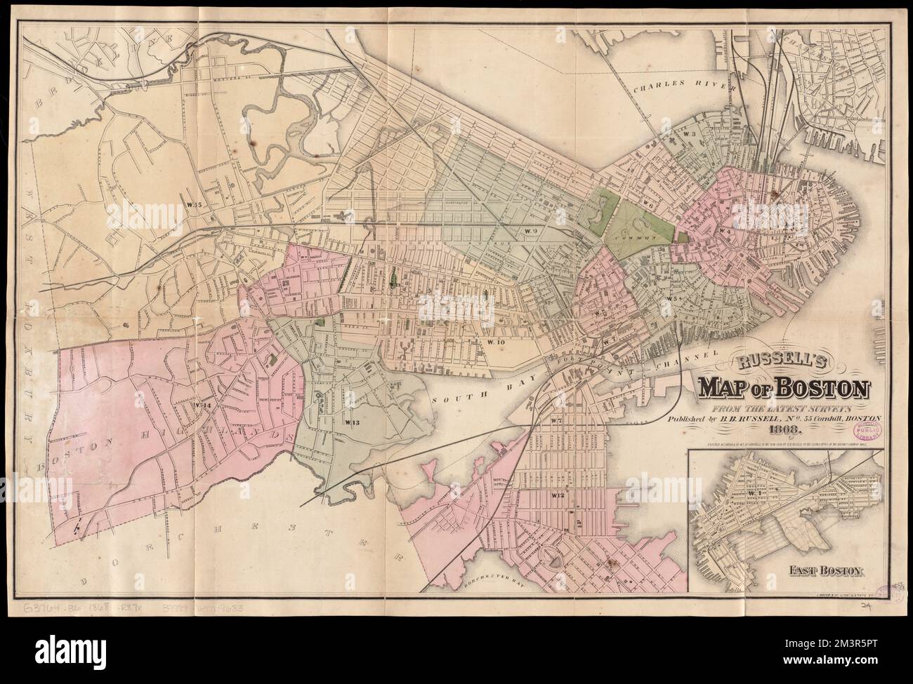 Russell's map of Boston from the latest surveys , Boston Mass., Maps Norman B. Leventhal Map Center Collection Stock Photohttps://www.alamy.com/image-license-details/?v=1https://www.alamy.com/russells-map-of-boston-from-the-latest-surveys-boston-mass-maps-norman-b-leventhal-map-center-collection-image501454096.html
RM2M3R5PT–Russell's map of Boston from the latest surveys , Boston Mass., Maps Norman B. Leventhal Map Center Collection
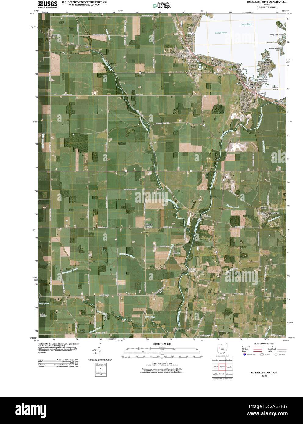 USGS TOPO Map Ohio OH Russells Point 20100809 TM Restoration Stock Photohttps://www.alamy.com/image-license-details/?v=1https://www.alamy.com/usgs-topo-map-ohio-oh-russells-point-20100809-tm-restoration-image337018975.html
RM2AG8F3Y–USGS TOPO Map Ohio OH Russells Point 20100809 TM Restoration
 Russells Well, , AU, Australia, Western Australia, S 23 51' 0'', N 115 40' 0'', map, Cartascapes Map published in 2024. Explore Cartascapes, a map revealing Earth's diverse landscapes, cultures, and ecosystems. Journey through time and space, discovering the interconnectedness of our planet's past, present, and future. Stock Photohttps://www.alamy.com/image-license-details/?v=1https://www.alamy.com/russells-well-au-australia-western-australia-s-23-51-0-n-115-40-0-map-cartascapes-map-published-in-2024-explore-cartascapes-a-map-revealing-earths-diverse-landscapes-cultures-and-ecosystems-journey-through-time-and-space-discovering-the-interconnectedness-of-our-planets-past-present-and-future-image625447184.html
RM2Y9FG7C–Russells Well, , AU, Australia, Western Australia, S 23 51' 0'', N 115 40' 0'', map, Cartascapes Map published in 2024. Explore Cartascapes, a map revealing Earth's diverse landscapes, cultures, and ecosystems. Journey through time and space, discovering the interconnectedness of our planet's past, present, and future.
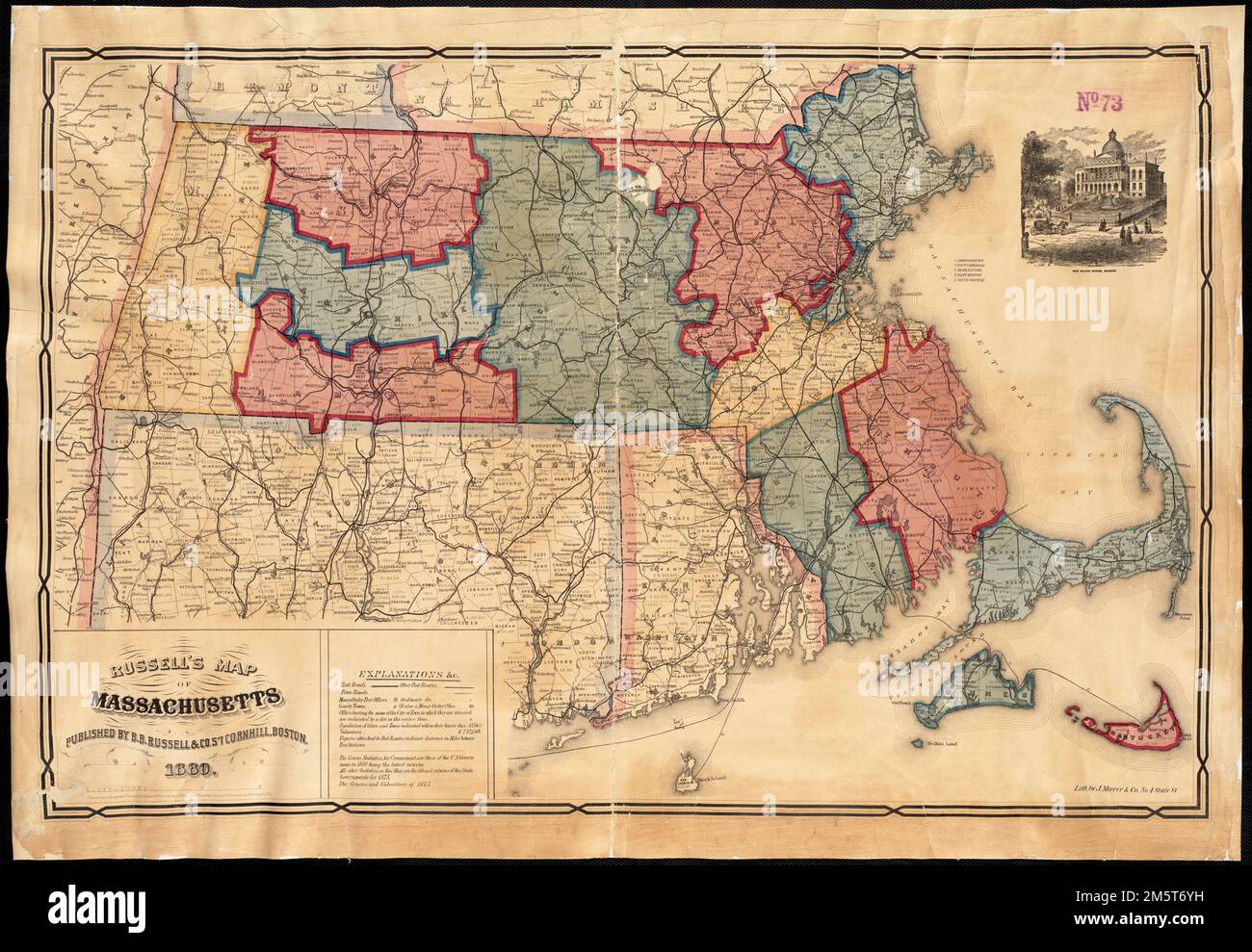 Russell's map of Massachusetts. Includes index and vignette of the State House, Boston. Lith by J. Mayer & Co. 'Entered according to Act of Congress in the year 1876 by Cook and Ellis in the Office of the Librarian of Congress at Washington, D.C.'... , Massachusetts Stock Photohttps://www.alamy.com/image-license-details/?v=1https://www.alamy.com/russells-map-of-massachusetts-includes-index-and-vignette-of-the-state-house-boston-lith-by-j-mayer-co-entered-according-to-act-of-congress-in-the-year-1876-by-cook-and-ellis-in-the-office-of-the-librarian-of-congress-at-washington-dc-massachusetts-image502706277.html
RM2M5T6YH–Russell's map of Massachusetts. Includes index and vignette of the State House, Boston. Lith by J. Mayer & Co. 'Entered according to Act of Congress in the year 1876 by Cook and Ellis in the Office of the Librarian of Congress at Washington, D.C.'... , Massachusetts
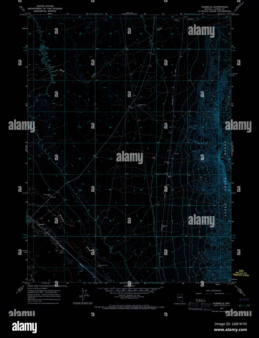 USGS TOPO Map Nevada NV Russells 319951 1965 24000 Inverted Restoration Stock Photohttps://www.alamy.com/image-license-details/?v=1https://www.alamy.com/usgs-topo-map-nevada-nv-russells-319951-1965-24000-inverted-restoration-image333795833.html
RM2AB1KYN–USGS TOPO Map Nevada NV Russells 319951 1965 24000 Inverted Restoration
 Russells Bridge, Golden Plains, AU, Australia, Victoria, S 38 0' 57'', N 144 10' 50'', map, Cartascapes Map published in 2024. Explore Cartascapes, a map revealing Earth's diverse landscapes, cultures, and ecosystems. Journey through time and space, discovering the interconnectedness of our planet's past, present, and future. Stock Photohttps://www.alamy.com/image-license-details/?v=1https://www.alamy.com/russells-bridge-golden-plains-au-australia-victoria-s-38-0-57-n-144-10-50-map-cartascapes-map-published-in-2024-explore-cartascapes-a-map-revealing-earths-diverse-landscapes-cultures-and-ecosystems-journey-through-time-and-space-discovering-the-interconnectedness-of-our-planets-past-present-and-future-image625636137.html
RM2Y9T57N–Russells Bridge, Golden Plains, AU, Australia, Victoria, S 38 0' 57'', N 144 10' 50'', map, Cartascapes Map published in 2024. Explore Cartascapes, a map revealing Earth's diverse landscapes, cultures, and ecosystems. Journey through time and space, discovering the interconnectedness of our planet's past, present, and future.
 Russell's map of Boston from the latest surveys : colored to show the burned district of the Great Fire Nov 9th & 10th 1872... Map of Boston from the latest surveys. Map of Boston from the latest surveys, Massachusetts , Suffolk ,county , Boston Stock Photohttps://www.alamy.com/image-license-details/?v=1https://www.alamy.com/russells-map-of-boston-from-the-latest-surveys-colored-to-show-the-burned-district-of-the-great-fire-nov-9th-10th-1872-map-of-boston-from-the-latest-surveys-map-of-boston-from-the-latest-surveys-massachusetts-suffolk-county-boston-image502717020.html
RM2M5TMK8–Russell's map of Boston from the latest surveys : colored to show the burned district of the Great Fire Nov 9th & 10th 1872... Map of Boston from the latest surveys. Map of Boston from the latest surveys, Massachusetts , Suffolk ,county , Boston
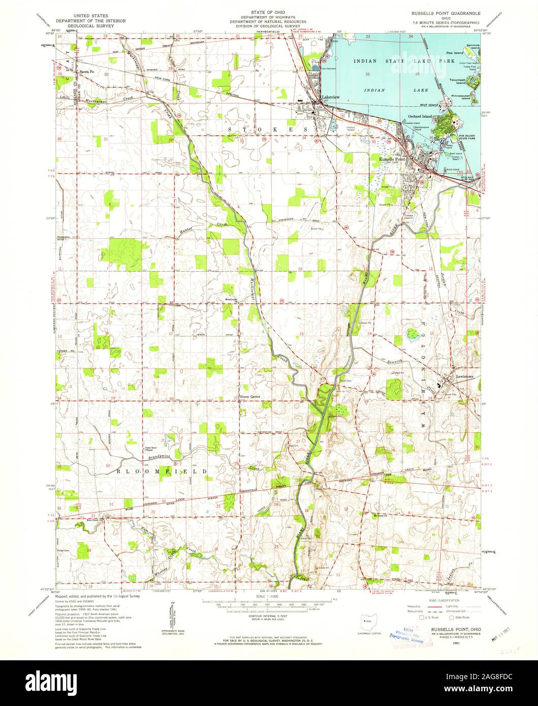 USGS TOPO Map Ohio OH Russells Point 227258 1961 24000 Restoration Stock Photohttps://www.alamy.com/image-license-details/?v=1https://www.alamy.com/usgs-topo-map-ohio-oh-russells-point-227258-1961-24000-restoration-image337019240.html
RM2AG8FDC–USGS TOPO Map Ohio OH Russells Point 227258 1961 24000 Restoration
 Russells, Cobar, AU, Australia, New South Wales, S 31 13' 0'', N 144 19' 0'', map, Cartascapes Map published in 2024. Explore Cartascapes, a map revealing Earth's diverse landscapes, cultures, and ecosystems. Journey through time and space, discovering the interconnectedness of our planet's past, present, and future. Stock Photohttps://www.alamy.com/image-license-details/?v=1https://www.alamy.com/russells-cobar-au-australia-new-south-wales-s-31-13-0-n-144-19-0-map-cartascapes-map-published-in-2024-explore-cartascapes-a-map-revealing-earths-diverse-landscapes-cultures-and-ecosystems-journey-through-time-and-space-discovering-the-interconnectedness-of-our-planets-past-present-and-future-image625757014.html
RM2YA1KCP–Russells, Cobar, AU, Australia, New South Wales, S 31 13' 0'', N 144 19' 0'', map, Cartascapes Map published in 2024. Explore Cartascapes, a map revealing Earth's diverse landscapes, cultures, and ecosystems. Journey through time and space, discovering the interconnectedness of our planet's past, present, and future.
 Russell's map of Boston from the latest surveys : colored to show the burned district of the Great Fire Nov 9th & 10th 1872 , Great Fire, Boston, Mass., 1872, Maps, Boston Mass., Maps Norman B. Leventhal Map Center Collection Stock Photohttps://www.alamy.com/image-license-details/?v=1https://www.alamy.com/russells-map-of-boston-from-the-latest-surveys-colored-to-show-the-burned-district-of-the-great-fire-nov-9th-10th-1872-great-fire-boston-mass-1872-maps-boston-mass-maps-norman-b-leventhal-map-center-collection-image501454101.html
RM2M3R5R1–Russell's map of Boston from the latest surveys : colored to show the burned district of the Great Fire Nov 9th & 10th 1872 , Great Fire, Boston, Mass., 1872, Maps, Boston Mass., Maps Norman B. Leventhal Map Center Collection
 USGS TOPO Map Ohio OH Russells Point 227260 1961 24000 Restoration Stock Photohttps://www.alamy.com/image-license-details/?v=1https://www.alamy.com/usgs-topo-map-ohio-oh-russells-point-227260-1961-24000-restoration-image337019242.html
RM2AG8FDE–USGS TOPO Map Ohio OH Russells Point 227260 1961 24000 Restoration
 Russells Dip, , AU, Australia, New South Wales, S 28 16' 58'', N 153 19' 48'', map, Cartascapes Map published in 2024. Explore Cartascapes, a map revealing Earth's diverse landscapes, cultures, and ecosystems. Journey through time and space, discovering the interconnectedness of our planet's past, present, and future. Stock Photohttps://www.alamy.com/image-license-details/?v=1https://www.alamy.com/russells-dip-au-australia-new-south-wales-s-28-16-58-n-153-19-48-map-cartascapes-map-published-in-2024-explore-cartascapes-a-map-revealing-earths-diverse-landscapes-cultures-and-ecosystems-journey-through-time-and-space-discovering-the-interconnectedness-of-our-planets-past-present-and-future-image625396303.html
RM2Y9D7A7–Russells Dip, , AU, Australia, New South Wales, S 28 16' 58'', N 153 19' 48'', map, Cartascapes Map published in 2024. Explore Cartascapes, a map revealing Earth's diverse landscapes, cultures, and ecosystems. Journey through time and space, discovering the interconnectedness of our planet's past, present, and future.
 Russell's map of Boston from the latest surveys. Shows wards and railroads. Relief shown by hachures. Oriented with north to the upper right. Inset: East Boston. 'Entered according to act of Congress in the year 1868 by B.B. Russell in the clerk's office of the District Court of Mass.'.. Map of Boston. Map of Boston, Massachusetts , Suffolk ,county , Boston Stock Photohttps://www.alamy.com/image-license-details/?v=1https://www.alamy.com/russells-map-of-boston-from-the-latest-surveys-shows-wards-and-railroads-relief-shown-by-hachures-oriented-with-north-to-the-upper-right-inset-east-boston-entered-according-to-act-of-congress-in-the-year-1868-by-bb-russell-in-the-clerks-office-of-the-district-court-of-mass-map-of-boston-map-of-boston-massachusetts-suffolk-county-boston-image502738500.html
RM2M5WM2C–Russell's map of Boston from the latest surveys. Shows wards and railroads. Relief shown by hachures. Oriented with north to the upper right. Inset: East Boston. 'Entered according to act of Congress in the year 1868 by B.B. Russell in the clerk's office of the District Court of Mass.'.. Map of Boston. Map of Boston, Massachusetts , Suffolk ,county , Boston
 USGS TOPO Map Ohio OH Russells Point 227259 1961 24000 Restoration Stock Photohttps://www.alamy.com/image-license-details/?v=1https://www.alamy.com/usgs-topo-map-ohio-oh-russells-point-227259-1961-24000-restoration-image337019091.html
RM2AG8F83–USGS TOPO Map Ohio OH Russells Point 227259 1961 24000 Restoration
 Russells Island, , AU, Australia, New South Wales, S 32 23' 54'', N 152 21' 4'', map, Cartascapes Map published in 2024. Explore Cartascapes, a map revealing Earth's diverse landscapes, cultures, and ecosystems. Journey through time and space, discovering the interconnectedness of our planet's past, present, and future. Stock Photohttps://www.alamy.com/image-license-details/?v=1https://www.alamy.com/russells-island-au-australia-new-south-wales-s-32-23-54-n-152-21-4-map-cartascapes-map-published-in-2024-explore-cartascapes-a-map-revealing-earths-diverse-landscapes-cultures-and-ecosystems-journey-through-time-and-space-discovering-the-interconnectedness-of-our-planets-past-present-and-future-image625366654.html
RM2Y9BWFA–Russells Island, , AU, Australia, New South Wales, S 32 23' 54'', N 152 21' 4'', map, Cartascapes Map published in 2024. Explore Cartascapes, a map revealing Earth's diverse landscapes, cultures, and ecosystems. Journey through time and space, discovering the interconnectedness of our planet's past, present, and future.
![Strensham, the antient Seat of the Russells. Author Watts, William 43.83. Place of publication: [London] Publisher: Jan.y 1., Date of publication: 1776. Item type: 1 print Medium: etching Dimensions: sheet 15.5 x 20.4 cm [trimmed within platemark] Former owner: George III, King of Great Britain, 1738-1820 Stock Photo Strensham, the antient Seat of the Russells. Author Watts, William 43.83. Place of publication: [London] Publisher: Jan.y 1., Date of publication: 1776. Item type: 1 print Medium: etching Dimensions: sheet 15.5 x 20.4 cm [trimmed within platemark] Former owner: George III, King of Great Britain, 1738-1820 Stock Photo](https://c8.alamy.com/comp/2E9EMPC/strensham-the-antient-seat-of-the-russells-author-watts-william-4383-place-of-publication-london-publisher-jany-1-date-of-publication-1776-item-type-1-print-medium-etching-dimensions-sheet-155-x-204-cm-trimmed-within-platemark-former-owner-george-iii-king-of-great-britain-1738-1820-2E9EMPC.jpg) Strensham, the antient Seat of the Russells. Author Watts, William 43.83. Place of publication: [London] Publisher: Jan.y 1., Date of publication: 1776. Item type: 1 print Medium: etching Dimensions: sheet 15.5 x 20.4 cm [trimmed within platemark] Former owner: George III, King of Great Britain, 1738-1820 Stock Photohttps://www.alamy.com/image-license-details/?v=1https://www.alamy.com/strensham-the-antient-seat-of-the-russells-author-watts-william-4383-place-of-publication-london-publisher-jany-1-date-of-publication-1776-item-type-1-print-medium-etching-dimensions-sheet-155-x-204-cm-trimmed-within-platemark-former-owner-george-iii-king-of-great-britain-1738-1820-image401694004.html
Strensham, the antient Seat of the Russells. Author Watts, William 43.83. Place of publication: [London] Publisher: Jan.y 1., Date of publication: 1776. Item type: 1 print Medium: etching Dimensions: sheet 15.5 x 20.4 cm [trimmed within platemark] Former owner: George III, King of Great Britain, 1738-1820 Stock Photohttps://www.alamy.com/image-license-details/?v=1https://www.alamy.com/strensham-the-antient-seat-of-the-russells-author-watts-william-4383-place-of-publication-london-publisher-jany-1-date-of-publication-1776-item-type-1-print-medium-etching-dimensions-sheet-155-x-204-cm-trimmed-within-platemark-former-owner-george-iii-king-of-great-britain-1738-1820-image401694004.htmlRM2E9EMPC–Strensham, the antient Seat of the Russells. Author Watts, William 43.83. Place of publication: [London] Publisher: Jan.y 1., Date of publication: 1776. Item type: 1 print Medium: etching Dimensions: sheet 15.5 x 20.4 cm [trimmed within platemark] Former owner: George III, King of Great Britain, 1738-1820
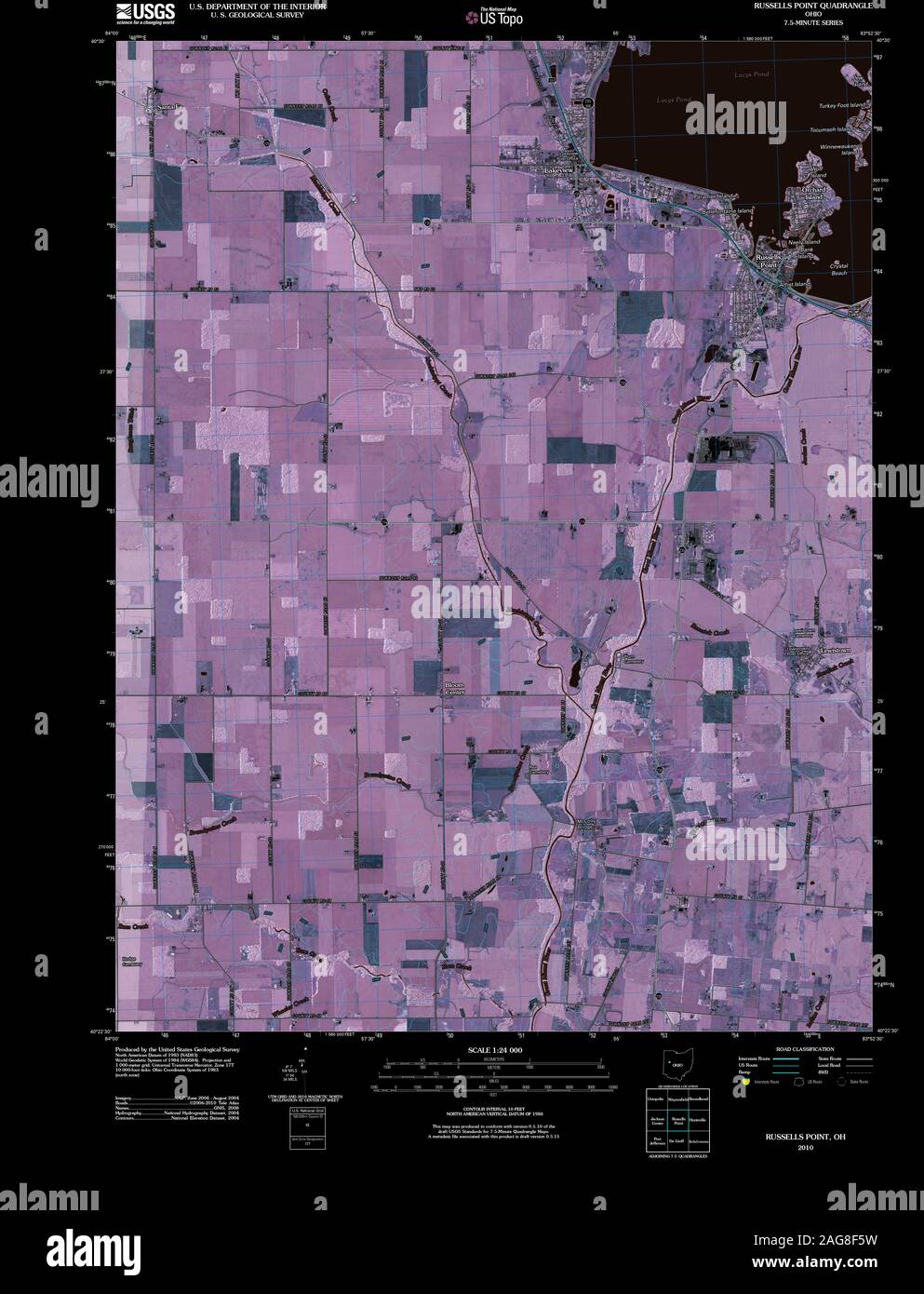 USGS TOPO Map Ohio OH Russells Point 20100809 TM Inverted Restoration Stock Photohttps://www.alamy.com/image-license-details/?v=1https://www.alamy.com/usgs-topo-map-ohio-oh-russells-point-20100809-tm-inverted-restoration-image337019029.html
RM2AG8F5W–USGS TOPO Map Ohio OH Russells Point 20100809 TM Inverted Restoration
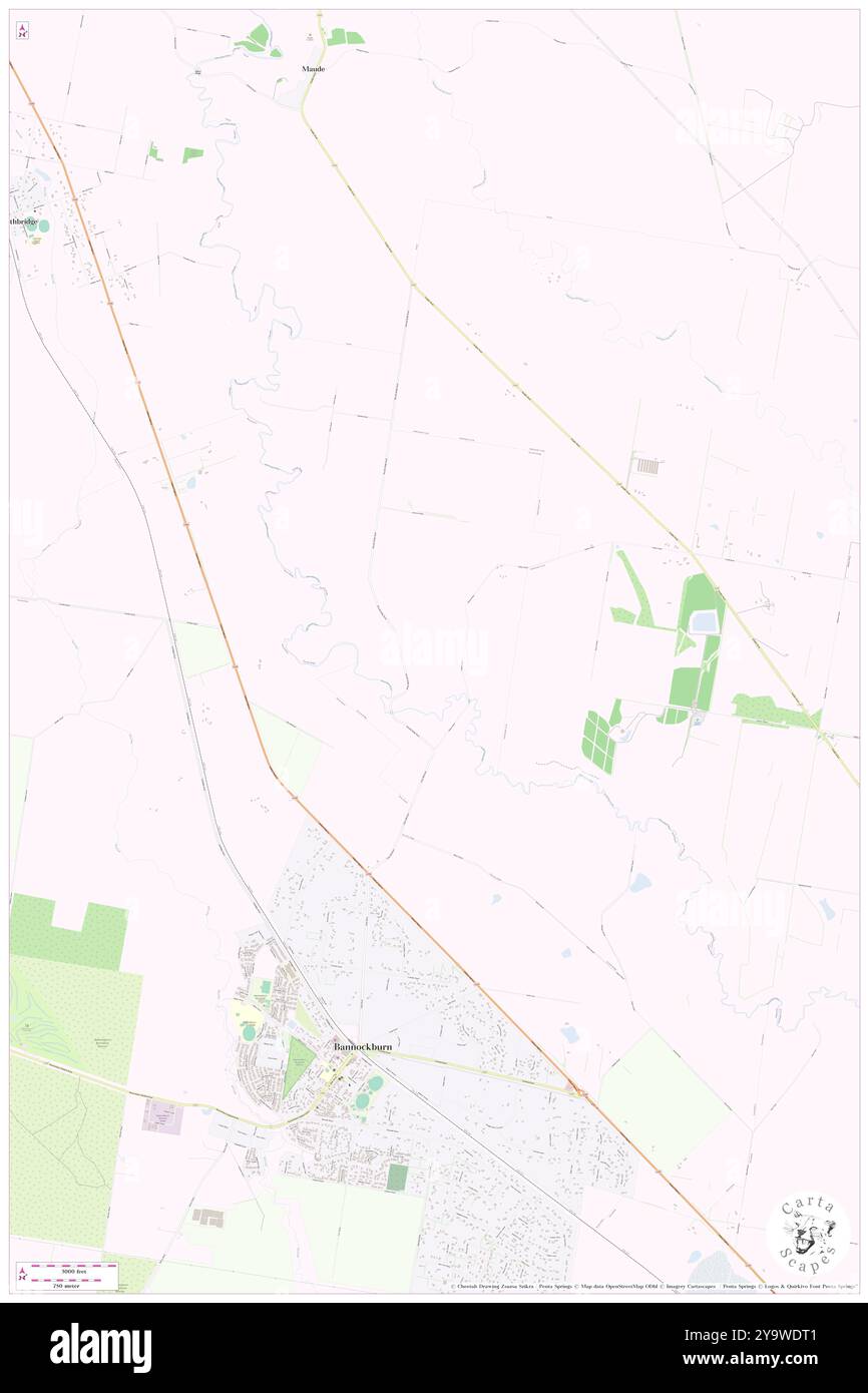 Russells Bridge, Golden Plains, AU, Australia, Victoria, S 38 0' 49'', N 144 10' 38'', map, Cartascapes Map published in 2024. Explore Cartascapes, a map revealing Earth's diverse landscapes, cultures, and ecosystems. Journey through time and space, discovering the interconnectedness of our planet's past, present, and future. Stock Photohttps://www.alamy.com/image-license-details/?v=1https://www.alamy.com/russells-bridge-golden-plains-au-australia-victoria-s-38-0-49-n-144-10-38-map-cartascapes-map-published-in-2024-explore-cartascapes-a-map-revealing-earths-diverse-landscapes-cultures-and-ecosystems-journey-through-time-and-space-discovering-the-interconnectedness-of-our-planets-past-present-and-future-image625664817.html
RM2Y9WDT1–Russells Bridge, Golden Plains, AU, Australia, Victoria, S 38 0' 49'', N 144 10' 38'', map, Cartascapes Map published in 2024. Explore Cartascapes, a map revealing Earth's diverse landscapes, cultures, and ecosystems. Journey through time and space, discovering the interconnectedness of our planet's past, present, and future.
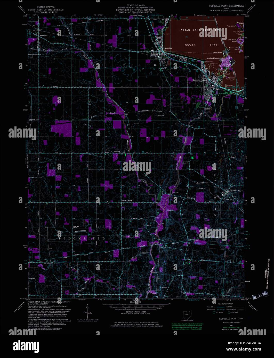 USGS TOPO Map Ohio OH Russells Point 227260 1961 24000 Inverted Restoration Stock Photohttps://www.alamy.com/image-license-details/?v=1https://www.alamy.com/usgs-topo-map-ohio-oh-russells-point-227260-1961-24000-inverted-restoration-image337018958.html
RM2AG8F3A–USGS TOPO Map Ohio OH Russells Point 227260 1961 24000 Inverted Restoration
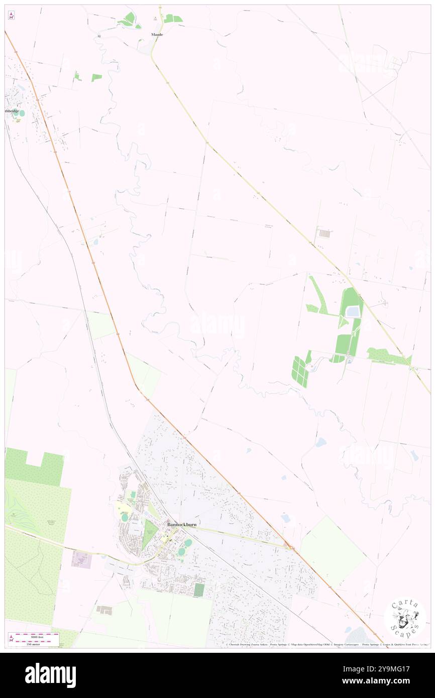 Russells Bridge, Golden Plains, AU, Australia, Victoria, S 38 0' 57'', N 144 10' 50'', map, Cartascapes Map published in 2024. Explore Cartascapes, a map revealing Earth's diverse landscapes, cultures, and ecosystems. Journey through time and space, discovering the interconnectedness of our planet's past, present, and future. Stock Photohttps://www.alamy.com/image-license-details/?v=1https://www.alamy.com/russells-bridge-golden-plains-au-australia-victoria-s-38-0-57-n-144-10-50-map-cartascapes-map-published-in-2024-explore-cartascapes-a-map-revealing-earths-diverse-landscapes-cultures-and-ecosystems-journey-through-time-and-space-discovering-the-interconnectedness-of-our-planets-past-present-and-future-image625556771.html
RM2Y9MG17–Russells Bridge, Golden Plains, AU, Australia, Victoria, S 38 0' 57'', N 144 10' 50'', map, Cartascapes Map published in 2024. Explore Cartascapes, a map revealing Earth's diverse landscapes, cultures, and ecosystems. Journey through time and space, discovering the interconnectedness of our planet's past, present, and future.
 USGS TOPO Map Ohio OH Russells Point 227259 1961 24000 Inverted Restoration Stock Photohttps://www.alamy.com/image-license-details/?v=1https://www.alamy.com/usgs-topo-map-ohio-oh-russells-point-227259-1961-24000-inverted-restoration-image337018957.html
RM2AG8F39–USGS TOPO Map Ohio OH Russells Point 227259 1961 24000 Inverted Restoration
 Russells Siding, Lockyer Valley, AU, Australia, Queensland, S 27 31' 26'', N 152 6' 31'', map, Cartascapes Map published in 2024. Explore Cartascapes, a map revealing Earth's diverse landscapes, cultures, and ecosystems. Journey through time and space, discovering the interconnectedness of our planet's past, present, and future. Stock Photohttps://www.alamy.com/image-license-details/?v=1https://www.alamy.com/russells-siding-lockyer-valley-au-australia-queensland-s-27-31-26-n-152-6-31-map-cartascapes-map-published-in-2024-explore-cartascapes-a-map-revealing-earths-diverse-landscapes-cultures-and-ecosystems-journey-through-time-and-space-discovering-the-interconnectedness-of-our-planets-past-present-and-future-image625724696.html
RM2YA066G–Russells Siding, Lockyer Valley, AU, Australia, Queensland, S 27 31' 26'', N 152 6' 31'', map, Cartascapes Map published in 2024. Explore Cartascapes, a map revealing Earth's diverse landscapes, cultures, and ecosystems. Journey through time and space, discovering the interconnectedness of our planet's past, present, and future.
 USGS TOPO Map Ohio OH Russells Point 227258 1961 24000 Inverted Restoration Stock Photohttps://www.alamy.com/image-license-details/?v=1https://www.alamy.com/usgs-topo-map-ohio-oh-russells-point-227258-1961-24000-inverted-restoration-image337018987.html
RM2AG8F4B–USGS TOPO Map Ohio OH Russells Point 227258 1961 24000 Inverted Restoration
 Russells Bay, , AU, Australia, New South Wales, S 32 23' 54'', N 152 23' 4'', map, Cartascapes Map published in 2024. Explore Cartascapes, a map revealing Earth's diverse landscapes, cultures, and ecosystems. Journey through time and space, discovering the interconnectedness of our planet's past, present, and future. Stock Photohttps://www.alamy.com/image-license-details/?v=1https://www.alamy.com/russells-bay-au-australia-new-south-wales-s-32-23-54-n-152-23-4-map-cartascapes-map-published-in-2024-explore-cartascapes-a-map-revealing-earths-diverse-landscapes-cultures-and-ecosystems-journey-through-time-and-space-discovering-the-interconnectedness-of-our-planets-past-present-and-future-image625485269.html
RM2Y9H8RH–Russells Bay, , AU, Australia, New South Wales, S 32 23' 54'', N 152 23' 4'', map, Cartascapes Map published in 2024. Explore Cartascapes, a map revealing Earth's diverse landscapes, cultures, and ecosystems. Journey through time and space, discovering the interconnectedness of our planet's past, present, and future.
 Russells Bridge, Golden Plains, AU, Australia, Victoria, S 38 0' 49'', N 144 10' 38'', map, Cartascapes Map published in 2024. Explore Cartascapes, a map revealing Earth's diverse landscapes, cultures, and ecosystems. Journey through time and space, discovering the interconnectedness of our planet's past, present, and future. Stock Photohttps://www.alamy.com/image-license-details/?v=1https://www.alamy.com/russells-bridge-golden-plains-au-australia-victoria-s-38-0-49-n-144-10-38-map-cartascapes-map-published-in-2024-explore-cartascapes-a-map-revealing-earths-diverse-landscapes-cultures-and-ecosystems-journey-through-time-and-space-discovering-the-interconnectedness-of-our-planets-past-present-and-future-image625503558.html
RM2Y9J44P–Russells Bridge, Golden Plains, AU, Australia, Victoria, S 38 0' 49'', N 144 10' 38'', map, Cartascapes Map published in 2024. Explore Cartascapes, a map revealing Earth's diverse landscapes, cultures, and ecosystems. Journey through time and space, discovering the interconnectedness of our planet's past, present, and future.
 Russells Point, Logan County, US, United States, Ohio, N 40 28' 16'', S 83 53' 33'', map, Cartascapes Map published in 2024. Explore Cartascapes, a map revealing Earth's diverse landscapes, cultures, and ecosystems. Journey through time and space, discovering the interconnectedness of our planet's past, present, and future. Stock Photohttps://www.alamy.com/image-license-details/?v=1https://www.alamy.com/russells-point-logan-county-us-united-states-ohio-n-40-28-16-s-83-53-33-map-cartascapes-map-published-in-2024-explore-cartascapes-a-map-revealing-earths-diverse-landscapes-cultures-and-ecosystems-journey-through-time-and-space-discovering-the-interconnectedness-of-our-planets-past-present-and-future-image621343257.html
RM2Y2THJH–Russells Point, Logan County, US, United States, Ohio, N 40 28' 16'', S 83 53' 33'', map, Cartascapes Map published in 2024. Explore Cartascapes, a map revealing Earth's diverse landscapes, cultures, and ecosystems. Journey through time and space, discovering the interconnectedness of our planet's past, present, and future.
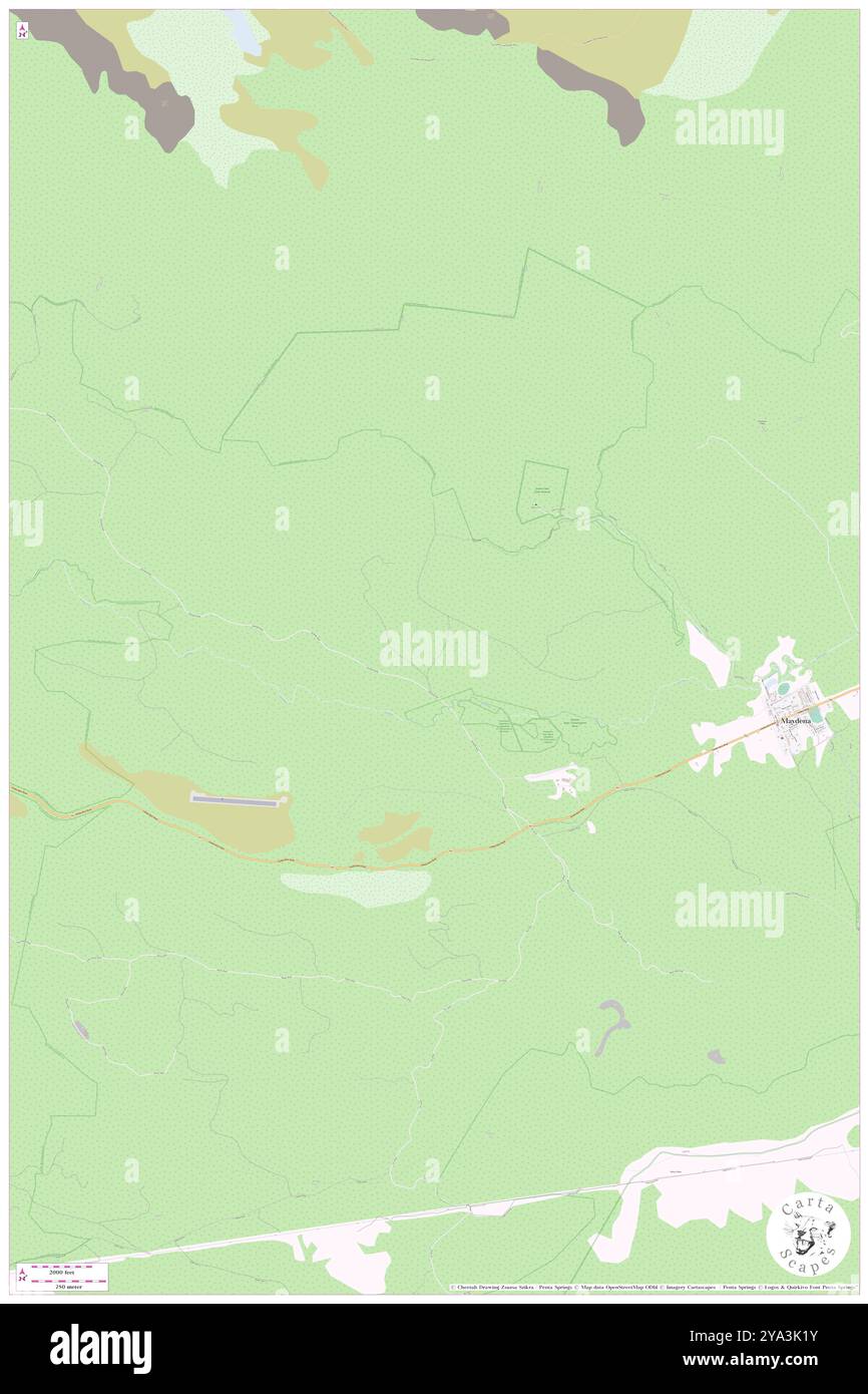 North Branch Russells Falls River, , AU, Australia, Tasmania, S 42 45' 0'', N 146 34' 59'', map, Cartascapes Map published in 2024. Explore Cartascapes, a map revealing Earth's diverse landscapes, cultures, and ecosystems. Journey through time and space, discovering the interconnectedness of our planet's past, present, and future. Stock Photohttps://www.alamy.com/image-license-details/?v=1https://www.alamy.com/north-branch-russells-falls-river-au-australia-tasmania-s-42-45-0-n-146-34-59-map-cartascapes-map-published-in-2024-explore-cartascapes-a-map-revealing-earths-diverse-landscapes-cultures-and-ecosystems-journey-through-time-and-space-discovering-the-interconnectedness-of-our-planets-past-present-and-future-image625800615.html
RM2YA3K1Y–North Branch Russells Falls River, , AU, Australia, Tasmania, S 42 45' 0'', N 146 34' 59'', map, Cartascapes Map published in 2024. Explore Cartascapes, a map revealing Earth's diverse landscapes, cultures, and ecosystems. Journey through time and space, discovering the interconnectedness of our planet's past, present, and future.
 Russells Mills, Bristol County, US, United States, Massachusetts, N 41 34' 20'', S 71 0' 23'', map, Cartascapes Map published in 2024. Explore Cartascapes, a map revealing Earth's diverse landscapes, cultures, and ecosystems. Journey through time and space, discovering the interconnectedness of our planet's past, present, and future. Stock Photohttps://www.alamy.com/image-license-details/?v=1https://www.alamy.com/russells-mills-bristol-county-us-united-states-massachusetts-n-41-34-20-s-71-0-23-map-cartascapes-map-published-in-2024-explore-cartascapes-a-map-revealing-earths-diverse-landscapes-cultures-and-ecosystems-journey-through-time-and-space-discovering-the-interconnectedness-of-our-planets-past-present-and-future-image621410044.html
RM2Y2YJRT–Russells Mills, Bristol County, US, United States, Massachusetts, N 41 34' 20'', S 71 0' 23'', map, Cartascapes Map published in 2024. Explore Cartascapes, a map revealing Earth's diverse landscapes, cultures, and ecosystems. Journey through time and space, discovering the interconnectedness of our planet's past, present, and future.
 Russells Mountain, Oberon, AU, Australia, New South Wales, S 34 2' 54'', N 149 47' 34'', map, Cartascapes Map published in 2024. Explore Cartascapes, a map revealing Earth's diverse landscapes, cultures, and ecosystems. Journey through time and space, discovering the interconnectedness of our planet's past, present, and future. Stock Photohttps://www.alamy.com/image-license-details/?v=1https://www.alamy.com/russells-mountain-oberon-au-australia-new-south-wales-s-34-2-54-n-149-47-34-map-cartascapes-map-published-in-2024-explore-cartascapes-a-map-revealing-earths-diverse-landscapes-cultures-and-ecosystems-journey-through-time-and-space-discovering-the-interconnectedness-of-our-planets-past-present-and-future-image625823484.html
RM2YA4M6M–Russells Mountain, Oberon, AU, Australia, New South Wales, S 34 2' 54'', N 149 47' 34'', map, Cartascapes Map published in 2024. Explore Cartascapes, a map revealing Earth's diverse landscapes, cultures, and ecosystems. Journey through time and space, discovering the interconnectedness of our planet's past, present, and future.
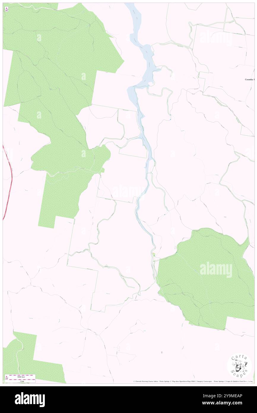 Russells Wharf, Mid-Coast, AU, Australia, New South Wales, S 32 18' 24'', N 152 23' 34'', map, Cartascapes Map published in 2024. Explore Cartascapes, a map revealing Earth's diverse landscapes, cultures, and ecosystems. Journey through time and space, discovering the interconnectedness of our planet's past, present, and future. Stock Photohttps://www.alamy.com/image-license-details/?v=1https://www.alamy.com/russells-wharf-mid-coast-au-australia-new-south-wales-s-32-18-24-n-152-23-34-map-cartascapes-map-published-in-2024-explore-cartascapes-a-map-revealing-earths-diverse-landscapes-cultures-and-ecosystems-journey-through-time-and-space-discovering-the-interconnectedness-of-our-planets-past-present-and-future-image625555470.html
RM2Y9MEAP–Russells Wharf, Mid-Coast, AU, Australia, New South Wales, S 32 18' 24'', N 152 23' 34'', map, Cartascapes Map published in 2024. Explore Cartascapes, a map revealing Earth's diverse landscapes, cultures, and ecosystems. Journey through time and space, discovering the interconnectedness of our planet's past, present, and future.
 Russells Creek, Brunswick County, US, United States, North Carolina, N 34 8' 14'', S 78 6' 58'', map, Cartascapes Map published in 2024. Explore Cartascapes, a map revealing Earth's diverse landscapes, cultures, and ecosystems. Journey through time and space, discovering the interconnectedness of our planet's past, present, and future. Stock Photohttps://www.alamy.com/image-license-details/?v=1https://www.alamy.com/russells-creek-brunswick-county-us-united-states-north-carolina-n-34-8-14-s-78-6-58-map-cartascapes-map-published-in-2024-explore-cartascapes-a-map-revealing-earths-diverse-landscapes-cultures-and-ecosystems-journey-through-time-and-space-discovering-the-interconnectedness-of-our-planets-past-present-and-future-image621422854.html
RM2Y3075A–Russells Creek, Brunswick County, US, United States, North Carolina, N 34 8' 14'', S 78 6' 58'', map, Cartascapes Map published in 2024. Explore Cartascapes, a map revealing Earth's diverse landscapes, cultures, and ecosystems. Journey through time and space, discovering the interconnectedness of our planet's past, present, and future.
 Russells Bridge, Golden Plains, Australia, Victoria, S 38 0' 57'', E 144 10' 50'', map, Timeless Map published in 2021. Travelers, explorers and adventurers like Florence Nightingale, David Livingstone, Ernest Shackleton, Lewis and Clark and Sherlock Holmes relied on maps to plan travels to the world's most remote corners, Timeless Maps is mapping most locations on the globe, showing the achievement of great dreams Stock Photohttps://www.alamy.com/image-license-details/?v=1https://www.alamy.com/russells-bridge-golden-plains-australia-victoria-s-38-0-57-e-144-10-50-map-timeless-map-published-in-2021-travelers-explorers-and-adventurers-like-florence-nightingale-david-livingstone-ernest-shackleton-lewis-and-clark-and-sherlock-holmes-relied-on-maps-to-plan-travels-to-the-worlds-most-remote-corners-timeless-maps-is-mapping-most-locations-on-the-globe-showing-the-achievement-of-great-dreams-image457793614.html
RM2HGP8BX–Russells Bridge, Golden Plains, Australia, Victoria, S 38 0' 57'', E 144 10' 50'', map, Timeless Map published in 2021. Travelers, explorers and adventurers like Florence Nightingale, David Livingstone, Ernest Shackleton, Lewis and Clark and Sherlock Holmes relied on maps to plan travels to the world's most remote corners, Timeless Maps is mapping most locations on the globe, showing the achievement of great dreams
 Russells Flat, , NZ, New Zealand, Canterbury, S 43 22' 41'', N 171 55' 48'', map, Cartascapes Map published in 2024. Explore Cartascapes, a map revealing Earth's diverse landscapes, cultures, and ecosystems. Journey through time and space, discovering the interconnectedness of our planet's past, present, and future. Stock Photohttps://www.alamy.com/image-license-details/?v=1https://www.alamy.com/russells-flat-nz-new-zealand-canterbury-s-43-22-41-n-171-55-48-map-cartascapes-map-published-in-2024-explore-cartascapes-a-map-revealing-earths-diverse-landscapes-cultures-and-ecosystems-journey-through-time-and-space-discovering-the-interconnectedness-of-our-planets-past-present-and-future-image634031259.html
RM2YREH9F–Russells Flat, , NZ, New Zealand, Canterbury, S 43 22' 41'', N 171 55' 48'', map, Cartascapes Map published in 2024. Explore Cartascapes, a map revealing Earth's diverse landscapes, cultures, and ecosystems. Journey through time and space, discovering the interconnectedness of our planet's past, present, and future.
 Russells, Muskingum County, US, United States, Ohio, N 39 55' 23'', S 82 1' 55'', map, Cartascapes Map published in 2024. Explore Cartascapes, a map revealing Earth's diverse landscapes, cultures, and ecosystems. Journey through time and space, discovering the interconnectedness of our planet's past, present, and future. Stock Photohttps://www.alamy.com/image-license-details/?v=1https://www.alamy.com/russells-muskingum-county-us-united-states-ohio-n-39-55-23-s-82-1-55-map-cartascapes-map-published-in-2024-explore-cartascapes-a-map-revealing-earths-diverse-landscapes-cultures-and-ecosystems-journey-through-time-and-space-discovering-the-interconnectedness-of-our-planets-past-present-and-future-image620715414.html
RM2Y1T0RJ–Russells, Muskingum County, US, United States, Ohio, N 39 55' 23'', S 82 1' 55'', map, Cartascapes Map published in 2024. Explore Cartascapes, a map revealing Earth's diverse landscapes, cultures, and ecosystems. Journey through time and space, discovering the interconnectedness of our planet's past, present, and future.
 Village of Russells Point, Logan County, US, United States, Ohio, N 40 28' 5'', S 83 53' 38'', map, Cartascapes Map published in 2024. Explore Cartascapes, a map revealing Earth's diverse landscapes, cultures, and ecosystems. Journey through time and space, discovering the interconnectedness of our planet's past, present, and future. Stock Photohttps://www.alamy.com/image-license-details/?v=1https://www.alamy.com/village-of-russells-point-logan-county-us-united-states-ohio-n-40-28-5-s-83-53-38-map-cartascapes-map-published-in-2024-explore-cartascapes-a-map-revealing-earths-diverse-landscapes-cultures-and-ecosystems-journey-through-time-and-space-discovering-the-interconnectedness-of-our-planets-past-present-and-future-image633888546.html
RM2YR838J–Village of Russells Point, Logan County, US, United States, Ohio, N 40 28' 5'', S 83 53' 38'', map, Cartascapes Map published in 2024. Explore Cartascapes, a map revealing Earth's diverse landscapes, cultures, and ecosystems. Journey through time and space, discovering the interconnectedness of our planet's past, present, and future.
 Russells Point, Logan County, US, United States, Ohio, N 40 28' 16'', S 83 53' 33'', map, Cartascapes Map published in 2024. Explore Cartascapes, a map revealing Earth's diverse landscapes, cultures, and ecosystems. Journey through time and space, discovering the interconnectedness of our planet's past, present, and future. Stock Photohttps://www.alamy.com/image-license-details/?v=1https://www.alamy.com/russells-point-logan-county-us-united-states-ohio-n-40-28-16-s-83-53-33-map-cartascapes-map-published-in-2024-explore-cartascapes-a-map-revealing-earths-diverse-landscapes-cultures-and-ecosystems-journey-through-time-and-space-discovering-the-interconnectedness-of-our-planets-past-present-and-future-image620873730.html
RM2Y236NP–Russells Point, Logan County, US, United States, Ohio, N 40 28' 16'', S 83 53' 33'', map, Cartascapes Map published in 2024. Explore Cartascapes, a map revealing Earth's diverse landscapes, cultures, and ecosystems. Journey through time and space, discovering the interconnectedness of our planet's past, present, and future.
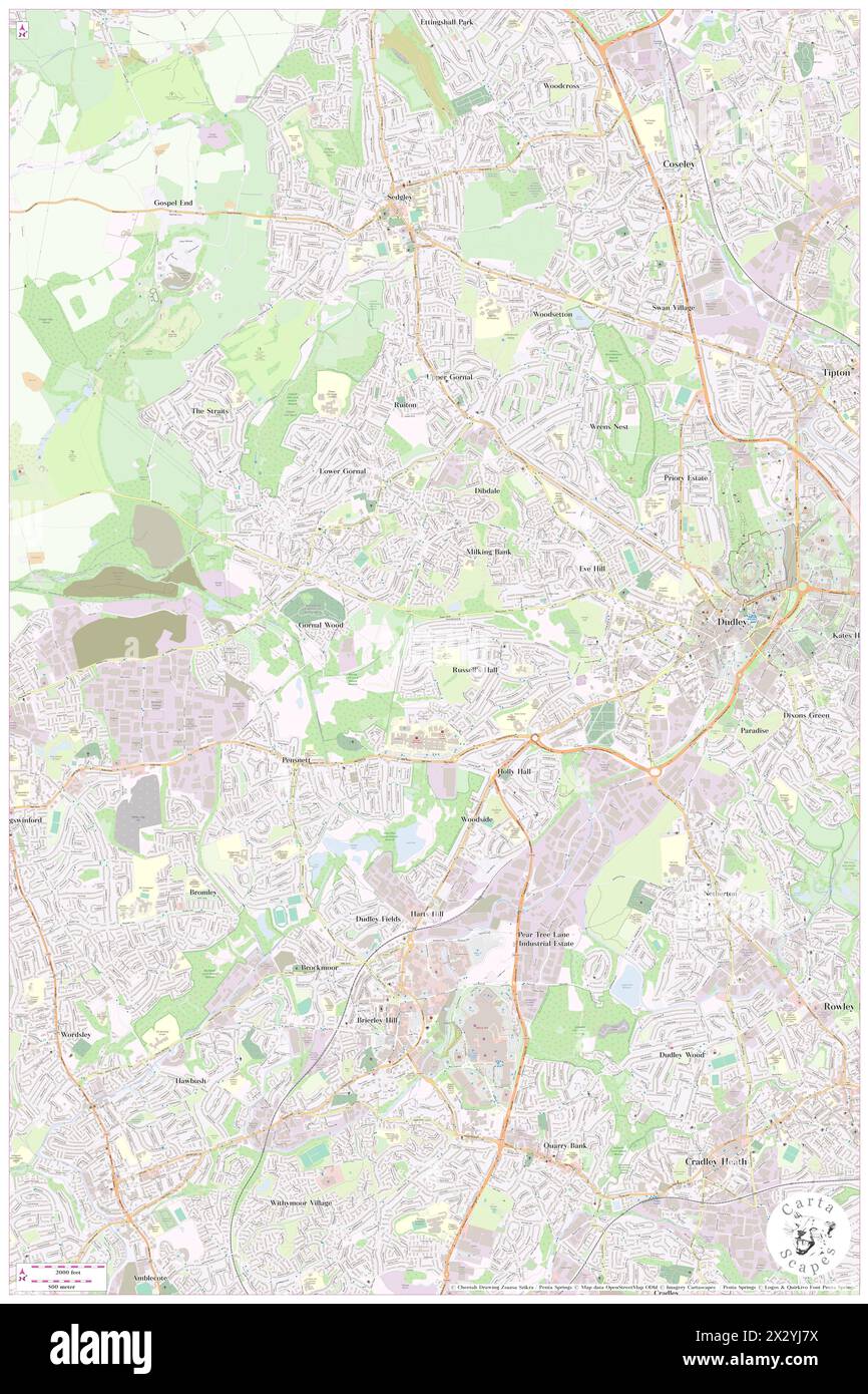 Russells Hall Primary, Dudley, GB, United Kingdom, England, N 52 30' 31'', S 2 7' 1'', map, Cartascapes Map published in 2024. Explore Cartascapes, a map revealing Earth's diverse landscapes, cultures, and ecosystems. Journey through time and space, discovering the interconnectedness of our planet's past, present, and future. Stock Photohttps://www.alamy.com/image-license-details/?v=1https://www.alamy.com/russells-hall-primary-dudley-gb-united-kingdom-england-n-52-30-31-s-2-7-1-map-cartascapes-map-published-in-2024-explore-cartascapes-a-map-revealing-earths-diverse-landscapes-cultures-and-ecosystems-journey-through-time-and-space-discovering-the-interconnectedness-of-our-planets-past-present-and-future-image604199230.html
RM2X2YJ7X–Russells Hall Primary, Dudley, GB, United Kingdom, England, N 52 30' 31'', S 2 7' 1'', map, Cartascapes Map published in 2024. Explore Cartascapes, a map revealing Earth's diverse landscapes, cultures, and ecosystems. Journey through time and space, discovering the interconnectedness of our planet's past, present, and future.
 Russells Hall Hospital, Dudley, GB, United Kingdom, England, N 52 30' 8'', S 2 7' 3'', map, Cartascapes Map published in 2024. Explore Cartascapes, a map revealing Earth's diverse landscapes, cultures, and ecosystems. Journey through time and space, discovering the interconnectedness of our planet's past, present, and future. Stock Photohttps://www.alamy.com/image-license-details/?v=1https://www.alamy.com/russells-hall-hospital-dudley-gb-united-kingdom-england-n-52-30-8-s-2-7-3-map-cartascapes-map-published-in-2024-explore-cartascapes-a-map-revealing-earths-diverse-landscapes-cultures-and-ecosystems-journey-through-time-and-space-discovering-the-interconnectedness-of-our-planets-past-present-and-future-image604197794.html
RM2X2YGCJ–Russells Hall Hospital, Dudley, GB, United Kingdom, England, N 52 30' 8'', S 2 7' 3'', map, Cartascapes Map published in 2024. Explore Cartascapes, a map revealing Earth's diverse landscapes, cultures, and ecosystems. Journey through time and space, discovering the interconnectedness of our planet's past, present, and future.
 Russells Point, Newry Mourne and Down, GB, United Kingdom, Northern Ireland, N 54 5' 58'', S 5 54' 11'', map, Cartascapes Map published in 2024. Explore Cartascapes, a map revealing Earth's diverse landscapes, cultures, and ecosystems. Journey through time and space, discovering the interconnectedness of our planet's past, present, and future. Stock Photohttps://www.alamy.com/image-license-details/?v=1https://www.alamy.com/russells-point-newry-mourne-and-down-gb-united-kingdom-northern-ireland-n-54-5-58-s-5-54-11-map-cartascapes-map-published-in-2024-explore-cartascapes-a-map-revealing-earths-diverse-landscapes-cultures-and-ecosystems-journey-through-time-and-space-discovering-the-interconnectedness-of-our-planets-past-present-and-future-image604187138.html
RM2X2Y2T2–Russells Point, Newry Mourne and Down, GB, United Kingdom, Northern Ireland, N 54 5' 58'', S 5 54' 11'', map, Cartascapes Map published in 2024. Explore Cartascapes, a map revealing Earth's diverse landscapes, cultures, and ecosystems. Journey through time and space, discovering the interconnectedness of our planet's past, present, and future.
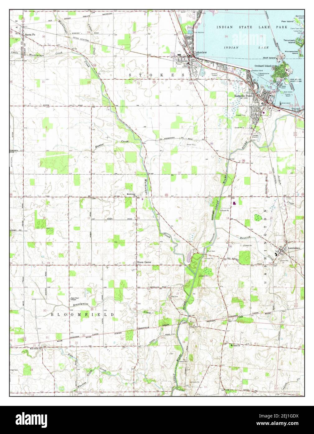 Russells Point, Ohio, map 1961, 1:24000, United States of America by Timeless Maps, data U.S. Geological Survey Stock Photohttps://www.alamy.com/image-license-details/?v=1https://www.alamy.com/russells-point-ohio-map-1961-124000-united-states-of-america-by-timeless-maps-data-us-geological-survey-image406937158.html
RM2EJ1GDX–Russells Point, Ohio, map 1961, 1:24000, United States of America by Timeless Maps, data U.S. Geological Survey
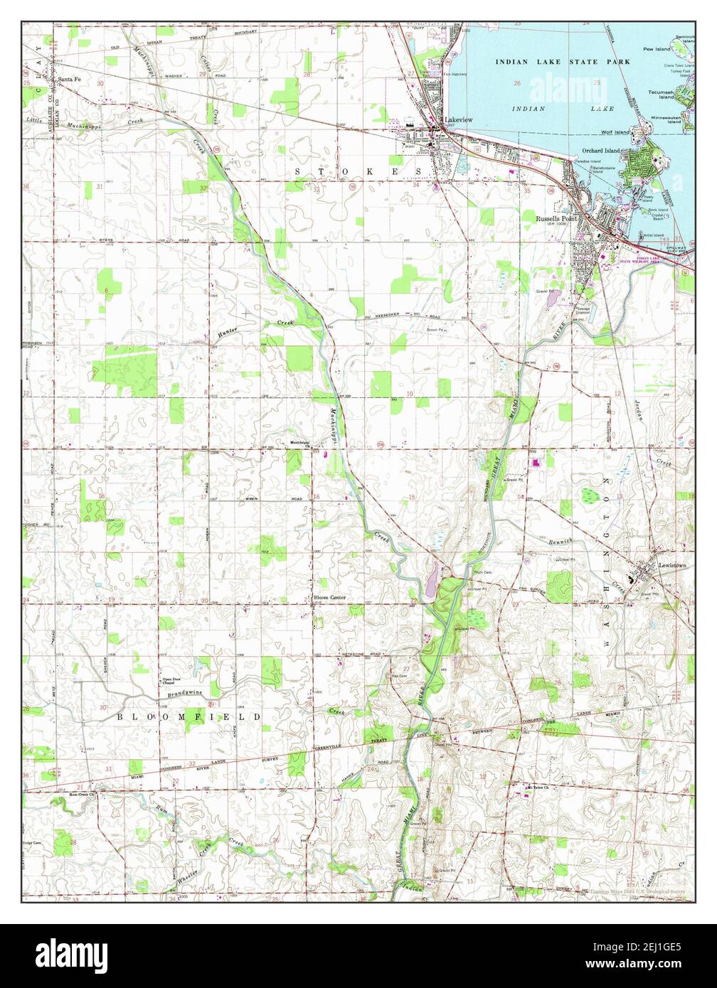 Russells Point, Ohio, map 1961, 1:24000, United States of America by Timeless Maps, data U.S. Geological Survey Stock Photohttps://www.alamy.com/image-license-details/?v=1https://www.alamy.com/russells-point-ohio-map-1961-124000-united-states-of-america-by-timeless-maps-data-us-geological-survey-image406937165.html
RM2EJ1GE5–Russells Point, Ohio, map 1961, 1:24000, United States of America by Timeless Maps, data U.S. Geological Survey
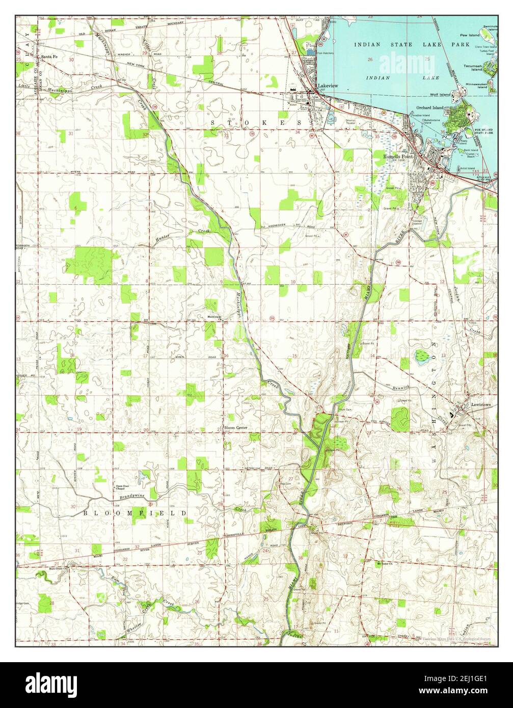 Russells Point, Ohio, map 1961, 1:24000, United States of America by Timeless Maps, data U.S. Geological Survey Stock Photohttps://www.alamy.com/image-license-details/?v=1https://www.alamy.com/russells-point-ohio-map-1961-124000-united-states-of-america-by-timeless-maps-data-us-geological-survey-image406937161.html
RM2EJ1GE1–Russells Point, Ohio, map 1961, 1:24000, United States of America by Timeless Maps, data U.S. Geological Survey
 Russell's Water, Oxfordshire, GB, United Kingdom, England, N 51 36' 4'', S 0 58' 42'', map, Cartascapes Map published in 2024. Explore Cartascapes, a map revealing Earth's diverse landscapes, cultures, and ecosystems. Journey through time and space, discovering the interconnectedness of our planet's past, present, and future. Stock Photohttps://www.alamy.com/image-license-details/?v=1https://www.alamy.com/russells-water-oxfordshire-gb-united-kingdom-england-n-51-36-4-s-0-58-42-map-cartascapes-map-published-in-2024-explore-cartascapes-a-map-revealing-earths-diverse-landscapes-cultures-and-ecosystems-journey-through-time-and-space-discovering-the-interconnectedness-of-our-planets-past-present-and-future-image604101113.html
RM2X2R53N–Russell's Water, Oxfordshire, GB, United Kingdom, England, N 51 36' 4'', S 0 58' 42'', map, Cartascapes Map published in 2024. Explore Cartascapes, a map revealing Earth's diverse landscapes, cultures, and ecosystems. Journey through time and space, discovering the interconnectedness of our planet's past, present, and future.