Quick filters:
Rustaq map Stock Photos and Images
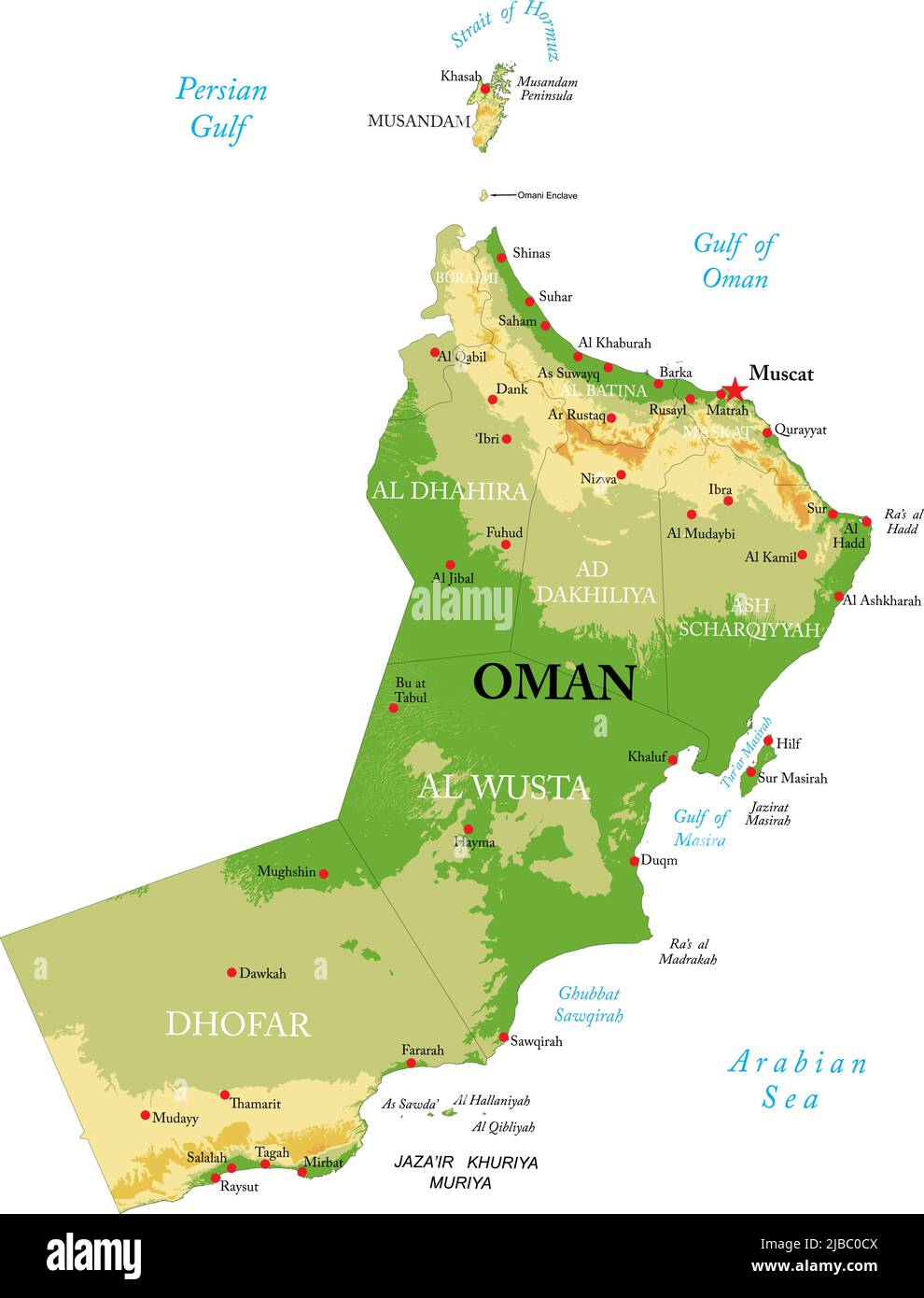 Highly detailed physical map of Oman in vector format,with all the relief forms,regions and big cities. Stock Vectorhttps://www.alamy.com/image-license-details/?v=1https://www.alamy.com/highly-detailed-physical-map-of-oman-in-vector-formatwith-all-the-relief-formsregions-and-big-cities-image471704938.html
RF2JBC0CX–Highly detailed physical map of Oman in vector format,with all the relief forms,regions and big cities.
 Modern Map - Janub-al-Batinah OM Stock Vectorhttps://www.alamy.com/image-license-details/?v=1https://www.alamy.com/stock-photo-modern-map-janub-al-batinah-om-137107068.html
RFHY1ND0–Modern Map - Janub-al-Batinah OM
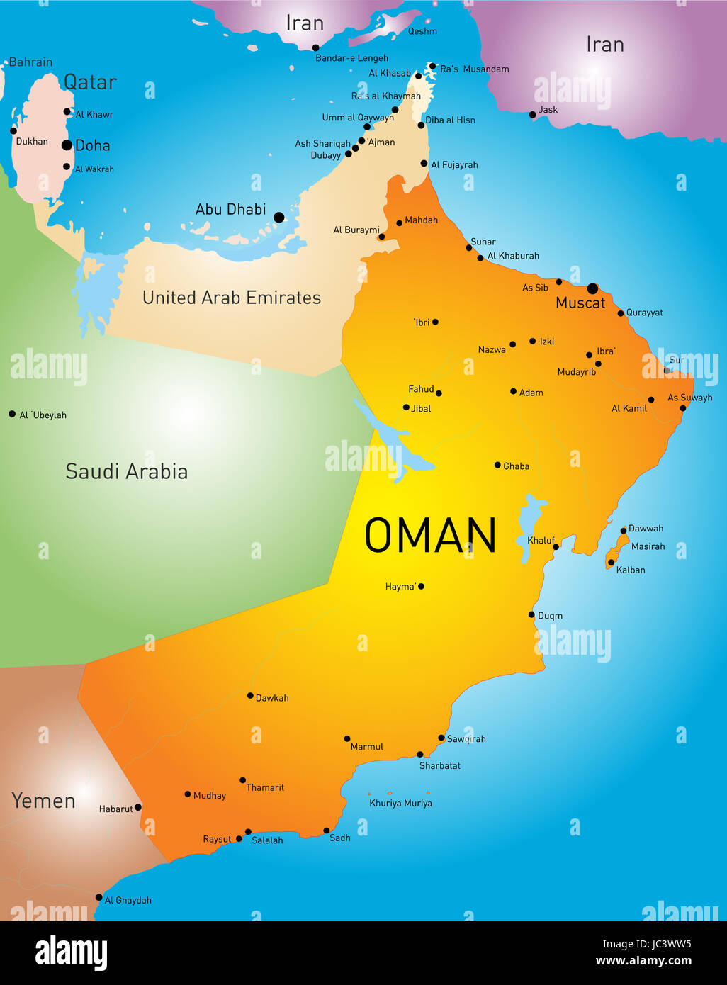 vector color map of Oman country Stock Photohttps://www.alamy.com/image-license-details/?v=1https://www.alamy.com/stock-photo-vector-color-map-of-oman-country-145144977.html
RFJC3WW5–vector color map of Oman country
 Map of Nizwa fort by Ministry of Tourism, Oman Stock Photohttps://www.alamy.com/image-license-details/?v=1https://www.alamy.com/stock-photo-map-of-nizwa-fort-by-ministry-of-tourism-oman-78909328.html
RMEGAHJ8–Map of Nizwa fort by Ministry of Tourism, Oman
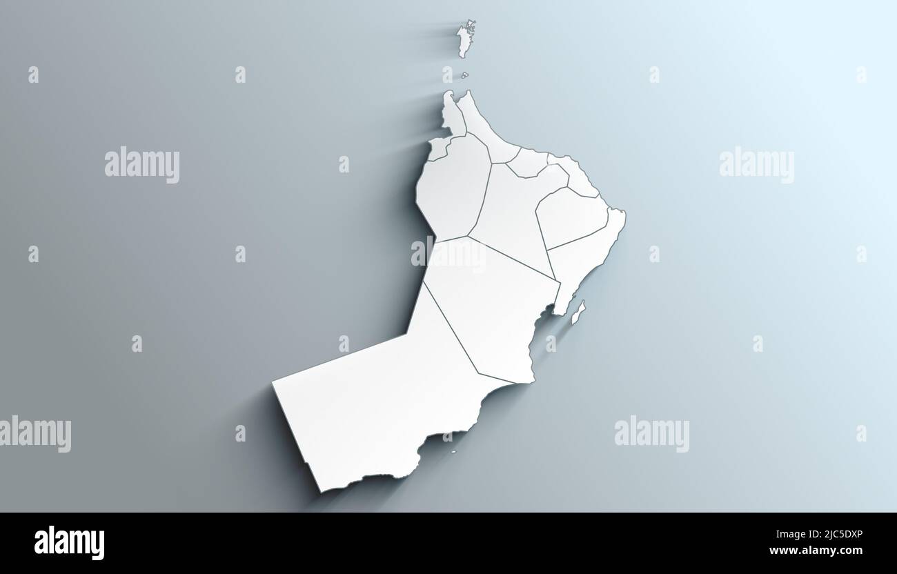 Country Political Geographical Map of Oman with Governorates with Shadows Stock Photohttps://www.alamy.com/image-license-details/?v=1https://www.alamy.com/country-political-geographical-map-of-oman-with-governorates-with-shadows-image472176510.html
RF2JC5DXP–Country Political Geographical Map of Oman with Governorates with Shadows
 Al Batinah South, region of Oman. Open Street Map Stock Photohttps://www.alamy.com/image-license-details/?v=1https://www.alamy.com/al-batinah-south-region-of-oman-open-street-map-image516541232.html
RF2N0ADH4–Al Batinah South, region of Oman. Open Street Map
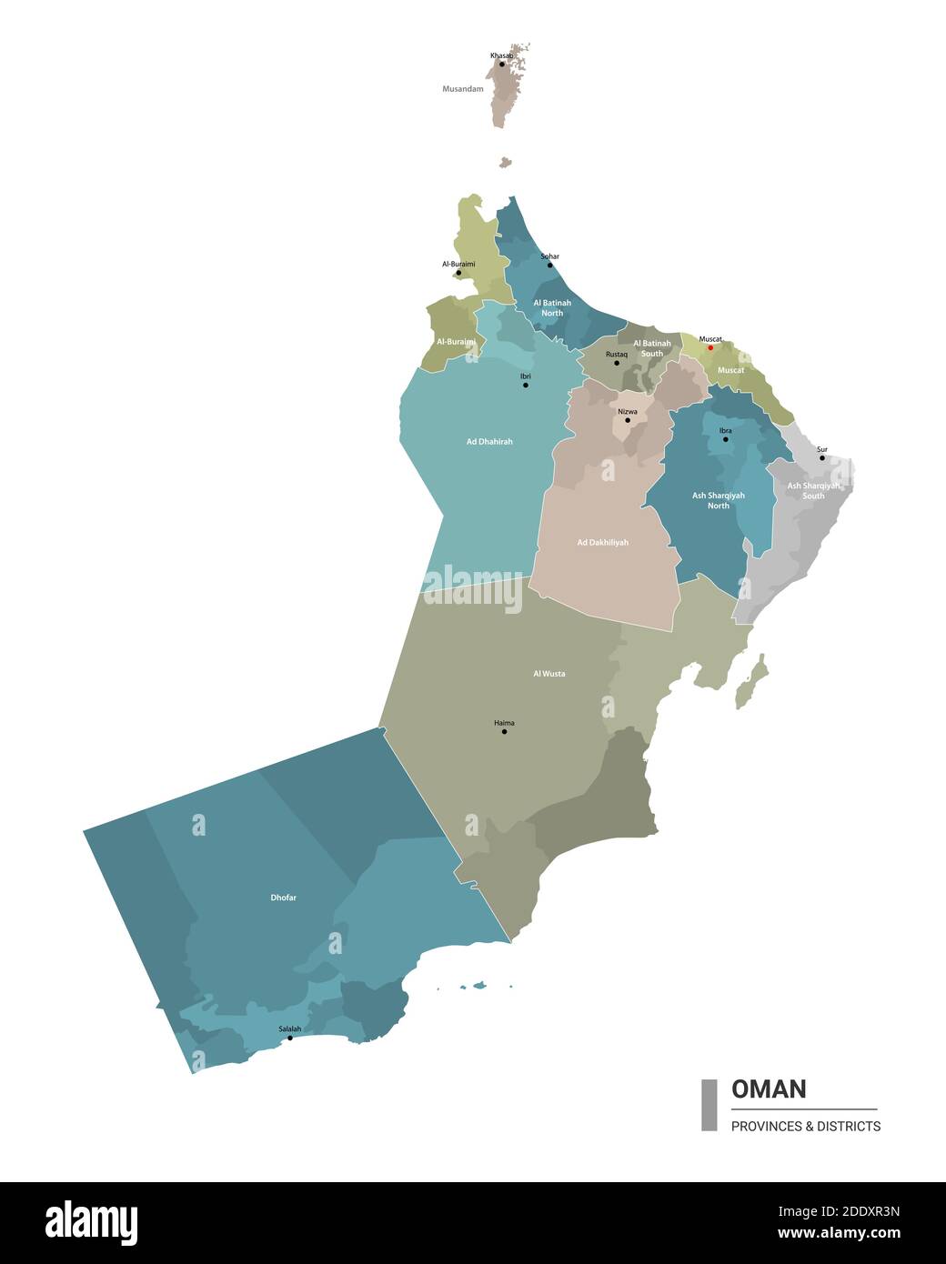 Oman higt detailed map with subdivisions. Administrative map of Oman with districts and cities name, colored by states and administrative districts. V Stock Vectorhttps://www.alamy.com/image-license-details/?v=1https://www.alamy.com/oman-higt-detailed-map-with-subdivisions-administrative-map-of-oman-with-districts-and-cities-name-colored-by-states-and-administrative-districts-v-image387207513.html
RF2DDXR3N–Oman higt detailed map with subdivisions. Administrative map of Oman with districts and cities name, colored by states and administrative districts. V
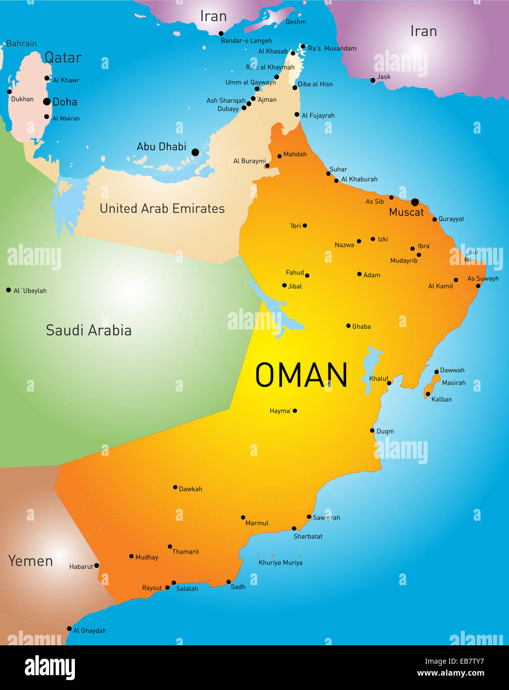 Oman country Stock Photohttps://www.alamy.com/image-license-details/?v=1https://www.alamy.com/stock-photo-oman-country-75775931.html
RFEB7TY7–Oman country
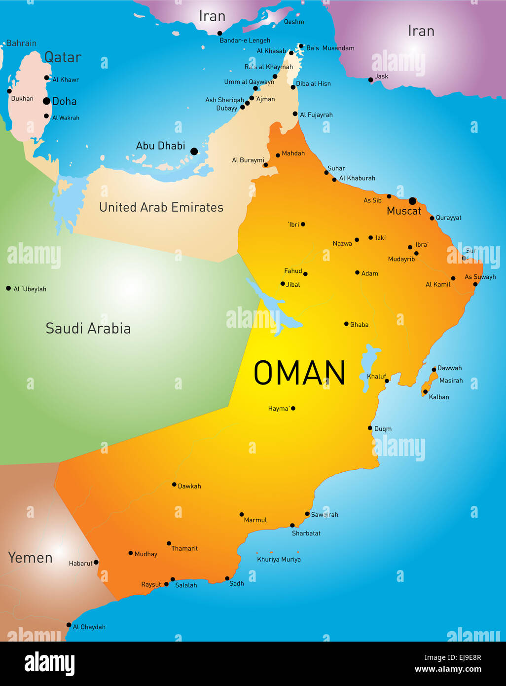 Oman country Stock Photohttps://www.alamy.com/image-license-details/?v=1https://www.alamy.com/stock-photo-oman-country-80114071.html
RFEJ9E8R–Oman country
 Al Batinah South Governorate (Sultanate of Oman, Governorates of Oman) map vector illustration, scribble sketch Al Batinah South map Stock Vectorhttps://www.alamy.com/image-license-details/?v=1https://www.alamy.com/al-batinah-south-governorate-sultanate-of-oman-governorates-of-oman-map-vector-illustration-scribble-sketch-al-batinah-south-map-image331208477.html
RF2A6RRP5–Al Batinah South Governorate (Sultanate of Oman, Governorates of Oman) map vector illustration, scribble sketch Al Batinah South map
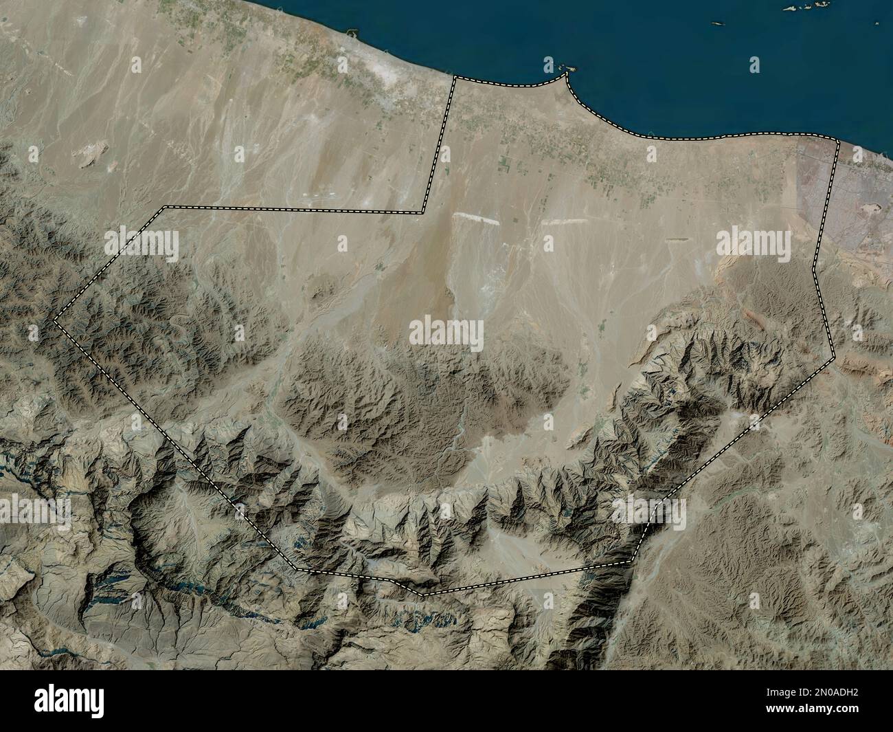 Al Batinah South, region of Oman. High resolution satellite map Stock Photohttps://www.alamy.com/image-license-details/?v=1https://www.alamy.com/al-batinah-south-region-of-oman-high-resolution-satellite-map-image516541230.html
RF2N0ADH2–Al Batinah South, region of Oman. High resolution satellite map
 Al Batinah South Governorate (Sultanate of Oman, Governorates of Oman) map vector illustration, scribble sketch Al Batinah South map Stock Vectorhttps://www.alamy.com/image-license-details/?v=1https://www.alamy.com/al-batinah-south-governorate-sultanate-of-oman-governorates-of-oman-map-vector-illustration-scribble-sketch-al-batinah-south-map-image333857000.html
RF2AB4E08–Al Batinah South Governorate (Sultanate of Oman, Governorates of Oman) map vector illustration, scribble sketch Al Batinah South map
 Al Batinah South, region of Oman. Low resolution satellite map Stock Photohttps://www.alamy.com/image-license-details/?v=1https://www.alamy.com/al-batinah-south-region-of-oman-low-resolution-satellite-map-image516541271.html
RF2N0ADJF–Al Batinah South, region of Oman. Low resolution satellite map
 Al Batinah South Governorate (Sultanate of Oman, Governorates of Oman) map vector illustration, scribble sketch Al Batinah South map Stock Vectorhttps://www.alamy.com/image-license-details/?v=1https://www.alamy.com/al-batinah-south-governorate-sultanate-of-oman-governorates-of-oman-map-vector-illustration-scribble-sketch-al-batinah-south-map-image336397847.html
RF2AF86TR–Al Batinah South Governorate (Sultanate of Oman, Governorates of Oman) map vector illustration, scribble sketch Al Batinah South map
 Al Batinah South, region of Oman. Bilevel elevation map with lakes and rivers Stock Photohttps://www.alamy.com/image-license-details/?v=1https://www.alamy.com/al-batinah-south-region-of-oman-bilevel-elevation-map-with-lakes-and-rivers-image516541170.html
RF2N0ADEX–Al Batinah South, region of Oman. Bilevel elevation map with lakes and rivers
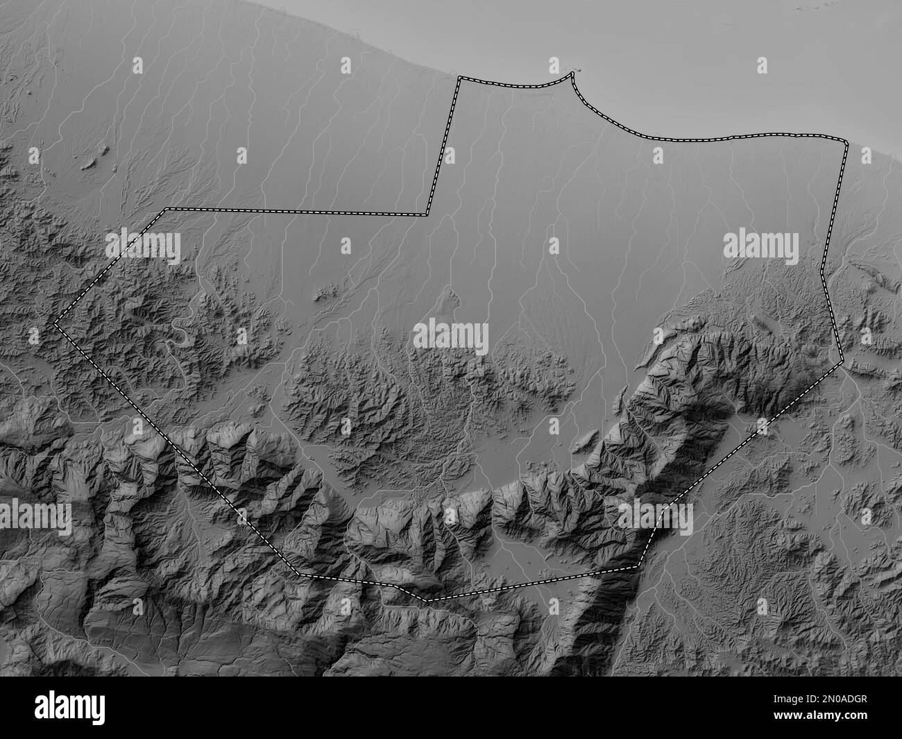 Al Batinah South, region of Oman. Grayscale elevation map with lakes and rivers Stock Photohttps://www.alamy.com/image-license-details/?v=1https://www.alamy.com/al-batinah-south-region-of-oman-grayscale-elevation-map-with-lakes-and-rivers-image516541223.html
RF2N0ADGR–Al Batinah South, region of Oman. Grayscale elevation map with lakes and rivers
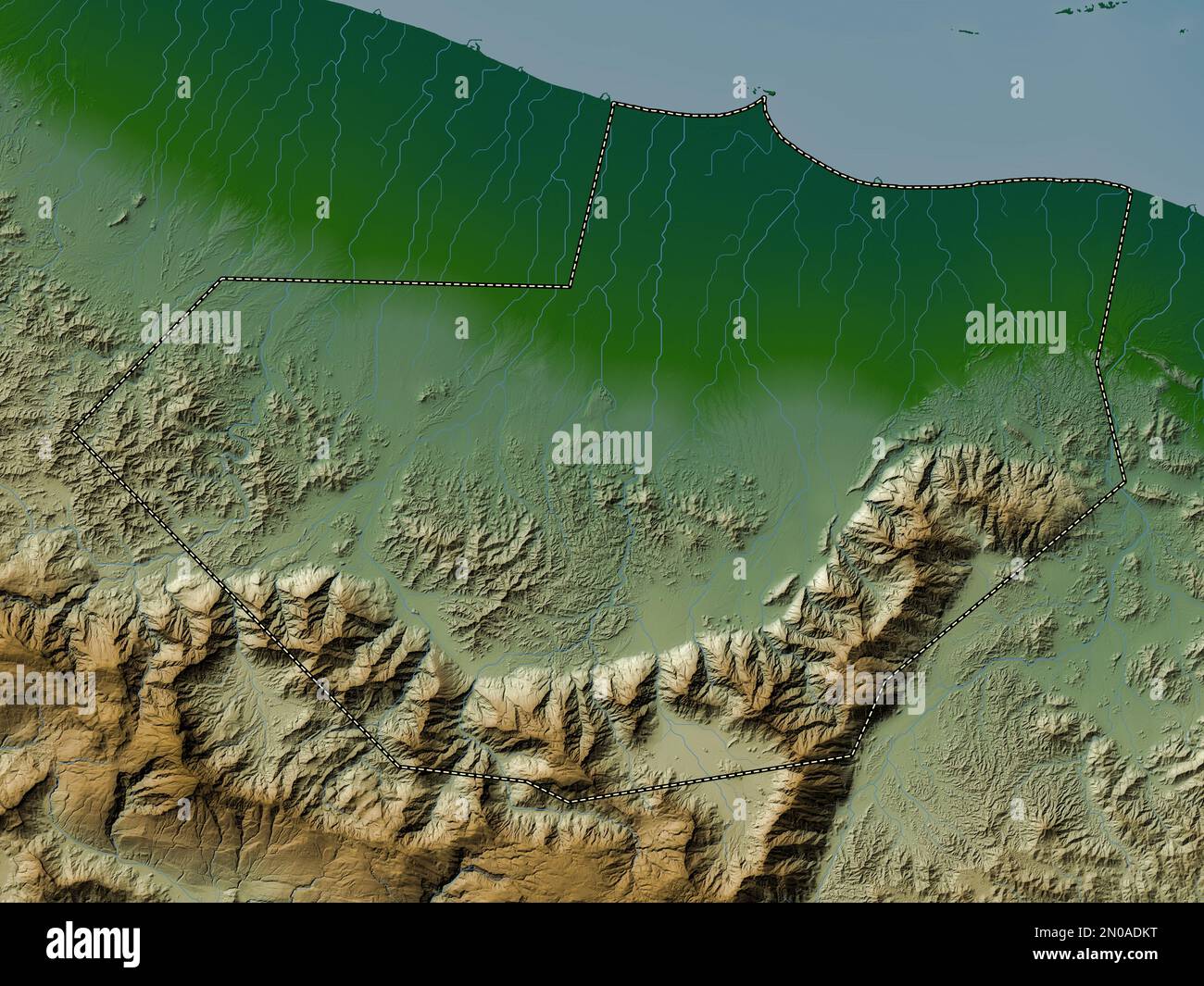 Al Batinah South, region of Oman. Colored elevation map with lakes and rivers Stock Photohttps://www.alamy.com/image-license-details/?v=1https://www.alamy.com/al-batinah-south-region-of-oman-colored-elevation-map-with-lakes-and-rivers-image516541308.html
RF2N0ADKT–Al Batinah South, region of Oman. Colored elevation map with lakes and rivers
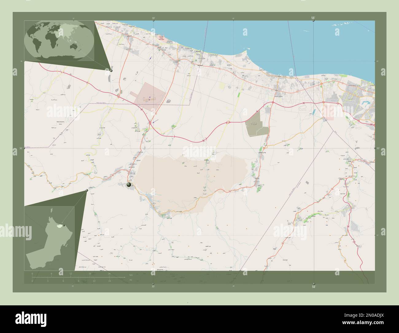 Al Batinah South, region of Oman. Open Street Map. Corner auxiliary location maps Stock Photohttps://www.alamy.com/image-license-details/?v=1https://www.alamy.com/al-batinah-south-region-of-oman-open-street-map-corner-auxiliary-location-maps-image516541282.html
RF2N0ADJX–Al Batinah South, region of Oman. Open Street Map. Corner auxiliary location maps
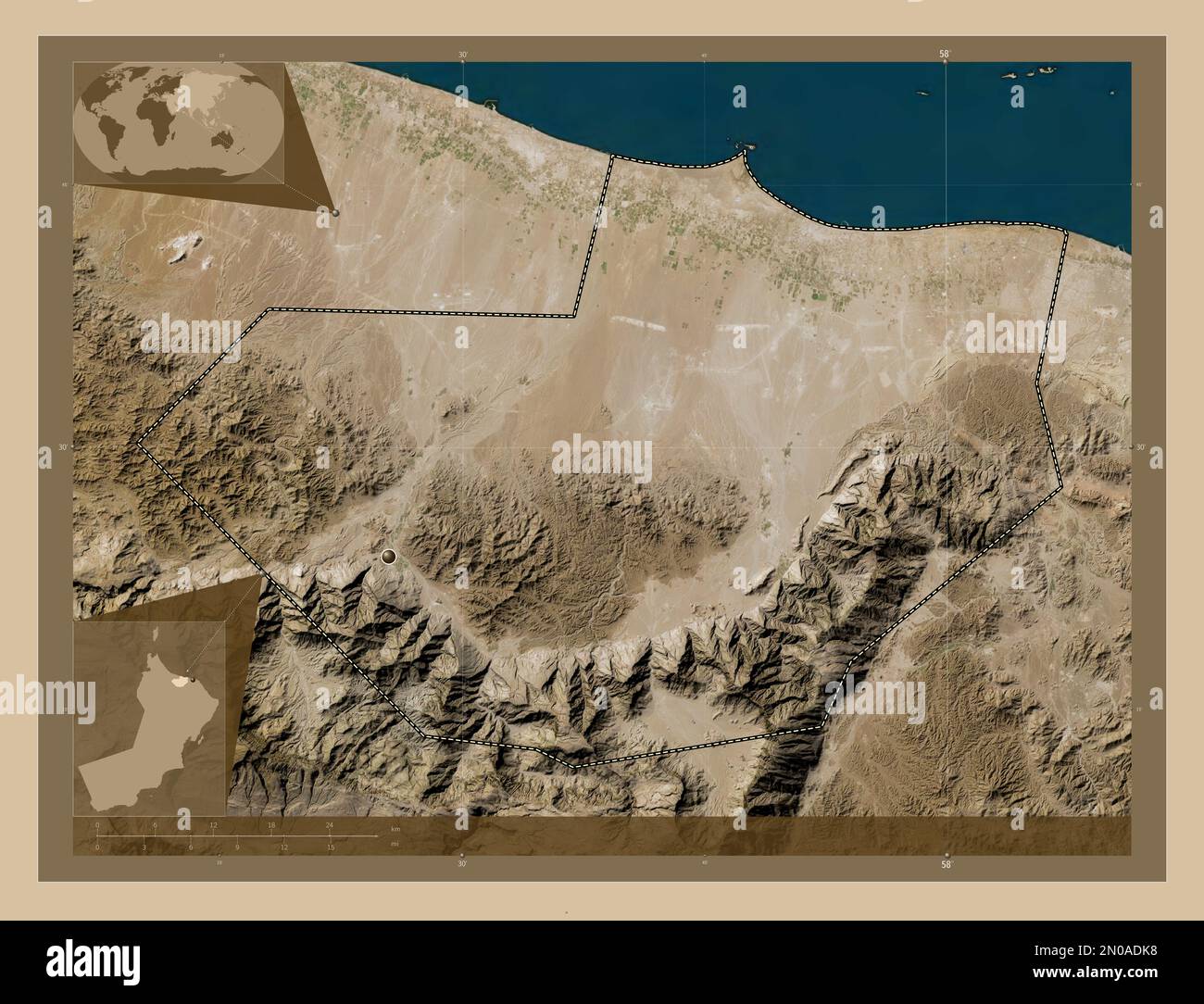 Al Batinah South, region of Oman. Low resolution satellite map. Corner auxiliary location maps Stock Photohttps://www.alamy.com/image-license-details/?v=1https://www.alamy.com/al-batinah-south-region-of-oman-low-resolution-satellite-map-corner-auxiliary-location-maps-image516541292.html
RF2N0ADK8–Al Batinah South, region of Oman. Low resolution satellite map. Corner auxiliary location maps
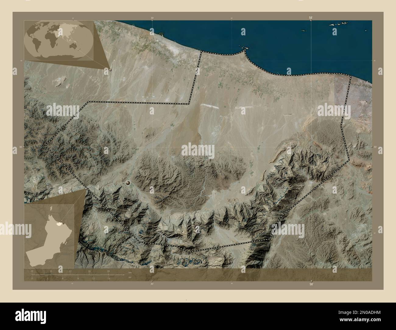 Al Batinah South, region of Oman. High resolution satellite map. Corner auxiliary location maps Stock Photohttps://www.alamy.com/image-license-details/?v=1https://www.alamy.com/al-batinah-south-region-of-oman-high-resolution-satellite-map-corner-auxiliary-location-maps-image516541248.html
RF2N0ADHM–Al Batinah South, region of Oman. High resolution satellite map. Corner auxiliary location maps
 Al Batinah South, region of Oman. Elevation map colored in sepia tones with lakes and rivers Stock Photohttps://www.alamy.com/image-license-details/?v=1https://www.alamy.com/al-batinah-south-region-of-oman-elevation-map-colored-in-sepia-tones-with-lakes-and-rivers-image516541300.html
RF2N0ADKG–Al Batinah South, region of Oman. Elevation map colored in sepia tones with lakes and rivers
 Al Batinah South, region of Oman. Elevation map colored in wiki style with lakes and rivers Stock Photohttps://www.alamy.com/image-license-details/?v=1https://www.alamy.com/al-batinah-south-region-of-oman-elevation-map-colored-in-wiki-style-with-lakes-and-rivers-image516541810.html
RF2N0AE9P–Al Batinah South, region of Oman. Elevation map colored in wiki style with lakes and rivers
 Al Batinah South, region of Oman. Bilevel elevation map with lakes and rivers. Corner auxiliary location maps Stock Photohttps://www.alamy.com/image-license-details/?v=1https://www.alamy.com/al-batinah-south-region-of-oman-bilevel-elevation-map-with-lakes-and-rivers-corner-auxiliary-location-maps-image516541159.html
RF2N0ADEF–Al Batinah South, region of Oman. Bilevel elevation map with lakes and rivers. Corner auxiliary location maps
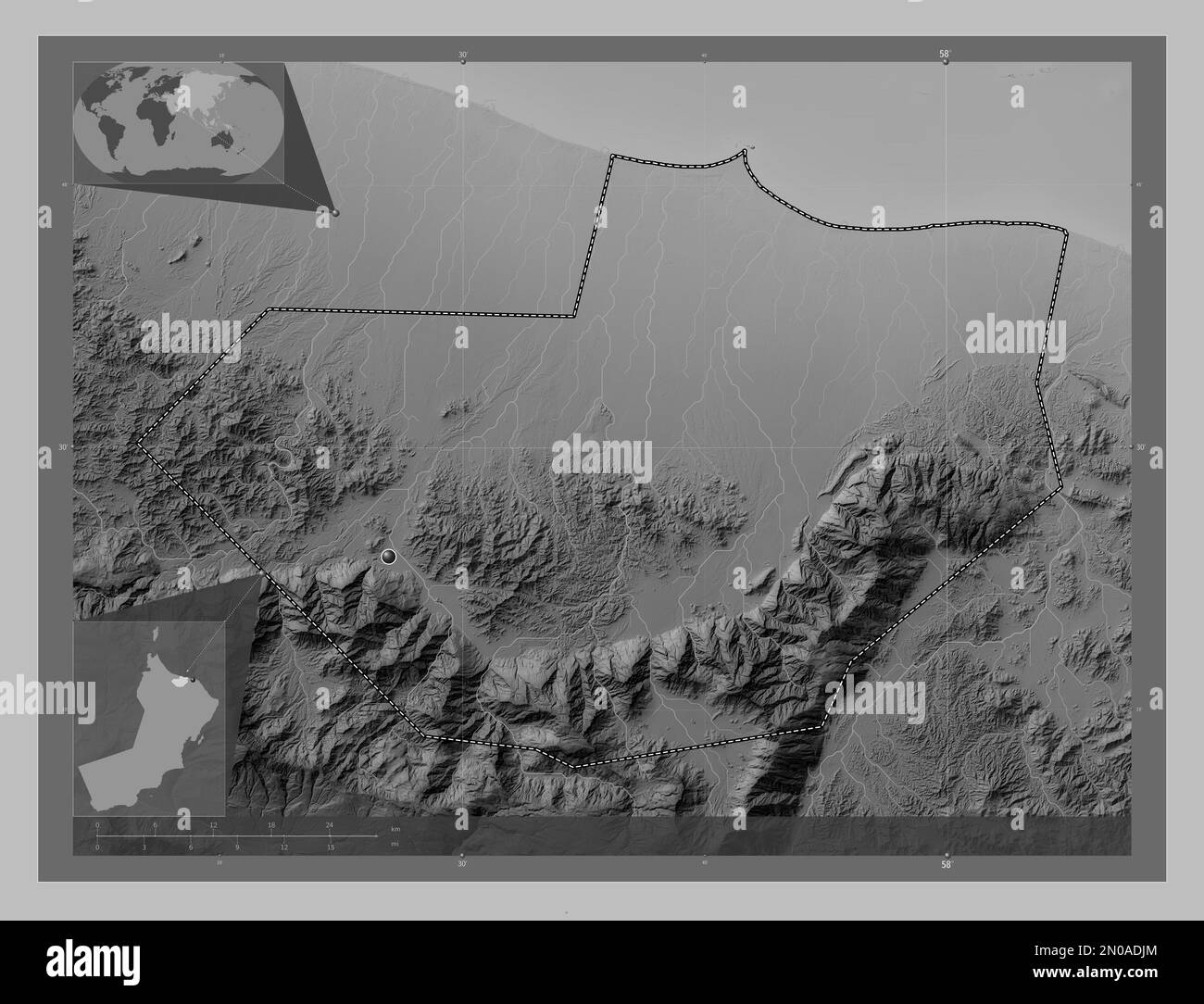 Al Batinah South, region of Oman. Grayscale elevation map with lakes and rivers. Corner auxiliary location maps Stock Photohttps://www.alamy.com/image-license-details/?v=1https://www.alamy.com/al-batinah-south-region-of-oman-grayscale-elevation-map-with-lakes-and-rivers-corner-auxiliary-location-maps-image516541276.html
RF2N0ADJM–Al Batinah South, region of Oman. Grayscale elevation map with lakes and rivers. Corner auxiliary location maps
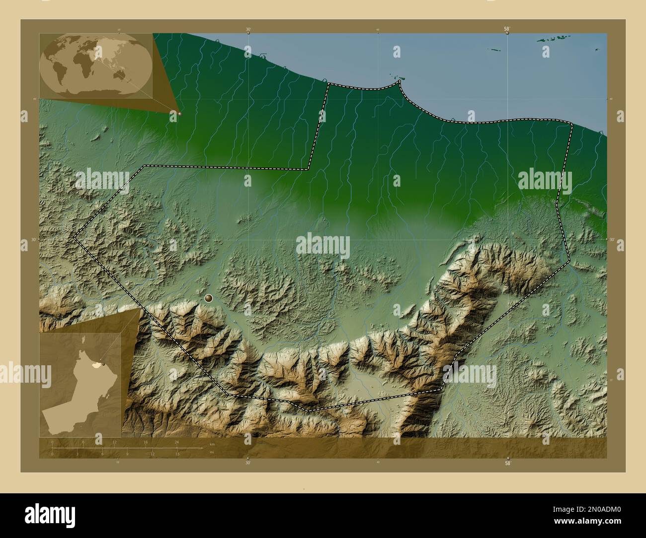 Al Batinah South, region of Oman. Colored elevation map with lakes and rivers. Corner auxiliary location maps Stock Photohttps://www.alamy.com/image-license-details/?v=1https://www.alamy.com/al-batinah-south-region-of-oman-colored-elevation-map-with-lakes-and-rivers-corner-auxiliary-location-maps-image516541312.html
RF2N0ADM0–Al Batinah South, region of Oman. Colored elevation map with lakes and rivers. Corner auxiliary location maps
 Al Batinah South, region of Oman. Open Street Map. Locations of major cities of the region. Corner auxiliary location maps Stock Photohttps://www.alamy.com/image-license-details/?v=1https://www.alamy.com/al-batinah-south-region-of-oman-open-street-map-locations-of-major-cities-of-the-region-corner-auxiliary-location-maps-image516541250.html
RF2N0ADHP–Al Batinah South, region of Oman. Open Street Map. Locations of major cities of the region. Corner auxiliary location maps
 Al Batinah South, region of Oman. Elevation map colored in wiki style with lakes and rivers. Corner auxiliary location maps Stock Photohttps://www.alamy.com/image-license-details/?v=1https://www.alamy.com/al-batinah-south-region-of-oman-elevation-map-colored-in-wiki-style-with-lakes-and-rivers-corner-auxiliary-location-maps-image516541795.html
RF2N0AE97–Al Batinah South, region of Oman. Elevation map colored in wiki style with lakes and rivers. Corner auxiliary location maps
 Al Batinah South, region of Oman. Elevation map colored in sepia tones with lakes and rivers. Corner auxiliary location maps Stock Photohttps://www.alamy.com/image-license-details/?v=1https://www.alamy.com/al-batinah-south-region-of-oman-elevation-map-colored-in-sepia-tones-with-lakes-and-rivers-corner-auxiliary-location-maps-image516541303.html
RF2N0ADKK–Al Batinah South, region of Oman. Elevation map colored in sepia tones with lakes and rivers. Corner auxiliary location maps
 Al Batinah South, region of Oman. Open Street Map. Locations and names of major cities of the region. Corner auxiliary location maps Stock Photohttps://www.alamy.com/image-license-details/?v=1https://www.alamy.com/al-batinah-south-region-of-oman-open-street-map-locations-and-names-of-major-cities-of-the-region-corner-auxiliary-location-maps-image516541284.html
RF2N0ADK0–Al Batinah South, region of Oman. Open Street Map. Locations and names of major cities of the region. Corner auxiliary location maps
 Al Batinah South, region of Oman. Low resolution satellite map. Locations of major cities of the region. Corner auxiliary location maps Stock Photohttps://www.alamy.com/image-license-details/?v=1https://www.alamy.com/al-batinah-south-region-of-oman-low-resolution-satellite-map-locations-of-major-cities-of-the-region-corner-auxiliary-location-maps-image516541264.html
RF2N0ADJ8–Al Batinah South, region of Oman. Low resolution satellite map. Locations of major cities of the region. Corner auxiliary location maps
 Al Batinah South, region of Oman. High resolution satellite map. Locations of major cities of the region. Corner auxiliary location maps Stock Photohttps://www.alamy.com/image-license-details/?v=1https://www.alamy.com/al-batinah-south-region-of-oman-high-resolution-satellite-map-locations-of-major-cities-of-the-region-corner-auxiliary-location-maps-image516541266.html
RF2N0ADJA–Al Batinah South, region of Oman. High resolution satellite map. Locations of major cities of the region. Corner auxiliary location maps
 Al Batinah South, region of Oman. Colored elevation map with lakes and rivers. Locations of major cities of the region. Corner auxiliary location maps Stock Photohttps://www.alamy.com/image-license-details/?v=1https://www.alamy.com/al-batinah-south-region-of-oman-colored-elevation-map-with-lakes-and-rivers-locations-of-major-cities-of-the-region-corner-auxiliary-location-maps-image516541302.html
RF2N0ADKJ–Al Batinah South, region of Oman. Colored elevation map with lakes and rivers. Locations of major cities of the region. Corner auxiliary location maps
 Al Batinah South, region of Oman. Bilevel elevation map with lakes and rivers. Locations of major cities of the region. Corner auxiliary location maps Stock Photohttps://www.alamy.com/image-license-details/?v=1https://www.alamy.com/al-batinah-south-region-of-oman-bilevel-elevation-map-with-lakes-and-rivers-locations-of-major-cities-of-the-region-corner-auxiliary-location-maps-image516540693.html
RF2N0ACWW–Al Batinah South, region of Oman. Bilevel elevation map with lakes and rivers. Locations of major cities of the region. Corner auxiliary location maps
 Al Batinah South, region of Oman. Colored elevation map with lakes and rivers. Locations and names of major cities of the region. Corner auxiliary loc Stock Photohttps://www.alamy.com/image-license-details/?v=1https://www.alamy.com/al-batinah-south-region-of-oman-colored-elevation-map-with-lakes-and-rivers-locations-and-names-of-major-cities-of-the-region-corner-auxiliary-loc-image516541793.html
RF2N0AE95–Al Batinah South, region of Oman. Colored elevation map with lakes and rivers. Locations and names of major cities of the region. Corner auxiliary loc
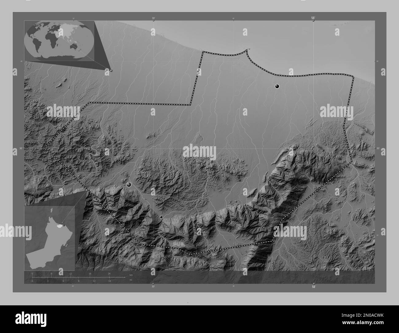 Al Batinah South, region of Oman. Grayscale elevation map with lakes and rivers. Locations of major cities of the region. Corner auxiliary location ma Stock Photohttps://www.alamy.com/image-license-details/?v=1https://www.alamy.com/al-batinah-south-region-of-oman-grayscale-elevation-map-with-lakes-and-rivers-locations-of-major-cities-of-the-region-corner-auxiliary-location-ma-image516540687.html
RF2N0ACWK–Al Batinah South, region of Oman. Grayscale elevation map with lakes and rivers. Locations of major cities of the region. Corner auxiliary location ma
 Al Batinah South, region of Oman. Bilevel elevation map with lakes and rivers. Locations and names of major cities of the region. Corner auxiliary loc Stock Photohttps://www.alamy.com/image-license-details/?v=1https://www.alamy.com/al-batinah-south-region-of-oman-bilevel-elevation-map-with-lakes-and-rivers-locations-and-names-of-major-cities-of-the-region-corner-auxiliary-loc-image516540685.html
RF2N0ACWH–Al Batinah South, region of Oman. Bilevel elevation map with lakes and rivers. Locations and names of major cities of the region. Corner auxiliary loc
 Al Batinah South, region of Oman. Grayscale elevation map with lakes and rivers. Locations and names of major cities of the region. Corner auxiliary l Stock Photohttps://www.alamy.com/image-license-details/?v=1https://www.alamy.com/al-batinah-south-region-of-oman-grayscale-elevation-map-with-lakes-and-rivers-locations-and-names-of-major-cities-of-the-region-corner-auxiliary-l-image516540694.html
RF2N0ACWX–Al Batinah South, region of Oman. Grayscale elevation map with lakes and rivers. Locations and names of major cities of the region. Corner auxiliary l
 Al Batinah South, region of Oman. High resolution satellite map. Locations and names of major cities of the region. Corner auxiliary location maps Stock Photohttps://www.alamy.com/image-license-details/?v=1https://www.alamy.com/al-batinah-south-region-of-oman-high-resolution-satellite-map-locations-and-names-of-major-cities-of-the-region-corner-auxiliary-location-maps-image516541252.html
RF2N0ADHT–Al Batinah South, region of Oman. High resolution satellite map. Locations and names of major cities of the region. Corner auxiliary location maps
 Al Batinah South, region of Oman. Low resolution satellite map. Locations and names of major cities of the region. Corner auxiliary location maps Stock Photohttps://www.alamy.com/image-license-details/?v=1https://www.alamy.com/al-batinah-south-region-of-oman-low-resolution-satellite-map-locations-and-names-of-major-cities-of-the-region-corner-auxiliary-location-maps-image516541267.html
RF2N0ADJB–Al Batinah South, region of Oman. Low resolution satellite map. Locations and names of major cities of the region. Corner auxiliary location maps
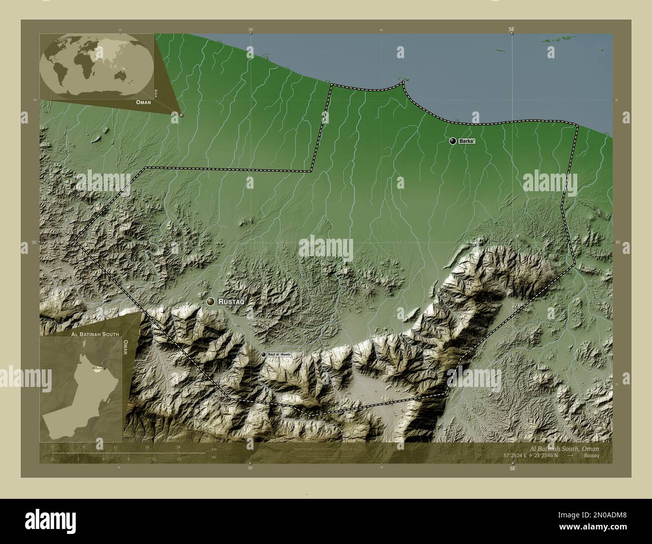 Al Batinah South, region of Oman. Elevation map colored in wiki style with lakes and rivers. Locations and names of major cities of the region. Corner Stock Photohttps://www.alamy.com/image-license-details/?v=1https://www.alamy.com/al-batinah-south-region-of-oman-elevation-map-colored-in-wiki-style-with-lakes-and-rivers-locations-and-names-of-major-cities-of-the-region-corner-image516541320.html
RF2N0ADM8–Al Batinah South, region of Oman. Elevation map colored in wiki style with lakes and rivers. Locations and names of major cities of the region. Corner
 Al Batinah South, region of Oman. Elevation map colored in sepia tones with lakes and rivers. Locations and names of major cities of the region. Corne Stock Photohttps://www.alamy.com/image-license-details/?v=1https://www.alamy.com/al-batinah-south-region-of-oman-elevation-map-colored-in-sepia-tones-with-lakes-and-rivers-locations-and-names-of-major-cities-of-the-region-corne-image516541314.html
RF2N0ADM2–Al Batinah South, region of Oman. Elevation map colored in sepia tones with lakes and rivers. Locations and names of major cities of the region. Corne
 Al Batinah South, region of Oman. Elevation map colored in wiki style with lakes and rivers. Locations of major cities of the region. Corner auxiliary Stock Photohttps://www.alamy.com/image-license-details/?v=1https://www.alamy.com/al-batinah-south-region-of-oman-elevation-map-colored-in-wiki-style-with-lakes-and-rivers-locations-of-major-cities-of-the-region-corner-auxiliary-image516541812.html
RF2N0AE9T–Al Batinah South, region of Oman. Elevation map colored in wiki style with lakes and rivers. Locations of major cities of the region. Corner auxiliary
 Al Batinah South, region of Oman. Elevation map colored in sepia tones with lakes and rivers. Locations of major cities of the region. Corner auxiliar Stock Photohttps://www.alamy.com/image-license-details/?v=1https://www.alamy.com/al-batinah-south-region-of-oman-elevation-map-colored-in-sepia-tones-with-lakes-and-rivers-locations-of-major-cities-of-the-region-corner-auxiliar-image516541806.html
RF2N0AE9J–Al Batinah South, region of Oman. Elevation map colored in sepia tones with lakes and rivers. Locations of major cities of the region. Corner auxiliar
 Al Batinah South, region of Oman. Solid color shape. Corner auxiliary location maps Stock Photohttps://www.alamy.com/image-license-details/?v=1https://www.alamy.com/al-batinah-south-region-of-oman-solid-color-shape-corner-auxiliary-location-maps-image516541296.html
RF2N0ADKC–Al Batinah South, region of Oman. Solid color shape. Corner auxiliary location maps
 Al Batinah South, region of Oman. Diagram showing the location of the region on larger-scale maps. Composition of vector frames and PNG shapes on a so Stock Photohttps://www.alamy.com/image-license-details/?v=1https://www.alamy.com/al-batinah-south-region-of-oman-diagram-showing-the-location-of-the-region-on-larger-scale-maps-composition-of-vector-frames-and-png-shapes-on-a-so-image516540677.html
RF2N0ACW9–Al Batinah South, region of Oman. Diagram showing the location of the region on larger-scale maps. Composition of vector frames and PNG shapes on a so
 Al Batinah South, region of Oman. Solid color shape. Locations and names of major cities of the region. Corner auxiliary location maps Stock Photohttps://www.alamy.com/image-license-details/?v=1https://www.alamy.com/al-batinah-south-region-of-oman-solid-color-shape-locations-and-names-of-major-cities-of-the-region-corner-auxiliary-location-maps-image516541307.html
RF2N0ADKR–Al Batinah South, region of Oman. Solid color shape. Locations and names of major cities of the region. Corner auxiliary location maps
 Al Batinah South, region of Oman. Solid color shape Stock Photohttps://www.alamy.com/image-license-details/?v=1https://www.alamy.com/al-batinah-south-region-of-oman-solid-color-shape-image516541246.html
RF2N0ADHJ–Al Batinah South, region of Oman. Solid color shape
 Al Batinah South, region of Oman. Solid color shape. Locations of major cities of the region. Corner auxiliary location maps Stock Photohttps://www.alamy.com/image-license-details/?v=1https://www.alamy.com/al-batinah-south-region-of-oman-solid-color-shape-locations-of-major-cities-of-the-region-corner-auxiliary-location-maps-image516541297.html
RF2N0ADKD–Al Batinah South, region of Oman. Solid color shape. Locations of major cities of the region. Corner auxiliary location maps
 Shape of Al Batinah South, region of Oman, with its capital isolated on white background. Colored elevation map. 3D rendering Stock Photohttps://www.alamy.com/image-license-details/?v=1https://www.alamy.com/shape-of-al-batinah-south-region-of-oman-with-its-capital-isolated-on-white-background-colored-elevation-map-3d-rendering-image368546739.html
RF2CBGN3F–Shape of Al Batinah South, region of Oman, with its capital isolated on white background. Colored elevation map. 3D rendering
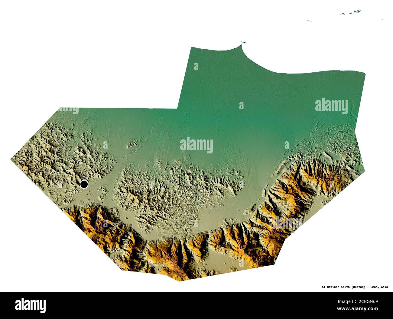 Shape of Al Batinah South, region of Oman, with its capital isolated on white background. Topographic relief map. 3D rendering Stock Photohttps://www.alamy.com/image-license-details/?v=1https://www.alamy.com/shape-of-al-batinah-south-region-of-oman-with-its-capital-isolated-on-white-background-topographic-relief-map-3d-rendering-image368546817.html
RF2CBGN69–Shape of Al Batinah South, region of Oman, with its capital isolated on white background. Topographic relief map. 3D rendering
 Shape of Al Batinah South, region of Oman, with its capital isolated on white background. Bilevel elevation map. 3D rendering Stock Photohttps://www.alamy.com/image-license-details/?v=1https://www.alamy.com/shape-of-al-batinah-south-region-of-oman-with-its-capital-isolated-on-white-background-bilevel-elevation-map-3d-rendering-image368546794.html
RF2CBGN5E–Shape of Al Batinah South, region of Oman, with its capital isolated on white background. Bilevel elevation map. 3D rendering
 Shape of Al Batinah South, region of Oman, and its capital. Distance scale, previews and labels. Bilevel elevation map. 3D rendering Stock Photohttps://www.alamy.com/image-license-details/?v=1https://www.alamy.com/shape-of-al-batinah-south-region-of-oman-and-its-capital-distance-scale-previews-and-labels-bilevel-elevation-map-3d-rendering-image368546707.html
RF2CBGN2B–Shape of Al Batinah South, region of Oman, and its capital. Distance scale, previews and labels. Bilevel elevation map. 3D rendering
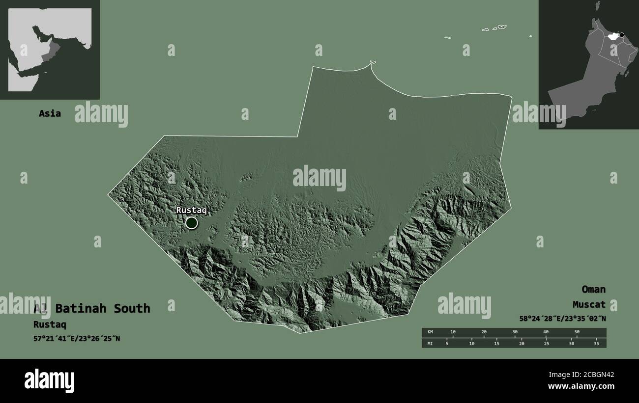 Shape of Al Batinah South, region of Oman, and its capital. Distance scale, previews and labels. Colored elevation map. 3D rendering Stock Photohttps://www.alamy.com/image-license-details/?v=1https://www.alamy.com/shape-of-al-batinah-south-region-of-oman-and-its-capital-distance-scale-previews-and-labels-colored-elevation-map-3d-rendering-image368546754.html
RF2CBGN42–Shape of Al Batinah South, region of Oman, and its capital. Distance scale, previews and labels. Colored elevation map. 3D rendering
 Shape of Al Batinah South, region of Oman, and its capital. Distance scale, previews and labels. Topographic relief map. 3D rendering Stock Photohttps://www.alamy.com/image-license-details/?v=1https://www.alamy.com/shape-of-al-batinah-south-region-of-oman-and-its-capital-distance-scale-previews-and-labels-topographic-relief-map-3d-rendering-image368546788.html
RF2CBGN58–Shape of Al Batinah South, region of Oman, and its capital. Distance scale, previews and labels. Topographic relief map. 3D rendering
 Shape of Al Batinah South, region of Oman, with its capital isolated on a solid color background. Bilevel elevation map. 3D rendering Stock Photohttps://www.alamy.com/image-license-details/?v=1https://www.alamy.com/shape-of-al-batinah-south-region-of-oman-with-its-capital-isolated-on-a-solid-color-background-bilevel-elevation-map-3d-rendering-image368546743.html
RF2CBGN3K–Shape of Al Batinah South, region of Oman, with its capital isolated on a solid color background. Bilevel elevation map. 3D rendering
 Shape of Al Batinah South, region of Oman, with its capital isolated on a solid color background. Topographic relief map. 3D rendering Stock Photohttps://www.alamy.com/image-license-details/?v=1https://www.alamy.com/shape-of-al-batinah-south-region-of-oman-with-its-capital-isolated-on-a-solid-color-background-topographic-relief-map-3d-rendering-image368546838.html
RF2CBGN72–Shape of Al Batinah South, region of Oman, with its capital isolated on a solid color background. Topographic relief map. 3D rendering
 Shape of Al Batinah South, region of Oman, with its capital isolated on a solid color background. Colored elevation map. 3D rendering Stock Photohttps://www.alamy.com/image-license-details/?v=1https://www.alamy.com/shape-of-al-batinah-south-region-of-oman-with-its-capital-isolated-on-a-solid-color-background-colored-elevation-map-3d-rendering-image368546752.html
RF2CBGN40–Shape of Al Batinah South, region of Oman, with its capital isolated on a solid color background. Colored elevation map. 3D rendering
 Desaturated shape of Oman with its capital, main regional division and the separated Al Batinah South area. Labels. Bilevel elevation map. 3D renderin Stock Photohttps://www.alamy.com/image-license-details/?v=1https://www.alamy.com/desaturated-shape-of-oman-with-its-capital-main-regional-division-and-the-separated-al-batinah-south-area-labels-bilevel-elevation-map-3d-renderin-image368546753.html
RF2CBGN41–Desaturated shape of Oman with its capital, main regional division and the separated Al Batinah South area. Labels. Bilevel elevation map. 3D renderin
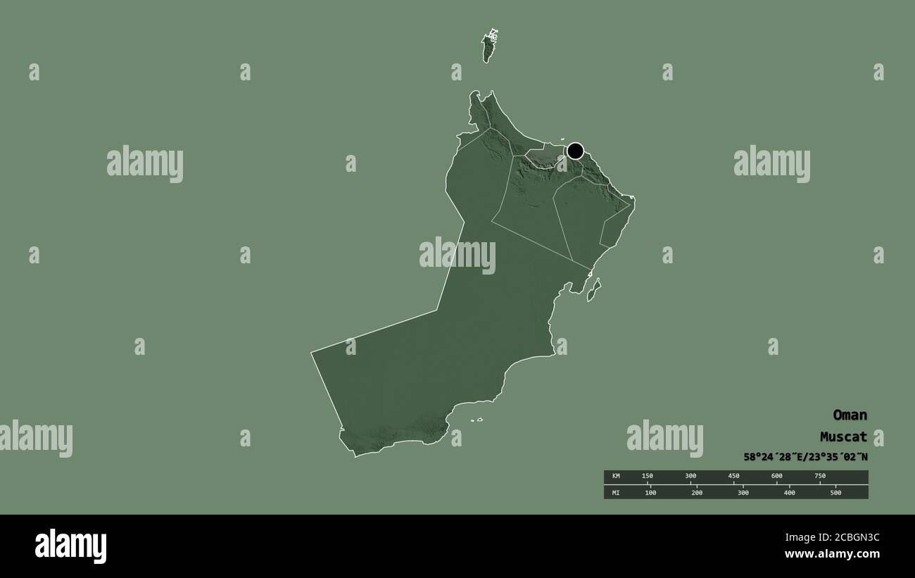 Desaturated shape of Oman with its capital, main regional division and the separated Al Batinah South area. Labels. Colored elevation map. 3D renderin Stock Photohttps://www.alamy.com/image-license-details/?v=1https://www.alamy.com/desaturated-shape-of-oman-with-its-capital-main-regional-division-and-the-separated-al-batinah-south-area-labels-colored-elevation-map-3d-renderin-image368546736.html
RF2CBGN3C–Desaturated shape of Oman with its capital, main regional division and the separated Al Batinah South area. Labels. Colored elevation map. 3D renderin
 Desaturated shape of Oman with its capital, main regional division and the separated Al Batinah South area. Labels. Topographic relief map. 3D renderi Stock Photohttps://www.alamy.com/image-license-details/?v=1https://www.alamy.com/desaturated-shape-of-oman-with-its-capital-main-regional-division-and-the-separated-al-batinah-south-area-labels-topographic-relief-map-3d-renderi-image368546799.html
RF2CBGN5K–Desaturated shape of Oman with its capital, main regional division and the separated Al Batinah South area. Labels. Topographic relief map. 3D renderi
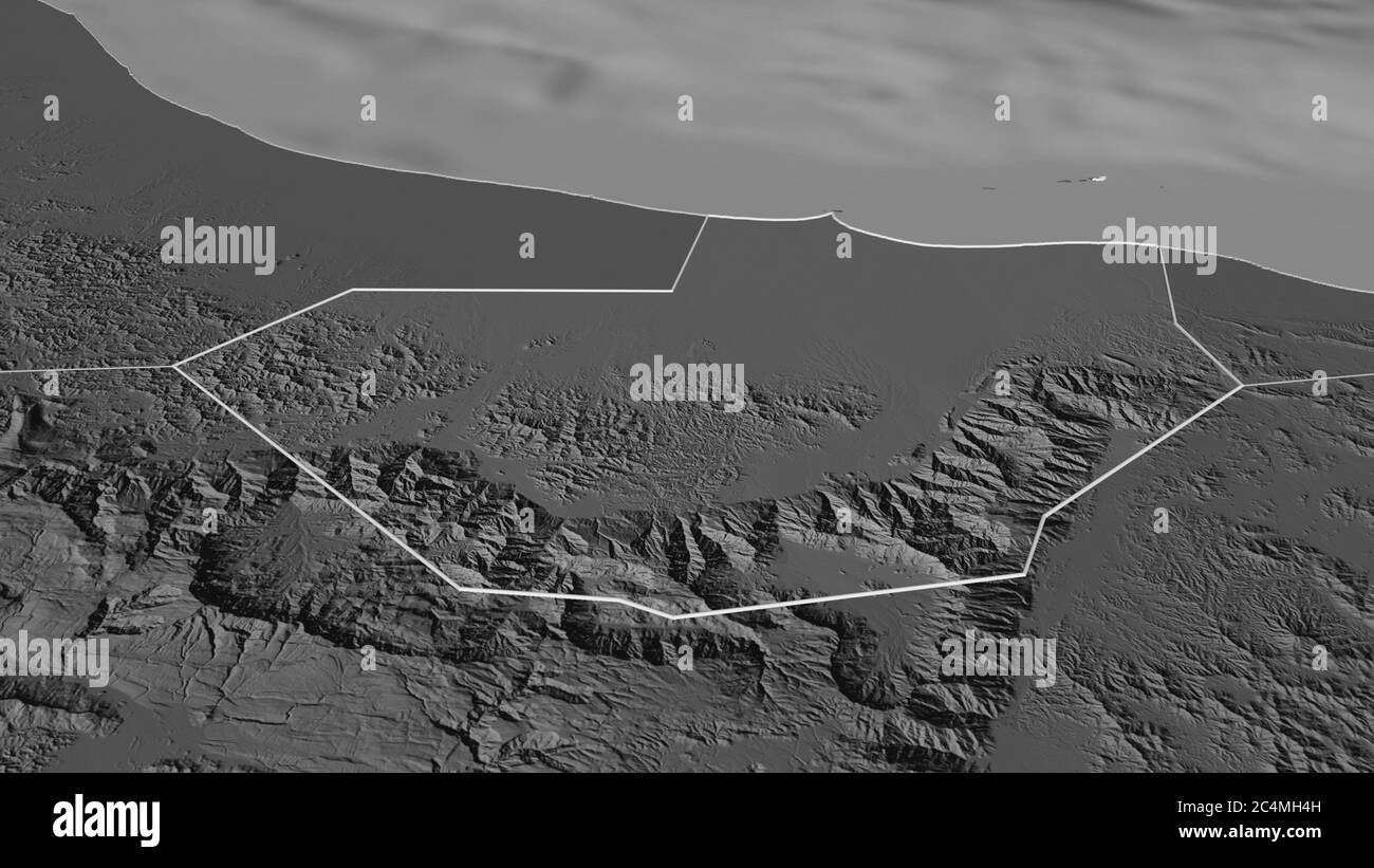 Zoom in on Al Batinah South (region of Oman) outlined. Oblique perspective. Bilevel elevation map with surface waters. 3D rendering Stock Photohttps://www.alamy.com/image-license-details/?v=1https://www.alamy.com/zoom-in-on-al-batinah-south-region-of-oman-outlined-oblique-perspective-bilevel-elevation-map-with-surface-waters-3d-rendering-image364328849.html
RF2C4MH4H–Zoom in on Al Batinah South (region of Oman) outlined. Oblique perspective. Bilevel elevation map with surface waters. 3D rendering
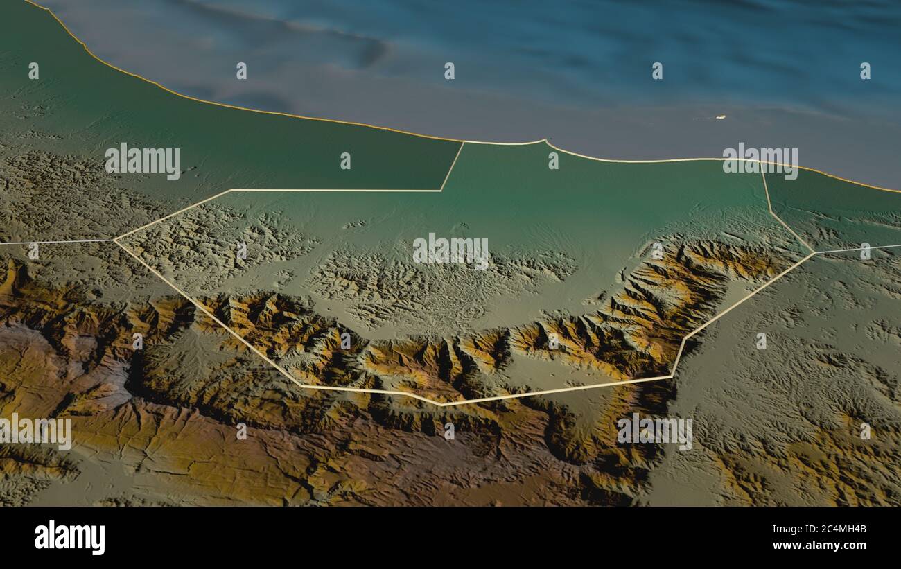 Zoom in on Al Batinah South (region of Oman) outlined. Oblique perspective. Topographic relief map with surface waters. 3D rendering Stock Photohttps://www.alamy.com/image-license-details/?v=1https://www.alamy.com/zoom-in-on-al-batinah-south-region-of-oman-outlined-oblique-perspective-topographic-relief-map-with-surface-waters-3d-rendering-image364328843.html
RF2C4MH4B–Zoom in on Al Batinah South (region of Oman) outlined. Oblique perspective. Topographic relief map with surface waters. 3D rendering
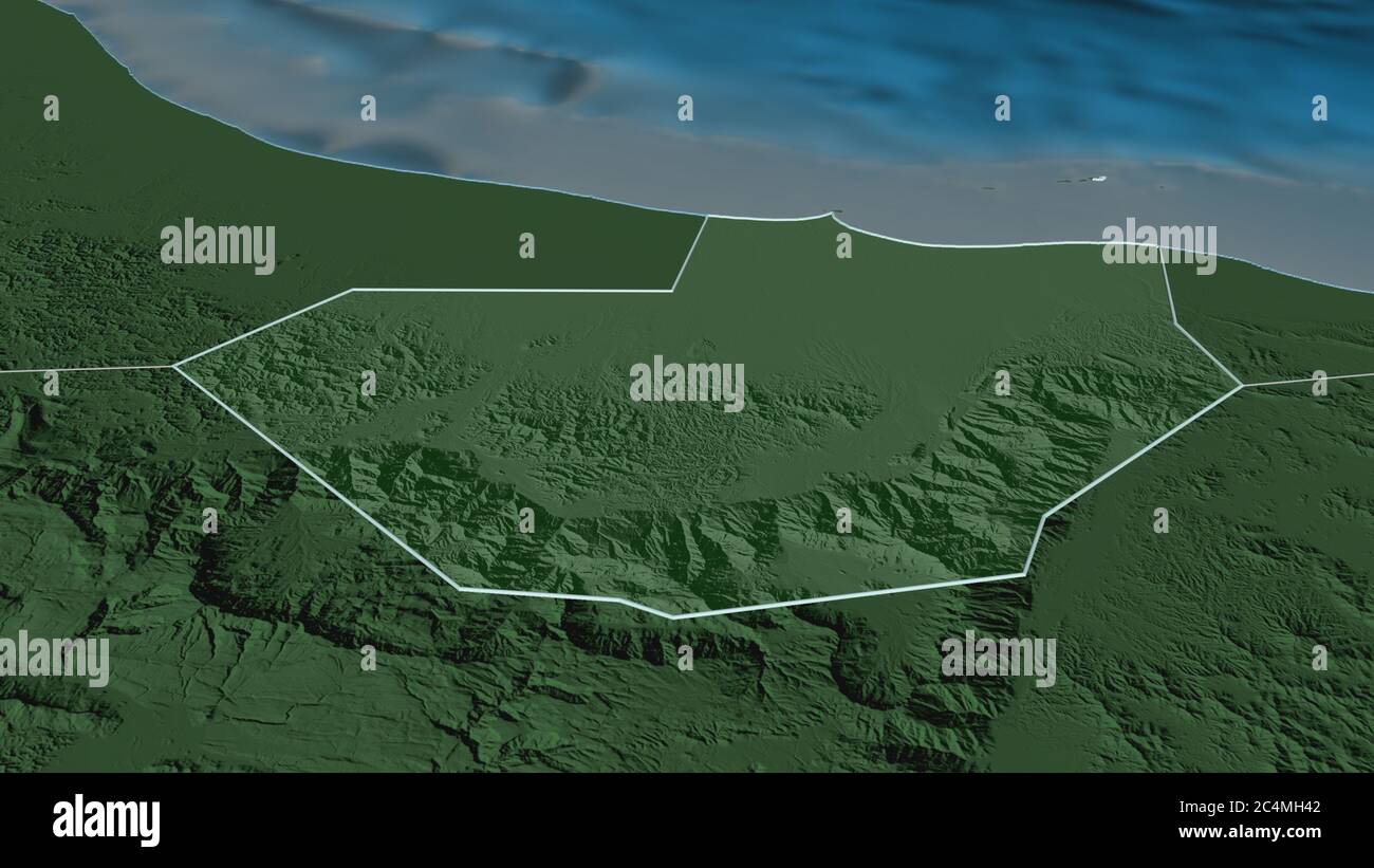 Zoom in on Al Batinah South (region of Oman) outlined. Oblique perspective. Colored and bumped map of the administrative division with surface waters. Stock Photohttps://www.alamy.com/image-license-details/?v=1https://www.alamy.com/zoom-in-on-al-batinah-south-region-of-oman-outlined-oblique-perspective-colored-and-bumped-map-of-the-administrative-division-with-surface-waters-image364328834.html
RF2C4MH42–Zoom in on Al Batinah South (region of Oman) outlined. Oblique perspective. Colored and bumped map of the administrative division with surface waters.
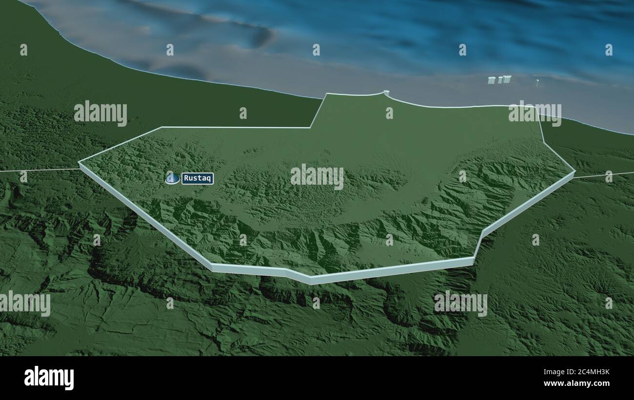 Zoom in on Al Batinah South (region of Oman) extruded. Oblique perspective. Colored and bumped map of the administrative division with surface waters. Stock Photohttps://www.alamy.com/image-license-details/?v=1https://www.alamy.com/zoom-in-on-al-batinah-south-region-of-oman-extruded-oblique-perspective-colored-and-bumped-map-of-the-administrative-division-with-surface-waters-image364328823.html
RF2C4MH3K–Zoom in on Al Batinah South (region of Oman) extruded. Oblique perspective. Colored and bumped map of the administrative division with surface waters.
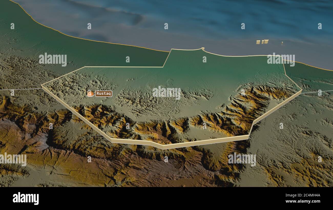 Zoom in on Al Batinah South (region of Oman) extruded. Oblique perspective. Topographic relief map with surface waters. 3D rendering Stock Photohttps://www.alamy.com/image-license-details/?v=1https://www.alamy.com/zoom-in-on-al-batinah-south-region-of-oman-extruded-oblique-perspective-topographic-relief-map-with-surface-waters-3d-rendering-image364328842.html
RF2C4MH4A–Zoom in on Al Batinah South (region of Oman) extruded. Oblique perspective. Topographic relief map with surface waters. 3D rendering
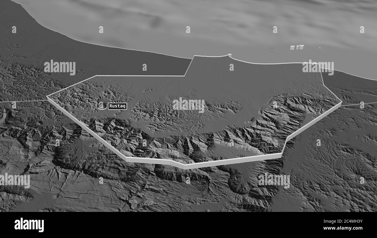 Zoom in on Al Batinah South (region of Oman) extruded. Oblique perspective. Bilevel elevation map with surface waters. 3D rendering Stock Photohttps://www.alamy.com/image-license-details/?v=1https://www.alamy.com/zoom-in-on-al-batinah-south-region-of-oman-extruded-oblique-perspective-bilevel-elevation-map-with-surface-waters-3d-rendering-image364328831.html
RF2C4MH3Y–Zoom in on Al Batinah South (region of Oman) extruded. Oblique perspective. Bilevel elevation map with surface waters. 3D rendering
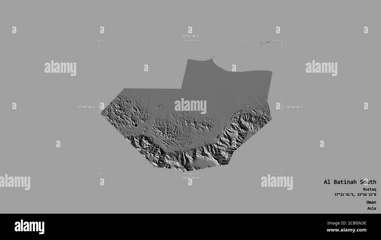 Area of Al Batinah South, region of Oman, isolated on a solid background in a georeferenced bounding box. Labels. Bilevel elevation map. 3D rendering Stock Photohttps://www.alamy.com/image-license-details/?v=1https://www.alamy.com/area-of-al-batinah-south-region-of-oman-isolated-on-a-solid-background-in-a-georeferenced-bounding-box-labels-bilevel-elevation-map-3d-rendering-image368546738.html
RF2CBGN3E–Area of Al Batinah South, region of Oman, isolated on a solid background in a georeferenced bounding box. Labels. Bilevel elevation map. 3D rendering
 Area of Al Batinah South, region of Oman, isolated on a solid background in a georeferenced bounding box. Labels. Colored elevation map. 3D rendering Stock Photohttps://www.alamy.com/image-license-details/?v=1https://www.alamy.com/area-of-al-batinah-south-region-of-oman-isolated-on-a-solid-background-in-a-georeferenced-bounding-box-labels-colored-elevation-map-3d-rendering-image368546748.html
RF2CBGN3T–Area of Al Batinah South, region of Oman, isolated on a solid background in a georeferenced bounding box. Labels. Colored elevation map. 3D rendering
 Area of Al Batinah South, region of Oman, isolated on a solid background in a georeferenced bounding box. Labels. Topographic relief map. 3D rendering Stock Photohttps://www.alamy.com/image-license-details/?v=1https://www.alamy.com/area-of-al-batinah-south-region-of-oman-isolated-on-a-solid-background-in-a-georeferenced-bounding-box-labels-topographic-relief-map-3d-rendering-image368546823.html
RF2CBGN6F–Area of Al Batinah South, region of Oman, isolated on a solid background in a georeferenced bounding box. Labels. Topographic relief map. 3D rendering
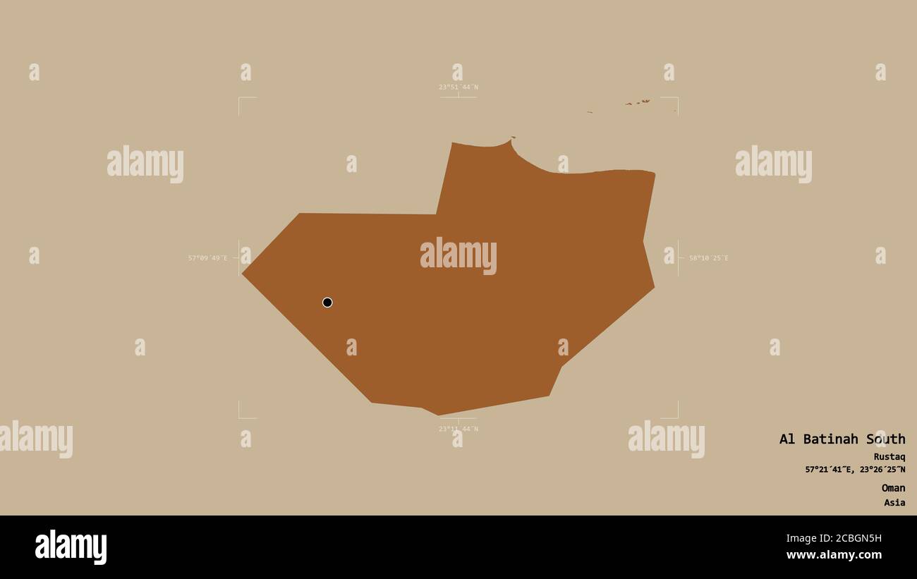 Area of Al Batinah South, region of Oman, isolated on a solid background in a georeferenced bounding box. Labels. Composition of patterned textures. 3 Stock Photohttps://www.alamy.com/image-license-details/?v=1https://www.alamy.com/area-of-al-batinah-south-region-of-oman-isolated-on-a-solid-background-in-a-georeferenced-bounding-box-labels-composition-of-patterned-textures-3-image368546797.html
RF2CBGN5H–Area of Al Batinah South, region of Oman, isolated on a solid background in a georeferenced bounding box. Labels. Composition of patterned textures. 3
 Area of Al Batinah South, region of Oman, isolated on a solid background in a georeferenced bounding box. Labels. Satellite imagery. 3D rendering Stock Photohttps://www.alamy.com/image-license-details/?v=1https://www.alamy.com/area-of-al-batinah-south-region-of-oman-isolated-on-a-solid-background-in-a-georeferenced-bounding-box-labels-satellite-imagery-3d-rendering-image368546824.html
RF2CBGN6G–Area of Al Batinah South, region of Oman, isolated on a solid background in a georeferenced bounding box. Labels. Satellite imagery. 3D rendering
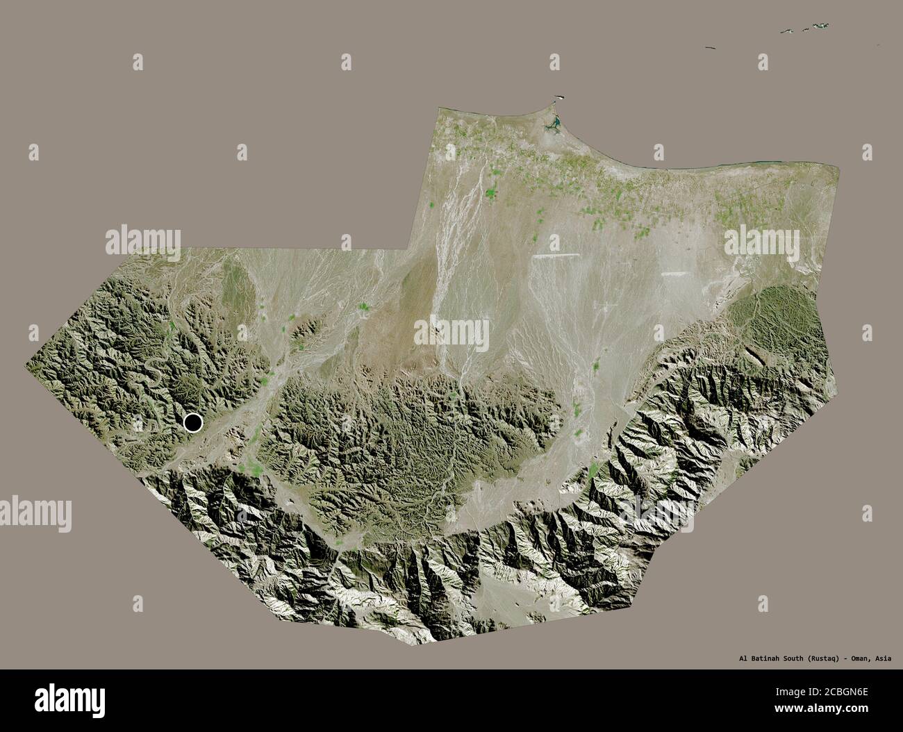 Shape of Al Batinah South, region of Oman, with its capital isolated on a solid color background. Satellite imagery. 3D rendering Stock Photohttps://www.alamy.com/image-license-details/?v=1https://www.alamy.com/shape-of-al-batinah-south-region-of-oman-with-its-capital-isolated-on-a-solid-color-background-satellite-imagery-3d-rendering-image368546822.html
RF2CBGN6E–Shape of Al Batinah South, region of Oman, with its capital isolated on a solid color background. Satellite imagery. 3D rendering
 Shape of Al Batinah South, region of Oman, with its capital isolated on white background. Satellite imagery. 3D rendering Stock Photohttps://www.alamy.com/image-license-details/?v=1https://www.alamy.com/shape-of-al-batinah-south-region-of-oman-with-its-capital-isolated-on-white-background-satellite-imagery-3d-rendering-image368546810.html
RF2CBGN62–Shape of Al Batinah South, region of Oman, with its capital isolated on white background. Satellite imagery. 3D rendering
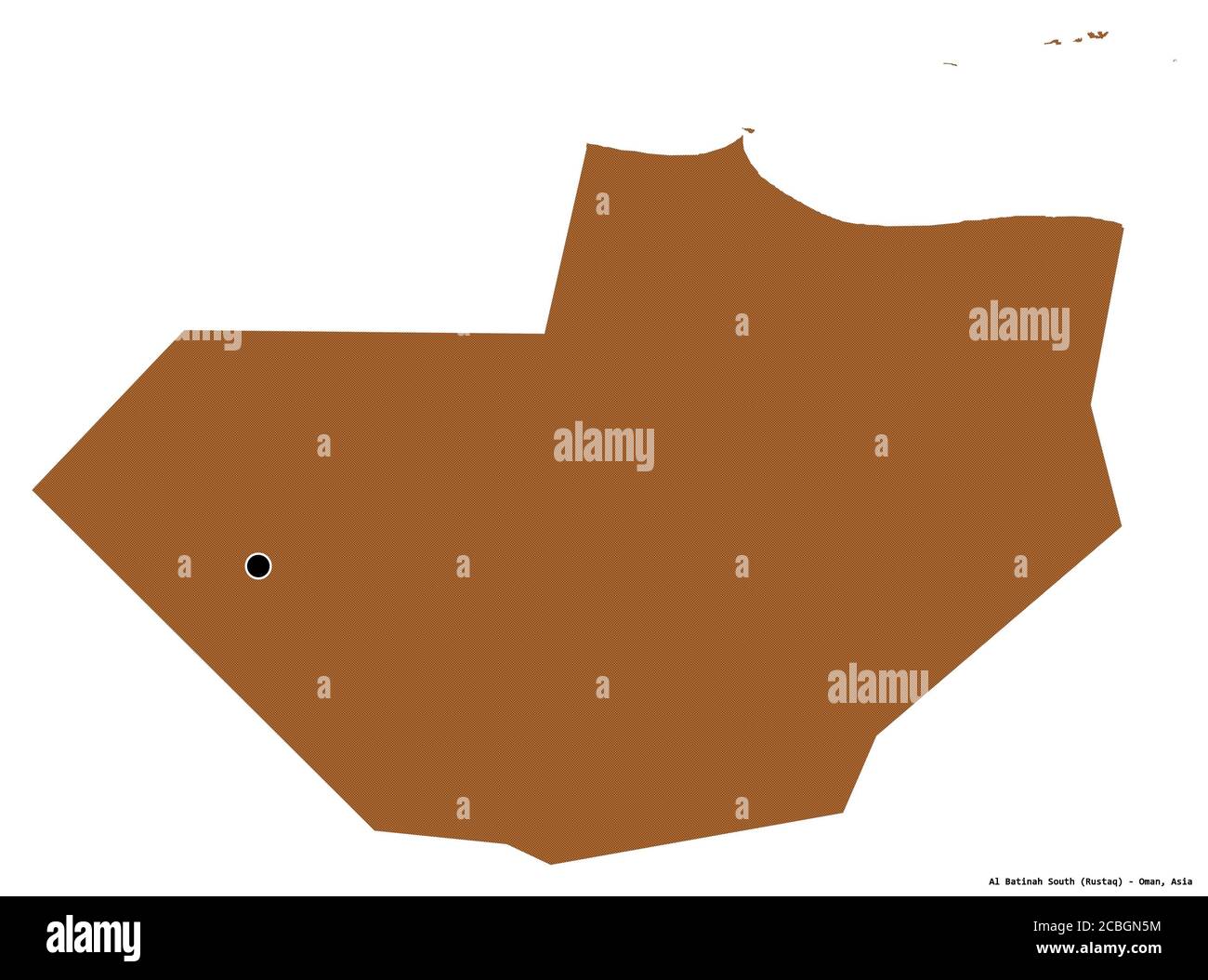 Shape of Al Batinah South, region of Oman, with its capital isolated on white background. Composition of patterned textures. 3D rendering Stock Photohttps://www.alamy.com/image-license-details/?v=1https://www.alamy.com/shape-of-al-batinah-south-region-of-oman-with-its-capital-isolated-on-white-background-composition-of-patterned-textures-3d-rendering-image368546800.html
RF2CBGN5M–Shape of Al Batinah South, region of Oman, with its capital isolated on white background. Composition of patterned textures. 3D rendering
 Shape of Al Batinah South, region of Oman, with its capital isolated on a solid color background. Composition of patterned textures. 3D rendering Stock Photohttps://www.alamy.com/image-license-details/?v=1https://www.alamy.com/shape-of-al-batinah-south-region-of-oman-with-its-capital-isolated-on-a-solid-color-background-composition-of-patterned-textures-3d-rendering-image368546804.html
RF2CBGN5T–Shape of Al Batinah South, region of Oman, with its capital isolated on a solid color background. Composition of patterned textures. 3D rendering
 Shape of Al Batinah South, region of Oman, with its capital isolated on solid background. Distance scale, region preview and labels. Composition of re Stock Photohttps://www.alamy.com/image-license-details/?v=1https://www.alamy.com/shape-of-al-batinah-south-region-of-oman-with-its-capital-isolated-on-solid-background-distance-scale-region-preview-and-labels-composition-of-re-image368546786.html
RF2CBGN56–Shape of Al Batinah South, region of Oman, with its capital isolated on solid background. Distance scale, region preview and labels. Composition of re
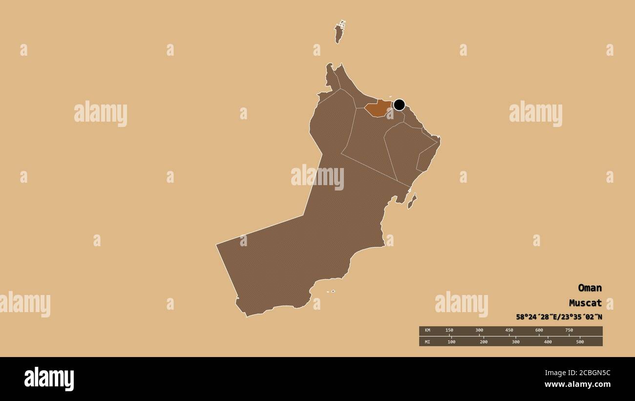 Desaturated shape of Oman with its capital, main regional division and the separated Al Batinah South area. Labels. Composition of regularly patterned Stock Photohttps://www.alamy.com/image-license-details/?v=1https://www.alamy.com/desaturated-shape-of-oman-with-its-capital-main-regional-division-and-the-separated-al-batinah-south-area-labels-composition-of-regularly-patterned-image368546792.html
RF2CBGN5C–Desaturated shape of Oman with its capital, main regional division and the separated Al Batinah South area. Labels. Composition of regularly patterned
 Shape of Al Batinah South, region of Oman, with its capital isolated on solid background. Distance scale, region preview and labels. Colored elevation Stock Photohttps://www.alamy.com/image-license-details/?v=1https://www.alamy.com/shape-of-al-batinah-south-region-of-oman-with-its-capital-isolated-on-solid-background-distance-scale-region-preview-and-labels-colored-elevation-image368546718.html
RF2CBGN2P–Shape of Al Batinah South, region of Oman, with its capital isolated on solid background. Distance scale, region preview and labels. Colored elevation
 Shape of Al Batinah South, region of Oman, with its capital isolated on solid background. Distance scale, region preview and labels. Bilevel elevation Stock Photohttps://www.alamy.com/image-license-details/?v=1https://www.alamy.com/shape-of-al-batinah-south-region-of-oman-with-its-capital-isolated-on-solid-background-distance-scale-region-preview-and-labels-bilevel-elevation-image368546751.html
RF2CBGN3Y–Shape of Al Batinah South, region of Oman, with its capital isolated on solid background. Distance scale, region preview and labels. Bilevel elevation
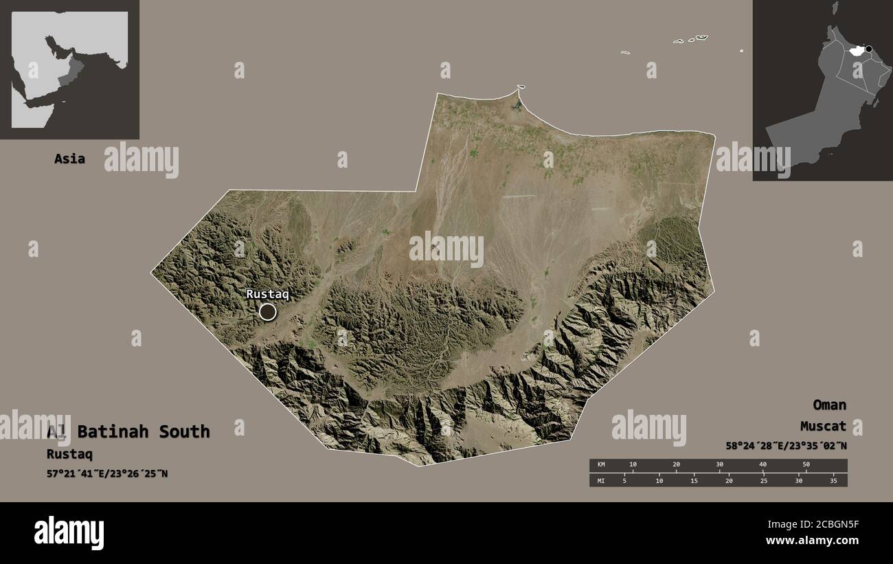 Shape of Al Batinah South, region of Oman, and its capital. Distance scale, previews and labels. Satellite imagery. 3D rendering Stock Photohttps://www.alamy.com/image-license-details/?v=1https://www.alamy.com/shape-of-al-batinah-south-region-of-oman-and-its-capital-distance-scale-previews-and-labels-satellite-imagery-3d-rendering-image368546795.html
RF2CBGN5F–Shape of Al Batinah South, region of Oman, and its capital. Distance scale, previews and labels. Satellite imagery. 3D rendering
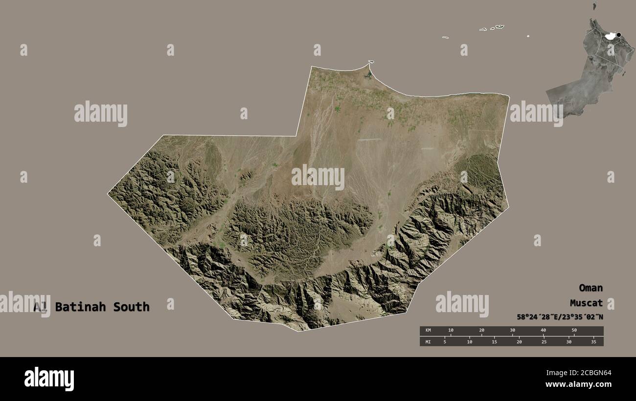 Shape of Al Batinah South, region of Oman, with its capital isolated on solid background. Distance scale, region preview and labels. Satellite imagery Stock Photohttps://www.alamy.com/image-license-details/?v=1https://www.alamy.com/shape-of-al-batinah-south-region-of-oman-with-its-capital-isolated-on-solid-background-distance-scale-region-preview-and-labels-satellite-imagery-image368546812.html
RF2CBGN64–Shape of Al Batinah South, region of Oman, with its capital isolated on solid background. Distance scale, region preview and labels. Satellite imagery
 Shape of Al Batinah South, region of Oman, with its capital isolated on solid background. Distance scale, region preview and labels. Topographic relie Stock Photohttps://www.alamy.com/image-license-details/?v=1https://www.alamy.com/shape-of-al-batinah-south-region-of-oman-with-its-capital-isolated-on-solid-background-distance-scale-region-preview-and-labels-topographic-relie-image368546791.html
RF2CBGN5B–Shape of Al Batinah South, region of Oman, with its capital isolated on solid background. Distance scale, region preview and labels. Topographic relie
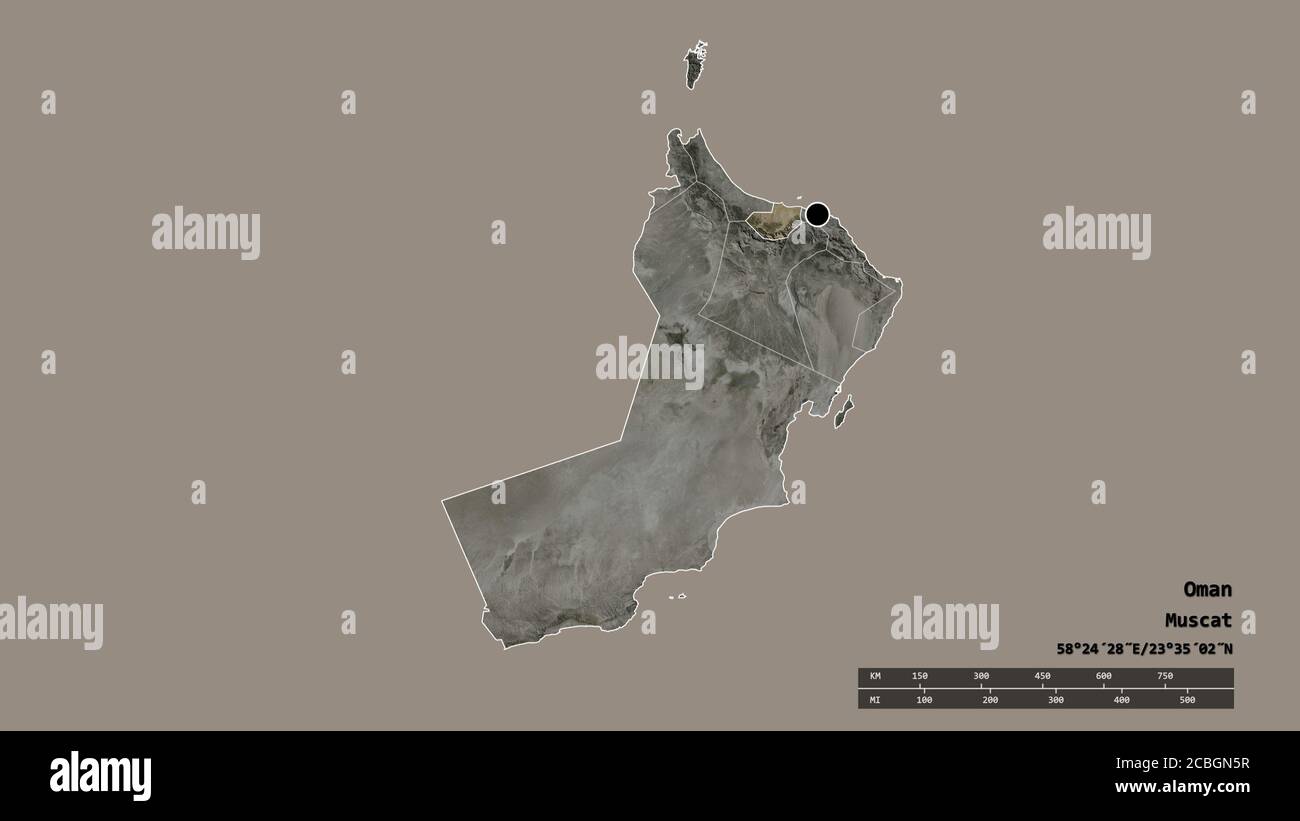 Desaturated shape of Oman with its capital, main regional division and the separated Al Batinah South area. Labels. Satellite imagery. 3D rendering Stock Photohttps://www.alamy.com/image-license-details/?v=1https://www.alamy.com/desaturated-shape-of-oman-with-its-capital-main-regional-division-and-the-separated-al-batinah-south-area-labels-satellite-imagery-3d-rendering-image368546803.html
RF2CBGN5R–Desaturated shape of Oman with its capital, main regional division and the separated Al Batinah South area. Labels. Satellite imagery. 3D rendering
 Shape of Al Batinah South, region of Oman, and its capital. Distance scale, previews and labels. Composition of regularly patterned textures. 3D rende Stock Photohttps://www.alamy.com/image-license-details/?v=1https://www.alamy.com/shape-of-al-batinah-south-region-of-oman-and-its-capital-distance-scale-previews-and-labels-composition-of-regularly-patterned-textures-3d-rende-image368546789.html
RF2CBGN59–Shape of Al Batinah South, region of Oman, and its capital. Distance scale, previews and labels. Composition of regularly patterned textures. 3D rende
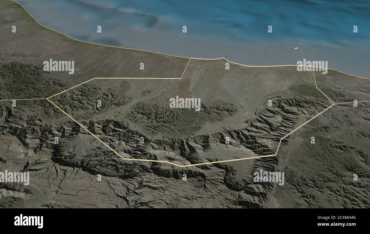 Zoom in on Al Batinah South (region of Oman) outlined. Oblique perspective. Satellite imagery. 3D rendering Stock Photohttps://www.alamy.com/image-license-details/?v=1https://www.alamy.com/zoom-in-on-al-batinah-south-region-of-oman-outlined-oblique-perspective-satellite-imagery-3d-rendering-image364328838.html
RF2C4MH46–Zoom in on Al Batinah South (region of Oman) outlined. Oblique perspective. Satellite imagery. 3D rendering
 Zoom in on Al Batinah South (region of Oman) extruded. Oblique perspective. Satellite imagery. 3D rendering Stock Photohttps://www.alamy.com/image-license-details/?v=1https://www.alamy.com/zoom-in-on-al-batinah-south-region-of-oman-extruded-oblique-perspective-satellite-imagery-3d-rendering-image364328844.html
RF2C4MH4C–Zoom in on Al Batinah South (region of Oman) extruded. Oblique perspective. Satellite imagery. 3D rendering
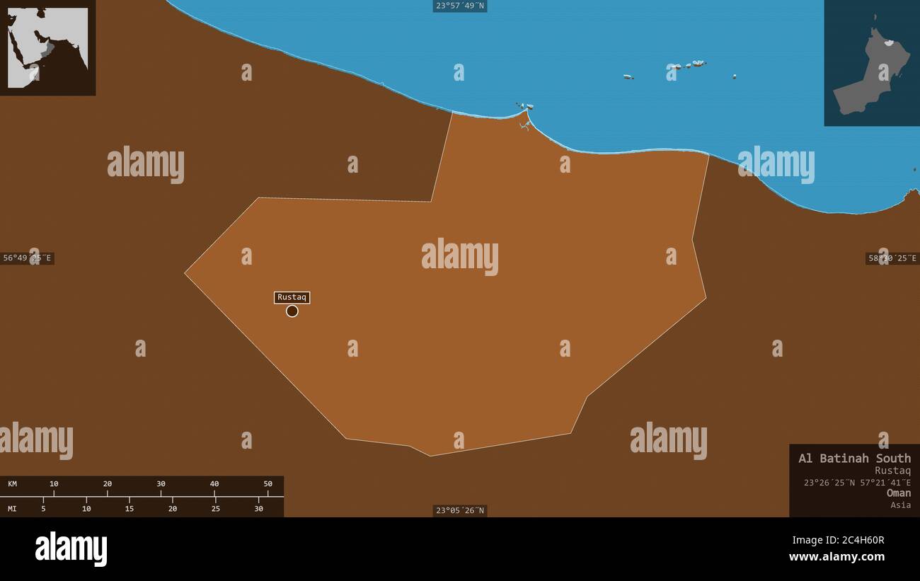 Al Batinah South, region of Oman. Patterned solids with lakes and rivers. Shape presented against its country area with informative overlays. 3D rende Stock Photohttps://www.alamy.com/image-license-details/?v=1https://www.alamy.com/al-batinah-south-region-of-oman-patterned-solids-with-lakes-and-rivers-shape-presented-against-its-country-area-with-informative-overlays-3d-rende-image364254263.html
RF2C4H60R–Al Batinah South, region of Oman. Patterned solids with lakes and rivers. Shape presented against its country area with informative overlays. 3D rende