Rutherfordton map Cut Out Stock Images
 Rutherfordton, Rutherford County, US, United States, North Carolina, N 35 22' 9'', S 81 57' 24'', map, Cartascapes Map published in 2024. Explore Cartascapes, a map revealing Earth's diverse landscapes, cultures, and ecosystems. Journey through time and space, discovering the interconnectedness of our planet's past, present, and future. Stock Photohttps://www.alamy.com/image-license-details/?v=1https://www.alamy.com/rutherfordton-rutherford-county-us-united-states-north-carolina-n-35-22-9-s-81-57-24-map-cartascapes-map-published-in-2024-explore-cartascapes-a-map-revealing-earths-diverse-landscapes-cultures-and-ecosystems-journey-through-time-and-space-discovering-the-interconnectedness-of-our-planets-past-present-and-future-image621448247.html
RM2Y31BG7–Rutherfordton, Rutherford County, US, United States, North Carolina, N 35 22' 9'', S 81 57' 24'', map, Cartascapes Map published in 2024. Explore Cartascapes, a map revealing Earth's diverse landscapes, cultures, and ecosystems. Journey through time and space, discovering the interconnectedness of our planet's past, present, and future.
 USGS TOPO Map North Carolina NC Rutherfordton North 20100830 TM Restoration Stock Photohttps://www.alamy.com/image-license-details/?v=1https://www.alamy.com/usgs-topo-map-north-carolina-nc-rutherfordton-north-20100830-tm-restoration-image336502342.html
RM2AFD04P–USGS TOPO Map North Carolina NC Rutherfordton North 20100830 TM Restoration
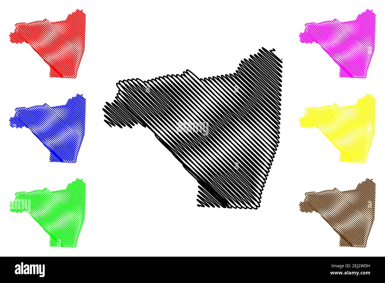 Rutherford County, North Carolina State (U.S. county, United States of America, USA, U.S., US) map vector illustration, scribble sketch Rutherford map Stock Vectorhttps://www.alamy.com/image-license-details/?v=1https://www.alamy.com/rutherford-county-north-carolina-state-us-county-united-states-of-america-usa-us-us-map-vector-illustration-scribble-sketch-rutherford-map-image406966157.html
RF2EJ2WDH–Rutherford County, North Carolina State (U.S. county, United States of America, USA, U.S., US) map vector illustration, scribble sketch Rutherford map
 Rutherfordton, Rutherford County, US, United States, North Carolina, N 35 22' 9'', S 81 57' 24'', map, Cartascapes Map published in 2024. Explore Cartascapes, a map revealing Earth's diverse landscapes, cultures, and ecosystems. Journey through time and space, discovering the interconnectedness of our planet's past, present, and future. Stock Photohttps://www.alamy.com/image-license-details/?v=1https://www.alamy.com/rutherfordton-rutherford-county-us-united-states-north-carolina-n-35-22-9-s-81-57-24-map-cartascapes-map-published-in-2024-explore-cartascapes-a-map-revealing-earths-diverse-landscapes-cultures-and-ecosystems-journey-through-time-and-space-discovering-the-interconnectedness-of-our-planets-past-present-and-future-image620669521.html
RM2Y1NX8H–Rutherfordton, Rutherford County, US, United States, North Carolina, N 35 22' 9'', S 81 57' 24'', map, Cartascapes Map published in 2024. Explore Cartascapes, a map revealing Earth's diverse landscapes, cultures, and ecosystems. Journey through time and space, discovering the interconnectedness of our planet's past, present, and future.
 USGS TOPO Map North Carolina NC Rutherfordton South 20100909 TM Restoration Stock Photohttps://www.alamy.com/image-license-details/?v=1https://www.alamy.com/usgs-topo-map-north-carolina-nc-rutherfordton-south-20100909-tm-restoration-image336502414.html
RM2AFD07A–USGS TOPO Map North Carolina NC Rutherfordton South 20100909 TM Restoration
 Rutherford County, North Carolina State (U.S. county, United States of America, USA, U.S., US) map vector illustration, scribble sketch Rutherford map Stock Vectorhttps://www.alamy.com/image-license-details/?v=1https://www.alamy.com/rutherford-county-north-carolina-state-us-county-united-states-of-america-usa-us-us-map-vector-illustration-scribble-sketch-rutherford-map-image402016814.html
RF2EA1CFA–Rutherford County, North Carolina State (U.S. county, United States of America, USA, U.S., US) map vector illustration, scribble sketch Rutherford map
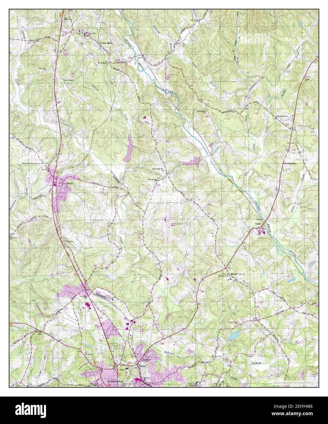 Rutherfordton North, North Carolina, map 2002, 1:24000, United States of America by Timeless Maps, data U.S. Geological Survey Stock Photohttps://www.alamy.com/image-license-details/?v=1https://www.alamy.com/rutherfordton-north-north-carolina-map-2002-124000-united-states-of-america-by-timeless-maps-data-us-geological-survey-image406883686.html
RM2EHY486–Rutherfordton North, North Carolina, map 2002, 1:24000, United States of America by Timeless Maps, data U.S. Geological Survey
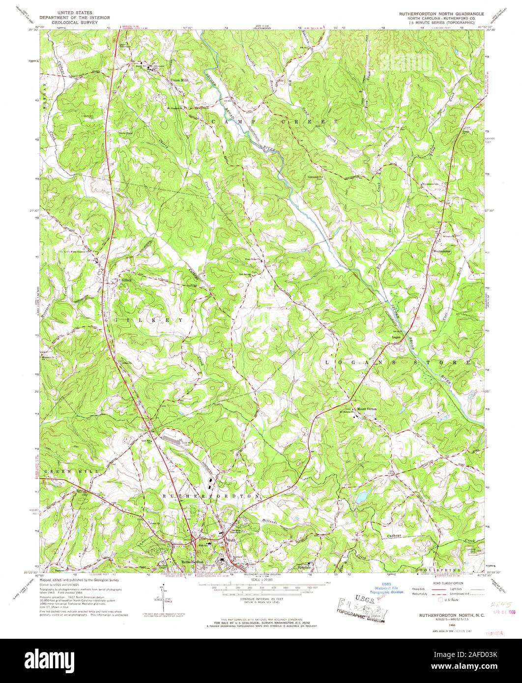 USGS TOPO Map North Carolina NC Rutherfordton North 164816 1966 24000 Restoration Stock Photohttps://www.alamy.com/image-license-details/?v=1https://www.alamy.com/usgs-topo-map-north-carolina-nc-rutherfordton-north-164816-1966-24000-restoration-image336502311.html
RM2AFD03K–USGS TOPO Map North Carolina NC Rutherfordton North 164816 1966 24000 Restoration
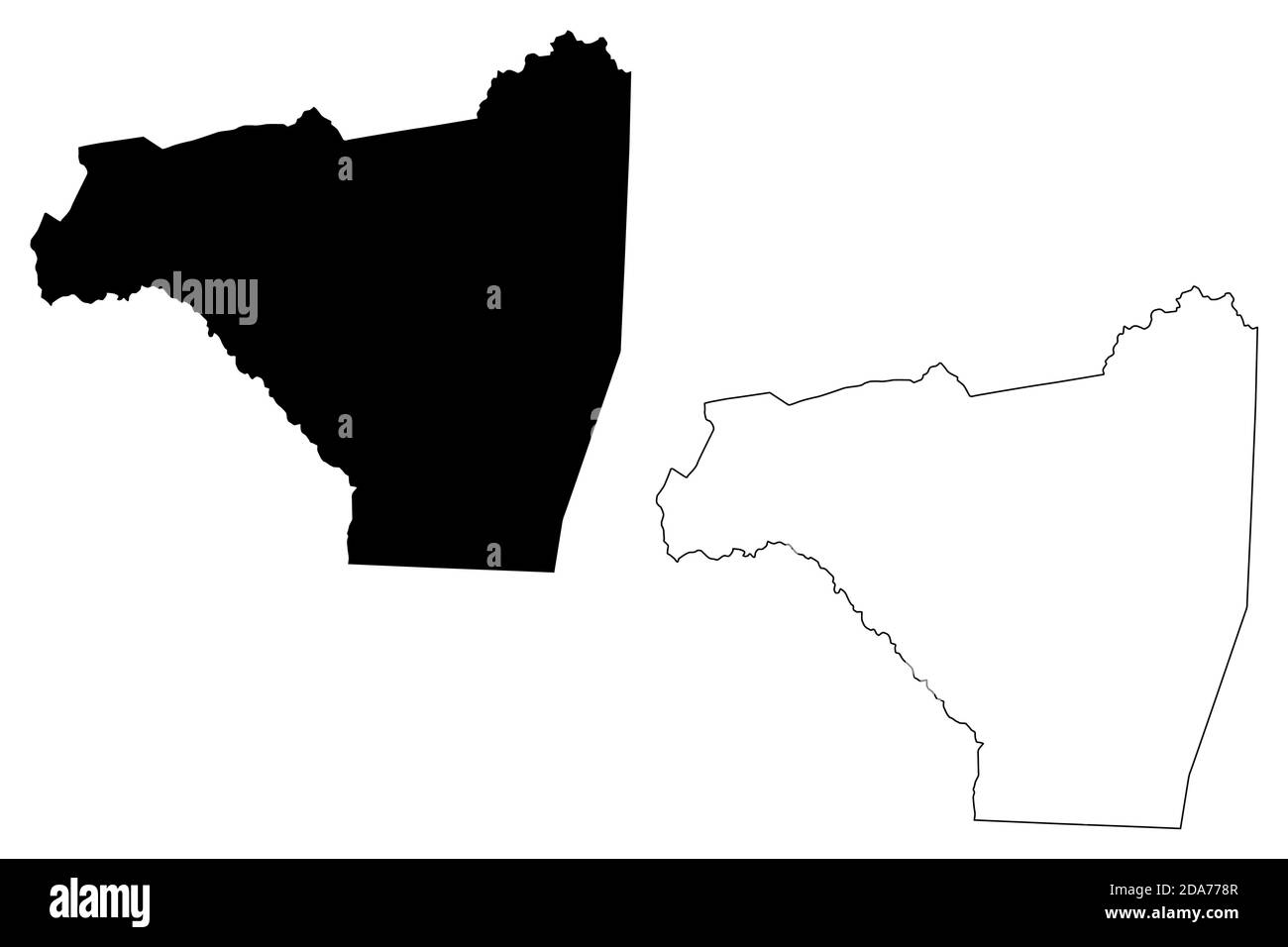 Rutherford County, North Carolina State (U.S. county, United States of America, USA, U.S., US) map vector illustration, scribble sketch Rutherford map Stock Vectorhttps://www.alamy.com/image-license-details/?v=1https://www.alamy.com/rutherford-county-north-carolina-state-us-county-united-states-of-america-usa-us-us-map-vector-illustration-scribble-sketch-rutherford-map-image384934055.html
RF2DA778R–Rutherford County, North Carolina State (U.S. county, United States of America, USA, U.S., US) map vector illustration, scribble sketch Rutherford map
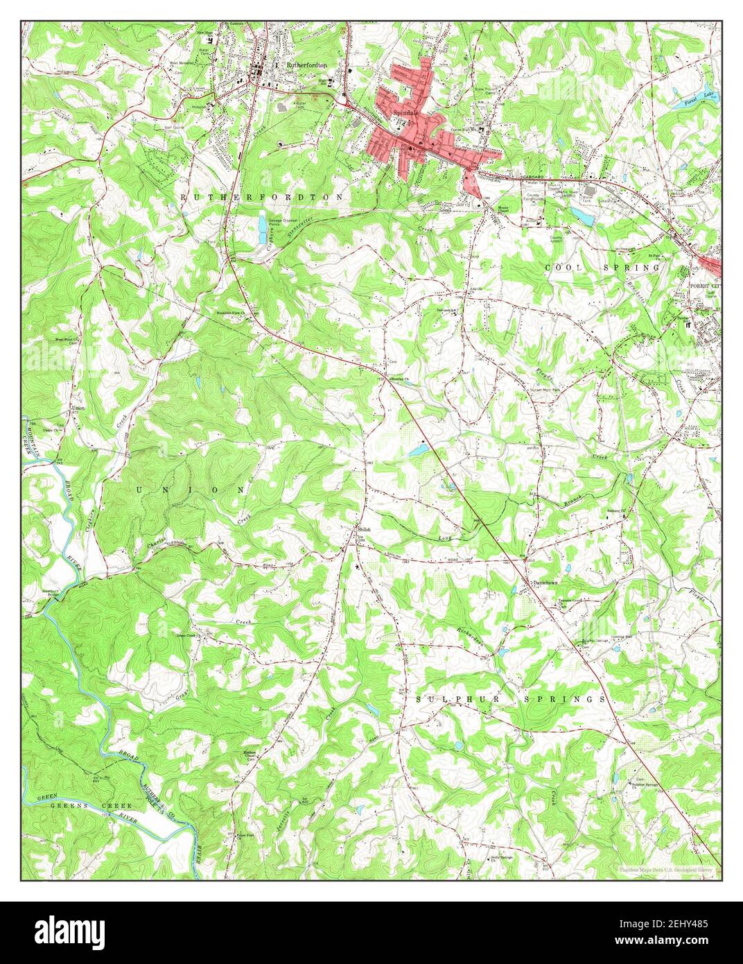 Rutherfordton South, North Carolina, map 1966, 1:24000, United States of America by Timeless Maps, data U.S. Geological Survey Stock Photohttps://www.alamy.com/image-license-details/?v=1https://www.alamy.com/rutherfordton-south-north-carolina-map-1966-124000-united-states-of-america-by-timeless-maps-data-us-geological-survey-image406883685.html
RM2EHY485–Rutherfordton South, North Carolina, map 1966, 1:24000, United States of America by Timeless Maps, data U.S. Geological Survey
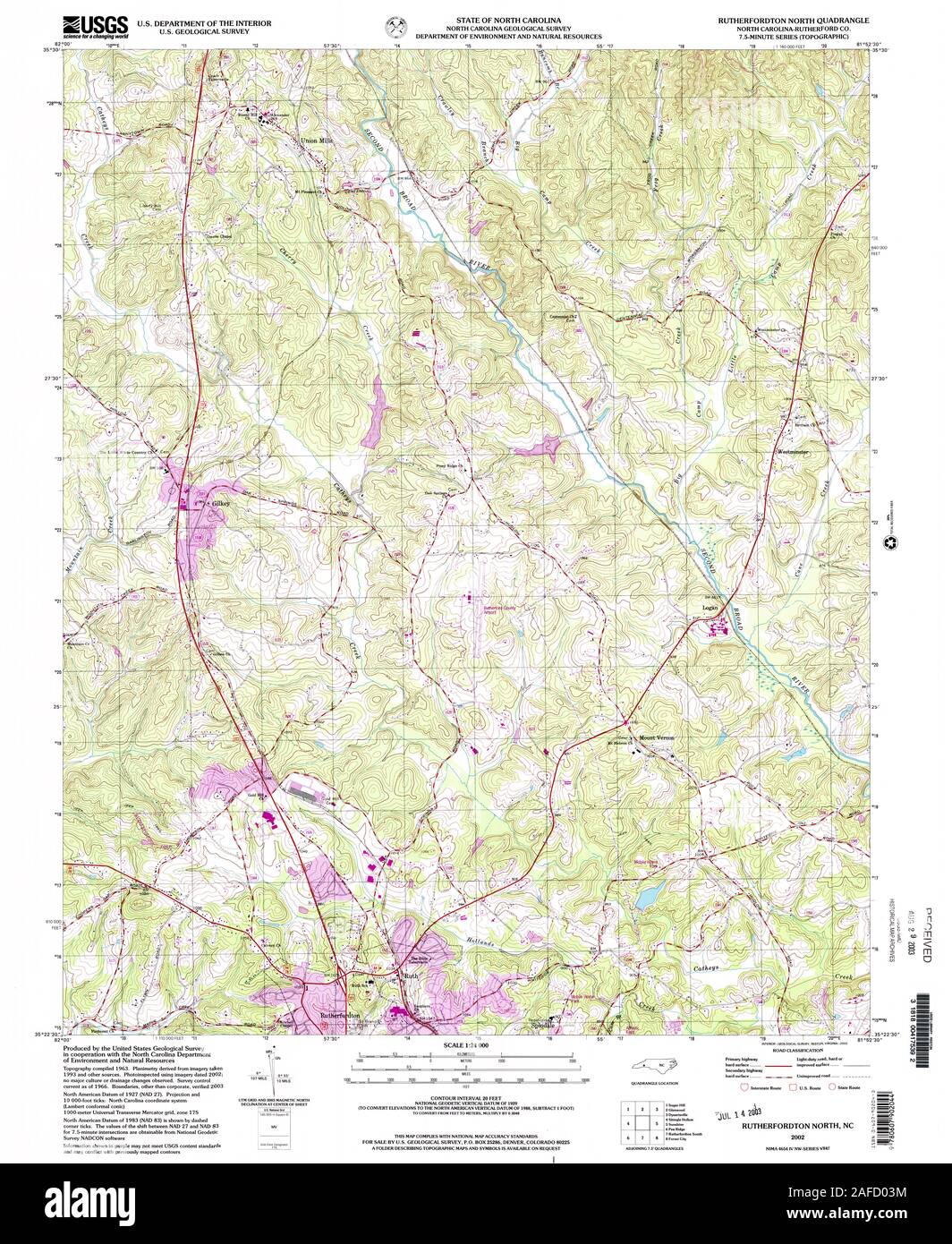 USGS TOPO Map North Carolina NC Rutherfordton North 163114 2002 24000 Restoration Stock Photohttps://www.alamy.com/image-license-details/?v=1https://www.alamy.com/usgs-topo-map-north-carolina-nc-rutherfordton-north-163114-2002-24000-restoration-image336502312.html
RM2AFD03M–USGS TOPO Map North Carolina NC Rutherfordton North 163114 2002 24000 Restoration
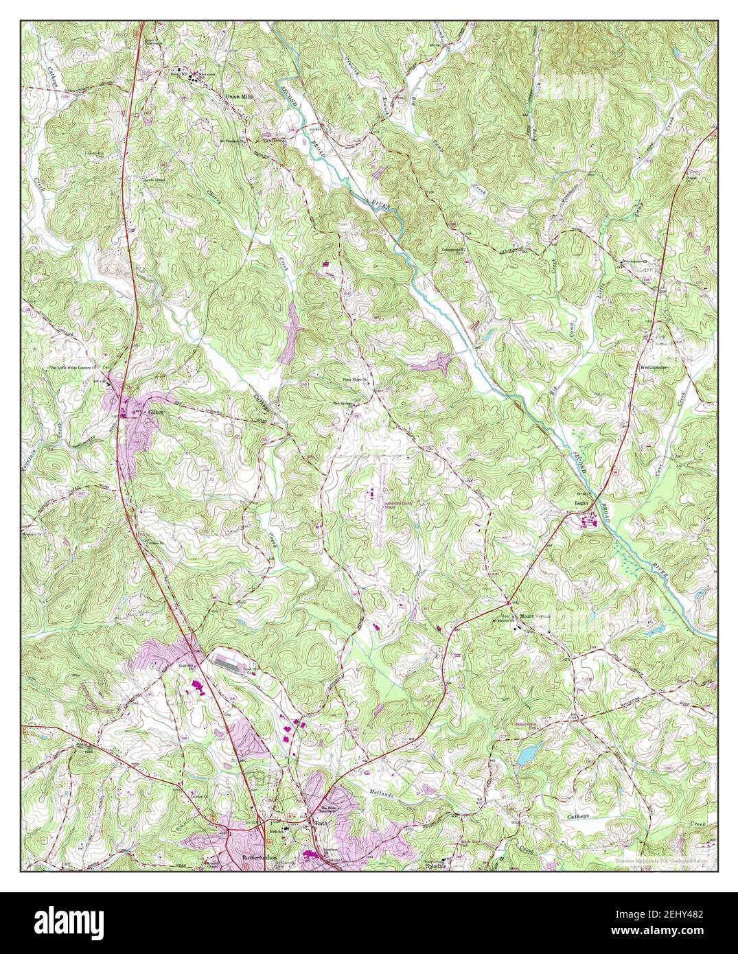 Rutherfordton North, North Carolina, map 1993, 1:24000, United States of America by Timeless Maps, data U.S. Geological Survey Stock Photohttps://www.alamy.com/image-license-details/?v=1https://www.alamy.com/rutherfordton-north-north-carolina-map-1993-124000-united-states-of-america-by-timeless-maps-data-us-geological-survey-image406883682.html
RM2EHY482–Rutherfordton North, North Carolina, map 1993, 1:24000, United States of America by Timeless Maps, data U.S. Geological Survey
 USGS TOPO Map North Carolina NC Rutherfordton South 163112 1993 24000 Restoration Stock Photohttps://www.alamy.com/image-license-details/?v=1https://www.alamy.com/usgs-topo-map-north-carolina-nc-rutherfordton-south-163112-1993-24000-restoration-image336502336.html
RM2AFD04G–USGS TOPO Map North Carolina NC Rutherfordton South 163112 1993 24000 Restoration
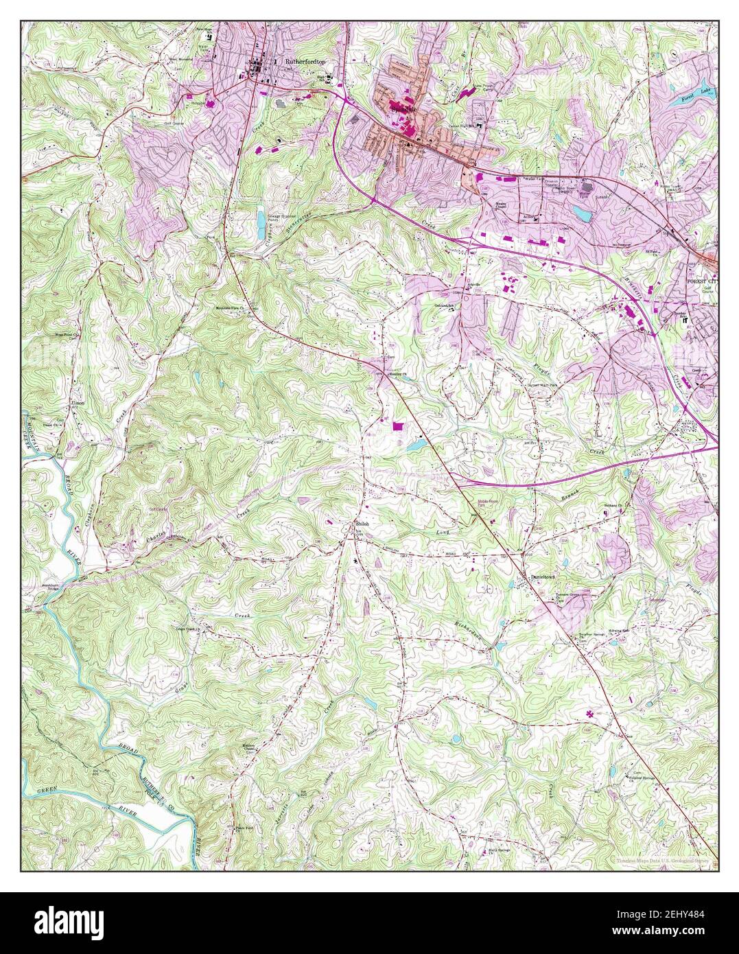 Rutherfordton South, North Carolina, map 1993, 1:24000, United States of America by Timeless Maps, data U.S. Geological Survey Stock Photohttps://www.alamy.com/image-license-details/?v=1https://www.alamy.com/rutherfordton-south-north-carolina-map-1993-124000-united-states-of-america-by-timeless-maps-data-us-geological-survey-image406883684.html
RM2EHY484–Rutherfordton South, North Carolina, map 1993, 1:24000, United States of America by Timeless Maps, data U.S. Geological Survey
 USGS TOPO Map North Carolina NC Rutherfordton North 163113 1993 24000 Restoration Stock Photohttps://www.alamy.com/image-license-details/?v=1https://www.alamy.com/usgs-topo-map-north-carolina-nc-rutherfordton-north-163113-1993-24000-restoration-image336502282.html
RM2AFD02J–USGS TOPO Map North Carolina NC Rutherfordton North 163113 1993 24000 Restoration
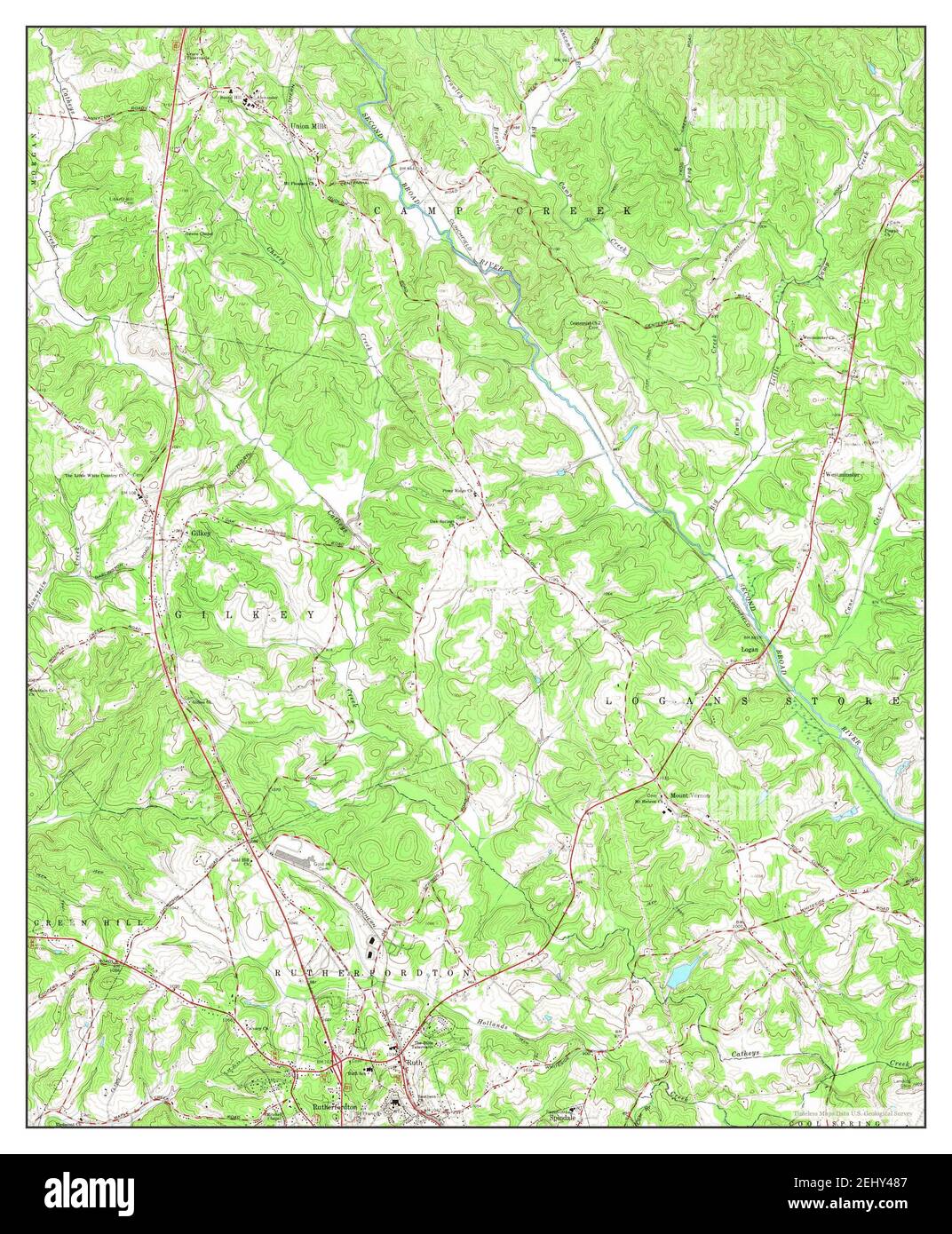 Rutherfordton North, North Carolina, map 1966, 1:24000, United States of America by Timeless Maps, data U.S. Geological Survey Stock Photohttps://www.alamy.com/image-license-details/?v=1https://www.alamy.com/rutherfordton-north-north-carolina-map-1966-124000-united-states-of-america-by-timeless-maps-data-us-geological-survey-image406883687.html
RM2EHY487–Rutherfordton North, North Carolina, map 1966, 1:24000, United States of America by Timeless Maps, data U.S. Geological Survey
 USGS TOPO Map North Carolina NC Rutherfordton South 164817 1966 24000 Restoration Stock Photohttps://www.alamy.com/image-license-details/?v=1https://www.alamy.com/usgs-topo-map-north-carolina-nc-rutherfordton-south-164817-1966-24000-restoration-image336502332.html
RM2AFD04C–USGS TOPO Map North Carolina NC Rutherfordton South 164817 1966 24000 Restoration