Sacramento delta california landscape Stock Photos and Images
(195)See sacramento delta california landscape stock video clipsSacramento delta california landscape Stock Photos and Images
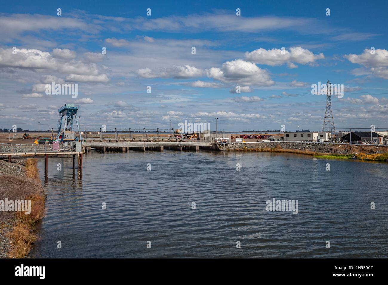 Clifton Court Forebay is a reservoir in the San Joaquin River Delta and is the intake point and start of the California Aqueduct for transport to Sout Stock Photohttps://www.alamy.com/image-license-details/?v=1https://www.alamy.com/clifton-court-forebay-is-a-reservoir-in-the-san-joaquin-river-delta-and-is-the-intake-point-and-start-of-the-california-aqueduct-for-transport-to-sout-image453309160.html
RM2H9E0CT–Clifton Court Forebay is a reservoir in the San Joaquin River Delta and is the intake point and start of the California Aqueduct for transport to Sout
 Dancing Crane, The Delta, California Stock Photohttps://www.alamy.com/image-license-details/?v=1https://www.alamy.com/dancing-crane-the-delta-california-image228499062.html
RMR7N0TP–Dancing Crane, The Delta, California
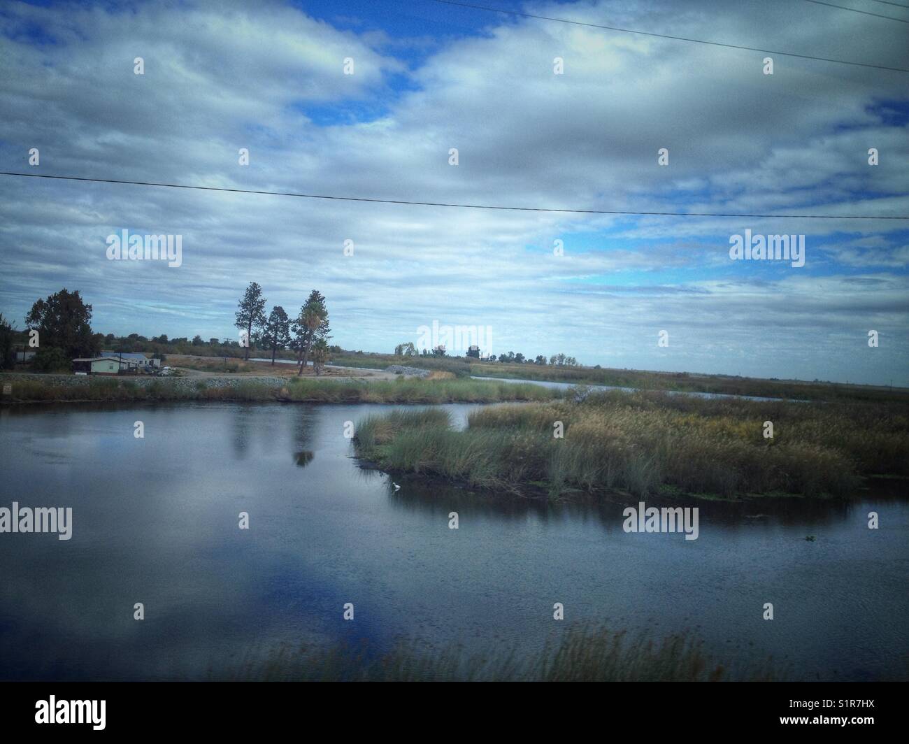 Sacramento-San Joaquin River Delta landscape. Stock Photohttps://www.alamy.com/image-license-details/?v=1https://www.alamy.com/stock-photo-sacramento-san-joaquin-river-delta-landscape-310912166.html
RFS1R7HX–Sacramento-San Joaquin River Delta landscape.
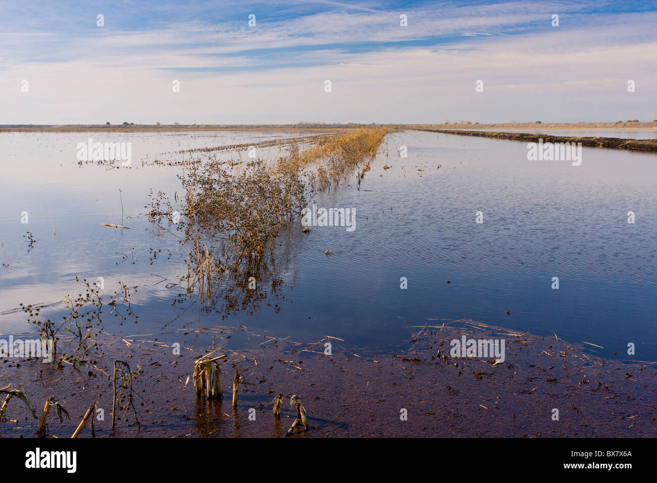 Maize (Corn) fields flooded in winter for Cranes, Swans and other birds, Staten Island, Sacramento Delta, north California. Stock Photohttps://www.alamy.com/image-license-details/?v=1https://www.alamy.com/stock-photo-maize-corn-fields-flooded-in-winter-for-cranes-swans-and-other-birds-33365650.html
RMBX7X6A–Maize (Corn) fields flooded in winter for Cranes, Swans and other birds, Staten Island, Sacramento Delta, north California.
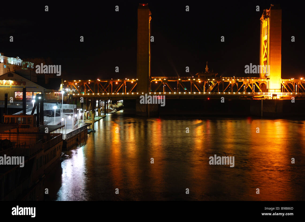 View of K Street Bridge and Sacramento River along Old Sacramento riverfront at night as seen from the Delta King riverboat Stock Photohttps://www.alamy.com/image-license-details/?v=1https://www.alamy.com/stock-photo-view-of-k-street-bridge-and-sacramento-river-along-old-sacramento-22990197.html
RMB9B86D–View of K Street Bridge and Sacramento River along Old Sacramento riverfront at night as seen from the Delta King riverboat
 San Luis Reservoir, Merced County, California Stock Photohttps://www.alamy.com/image-license-details/?v=1https://www.alamy.com/stock-photo-san-luis-reservoir-merced-county-california-92351733.html
RFFA6YG5–San Luis Reservoir, Merced County, California
 A large flock of migratory sandhill cranes (Antigone canadensis) grazing in an empty field in Cosumnes river preserve in Northern California. Stock Photohttps://www.alamy.com/image-license-details/?v=1https://www.alamy.com/a-large-flock-of-migratory-sandhill-cranes-antigone-canadensis-grazing-in-an-empty-field-in-cosumnes-river-preserve-in-northern-california-image407055217.html
RF2EJ6Y29–A large flock of migratory sandhill cranes (Antigone canadensis) grazing in an empty field in Cosumnes river preserve in Northern California.
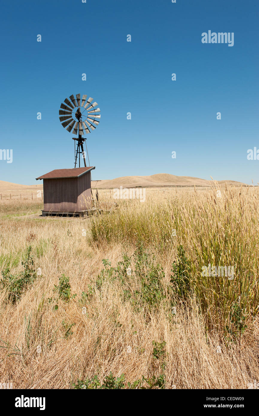 USA, California, Sacramento Delta, Suisun Marsh, Rush Ranch, nature reserve Stock Photohttps://www.alamy.com/image-license-details/?v=1https://www.alamy.com/stock-photo-usa-california-sacramento-delta-suisun-marsh-rush-ranch-nature-reserve-43330905.html
RMCEDW09–USA, California, Sacramento Delta, Suisun Marsh, Rush Ranch, nature reserve
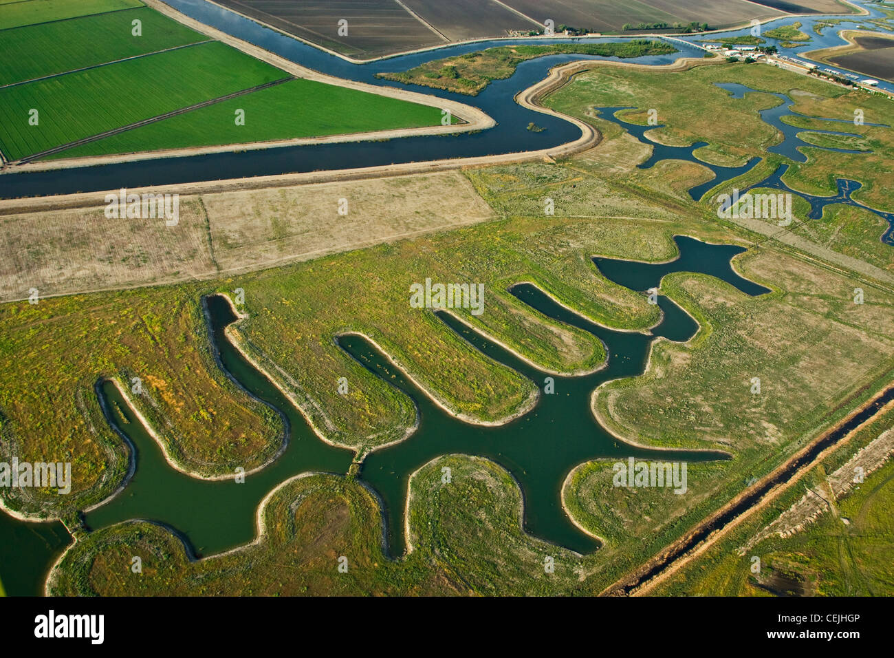 Aerial view of farmland, both cultivated and fallow, and river channels in the Sacramento-San Joaquin River Delta / California. Stock Photohttps://www.alamy.com/image-license-details/?v=1https://www.alamy.com/stock-photo-aerial-view-of-farmland-both-cultivated-and-fallow-and-river-channels-43434854.html
RMCEJHGP–Aerial view of farmland, both cultivated and fallow, and river channels in the Sacramento-San Joaquin River Delta / California.
 Oak trees on mountain ridge with Sacramento delta farmlands behind. View taken from Blue Ridge trail above Lake Berrryessa near Napa California. Stock Photohttps://www.alamy.com/image-license-details/?v=1https://www.alamy.com/oak-trees-on-mountain-ridge-with-sacramento-delta-farmlands-behind-view-taken-from-blue-ridge-trail-above-lake-berrryessa-near-napa-california-image636410600.html
RF2YYB060–Oak trees on mountain ridge with Sacramento delta farmlands behind. View taken from Blue Ridge trail above Lake Berrryessa near Napa California.
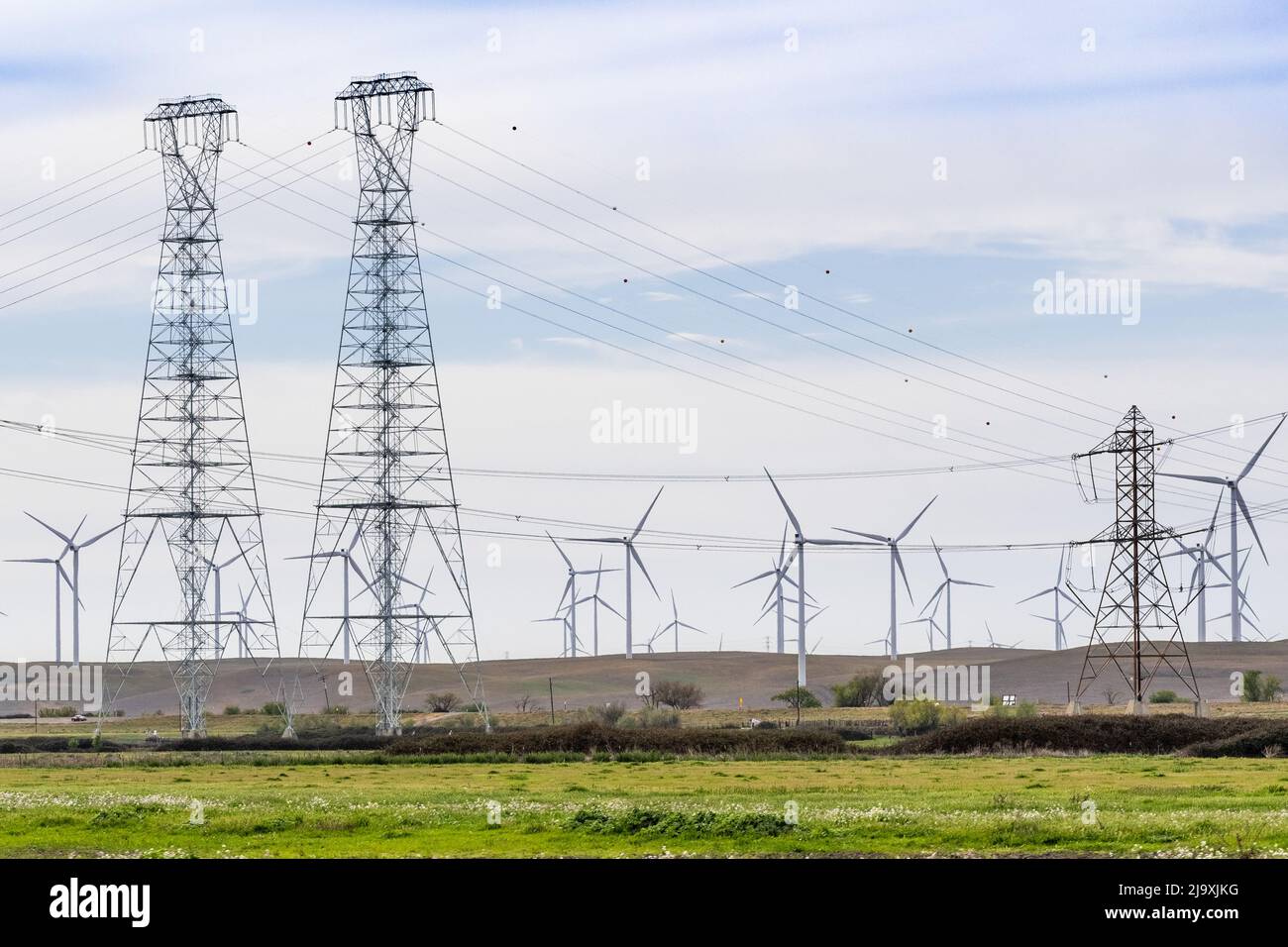 High voltage electricity towers and lines crossing the Sacramento-San Joaquin Delta; Wind turbines visible on the hills in the background; Solano Coun Stock Photohttps://www.alamy.com/image-license-details/?v=1https://www.alamy.com/high-voltage-electricity-towers-and-lines-crossing-the-sacramento-san-joaquin-delta-wind-turbines-visible-on-the-hills-in-the-background-solano-coun-image470797252.html
RF2J9XJKG–High voltage electricity towers and lines crossing the Sacramento-San Joaquin Delta; Wind turbines visible on the hills in the background; Solano Coun
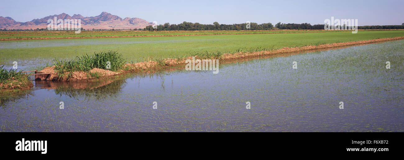 In California's Sacramento River Delta, young rice plants are just emerging in the flooded fields in late spring Stock Photohttps://www.alamy.com/image-license-details/?v=1https://www.alamy.com/stock-photo-in-californias-sacramento-river-delta-young-rice-plants-are-just-emerging-90319350.html
RFF6XB72–In California's Sacramento River Delta, young rice plants are just emerging in the flooded fields in late spring
 Mount Diablo via Marsh Creek Reservoir near Brentwood, Contra Costa County, California, USA. Stock Photohttps://www.alamy.com/image-license-details/?v=1https://www.alamy.com/mount-diablo-via-marsh-creek-reservoir-near-brentwood-contra-costa-county-california-usa-image457054135.html
RF2HFGH5Y–Mount Diablo via Marsh Creek Reservoir near Brentwood, Contra Costa County, California, USA.
 Waterfowl wintering on the ponds of Llano Seco Unit, Sacramento National Wildlife Refuge, California Stock Photohttps://www.alamy.com/image-license-details/?v=1https://www.alamy.com/waterfowl-wintering-on-the-ponds-of-llano-seco-unit-sacramento-national-wildlife-refuge-california-image232262173.html
RFRDTCNH–Waterfowl wintering on the ponds of Llano Seco Unit, Sacramento National Wildlife Refuge, California
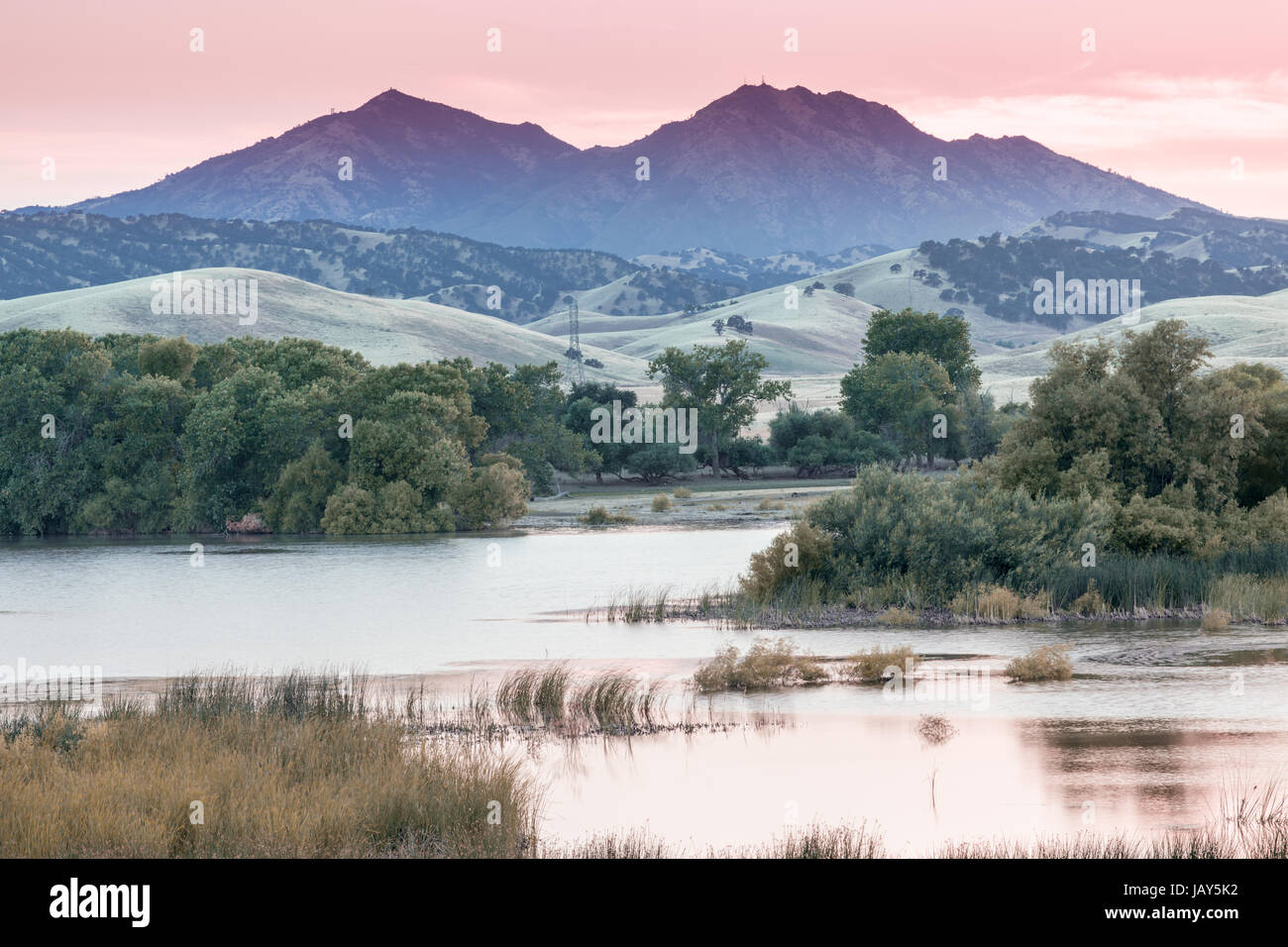 Mount Diablo Sunset from Marsh Creek Reservoir. Stock Photohttps://www.alamy.com/image-license-details/?v=1https://www.alamy.com/stock-photo-mount-diablo-sunset-from-marsh-creek-reservoir-144426662.html
RFJAY5K2–Mount Diablo Sunset from Marsh Creek Reservoir.
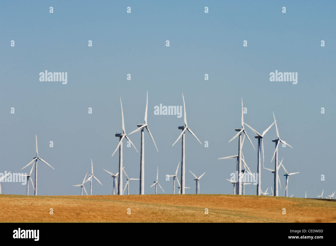 USA, California, Sacramento Delta, Montezuma Hills wind farms Stock Photohttps://www.alamy.com/image-license-details/?v=1https://www.alamy.com/stock-photo-usa-california-sacramento-delta-montezuma-hills-wind-farms-43330909.html
RMCEDW0D–USA, California, Sacramento Delta, Montezuma Hills wind farms
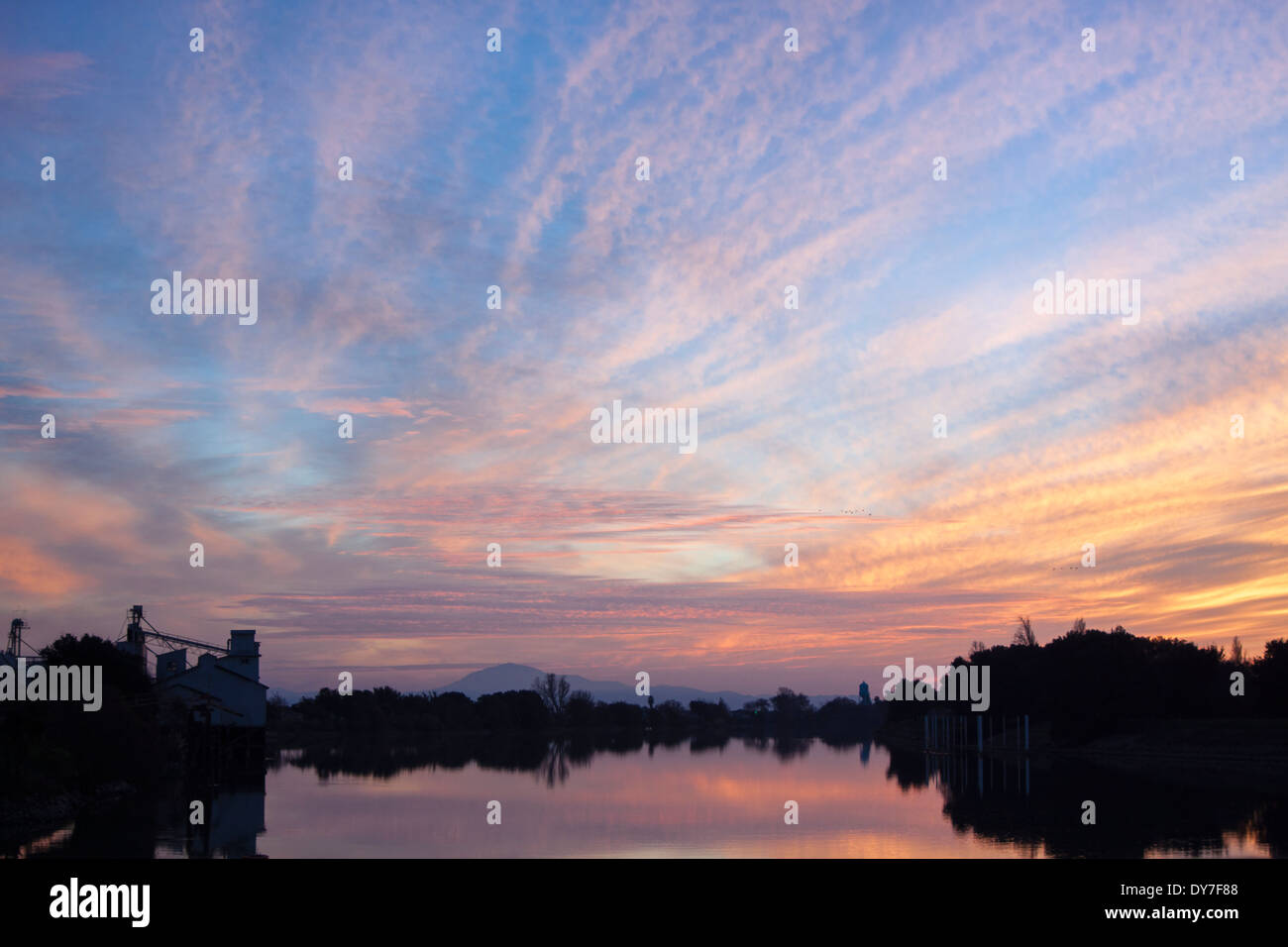 Sunset over water in the Sacramento River Delta. Stock Photohttps://www.alamy.com/image-license-details/?v=1https://www.alamy.com/sunset-over-water-in-the-sacramento-river-delta-image68392472.html
RFDY7F88–Sunset over water in the Sacramento River Delta.
 San Luis Reservoir Views in Autumn. Stock Photohttps://www.alamy.com/image-license-details/?v=1https://www.alamy.com/stock-image-san-luis-reservoir-views-in-autumn-166606854.html
RFKK1GMP–San Luis Reservoir Views in Autumn.
 A metal bridge surrounded by lush trees Stock Photohttps://www.alamy.com/image-license-details/?v=1https://www.alamy.com/a-metal-bridge-surrounded-by-lush-trees-image593179720.html
RF2WD1JP0–A metal bridge surrounded by lush trees
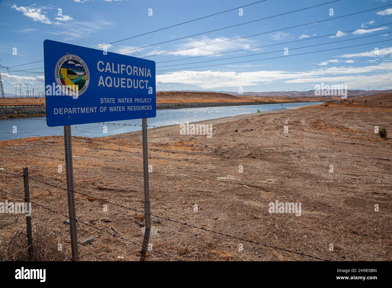 Clifton Court Forebay is a reservoir in the San Joaquin River Delta and is the intake point and start of the California Aqueduct for transport to Sout Stock Photohttps://www.alamy.com/image-license-details/?v=1https://www.alamy.com/clifton-court-forebay-is-a-reservoir-in-the-san-joaquin-river-delta-and-is-the-intake-point-and-start-of-the-california-aqueduct-for-transport-to-sout-image453309129.html
RM2H9E0BN–Clifton Court Forebay is a reservoir in the San Joaquin River Delta and is the intake point and start of the California Aqueduct for transport to Sout
 Dancing Crane, The Delta, California Stock Photohttps://www.alamy.com/image-license-details/?v=1https://www.alamy.com/dancing-crane-the-delta-california-image228284053.html
RMR7B6HW–Dancing Crane, The Delta, California
 Brown trees reflected in the water with a clear sky Stock Photohttps://www.alamy.com/image-license-details/?v=1https://www.alamy.com/brown-trees-reflected-in-the-water-with-a-clear-sky-image608734384.html
RF2XAA6WM–Brown trees reflected in the water with a clear sky
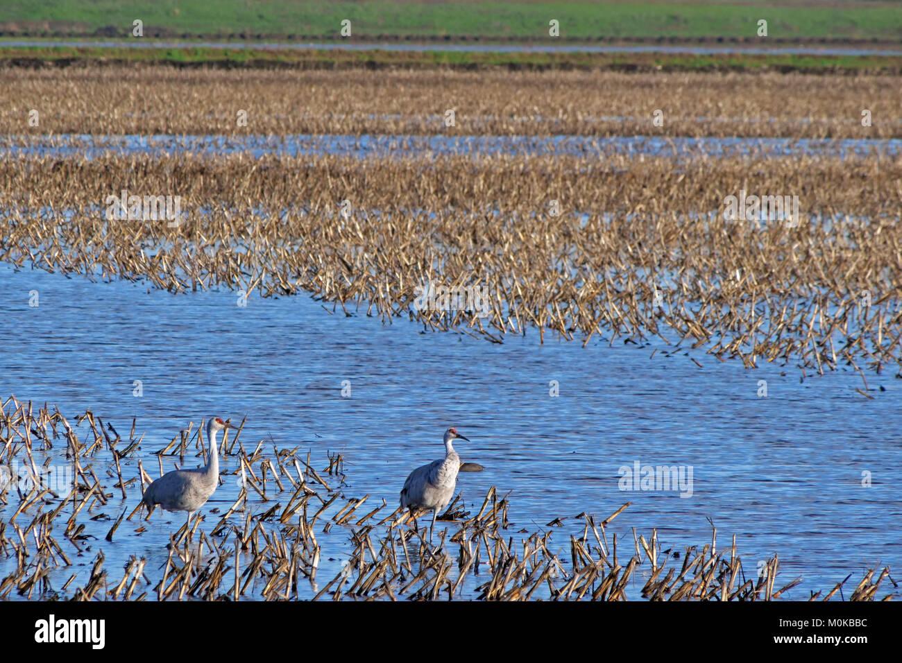 Sunset over Staten Island Preserve, The Delta, California Stock Photohttps://www.alamy.com/image-license-details/?v=1https://www.alamy.com/stock-photo-sunset-over-staten-island-preserve-the-delta-california-172529712.html
RMM0KBBC–Sunset over Staten Island Preserve, The Delta, California
 Man fishing on riverbank in the middle of the water Stock Photohttps://www.alamy.com/image-license-details/?v=1https://www.alamy.com/man-fishing-on-riverbank-in-the-middle-of-the-water-image599596674.html
RF2WRDYJX–Man fishing on riverbank in the middle of the water
 Main street sign in English and Chinese in historic town of Locke, California. Stock Photohttps://www.alamy.com/image-license-details/?v=1https://www.alamy.com/stock-photo-main-street-sign-in-english-and-chinese-in-historic-town-of-locke-51708023.html
RMD03E33–Main street sign in English and Chinese in historic town of Locke, California.
 A large flock of migratory sandhill cranes (Antigone canadensis) grazing in an empty field in Cosumnes river preserve in Northern California. Stock Photohttps://www.alamy.com/image-license-details/?v=1https://www.alamy.com/a-large-flock-of-migratory-sandhill-cranes-antigone-canadensis-grazing-in-an-empty-field-in-cosumnes-river-preserve-in-northern-california-image407055229.html
RF2EJ6Y2N–A large flock of migratory sandhill cranes (Antigone canadensis) grazing in an empty field in Cosumnes river preserve in Northern California.
 The shores of San Luis Reservoir with the Central Valley (aerial view), Los Banos CA Stock Photohttps://www.alamy.com/image-license-details/?v=1https://www.alamy.com/the-shores-of-san-luis-reservoir-with-the-central-valley-aerial-view-los-banos-ca-image433610866.html
RM2G5CK2A–The shores of San Luis Reservoir with the Central Valley (aerial view), Los Banos CA
 Aerial view of an ocean going grain ship transiting the deep water channel in the Sacramento-San Joaquin River Delta /California Stock Photohttps://www.alamy.com/image-license-details/?v=1https://www.alamy.com/stock-photo-aerial-view-of-an-ocean-going-grain-ship-transiting-the-deep-water-43437505.html
RMCEJMYD–Aerial view of an ocean going grain ship transiting the deep water channel in the Sacramento-San Joaquin River Delta /California
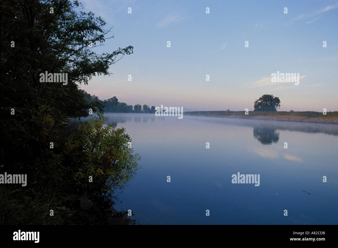 California, Delta, Sacramento River and morning fog Stock Photohttps://www.alamy.com/image-license-details/?v=1https://www.alamy.com/california-delta-sacramento-river-and-morning-fog-image535771.html
RMA82CDB–California, Delta, Sacramento River and morning fog
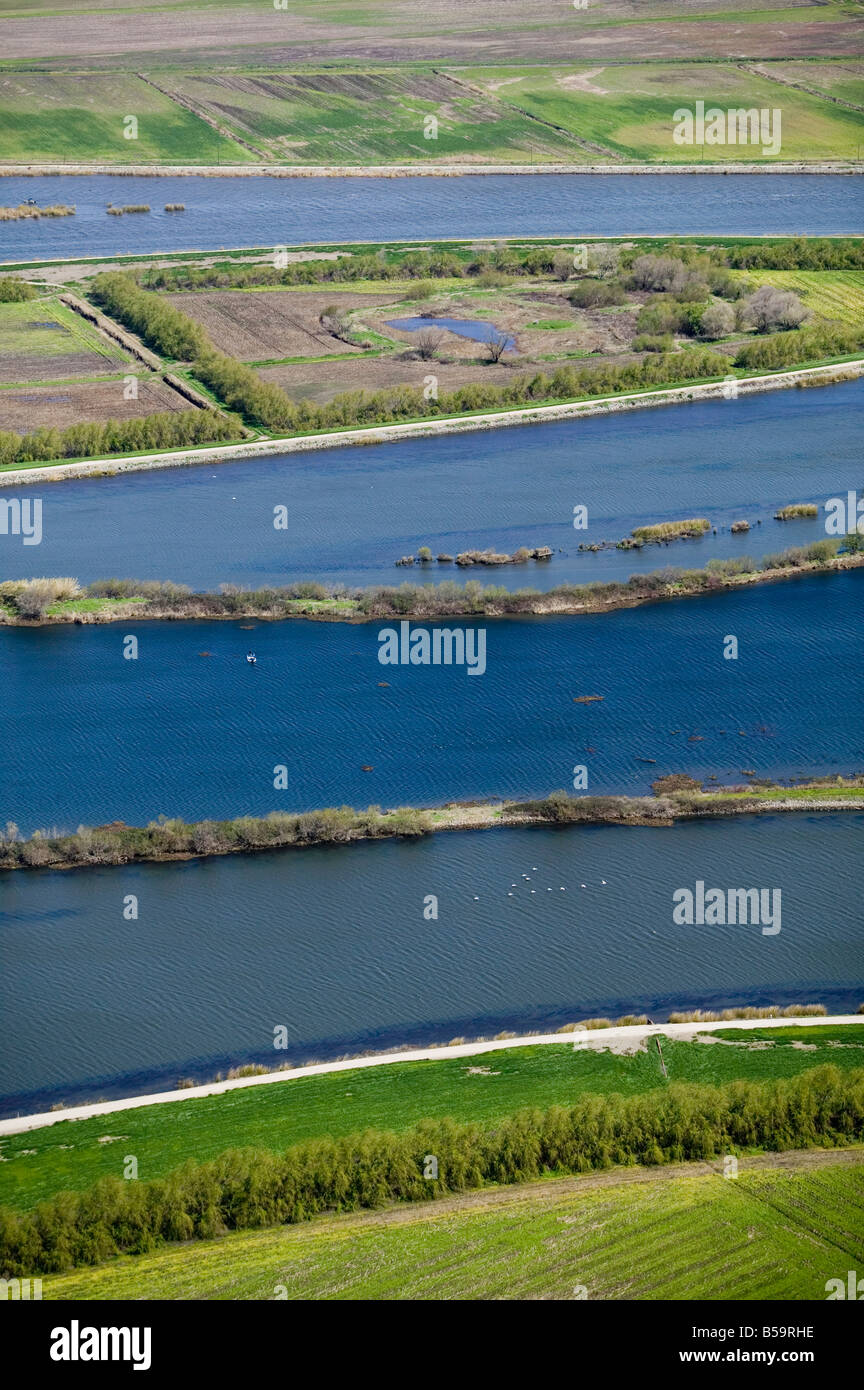 aerial view above levees Sacramento San Joaquin river delta California Stock Photohttps://www.alamy.com/image-license-details/?v=1https://www.alamy.com/stock-photo-aerial-view-above-levees-sacramento-san-joaquin-river-delta-california-20499738.html
RMB59RHE–aerial view above levees Sacramento San Joaquin river delta California
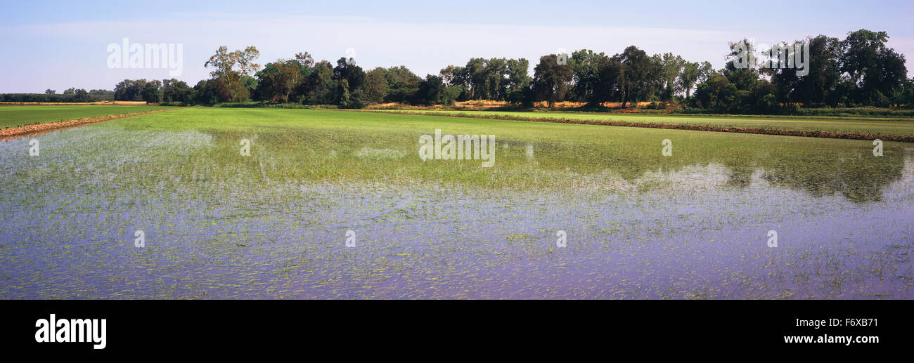 In California's Sacramento River Delta, young rice plants are just emerging in the flooded fields in late spring Stock Photohttps://www.alamy.com/image-license-details/?v=1https://www.alamy.com/stock-photo-in-californias-sacramento-river-delta-young-rice-plants-are-just-emerging-90319349.html
RFF6XB71–In California's Sacramento River Delta, young rice plants are just emerging in the flooded fields in late spring
 The California Aqueduct near Gustine California at sunset in November 2017 Stock Photohttps://www.alamy.com/image-license-details/?v=1https://www.alamy.com/stock-image-the-california-aqueduct-near-gustine-california-at-sunset-in-november-166615106.html
RMKK1Y7E–The California Aqueduct near Gustine California at sunset in November 2017
 Panoramic view of the ponds of Sacramento National Wildlife Refuge, California Stock Photohttps://www.alamy.com/image-license-details/?v=1https://www.alamy.com/panoramic-view-of-the-ponds-of-sacramento-national-wildlife-refuge-california-image232262158.html
RFRDTCN2–Panoramic view of the ponds of Sacramento National Wildlife Refuge, California
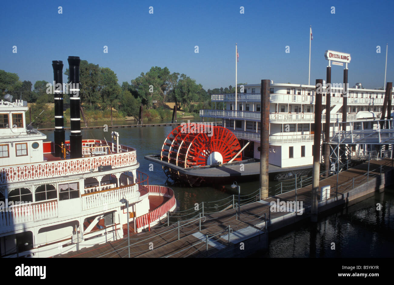 Old paddlesteamers, Old Sacramento Quarter, Sacramento, California, America, USA Stock Photohttps://www.alamy.com/image-license-details/?v=1https://www.alamy.com/stock-photo-old-paddlesteamers-old-sacramento-quarter-sacramento-california-america-20892027.html
RMB5YKYR–Old paddlesteamers, Old Sacramento Quarter, Sacramento, California, America, USA
 USA, California, Sacramento Delta, Suisun Marsh, Rush Ranch, hut and windmill Stock Photohttps://www.alamy.com/image-license-details/?v=1https://www.alamy.com/usa-california-sacramento-delta-suisun-marsh-rush-ranch-hut-and-windmill-image216267115.html
RMPFRPWF–USA, California, Sacramento Delta, Suisun Marsh, Rush Ranch, hut and windmill
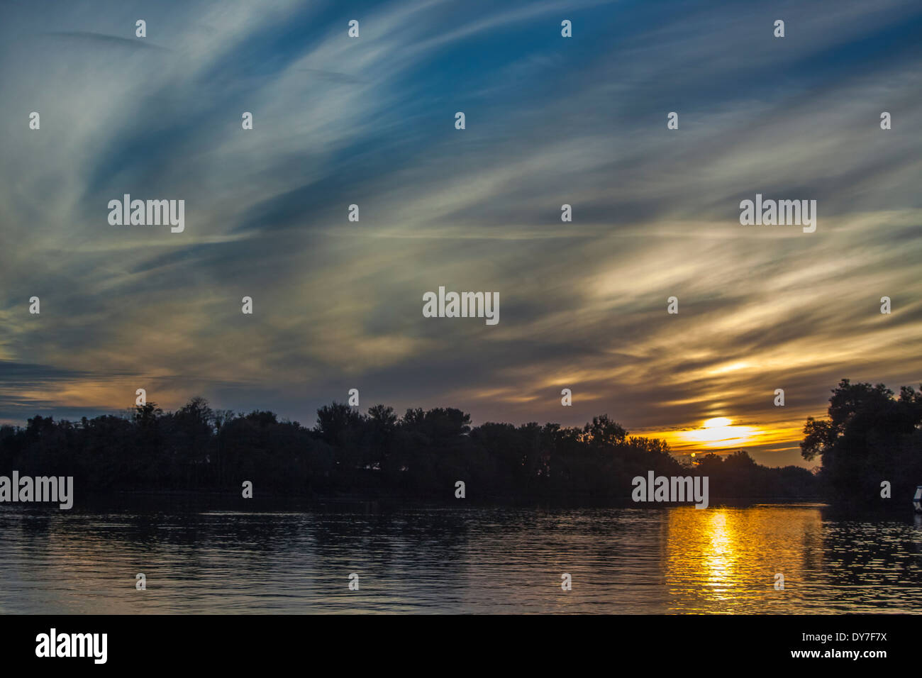 Dusk over the river Stock Photohttps://www.alamy.com/image-license-details/?v=1https://www.alamy.com/dusk-over-the-river-image68392462.html
RFDY7F7X–Dusk over the river
 Windmills in the Sacramento Delta region of California, near Birds Landing and Suisun City. Stock Photohttps://www.alamy.com/image-license-details/?v=1https://www.alamy.com/stock-photo-windmills-in-the-sacramento-delta-region-of-california-near-birds-33671387.html
RFBXNT5F–Windmills in the Sacramento Delta region of California, near Birds Landing and Suisun City.
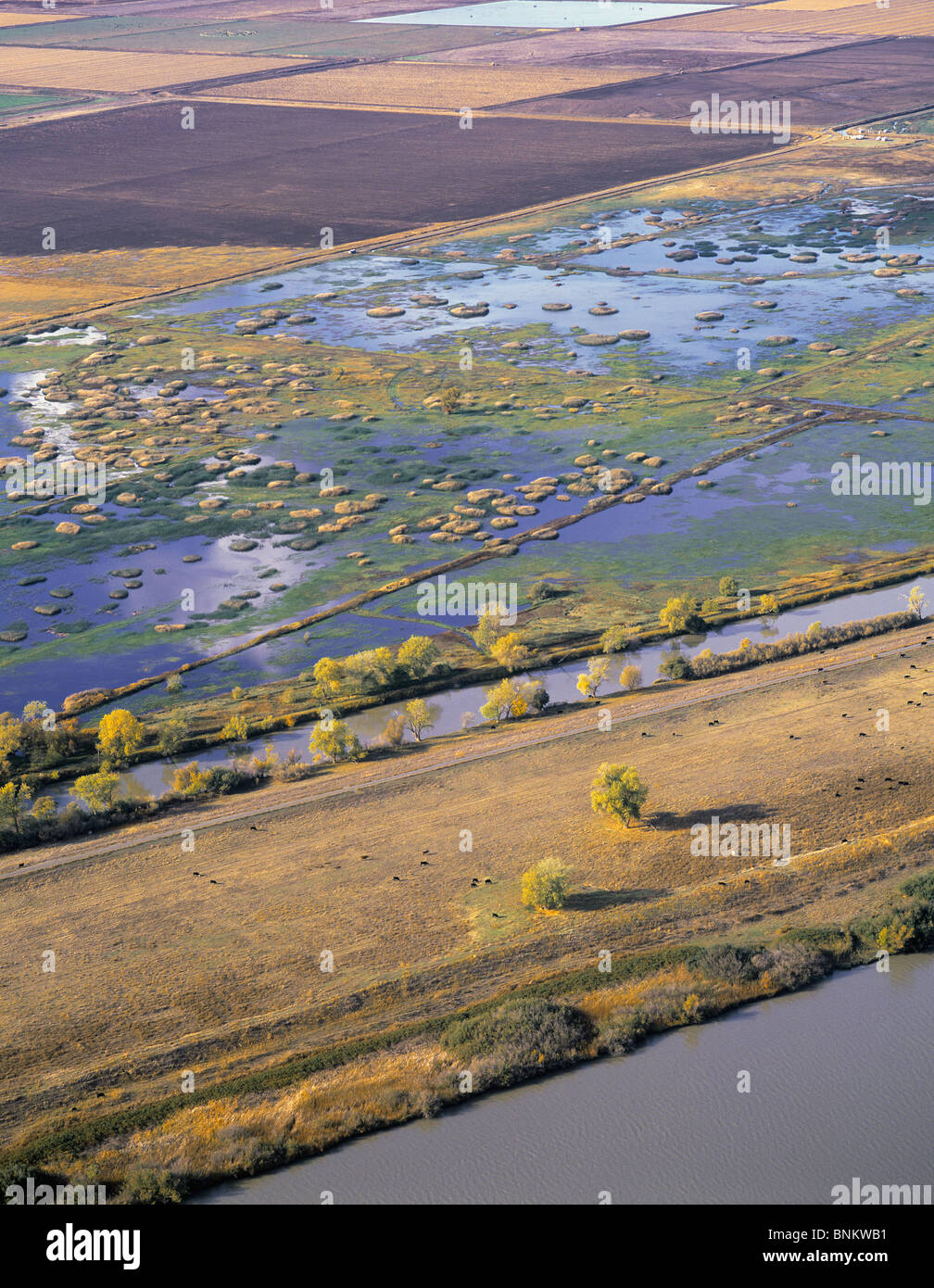 aerial view above Sacramento San Joaquin river delta, northern California Stock Photohttps://www.alamy.com/image-license-details/?v=1https://www.alamy.com/stock-photo-aerial-view-above-sacramento-san-joaquin-river-delta-northern-california-30555141.html
RMBNKWB1–aerial view above Sacramento San Joaquin river delta, northern California
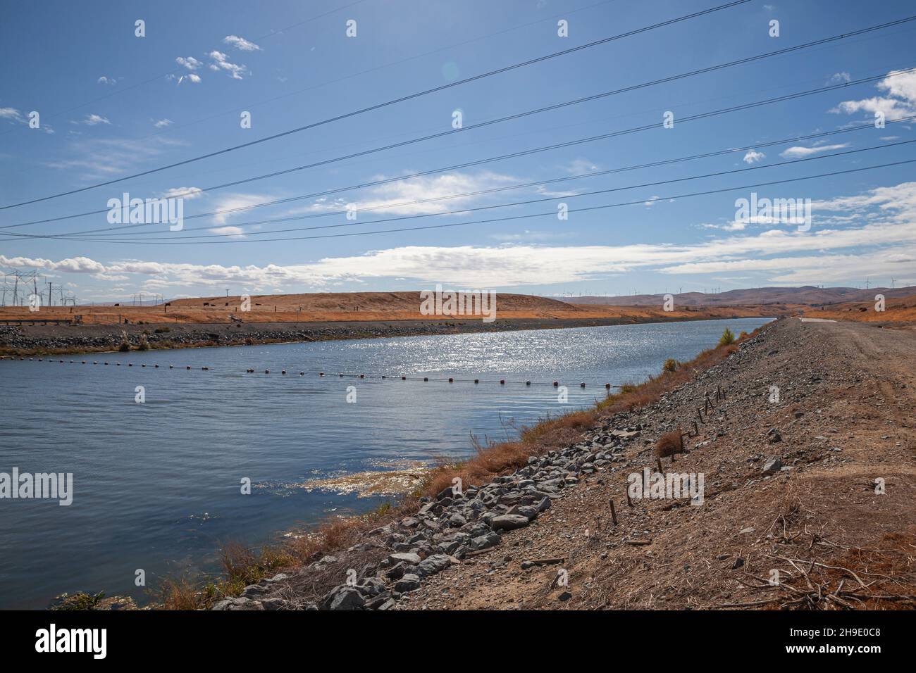 Clifton Court Forebay is a reservoir in the San Joaquin River Delta and is the intake point and start of the California Aqueduct for transport to Sout Stock Photohttps://www.alamy.com/image-license-details/?v=1https://www.alamy.com/clifton-court-forebay-is-a-reservoir-in-the-san-joaquin-river-delta-and-is-the-intake-point-and-start-of-the-california-aqueduct-for-transport-to-sout-image453309144.html
RM2H9E0C8–Clifton Court Forebay is a reservoir in the San Joaquin River Delta and is the intake point and start of the California Aqueduct for transport to Sout
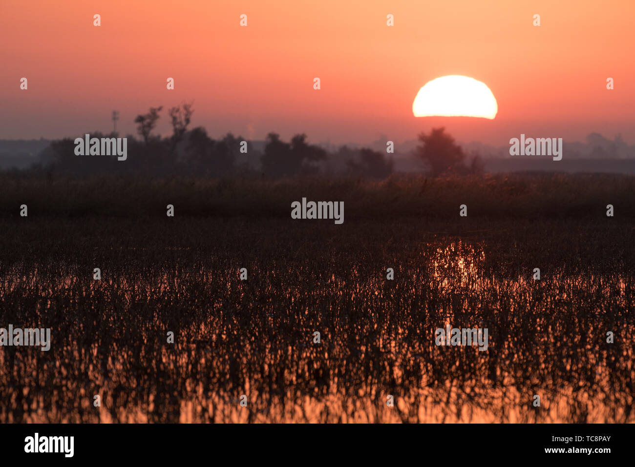 Sun rise over flooded rise fields Stock Photohttps://www.alamy.com/image-license-details/?v=1https://www.alamy.com/sun-rise-over-flooded-rise-fields-image248514195.html
RFTC8PAY–Sun rise over flooded rise fields
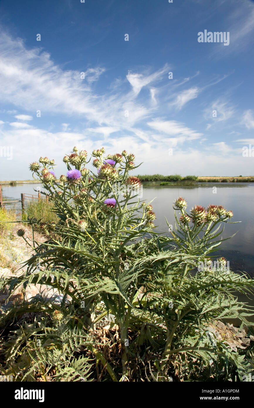 Artichoke plant flowering, growing wild, Sacramento River Delta, California Stock Photohttps://www.alamy.com/image-license-details/?v=1https://www.alamy.com/stock-photo-artichoke-plant-flowering-growing-wild-sacramento-river-delta-california-10255999.html
RMA1GPDM–Artichoke plant flowering, growing wild, Sacramento River Delta, California
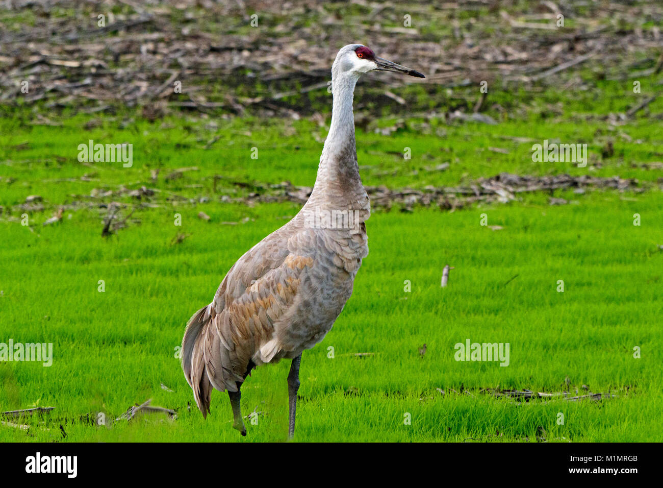 Sandhill Crane in Staten Island Preserve, The Delta, Lodi, California Stock Photohttps://www.alamy.com/image-license-details/?v=1https://www.alamy.com/stock-photo-sandhill-crane-in-staten-island-preserve-the-delta-lodi-california-173175867.html
RMM1MRGB–Sandhill Crane in Staten Island Preserve, The Delta, Lodi, California
 USA, California, Oakley, on the Sacramento Delta, empty grocery cart in field (Large format sizes available) Stock Photohttps://www.alamy.com/image-license-details/?v=1https://www.alamy.com/stock-photo-usa-california-oakley-on-the-sacramento-delta-empty-grocery-cart-in-139269934.html
RFJ2G866–USA, California, Oakley, on the Sacramento Delta, empty grocery cart in field (Large format sizes available)
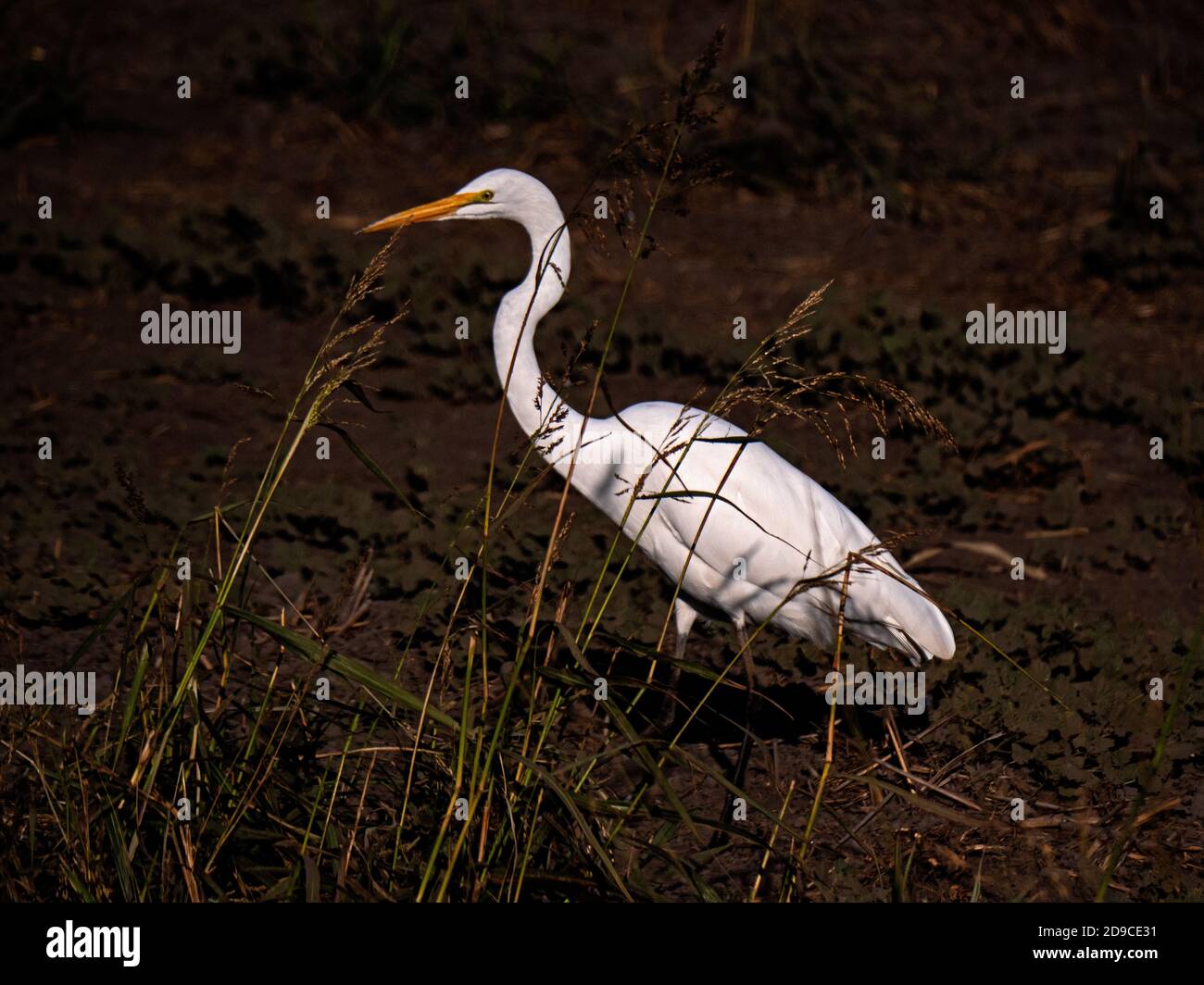 White Egret in Staten Island Preserve, California Stock Photohttps://www.alamy.com/image-license-details/?v=1https://www.alamy.com/white-egret-in-staten-island-preserve-california-image384434485.html
RM2D9CE31–White Egret in Staten Island Preserve, California
 A sandhill crane (Antigone canadensis) standing in front of an empty field in the central valley of California. Stock Photohttps://www.alamy.com/image-license-details/?v=1https://www.alamy.com/a-sandhill-crane-antigone-canadensis-standing-in-front-of-an-empty-field-in-the-central-valley-of-california-image407055242.html
RF2EJ6Y36–A sandhill crane (Antigone canadensis) standing in front of an empty field in the central valley of California.
 Blue Heron in Staten Island Preserve, California Stock Photohttps://www.alamy.com/image-license-details/?v=1https://www.alamy.com/blue-heron-in-staten-island-preserve-california-image383063622.html
RM2D761FJ–Blue Heron in Staten Island Preserve, California
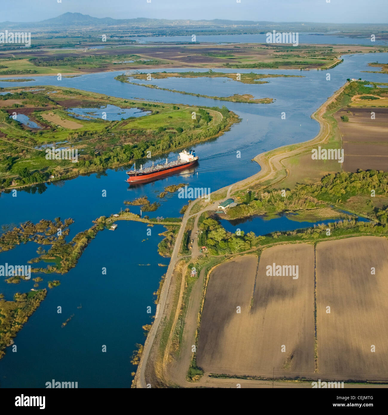 Aerial view of an ocean going grain ship transiting the deep water channel in the Sacramento-San Joaquin River Delta /California Stock Photohttps://www.alamy.com/image-license-details/?v=1https://www.alamy.com/stock-photo-aerial-view-of-an-ocean-going-grain-ship-transiting-the-deep-water-43437424.html
RMCEJMTG–Aerial view of an ocean going grain ship transiting the deep water channel in the Sacramento-San Joaquin River Delta /California
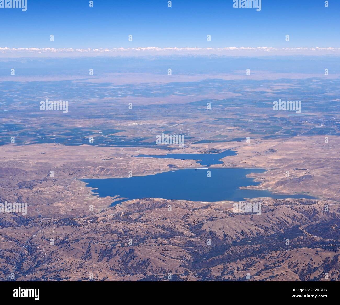 The shores of San Luis Reservoir with the Central Valley (aerial view), Los Banos CA Stock Photohttps://www.alamy.com/image-license-details/?v=1https://www.alamy.com/the-shores-of-san-luis-reservoir-with-the-central-valley-aerial-view-los-banos-ca-image433664703.html
RM2G5F3N3–The shores of San Luis Reservoir with the Central Valley (aerial view), Los Banos CA
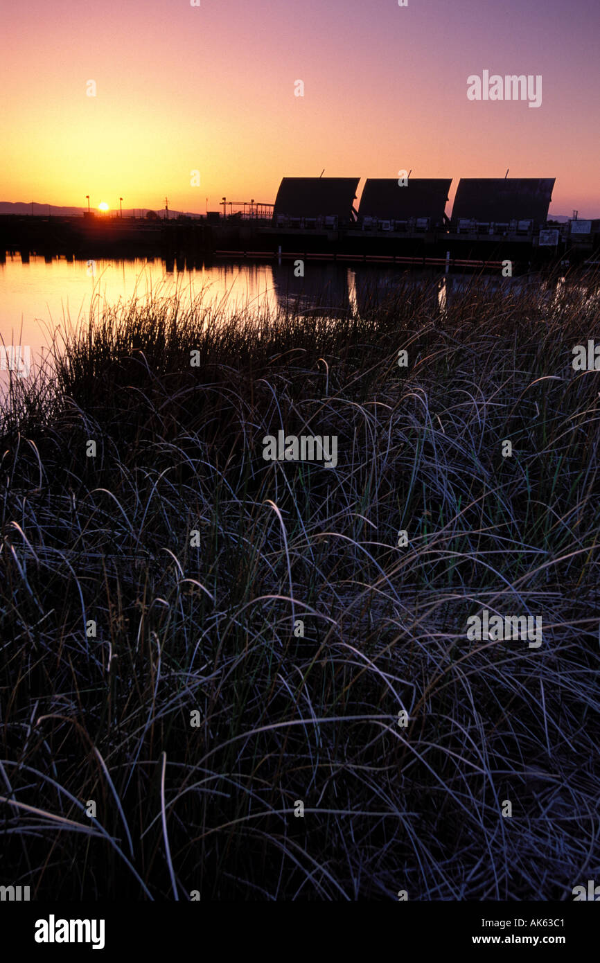 California, Solano County, Montezuma Slough tidal gates Stock Photohttps://www.alamy.com/image-license-details/?v=1https://www.alamy.com/california-solano-county-montezuma-slough-tidal-gates-image1270720.html
RMAK63C1–California, Solano County, Montezuma Slough tidal gates
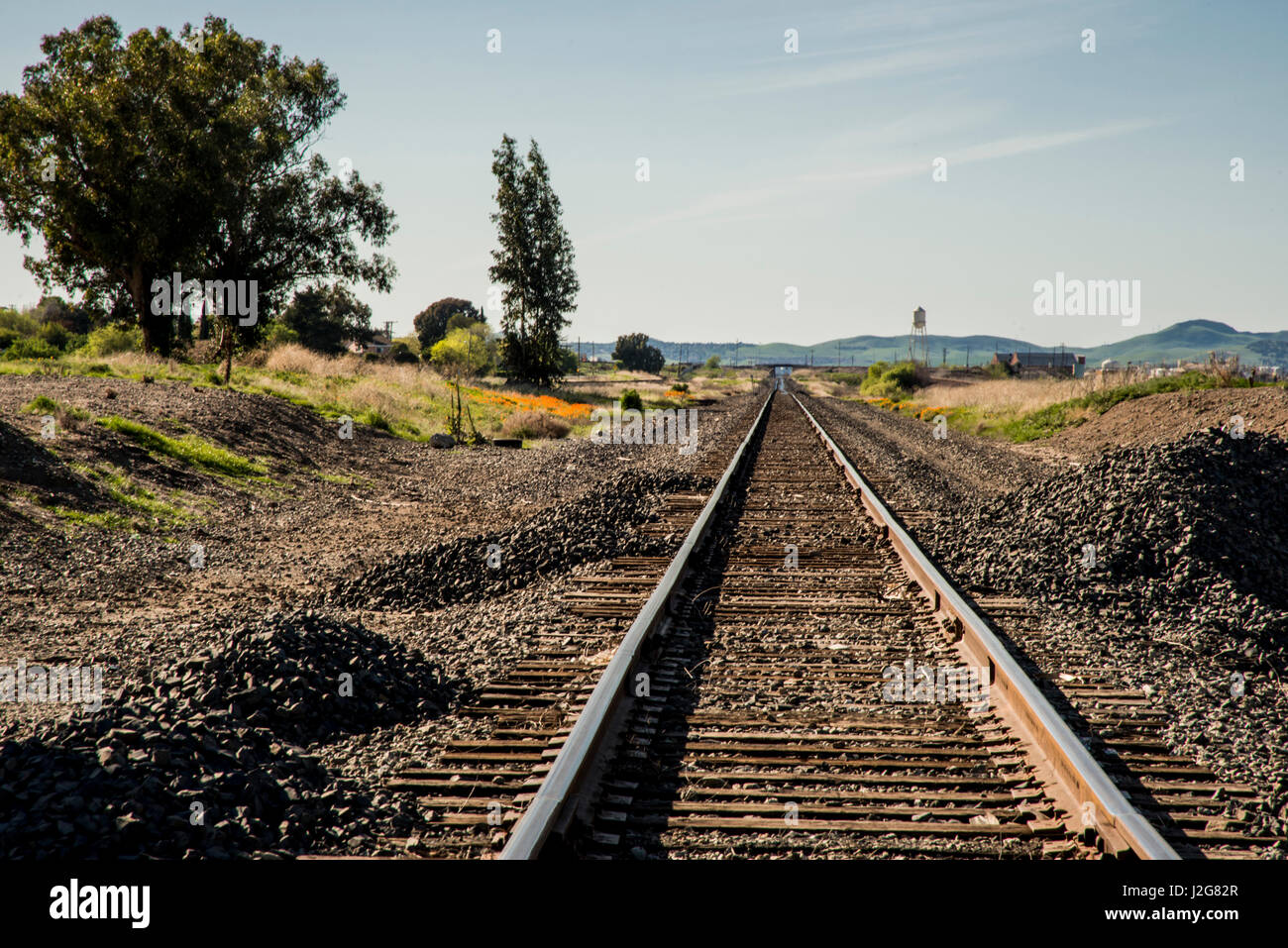 USA, California, Sacramento River-San Joaquin Delta area, south shore, McAvoy Harbor (Large format sizes available) Stock Photohttps://www.alamy.com/image-license-details/?v=1https://www.alamy.com/stock-photo-usa-california-sacramento-river-san-joaquin-delta-area-south-shore-139269839.html
RMJ2G82R–USA, California, Sacramento River-San Joaquin Delta area, south shore, McAvoy Harbor (Large format sizes available)
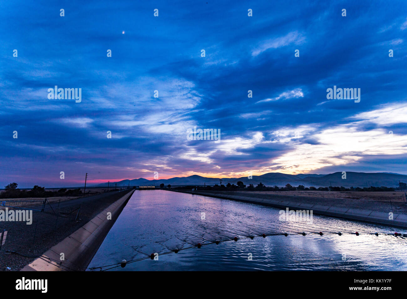 The California Aqueduct near Gustine California at sunset in November 2017 Stock Photohttps://www.alamy.com/image-license-details/?v=1https://www.alamy.com/stock-image-the-california-aqueduct-near-gustine-california-at-sunset-in-november-166615107.html
RMKK1Y7F–The California Aqueduct near Gustine California at sunset in November 2017
 Waterfowl on the restored marshes of Sacramento National Wildlife Refuge, California Stock Photohttps://www.alamy.com/image-license-details/?v=1https://www.alamy.com/waterfowl-on-the-restored-marshes-of-sacramento-national-wildlife-refuge-california-image232262167.html
RFRDTCNB–Waterfowl on the restored marshes of Sacramento National Wildlife Refuge, California
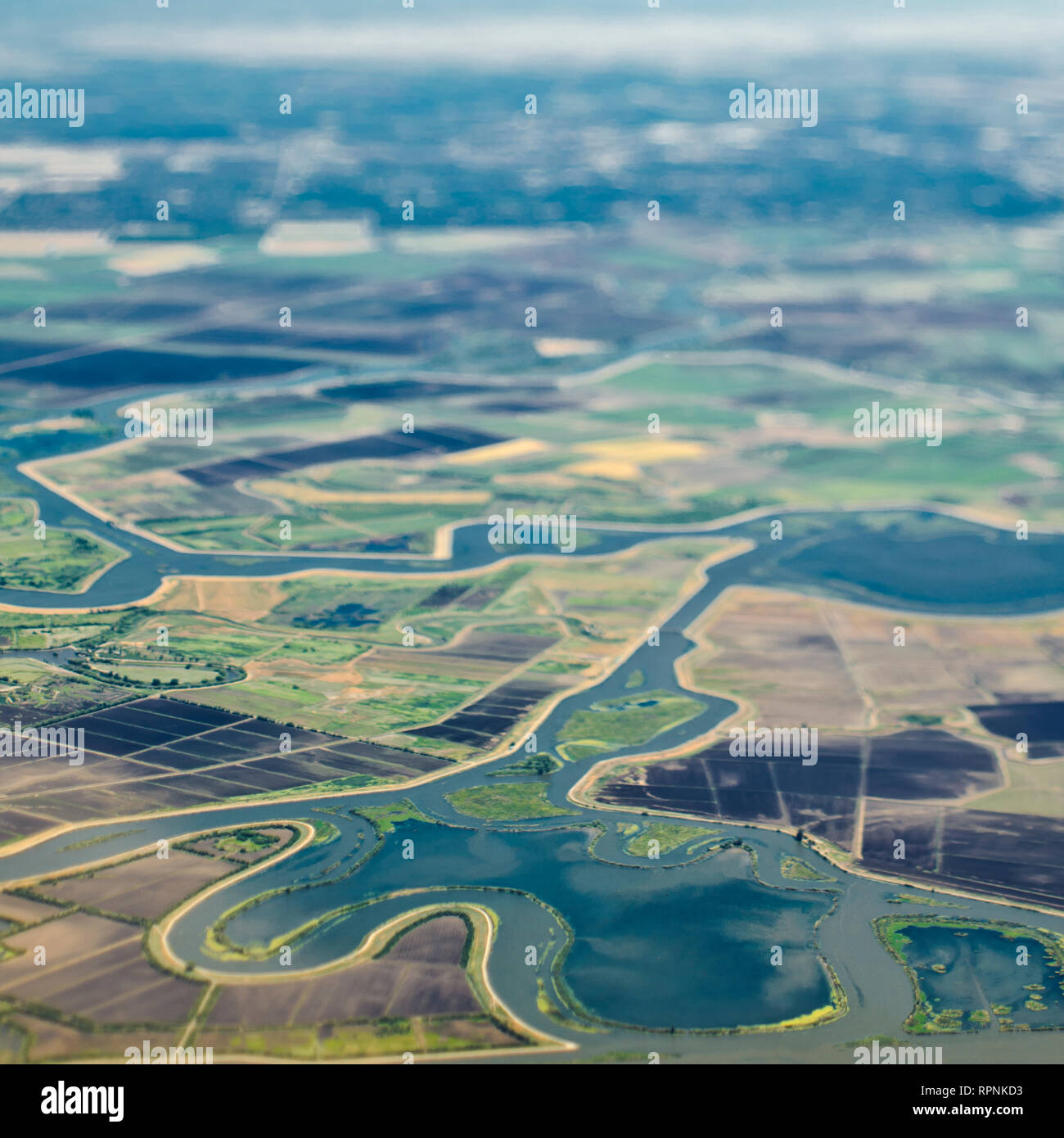 Aerial View of a River Passing Through Farmland Stock Photohttps://www.alamy.com/image-license-details/?v=1https://www.alamy.com/aerial-view-of-a-river-passing-through-farmland-image237733471.html
RFRPNKD3–Aerial View of a River Passing Through Farmland
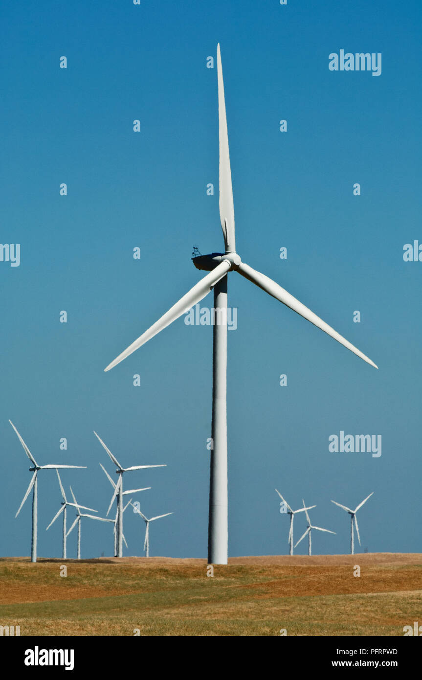 USA, California, Sacramento Delta, Montezuma Hills, Wind Turbines on 21st century windfarm Stock Photohttps://www.alamy.com/image-license-details/?v=1https://www.alamy.com/usa-california-sacramento-delta-montezuma-hills-wind-turbines-on-21st-century-windfarm-image216267113.html
RMPFRPWD–USA, California, Sacramento Delta, Montezuma Hills, Wind Turbines on 21st century windfarm
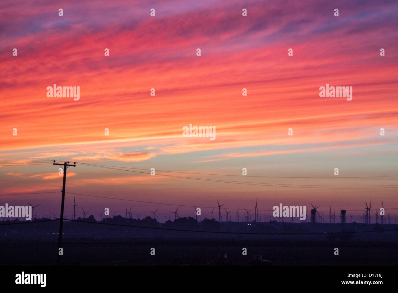 Blazing sunset over farmland. Stock Photohttps://www.alamy.com/image-license-details/?v=1https://www.alamy.com/blazing-sunset-over-farmland-image68392482.html
RFDY7F8J–Blazing sunset over farmland.
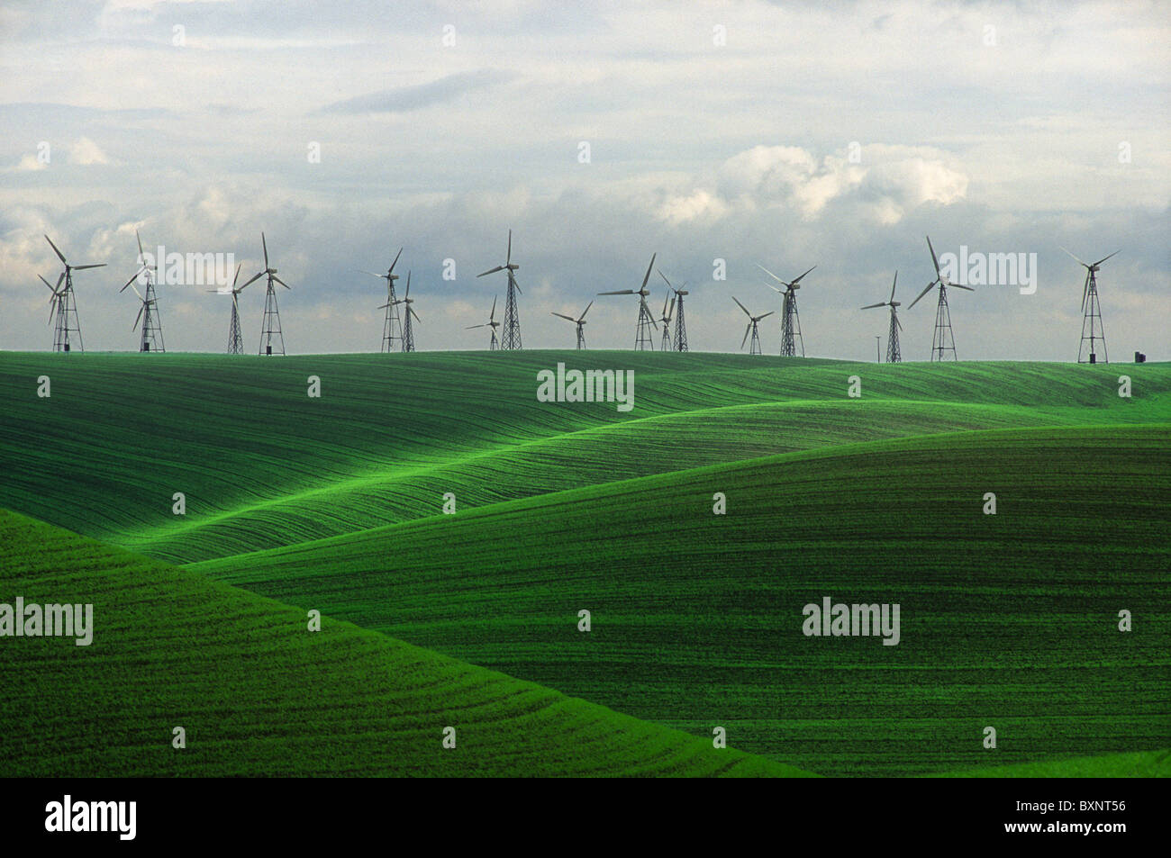 Windmills in the Sacramento Delta region of California, near Birds Landing and Suisun City. Stock Photohttps://www.alamy.com/image-license-details/?v=1https://www.alamy.com/stock-photo-windmills-in-the-sacramento-delta-region-of-california-near-birds-33671378.html
RFBXNT56–Windmills in the Sacramento Delta region of California, near Birds Landing and Suisun City.
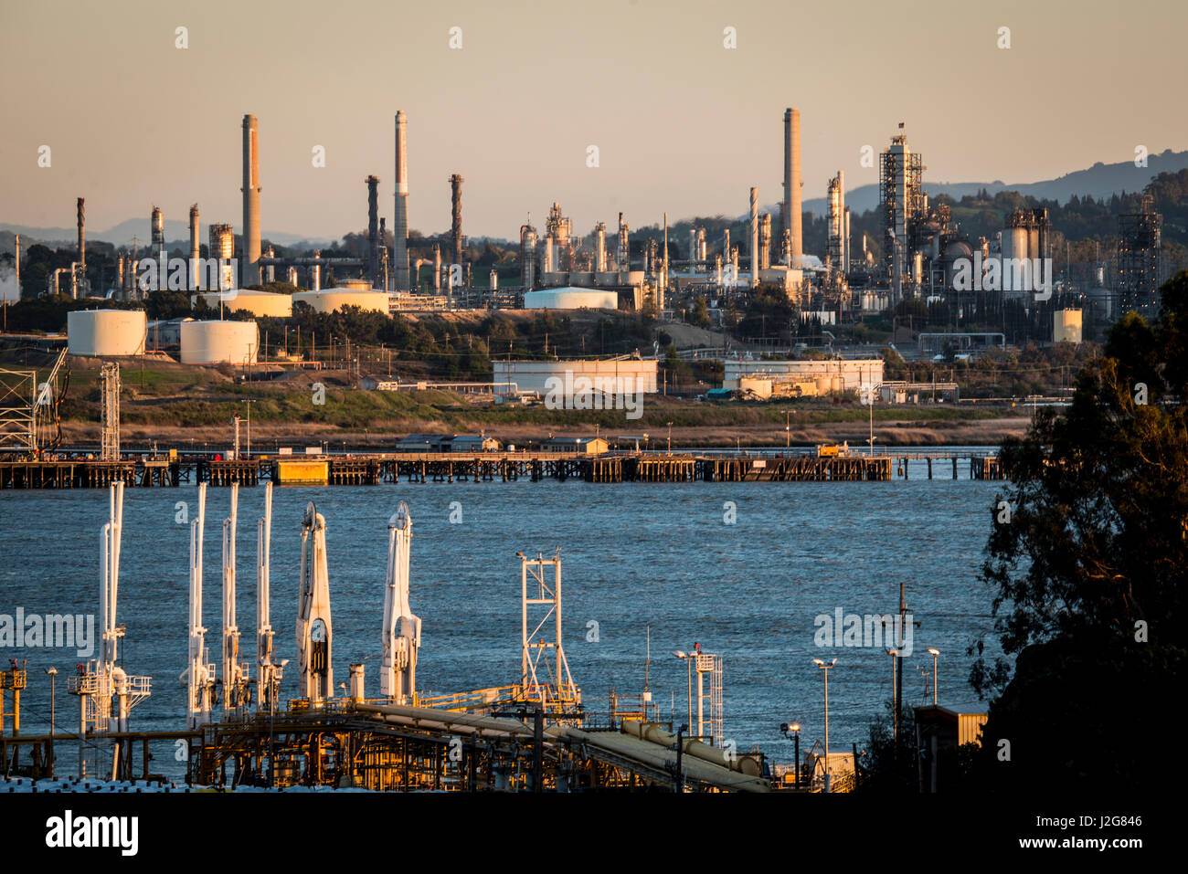 USA, California, Benicia, Refineries on Carquinez Strait where the Sacramento-San Joaquin River Delta enters San Pablo Bay, the northern extension of the San Francisco Bay (Large format sizes available) Stock Photohttps://www.alamy.com/image-license-details/?v=1https://www.alamy.com/stock-photo-usa-california-benicia-refineries-on-carquinez-strait-where-the-sacramento-139269878.html
RMJ2G846–USA, California, Benicia, Refineries on Carquinez Strait where the Sacramento-San Joaquin River Delta enters San Pablo Bay, the northern extension of the San Francisco Bay (Large format sizes available)
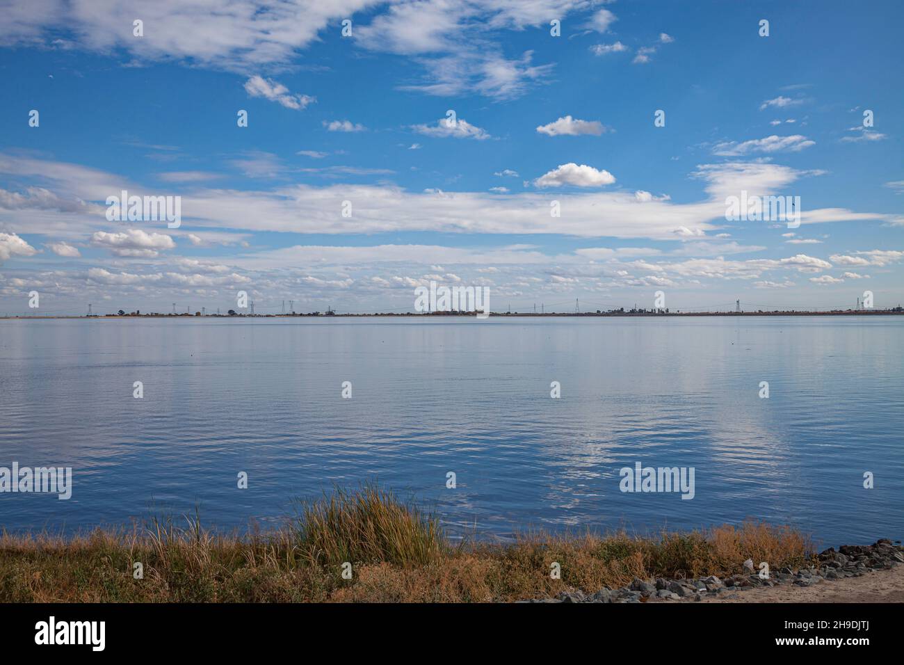 Clifton Court Forebay is a reservoir in the San Joaquin River Delta and is the intake point and start of the California Aqueduct for transport to Sout Stock Photohttps://www.alamy.com/image-license-details/?v=1https://www.alamy.com/clifton-court-forebay-is-a-reservoir-in-the-san-joaquin-river-delta-and-is-the-intake-point-and-start-of-the-california-aqueduct-for-transport-to-sout-image453301650.html
RM2H9DJTJ–Clifton Court Forebay is a reservoir in the San Joaquin River Delta and is the intake point and start of the California Aqueduct for transport to Sout
 USA, California, Sherman Island, on north shore of Sacramento Delta, turbines of the Shilo Wind Power Plant in the Montezuma Hills (Large format sizes available) Stock Photohttps://www.alamy.com/image-license-details/?v=1https://www.alamy.com/stock-photo-usa-california-sherman-island-on-north-shore-of-sacramento-delta-turbines-139269755.html
RMJ2G7YR–USA, California, Sherman Island, on north shore of Sacramento Delta, turbines of the Shilo Wind Power Plant in the Montezuma Hills (Large format sizes available)
 Storm clouds at sunset over open pasture and old barn in field Sherman Island Sacramento San Joaquin River Delta California Stock Photohttps://www.alamy.com/image-license-details/?v=1https://www.alamy.com/storm-clouds-at-sunset-over-open-pasture-and-old-barn-in-field-sherman-image6881353.html
RMA8AKGA–Storm clouds at sunset over open pasture and old barn in field Sherman Island Sacramento San Joaquin River Delta California
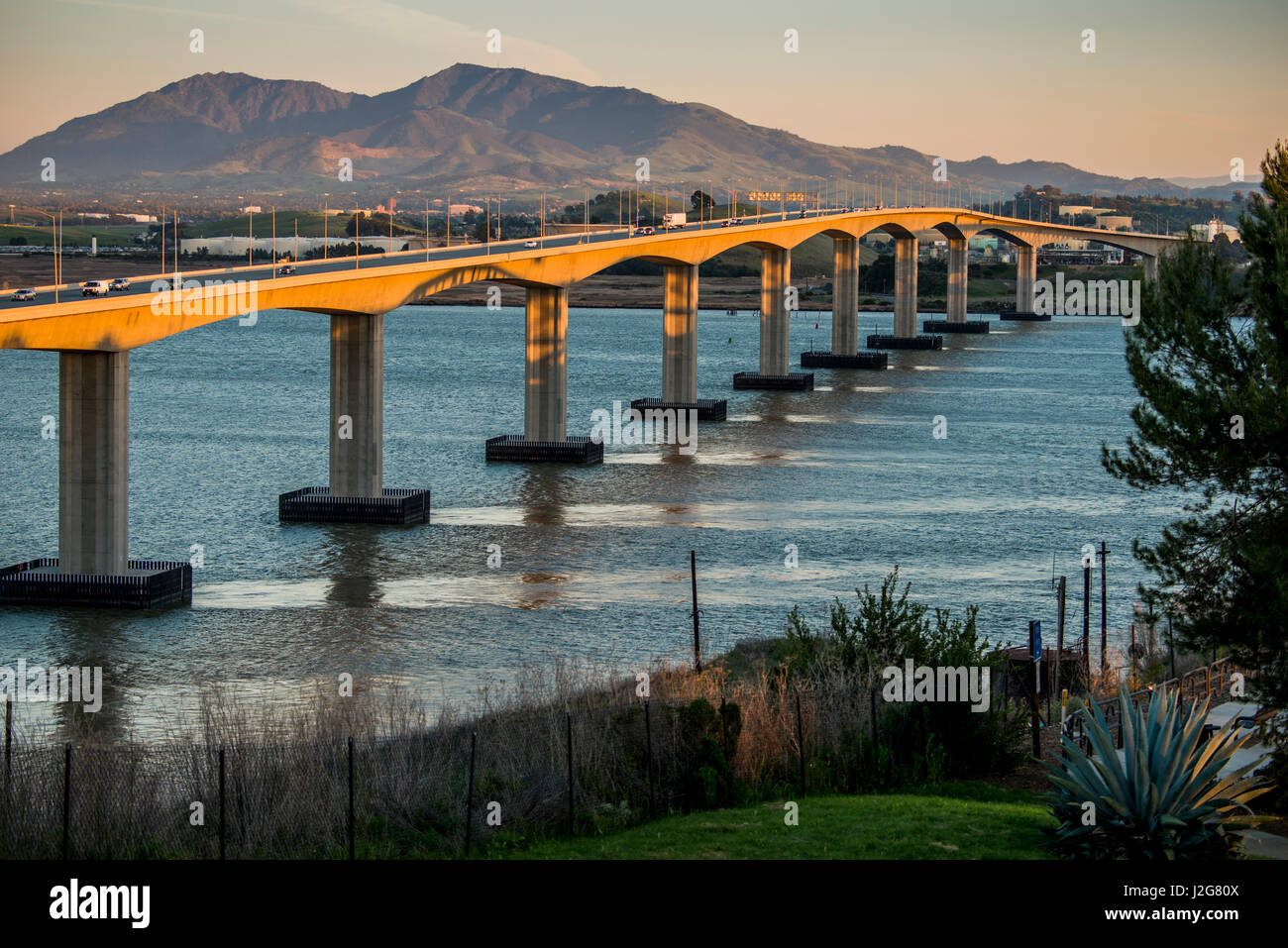 USA, California, Benicia, Carquinez Strait, I-680 North Bridge crossing the Sacramento-San Joaquin River Delta enters San Pablo Bay, the northern extension of the San Francisco Bay (Large format sizes available) Stock Photohttps://www.alamy.com/image-license-details/?v=1https://www.alamy.com/stock-photo-usa-california-benicia-carquinez-strait-i-680-north-bridge-crossing-139269786.html
RMJ2G80X–USA, California, Benicia, Carquinez Strait, I-680 North Bridge crossing the Sacramento-San Joaquin River Delta enters San Pablo Bay, the northern extension of the San Francisco Bay (Large format sizes available)
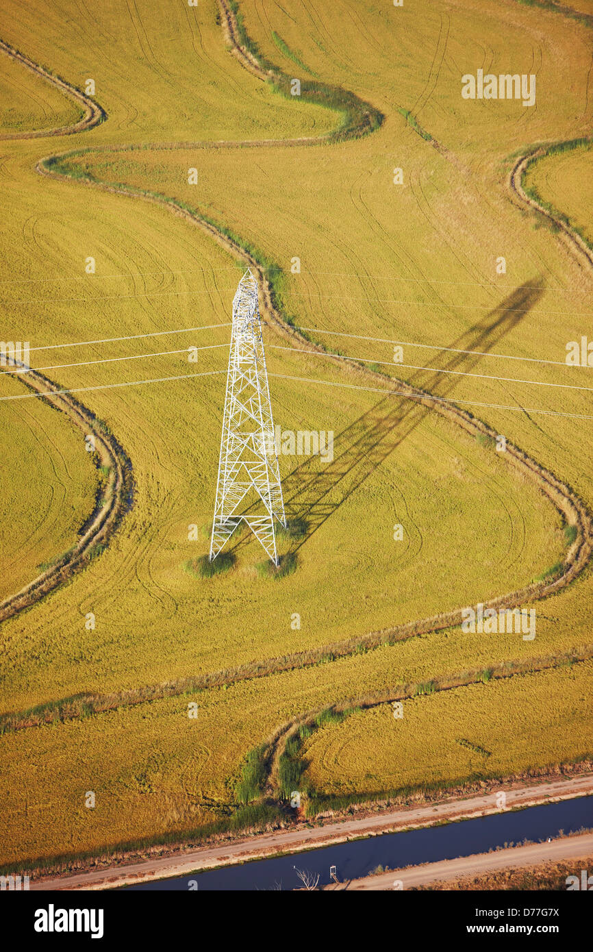 USA California Aerial view high voltage power lines electricity pylon in terraced rice field by Sacramento River Delta Stock Photohttps://www.alamy.com/image-license-details/?v=1https://www.alamy.com/stock-photo-usa-california-aerial-view-high-voltage-power-lines-electricity-pylon-56100126.html
RMD77G7X–USA California Aerial view high voltage power lines electricity pylon in terraced rice field by Sacramento River Delta
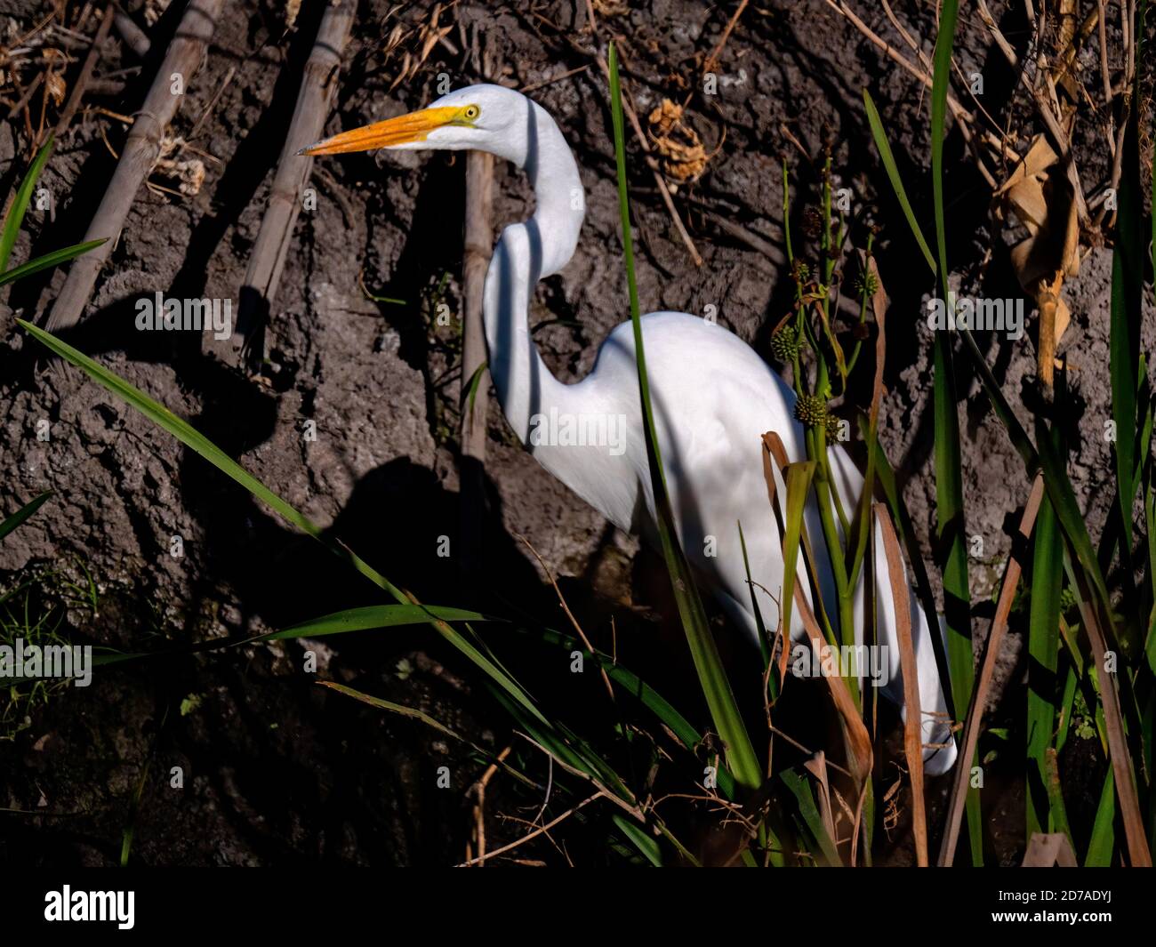 Egret in Staten Island Preserve, California Stock Photohttps://www.alamy.com/image-license-details/?v=1https://www.alamy.com/egret-in-staten-island-preserve-california-image383161174.html
RM2D7ADYJ–Egret in Staten Island Preserve, California
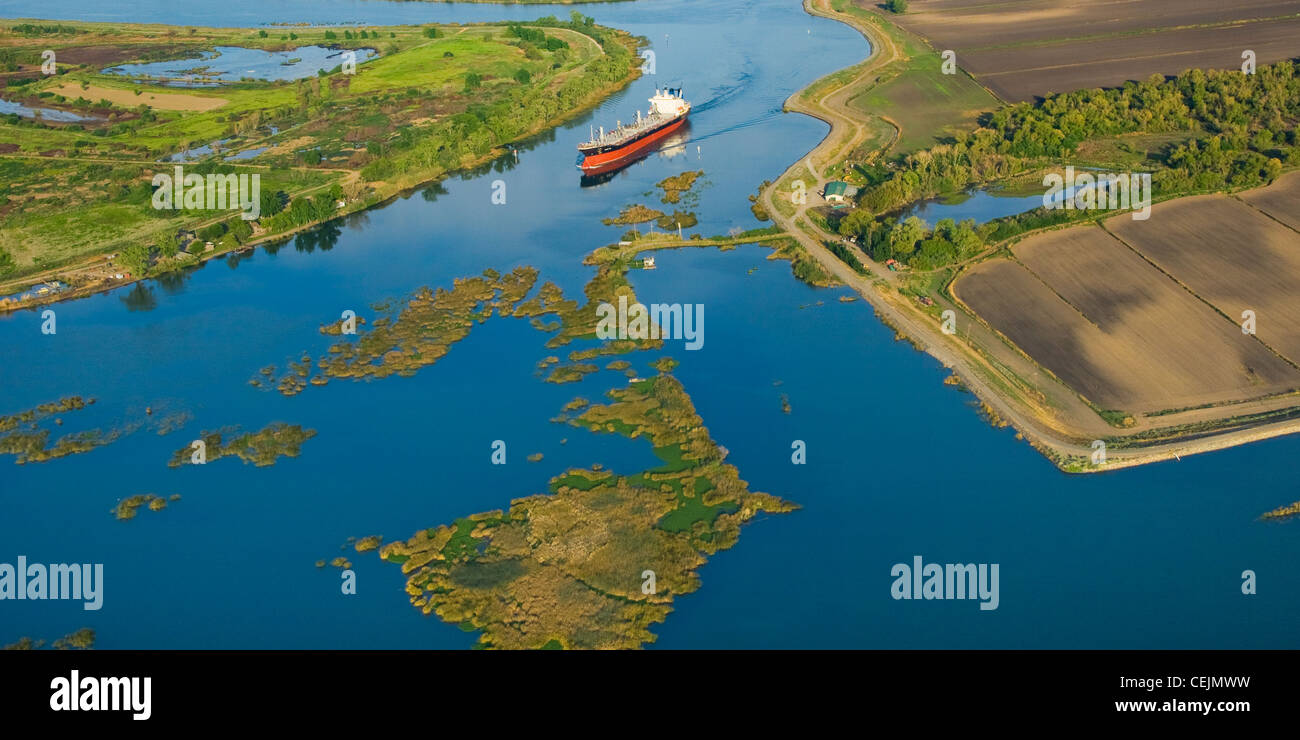 Aerial view of an ocean going grain ship transiting the deep water channel in the Sacramento-San Joaquin River Delta /California Stock Photohttps://www.alamy.com/image-license-details/?v=1https://www.alamy.com/stock-photo-aerial-view-of-an-ocean-going-grain-ship-transiting-the-deep-water-43437461.html
RMCEJMWW–Aerial view of an ocean going grain ship transiting the deep water channel in the Sacramento-San Joaquin River Delta /California
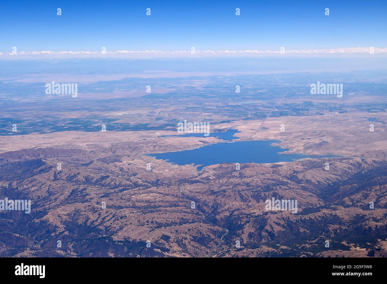 The shores of San Luis Reservoir with the Central Valley (aerial view), Los Banos CA Stock Photohttps://www.alamy.com/image-license-details/?v=1https://www.alamy.com/the-shores-of-san-luis-reservoir-with-the-central-valley-aerial-view-los-banos-ca-image433664820.html
RM2G5F3W8–The shores of San Luis Reservoir with the Central Valley (aerial view), Los Banos CA
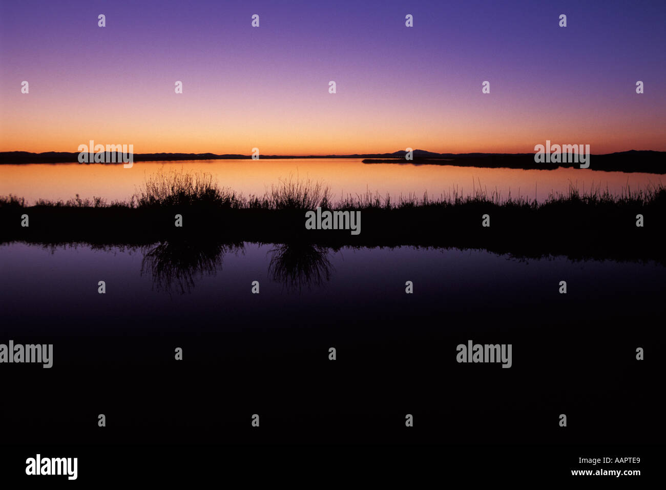 California, Solano County, Montezuma Slough, Grizzly Island Stock Photohttps://www.alamy.com/image-license-details/?v=1https://www.alamy.com/california-solano-county-montezuma-slough-grizzly-island-image4141288.html
RMAAPTE9–California, Solano County, Montezuma Slough, Grizzly Island
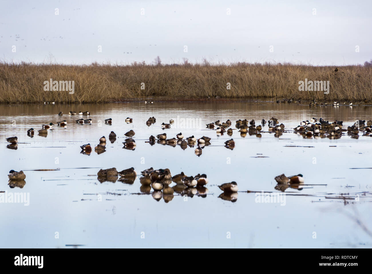 Northern shovelers sleeping in the wetlands of Sacramento National Wildlife Refuge, California Stock Photohttps://www.alamy.com/image-license-details/?v=1https://www.alamy.com/northern-shovelers-sleeping-in-the-wetlands-of-sacramento-national-wildlife-refuge-california-image232262155.html
RFRDTCMY–Northern shovelers sleeping in the wetlands of Sacramento National Wildlife Refuge, California
 Aerial View of a Flood Plain Stock Photohttps://www.alamy.com/image-license-details/?v=1https://www.alamy.com/aerial-view-of-a-flood-plain-image237733478.html
RFRPNKDA–Aerial View of a Flood Plain
 Windmills in the Sacramento Delta region of California, near Birds Landing and Suisun City. Stock Photohttps://www.alamy.com/image-license-details/?v=1https://www.alamy.com/stock-photo-windmills-in-the-sacramento-delta-region-of-california-near-birds-33671383.html
RFBXNT5B–Windmills in the Sacramento Delta region of California, near Birds Landing and Suisun City.
 Clifton Court Forebay is a reservoir in the San Joaquin River Delta and is the intake point and start of the California Aqueduct for transport to Sout Stock Photohttps://www.alamy.com/image-license-details/?v=1https://www.alamy.com/clifton-court-forebay-is-a-reservoir-in-the-san-joaquin-river-delta-and-is-the-intake-point-and-start-of-the-california-aqueduct-for-transport-to-sout-image453301661.html
RM2H9DJW1–Clifton Court Forebay is a reservoir in the San Joaquin River Delta and is the intake point and start of the California Aqueduct for transport to Sout
 Storm clouds at sunset over Antioch Bridge from Sherman Island Sacramento San Joaquin River Delta California Stock Photohttps://www.alamy.com/image-license-details/?v=1https://www.alamy.com/storm-clouds-at-sunset-over-antioch-bridge-from-sherman-island-sacramento-image6881359.html
RMA8AKH0–Storm clouds at sunset over Antioch Bridge from Sherman Island Sacramento San Joaquin River Delta California
 Egret in Staten Island Preserve, California Stock Photohttps://www.alamy.com/image-license-details/?v=1https://www.alamy.com/egret-in-staten-island-preserve-california-image383160675.html
RM2D7AD9R–Egret in Staten Island Preserve, California
 Blue Heron in Staten Island Preserve, California Stock Photohttps://www.alamy.com/image-license-details/?v=1https://www.alamy.com/blue-heron-in-staten-island-preserve-california-image396238949.html
RM2E0J6R1–Blue Heron in Staten Island Preserve, California
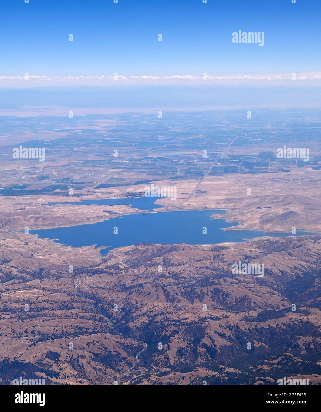 The shores of San Luis Reservoir with the Central Valley (aerial view), Los Banos CA Stock Photohttps://www.alamy.com/image-license-details/?v=1https://www.alamy.com/the-shores-of-san-luis-reservoir-with-the-central-valley-aerial-view-los-banos-ca-image433664963.html
RM2G5F42B–The shores of San Luis Reservoir with the Central Valley (aerial view), Los Banos CA
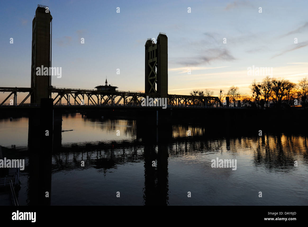 The silhouette of the tower bridge at sunset, Old Sacramento CA Stock Photohttps://www.alamy.com/image-license-details/?v=1https://www.alamy.com/stock-photo-the-silhouette-of-the-tower-bridge-at-sunset-old-sacramento-ca-58375589.html
RMDAY6JD–The silhouette of the tower bridge at sunset, Old Sacramento CA
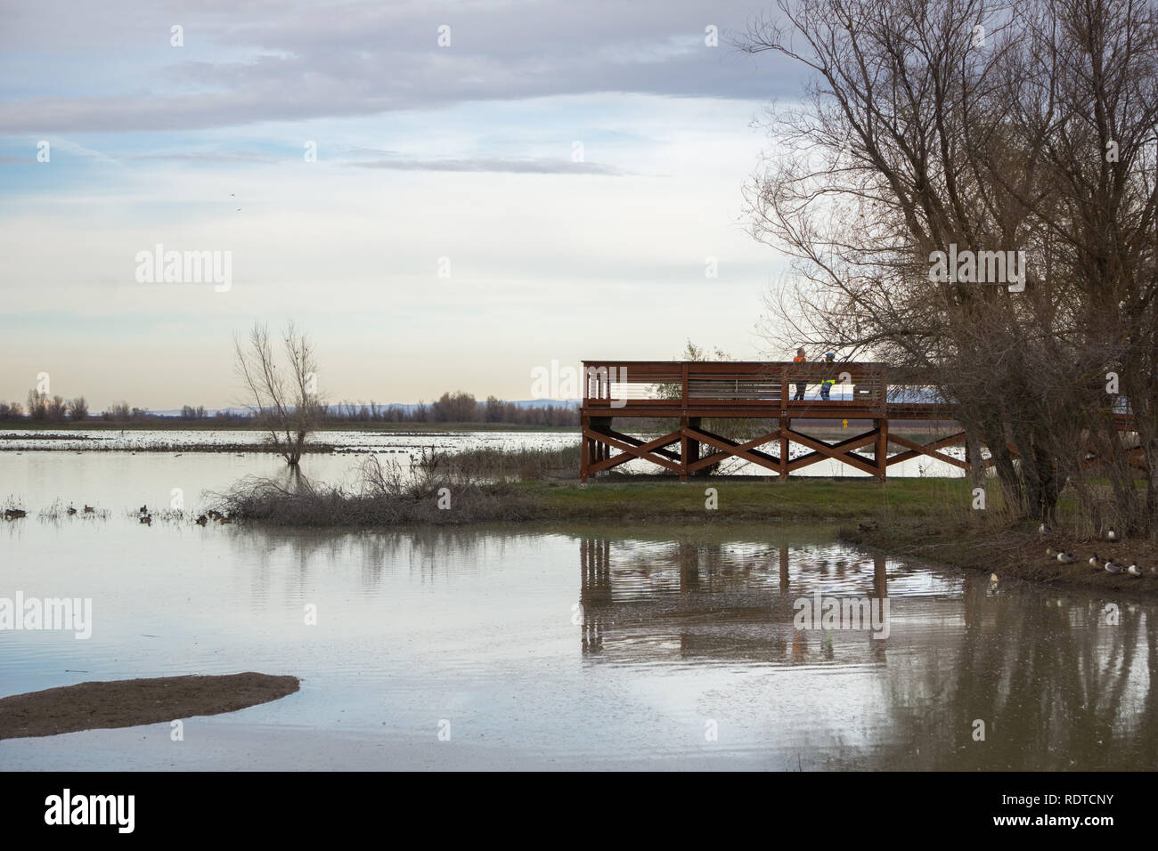 Wildlife viewing platform at Llano Seco Unit, Sacramento National Wildlife Refuge, California Stock Photohttps://www.alamy.com/image-license-details/?v=1https://www.alamy.com/wildlife-viewing-platform-at-llano-seco-unit-sacramento-national-wildlife-refuge-california-image232262183.html
RFRDTCNY–Wildlife viewing platform at Llano Seco Unit, Sacramento National Wildlife Refuge, California
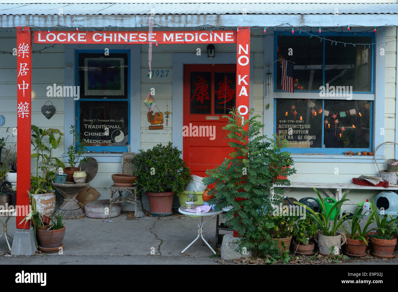 Locke Historic District (Lockeport), CA Stock Photohttps://www.alamy.com/image-license-details/?v=1https://www.alamy.com/stock-photo-locke-historic-district-lockeport-ca-74858746.html
RME9P32J–Locke Historic District (Lockeport), CA
 Aerial View of a River Passing Through Farmland Stock Photohttps://www.alamy.com/image-license-details/?v=1https://www.alamy.com/aerial-view-of-a-river-passing-through-farmland-image237703357.html
RFRPM91H–Aerial View of a River Passing Through Farmland
 Windmills in the Sacramento Delta region of California, near Birds Landing and Suisun City. Stock Photohttps://www.alamy.com/image-license-details/?v=1https://www.alamy.com/stock-photo-windmills-in-the-sacramento-delta-region-of-california-near-birds-33671390.html
RFBXNT5J–Windmills in the Sacramento Delta region of California, near Birds Landing and Suisun City.
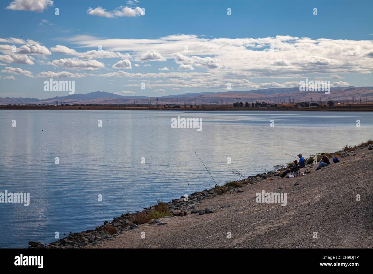 Clifton Court Forebay is a reservoir in the San Joaquin River Delta and is the intake point and start of the California Aqueduct for transport to Sout Stock Photohttps://www.alamy.com/image-license-details/?v=1https://www.alamy.com/clifton-court-forebay-is-a-reservoir-in-the-san-joaquin-river-delta-and-is-the-intake-point-and-start-of-the-california-aqueduct-for-transport-to-sout-image453301654.html
RM2H9DJTP–Clifton Court Forebay is a reservoir in the San Joaquin River Delta and is the intake point and start of the California Aqueduct for transport to Sout
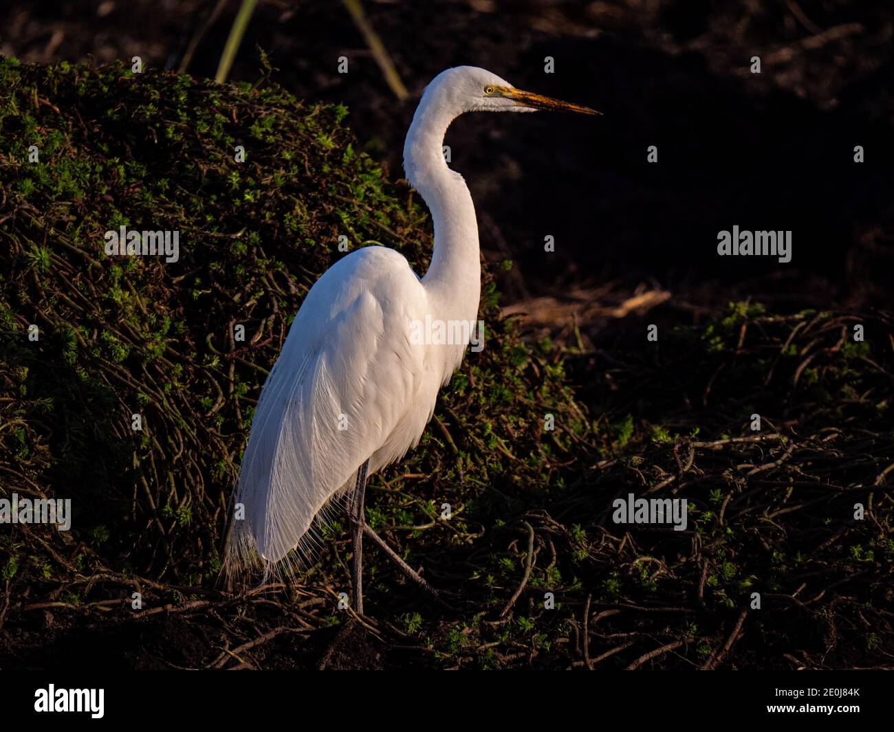 White Egret in Staten Island Preserve, California Stock Photohttps://www.alamy.com/image-license-details/?v=1https://www.alamy.com/white-egret-in-staten-island-preserve-california-image396240003.html
RM2E0J84K–White Egret in Staten Island Preserve, California
 Snowy Egret at Statin Island Preserve, California Stock Photohttps://www.alamy.com/image-license-details/?v=1https://www.alamy.com/snowy-egret-at-statin-island-preserve-california-image631845667.html
RM2YKY1GK–Snowy Egret at Statin Island Preserve, California
 Sandhill Crane in Staten Island Preserve, California Stock Photohttps://www.alamy.com/image-license-details/?v=1https://www.alamy.com/sandhill-crane-in-staten-island-preserve-california-image396235779.html
RM2E0J2NR–Sandhill Crane in Staten Island Preserve, California
 Waterfowl wintering on the ponds of Colusa Wildlife Refuge, Sacramento National Wildlife Refuge, California Stock Photohttps://www.alamy.com/image-license-details/?v=1https://www.alamy.com/waterfowl-wintering-on-the-ponds-of-colusa-wildlife-refuge-sacramento-national-wildlife-refuge-california-image232262195.html
RFRDTCPB–Waterfowl wintering on the ponds of Colusa Wildlife Refuge, Sacramento National Wildlife Refuge, California
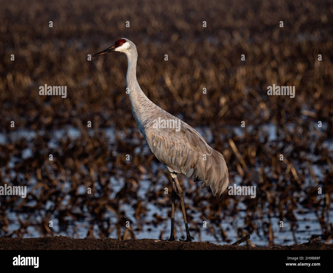 Sandhill Crane in Staten Island Preserve, California Stock Photohttps://www.alamy.com/image-license-details/?v=1https://www.alamy.com/sandhill-crane-in-staten-island-preserve-california-image453249455.html
RM2H9B88F–Sandhill Crane in Staten Island Preserve, California
 Locke Historic District (Lockeport), CA Stock Photohttps://www.alamy.com/image-license-details/?v=1https://www.alamy.com/stock-photo-locke-historic-district-lockeport-ca-74858743.html
RME9P32F–Locke Historic District (Lockeport), CA
 Windmills in the Sacramento Delta region of California, near Birds Landing and Suisun City. Stock Photohttps://www.alamy.com/image-license-details/?v=1https://www.alamy.com/stock-photo-windmills-in-the-sacramento-delta-region-of-california-near-birds-33671373.html
RFBXNT51–Windmills in the Sacramento Delta region of California, near Birds Landing and Suisun City.
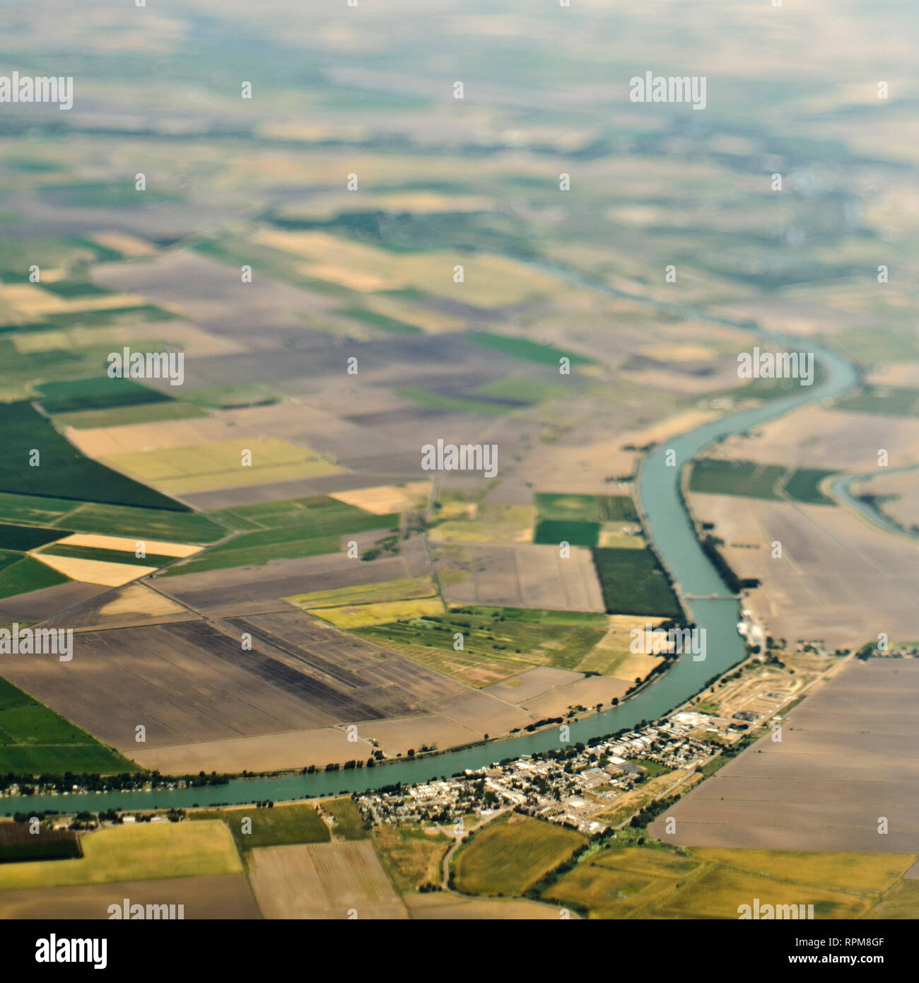 Aerial View of a River Passing Through Farmland Stock Photohttps://www.alamy.com/image-license-details/?v=1https://www.alamy.com/aerial-view-of-a-river-passing-through-farmland-image237702991.html
RFRPM8GF–Aerial View of a River Passing Through Farmland
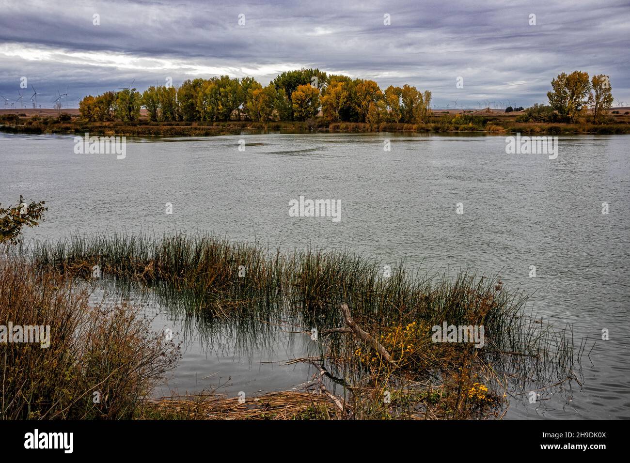 Sacramento River in the Sacramento-San Joaquin River Delta, Sacramento County, California, USA Stock Photohttps://www.alamy.com/image-license-details/?v=1https://www.alamy.com/sacramento-river-in-the-sacramento-san-joaquin-river-delta-sacramento-county-california-usa-image453301770.html
RM2H9DK0X–Sacramento River in the Sacramento-San Joaquin River Delta, Sacramento County, California, USA
 Restored wetlands at Llano Seco Unit wildlife refuge, Sacramento National Wildlife Refuge, California Stock Photohttps://www.alamy.com/image-license-details/?v=1https://www.alamy.com/restored-wetlands-at-llano-seco-unit-wildlife-refuge-sacramento-national-wildlife-refuge-california-image232262182.html
RFRDTCNX–Restored wetlands at Llano Seco Unit wildlife refuge, Sacramento National Wildlife Refuge, California
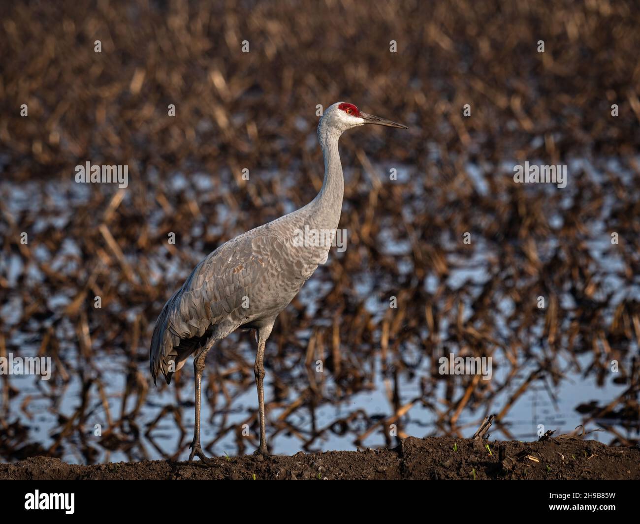 Sandhill Crane in Staten Island Preserve, California Stock Photohttps://www.alamy.com/image-license-details/?v=1https://www.alamy.com/sandhill-crane-in-staten-island-preserve-california-image453249381.html
RM2H9B85W–Sandhill Crane in Staten Island Preserve, California
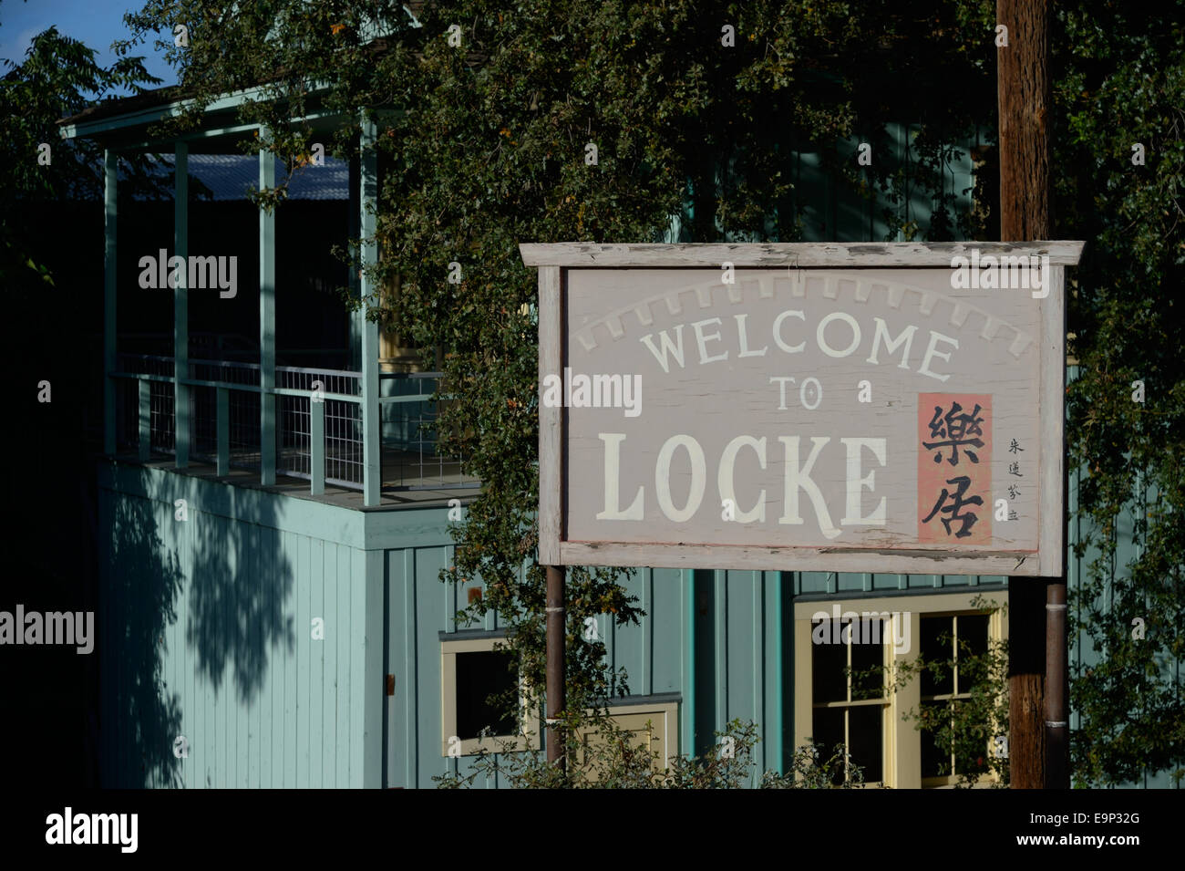 Locke Historic District (Lockeport), CA Stock Photohttps://www.alamy.com/image-license-details/?v=1https://www.alamy.com/stock-photo-locke-historic-district-lockeport-ca-74858744.html
RME9P32G–Locke Historic District (Lockeport), CA
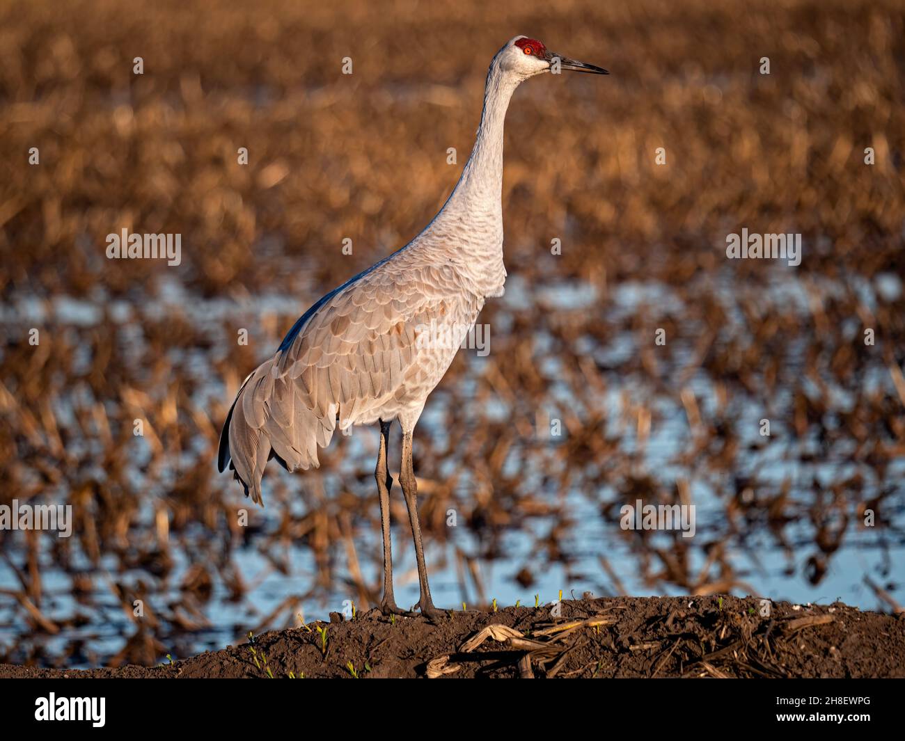 Sandhill Crane in Staten Island Preserve, California Stock Photohttps://www.alamy.com/image-license-details/?v=1https://www.alamy.com/sandhill-crane-in-staten-island-preserve-california-image452714376.html
RM2H8EWPG–Sandhill Crane in Staten Island Preserve, California
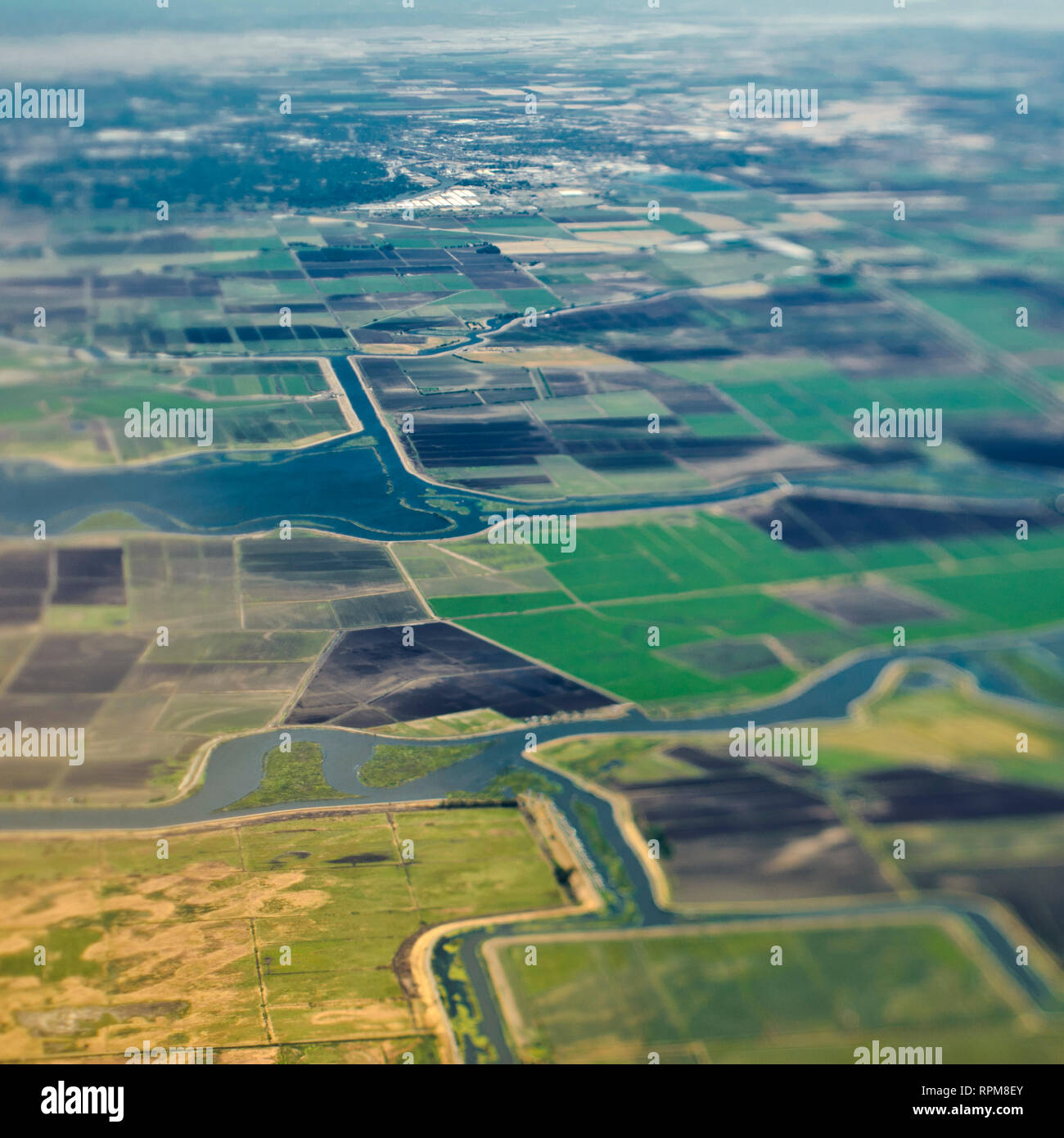 Aerial View of a River Passing Through Farmland Stock Photohttps://www.alamy.com/image-license-details/?v=1https://www.alamy.com/aerial-view-of-a-river-passing-through-farmland-image237702947.html
RFRPM8EY–Aerial View of a River Passing Through Farmland
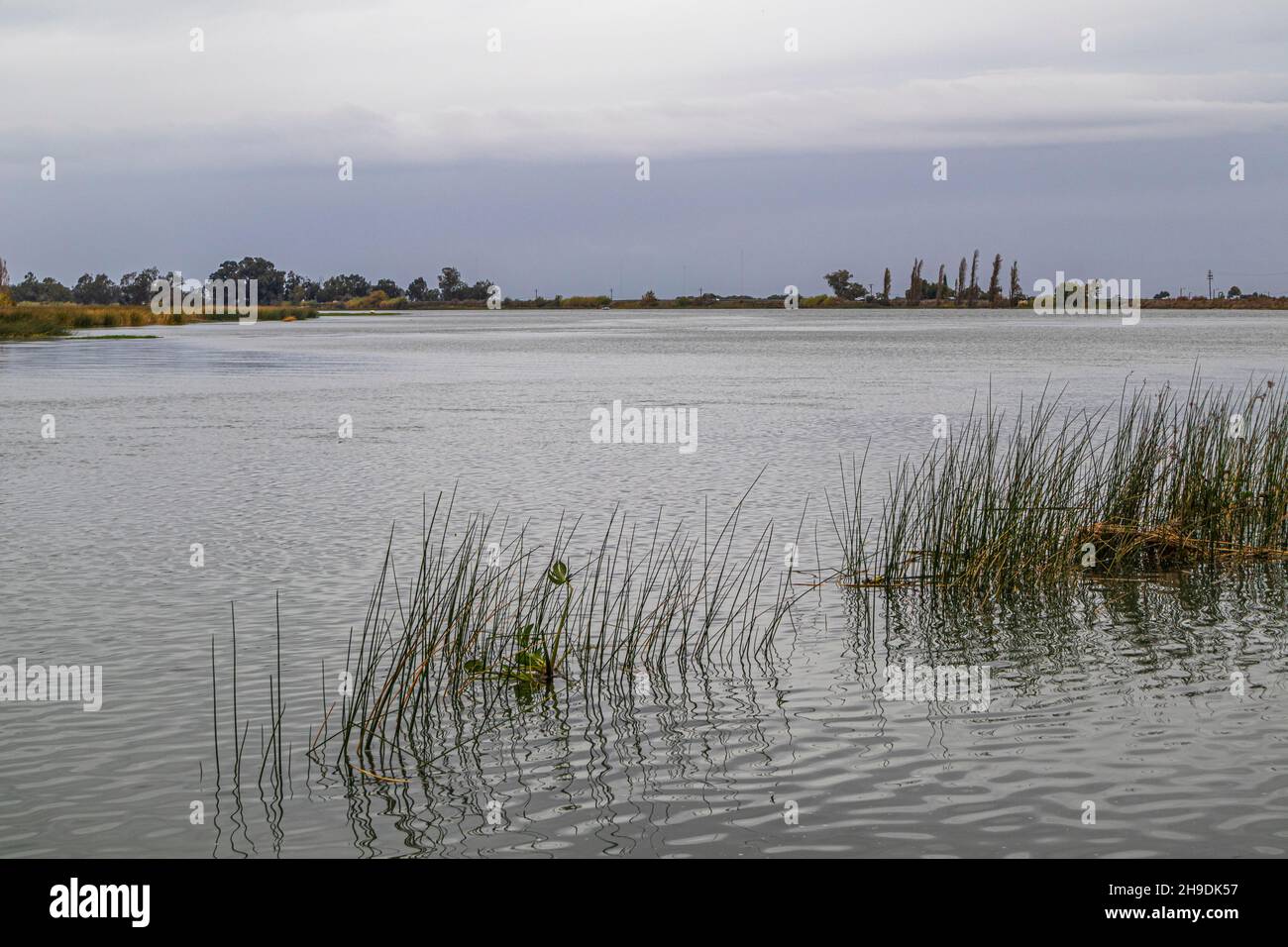 Sacramento River in the Sacramento-San Joaquin River Delta, Sacramento County, California, USA Stock Photohttps://www.alamy.com/image-license-details/?v=1https://www.alamy.com/sacramento-river-in-the-sacramento-san-joaquin-river-delta-sacramento-county-california-usa-image453301891.html
RM2H9DK57–Sacramento River in the Sacramento-San Joaquin River Delta, Sacramento County, California, USA
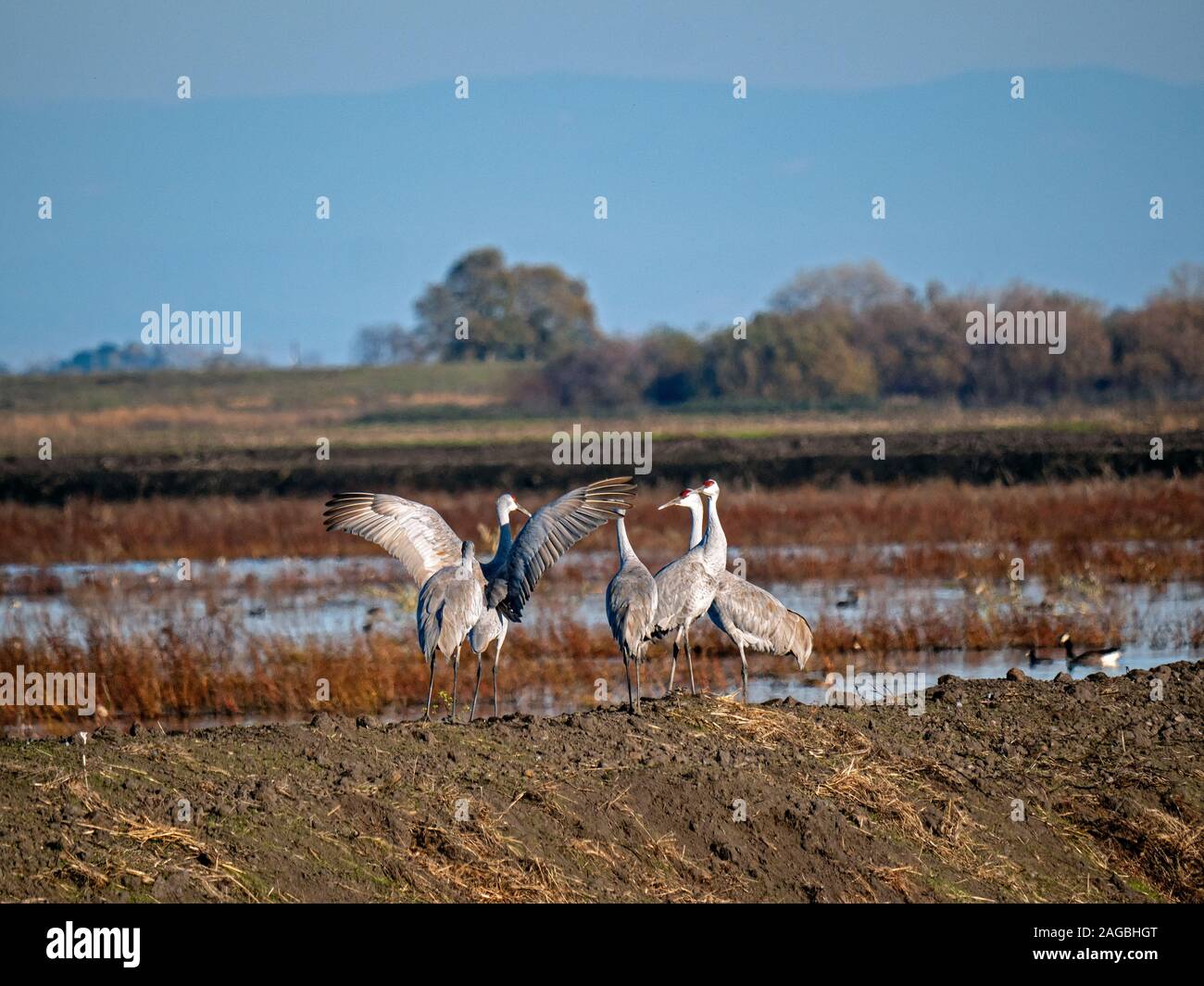 Sandhill Cranes in Staten Island Preserve, California Stock Photohttps://www.alamy.com/image-license-details/?v=1https://www.alamy.com/sandhill-cranes-in-staten-island-preserve-california-image337086760.html
RM2AGBHGT–Sandhill Cranes in Staten Island Preserve, California
 Staten Island Preserve, California Stock Photohttps://www.alamy.com/image-license-details/?v=1https://www.alamy.com/staten-island-preserve-california-image503776080.html
RM2M7GYET–Staten Island Preserve, California
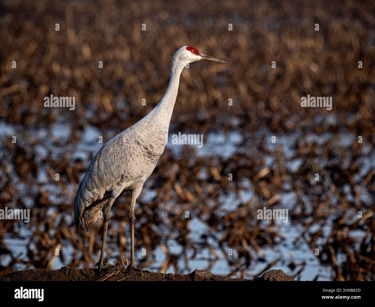 Sandhill Crane in Staten Preserve, California Stock Photohttps://www.alamy.com/image-license-details/?v=1https://www.alamy.com/sandhill-crane-in-staten-preserve-california-image453249285.html
RM2H9B82D–Sandhill Crane in Staten Preserve, California

