Santa clarita california streets Stock Photos and Images
(9)See santa clarita california streets stock video clipsQuick filters:
Santa clarita california streets Stock Photos and Images
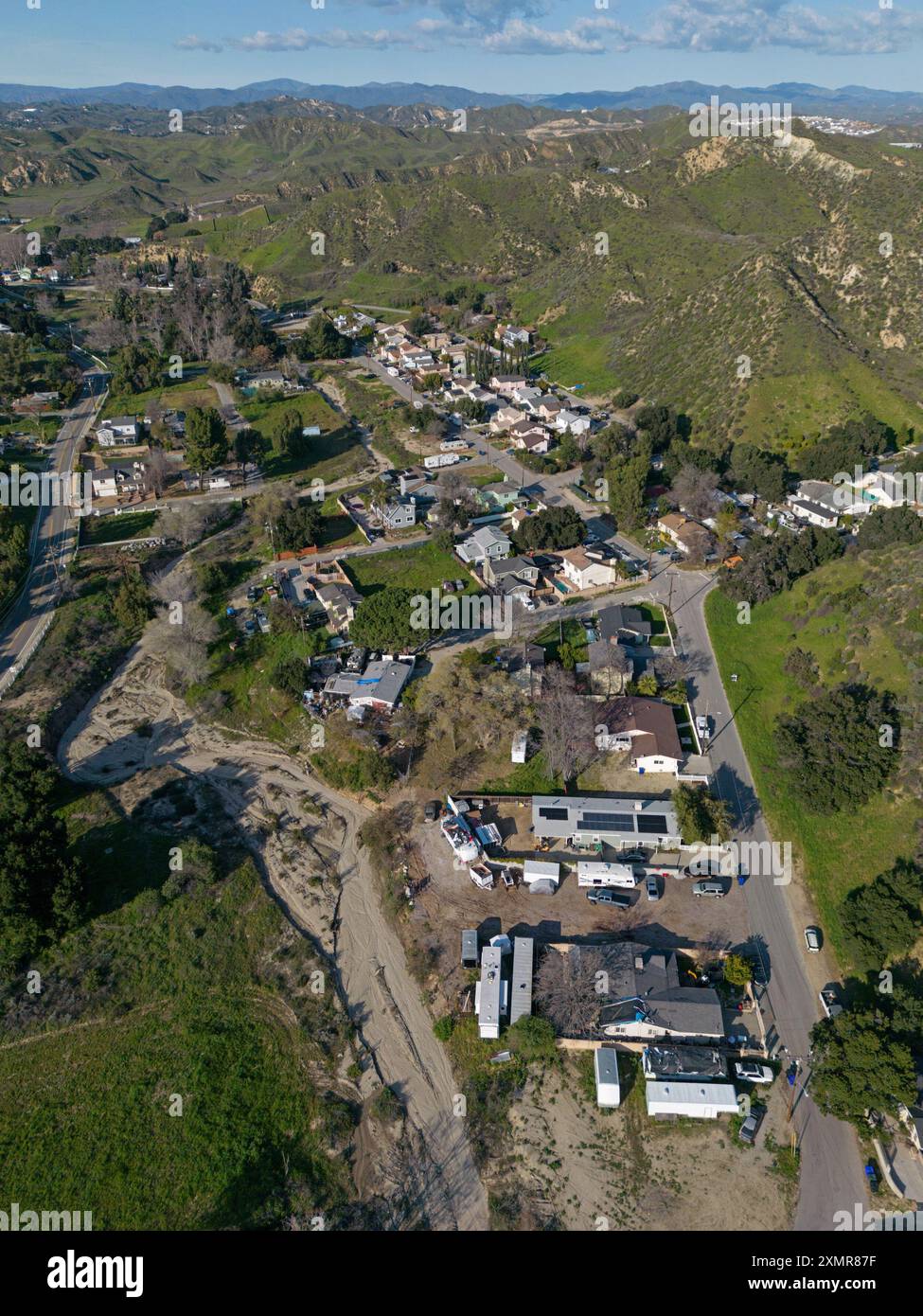 Val Verde, California - an unincorporated community located in northwestern Los Angeles County - is shown from an aerial, vertical view. Stock Photohttps://www.alamy.com/image-license-details/?v=1https://www.alamy.com/val-verde-california-an-unincorporated-community-located-in-northwestern-los-angeles-county-is-shown-from-an-aerial-vertical-view-image615167379.html
RF2XMR87F–Val Verde, California - an unincorporated community located in northwestern Los Angeles County - is shown from an aerial, vertical view.
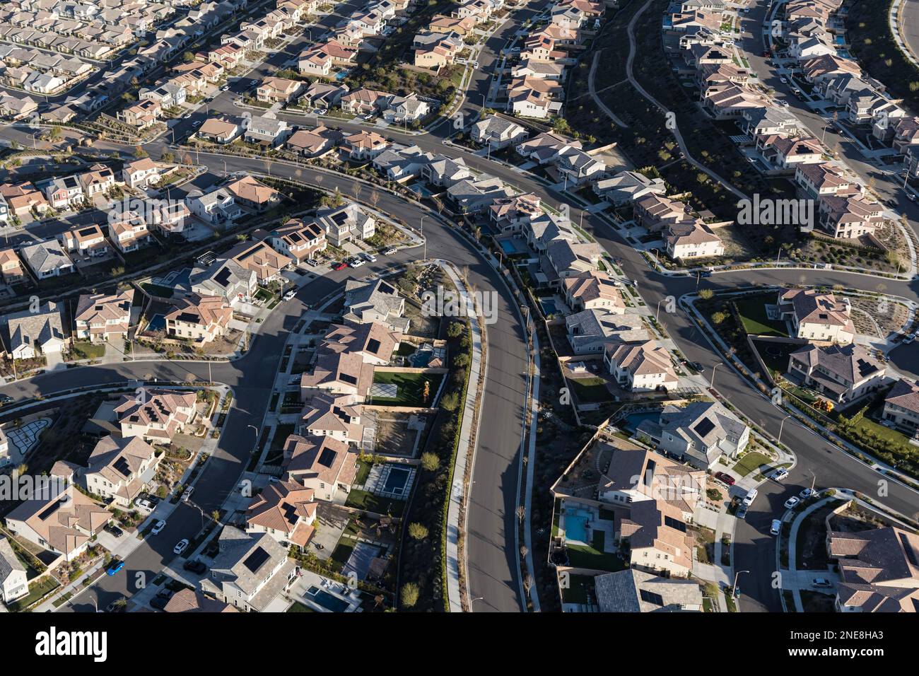 Aerial view of new suburban homes with solar rooftops in the Santa Clarita community of Los Angeles County, California. Stock Photohttps://www.alamy.com/image-license-details/?v=1https://www.alamy.com/aerial-view-of-new-suburban-homes-with-solar-rooftops-in-the-santa-clarita-community-of-los-angeles-county-california-image525105451.html
RF2NE8HA3–Aerial view of new suburban homes with solar rooftops in the Santa Clarita community of Los Angeles County, California.
 Santa Clarita, Los Angeles County, US, United States, California, N 34 23' 29'', S 118 32' 33'', map, Cartascapes Map published in 2024. Explore Cartascapes, a map revealing Earth's diverse landscapes, cultures, and ecosystems. Journey through time and space, discovering the interconnectedness of our planet's past, present, and future. Stock Photohttps://www.alamy.com/image-license-details/?v=1https://www.alamy.com/santa-clarita-los-angeles-county-us-united-states-california-n-34-23-29-s-118-32-33-map-cartascapes-map-published-in-2024-explore-cartascapes-a-map-revealing-earths-diverse-landscapes-cultures-and-ecosystems-journey-through-time-and-space-discovering-the-interconnectedness-of-our-planets-past-present-and-future-image620699064.html
RM2Y1R7YM–Santa Clarita, Los Angeles County, US, United States, California, N 34 23' 29'', S 118 32' 33'', map, Cartascapes Map published in 2024. Explore Cartascapes, a map revealing Earth's diverse landscapes, cultures, and ecosystems. Journey through time and space, discovering the interconnectedness of our planet's past, present, and future.
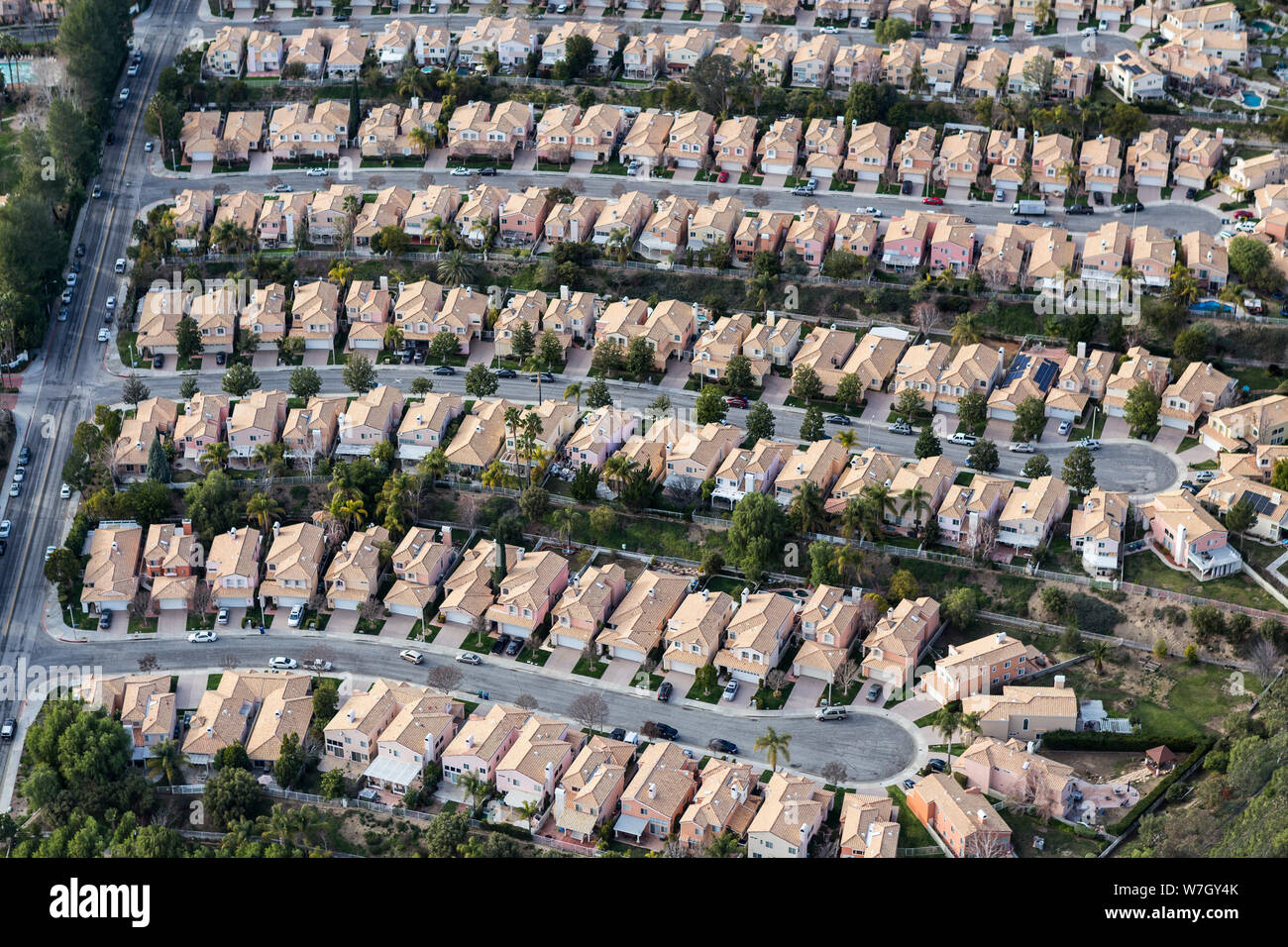 Aerial view of suburban Stevenson Ranch homes and cul-de-sac streets in Los Angeles County, California. Stock Photohttps://www.alamy.com/image-license-details/?v=1https://www.alamy.com/aerial-view-of-suburban-stevenson-ranch-homes-and-cul-de-sac-streets-in-los-angeles-county-california-image262830643.html
RFW7GY4K–Aerial view of suburban Stevenson Ranch homes and cul-de-sac streets in Los Angeles County, California.
 City of Santa Clarita, Los Angeles County, US, United States, California, N 34 24' 42'', S 118 30' 12'', map, Cartascapes Map published in 2024. Explore Cartascapes, a map revealing Earth's diverse landscapes, cultures, and ecosystems. Journey through time and space, discovering the interconnectedness of our planet's past, present, and future. Stock Photohttps://www.alamy.com/image-license-details/?v=1https://www.alamy.com/city-of-santa-clarita-los-angeles-county-us-united-states-california-n-34-24-42-s-118-30-12-map-cartascapes-map-published-in-2024-explore-cartascapes-a-map-revealing-earths-diverse-landscapes-cultures-and-ecosystems-journey-through-time-and-space-discovering-the-interconnectedness-of-our-planets-past-present-and-future-image633873066.html
RM2YR7BFP–City of Santa Clarita, Los Angeles County, US, United States, California, N 34 24' 42'', S 118 30' 12'', map, Cartascapes Map published in 2024. Explore Cartascapes, a map revealing Earth's diverse landscapes, cultures, and ecosystems. Journey through time and space, discovering the interconnectedness of our planet's past, present, and future.
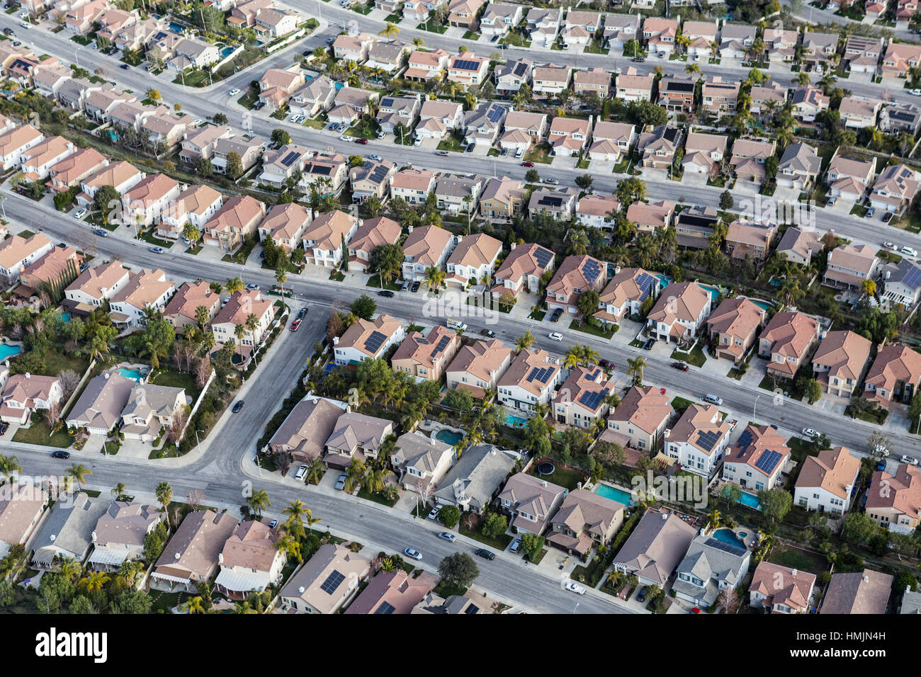 Aerial view of Stevenson Ranch homes and streets in Los Angeles County California. Stock Photohttps://www.alamy.com/image-license-details/?v=1https://www.alamy.com/stock-photo-aerial-view-of-stevenson-ranch-homes-and-streets-in-los-angeles-county-133177425.html
RFHMJN4H–Aerial view of Stevenson Ranch homes and streets in Los Angeles County California.
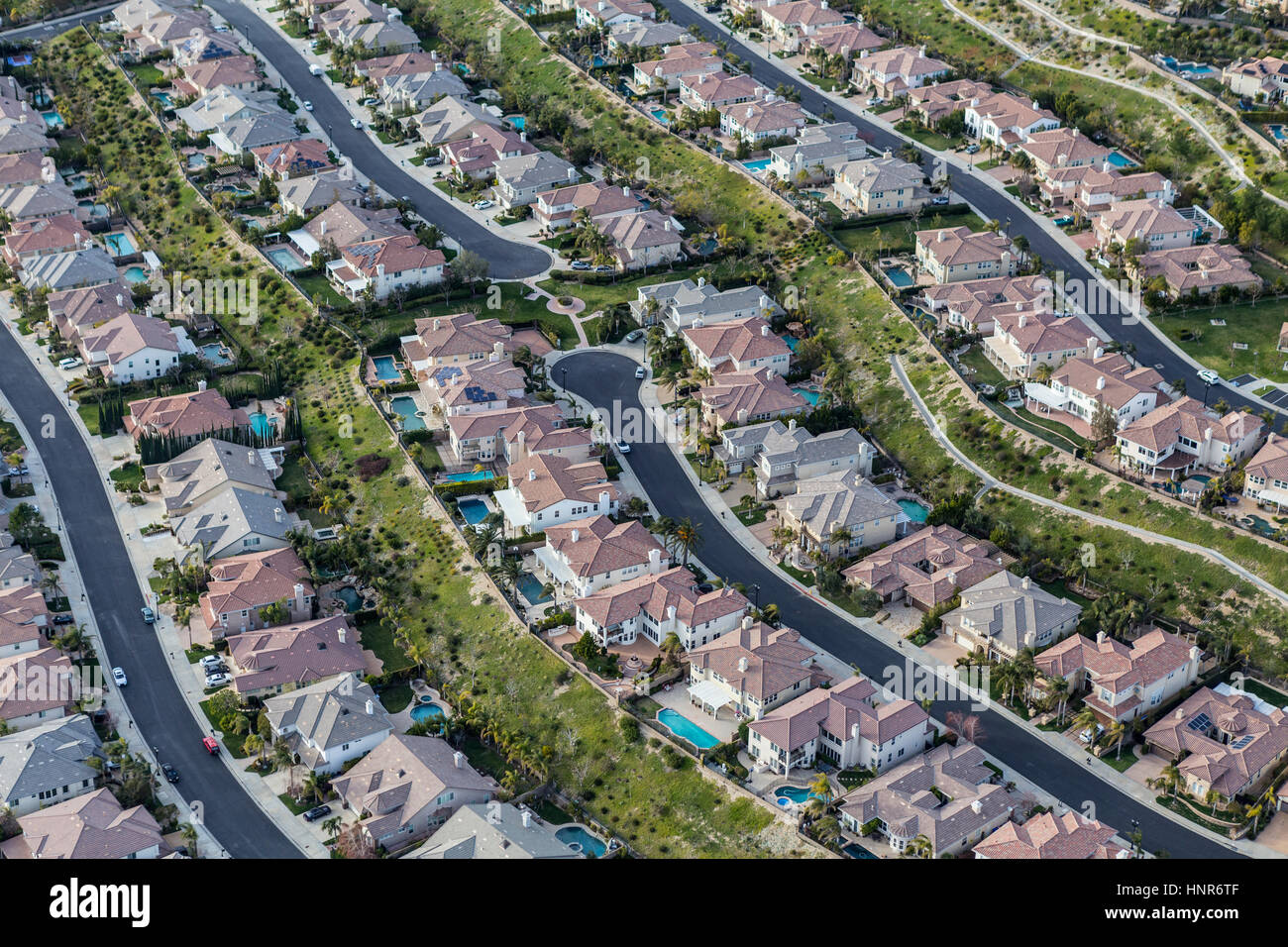 Aerial view of clean suburban streets in the Stevenson Ranch area of Los Angeles County, California. Stock Photohttps://www.alamy.com/image-license-details/?v=1https://www.alamy.com/stock-photo-aerial-view-of-clean-suburban-streets-in-the-stevenson-ranch-area-133890639.html
RFHNR6TF–Aerial view of clean suburban streets in the Stevenson Ranch area of Los Angeles County, California.
 Vertical aerial view of suburban Stevenson Ranch homes and cul-de-sac streets in Los Angeles County, California. Stock Photohttps://www.alamy.com/image-license-details/?v=1https://www.alamy.com/vertical-aerial-view-of-suburban-stevenson-ranch-homes-and-cul-de-sac-streets-in-los-angeles-county-california-image263479632.html
RFW8JEXT–Vertical aerial view of suburban Stevenson Ranch homes and cul-de-sac streets in Los Angeles County, California.
 Aerial view of Stevenson Ranch homes and streets in Los Angeles County California. Stock Photohttps://www.alamy.com/image-license-details/?v=1https://www.alamy.com/stock-photo-aerial-view-of-stevenson-ranch-homes-and-streets-in-los-angeles-county-133245840.html
RFHMNTC0–Aerial view of Stevenson Ranch homes and streets in Los Angeles County California.