Quick filters:
Sao paulo map vector Stock Photos and Images
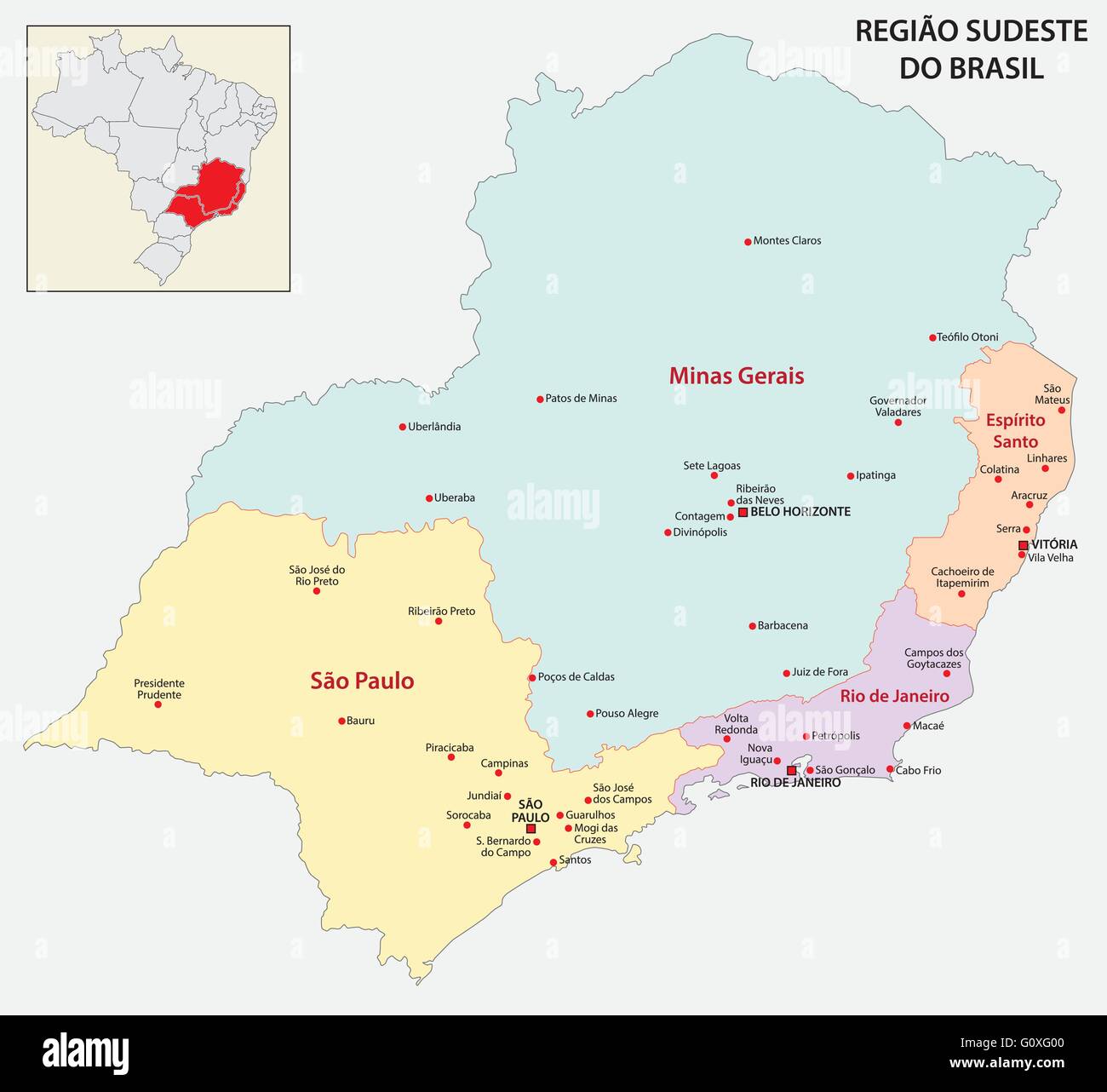 brazil southeast region map Stock Vectorhttps://www.alamy.com/image-license-details/?v=1https://www.alamy.com/stock-photo-brazil-southeast-region-map-103845504.html
RFG0XG00–brazil southeast region map
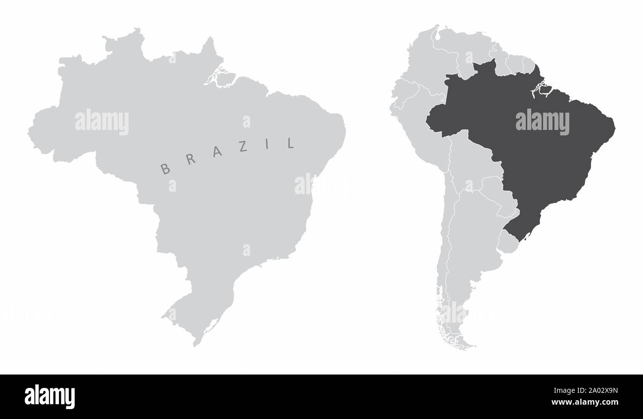 Brazil South America map Stock Vectorhttps://www.alamy.com/image-license-details/?v=1https://www.alamy.com/brazil-south-america-map-image327061553.html
RF2A02X9N–Brazil South America map
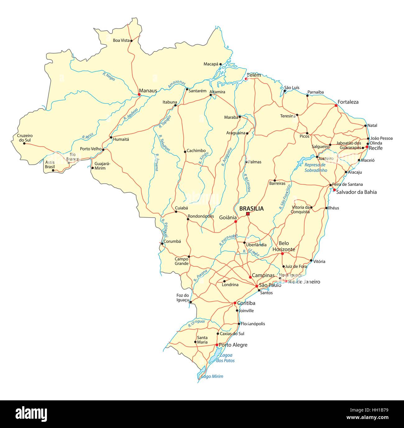 Brazil road map Stock Vectorhttps://www.alamy.com/image-license-details/?v=1https://www.alamy.com/stock-photo-brazil-road-map-130952509.html
RFHH1B79–Brazil road map
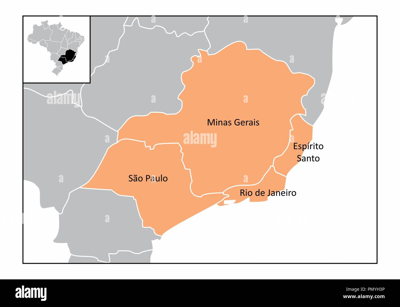 Map of the southeast region of Brazil with the identified states Stock Vectorhttps://www.alamy.com/image-license-details/?v=1https://www.alamy.com/map-of-the-southeast-region-of-brazil-with-the-identified-states-image219423674.html
RFPMYH3P–Map of the southeast region of Brazil with the identified states
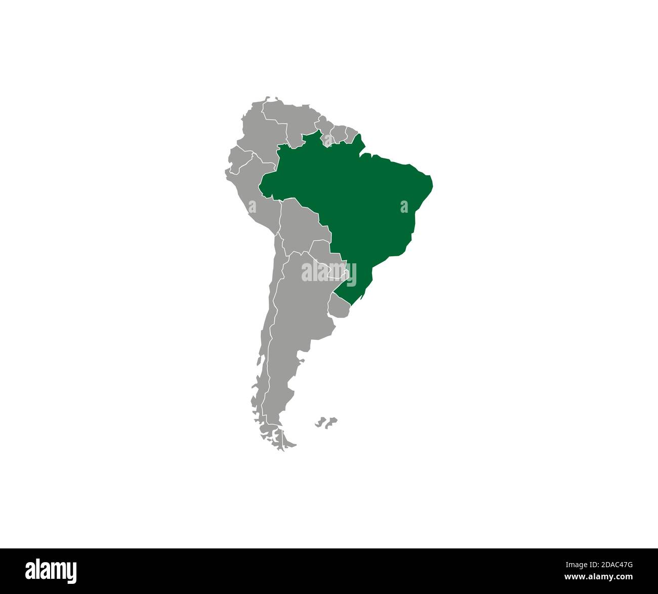 Brazil on South America map vector. Vector illustration. Stock Vectorhttps://www.alamy.com/image-license-details/?v=1https://www.alamy.com/brazil-on-south-america-map-vector-vector-illustration-image385041428.html
RF2DAC47G–Brazil on South America map vector. Vector illustration.
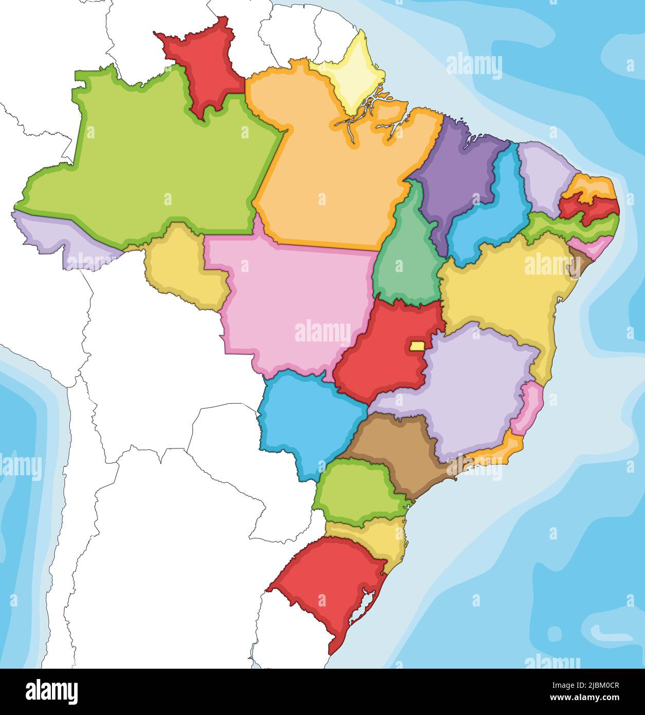 Vector illustrated blank map of Brazil with states and administrative divisions, and neighbouring countries and territories. Editable and clearly labe Stock Vectorhttps://www.alamy.com/image-license-details/?v=1https://www.alamy.com/vector-illustrated-blank-map-of-brazil-with-states-and-administrative-divisions-and-neighbouring-countries-and-territories-editable-and-clearly-labe-image471880551.html
RF2JBM0CR–Vector illustrated blank map of Brazil with states and administrative divisions, and neighbouring countries and territories. Editable and clearly labe
RF2N69EDM–Brazil Flag and map with raised fists. National day or Independence day design for Brazilian celebration. Modern abstract icons dark background.
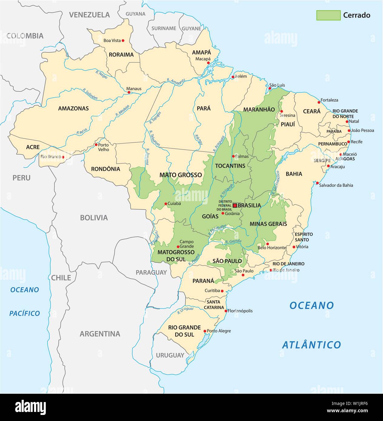 Map of the savanna landscape of Cerrado in Brazil Stock Vectorhttps://www.alamy.com/image-license-details/?v=1https://www.alamy.com/map-of-the-savanna-landscape-of-cerrado-in-brazil-image259183770.html
RFW1JRF6–Map of the savanna landscape of Cerrado in Brazil
 Sao Paulo BRAZIL map with Coronavirus warning illustration Stock Vectorhttps://www.alamy.com/image-license-details/?v=1https://www.alamy.com/sao-paulo-brazil-map-with-coronavirus-warning-illustration-image353403746.html
RF2BEXX2A–Sao Paulo BRAZIL map with Coronavirus warning illustration
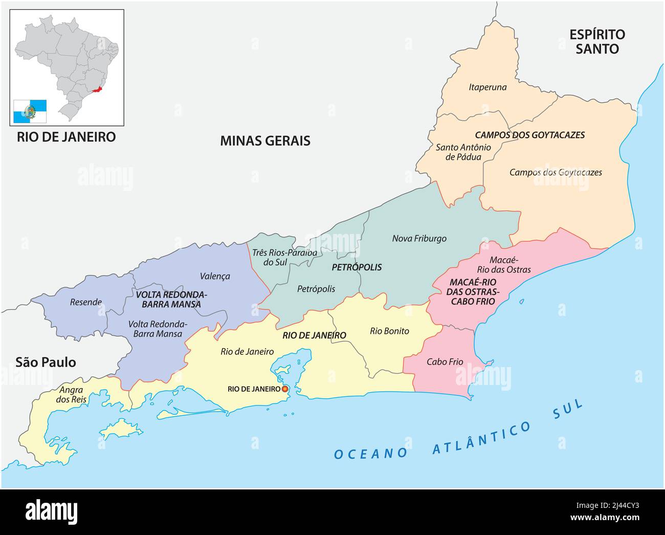 Map of the central and immediate geographic regions of Rio de Janeiro, Brazil Stock Vectorhttps://www.alamy.com/image-license-details/?v=1https://www.alamy.com/map-of-the-central-and-immediate-geographic-regions-of-rio-de-janeiro-brazil-image467236535.html
RF2J44CY3–Map of the central and immediate geographic regions of Rio de Janeiro, Brazil
 Sao Paulo map with Brazilian national flag illustration Stock Vectorhttps://www.alamy.com/image-license-details/?v=1https://www.alamy.com/stock-photo-sao-paulo-map-with-brazilian-national-flag-illustration-141167268.html
RFJ5JM84–Sao Paulo map with Brazilian national flag illustration
 Symbol Map of the State Sao Paulo (Brazil). Abstract map showing the state/province with a pattern of overlapping colorful squares like candies Stock Vectorhttps://www.alamy.com/image-license-details/?v=1https://www.alamy.com/symbol-map-of-the-state-sao-paulo-brazil-abstract-map-showing-the-stateprovince-with-a-pattern-of-overlapping-colorful-squares-like-candies-image611838296.html
RF2XFBHYM–Symbol Map of the State Sao Paulo (Brazil). Abstract map showing the state/province with a pattern of overlapping colorful squares like candies
 Sao Paulo Brazil Map black inverted silhouette Stock Vectorhttps://www.alamy.com/image-license-details/?v=1https://www.alamy.com/stock-photo-sao-paulo-brazil-map-black-inverted-silhouette-133129039.html
RFHMGFCF–Sao Paulo Brazil Map black inverted silhouette
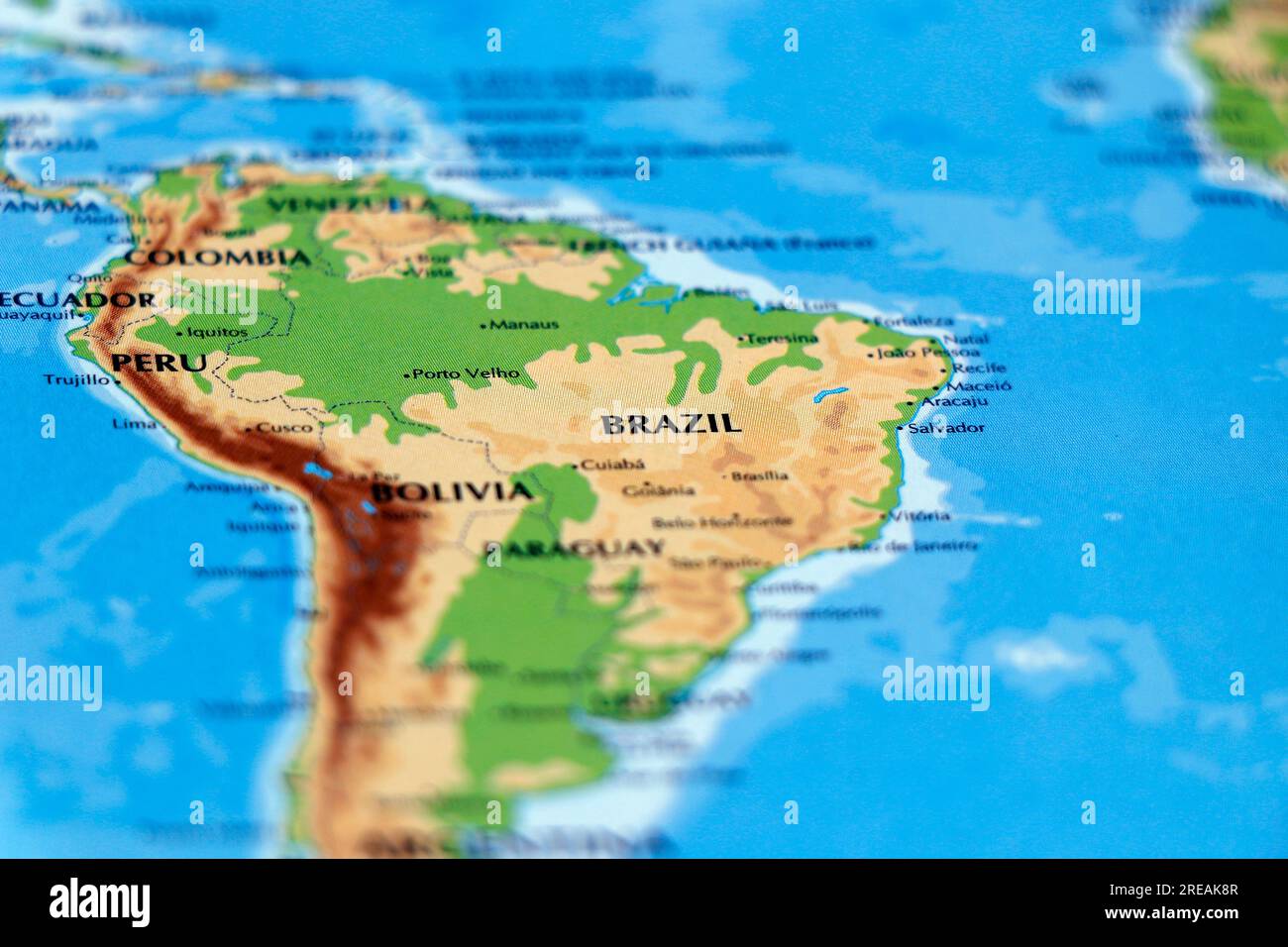 world map of south american countries and brazil, colombia, peru in close up focus Stock Photohttps://www.alamy.com/image-license-details/?v=1https://www.alamy.com/world-map-of-south-american-countries-and-brazil-colombia-peru-in-close-up-focus-image559571623.html
RF2REAK8R–world map of south american countries and brazil, colombia, peru in close up focus
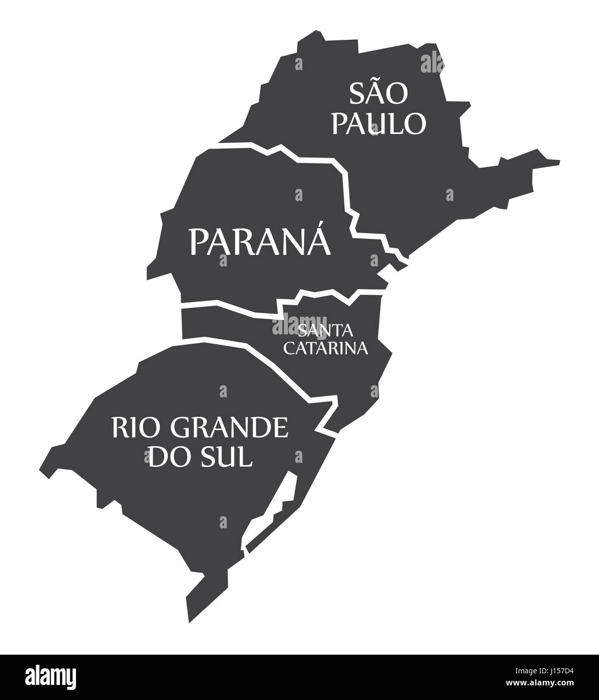 Sao Paulo - Parana - Santa Catarina - Rio Grande do sul Map Brazil illustration Stock Vectorhttps://www.alamy.com/image-license-details/?v=1https://www.alamy.com/stock-photo-sao-paulo-parana-santa-catarina-rio-grande-do-sul-map-brazil-illustration-138413216.html
RFJ157D4–Sao Paulo - Parana - Santa Catarina - Rio Grande do sul Map Brazil illustration
 Map with a marker on Brazil Stock Photohttps://www.alamy.com/image-license-details/?v=1https://www.alamy.com/stock-photo-map-with-a-marker-on-brazil-73453309.html
RFE7E2CD–Map with a marker on Brazil
RF2MHG7EW–brazil map vector icon illustration symbol design.
 Sao Paulo blank outline map set Stock Vectorhttps://www.alamy.com/image-license-details/?v=1https://www.alamy.com/stock-photo-sao-paulo-blank-outline-map-set-116136542.html
RFGMXD9J–Sao Paulo blank outline map set
 Greater Sao Paulo map silhouette isolated on white background, Brazil Stock Vectorhttps://www.alamy.com/image-license-details/?v=1https://www.alamy.com/greater-sao-paulo-map-silhouette-isolated-on-white-background-brazil-image555109021.html
RF2R73B65–Greater Sao Paulo map silhouette isolated on white background, Brazil
 Sao Paulo Brazil Map black inverted Stock Photohttps://www.alamy.com/image-license-details/?v=1https://www.alamy.com/stock-image-sao-paulo-brazil-map-black-inverted-169669419.html
RFKT1323–Sao Paulo Brazil Map black inverted
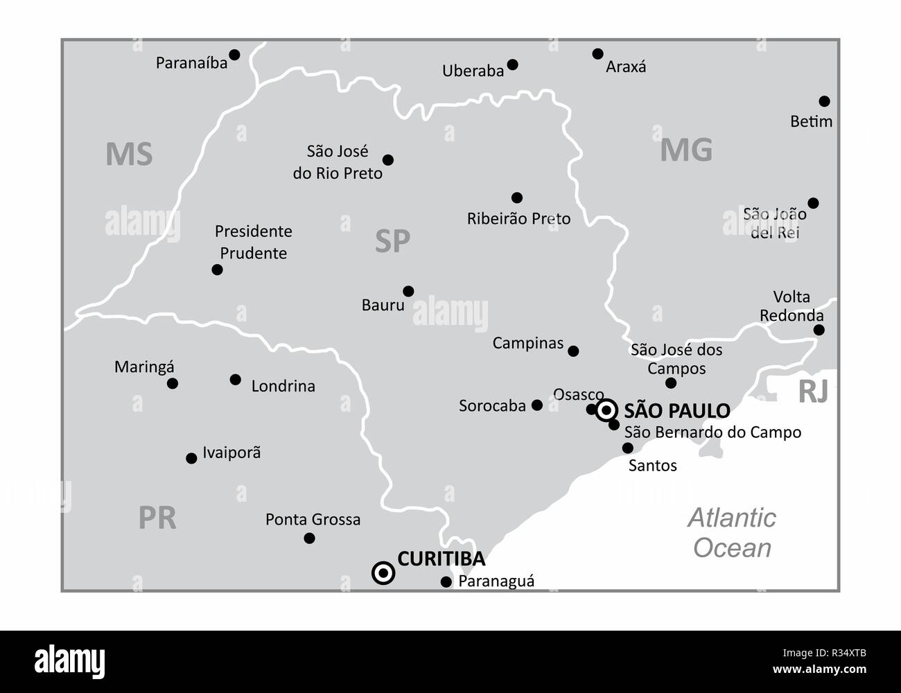 A map of the Sao Paulo state region in the Brazil southeast and some of the main cities. Grayscale map. Stock Vectorhttps://www.alamy.com/image-license-details/?v=1https://www.alamy.com/a-map-of-the-sao-paulo-state-region-in-the-brazil-southeast-and-some-of-the-main-cities-grayscale-map-image225687627.html
RFR34XTB–A map of the Sao Paulo state region in the Brazil southeast and some of the main cities. Grayscale map.
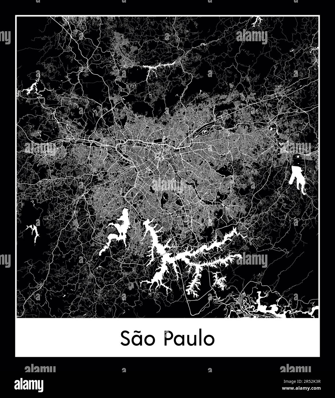 Minimal city map of Sao Paulo (Brazil South America) Stock Vectorhttps://www.alamy.com/image-license-details/?v=1https://www.alamy.com/minimal-city-map-of-sao-paulo-brazil-south-america-image553863963.html
RF2R52K3R–Minimal city map of Sao Paulo (Brazil South America)
 Dark map of Sao Paulo city with the districts borders Stock Vectorhttps://www.alamy.com/image-license-details/?v=1https://www.alamy.com/dark-map-of-sao-paulo-city-with-the-districts-borders-image242284311.html
RFT25033–Dark map of Sao Paulo city with the districts borders
 Brazil on South America map vector. Vector illustration. Stock Vectorhttps://www.alamy.com/image-license-details/?v=1https://www.alamy.com/brazil-on-south-america-map-vector-vector-illustration-image386513273.html
RF2DCR5HD–Brazil on South America map vector. Vector illustration.
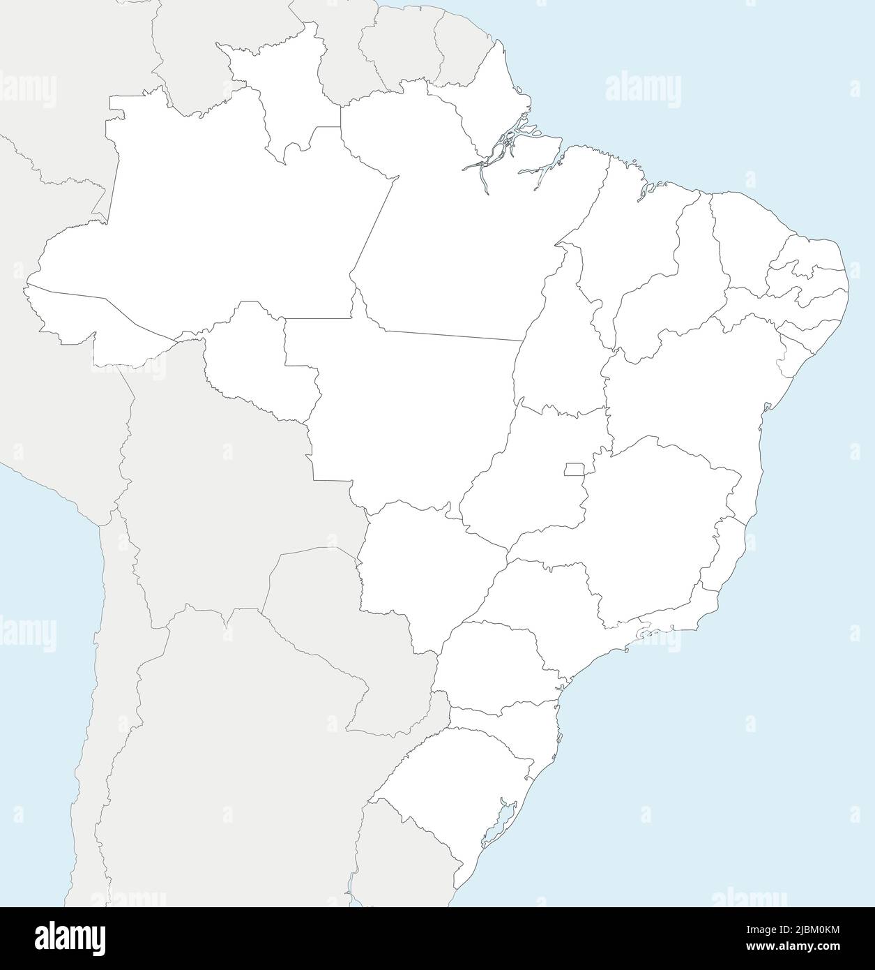 Vector blank map of Brazil with states and administrative divisions, and neighbouring countries and territories. Editable and clearly labeled layers. Stock Vectorhttps://www.alamy.com/image-license-details/?v=1https://www.alamy.com/vector-blank-map-of-brazil-with-states-and-administrative-divisions-and-neighbouring-countries-and-territories-editable-and-clearly-labeled-layers-image471880744.html
RF2JBM0KM–Vector blank map of Brazil with states and administrative divisions, and neighbouring countries and territories. Editable and clearly labeled layers.
 Brazil Flag and map with raised fists. National day or Independence day design for Brazilian celebration. Modern retro design with abstract wave. Stock Vectorhttps://www.alamy.com/image-license-details/?v=1https://www.alamy.com/brazil-flag-and-map-with-raised-fists-national-day-or-independence-day-design-for-brazilian-celebration-modern-retro-design-with-abstract-wave-image520206150.html
RF2N69C72–Brazil Flag and map with raised fists. National day or Independence day design for Brazilian celebration. Modern retro design with abstract wave.
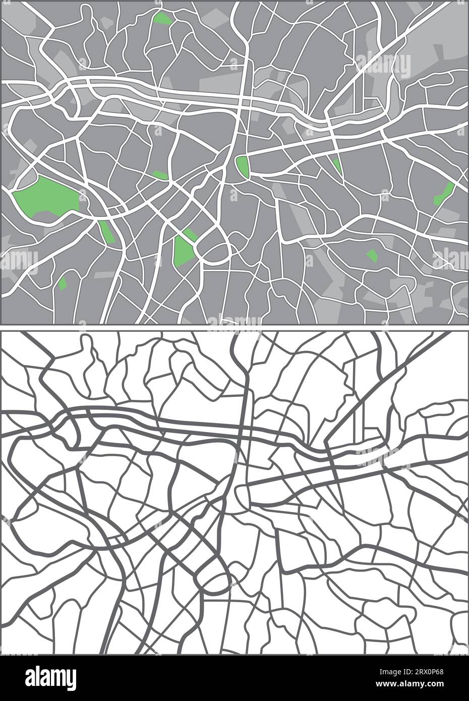 Layered editable vector streetmap of Sao Paulo,Brazil,which contains lines and colored shapes for lands,roads and parks. Stock Vectorhttps://www.alamy.com/image-license-details/?v=1https://www.alamy.com/layered-editable-vector-streetmap-of-sao-paulobrazilwhich-contains-lines-and-colored-shapes-for-landsroads-and-parks-image566730256.html
RF2RX0P68–Layered editable vector streetmap of Sao Paulo,Brazil,which contains lines and colored shapes for lands,roads and parks.
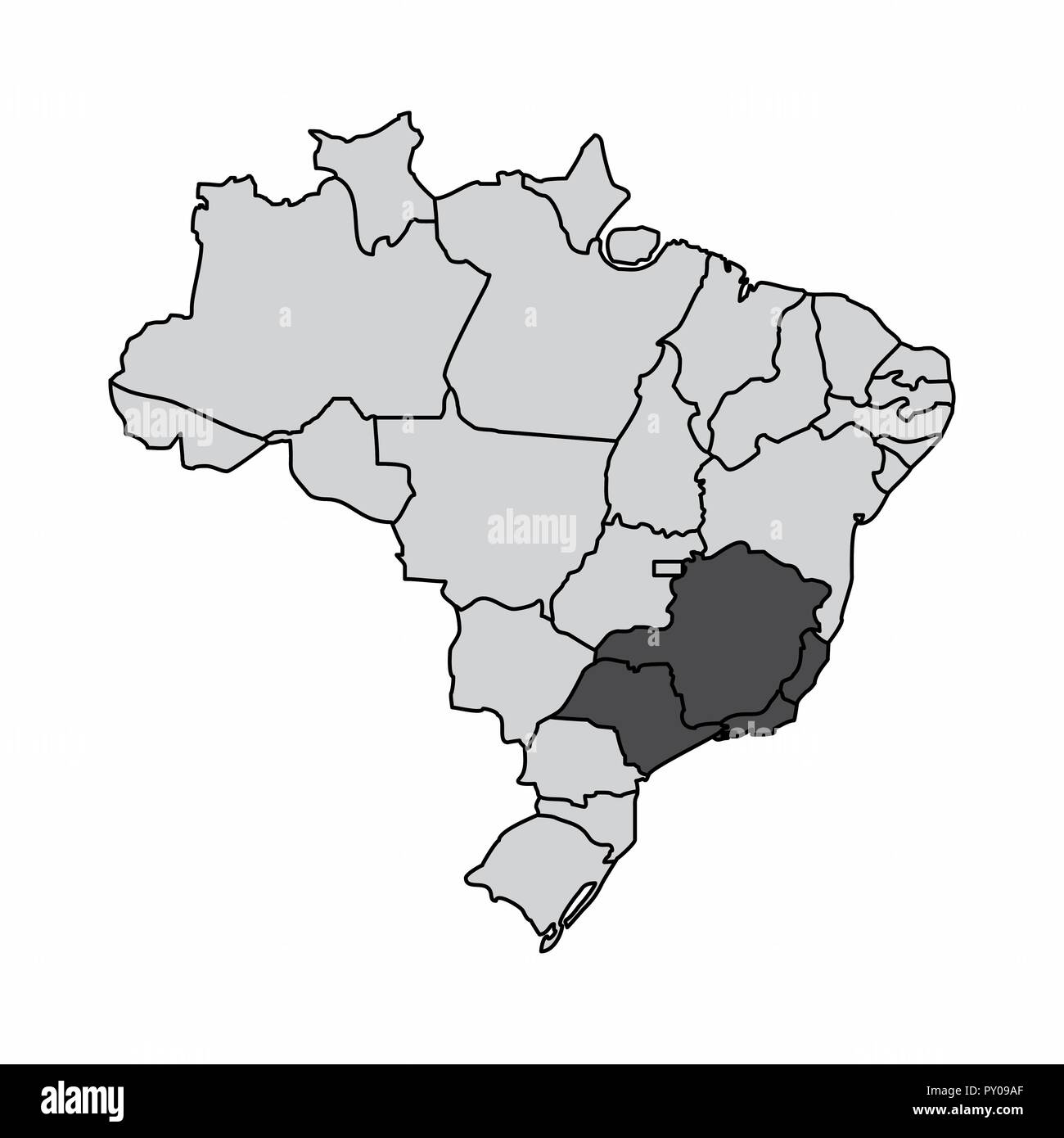 Illustration of a map of Brazil with the southeast region highlighted Stock Vectorhttps://www.alamy.com/image-license-details/?v=1https://www.alamy.com/illustration-of-a-map-of-brazil-with-the-southeast-region-highlighted-image223127479.html
RFPY09AF–Illustration of a map of Brazil with the southeast region highlighted
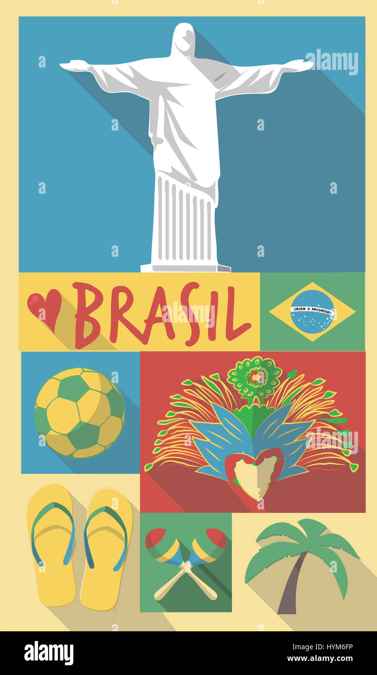 Retro Drawing of Brazil Sao Paulo Cultural Symbols on a Poster and Postcard Stock Photohttps://www.alamy.com/image-license-details/?v=1https://www.alamy.com/stock-photo-retro-drawing-of-brazil-sao-paulo-cultural-symbols-on-a-poster-and-137512474.html
RFHYM6FP–Retro Drawing of Brazil Sao Paulo Cultural Symbols on a Poster and Postcard
 Brazil Southeast region map Stock Vectorhttps://www.alamy.com/image-license-details/?v=1https://www.alamy.com/brazil-southeast-region-map-image367699990.html
RF2CA652E–Brazil Southeast region map
 The word BRAZIL written in colorful abstract word art on a vibrant background. Vector EPS 10 available. Stock Photohttps://www.alamy.com/image-license-details/?v=1https://www.alamy.com/stock-photo-the-word-brazil-written-in-colorful-abstract-word-art-on-a-vibrant-170517417.html
RFKWBMKN–The word BRAZIL written in colorful abstract word art on a vibrant background. Vector EPS 10 available.
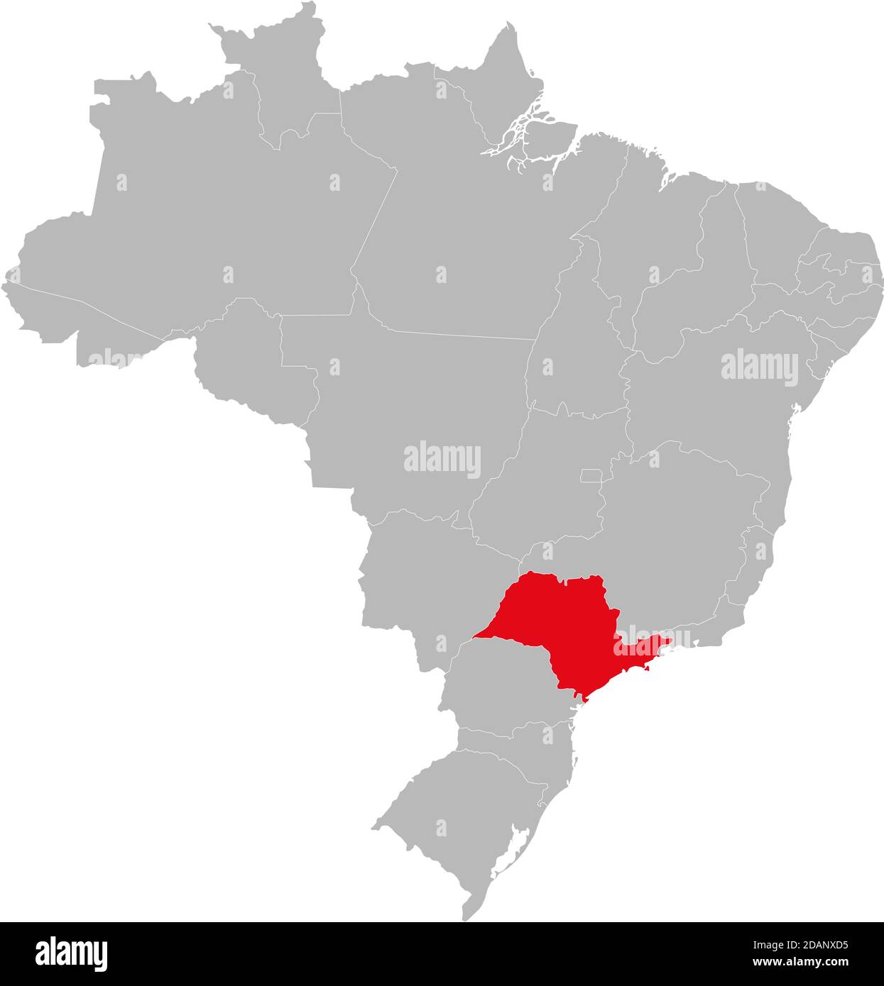 São Paulo state highlighted on Brazil map. Business concepts and backgrounds. Stock Vectorhttps://www.alamy.com/image-license-details/?v=1https://www.alamy.com/so-paulo-state-highlighted-on-brazil-map-business-concepts-and-backgrounds-image385256401.html
RF2DANXD5–São Paulo state highlighted on Brazil map. Business concepts and backgrounds.
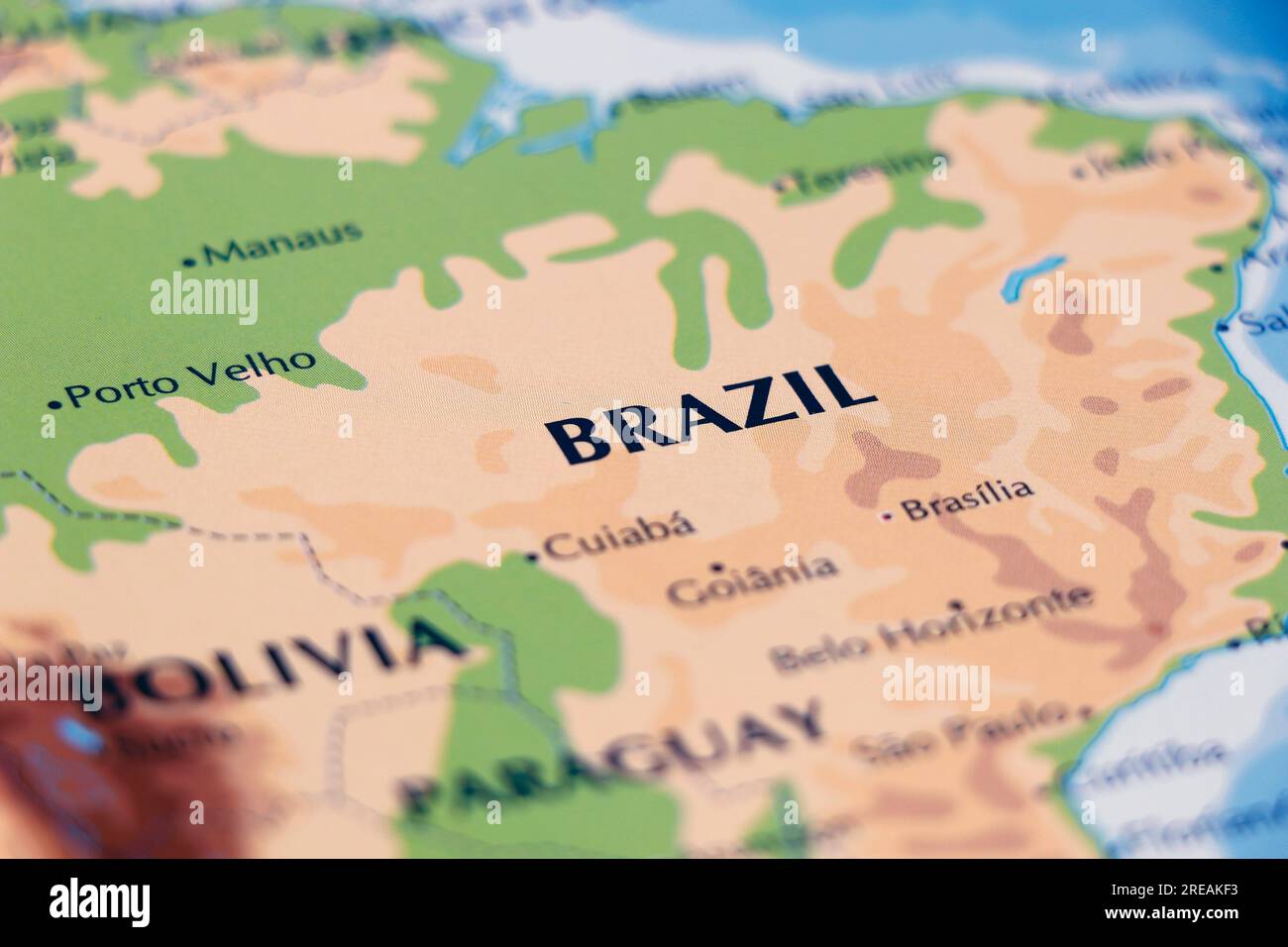 world map of south american continent and brazil in close up focus Stock Photohttps://www.alamy.com/image-license-details/?v=1https://www.alamy.com/world-map-of-south-american-continent-and-brazil-in-close-up-focus-image559571799.html
RF2REAKF3–world map of south american continent and brazil in close up focus
 Mato Grosso do sul - Sao Paulo - Rio de Janeiro - Espirito Santo Map Brazil illustration Stock Vectorhttps://www.alamy.com/image-license-details/?v=1https://www.alamy.com/stock-photo-mato-grosso-do-sul-sao-paulo-rio-de-janeiro-espirito-santo-map-brazil-138413182.html
RFJ157BX–Mato Grosso do sul - Sao Paulo - Rio de Janeiro - Espirito Santo Map Brazil illustration
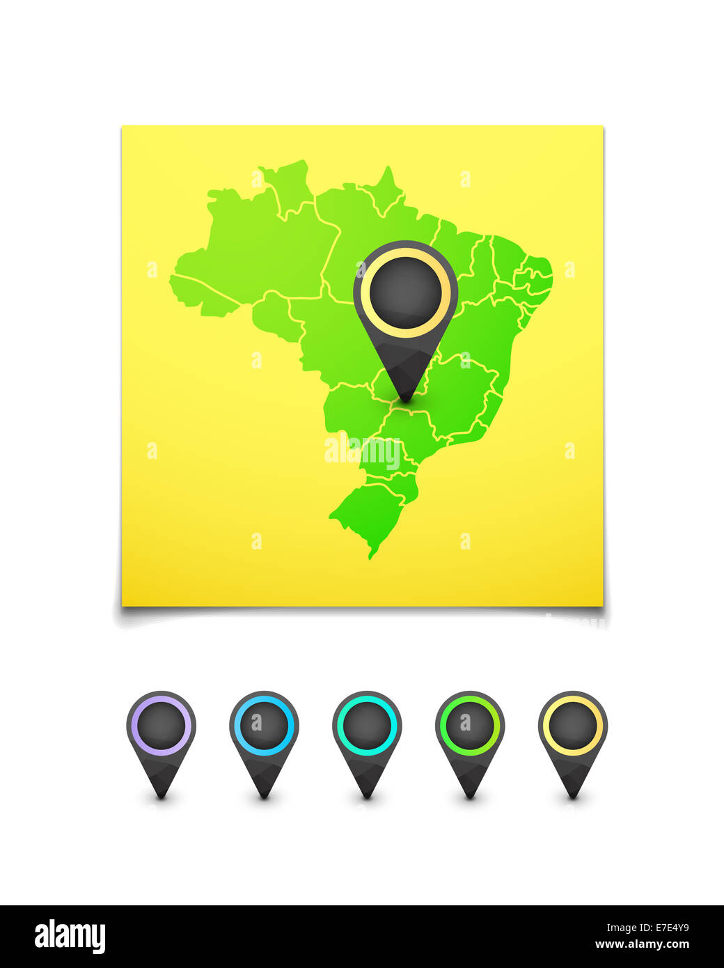 Map with a marker on Brazil Stock Photohttps://www.alamy.com/image-license-details/?v=1https://www.alamy.com/stock-photo-map-with-a-marker-on-brazil-73455293.html
RFE7E4Y9–Map with a marker on Brazil
RF2MHK6NX–brazil map vector icon illustration symbol design.
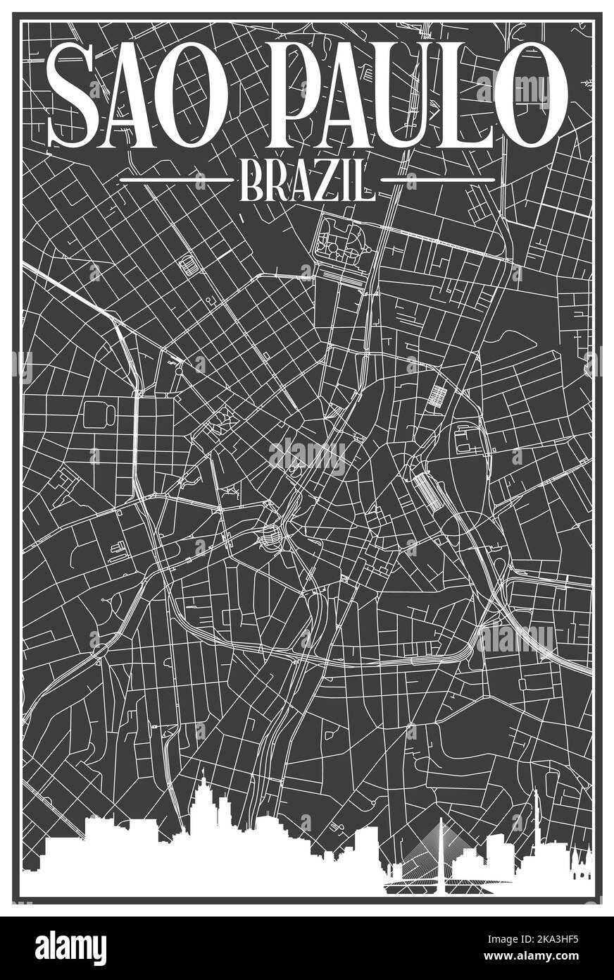 Hand-drawn downtown streets network printout map of SAO PAULO, BRAZIL Stock Vectorhttps://www.alamy.com/image-license-details/?v=1https://www.alamy.com/hand-drawn-downtown-streets-network-printout-map-of-sao-paulo-brazil-image488116473.html
RF2KA3HF5–Hand-drawn downtown streets network printout map of SAO PAULO, BRAZIL
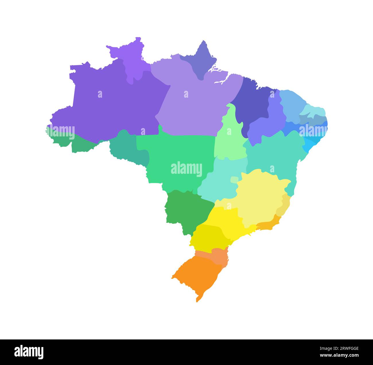 Vector isolated illustration of simplified administrative map of Brazil. Borders of the regions. Multi colored silhouettes. Stock Vectorhttps://www.alamy.com/image-license-details/?v=1https://www.alamy.com/vector-isolated-illustration-of-simplified-administrative-map-of-brazil-borders-of-the-regions-multi-colored-silhouettes-image566440462.html
RF2RWFGGE–Vector isolated illustration of simplified administrative map of Brazil. Borders of the regions. Multi colored silhouettes.
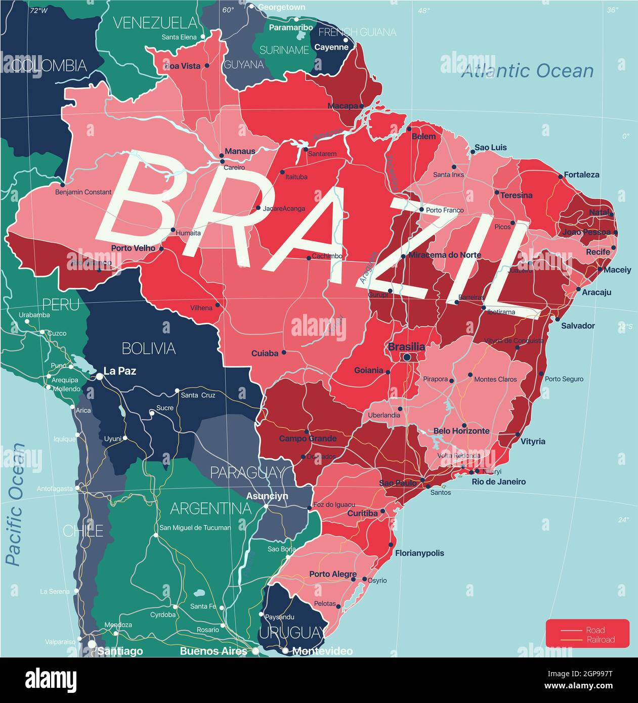 Brazil country detailed editable map with regions cities and towns, roads and railways, geographic sites. Vector EPS-10 file Stock Photohttps://www.alamy.com/image-license-details/?v=1https://www.alamy.com/brazil-country-detailed-editable-map-with-regions-cities-and-towns-roads-and-railways-geographic-sites-vector-eps-10-file-image443986476.html
RF2GP997T–Brazil country detailed editable map with regions cities and towns, roads and railways, geographic sites. Vector EPS-10 file
 brazil map with brazil national flag inside vector illustration Stock Vectorhttps://www.alamy.com/image-license-details/?v=1https://www.alamy.com/brazil-map-with-brazil-national-flag-inside-vector-illustration-image402253656.html
RF2EAC6J0–brazil map with brazil national flag inside vector illustration
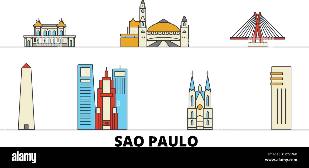 Brazil, Sao Paulo flat landmarks vector illustration. Brazil, Sao Paulo line city with famous travel sights, skyline, design. Stock Vectorhttps://www.alamy.com/image-license-details/?v=1https://www.alamy.com/brazil-sao-paulo-flat-landmarks-vector-illustration-brazil-sao-paulo-line-city-with-famous-travel-sights-skyline-design-image240384771.html
RFRY2D6B–Brazil, Sao Paulo flat landmarks vector illustration. Brazil, Sao Paulo line city with famous travel sights, skyline, design.
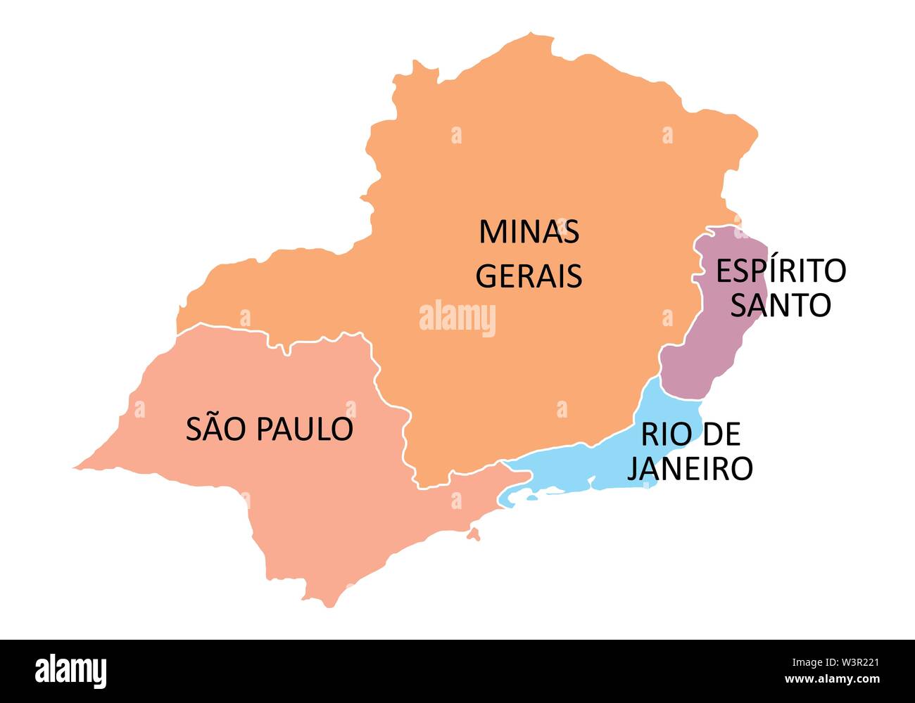 Brazil southeast region Stock Vectorhttps://www.alamy.com/image-license-details/?v=1https://www.alamy.com/brazil-southeast-region-image260506009.html
RFW3R221–Brazil southeast region
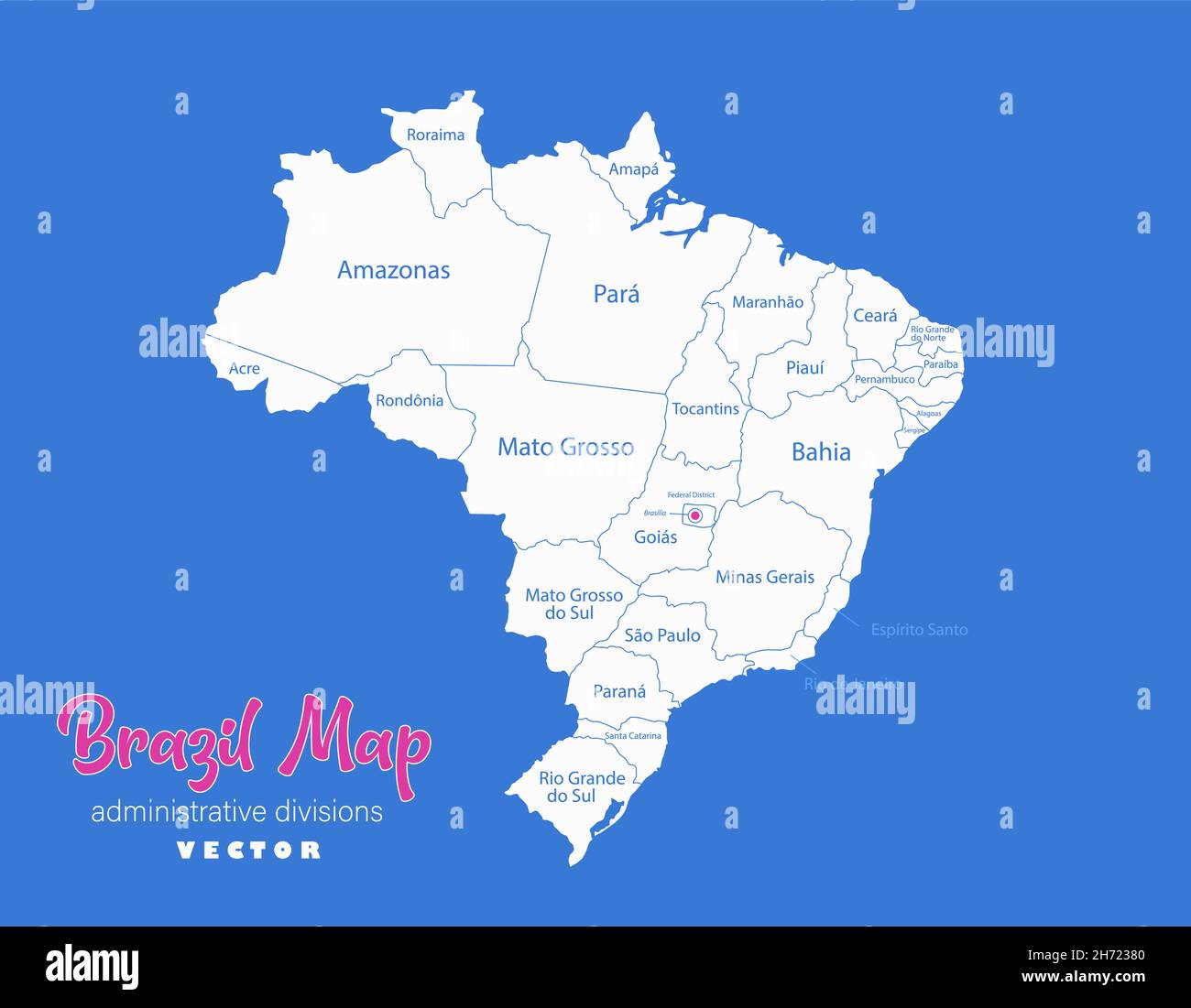 Brazil map, administrative divisions whit names regions, blue background vector Stock Vectorhttps://www.alamy.com/image-license-details/?v=1https://www.alamy.com/brazil-map-administrative-divisions-whit-names-regions-blue-background-vector-image451818640.html
RF2H72380–Brazil map, administrative divisions whit names regions, blue background vector
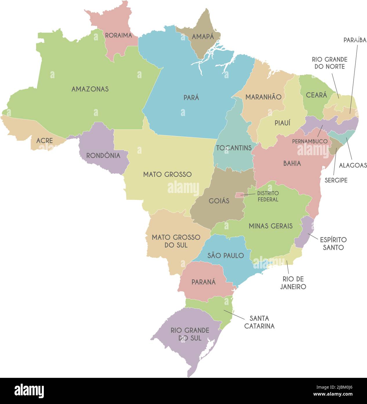 Vector map of Brazil with regions or states and administrative divisions. Editable and clearly labeled layers. Stock Vectorhttps://www.alamy.com/image-license-details/?v=1https://www.alamy.com/vector-map-of-brazil-with-regions-or-states-and-administrative-divisions-editable-and-clearly-labeled-layers-image471880702.html
RF2JBM0J6–Vector map of Brazil with regions or states and administrative divisions. Editable and clearly labeled layers.
 Brazil Flag with raised fists. National day or Independence day design for Brazilian celebration. Modern retro abstract sports theme. Stock Vectorhttps://www.alamy.com/image-license-details/?v=1https://www.alamy.com/brazil-flag-with-raised-fists-national-day-or-independence-day-design-for-brazilian-celebration-modern-retro-abstract-sports-theme-image520205385.html
RF2N69B7N–Brazil Flag with raised fists. National day or Independence day design for Brazilian celebration. Modern retro abstract sports theme.
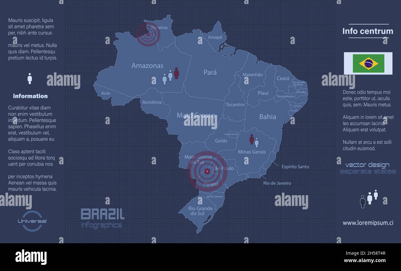 Brazil map, separate regions with names, infographics blue flat design vector Stock Vectorhttps://www.alamy.com/image-license-details/?v=1https://www.alamy.com/brazil-map-separate-regions-with-names-infographics-blue-flat-design-vector-image450737415.html
RF2H58T4R–Brazil map, separate regions with names, infographics blue flat design vector
 Vector map Brazil and Brasilia. Country and capital. Isolated vector Illustration. Outline. EPS 10 Illustration. Stock Vectorhttps://www.alamy.com/image-license-details/?v=1https://www.alamy.com/vector-map-brazil-and-brasilia-country-and-capital-isolated-vector-illustration-outline-eps-10-illustration-image359696943.html
RF2BW5H3B–Vector map Brazil and Brasilia. Country and capital. Isolated vector Illustration. Outline. EPS 10 Illustration.
 Retro Drawing of Brazil Sao Paulo Cultural Symbols on a Poster and Postcard Stock Vectorhttps://www.alamy.com/image-license-details/?v=1https://www.alamy.com/stock-photo-retro-drawing-of-brazil-sao-paulo-cultural-symbols-on-a-poster-and-137579226.html
RFHYR7KP–Retro Drawing of Brazil Sao Paulo Cultural Symbols on a Poster and Postcard
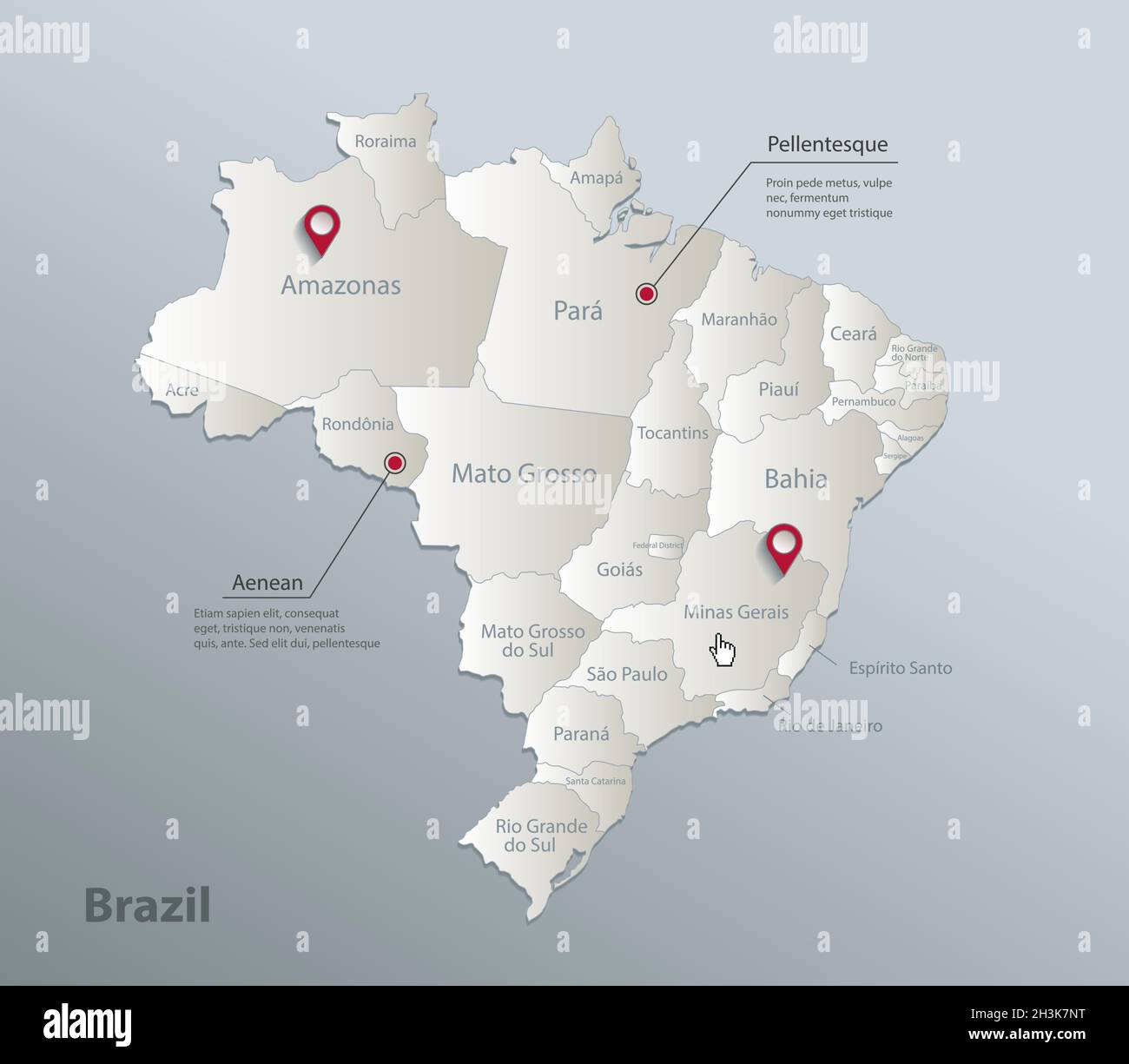 Brazil map, administrative division with names, blue white card paper 3D vector Stock Vectorhttps://www.alamy.com/image-license-details/?v=1https://www.alamy.com/brazil-map-administrative-division-with-names-blue-white-card-paper-3d-vector-image449736724.html
RF2H3K7NT–Brazil map, administrative division with names, blue white card paper 3D vector
 Vector map Brazil. Isolated vector Illustration. Black on White background. EPS 10 Illustration. Stock Vectorhttps://www.alamy.com/image-license-details/?v=1https://www.alamy.com/vector-map-brazil-isolated-vector-illustration-black-on-white-background-eps-10-illustration-image359699217.html
RF2BW5M0H–Vector map Brazil. Isolated vector Illustration. Black on White background. EPS 10 Illustration.
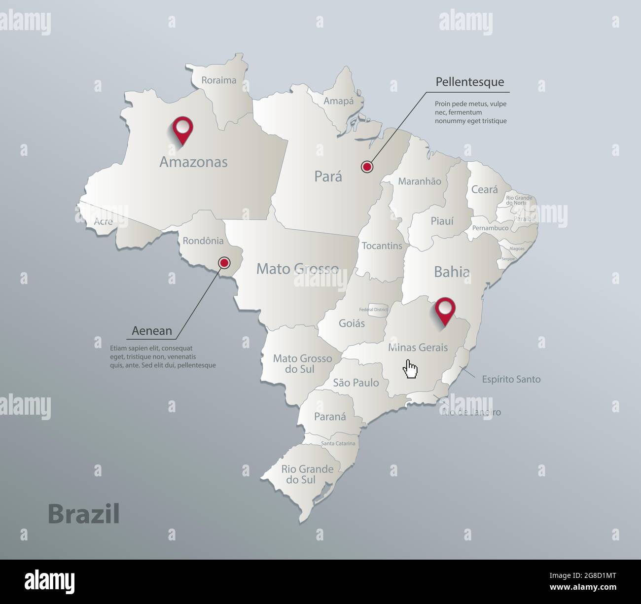 Brazil map, administrative division with names, blue white card paper 3D vector Stock Vectorhttps://www.alamy.com/image-license-details/?v=1https://www.alamy.com/brazil-map-administrative-division-with-names-blue-white-card-paper-3d-vector-image435463192.html
RF2G8D1MT–Brazil map, administrative division with names, blue white card paper 3D vector
 Vector map Brazil. Isolated vector Illustration. Black on White background. EPS 10 Illustration. Stock Vectorhttps://www.alamy.com/image-license-details/?v=1https://www.alamy.com/vector-map-brazil-isolated-vector-illustration-black-on-white-background-eps-10-illustration-image359700977.html
RF2BW5P7D–Vector map Brazil. Isolated vector Illustration. Black on White background. EPS 10 Illustration.
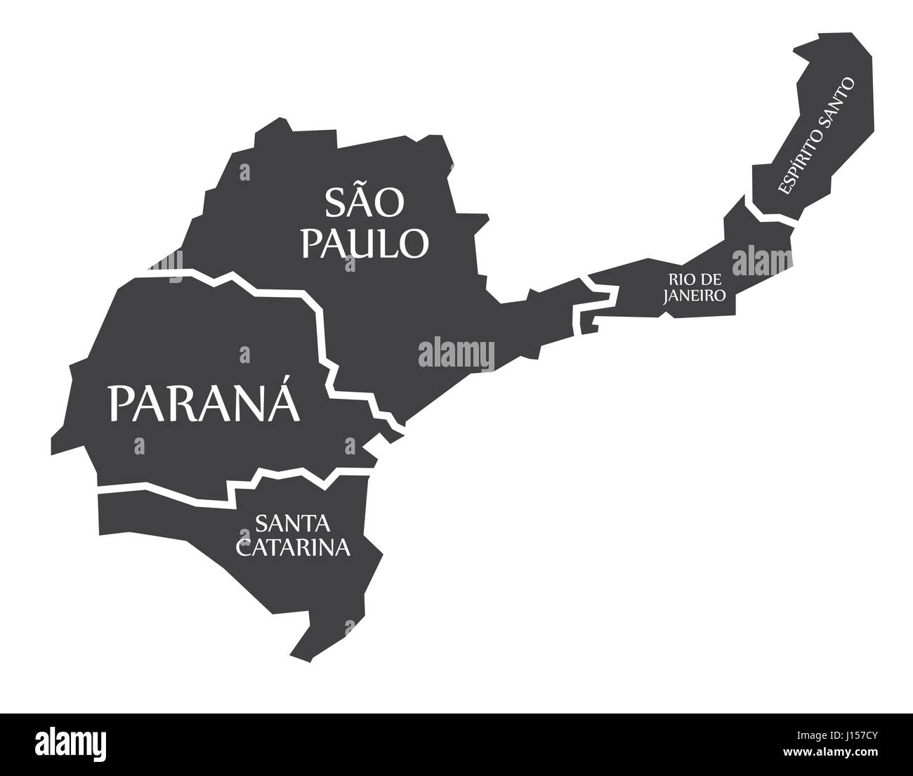 Santa Catarina - Parana - Sao Paulo - Rio de Janeiro - Espirito Santo Map Brazil illustration Stock Vectorhttps://www.alamy.com/image-license-details/?v=1https://www.alamy.com/stock-photo-santa-catarina-parana-sao-paulo-rio-de-janeiro-espirito-santo-map-138413211.html
RFJ157CY–Santa Catarina - Parana - Sao Paulo - Rio de Janeiro - Espirito Santo Map Brazil illustration
 Map with a marker on Brazil Stock Photohttps://www.alamy.com/image-license-details/?v=1https://www.alamy.com/stock-photo-map-with-a-marker-on-brazil-73444984.html
RFE7DKR4–Map with a marker on Brazil
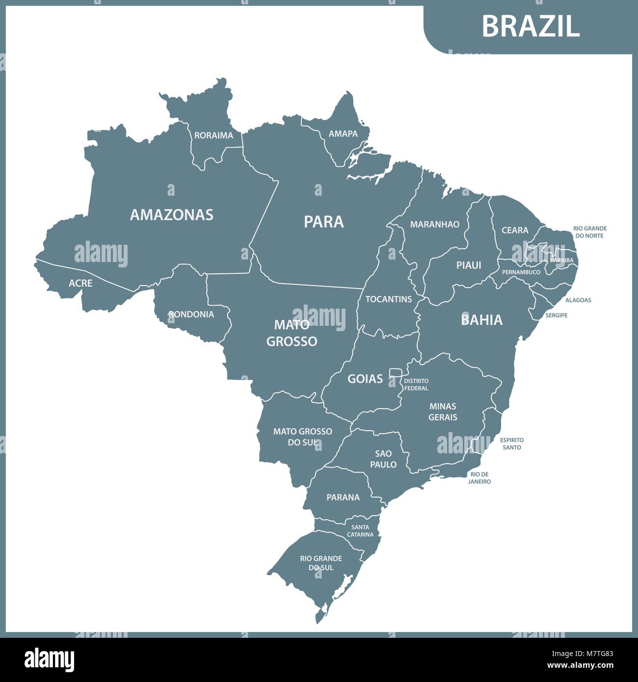 The detailed map of the Brazil with regions or states Stock Vectorhttps://www.alamy.com/image-license-details/?v=1https://www.alamy.com/stock-photo-the-detailed-map-of-the-brazil-with-regions-or-states-176945891.html
RFM7TG83–The detailed map of the Brazil with regions or states
 World map with a marker on Brazil Stock Photohttps://www.alamy.com/image-license-details/?v=1https://www.alamy.com/world-map-with-a-marker-on-brazil-image69712778.html
RFE1BKA2–World map with a marker on Brazil
 Hand-drawn downtown streets network printout map of SAO PAULO, BRAZIL Stock Vectorhttps://www.alamy.com/image-license-details/?v=1https://www.alamy.com/hand-drawn-downtown-streets-network-printout-map-of-sao-paulo-brazil-image488115170.html
RF2KA3FTJ–Hand-drawn downtown streets network printout map of SAO PAULO, BRAZIL
 World map with a marker on Brazil Stock Photohttps://www.alamy.com/image-license-details/?v=1https://www.alamy.com/stock-photo-world-map-with-a-marker-on-brazil-73444986.html
RFE7DKR6–World map with a marker on Brazil
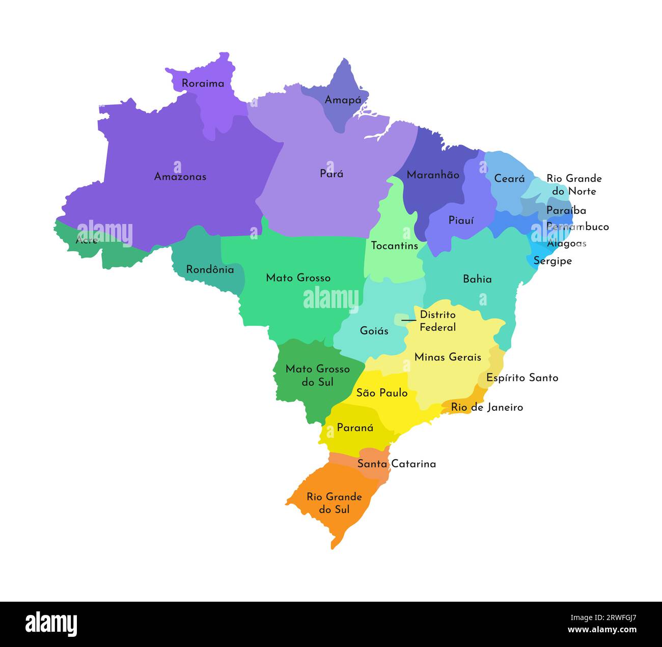 Vector isolated illustration of simplified administrative map of Brazil. Borders and names of the regions. Multi colored silhouettes. Stock Vectorhttps://www.alamy.com/image-license-details/?v=1https://www.alamy.com/vector-isolated-illustration-of-simplified-administrative-map-of-brazil-borders-and-names-of-the-regions-multi-colored-silhouettes-image566440511.html
RF2RWFGJ7–Vector isolated illustration of simplified administrative map of Brazil. Borders and names of the regions. Multi colored silhouettes.
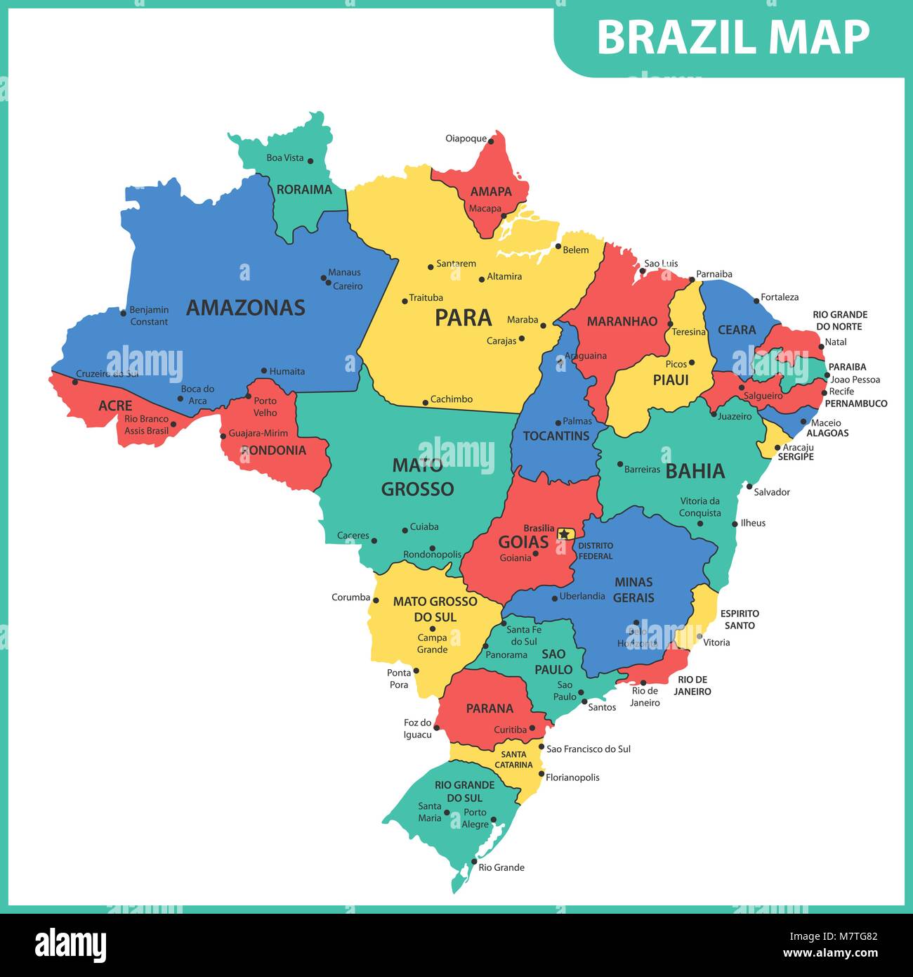 The detailed map of the Brazil with regions or states and cities, capitals Stock Vectorhttps://www.alamy.com/image-license-details/?v=1https://www.alamy.com/stock-photo-the-detailed-map-of-the-brazil-with-regions-or-states-and-cities-capitals-176945890.html
RFM7TG82–The detailed map of the Brazil with regions or states and cities, capitals
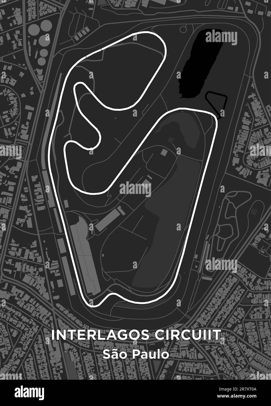 The Autódromo José Carlos Pace, better known as Interlagos, is a 4.309 km (2.677 mi) motorsport circuit located in the city of São Paulo, Brazil Stock Vectorhttps://www.alamy.com/image-license-details/?v=1https://www.alamy.com/the-autdromo-jos-carlos-pace-better-known-as-interlagos-is-a-4309-km-2677-mi-motorsport-circuit-located-in-the-city-of-so-paulo-brazil-image555623946.html
RF2R7XT0A–The Autódromo José Carlos Pace, better known as Interlagos, is a 4.309 km (2.677 mi) motorsport circuit located in the city of São Paulo, Brazil
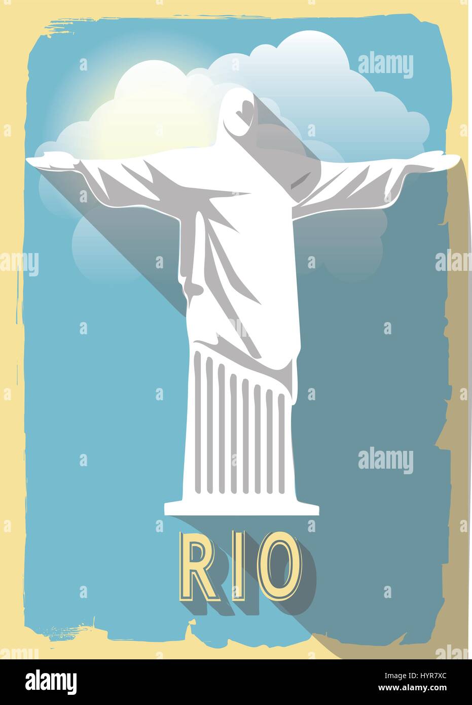 vector illustration jesus statue of rio de janeiro on retro style poster or postcard. Stock Vectorhttps://www.alamy.com/image-license-details/?v=1https://www.alamy.com/stock-photo-vector-illustration-jesus-statue-of-rio-de-janeiro-on-retro-style-137579412.html
RFHYR7XC–vector illustration jesus statue of rio de janeiro on retro style poster or postcard.
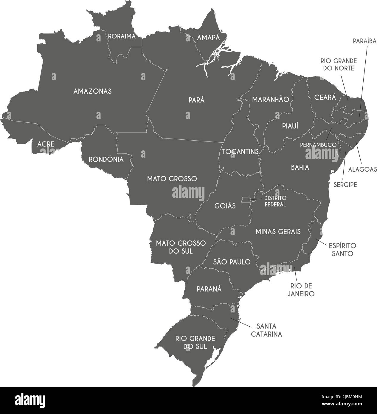 Vector map of Brazil with regions or states and administrative divisions. Editable and clearly labeled layers. Stock Vectorhttps://www.alamy.com/image-license-details/?v=1https://www.alamy.com/vector-map-of-brazil-with-regions-or-states-and-administrative-divisions-editable-and-clearly-labeled-layers-image471880800.html
RF2JBM0NM–Vector map of Brazil with regions or states and administrative divisions. Editable and clearly labeled layers.
 South America with highlighted Brazil map. Vector Illustration. Stock Vectorhttps://www.alamy.com/image-license-details/?v=1https://www.alamy.com/south-america-with-highlighted-brazil-map-vector-illustration-image348706652.html
RF2B78XW0–South America with highlighted Brazil map. Vector Illustration.
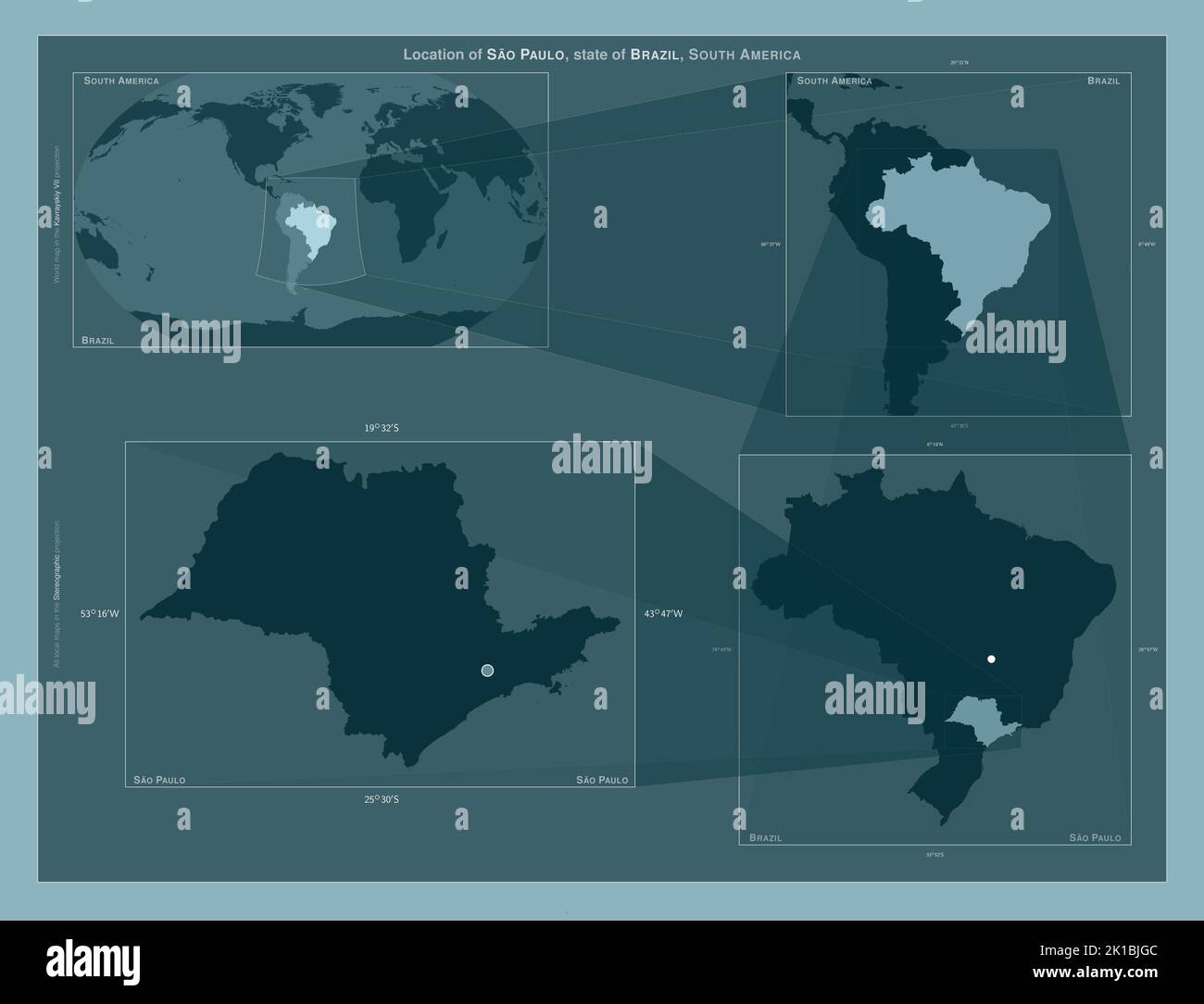 Sao Paulo, state of Brazil. Diagram showing the location of the region on larger-scale maps. Composition of vector frames and PNG shapes on a solid ba Stock Photohttps://www.alamy.com/image-license-details/?v=1https://www.alamy.com/sao-paulo-state-of-brazil-diagram-showing-the-location-of-the-region-on-larger-scale-maps-composition-of-vector-frames-and-png-shapes-on-a-solid-ba-image482761004.html
RF2K1BJGC–Sao Paulo, state of Brazil. Diagram showing the location of the region on larger-scale maps. Composition of vector frames and PNG shapes on a solid ba
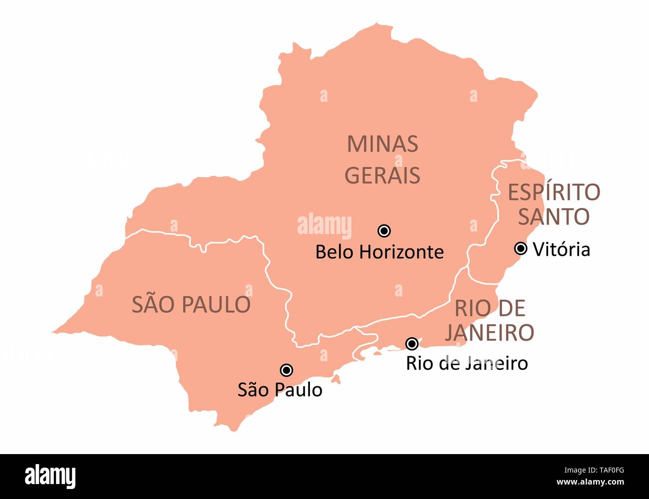 Map of the Brazil southeast region isolated on white background Stock Vectorhttps://www.alamy.com/image-license-details/?v=1https://www.alamy.com/map-of-the-brazil-southeast-region-isolated-on-white-background-image247421428.html
RFTAF0FG–Map of the Brazil southeast region isolated on white background
 Map of the city of Luanda in Angola, c. 1641. The city was conquered by a Dutch fleet of the WIC under order of Cornelis Cornelisz Jol, alias Houtebee Stock Photohttps://www.alamy.com/image-license-details/?v=1https://www.alamy.com/map-of-the-city-of-luanda-in-angola-c-1641-the-city-was-conquered-by-a-dutch-fleet-of-the-wic-under-order-of-cornelis-cornelisz-jol-alias-houtebee-image367227097.html
RF2C9CHWD–Map of the city of Luanda in Angola, c. 1641. The city was conquered by a Dutch fleet of the WIC under order of Cornelis Cornelisz Jol, alias Houtebee
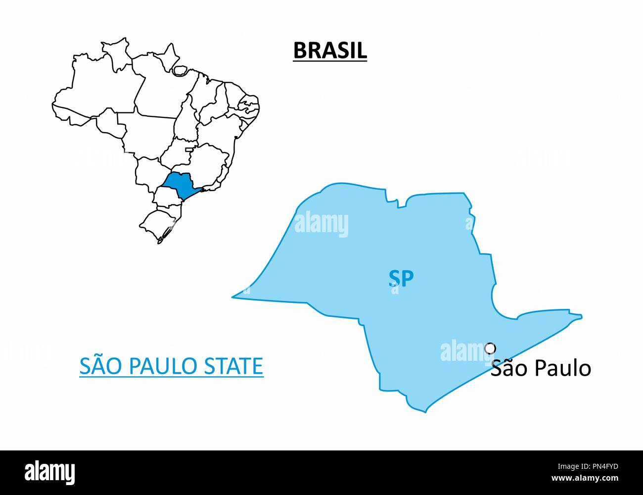 State of Sao Paulo map Stock Vectorhttps://www.alamy.com/image-license-details/?v=1https://www.alamy.com/state-of-sao-paulo-map-image219532529.html
RFPN4FYD–State of Sao Paulo map
 Sao Paulo (Region of Brazil, Federated state, Federative Republic of Brazil) map vector illustration, scribble sketch Sao Paulo (state) map Stock Vectorhttps://www.alamy.com/image-license-details/?v=1https://www.alamy.com/sao-paulo-region-of-brazil-federated-state-federative-republic-of-brazil-map-vector-illustration-scribble-sketch-sao-paulo-state-map-image223262728.html
RFPY6DTT–Sao Paulo (Region of Brazil, Federated state, Federative Republic of Brazil) map vector illustration, scribble sketch Sao Paulo (state) map
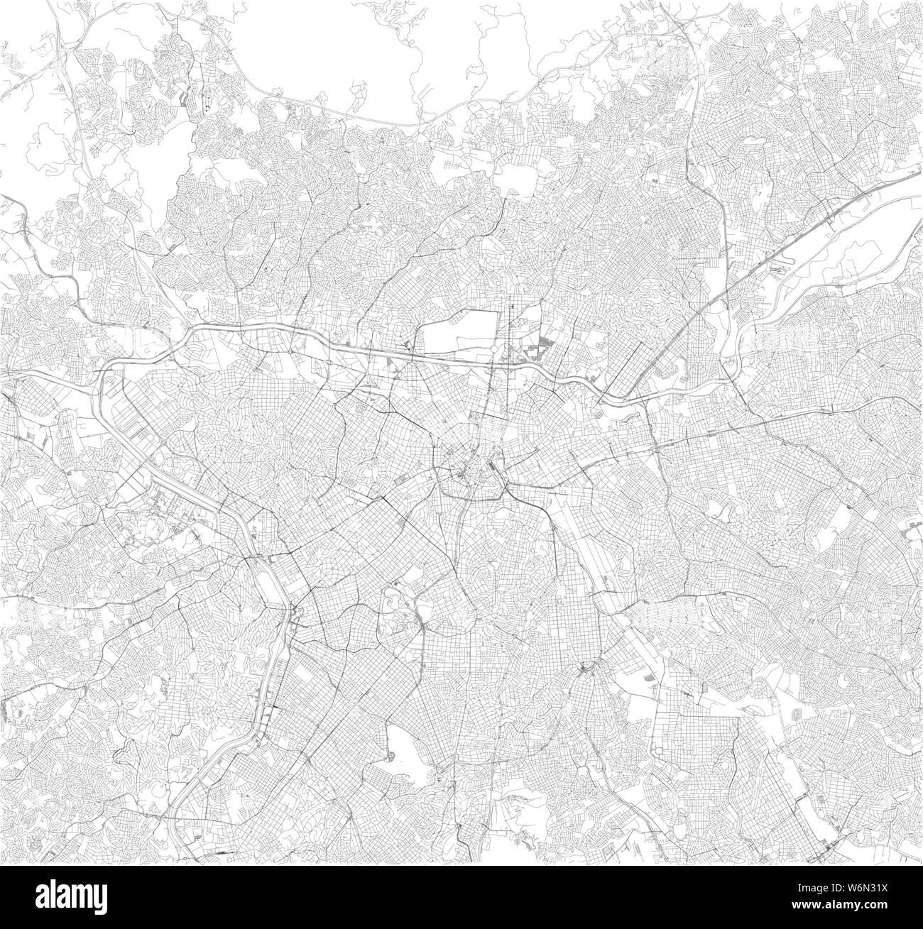 Satellite map of São Paulo, Sao Paulo, it is the most populous city in Brazil. South America. Map of streets of the town center Stock Vectorhttps://www.alamy.com/image-license-details/?v=1https://www.alamy.com/satellite-map-of-so-paulo-sao-paulo-it-is-the-most-populous-city-in-brazil-south-america-map-of-streets-of-the-town-center-image262306854.html
RFW6N31X–Satellite map of São Paulo, Sao Paulo, it is the most populous city in Brazil. South America. Map of streets of the town center
 Vector map Brazil. Isolated vector Illustration. Black on White background. EPS 10 Illustration. Stock Vectorhttps://www.alamy.com/image-license-details/?v=1https://www.alamy.com/vector-map-brazil-isolated-vector-illustration-black-on-white-background-eps-10-illustration-image359700502.html
RF2BW5NJE–Vector map Brazil. Isolated vector Illustration. Black on White background. EPS 10 Illustration.
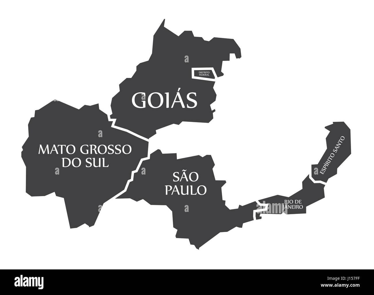 Mato Grosso do sul - Goias - Distrito Federal - Sao Paulo - Rio de Janeiro - Espirito Santo Map Brazil illustration Stock Vectorhttps://www.alamy.com/image-license-details/?v=1https://www.alamy.com/stock-photo-mato-grosso-do-sul-goias-distrito-federal-sao-paulo-rio-de-janeiro-138413283.html
RFJ157FF–Mato Grosso do sul - Goias - Distrito Federal - Sao Paulo - Rio de Janeiro - Espirito Santo Map Brazil illustration
 Vector map Brazil. Isolated vector Illustration. Black on White background. EPS 10 Illustration. Stock Vectorhttps://www.alamy.com/image-license-details/?v=1https://www.alamy.com/vector-map-brazil-isolated-vector-illustration-black-on-white-background-eps-10-illustration-image359694438.html
RF2BW5DWX–Vector map Brazil. Isolated vector Illustration. Black on White background. EPS 10 Illustration.
 The word BRAZIL concept written in colorful retro shapes and colors illustration. Stock Photohttps://www.alamy.com/image-license-details/?v=1https://www.alamy.com/the-word-brazil-concept-written-in-colorful-retro-shapes-and-colors-illustration-image387880978.html
RF2DF1E42–The word BRAZIL concept written in colorful retro shapes and colors illustration.
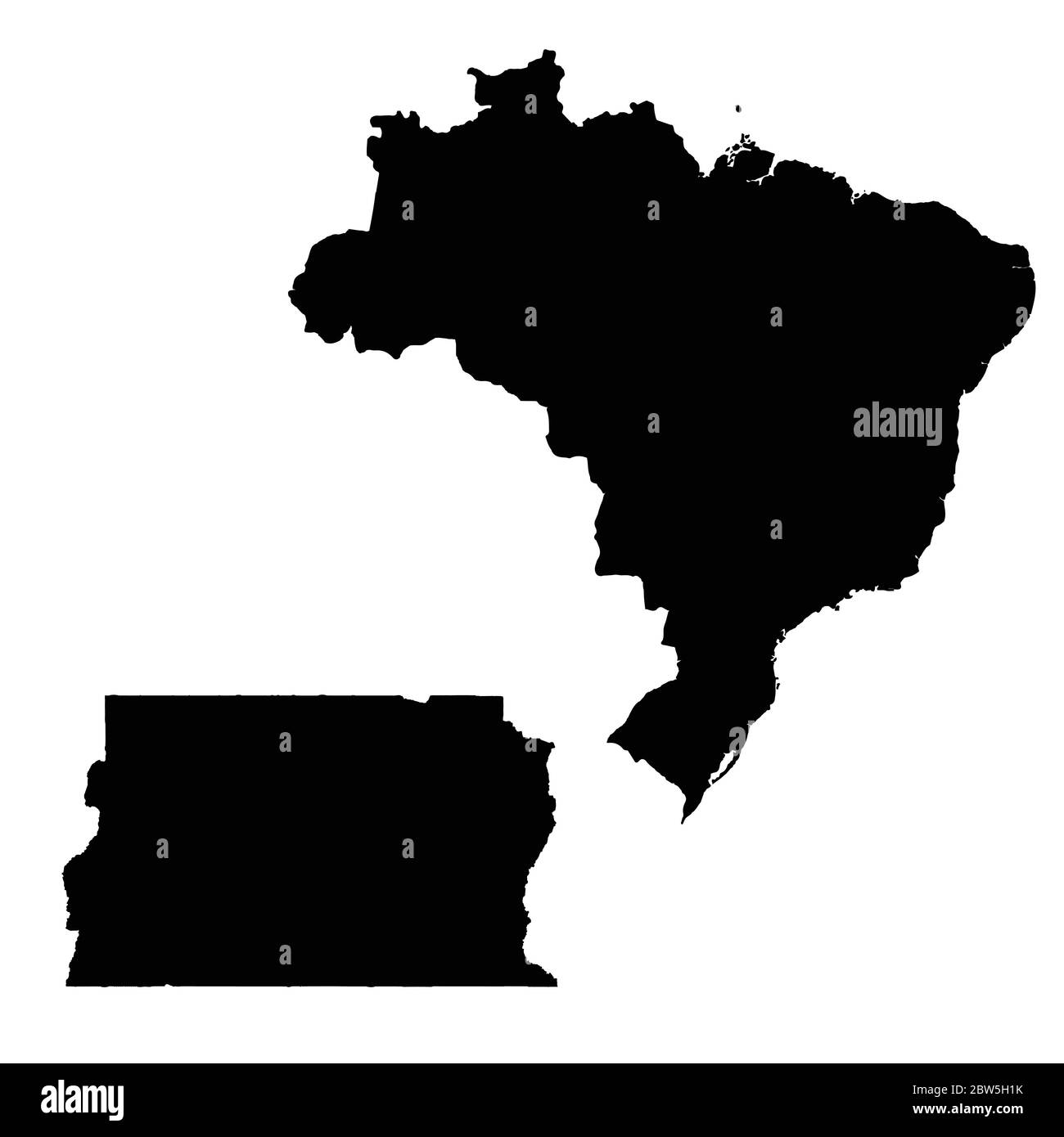 Vector map Brazil and Brasilia. Country and capital. Isolated vector Illustration. Black on White background. EPS 10 Illustration. Stock Vectorhttps://www.alamy.com/image-license-details/?v=1https://www.alamy.com/vector-map-brazil-and-brasilia-country-and-capital-isolated-vector-illustration-black-on-white-background-eps-10-illustration-image359696895.html
RF2BW5H1K–Vector map Brazil and Brasilia. Country and capital. Isolated vector Illustration. Black on White background. EPS 10 Illustration.
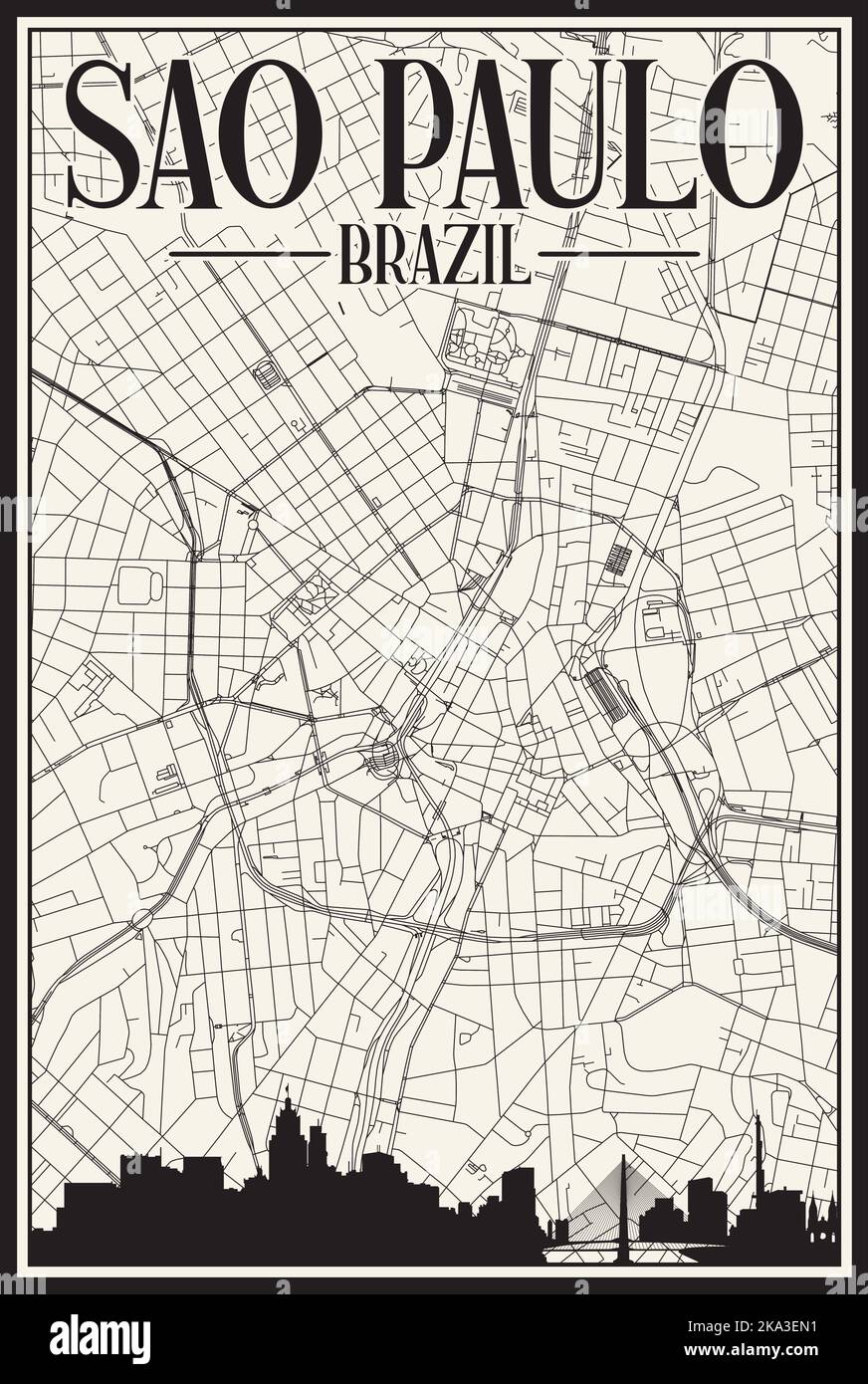 Hand-drawn downtown streets network printout map of SAO PAULO, BRAZIL Stock Vectorhttps://www.alamy.com/image-license-details/?v=1https://www.alamy.com/hand-drawn-downtown-streets-network-printout-map-of-sao-paulo-brazil-image488114285.html
RF2KA3EN1–Hand-drawn downtown streets network printout map of SAO PAULO, BRAZIL
 World map with a marker on Brazil Stock Photohttps://www.alamy.com/image-license-details/?v=1https://www.alamy.com/stock-photo-world-map-with-a-marker-on-brazil-73453291.html
RFE7E2BR–World map with a marker on Brazil
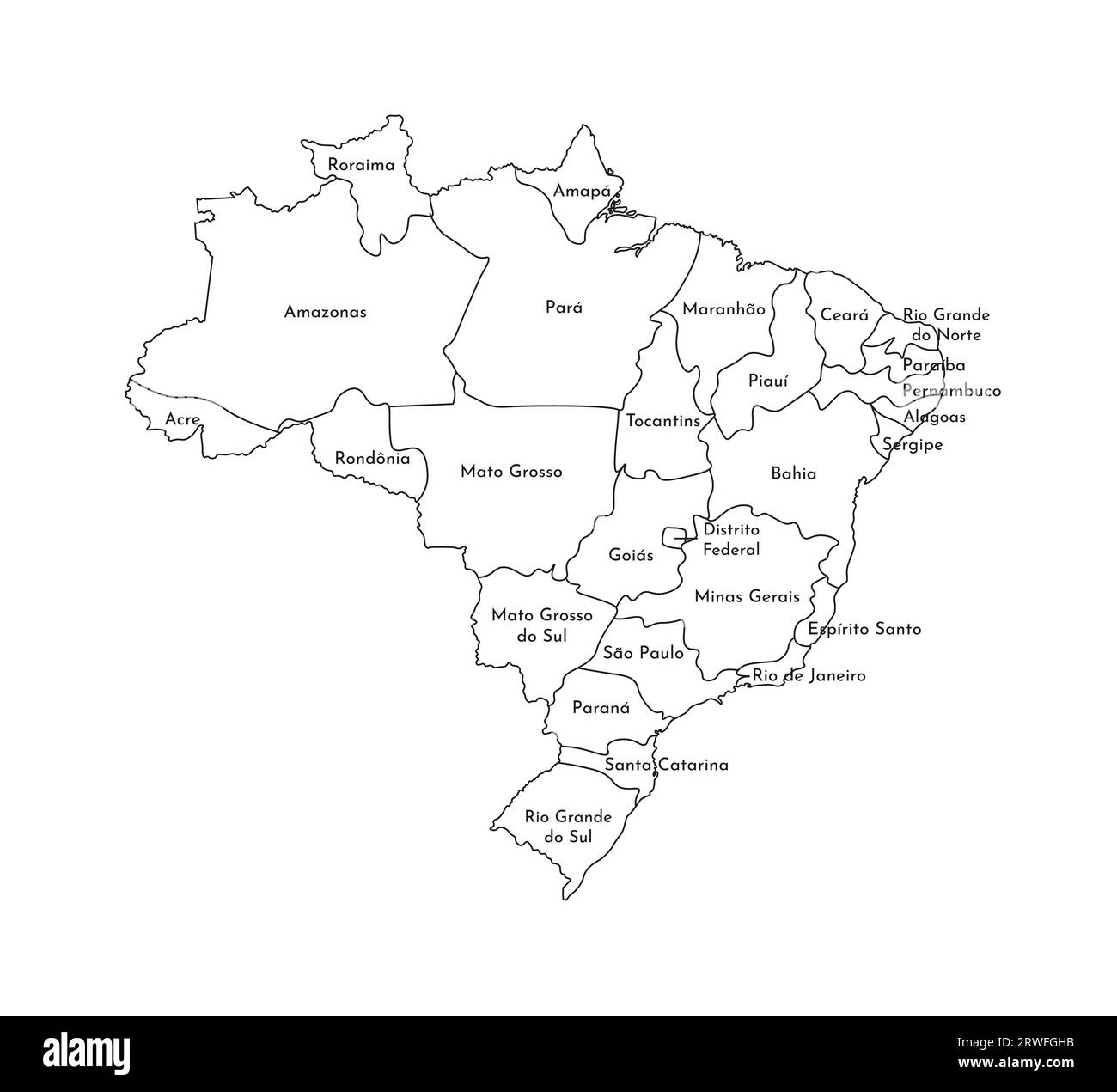 Vector isolated illustration of simplified administrative map of Brazil. Borders and names of the regions. Black line silhouettes. Stock Vectorhttps://www.alamy.com/image-license-details/?v=1https://www.alamy.com/vector-isolated-illustration-of-simplified-administrative-map-of-brazil-borders-and-names-of-the-regions-black-line-silhouettes-image566440487.html
RF2RWFGHB–Vector isolated illustration of simplified administrative map of Brazil. Borders and names of the regions. Black line silhouettes.
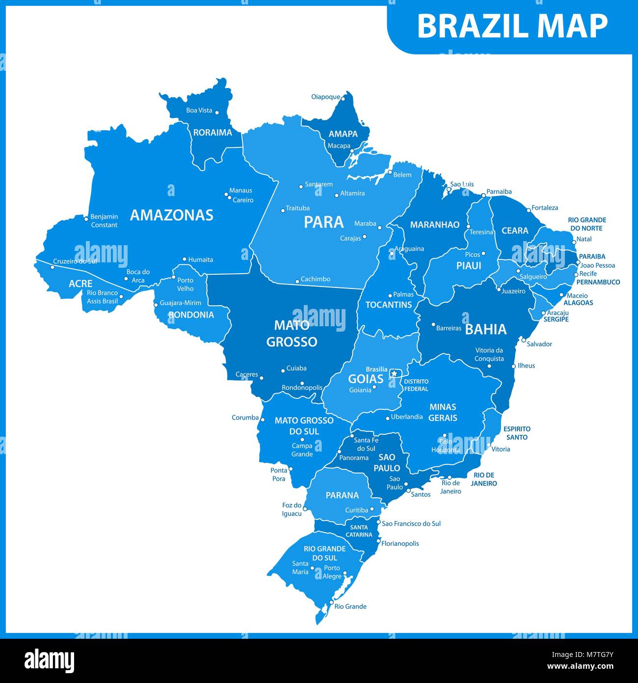 The detailed map of the Brazil with regions or states and cities, capitals Stock Vectorhttps://www.alamy.com/image-license-details/?v=1https://www.alamy.com/stock-photo-the-detailed-map-of-the-brazil-with-regions-or-states-and-cities-capitals-176945887.html
RFM7TG7Y–The detailed map of the Brazil with regions or states and cities, capitals
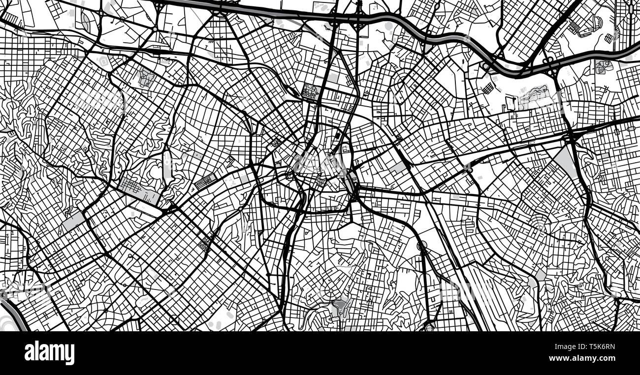 Urban vector city map of Sao Paulo, Brazil Stock Vectorhttps://www.alamy.com/image-license-details/?v=1https://www.alamy.com/urban-vector-city-map-of-sao-paulo-brazil-image244440889.html
RFT5K6RN–Urban vector city map of Sao Paulo, Brazil
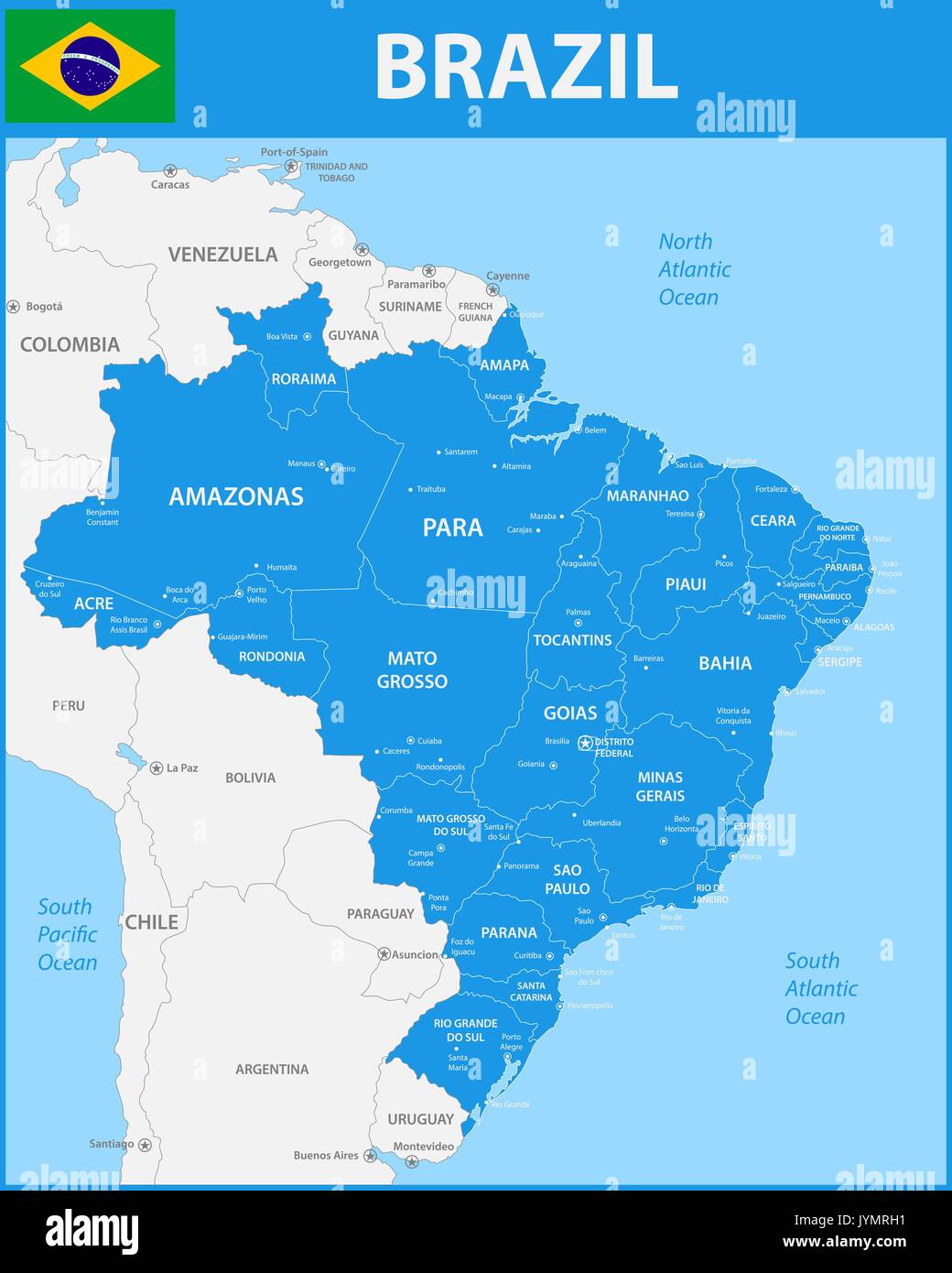 The detailed map of the Brazil with regions or states and cities, capitals. Stock Vectorhttps://www.alamy.com/image-license-details/?v=1https://www.alamy.com/the-detailed-map-of-the-brazil-with-regions-or-states-and-cities-capitals-image154736205.html
RFJYMRH1–The detailed map of the Brazil with regions or states and cities, capitals.
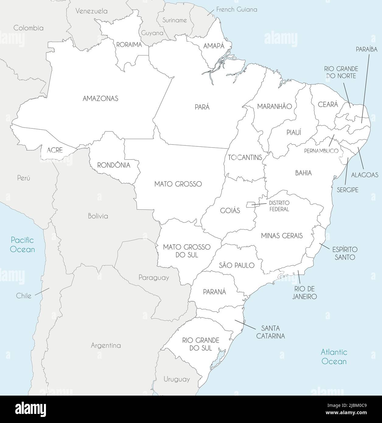 Vector map of Brazil with states and administrative divisions, and neighbouring countries and territories. Editable and clearly labeled layers. Stock Vectorhttps://www.alamy.com/image-license-details/?v=1https://www.alamy.com/vector-map-of-brazil-with-states-and-administrative-divisions-and-neighbouring-countries-and-territories-editable-and-clearly-labeled-layers-image471880537.html
RF2JBM0C9–Vector map of Brazil with states and administrative divisions, and neighbouring countries and territories. Editable and clearly labeled layers.
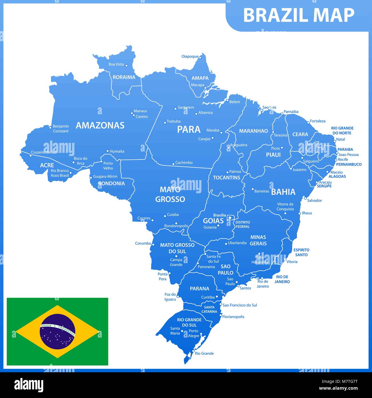 The detailed map of the Brazil with regions or states and cities, capitals, national flag Stock Vectorhttps://www.alamy.com/image-license-details/?v=1https://www.alamy.com/stock-photo-the-detailed-map-of-the-brazil-with-regions-or-states-and-cities-capitals-176945884.html
RFM7TG7T–The detailed map of the Brazil with regions or states and cities, capitals, national flag
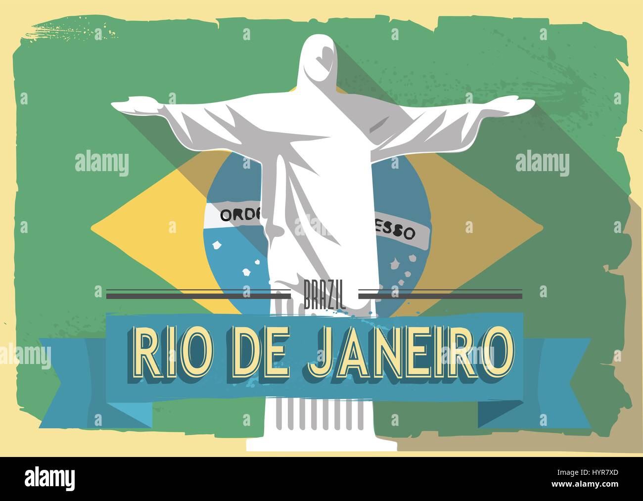 vector illustration jesus statue of rio de janeiro on retro style poster or postcard. Stock Vectorhttps://www.alamy.com/image-license-details/?v=1https://www.alamy.com/stock-photo-vector-illustration-jesus-statue-of-rio-de-janeiro-on-retro-style-137579413.html
RFHYR7XD–vector illustration jesus statue of rio de janeiro on retro style poster or postcard.
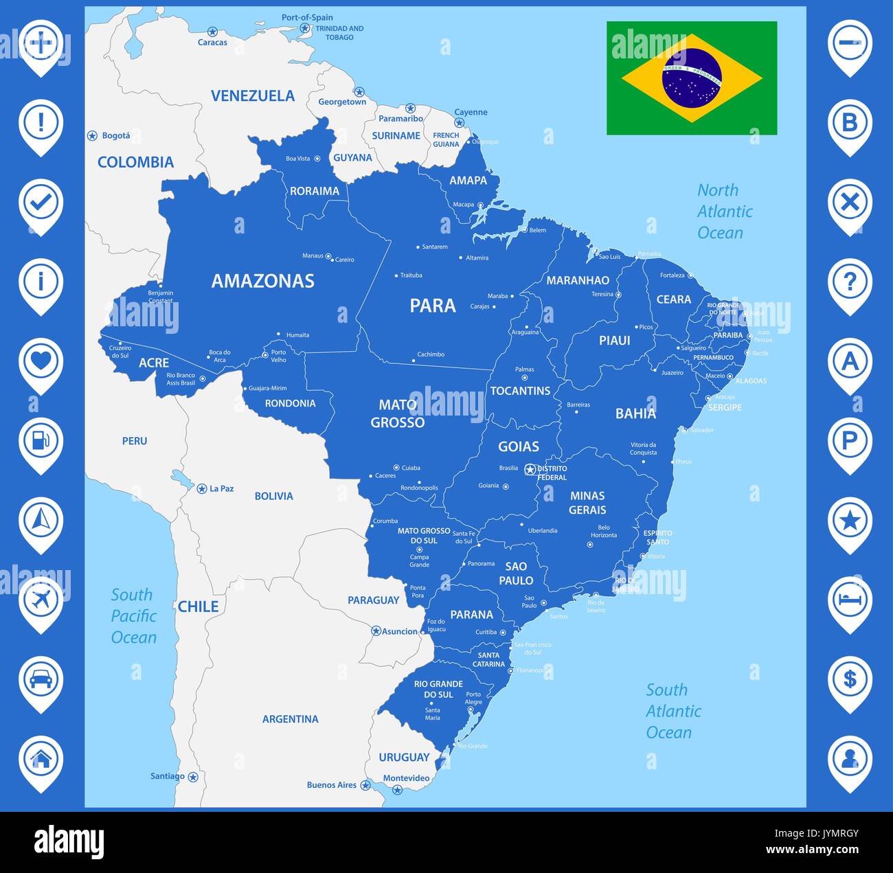 The detailed map of the Brazil with regions or states and cities, capitals. With map pins or pointers. Place location markers or signs Stock Vectorhttps://www.alamy.com/image-license-details/?v=1https://www.alamy.com/the-detailed-map-of-the-brazil-with-regions-or-states-and-cities-capitals-image154736203.html
RFJYMRGY–The detailed map of the Brazil with regions or states and cities, capitals. With map pins or pointers. Place location markers or signs
RF2HCK1YW–map brazil with Christ the Redeemer logo design vector graphic symbol icon sign illustration creative idea
 Sao Paulo State dark silhouette map isolated on white background Stock Vectorhttps://www.alamy.com/image-license-details/?v=1https://www.alamy.com/sao-paulo-state-dark-silhouette-map-isolated-on-white-background-image264504971.html
RFWA96P3–Sao Paulo State dark silhouette map isolated on white background
 Sao Paulo (Region of Brazil, Federated state, Federative Republic of Brazil) map vector illustration, scribble sketch Sao Paulo (state) map Stock Vectorhttps://www.alamy.com/image-license-details/?v=1https://www.alamy.com/sao-paulo-region-of-brazil-federated-state-federative-republic-of-brazil-map-vector-illustration-scribble-sketch-sao-paulo-state-map-image223582637.html
RFPYN1X5–Sao Paulo (Region of Brazil, Federated state, Federative Republic of Brazil) map vector illustration, scribble sketch Sao Paulo (state) map
 Contour map of Sao Paulo with a technological electronics circuit. Brazilian state. Blue background. Stock Vectorhttps://www.alamy.com/image-license-details/?v=1https://www.alamy.com/contour-map-of-sao-paulo-with-a-technological-electronics-circuit-brazilian-state-blue-background-image260607569.html
RFW3YKH5–Contour map of Sao Paulo with a technological electronics circuit. Brazilian state. Blue background.
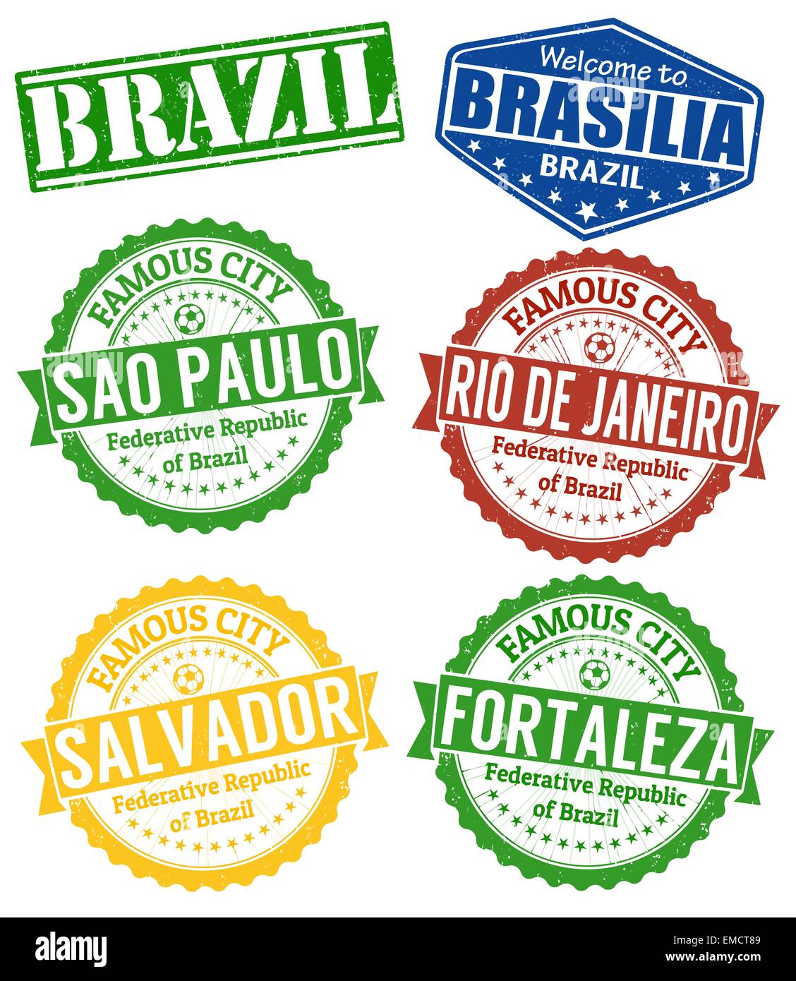 Brazil cities stamps set Stock Vectorhttps://www.alamy.com/image-license-details/?v=1https://www.alamy.com/stock-photo-brazil-cities-stamps-set-81417065.html
RFEMCT89–Brazil cities stamps set
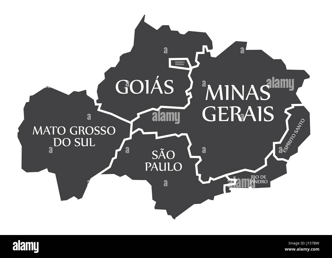 Mato Grosso do sul - Sao Paulo - Goias - Distrito Federal - Minas Gerais - Rio de Janeiro - Espirito Santo Map Brazil illustration Stock Vectorhttps://www.alamy.com/image-license-details/?v=1https://www.alamy.com/stock-photo-mato-grosso-do-sul-sao-paulo-goias-distrito-federal-minas-gerais-rio-138413181.html
RFJ157BW–Mato Grosso do sul - Sao Paulo - Goias - Distrito Federal - Minas Gerais - Rio de Janeiro - Espirito Santo Map Brazil illustration
 3d isometric map of Sao Paulo is a city of Brazil , vector illustration Stock Vectorhttps://www.alamy.com/image-license-details/?v=1https://www.alamy.com/3d-isometric-map-of-sao-paulo-is-a-city-of-brazil-vector-illustration-image441610793.html
RF2GJD321–3d isometric map of Sao Paulo is a city of Brazil , vector illustration
 Soccer brazil map 2014 illustration design over a white background Stock Vectorhttps://www.alamy.com/image-license-details/?v=1https://www.alamy.com/soccer-brazil-map-2014-illustration-design-over-a-white-background-image366725564.html
RF2C8HP5G–Soccer brazil map 2014 illustration design over a white background
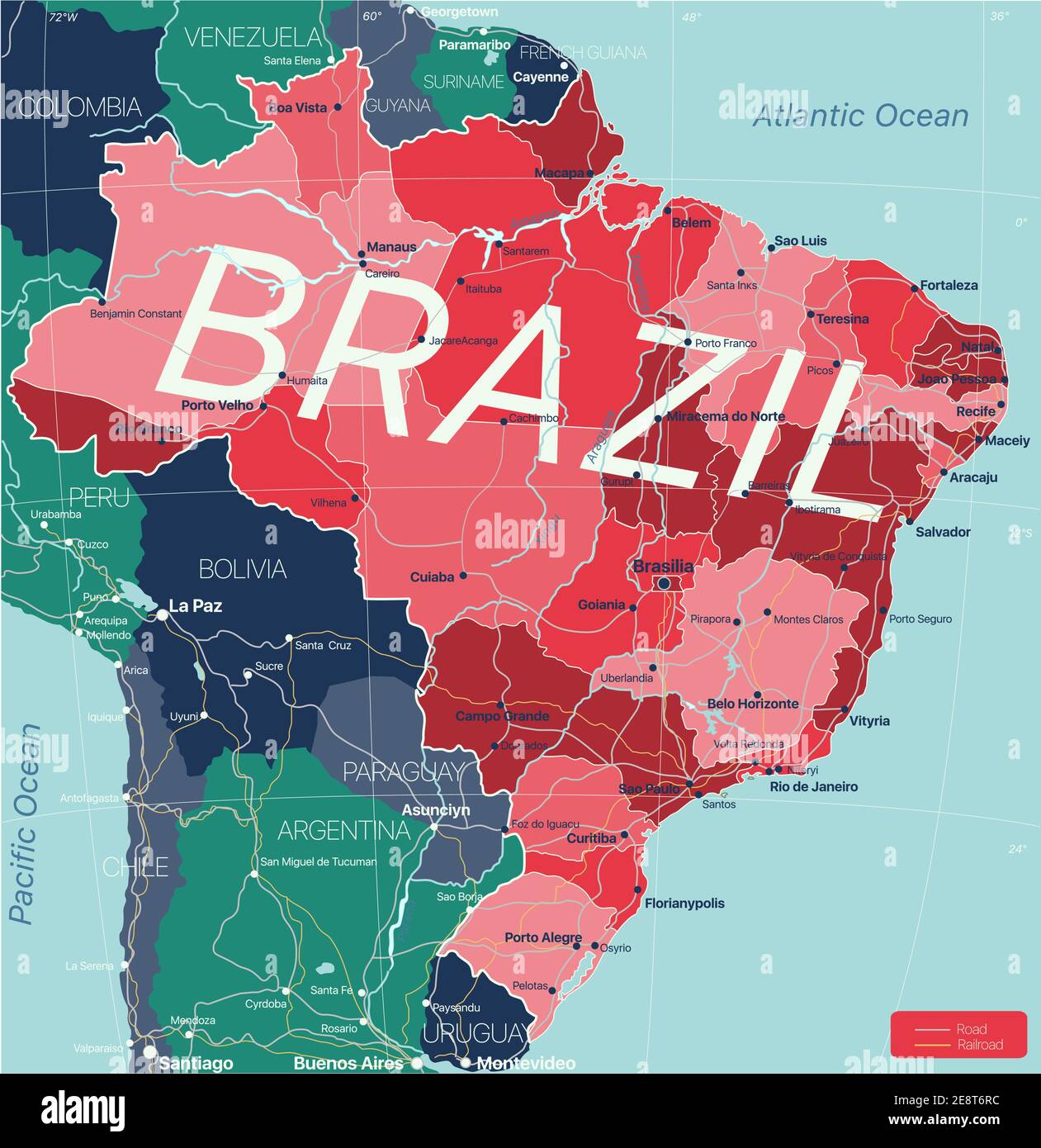 Brazil country detailed editable map with regions cities and towns, roads and railways, geographic sites. Vector EPS-10 file Stock Vectorhttps://www.alamy.com/image-license-details/?v=1https://www.alamy.com/brazil-country-detailed-editable-map-with-regions-cities-and-towns-roads-and-railways-geographic-sites-vector-eps-10-file-image401287920.html
RF2E8T6RC–Brazil country detailed editable map with regions cities and towns, roads and railways, geographic sites. Vector EPS-10 file
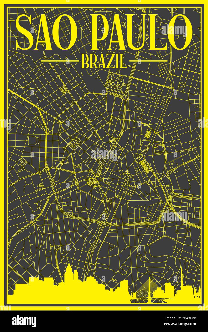 Hand-drawn downtown streets network printout map of SAO PAULO, BRAZIL Stock Vectorhttps://www.alamy.com/image-license-details/?v=1https://www.alamy.com/hand-drawn-downtown-streets-network-printout-map-of-sao-paulo-brazil-image488115135.html
RF2KA3FRB–Hand-drawn downtown streets network printout map of SAO PAULO, BRAZIL
 World map with a marker on Brazil Stock Photohttps://www.alamy.com/image-license-details/?v=1https://www.alamy.com/stock-photo-world-map-with-a-marker-on-brazil-73455294.html
RFE7E4YA–World map with a marker on Brazil
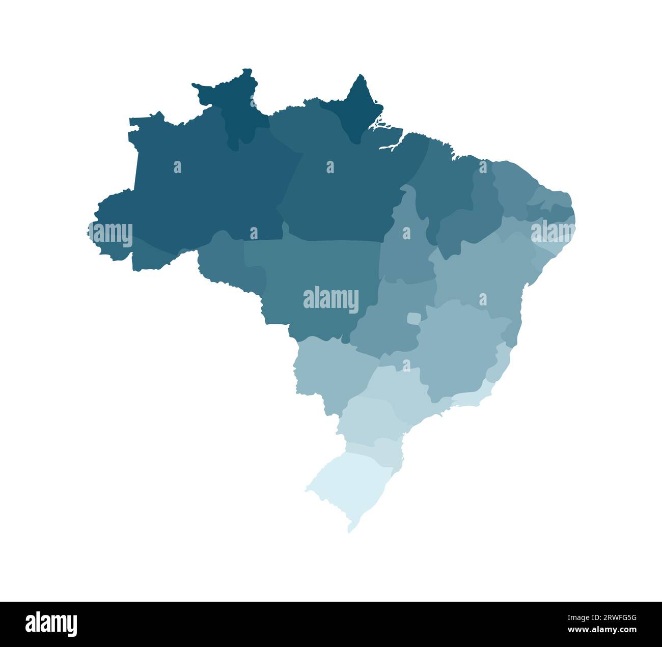 Vector isolated illustration of simplified administrative map of Brazil. Borders of the regions. Colorful blue khaki silhouettes. Stock Vectorhttps://www.alamy.com/image-license-details/?v=1https://www.alamy.com/vector-isolated-illustration-of-simplified-administrative-map-of-brazil-borders-of-the-regions-colorful-blue-khaki-silhouettes-image566440156.html
RF2RWFG5G–Vector isolated illustration of simplified administrative map of Brazil. Borders of the regions. Colorful blue khaki silhouettes.
 Flat simple Brazil map Stock Photohttps://www.alamy.com/image-license-details/?v=1https://www.alamy.com/flat-simple-brazil-map-image69712753.html
RFE1BK95–Flat simple Brazil map
 Urban vector city map of Sao Paulo, Brazil Stock Vectorhttps://www.alamy.com/image-license-details/?v=1https://www.alamy.com/urban-vector-city-map-of-sao-paulo-brazil-image244440769.html
RFT5K6KD–Urban vector city map of Sao Paulo, Brazil
 Brazil pink highlighted in map of World. Light grey simplified map with dropped shadow on dark grey background. Vector illustration. Stock Vectorhttps://www.alamy.com/image-license-details/?v=1https://www.alamy.com/brazil-pink-highlighted-in-map-of-world-light-grey-simplified-map-with-dropped-shadow-on-dark-grey-background-vector-illustration-image360304588.html
RF2BX5850–Brazil pink highlighted in map of World. Light grey simplified map with dropped shadow on dark grey background. Vector illustration.