Quick filters:
Sarajevo maps Stock Photos and Images
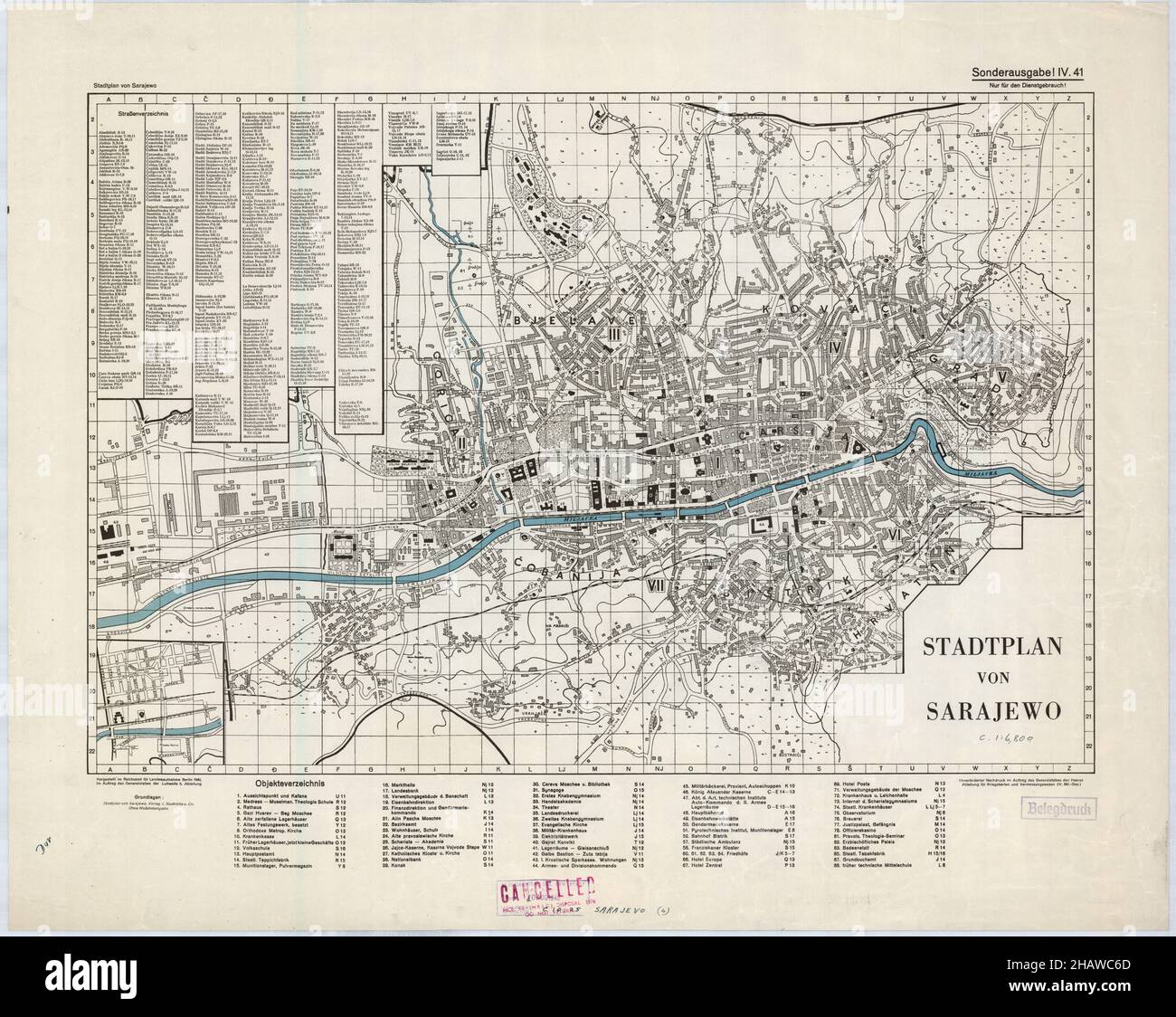 Sarajevo Map, Map of Sarajevo, Sarajevo Print, Sarajevo Poster, Sarajevo City Plan, Sarajevo Maps, Sarajevo City Map, Old Bosnia and Herzegovina Map Stock Photohttps://www.alamy.com/image-license-details/?v=1https://www.alamy.com/sarajevo-map-map-of-sarajevo-sarajevo-print-sarajevo-poster-sarajevo-city-plan-sarajevo-maps-sarajevo-city-map-old-bosnia-and-herzegovina-map-image454174517.html
RF2HAWC6D–Sarajevo Map, Map of Sarajevo, Sarajevo Print, Sarajevo Poster, Sarajevo City Plan, Sarajevo Maps, Sarajevo City Map, Old Bosnia and Herzegovina Map
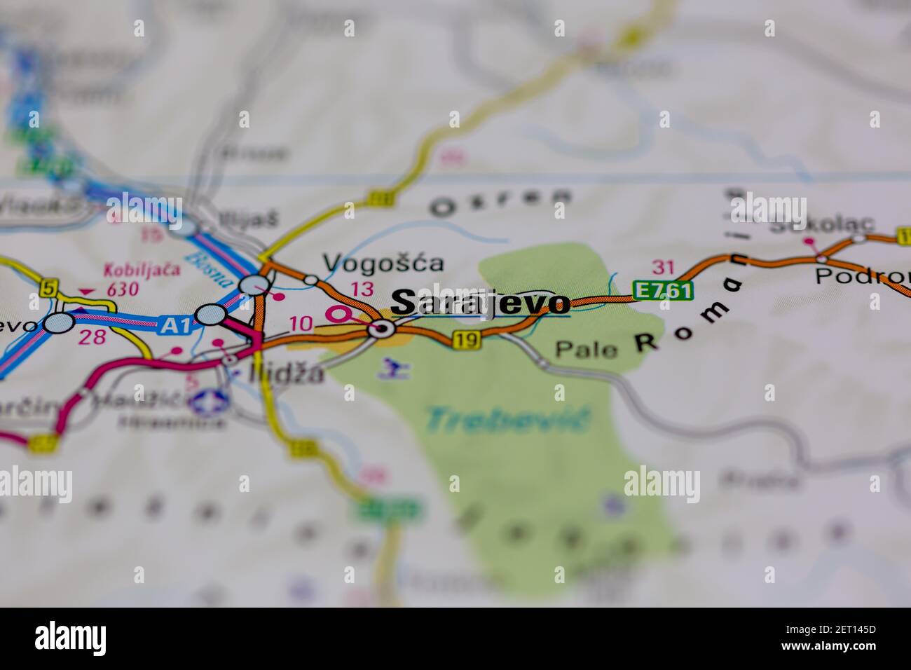 Sarajevo Shown on a road map or Geography map Stock Photohttps://www.alamy.com/image-license-details/?v=1https://www.alamy.com/sarajevo-shown-on-a-road-map-or-geography-map-image410615449.html
RM2ET145D–Sarajevo Shown on a road map or Geography map
 New York, USA - July 6, 2023: Bosnia Herzegovina country on map of apple ipad close up view Stock Photohttps://www.alamy.com/image-license-details/?v=1https://www.alamy.com/new-york-usa-july-6-2023-bosnia-herzegovina-country-on-map-of-apple-ipad-close-up-view-image558482722.html
RF2RCH2BE–New York, USA - July 6, 2023: Bosnia Herzegovina country on map of apple ipad close up view
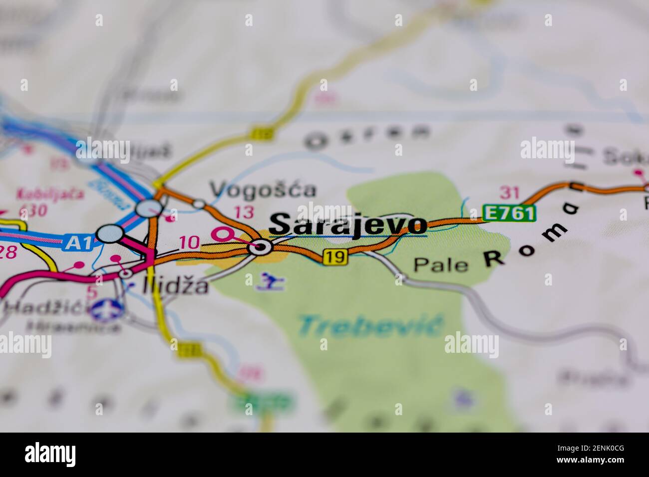 Sarajevo shown on a Road map or a geography map Stock Photohttps://www.alamy.com/image-license-details/?v=1https://www.alamy.com/sarajevo-shown-on-a-road-map-or-a-geography-map-image409163680.html
RM2ENK0CG–Sarajevo shown on a Road map or a geography map
 Ex Yugoslavia map Stock Photohttps://www.alamy.com/image-license-details/?v=1https://www.alamy.com/stock-photo-ex-yugoslavia-map-16325154.html
RMATHWCK–Ex Yugoslavia map
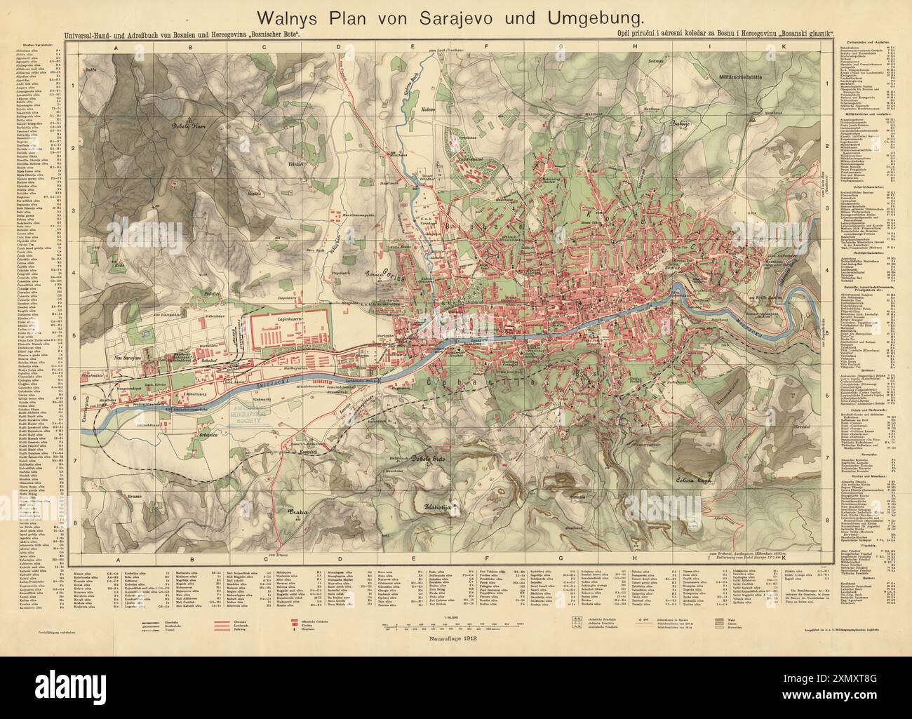 Vintage city map, with relief. 1912 map of Sarajevo. display streets and various landmarks by Walnys Stock Photohttps://www.alamy.com/image-license-details/?v=1https://www.alamy.com/vintage-city-map-with-relief-1912-map-of-sarajevo-display-streets-and-various-landmarks-by-walnys-image615245808.html
RM2XMXT8G–Vintage city map, with relief. 1912 map of Sarajevo. display streets and various landmarks by Walnys
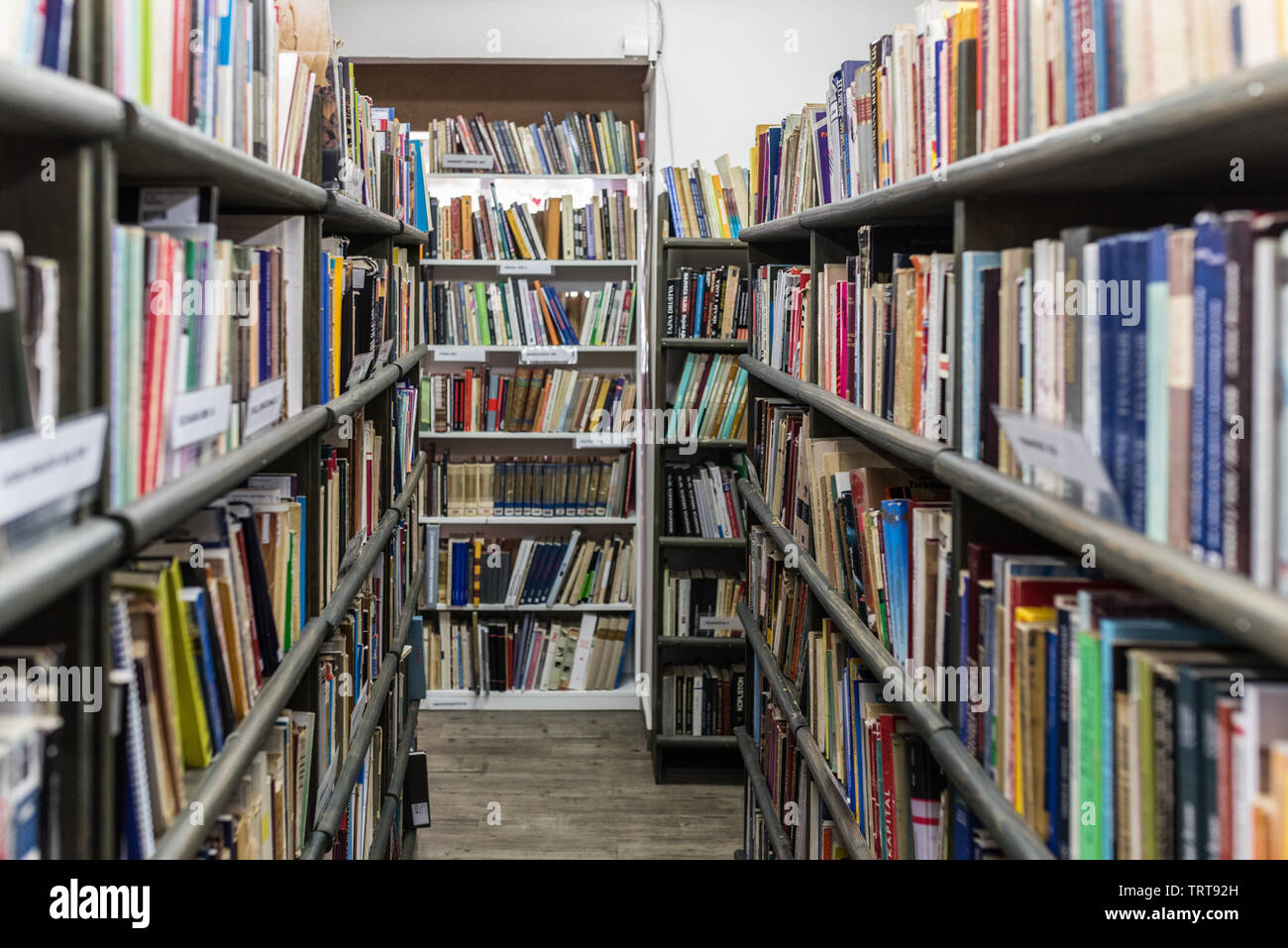 Library in Sarajevo with books on the shelfs. Stock Photohttps://www.alamy.com/image-license-details/?v=1https://www.alamy.com/library-in-sarajevo-with-books-on-the-shelfs-image255616217.html
RMTRT92H–Library in Sarajevo with books on the shelfs.
 Close up to a Sarajevo city with a yellow pin needle into Bosnia and Herzegovina country political map Stock Photohttps://www.alamy.com/image-license-details/?v=1https://www.alamy.com/close-up-to-a-sarajevo-city-with-a-yellow-pin-needle-into-bosnia-and-herzegovina-country-political-map-image612478821.html
RF2XGCPYH–Close up to a Sarajevo city with a yellow pin needle into Bosnia and Herzegovina country political map
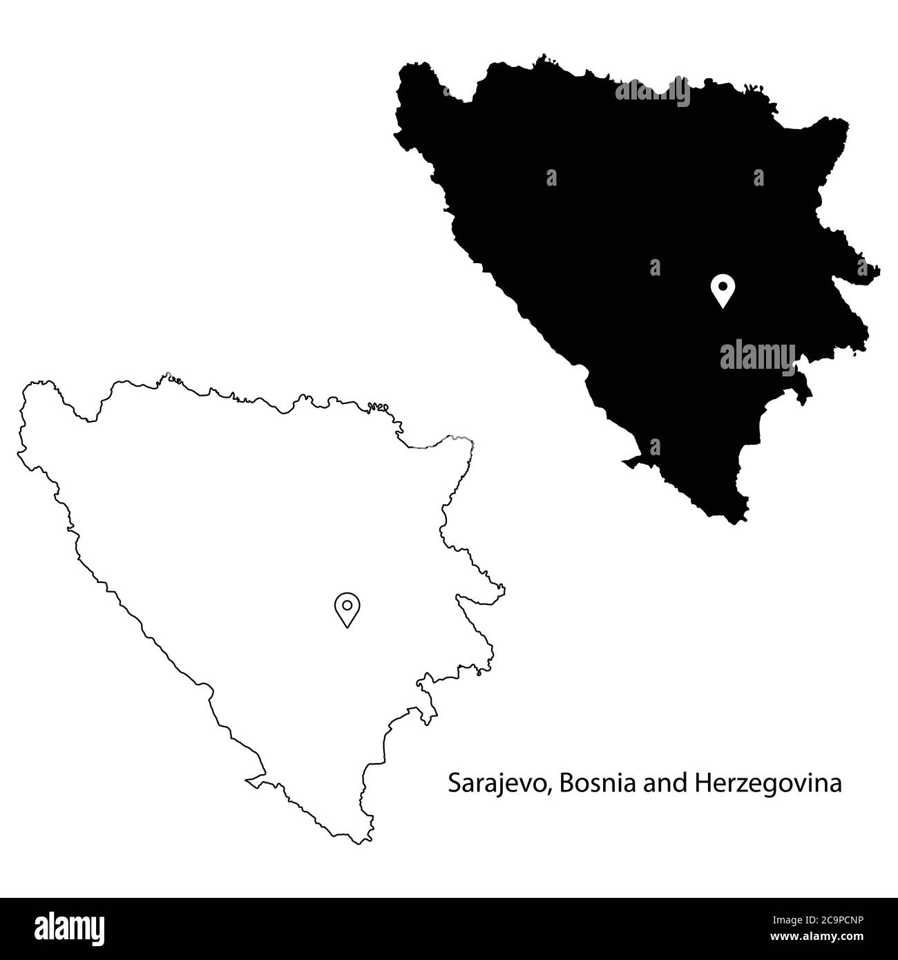 Sarajevo Bosnia and Herzegovina. Detailed Country Map with Location Pin on Capital City. Black silhouette and outline maps isolated on white backgroun Stock Vectorhttps://www.alamy.com/image-license-details/?v=1https://www.alamy.com/sarajevo-bosnia-and-herzegovina-detailed-country-map-with-location-pin-on-capital-city-black-silhouette-and-outline-maps-isolated-on-white-backgroun-image367442594.html
RF2C9PCNP–Sarajevo Bosnia and Herzegovina. Detailed Country Map with Location Pin on Capital City. Black silhouette and outline maps isolated on white backgroun
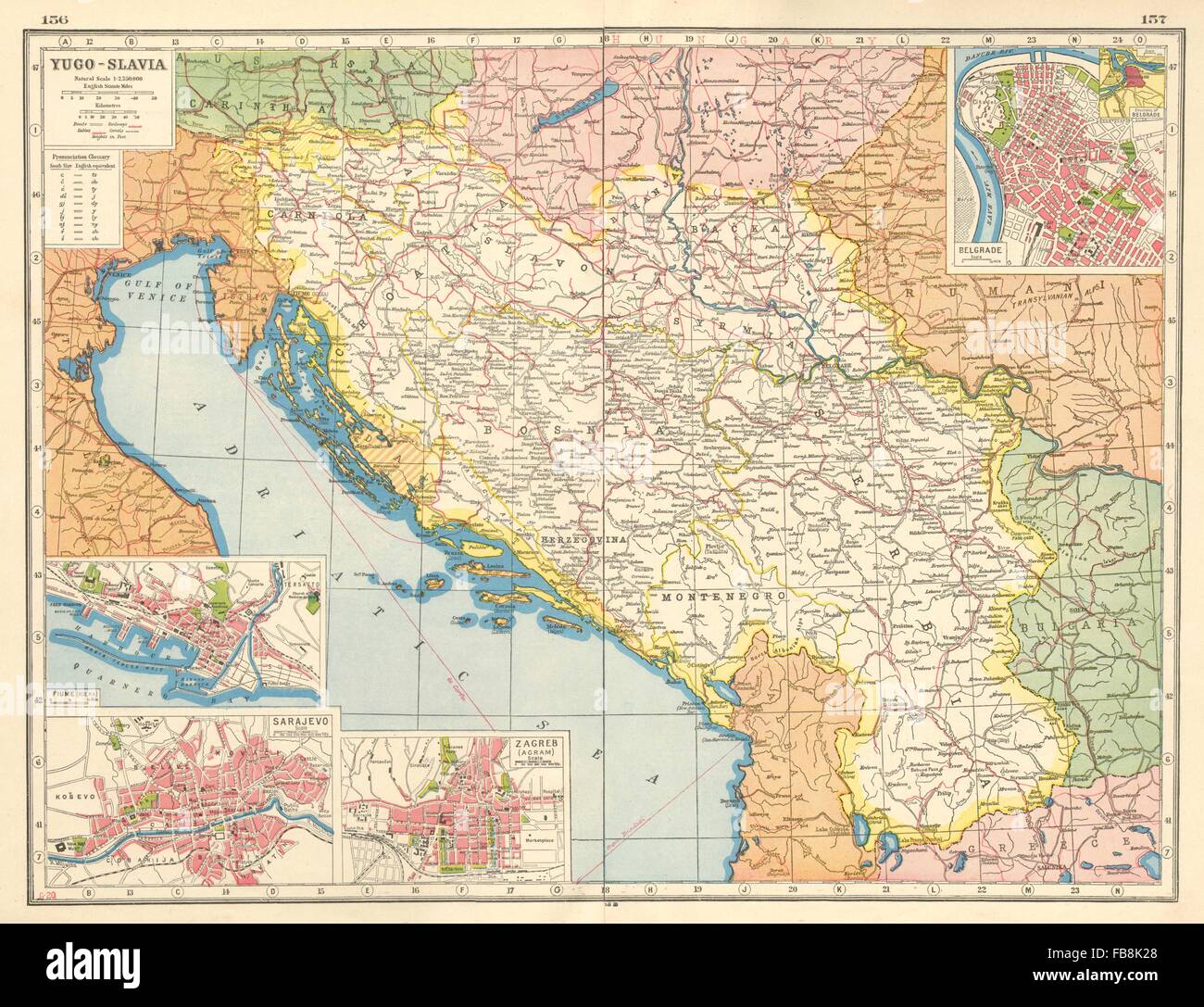 YUGOSLAVIA: Fiume Sarajevo Zagreb Belgrade. Disputed/Italian territory, 1920 map Stock Photohttps://www.alamy.com/image-license-details/?v=1https://www.alamy.com/stock-photo-yugoslavia-fiume-sarajevo-zagreb-belgrade-disputeditalian-territory-93003632.html
RFFB8K28–YUGOSLAVIA: Fiume Sarajevo Zagreb Belgrade. Disputed/Italian territory, 1920 map
 Satellite Image Of Bosnia With Sarajevo Highlighted Stock Photohttps://www.alamy.com/image-license-details/?v=1https://www.alamy.com/satellite-image-of-bosnia-with-sarajevo-highlighted-image3503192.html
RFA3BG59–Satellite Image Of Bosnia With Sarajevo Highlighted
 Sarajevo and Vicinity, Early January 1994 Stock Photohttps://www.alamy.com/image-license-details/?v=1https://www.alamy.com/sarajevo-and-vicinity-early-january-1994-image454759844.html
RM2HBT2R0–Sarajevo and Vicinity, Early January 1994
 Sarajevo. Cartographic. Maps, Topographic maps. 1911. Lionel Pincus and Princess Firyal Map Division Stock Photohttps://www.alamy.com/image-license-details/?v=1https://www.alamy.com/sarajevo-cartographic-maps-topographic-maps-1911-lionel-pincus-and-princess-firyal-map-division-image484339021.html
RM2K3YFA5–Sarajevo. Cartographic. Maps, Topographic maps. 1911. Lionel Pincus and Princess Firyal Map Division
 Sarajevo, Bosnia Map - May 2, 1992 Stock Photohttps://www.alamy.com/image-license-details/?v=1https://www.alamy.com/sarajevo-bosnia-map-may-2-1992-image454766144.html
RM2HBTAT0–Sarajevo, Bosnia Map - May 2, 1992
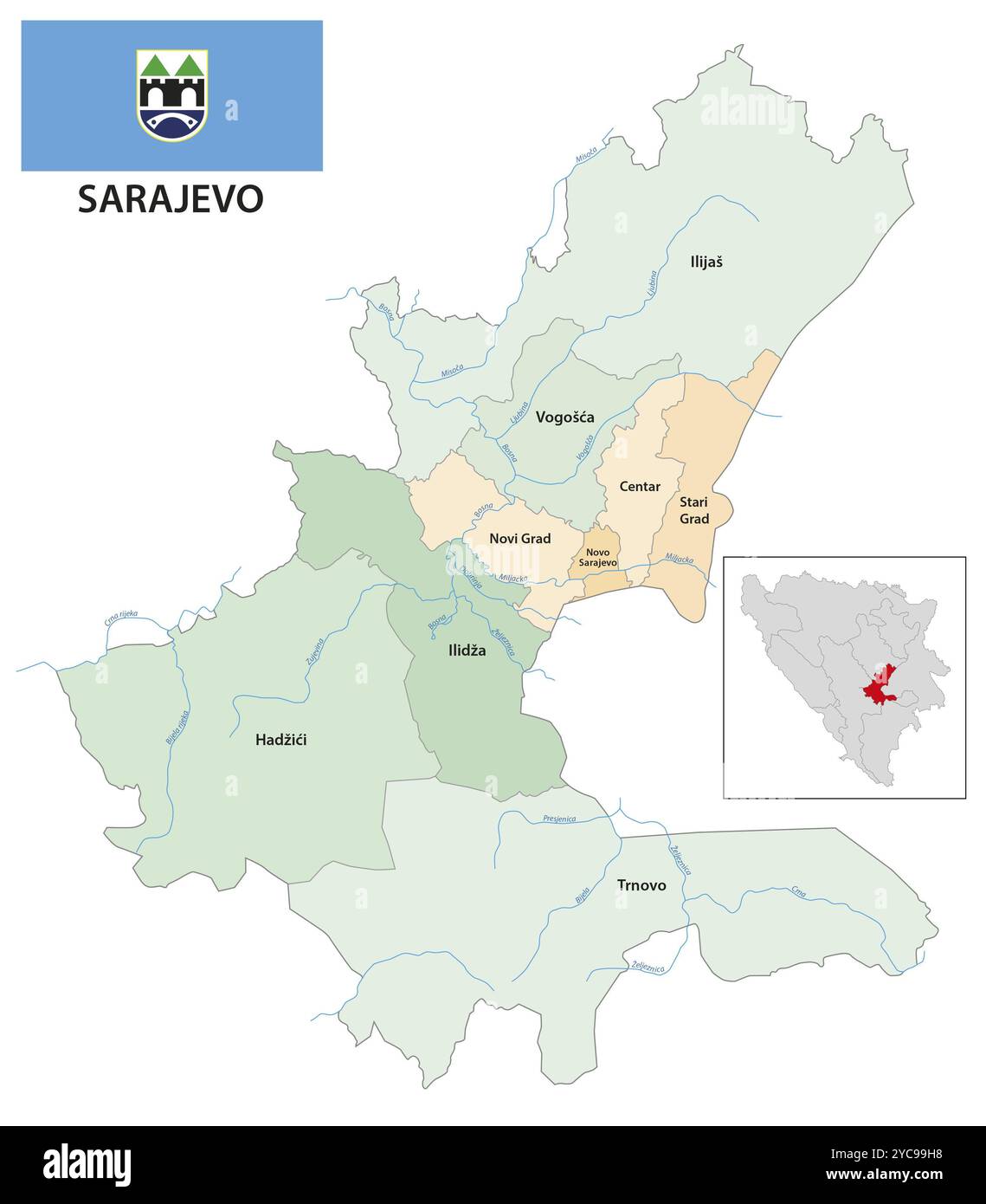 Administrative vector map of Sarajevo canton and city, Bosnia and Herzegovina, Europe Stock Photohttps://www.alamy.com/image-license-details/?v=1https://www.alamy.com/administrative-vector-map-of-sarajevo-canton-and-city-bosnia-and-herzegovina-europe-image627154228.html
RF2YC99H8–Administrative vector map of Sarajevo canton and city, Bosnia and Herzegovina, Europe
![Physical and political map of Bosnia and Herzegovina. [Adobe Illustrator (.ai); 3507x2480]. Stock Photo Physical and political map of Bosnia and Herzegovina. [Adobe Illustrator (.ai); 3507x2480]. Stock Photo](https://c8.alamy.com/comp/2NEC5F5/physical-and-political-map-of-bosnia-and-herzegovina-adobe-illustrator-ai-3507x2480-2NEC5F5.jpg) Physical and political map of Bosnia and Herzegovina. [Adobe Illustrator (.ai); 3507x2480]. Stock Photohttps://www.alamy.com/image-license-details/?v=1https://www.alamy.com/physical-and-political-map-of-bosnia-and-herzegovina-adobe-illustrator-ai-3507x2480-image525183993.html
Physical and political map of Bosnia and Herzegovina. [Adobe Illustrator (.ai); 3507x2480]. Stock Photohttps://www.alamy.com/image-license-details/?v=1https://www.alamy.com/physical-and-political-map-of-bosnia-and-herzegovina-adobe-illustrator-ai-3507x2480-image525183993.htmlRM2NEC5F5–Physical and political map of Bosnia and Herzegovina. [Adobe Illustrator (.ai); 3507x2480].
 Federacija Bosna i Hercegovina, entity of Bosnia and Herzegovina. Solid color shape. Corner auxiliary location maps Stock Photohttps://www.alamy.com/image-license-details/?v=1https://www.alamy.com/federacija-bosna-i-hercegovina-entity-of-bosnia-and-herzegovina-solid-color-shape-corner-auxiliary-location-maps-image482750119.html
RF2K1B4KK–Federacija Bosna i Hercegovina, entity of Bosnia and Herzegovina. Solid color shape. Corner auxiliary location maps
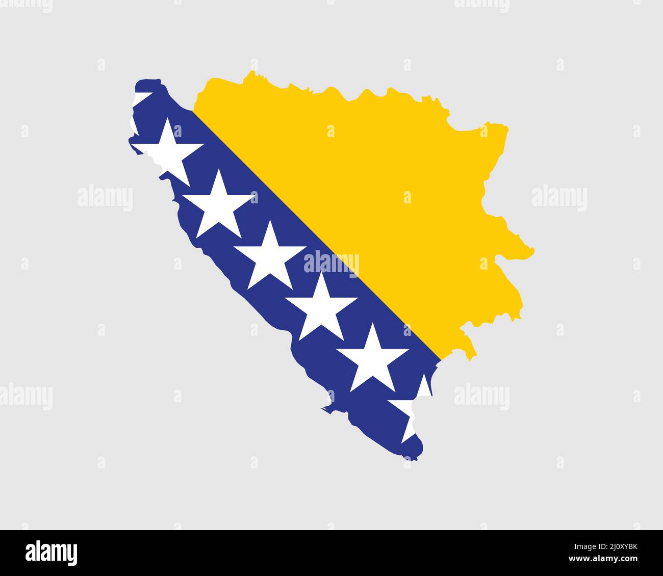 Bosnia and Herzegovina Map Flag. Map of Bosnia and Herzegovina with country flag. Vector Illustration. Stock Vectorhttps://www.alamy.com/image-license-details/?v=1https://www.alamy.com/bosnia-and-herzegovina-map-flag-map-of-bosnia-and-herzegovina-with-country-flag-vector-illustration-image465272183.html
RF2J0XYBK–Bosnia and Herzegovina Map Flag. Map of Bosnia and Herzegovina with country flag. Vector Illustration.
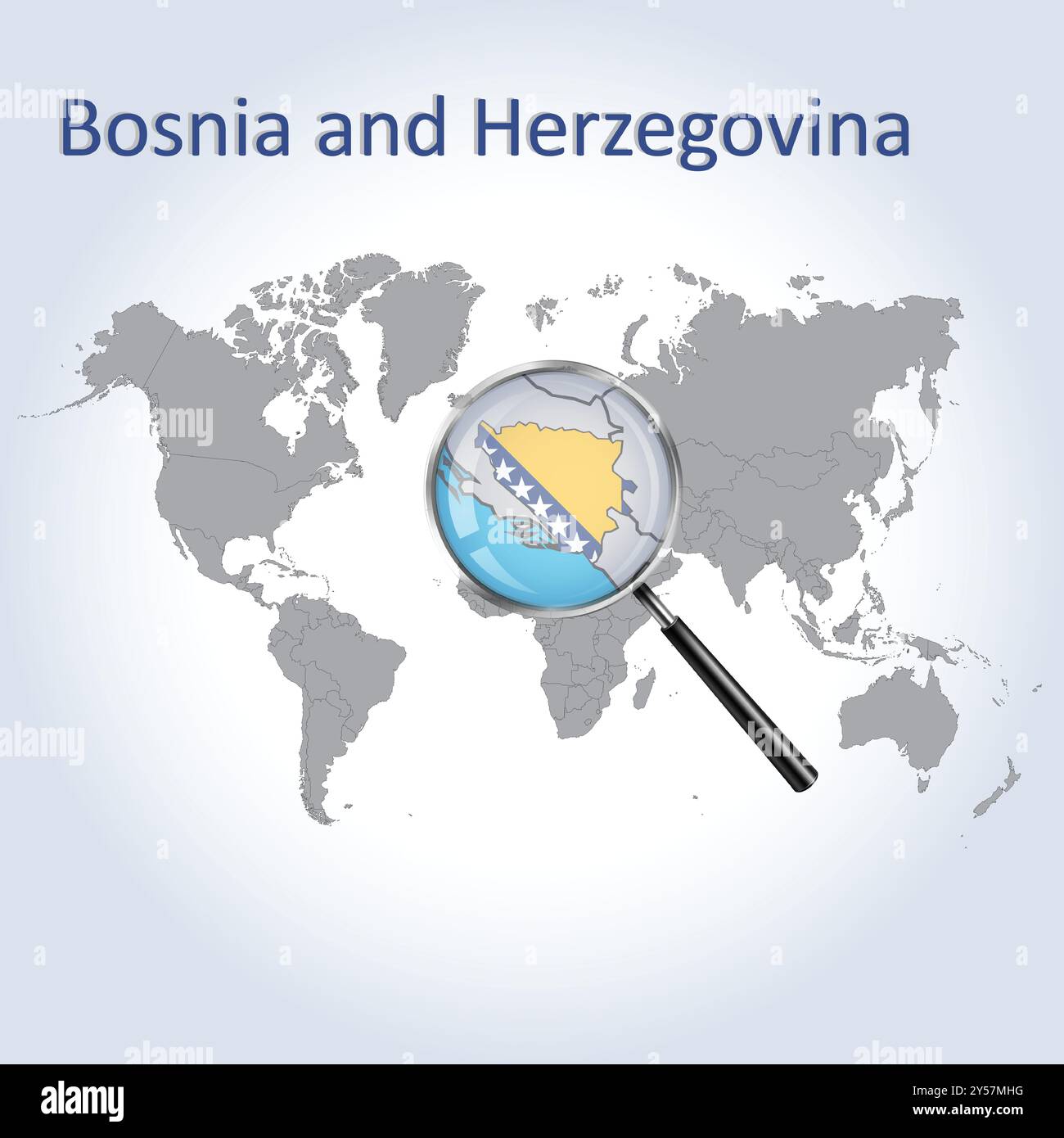 Bosnia and Herzegovina Magnified Map and Flag, Vector Art Stock Vectorhttps://www.alamy.com/image-license-details/?v=1https://www.alamy.com/bosnia-and-herzegovina-magnified-map-and-flag-vector-art-image622816364.html
RF2Y57MHG–Bosnia and Herzegovina Magnified Map and Flag, Vector Art
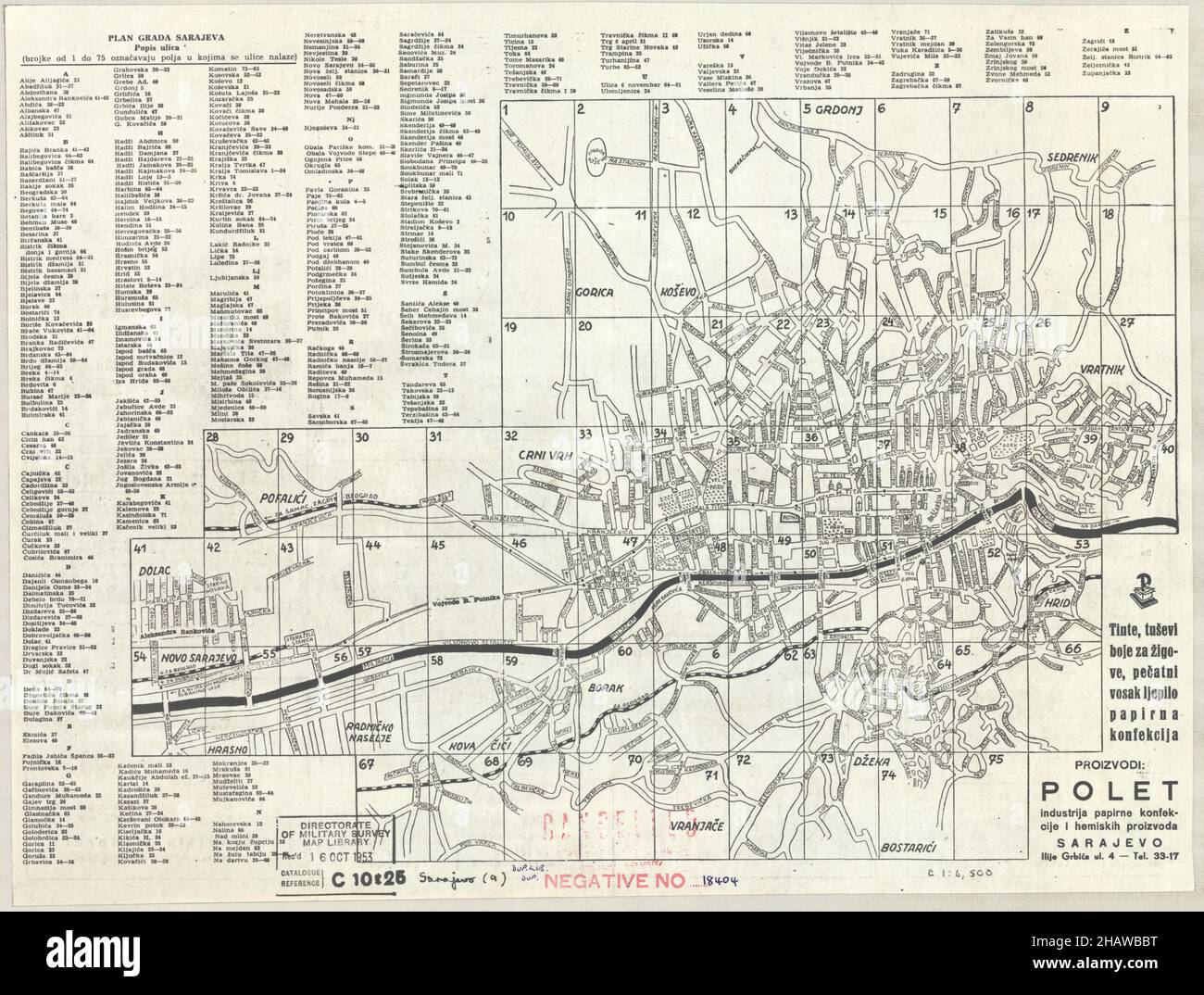 Sarajevo Map, Map of Sarajevo, Sarajevo Plan, Sarajevo Print, Sarajevo Poster, Sarajevo City, Sarajevo City Plan, Old Sarajevo, Retro Sarajevo Plan Stock Photohttps://www.alamy.com/image-license-details/?v=1https://www.alamy.com/sarajevo-map-map-of-sarajevo-sarajevo-plan-sarajevo-print-sarajevo-poster-sarajevo-city-sarajevo-city-plan-old-sarajevo-retro-sarajevo-plan-image454173884.html
RF2HAWBBT–Sarajevo Map, Map of Sarajevo, Sarajevo Plan, Sarajevo Print, Sarajevo Poster, Sarajevo City, Sarajevo City Plan, Old Sarajevo, Retro Sarajevo Plan
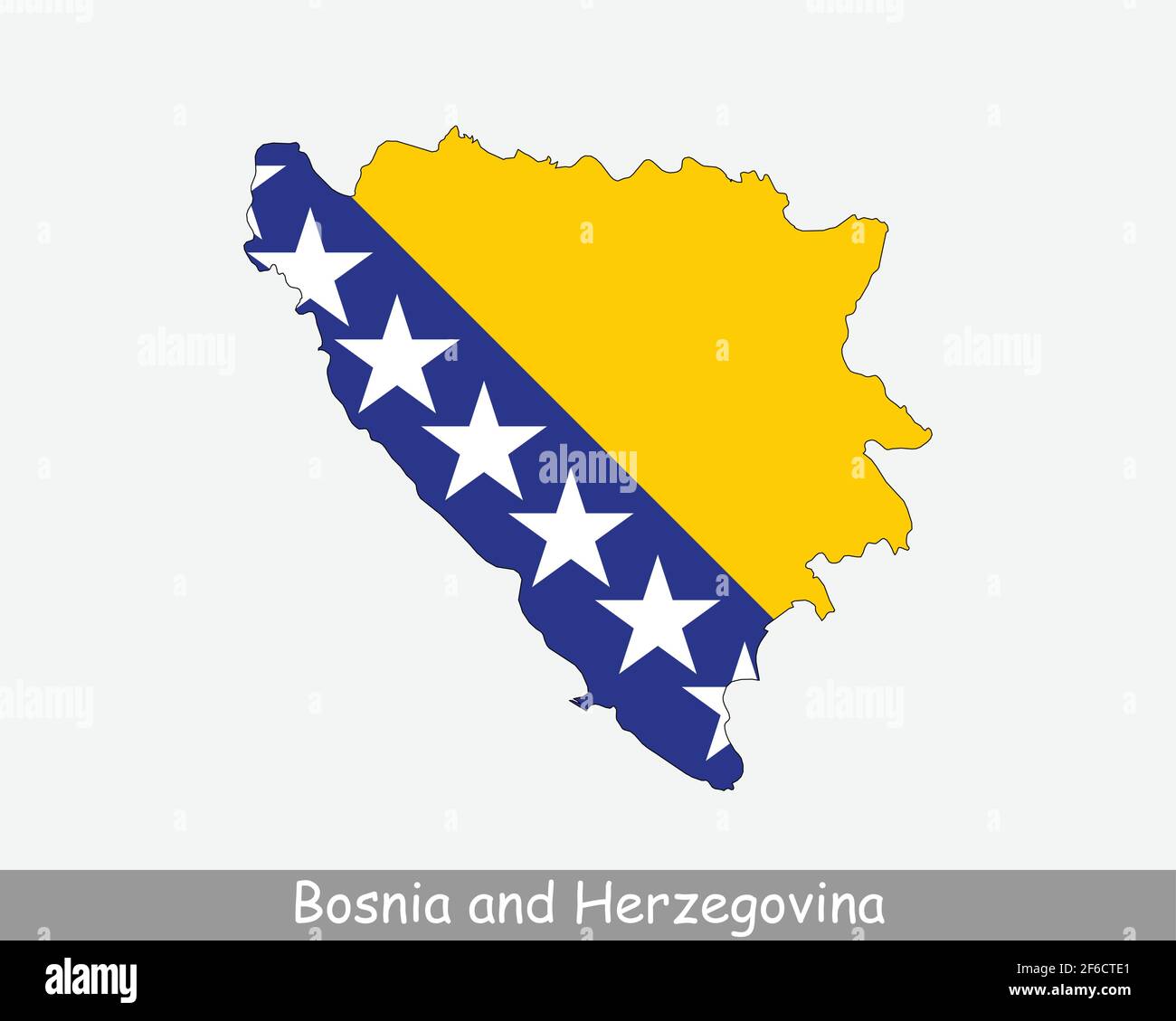 Bosnia and Herzegovina Map Flag. Map of Bosnia and Herzegovina with national flag isolated on white background. Vector Illustration. Stock Vectorhttps://www.alamy.com/image-license-details/?v=1https://www.alamy.com/bosnia-and-herzegovina-map-flag-map-of-bosnia-and-herzegovina-with-national-flag-isolated-on-white-background-vector-illustration-image417019401.html
RF2F6CTE1–Bosnia and Herzegovina Map Flag. Map of Bosnia and Herzegovina with national flag isolated on white background. Vector Illustration.
 Political map of Bosnia and Herzegovina with the several cantons where Sarajevo is highlighted. Stock Photohttps://www.alamy.com/image-license-details/?v=1https://www.alamy.com/stock-photo-political-map-of-bosnia-and-herzegovina-with-the-several-cantons-where-48831952.html
RFCRCDJ8–Political map of Bosnia and Herzegovina with the several cantons where Sarajevo is highlighted.
 Bosnia and Herzegovina outline map set Stock Vectorhttps://www.alamy.com/image-license-details/?v=1https://www.alamy.com/stock-photo-bosnia-and-herzegovina-outline-map-set-115939269.html
RFGMHDM5–Bosnia and Herzegovina outline map set
RF2WMK1FG–Bosnia and Herzegovina country black outline and colored country silhouettes in three different levels of smoothness. Simplified maps. Vector icons isolated on white background.
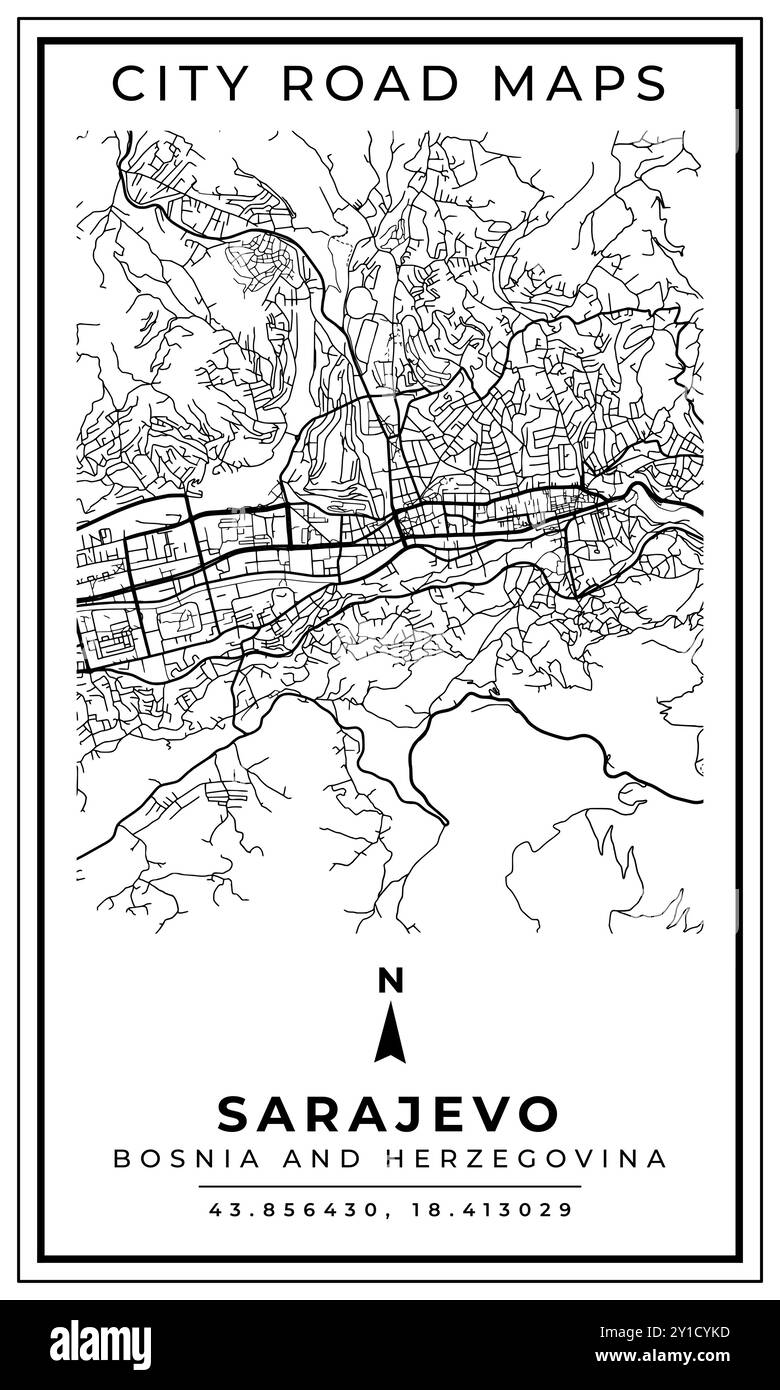 Monochrome Line Art Map of Sarajevo Capital City of Bosnia and Herzegovina, Illustration and home decoration Stock Vectorhttps://www.alamy.com/image-license-details/?v=1https://www.alamy.com/monochrome-line-art-map-of-sarajevo-capital-city-of-bosnia-and-herzegovina-illustration-and-home-decoration-image620473041.html
RF2Y1CYKD–Monochrome Line Art Map of Sarajevo Capital City of Bosnia and Herzegovina, Illustration and home decoration
RF2PECPMG–Bosnia regions icons. Black round logos with country regions maps and titles. Vector illustration.
 Three versions of the World Map with the enlarged map of Bosnia and Herzegovina with flag. Europe, Asia, and America centered world maps. Stock Vectorhttps://www.alamy.com/image-license-details/?v=1https://www.alamy.com/three-versions-of-the-world-map-with-the-enlarged-map-of-bosnia-and-herzegovina-with-flag-europe-asia-and-america-centered-world-maps-image426000015.html
RF2FN1YA7–Three versions of the World Map with the enlarged map of Bosnia and Herzegovina with flag. Europe, Asia, and America centered world maps.
 Image taken from page 85 of 'The Outgoing Turk: impressions of a journey through the western Balkans ... With seventy-six illustrations ... and three maps' Image taken from page 85 of 'The Outgoing Turk Stock Photohttps://www.alamy.com/image-license-details/?v=1https://www.alamy.com/stock-photo-image-taken-from-page-85-of-the-outgoing-turk-impressions-of-a-journey-132369147.html
RMHK9X5F–Image taken from page 85 of 'The Outgoing Turk: impressions of a journey through the western Balkans ... With seventy-six illustrations ... and three maps' Image taken from page 85 of 'The Outgoing Turk
 black vector bosnia map on white background Stock Vectorhttps://www.alamy.com/image-license-details/?v=1https://www.alamy.com/black-vector-bosnia-map-on-white-background-image600565631.html
RF2WW23GF–black vector bosnia map on white background
 Highlighted Satellite Image Of Bosnia Herzegovina With Banja Luka And Sarajevo Shown Stock Photohttps://www.alamy.com/image-license-details/?v=1https://www.alamy.com/highlighted-satellite-image-of-bosnia-herzegovina-with-banja-luka-image3618793.html
RFA4MREA–Highlighted Satellite Image Of Bosnia Herzegovina With Banja Luka And Sarajevo Shown
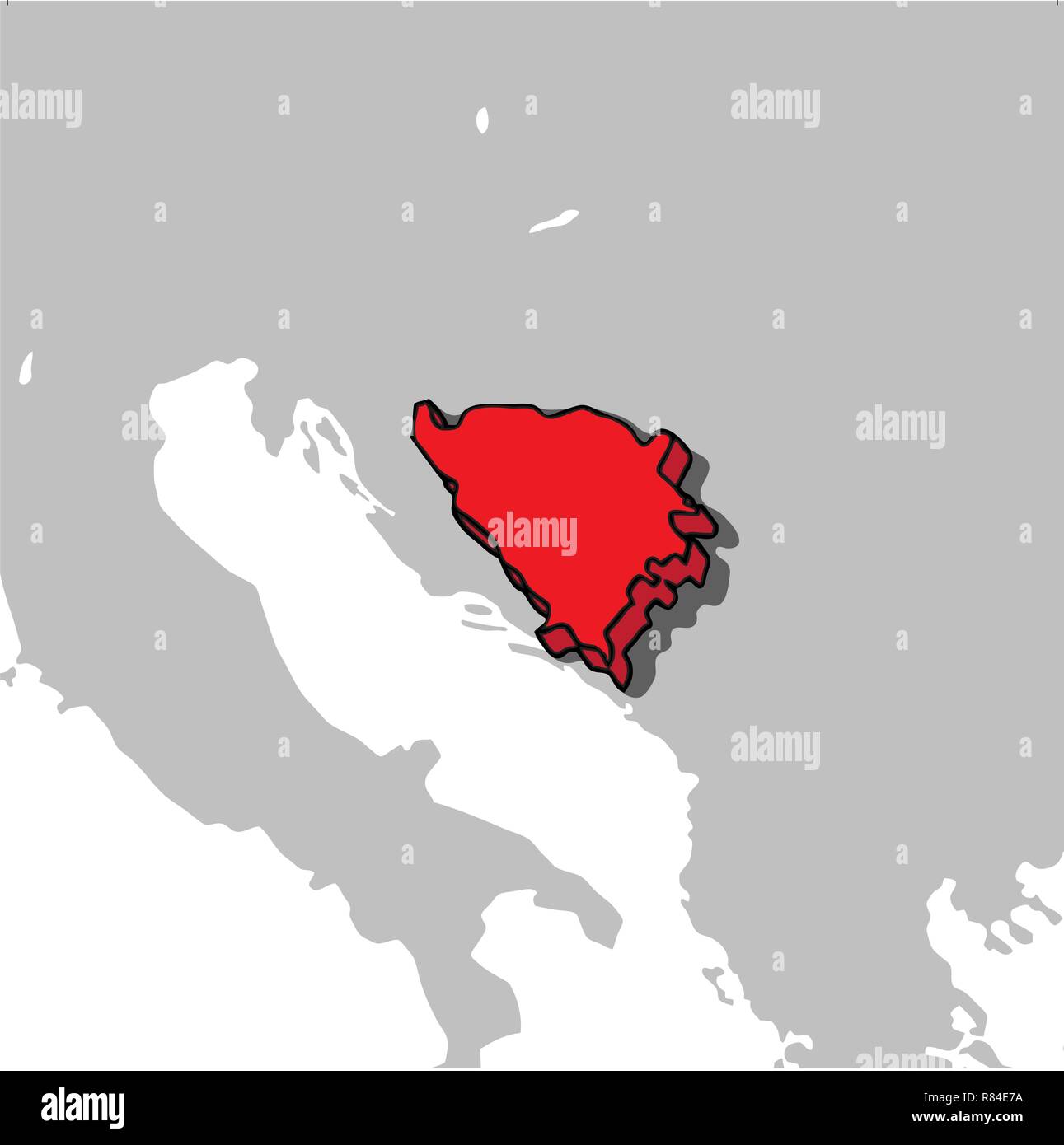 Bosnia and Herzegovina 3d map Stock Vectorhttps://www.alamy.com/image-license-details/?v=1https://www.alamy.com/bosnia-and-herzegovina-3d-map-image228751022.html
RFR84E7A–Bosnia and Herzegovina 3d map
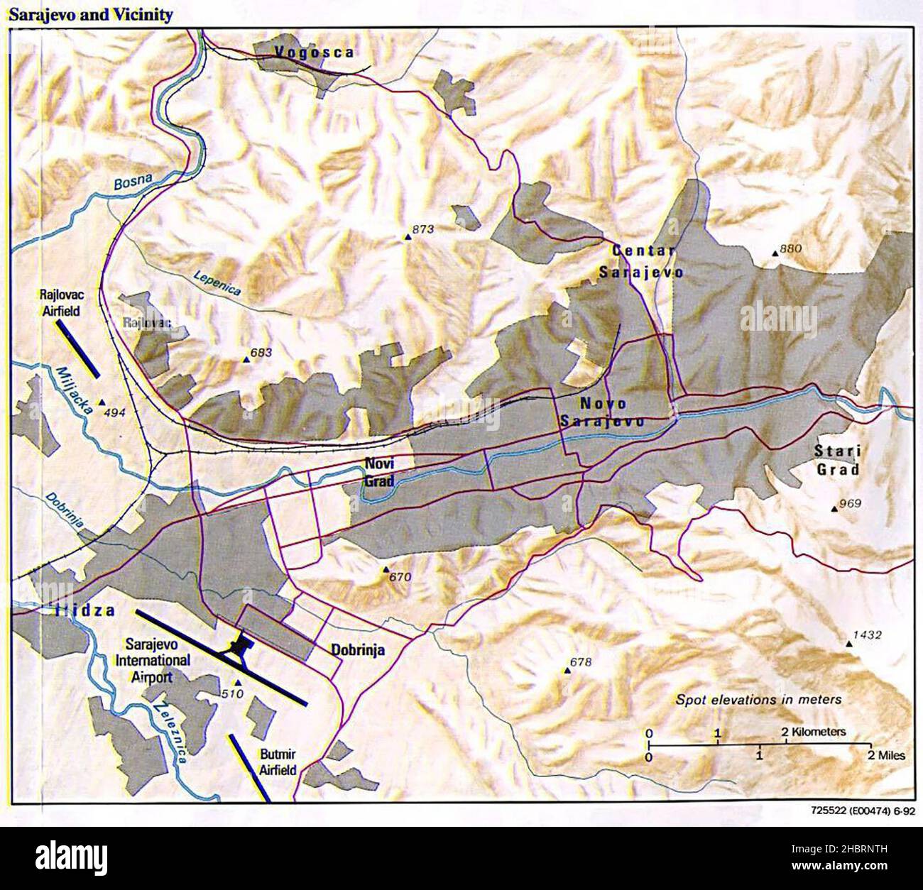 Sarajevo and Vicinity map ca. 1992 Stock Photohttps://www.alamy.com/image-license-details/?v=1https://www.alamy.com/sarajevo-and-vicinity-map-ca-1992-image454752833.html
RM2HBRNTH–Sarajevo and Vicinity map ca. 1992
 Bosnian Army Offensive Operations in Sarajevo Region, 15-22 June 1995 Stock Photohttps://www.alamy.com/image-license-details/?v=1https://www.alamy.com/bosnian-army-offensive-operations-in-sarajevo-region-15-22-june-1995-image454765931.html
RM2HBTAGB–Bosnian Army Offensive Operations in Sarajevo Region, 15-22 June 1995
 Federacija Bosna i Hercegovina, entity of Bosnia and Herzegovina. Open Street Map. Corner auxiliary location maps Stock Photohttps://www.alamy.com/image-license-details/?v=1https://www.alamy.com/federacija-bosna-i-hercegovina-entity-of-bosnia-and-herzegovina-open-street-map-corner-auxiliary-location-maps-image482750120.html
RF2K1B4KM–Federacija Bosna i Hercegovina, entity of Bosnia and Herzegovina. Open Street Map. Corner auxiliary location maps
 Political map of Bosnia and Herzegovina with the several cantons where Sarajevo is highlighted. Stock Photohttps://www.alamy.com/image-license-details/?v=1https://www.alamy.com/stock-photo-political-map-of-bosnia-and-herzegovina-with-the-several-cantons-where-48832036.html
RFCRCDN8–Political map of Bosnia and Herzegovina with the several cantons where Sarajevo is highlighted.
RF2WMARMR–Bosnia and Herzegovina country black outline and colored country silhouettes in three different levels of smoothness. Simplified maps. Vector icons isolated on white background.
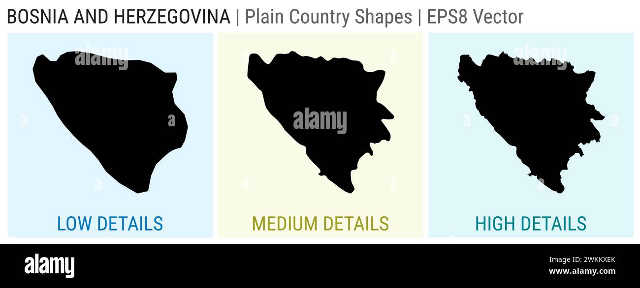 Bosnia - plain country shape. Low, medium and high detailed maps of Bosnia. EPS8 Vector illustration. Stock Vectorhttps://www.alamy.com/image-license-details/?v=1https://www.alamy.com/bosnia-plain-country-shape-low-medium-and-high-detailed-maps-of-bosnia-eps8-vector-illustration-image597268859.html
RF2WKKXEK–Bosnia - plain country shape. Low, medium and high detailed maps of Bosnia. EPS8 Vector illustration.
 Federacija Bosna i Hercegovina, entity of Bosnia and Herzegovina. Low resolution satellite map. Corner auxiliary location maps Stock Photohttps://www.alamy.com/image-license-details/?v=1https://www.alamy.com/federacija-bosna-i-hercegovina-entity-of-bosnia-and-herzegovina-low-resolution-satellite-map-corner-auxiliary-location-maps-image482750080.html
RF2K1B4J8–Federacija Bosna i Hercegovina, entity of Bosnia and Herzegovina. Low resolution satellite map. Corner auxiliary location maps
RF2WRXY73–Bosnia and Herzegovina country black outline and colored country silhouettes in three different levels of smoothness. Simplified maps. Vector icons isolated on white background.
 Bosnian, Herzegovinian low poly regions. Polygonal map of Bosnia with regions. Geometric maps for your design. Amazing vector illustration. Stock Vectorhttps://www.alamy.com/image-license-details/?v=1https://www.alamy.com/bosnian-herzegovinian-low-poly-regions-polygonal-map-of-bosnia-with-regions-geometric-maps-for-your-design-amazing-vector-illustration-image513354777.html
RF2MR5975–Bosnian, Herzegovinian low poly regions. Polygonal map of Bosnia with regions. Geometric maps for your design. Amazing vector illustration.
 Federacija Bosna i Hercegovina, entity of Bosnia and Herzegovina. High resolution satellite map. Corner auxiliary location maps Stock Photohttps://www.alamy.com/image-license-details/?v=1https://www.alamy.com/federacija-bosna-i-hercegovina-entity-of-bosnia-and-herzegovina-high-resolution-satellite-map-corner-auxiliary-location-maps-image482750082.html
RF2K1B4JA–Federacija Bosna i Hercegovina, entity of Bosnia and Herzegovina. High resolution satellite map. Corner auxiliary location maps
 Bosnia and Herzegovina country silhouette. Set of 3 high detailed maps. Solid black silhouette, thick black outline and thin black outline. Vector illustration isolated on white background. Stock Vectorhttps://www.alamy.com/image-license-details/?v=1https://www.alamy.com/bosnia-and-herzegovina-country-silhouette-set-of-3-high-detailed-maps-solid-black-silhouette-thick-black-outline-and-thin-black-outline-vector-illustration-isolated-on-white-background-image597012891.html
RF2WK880Y–Bosnia and Herzegovina country silhouette. Set of 3 high detailed maps. Solid black silhouette, thick black outline and thin black outline. Vector illustration isolated on white background.
 Set of vector polygonal maps of Bosnia. Bright gradient map of country in low poly style. Multicolored Bosnia map in geometric style for your infograp Stock Vectorhttps://www.alamy.com/image-license-details/?v=1https://www.alamy.com/set-of-vector-polygonal-maps-of-bosnia-bright-gradient-map-of-country-in-low-poly-style-multicolored-bosnia-map-in-geometric-style-for-your-infograp-image555958207.html
RF2R8E2A7–Set of vector polygonal maps of Bosnia. Bright gradient map of country in low poly style. Multicolored Bosnia map in geometric style for your infograp
 Federacija Bosna i Hercegovina, entity of Bosnia and Herzegovina. Bilevel elevation map with lakes and rivers. Corner auxiliary location maps Stock Photohttps://www.alamy.com/image-license-details/?v=1https://www.alamy.com/federacija-bosna-i-hercegovina-entity-of-bosnia-and-herzegovina-bilevel-elevation-map-with-lakes-and-rivers-corner-auxiliary-location-maps-image482750017.html
RF2K1B4G1–Federacija Bosna i Hercegovina, entity of Bosnia and Herzegovina. Bilevel elevation map with lakes and rivers. Corner auxiliary location maps
 Set of vector maps of Bosnia. Vibrant waves design. Bright map of country in geometric smooth curves style. Multicolored Bosnia map for your design. A Stock Vectorhttps://www.alamy.com/image-license-details/?v=1https://www.alamy.com/set-of-vector-maps-of-bosnia-vibrant-waves-design-bright-map-of-country-in-geometric-smooth-curves-style-multicolored-bosnia-map-for-your-design-a-image561013258.html
RF2RGMA3P–Set of vector maps of Bosnia. Vibrant waves design. Bright map of country in geometric smooth curves style. Multicolored Bosnia map for your design. A
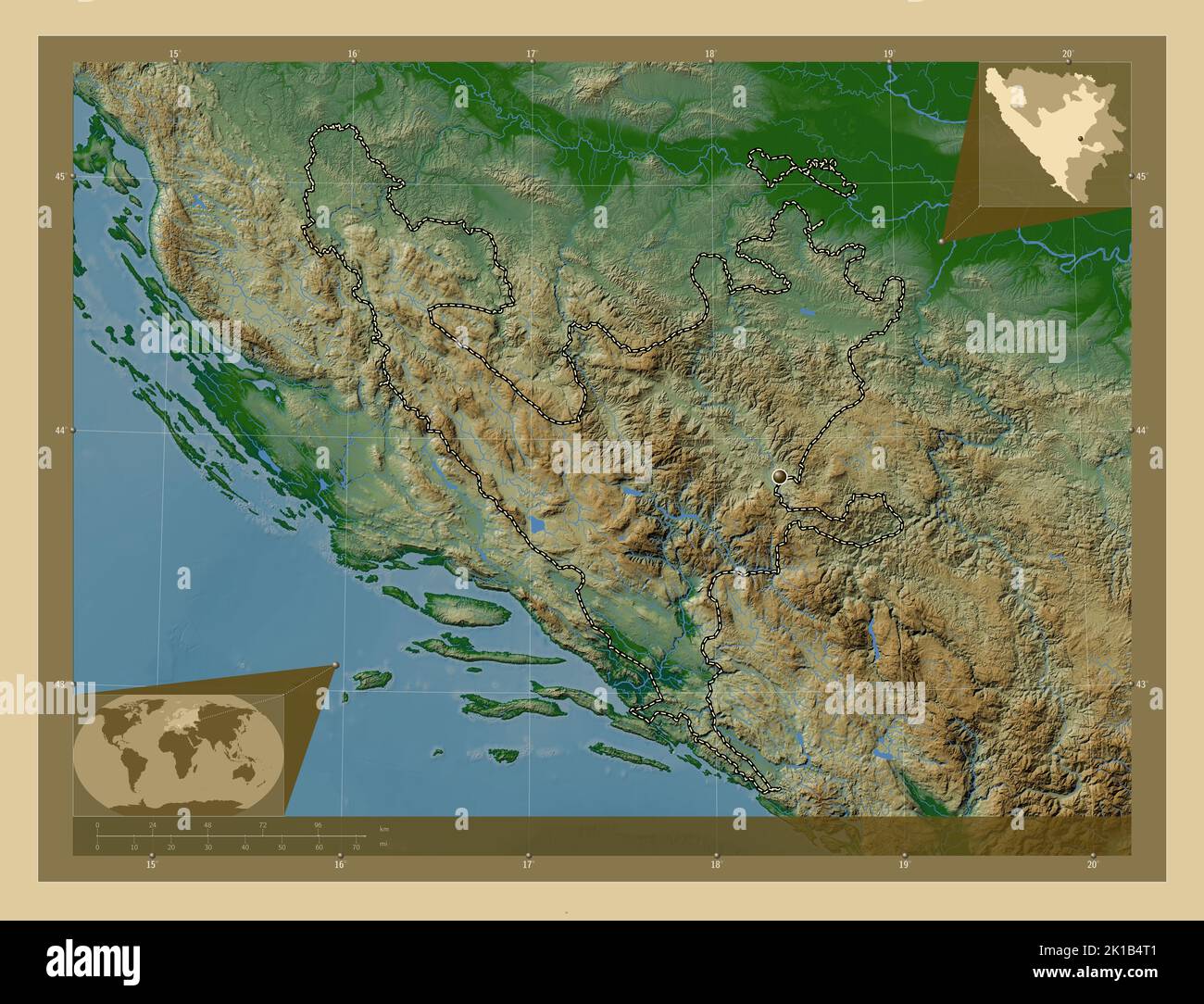 Federacija Bosna i Hercegovina, entity of Bosnia and Herzegovina. Colored elevation map with lakes and rivers. Corner auxiliary location maps Stock Photohttps://www.alamy.com/image-license-details/?v=1https://www.alamy.com/federacija-bosna-i-hercegovina-entity-of-bosnia-and-herzegovina-colored-elevation-map-with-lakes-and-rivers-corner-auxiliary-location-maps-image482750241.html
RF2K1B4T1–Federacija Bosna i Hercegovina, entity of Bosnia and Herzegovina. Colored elevation map with lakes and rivers. Corner auxiliary location maps
RF2NWE2J3–Bosnia dotted map. Digital style shape of Bosnia. Tech icon of the country with gradiented dots. Artistic vector illustration.
 Federacija Bosna i Hercegovina, entity of Bosnia and Herzegovina. Grayscale elevation map with lakes and rivers. Corner auxiliary location maps Stock Photohttps://www.alamy.com/image-license-details/?v=1https://www.alamy.com/federacija-bosna-i-hercegovina-entity-of-bosnia-and-herzegovina-grayscale-elevation-map-with-lakes-and-rivers-corner-auxiliary-location-maps-image482750033.html
RF2K1B4GH–Federacija Bosna i Hercegovina, entity of Bosnia and Herzegovina. Grayscale elevation map with lakes and rivers. Corner auxiliary location maps
RF2R9RMG8–Bosnia round logo. Digital style shape of Bosnia in dotted circle with country name. Tech icon of the country with gradiented dots. Artistic vector il
 Federacija Bosna i Hercegovina, entity of Bosnia and Herzegovina. Diagram showing the location of the region on larger-scale maps. Composition of vect Stock Photohttps://www.alamy.com/image-license-details/?v=1https://www.alamy.com/federacija-bosna-i-hercegovina-entity-of-bosnia-and-herzegovina-diagram-showing-the-location-of-the-region-on-larger-scale-maps-composition-of-vect-image482750072.html
RF2K1B4J0–Federacija Bosna i Hercegovina, entity of Bosnia and Herzegovina. Diagram showing the location of the region on larger-scale maps. Composition of vect
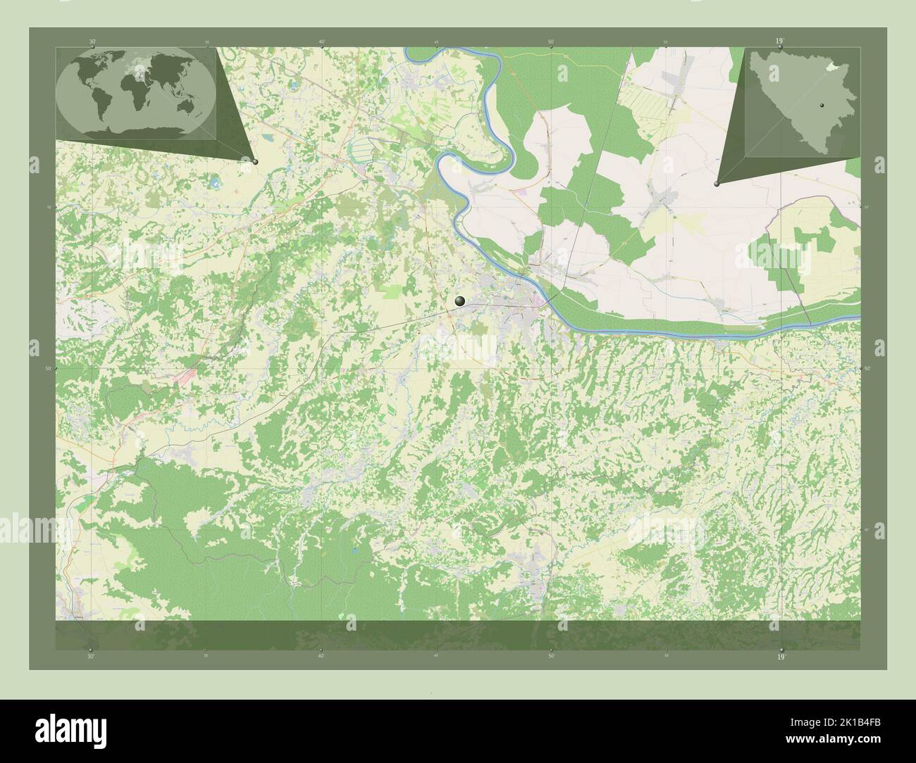 Brcko, district of Bosnia and Herzegovina. Open Street Map. Corner auxiliary location maps Stock Photohttps://www.alamy.com/image-license-details/?v=1https://www.alamy.com/brcko-district-of-bosnia-and-herzegovina-open-street-map-corner-auxiliary-location-maps-image482749999.html
RF2K1B4FB–Brcko, district of Bosnia and Herzegovina. Open Street Map. Corner auxiliary location maps
 Brcko, district of Bosnia and Herzegovina. Solid color shape. Corner auxiliary location maps Stock Photohttps://www.alamy.com/image-license-details/?v=1https://www.alamy.com/brcko-district-of-bosnia-and-herzegovina-solid-color-shape-corner-auxiliary-location-maps-image482750007.html
RF2K1B4FK–Brcko, district of Bosnia and Herzegovina. Solid color shape. Corner auxiliary location maps
 Brcko, district of Bosnia and Herzegovina. High resolution satellite map. Corner auxiliary location maps Stock Photohttps://www.alamy.com/image-license-details/?v=1https://www.alamy.com/brcko-district-of-bosnia-and-herzegovina-high-resolution-satellite-map-corner-auxiliary-location-maps-image482749994.html
RF2K1B4F6–Brcko, district of Bosnia and Herzegovina. High resolution satellite map. Corner auxiliary location maps
 Repuplika Srpska, entity of Bosnia and Herzegovina. Solid color shape. Corner auxiliary location maps Stock Photohttps://www.alamy.com/image-license-details/?v=1https://www.alamy.com/repuplika-srpska-entity-of-bosnia-and-herzegovina-solid-color-shape-corner-auxiliary-location-maps-image482750438.html
RF2K1B532–Repuplika Srpska, entity of Bosnia and Herzegovina. Solid color shape. Corner auxiliary location maps
 Repuplika Srpska, entity of Bosnia and Herzegovina. Open Street Map. Corner auxiliary location maps Stock Photohttps://www.alamy.com/image-license-details/?v=1https://www.alamy.com/repuplika-srpska-entity-of-bosnia-and-herzegovina-open-street-map-corner-auxiliary-location-maps-image482750440.html
RF2K1B534–Repuplika Srpska, entity of Bosnia and Herzegovina. Open Street Map. Corner auxiliary location maps
 Repuplika Srpska, entity of Bosnia and Herzegovina. Low resolution satellite map. Corner auxiliary location maps Stock Photohttps://www.alamy.com/image-license-details/?v=1https://www.alamy.com/repuplika-srpska-entity-of-bosnia-and-herzegovina-low-resolution-satellite-map-corner-auxiliary-location-maps-image482750381.html
RF2K1B511–Repuplika Srpska, entity of Bosnia and Herzegovina. Low resolution satellite map. Corner auxiliary location maps
 Repuplika Srpska, entity of Bosnia and Herzegovina. High resolution satellite map. Corner auxiliary location maps Stock Photohttps://www.alamy.com/image-license-details/?v=1https://www.alamy.com/repuplika-srpska-entity-of-bosnia-and-herzegovina-high-resolution-satellite-map-corner-auxiliary-location-maps-image482750382.html
RF2K1B512–Repuplika Srpska, entity of Bosnia and Herzegovina. High resolution satellite map. Corner auxiliary location maps
 Repuplika Srpska, entity of Bosnia and Herzegovina. Bilevel elevation map with lakes and rivers. Corner auxiliary location maps Stock Photohttps://www.alamy.com/image-license-details/?v=1https://www.alamy.com/repuplika-srpska-entity-of-bosnia-and-herzegovina-bilevel-elevation-map-with-lakes-and-rivers-corner-auxiliary-location-maps-image482750314.html
RF2K1B4XJ–Repuplika Srpska, entity of Bosnia and Herzegovina. Bilevel elevation map with lakes and rivers. Corner auxiliary location maps
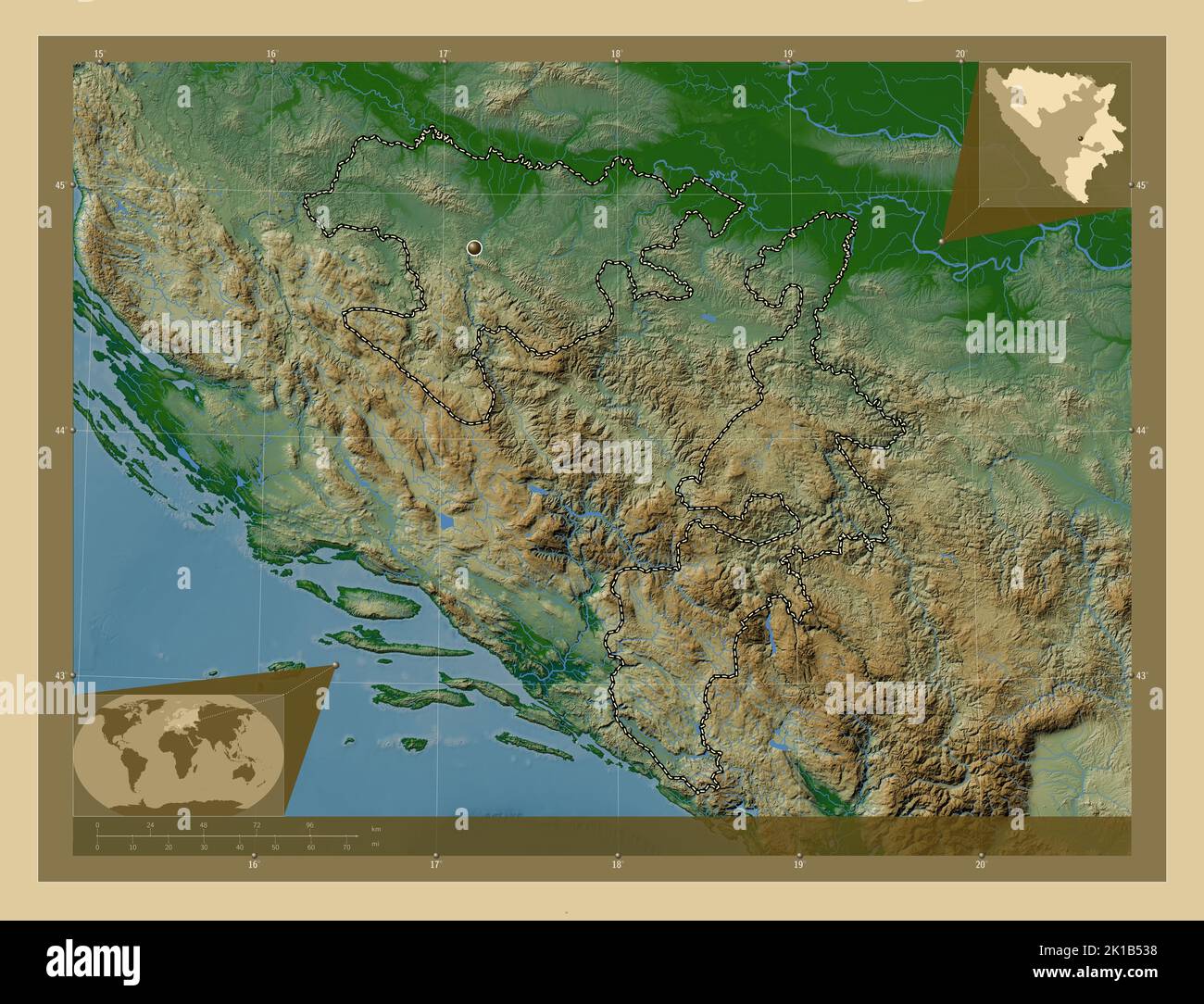 Repuplika Srpska, entity of Bosnia and Herzegovina. Colored elevation map with lakes and rivers. Corner auxiliary location maps Stock Photohttps://www.alamy.com/image-license-details/?v=1https://www.alamy.com/repuplika-srpska-entity-of-bosnia-and-herzegovina-colored-elevation-map-with-lakes-and-rivers-corner-auxiliary-location-maps-image482750444.html
RF2K1B538–Repuplika Srpska, entity of Bosnia and Herzegovina. Colored elevation map with lakes and rivers. Corner auxiliary location maps
 Repuplika Srpska, entity of Bosnia and Herzegovina. Grayscale elevation map with lakes and rivers. Corner auxiliary location maps Stock Photohttps://www.alamy.com/image-license-details/?v=1https://www.alamy.com/repuplika-srpska-entity-of-bosnia-and-herzegovina-grayscale-elevation-map-with-lakes-and-rivers-corner-auxiliary-location-maps-image482750351.html
RF2K1B4YY–Repuplika Srpska, entity of Bosnia and Herzegovina. Grayscale elevation map with lakes and rivers. Corner auxiliary location maps
 Repuplika Srpska, entity of Bosnia and Herzegovina. Diagram showing the location of the region on larger-scale maps. Composition of vector frames and Stock Photohttps://www.alamy.com/image-license-details/?v=1https://www.alamy.com/repuplika-srpska-entity-of-bosnia-and-herzegovina-diagram-showing-the-location-of-the-region-on-larger-scale-maps-composition-of-vector-frames-and-image482750350.html
RF2K1B4YX–Repuplika Srpska, entity of Bosnia and Herzegovina. Diagram showing the location of the region on larger-scale maps. Composition of vector frames and
 Brcko, district of Bosnia and Herzegovina. Diagram showing the location of the region on larger-scale maps. Composition of vector frames and PNG shape Stock Photohttps://www.alamy.com/image-license-details/?v=1https://www.alamy.com/brcko-district-of-bosnia-and-herzegovina-diagram-showing-the-location-of-the-region-on-larger-scale-maps-composition-of-vector-frames-and-png-shape-image482749974.html
RF2K1B4EE–Brcko, district of Bosnia and Herzegovina. Diagram showing the location of the region on larger-scale maps. Composition of vector frames and PNG shape
 Repuplika Srpska, entity of Bosnia and Herzegovina. Elevation map colored in sepia tones with lakes and rivers. Corner auxiliary location maps Stock Photohttps://www.alamy.com/image-license-details/?v=1https://www.alamy.com/repuplika-srpska-entity-of-bosnia-and-herzegovina-elevation-map-colored-in-sepia-tones-with-lakes-and-rivers-corner-auxiliary-location-maps-image482750499.html
RF2K1B557–Repuplika Srpska, entity of Bosnia and Herzegovina. Elevation map colored in sepia tones with lakes and rivers. Corner auxiliary location maps
 Repuplika Srpska, entity of Bosnia and Herzegovina. Elevation map colored in wiki style with lakes and rivers. Corner auxiliary location maps Stock Photohttps://www.alamy.com/image-license-details/?v=1https://www.alamy.com/repuplika-srpska-entity-of-bosnia-and-herzegovina-elevation-map-colored-in-wiki-style-with-lakes-and-rivers-corner-auxiliary-location-maps-image482750563.html
RF2K1B57F–Repuplika Srpska, entity of Bosnia and Herzegovina. Elevation map colored in wiki style with lakes and rivers. Corner auxiliary location maps
 Brcko, district of Bosnia and Herzegovina. Solid color shape. Locations of major cities of the region. Corner auxiliary location maps Stock Photohttps://www.alamy.com/image-license-details/?v=1https://www.alamy.com/brcko-district-of-bosnia-and-herzegovina-solid-color-shape-locations-of-major-cities-of-the-region-corner-auxiliary-location-maps-image482749993.html
RF2K1B4F5–Brcko, district of Bosnia and Herzegovina. Solid color shape. Locations of major cities of the region. Corner auxiliary location maps
 Brcko, district of Bosnia and Herzegovina. Open Street Map. Locations of major cities of the region. Corner auxiliary location maps Stock Photohttps://www.alamy.com/image-license-details/?v=1https://www.alamy.com/brcko-district-of-bosnia-and-herzegovina-open-street-map-locations-of-major-cities-of-the-region-corner-auxiliary-location-maps-image482749998.html
RF2K1B4FA–Brcko, district of Bosnia and Herzegovina. Open Street Map. Locations of major cities of the region. Corner auxiliary location maps
 Brcko, district of Bosnia and Herzegovina. Open Street Map. Locations and names of major cities of the region. Corner auxiliary location maps Stock Photohttps://www.alamy.com/image-license-details/?v=1https://www.alamy.com/brcko-district-of-bosnia-and-herzegovina-open-street-map-locations-and-names-of-major-cities-of-the-region-corner-auxiliary-location-maps-image482750005.html
RF2K1B4FH–Brcko, district of Bosnia and Herzegovina. Open Street Map. Locations and names of major cities of the region. Corner auxiliary location maps
 Repuplika Srpska, entity of Bosnia and Herzegovina. Open Street Map. Locations of major cities of the region. Corner auxiliary location maps Stock Photohttps://www.alamy.com/image-license-details/?v=1https://www.alamy.com/repuplika-srpska-entity-of-bosnia-and-herzegovina-open-street-map-locations-of-major-cities-of-the-region-corner-auxiliary-location-maps-image482750387.html
RF2K1B517–Repuplika Srpska, entity of Bosnia and Herzegovina. Open Street Map. Locations of major cities of the region. Corner auxiliary location maps
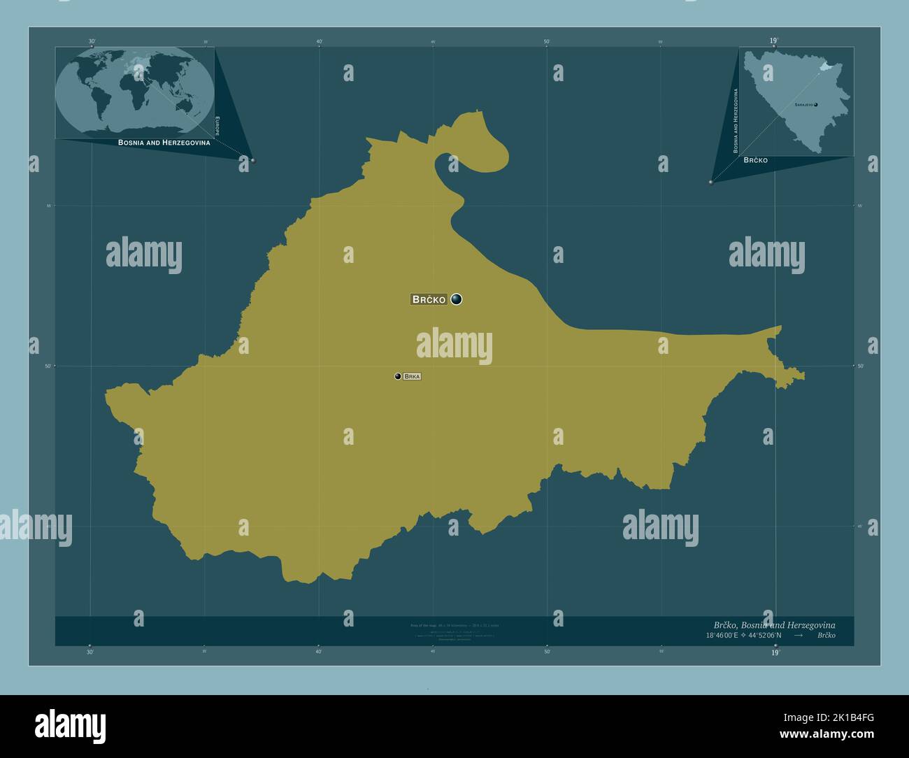 Brcko, district of Bosnia and Herzegovina. Solid color shape. Locations and names of major cities of the region. Corner auxiliary location maps Stock Photohttps://www.alamy.com/image-license-details/?v=1https://www.alamy.com/brcko-district-of-bosnia-and-herzegovina-solid-color-shape-locations-and-names-of-major-cities-of-the-region-corner-auxiliary-location-maps-image482750004.html
RF2K1B4FG–Brcko, district of Bosnia and Herzegovina. Solid color shape. Locations and names of major cities of the region. Corner auxiliary location maps
 Brcko, district of Bosnia and Herzegovina. High resolution satellite map. Locations of major cities of the region. Corner auxiliary location maps Stock Photohttps://www.alamy.com/image-license-details/?v=1https://www.alamy.com/brcko-district-of-bosnia-and-herzegovina-high-resolution-satellite-map-locations-of-major-cities-of-the-region-corner-auxiliary-location-maps-image482749997.html
RF2K1B4F9–Brcko, district of Bosnia and Herzegovina. High resolution satellite map. Locations of major cities of the region. Corner auxiliary location maps
 Repuplika Srpska, entity of Bosnia and Herzegovina. Solid color shape. Locations of major cities of the region. Corner auxiliary location maps Stock Photohttps://www.alamy.com/image-license-details/?v=1https://www.alamy.com/repuplika-srpska-entity-of-bosnia-and-herzegovina-solid-color-shape-locations-of-major-cities-of-the-region-corner-auxiliary-location-maps-image482750434.html
RF2K1B52X–Repuplika Srpska, entity of Bosnia and Herzegovina. Solid color shape. Locations of major cities of the region. Corner auxiliary location maps
 Repuplika Srpska, entity of Bosnia and Herzegovina. Open Street Map. Locations and names of major cities of the region. Corner auxiliary location maps Stock Photohttps://www.alamy.com/image-license-details/?v=1https://www.alamy.com/repuplika-srpska-entity-of-bosnia-and-herzegovina-open-street-map-locations-and-names-of-major-cities-of-the-region-corner-auxiliary-location-maps-image482750433.html
RF2K1B52W–Repuplika Srpska, entity of Bosnia and Herzegovina. Open Street Map. Locations and names of major cities of the region. Corner auxiliary location maps