Quick filters:
Sarmellek Stock Photos and Images
 Flybalaton, Balaton West Airport in Sarmellek, Lake Balaton, Balaton, Hungary, Europe Stock Photohttps://www.alamy.com/image-license-details/?v=1https://www.alamy.com/flybalaton-balaton-west-airport-in-sarmellek-lake-balaton-balaton-image61996901.html
RMDGT5K1–Flybalaton, Balaton West Airport in Sarmellek, Lake Balaton, Balaton, Hungary, Europe
 Trans Air Congo Ilyushin Il-76T cargo plane on Sarmellek-Balaton Airport, Hungary Stock Photohttps://www.alamy.com/image-license-details/?v=1https://www.alamy.com/stock-photo-trans-air-congo-ilyushin-il-76t-cargo-plane-on-sarmellek-balaton-airport-119736206.html
RFGXPCN2–Trans Air Congo Ilyushin Il-76T cargo plane on Sarmellek-Balaton Airport, Hungary
 Aerial view of an abandoned housing estate in the village of Sarmellek in Hungary Stock Photohttps://www.alamy.com/image-license-details/?v=1https://www.alamy.com/aerial-view-of-an-abandoned-housing-estate-in-the-village-of-sarmellek-in-hungary-image475394085.html
RF2JHC205–Aerial view of an abandoned housing estate in the village of Sarmellek in Hungary
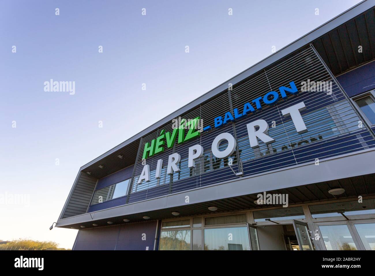 The main building of the Sarmellek airport in Hungary on an autumn day. Stock Photohttps://www.alamy.com/image-license-details/?v=1https://www.alamy.com/the-main-building-of-the-sarmellek-airport-in-hungary-on-an-autumn-day-image334265175.html
RF2ABR2HY–The main building of the Sarmellek airport in Hungary on an autumn day.
 An asphalt road leads to a series of bunkers. Sarmelleck, a former Soviet Air Base is now a civilian airport supporting some military activities. U.S. military surveyed the condition of four airfields in Hungary for possible use by U.S. Forces should they be sent as a peacekeeping force in Bosnia. Base: Sarmellek Air Base Country: Hungary (HUN) Stock Photohttps://www.alamy.com/image-license-details/?v=1https://www.alamy.com/an-asphalt-road-leads-to-a-series-of-bunkers-sarmelleck-a-former-soviet-air-base-is-now-a-civilian-airport-supporting-some-military-activities-us-military-surveyed-the-condition-of-four-airfields-in-hungary-for-possible-use-by-us-forces-should-they-be-sent-as-a-peacekeeping-force-in-bosnia-base-sarmellek-air-base-country-hungary-hun-image504451054.html
RM2M8KMD2–An asphalt road leads to a series of bunkers. Sarmelleck, a former Soviet Air Base is now a civilian airport supporting some military activities. U.S. military surveyed the condition of four airfields in Hungary for possible use by U.S. Forces should they be sent as a peacekeeping force in Bosnia. Base: Sarmellek Air Base Country: Hungary (HUN)
 Pest, county of Hungary. Solid color shape. Locations of major cities of the region. Corner auxiliary location maps Stock Photohttps://www.alamy.com/image-license-details/?v=1https://www.alamy.com/pest-county-of-hungary-solid-color-shape-locations-of-major-cities-of-the-region-corner-auxiliary-location-maps-image484692201.html
RF2K4FHRN–Pest, county of Hungary. Solid color shape. Locations of major cities of the region. Corner auxiliary location maps
 Aerial view of an abandoned housing estate in the village of Sarmellek in Hungary Stock Photohttps://www.alamy.com/image-license-details/?v=1https://www.alamy.com/aerial-view-of-an-abandoned-housing-estate-in-the-village-of-sarmellek-in-hungary-image475394091.html
RF2JHC20B–Aerial view of an abandoned housing estate in the village of Sarmellek in Hungary
 The main building of the Sarmellek airport in Hungary on an autumn day. Stock Photohttps://www.alamy.com/image-license-details/?v=1https://www.alamy.com/the-main-building-of-the-sarmellek-airport-in-hungary-on-an-autumn-day-image334265178.html
RF2ABR2J2–The main building of the Sarmellek airport in Hungary on an autumn day.
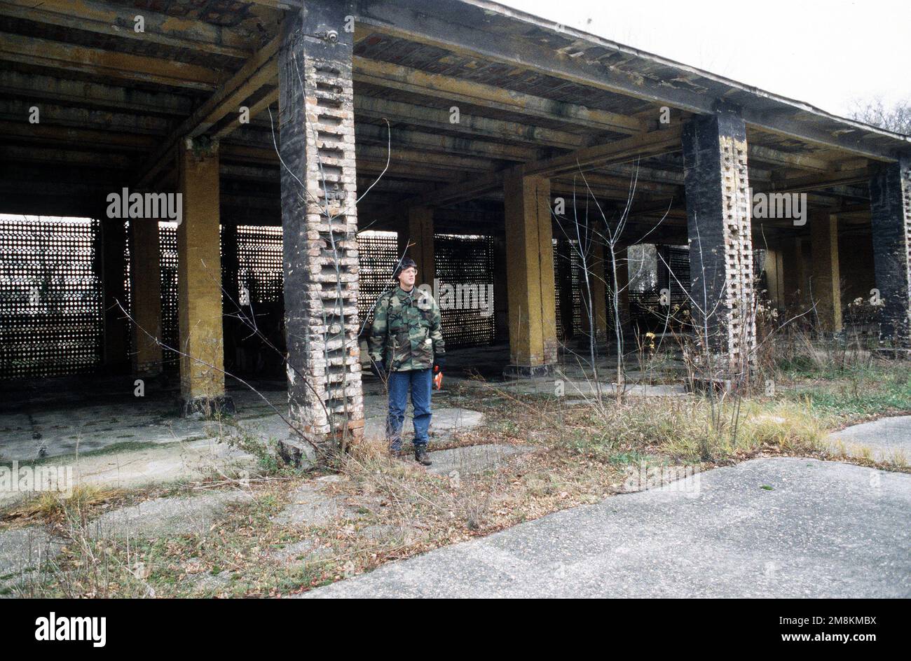 MAJ Richard B. Stonestreet, a Facility Requirements Manager from Hq AMC/CE, uses his height to judge the height of this storage/parking facility. Many of the facilities haven't been used since the airport operated as a Soviet Air Base. Sarmelleck is now a civilian airport supporting some military activities. U.S. military surveyed the condition of four airfields in Hungary for possible use by a peacekeeping force in Bosnia. Base: Sarmellek Air Base Country: Hungary (HUN) Stock Photohttps://www.alamy.com/image-license-details/?v=1https://www.alamy.com/maj-richard-b-stonestreet-a-facility-requirements-manager-from-hq-amcce-uses-his-height-to-judge-the-height-of-this-storageparking-facility-many-of-the-facilities-havent-been-used-since-the-airport-operated-as-a-soviet-air-base-sarmelleck-is-now-a-civilian-airport-supporting-some-military-activities-us-military-surveyed-the-condition-of-four-airfields-in-hungary-for-possible-use-by-a-peacekeeping-force-in-bosnia-base-sarmellek-air-base-country-hungary-hun-image504451022.html
RM2M8KMBX–MAJ Richard B. Stonestreet, a Facility Requirements Manager from Hq AMC/CE, uses his height to judge the height of this storage/parking facility. Many of the facilities haven't been used since the airport operated as a Soviet Air Base. Sarmelleck is now a civilian airport supporting some military activities. U.S. military surveyed the condition of four airfields in Hungary for possible use by a peacekeeping force in Bosnia. Base: Sarmellek Air Base Country: Hungary (HUN)
 Veszprem, county of Hungary. Low resolution satellite map Stock Photohttps://www.alamy.com/image-license-details/?v=1https://www.alamy.com/veszprem-county-of-hungary-low-resolution-satellite-map-image484692960.html
RF2K4FJPT–Veszprem, county of Hungary. Low resolution satellite map
 Aerial view of an abandoned housing estate in the village of Sarmellek in Hungary Stock Photohttps://www.alamy.com/image-license-details/?v=1https://www.alamy.com/aerial-view-of-an-abandoned-housing-estate-in-the-village-of-sarmellek-in-hungary-image475394097.html
RF2JHC20H–Aerial view of an abandoned housing estate in the village of Sarmellek in Hungary
 The main building of the Sarmellek airport in Hungary on an autumn day. Stock Photohttps://www.alamy.com/image-license-details/?v=1https://www.alamy.com/the-main-building-of-the-sarmellek-airport-in-hungary-on-an-autumn-day-image334265180.html
RF2ABR2J4–The main building of the Sarmellek airport in Hungary on an autumn day.
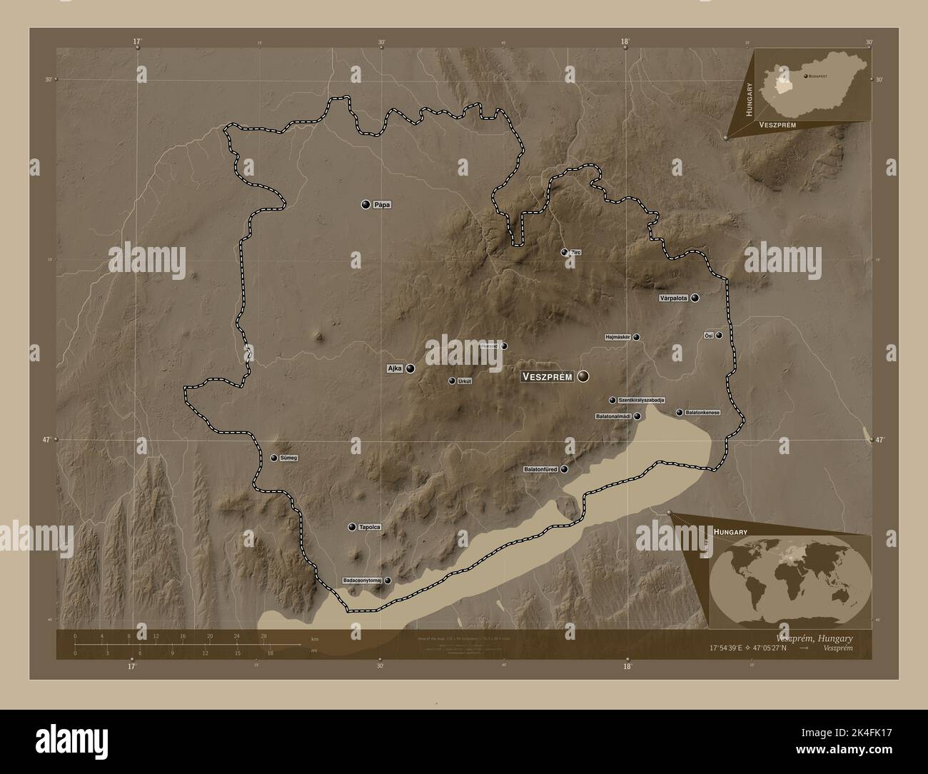 Veszprem, county of Hungary. Elevation map colored in sepia tones with lakes and rivers. Locations and names of major cities of the region. Corner aux Stock Photohttps://www.alamy.com/image-license-details/?v=1https://www.alamy.com/veszprem-county-of-hungary-elevation-map-colored-in-sepia-tones-with-lakes-and-rivers-locations-and-names-of-major-cities-of-the-region-corner-aux-image484693139.html
RF2K4FK17–Veszprem, county of Hungary. Elevation map colored in sepia tones with lakes and rivers. Locations and names of major cities of the region. Corner aux
 Aerial view of an abandoned housing estate in the village of Sarmellek in Hungary Stock Photohttps://www.alamy.com/image-license-details/?v=1https://www.alamy.com/aerial-view-of-an-abandoned-housing-estate-in-the-village-of-sarmellek-in-hungary-image475394129.html
RF2JHC21N–Aerial view of an abandoned housing estate in the village of Sarmellek in Hungary
 Pest, county of Hungary. Solid color shape Stock Photohttps://www.alamy.com/image-license-details/?v=1https://www.alamy.com/pest-county-of-hungary-solid-color-shape-image484692202.html
RF2K4FHRP–Pest, county of Hungary. Solid color shape
 Aerial view of an abandoned housing estate in the village of Sarmellek in Hungary Stock Photohttps://www.alamy.com/image-license-details/?v=1https://www.alamy.com/aerial-view-of-an-abandoned-housing-estate-in-the-village-of-sarmellek-in-hungary-image475394108.html
RF2JHC210–Aerial view of an abandoned housing estate in the village of Sarmellek in Hungary
 Pest, county of Hungary. Grayscale elevation map with lakes and rivers. Locations and names of major cities of the region. Corner auxiliary location m Stock Photohttps://www.alamy.com/image-license-details/?v=1https://www.alamy.com/pest-county-of-hungary-grayscale-elevation-map-with-lakes-and-rivers-locations-and-names-of-major-cities-of-the-region-corner-auxiliary-location-m-image484692087.html
RF2K4FHKK–Pest, county of Hungary. Grayscale elevation map with lakes and rivers. Locations and names of major cities of the region. Corner auxiliary location m
 Aerial view of an abandoned housing estate in the village of Sarmellek in Hungary Stock Photohttps://www.alamy.com/image-license-details/?v=1https://www.alamy.com/aerial-view-of-an-abandoned-housing-estate-in-the-village-of-sarmellek-in-hungary-image475394121.html
RF2JHC21D–Aerial view of an abandoned housing estate in the village of Sarmellek in Hungary
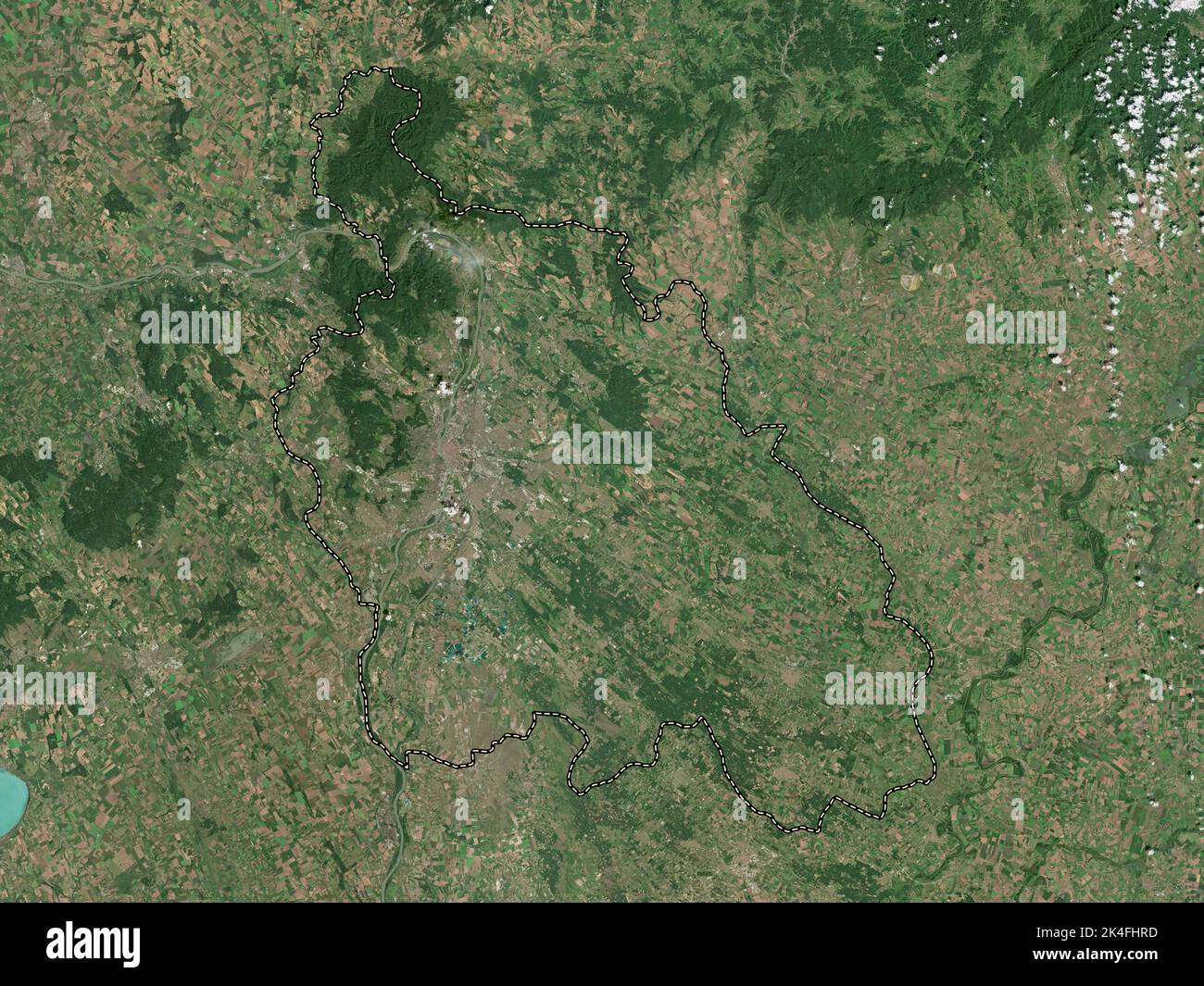 Pest, county of Hungary. High resolution satellite map Stock Photohttps://www.alamy.com/image-license-details/?v=1https://www.alamy.com/pest-county-of-hungary-high-resolution-satellite-map-image484692193.html
RF2K4FHRD–Pest, county of Hungary. High resolution satellite map
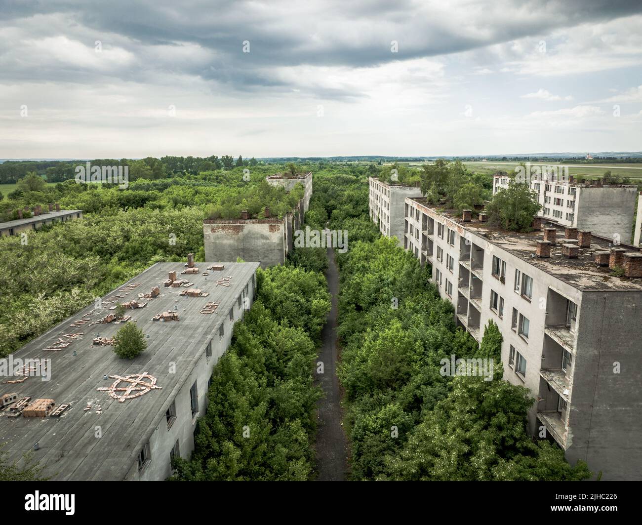 Aerial view of an abandoned housing estate in the village of Sarmellek in Hungary Stock Photohttps://www.alamy.com/image-license-details/?v=1https://www.alamy.com/aerial-view-of-an-abandoned-housing-estate-in-the-village-of-sarmellek-in-hungary-image475394142.html
RF2JHC226–Aerial view of an abandoned housing estate in the village of Sarmellek in Hungary
 Veszprem, county of Hungary. Bilevel elevation map with lakes and rivers. Locations and names of major cities of the region. Corner auxiliary location Stock Photohttps://www.alamy.com/image-license-details/?v=1https://www.alamy.com/veszprem-county-of-hungary-bilevel-elevation-map-with-lakes-and-rivers-locations-and-names-of-major-cities-of-the-region-corner-auxiliary-location-image484692979.html
RF2K4FJRF–Veszprem, county of Hungary. Bilevel elevation map with lakes and rivers. Locations and names of major cities of the region. Corner auxiliary location
 Aerial view of an abandoned housing estate in the village of Sarmellek in Hungary Stock Photohttps://www.alamy.com/image-license-details/?v=1https://www.alamy.com/aerial-view-of-an-abandoned-housing-estate-in-the-village-of-sarmellek-in-hungary-image475394113.html
RF2JHC215–Aerial view of an abandoned housing estate in the village of Sarmellek in Hungary
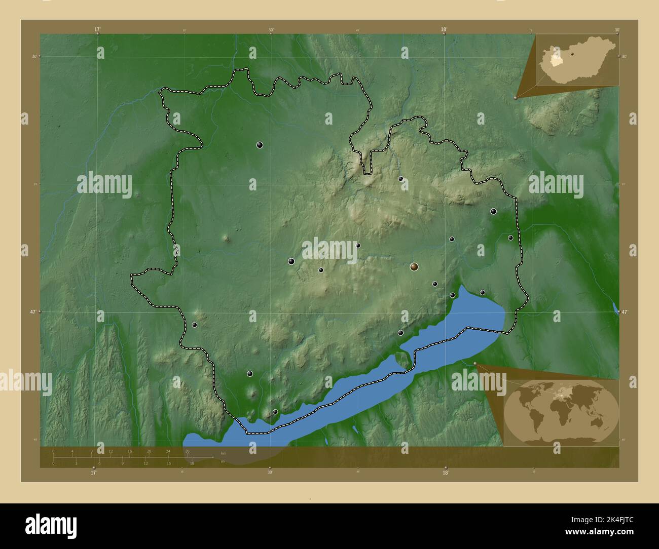 Veszprem, county of Hungary. Colored elevation map with lakes and rivers. Locations of major cities of the region. Corner auxiliary location maps Stock Photohttps://www.alamy.com/image-license-details/?v=1https://www.alamy.com/veszprem-county-of-hungary-colored-elevation-map-with-lakes-and-rivers-locations-of-major-cities-of-the-region-corner-auxiliary-location-maps-image484693004.html
RF2K4FJTC–Veszprem, county of Hungary. Colored elevation map with lakes and rivers. Locations of major cities of the region. Corner auxiliary location maps
 Aerial view of an abandoned housing estate in the village of Sarmellek in Hungary Stock Photohttps://www.alamy.com/image-license-details/?v=1https://www.alamy.com/aerial-view-of-an-abandoned-housing-estate-in-the-village-of-sarmellek-in-hungary-image475394117.html
RF2JHC219–Aerial view of an abandoned housing estate in the village of Sarmellek in Hungary
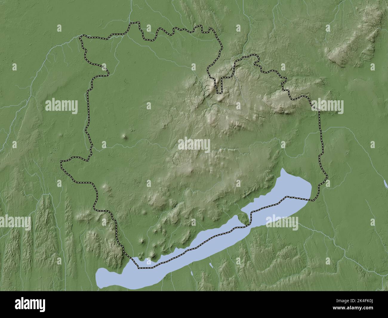 Veszprem, county of Hungary. Elevation map colored in wiki style with lakes and rivers Stock Photohttps://www.alamy.com/image-license-details/?v=1https://www.alamy.com/veszprem-county-of-hungary-elevation-map-colored-in-wiki-style-with-lakes-and-rivers-image484693122.html
RF2K4FK0J–Veszprem, county of Hungary. Elevation map colored in wiki style with lakes and rivers
 Aerial view of an abandoned housing estate in the village of Sarmellek in Hungary Stock Photohttps://www.alamy.com/image-license-details/?v=1https://www.alamy.com/aerial-view-of-an-abandoned-housing-estate-in-the-village-of-sarmellek-in-hungary-image475394087.html
RF2JHC207–Aerial view of an abandoned housing estate in the village of Sarmellek in Hungary
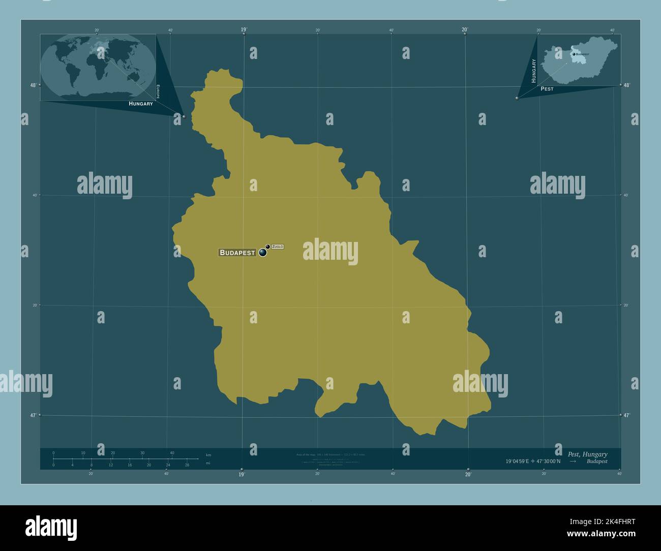 Pest, county of Hungary. Solid color shape. Locations and names of major cities of the region. Corner auxiliary location maps Stock Photohttps://www.alamy.com/image-license-details/?v=1https://www.alamy.com/pest-county-of-hungary-solid-color-shape-locations-and-names-of-major-cities-of-the-region-corner-auxiliary-location-maps-image484692204.html
RF2K4FHRT–Pest, county of Hungary. Solid color shape. Locations and names of major cities of the region. Corner auxiliary location maps
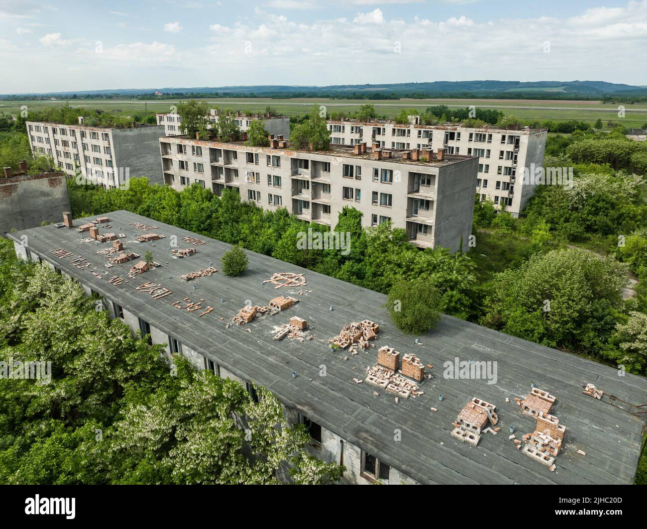 Aerial view of an abandoned housing estate in the village of Sarmellek in Hungary Stock Photohttps://www.alamy.com/image-license-details/?v=1https://www.alamy.com/aerial-view-of-an-abandoned-housing-estate-in-the-village-of-sarmellek-in-hungary-image475394093.html
RF2JHC20D–Aerial view of an abandoned housing estate in the village of Sarmellek in Hungary
 Budapest, capital city of Hungary. High resolution satellite map Stock Photohttps://www.alamy.com/image-license-details/?v=1https://www.alamy.com/budapest-capital-city-of-hungary-high-resolution-satellite-map-image484690669.html
RF2K4FFW1–Budapest, capital city of Hungary. High resolution satellite map
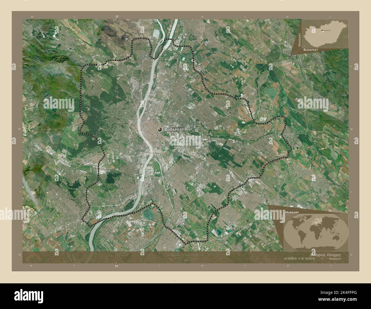 Budapest, capital city of Hungary. High resolution satellite map. Locations and names of major cities of the region. Corner auxiliary location maps Stock Photohttps://www.alamy.com/image-license-details/?v=1https://www.alamy.com/budapest-capital-city-of-hungary-high-resolution-satellite-map-locations-and-names-of-major-cities-of-the-region-corner-auxiliary-location-maps-image484690600.html
RF2K4FFPG–Budapest, capital city of Hungary. High resolution satellite map. Locations and names of major cities of the region. Corner auxiliary location maps
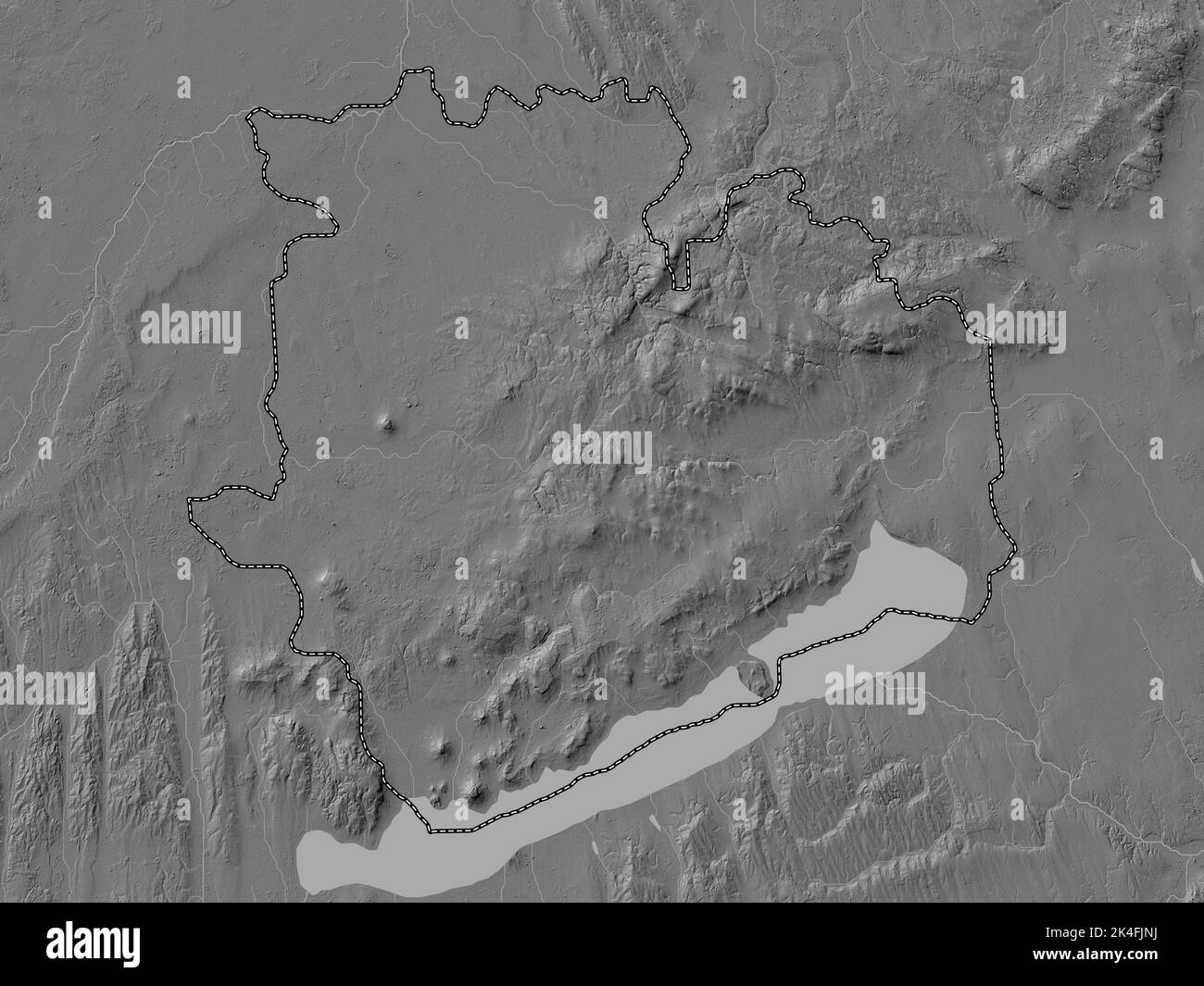 Veszprem, county of Hungary. Bilevel elevation map with lakes and rivers Stock Photohttps://www.alamy.com/image-license-details/?v=1https://www.alamy.com/veszprem-county-of-hungary-bilevel-elevation-map-with-lakes-and-rivers-image484692926.html
RF2K4FJNJ–Veszprem, county of Hungary. Bilevel elevation map with lakes and rivers
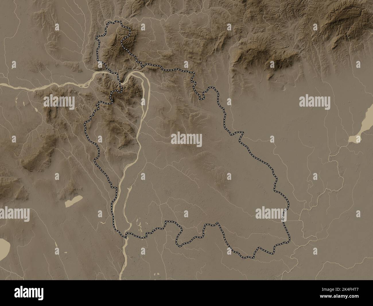 Pest, county of Hungary. Elevation map colored in sepia tones with lakes and rivers Stock Photohttps://www.alamy.com/image-license-details/?v=1https://www.alamy.com/pest-county-of-hungary-elevation-map-colored-in-sepia-tones-with-lakes-and-rivers-image484692215.html
RF2K4FHT7–Pest, county of Hungary. Elevation map colored in sepia tones with lakes and rivers
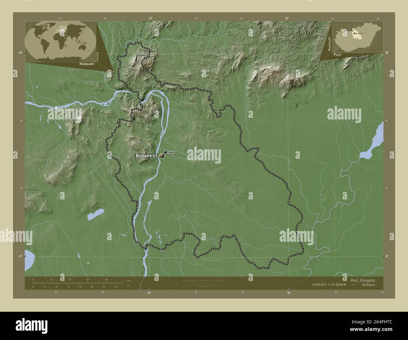 Pest, county of Hungary. Elevation map colored in wiki style with lakes and rivers. Locations and names of major cities of the region. Corner auxiliar Stock Photohttps://www.alamy.com/image-license-details/?v=1https://www.alamy.com/pest-county-of-hungary-elevation-map-colored-in-wiki-style-with-lakes-and-rivers-locations-and-names-of-major-cities-of-the-region-corner-auxiliar-image484692220.html
RF2K4FHTC–Pest, county of Hungary. Elevation map colored in wiki style with lakes and rivers. Locations and names of major cities of the region. Corner auxiliar
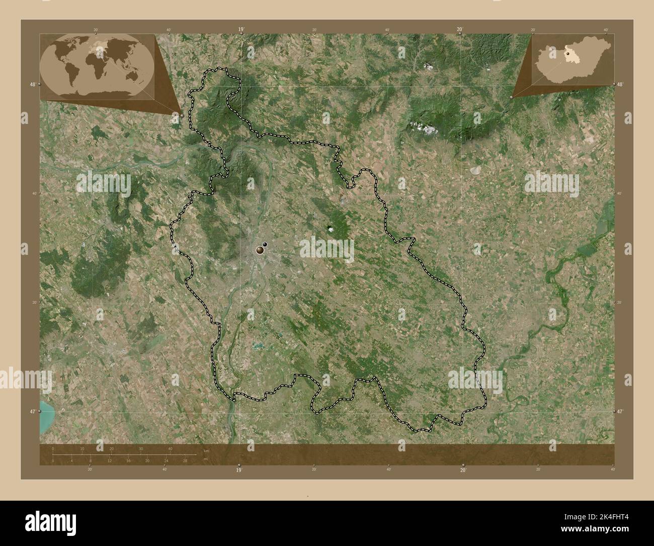 Pest, county of Hungary. Low resolution satellite map. Locations of major cities of the region. Corner auxiliary location maps Stock Photohttps://www.alamy.com/image-license-details/?v=1https://www.alamy.com/pest-county-of-hungary-low-resolution-satellite-map-locations-of-major-cities-of-the-region-corner-auxiliary-location-maps-image484692212.html
RF2K4FHT4–Pest, county of Hungary. Low resolution satellite map. Locations of major cities of the region. Corner auxiliary location maps
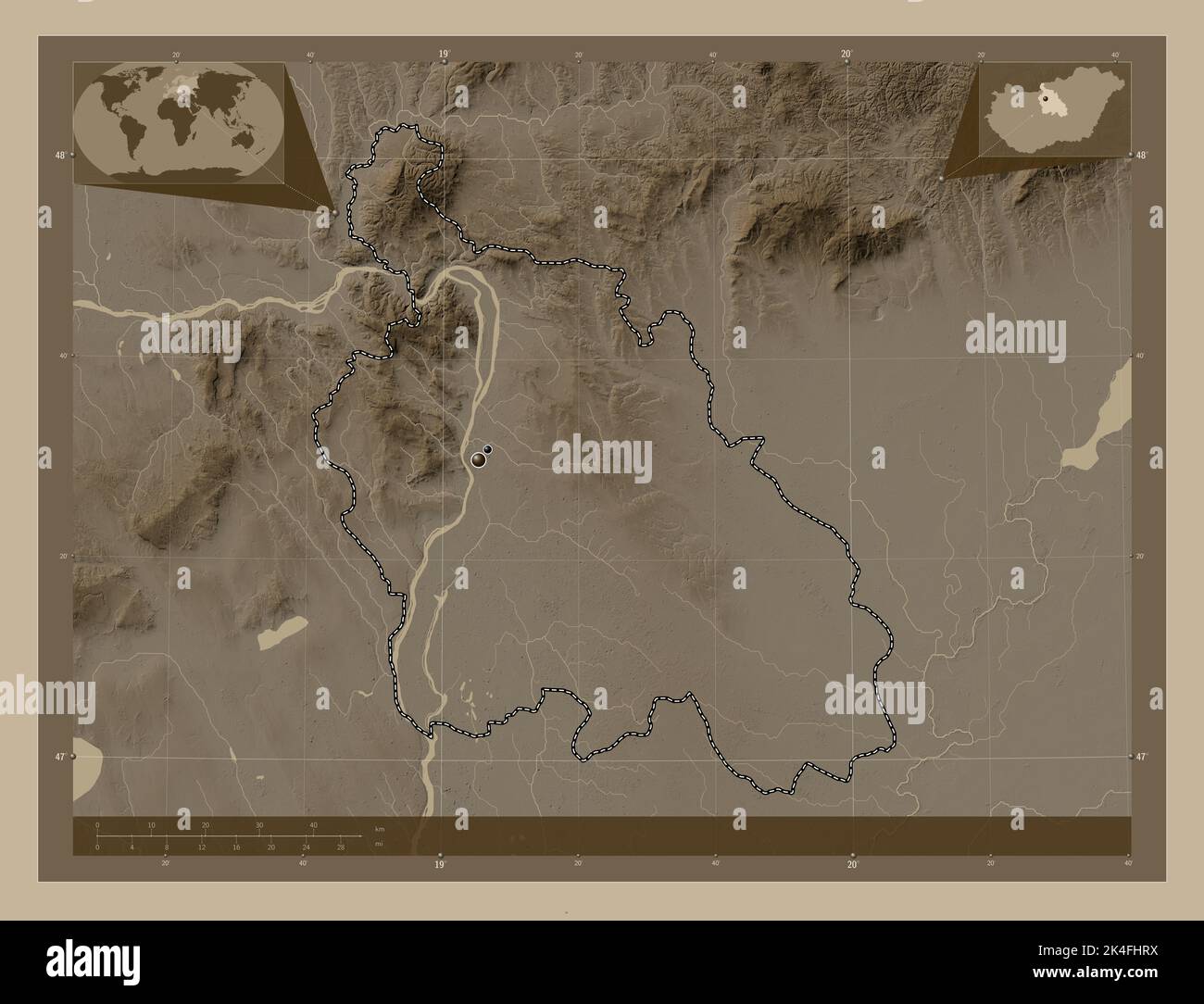 Pest, county of Hungary. Elevation map colored in sepia tones with lakes and rivers. Locations of major cities of the region. Corner auxiliary locatio Stock Photohttps://www.alamy.com/image-license-details/?v=1https://www.alamy.com/pest-county-of-hungary-elevation-map-colored-in-sepia-tones-with-lakes-and-rivers-locations-of-major-cities-of-the-region-corner-auxiliary-locatio-image484692206.html
RF2K4FHRX–Pest, county of Hungary. Elevation map colored in sepia tones with lakes and rivers. Locations of major cities of the region. Corner auxiliary locatio
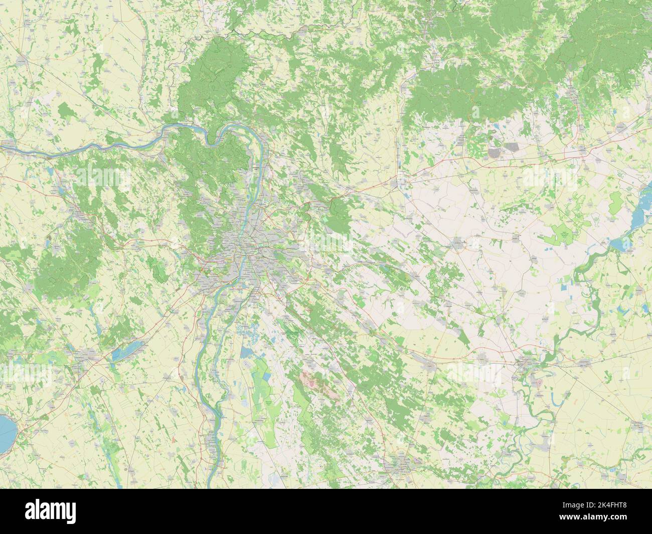 Pest, county of Hungary. Open Street Map Stock Photohttps://www.alamy.com/image-license-details/?v=1https://www.alamy.com/pest-county-of-hungary-open-street-map-image484692216.html
RF2K4FHT8–Pest, county of Hungary. Open Street Map
 Pest, county of Hungary. High resolution satellite map. Locations of major cities of the region. Corner auxiliary location maps Stock Photohttps://www.alamy.com/image-license-details/?v=1https://www.alamy.com/pest-county-of-hungary-high-resolution-satellite-map-locations-of-major-cities-of-the-region-corner-auxiliary-location-maps-image484692094.html
RF2K4FHKX–Pest, county of Hungary. High resolution satellite map. Locations of major cities of the region. Corner auxiliary location maps
 Budapest, capital city of Hungary. Solid color shape Stock Photohttps://www.alamy.com/image-license-details/?v=1https://www.alamy.com/budapest-capital-city-of-hungary-solid-color-shape-image484690592.html
RF2K4FFP8–Budapest, capital city of Hungary. Solid color shape
 Veszprem, county of Hungary. Low resolution satellite map. Locations of major cities of the region. Corner auxiliary location maps Stock Photohttps://www.alamy.com/image-license-details/?v=1https://www.alamy.com/veszprem-county-of-hungary-low-resolution-satellite-map-locations-of-major-cities-of-the-region-corner-auxiliary-location-maps-image484692986.html
RF2K4FJRP–Veszprem, county of Hungary. Low resolution satellite map. Locations of major cities of the region. Corner auxiliary location maps
 Veszprem, county of Hungary. High resolution satellite map Stock Photohttps://www.alamy.com/image-license-details/?v=1https://www.alamy.com/veszprem-county-of-hungary-high-resolution-satellite-map-image484693054.html
RF2K4FJX6–Veszprem, county of Hungary. High resolution satellite map
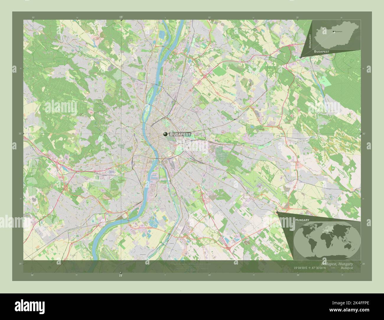 Budapest, capital city of Hungary. Open Street Map. Locations and names of major cities of the region. Corner auxiliary location maps Stock Photohttps://www.alamy.com/image-license-details/?v=1https://www.alamy.com/budapest-capital-city-of-hungary-open-street-map-locations-and-names-of-major-cities-of-the-region-corner-auxiliary-location-maps-image484690598.html
RF2K4FFPE–Budapest, capital city of Hungary. Open Street Map. Locations and names of major cities of the region. Corner auxiliary location maps
 Veszprem, county of Hungary. Grayscale elevation map with lakes and rivers. Locations of major cities of the region. Corner auxiliary location maps Stock Photohttps://www.alamy.com/image-license-details/?v=1https://www.alamy.com/veszprem-county-of-hungary-grayscale-elevation-map-with-lakes-and-rivers-locations-of-major-cities-of-the-region-corner-auxiliary-location-maps-image484692918.html
RF2K4FJNA–Veszprem, county of Hungary. Grayscale elevation map with lakes and rivers. Locations of major cities of the region. Corner auxiliary location maps
 Pest, county of Hungary. Bilevel elevation map with lakes and rivers. Locations of major cities of the region. Corner auxiliary location maps Stock Photohttps://www.alamy.com/image-license-details/?v=1https://www.alamy.com/pest-county-of-hungary-bilevel-elevation-map-with-lakes-and-rivers-locations-of-major-cities-of-the-region-corner-auxiliary-location-maps-image484692081.html
RF2K4FHKD–Pest, county of Hungary. Bilevel elevation map with lakes and rivers. Locations of major cities of the region. Corner auxiliary location maps
 Pest, county of Hungary. High resolution satellite map. Locations and names of major cities of the region. Corner auxiliary location maps Stock Photohttps://www.alamy.com/image-license-details/?v=1https://www.alamy.com/pest-county-of-hungary-high-resolution-satellite-map-locations-and-names-of-major-cities-of-the-region-corner-auxiliary-location-maps-image484692092.html
RF2K4FHKT–Pest, county of Hungary. High resolution satellite map. Locations and names of major cities of the region. Corner auxiliary location maps
 Veszprem, county of Hungary. Elevation map colored in sepia tones with lakes and rivers. Locations of major cities of the region. Corner auxiliary loc Stock Photohttps://www.alamy.com/image-license-details/?v=1https://www.alamy.com/veszprem-county-of-hungary-elevation-map-colored-in-sepia-tones-with-lakes-and-rivers-locations-of-major-cities-of-the-region-corner-auxiliary-loc-image484693094.html
RF2K4FJYJ–Veszprem, county of Hungary. Elevation map colored in sepia tones with lakes and rivers. Locations of major cities of the region. Corner auxiliary loc
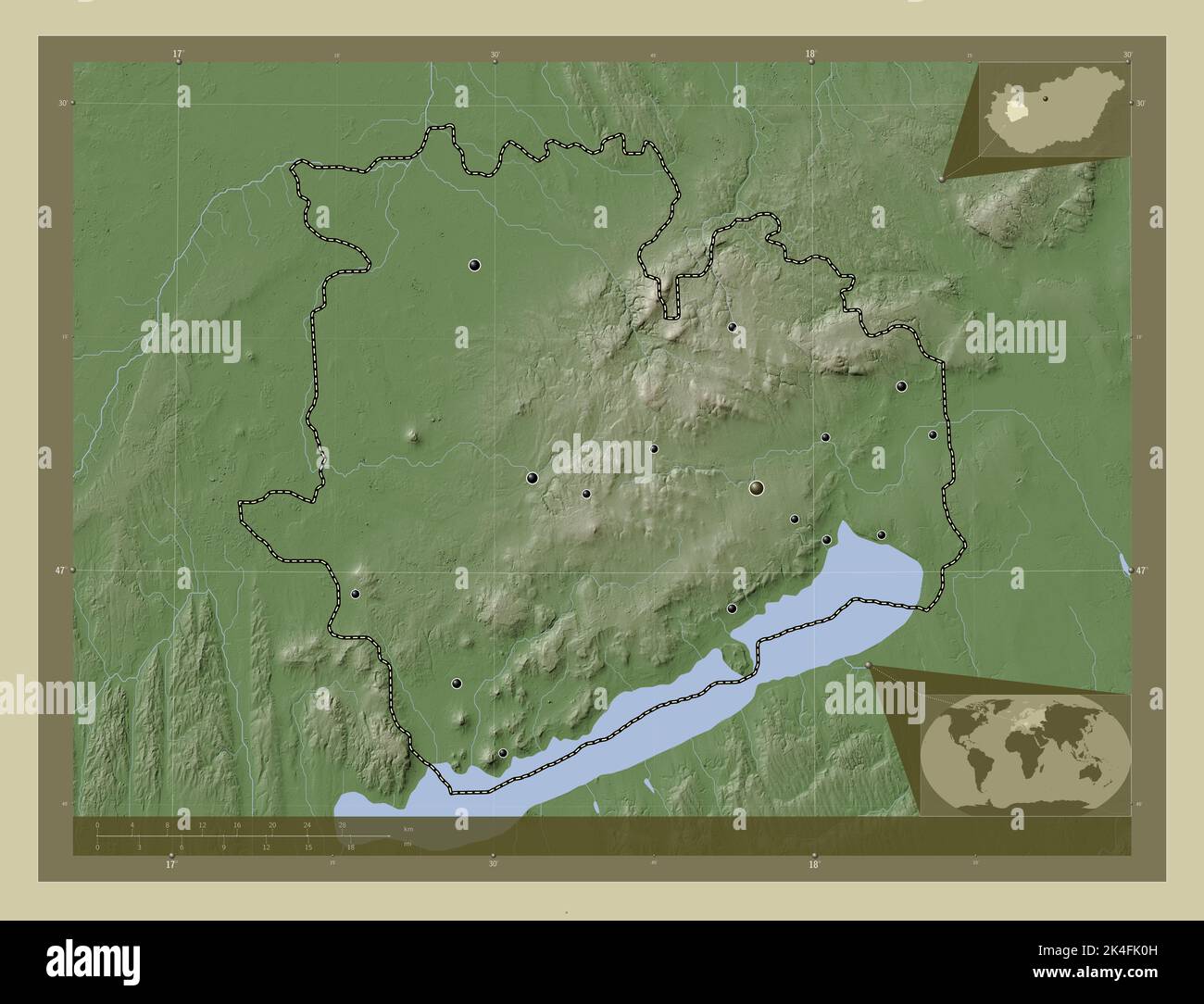 Veszprem, county of Hungary. Elevation map colored in wiki style with lakes and rivers. Locations of major cities of the region. Corner auxiliary loca Stock Photohttps://www.alamy.com/image-license-details/?v=1https://www.alamy.com/veszprem-county-of-hungary-elevation-map-colored-in-wiki-style-with-lakes-and-rivers-locations-of-major-cities-of-the-region-corner-auxiliary-loca-image484693121.html
RF2K4FK0H–Veszprem, county of Hungary. Elevation map colored in wiki style with lakes and rivers. Locations of major cities of the region. Corner auxiliary loca
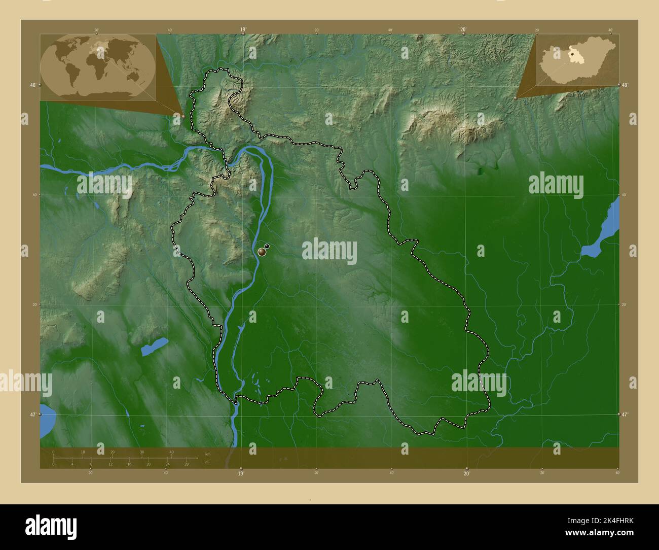 Pest, county of Hungary. Colored elevation map with lakes and rivers. Locations of major cities of the region. Corner auxiliary location maps Stock Photohttps://www.alamy.com/image-license-details/?v=1https://www.alamy.com/pest-county-of-hungary-colored-elevation-map-with-lakes-and-rivers-locations-of-major-cities-of-the-region-corner-auxiliary-location-maps-image484692199.html
RF2K4FHRK–Pest, county of Hungary. Colored elevation map with lakes and rivers. Locations of major cities of the region. Corner auxiliary location maps
 Veszprem, county of Hungary. Open Street Map Stock Photohttps://www.alamy.com/image-license-details/?v=1https://www.alamy.com/veszprem-county-of-hungary-open-street-map-image484692994.html
RF2K4FJT2–Veszprem, county of Hungary. Open Street Map
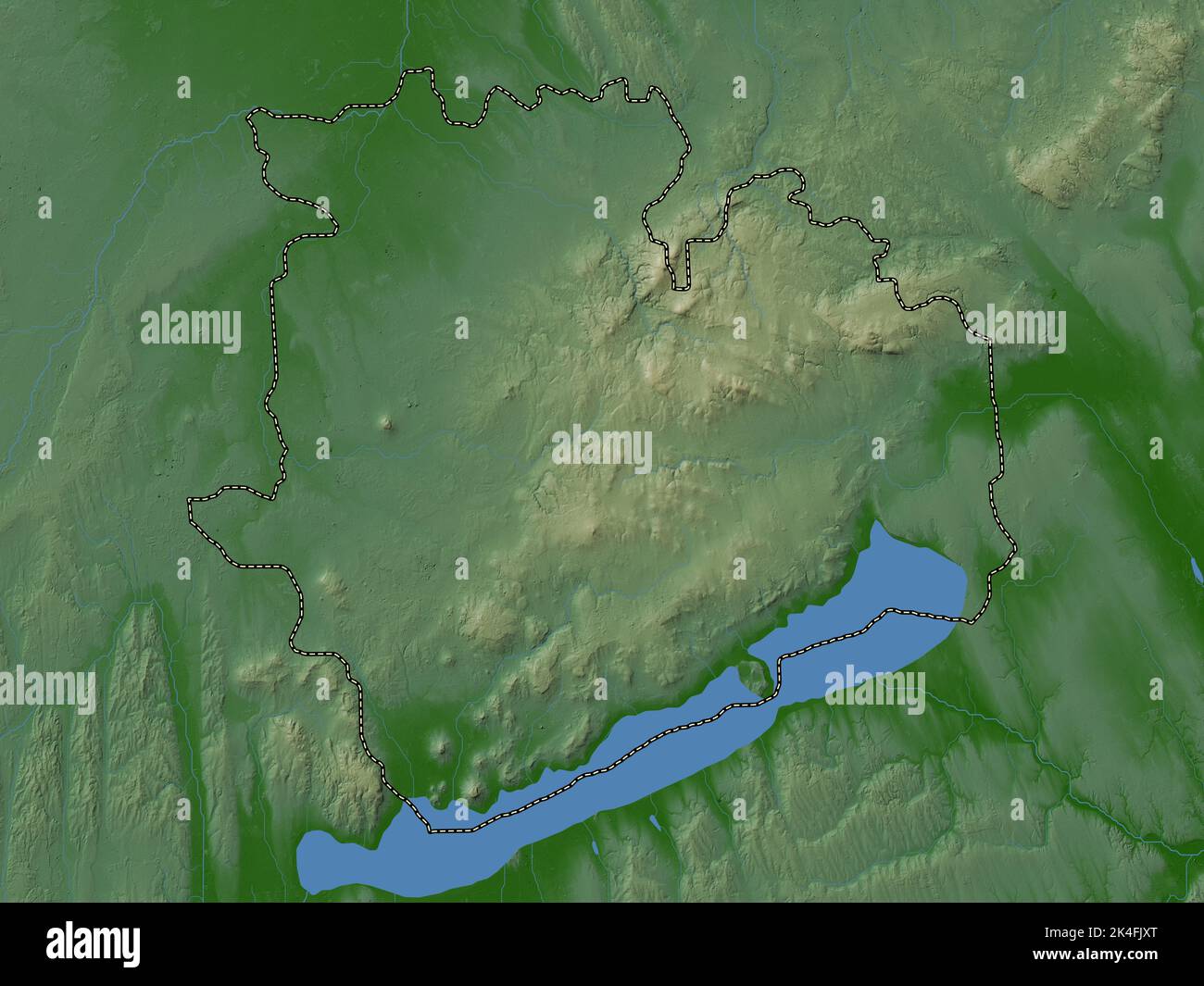 Veszprem, county of Hungary. Colored elevation map with lakes and rivers Stock Photohttps://www.alamy.com/image-license-details/?v=1https://www.alamy.com/veszprem-county-of-hungary-colored-elevation-map-with-lakes-and-rivers-image484693072.html
RF2K4FJXT–Veszprem, county of Hungary. Colored elevation map with lakes and rivers
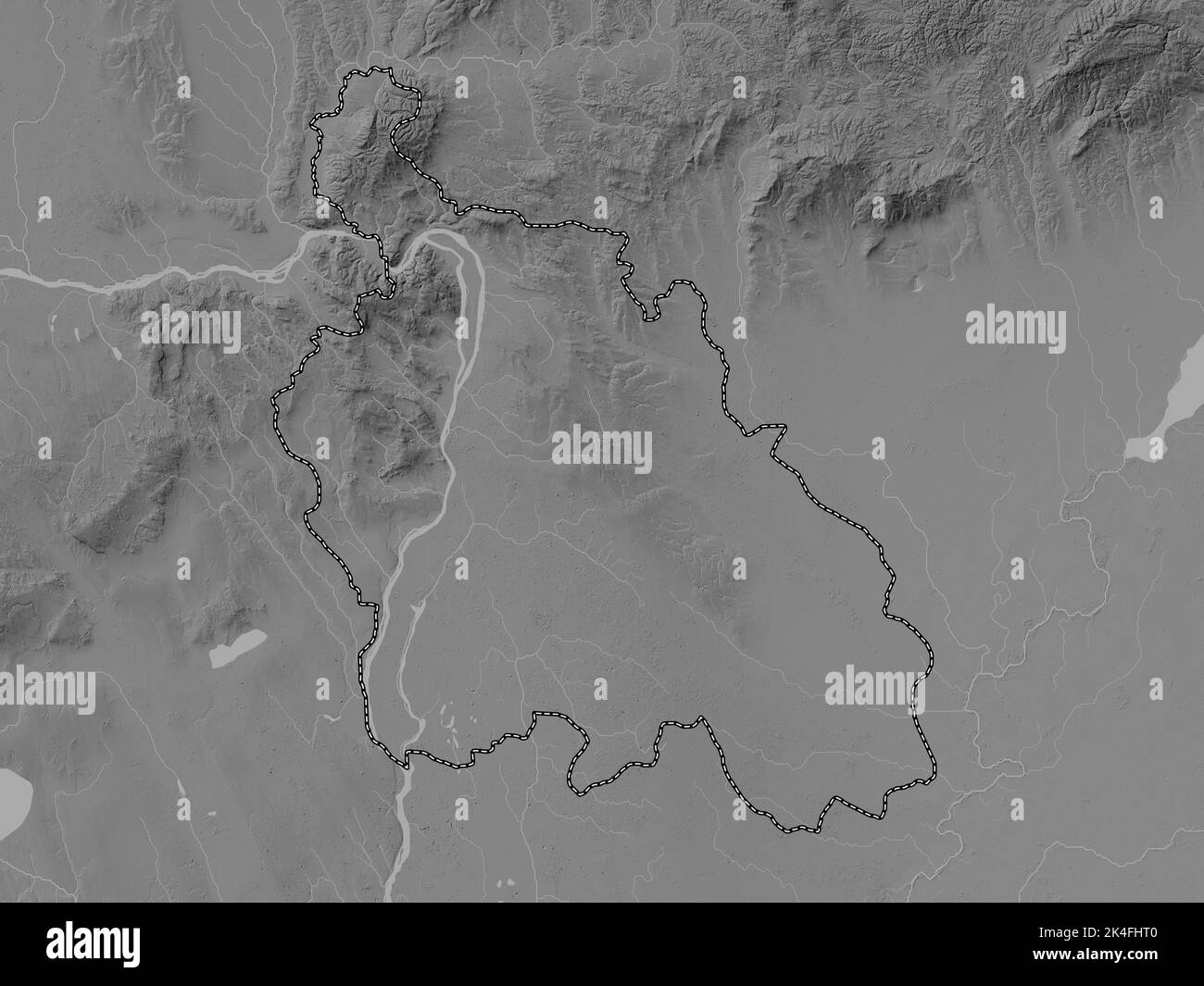 Pest, county of Hungary. Grayscale elevation map with lakes and rivers Stock Photohttps://www.alamy.com/image-license-details/?v=1https://www.alamy.com/pest-county-of-hungary-grayscale-elevation-map-with-lakes-and-rivers-image484692208.html
RF2K4FHT0–Pest, county of Hungary. Grayscale elevation map with lakes and rivers
 Veszprem, county of Hungary. Colored elevation map with lakes and rivers. Locations and names of major cities of the region. Corner auxiliary location Stock Photohttps://www.alamy.com/image-license-details/?v=1https://www.alamy.com/veszprem-county-of-hungary-colored-elevation-map-with-lakes-and-rivers-locations-and-names-of-major-cities-of-the-region-corner-auxiliary-location-image484692998.html
RF2K4FJT6–Veszprem, county of Hungary. Colored elevation map with lakes and rivers. Locations and names of major cities of the region. Corner auxiliary location
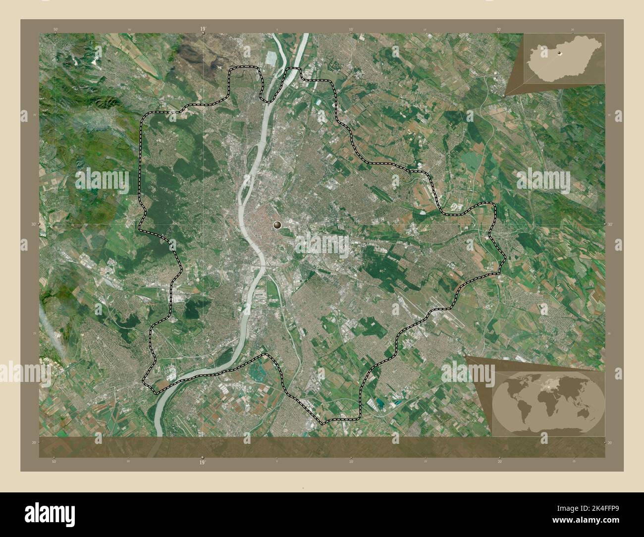 Budapest, capital city of Hungary. High resolution satellite map. Locations of major cities of the region. Corner auxiliary location maps Stock Photohttps://www.alamy.com/image-license-details/?v=1https://www.alamy.com/budapest-capital-city-of-hungary-high-resolution-satellite-map-locations-of-major-cities-of-the-region-corner-auxiliary-location-maps-image484690593.html
RF2K4FFP9–Budapest, capital city of Hungary. High resolution satellite map. Locations of major cities of the region. Corner auxiliary location maps
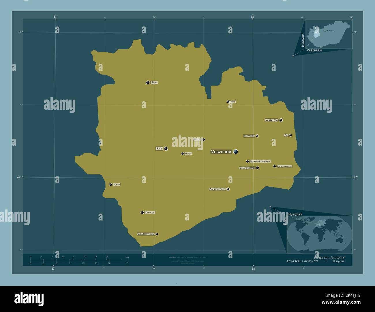 Veszprem, county of Hungary. Solid color shape. Locations and names of major cities of the region. Corner auxiliary location maps Stock Photohttps://www.alamy.com/image-license-details/?v=1https://www.alamy.com/veszprem-county-of-hungary-solid-color-shape-locations-and-names-of-major-cities-of-the-region-corner-auxiliary-location-maps-image484693000.html
RF2K4FJT8–Veszprem, county of Hungary. Solid color shape. Locations and names of major cities of the region. Corner auxiliary location maps
 Budapest, capital city of Hungary. Solid color shape. Locations of major cities of the region. Corner auxiliary location maps Stock Photohttps://www.alamy.com/image-license-details/?v=1https://www.alamy.com/budapest-capital-city-of-hungary-solid-color-shape-locations-of-major-cities-of-the-region-corner-auxiliary-location-maps-image484690603.html
RF2K4FFPK–Budapest, capital city of Hungary. Solid color shape. Locations of major cities of the region. Corner auxiliary location maps
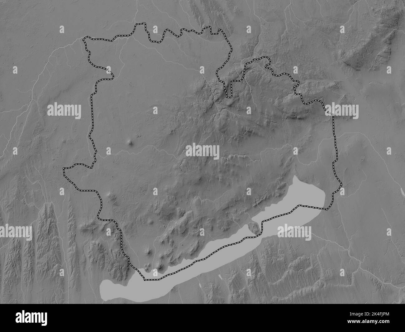 Veszprem, county of Hungary. Grayscale elevation map with lakes and rivers Stock Photohttps://www.alamy.com/image-license-details/?v=1https://www.alamy.com/veszprem-county-of-hungary-grayscale-elevation-map-with-lakes-and-rivers-image484692956.html
RF2K4FJPM–Veszprem, county of Hungary. Grayscale elevation map with lakes and rivers
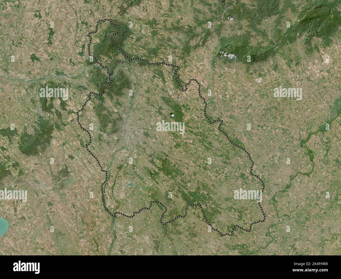 Pest, county of Hungary. Low resolution satellite map Stock Photohttps://www.alamy.com/image-license-details/?v=1https://www.alamy.com/pest-county-of-hungary-low-resolution-satellite-map-image484692203.html
RF2K4FHRR–Pest, county of Hungary. Low resolution satellite map
 Budapest, capital city of Hungary. Solid color shape. Locations and names of major cities of the region. Corner auxiliary location maps Stock Photohttps://www.alamy.com/image-license-details/?v=1https://www.alamy.com/budapest-capital-city-of-hungary-solid-color-shape-locations-and-names-of-major-cities-of-the-region-corner-auxiliary-location-maps-image484690602.html
RF2K4FFPJ–Budapest, capital city of Hungary. Solid color shape. Locations and names of major cities of the region. Corner auxiliary location maps
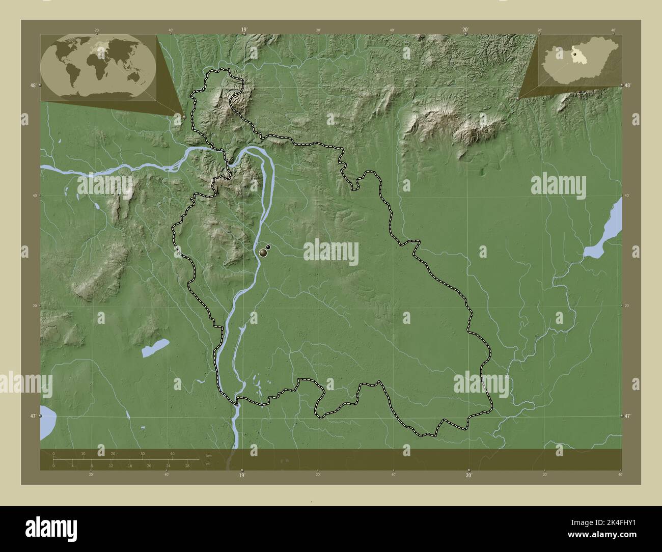 Pest, county of Hungary. Elevation map colored in wiki style with lakes and rivers. Locations of major cities of the region. Corner auxiliary location Stock Photohttps://www.alamy.com/image-license-details/?v=1https://www.alamy.com/pest-county-of-hungary-elevation-map-colored-in-wiki-style-with-lakes-and-rivers-locations-of-major-cities-of-the-region-corner-auxiliary-location-image484692293.html
RF2K4FHY1–Pest, county of Hungary. Elevation map colored in wiki style with lakes and rivers. Locations of major cities of the region. Corner auxiliary location
 Veszprem, county of Hungary. High resolution satellite map. Locations and names of major cities of the region. Corner auxiliary location maps Stock Photohttps://www.alamy.com/image-license-details/?v=1https://www.alamy.com/veszprem-county-of-hungary-high-resolution-satellite-map-locations-and-names-of-major-cities-of-the-region-corner-auxiliary-location-maps-image484692952.html
RF2K4FJPG–Veszprem, county of Hungary. High resolution satellite map. Locations and names of major cities of the region. Corner auxiliary location maps
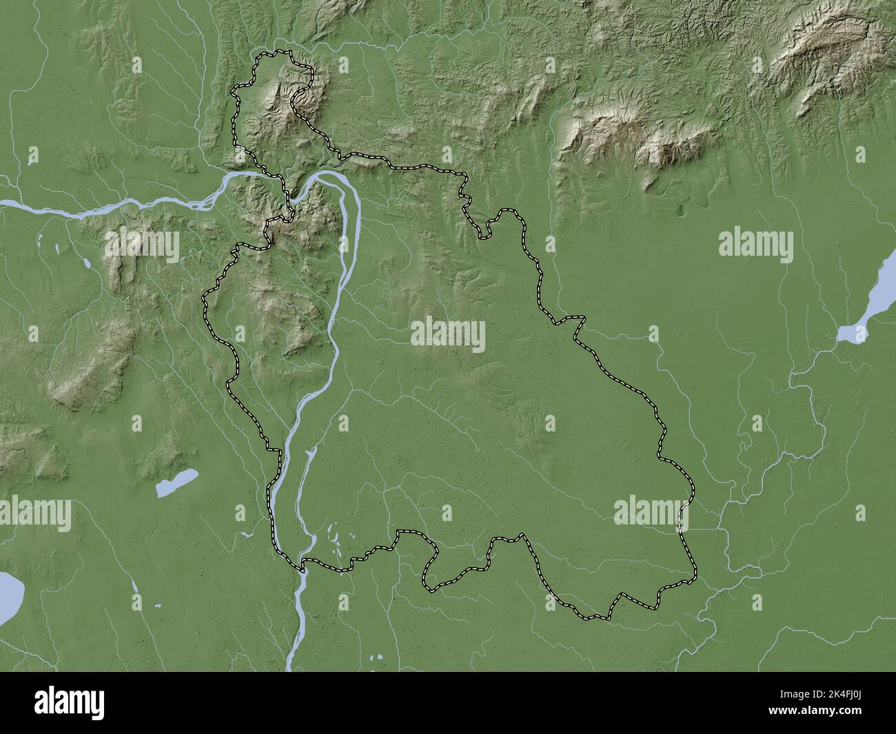 Pest, county of Hungary. Elevation map colored in wiki style with lakes and rivers Stock Photohttps://www.alamy.com/image-license-details/?v=1https://www.alamy.com/pest-county-of-hungary-elevation-map-colored-in-wiki-style-with-lakes-and-rivers-image484692338.html
RF2K4FJ0J–Pest, county of Hungary. Elevation map colored in wiki style with lakes and rivers
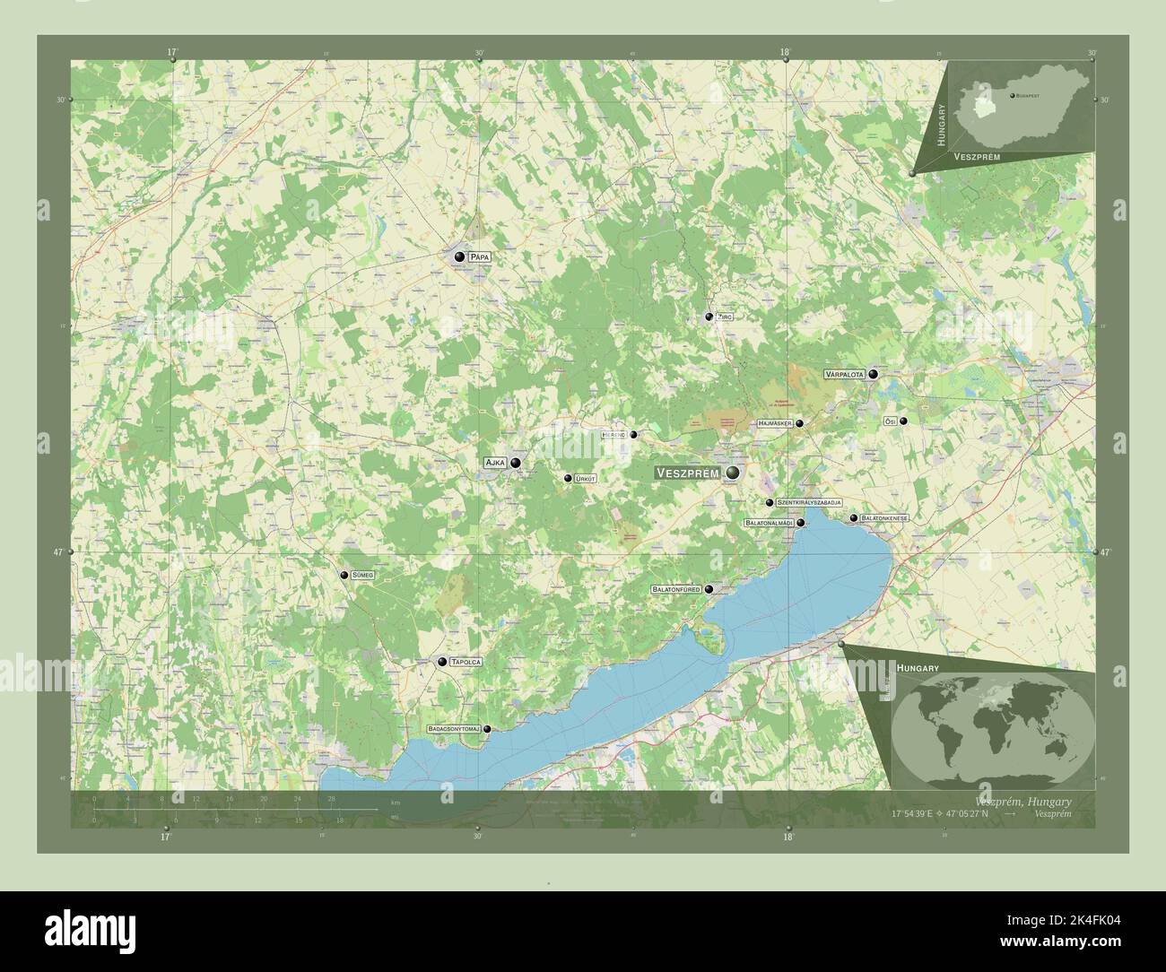 Veszprem, county of Hungary. Open Street Map. Locations and names of major cities of the region. Corner auxiliary location maps Stock Photohttps://www.alamy.com/image-license-details/?v=1https://www.alamy.com/veszprem-county-of-hungary-open-street-map-locations-and-names-of-major-cities-of-the-region-corner-auxiliary-location-maps-image484693108.html
RF2K4FK04–Veszprem, county of Hungary. Open Street Map. Locations and names of major cities of the region. Corner auxiliary location maps
 Budapest, capital city of Hungary. Open Street Map. Locations of major cities of the region. Corner auxiliary location maps Stock Photohttps://www.alamy.com/image-license-details/?v=1https://www.alamy.com/budapest-capital-city-of-hungary-open-street-map-locations-of-major-cities-of-the-region-corner-auxiliary-location-maps-image484690657.html
RF2K4FFTH–Budapest, capital city of Hungary. Open Street Map. Locations of major cities of the region. Corner auxiliary location maps
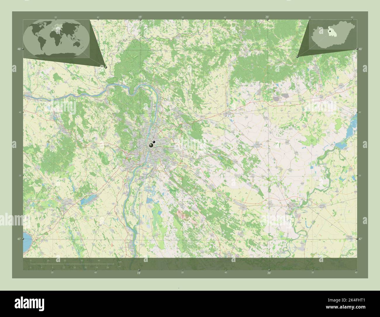 Pest, county of Hungary. Open Street Map. Locations of major cities of the region. Corner auxiliary location maps Stock Photohttps://www.alamy.com/image-license-details/?v=1https://www.alamy.com/pest-county-of-hungary-open-street-map-locations-of-major-cities-of-the-region-corner-auxiliary-location-maps-image484692209.html
RF2K4FHT1–Pest, county of Hungary. Open Street Map. Locations of major cities of the region. Corner auxiliary location maps
 Veszprem, county of Hungary. Bilevel elevation map with lakes and rivers. Locations of major cities of the region. Corner auxiliary location maps Stock Photohttps://www.alamy.com/image-license-details/?v=1https://www.alamy.com/veszprem-county-of-hungary-bilevel-elevation-map-with-lakes-and-rivers-locations-of-major-cities-of-the-region-corner-auxiliary-location-maps-image484692919.html
RF2K4FJNB–Veszprem, county of Hungary. Bilevel elevation map with lakes and rivers. Locations of major cities of the region. Corner auxiliary location maps
 Pest, county of Hungary. Open Street Map. Locations and names of major cities of the region. Corner auxiliary location maps Stock Photohttps://www.alamy.com/image-license-details/?v=1https://www.alamy.com/pest-county-of-hungary-open-street-map-locations-and-names-of-major-cities-of-the-region-corner-auxiliary-location-maps-image484692200.html
RF2K4FHRM–Pest, county of Hungary. Open Street Map. Locations and names of major cities of the region. Corner auxiliary location maps
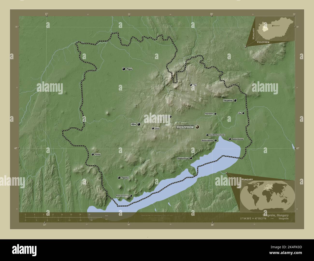 Veszprem, county of Hungary. Elevation map colored in wiki style with lakes and rivers. Locations and names of major cities of the region. Corner auxi Stock Photohttps://www.alamy.com/image-license-details/?v=1https://www.alamy.com/veszprem-county-of-hungary-elevation-map-colored-in-wiki-style-with-lakes-and-rivers-locations-and-names-of-major-cities-of-the-region-corner-auxi-image484693117.html
RF2K4FK0D–Veszprem, county of Hungary. Elevation map colored in wiki style with lakes and rivers. Locations and names of major cities of the region. Corner auxi
 Pest, county of Hungary. Colored elevation map with lakes and rivers. Locations and names of major cities of the region. Corner auxiliary location map Stock Photohttps://www.alamy.com/image-license-details/?v=1https://www.alamy.com/pest-county-of-hungary-colored-elevation-map-with-lakes-and-rivers-locations-and-names-of-major-cities-of-the-region-corner-auxiliary-location-map-image484692207.html
RF2K4FHRY–Pest, county of Hungary. Colored elevation map with lakes and rivers. Locations and names of major cities of the region. Corner auxiliary location map
 Pest, county of Hungary. Elevation map colored in sepia tones with lakes and rivers. Locations and names of major cities of the region. Corner auxilia Stock Photohttps://www.alamy.com/image-license-details/?v=1https://www.alamy.com/pest-county-of-hungary-elevation-map-colored-in-sepia-tones-with-lakes-and-rivers-locations-and-names-of-major-cities-of-the-region-corner-auxilia-image484692218.html
RF2K4FHTA–Pest, county of Hungary. Elevation map colored in sepia tones with lakes and rivers. Locations and names of major cities of the region. Corner auxilia
 Veszprem, county of Hungary. Open Street Map. Locations of major cities of the region. Corner auxiliary location maps Stock Photohttps://www.alamy.com/image-license-details/?v=1https://www.alamy.com/veszprem-county-of-hungary-open-street-map-locations-of-major-cities-of-the-region-corner-auxiliary-location-maps-image484692969.html
RF2K4FJR5–Veszprem, county of Hungary. Open Street Map. Locations of major cities of the region. Corner auxiliary location maps
 Veszprem, county of Hungary. Solid color shape. Locations of major cities of the region. Corner auxiliary location maps Stock Photohttps://www.alamy.com/image-license-details/?v=1https://www.alamy.com/veszprem-county-of-hungary-solid-color-shape-locations-of-major-cities-of-the-region-corner-auxiliary-location-maps-image484692997.html
RF2K4FJT5–Veszprem, county of Hungary. Solid color shape. Locations of major cities of the region. Corner auxiliary location maps
 Pest, county of Hungary. Grayscale elevation map with lakes and rivers. Locations of major cities of the region. Corner auxiliary location maps Stock Photohttps://www.alamy.com/image-license-details/?v=1https://www.alamy.com/pest-county-of-hungary-grayscale-elevation-map-with-lakes-and-rivers-locations-of-major-cities-of-the-region-corner-auxiliary-location-maps-image484692088.html
RF2K4FHKM–Pest, county of Hungary. Grayscale elevation map with lakes and rivers. Locations of major cities of the region. Corner auxiliary location maps
 Veszprem, county of Hungary. Grayscale elevation map with lakes and rivers. Locations and names of major cities of the region. Corner auxiliary locati Stock Photohttps://www.alamy.com/image-license-details/?v=1https://www.alamy.com/veszprem-county-of-hungary-grayscale-elevation-map-with-lakes-and-rivers-locations-and-names-of-major-cities-of-the-region-corner-auxiliary-locati-image484692936.html
RF2K4FJP0–Veszprem, county of Hungary. Grayscale elevation map with lakes and rivers. Locations and names of major cities of the region. Corner auxiliary locati
 Veszprem, county of Hungary. Solid color shape Stock Photohttps://www.alamy.com/image-license-details/?v=1https://www.alamy.com/veszprem-county-of-hungary-solid-color-shape-image484693002.html
RF2K4FJTA–Veszprem, county of Hungary. Solid color shape
 Pest, county of Hungary. Colored elevation map with lakes and rivers Stock Photohttps://www.alamy.com/image-license-details/?v=1https://www.alamy.com/pest-county-of-hungary-colored-elevation-map-with-lakes-and-rivers-image484692205.html
RF2K4FHRW–Pest, county of Hungary. Colored elevation map with lakes and rivers
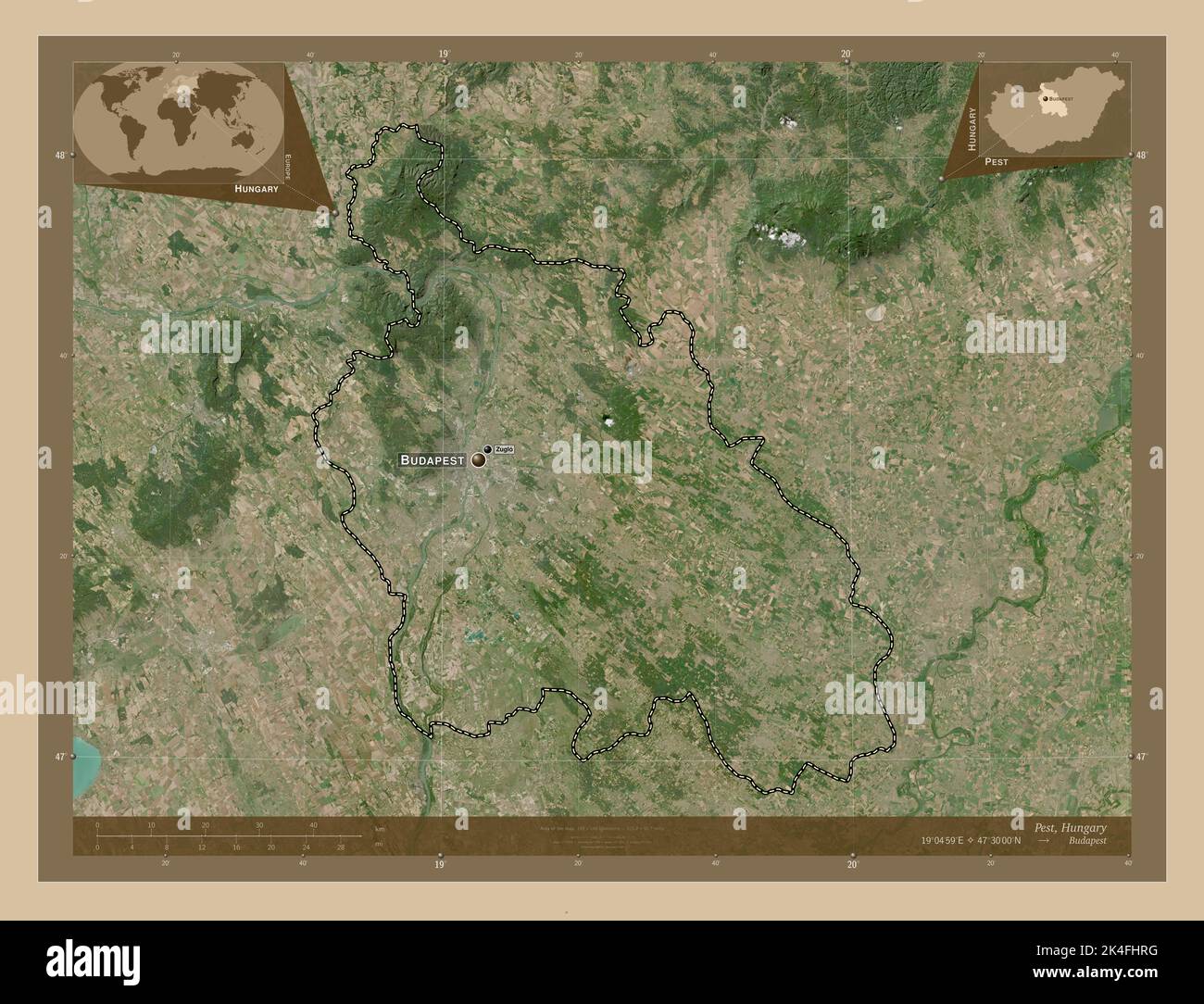 Pest, county of Hungary. Low resolution satellite map. Locations and names of major cities of the region. Corner auxiliary location maps Stock Photohttps://www.alamy.com/image-license-details/?v=1https://www.alamy.com/pest-county-of-hungary-low-resolution-satellite-map-locations-and-names-of-major-cities-of-the-region-corner-auxiliary-location-maps-image484692196.html
RF2K4FHRG–Pest, county of Hungary. Low resolution satellite map. Locations and names of major cities of the region. Corner auxiliary location maps
 Veszprem, county of Hungary. Low resolution satellite map. Locations and names of major cities of the region. Corner auxiliary location maps Stock Photohttps://www.alamy.com/image-license-details/?v=1https://www.alamy.com/veszprem-county-of-hungary-low-resolution-satellite-map-locations-and-names-of-major-cities-of-the-region-corner-auxiliary-location-maps-image484692976.html
RF2K4FJRC–Veszprem, county of Hungary. Low resolution satellite map. Locations and names of major cities of the region. Corner auxiliary location maps
 Veszprem, county of Hungary. High resolution satellite map. Locations of major cities of the region. Corner auxiliary location maps Stock Photohttps://www.alamy.com/image-license-details/?v=1https://www.alamy.com/veszprem-county-of-hungary-high-resolution-satellite-map-locations-of-major-cities-of-the-region-corner-auxiliary-location-maps-image484692970.html
RF2K4FJR6–Veszprem, county of Hungary. High resolution satellite map. Locations of major cities of the region. Corner auxiliary location maps
 Veszprem, county of Hungary. Elevation map colored in sepia tones with lakes and rivers Stock Photohttps://www.alamy.com/image-license-details/?v=1https://www.alamy.com/veszprem-county-of-hungary-elevation-map-colored-in-sepia-tones-with-lakes-and-rivers-image484693079.html
RF2K4FJY3–Veszprem, county of Hungary. Elevation map colored in sepia tones with lakes and rivers
 Pest, county of Hungary. Bilevel elevation map with lakes and rivers. Locations and names of major cities of the region. Corner auxiliary location map Stock Photohttps://www.alamy.com/image-license-details/?v=1https://www.alamy.com/pest-county-of-hungary-bilevel-elevation-map-with-lakes-and-rivers-locations-and-names-of-major-cities-of-the-region-corner-auxiliary-location-map-image484692076.html
RF2K4FHK8–Pest, county of Hungary. Bilevel elevation map with lakes and rivers. Locations and names of major cities of the region. Corner auxiliary location map
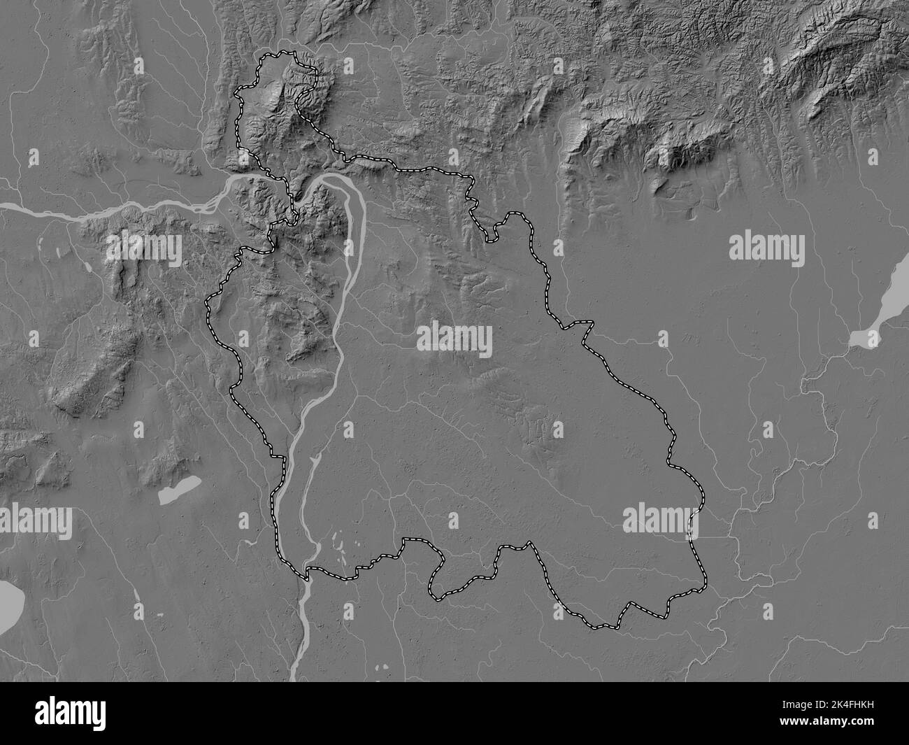 Pest, county of Hungary. Bilevel elevation map with lakes and rivers Stock Photohttps://www.alamy.com/image-license-details/?v=1https://www.alamy.com/pest-county-of-hungary-bilevel-elevation-map-with-lakes-and-rivers-image484692085.html
RF2K4FHKH–Pest, county of Hungary. Bilevel elevation map with lakes and rivers
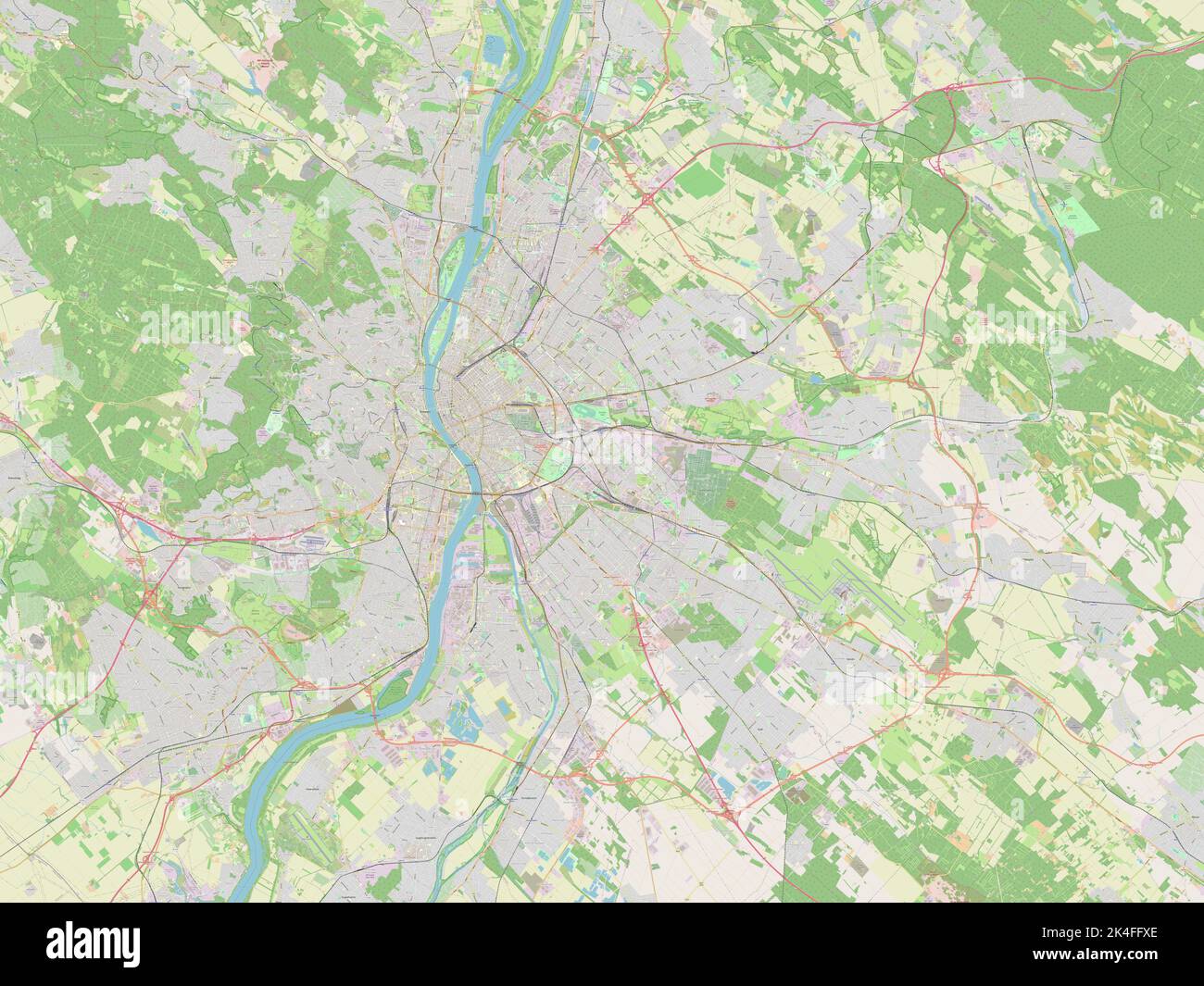 Budapest, capital city of Hungary. Open Street Map Stock Photohttps://www.alamy.com/image-license-details/?v=1https://www.alamy.com/budapest-capital-city-of-hungary-open-street-map-image484690710.html
RF2K4FFXE–Budapest, capital city of Hungary. Open Street Map
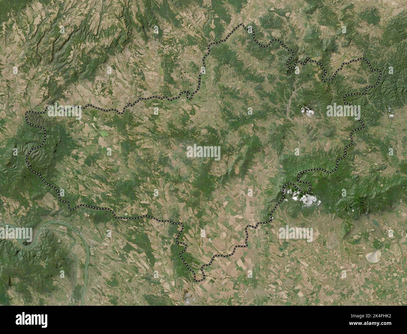 Nograd, county of Hungary. Low resolution satellite map Stock Photohttps://www.alamy.com/image-license-details/?v=1https://www.alamy.com/nograd-county-of-hungary-low-resolution-satellite-map-image484692070.html
RF2K4FHK2–Nograd, county of Hungary. Low resolution satellite map
 Bacs-Kiskun, county of Hungary. Low resolution satellite map. Locations of major cities of the region. Corner auxiliary location maps Stock Photohttps://www.alamy.com/image-license-details/?v=1https://www.alamy.com/bacs-kiskun-county-of-hungary-low-resolution-satellite-map-locations-of-major-cities-of-the-region-corner-auxiliary-location-maps-image484690133.html
RF2K4FF5W–Bacs-Kiskun, county of Hungary. Low resolution satellite map. Locations of major cities of the region. Corner auxiliary location maps
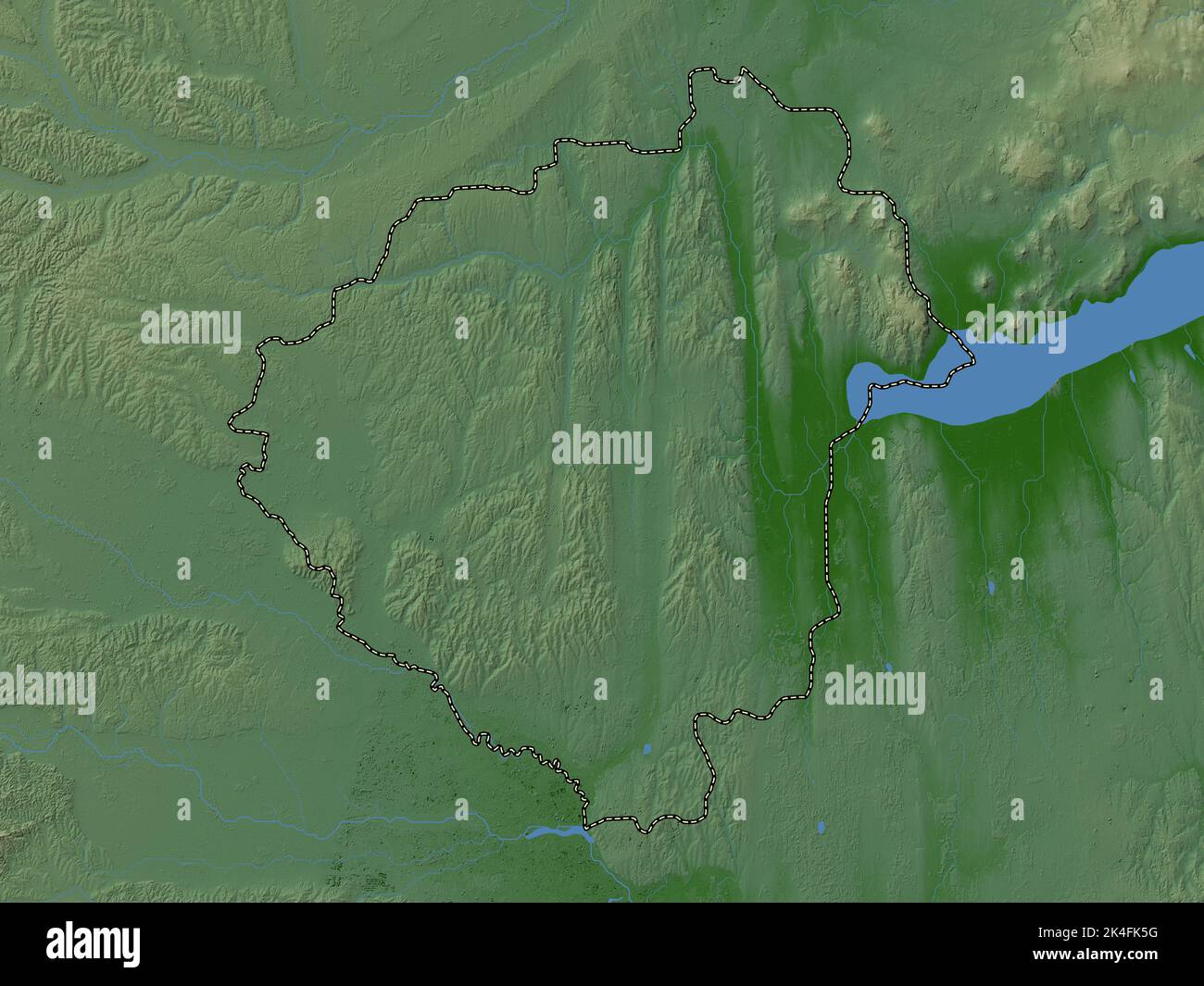 Zala, county of Hungary. Colored elevation map with lakes and rivers Stock Photohttps://www.alamy.com/image-license-details/?v=1https://www.alamy.com/zala-county-of-hungary-colored-elevation-map-with-lakes-and-rivers-image484693260.html
RF2K4FK5G–Zala, county of Hungary. Colored elevation map with lakes and rivers
 Nograd, county of Hungary. Grayscale elevation map with lakes and rivers Stock Photohttps://www.alamy.com/image-license-details/?v=1https://www.alamy.com/nograd-county-of-hungary-grayscale-elevation-map-with-lakes-and-rivers-image484691920.html
RF2K4FHDM–Nograd, county of Hungary. Grayscale elevation map with lakes and rivers
 Bekes, county of Hungary. Grayscale elevation map with lakes and rivers Stock Photohttps://www.alamy.com/image-license-details/?v=1https://www.alamy.com/bekes-county-of-hungary-grayscale-elevation-map-with-lakes-and-rivers-image484690329.html
RF2K4FFCW–Bekes, county of Hungary. Grayscale elevation map with lakes and rivers
 Tolna, county of Hungary. Open Street Map. Locations and names of major cities of the region. Corner auxiliary location maps Stock Photohttps://www.alamy.com/image-license-details/?v=1https://www.alamy.com/tolna-county-of-hungary-open-street-map-locations-and-names-of-major-cities-of-the-region-corner-auxiliary-location-maps-image484692701.html
RF2K4FJDH–Tolna, county of Hungary. Open Street Map. Locations and names of major cities of the region. Corner auxiliary location maps
 Bacs-Kiskun, county of Hungary. Solid color shape Stock Photohttps://www.alamy.com/image-license-details/?v=1https://www.alamy.com/bacs-kiskun-county-of-hungary-solid-color-shape-image484690130.html
RF2K4FF5P–Bacs-Kiskun, county of Hungary. Solid color shape
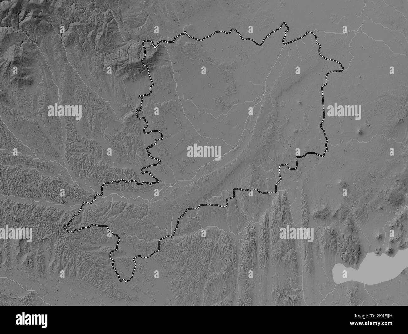 Vas, county of Hungary. Grayscale elevation map with lakes and rivers Stock Photohttps://www.alamy.com/image-license-details/?v=1https://www.alamy.com/vas-county-of-hungary-grayscale-elevation-map-with-lakes-and-rivers-image484692841.html
RF2K4FJJH–Vas, county of Hungary. Grayscale elevation map with lakes and rivers
 Bacs-Kiskun, county of Hungary. Solid color shape. Locations of major cities of the region. Corner auxiliary location maps Stock Photohttps://www.alamy.com/image-license-details/?v=1https://www.alamy.com/bacs-kiskun-county-of-hungary-solid-color-shape-locations-of-major-cities-of-the-region-corner-auxiliary-location-maps-image484690131.html
RF2K4FF5R–Bacs-Kiskun, county of Hungary. Solid color shape. Locations of major cities of the region. Corner auxiliary location maps
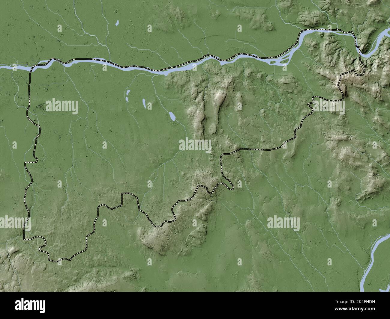 Komarom-Esztergom, county of Hungary. Elevation map colored in wiki style with lakes and rivers Stock Photohttps://www.alamy.com/image-license-details/?v=1https://www.alamy.com/komarom-esztergom-county-of-hungary-elevation-map-colored-in-wiki-style-with-lakes-and-rivers-image484691917.html
RF2K4FHDH–Komarom-Esztergom, county of Hungary. Elevation map colored in wiki style with lakes and rivers
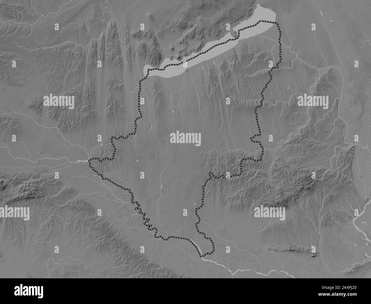 Somogy, county of Hungary. Grayscale elevation map with lakes and rivers Stock Photohttps://www.alamy.com/image-license-details/?v=1https://www.alamy.com/somogy-county-of-hungary-grayscale-elevation-map-with-lakes-and-rivers-image484692376.html
RF2K4FJ20–Somogy, county of Hungary. Grayscale elevation map with lakes and rivers
 Tolna, county of Hungary. Elevation map colored in wiki style with lakes and rivers. Locations of major cities of the region. Corner auxiliary locatio Stock Photohttps://www.alamy.com/image-license-details/?v=1https://www.alamy.com/tolna-county-of-hungary-elevation-map-colored-in-wiki-style-with-lakes-and-rivers-locations-of-major-cities-of-the-region-corner-auxiliary-locatio-image484692719.html
RF2K4FJE7–Tolna, county of Hungary. Elevation map colored in wiki style with lakes and rivers. Locations of major cities of the region. Corner auxiliary locatio
 Somogy, county of Hungary. Bilevel elevation map with lakes and rivers. Locations and names of major cities of the region. Corner auxiliary location m Stock Photohttps://www.alamy.com/image-license-details/?v=1https://www.alamy.com/somogy-county-of-hungary-bilevel-elevation-map-with-lakes-and-rivers-locations-and-names-of-major-cities-of-the-region-corner-auxiliary-location-m-image484692340.html
RF2K4FJ0M–Somogy, county of Hungary. Bilevel elevation map with lakes and rivers. Locations and names of major cities of the region. Corner auxiliary location m
 Bacs-Kiskun, county of Hungary. High resolution satellite map. Locations and names of major cities of the region. Corner auxiliary location maps Stock Photohttps://www.alamy.com/image-license-details/?v=1https://www.alamy.com/bacs-kiskun-county-of-hungary-high-resolution-satellite-map-locations-and-names-of-major-cities-of-the-region-corner-auxiliary-location-maps-image484690124.html
RF2K4FF5G–Bacs-Kiskun, county of Hungary. High resolution satellite map. Locations and names of major cities of the region. Corner auxiliary location maps
 Baranya, county of Hungary. Bilevel elevation map with lakes and rivers. Locations of major cities of the region. Corner auxiliary location maps Stock Photohttps://www.alamy.com/image-license-details/?v=1https://www.alamy.com/baranya-county-of-hungary-bilevel-elevation-map-with-lakes-and-rivers-locations-of-major-cities-of-the-region-corner-auxiliary-location-maps-image484690212.html
RF2K4FF8M–Baranya, county of Hungary. Bilevel elevation map with lakes and rivers. Locations of major cities of the region. Corner auxiliary location maps
 Nograd, county of Hungary. Colored elevation map with lakes and rivers. Locations of major cities of the region. Corner auxiliary location maps Stock Photohttps://www.alamy.com/image-license-details/?v=1https://www.alamy.com/nograd-county-of-hungary-colored-elevation-map-with-lakes-and-rivers-locations-of-major-cities-of-the-region-corner-auxiliary-location-maps-image484692064.html
RF2K4FHJT–Nograd, county of Hungary. Colored elevation map with lakes and rivers. Locations of major cities of the region. Corner auxiliary location maps
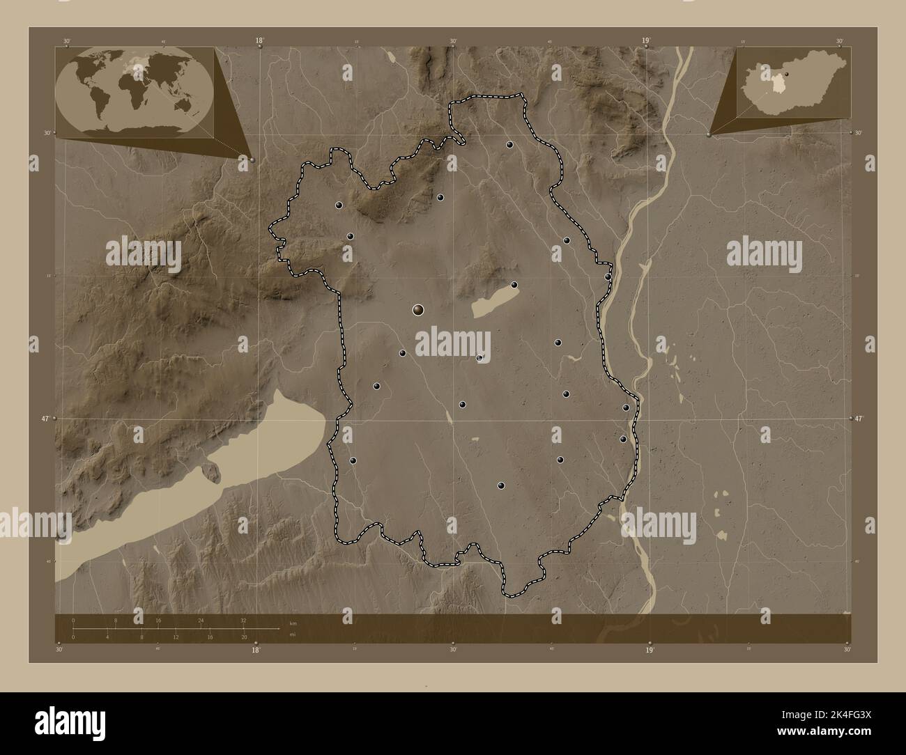 Fejer, county of Hungary. Elevation map colored in sepia tones with lakes and rivers. Locations of major cities of the region. Corner auxiliary locati Stock Photohttps://www.alamy.com/image-license-details/?v=1https://www.alamy.com/fejer-county-of-hungary-elevation-map-colored-in-sepia-tones-with-lakes-and-rivers-locations-of-major-cities-of-the-region-corner-auxiliary-locati-image484690862.html
RF2K4FG3X–Fejer, county of Hungary. Elevation map colored in sepia tones with lakes and rivers. Locations of major cities of the region. Corner auxiliary locati
 Fejer, county of Hungary. Low resolution satellite map. Locations of major cities of the region. Corner auxiliary location maps Stock Photohttps://www.alamy.com/image-license-details/?v=1https://www.alamy.com/fejer-county-of-hungary-low-resolution-satellite-map-locations-of-major-cities-of-the-region-corner-auxiliary-location-maps-image484690856.html
RF2K4FG3M–Fejer, county of Hungary. Low resolution satellite map. Locations of major cities of the region. Corner auxiliary location maps
 Nograd, county of Hungary. Elevation map colored in sepia tones with lakes and rivers. Locations and names of major cities of the region. Corner auxil Stock Photohttps://www.alamy.com/image-license-details/?v=1https://www.alamy.com/nograd-county-of-hungary-elevation-map-colored-in-sepia-tones-with-lakes-and-rivers-locations-and-names-of-major-cities-of-the-region-corner-auxil-image484692174.html
RF2K4FHPP–Nograd, county of Hungary. Elevation map colored in sepia tones with lakes and rivers. Locations and names of major cities of the region. Corner auxil