Saskatchewan outline vector Stock Photos and Images
(201)See saskatchewan outline vector stock video clipsQuick filters:
Saskatchewan outline vector Stock Photos and Images
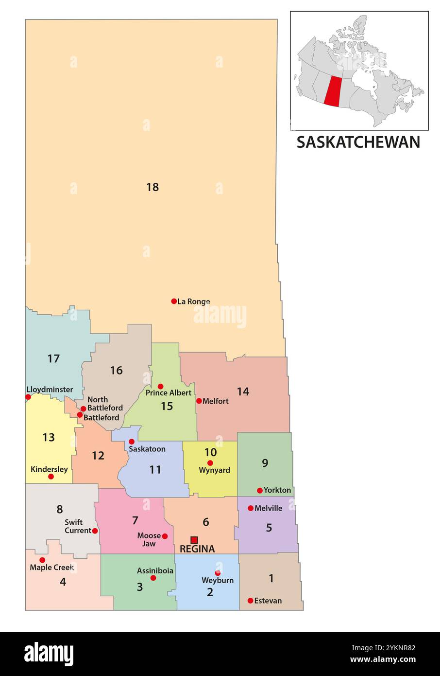 Map of census districts of Saskatchewan, Canada Stock Photohttps://www.alamy.com/image-license-details/?v=1https://www.alamy.com/map-of-census-districts-of-saskatchewan-canada-image631730962.html
RF2YKNR82–Map of census districts of Saskatchewan, Canada
 Saskatchewan Province and Territory of Canada Map. Black Illustration and Outline. Isolated on a White Background. EPS Vector Stock Vectorhttps://www.alamy.com/image-license-details/?v=1https://www.alamy.com/saskatchewan-province-and-territory-of-canada-map-black-illustration-and-outline-isolated-on-a-white-background-eps-vector-image362563950.html
RF2C1T60E–Saskatchewan Province and Territory of Canada Map. Black Illustration and Outline. Isolated on a White Background. EPS Vector
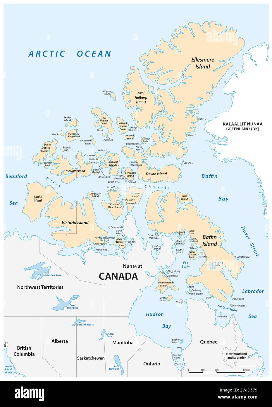 Detailed vector map of the Canadian Arctic Archipelago Stock Photohttps://www.alamy.com/image-license-details/?v=1https://www.alamy.com/detailed-vector-map-of-the-canadian-arctic-archipelago-image596505821.html
RF2WJD579–Detailed vector map of the Canadian Arctic Archipelago
 Saskatchewan Map Flag. Map of SK, Canada with flag. Canadian province. Vector illustration Banner. Stock Vectorhttps://www.alamy.com/image-license-details/?v=1https://www.alamy.com/saskatchewan-map-flag-map-of-sk-canada-with-flag-canadian-province-vector-illustration-banner-image465273909.html
RF2J0Y1H9–Saskatchewan Map Flag. Map of SK, Canada with flag. Canadian province. Vector illustration Banner.
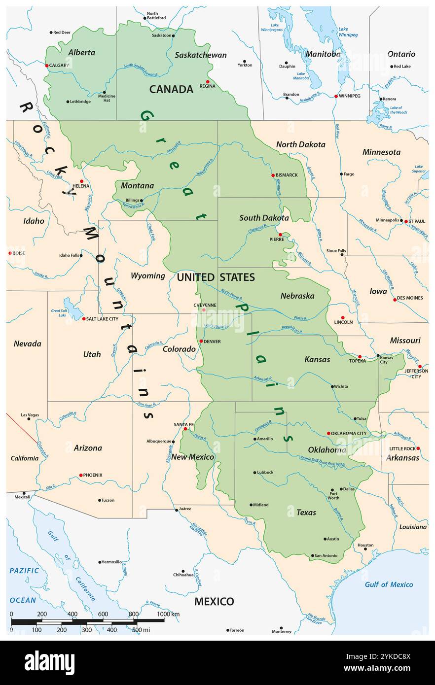 Vector map of the Great Plains Region in North America Stock Photohttps://www.alamy.com/image-license-details/?v=1https://www.alamy.com/vector-map-of-the-great-plains-region-in-north-america-image631546746.html
RF2YKDC8X–Vector map of the Great Plains Region in North America
RF2GCK5BJ–Saskatchewan Map on Canadian Flag. SK, CA Province Map on Canada Flag. EPS Vector Graphic Clipart Icon
 Saskatchewan blank outline map set Stock Vectorhttps://www.alamy.com/image-license-details/?v=1https://www.alamy.com/stock-image-saskatchewan-blank-outline-map-set-163838961.html
RFKEFE7D–Saskatchewan blank outline map set
RF2M0AF7T–Saskatchewan Canada Star Flag. SK Canadian Five Point Star Shape Province Flag. Saskatchewanian CA Banner Icon Symbol Vector Flat Artwork Illustratio
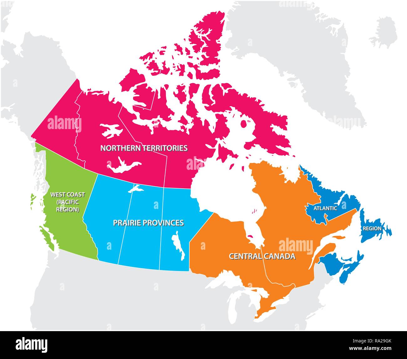 Outline map of the five Canadian regions Stock Vectorhttps://www.alamy.com/image-license-details/?v=1https://www.alamy.com/outline-map-of-the-five-canadian-regions-image229932771.html
RFRA29GK–Outline map of the five Canadian regions
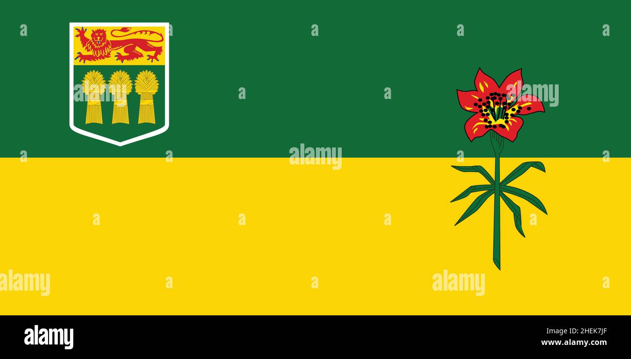 Official current vector flag of the Canadian province of SASKATCHEWAN, CANADA Stock Vectorhttps://www.alamy.com/image-license-details/?v=1https://www.alamy.com/official-current-vector-flag-of-the-canadian-province-of-saskatchewan-canada-image456497847.html
RF2HEK7JF–Official current vector flag of the Canadian province of SASKATCHEWAN, CANADA
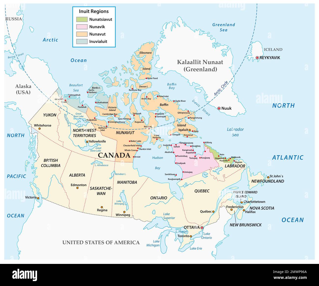 Vector map of Inuit communities in northern Canada Stock Photohttps://www.alamy.com/image-license-details/?v=1https://www.alamy.com/vector-map-of-inuit-communities-in-northern-canada-image514957250.html
RF2MWP96A–Vector map of Inuit communities in northern Canada
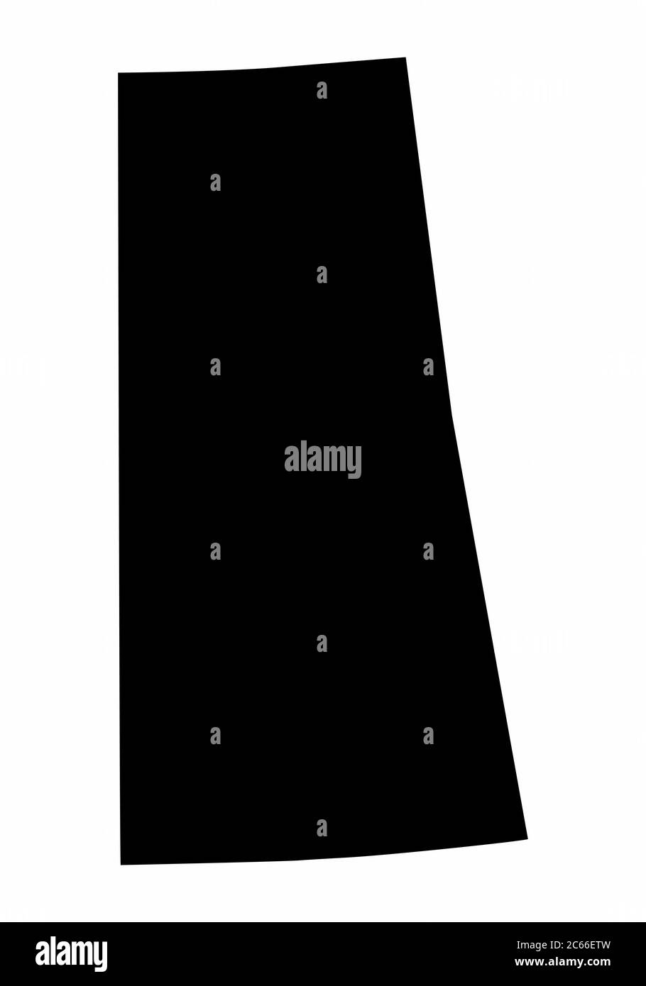 Saskatchewan province dark silhouette map Stock Vectorhttps://www.alamy.com/image-license-details/?v=1https://www.alamy.com/saskatchewan-province-dark-silhouette-map-image365249049.html
RF2C66ETW–Saskatchewan province dark silhouette map
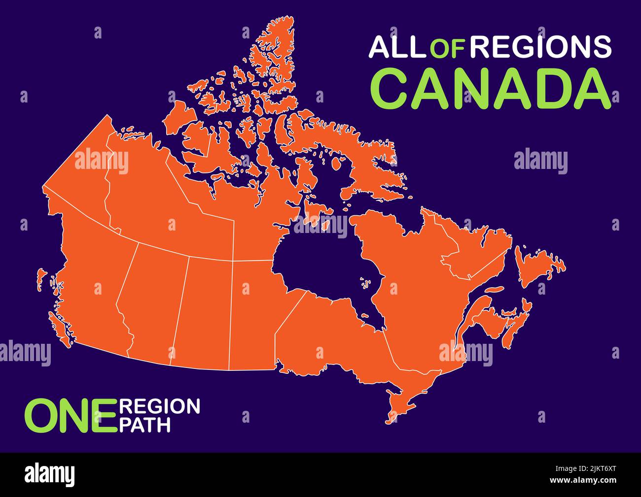 Vector, isolated illustration of simplified administrative map of Canada. Boundaries of provinces (regions) Stock Vectorhttps://www.alamy.com/image-license-details/?v=1https://www.alamy.com/vector-isolated-illustration-of-simplified-administrative-map-of-canada-boundaries-of-provinces-regions-image476890704.html
RF2JKT6XT–Vector, isolated illustration of simplified administrative map of Canada. Boundaries of provinces (regions)
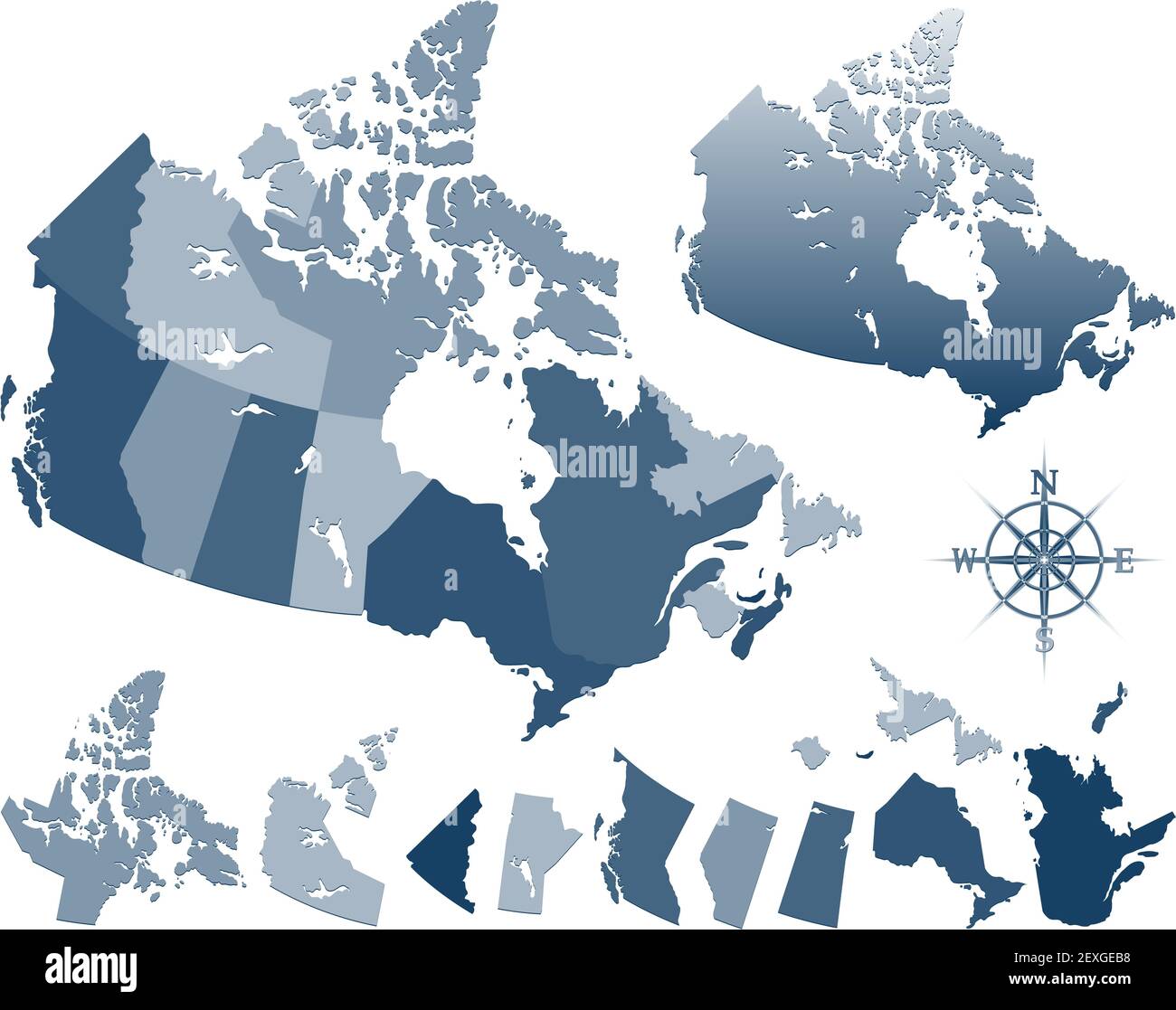 Map of Canada and provinces Stock Photohttps://www.alamy.com/image-license-details/?v=1https://www.alamy.com/map-of-canada-and-provinces-image412182044.html
RF2EXGEB8–Map of Canada and provinces
 Focus on the Northwest America map Stock Photohttps://www.alamy.com/image-license-details/?v=1https://www.alamy.com/focus-on-the-northwest-america-map-image470176954.html
RF2J8XBE2–Focus on the Northwest America map
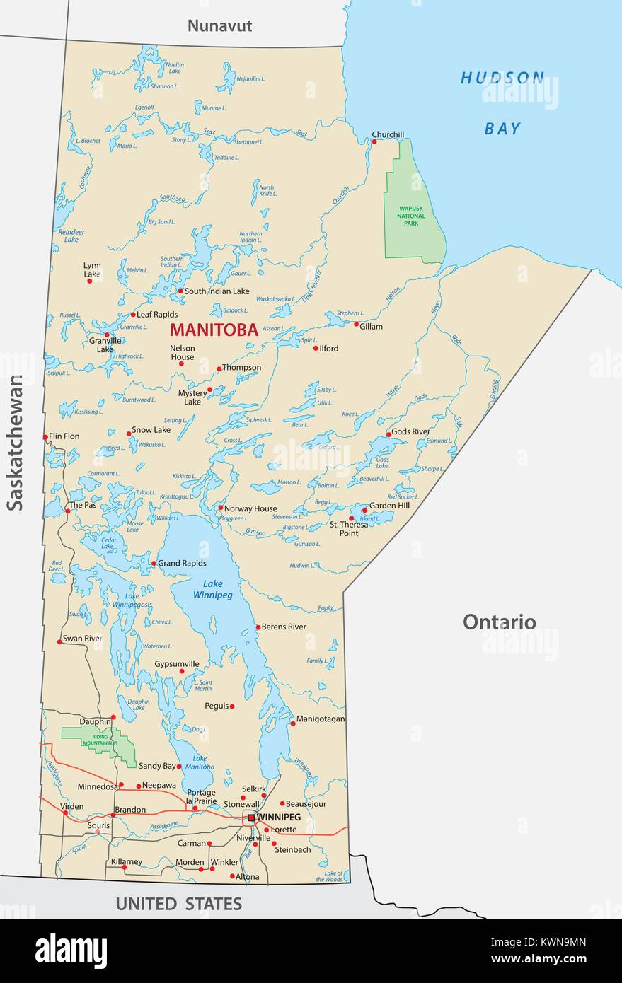 Province manitoba vector road and travel map Stock Vectorhttps://www.alamy.com/image-license-details/?v=1https://www.alamy.com/stock-photo-province-manitoba-vector-road-and-travel-map-170728341.html
RFKWN9MN–Province manitoba vector road and travel map
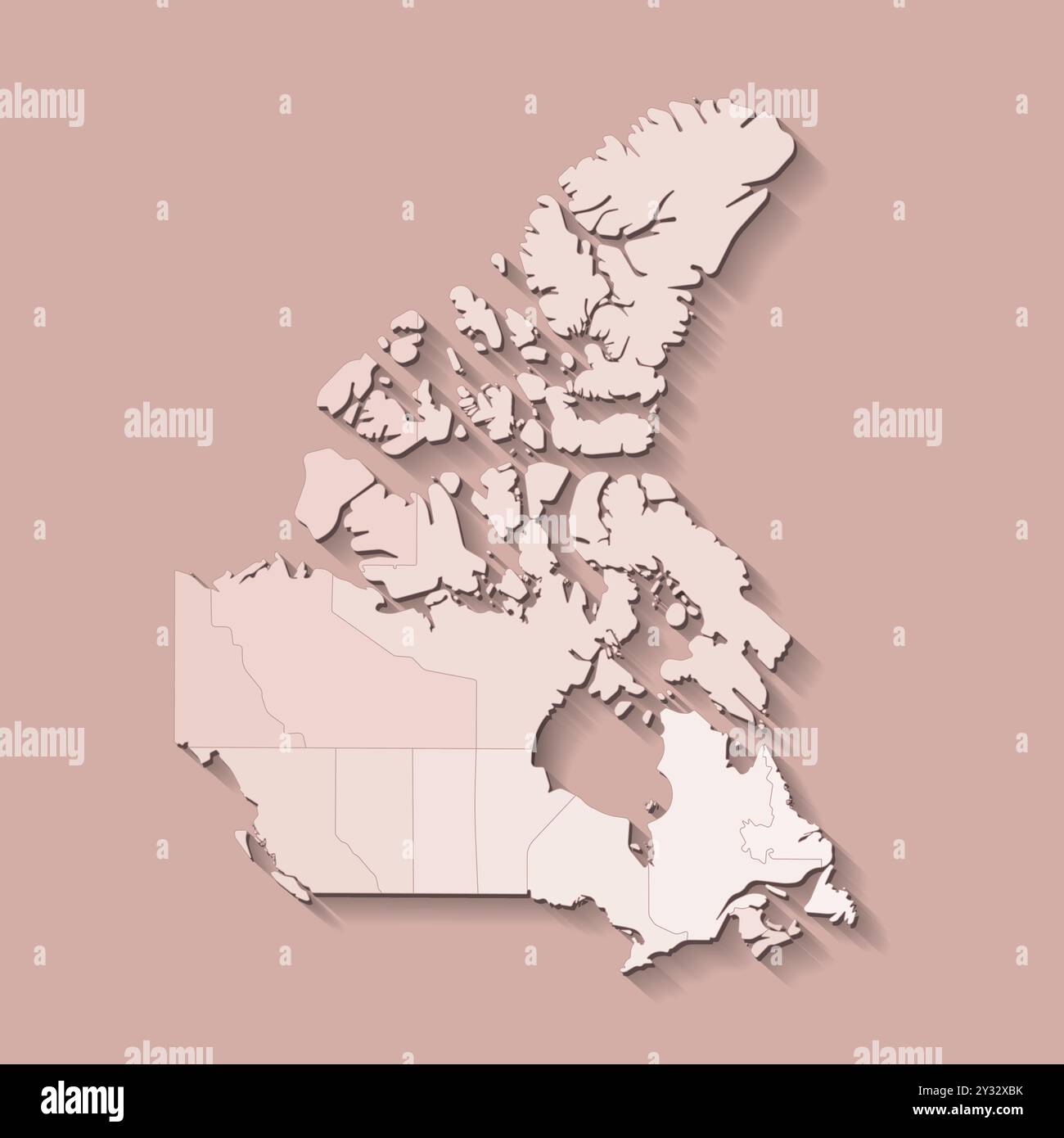 Vector modern illustration. Simplified isolated administrative map of Canada in brown colors. Beige background and outline of regions Stock Vectorhttps://www.alamy.com/image-license-details/?v=1https://www.alamy.com/vector-modern-illustration-simplified-isolated-administrative-map-of-canada-in-brown-colors-beige-background-and-outline-of-regions-image621481831.html
RF2Y32XBK–Vector modern illustration. Simplified isolated administrative map of Canada in brown colors. Beige background and outline of regions
 Saskatchewan blank outline map set Stock Vectorhttps://www.alamy.com/image-license-details/?v=1https://www.alamy.com/stock-photo-saskatchewan-blank-outline-map-set-116075549.html
RFGMRKF9–Saskatchewan blank outline map set
 Saskatchewan Map Flag. Map of SK, Canada with flag isolated on a white background. Canadian province. Vector illustration. Stock Vectorhttps://www.alamy.com/image-license-details/?v=1https://www.alamy.com/saskatchewan-map-flag-map-of-sk-canada-with-flag-isolated-on-a-white-background-canadian-province-vector-illustration-image417030525.html
RF2F6DAK9–Saskatchewan Map Flag. Map of SK, Canada with flag isolated on a white background. Canadian province. Vector illustration.
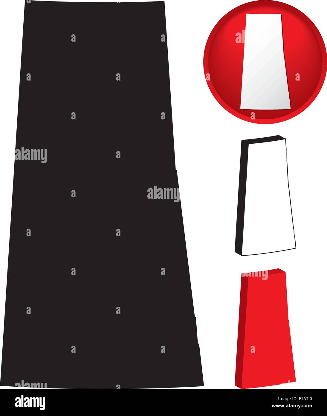 Detailed Map of Saskatchewan, Canada with several variations Stock Vectorhttps://www.alamy.com/image-license-details/?v=1https://www.alamy.com/stock-photo-detailed-map-of-saskatchewan-canada-with-several-variations-86905336.html
RFF1ATJ0–Detailed Map of Saskatchewan, Canada with several variations
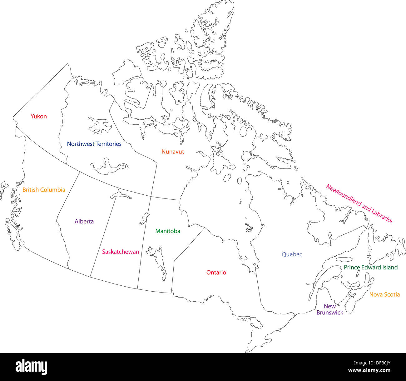 Outline Canada map Stock Photohttps://www.alamy.com/image-license-details/?v=1https://www.alamy.com/outline-canada-map-image61092947.html
RFDFB0JY–Outline Canada map
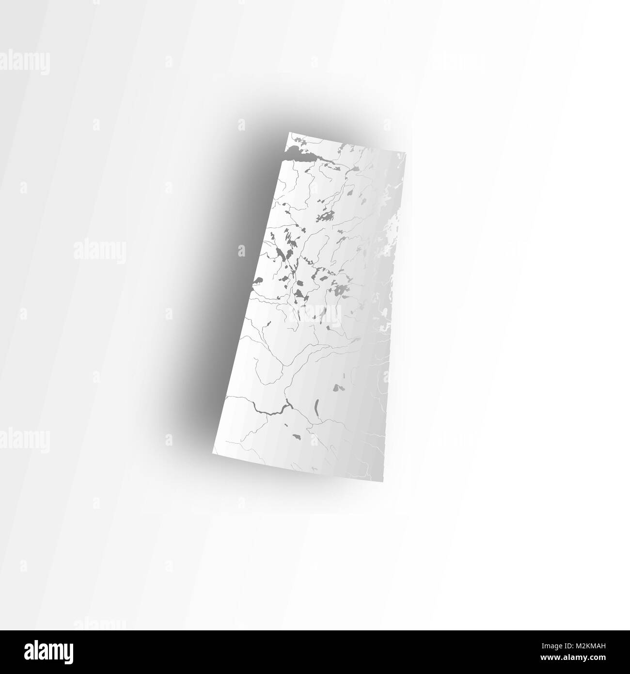 Provinces and territories of Canada - map of Saskatchewan with paper cut effect. Rivers and lakes are shown. Please look at my other images of cartogr Stock Vectorhttps://www.alamy.com/image-license-details/?v=1https://www.alamy.com/stock-photo-provinces-and-territories-of-canada-map-of-saskatchewan-with-paper-173766057.html
RFM2KMAH–Provinces and territories of Canada - map of Saskatchewan with paper cut effect. Rivers and lakes are shown. Please look at my other images of cartogr
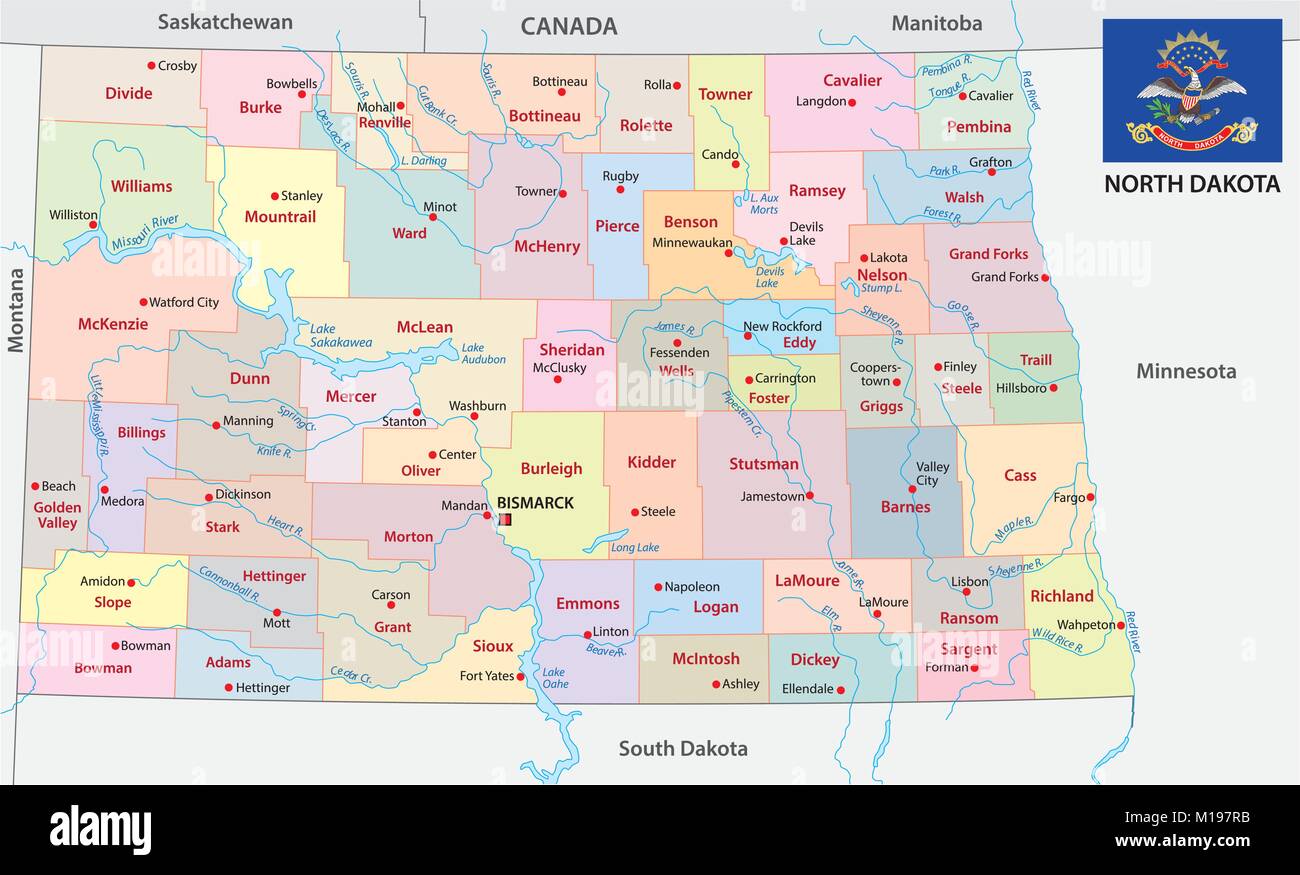 North dakota administrative and political vector map with flag Stock Vectorhttps://www.alamy.com/image-license-details/?v=1https://www.alamy.com/stock-photo-north-dakota-administrative-and-political-vector-map-with-flag-172922047.html
RFM197RB–North dakota administrative and political vector map with flag
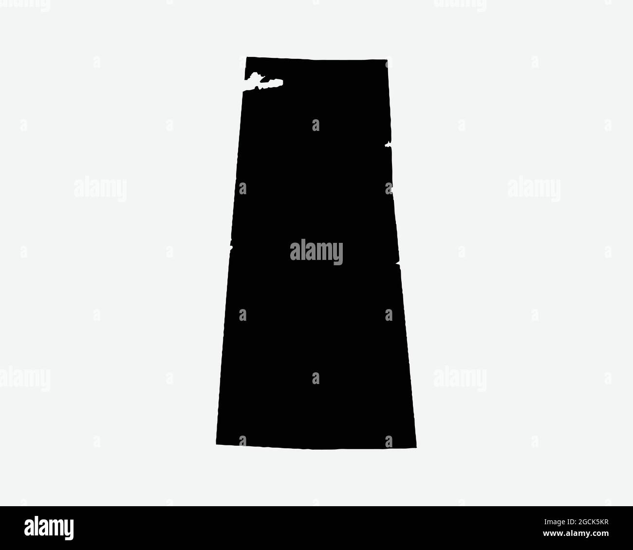 Saskatchewan Canada Map Black Silhouette. SK, Canadian Province Shape Geography Atlas Border Boundary. Black Map Isolated on a White Background. EPS V Stock Vectorhttps://www.alamy.com/image-license-details/?v=1https://www.alamy.com/saskatchewan-canada-map-black-silhouette-sk-canadian-province-shape-geography-atlas-border-boundary-black-map-isolated-on-a-white-background-eps-v-image438056635.html
RF2GCK5KR–Saskatchewan Canada Map Black Silhouette. SK, Canadian Province Shape Geography Atlas Border Boundary. Black Map Isolated on a White Background. EPS V
 Map of CANADA with separable borders in vector art. Sizable to any dimension - You got ALL the provinces in one file Stock Vectorhttps://www.alamy.com/image-license-details/?v=1https://www.alamy.com/stock-photo-map-of-canada-with-separable-borders-in-vector-art-sizable-to-any-126253125.html
RFH9B945–Map of CANADA with separable borders in vector art. Sizable to any dimension - You got ALL the provinces in one file
RFM37YPM–Canada linear map icon. Business cartography concept outline Canada pictogram. Vector illustration on green background with long shadow.
 Saskatchewan vintage 3d vector alphabet set Stock Vectorhttps://www.alamy.com/image-license-details/?v=1https://www.alamy.com/saskatchewan-vintage-3d-vector-alphabet-set-image385145290.html
RF2DAGTMX–Saskatchewan vintage 3d vector alphabet set
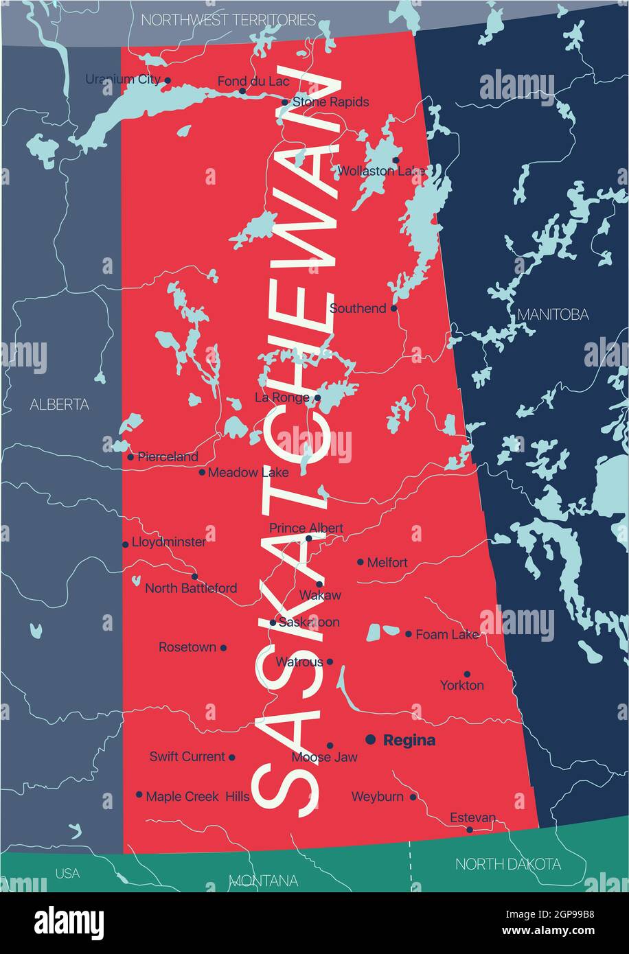 Saskatchewan province vector editable map of the Canada with capital, national borders, cities and towns, rivers and lakes. Vector EPS-10 file Stock Photohttps://www.alamy.com/image-license-details/?v=1https://www.alamy.com/saskatchewan-province-vector-editable-map-of-the-canada-with-capital-national-borders-cities-and-towns-rivers-and-lakes-vector-eps-10-file-image443986572.html
RF2GP99B8–Saskatchewan province vector editable map of the Canada with capital, national borders, cities and towns, rivers and lakes. Vector EPS-10 file
 Flat vector administrative flag map of the Canadian province of SASKATCHEWAN, CANADA Stock Vectorhttps://www.alamy.com/image-license-details/?v=1https://www.alamy.com/flat-vector-administrative-flag-map-of-the-canadian-province-of-saskatchewan-canada-image456497675.html
RF2HEK7CB–Flat vector administrative flag map of the Canadian province of SASKATCHEWAN, CANADA
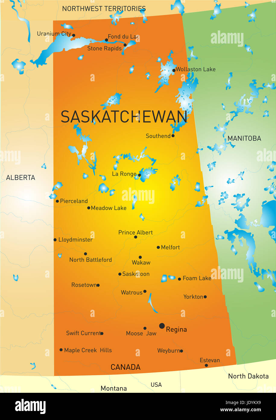 Vector color map of Saskatchewan province Stock Photohttps://www.alamy.com/image-license-details/?v=1https://www.alamy.com/stock-photo-vector-color-map-of-saskatchewan-province-146281809.html
RFJDYKX9–Vector color map of Saskatchewan province
 Canada map Stock Photohttps://www.alamy.com/image-license-details/?v=1https://www.alamy.com/stock-photo-canada-map-103469225.html
RMG09C1D–Canada map
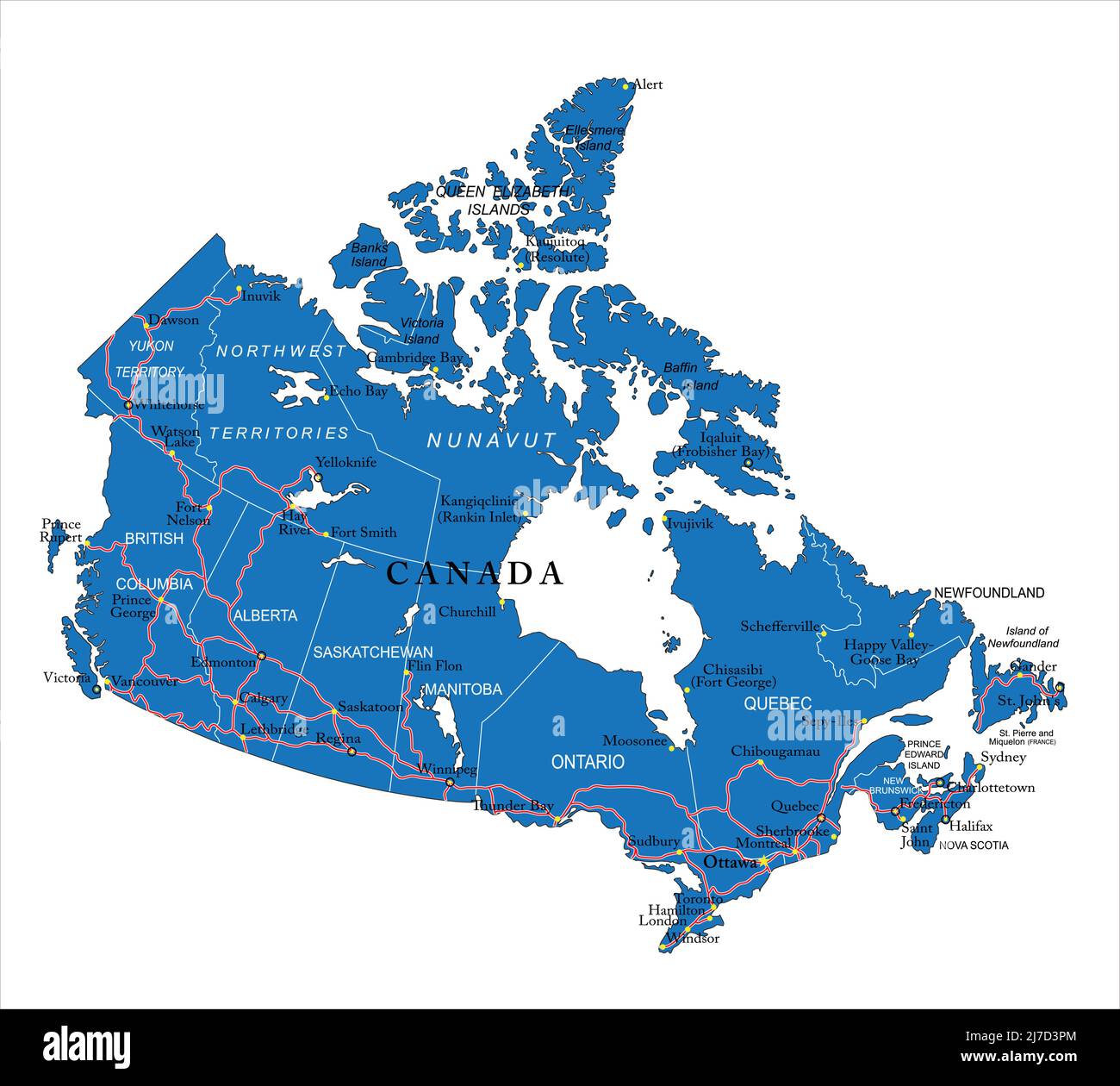 Highly detailed vector map of Canada with administrative regions, main cities and roads. Stock Vectorhttps://www.alamy.com/image-license-details/?v=1https://www.alamy.com/highly-detailed-vector-map-of-canada-with-administrative-regions-main-cities-and-roads-image469270892.html
RF2J7D3PM–Highly detailed vector map of Canada with administrative regions, main cities and roads.
 Saskatoon, Canada skyline. Detailed silhouette. Vector illustration Stock Vectorhttps://www.alamy.com/image-license-details/?v=1https://www.alamy.com/stock-image-saskatoon-canada-skyline-detailed-silhouette-vector-illustration-163789419.html
RFKED723–Saskatoon, Canada skyline. Detailed silhouette. Vector illustration
 Flag of Canada - vector illustration Stock Vectorhttps://www.alamy.com/image-license-details/?v=1https://www.alamy.com/stock-photo-flag-of-canada-vector-illustration-87111831.html
RFF1M80R–Flag of Canada - vector illustration
 Symbol Map of the Province Saskatchewan (Canada) showing the state/province with a pattern of black circles Stock Vectorhttps://www.alamy.com/image-license-details/?v=1https://www.alamy.com/symbol-map-of-the-province-saskatchewan-canada-showing-the-stateprovince-with-a-pattern-of-black-circles-image612953617.html
RF2XH6CGH–Symbol Map of the Province Saskatchewan (Canada) showing the state/province with a pattern of black circles
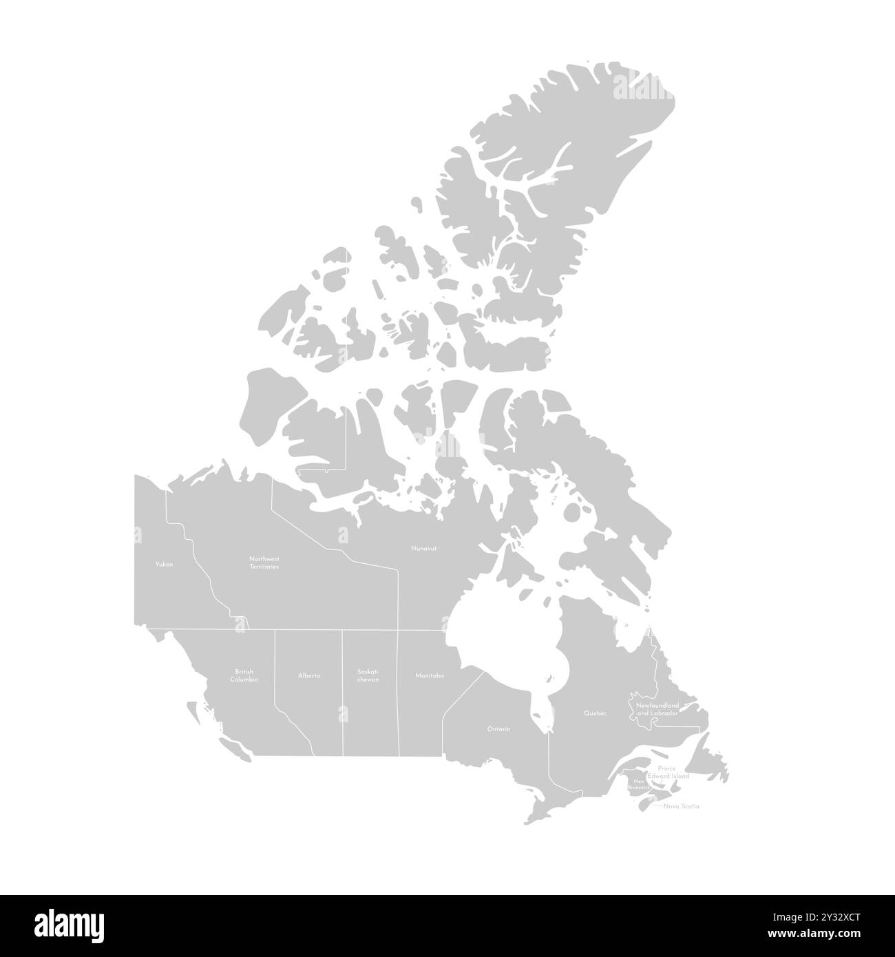 Vector modern illustration. Simplified isolated administrative map of Canada in grey colors. White background and outline. Names of the provinces Onta Stock Vectorhttps://www.alamy.com/image-license-details/?v=1https://www.alamy.com/vector-modern-illustration-simplified-isolated-administrative-map-of-canada-in-grey-colors-white-background-and-outline-names-of-the-provinces-onta-image621481864.html
RF2Y32XCT–Vector modern illustration. Simplified isolated administrative map of Canada in grey colors. White background and outline. Names of the provinces Onta
 Doodle Map of Canada - vector illustration Stock Vectorhttps://www.alamy.com/image-license-details/?v=1https://www.alamy.com/stock-photo-doodle-map-of-canada-vector-illustration-87114022.html
RFF1MAR2–Doodle Map of Canada - vector illustration
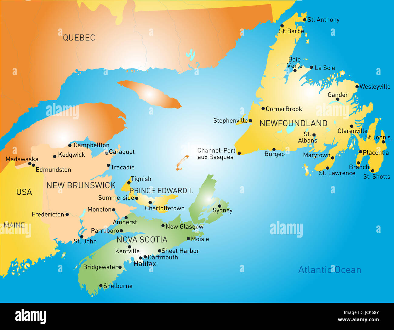 Maritime vector provinces color map Stock Photohttps://www.alamy.com/image-license-details/?v=1https://www.alamy.com/stock-photo-maritime-vector-provinces-color-map-145480859.html
RFJCK68Y–Maritime vector provinces color map
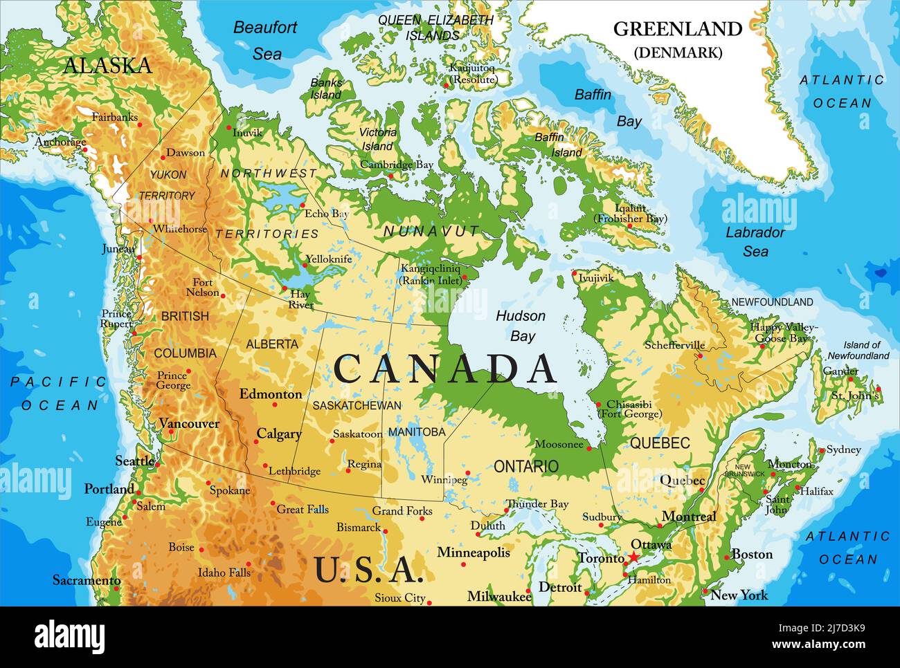 Highly detailed physical map of Canada,in vector format,with all the relief forms,regions and big cities. Stock Vectorhttps://www.alamy.com/image-license-details/?v=1https://www.alamy.com/highly-detailed-physical-map-of-canadain-vector-formatwith-all-the-relief-formsregions-and-big-cities-image469270797.html
RF2J7D3K9–Highly detailed physical map of Canada,in vector format,with all the relief forms,regions and big cities.
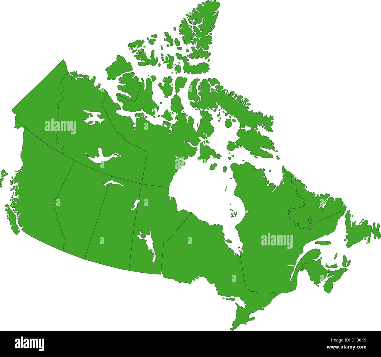 Green Canada map Stock Photohttps://www.alamy.com/image-license-details/?v=1https://www.alamy.com/green-canada-map-image61092957.html
RFDFB0K9–Green Canada map
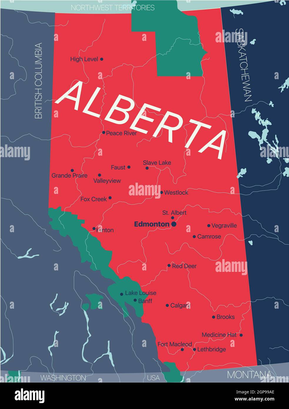 Alberta province vector editable map of the Canada with capital, national borders, cities and towns, rivers and lakes. Vector EPS-10 file Stock Photohttps://www.alamy.com/image-license-details/?v=1https://www.alamy.com/alberta-province-vector-editable-map-of-the-canada-with-capital-national-borders-cities-and-towns-rivers-and-lakes-vector-eps-10-file-image443986550.html
RF2GP99AE–Alberta province vector editable map of the Canada with capital, national borders, cities and towns, rivers and lakes. Vector EPS-10 file
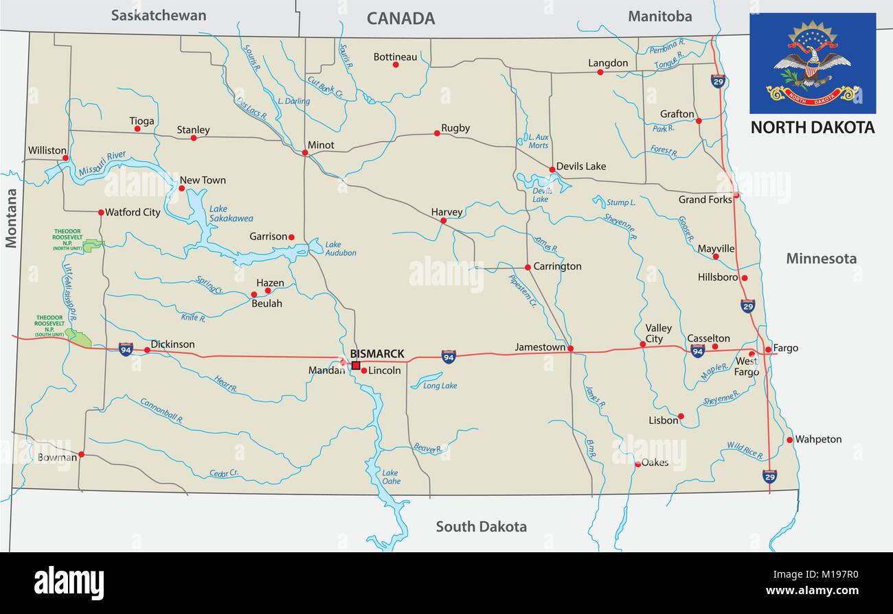 North dakota road vector map with flag Stock Vectorhttps://www.alamy.com/image-license-details/?v=1https://www.alamy.com/stock-photo-north-dakota-road-vector-map-with-flag-172922036.html
RFM197R0–North dakota road vector map with flag
RF2GCJCDM–Saskatchewan Map on Canadian Flag. SK, CA Province Map on Canada Flag. EPS Vector Graphic Clipart Icon
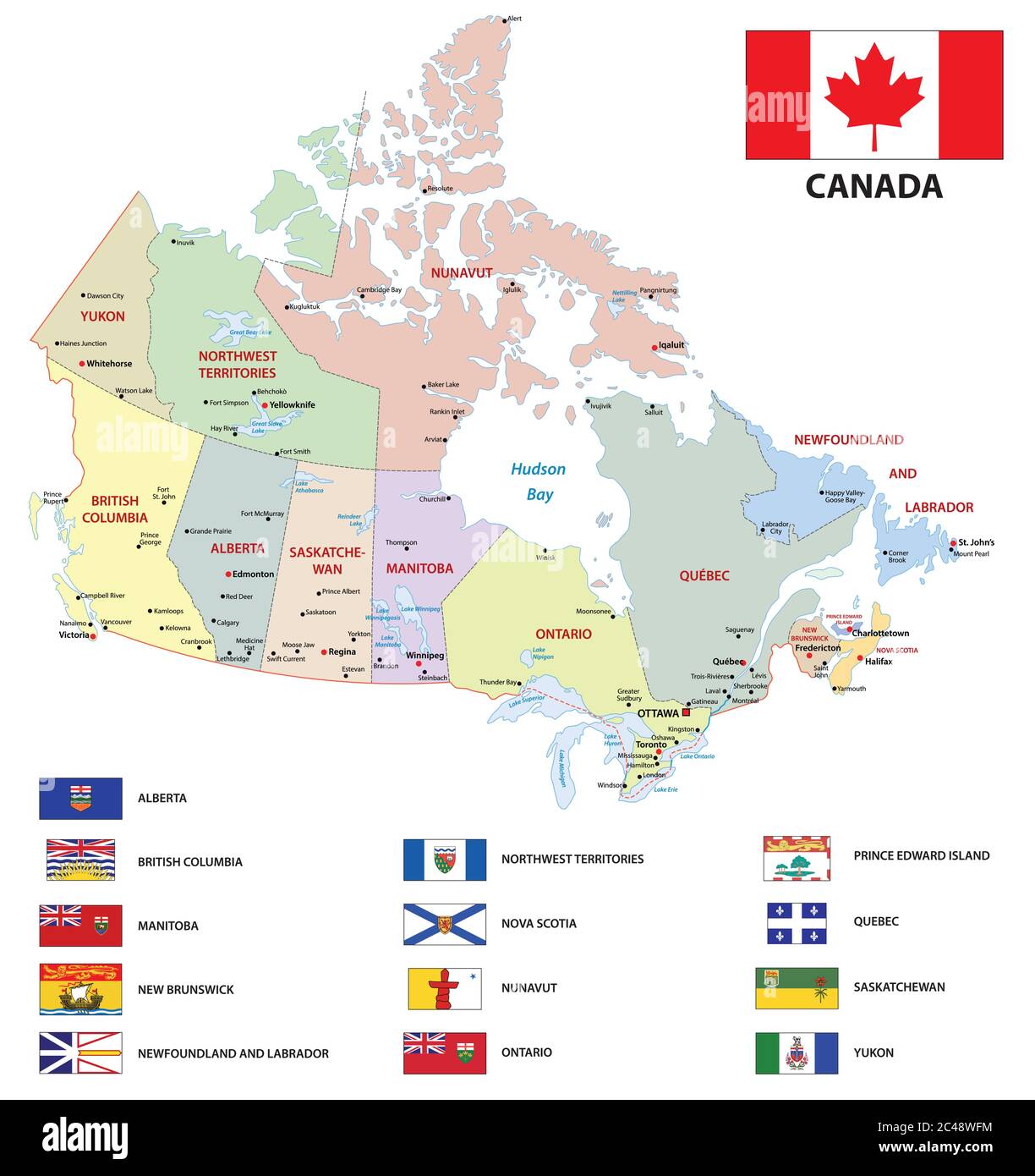 canada administrative and political vector map with flags Stock Vectorhttps://www.alamy.com/image-license-details/?v=1https://www.alamy.com/canada-administrative-and-political-vector-map-with-flags-image364072008.html
RF2C48WFM–canada administrative and political vector map with flags
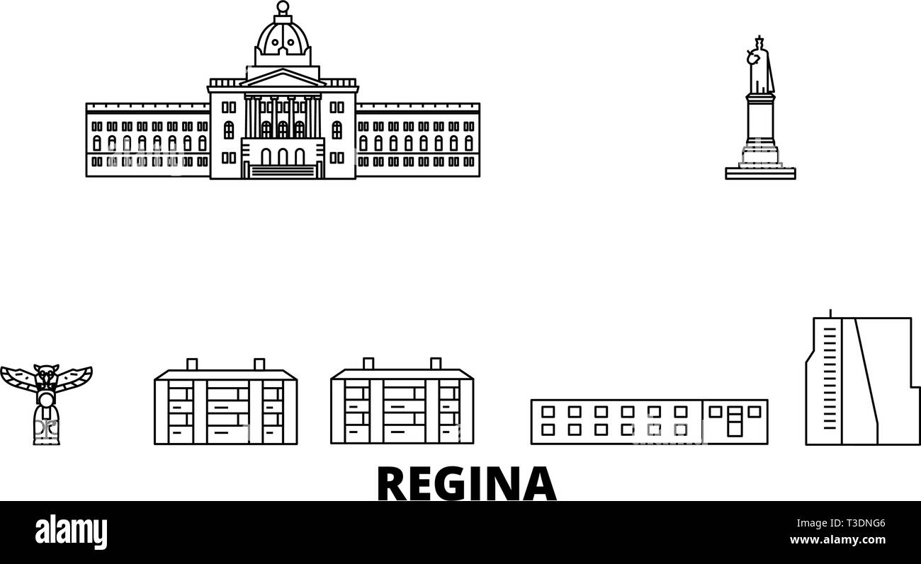 Canada, Regina line travel skyline set. Canada, Regina outline city vector illustration, symbol, travel sights, landmarks. Stock Vectorhttps://www.alamy.com/image-license-details/?v=1https://www.alamy.com/canada-regina-line-travel-skyline-set-canada-regina-outline-city-vector-illustration-symbol-travel-sights-landmarks-image243091414.html
RFT3DNG6–Canada, Regina line travel skyline set. Canada, Regina outline city vector illustration, symbol, travel sights, landmarks.
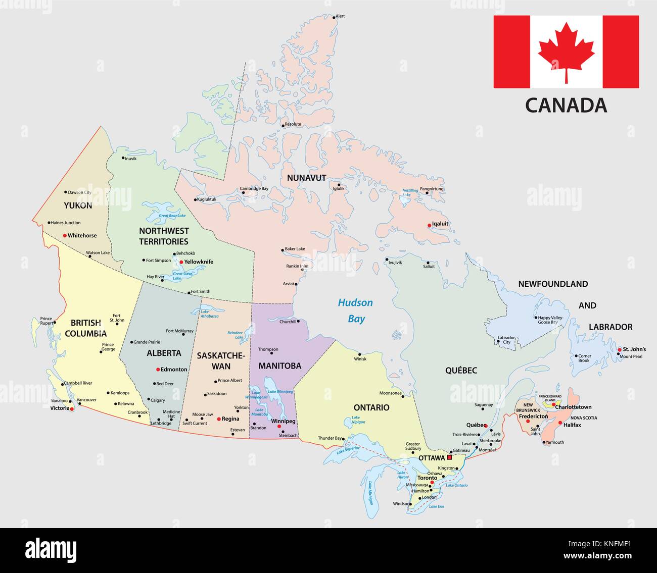 canada administrative and political map with flag Stock Vectorhttps://www.alamy.com/image-license-details/?v=1https://www.alamy.com/stock-image-canada-administrative-and-political-map-with-flag-168146469.html
RFKNFMF1–canada administrative and political map with flag
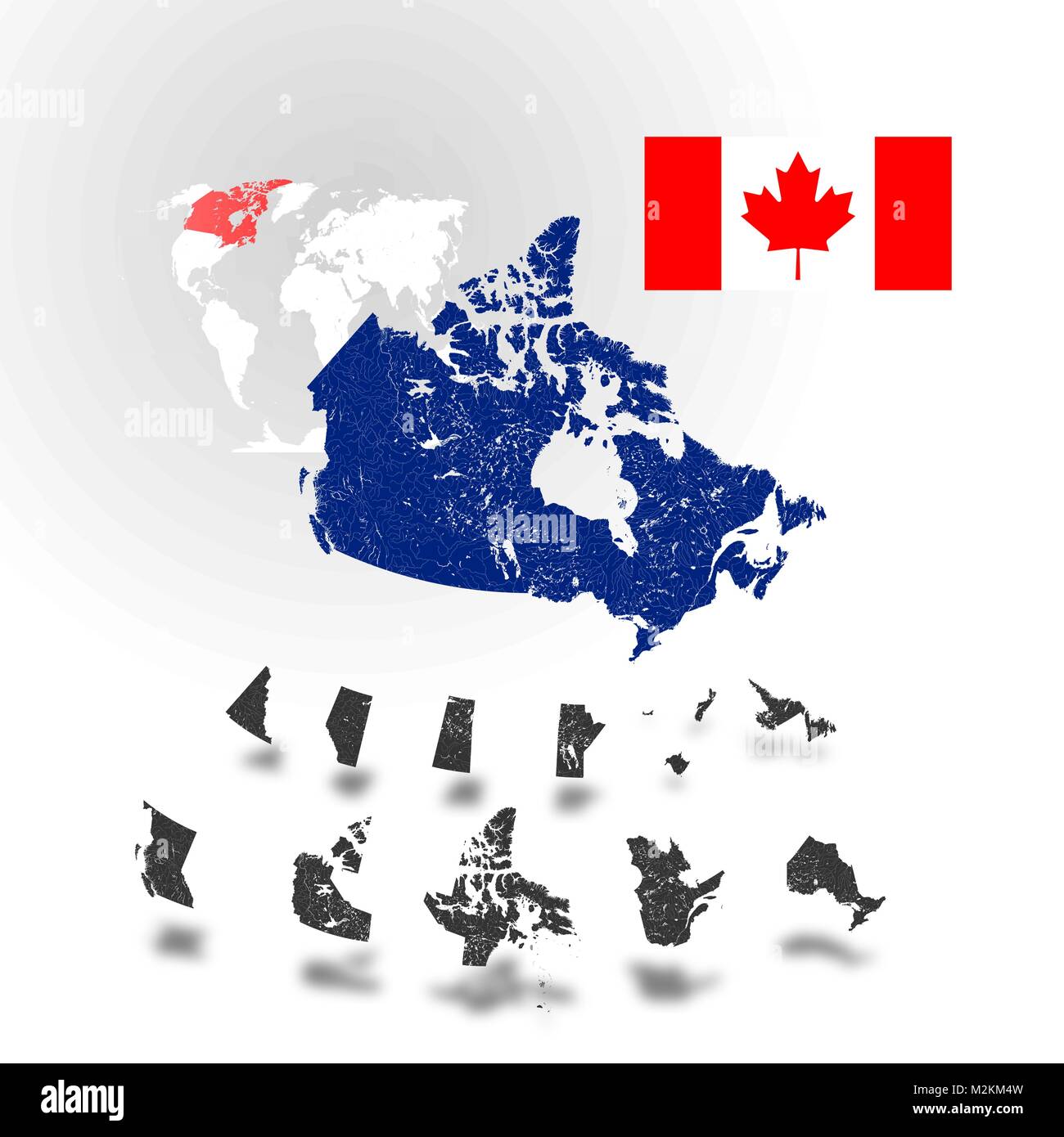 Map of Canada with rivers and lakes, maps of provinces and territories, map of world as background and flag of Canada. Please look at my other images Stock Vectorhttps://www.alamy.com/image-license-details/?v=1https://www.alamy.com/stock-photo-map-of-canada-with-rivers-and-lakes-maps-of-provinces-and-territories-173765897.html
RFM2KM4W–Map of Canada with rivers and lakes, maps of provinces and territories, map of world as background and flag of Canada. Please look at my other images
 Black flat blank vector administrative map of the Canadian province of SASKATCHEWAN, CANADA Stock Vectorhttps://www.alamy.com/image-license-details/?v=1https://www.alamy.com/black-flat-blank-vector-administrative-map-of-the-canadian-province-of-saskatchewan-canada-image456497350.html
RF2HEK70P–Black flat blank vector administrative map of the Canadian province of SASKATCHEWAN, CANADA
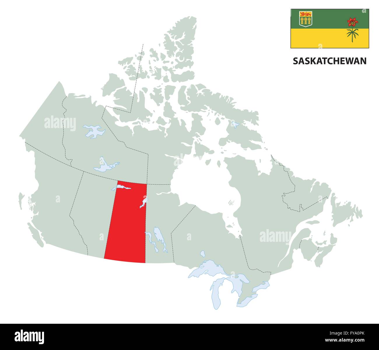 outline map of the Canadian province Saskatchewan with flag Stock Vectorhttps://www.alamy.com/image-license-details/?v=1https://www.alamy.com/stock-photo-outline-map-of-the-canadian-province-saskatchewan-with-flag-102867707.html
RFFYA0PK–outline map of the Canadian province Saskatchewan with flag
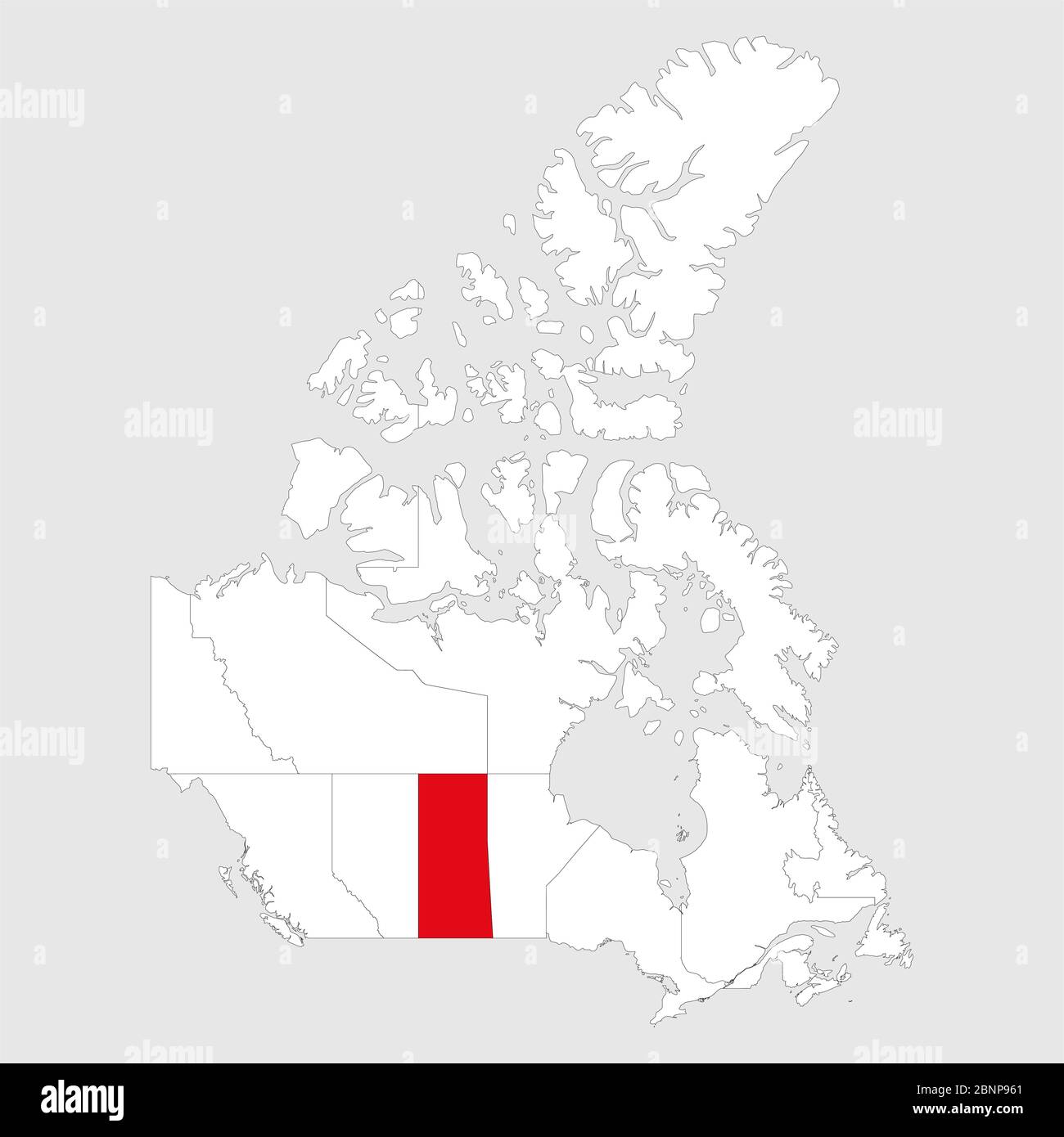 Saskatchewan highlighted on canada map. Light gray background. Canadian political map. Stock Vectorhttps://www.alamy.com/image-license-details/?v=1https://www.alamy.com/saskatchewan-highlighted-on-canada-map-light-gray-background-canadian-political-map-image357605305.html
RF2BNP961–Saskatchewan highlighted on canada map. Light gray background. Canadian political map.
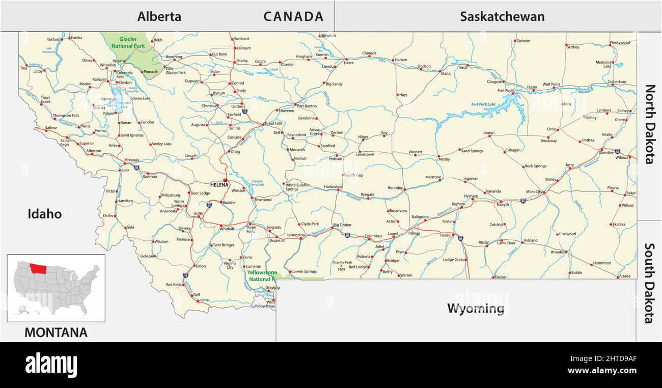 road map of the US American State of Montana Stock Vectorhttps://www.alamy.com/image-license-details/?v=1https://www.alamy.com/road-map-of-the-us-american-state-of-montana-image462514039.html
RF2HTD9AF–road map of the US American State of Montana
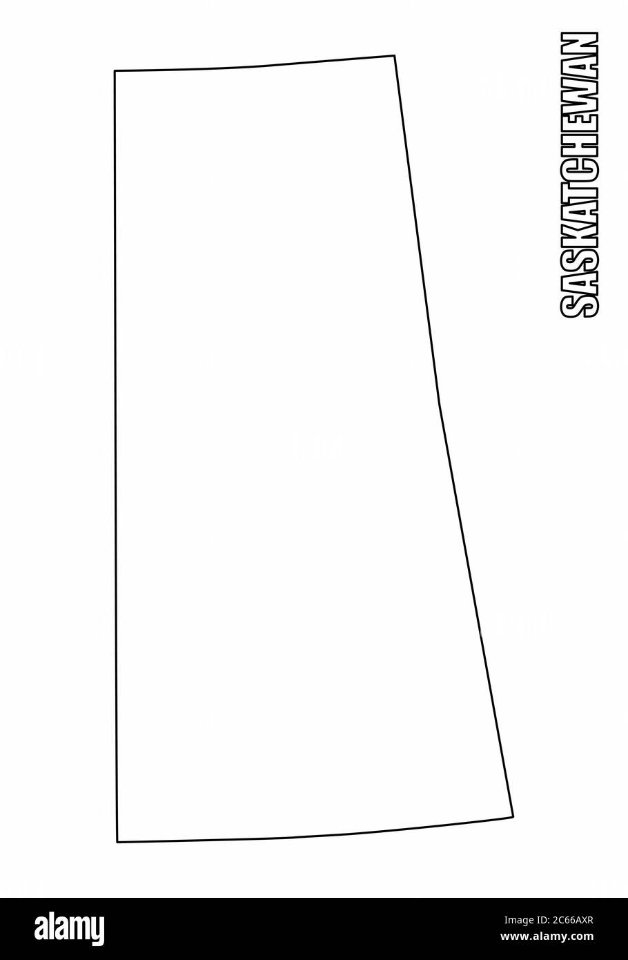 Saskatchewan province outline map Stock Vectorhttps://www.alamy.com/image-license-details/?v=1https://www.alamy.com/saskatchewan-province-outline-map-image365245967.html
RF2C66AXR–Saskatchewan province outline map
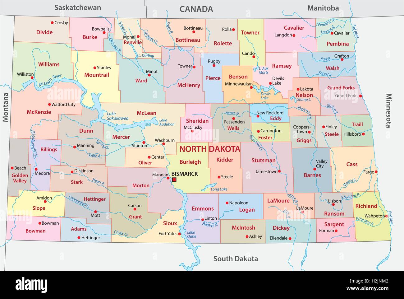 north dakota administrative map Stock Vectorhttps://www.alamy.com/image-license-details/?v=1https://www.alamy.com/stock-photo-north-dakota-administrative-map-122114050.html
RFH2JNM2–north dakota administrative map
 Symbol Map of the Province Saskatchewan (Canada) showing the territory with a pattern of randomly distributed black circles of different sizes Stock Vectorhttps://www.alamy.com/image-license-details/?v=1https://www.alamy.com/symbol-map-of-the-province-saskatchewan-canada-showing-the-territory-with-a-pattern-of-randomly-distributed-black-circles-of-different-sizes-image621694379.html
RF2Y3CHEK–Symbol Map of the Province Saskatchewan (Canada) showing the territory with a pattern of randomly distributed black circles of different sizes
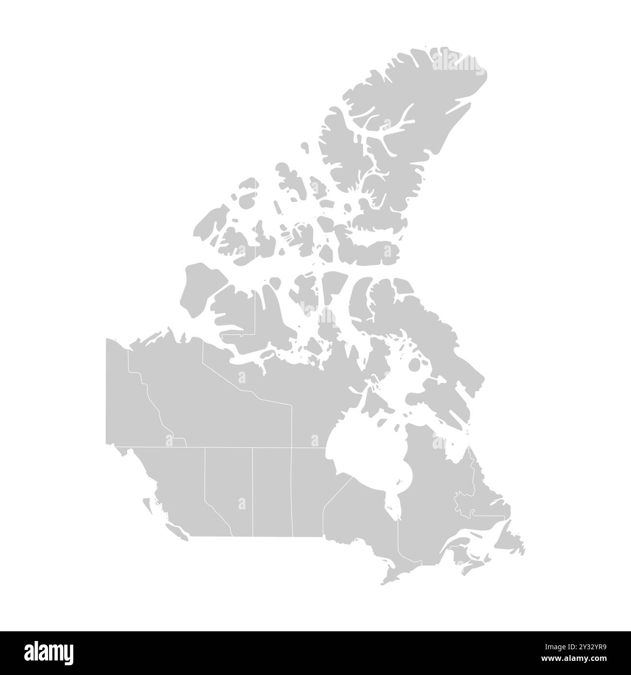 Vector modern illustration. Simplified isolated administrative map of Canada in grey colors. White background and outline of provinces borders like On Stock Vectorhttps://www.alamy.com/image-license-details/?v=1https://www.alamy.com/vector-modern-illustration-simplified-isolated-administrative-map-of-canada-in-grey-colors-white-background-and-outline-of-provinces-borders-like-on-image621482941.html
RF2Y32YR9–Vector modern illustration. Simplified isolated administrative map of Canada in grey colors. White background and outline of provinces borders like On
 Saskatchewan (provinces and territories of Canada) map vector illustration, scribble sketch Saskatchewan map Stock Vectorhttps://www.alamy.com/image-license-details/?v=1https://www.alamy.com/saskatchewan-provinces-and-territories-of-canada-map-vector-illustration-scribble-sketch-saskatchewan-map-image215892232.html
RFPF6MMT–Saskatchewan (provinces and territories of Canada) map vector illustration, scribble sketch Saskatchewan map
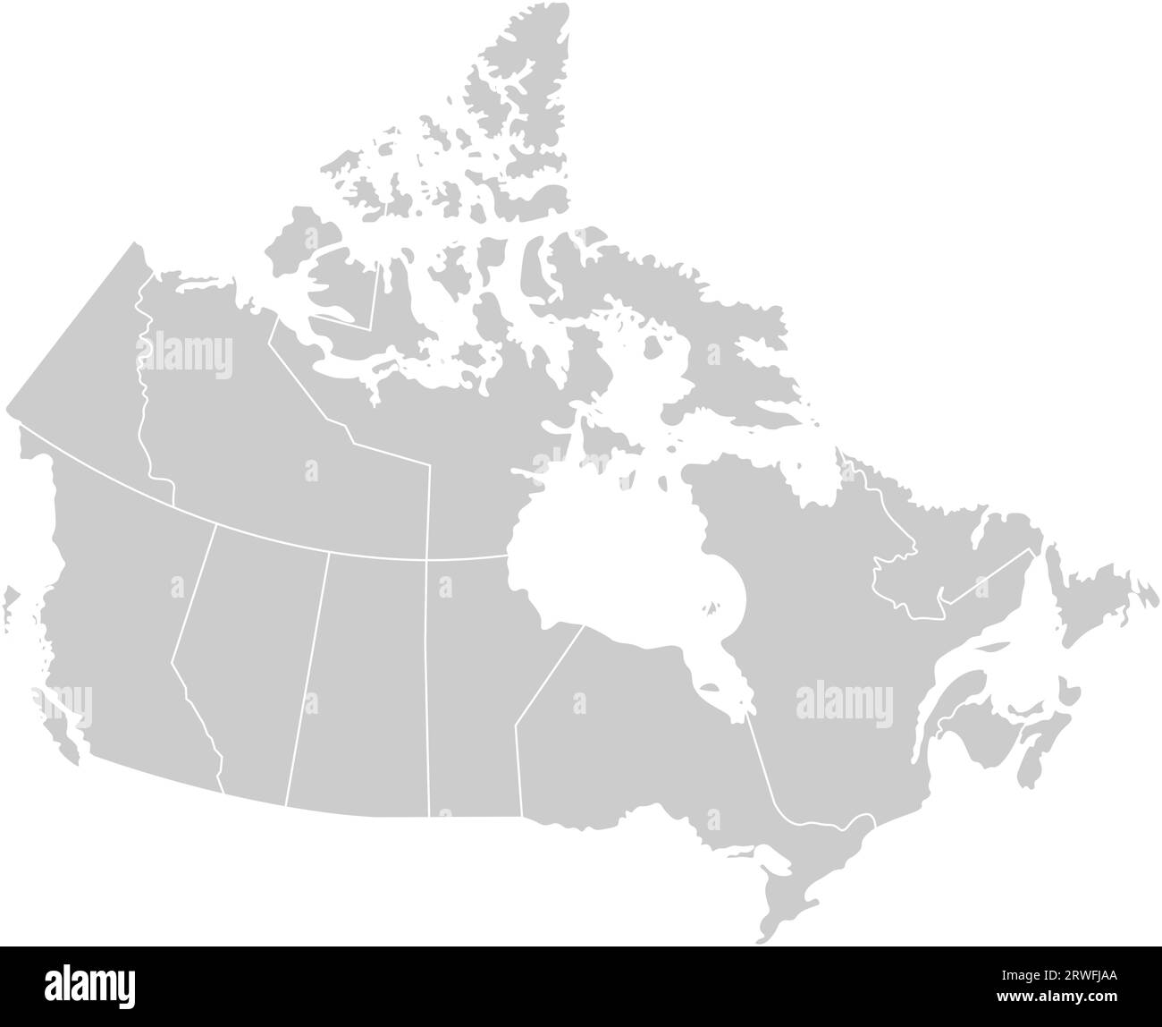 Vector isolated illustration of simplified administrative map of Canada. Borders of the provinces (regions). Grey silhouettes. White outline. Stock Vectorhttps://www.alamy.com/image-license-details/?v=1https://www.alamy.com/vector-isolated-illustration-of-simplified-administrative-map-of-canada-borders-of-the-provinces-regions-grey-silhouettes-white-outline-image566441858.html
RF2RWFJAA–Vector isolated illustration of simplified administrative map of Canada. Borders of the provinces (regions). Grey silhouettes. White outline.
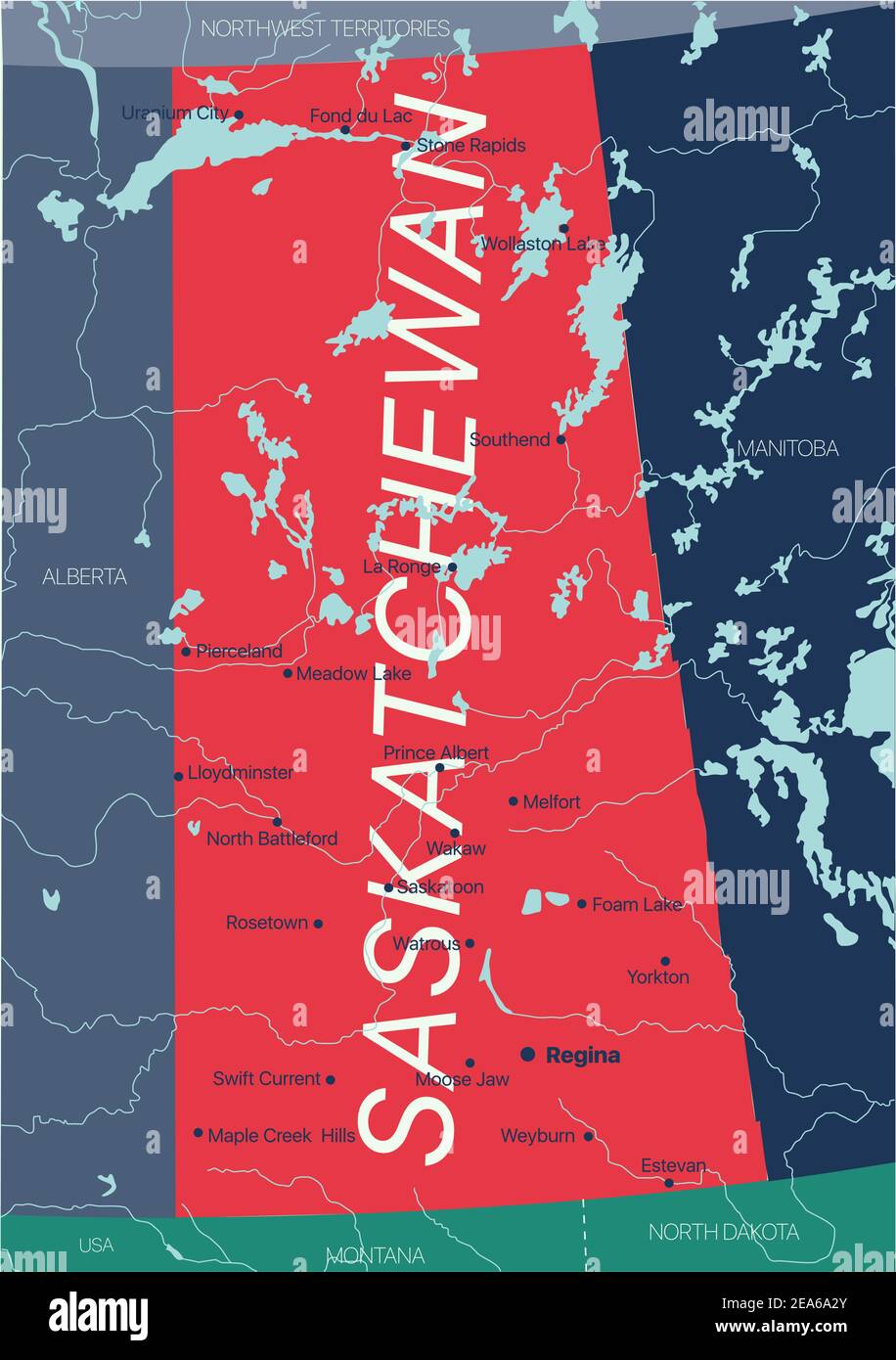 Saskatchewan province vector editable map of the Canada with capital, national borders, cities and towns, rivers and lakes. Vector EPS-10 file Stock Vectorhttps://www.alamy.com/image-license-details/?v=1https://www.alamy.com/saskatchewan-province-vector-editable-map-of-the-canada-with-capital-national-borders-cities-and-towns-rivers-and-lakes-vector-eps-10-file-image402124659.html
RF2EA6A2Y–Saskatchewan province vector editable map of the Canada with capital, national borders, cities and towns, rivers and lakes. Vector EPS-10 file
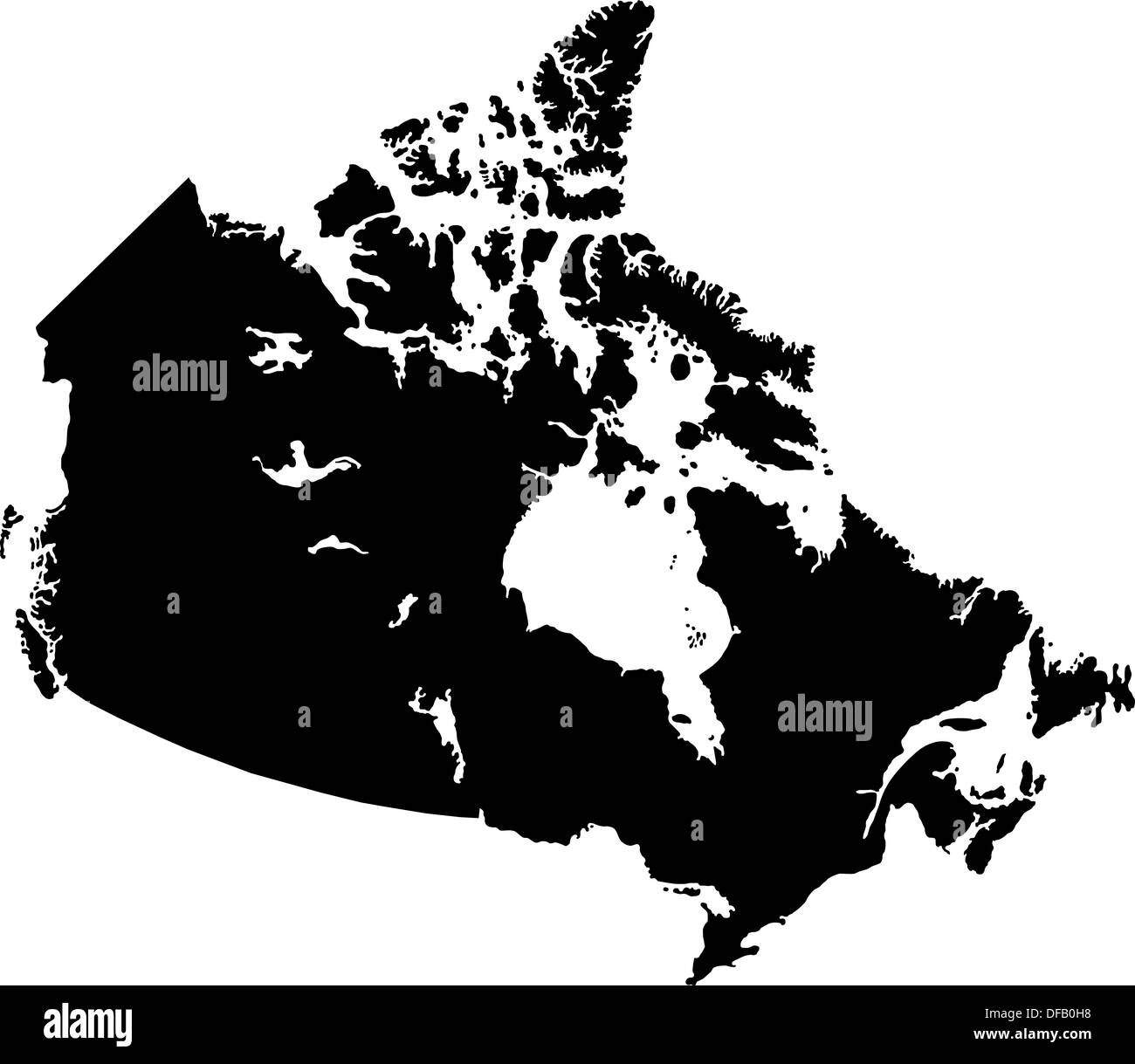 Black Canada map Stock Photohttps://www.alamy.com/image-license-details/?v=1https://www.alamy.com/black-canada-map-image61092900.html
RFDFB0H8–Black Canada map
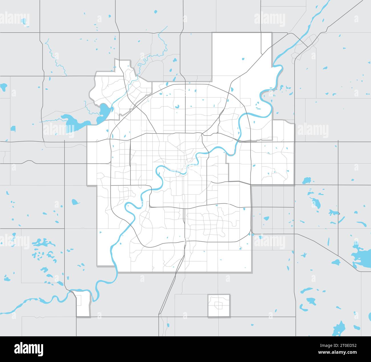 Simple map of Edmonton Alberta, Canada. Tourism map of Edmonton metropolitan region with highways, streets, rivers and lakes and region outlines. Stock Vectorhttps://www.alamy.com/image-license-details/?v=1https://www.alamy.com/simple-map-of-edmonton-alberta-canada-tourism-map-of-edmonton-metropolitan-region-with-highways-streets-rivers-and-lakes-and-region-outlines-image568259806.html
RF2T0ED52–Simple map of Edmonton Alberta, Canada. Tourism map of Edmonton metropolitan region with highways, streets, rivers and lakes and region outlines.
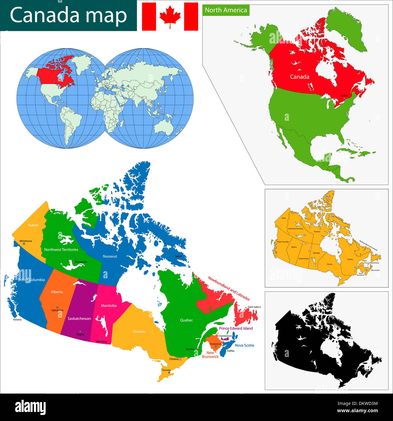 Colorful Canada map Stock Photohttps://www.alamy.com/image-license-details/?v=1https://www.alamy.com/colorful-canada-map-image63868664.html
RFDKWD3M–Colorful Canada map
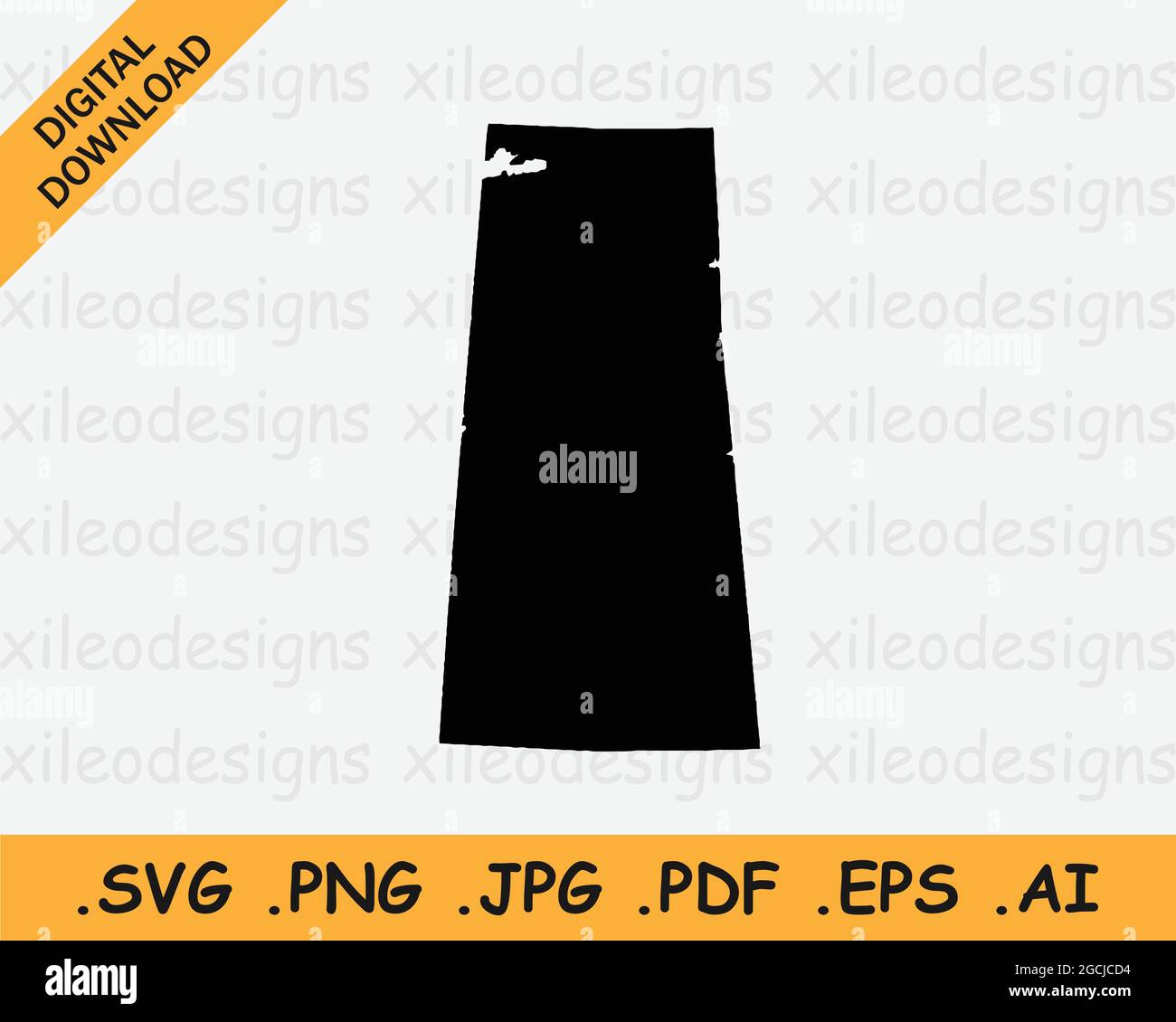 Saskatchewan Canada Map Black Silhouette. SK, Canadian Province Shape Geography Atlas Border Boundary. Black Map Isolated on a White Background. EPS V Stock Vectorhttps://www.alamy.com/image-license-details/?v=1https://www.alamy.com/saskatchewan-canada-map-black-silhouette-sk-canadian-province-shape-geography-atlas-border-boundary-black-map-isolated-on-a-white-background-eps-v-image438039984.html
RF2GCJCD4–Saskatchewan Canada Map Black Silhouette. SK, Canadian Province Shape Geography Atlas Border Boundary. Black Map Isolated on a White Background. EPS V
 One continuous line drawing of Edmonton city skyline, Canada. Beautiful landmark wall decor poster print. World landscape tourism travel vacation. Sty Stock Vectorhttps://www.alamy.com/image-license-details/?v=1https://www.alamy.com/one-continuous-line-drawing-of-edmonton-city-skyline-canada-beautiful-landmark-wall-decor-poster-print-world-landscape-tourism-travel-vacation-sty-image605614519.html
RF2X583DY–One continuous line drawing of Edmonton city skyline, Canada. Beautiful landmark wall decor poster print. World landscape tourism travel vacation. Sty
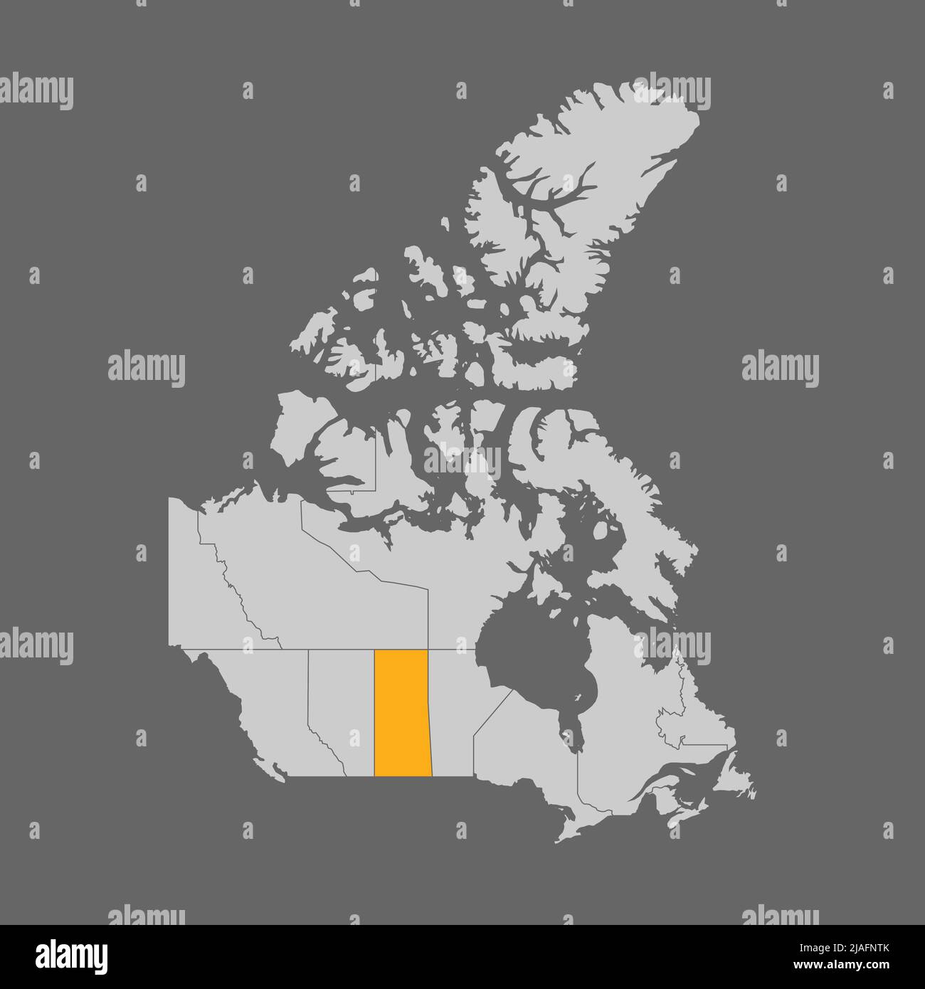 Saskatchewan province highlight on map of Canada Stock Vectorhttps://www.alamy.com/image-license-details/?v=1https://www.alamy.com/saskatchewan-province-highlight-on-map-of-canada-image471172931.html
RF2JAFNTK–Saskatchewan province highlight on map of Canada
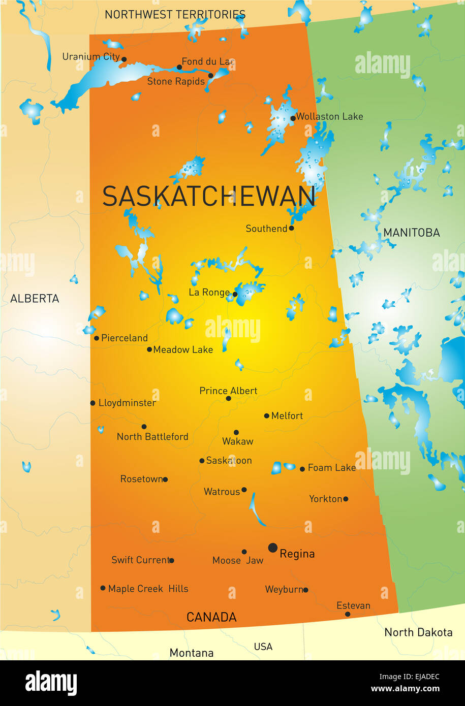 Saskatchewan province map Stock Photohttps://www.alamy.com/image-license-details/?v=1https://www.alamy.com/stock-photo-saskatchewan-province-map-80135396.html
RFEJADEC–Saskatchewan province map
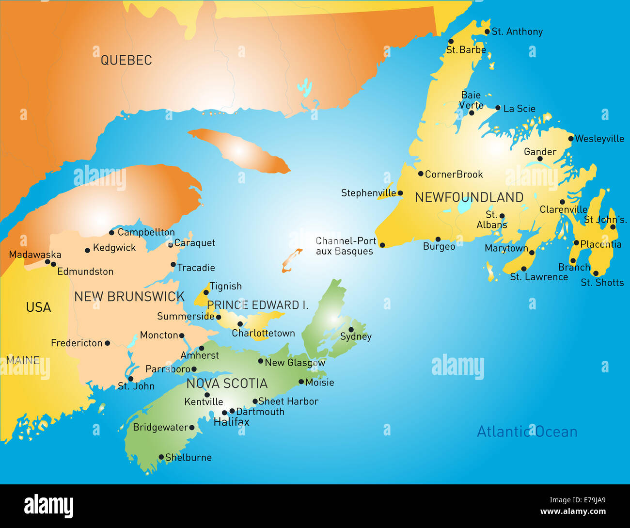 Maritime Stock Photohttps://www.alamy.com/image-license-details/?v=1https://www.alamy.com/stock-photo-maritime-73356033.html
RFE79JA9–Maritime
 Gray flat blank vector administrative map of the Canadian province of SASKATCHEWAN, CANADA Stock Vectorhttps://www.alamy.com/image-license-details/?v=1https://www.alamy.com/gray-flat-blank-vector-administrative-map-of-the-canadian-province-of-saskatchewan-canada-image456497317.html
RF2HEK6YH–Gray flat blank vector administrative map of the Canadian province of SASKATCHEWAN, CANADA
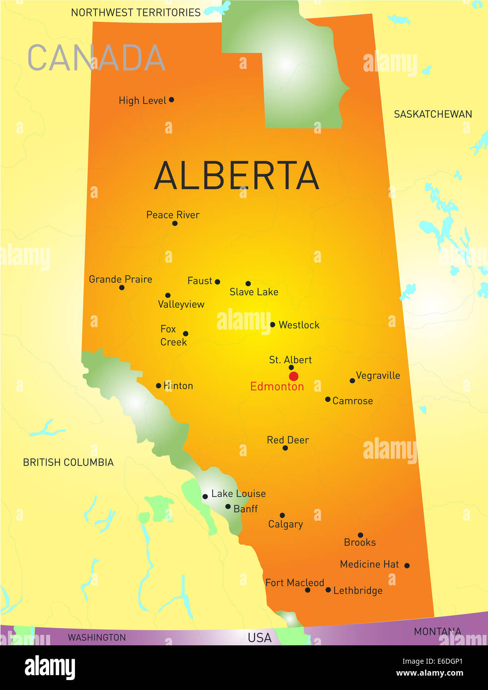 Alberta province Stock Photohttps://www.alamy.com/image-license-details/?v=1https://www.alamy.com/stock-photo-alberta-province-72827945.html
RFE6DGP1–Alberta province
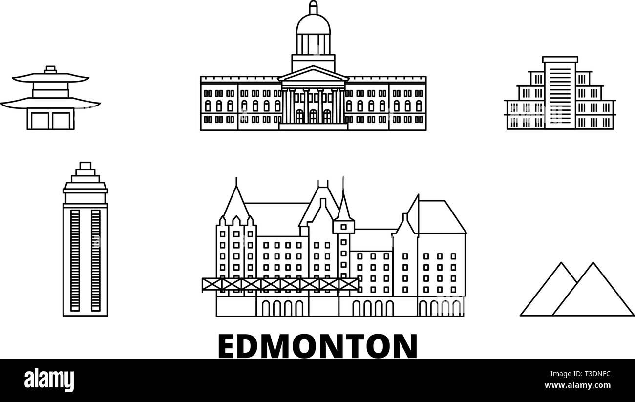 Canada, Edmonton line travel skyline set. Canada, Edmonton outline city vector illustration, symbol, travel sights, landmarks. Stock Vectorhttps://www.alamy.com/image-license-details/?v=1https://www.alamy.com/canada-edmonton-line-travel-skyline-set-canada-edmonton-outline-city-vector-illustration-symbol-travel-sights-landmarks-image243091392.html
RFT3DNFC–Canada, Edmonton line travel skyline set. Canada, Edmonton outline city vector illustration, symbol, travel sights, landmarks.
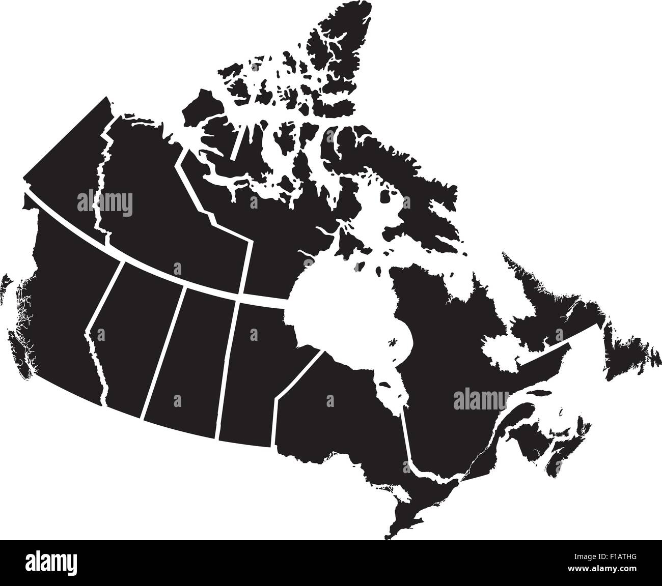 Detailed Map of Canadian Territories, each territory labeled on a separate layer Stock Vectorhttps://www.alamy.com/image-license-details/?v=1https://www.alamy.com/stock-photo-detailed-map-of-canadian-territories-each-territory-labeled-on-a-separate-86905324.html
RFF1ATHG–Detailed Map of Canadian Territories, each territory labeled on a separate layer
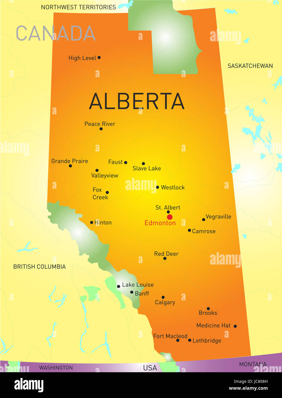 Alberta vector province color map Stock Photohttps://www.alamy.com/image-license-details/?v=1https://www.alamy.com/stock-photo-alberta-vector-province-color-map-145234673.html
RFJC808H–Alberta vector province color map
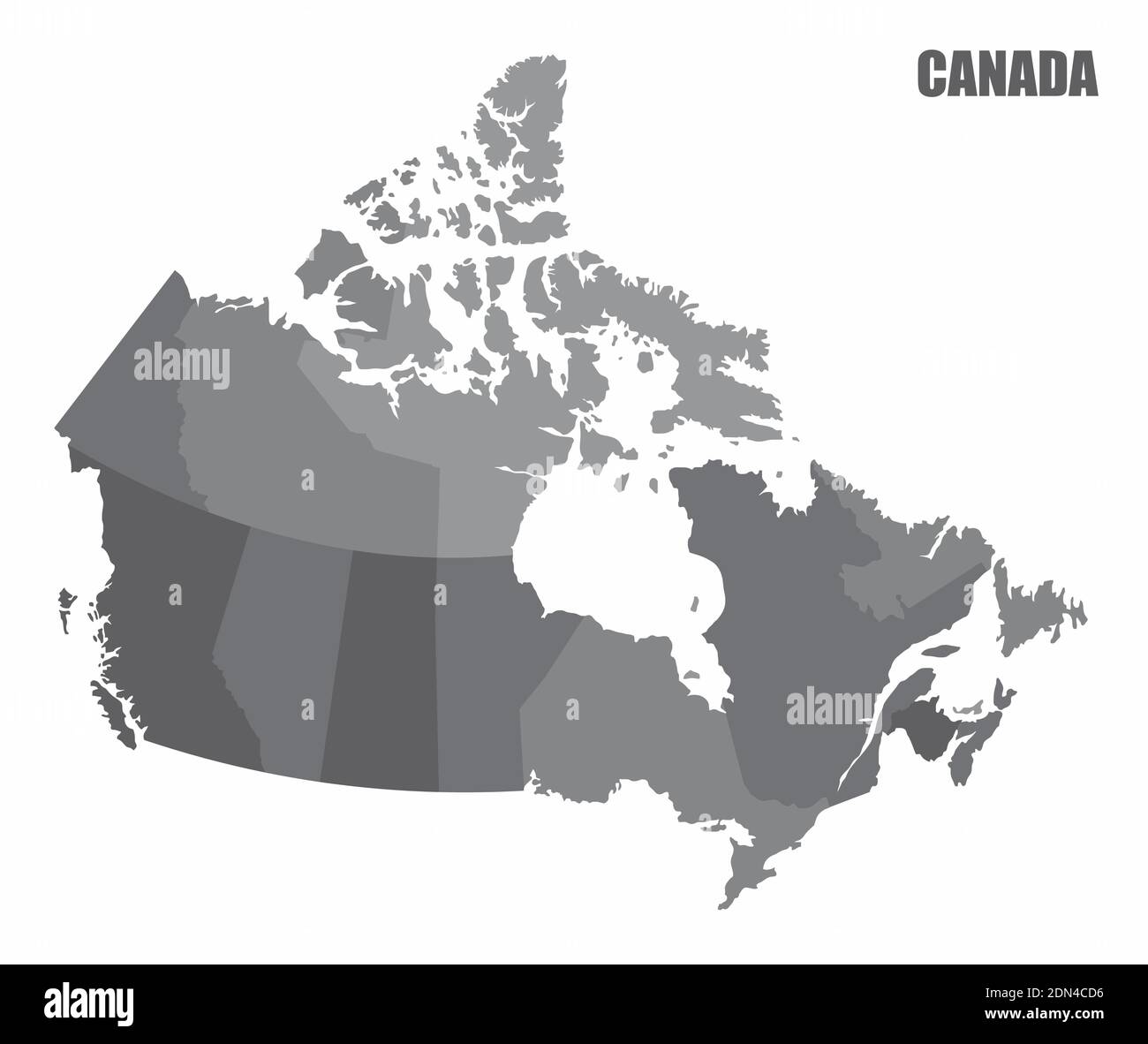 Canada provinces map Stock Vectorhttps://www.alamy.com/image-license-details/?v=1https://www.alamy.com/canada-provinces-map-image391633458.html
RF2DN4CD6–Canada provinces map
 Symbol Map of the Province Saskatchewan (Canada). Abstract map showing the state/province with a pattern of overlapping colorful squares like candies Stock Vectorhttps://www.alamy.com/image-license-details/?v=1https://www.alamy.com/symbol-map-of-the-province-saskatchewan-canada-abstract-map-showing-the-stateprovince-with-a-pattern-of-overlapping-colorful-squares-like-candies-image611838830.html
RF2XFBJJP–Symbol Map of the Province Saskatchewan (Canada). Abstract map showing the state/province with a pattern of overlapping colorful squares like candies
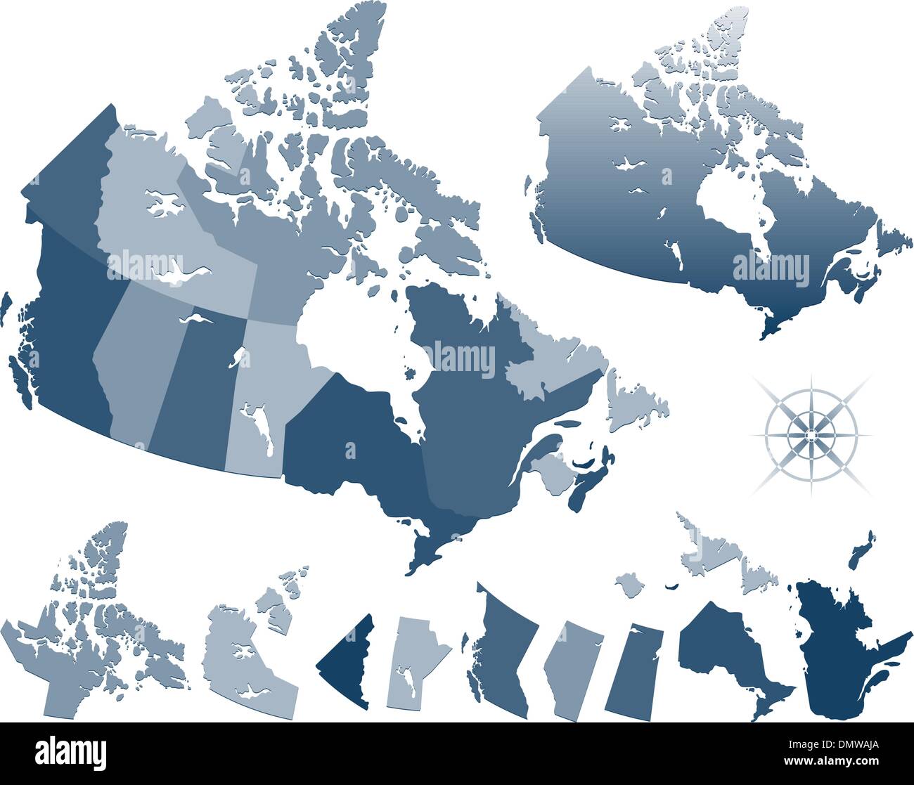 Map of Canada and provinces Stock Vectorhttps://www.alamy.com/image-license-details/?v=1https://www.alamy.com/map-of-canada-and-provinces-image64481378.html
RFDMWAJA–Map of Canada and provinces
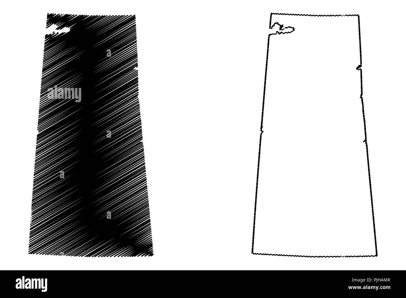 Saskatchewan (provinces and territories of Canada) map vector illustration, scribble sketch Saskatchewan map Stock Vectorhttps://www.alamy.com/image-license-details/?v=1https://www.alamy.com/saskatchewan-provinces-and-territories-of-canada-map-vector-illustration-scribble-sketch-saskatchewan-map-image217969831.html
RFPJHAMR–Saskatchewan (provinces and territories of Canada) map vector illustration, scribble sketch Saskatchewan map
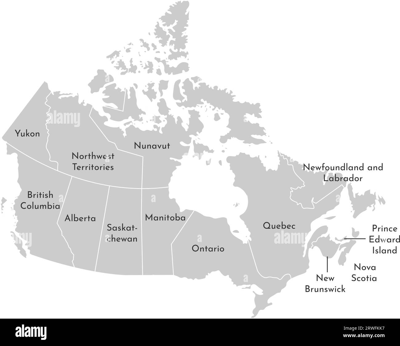 Vector isolated illustration of simplified administrative map of Canada. Borders and names of the provinces (regions). Grey silhouettes. White outline Stock Vectorhttps://www.alamy.com/image-license-details/?v=1https://www.alamy.com/vector-isolated-illustration-of-simplified-administrative-map-of-canada-borders-and-names-of-the-provinces-regions-grey-silhouettes-white-outline-image566442891.html
RF2RWFKK7–Vector isolated illustration of simplified administrative map of Canada. Borders and names of the provinces (regions). Grey silhouettes. White outline
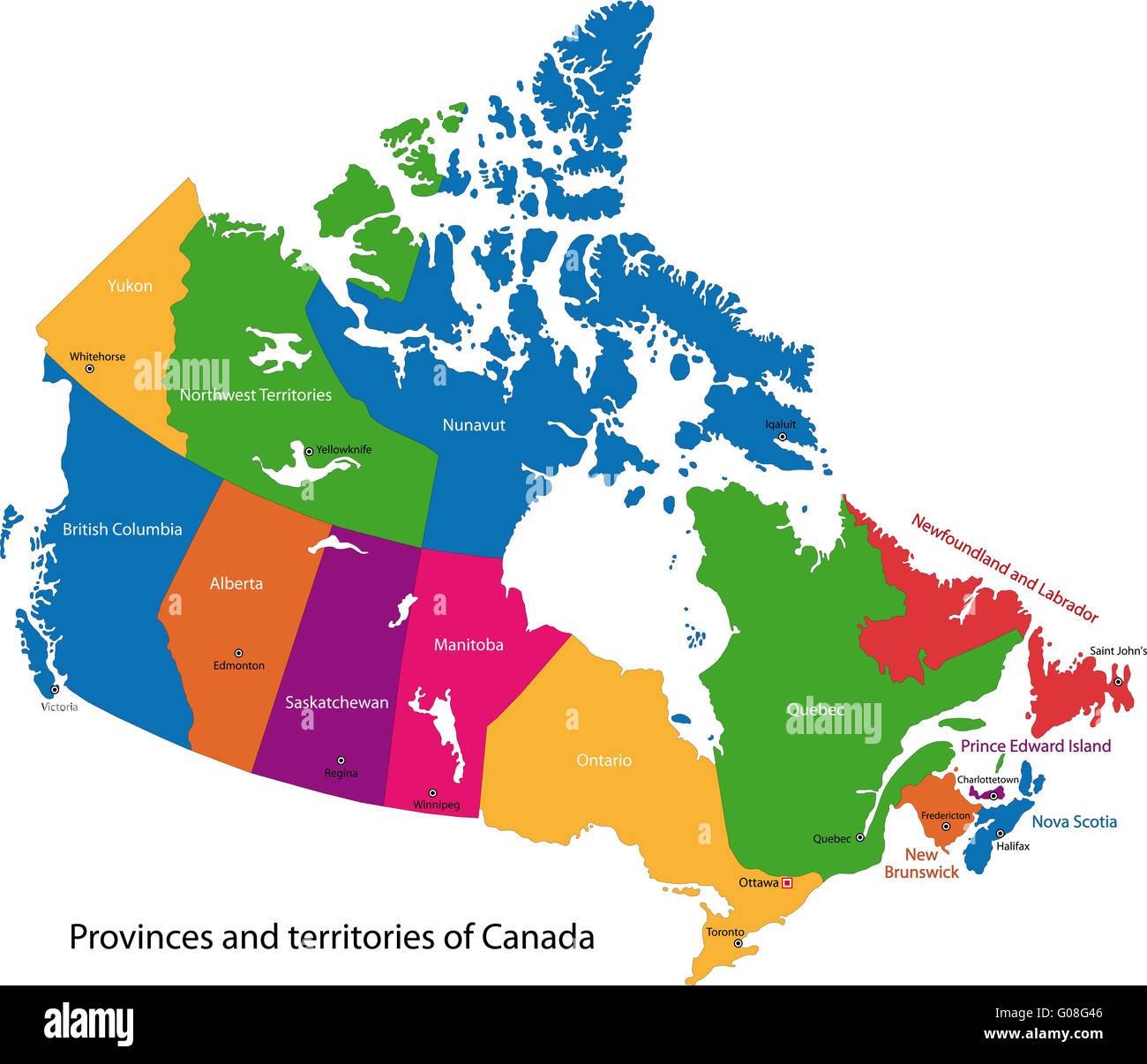 Colorful Canada map Stock Photohttps://www.alamy.com/image-license-details/?v=1https://www.alamy.com/stock-photo-colorful-canada-map-103450486.html
RMG08G46–Colorful Canada map
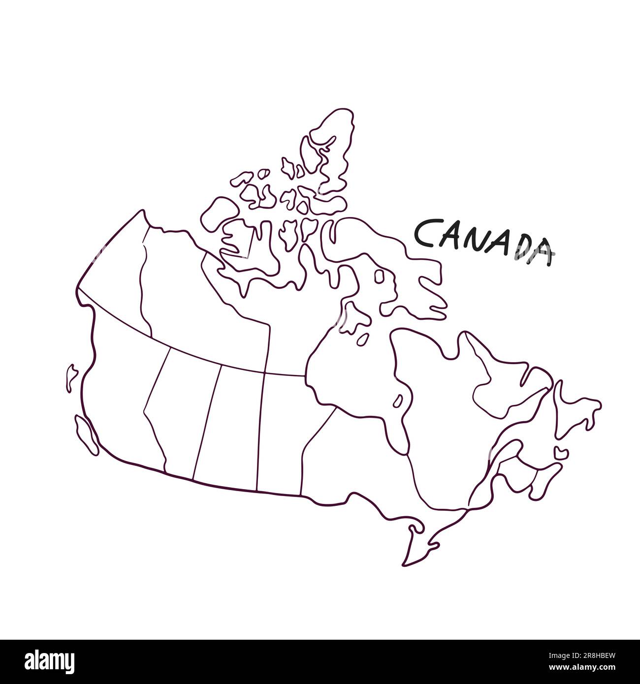 Hand Drawn Doodle Map Of Canada Stock Vectorhttps://www.alamy.com/image-license-details/?v=1https://www.alamy.com/hand-drawn-doodle-map-of-canada-image556031249.html
RF2R8HBEW–Hand Drawn Doodle Map Of Canada
 Saskatchewan map outline - smooth simple hand-drawn Canadian province shape map vector. Province in Canada. Stock Vectorhttps://www.alamy.com/image-license-details/?v=1https://www.alamy.com/saskatchewan-map-outline-smooth-simple-hand-drawn-canadian-province-shape-map-vector-province-in-canada-image490400893.html
RF2KDRK9H–Saskatchewan map outline - smooth simple hand-drawn Canadian province shape map vector. Province in Canada.
 Colorful Canada map Stock Photohttps://www.alamy.com/image-license-details/?v=1https://www.alamy.com/colorful-canada-map-image63869762.html
RFDKWEEX–Colorful Canada map
 Simple outline map of Saskatchewan is a province of Canada. Stylized minimal line design Stock Vectorhttps://www.alamy.com/image-license-details/?v=1https://www.alamy.com/simple-outline-map-of-saskatchewan-is-a-province-of-canada-stylized-minimal-line-design-image462706917.html
RF2HTP3B1–Simple outline map of Saskatchewan is a province of Canada. Stylized minimal line design
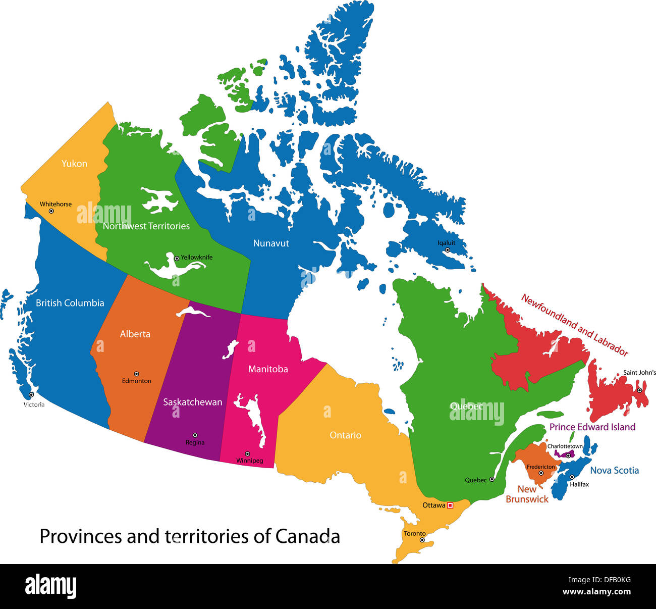 Colorful Canada map Stock Photohttps://www.alamy.com/image-license-details/?v=1https://www.alamy.com/colorful-canada-map-image61092964.html
RFDFB0KG–Colorful Canada map
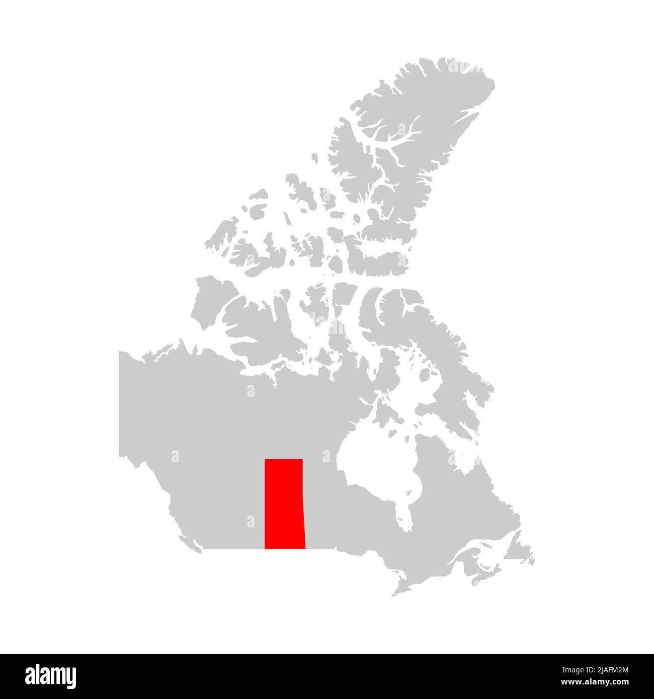 Saskatchewan province highlight on map of Canada Stock Vectorhttps://www.alamy.com/image-license-details/?v=1https://www.alamy.com/saskatchewan-province-highlight-on-map-of-canada-image471171532.html
RF2JAFM2M–Saskatchewan province highlight on map of Canada
 Detailed Map of Saskatchewan, Canada with several variations Stock Photohttps://www.alamy.com/image-license-details/?v=1https://www.alamy.com/stock-photo-detailed-map-of-saskatchewan-canada-with-several-variations-50993444.html
RFCXXXJC–Detailed Map of Saskatchewan, Canada with several variations
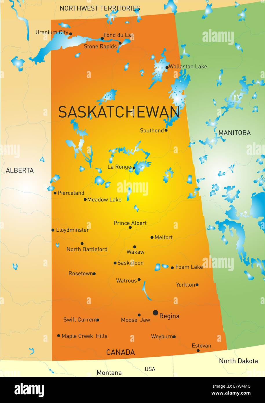 Saskatchewan province map Stock Photohttps://www.alamy.com/image-license-details/?v=1https://www.alamy.com/stock-photo-saskatchewan-province-map-73696576.html
RFE7W4MG–Saskatchewan province map
 Flat vector administrative flag map of the Canadian province of SASKATCHEWAN combined with official flag of CANADA Stock Vectorhttps://www.alamy.com/image-license-details/?v=1https://www.alamy.com/flat-vector-administrative-flag-map-of-the-canadian-province-of-saskatchewan-combined-with-official-flag-of-canada-image456497883.html
RF2HEK7KR–Flat vector administrative flag map of the Canadian province of SASKATCHEWAN combined with official flag of CANADA
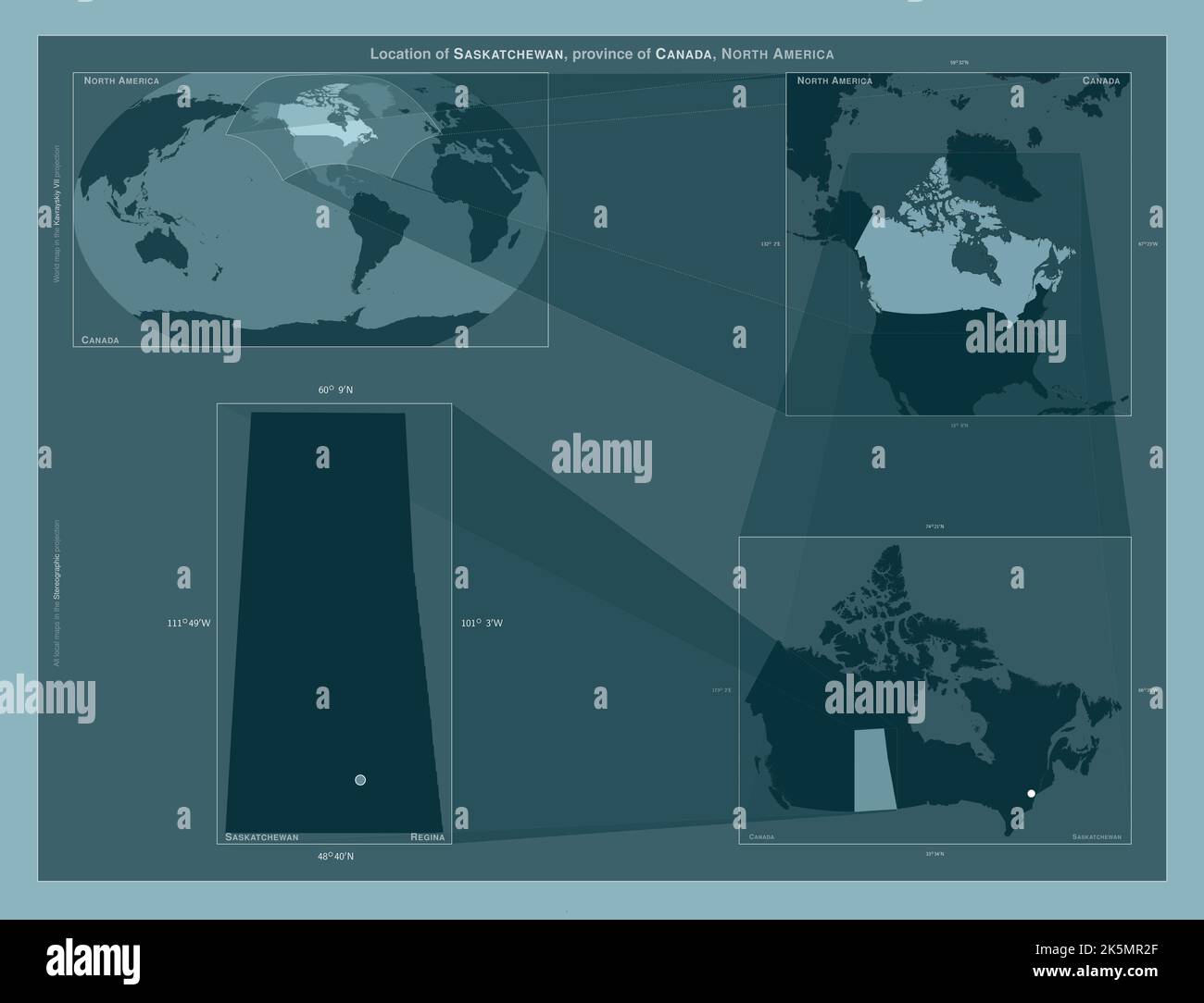 Saskatchewan, province of Canada. Diagram showing the location of the region on larger-scale maps. Composition of vector frames and PNG shapes on a so Stock Photohttps://www.alamy.com/image-license-details/?v=1https://www.alamy.com/saskatchewan-province-of-canada-diagram-showing-the-location-of-the-region-on-larger-scale-maps-composition-of-vector-frames-and-png-shapes-on-a-so-image485420727.html
RF2K5MR2F–Saskatchewan, province of Canada. Diagram showing the location of the region on larger-scale maps. Composition of vector frames and PNG shapes on a so
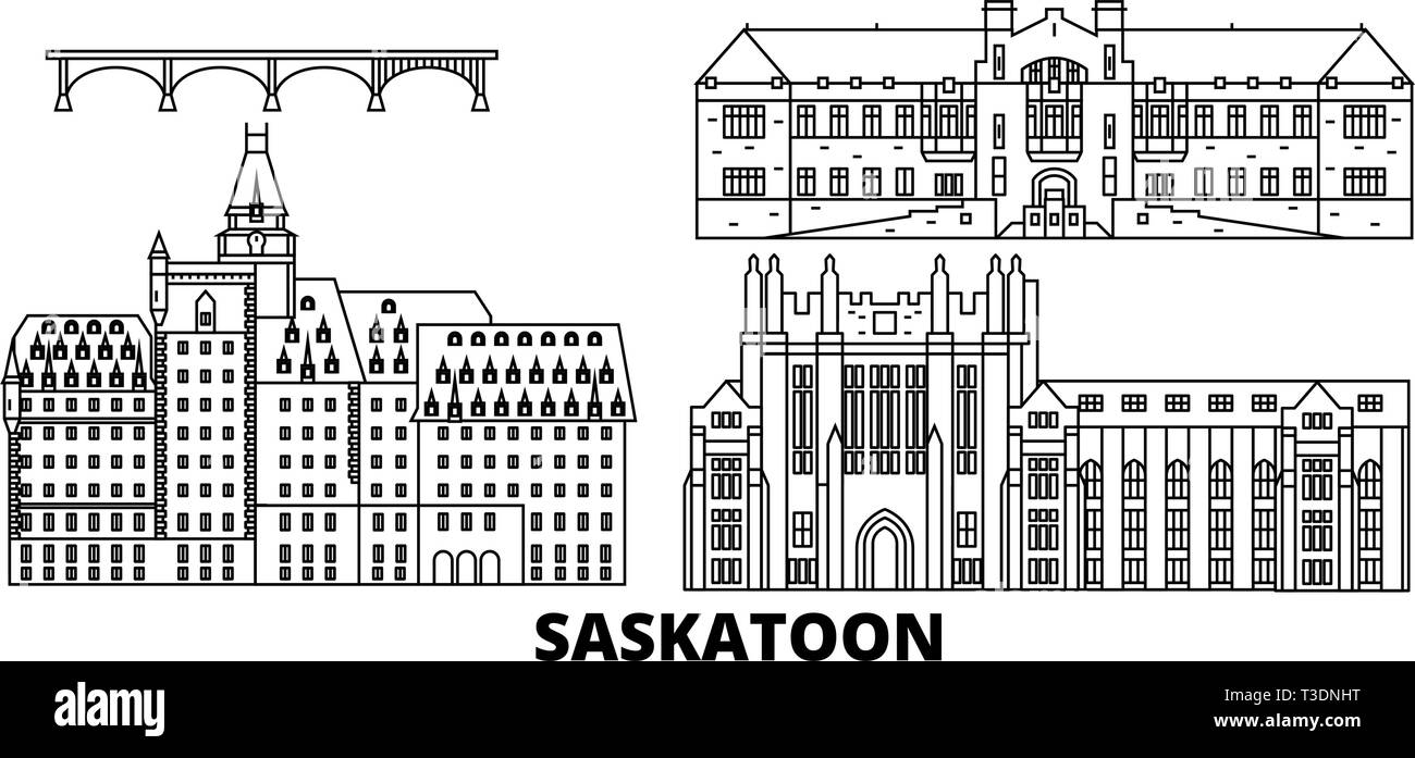 Canada, Saskatoon line travel skyline set. Canada, Saskatoon outline city vector illustration, symbol, travel sights, landmarks. Stock Vectorhttps://www.alamy.com/image-license-details/?v=1https://www.alamy.com/canada-saskatoon-line-travel-skyline-set-canada-saskatoon-outline-city-vector-illustration-symbol-travel-sights-landmarks-image243091460.html
RFT3DNHT–Canada, Saskatoon line travel skyline set. Canada, Saskatoon outline city vector illustration, symbol, travel sights, landmarks.
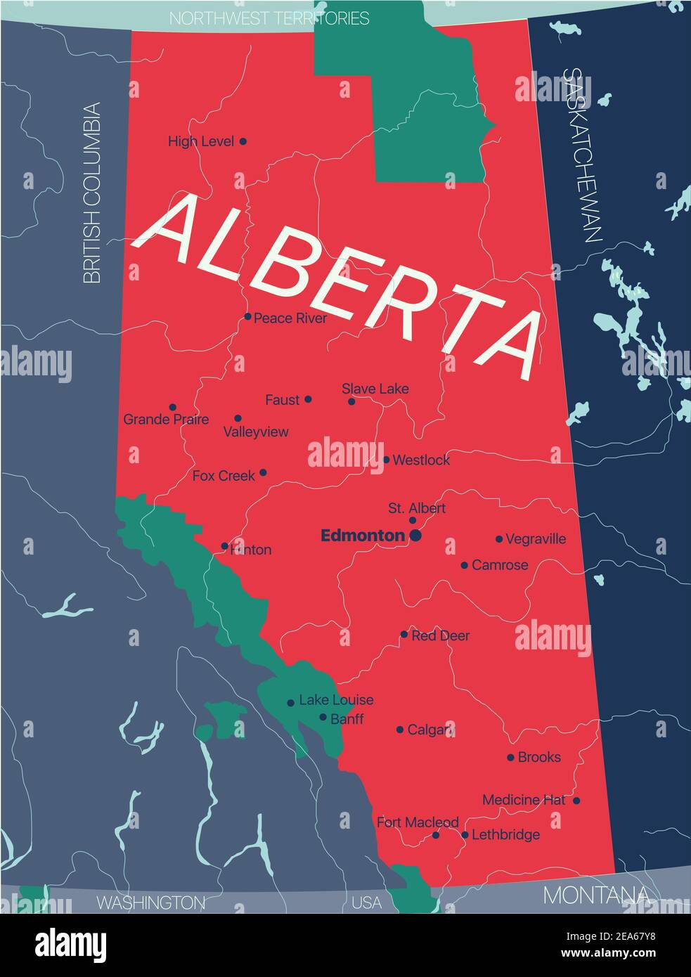 Alberta province vector editable map of the Canada with capital, national borders, cities and towns, rivers and lakes. Vector EPS-10 file Stock Vectorhttps://www.alamy.com/image-license-details/?v=1https://www.alamy.com/alberta-province-vector-editable-map-of-the-canada-with-capital-national-borders-cities-and-towns-rivers-and-lakes-vector-eps-10-file-image402122988.html
RF2EA67Y8–Alberta province vector editable map of the Canada with capital, national borders, cities and towns, rivers and lakes. Vector EPS-10 file
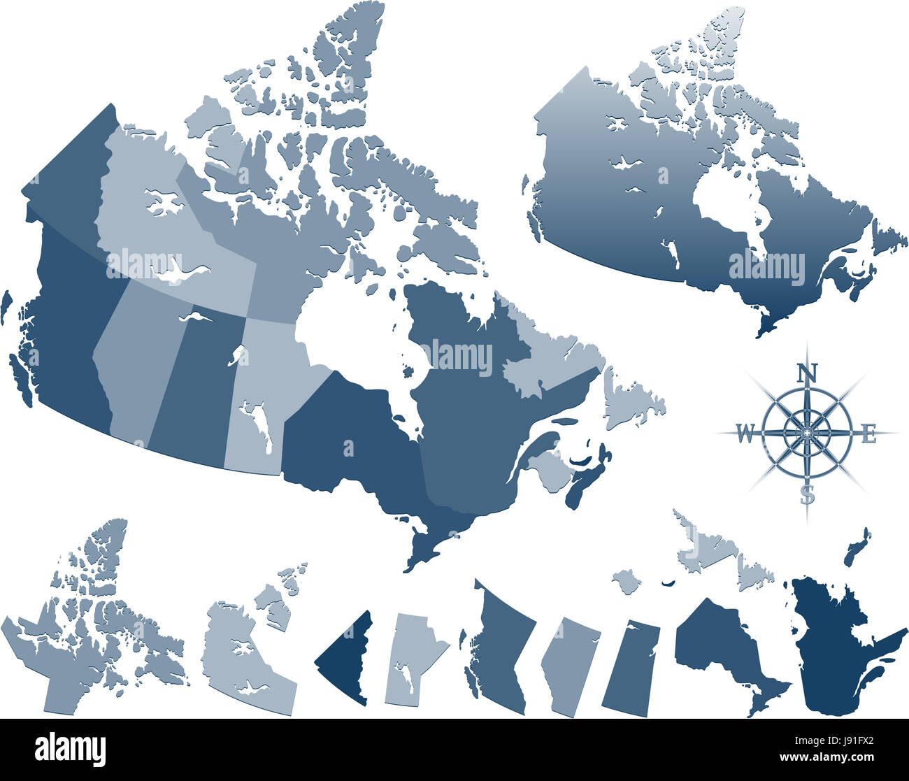 graphic, new, illustration, canada, outline, national, countries, island, Stock Photohttps://www.alamy.com/image-license-details/?v=1https://www.alamy.com/stock-photo-graphic-new-illustration-canada-outline-national-countries-island-143249290.html
RFJ91FX2–graphic, new, illustration, canada, outline, national, countries, island,
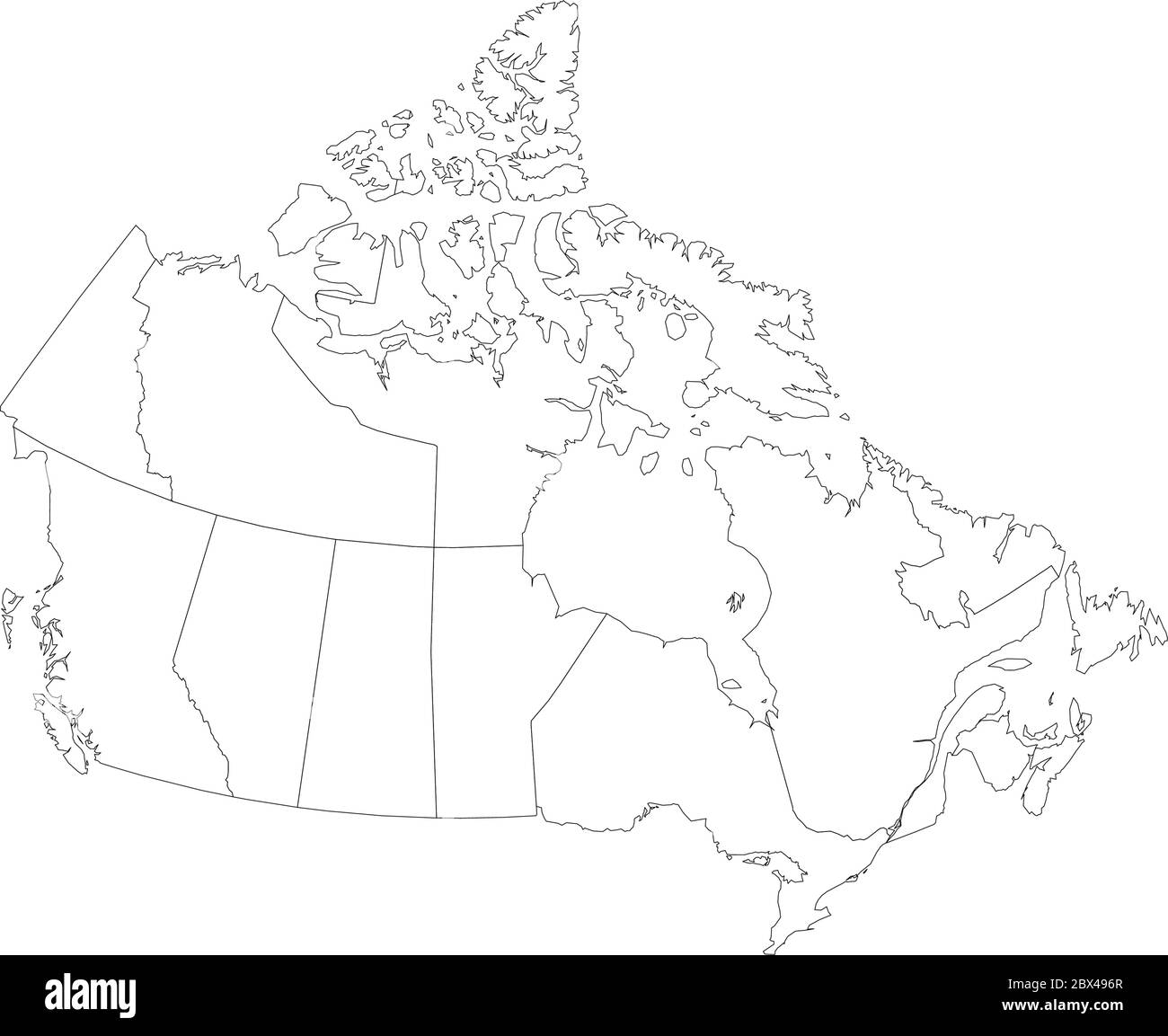 Map of Canada divided into 10 provinces and 3 territories. Administrative regions of Canada. Blank white map with black outline. Vector illustration. Stock Vectorhttps://www.alamy.com/image-license-details/?v=1https://www.alamy.com/map-of-canada-divided-into-10-provinces-and-3-territories-administrative-regions-of-canada-blank-white-map-with-black-outline-vector-illustration-image360283471.html
RF2BX496R–Map of Canada divided into 10 provinces and 3 territories. Administrative regions of Canada. Blank white map with black outline. Vector illustration.
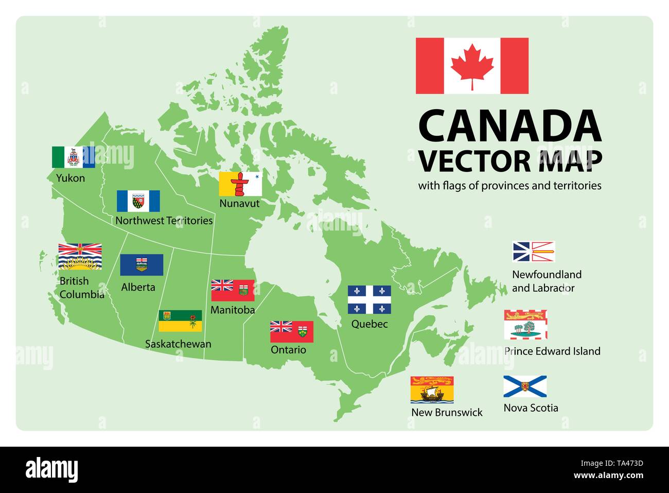 Vector set. Map of Canada with provinces and territories borders and vector flags. Stock Vectorhttps://www.alamy.com/image-license-details/?v=1https://www.alamy.com/vector-set-map-of-canada-with-provinces-and-territories-borders-and-vector-flags-image247185105.html
RFTA473D–Vector set. Map of Canada with provinces and territories borders and vector flags.
 Saskatchewan map design illustration vector eps format , suitable for your design needs, logo, illustration, animation, etc. Stock Vectorhttps://www.alamy.com/image-license-details/?v=1https://www.alamy.com/saskatchewan-map-design-illustration-vector-eps-format-suitable-for-your-design-needs-logo-illustration-animation-etc-image462988224.html
RF2HW6X5M–Saskatchewan map design illustration vector eps format , suitable for your design needs, logo, illustration, animation, etc.
 Saskatchewan (provinces and territories of Canada) map vector illustration, scribble sketch Saskatchewan map Stock Vectorhttps://www.alamy.com/image-license-details/?v=1https://www.alamy.com/saskatchewan-provinces-and-territories-of-canada-map-vector-illustration-scribble-sketch-saskatchewan-map-image217969830.html
RFPJHAMP–Saskatchewan (provinces and territories of Canada) map vector illustration, scribble sketch Saskatchewan map
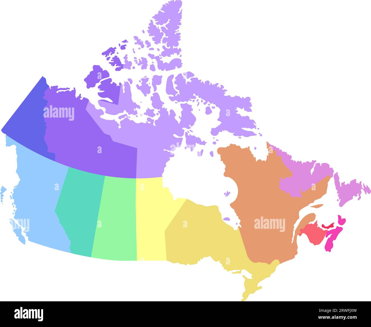 Vector isolated illustration of simplified administrative map of Canada. Borders of the regions. Multi colored silhouettes. Stock Vectorhttps://www.alamy.com/image-license-details/?v=1https://www.alamy.com/vector-isolated-illustration-of-simplified-administrative-map-of-canada-borders-of-the-regions-multi-colored-silhouettes-image566442321.html
RF2RWFJXW–Vector isolated illustration of simplified administrative map of Canada. Borders of the regions. Multi colored silhouettes.
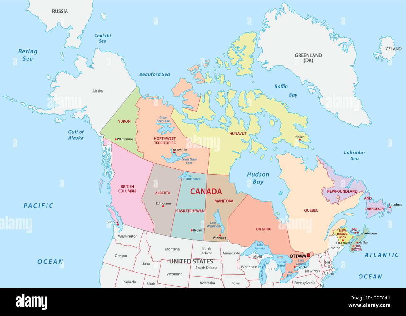 Vector Illustration of a Administrative and Political Map of Canada Stock Vectorhttps://www.alamy.com/image-license-details/?v=1https://www.alamy.com/stock-photo-vector-illustration-of-a-administrative-and-political-map-of-canada-111594689.html
RFGDFG4H–Vector Illustration of a Administrative and Political Map of Canada
RFMPK9RP–Regina silhouette skyline. Canada - Regina vector city, canadian linear architecture, buildings. Regina travel illustration, outline landmarks. Canada flat icon, canadian line banner
 Canada vector map state. Canada territory map country border Stock Vectorhttps://www.alamy.com/image-license-details/?v=1https://www.alamy.com/canada-vector-map-state-canada-territory-map-country-border-image428807463.html
RF2FWHT87–Canada vector map state. Canada territory map country border
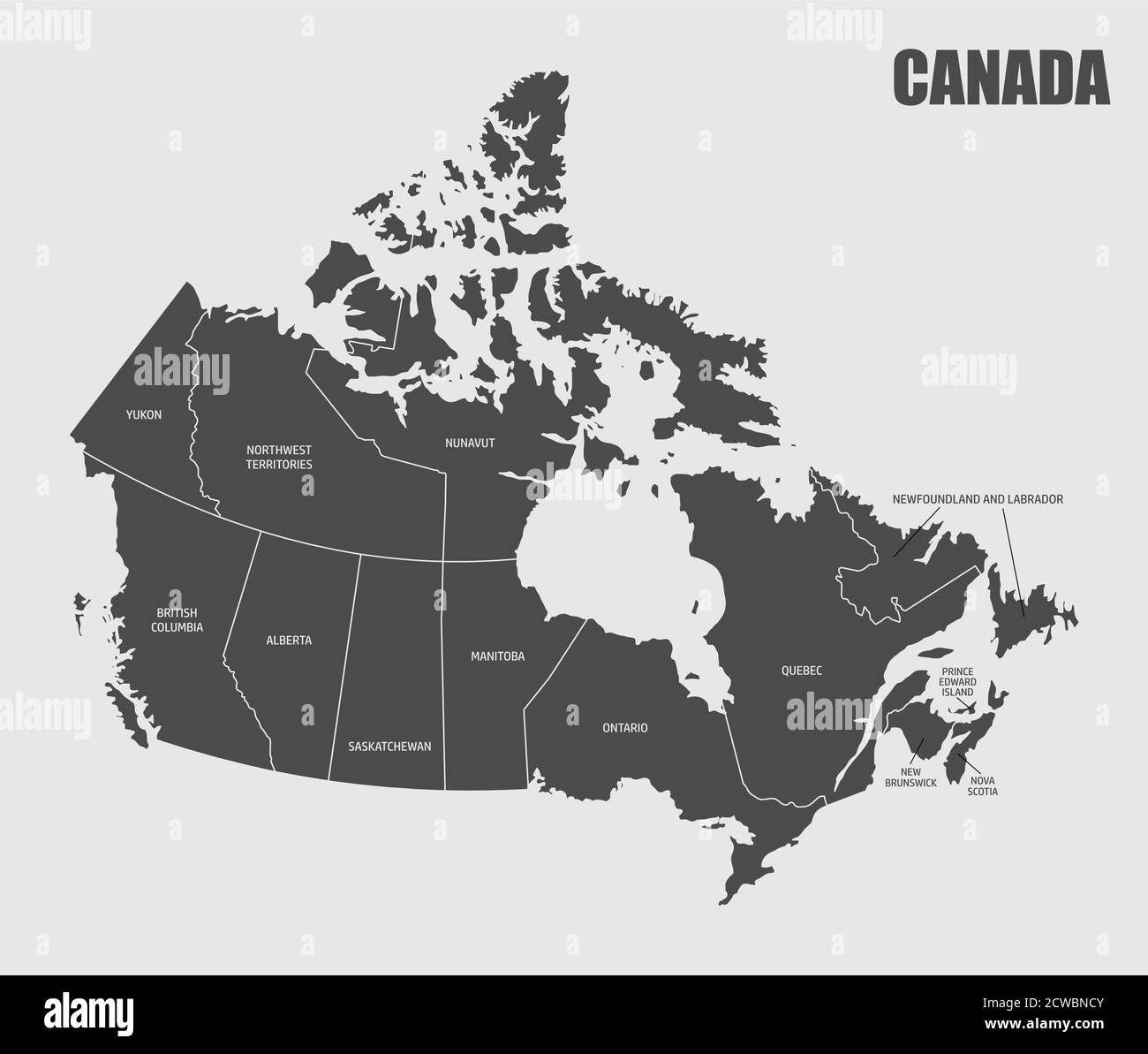 Canada provinces map Stock Vectorhttps://www.alamy.com/image-license-details/?v=1https://www.alamy.com/canada-provinces-map-image377042427.html
RF2CWBNCY–Canada provinces map
 Simple outline map of Saskatchewan is a province of Canada. Stylized minimal line design Stock Vectorhttps://www.alamy.com/image-license-details/?v=1https://www.alamy.com/simple-outline-map-of-saskatchewan-is-a-province-of-canada-stylized-minimal-line-design-image462709895.html
RF2HTP75B–Simple outline map of Saskatchewan is a province of Canada. Stylized minimal line design