Quick filters:
Satellite geography Stock Photos and Images
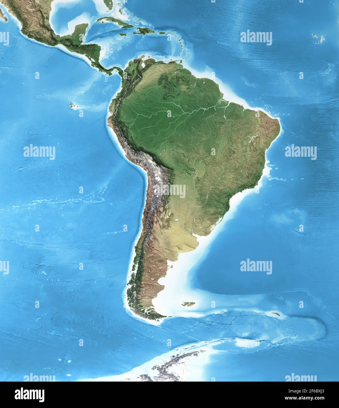 Physical map of South America, with high resolution details. Flattened satellite view of Planet Earth and its geography - Elements furnished by NASA Stock Photohttps://www.alamy.com/image-license-details/?v=1https://www.alamy.com/physical-map-of-south-america-with-high-resolution-details-flattened-satellite-view-of-planet-earth-and-its-geography-elements-furnished-by-nasa-image416999131.html
RF2F6BXJ3–Physical map of South America, with high resolution details. Flattened satellite view of Planet Earth and its geography - Elements furnished by NASA
 satellite image of the Potomac River and canal Stock Photohttps://www.alamy.com/image-license-details/?v=1https://www.alamy.com/stock-image-satellite-image-of-the-potomac-river-and-canal-162890292.html
RMKD086C–satellite image of the Potomac River and canal
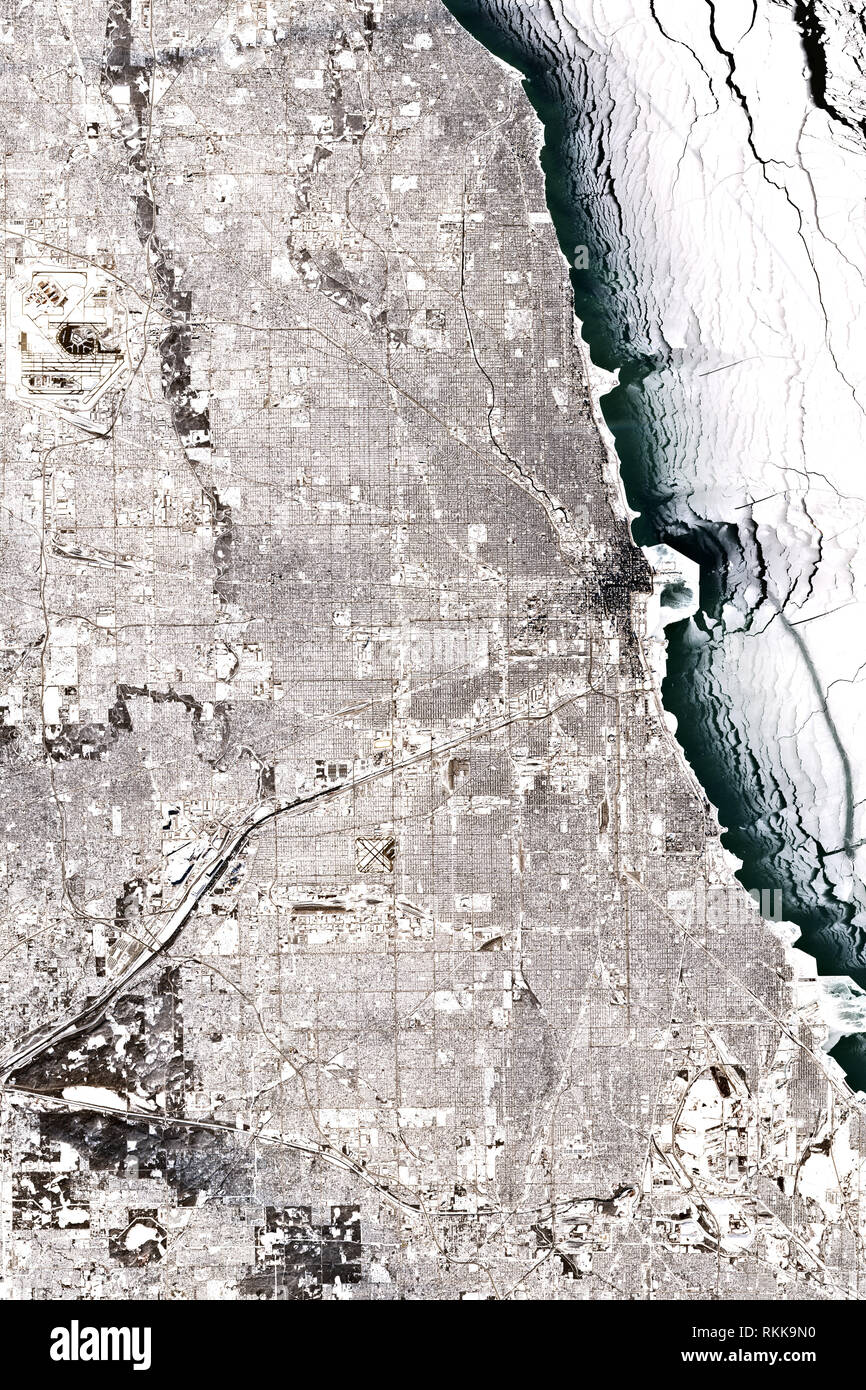 High resolution satellite image of Chicago in winter - January 2019 - contains modified Copernicus Sentinel Data 2019 Stock Photohttps://www.alamy.com/image-license-details/?v=1https://www.alamy.com/high-resolution-satellite-image-of-chicago-in-winter-january-2019-contains-modified-copernicus-sentinel-data-2019-image235837980.html
RFRKK9N0–High resolution satellite image of Chicago in winter - January 2019 - contains modified Copernicus Sentinel Data 2019
 A blue and white part of Earth and the blackness of space viewed from the Earth-orbiting space shuttle Atlantis. Stock Photohttps://www.alamy.com/image-license-details/?v=1https://www.alamy.com/stock-photo-a-blue-and-white-part-of-earth-and-the-blackness-of-space-viewed-from-57536199.html
RFD9H007–A blue and white part of Earth and the blackness of space viewed from the Earth-orbiting space shuttle Atlantis.
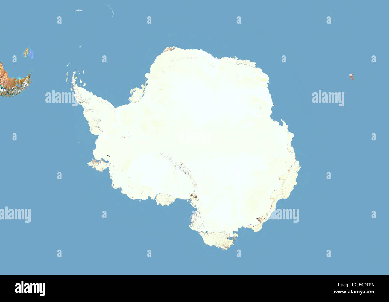 Antarctica, Satellite Image With Bump Effect Stock Photohttps://www.alamy.com/image-license-details/?v=1https://www.alamy.com/stock-photo-antarctica-satellite-image-with-bump-effect-71604914.html
RME4DTPA–Antarctica, Satellite Image With Bump Effect
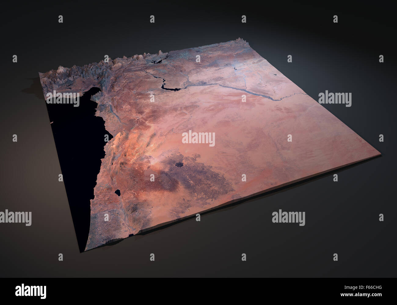 Map of Syrian Arab Republic, satellite view on black background Stock Photohttps://www.alamy.com/image-license-details/?v=1https://www.alamy.com/stock-photo-map-of-syrian-arab-republic-satellite-view-on-black-background-89881388.html
RFF66CHG–Map of Syrian Arab Republic, satellite view on black background
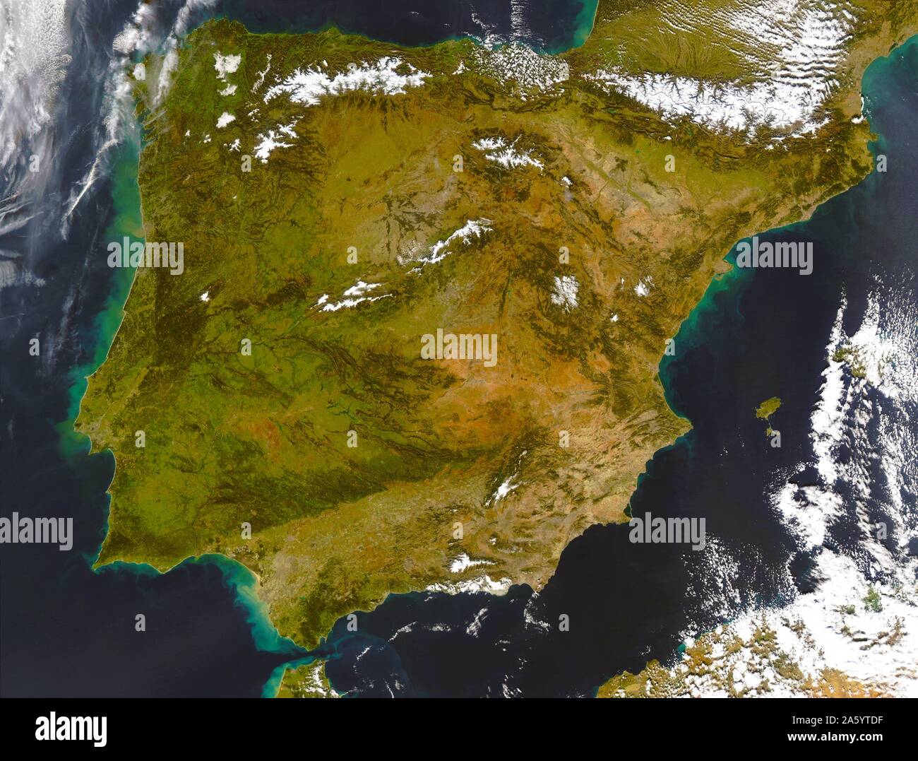 Iberian Peninsula (satellite image) showing Spain and Portugal. Stock Photohttps://www.alamy.com/image-license-details/?v=1https://www.alamy.com/iberian-peninsula-satellite-image-showing-spain-and-portugal-image330682171.html
RM2A5YTDF–Iberian Peninsula (satellite image) showing Spain and Portugal.
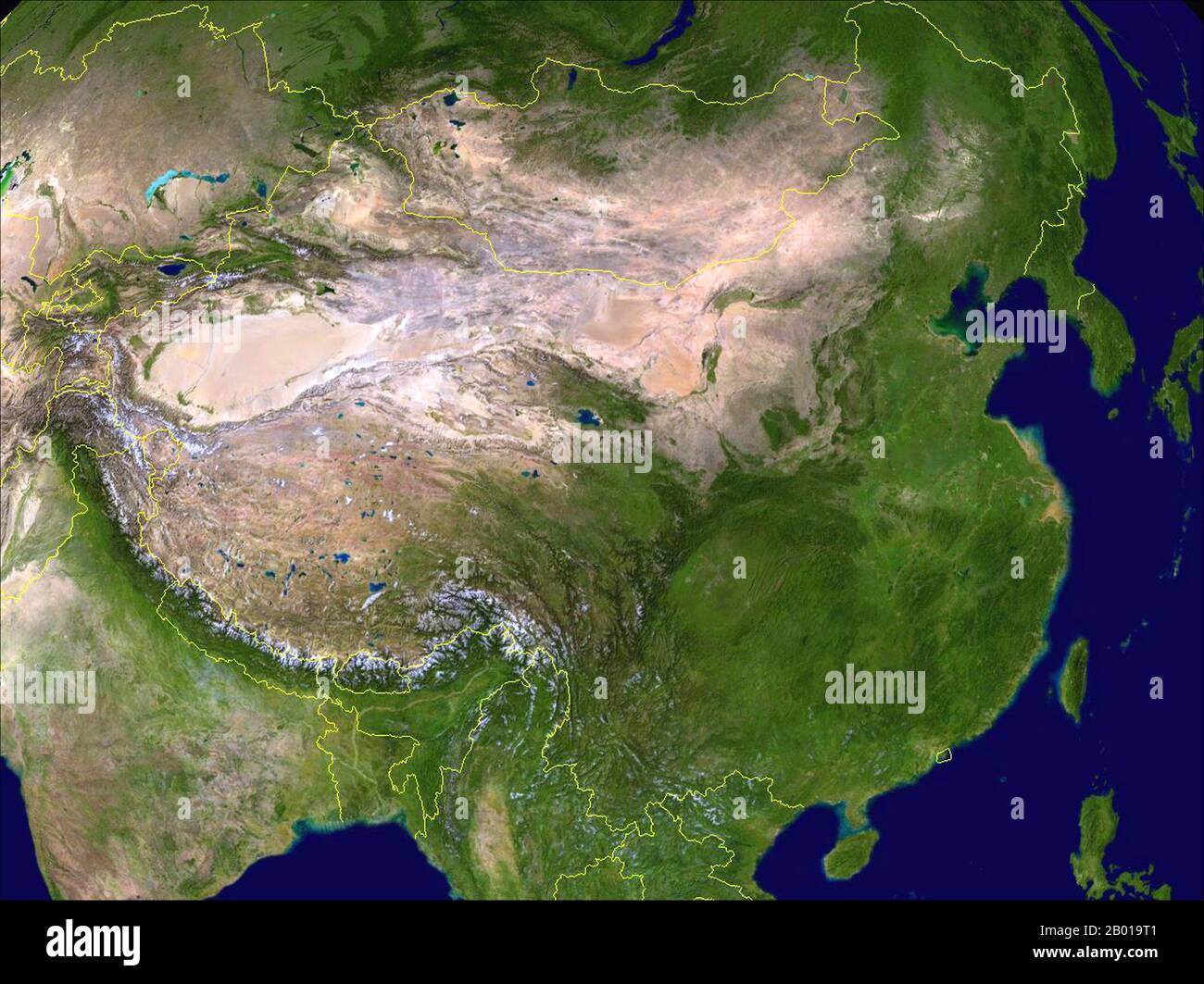 China: Composite Satellite image of China created by NASA and with contemporary frontiers superimposed in yellow, 30 March 2009. China ranges from mostly plateaus and mountains in the west to lower lands in the east. Principal rivers flow from west to east, including the Yangtze (central), the Yellow River (Huang He, north-central), and the Amur (northeast), and sometimes toward the south (including the Pearl River, Mekong (river), and Brahmaputra), with most Chinese rivers emptying into the Pacific Ocean. Stock Photohttps://www.alamy.com/image-license-details/?v=1https://www.alamy.com/china-composite-satellite-image-of-china-created-by-nasa-and-with-contemporary-frontiers-superimposed-in-yellow-30-march-2009-china-ranges-from-mostly-plateaus-and-mountains-in-the-west-to-lower-lands-in-the-east-principal-rivers-flow-from-west-to-east-including-the-yangtze-central-the-yellow-river-huang-he-north-central-and-the-amur-northeast-and-sometimes-toward-the-south-including-the-pearl-river-mekong-river-and-brahmaputra-with-most-chinese-rivers-emptying-into-the-pacific-ocean-image344237041.html
RM2B019T1–China: Composite Satellite image of China created by NASA and with contemporary frontiers superimposed in yellow, 30 March 2009. China ranges from mostly plateaus and mountains in the west to lower lands in the east. Principal rivers flow from west to east, including the Yangtze (central), the Yellow River (Huang He, north-central), and the Amur (northeast), and sometimes toward the south (including the Pearl River, Mekong (river), and Brahmaputra), with most Chinese rivers emptying into the Pacific Ocean.
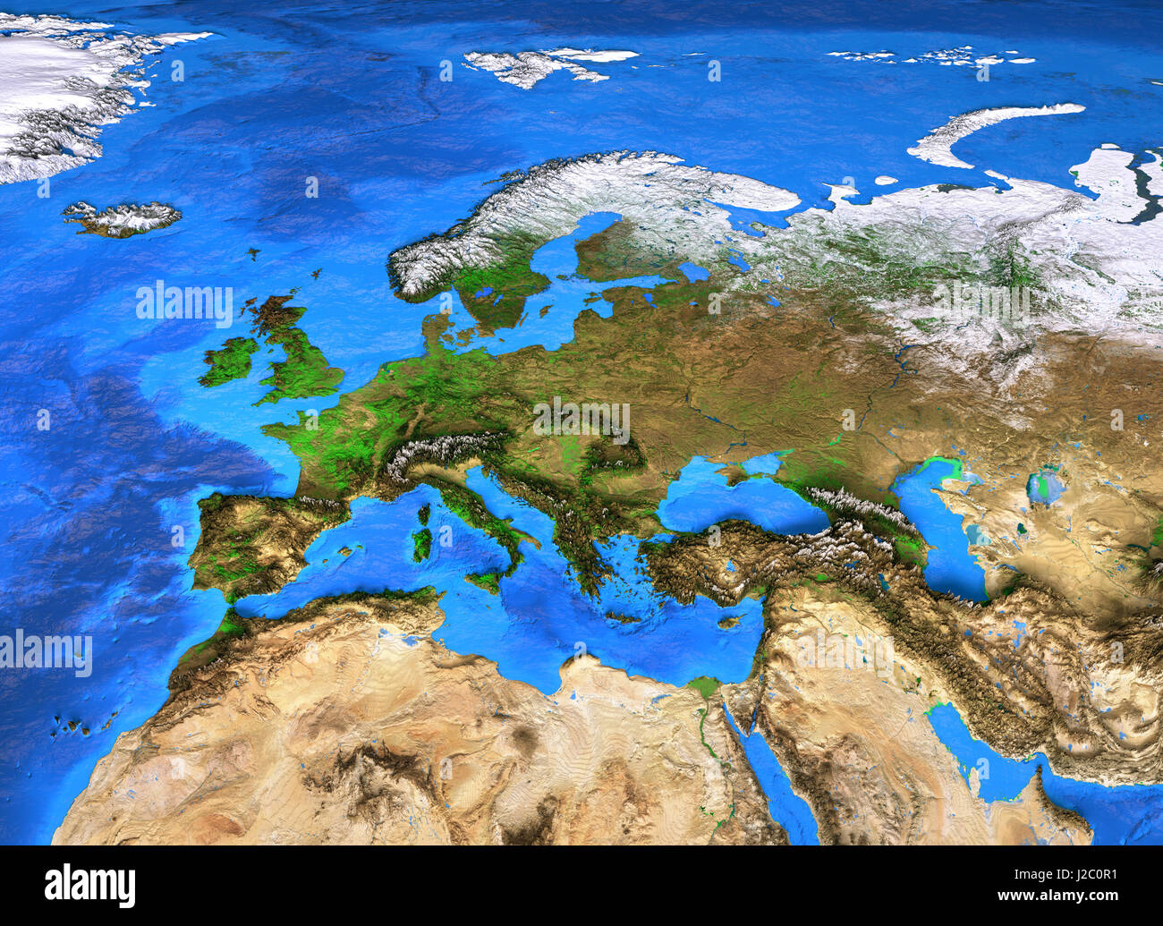 Europe map. Detailed satellite view of the Earth and its landforms. Elements of this image furnished by NASA Stock Photohttps://www.alamy.com/image-license-details/?v=1https://www.alamy.com/stock-photo-europe-map-detailed-satellite-view-of-the-earth-and-its-landforms-139176325.html
RFJ2C0R1–Europe map. Detailed satellite view of the Earth and its landforms. Elements of this image furnished by NASA
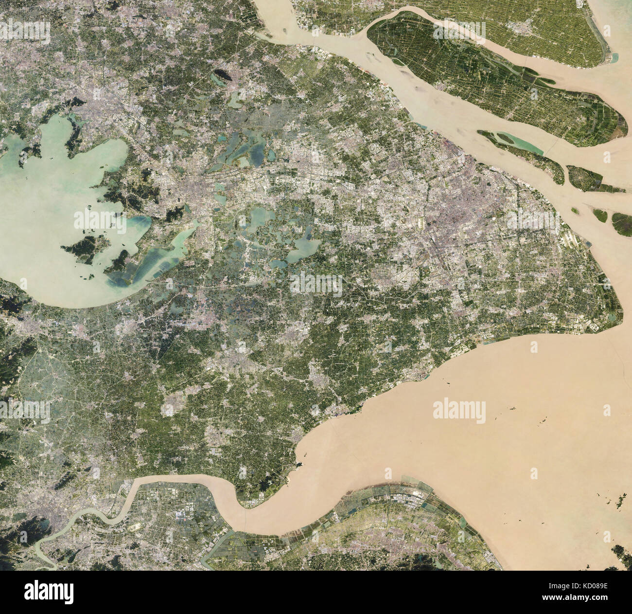 satellite image of Shanghai, China, and the Yangtze River showing flooding Stock Photohttps://www.alamy.com/image-license-details/?v=1https://www.alamy.com/stock-image-satellite-image-of-shanghai-china-and-the-yangtze-river-showing-flooding-162890378.html
RMKD089E–satellite image of Shanghai, China, and the Yangtze River showing flooding
 Laguna di Marano and the Mediterranean Sea seen from space - contains modified Copernicus Sentinel Data Stock Photohttps://www.alamy.com/image-license-details/?v=1https://www.alamy.com/laguna-di-marano-and-the-mediterranean-sea-seen-from-space-contains-modified-copernicus-sentinel-data-image223557002.html
RFPYKW6J–Laguna di Marano and the Mediterranean Sea seen from space - contains modified Copernicus Sentinel Data
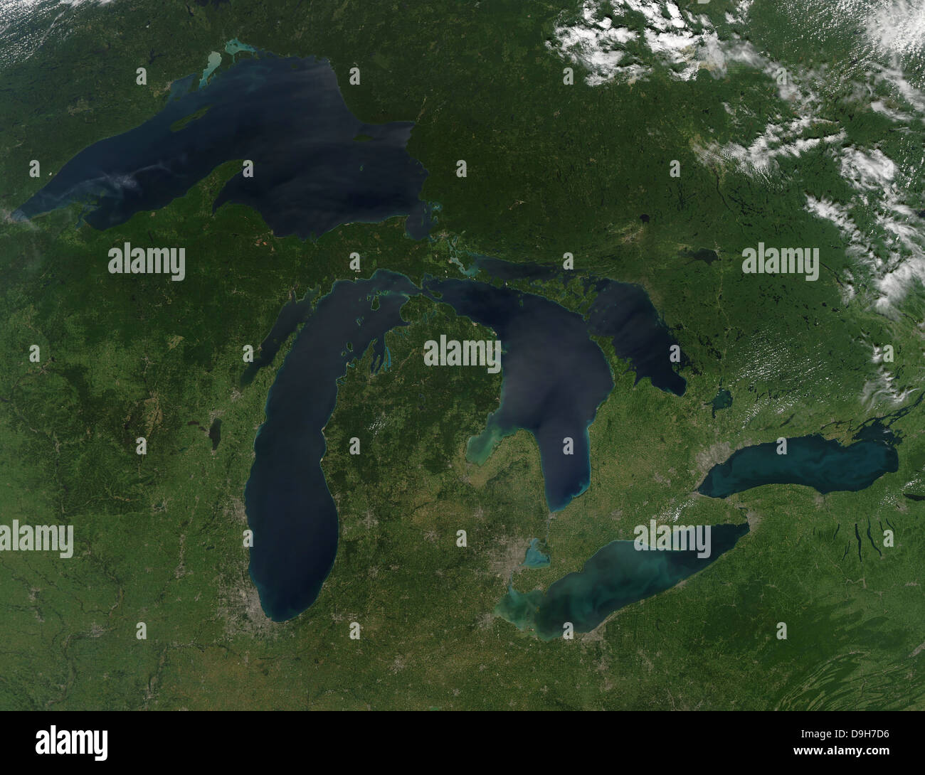 August 28, 2010 - Satellite view of a cloudless summer day over the entire Great Lakes region. Stock Photohttps://www.alamy.com/image-license-details/?v=1https://www.alamy.com/stock-photo-august-28-2010-satellite-view-of-a-cloudless-summer-day-over-the-entire-57542050.html
RFD9H7D6–August 28, 2010 - Satellite view of a cloudless summer day over the entire Great Lakes region.
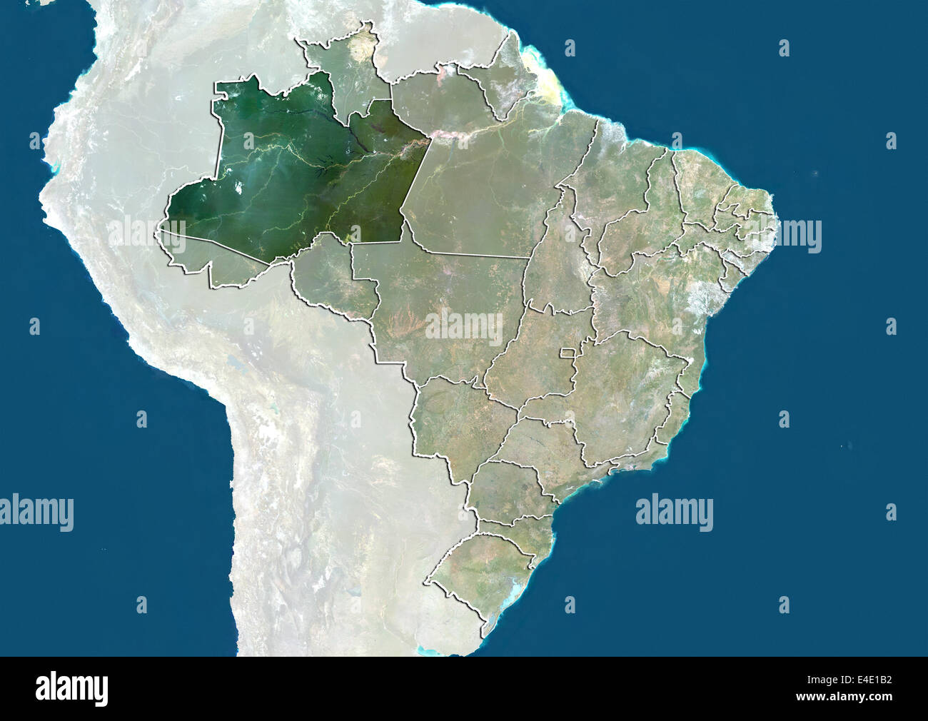 Brazil and the State of Amazonas, True Colour Satellite Image Stock Photohttps://www.alamy.com/image-license-details/?v=1https://www.alamy.com/stock-photo-brazil-and-the-state-of-amazonas-true-colour-satellite-image-71608518.html
RME4E1B2–Brazil and the State of Amazonas, True Colour Satellite Image
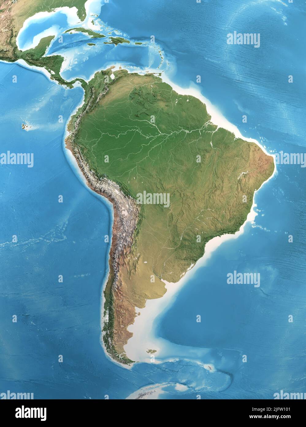 Physical map of South and Central America, with high resolution details. Satellite view of Planet Earth. Elements furnished by NASA Stock Photohttps://www.alamy.com/image-license-details/?v=1https://www.alamy.com/physical-map-of-south-and-central-america-with-high-resolution-details-satellite-view-of-planet-earth-elements-furnished-by-nasa-image474449361.html
RF2JFW101–Physical map of South and Central America, with high resolution details. Satellite view of Planet Earth. Elements furnished by NASA
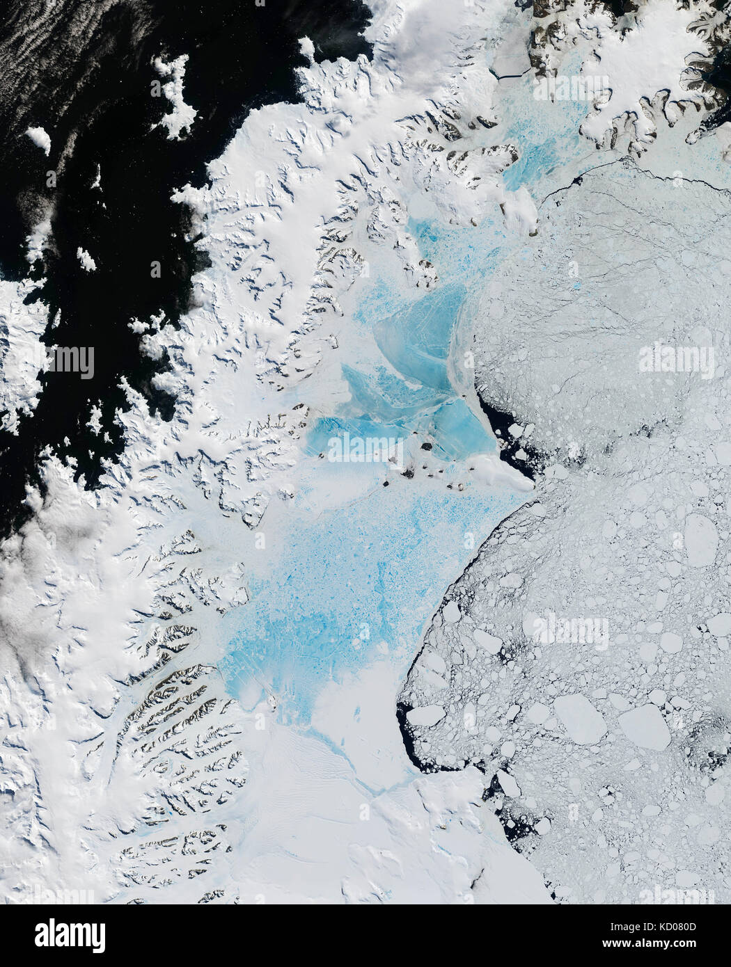 satellite image of the northern part of Larsen Ice Shelf, Antarctica Stock Photohttps://www.alamy.com/image-license-details/?v=1https://www.alamy.com/stock-image-satellite-image-of-the-northern-part-of-larsen-ice-shelf-antarctica-162890125.html
RMKD080D–satellite image of the northern part of Larsen Ice Shelf, Antarctica
 Kazakhstan, Satellite Image Stock Photohttps://www.alamy.com/image-license-details/?v=1https://www.alamy.com/stock-photo-kazakhstan-satellite-image-71603940.html
RME4DRFG–Kazakhstan, Satellite Image
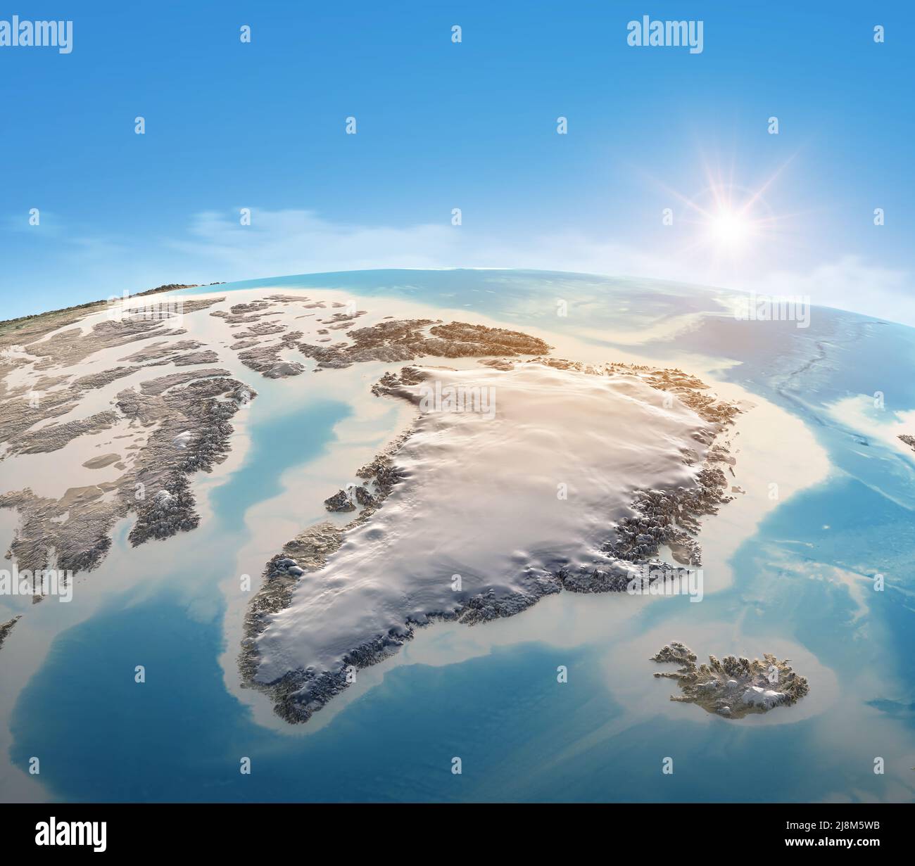 Physical map of Planet Earth, focused on Greenland. Satellite view of North Pole and Arctic Ocean. Elements furnished by NASA Stock Photohttps://www.alamy.com/image-license-details/?v=1https://www.alamy.com/physical-map-of-planet-earth-focused-on-greenland-satellite-view-of-north-pole-and-arctic-ocean-elements-furnished-by-nasa-image470040855.html
RF2J8M5WB–Physical map of Planet Earth, focused on Greenland. Satellite view of North Pole and Arctic Ocean. Elements furnished by NASA
 Satellite image of Spain's Sierra Nevada mountains in winter with snow Stock Photohttps://www.alamy.com/image-license-details/?v=1https://www.alamy.com/stock-image-satellite-image-of-spains-sierra-nevada-mountains-in-winter-with-snow-162890503.html
RMKD08DY–Satellite image of Spain's Sierra Nevada mountains in winter with snow
 Afghanistan, Satellite Image Stock Photohttps://www.alamy.com/image-license-details/?v=1https://www.alamy.com/stock-photo-afghanistan-satellite-image-71603394.html
RME4DPT2–Afghanistan, Satellite Image
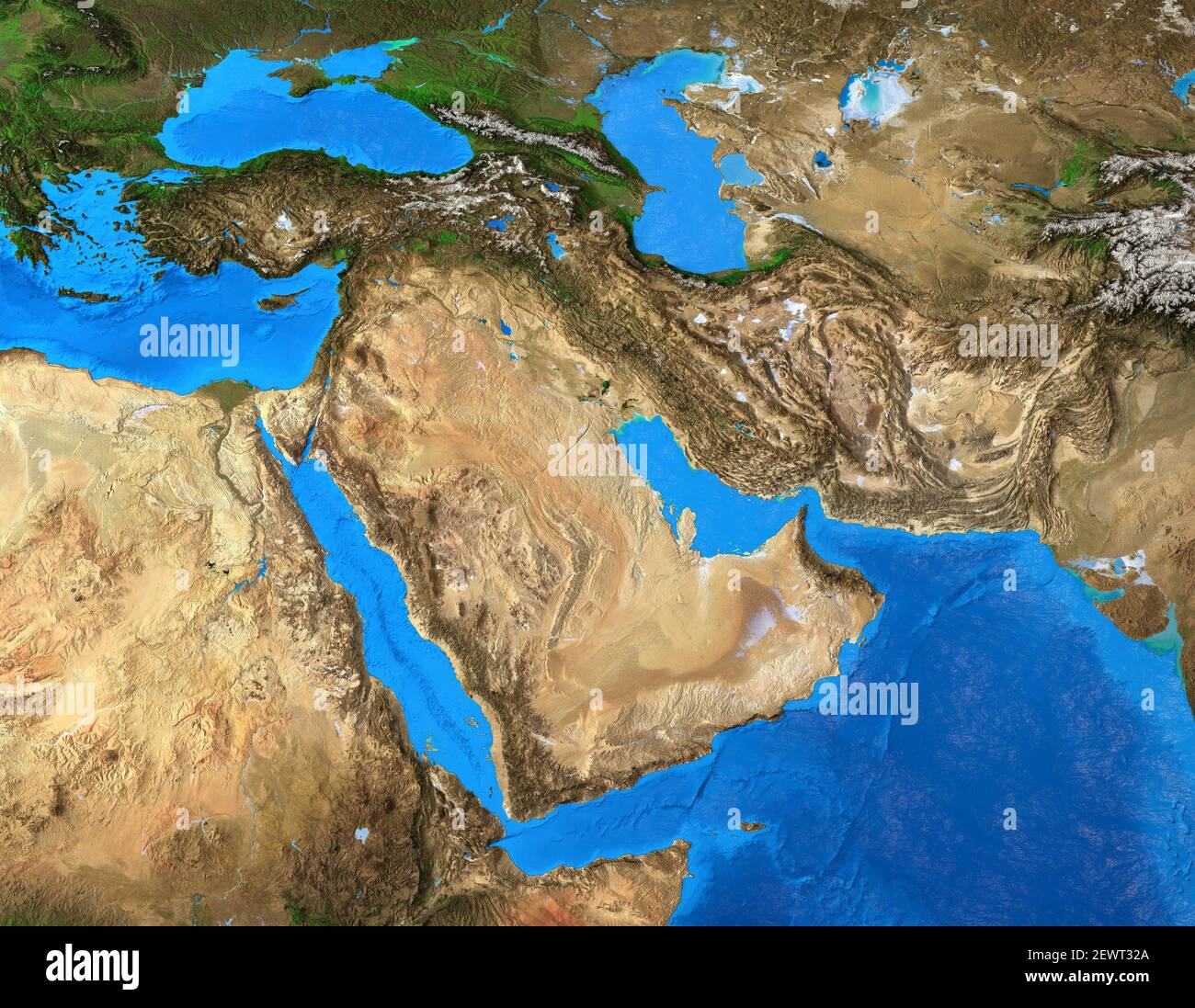 Physical map of Middle East. Geography of Arabian Peninsula. Detailed flat view of the Planet Earth and its landforms - Elements furnished by NASA Stock Photohttps://www.alamy.com/image-license-details/?v=1https://www.alamy.com/physical-map-of-middle-east-geography-of-arabian-peninsula-detailed-flat-view-of-the-planet-earth-and-its-landforms-elements-furnished-by-nasa-image411734130.html
RF2EWT32A–Physical map of Middle East. Geography of Arabian Peninsula. Detailed flat view of the Planet Earth and its landforms - Elements furnished by NASA
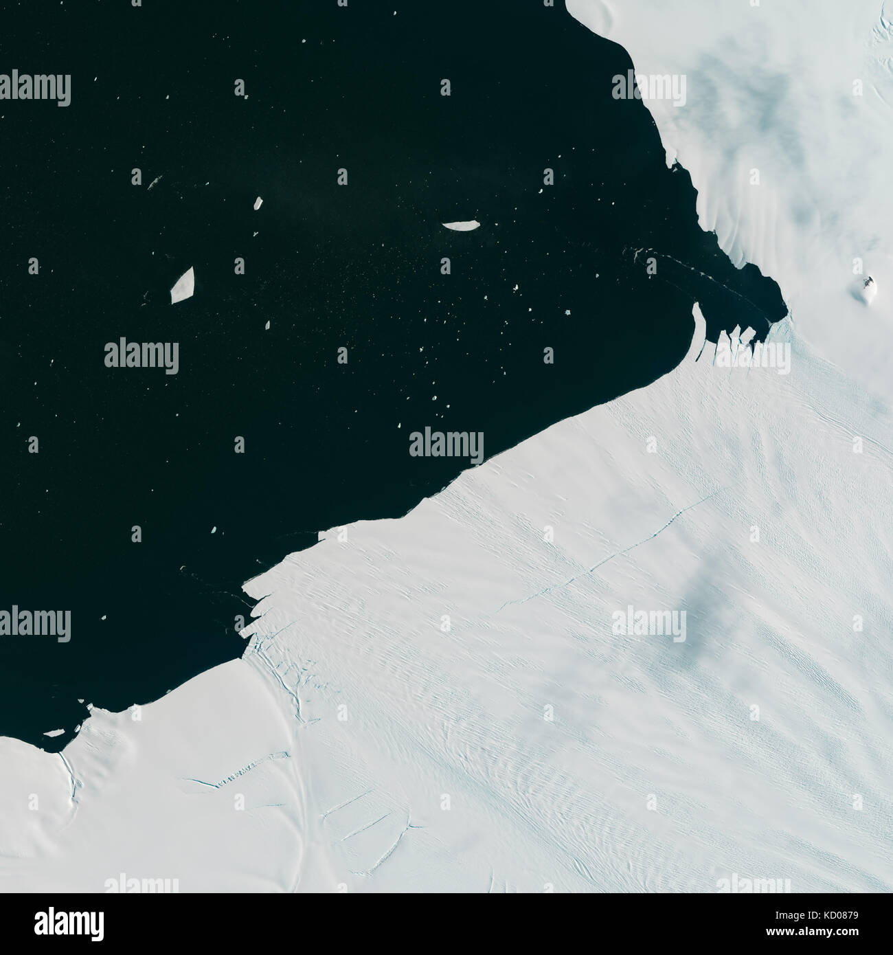 Satellite image of Pine Island Glacier shedding icebergs into Antarctic waters Stock Photohttps://www.alamy.com/image-license-details/?v=1https://www.alamy.com/stock-image-satellite-image-of-pine-island-glacier-shedding-icebergs-into-antarctic-162890317.html
RMKD0879–Satellite image of Pine Island Glacier shedding icebergs into Antarctic waters
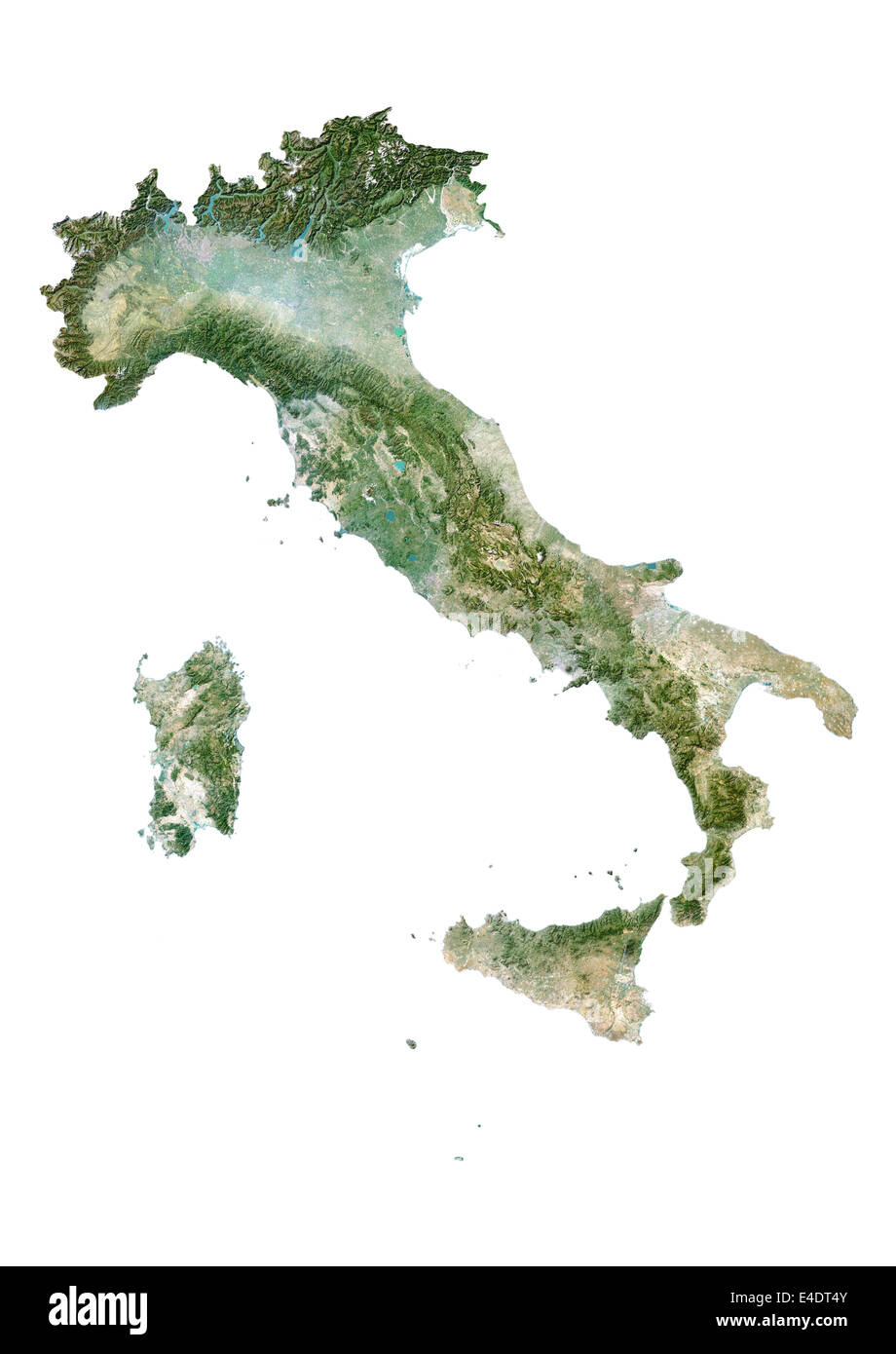 Italy, Satellite Image Stock Photohttps://www.alamy.com/image-license-details/?v=1https://www.alamy.com/stock-photo-italy-satellite-image-71604427.html
RME4DT4Y–Italy, Satellite Image
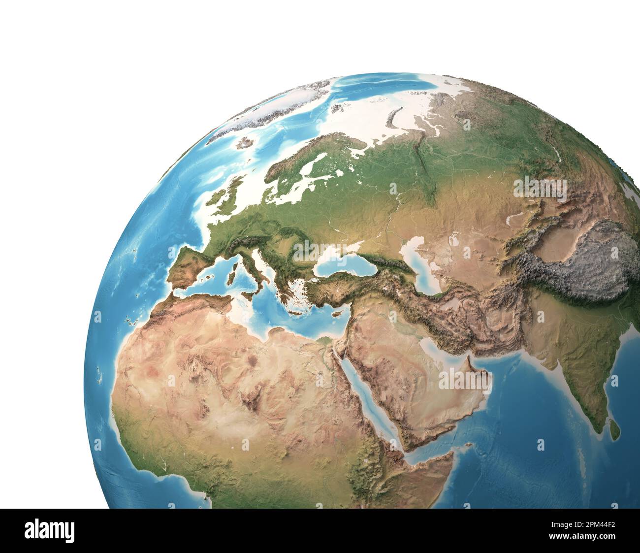 High resolution satellite view of Planet Earth, focused on Europe, Eurasia, Middle East, North Africa - elements furnished by NASA Stock Photohttps://www.alamy.com/image-license-details/?v=1https://www.alamy.com/high-resolution-satellite-view-of-planet-earth-focused-on-europe-eurasia-middle-east-north-africa-elements-furnished-by-nasa-image545905894.html
RF2PM44F2–High resolution satellite view of Planet Earth, focused on Europe, Eurasia, Middle East, North Africa - elements furnished by NASA
 Satellite image of Sleeping Bear Dunes National Lakeshore, Lake Michigan, USA Stock Photohttps://www.alamy.com/image-license-details/?v=1https://www.alamy.com/stock-image-satellite-image-of-sleeping-bear-dunes-national-lakeshore-lake-michigan-162890519.html
RMKD08EF–Satellite image of Sleeping Bear Dunes National Lakeshore, Lake Michigan, USA
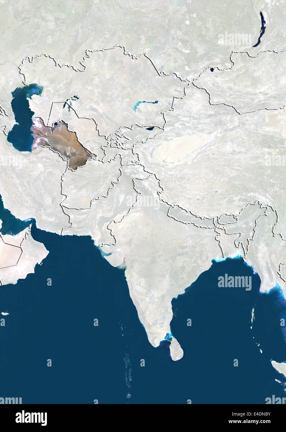 Turkmenistan, Satellite Image Stock Photohttps://www.alamy.com/image-license-details/?v=1https://www.alamy.com/stock-photo-turkmenistan-satellite-image-71602271.html
RME4DNBY–Turkmenistan, Satellite Image
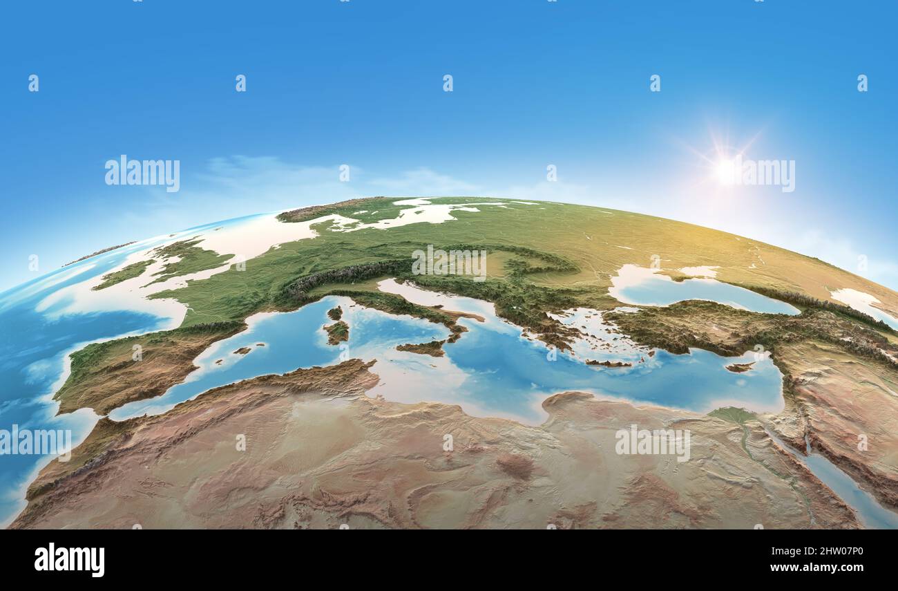 Physical map of Planet Earth, focused on Mediterranean Sea. Satellite view of Southern Europe and North Africa. Elements furnished by NASA Stock Photohttps://www.alamy.com/image-license-details/?v=1https://www.alamy.com/physical-map-of-planet-earth-focused-on-mediterranean-sea-satellite-view-of-southern-europe-and-north-africa-elements-furnished-by-nasa-image462842072.html
RF2HW07P0–Physical map of Planet Earth, focused on Mediterranean Sea. Satellite view of Southern Europe and North Africa. Elements furnished by NASA
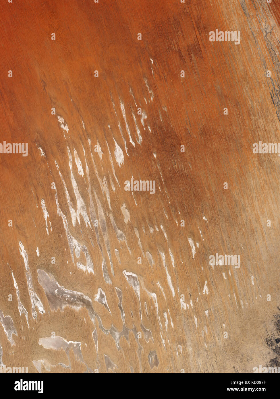 Satellite image of Poeppel Corner. The point marks the location where the vertical boundary between the Northern Territory and Queensland meets the n Stock Photohttps://www.alamy.com/image-license-details/?v=1https://www.alamy.com/stock-image-satellite-image-of-poeppel-corner-the-point-marks-the-location-where-162890323.html
RMKD087F–Satellite image of Poeppel Corner. The point marks the location where the vertical boundary between the Northern Territory and Queensland meets the n
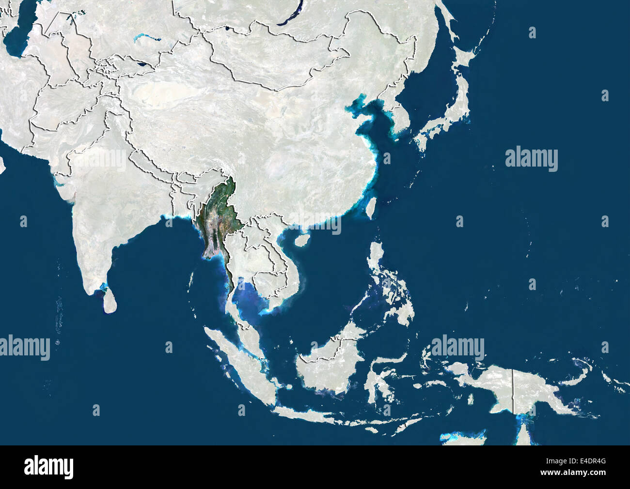 Myanmar, Satellite Image Stock Photohttps://www.alamy.com/image-license-details/?v=1https://www.alamy.com/stock-photo-myanmar-satellite-image-71603632.html
RME4DR4G–Myanmar, Satellite Image
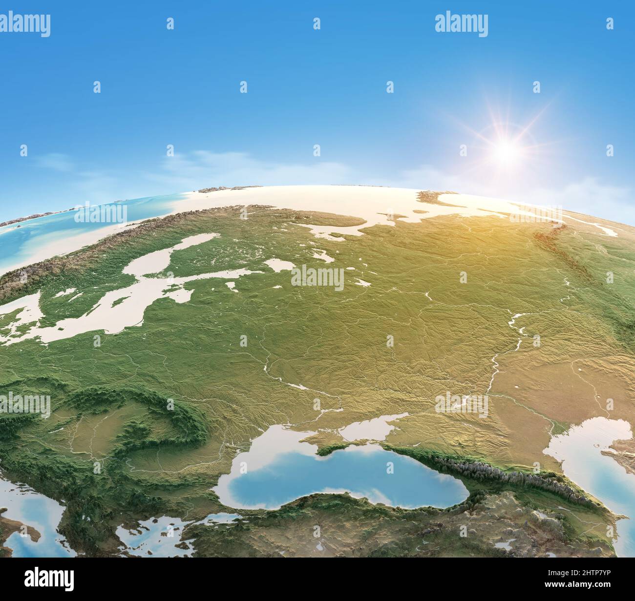 Physical map of Planet Earth, focused Central and Eastern Europe. Satellite view, sun shining on the horizon. Elements furnished by NASA Stock Photohttps://www.alamy.com/image-license-details/?v=1https://www.alamy.com/physical-map-of-planet-earth-focused-central-and-eastern-europe-satellite-view-sun-shining-on-the-horizon-elements-furnished-by-nasa-image462710522.html
RF2HTP7YP–Physical map of Planet Earth, focused Central and Eastern Europe. Satellite view, sun shining on the horizon. Elements furnished by NASA
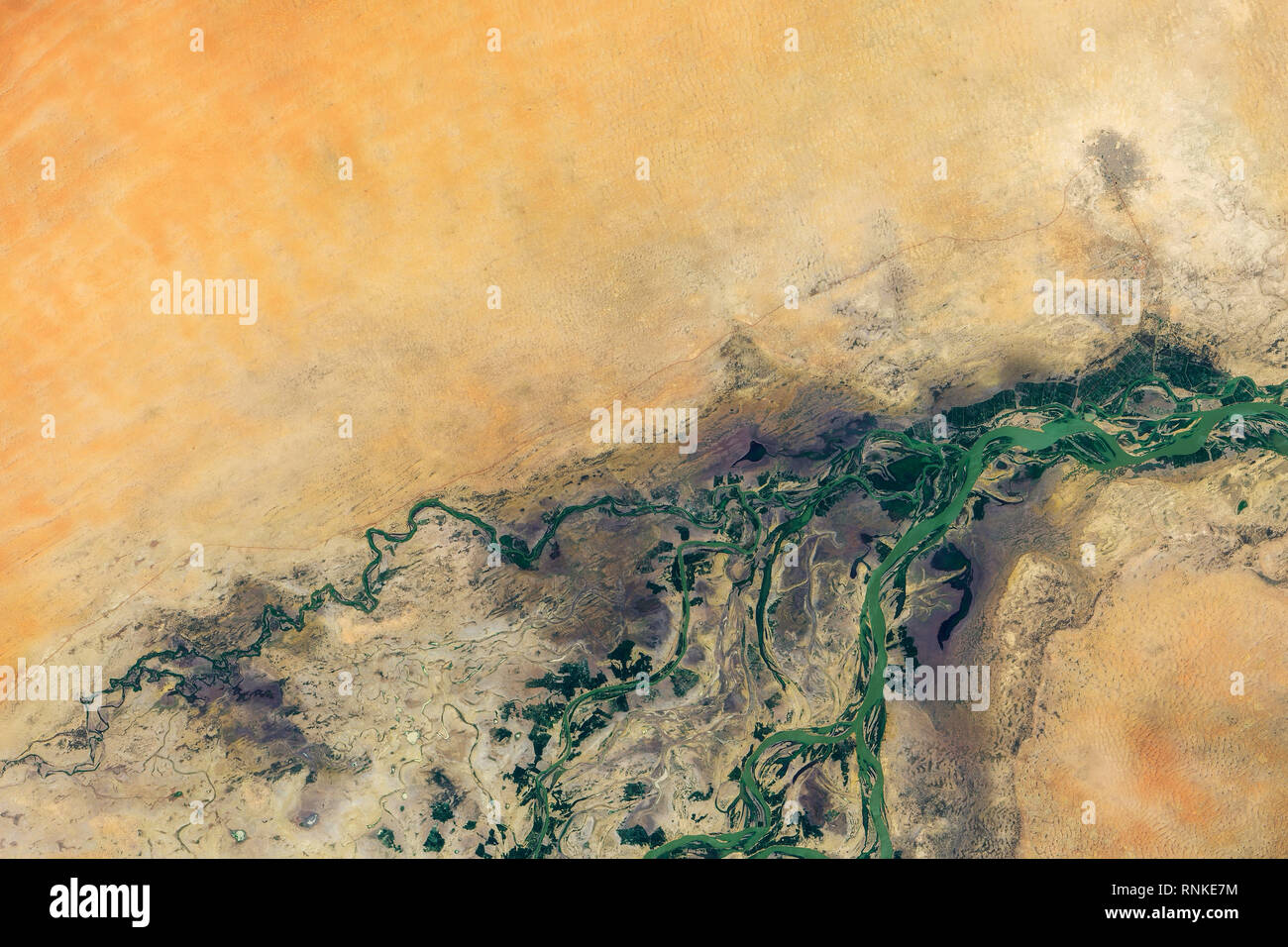 Aerial view of Timbuktu and the Sahara desert, Mali Stock Photohttps://www.alamy.com/image-license-details/?v=1https://www.alamy.com/aerial-view-of-timbuktu-and-the-sahara-desert-mali-image237070840.html
RMRNKE7M–Aerial view of Timbuktu and the Sahara desert, Mali
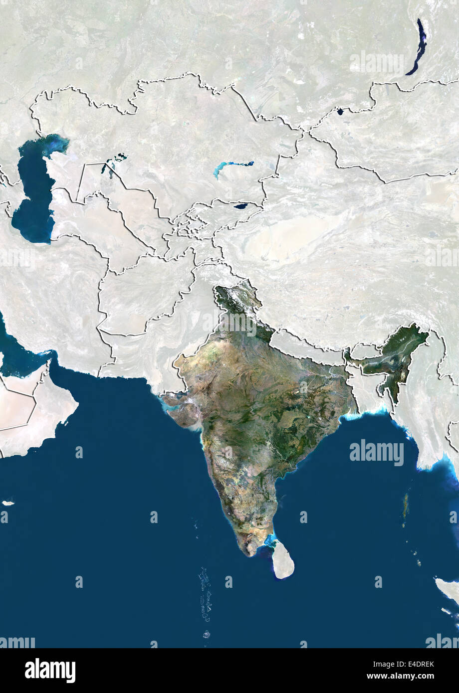 India, Satellite Image Stock Photohttps://www.alamy.com/image-license-details/?v=1https://www.alamy.com/stock-photo-india-satellite-image-71603915.html
RME4DREK–India, Satellite Image
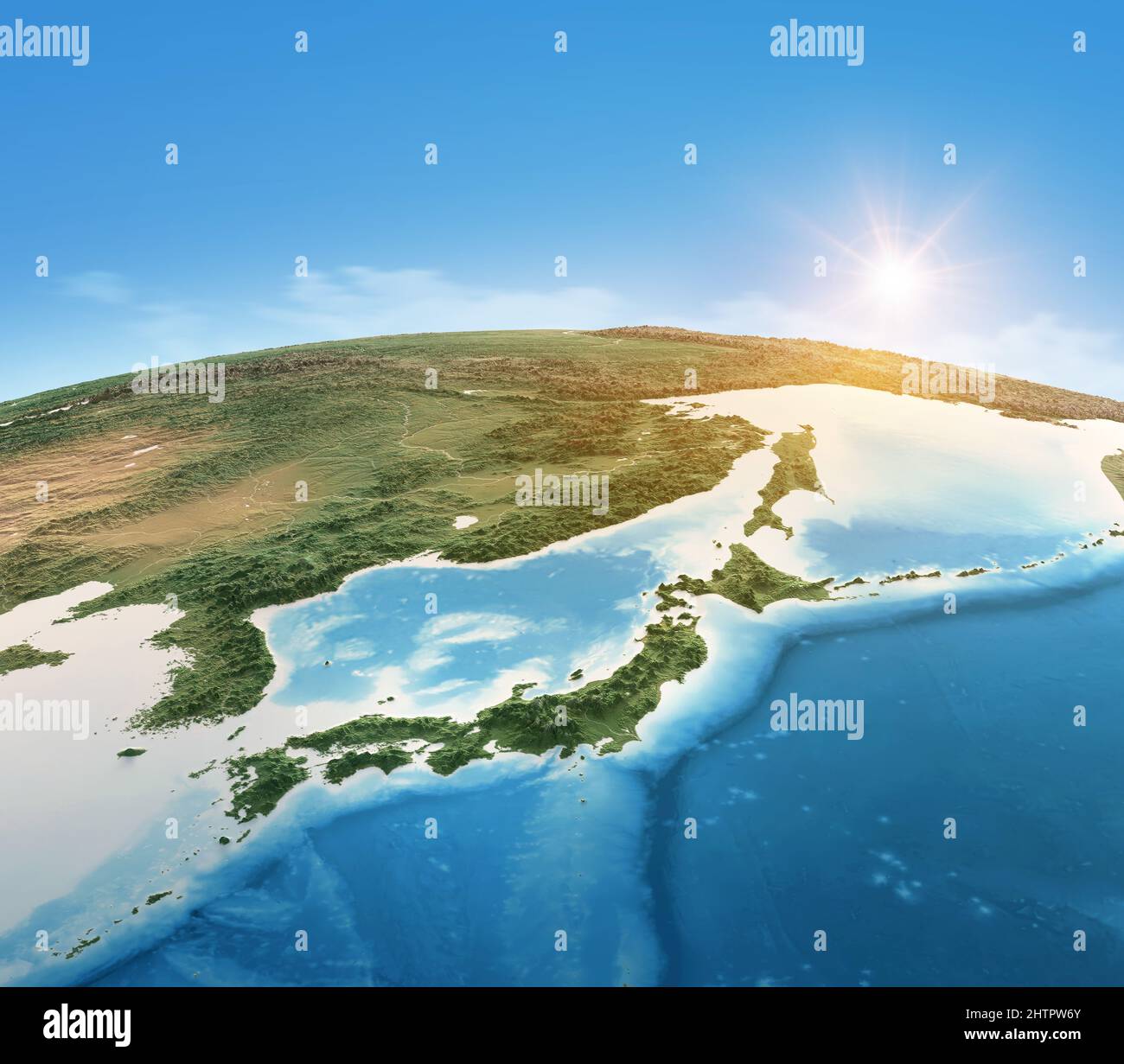 Physical map of Planet Earth, focused on Japan, North and South Korea. Satellite view of East Asia. Elements furnished by NASA Stock Photohttps://www.alamy.com/image-license-details/?v=1https://www.alamy.com/physical-map-of-planet-earth-focused-on-japan-north-and-south-korea-satellite-view-of-east-asia-elements-furnished-by-nasa-image462724051.html
RF2HTPW6Y–Physical map of Planet Earth, focused on Japan, North and South Korea. Satellite view of East Asia. Elements furnished by NASA
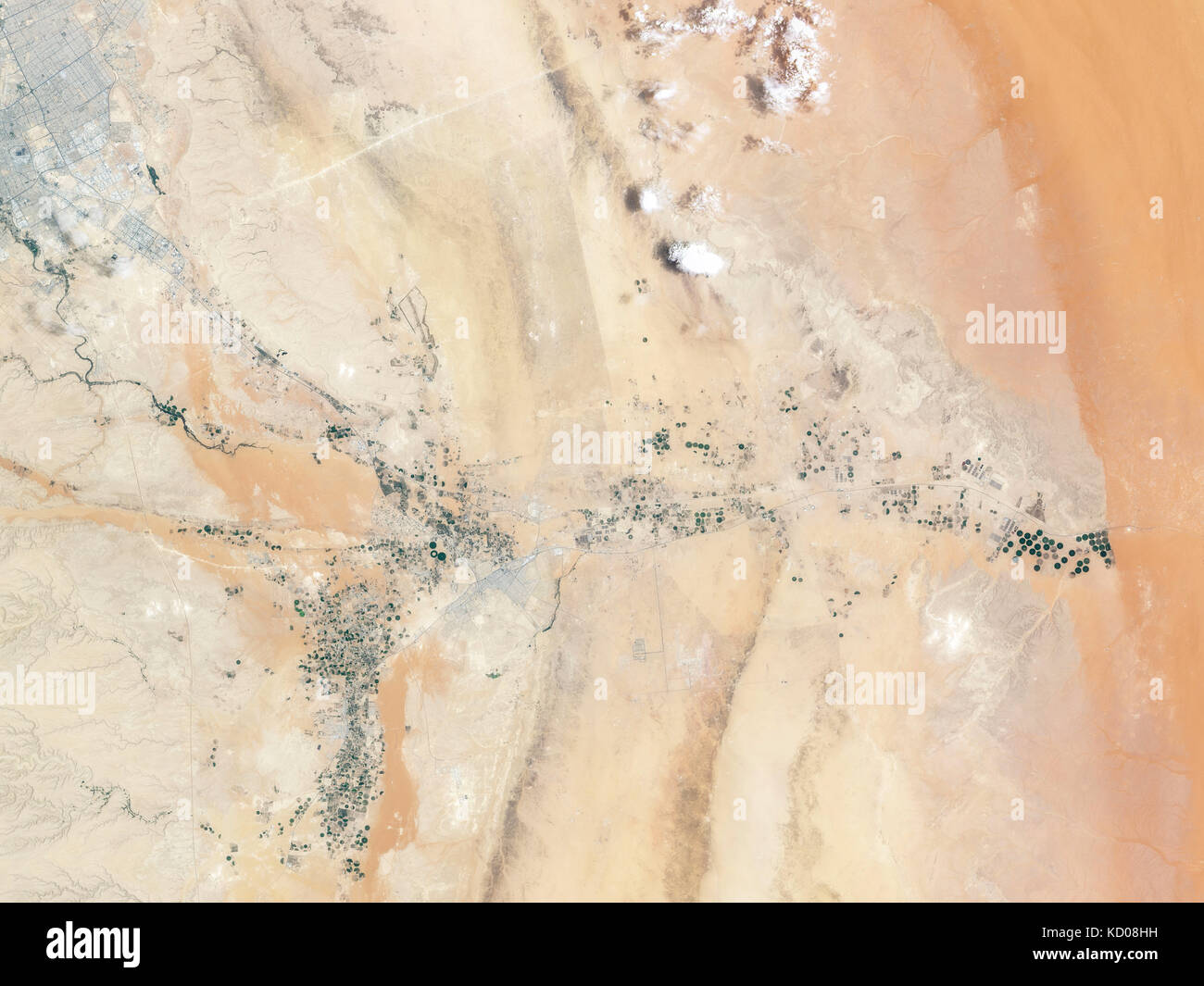 Pilanesberg Ring Dike Complex, North West Province, South Africa Stock Photohttps://www.alamy.com/image-license-details/?v=1https://www.alamy.com/stock-image-pilanesberg-ring-dike-complex-north-west-province-south-africa-162890605.html
RMKD08HH–Pilanesberg Ring Dike Complex, North West Province, South Africa
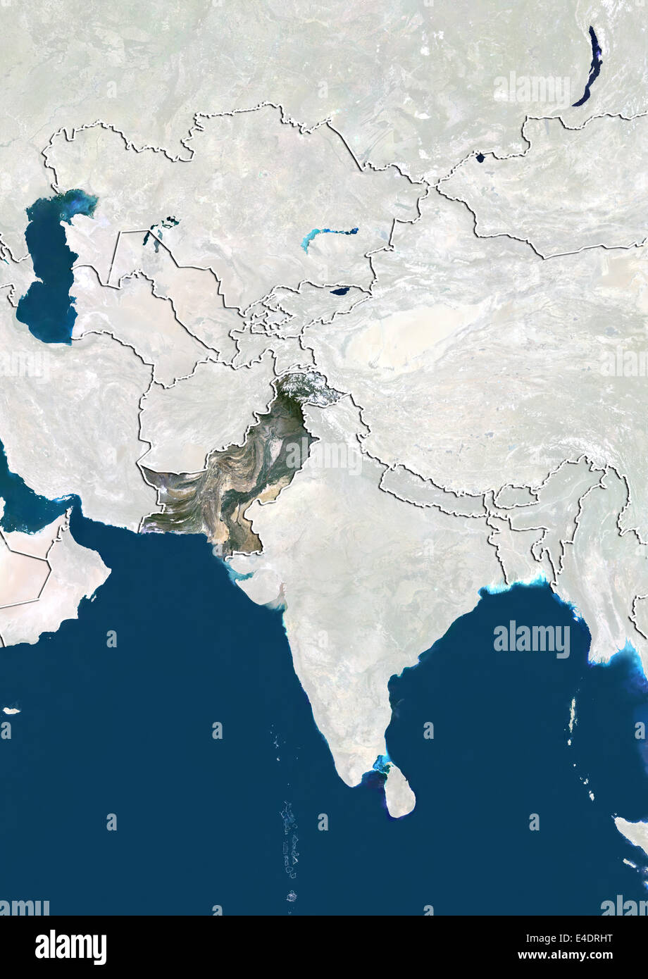 Pakistan, Satellite Image Stock Photohttps://www.alamy.com/image-license-details/?v=1https://www.alamy.com/stock-photo-pakistan-satellite-image-71604004.html
RME4DRHT–Pakistan, Satellite Image
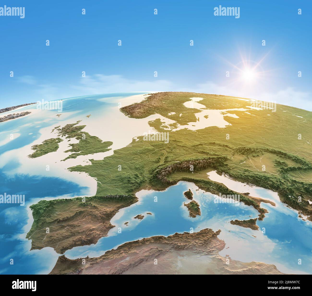 Physical map of Planet Earth, focused on Western Europe. Satellite view, sun shining on the horizon. Elements furnished by NASA Stock Photohttps://www.alamy.com/image-license-details/?v=1https://www.alamy.com/physical-map-of-planet-earth-focused-on-western-europe-satellite-view-sun-shining-on-the-horizon-elements-furnished-by-nasa-image470056032.html
RF2J8MW7C–Physical map of Planet Earth, focused on Western Europe. Satellite view, sun shining on the horizon. Elements furnished by NASA
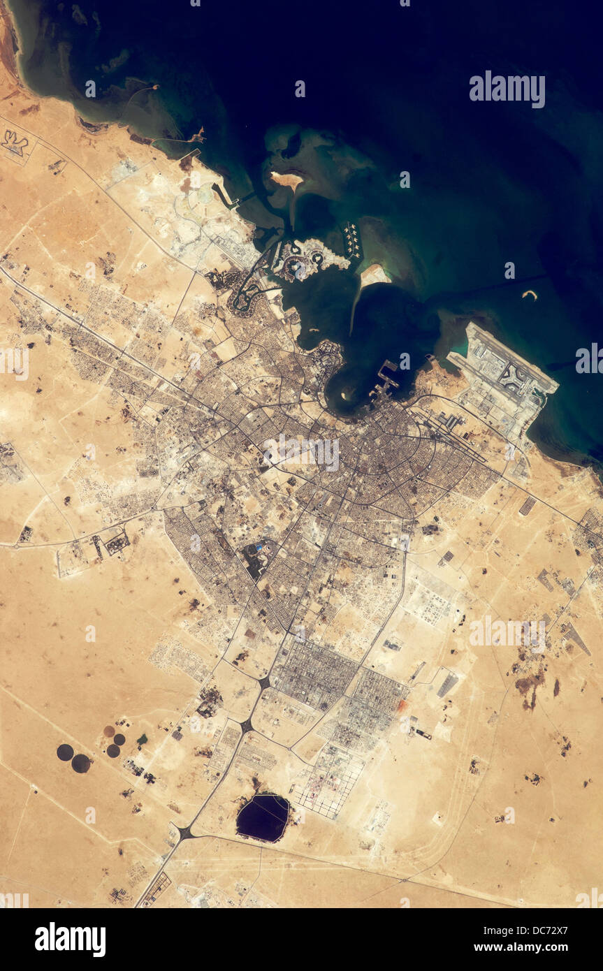 Satellite view of Doha, Qatar Stock Photohttps://www.alamy.com/image-license-details/?v=1https://www.alamy.com/stock-photo-satellite-view-of-doha-qatar-59162943.html
RMDC72X7–Satellite view of Doha, Qatar
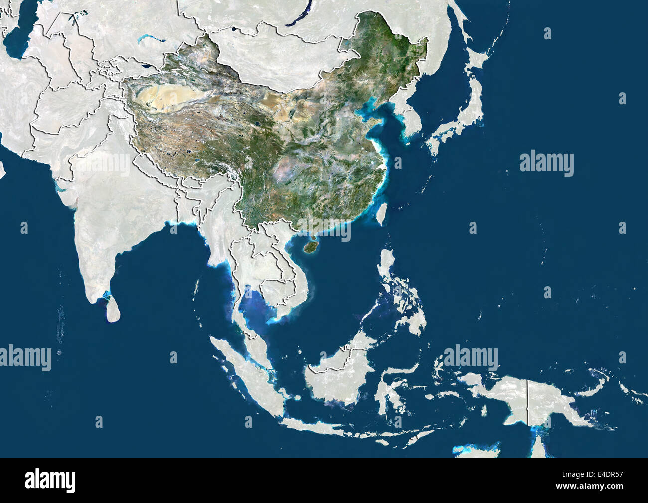 China, Satellite Image Stock Photohttps://www.alamy.com/image-license-details/?v=1https://www.alamy.com/stock-photo-china-satellite-image-71603651.html
RME4DR57–China, Satellite Image
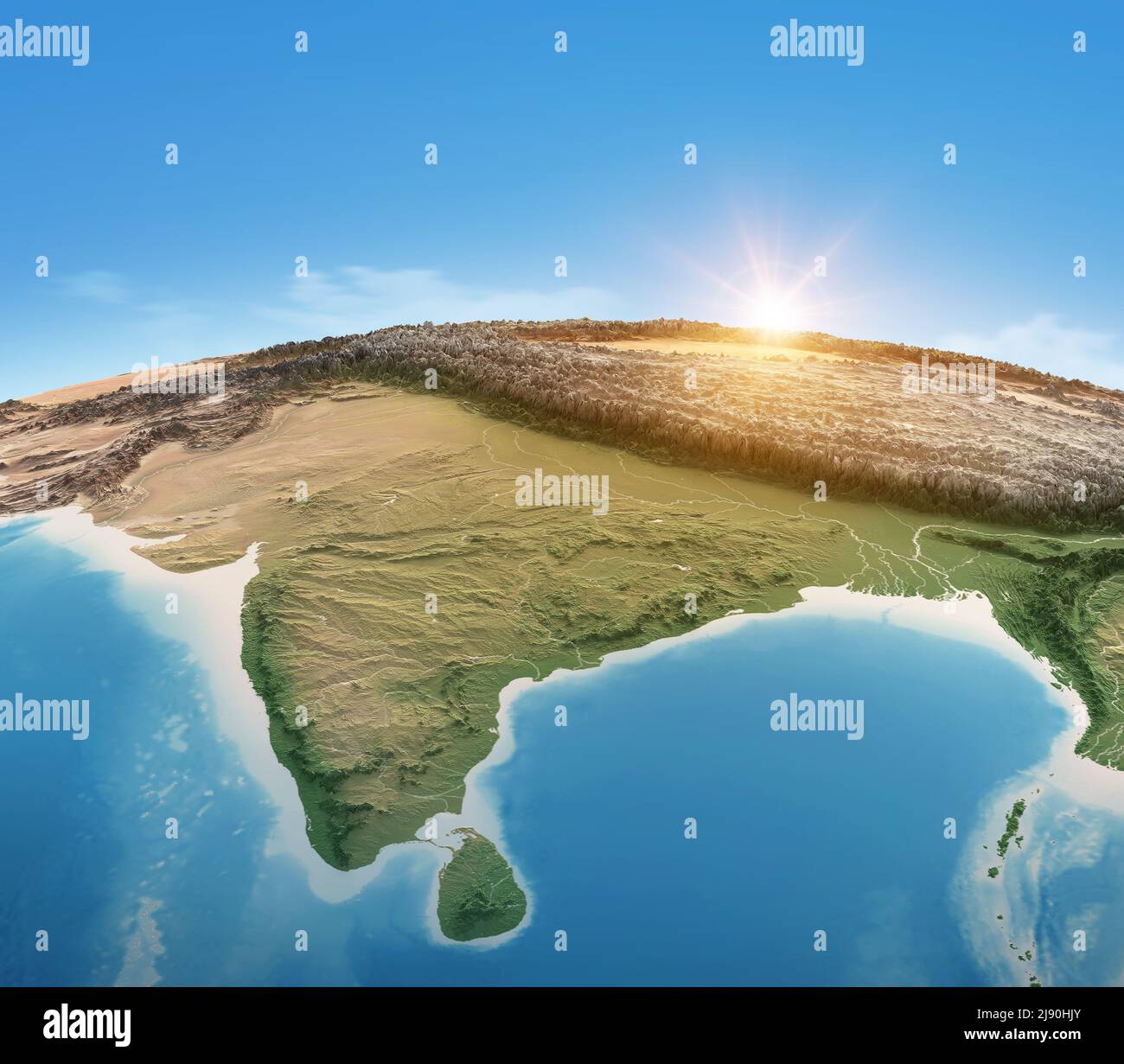 Physical map of Planet Earth, focused on India, South Asia. Satellite view, sun shining on the horizon. Elements furnished by NASA Stock Photohttps://www.alamy.com/image-license-details/?v=1https://www.alamy.com/physical-map-of-planet-earth-focused-on-india-south-asia-satellite-view-sun-shining-on-the-horizon-elements-furnished-by-nasa-image470225699.html
RF2J90HJY–Physical map of Planet Earth, focused on India, South Asia. Satellite view, sun shining on the horizon. Elements furnished by NASA
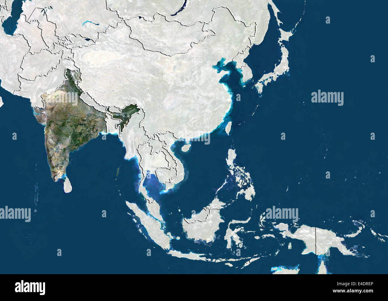 India, Satellite Image Stock Photohttps://www.alamy.com/image-license-details/?v=1https://www.alamy.com/stock-photo-india-satellite-image-71603918.html
RME4DREP–India, Satellite Image
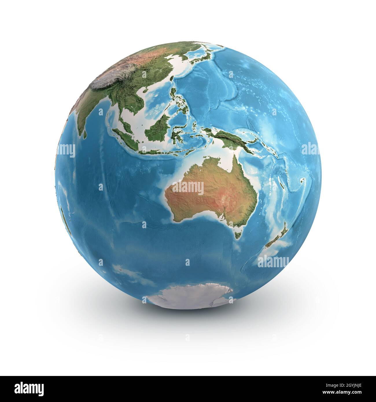 Planet Earth globe, isolated on white. Geography of the world from space, focused on Australia and Southeast Asia. Elements furnished by NASA Stock Photohttps://www.alamy.com/image-license-details/?v=1https://www.alamy.com/planet-earth-globe-isolated-on-white-geography-of-the-world-from-space-focused-on-australia-and-southeast-asia-elements-furnished-by-nasa-image447267030.html
RF2GYJNJE–Planet Earth globe, isolated on white. Geography of the world from space, focused on Australia and Southeast Asia. Elements furnished by NASA
 Indonesia, Satellite Image Stock Photohttps://www.alamy.com/image-license-details/?v=1https://www.alamy.com/stock-photo-indonesia-satellite-image-71603921.html
RME4DREW–Indonesia, Satellite Image
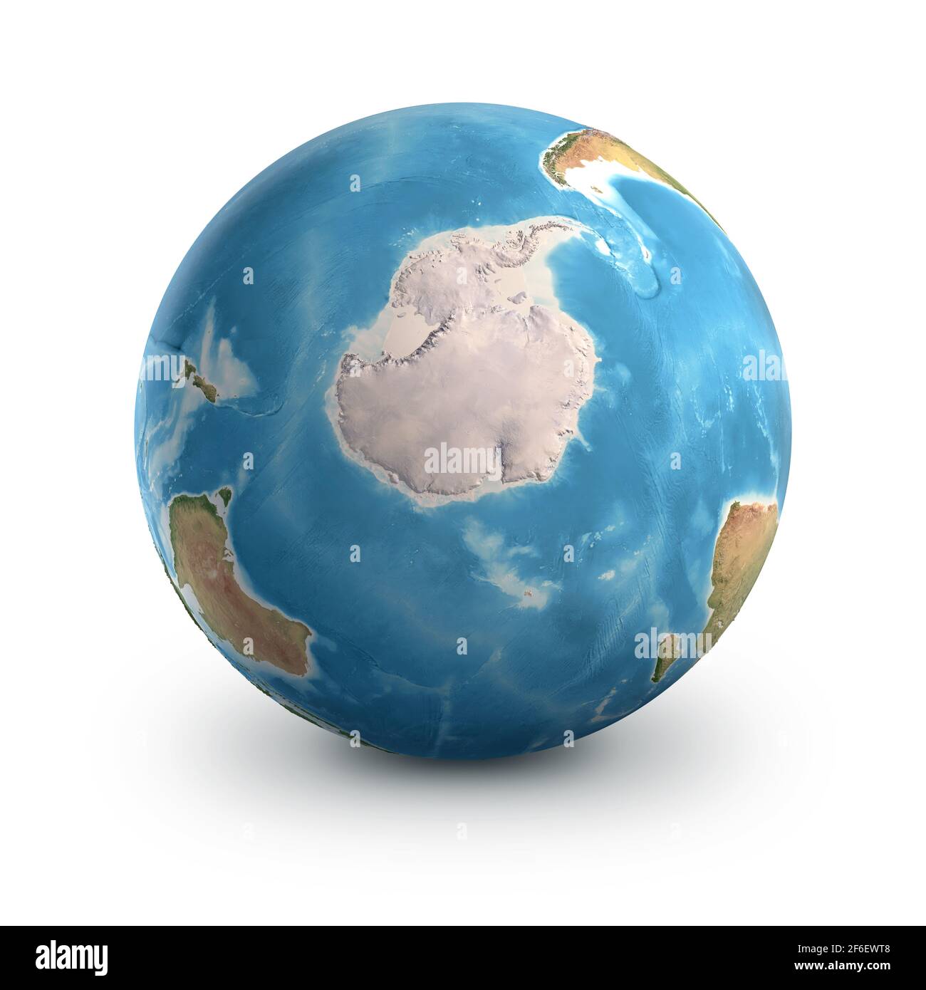 Planet Earth globe, isolated on white. Geography of the world from space, focused on South Pole and Antarctica - Elements furnished by NASA Stock Photohttps://www.alamy.com/image-license-details/?v=1https://www.alamy.com/planet-earth-globe-isolated-on-white-geography-of-the-world-from-space-focused-on-south-pole-and-antarctica-elements-furnished-by-nasa-image417064376.html
RF2F6EWT8–Planet Earth globe, isolated on white. Geography of the world from space, focused on South Pole and Antarctica - Elements furnished by NASA
 Uzbekistan, Satellite Image Stock Photohttps://www.alamy.com/image-license-details/?v=1https://www.alamy.com/stock-photo-uzbekistan-satellite-image-71602289.html
RME4DNCH–Uzbekistan, Satellite Image
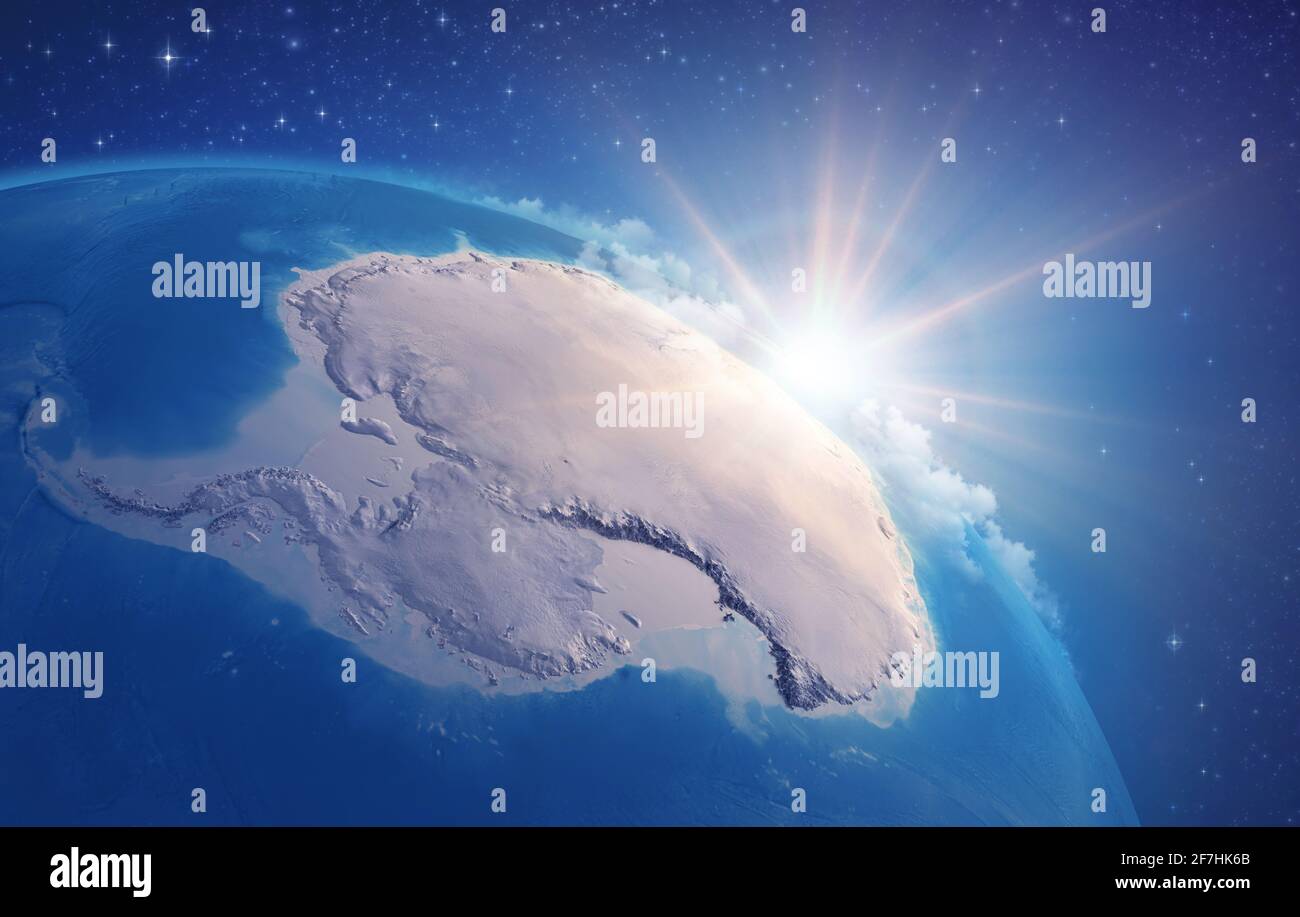 Sunrise through clouds, upon a high detailed satellite view of Planet Earth, focused on South Pole, Antarctic - Elements furnished by NASA Stock Photohttps://www.alamy.com/image-license-details/?v=1https://www.alamy.com/sunrise-through-clouds-upon-a-high-detailed-satellite-view-of-planet-earth-focused-on-south-pole-antarctic-elements-furnished-by-nasa-image417739683.html
RF2F7HK6B–Sunrise through clouds, upon a high detailed satellite view of Planet Earth, focused on South Pole, Antarctic - Elements furnished by NASA
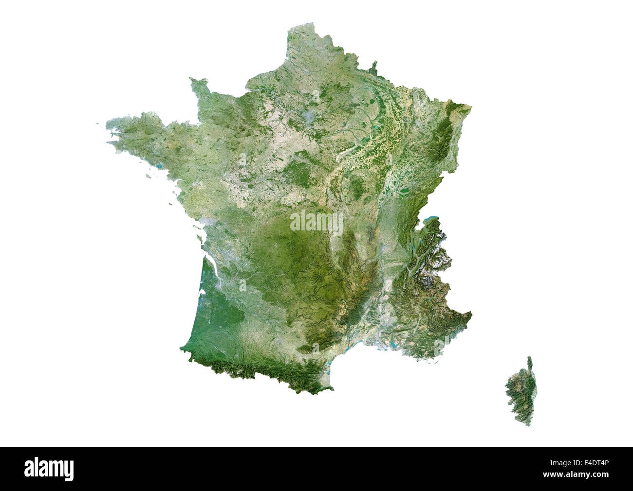 France, Satellite Image Stock Photohttps://www.alamy.com/image-license-details/?v=1https://www.alamy.com/stock-photo-france-satellite-image-71604422.html
RME4DT4P–France, Satellite Image
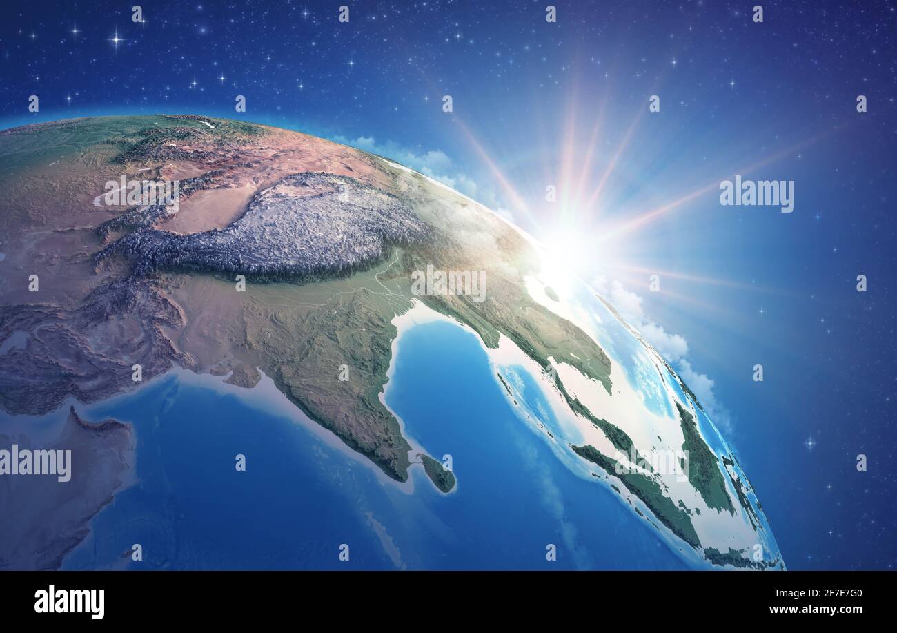 Sunrise through clouds, upon a high detailed satellite view of Planet Earth, focused on East Asia, Himalayas and India - Elements furnished by NASA Stock Photohttps://www.alamy.com/image-license-details/?v=1https://www.alamy.com/sunrise-through-clouds-upon-a-high-detailed-satellite-view-of-planet-earth-focused-on-east-asia-himalayas-and-india-elements-furnished-by-nasa-image417686640.html
RF2F7F7G0–Sunrise through clouds, upon a high detailed satellite view of Planet Earth, focused on East Asia, Himalayas and India - Elements furnished by NASA
 Mongolia, Satellite Image Stock Photohttps://www.alamy.com/image-license-details/?v=1https://www.alamy.com/stock-photo-mongolia-satellite-image-71603977.html
RME4DRGW–Mongolia, Satellite Image
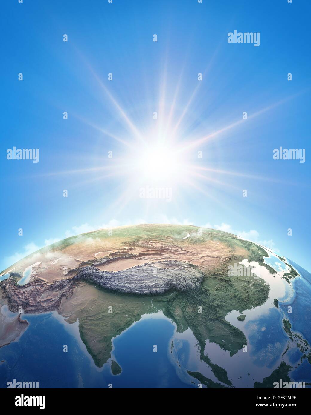 Sun shining over a high detailed view of Planet Earth, focused on East Asia, China and Himalayas. 3D illustration - Elements furnished by NASA Stock Photohttps://www.alamy.com/image-license-details/?v=1https://www.alamy.com/sun-shining-over-a-high-detailed-view-of-planet-earth-focused-on-east-asia-china-and-himalayas-3d-illustration-elements-furnished-by-nasa-image418509238.html
RF2F8TMPE–Sun shining over a high detailed view of Planet Earth, focused on East Asia, China and Himalayas. 3D illustration - Elements furnished by NASA
 Mongolia, Satellite Image Stock Photohttps://www.alamy.com/image-license-details/?v=1https://www.alamy.com/stock-photo-mongolia-satellite-image-71603444.html
RME4DPWT–Mongolia, Satellite Image
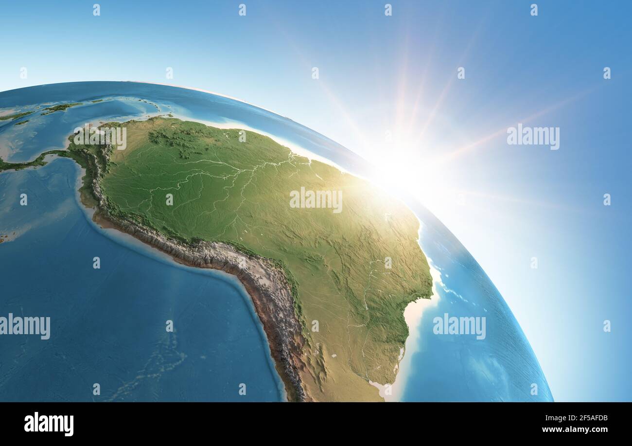 Sun shining over a high detailed view of Planet Earth, focused on South America, Amazon rainforest and Brazil - Elements furnished by NASA Stock Photohttps://www.alamy.com/image-license-details/?v=1https://www.alamy.com/sun-shining-over-a-high-detailed-view-of-planet-earth-focused-on-south-america-amazon-rainforest-and-brazil-elements-furnished-by-nasa-image416353767.html
RF2F5AFDB–Sun shining over a high detailed view of Planet Earth, focused on South America, Amazon rainforest and Brazil - Elements furnished by NASA
 Paraguay, Satellite Image Stock Photohttps://www.alamy.com/image-license-details/?v=1https://www.alamy.com/stock-photo-paraguay-satellite-image-71604205.html
RME4DRW1–Paraguay, Satellite Image
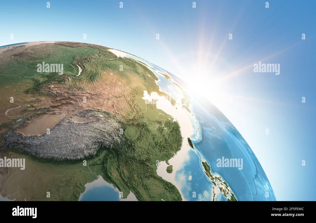 Sun shining over a high detailed view of Planet Earth, focused on East Asia, China, Himalayas and Tibet - Elements furnished by NASA Stock Photohttps://www.alamy.com/image-license-details/?v=1https://www.alamy.com/sun-shining-over-a-high-detailed-view-of-planet-earth-focused-on-east-asia-china-himalayas-and-tibet-elements-furnished-by-nasa-image416462940.html
RF2F5FEMC–Sun shining over a high detailed view of Planet Earth, focused on East Asia, China, Himalayas and Tibet - Elements furnished by NASA
 Botswana, Satellite Image Stock Photohttps://www.alamy.com/image-license-details/?v=1https://www.alamy.com/stock-photo-botswana-satellite-image-71602877.html
RME4DP5H–Botswana, Satellite Image
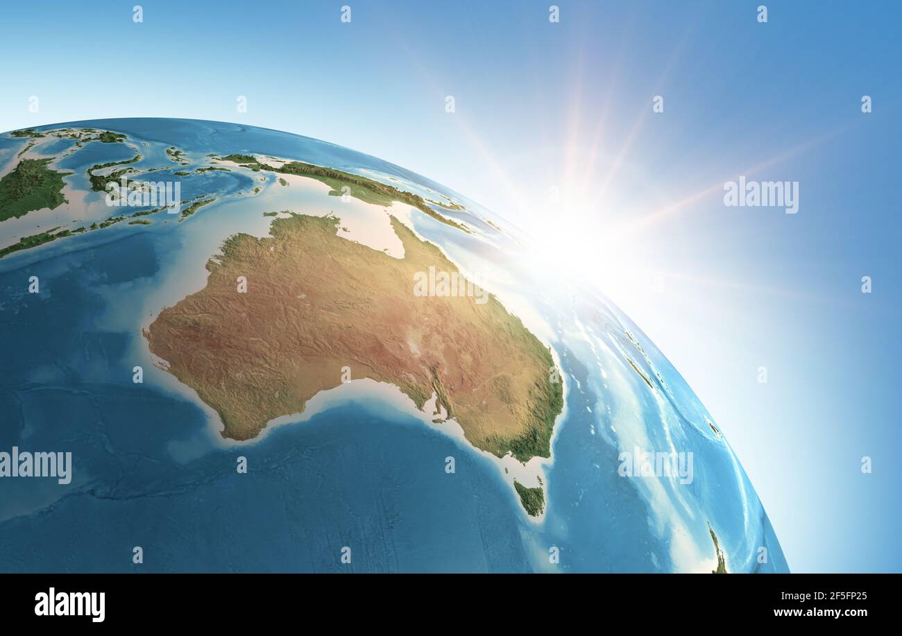 Sun shining over a high detailed view of Planet Earth, focused on Australia. 3D illustration - Elements of this image furnished by NASA Stock Photohttps://www.alamy.com/image-license-details/?v=1https://www.alamy.com/sun-shining-over-a-high-detailed-view-of-planet-earth-focused-on-australia-3d-illustration-elements-of-this-image-furnished-by-nasa-image416468701.html
RF2F5FP25–Sun shining over a high detailed view of Planet Earth, focused on Australia. 3D illustration - Elements of this image furnished by NASA
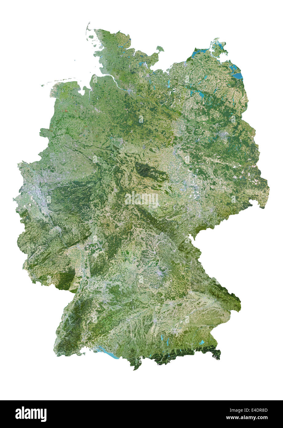 Germany, Satellite Image Stock Photohttps://www.alamy.com/image-license-details/?v=1https://www.alamy.com/stock-photo-germany-satellite-image-71603741.html
RME4DR8D–Germany, Satellite Image
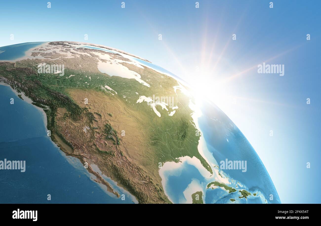 Sun shining over a high detailed view of Planet Earth, focused on North America, USA and Canada - Elements furnished by NASA Stock Photohttps://www.alamy.com/image-license-details/?v=1https://www.alamy.com/sun-shining-over-a-high-detailed-view-of-planet-earth-focused-on-north-america-usa-and-canada-elements-furnished-by-nasa-image416082264.html
RF2F4X54T–Sun shining over a high detailed view of Planet Earth, focused on North America, USA and Canada - Elements furnished by NASA
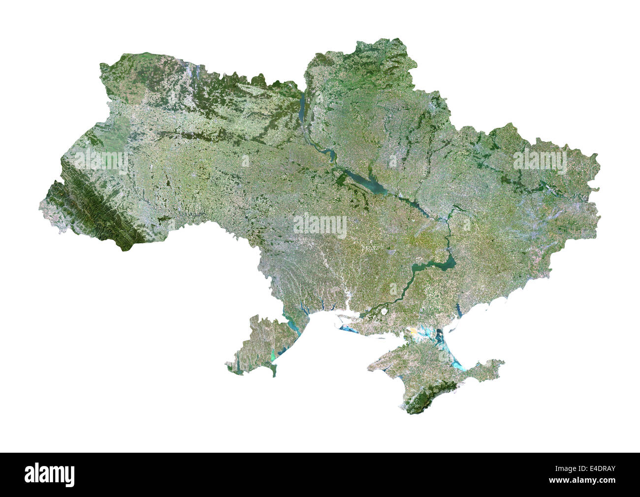 Ukraine, Satellite Image Stock Photohttps://www.alamy.com/image-license-details/?v=1https://www.alamy.com/stock-photo-ukraine-satellite-image-71603811.html
RME4DRAY–Ukraine, Satellite Image
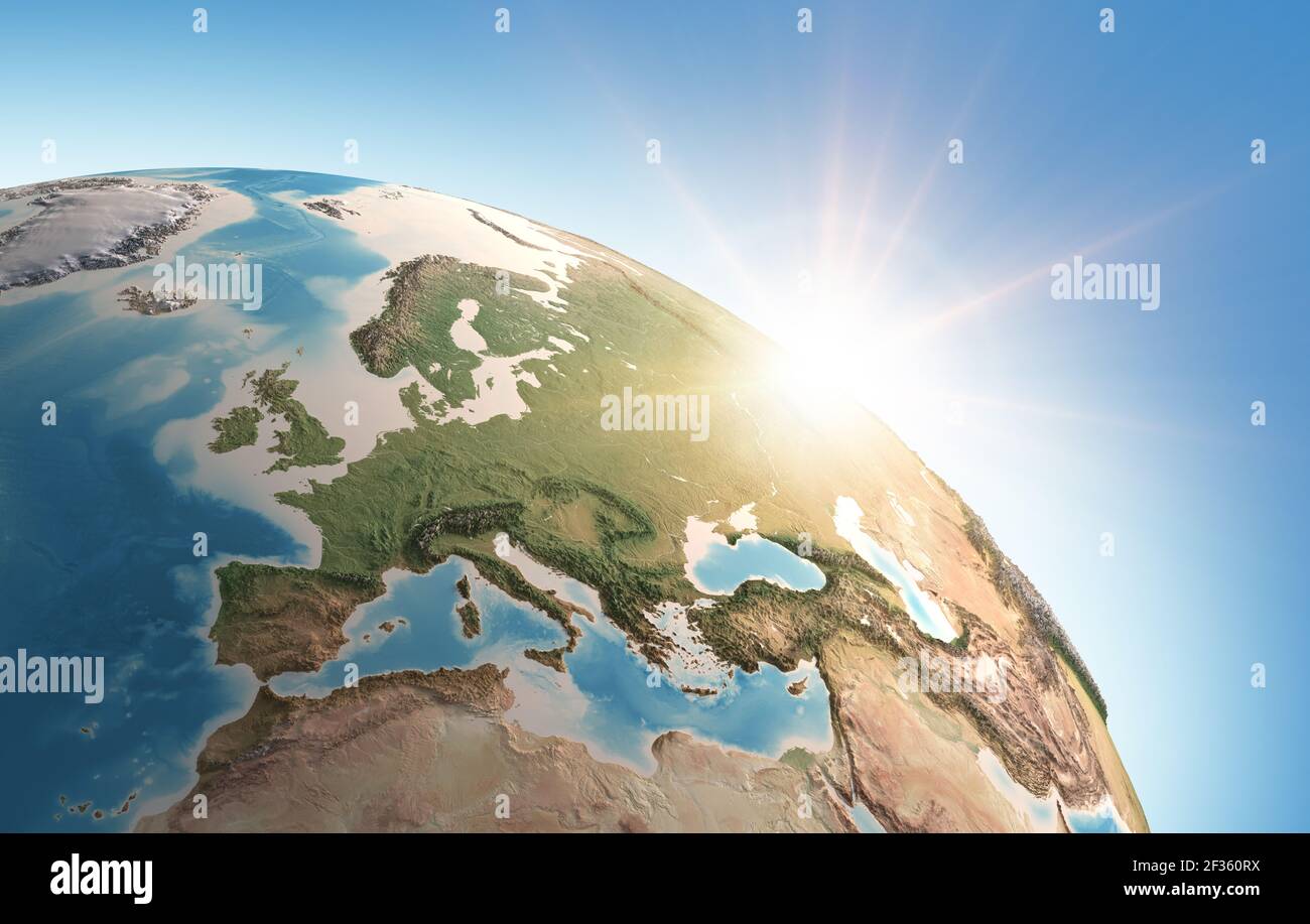 Sun shining over a high detailed view of Planet Earth, focused on Western Europe. 3D illustration - Elements of this image furnished by NASA Stock Photohttps://www.alamy.com/image-license-details/?v=1https://www.alamy.com/sun-shining-over-a-high-detailed-view-of-planet-earth-focused-on-western-europe-3d-illustration-elements-of-this-image-furnished-by-nasa-image415025182.html
RF2F360RX–Sun shining over a high detailed view of Planet Earth, focused on Western Europe. 3D illustration - Elements of this image furnished by NASA
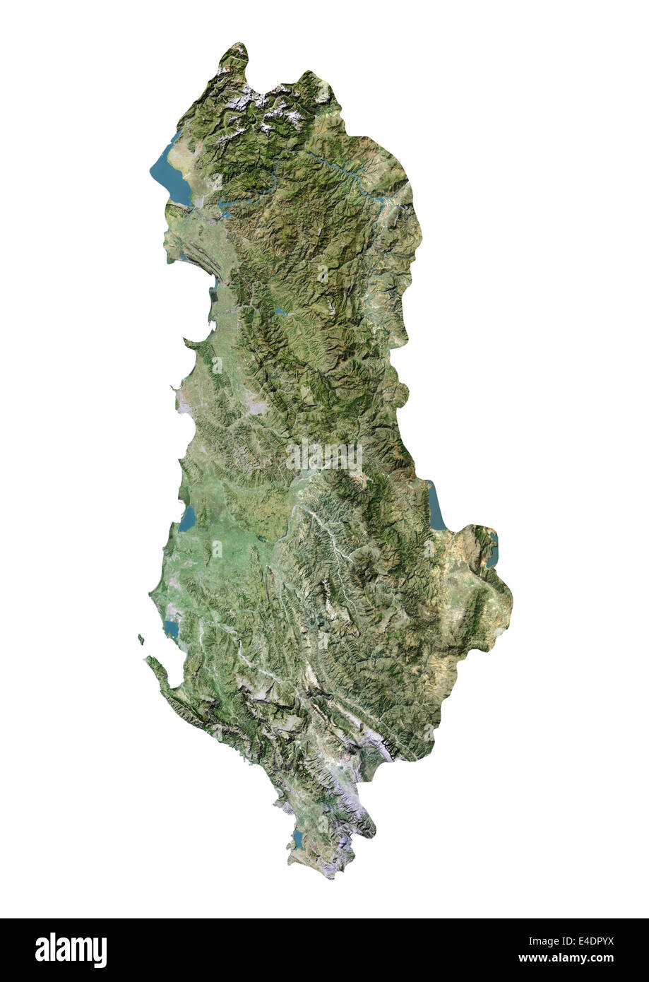 Albania, Satellite Image Stock Photohttps://www.alamy.com/image-license-details/?v=1https://www.alamy.com/stock-photo-albania-satellite-image-71603502.html
RME4DPYX–Albania, Satellite Image
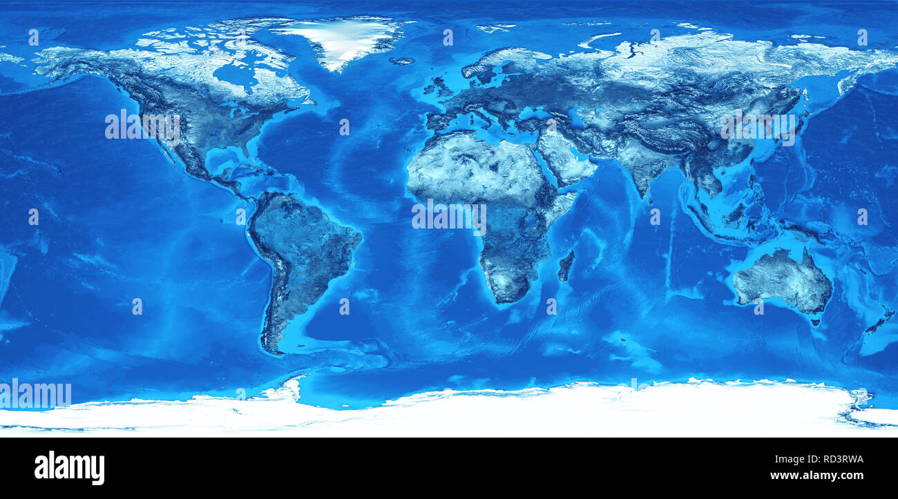 Detailed flat view of the Earth and its landforms. Global world map colored in blue. 3D illustration - Elements of this image furnished by NASA Stock Photohttps://www.alamy.com/image-license-details/?v=1https://www.alamy.com/detailed-flat-view-of-the-earth-and-its-landforms-global-world-map-colored-in-blue-3d-illustration-elements-of-this-image-furnished-by-nasa-image231809910.html
RFRD3RWA–Detailed flat view of the Earth and its landforms. Global world map colored in blue. 3D illustration - Elements of this image furnished by NASA
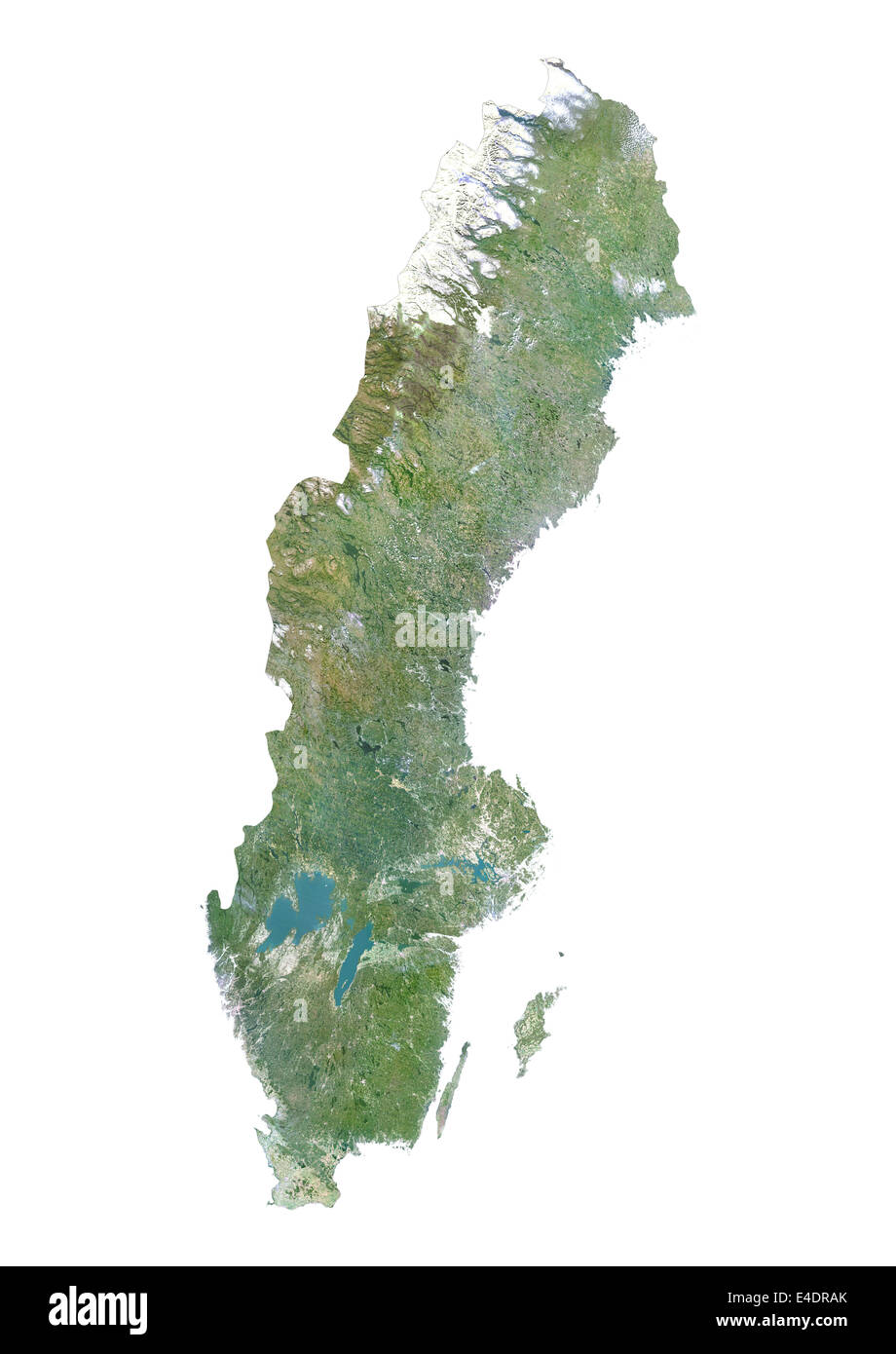 Sweden, Satellite Image Stock Photohttps://www.alamy.com/image-license-details/?v=1https://www.alamy.com/stock-photo-sweden-satellite-image-71603803.html
RME4DRAK–Sweden, Satellite Image
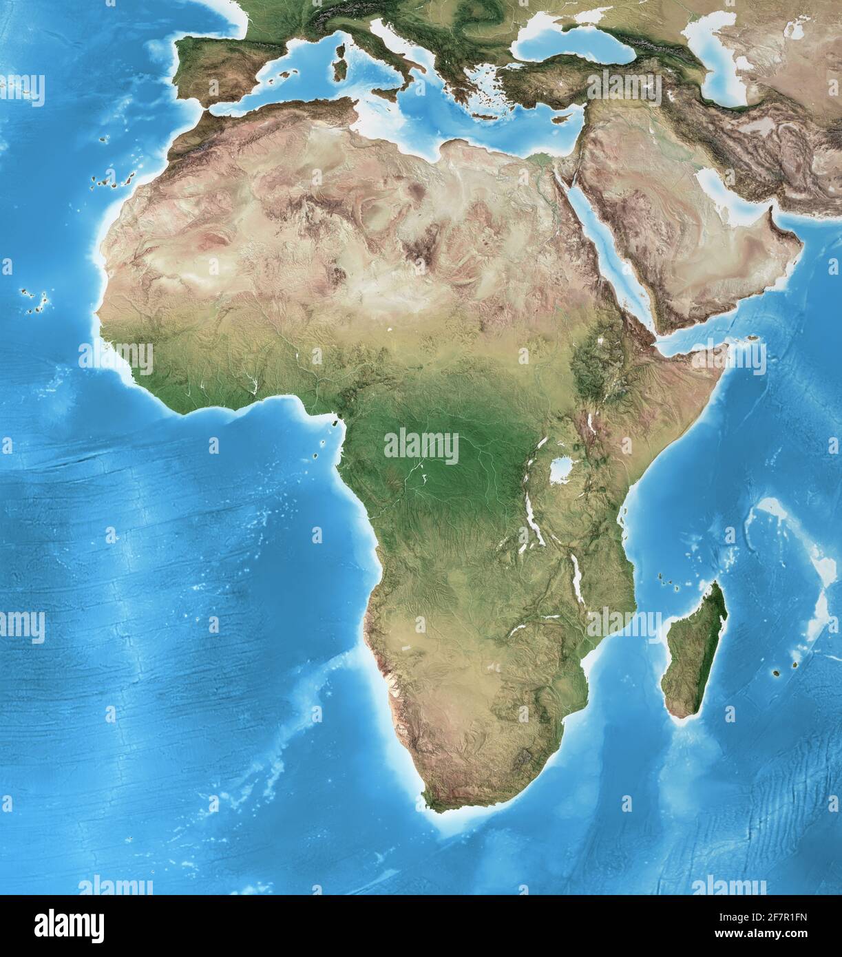 Physical map of Africa, with high resolution details. Flattened satellite view of Planet Earth and its geography - Elements furnished by NASA Stock Photohttps://www.alamy.com/image-license-details/?v=1https://www.alamy.com/physical-map-of-africa-with-high-resolution-details-flattened-satellite-view-of-planet-earth-and-its-geography-elements-furnished-by-nasa-image417857545.html
RF2F7R1FN–Physical map of Africa, with high resolution details. Flattened satellite view of Planet Earth and its geography - Elements furnished by NASA
 Estonia, Satellite Image Stock Photohttps://www.alamy.com/image-license-details/?v=1https://www.alamy.com/stock-photo-estonia-satellite-image-71603735.html
RME4DR87–Estonia, Satellite Image
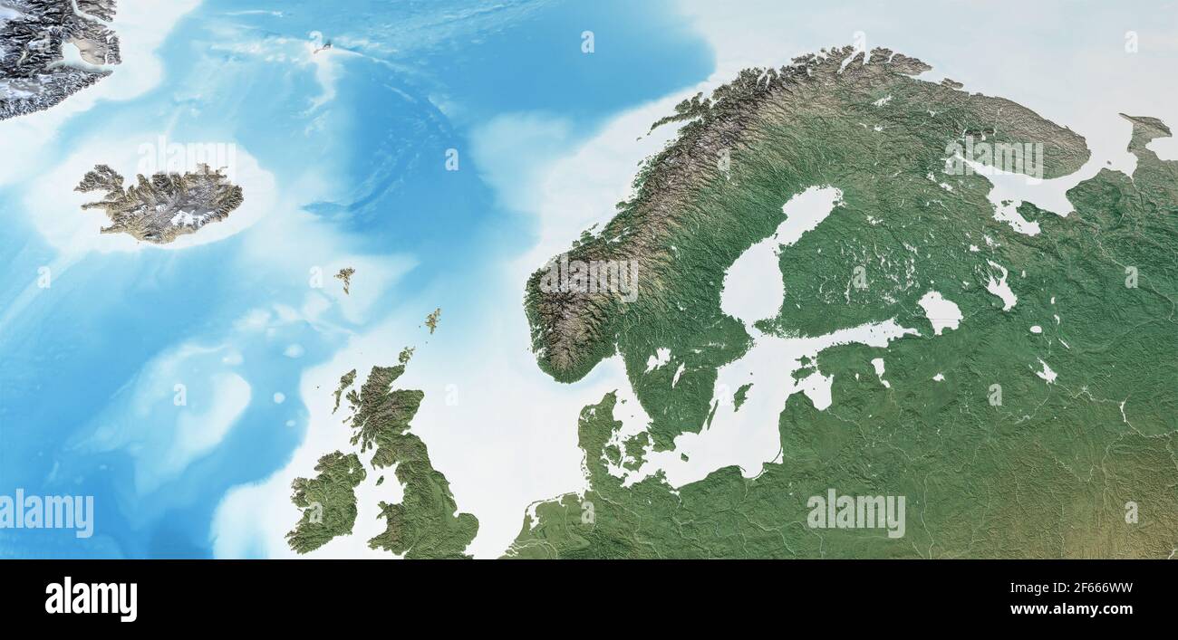 Physical map of Scandinavia, Northern Europe. Flattened satellite view of Planet Earth, its geography and topography - Elements furnished by NASA Stock Photohttps://www.alamy.com/image-license-details/?v=1https://www.alamy.com/physical-map-of-scandinavia-northern-europe-flattened-satellite-view-of-planet-earth-its-geography-and-topography-elements-furnished-by-nasa-image416873909.html
RF2F666WW–Physical map of Scandinavia, Northern Europe. Flattened satellite view of Planet Earth, its geography and topography - Elements furnished by NASA
 Laos, Satellite Image Stock Photohttps://www.alamy.com/image-license-details/?v=1https://www.alamy.com/stock-photo-laos-satellite-image-71603439.html
RME4DPWK–Laos, Satellite Image
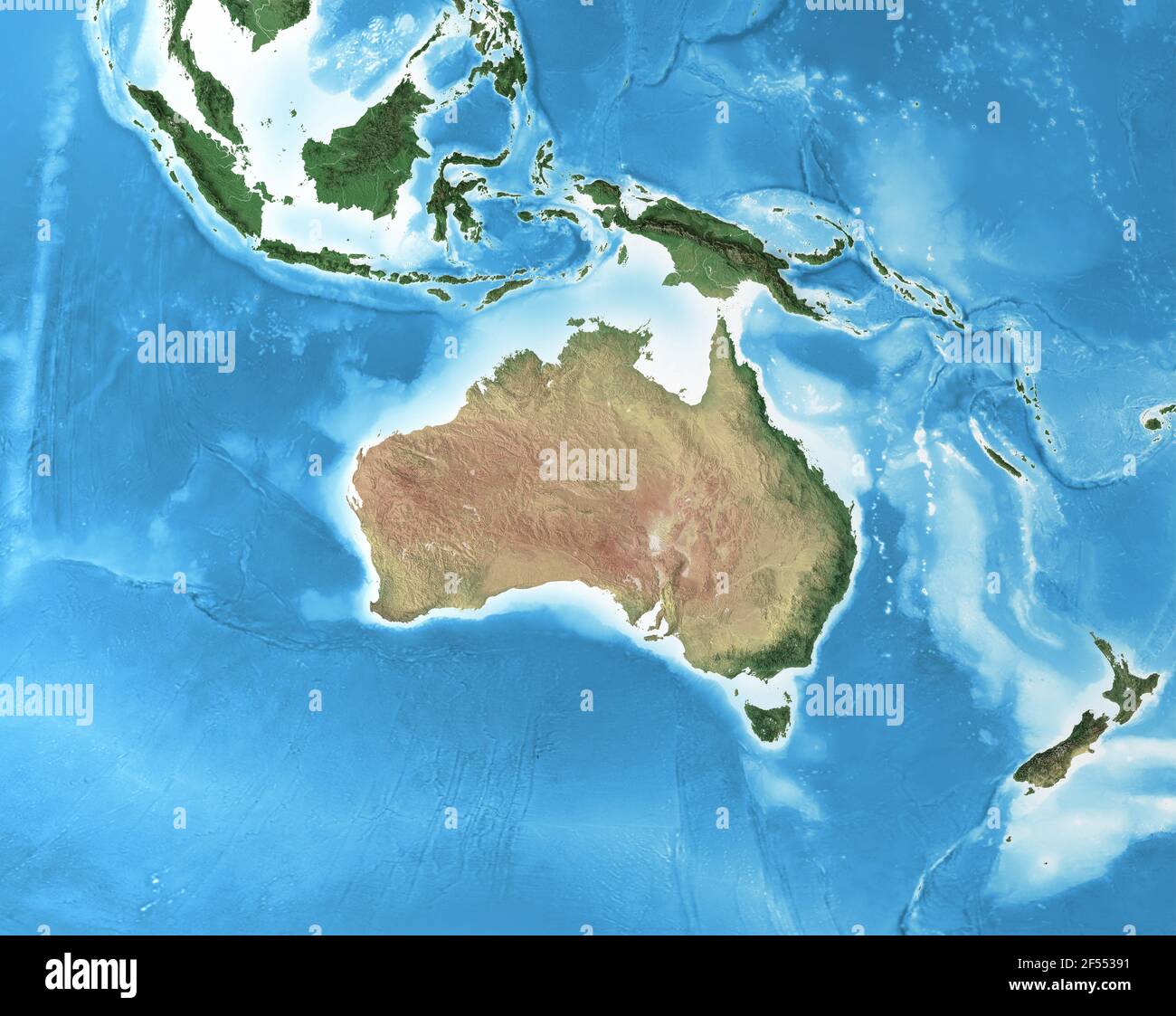 Physical map of Australia, with high resolution details. Flattened satellite view of Planet Earth and its geography - Elements furnished by NASA Stock Photohttps://www.alamy.com/image-license-details/?v=1https://www.alamy.com/physical-map-of-australia-with-high-resolution-details-flattened-satellite-view-of-planet-earth-and-its-geography-elements-furnished-by-nasa-image416234477.html
RF2F55391–Physical map of Australia, with high resolution details. Flattened satellite view of Planet Earth and its geography - Elements furnished by NASA
 Nepal, Satellite Image Stock Photohttps://www.alamy.com/image-license-details/?v=1https://www.alamy.com/stock-photo-nepal-satellite-image-71603450.html
RME4DPX2–Nepal, Satellite Image
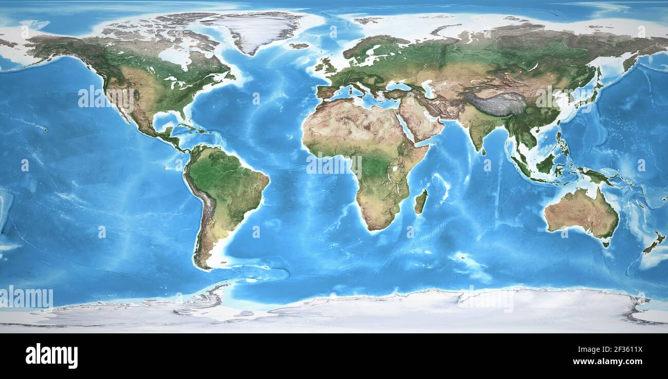 Physical map of the World, with high resolution details. Flattened satellite view of Planet Earth, its geography and topography. NASA elements. Stock Photohttps://www.alamy.com/image-license-details/?v=1https://www.alamy.com/physical-map-of-the-world-with-high-resolution-details-flattened-satellite-view-of-planet-earth-its-geography-and-topography-nasa-elements-image415025350.html
RF2F3611X–Physical map of the World, with high resolution details. Flattened satellite view of Planet Earth, its geography and topography. NASA elements.
 Lesotho, Satellite Image Stock Photohttps://www.alamy.com/image-license-details/?v=1https://www.alamy.com/stock-photo-lesotho-satellite-image-71603119.html
RME4DPE7–Lesotho, Satellite Image
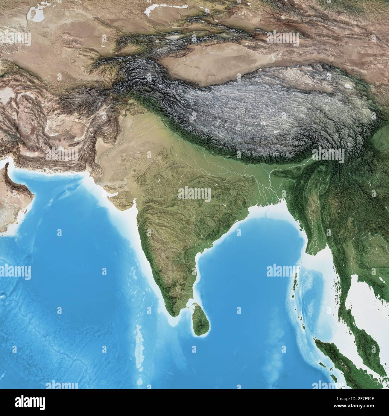 Physical map of South Asia, with high resolution details. Flattened satellite view of Planet Earth and its geography - Elements furnished by NASA Stock Photohttps://www.alamy.com/image-license-details/?v=1https://www.alamy.com/physical-map-of-south-asia-with-high-resolution-details-flattened-satellite-view-of-planet-earth-and-its-geography-elements-furnished-by-nasa-image417688026.html
RF2F7F99E–Physical map of South Asia, with high resolution details. Flattened satellite view of Planet Earth and its geography - Elements furnished by NASA
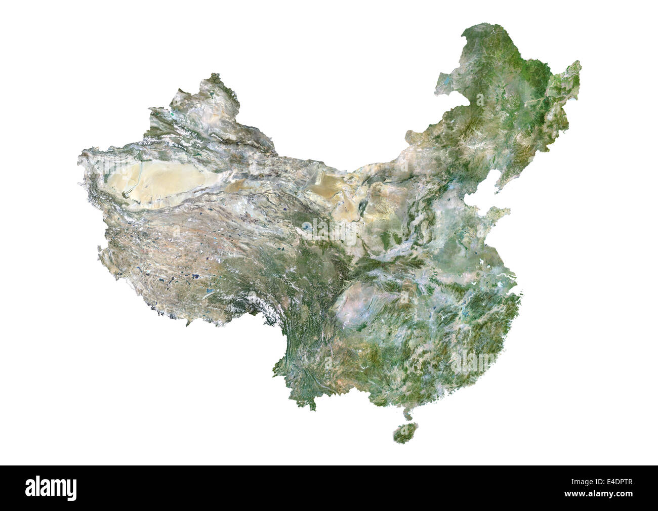 China, Satellite Image Stock Photohttps://www.alamy.com/image-license-details/?v=1https://www.alamy.com/stock-photo-china-satellite-image-71603415.html
RME4DPTR–China, Satellite Image
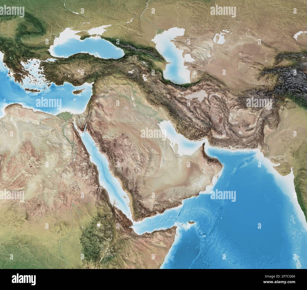 Physical map of Middle East, with high resolution details. Flattened satellite view of Planet Earth and its geography- Elements furnished by NASA Stock Photohttps://www.alamy.com/image-license-details/?v=1https://www.alamy.com/physical-map-of-middle-east-with-high-resolution-details-flattened-satellite-view-of-planet-earth-and-its-geography-elements-furnished-by-nasa-image417627566.html
RF2F7CG66–Physical map of Middle East, with high resolution details. Flattened satellite view of Planet Earth and its geography- Elements furnished by NASA
 Somalia, Satellite Image Stock Photohttps://www.alamy.com/image-license-details/?v=1https://www.alamy.com/stock-photo-somalia-satellite-image-71603161.html
RME4DPFN–Somalia, Satellite Image
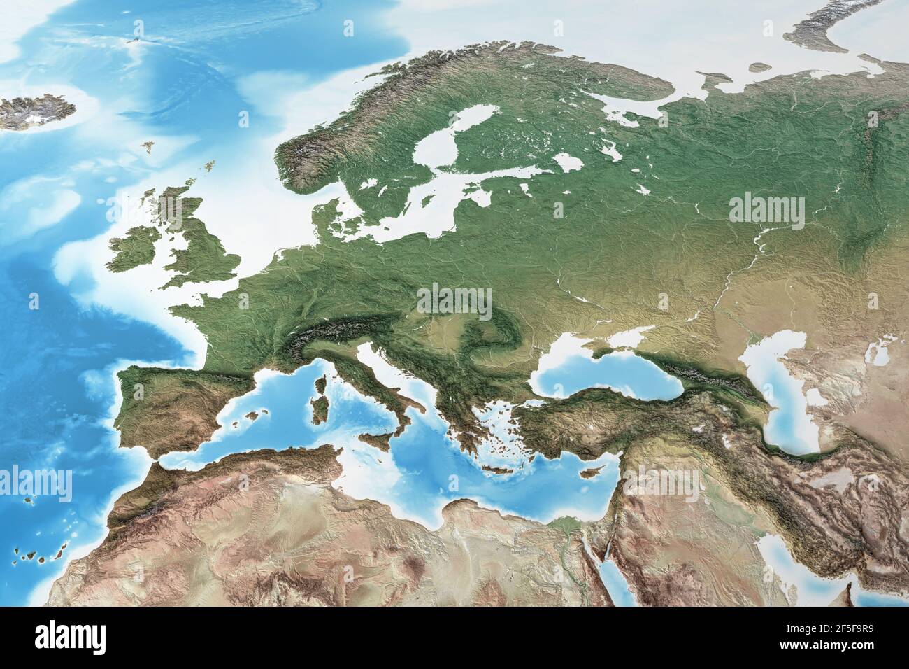 Physical map of Western Europe, with high resolution details. Flattened satellite view of Planet Earth and its geography - Elements furnished by NASA Stock Photohttps://www.alamy.com/image-license-details/?v=1https://www.alamy.com/physical-map-of-western-europe-with-high-resolution-details-flattened-satellite-view-of-planet-earth-and-its-geography-elements-furnished-by-nasa-image416459101.html
RF2F5F9R9–Physical map of Western Europe, with high resolution details. Flattened satellite view of Planet Earth and its geography - Elements furnished by NASA
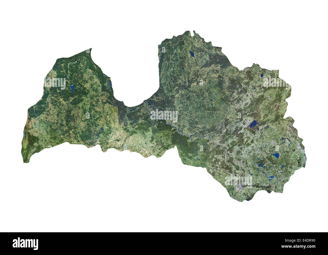 Latvia, Satellite Image Stock Photohttps://www.alamy.com/image-license-details/?v=1https://www.alamy.com/stock-photo-latvia-satellite-image-71603756.html
RME4DR90–Latvia, Satellite Image
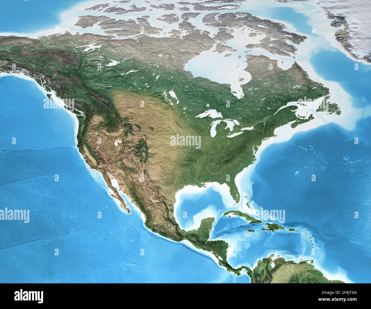 Physical map of North America, with high resolution details. Flattened satellite view of Planet Earth and its geography - Elements furnished by NASA Stock Photohttps://www.alamy.com/image-license-details/?v=1https://www.alamy.com/physical-map-of-north-america-with-high-resolution-details-flattened-satellite-view-of-planet-earth-and-its-geography-elements-furnished-by-nasa-image415921586.html
RF2F4JT6A–Physical map of North America, with high resolution details. Flattened satellite view of Planet Earth and its geography - Elements furnished by NASA
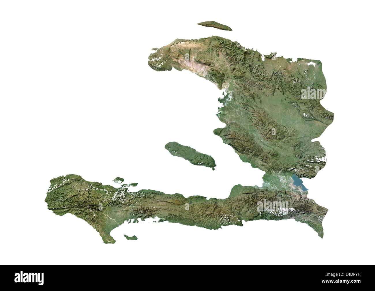 Haiti, Satellite Image Stock Photohttps://www.alamy.com/image-license-details/?v=1https://www.alamy.com/stock-photo-haiti-satellite-image-71603493.html
RME4DPYH–Haiti, Satellite Image
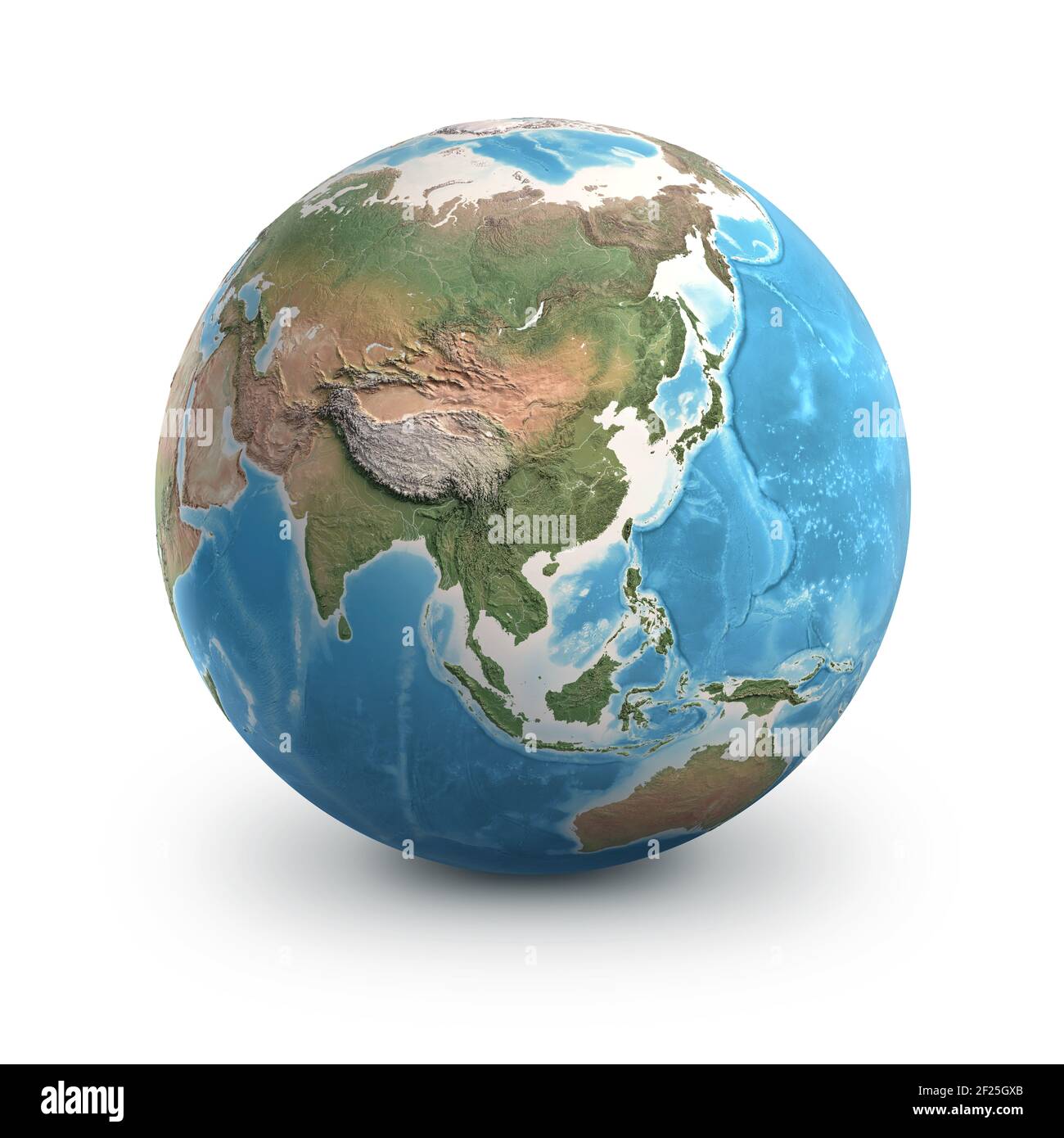 Planet Earth globe, isolated on white. Geography of the world from space, focused on Asia - 3D illustration, elements of this image furnished by NASA. Stock Photohttps://www.alamy.com/image-license-details/?v=1https://www.alamy.com/planet-earth-globe-isolated-on-white-geography-of-the-world-from-space-focused-on-asia-3d-illustration-elements-of-this-image-furnished-by-nasa-image414401187.html
RF2F25GXB–Planet Earth globe, isolated on white. Geography of the world from space, focused on Asia - 3D illustration, elements of this image furnished by NASA.
 Portugal, Satellite Image Stock Photohttps://www.alamy.com/image-license-details/?v=1https://www.alamy.com/stock-photo-portugal-satellite-image-71603780.html
RME4DR9T–Portugal, Satellite Image
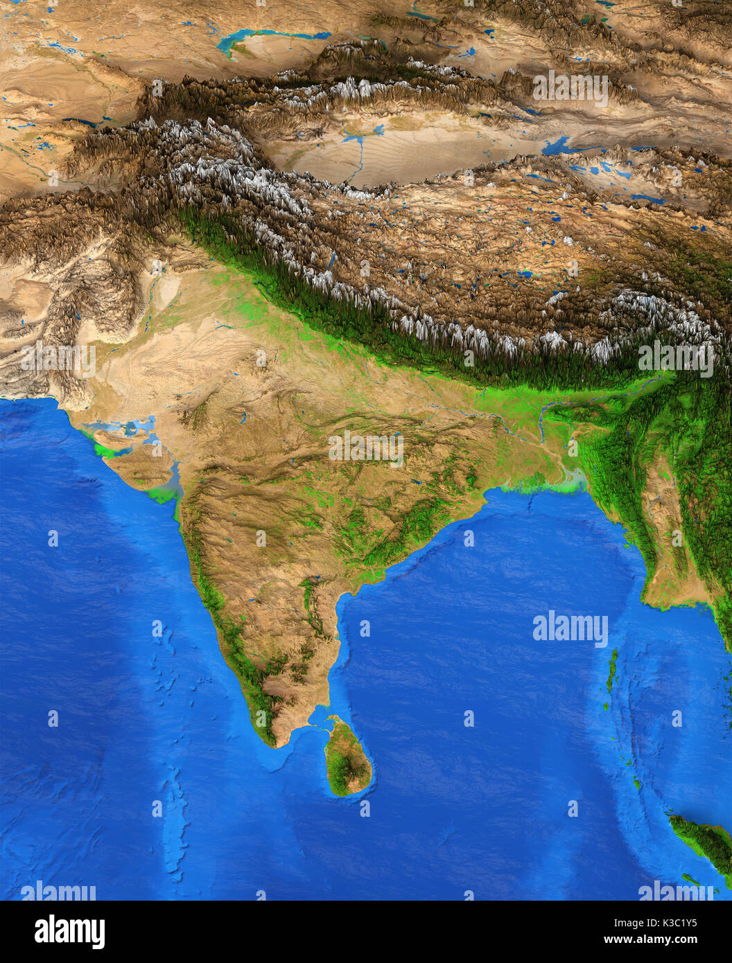 Map of India. Detailed satellite view of the Earth and its landforms. Elements of this image furnished by NASA Stock Photohttps://www.alamy.com/image-license-details/?v=1https://www.alamy.com/map-of-india-detailed-satellite-view-of-the-earth-and-its-landforms-image157002249.html
RFK3C1Y5–Map of India. Detailed satellite view of the Earth and its landforms. Elements of this image furnished by NASA
 Algeria, Satellite Image Stock Photohttps://www.alamy.com/image-license-details/?v=1https://www.alamy.com/stock-photo-algeria-satellite-image-71602869.html
RME4DP59–Algeria, Satellite Image
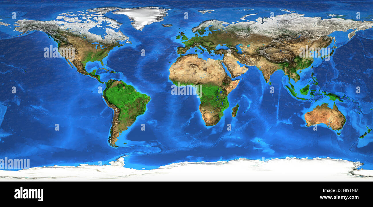 Detailed satellite view of the Earth and its landforms. Elements of this image furnished by NASA Stock Photohttps://www.alamy.com/image-license-details/?v=1https://www.alamy.com/stock-photo-detailed-satellite-view-of-the-earth-and-its-landforms-elements-of-91186080.html
RFF89TNM–Detailed satellite view of the Earth and its landforms. Elements of this image furnished by NASA
 Lithuania, Satellite Image Stock Photohttps://www.alamy.com/image-license-details/?v=1https://www.alamy.com/stock-photo-lithuania-satellite-image-71603759.html
RME4DR93–Lithuania, Satellite Image
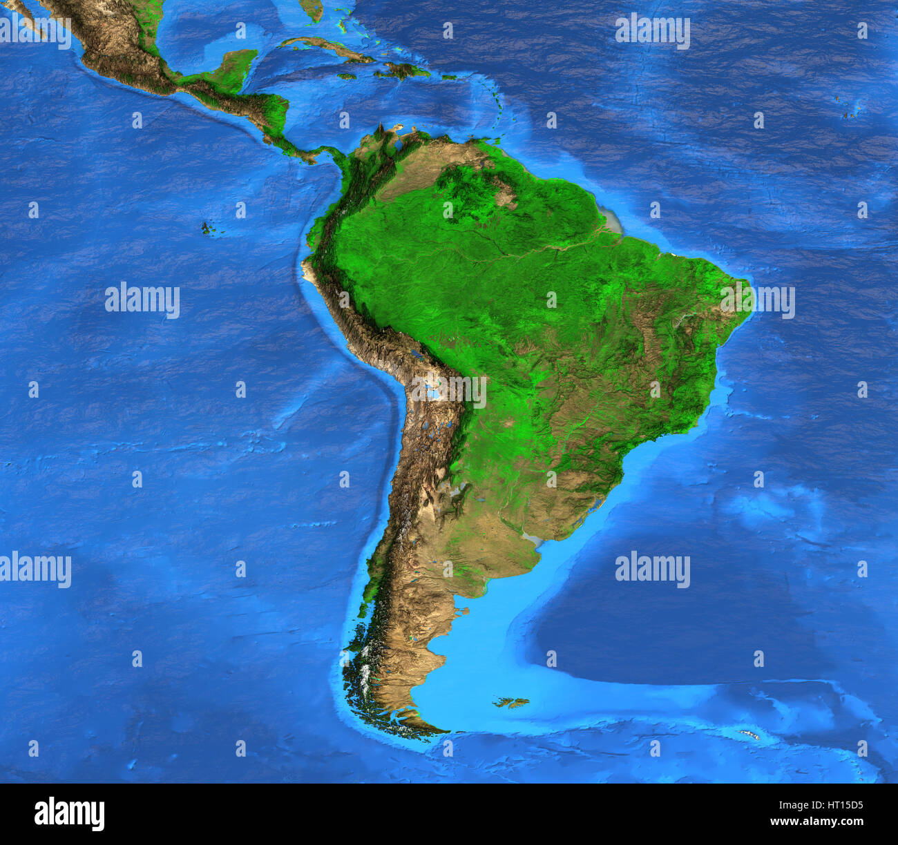 Detailed satellite view of the Earth and its landforms. South America map. Elements of this image furnished by NASA Stock Photohttps://www.alamy.com/image-license-details/?v=1https://www.alamy.com/stock-photo-detailed-satellite-view-of-the-earth-and-its-landforms-south-america-135250561.html
RFHT15D5–Detailed satellite view of the Earth and its landforms. South America map. Elements of this image furnished by NASA
 Belarus, Satellite Image Stock Photohttps://www.alamy.com/image-license-details/?v=1https://www.alamy.com/stock-photo-belarus-satellite-image-71603509.html
RME4DR05–Belarus, Satellite Image
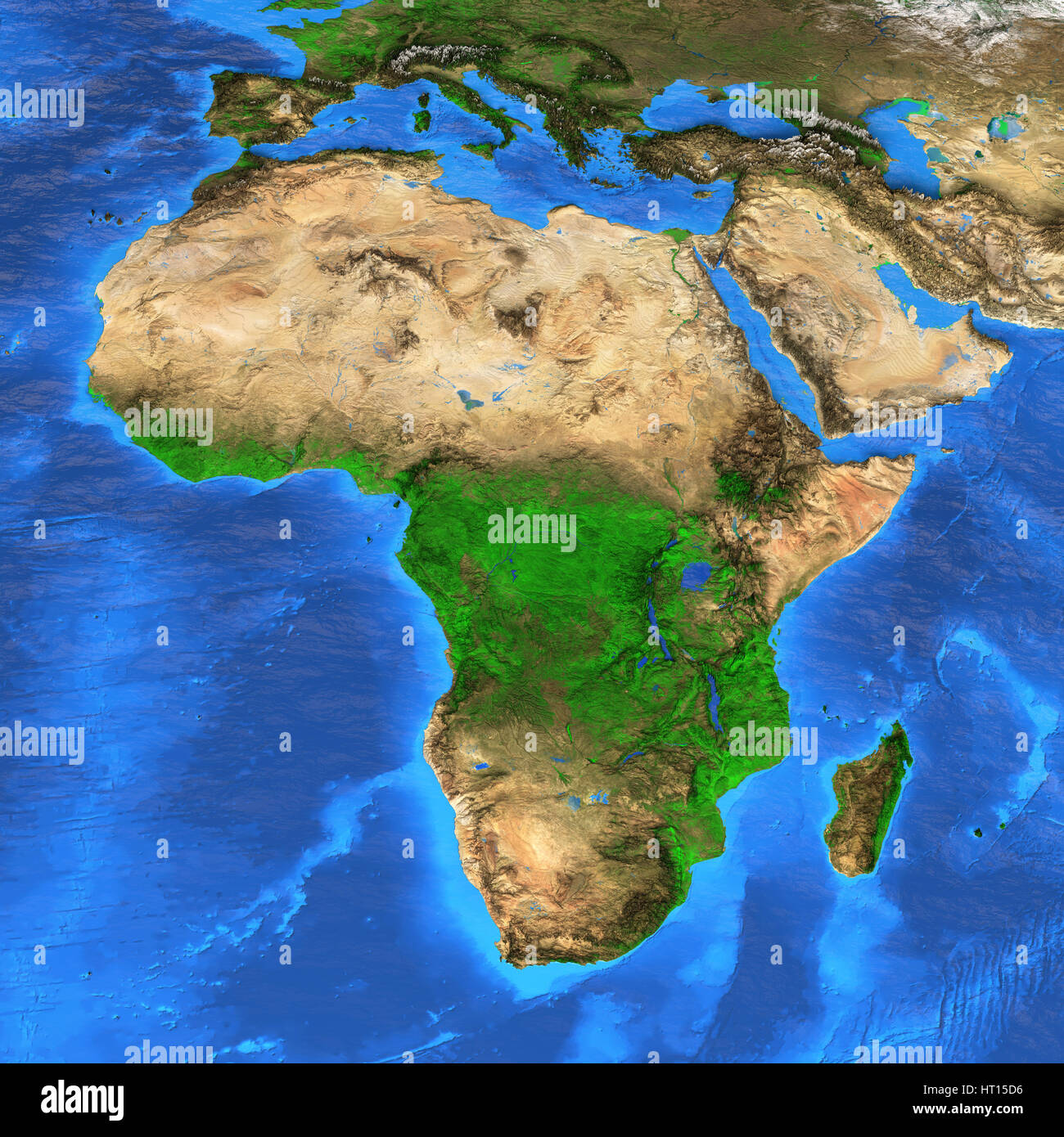 Detailed satellite view of the Earth and its landforms. Africa map. Elements of this image furnished by NASA Stock Photohttps://www.alamy.com/image-license-details/?v=1https://www.alamy.com/stock-photo-detailed-satellite-view-of-the-earth-and-its-landforms-africa-map-135250562.html
RFHT15D6–Detailed satellite view of the Earth and its landforms. Africa map. Elements of this image furnished by NASA
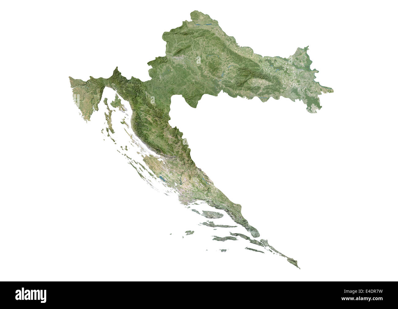 Croatia, Satellite Image Stock Photohttps://www.alamy.com/image-license-details/?v=1https://www.alamy.com/stock-photo-croatia-satellite-image-71603725.html
RME4DR7W–Croatia, Satellite Image
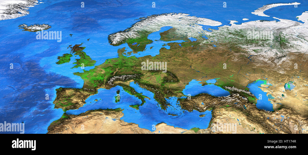 Detailed satellite view of the Earth and its landforms. Europe map. Elements of this image furnished by NASA Stock Photohttps://www.alamy.com/image-license-details/?v=1https://www.alamy.com/stock-photo-detailed-satellite-view-of-the-earth-and-its-landforms-europe-map-135251895.html
RFHT174R–Detailed satellite view of the Earth and its landforms. Europe map. Elements of this image furnished by NASA
 Mozambique, Satellite Image Stock Photohttps://www.alamy.com/image-license-details/?v=1https://www.alamy.com/stock-photo-mozambique-satellite-image-71603139.html
RME4DPEY–Mozambique, Satellite Image
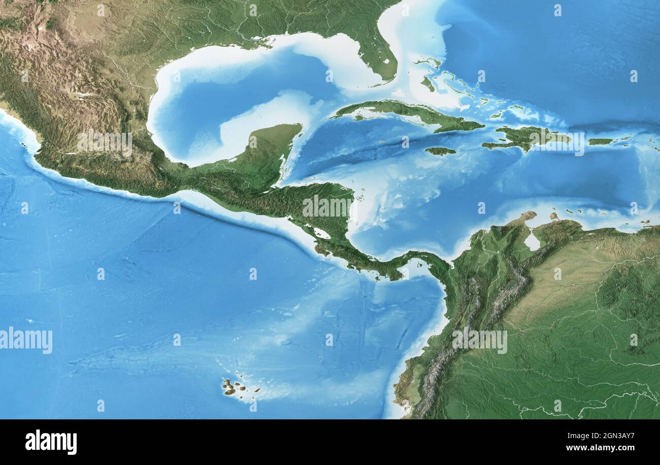 Physical map of Central America and Caribbean. Flattened satellite view of Planet Earth and its topography. Elements furnished by NASA Stock Photohttps://www.alamy.com/image-license-details/?v=1https://www.alamy.com/physical-map-of-central-america-and-caribbean-flattened-satellite-view-of-planet-earth-and-its-topography-elements-furnished-by-nasa-image443241435.html
RF2GN3AY7–Physical map of Central America and Caribbean. Flattened satellite view of Planet Earth and its topography. Elements furnished by NASA
 Syria, Satellite Image Stock Photohttps://www.alamy.com/image-license-details/?v=1https://www.alamy.com/stock-photo-syria-satellite-image-71604145.html
RME4DRPW–Syria, Satellite Image
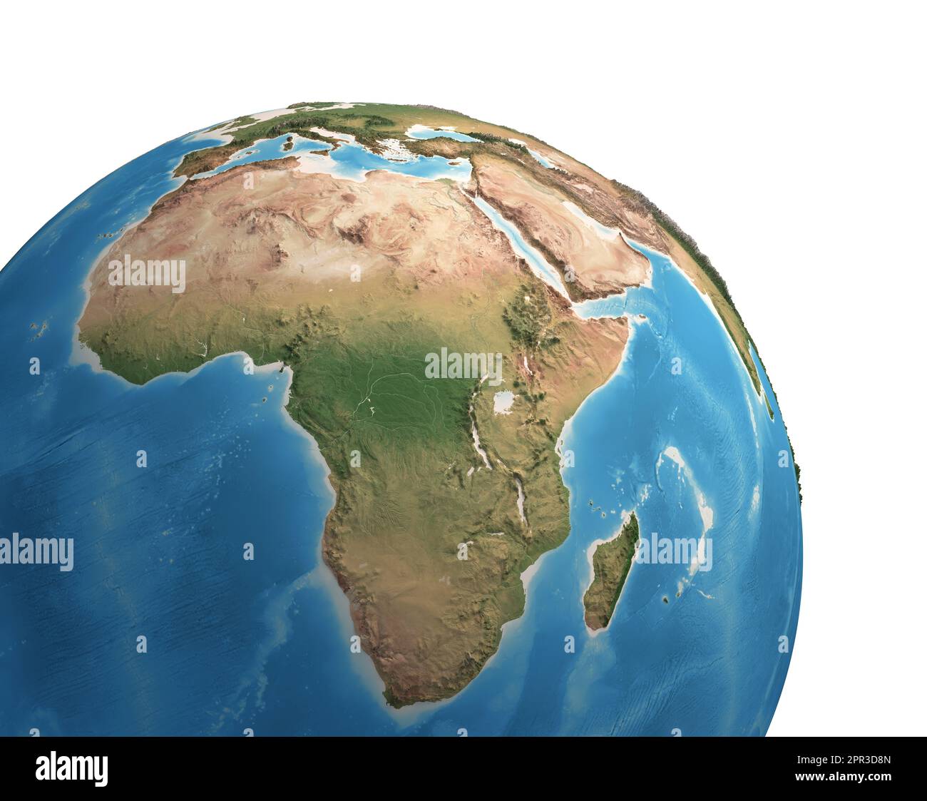 High resolution satellite view of Planet Earth, focused on Africa - 3D illustration, elements of this image furnished by NASA. Stock Photohttps://www.alamy.com/image-license-details/?v=1https://www.alamy.com/high-resolution-satellite-view-of-planet-earth-focused-on-africa-3d-illustration-elements-of-this-image-furnished-by-nasa-image547734789.html
RF2PR3D8N–High resolution satellite view of Planet Earth, focused on Africa - 3D illustration, elements of this image furnished by NASA.
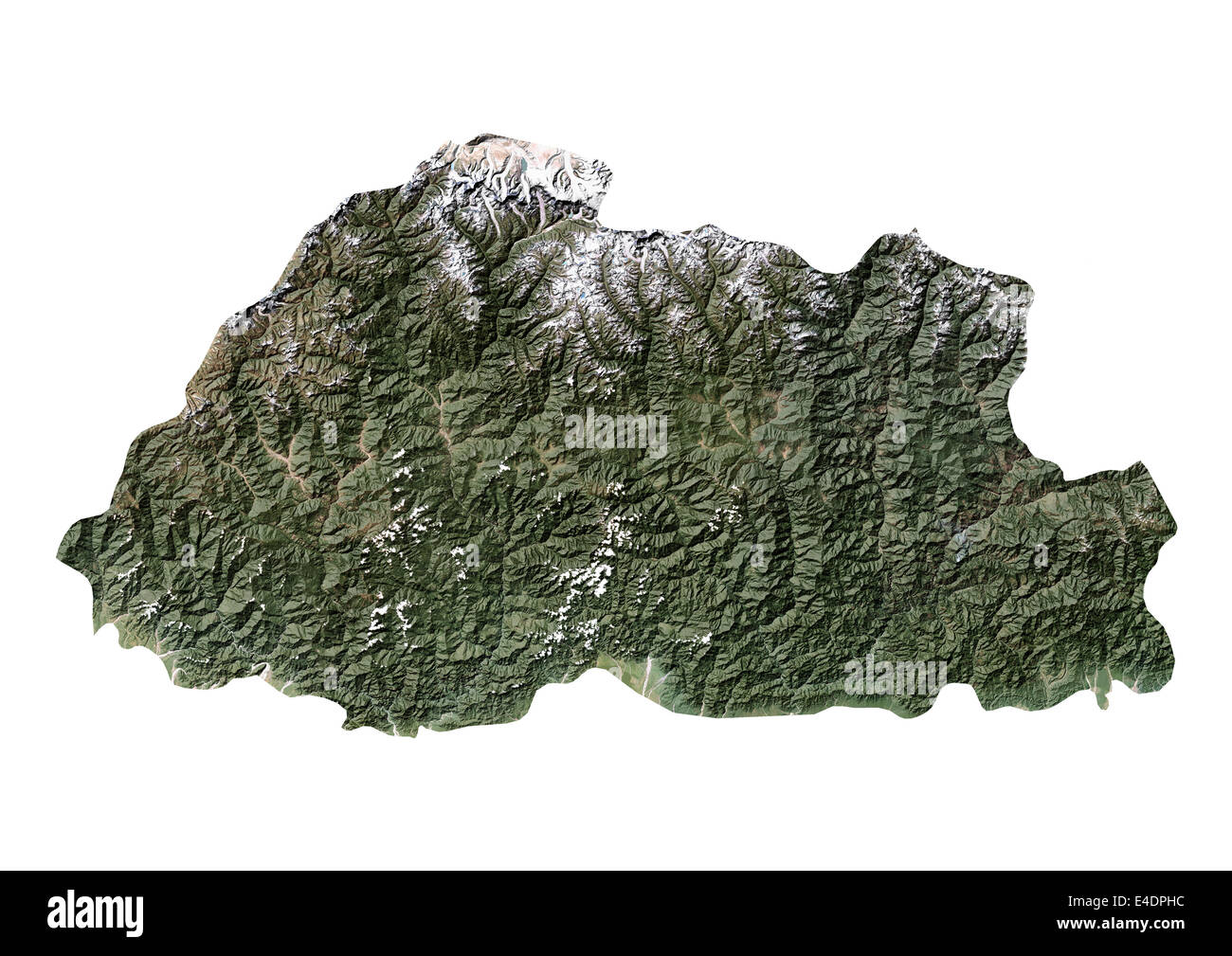 Bhutan, Satellite Image Stock Photohttps://www.alamy.com/image-license-details/?v=1https://www.alamy.com/stock-photo-bhutan-satellite-image-71603208.html
RME4DPHC–Bhutan, Satellite Image
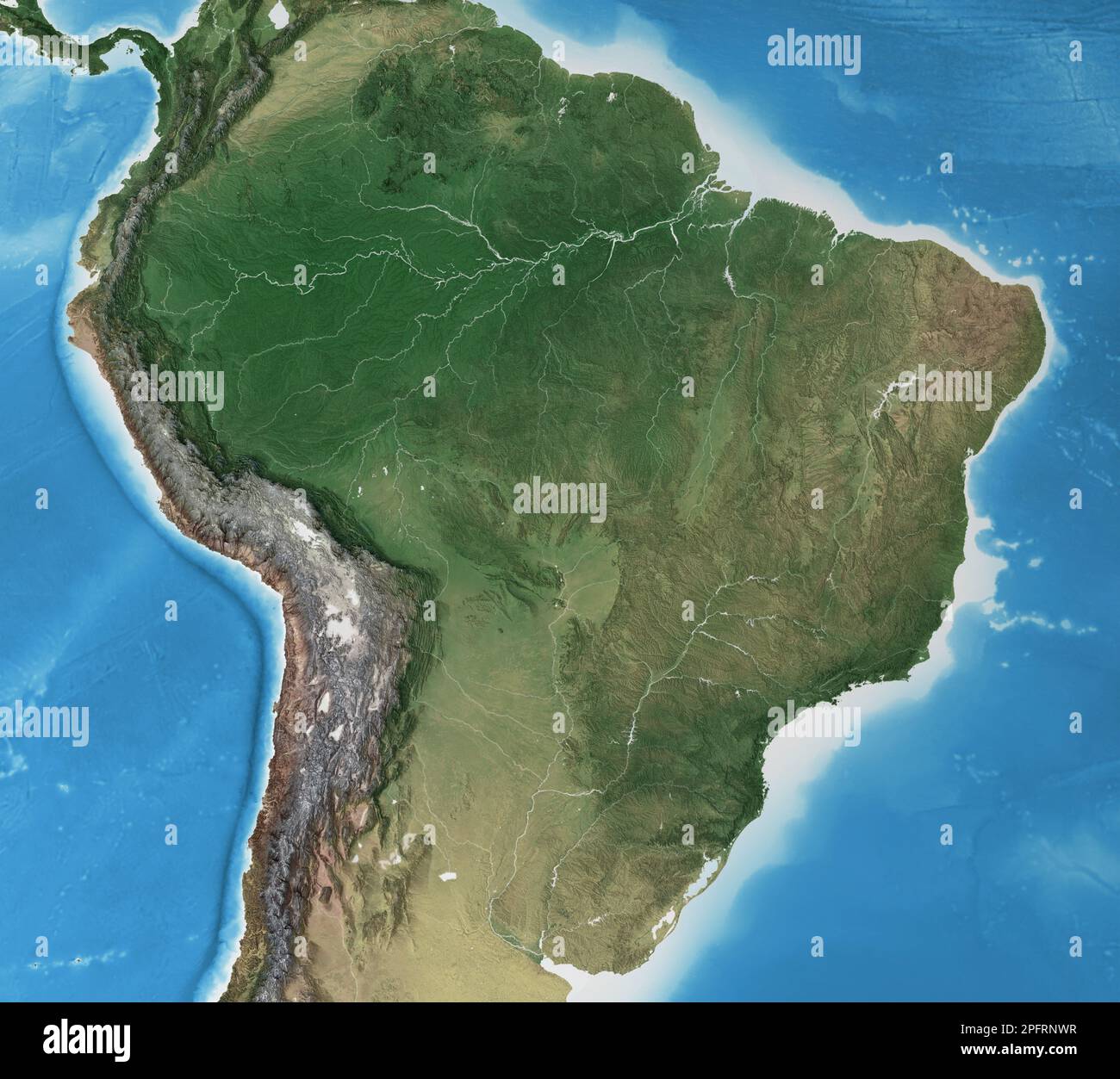 Physical map of Brazil. Geography and topography of Amazon rainforest. Detailed flat view of the Planet Earth - elements furnished by NASA Stock Photohttps://www.alamy.com/image-license-details/?v=1https://www.alamy.com/physical-map-of-brazil-geography-and-topography-of-amazon-rainforest-detailed-flat-view-of-the-planet-earth-elements-furnished-by-nasa-image543263331.html
RF2PFRNWR–Physical map of Brazil. Geography and topography of Amazon rainforest. Detailed flat view of the Planet Earth - elements furnished by NASA
 Belgium, Satellite Image Stock Photohttps://www.alamy.com/image-license-details/?v=1https://www.alamy.com/stock-photo-belgium-satellite-image-71603512.html
RME4DR08–Belgium, Satellite Image
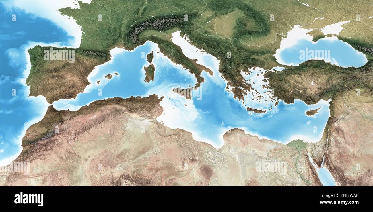 Physical map of Mediterranean region, with high resolution details. Flattened satellite view of Planet Earth - Elements furnished by NASA Stock Photohttps://www.alamy.com/image-license-details/?v=1https://www.alamy.com/physical-map-of-mediterranean-region-with-high-resolution-details-flattened-satellite-view-of-planet-earth-elements-furnished-by-nasa-image419873843.html
RF2FB2WAB–Physical map of Mediterranean region, with high resolution details. Flattened satellite view of Planet Earth - Elements furnished by NASA
 Swaziland, Satellite Image Stock Photohttps://www.alamy.com/image-license-details/?v=1https://www.alamy.com/stock-photo-swaziland-satellite-image-71603173.html
RME4DPG5–Swaziland, Satellite Image
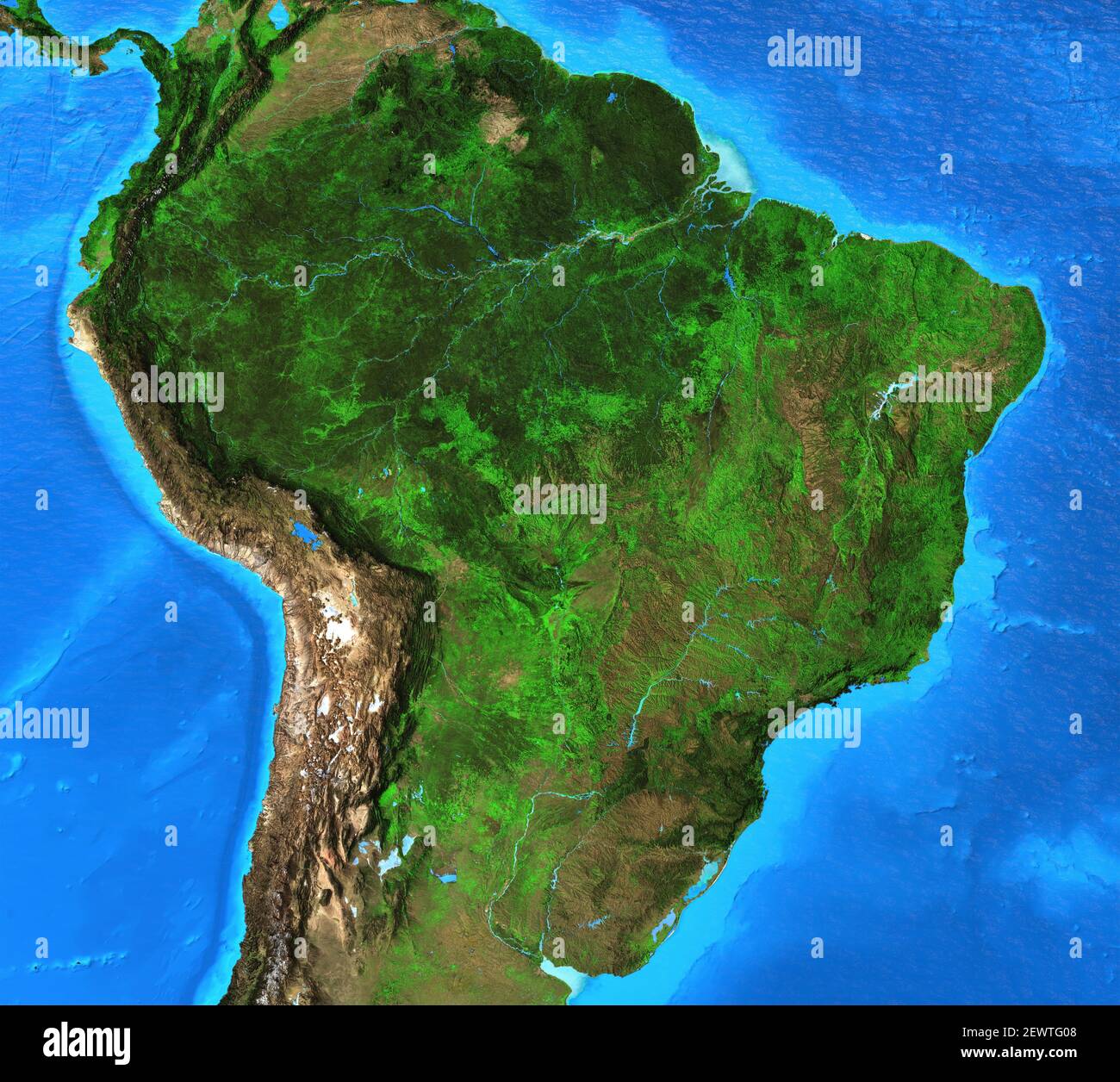 Physical map of Brazil. Geography and topography of Amazon rainforest. Detailed flat view of the Planet Earth - Elements furnished by NASA Stock Photohttps://www.alamy.com/image-license-details/?v=1https://www.alamy.com/physical-map-of-brazil-geography-and-topography-of-amazon-rainforest-detailed-flat-view-of-the-planet-earth-elements-furnished-by-nasa-image411744264.html
RF2EWTG08–Physical map of Brazil. Geography and topography of Amazon rainforest. Detailed flat view of the Planet Earth - Elements furnished by NASA
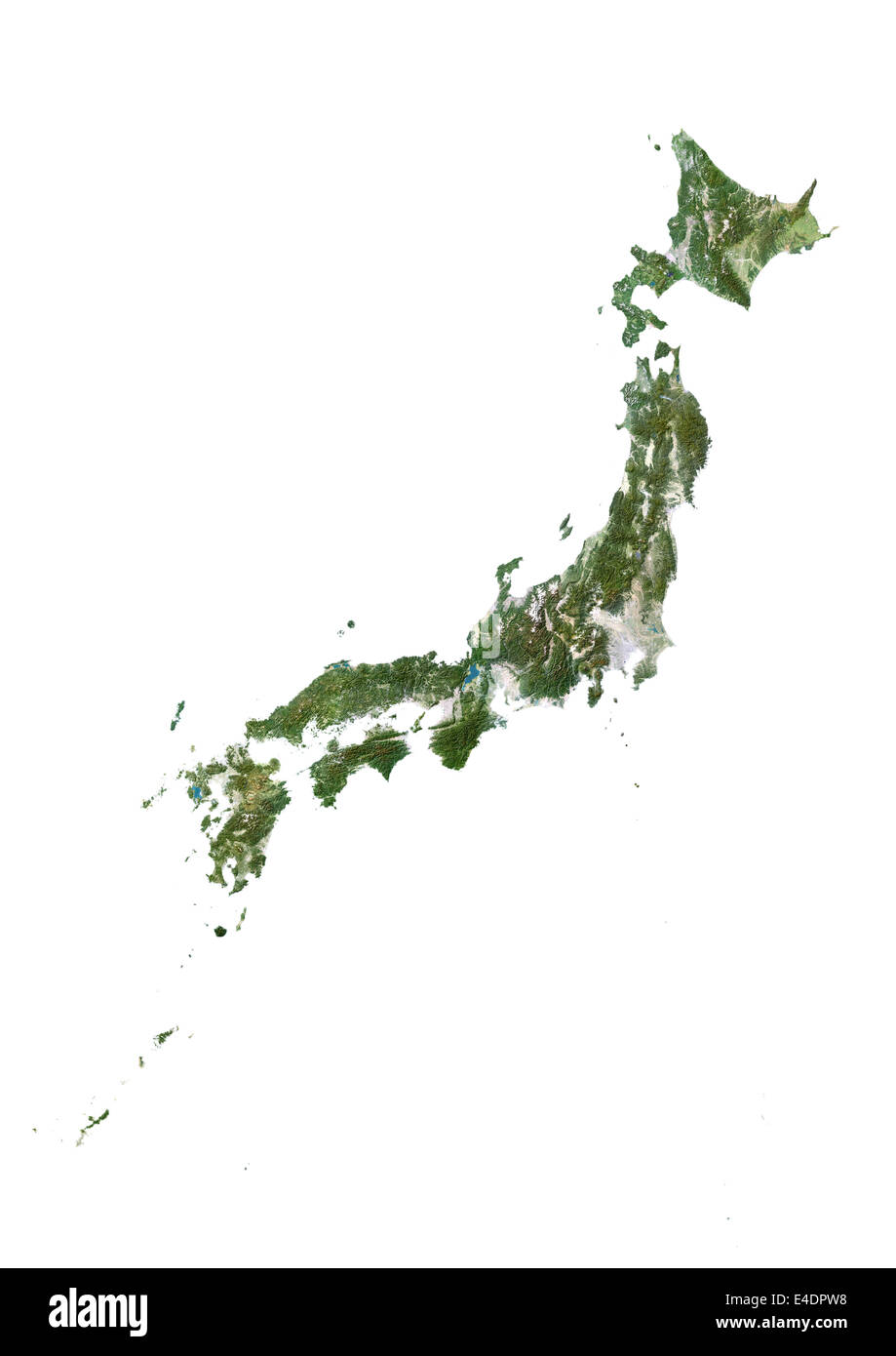 Japan, Satellite Image Stock Photohttps://www.alamy.com/image-license-details/?v=1https://www.alamy.com/stock-photo-japan-satellite-image-71603428.html
RME4DPW8–Japan, Satellite Image
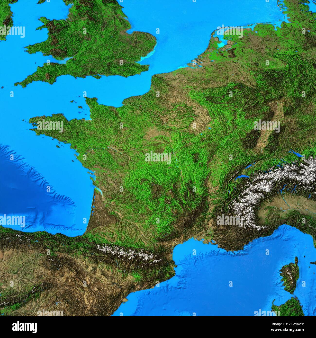 Physical map of France. Geography of French territory. Detailed flat view of the Planet Earth and its landforms - Elements furnished by NASA Stock Photohttps://www.alamy.com/image-license-details/?v=1https://www.alamy.com/physical-map-of-france-geography-of-french-territory-detailed-flat-view-of-the-planet-earth-and-its-landforms-elements-furnished-by-nasa-image411730922.html
RF2EWRXYP–Physical map of France. Geography of French territory. Detailed flat view of the Planet Earth and its landforms - Elements furnished by NASA