Satellite view of jerusalem map Stock Photos and Images
(101)See satellite view of jerusalem map stock video clipsQuick filters:
Satellite view of jerusalem map Stock Photos and Images
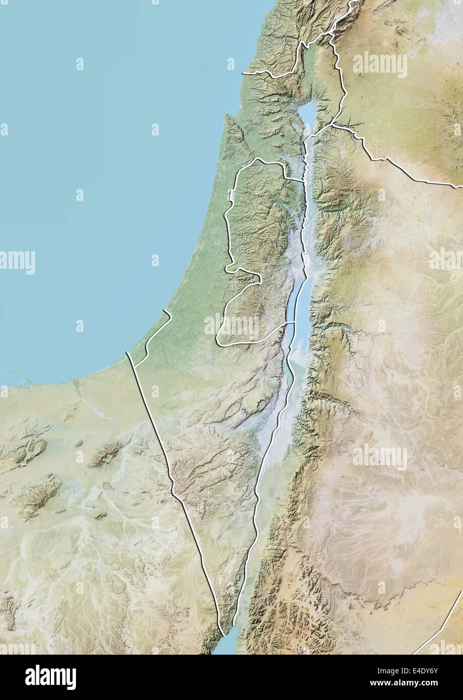 Israel, Relief Map With Border Stock Photohttps://www.alamy.com/image-license-details/?v=1https://www.alamy.com/stock-photo-israel-relief-map-with-border-71606835.html
RME4DY6Y–Israel, Relief Map With Border
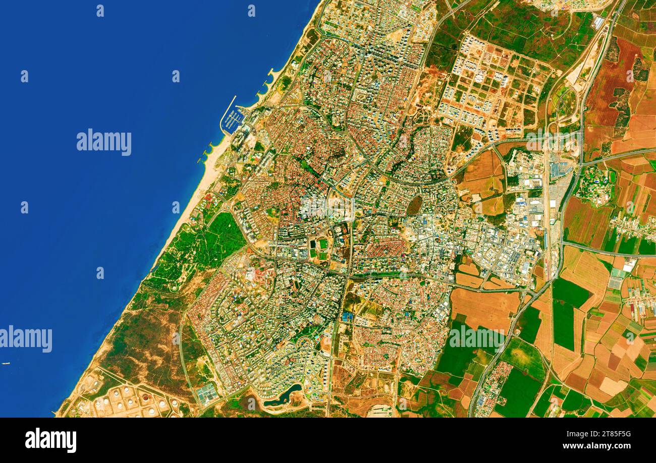 Ashkelon, Israel - Close up map of the Ashkelon city, satellite view, top view, border recolored, edited Stock Photohttps://www.alamy.com/image-license-details/?v=1https://www.alamy.com/ashkelon-israel-close-up-map-of-the-ashkelon-city-satellite-view-top-view-border-recolored-edited-image572981068.html
RM2T85F5G–Ashkelon, Israel - Close up map of the Ashkelon city, satellite view, top view, border recolored, edited
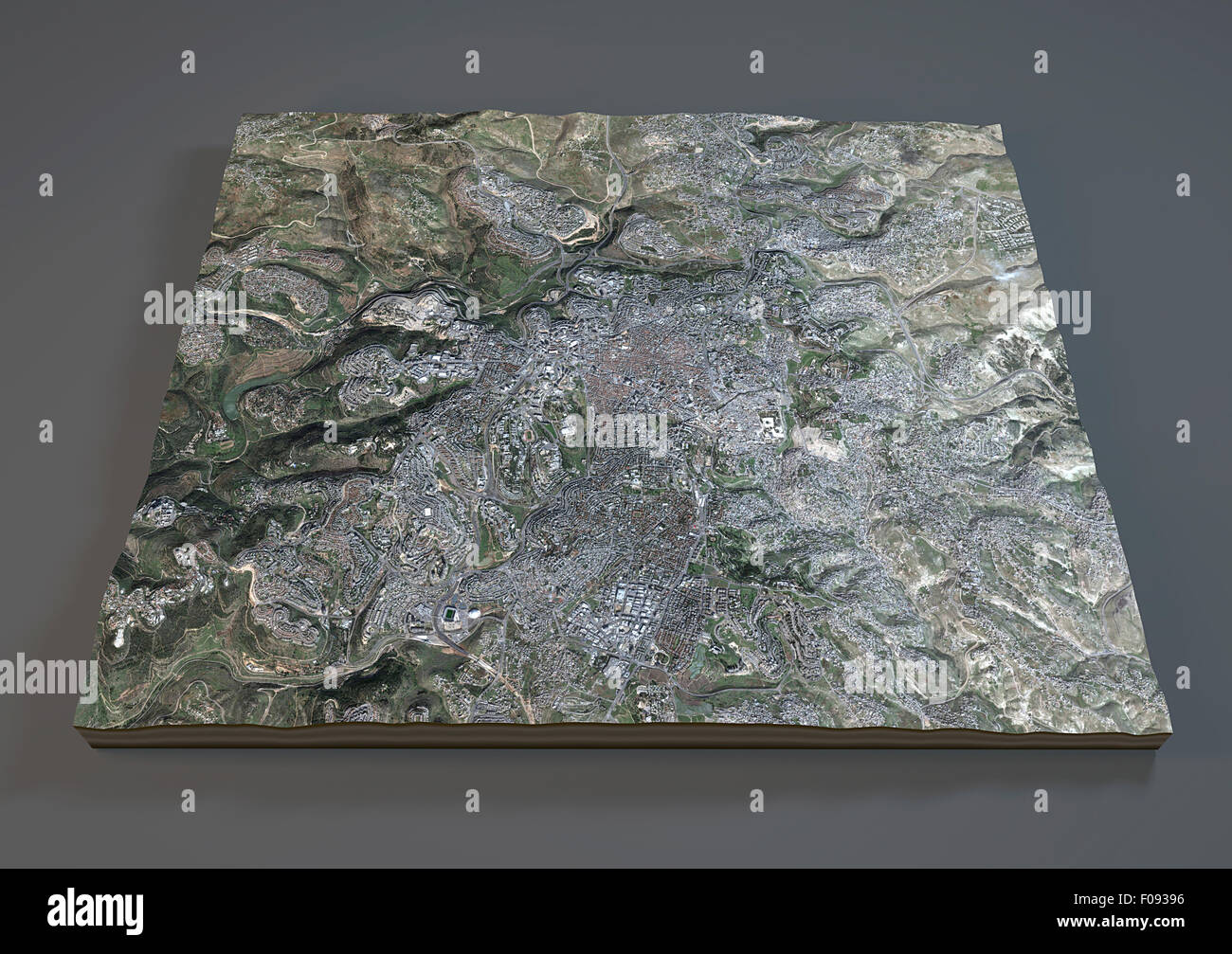 Satellite view of Jerusalem map, Israel, on gray background Stock Photohttps://www.alamy.com/image-license-details/?v=1https://www.alamy.com/stock-photo-satellite-view-of-jerusalem-map-israel-on-gray-background-86252018.html
RFF09396–Satellite view of Jerusalem map, Israel, on gray background
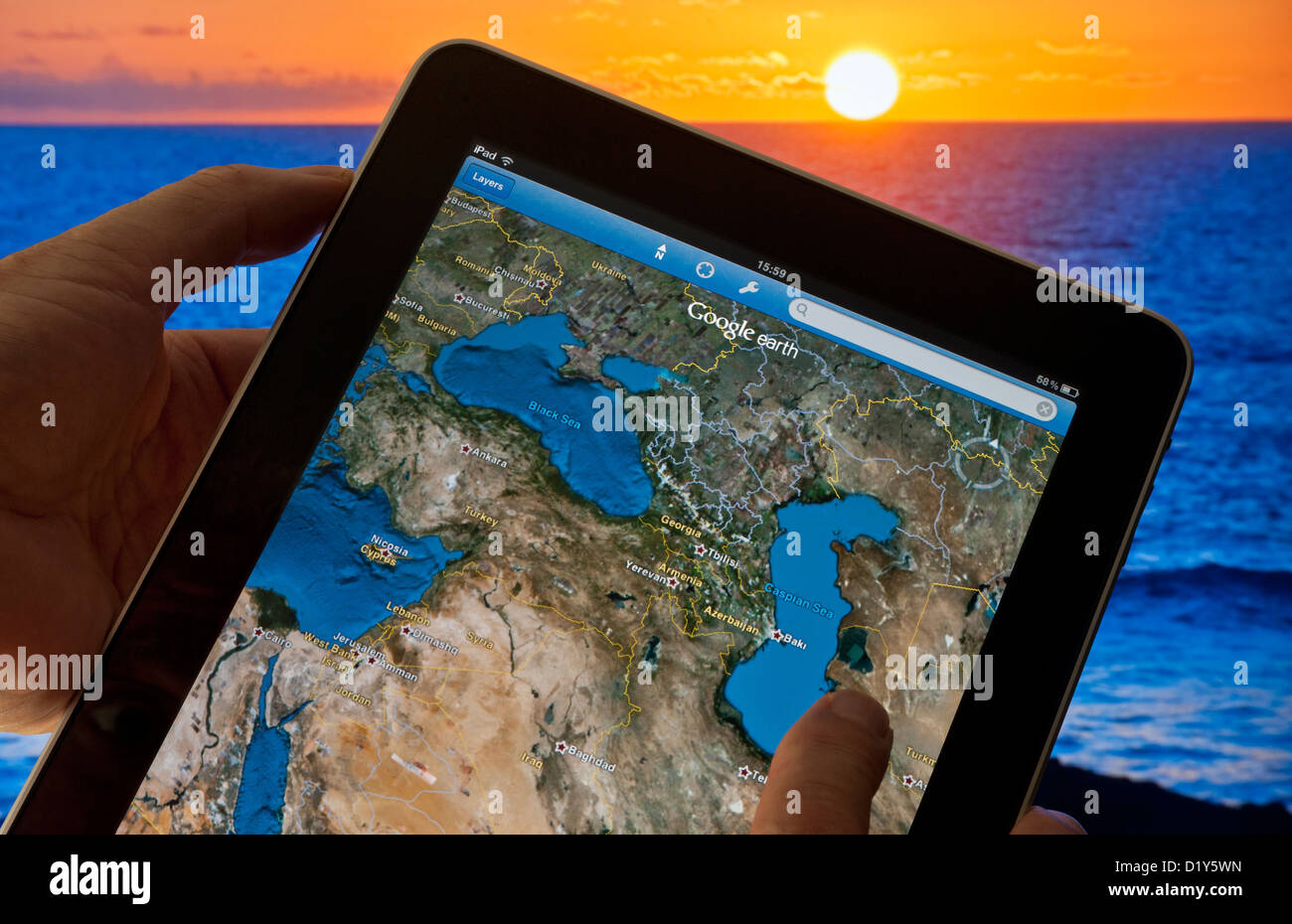 iPad & Google Earth Map on screen map of Ukraine Azerbaijan Baku Georgia Jerusalem Cyprus Black Sea & Caspian Sea land mass areas sunset in b/g Stock Photohttps://www.alamy.com/image-license-details/?v=1https://www.alamy.com/stock-photo-ipad-google-earth-map-on-screen-map-of-ukraine-azerbaijan-baku-georgia-52843105.html
RMD1Y5WN–iPad & Google Earth Map on screen map of Ukraine Azerbaijan Baku Georgia Jerusalem Cyprus Black Sea & Caspian Sea land mass areas sunset in b/g
 Map of Jerusalem, Israel, satellite view, map in 3d. Black and white Stock Photohttps://www.alamy.com/image-license-details/?v=1https://www.alamy.com/stock-photo-map-of-jerusalem-israel-satellite-view-map-in-3d-black-and-white-86605351.html
RFF0W607–Map of Jerusalem, Israel, satellite view, map in 3d. Black and white
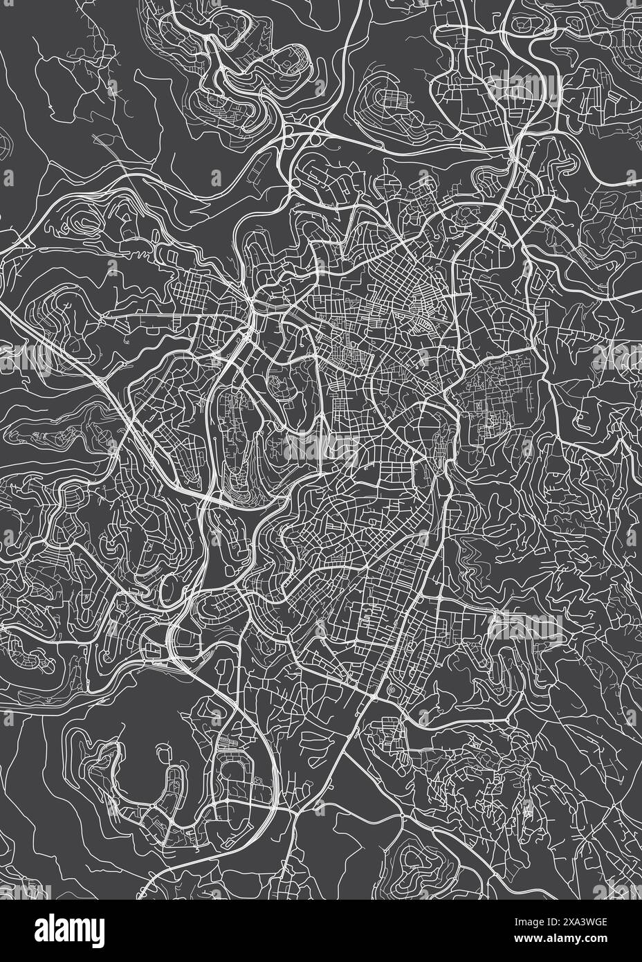 City map Jerusalem, monochrome detailed plan, vector illustration Stock Vectorhttps://www.alamy.com/image-license-details/?v=1https://www.alamy.com/city-map-jerusalem-monochrome-detailed-plan-vector-illustration-image608595358.html
RF2XA3WGE–City map Jerusalem, monochrome detailed plan, vector illustration
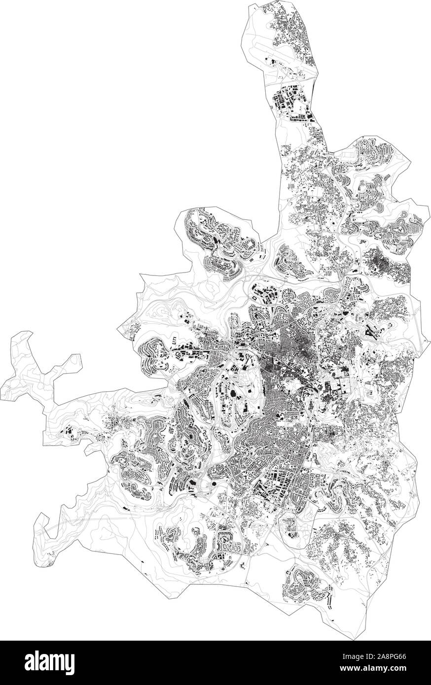 Satellite map of Jerusalem and buildings, Israel. Map roads, ring roads and highways, rivers. Transportation map Stock Vectorhttps://www.alamy.com/image-license-details/?v=1https://www.alamy.com/satellite-map-of-jerusalem-and-buildings-israel-map-roads-ring-roads-and-highways-rivers-transportation-map-image332409902.html
RF2A8PG66–Satellite map of Jerusalem and buildings, Israel. Map roads, ring roads and highways, rivers. Transportation map
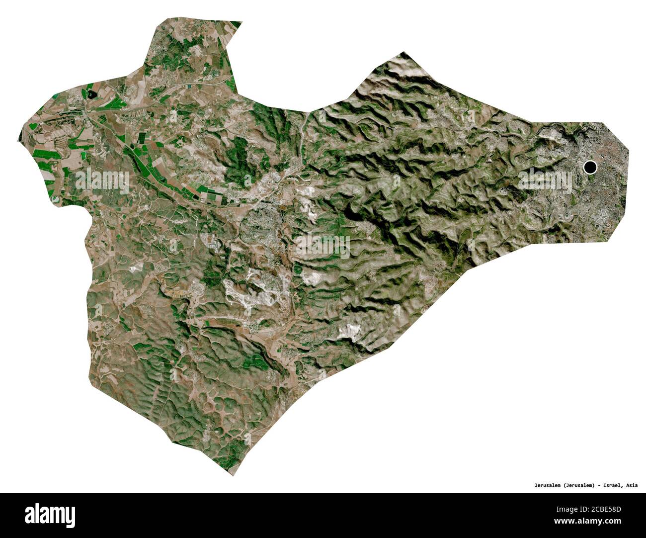 Shape of Jerusalem, district of Israel, with its capital isolated on white background. Satellite imagery. 3D rendering Stock Photohttps://www.alamy.com/image-license-details/?v=1https://www.alamy.com/shape-of-jerusalem-district-of-israel-with-its-capital-isolated-on-white-background-satellite-imagery-3d-rendering-image368490429.html
RF2CBE58D–Shape of Jerusalem, district of Israel, with its capital isolated on white background. Satellite imagery. 3D rendering
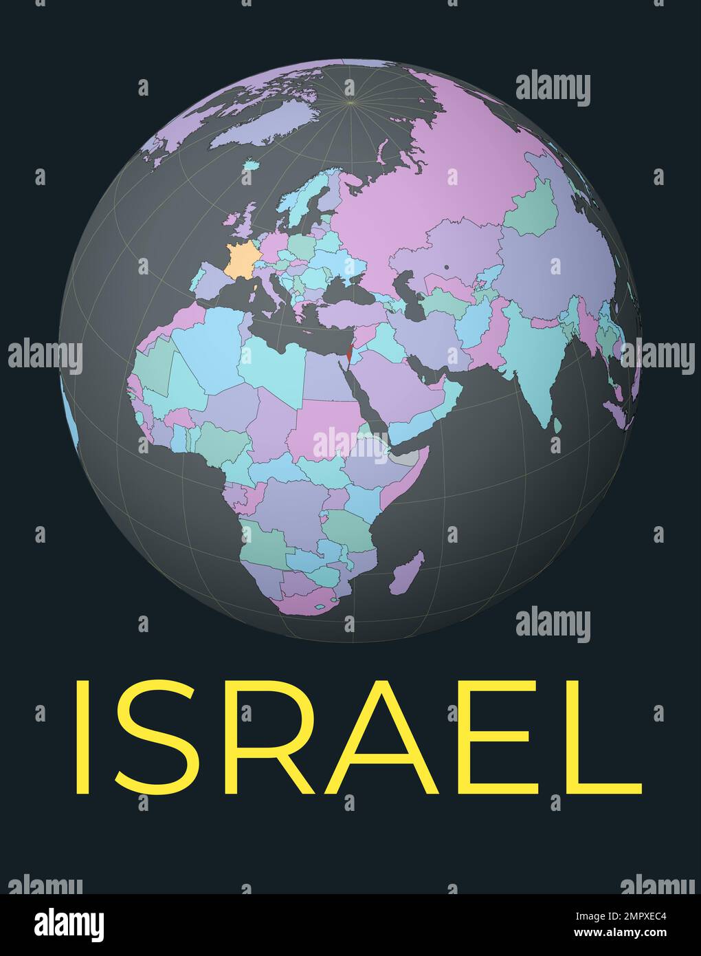 World map centered to Israel. Red country highlighted. Satellite world view centered to country with name. Vector Illustration. Stock Vectorhttps://www.alamy.com/image-license-details/?v=1https://www.alamy.com/world-map-centered-to-israel-red-country-highlighted-satellite-world-view-centered-to-country-with-name-vector-illustration-image513205172.html
RF2MPXEC4–World map centered to Israel. Red country highlighted. Satellite world view centered to country with name. Vector Illustration.
 Shape of Jerusalem, district of Israel, and its capital. Distance scale, previews and labels. Satellite imagery. 3D rendering Stock Photohttps://www.alamy.com/image-license-details/?v=1https://www.alamy.com/shape-of-jerusalem-district-of-israel-and-its-capital-distance-scale-previews-and-labels-satellite-imagery-3d-rendering-image368490410.html
RF2CBE57P–Shape of Jerusalem, district of Israel, and its capital. Distance scale, previews and labels. Satellite imagery. 3D rendering
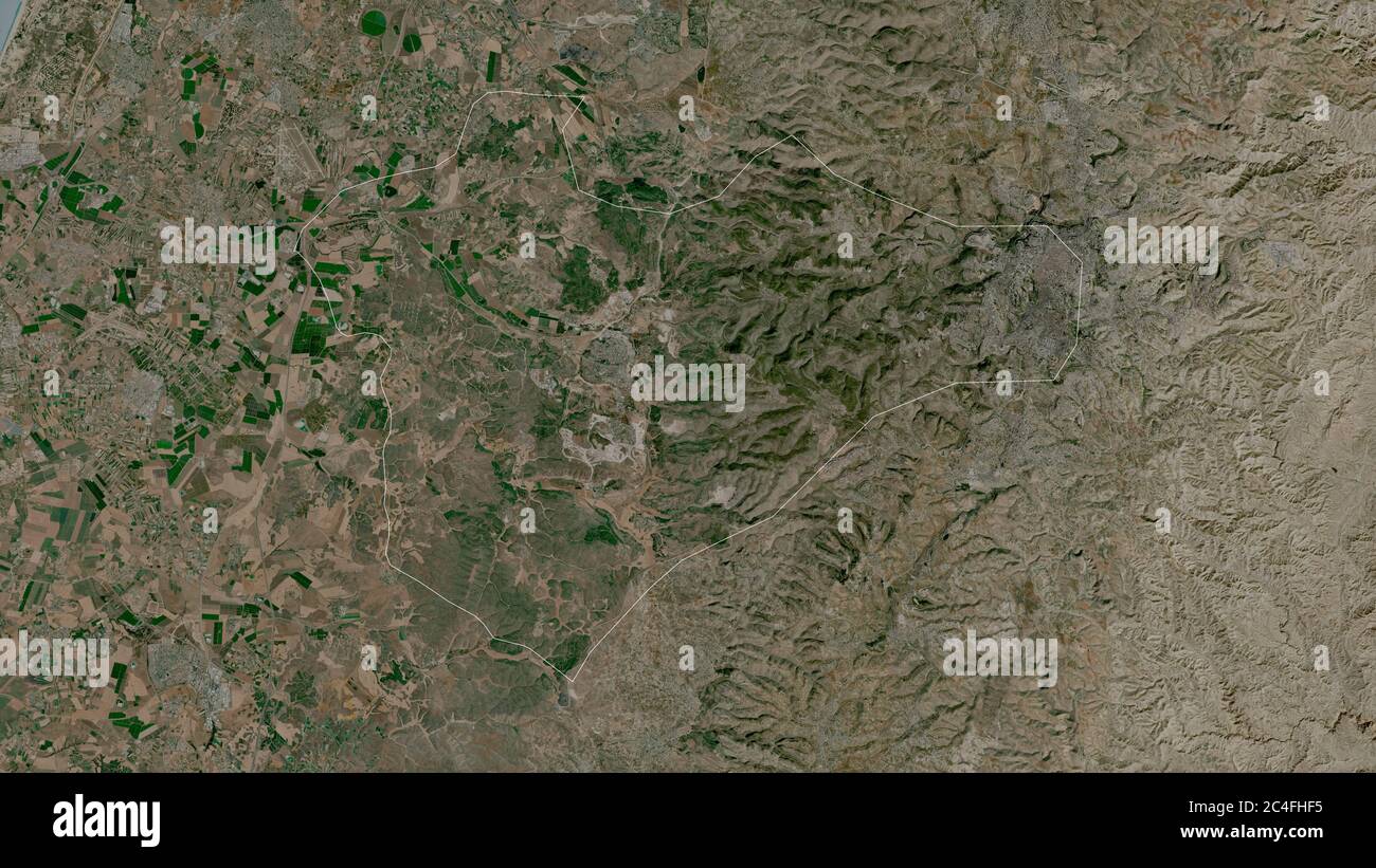 Jerusalem, district of Israel. Satellite imagery. Shape outlined against its country area. 3D rendering Stock Photohttps://www.alamy.com/image-license-details/?v=1https://www.alamy.com/jerusalem-district-of-israel-satellite-imagery-shape-outlined-against-its-country-area-3d-rendering-image364219385.html
RF2C4FHF5–Jerusalem, district of Israel. Satellite imagery. Shape outlined against its country area. 3D rendering
 Zoom in on Jerusalem (district of Israel) outlined. Oblique perspective. Satellite imagery. 3D rendering Stock Photohttps://www.alamy.com/image-license-details/?v=1https://www.alamy.com/zoom-in-on-jerusalem-district-of-israel-outlined-oblique-perspective-satellite-imagery-3d-rendering-image364319916.html
RF2C4M5NG–Zoom in on Jerusalem (district of Israel) outlined. Oblique perspective. Satellite imagery. 3D rendering
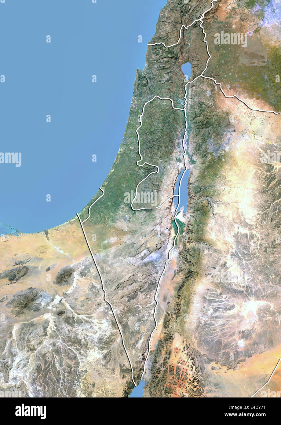 Israel, Satellite Image With Bump Effect, With Border Stock Photohttps://www.alamy.com/image-license-details/?v=1https://www.alamy.com/stock-photo-israel-satellite-image-with-bump-effect-with-border-71606837.html
RME4DY71–Israel, Satellite Image With Bump Effect, With Border
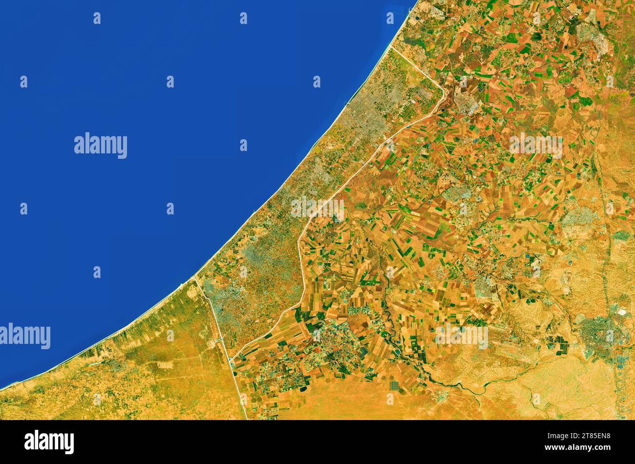 Gaza, Palestine - Close up map of the Gaza Strip, satellite view, top view, border recolored, edited Stock Photohttps://www.alamy.com/image-license-details/?v=1https://www.alamy.com/gaza-palestine-close-up-map-of-the-gaza-strip-satellite-view-top-view-border-recolored-edited-image572980724.html
RM2T85EN8–Gaza, Palestine - Close up map of the Gaza Strip, satellite view, top view, border recolored, edited
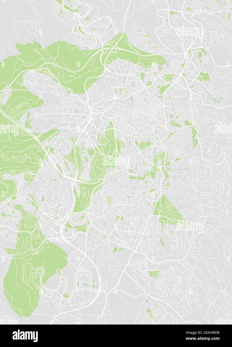 City map Jerusalem, color detailed plan, vector illustration Stock Vectorhttps://www.alamy.com/image-license-details/?v=1https://www.alamy.com/city-map-jerusalem-color-detailed-plan-vector-illustration-image608595268.html
RF2XA3WD8–City map Jerusalem, color detailed plan, vector illustration
 Satellite view of the Gaza Strip North side. Streets housing and borders of the Palestinian territories with Israel. Political map. Gaza city. Vector Stock Vectorhttps://www.alamy.com/image-license-details/?v=1https://www.alamy.com/satellite-view-of-the-gaza-strip-north-side-streets-housing-and-borders-of-the-palestinian-territories-with-israel-political-map-gaza-city-vector-image426059421.html
RF2FN4K3W–Satellite view of the Gaza Strip North side. Streets housing and borders of the Palestinian territories with Israel. Political map. Gaza city. Vector
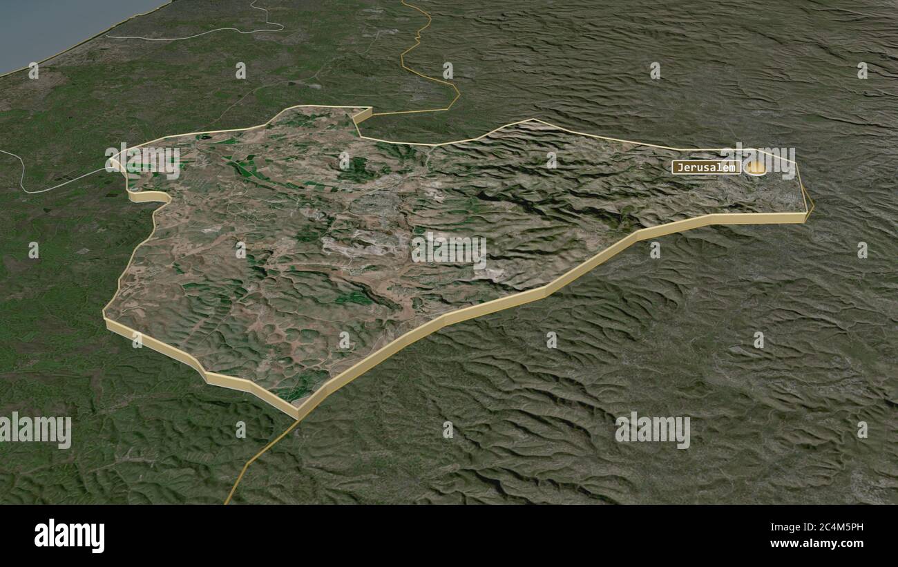 Zoom in on Jerusalem (district of Israel) extruded. Oblique perspective. Satellite imagery. 3D rendering Stock Photohttps://www.alamy.com/image-license-details/?v=1https://www.alamy.com/zoom-in-on-jerusalem-district-of-israel-extruded-oblique-perspective-satellite-imagery-3d-rendering-image364319945.html
RF2C4M5PH–Zoom in on Jerusalem (district of Israel) extruded. Oblique perspective. Satellite imagery. 3D rendering
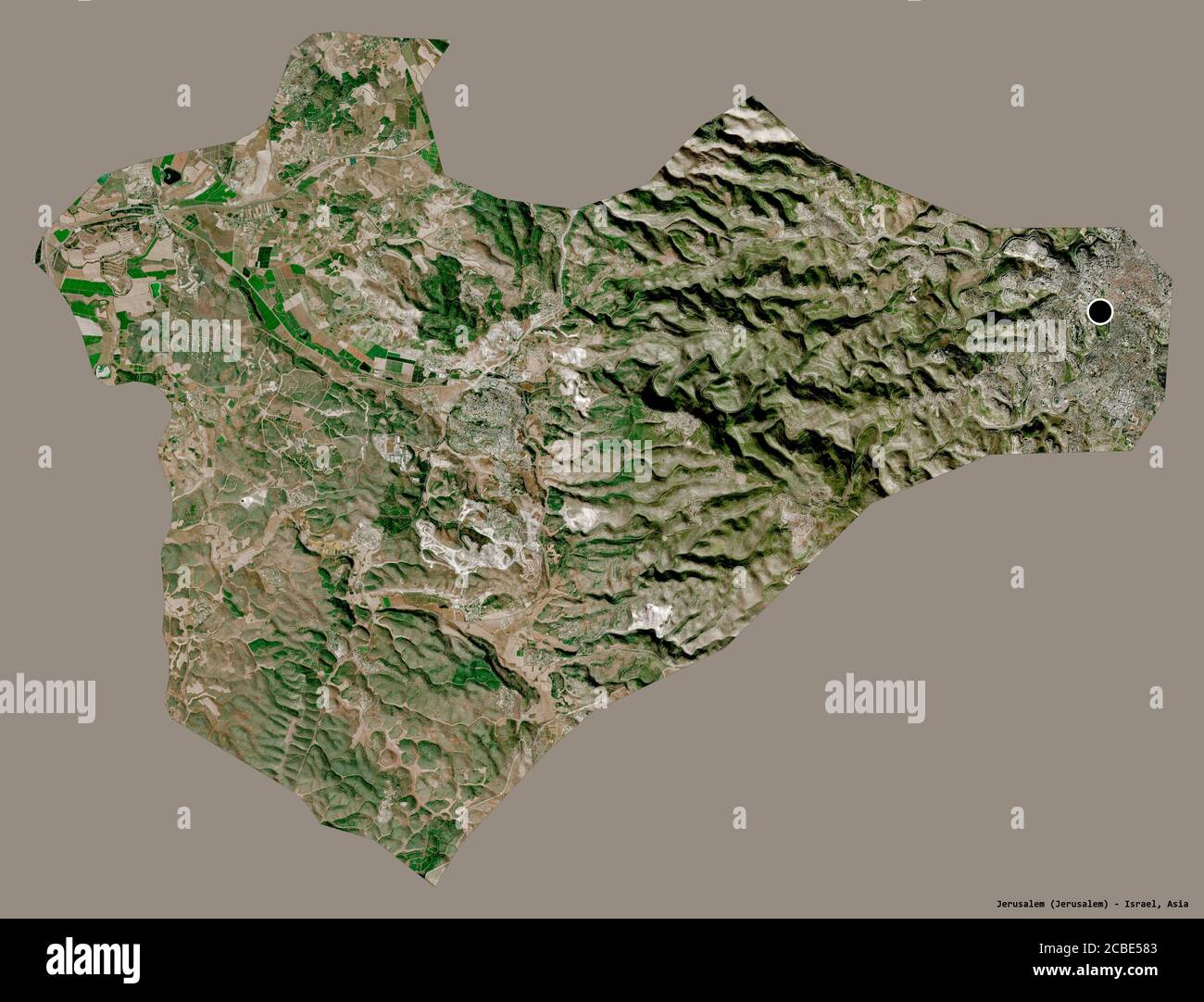 Shape of Jerusalem, district of Israel, with its capital isolated on a solid color background. Satellite imagery. 3D rendering Stock Photohttps://www.alamy.com/image-license-details/?v=1https://www.alamy.com/shape-of-jerusalem-district-of-israel-with-its-capital-isolated-on-a-solid-color-background-satellite-imagery-3d-rendering-image368490419.html
RF2CBE583–Shape of Jerusalem, district of Israel, with its capital isolated on a solid color background. Satellite imagery. 3D rendering
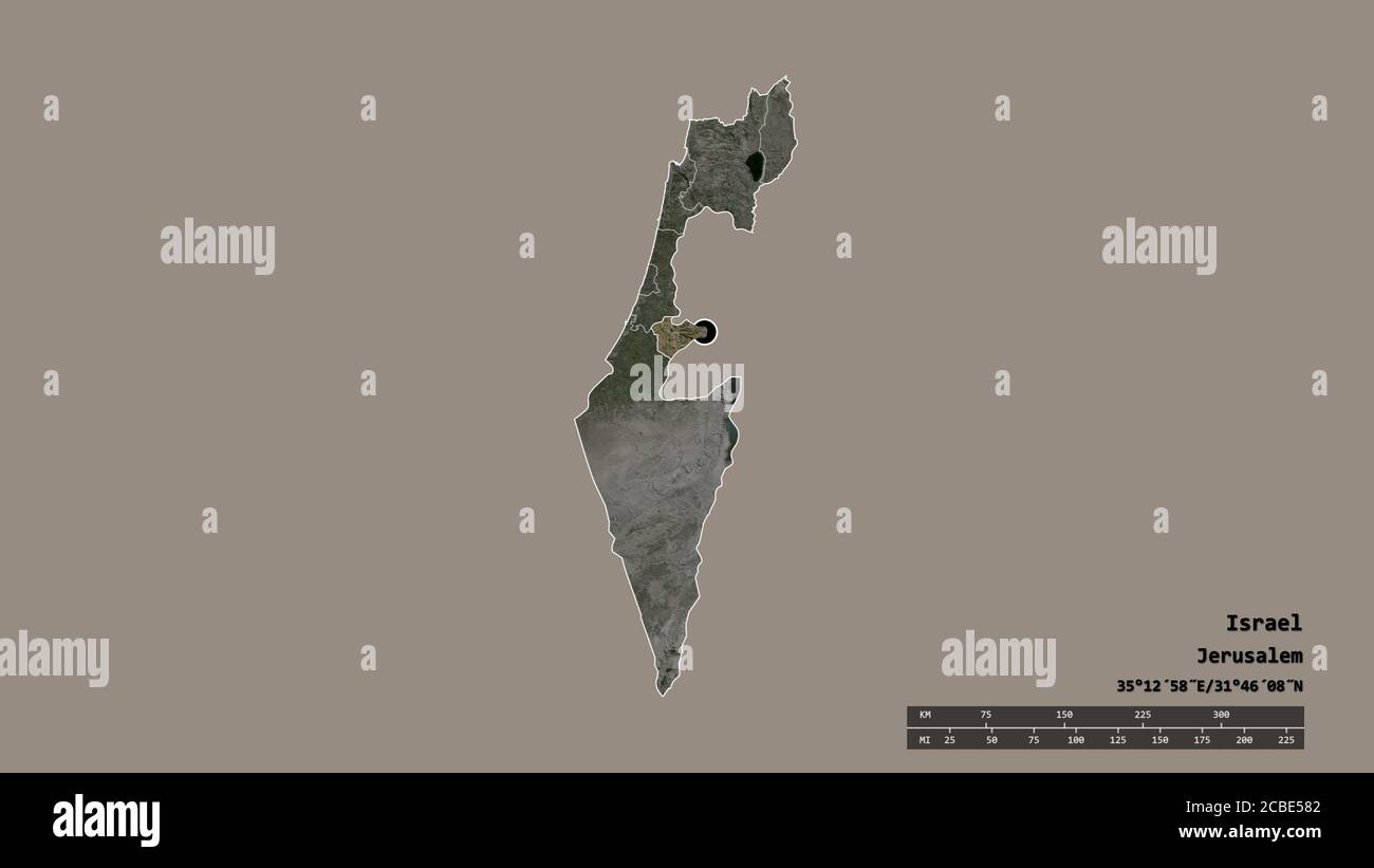 Desaturated shape of Israel with its capital, main regional division and the separated Jerusalem area. Labels. Satellite imagery. 3D rendering Stock Photohttps://www.alamy.com/image-license-details/?v=1https://www.alamy.com/desaturated-shape-of-israel-with-its-capital-main-regional-division-and-the-separated-jerusalem-area-labels-satellite-imagery-3d-rendering-image368490418.html
RF2CBE582–Desaturated shape of Israel with its capital, main regional division and the separated Jerusalem area. Labels. Satellite imagery. 3D rendering
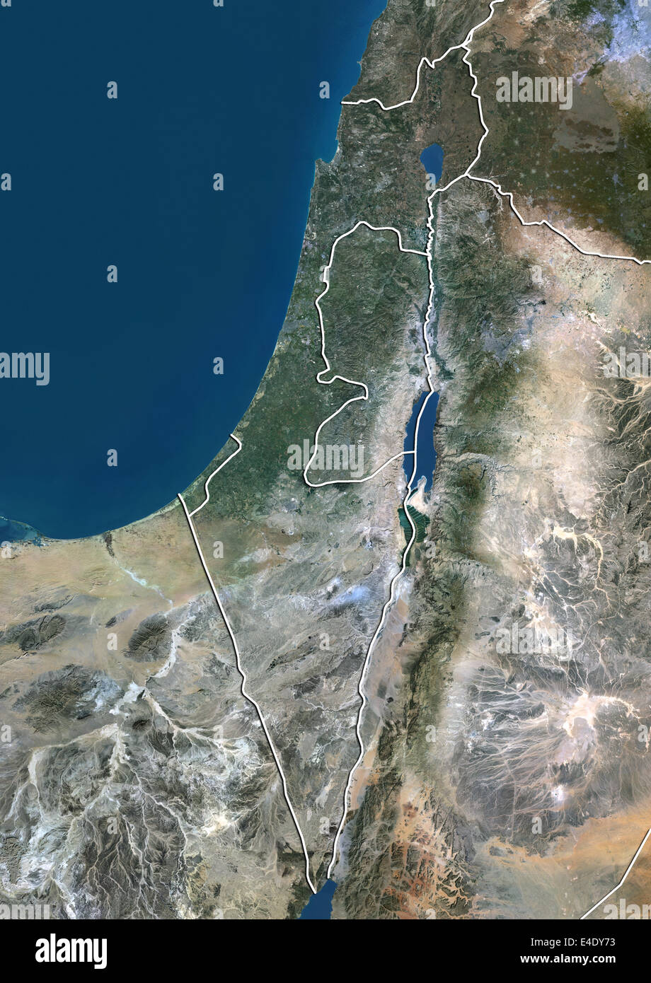 Israel, True Colour Satellite Image With Border Stock Photohttps://www.alamy.com/image-license-details/?v=1https://www.alamy.com/stock-photo-israel-true-colour-satellite-image-with-border-71606839.html
RME4DY73–Israel, True Colour Satellite Image With Border
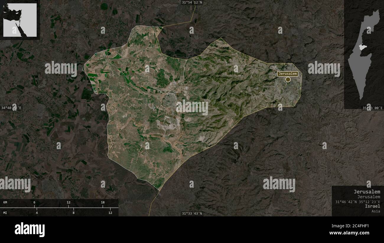 Jerusalem, district of Israel. Satellite imagery. Shape presented against its country area with informative overlays. 3D rendering Stock Photohttps://www.alamy.com/image-license-details/?v=1https://www.alamy.com/jerusalem-district-of-israel-satellite-imagery-shape-presented-against-its-country-area-with-informative-overlays-3d-rendering-image364219381.html
RF2C4FHF1–Jerusalem, district of Israel. Satellite imagery. Shape presented against its country area with informative overlays. 3D rendering
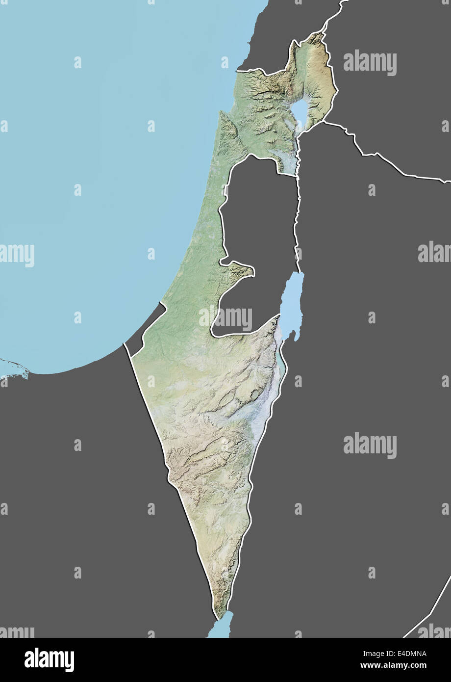 Israel, Relief Map With Border and Mask Stock Photohttps://www.alamy.com/image-license-details/?v=1https://www.alamy.com/stock-photo-israel-relief-map-with-border-and-mask-71601750.html
RME4DMNA–Israel, Relief Map With Border and Mask
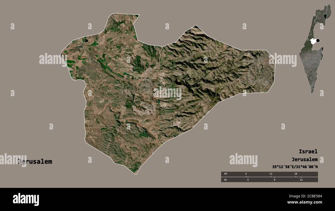 Shape of Jerusalem, district of Israel, with its capital isolated on solid background. Distance scale, region preview and labels. Satellite imagery. 3 Stock Photohttps://www.alamy.com/image-license-details/?v=1https://www.alamy.com/shape-of-jerusalem-district-of-israel-with-its-capital-isolated-on-solid-background-distance-scale-region-preview-and-labels-satellite-imagery-3-image368490420.html
RF2CBE584–Shape of Jerusalem, district of Israel, with its capital isolated on solid background. Distance scale, region preview and labels. Satellite imagery. 3
 Israel, Relief Map With Border and Mask Stock Photohttps://www.alamy.com/image-license-details/?v=1https://www.alamy.com/stock-photo-israel-relief-map-with-border-and-mask-71606834.html
RME4DY6X–Israel, Relief Map With Border and Mask
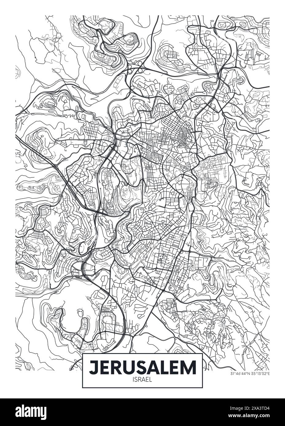 City map Jerusalem, urban planning travel vector poster design Stock Vectorhttps://www.alamy.com/image-license-details/?v=1https://www.alamy.com/city-map-jerusalem-urban-planning-travel-vector-poster-design-image608594480.html
RF2XA3TD4–City map Jerusalem, urban planning travel vector poster design
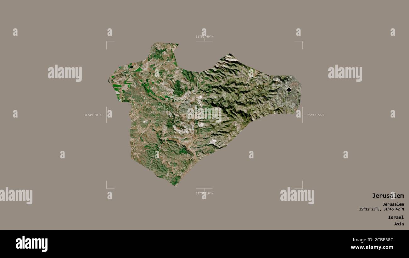 Area of Jerusalem, district of Israel, isolated on a solid background in a georeferenced bounding box. Labels. Satellite imagery. 3D rendering Stock Photohttps://www.alamy.com/image-license-details/?v=1https://www.alamy.com/area-of-jerusalem-district-of-israel-isolated-on-a-solid-background-in-a-georeferenced-bounding-box-labels-satellite-imagery-3d-rendering-image368490428.html
RF2CBE58C–Area of Jerusalem, district of Israel, isolated on a solid background in a georeferenced bounding box. Labels. Satellite imagery. 3D rendering
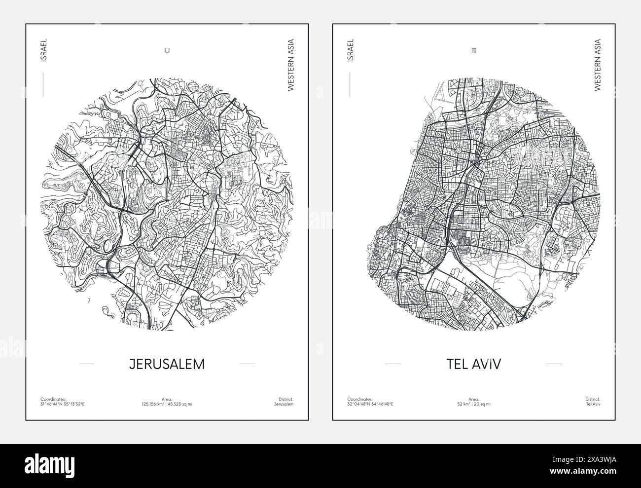 Travel poster, urban street plan city map Jerusalem and Tel Aviv, vector illustration Stock Vectorhttps://www.alamy.com/image-license-details/?v=1https://www.alamy.com/travel-poster-urban-street-plan-city-map-jerusalem-and-tel-aviv-vector-illustration-image608595410.html
RF2XA3WJA–Travel poster, urban street plan city map Jerusalem and Tel Aviv, vector illustration
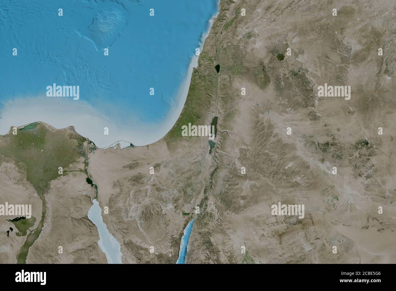 Extended area of Israel. Satellite imagery. 3D rendering Stock Photohttps://www.alamy.com/image-license-details/?v=1https://www.alamy.com/extended-area-of-israel-satellite-imagery-3d-rendering-image368490646.html
RF2CBE5G6–Extended area of Israel. Satellite imagery. 3D rendering
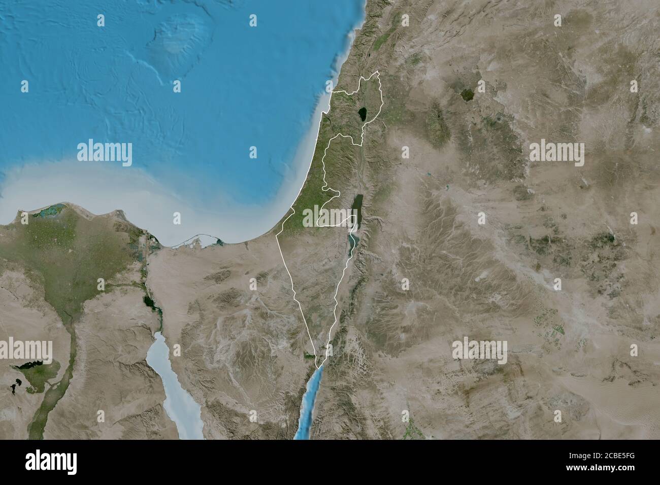 Extended area of outlined Israel. Satellite imagery. 3D rendering Stock Photohttps://www.alamy.com/image-license-details/?v=1https://www.alamy.com/extended-area-of-outlined-israel-satellite-imagery-3d-rendering-image368490628.html
RF2CBE5FG–Extended area of outlined Israel. Satellite imagery. 3D rendering
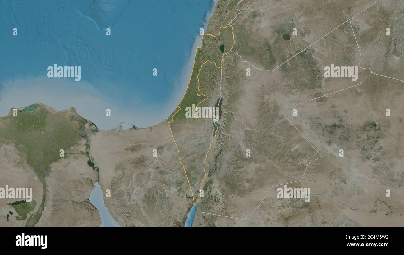 Outlined shape of the Israel area. Satellite imagery. 3D rendering Stock Photohttps://www.alamy.com/image-license-details/?v=1https://www.alamy.com/outlined-shape-of-the-israel-area-satellite-imagery-3d-rendering-image364320014.html
RF2C4M5W2–Outlined shape of the Israel area. Satellite imagery. 3D rendering
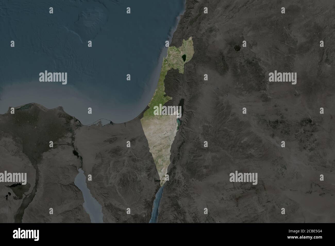 Shape of Israel separated by the desaturation of neighboring areas. Satellite imagery. 3D rendering Stock Photohttps://www.alamy.com/image-license-details/?v=1https://www.alamy.com/shape-of-israel-separated-by-the-desaturation-of-neighboring-areas-satellite-imagery-3d-rendering-image368490644.html
RF2CBE5G4–Shape of Israel separated by the desaturation of neighboring areas. Satellite imagery. 3D rendering
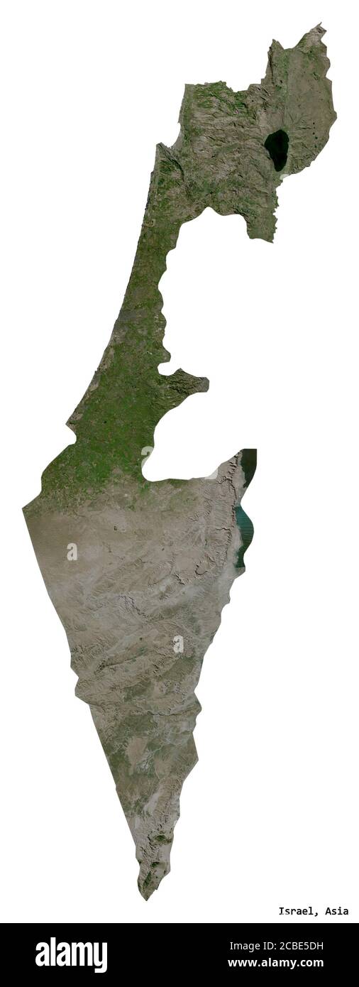 Shape of Israel with its capital isolated on white background. Satellite imagery. 3D rendering Stock Photohttps://www.alamy.com/image-license-details/?v=1https://www.alamy.com/shape-of-israel-with-its-capital-isolated-on-white-background-satellite-imagery-3d-rendering-image368490573.html
RF2CBE5DH–Shape of Israel with its capital isolated on white background. Satellite imagery. 3D rendering
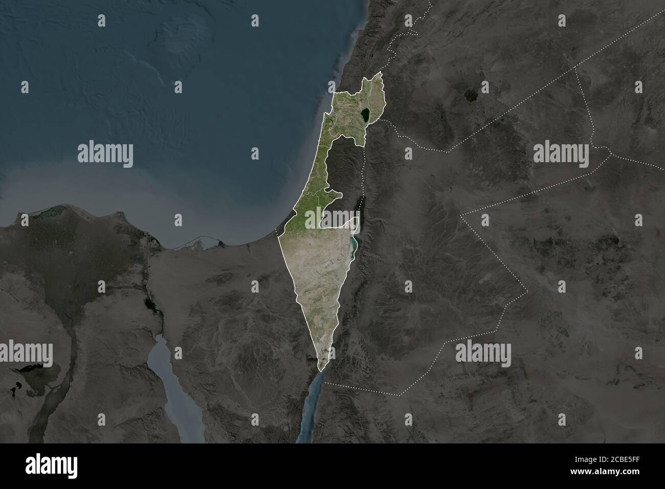 Shape of Israel separated by the desaturation of neighboring areas. Borders. Satellite imagery. 3D rendering Stock Photohttps://www.alamy.com/image-license-details/?v=1https://www.alamy.com/shape-of-israel-separated-by-the-desaturation-of-neighboring-areas-borders-satellite-imagery-3d-rendering-image368490627.html
RF2CBE5FF–Shape of Israel separated by the desaturation of neighboring areas. Borders. Satellite imagery. 3D rendering
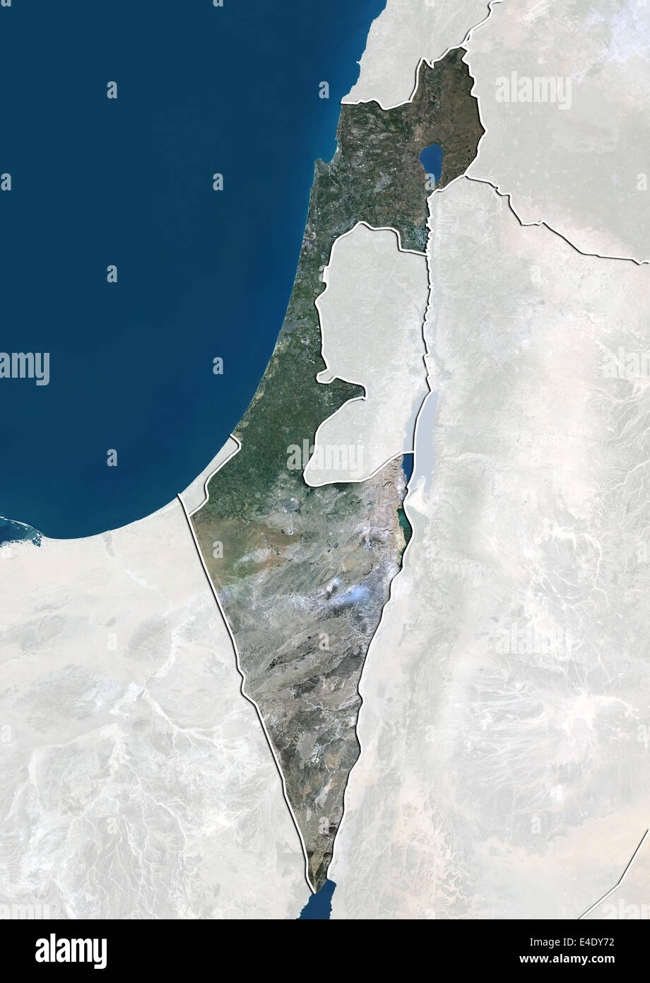 Israel, True Colour Satellite Image With Border and Mask Stock Photohttps://www.alamy.com/image-license-details/?v=1https://www.alamy.com/stock-photo-israel-true-colour-satellite-image-with-border-and-mask-71606838.html
RME4DY72–Israel, True Colour Satellite Image With Border and Mask
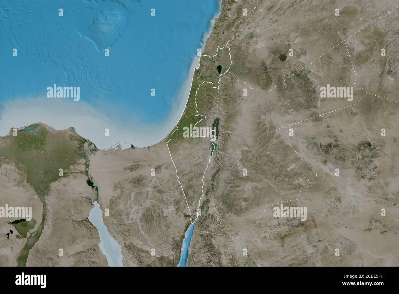 Extended area of Israel with country outline, international and regional borders. Satellite imagery. 3D rendering Stock Photohttps://www.alamy.com/image-license-details/?v=1https://www.alamy.com/extended-area-of-israel-with-country-outline-international-and-regional-borders-satellite-imagery-3d-rendering-image368490629.html
RF2CBE5FH–Extended area of Israel with country outline, international and regional borders. Satellite imagery. 3D rendering
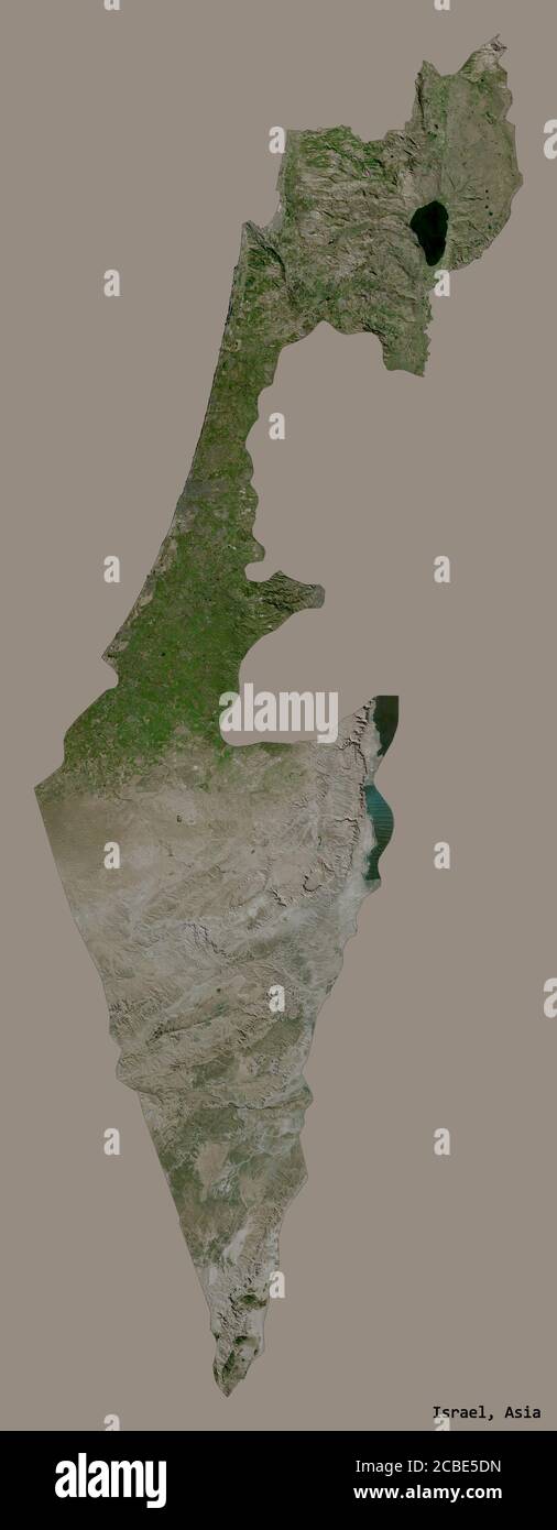 Shape of Israel with its capital isolated on a solid color background. Satellite imagery. 3D rendering Stock Photohttps://www.alamy.com/image-license-details/?v=1https://www.alamy.com/shape-of-israel-with-its-capital-isolated-on-a-solid-color-background-satellite-imagery-3d-rendering-image368490577.html
RF2CBE5DN–Shape of Israel with its capital isolated on a solid color background. Satellite imagery. 3D rendering
 Shape of Haifa, district of Israel, with its capital isolated on white background. Satellite imagery. 3D rendering Stock Photohttps://www.alamy.com/image-license-details/?v=1https://www.alamy.com/shape-of-haifa-district-of-israel-with-its-capital-isolated-on-white-background-satellite-imagery-3d-rendering-image368490285.html
RF2CBE539–Shape of Haifa, district of Israel, with its capital isolated on white background. Satellite imagery. 3D rendering
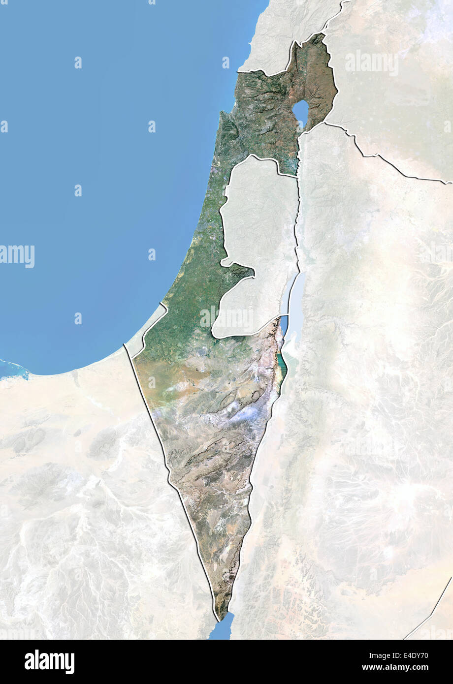 Israel, Satellite Image With Bump Effect, With Border and Mask Stock Photohttps://www.alamy.com/image-license-details/?v=1https://www.alamy.com/stock-photo-israel-satellite-image-with-bump-effect-with-border-and-mask-71606836.html
RME4DY70–Israel, Satellite Image With Bump Effect, With Border and Mask
 Shape of Haifa, district of Israel, and its capital. Distance scale, previews and labels. Satellite imagery. 3D rendering Stock Photohttps://www.alamy.com/image-license-details/?v=1https://www.alamy.com/shape-of-haifa-district-of-israel-and-its-capital-distance-scale-previews-and-labels-satellite-imagery-3d-rendering-image368490268.html
RF2CBE52M–Shape of Haifa, district of Israel, and its capital. Distance scale, previews and labels. Satellite imagery. 3D rendering
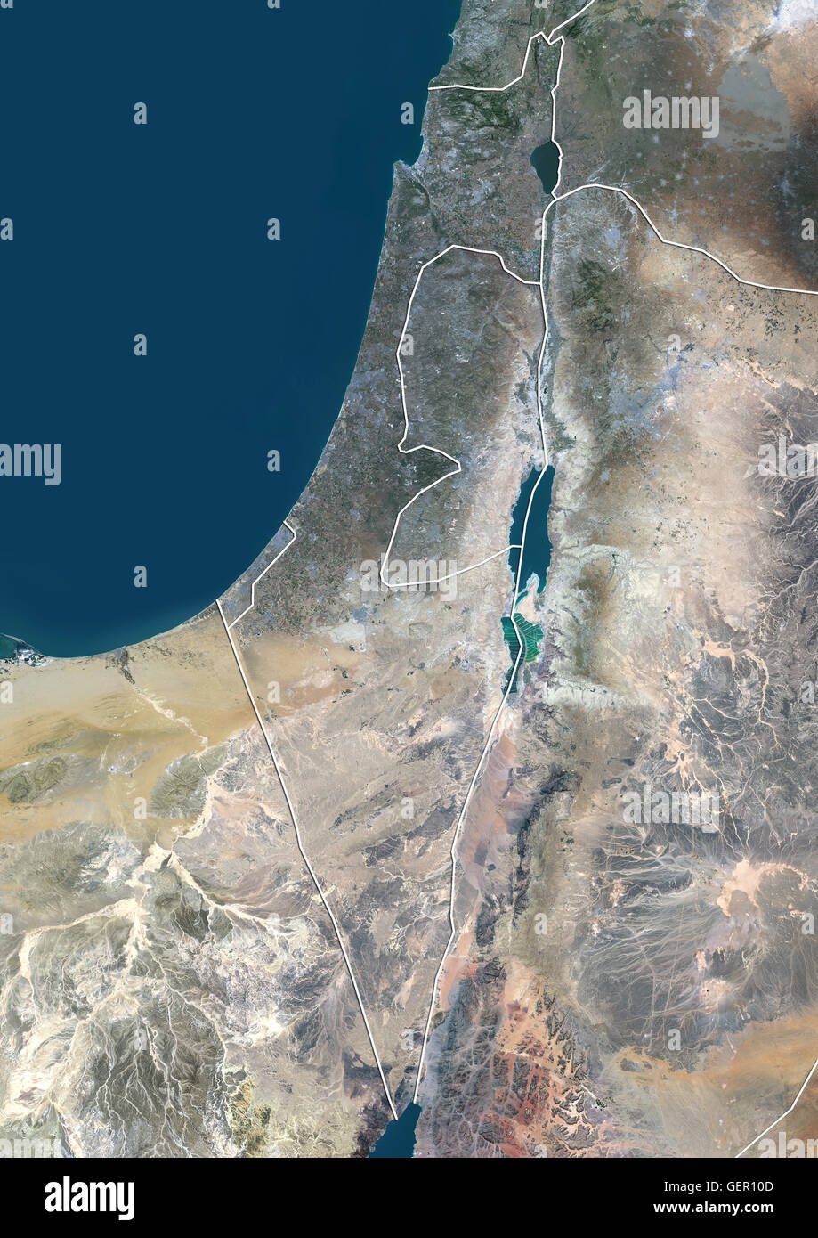 Satellite view of Israel (with country boundaries). This image was compiled from data acquired by Landsat 8 satellite in 2014. Stock Photohttps://www.alamy.com/image-license-details/?v=1https://www.alamy.com/stock-photo-satellite-view-of-israel-with-country-boundaries-this-image-was-compiled-112373085.html
RMGER10D–Satellite view of Israel (with country boundaries). This image was compiled from data acquired by Landsat 8 satellite in 2014.
 Shape of Golan, district of Israel, and its capital. Distance scale, previews and labels. Satellite imagery. 3D rendering Stock Photohttps://www.alamy.com/image-license-details/?v=1https://www.alamy.com/shape-of-golan-district-of-israel-and-its-capital-distance-scale-previews-and-labels-satellite-imagery-3d-rendering-image368490162.html
RF2CBE4XX–Shape of Golan, district of Israel, and its capital. Distance scale, previews and labels. Satellite imagery. 3D rendering
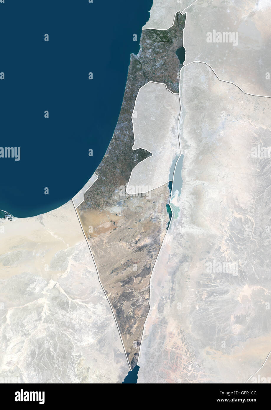 Satellite view of Israel (with country boundaries and mask). This image was compiled from data acquired by Landsat 8 satellite in 2014. Stock Photohttps://www.alamy.com/image-license-details/?v=1https://www.alamy.com/stock-photo-satellite-view-of-israel-with-country-boundaries-and-mask-this-image-112373084.html
RMGER10C–Satellite view of Israel (with country boundaries and mask). This image was compiled from data acquired by Landsat 8 satellite in 2014.
 Shape of HaZafon, district of Israel, with its capital isolated on white background. Satellite imagery. 3D rendering Stock Photohttps://www.alamy.com/image-license-details/?v=1https://www.alamy.com/shape-of-hazafon-district-of-israel-with-its-capital-isolated-on-white-background-satellite-imagery-3d-rendering-image368490408.html
RF2CBE57M–Shape of HaZafon, district of Israel, with its capital isolated on white background. Satellite imagery. 3D rendering
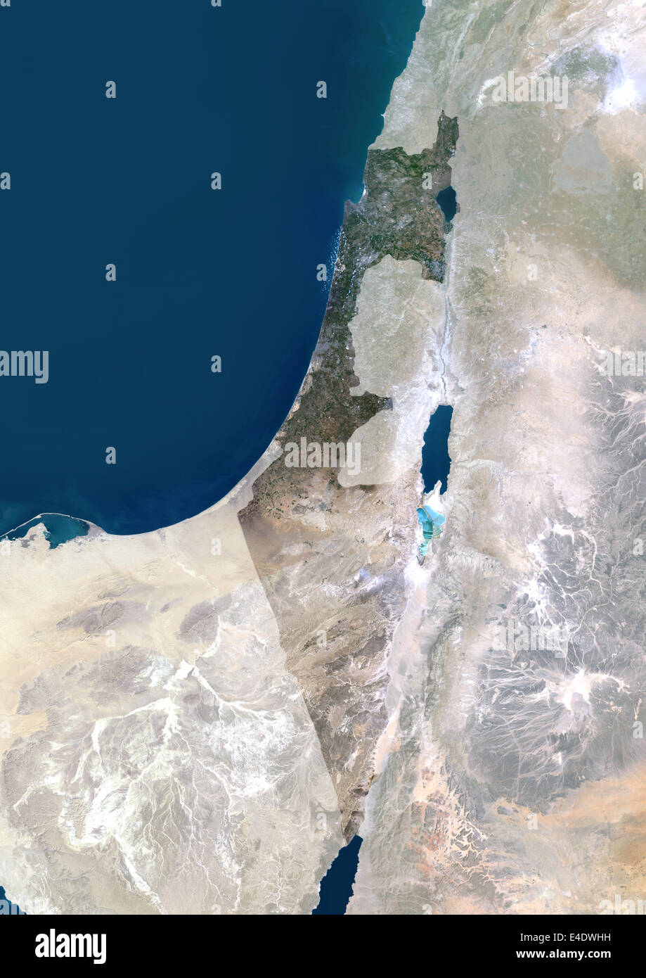 Israel, Middle East, Asia, True Colour Satellite Image With Mask. Satellite view of Israel (with mask). This image was compiled Stock Photohttps://www.alamy.com/image-license-details/?v=1https://www.alamy.com/stock-photo-israel-middle-east-asia-true-colour-satellite-image-with-mask-satellite-71605565.html
RME4DWHH–Israel, Middle East, Asia, True Colour Satellite Image With Mask. Satellite view of Israel (with mask). This image was compiled
 Shape of HaZafon, district of Israel, and its capital. Distance scale, previews and labels. Satellite imagery. 3D rendering Stock Photohttps://www.alamy.com/image-license-details/?v=1https://www.alamy.com/shape-of-hazafon-district-of-israel-and-its-capital-distance-scale-previews-and-labels-satellite-imagery-3d-rendering-image368490349.html
RF2CBE55H–Shape of HaZafon, district of Israel, and its capital. Distance scale, previews and labels. Satellite imagery. 3D rendering
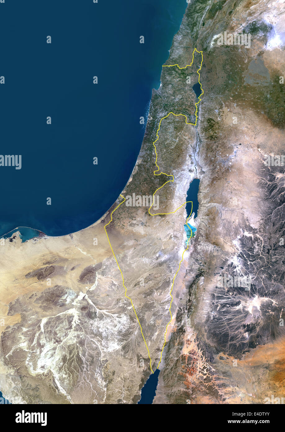 Israel, Middle East, Asia, True Colour Satellite Image With Border. Satellite view of Israel (with border). This image was compi Stock Photohttps://www.alamy.com/image-license-details/?v=1https://www.alamy.com/stock-photo-israel-middle-east-asia-true-colour-satellite-image-with-border-satellite-71605071.html
RME4DTYY–Israel, Middle East, Asia, True Colour Satellite Image With Border. Satellite view of Israel (with border). This image was compi
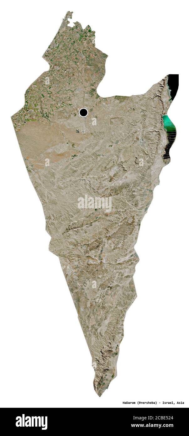 Shape of HaDarom, district of Israel, with its capital isolated on white background. Satellite imagery. 3D rendering Stock Photohttps://www.alamy.com/image-license-details/?v=1https://www.alamy.com/shape-of-hadarom-district-of-israel-with-its-capital-isolated-on-white-background-satellite-imagery-3d-rendering-image368490252.html
RF2CBE524–Shape of HaDarom, district of Israel, with its capital isolated on white background. Satellite imagery. 3D rendering
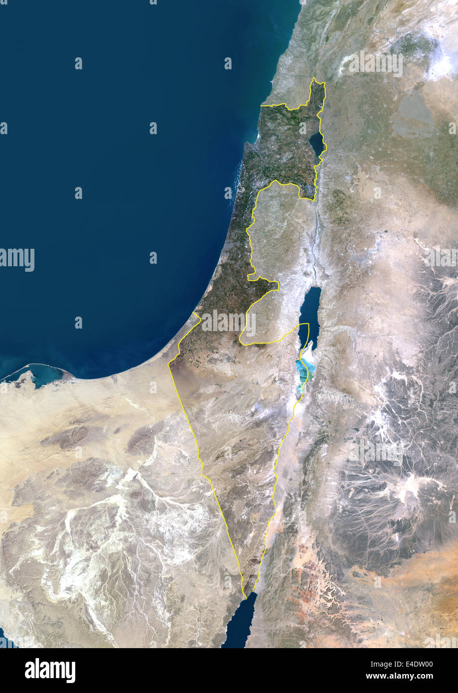 Israel, Middle East, Asia, True Colour Satellite Image With Border And Mask. Satellite view of Israel (with border and mask). Th Stock Photohttps://www.alamy.com/image-license-details/?v=1https://www.alamy.com/stock-photo-israel-middle-east-asia-true-colour-satellite-image-with-border-and-71605072.html
RME4DW00–Israel, Middle East, Asia, True Colour Satellite Image With Border And Mask. Satellite view of Israel (with border and mask). Th
 Shape of HaMerkaz, district of Israel, with its capital isolated on white background. Satellite imagery. 3D rendering Stock Photohttps://www.alamy.com/image-license-details/?v=1https://www.alamy.com/shape-of-hamerkaz-district-of-israel-with-its-capital-isolated-on-white-background-satellite-imagery-3d-rendering-image368490345.html
RF2CBE55D–Shape of HaMerkaz, district of Israel, with its capital isolated on white background. Satellite imagery. 3D rendering
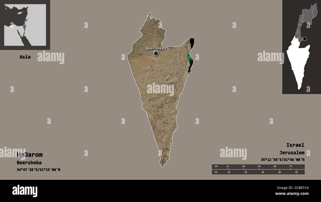 Shape of HaDarom, district of Israel, and its capital. Distance scale, previews and labels. Satellite imagery. 3D rendering Stock Photohttps://www.alamy.com/image-license-details/?v=1https://www.alamy.com/shape-of-hadarom-district-of-israel-and-its-capital-distance-scale-previews-and-labels-satellite-imagery-3d-rendering-image368490226.html
RF2CBE516–Shape of HaDarom, district of Israel, and its capital. Distance scale, previews and labels. Satellite imagery. 3D rendering
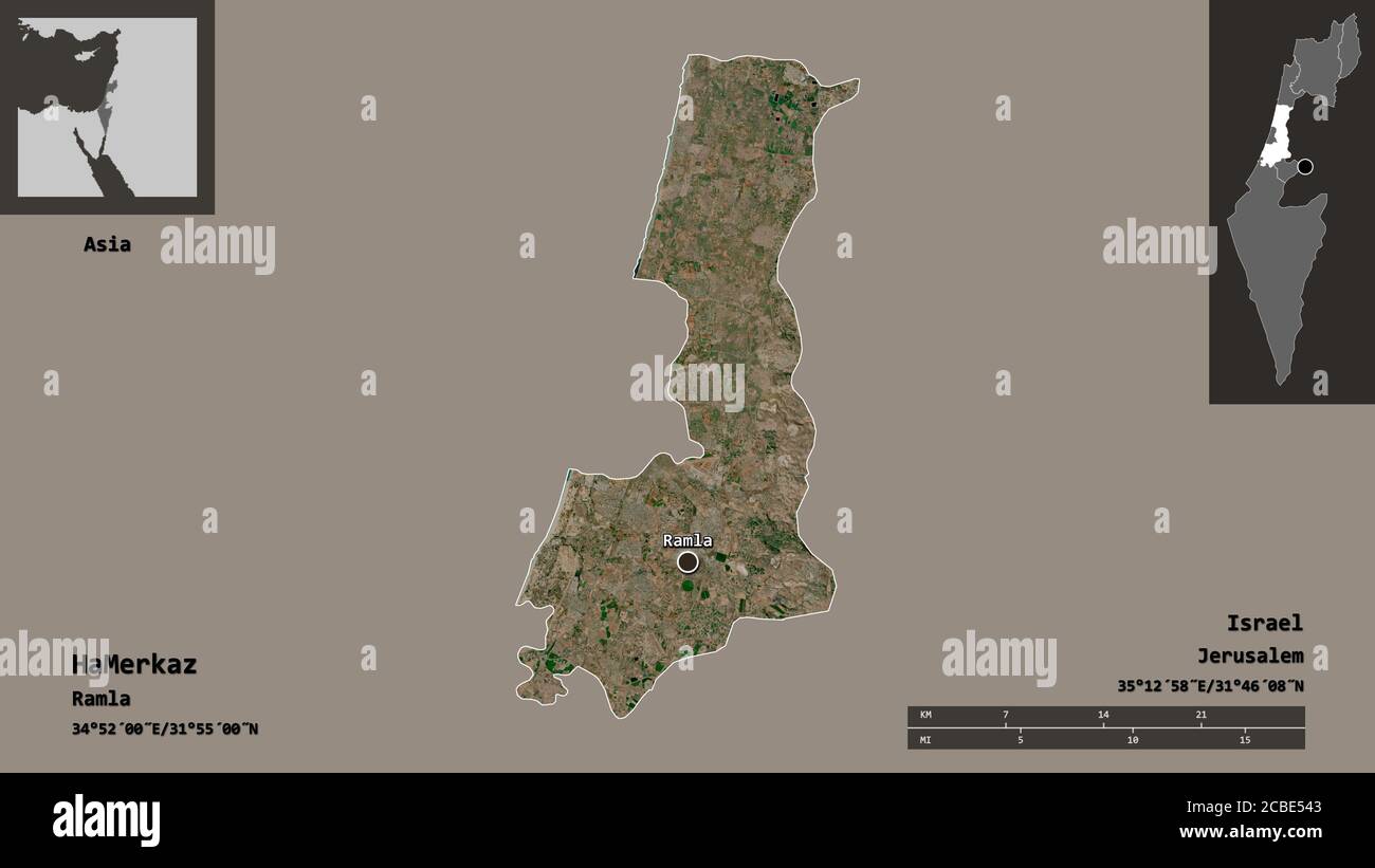 Shape of HaMerkaz, district of Israel, and its capital. Distance scale, previews and labels. Satellite imagery. 3D rendering Stock Photohttps://www.alamy.com/image-license-details/?v=1https://www.alamy.com/shape-of-hamerkaz-district-of-israel-and-its-capital-distance-scale-previews-and-labels-satellite-imagery-3d-rendering-image368490307.html
RF2CBE543–Shape of HaMerkaz, district of Israel, and its capital. Distance scale, previews and labels. Satellite imagery. 3D rendering
 Shape of Tel Aviv, district of Israel, with its capital isolated on white background. Satellite imagery. 3D rendering Stock Photohttps://www.alamy.com/image-license-details/?v=1https://www.alamy.com/shape-of-tel-aviv-district-of-israel-with-its-capital-isolated-on-white-background-satellite-imagery-3d-rendering-image368490469.html
RF2CBE59W–Shape of Tel Aviv, district of Israel, with its capital isolated on white background. Satellite imagery. 3D rendering
 Shape of Tel Aviv, district of Israel, and its capital. Distance scale, previews and labels. Satellite imagery. 3D rendering Stock Photohttps://www.alamy.com/image-license-details/?v=1https://www.alamy.com/shape-of-tel-aviv-district-of-israel-and-its-capital-distance-scale-previews-and-labels-satellite-imagery-3d-rendering-image368490470.html
RF2CBE59X–Shape of Tel Aviv, district of Israel, and its capital. Distance scale, previews and labels. Satellite imagery. 3D rendering
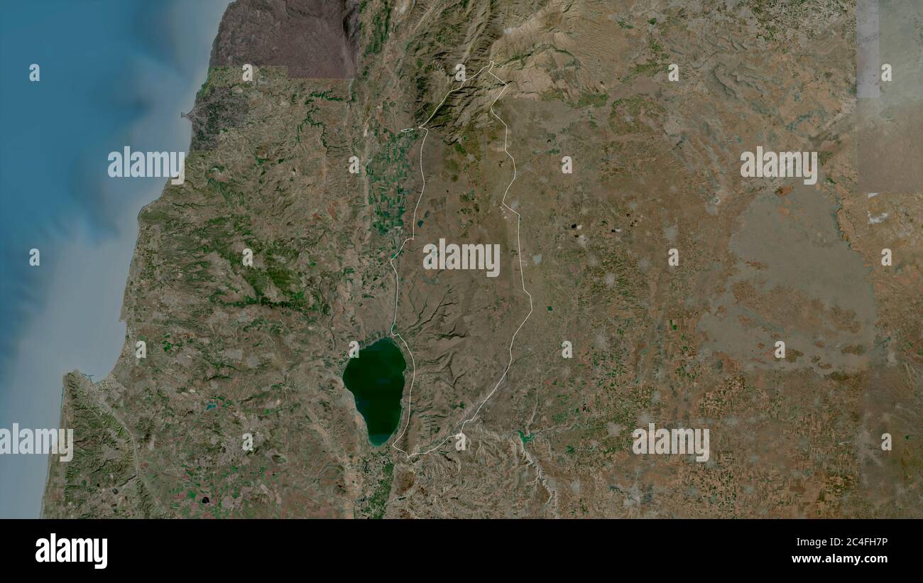 Golan, district of Israel. Satellite imagery. Shape outlined against its country area. 3D rendering Stock Photohttps://www.alamy.com/image-license-details/?v=1https://www.alamy.com/golan-district-of-israel-satellite-imagery-shape-outlined-against-its-country-area-3d-rendering-image364219178.html
RF2C4FH7P–Golan, district of Israel. Satellite imagery. Shape outlined against its country area. 3D rendering
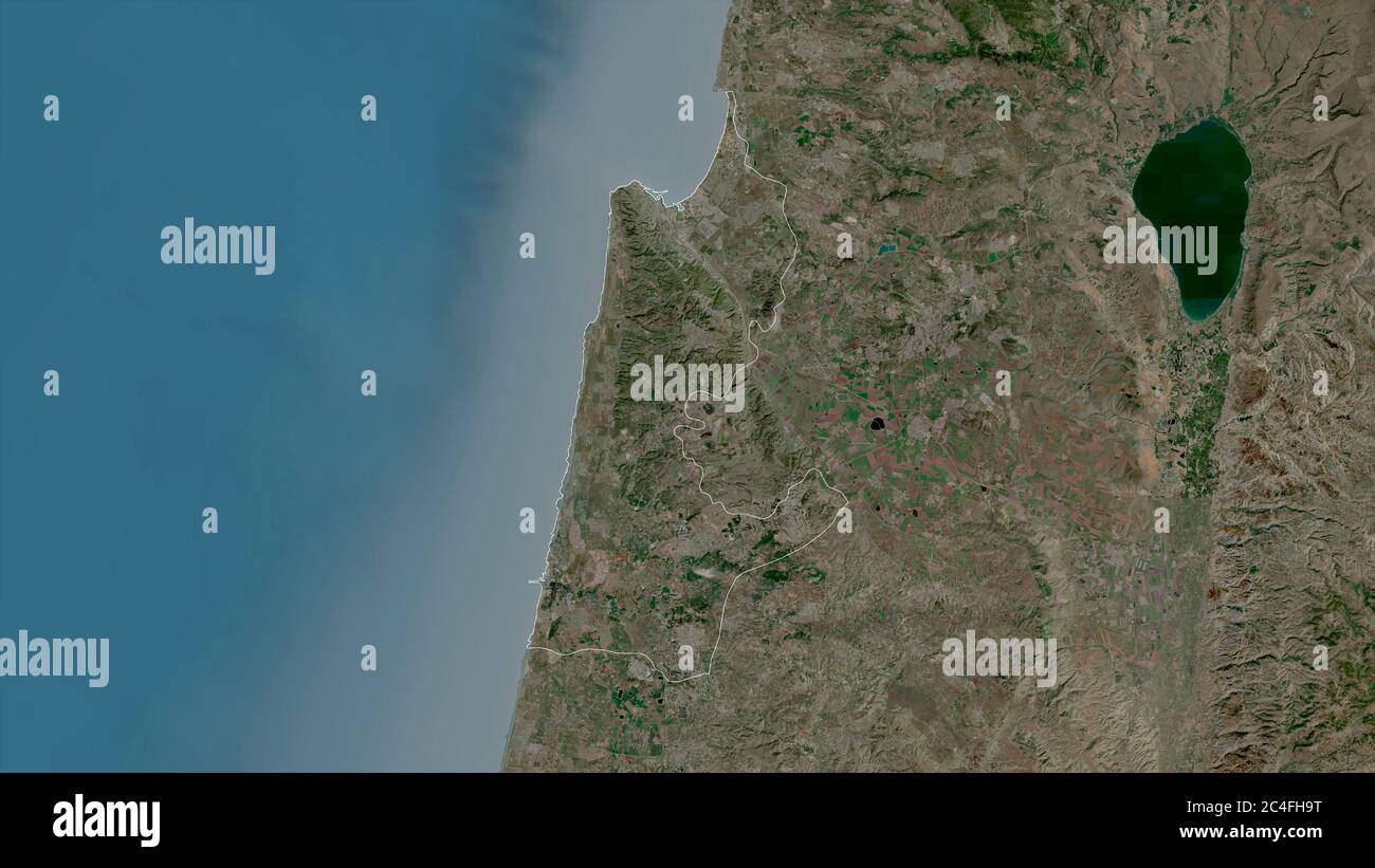 Haifa, district of Israel. Satellite imagery. Shape outlined against its country area. 3D rendering Stock Photohttps://www.alamy.com/image-license-details/?v=1https://www.alamy.com/haifa-district-of-israel-satellite-imagery-shape-outlined-against-its-country-area-3d-rendering-image364219236.html
RF2C4FH9T–Haifa, district of Israel. Satellite imagery. Shape outlined against its country area. 3D rendering
 Zoom in on Haifa (district of Israel) extruded. Oblique perspective. Satellite imagery. 3D rendering Stock Photohttps://www.alamy.com/image-license-details/?v=1https://www.alamy.com/zoom-in-on-haifa-district-of-israel-extruded-oblique-perspective-satellite-imagery-3d-rendering-image364319902.html
RF2C4M5N2–Zoom in on Haifa (district of Israel) extruded. Oblique perspective. Satellite imagery. 3D rendering
 Zoom in on Haifa (district of Israel) outlined. Oblique perspective. Satellite imagery. 3D rendering Stock Photohttps://www.alamy.com/image-license-details/?v=1https://www.alamy.com/zoom-in-on-haifa-district-of-israel-outlined-oblique-perspective-satellite-imagery-3d-rendering-image364319898.html
RF2C4M5MX–Zoom in on Haifa (district of Israel) outlined. Oblique perspective. Satellite imagery. 3D rendering
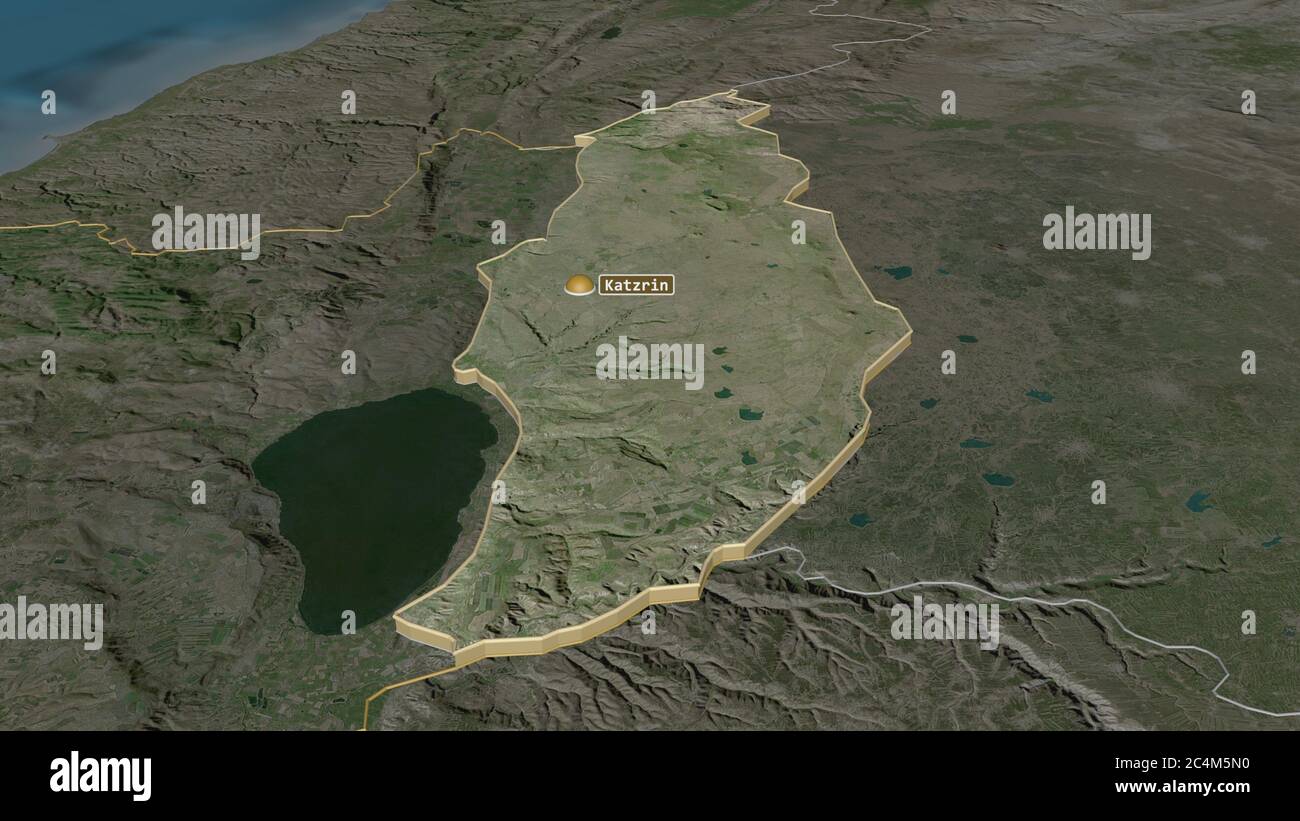 Zoom in on Golan (district of Israel) extruded. Oblique perspective. Satellite imagery. 3D rendering Stock Photohttps://www.alamy.com/image-license-details/?v=1https://www.alamy.com/zoom-in-on-golan-district-of-israel-extruded-oblique-perspective-satellite-imagery-3d-rendering-image364319900.html
RF2C4M5N0–Zoom in on Golan (district of Israel) extruded. Oblique perspective. Satellite imagery. 3D rendering
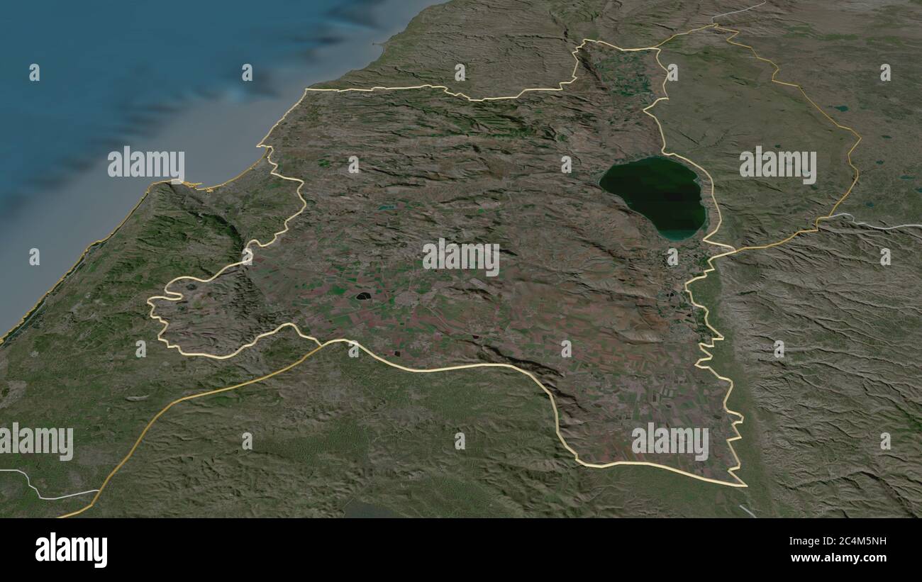 Zoom in on HaZafon (district of Israel) outlined. Oblique perspective. Satellite imagery. 3D rendering Stock Photohttps://www.alamy.com/image-license-details/?v=1https://www.alamy.com/zoom-in-on-hazafon-district-of-israel-outlined-oblique-perspective-satellite-imagery-3d-rendering-image364319917.html
RF2C4M5NH–Zoom in on HaZafon (district of Israel) outlined. Oblique perspective. Satellite imagery. 3D rendering
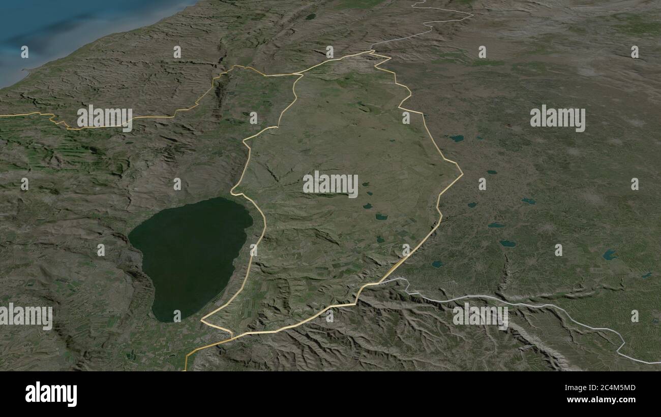 Zoom in on Golan (district of Israel) outlined. Oblique perspective. Satellite imagery. 3D rendering Stock Photohttps://www.alamy.com/image-license-details/?v=1https://www.alamy.com/zoom-in-on-golan-district-of-israel-outlined-oblique-perspective-satellite-imagery-3d-rendering-image364319885.html
RF2C4M5MD–Zoom in on Golan (district of Israel) outlined. Oblique perspective. Satellite imagery. 3D rendering
 Shape of Haifa, district of Israel, with its capital isolated on a solid color background. Satellite imagery. 3D rendering Stock Photohttps://www.alamy.com/image-license-details/?v=1https://www.alamy.com/shape-of-haifa-district-of-israel-with-its-capital-isolated-on-a-solid-color-background-satellite-imagery-3d-rendering-image368490271.html
RF2CBE52R–Shape of Haifa, district of Israel, with its capital isolated on a solid color background. Satellite imagery. 3D rendering
 Desaturated shape of Israel with its capital, main regional division and the separated Golan area. Labels. Satellite imagery. 3D rendering Stock Photohttps://www.alamy.com/image-license-details/?v=1https://www.alamy.com/desaturated-shape-of-israel-with-its-capital-main-regional-division-and-the-separated-golan-area-labels-satellite-imagery-3d-rendering-image368490197.html
RF2CBE505–Desaturated shape of Israel with its capital, main regional division and the separated Golan area. Labels. Satellite imagery. 3D rendering
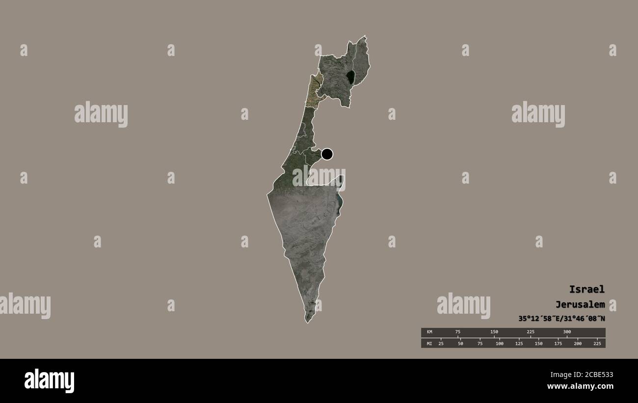 Desaturated shape of Israel with its capital, main regional division and the separated Haifa area. Labels. Satellite imagery. 3D rendering Stock Photohttps://www.alamy.com/image-license-details/?v=1https://www.alamy.com/desaturated-shape-of-israel-with-its-capital-main-regional-division-and-the-separated-haifa-area-labels-satellite-imagery-3d-rendering-image368490279.html
RF2CBE533–Desaturated shape of Israel with its capital, main regional division and the separated Haifa area. Labels. Satellite imagery. 3D rendering
 HaMerkaz, district of Israel. Satellite imagery. Shape outlined against its country area. 3D rendering Stock Photohttps://www.alamy.com/image-license-details/?v=1https://www.alamy.com/hamerkaz-district-of-israel-satellite-imagery-shape-outlined-against-its-country-area-3d-rendering-image364219313.html
RF2C4FHCH–HaMerkaz, district of Israel. Satellite imagery. Shape outlined against its country area. 3D rendering
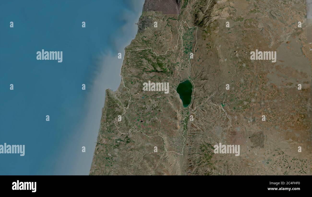 HaZafon, district of Israel. Satellite imagery. Shape outlined against its country area. 3D rendering Stock Photohttps://www.alamy.com/image-license-details/?v=1https://www.alamy.com/hazafon-district-of-israel-satellite-imagery-shape-outlined-against-its-country-area-3d-rendering-image364219380.html
RF2C4FHF0–HaZafon, district of Israel. Satellite imagery. Shape outlined against its country area. 3D rendering
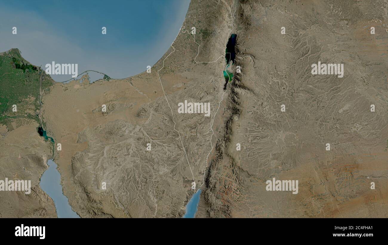 HaDarom, district of Israel. Satellite imagery. Shape outlined against its country area. 3D rendering Stock Photohttps://www.alamy.com/image-license-details/?v=1https://www.alamy.com/hadarom-district-of-israel-satellite-imagery-shape-outlined-against-its-country-area-3d-rendering-image364219241.html
RF2C4FHA1–HaDarom, district of Israel. Satellite imagery. Shape outlined against its country area. 3D rendering
 Zoom in on HaMerkaz (district of Israel) outlined. Oblique perspective. Satellite imagery. 3D rendering Stock Photohttps://www.alamy.com/image-license-details/?v=1https://www.alamy.com/zoom-in-on-hamerkaz-district-of-israel-outlined-oblique-perspective-satellite-imagery-3d-rendering-image364319922.html
RF2C4M5NP–Zoom in on HaMerkaz (district of Israel) outlined. Oblique perspective. Satellite imagery. 3D rendering
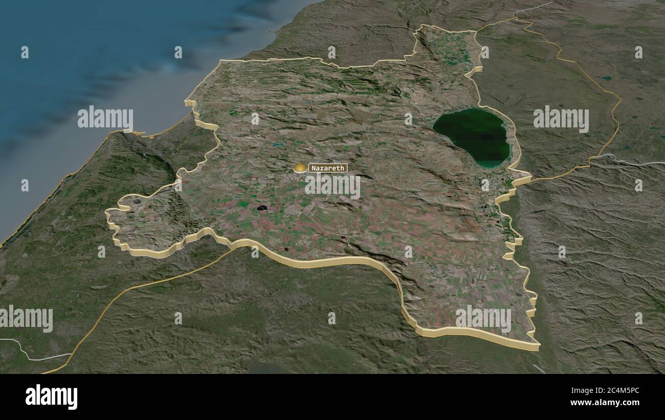 Zoom in on HaZafon (district of Israel) extruded. Oblique perspective. Satellite imagery. 3D rendering Stock Photohttps://www.alamy.com/image-license-details/?v=1https://www.alamy.com/zoom-in-on-hazafon-district-of-israel-extruded-oblique-perspective-satellite-imagery-3d-rendering-image364319940.html
RF2C4M5PC–Zoom in on HaZafon (district of Israel) extruded. Oblique perspective. Satellite imagery. 3D rendering
 Zoom in on HaMerkaz (district of Israel) extruded. Oblique perspective. Satellite imagery. 3D rendering Stock Photohttps://www.alamy.com/image-license-details/?v=1https://www.alamy.com/zoom-in-on-hamerkaz-district-of-israel-extruded-oblique-perspective-satellite-imagery-3d-rendering-image364319956.html
RF2C4M5R0–Zoom in on HaMerkaz (district of Israel) extruded. Oblique perspective. Satellite imagery. 3D rendering
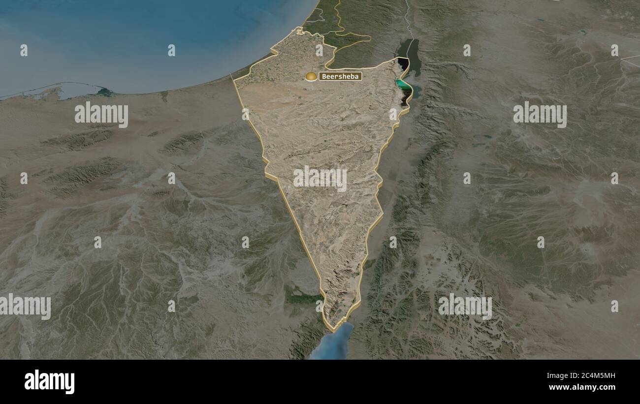 Zoom in on HaDarom (district of Israel) extruded. Oblique perspective. Satellite imagery. 3D rendering Stock Photohttps://www.alamy.com/image-license-details/?v=1https://www.alamy.com/zoom-in-on-hadarom-district-of-israel-extruded-oblique-perspective-satellite-imagery-3d-rendering-image364319889.html
RF2C4M5MH–Zoom in on HaDarom (district of Israel) extruded. Oblique perspective. Satellite imagery. 3D rendering
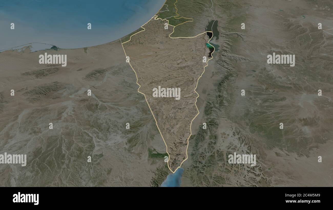 Zoom in on HaDarom (district of Israel) outlined. Oblique perspective. Satellite imagery. 3D rendering Stock Photohttps://www.alamy.com/image-license-details/?v=1https://www.alamy.com/zoom-in-on-hadarom-district-of-israel-outlined-oblique-perspective-satellite-imagery-3d-rendering-image364319881.html
RF2C4M5M9–Zoom in on HaDarom (district of Israel) outlined. Oblique perspective. Satellite imagery. 3D rendering
 Tel Aviv, district of Israel. Satellite imagery. Shape outlined against its country area. 3D rendering Stock Photohttps://www.alamy.com/image-license-details/?v=1https://www.alamy.com/tel-aviv-district-of-israel-satellite-imagery-shape-outlined-against-its-country-area-3d-rendering-image364219384.html
RF2C4FHF4–Tel Aviv, district of Israel. Satellite imagery. Shape outlined against its country area. 3D rendering
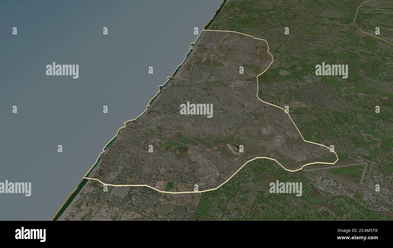 Zoom in on Tel Aviv (district of Israel) outlined. Oblique perspective. Satellite imagery. 3D rendering Stock Photohttps://www.alamy.com/image-license-details/?v=1https://www.alamy.com/zoom-in-on-tel-aviv-district-of-israel-outlined-oblique-perspective-satellite-imagery-3d-rendering-image364320003.html
RF2C4M5TK–Zoom in on Tel Aviv (district of Israel) outlined. Oblique perspective. Satellite imagery. 3D rendering
 Zoom in on Tel Aviv (district of Israel) extruded. Oblique perspective. Satellite imagery. 3D rendering Stock Photohttps://www.alamy.com/image-license-details/?v=1https://www.alamy.com/zoom-in-on-tel-aviv-district-of-israel-extruded-oblique-perspective-satellite-imagery-3d-rendering-image364319994.html
RF2C4M5TA–Zoom in on Tel Aviv (district of Israel) extruded. Oblique perspective. Satellite imagery. 3D rendering
 Shape of HaZafon, district of Israel, with its capital isolated on a solid color background. Satellite imagery. 3D rendering Stock Photohttps://www.alamy.com/image-license-details/?v=1https://www.alamy.com/shape-of-hazafon-district-of-israel-with-its-capital-isolated-on-a-solid-color-background-satellite-imagery-3d-rendering-image368490415.html
RF2CBE57Y–Shape of HaZafon, district of Israel, with its capital isolated on a solid color background. Satellite imagery. 3D rendering
 Desaturated shape of Israel with its capital, main regional division and the separated HaZafon area. Labels. Satellite imagery. 3D rendering Stock Photohttps://www.alamy.com/image-license-details/?v=1https://www.alamy.com/desaturated-shape-of-israel-with-its-capital-main-regional-division-and-the-separated-hazafon-area-labels-satellite-imagery-3d-rendering-image368490387.html
RF2CBE56Y–Desaturated shape of Israel with its capital, main regional division and the separated HaZafon area. Labels. Satellite imagery. 3D rendering
 Shape of HaMerkaz, district of Israel, with its capital isolated on a solid color background. Satellite imagery. 3D rendering Stock Photohttps://www.alamy.com/image-license-details/?v=1https://www.alamy.com/shape-of-hamerkaz-district-of-israel-with-its-capital-isolated-on-a-solid-color-background-satellite-imagery-3d-rendering-image368490354.html
RF2CBE55P–Shape of HaMerkaz, district of Israel, with its capital isolated on a solid color background. Satellite imagery. 3D rendering
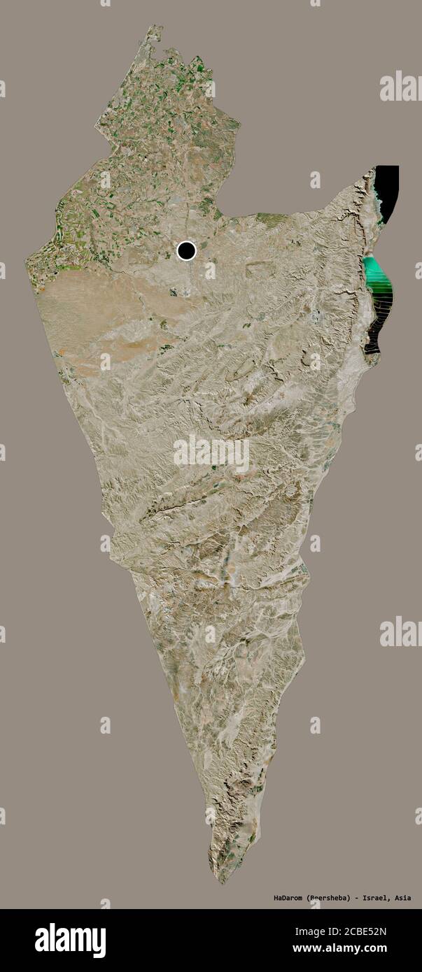 Shape of HaDarom, district of Israel, with its capital isolated on a solid color background. Satellite imagery. 3D rendering Stock Photohttps://www.alamy.com/image-license-details/?v=1https://www.alamy.com/shape-of-hadarom-district-of-israel-with-its-capital-isolated-on-a-solid-color-background-satellite-imagery-3d-rendering-image368490269.html
RF2CBE52N–Shape of HaDarom, district of Israel, with its capital isolated on a solid color background. Satellite imagery. 3D rendering
 Desaturated shape of Israel with its capital, main regional division and the separated HaMerkaz area. Labels. Satellite imagery. 3D rendering Stock Photohttps://www.alamy.com/image-license-details/?v=1https://www.alamy.com/desaturated-shape-of-israel-with-its-capital-main-regional-division-and-the-separated-hamerkaz-area-labels-satellite-imagery-3d-rendering-image368490332.html
RF2CBE550–Desaturated shape of Israel with its capital, main regional division and the separated HaMerkaz area. Labels. Satellite imagery. 3D rendering
 Desaturated shape of Israel with its capital, main regional division and the separated HaDarom area. Labels. Satellite imagery. 3D rendering Stock Photohttps://www.alamy.com/image-license-details/?v=1https://www.alamy.com/desaturated-shape-of-israel-with-its-capital-main-regional-division-and-the-separated-hadarom-area-labels-satellite-imagery-3d-rendering-image368490227.html
RF2CBE517–Desaturated shape of Israel with its capital, main regional division and the separated HaDarom area. Labels. Satellite imagery. 3D rendering
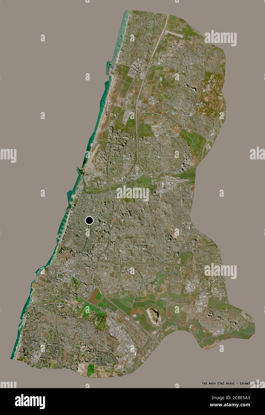 Shape of Tel Aviv, district of Israel, with its capital isolated on a solid color background. Satellite imagery. 3D rendering Stock Photohttps://www.alamy.com/image-license-details/?v=1https://www.alamy.com/shape-of-tel-aviv-district-of-israel-with-its-capital-isolated-on-a-solid-color-background-satellite-imagery-3d-rendering-image368490475.html
RF2CBE5A3–Shape of Tel Aviv, district of Israel, with its capital isolated on a solid color background. Satellite imagery. 3D rendering
 Desaturated shape of Israel with its capital, main regional division and the separated Tel Aviv area. Labels. Satellite imagery. 3D rendering Stock Photohttps://www.alamy.com/image-license-details/?v=1https://www.alamy.com/desaturated-shape-of-israel-with-its-capital-main-regional-division-and-the-separated-tel-aviv-area-labels-satellite-imagery-3d-rendering-image368490461.html
RF2CBE59H–Desaturated shape of Israel with its capital, main regional division and the separated Tel Aviv area. Labels. Satellite imagery. 3D rendering
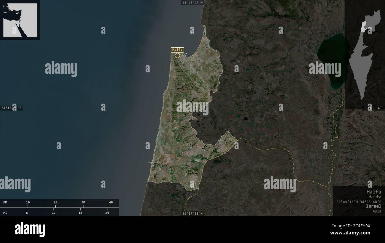 Haifa, district of Israel. Satellite imagery. Shape presented against its country area with informative overlays. 3D rendering Stock Photohttps://www.alamy.com/image-license-details/?v=1https://www.alamy.com/haifa-district-of-israel-satellite-imagery-shape-presented-against-its-country-area-with-informative-overlays-3d-rendering-image364219238.html
RF2C4FH9X–Haifa, district of Israel. Satellite imagery. Shape presented against its country area with informative overlays. 3D rendering
 Golan, district of Israel. Satellite imagery. Shape presented against its country area with informative overlays. 3D rendering Stock Photohttps://www.alamy.com/image-license-details/?v=1https://www.alamy.com/golan-district-of-israel-satellite-imagery-shape-presented-against-its-country-area-with-informative-overlays-3d-rendering-image364219176.html
RF2C4FH7M–Golan, district of Israel. Satellite imagery. Shape presented against its country area with informative overlays. 3D rendering
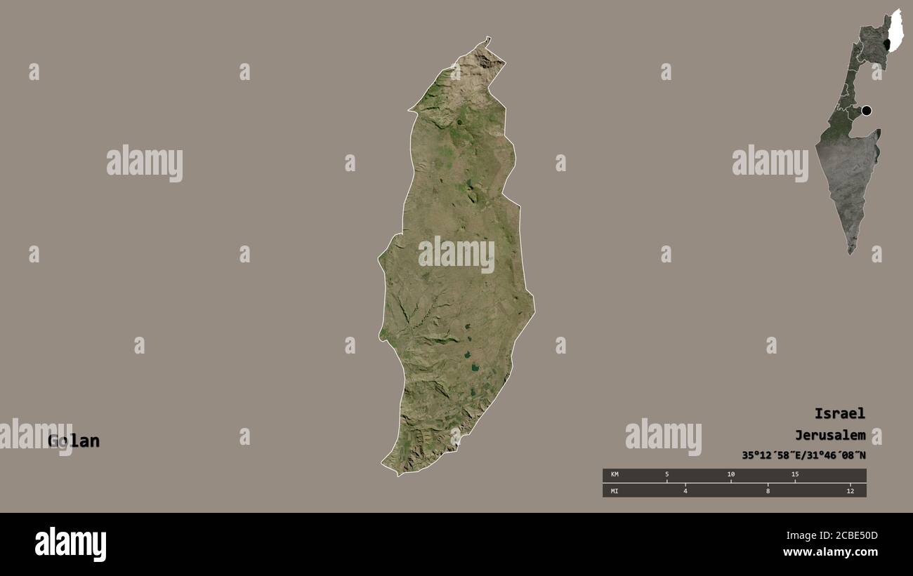 Shape of Golan, district of Israel, with its capital isolated on solid background. Distance scale, region preview and labels. Satellite imagery. 3D re Stock Photohttps://www.alamy.com/image-license-details/?v=1https://www.alamy.com/shape-of-golan-district-of-israel-with-its-capital-isolated-on-solid-background-distance-scale-region-preview-and-labels-satellite-imagery-3d-re-image368490205.html
RF2CBE50D–Shape of Golan, district of Israel, with its capital isolated on solid background. Distance scale, region preview and labels. Satellite imagery. 3D re
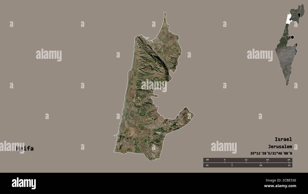 Shape of Haifa, district of Israel, with its capital isolated on solid background. Distance scale, region preview and labels. Satellite imagery. 3D re Stock Photohttps://www.alamy.com/image-license-details/?v=1https://www.alamy.com/shape-of-haifa-district-of-israel-with-its-capital-isolated-on-solid-background-distance-scale-region-preview-and-labels-satellite-imagery-3d-re-image368490282.html
RF2CBE536–Shape of Haifa, district of Israel, with its capital isolated on solid background. Distance scale, region preview and labels. Satellite imagery. 3D re
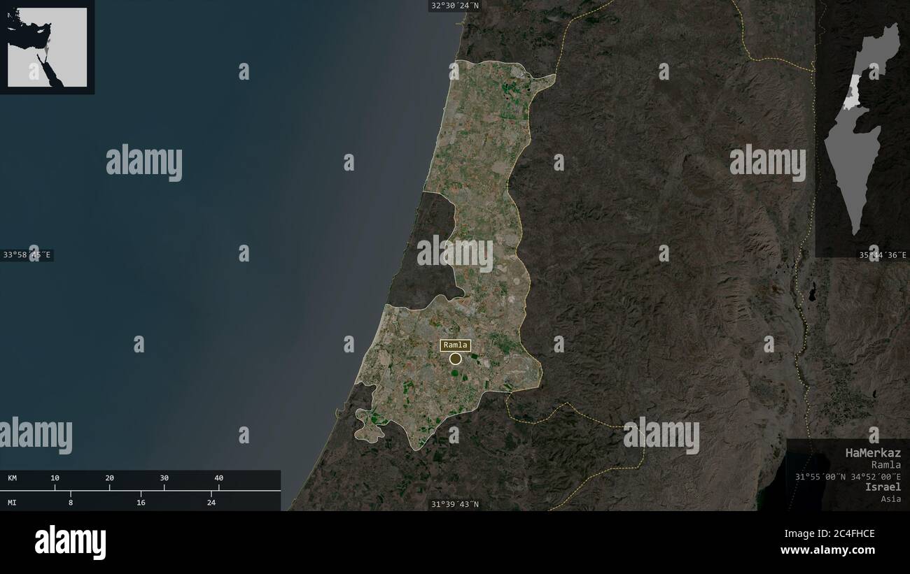 HaMerkaz, district of Israel. Satellite imagery. Shape presented against its country area with informative overlays. 3D rendering Stock Photohttps://www.alamy.com/image-license-details/?v=1https://www.alamy.com/hamerkaz-district-of-israel-satellite-imagery-shape-presented-against-its-country-area-with-informative-overlays-3d-rendering-image364219310.html
RF2C4FHCE–HaMerkaz, district of Israel. Satellite imagery. Shape presented against its country area with informative overlays. 3D rendering
 HaDarom, district of Israel. Satellite imagery. Shape presented against its country area with informative overlays. 3D rendering Stock Photohttps://www.alamy.com/image-license-details/?v=1https://www.alamy.com/hadarom-district-of-israel-satellite-imagery-shape-presented-against-its-country-area-with-informative-overlays-3d-rendering-image364219239.html
RF2C4FH9Y–HaDarom, district of Israel. Satellite imagery. Shape presented against its country area with informative overlays. 3D rendering
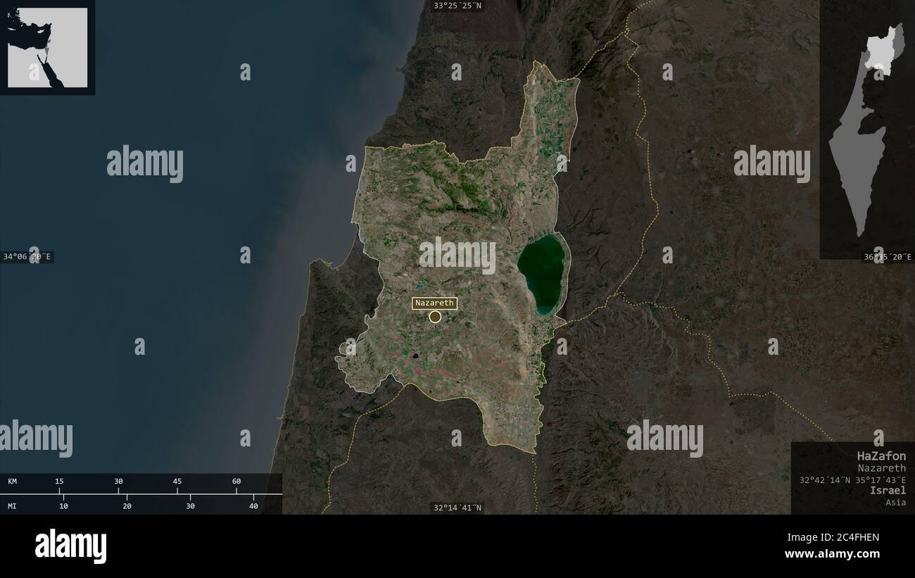 HaZafon, district of Israel. Satellite imagery. Shape presented against its country area with informative overlays. 3D rendering Stock Photohttps://www.alamy.com/image-license-details/?v=1https://www.alamy.com/hazafon-district-of-israel-satellite-imagery-shape-presented-against-its-country-area-with-informative-overlays-3d-rendering-image364219373.html
RF2C4FHEN–HaZafon, district of Israel. Satellite imagery. Shape presented against its country area with informative overlays. 3D rendering
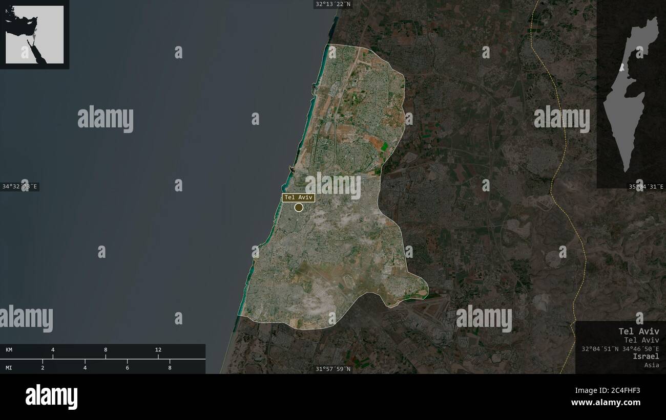 Tel Aviv, district of Israel. Satellite imagery. Shape presented against its country area with informative overlays. 3D rendering Stock Photohttps://www.alamy.com/image-license-details/?v=1https://www.alamy.com/tel-aviv-district-of-israel-satellite-imagery-shape-presented-against-its-country-area-with-informative-overlays-3d-rendering-image364219383.html
RF2C4FHF3–Tel Aviv, district of Israel. Satellite imagery. Shape presented against its country area with informative overlays. 3D rendering
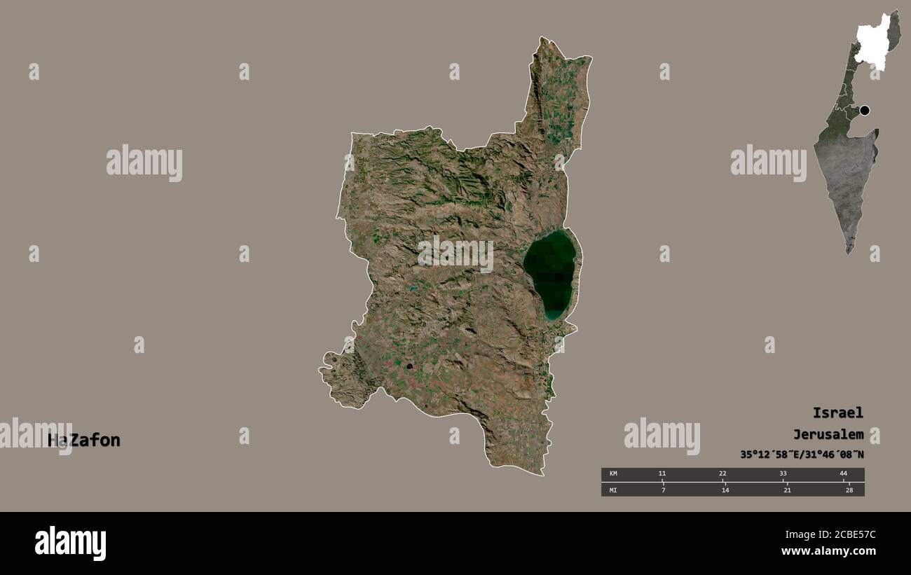 Shape of HaZafon, district of Israel, with its capital isolated on solid background. Distance scale, region preview and labels. Satellite imagery. 3D Stock Photohttps://www.alamy.com/image-license-details/?v=1https://www.alamy.com/shape-of-hazafon-district-of-israel-with-its-capital-isolated-on-solid-background-distance-scale-region-preview-and-labels-satellite-imagery-3d-image368490400.html
RF2CBE57C–Shape of HaZafon, district of Israel, with its capital isolated on solid background. Distance scale, region preview and labels. Satellite imagery. 3D
 Shape of HaMerkaz, district of Israel, with its capital isolated on solid background. Distance scale, region preview and labels. Satellite imagery. 3D Stock Photohttps://www.alamy.com/image-license-details/?v=1https://www.alamy.com/shape-of-hamerkaz-district-of-israel-with-its-capital-isolated-on-solid-background-distance-scale-region-preview-and-labels-satellite-imagery-3d-image368490341.html
RF2CBE559–Shape of HaMerkaz, district of Israel, with its capital isolated on solid background. Distance scale, region preview and labels. Satellite imagery. 3D
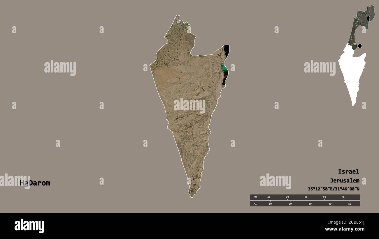 Shape of HaDarom, district of Israel, with its capital isolated on solid background. Distance scale, region preview and labels. Satellite imagery. 3D Stock Photohttps://www.alamy.com/image-license-details/?v=1https://www.alamy.com/shape-of-hadarom-district-of-israel-with-its-capital-isolated-on-solid-background-distance-scale-region-preview-and-labels-satellite-imagery-3d-image368490238.html
RF2CBE51J–Shape of HaDarom, district of Israel, with its capital isolated on solid background. Distance scale, region preview and labels. Satellite imagery. 3D
 Shape of Tel Aviv, district of Israel, with its capital isolated on solid background. Distance scale, region preview and labels. Satellite imagery. 3D Stock Photohttps://www.alamy.com/image-license-details/?v=1https://www.alamy.com/shape-of-tel-aviv-district-of-israel-with-its-capital-isolated-on-solid-background-distance-scale-region-preview-and-labels-satellite-imagery-3d-image368490472.html
RF2CBE5A0–Shape of Tel Aviv, district of Israel, with its capital isolated on solid background. Distance scale, region preview and labels. Satellite imagery. 3D
 Area of Haifa, district of Israel, isolated on a solid background in a georeferenced bounding box. Labels. Satellite imagery. 3D rendering Stock Photohttps://www.alamy.com/image-license-details/?v=1https://www.alamy.com/area-of-haifa-district-of-israel-isolated-on-a-solid-background-in-a-georeferenced-bounding-box-labels-satellite-imagery-3d-rendering-image368490266.html
RF2CBE52J–Area of Haifa, district of Israel, isolated on a solid background in a georeferenced bounding box. Labels. Satellite imagery. 3D rendering
 Area of Golan, district of Israel, isolated on a solid background in a georeferenced bounding box. Labels. Satellite imagery. 3D rendering Stock Photohttps://www.alamy.com/image-license-details/?v=1https://www.alamy.com/area-of-golan-district-of-israel-isolated-on-a-solid-background-in-a-georeferenced-bounding-box-labels-satellite-imagery-3d-rendering-image368490195.html
RF2CBE503–Area of Golan, district of Israel, isolated on a solid background in a georeferenced bounding box. Labels. Satellite imagery. 3D rendering
 Area of HaZafon, district of Israel, isolated on a solid background in a georeferenced bounding box. Labels. Satellite imagery. 3D rendering Stock Photohttps://www.alamy.com/image-license-details/?v=1https://www.alamy.com/area-of-hazafon-district-of-israel-isolated-on-a-solid-background-in-a-georeferenced-bounding-box-labels-satellite-imagery-3d-rendering-image368490393.html
RF2CBE575–Area of HaZafon, district of Israel, isolated on a solid background in a georeferenced bounding box. Labels. Satellite imagery. 3D rendering
 Area of HaMerkaz, district of Israel, isolated on a solid background in a georeferenced bounding box. Labels. Satellite imagery. 3D rendering Stock Photohttps://www.alamy.com/image-license-details/?v=1https://www.alamy.com/area-of-hamerkaz-district-of-israel-isolated-on-a-solid-background-in-a-georeferenced-bounding-box-labels-satellite-imagery-3d-rendering-image368490326.html
RF2CBE54P–Area of HaMerkaz, district of Israel, isolated on a solid background in a georeferenced bounding box. Labels. Satellite imagery. 3D rendering
 Area of HaDarom, district of Israel, isolated on a solid background in a georeferenced bounding box. Labels. Satellite imagery. 3D rendering Stock Photohttps://www.alamy.com/image-license-details/?v=1https://www.alamy.com/area-of-hadarom-district-of-israel-isolated-on-a-solid-background-in-a-georeferenced-bounding-box-labels-satellite-imagery-3d-rendering-image368490248.html
RF2CBE520–Area of HaDarom, district of Israel, isolated on a solid background in a georeferenced bounding box. Labels. Satellite imagery. 3D rendering
 Area of Tel Aviv, district of Israel, isolated on a solid background in a georeferenced bounding box. Labels. Satellite imagery. 3D rendering Stock Photohttps://www.alamy.com/image-license-details/?v=1https://www.alamy.com/area-of-tel-aviv-district-of-israel-isolated-on-a-solid-background-in-a-georeferenced-bounding-box-labels-satellite-imagery-3d-rendering-image368490462.html
RF2CBE59J–Area of Tel Aviv, district of Israel, isolated on a solid background in a georeferenced bounding box. Labels. Satellite imagery. 3D rendering