Satellite view united arab emirates country Stock Photos and Images
(214)See satellite view united arab emirates country stock video clipsQuick filters:
Satellite view united arab emirates country Stock Photos and Images
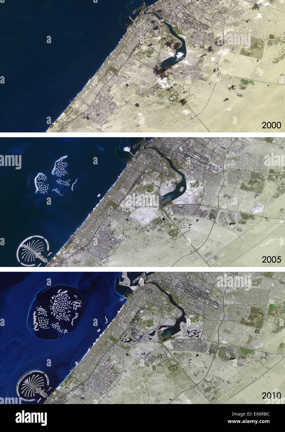 Satellite view of Dubai, United Arab Emirates in 2000, 2005 and 2010. This before and after image shows urban expansion over Stock Photohttps://www.alamy.com/image-license-details/?v=1https://www.alamy.com/stock-photo-satellite-view-of-dubai-united-arab-emirates-in-2000-2005-and-2010-84972592.html
RMEX6RBC–Satellite view of Dubai, United Arab Emirates in 2000, 2005 and 2010. This before and after image shows urban expansion over
 Dubai-Sharjah-Ajman and Abu Dhabi at night, United Arab Emirates Stock Photohttps://www.alamy.com/image-license-details/?v=1https://www.alamy.com/dubai-sharjah-ajman-and-abu-dhabi-at-night-united-arab-emirates-image65370375.html
RMDP9TG7–Dubai-Sharjah-Ajman and Abu Dhabi at night, United Arab Emirates
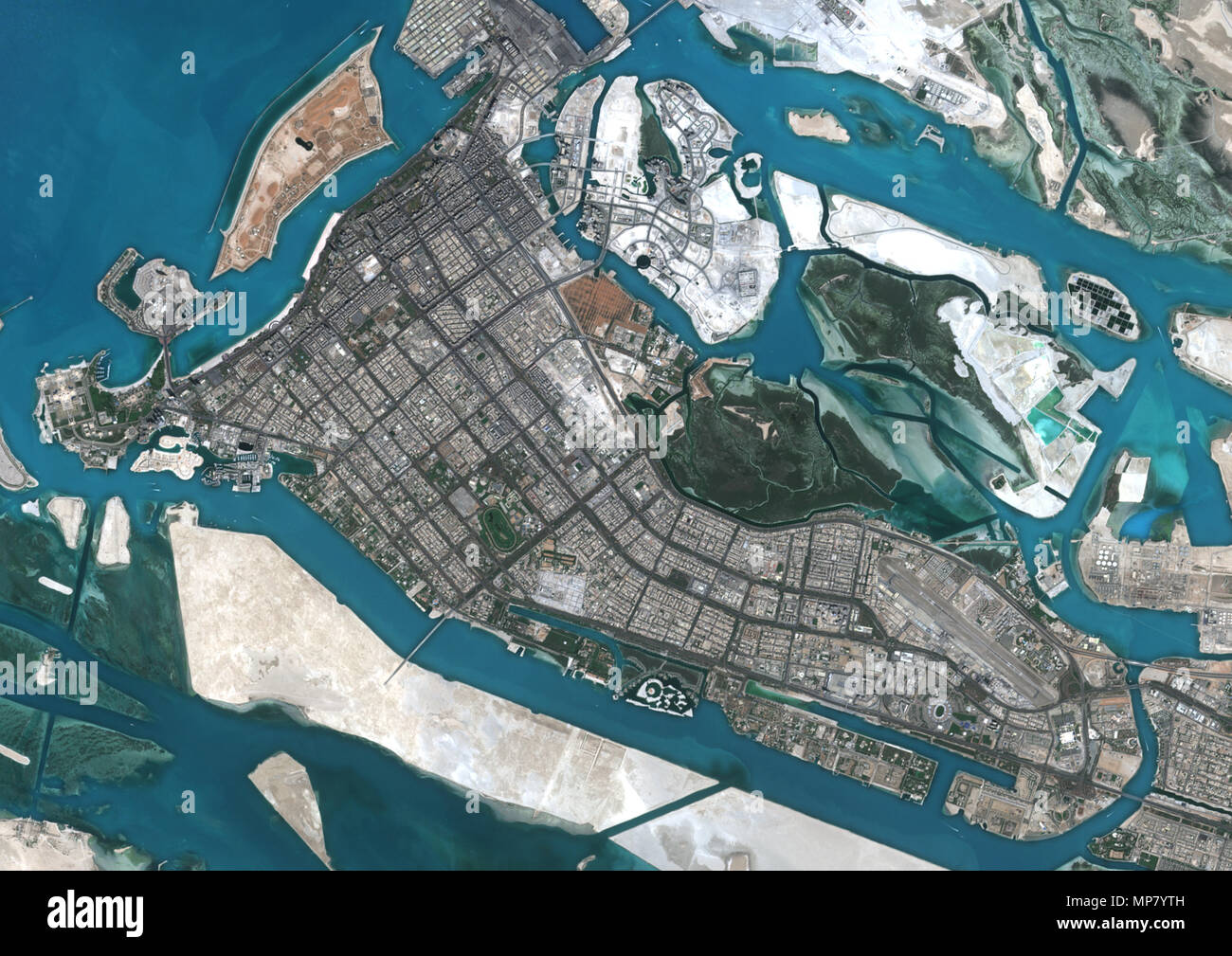 Abu Dhabi, United Arab Emirates Stock Photohttps://www.alamy.com/image-license-details/?v=1https://www.alamy.com/abu-dhabi-united-arab-emirates-image185801633.html
RMMP7YTH–Abu Dhabi, United Arab Emirates
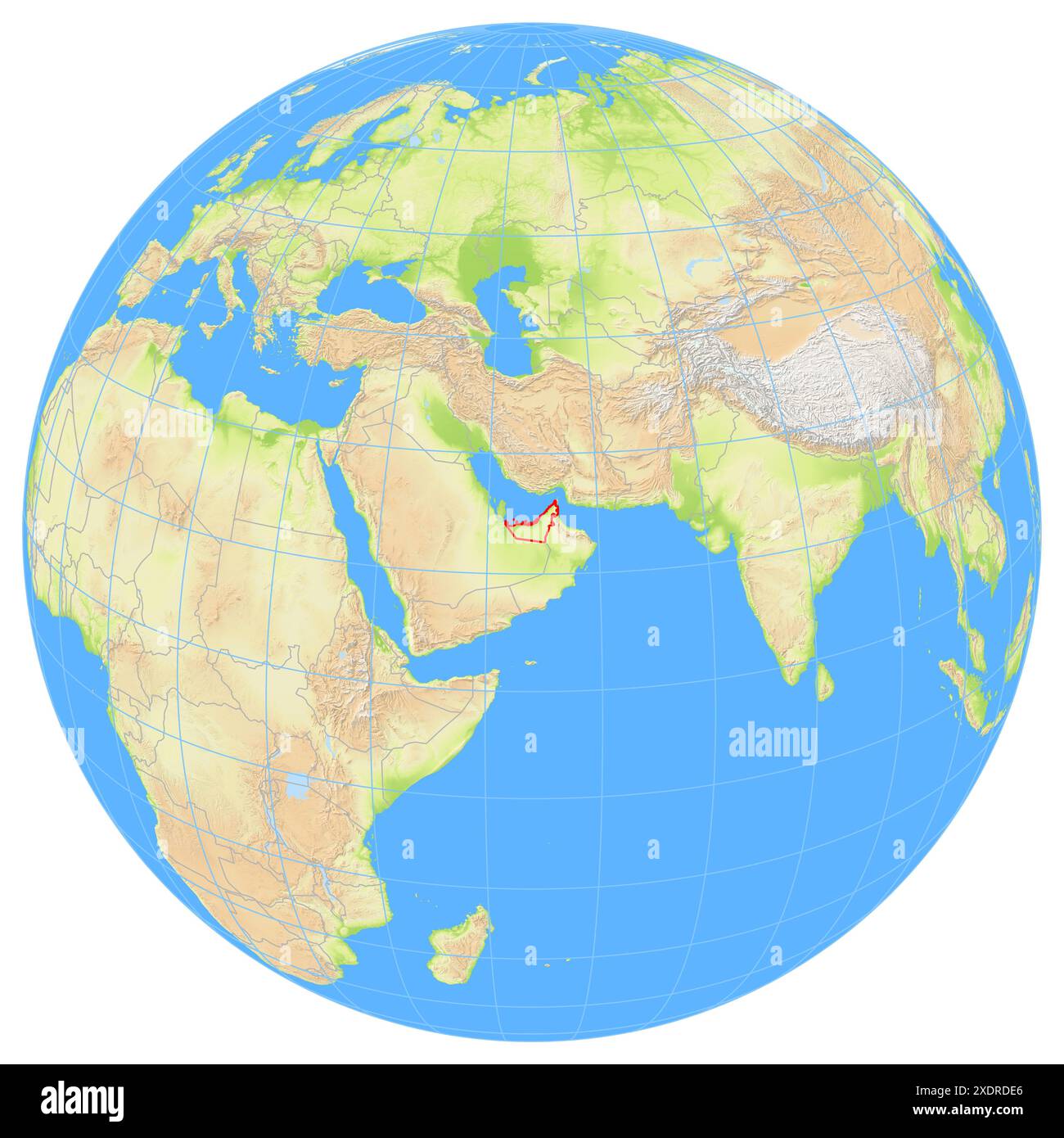 View of the Earth from space showing the location of the country United Arab Emirates in Asia. The country is highlighted with a red polygon. Small co Stock Photohttps://www.alamy.com/image-license-details/?v=1https://www.alamy.com/view-of-the-earth-from-space-showing-the-location-of-the-country-united-arab-emirates-in-asia-the-country-is-highlighted-with-a-red-polygon-small-co-image610868894.html
RF2XDRDE6–View of the Earth from space showing the location of the country United Arab Emirates in Asia. The country is highlighted with a red polygon. Small co
 Highlighted Satellite Image Of United Arab Emirates Without Surrounding Countries Shown Stock Photohttps://www.alamy.com/image-license-details/?v=1https://www.alamy.com/stock-photo-highlighted-satellite-image-of-united-arab-emirates-without-surrounding-10507792.html
RFA2FFTH–Highlighted Satellite Image Of United Arab Emirates Without Surrounding Countries Shown
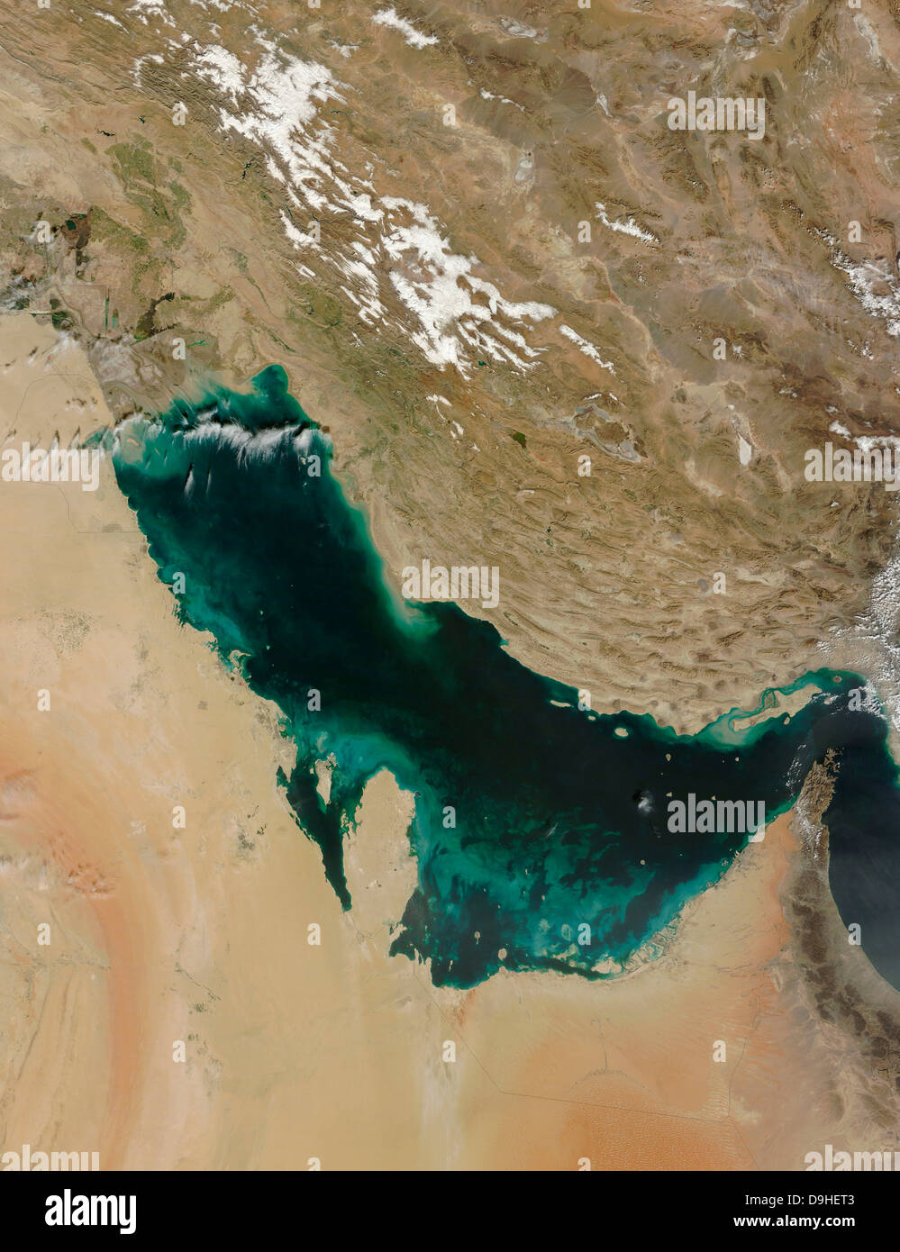 Satellite view of the Persian Gulf. Stock Photohttps://www.alamy.com/image-license-details/?v=1https://www.alamy.com/stock-photo-satellite-view-of-the-persian-gulf-57547843.html
RFD9HET3–Satellite view of the Persian Gulf.
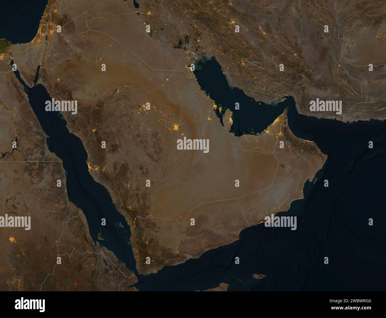 Night satellite view of the Arabian Peninsula. Illuminated cities and main roads, national borders. Physical map with reliefs. Nasa element Stock Photohttps://www.alamy.com/image-license-details/?v=1https://www.alamy.com/night-satellite-view-of-the-arabian-peninsula-illuminated-cities-and-main-roads-national-borders-physical-map-with-reliefs-nasa-element-image592481034.html
RF2WBWRGX–Night satellite view of the Arabian Peninsula. Illuminated cities and main roads, national borders. Physical map with reliefs. Nasa element
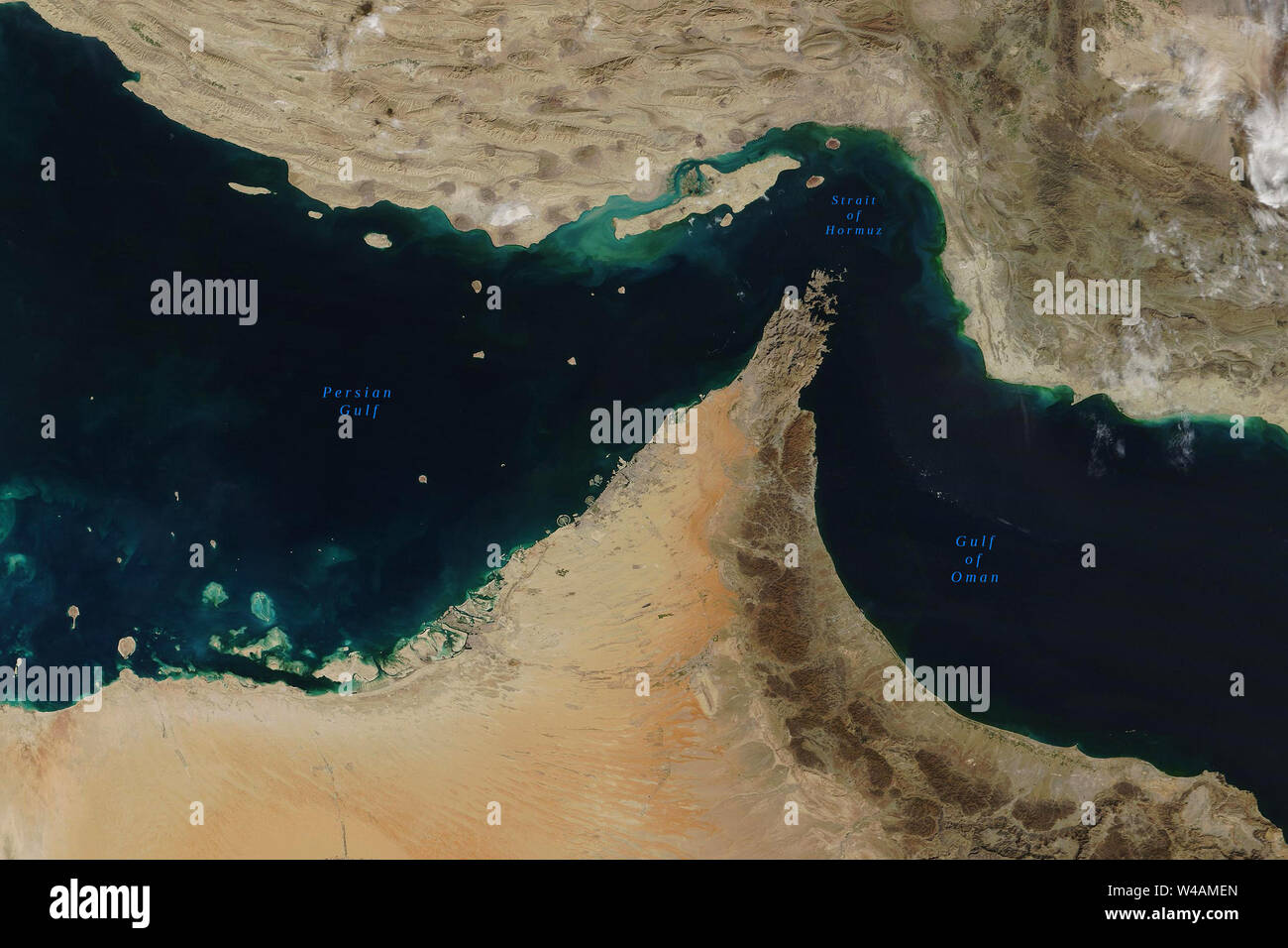 Strait of Hormuz, a strait between the Persian Gulf and the Gulf of Oman, seen from space - Elements of this image furnished by NASA Stock Photohttps://www.alamy.com/image-license-details/?v=1https://www.alamy.com/strait-of-hormuz-a-strait-between-the-persian-gulf-and-the-gulf-of-oman-seen-from-space-elements-of-this-image-furnished-by-nasa-image260849757.html
RFW4AMEN–Strait of Hormuz, a strait between the Persian Gulf and the Gulf of Oman, seen from space - Elements of this image furnished by NASA
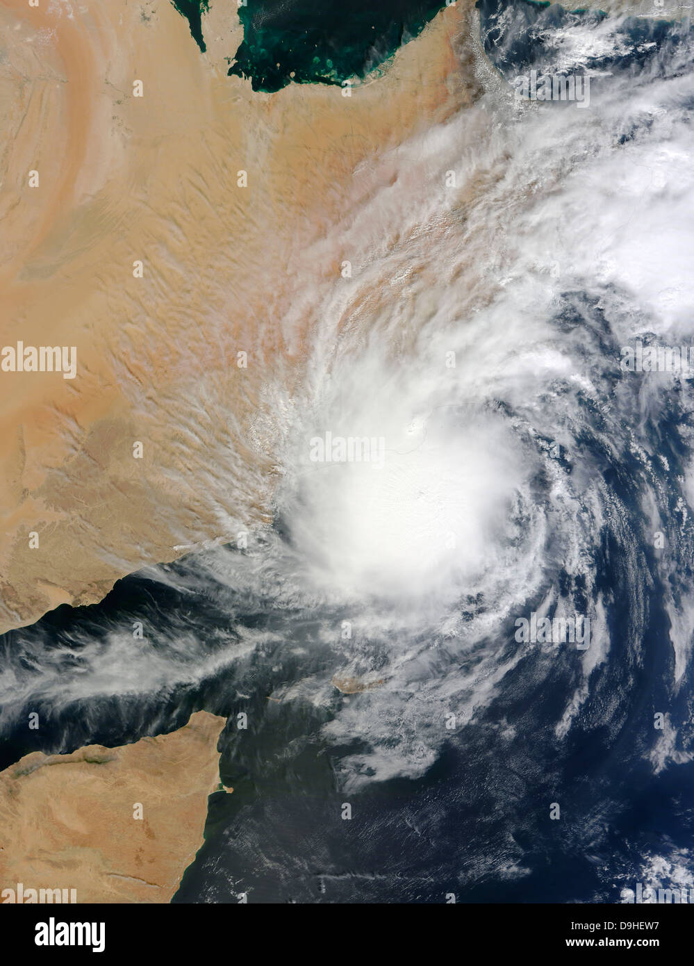 Tropical Storm Keila over the Arabian Peninsula. Stock Photohttps://www.alamy.com/image-license-details/?v=1https://www.alamy.com/stock-photo-tropical-storm-keila-over-the-arabian-peninsula-57547875.html
RFD9HEW7–Tropical Storm Keila over the Arabian Peninsula.
 Satellite map of Dubai, United Arab Emirates, city streets. Palaces, buildings. 3d rendering. Palm Islands. Palm Jumeirah. Street map and city center Stock Photohttps://www.alamy.com/image-license-details/?v=1https://www.alamy.com/satellite-map-of-dubai-united-arab-emirates-city-streets-palaces-buildings-3d-rendering-palm-islands-palm-jumeirah-street-map-and-city-center-image453383748.html
RF2H9HBGM–Satellite map of Dubai, United Arab Emirates, city streets. Palaces, buildings. 3d rendering. Palm Islands. Palm Jumeirah. Street map and city center
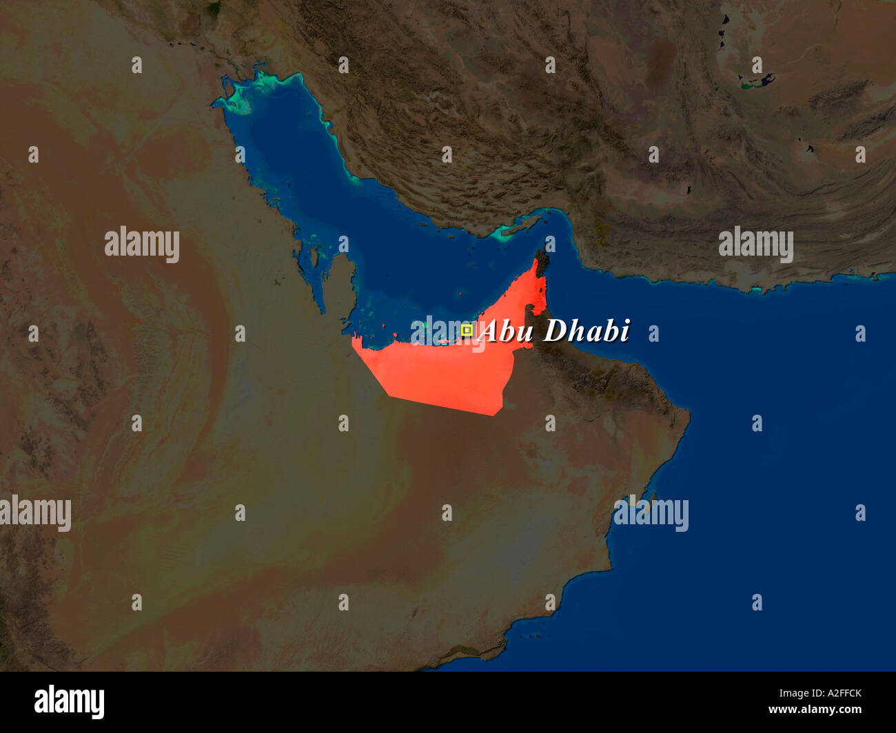 Highlighted Satellite Image Of United Arab Emirates With Capital Abu Dhabi Shown Stock Photohttps://www.alamy.com/image-license-details/?v=1https://www.alamy.com/stock-photo-highlighted-satellite-image-of-united-arab-emirates-with-capital-abu-10507650.html
RFA2FFCK–Highlighted Satellite Image Of United Arab Emirates With Capital Abu Dhabi Shown
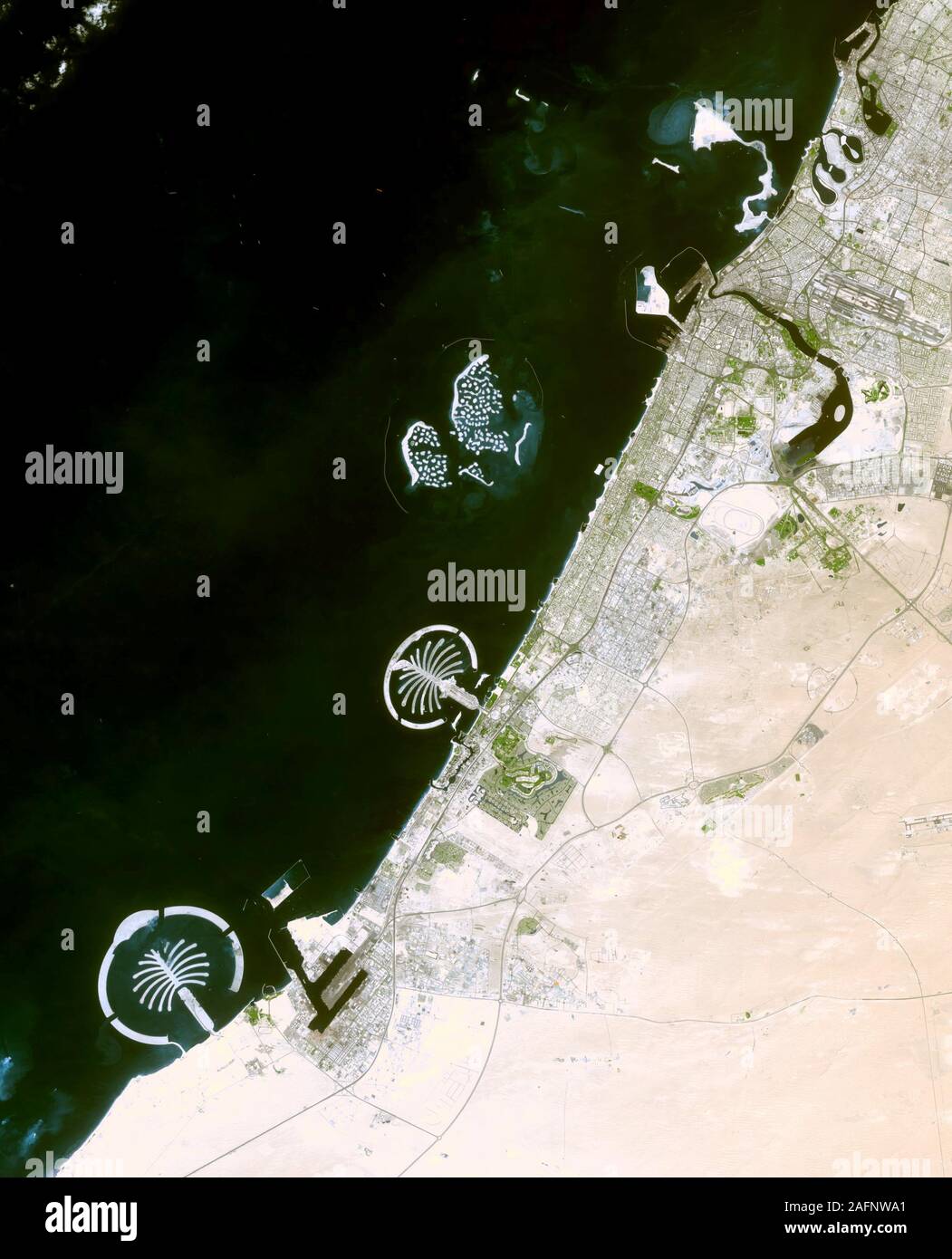 Palm Islands, Dubai, the coast of Dubai. From south to north, the artificial island sites in this image are Palm Jebel Ali, Palm Jumeirah Stock Photohttps://www.alamy.com/image-license-details/?v=1https://www.alamy.com/palm-islands-dubai-the-coast-of-dubai-from-south-to-north-the-artificial-island-sites-in-this-image-are-palm-jebel-ali-palm-jumeirah-image336697705.html
RM2AFNWA1–Palm Islands, Dubai, the coast of Dubai. From south to north, the artificial island sites in this image are Palm Jebel Ali, Palm Jumeirah
 Dubai HSBC bank rooftop advertising panel on top of tall office building Stock Photohttps://www.alamy.com/image-license-details/?v=1https://www.alamy.com/stock-photo-dubai-hsbc-bank-rooftop-advertising-panel-on-top-of-tall-office-building-22770639.html
RFB91853–Dubai HSBC bank rooftop advertising panel on top of tall office building
 Country of United Arab Emirates satellite view Stock Photohttps://www.alamy.com/image-license-details/?v=1https://www.alamy.com/country-of-united-arab-emirates-satellite-view-image226545737.html
RFR4G1B5–Country of United Arab Emirates satellite view
 Satellite view of United Arab Emirates highlighted in red on planet Earth with visible country borders during sunset. 3D illustration. Elements of thi Stock Photohttps://www.alamy.com/image-license-details/?v=1https://www.alamy.com/stock-photo-satellite-view-of-united-arab-emirates-highlighted-in-red-on-planet-177014570.html
RFM7YKTX–Satellite view of United Arab Emirates highlighted in red on planet Earth with visible country borders during sunset. 3D illustration. Elements of thi
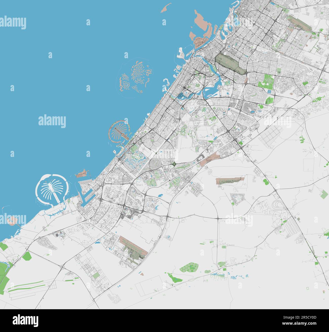 Detailed vector map of Dubai United Arab Emirates Stock Vectorhttps://www.alamy.com/image-license-details/?v=1https://www.alamy.com/detailed-vector-map-of-dubai-united-arab-emirates-image554089661.html
RF2R5CY0D–Detailed vector map of Dubai United Arab Emirates
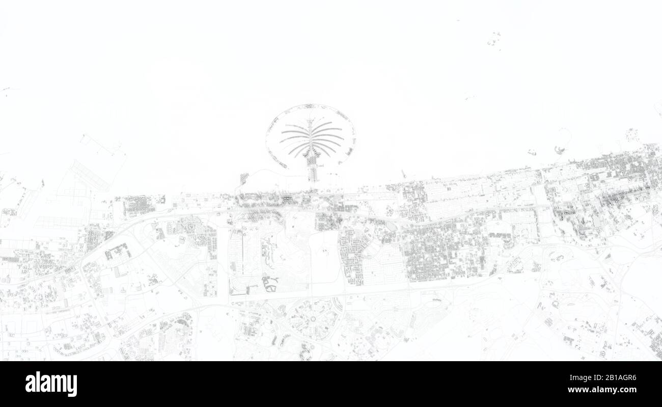 Dubai city map 3D Rendering. Aerial satellite view. Stock Photohttps://www.alamy.com/image-license-details/?v=1https://www.alamy.com/dubai-city-map-3d-rendering-aerial-satellite-view-image345054730.html
RF2B1AGR6–Dubai city map 3D Rendering. Aerial satellite view.
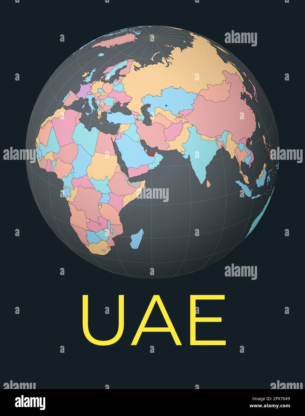 World map centered to UAE. Red country highlighted. Satellite world view centered to country with name. Vector Illustration. Stock Vectorhttps://www.alamy.com/image-license-details/?v=1https://www.alamy.com/world-map-centered-to-uae-red-country-highlighted-satellite-world-view-centered-to-country-with-name-vector-illustration-image549660953.html
RF2PX7649–World map centered to UAE. Red country highlighted. Satellite world view centered to country with name. Vector Illustration.
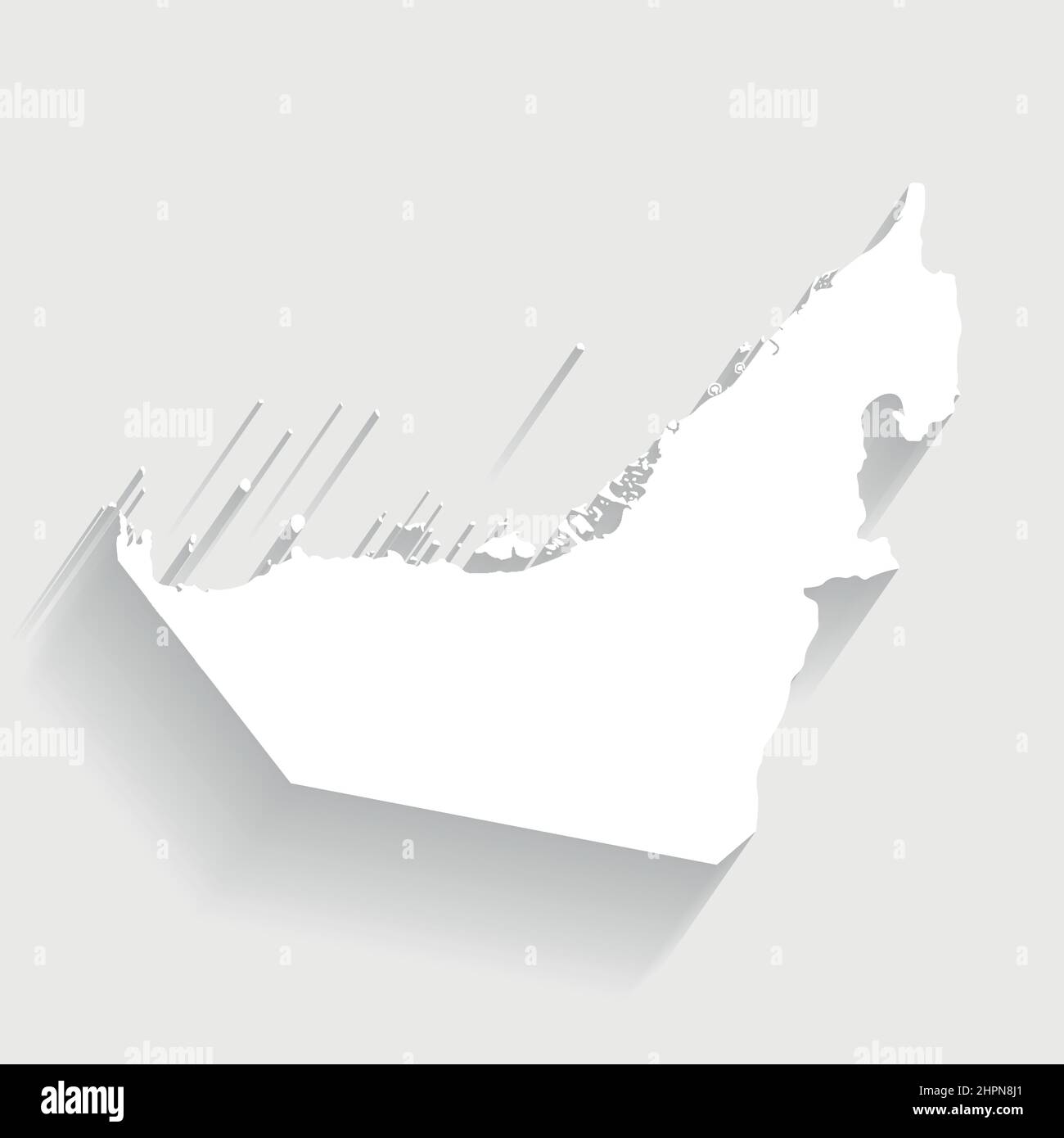 White United Arab Emirates map on gray background, vector, illustration, eps 10 file Stock Vectorhttps://www.alamy.com/image-license-details/?v=1https://www.alamy.com/white-united-arab-emirates-map-on-gray-background-vector-illustration-eps-10-file-image461459769.html
RF2HPN8J1–White United Arab Emirates map on gray background, vector, illustration, eps 10 file
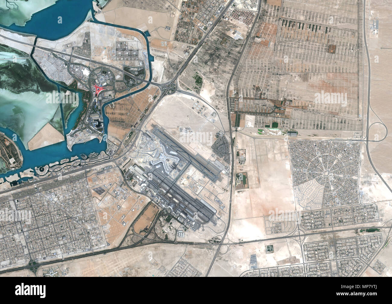 Abu Dhabi International Airport, United Arab Emirates Stock Photohttps://www.alamy.com/image-license-details/?v=1https://www.alamy.com/abu-dhabi-international-airport-united-arab-emirates-image185801634.html
RMMP7YTJ–Abu Dhabi International Airport, United Arab Emirates
 Close view of the earth from space showing the United Arab Emirates in the center of the image. Globe that shows one hemisphere of our planet. Light c Stock Photohttps://www.alamy.com/image-license-details/?v=1https://www.alamy.com/close-view-of-the-earth-from-space-showing-the-united-arab-emirates-in-the-center-of-the-image-globe-that-shows-one-hemisphere-of-our-planet-light-c-image610867950.html
RF2XDRC8E–Close view of the earth from space showing the United Arab Emirates in the center of the image. Globe that shows one hemisphere of our planet. Light c
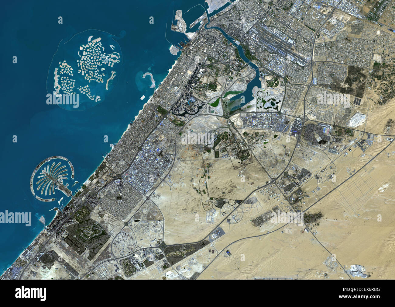 Colour satellite image of Dubai, United Arab Emirates. Image taken on December 25, 2013 with Landsat 8 data. Stock Photohttps://www.alamy.com/image-license-details/?v=1https://www.alamy.com/stock-photo-colour-satellite-image-of-dubai-united-arab-emirates-image-taken-on-84972596.html
RMEX6RBG–Colour satellite image of Dubai, United Arab Emirates. Image taken on December 25, 2013 with Landsat 8 data.
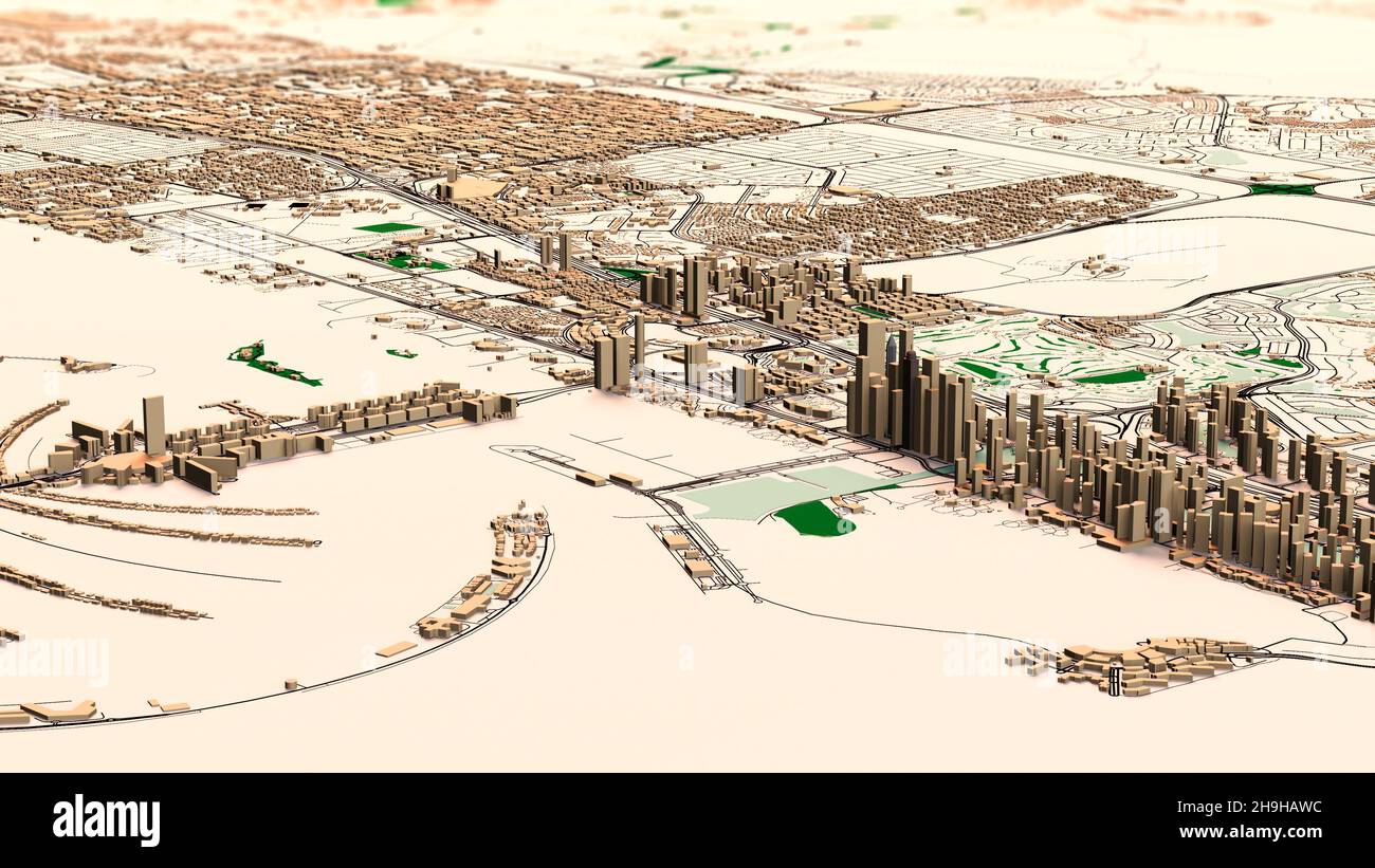 Satellite map of Dubai, United Arab Emirates, city streets. Palaces, buildings. 3d rendering. Palm Islands. Palm Jumeirah. Street map and city center Stock Photohttps://www.alamy.com/image-license-details/?v=1https://www.alamy.com/satellite-map-of-dubai-united-arab-emirates-city-streets-palaces-buildings-3d-rendering-palm-islands-palm-jumeirah-street-map-and-city-center-image453383208.html
RF2H9HAWC–Satellite map of Dubai, United Arab Emirates, city streets. Palaces, buildings. 3d rendering. Palm Islands. Palm Jumeirah. Street map and city center
 Satellite view of United Arab Emirates highlighted in red on planet Earth with clouds and visible country borders during sunset. 3D illustration. Elem Stock Photohttps://www.alamy.com/image-license-details/?v=1https://www.alamy.com/satellite-view-of-united-arab-emirates-highlighted-in-red-on-planet-earth-with-clouds-and-visible-country-borders-during-sunset-3d-illustration-elem-image178038370.html
RFM9J9N6–Satellite view of United Arab Emirates highlighted in red on planet Earth with clouds and visible country borders during sunset. 3D illustration. Elem
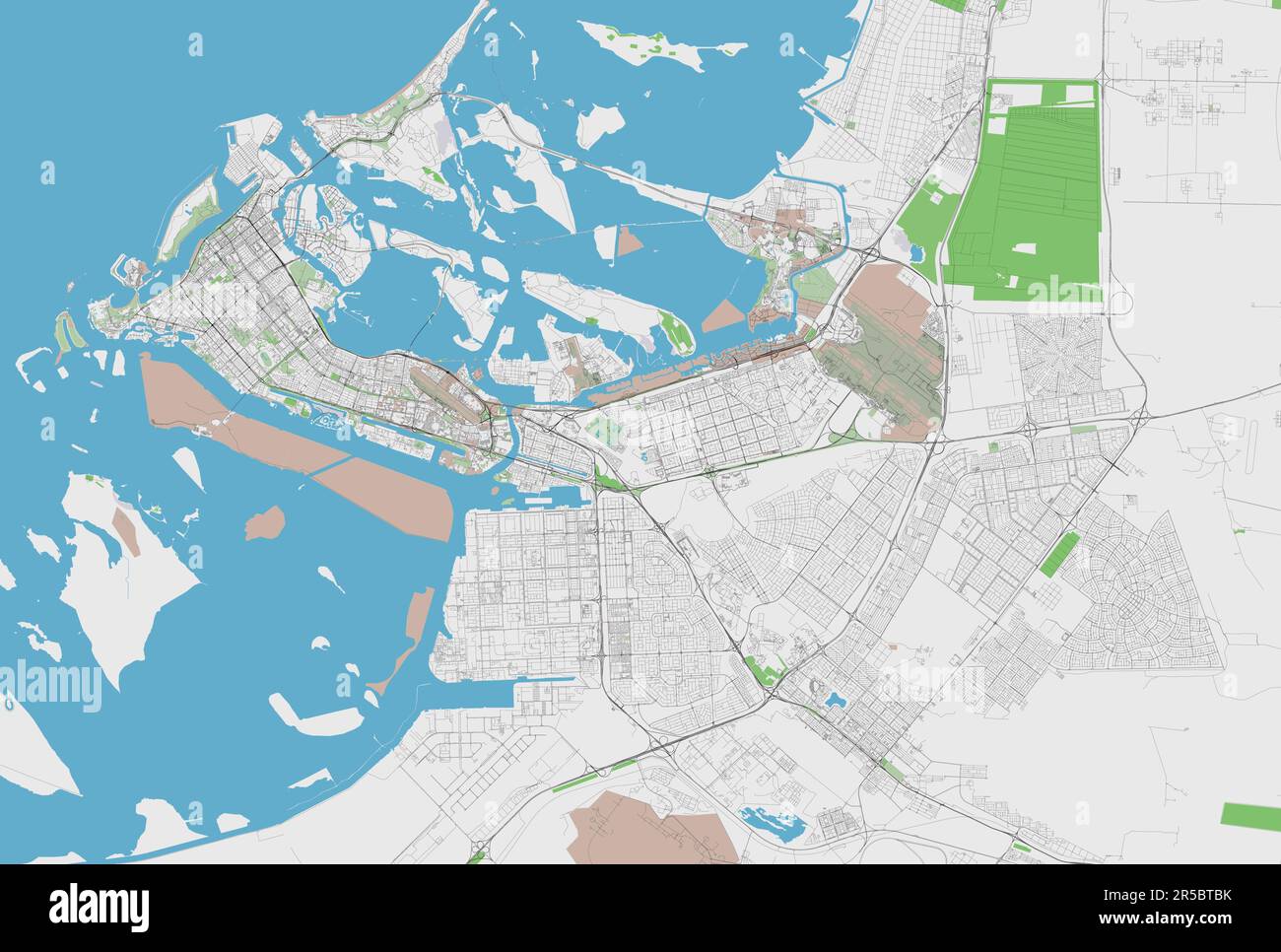 Detailed vector map of Abu Dhabi, United Arab Emirates Stock Vectorhttps://www.alamy.com/image-license-details/?v=1https://www.alamy.com/detailed-vector-map-of-abu-dhabi-united-arab-emirates-image554065671.html
RF2R5BTBK–Detailed vector map of Abu Dhabi, United Arab Emirates
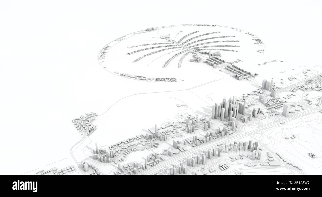 Dubai city map 3D Rendering. Aerial satellite view. Stock Photohttps://www.alamy.com/image-license-details/?v=1https://www.alamy.com/dubai-city-map-3d-rendering-aerial-satellite-view-image345054003.html
RF2B1AFW7–Dubai city map 3D Rendering. Aerial satellite view.
 Detailed vector road map of Abu Dhabi, United Arab Emirates Stock Vectorhttps://www.alamy.com/image-license-details/?v=1https://www.alamy.com/detailed-vector-road-map-of-abu-dhabi-united-arab-emirates-image570808635.html
RF2T4JG6K–Detailed vector road map of Abu Dhabi, United Arab Emirates
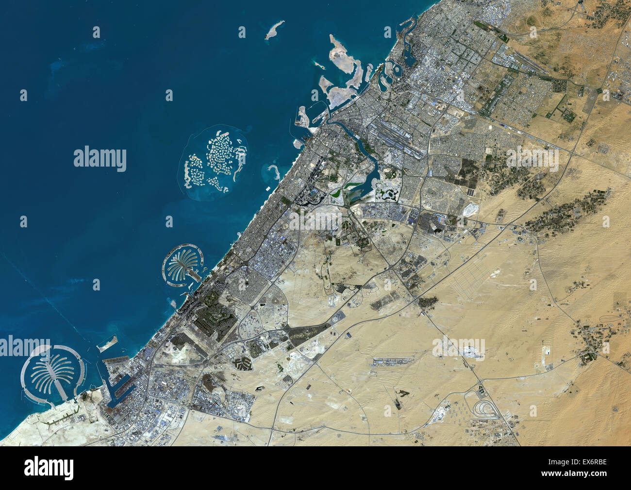 Colour satellite image of Dubai, United Arab Emirates. Image taken on December 25, 2013 with Landsat 8 data. Stock Photohttps://www.alamy.com/image-license-details/?v=1https://www.alamy.com/stock-photo-colour-satellite-image-of-dubai-united-arab-emirates-image-taken-on-84972594.html
RMEX6RBE–Colour satellite image of Dubai, United Arab Emirates. Image taken on December 25, 2013 with Landsat 8 data.
 Satellite map of Dubai, United Arab Emirates, city streets. Palaces, buildings. 3d rendering. Palm Islands. Palm Jumeirah. Street map and city center Stock Photohttps://www.alamy.com/image-license-details/?v=1https://www.alamy.com/satellite-map-of-dubai-united-arab-emirates-city-streets-palaces-buildings-3d-rendering-palm-islands-palm-jumeirah-street-map-and-city-center-image453382012.html
RF2H9H9AM–Satellite map of Dubai, United Arab Emirates, city streets. Palaces, buildings. 3d rendering. Palm Islands. Palm Jumeirah. Street map and city center
 Satellite view of United Arab Emirates highlighted in red on planet Earth. 3D illustration. Elements of this image furnished by NASA. Stock Photohttps://www.alamy.com/image-license-details/?v=1https://www.alamy.com/satellite-view-of-united-arab-emirates-highlighted-in-red-on-planet-earth-3d-illustration-elements-of-this-image-furnished-by-nasa-image209082738.html
RFP44F4J–Satellite view of United Arab Emirates highlighted in red on planet Earth. 3D illustration. Elements of this image furnished by NASA.
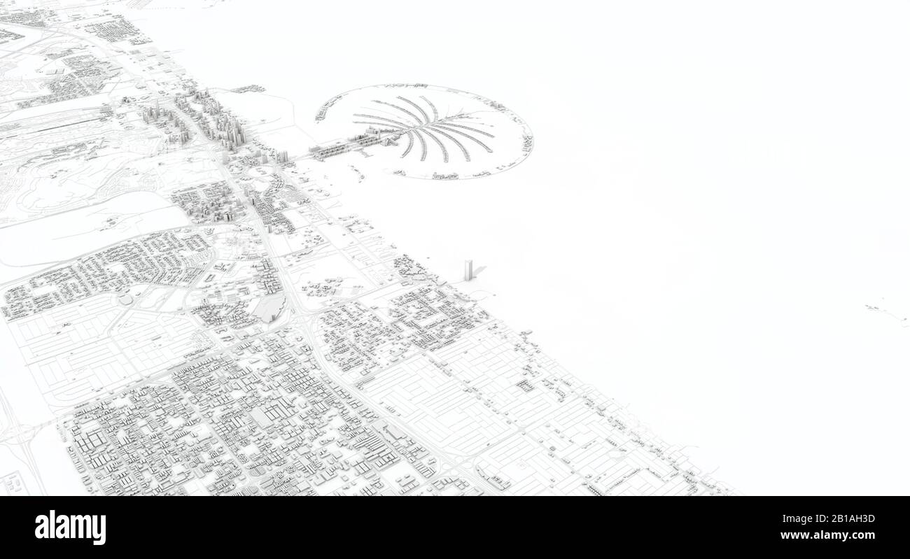 Dubai city map 3D Rendering. Aerial satellite view. Stock Photohttps://www.alamy.com/image-license-details/?v=1https://www.alamy.com/dubai-city-map-3d-rendering-aerial-satellite-view-image345054961.html
RF2B1AH3D–Dubai city map 3D Rendering. Aerial satellite view.
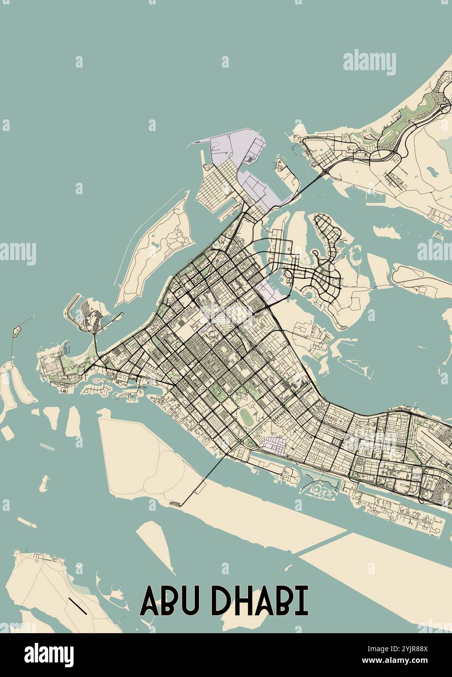 This is a detailed map of Abu Dhabi, the capital city of the United Arab Emirates. Stock Vectorhttps://www.alamy.com/image-license-details/?v=1https://www.alamy.com/this-is-a-detailed-map-of-abu-dhabi-the-capital-city-of-the-united-arab-emirates-image631148474.html
RF2YJR88X–This is a detailed map of Abu Dhabi, the capital city of the United Arab Emirates.
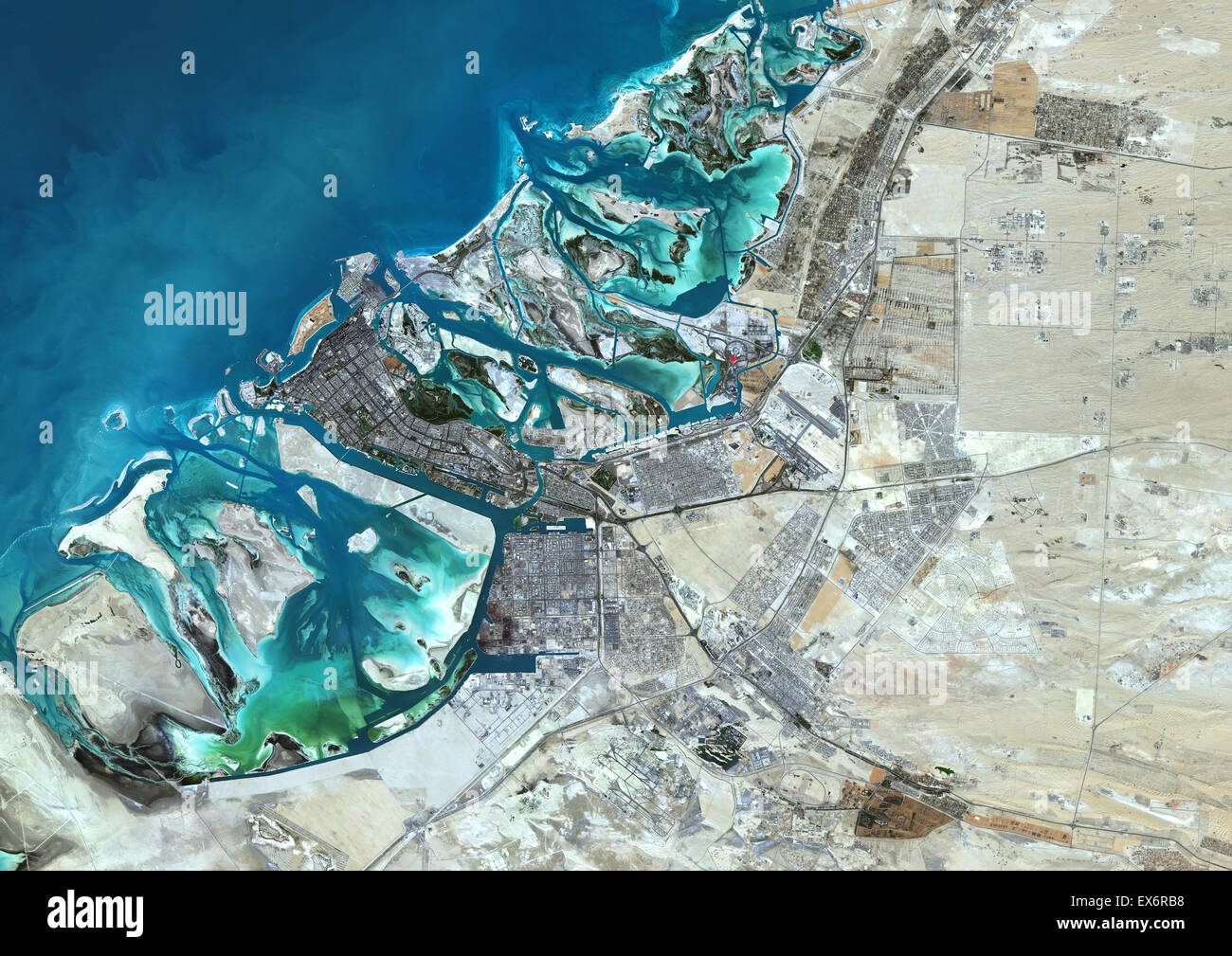 Colour satellite image of Abu Dhabi, United Arab Emirates. Image taken on December 16, 2013 with Landsat 8 data. Stock Photohttps://www.alamy.com/image-license-details/?v=1https://www.alamy.com/stock-photo-colour-satellite-image-of-abu-dhabi-united-arab-emirates-image-taken-84972588.html
RMEX6RB8–Colour satellite image of Abu Dhabi, United Arab Emirates. Image taken on December 16, 2013 with Landsat 8 data.
 Satellite map of Dubai, United Arab Emirates, city streets. Palaces, buildings. 3d rendering. Palm Islands. Palm Jumeirah. Street map and city center Stock Photohttps://www.alamy.com/image-license-details/?v=1https://www.alamy.com/satellite-map-of-dubai-united-arab-emirates-city-streets-palaces-buildings-3d-rendering-palm-islands-palm-jumeirah-street-map-and-city-center-image453387891.html
RF2H9HGTK–Satellite map of Dubai, United Arab Emirates, city streets. Palaces, buildings. 3d rendering. Palm Islands. Palm Jumeirah. Street map and city center
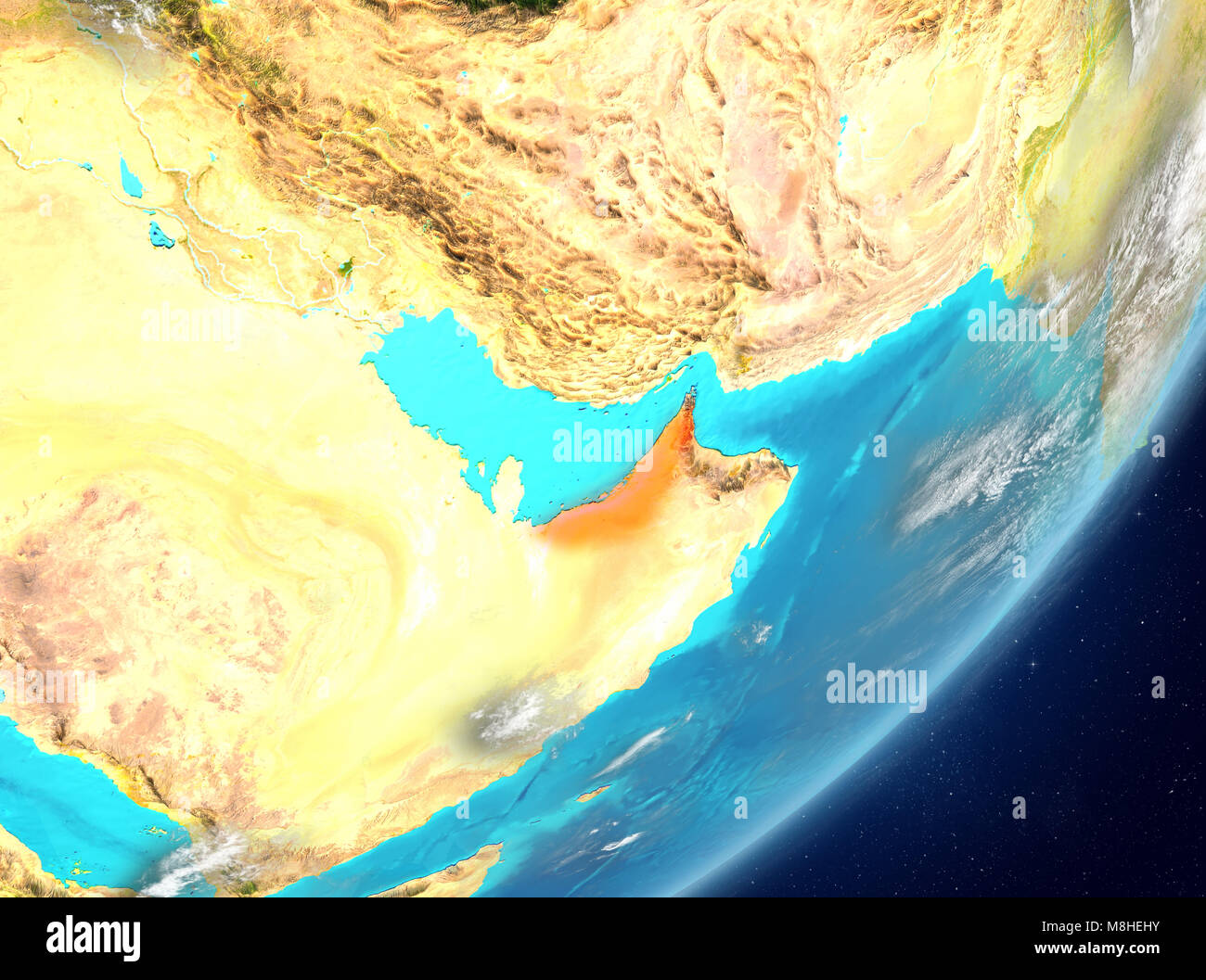 Satellite view of United Arab Emirates highlighted in red on planet Earth with clouds. 3D illustration. Elements of this image furnished by NASA. Stock Photohttps://www.alamy.com/image-license-details/?v=1https://www.alamy.com/stock-photo-satellite-view-of-united-arab-emirates-highlighted-in-red-on-planet-177405591.html
RFM8HEHY–Satellite view of United Arab Emirates highlighted in red on planet Earth with clouds. 3D illustration. Elements of this image furnished by NASA.
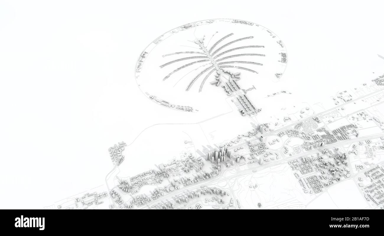 Dubai city map 3D Rendering. Aerial satellite view. Stock Photohttps://www.alamy.com/image-license-details/?v=1https://www.alamy.com/dubai-city-map-3d-rendering-aerial-satellite-view-image345053505.html
RF2B1AF7D–Dubai city map 3D Rendering. Aerial satellite view.
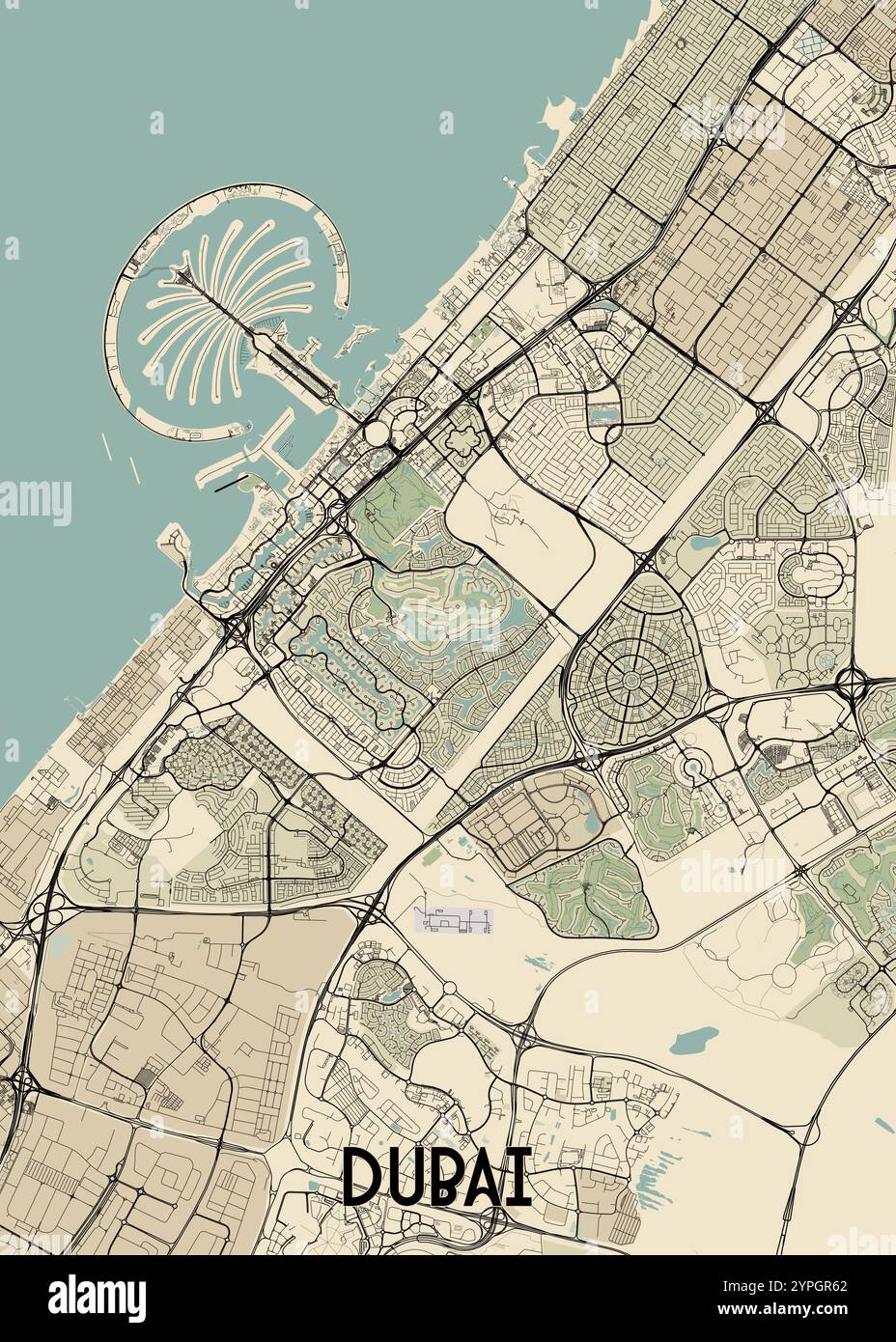 This detailed map showcases the city of Dubai, United Arab Emirates, with a focus on its urban layout and key landmarks. Stock Vectorhttps://www.alamy.com/image-license-details/?v=1https://www.alamy.com/this-detailed-map-showcases-the-city-of-dubai-united-arab-emirates-with-a-focus-on-its-urban-layout-and-key-landmarks-image633465114.html
RF2YPGR62–This detailed map showcases the city of Dubai, United Arab Emirates, with a focus on its urban layout and key landmarks.
 Colour satellite image of Abu Dhabi, United Arab Emirates. Image taken on December 16, 2013 with Landsat 8 data. Stock Photohttps://www.alamy.com/image-license-details/?v=1https://www.alamy.com/stock-photo-colour-satellite-image-of-abu-dhabi-united-arab-emirates-image-taken-84972591.html
RMEX6RBB–Colour satellite image of Abu Dhabi, United Arab Emirates. Image taken on December 16, 2013 with Landsat 8 data.
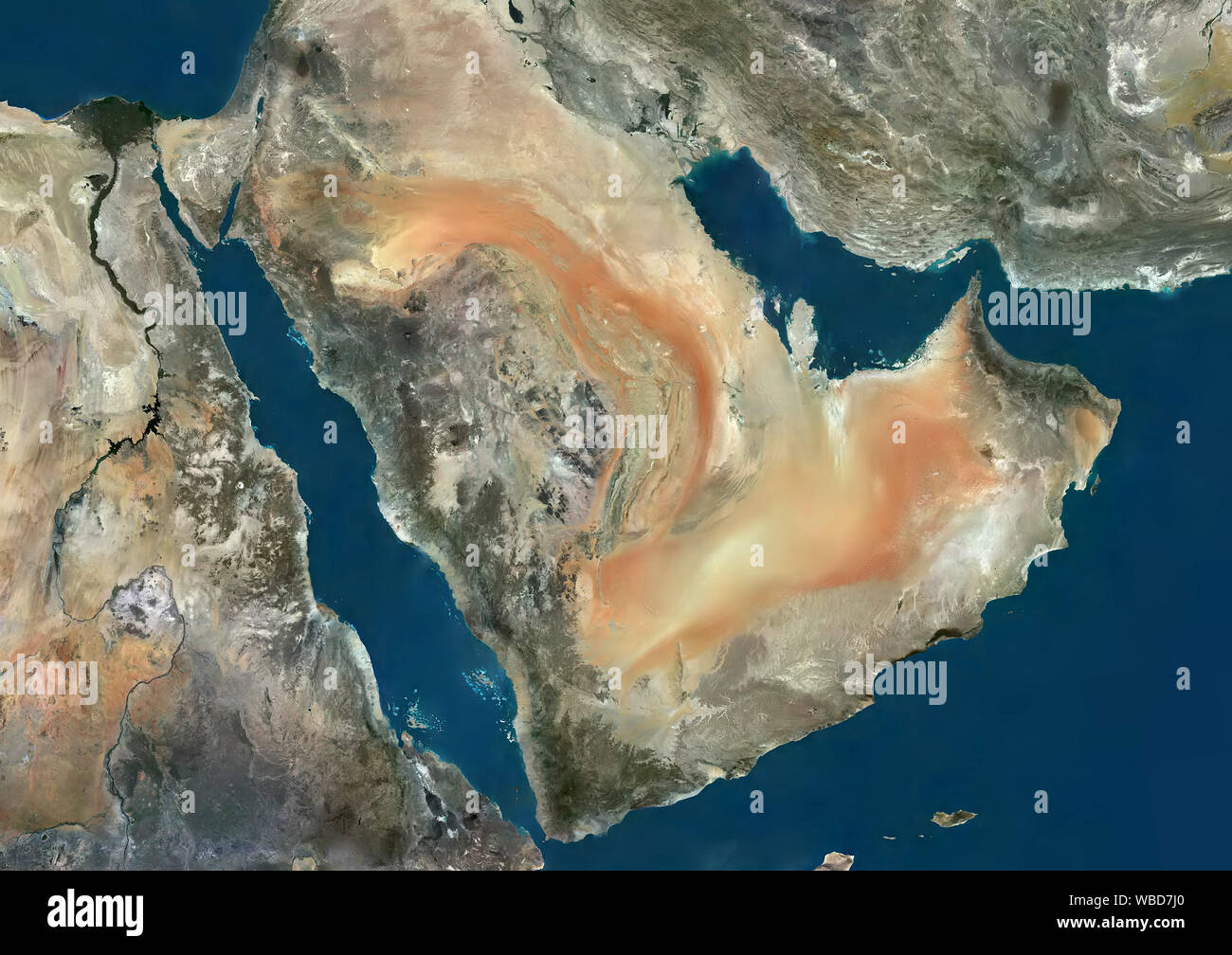 Color satellite image of the Middle East. This image was compiled from data acquired by Sentinel-2 satellites. Stock Photohttps://www.alamy.com/image-license-details/?v=1https://www.alamy.com/color-satellite-image-of-the-middle-east-this-image-was-compiled-from-data-acquired-by-sentinel-2-satellites-image265208104.html
RMWBD7J0–Color satellite image of the Middle East. This image was compiled from data acquired by Sentinel-2 satellites.
 Satellite map of Dubai, United Arab Emirates, city streets. Palaces, buildings. 3d rendering. Palm Islands. Palm Jumeirah. Street map and city center Stock Photohttps://www.alamy.com/image-license-details/?v=1https://www.alamy.com/satellite-map-of-dubai-united-arab-emirates-city-streets-palaces-buildings-3d-rendering-palm-islands-palm-jumeirah-street-map-and-city-center-image453371475.html
RF2H9GRXB–Satellite map of Dubai, United Arab Emirates, city streets. Palaces, buildings. 3d rendering. Palm Islands. Palm Jumeirah. Street map and city center
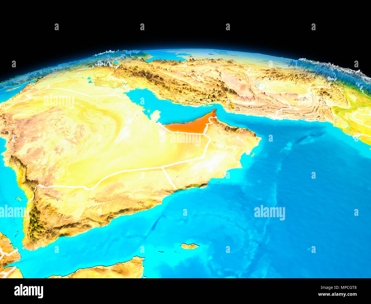 Satellite view of United Arab Emirates highlighted in red on planet Earth with borderlines. 3D illustration. Elements of this image furnished by NASA. Stock Photohttps://www.alamy.com/image-license-details/?v=1https://www.alamy.com/satellite-view-of-united-arab-emirates-highlighted-in-red-on-planet-earth-with-borderlines-3d-illustration-elements-of-this-image-furnished-by-nasa-image185902760.html
RFMPCGT8–Satellite view of United Arab Emirates highlighted in red on planet Earth with borderlines. 3D illustration. Elements of this image furnished by NASA.
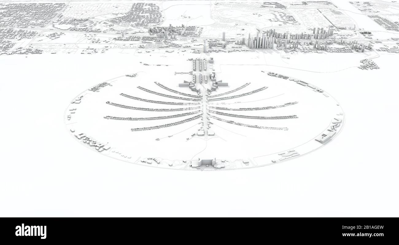 Dubai city map 3D Rendering. Aerial satellite view. Stock Photohttps://www.alamy.com/image-license-details/?v=1https://www.alamy.com/dubai-city-map-3d-rendering-aerial-satellite-view-image345054497.html
RF2B1AGEW–Dubai city map 3D Rendering. Aerial satellite view.
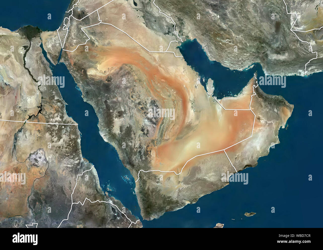 Color satellite image of the Middle East (with administrative boundaries). This image was compiled from data acquired by Sentinel-2 satellites. Stock Photohttps://www.alamy.com/image-license-details/?v=1https://www.alamy.com/color-satellite-image-of-the-middle-east-with-administrative-boundaries-this-image-was-compiled-from-data-acquired-by-sentinel-2-satellites-image265207959.html
RMWBD7CR–Color satellite image of the Middle East (with administrative boundaries). This image was compiled from data acquired by Sentinel-2 satellites.
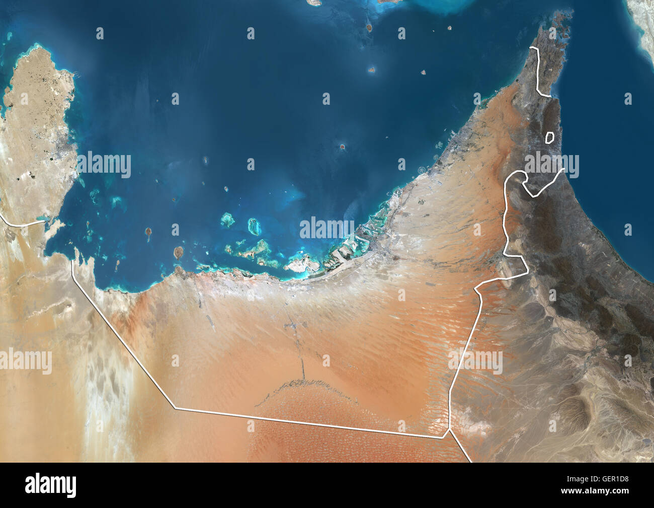 Satellite view of the United Arab Emirates (with country boundaries). The image shows the Emirates of Dubai, Sharjah, Ajman, Umm al-Quwain, Ras al-Khaimah and Fujairah. This image was compiled from data acquired by Landsat 8 satellite in 2014. Stock Photohttps://www.alamy.com/image-license-details/?v=1https://www.alamy.com/stock-photo-satellite-view-of-the-united-arab-emirates-with-country-boundaries-112373444.html
RMGER1D8–Satellite view of the United Arab Emirates (with country boundaries). The image shows the Emirates of Dubai, Sharjah, Ajman, Umm al-Quwain, Ras al-Khaimah and Fujairah. This image was compiled from data acquired by Landsat 8 satellite in 2014.
 Satellite map of Dubai, United Arab Emirates, city streets. Palaces, buildings. 3d rendering. Palm Islands. Palm Jumeirah. Street map and city center Stock Photohttps://www.alamy.com/image-license-details/?v=1https://www.alamy.com/satellite-map-of-dubai-united-arab-emirates-city-streets-palaces-buildings-3d-rendering-palm-islands-palm-jumeirah-street-map-and-city-center-image453380002.html
RF2H9H6PX–Satellite map of Dubai, United Arab Emirates, city streets. Palaces, buildings. 3d rendering. Palm Islands. Palm Jumeirah. Street map and city center
 Satellite night view of United Arab Emirates highlighted in red on planet Earth. 3D illustration. Elements of this image furnished by NASA. Stock Photohttps://www.alamy.com/image-license-details/?v=1https://www.alamy.com/satellite-night-view-of-united-arab-emirates-highlighted-in-red-on-planet-earth-3d-illustration-elements-of-this-image-furnished-by-nasa-image180758163.html
RFME26TK–Satellite night view of United Arab Emirates highlighted in red on planet Earth. 3D illustration. Elements of this image furnished by NASA.
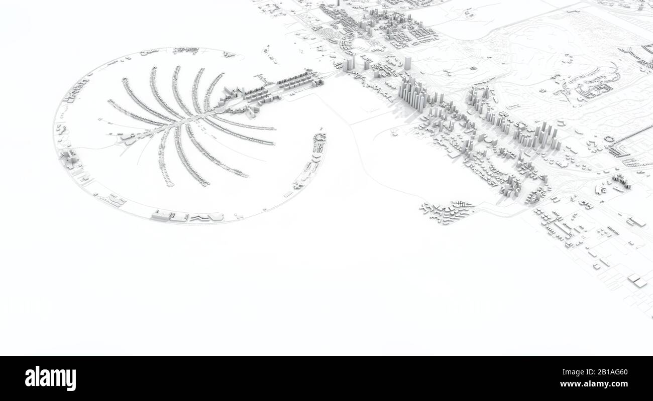 Dubai city map 3D Rendering. Aerial satellite view. Stock Photohttps://www.alamy.com/image-license-details/?v=1https://www.alamy.com/dubai-city-map-3d-rendering-aerial-satellite-view-image345054248.html
RF2B1AG60–Dubai city map 3D Rendering. Aerial satellite view.
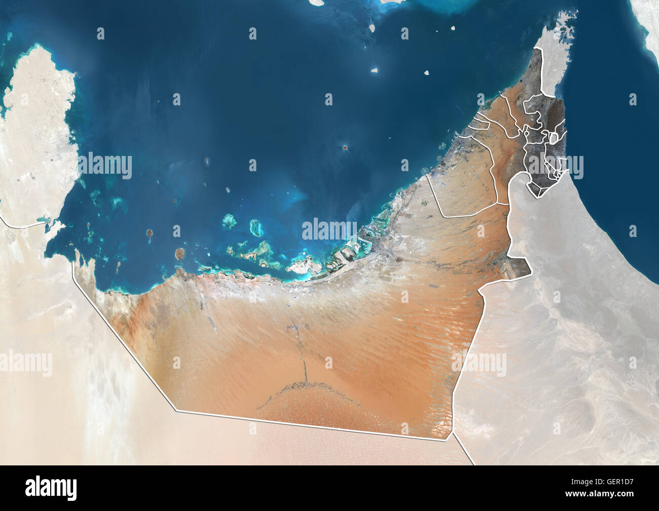 Satellite view of the United Arab Emirates (with country boundaries and mask). The image shows the Emirates of Dubai, Sharjah, Ajman, Umm al-Quwain, Ras al-Khaimah and Fujairah. This image was compiled from data acquired by Landsat 8 satellite in 2014. Stock Photohttps://www.alamy.com/image-license-details/?v=1https://www.alamy.com/stock-photo-satellite-view-of-the-united-arab-emirates-with-country-boundaries-112373443.html
RMGER1D7–Satellite view of the United Arab Emirates (with country boundaries and mask). The image shows the Emirates of Dubai, Sharjah, Ajman, Umm al-Quwain, Ras al-Khaimah and Fujairah. This image was compiled from data acquired by Landsat 8 satellite in 2014.
 Satellite map of Dubai, United Arab Emirates, city streets. Palaces, buildings. 3d rendering. Palm Islands. Palm Jumeirah. Street map and city center Stock Photohttps://www.alamy.com/image-license-details/?v=1https://www.alamy.com/satellite-map-of-dubai-united-arab-emirates-city-streets-palaces-buildings-3d-rendering-palm-islands-palm-jumeirah-street-map-and-city-center-image453380842.html
RF2H9H7TX–Satellite map of Dubai, United Arab Emirates, city streets. Palaces, buildings. 3d rendering. Palm Islands. Palm Jumeirah. Street map and city center
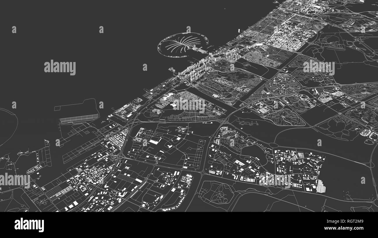 Satellite map of Dubai, United Arab Emirates, city streets. Street map and map of the city center. 3d rendering. 3d buildings Stock Photohttps://www.alamy.com/image-license-details/?v=1https://www.alamy.com/satellite-map-of-dubai-united-arab-emirates-city-streets-street-map-and-map-of-the-city-center-3d-rendering-3d-buildings-image234098265.html
RFRGT2M9–Satellite map of Dubai, United Arab Emirates, city streets. Street map and map of the city center. 3d rendering. 3d buildings
 Satellite view of United Arab Emirates highlighted in red on planet Earth at night with borderlines and city lights. 3D illustration. Elements of this Stock Photohttps://www.alamy.com/image-license-details/?v=1https://www.alamy.com/stock-image-satellite-view-of-united-arab-emirates-highlighted-in-red-on-planet-168620803.html
RFKP99FF–Satellite view of United Arab Emirates highlighted in red on planet Earth at night with borderlines and city lights. 3D illustration. Elements of this
 Dubai city map 3D Rendering. Aerial satellite view. Stock Photohttps://www.alamy.com/image-license-details/?v=1https://www.alamy.com/dubai-city-map-3d-rendering-aerial-satellite-view-image345054838.html
RF2B1AGY2–Dubai city map 3D Rendering. Aerial satellite view.
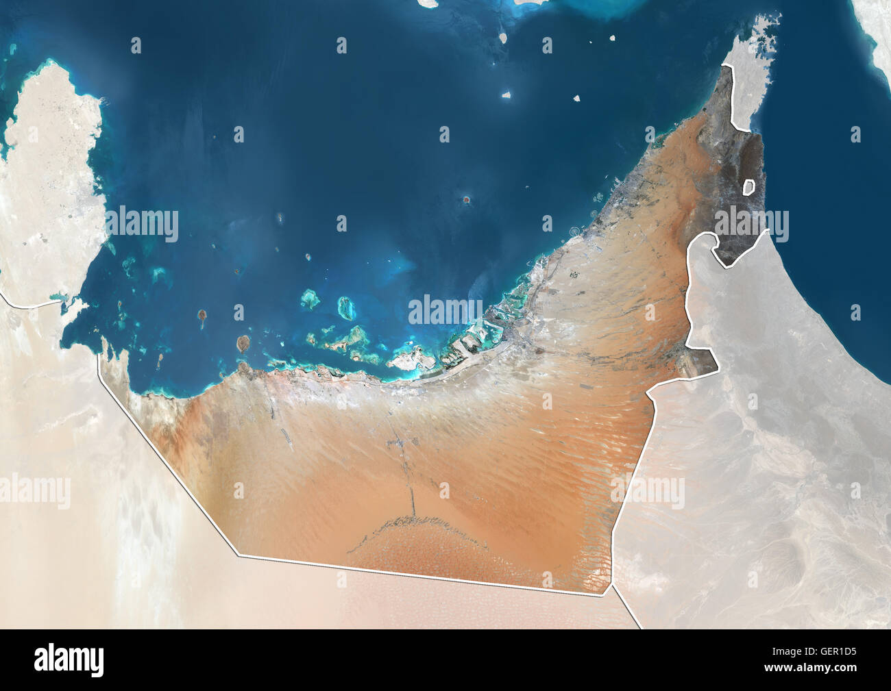 Satellite view of the United Arab Emirates (with country boundaries and mask). The image shows the Emirates of Dubai, Sharjah, Ajman, Umm al-Quwain, Ras al-Khaimah and Fujairah. This image was compiled from data acquired by Landsat 8 satellite in 2014. Stock Photohttps://www.alamy.com/image-license-details/?v=1https://www.alamy.com/stock-photo-satellite-view-of-the-united-arab-emirates-with-country-boundaries-112373441.html
RMGER1D5–Satellite view of the United Arab Emirates (with country boundaries and mask). The image shows the Emirates of Dubai, Sharjah, Ajman, Umm al-Quwain, Ras al-Khaimah and Fujairah. This image was compiled from data acquired by Landsat 8 satellite in 2014.
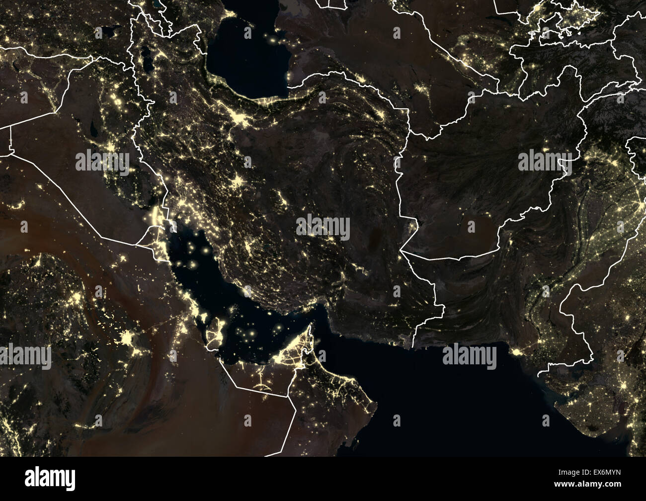 Iran, Iraq and Afghanistan at night in 2012. This satellite image with country borders shows urban and industrial lights. Stock Photohttps://www.alamy.com/image-license-details/?v=1https://www.alamy.com/stock-photo-iran-iraq-and-afghanistan-at-night-in-2012-this-satellite-image-with-84970697.html
RMEX6MYN–Iran, Iraq and Afghanistan at night in 2012. This satellite image with country borders shows urban and industrial lights.
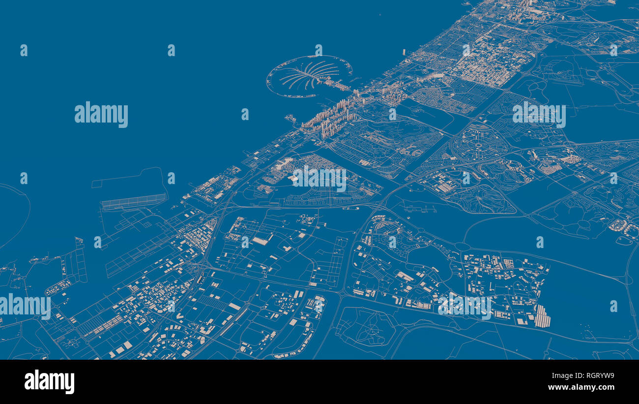 Satellite map of Dubai, United Arab Emirates, city streets. Street map and map of the city center. 3d rendering. 3d buildings Stock Photohttps://www.alamy.com/image-license-details/?v=1https://www.alamy.com/satellite-map-of-dubai-united-arab-emirates-city-streets-street-map-and-map-of-the-city-center-3d-rendering-3d-buildings-image234096053.html
RFRGRYW9–Satellite map of Dubai, United Arab Emirates, city streets. Street map and map of the city center. 3d rendering. 3d buildings
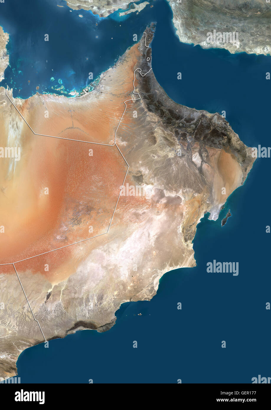 Satellite view of the United Arab Emirates and Oman (with country boundaries). This image was compiled from data acquired by Landsat 8 satellite in 2014. Stock Photohttps://www.alamy.com/image-license-details/?v=1https://www.alamy.com/stock-photo-satellite-view-of-the-united-arab-emirates-and-oman-with-country-boundaries-112373275.html
RMGER177–Satellite view of the United Arab Emirates and Oman (with country boundaries). This image was compiled from data acquired by Landsat 8 satellite in 2014.
 Satellite map of Dubai, United Arab Emirates, city streets. Street map and map of the city center. Buildings silhouette, black and white Stock Photohttps://www.alamy.com/image-license-details/?v=1https://www.alamy.com/satellite-map-of-dubai-united-arab-emirates-city-streets-street-map-and-map-of-the-city-center-buildings-silhouette-black-and-white-image458950011.html
RF2HJJYBR–Satellite map of Dubai, United Arab Emirates, city streets. Street map and map of the city center. Buildings silhouette, black and white
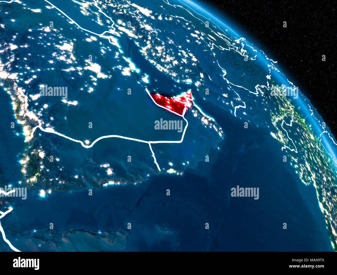 Satellite view of United Arab Emirates highlighted in red on planet Earth at night with borderlines and city lights. 3D illustration. Elements of this Stock Photohttps://www.alamy.com/image-license-details/?v=1https://www.alamy.com/satellite-view-of-united-arab-emirates-highlighted-in-red-on-planet-earth-at-night-with-borderlines-and-city-lights-3d-illustration-elements-of-this-image178828746.html
RFMAX9TX–Satellite view of United Arab Emirates highlighted in red on planet Earth at night with borderlines and city lights. 3D illustration. Elements of this
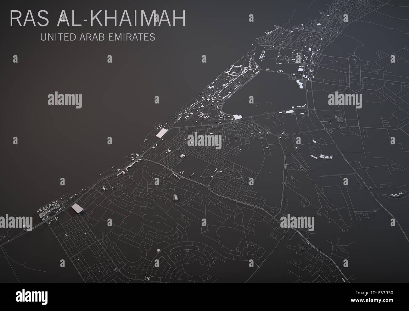 Map of Ras al-Khaimah in the UAE, satellite view map in 3d. Black and white Stock Photohttps://www.alamy.com/image-license-details/?v=1https://www.alamy.com/stock-photo-map-of-ras-al-khaimah-in-the-uae-satellite-view-map-in-3d-black-and-88067644.html
RFF37R50–Map of Ras al-Khaimah in the UAE, satellite view map in 3d. Black and white
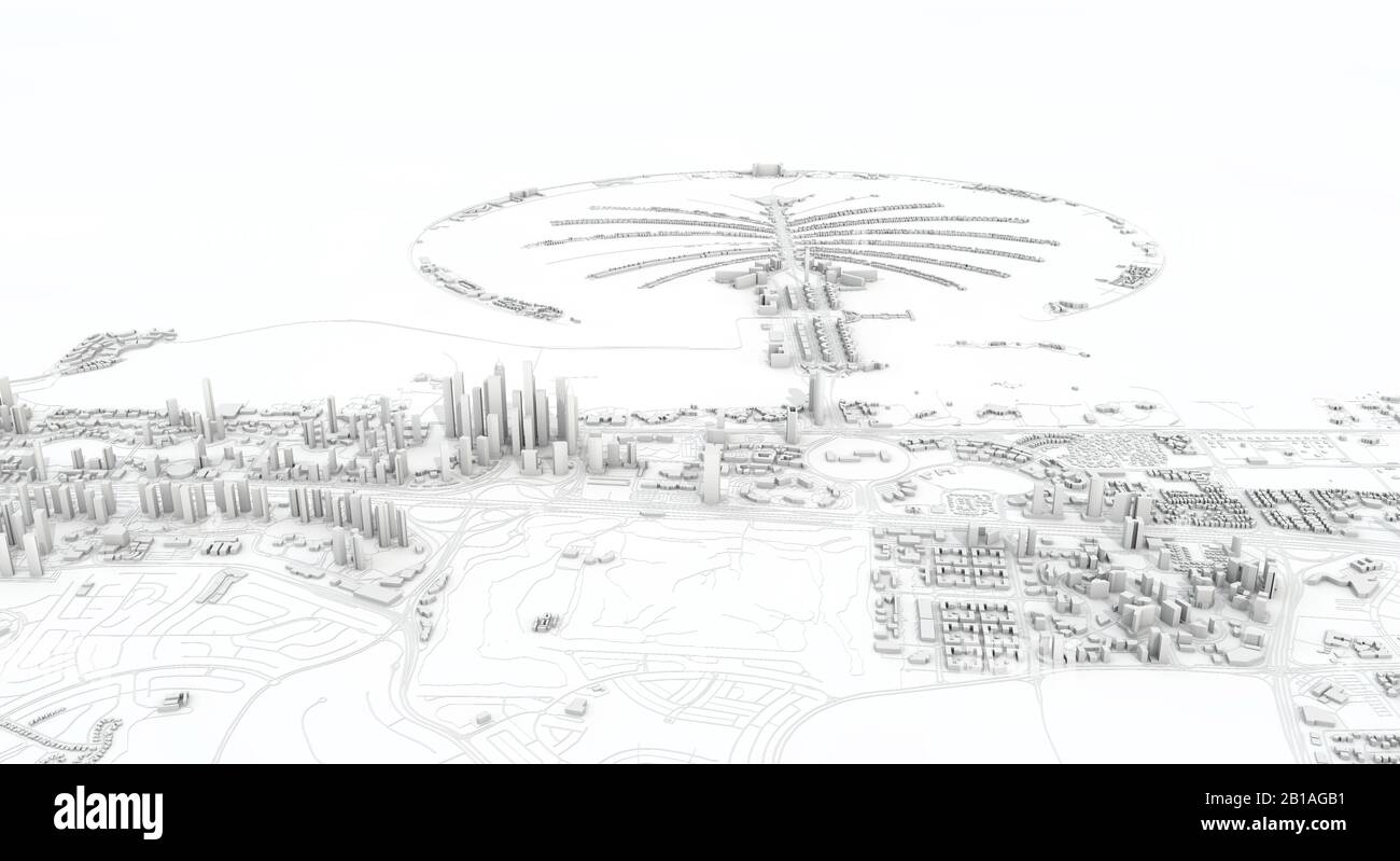 Dubai city map 3D Rendering. Aerial satellite view. Stock Photohttps://www.alamy.com/image-license-details/?v=1https://www.alamy.com/dubai-city-map-3d-rendering-aerial-satellite-view-image345054389.html
RF2B1AGB1–Dubai city map 3D Rendering. Aerial satellite view.
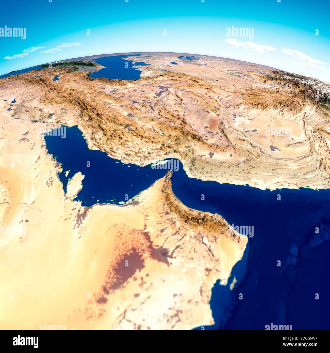 Strait of Hormuz. Map of the Middle East, Persian Gulf and Indian Ocean connecting across the Strait of Hormuz. Satellite view of Iran, UAE Stock Photohttps://www.alamy.com/image-license-details/?v=1https://www.alamy.com/strait-of-hormuz-map-of-the-middle-east-persian-gulf-and-indian-ocean-connecting-across-the-strait-of-hormuz-satellite-view-of-iran-uae-image386360611.html
RF2DCG6W7–Strait of Hormuz. Map of the Middle East, Persian Gulf and Indian Ocean connecting across the Strait of Hormuz. Satellite view of Iran, UAE
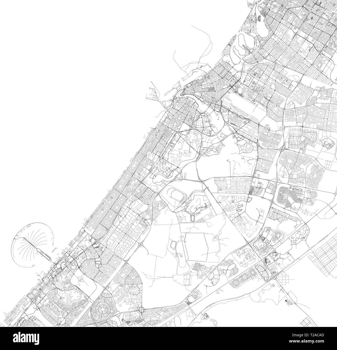 Satellite map of Dubai, United Arab Emirates, city streets. Street map and map of the city center Stock Vectorhttps://www.alamy.com/image-license-details/?v=1https://www.alamy.com/satellite-map-of-dubai-united-arab-emirates-city-streets-street-map-and-map-of-the-city-center-image242403685.html
RFT2ACAD–Satellite map of Dubai, United Arab Emirates, city streets. Street map and map of the city center
 Satellite view of the Emirate of Dubai, United Arab Emirates (with country boundaries). The image shows Palm Jebel Ali, Palm Jumeirah and The World Islands. This image was compiled from data acquired by Landsat 8 satellite in 2014. Stock Photohttps://www.alamy.com/image-license-details/?v=1https://www.alamy.com/stock-photo-satellite-view-of-the-emirate-of-dubai-united-arab-emirates-with-country-112372946.html
RMGER0RE–Satellite view of the Emirate of Dubai, United Arab Emirates (with country boundaries). The image shows Palm Jebel Ali, Palm Jumeirah and The World Islands. This image was compiled from data acquired by Landsat 8 satellite in 2014.
 Satellite morning view of United Arab Emirates highlighted in red on planet Earth. 3D illustration. Elements of this image furnished by NASA. Stock Photohttps://www.alamy.com/image-license-details/?v=1https://www.alamy.com/satellite-morning-view-of-united-arab-emirates-highlighted-in-red-on-planet-earth-3d-illustration-elements-of-this-image-furnished-by-nasa-image179828216.html
RFMCFTM8–Satellite morning view of United Arab Emirates highlighted in red on planet Earth. 3D illustration. Elements of this image furnished by NASA.
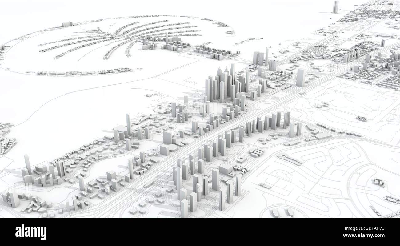 Dubai city map 3D Rendering. Aerial satellite view. Stock Photohttps://www.alamy.com/image-license-details/?v=1https://www.alamy.com/dubai-city-map-3d-rendering-aerial-satellite-view-image345055063.html
RF2B1AH73–Dubai city map 3D Rendering. Aerial satellite view.
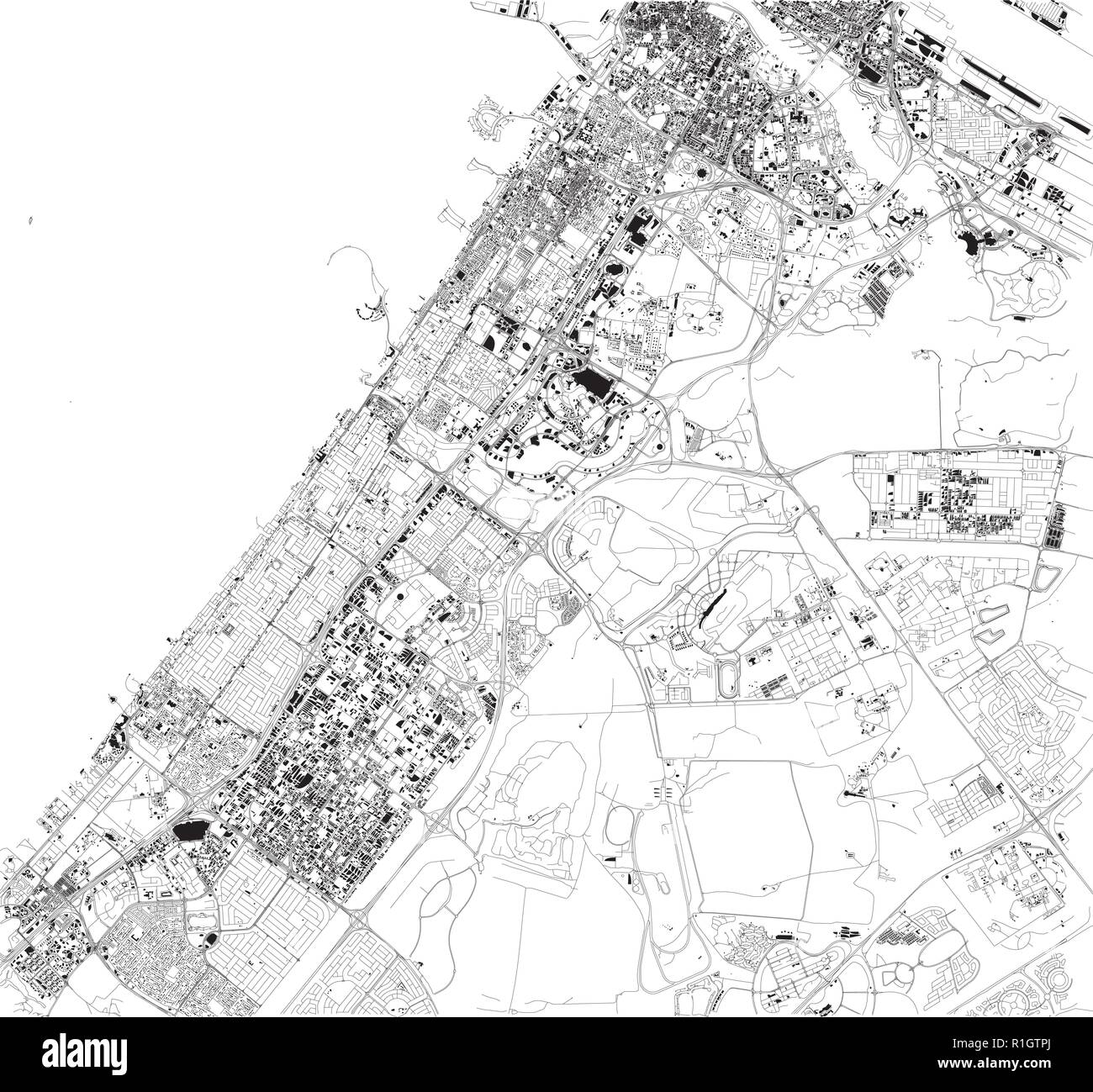 Satellite map of Dubai, United Arab Emirates, city streets. Street map and map of the city center Stock Vectorhttps://www.alamy.com/image-license-details/?v=1https://www.alamy.com/satellite-map-of-dubai-united-arab-emirates-city-streets-street-map-and-map-of-the-city-center-image224720122.html
RFR1GTPJ–Satellite map of Dubai, United Arab Emirates, city streets. Street map and map of the city center
 Satellite view of the Emirate of Dubai, United Arab Emirates (with country boundaries). The image shows Palm Jebel Ali, Palm Jumeirah and The World Islands. This image was compiled from data acquired by Landsat 8 satellite in 2014. Stock Photohttps://www.alamy.com/image-license-details/?v=1https://www.alamy.com/stock-photo-satellite-view-of-the-emirate-of-dubai-united-arab-emirates-with-country-112372947.html
RMGER0RF–Satellite view of the Emirate of Dubai, United Arab Emirates (with country boundaries). The image shows Palm Jebel Ali, Palm Jumeirah and The World Islands. This image was compiled from data acquired by Landsat 8 satellite in 2014.
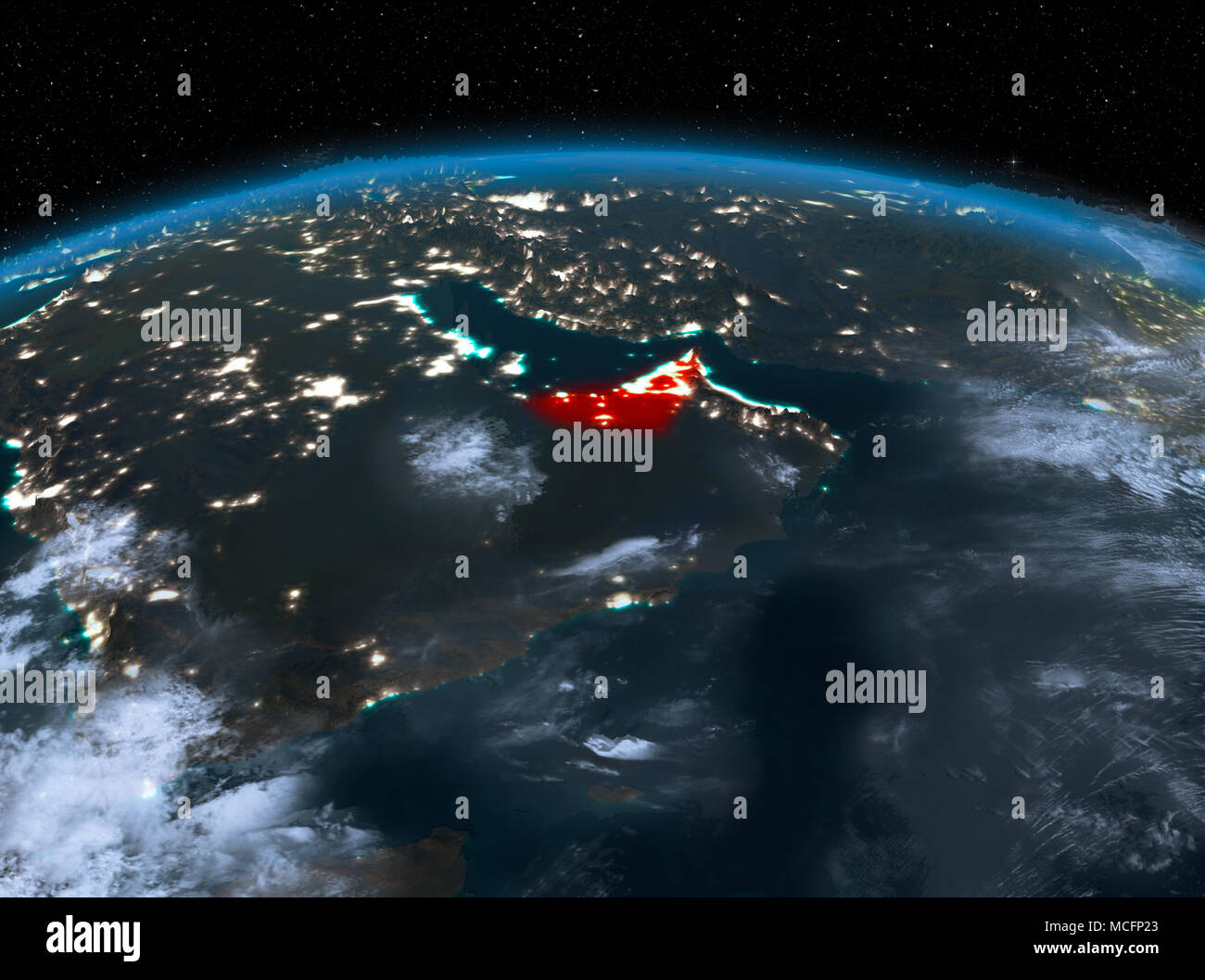 Satellite night view of United Arab Emirates highlighted in red on planet Earth with clouds. 3D illustration. Elements of this image furnished by NASA Stock Photohttps://www.alamy.com/image-license-details/?v=1https://www.alamy.com/satellite-night-view-of-united-arab-emirates-highlighted-in-red-on-planet-earth-with-clouds-3d-illustration-elements-of-this-image-furnished-by-nasa-image179826139.html
RFMCFP23–Satellite night view of United Arab Emirates highlighted in red on planet Earth with clouds. 3D illustration. Elements of this image furnished by NASA
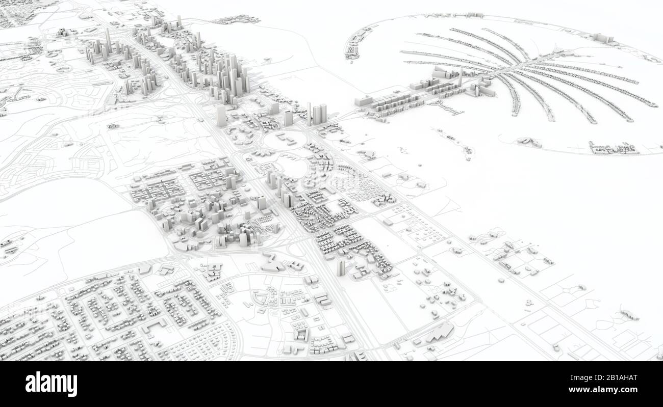 Dubai city map 3D Rendering. Aerial satellite view. Stock Photohttps://www.alamy.com/image-license-details/?v=1https://www.alamy.com/dubai-city-map-3d-rendering-aerial-satellite-view-image345055168.html
RF2B1AHAT–Dubai city map 3D Rendering. Aerial satellite view.
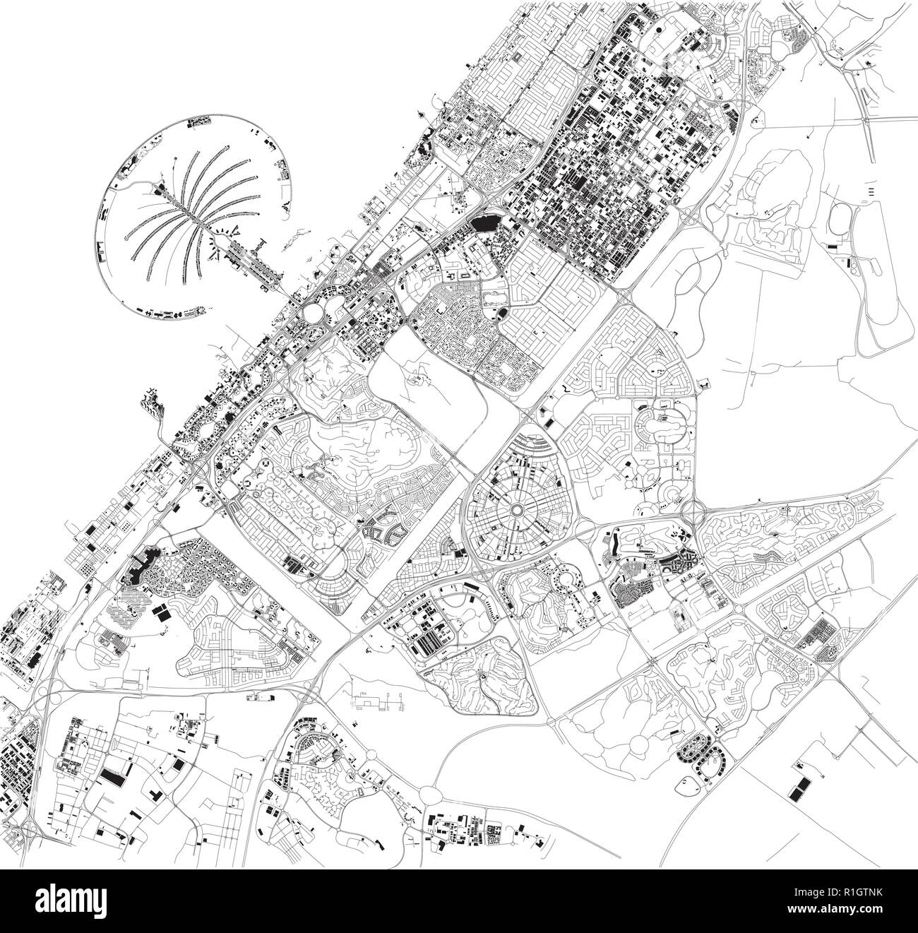 Satellite map of Dubai, United Arab Emirates, city streets. Street map and map of the city center Stock Vectorhttps://www.alamy.com/image-license-details/?v=1https://www.alamy.com/satellite-map-of-dubai-united-arab-emirates-city-streets-street-map-and-map-of-the-city-center-image224720095.html
RFR1GTNK–Satellite map of Dubai, United Arab Emirates, city streets. Street map and map of the city center
 Satellite view of the Emirate of Dubai, United Arab Emirates (with country boundaries and mask). The image shows Palm Jebel Ali, Palm Jumeirah and The World Islands. This image was compiled from data acquired by Landsat 8 satellite in 2014. Stock Photohttps://www.alamy.com/image-license-details/?v=1https://www.alamy.com/stock-photo-satellite-view-of-the-emirate-of-dubai-united-arab-emirates-with-country-112372942.html
RMGER0RA–Satellite view of the Emirate of Dubai, United Arab Emirates (with country boundaries and mask). The image shows Palm Jebel Ali, Palm Jumeirah and The World Islands. This image was compiled from data acquired by Landsat 8 satellite in 2014.
 Satellite view of United Arab Emirates highlighted in red on planet Earth with clouds during sunrise. 3D illustration. Elements of this image furnishe Stock Photohttps://www.alamy.com/image-license-details/?v=1https://www.alamy.com/satellite-view-of-united-arab-emirates-highlighted-in-red-on-planet-earth-with-clouds-during-sunrise-3d-illustration-elements-of-this-image-furnishe-image180781095.html
RFME383K–Satellite view of United Arab Emirates highlighted in red on planet Earth with clouds during sunrise. 3D illustration. Elements of this image furnishe
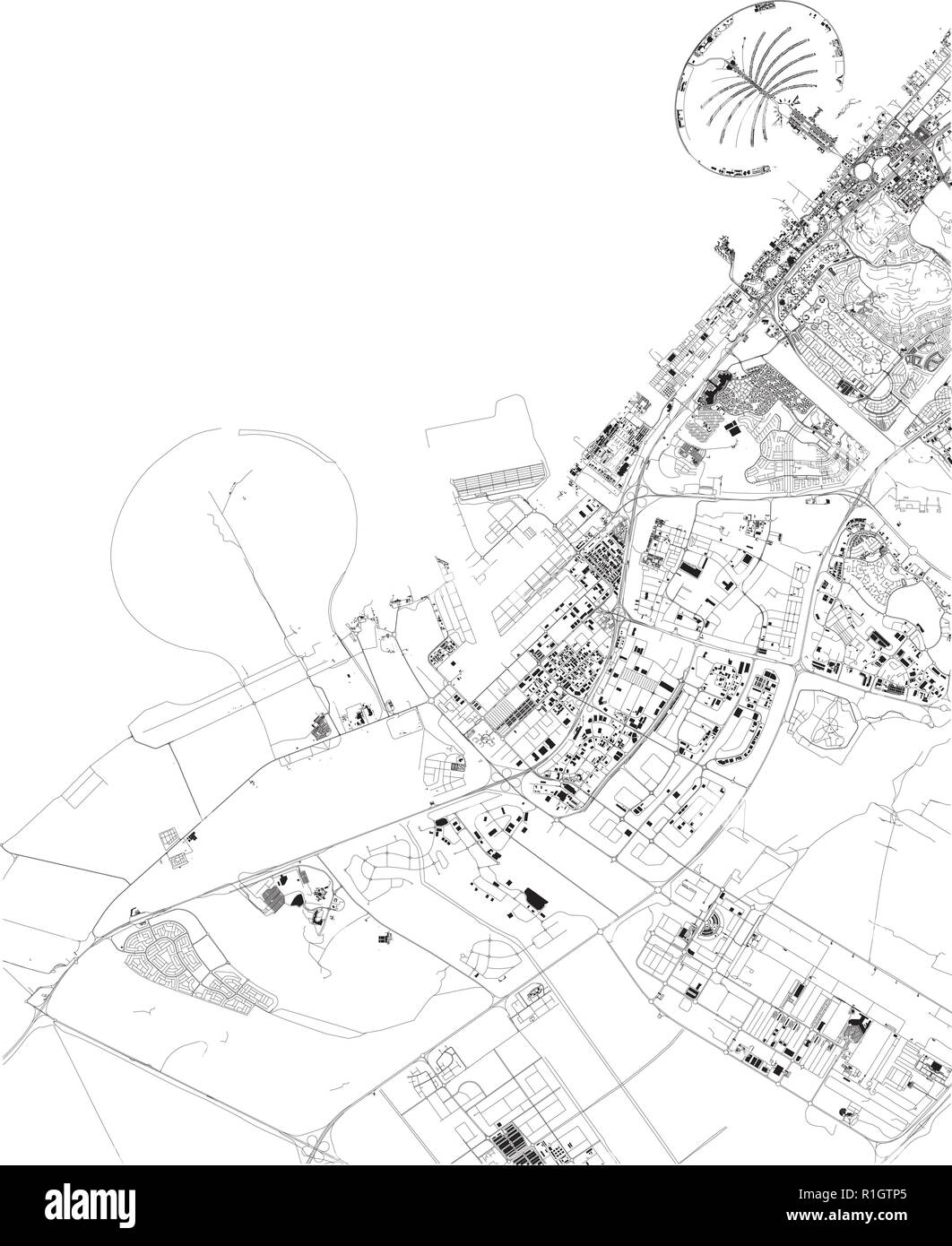 Satellite map of Dubai, United Arab Emirates, city streets. Street map and map of the city center Stock Vectorhttps://www.alamy.com/image-license-details/?v=1https://www.alamy.com/satellite-map-of-dubai-united-arab-emirates-city-streets-street-map-and-map-of-the-city-center-image224720109.html
RFR1GTP5–Satellite map of Dubai, United Arab Emirates, city streets. Street map and map of the city center
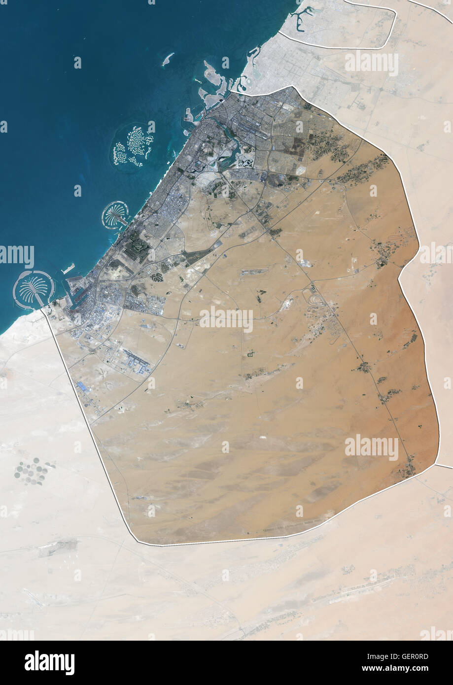 Satellite view of the Emirate of Dubai, United Arab Emirates (with country boundaries and mask). The image shows Palm Jebel Ali, Palm Jumeirah and The World Islands. This image was compiled from data acquired by Landsat 8 satellite in 2014. Stock Photohttps://www.alamy.com/image-license-details/?v=1https://www.alamy.com/stock-photo-satellite-view-of-the-emirate-of-dubai-united-arab-emirates-with-country-112372945.html
RMGER0RD–Satellite view of the Emirate of Dubai, United Arab Emirates (with country boundaries and mask). The image shows Palm Jebel Ali, Palm Jumeirah and The World Islands. This image was compiled from data acquired by Landsat 8 satellite in 2014.
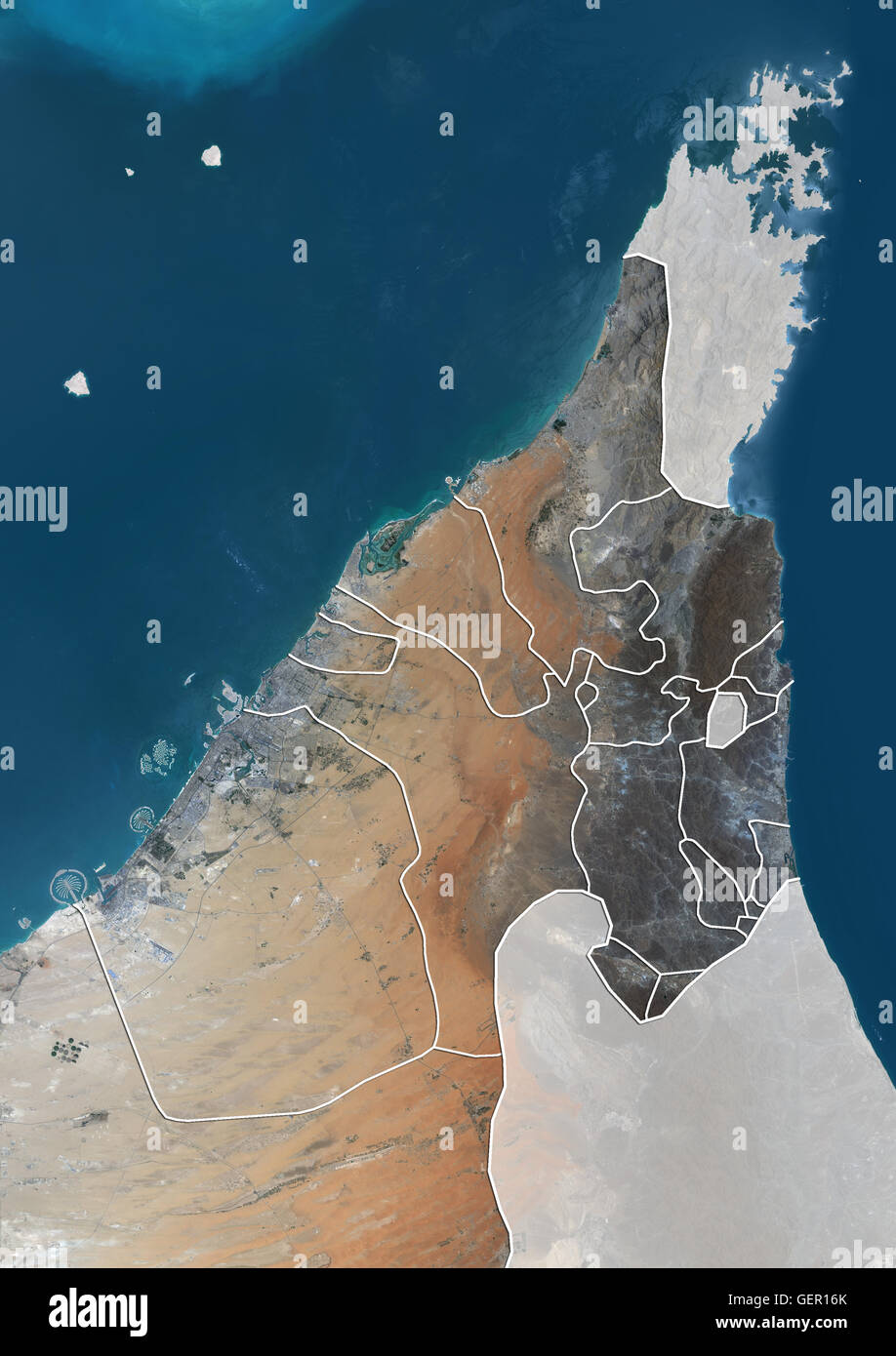 Satellite view of the Northern United Arab Emirates (with country boundaries and mask). The image shows the Emirates of Dubai, Sharjah, Ajman, Umm al-Quwain, Ras al-Khaimah and Fujairah. This image was compiled from data acquired by Landsat 8 satellite in Stock Photohttps://www.alamy.com/image-license-details/?v=1https://www.alamy.com/stock-photo-satellite-view-of-the-northern-united-arab-emirates-with-country-boundaries-112373259.html
RMGER16K–Satellite view of the Northern United Arab Emirates (with country boundaries and mask). The image shows the Emirates of Dubai, Sharjah, Ajman, Umm al-Quwain, Ras al-Khaimah and Fujairah. This image was compiled from data acquired by Landsat 8 satellite in
 Satellite morning view of United Arab Emirates highlighted in red on planet Earth with visible border lines and city lights. 3D illustration. Elements Stock Photohttps://www.alamy.com/image-license-details/?v=1https://www.alamy.com/stock-photo-satellite-morning-view-of-united-arab-emirates-highlighted-in-red-175253943.html
RFM53E5B–Satellite morning view of United Arab Emirates highlighted in red on planet Earth with visible border lines and city lights. 3D illustration. Elements
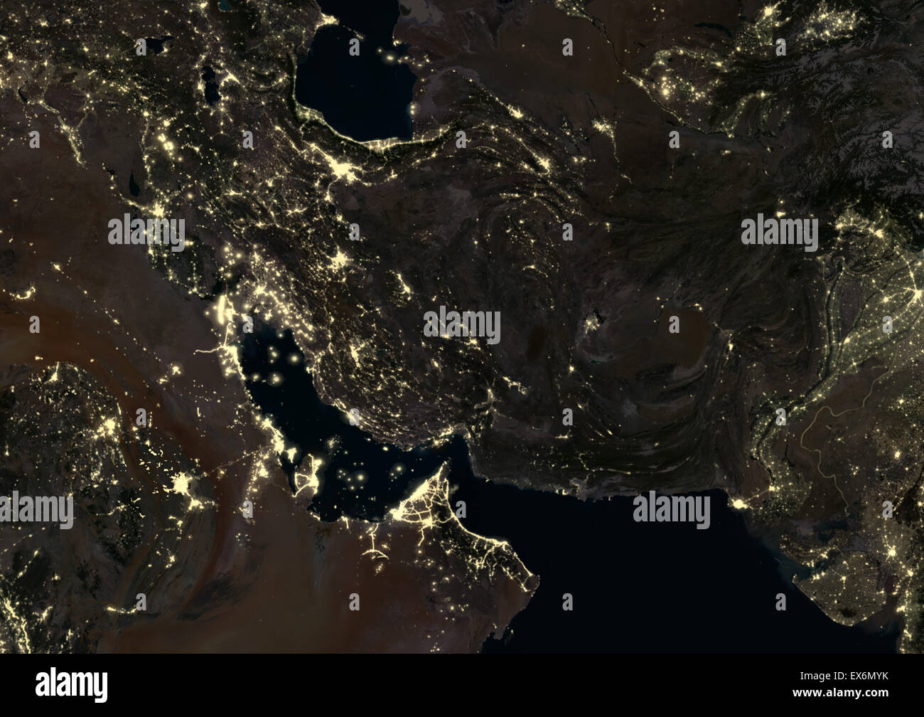 Iran, Iraq and Afghanistan at night in 2012. This satellite image shows urban and industrial lights. Stock Photohttps://www.alamy.com/image-license-details/?v=1https://www.alamy.com/stock-photo-iran-iraq-and-afghanistan-at-night-in-2012-this-satellite-image-shows-84970695.html
RMEX6MYK–Iran, Iraq and Afghanistan at night in 2012. This satellite image shows urban and industrial lights.
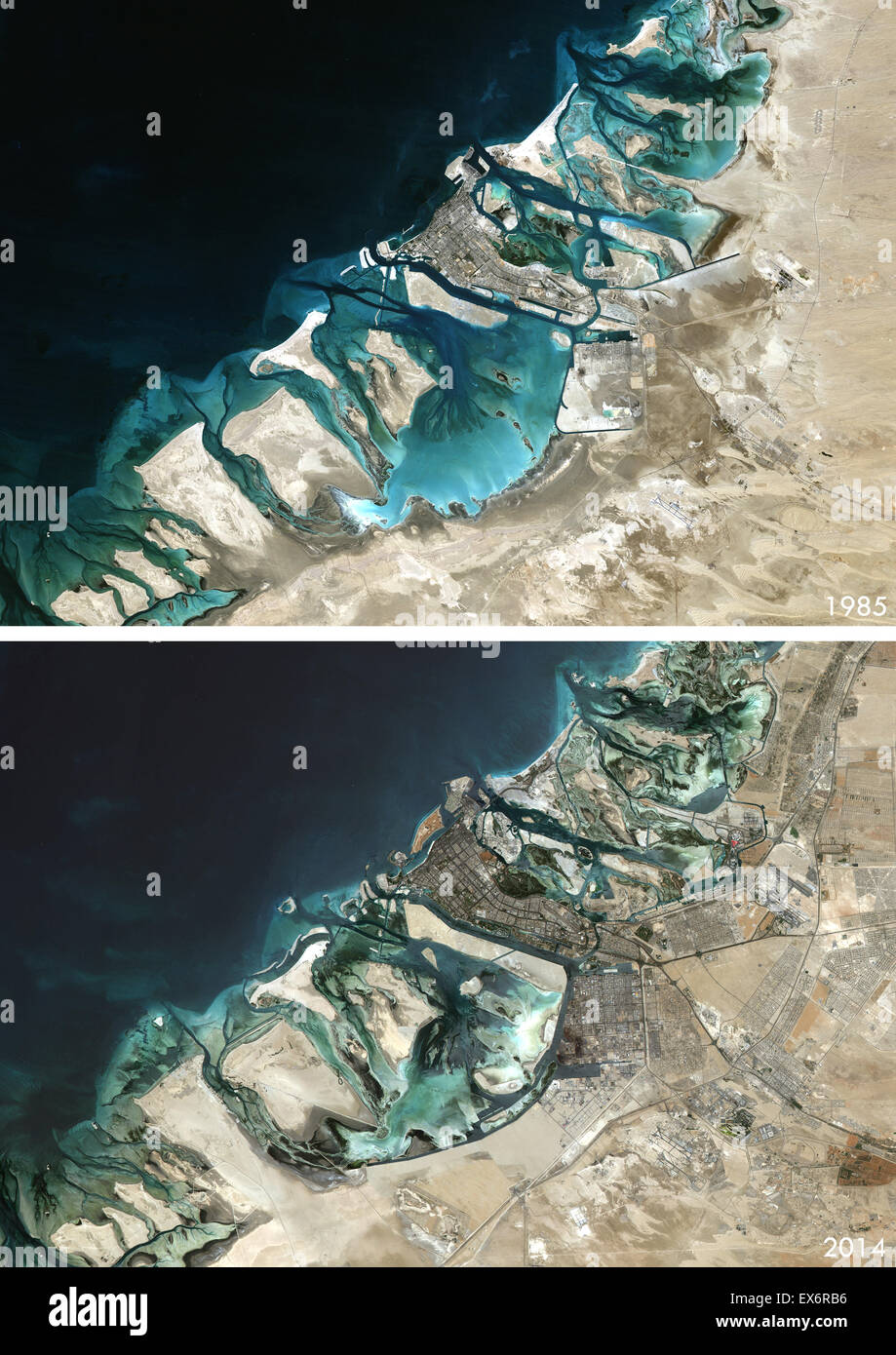 Satellite view of Abu Dhabi, United Arab Emirates in 1985 and 2014. This before and after image shows urban expansion over the Stock Photohttps://www.alamy.com/image-license-details/?v=1https://www.alamy.com/stock-photo-satellite-view-of-abu-dhabi-united-arab-emirates-in-1985-and-2014-84972586.html
RMEX6RB6–Satellite view of Abu Dhabi, United Arab Emirates in 1985 and 2014. This before and after image shows urban expansion over the
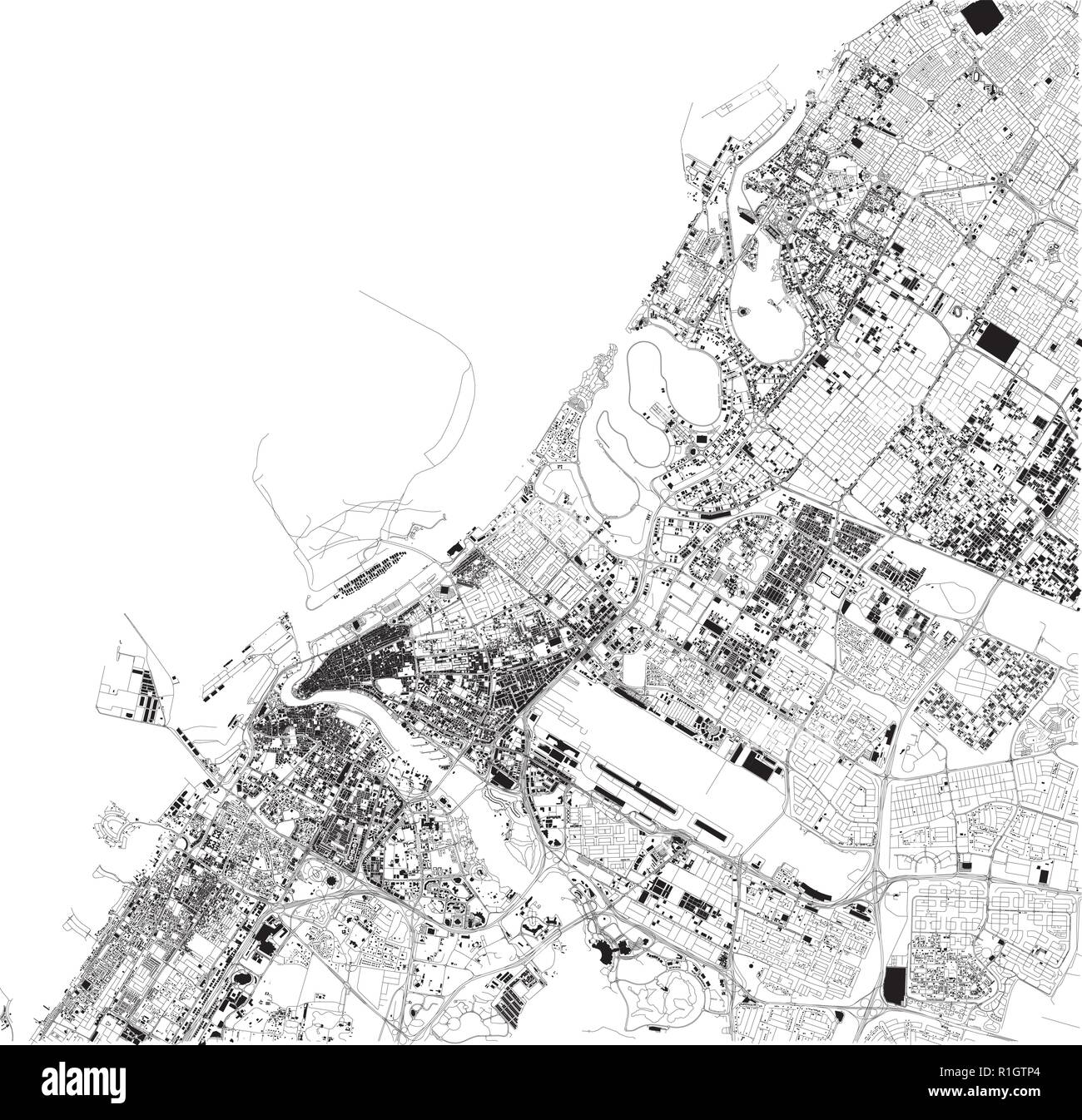 Satellite map of Dubai, United Arab Emirates, city streets. Street map and map of the city center Stock Vectorhttps://www.alamy.com/image-license-details/?v=1https://www.alamy.com/satellite-map-of-dubai-united-arab-emirates-city-streets-street-map-and-map-of-the-city-center-image224720108.html
RFR1GTP4–Satellite map of Dubai, United Arab Emirates, city streets. Street map and map of the city center
 Satellite view of the Emirate of Abu Dhabi, United Arab Emirates (with country boundaries). This image was compiled from data acquired by Landsat 8 satellite in 2014. Stock Photohttps://www.alamy.com/image-license-details/?v=1https://www.alamy.com/stock-photo-satellite-view-of-the-emirate-of-abu-dhabi-united-arab-emirates-with-112372737.html
RMGER0G1–Satellite view of the Emirate of Abu Dhabi, United Arab Emirates (with country boundaries). This image was compiled from data acquired by Landsat 8 satellite in 2014.
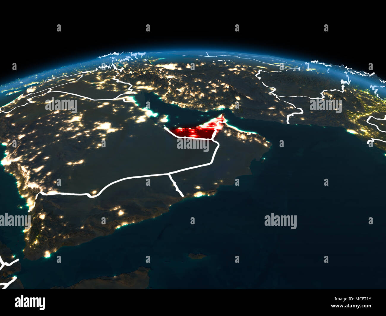 Space orbit view of United Arab Emirates highlighted in red on planet Earth at night with visible country borders and city lights. 3D illustration. El Stock Photohttps://www.alamy.com/image-license-details/?v=1https://www.alamy.com/space-orbit-view-of-united-arab-emirates-highlighted-in-red-on-planet-earth-at-night-with-visible-country-borders-and-city-lights-3d-illustration-el-image179827703.html
RFMCFT1Y–Space orbit view of United Arab Emirates highlighted in red on planet Earth at night with visible country borders and city lights. 3D illustration. El
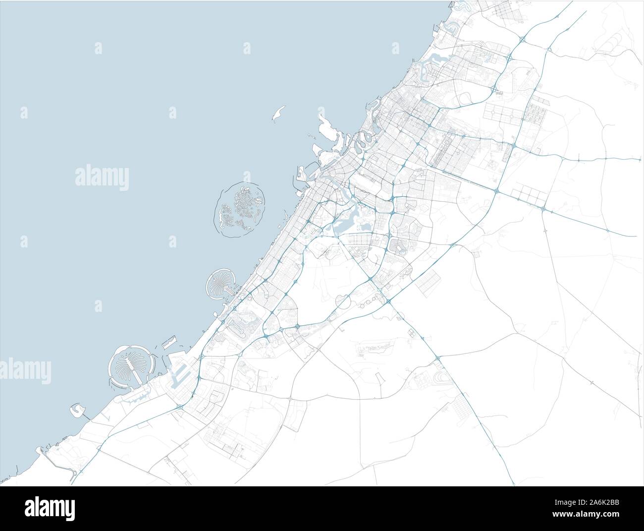 Satellite map of Dubai and surrounding areas, United Arab Emirates. Map roads, ring roads and highways, rivers, railway lines. Transportation map Stock Vectorhttps://www.alamy.com/image-license-details/?v=1https://www.alamy.com/satellite-map-of-dubai-and-surrounding-areas-united-arab-emirates-map-roads-ring-roads-and-highways-rivers-railway-lines-transportation-map-image331103903.html
RF2A6K2BB–Satellite map of Dubai and surrounding areas, United Arab Emirates. Map roads, ring roads and highways, rivers, railway lines. Transportation map
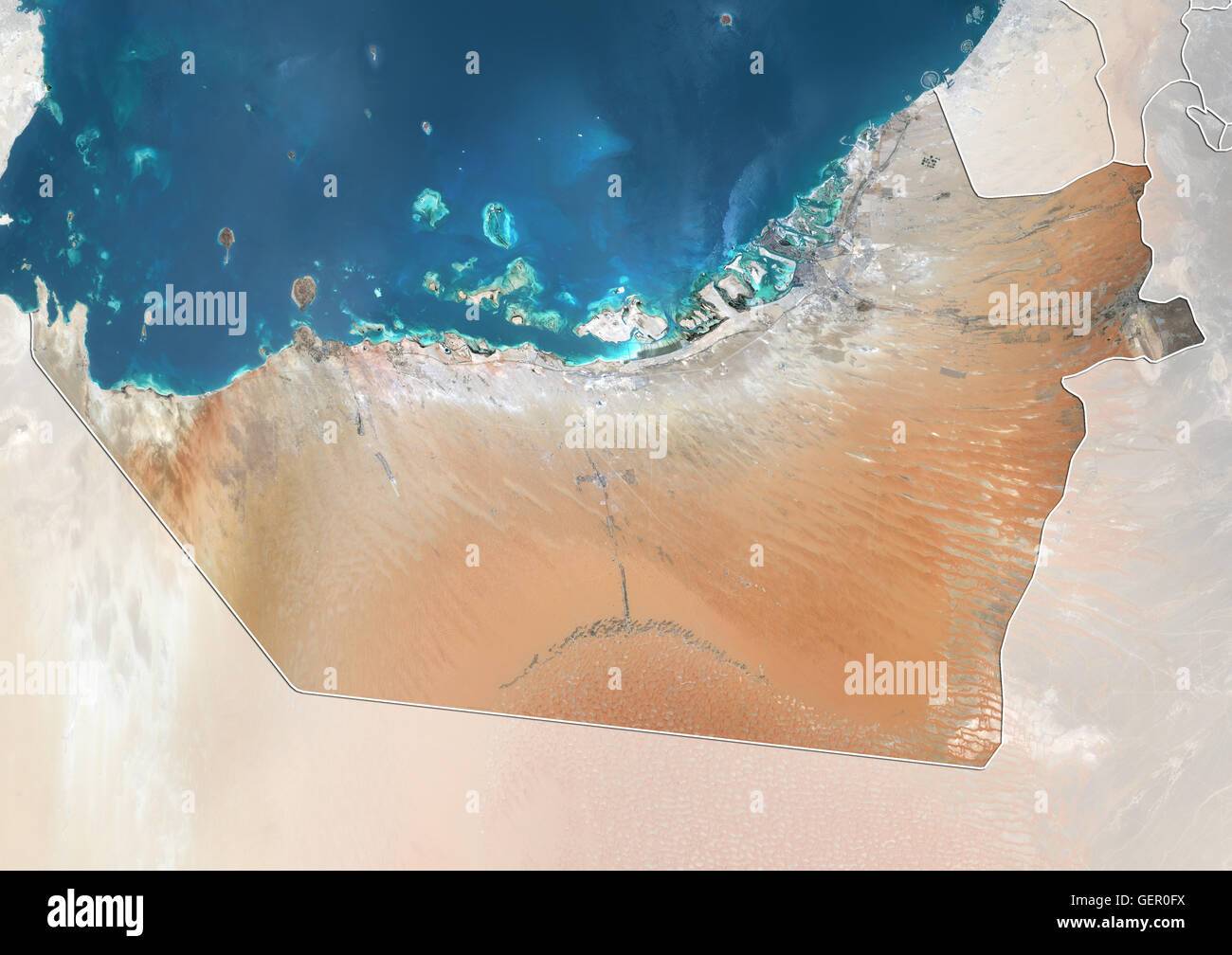 Satellite view of the Emirate of Abu Dhabi, United Arab Emirates (with country boundaries and mask). This image was compiled from data acquired by Landsat 8 satellite in 2014. Stock Photohttps://www.alamy.com/image-license-details/?v=1https://www.alamy.com/stock-photo-satellite-view-of-the-emirate-of-abu-dhabi-united-arab-emirates-with-112372734.html
RMGER0FX–Satellite view of the Emirate of Abu Dhabi, United Arab Emirates (with country boundaries and mask). This image was compiled from data acquired by Landsat 8 satellite in 2014.
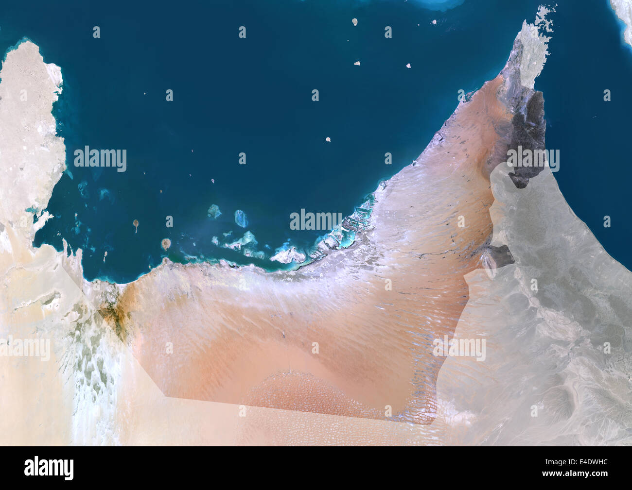 United Arab Emirates, Middle East, Asia, True Colour Satellite Image With Mask. Satellite view of United Arab Emirates (with mas Stock Photohttps://www.alamy.com/image-license-details/?v=1https://www.alamy.com/stock-photo-united-arab-emirates-middle-east-asia-true-colour-satellite-image-71605560.html
RME4DWHC–United Arab Emirates, Middle East, Asia, True Colour Satellite Image With Mask. Satellite view of United Arab Emirates (with mas
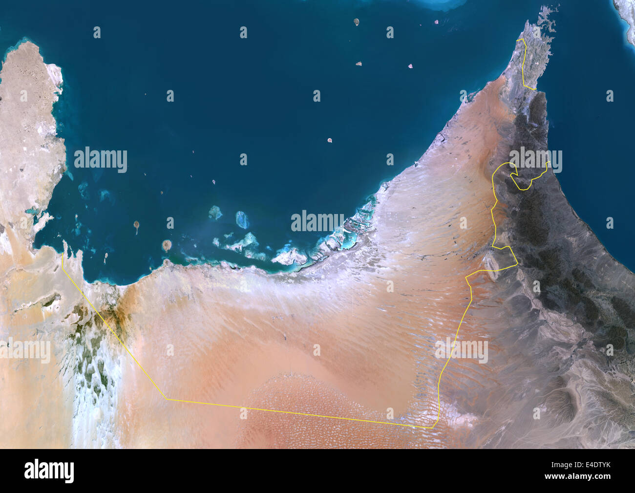 United Arab Emirates, Middle East, Asia, True Colour Satellite Image With Border. Satellite view of United Arab Emirates (with b Stock Photohttps://www.alamy.com/image-license-details/?v=1https://www.alamy.com/stock-photo-united-arab-emirates-middle-east-asia-true-colour-satellite-image-71605063.html
RME4DTYK–United Arab Emirates, Middle East, Asia, True Colour Satellite Image With Border. Satellite view of United Arab Emirates (with b
 Space orbit view of United Arab Emirates highlighted in red on planet Earth at night with visible country borders and city lights. 3D illustration. El Stock Photohttps://www.alamy.com/image-license-details/?v=1https://www.alamy.com/space-orbit-view-of-united-arab-emirates-highlighted-in-red-on-planet-earth-at-night-with-visible-country-borders-and-city-lights-3d-illustration-el-image178773450.html
RFMARRA2–Space orbit view of United Arab Emirates highlighted in red on planet Earth at night with visible country borders and city lights. 3D illustration. El
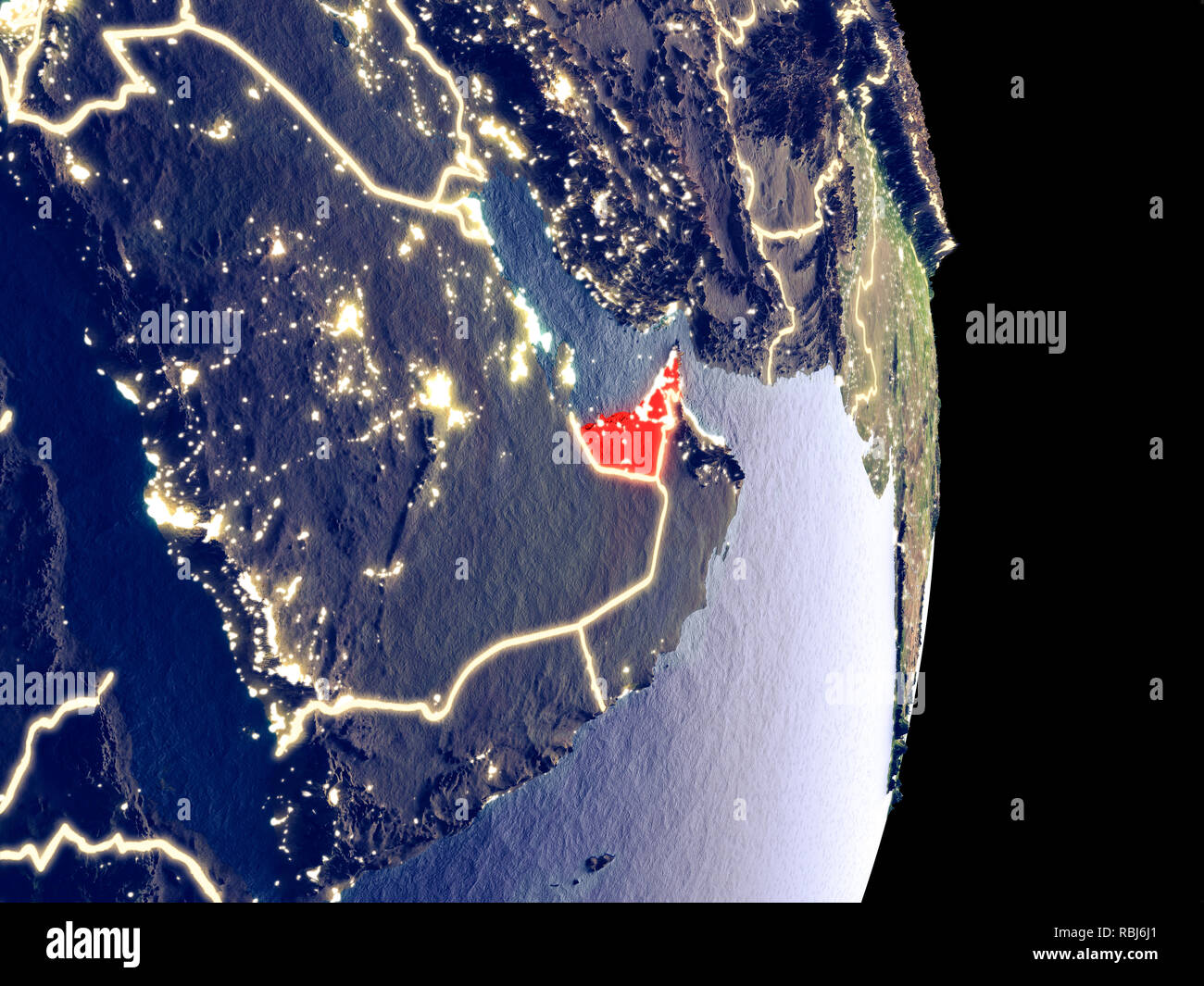 Satellite view of United Arab Emirates at night with visible bright city lights. Extremely fine detail of the plastic planet surface. 3D illustration. Stock Photohttps://www.alamy.com/image-license-details/?v=1https://www.alamy.com/satellite-view-of-united-arab-emirates-at-night-with-visible-bright-city-lights-extremely-fine-detail-of-the-plastic-planet-surface-3d-illustration-image230896345.html
RFRBJ6J1–Satellite view of United Arab Emirates at night with visible bright city lights. Extremely fine detail of the plastic planet surface. 3D illustration.
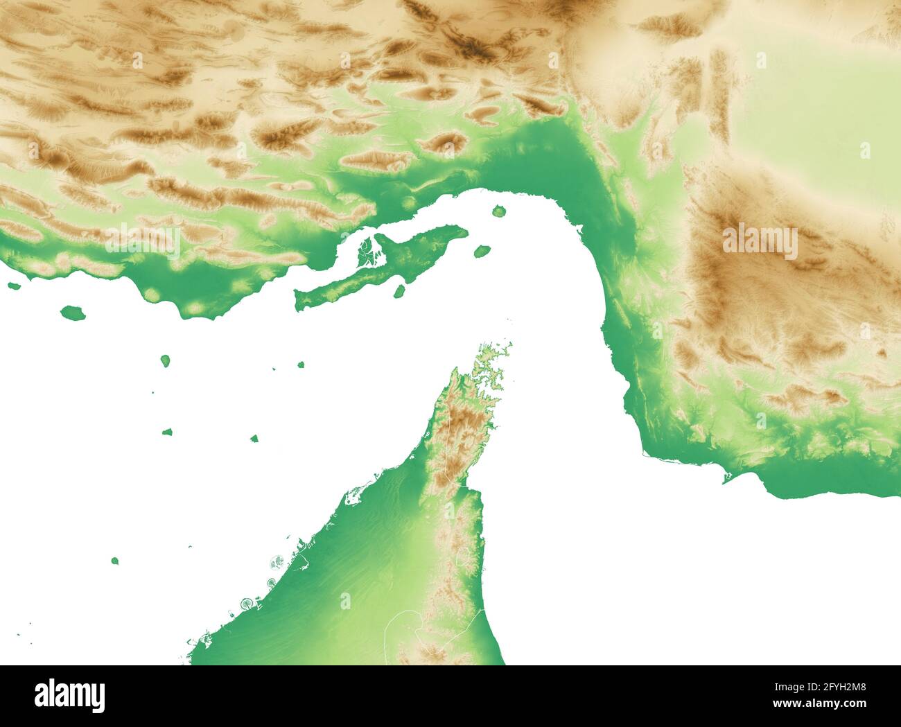 Strait of Hormuz. Map of the Middle East, Persian Gulf and Indian Ocean connecting across the Strait of Hormuz. Satellite view of Iran, UAE Stock Photohttps://www.alamy.com/image-license-details/?v=1https://www.alamy.com/strait-of-hormuz-map-of-the-middle-east-persian-gulf-and-indian-ocean-connecting-across-the-strait-of-hormuz-satellite-view-of-iran-uae-image430019864.html
RF2FYH2M8–Strait of Hormuz. Map of the Middle East, Persian Gulf and Indian Ocean connecting across the Strait of Hormuz. Satellite view of Iran, UAE
 United Arab Emirates, Middle East, Asia, True Colour Satellite Image With Border And Mask. Satellite view of United Arab Emirate Stock Photohttps://www.alamy.com/image-license-details/?v=1https://www.alamy.com/stock-photo-united-arab-emirates-middle-east-asia-true-colour-satellite-image-71605064.html
RME4DTYM–United Arab Emirates, Middle East, Asia, True Colour Satellite Image With Border And Mask. Satellite view of United Arab Emirate
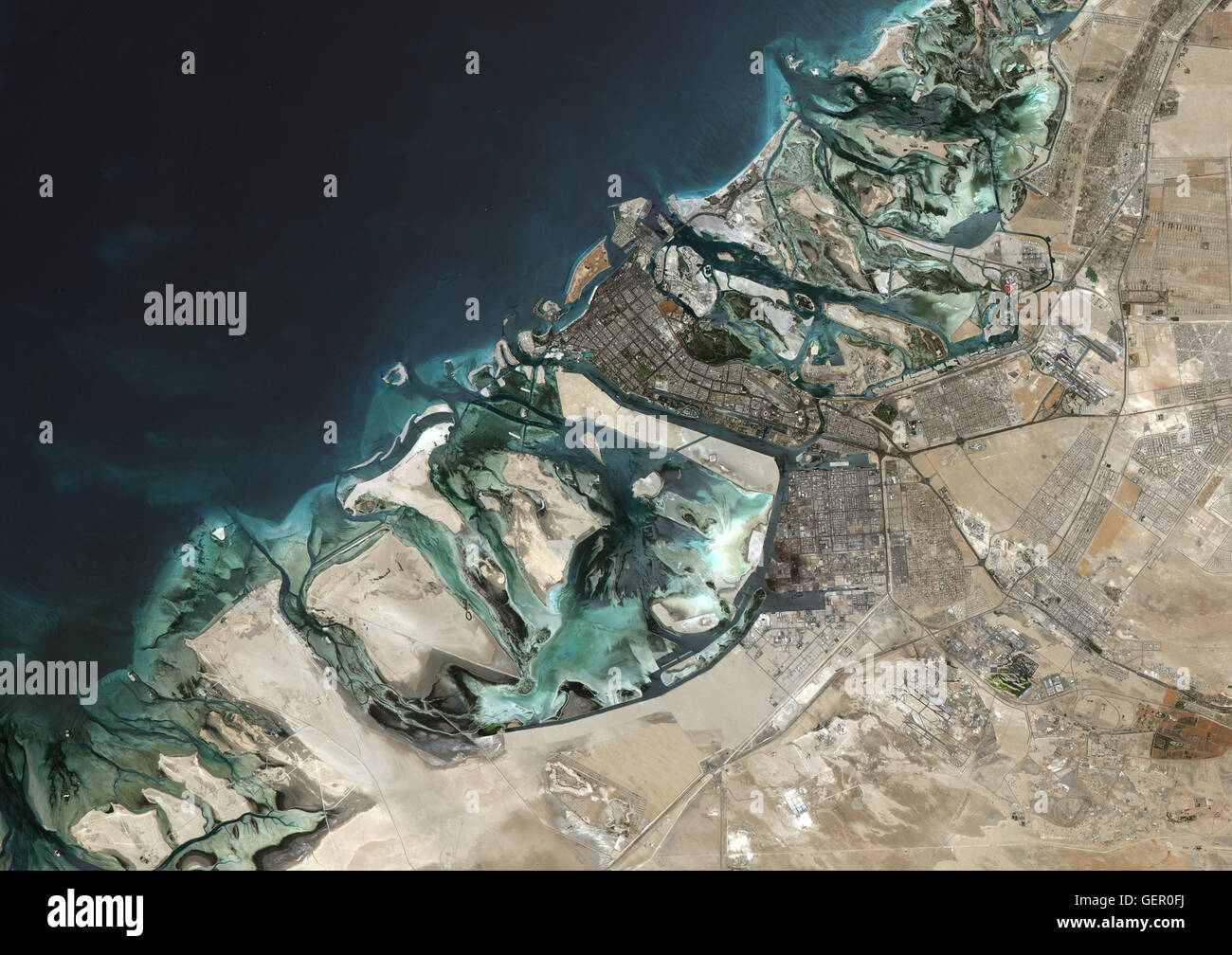 Satellite image of Abu Dhabi, United Arab Emirates, taken on June 26, 2014 by the satellite Landsat 8. The territory covered is 78 km x 55 km. Stock Photohttps://www.alamy.com/image-license-details/?v=1https://www.alamy.com/stock-photo-satellite-image-of-abu-dhabi-united-arab-emirates-taken-on-june-26-112372726.html
RMGER0FJ–Satellite image of Abu Dhabi, United Arab Emirates, taken on June 26, 2014 by the satellite Landsat 8. The territory covered is 78 km x 55 km.
 Satellite view of United Arab Emirates on Earth with city lights. Extremely detailed plastic planet surface with real mountains. 3D illustration. Elem Stock Photohttps://www.alamy.com/image-license-details/?v=1https://www.alamy.com/satellite-view-of-united-arab-emirates-on-earth-with-city-lights-extremely-detailed-plastic-planet-surface-with-real-mountains-3d-illustration-elem-image229596176.html
RFR9F07C–Satellite view of United Arab Emirates on Earth with city lights. Extremely detailed plastic planet surface with real mountains. 3D illustration. Elem
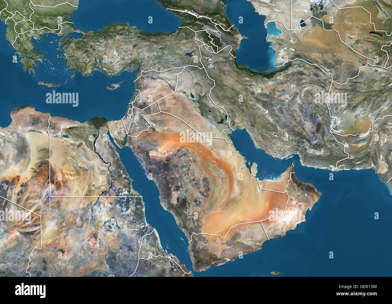 Satellite view of the Middle East (with country boundaries). This image was compiled from data acquired in 2014 by Landsat 8 satellite. Stock Photohttps://www.alamy.com/image-license-details/?v=1https://www.alamy.com/stock-photo-satellite-view-of-the-middle-east-with-country-boundaries-this-image-112373176.html
RMGER13M–Satellite view of the Middle East (with country boundaries). This image was compiled from data acquired in 2014 by Landsat 8 satellite.
 Satellite view of United Arab Emirates from space at night. Beautifully detailed plastic planet surface with visible city lights. 3D illustration. Ele Stock Photohttps://www.alamy.com/image-license-details/?v=1https://www.alamy.com/satellite-view-of-united-arab-emirates-from-space-at-night-beautifully-detailed-plastic-planet-surface-with-visible-city-lights-3d-illustration-ele-image230326352.html
RFRAM7H4–Satellite view of United Arab Emirates from space at night. Beautifully detailed plastic planet surface with visible city lights. 3D illustration. Ele
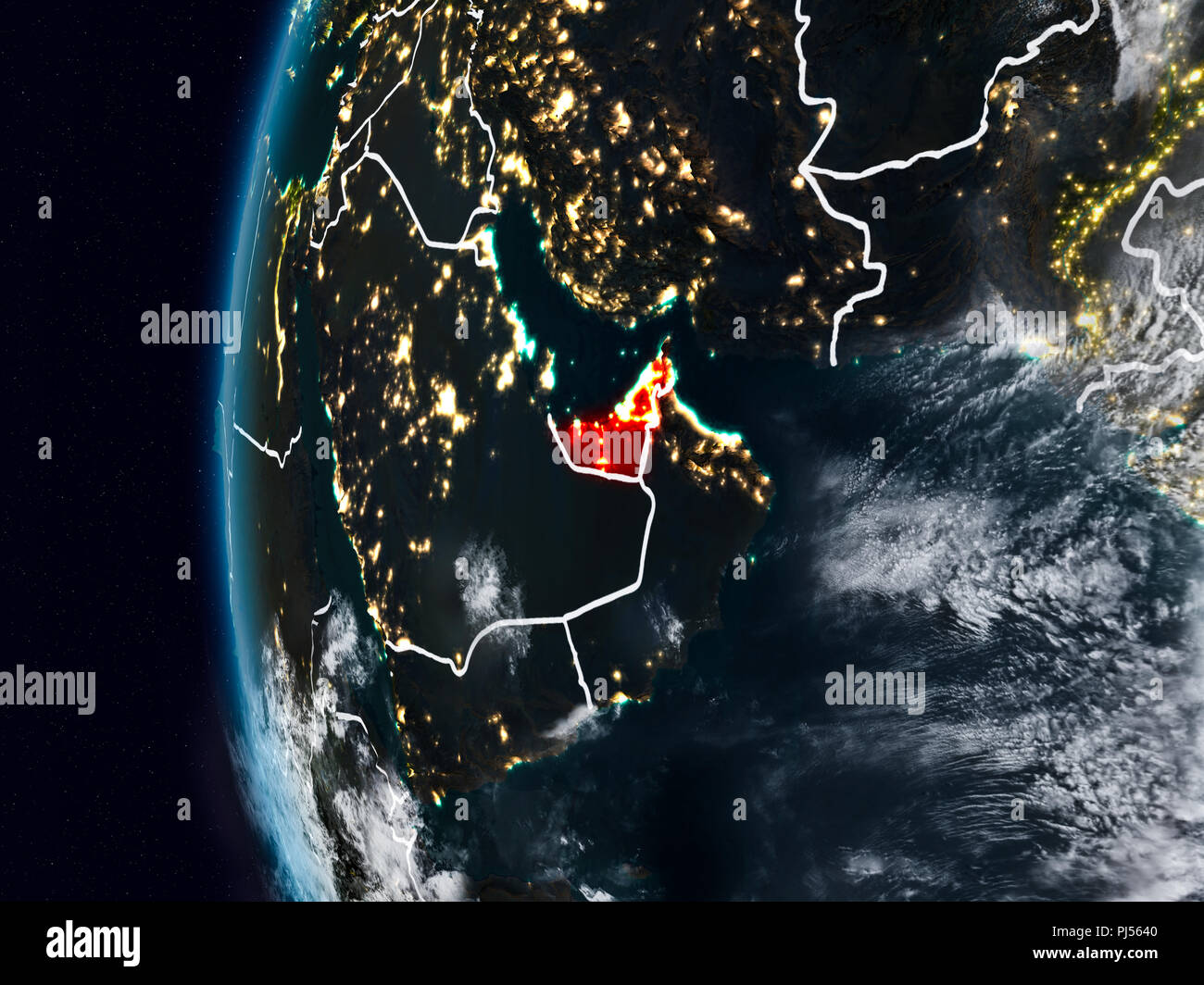 United Arab Emirates at night with visible country borders. 3D illustration. Elements of this image furnished by NASA. Stock Photohttps://www.alamy.com/image-license-details/?v=1https://www.alamy.com/united-arab-emirates-at-night-with-visible-country-borders-3d-illustration-elements-of-this-image-furnished-by-nasa-image217702800.html
RFPJ5640–United Arab Emirates at night with visible country borders. 3D illustration. Elements of this image furnished by NASA.
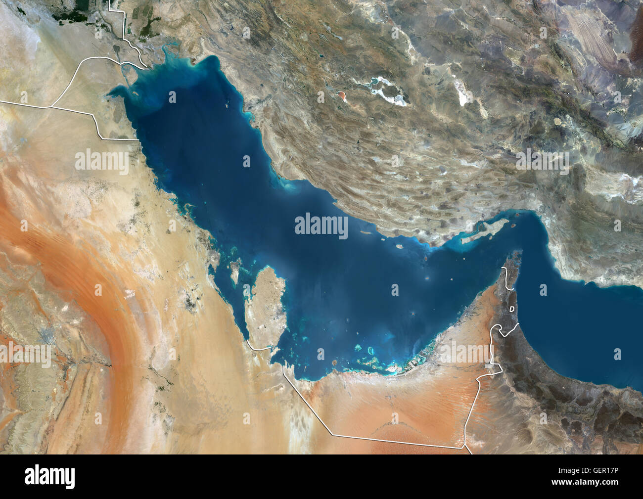 Satellite view of the Persian Gulf (with country boundaries). This image was compiled from data acquired in 2014 by Landsat 8 satellite. Stock Photohttps://www.alamy.com/image-license-details/?v=1https://www.alamy.com/stock-photo-satellite-view-of-the-persian-gulf-with-country-boundaries-this-image-112373290.html
RMGER17P–Satellite view of the Persian Gulf (with country boundaries). This image was compiled from data acquired in 2014 by Landsat 8 satellite.
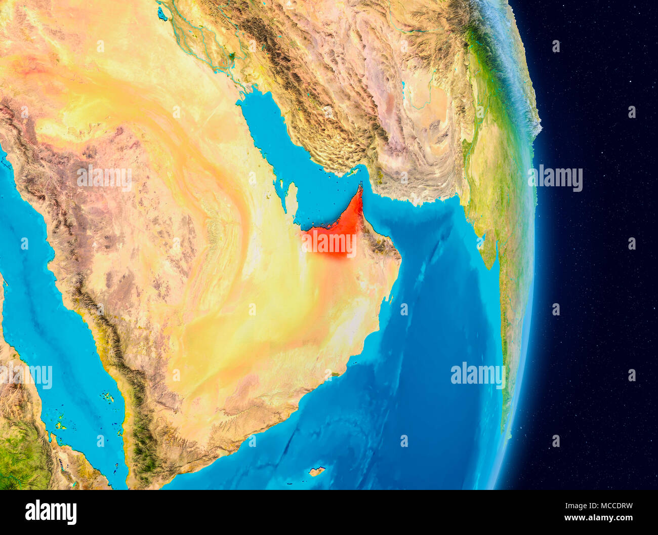 Country of United Arab Emirates in red on planet Earth. 3D illustration. Elements of this image furnished by NASA. Stock Photohttps://www.alamy.com/image-license-details/?v=1https://www.alamy.com/country-of-united-arab-emirates-in-red-on-planet-earth-3d-illustration-elements-of-this-image-furnished-by-nasa-image179753837.html
RFMCCDRW–Country of United Arab Emirates in red on planet Earth. 3D illustration. Elements of this image furnished by NASA.
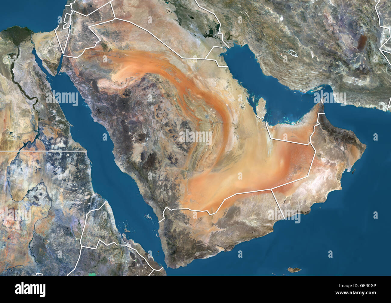 Satellite view of the Arabian Peninsula (with country boundaries). This image was compiled from data acquired in 2014 by Landsat 8 satellite. Stock Photohttps://www.alamy.com/image-license-details/?v=1https://www.alamy.com/stock-photo-satellite-view-of-the-arabian-peninsula-with-country-boundaries-this-112372758.html
RMGER0GP–Satellite view of the Arabian Peninsula (with country boundaries). This image was compiled from data acquired in 2014 by Landsat 8 satellite.
 United Arab Emirates at night from space with visible country borders. 3D illustration. Elements of this image furnished by NASA. Stock Photohttps://www.alamy.com/image-license-details/?v=1https://www.alamy.com/united-arab-emirates-at-night-from-space-with-visible-country-borders-3d-illustration-elements-of-this-image-furnished-by-nasa-image216952825.html
RFPGY1F5–United Arab Emirates at night from space with visible country borders. 3D illustration. Elements of this image furnished by NASA.
 Satellite view of the Middle East. This image was compiled from data acquired in 2014 by Landsat 8 satellite. Stock Photohttps://www.alamy.com/image-license-details/?v=1https://www.alamy.com/stock-photo-satellite-view-of-the-middle-east-this-image-was-compiled-from-data-112373175.html
RMGER13K–Satellite view of the Middle East. This image was compiled from data acquired in 2014 by Landsat 8 satellite.
 Satellite image of Abu Dhabi, United Arab Emirates, taken on February 2, 1985 by the satellite Landsat 5. The territory covered is 78 km x 55 km. Stock Photohttps://www.alamy.com/image-license-details/?v=1https://www.alamy.com/stock-photo-satellite-image-of-abu-dhabi-united-arab-emirates-taken-on-february-112372716.html
RMGER0F8–Satellite image of Abu Dhabi, United Arab Emirates, taken on February 2, 1985 by the satellite Landsat 5. The territory covered is 78 km x 55 km.