Saudi arabia historical map Stock Photos and Images
(146)See saudi arabia historical map stock video clipsQuick filters:
Saudi arabia historical map Stock Photos and Images
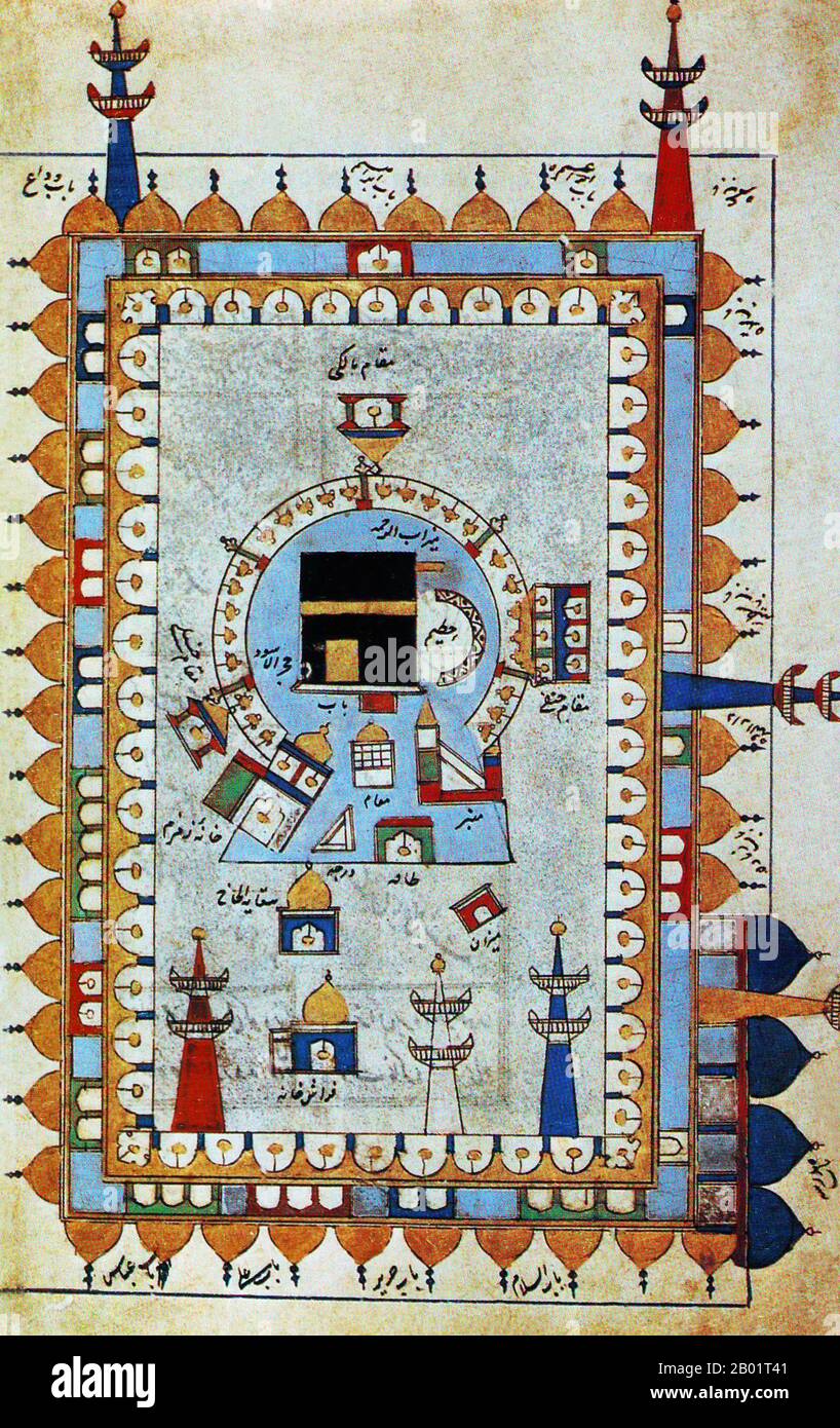 Saudi Arabia/Iran/Persia: A map or diagram showing the Ka'ba or Kaaba at the heart of the Masjid al-Haram in Mecca. From 'Futuh al-Haramayn' (Triumph of the Holy Places) by Muhyi al-Din Abd al-Rahman al-Lari al-Ansari, c. 1527. The Kaaba or Qaaba (the Cube) is a cuboid-shaped building in Mecca, Saudi Arabia, and is the most sacred site in Islam. The Qur'an states that the Ka'ba was constructed by Abraham (Ibrahim in Arabic), and his son Ishmael (Ismail in Arabic), after the latter had settled in Arabia. The building has a mosque built around it, the Masjid al-Haram. Stock Photohttps://www.alamy.com/image-license-details/?v=1https://www.alamy.com/saudi-arabiairanpersia-a-map-or-diagram-showing-the-kaba-or-kaaba-at-the-heart-of-the-masjid-al-haram-in-mecca-from-futuh-al-haramayn-triumph-of-the-holy-places-by-muhyi-al-din-abd-al-rahman-al-lari-al-ansari-c-1527-the-kaaba-or-qaaba-the-cube-is-a-cuboid-shaped-building-in-mecca-saudi-arabia-and-is-the-most-sacred-site-in-islam-the-quran-states-that-the-kaba-was-constructed-by-abraham-ibrahim-in-arabic-and-his-son-ishmael-ismail-in-arabic-after-the-latter-had-settled-in-arabia-the-building-has-a-mosque-built-around-it-the-masjid-al-haram-image344248241.html
RM2B01T41–Saudi Arabia/Iran/Persia: A map or diagram showing the Ka'ba or Kaaba at the heart of the Masjid al-Haram in Mecca. From 'Futuh al-Haramayn' (Triumph of the Holy Places) by Muhyi al-Din Abd al-Rahman al-Lari al-Ansari, c. 1527. The Kaaba or Qaaba (the Cube) is a cuboid-shaped building in Mecca, Saudi Arabia, and is the most sacred site in Islam. The Qur'an states that the Ka'ba was constructed by Abraham (Ibrahim in Arabic), and his son Ishmael (Ismail in Arabic), after the latter had settled in Arabia. The building has a mosque built around it, the Masjid al-Haram.
 1960s, historical, a group of arab men, some wearing the traditional male dress of the long thobe and headdress, standing at a travel ticket desk, Saudi Arabia. Stock Photohttps://www.alamy.com/image-license-details/?v=1https://www.alamy.com/1960s-historical-a-group-of-arab-men-some-wearing-the-traditional-male-dress-of-the-long-thobe-and-headdress-standing-at-a-travel-ticket-desk-saudi-arabia-image260513825.html
RMW3RC15–1960s, historical, a group of arab men, some wearing the traditional male dress of the long thobe and headdress, standing at a travel ticket desk, Saudi Arabia.
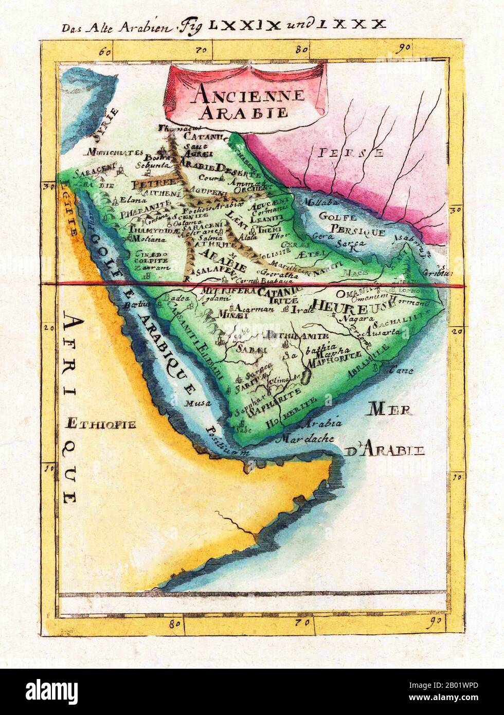 Middle East: Map of Ancient Arabia ('Ancienne Arabie' ) by Allain Manesson Mallet (1630-1706), Frankfurt, 1719. Alain Manesson Mallet was a French cartographer and engineer. He started his career as a soldier in the army of Louis XIV, became a Sergeant-Major in the artillery and an Inspector of Fortifications. He also served under the King of Portugal, before returning to France, and his appointment to the court of Louis XIV. His military engineering and mathematical background led to his position teaching mathematics at court. Stock Photohttps://www.alamy.com/image-license-details/?v=1https://www.alamy.com/middle-east-map-of-ancient-arabia-ancienne-arabie-by-allain-manesson-mallet-1630-1706-frankfurt-1719-alain-manesson-mallet-was-a-french-cartographer-and-engineer-he-started-his-career-as-a-soldier-in-the-army-of-louis-xiv-became-a-sergeant-major-in-the-artillery-and-an-inspector-of-fortifications-he-also-served-under-the-king-of-portugal-before-returning-to-france-and-his-appointment-to-the-court-of-louis-xiv-his-military-engineering-and-mathematical-background-led-to-his-position-teaching-mathematics-at-court-image344249541.html
RM2B01WPD–Middle East: Map of Ancient Arabia ('Ancienne Arabie' ) by Allain Manesson Mallet (1630-1706), Frankfurt, 1719. Alain Manesson Mallet was a French cartographer and engineer. He started his career as a soldier in the army of Louis XIV, became a Sergeant-Major in the artillery and an Inspector of Fortifications. He also served under the King of Portugal, before returning to France, and his appointment to the court of Louis XIV. His military engineering and mathematical background led to his position teaching mathematics at court.
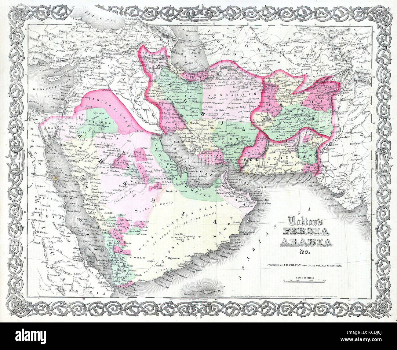 1855, Colton Map of Persia and Arabia, Saudi Arabia, Iraq, Israel and Afghanistan Stock Photohttps://www.alamy.com/image-license-details/?v=1https://www.alamy.com/stock-image-1855-colton-map-of-persia-and-arabia-saudi-arabia-iraq-israel-and-162568690.html
RMKCDJ0J–1855, Colton Map of Persia and Arabia, Saudi Arabia, Iraq, Israel and Afghanistan
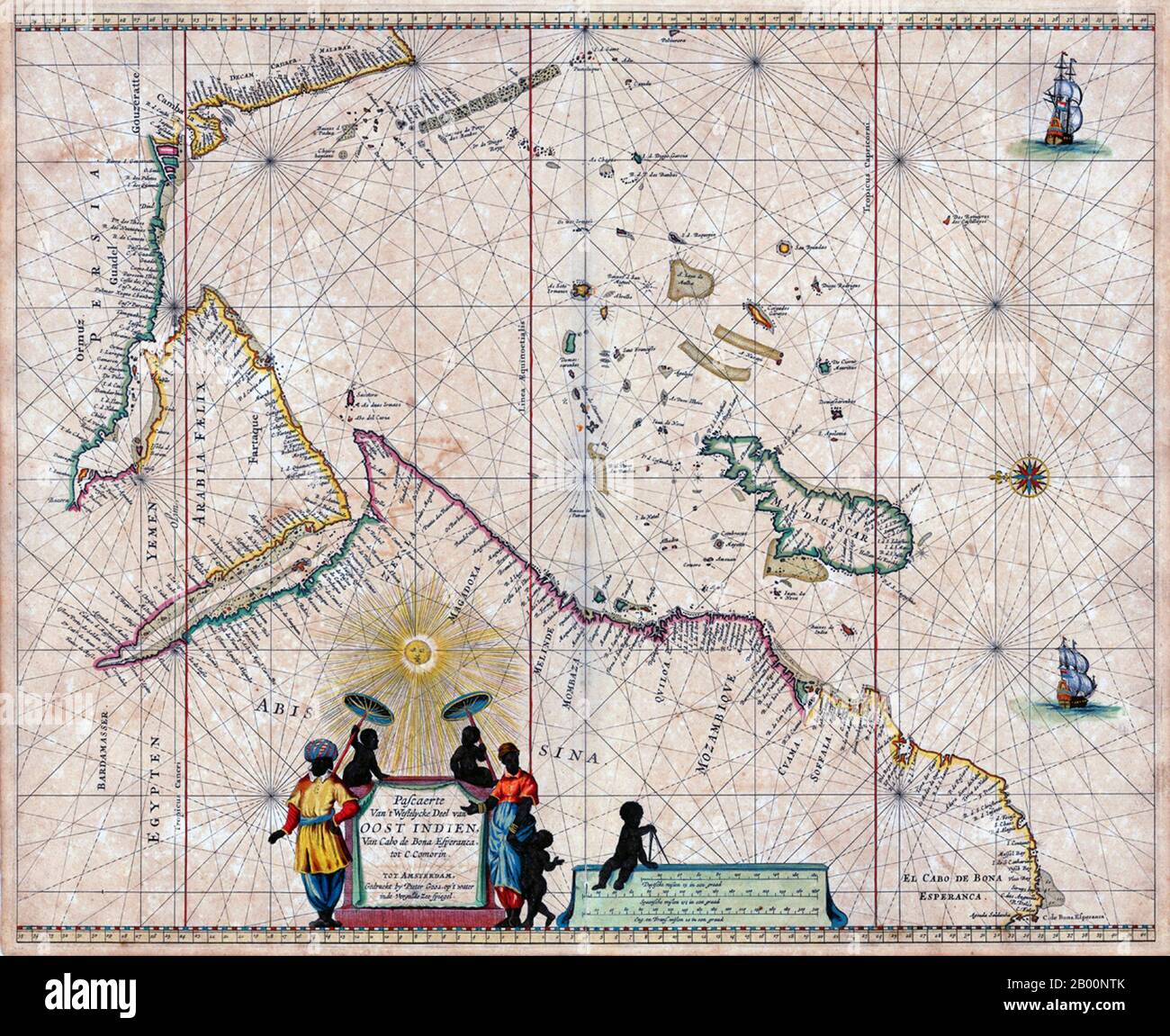 Netherlands: A map of Arabia and the Indian Ocean, Amsterdam, Pieter Goos (1616-1675), 1666. Pieter Goos (1616–1675) was a Dutch cartographer, copperplate engraver, publisher and bookseller. He was the son of Abraham Goos (1590–1643), also a cartographer and map seller. From 1666, Pieter Goos published a number of well produced atlases. Stock Photohttps://www.alamy.com/image-license-details/?v=1https://www.alamy.com/netherlands-a-map-of-arabia-and-the-indian-ocean-amsterdam-pieter-goos-1616-1675-1666-pieter-goos-16161675-was-a-dutch-cartographer-copperplate-engraver-publisher-and-bookseller-he-was-the-son-of-abraham-goos-15901643-also-a-cartographer-and-map-seller-from-1666-pieter-goos-published-a-number-of-well-produced-atlases-image344224515.html
RM2B00NTK–Netherlands: A map of Arabia and the Indian Ocean, Amsterdam, Pieter Goos (1616-1675), 1666. Pieter Goos (1616–1675) was a Dutch cartographer, copperplate engraver, publisher and bookseller. He was the son of Abraham Goos (1590–1643), also a cartographer and map seller. From 1666, Pieter Goos published a number of well produced atlases.
 15th century Map of Arabia Stock Photohttps://www.alamy.com/image-license-details/?v=1https://www.alamy.com/15th-century-map-of-arabia-image504913793.html
RM2M9CPKD–15th century Map of Arabia
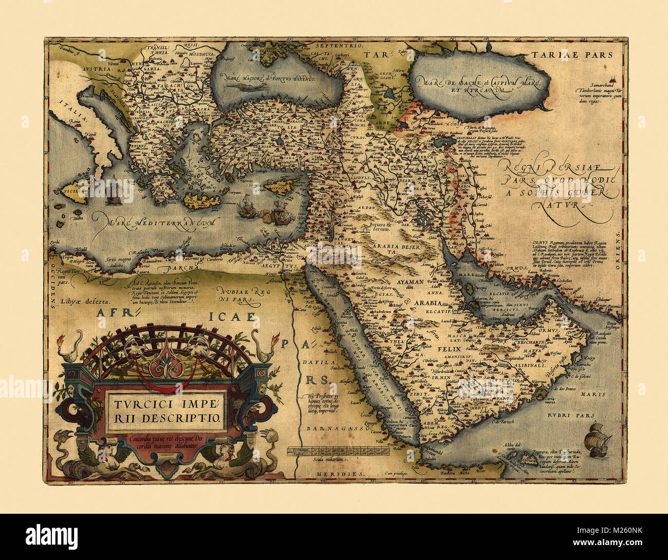 Historical map of the Middle East circa 1600. Stock Photohttps://www.alamy.com/image-license-details/?v=1https://www.alamy.com/stock-photo-historical-map-of-the-middle-east-circa-1600-173465311.html
RFM260NK–Historical map of the Middle East circa 1600.
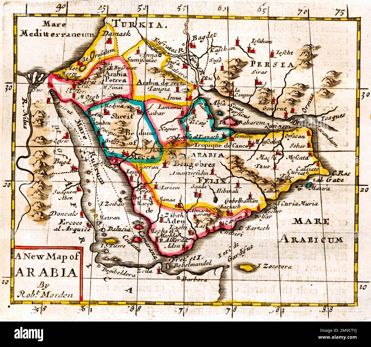 17th century Map of Arabia Stock Photohttps://www.alamy.com/image-license-details/?v=1https://www.alamy.com/17th-century-map-of-arabia-image504915590.html
RM2M9CTYJ–17th century Map of Arabia
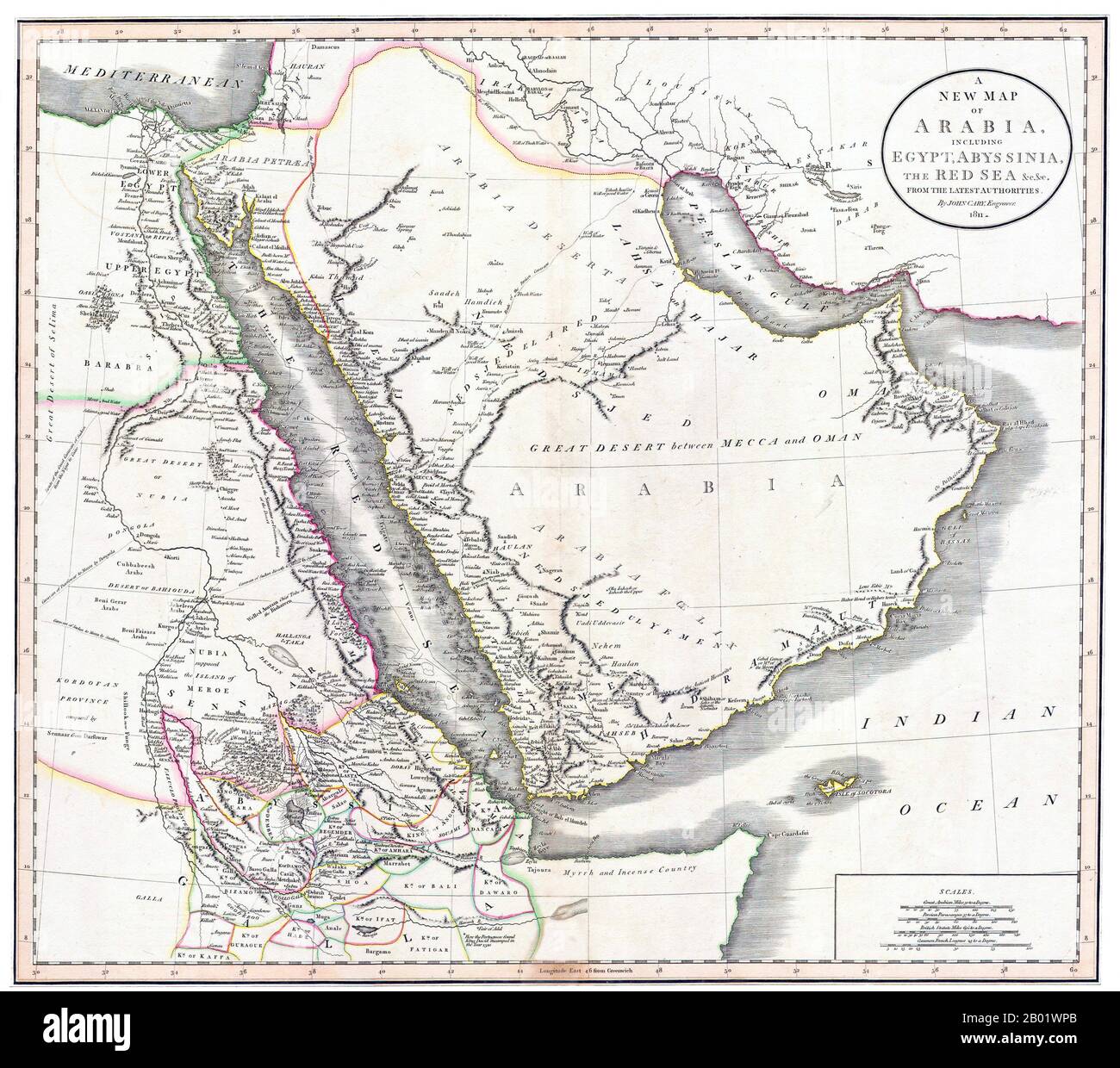 Middle East/East Africa: A New Map of Arabia, Egypt, Abyssinia and the Red Sea. Engraving by John Cary (c. 1754-1835), 1811. John Cary was an English cartographer. Cary served his apprenticeship as an engraver in London, before setting up his own business in the Strand in 1783. He soon gained a reputation for his maps and globes, his atlas, The New and Correct English Atlas published in 1787, becoming a standard reference work in England. In 1794 Cary was commissioned by the Postmaster General to survey England's roads. This resulted in Cary's New Itinerary (1798). Stock Photohttps://www.alamy.com/image-license-details/?v=1https://www.alamy.com/middle-easteast-africa-a-new-map-of-arabia-egypt-abyssinia-and-the-red-sea-engraving-by-john-cary-c-1754-1835-1811-john-cary-was-an-english-cartographer-cary-served-his-apprenticeship-as-an-engraver-in-london-before-setting-up-his-own-business-in-the-strand-in-1783-he-soon-gained-a-reputation-for-his-maps-and-globes-his-atlas-the-new-and-correct-english-atlas-published-in-1787-becoming-a-standard-reference-work-in-england-in-1794-cary-was-commissioned-by-the-postmaster-general-to-survey-englands-roads-this-resulted-in-carys-new-itinerary-1798-image344249539.html
RM2B01WPB–Middle East/East Africa: A New Map of Arabia, Egypt, Abyssinia and the Red Sea. Engraving by John Cary (c. 1754-1835), 1811. John Cary was an English cartographer. Cary served his apprenticeship as an engraver in London, before setting up his own business in the Strand in 1783. He soon gained a reputation for his maps and globes, his atlas, The New and Correct English Atlas published in 1787, becoming a standard reference work in England. In 1794 Cary was commissioned by the Postmaster General to survey England's roads. This resulted in Cary's New Itinerary (1798).
 17th century Map of Arabia Stock Photohttps://www.alamy.com/image-license-details/?v=1https://www.alamy.com/17th-century-map-of-arabia-image504914495.html
RM2M9CRGF–17th century Map of Arabia
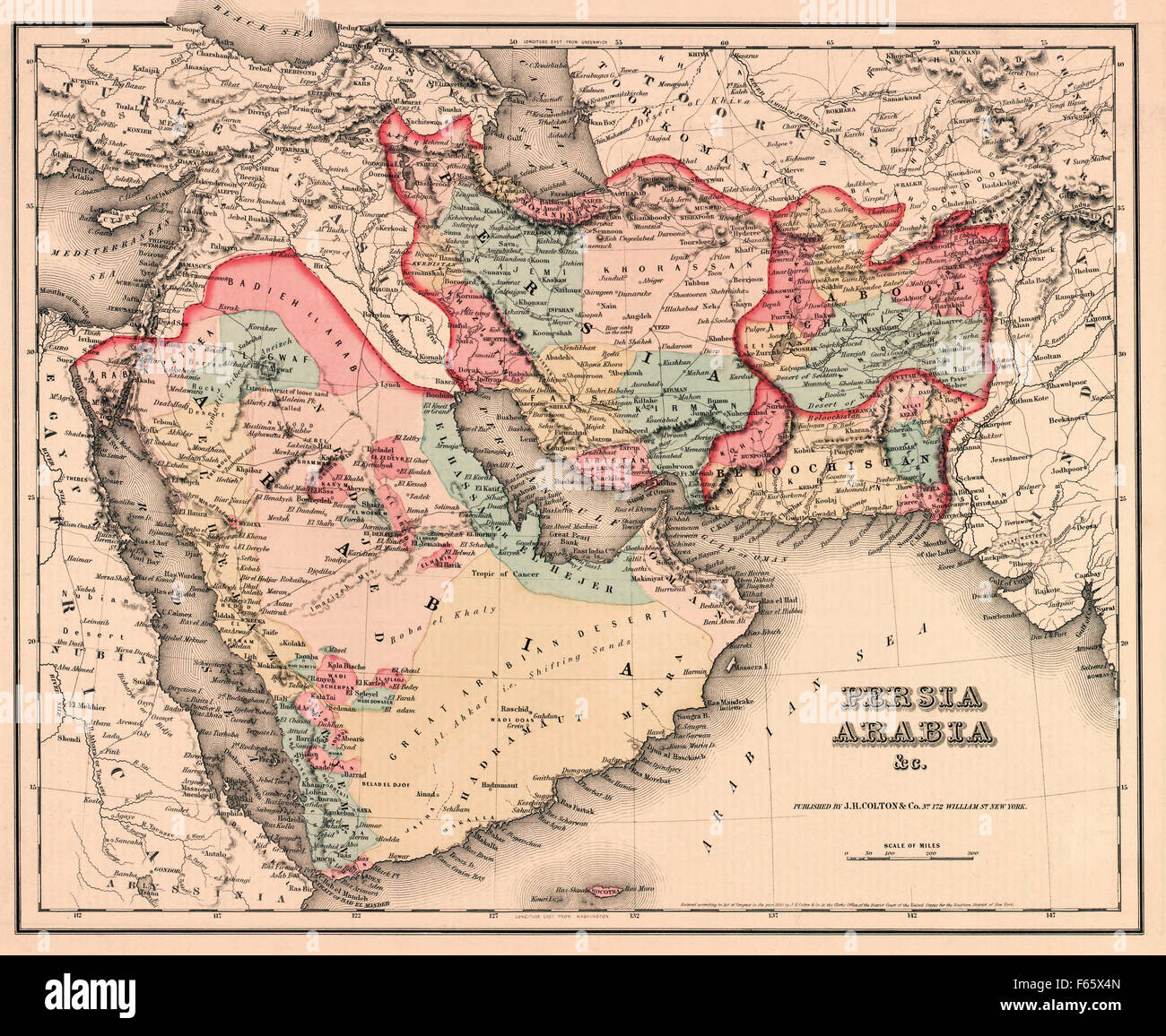 The Middle East in the mid 19th century. Persia, Arabia etc, as it was circa 1850. Stock Photohttps://www.alamy.com/image-license-details/?v=1https://www.alamy.com/stock-photo-the-middle-east-in-the-mid-19th-century-persia-arabia-etc-as-it-was-89870053.html
RMF65X4N–The Middle East in the mid 19th century. Persia, Arabia etc, as it was circa 1850.
 Close-up vintage map of the Middle East featuring Saudi Arabia, Egypt, Yemen, and surrounding regions. Stock Photohttps://www.alamy.com/image-license-details/?v=1https://www.alamy.com/close-up-vintage-map-of-the-middle-east-featuring-saudi-arabia-egypt-yemen-and-surrounding-regions-image607059461.html
RM2X7HXF1–Close-up vintage map of the Middle East featuring Saudi Arabia, Egypt, Yemen, and surrounding regions.
 Flag on the map of Saudi Arabia. Vintage Map and Flag of Middle East Countries Series 3D Rendering Stock Photohttps://www.alamy.com/image-license-details/?v=1https://www.alamy.com/flag-on-the-map-of-saudi-arabia-vintage-map-and-flag-of-middle-east-countries-series-3d-rendering-image370765572.html
RF2CF5R7G–Flag on the map of Saudi Arabia. Vintage Map and Flag of Middle East Countries Series 3D Rendering
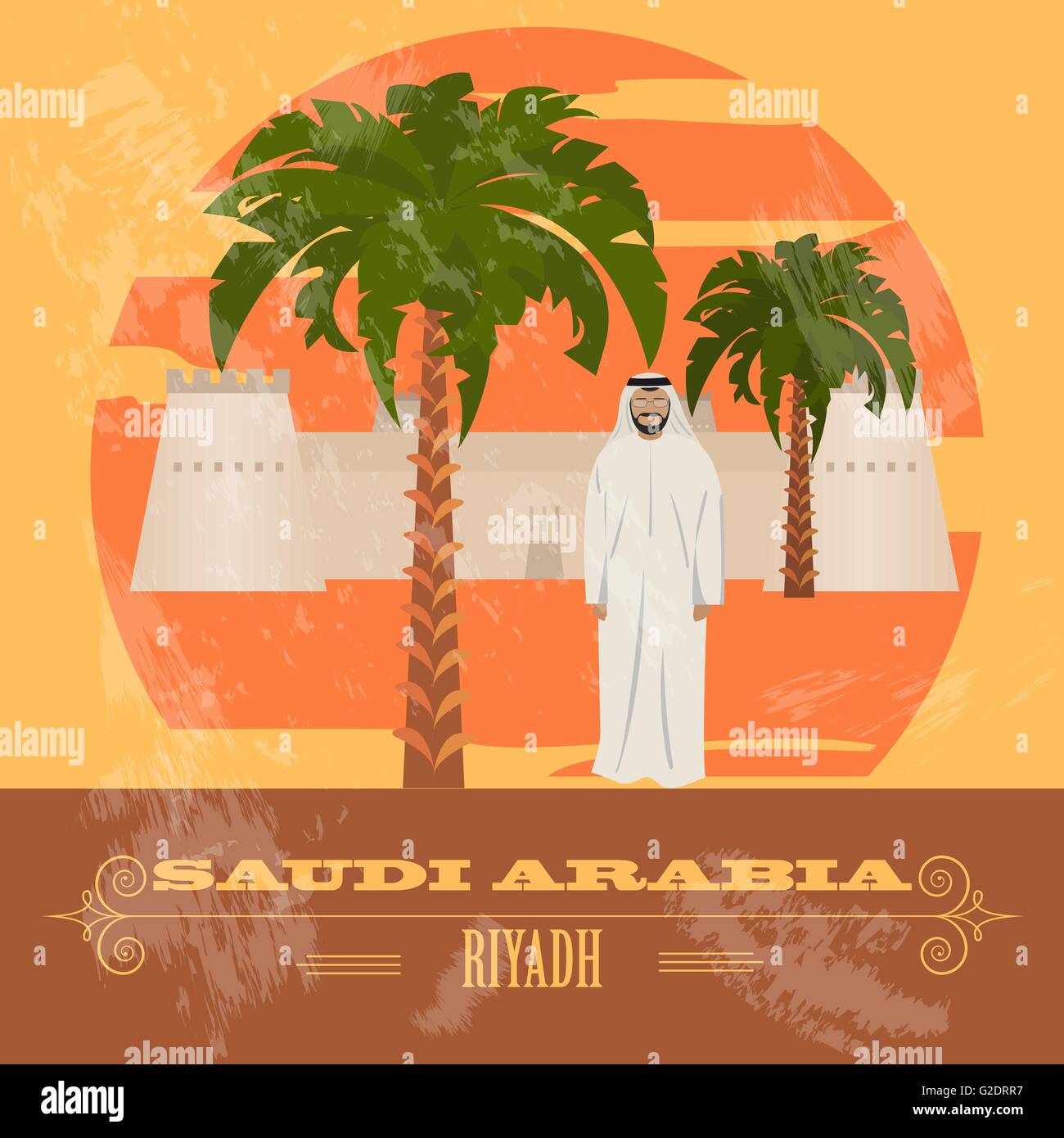 Saudi Arabia. Retro styled image. Vector illustration Stock Vectorhttps://www.alamy.com/image-license-details/?v=1https://www.alamy.com/stock-photo-saudi-arabia-retro-styled-image-vector-illustration-104795579.html
RFG2DRR7–Saudi Arabia. Retro styled image. Vector illustration
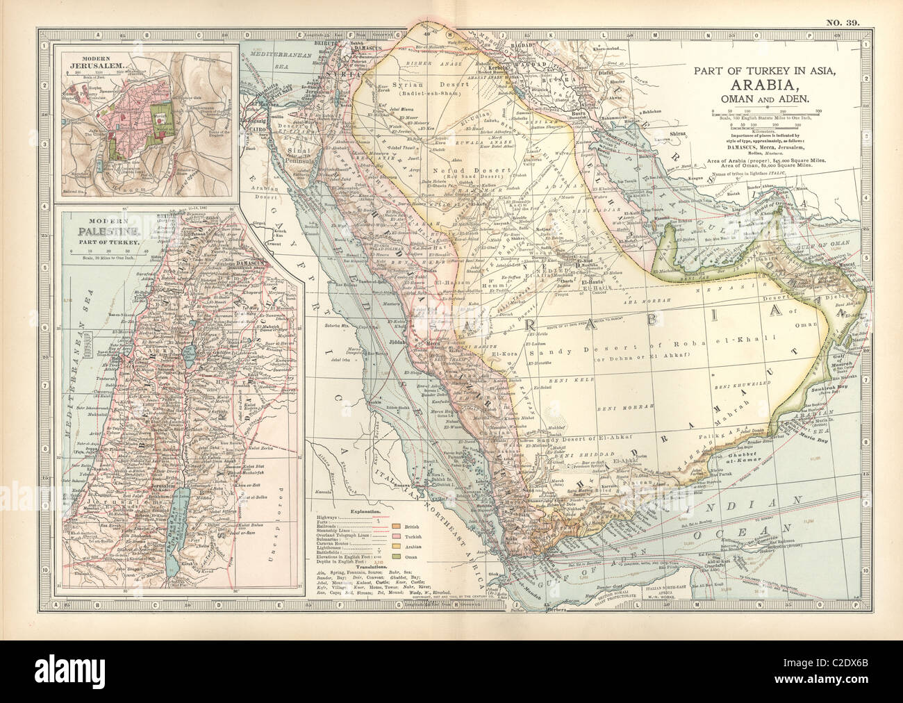 Map of Arabia with part of Turkey and Oman Stock Photohttps://www.alamy.com/image-license-details/?v=1https://www.alamy.com/stock-photo-map-of-arabia-with-part-of-turkey-and-oman-35955987.html
RMC2DX6B–Map of Arabia with part of Turkey and Oman
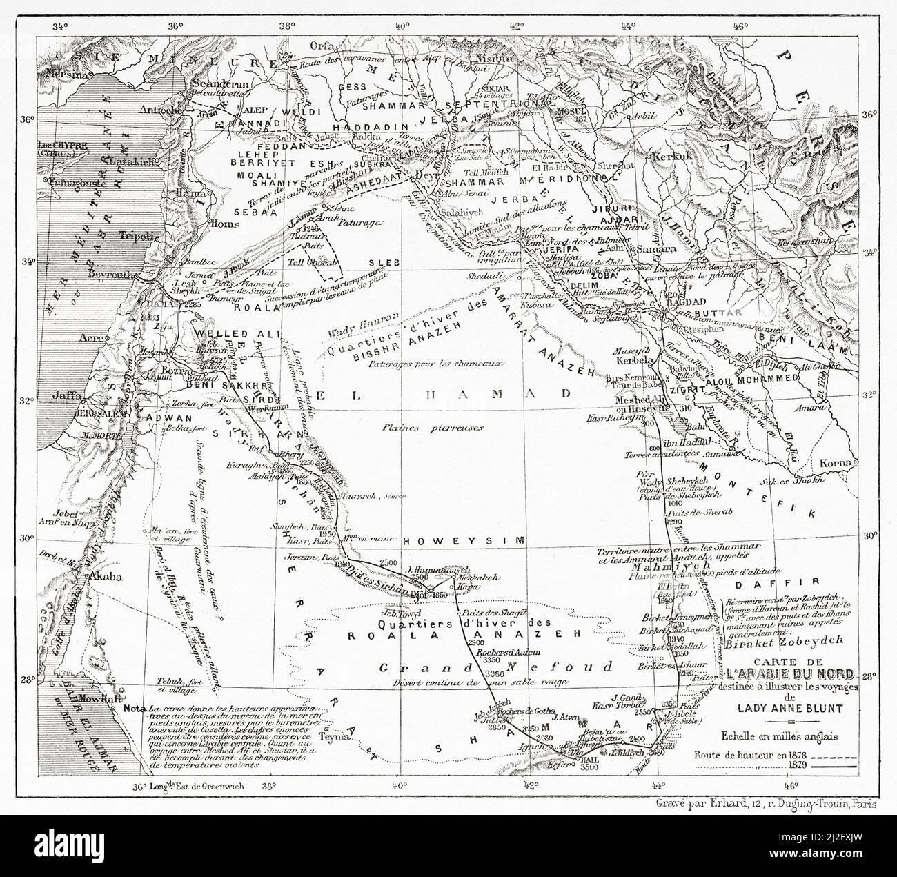 Map of Northern Arabia from Pilgrimage to Nedjed, cradle of the Arab race by Lady Anna Blunt 1878-1879, Le Tour du Monde 1882 Stock Photohttps://www.alamy.com/image-license-details/?v=1https://www.alamy.com/map-of-northern-arabia-from-pilgrimage-to-nedjed-cradle-of-the-arab-race-by-lady-anna-blunt-1878-1879-le-tour-du-monde-1882-image466259441.html
RM2J2FXJW–Map of Northern Arabia from Pilgrimage to Nedjed, cradle of the Arab race by Lady Anna Blunt 1878-1879, Le Tour du Monde 1882
 Saudi Arabia Magnified Map and Flag, Saudi Arabia Enlargement Maps, Vector Art Stock Vectorhttps://www.alamy.com/image-license-details/?v=1https://www.alamy.com/saudi-arabia-magnified-map-and-flag-saudi-arabia-enlargement-maps-vector-art-image623317116.html
RF2Y62F9G–Saudi Arabia Magnified Map and Flag, Saudi Arabia Enlargement Maps, Vector Art
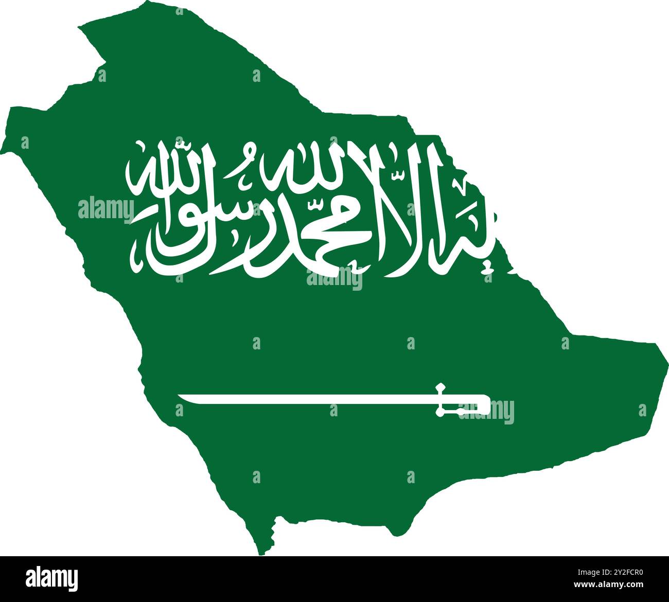 Saudi Arabia Flag in Map, Saudi Arabia Map with Flag, Map of Saudi Arabia, Map with Flag, Nation Flag Saudi Arabia Stock Vectorhttps://www.alamy.com/image-license-details/?v=1https://www.alamy.com/saudi-arabia-flag-in-map-saudi-arabia-map-with-flag-map-of-saudi-arabia-map-with-flag-nation-flag-saudi-arabia-image621141892.html
RF2Y2FCR0–Saudi Arabia Flag in Map, Saudi Arabia Map with Flag, Map of Saudi Arabia, Map with Flag, Nation Flag Saudi Arabia
 Beautiful vintage hand drawn Pinkerton's map of Saudi Arabia from 1818 with beautiful colorful maps and illustrations of countries, regions and oceans Stock Photohttps://www.alamy.com/image-license-details/?v=1https://www.alamy.com/beautiful-vintage-hand-drawn-pinkertons-map-of-saudi-arabia-from-1818-with-beautiful-colorful-maps-and-illustrations-of-countries-regions-and-oceans-image418990179.html
RF2F9JJ6Y–Beautiful vintage hand drawn Pinkerton's map of Saudi Arabia from 1818 with beautiful colorful maps and illustrations of countries, regions and oceans
 Iraq, Israel and Afghanistan ) - Geographicus - PersiaArabia-c-55, 1855 Colton map of Persia ^ Arabia ( Saudi Arabia Stock Photohttps://www.alamy.com/image-license-details/?v=1https://www.alamy.com/stock-photo-iraq-israel-and-afghanistan-geographicus-persiaarabia-c-55-1855-colton-133518299.html
RMHN67XK–Iraq, Israel and Afghanistan ) - Geographicus - PersiaArabia-c-55, 1855 Colton map of Persia ^ Arabia ( Saudi Arabia
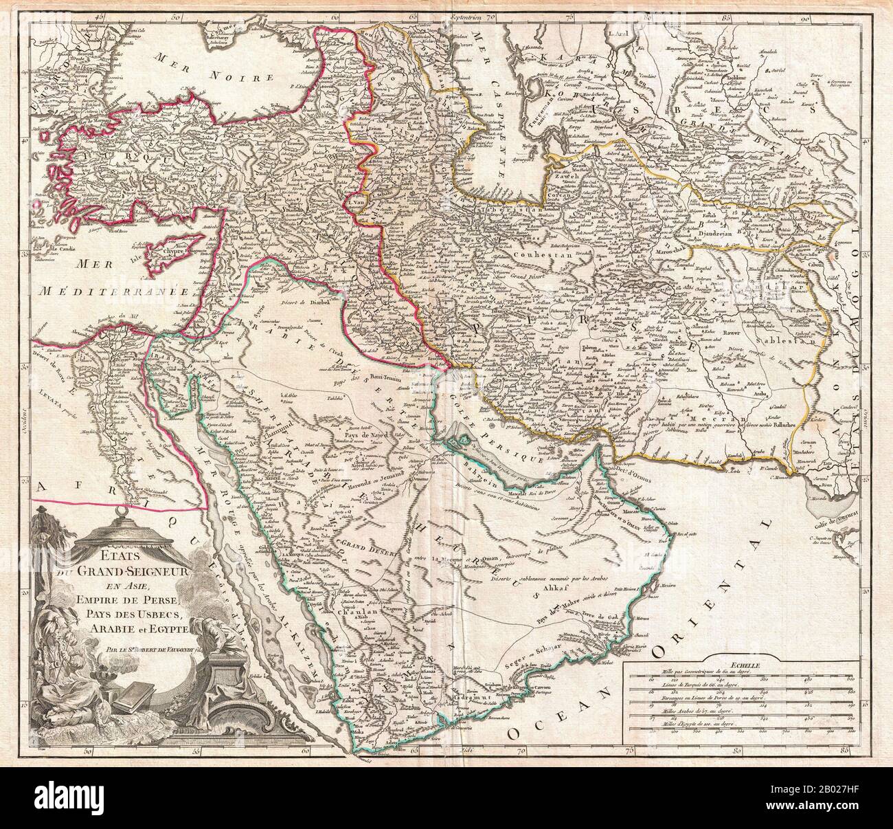 In this 1753 map of the Ottoman Empire. Vaugondy maps the empire at its height, with territory spanning from the Black Sea to the southernmost extension of Arabia and west, inclusive of Persia, as far as the Mongol Empire of India. This includes the modern day nations of Turkey, Egypt, Saudi Arabia, Oman, Yemen, the United Arab Emirates, Iran, Iraq, Kuwait, Israel, Palestine, Jordan, Syria, Lebanon, Armenia, Azerbaijan, Georgia, and parts of Afghanistan, Pakistan, India, Uzbekistan, and Greece. Vaugondy employs all of the latest geographical information of the time incorporating both French a Stock Photohttps://www.alamy.com/image-license-details/?v=1https://www.alamy.com/in-this-1753-map-of-the-ottoman-empire-vaugondy-maps-the-empire-at-its-height-with-territory-spanning-from-the-black-sea-to-the-southernmost-extension-of-arabia-and-west-inclusive-of-persia-as-far-as-the-mongol-empire-of-india-this-includes-the-modern-day-nations-of-turkey-egypt-saudi-arabia-oman-yemen-the-united-arab-emirates-iran-iraq-kuwait-israel-palestine-jordan-syria-lebanon-armenia-azerbaijan-georgia-and-parts-of-afghanistan-pakistan-india-uzbekistan-and-greece-vaugondy-employs-all-of-the-latest-geographical-information-of-the-time-incorporating-both-french-a-image344257243.html
RM2B027HF–In this 1753 map of the Ottoman Empire. Vaugondy maps the empire at its height, with territory spanning from the Black Sea to the southernmost extension of Arabia and west, inclusive of Persia, as far as the Mongol Empire of India. This includes the modern day nations of Turkey, Egypt, Saudi Arabia, Oman, Yemen, the United Arab Emirates, Iran, Iraq, Kuwait, Israel, Palestine, Jordan, Syria, Lebanon, Armenia, Azerbaijan, Georgia, and parts of Afghanistan, Pakistan, India, Uzbekistan, and Greece. Vaugondy employs all of the latest geographical information of the time incorporating both French a
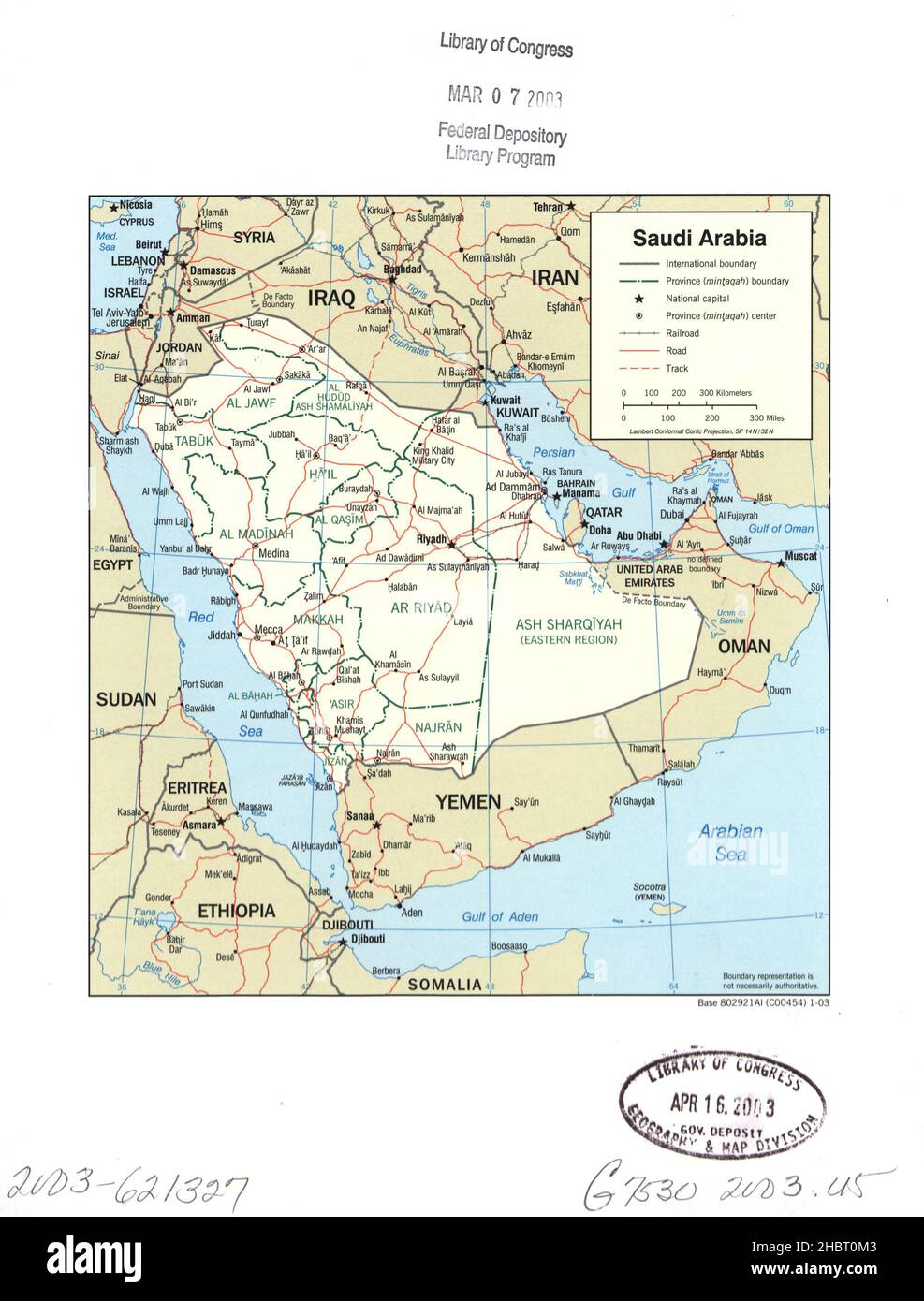 Map of Saudi Arabia ca. 2003 Stock Photohttps://www.alamy.com/image-license-details/?v=1https://www.alamy.com/map-of-saudi-arabia-ca-2003-image454758195.html
RM2HBT0M3–Map of Saudi Arabia ca. 2003
 Israel, and the Sinai Peninsula, colorful political map. Southern Levant, arid geographical and historical region. Stock Photohttps://www.alamy.com/image-license-details/?v=1https://www.alamy.com/israel-and-the-sinai-peninsula-colorful-political-map-southern-levant-arid-geographical-and-historical-region-image624429668.html
RF2Y7W6BG–Israel, and the Sinai Peninsula, colorful political map. Southern Levant, arid geographical and historical region.
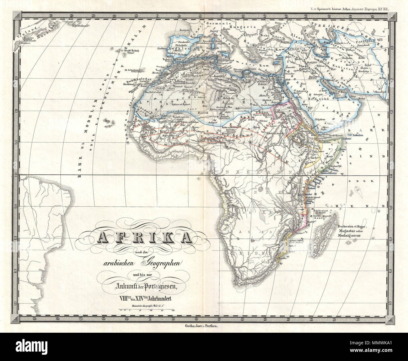 . English: This is Karl von Spruner’s 1855 map of Africa from the Arab conquests in the 8th century up to the arrival of the Portuguese in the 14th century. Much of southern Africa shows only rivers and the note, in very light typeface, “unknown land of the heathens” (roughly translated from the German). Light blue color-coded boundaries encompass the Iberian peninsula, northern Africa, The Middle East, Saudi Arabia, and Iran, and historical dates appear throughout. The place name “Vinland” appears in the upper left corner of the map, denoting North America as it was known to Medieval geograp Stock Photohttps://www.alamy.com/image-license-details/?v=1https://www.alamy.com/english-this-is-karl-von-spruners-1855-map-of-africa-from-the-arab-conquests-in-the-8th-century-up-to-the-arrival-of-the-portuguese-in-the-14th-century-much-of-southern-africa-shows-only-rivers-and-the-note-in-very-light-typeface-unknown-land-of-the-heathens-roughly-translated-from-the-german-light-blue-color-coded-boundaries-encompass-the-iberian-peninsula-northern-africa-the-middle-east-saudi-arabia-and-iran-and-historical-dates-appear-throughout-the-place-name-vinland-appears-in-the-upper-left-corner-of-the-map-denoting-north-america-as-it-was-known-to-medieval-geograp-image184960777.html
RMMMWKA1–. English: This is Karl von Spruner’s 1855 map of Africa from the Arab conquests in the 8th century up to the arrival of the Portuguese in the 14th century. Much of southern Africa shows only rivers and the note, in very light typeface, “unknown land of the heathens” (roughly translated from the German). Light blue color-coded boundaries encompass the Iberian peninsula, northern Africa, The Middle East, Saudi Arabia, and Iran, and historical dates appear throughout. The place name “Vinland” appears in the upper left corner of the map, denoting North America as it was known to Medieval geograp
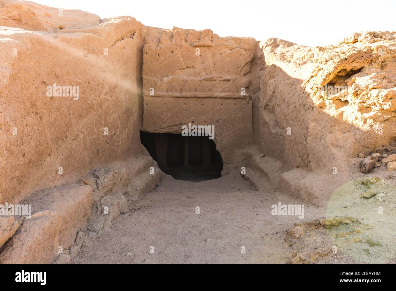 Madyan - city of Prophet Shoaib, Al-Bad, Northern Saudi Arabia. Stock Photohttps://www.alamy.com/image-license-details/?v=1https://www.alamy.com/madyan-city-of-prophet-shoaib-al-bad-northern-saudi-arabia-image418207264.html
RF2F8AYHM–Madyan - city of Prophet Shoaib, Al-Bad, Northern Saudi Arabia.
 Saudi Arabia and Iran deal mediated by China concept background.Two people shaking hands in front of Saudi Arab,China and Iran flags Stock Photohttps://www.alamy.com/image-license-details/?v=1https://www.alamy.com/saudi-arabia-and-iran-deal-mediated-by-china-concept-backgroundtwo-people-shaking-hands-in-front-of-saudi-arabchina-and-iran-flags-image565275167.html
RF2RRJE6R–Saudi Arabia and Iran deal mediated by China concept background.Two people shaking hands in front of Saudi Arab,China and Iran flags
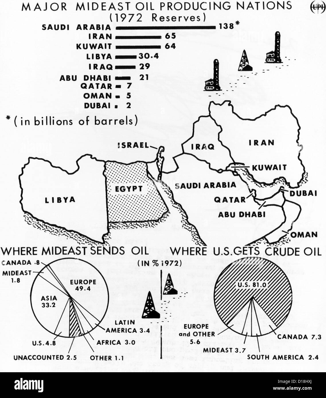 Map of the Major Mideast Oil Producing Nations. In 1973 the US produced 81% of its crude oil and imported only 4.8% from the Stock Photohttps://www.alamy.com/image-license-details/?v=1https://www.alamy.com/stock-photo-map-of-the-major-mideast-oil-producing-nations-in-1973-the-us-produced-52435450.html
RMD18HXJ–Map of the Major Mideast Oil Producing Nations. In 1973 the US produced 81% of its crude oil and imported only 4.8% from the
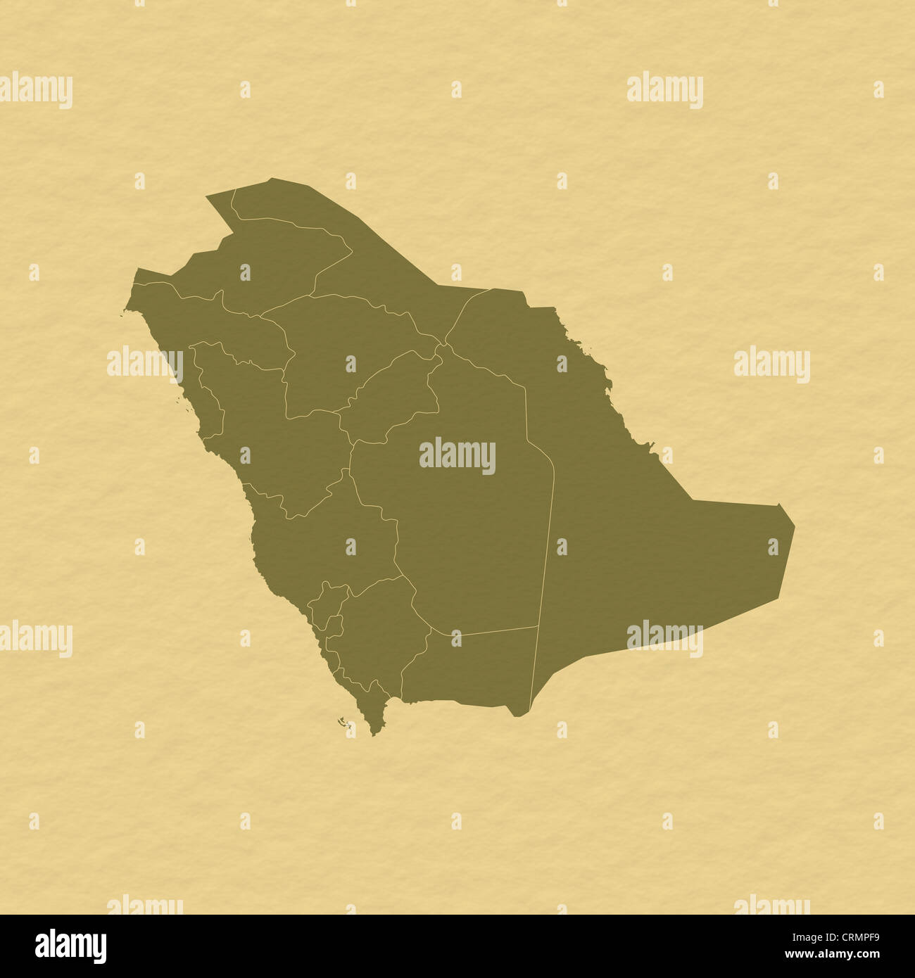 Political map of Saudi Arabia with the several provinces. Stock Photohttps://www.alamy.com/image-license-details/?v=1https://www.alamy.com/stock-photo-political-map-of-saudi-arabia-with-the-several-provinces-49014541.html
RFCRMPF9–Political map of Saudi Arabia with the several provinces.
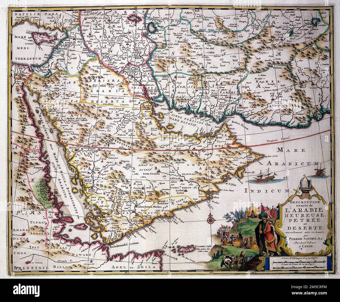 18th century Map of Arabia Stock Photohttps://www.alamy.com/image-license-details/?v=1https://www.alamy.com/18th-century-map-of-arabia-image504914472.html
RM2M9CRFM–18th century Map of Arabia
 Traveling in the history is an important part of education Stock Photohttps://www.alamy.com/image-license-details/?v=1https://www.alamy.com/stock-photo-traveling-in-the-history-is-an-important-part-of-education-71475079.html
RFE47Y5B–Traveling in the history is an important part of education
 16th century Map of Arabia - Secundae Partis Asiae Stock Photohttps://www.alamy.com/image-license-details/?v=1https://www.alamy.com/16th-century-map-of-arabia-secundae-partis-asiae-image504916352.html
RM2M9CWXT–16th century Map of Arabia - Secundae Partis Asiae
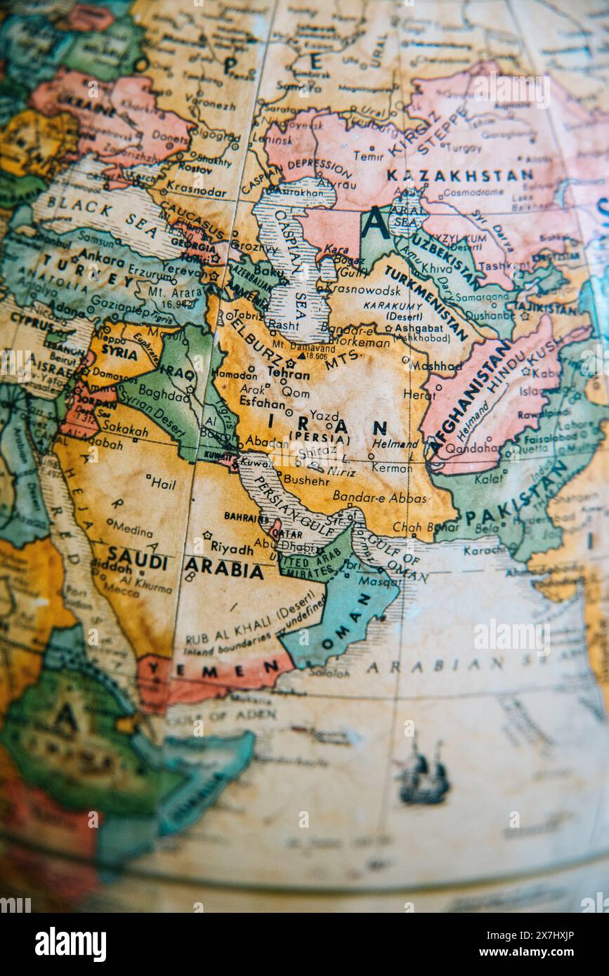 A detailed vintage globe map highlighting the Middle East, including Iran, Iraq, Afghanistan, and surrounding regions. Stock Photohttps://www.alamy.com/image-license-details/?v=1https://www.alamy.com/a-detailed-vintage-globe-map-highlighting-the-middle-east-including-iran-iraq-afghanistan-and-surrounding-regions-image607059566.html
RM2X7HXJP–A detailed vintage globe map highlighting the Middle East, including Iran, Iraq, Afghanistan, and surrounding regions.
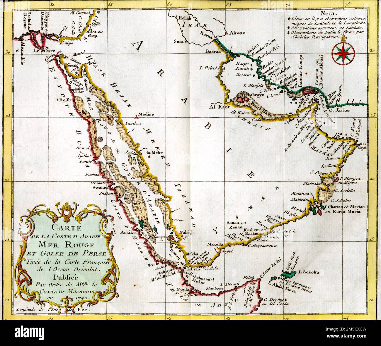 18th century French Map of Arabia (Red Sea and Persian Gulf) Stock Photohttps://www.alamy.com/image-license-details/?v=1https://www.alamy.com/18th-century-french-map-of-arabia-red-sea-and-persian-gulf-image504916857.html
RM2M9CXGW–18th century French Map of Arabia (Red Sea and Persian Gulf)
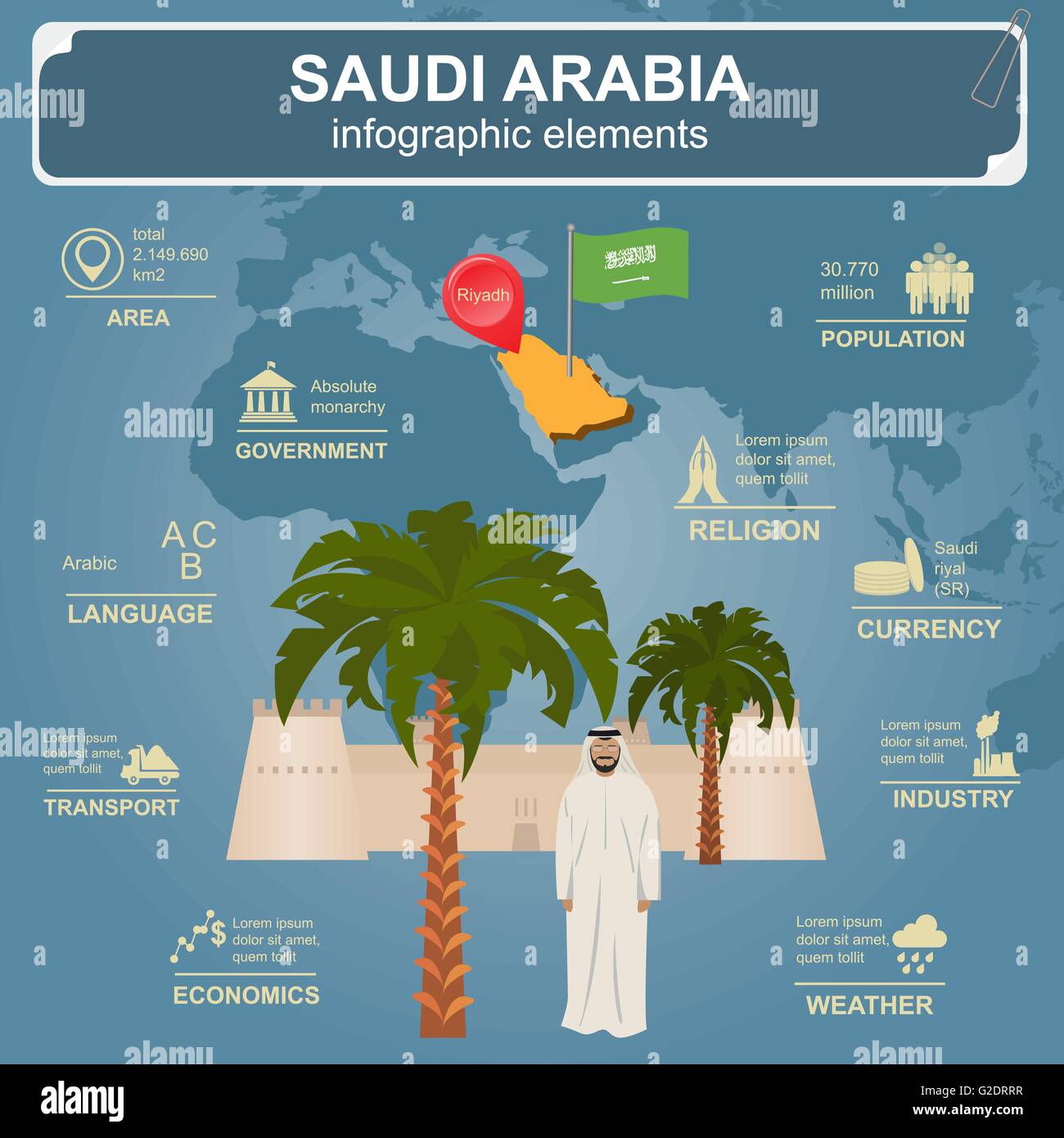 Saudi Arabia infographics, statistical data, sights. Vector illustration Stock Vectorhttps://www.alamy.com/image-license-details/?v=1https://www.alamy.com/stock-photo-saudi-arabia-infographics-statistical-data-sights-vector-illustration-104795595.html
RFG2DRRR–Saudi Arabia infographics, statistical data, sights. Vector illustration
 18th century Map of Arabia, the Red Sea and Persian Gulf Stock Photohttps://www.alamy.com/image-license-details/?v=1https://www.alamy.com/18th-century-map-of-arabia-the-red-sea-and-persian-gulf-image504914493.html
RM2M9CRGD–18th century Map of Arabia, the Red Sea and Persian Gulf
 Map of Northern Arabia from Pilgrimage to Nedjed, cradle of the Arab race by Lady Anna Blunt 1878-1879, Le Tour du Monde 1882 Stock Photohttps://www.alamy.com/image-license-details/?v=1https://www.alamy.com/map-of-northern-arabia-from-pilgrimage-to-nedjed-cradle-of-the-arab-race-by-lady-anna-blunt-1878-1879-le-tour-du-monde-1882-image467191040.html
RM2J42AX8–Map of Northern Arabia from Pilgrimage to Nedjed, cradle of the Arab race by Lady Anna Blunt 1878-1879, Le Tour du Monde 1882
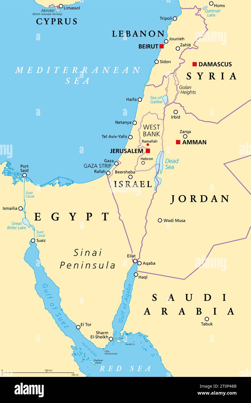 The Southern Levant, geographical and historical, encompassing Israel, Palestine, Jordan, Lebanon, southern Syria and the Sinai Peninsula. Stock Photohttps://www.alamy.com/image-license-details/?v=1https://www.alamy.com/the-southern-levant-geographical-and-historical-encompassing-israel-palestine-jordan-lebanon-southern-syria-and-the-sinai-peninsula-image568428459.html
RF2T0P48B–The Southern Levant, geographical and historical, encompassing Israel, Palestine, Jordan, Lebanon, southern Syria and the Sinai Peninsula.
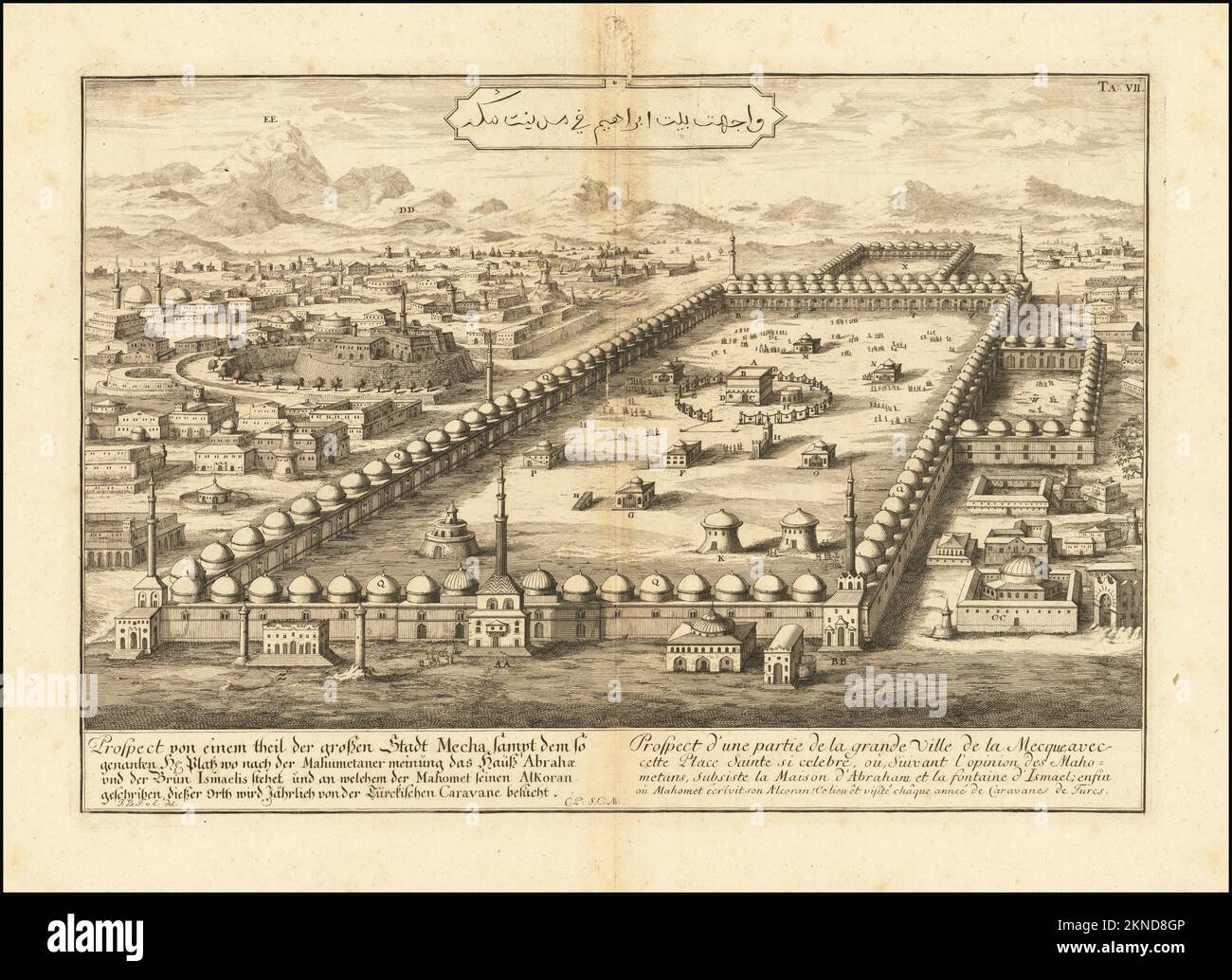 Vintage city plan of Mecca and area around it from 18th century. Maps are beautifully hand illustrated and engraved showing city at the time. Stock Photohttps://www.alamy.com/image-license-details/?v=1https://www.alamy.com/vintage-city-plan-of-mecca-and-area-around-it-from-18th-century-maps-are-beautifully-hand-illustrated-and-engraved-showing-city-at-the-time-image495090198.html
RF2KND8GP–Vintage city plan of Mecca and area around it from 18th century. Maps are beautifully hand illustrated and engraved showing city at the time.
 Map of the port of Jeddah in Saudi Arabia Roux Joseph 1804 Stock Photohttps://www.alamy.com/image-license-details/?v=1https://www.alamy.com/stock-photo-map-of-the-port-of-jeddah-in-saudi-arabia-roux-joseph-1804-132511165.html
RMHKGB9H–Map of the port of Jeddah in Saudi Arabia Roux Joseph 1804
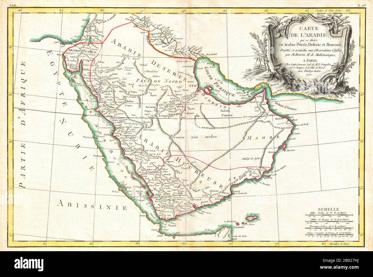 Rigobert Bonne's 1771 decorative map of the Arabian Peninsula. Covers from the Mediterranean to the Indian Ocean and from the Red Sea to the Persian Gulf. Includes the modern day nations of Saudi Arabia, Israel, Jordan, Kuwait, Iraq, Yemen, Oman, the United Arab Emirates, and Bahrain. It names Mt. Sinai, Mecca and Jerusalem as well as many other cities and desert oases and also notes numerous offshore shoals, reefs, and other dangers in the Red Sea and the Persian Gulf. There is a large decorative title cartouche in the upper right hand quadrant. Drawn by R. Bonne in 1771 for issue as plate n Stock Photohttps://www.alamy.com/image-license-details/?v=1https://www.alamy.com/rigobert-bonnes-1771-decorative-map-of-the-arabian-peninsula-covers-from-the-mediterranean-to-the-indian-ocean-and-from-the-red-sea-to-the-persian-gulf-includes-the-modern-day-nations-of-saudi-arabia-israel-jordan-kuwait-iraq-yemen-oman-the-united-arab-emirates-and-bahrain-it-names-mt-sinai-mecca-and-jerusalem-as-well-as-many-other-cities-and-desert-oases-and-also-notes-numerous-offshore-shoals-reefs-and-other-dangers-in-the-red-sea-and-the-persian-gulf-there-is-a-large-decorative-title-cartouche-in-the-upper-right-hand-quadrant-drawn-by-r-bonne-in-1771-for-issue-as-plate-n-image344257246.html
RM2B027HJ–Rigobert Bonne's 1771 decorative map of the Arabian Peninsula. Covers from the Mediterranean to the Indian Ocean and from the Red Sea to the Persian Gulf. Includes the modern day nations of Saudi Arabia, Israel, Jordan, Kuwait, Iraq, Yemen, Oman, the United Arab Emirates, and Bahrain. It names Mt. Sinai, Mecca and Jerusalem as well as many other cities and desert oases and also notes numerous offshore shoals, reefs, and other dangers in the Red Sea and the Persian Gulf. There is a large decorative title cartouche in the upper right hand quadrant. Drawn by R. Bonne in 1771 for issue as plate n
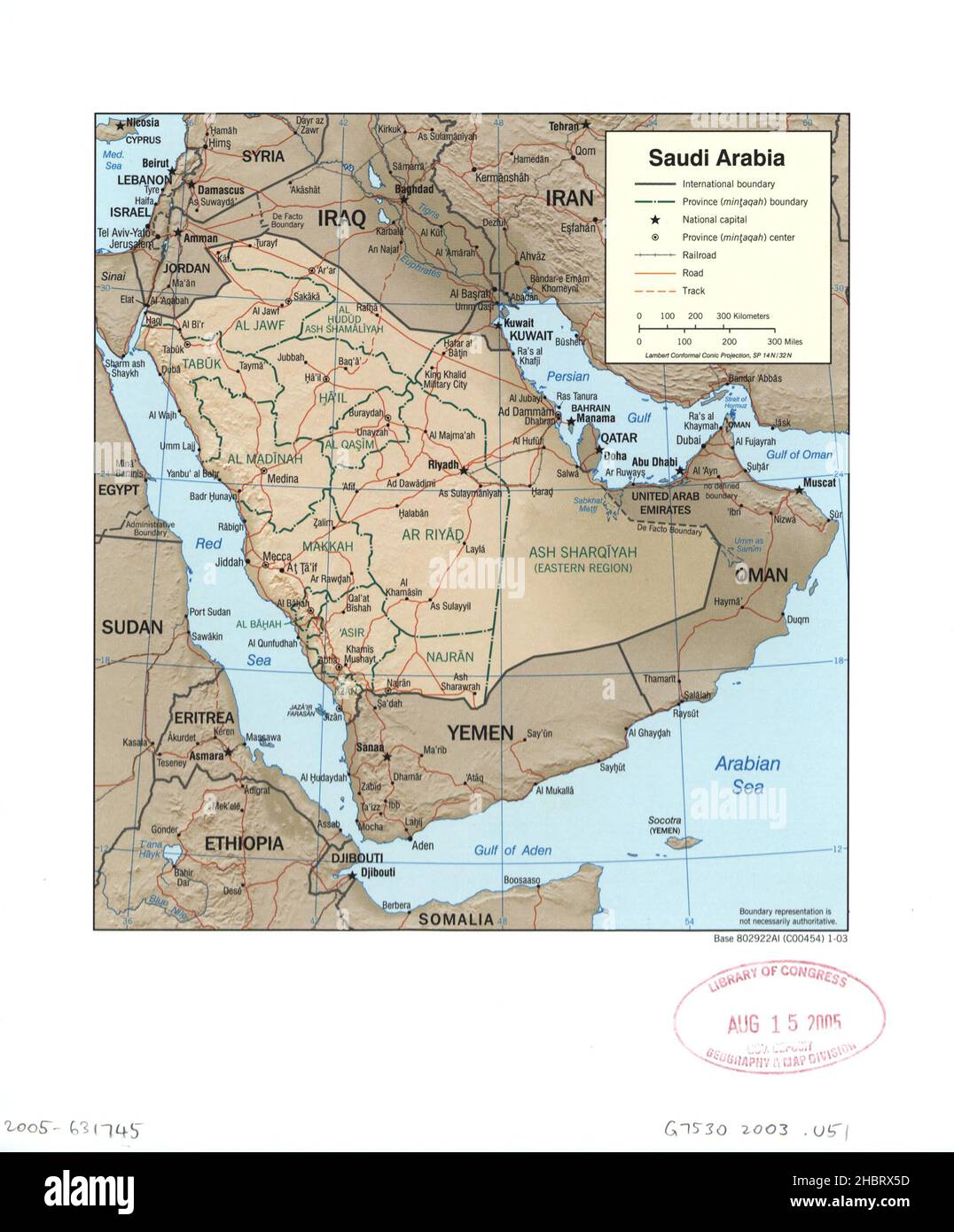 Map of Saudi Arabia ca. 2003 Stock Photohttps://www.alamy.com/image-license-details/?v=1https://www.alamy.com/map-of-saudi-arabia-ca-2003-image454756217.html
RM2HBRX5D–Map of Saudi Arabia ca. 2003
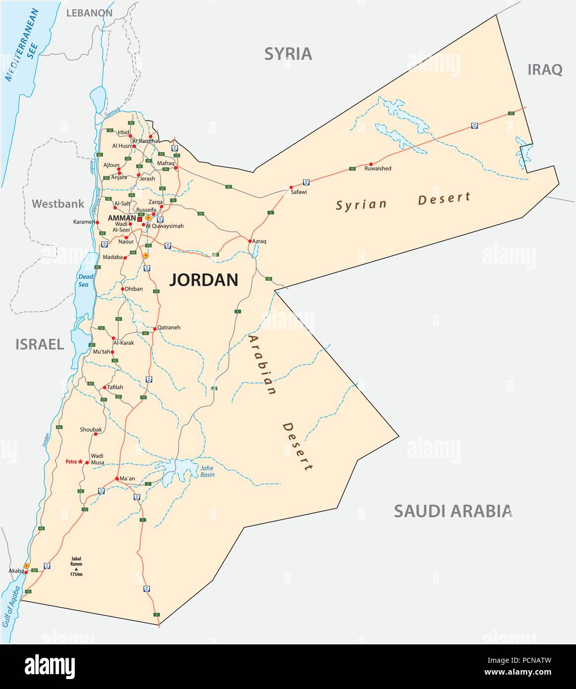 Kingdom of Jordan road vector map. Stock Vectorhttps://www.alamy.com/image-license-details/?v=1https://www.alamy.com/kingdom-of-jordan-road-vector-map-image214369817.html
RFPCNATW–Kingdom of Jordan road vector map.
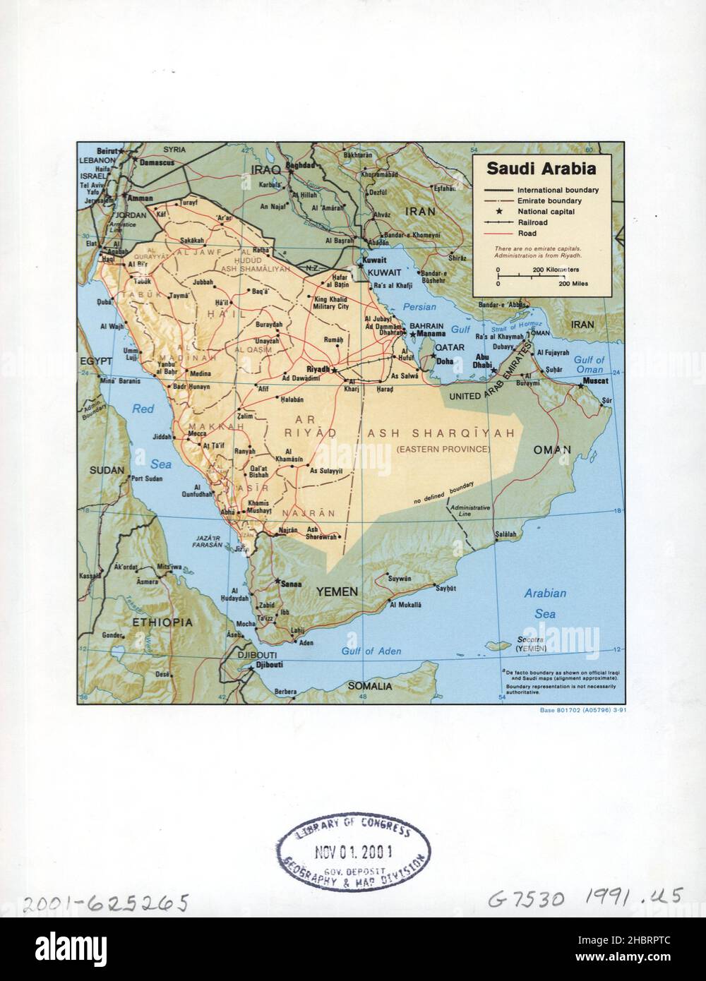 Map of Saudi Arabia ca. 1991 Stock Photohttps://www.alamy.com/image-license-details/?v=1https://www.alamy.com/map-of-saudi-arabia-ca-1991-image454753612.html
RM2HBRPTC–Map of Saudi Arabia ca. 1991
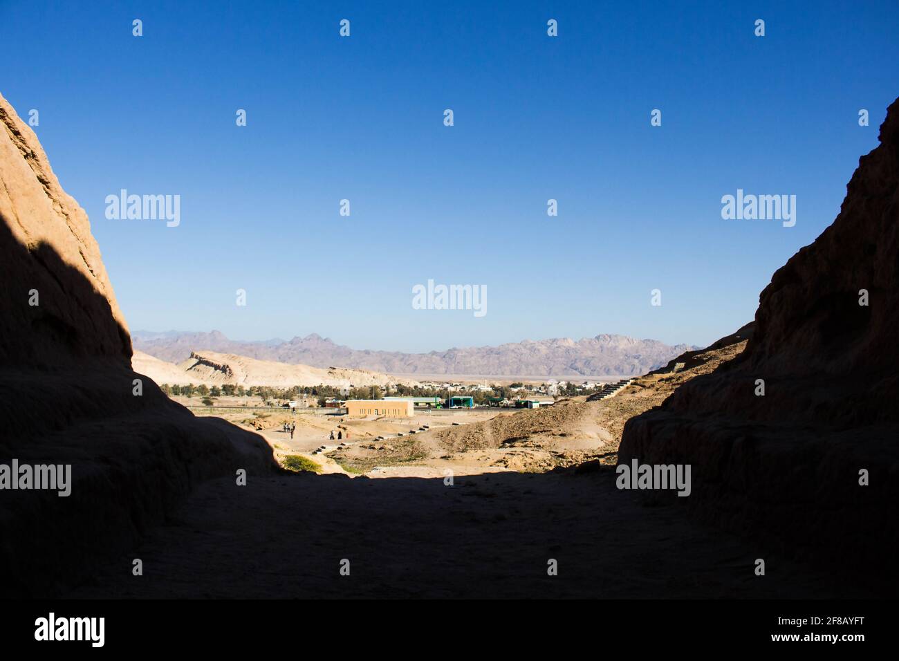 Madyan - city of Prophet Shoaib, Al-Bad, Northern Saudi Arabia. Stock Photohttps://www.alamy.com/image-license-details/?v=1https://www.alamy.com/madyan-city-of-prophet-shoaib-al-bad-northern-saudi-arabia-image418207212.html
RF2F8AYFT–Madyan - city of Prophet Shoaib, Al-Bad, Northern Saudi Arabia.
 Map of Saudi Arabia ca. 1986 Stock Photohttps://www.alamy.com/image-license-details/?v=1https://www.alamy.com/map-of-saudi-arabia-ca-1986-image454756193.html
RM2HBRX4H–Map of Saudi Arabia ca. 1986
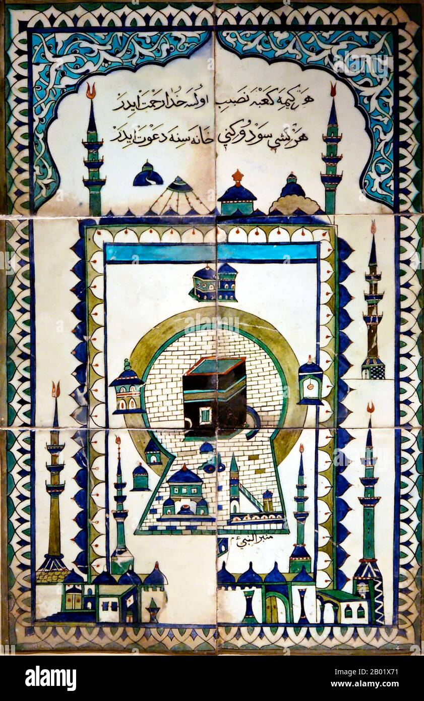 Turkey: Ceramic tile depicting the Ka'ba at the centre of the Masjid al-Haram in Mecca, 17th century. The Kaaba (or Qaaba, al-Kaʿbah; English: the Cube) is a cuboid-shaped building in Mecca, Saudi Arabia, and is the most sacred site in Islam. The Quran states that the Kaaba was constructed by Abraham (Ibrahim in Arabic), and his son Ishmael (Isma'il in Arabic), after the latter had settled in Arabia. The building has a mosque built around it, the Masjid al-Haram. All Muslims around the world face the Kaaba during prayers, no matter where they are. This is called facing the Qiblah. Stock Photohttps://www.alamy.com/image-license-details/?v=1https://www.alamy.com/turkey-ceramic-tile-depicting-the-kaba-at-the-centre-of-the-masjid-al-haram-in-mecca-17th-century-the-kaaba-or-qaaba-al-kabah-english-the-cube-is-a-cuboid-shaped-building-in-mecca-saudi-arabia-and-is-the-most-sacred-site-in-islam-the-quran-states-that-the-kaaba-was-constructed-by-abraham-ibrahim-in-arabic-and-his-son-ishmael-ismail-in-arabic-after-the-latter-had-settled-in-arabia-the-building-has-a-mosque-built-around-it-the-masjid-al-haram-all-muslims-around-the-world-face-the-kaaba-during-prayers-no-matter-where-they-are-this-is-called-facing-the-qiblah-image344249893.html
RM2B01X71–Turkey: Ceramic tile depicting the Ka'ba at the centre of the Masjid al-Haram in Mecca, 17th century. The Kaaba (or Qaaba, al-Kaʿbah; English: the Cube) is a cuboid-shaped building in Mecca, Saudi Arabia, and is the most sacred site in Islam. The Quran states that the Kaaba was constructed by Abraham (Ibrahim in Arabic), and his son Ishmael (Isma'il in Arabic), after the latter had settled in Arabia. The building has a mosque built around it, the Masjid al-Haram. All Muslims around the world face the Kaaba during prayers, no matter where they are. This is called facing the Qiblah.
 Map of Saudi Arabia ca. 1979 Stock Photohttps://www.alamy.com/image-license-details/?v=1https://www.alamy.com/map-of-saudi-arabia-ca-1979-image454757708.html
RM2HBT02M–Map of Saudi Arabia ca. 1979
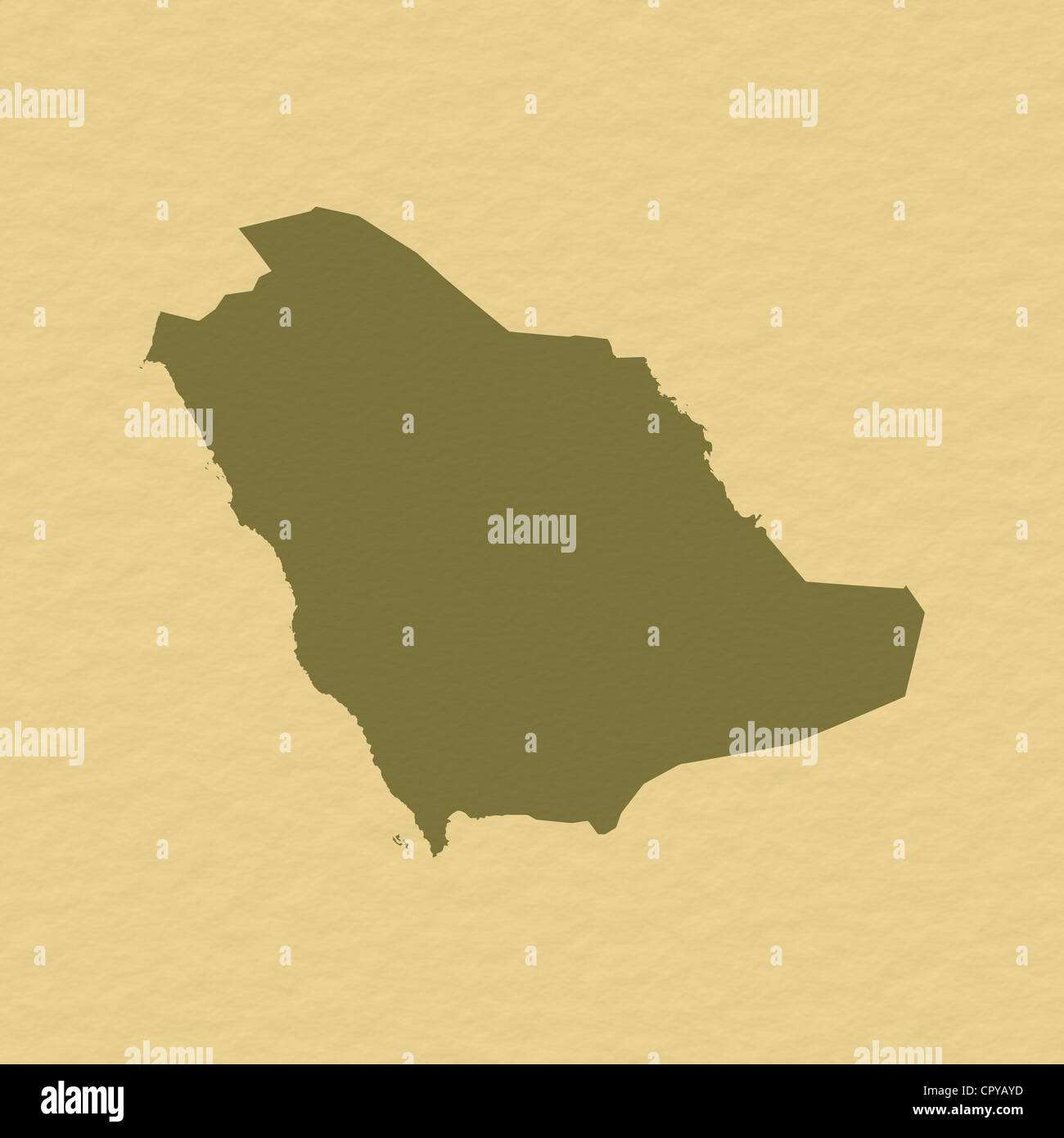 Political map of Saudi Arabia with the several provinces. Stock Photohttps://www.alamy.com/image-license-details/?v=1https://www.alamy.com/stock-photo-political-map-of-saudi-arabia-with-the-several-provinces-48544481.html
RFCPYAYD–Political map of Saudi Arabia with the several provinces.
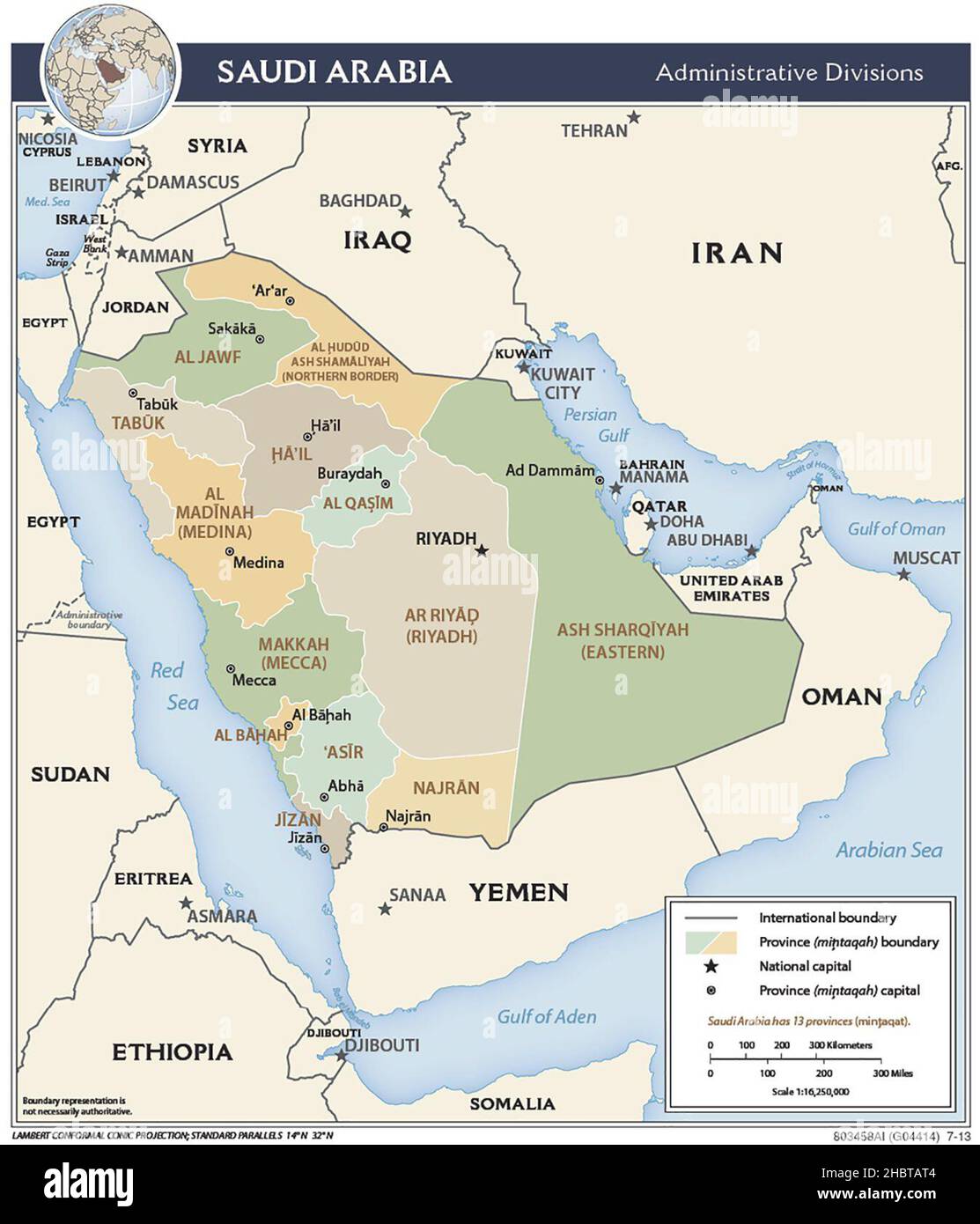 Map of administrative divisions of Saudi Arabia, 2013 Stock Photohttps://www.alamy.com/image-license-details/?v=1https://www.alamy.com/map-of-administrative-divisions-of-saudi-arabia-2013-image454766148.html
RM2HBTAT4–Map of administrative divisions of Saudi Arabia, 2013
 Traveling in the history is an important part of education Stock Photohttps://www.alamy.com/image-license-details/?v=1https://www.alamy.com/stock-photo-traveling-in-the-history-is-an-important-part-of-education-71475288.html
RFE47YCT–Traveling in the history is an important part of education
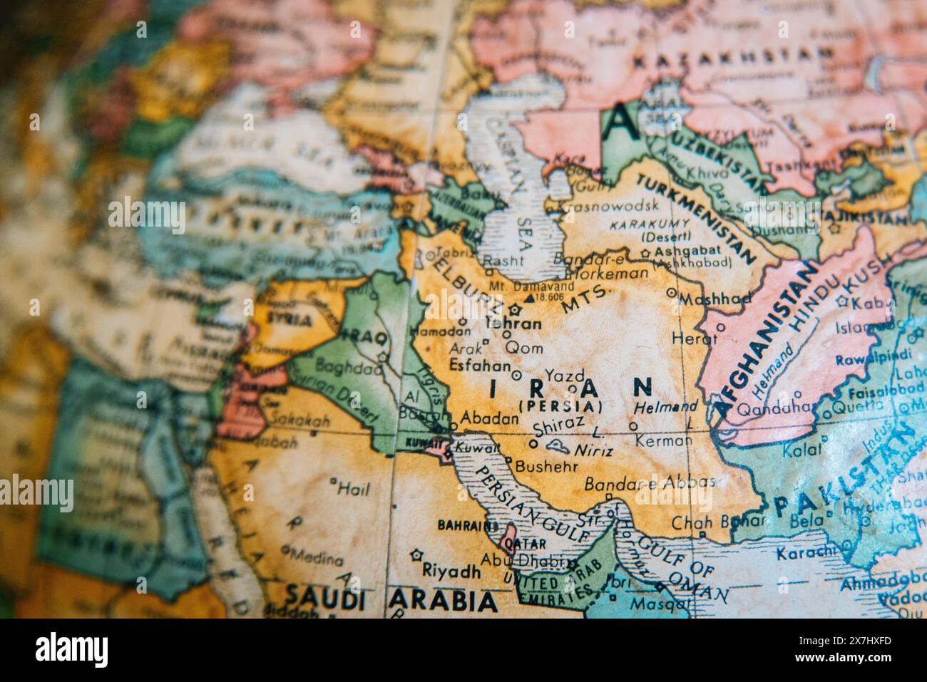 A detailed vintage globe map highlighting the Middle East, including Iran, Iraq, Afghanistan, and surrounding regions. Focussed on Iran. Stock Photohttps://www.alamy.com/image-license-details/?v=1https://www.alamy.com/a-detailed-vintage-globe-map-highlighting-the-middle-east-including-iran-iraq-afghanistan-and-surrounding-regions-focussed-on-iran-image607059473.html
RM2X7HXFD–A detailed vintage globe map highlighting the Middle East, including Iran, Iraq, Afghanistan, and surrounding regions. Focussed on Iran.
 map of africa Stock Photohttps://www.alamy.com/image-license-details/?v=1https://www.alamy.com/stock-photo-map-of-africa-20291336.html
RMB509PG–map of africa
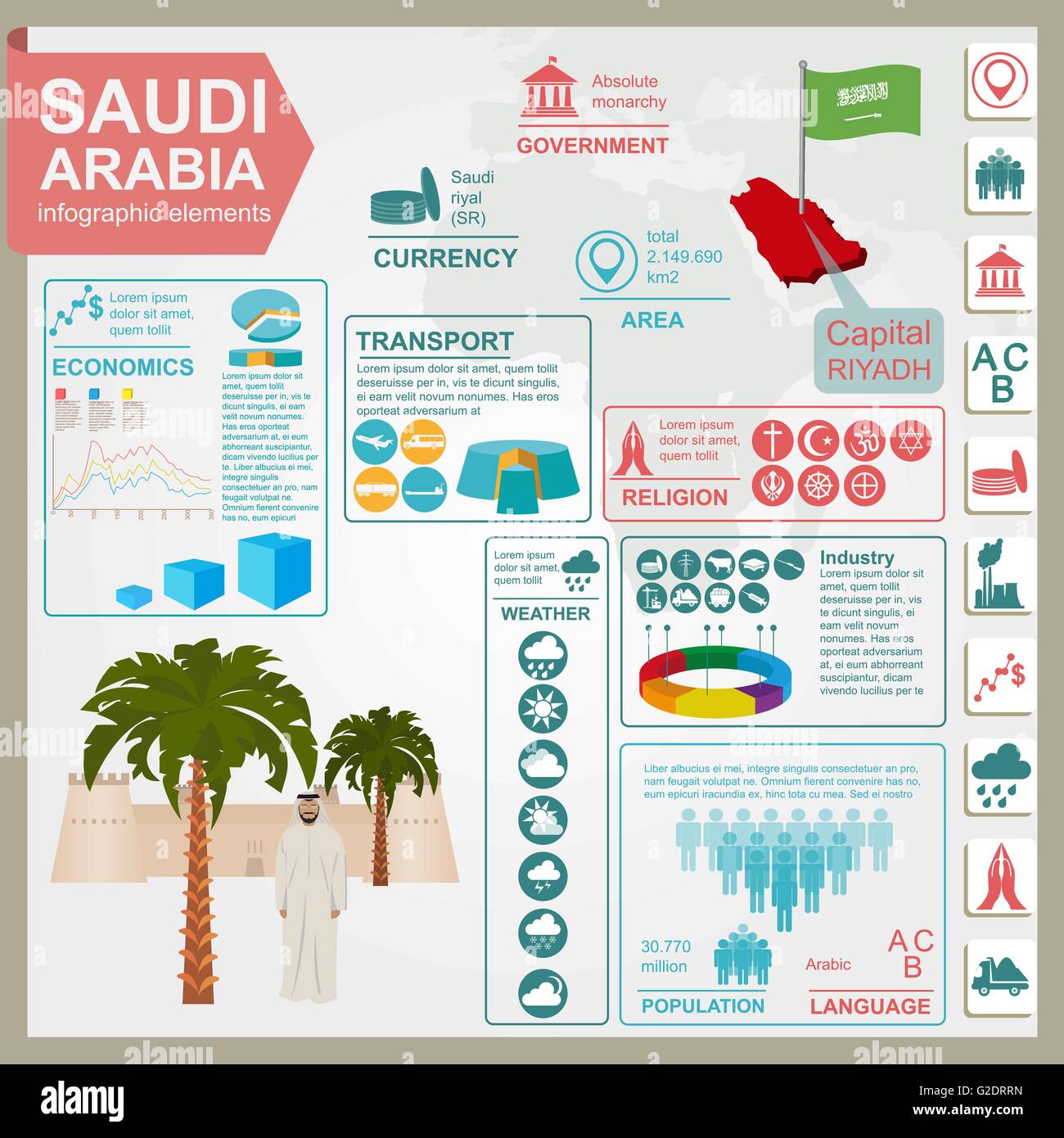 Saudi Arabia infographics, statistical data, sights. Vector illustration Stock Vectorhttps://www.alamy.com/image-license-details/?v=1https://www.alamy.com/stock-photo-saudi-arabia-infographics-statistical-data-sights-vector-illustration-104795593.html
RFG2DRRN–Saudi Arabia infographics, statistical data, sights. Vector illustration
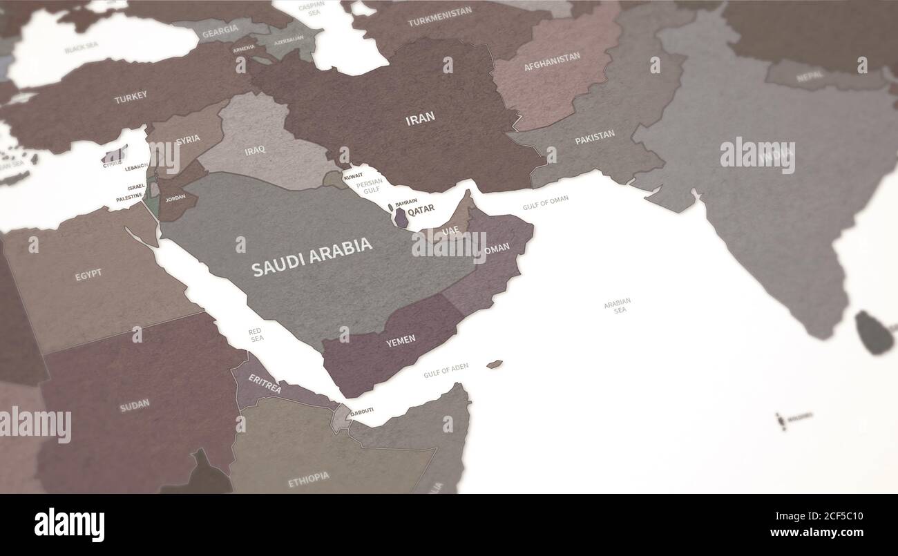 Middle East Countries Map. Continental Vintage Map 3d Rendering. Stock Photohttps://www.alamy.com/image-license-details/?v=1https://www.alamy.com/middle-east-countries-map-continental-vintage-map-3d-rendering-image370756764.html
RF2CF5C10–Middle East Countries Map. Continental Vintage Map 3d Rendering.
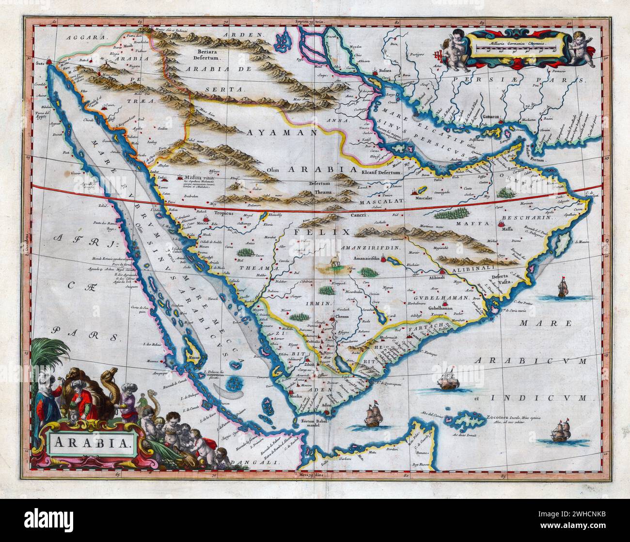 Map of Arabia Willem and Johannes Joan Blaeu, 17th century Stock Photohttps://www.alamy.com/image-license-details/?v=1https://www.alamy.com/map-of-arabia-willem-and-johannes-joan-blaeu-17th-century-image595882095.html
RM2WHCNKB–Map of Arabia Willem and Johannes Joan Blaeu, 17th century
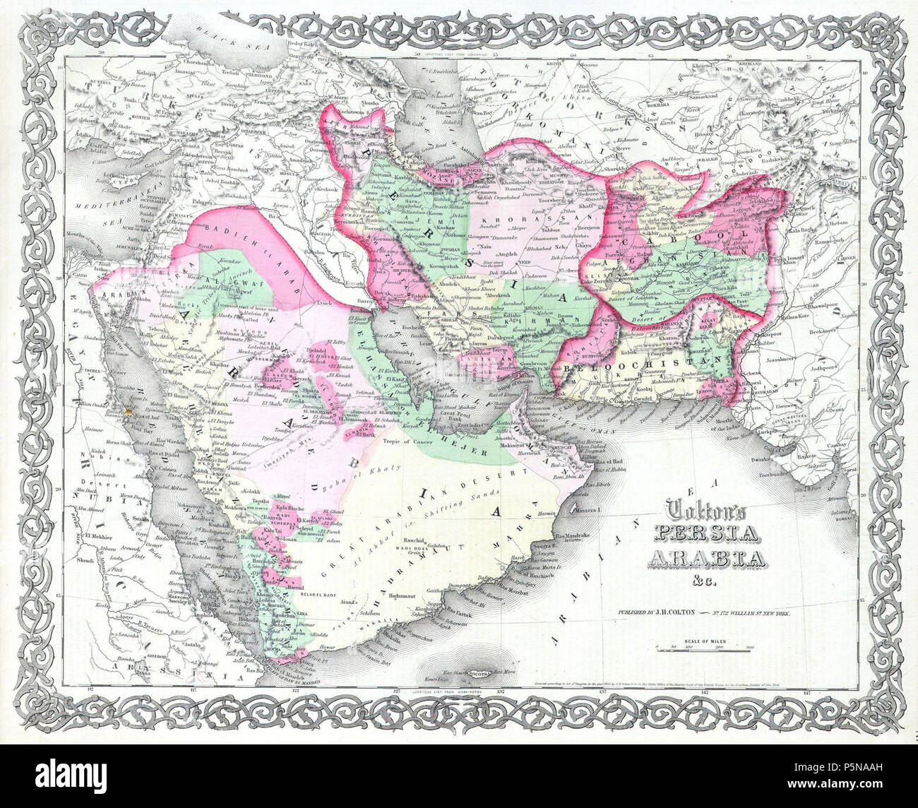 1855 Colton map of Persia ^ Arabia ( Saudi Arabia, Iraq, Israel and Afghanistan ) - Geographicus - PersiaArabia-c-55. Stock Photohttps://www.alamy.com/image-license-details/?v=1https://www.alamy.com/1855-colton-map-of-persia-arabia-saudi-arabia-iraq-israel-and-afghanistan-geographicus-persiaarabia-c-55-image210066825.html
RMP5NAAH–1855 Colton map of Persia ^ Arabia ( Saudi Arabia, Iraq, Israel and Afghanistan ) - Geographicus - PersiaArabia-c-55.
 Beautiful vintage hand drawn Colton's map of Saudi Arabia from 1860 with beautiful colorful maps and illustrations of countries, regions and oceans. Stock Photohttps://www.alamy.com/image-license-details/?v=1https://www.alamy.com/beautiful-vintage-hand-drawn-coltons-map-of-saudi-arabia-from-1860-with-beautiful-colorful-maps-and-illustrations-of-countries-regions-and-oceans-image418924190.html
RF2F9FJ26–Beautiful vintage hand drawn Colton's map of Saudi Arabia from 1860 with beautiful colorful maps and illustrations of countries, regions and oceans.
 An old 19th century map engraved printed in England in 1845 depicting Egypt (Jerusalem in north down to border Nubia in south. Stock Photohttps://www.alamy.com/image-license-details/?v=1https://www.alamy.com/stock-photo-an-old-19th-century-map-engraved-printed-in-england-in-1845-depicting-56224029.html
RFD7D691–An old 19th century map engraved printed in England in 1845 depicting Egypt (Jerusalem in north down to border Nubia in south.
RME9DCMH–Engraved illustration of a Map of Asia from Iconographic Encyclopedia of Science, Literature and Art, Published in 1851
 The towers of the fortress in the dark sky. Stock Photohttps://www.alamy.com/image-license-details/?v=1https://www.alamy.com/the-towers-of-the-fortress-in-the-dark-sky-image478223100.html
RF2JP0XCC–The towers of the fortress in the dark sky.
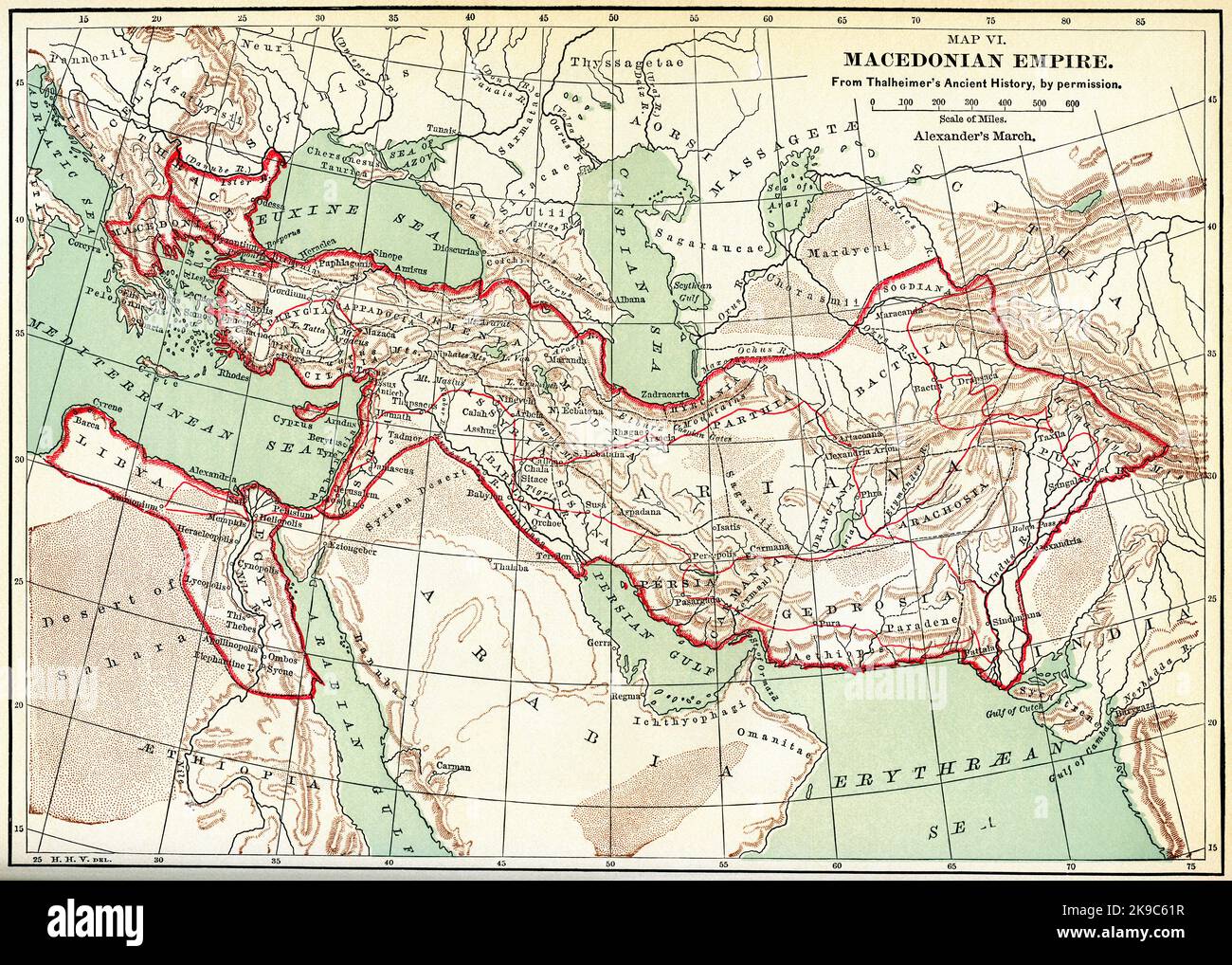 Map VI. Macedonian Empire, Illustration, Ridpath's History of the World, Volume I, by John Clark Ridpath, LL. D., Merrill & Baker Publishers, New York, 1894 Stock Photohttps://www.alamy.com/image-license-details/?v=1https://www.alamy.com/map-vi-macedonian-empire-illustration-ridpaths-history-of-the-world-volume-i-by-john-clark-ridpath-ll-d-merrill-baker-publishers-new-york-1894-image487690387.html
RM2K9C61R–Map VI. Macedonian Empire, Illustration, Ridpath's History of the World, Volume I, by John Clark Ridpath, LL. D., Merrill & Baker Publishers, New York, 1894
 Constitution of Saudi Arabia concept, 3D rendering Stock Photohttps://www.alamy.com/image-license-details/?v=1https://www.alamy.com/stock-photo-constitution-of-saudi-arabia-concept-3d-rendering-175616805.html
RFM5M10N–Constitution of Saudi Arabia concept, 3D rendering
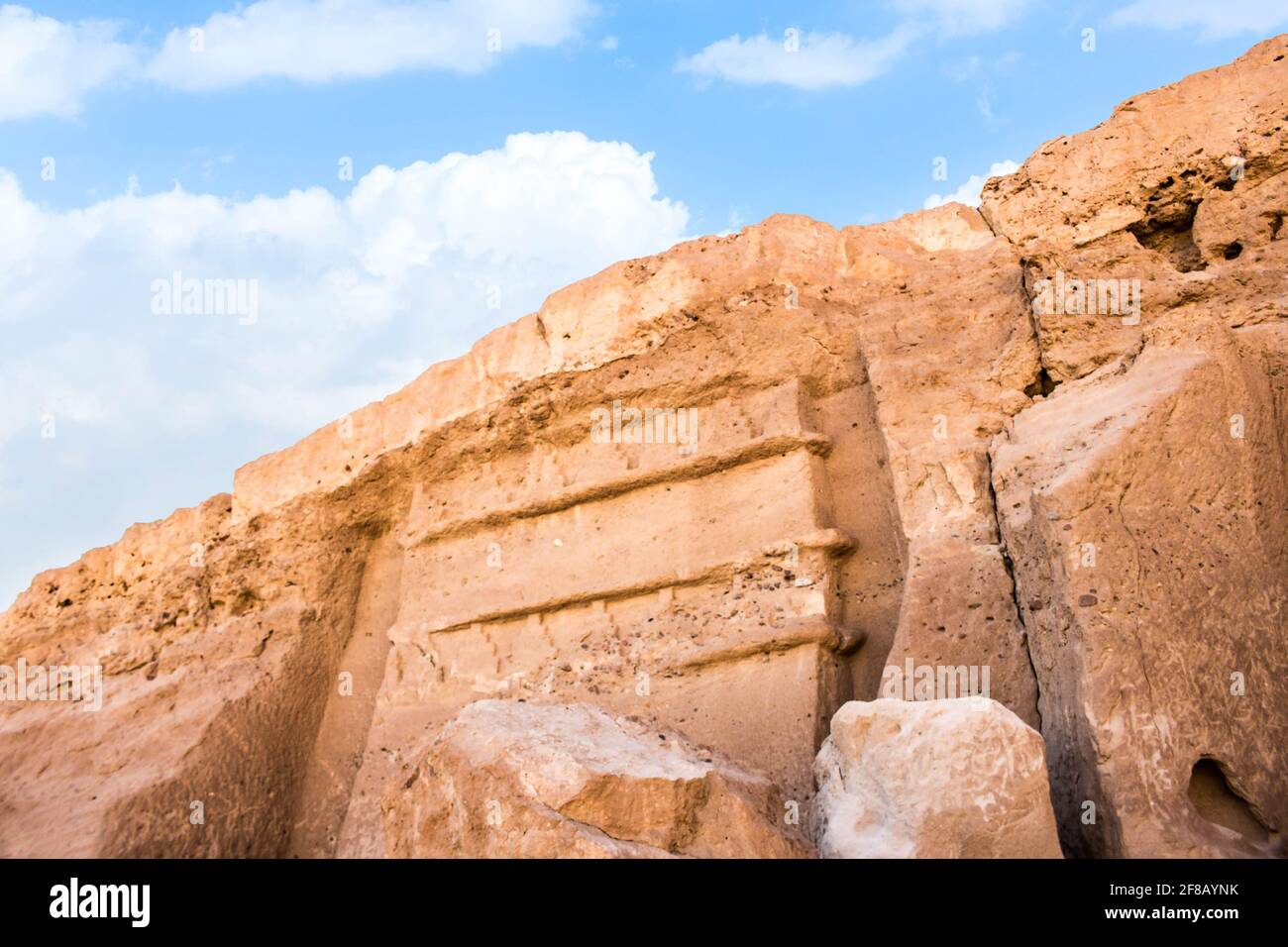 Madyan - city of Prophet Shoaib, Al-Bad, Northern Saudi Arabia. Stock Photohttps://www.alamy.com/image-license-details/?v=1https://www.alamy.com/madyan-city-of-prophet-shoaib-al-bad-northern-saudi-arabia-image418207375.html
RF2F8AYNK–Madyan - city of Prophet Shoaib, Al-Bad, Northern Saudi Arabia.
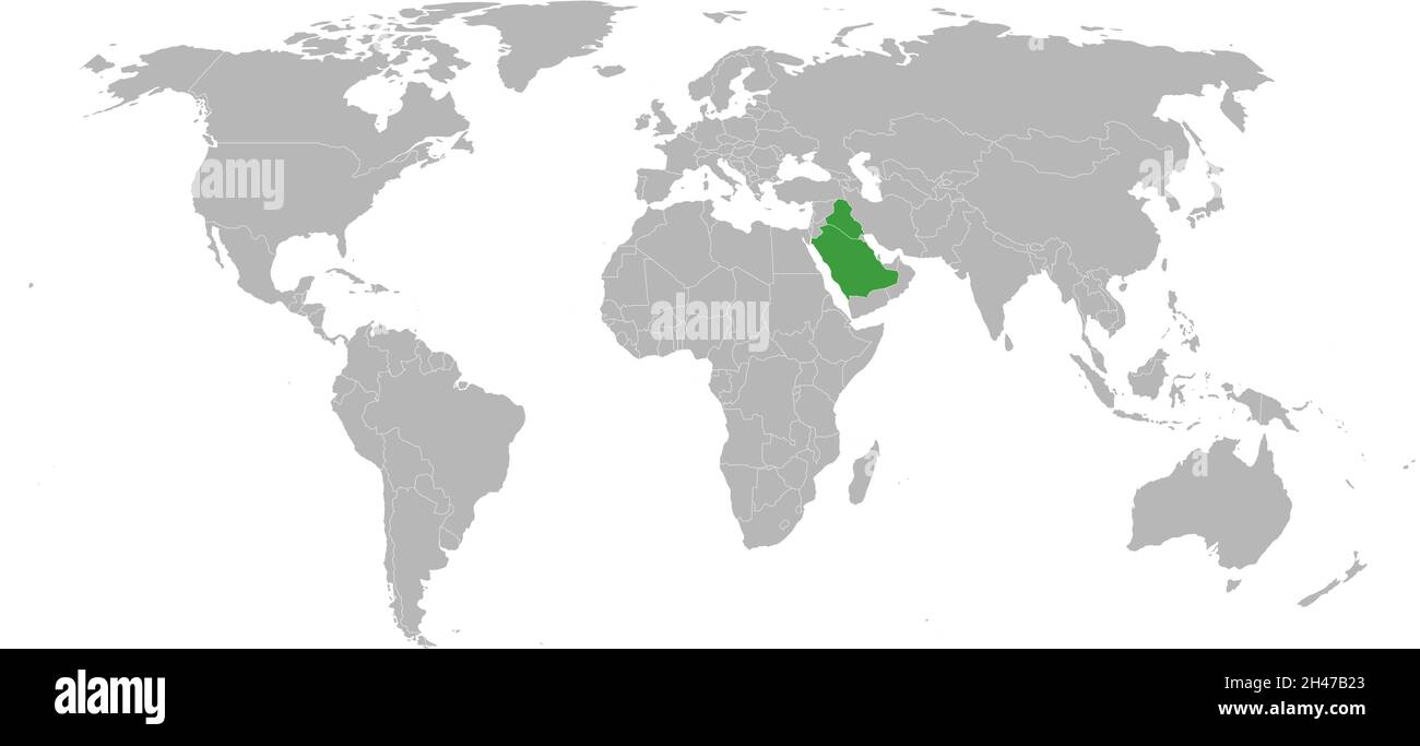 Iraq, saudi arabia highlighted green on world map. Chart background and wallpaper. Stock Vectorhttps://www.alamy.com/image-license-details/?v=1https://www.alamy.com/iraq-saudi-arabia-highlighted-green-on-world-map-chart-background-and-wallpaper-image450090539.html
RF2H47B23–Iraq, saudi arabia highlighted green on world map. Chart background and wallpaper.
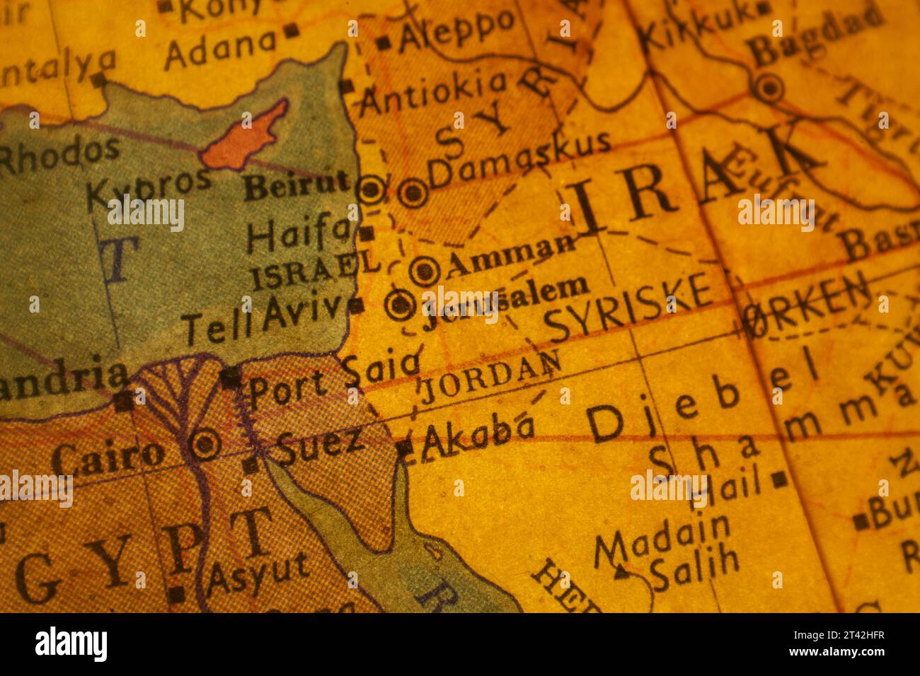 An antique yellow world map featuring Iraq and several surrounding countries Stock Photohttps://www.alamy.com/image-license-details/?v=1https://www.alamy.com/an-antique-yellow-world-map-featuring-iraq-and-several-surrounding-countries-image570458443.html
RF2T42HFR–An antique yellow world map featuring Iraq and several surrounding countries
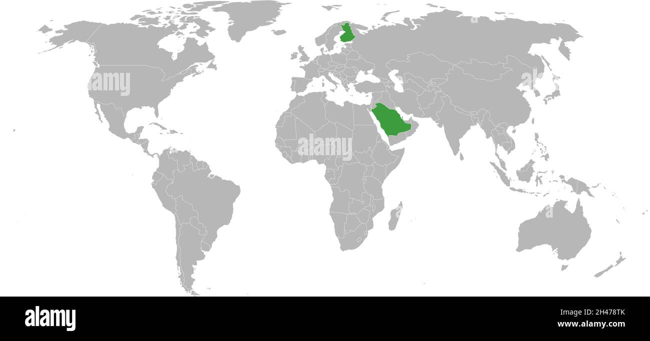 Finland, saudi arabia highlighted green on world map. Business charts and backgrounds. Stock Vectorhttps://www.alamy.com/image-license-details/?v=1https://www.alamy.com/finland-saudi-arabia-highlighted-green-on-world-map-business-charts-and-backgrounds-image450088819.html
RF2H478TK–Finland, saudi arabia highlighted green on world map. Business charts and backgrounds.
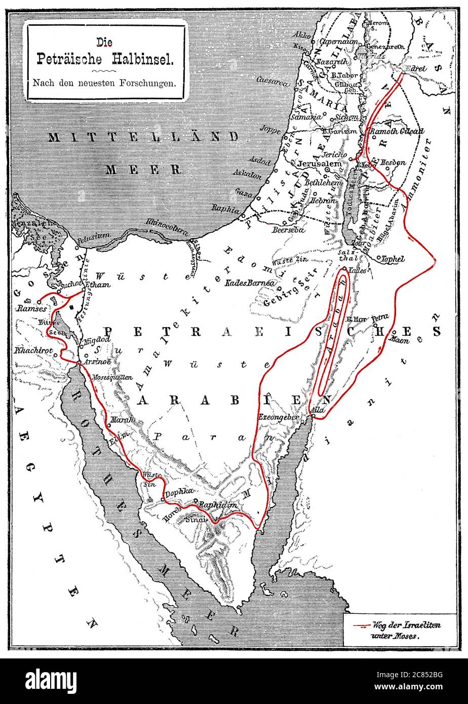 Map of the Arabian Peninsula, 19th century, journey of Moses to the Promised Land Stock Photohttps://www.alamy.com/image-license-details/?v=1https://www.alamy.com/map-of-the-arabian-peninsula-19th-century-journey-of-moses-to-the-promised-land-image366446628.html
RM2C852BG–Map of the Arabian Peninsula, 19th century, journey of Moses to the Promised Land
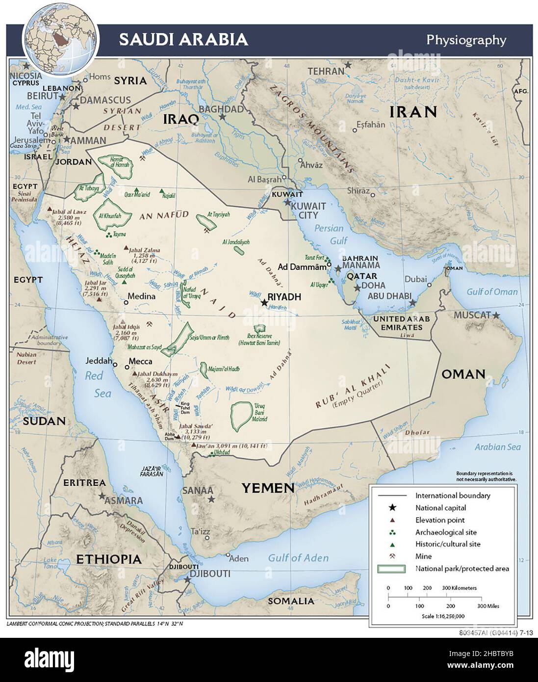 Topographic map of Saudi Arabia (shaded relief), 2013 Stock Photohttps://www.alamy.com/image-license-details/?v=1https://www.alamy.com/topographic-map-of-saudi-arabia-shaded-relief-2013-image454767023.html
RM2HBTBYB–Topographic map of Saudi Arabia (shaded relief), 2013
 Traveling in the history is an important part of education Stock Photohttps://www.alamy.com/image-license-details/?v=1https://www.alamy.com/stock-photo-traveling-in-the-history-is-an-important-part-of-education-71475173.html
RFE47Y8N–Traveling in the history is an important part of education
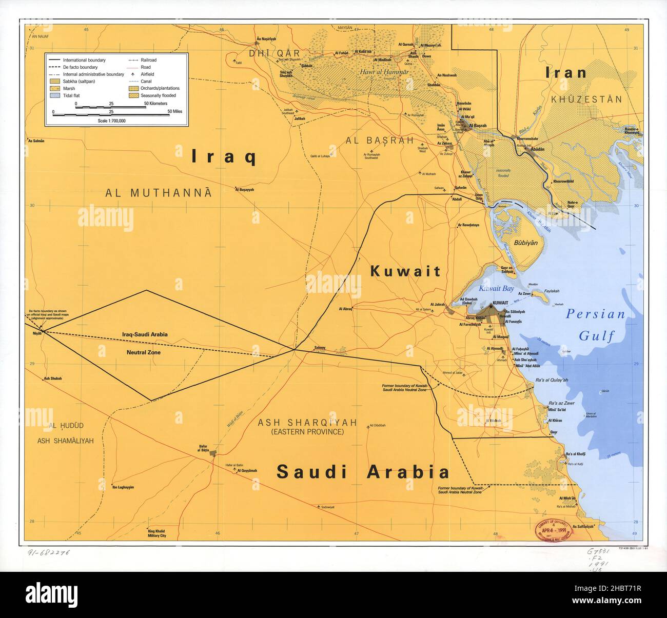 Map showing neutral zones between Saudi Arabia and Iraq and between Saudi Arabia and Kuwait ca. 1991 Stock Photohttps://www.alamy.com/image-license-details/?v=1https://www.alamy.com/map-showing-neutral-zones-between-saudi-arabia-and-iraq-and-between-saudi-arabia-and-kuwait-ca-1991-image454763171.html
RM2HBT71R–Map showing neutral zones between Saudi Arabia and Iraq and between Saudi Arabia and Kuwait ca. 1991
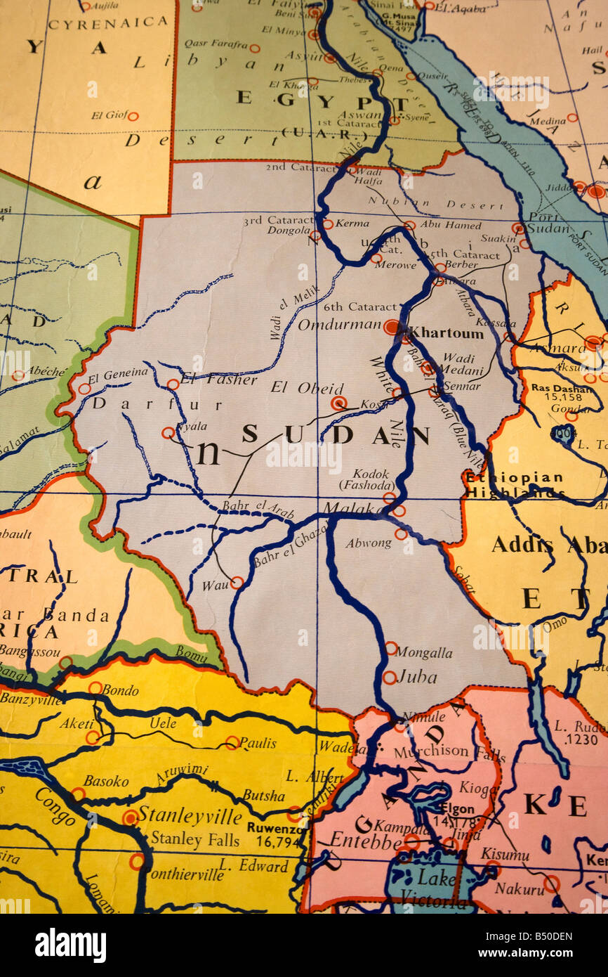 map of africa Stock Photohttps://www.alamy.com/image-license-details/?v=1https://www.alamy.com/stock-photo-map-of-africa-20294253.html
RMB50DEN–map of africa
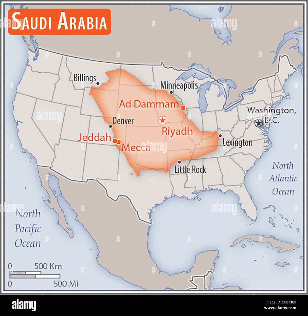 Map of Saudi Arabia. Comparison of the areas of two countries. The area of Saudi Arabia with biggest cities (red) overlay the area of the United States of America (gray background). ca. 17 February 2014 Stock Photohttps://www.alamy.com/image-license-details/?v=1https://www.alamy.com/map-of-saudi-arabia-comparison-of-the-areas-of-two-countries-the-area-of-saudi-arabia-with-biggest-cities-red-overlay-the-area-of-the-united-states-of-america-gray-background-ca-17-february-2014-image454760314.html
RM2HBT3BP–Map of Saudi Arabia. Comparison of the areas of two countries. The area of Saudi Arabia with biggest cities (red) overlay the area of the United States of America (gray background). ca. 17 February 2014
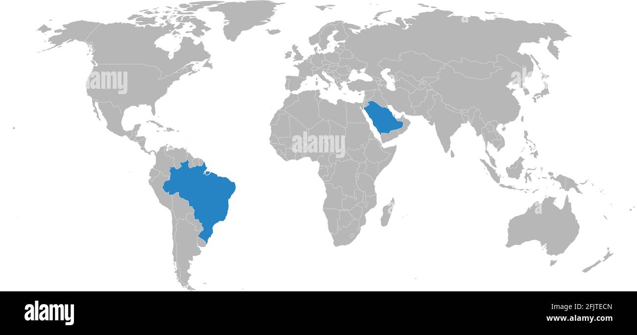 Brazil, Saudi Arabia countries isolated on world map. Business concepts and Wallpapers. Stock Vectorhttps://www.alamy.com/image-license-details/?v=1https://www.alamy.com/brazil-saudi-arabia-countries-isolated-on-world-map-business-concepts-and-wallpapers-image424650821.html
RF2FJTECN–Brazil, Saudi Arabia countries isolated on world map. Business concepts and Wallpapers.
 Map of the Middle East - Shows countries west of Persian Gulf, Kuwait and its surrounding countries, portions of Iraq, Iran, and Saudi Arabia. Also shows de facto boundaries ca. 1991 Stock Photohttps://www.alamy.com/image-license-details/?v=1https://www.alamy.com/map-of-the-middle-east-shows-countries-west-of-persian-gulf-kuwait-and-its-surrounding-countries-portions-of-iraq-iran-and-saudi-arabia-also-shows-de-facto-boundaries-ca-1991-image454761567.html
RM2HBT50F–Map of the Middle East - Shows countries west of Persian Gulf, Kuwait and its surrounding countries, portions of Iraq, Iran, and Saudi Arabia. Also shows de facto boundaries ca. 1991
 Map of Arabia Willem and Johannes Joan Blaeu, ca 1660 Stock Photohttps://www.alamy.com/image-license-details/?v=1https://www.alamy.com/map-of-arabia-willem-and-johannes-joan-blaeu-ca-1660-image595921911.html
RM2WHEGDB–Map of Arabia Willem and Johannes Joan Blaeu, ca 1660
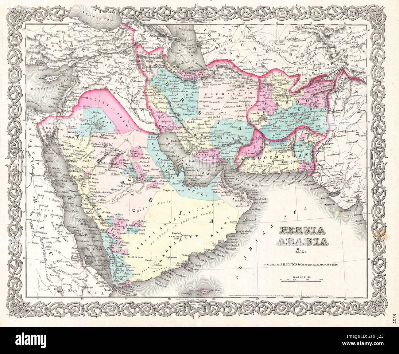 Beautiful vintage hand drawn Colton's map of Persia from 1860 with beautiful colorful maps and illustrations of countries, regions and oceans. Stock Photohttps://www.alamy.com/image-license-details/?v=1https://www.alamy.com/beautiful-vintage-hand-drawn-coltons-map-of-persia-from-1860-with-beautiful-colorful-maps-and-illustrations-of-countries-regions-and-oceans-image418924187.html
RF2F9FJ23–Beautiful vintage hand drawn Colton's map of Persia from 1860 with beautiful colorful maps and illustrations of countries, regions and oceans.
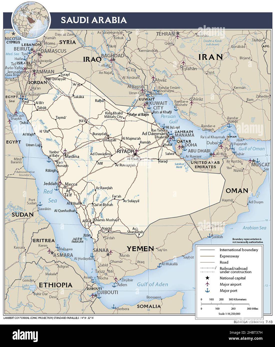 Transport system in Saudi Arabia, 2013 Stock Photohttps://www.alamy.com/image-license-details/?v=1https://www.alamy.com/transport-system-in-saudi-arabia-2013-image454760197.html
RM2HBT37H–Transport system in Saudi Arabia, 2013
 Vintage copper engraved map of Middle East from 18th century. All maps are beautifully colored and illustrated showing the world at the time. Stock Photohttps://www.alamy.com/image-license-details/?v=1https://www.alamy.com/vintage-copper-engraved-map-of-middle-east-from-18th-century-all-maps-are-beautifully-colored-and-illustrated-showing-the-world-at-the-time-image425455245.html
RF2FM54E5–Vintage copper engraved map of Middle East from 18th century. All maps are beautifully colored and illustrated showing the world at the time.
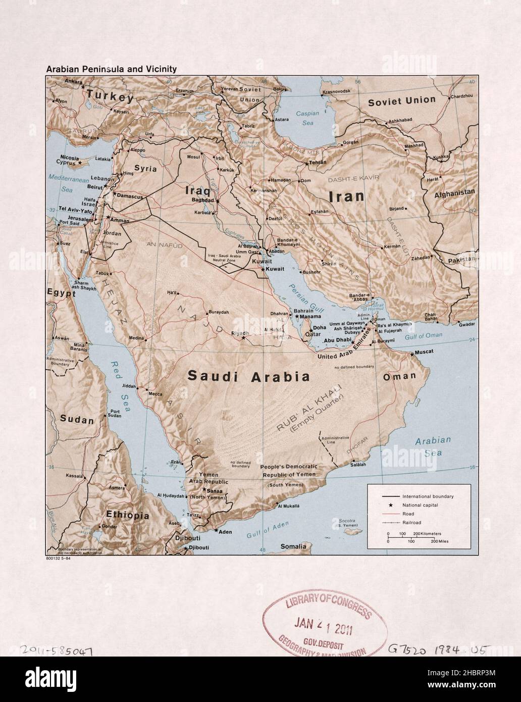 Arabian Peninsula and vicinity map ca. 1984 Stock Photohttps://www.alamy.com/image-license-details/?v=1https://www.alamy.com/arabian-peninsula-and-vicinity-map-ca-1984-image454753032.html
RM2HBRP3M–Arabian Peninsula and vicinity map ca. 1984
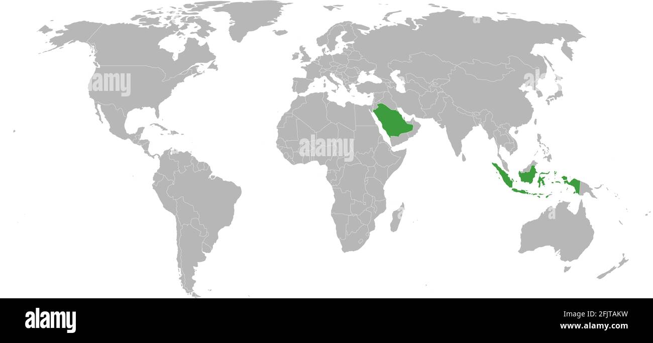 Indonesia, Saudi Arabia countries isolated on world map.Geographical maps and chart backgrounds. Stock Vectorhttps://www.alamy.com/image-license-details/?v=1https://www.alamy.com/indonesia-saudi-arabia-countries-isolated-on-world-mapgeographical-maps-and-chart-backgrounds-image424647885.html
RF2FJTAKW–Indonesia, Saudi Arabia countries isolated on world map.Geographical maps and chart backgrounds.
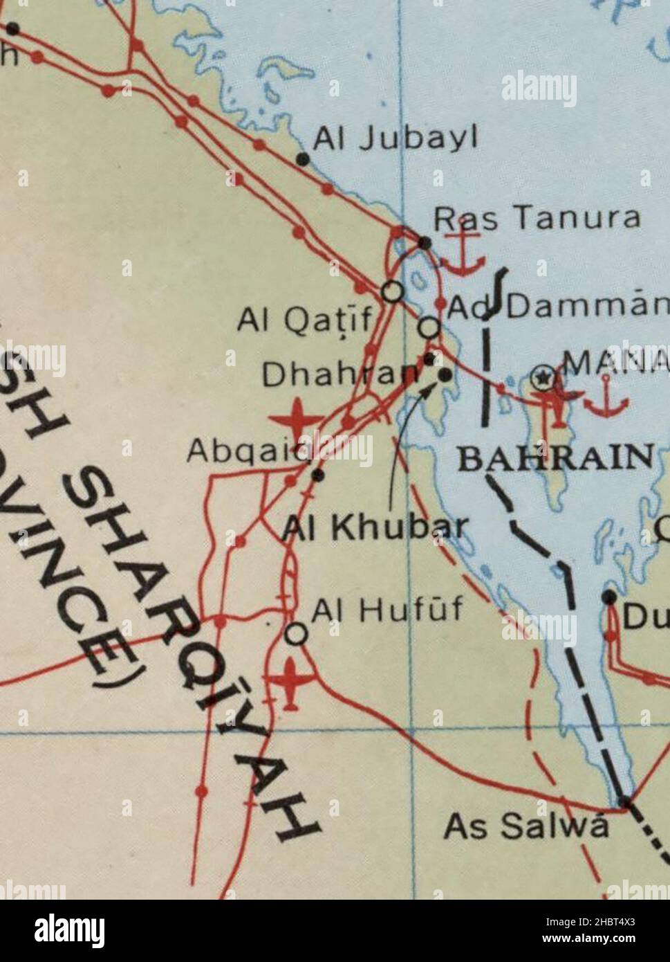 1960s Map of Arabian Peninsula ca. 1969 Stock Photohttps://www.alamy.com/image-license-details/?v=1https://www.alamy.com/1960s-map-of-arabian-peninsula-ca-1969-image454761499.html
RM2HBT4X3–1960s Map of Arabian Peninsula ca. 1969
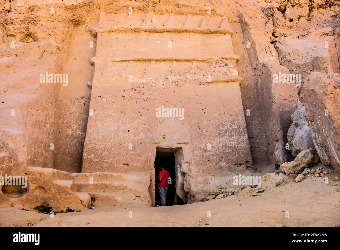 Madyan - city of Prophet Shoaib, Al-Bad, Northern Saudi Arabia. Stock Photohttps://www.alamy.com/image-license-details/?v=1https://www.alamy.com/madyan-city-of-prophet-shoaib-al-bad-northern-saudi-arabia-image418207336.html
RF2F8AYM8–Madyan - city of Prophet Shoaib, Al-Bad, Northern Saudi Arabia.
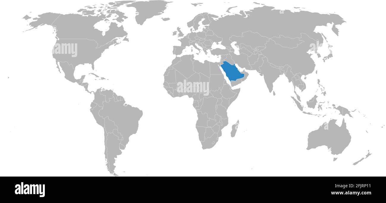 Saudi arabia, Kuwait Islamic countries isolated on world map. Business concepts and Geographical map backgrounds. Stock Vectorhttps://www.alamy.com/image-license-details/?v=1https://www.alamy.com/saudi-arabia-kuwait-islamic-countries-isolated-on-world-map-business-concepts-and-geographical-map-backgrounds-image424634813.html
RF2FJRP11–Saudi arabia, Kuwait Islamic countries isolated on world map. Business concepts and Geographical map backgrounds.
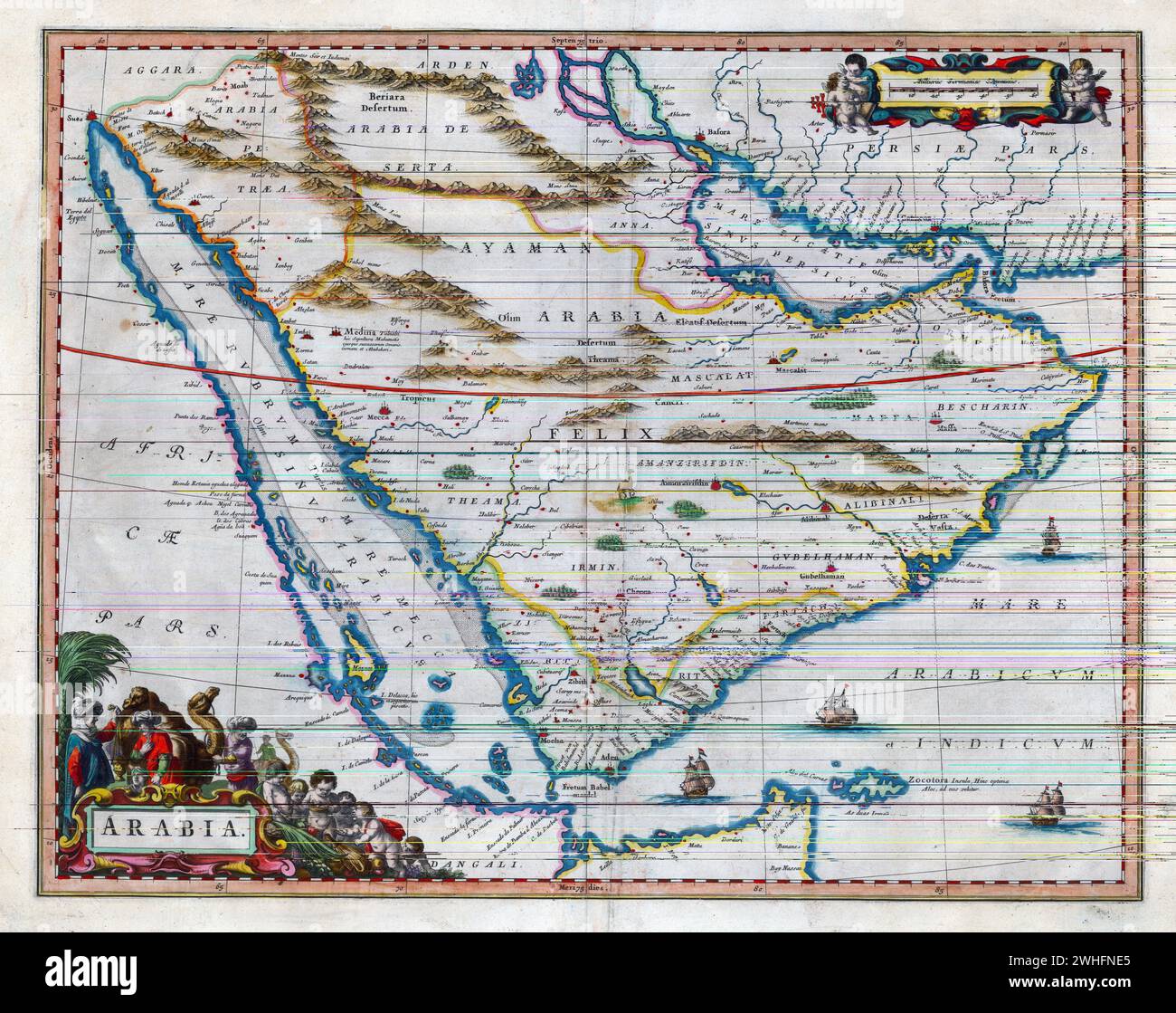 Map of Arabia Willem and Johannes Joan Blaeu, 17th century *** Map of Arabia Willem and Johannes Joan Blaeu, 17th century Stock Photohttps://www.alamy.com/image-license-details/?v=1https://www.alamy.com/map-of-arabia-willem-and-johannes-joan-blaeu-17th-century-map-of-arabia-willem-and-johannes-joan-blaeu-17th-century-image595947805.html
RM2WHFNE5–Map of Arabia Willem and Johannes Joan Blaeu, 17th century *** Map of Arabia Willem and Johannes Joan Blaeu, 17th century
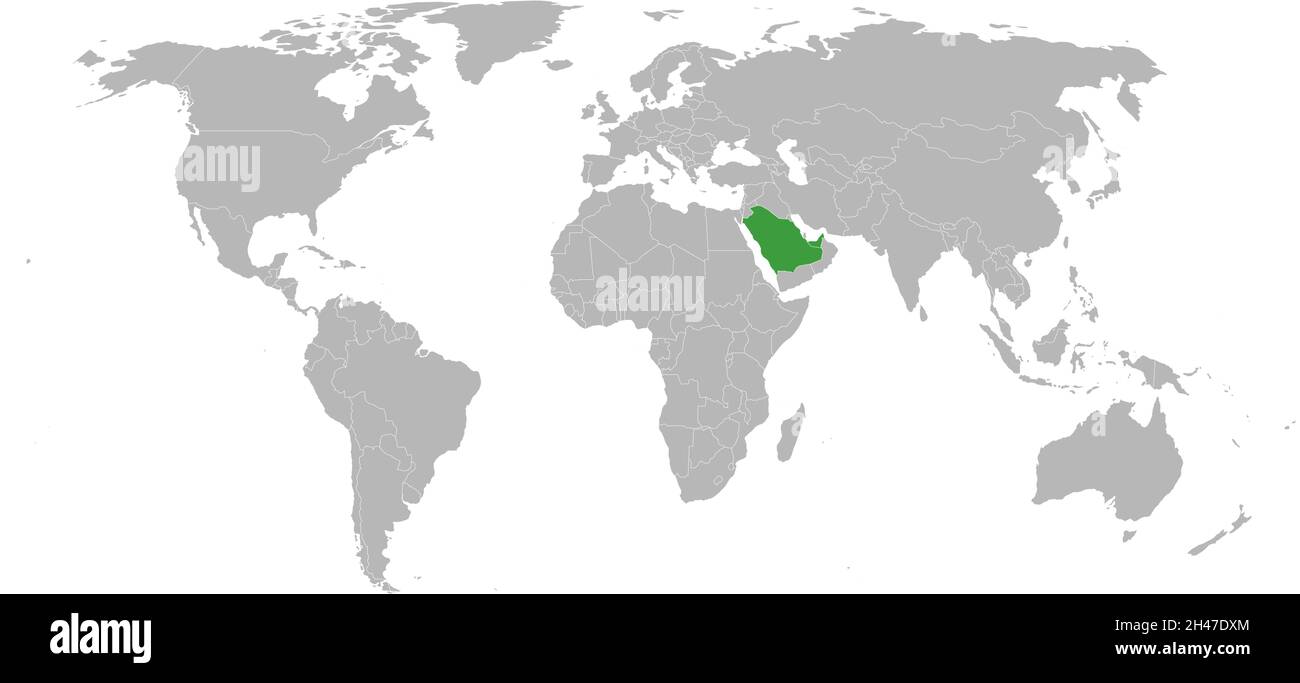 United arab emirates, saudi arabia highlighted green on world map. Persian gulf map backgrounds. Stock Vectorhttps://www.alamy.com/image-license-details/?v=1https://www.alamy.com/united-arab-emirates-saudi-arabia-highlighted-green-on-world-map-persian-gulf-map-backgrounds-image450092796.html
RF2H47DXM–United arab emirates, saudi arabia highlighted green on world map. Persian gulf map backgrounds.
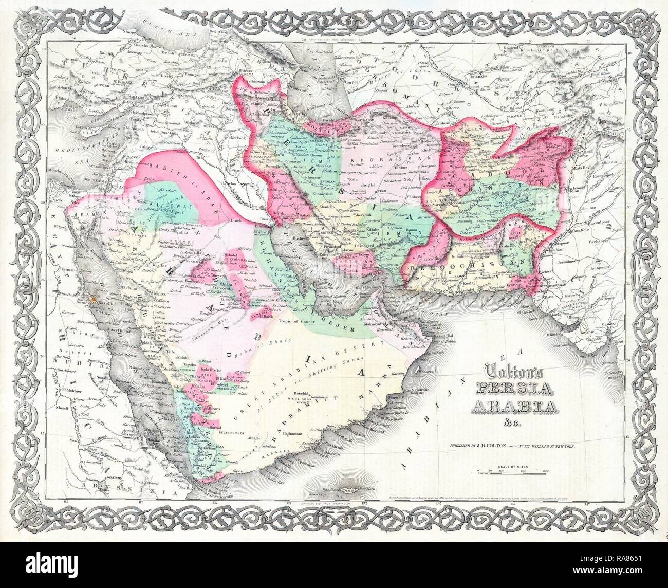 1855, Colton Map of Persia and Arabia, Saudi Arabia, Iraq, Israel and Afghanistan . Reimagined by Gibon. Classic art reimagined Stock Photohttps://www.alamy.com/image-license-details/?v=1https://www.alamy.com/1855-colton-map-of-persia-and-arabia-saudi-arabia-iraq-israel-and-afghanistan-reimagined-by-gibon-classic-art-reimagined-image230061805.html
RFRA8651–1855, Colton Map of Persia and Arabia, Saudi Arabia, Iraq, Israel and Afghanistan . Reimagined by Gibon. Classic art reimagined
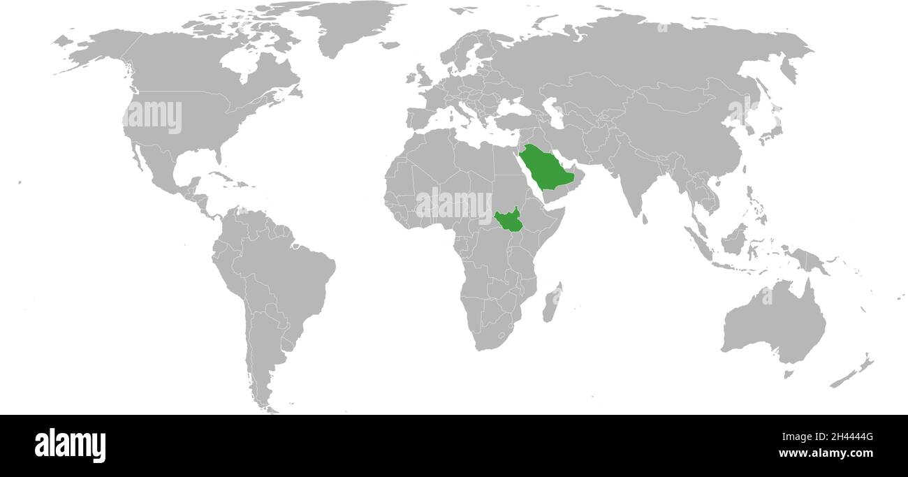 South sudan, saudi arabia highlighted on world map. Political map backgrounds. Stock Vectorhttps://www.alamy.com/image-license-details/?v=1https://www.alamy.com/south-sudan-saudi-arabia-highlighted-on-world-map-political-map-backgrounds-image450019264.html
RF2H4444G–South sudan, saudi arabia highlighted on world map. Political map backgrounds.
 Traveling in the history is an important part of education Stock Photohttps://www.alamy.com/image-license-details/?v=1https://www.alamy.com/stock-photo-traveling-in-the-history-is-an-important-part-of-education-71476406.html
RFE480TP–Traveling in the history is an important part of education
 1762 map of Jeddah Stock Photohttps://www.alamy.com/image-license-details/?v=1https://www.alamy.com/1762-map-of-jeddah-image534121540.html
RM2P0Y9D8–1762 map of Jeddah
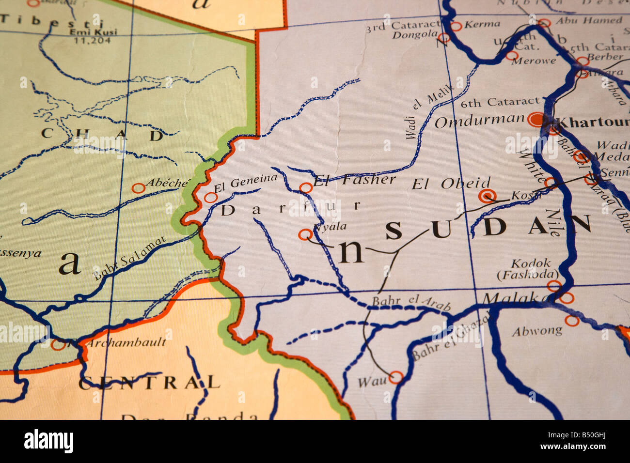 map of darfur Stock Photohttps://www.alamy.com/image-license-details/?v=1https://www.alamy.com/stock-photo-map-of-darfur-20296686.html
RMB50GHJ–map of darfur
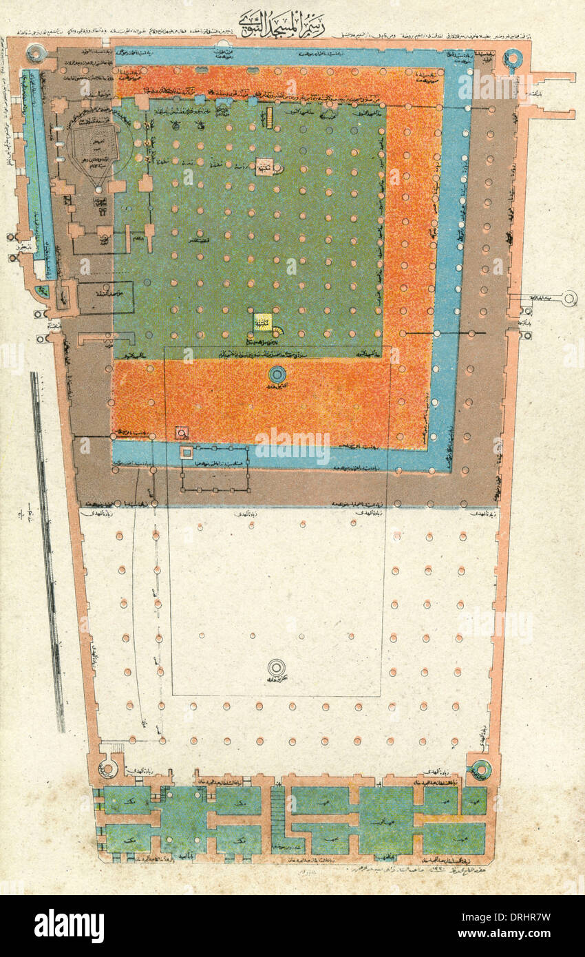 Plan of the Al-Masjid Al-Nabawi Mosque, Medina Stock Photohttps://www.alamy.com/image-license-details/?v=1https://www.alamy.com/plan-of-the-al-masjid-al-nabawi-mosque-medina-image66159629.html
RMDRHR7W–Plan of the Al-Masjid Al-Nabawi Mosque, Medina
RF2GX826N–Ottoman Sword of State Part of Muslim historical objects Hand Drawn Icon Set Vector.
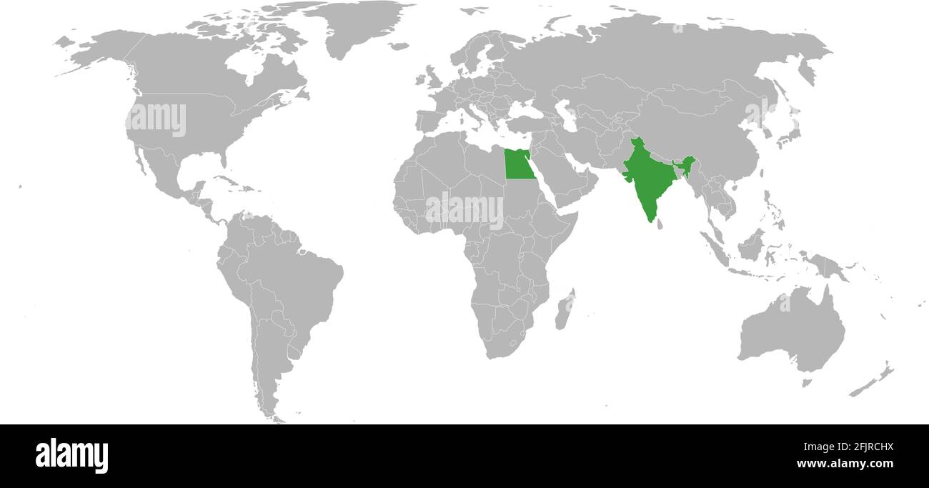 India, egypt countries isolated on world map. Gray background. Business concepts and Travel backgrounds. Stock Vectorhttps://www.alamy.com/image-license-details/?v=1https://www.alamy.com/india-egypt-countries-isolated-on-world-map-gray-background-business-concepts-and-travel-backgrounds-image424627446.html
RF2FJRCHX–India, egypt countries isolated on world map. Gray background. Business concepts and Travel backgrounds.
 search mosque near me for website template landing or homepage design vector illustration Stock Photohttps://www.alamy.com/image-license-details/?v=1https://www.alamy.com/search-mosque-near-me-for-website-template-landing-or-homepage-design-vector-illustration-image418467963.html
RF2F8PT4B–search mosque near me for website template landing or homepage design vector illustration
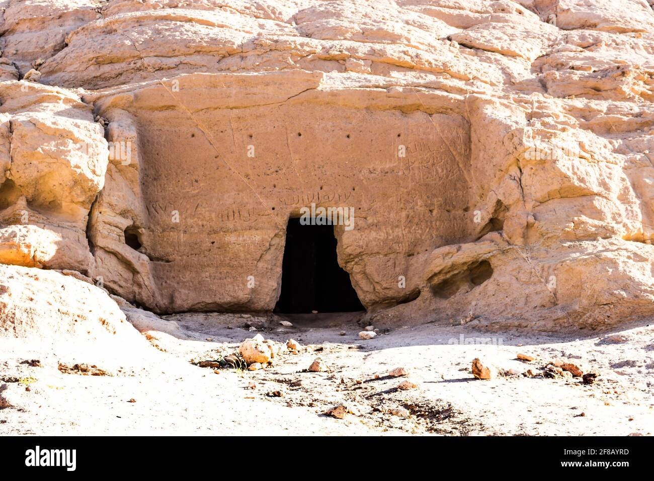 Madyan - city of Prophet Shoaib, Al-Bad, Northern Saudi Arabia. Stock Photohttps://www.alamy.com/image-license-details/?v=1https://www.alamy.com/madyan-city-of-prophet-shoaib-al-bad-northern-saudi-arabia-image418207425.html
RF2F8AYRD–Madyan - city of Prophet Shoaib, Al-Bad, Northern Saudi Arabia.
 Traveling in the history is an important part of education Stock Photohttps://www.alamy.com/image-license-details/?v=1https://www.alamy.com/stock-photo-traveling-in-the-history-is-an-important-part-of-education-71477153.html
RFE481RD–Traveling in the history is an important part of education
 map of africa Stock Photohttps://www.alamy.com/image-license-details/?v=1https://www.alamy.com/stock-photo-map-of-africa-20291235.html
RMB509JY–map of africa
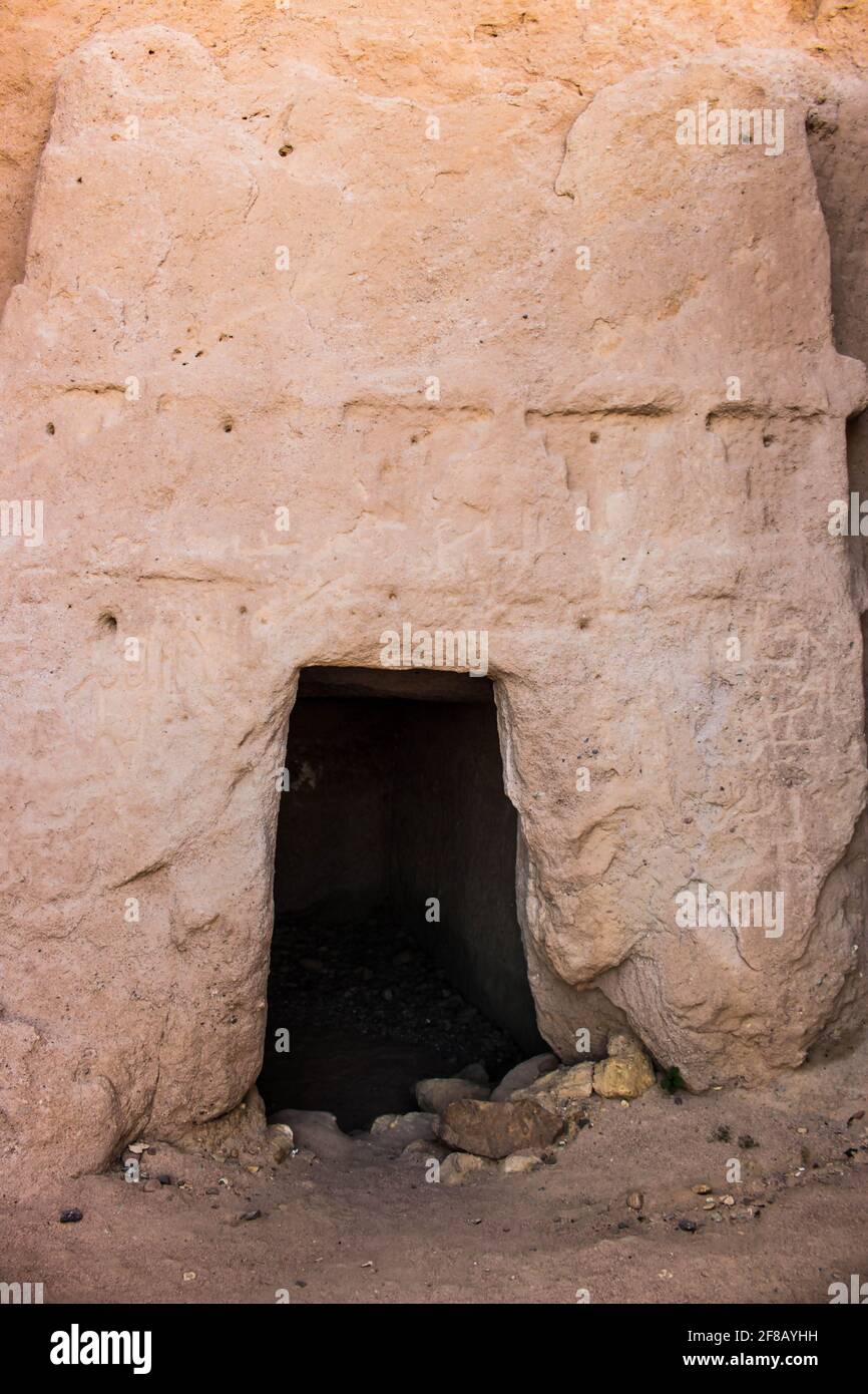 Madyan - city of Prophet Shoaib, Al-Bad, Northern Saudi Arabia. Stock Photohttps://www.alamy.com/image-license-details/?v=1https://www.alamy.com/madyan-city-of-prophet-shoaib-al-bad-northern-saudi-arabia-image418207261.html
RF2F8AYHH–Madyan - city of Prophet Shoaib, Al-Bad, Northern Saudi Arabia.

