Quick filters:
Scenic roads in usa Stock Photos and Images
 On the famous Scenic Drive in Capitol Reef National Park, Utah, USA. 7.9 mile (12.7 km) paved road, suitable for passenger vehicles. Allot about an hour and half roundtrip to drive the Scenic Drive and the two dirt spur roads, Grand Wash and Capitol Gorge. These dirt spur roads enter canyons and lead to trailheads, and are usually suitable for passenger cars and RVs up to 27 feet in length.Next to Pectols Pyramid and Golden Throne. Stock Photohttps://www.alamy.com/image-license-details/?v=1https://www.alamy.com/on-the-famous-scenic-drive-in-capitol-reef-national-park-utah-usa-79-mile-127-km-paved-road-suitable-for-passenger-vehicles-allot-about-an-hour-and-half-roundtrip-to-drive-the-scenic-drive-and-the-two-dirt-spur-roads-grand-wash-and-capitol-gorge-these-dirt-spur-roads-enter-canyons-and-lead-to-trailheads-and-are-usually-suitable-for-passenger-cars-and-rvs-up-to-27-feet-in-lengthnext-to-pectols-pyramid-and-golden-throne-image431873910.html
RM2G2HFG6–On the famous Scenic Drive in Capitol Reef National Park, Utah, USA. 7.9 mile (12.7 km) paved road, suitable for passenger vehicles. Allot about an hour and half roundtrip to drive the Scenic Drive and the two dirt spur roads, Grand Wash and Capitol Gorge. These dirt spur roads enter canyons and lead to trailheads, and are usually suitable for passenger cars and RVs up to 27 feet in length.Next to Pectols Pyramid and Golden Throne.
 Traffic and roads in Yellowstone National Park, Wyoming, USA, near the east entrance to the park on the East Entrance Road. Stock Photohttps://www.alamy.com/image-license-details/?v=1https://www.alamy.com/traffic-and-roads-in-yellowstone-national-park-wyoming-usa-near-the-east-entrance-to-the-park-on-the-east-entrance-road-image435394805.html
RM2G89XED–Traffic and roads in Yellowstone National Park, Wyoming, USA, near the east entrance to the park on the East Entrance Road.
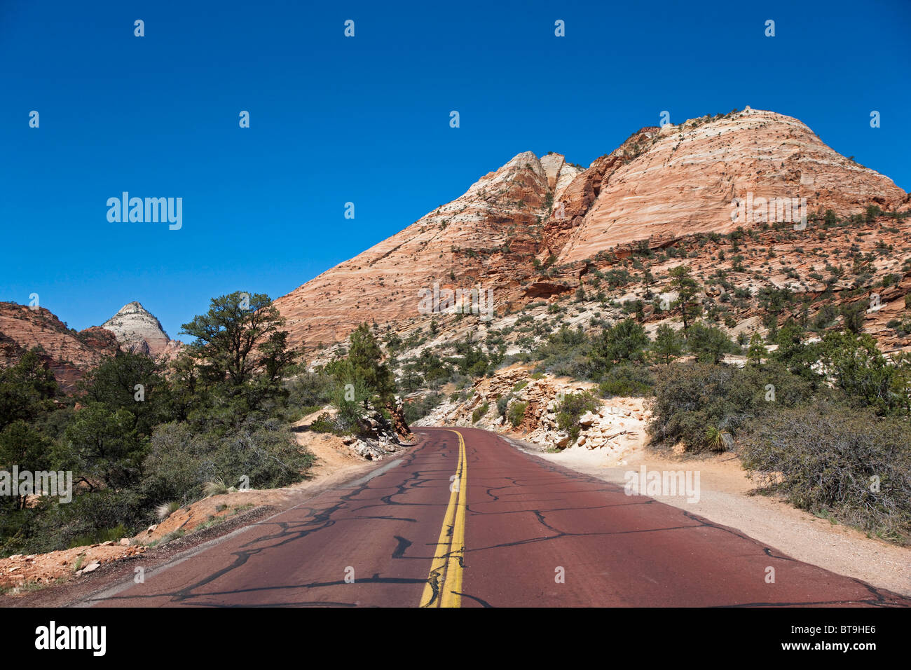 Red tarred roads in Zion National Park, Utah, USA Stock Photohttps://www.alamy.com/image-license-details/?v=1https://www.alamy.com/stock-photo-red-tarred-roads-in-zion-national-park-utah-usa-32173406.html
RFBT9HE6–Red tarred roads in Zion National Park, Utah, USA
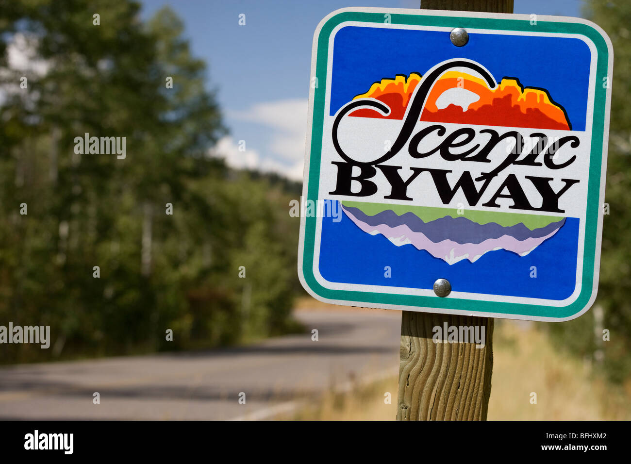 American road sign direction marker Scenic Byway along the Mount Mt Nebo Loop Byway in Utah USA. Stock Photohttps://www.alamy.com/image-license-details/?v=1https://www.alamy.com/stock-photo-american-road-sign-direction-marker-scenic-byway-along-the-mount-mt-26824338.html
RMBFHXM2–American road sign direction marker Scenic Byway along the Mount Mt Nebo Loop Byway in Utah USA.
 Pickup truck driving on an open road in Montana, USA Stock Photohttps://www.alamy.com/image-license-details/?v=1https://www.alamy.com/pickup-truck-driving-on-an-open-road-in-montana-usa-image222305731.html
RMPWJW6B–Pickup truck driving on an open road in Montana, USA
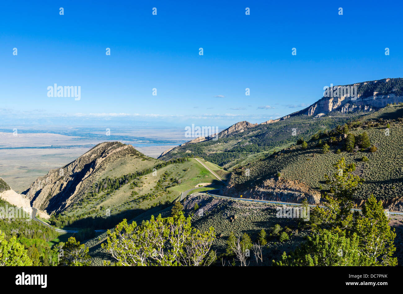 View west over Wyoming from US Highway 14 ( Bighorn Scenic Byway ) in the Big Horn Mountains, Wyoming, USA Stock Photohttps://www.alamy.com/image-license-details/?v=1https://www.alamy.com/stock-photo-view-west-over-wyoming-from-us-highway-14-bighorn-scenic-byway-in-59178495.html
RMDC7PNK–View west over Wyoming from US Highway 14 ( Bighorn Scenic Byway ) in the Big Horn Mountains, Wyoming, USA
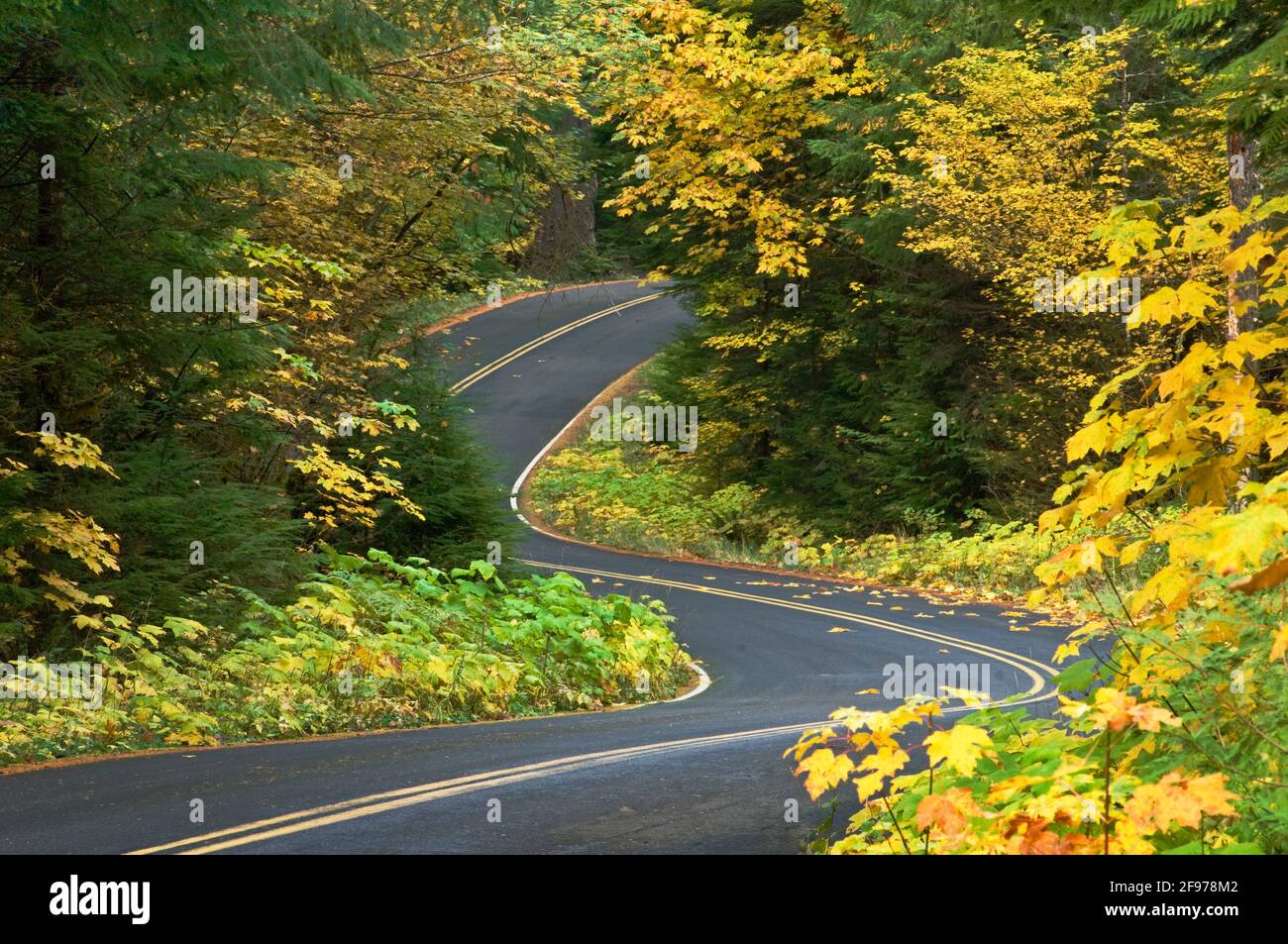 Aufderheide Memorial Drive, part of the West Cascades National Scenic Byway, with Bigleaf Maple and Vine Maple trees in Fall color; Willamette Nationa Stock Photohttps://www.alamy.com/image-license-details/?v=1https://www.alamy.com/aufderheide-memorial-drive-part-of-the-west-cascades-national-scenic-byway-with-bigleaf-maple-and-vine-maple-trees-in-fall-color-willamette-nationa-image418741234.html
RF2F978M2–Aufderheide Memorial Drive, part of the West Cascades National Scenic Byway, with Bigleaf Maple and Vine Maple trees in Fall color; Willamette Nationa
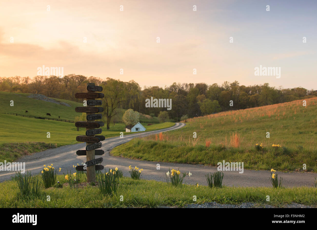 Roads converging, Goodstone Inn, Middleburg, Virginia,USA Stock Photohttps://www.alamy.com/image-license-details/?v=1https://www.alamy.com/stock-photo-roads-converging-goodstone-inn-middleburg-virginiausa-88370690.html
RMF3NHM2–Roads converging, Goodstone Inn, Middleburg, Virginia,USA
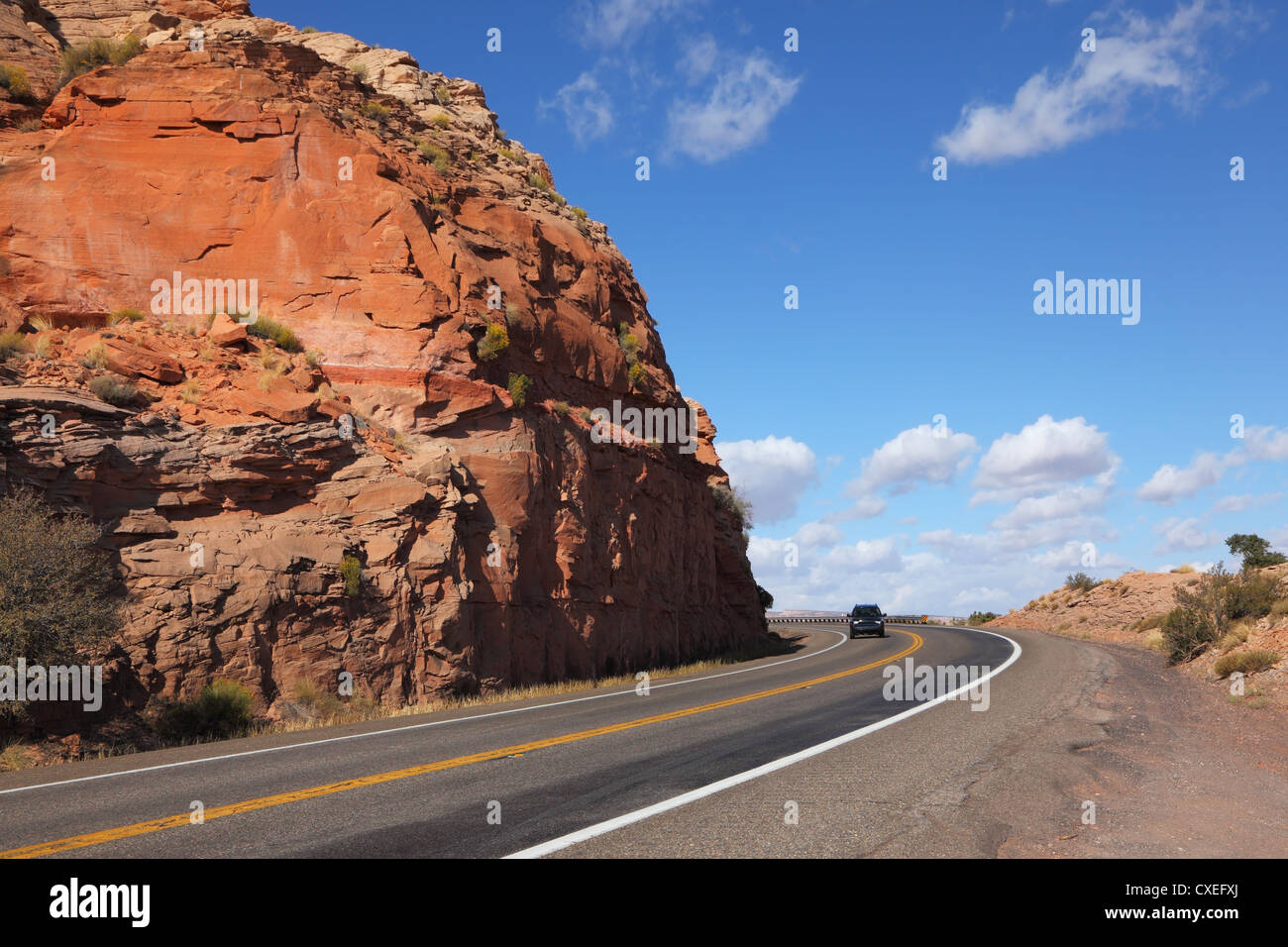 American roads in the red rock desert Stock Photohttps://www.alamy.com/image-license-details/?v=1https://www.alamy.com/stock-photo-american-roads-in-the-red-rock-desert-50721626.html
RFCXEFXJ–American roads in the red rock desert
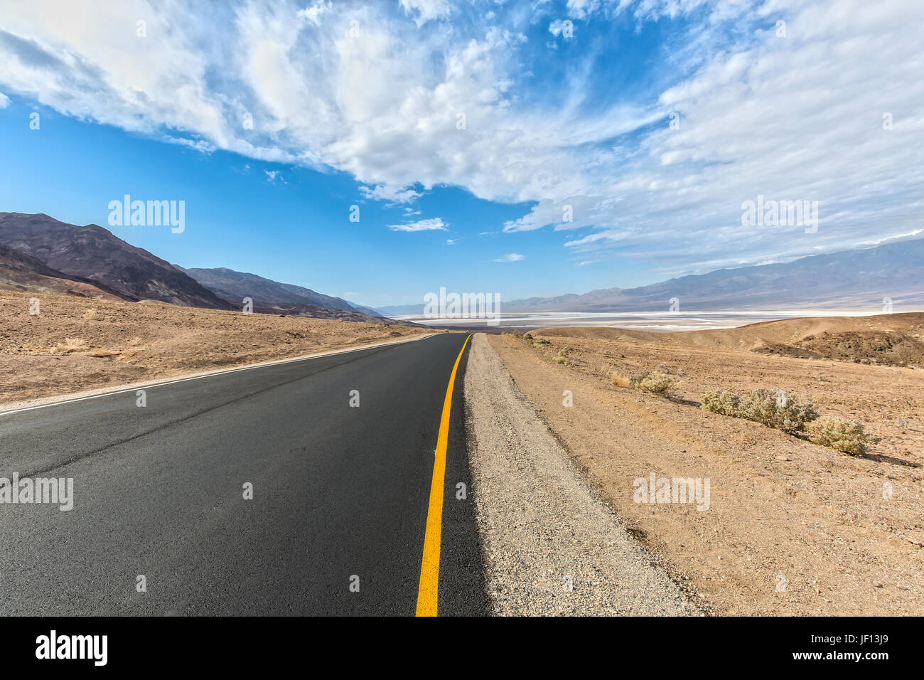 Road in the Death Valley in California Stock Photohttps://www.alamy.com/image-license-details/?v=1https://www.alamy.com/stock-photo-road-in-the-death-valley-in-california-146927601.html
RFJF13J9–Road in the Death Valley in California
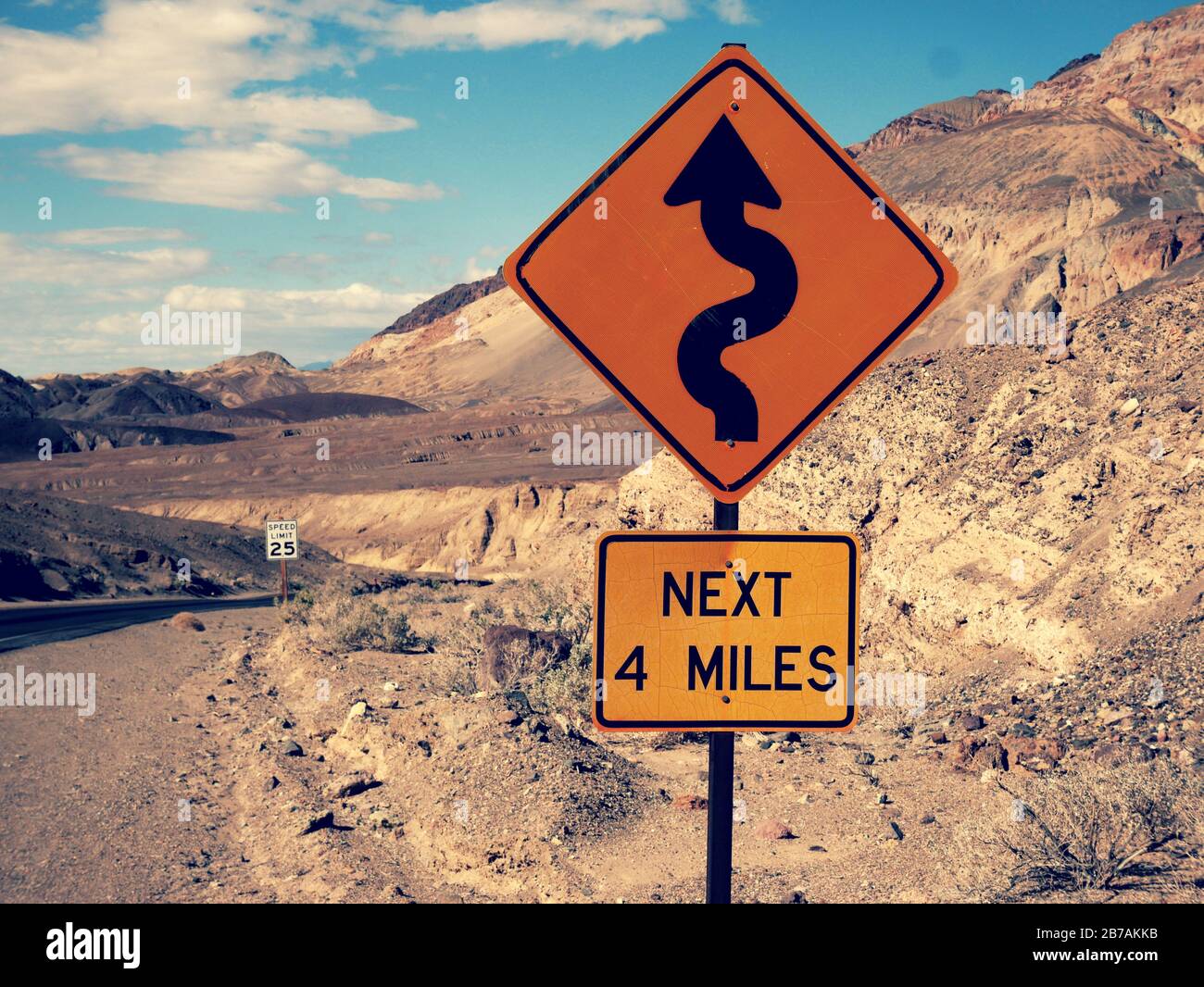 Many curves yellow road sign in the death valley scenic road Stock Photohttps://www.alamy.com/image-license-details/?v=1https://www.alamy.com/many-curves-yellow-road-sign-in-the-death-valley-scenic-road-image348744911.html
RF2B7AKKB–Many curves yellow road sign in the death valley scenic road
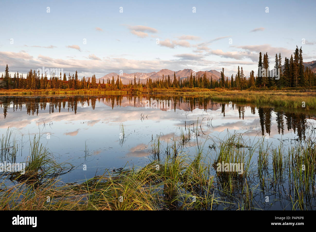 USA, Alaska, Denali Road in autumn Stock Photohttps://www.alamy.com/image-license-details/?v=1https://www.alamy.com/usa-alaska-denali-road-in-autumn-image213159248.html
RFPAP6P8–USA, Alaska, Denali Road in autumn
 Bend in the road climbing to top of Cottonwood Pass, Colorado, USA - with sports cars racing to the summit Stock Photohttps://www.alamy.com/image-license-details/?v=1https://www.alamy.com/stock-photo-bend-in-the-road-climbing-to-top-of-cottonwood-pass-colorado-usa-with-74434498.html
RME92NXX–Bend in the road climbing to top of Cottonwood Pass, Colorado, USA - with sports cars racing to the summit
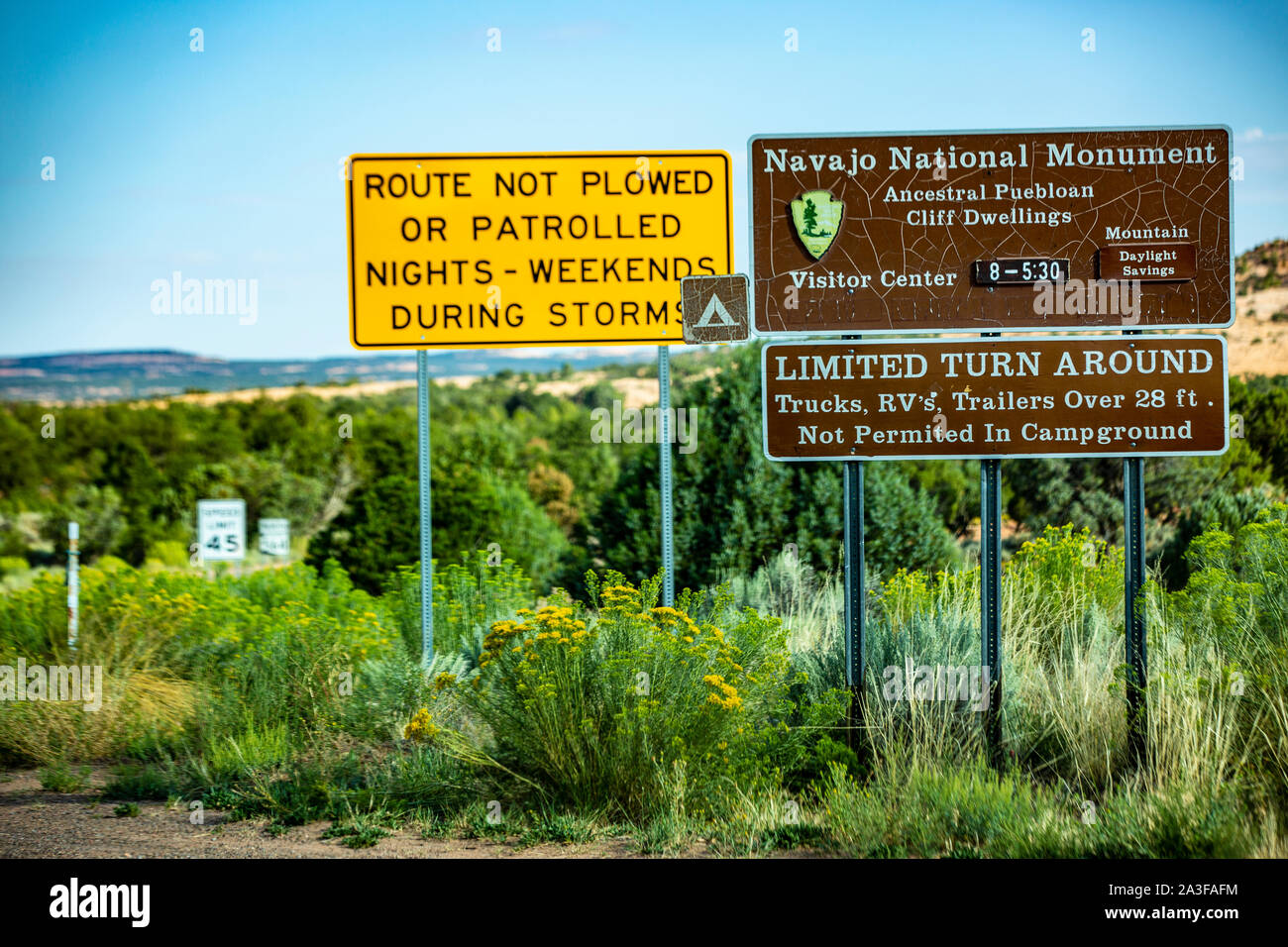 Wegweiser im Monument Valley in Utah / USA Stock Photohttps://www.alamy.com/image-license-details/?v=1https://www.alamy.com/wegweiser-im-monument-valley-in-utah-usa-image329178520.html
RF2A3FAFM–Wegweiser im Monument Valley in Utah / USA
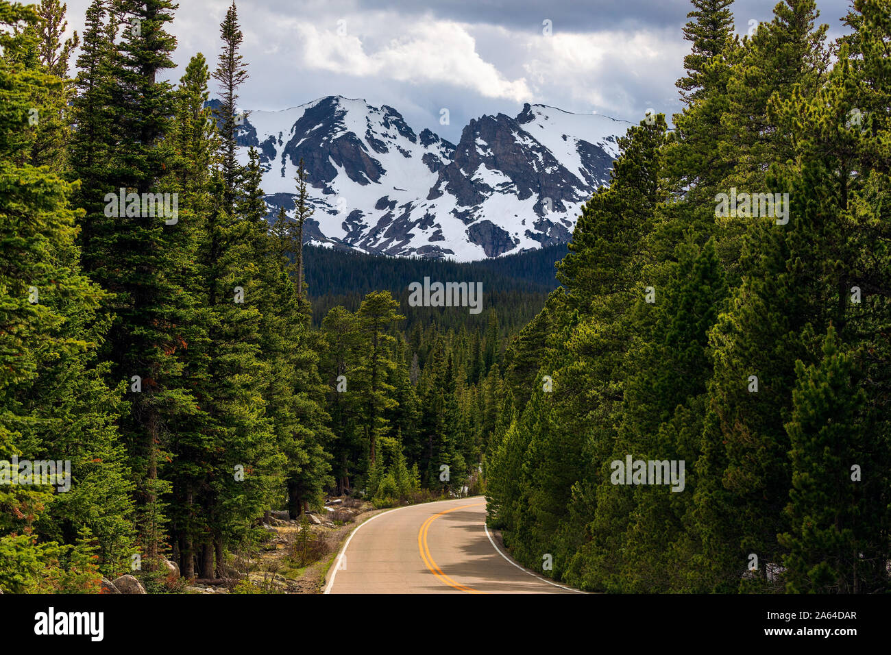 A winding road leads through the forest to Indian Peaks Wilderness in the Rocky Mountains near Ward, Colorado, USA Stock Photohttps://www.alamy.com/image-license-details/?v=1https://www.alamy.com/a-winding-road-leads-through-the-forest-to-indian-peaks-wilderness-in-the-rocky-mountains-near-ward-colorado-usa-image330783231.html
RF2A64DAR–A winding road leads through the forest to Indian Peaks Wilderness in the Rocky Mountains near Ward, Colorado, USA
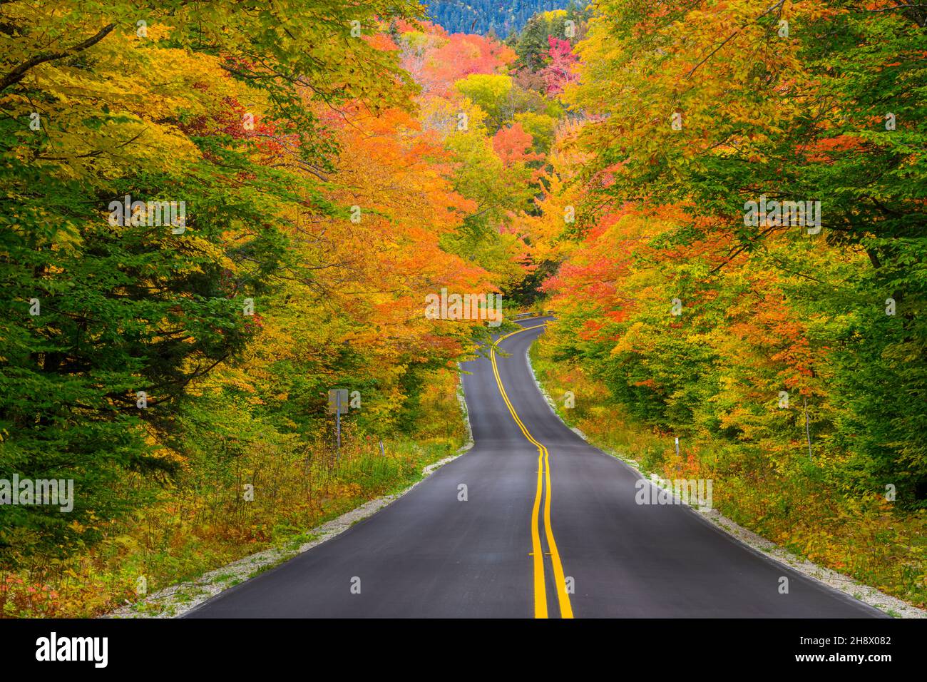 Bear Notch Road in autumn, New Hampshire, USA Stock Photohttps://www.alamy.com/image-license-details/?v=1https://www.alamy.com/bear-notch-road-in-autumn-new-hampshire-usa-image452957794.html
RM2H8X082–Bear Notch Road in autumn, New Hampshire, USA
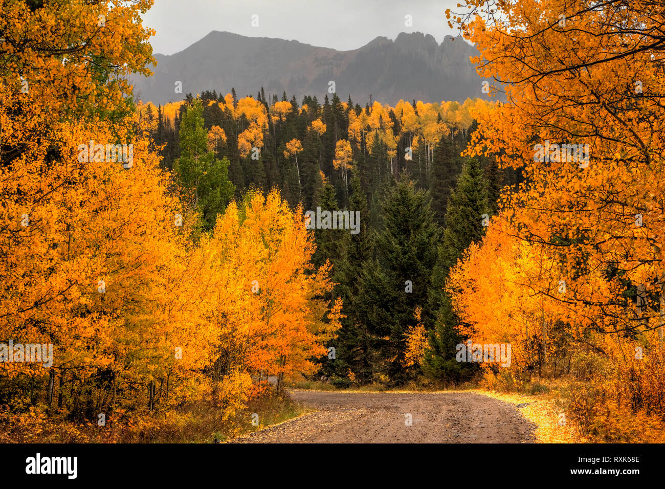 Last Dollar Road in Fall, Colorado, USA Stock Photohttps://www.alamy.com/image-license-details/?v=1https://www.alamy.com/last-dollar-road-in-fall-colorado-usa-image240137870.html
RMRXK68E–Last Dollar Road in Fall, Colorado, USA
 An aerial view of agricultural fields in California, east of Napa Valley. Stock Photohttps://www.alamy.com/image-license-details/?v=1https://www.alamy.com/stock-photo-an-aerial-view-of-agricultural-fields-in-california-east-of-napa-valley-147162680.html
RFJFBRE0–An aerial view of agricultural fields in California, east of Napa Valley.
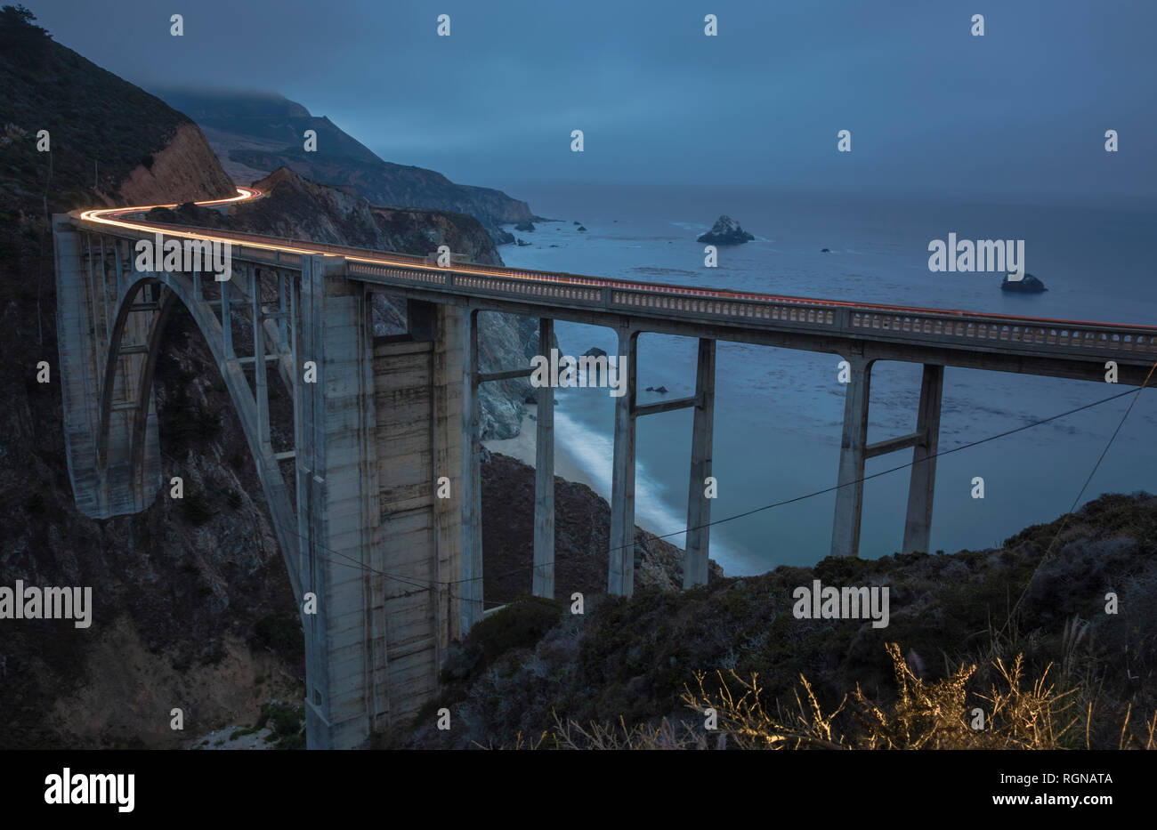 USA, California, Big Sur, Pacific Coast, National Scenic Byway, Bixby Creek Bridge, California State Route 1, Highway 1 in the evening Stock Photohttps://www.alamy.com/image-license-details/?v=1https://www.alamy.com/usa-california-big-sur-pacific-coast-national-scenic-byway-bixby-creek-bridge-california-state-route-1-highway-1-in-the-evening-image234038794.html
RFRGNATA–USA, California, Big Sur, Pacific Coast, National Scenic Byway, Bixby Creek Bridge, California State Route 1, Highway 1 in the evening
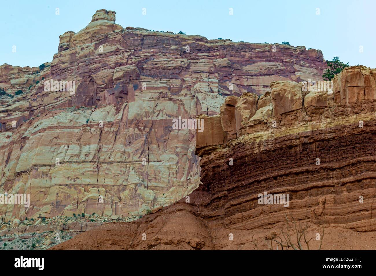 On the famous Scenic Drive in Capitol Reef National Park, Utah, USA. 7.9 mile (12.7 km) paved road, suitable for passenger vehicles. Allot about an hour and half roundtrip to drive the Scenic Drive and the two dirt spur roads, Grand Wash and Capitol Gorge. These dirt spur roads enter canyons and lead to trailheads, and are usually suitable for passenger cars and RVs up to 27 feet in length.Next to Pectols Pyramid and Golden Throne. Stock Photohttps://www.alamy.com/image-license-details/?v=1https://www.alamy.com/on-the-famous-scenic-drive-in-capitol-reef-national-park-utah-usa-79-mile-127-km-paved-road-suitable-for-passenger-vehicles-allot-about-an-hour-and-half-roundtrip-to-drive-the-scenic-drive-and-the-two-dirt-spur-roads-grand-wash-and-capitol-gorge-these-dirt-spur-roads-enter-canyons-and-lead-to-trailheads-and-are-usually-suitable-for-passenger-cars-and-rvs-up-to-27-feet-in-lengthnext-to-pectols-pyramid-and-golden-throne-image431873894.html
RM2G2HFFJ–On the famous Scenic Drive in Capitol Reef National Park, Utah, USA. 7.9 mile (12.7 km) paved road, suitable for passenger vehicles. Allot about an hour and half roundtrip to drive the Scenic Drive and the two dirt spur roads, Grand Wash and Capitol Gorge. These dirt spur roads enter canyons and lead to trailheads, and are usually suitable for passenger cars and RVs up to 27 feet in length.Next to Pectols Pyramid and Golden Throne.
 Traffic and roads in Yellowstone National Park, Wyoming, USA, near the east entrance to the park on the East Entrance Road. Stock Photohttps://www.alamy.com/image-license-details/?v=1https://www.alamy.com/traffic-and-roads-in-yellowstone-national-park-wyoming-usa-near-the-east-entrance-to-the-park-on-the-east-entrance-road-image435392841.html
RM2G89T09–Traffic and roads in Yellowstone National Park, Wyoming, USA, near the east entrance to the park on the East Entrance Road.
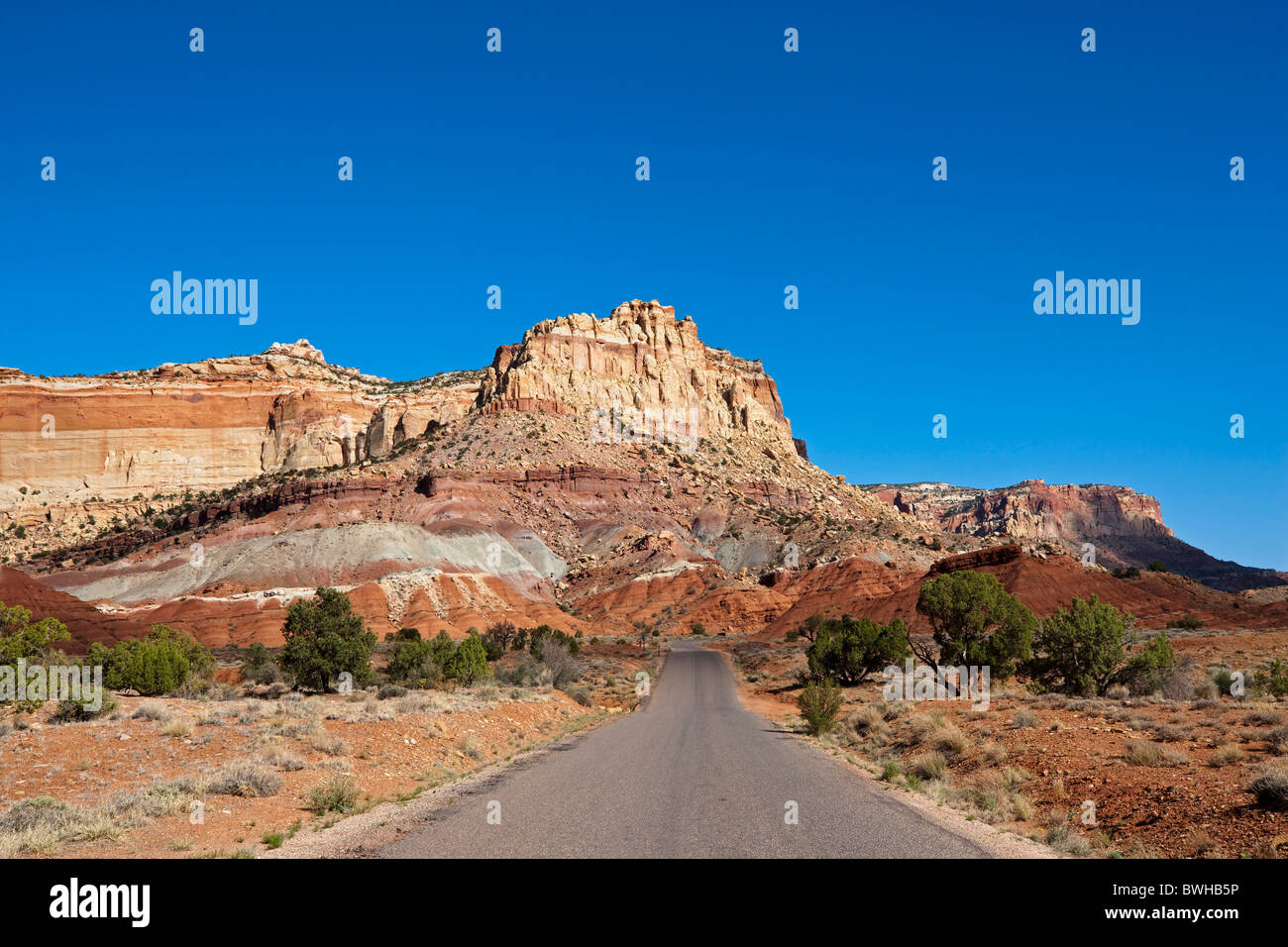 Scenic Drive in Capitol Reef National Park, Utah, USA Stock Photohttps://www.alamy.com/image-license-details/?v=1https://www.alamy.com/stock-photo-scenic-drive-in-capitol-reef-national-park-utah-usa-32958738.html
RFBWHB5P–Scenic Drive in Capitol Reef National Park, Utah, USA
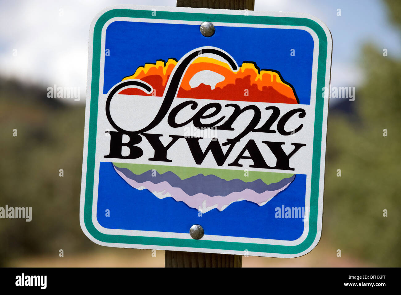 American road sign direction marker Scenic Byway along the Mt Nebo Loop Byway in Utah. Stock Photohttps://www.alamy.com/image-license-details/?v=1https://www.alamy.com/stock-photo-american-road-sign-direction-marker-scenic-byway-along-the-mt-nebo-26824416.html
RMBFHXPT–American road sign direction marker Scenic Byway along the Mt Nebo Loop Byway in Utah.
 Open road in Montana, USA Stock Photohttps://www.alamy.com/image-license-details/?v=1https://www.alamy.com/open-road-in-montana-usa-image223131651.html
RMPY0EKF–Open road in Montana, USA
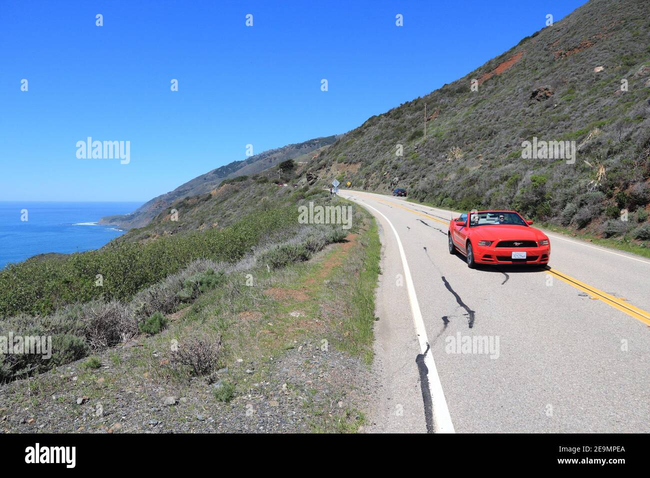 BIG SUR, USA - APRIL 7, 2014: People drive along Pacific Coast Highway in California. Pacific Coast Highway is one of most recognizable scenic roads i Stock Photohttps://www.alamy.com/image-license-details/?v=1https://www.alamy.com/big-sur-usa-april-7-2014-people-drive-along-pacific-coast-highway-in-california-pacific-coast-highway-is-one-of-most-recognizable-scenic-roads-i-image401827058.html
RF2E9MPEA–BIG SUR, USA - APRIL 7, 2014: People drive along Pacific Coast Highway in California. Pacific Coast Highway is one of most recognizable scenic roads i
 Roads and buildings in downtown Seatle, Washington, USA. Stock Photohttps://www.alamy.com/image-license-details/?v=1https://www.alamy.com/roads-and-buildings-in-downtown-seatle-washington-usa-image525158080.html
RF2NEB0DM–Roads and buildings in downtown Seatle, Washington, USA.
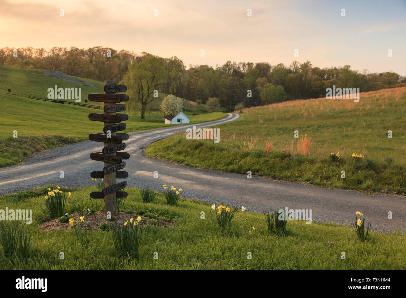 Roads converging, Goodstone Inn, Middleburg, Virginia,USA Stock Photohttps://www.alamy.com/image-license-details/?v=1https://www.alamy.com/stock-photo-roads-converging-goodstone-inn-middleburg-virginiausa-88370692.html
RMF3NHM4–Roads converging, Goodstone Inn, Middleburg, Virginia,USA
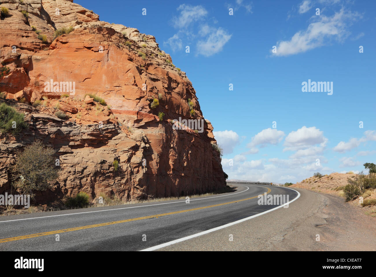 The American roads in the red rock desert Stock Photohttps://www.alamy.com/image-license-details/?v=1https://www.alamy.com/stock-photo-the-american-roads-in-the-red-rock-desert-50717639.html
RFCXEAT7–The American roads in the red rock desert
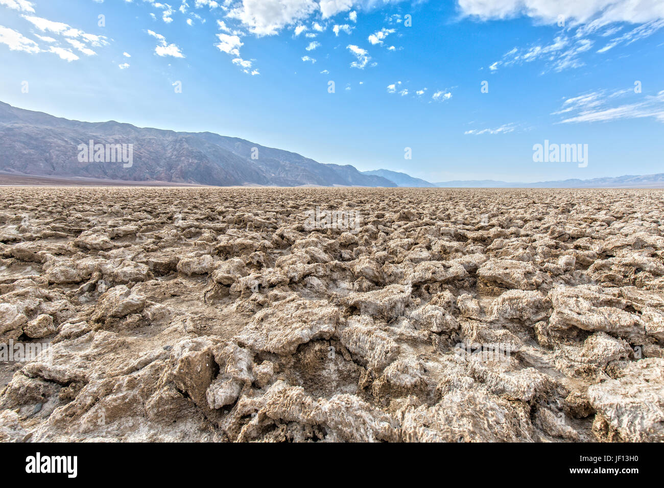 Devil's Golf Course in Death Valley in California Stock Photohttps://www.alamy.com/image-license-details/?v=1https://www.alamy.com/stock-photo-devils-golf-course-in-death-valley-in-california-146927564.html
RFJF13H0–Devil's Golf Course in Death Valley in California
 snowy road usa Stock Photohttps://www.alamy.com/image-license-details/?v=1https://www.alamy.com/snowy-road-usa-image231149756.html
RFRC1NTC–snowy road usa
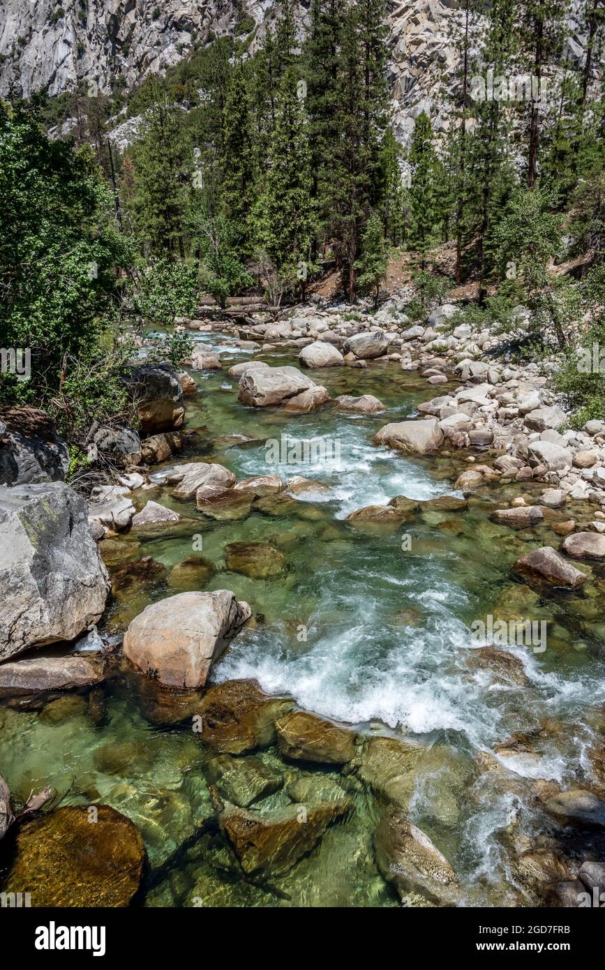 View of clear water rippling over rocks in the South Fork of the Kings River, near Road's End at Kings Canyon National Park. Here the water is lower t Stock Photohttps://www.alamy.com/image-license-details/?v=1https://www.alamy.com/view-of-clear-water-rippling-over-rocks-in-the-south-fork-of-the-kings-river-near-roads-end-at-kings-canyon-national-park-here-the-water-is-lower-t-image438415807.html
RM2GD7FRB–View of clear water rippling over rocks in the South Fork of the Kings River, near Road's End at Kings Canyon National Park. Here the water is lower t
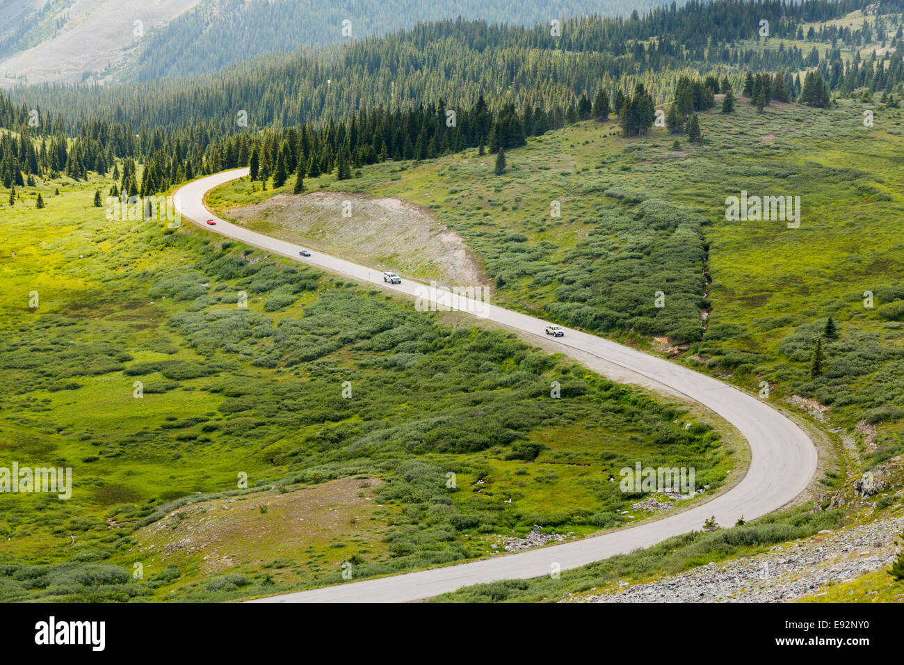 Large curving S-shape bend in road climbing to top of Cottonwood Pass in Colorado, USA Stock Photohttps://www.alamy.com/image-license-details/?v=1https://www.alamy.com/stock-photo-large-curving-s-shape-bend-in-road-climbing-to-top-of-cottonwood-pass-74434500.html
RFE92NY0–Large curving S-shape bend in road climbing to top of Cottonwood Pass in Colorado, USA
 Wegweiser im Monument Valley in Utah / USA Stock Photohttps://www.alamy.com/image-license-details/?v=1https://www.alamy.com/wegweiser-im-monument-valley-in-utah-usa-image329178530.html
RF2A3FAG2–Wegweiser im Monument Valley in Utah / USA
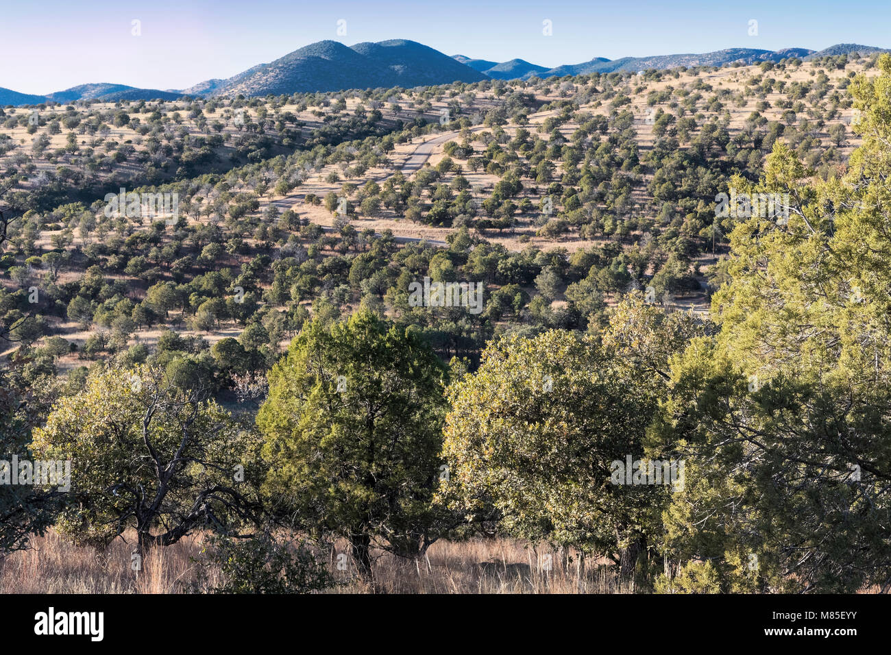 Southeastern Arizona, near Parker Canyon Lake, Scenic Route 83 is off in the distance. Stock Photohttps://www.alamy.com/image-license-details/?v=1https://www.alamy.com/stock-photo-southeastern-arizona-near-parker-canyon-lake-scenic-route-83-is-off-177142447.html
RMM85EYY–Southeastern Arizona, near Parker Canyon Lake, Scenic Route 83 is off in the distance.
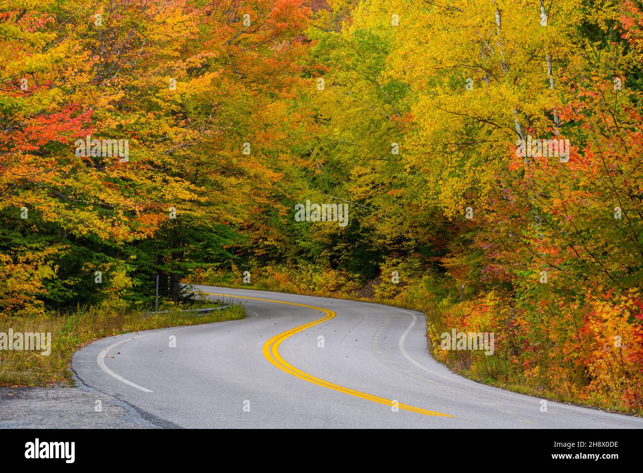 Bear Notch Road in autumn, New Hampshire, USA Stock Photohttps://www.alamy.com/image-license-details/?v=1https://www.alamy.com/bear-notch-road-in-autumn-new-hampshire-usa-image452957946.html
RM2H8X0DE–Bear Notch Road in autumn, New Hampshire, USA
 Red dirt road curving through the green prairie grasslands of South Dakota, USA Stock Photohttps://www.alamy.com/image-license-details/?v=1https://www.alamy.com/stock-photo-red-dirt-road-curving-through-the-green-prairie-grasslands-of-south-28401225.html
RMBJ5P1D–Red dirt road curving through the green prairie grasslands of South Dakota, USA
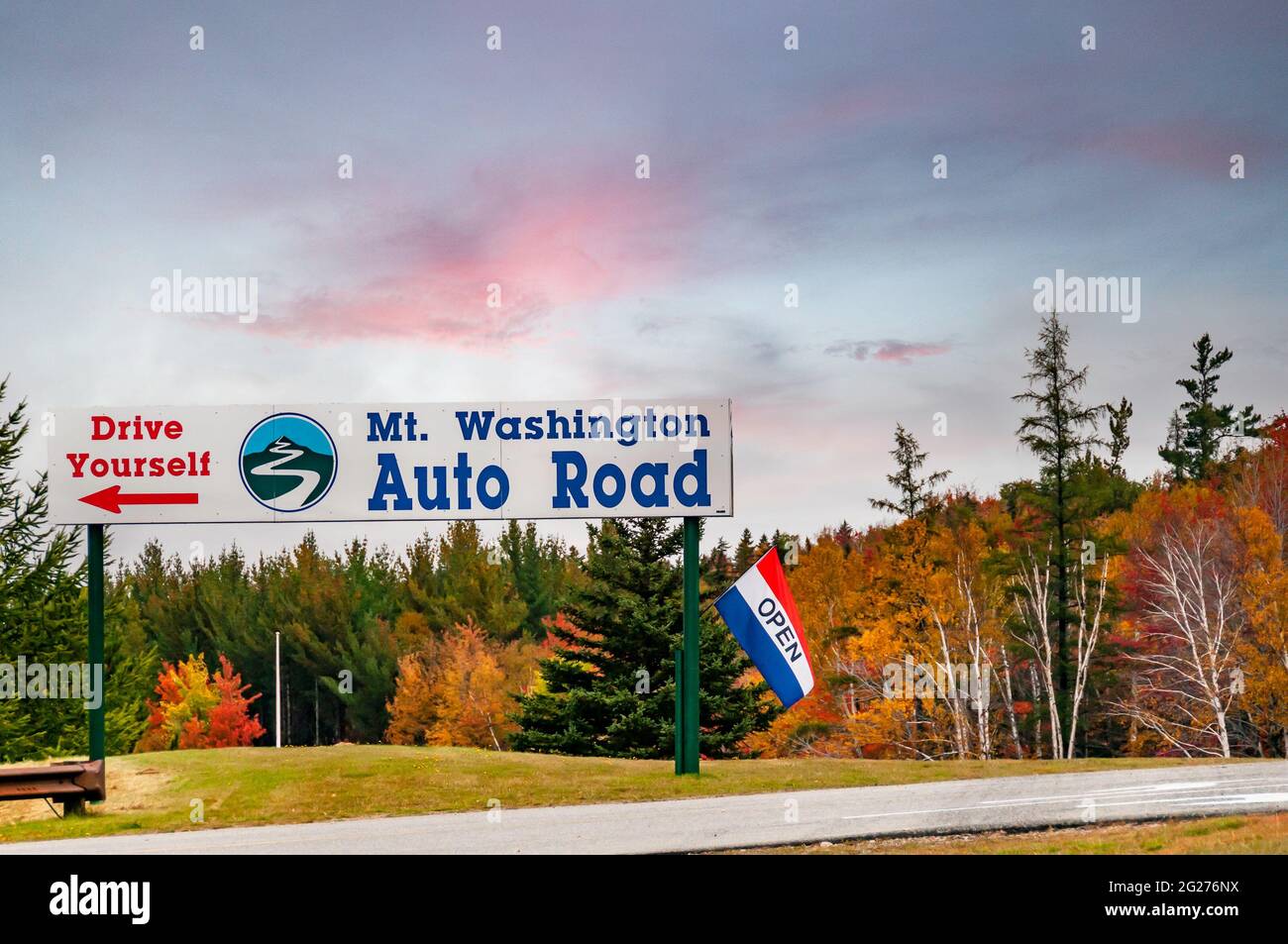 Sign pointing to the scenic New Hampshire Route 16, Pinkham Notch, in the Presidential mountain range. USA Stock Photohttps://www.alamy.com/image-license-details/?v=1https://www.alamy.com/sign-pointing-to-the-scenic-new-hampshire-route-16-pinkham-notch-in-the-presidential-mountain-range-usa-image431647494.html
RM2G276NX–Sign pointing to the scenic New Hampshire Route 16, Pinkham Notch, in the Presidential mountain range. USA
 Tour bus moves through Polychrome Pass in Denali National Park and Preserve, Alaska, USA; Alaska, United States of America Stock Photohttps://www.alamy.com/image-license-details/?v=1https://www.alamy.com/tour-bus-moves-through-polychrome-pass-in-denali-national-park-and-preserve-alaska-usa-alaska-united-states-of-america-image565805694.html
RF2RTEJX6–Tour bus moves through Polychrome Pass in Denali National Park and Preserve, Alaska, USA; Alaska, United States of America
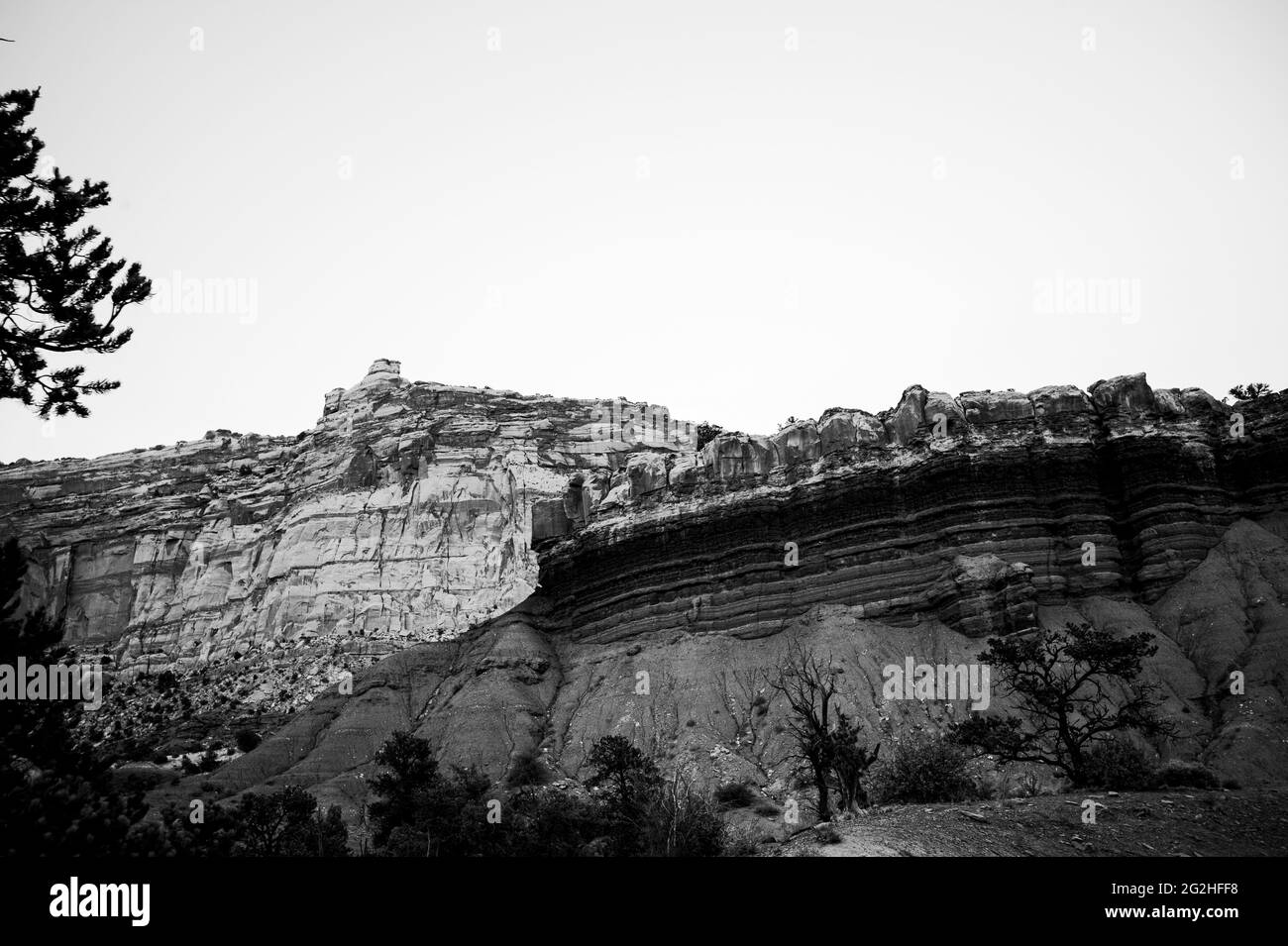 On the famous Scenic Drive in Capitol Reef National Park, Utah, USA. 7.9 mile (12.7 km) paved road, suitable for passenger vehicles. Allot about an hour and half roundtrip to drive the Scenic Drive and the two dirt spur roads, Grand Wash and Capitol Gorge. These dirt spur roads enter canyons and lead to trailheads, and are usually suitable for passenger cars and RVs up to 27 feet in length.Next to Pectols Pyramid and Golden Throne. Stock Photohttps://www.alamy.com/image-license-details/?v=1https://www.alamy.com/on-the-famous-scenic-drive-in-capitol-reef-national-park-utah-usa-79-mile-127-km-paved-road-suitable-for-passenger-vehicles-allot-about-an-hour-and-half-roundtrip-to-drive-the-scenic-drive-and-the-two-dirt-spur-roads-grand-wash-and-capitol-gorge-these-dirt-spur-roads-enter-canyons-and-lead-to-trailheads-and-are-usually-suitable-for-passenger-cars-and-rvs-up-to-27-feet-in-lengthnext-to-pectols-pyramid-and-golden-throne-image431873884.html
RM2G2HFF8–On the famous Scenic Drive in Capitol Reef National Park, Utah, USA. 7.9 mile (12.7 km) paved road, suitable for passenger vehicles. Allot about an hour and half roundtrip to drive the Scenic Drive and the two dirt spur roads, Grand Wash and Capitol Gorge. These dirt spur roads enter canyons and lead to trailheads, and are usually suitable for passenger cars and RVs up to 27 feet in length.Next to Pectols Pyramid and Golden Throne.
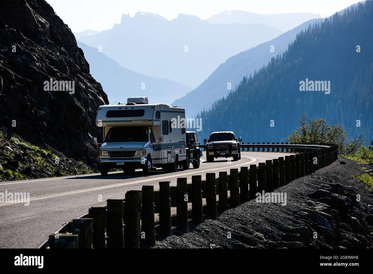 Traffic and roads in Yellowstone National Park, Wyoming, USA, near the east entrance to the park on the East Entrance Road. Stock Photohttps://www.alamy.com/image-license-details/?v=1https://www.alamy.com/traffic-and-roads-in-yellowstone-national-park-wyoming-usa-near-the-east-entrance-to-the-park-on-the-east-entrance-road-image435394106.html
RM2G89WHE–Traffic and roads in Yellowstone National Park, Wyoming, USA, near the east entrance to the park on the East Entrance Road.
 Highway in the scenic landscape of the Desert Valley, USA, North America Stock Photohttps://www.alamy.com/image-license-details/?v=1https://www.alamy.com/highway-in-the-scenic-landscape-of-the-desert-valley-usa-north-america-image632633420.html
RF2YN6XAM–Highway in the scenic landscape of the Desert Valley, USA, North America
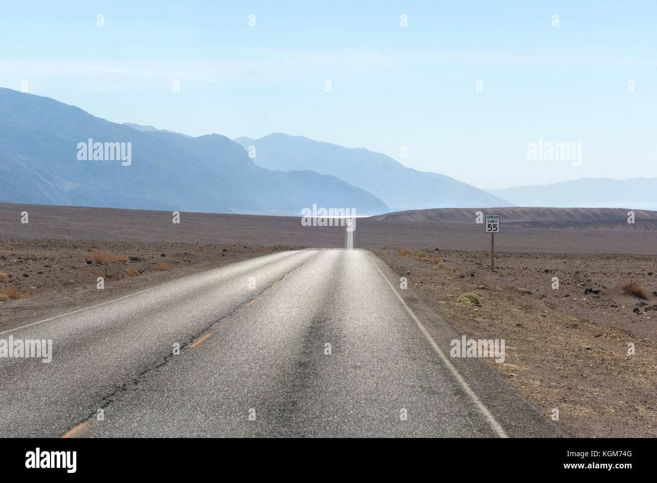 Empty desert road. Death Valley Badwater Road with Badwater Basin shimmering in the distance. Stock Photohttps://www.alamy.com/image-license-details/?v=1https://www.alamy.com/stock-image-empty-desert-road-death-valley-badwater-road-with-badwater-basin-shimmering-165172464.html
RMKGM74G–Empty desert road. Death Valley Badwater Road with Badwater Basin shimmering in the distance.
 Open road in Montana, USA Stock Photohttps://www.alamy.com/image-license-details/?v=1https://www.alamy.com/open-road-in-montana-usa-image222305743.html
RMPWJW6R–Open road in Montana, USA
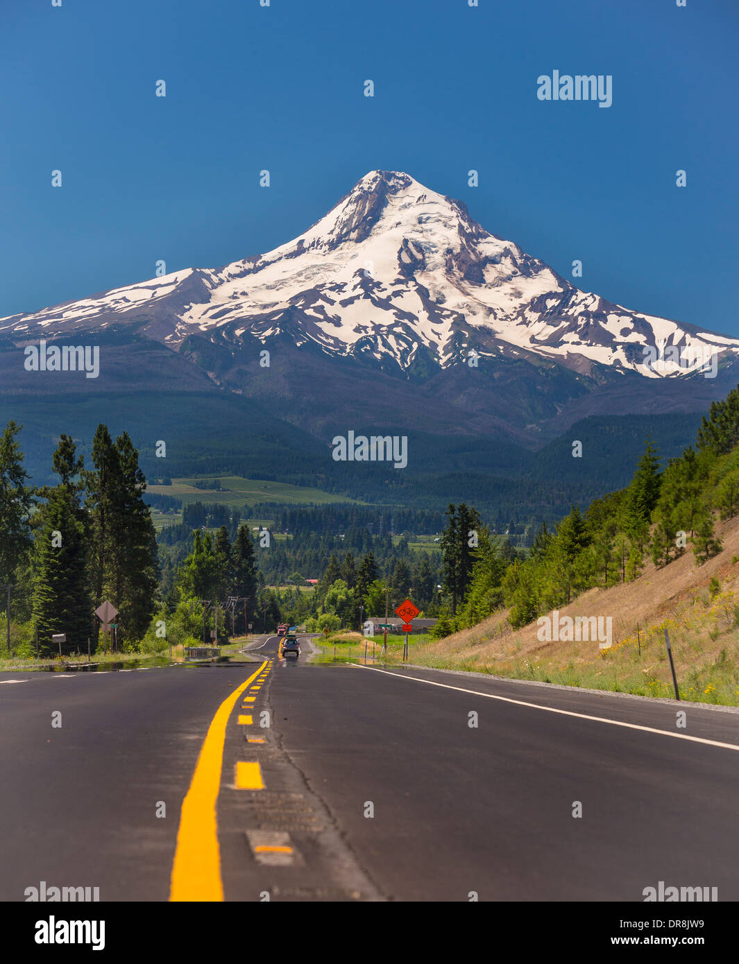 HOOD RIVER, OREGON, USA - Route 35 and Mount Hood, a 11,240 foot volcano in the Cascades Range. Stock Photohttps://www.alamy.com/image-license-details/?v=1https://www.alamy.com/hood-river-oregon-usa-route-35-and-mount-hood-a-11240-foot-volcano-image65958629.html
RMDR8JW9–HOOD RIVER, OREGON, USA - Route 35 and Mount Hood, a 11,240 foot volcano in the Cascades Range.
 Autumn roads in Pisgah National Forest, North Carolina, USA. Stock Photohttps://www.alamy.com/image-license-details/?v=1https://www.alamy.com/autumn-roads-in-pisgah-national-forest-north-carolina-usa-image551730231.html
RF2R1HDF3–Autumn roads in Pisgah National Forest, North Carolina, USA.
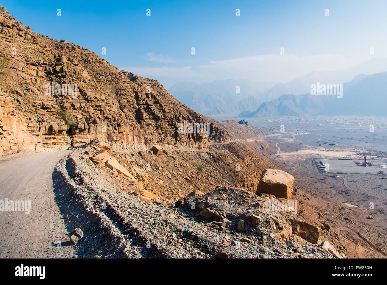 Scenic desert road surrounded by rocks in Musandam Oman Stock Photohttps://www.alamy.com/image-license-details/?v=1https://www.alamy.com/scenic-desert-road-surrounded-by-rocks-in-musandam-oman-image222068801.html
RFPW830H–Scenic desert road surrounded by rocks in Musandam Oman
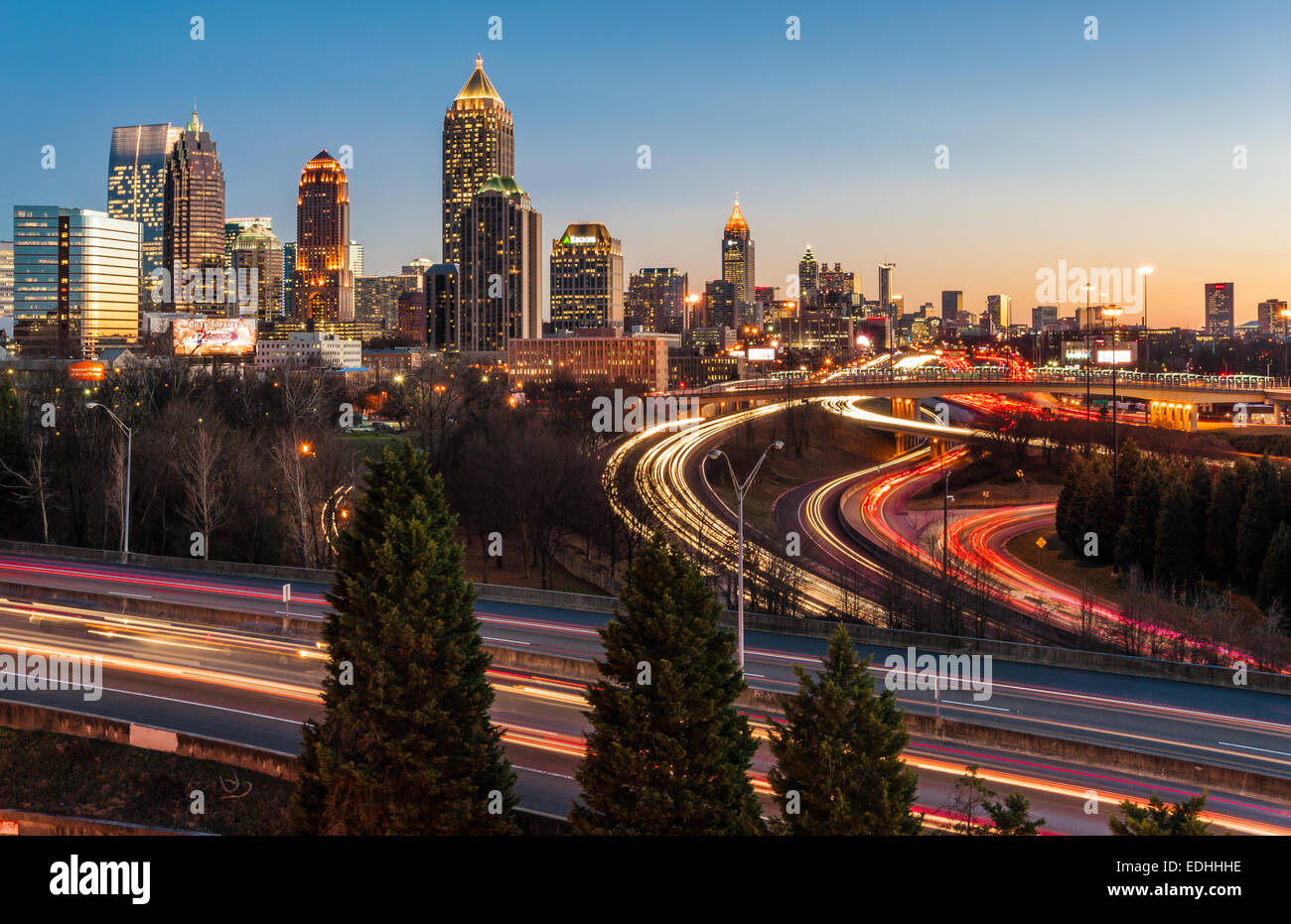 Atlanta city skyline and Interstate traffic aglow in the colors of sunset. Atlanta, Georgia, USA. Stock Photohttps://www.alamy.com/image-license-details/?v=1https://www.alamy.com/stock-photo-atlanta-city-skyline-and-interstate-traffic-aglow-in-the-colors-of-77219002.html
RMEDHHHE–Atlanta city skyline and Interstate traffic aglow in the colors of sunset. Atlanta, Georgia, USA.
 Tree in Mesquite Flat Sand Dunes in Death Valley in California Stock Photohttps://www.alamy.com/image-license-details/?v=1https://www.alamy.com/stock-photo-tree-in-mesquite-flat-sand-dunes-in-death-valley-in-california-146927610.html
RFJF13JJ–Tree in Mesquite Flat Sand Dunes in Death Valley in California
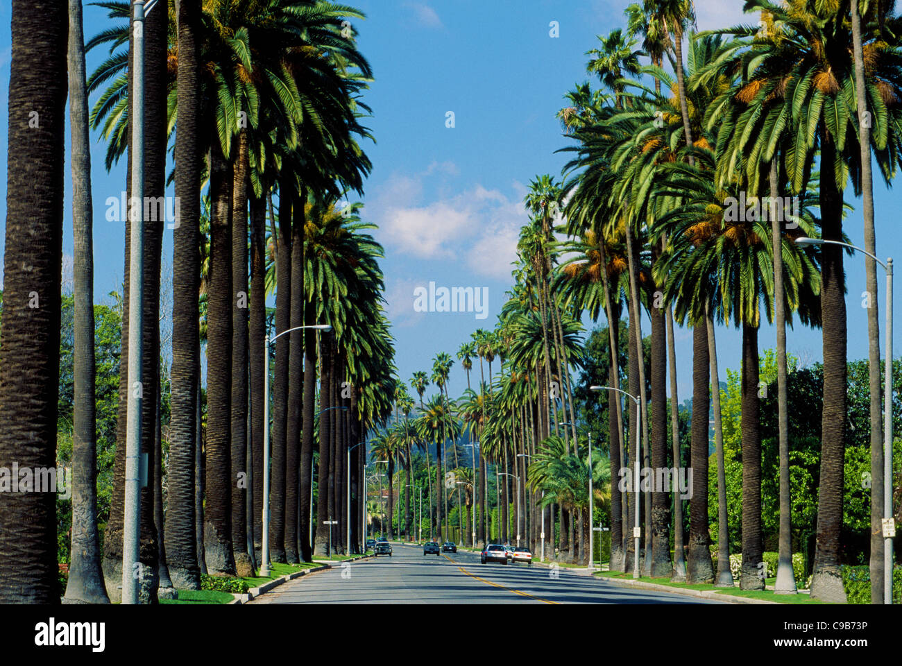 Towering palm trees line an upscale residential street in Beverly Hills, a famous community in Los Angeles County in Southern California, USA. Stock Photohttps://www.alamy.com/image-license-details/?v=1https://www.alamy.com/stock-photo-towering-palm-trees-line-an-upscale-residential-street-in-beverly-40199706.html
RMC9B73P–Towering palm trees line an upscale residential street in Beverly Hills, a famous community in Los Angeles County in Southern California, USA.
 Tree lined street with American Flags on poles at the Massachusetts National Cemetery in Bourne, Massachusetts USA Stock Photohttps://www.alamy.com/image-license-details/?v=1https://www.alamy.com/stock-photo-tree-lined-street-with-american-flags-on-poles-at-the-massachusetts-29962023.html
RMBMMTT7–Tree lined street with American Flags on poles at the Massachusetts National Cemetery in Bourne, Massachusetts USA
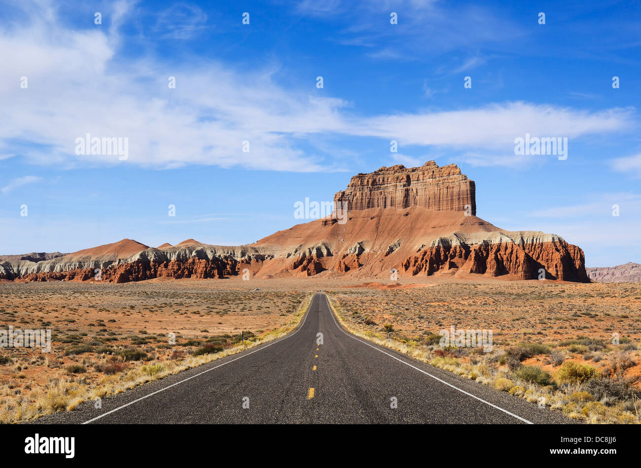 Long road towards Wild Horse Butte near Goblin Valley in Utah, USA Stock Photohttps://www.alamy.com/image-license-details/?v=1https://www.alamy.com/stock-photo-long-road-towards-wild-horse-butte-near-goblin-valley-in-utah-usa-59197214.html
RFDC8JJ6–Long road towards Wild Horse Butte near Goblin Valley in Utah, USA
 Strasse und Staubwege im Monument Valley in Utah / USA Stock Photohttps://www.alamy.com/image-license-details/?v=1https://www.alamy.com/strasse-und-staubwege-im-monument-valley-in-utah-usa-image329177630.html
RF2A3F9BX–Strasse und Staubwege im Monument Valley in Utah / USA
 Valley of Fire Scenic Drive and winding roads in Nevada Stock Photohttps://www.alamy.com/image-license-details/?v=1https://www.alamy.com/valley-of-fire-scenic-drive-and-winding-roads-in-nevada-image611075016.html
RF2XE4TBM–Valley of Fire Scenic Drive and winding roads in Nevada
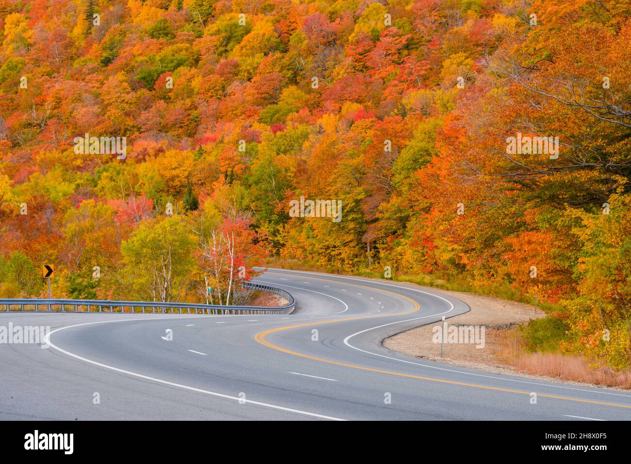 Highway 16 in autumn, Pinkham Notch, New Hampshire, USA Stock Photohttps://www.alamy.com/image-license-details/?v=1https://www.alamy.com/highway-16-in-autumn-pinkham-notch-new-hampshire-usa-image452957993.html
RM2H8X0F5–Highway 16 in autumn, Pinkham Notch, New Hampshire, USA
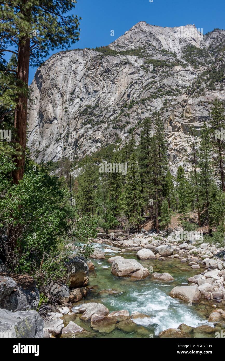 Vertical view of South Fork of Kings River in a popular stretch for fly fishing and hiking in Kings Canyon National Park. Stock Photohttps://www.alamy.com/image-license-details/?v=1https://www.alamy.com/vertical-view-of-south-fork-of-kings-river-in-a-popular-stretch-for-fly-fishing-and-hiking-in-kings-canyon-national-park-image438415637.html
RM2GD7FH9–Vertical view of South Fork of Kings River in a popular stretch for fly fishing and hiking in Kings Canyon National Park.
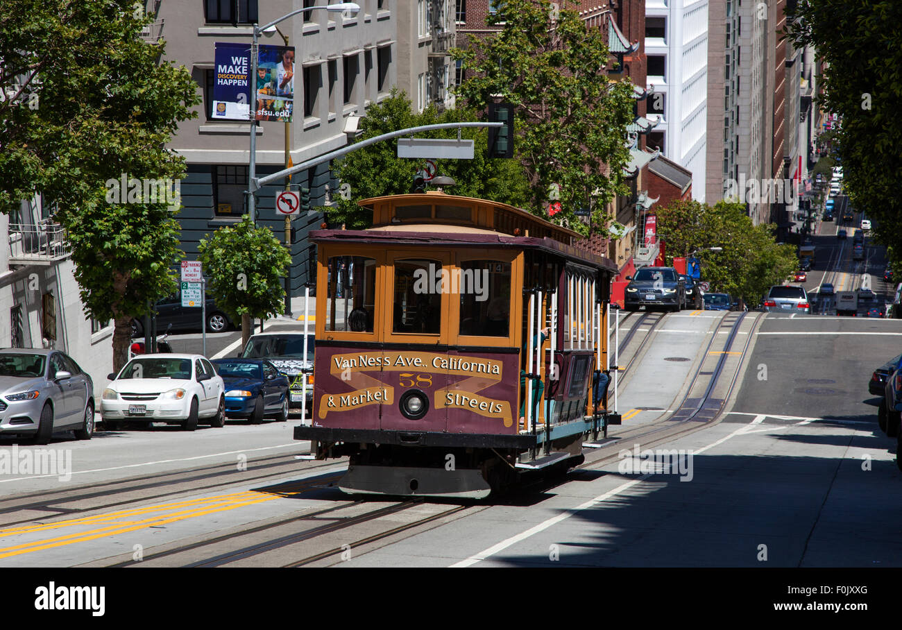 A Cable Car Going down Powell Street in Downtown San Francisco, USA Stock Photohttps://www.alamy.com/image-license-details/?v=1https://www.alamy.com/stock-photo-a-cable-car-going-down-powell-street-in-downtown-san-francisco-usa-86468104.html
RMF0JXXG–A Cable Car Going down Powell Street in Downtown San Francisco, USA
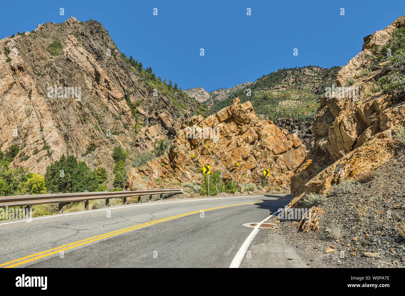 Two-lane winding road through the Wasatch Mountains in Utah with just a hint of fall here and there. Stock Photohttps://www.alamy.com/image-license-details/?v=1https://www.alamy.com/two-lane-winding-road-through-the-wasatch-mountains-in-utah-with-just-a-hint-of-fall-here-and-there-image258646514.html
RFW0PA7E–Two-lane winding road through the Wasatch Mountains in Utah with just a hint of fall here and there.
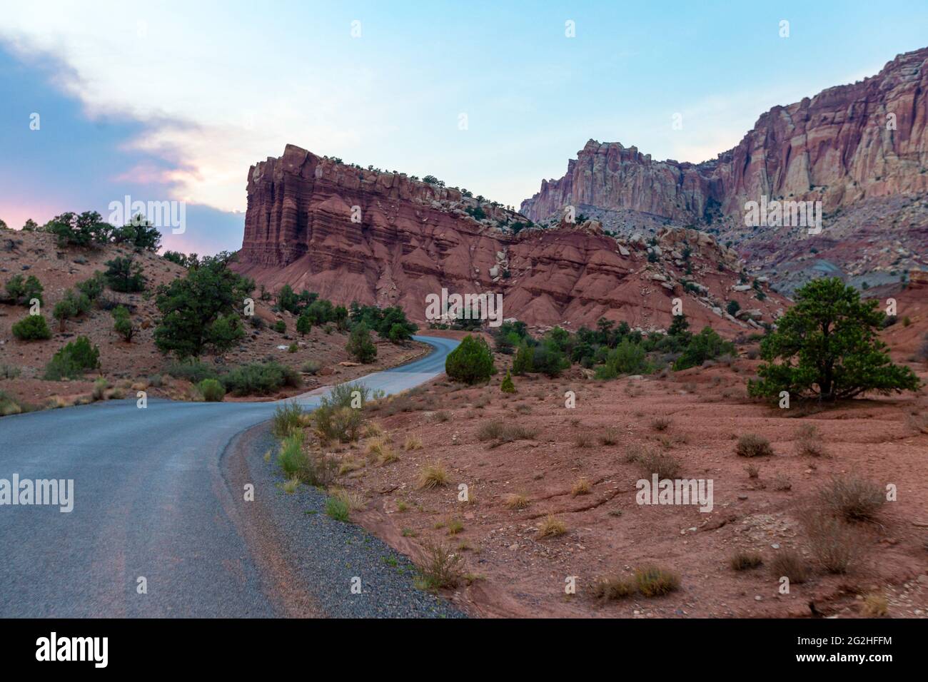 On the famous Scenic Drive in Capitol Reef National Park, Utah, USA. 7.9 mile (12.7 km) paved road, suitable for passenger vehicles. Allot about an hour and half roundtrip to drive the Scenic Drive and the two dirt spur roads, Grand Wash and Capitol Gorge. These dirt spur roads enter canyons and lead to trailheads, and are usually suitable for passenger cars and RVs up to 27 feet in length.Next to Pectols Pyramid and Golden Throne. Stock Photohttps://www.alamy.com/image-license-details/?v=1https://www.alamy.com/on-the-famous-scenic-drive-in-capitol-reef-national-park-utah-usa-79-mile-127-km-paved-road-suitable-for-passenger-vehicles-allot-about-an-hour-and-half-roundtrip-to-drive-the-scenic-drive-and-the-two-dirt-spur-roads-grand-wash-and-capitol-gorge-these-dirt-spur-roads-enter-canyons-and-lead-to-trailheads-and-are-usually-suitable-for-passenger-cars-and-rvs-up-to-27-feet-in-lengthnext-to-pectols-pyramid-and-golden-throne-image431873896.html
RM2G2HFFM–On the famous Scenic Drive in Capitol Reef National Park, Utah, USA. 7.9 mile (12.7 km) paved road, suitable for passenger vehicles. Allot about an hour and half roundtrip to drive the Scenic Drive and the two dirt spur roads, Grand Wash and Capitol Gorge. These dirt spur roads enter canyons and lead to trailheads, and are usually suitable for passenger cars and RVs up to 27 feet in length.Next to Pectols Pyramid and Golden Throne.
 Traffic and roads in Yellowstone National Park, Wyoming, USA, near the east entrance to the park on the East Entrance Road. Stock Photohttps://www.alamy.com/image-license-details/?v=1https://www.alamy.com/traffic-and-roads-in-yellowstone-national-park-wyoming-usa-near-the-east-entrance-to-the-park-on-the-east-entrance-road-image435393531.html
RM2G89TTY–Traffic and roads in Yellowstone National Park, Wyoming, USA, near the east entrance to the park on the East Entrance Road.
 On Highway 12 in the valley of the Escalante River, Utah, USA Stock Photohttps://www.alamy.com/image-license-details/?v=1https://www.alamy.com/stock-photo-on-highway-12-in-the-valley-of-the-escalante-river-utah-usa-24426685.html
RFBBMMDH–On Highway 12 in the valley of the Escalante River, Utah, USA
 American road sign direction marker Scenic Byway along the Mount Mt Nebo Loop Byway in Utah USA. cutout cut out isolated Stock Photohttps://www.alamy.com/image-license-details/?v=1https://www.alamy.com/stock-photo-american-road-sign-direction-marker-scenic-byway-along-the-mount-mt-26824915.html
RMBFHYCK–American road sign direction marker Scenic Byway along the Mount Mt Nebo Loop Byway in Utah USA. cutout cut out isolated
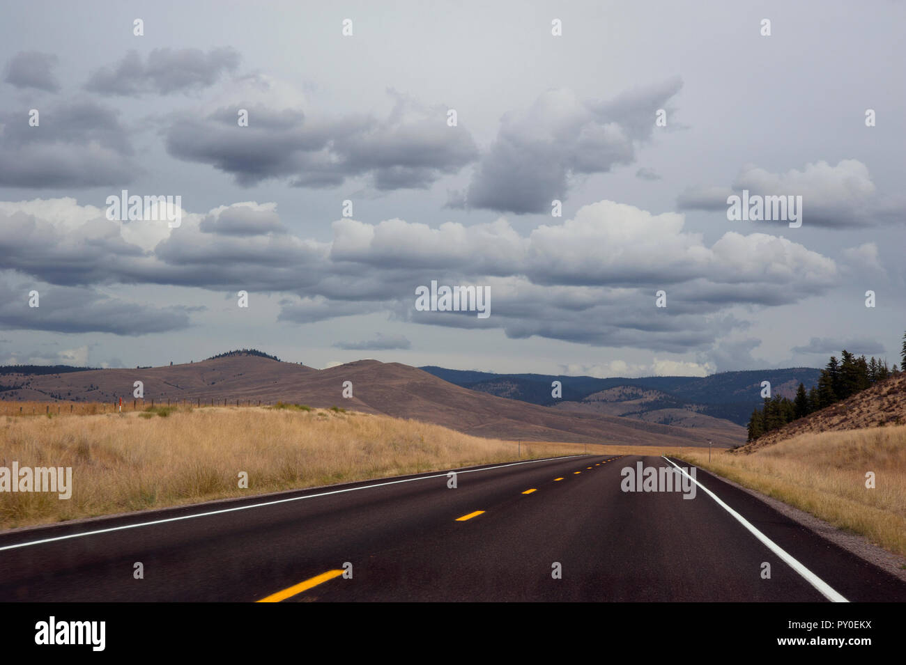 Open road in Montana, USA Stock Photohttps://www.alamy.com/image-license-details/?v=1https://www.alamy.com/open-road-in-montana-usa-image223131662.html
RMPY0EKX–Open road in Montana, USA
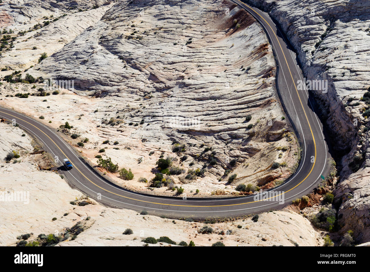 Seen from the Head of the Rocks overlook, curve in the Scenic Byway 12 near Escalante, Utah, USA. Stock Photohttps://www.alamy.com/image-license-details/?v=1https://www.alamy.com/seen-from-the-head-of-the-rocks-overlook-curve-in-the-scenic-byway-12-near-escalante-utah-usa-image211809248.html
RMP8GMT0–Seen from the Head of the Rocks overlook, curve in the Scenic Byway 12 near Escalante, Utah, USA.
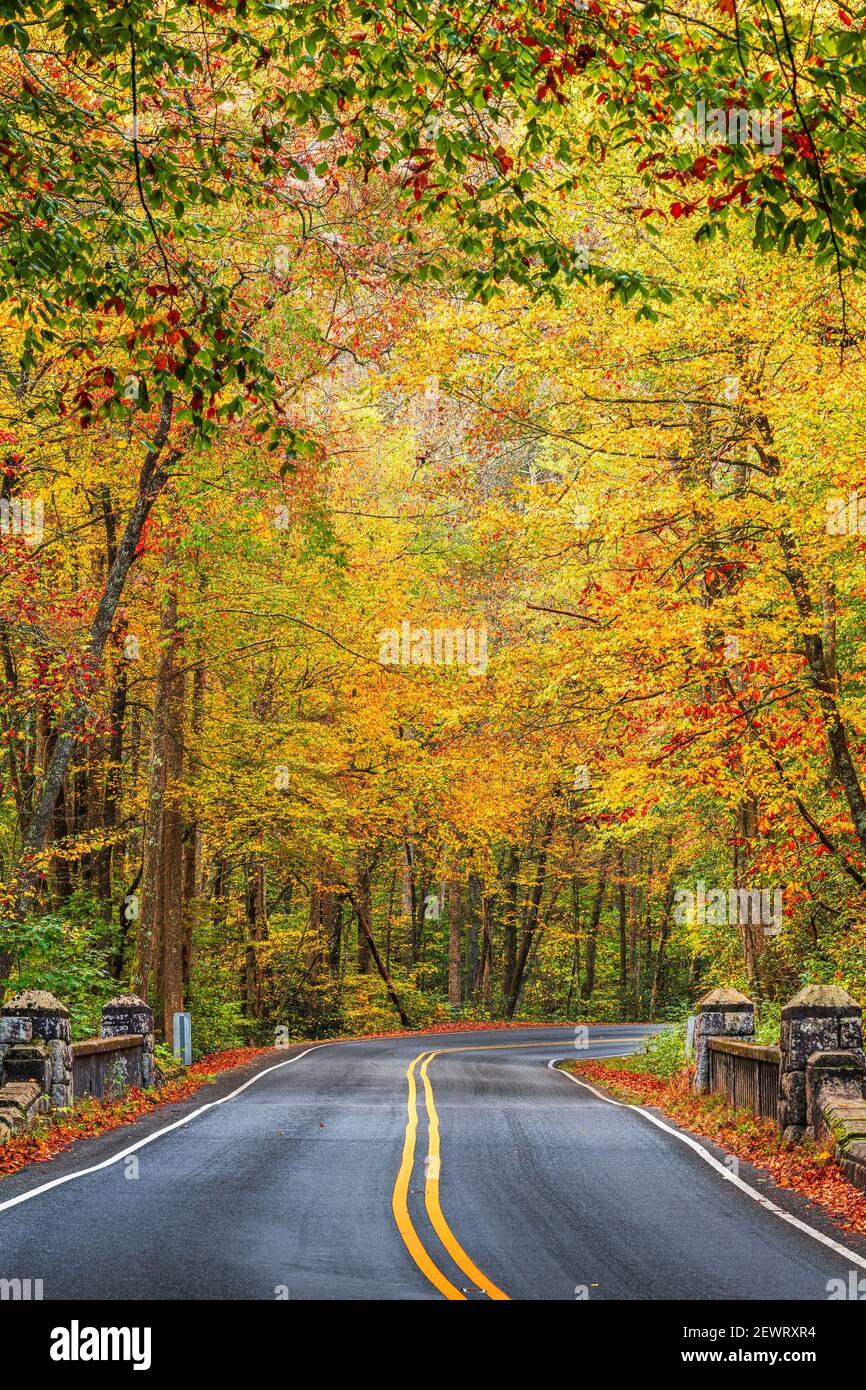 Autumn roads in Pisgah National Forest, North Carolina, USA. Stock Photohttps://www.alamy.com/image-license-details/?v=1https://www.alamy.com/autumn-roads-in-pisgah-national-forest-north-carolina-usa-image411730792.html
RF2EWRXR4–Autumn roads in Pisgah National Forest, North Carolina, USA.
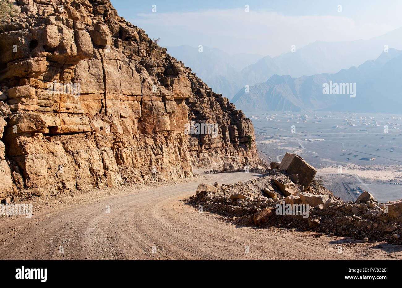 Scenic desert road surrounded by rocks in Musandam Oman Stock Photohttps://www.alamy.com/image-license-details/?v=1https://www.alamy.com/scenic-desert-road-surrounded-by-rocks-in-musandam-oman-image222068854.html
RFPW832E–Scenic desert road surrounded by rocks in Musandam Oman
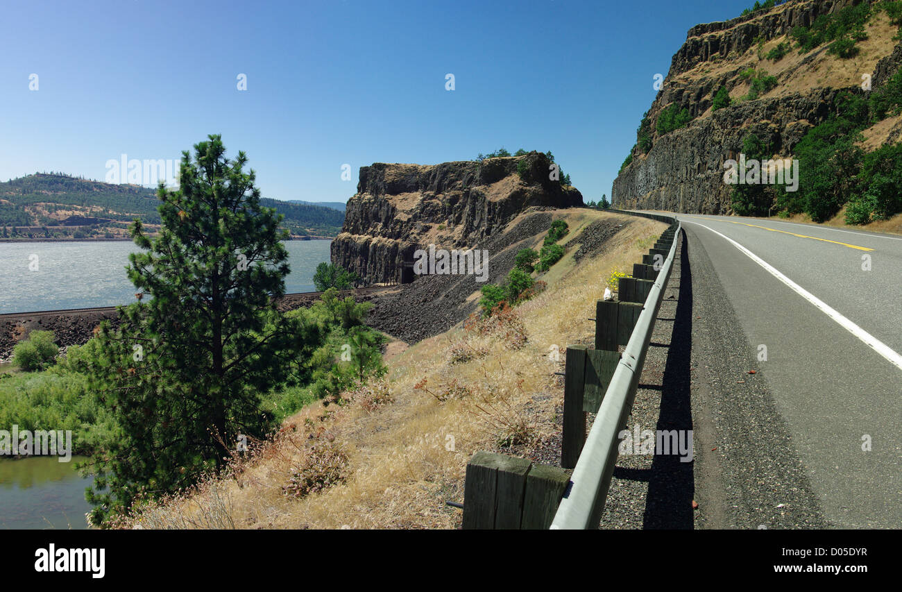 A curving section of Highway 12 along the Columbia River in southern Washington State, USA. Stock Photohttps://www.alamy.com/image-license-details/?v=1https://www.alamy.com/stock-photo-a-curving-section-of-highway-12-along-the-columbia-river-in-southern-51751835.html
RFD05DYR–A curving section of Highway 12 along the Columbia River in southern Washington State, USA.
 Badwater Basin in Death Valley in California Stock Photohttps://www.alamy.com/image-license-details/?v=1https://www.alamy.com/stock-photo-badwater-basin-in-death-valley-in-california-146927468.html
RFJF13DG–Badwater Basin in Death Valley in California
 road trip ojai valley Stock Photohttps://www.alamy.com/image-license-details/?v=1https://www.alamy.com/stock-image-road-trip-ojai-valley-166519686.html
RFKJWHFJ–road trip ojai valley
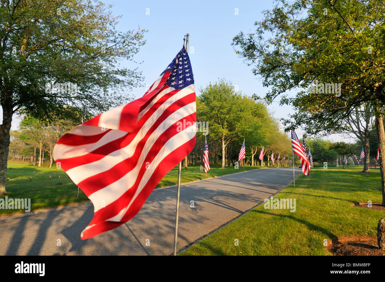 American Flags waving on a tree lined street on Memorial Day at the Massachusetts National Cemetery in Bourne, Cape Cod USA Stock Photohttps://www.alamy.com/image-license-details/?v=1https://www.alamy.com/stock-photo-american-flags-waving-on-a-tree-lined-street-on-memorial-day-at-the-29951594.html
RMBMMBFP–American Flags waving on a tree lined street on Memorial Day at the Massachusetts National Cemetery in Bourne, Cape Cod USA
 A photograph of the entrance to a curved bridge in the desert of New Mexico, USA. A 'Weight Limit' sign is in the foreground. Stock Photohttps://www.alamy.com/image-license-details/?v=1https://www.alamy.com/stock-photo-a-photograph-of-the-entrance-to-a-curved-bridge-in-the-desert-of-new-84875984.html
RMEX2C54–A photograph of the entrance to a curved bridge in the desert of New Mexico, USA. A 'Weight Limit' sign is in the foreground.
 Strasse und Staubwege im Monument Valley in Utah / USA Stock Photohttps://www.alamy.com/image-license-details/?v=1https://www.alamy.com/strasse-und-staubwege-im-monument-valley-in-utah-usa-image329178350.html
RF2A3FA9J–Strasse und Staubwege im Monument Valley in Utah / USA
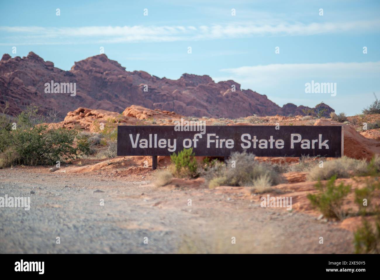 Valley of Fire Scenic Drive and winding roads in Nevada Stock Photohttps://www.alamy.com/image-license-details/?v=1https://www.alamy.com/valley-of-fire-scenic-drive-and-winding-roads-in-nevada-image611078585.html
RF2XE50Y5–Valley of Fire Scenic Drive and winding roads in Nevada
 Foothills Parkway in autumn, Great Smoky Mountains National Park, Tennessee, USA Stock Photohttps://www.alamy.com/image-license-details/?v=1https://www.alamy.com/foothills-parkway-in-autumn-great-smoky-mountains-national-park-tennessee-usa-image224842754.html
RMR1PD6A–Foothills Parkway in autumn, Great Smoky Mountains National Park, Tennessee, USA
 Recreational vehicle driving towards the historic Gilahina Railroad Trestle in Wrangell–St. Elias National Park and Preserve, Alaska, USA Stock Photohttps://www.alamy.com/image-license-details/?v=1https://www.alamy.com/recreational-vehicle-driving-towards-the-historic-gilahina-railroad-trestle-in-wrangellst-elias-national-park-and-preserve-alaska-usa-image628392502.html
RM2YE9N1A–Recreational vehicle driving towards the historic Gilahina Railroad Trestle in Wrangell–St. Elias National Park and Preserve, Alaska, USA
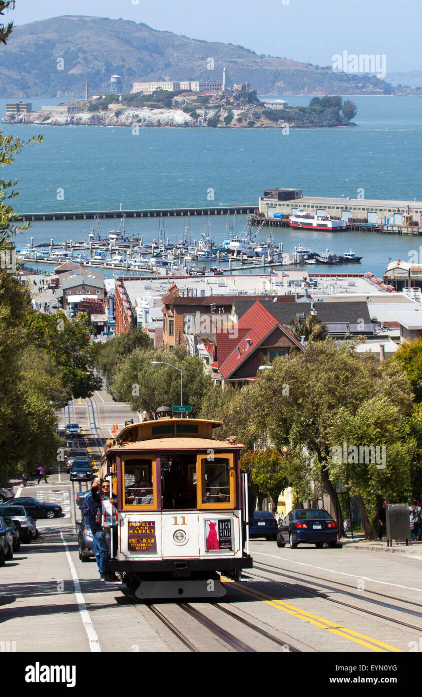 A Cable Car Going down Hyde Street in Downtown San Francisco, USA Stock Photohttps://www.alamy.com/image-license-details/?v=1https://www.alamy.com/stock-photo-a-cable-car-going-down-hyde-street-in-downtown-san-francisco-usa-85898948.html
RMEYN0YG–A Cable Car Going down Hyde Street in Downtown San Francisco, USA
 S curve leads you into more beautiful scenery on this park road in Arches National Park Stock Photohttps://www.alamy.com/image-license-details/?v=1https://www.alamy.com/s-curve-leads-you-into-more-beautiful-scenery-on-this-park-road-in-arches-national-park-image258646017.html
RFW0P9HN–S curve leads you into more beautiful scenery on this park road in Arches National Park
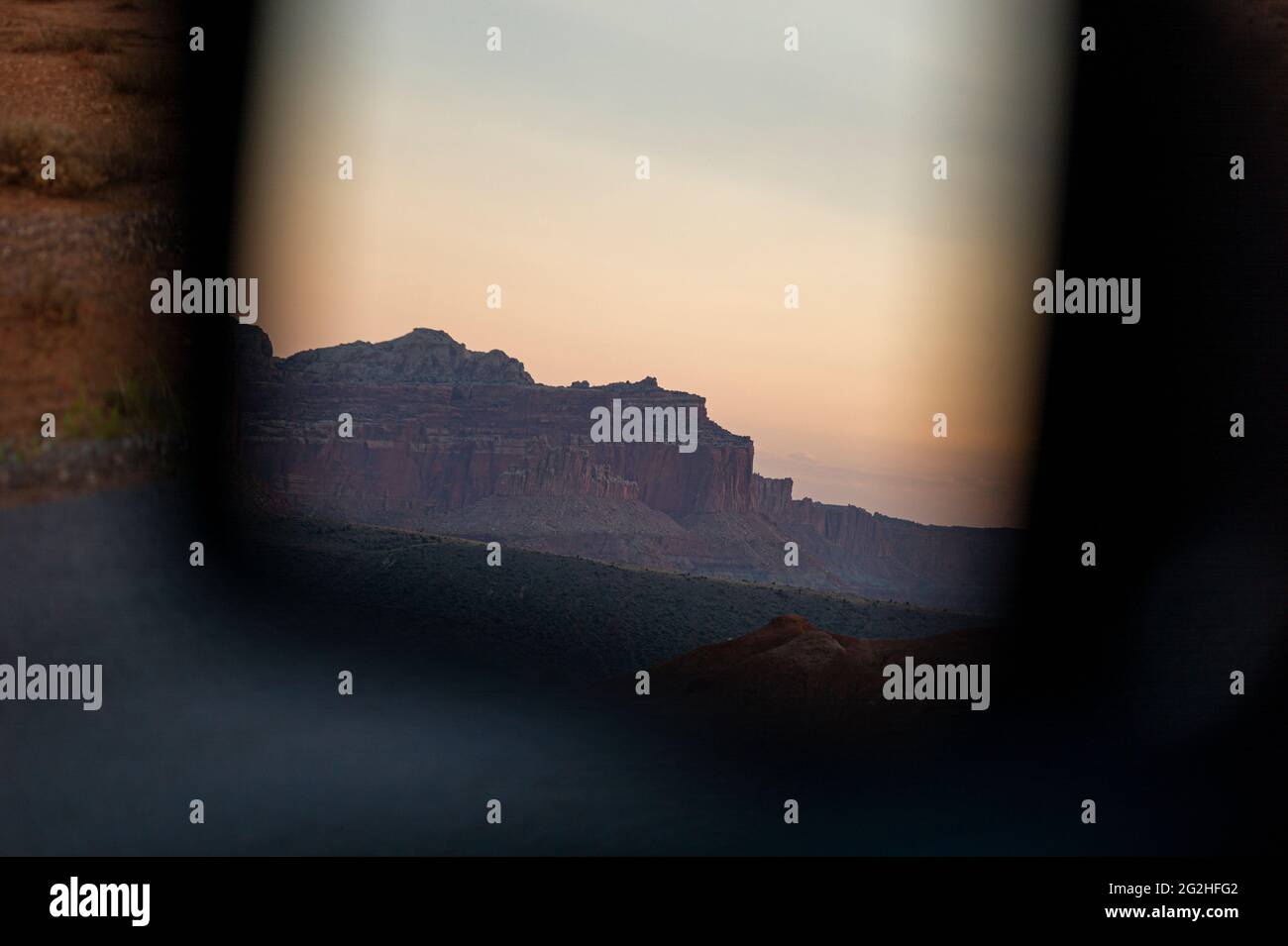 On the famous Scenic Drive in Capitol Reef National Park, Utah, USA. 7.9 mile (12.7 km) paved road, suitable for passenger vehicles. Allot about an hour and half roundtrip to drive the Scenic Drive and the two dirt spur roads, Grand Wash and Capitol Gorge. These dirt spur roads enter canyons and lead to trailheads, and are usually suitable for passenger cars and RVs up to 27 feet in length.Next to Pectols Pyramid and Golden Throne. Stock Photohttps://www.alamy.com/image-license-details/?v=1https://www.alamy.com/on-the-famous-scenic-drive-in-capitol-reef-national-park-utah-usa-79-mile-127-km-paved-road-suitable-for-passenger-vehicles-allot-about-an-hour-and-half-roundtrip-to-drive-the-scenic-drive-and-the-two-dirt-spur-roads-grand-wash-and-capitol-gorge-these-dirt-spur-roads-enter-canyons-and-lead-to-trailheads-and-are-usually-suitable-for-passenger-cars-and-rvs-up-to-27-feet-in-lengthnext-to-pectols-pyramid-and-golden-throne-image431873906.html
RM2G2HFG2–On the famous Scenic Drive in Capitol Reef National Park, Utah, USA. 7.9 mile (12.7 km) paved road, suitable for passenger vehicles. Allot about an hour and half roundtrip to drive the Scenic Drive and the two dirt spur roads, Grand Wash and Capitol Gorge. These dirt spur roads enter canyons and lead to trailheads, and are usually suitable for passenger cars and RVs up to 27 feet in length.Next to Pectols Pyramid and Golden Throne.
 Traffic and roads in Yellowstone National Park, Wyoming, USA, near the east entrance to the park on the East Entrance Road. Stock Photohttps://www.alamy.com/image-license-details/?v=1https://www.alamy.com/traffic-and-roads-in-yellowstone-national-park-wyoming-usa-near-the-east-entrance-to-the-park-on-the-east-entrance-road-image435393148.html
RM2G89TB8–Traffic and roads in Yellowstone National Park, Wyoming, USA, near the east entrance to the park on the East Entrance Road.
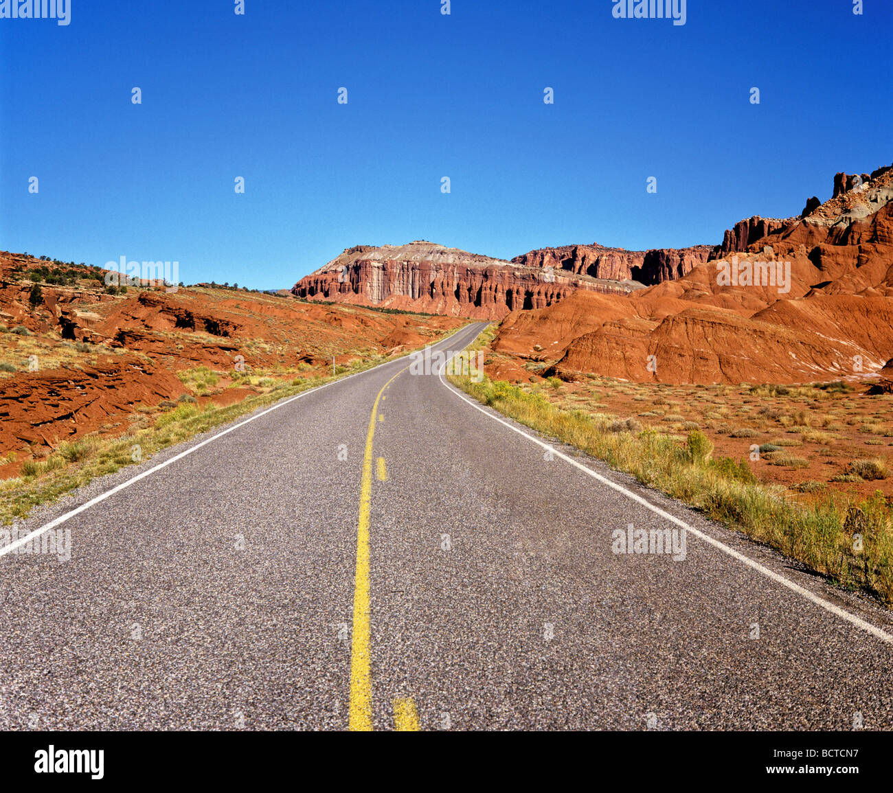 Road in the Canyonlands National Park, Utah, USA Stock Photohttps://www.alamy.com/image-license-details/?v=1https://www.alamy.com/stock-photo-road-in-the-canyonlands-national-park-utah-usa-25123091.html
RMBCTCN7–Road in the Canyonlands National Park, Utah, USA
 Cruise America rental motorhome driving the scenic drive at Rainbow Vista in Valley Of Fire State Park past colourful desert scenery Stock Photohttps://www.alamy.com/image-license-details/?v=1https://www.alamy.com/cruise-america-rental-motorhome-driving-the-scenic-drive-at-rainbow-vista-in-valley-of-fire-state-park-past-colourful-desert-scenery-image549509883.html
RM2PX09CY–Cruise America rental motorhome driving the scenic drive at Rainbow Vista in Valley Of Fire State Park past colourful desert scenery
 Open road in Montana, USA Stock Photohttps://www.alamy.com/image-license-details/?v=1https://www.alamy.com/open-road-in-montana-usa-image223131672.html
RMPY0EM8–Open road in Montana, USA
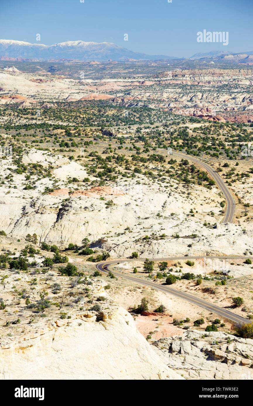 Scenic Byway 12 going through desertic landscape, seen from the Head of the Rocks Overlook near Escalante, Utah. Henry Mountains in the background. Stock Photohttps://www.alamy.com/image-license-details/?v=1https://www.alamy.com/scenic-byway-12-going-through-desertic-landscape-seen-from-the-head-of-the-rocks-overlook-near-escalante-utah-henry-mountains-in-the-background-image256819194.html
RMTWR3E2–Scenic Byway 12 going through desertic landscape, seen from the Head of the Rocks Overlook near Escalante, Utah. Henry Mountains in the background.
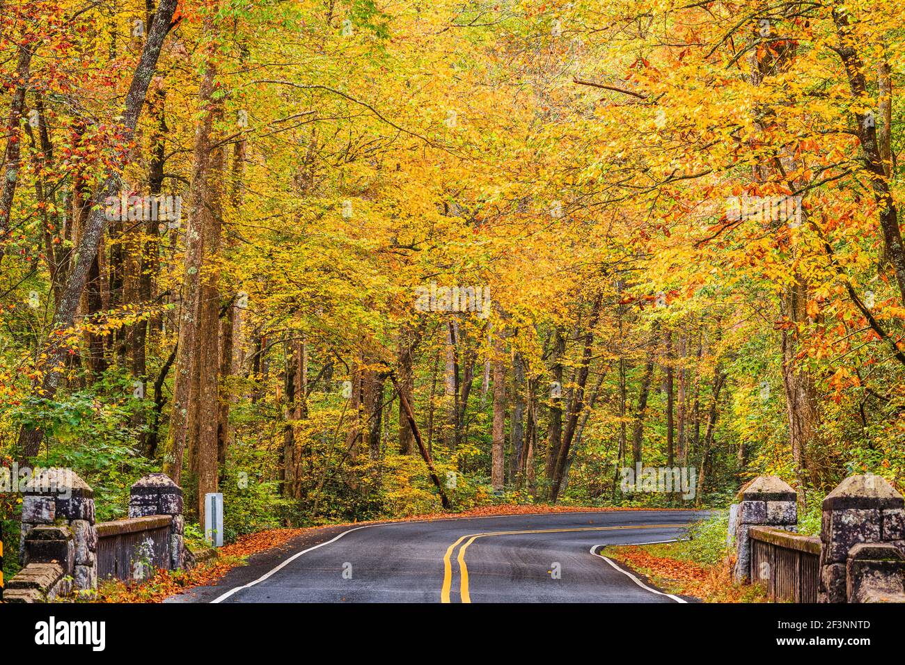 Autumn roads in Pisgah National Forest, North Carolina, USA. Stock Photohttps://www.alamy.com/image-license-details/?v=1https://www.alamy.com/autumn-roads-in-pisgah-national-forest-north-carolina-usa-image415370941.html
RF2F3NNTD–Autumn roads in Pisgah National Forest, North Carolina, USA.
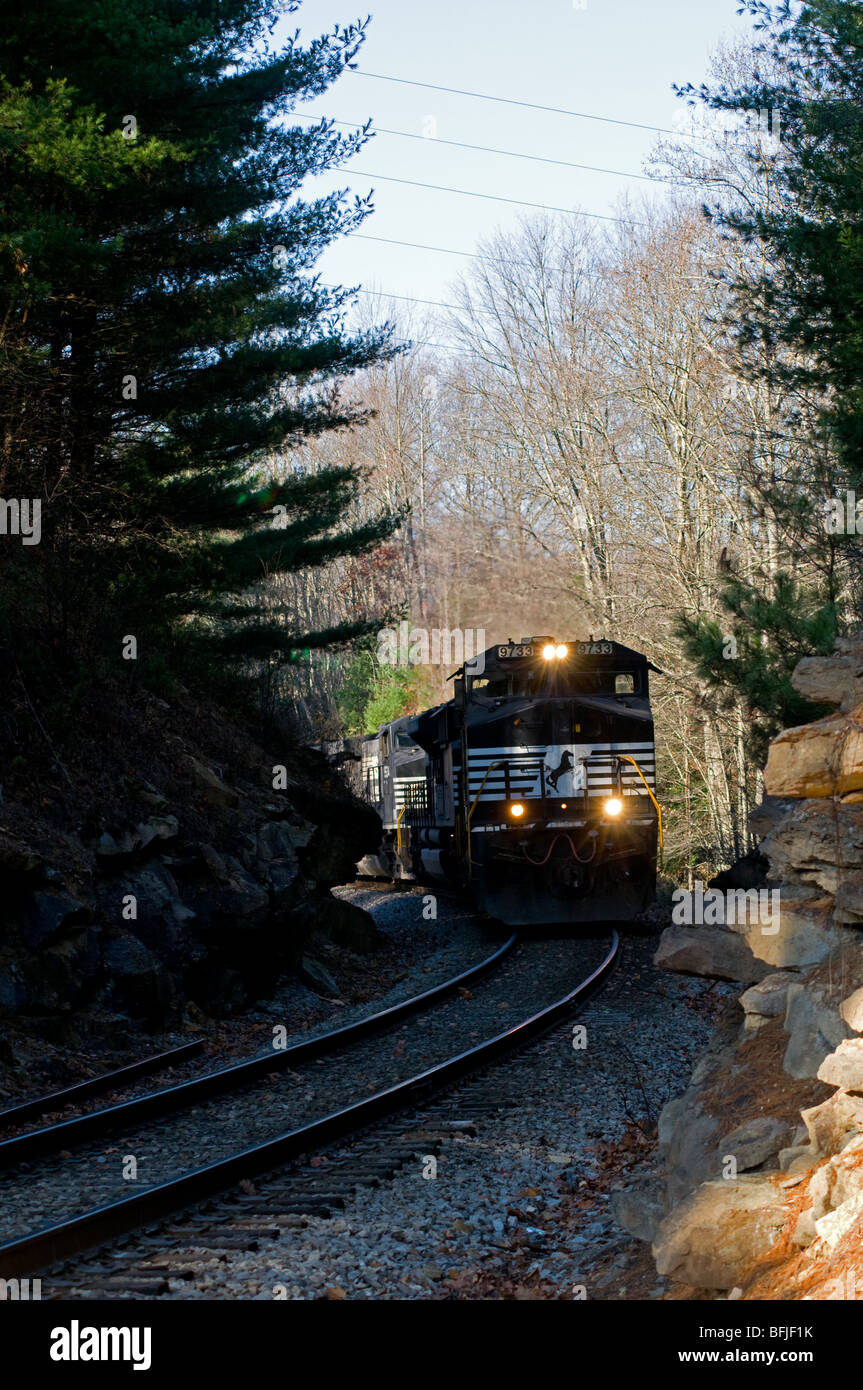 Coal Train near. rural country road, West, Virginia USA Stock Photohttps://www.alamy.com/image-license-details/?v=1https://www.alamy.com/stock-photo-coal-train-near-rural-country-road-west-virginia-usa-26837151.html
RMBFJF1K–Coal Train near. rural country road, West, Virginia USA
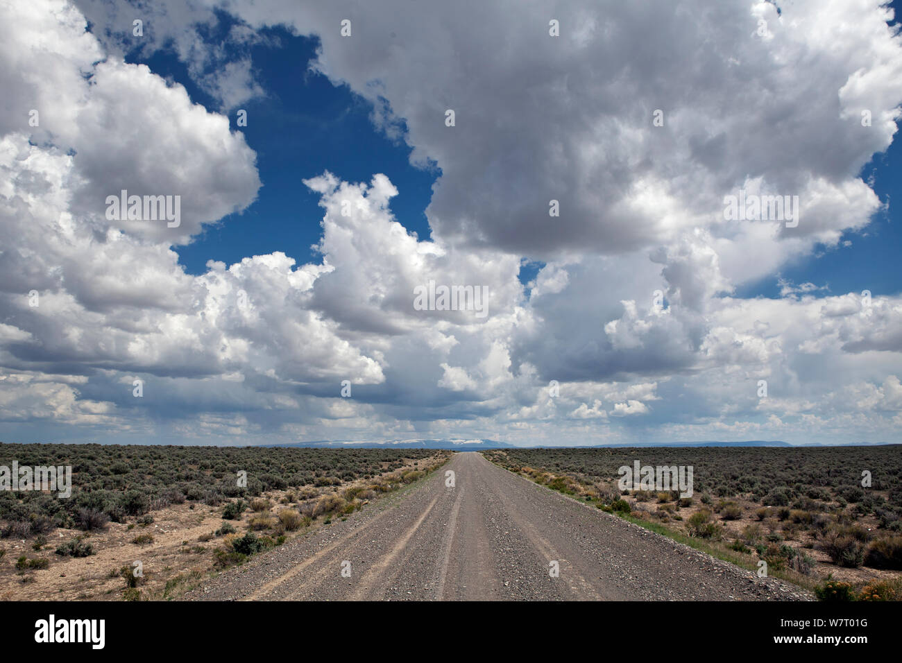 Blue sky with clouds above road in Heart Mountain National Antelope Refuge, Oregon, USA, May 2013. Stock Photohttps://www.alamy.com/image-license-details/?v=1https://www.alamy.com/blue-sky-with-clouds-above-road-in-heart-mountain-national-antelope-refuge-oregon-usa-may-2013-image262985004.html
RMW7T01G–Blue sky with clouds above road in Heart Mountain National Antelope Refuge, Oregon, USA, May 2013.
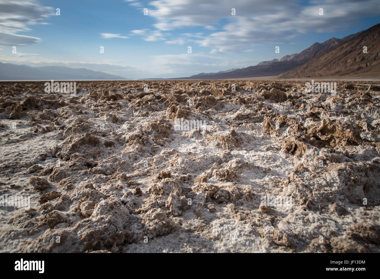 Badwater Basin in Death Valley in California Stock Photohttps://www.alamy.com/image-license-details/?v=1https://www.alamy.com/stock-photo-badwater-basin-in-death-valley-in-california-146927472.html
RFJF13DM–Badwater Basin in Death Valley in California
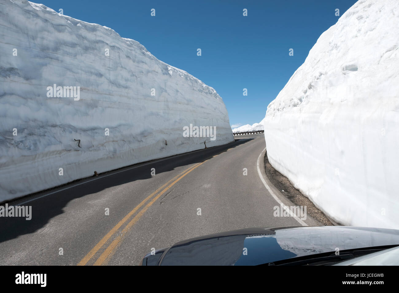 View of the snow banks in early June on the sides of the Beartooth Highway, All American scenic highway between Cooke City and Red Lodge Montana, USA Stock Photohttps://www.alamy.com/image-license-details/?v=1https://www.alamy.com/stock-photo-view-of-the-snow-banks-in-early-june-on-the-sides-of-the-beartooth-145379399.html
RMJCEGWB–View of the snow banks in early June on the sides of the Beartooth Highway, All American scenic highway between Cooke City and Red Lodge Montana, USA
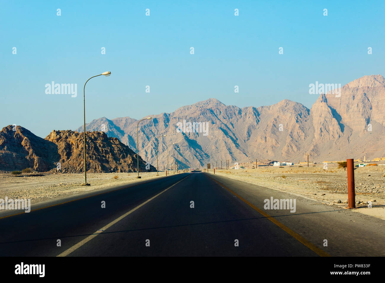 Scenic desert road surrounded by rocks in Musandam Oman Stock Photohttps://www.alamy.com/image-license-details/?v=1https://www.alamy.com/scenic-desert-road-surrounded-by-rocks-in-musandam-oman-image222068883.html
RFPW833F–Scenic desert road surrounded by rocks in Musandam Oman
 A photograph of the entrance to a curved bridge in the desert of New Mexico, USA. A 'Weight Limit' sign is in the foreground. Stock Photohttps://www.alamy.com/image-license-details/?v=1https://www.alamy.com/stock-photo-a-photograph-of-the-entrance-to-a-curved-bridge-in-the-desert-of-new-84875982.html
RMEX2C52–A photograph of the entrance to a curved bridge in the desert of New Mexico, USA. A 'Weight Limit' sign is in the foreground.
 Strasse und Staubwege im Monument Valley in Utah / USA Stock Photohttps://www.alamy.com/image-license-details/?v=1https://www.alamy.com/strasse-und-staubwege-im-monument-valley-in-utah-usa-image329178115.html
RF2A3FA17–Strasse und Staubwege im Monument Valley in Utah / USA
 Valley of Fire Scenic Drive and winding roads in Nevada Stock Photohttps://www.alamy.com/image-license-details/?v=1https://www.alamy.com/valley-of-fire-scenic-drive-and-winding-roads-in-nevada-image611076984.html
RF2XE4XX0–Valley of Fire Scenic Drive and winding roads in Nevada
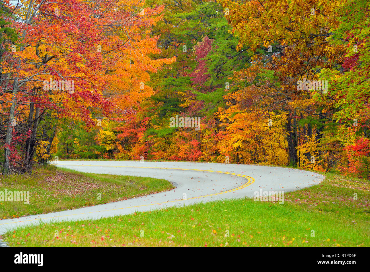 Foothills Parkway in autumn, Great Smoky Mountains National Park, Tennessee, USA Stock Photohttps://www.alamy.com/image-license-details/?v=1https://www.alamy.com/foothills-parkway-in-autumn-great-smoky-mountains-national-park-tennessee-usa-image224842759.html
RMR1PD6F–Foothills Parkway in autumn, Great Smoky Mountains National Park, Tennessee, USA
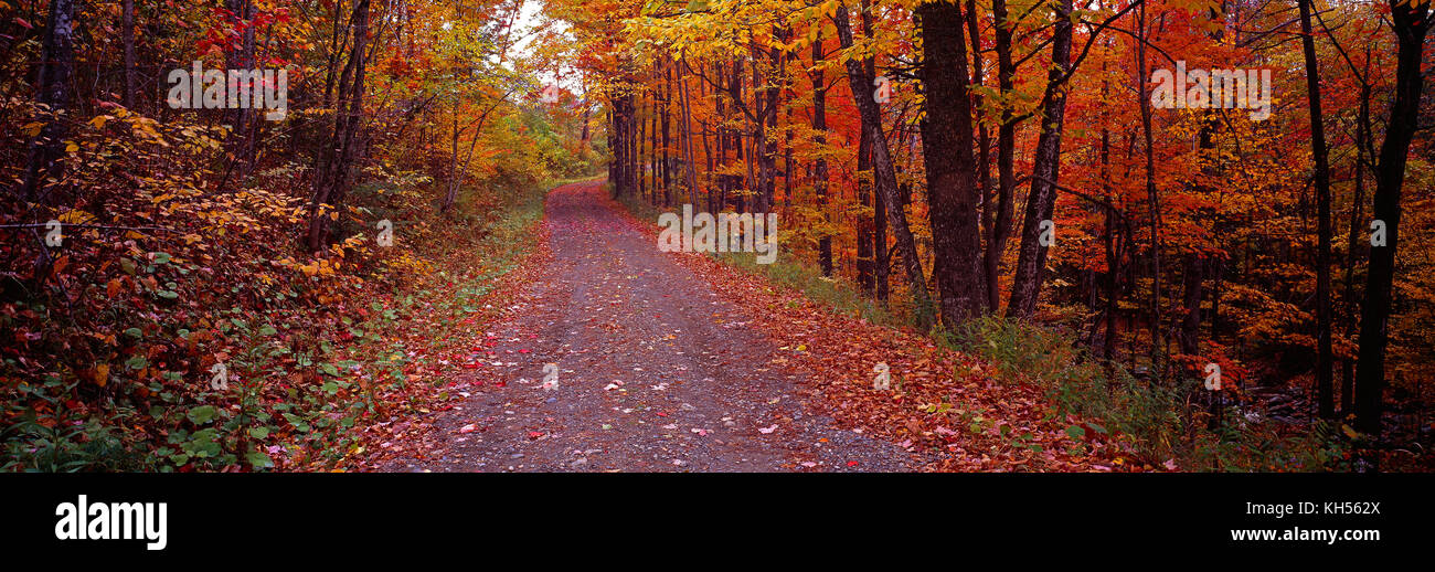 USA. New Hampshire. Bath. Single track road through forest in fall. Stock Photohttps://www.alamy.com/image-license-details/?v=1https://www.alamy.com/stock-image-usa-new-hampshire-bath-single-track-road-through-forest-in-fall-165457010.html
RMKH562X–USA. New Hampshire. Bath. Single track road through forest in fall.
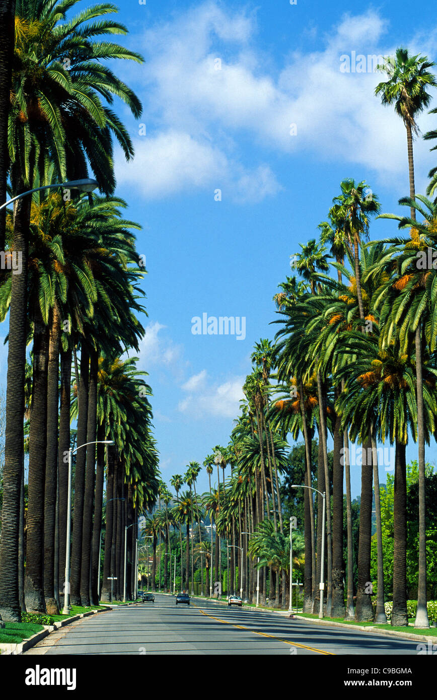 Towering palm trees line an upscale residential street in Beverly Hills in Southern California, USA. Stock Photohttps://www.alamy.com/image-license-details/?v=1https://www.alamy.com/stock-photo-towering-palm-trees-line-an-upscale-residential-street-in-beverly-40207226.html
RMC9BGMA–Towering palm trees line an upscale residential street in Beverly Hills in Southern California, USA.
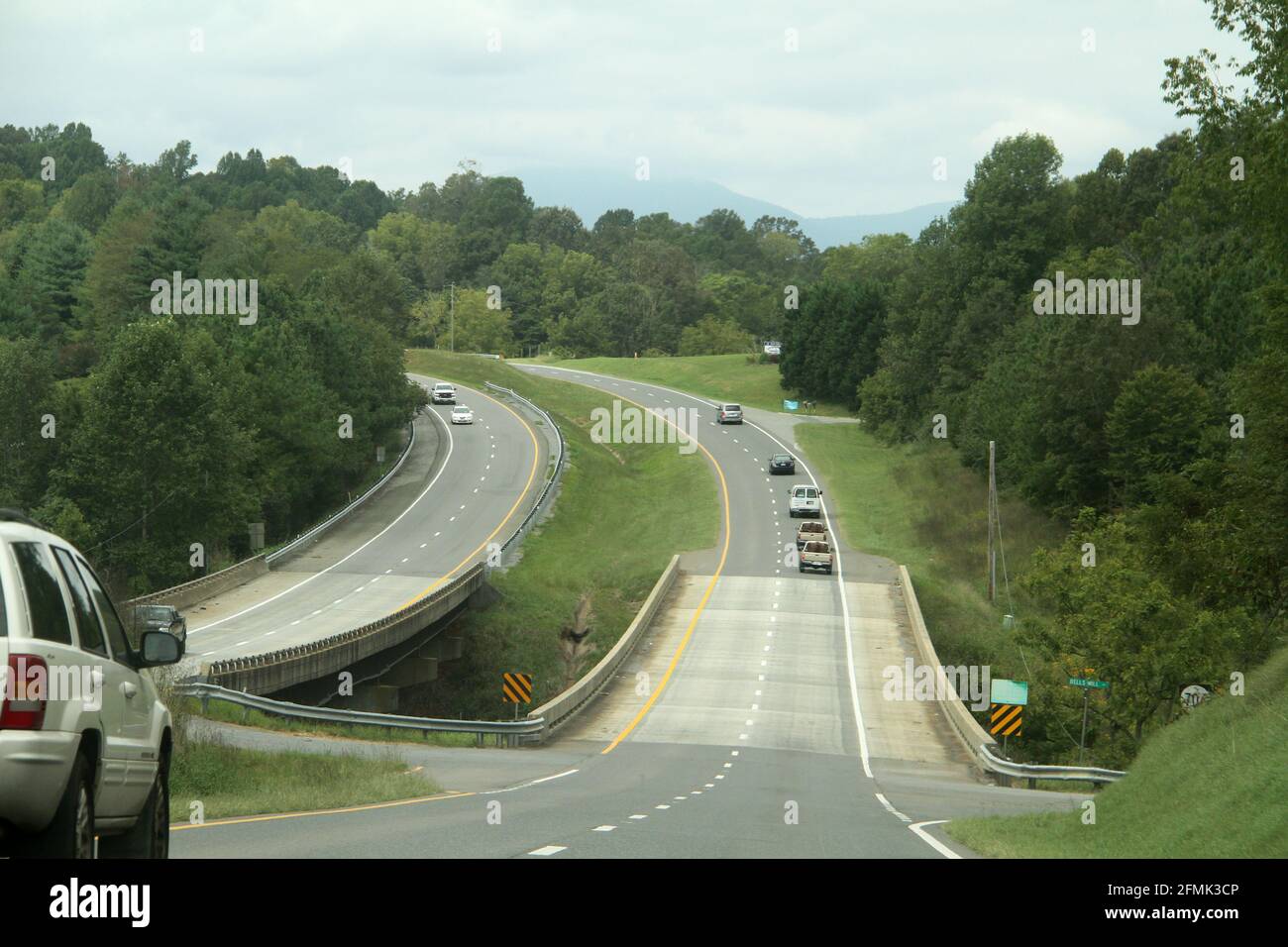 Scenic drive on a highway in Virginia, USA Stock Photohttps://www.alamy.com/image-license-details/?v=1https://www.alamy.com/scenic-drive-on-a-highway-in-virginia-usa-image425761750.html
RM2FMK3CP–Scenic drive on a highway in Virginia, USA
 On the famous Scenic Drive in Capitol Reef National Park, Utah, USA. 7.9 mile (12.7 km) paved road, suitable for passenger vehicles. Allot about an hour and half roundtrip to drive the Scenic Drive and the two dirt spur roads, Grand Wash and Capitol Gorge. These dirt spur roads enter canyons and lead to trailheads, and are usually suitable for passenger cars and RVs up to 27 feet in length.Next to Pectols Pyramid and Golden Throne. Stock Photohttps://www.alamy.com/image-license-details/?v=1https://www.alamy.com/on-the-famous-scenic-drive-in-capitol-reef-national-park-utah-usa-79-mile-127-km-paved-road-suitable-for-passenger-vehicles-allot-about-an-hour-and-half-roundtrip-to-drive-the-scenic-drive-and-the-two-dirt-spur-roads-grand-wash-and-capitol-gorge-these-dirt-spur-roads-enter-canyons-and-lead-to-trailheads-and-are-usually-suitable-for-passenger-cars-and-rvs-up-to-27-feet-in-lengthnext-to-pectols-pyramid-and-golden-throne-image431873892.html
RM2G2HFFG–On the famous Scenic Drive in Capitol Reef National Park, Utah, USA. 7.9 mile (12.7 km) paved road, suitable for passenger vehicles. Allot about an hour and half roundtrip to drive the Scenic Drive and the two dirt spur roads, Grand Wash and Capitol Gorge. These dirt spur roads enter canyons and lead to trailheads, and are usually suitable for passenger cars and RVs up to 27 feet in length.Next to Pectols Pyramid and Golden Throne.
 Traffic and roads in Yellowstone National Park, Wyoming, USA, near the east entrance to the park on the East Entrance Road. Stock Photohttps://www.alamy.com/image-license-details/?v=1https://www.alamy.com/traffic-and-roads-in-yellowstone-national-park-wyoming-usa-near-the-east-entrance-to-the-park-on-the-east-entrance-road-image435394694.html
RM2G89XAE–Traffic and roads in Yellowstone National Park, Wyoming, USA, near the east entrance to the park on the East Entrance Road.
 Road in the Zion National Park, Utah, USA Stock Photohttps://www.alamy.com/image-license-details/?v=1https://www.alamy.com/stock-photo-road-in-the-zion-national-park-utah-usa-25125964.html
RMBCTGBT–Road in the Zion National Park, Utah, USA
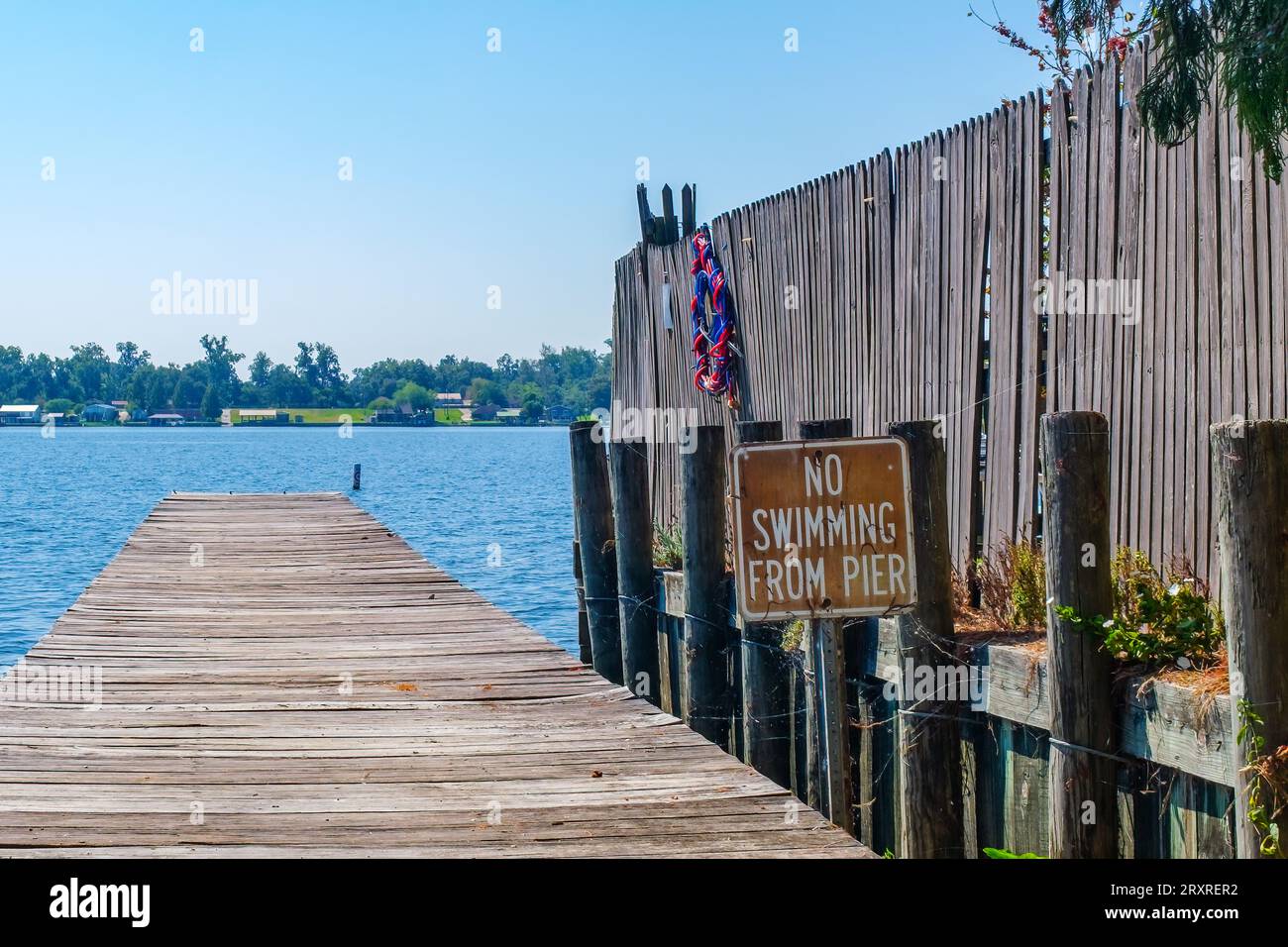 NEW ROADS, LA, USA - SEPTEMBER 19, 2023: False River view with wooden pier, fence and 'No Swimming from Pier' sign in the foreground Stock Photohttps://www.alamy.com/image-license-details/?v=1https://www.alamy.com/new-roads-la-usa-september-19-2023-false-river-view-with-wooden-pier-fence-and-no-swimming-from-pier-sign-in-the-foreground-image567229350.html
RF2RXRER2–NEW ROADS, LA, USA - SEPTEMBER 19, 2023: False River view with wooden pier, fence and 'No Swimming from Pier' sign in the foreground
