Quick filters:
Semi aerial Stock Photos and Images
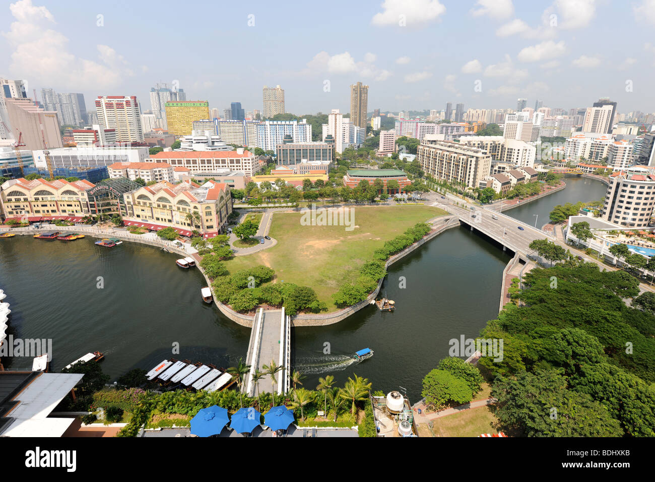 semi-aerial view from 22nd floor of apartment block over Singapore River, Singapore Stock Photohttps://www.alamy.com/image-license-details/?v=1https://www.alamy.com/stock-photo-semi-aerial-view-from-22nd-floor-of-apartment-block-over-singapore-25595007.html
RMBDHXKB–semi-aerial view from 22nd floor of apartment block over Singapore River, Singapore
 The old village of Corfe Castle, seen in semi-aerial view from nearby hill. Dorset. Stock Photohttps://www.alamy.com/image-license-details/?v=1https://www.alamy.com/the-old-village-of-corfe-castle-seen-in-semi-aerial-view-from-nearby-hill-dorset-image484971786.html
RM2K50ACX–The old village of Corfe Castle, seen in semi-aerial view from nearby hill. Dorset.
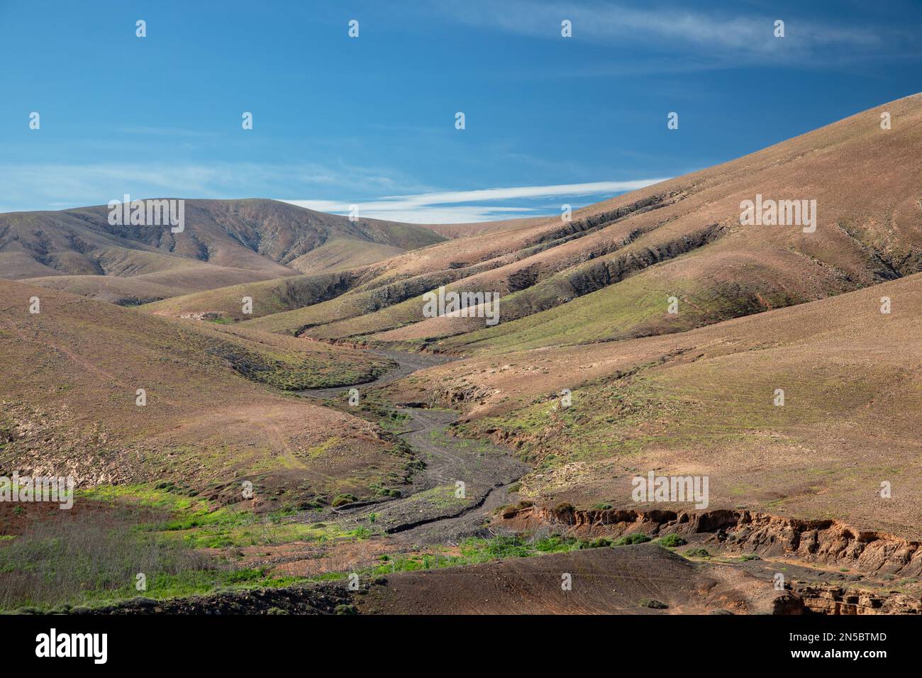 Semi-desert with Barranco de Fuente Lopez, aerial photo, Canary Islands, Fuerteventura, Tefia, Los Molinos Stock Photohttps://www.alamy.com/image-license-details/?v=1https://www.alamy.com/semi-desert-with-barranco-de-fuente-lopez-aerial-photo-canary-islands-fuerteventura-tefia-los-molinos-image519645181.html
RM2N5BTMD–Semi-desert with Barranco de Fuente Lopez, aerial photo, Canary Islands, Fuerteventura, Tefia, Los Molinos
 Aerial of an old wheat farm in the semi frozen earth, South of Kostanay, northern Kazakhstan Stock Photohttps://www.alamy.com/image-license-details/?v=1https://www.alamy.com/aerial-of-an-old-wheat-farm-in-the-semi-frozen-earth-south-of-kostanay-northern-kazakhstan-image557739131.html
RF2RBB5XK–Aerial of an old wheat farm in the semi frozen earth, South of Kostanay, northern Kazakhstan
 The River Avon during winter floods, Stratford-upon-Avon, Warwickshire, England, UK Stock Photohttps://www.alamy.com/image-license-details/?v=1https://www.alamy.com/the-river-avon-during-winter-floods-stratford-upon-avon-warwickshire-england-uk-image633041947.html
RM2YNWFCY–The River Avon during winter floods, Stratford-upon-Avon, Warwickshire, England, UK
 Aerial of an old wheat farm in the semi frozen earth, South of Kostanay, northern Kazakhstan, Central Asia, Asia Stock Photohttps://www.alamy.com/image-license-details/?v=1https://www.alamy.com/aerial-of-an-old-wheat-farm-in-the-semi-frozen-earth-south-of-kostanay-northern-kazakhstan-central-asia-asia-image476383713.html
RF2JK1481–Aerial of an old wheat farm in the semi frozen earth, South of Kostanay, northern Kazakhstan, Central Asia, Asia
 Cars and freight semi truck driving on busy highway across the country in beautiful summer evening. People on road trip traveling on busy freeway at g Stock Photohttps://www.alamy.com/image-license-details/?v=1https://www.alamy.com/cars-and-freight-semi-truck-driving-on-busy-highway-across-the-country-in-beautiful-summer-evening-people-on-road-trip-traveling-on-busy-freeway-at-g-image453718077.html
RF2HA4J11–Cars and freight semi truck driving on busy highway across the country in beautiful summer evening. People on road trip traveling on busy freeway at g
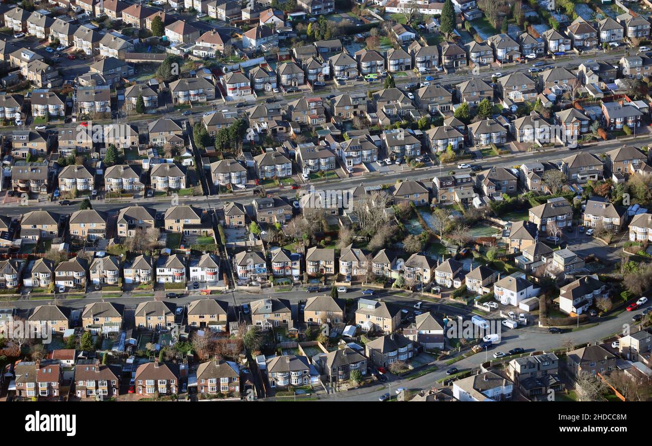 aerial view of typical semi-detached houses in England, UK Stock Photohttps://www.alamy.com/image-license-details/?v=1https://www.alamy.com/aerial-view-of-typical-semi-detached-houses-in-england-uk-image455733172.html
RM2HDCC8M–aerial view of typical semi-detached houses in England, UK
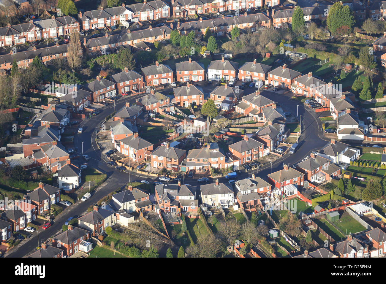 Aerial photograph of Suburban housing in Leicester Stock Photohttps://www.alamy.com/image-license-details/?v=1https://www.alamy.com/stock-photo-aerial-photograph-of-suburban-housing-in-leicester-52982544.html
RMD25FNM–Aerial photograph of Suburban housing in Leicester
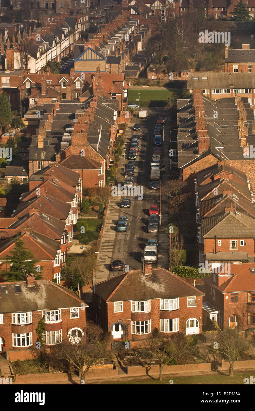 Aerial shot of a residential street of traditional 1930's semi-detached houses in York UK. Stock Photohttps://www.alamy.com/image-license-details/?v=1https://www.alamy.com/stock-photo-aerial-shot-of-a-residential-street-of-traditional-1930s-semi-detached-18740902.html
RMB2DM5X–Aerial shot of a residential street of traditional 1930's semi-detached houses in York UK.
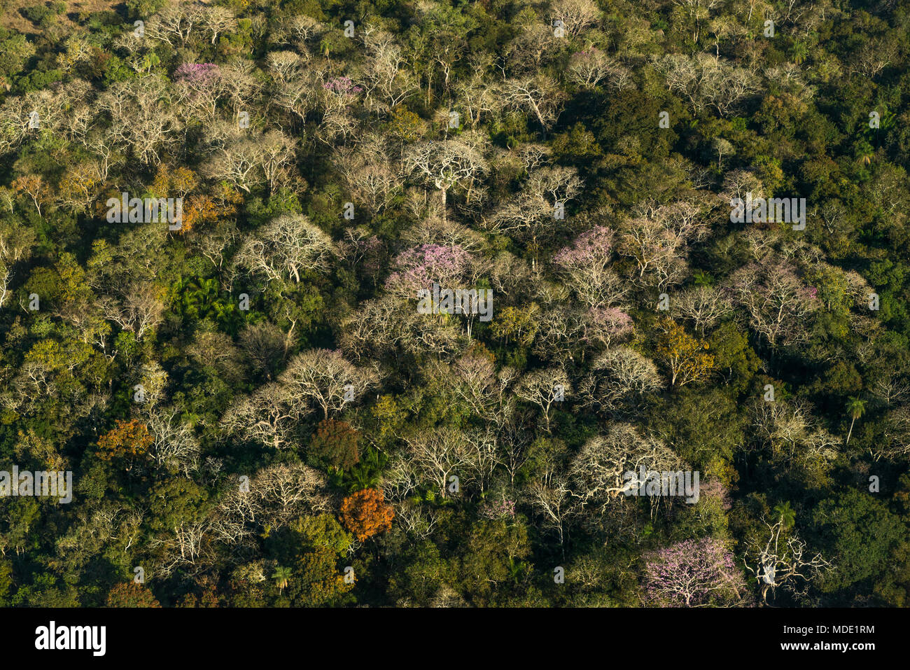 Semi deciduous forest in the Pantanal of Brazil during the dry season Stock Photohttps://www.alamy.com/image-license-details/?v=1https://www.alamy.com/semi-deciduous-forest-in-the-pantanal-of-brazil-during-the-dry-season-image180402984.html
RMMDE1RM–Semi deciduous forest in the Pantanal of Brazil during the dry season
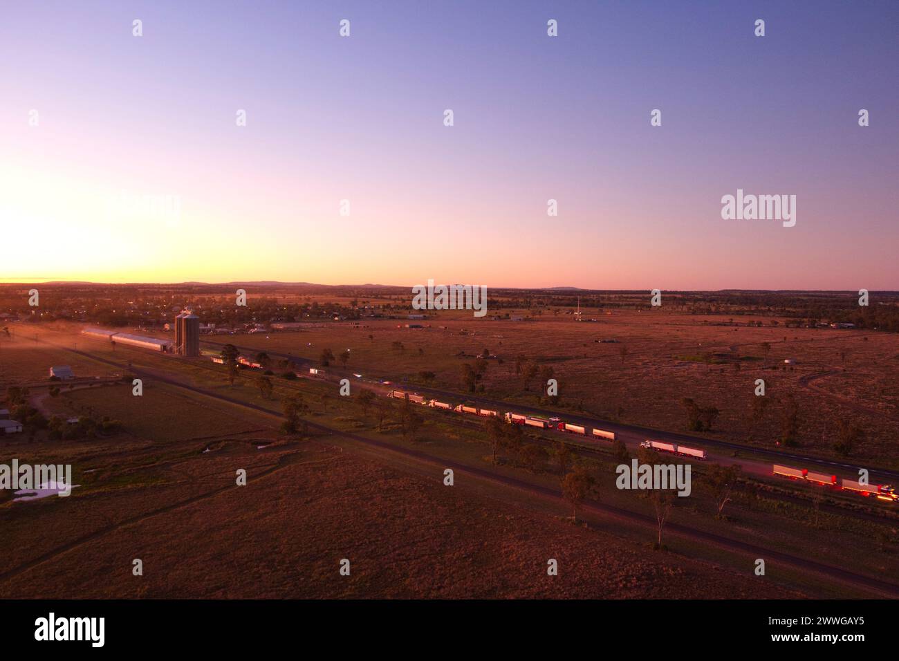 Aerial of sunset over trucks delivering wheat grain to the silo's Wallumbilla Queensland Australia Stock Photohttps://www.alamy.com/image-license-details/?v=1https://www.alamy.com/aerial-of-sunset-over-trucks-delivering-wheat-grain-to-the-silos-wallumbilla-queensland-australia-image600878745.html
RM2WWGAY5–Aerial of sunset over trucks delivering wheat grain to the silo's Wallumbilla Queensland Australia
 aerial photo, Bochumer Veranstaltungs-GmbH, open-air stage, semi-circular arena, natural stage, Wattenscheid, Bochum, Ruhr area, North Rhine-Westphali Stock Photohttps://www.alamy.com/image-license-details/?v=1https://www.alamy.com/aerial-photo-bochumer-veranstaltungs-gmbh-open-air-stage-semi-circular-arena-natural-stage-wattenscheid-bochum-ruhr-area-north-rhine-westphali-image336298047.html
RM2AF3KGF–aerial photo, Bochumer Veranstaltungs-GmbH, open-air stage, semi-circular arena, natural stage, Wattenscheid, Bochum, Ruhr area, North Rhine-Westphali
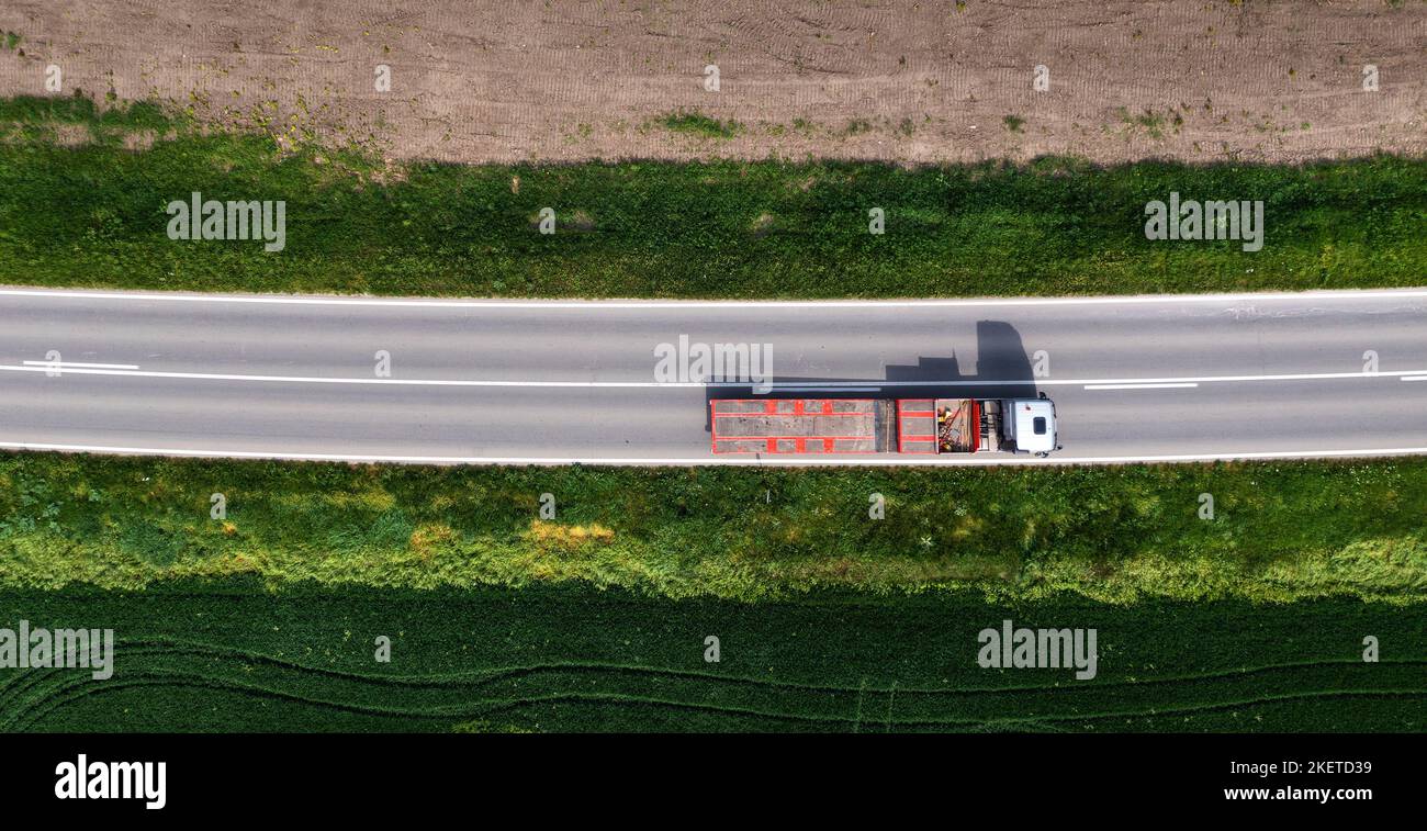 Aerial shot of truck with semi-trailer for container transport from drone pov, directly above Stock Photohttps://www.alamy.com/image-license-details/?v=1https://www.alamy.com/aerial-shot-of-truck-with-semi-trailer-for-container-transport-from-drone-pov-directly-above-image491032621.html
RF2KETD39–Aerial shot of truck with semi-trailer for container transport from drone pov, directly above
 Stratford semi aerial station forecourt and entrance major stadium & building projects for 2012 Olympics progress October 2008 Stock Photohttps://www.alamy.com/image-license-details/?v=1https://www.alamy.com/stock-photo-stratford-semi-aerial-station-forecourt-and-entrance-major-stadium-20403103.html
RMB55CA7–Stratford semi aerial station forecourt and entrance major stadium & building projects for 2012 Olympics progress October 2008
 Semi-aerial view, Orta San Giulio, Lake Orta, Lombardy, Italy. Stock Photohttps://www.alamy.com/image-license-details/?v=1https://www.alamy.com/semi-aerial-view-orta-san-giulio-lake-orta-lombardy-italy-image216594071.html
RMPGAKXF–Semi-aerial view, Orta San Giulio, Lake Orta, Lombardy, Italy.
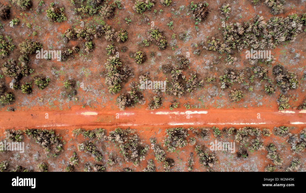 Looking down onto semi-arid bushland north-western Victoria. A sandy bush track has water puddles after a rare shower of rain. Stock Photohttps://www.alamy.com/image-license-details/?v=1https://www.alamy.com/looking-down-onto-semi-arid-bushland-north-western-victoria-a-sandy-bush-track-has-water-puddles-after-a-rare-shower-of-rain-image259827167.html
RFW2M45K–Looking down onto semi-arid bushland north-western Victoria. A sandy bush track has water puddles after a rare shower of rain.
 Semi-aerial view of Hampshire fields and hedgerows in Spring Stock Photohttps://www.alamy.com/image-license-details/?v=1https://www.alamy.com/stock-photo-semi-aerial-view-of-hampshire-fields-and-hedgerows-in-spring-56028844.html
RMD749A4–Semi-aerial view of Hampshire fields and hedgerows in Spring
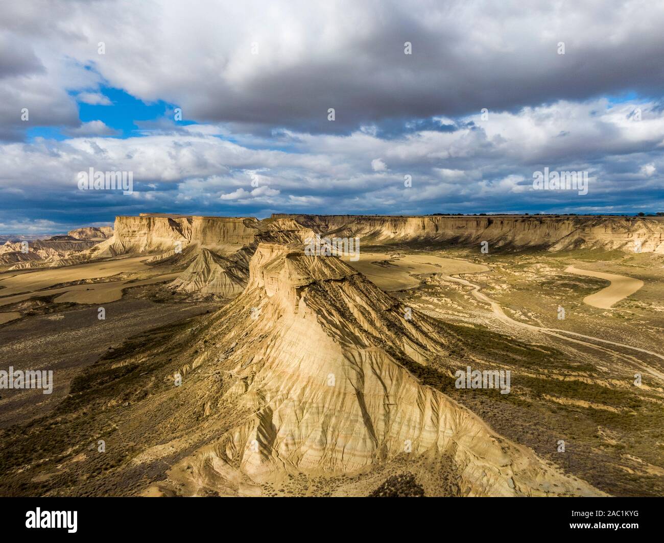 Aerial view of Bardenas Reales semi-desert natural region at sunset in Spain Stock Photohttps://www.alamy.com/image-license-details/?v=1https://www.alamy.com/aerial-view-of-bardenas-reales-semi-desert-natural-region-at-sunset-in-spain-image334410484.html
RF2AC1KYG–Aerial view of Bardenas Reales semi-desert natural region at sunset in Spain
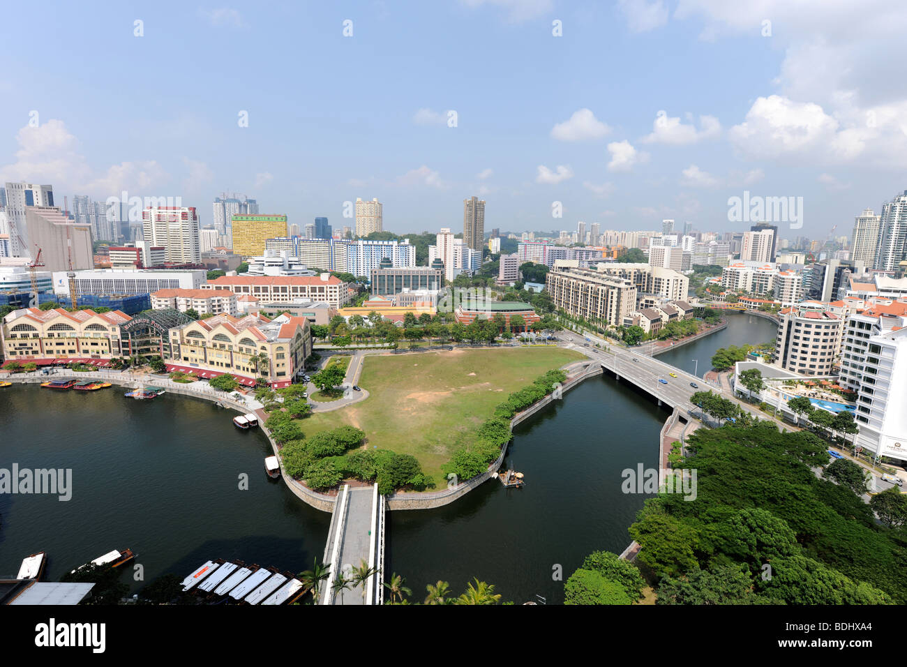 semi-aerial view from 22nd floor of apartment block over Singapore River, Singapore Stock Photohttps://www.alamy.com/image-license-details/?v=1https://www.alamy.com/stock-photo-semi-aerial-view-from-22nd-floor-of-apartment-block-over-singapore-25594748.html
RMBDHXA4–semi-aerial view from 22nd floor of apartment block over Singapore River, Singapore
 The old village of Corfe Castle, seen in semi-aerial view from nearby hill. Dorset. Stock Photohttps://www.alamy.com/image-license-details/?v=1https://www.alamy.com/the-old-village-of-corfe-castle-seen-in-semi-aerial-view-from-nearby-hill-dorset-image484971775.html
RM2K50ACF–The old village of Corfe Castle, seen in semi-aerial view from nearby hill. Dorset.
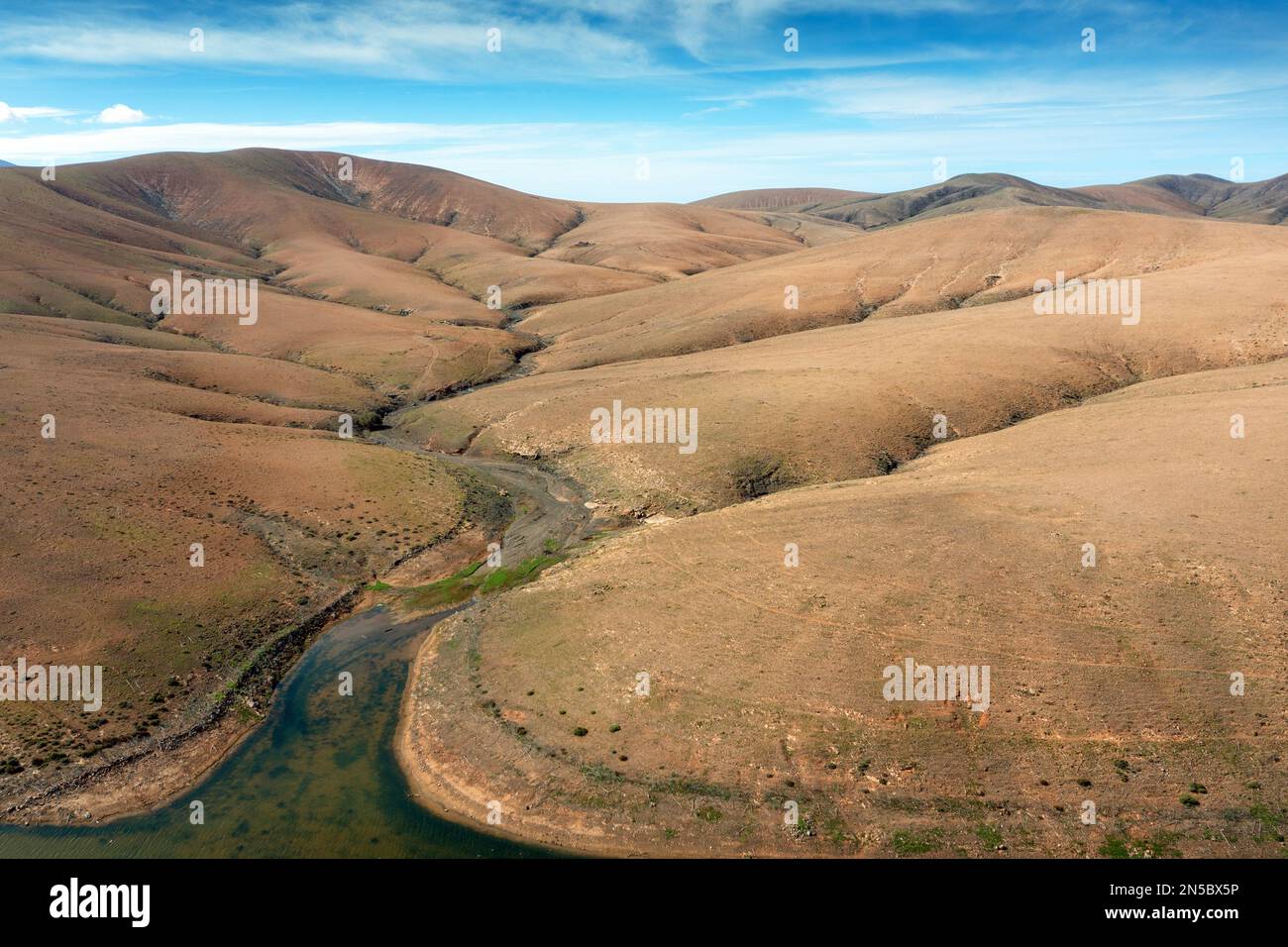 Semi-desert with Barranco de Fuente Lopez, aerial photo, Canary Islands, Fuerteventura, Tefia, Los Molinos Stock Photohttps://www.alamy.com/image-license-details/?v=1https://www.alamy.com/semi-desert-with-barranco-de-fuente-lopez-aerial-photo-canary-islands-fuerteventura-tefia-los-molinos-image519646338.html
RM2N5BX5P–Semi-desert with Barranco de Fuente Lopez, aerial photo, Canary Islands, Fuerteventura, Tefia, Los Molinos
 Aerial of an old wheat farm in the semi frozen earth, South of Kostanay, northern Kazakhstan Stock Photohttps://www.alamy.com/image-license-details/?v=1https://www.alamy.com/aerial-of-an-old-wheat-farm-in-the-semi-frozen-earth-south-of-kostanay-northern-kazakhstan-image557739157.html
RF2RBB5YH–Aerial of an old wheat farm in the semi frozen earth, South of Kostanay, northern Kazakhstan
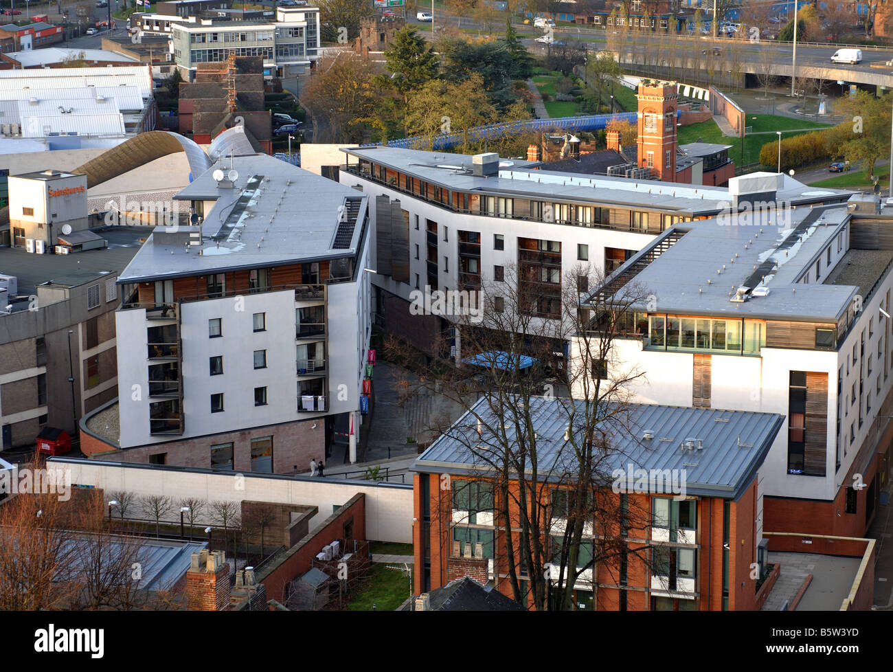 View from tower of Coventry Cathedral, West Midlands, England, UK Stock Photohttps://www.alamy.com/image-license-details/?v=1https://www.alamy.com/stock-photo-view-from-tower-of-coventry-cathedral-west-midlands-england-uk-20835569.html
RMB5W3YD–View from tower of Coventry Cathedral, West Midlands, England, UK
 Aerial of an old wheat farm in the semi frozen earth, South of Kostanay, northern Kazakhstan, Central Asia, Asia Stock Photohttps://www.alamy.com/image-license-details/?v=1https://www.alamy.com/aerial-of-an-old-wheat-farm-in-the-semi-frozen-earth-south-of-kostanay-northern-kazakhstan-central-asia-asia-image476383719.html
RF2JK1487–Aerial of an old wheat farm in the semi frozen earth, South of Kostanay, northern Kazakhstan, Central Asia, Asia
 Cars and freight semi truck driving on busy highway across the country in beautiful summer evening. People on road trip traveling on busy freeway at g Stock Photohttps://www.alamy.com/image-license-details/?v=1https://www.alamy.com/cars-and-freight-semi-truck-driving-on-busy-highway-across-the-country-in-beautiful-summer-evening-people-on-road-trip-traveling-on-busy-freeway-at-g-image453718061.html
RF2HA4J0D–Cars and freight semi truck driving on busy highway across the country in beautiful summer evening. People on road trip traveling on busy freeway at g
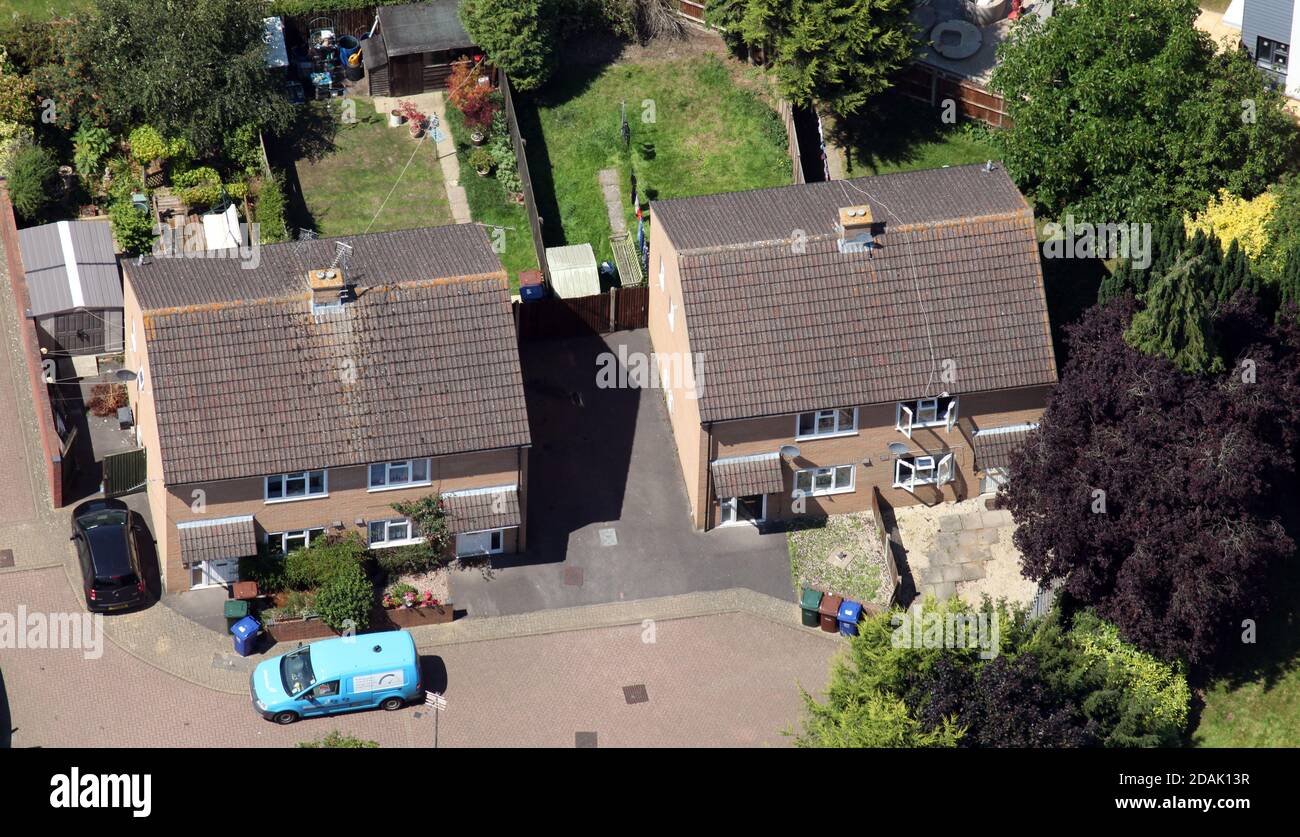 aerial view of 2 pairs of ordinary semi-detached houses in Banbury, Oxfordshire Stock Photohttps://www.alamy.com/image-license-details/?v=1https://www.alamy.com/aerial-view-of-2-pairs-of-ordinary-semi-detached-houses-in-banbury-oxfordshire-image385192635.html
RM2DAK13R–aerial view of 2 pairs of ordinary semi-detached houses in Banbury, Oxfordshire
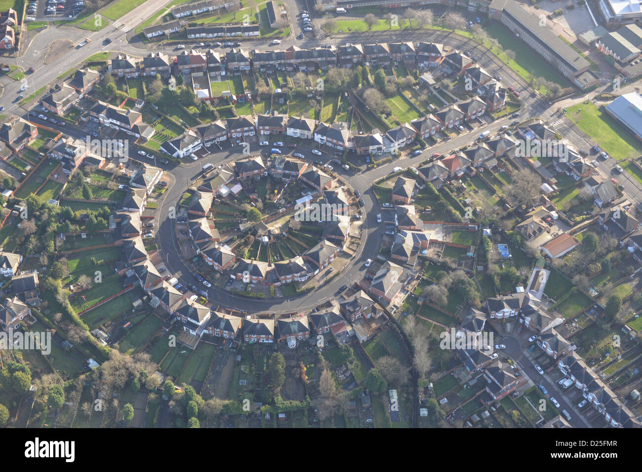 Aerial photograph of Suburban housing in Leicester Stock Photohttps://www.alamy.com/image-license-details/?v=1https://www.alamy.com/stock-photo-aerial-photograph-of-suburban-housing-in-leicester-52982519.html
RMD25FMR–Aerial photograph of Suburban housing in Leicester
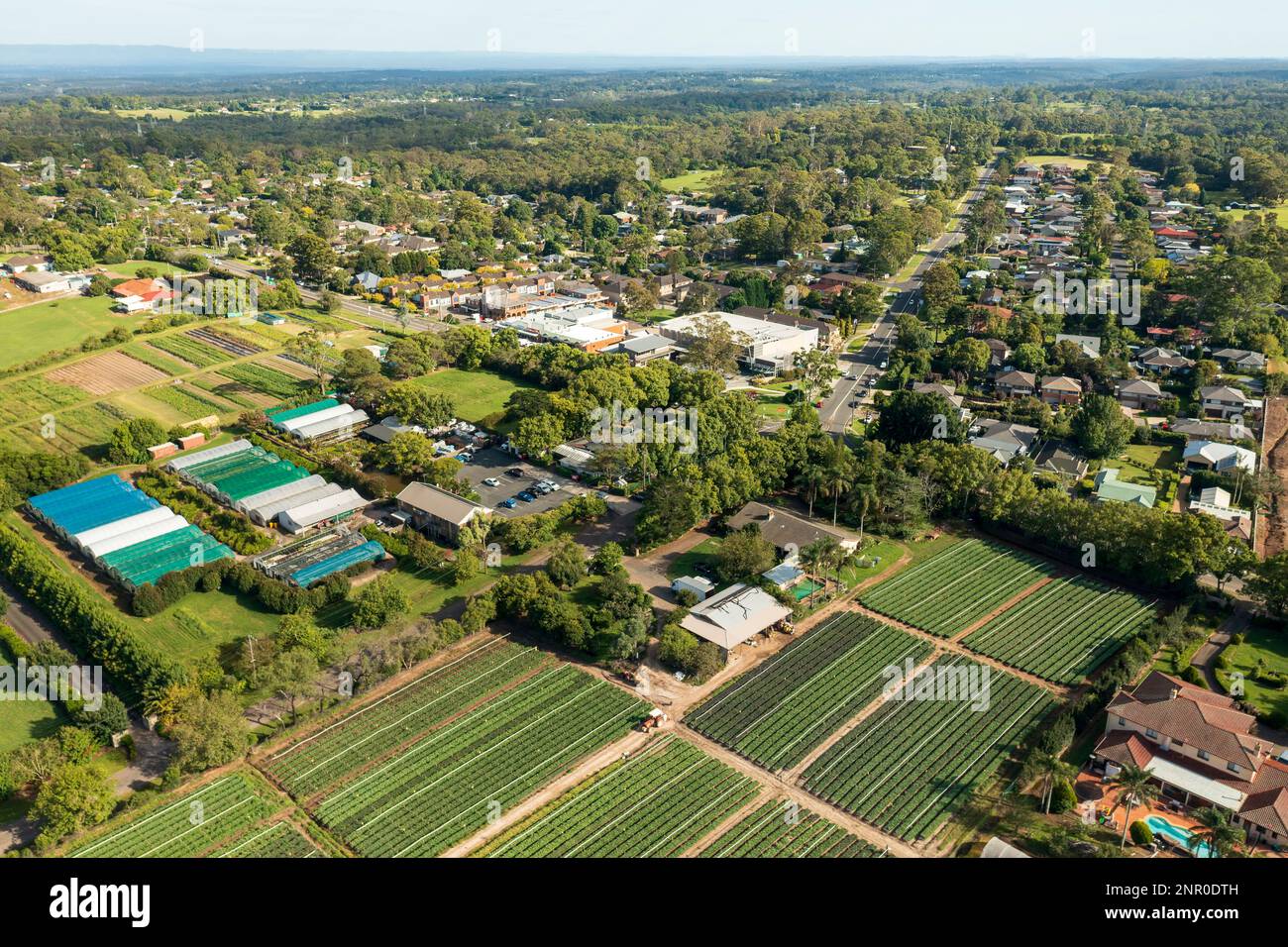 Aerial view of houses, shops and farms in the semi-rural outer Sydney township of Galston, NSW, Australia. Stock Photohttps://www.alamy.com/image-license-details/?v=1https://www.alamy.com/aerial-view-of-houses-shops-and-farms-in-the-semi-rural-outer-sydney-township-of-galston-nsw-australia-image530459009.html
RF2NR0DTH–Aerial view of houses, shops and farms in the semi-rural outer Sydney township of Galston, NSW, Australia.
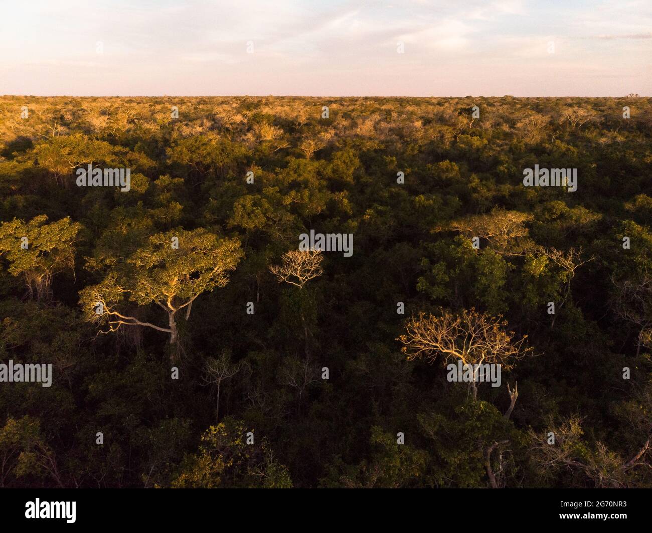 A semi deciduous forest from North Pantanal, Brazil, during the dry season Stock Photohttps://www.alamy.com/image-license-details/?v=1https://www.alamy.com/a-semi-deciduous-forest-from-north-pantanal-brazil-during-the-dry-season-image434578903.html
RM2G70NR3–A semi deciduous forest from North Pantanal, Brazil, during the dry season
 Aerial of sunset over trucks delivering wheat grain to the silo's Wallumbilla Queensland Australia Stock Photohttps://www.alamy.com/image-license-details/?v=1https://www.alamy.com/aerial-of-sunset-over-trucks-delivering-wheat-grain-to-the-silos-wallumbilla-queensland-australia-image600878742.html
RM2WWGAY2–Aerial of sunset over trucks delivering wheat grain to the silo's Wallumbilla Queensland Australia
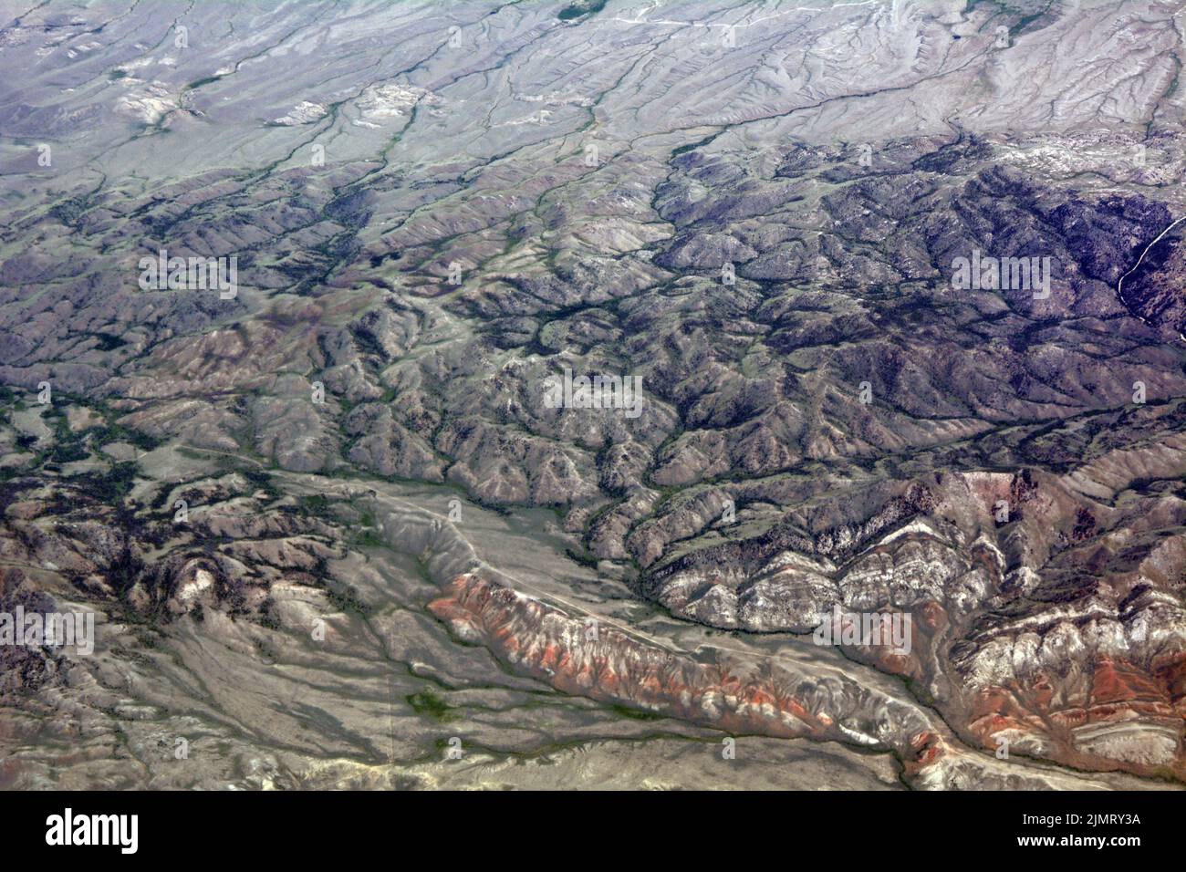 Aerial view of the Bennett Mountains in the semi-arid high desert of Carbon County, southern Wyoming, United States. Stock Photohttps://www.alamy.com/image-license-details/?v=1https://www.alamy.com/aerial-view-of-the-bennett-mountains-in-the-semi-arid-high-desert-of-carbon-county-southern-wyoming-united-states-image477499214.html
RF2JMRY3A–Aerial view of the Bennett Mountains in the semi-arid high desert of Carbon County, southern Wyoming, United States.
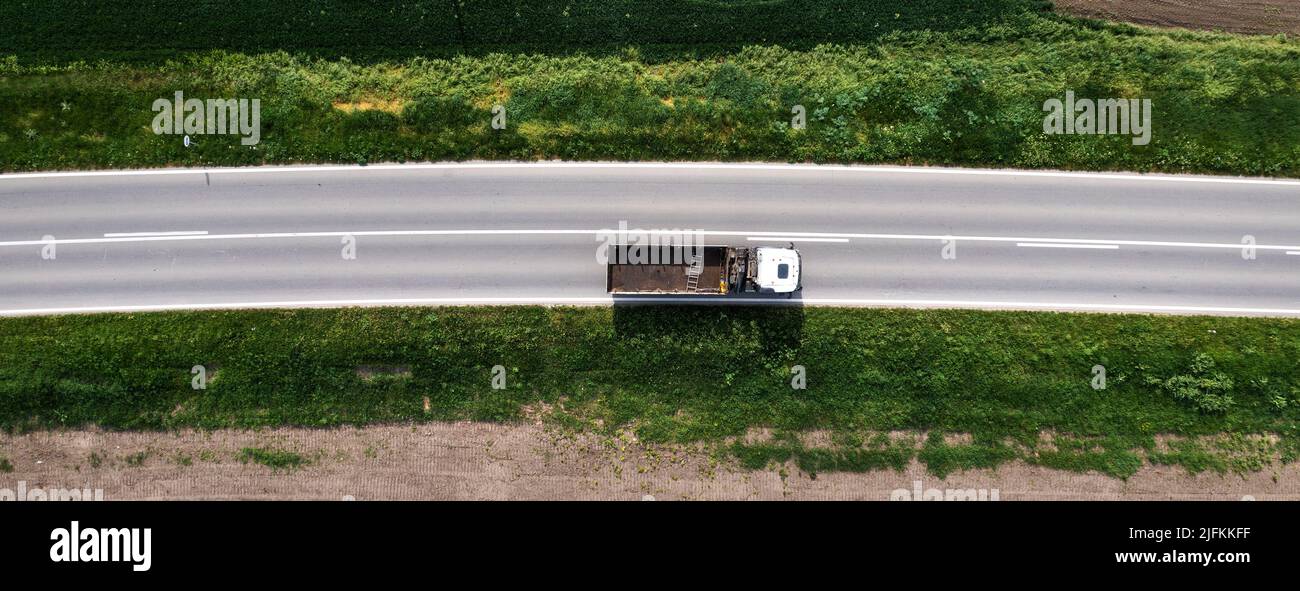 Top view aerial of semi-end dump truck with empty trailer on the road, drone pov Stock Photohttps://www.alamy.com/image-license-details/?v=1https://www.alamy.com/top-view-aerial-of-semi-end-dump-truck-with-empty-trailer-on-the-road-drone-pov-image474332195.html
RF2JFKKFF–Top view aerial of semi-end dump truck with empty trailer on the road, drone pov
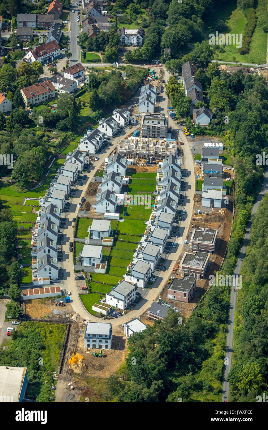 Apartments, building area, settlement center, Elypsenform, modern building, semi-detached, Springorum bike path, Bochum, Germany, Europe, Aerial View, Stock Photohttps://www.alamy.com/image-license-details/?v=1https://www.alamy.com/apartments-building-area-settlement-center-elypsenform-modern-building-image153637694.html
RMJWXPCE–Apartments, building area, settlement center, Elypsenform, modern building, semi-detached, Springorum bike path, Bochum, Germany, Europe, Aerial View,
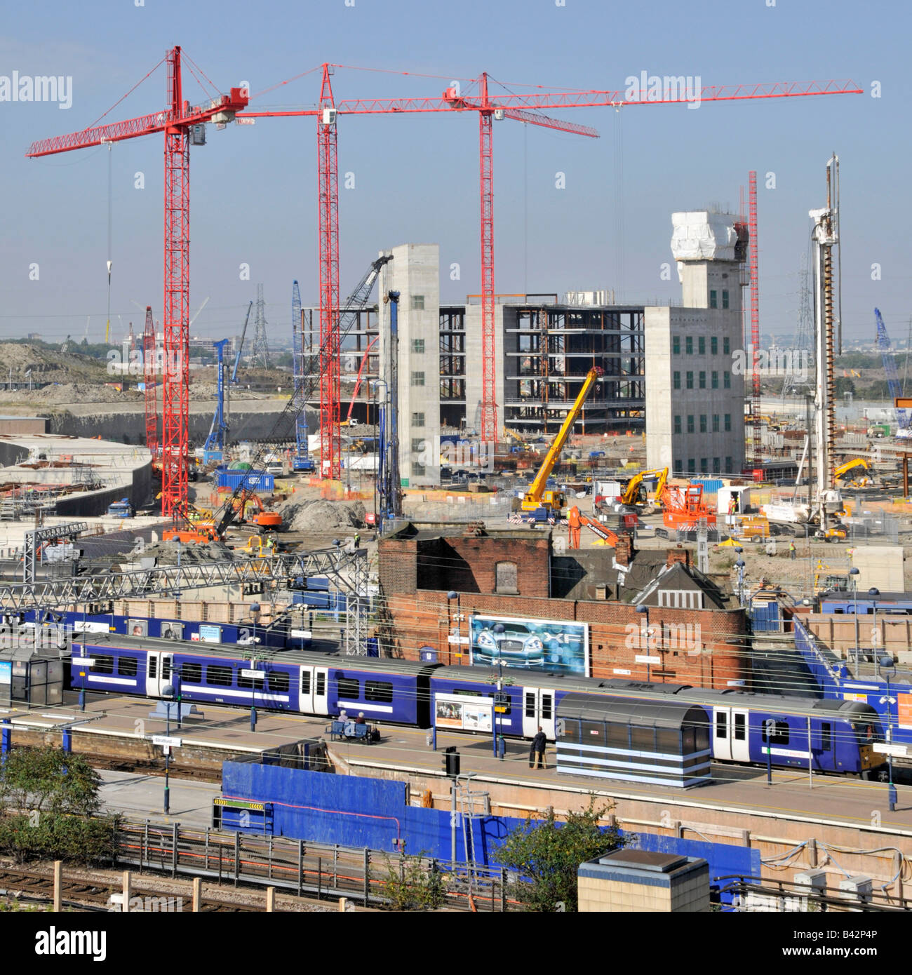 Semi aerial view of Stratford East London Westfield shopping centre complex and Olympic park building site beyond train station Stock Photohttps://www.alamy.com/image-license-details/?v=1https://www.alamy.com/stock-photo-semi-aerial-view-of-stratford-east-london-westfield-shopping-centre-19730278.html
RMB42P4P–Semi aerial view of Stratford East London Westfield shopping centre complex and Olympic park building site beyond train station
 Aerial image looking down on water and trees, Andruco Lagoon, NSW, Australia. Stock Photohttps://www.alamy.com/image-license-details/?v=1https://www.alamy.com/aerial-image-looking-down-on-water-and-trees-andruco-lagoon-nsw-australia-image438978779.html
RM2GE55WF–Aerial image looking down on water and trees, Andruco Lagoon, NSW, Australia.
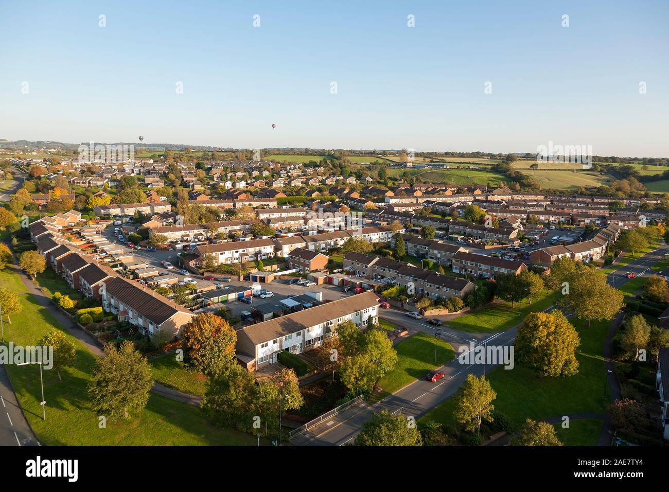 Aerial view of houses in Yate, South Gloucestershire, England, UK. Stock Photohttps://www.alamy.com/image-license-details/?v=1https://www.alamy.com/aerial-view-of-houses-in-yate-south-gloucestershire-england-uk-image335775416.html
RF2AE7TY4–Aerial view of houses in Yate, South Gloucestershire, England, UK.
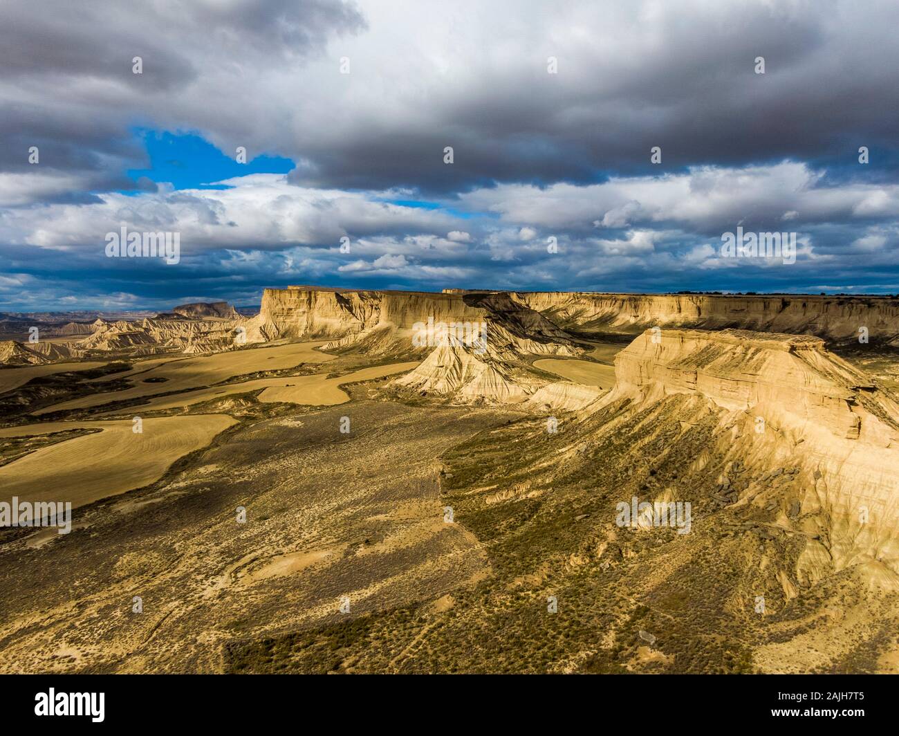 Aerial view of Bardenas Reales semi-desert natural region at sunset in Spain Stock Photohttps://www.alamy.com/image-license-details/?v=1https://www.alamy.com/aerial-view-of-bardenas-reales-semi-desert-natural-region-at-sunset-in-spain-image338440149.html
RF2AJH7T5–Aerial view of Bardenas Reales semi-desert natural region at sunset in Spain
 semi-aerial view from 22nd floor of apartment block over Singapore River, Singapore Stock Photohttps://www.alamy.com/image-license-details/?v=1https://www.alamy.com/stock-photo-semi-aerial-view-from-22nd-floor-of-apartment-block-over-singapore-25596361.html
RMBDJ0BN–semi-aerial view from 22nd floor of apartment block over Singapore River, Singapore
 The old city of York from the tower of the Minster. York. Stock Photohttps://www.alamy.com/image-license-details/?v=1https://www.alamy.com/stock-photo-the-old-city-of-york-from-the-tower-of-the-minster-york-31619540.html
RMBRCB18–The old city of York from the tower of the Minster. York.
 Semi-desert Lomo de Esquinzo with Montana Tindaya, aerial view, Canary Islands, Fuerteventura Stock Photohttps://www.alamy.com/image-license-details/?v=1https://www.alamy.com/semi-desert-lomo-de-esquinzo-with-montana-tindaya-aerial-view-canary-islands-fuerteventura-image519644555.html
RM2N5BRX3–Semi-desert Lomo de Esquinzo with Montana Tindaya, aerial view, Canary Islands, Fuerteventura
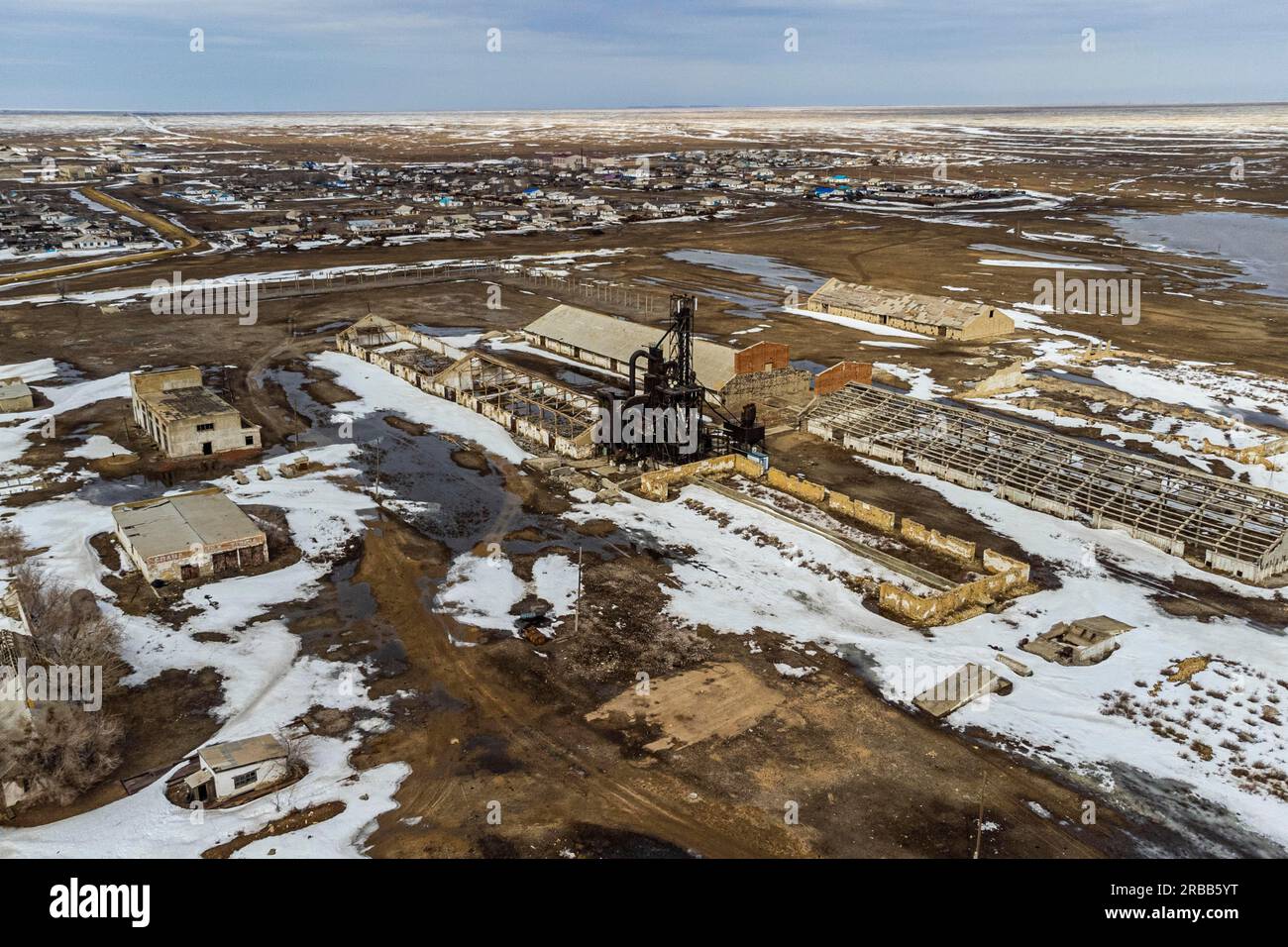 Aerial of an old wheat farm in the semi frozen earth, South of Kostanay, northern Kazakhstan Stock Photohttps://www.alamy.com/image-license-details/?v=1https://www.alamy.com/aerial-of-an-old-wheat-farm-in-the-semi-frozen-earth-south-of-kostanay-northern-kazakhstan-image557739164.html
RF2RBB5YT–Aerial of an old wheat farm in the semi frozen earth, South of Kostanay, northern Kazakhstan
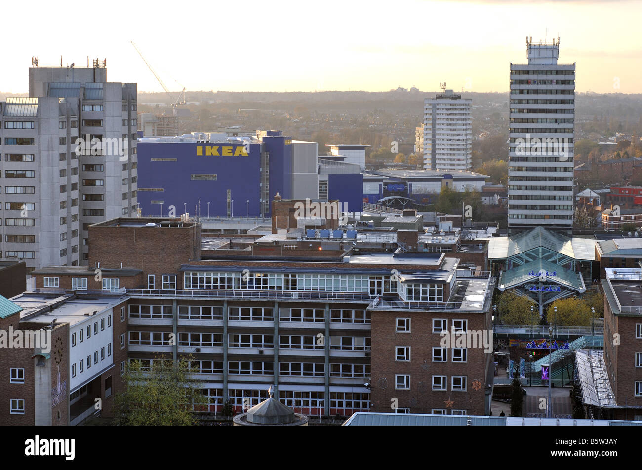 View from tower of Coventry Cathedral, West Midlands, England, UK Stock Photohttps://www.alamy.com/image-license-details/?v=1https://www.alamy.com/stock-photo-view-from-tower-of-coventry-cathedral-west-midlands-england-uk-20835107.html
RMB5W3AY–View from tower of Coventry Cathedral, West Midlands, England, UK
 Unique drone view of semi-detached houses connected by paths along a bendy road. Stock Photohttps://www.alamy.com/image-license-details/?v=1https://www.alamy.com/unique-drone-view-of-semi-detached-houses-connected-by-paths-along-a-bendy-road-image591575745.html
RF2WACGW5–Unique drone view of semi-detached houses connected by paths along a bendy road.
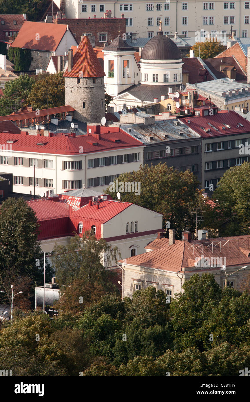 Semi-Aerial View to the Center of Tallinn (Estonia) Stock Photohttps://www.alamy.com/image-license-details/?v=1https://www.alamy.com/stock-photo-semi-aerial-view-to-the-center-of-tallinn-estonia-39514887.html
RFC881HY–Semi-Aerial View to the Center of Tallinn (Estonia)
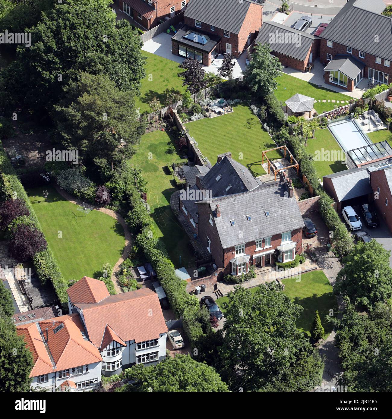 aerial view of reputably Alan Turing's old house (where he died) in Wilmslow, Cheshire (left hand side of the semi-detached house featured here) Stock Photohttps://www.alamy.com/image-license-details/?v=1https://www.alamy.com/aerial-view-of-reputably-alan-turings-old-house-where-he-died-in-wilmslow-cheshire-left-hand-side-of-the-semi-detached-house-featured-here-image471971449.html
RM2JBT4B5–aerial view of reputably Alan Turing's old house (where he died) in Wilmslow, Cheshire (left hand side of the semi-detached house featured here)
 Aerial photograph of Suburban housing in Leicester Stock Photohttps://www.alamy.com/image-license-details/?v=1https://www.alamy.com/stock-photo-aerial-photograph-of-suburban-housing-in-leicester-52982589.html
RMD25FR9–Aerial photograph of Suburban housing in Leicester
 Rundu to Maun by helicopter. North Eastern Namibia. Stock Photohttps://www.alamy.com/image-license-details/?v=1https://www.alamy.com/stock-photo-rundu-to-maun-by-helicopter-north-eastern-namibia-103490636.html
RMG0ABA4–Rundu to Maun by helicopter. North Eastern Namibia.
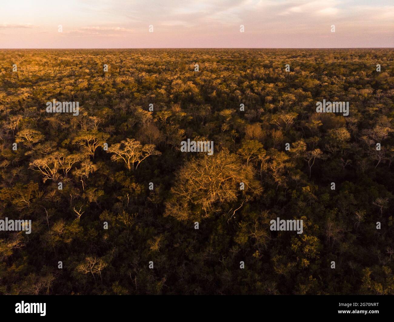 A semi deciduous forest from North Pantanal, Brazil, during the dry season Stock Photohttps://www.alamy.com/image-license-details/?v=1https://www.alamy.com/a-semi-deciduous-forest-from-north-pantanal-brazil-during-the-dry-season-image434578924.html
RM2G70NRT–A semi deciduous forest from North Pantanal, Brazil, during the dry season
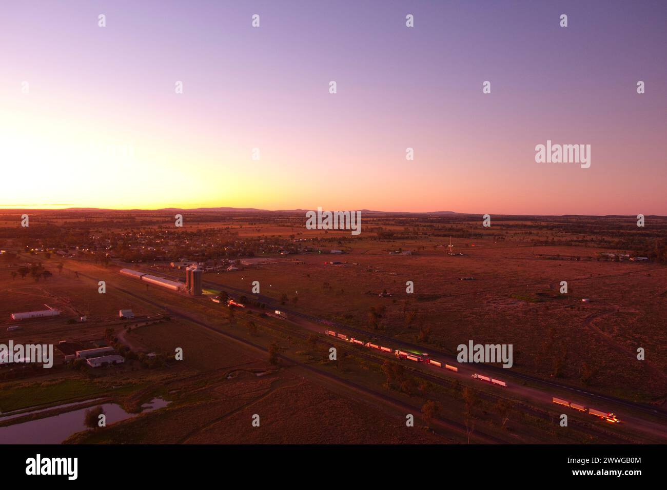 Aerial of sunset over trucks delivering wheat grain to the silo's Wallumbilla Queensland Australia Stock Photohttps://www.alamy.com/image-license-details/?v=1https://www.alamy.com/aerial-of-sunset-over-trucks-delivering-wheat-grain-to-the-silos-wallumbilla-queensland-australia-image600878788.html
RM2WWGB0M–Aerial of sunset over trucks delivering wheat grain to the silo's Wallumbilla Queensland Australia
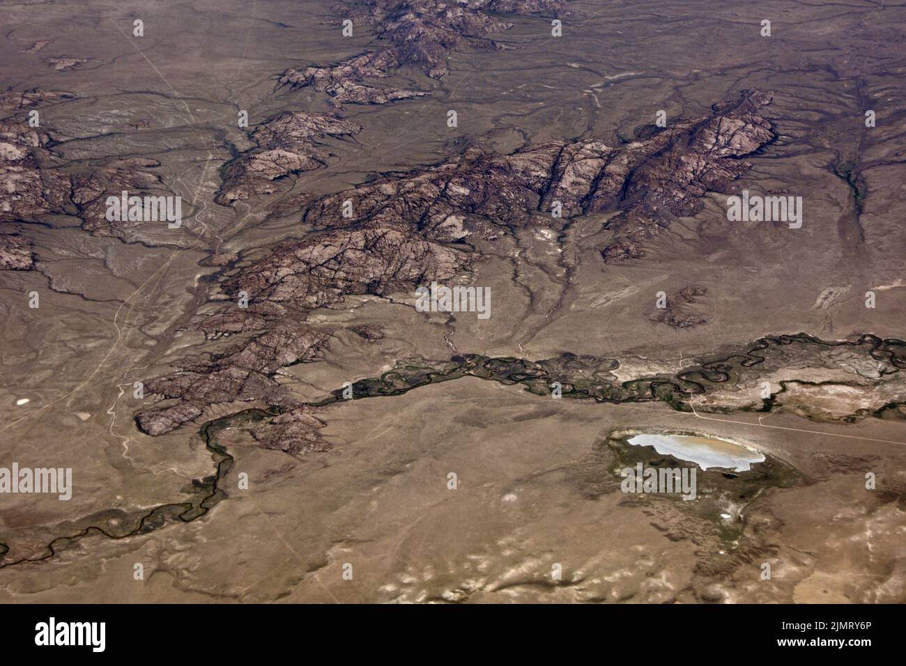 Aerial view of the Sweetwater River, in the semi-arid high desert of Carbon County, near Martin'c Cove, Wyoming, United States. Stock Photohttps://www.alamy.com/image-license-details/?v=1https://www.alamy.com/aerial-view-of-the-sweetwater-river-in-the-semi-arid-high-desert-of-carbon-county-near-martinc-cove-wyoming-united-states-image477499310.html
RF2JMRY6P–Aerial view of the Sweetwater River, in the semi-arid high desert of Carbon County, near Martin'c Cove, Wyoming, United States.
 Aerial shot of semi-truck driving along the highway through countryside landscape, drone pov directly above on sunny spring day. Transportation and lo Stock Photohttps://www.alamy.com/image-license-details/?v=1https://www.alamy.com/aerial-shot-of-semi-truck-driving-along-the-highway-through-countryside-landscape-drone-pov-directly-above-on-sunny-spring-day-transportation-and-lo-image478255931.html
RF2JP2C8Y–Aerial shot of semi-truck driving along the highway through countryside landscape, drone pov directly above on sunny spring day. Transportation and lo
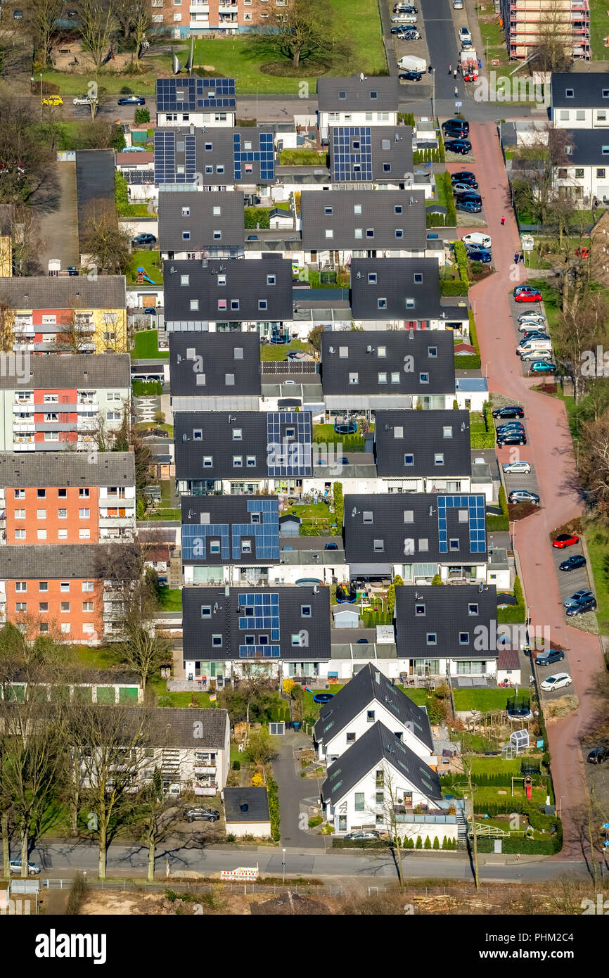 Beautiful living on Barbarastraße, single-family houses .solar energy, solar roofs, terraced houses, garages, semi-detached houses, in Voerde in NRW. Stock Photohttps://www.alamy.com/image-license-details/?v=1https://www.alamy.com/beautiful-living-on-barbarastrae-single-family-houses-solar-energy-solar-roofs-terraced-houses-garages-semi-detached-houses-in-voerde-in-nrw-image217414516.html
RMPHM2C4–Beautiful living on Barbarastraße, single-family houses .solar energy, solar roofs, terraced houses, garages, semi-detached houses, in Voerde in NRW.
 Semi aerial view of Stratford East London Westfield shopping centre complex and Olympic park building construction site beyond train station Newham UK Stock Photohttps://www.alamy.com/image-license-details/?v=1https://www.alamy.com/stock-photo-semi-aerial-view-of-stratford-east-london-westfield-shopping-centre-19722943.html
RMB42CPR–Semi aerial view of Stratford East London Westfield shopping centre complex and Olympic park building construction site beyond train station Newham UK
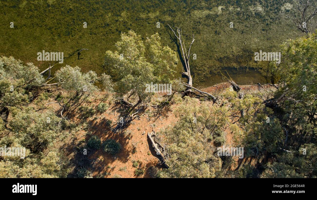 Aerial image looking down on water and trees, Andruco Lagoon, NSW, Australia. Stock Photohttps://www.alamy.com/image-license-details/?v=1https://www.alamy.com/aerial-image-looking-down-on-water-and-trees-andruco-lagoon-nsw-australia-image438978983.html
RM2GE564R–Aerial image looking down on water and trees, Andruco Lagoon, NSW, Australia.
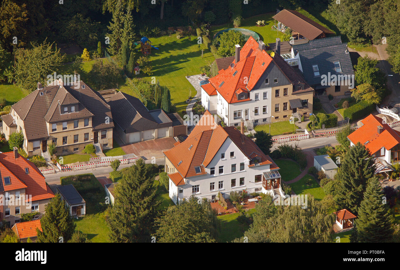 Aerial view, semi-detached houses, residential property, Waltrop, Ruhr Area, North Rhine-Westphalia, Germany, Europe, Stock Photohttps://www.alamy.com/image-license-details/?v=1https://www.alamy.com/aerial-view-semi-detached-houses-residential-property-waltrop-ruhr-area-north-rhine-westphalia-germany-europe-image221285214.html
RMPT0BFA–Aerial view, semi-detached houses, residential property, Waltrop, Ruhr Area, North Rhine-Westphalia, Germany, Europe,
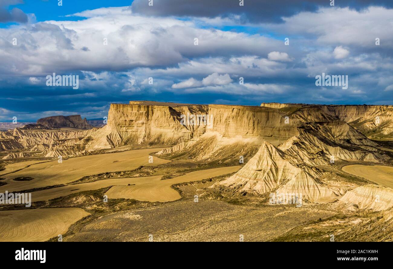 Aerial view of Bardenas Reales semi-desert natural region at sunset in Spain Stock Photohttps://www.alamy.com/image-license-details/?v=1https://www.alamy.com/aerial-view-of-bardenas-reales-semi-desert-natural-region-at-sunset-in-spain-image334410429.html
RF2AC1KWH–Aerial view of Bardenas Reales semi-desert natural region at sunset in Spain
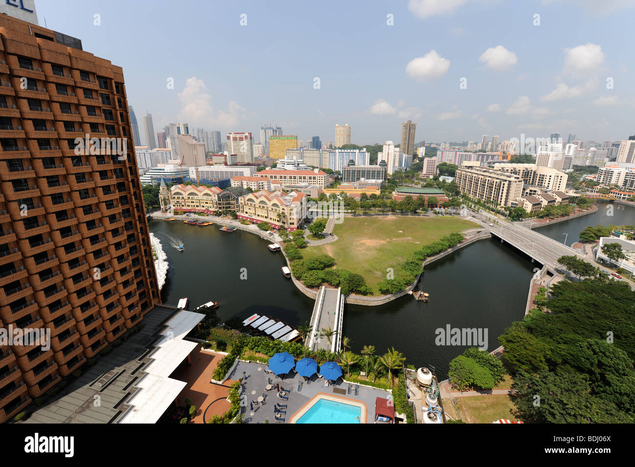 semi-aerial view from 22nd floor of apartment block over Singapore River and including Novotel, Singapore Stock Photohttps://www.alamy.com/image-license-details/?v=1https://www.alamy.com/stock-photo-semi-aerial-view-from-22nd-floor-of-apartment-block-over-singapore-25596226.html
RMBDJ06X–semi-aerial view from 22nd floor of apartment block over Singapore River and including Novotel, Singapore
 York Minster (cathedral) and the city of York from the tower of the Minster. York. Stock Photohttps://www.alamy.com/image-license-details/?v=1https://www.alamy.com/stock-photo-york-minster-cathedral-and-the-city-of-york-from-the-tower-of-the-31619670.html
RMBRCB5X–York Minster (cathedral) and the city of York from the tower of the Minster. York.
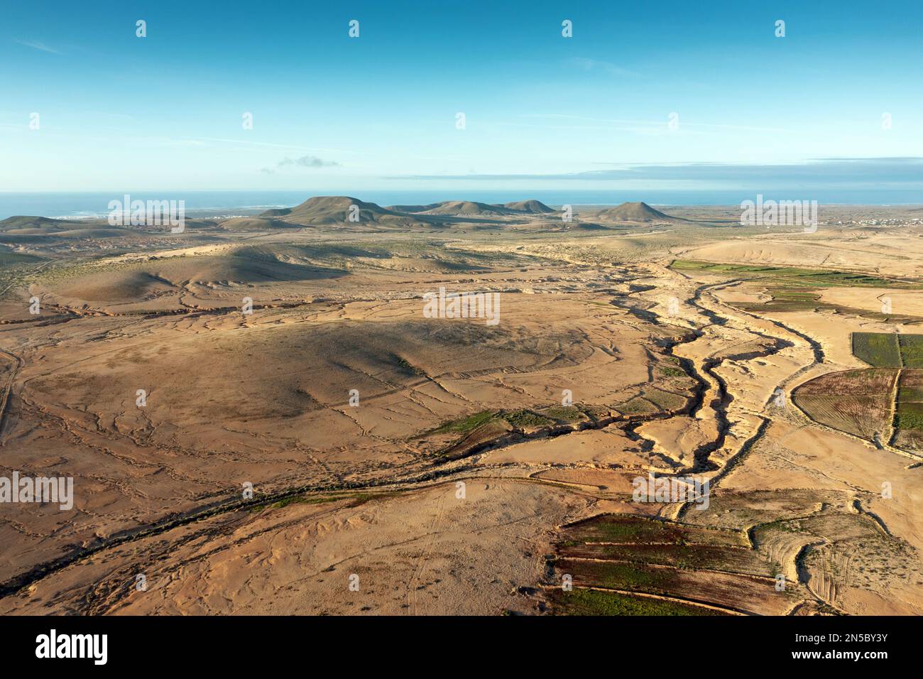 semi-desert with Barranco de la Costilla, aerial view, Canary Islands, Fuerteventura, Lajares Stock Photohttps://www.alamy.com/image-license-details/?v=1https://www.alamy.com/semi-desert-with-barranco-de-la-costilla-aerial-view-canary-islands-fuerteventura-lajares-image519647071.html
RM2N5BY3Y–semi-desert with Barranco de la Costilla, aerial view, Canary Islands, Fuerteventura, Lajares
 Aerial of an old wheat farm in the semi frozen earth, South of Kostanay, northern Kazakhstan Stock Photohttps://www.alamy.com/image-license-details/?v=1https://www.alamy.com/aerial-of-an-old-wheat-farm-in-the-semi-frozen-earth-south-of-kostanay-northern-kazakhstan-image557739183.html
RF2RBB60F–Aerial of an old wheat farm in the semi frozen earth, South of Kostanay, northern Kazakhstan
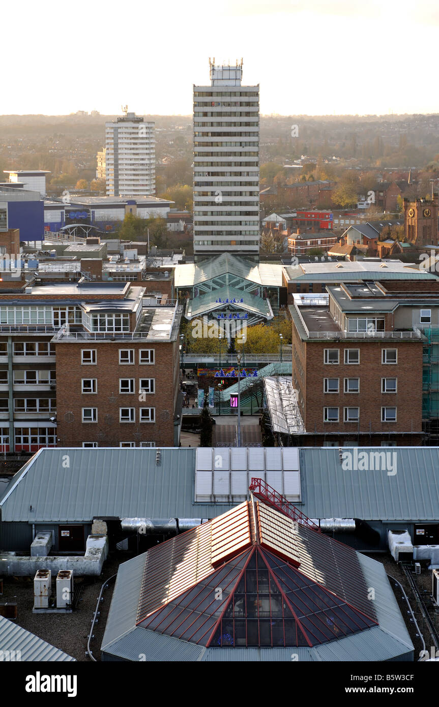 View from tower of Coventry Cathedral, West Midlands, England, UK Stock Photohttps://www.alamy.com/image-license-details/?v=1https://www.alamy.com/stock-photo-view-from-tower-of-coventry-cathedral-west-midlands-england-uk-20835151.html
RMB5W3CF–View from tower of Coventry Cathedral, West Midlands, England, UK
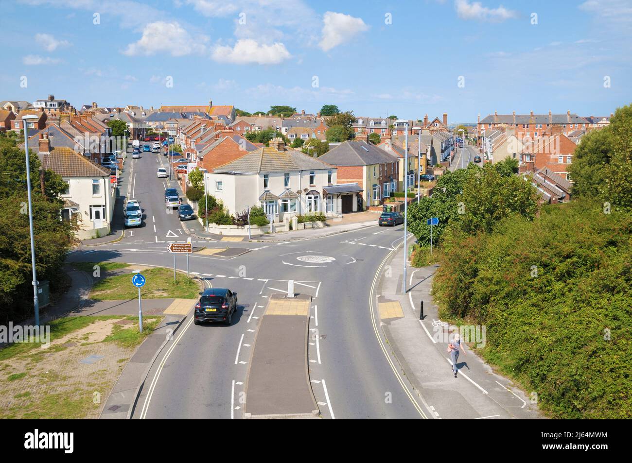 Elevated view of residential streets and semi-detached houses with mini-roundabout and road junction on the outskirts of Weymouth, Dorset, England, UK Stock Photohttps://www.alamy.com/image-license-details/?v=1https://www.alamy.com/elevated-view-of-residential-streets-and-semi-detached-houses-with-mini-roundabout-and-road-junction-on-the-outskirts-of-weymouth-dorset-england-uk-image468472080.html
RM2J64MWM–Elevated view of residential streets and semi-detached houses with mini-roundabout and road junction on the outskirts of Weymouth, Dorset, England, UK
 Granada City, Spain - semi-aerial view to the settlement Stock Photohttps://www.alamy.com/image-license-details/?v=1https://www.alamy.com/granada-city-spain-semi-aerial-view-to-the-settlement-image61652740.html
RMDG8EKG–Granada City, Spain - semi-aerial view to the settlement
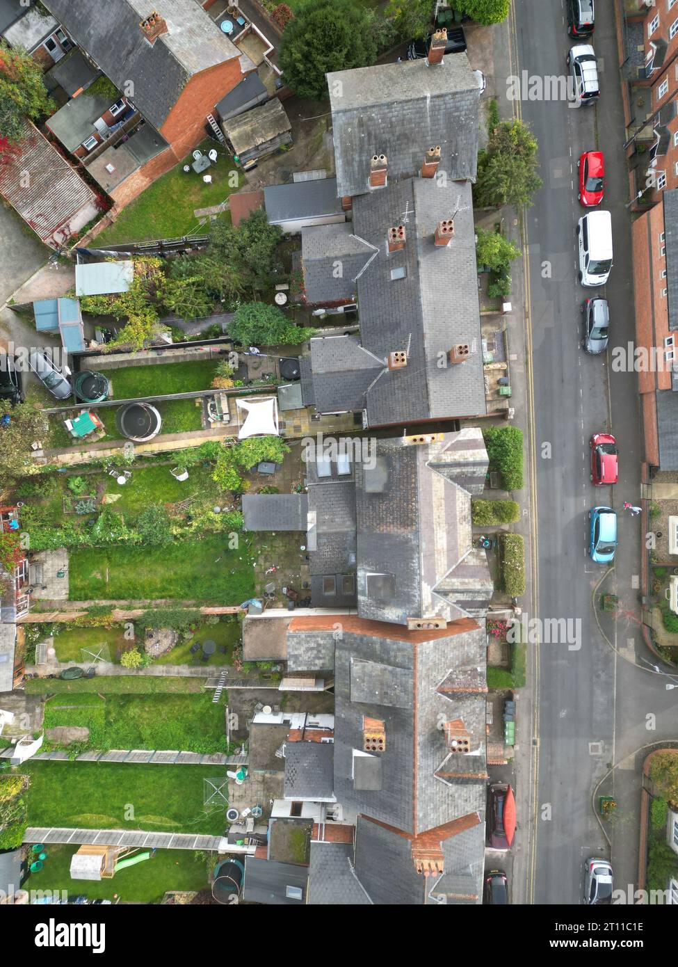 Aerial view of semi detached housing with gardens and on street car parking in Hereford UK seen in October 2023 Stock Photohttps://www.alamy.com/image-license-details/?v=1https://www.alamy.com/aerial-view-of-semi-detached-housing-with-gardens-and-on-street-car-parking-in-hereford-uk-seen-in-october-2023-image568588202.html
RM2T11C1E–Aerial view of semi detached housing with gardens and on street car parking in Hereford UK seen in October 2023
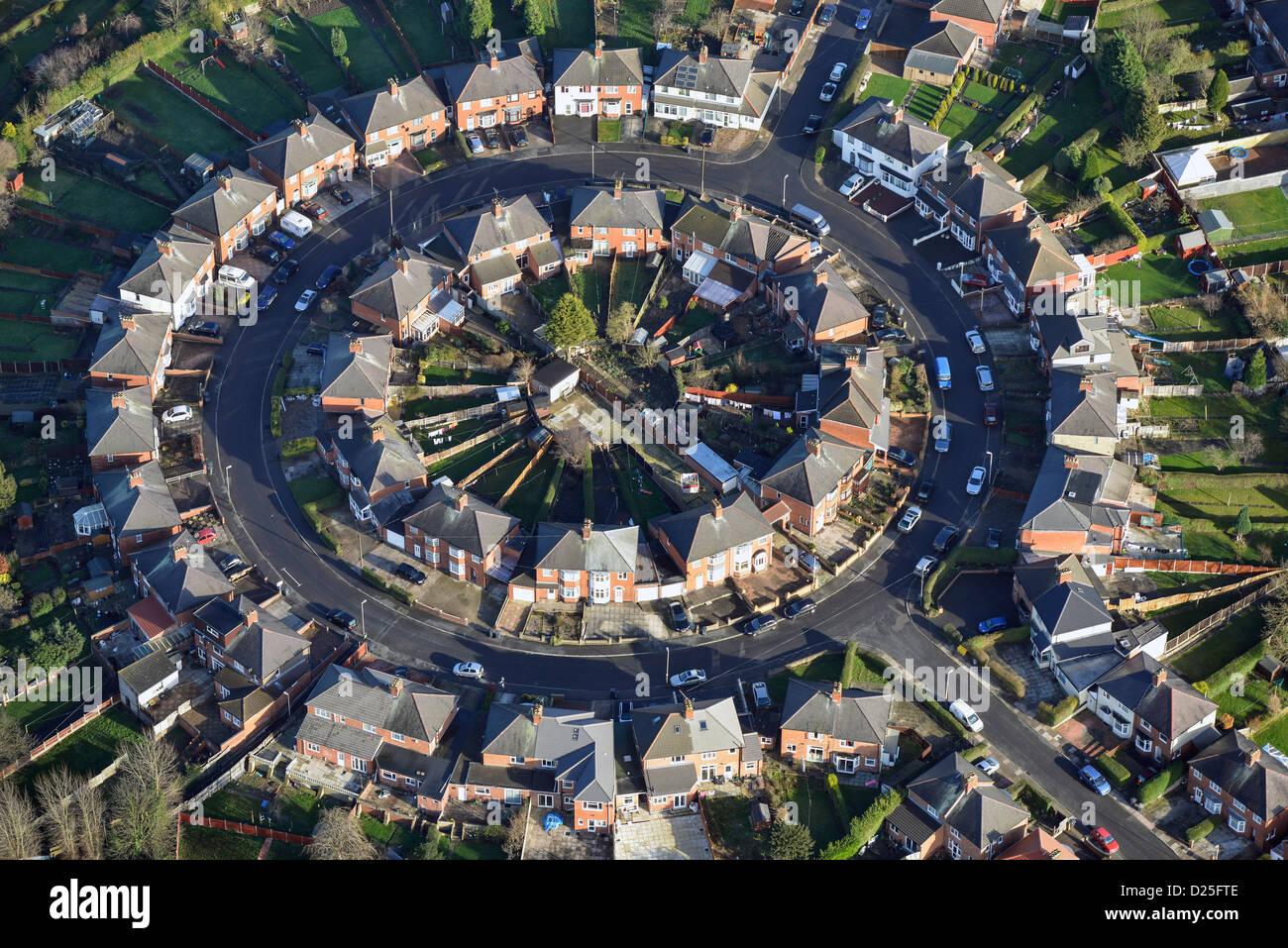 Aerial photograph of Suburban housing in Leicester Stock Photohttps://www.alamy.com/image-license-details/?v=1https://www.alamy.com/stock-photo-aerial-photograph-of-suburban-housing-in-leicester-52982622.html
RMD25FTE–Aerial photograph of Suburban housing in Leicester
 A semi-aerial view looking down over the plaza and patio area of the restaurant at Gardner Village, Utah, USA during its’ annual “WitchFest”. A working antique waterwheel can be seen on the left. Stock Photohttps://www.alamy.com/image-license-details/?v=1https://www.alamy.com/a-semi-aerial-view-looking-down-over-the-plaza-and-patio-area-of-the-restaurant-at-gardner-village-utah-usa-during-its-annual-witchfest-a-working-antique-waterwheel-can-be-seen-on-the-left-image312056211.html
RMS3KATK–A semi-aerial view looking down over the plaza and patio area of the restaurant at Gardner Village, Utah, USA during its’ annual “WitchFest”. A working antique waterwheel can be seen on the left.
 A semi-detached house in Hereford, Herefordshire. United Kingdom. Stock Photohttps://www.alamy.com/image-license-details/?v=1https://www.alamy.com/stock-photo-a-semi-detached-house-in-hereford-herefordshire-united-kingdom-34572152.html
RMC06W3M–A semi-detached house in Hereford, Herefordshire. United Kingdom.
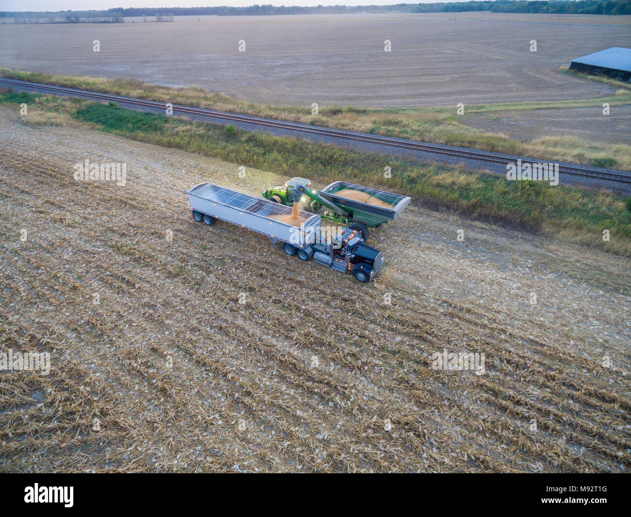 63801-08119 Corn Harvest, unloading corn into semi-truck - aerial Marion Co. IL Stock Photohttps://www.alamy.com/image-license-details/?v=1https://www.alamy.com/63801-08119-corn-harvest-unloading-corn-into-semi-truck-aerial-marion-co-il-image177698348.html
RMM92T1G–63801-08119 Corn Harvest, unloading corn into semi-truck - aerial Marion Co. IL
 Aerial view of the Seminoe Reservoir of the Platte River in the semi-arid high desert of Carbon County, southern Wyoming, United States Stock Photohttps://www.alamy.com/image-license-details/?v=1https://www.alamy.com/aerial-view-of-the-seminoe-reservoir-of-the-platte-river-in-the-semi-arid-high-desert-of-carbon-county-southern-wyoming-united-states-image477113503.html
RF2JM6B3Y–Aerial view of the Seminoe Reservoir of the Platte River in the semi-arid high desert of Carbon County, southern Wyoming, United States
 Aerial shot of semi-truck driving along the highway through countryside landscape, drone pov directly above on sunny spring day. Transportation and lo Stock Photohttps://www.alamy.com/image-license-details/?v=1https://www.alamy.com/aerial-shot-of-semi-truck-driving-along-the-highway-through-countryside-landscape-drone-pov-directly-above-on-sunny-spring-day-transportation-and-lo-image476047078.html
RF2JJDPWA–Aerial shot of semi-truck driving along the highway through countryside landscape, drone pov directly above on sunny spring day. Transportation and lo
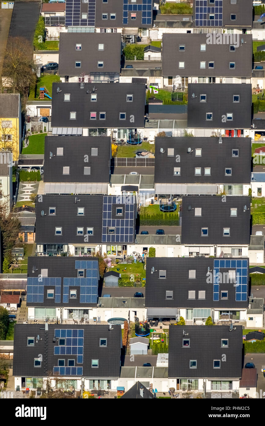 Beautiful living on Barbarastraße, single-family houses .solar energy, solar roofs, terraced houses, garages, semi-detached houses, in Voerde in NRW. Stock Photohttps://www.alamy.com/image-license-details/?v=1https://www.alamy.com/beautiful-living-on-barbarastrae-single-family-houses-solar-energy-solar-roofs-terraced-houses-garages-semi-detached-houses-in-voerde-in-nrw-image217414517.html
RMPHM2C5–Beautiful living on Barbarastraße, single-family houses .solar energy, solar roofs, terraced houses, garages, semi-detached houses, in Voerde in NRW.
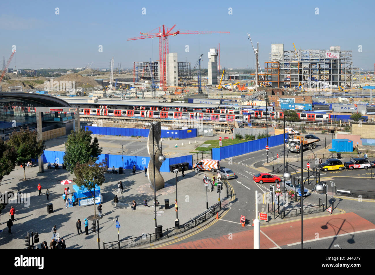 Semi aerial view of Stratford East London Westfield shopping centre complex and Olympic park building site beyond train station Stock Photohttps://www.alamy.com/image-license-details/?v=1https://www.alamy.com/stock-photo-semi-aerial-view-of-stratford-east-london-westfield-shopping-centre-19759375.html
RMB4437Y–Semi aerial view of Stratford East London Westfield shopping centre complex and Olympic park building site beyond train station
 Low altitude aerial of the Great Anabranch of the Darling River, meandering through a semi-arid landscape just north of the juction with the Murray Ri Stock Photohttps://www.alamy.com/image-license-details/?v=1https://www.alamy.com/low-altitude-aerial-of-the-great-anabranch-of-the-darling-river-meandering-through-a-semi-arid-landscape-just-north-of-the-juction-with-the-murray-ri-image263653130.html
RFW8XC76–Low altitude aerial of the Great Anabranch of the Darling River, meandering through a semi-arid landscape just north of the juction with the Murray Ri
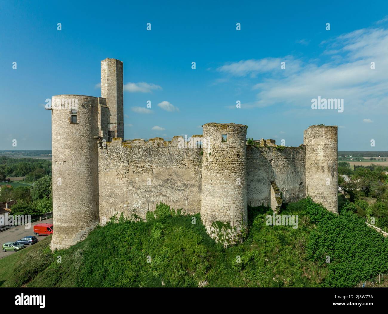 Aerial ground plan top down view of Billy castle in Central France with donjon, four semi circle towers and fortified gate house on a hilltop Stock Photohttps://www.alamy.com/image-license-details/?v=1https://www.alamy.com/aerial-ground-plan-top-down-view-of-billy-castle-in-central-france-with-donjon-four-semi-circle-towers-and-fortified-gate-house-on-a-hilltop-image470151678.html
RF2J8W77A–Aerial ground plan top down view of Billy castle in Central France with donjon, four semi circle towers and fortified gate house on a hilltop
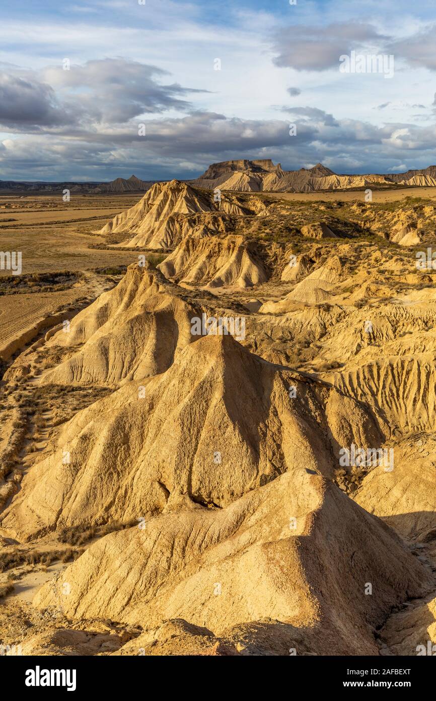 Aerial view of Bardenas Reales semi-desert natural region at sunset in Spain Stock Photohttps://www.alamy.com/image-license-details/?v=1https://www.alamy.com/aerial-view-of-bardenas-reales-semi-desert-natural-region-at-sunset-in-spain-image336470032.html
RF2AFBEXT–Aerial view of Bardenas Reales semi-desert natural region at sunset in Spain
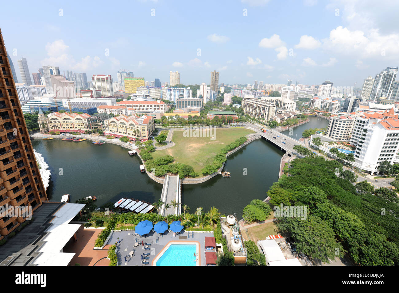 semi-aerial view from 22nd floor of apartment block down to swimming pool and over Singapore River, Singapore Stock Photohttps://www.alamy.com/image-license-details/?v=1https://www.alamy.com/stock-photo-semi-aerial-view-from-22nd-floor-of-apartment-block-down-to-swimming-25596546.html
RMBDJ0JA–semi-aerial view from 22nd floor of apartment block down to swimming pool and over Singapore River, Singapore
 York Minster (cathedral) and the city of York from the tower of the Minster. York. Stock Photohttps://www.alamy.com/image-license-details/?v=1https://www.alamy.com/stock-photo-york-minster-cathedral-and-the-city-of-york-from-the-tower-of-the-31619707.html
RMBRCB77–York Minster (cathedral) and the city of York from the tower of the Minster. York.
 semi-desert Laderas de la Manta and volcanic mountains, aerial view, Canary Islands, Fuerteventura, El Cotillo, El Cotillo Stock Photohttps://www.alamy.com/image-license-details/?v=1https://www.alamy.com/semi-desert-laderas-de-la-manta-and-volcanic-mountains-aerial-view-canary-islands-fuerteventura-el-cotillo-el-cotillo-image519643829.html
RM2N5BR05–semi-desert Laderas de la Manta and volcanic mountains, aerial view, Canary Islands, Fuerteventura, El Cotillo, El Cotillo
 Aerial of an old wheat farm in the semi frozen earth, South of Kostanay, northern Kazakhstan Stock Photohttps://www.alamy.com/image-license-details/?v=1https://www.alamy.com/aerial-of-an-old-wheat-farm-in-the-semi-frozen-earth-south-of-kostanay-northern-kazakhstan-image557739127.html
RF2RBB5XF–Aerial of an old wheat farm in the semi frozen earth, South of Kostanay, northern Kazakhstan
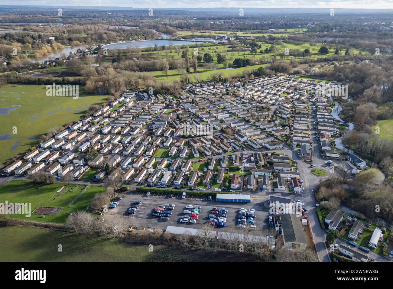 Aerial view of Penton Park, a mobile home park, a semi retirement park close to the River Thames and Staines Upon Thames, UK. Stock Photohttps://www.alamy.com/image-license-details/?v=1https://www.alamy.com/aerial-view-of-penton-park-a-mobile-home-park-a-semi-retirement-park-close-to-the-river-thames-and-staines-upon-thames-uk-image598321600.html
RM2WNBW8G–Aerial view of Penton Park, a mobile home park, a semi retirement park close to the River Thames and Staines Upon Thames, UK.
 Aerial drone top view from above to countryside summer landscape with white semi-detached cottage house among green olive trees garden on mountains, b Stock Photohttps://www.alamy.com/image-license-details/?v=1https://www.alamy.com/aerial-drone-top-view-from-above-to-countryside-summer-landscape-with-white-semi-detached-cottage-house-among-green-olive-trees-garden-on-mountains-b-image416342503.html
RF2F5A133–Aerial drone top view from above to countryside summer landscape with white semi-detached cottage house among green olive trees garden on mountains, b
 Semi-aerial view of southern Spain coast near Estepona and Gibraltar Stock Photohttps://www.alamy.com/image-license-details/?v=1https://www.alamy.com/stock-photo-semi-aerial-view-of-southern-spain-coast-near-estepona-and-gibraltar-59391165.html
RFDCHE11–Semi-aerial view of southern Spain coast near Estepona and Gibraltar
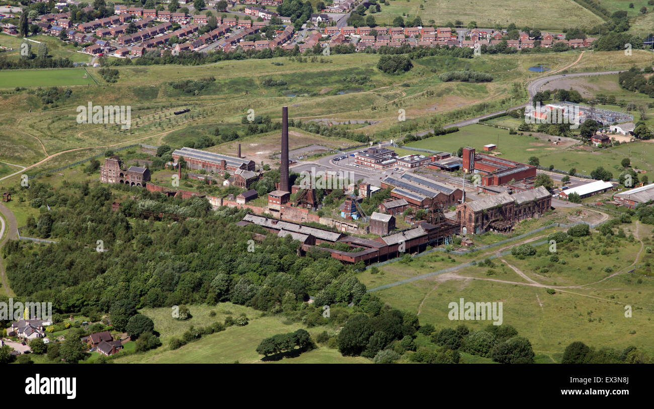 aerial view of a disused derelict factory in a semi rural location in the North of England, UK Stock Photohttps://www.alamy.com/image-license-details/?v=1https://www.alamy.com/stock-photo-aerial-view-of-a-disused-derelict-factory-in-a-semi-rural-location-84905090.html
RMEX3N8J–aerial view of a disused derelict factory in a semi rural location in the North of England, UK
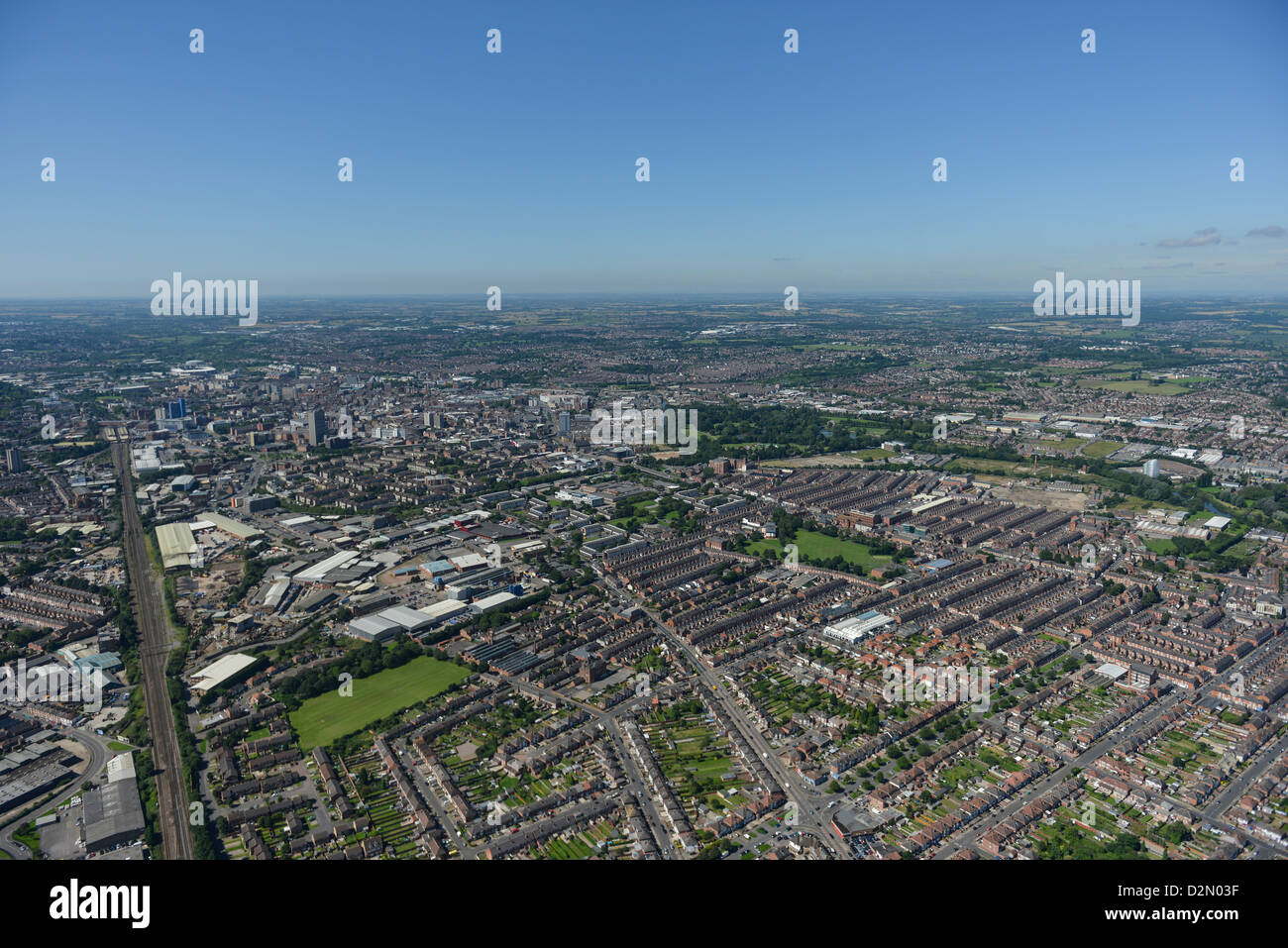 Aerial photograph of Leicester Stock Photohttps://www.alamy.com/image-license-details/?v=1https://www.alamy.com/stock-photo-aerial-photograph-of-leicester-53321507.html
RFD2N03F–Aerial photograph of Leicester
 Aerial photo of the white river near Shieldstown, IN shot in 850nm black and white infrared. Taken fall 2020. Stock Photohttps://www.alamy.com/image-license-details/?v=1https://www.alamy.com/aerial-photo-of-the-white-river-near-shieldstown-in-shot-in-850nm-black-and-white-infrared-taken-fall-2020-image399018623.html
RF2E54T93–Aerial photo of the white river near Shieldstown, IN shot in 850nm black and white infrared. Taken fall 2020.
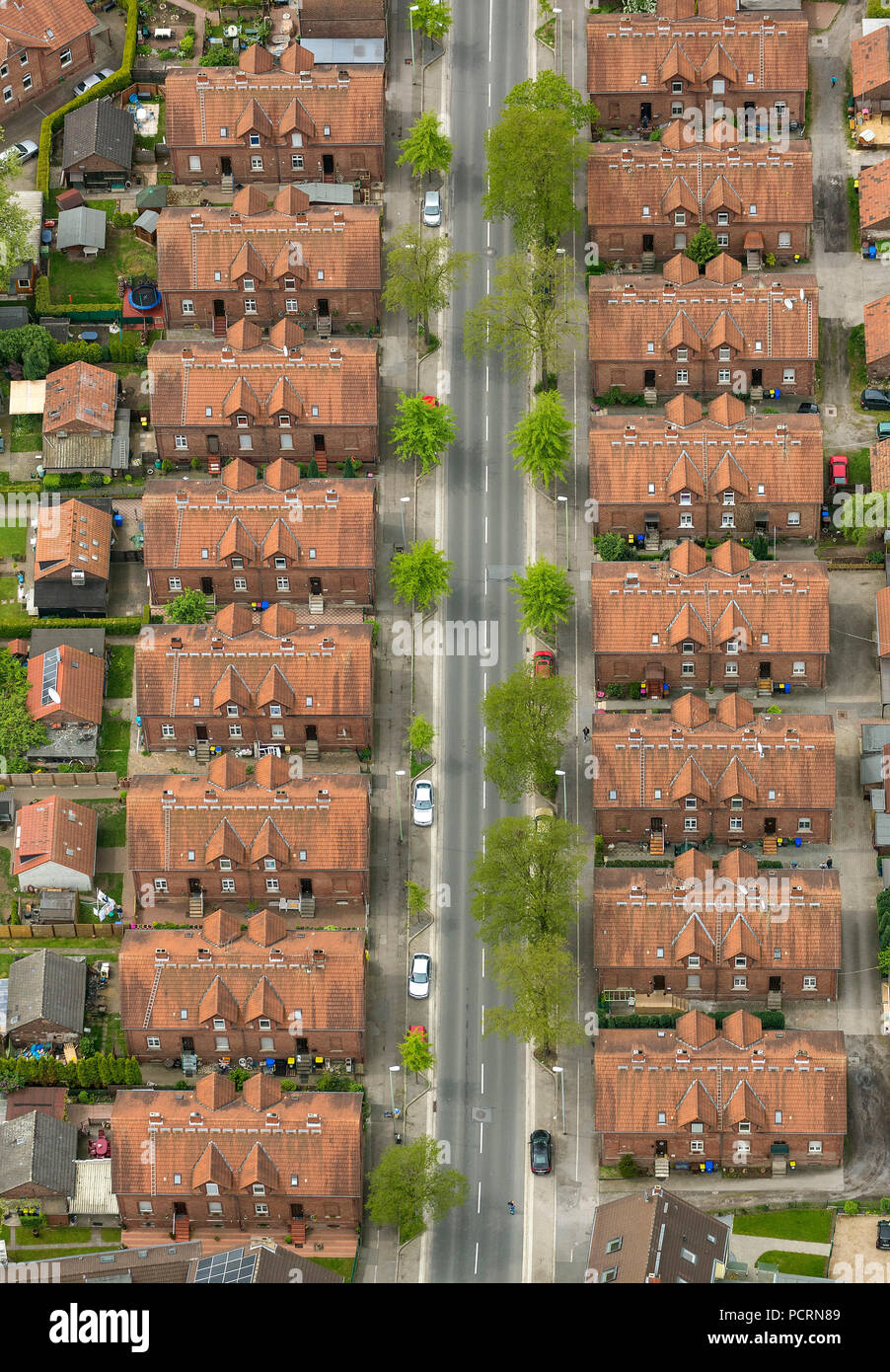 renovated mining settlement Kirchheller Straße Lohstraße, semi-detached houses, aerial view of Gladbeck Stock Photohttps://www.alamy.com/image-license-details/?v=1https://www.alamy.com/renovated-mining-settlement-kirchheller-strae-lohstrae-semi-detached-houses-aerial-view-of-gladbeck-image214421881.html
RMPCRN89–renovated mining settlement Kirchheller Straße Lohstraße, semi-detached houses, aerial view of Gladbeck
 KALMYKIA, RUSSIAN FEDERATION - SEPTEMBER 21, 2021: Road train on the R-216 highway on a sunny September day (aerial view) Stock Photohttps://www.alamy.com/image-license-details/?v=1https://www.alamy.com/kalmykia-russian-federation-september-21-2021-road-train-on-the-r-216-highway-on-a-sunny-september-day-aerial-view-image490470463.html
RF2KDXT27–KALMYKIA, RUSSIAN FEDERATION - SEPTEMBER 21, 2021: Road train on the R-216 highway on a sunny September day (aerial view)
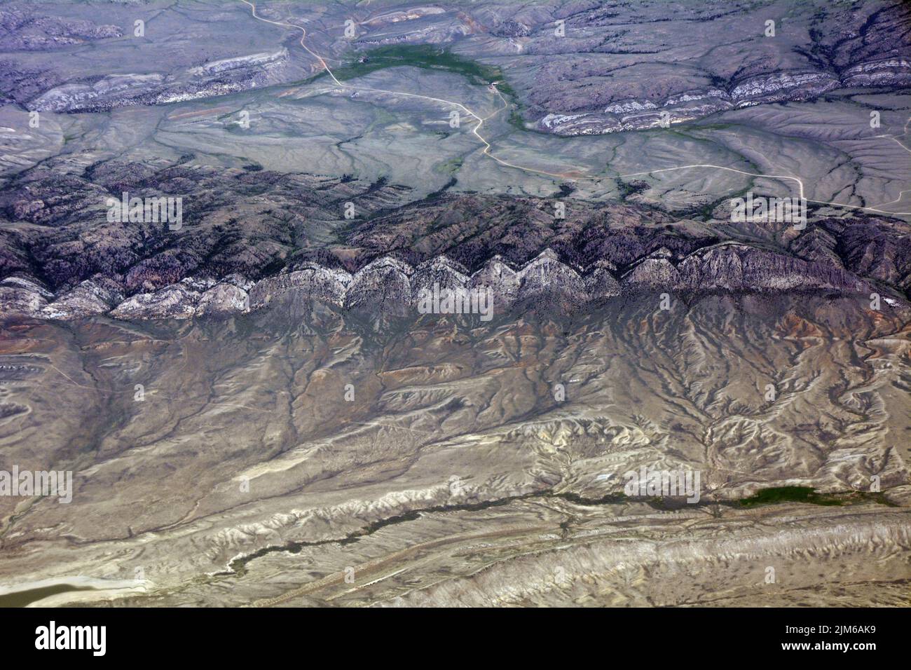 Aerial view of the Bennett Mountains and Saylor Creek in the semi-arid high desert of Carbon County, southern Wyoming, United States Stock Photohttps://www.alamy.com/image-license-details/?v=1https://www.alamy.com/aerial-view-of-the-bennett-mountains-and-saylor-creek-in-the-semi-arid-high-desert-of-carbon-county-southern-wyoming-united-states-image477113149.html
RF2JM6AK9–Aerial view of the Bennett Mountains and Saylor Creek in the semi-arid high desert of Carbon County, southern Wyoming, United States
 Aerial shot of semi-truck driving along the highway through countryside landscape, drone pov directly above on sunny spring day. Transportation and lo Stock Photohttps://www.alamy.com/image-license-details/?v=1https://www.alamy.com/aerial-shot-of-semi-truck-driving-along-the-highway-through-countryside-landscape-drone-pov-directly-above-on-sunny-spring-day-transportation-and-lo-image477704414.html
RF2JN58RX–Aerial shot of semi-truck driving along the highway through countryside landscape, drone pov directly above on sunny spring day. Transportation and lo
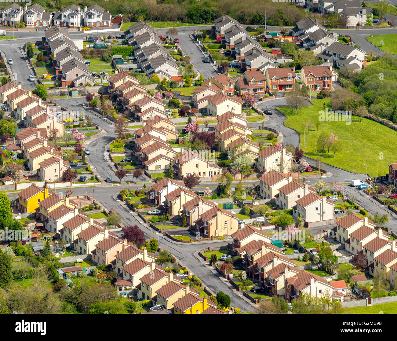 Aerial view, detached in Ennis, semi-detached houses, property, red roofs, Ennis, COUNTY CLARE, Clare, Ireland, Europe, Aerial Stock Photohttps://www.alamy.com/image-license-details/?v=1https://www.alamy.com/stock-photo-aerial-view-detached-in-ennis-semi-detached-houses-property-red-roofs-104943367.html
RMG2MG9B–Aerial view, detached in Ennis, semi-detached houses, property, red roofs, Ennis, COUNTY CLARE, Clare, Ireland, Europe, Aerial
 Aerial side front view hgv prime mover lorry truck & Hovis Ltd flour & bread producer business articulated semi trailer driving along M25 motorway UK Stock Photohttps://www.alamy.com/image-license-details/?v=1https://www.alamy.com/aerial-side-front-view-hgv-prime-mover-lorry-truck-hovis-ltd-flour-bread-producer-business-articulated-semi-trailer-driving-along-m25-motorway-uk-image564505550.html
RM2RPBCGE–Aerial side front view hgv prime mover lorry truck & Hovis Ltd flour & bread producer business articulated semi trailer driving along M25 motorway UK
 Looking down onto sparesely vegetated bush during drought. Stock Photohttps://www.alamy.com/image-license-details/?v=1https://www.alamy.com/looking-down-onto-sparesely-vegetated-bush-during-drought-image331346922.html
RF2A724AJ–Looking down onto sparesely vegetated bush during drought.
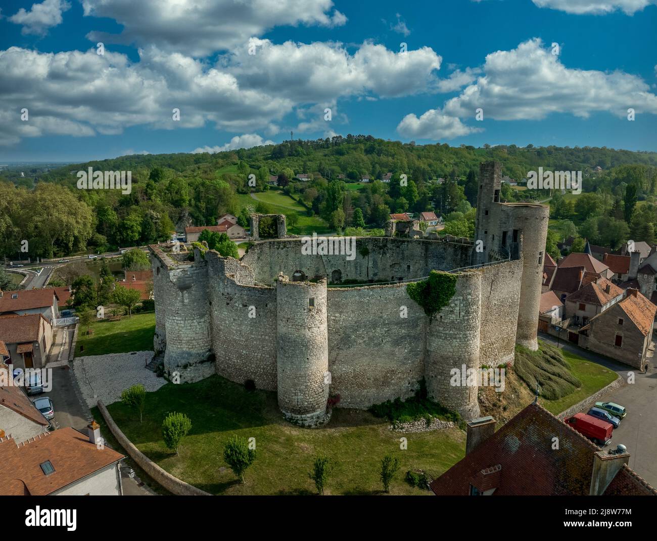 Aerial ground plan top down view of Billy castle in Central France with donjon, four semi circle towers and fortified gate house on a hilltop Stock Photohttps://www.alamy.com/image-license-details/?v=1https://www.alamy.com/aerial-ground-plan-top-down-view-of-billy-castle-in-central-france-with-donjon-four-semi-circle-towers-and-fortified-gate-house-on-a-hilltop-image470151688.html
RF2J8W77M–Aerial ground plan top down view of Billy castle in Central France with donjon, four semi circle towers and fortified gate house on a hilltop
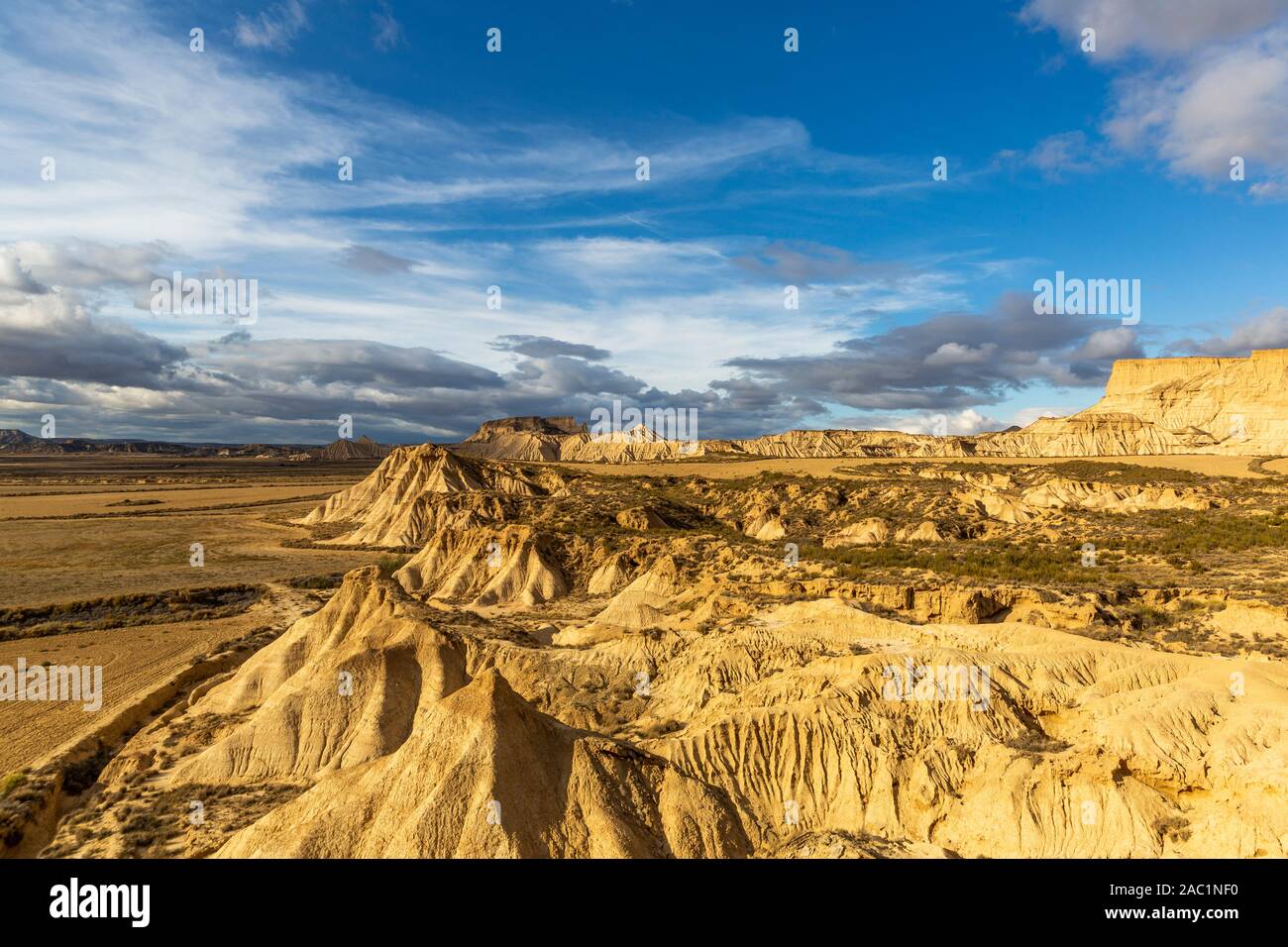 Aerial view of Bardenas Reales semi-desert natural region at sunset in Spain Stock Photohttps://www.alamy.com/image-license-details/?v=1https://www.alamy.com/aerial-view-of-bardenas-reales-semi-desert-natural-region-at-sunset-in-spain-image334411700.html
RF2AC1NF0–Aerial view of Bardenas Reales semi-desert natural region at sunset in Spain
 semi-aerial city skyline including Marina Bay and Clifford Pier, from Marina Bay Sands Hotel, Marina Bay, Singapore Stock Photohttps://www.alamy.com/image-license-details/?v=1https://www.alamy.com/stock-photo-semi-aerial-city-skyline-including-marina-bay-and-clifford-pier-from-41796051.html
RMCBYY83–semi-aerial city skyline including Marina Bay and Clifford Pier, from Marina Bay Sands Hotel, Marina Bay, Singapore
 The old city of York from the tower of the Minster. York. Stock Photohttps://www.alamy.com/image-license-details/?v=1https://www.alamy.com/stock-photo-the-old-city-of-york-from-the-tower-of-the-minster-york-31619326.html
RMBRCANJ–The old city of York from the tower of the Minster. York.
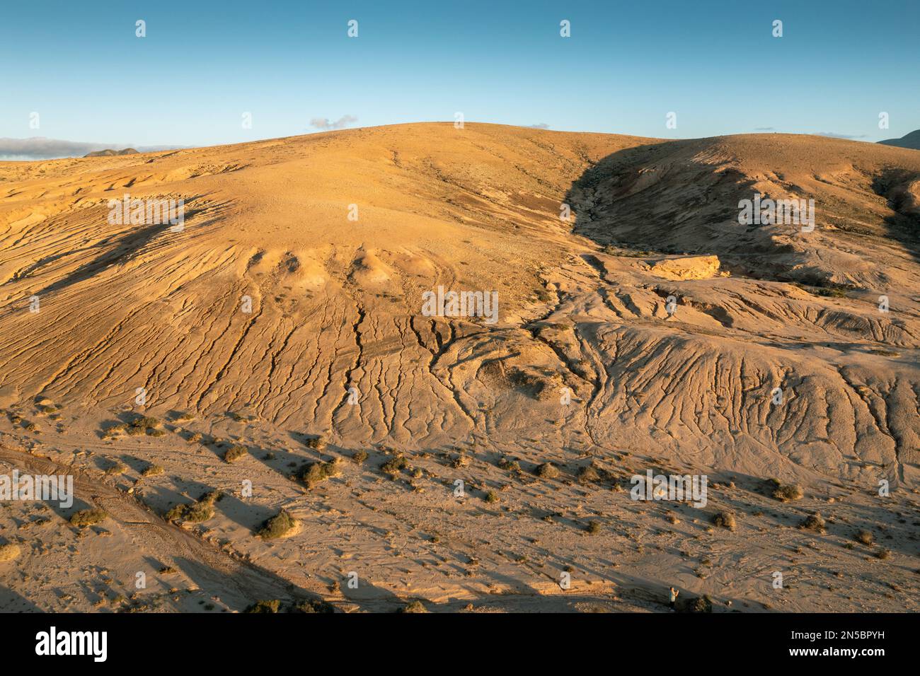 Hill with erosion channels around Montana del Mojon, aerial photo, Canary Islands, Fuerteventura, La Olivia Stock Photohttps://www.alamy.com/image-license-details/?v=1https://www.alamy.com/hill-with-erosion-channels-around-montana-del-mojon-aerial-photo-canary-islands-fuerteventura-la-olivia-image519643813.html
RM2N5BPYH–Hill with erosion channels around Montana del Mojon, aerial photo, Canary Islands, Fuerteventura, La Olivia
 Aerial of an old wheat farm in the semi frozen earth, South of Kostanay, northern Kazakhstan Stock Photohttps://www.alamy.com/image-license-details/?v=1https://www.alamy.com/aerial-of-an-old-wheat-farm-in-the-semi-frozen-earth-south-of-kostanay-northern-kazakhstan-image557739129.html
RF2RBB5XH–Aerial of an old wheat farm in the semi frozen earth, South of Kostanay, northern Kazakhstan
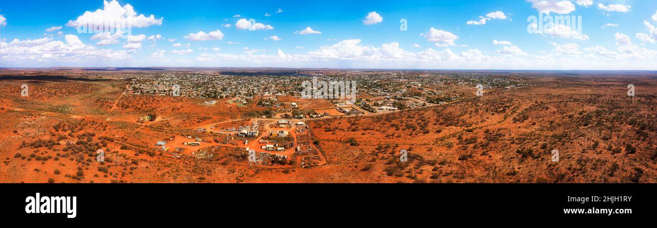 Red soil outback of Australia arid semi-desert areas around Broken hill mining town - wide aerial landsape panorama. Stock Photohttps://www.alamy.com/image-license-details/?v=1https://www.alamy.com/red-soil-outback-of-australia-arid-semi-desert-areas-around-broken-hill-mining-town-wide-aerial-landsape-panorama-image458908015.html
RF2HJH1RY–Red soil outback of Australia arid semi-desert areas around Broken hill mining town - wide aerial landsape panorama.