Quick filters:
Senegal map Stock Photos and Images
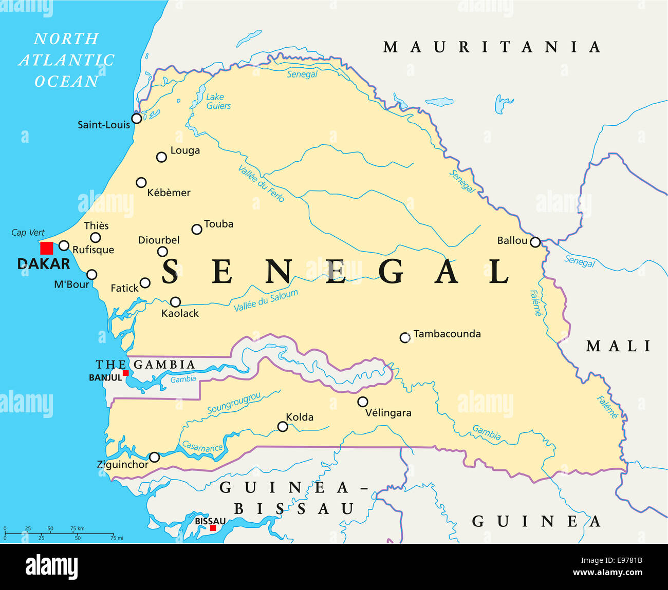 Senegal Political Map with capital Dakar, national borders, important cities, rivers and lakes. English labeling and scaling. Stock Photohttps://www.alamy.com/image-license-details/?v=1https://www.alamy.com/stock-photo-senegal-political-map-with-capital-dakar-national-borders-important-74533351.html
RFE9781B–Senegal Political Map with capital Dakar, national borders, important cities, rivers and lakes. English labeling and scaling.
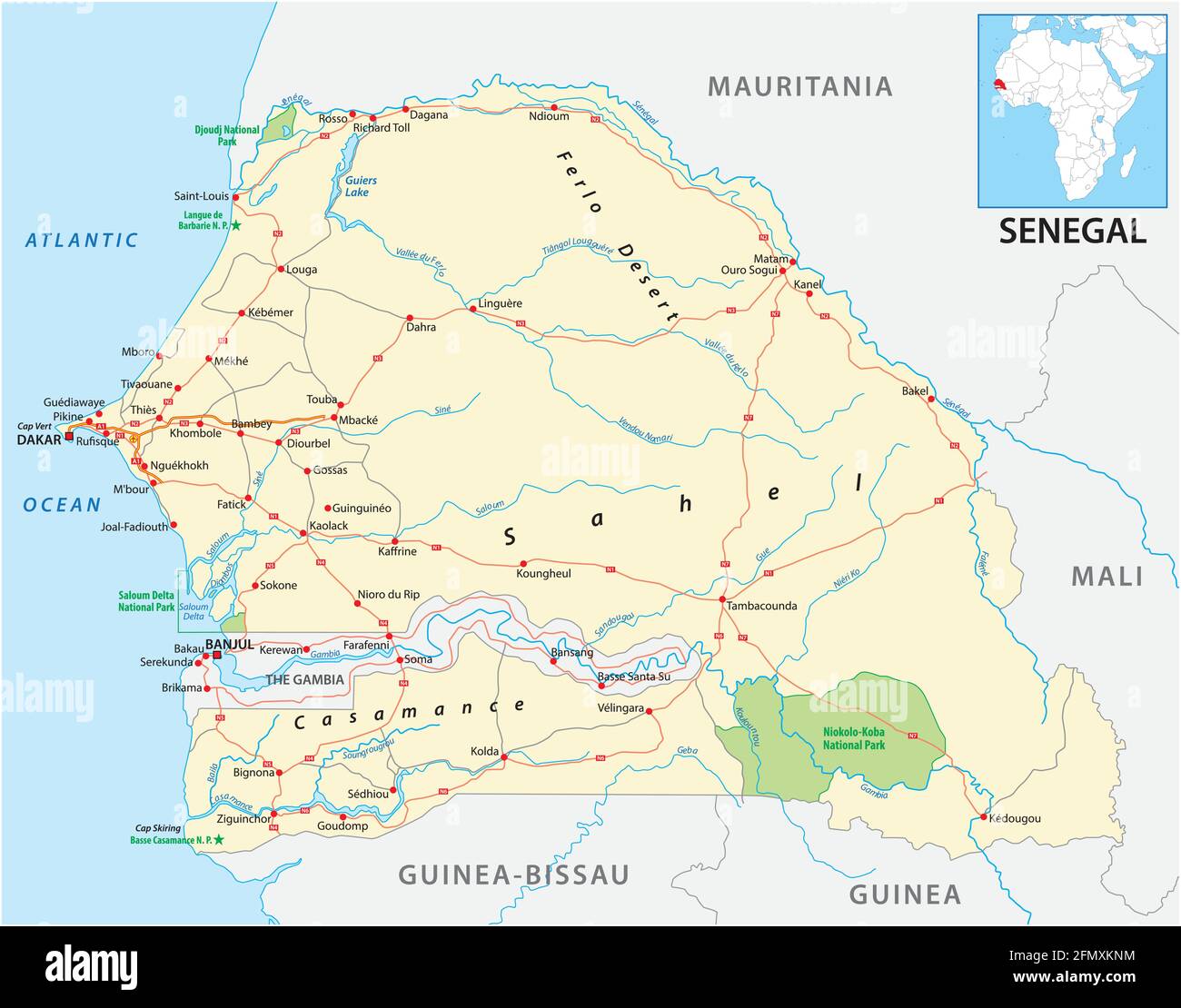 vector road map of the West African state of Senegal Stock Vectorhttps://www.alamy.com/image-license-details/?v=1https://www.alamy.com/vector-road-map-of-the-west-african-state-of-senegal-image425928208.html
RF2FMXKNM–vector road map of the West African state of Senegal
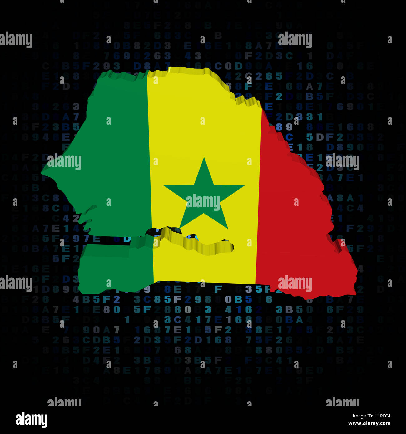 Senegal map flag on hex code illustration Stock Photohttps://www.alamy.com/image-license-details/?v=1https://www.alamy.com/stock-photo-senegal-map-flag-on-hex-code-illustration-121604228.html
RFH1RFC4–Senegal map flag on hex code illustration
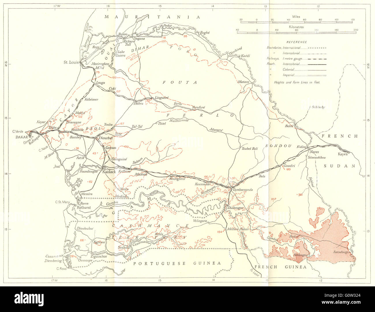 SENEGAL: Senegal and the district of Dakar: Senegal, 1944 vintage map Stock Photohttps://www.alamy.com/image-license-details/?v=1https://www.alamy.com/stock-photo-senegal-senegal-and-the-district-of-dakar-senegal-1944-vintage-map-103813420.html
RFG0W324–SENEGAL: Senegal and the district of Dakar: Senegal, 1944 vintage map
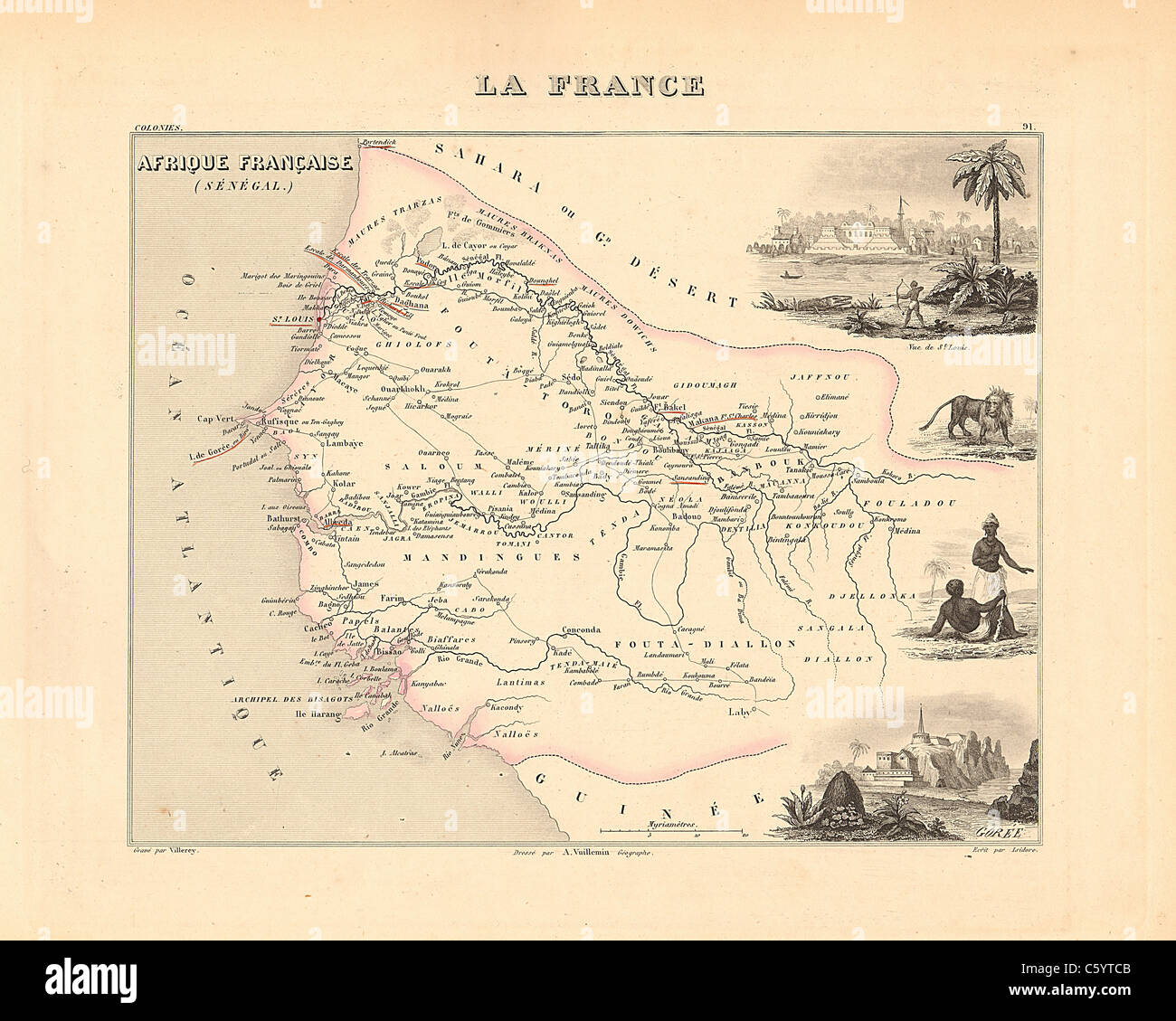 Senegambie (Senegal) - Antiquarian Map from an 1858 French Atlas 'France and its Colonies' (La France et ses Colonies ) by Alexandre Vuillemin Stock Photohttps://www.alamy.com/image-license-details/?v=1https://www.alamy.com/stock-photo-senegambie-senegal-antiquarian-map-from-an-1858-french-atlas-france-38105883.html
RFC5YTCB–Senegambie (Senegal) - Antiquarian Map from an 1858 French Atlas 'France and its Colonies' (La France et ses Colonies ) by Alexandre Vuillemin
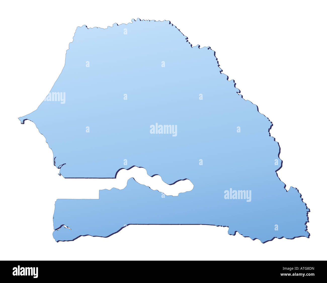 Senegal map Stock Photohttps://www.alamy.com/image-license-details/?v=1https://www.alamy.com/stock-photo-senegal-map-16310048.html
RFATG8DN–Senegal map
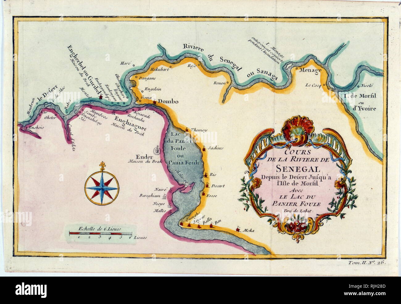 Map of the River Senegal in West Africa. Circa 1850. European missionaries introduced Christianity to Senegal and the Casamance in the 19th century. It was only in the 1850s that the French began to expand onto the Senegalese mainland after they abolished slavery and began promoting an abolitionist doctrine Stock Photohttps://www.alamy.com/image-license-details/?v=1https://www.alamy.com/map-of-the-river-senegal-in-west-africa-circa-1850-european-missionaries-introduced-christianity-to-senegal-and-the-casamance-in-the-19th-century-it-was-only-in-the-1850s-that-the-french-began-to-expand-onto-the-senegalese-mainland-after-they-abolished-slavery-and-began-promoting-an-abolitionist-doctrine-image235173581.html
RMRJH28D–Map of the River Senegal in West Africa. Circa 1850. European missionaries introduced Christianity to Senegal and the Casamance in the 19th century. It was only in the 1850s that the French began to expand onto the Senegalese mainland after they abolished slavery and began promoting an abolitionist doctrine
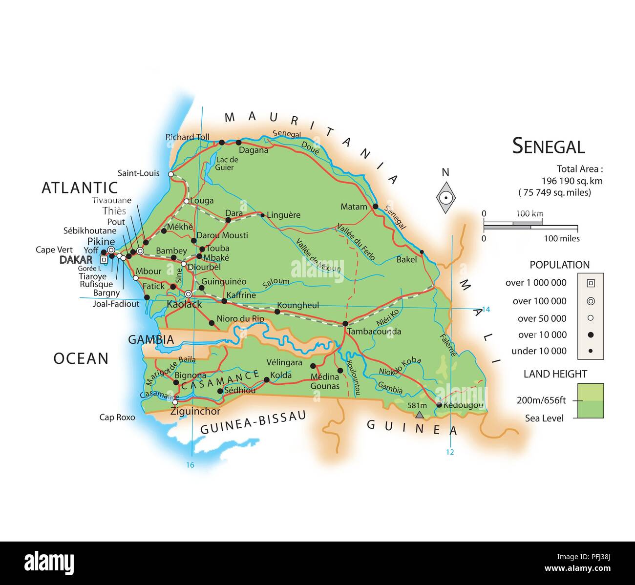 Map of Senegal Stock Photohttps://www.alamy.com/image-license-details/?v=1https://www.alamy.com/map-of-senegal-image216141986.html
RMPFJ38J–Map of Senegal
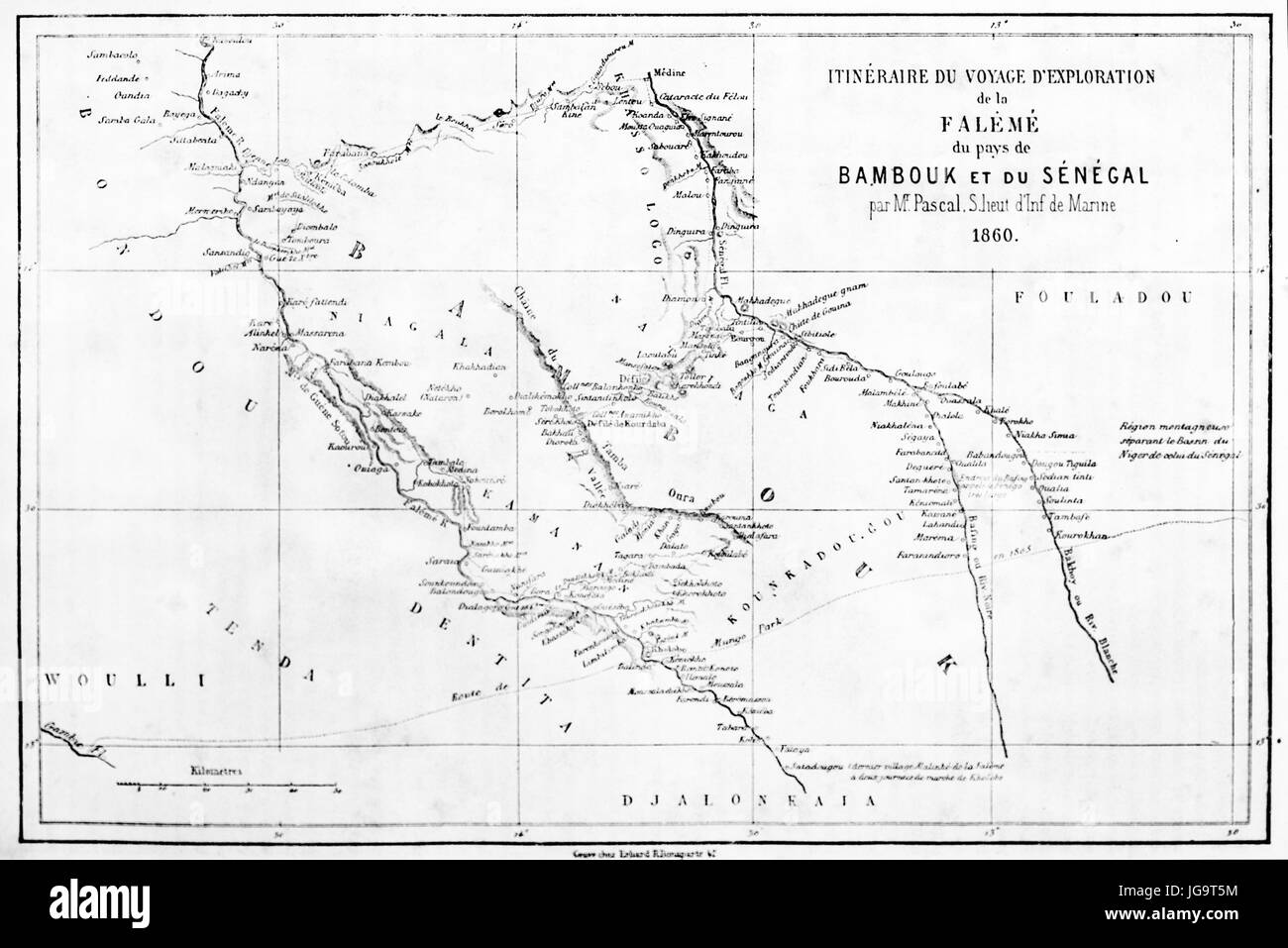 Old map of Senegal exploration itinerary by S. L. Pascal (Falémé river valley, Bambouk territory). Etching style art by Erhard and Bonaparte 1861 Stock Photohttps://www.alamy.com/image-license-details/?v=1https://www.alamy.com/stock-photo-old-map-of-senegal-exploration-itinerary-by-s-l-pascal-falm-river-147733984.html
RFJG9T5M–Old map of Senegal exploration itinerary by S. L. Pascal (Falémé river valley, Bambouk territory). Etching style art by Erhard and Bonaparte 1861
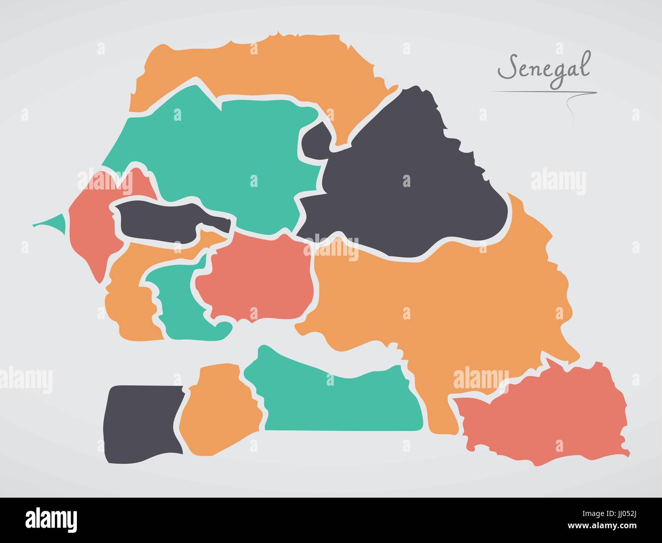 Senegal Map with states and modern round shapes Stock Vectorhttps://www.alamy.com/image-license-details/?v=1https://www.alamy.com/stock-photo-senegal-map-with-states-and-modern-round-shapes-148750746.html
RFJJ052J–Senegal Map with states and modern round shapes
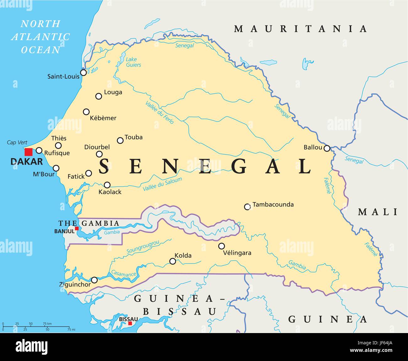 africa, senegal, gambia, map, atlas, map of the world, travel, atlantic ocean, Stock Vectorhttps://www.alamy.com/image-license-details/?v=1https://www.alamy.com/stock-photo-africa-senegal-gambia-map-atlas-map-of-the-world-travel-atlantic-ocean-147038146.html
RFJF64JA–africa, senegal, gambia, map, atlas, map of the world, travel, atlantic ocean,
 Map of Senegal. Shows country borders, urban areas, place names and roads. Labels in English where possible. Projection: Mercator. Stock Vectorhttps://www.alamy.com/image-license-details/?v=1https://www.alamy.com/stock-photo-map-of-senegal-shows-country-borders-urban-areas-place-names-and-roads-174995813.html
RFM4KMXD–Map of Senegal. Shows country borders, urban areas, place names and roads. Labels in English where possible. Projection: Mercator.
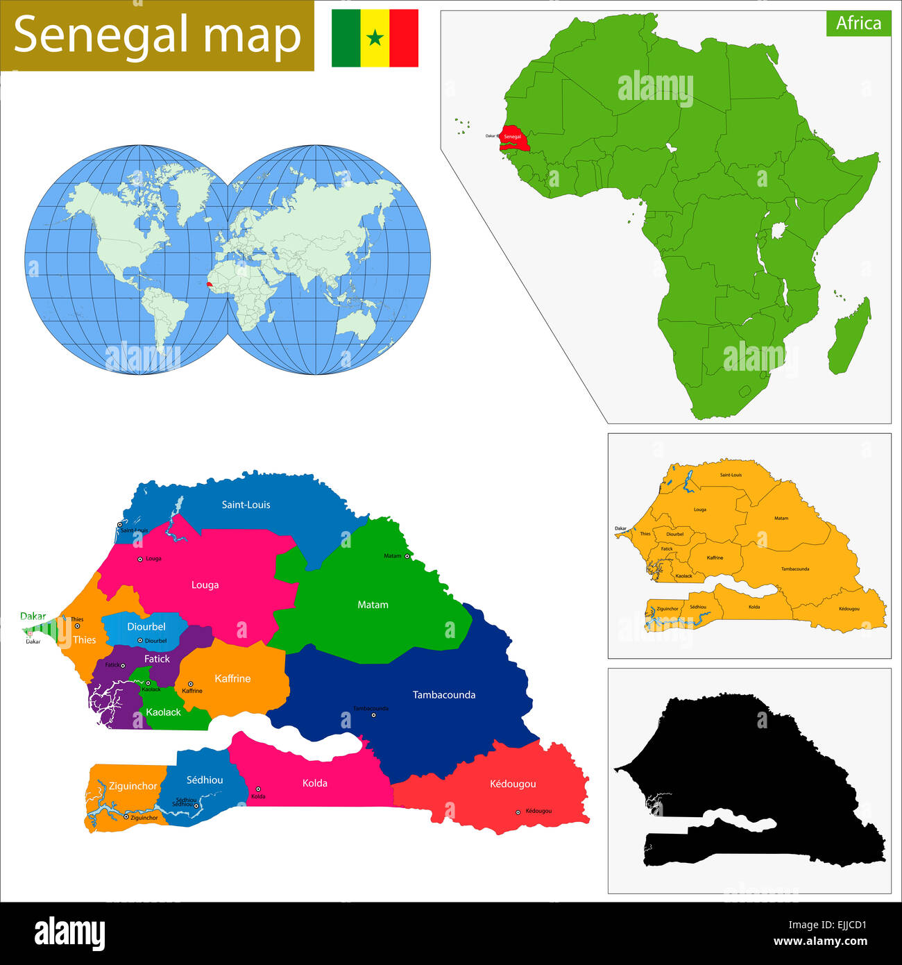 Senegal map Stock Photohttps://www.alamy.com/image-license-details/?v=1https://www.alamy.com/stock-photo-senegal-map-80310189.html
RFEJJCD1–Senegal map
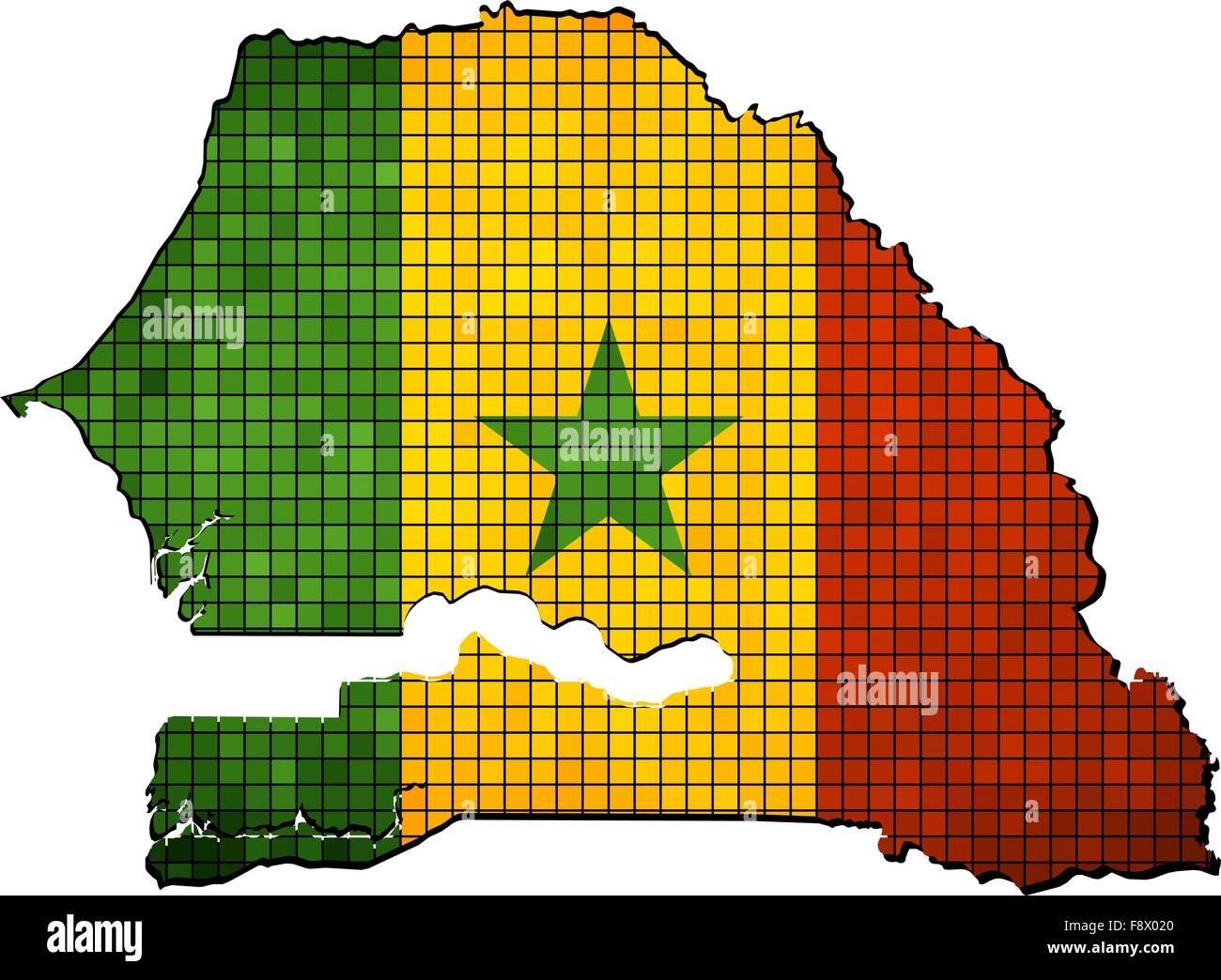 Senegal map with flag inside Stock Vectorhttps://www.alamy.com/image-license-details/?v=1https://www.alamy.com/stock-photo-senegal-map-with-flag-inside-91539896.html
RFF8X020–Senegal map with flag inside
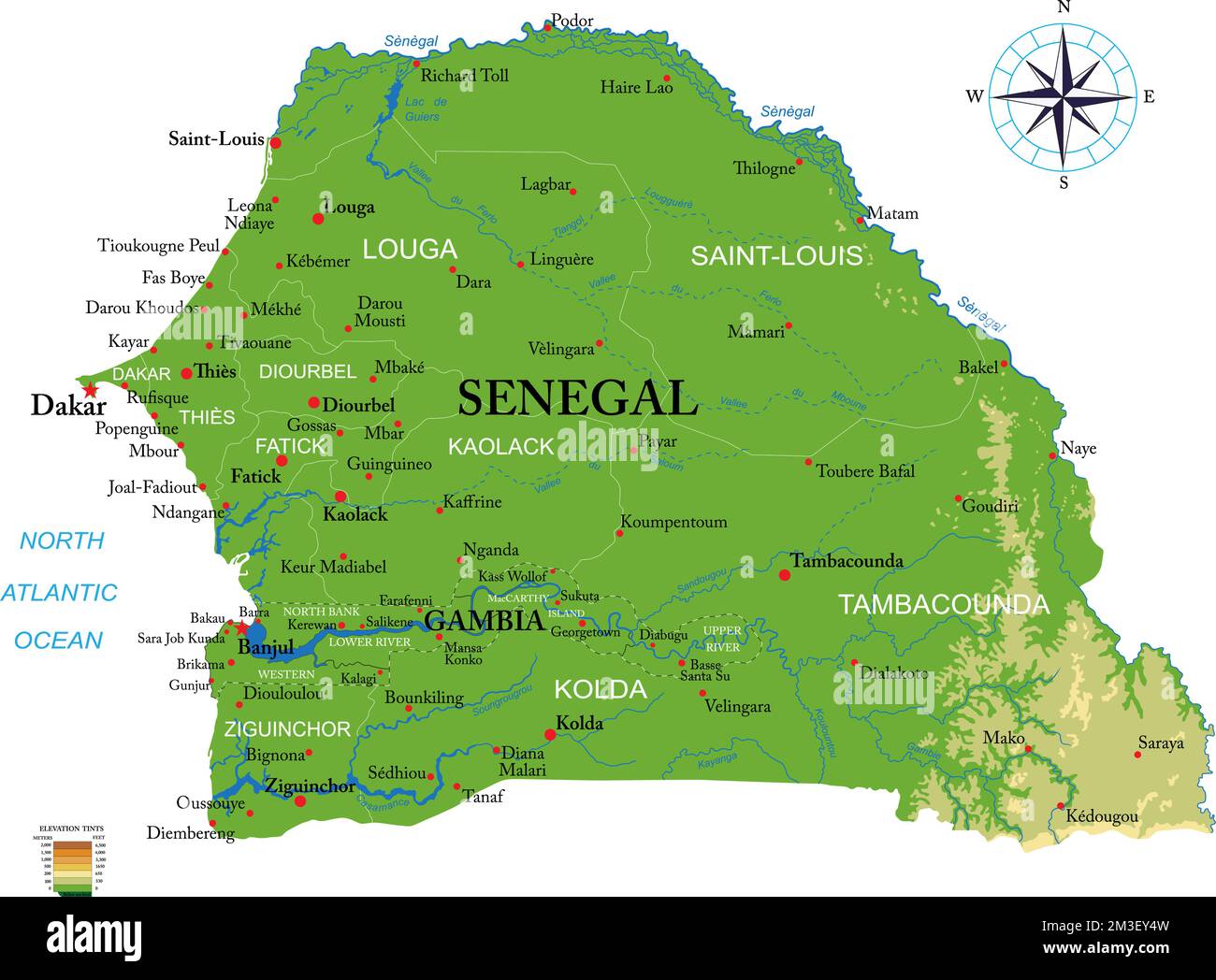 Highly detailed physical map of Senegal and Gambia in vector format,with all the relief forms,regions and big cities. Stock Vectorhttps://www.alamy.com/image-license-details/?v=1https://www.alamy.com/highly-detailed-physical-map-of-senegal-and-gambia-in-vector-formatwith-all-the-relief-formsregions-and-big-cities-image501273273.html
RF2M3EY4W–Highly detailed physical map of Senegal and Gambia in vector format,with all the relief forms,regions and big cities.
 Relief map of Senegal with shaded relief. Stock Photohttps://www.alamy.com/image-license-details/?v=1https://www.alamy.com/stock-photo-relief-map-of-senegal-with-shaded-relief-112676270.html
RFGF8RME–Relief map of Senegal with shaded relief.
 Senegal Stock Photohttps://www.alamy.com/image-license-details/?v=1https://www.alamy.com/stock-photo-senegal-21257675.html
RFB6GAAK–Senegal
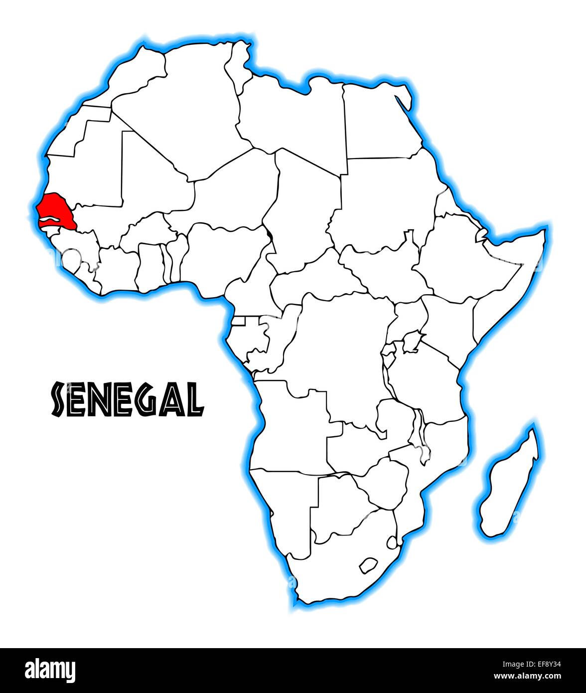 Senegal outline inset into a map of Africa over a white background Stock Photohttps://www.alamy.com/image-license-details/?v=1https://www.alamy.com/stock-photo-senegal-outline-inset-into-a-map-of-africa-over-a-white-background-78258184.html
RFEF8Y34–Senegal outline inset into a map of Africa over a white background
 Senegal map in blue isolated on white background with clipping path and copy space. Stock Photohttps://www.alamy.com/image-license-details/?v=1https://www.alamy.com/stock-photo-senegal-map-in-blue-isolated-on-white-background-with-clipping-path-28883359.html
RMBJYN0F–Senegal map in blue isolated on white background with clipping path and copy space.
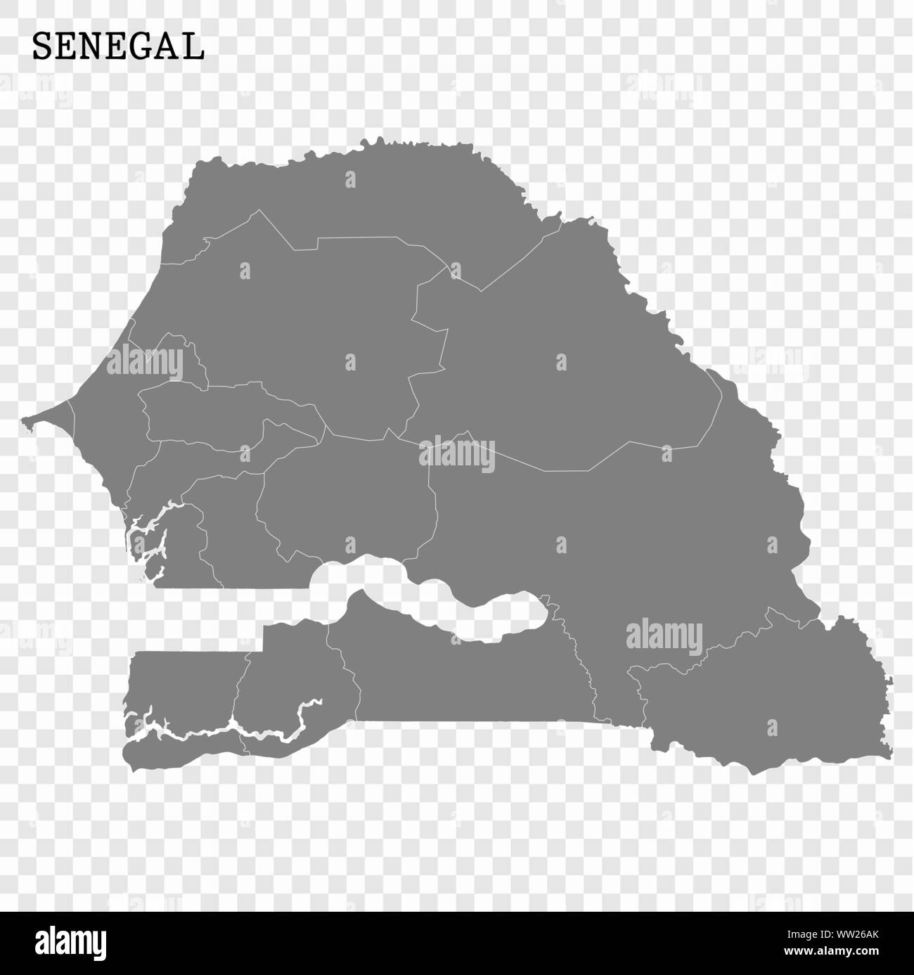 High quality map of Senegal with borders of the regions Stock Vectorhttps://www.alamy.com/image-license-details/?v=1https://www.alamy.com/high-quality-map-of-senegal-with-borders-of-the-regions-image273570827.html
RFWW26AK–High quality map of Senegal with borders of the regions
 Senegal map shape with waving flag background. Alpha channel outline of country. Stock Photohttps://www.alamy.com/image-license-details/?v=1https://www.alamy.com/senegal-map-shape-with-waving-flag-background-alpha-channel-outline-of-country-image484767795.html
RF2K4K27F–Senegal map shape with waving flag background. Alpha channel outline of country.
 Senegal map flag on hex code illustration Stock Photohttps://www.alamy.com/image-license-details/?v=1https://www.alamy.com/stock-photo-senegal-map-flag-on-hex-code-illustration-126715232.html
RFHA4AG0–Senegal map flag on hex code illustration
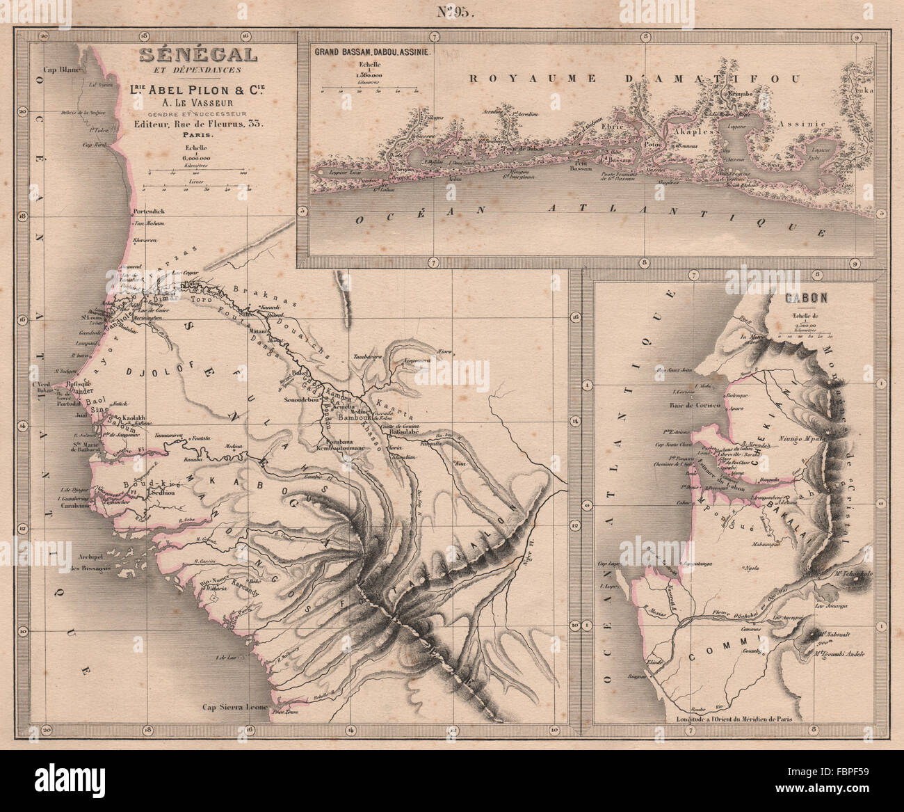 SENEGAL GABON CÔTE D'IVOIRE. Ivory Coast. Grand Bassam Dabou Assinie, 1876 map Stock Photohttps://www.alamy.com/image-license-details/?v=1https://www.alamy.com/stock-photo-senegal-gabon-cte-divoire-ivory-coast-grand-bassam-dabou-assinie-1876-93307909.html
RFFBPF59–SENEGAL GABON CÔTE D'IVOIRE. Ivory Coast. Grand Bassam Dabou Assinie, 1876 map
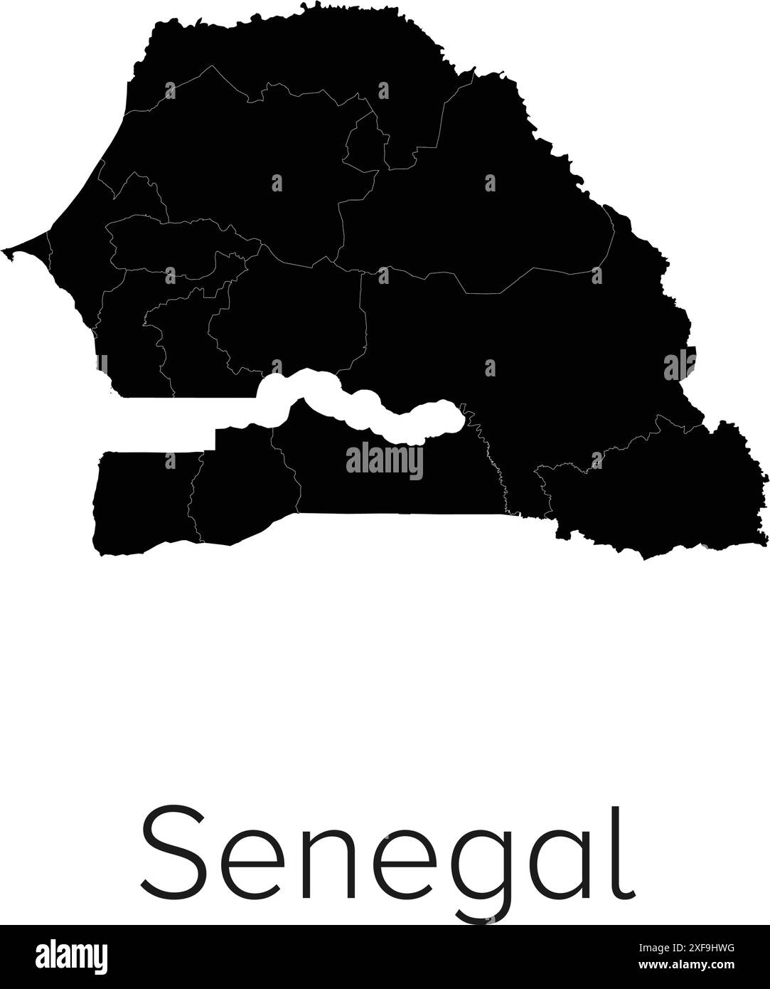 Senegal Map Vector Illustration - Silhouette, Outline, Senegal Travel and Tourism Map Stock Vectorhttps://www.alamy.com/image-license-details/?v=1https://www.alamy.com/senegal-map-vector-illustration-silhouette-outline-senegal-travel-and-tourism-map-image611794332.html
RF2XF9HWG–Senegal Map Vector Illustration - Silhouette, Outline, Senegal Travel and Tourism Map
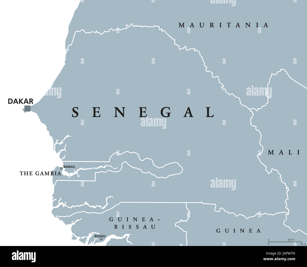 Senegal political map with capital Dakar, international borders and neighbors. Republic and country in West Africa. Gray illustration. Stock Photohttps://www.alamy.com/image-license-details/?v=1https://www.alamy.com/stock-photo-senegal-political-map-with-capital-dakar-international-borders-and-148481193.html
RFJHFW7N–Senegal political map with capital Dakar, international borders and neighbors. Republic and country in West Africa. Gray illustration.
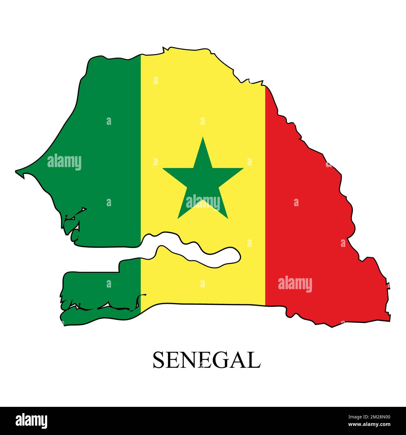 Senegal map vector illustration. Global economy. Famous country. Western Africa. Africa. Stock Vectorhttps://www.alamy.com/image-license-details/?v=1https://www.alamy.com/senegal-map-vector-illustration-global-economy-famous-country-western-africa-africa-image500522064.html
RF2M28N00–Senegal map vector illustration. Global economy. Famous country. Western Africa. Africa.
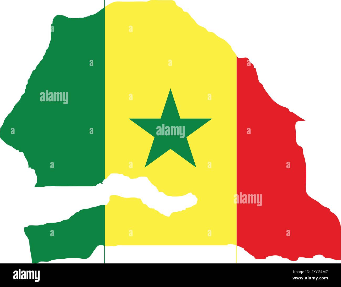 Senegal Flag in Map, Senegal Map with Flag, Country Map, Senegal Map with Flag, Nation Flag Senegal Stock Vectorhttps://www.alamy.com/image-license-details/?v=1https://www.alamy.com/senegal-flag-in-map-senegal-map-with-flag-country-map-senegal-map-with-flag-nation-flag-senegal-image619313527.html
RF2XYG4M7–Senegal Flag in Map, Senegal Map with Flag, Country Map, Senegal Map with Flag, Nation Flag Senegal
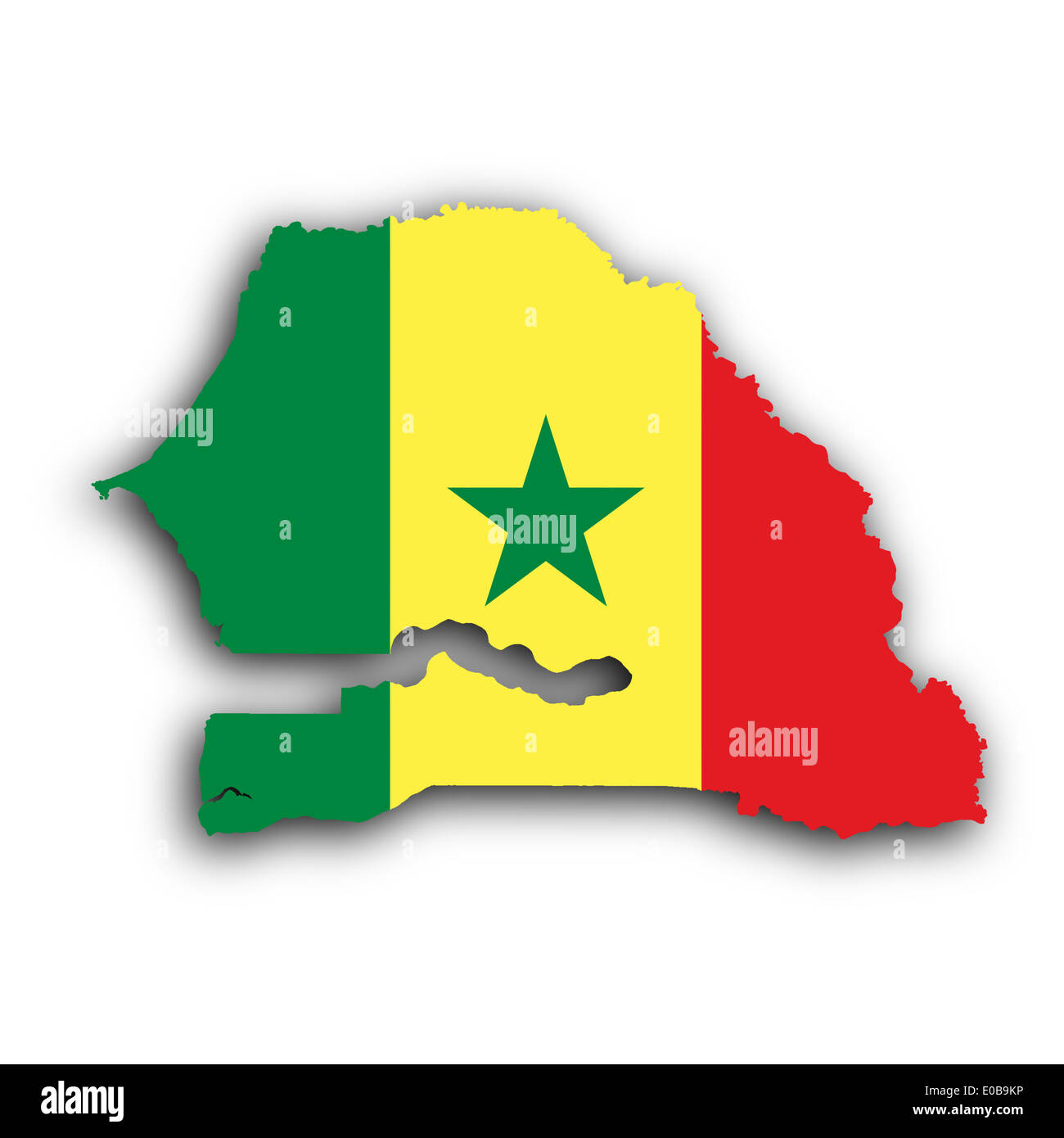 Senegal map with the flag inside isolated on white Stock Photohttps://www.alamy.com/image-license-details/?v=1https://www.alamy.com/senegal-map-with-the-flag-inside-isolated-on-white-image69090554.html
RFE0B9KP–Senegal map with the flag inside isolated on white
 Printable street map of Kaolack, Senegal. Map template for business use. Stock Vectorhttps://www.alamy.com/image-license-details/?v=1https://www.alamy.com/printable-street-map-of-kaolack-senegal-map-template-for-business-use-image332691479.html
RF2A97BAF–Printable street map of Kaolack, Senegal. Map template for business use.
 Map and flag of Senegal on felt Stock Photohttps://www.alamy.com/image-license-details/?v=1https://www.alamy.com/map-and-flag-of-senegal-on-felt-image402531283.html
RF2EATTN7–Map and flag of Senegal on felt
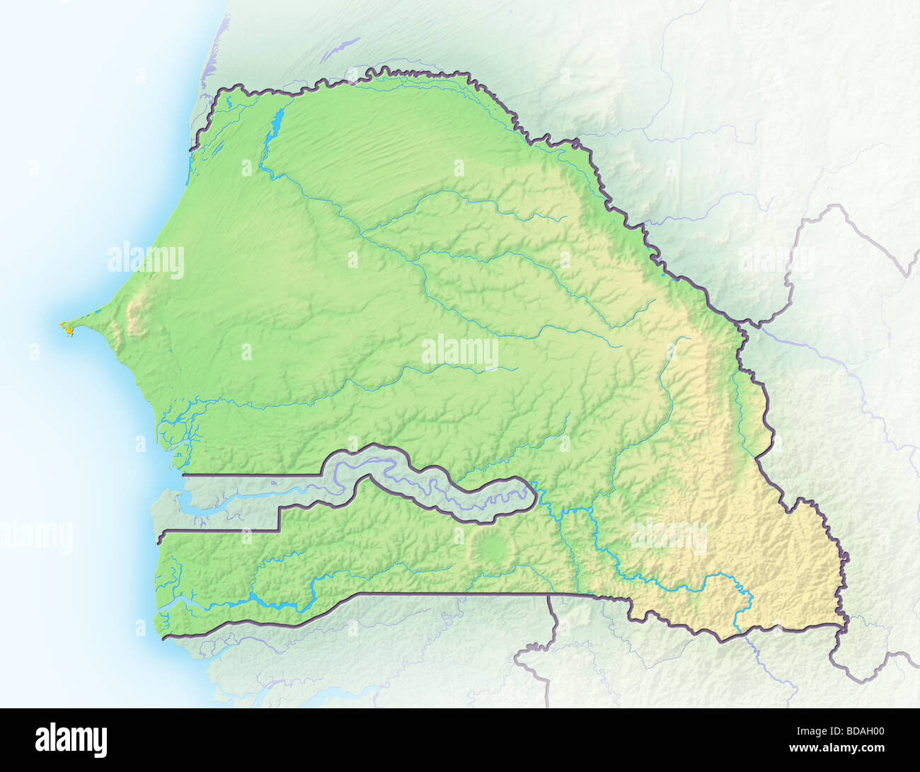 Senegal, shaded relief map. Stock Photohttps://www.alamy.com/image-license-details/?v=1https://www.alamy.com/stock-photo-senegal-shaded-relief-map-25433744.html
RFBDAH00–Senegal, shaded relief map.
 Senegal Map black and white illustration Stock Vectorhttps://www.alamy.com/image-license-details/?v=1https://www.alamy.com/stock-photo-senegal-map-black-and-white-illustration-128833914.html
RFHDGTY6–Senegal Map black and white illustration
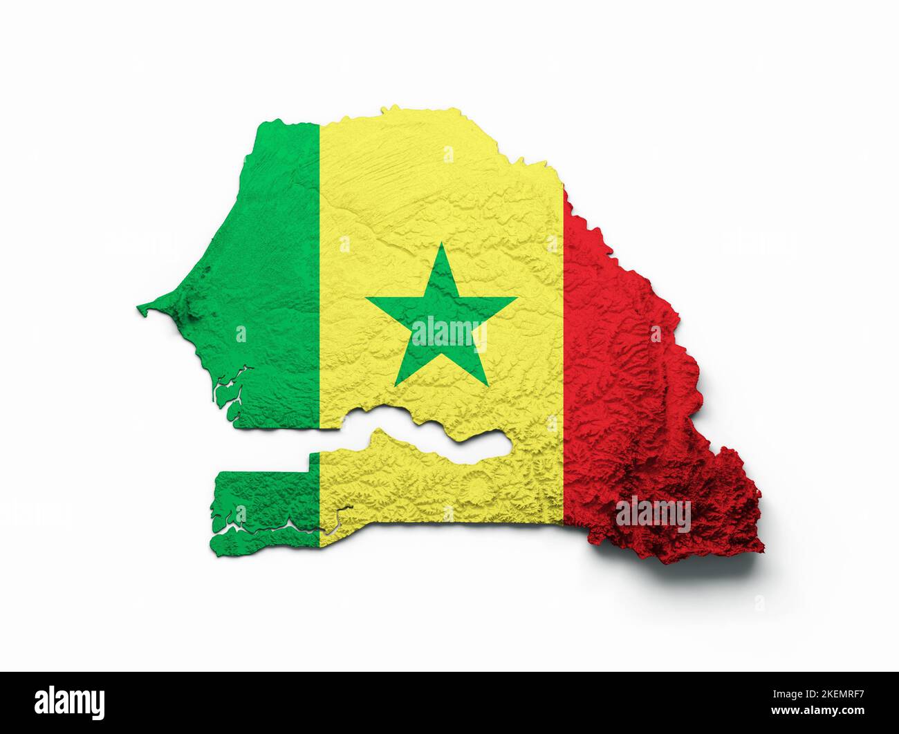 A 3d rendering of the Senegal map isolated on white background Stock Photohttps://www.alamy.com/image-license-details/?v=1https://www.alamy.com/a-3d-rendering-of-the-senegal-map-isolated-on-white-background-image490952987.html
RF2KEMRF7–A 3d rendering of the Senegal map isolated on white background
 Saint-Louis Region (Regions of Senegal, Republic of Senegal) map vector illustration, scribble sketch Saint-Louis map Stock Vectorhttps://www.alamy.com/image-license-details/?v=1https://www.alamy.com/saint-louis-region-regions-of-senegal-republic-of-senegal-map-vector-illustration-scribble-sketch-saint-louis-map-image262225770.html
RFW6HBJ2–Saint-Louis Region (Regions of Senegal, Republic of Senegal) map vector illustration, scribble sketch Saint-Louis map
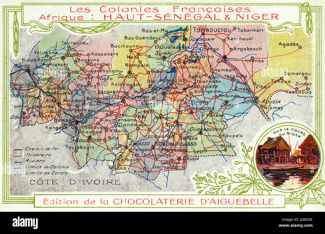 Senegal and Niger, French Colonies in Africa - Map Stock Photohttps://www.alamy.com/image-license-details/?v=1https://www.alamy.com/stock-photo-senegal-and-niger-french-colonies-in-africa-map-105368830.html
RMG3BY0E–Senegal and Niger, French Colonies in Africa - Map
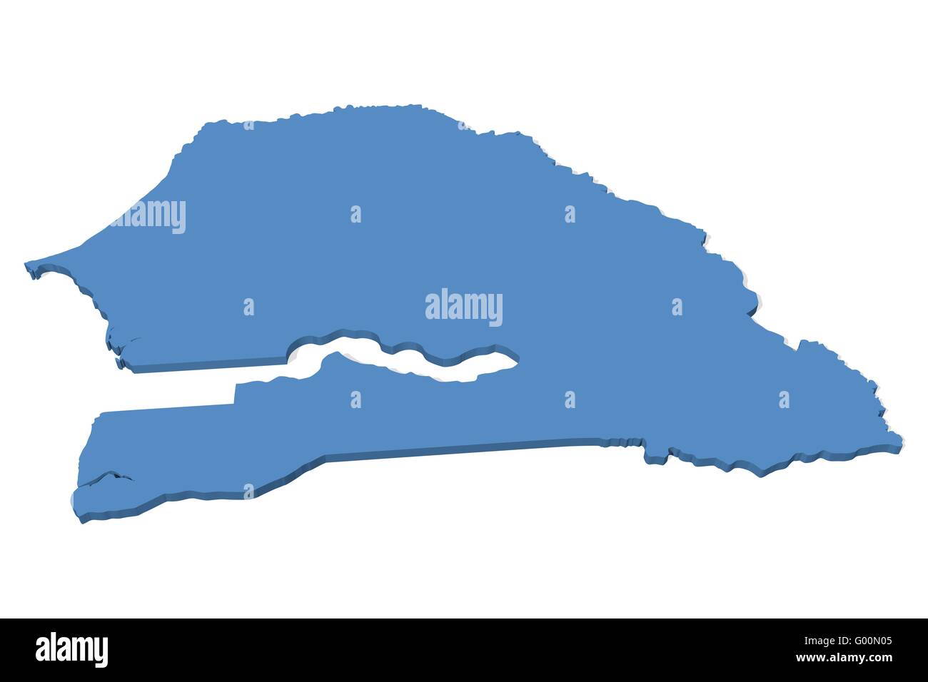 Senegal Map Stock Photohttps://www.alamy.com/image-license-details/?v=1https://www.alamy.com/stock-photo-senegal-map-103278677.html
RMG00N05–Senegal Map
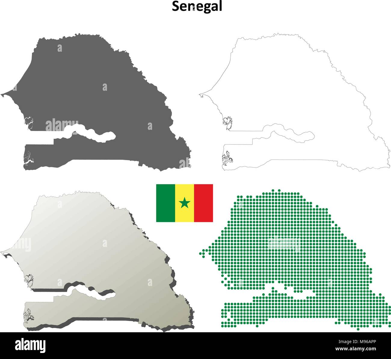 Senegal outline map set Stock Vectorhttps://www.alamy.com/image-license-details/?v=1https://www.alamy.com/senegal-outline-map-set-image177775774.html
RFM96APP–Senegal outline map set
 Senegal map button in responsive flat web design map button isolated with clipping path. Stock Photohttps://www.alamy.com/image-license-details/?v=1https://www.alamy.com/senegal-map-button-in-responsive-flat-web-design-map-button-isolated-image68148106.html
RMDXTBGX–Senegal map button in responsive flat web design map button isolated with clipping path.
 Beheadings Bakel Senegal - 1891 Stock Photohttps://www.alamy.com/image-license-details/?v=1https://www.alamy.com/stock-photo-beheadings-bakel-senegal-1891-139557086.html
RMJ31ADJ–Beheadings Bakel Senegal - 1891
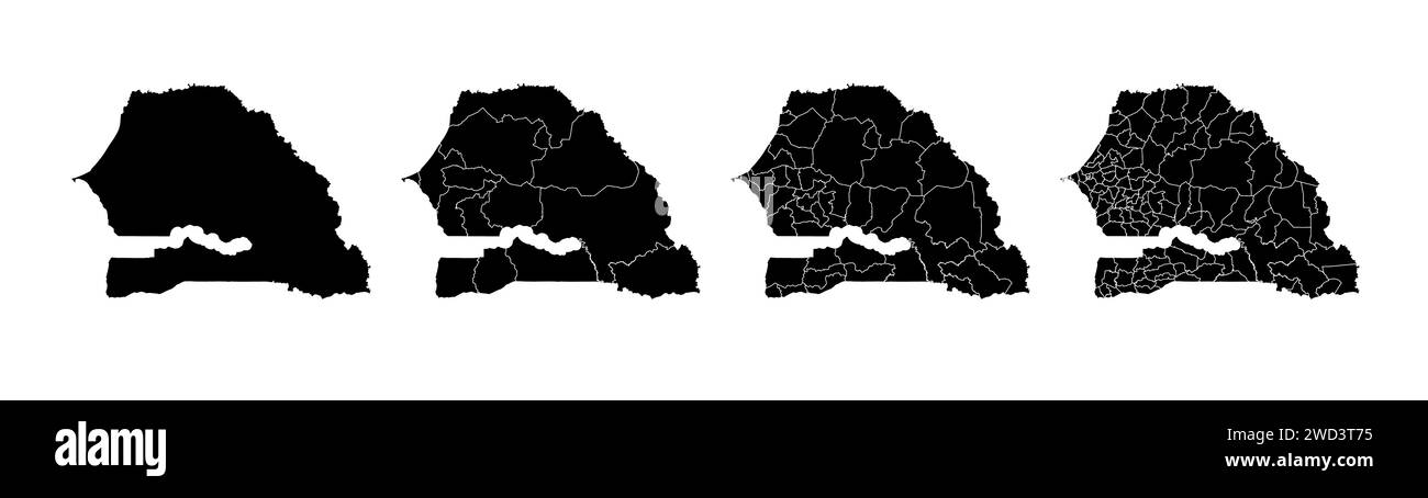 Set of state maps of Senegal with regions and municipalities division. Department borders, isolated vector maps on white background. Stock Vectorhttps://www.alamy.com/image-license-details/?v=1https://www.alamy.com/set-of-state-maps-of-senegal-with-regions-and-municipalities-division-department-borders-isolated-vector-maps-on-white-background-image593227913.html
RF2WD3T75–Set of state maps of Senegal with regions and municipalities division. Department borders, isolated vector maps on white background.
 Senegal map flag in abstract ocean illustration Stock Photohttps://www.alamy.com/image-license-details/?v=1https://www.alamy.com/stock-photo-senegal-map-flag-in-abstract-ocean-illustration-55009121.html
RFD5DTKD–Senegal map flag in abstract ocean illustration
 Afrique. Sénégal #19 Senegal, Gambia & southern Mauritania VANDERMAELEN 1827 map Stock Photohttps://www.alamy.com/image-license-details/?v=1https://www.alamy.com/afrique-sngal-19-senegal-gambia-southern-mauritania-vandermaelen-1827-map-image446966454.html
RF2GY527J–Afrique. Sénégal #19 Senegal, Gambia & southern Mauritania VANDERMAELEN 1827 map
 Senegal Map. Senegalese Country Map. Black and White National Nation Geography Outline Border Boundary Territory Shape Vector Illustration EPS Clipart Stock Vectorhttps://www.alamy.com/image-license-details/?v=1https://www.alamy.com/senegal-map-senegalese-country-map-black-and-white-national-nation-geography-outline-border-boundary-territory-shape-vector-illustration-eps-clipart-image477285885.html
RF2JME70D–Senegal Map. Senegalese Country Map. Black and White National Nation Geography Outline Border Boundary Territory Shape Vector Illustration EPS Clipart
 . Nederlands: Kaart van de monding van de rivier Senegal. Map of ye Entrance of the Sanaga. Linksonder: No: 38. English: Map of the mouth of the Senegal River. Map of ye Entrance of the Sanaga. Bottom left: No: 38. Nederlands: Kaart van de monding van de rivier Senegal English: Map of the mouth of the Senegal River . 1745. Creator:G. Child Nederlands: Anoniem / Anonymous (uitgever), G. Child (graveur / etser), Anoniem / Anonymous (landmeter / kaartenmaker) English: Anoniem / Anonymous (publisher), G. Child (engraver / etcher), Anoniem / Anonymous (land surveyor / mapmaker) AMH-8164-KB Map of Stock Photohttps://www.alamy.com/image-license-details/?v=1https://www.alamy.com/nederlands-kaart-van-de-monding-van-de-rivier-senegal-map-of-ye-entrance-of-the-sanaga-linksonder-no-38-english-map-of-the-mouth-of-the-senegal-river-map-of-ye-entrance-of-the-sanaga-bottom-left-no-38-nederlands-kaart-van-de-monding-van-de-rivier-senegal-english-map-of-the-mouth-of-the-senegal-river-1745-creatorg-child-nederlands-anoniem-anonymous-uitgever-g-child-graveur-etser-anoniem-anonymous-landmeter-kaartenmaker-english-anoniem-anonymous-publisher-g-child-engraver-etcher-anoniem-anonymous-land-surveyor-mapmaker-amh-8164-kb-map-of-image184890971.html
RMMMPE8Y–. Nederlands: Kaart van de monding van de rivier Senegal. Map of ye Entrance of the Sanaga. Linksonder: No: 38. English: Map of the mouth of the Senegal River. Map of ye Entrance of the Sanaga. Bottom left: No: 38. Nederlands: Kaart van de monding van de rivier Senegal English: Map of the mouth of the Senegal River . 1745. Creator:G. Child Nederlands: Anoniem / Anonymous (uitgever), G. Child (graveur / etser), Anoniem / Anonymous (landmeter / kaartenmaker) English: Anoniem / Anonymous (publisher), G. Child (engraver / etcher), Anoniem / Anonymous (land surveyor / mapmaker) AMH-8164-KB Map of
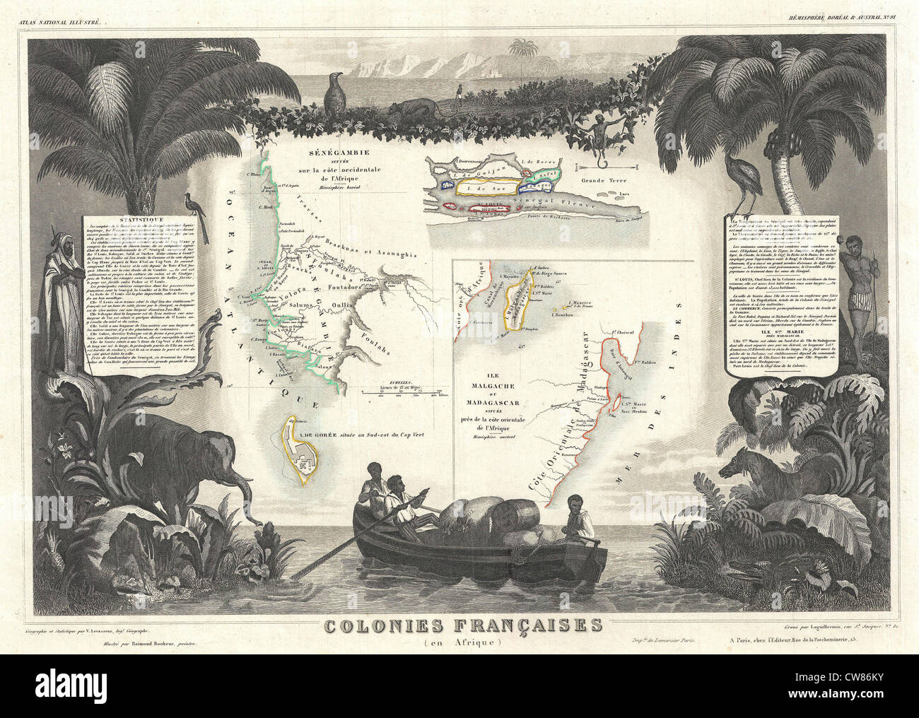 1852 Levassuer Map of Senegal, Senegambia, and Madagascar Stock Photohttps://www.alamy.com/image-license-details/?v=1https://www.alamy.com/stock-photo-1852-levassuer-map-of-senegal-senegambia-and-madagascar-49968015.html
RMCW86KY–1852 Levassuer Map of Senegal, Senegambia, and Madagascar
 Senegal flag and map in a vector graphic Stock Vectorhttps://www.alamy.com/image-license-details/?v=1https://www.alamy.com/senegal-flag-and-map-in-a-vector-graphic-image600756767.html
RF2WWARAR–Senegal flag and map in a vector graphic
 Senegal map with the flag inside isolated on white Stock Photohttps://www.alamy.com/image-license-details/?v=1https://www.alamy.com/senegal-map-with-the-flag-inside-isolated-on-white-image69090555.html
RFE0B9KR–Senegal map with the flag inside isolated on white
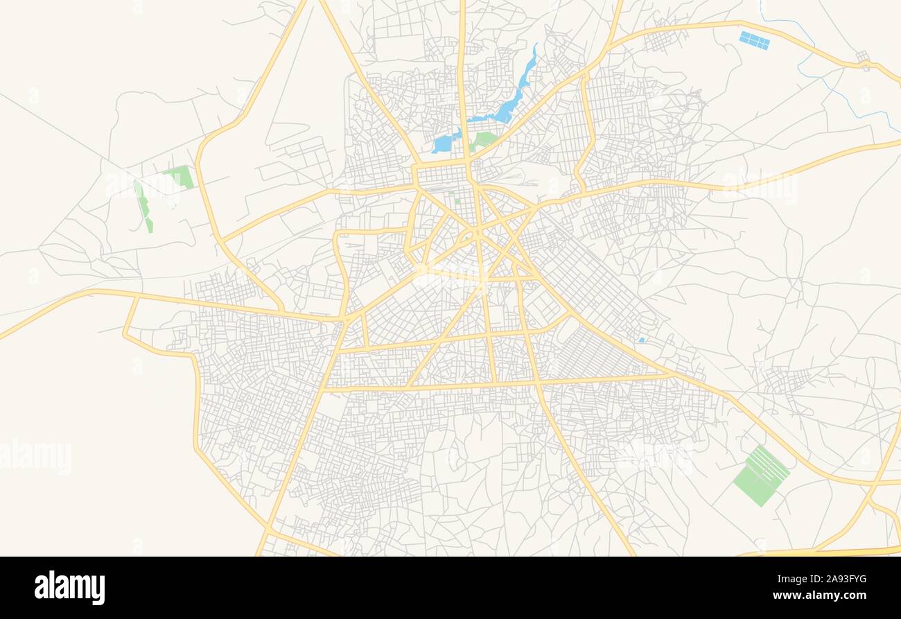 Printable street map of Thies, Senegal. Map template for business use. Stock Vectorhttps://www.alamy.com/image-license-details/?v=1https://www.alamy.com/printable-street-map-of-thies-senegal-map-template-for-business-use-image332607284.html
RF2A93FYG–Printable street map of Thies, Senegal. Map template for business use.
 Map and flag of Senegal on felt Stock Photohttps://www.alamy.com/image-license-details/?v=1https://www.alamy.com/map-and-flag-of-senegal-on-felt-image402419910.html
RF2EAKPKJ–Map and flag of Senegal on felt
 Senegal map and flag design 3d rendered, Happy Independence day with Social media background. Stock Photohttps://www.alamy.com/image-license-details/?v=1https://www.alamy.com/senegal-map-and-flag-design-3d-rendered-happy-independence-day-with-social-media-background-image478828492.html
RF2JR0EHG–Senegal map and flag design 3d rendered, Happy Independence day with Social media background.
 Senegal Map on retro poster with long shadow. Vintage sign easy to edit, manipulate, resize or colourise. Stock Vectorhttps://www.alamy.com/image-license-details/?v=1https://www.alamy.com/senegal-map-on-retro-poster-with-long-shadow-vintage-sign-easy-to-edit-manipulate-resize-or-colourise-image471376147.html
RF2JAW12B–Senegal Map on retro poster with long shadow. Vintage sign easy to edit, manipulate, resize or colourise.
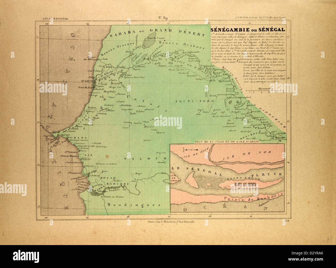 MAP OF SENEGAL Stock Photohttps://www.alamy.com/image-license-details/?v=1https://www.alamy.com/stock-photo-map-of-senegal-53471438.html
RMD2YRA6–MAP OF SENEGAL
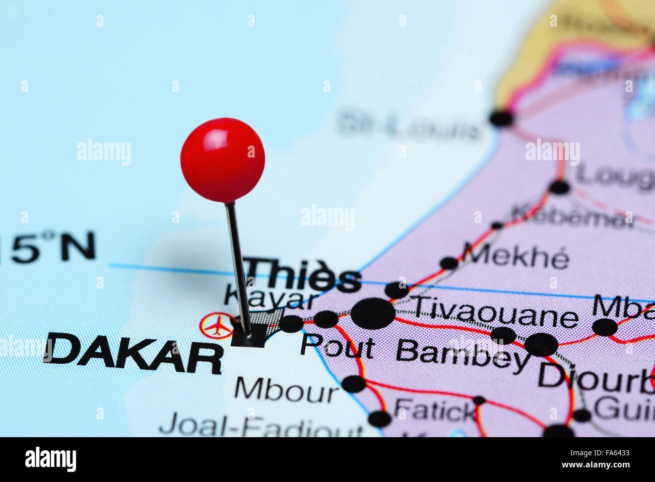 Dakar pinned on a map of Africa Stock Photohttps://www.alamy.com/image-license-details/?v=1https://www.alamy.com/stock-photo-dakar-pinned-on-a-map-of-africa-92333335.html
RFFA6433–Dakar pinned on a map of Africa
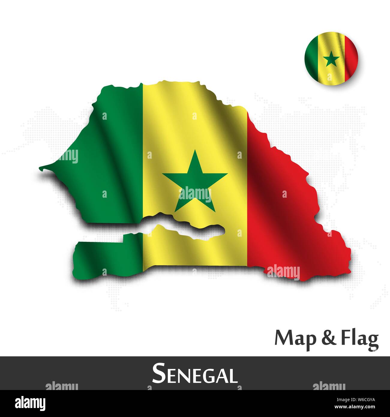 Senegal map and flag . Waving textile design . Dot world map background . Vector . Stock Vectorhttps://www.alamy.com/image-license-details/?v=1https://www.alamy.com/senegal-map-and-flag-waving-textile-design-dot-world-map-background-vector-image262120190.html
RFW6CGYA–Senegal map and flag . Waving textile design . Dot world map background . Vector .
 Silhouette of the map of Senegal with its flag Stock Photohttps://www.alamy.com/image-license-details/?v=1https://www.alamy.com/silhouette-of-the-map-of-senegal-with-its-flag-image478696952.html
RF2JPPERM–Silhouette of the map of Senegal with its flag
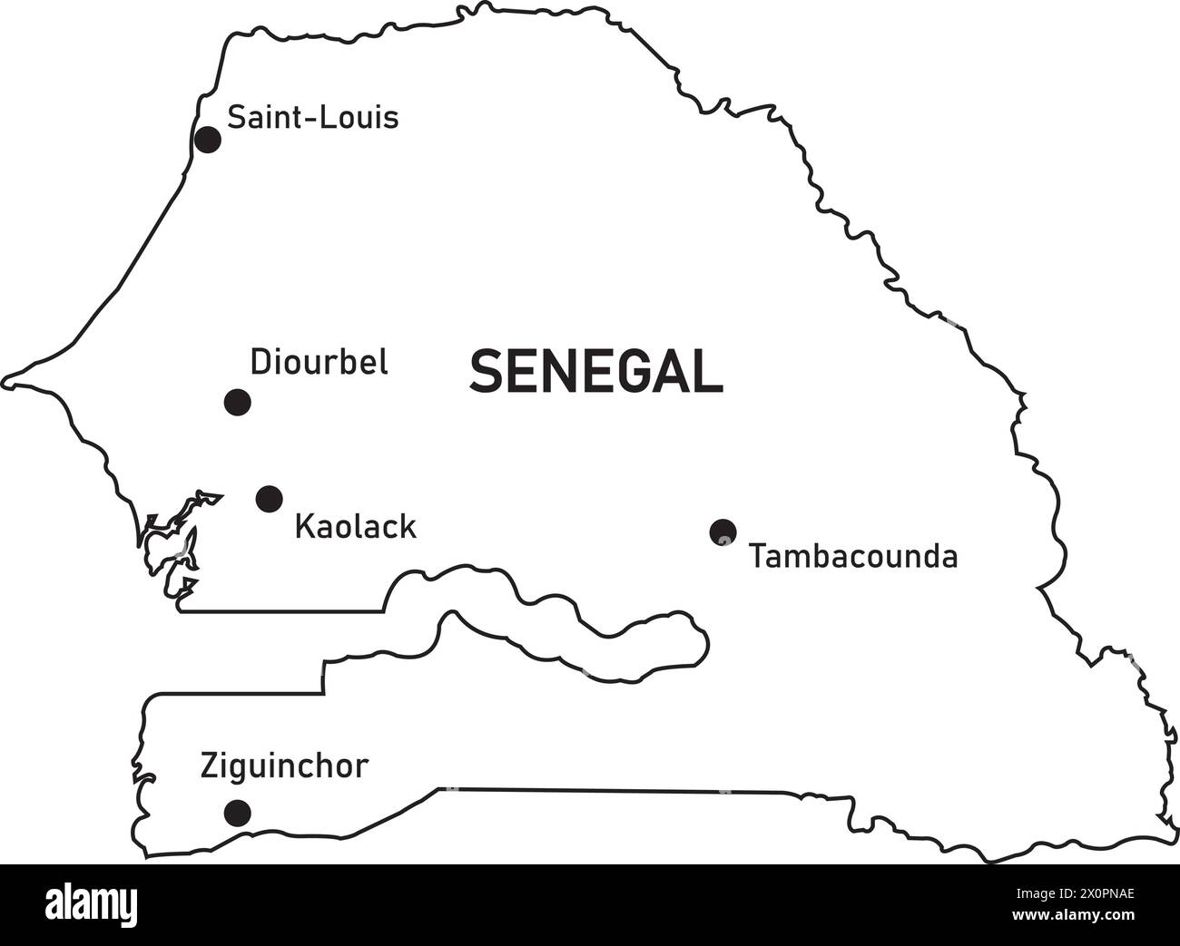 Senegal country map vector illustration simple design Stock Vectorhttps://www.alamy.com/image-license-details/?v=1https://www.alamy.com/senegal-country-map-vector-illustration-simple-design-image602862582.html
RF2X0PNAE–Senegal country map vector illustration simple design
 Outline map of Senegal isolated on white background with clipping path. Stock Photohttps://www.alamy.com/image-license-details/?v=1https://www.alamy.com/stock-photo-outline-map-of-senegal-isolated-on-white-background-with-clipping-26490779.html
RMBF2N77–Outline map of Senegal isolated on white background with clipping path.
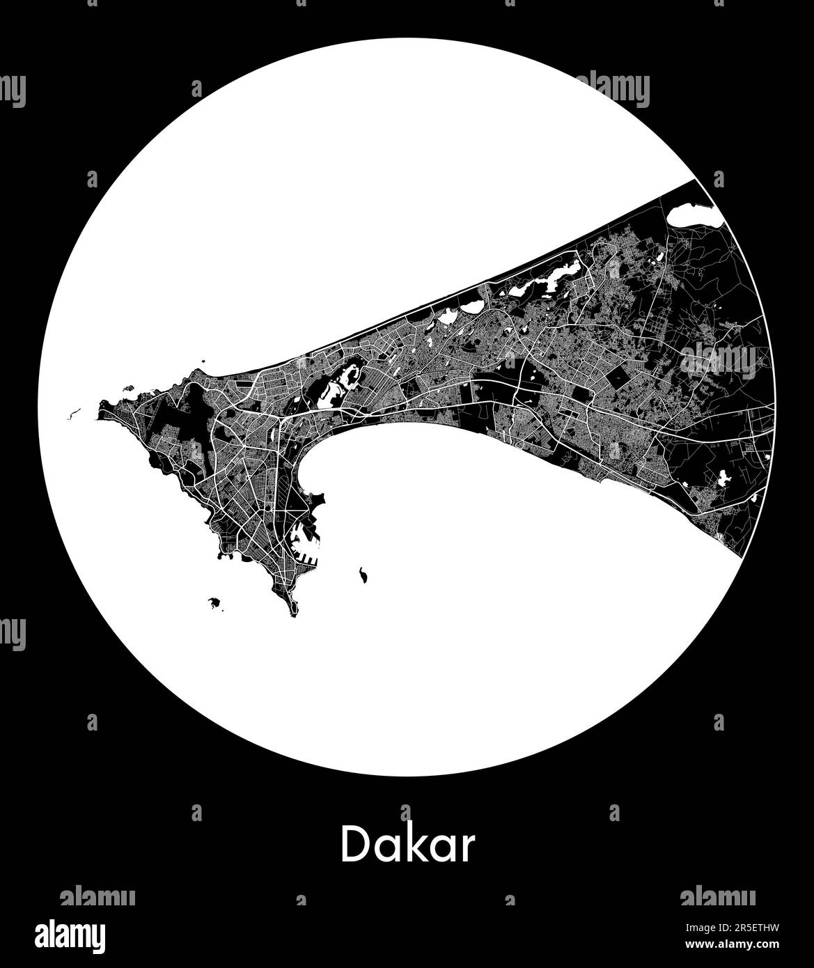 City Map Dakar Senegal Africa vector illustration Stock Vectorhttps://www.alamy.com/image-license-details/?v=1https://www.alamy.com/city-map-dakar-senegal-africa-vector-illustration-image554131701.html
RF2R5ETHW–City Map Dakar Senegal Africa vector illustration
RF2XTT1RK–sinegal map icon illustration design
 Senegal map flag in abstract ocean illustration Stock Photohttps://www.alamy.com/image-license-details/?v=1https://www.alamy.com/stock-photo-senegal-map-flag-in-abstract-ocean-illustration-56868642.html
RFD8EGEX–Senegal map flag in abstract ocean illustration
 AFRIQUE FRANÇAISE/SENEGAL.Gabon Côte d'Ivoire St Louis Gorée.VUILLEMIN, 1879 map Stock Photohttps://www.alamy.com/image-license-details/?v=1https://www.alamy.com/stock-photo-afrique-franaisesenegalgabon-cte-divoire-st-louis-gorevuillemin-1879-93496868.html
RFFC345T–AFRIQUE FRANÇAISE/SENEGAL.Gabon Côte d'Ivoire St Louis Gorée.VUILLEMIN, 1879 map
 Senegal on the map of Africa in soft grunge and vintage style, like old paper with watercolor painting. Stock Photohttps://www.alamy.com/image-license-details/?v=1https://www.alamy.com/senegal-on-the-map-of-africa-in-soft-grunge-and-vintage-style-like-old-paper-with-watercolor-painting-image467115262.html
RF2J3XX7X–Senegal on the map of Africa in soft grunge and vintage style, like old paper with watercolor painting.
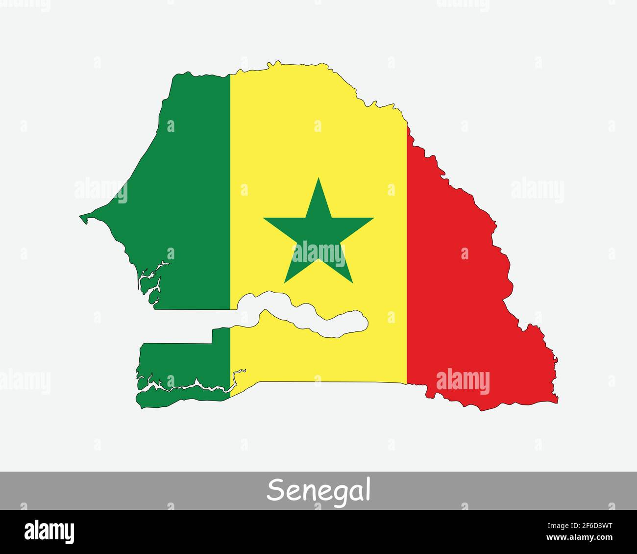 Senegal Flag Map. Map of the Republic of Senegal with the Senegalese national flag isolated on a white background. Vector Illustration. Stock Vectorhttps://www.alamy.com/image-license-details/?v=1https://www.alamy.com/senegal-flag-map-map-of-the-republic-of-senegal-with-the-senegalese-national-flag-isolated-on-a-white-background-vector-illustration-image417025220.html
RF2F6D3WT–Senegal Flag Map. Map of the Republic of Senegal with the Senegalese national flag isolated on a white background. Vector Illustration.
 Dakar, Senegal city visualization illustrative concept on display screen through magnifying glass Stock Photohttps://www.alamy.com/image-license-details/?v=1https://www.alamy.com/dakar-senegal-city-visualization-illustrative-concept-on-display-screen-through-magnifying-glass-image366042008.html
RF2C7EJ8T–Dakar, Senegal city visualization illustrative concept on display screen through magnifying glass
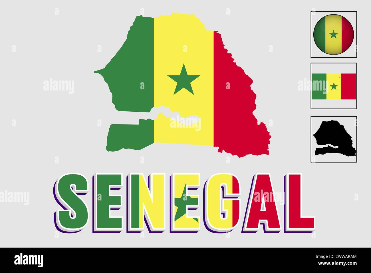 Senegal flag and map in a vector graphic Stock Vectorhttps://www.alamy.com/image-license-details/?v=1https://www.alamy.com/senegal-flag-and-map-in-a-vector-graphic-image600756764.html
RF2WWARAM–Senegal flag and map in a vector graphic
 BC39CTTIKOFER(1890) 1.23 Leute aus GorC3A9e, Senegal Stock Photohttps://www.alamy.com/image-license-details/?v=1https://www.alamy.com/stock-photo-bc39cttikofer1890-123-leute-aus-gorc3a9e-senegal-81928754.html
RMEN84XX–BC39CTTIKOFER(1890) 1.23 Leute aus GorC3A9e, Senegal
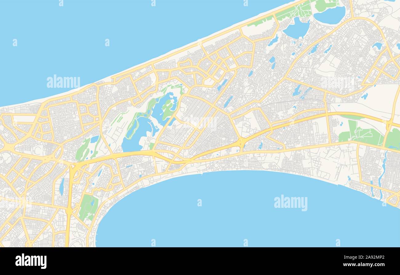 Printable street map of Pikine, Senegal. Map template for business use. Stock Vectorhttps://www.alamy.com/image-license-details/?v=1https://www.alamy.com/printable-street-map-of-pikine-senegal-map-template-for-business-use-image332589098.html
RF2A92MP2–Printable street map of Pikine, Senegal. Map template for business use.
 Map and flag of Senegal on weathered concrete Stock Photohttps://www.alamy.com/image-license-details/?v=1https://www.alamy.com/map-and-flag-of-senegal-on-weathered-concrete-image402405486.html
RF2EAK48E–Map and flag of Senegal on weathered concrete
 Senegal flag map on white background with clipping path 3d illustration Stock Photohttps://www.alamy.com/image-license-details/?v=1https://www.alamy.com/senegal-flag-map-on-white-background-with-clipping-path-3d-illustration-image556959120.html
RF2RA3K14–Senegal flag map on white background with clipping path 3d illustration
 Black Senegal map on light grey background. Black Senegal map - vector illustration. Stock Vectorhttps://www.alamy.com/image-license-details/?v=1https://www.alamy.com/black-senegal-map-on-light-grey-background-black-senegal-map-vector-illustration-image331536925.html
RF2A7APMD–Black Senegal map on light grey background. Black Senegal map - vector illustration.
 Stylized vector Senegal map showing big cities, capital Dakar, administrative divisions. Stock Vectorhttps://www.alamy.com/image-license-details/?v=1https://www.alamy.com/stylized-vector-senegal-map-showing-big-cities-capital-dakar-administrative-divisions-image217105483.html
RFPH6077–Stylized vector Senegal map showing big cities, capital Dakar, administrative divisions.
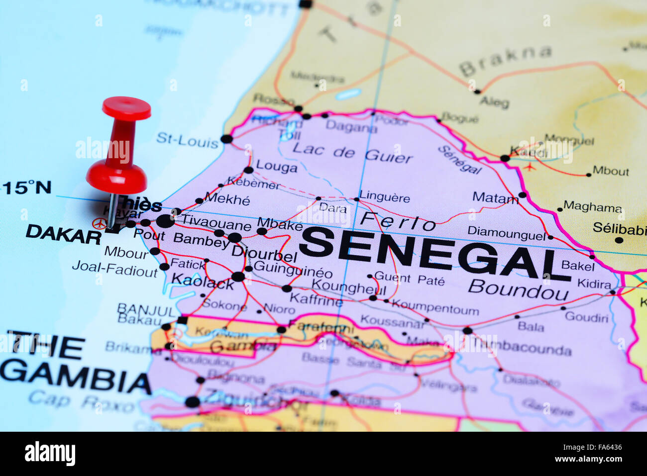 Dakar pinned on a map of Africa Stock Photohttps://www.alamy.com/image-license-details/?v=1https://www.alamy.com/stock-photo-dakar-pinned-on-a-map-of-africa-92333338.html
RFFA6436–Dakar pinned on a map of Africa
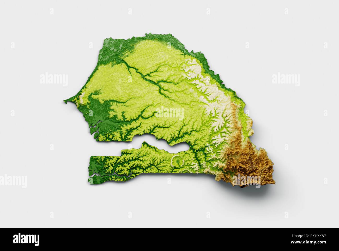 The Senegal map shaded relief isolated on a white background Stock Photohttps://www.alamy.com/image-license-details/?v=1https://www.alamy.com/the-senegal-map-shaded-relief-isolated-on-a-white-background-image492925335.html
RF2KHXK87–The Senegal map shaded relief isolated on a white background
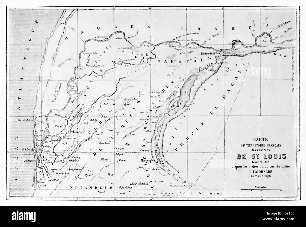 black and white rectangular horizontal oriented old topographic Saint Louis region map, Senegal. Ancient grey tone etching style art by Blanchard 1861 Stock Photohttps://www.alamy.com/image-license-details/?v=1https://www.alamy.com/stock-photo-black-and-white-rectangular-horizontal-oriented-old-topographic-saint-147733829.html
RFJG9T05–black and white rectangular horizontal oriented old topographic Saint Louis region map, Senegal. Ancient grey tone etching style art by Blanchard 1861
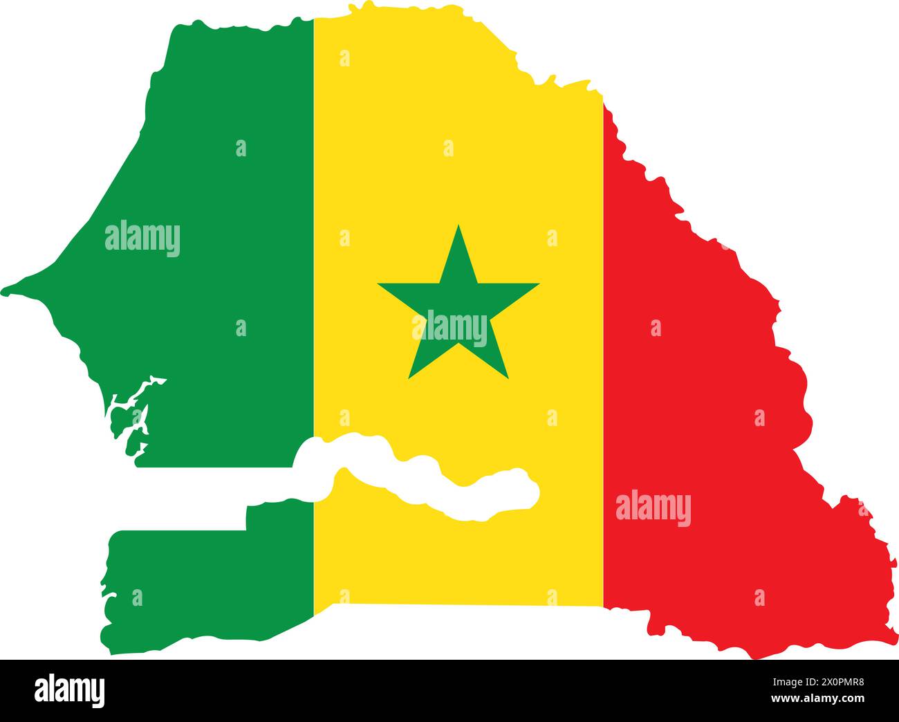 Senegal country map vector illustration simple design Stock Vectorhttps://www.alamy.com/image-license-details/?v=1https://www.alamy.com/senegal-country-map-vector-illustration-simple-design-image602862156.html
RF2X0PMR8–Senegal country map vector illustration simple design
 Senegal map on a Rastafarian flag button, white background. Stock Photohttps://www.alamy.com/image-license-details/?v=1https://www.alamy.com/stock-photo-senegal-map-on-a-rastafarian-flag-button-white-background-114286248.html
RMGHX57M–Senegal map on a Rastafarian flag button, white background.
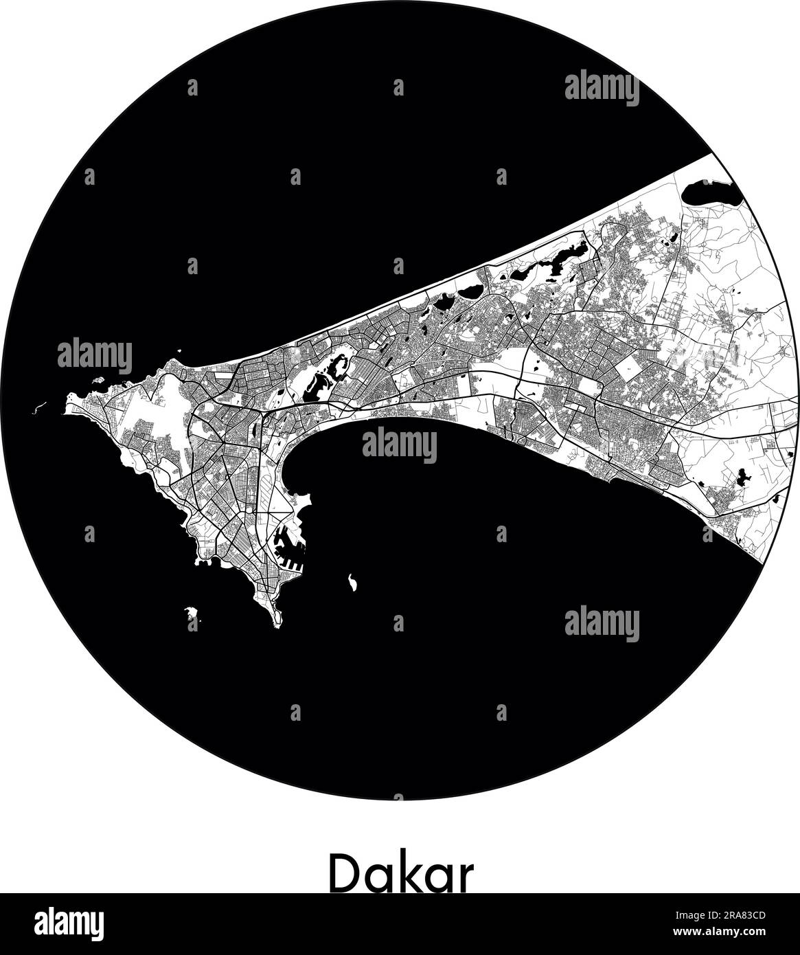 City Map Dakar Senegal Africa vector illustration black white Stock Vectorhttps://www.alamy.com/image-license-details/?v=1https://www.alamy.com/city-map-dakar-senegal-africa-vector-illustration-black-white-image557056653.html
RF2RA83CD–City Map Dakar Senegal Africa vector illustration black white
RF2XTT1R9–sinegal map icon illustration design
 Senegal map flag on blue sunburst illustration Stock Photohttps://www.alamy.com/image-license-details/?v=1https://www.alamy.com/stock-photo-senegal-map-flag-on-blue-sunburst-illustration-77678739.html
RFEEAG0K–Senegal map flag on blue sunburst illustration
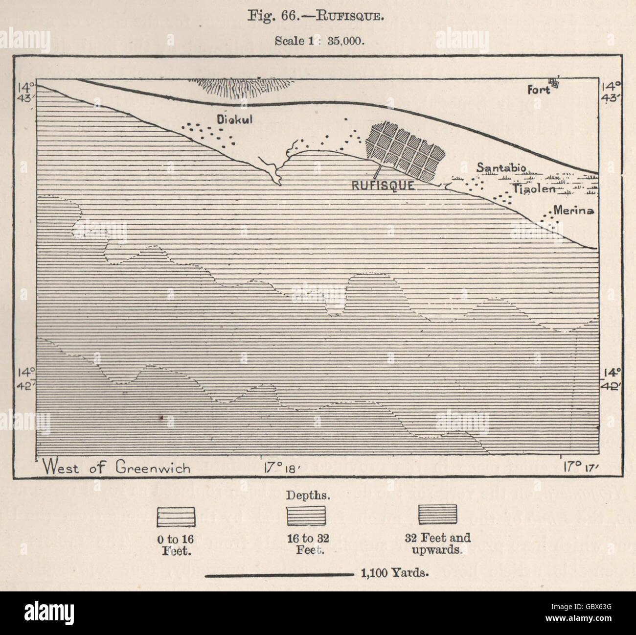 Rufisque. Senegal, 1885 antique map Stock Photohttps://www.alamy.com/image-license-details/?v=1https://www.alamy.com/stock-photo-rufisque-senegal-1885-antique-map-110598980.html
RFGBX63G–Rufisque. Senegal, 1885 antique map
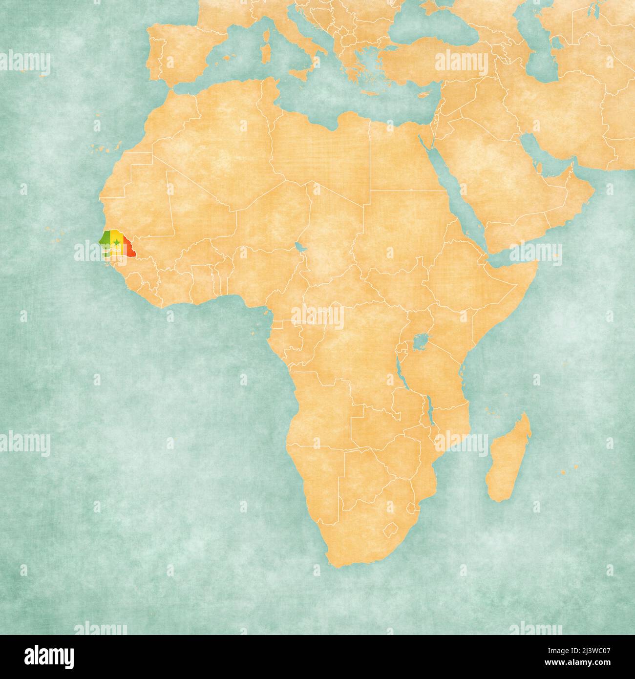 Senegal (Senegalese flag) on the map of Africa. The map is in soft grunge and vintage style, like watercolor painting on old paper. Stock Photohttps://www.alamy.com/image-license-details/?v=1https://www.alamy.com/senegal-senegalese-flag-on-the-map-of-africa-the-map-is-in-soft-grunge-and-vintage-style-like-watercolor-painting-on-old-paper-image467082119.html
RF2J3WC07–Senegal (Senegalese flag) on the map of Africa. The map is in soft grunge and vintage style, like watercolor painting on old paper.
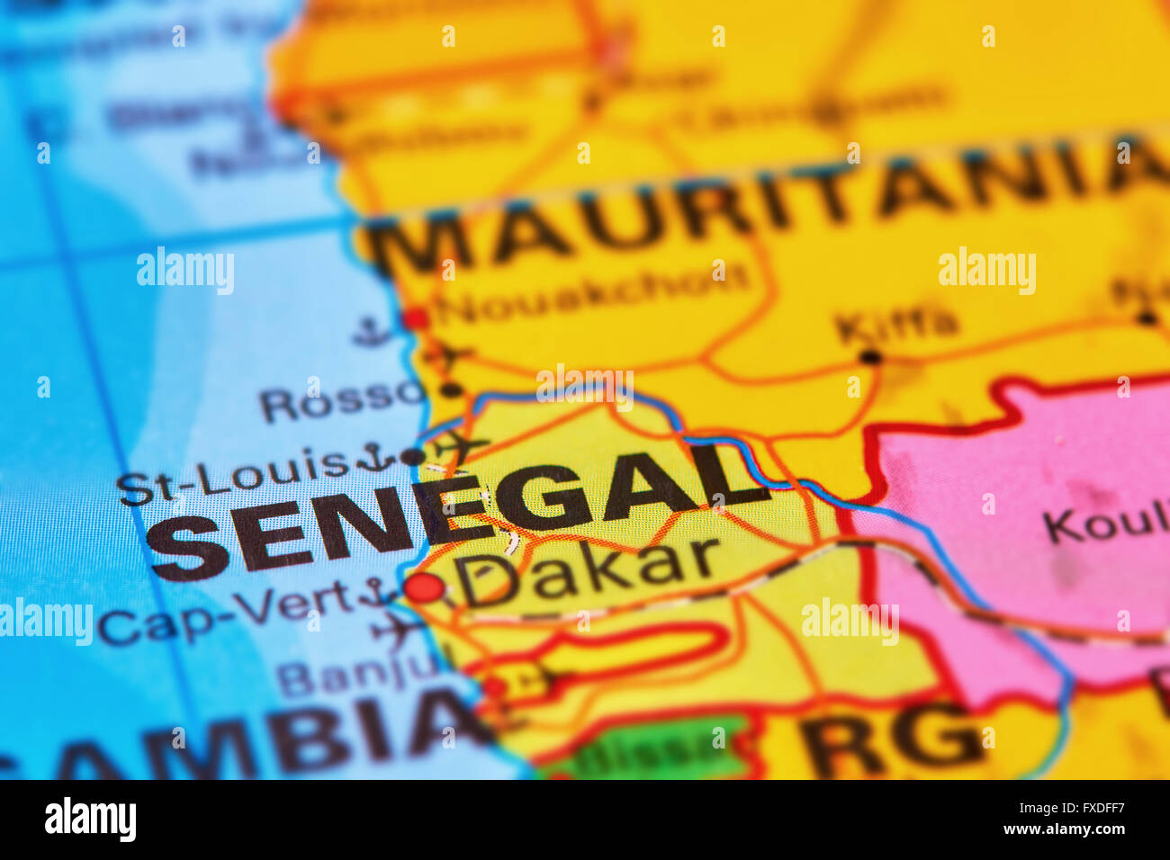 Senegal Country in Africa on the World Map Stock Photohttps://www.alamy.com/image-license-details/?v=1https://www.alamy.com/stock-photo-senegal-country-in-africa-on-the-world-map-102330459.html
RFFXDFF7–Senegal Country in Africa on the World Map
 Senegal flag map, three dimensional render, isolated on white Stock Photohttps://www.alamy.com/image-license-details/?v=1https://www.alamy.com/stock-photo-senegal-flag-map-three-dimensional-render-isolated-on-white-71184017.html
RFE3PKX9–Senegal flag map, three dimensional render, isolated on white
 Map of Senegal Stock Photohttps://www.alamy.com/image-license-details/?v=1https://www.alamy.com/map-of-senegal-image240554367.html
RMRYA5FB–Map of Senegal
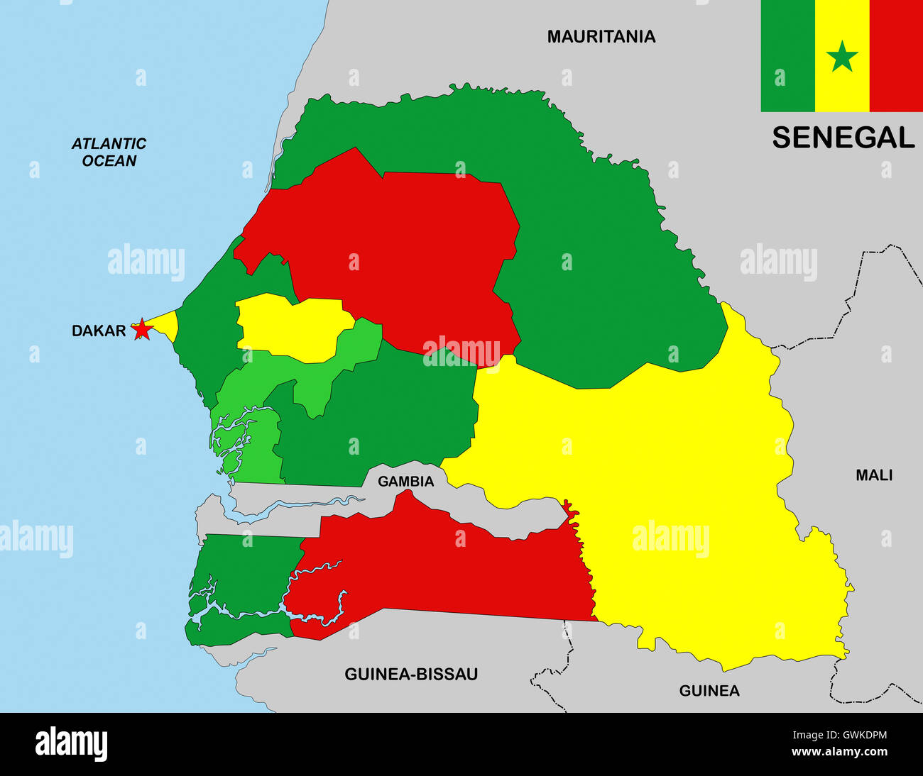 senegal map Stock Photohttps://www.alamy.com/image-license-details/?v=1https://www.alamy.com/stock-photo-senegal-map-119056524.html
RFGWKDPM–senegal map
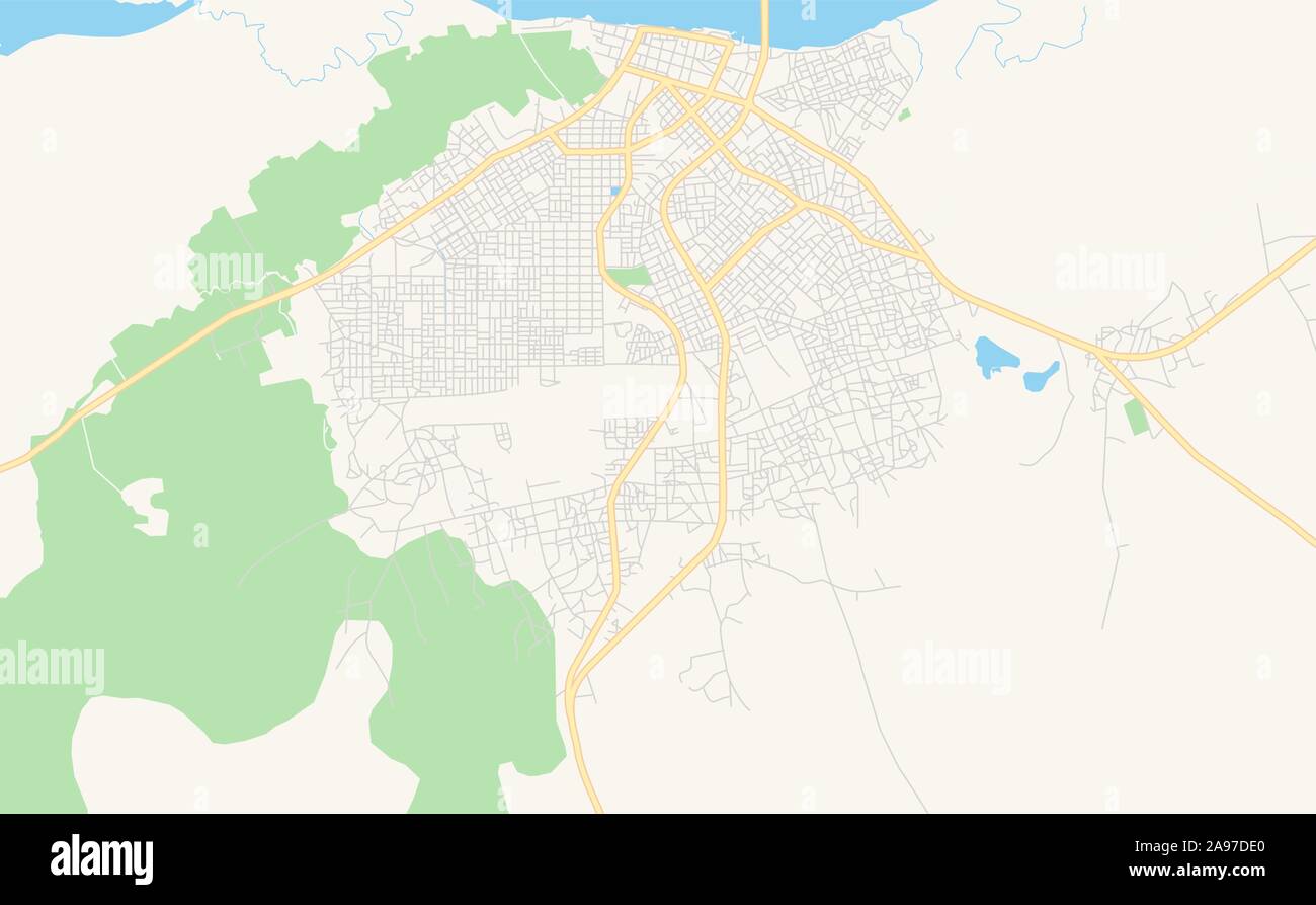 Printable street map of Ziguinchor, Senegal. Map template for business use. Stock Vectorhttps://www.alamy.com/image-license-details/?v=1https://www.alamy.com/printable-street-map-of-ziguinchor-senegal-map-template-for-business-use-image332693144.html
RF2A97DE0–Printable street map of Ziguinchor, Senegal. Map template for business use.
 Senegal Map grey Stock Photohttps://www.alamy.com/image-license-details/?v=1https://www.alamy.com/stock-image-senegal-map-grey-169151193.html
RFKR5E21–Senegal Map grey
 Senegal map with Social Distancing stayathome tag Stock Vectorhttps://www.alamy.com/image-license-details/?v=1https://www.alamy.com/senegal-map-with-social-distancing-stayathome-tag-image350651729.html
RF2BADFT1–Senegal map with Social Distancing stayathome tag
 Gray Senegal map on light grey background. Gray Senegal map - vector illustration. Stock Vectorhttps://www.alamy.com/image-license-details/?v=1https://www.alamy.com/gray-senegal-map-on-light-grey-background-gray-senegal-map-vector-illustration-image331536835.html
RF2A7APH7–Gray Senegal map on light grey background. Gray Senegal map - vector illustration.
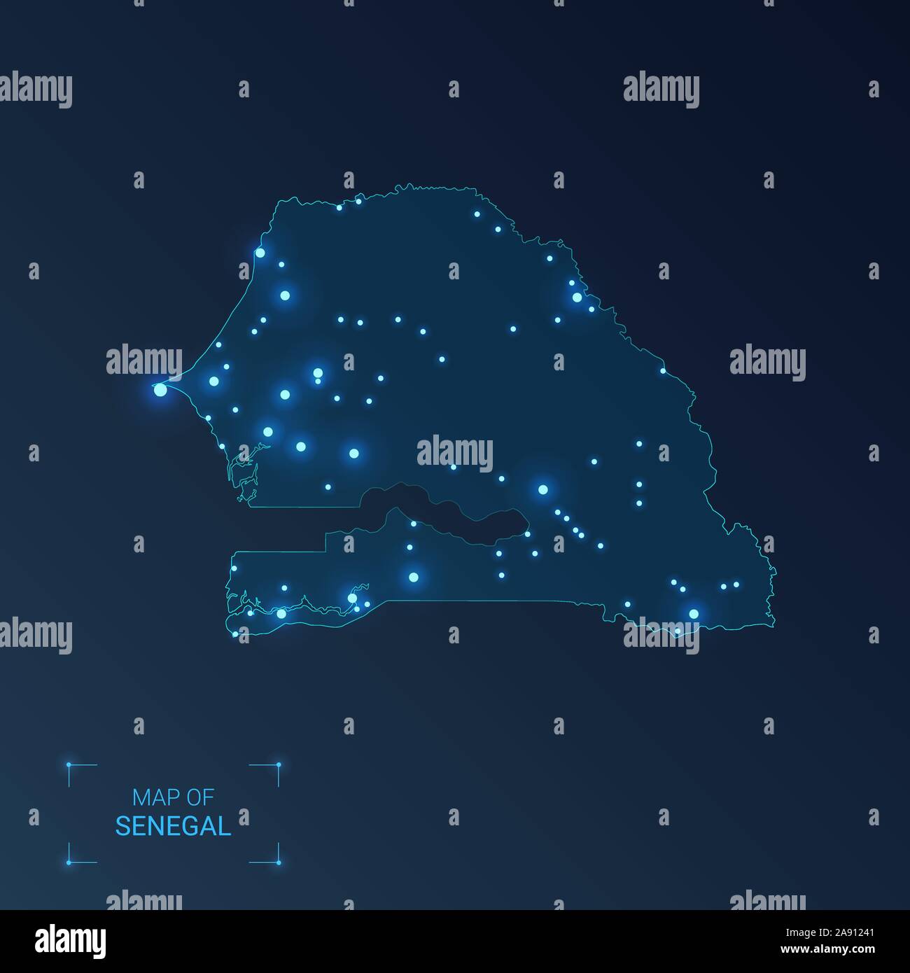 Senegal map with cities. Luminous dots - neon lights on dark background. Vector illustration. Stock Vectorhttps://www.alamy.com/image-license-details/?v=1https://www.alamy.com/senegal-map-with-cities-luminous-dots-neon-lights-on-dark-background-vector-illustration-image332552529.html
RF2A91241–Senegal map with cities. Luminous dots - neon lights on dark background. Vector illustration.
 Senegal 3d silver map Stock Photohttps://www.alamy.com/image-license-details/?v=1https://www.alamy.com/stock-photo-senegal-3d-silver-map-26053778.html
RFBEART2–Senegal 3d silver map
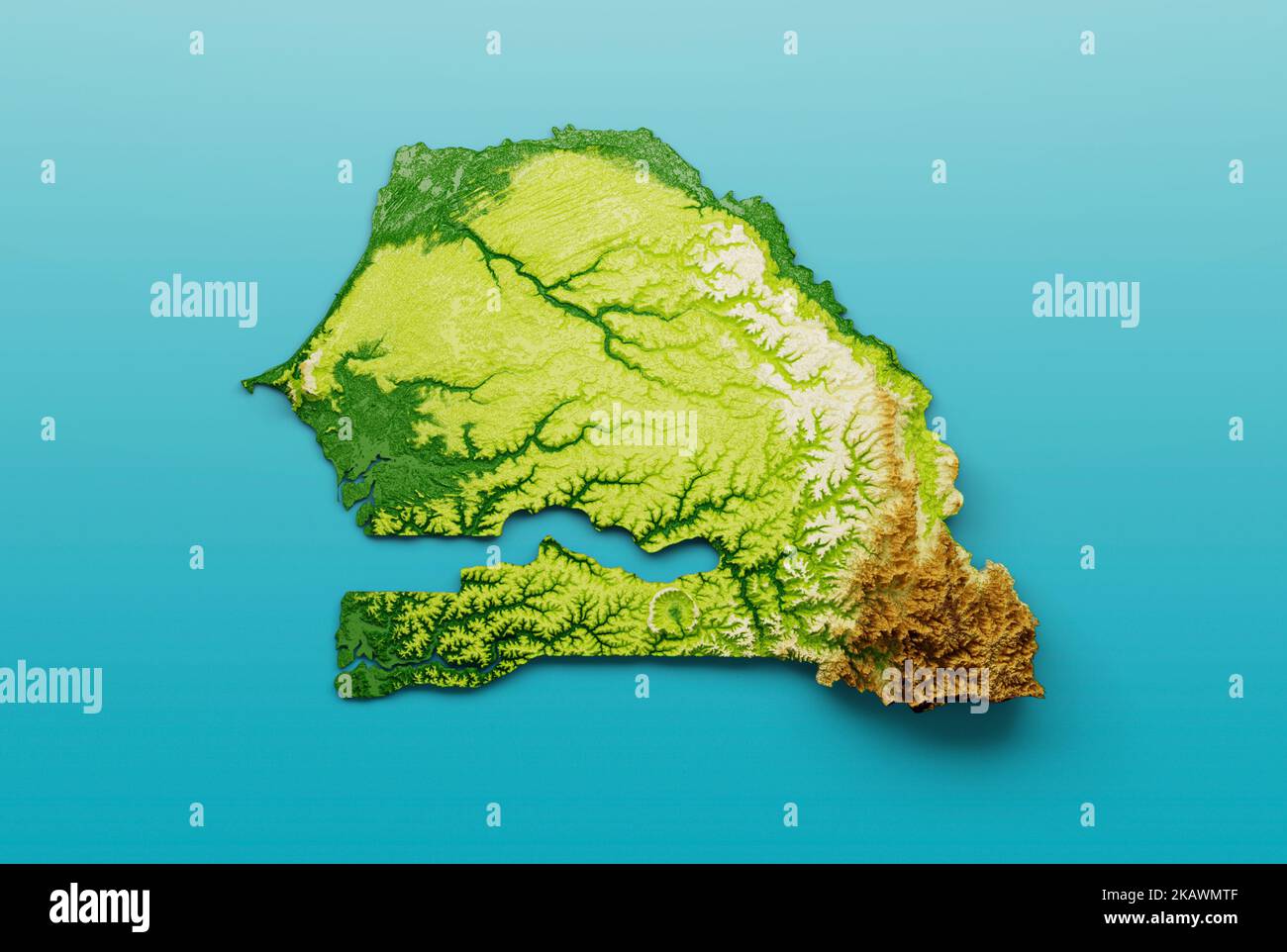 Senegal Map Shaded relief Color Height map on the sea Blue Background 3d illustration Stock Photohttps://www.alamy.com/image-license-details/?v=1https://www.alamy.com/senegal-map-shaded-relief-color-height-map-on-the-sea-blue-background-3d-illustration-image488602031.html
RF2KAWMTF–Senegal Map Shaded relief Color Height map on the sea Blue Background 3d illustration
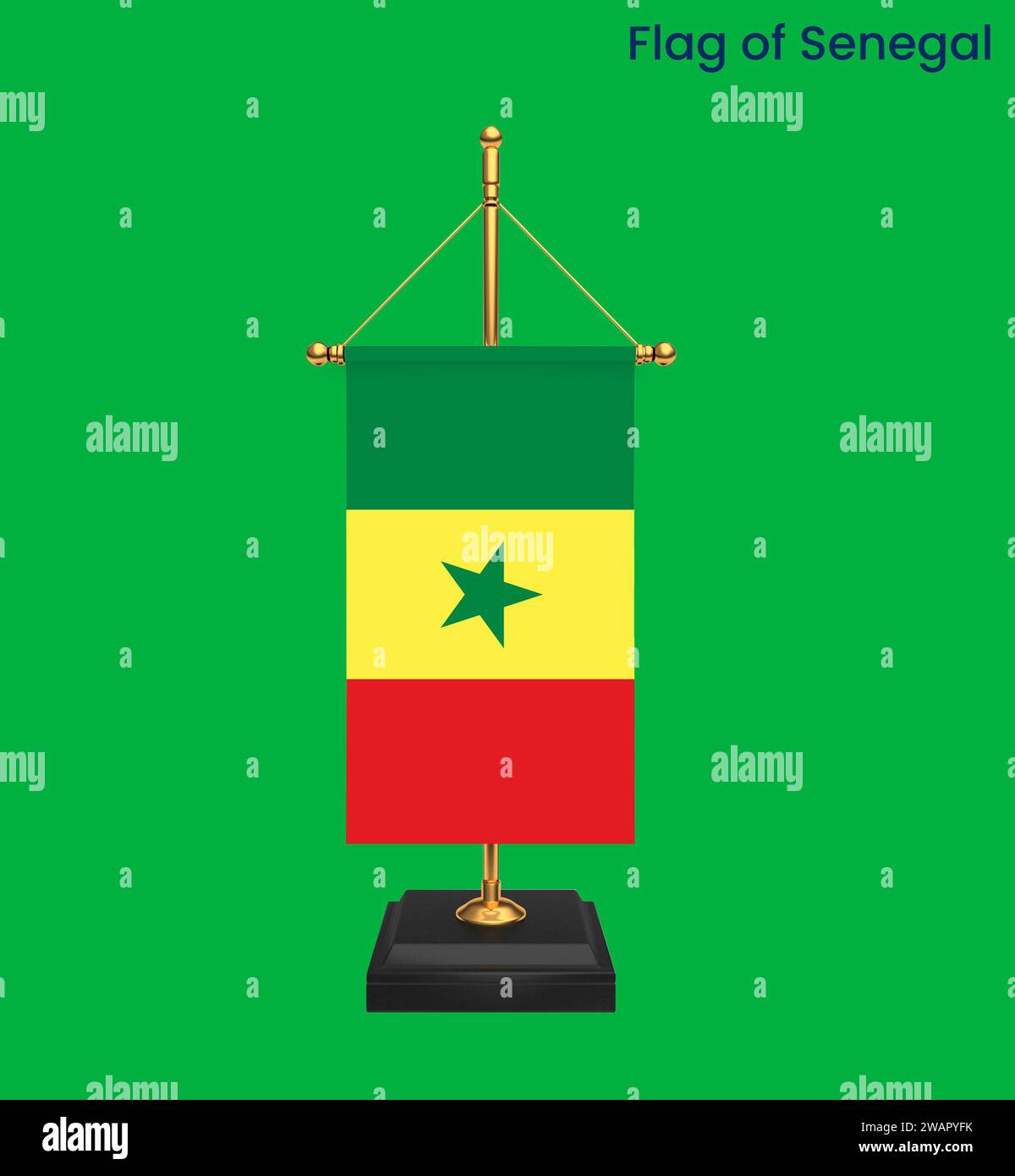 High detailed flag of Senegal. National Senegal flag. Africa. 3D illustration. Stock Photohttps://www.alamy.com/image-license-details/?v=1https://www.alamy.com/high-detailed-flag-of-senegal-national-senegal-flag-africa-3d-illustration-image591803623.html
RF2WAPYFK–High detailed flag of Senegal. National Senegal flag. Africa. 3D illustration.
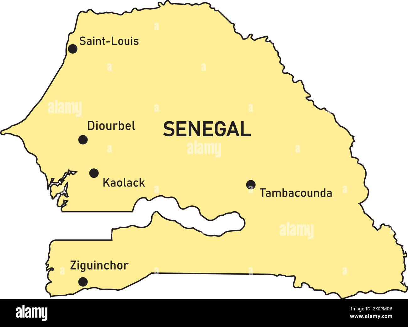 Senegal country map vector illustration simple design Stock Vectorhttps://www.alamy.com/image-license-details/?v=1https://www.alamy.com/senegal-country-map-vector-illustration-simple-design-image602862154.html
RF2X0PMR6–Senegal country map vector illustration simple design
 Senegal map on a Rastafarian flag button, white background. Stock Photohttps://www.alamy.com/image-license-details/?v=1https://www.alamy.com/stock-photo-senegal-map-on-a-rastafarian-flag-button-white-background-114245334.html
RMGHT92E–Senegal map on a Rastafarian flag button, white background.
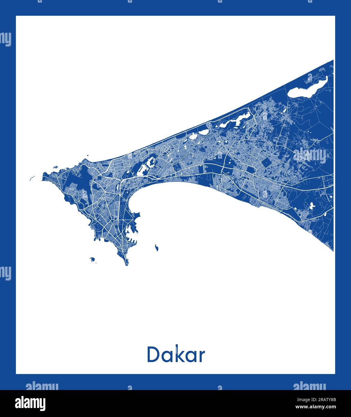 Dakar Senegal Africa City map blue print vector illustration Stock Vectorhttps://www.alamy.com/image-license-details/?v=1https://www.alamy.com/dakar-senegal-africa-city-map-blue-print-vector-illustration-image557426587.html
RF2RATY8B–Dakar Senegal Africa City map blue print vector illustration
RF2XTT1RR–sinegal map icon illustration design
 Business people shaking hands on Senegal map flag illustration Stock Photohttps://www.alamy.com/image-license-details/?v=1https://www.alamy.com/stock-photo-business-people-shaking-hands-on-senegal-map-flag-illustration-33161327.html
RFBWXHH3–Business people shaking hands on Senegal map flag illustration
 SENEGAL: Senegal, 1878 antique map Stock Photohttps://www.alamy.com/image-license-details/?v=1https://www.alamy.com/stock-photo-senegal-senegal-1878-antique-map-109807129.html
RFGAJ435–SENEGAL: Senegal, 1878 antique map
RF2K231H6–Vector isolated geometric illustration with simple icy blue shape of Senegal map. Pixel art style for NFT template. Dotted logo with gradient texture