Quick filters:
Shandong map Stock Photos and Images
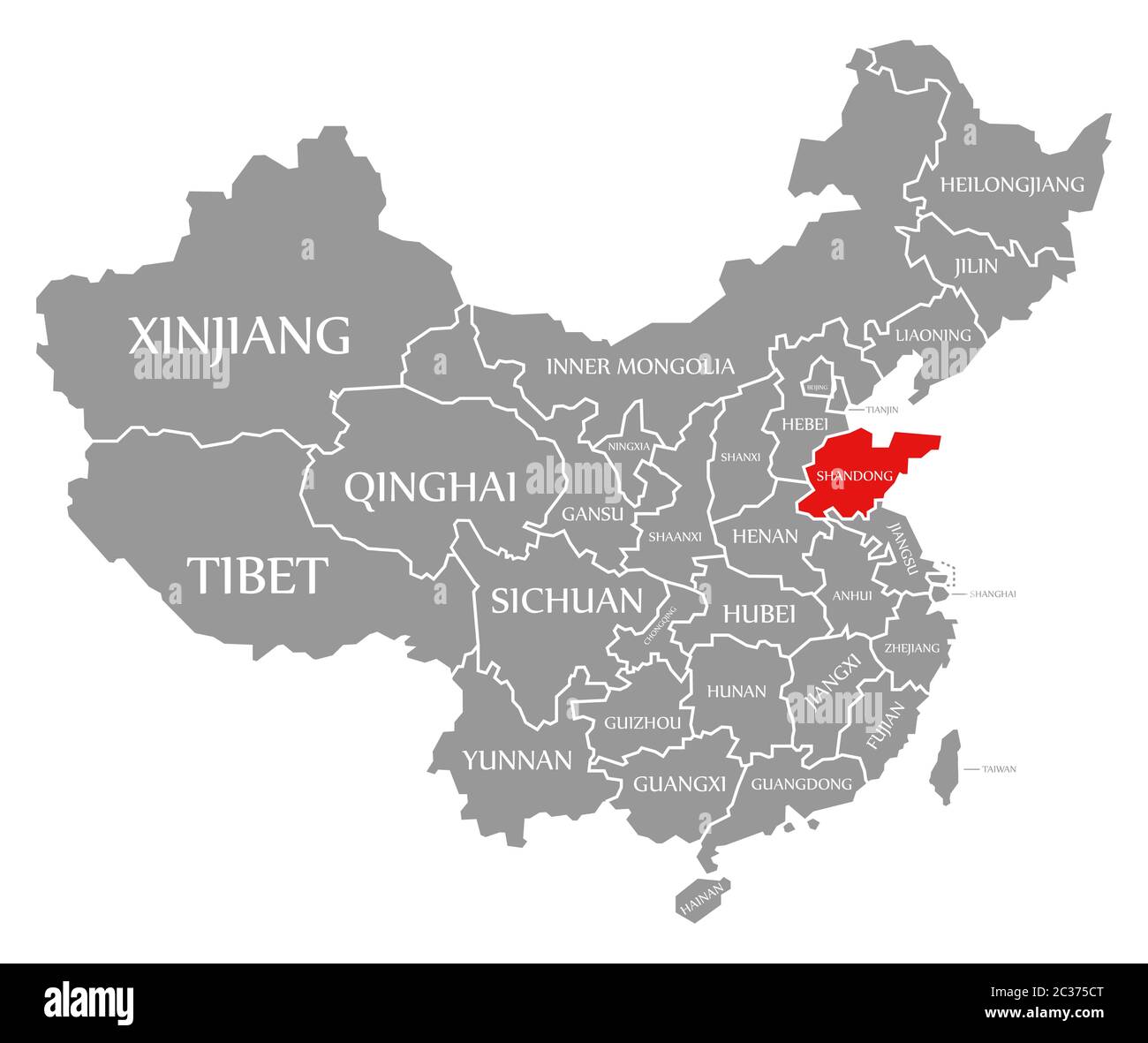 Shandong red highlighted in map of China Stock Photohttps://www.alamy.com/image-license-details/?v=1https://www.alamy.com/shandong-red-highlighted-in-map-of-china-image363419640.html
RF2C375CT–Shandong red highlighted in map of China
 Shandong blank outline map set Stock Vectorhttps://www.alamy.com/image-license-details/?v=1https://www.alamy.com/shandong-blank-outline-map-set-image178635020.html
RFMAHEP4–Shandong blank outline map set
 Shandong China watercolor map with Chinese national flag illustration Stock Photohttps://www.alamy.com/image-license-details/?v=1https://www.alamy.com/shandong-china-watercolor-map-with-chinese-national-flag-illustration-image218082615.html
RFPJPEGR–Shandong China watercolor map with Chinese national flag illustration
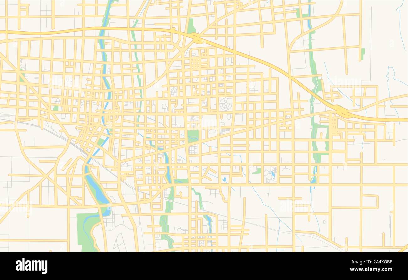 Printable street map of Weifang, Province Shandong, China. Map template for business use. Stock Vectorhttps://www.alamy.com/image-license-details/?v=1https://www.alamy.com/printable-street-map-of-weifang-province-shandong-china-map-template-for-business-use-image330039234.html
RF2A4XGBE–Printable street map of Weifang, Province Shandong, China. Map template for business use.
 Shandong province watercolor map of China in front of a white background Stock Photohttps://www.alamy.com/image-license-details/?v=1https://www.alamy.com/shandong-province-watercolor-map-of-china-in-front-of-a-white-background-image221269776.html
RFPRYKT0–Shandong province watercolor map of China in front of a white background
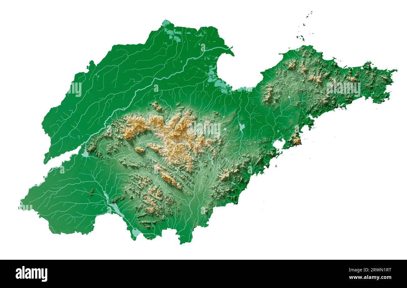 Shandong. A province of China. A detailed 3D rendering of a shaded relief map with rivers and lakes. Colored by elevation. Pure white background. Stock Photohttps://www.alamy.com/image-license-details/?v=1https://www.alamy.com/shandong-a-province-of-china-a-detailed-3d-rendering-of-a-shaded-relief-map-with-rivers-and-lakes-colored-by-elevation-pure-white-background-image566560620.html
RF2RWN1RT–Shandong. A province of China. A detailed 3D rendering of a shaded relief map with rivers and lakes. Colored by elevation. Pure white background.
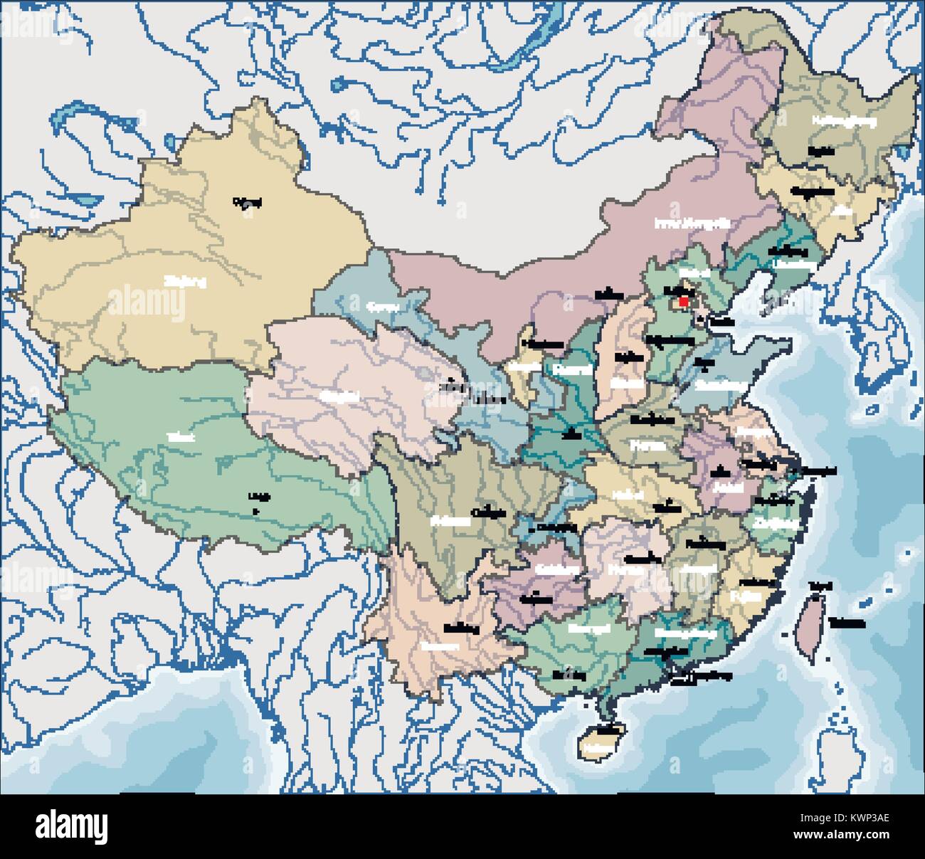 Map of China Stock Vectorhttps://www.alamy.com/image-license-details/?v=1https://www.alamy.com/stock-photo-map-of-china-170745302.html
RFKWP3AE–Map of China
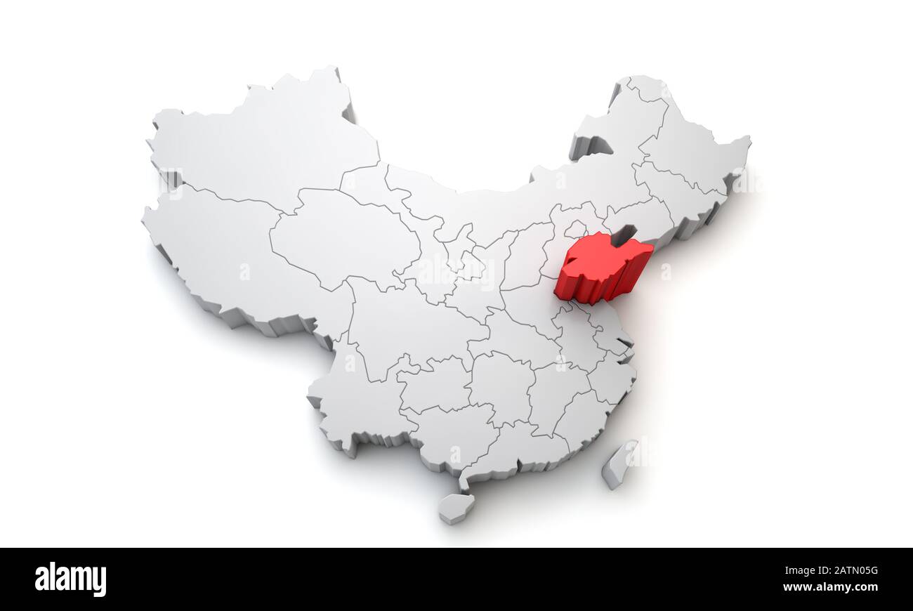 Map of China showing Shandong regional area. 3D Rendering Stock Photohttps://www.alamy.com/image-license-details/?v=1https://www.alamy.com/map-of-china-showing-shandong-regional-area-3d-rendering-image342209884.html
RF2ATN05G–Map of China showing Shandong regional area. 3D Rendering
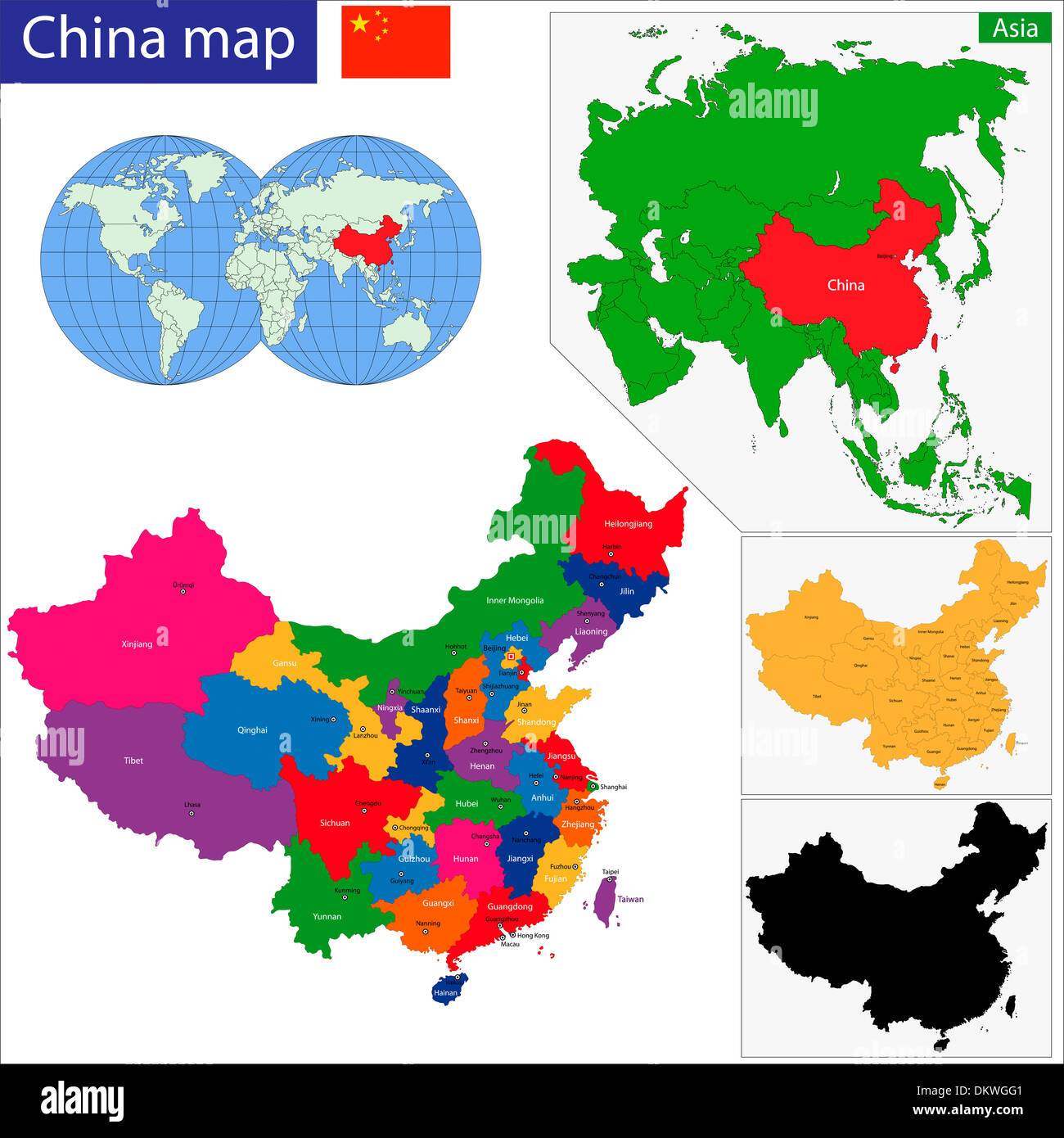 China map Stock Photohttps://www.alamy.com/image-license-details/?v=1https://www.alamy.com/china-map-image63871361.html
RFDKWGG1–China map
 Symbol Map of the Province Shandong (People's Republic of China) showing the territory with a pattern of randomly distributed black circles of differe Stock Vectorhttps://www.alamy.com/image-license-details/?v=1https://www.alamy.com/symbol-map-of-the-province-shandong-peoples-republic-of-china-showing-the-territory-with-a-pattern-of-randomly-distributed-black-circles-of-differe-image621725657.html
RF2Y3E1BN–Symbol Map of the Province Shandong (People's Republic of China) showing the territory with a pattern of randomly distributed black circles of differe
 Province of Shandong, China, True Colour Satellite Image Stock Photohttps://www.alamy.com/image-license-details/?v=1https://www.alamy.com/stock-photo-province-of-shandong-china-true-colour-satellite-image-71602660.html
RME4DNWT–Province of Shandong, China, True Colour Satellite Image
 A metal tourist map on a plaque at the main entrance of Signal Hill park in Qingdao, Shandong province, China Stock Photohttps://www.alamy.com/image-license-details/?v=1https://www.alamy.com/a-metal-tourist-map-on-a-plaque-at-the-main-entrance-of-signal-hill-park-in-qingdao-shandong-province-china-image340960817.html
RM2APM301–A metal tourist map on a plaque at the main entrance of Signal Hill park in Qingdao, Shandong province, China
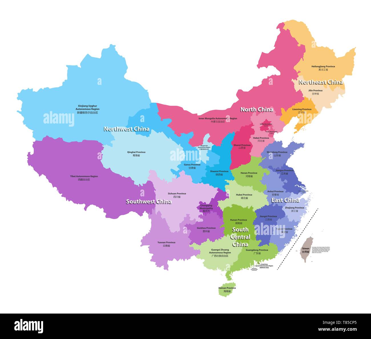 vector map of China provinces colored by regions. Stock Vectorhttps://www.alamy.com/image-license-details/?v=1https://www.alamy.com/vector-map-of-china-provinces-colored-by-regions-image245982189.html
RFT85CP5–vector map of China provinces colored by regions.
 China map. Flat vector illustration on white background Stock Vectorhttps://www.alamy.com/image-license-details/?v=1https://www.alamy.com/stock-photo-china-map-flat-vector-illustration-on-white-background-175686108.html
RFM5R5BT–China map. Flat vector illustration on white background
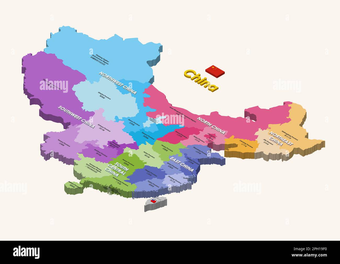 Provinces of China isometric colorful map with inscriptions. Vector isolated illustration Stock Vectorhttps://www.alamy.com/image-license-details/?v=1https://www.alamy.com/provinces-of-china-isometric-colorful-map-with-inscriptions-vector-isolated-illustration-image543999988.html
RF2PH19F0–Provinces of China isometric colorful map with inscriptions. Vector isolated illustration
 Shandong blank outline map set Stock Vectorhttps://www.alamy.com/image-license-details/?v=1https://www.alamy.com/stock-photo-shandong-blank-outline-map-set-116068860.html
RFGMRB0C–Shandong blank outline map set
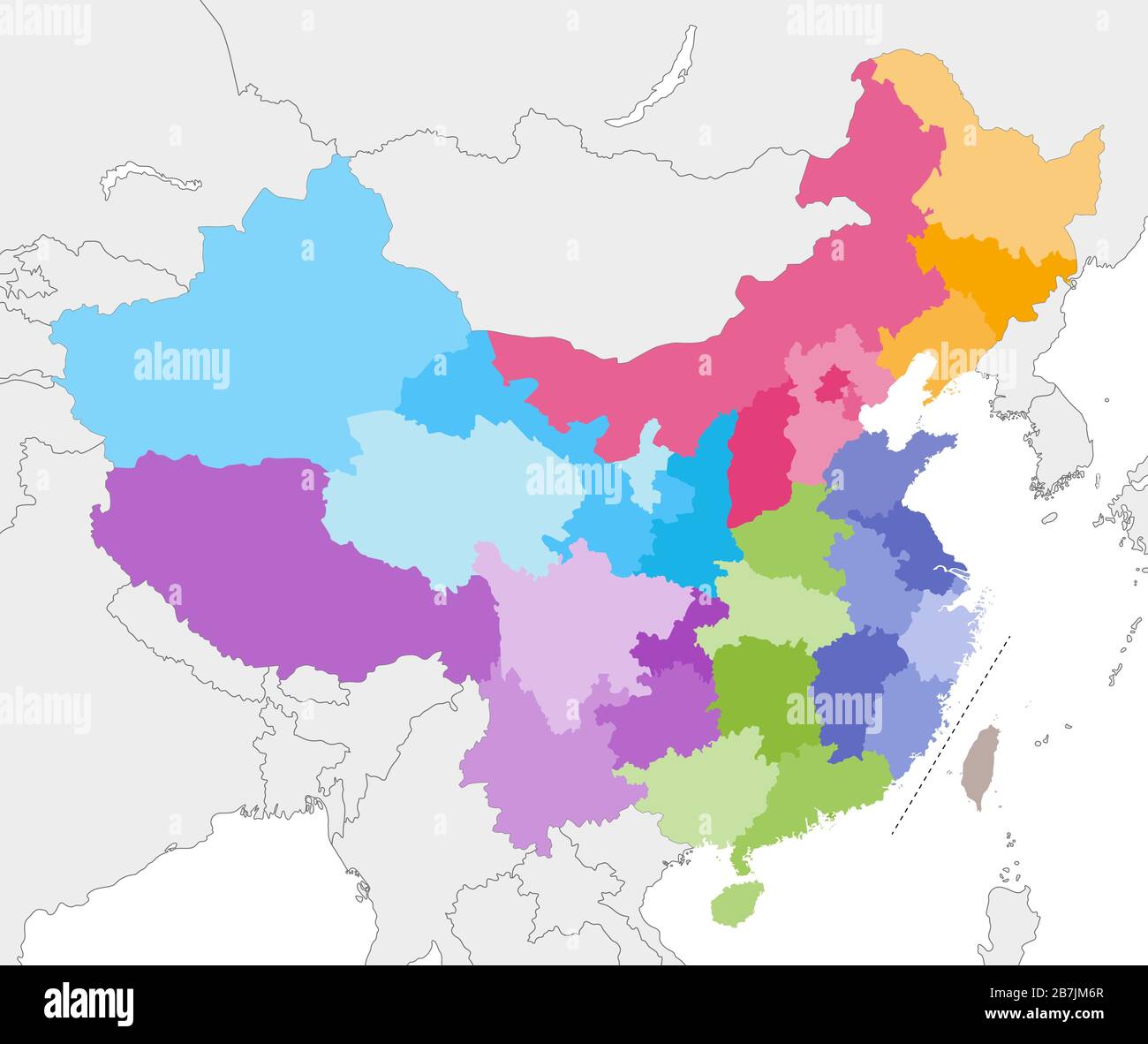 vector map of China provinces colored by regions with neighbouring countries and territories Stock Vectorhttps://www.alamy.com/image-license-details/?v=1https://www.alamy.com/vector-map-of-china-provinces-colored-by-regions-with-neighbouring-countries-and-territories-image348920959.html
RF2B7JM6R–vector map of China provinces colored by regions with neighbouring countries and territories
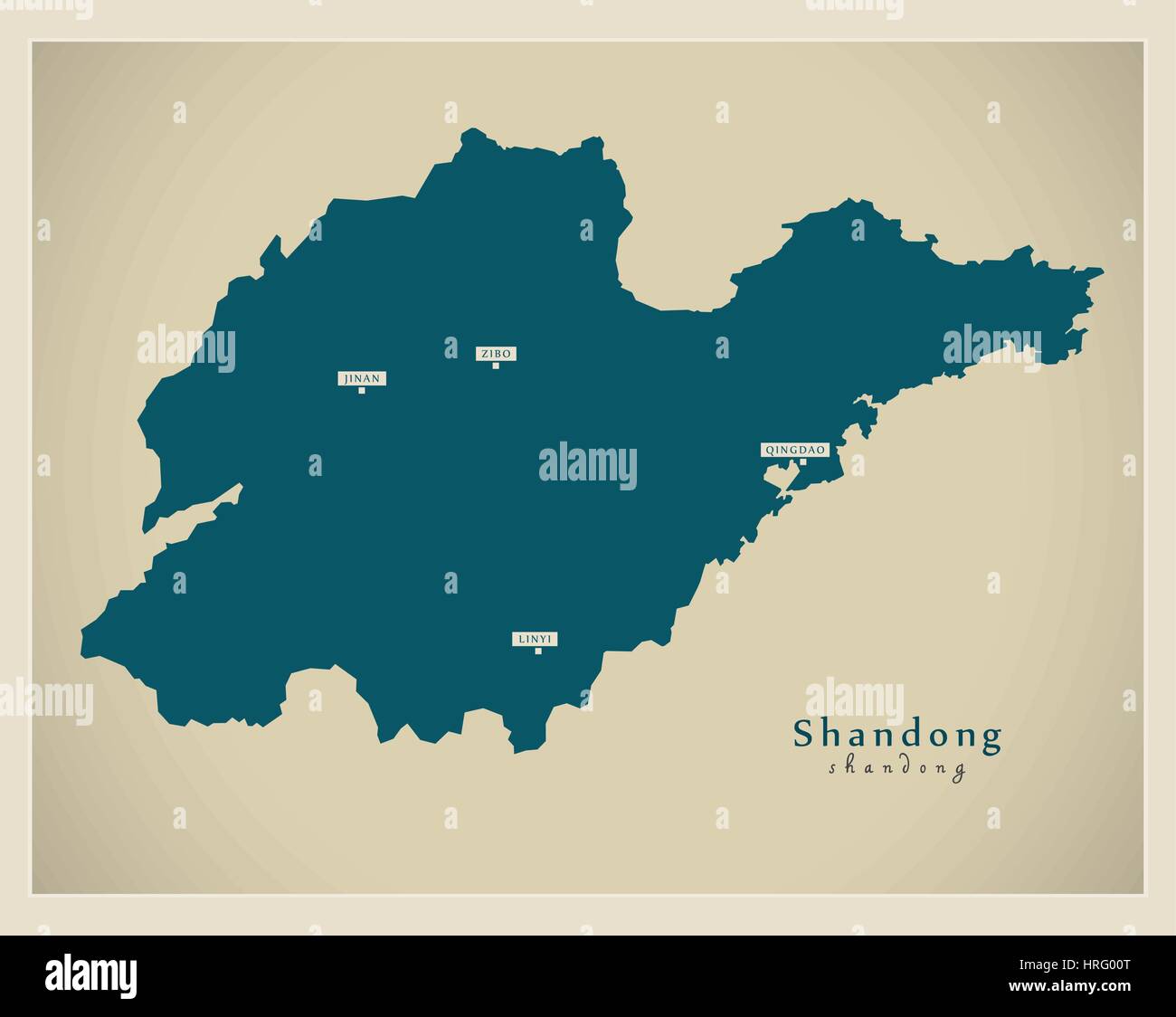 Modern Map - Shandong Stock Vectorhttps://www.alamy.com/image-license-details/?v=1https://www.alamy.com/stock-photo-modern-map-shandong-134960920.html
RFHRG00T–Modern Map - Shandong
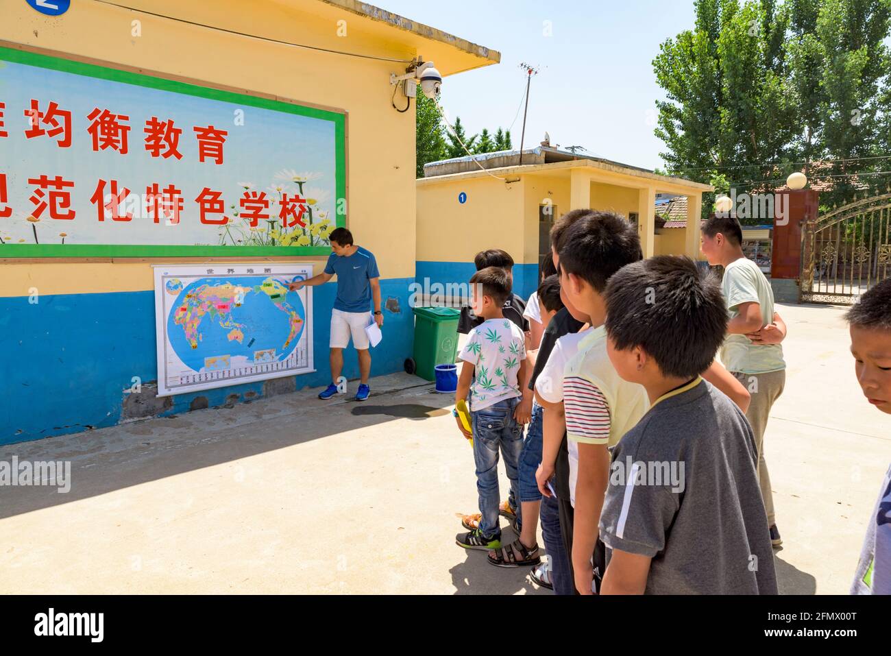 A teacher giving a geography lesson outdoors to primary students in a rural school in Qufu, Shandong, China. Stock Photohttps://www.alamy.com/image-license-details/?v=1https://www.alamy.com/a-teacher-giving-a-geography-lesson-outdoors-to-primary-students-in-a-rural-school-in-qufu-shandong-china-image425912728.html
RM2FMX00T–A teacher giving a geography lesson outdoors to primary students in a rural school in Qufu, Shandong, China.
 Shandong red highlighted in map of China Stock Photohttps://www.alamy.com/image-license-details/?v=1https://www.alamy.com/shandong-red-highlighted-in-map-of-china-image331194794.html
RF2A6R69E–Shandong red highlighted in map of China
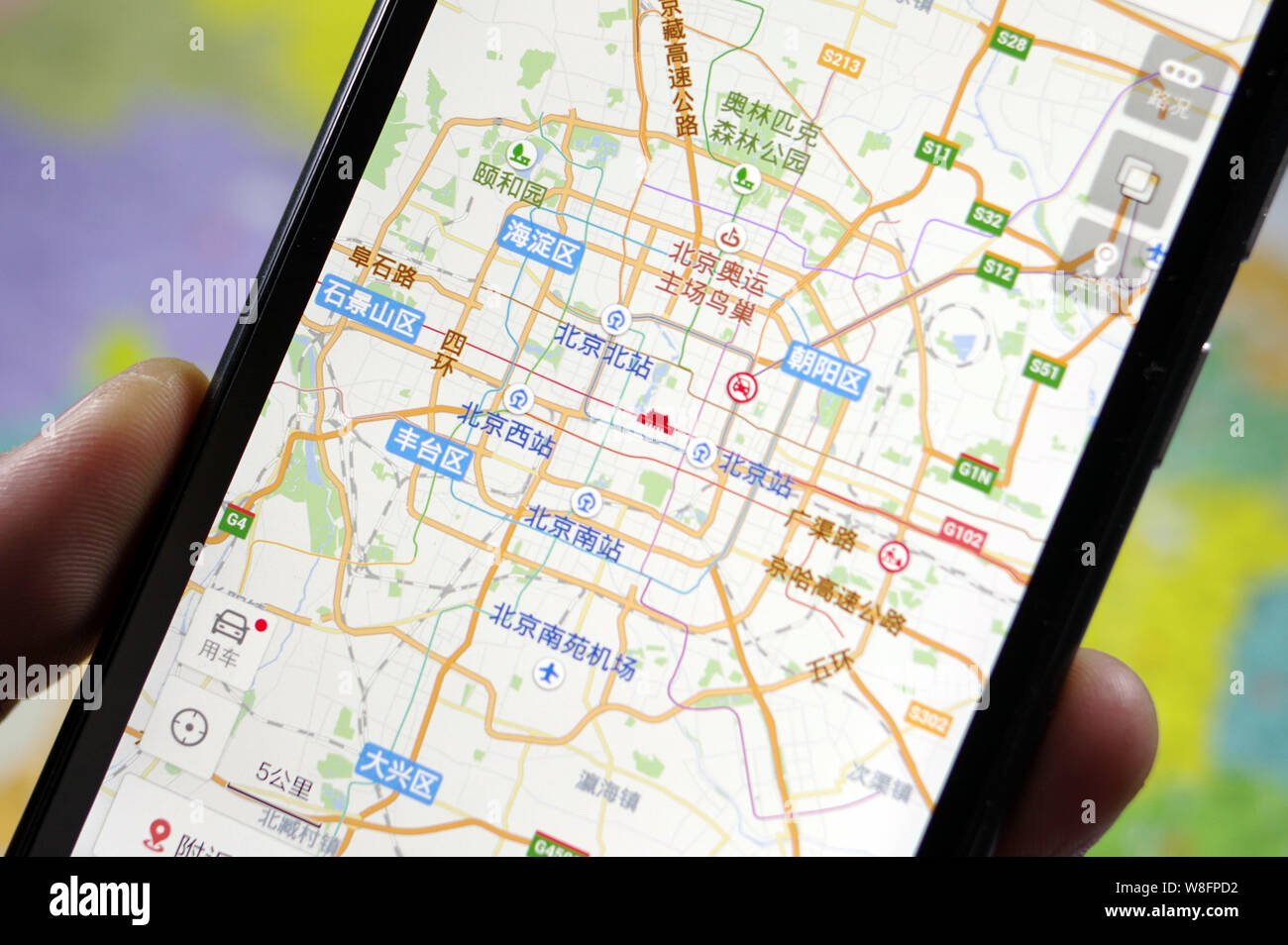 A Chinese man uses the Baidu Map app on his smartphone in Jinan city, east China's Shandong province, 17 December 2015. Baidu Map, a desktop and mobi Stock Photohttps://www.alamy.com/image-license-details/?v=1https://www.alamy.com/a-chinese-man-uses-the-baidu-map-app-on-his-smartphone-in-jinan-city-east-chinas-shandong-province-17-december-2015-baidu-map-a-desktop-and-mobi-image263419662.html
RMW8FPD2–A Chinese man uses the Baidu Map app on his smartphone in Jinan city, east China's Shandong province, 17 December 2015. Baidu Map, a desktop and mobi
 Shandong province map of China with biohazard virus sign Stock Vectorhttps://www.alamy.com/image-license-details/?v=1https://www.alamy.com/shandong-province-map-of-china-with-biohazard-virus-sign-image342309370.html
RF2ATWF2J–Shandong province map of China with biohazard virus sign
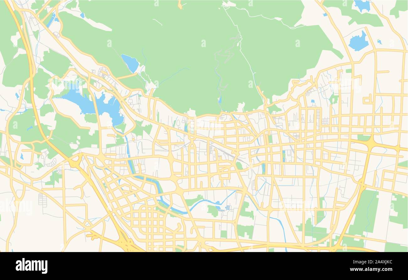 Printable street map of Tai an, Province Shandong, China. Map template for business use. Stock Vectorhttps://www.alamy.com/image-license-details/?v=1https://www.alamy.com/printable-street-map-of-tai-an-province-shandong-china-map-template-for-business-use-image330041024.html
RF2A4XJKC–Printable street map of Tai an, Province Shandong, China. Map template for business use.
 Shandong China map with Chinese national flag illustration Stock Vectorhttps://www.alamy.com/image-license-details/?v=1https://www.alamy.com/shandong-china-map-with-chinese-national-flag-illustration-image150161418.html
RFJM8CBP–Shandong China map with Chinese national flag illustration
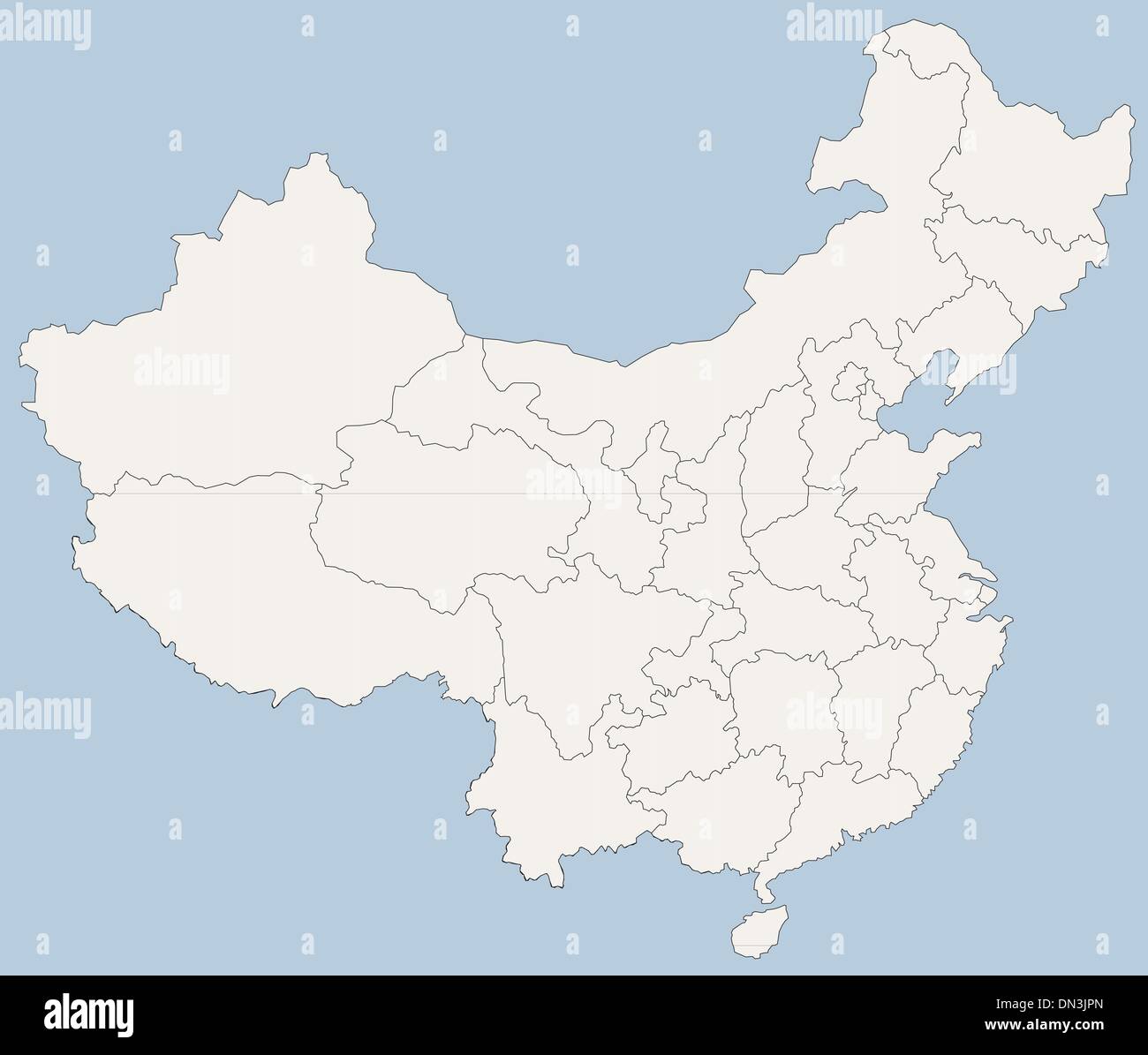 vector map of People's Republic of China (PRC) Stock Vectorhttps://www.alamy.com/image-license-details/?v=1https://www.alamy.com/vector-map-of-peoples-republic-of-china-prc-image64619485.html
RFDN3JPN–vector map of People's Republic of China (PRC)
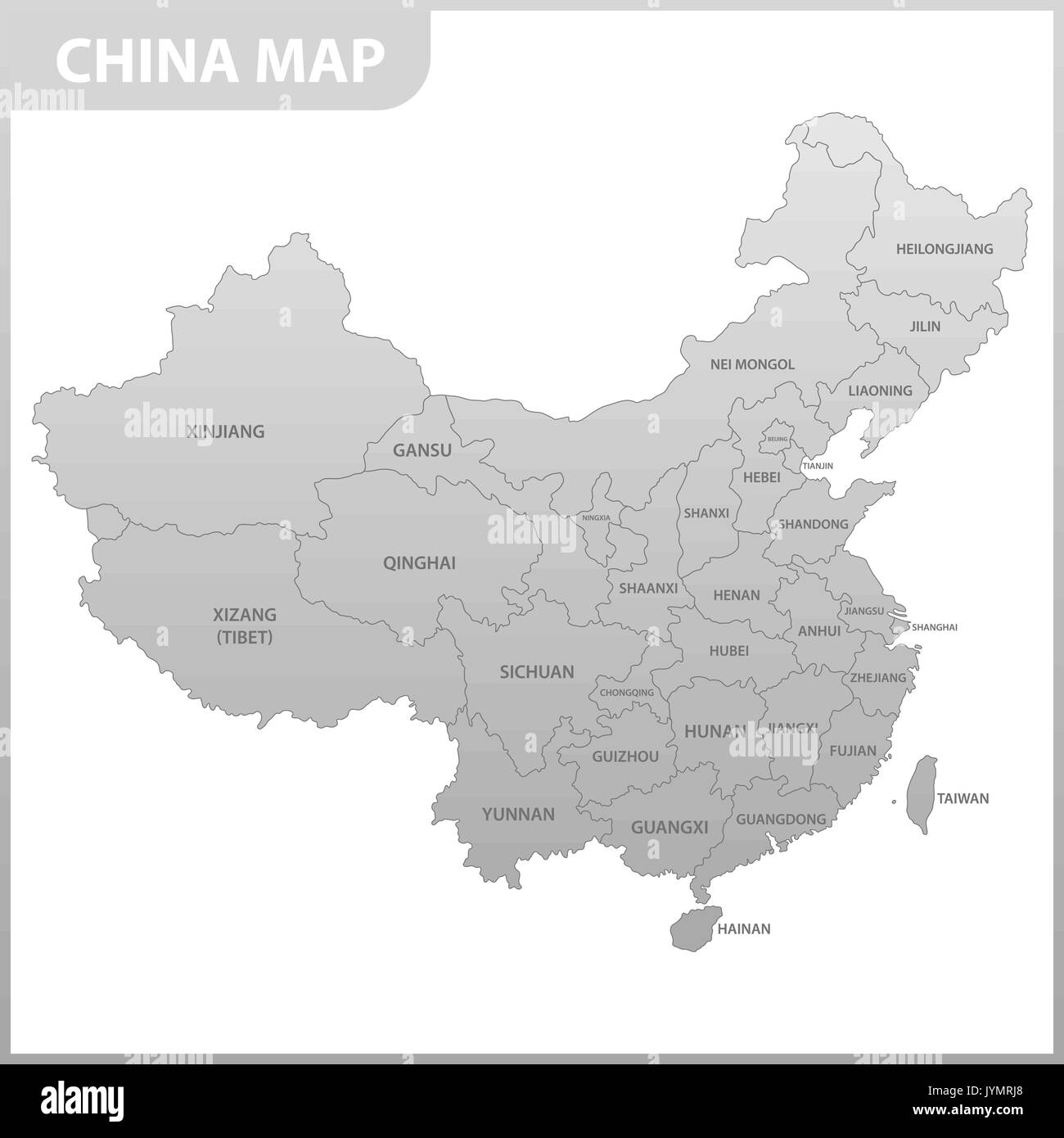 The detailed map of the China with regions or states Stock Vectorhttps://www.alamy.com/image-license-details/?v=1https://www.alamy.com/the-detailed-map-of-the-china-with-regions-or-states-image154736240.html
RFJYMRJ8–The detailed map of the China with regions or states
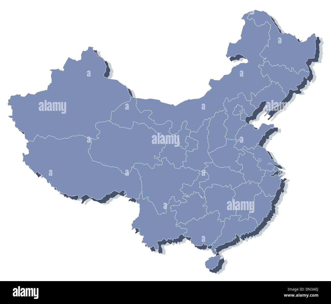 vector map of People's Republic of China (PRC) Stock Vectorhttps://www.alamy.com/image-license-details/?v=1https://www.alamy.com/vector-map-of-peoples-republic-of-china-prc-image64612986.html
RFDN3AEJ–vector map of People's Republic of China (PRC)
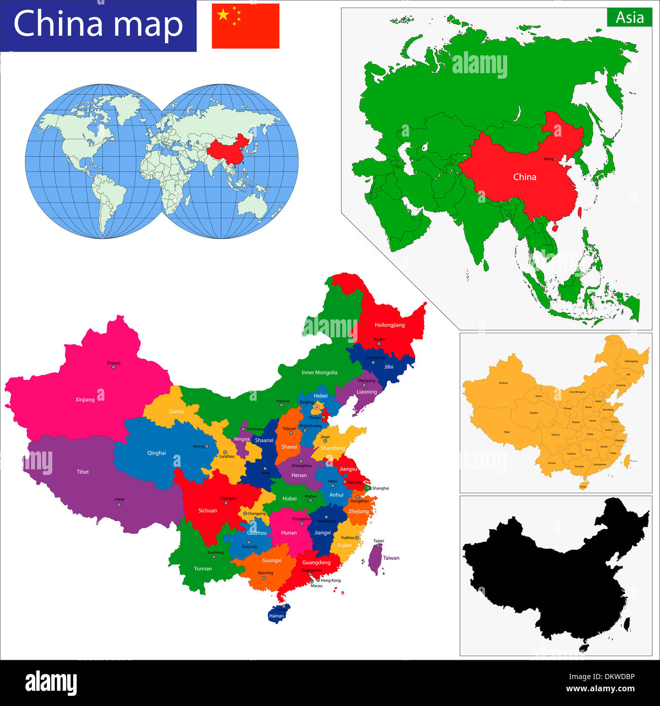 China map Stock Photohttps://www.alamy.com/image-license-details/?v=1https://www.alamy.com/china-map-image63868890.html
RFDKWDBP–China map
 Symbol Map of the Province Shandong (People's Republic of China). Abstract map showing the state/province with a pattern of overlapping colorful squar Stock Vectorhttps://www.alamy.com/image-license-details/?v=1https://www.alamy.com/symbol-map-of-the-province-shandong-peoples-republic-of-china-abstract-map-showing-the-stateprovince-with-a-pattern-of-overlapping-colorful-squar-image611840528.html
RF2XFBMRC–Symbol Map of the Province Shandong (People's Republic of China). Abstract map showing the state/province with a pattern of overlapping colorful squar
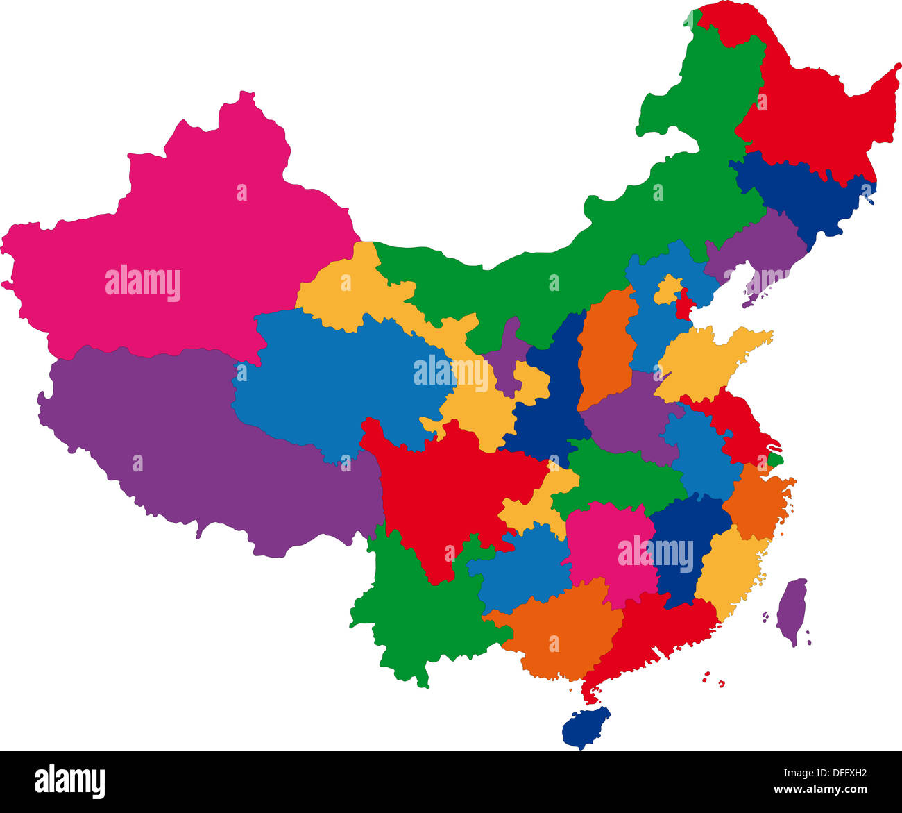 Map of China Stock Photohttps://www.alamy.com/image-license-details/?v=1https://www.alamy.com/map-of-china-image61201086.html
RFDFFXH2–Map of China
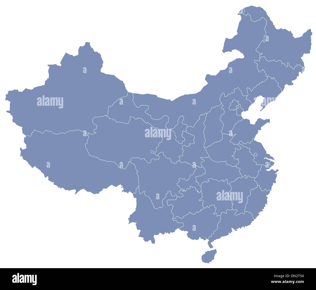 vector map of People's Republic of China (PRC) Stock Vectorhttps://www.alamy.com/image-license-details/?v=1https://www.alamy.com/vector-map-of-peoples-republic-of-china-prc-image64601744.html
RFDN2T54–vector map of People's Republic of China (PRC)
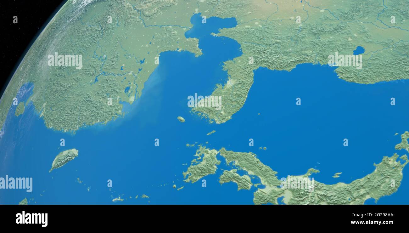 Shandong Peninsula in planet earth from outer space Stock Photohttps://www.alamy.com/image-license-details/?v=1https://www.alamy.com/shandong-peninsula-in-planet-earth-from-outer-space-image431692642.html
RF2G298AA–Shandong Peninsula in planet earth from outer space
 China map. Flat vector illustration on white background Stock Vectorhttps://www.alamy.com/image-license-details/?v=1https://www.alamy.com/stock-photo-china-map-flat-vector-illustration-on-white-background-175686099.html
RFM5R5BF–China map. Flat vector illustration on white background
 Shandong Peninsula in planet earth, aerial view from outer space. 3d render Stock Photohttps://www.alamy.com/image-license-details/?v=1https://www.alamy.com/shandong-peninsula-in-planet-earth-aerial-view-from-outer-space-3d-render-image431692639.html
RF2G298A7–Shandong Peninsula in planet earth, aerial view from outer space. 3d render
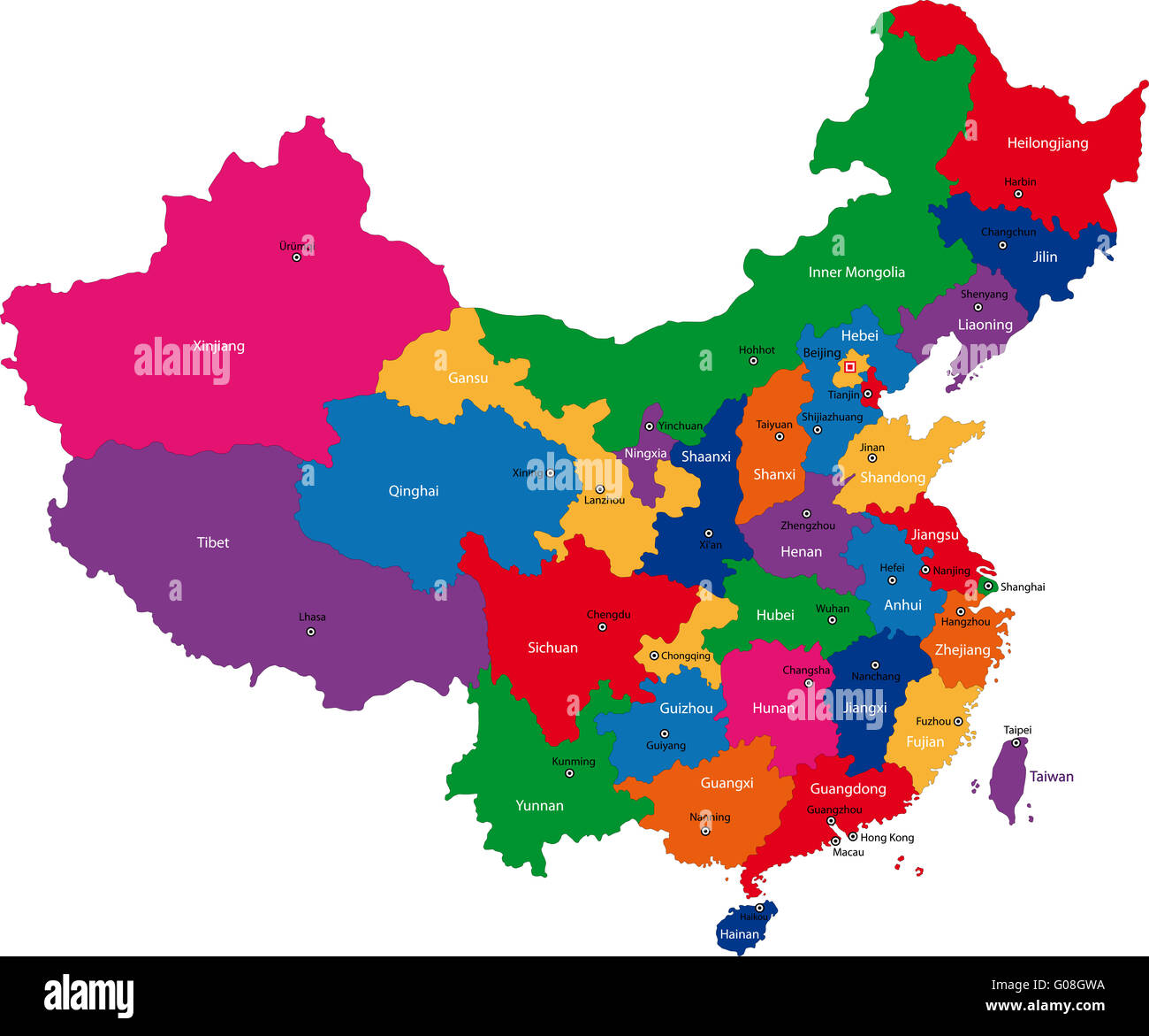 China map Stock Photohttps://www.alamy.com/image-license-details/?v=1https://www.alamy.com/stock-photo-china-map-103451078.html
RMG08GWA–China map
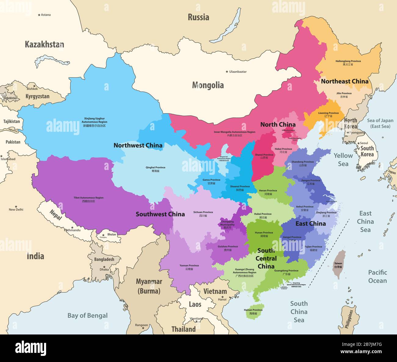 vector map of China provinces (chinese names gives in parentheses) colored by regions with neighbouring countries and territories Stock Vectorhttps://www.alamy.com/image-license-details/?v=1https://www.alamy.com/vector-map-of-china-provinces-chinese-names-gives-in-parentheses-colored-by-regions-with-neighbouring-countries-and-territories-image348920980.html
RF2B7JM7G–vector map of China provinces (chinese names gives in parentheses) colored by regions with neighbouring countries and territories
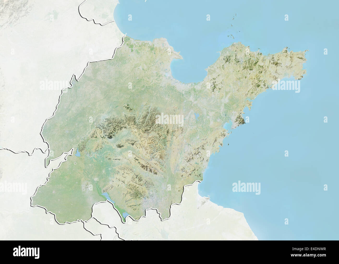 Province of Shandong, China, Relief Map Stock Photohttps://www.alamy.com/image-license-details/?v=1https://www.alamy.com/stock-photo-province-of-shandong-china-relief-map-71602659.html
RME4DNWR–Province of Shandong, China, Relief Map
 Red Sorghum film and television city ghost stronghold scene Stock Photohttps://www.alamy.com/image-license-details/?v=1https://www.alamy.com/red-sorghum-film-and-television-city-ghost-stronghold-scene-image258380621.html
RFW0A739–Red Sorghum film and television city ghost stronghold scene
 China and the Province of Shandong, Relief Map Stock Photohttps://www.alamy.com/image-license-details/?v=1https://www.alamy.com/stock-photo-china-and-the-province-of-shandong-relief-map-71607385.html
RME4DYXH–China and the Province of Shandong, Relief Map
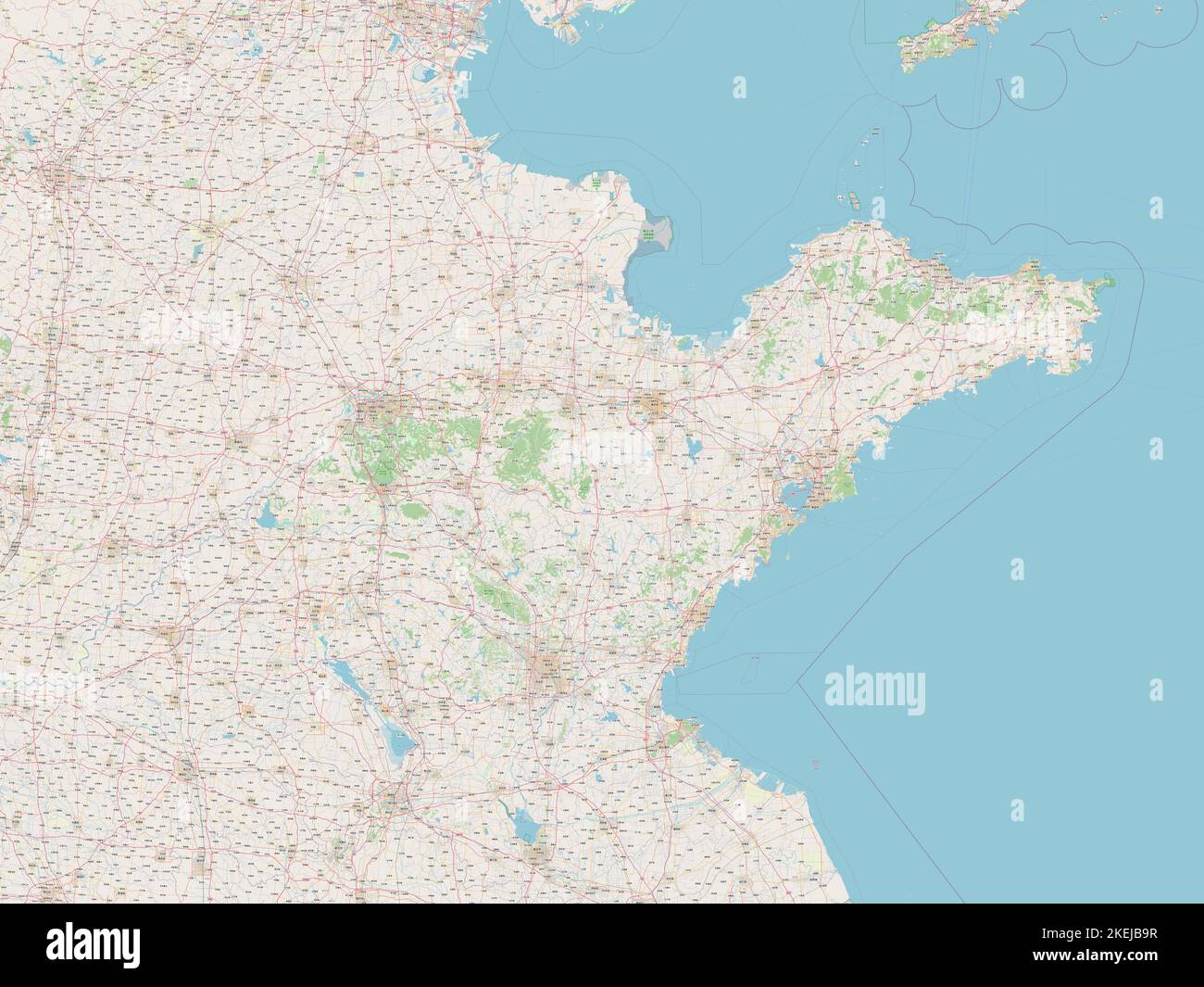 Shandong, province of China. Open Street Map Stock Photohttps://www.alamy.com/image-license-details/?v=1https://www.alamy.com/shandong-province-of-china-open-street-map-image490899523.html
RF2KEJB9R–Shandong, province of China. Open Street Map
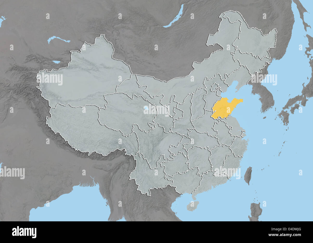 Province of Shandong, China, Relief Map Stock Photohttps://www.alamy.com/image-license-details/?v=1https://www.alamy.com/stock-photo-province-of-shandong-china-relief-map-71601672.html
RME4DMJG–Province of Shandong, China, Relief Map
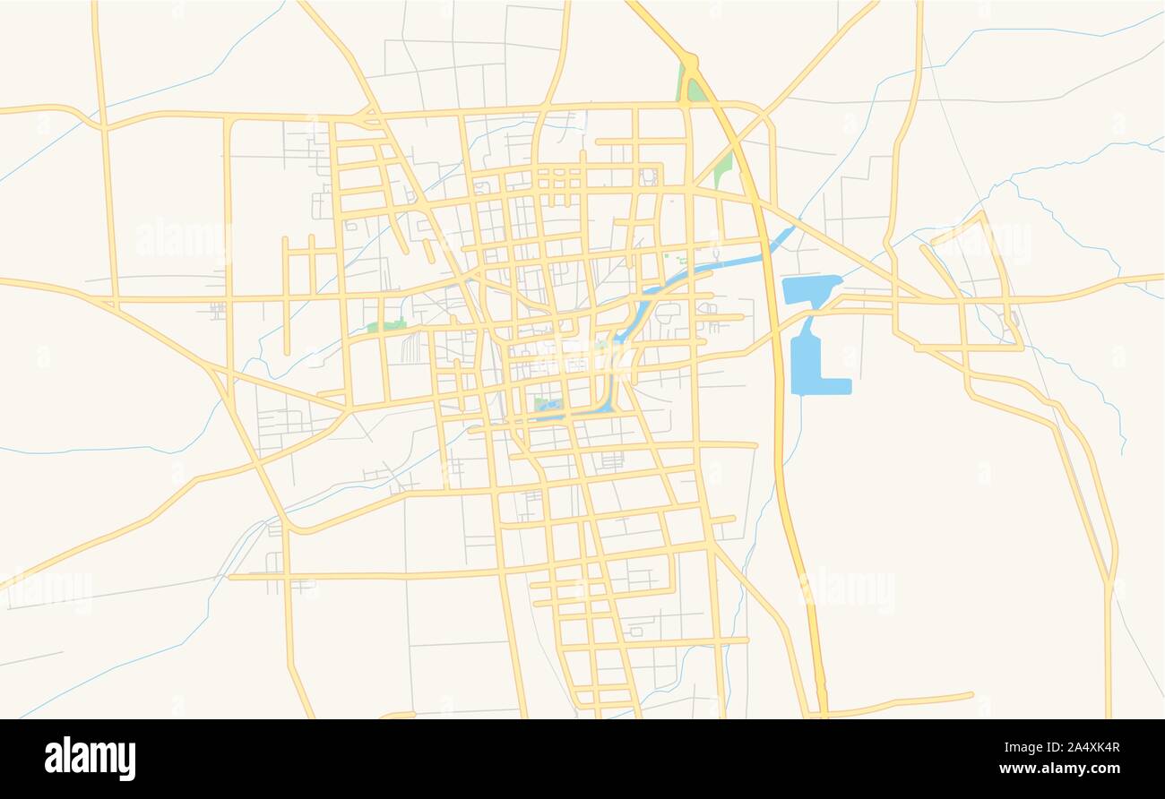 Printable street map of Tengzhou, Province Shandong, China. Map template for business use. Stock Vectorhttps://www.alamy.com/image-license-details/?v=1https://www.alamy.com/printable-street-map-of-tengzhou-province-shandong-china-map-template-for-business-use-image330041399.html
RF2A4XK4R–Printable street map of Tengzhou, Province Shandong, China. Map template for business use.
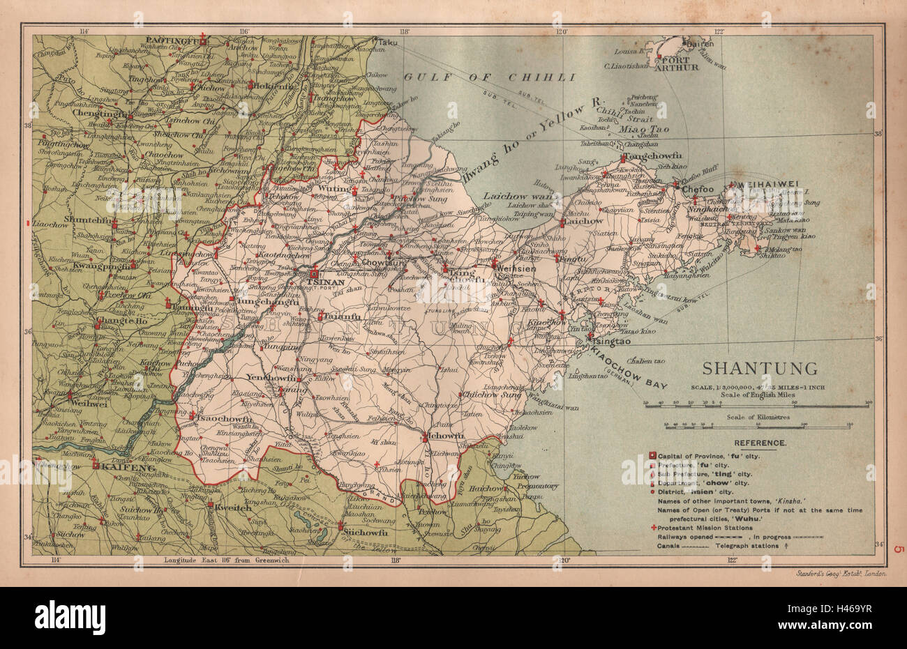 Shantung (Shandong) China province map. Tsinan (Jinan). STANFORD 1908 old Stock Photohttps://www.alamy.com/image-license-details/?v=1https://www.alamy.com/stock-photo-shantung-shandong-china-province-map-tsinan-jinan-stanford-1908-old-123070747.html
RFH469YR–Shantung (Shandong) China province map. Tsinan (Jinan). STANFORD 1908 old
 Shandong Province (Administrative divisions of China, China, People's Republic of China, PRC) map vector illustration, scribble sketch Shantung map Stock Vectorhttps://www.alamy.com/image-license-details/?v=1https://www.alamy.com/shandong-province-administrative-divisions-of-china-china-peoples-republic-of-china-prc-map-vector-illustration-scribble-sketch-shantung-map-image223262897.html
RFPY6E2W–Shandong Province (Administrative divisions of China, China, People's Republic of China, PRC) map vector illustration, scribble sketch Shantung map
 Old Weixian restoration landscape map Stock Photohttps://www.alamy.com/image-license-details/?v=1https://www.alamy.com/old-weixian-restoration-landscape-map-image257121270.html
RFTX8TPE–Old Weixian restoration landscape map
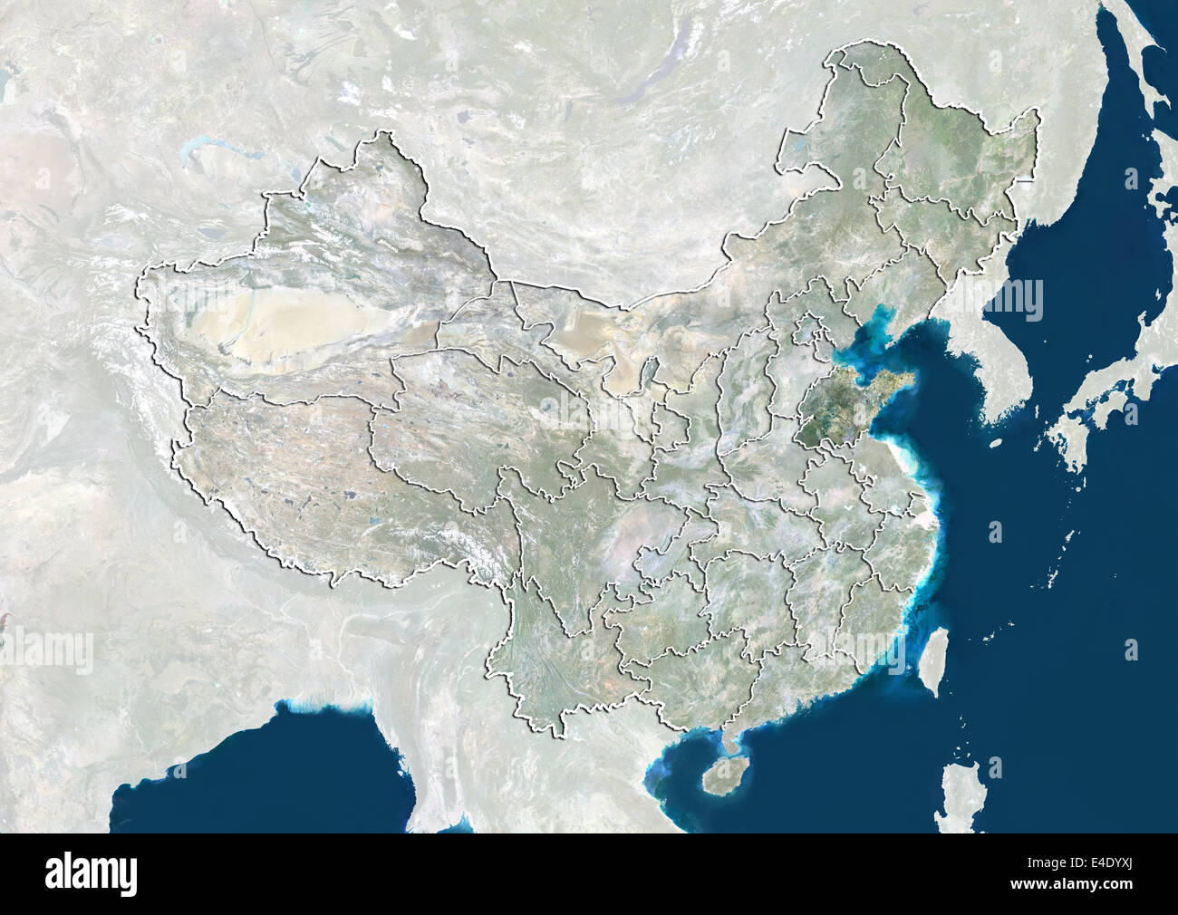 China and the Province of Shandong, True Colour Satellite Image Stock Photohttps://www.alamy.com/image-license-details/?v=1https://www.alamy.com/stock-photo-china-and-the-province-of-shandong-true-colour-satellite-image-71607386.html
RME4DYXJ–China and the Province of Shandong, True Colour Satellite Image
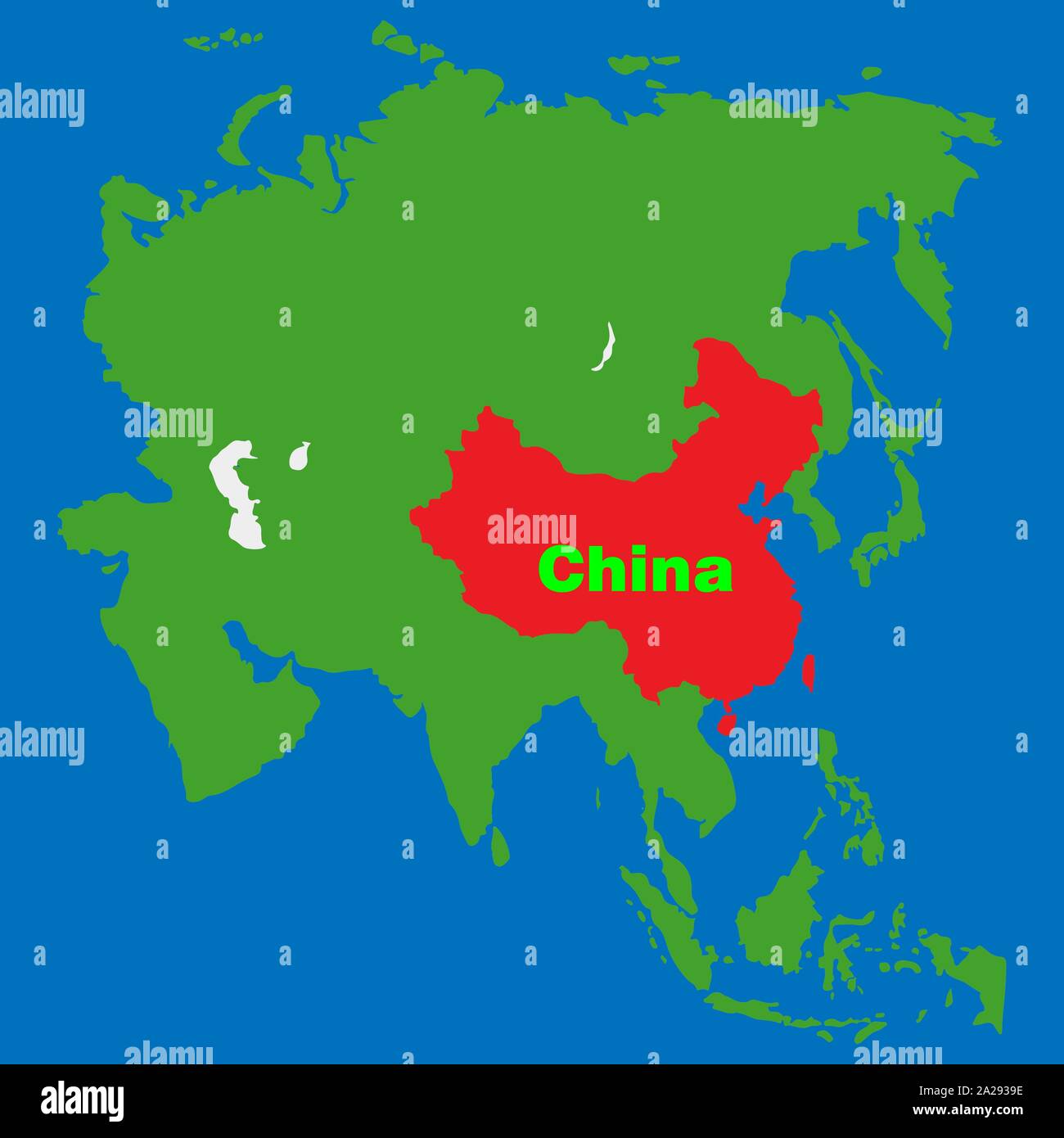 Location of China on on asian map continent Vector illustration eps 10 Stock Vectorhttps://www.alamy.com/image-license-details/?v=1https://www.alamy.com/location-of-china-on-on-asian-map-continent-vector-illustration-eps-10-image328426490.html
RF2A2939E–Location of China on on asian map continent Vector illustration eps 10
 Symbol Map of the Province Shandong (People's Republic of China) showing the state/province with a pattern of black circles Stock Vectorhttps://www.alamy.com/image-license-details/?v=1https://www.alamy.com/symbol-map-of-the-province-shandong-peoples-republic-of-china-showing-the-stateprovince-with-a-pattern-of-black-circles-image612958002.html
RF2XH6J56–Symbol Map of the Province Shandong (People's Republic of China) showing the state/province with a pattern of black circles
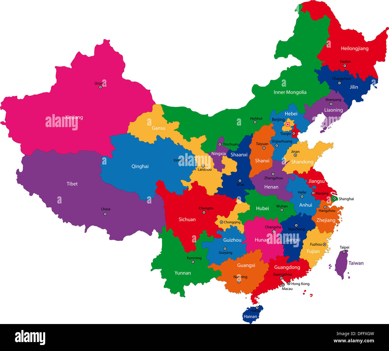 China map Stock Photohttps://www.alamy.com/image-license-details/?v=1https://www.alamy.com/china-map-image61201081.html
RFDFFXGW–China map
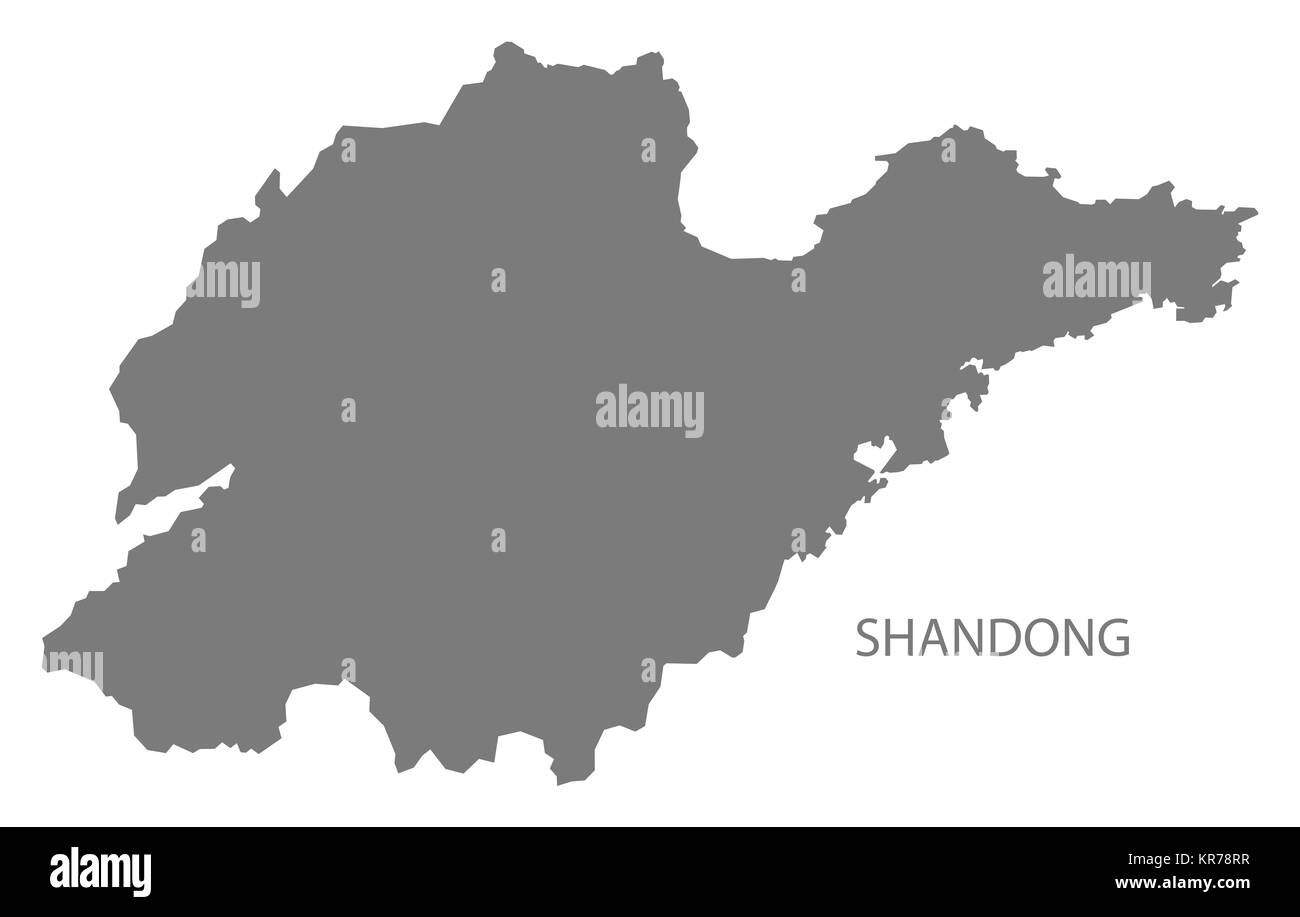 Shandong China Map grey Stock Photohttps://www.alamy.com/image-license-details/?v=1https://www.alamy.com/stock-image-shandong-china-map-grey-169191003.html
RFKR78RR–Shandong China Map grey
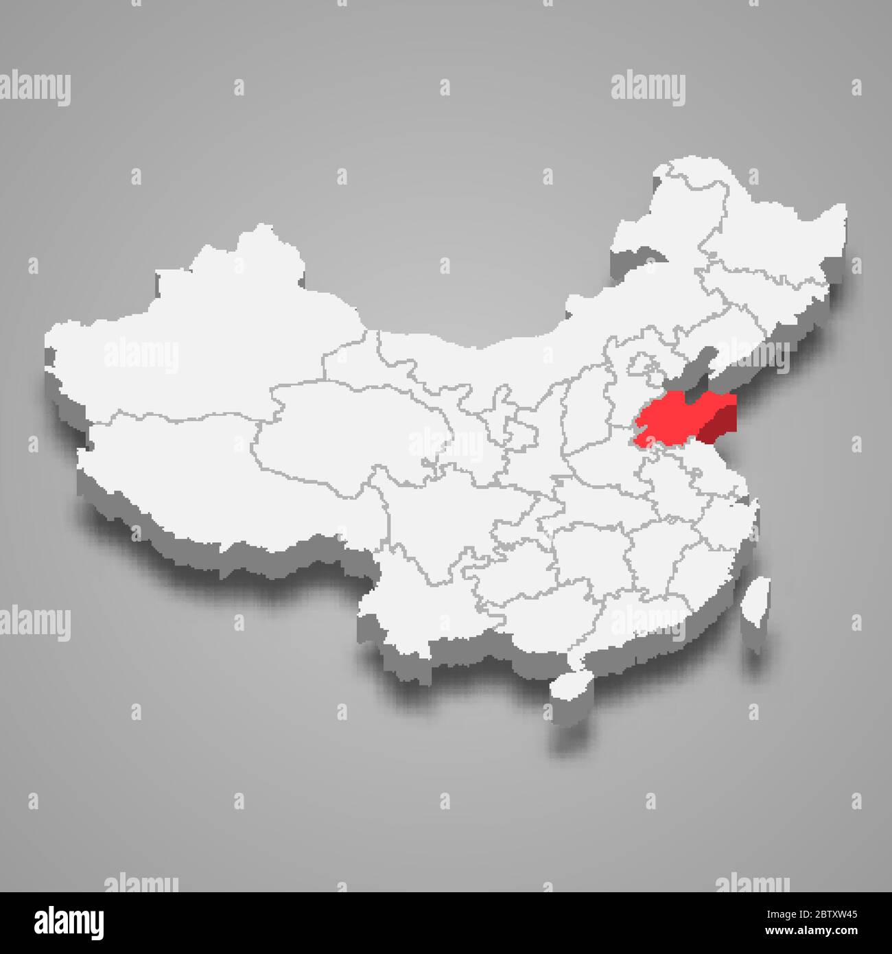 Shandong province location within China 3d map Stock Vectorhttps://www.alamy.com/image-license-details/?v=1https://www.alamy.com/shandong-province-location-within-china-3d-map-image359549573.html
RF2BTXW45–Shandong province location within China 3d map
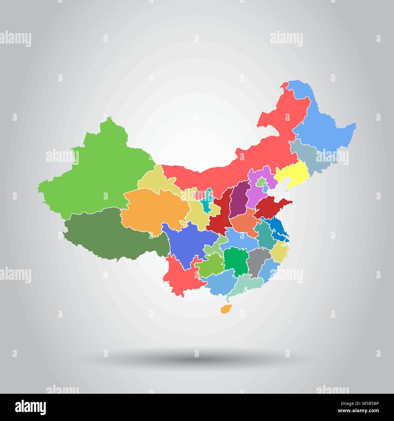 China map with province region. Flat vector illustration on isolated background Stock Vectorhttps://www.alamy.com/image-license-details/?v=1https://www.alamy.com/stock-photo-china-map-with-province-region-flat-vector-illustration-on-isolated-175686106.html
RFM5R5BP–China map with province region. Flat vector illustration on isolated background
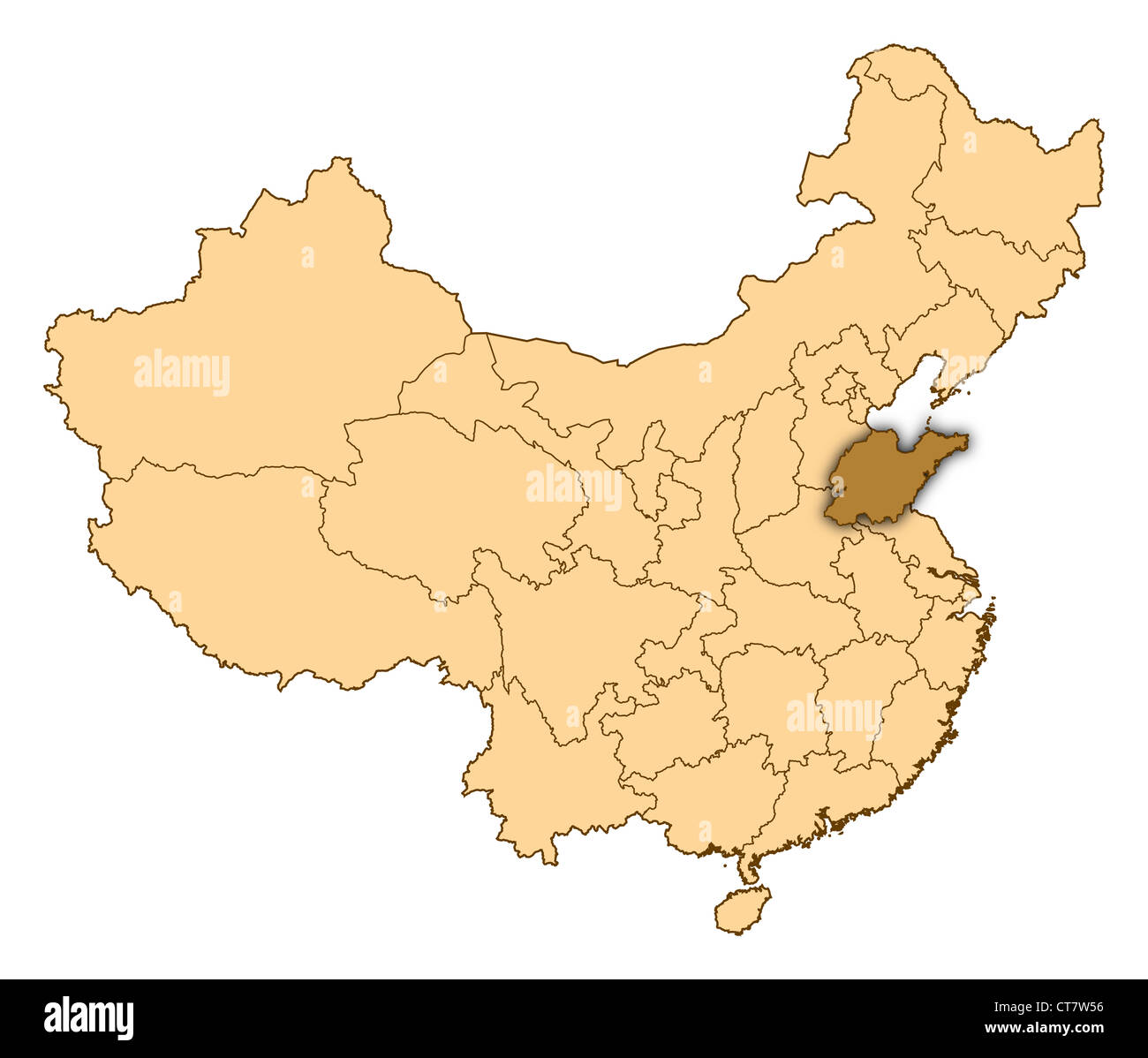 Map of China where Shandong is highlighted. Stock Photohttps://www.alamy.com/image-license-details/?v=1https://www.alamy.com/stock-photo-map-of-china-where-shandong-is-highlighted-49345890.html
RFCT7W56–Map of China where Shandong is highlighted.
 China map. Flat vector illustration on black background Stock Vectorhttps://www.alamy.com/image-license-details/?v=1https://www.alamy.com/stock-photo-china-map-flat-vector-illustration-on-black-background-173563916.html
RFM2AEF8–China map. Flat vector illustration on black background
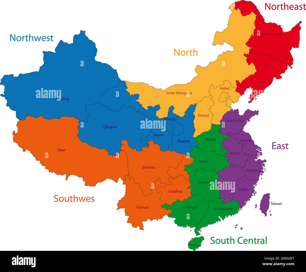 Colorful China map Stock Photohttps://www.alamy.com/image-license-details/?v=1https://www.alamy.com/stock-photo-colorful-china-map-103451075.html
RMG08GW7–Colorful China map
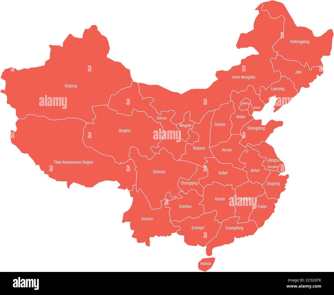 Regional map of administrative provinces of China. Red map with white labels on white background. Vector illustration. Stock Vectorhttps://www.alamy.com/image-license-details/?v=1https://www.alamy.com/regional-map-of-administrative-provinces-of-china-red-map-with-white-labels-on-white-background-vector-illustration-image364548147.html
RF2C52GTK–Regional map of administrative provinces of China. Red map with white labels on white background. Vector illustration.
 China: ‘The Map of Cooper Peak’. Hanging scroll painting by Li Shan (c. 1686-1762), 18th century. Li Shan (c. 1686-1762) was a Chinese painter from Jiangsu active during the Qing Dynasty. Already a noteworthy painter by the time he turned 16, Li Shan was inspired by Ming Dynasty painter Shitao and developed a style known for an unrestricted quality. He became known as the one of the Eight Eccentrics of Yangzhou, and also served as a magistrate for a county in Shandong. Stock Photohttps://www.alamy.com/image-license-details/?v=1https://www.alamy.com/china-the-map-of-cooper-peak-hanging-scroll-painting-by-li-shan-c-1686-1762-18th-century-li-shan-c-1686-1762-was-a-chinese-painter-from-jiangsu-active-during-the-qing-dynasty-already-a-noteworthy-painter-by-the-time-he-turned-16-li-shan-was-inspired-by-ming-dynasty-painter-shitao-and-developed-a-style-known-for-an-unrestricted-quality-he-became-known-as-the-one-of-the-eight-eccentrics-of-yangzhou-and-also-served-as-a-magistrate-for-a-county-in-shandong-image436531753.html
RM2GA5MKN–China: ‘The Map of Cooper Peak’. Hanging scroll painting by Li Shan (c. 1686-1762), 18th century. Li Shan (c. 1686-1762) was a Chinese painter from Jiangsu active during the Qing Dynasty. Already a noteworthy painter by the time he turned 16, Li Shan was inspired by Ming Dynasty painter Shitao and developed a style known for an unrestricted quality. He became known as the one of the Eight Eccentrics of Yangzhou, and also served as a magistrate for a county in Shandong.
 Shandong province outline map set Stock Vectorhttps://www.alamy.com/image-license-details/?v=1https://www.alamy.com/shandong-province-outline-map-set-image620763460.html
RF2Y1X63G–Shandong province outline map set
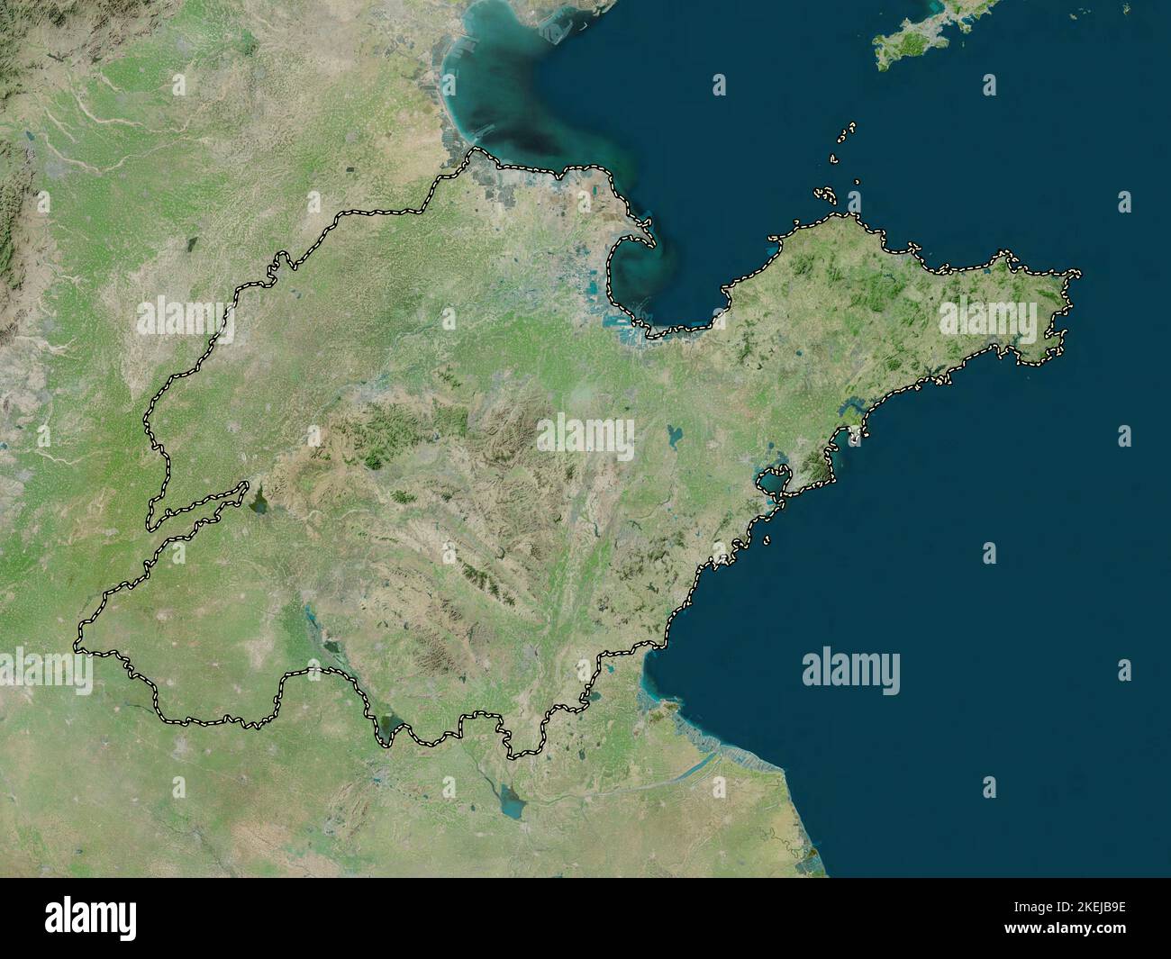 Shandong, province of China. High resolution satellite map Stock Photohttps://www.alamy.com/image-license-details/?v=1https://www.alamy.com/shandong-province-of-china-high-resolution-satellite-map-image490899514.html
RF2KEJB9E–Shandong, province of China. High resolution satellite map
 Close-up of silverleaf chrysanthemum for sale in flower shop Stock Photohttps://www.alamy.com/image-license-details/?v=1https://www.alamy.com/close-up-of-silverleaf-chrysanthemum-for-sale-in-flower-shop-image465009400.html
RF2J0F06G–Close-up of silverleaf chrysanthemum for sale in flower shop
 Printable street map of Zibo, Province Shandong, China. Map template for business use. Stock Vectorhttps://www.alamy.com/image-license-details/?v=1https://www.alamy.com/printable-street-map-of-zibo-province-shandong-china-map-template-for-business-use-image330036769.html
RF2A4XD7D–Printable street map of Zibo, Province Shandong, China. Map template for business use.
 Jinan. 18th Aug, 2020. Photo taken on Aug. 18, 2020 shows the gate of Taierzhuang ancient town and a map of the ancient town in east China's Shandong Province. Credit: Guo Xulei/Xinhua/Alamy Live News Stock Photohttps://www.alamy.com/image-license-details/?v=1https://www.alamy.com/jinan-18th-aug-2020-photo-taken-on-aug-18-2020-shows-the-gate-of-taierzhuang-ancient-town-and-a-map-of-the-ancient-town-in-east-chinas-shandong-province-credit-guo-xuleixinhuaalamy-live-news-image379069848.html
RM2D0M3CT–Jinan. 18th Aug, 2020. Photo taken on Aug. 18, 2020 shows the gate of Taierzhuang ancient town and a map of the ancient town in east China's Shandong Province. Credit: Guo Xulei/Xinhua/Alamy Live News
 Shandong Province (Administrative divisions of China, China, People's Republic of China, PRC) map vector illustration, scribble sketch Shantung map Stock Vectorhttps://www.alamy.com/image-license-details/?v=1https://www.alamy.com/shandong-province-administrative-divisions-of-china-china-peoples-republic-of-china-prc-map-vector-illustration-scribble-sketch-shantung-map-image221794835.html
RFPTRHG3–Shandong Province (Administrative divisions of China, China, People's Republic of China, PRC) map vector illustration, scribble sketch Shantung map
 Map of the Battle of Han Xin Weishui Stock Photohttps://www.alamy.com/image-license-details/?v=1https://www.alamy.com/map-of-the-battle-of-han-xin-weishui-image248563478.html
RFTCB172–Map of the Battle of Han Xin Weishui
 Jinan, China's Shandong Province. 28th Aug, 2014. Visitors watch a reproduction of a map of Ming Dynasty (1368-1644) during an antique exhibition of the Maritime Silk Road in Jinan, capital of east China's Shandong Province, Aug. 28, 2014. The exhibiton, displaying some 300 antiques related to the Maritime Silk Road, opened here Thursday. Credit: Xu Suhui/Xinhua/Alamy Live News Stock Photohttps://www.alamy.com/image-license-details/?v=1https://www.alamy.com/stock-photo-jinan-chinas-shandong-province-28th-aug-2014-visitors-watch-a-reproduction-73014527.html
RME6P2NK–Jinan, China's Shandong Province. 28th Aug, 2014. Visitors watch a reproduction of a map of Ming Dynasty (1368-1644) during an antique exhibition of the Maritime Silk Road in Jinan, capital of east China's Shandong Province, Aug. 28, 2014. The exhibiton, displaying some 300 antiques related to the Maritime Silk Road, opened here Thursday. Credit: Xu Suhui/Xinhua/Alamy Live News
 The statue of Xi Zhong in the Railway Guerrilla Film and Television City in Zaozhuang, Shandong Province Stock Photohttps://www.alamy.com/image-license-details/?v=1https://www.alamy.com/the-statue-of-xi-zhong-in-the-railway-guerrilla-film-and-television-city-in-zaozhuang-shandong-province-image257019169.html
RFTX46G1–The statue of Xi Zhong in the Railway Guerrilla Film and Television City in Zaozhuang, Shandong Province
 Rizhao, China's Shandong Province. 25th Oct, 2024. A homestay operator introduces a tourist attraction in front of a map at the Shan Hai Tian resort in Rizhao, east China's Shandong Province, Oct. 25, 2024. The Shan Hai Tian resort, whose name is literally translated as 'Mountain, Sea and Sky,' is located on the coast of the Yellow Sea to the east of China. It has been developing homestay service by leveraging the mountains, seashore, and tea gardens there, to improve both the tourist experience and its business revenue. Credit: Yang Guang/Xinhua/Alamy Live News Stock Photohttps://www.alamy.com/image-license-details/?v=1https://www.alamy.com/rizhao-chinas-shandong-province-25th-oct-2024-a-homestay-operator-introduces-a-tourist-attraction-in-front-of-a-map-at-the-shan-hai-tian-resort-in-rizhao-east-chinas-shandong-province-oct-25-2024-the-shan-hai-tian-resort-whose-name-is-literally-translated-as-mountain-sea-and-sky-is-located-on-the-coast-of-the-yellow-sea-to-the-east-of-china-it-has-been-developing-homestay-service-by-leveraging-the-mountains-seashore-and-tea-gardens-there-to-improve-both-the-tourist-experience-and-its-business-revenue-credit-yang-guangxinhuaalamy-live-news-image628018307.html
RM2YDMKN7–Rizhao, China's Shandong Province. 25th Oct, 2024. A homestay operator introduces a tourist attraction in front of a map at the Shan Hai Tian resort in Rizhao, east China's Shandong Province, Oct. 25, 2024. The Shan Hai Tian resort, whose name is literally translated as 'Mountain, Sea and Sky,' is located on the coast of the Yellow Sea to the east of China. It has been developing homestay service by leveraging the mountains, seashore, and tea gardens there, to improve both the tourist experience and its business revenue. Credit: Yang Guang/Xinhua/Alamy Live News
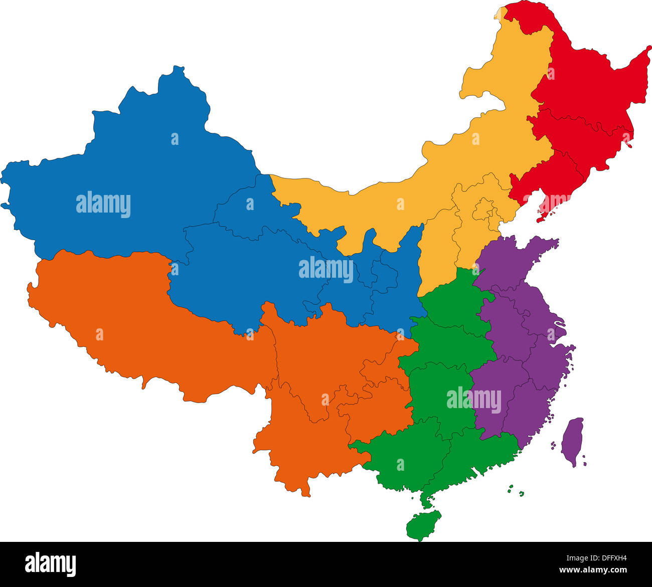 China map Stock Photohttps://www.alamy.com/image-license-details/?v=1https://www.alamy.com/china-map-image61201088.html
RFDFFXH4–China map
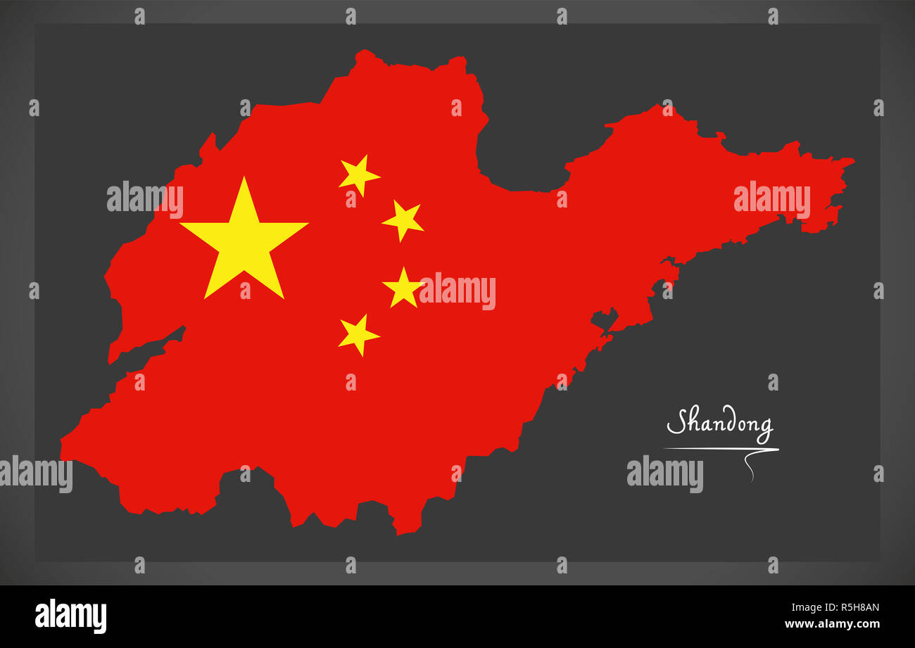 Shandong China map with Chinese national flag illustration Stock Photohttps://www.alamy.com/image-license-details/?v=1https://www.alamy.com/shandong-china-map-with-chinese-national-flag-illustration-image227187821.html
RFR5H8AN–Shandong China map with Chinese national flag illustration
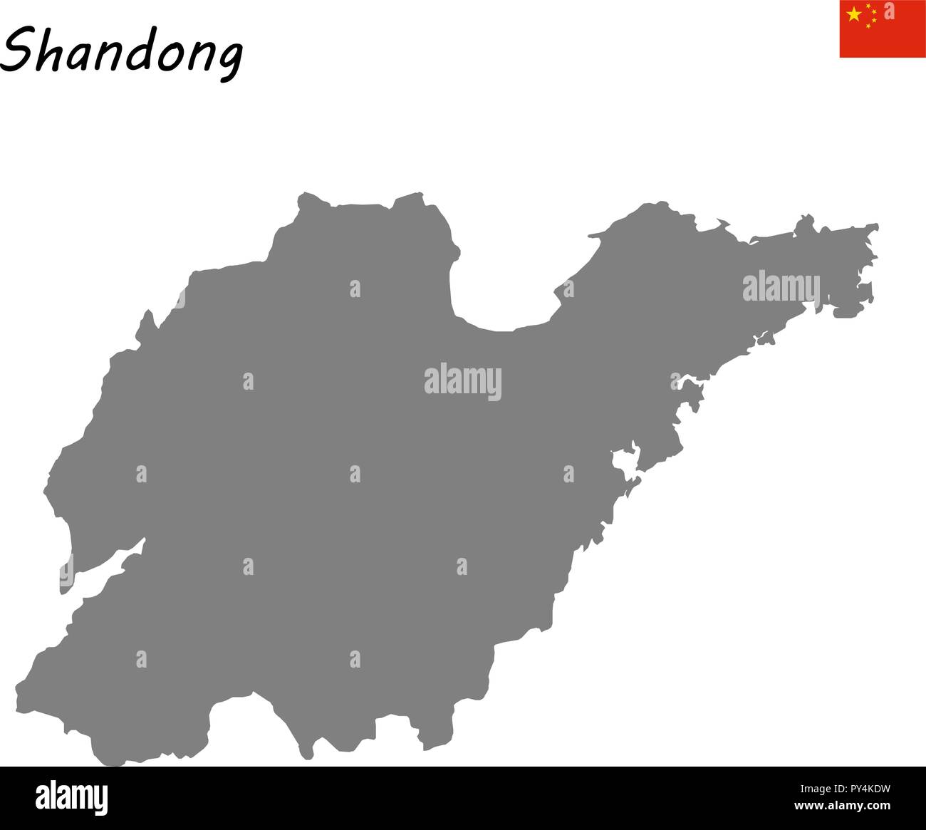 High Quality map of Shandong is a province of China Stock Vectorhttps://www.alamy.com/image-license-details/?v=1https://www.alamy.com/high-quality-map-of-shandong-is-a-province-of-china-image223223221.html
RFPY4KDW–High Quality map of Shandong is a province of China
 Schematic diagram of enemy work in Weicheng Stock Photohttps://www.alamy.com/image-license-details/?v=1https://www.alamy.com/schematic-diagram-of-enemy-work-in-weicheng-image257210247.html
RFTXCX87–Schematic diagram of enemy work in Weicheng
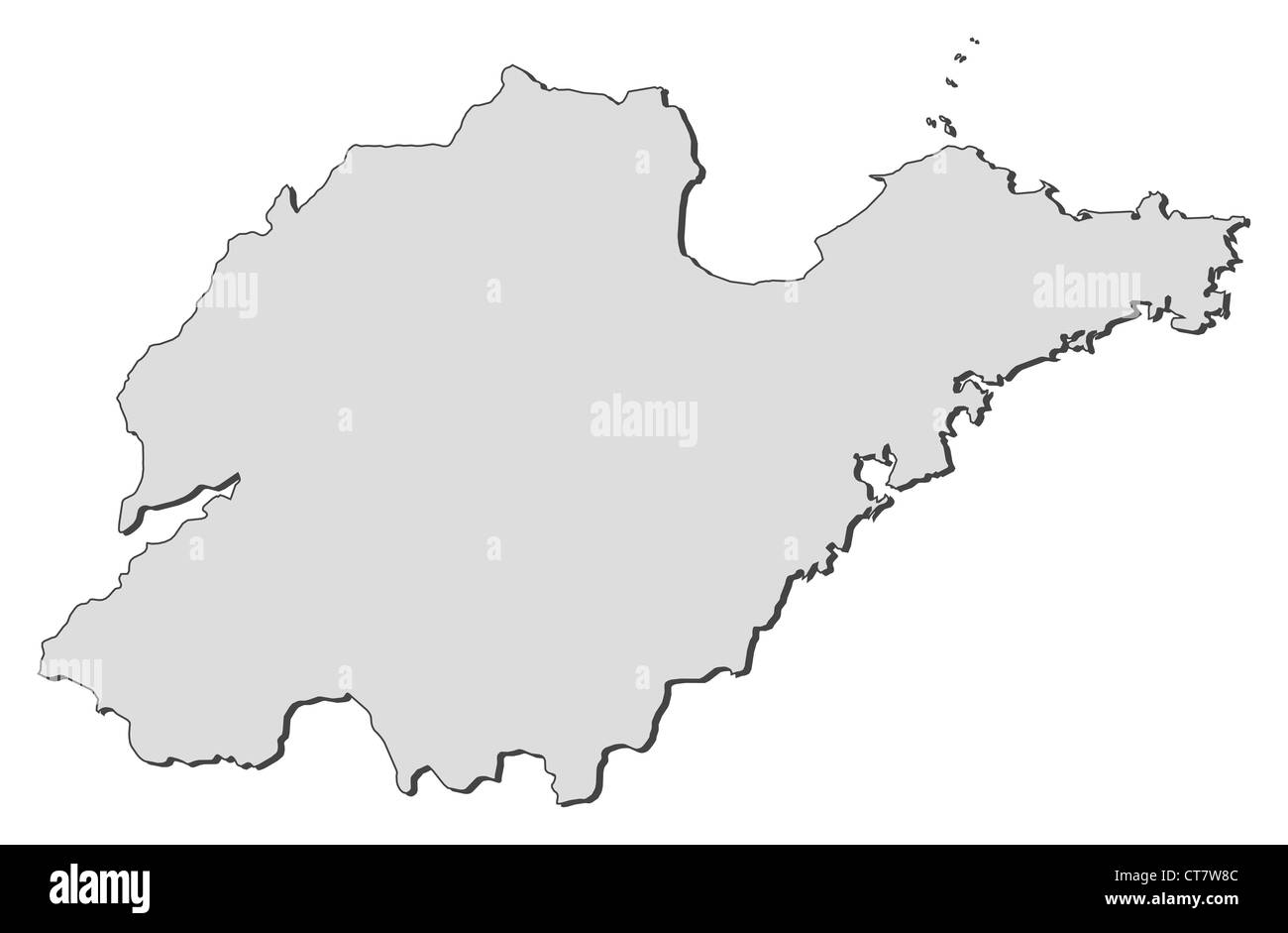 Map of Shandong, a province of China. Stock Photohttps://www.alamy.com/image-license-details/?v=1https://www.alamy.com/stock-photo-map-of-shandong-a-province-of-china-49345980.html
RFCT7W8C–Map of Shandong, a province of China.
 China map. Flat vector illustration on black background Stock Vectorhttps://www.alamy.com/image-license-details/?v=1https://www.alamy.com/stock-photo-china-map-flat-vector-illustration-on-black-background-173563899.html
RFM2AEEK–China map. Flat vector illustration on black background
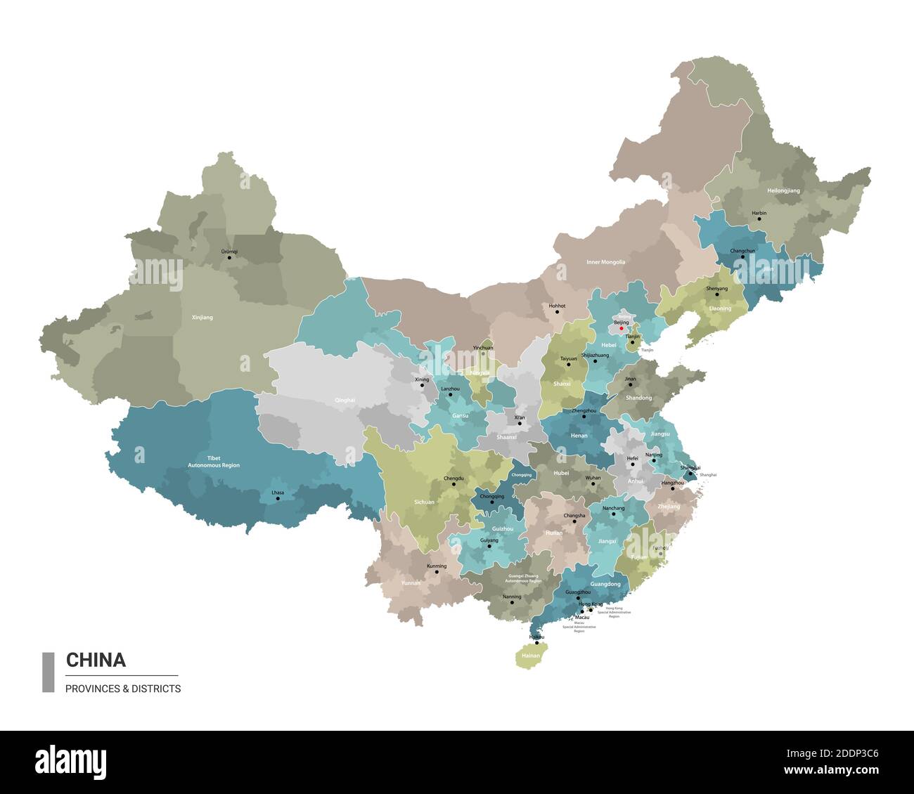 China higt detailed map with subdivisions. Administrative map of China with districts and cities name, colored by states and administrative districts. Stock Vectorhttps://www.alamy.com/image-license-details/?v=1https://www.alamy.com/china-higt-detailed-map-with-subdivisions-administrative-map-of-china-with-districts-and-cities-name-colored-by-states-and-administrative-districts-image387104262.html
RF2DDP3C6–China higt detailed map with subdivisions. Administrative map of China with districts and cities name, colored by states and administrative districts.
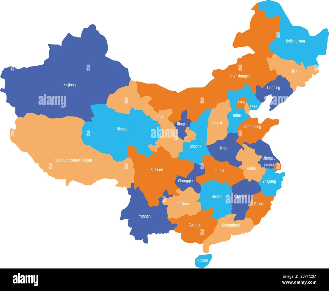 Map of administrative provinces of China. Vector illustration. Stock Vectorhttps://www.alamy.com/image-license-details/?v=1https://www.alamy.com/map-of-administrative-provinces-of-china-vector-illustration-image361339404.html
RF2BYTC2M–Map of administrative provinces of China. Vector illustration.
 201003 -- JINAN, Oct. 3, 2020 -- Photo taken on Aug. 18, 2020 shows the gate of Taierzhuang ancient town and a map of the ancient town in east China s Shandong Province. Xinhua Headlines: Taierzhuang, a tale of past military victory and modern rejuvenation GuoxXulei PUBLICATIONxNOTxINxCHN Stock Photohttps://www.alamy.com/image-license-details/?v=1https://www.alamy.com/201003-jinan-oct-3-2020-photo-taken-on-aug-18-2020-shows-the-gate-of-taierzhuang-ancient-town-and-a-map-of-the-ancient-town-in-east-china-s-shandong-province-xinhua-headlines-taierzhuang-a-tale-of-past-military-victory-and-modern-rejuvenation-guoxxulei-publicationxnotxinxchn-image564917228.html
RM2RR25K8–201003 -- JINAN, Oct. 3, 2020 -- Photo taken on Aug. 18, 2020 shows the gate of Taierzhuang ancient town and a map of the ancient town in east China s Shandong Province. Xinhua Headlines: Taierzhuang, a tale of past military victory and modern rejuvenation GuoxXulei PUBLICATIONxNOTxINxCHN
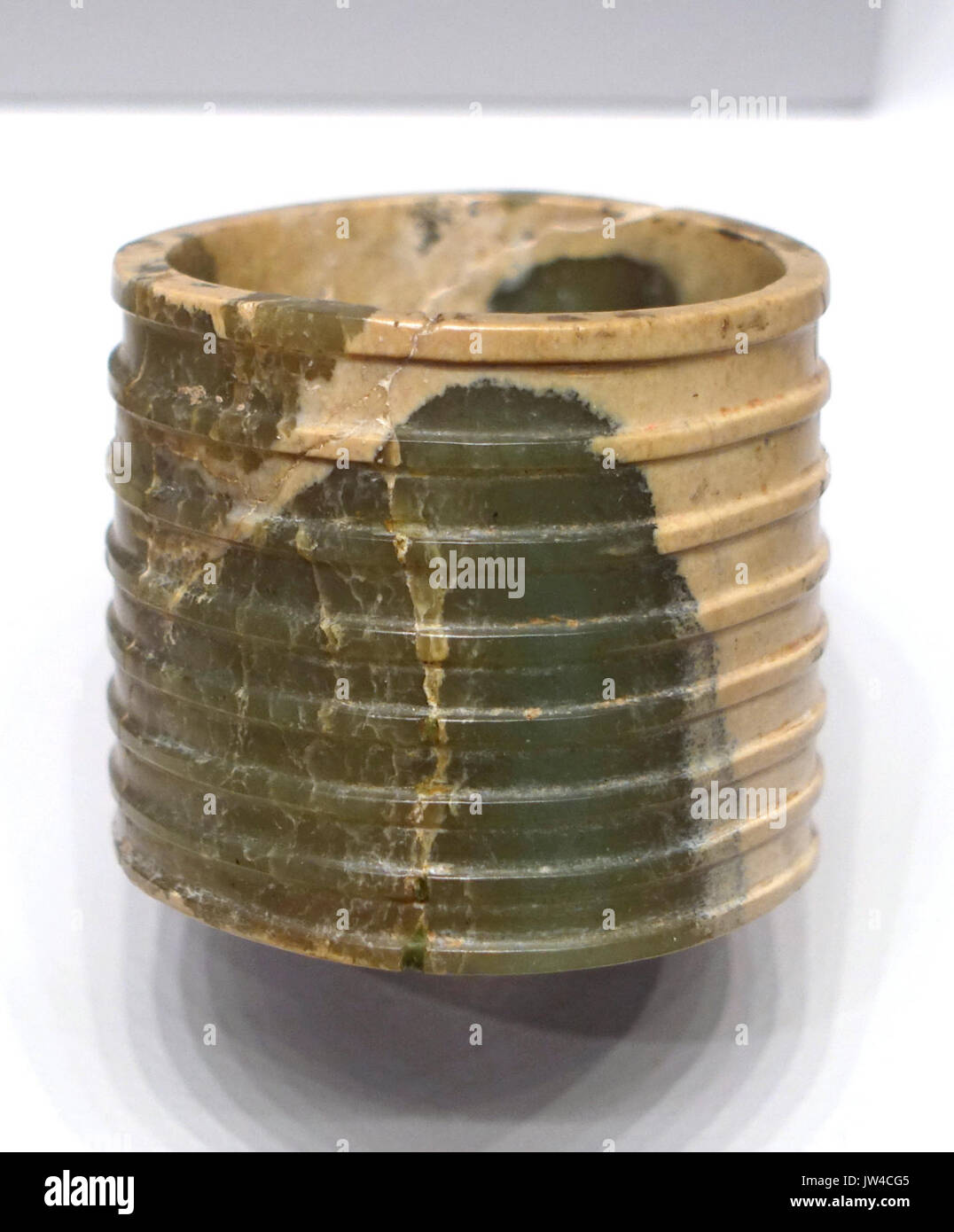 Fluted Ring, China, probably Shandong province, Neolithic period, Longshan culture, 2500 2000 BC, nephrite Arthur M Sackler Museum, Harvard University DSC00800 Stock Photohttps://www.alamy.com/image-license-details/?v=1https://www.alamy.com/fluted-ring-china-probably-shandong-province-neolithic-period-longshan-image153147013.html
RMJW4CG5–Fluted Ring, China, probably Shandong province, Neolithic period, Longshan culture, 2500 2000 BC, nephrite Arthur M Sackler Museum, Harvard University DSC00800
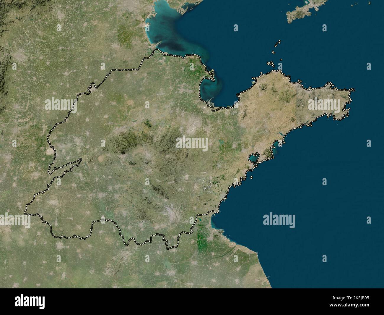 Shandong, province of China. Low resolution satellite map Stock Photohttps://www.alamy.com/image-license-details/?v=1https://www.alamy.com/shandong-province-of-china-low-resolution-satellite-map-image490899505.html
RF2KEJB95–Shandong, province of China. Low resolution satellite map
 200922 -- QINGDAO, Sept. 22, 2020 -- A staff member displays the first-day cover of the 2020 East Asia Marine Expo in Qingdao, east China s Shandong Province, Sept. 22, 2020. The 2020 East Asia Marine Expo opened Tuesday in Qingdao, a coastal city of east China s Shandong Province, convening more than 770 companies and institutes from over 70 countries and regions. More than 50,000 different exhibits ranging from ocean engineering, offshore oil and gas exploration, seabed exploration, deep-sea aquaculture and scientific research equipment, to scientific achievements in marine surveying and map Stock Photohttps://www.alamy.com/image-license-details/?v=1https://www.alamy.com/200922-qingdao-sept-22-2020-a-staff-member-displays-the-first-day-cover-of-the-2020-east-asia-marine-expo-in-qingdao-east-china-s-shandong-province-sept-22-2020-the-2020-east-asia-marine-expo-opened-tuesday-in-qingdao-a-coastal-city-of-east-china-s-shandong-province-convening-more-than-770-companies-and-institutes-from-over-70-countries-and-regions-more-than-50000-different-exhibits-ranging-from-ocean-engineering-offshore-oil-and-gas-exploration-seabed-exploration-deep-sea-aquaculture-and-scientific-research-equipment-to-scientific-achievements-in-marine-surveying-and-map-image564907735.html
RM2RR1NG7–200922 -- QINGDAO, Sept. 22, 2020 -- A staff member displays the first-day cover of the 2020 East Asia Marine Expo in Qingdao, east China s Shandong Province, Sept. 22, 2020. The 2020 East Asia Marine Expo opened Tuesday in Qingdao, a coastal city of east China s Shandong Province, convening more than 770 companies and institutes from over 70 countries and regions. More than 50,000 different exhibits ranging from ocean engineering, offshore oil and gas exploration, seabed exploration, deep-sea aquaculture and scientific research equipment, to scientific achievements in marine surveying and map
 Printable street map of Zaozhuang, Province Shandong, China. Map template for business use. Stock Vectorhttps://www.alamy.com/image-license-details/?v=1https://www.alamy.com/printable-street-map-of-zaozhuang-province-shandong-china-map-template-for-business-use-image330037452.html
RF2A4XE3T–Printable street map of Zaozhuang, Province Shandong, China. Map template for business use.
 (140828) -- JINAN, Aug. 28, 2014 -- Visitors watch a reproduction of a map of Ming Dynasty (1368-1644) during an antique exhibition of the Maritime Silk Road in Jinan, capital of east China s Shandong Province, Aug. 28, 2014. The exhibiton, displaying some 300 antiques related to the Maritime Silk Road, opened here Thursday. ) (yxb) CHINA-SHANDONG-JINAN-MARITIME SILK ROAD-EXHIBITION(CN) XuxSuhui PUBLICATIONxNOTxINxCHN Jinan Aug 28 2014 Visitors Watch a Reproduction of a Map of Ming Dynasty 1368 1644 during to Antique Exhibition of The Maritime Silk Road in Jinan Capital of East China S Shan Stock Photohttps://www.alamy.com/image-license-details/?v=1https://www.alamy.com/140828-jinan-aug-28-2014-visitors-watch-a-reproduction-of-a-map-of-ming-dynasty-1368-1644-during-an-antique-exhibition-of-the-maritime-silk-road-in-jinan-capital-of-east-china-s-shandong-province-aug-28-2014-the-exhibiton-displaying-some-300-antiques-related-to-the-maritime-silk-road-opened-here-thursday-yxb-china-shandong-jinan-maritime-silk-road-exhibitioncn-xuxsuhui-publicationxnotxinxchn-jinan-aug-28-2014-visitors-watch-a-reproduction-of-a-map-of-ming-dynasty-1368-1644-during-to-antique-exhibition-of-the-maritime-silk-road-in-jinan-capital-of-east-china-s-shan-image563561563.html
RM2RMTCEK–(140828) -- JINAN, Aug. 28, 2014 -- Visitors watch a reproduction of a map of Ming Dynasty (1368-1644) during an antique exhibition of the Maritime Silk Road in Jinan, capital of east China s Shandong Province, Aug. 28, 2014. The exhibiton, displaying some 300 antiques related to the Maritime Silk Road, opened here Thursday. ) (yxb) CHINA-SHANDONG-JINAN-MARITIME SILK ROAD-EXHIBITION(CN) XuxSuhui PUBLICATIONxNOTxINxCHN Jinan Aug 28 2014 Visitors Watch a Reproduction of a Map of Ming Dynasty 1368 1644 during to Antique Exhibition of The Maritime Silk Road in Jinan Capital of East China S Shan
 Shandong Province (Administrative divisions of China, China, People's Republic of China, PRC) map vector illustration, scribble sketch Shantung map Stock Vectorhttps://www.alamy.com/image-license-details/?v=1https://www.alamy.com/shandong-province-administrative-divisions-of-china-china-peoples-republic-of-china-prc-map-vector-illustration-scribble-sketch-shantung-map-image223685643.html
RFPYWN8Y–Shandong Province (Administrative divisions of China, China, People's Republic of China, PRC) map vector illustration, scribble sketch Shantung map
 Bildnummer: 57931426 Datum: 25.04.2012 Copyright: imago/Xinhua (120425) -- QINGDAO, April 25, 2012 (Xinhua) -- Chinese commanders mark on the map during the Russia-China joint naval exercise in Qingdao, east China s Shandong Province, April 25, 2012. A series of operation drills were conducted during the second day of the Russia-China joint naval exercise on Wednesday. (Xinhua/Zha Chunming) (zkr) CHINA-QINGDAO-RUSSIA-JOINT NAVAL EXERCISE (CN) PUBLICATIONxNOTxINxCHN Gesellschaft Militär Marine Manöver Übung xbs x0x 2012 quer 57931426 Date 25 04 2012 Copyright Imago XINHUA Qingdao April Stock Photohttps://www.alamy.com/image-license-details/?v=1https://www.alamy.com/bildnummer-57931426-datum-25042012-copyright-imagoxinhua-120425-qingdao-april-25-2012-xinhua-chinese-commanders-mark-on-the-map-during-the-russia-china-joint-naval-exercise-in-qingdao-east-china-s-shandong-province-april-25-2012-a-series-of-operation-drills-were-conducted-during-the-second-day-of-the-russia-china-joint-naval-exercise-on-wednesday-xinhuazha-chunming-zkr-china-qingdao-russia-joint-naval-exercise-cn-publicationxnotxinxchn-gesellschaft-militr-marine-manver-bung-xbs-x0x-2012-quer-57931426-date-25-04-2012-copyright-imago-xinhua-qingdao-april-image562900210.html
RM2RKP8XX–Bildnummer: 57931426 Datum: 25.04.2012 Copyright: imago/Xinhua (120425) -- QINGDAO, April 25, 2012 (Xinhua) -- Chinese commanders mark on the map during the Russia-China joint naval exercise in Qingdao, east China s Shandong Province, April 25, 2012. A series of operation drills were conducted during the second day of the Russia-China joint naval exercise on Wednesday. (Xinhua/Zha Chunming) (zkr) CHINA-QINGDAO-RUSSIA-JOINT NAVAL EXERCISE (CN) PUBLICATIONxNOTxINxCHN Gesellschaft Militär Marine Manöver Übung xbs x0x 2012 quer 57931426 Date 25 04 2012 Copyright Imago XINHUA Qingdao April
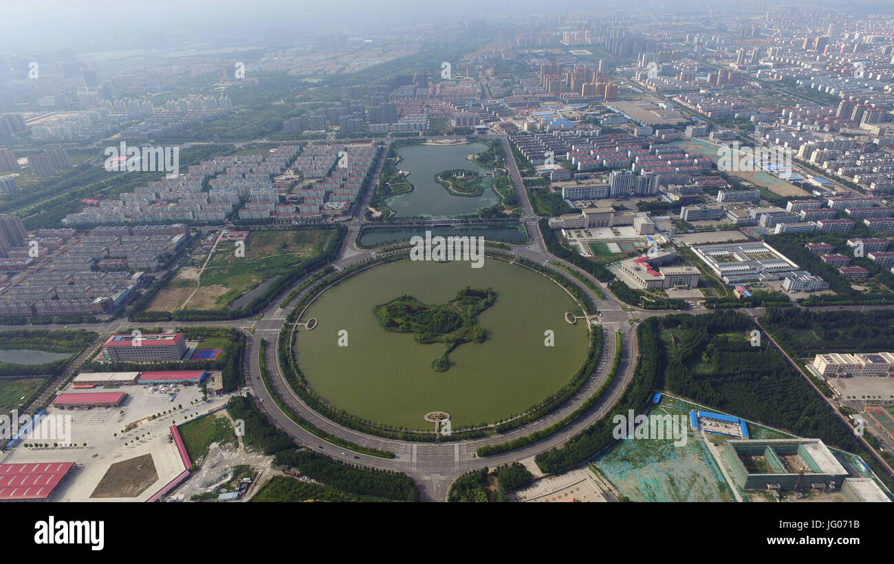 Binzh, Binzh, China. 2nd July, 2017. Binzhou, CHINA-July 2 2017: (EDITORIAL USE ONLY. CHINA OUT).The Chinese map shaped island can be seen at an artificial lake in Binzhou, east China's Shandong Province. Credit: SIPA Asia/ZUMA Wire/Alamy Live News Stock Photohttps://www.alamy.com/image-license-details/?v=1https://www.alamy.com/stock-photo-binzh-binzh-china-2nd-july-2017-binzhou-china-july-2-2017-editorial-147522967.html
RMJG071B–Binzh, Binzh, China. 2nd July, 2017. Binzhou, CHINA-July 2 2017: (EDITORIAL USE ONLY. CHINA OUT).The Chinese map shaped island can be seen at an artificial lake in Binzhou, east China's Shandong Province. Credit: SIPA Asia/ZUMA Wire/Alamy Live News
 Bildnummer: 55352502 Datum: 30.04.2011 Copyright: imago/Xinhua (110516) -- BEIJING, May 16, 2011 (Xinhua) -- Wang Nianfa, an emergency rescuer, goes through the procedure to send a package of clothes to relatives in Shandong Province, at a post office in Beijing, capital of China, April 30, 2011. Christhurch, New Zealand, Feb. 22, 2011 Zhang Yikun wrote down this on a green cartoon sticker and put it on a world map at her study room, I am so afraid that his cellphone rings all of a sudden at night. Over the large-scale world map, stickers scattered around showing where and when her husband W Stock Photohttps://www.alamy.com/image-license-details/?v=1https://www.alamy.com/bildnummer-55352502-datum-30042011-copyright-imagoxinhua-110516-beijing-may-16-2011-xinhua-wang-nianfa-an-emergency-rescuer-goes-through-the-procedure-to-send-a-package-of-clothes-to-relatives-in-shandong-province-at-a-post-office-in-beijing-capital-of-china-april-30-2011-christhurch-new-zealand-feb-22-2011-zhang-yikun-wrote-down-this-on-a-green-cartoon-sticker-and-put-it-on-a-world-map-at-her-study-room-i-am-so-afraid-that-his-cellphone-rings-all-of-a-sudden-at-night-over-the-large-scale-world-map-stickers-scattered-around-showing-where-and-when-her-husband-w-image562744578.html
RM2RKF6CJ–Bildnummer: 55352502 Datum: 30.04.2011 Copyright: imago/Xinhua (110516) -- BEIJING, May 16, 2011 (Xinhua) -- Wang Nianfa, an emergency rescuer, goes through the procedure to send a package of clothes to relatives in Shandong Province, at a post office in Beijing, capital of China, April 30, 2011. Christhurch, New Zealand, Feb. 22, 2011 Zhang Yikun wrote down this on a green cartoon sticker and put it on a world map at her study room, I am so afraid that his cellphone rings all of a sudden at night. Over the large-scale world map, stickers scattered around showing where and when her husband W
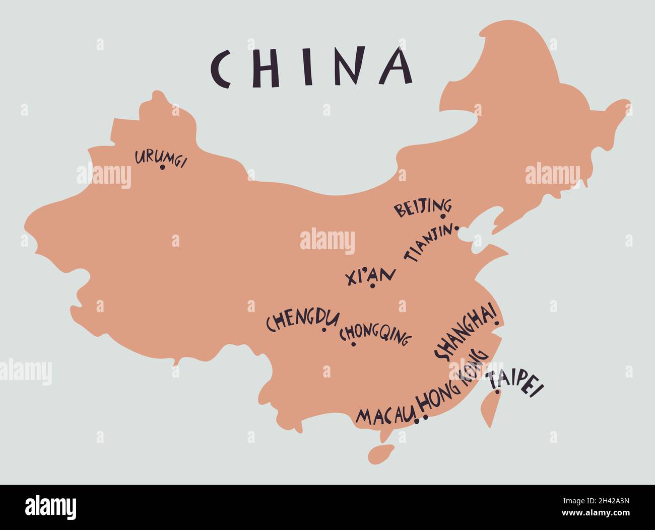 Vector hand drawn stylized map of China. Travel illustration of China provinces. Geography illustration and handwritten lettering. Asia map element. P Stock Vectorhttps://www.alamy.com/image-license-details/?v=1https://www.alamy.com/vector-hand-drawn-stylized-map-of-china-travel-illustration-of-china-provinces-geography-illustration-and-handwritten-lettering-asia-map-element-p-image449980041.html
RF2H42A3N–Vector hand drawn stylized map of China. Travel illustration of China provinces. Geography illustration and handwritten lettering. Asia map element. P
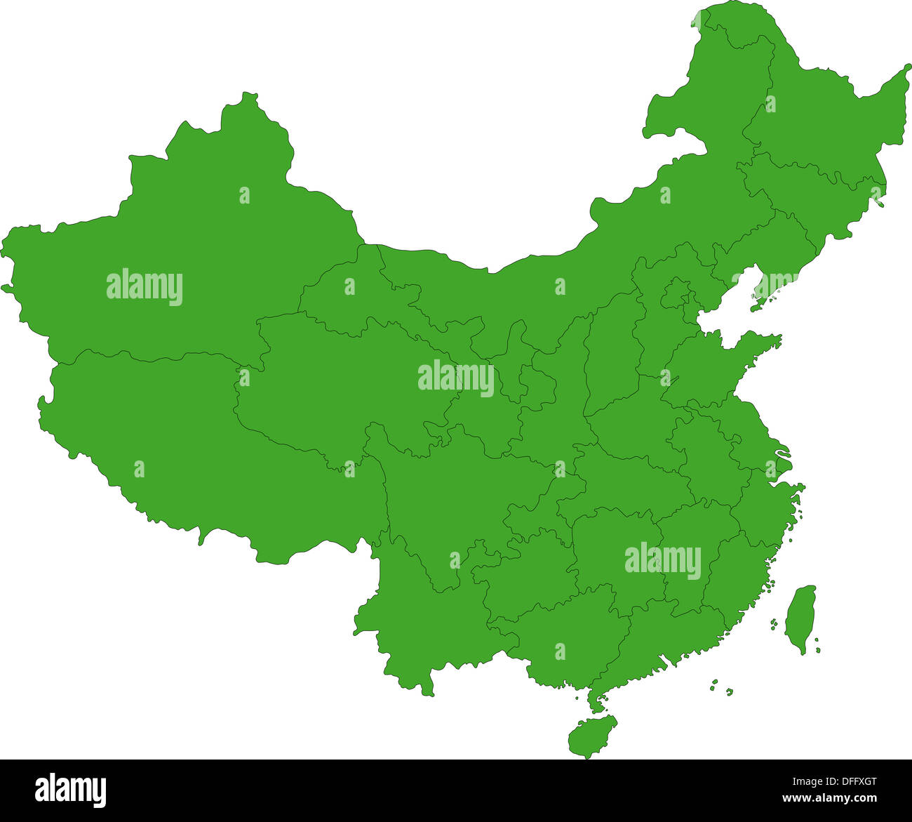 Green China map Stock Photohttps://www.alamy.com/image-license-details/?v=1https://www.alamy.com/green-china-map-image61201080.html
RFDFFXGT–Green China map
 Bildnummer: 58331825 Datum: 10.08.2012 Copyright: imago/Xinhua (1208010) -- QINGDAO, Aug. 10, 2012 (Xinhua) -- Staff members walk past a beer city guide map for the coming 22nd Qingdao International Beer Festival in Qingdao, a coastal city in east China s Shandong Province, Aug. 10, 2012. The 22nd Qingdao International Beer Festival, which will last from Aug. 11 to Aug. 26, has attracted 25 famous beer brands from 16 countries and regions. (Xinhua/Li Ziheng) (wjq) CHINA-SHANDONG-QINGDAO-INTERNATIONAL BEER FESTIVAL-APPROACH (CN) PUBLICATIONxNOTxINxCHN Gesellschaft Bier Bierfestival xjh x0x 20 Stock Photohttps://www.alamy.com/image-license-details/?v=1https://www.alamy.com/bildnummer-58331825-datum-10082012-copyright-imagoxinhua-1208010-qingdao-aug-10-2012-xinhua-staff-members-walk-past-a-beer-city-guide-map-for-the-coming-22nd-qingdao-international-beer-festival-in-qingdao-a-coastal-city-in-east-china-s-shandong-province-aug-10-2012-the-22nd-qingdao-international-beer-festival-which-will-last-from-aug-11-to-aug-26-has-attracted-25-famous-beer-brands-from-16-countries-and-regions-xinhuali-ziheng-wjq-china-shandong-qingdao-international-beer-festival-approach-cn-publicationxnotxinxchn-gesellschaft-bier-bierfestival-xjh-x0x-20-image562936629.html
RM2RKRYBH–Bildnummer: 58331825 Datum: 10.08.2012 Copyright: imago/Xinhua (1208010) -- QINGDAO, Aug. 10, 2012 (Xinhua) -- Staff members walk past a beer city guide map for the coming 22nd Qingdao International Beer Festival in Qingdao, a coastal city in east China s Shandong Province, Aug. 10, 2012. The 22nd Qingdao International Beer Festival, which will last from Aug. 11 to Aug. 26, has attracted 25 famous beer brands from 16 countries and regions. (Xinhua/Li Ziheng) (wjq) CHINA-SHANDONG-QINGDAO-INTERNATIONAL BEER FESTIVAL-APPROACH (CN) PUBLICATIONxNOTxINxCHN Gesellschaft Bier Bierfestival xjh x0x 20
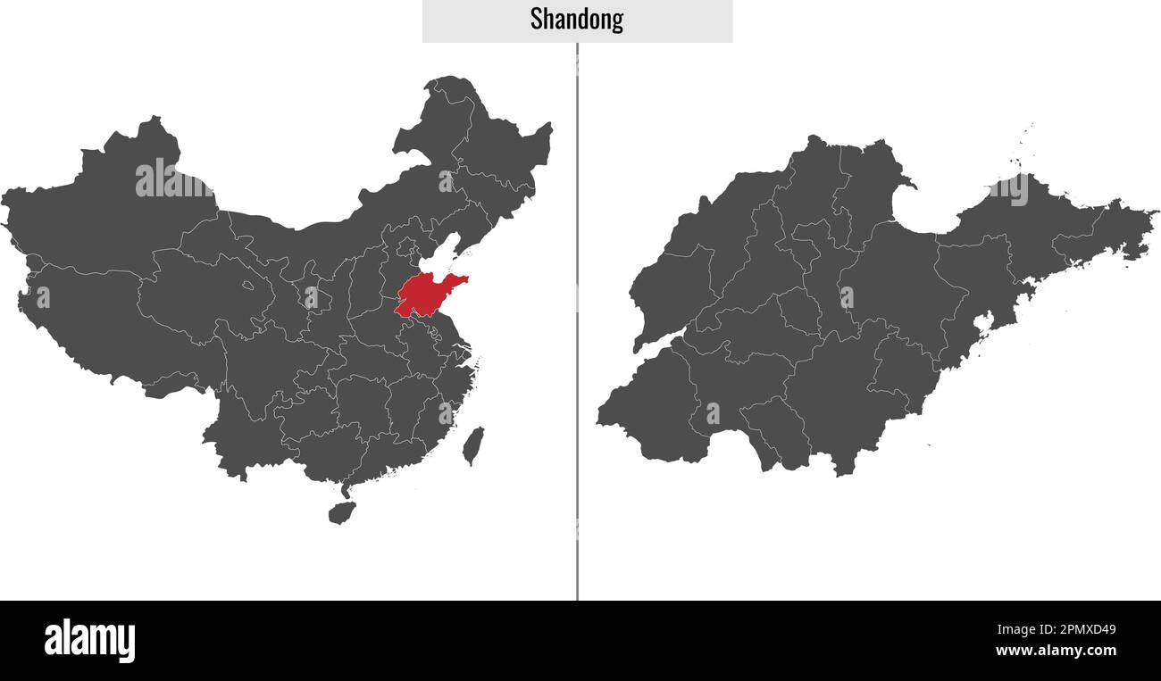 map of Shandong province of China and location on Chinese map Stock Vectorhttps://www.alamy.com/image-license-details/?v=1https://www.alamy.com/map-of-shandong-province-of-china-and-location-on-chinese-map-image546395593.html
RF2PMXD49–map of Shandong province of China and location on Chinese map
 Scene of the Battle of Weishui in Weifang City Museum Stock Photohttps://www.alamy.com/image-license-details/?v=1https://www.alamy.com/scene-of-the-battle-of-weishui-in-weifang-city-museum-image249004064.html
RFTD3368–Scene of the Battle of Weishui in Weifang City Museum
 Political map of China with the several provinces where Shandong is highlighted. Stock Photohttps://www.alamy.com/image-license-details/?v=1https://www.alamy.com/stock-photo-political-map-of-china-with-the-several-provinces-where-shandong-is-48883861.html
RFCRERT5–Political map of China with the several provinces where Shandong is highlighted.
 China map. Flat vector illustration on white background Stock Vectorhttps://www.alamy.com/image-license-details/?v=1https://www.alamy.com/stock-photo-china-map-flat-vector-illustration-on-white-background-173563926.html
RFM2AEFJ–China map. Flat vector illustration on white background
 Qingdao, China. 22nd July, 2024. A map of Qingdao, made of 30,000 plastic beer bottles, is being seen by Tangdao Bay in the West Coast New Area after heavy rains in Qingdao, China, on July 21, 2024. (Photo by Costfoto/NurPhoto) Credit: NurPhoto SRL/Alamy Live News Stock Photohttps://www.alamy.com/image-license-details/?v=1https://www.alamy.com/qingdao-china-22nd-july-2024-a-map-of-qingdao-made-of-30000-plastic-beer-bottles-is-being-seen-by-tangdao-bay-in-the-west-coast-new-area-after-heavy-rains-in-qingdao-china-on-july-21-2024-photo-by-costfotonurphoto-credit-nurphoto-srlalamy-live-news-image614240247.html
RM2XK91KK–Qingdao, China. 22nd July, 2024. A map of Qingdao, made of 30,000 plastic beer bottles, is being seen by Tangdao Bay in the West Coast New Area after heavy rains in Qingdao, China, on July 21, 2024. (Photo by Costfoto/NurPhoto) Credit: NurPhoto SRL/Alamy Live News
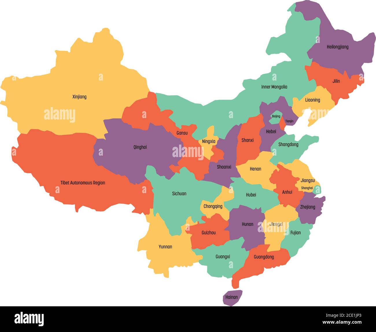 Map of administrative provinces of China. Vector illustration. Stock Vectorhttps://www.alamy.com/image-license-details/?v=1https://www.alamy.com/map-of-administrative-provinces-of-china-vector-illustration-image370059595.html
RF2CE1JP3–Map of administrative provinces of China. Vector illustration.
 Mines of Shandong. China. Sketch map 1885 old antique vintage plan chart Stock Photohttps://www.alamy.com/image-license-details/?v=1https://www.alamy.com/stock-photo-mines-of-shandong-china-sketch-map-1885-old-antique-vintage-plan-chart-176386190.html
RFM6Y2AP–Mines of Shandong. China. Sketch map 1885 old antique vintage plan chart
 Covered Tripod Vessel, China, Shandong province, Neolithic period, Shandong Longshan culture, 2500 2000 BC, burnished black earthenware Arthur M Sackler Museum, Harvard University DSC00805 Stock Photohttps://www.alamy.com/image-license-details/?v=1https://www.alamy.com/covered-tripod-vessel-china-shandong-province-neolithic-period-shandong-image153147020.html
RMJW4CGC–Covered Tripod Vessel, China, Shandong province, Neolithic period, Shandong Longshan culture, 2500 2000 BC, burnished black earthenware Arthur M Sackler Museum, Harvard University DSC00805
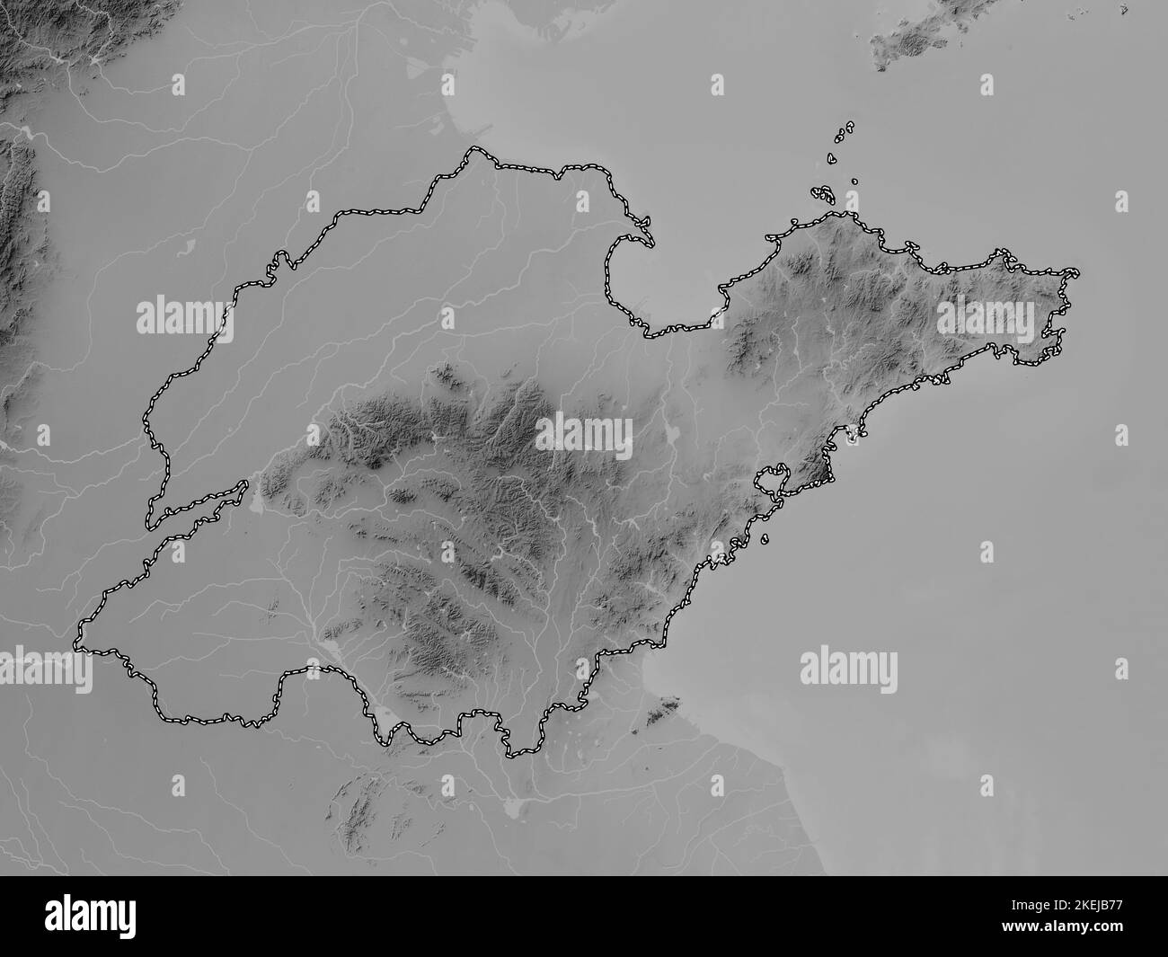 Shandong, province of China. Grayscale elevation map with lakes and rivers Stock Photohttps://www.alamy.com/image-license-details/?v=1https://www.alamy.com/shandong-province-of-china-grayscale-elevation-map-with-lakes-and-rivers-image490899451.html
RF2KEJB77–Shandong, province of China. Grayscale elevation map with lakes and rivers
 zibo china shandong city isometric financial economy condition concept for describe cities growth expand - vector Stock Vectorhttps://www.alamy.com/image-license-details/?v=1https://www.alamy.com/zibo-china-shandong-city-isometric-financial-economy-condition-concept-for-describe-cities-growth-expand-vector-image242994701.html
RFT39A65–zibo china shandong city isometric financial economy condition concept for describe cities growth expand - vector
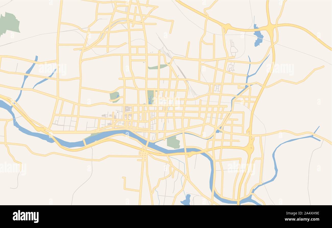 Printable street map of Laiwu, Province Shandong, China. Map template for business use. Stock Vectorhttps://www.alamy.com/image-license-details/?v=1https://www.alamy.com/printable-street-map-of-laiwu-province-shandong-china-map-template-for-business-use-image330039962.html
RF2A4XH9E–Printable street map of Laiwu, Province Shandong, China. Map template for business use.
 Shandong Province (Administrative divisions of China, China, People's Republic of China, PRC) map is designed cannabis leaf green and black, Shantung Stock Vectorhttps://www.alamy.com/image-license-details/?v=1https://www.alamy.com/shandong-province-administrative-divisions-of-china-china-peoples-republic-of-china-prc-map-is-designed-cannabis-leaf-green-and-black-shantung-image257094533.html
RFTX7JKH–Shandong Province (Administrative divisions of China, China, People's Republic of China, PRC) map is designed cannabis leaf green and black, Shantung