Shasta county california Stock Photos and Images
(2,137)See shasta county california stock video clipsQuick filters:
Shasta county california Stock Photos and Images
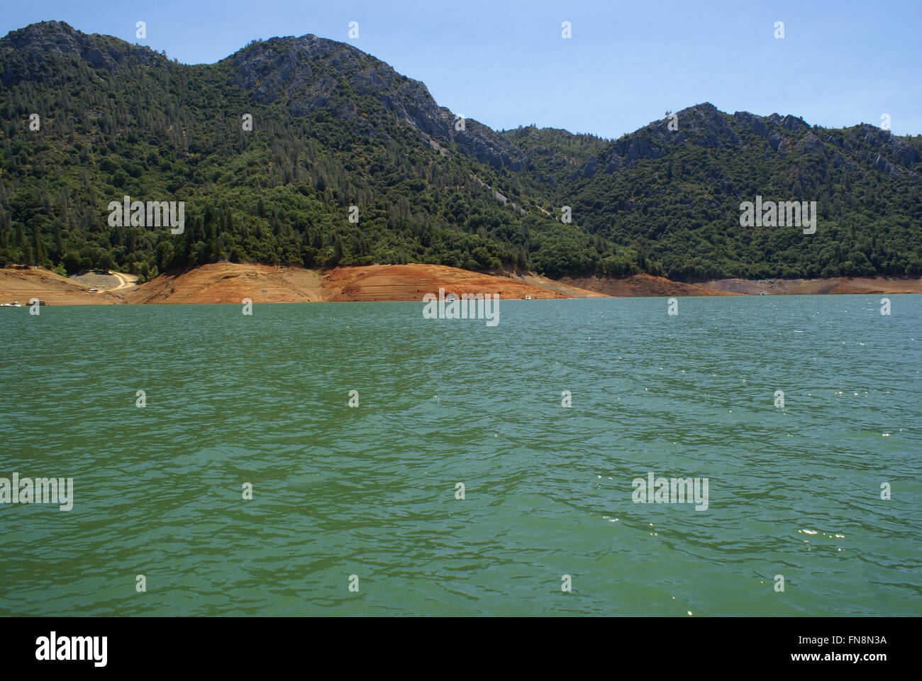 Lake Shasta, Shasta County, California, USA, a water reservoir in Shasta-Trinity National Forest, fed by Shasta dam Stock Photohttps://www.alamy.com/image-license-details/?v=1https://www.alamy.com/stock-photo-lake-shasta-shasta-county-california-usa-a-water-reservoir-in-shasta-99151790.html
RFFN8N3A–Lake Shasta, Shasta County, California, USA, a water reservoir in Shasta-Trinity National Forest, fed by Shasta dam
 Penstock from McCloud Reservoir in Shasta County California near Hawkins Creek Stock Photohttps://www.alamy.com/image-license-details/?v=1https://www.alamy.com/penstock-from-mccloud-reservoir-in-shasta-county-california-near-hawkins-creek-image629410467.html
RF2YG03D7–Penstock from McCloud Reservoir in Shasta County California near Hawkins Creek
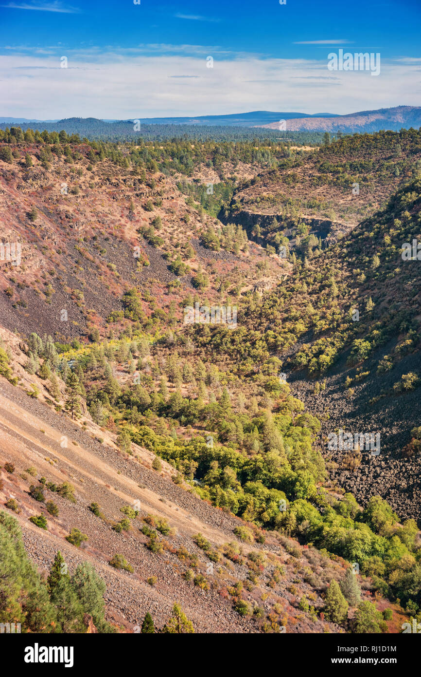 Pit River Canyon near Fall River Mills, Shasta County, California USA Stock Photohttps://www.alamy.com/image-license-details/?v=1https://www.alamy.com/pit-river-canyon-near-fall-river-mills-shasta-county-california-usa-image234830784.html
RMRJ1D1M–Pit River Canyon near Fall River Mills, Shasta County, California USA
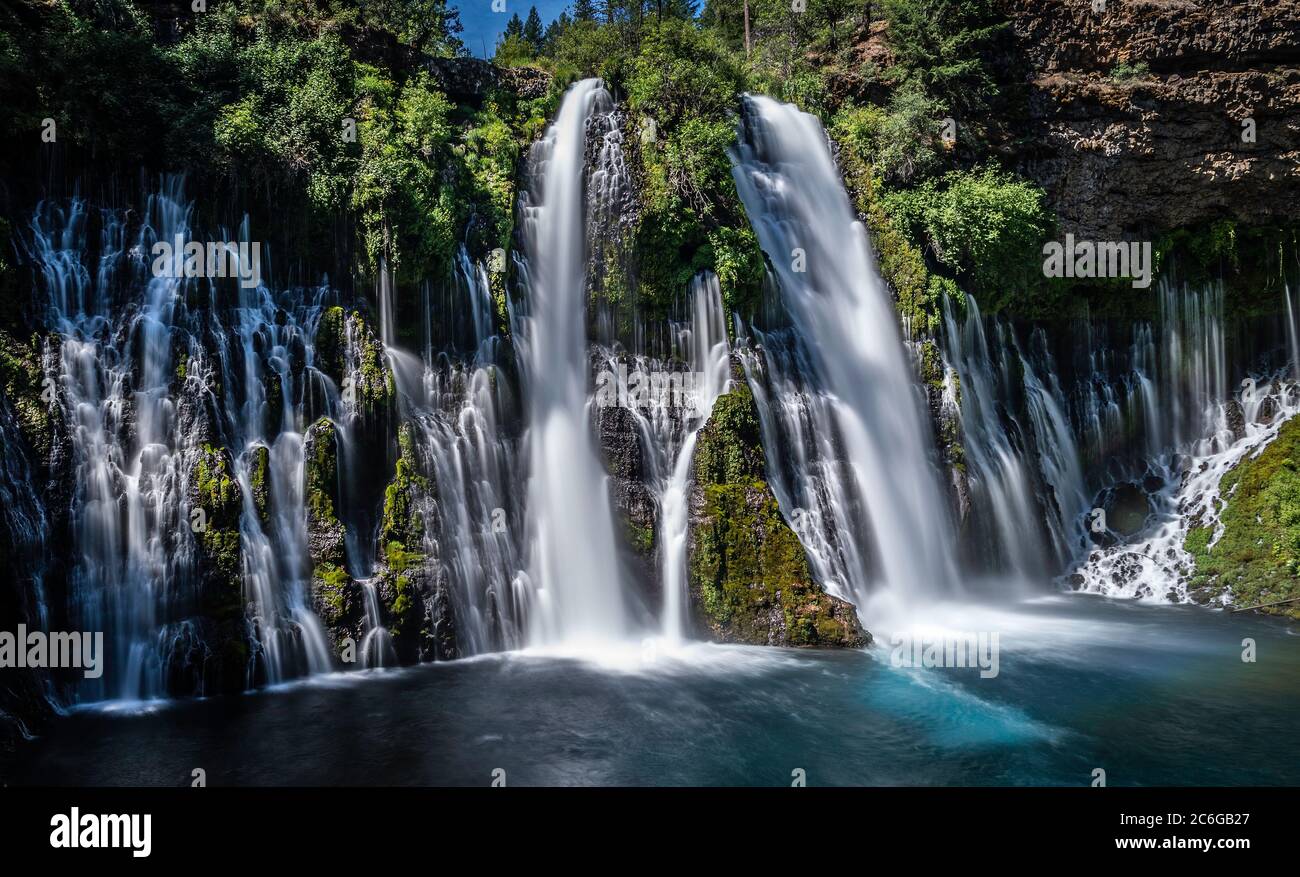 McArthur-Burney Falls Memorial State Park, in Shasta County, California Stock Photohttps://www.alamy.com/image-license-details/?v=1https://www.alamy.com/mcarthur-burney-falls-memorial-state-park-in-shasta-county-california-image365465583.html
RF2C6GB27–McArthur-Burney Falls Memorial State Park, in Shasta County, California
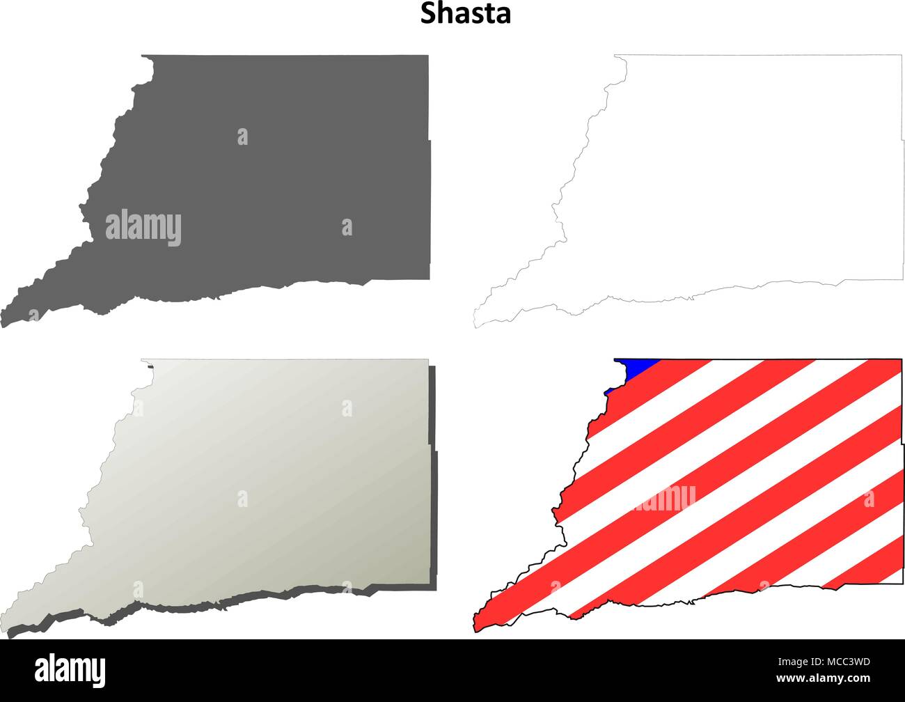 Shasta County, California outline map set Stock Vectorhttps://www.alamy.com/image-license-details/?v=1https://www.alamy.com/shasta-county-california-outline-map-set-image179746041.html
RFMCC3WD–Shasta County, California outline map set
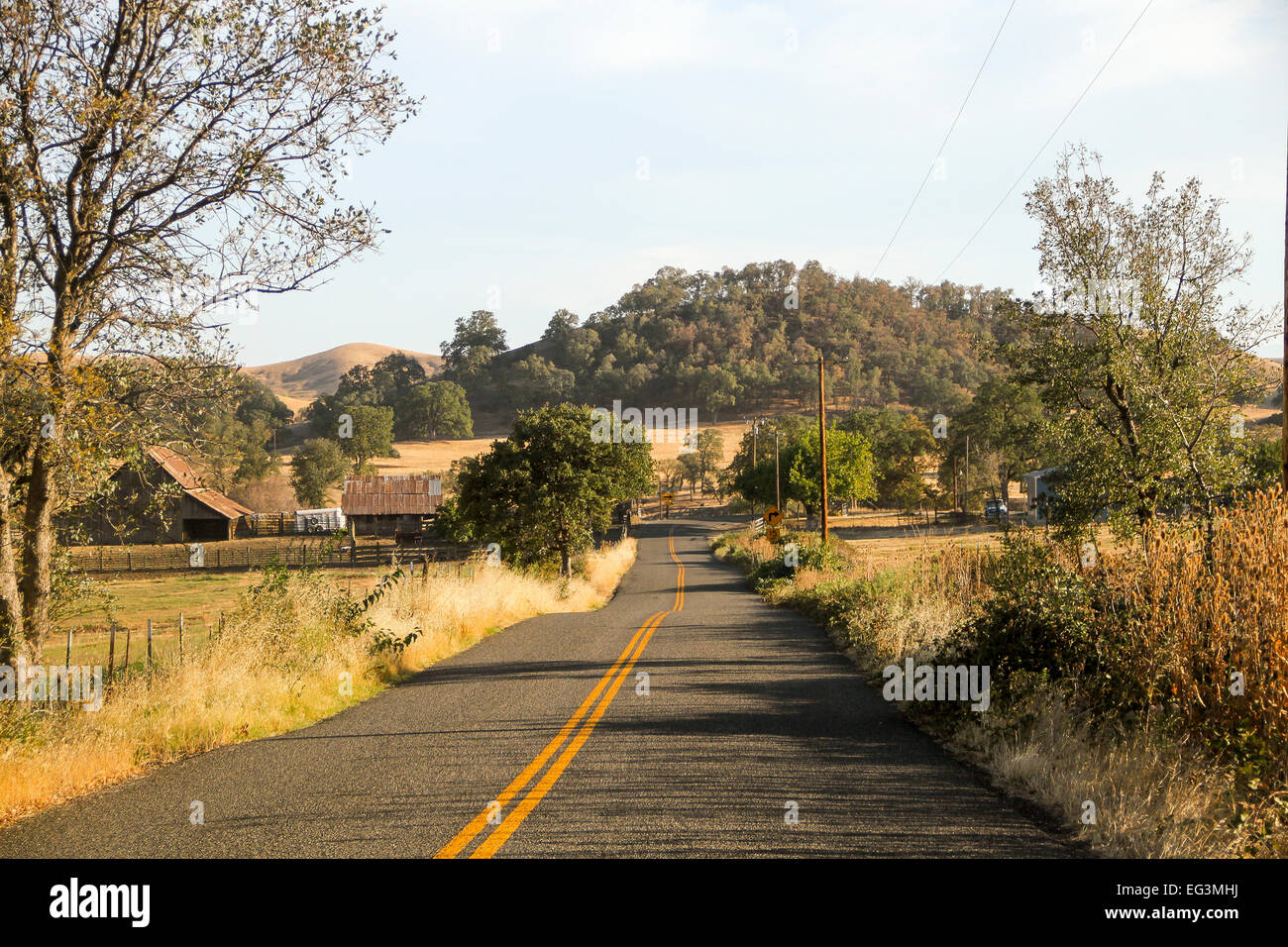 A road in the remote town of Ono, Shasta County, California, United States Stock Photohttps://www.alamy.com/image-license-details/?v=1https://www.alamy.com/stock-photo-a-road-in-the-remote-town-of-ono-shasta-county-california-united-states-78757998.html
RMEG3MHJ–A road in the remote town of Ono, Shasta County, California, United States
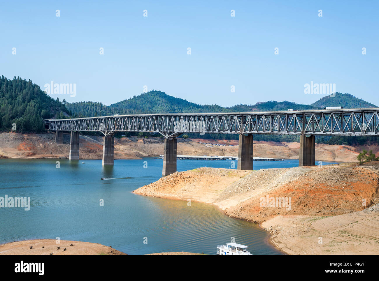 Lake Shasta and the Pit River Bridge (VFW Memorial Bridge). Shasta County, California, United States. Stock Photohttps://www.alamy.com/image-license-details/?v=1https://www.alamy.com/stock-photo-lake-shasta-and-the-pit-river-bridge-vfw-memorial-bridge-shasta-county-78547867.html
RMEFP4GY–Lake Shasta and the Pit River Bridge (VFW Memorial Bridge). Shasta County, California, United States.
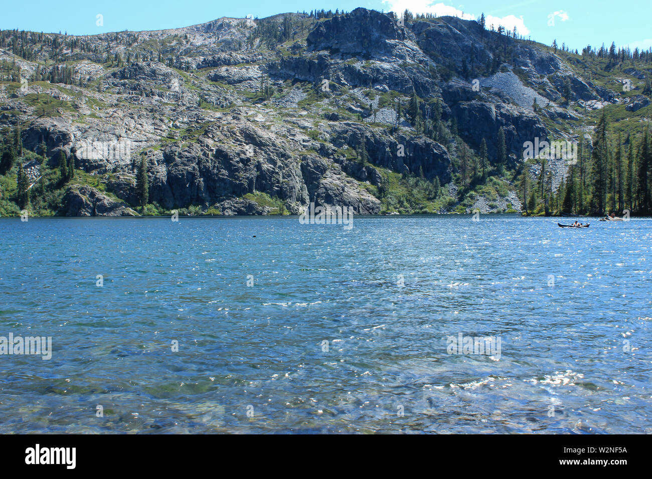 Beautiful lake in Shasta County, California, USA Stock Photohttps://www.alamy.com/image-license-details/?v=1https://www.alamy.com/beautiful-lake-in-shasta-county-california-usa-image259857734.html
RFW2NF5A–Beautiful lake in Shasta County, California, USA
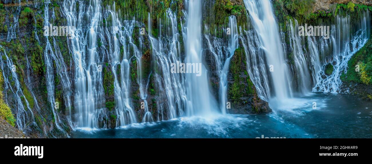 Waterfalls, Burney Falls Memorial State Park, Shasta-Trinity National Forest, Shasta County, California Stock Photohttps://www.alamy.com/image-license-details/?v=1https://www.alamy.com/waterfalls-burney-falls-memorial-state-park-shasta-trinity-national-forest-shasta-county-california-image441129229.html
RF2GHK4R9–Waterfalls, Burney Falls Memorial State Park, Shasta-Trinity National Forest, Shasta County, California
 View of trucks and traffic traveling along interstate 5 in Tehama County California with the dramatic cone of Mount Shasta visible in the distance Stock Photohttps://www.alamy.com/image-license-details/?v=1https://www.alamy.com/view-of-trucks-and-traffic-traveling-along-interstate-5-in-tehama-county-california-with-the-dramatic-cone-of-mount-shasta-visible-in-the-distance-image615214023.html
RF2XMWBNB–View of trucks and traffic traveling along interstate 5 in Tehama County California with the dramatic cone of Mount Shasta visible in the distance
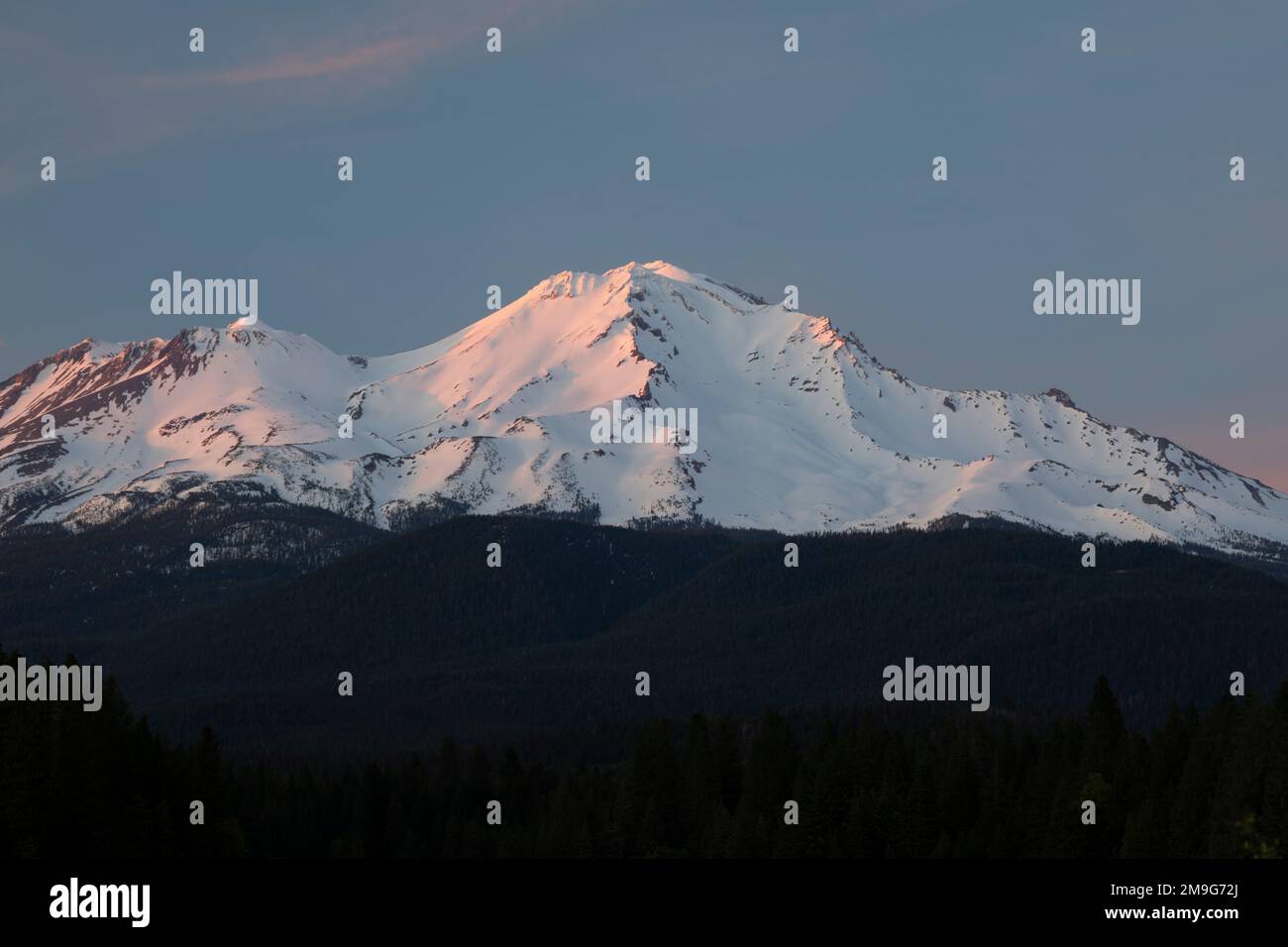 View of Mount Shasta, Siskiyou County, California, USA Stock Photohttps://www.alamy.com/image-license-details/?v=1https://www.alamy.com/view-of-mount-shasta-siskiyou-county-california-usa-image504989370.html
RM2M9G72J–View of Mount Shasta, Siskiyou County, California, USA
 Old Shasta California miners town Stock Photohttps://www.alamy.com/image-license-details/?v=1https://www.alamy.com/stock-photo-old-shasta-california-miners-town-139219689.html
RFJ2E03N–Old Shasta California miners town
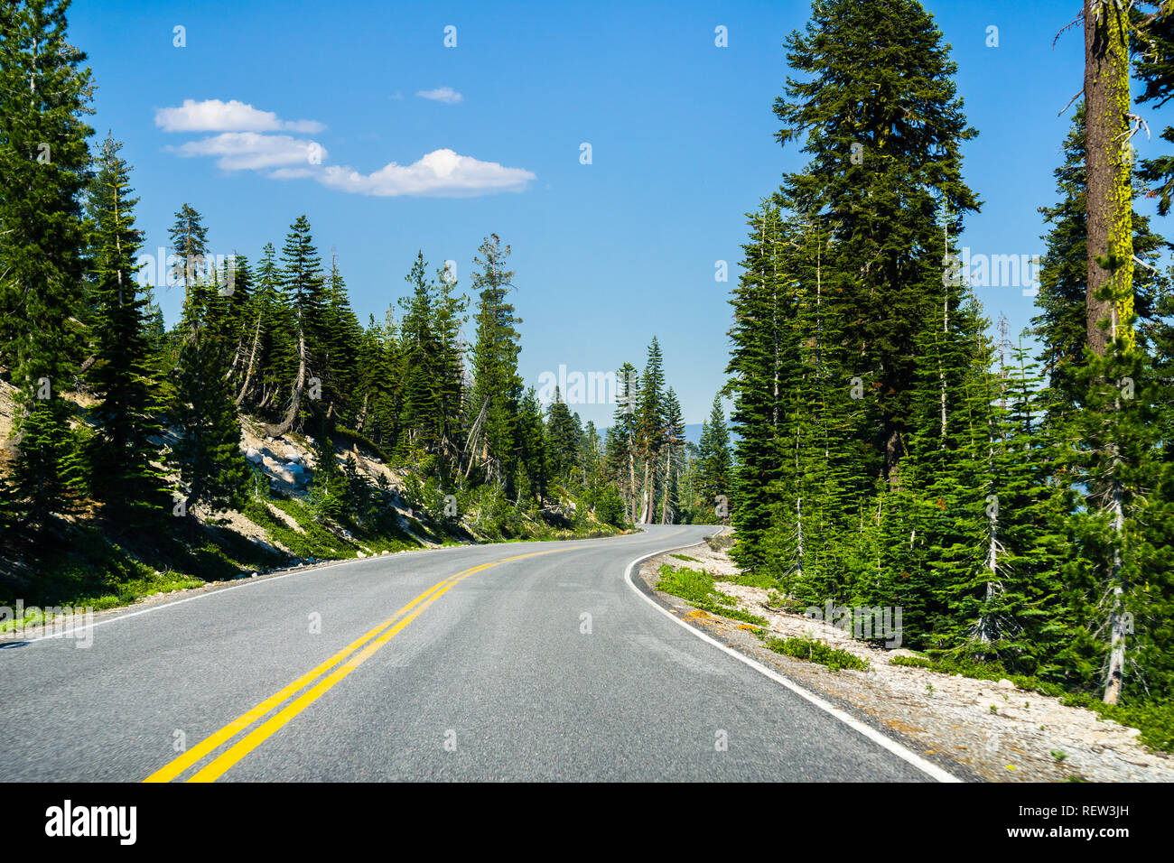 Travelling on a winding road through the evergreen forests of Lassen Volcanic National Park, Shasta County, California Stock Photohttps://www.alamy.com/image-license-details/?v=1https://www.alamy.com/travelling-on-a-winding-road-through-the-evergreen-forests-of-lassen-volcanic-national-park-shasta-county-california-image232891641.html
RFREW3JH–Travelling on a winding road through the evergreen forests of Lassen Volcanic National Park, Shasta County, California
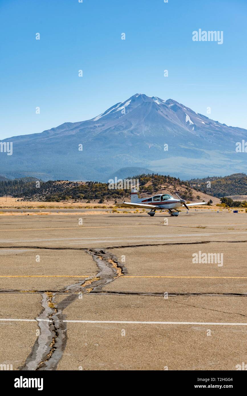 Small propeller aircraft at Weed Airport off Stratovolkan Mount Shasta, Weed, Siskiyou County, California, USA Stock Photohttps://www.alamy.com/image-license-details/?v=1https://www.alamy.com/small-propeller-aircraft-at-weed-airport-off-stratovolkan-mount-shasta-weed-siskiyou-county-california-usa-image242560644.html
RMT2HGG4–Small propeller aircraft at Weed Airport off Stratovolkan Mount Shasta, Weed, Siskiyou County, California, USA
 Fast moving creek in Shasta County California Stock Photohttps://www.alamy.com/image-license-details/?v=1https://www.alamy.com/fast-moving-creek-in-shasta-county-california-image333337759.html
RF2AA8RKY–Fast moving creek in Shasta County California
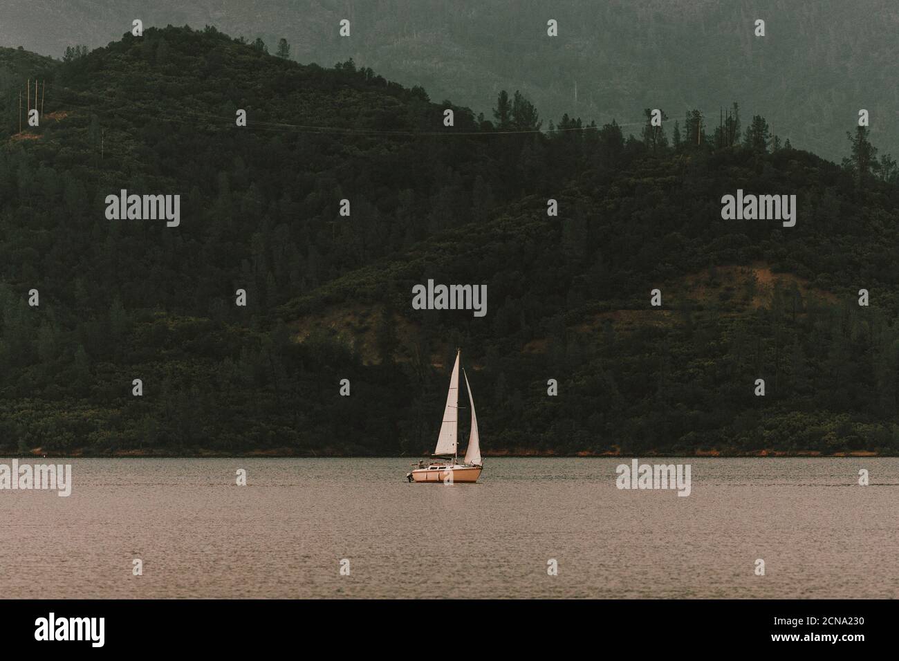 Sailboat on tranquil Whiskeytown Lake, Redding, Shasta County, California, USA Stock Photohttps://www.alamy.com/image-license-details/?v=1https://www.alamy.com/sailboat-on-tranquil-whiskeytown-lake-redding-shasta-county-california-usa-image374546676.html
RF2CNA230–Sailboat on tranquil Whiskeytown Lake, Redding, Shasta County, California, USA
 Sky viewed through an arch, Turtle Bay Exploration Park, Redding, Shasta County, California, USA Stock Photohttps://www.alamy.com/image-license-details/?v=1https://www.alamy.com/stock-photo-sky-viewed-through-an-arch-turtle-bay-exploration-park-redding-shasta-22725118.html
RMB8Y63A–Sky viewed through an arch, Turtle Bay Exploration Park, Redding, Shasta County, California, USA
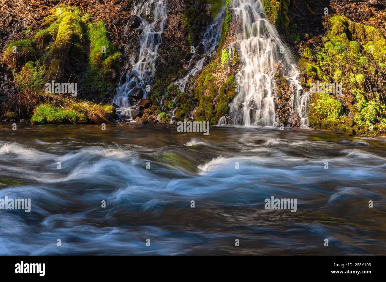 Small cascades by the Burney Creek at Burney Falls State Park, Shasta County, California, United States. Stock Photohttps://www.alamy.com/image-license-details/?v=1https://www.alamy.com/small-cascades-by-the-burney-creek-at-burney-falls-state-park-shasta-county-california-united-states-image418559571.html
RM2F8Y103–Small cascades by the Burney Creek at Burney Falls State Park, Shasta County, California, United States.
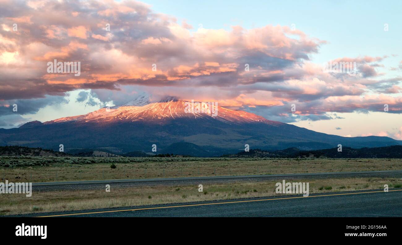 Cumulus clouds capping Mount Shasta & Shastina during sunset, field consisting of natural pasture land. Stock Photohttps://www.alamy.com/image-license-details/?v=1https://www.alamy.com/cumulus-clouds-capping-mount-shasta-shastina-during-sunset-field-consisting-of-natural-pasture-land-image430988610.html
RM2G156AA–Cumulus clouds capping Mount Shasta & Shastina during sunset, field consisting of natural pasture land.
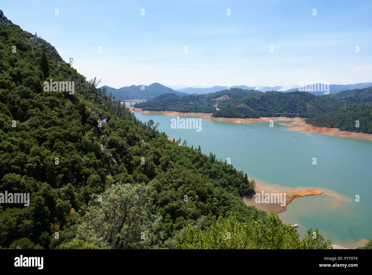 Lake Shasta, Shasta County, California, USA, a water reservoir in Shasta-Trinity National Forest, fed by Shasta dam Stock Photohttps://www.alamy.com/image-license-details/?v=1https://www.alamy.com/stock-photo-lake-shasta-shasta-county-california-usa-a-water-reservoir-in-shasta-103175076.html
RFFYT0T4–Lake Shasta, Shasta County, California, USA, a water reservoir in Shasta-Trinity National Forest, fed by Shasta dam
 Hydroelectric penstock from McCloud Reservoir in Shasta County California near Hawkins Creek in autumn Stock Photohttps://www.alamy.com/image-license-details/?v=1https://www.alamy.com/hydroelectric-penstock-from-mccloud-reservoir-in-shasta-county-california-near-hawkins-creek-in-autumn-image629410359.html
RF2YG039B–Hydroelectric penstock from McCloud Reservoir in Shasta County California near Hawkins Creek in autumn
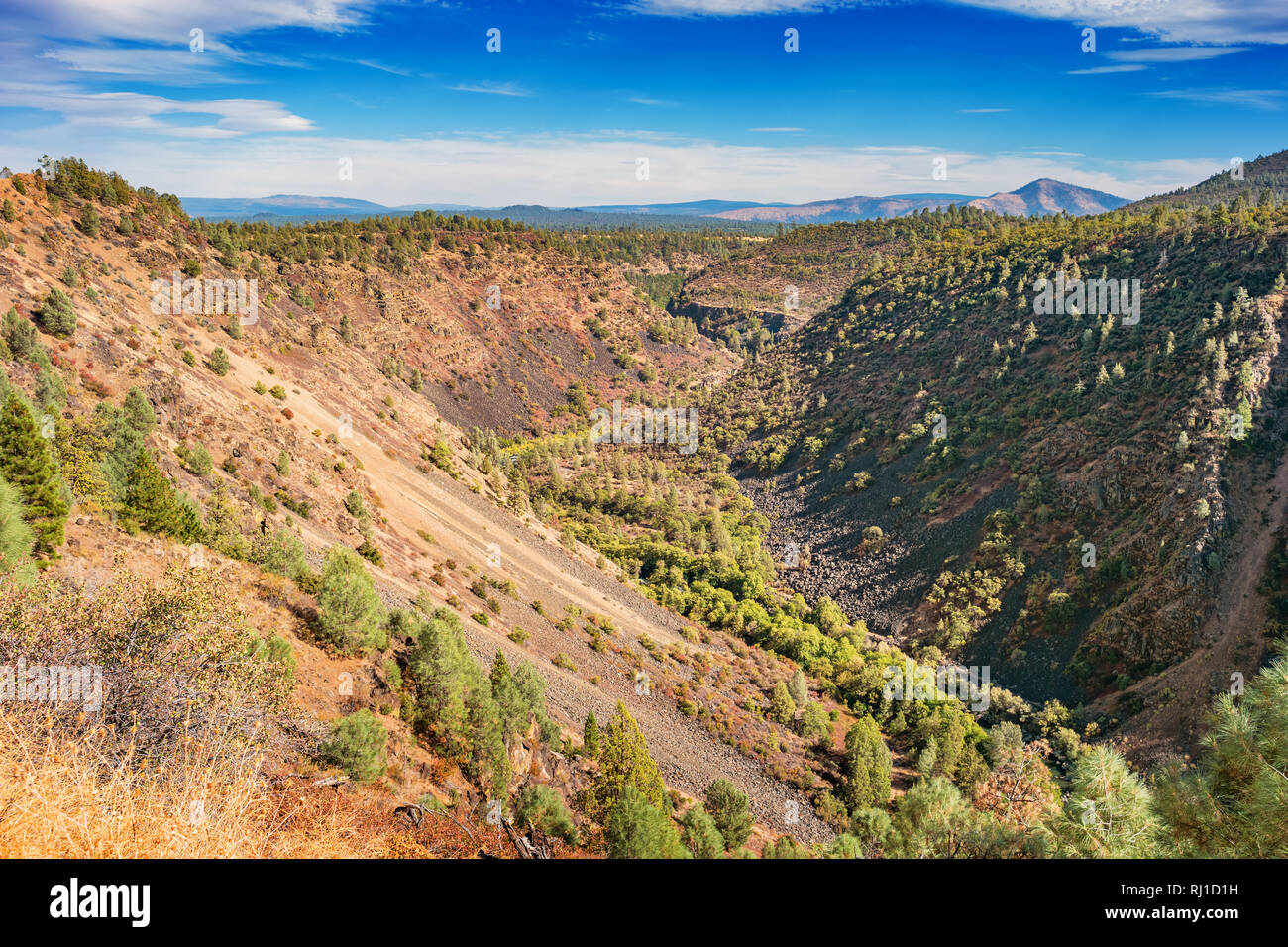 Pit River Canyon near Fall River Mills, Shasta County, California USA Stock Photohttps://www.alamy.com/image-license-details/?v=1https://www.alamy.com/pit-river-canyon-near-fall-river-mills-shasta-county-california-usa-image234830781.html
RMRJ1D1H–Pit River Canyon near Fall River Mills, Shasta County, California USA
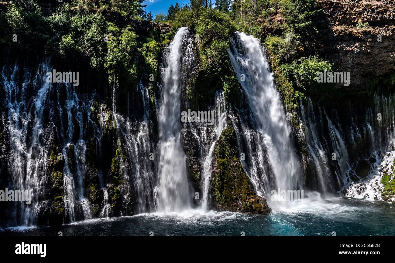 McArthur-Burney Falls Memorial State Park, in Shasta County, California Stock Photohttps://www.alamy.com/image-license-details/?v=1https://www.alamy.com/mcarthur-burney-falls-memorial-state-park-in-shasta-county-california-image365465587.html
RF2C6GB2B–McArthur-Burney Falls Memorial State Park, in Shasta County, California
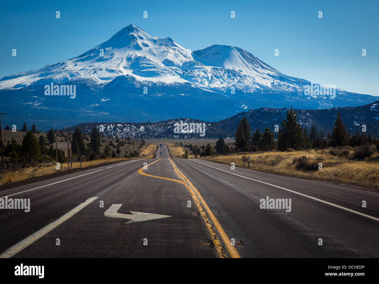 Mount Shasta is located at the southern end of the Cascade Range in Siskiyou County, California Stock Photohttps://www.alamy.com/image-license-details/?v=1https://www.alamy.com/stock-photo-mount-shasta-is-located-at-the-southern-end-of-the-cascade-range-in-59391522.html
RMDCHEDP–Mount Shasta is located at the southern end of the Cascade Range in Siskiyou County, California
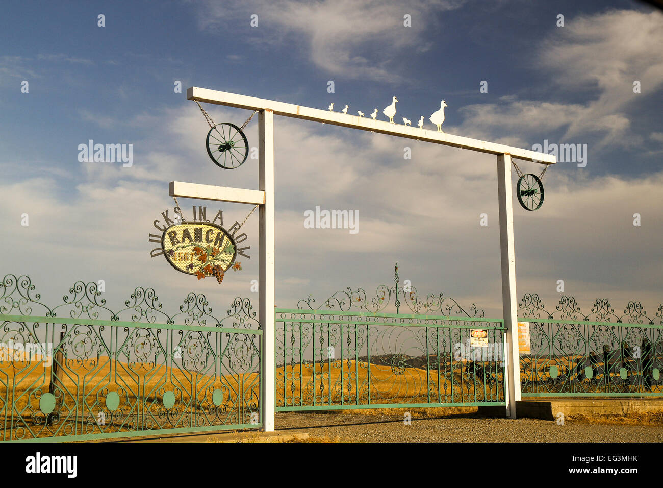 Entrance to a ranch in the remote community of Ono, Shasta County, California, United States Stock Photohttps://www.alamy.com/image-license-details/?v=1https://www.alamy.com/stock-photo-entrance-to-a-ranch-in-the-remote-community-of-ono-shasta-county-california-78757999.html
RMEG3MHK–Entrance to a ranch in the remote community of Ono, Shasta County, California, United States
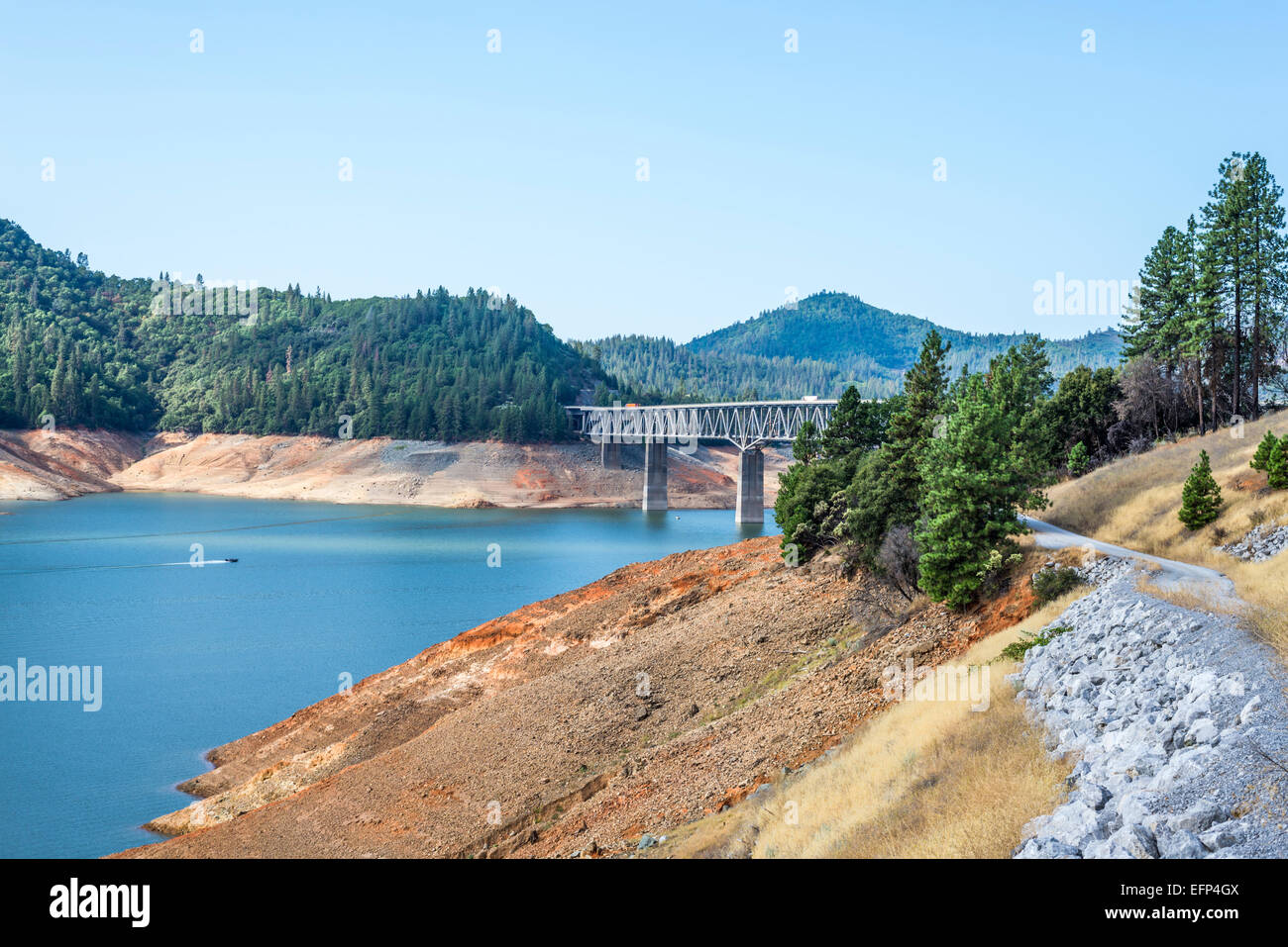 Lake Shasta and the Pit River Bridge (VFW Memorial Bridge). Shasta County, California, United States. Stock Photohttps://www.alamy.com/image-license-details/?v=1https://www.alamy.com/stock-photo-lake-shasta-and-the-pit-river-bridge-vfw-memorial-bridge-shasta-county-78547866.html
RMEFP4GX–Lake Shasta and the Pit River Bridge (VFW Memorial Bridge). Shasta County, California, United States.
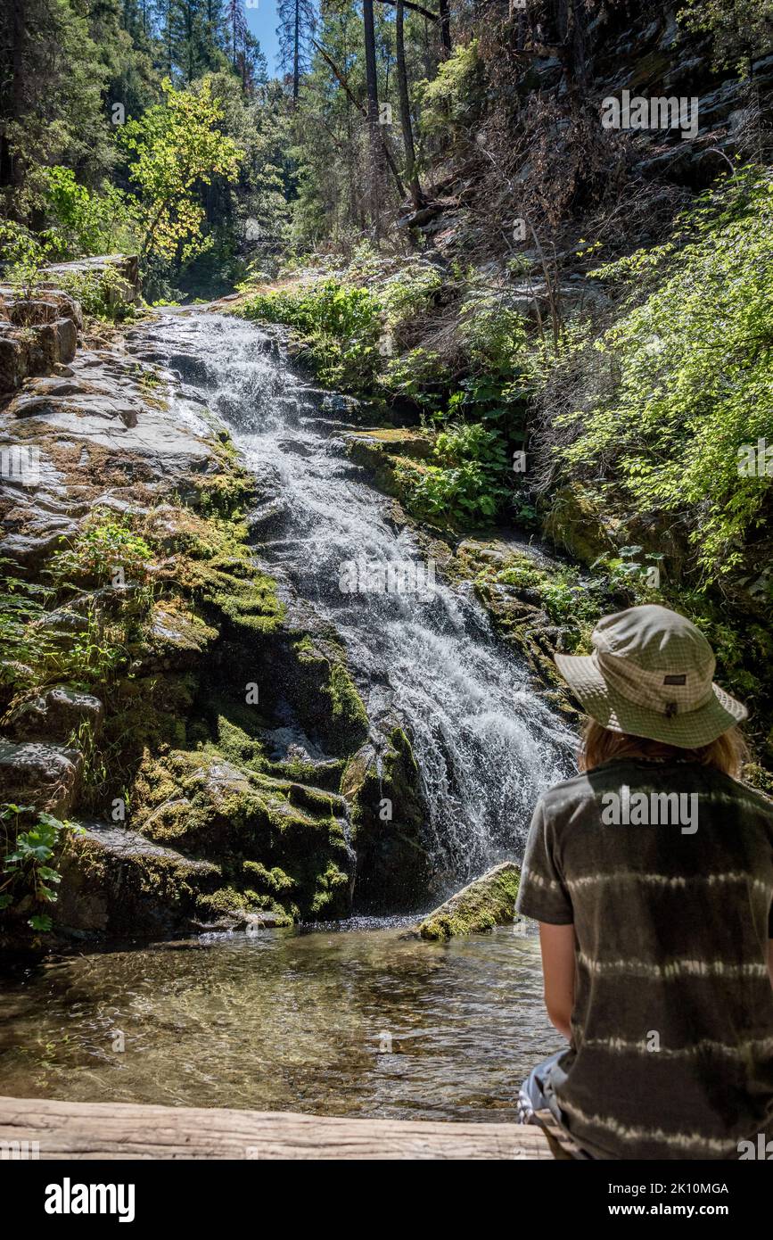 A boy sits watching lower Whiskeytown Falls, a cascading waterfall, on a summer hike in Klamath Mountains, Shasta County, Northern California. Stock Photohttps://www.alamy.com/image-license-details/?v=1https://www.alamy.com/a-boy-sits-watching-lower-whiskeytown-falls-a-cascading-waterfall-on-a-summer-hike-in-klamath-mountains-shasta-county-northern-california-image482521098.html
RM2K10MGA–A boy sits watching lower Whiskeytown Falls, a cascading waterfall, on a summer hike in Klamath Mountains, Shasta County, Northern California.
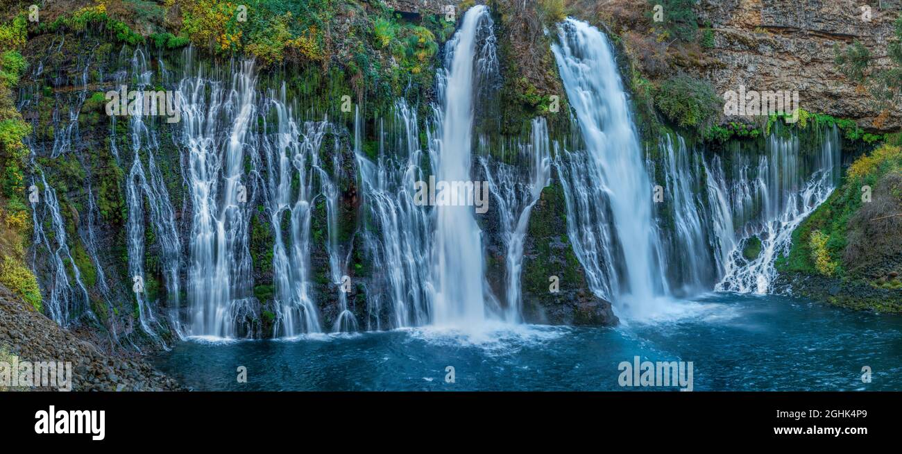 Waterfalls, Burney Falls Memorial State Park, Shasta-Trinity National Forest, Shasta County, California Stock Photohttps://www.alamy.com/image-license-details/?v=1https://www.alamy.com/waterfalls-burney-falls-memorial-state-park-shasta-trinity-national-forest-shasta-county-california-image441129201.html
RF2GHK4P9–Waterfalls, Burney Falls Memorial State Park, Shasta-Trinity National Forest, Shasta County, California
 View of trucks and traffic traveling along interstate 5 in Tehama County California with the dramatic cone of Mount Shasta visible in the distance Stock Photohttps://www.alamy.com/image-license-details/?v=1https://www.alamy.com/view-of-trucks-and-traffic-traveling-along-interstate-5-in-tehama-county-california-with-the-dramatic-cone-of-mount-shasta-visible-in-the-distance-image615214021.html
RF2XMWBN9–View of trucks and traffic traveling along interstate 5 in Tehama County California with the dramatic cone of Mount Shasta visible in the distance
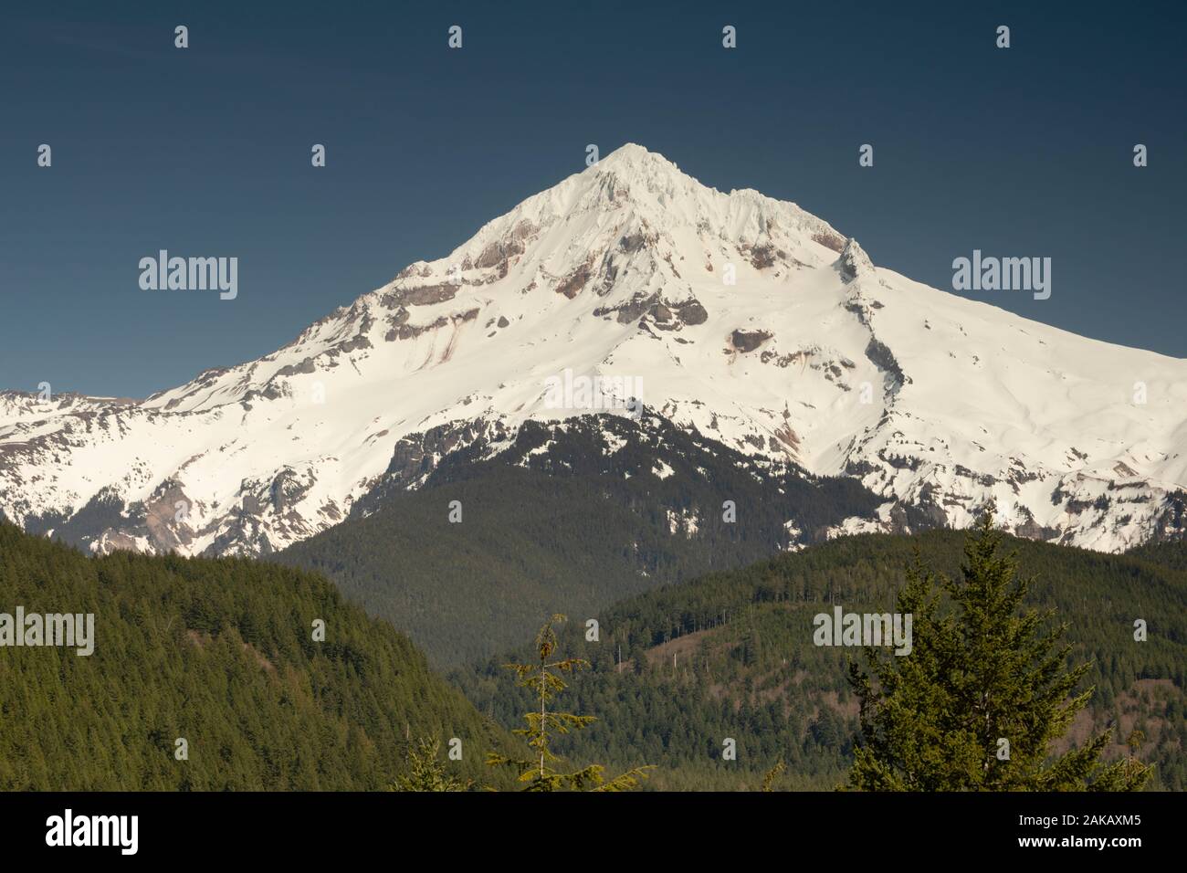 View of Mount Shasta, Siskiyou County, California, USA Stock Photohttps://www.alamy.com/image-license-details/?v=1https://www.alamy.com/view-of-mount-shasta-siskiyou-county-california-usa-image338915925.html
RM2AKAXM5–View of Mount Shasta, Siskiyou County, California, USA
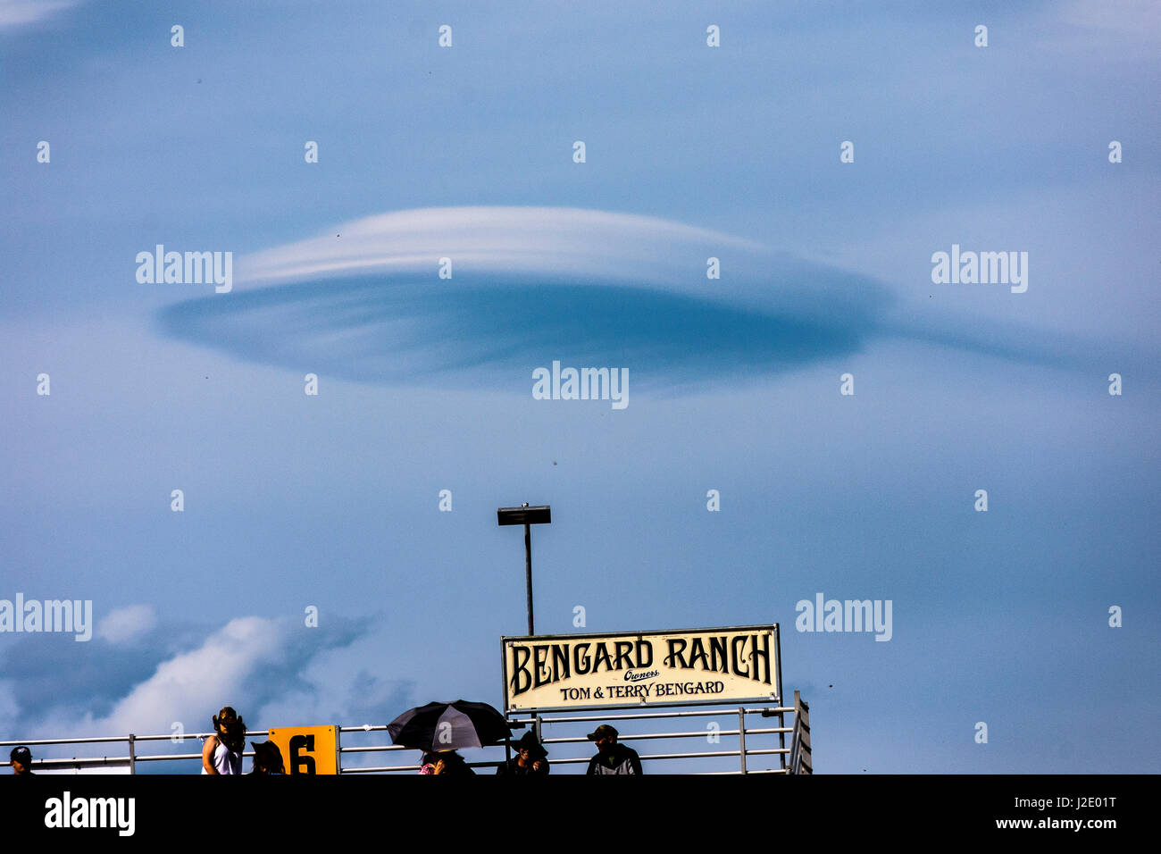 Old Shasta California miners town Stock Photohttps://www.alamy.com/image-license-details/?v=1https://www.alamy.com/stock-photo-old-shasta-california-miners-town-139219636.html
RFJ2E01T–Old Shasta California miners town
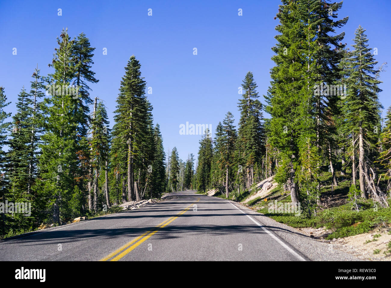 Travelling on a winding road through the evergreen forests of Lassen Volcanic National Park, Shasta County, California Stock Photohttps://www.alamy.com/image-license-details/?v=1https://www.alamy.com/travelling-on-a-winding-road-through-the-evergreen-forests-of-lassen-volcanic-national-park-shasta-county-california-image232891456.html
RFREW3C0–Travelling on a winding road through the evergreen forests of Lassen Volcanic National Park, Shasta County, California
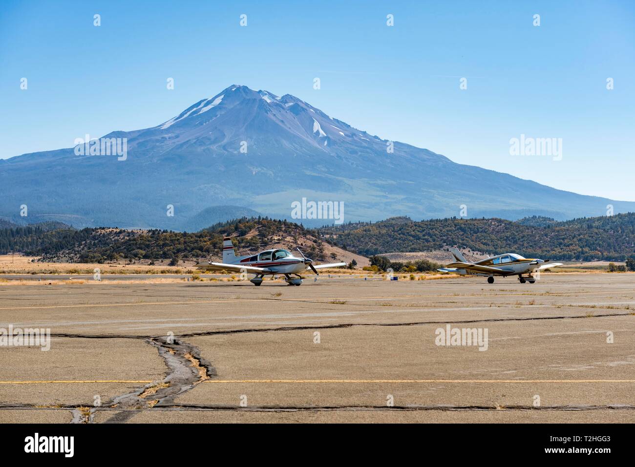 Small propeller aircraft at Weed Airport off Stratovolkan Mount Shasta, Weed, Siskiyou County, California, USA Stock Photohttps://www.alamy.com/image-license-details/?v=1https://www.alamy.com/small-propeller-aircraft-at-weed-airport-off-stratovolkan-mount-shasta-weed-siskiyou-county-california-usa-image242560643.html
RMT2HGG3–Small propeller aircraft at Weed Airport off Stratovolkan Mount Shasta, Weed, Siskiyou County, California, USA
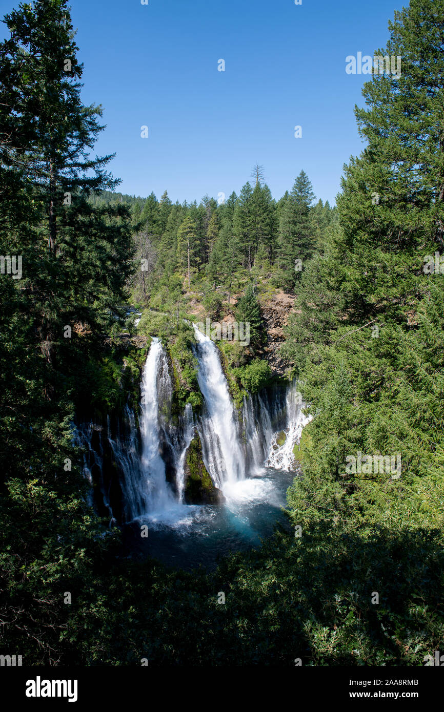 Large waterfalls in Shasta County California, Burney Falls Stock Photohttps://www.alamy.com/image-license-details/?v=1https://www.alamy.com/large-waterfalls-in-shasta-county-california-burney-falls-image333337771.html
RF2AA8RMB–Large waterfalls in Shasta County California, Burney Falls
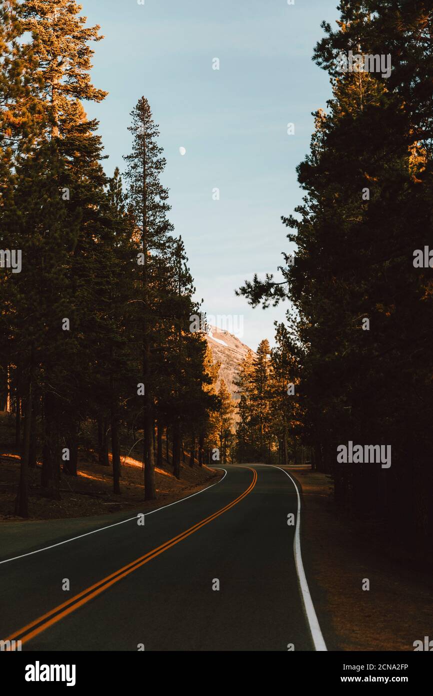 Winding road among forest trees, Redding, Shasta County, California, USA Stock Photohttps://www.alamy.com/image-license-details/?v=1https://www.alamy.com/winding-road-among-forest-trees-redding-shasta-county-california-usa-image374547034.html
RF2CNA2FP–Winding road among forest trees, Redding, Shasta County, California, USA
 Two people walking on a bridge, Turtle Bay Exploration Park, Redding, Shasta County, California, USA Stock Photohttps://www.alamy.com/image-license-details/?v=1https://www.alamy.com/stock-photo-two-people-walking-on-a-bridge-turtle-bay-exploration-park-redding-22725110.html
RMB8Y632–Two people walking on a bridge, Turtle Bay Exploration Park, Redding, Shasta County, California, USA
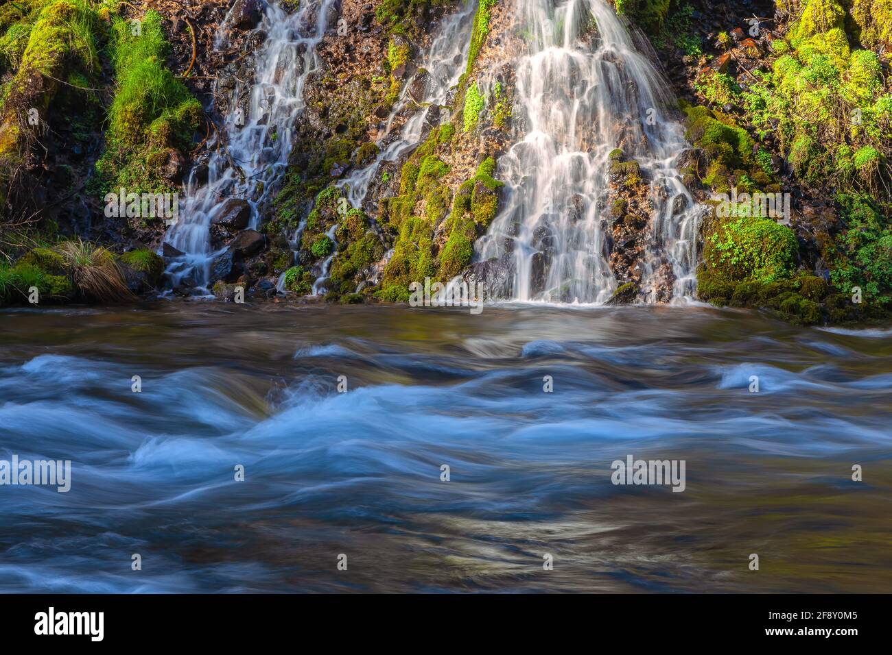 Small cascades by the Burney Creek at Burney Falls State Park, Shasta County, California, United States. Stock Photohttps://www.alamy.com/image-license-details/?v=1https://www.alamy.com/small-cascades-by-the-burney-creek-at-burney-falls-state-park-shasta-county-california-united-states-image418559349.html
RM2F8Y0M5–Small cascades by the Burney Creek at Burney Falls State Park, Shasta County, California, United States.
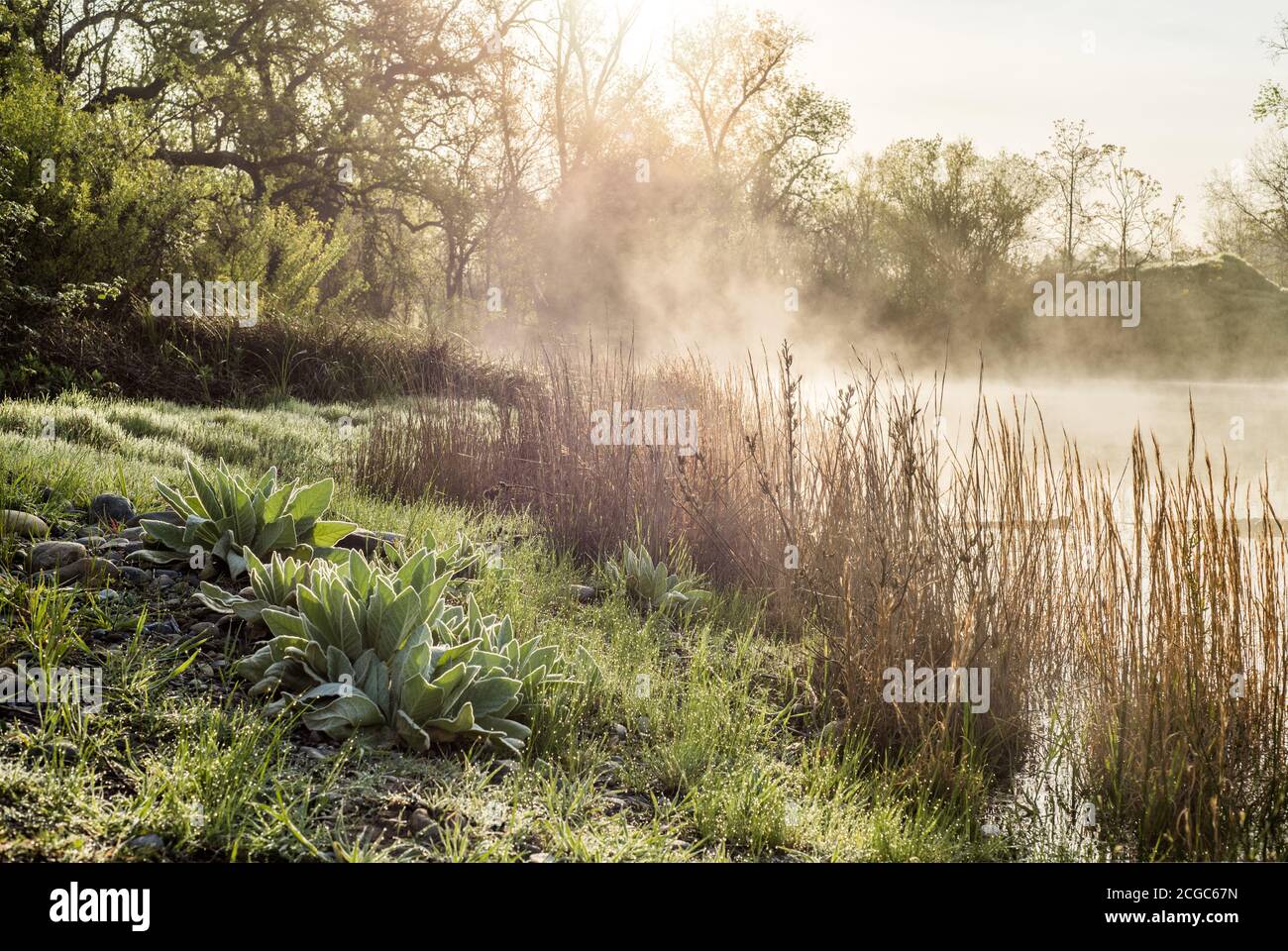 Anderson River Park morning mist, Shasta County, Northern California Stock Photohttps://www.alamy.com/image-license-details/?v=1https://www.alamy.com/anderson-river-park-morning-mist-shasta-county-northern-california-image371520569.html
RF2CGC67N–Anderson River Park morning mist, Shasta County, Northern California
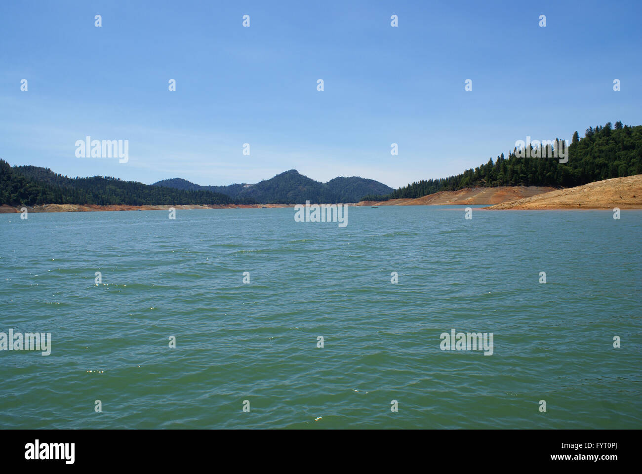 Lake Shasta, Shasta County, California, USA, a water reservoir in Shasta-Trinity National Forest, fed by Shasta dam Stock Photohttps://www.alamy.com/image-license-details/?v=1https://www.alamy.com/stock-photo-lake-shasta-shasta-county-california-usa-a-water-reservoir-in-shasta-103175034.html
RFFYT0PJ–Lake Shasta, Shasta County, California, USA, a water reservoir in Shasta-Trinity National Forest, fed by Shasta dam
 Mallard duck (Anas platyrhynchos) hen with one of her adolescent young on an island with wildflowers and driftwood. Shasta County California. Stock Photohttps://www.alamy.com/image-license-details/?v=1https://www.alamy.com/mallard-duck-anas-platyrhynchos-hen-with-one-of-her-adolescent-young-on-an-island-with-wildflowers-and-driftwood-shasta-county-california-image613653026.html
RF2XJA8KE–Mallard duck (Anas platyrhynchos) hen with one of her adolescent young on an island with wildflowers and driftwood. Shasta County California.
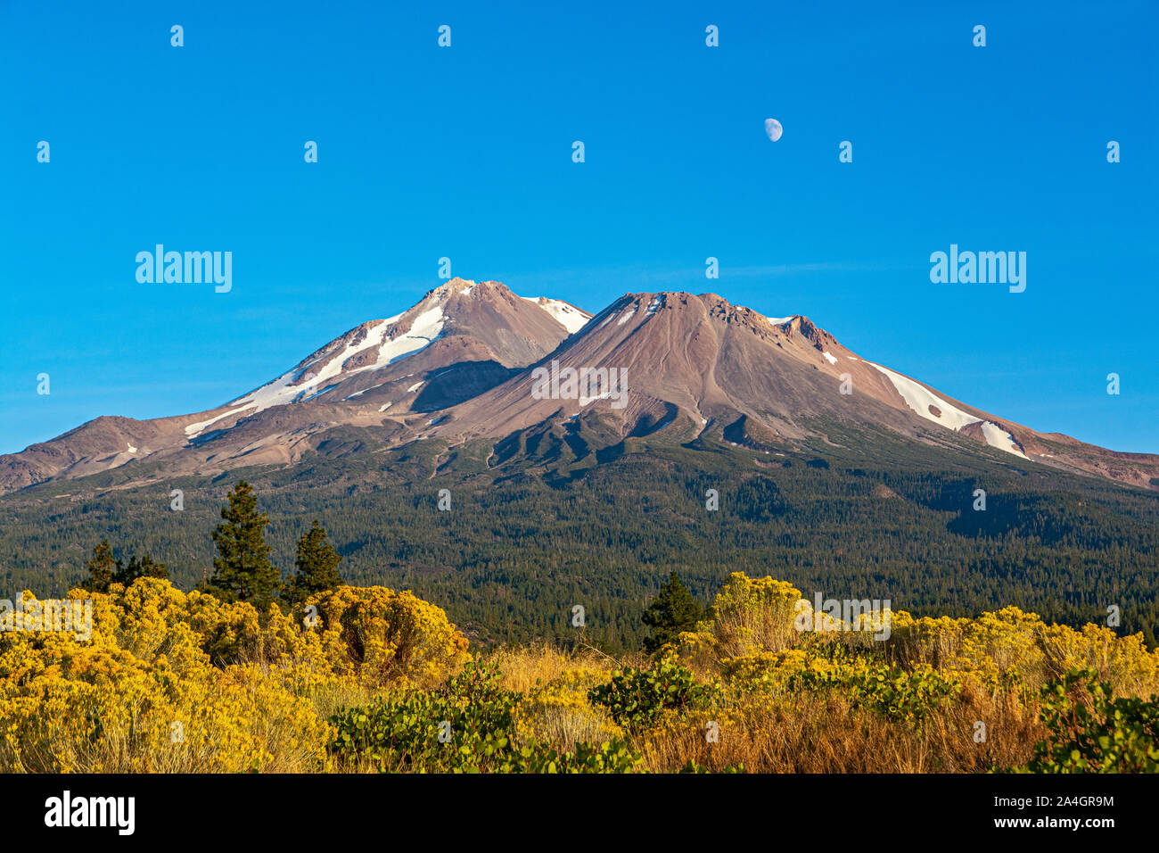 California, Mount Shasta, Siskiyou County, view from Hwy 97 the Volcanic Legacy Scenic Byway Stock Photohttps://www.alamy.com/image-license-details/?v=1https://www.alamy.com/california-mount-shasta-siskiyou-county-view-from-hwy-97-the-volcanic-legacy-scenic-byway-image329825152.html
RM2A4GR9M–California, Mount Shasta, Siskiyou County, view from Hwy 97 the Volcanic Legacy Scenic Byway
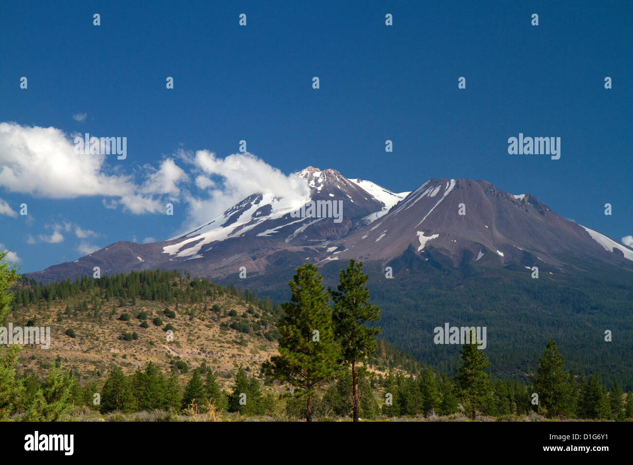 Mount Shasta north facing side located in Siskiyou County, California, USA. Stock Photohttps://www.alamy.com/image-license-details/?v=1https://www.alamy.com/stock-photo-mount-shasta-north-facing-side-located-in-siskiyou-county-california-52602453.html
RMD1G6Y1–Mount Shasta north facing side located in Siskiyou County, California, USA.
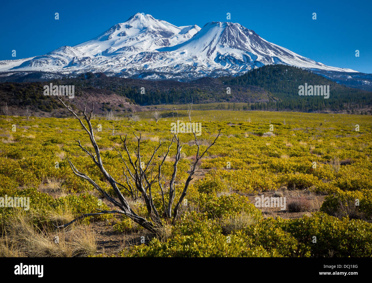 Mount Shasta is located at the southern end of the Cascade Range in Siskiyou County, California Stock Photohttps://www.alamy.com/image-license-details/?v=1https://www.alamy.com/stock-photo-mount-shasta-is-located-at-the-southern-end-of-the-cascade-range-in-59403136.html
RMDCJ18G–Mount Shasta is located at the southern end of the Cascade Range in Siskiyou County, California
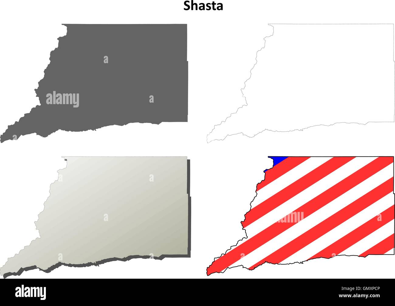 Shasta County, California outline map set Stock Vectorhttps://www.alamy.com/image-license-details/?v=1https://www.alamy.com/stock-photo-shasta-county-california-outline-map-set-116143686.html
RFGMXPCP–Shasta County, California outline map set
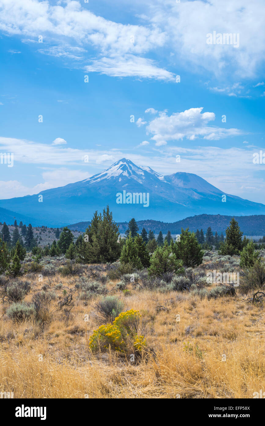 View of Mount Shasta. Siskiyou County, California, United States. Stock Photohttps://www.alamy.com/image-license-details/?v=1https://www.alamy.com/stock-photo-view-of-mount-shasta-siskiyou-county-california-united-states-78548426.html
RMEFP58X–View of Mount Shasta. Siskiyou County, California, United States.
 Mount Shasta Siskiyou County, California USA at sunset with autumnal oaks in foreground Stock Photohttps://www.alamy.com/image-license-details/?v=1https://www.alamy.com/stock-photo-mount-shasta-siskiyou-county-california-usa-at-sunset-with-autumnal-77725066.html
RMEECK36–Mount Shasta Siskiyou County, California USA at sunset with autumnal oaks in foreground
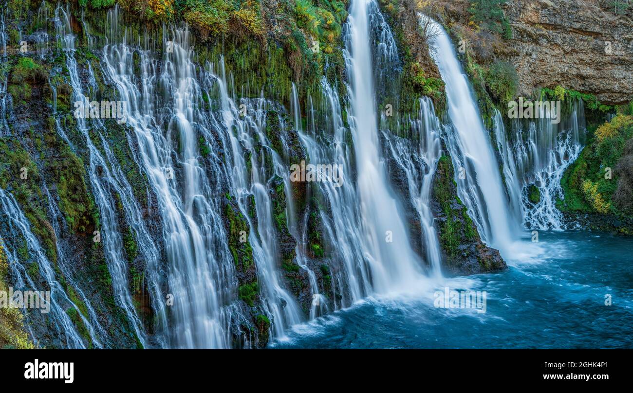 Waterfalls, Burney Falls Memorial State Park, Shasta-Trinity National Forest, Shasta County, California Stock Photohttps://www.alamy.com/image-license-details/?v=1https://www.alamy.com/waterfalls-burney-falls-memorial-state-park-shasta-trinity-national-forest-shasta-county-california-image441129193.html
RF2GHK4P1–Waterfalls, Burney Falls Memorial State Park, Shasta-Trinity National Forest, Shasta County, California
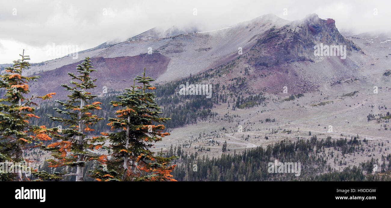 Mount Shasta and pine trees from Grey Butte Trail, Siskiyou County, California, USA Stock Photohttps://www.alamy.com/image-license-details/?v=1https://www.alamy.com/stock-photo-mount-shasta-and-pine-trees-from-grey-butte-trail-siskiyou-county-126300521.html
RFH9DDGW–Mount Shasta and pine trees from Grey Butte Trail, Siskiyou County, California, USA
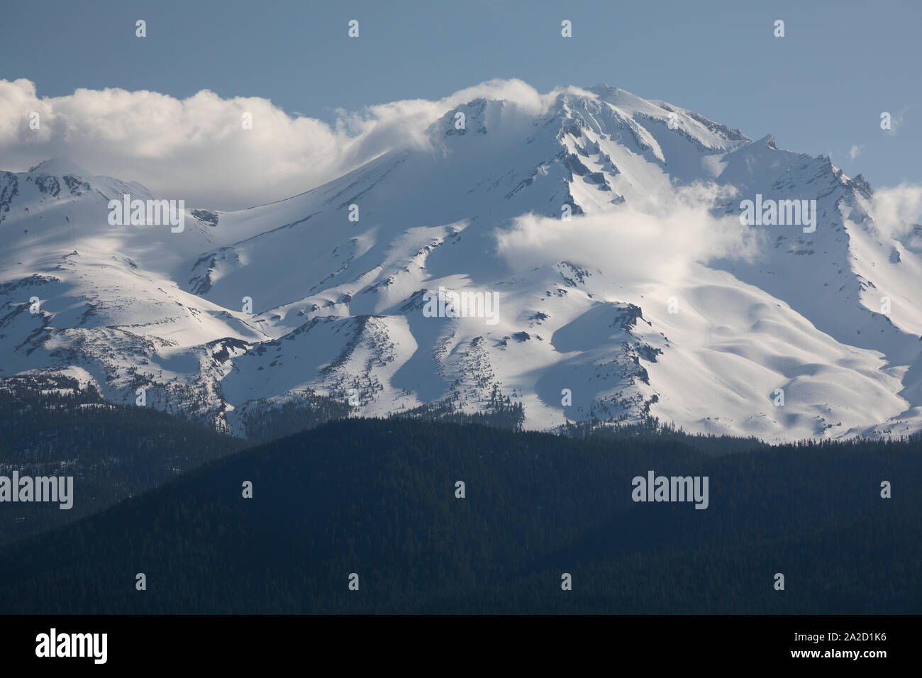 View of Mount Shasta, Siskiyou County, California, USA Stock Photohttps://www.alamy.com/image-license-details/?v=1https://www.alamy.com/view-of-mount-shasta-siskiyou-county-california-usa-image328513002.html
RM2A2D1K6–View of Mount Shasta, Siskiyou County, California, USA
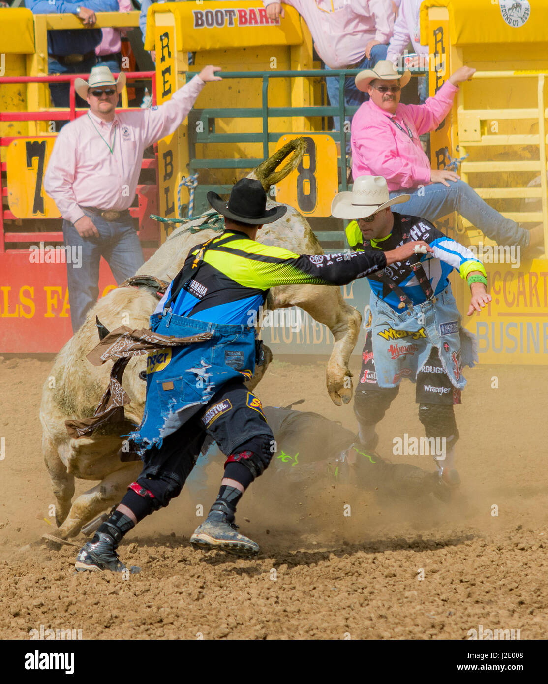 Old Shasta California miners town Stock Photohttps://www.alamy.com/image-license-details/?v=1https://www.alamy.com/stock-photo-old-shasta-california-miners-town-139219592.html
RFJ2E008–Old Shasta California miners town
 Close up of Indian paintbrush (Castilleja) wildflower starting to bloom; Lassen Volcanic National Park, Shasta County, California Stock Photohttps://www.alamy.com/image-license-details/?v=1https://www.alamy.com/close-up-of-indian-paintbrush-castilleja-wildflower-starting-to-bloom-lassen-volcanic-national-park-shasta-county-california-image232891657.html
RFREW3K5–Close up of Indian paintbrush (Castilleja) wildflower starting to bloom; Lassen Volcanic National Park, Shasta County, California
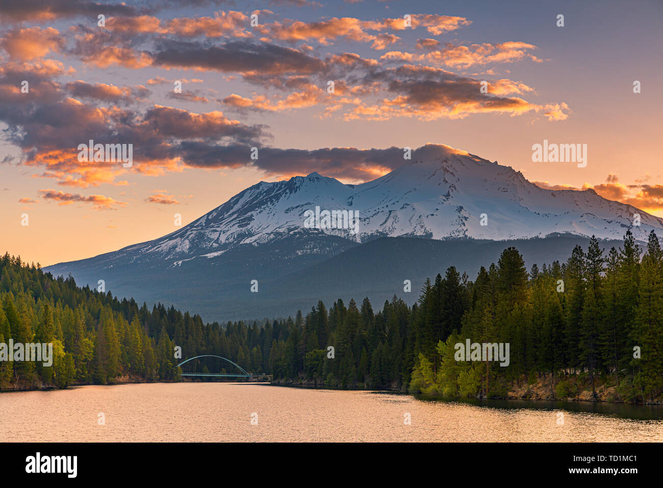 View on Mount Shasta (from Lake Siskiyou). Mt Shasta is a volcano at the southern end of the Cascade Range in Siskiyou County, California. At an eleva Stock Photohttps://www.alamy.com/image-license-details/?v=1https://www.alamy.com/view-on-mount-shasta-from-lake-siskiyou-mt-shasta-is-a-volcano-at-the-southern-end-of-the-cascade-range-in-siskiyou-county-california-at-an-eleva-image248973649.html
RMTD1MC1–View on Mount Shasta (from Lake Siskiyou). Mt Shasta is a volcano at the southern end of the Cascade Range in Siskiyou County, California. At an eleva
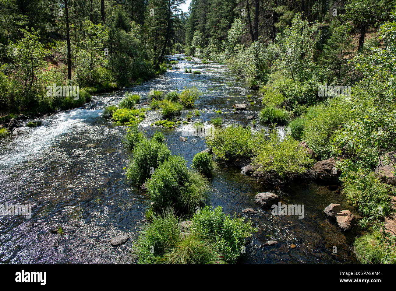 Scenic Burney creek in Shasta County California Stock Photohttps://www.alamy.com/image-license-details/?v=1https://www.alamy.com/scenic-burney-creek-in-shasta-county-california-image333337764.html
RF2AA8RM4–Scenic Burney creek in Shasta County California
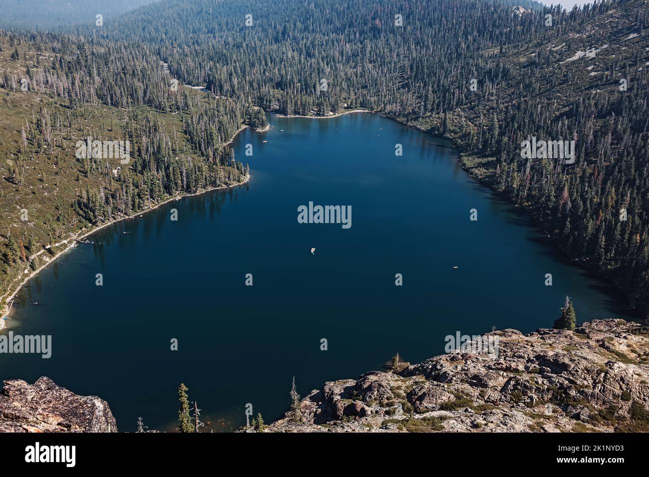 Beautiful view on the heart shape mountain lake. Castle lake, Shasta county, California. Stock Photohttps://www.alamy.com/image-license-details/?v=1https://www.alamy.com/beautiful-view-on-the-heart-shape-mountain-lake-castle-lake-shasta-county-california-image482987487.html
RF2K1NYD3–Beautiful view on the heart shape mountain lake. Castle lake, Shasta county, California.
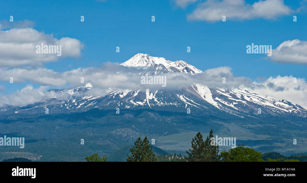 Mt Shasta California in the summer with blue sky and a few clouds Stock Photohttps://www.alamy.com/image-license-details/?v=1https://www.alamy.com/stock-photo-mt-shasta-california-in-the-summer-with-blue-sky-and-a-few-clouds-172939126.html
RFM1A1HA–Mt Shasta California in the summer with blue sky and a few clouds
 Small cascades by the Burney Creek at Burney Falls State Park, Shasta County, California, United States. Stock Photohttps://www.alamy.com/image-license-details/?v=1https://www.alamy.com/small-cascades-by-the-burney-creek-at-burney-falls-state-park-shasta-county-california-united-states-image418559377.html
RM2F8Y0N5–Small cascades by the Burney Creek at Burney Falls State Park, Shasta County, California, United States.
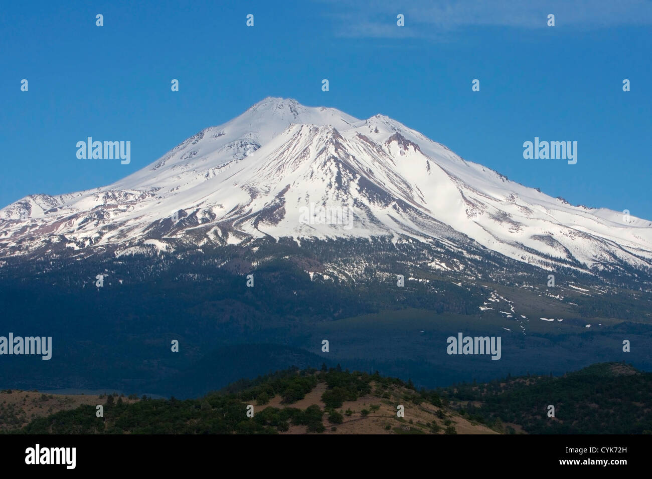 Scenic view of Mount Shasta (or White Mountain) Siskiyou County, northern California, USA in June Stock Photohttps://www.alamy.com/image-license-details/?v=1https://www.alamy.com/stock-photo-scenic-view-of-mount-shasta-or-white-mountain-siskiyou-county-northern-51439097.html
RMCYK72H–Scenic view of Mount Shasta (or White Mountain) Siskiyou County, northern California, USA in June
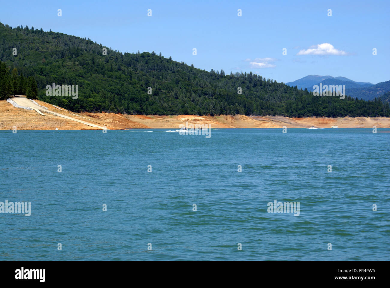 Lake Shasta, Shasta County, California, USA, a water reservoir in Shasta-Trinity National Forest, fed by Shasta dam Stock Photohttps://www.alamy.com/image-license-details/?v=1https://www.alamy.com/stock-photo-lake-shasta-shasta-county-california-usa-a-water-reservoir-in-shasta-100294689.html
RFFR4PW5–Lake Shasta, Shasta County, California, USA, a water reservoir in Shasta-Trinity National Forest, fed by Shasta dam
 Adult Canada goose (Branta canadensis) protecting its goslings as they forage in the shallows at Baum Lake in Shasta County California, USA. Stock Photohttps://www.alamy.com/image-license-details/?v=1https://www.alamy.com/adult-canada-goose-branta-canadensis-protecting-its-goslings-as-they-forage-in-the-shallows-at-baum-lake-in-shasta-county-california-usa-image605908088.html
RF2X5NDXG–Adult Canada goose (Branta canadensis) protecting its goslings as they forage in the shallows at Baum Lake in Shasta County California, USA.
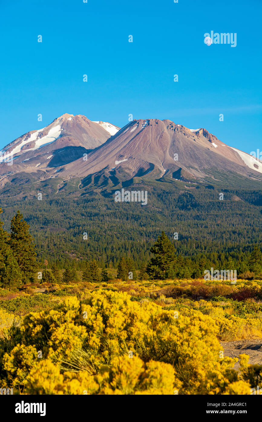 California, Mount Shasta, Siskiyou County, view from Hwy 97 the Volcanic Legacy Scenic Byway Stock Photohttps://www.alamy.com/image-license-details/?v=1https://www.alamy.com/california-mount-shasta-siskiyou-county-view-from-hwy-97-the-volcanic-legacy-scenic-byway-image329825217.html
RM2A4GRC1–California, Mount Shasta, Siskiyou County, view from Hwy 97 the Volcanic Legacy Scenic Byway
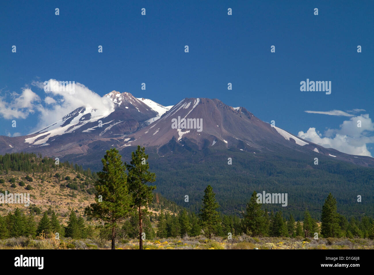 Mount Shasta north facing side located in Siskiyou County, California, USA. Stock Photohttps://www.alamy.com/image-license-details/?v=1https://www.alamy.com/stock-photo-mount-shasta-north-facing-side-located-in-siskiyou-county-california-52602208.html
RMD1G6J8–Mount Shasta north facing side located in Siskiyou County, California, USA.
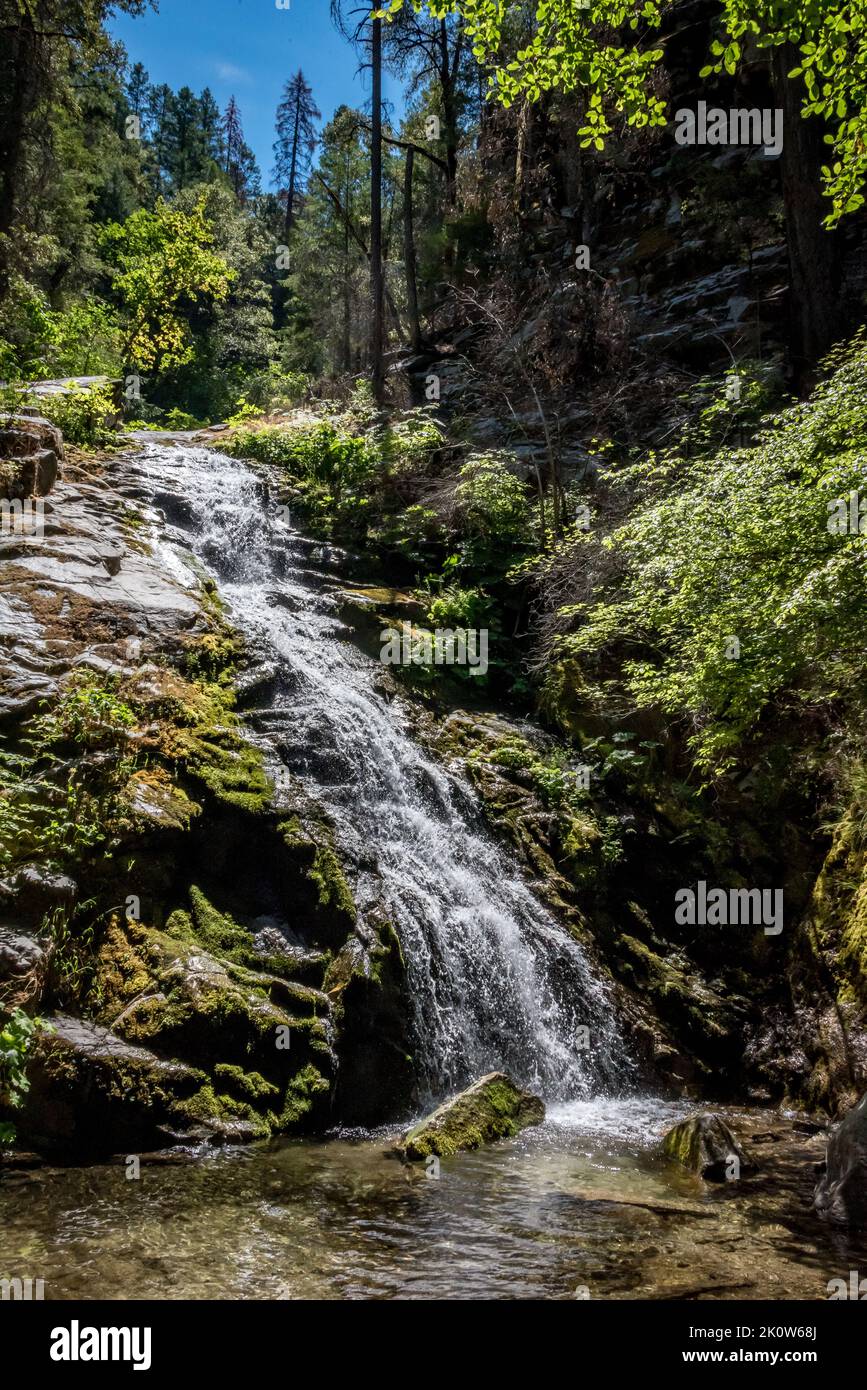 Lower Whiskeytown Falls, part of a 220-foot waterfall reached by strenuous hike in the national recreation area. Shasta County, Northern California. Stock Photohttps://www.alamy.com/image-license-details/?v=1https://www.alamy.com/lower-whiskeytown-falls-part-of-a-220-foot-waterfall-reached-by-strenuous-hike-in-the-national-recreation-area-shasta-county-northern-california-image482444050.html
RM2K0W68J–Lower Whiskeytown Falls, part of a 220-foot waterfall reached by strenuous hike in the national recreation area. Shasta County, Northern California.
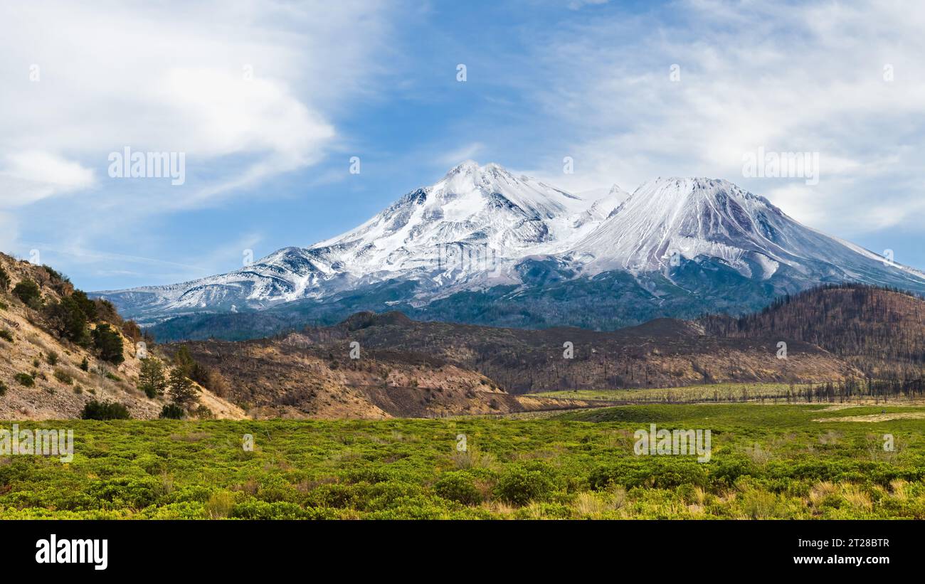 Northwest flank view of Mount Shasta volcano in Northern California with seasons first snow Stock Photohttps://www.alamy.com/image-license-details/?v=1https://www.alamy.com/northwest-flank-view-of-mount-shasta-volcano-in-northern-california-with-seasons-first-snow-image569356391.html
RF2T28BTR–Northwest flank view of Mount Shasta volcano in Northern California with seasons first snow
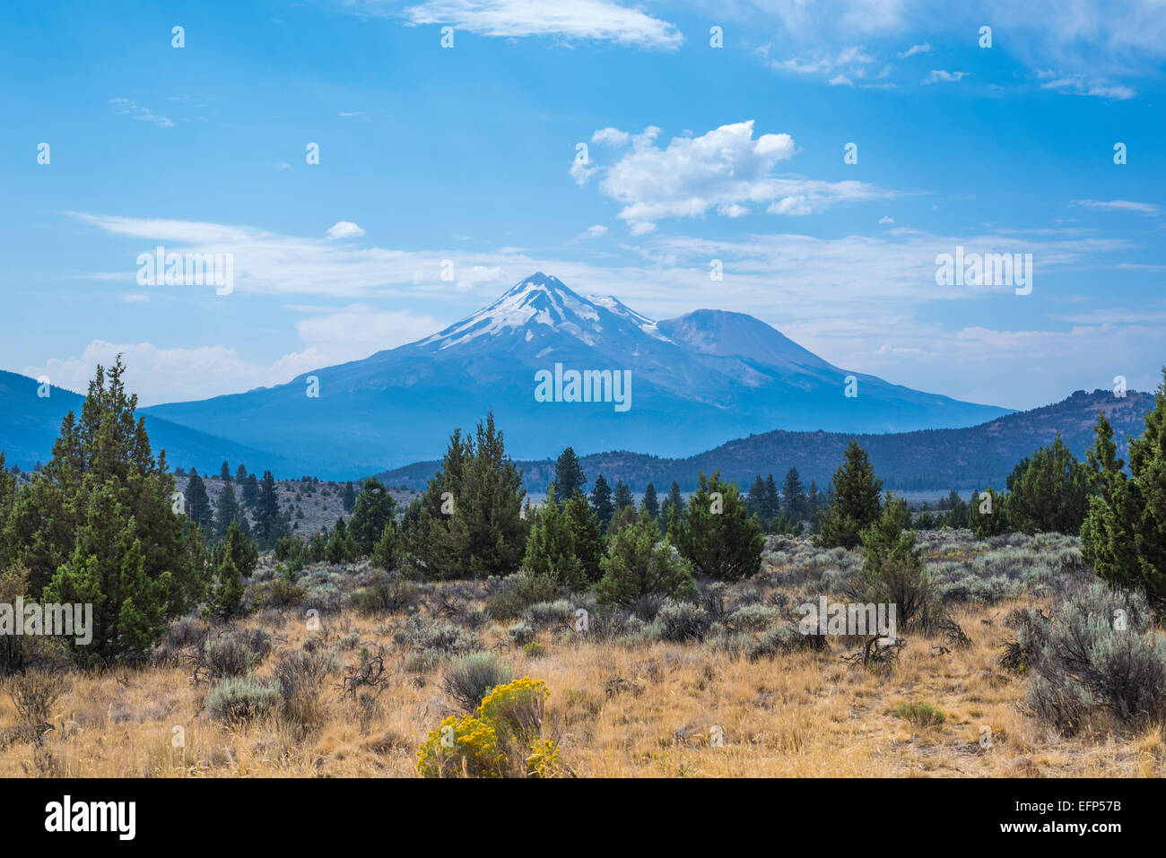 View of Mount Shasta. Siskiyou County, California, United States. Stock Photohttps://www.alamy.com/image-license-details/?v=1https://www.alamy.com/stock-photo-view-of-mount-shasta-siskiyou-county-california-united-states-78548383.html
RMEFP57B–View of Mount Shasta. Siskiyou County, California, United States.
 Snow covered Mount Shasta Siskiyou County, California USA with Redwoods in foreground Stock Photohttps://www.alamy.com/image-license-details/?v=1https://www.alamy.com/stock-photo-snow-covered-mount-shasta-siskiyou-county-california-usa-with-redwoods-77721461.html
RMEECEED–Snow covered Mount Shasta Siskiyou County, California USA with Redwoods in foreground
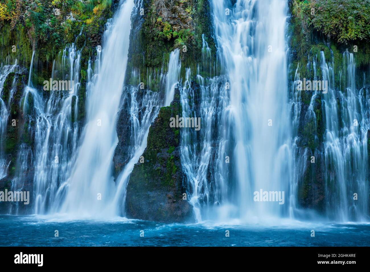 Waterfalls, Burney Falls Memorial State Park, Shasta-Trinity National Forest, Shasta County, California Stock Photohttps://www.alamy.com/image-license-details/?v=1https://www.alamy.com/waterfalls-burney-falls-memorial-state-park-shasta-trinity-national-forest-shasta-county-california-image441129234.html
RF2GHK4RE–Waterfalls, Burney Falls Memorial State Park, Shasta-Trinity National Forest, Shasta County, California
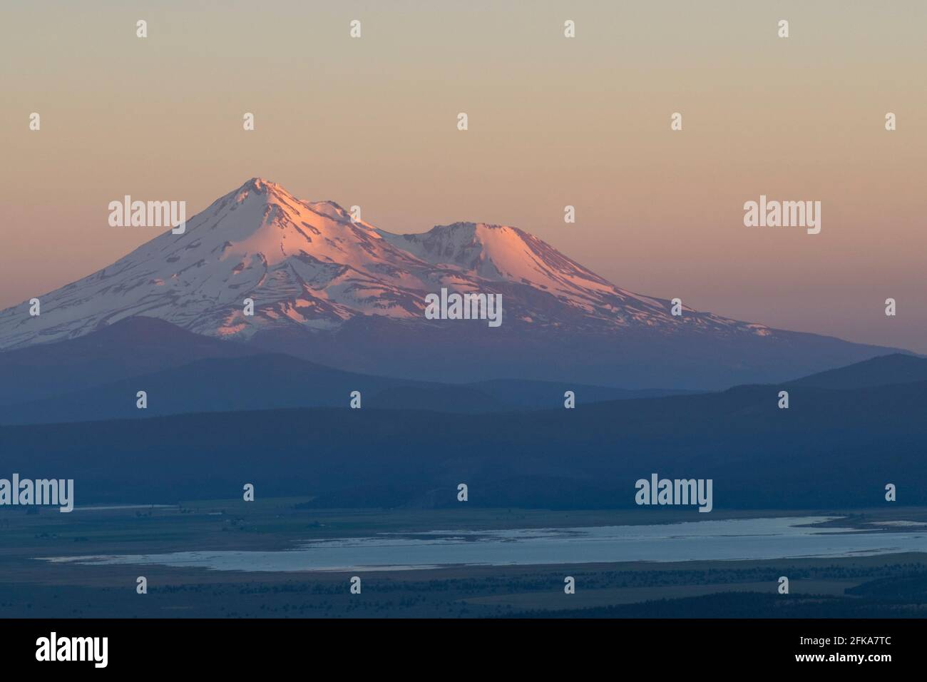 Mount Shasta at sunset as seen from Hamaker Mountain in Klamath County, Oregon. Stock Photohttps://www.alamy.com/image-license-details/?v=1https://www.alamy.com/mount-shasta-at-sunset-as-seen-from-hamaker-mountain-in-klamath-county-oregon-image424952988.html
RF2FKA7TC–Mount Shasta at sunset as seen from Hamaker Mountain in Klamath County, Oregon.
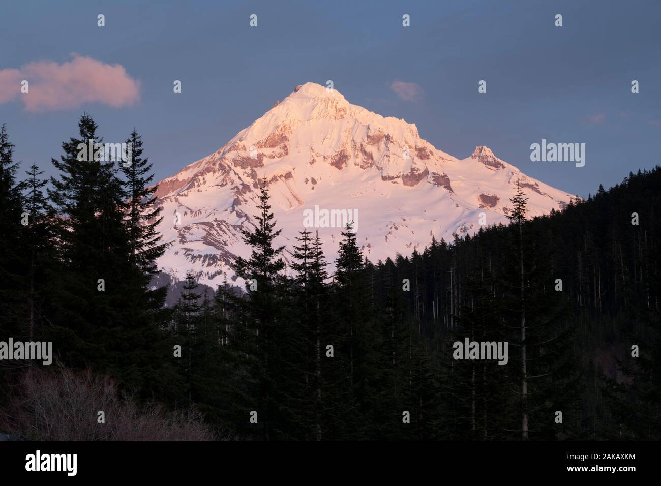 View of Mount Shasta, Siskiyou County, California, USA Stock Photohttps://www.alamy.com/image-license-details/?v=1https://www.alamy.com/view-of-mount-shasta-siskiyou-county-california-usa-image338915912.html
RM2AKAXKM–View of Mount Shasta, Siskiyou County, California, USA
 Old Shasta California miners town Stock Photohttps://www.alamy.com/image-license-details/?v=1https://www.alamy.com/stock-photo-old-shasta-california-miners-town-139219659.html
RFJ2E02K–Old Shasta California miners town
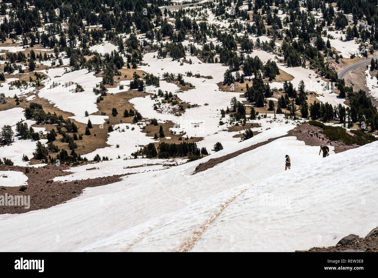 High altitude hiking trail to Lassen Peak still covered in snow on a sunny summer day; Lassen Volcanic National Park, Shasta County, California Stock Photohttps://www.alamy.com/image-license-details/?v=1https://www.alamy.com/high-altitude-hiking-trail-to-lassen-peak-still-covered-in-snow-on-a-sunny-summer-day-lassen-volcanic-national-park-shasta-county-california-image232891520.html
RFREW3E8–High altitude hiking trail to Lassen Peak still covered in snow on a sunny summer day; Lassen Volcanic National Park, Shasta County, California
 View on Mount Shasta (from Lake Siskiyou). Mt Shasta is a volcano at the southern end of the Cascade Range in Siskiyou County, California. At an eleva Stock Photohttps://www.alamy.com/image-license-details/?v=1https://www.alamy.com/view-on-mount-shasta-from-lake-siskiyou-mt-shasta-is-a-volcano-at-the-southern-end-of-the-cascade-range-in-siskiyou-county-california-at-an-eleva-image257434520.html
RMTXR4A0–View on Mount Shasta (from Lake Siskiyou). Mt Shasta is a volcano at the southern end of the Cascade Range in Siskiyou County, California. At an eleva
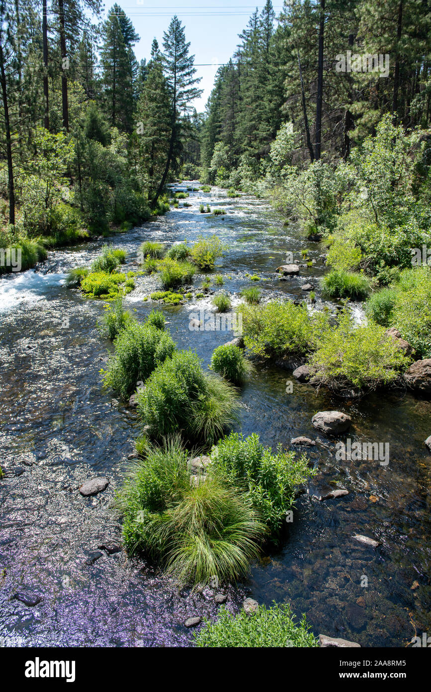 Scenic Burney creek in Shasta County California Stock Photohttps://www.alamy.com/image-license-details/?v=1https://www.alamy.com/scenic-burney-creek-in-shasta-county-california-image333337765.html
RF2AA8RM5–Scenic Burney creek in Shasta County California
 Mt Shasta Views via Black Butte Trail. Shasta-Trinity National Forest, Siskiyou County, California, USA. Stock Photohttps://www.alamy.com/image-license-details/?v=1https://www.alamy.com/mt-shasta-views-via-black-butte-trail-shasta-trinity-national-forest-siskiyou-county-california-usa-image594607750.html
RF2WFAM72–Mt Shasta Views via Black Butte Trail. Shasta-Trinity National Forest, Siskiyou County, California, USA.
 USA, United States, America, California, Siskiyou County, northern, volcano, peak, mountain, snow, capped, Shasta, Lake, Sisikyo Stock Photohttps://www.alamy.com/image-license-details/?v=1https://www.alamy.com/stock-photo-usa-united-states-america-california-siskiyou-county-northern-volcano-52218509.html
RMD0XN6N–USA, United States, America, California, Siskiyou County, northern, volcano, peak, mountain, snow, capped, Shasta, Lake, Sisikyo
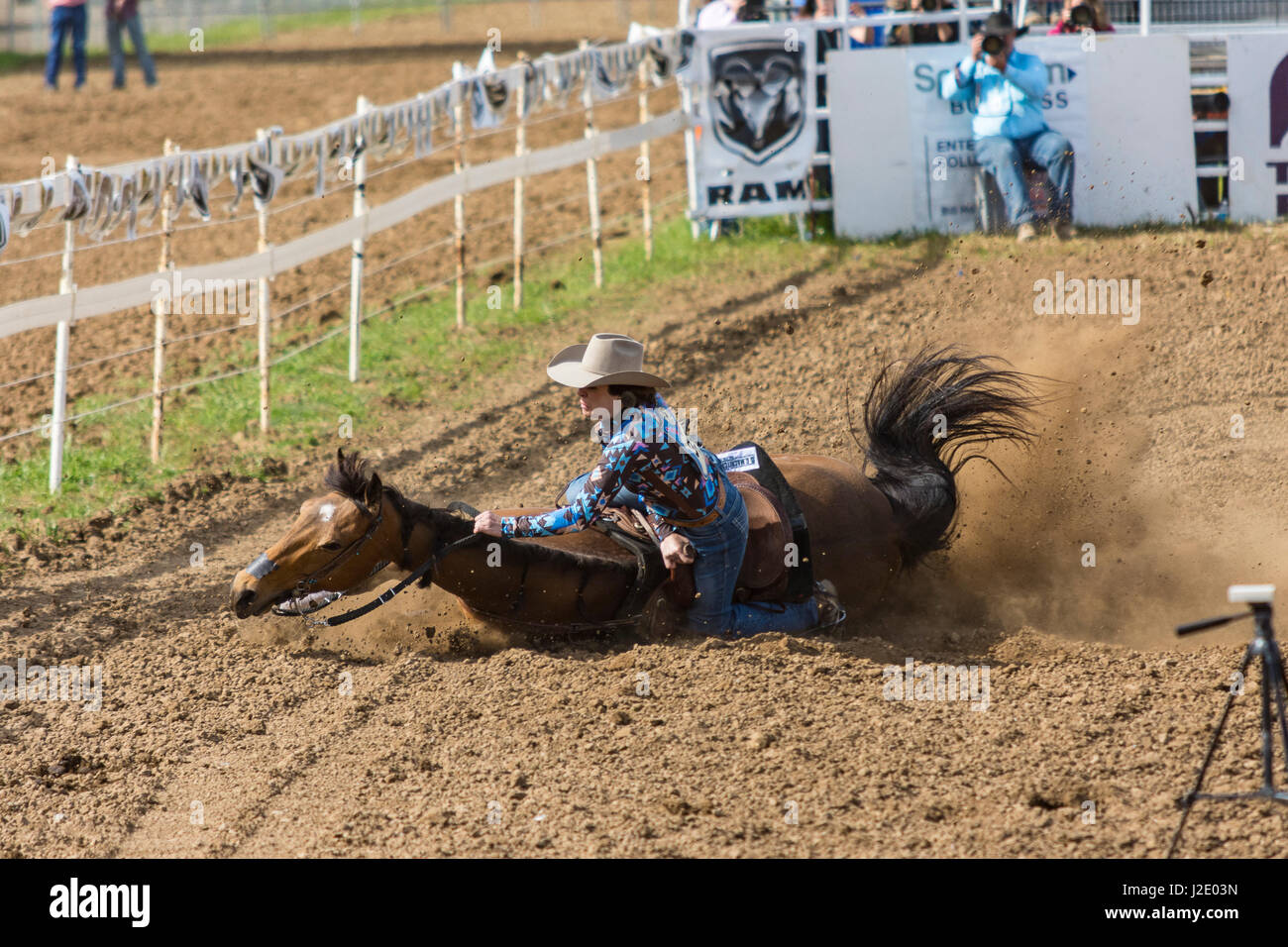
 Rodeo queen in Cottonwood, California. Stock Photohttps://www.alamy.com/image-license-details/?v=1https://www.alamy.com/stock-photo-rodeo-queen-in-cottonwood-california-140814375.html
RFJ52J4R–Rodeo queen in Cottonwood, California.
 Scenic view of Mount Shasta (or White Mountain) Siskiyou County, northern California, USA in June Stock Photohttps://www.alamy.com/image-license-details/?v=1https://www.alamy.com/stock-photo-scenic-view-of-mount-shasta-or-white-mountain-siskiyou-county-northern-48929206.html
RMCRGWKJ–Scenic view of Mount Shasta (or White Mountain) Siskiyou County, northern California, USA in June
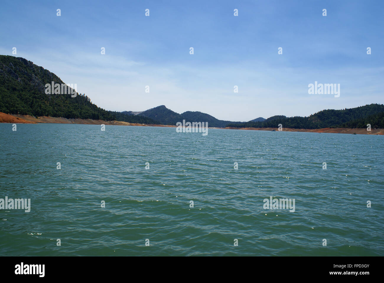 Lake Shasta, Shasta County, California, USA, a water reservoir in Shasta-Trinity National Forest, fed by Shasta dam Stock Photohttps://www.alamy.com/image-license-details/?v=1https://www.alamy.com/stock-photo-lake-shasta-shasta-county-california-usa-a-water-reservoir-in-shasta-99862475.html
RFFPD3GY–Lake Shasta, Shasta County, California, USA, a water reservoir in Shasta-Trinity National Forest, fed by Shasta dam
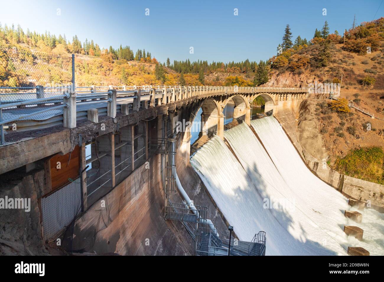 Outflow at the Pit 3 Dam/Bridge in Shasta County California, USA. The dam is part of Pacific Gas and Electric Company’s Pit River Project. Stock Photohttps://www.alamy.com/image-license-details/?v=1https://www.alamy.com/outflow-at-the-pit-3-dambridge-in-shasta-county-california-usa-the-dam-is-part-of-pacific-gas-and-electric-companys-pit-river-project-image384421317.html
RF2D9BW8N–Outflow at the Pit 3 Dam/Bridge in Shasta County California, USA. The dam is part of Pacific Gas and Electric Company’s Pit River Project.
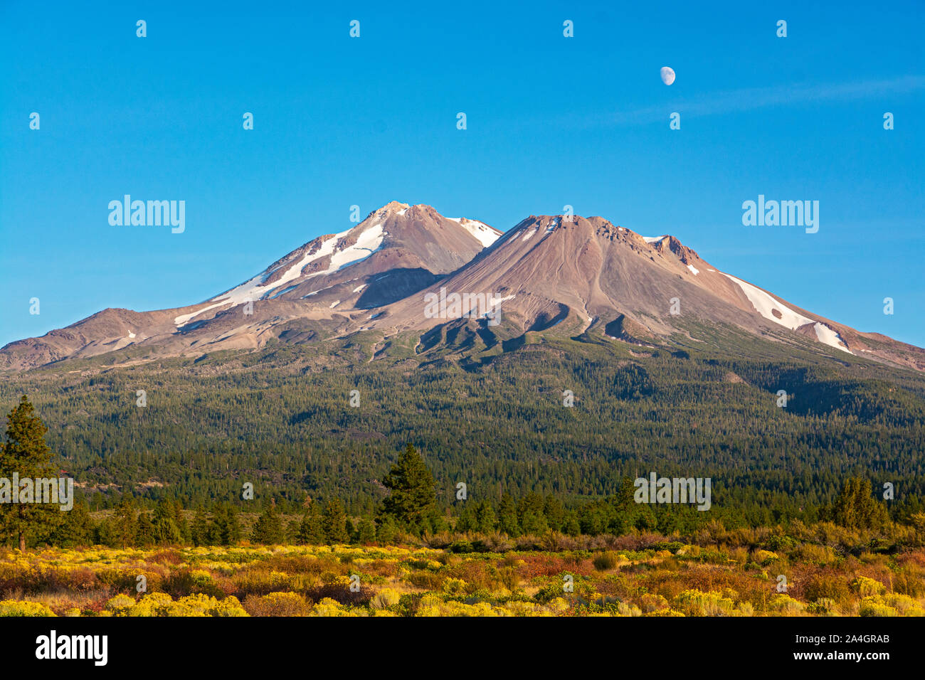 California, Mount Shasta, Siskiyou County, view from Hwy 97 the Volcanic Legacy Scenic Byway Stock Photohttps://www.alamy.com/image-license-details/?v=1https://www.alamy.com/california-mount-shasta-siskiyou-county-view-from-hwy-97-the-volcanic-legacy-scenic-byway-image329825171.html
RM2A4GRAB–California, Mount Shasta, Siskiyou County, view from Hwy 97 the Volcanic Legacy Scenic Byway
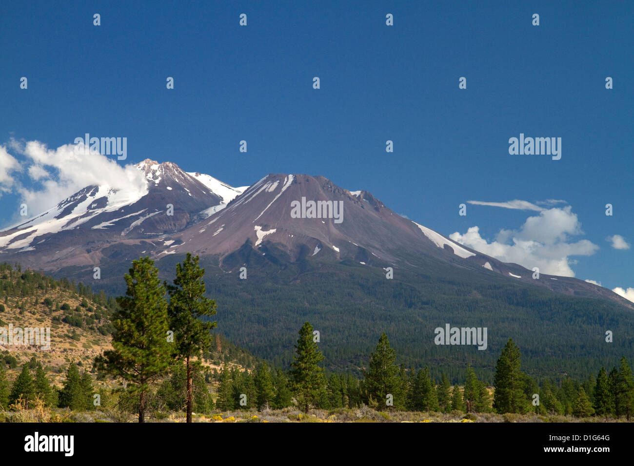 Mount Shasta north facing side located in Siskiyou County, California, USA. Stock Photohttps://www.alamy.com/image-license-details/?v=1https://www.alamy.com/stock-photo-mount-shasta-north-facing-side-located-in-siskiyou-county-california-52601824.html
RMD1G64G–Mount Shasta north facing side located in Siskiyou County, California, USA.
 Mt. Shasta California on sunny fall day and blue sky Stock Photohttps://www.alamy.com/image-license-details/?v=1https://www.alamy.com/mt-shasta-california-on-sunny-fall-day-and-blue-sky-image433378083.html
RF2G5224K–Mt. Shasta California on sunny fall day and blue sky
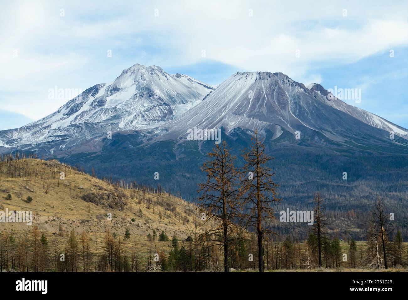 Mount Shasta volcano in Northern California with seasons first snowfall on summit of the volcano in the Pacific Ring of Fire Stock Photohttps://www.alamy.com/image-license-details/?v=1https://www.alamy.com/mount-shasta-volcano-in-northern-california-with-seasons-first-snowfall-on-summit-of-the-volcano-in-the-pacific-ring-of-fire-image571661499.html
RF2T61C23–Mount Shasta volcano in Northern California with seasons first snowfall on summit of the volcano in the Pacific Ring of Fire
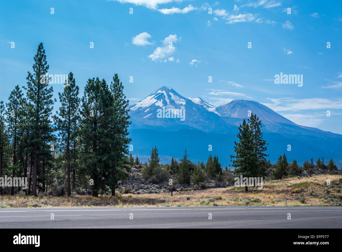 View of Mount Shasta. Siskiyou County, California, United States. Stock Photohttps://www.alamy.com/image-license-details/?v=1https://www.alamy.com/stock-photo-view-of-mount-shasta-siskiyou-county-california-united-states-78548379.html
RMEFP577–View of Mount Shasta. Siskiyou County, California, United States.
 Snow covered Mount Shasta at sunset Siskiyou County, California USA with Redwoods in foreground Stock Photohttps://www.alamy.com/image-license-details/?v=1https://www.alamy.com/stock-photo-snow-covered-mount-shasta-at-sunset-siskiyou-county-california-usa-77721451.html
RMEECEE3–Snow covered Mount Shasta at sunset Siskiyou County, California USA with Redwoods in foreground
 Waterfalls, Burney Falls Memorial State Park, Shasta-Trinity National Forest, Shasta County, California Stock Photohttps://www.alamy.com/image-license-details/?v=1https://www.alamy.com/waterfalls-burney-falls-memorial-state-park-shasta-trinity-national-forest-shasta-county-california-image441129188.html
RF2GHK4NT–Waterfalls, Burney Falls Memorial State Park, Shasta-Trinity National Forest, Shasta County, California
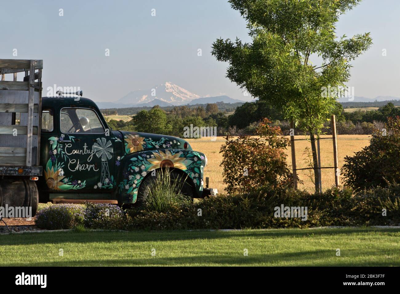 Decorated Classic 1950 Chevrolet Stake Bed Truck, view of Mount Shasta. Stock Photohttps://www.alamy.com/image-license-details/?v=1https://www.alamy.com/decorated-classic-1950-chevrolet-stake-bed-truck-view-of-mount-shasta-image355963651.html
RM2BK3F7F–Decorated Classic 1950 Chevrolet Stake Bed Truck, view of Mount Shasta.
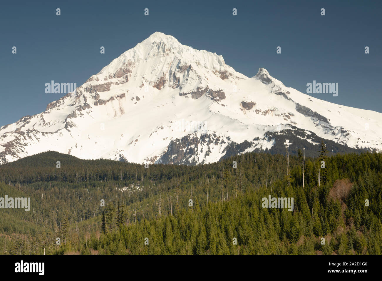 View of Mount Shasta, Siskiyou County, California, USA Stock Photohttps://www.alamy.com/image-license-details/?v=1https://www.alamy.com/view-of-mount-shasta-siskiyou-county-california-usa-image328512912.html
RM2A2D1G0–View of Mount Shasta, Siskiyou County, California, USA
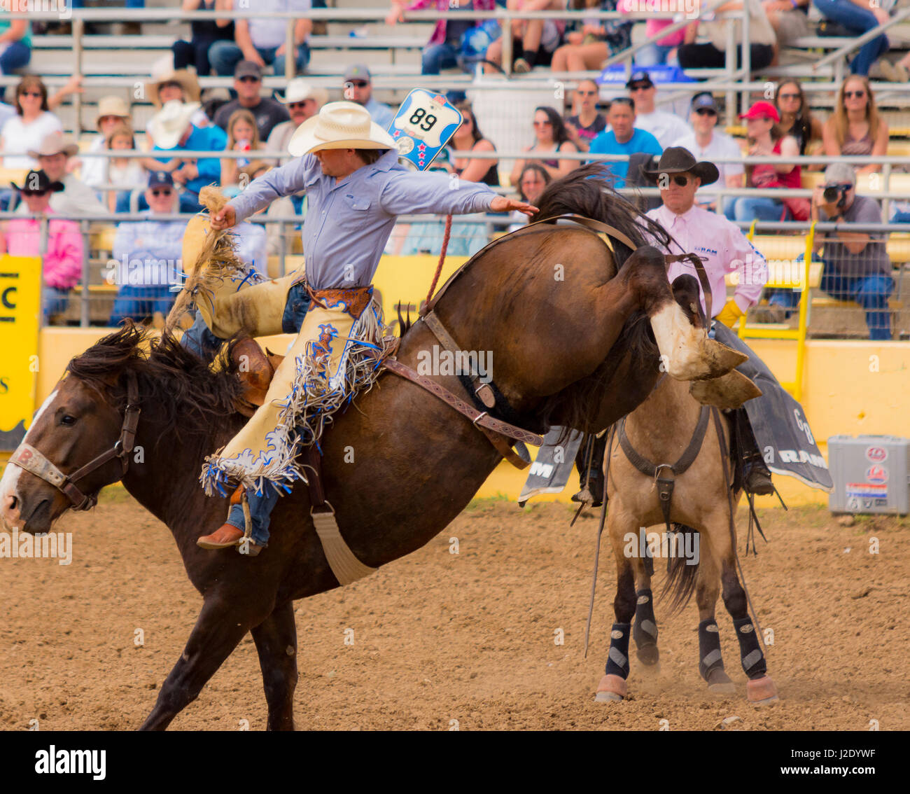 Old Shasta California miners town Stock Photohttps://www.alamy.com/image-license-details/?v=1https://www.alamy.com/stock-photo-old-shasta-california-miners-town-139219515.html
RFJ2DYWF–Old Shasta California miners town
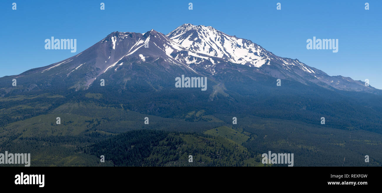 Panoramic view of the snow covered summit of Shasta mountain on a sunny summer day, California Stock Photohttps://www.alamy.com/image-license-details/?v=1https://www.alamy.com/panoramic-view-of-the-snow-covered-summit-of-shasta-mountain-on-a-sunny-summer-day-california-image232922953.html
RFREXFGW–Panoramic view of the snow covered summit of Shasta mountain on a sunny summer day, California
 View on Mount Shasta (from Lake Siskiyou). Mt Shasta is a volcano at the southern end of the Cascade Range in Siskiyou County, California. At an eleva Stock Photohttps://www.alamy.com/image-license-details/?v=1https://www.alamy.com/view-on-mount-shasta-from-lake-siskiyou-mt-shasta-is-a-volcano-at-the-southern-end-of-the-cascade-range-in-siskiyou-county-california-at-an-eleva-image257434519.html
RMTXR49Y–View on Mount Shasta (from Lake Siskiyou). Mt Shasta is a volcano at the southern end of the Cascade Range in Siskiyou County, California. At an eleva
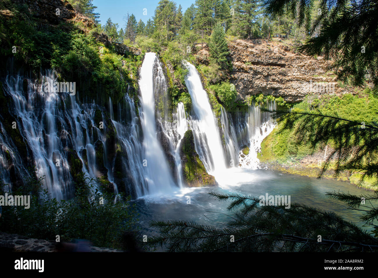 Large waterfalls in Shasta County California, Burney Falls Stock Photohttps://www.alamy.com/image-license-details/?v=1https://www.alamy.com/large-waterfalls-in-shasta-county-california-burney-falls-image333337762.html
RF2AA8RM2–Large waterfalls in Shasta County California, Burney Falls
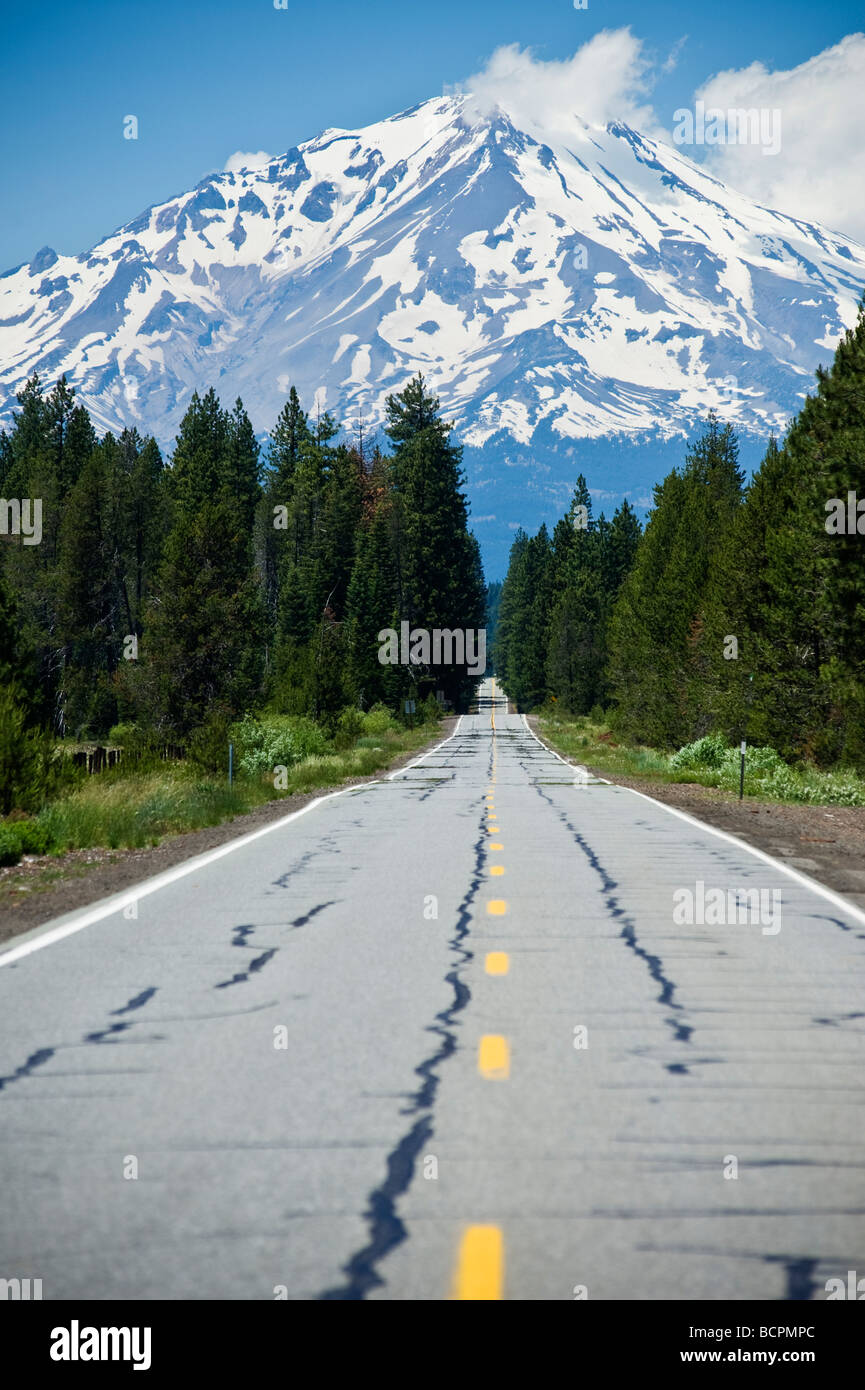 Mount Shasta, California, Viewed from highway 89 Stock Photohttps://www.alamy.com/image-license-details/?v=1https://www.alamy.com/stock-photo-mount-shasta-california-viewed-from-highway-89-25085492.html
RMBCPMPC–Mount Shasta, California, Viewed from highway 89
 USA, United States, America, California, Siskiyou County, northern, volcano, peak, mountain, snow, capped, Shasta, Lake, Sisikyo Stock Photohttps://www.alamy.com/image-license-details/?v=1https://www.alamy.com/stock-photo-usa-united-states-america-california-siskiyou-county-northern-volcano-52218507.html
RMD0XN6K–USA, United States, America, California, Siskiyou County, northern, volcano, peak, mountain, snow, capped, Shasta, Lake, Sisikyo
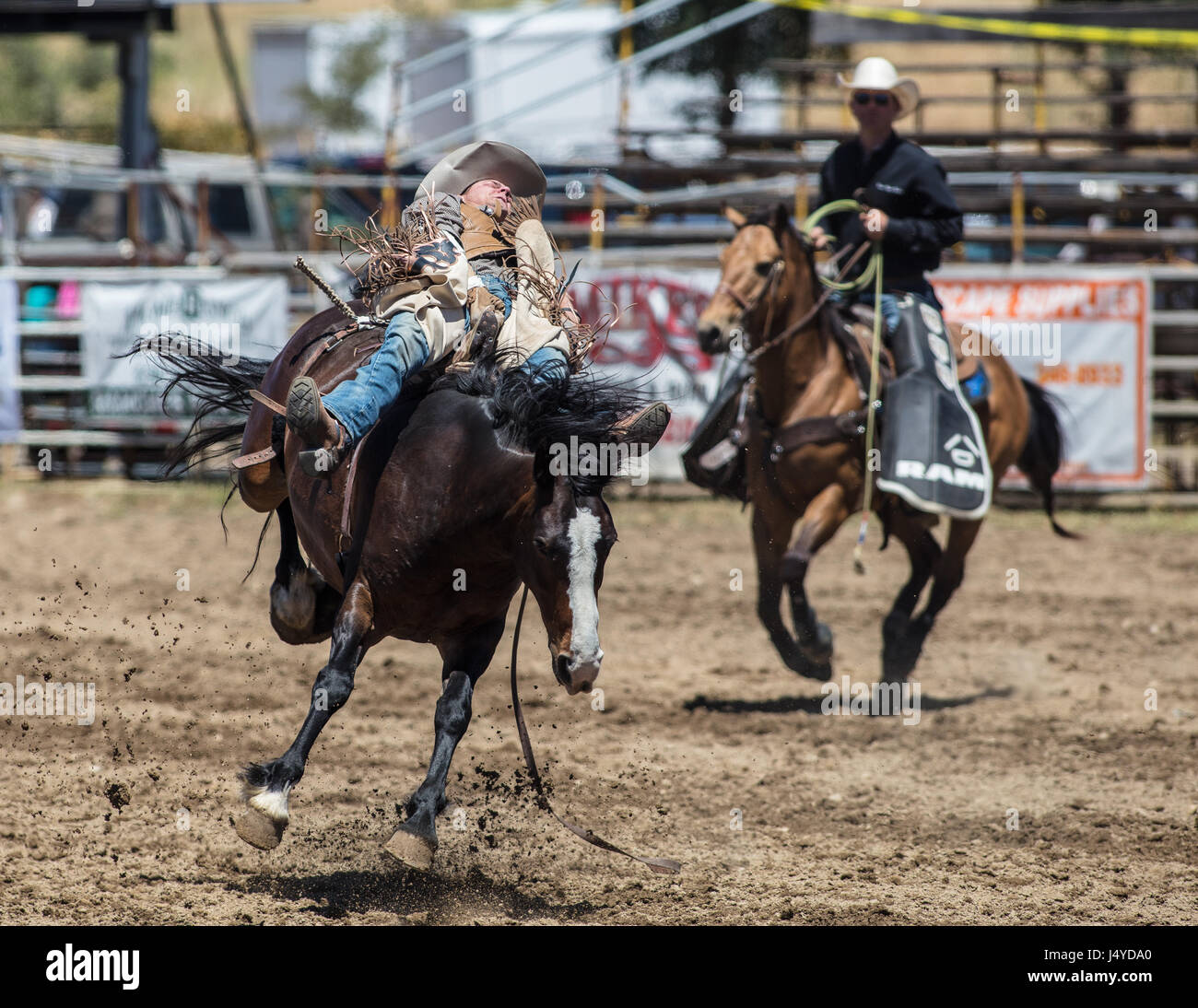 Bareback riding cowboy durning the Cottonwood Rodeo in California. Stock Photohttps://www.alamy.com/image-license-details/?v=1https://www.alamy.com/stock-photo-bareback-riding-cowboy-durning-the-cottonwood-rodeo-in-california-140744744.html
RFJ4YDA0–Bareback riding cowboy durning the Cottonwood Rodeo in California.
 Scenic view of Mount Shasta (or White Mountain) Siskiyou County, northern California, USA in June Stock Photohttps://www.alamy.com/image-license-details/?v=1https://www.alamy.com/stock-photo-scenic-view-of-mount-shasta-or-white-mountain-siskiyou-county-northern-48929200.html
RMCRGWKC–Scenic view of Mount Shasta (or White Mountain) Siskiyou County, northern California, USA in June
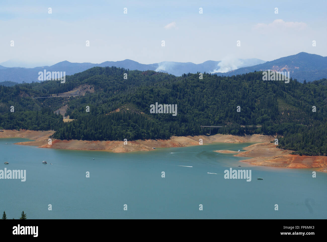 Lake Shasta, Shasta County, California, USA, a water reservoir in Shasta-Trinity National Forest, fed by Shasta dam Stock Photohttps://www.alamy.com/image-license-details/?v=1https://www.alamy.com/stock-photo-lake-shasta-shasta-county-california-usa-a-water-reservoir-in-shasta-99722199.html
RFFP6MK3–Lake Shasta, Shasta County, California, USA, a water reservoir in Shasta-Trinity National Forest, fed by Shasta dam
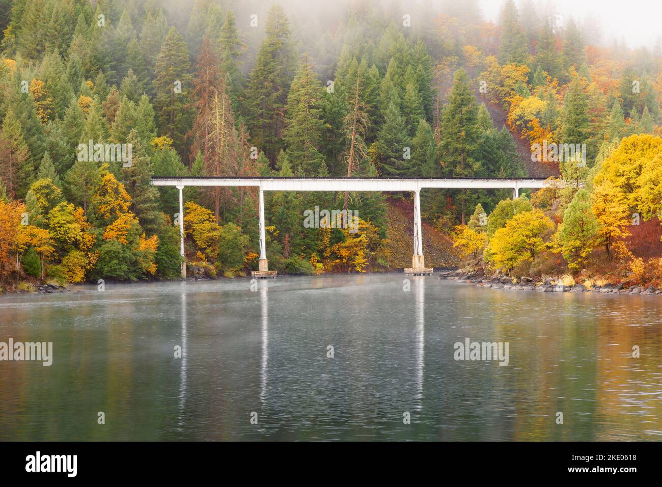 Rail trestle used in the movie Stand By Me over lake Britton in Shasta County, California, USA photographed in autumn with low clouds/fog. Stock Photohttps://www.alamy.com/image-license-details/?v=1https://www.alamy.com/rail-trestle-used-in-the-movie-stand-by-me-over-lake-britton-in-shasta-county-california-usa-photographed-in-autumn-with-low-cloudsfog-image490500228.html
RF2KE0618–Rail trestle used in the movie Stand By Me over lake Britton in Shasta County, California, USA photographed in autumn with low clouds/fog.
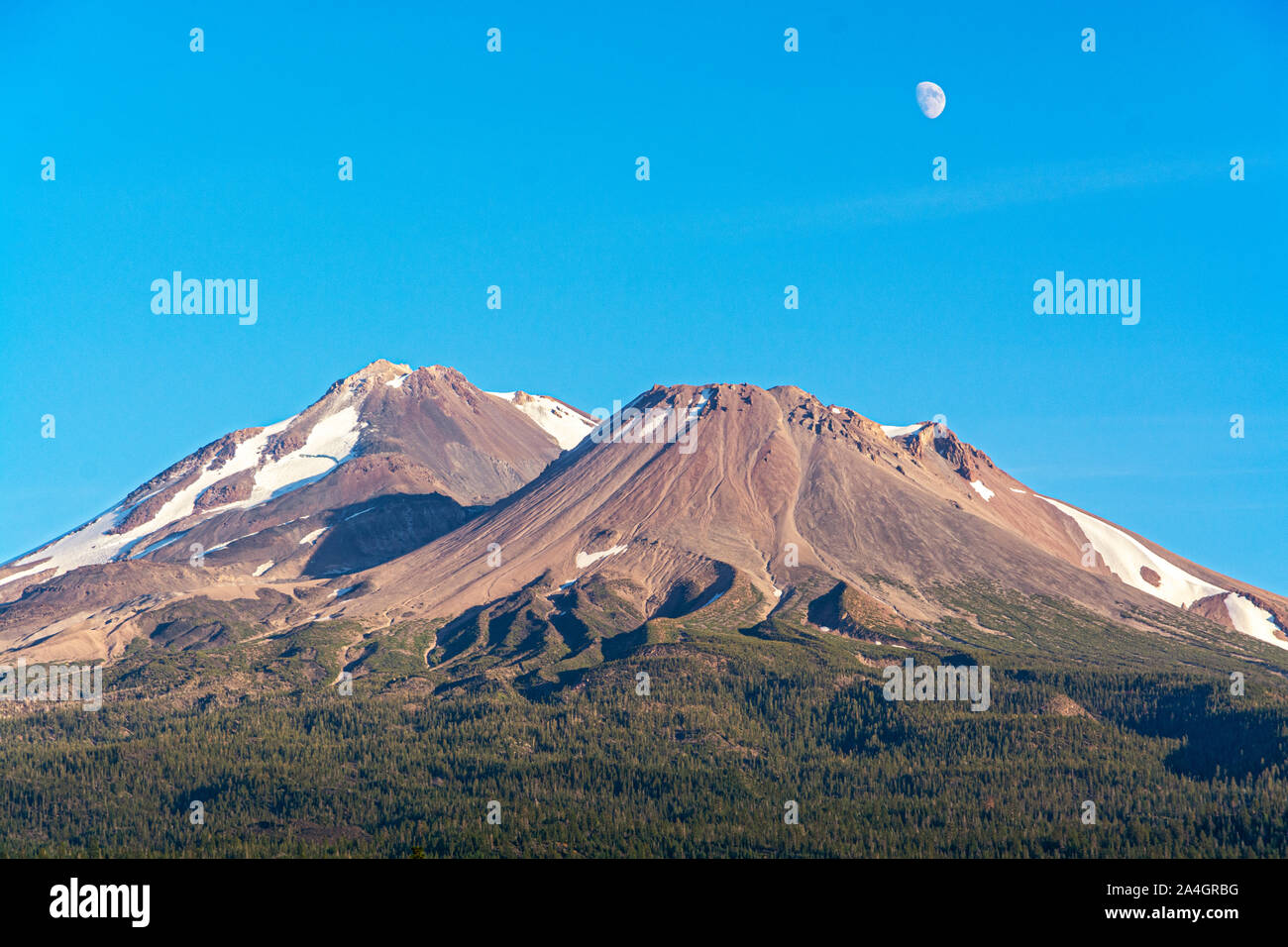 California, Mount Shasta, Siskiyou County, view from Hwy 97 the Volcanic Legacy Scenic Byway Stock Photohttps://www.alamy.com/image-license-details/?v=1https://www.alamy.com/california-mount-shasta-siskiyou-county-view-from-hwy-97-the-volcanic-legacy-scenic-byway-image329825204.html
RM2A4GRBG–California, Mount Shasta, Siskiyou County, view from Hwy 97 the Volcanic Legacy Scenic Byway

